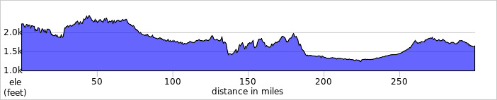
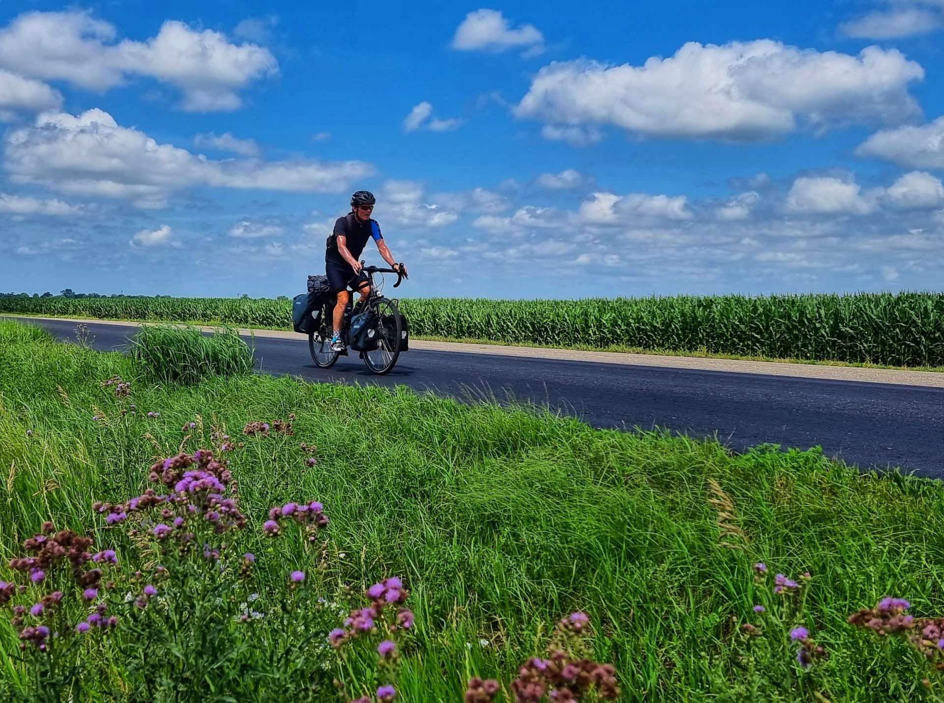
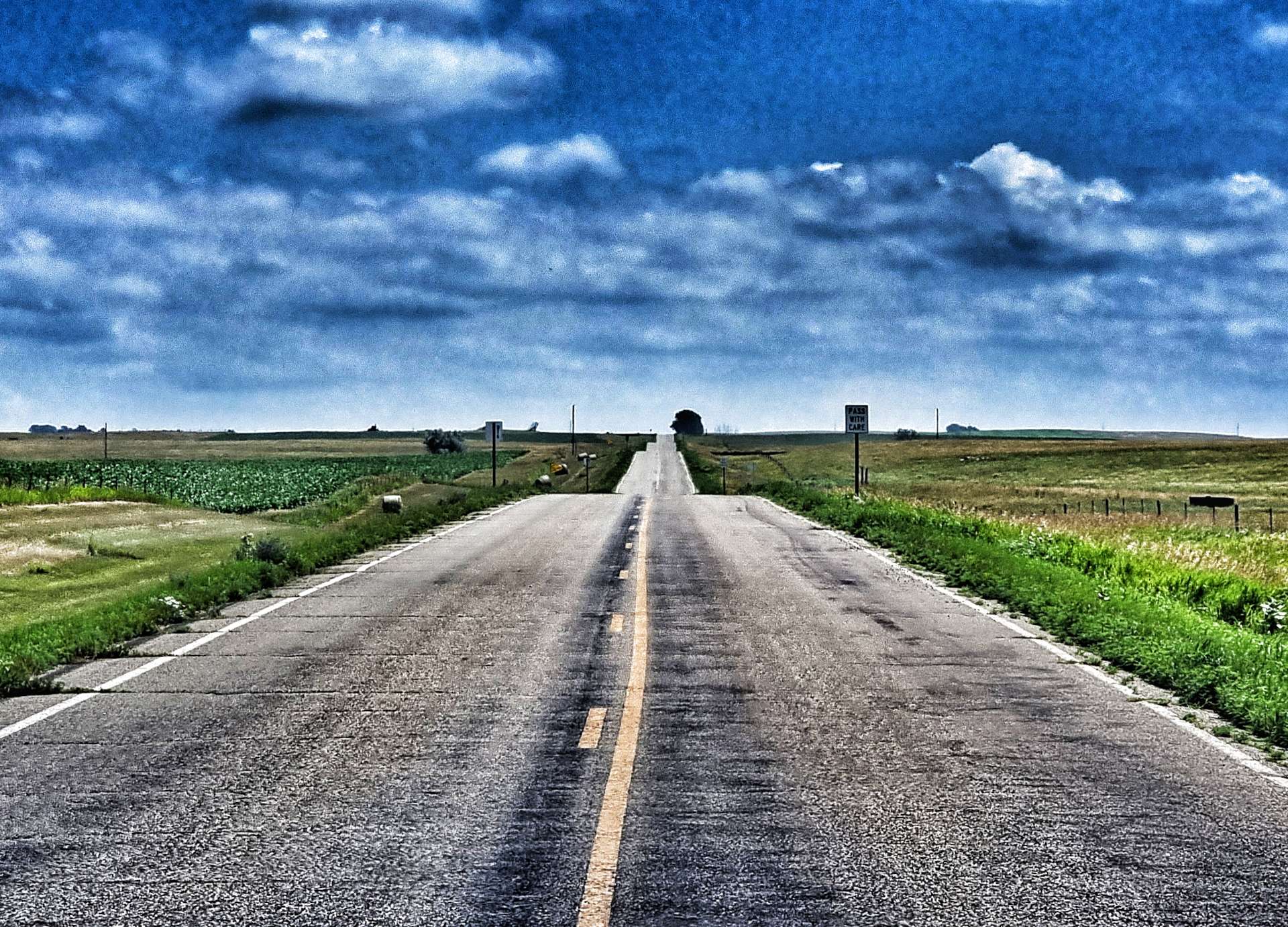
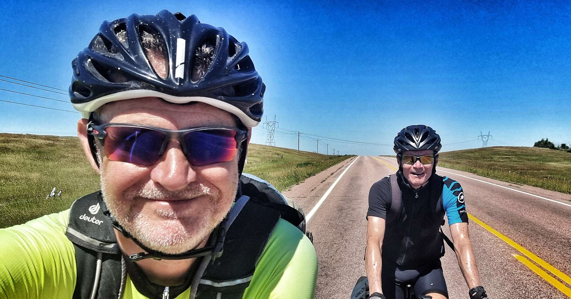
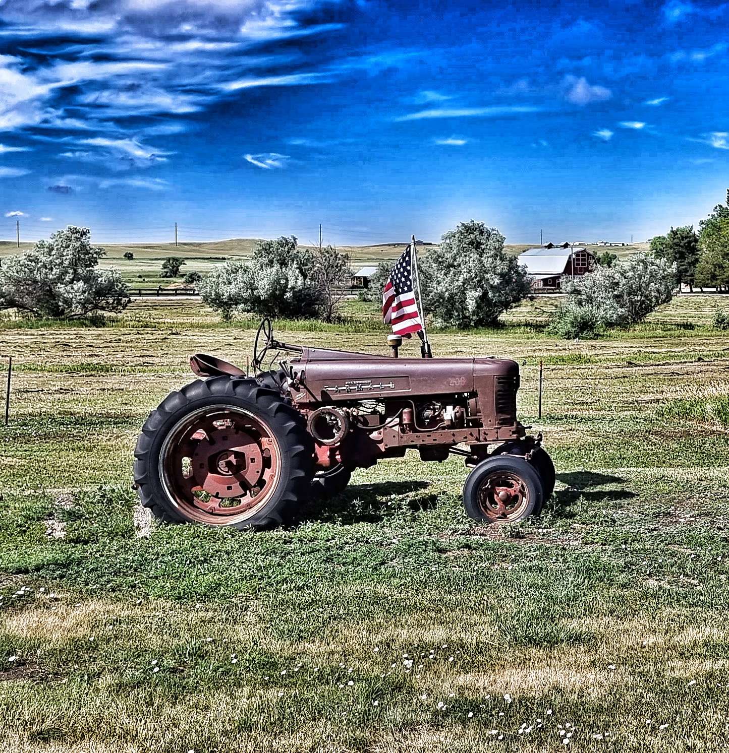
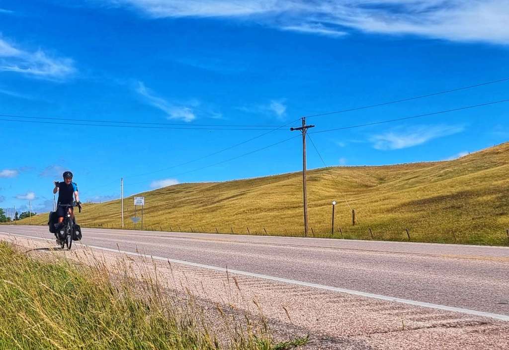
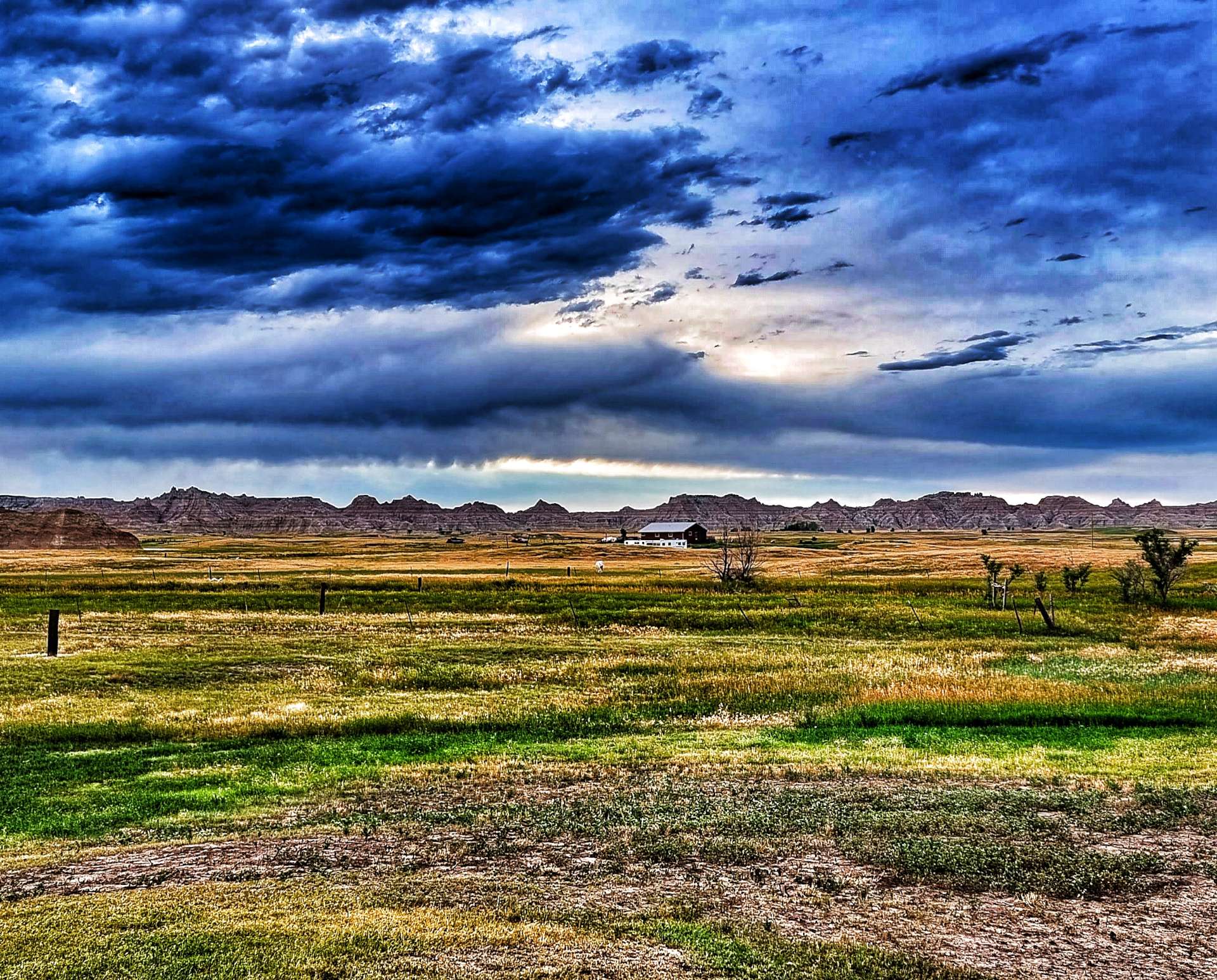
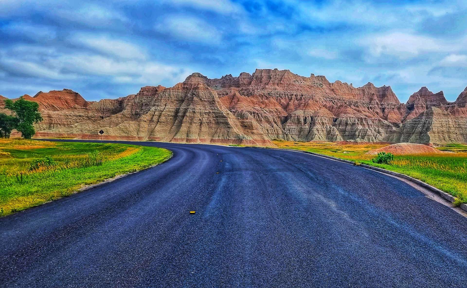
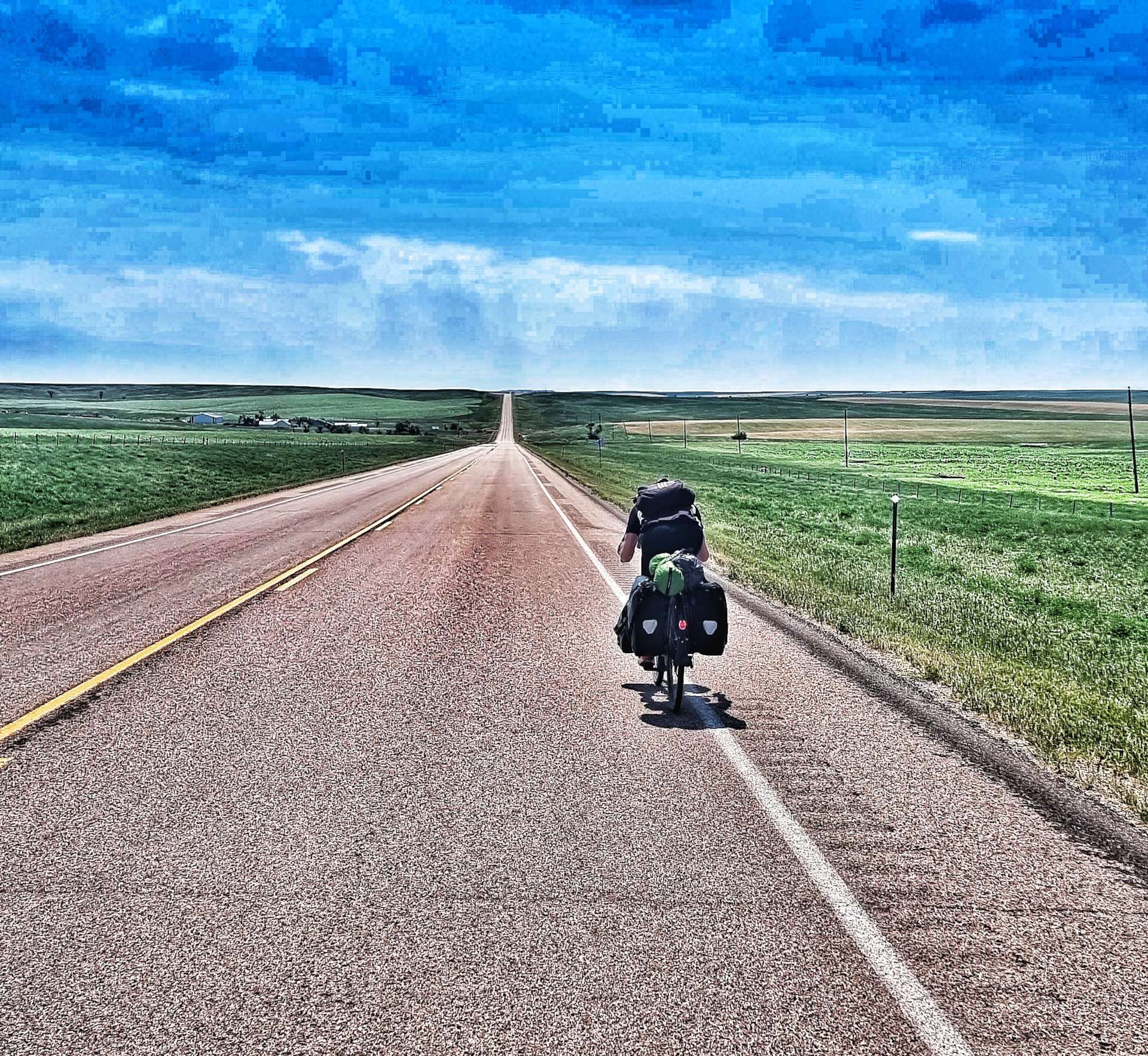
Well, How Did We Get Here? Miles, Feet Climbed, Maps & Profiles.
Previous updates described how we travelled from Seattle to Oakwood Lake State Park in the first 11 weeks of our adventure. Now find out where we went & what we did in Week 12! Hopefully picking a single photo to represent each day will refresh my mind when it comes to looking back on my adventure!
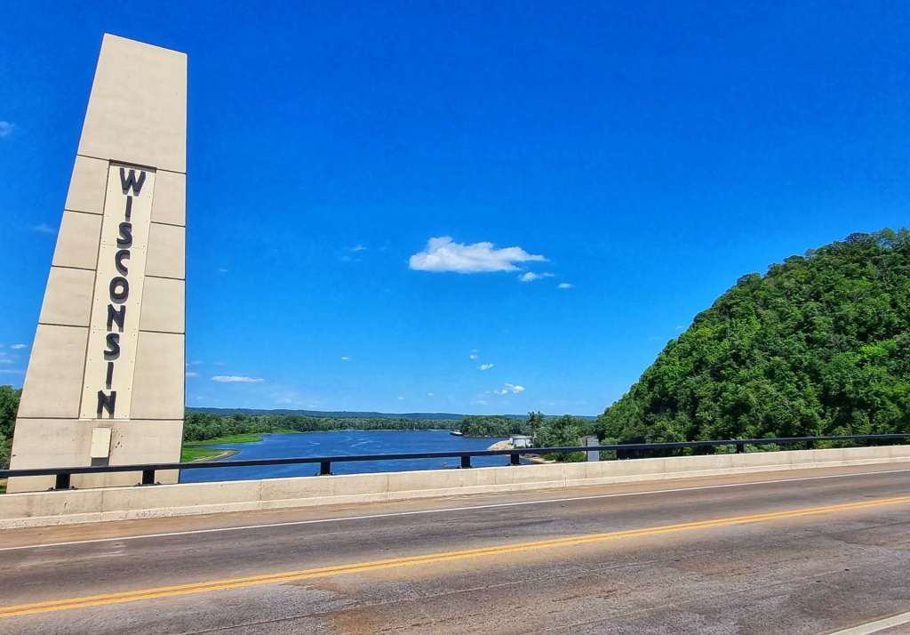
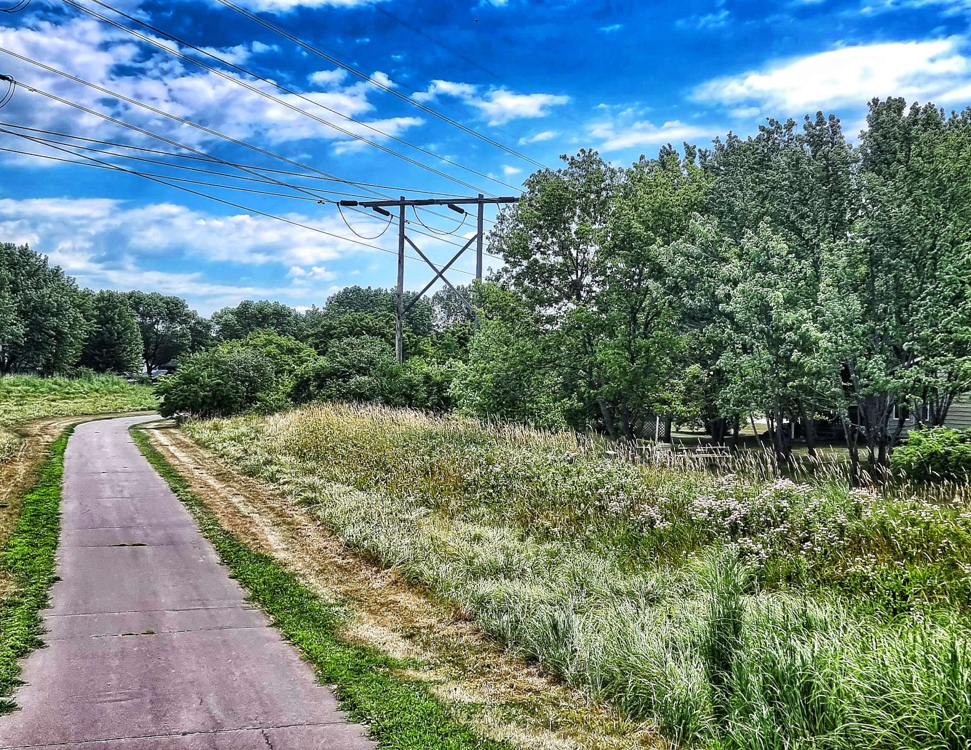
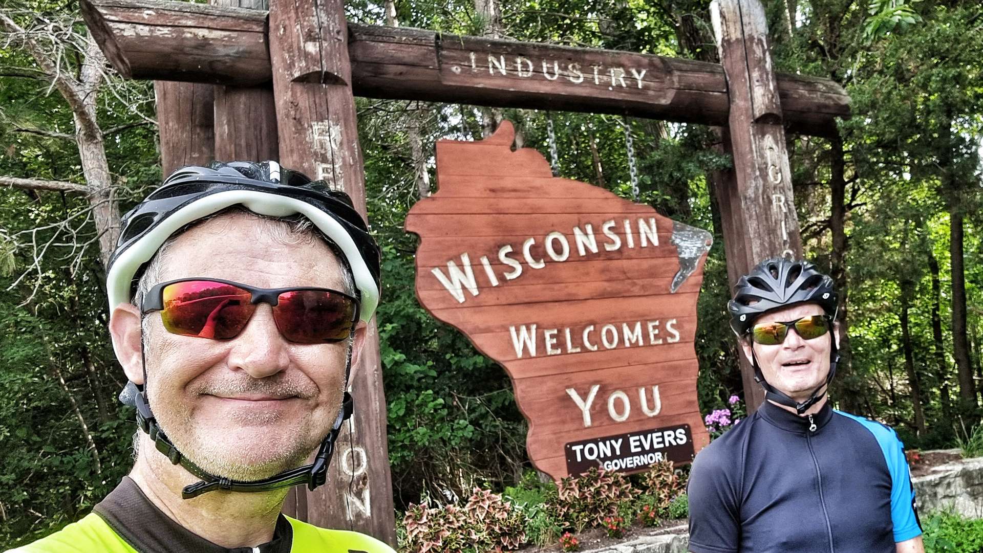
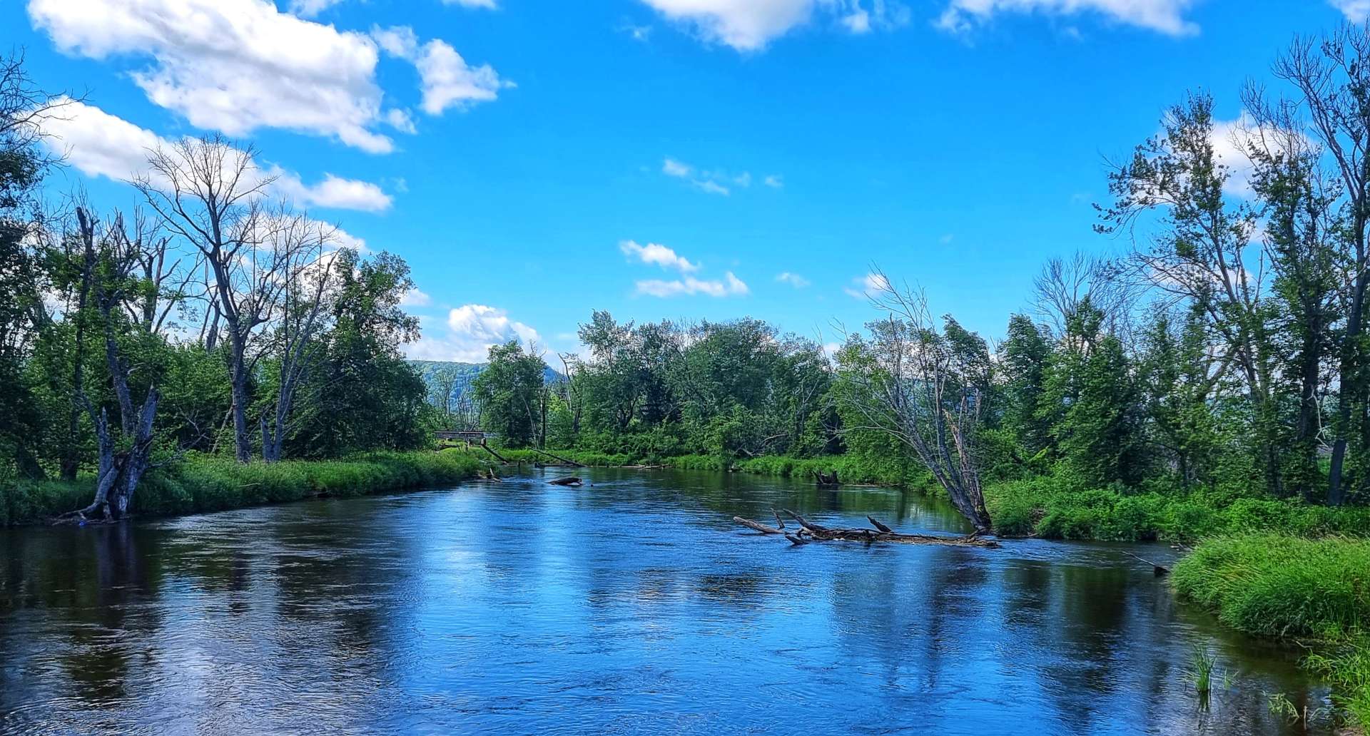
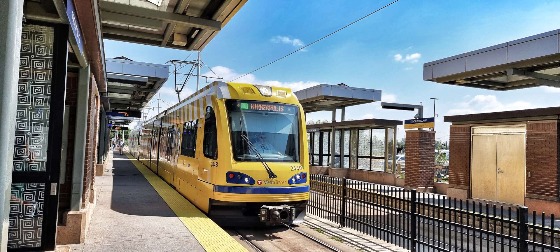
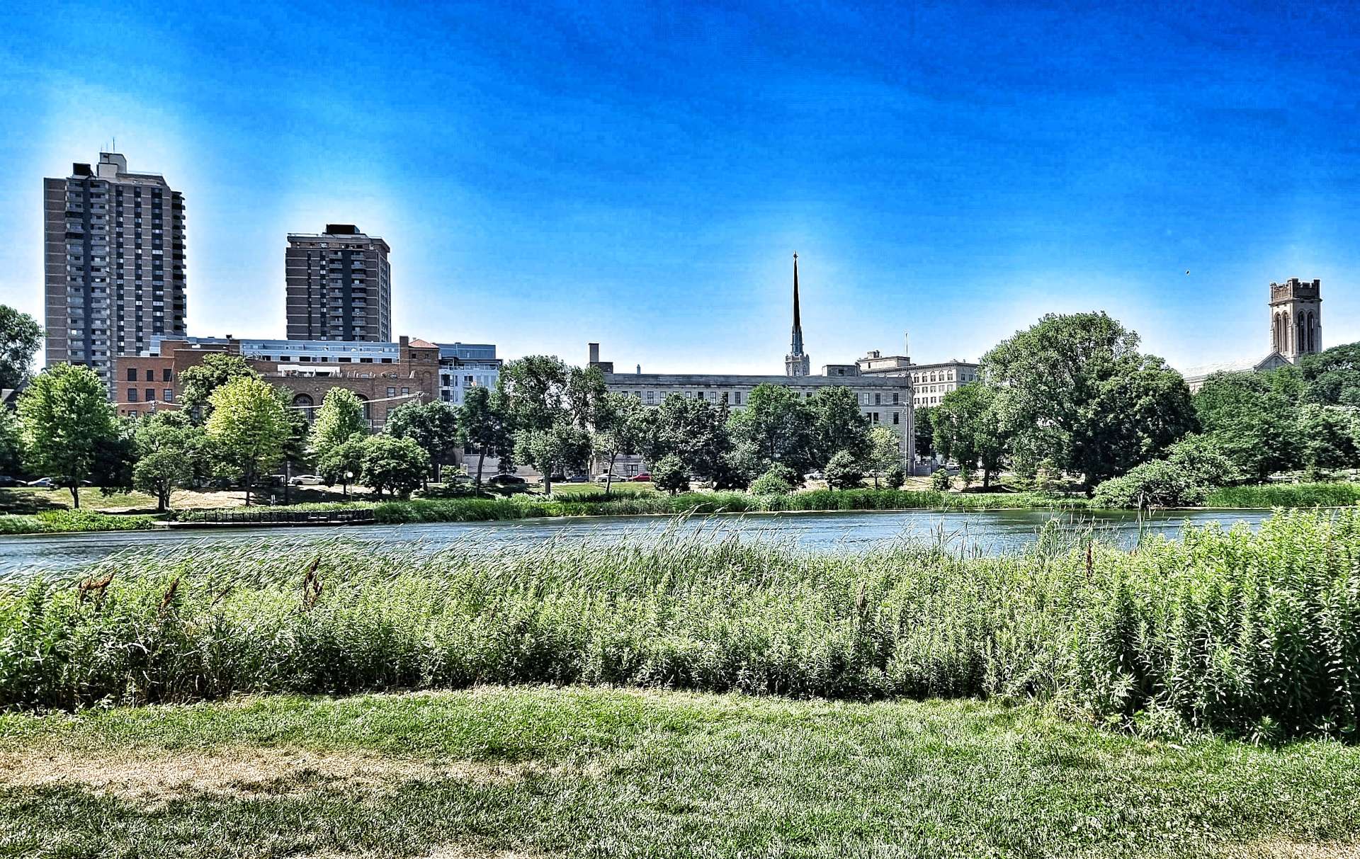
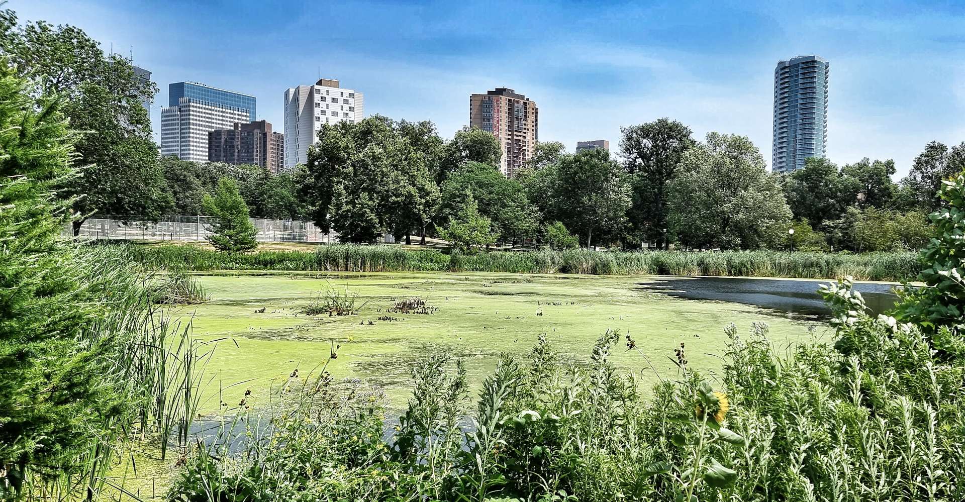
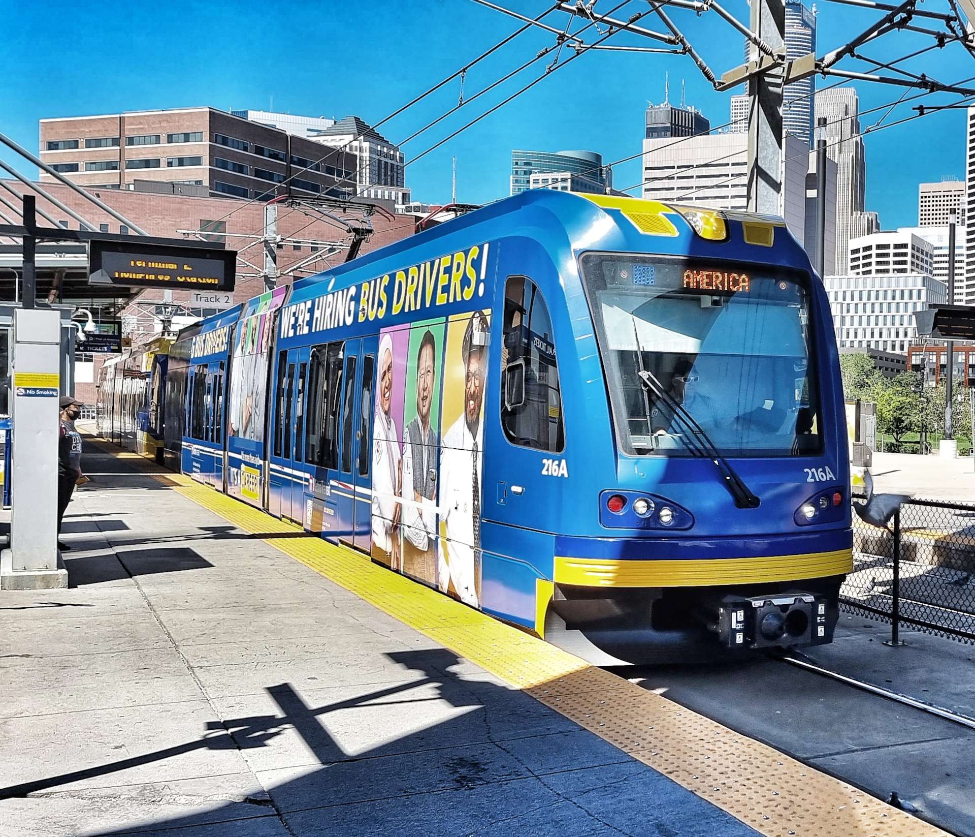
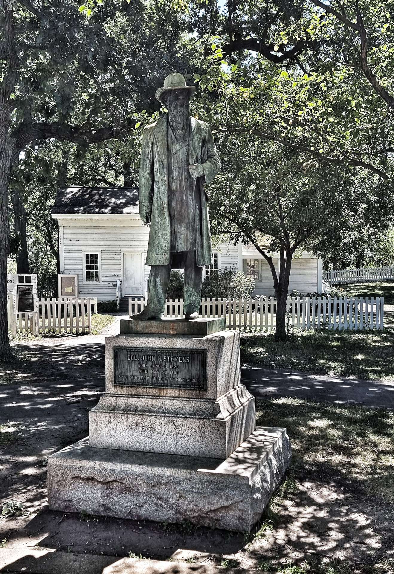
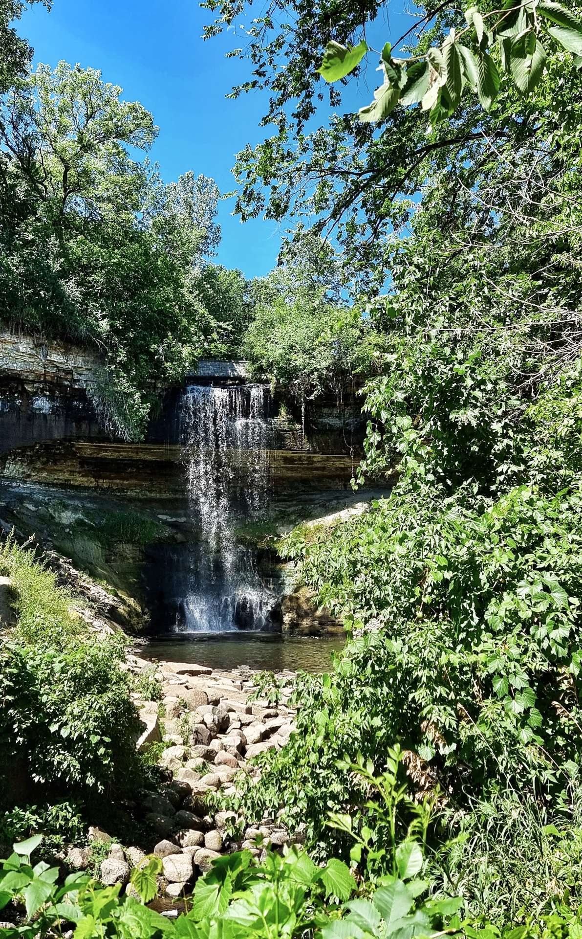
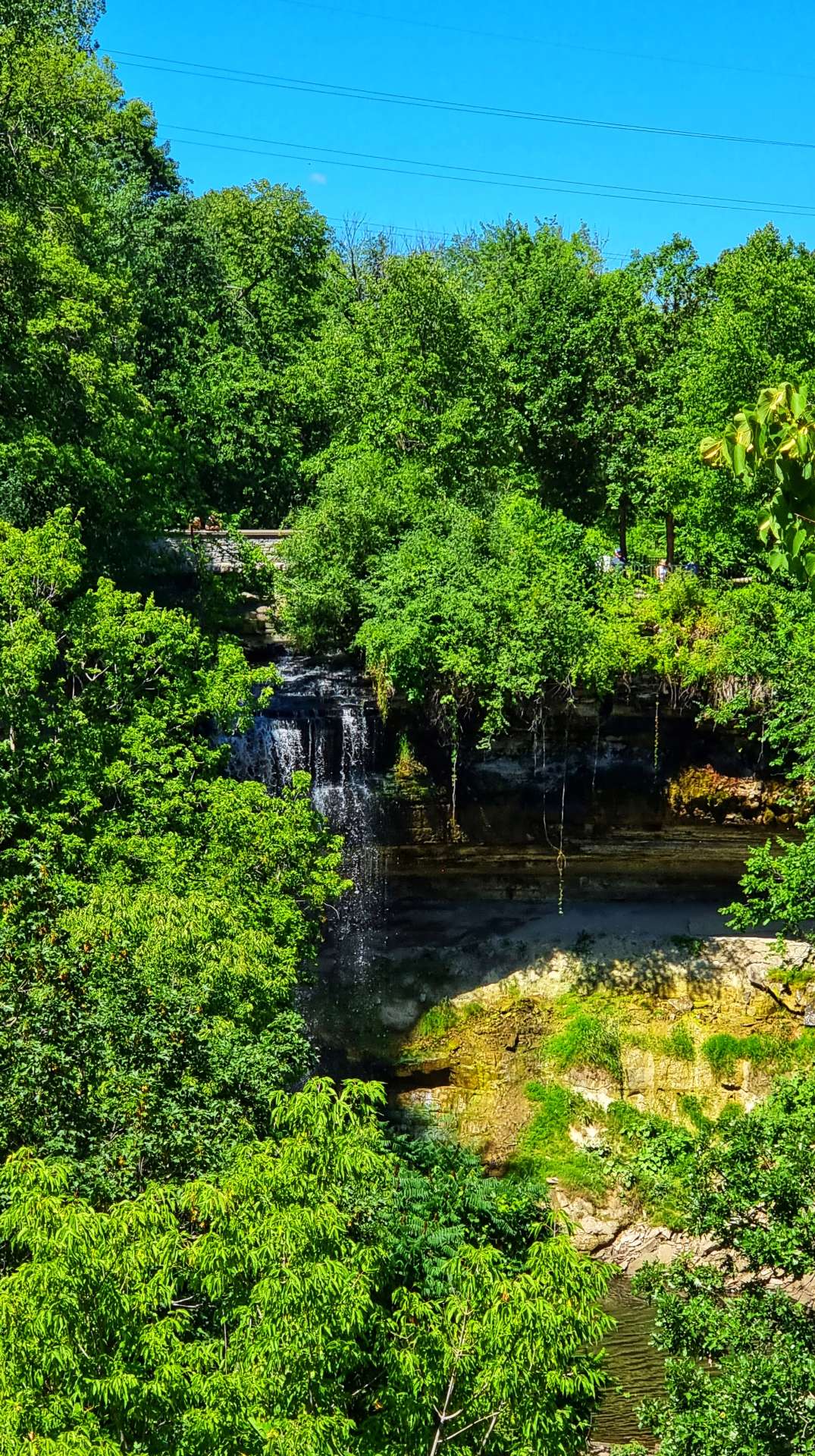
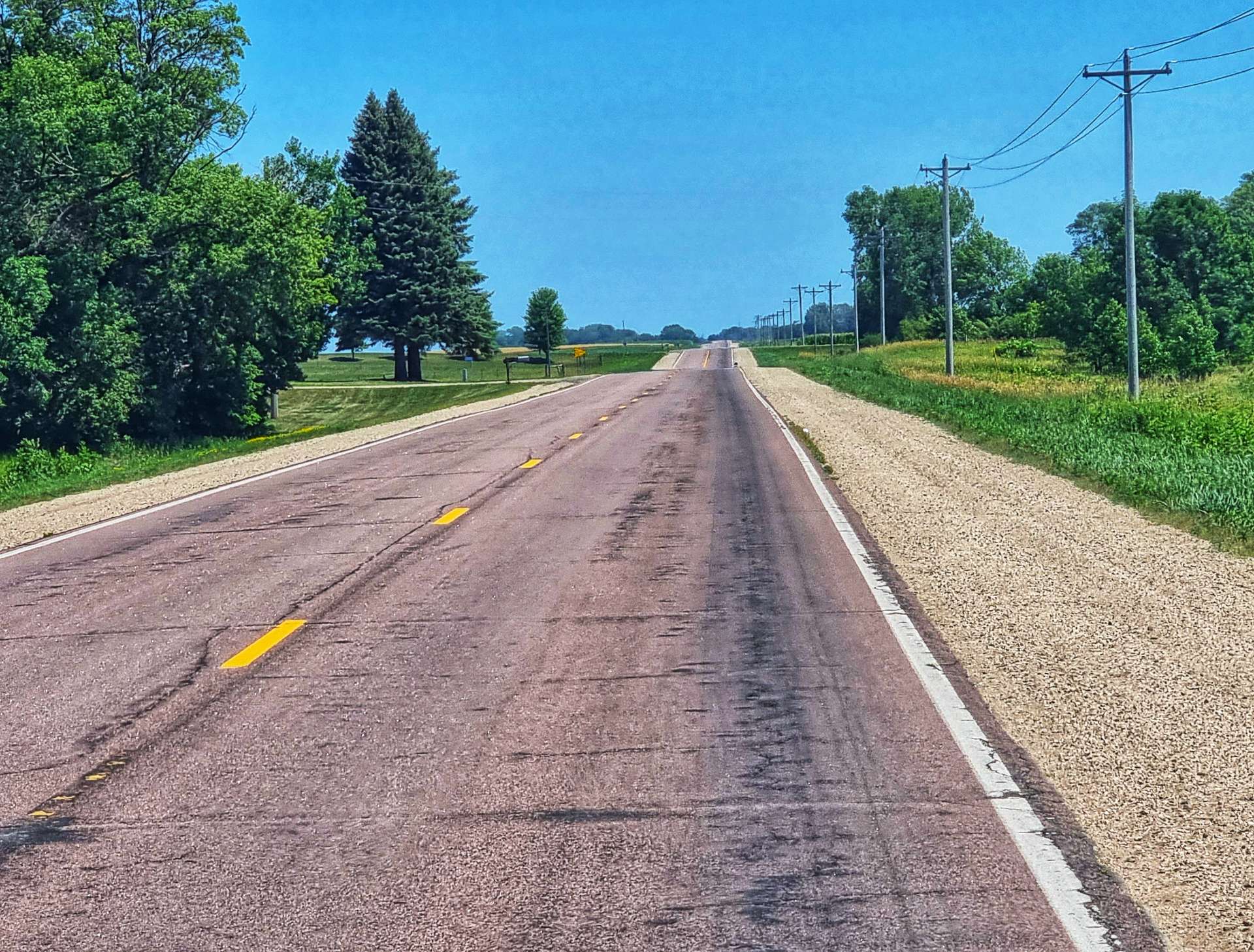
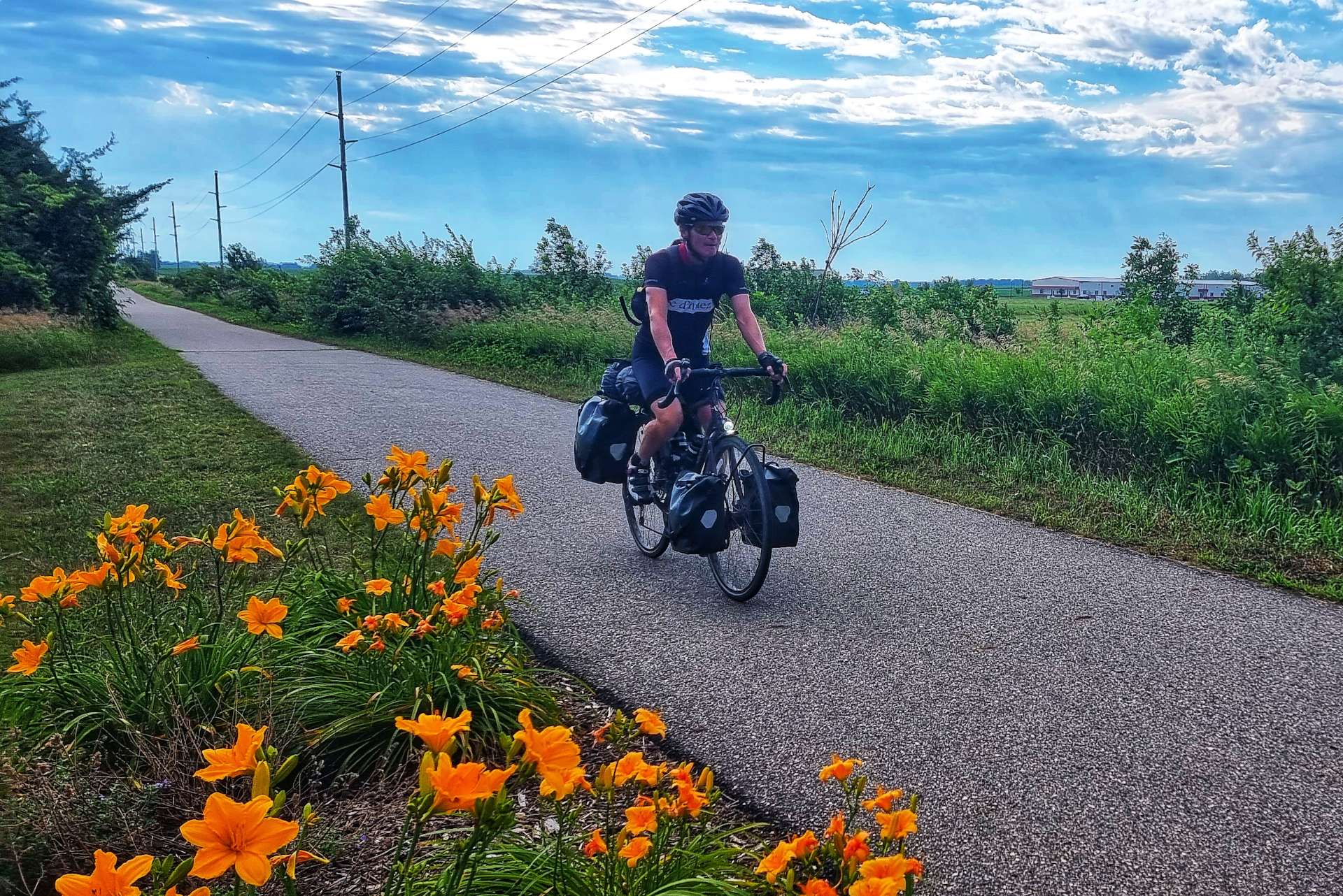
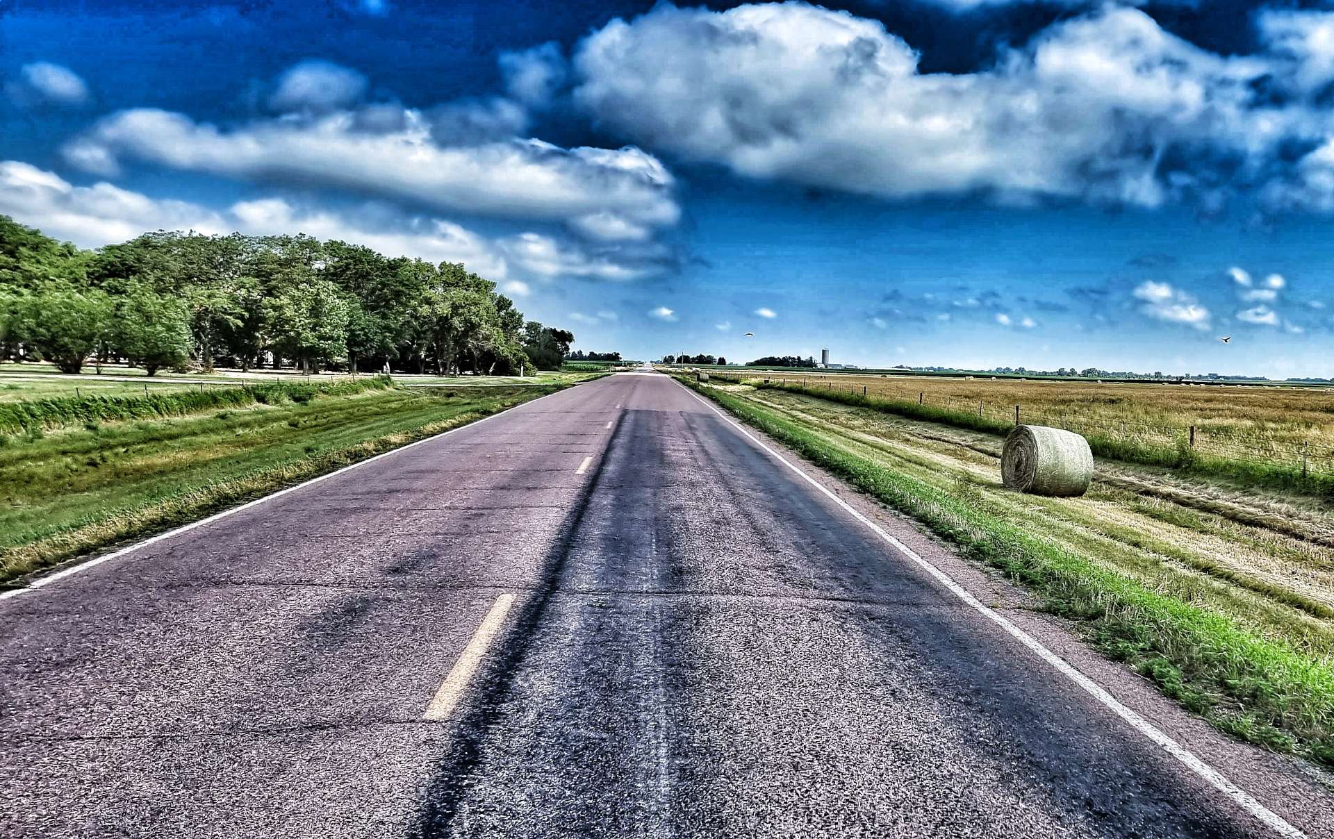
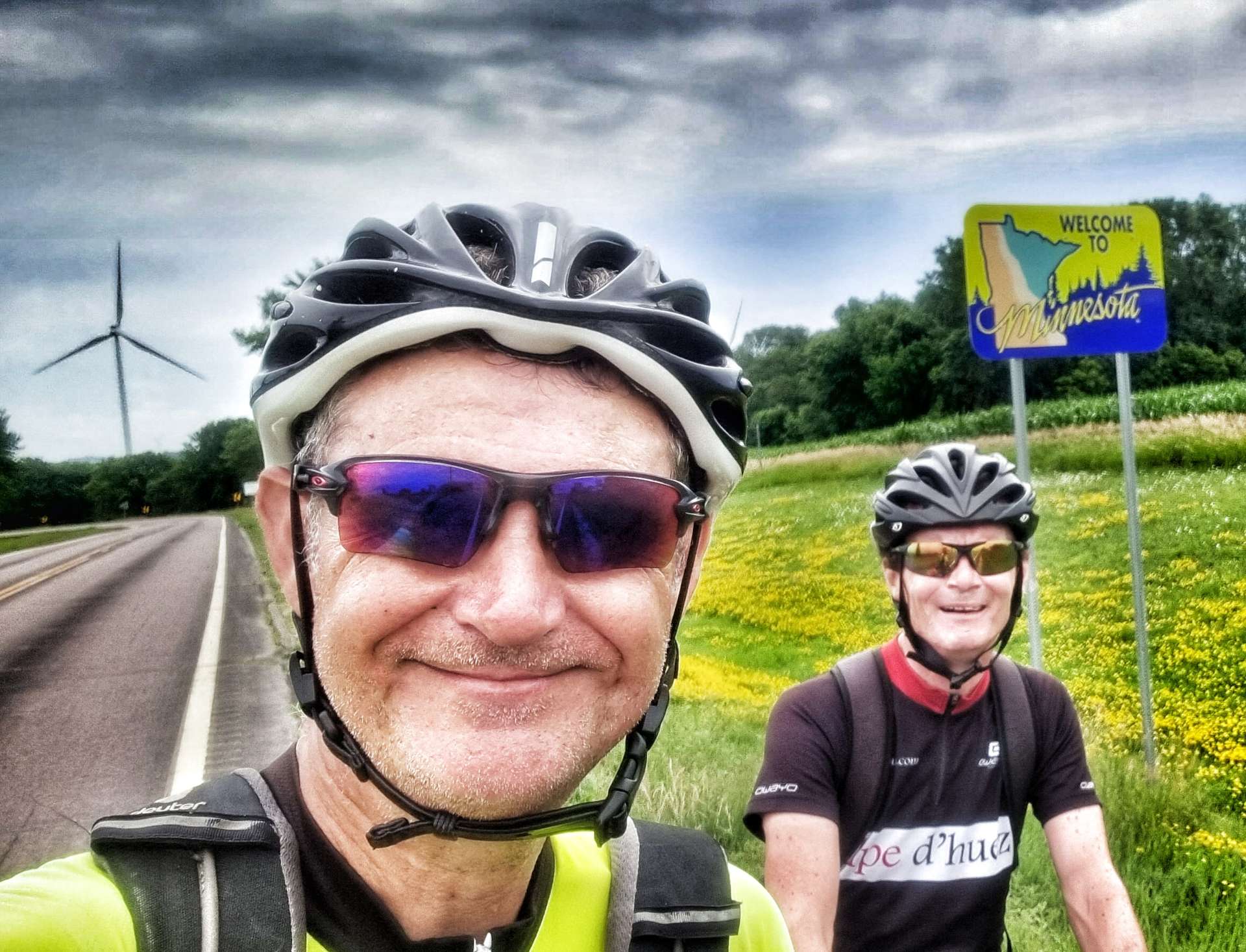
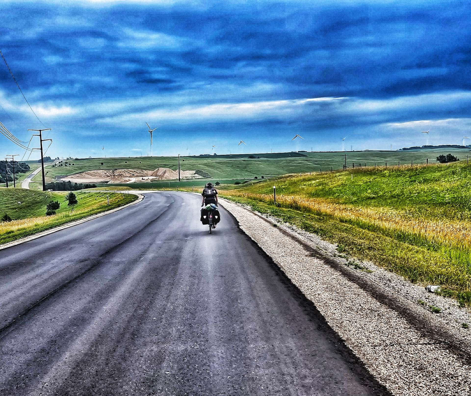
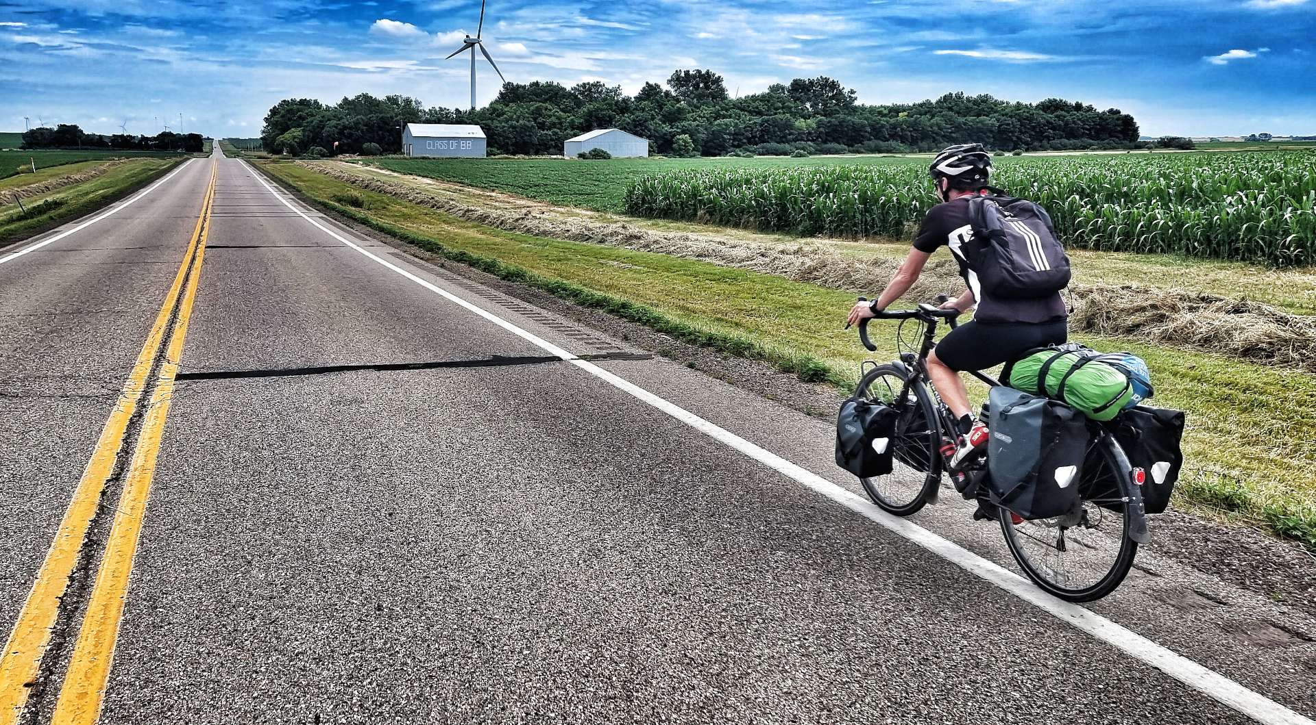
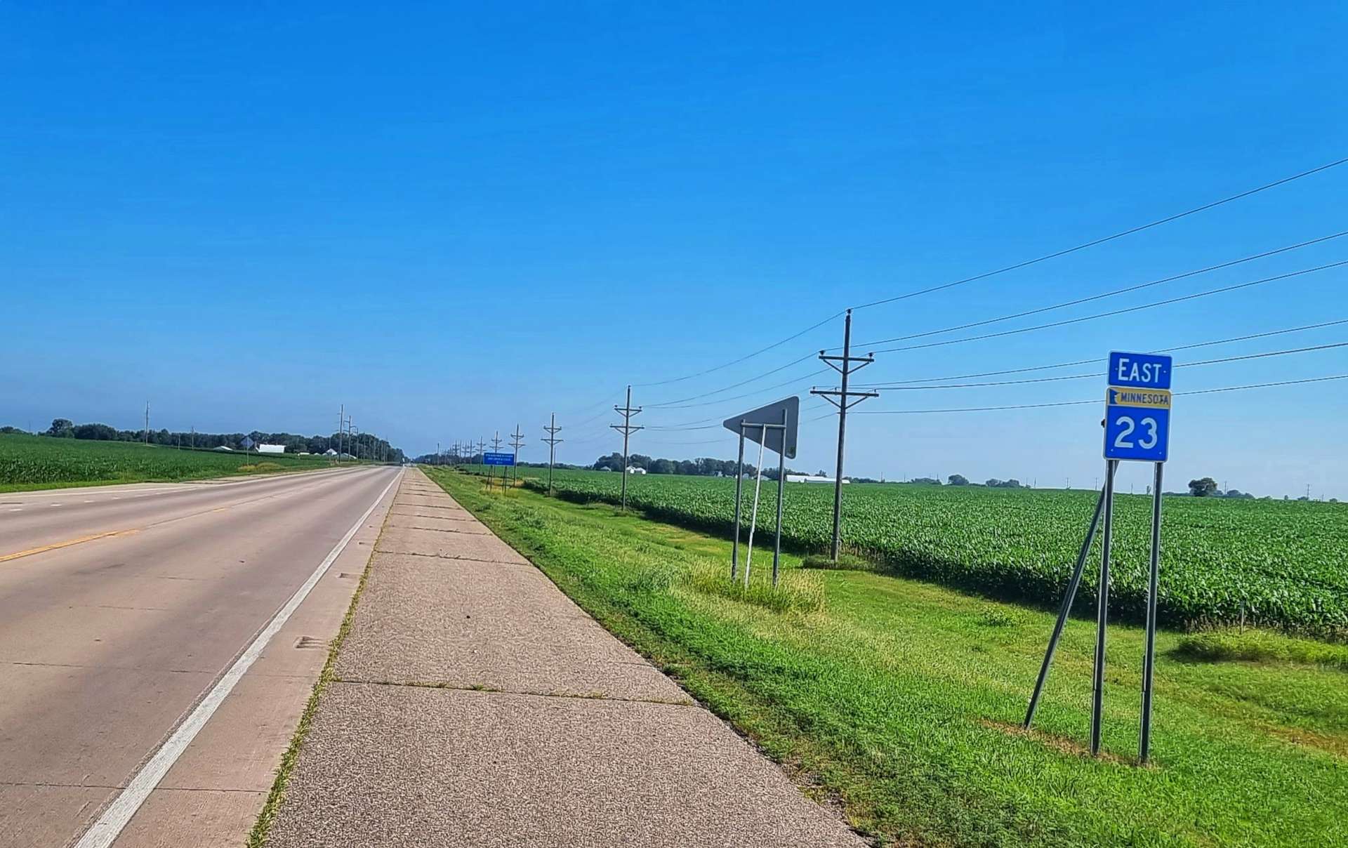
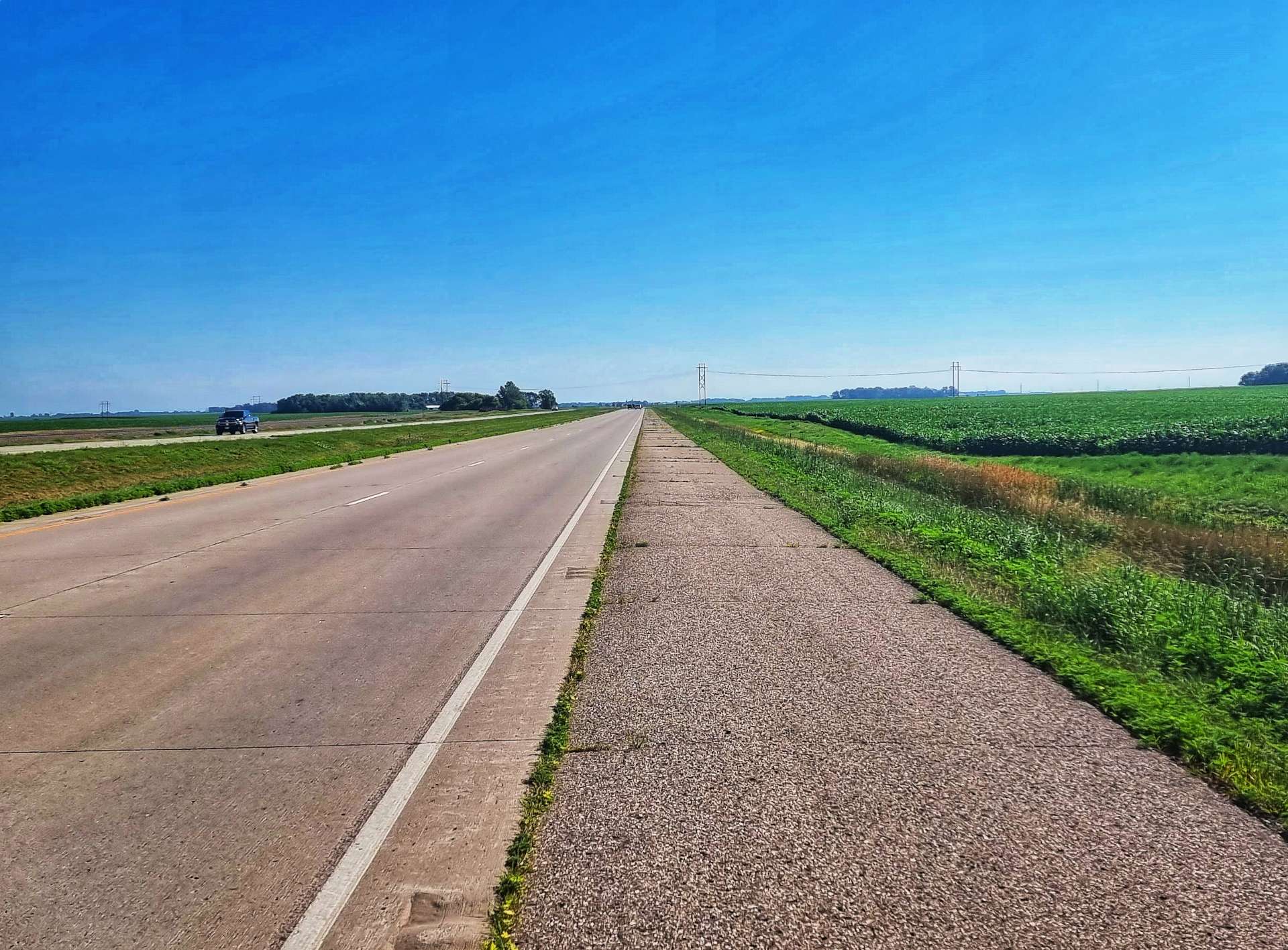
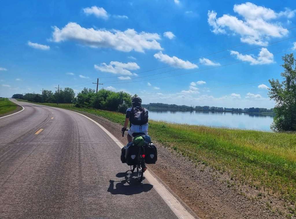
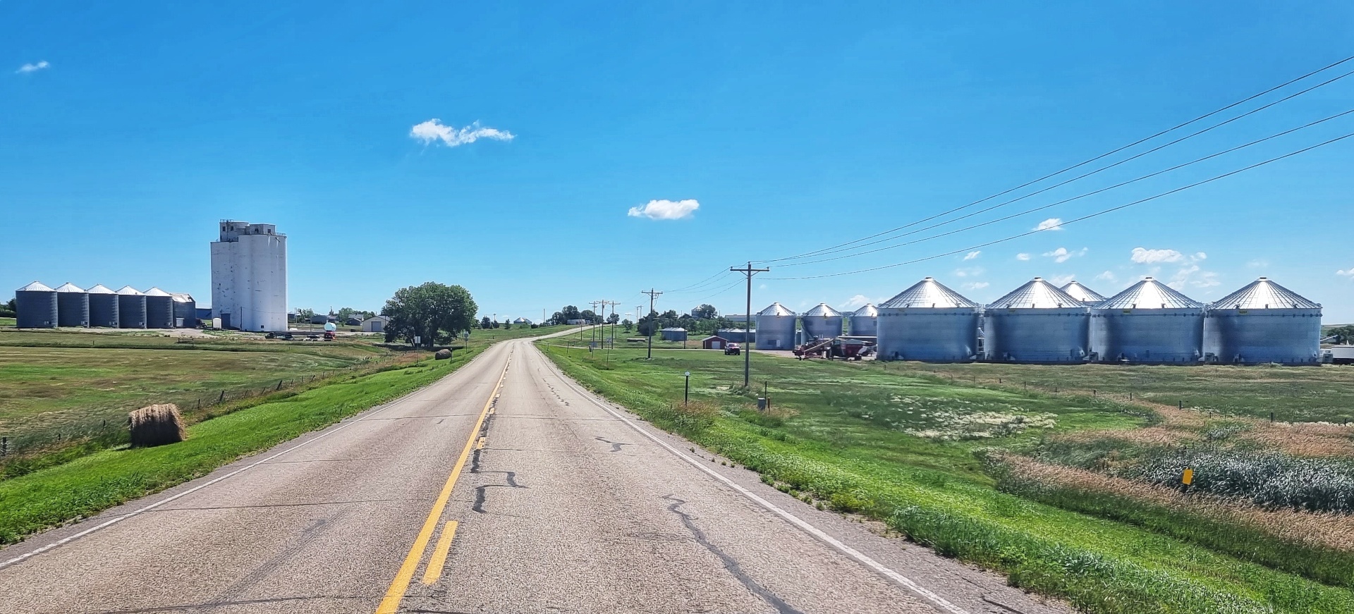
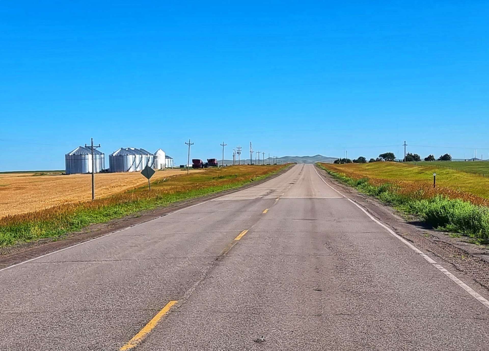
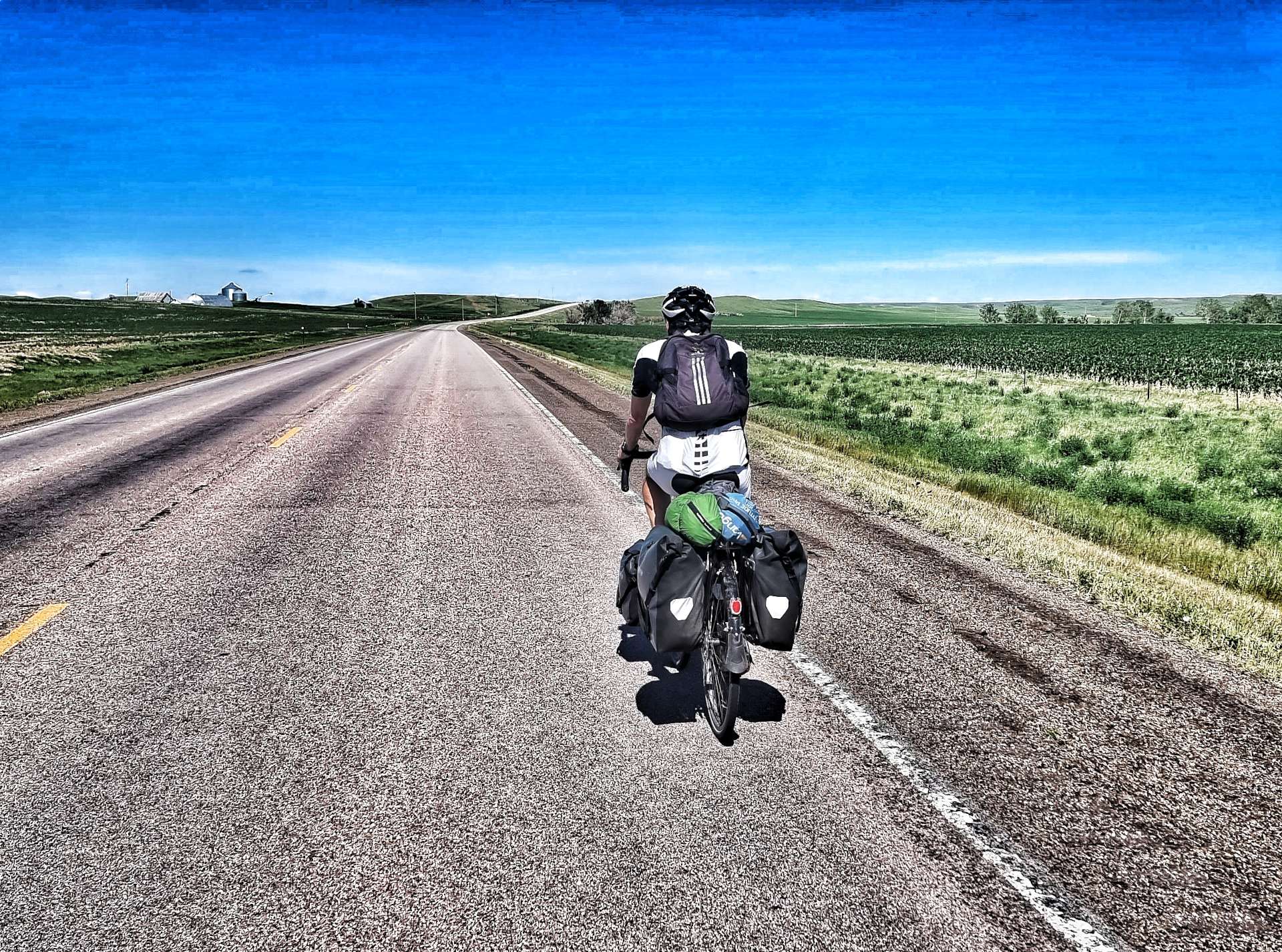
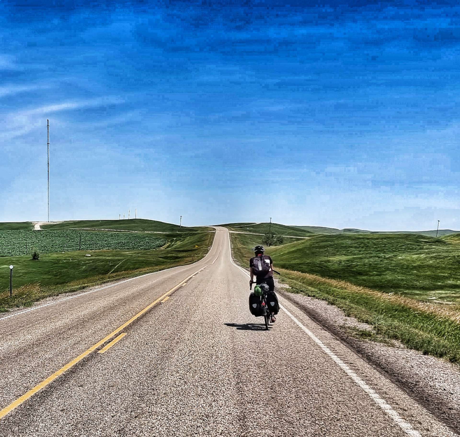
Saturday saw us cross the State Line from South Dakota into Minnesota & ride alongside a 25 mile wind turbine farm. We followed long, straight roads for miles between Maize & Wheat fields on Sunday on the way to Redwood Falls. Monday provided us with unexpected gravel roads into Hutchinson, but we had a tailwind as compensation. Tuesday was all about riding on rail to trail cycle paths into Minneapolis. On Wednesday we visited Minneapolis Sculpture Garden, had the bikes serviced & enjoyed a night out. We explored the Stone-Arched Bridge & Minnehaha Falls on Thursday, our 2nd rest day in Minneapolis. We crossed 2 State Lines on Friday, as we left Minnesota, explored the Mississippi from Wisconsin, then returned to Minnesota for the evening!
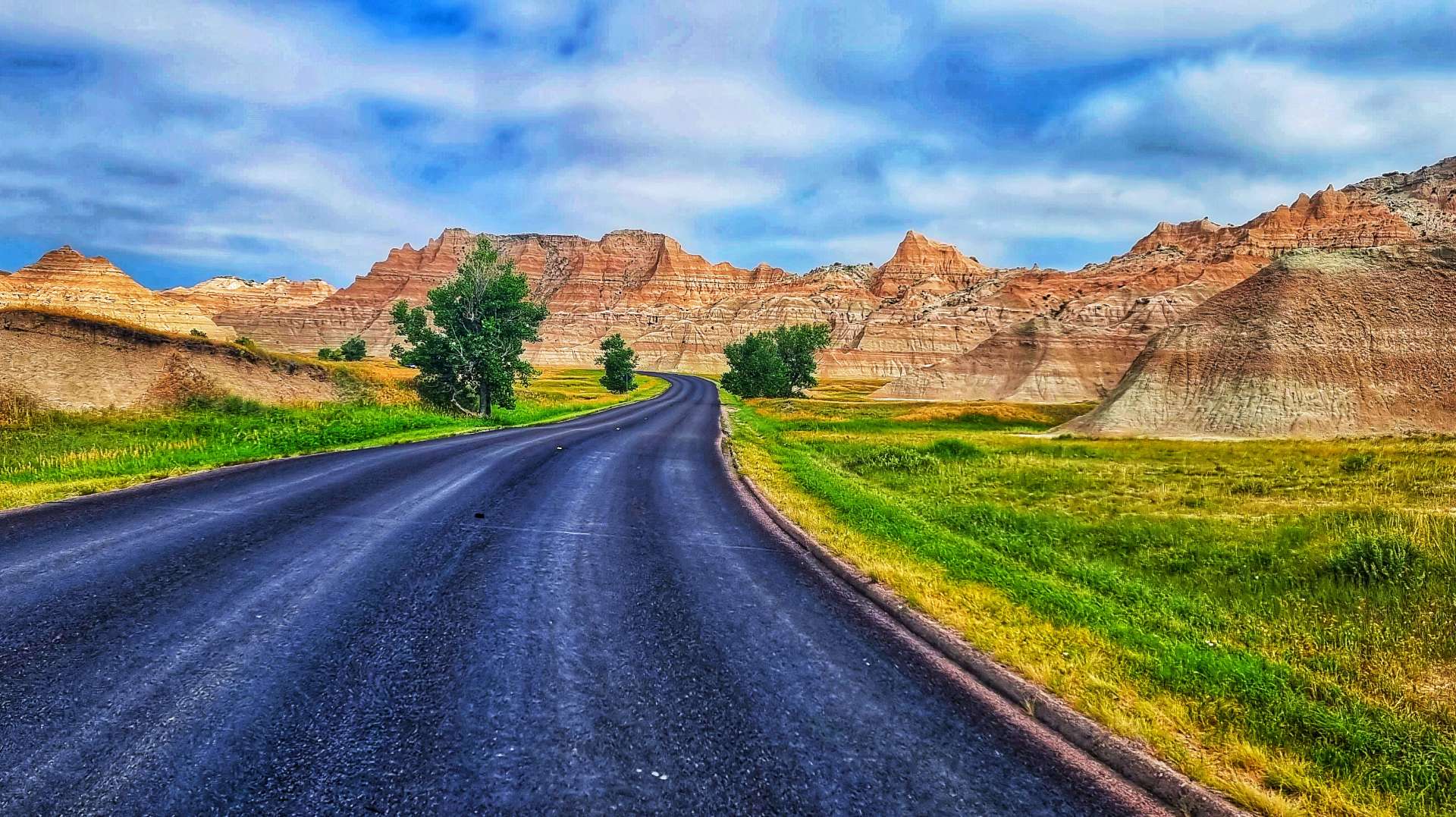
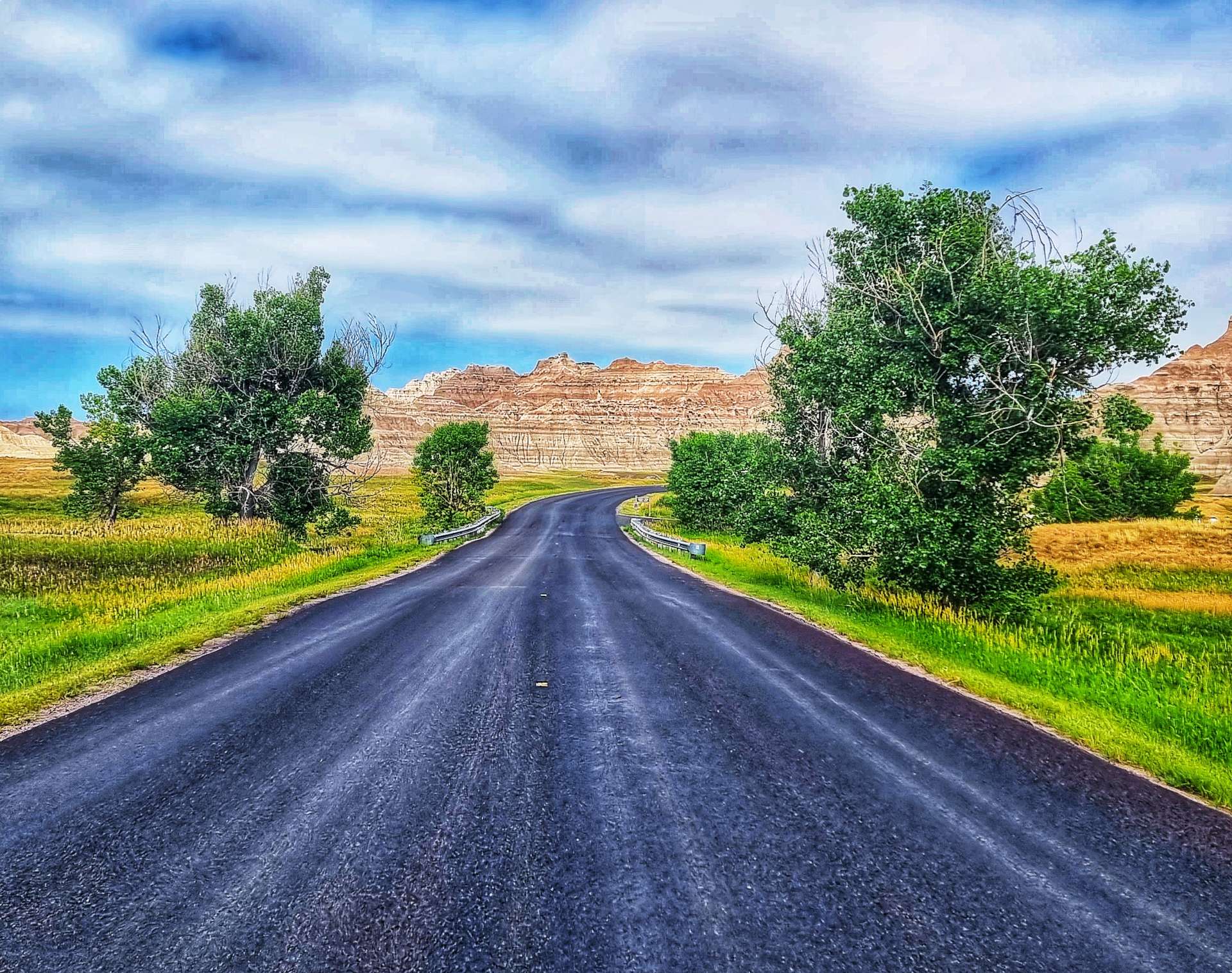
Another great week with some sightseeing, getting off the beaten track & exploring some of America’s best scenery on our Coast to Coast adventure.
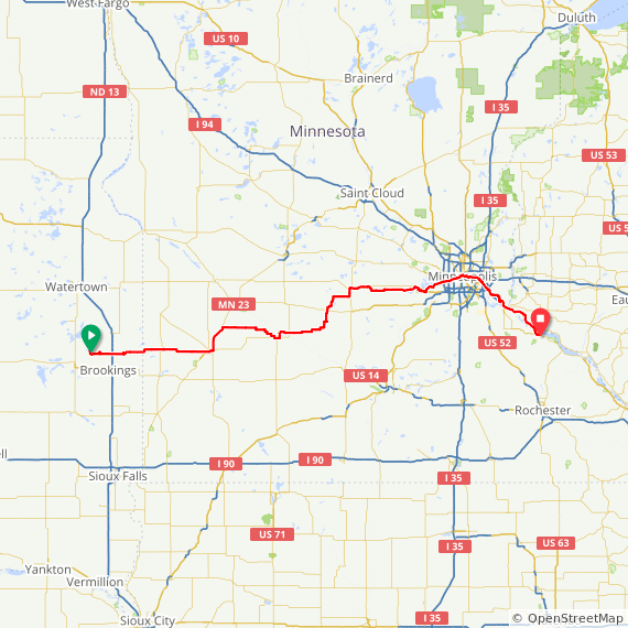
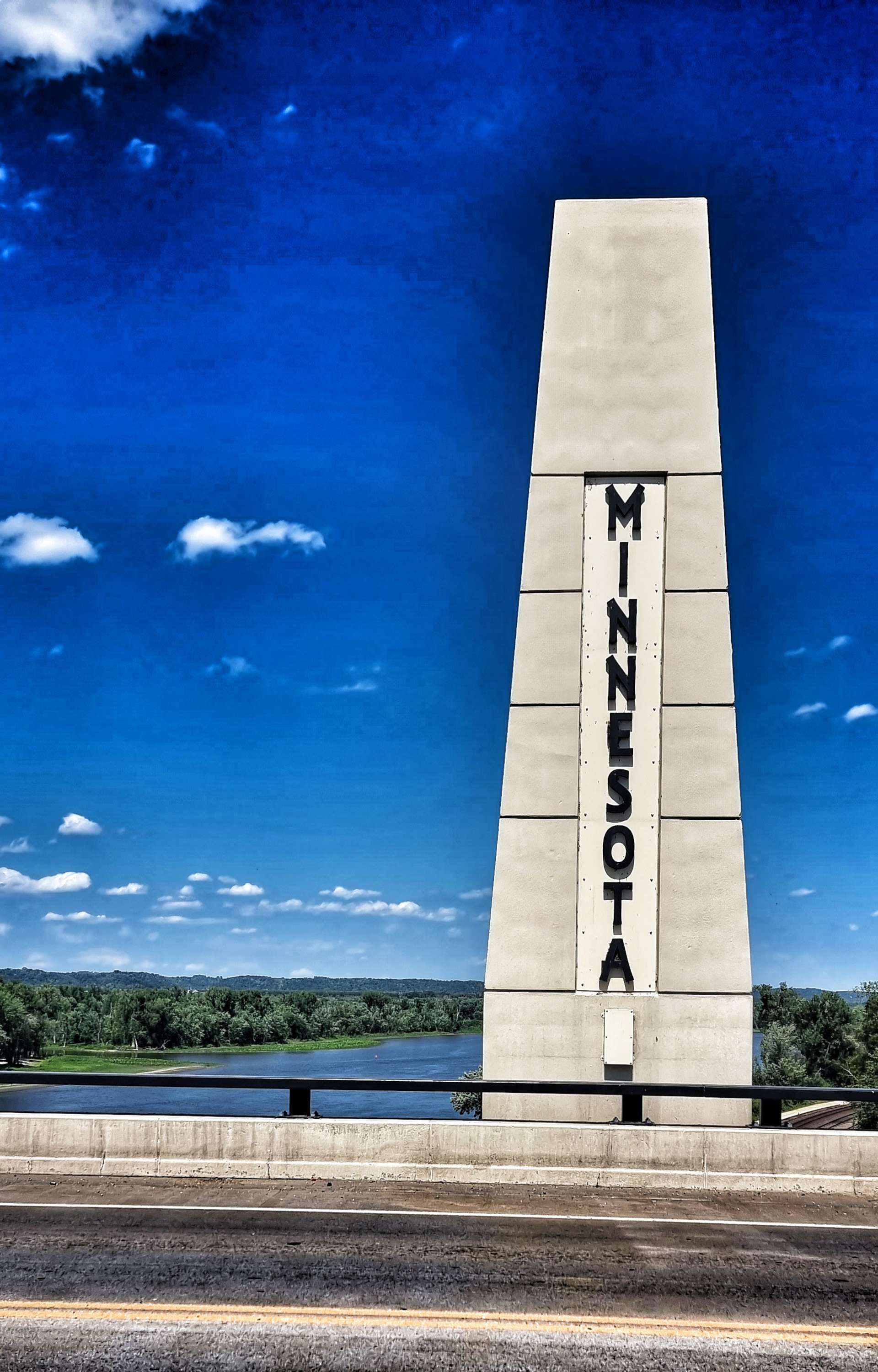
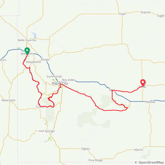
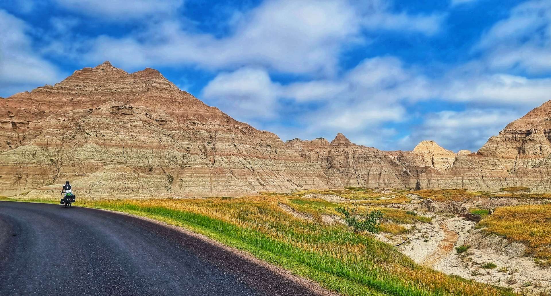
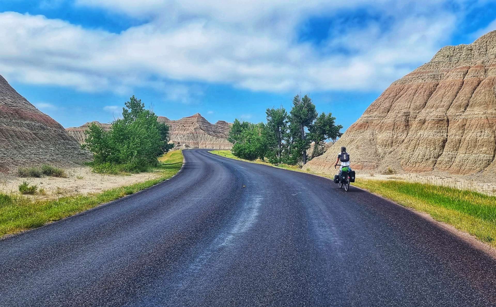
Week Twelve – Oakwood Lakes State Park (SD) to Winona (MN)
Friday 22nd July to Monday 25th July – Stages 64 to 66.
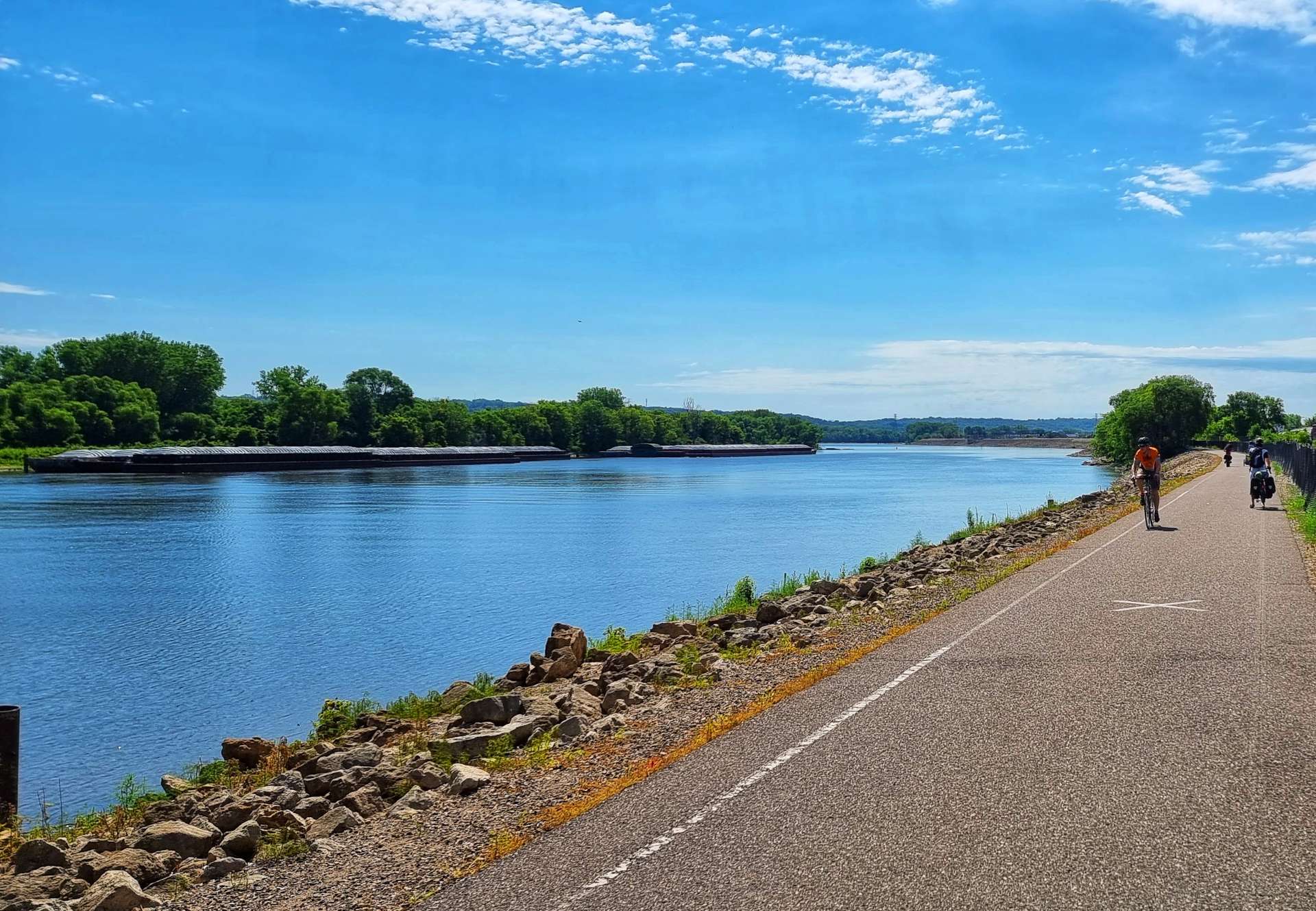
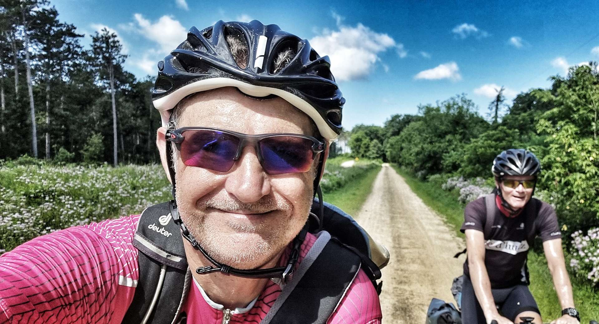
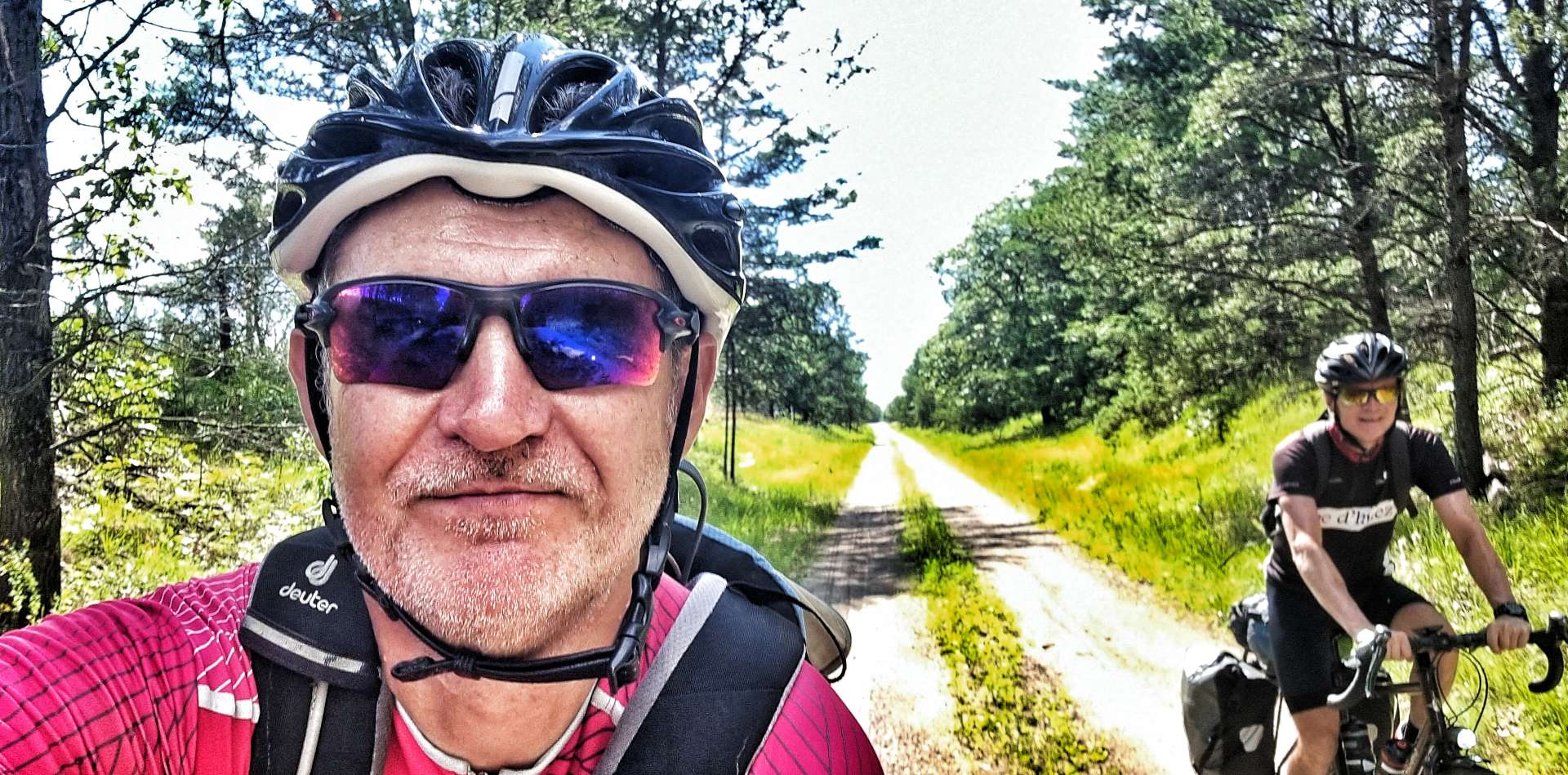
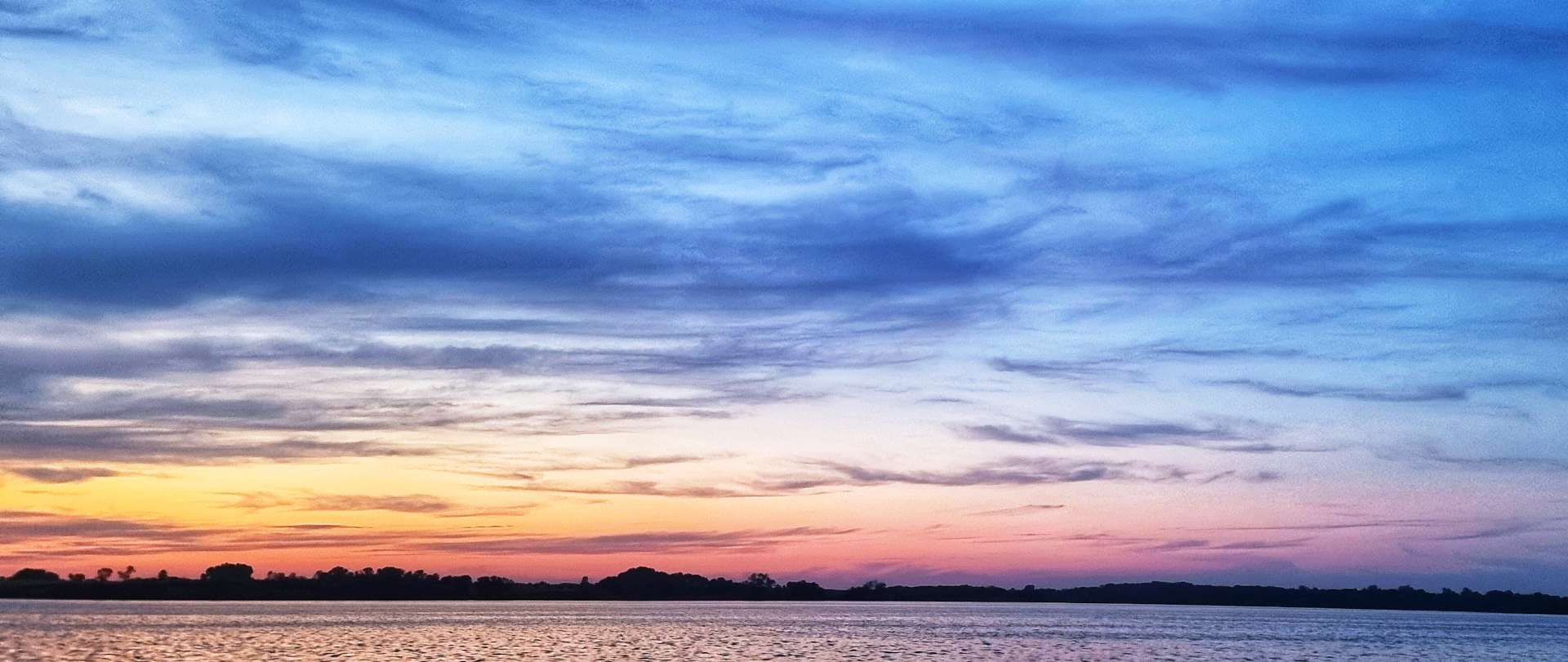
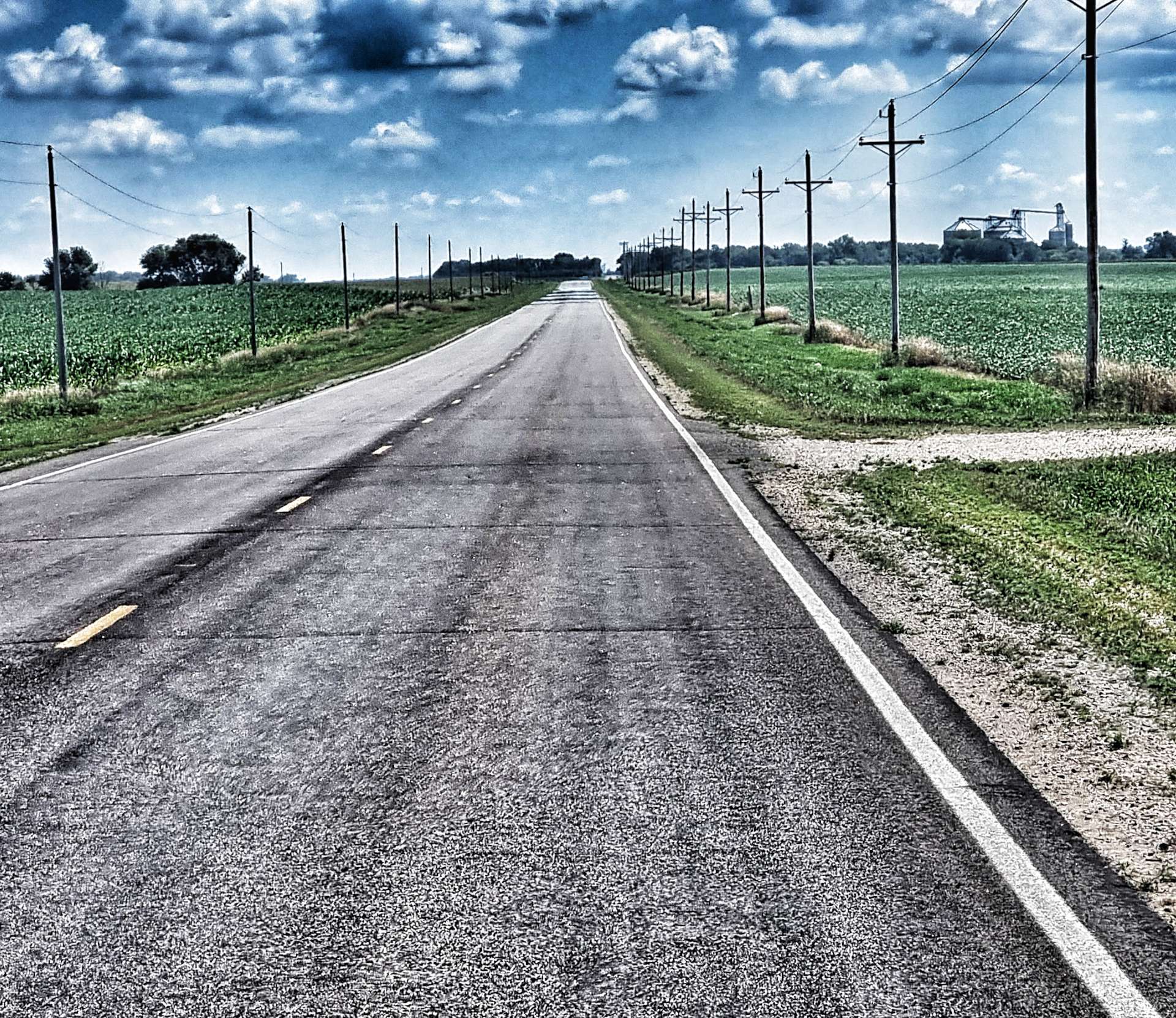
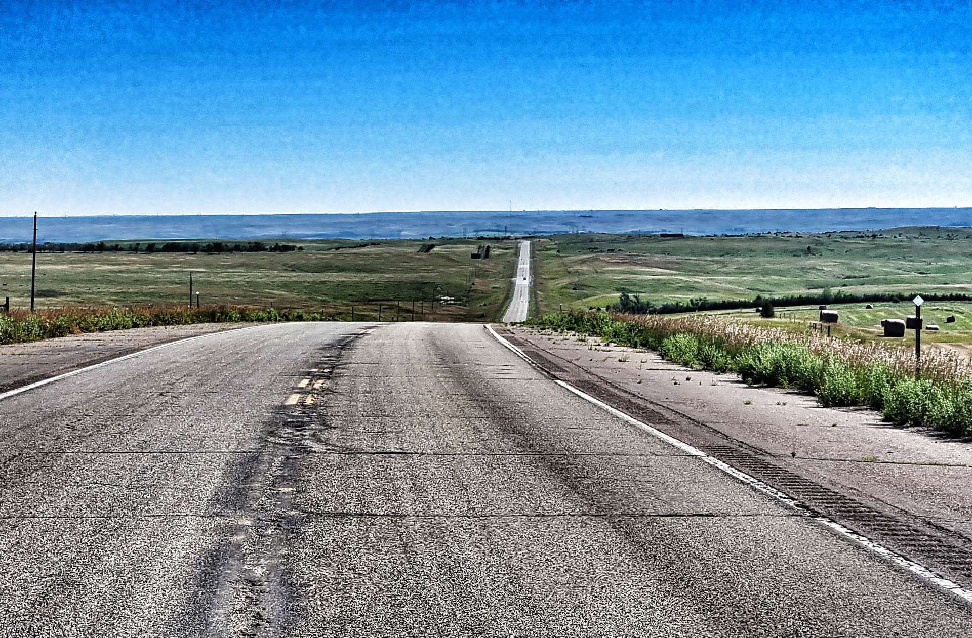
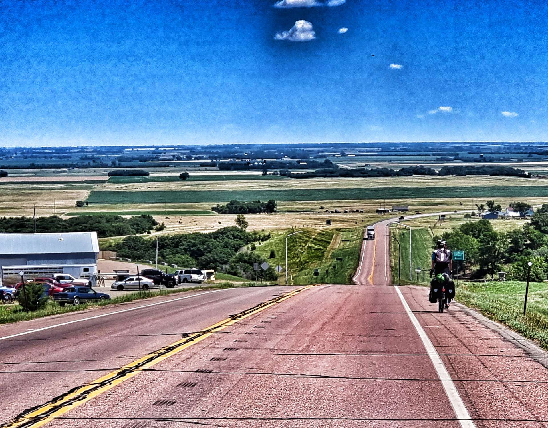
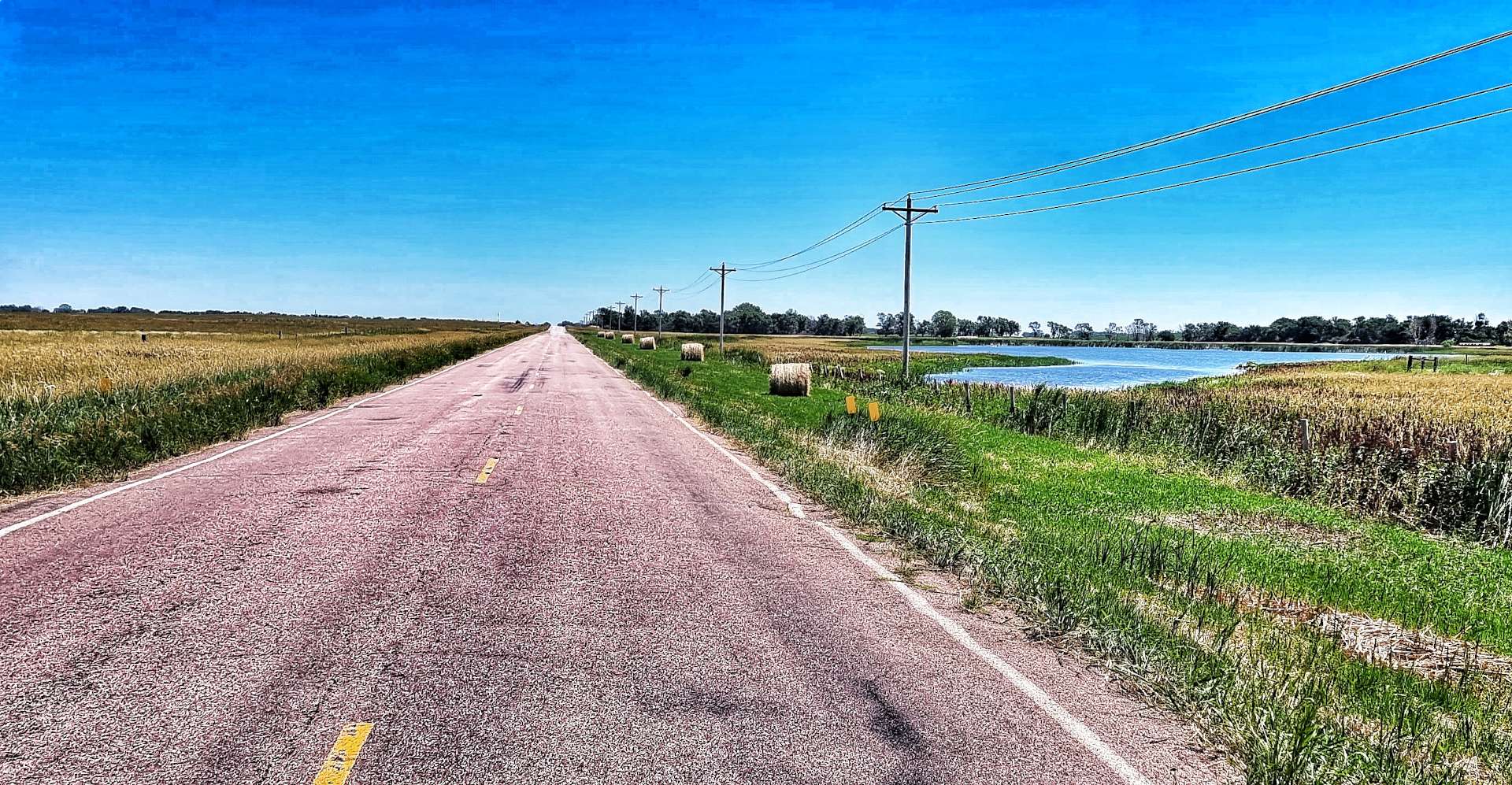
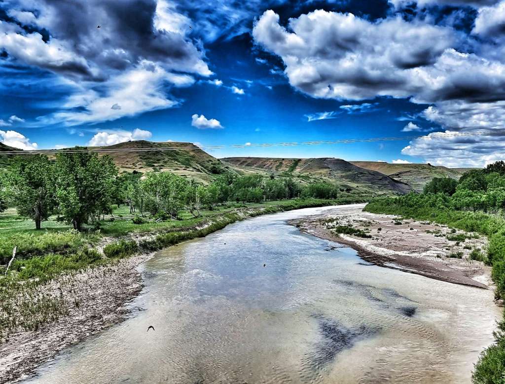
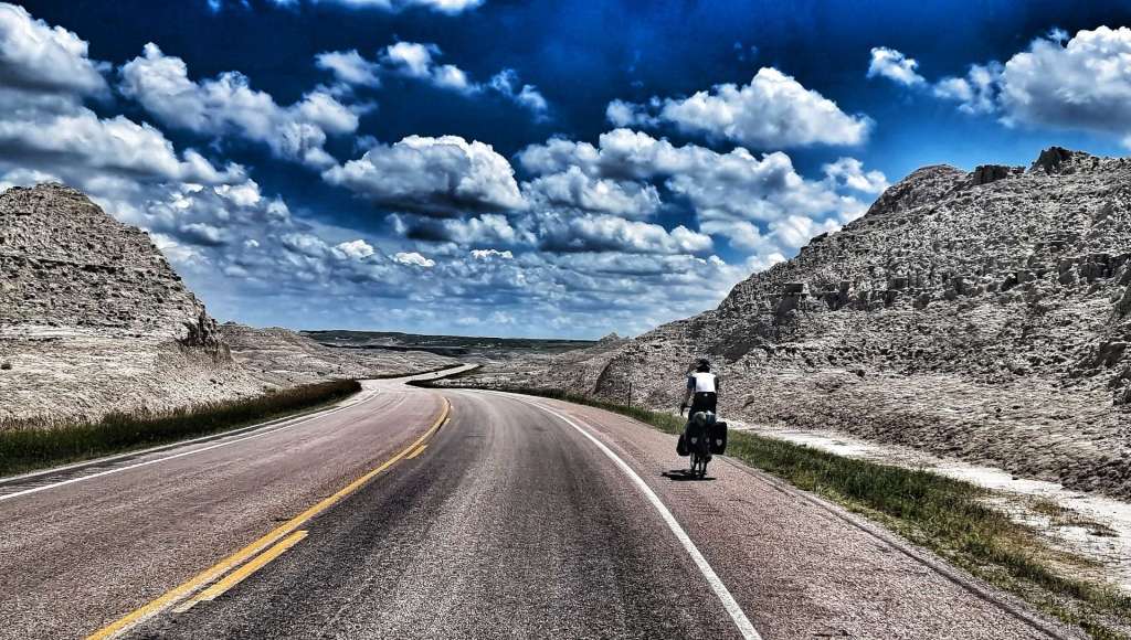
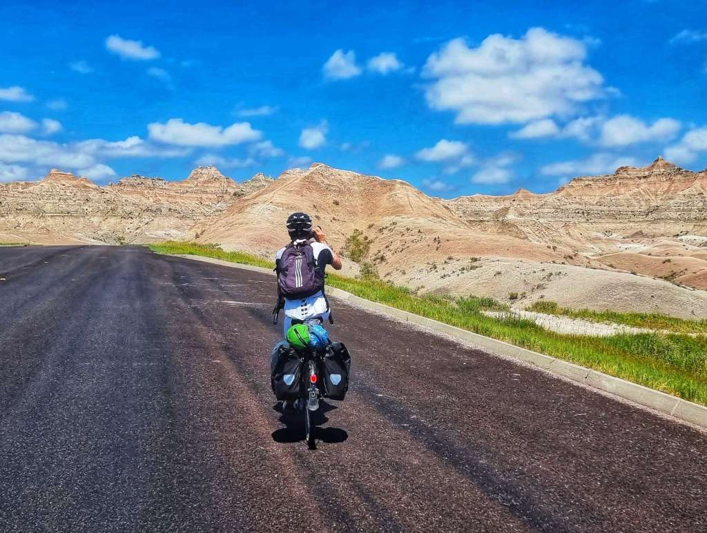
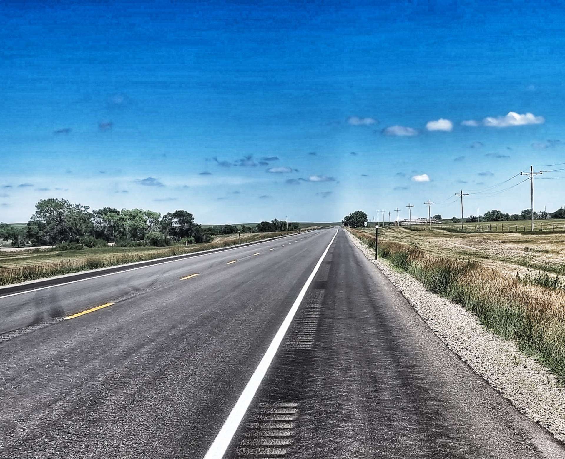
Friday 22nd July – Minneapolis to Red Wing (Stage 64).
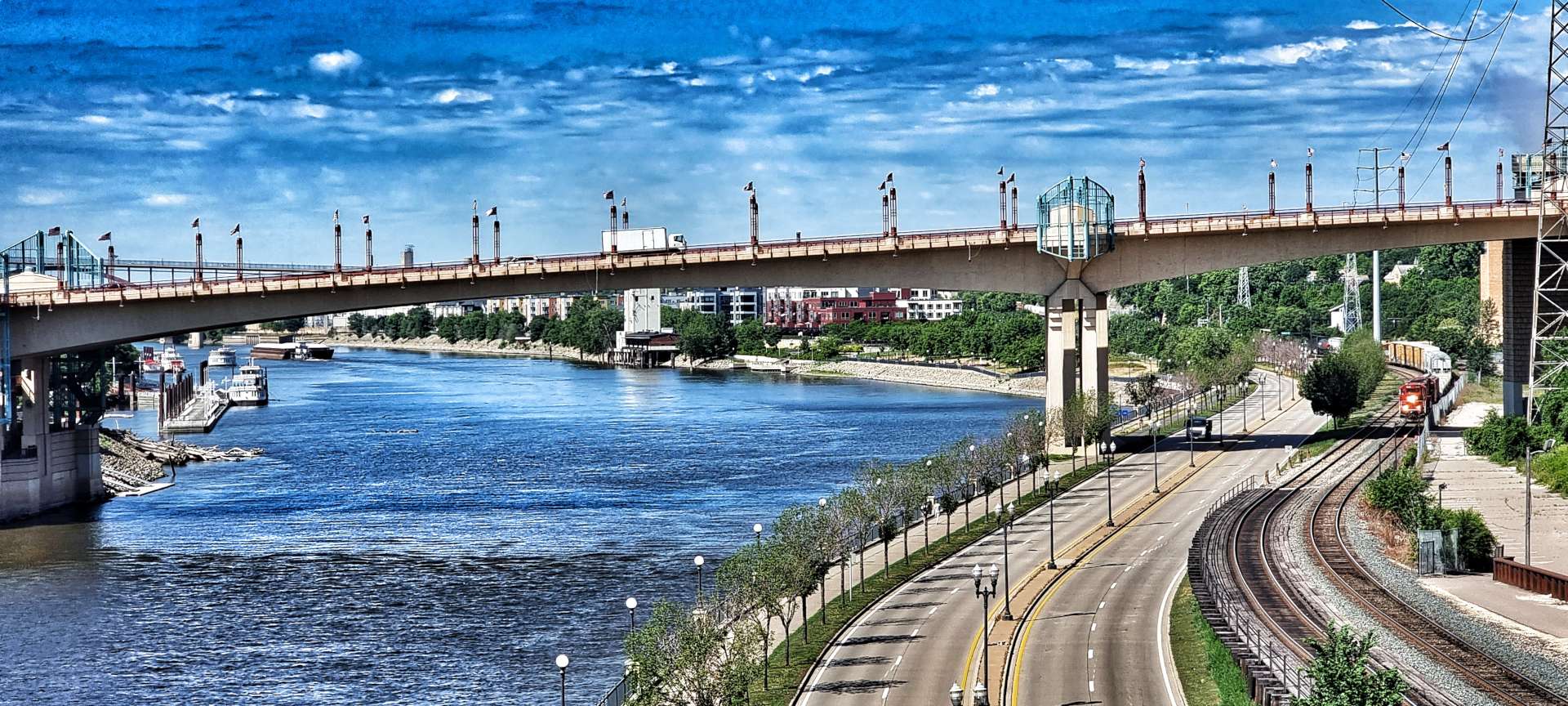
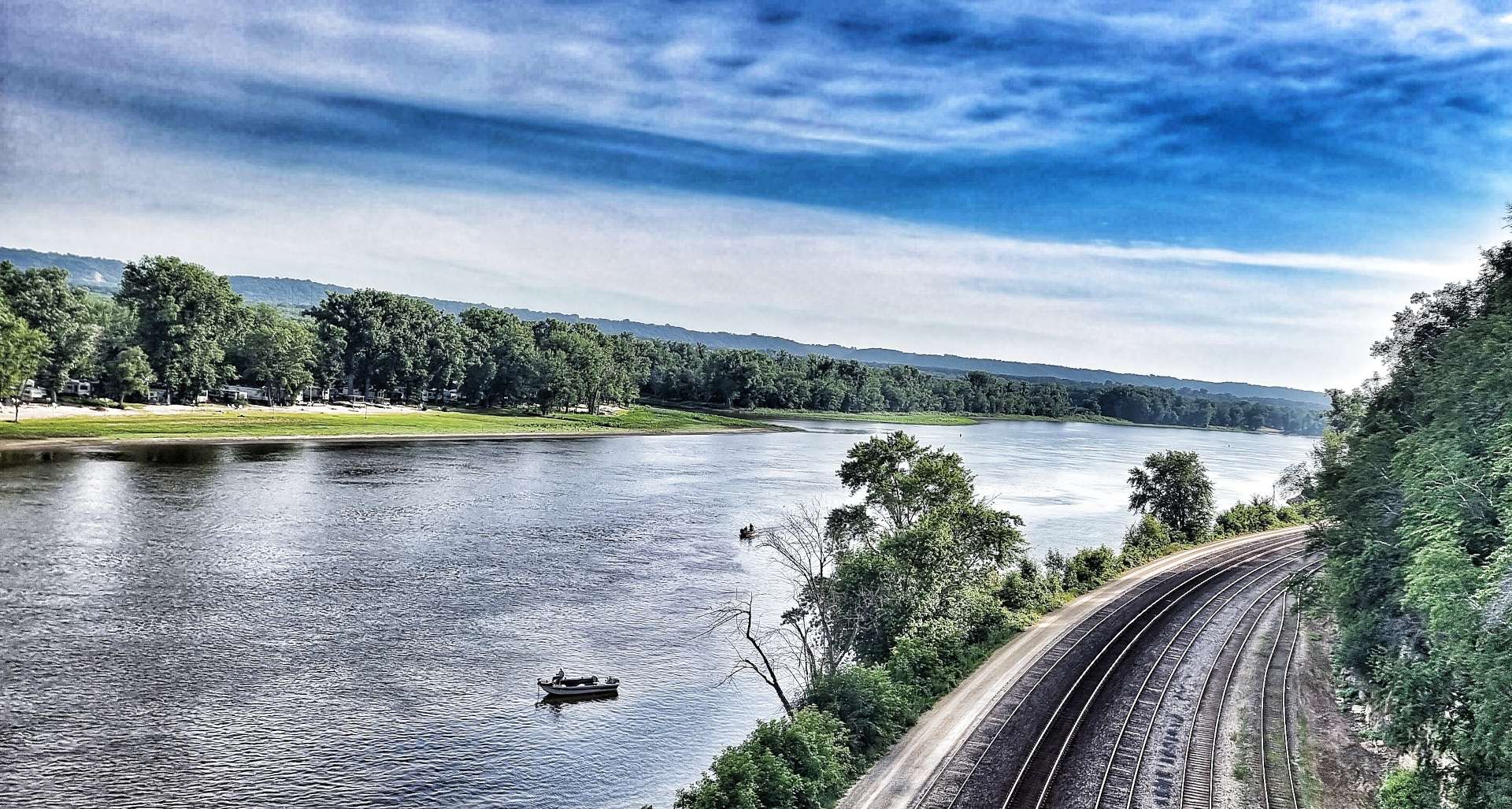
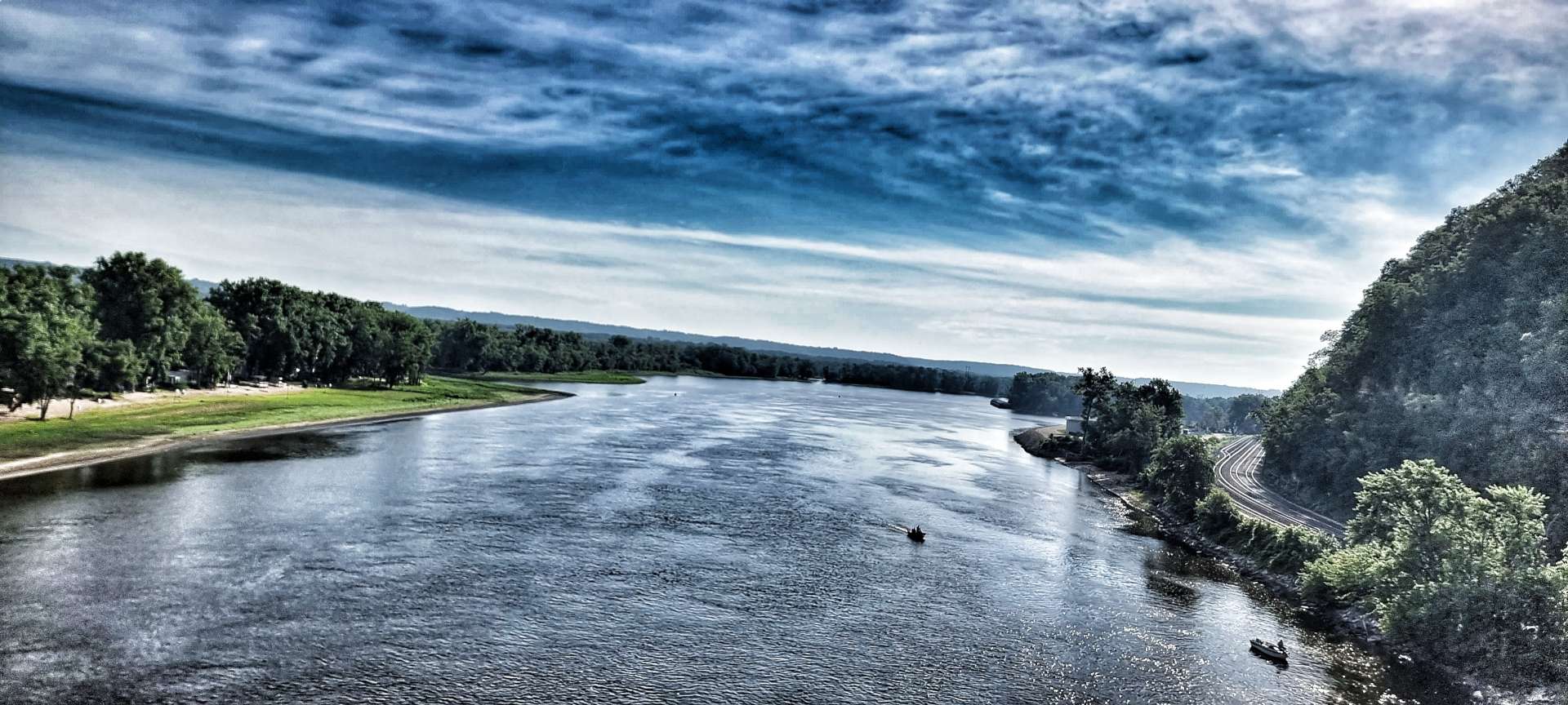
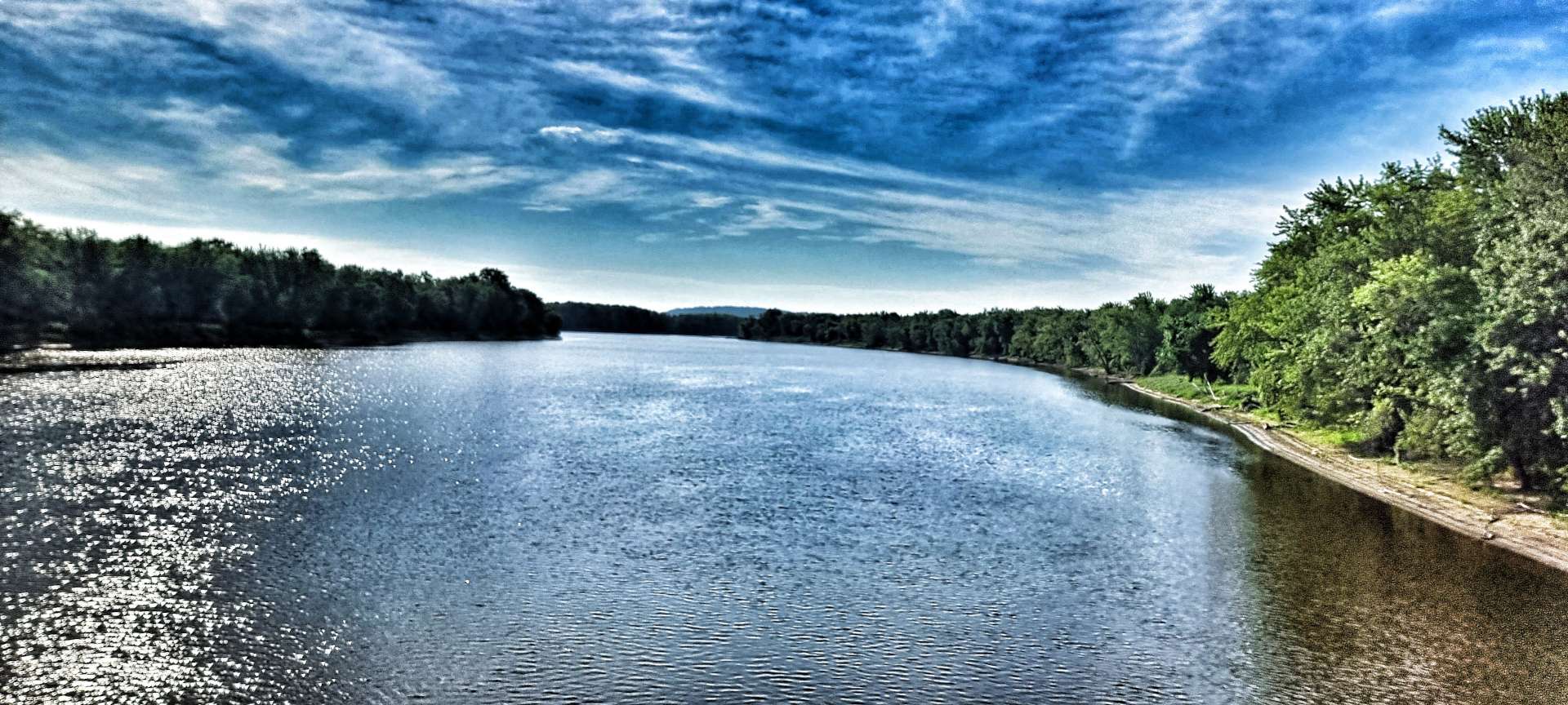
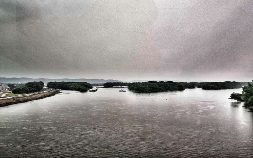
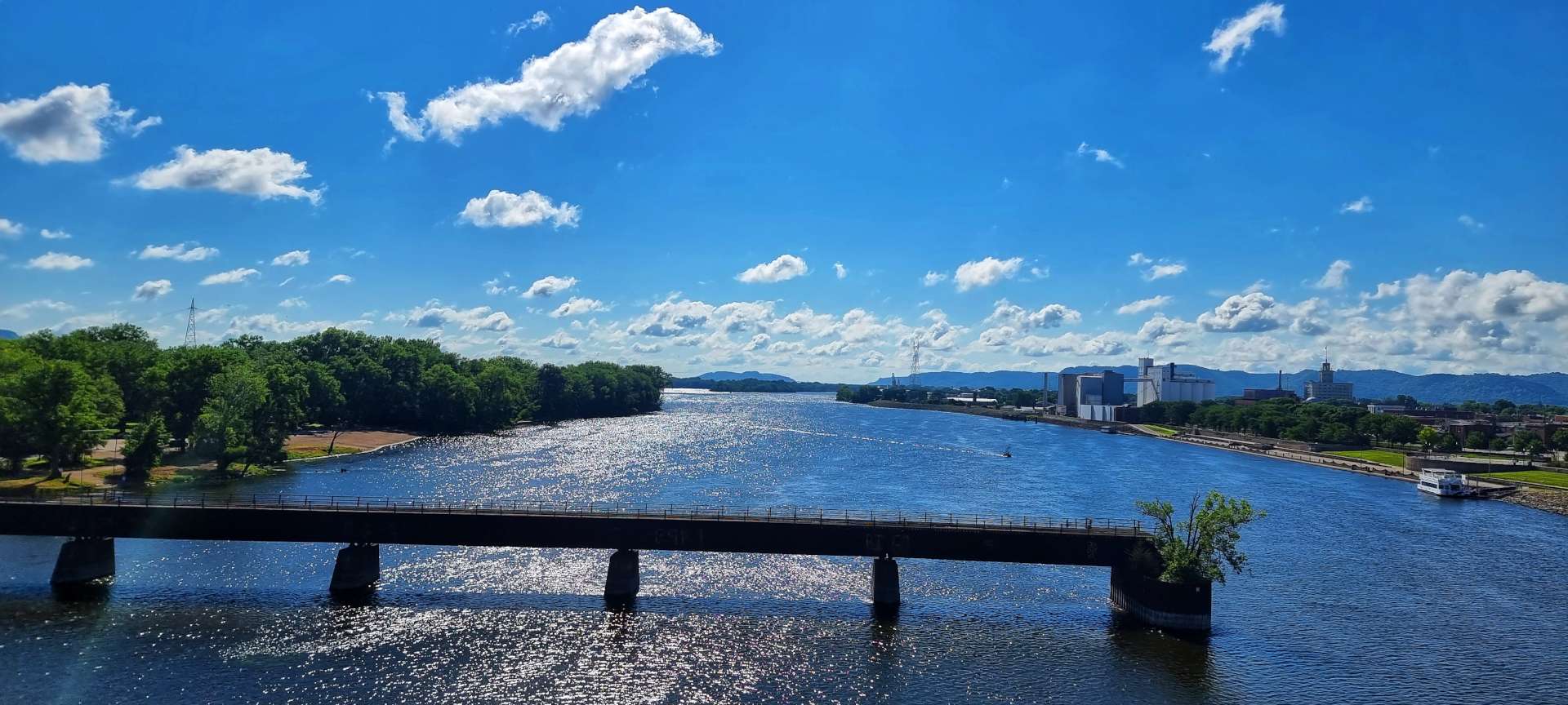
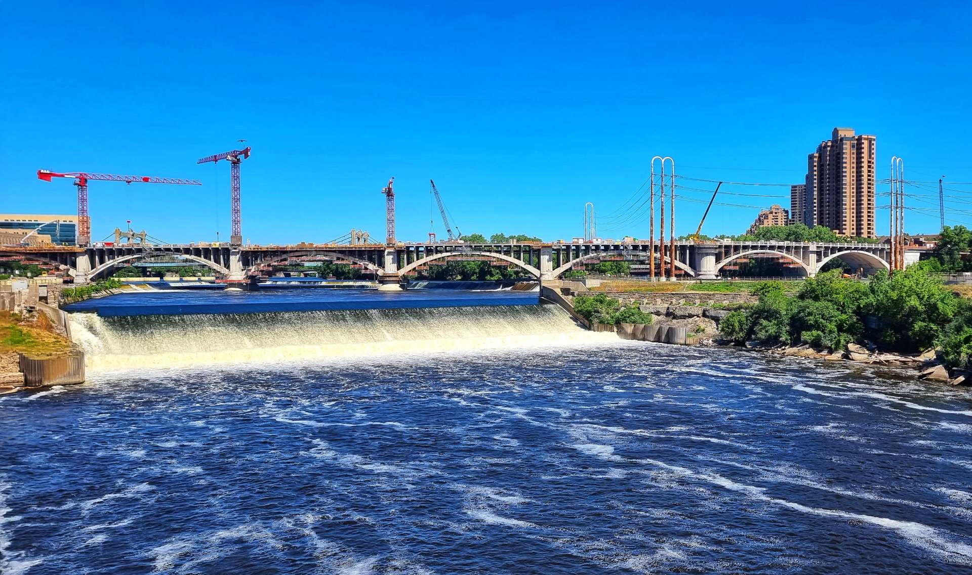
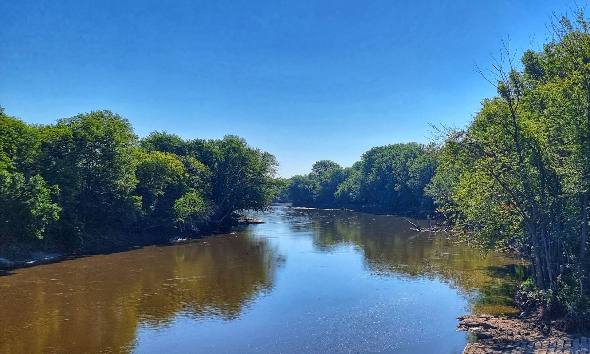
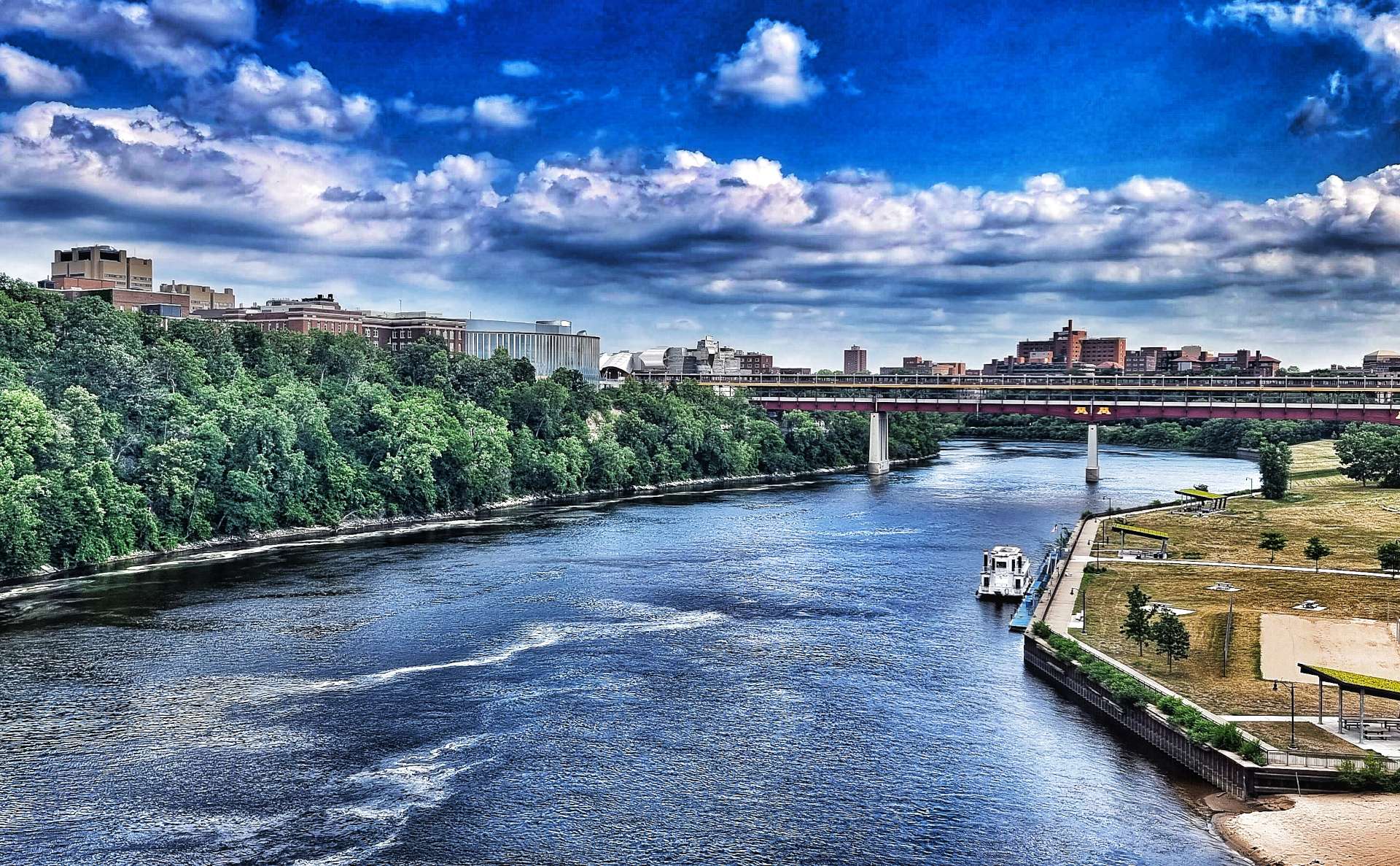
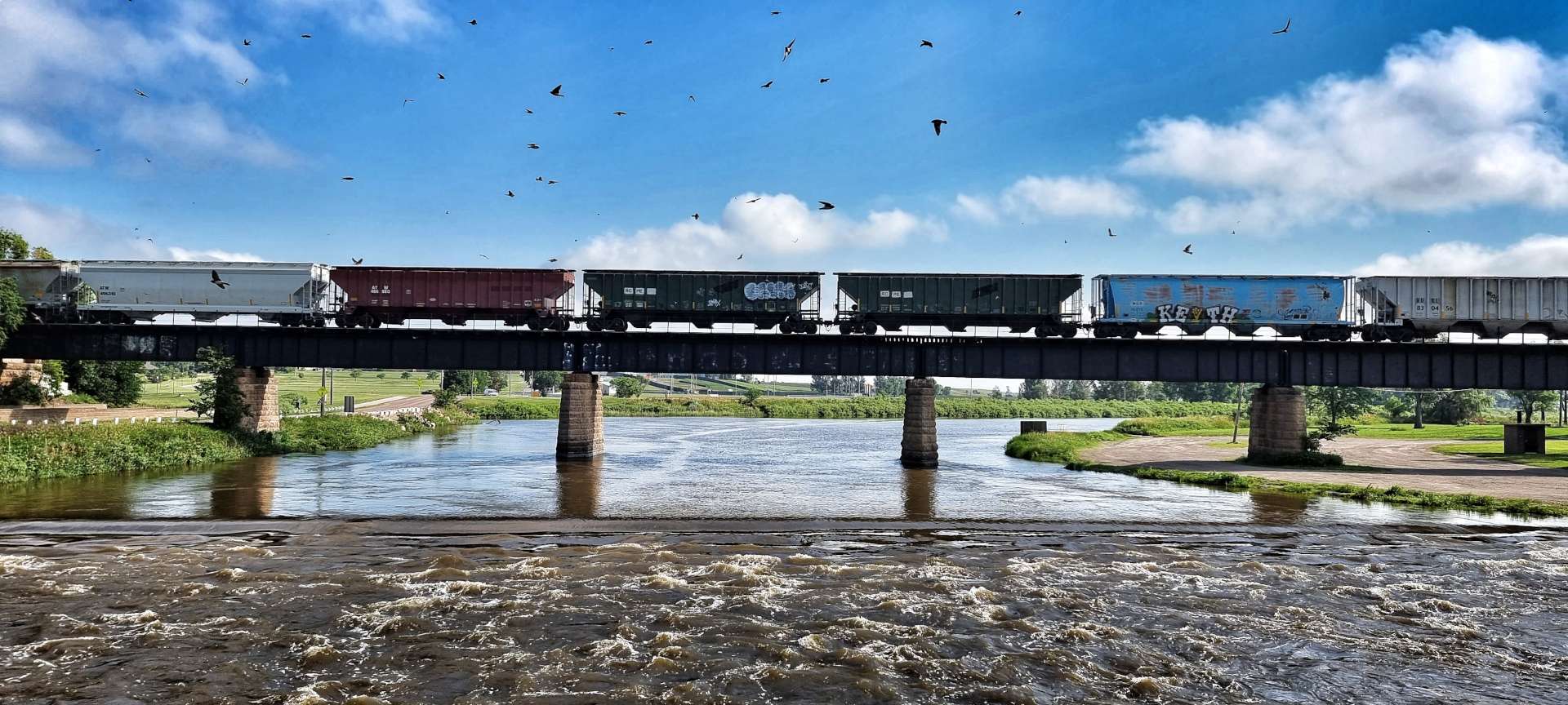
We had a final Big Breakfast at our hotel & were on our way by 9.30am, leaving Minneapolis via Minnesota’s State Capital city of St Paul. The first 45 minutes saw us navigating urban sprawl with the occasional interesting sight, like the Capitol Building & the view looking up the Mississippi river from Robert Street Bridge. We could just make out a tug pushing a raft of barges upstream, as a freight train headed down river.
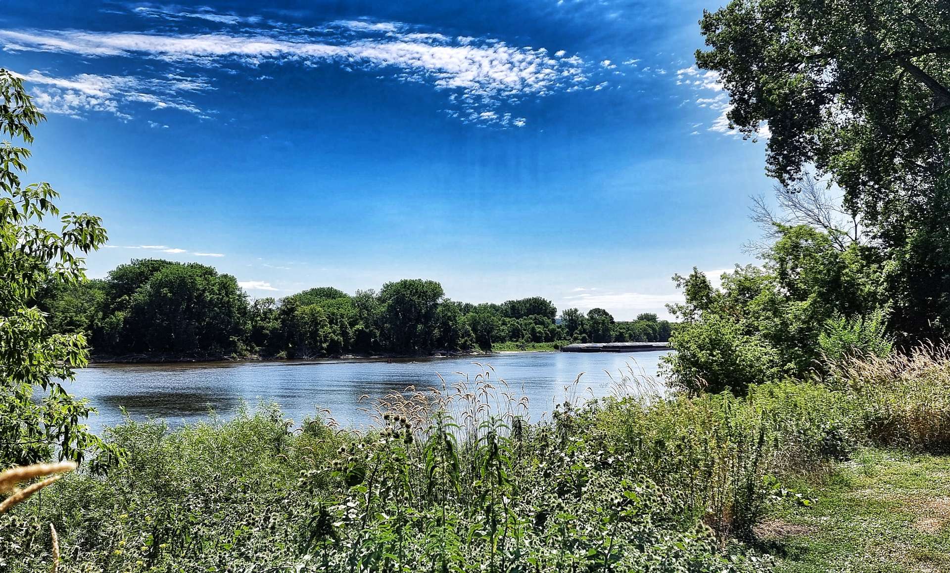
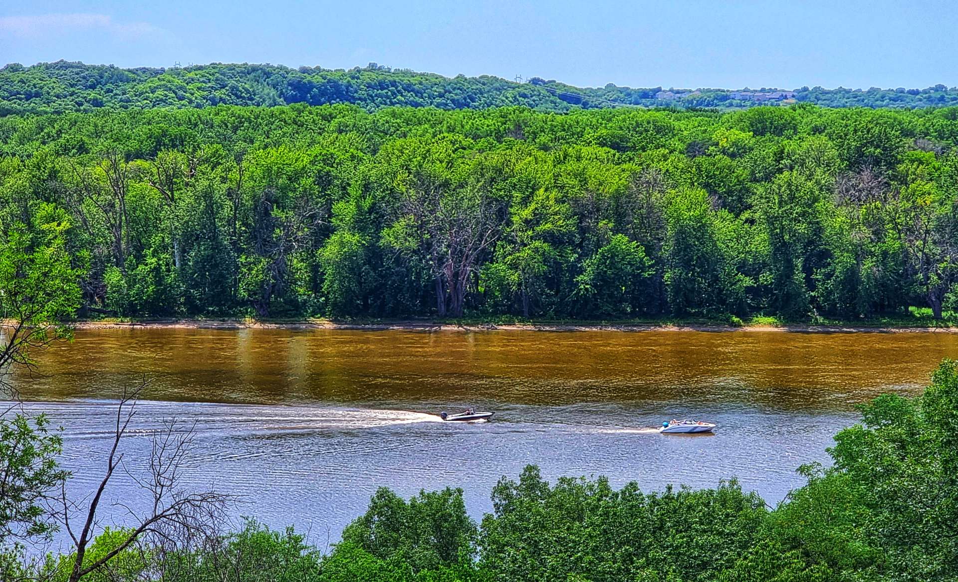
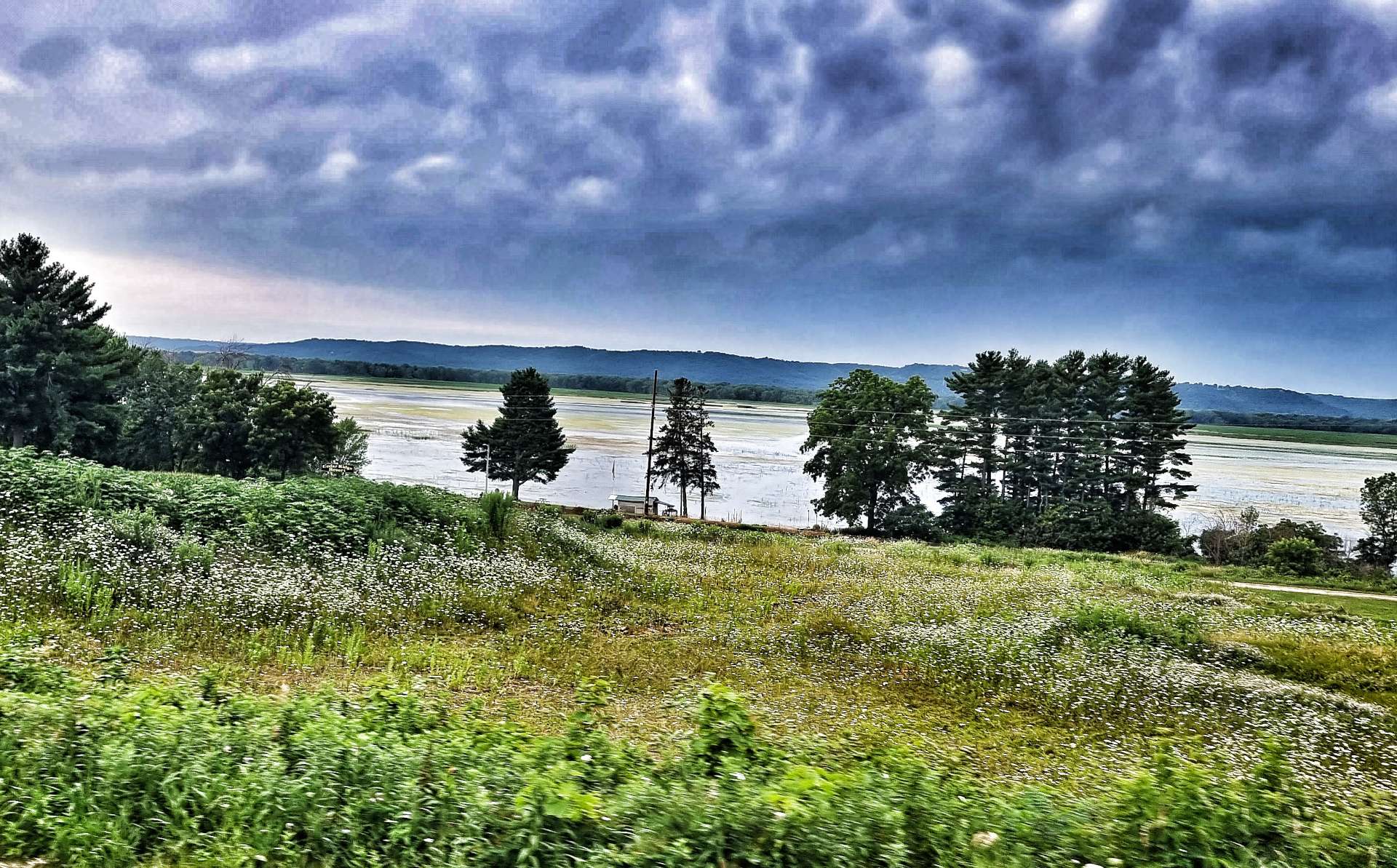
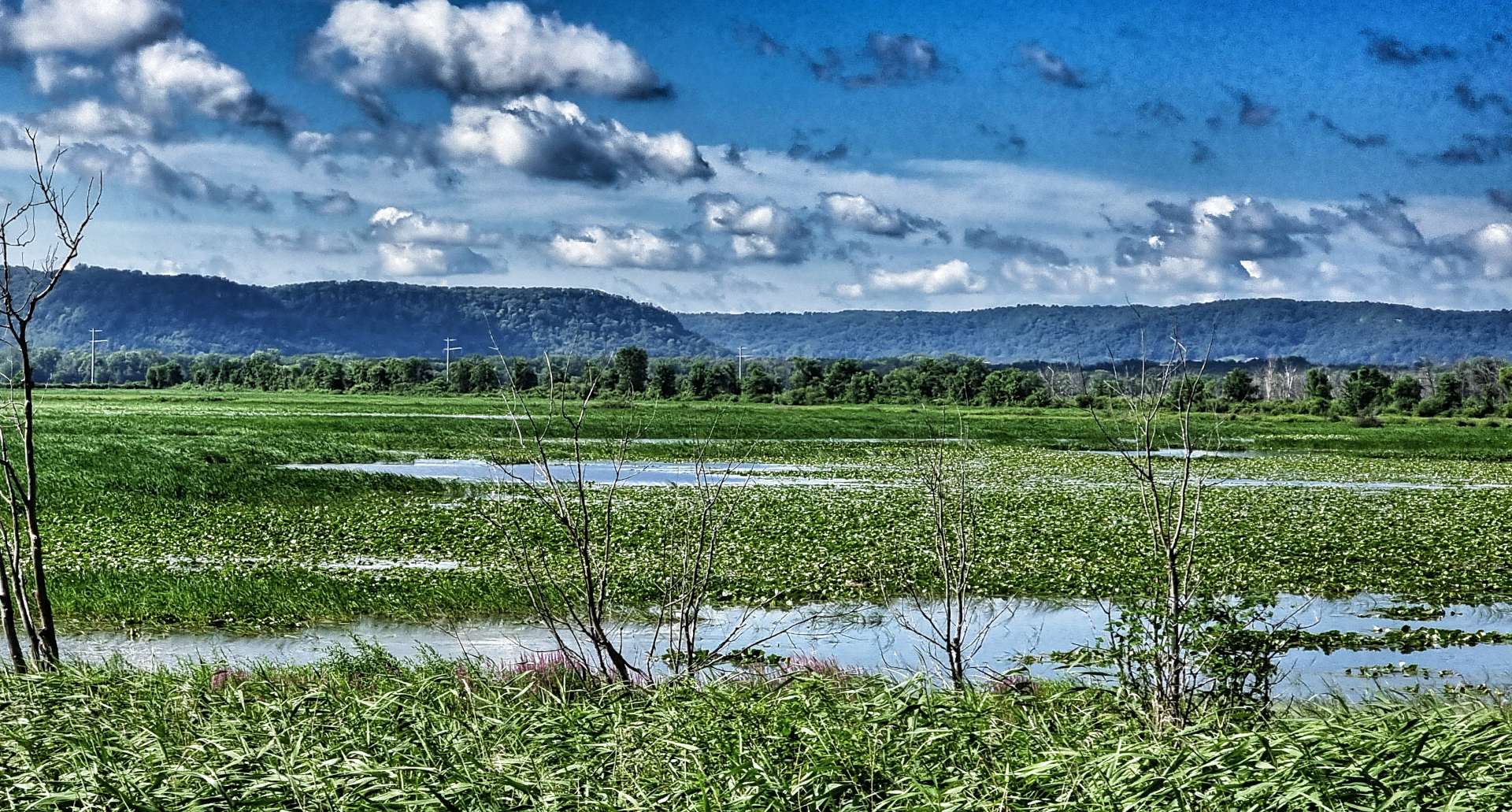
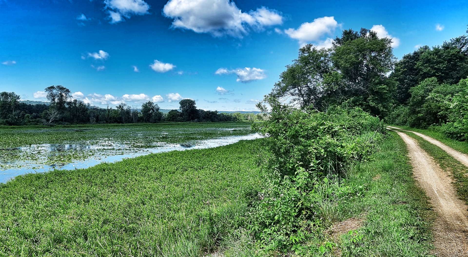
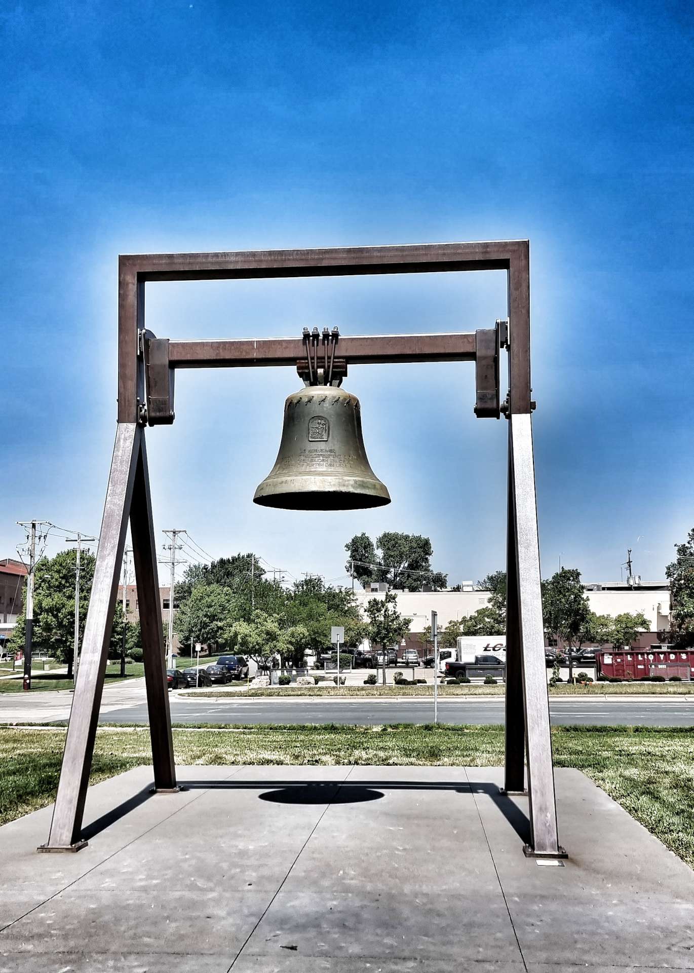
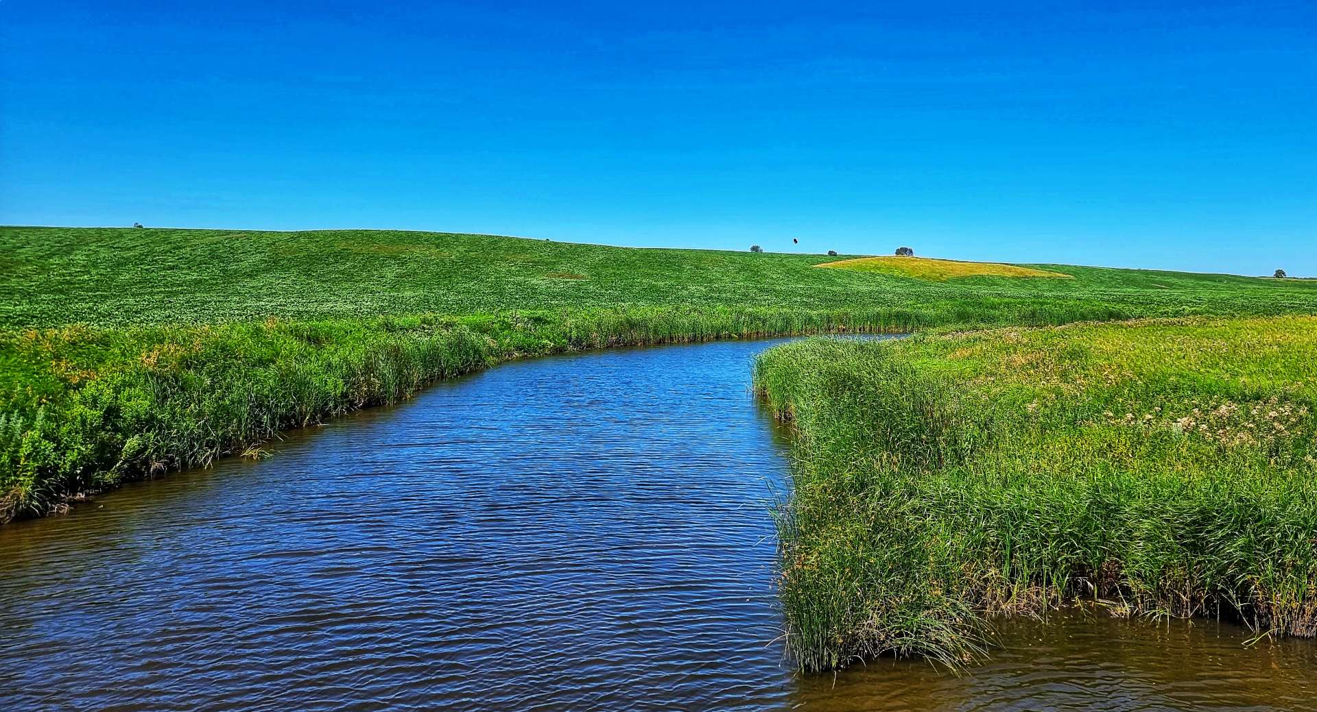
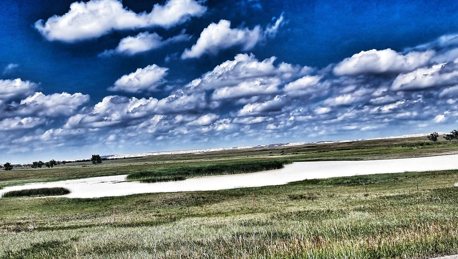
Within 10 minutes of crossing the bridge, we picked up the Mississippi River Trail at Kaposia Park & found ourselves on the banks of the Mississippi itself. For the next 5 miles we rode along the defensive levee that protects the communities along the Mississippi from serious flooding. The ant sculpture was made from trash collected from the Mississippi river itself.
We crossed the Mississippi for the 2nd time at Newport on a cycle path by the side of the busy Highway 494. As we left the town behind us, we picked up a cycle path at Cottage Grove that took us through peaceful meadows that teemed with butterflies & dragonflies. Somehow we also found ourselves cycling around a busy sports day as the path took us past a local school.
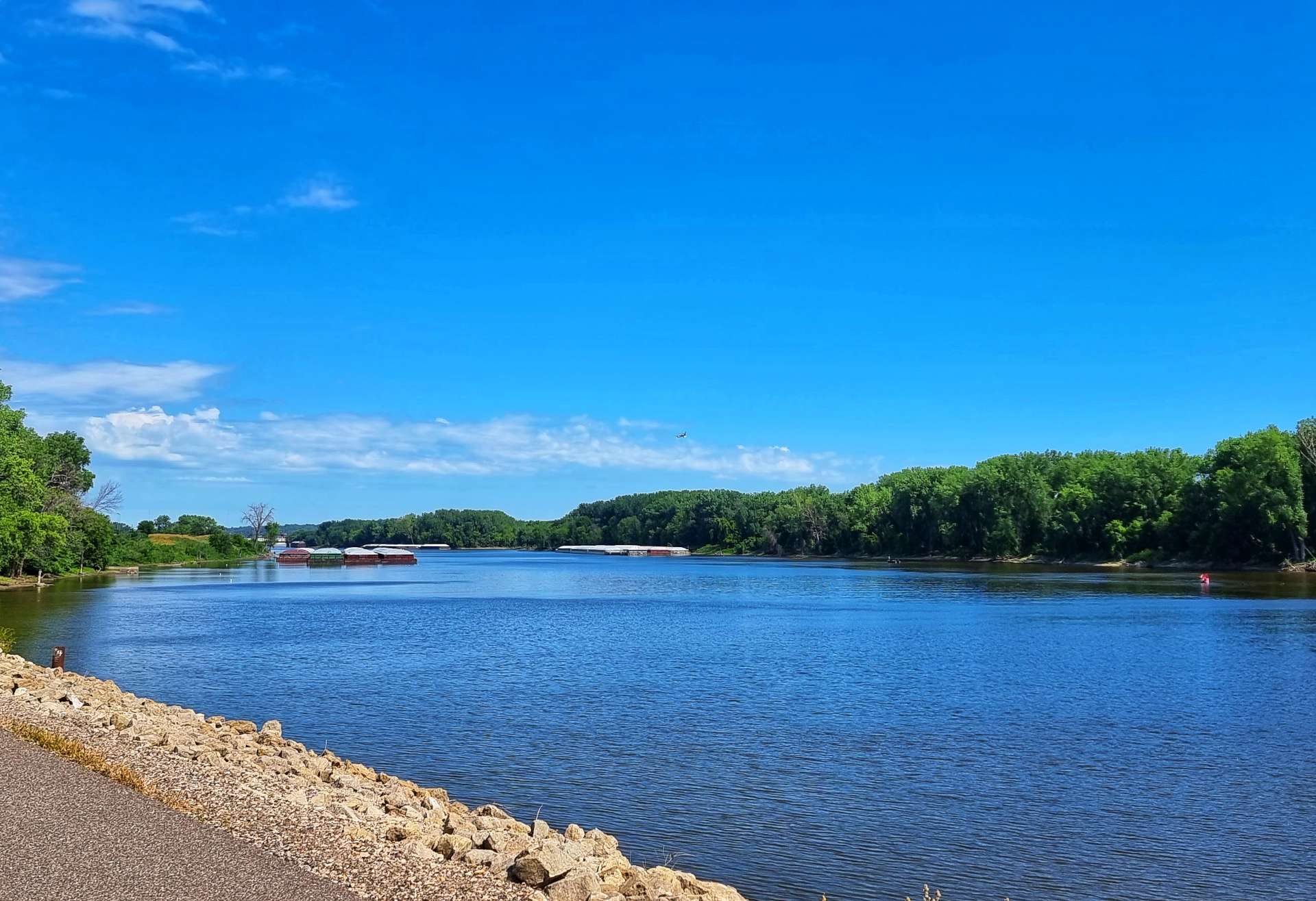
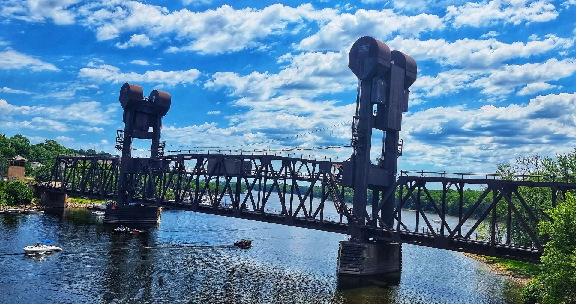
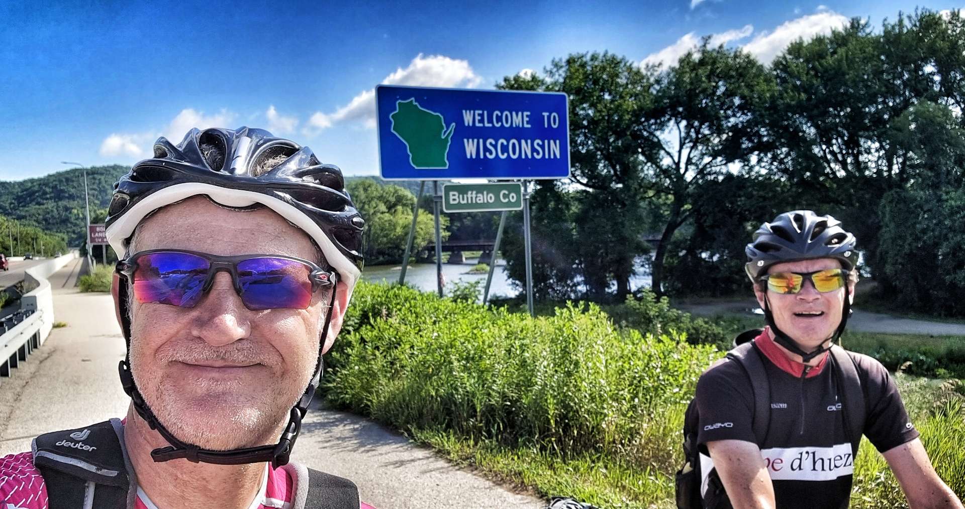
We were aiming for the small town of Prescott, which marks the State Line between Minnesota & Wisconsin & the start of the Great River Road Scenic Byway. Passing the railroad swing bridge, we spotted the Twisted Oak Coffee Shop where we stopped briefly for a strawberry fritter & americano. We also topped up our water bottles.
The Scenic Byway climbed up to the bluffs above the river, where we stopped at the Great River Road Visitor Centre to learn more about how cargo is transported up & down the Mississippi. Dry Cargo Barges are 195 feet in length & 35 feet in width, enabling them to carry a cargo of 1,500 tons. The even larger Liquid Cargo Barges are 295 feet long by 50 feet wide & they can carry 2,500 tons. The vast majority of the wheat & grain harvest is transported by Dry Cargo Barge at some point on its journey from the Bread Basket of America.
A single tug can push a raft of up to 42 barges – they’re configured in a 7 wide by 6 long rectangle. The journey of 1,800 miles from Minneapolis to New Orleans takes the barges anything from 14 to 50 days, depending on the load & whether stops are required to pick up or drop off any of the barges.
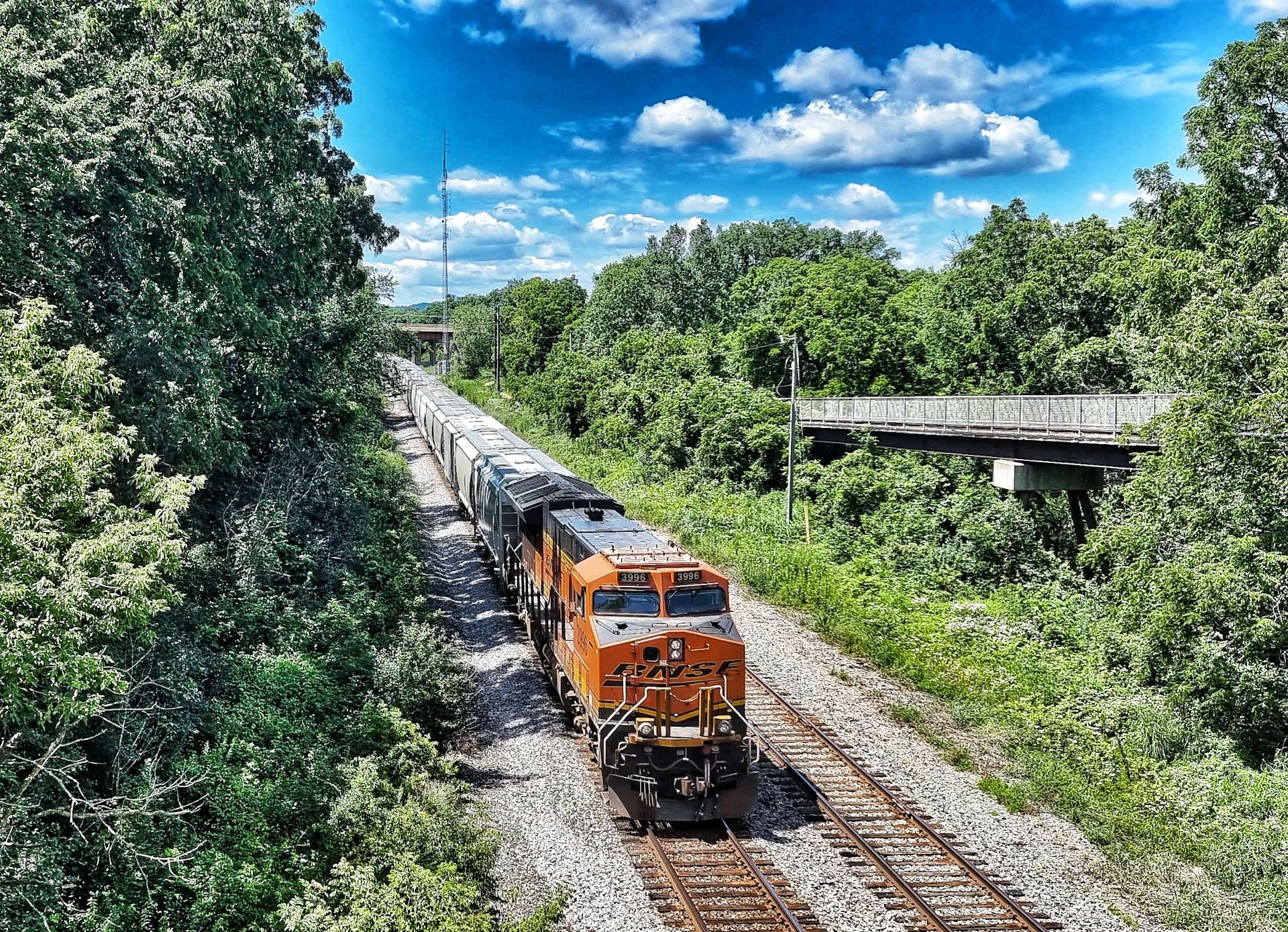
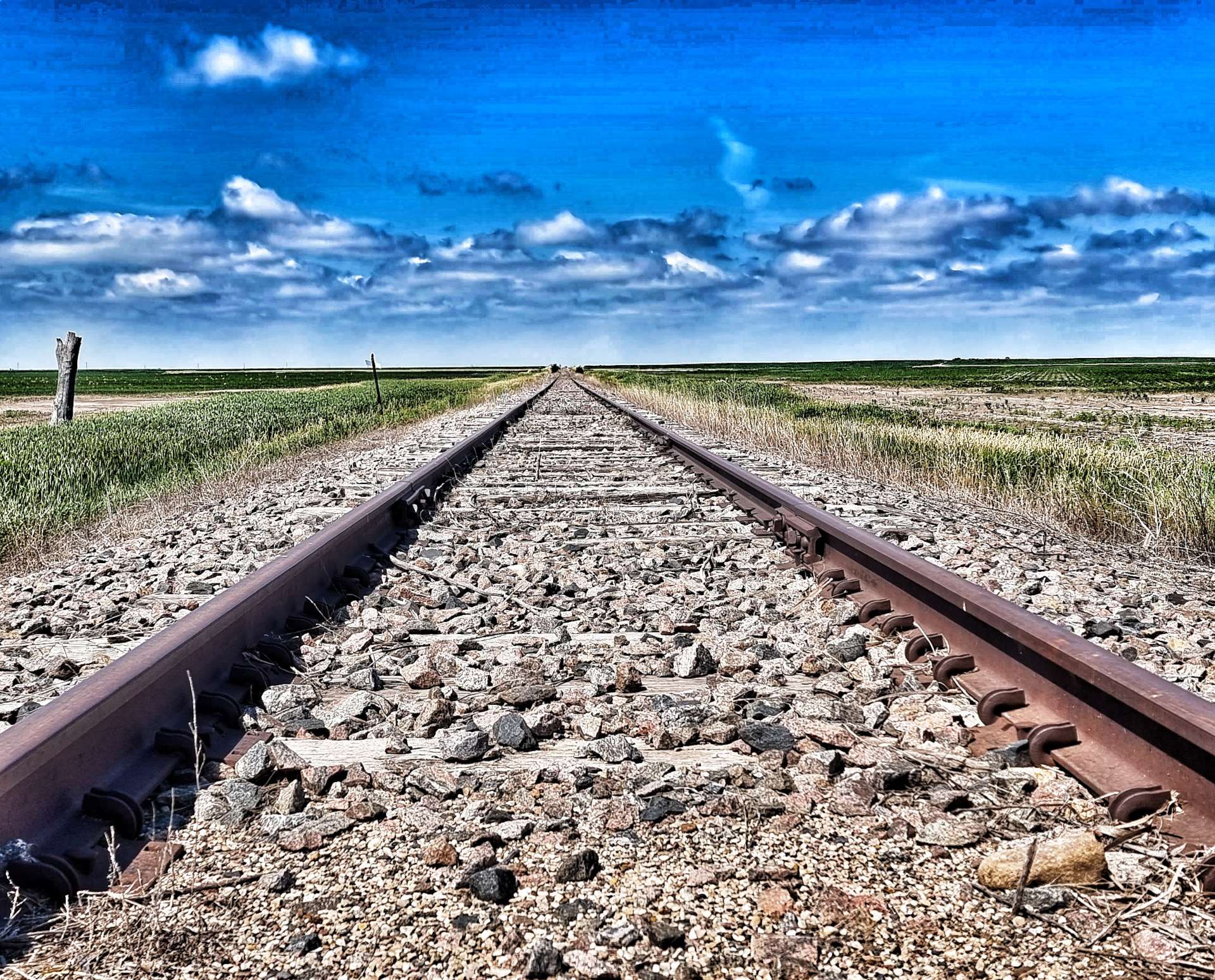
The railroad is still active too, with about 70 freight trains a day travelling in each direction – the trains are upwards of a mile long! Vast volumes of freight are transported each day up & down the Mississippi, whether by rail or river.
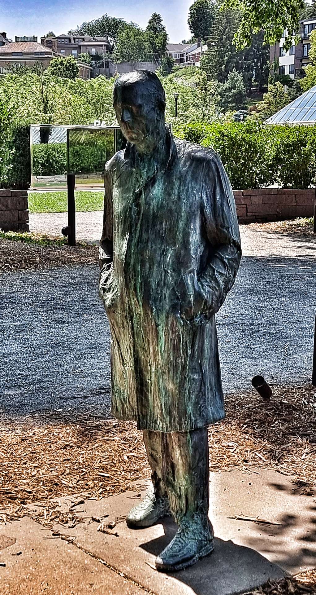
The sculpture was again made from items removed from the Mississippi, there seems to be a small sub-culture of artists who use reclaimed metal in their works.
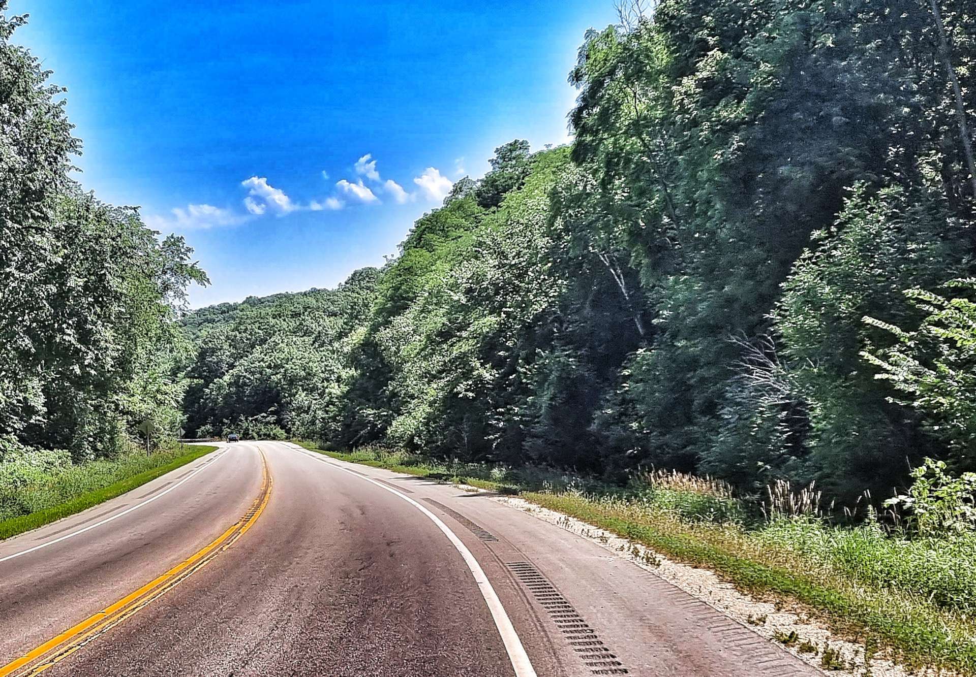
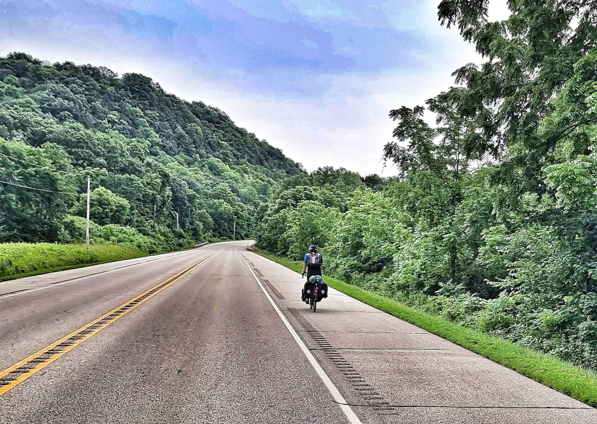
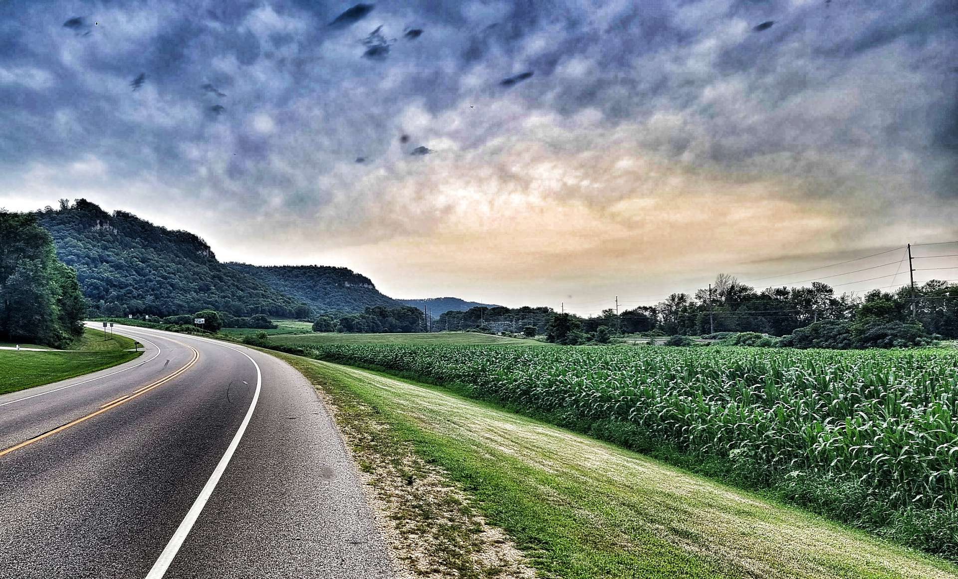
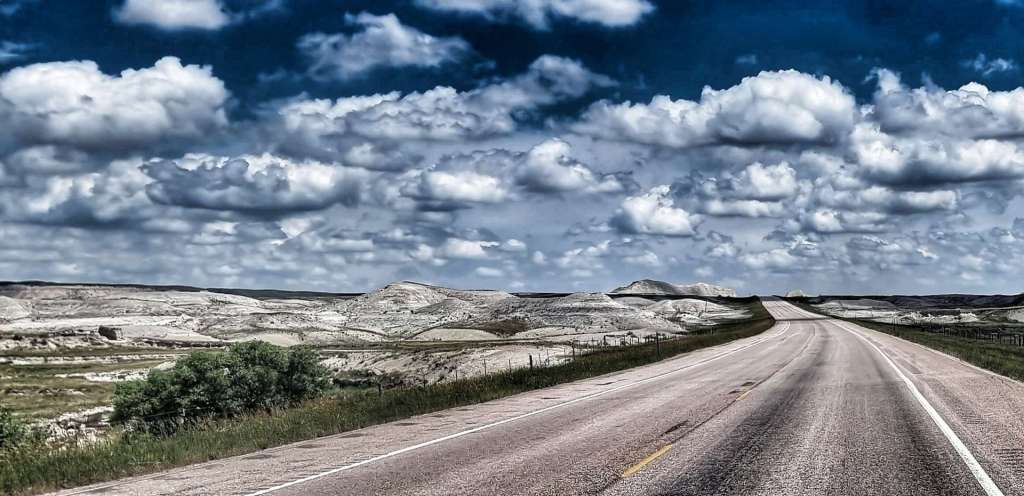
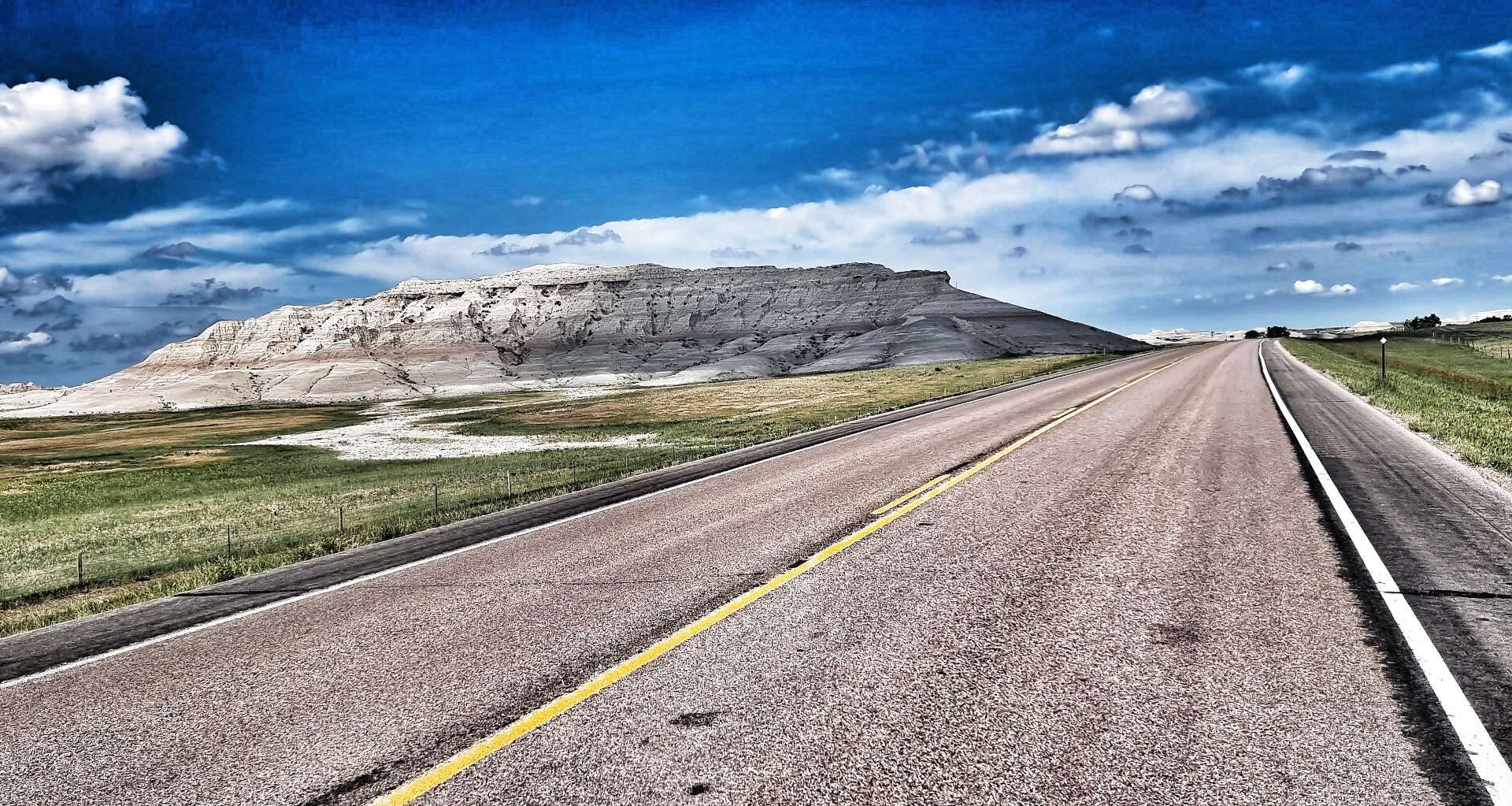
Returning to the Scenic Byway, we were passed at regular intervals by groups of Harley Davidson motorbikes – we had plenty of warning, as we could hear the throaty gurgle of their engines long before they reached us! We were back on rolling terrain, as the road climbed up to the bluffs above the river before plummeting back down to the valley floor – for this stage of the route, the river remained hidden from us.
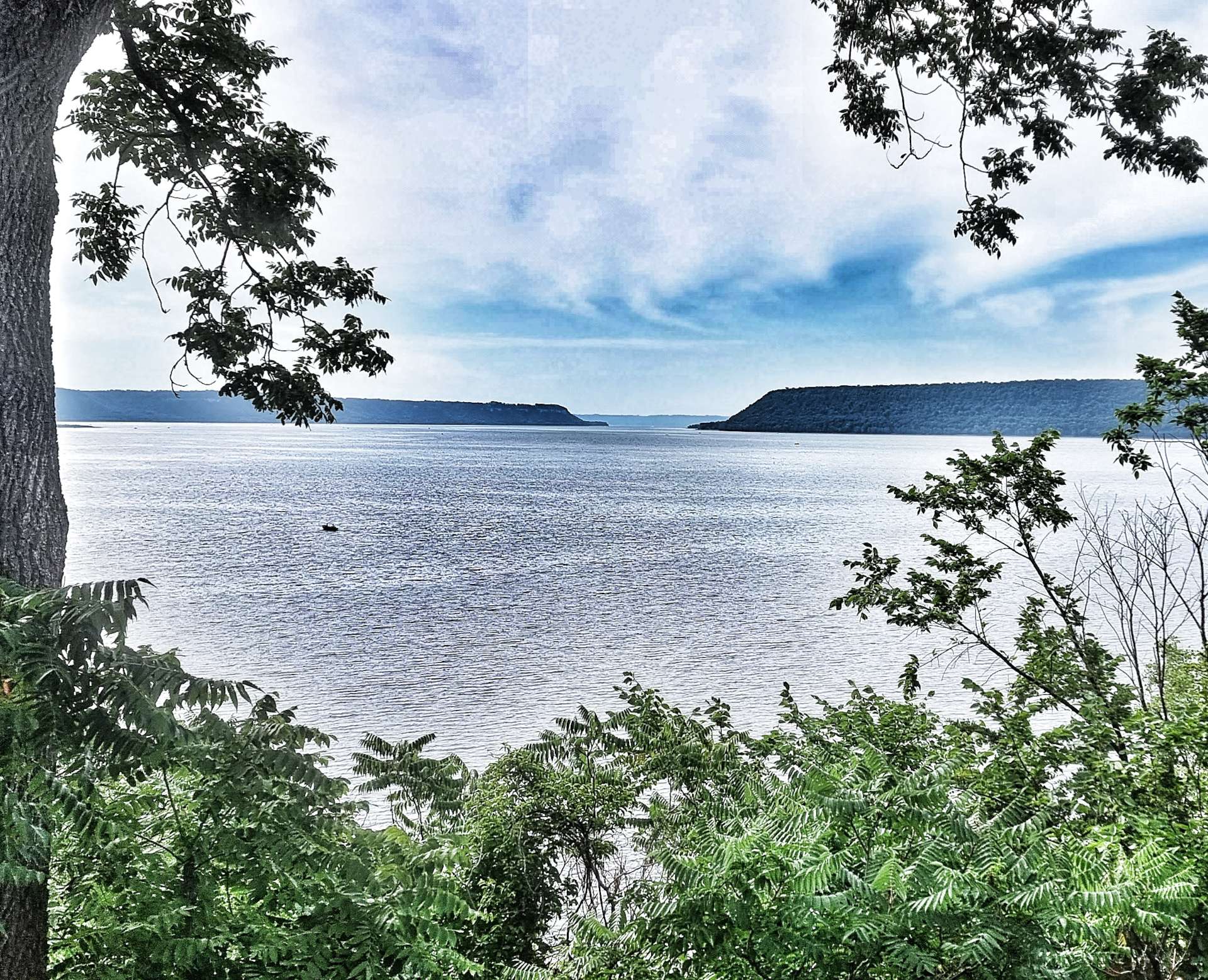
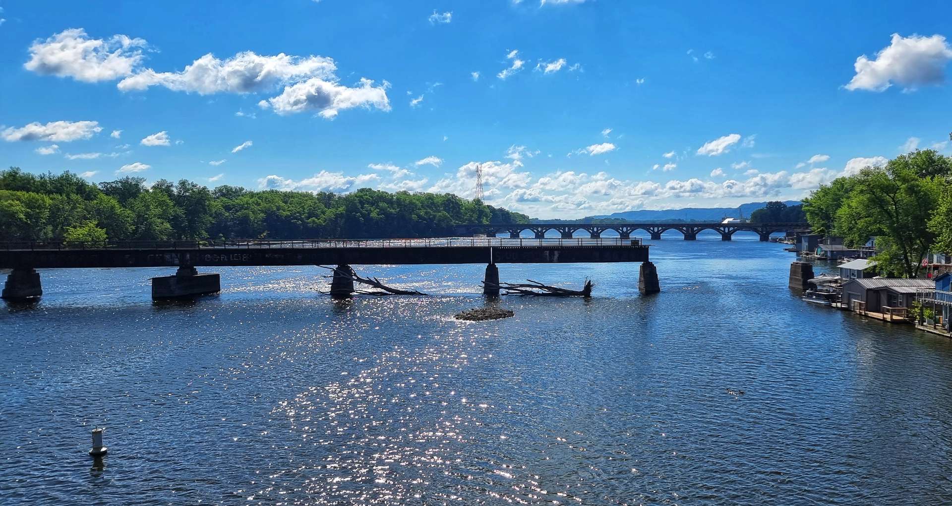
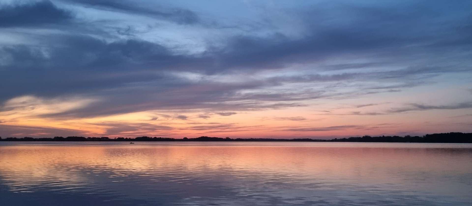
As we reached the small community of Trenton, we turned right & headed for our overnight stop of Red Wing, on the Minnesota side of the Mississippi – our third crossing of the Mighty Miss in a day!
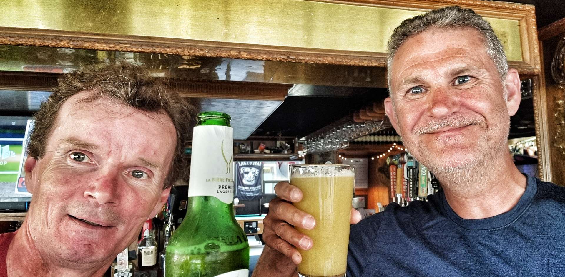
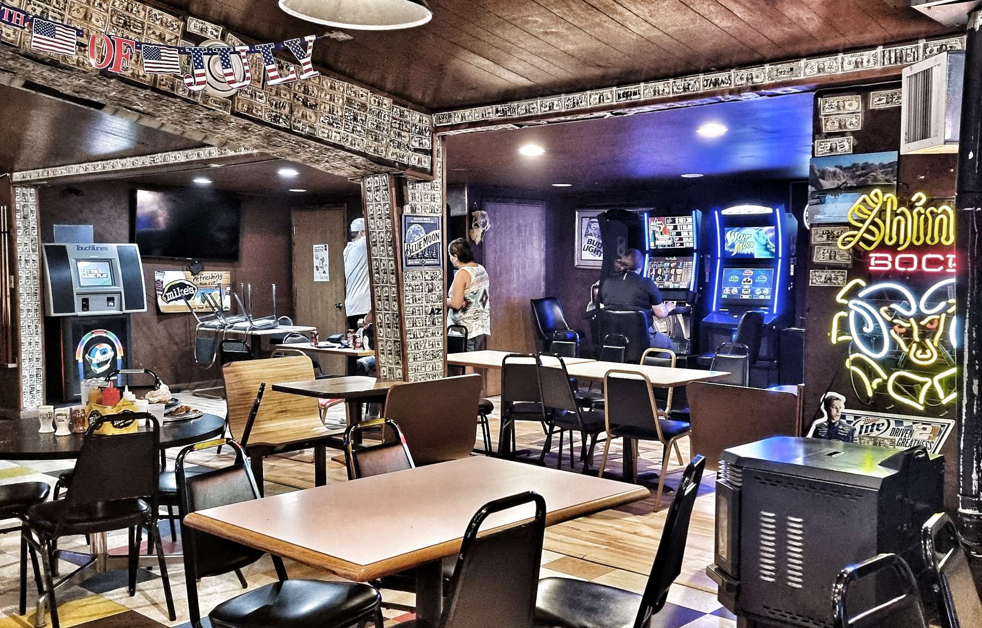
We found a great little bar in town where we had pizza & a beer to toast our first day of riding along the Mississippi. Tomorrow we’re hoping for more of the same, although rain is expected later in the day.
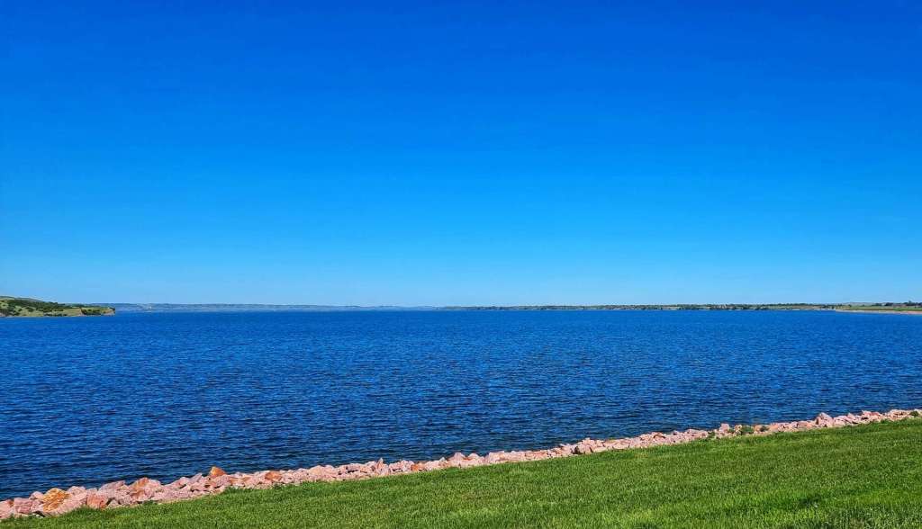
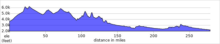
Stage Stats – 58 miles, 2,385 feet of climbing. Our first experience of the Mighty Mississippi on the Great River Road Scenic Byway.
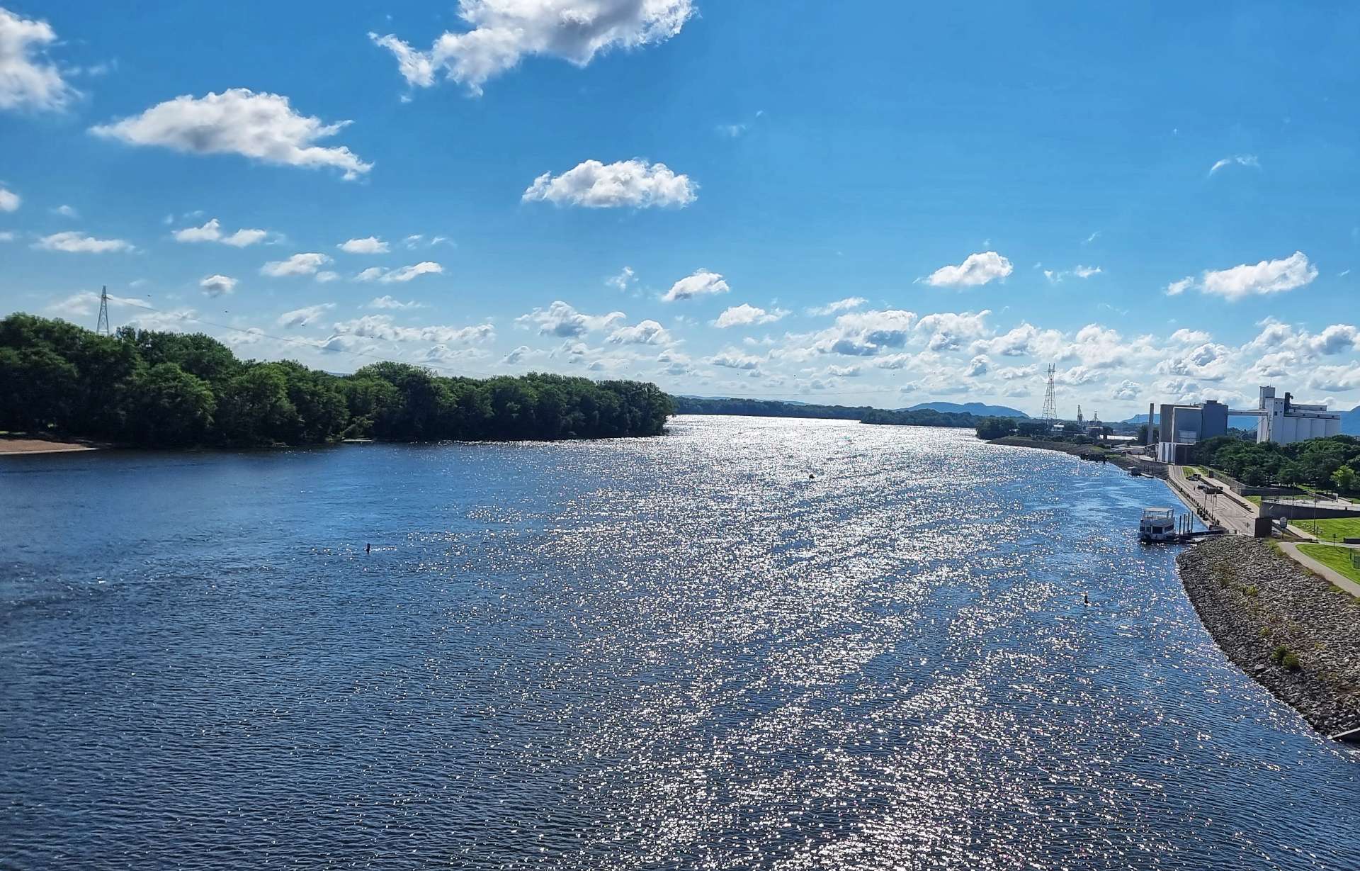
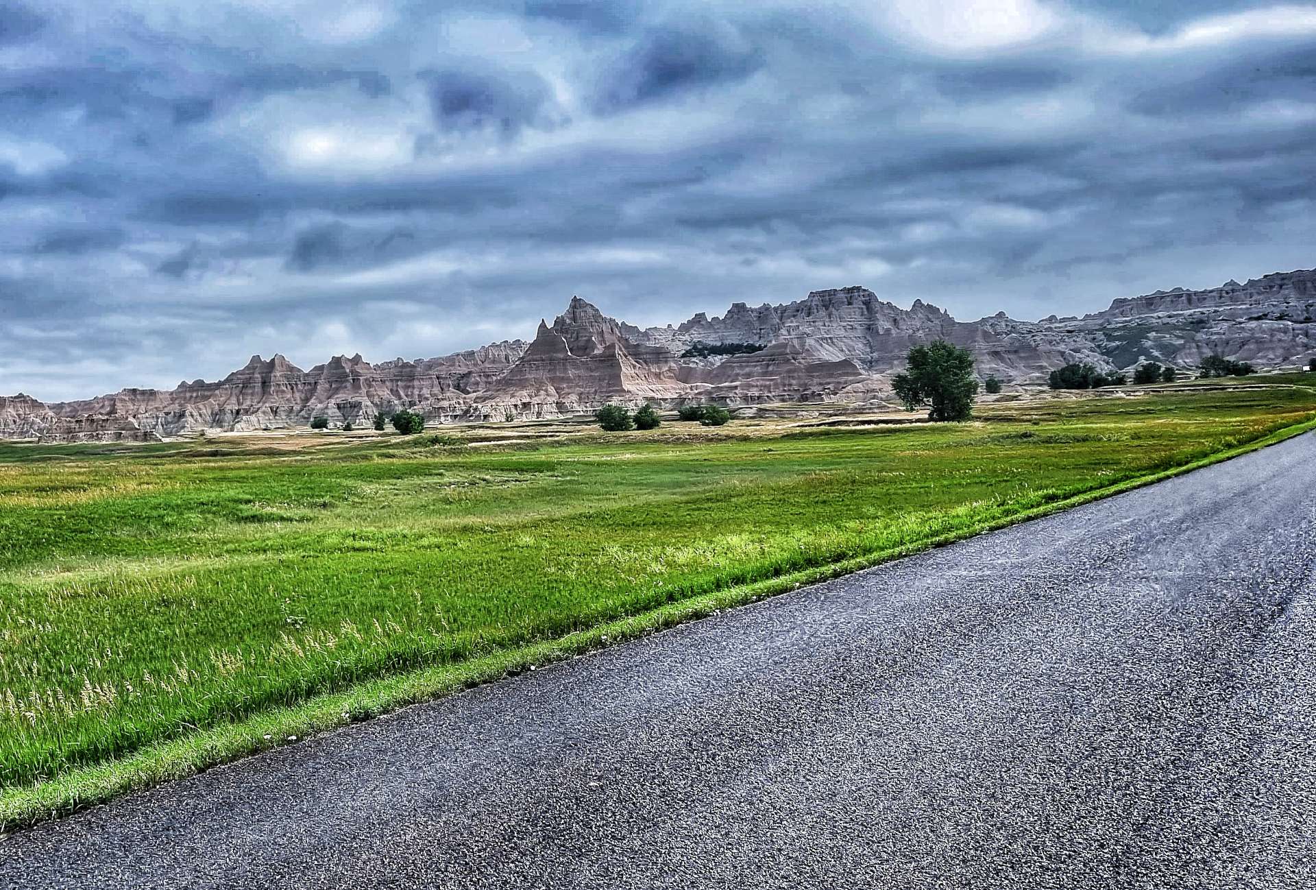
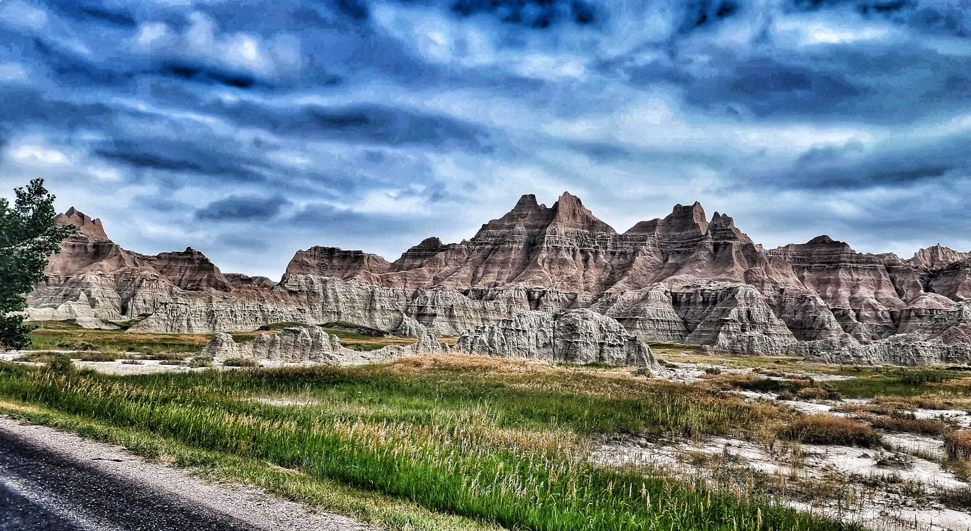
Saturday 23rd July – Red Wing to Winona (Stage 65).
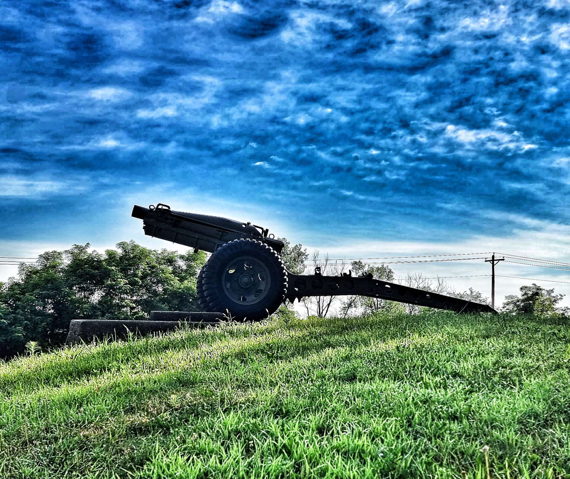
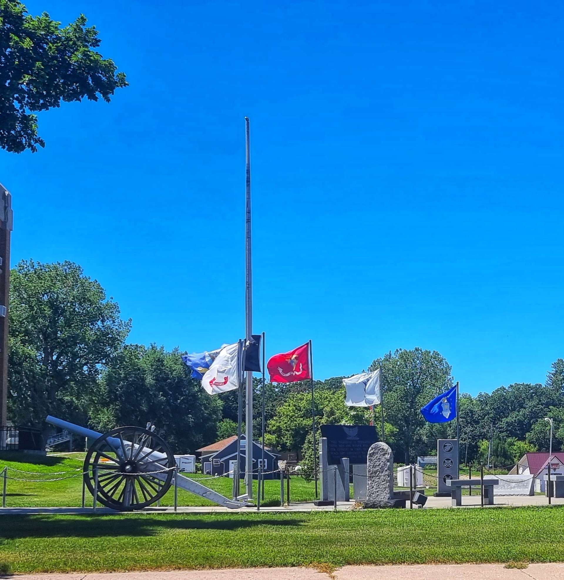
We were up early today & on our way by 8.15am, as electrical storms are now being forecast for early to mid-afternoon. We retraced our way back over the Mississippi into Wisconsin & on to the Big River Road, passing an artillery cannon at the gates to Red Wing Memorial Park.
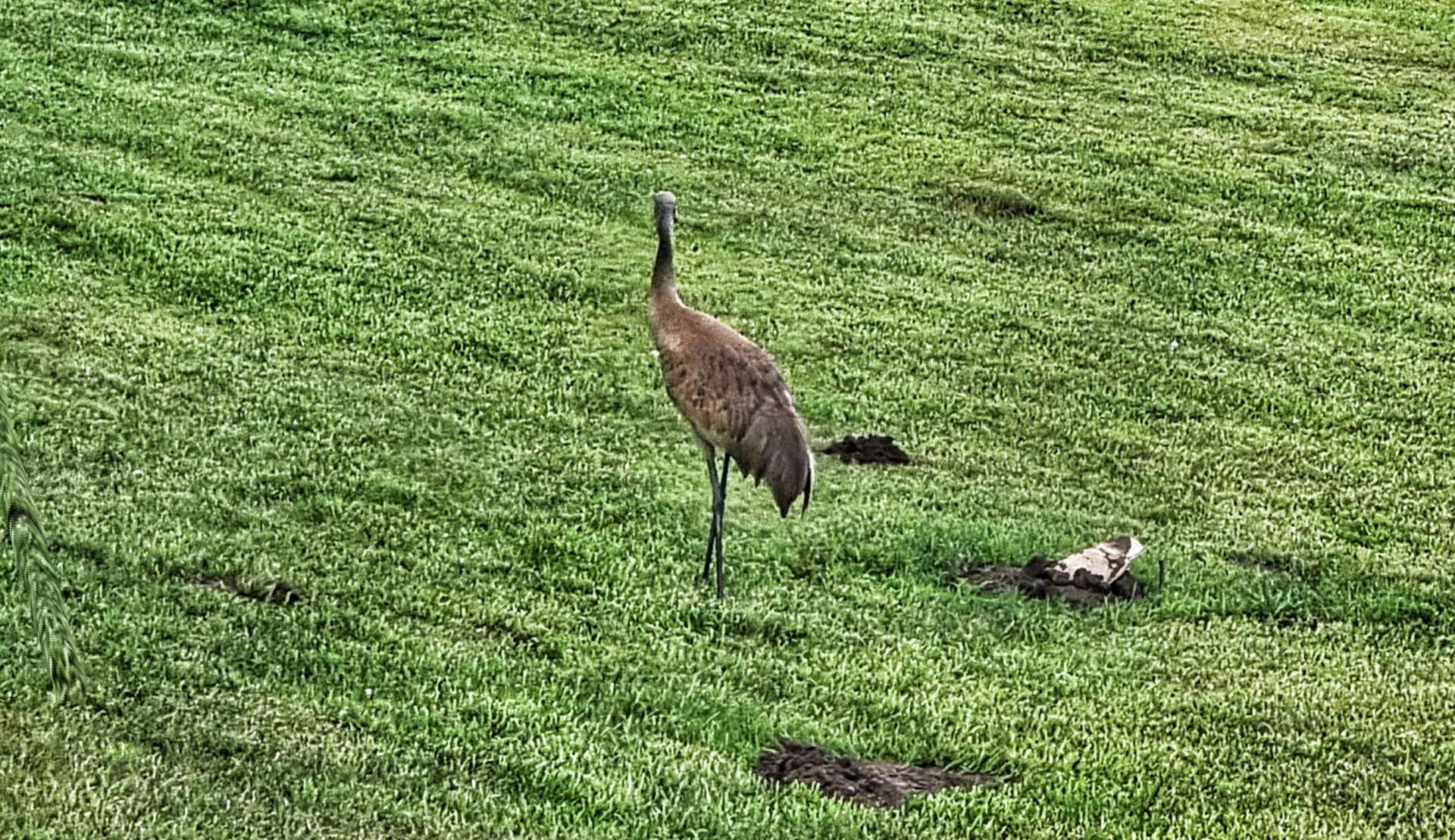
Almost immediately we spotted a heron walking in someone’s front garden – we’d only seen heron either flying or wading in the water, so this was new behaviour to us. The early part of the ride was on a rolling road as it took us through woodland & occasionally offered a sneak peak of the Mississippi.
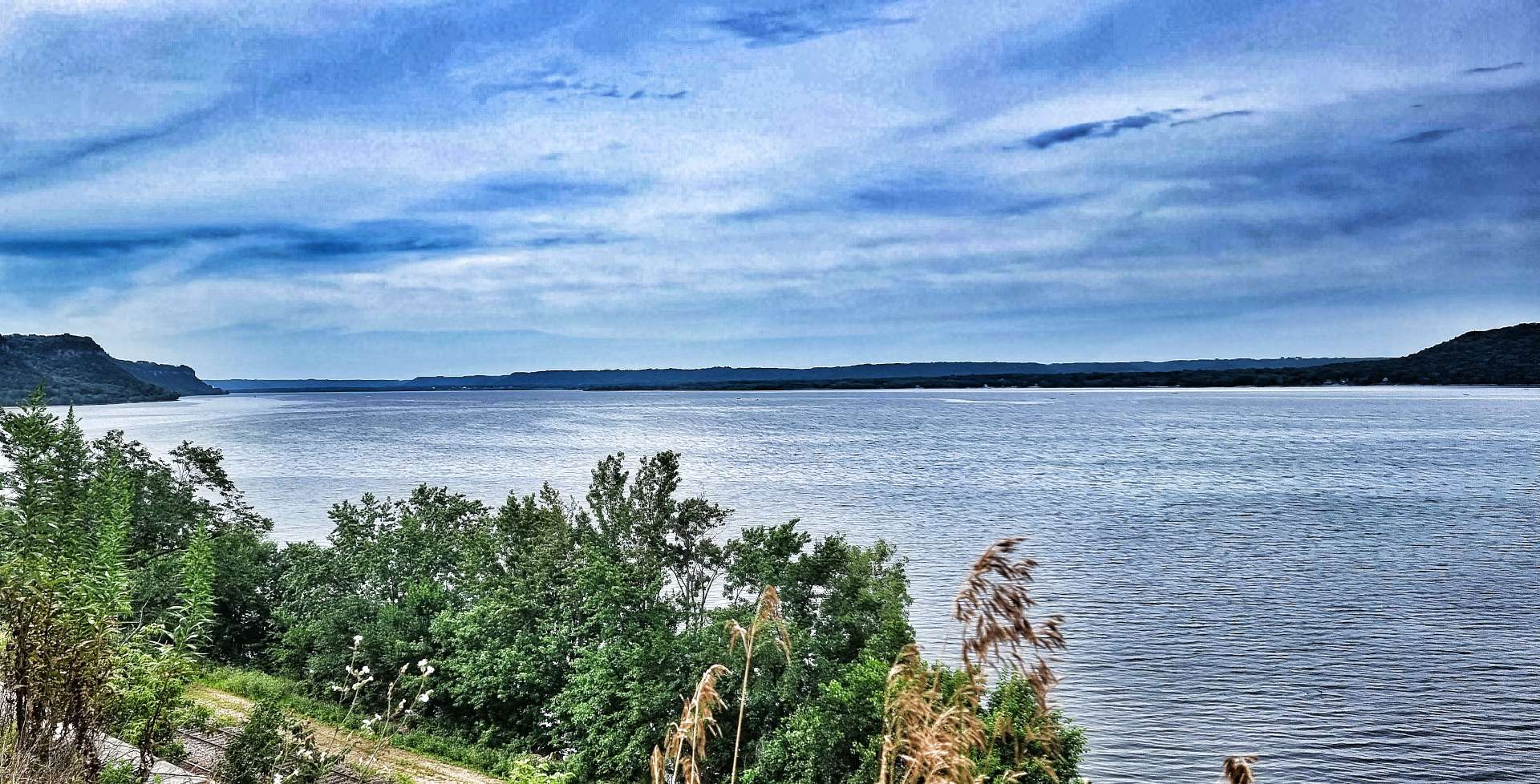
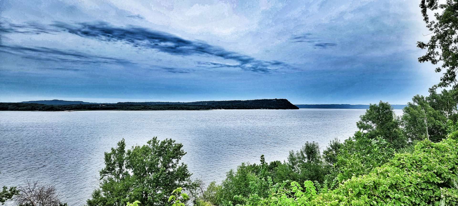
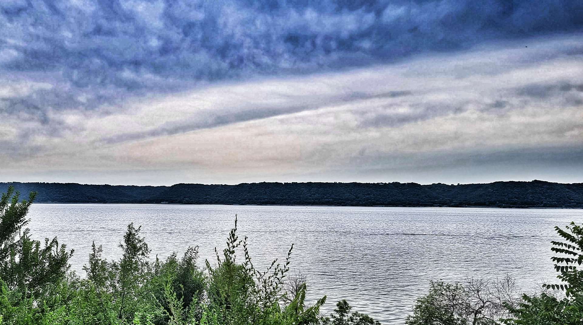
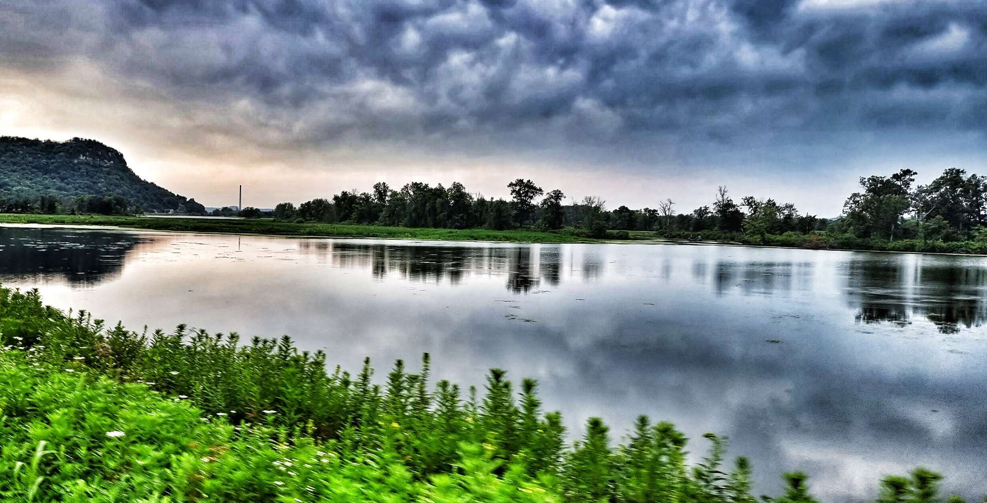
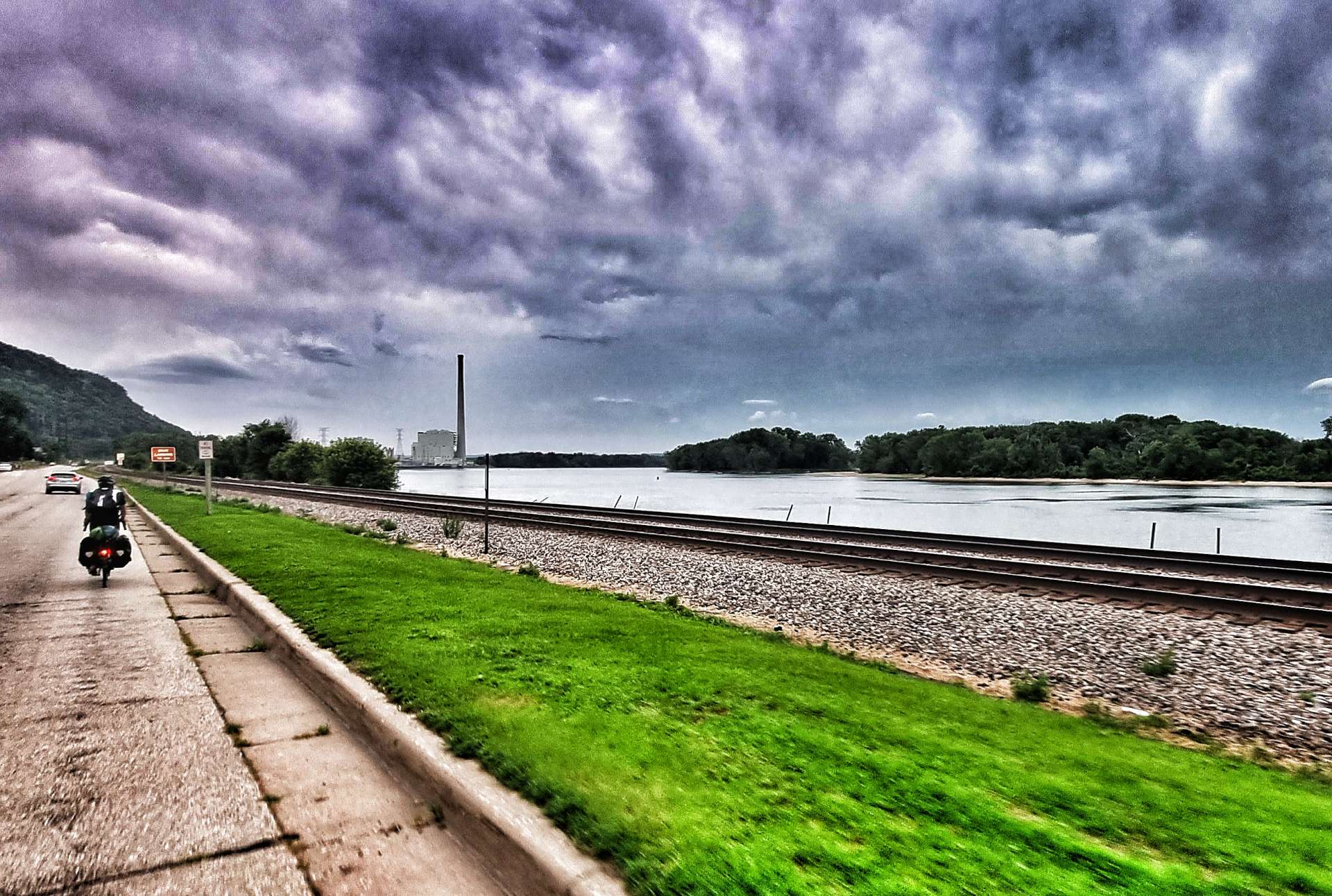
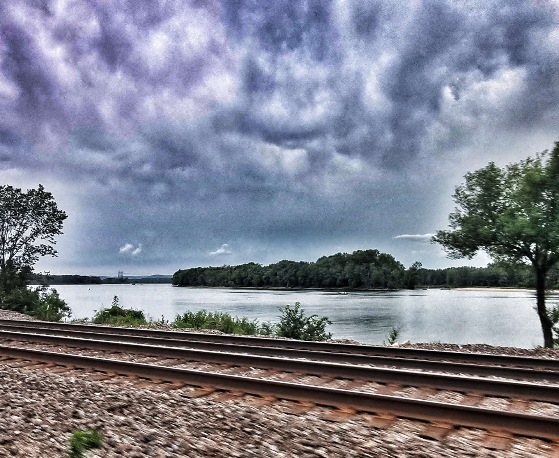
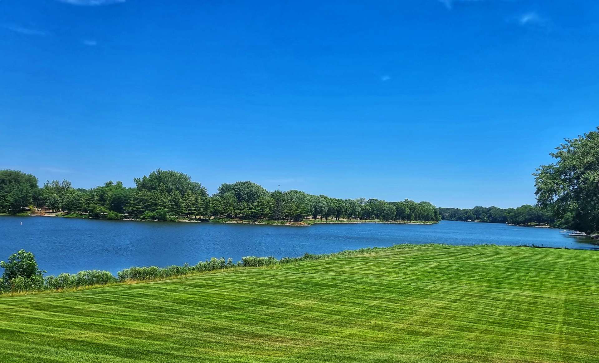
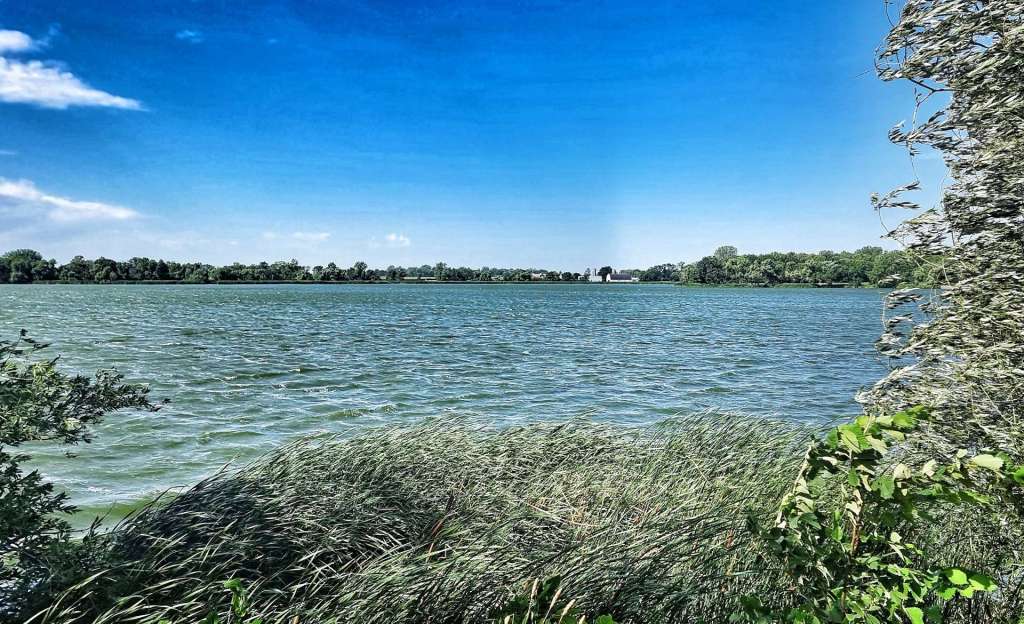
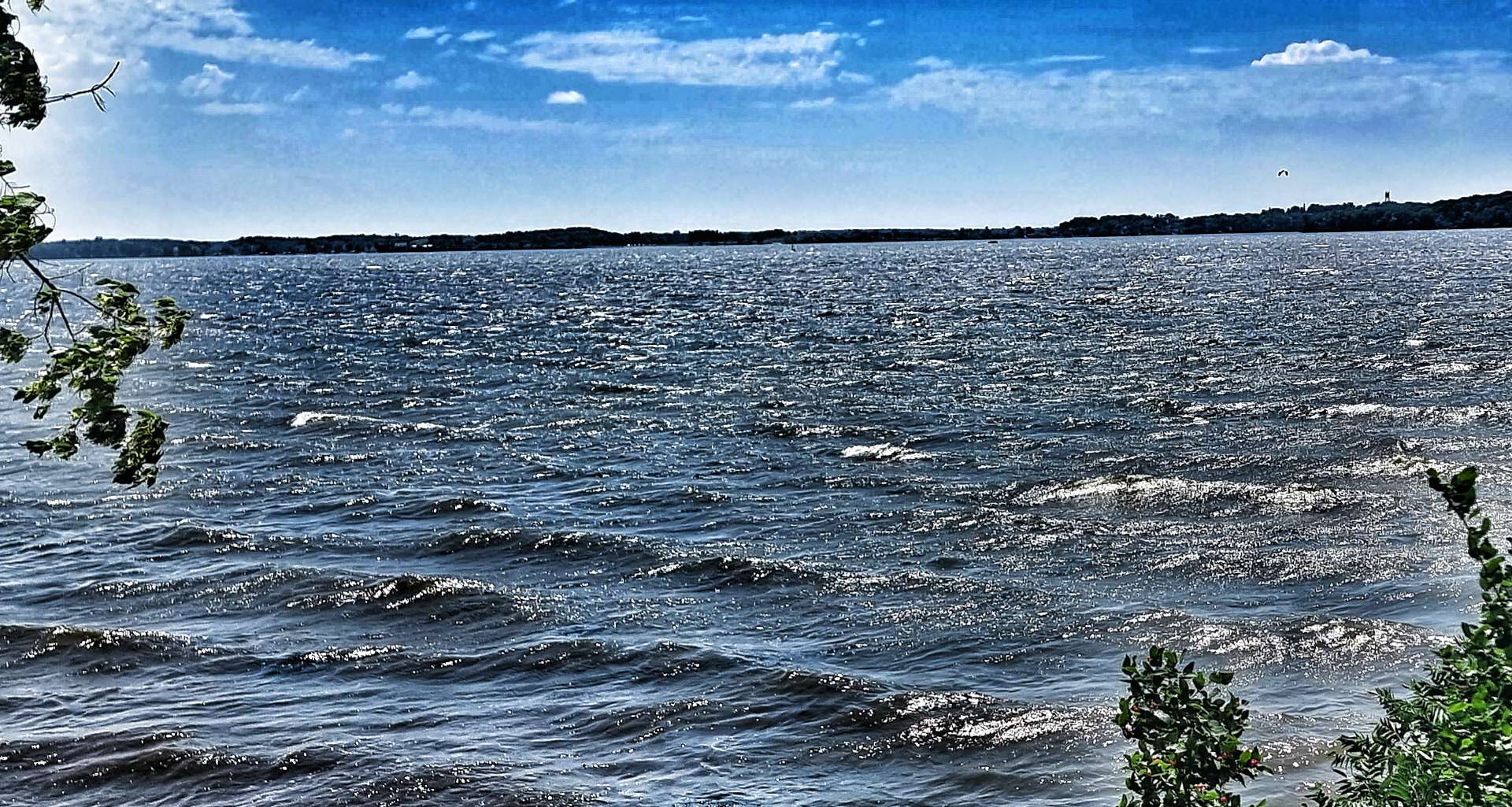
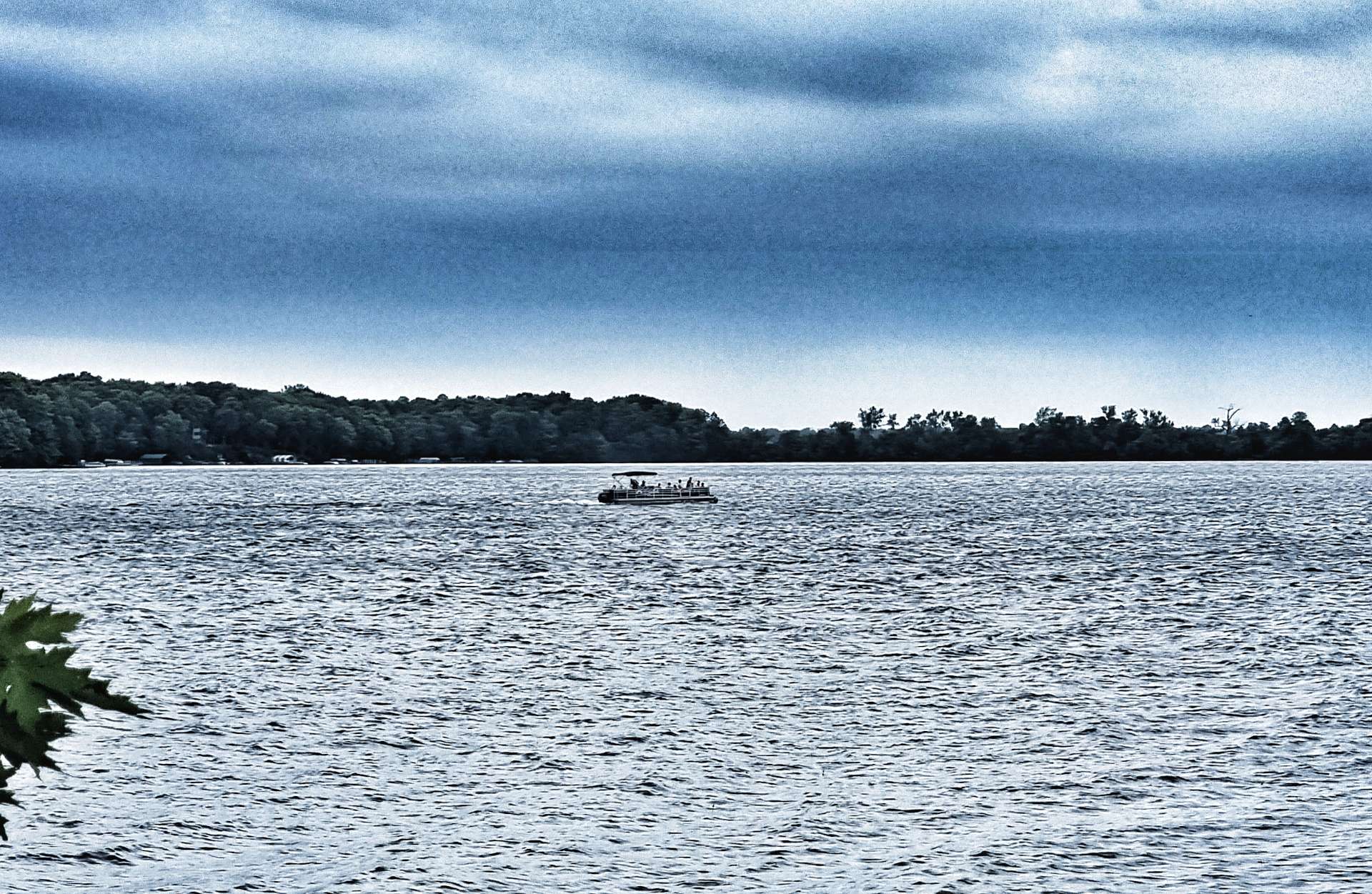
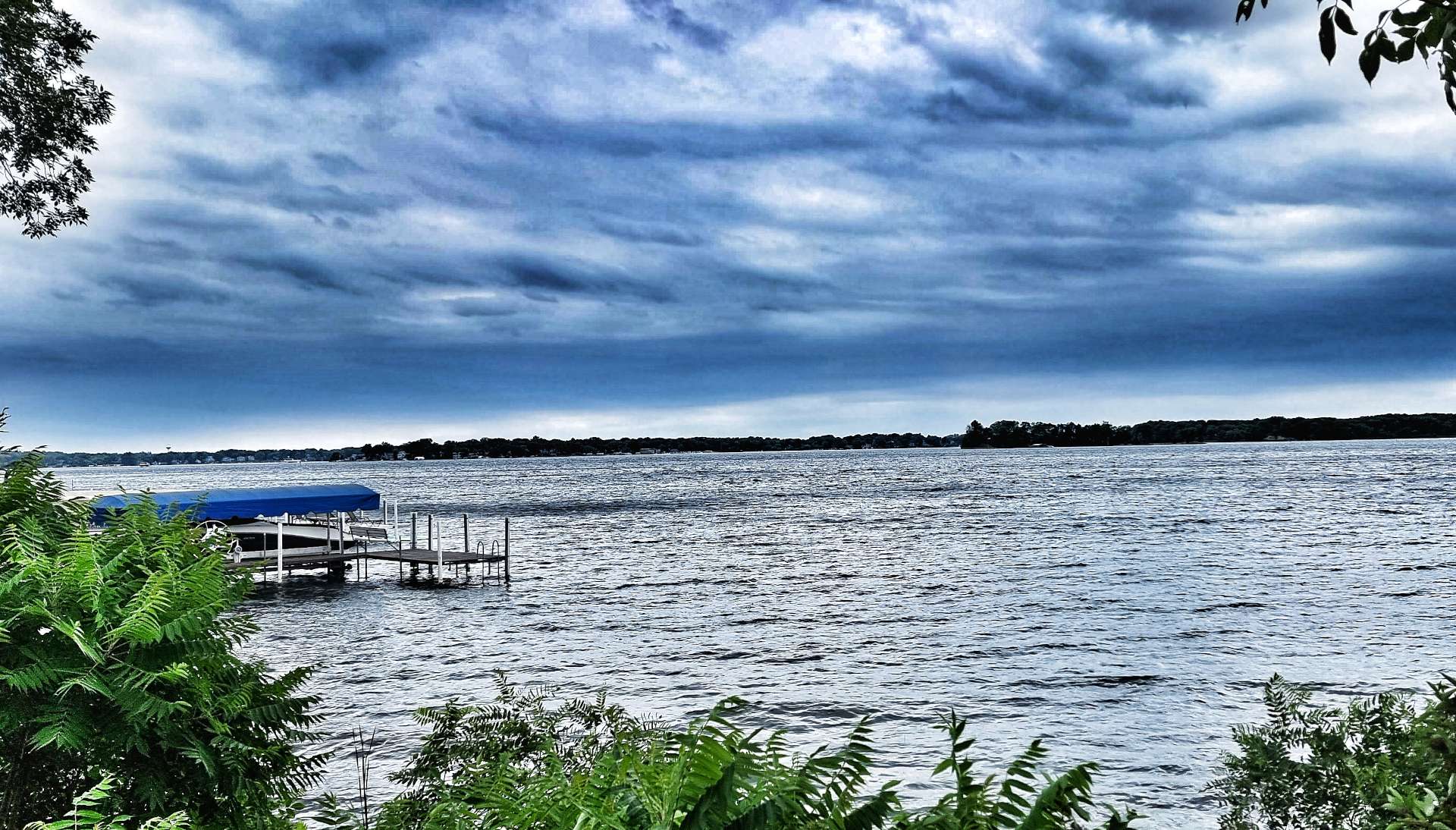
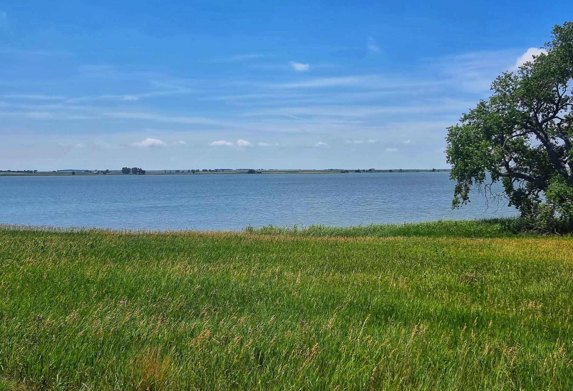
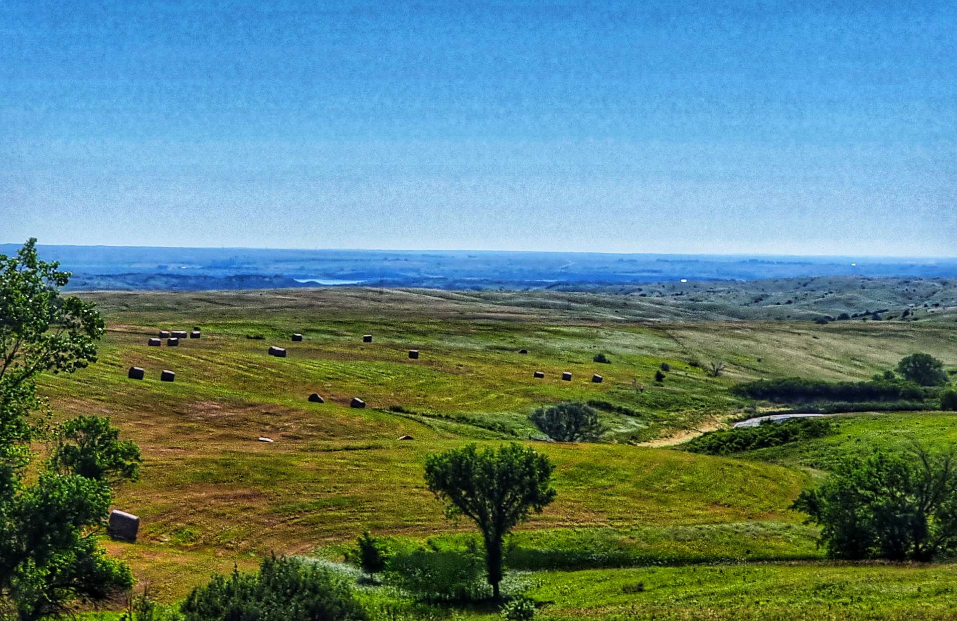
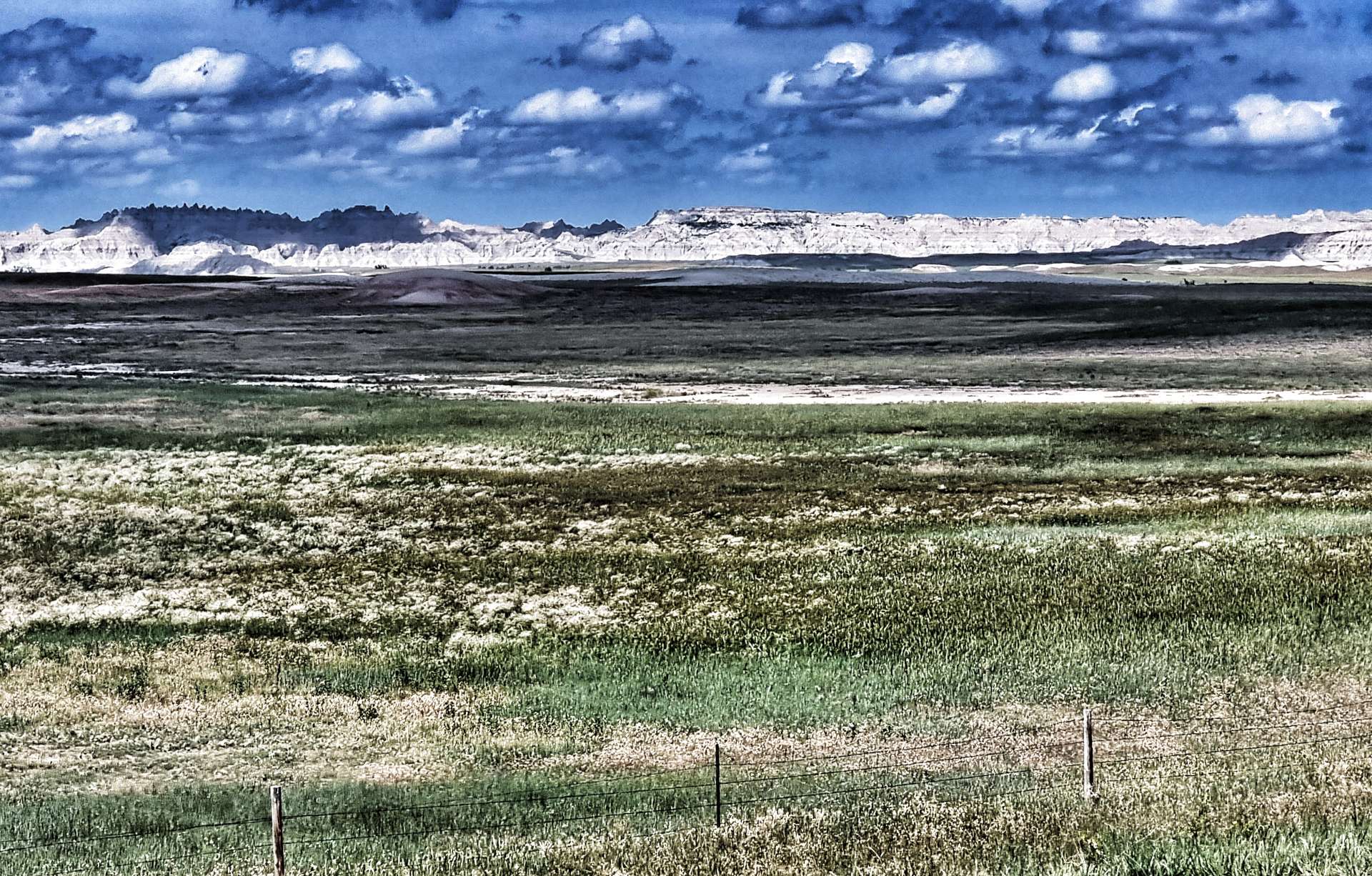
Lake Pepin is a natural lake on the Mississippi formed by the back-up of water behind the sedimentary deposits from the Chippewa river’s delta on the Wisconsin side. It’s about 21 miles long & 2 miles across at its widest point. There were a couple of overlooks where we pulled in & took 5 minutes to admire the vast vistas across the lake to Minnesota – the lake is a popular recreation site & we saw plenty of small boats out fishing with a few speedboats too.
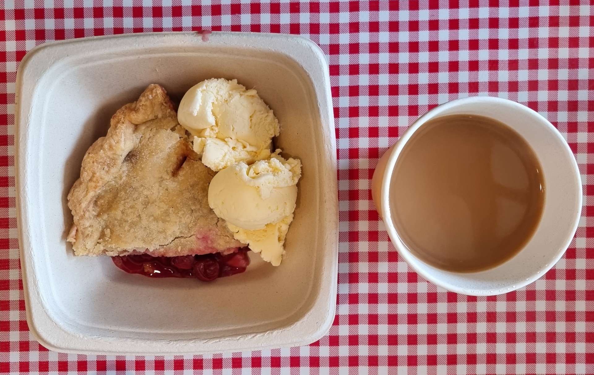
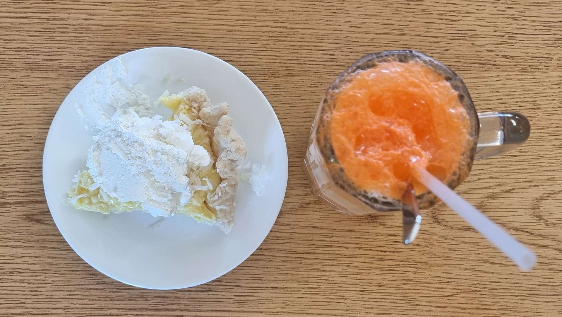
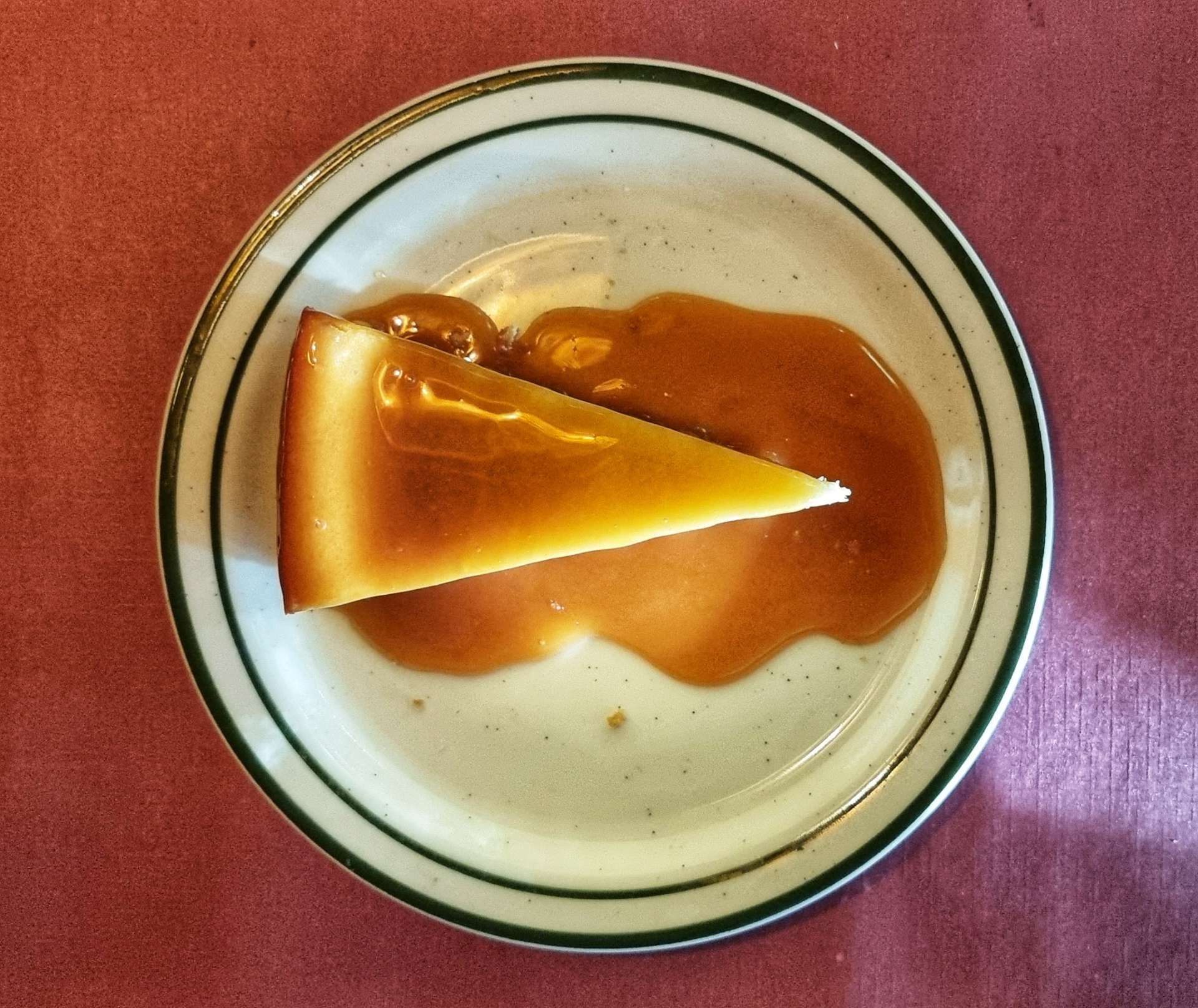
Heading into the small town of Stockholm, we spotted Stockholm Pie & General Store – we had to stop, just to see what pies they offered. The answer was every type of fruit pie under the sun!!! I chose a slice of warm cherry pie topped with vanilla ice cream & it was a serious contender for best pie of the adventure so far!
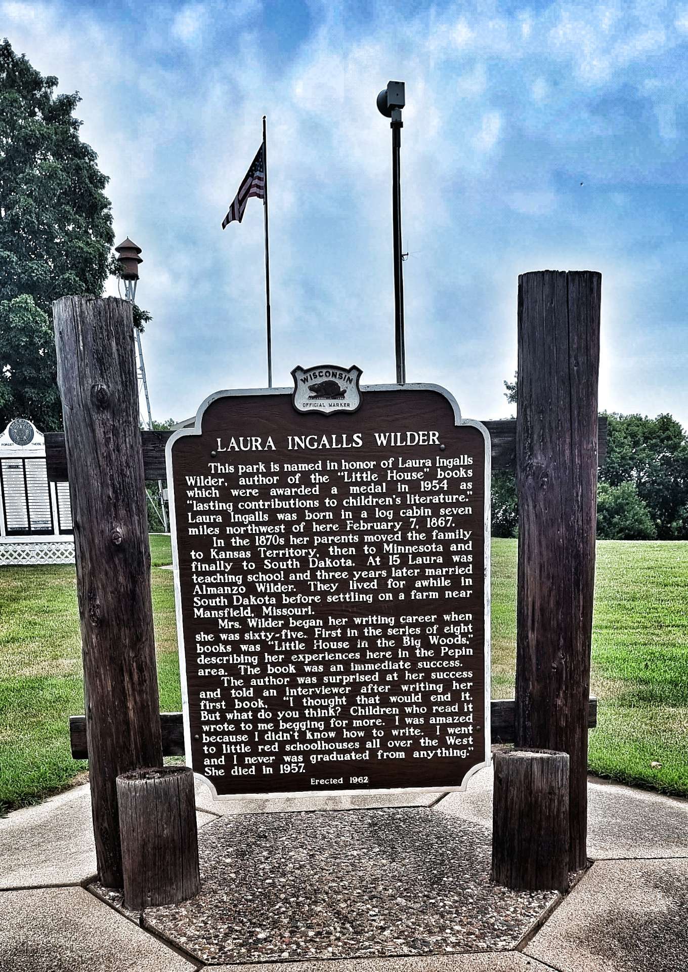
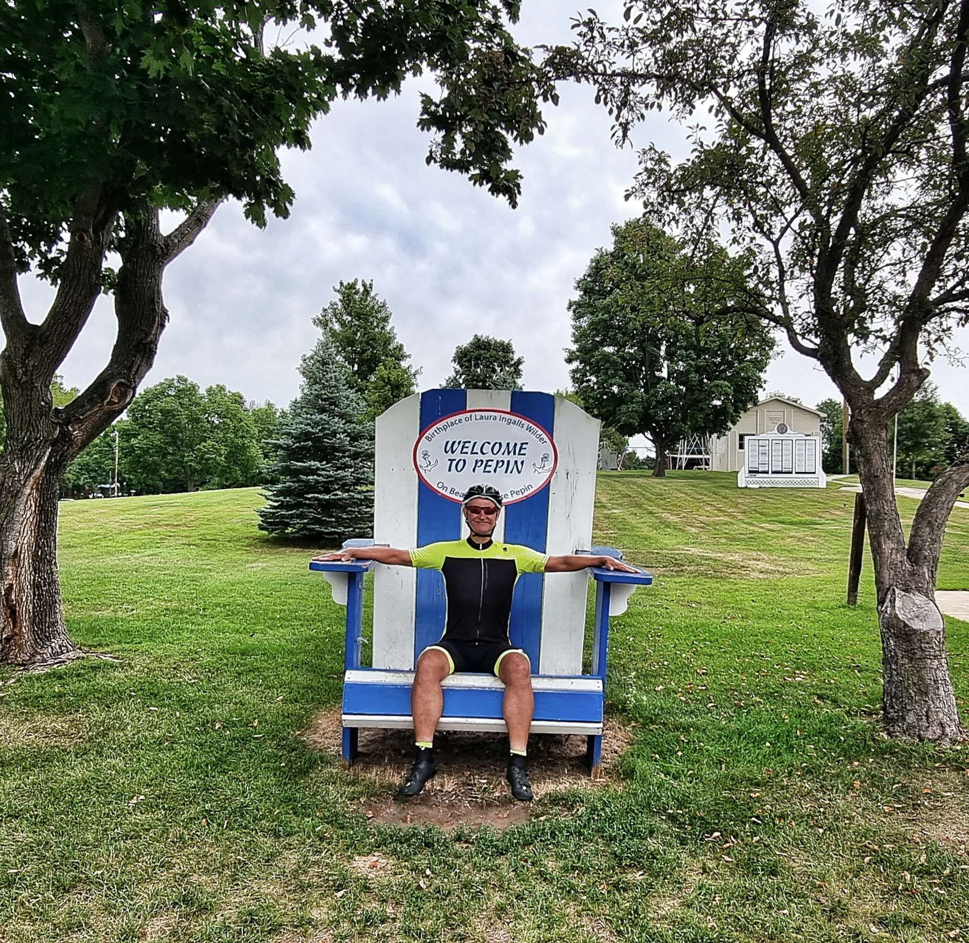
As we set off again, we were on the final section of small rolling hills as the road continued through woodland. Heading through Pepin we stopped at a Historic Marker where we learned that Laura Ingalls Wilder (author of the Little House series of books – the tv show Little House On The Prairie was based on her books) was born near here.
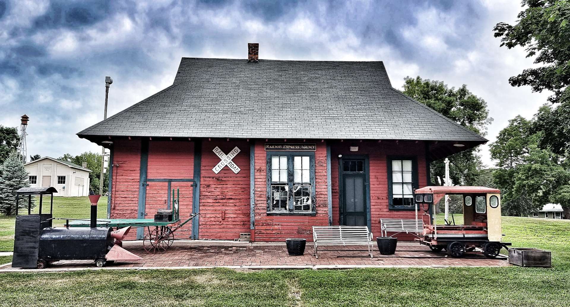
I took advantage of the town’s oversized deckchair to rest my weary bones! The old railroad station has been renovated & restored to something like its original condition. Much of small town America takes care of its historical monuments & as a visitor its a really interesting way to learn about a town’s past.
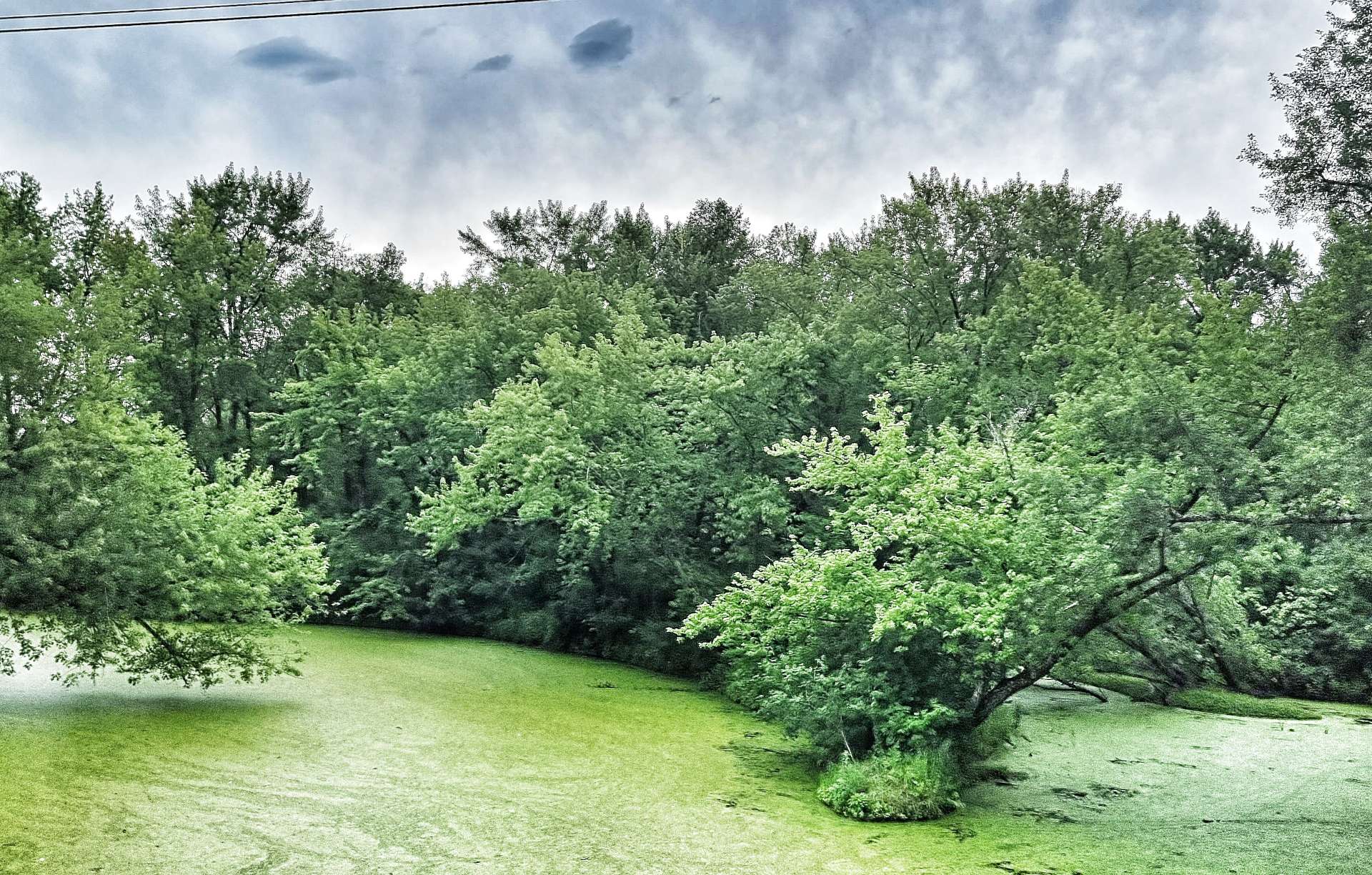
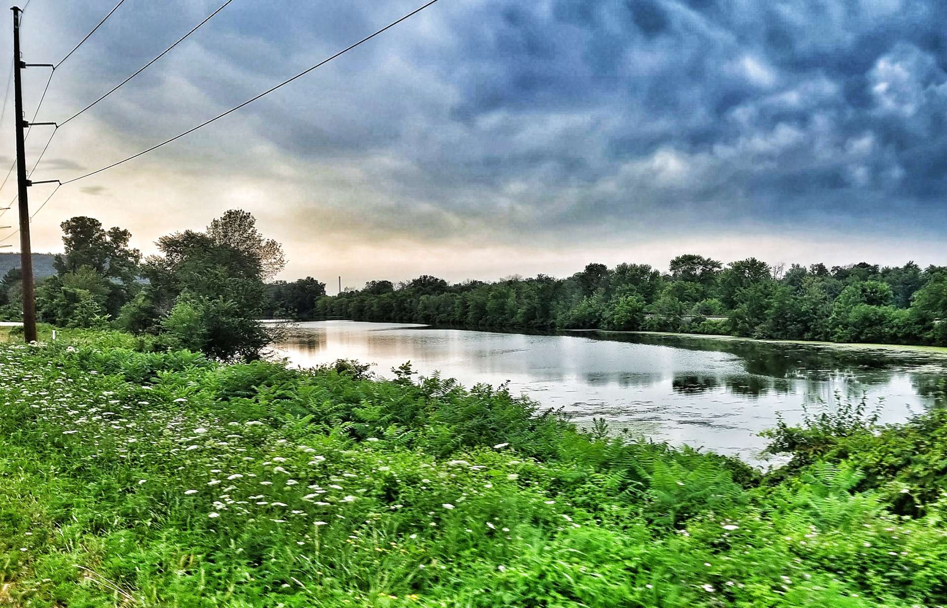
Leaving Pepin, the scenery had changed & we were back among the wheat & maize fields again, but soon enough we crossed the Chippewa river, with the railroad visible in the distance. We also passed a number of slow moving tributaries that were covered in pondweed, resulting in the water having a green film over the surface.
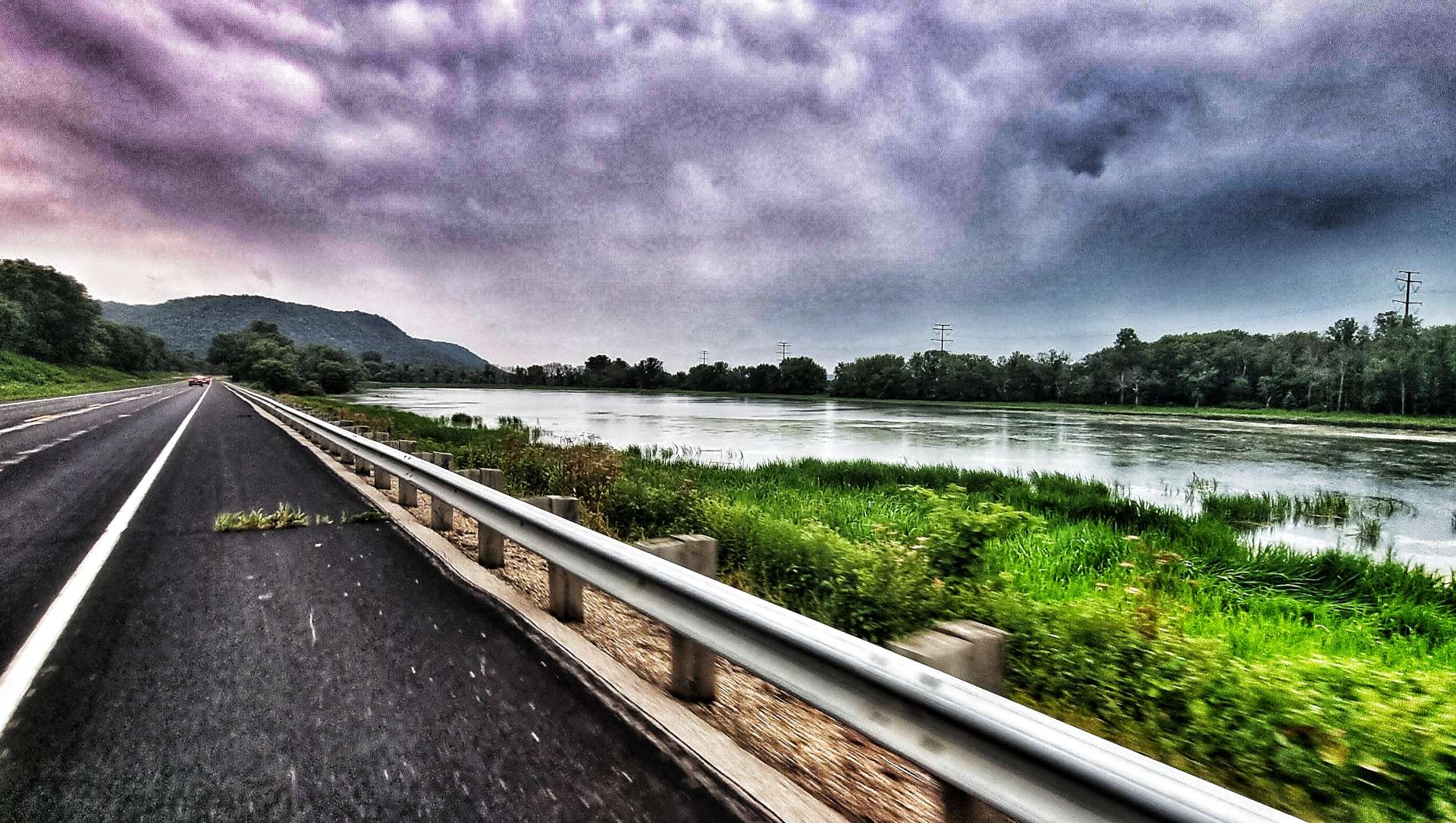
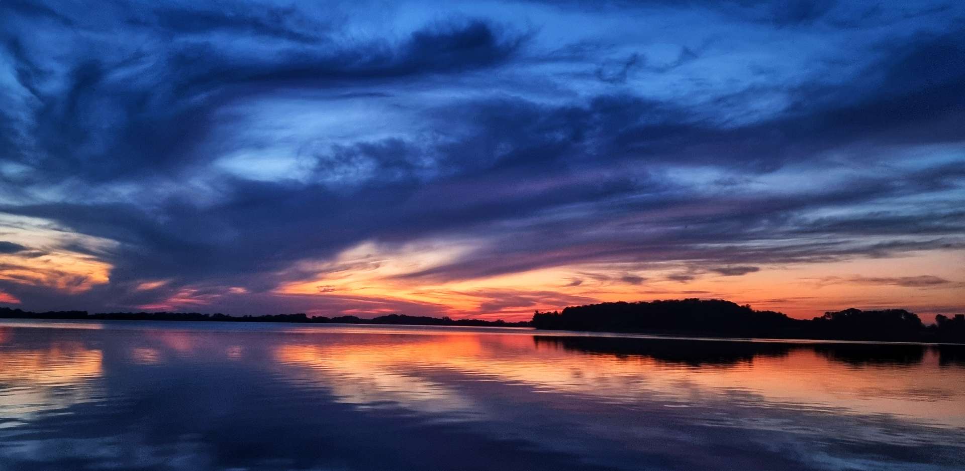
We also saw that the sky was changing colour – it seemed to have an orange tinge to it, a sure sign that a storm was moving in! This was confirmed by a driver who spoke to us as we were riding into Alma – a big storm was due within the next 1/2 !
We decided we couldn’t beat the rain, so might as well enjoy a 2nd coffee & cake stop at Hotel de Ville – a tasty piece of peach pie & turtle ice cream (no animals were injured in the making of the ice cream!). We were also treated to a tour of the back garden, which the owner said was based on a Baroque European theme.
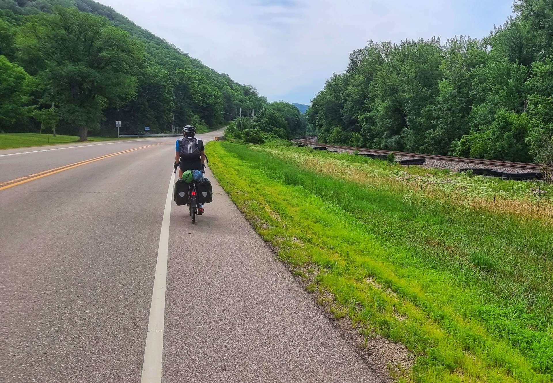
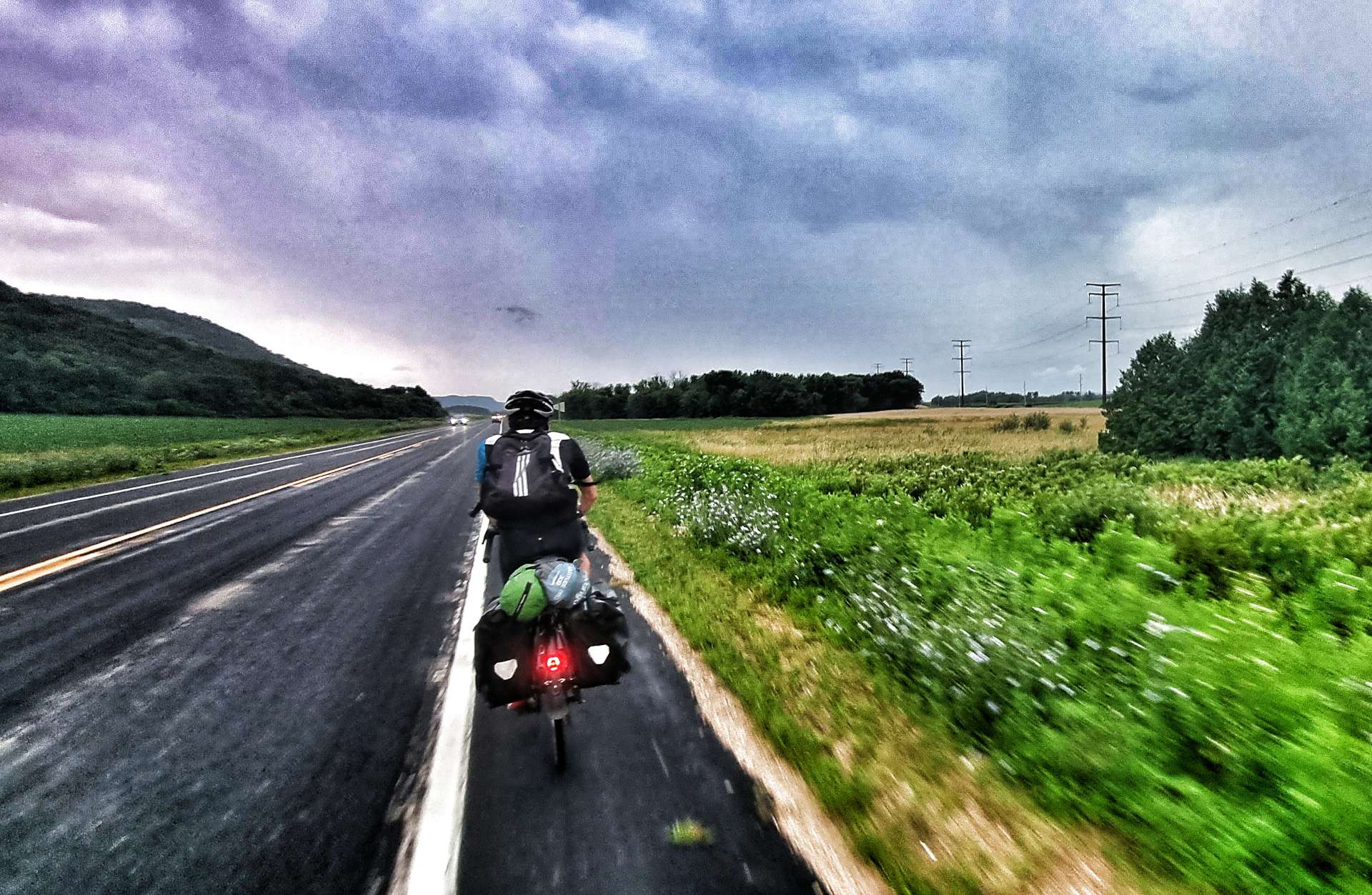
As we left Alma, we were right next to the Mississippi & ahead of us the forked lightning started giving us fair warning the storm was closing in. We’ve generally ridden well within ourselves on the adventure to date, but this was a moment when we needed to make some distance quickly. There was a bit over 20 miles to go until we reached our motel in Winona, so we took turns to ride hard on the front – my greater weight is an advantage on the flat, so I took slightly longer turns & we managed to maintain about 18 mph for the next hour.
You can see from the last photo how dark it was, as Sean’s rear light & the car’s headlights really stand out.
The video footage give an idea of what was happening & how I was feeling about things.
The rain arrived for the final 15 miles or so of the ride – to begin with it was gentle drizzle, but it soon became a full on monsoon! In no time we were soaked from head to toe, but unlike the UK, the rain was actually warm, so wasn’t too bad to ride in.
Just over an hour after leaving Alma, we were crossing the Mississippi back into Minnesota & making our way to the Super 8 in Winona. Once I’d checked in I took a couple of short video clips of the weather & the state of my kit – damp would be typically British understatement!
Stage Stats – 74 miles, 1,958 feet of climbing. Our final night in Minnesota.
Sunday 24th July – Winona to Tomah (Stage 66).
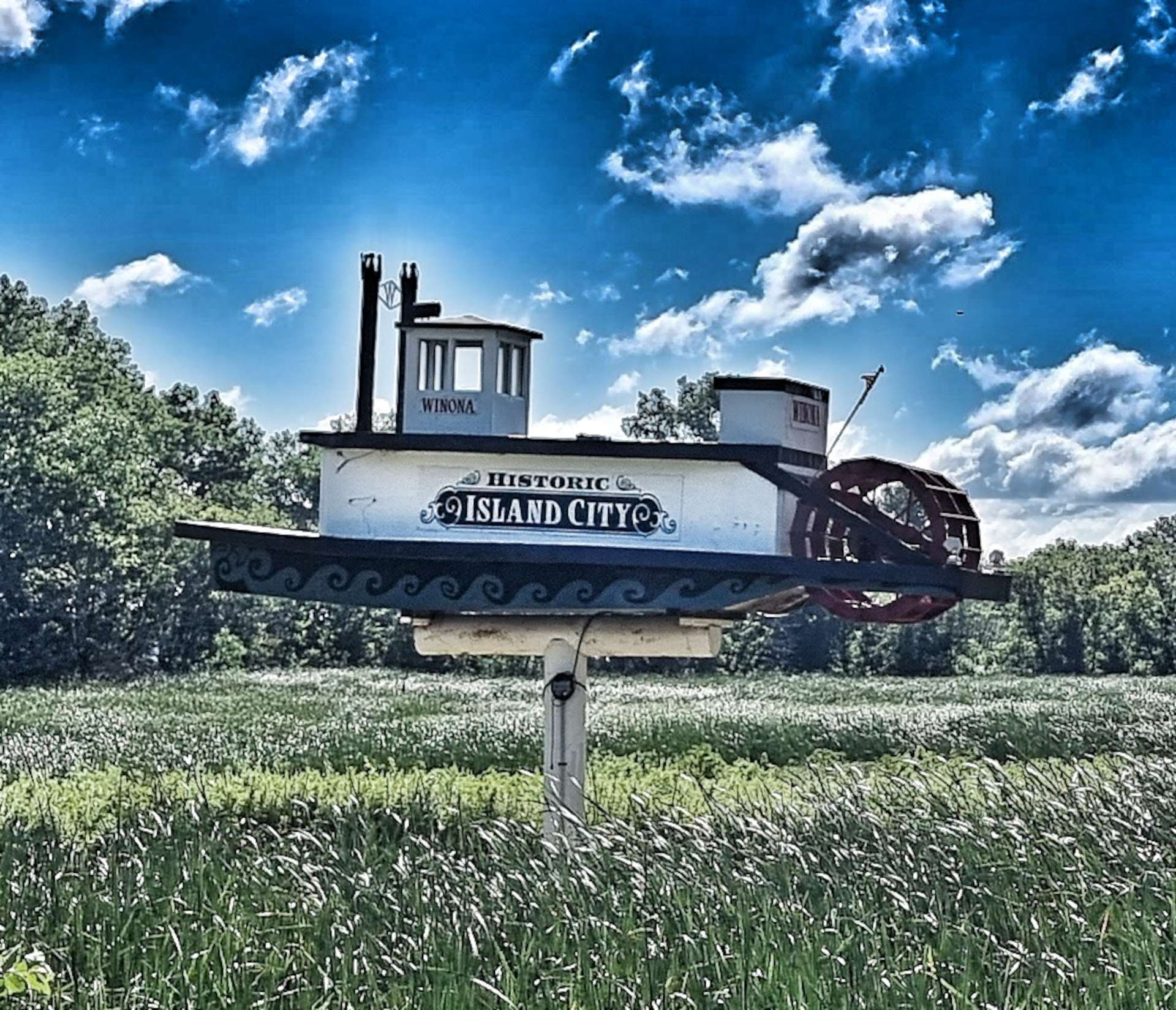
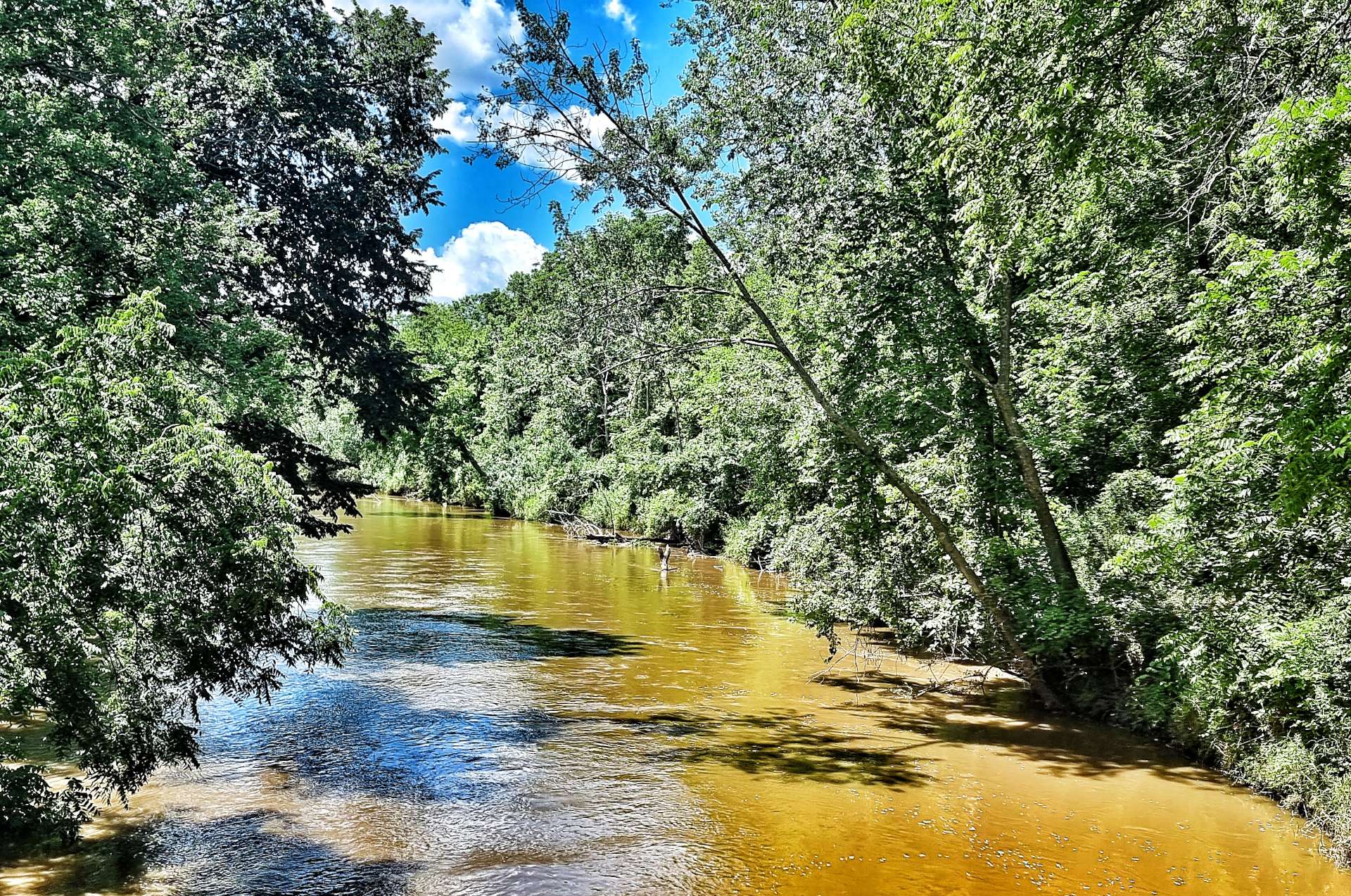
After yesterday’s deluge, the weather was back to normal this morning – hot & sunny with a light breeze. Heading out of Winona, we finally saw our first (& only) paddle boat steamer before crossing the Mississippi for the last time as we returned to Wisconsin.
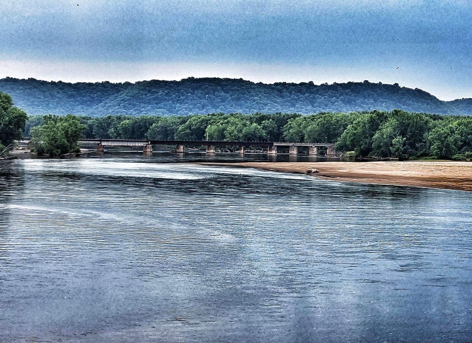
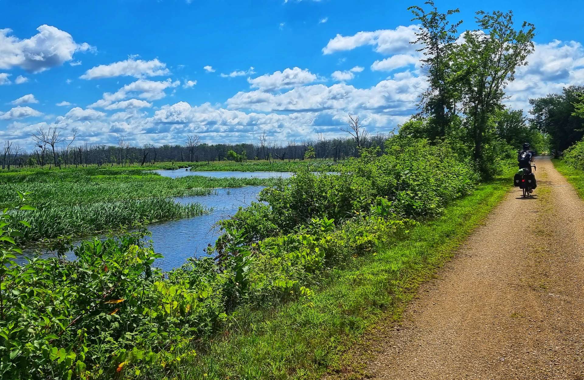
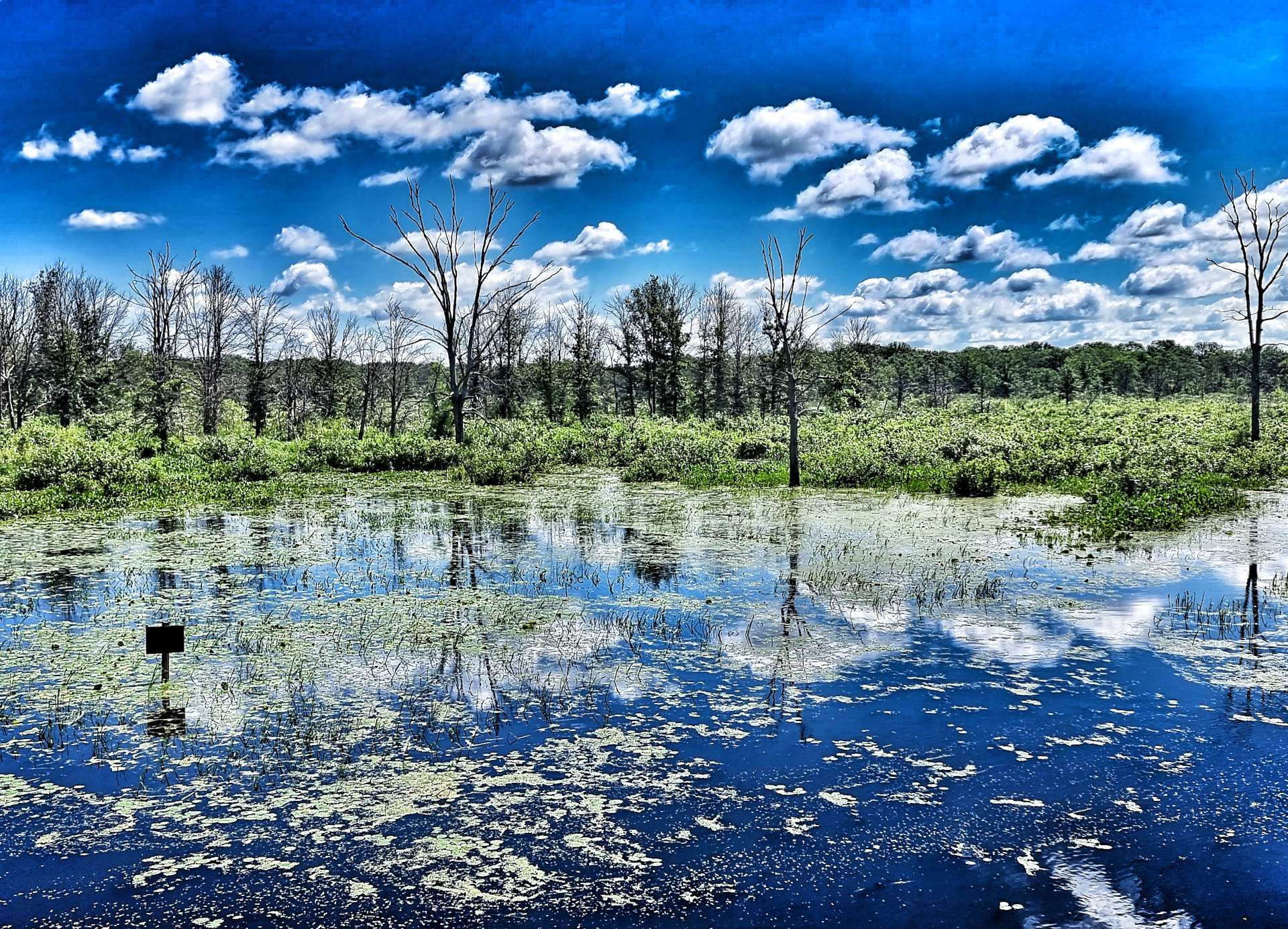
We’d be following the railroad for most of the day, starting as we crossed the Wisconsin spur of the Mississippi before heading for the wetlands that run alongside the Great River Road.
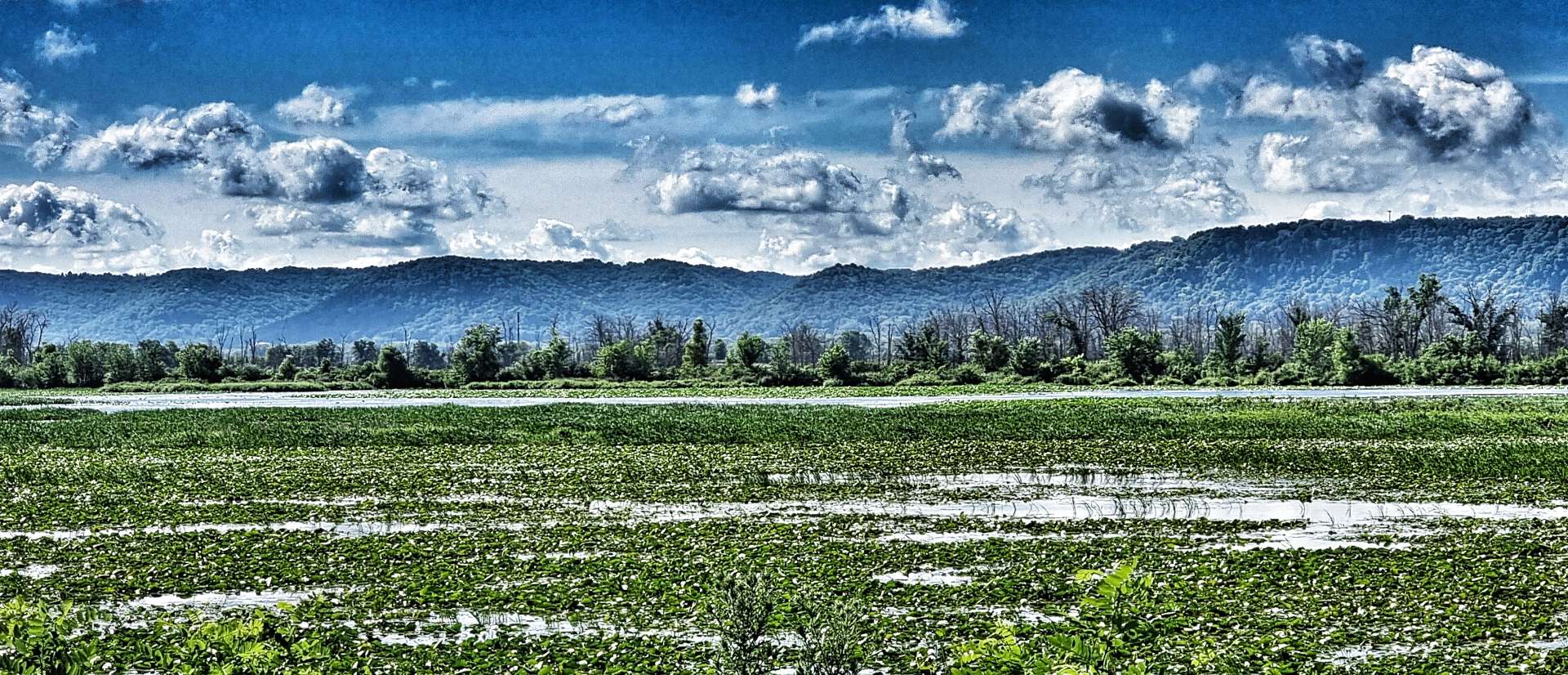
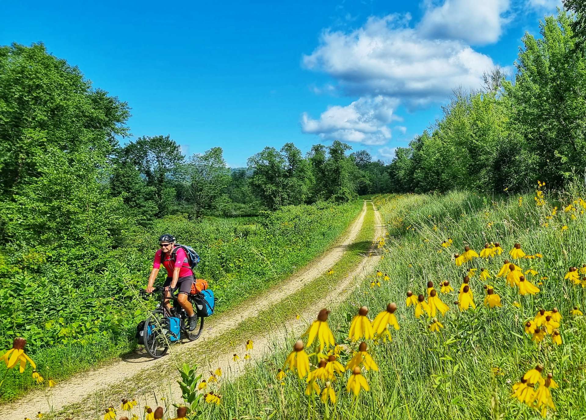
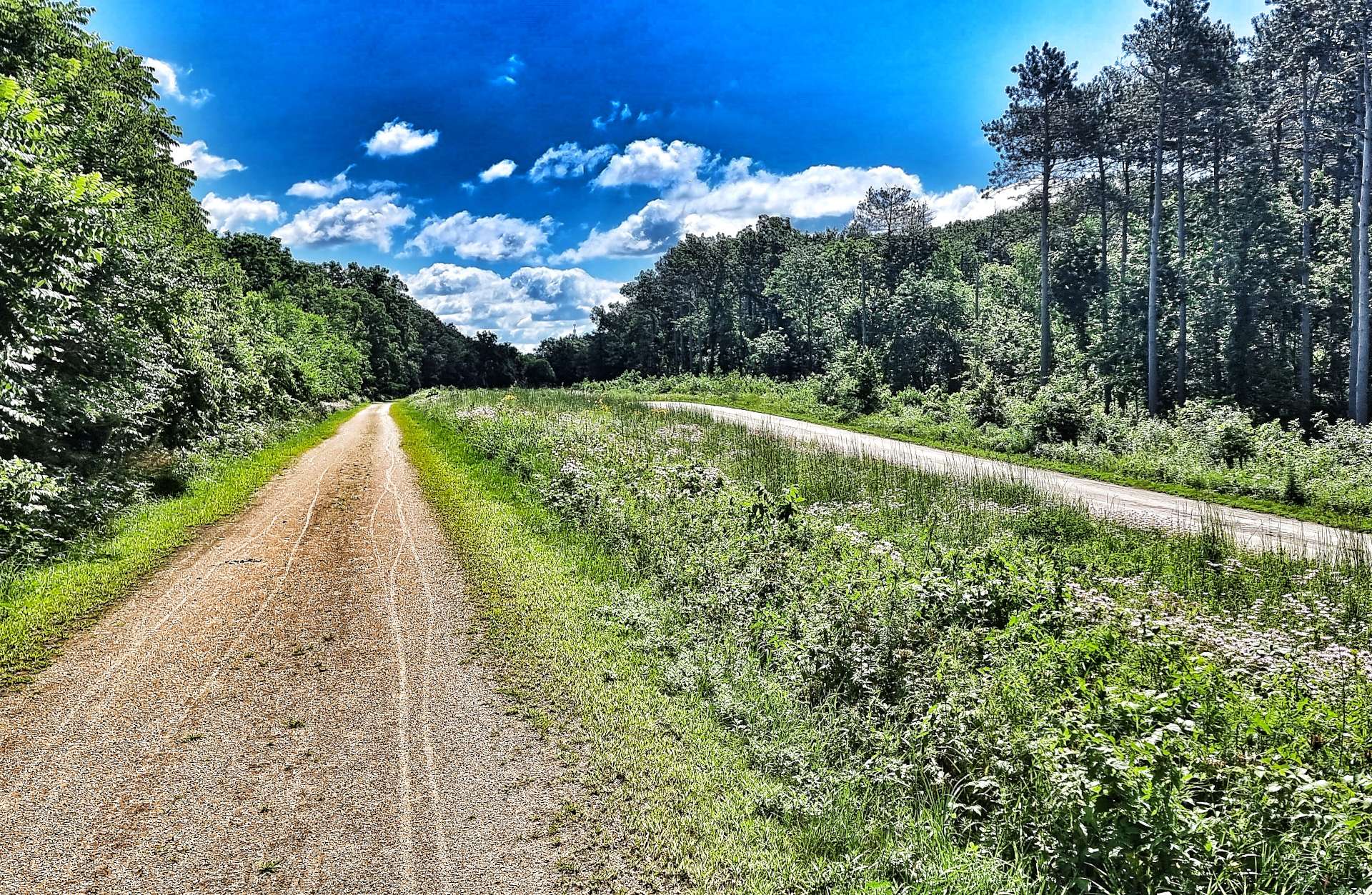
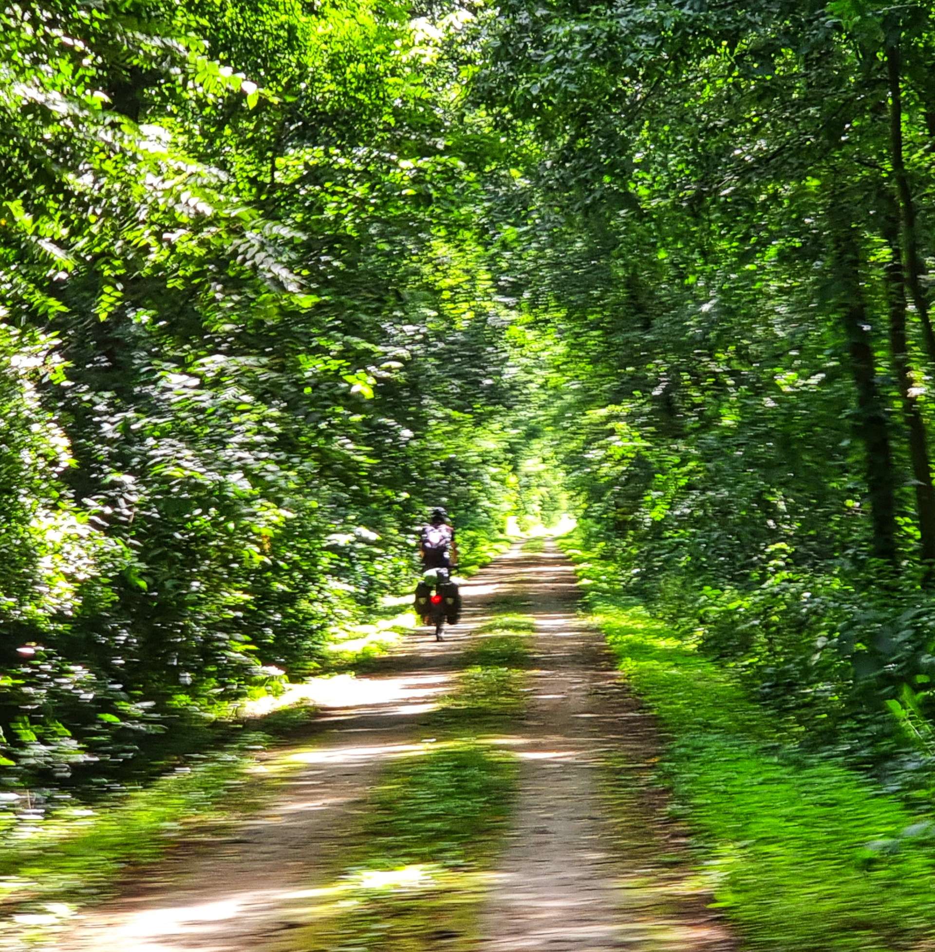
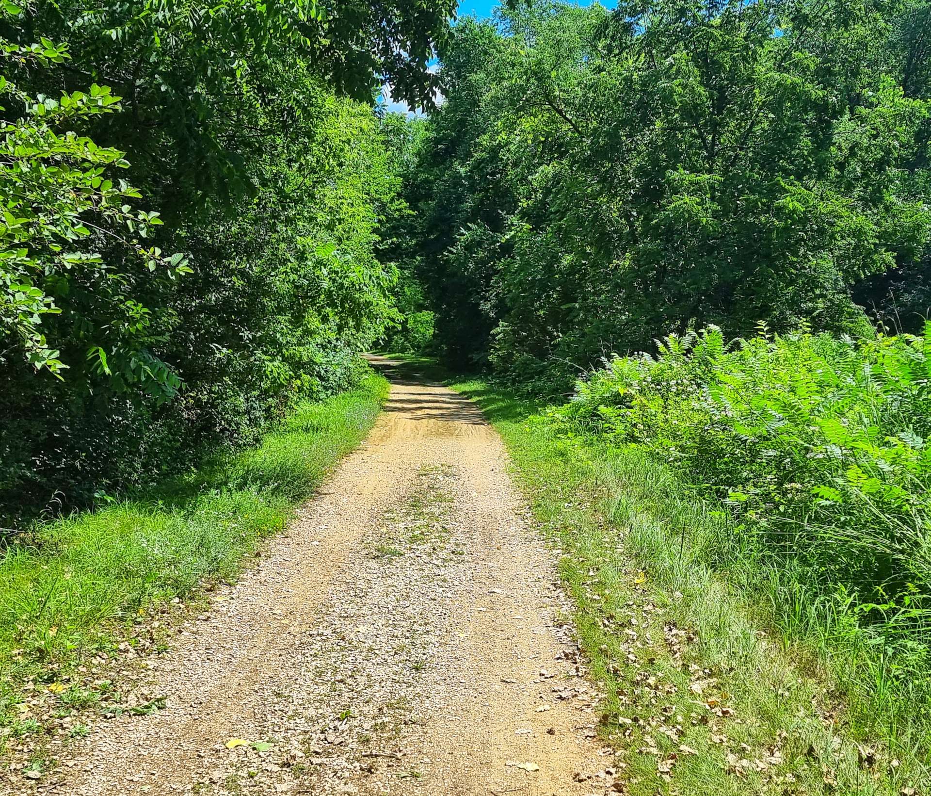
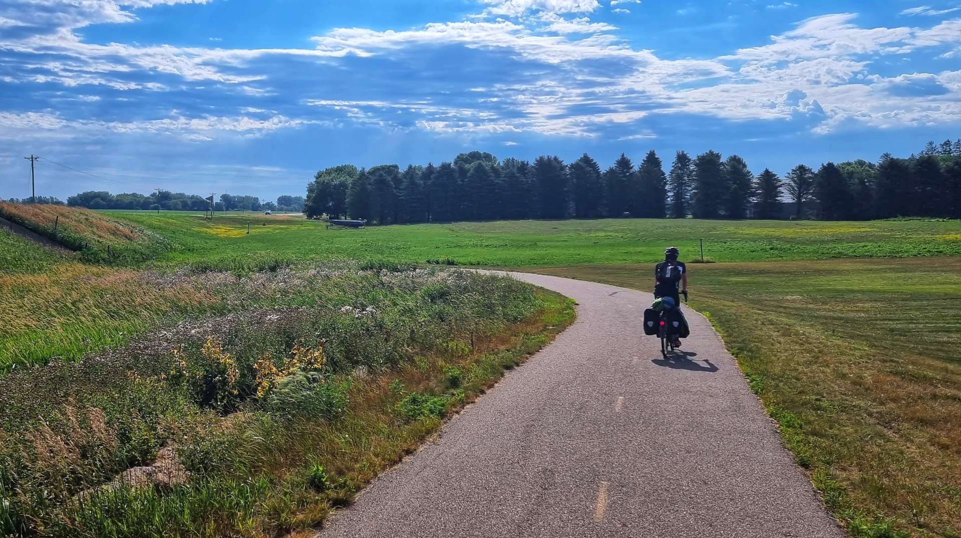
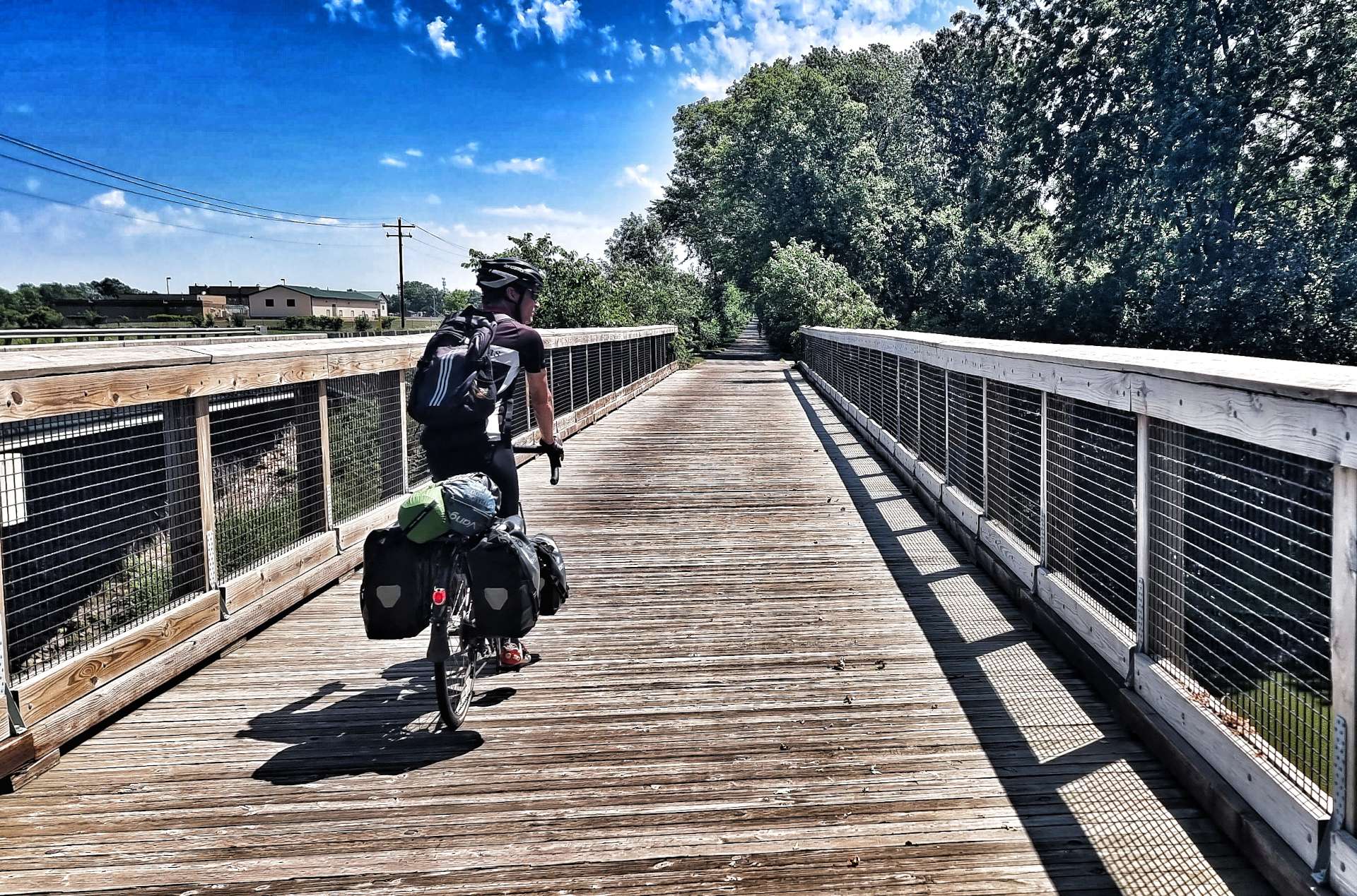
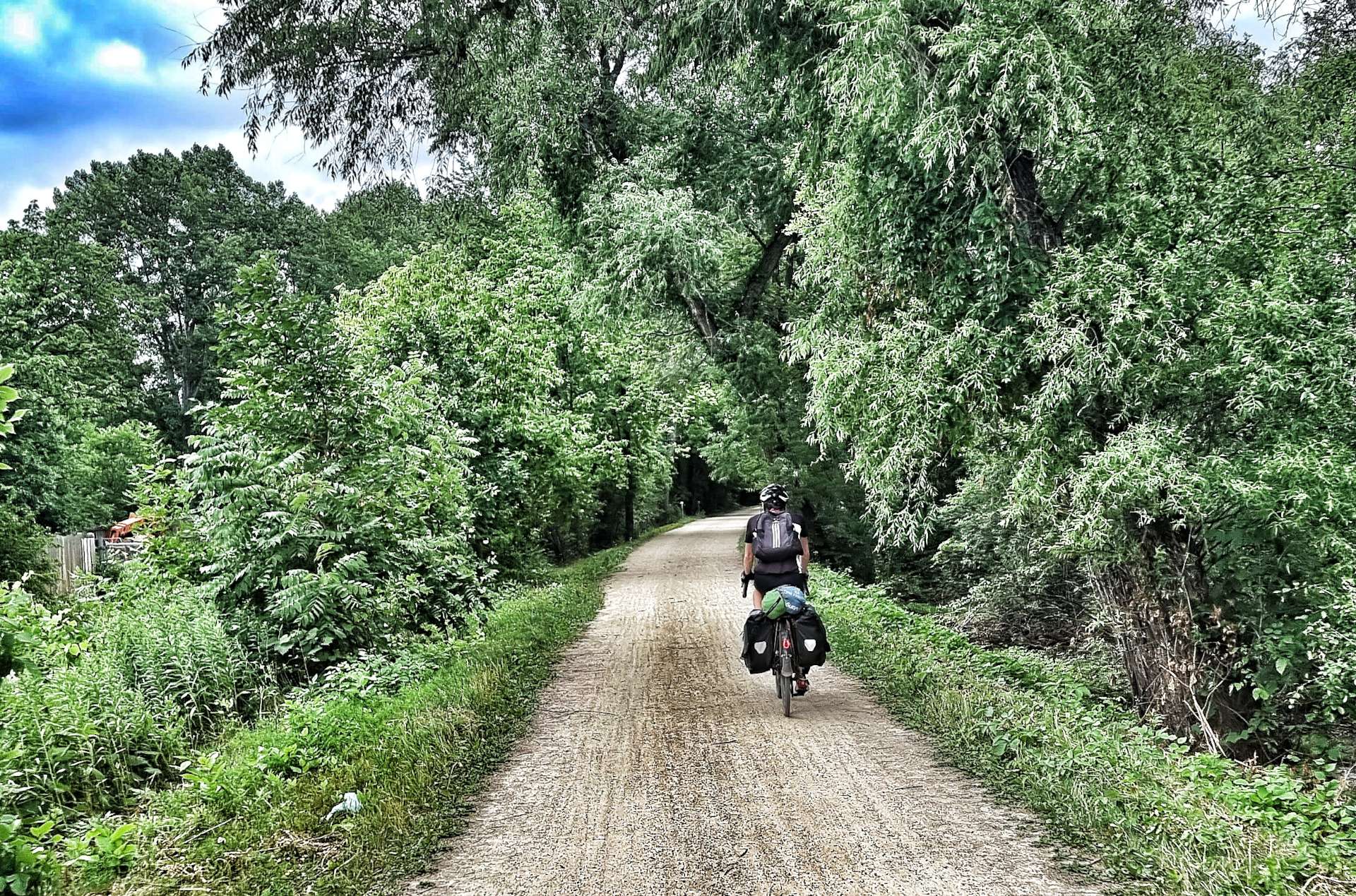
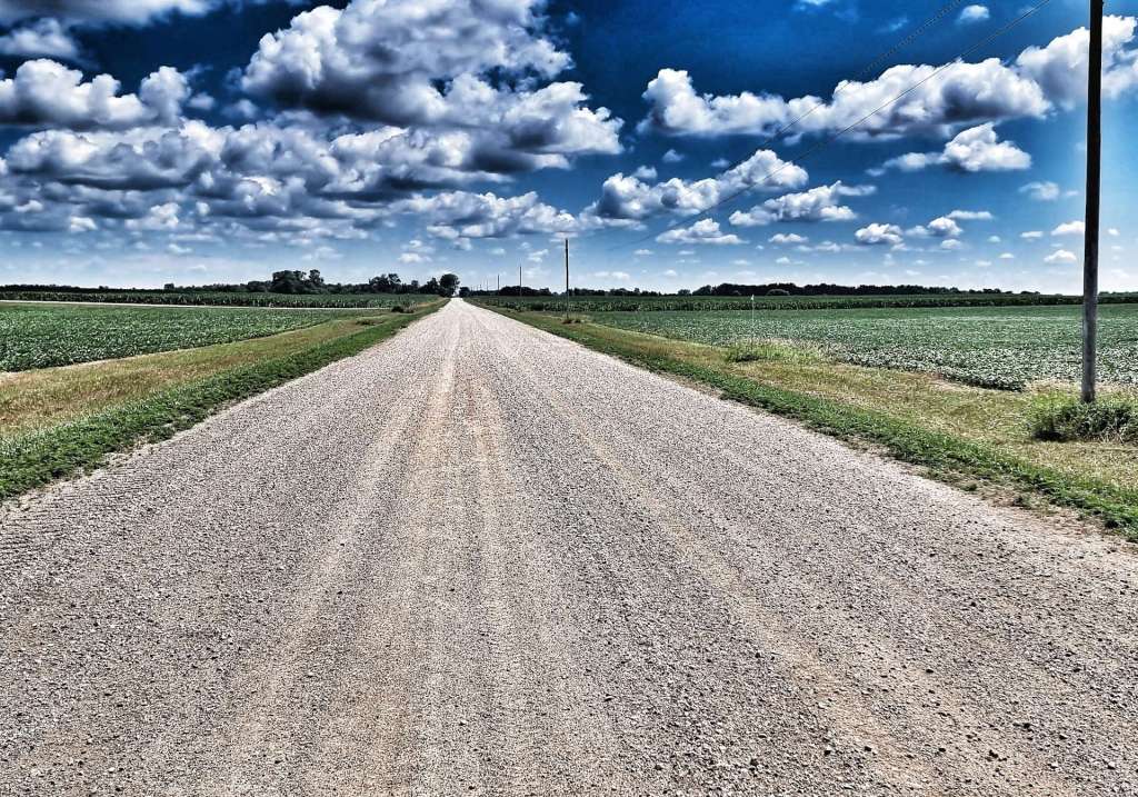
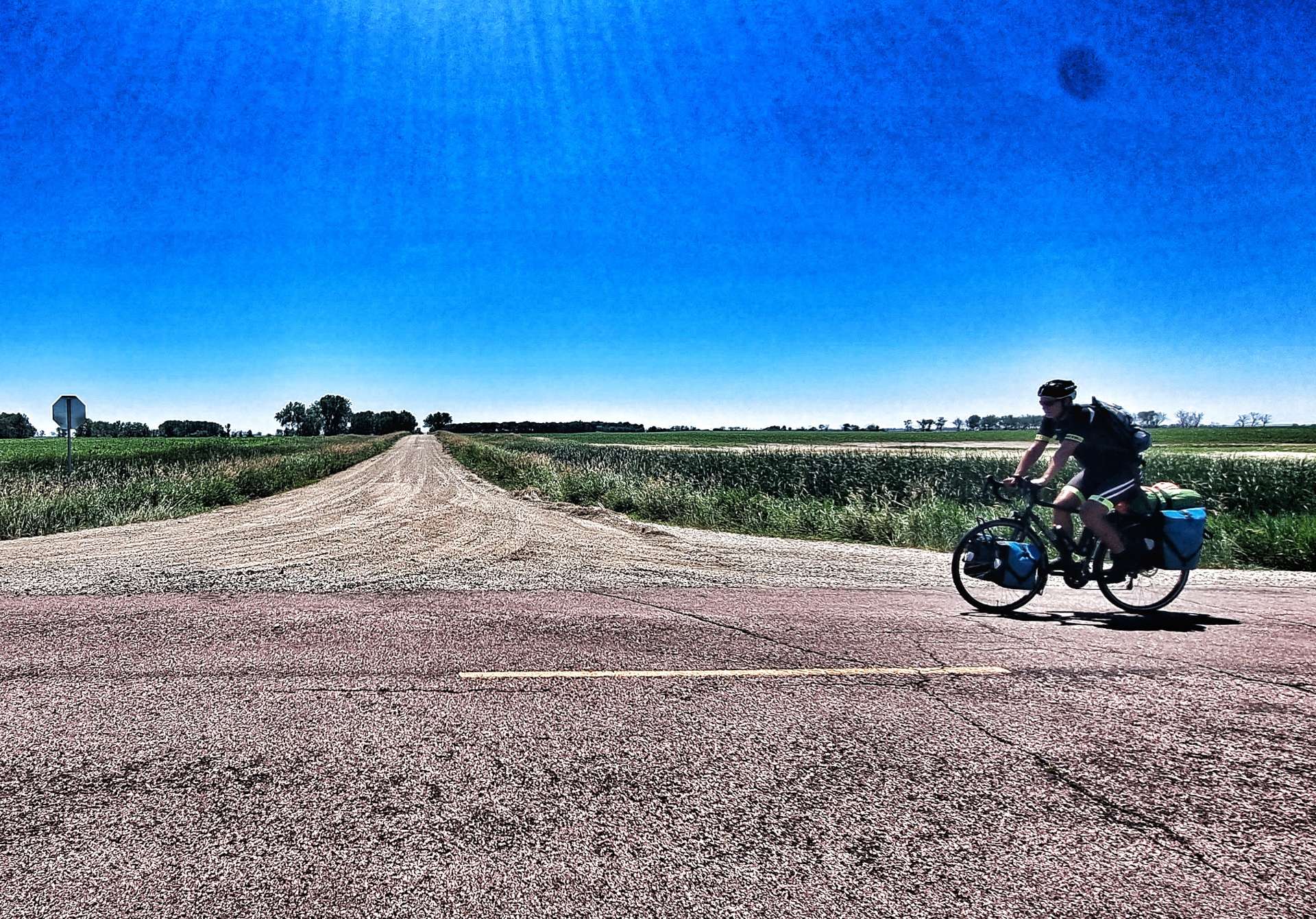
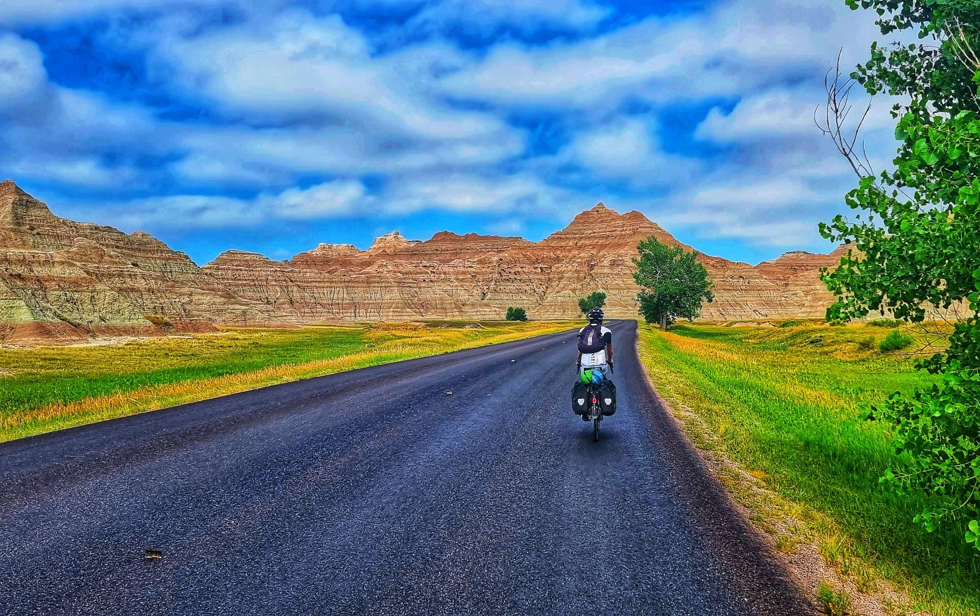
After 5 miles we took a right turn at Marshland & left the paved roads behind. We entered the Trempealeau National Wildlife Refuge on the Great River State Trail – we would be riding a combination of farm track, gravel, crushed limestone & mud for 21 miles as we rode between the many ponds & lakes. We were in prime osprey territory & I managed to capture a shot of one as it was perched on a branch.
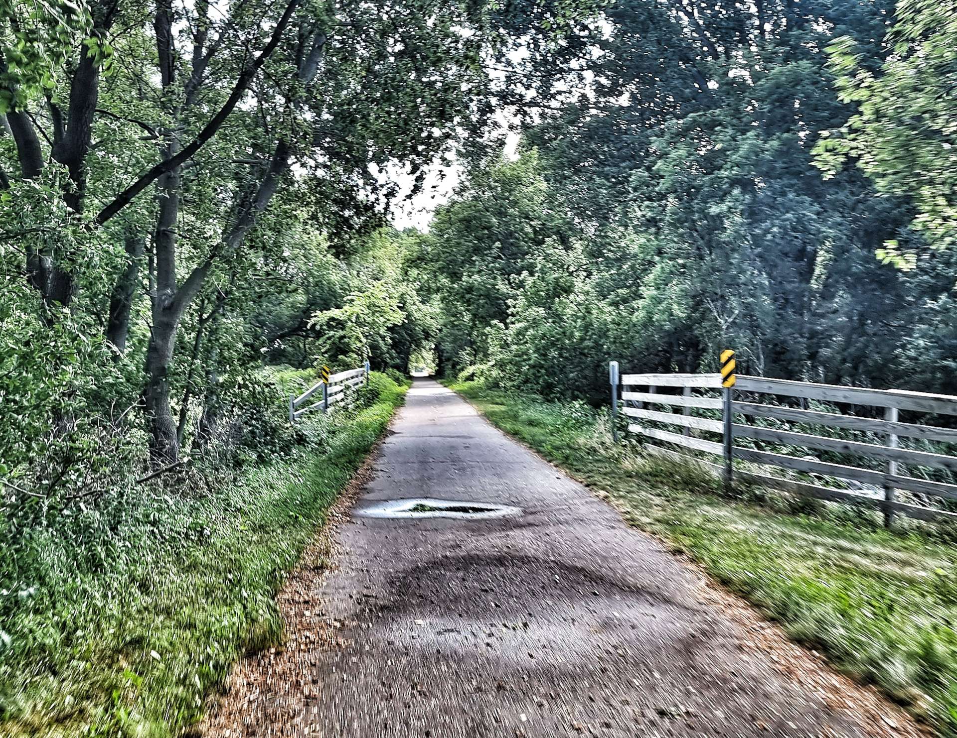
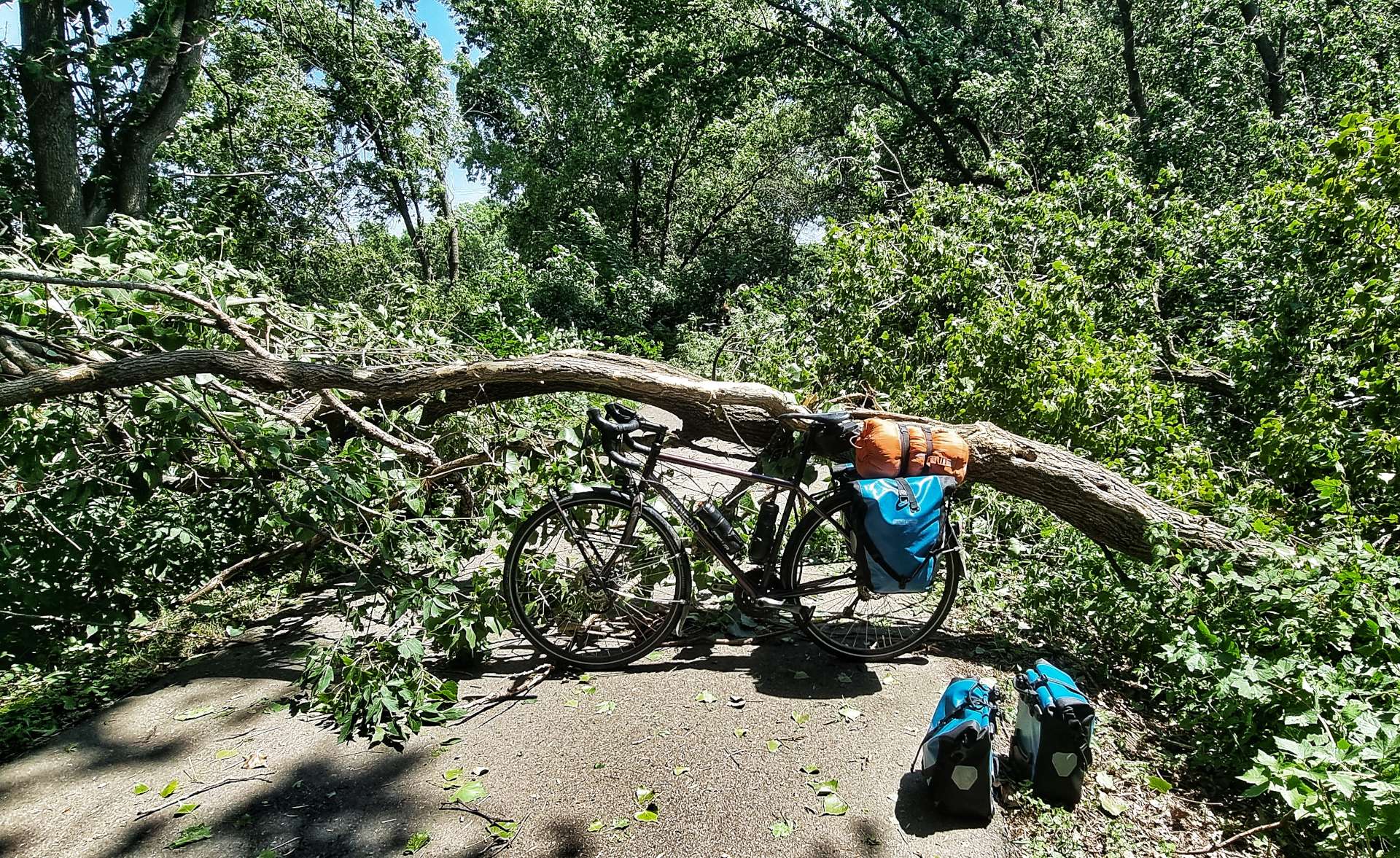
Every now & again we would see a paved road, but for the majority of the next 10 miles we were alone. On one stretch of gravel, a tree had fallen in last night’s storm & it was strewn across the entire path. I forgot to take a photo, but we ended up having to remove the panniers from our bikes & the pair of us had to lift our bikes over the fallen tree!
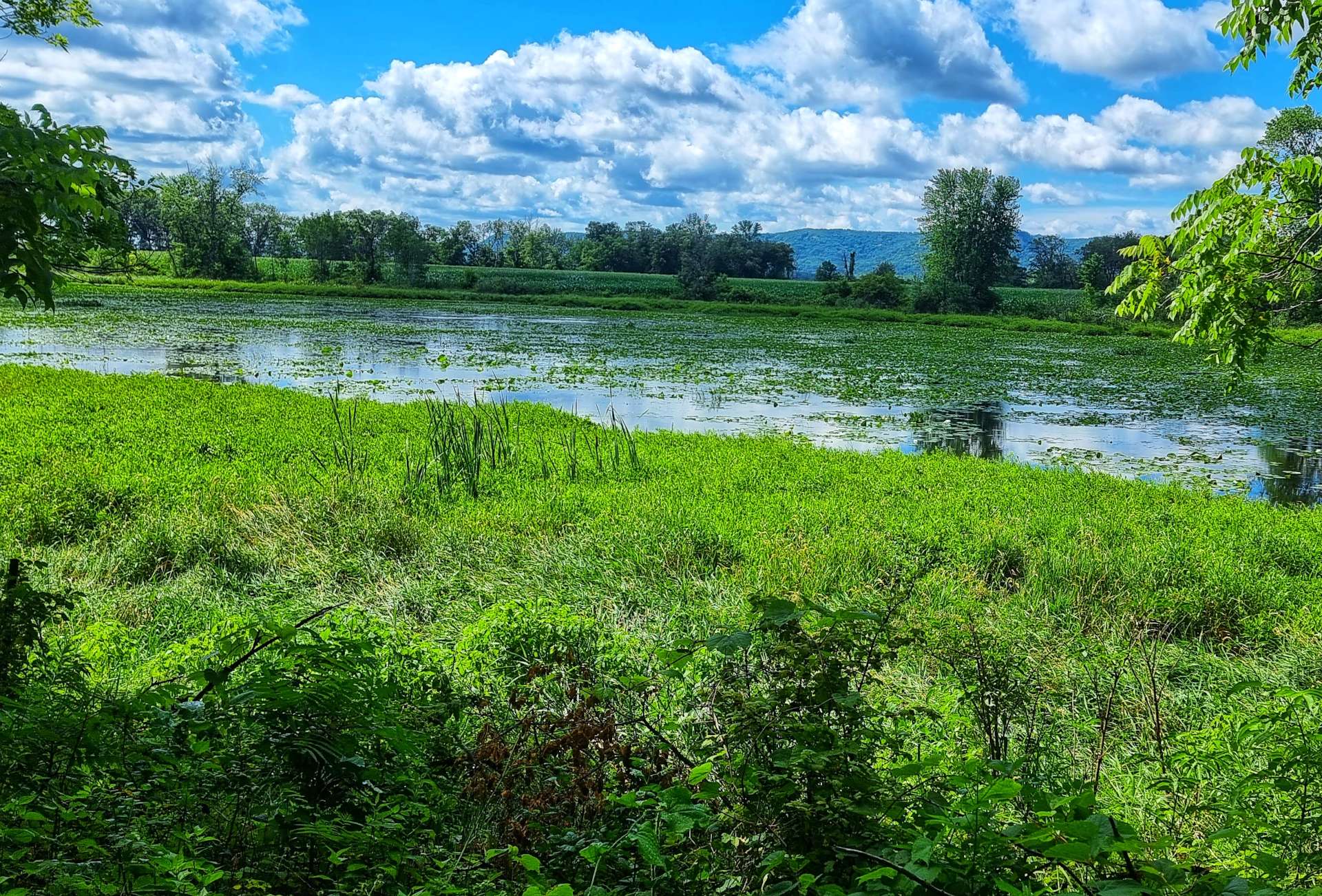
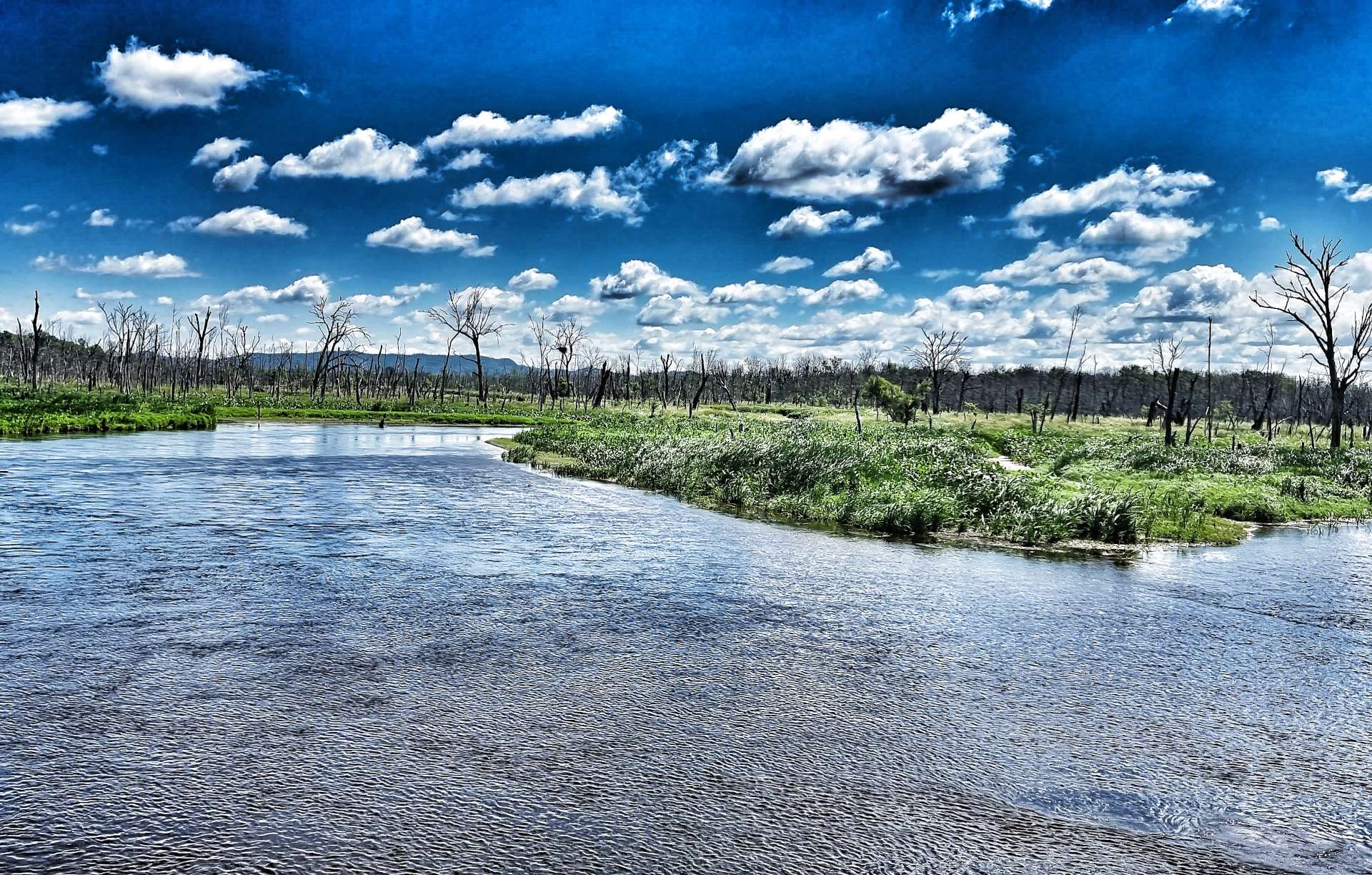
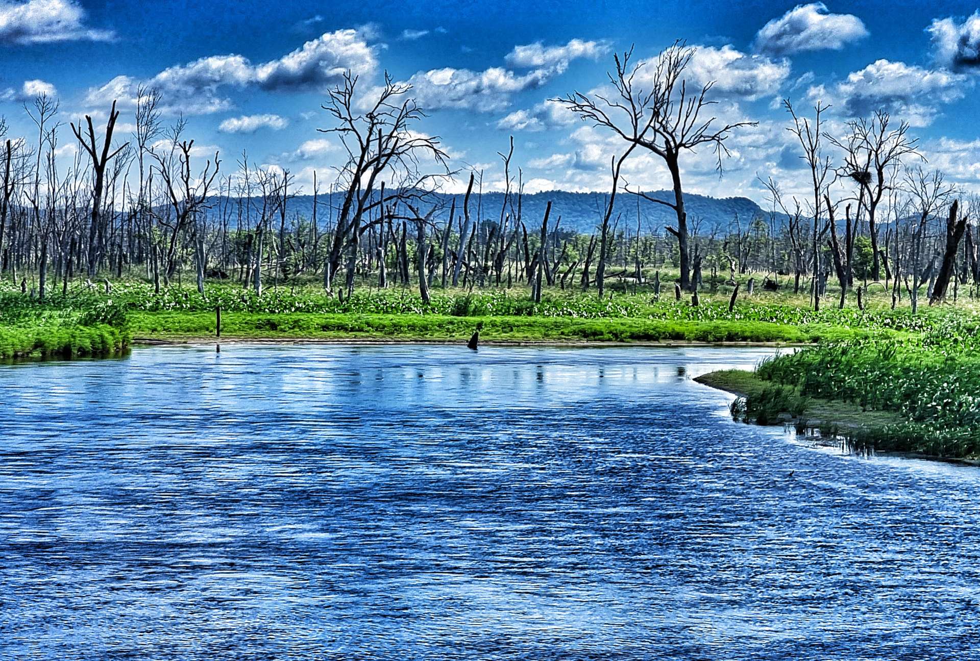
Although we didn’t see any more wildlife in the morning, the views of the wetlands were beautiful & we also had some protection as the trees kept the sun at bay.
Sometimes the lakes would appear to be in the middle of a field & other times the lakes stretched away into the woodland.
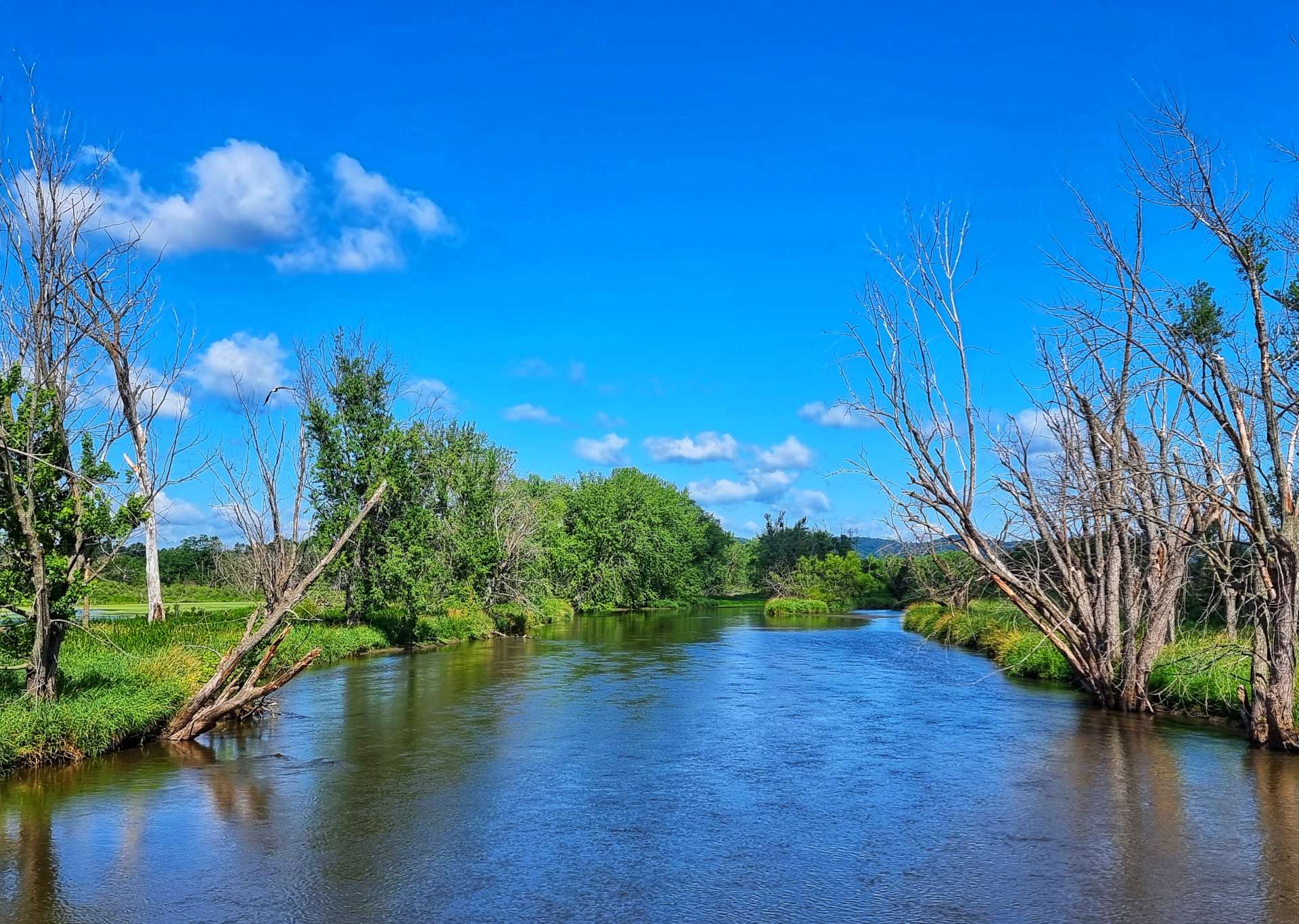
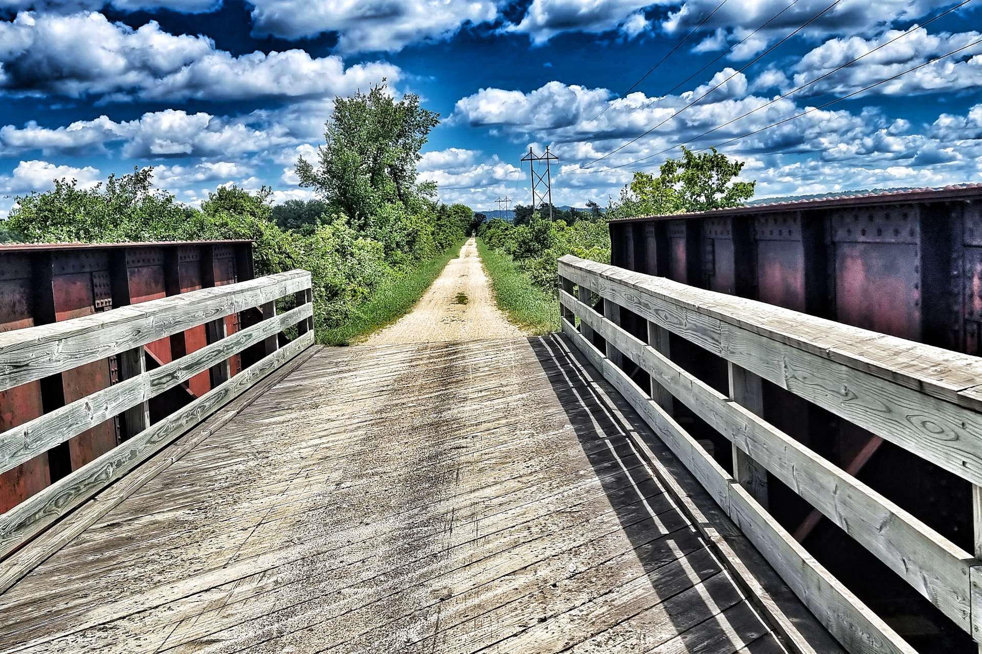
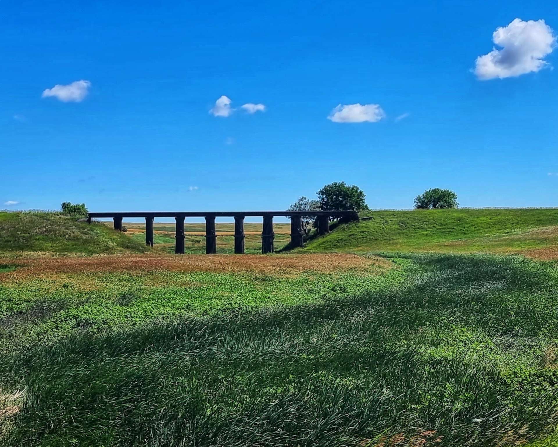
There was even a river where there appeared to be a beach on one of the banks, while looking in the opposite direction we could see the railroad crossing the river on a trestle bridge.
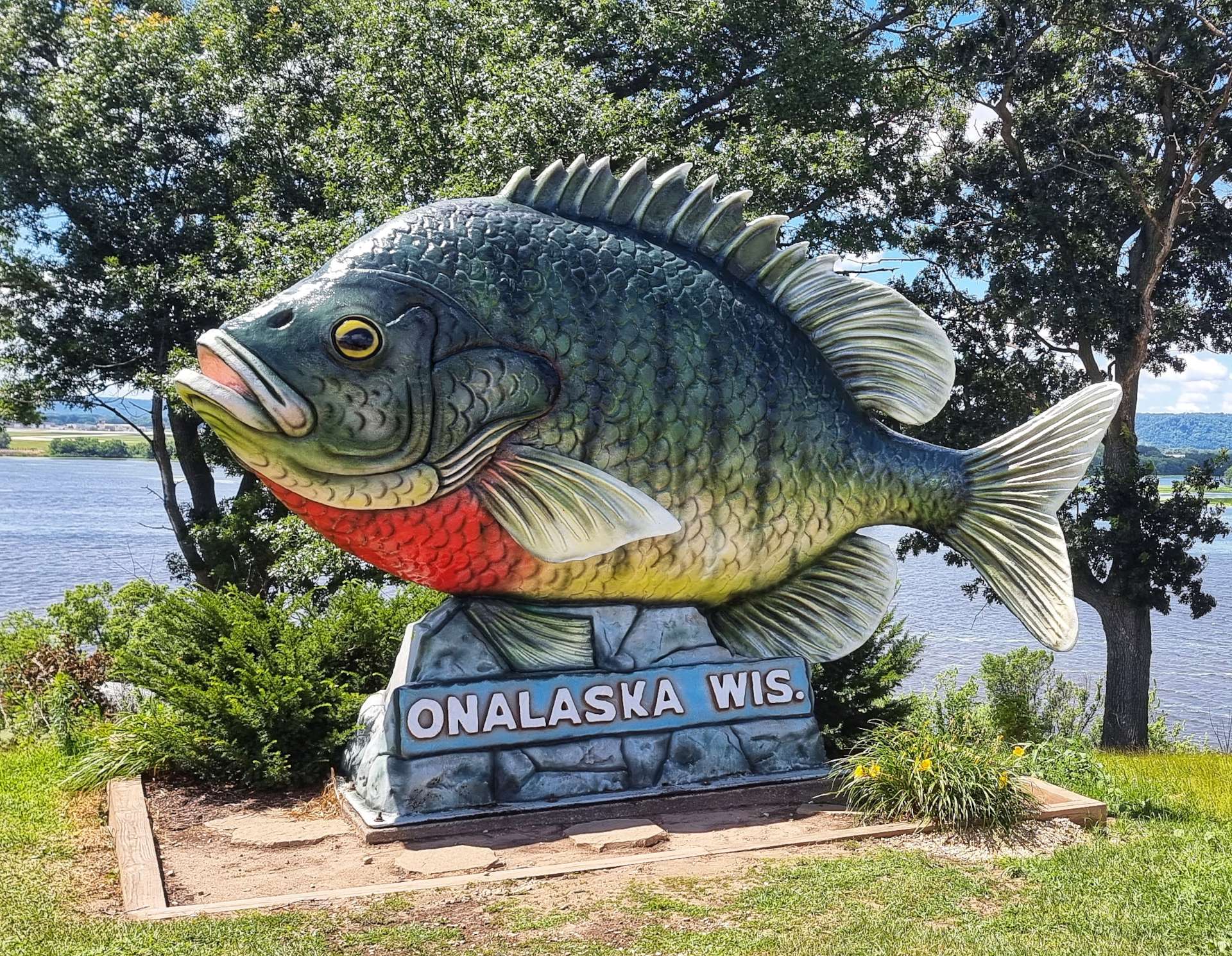
We briefly re-joined the road at Onalaska – it considers itself the sunfish fishing capital & “Sunny” (a 20 foot long by 12 foot high plastic fish) is their way of reminding everyone of the fact! The fish was impressive in its own way, but I preferred The Crossroads pop-up ice cream shop, where we stopped for a brief break!
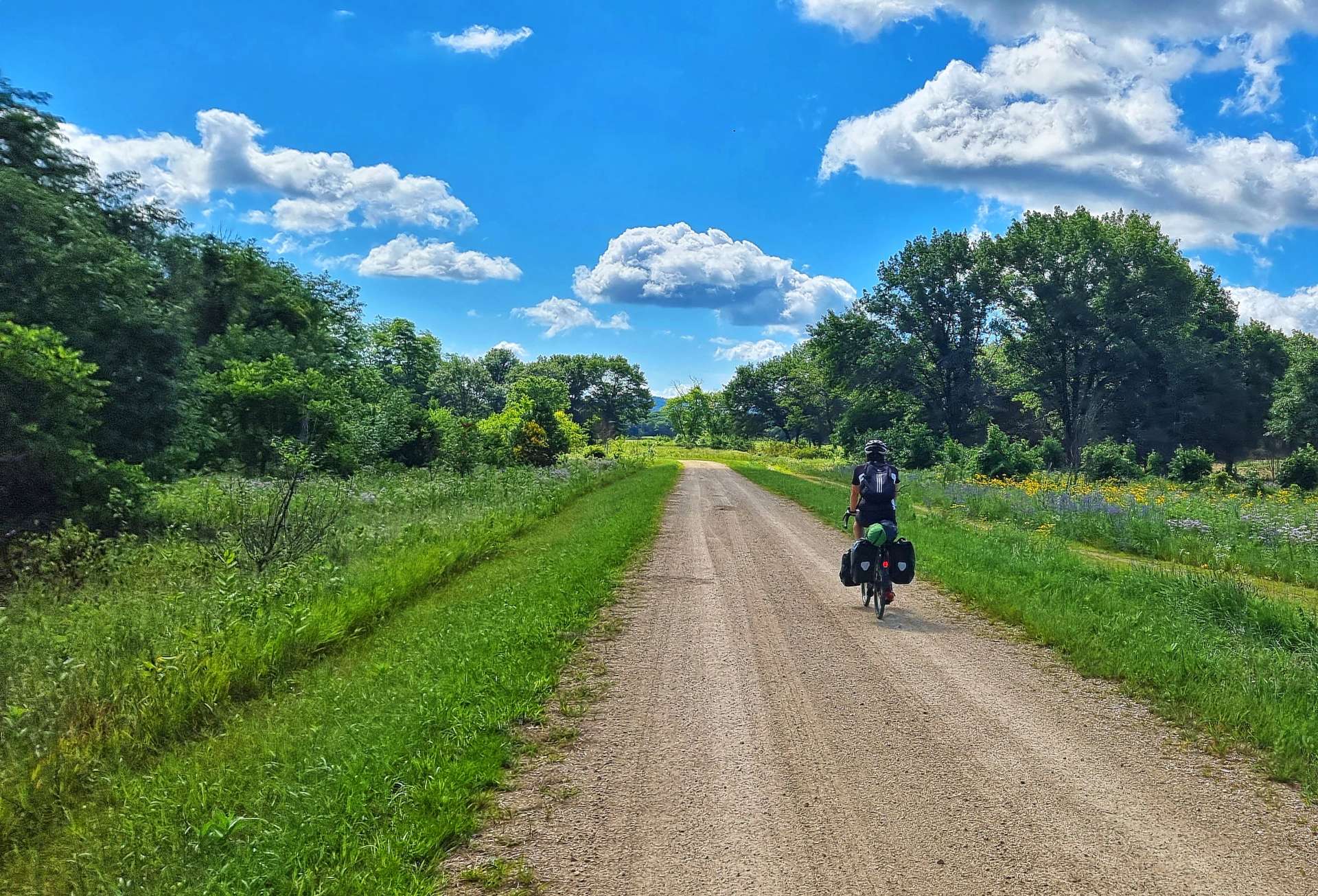
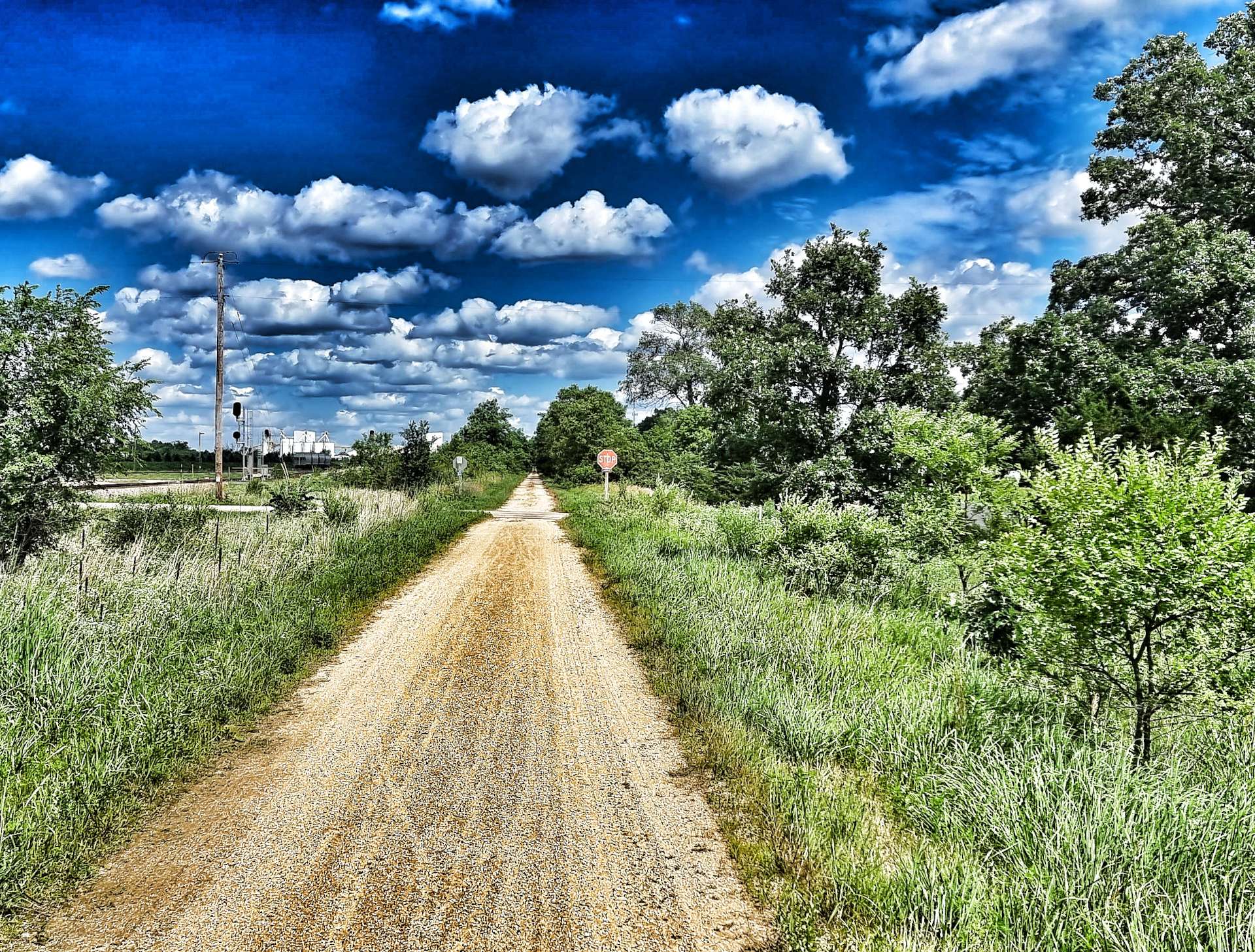
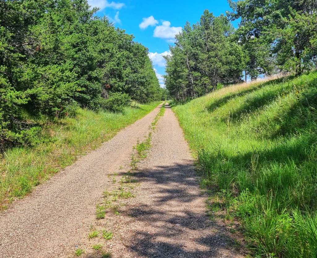
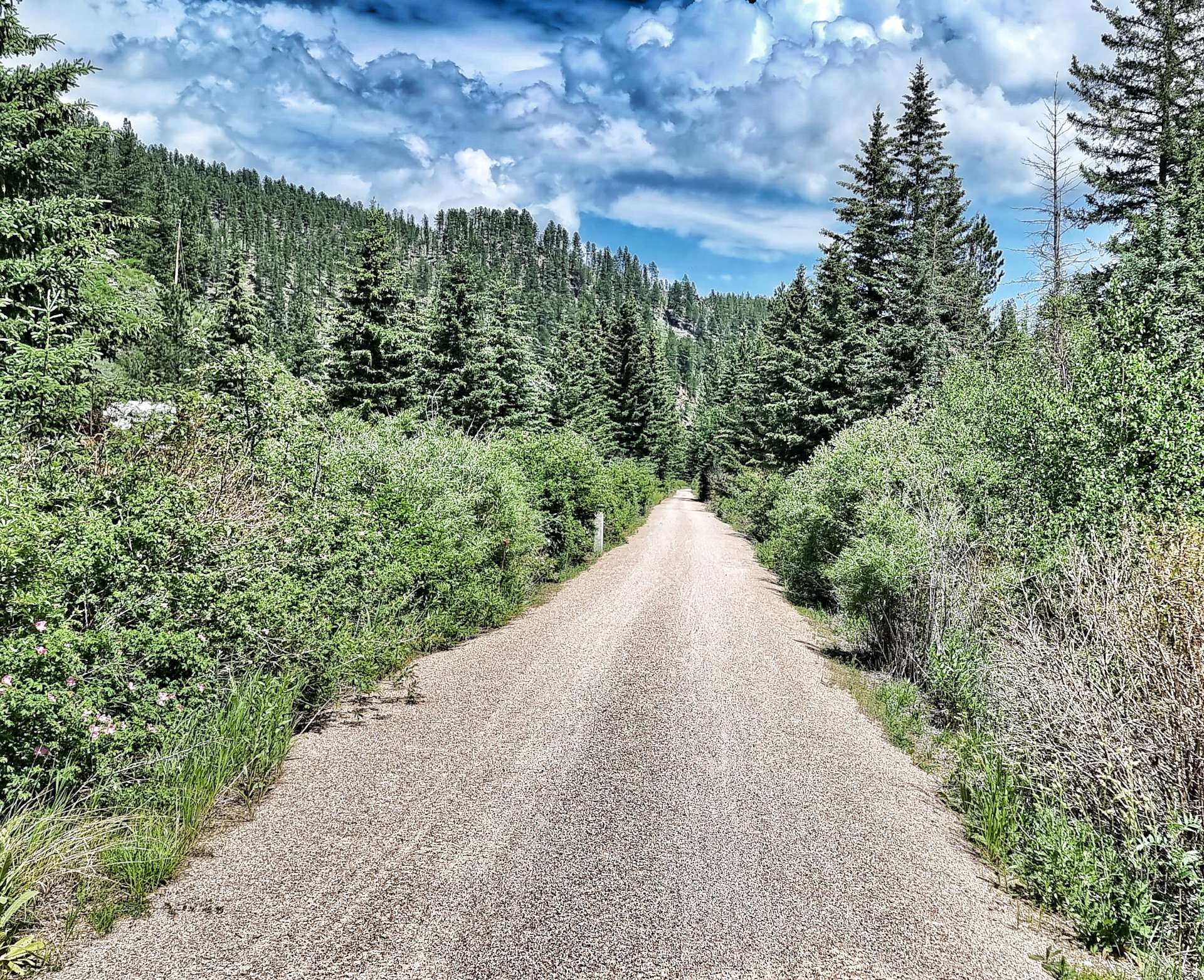
On the outskirts of Onalaska we picked up the LaCrosse River State Trail for a further 23 miles. It follows the route of the abandoned Chicago & Northwestern Railroad between LaCrosse & Sparta.
The surface was crushed limestone except where the route crossed restored bridges. We passed maize fields one minute, then headed back into prairie & grassland.
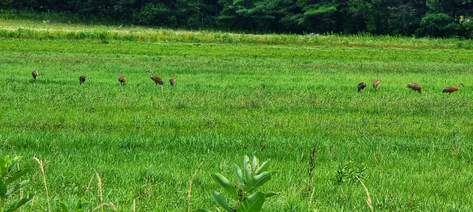
There was a siege of 9 heron in a field of soya beans – it looked like they had found a source of food on the ground, although from such a long way away, it wasn’t clear what they were doing!
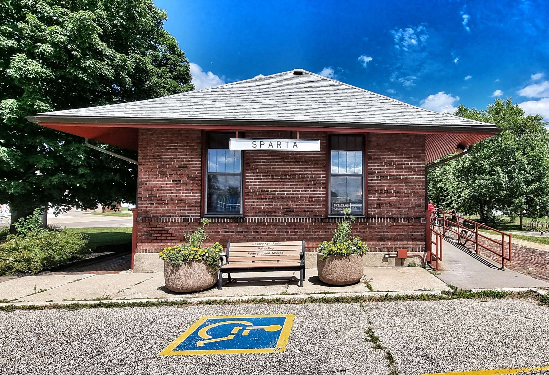
The last few miles of the State Trail ran alongside the current railroad & delivered us to a renovated Sparta Station – my one disappointment is the station sells tee-shirts & keyrings, but not coffee or cake & I’m sure they’re missing a trick as many people join & exit the trail here.
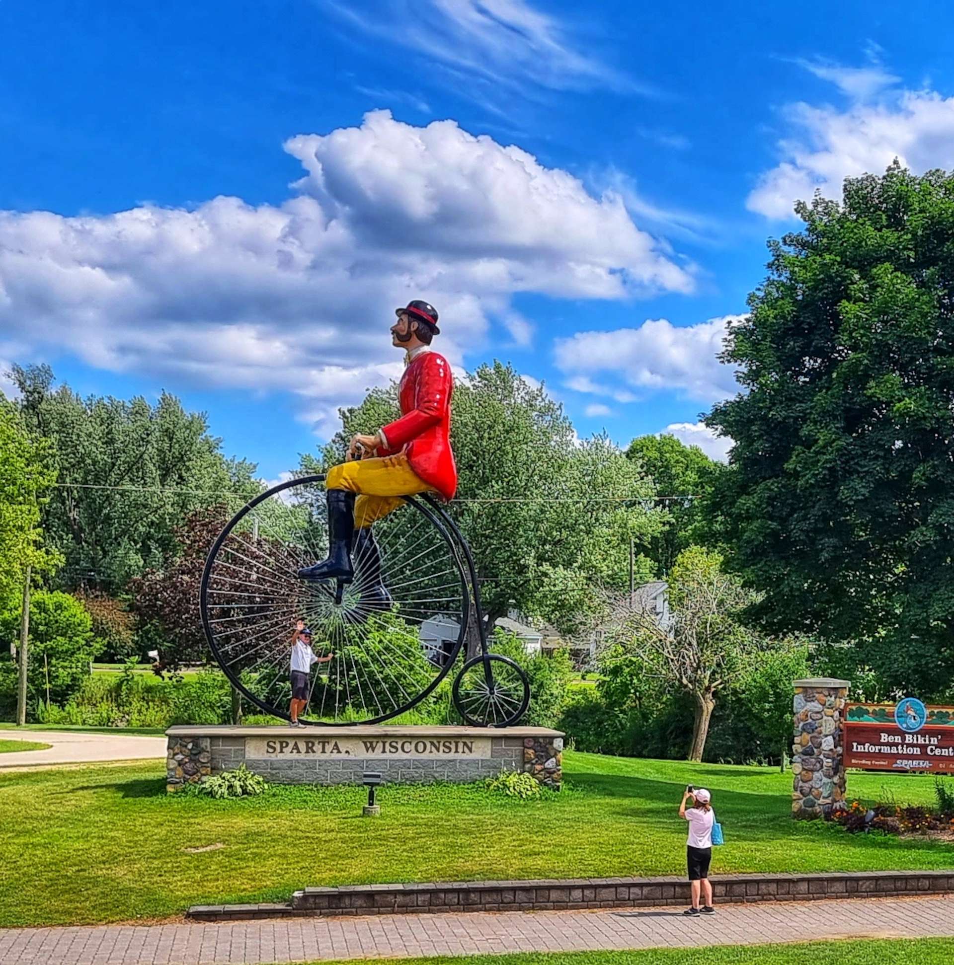
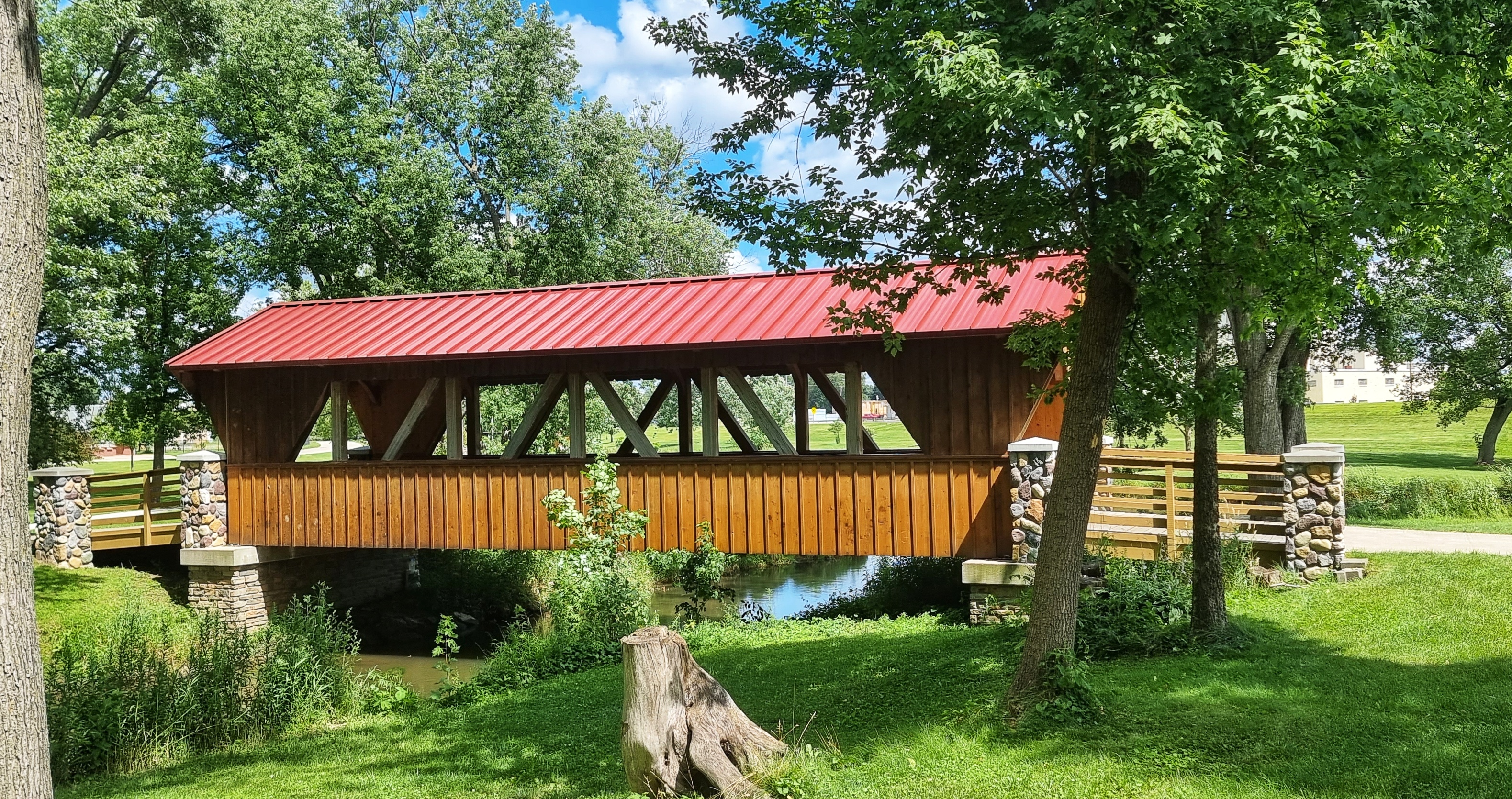
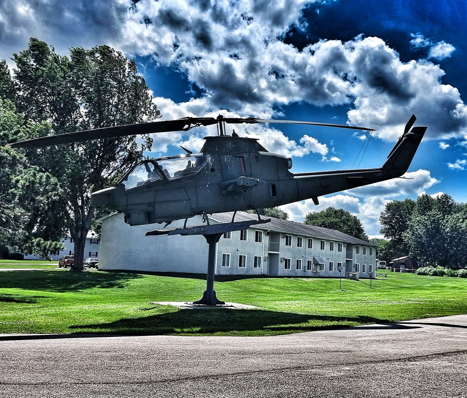
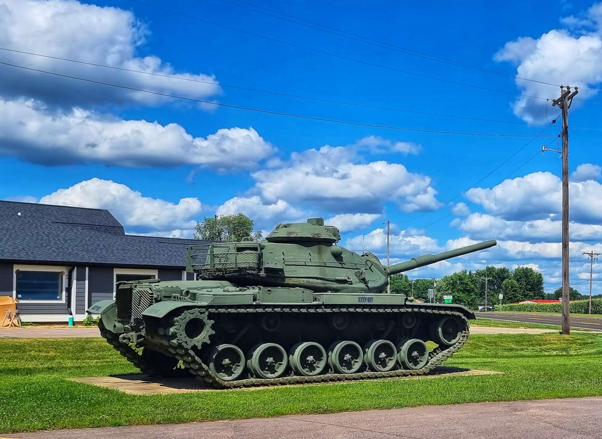
Sparta is only a small town, however it had 4 unusual displays – a 19th century man on a penny farthing, a covered bridge, a helicopter & a tank (the last 2 were displayed by the American Legion).
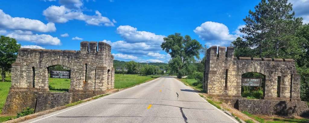
Our route then took us to the entrance of Fort McCoy an active military base. We found ourselves on a public gravel road that took us past one of a few areas where training exercises take place.
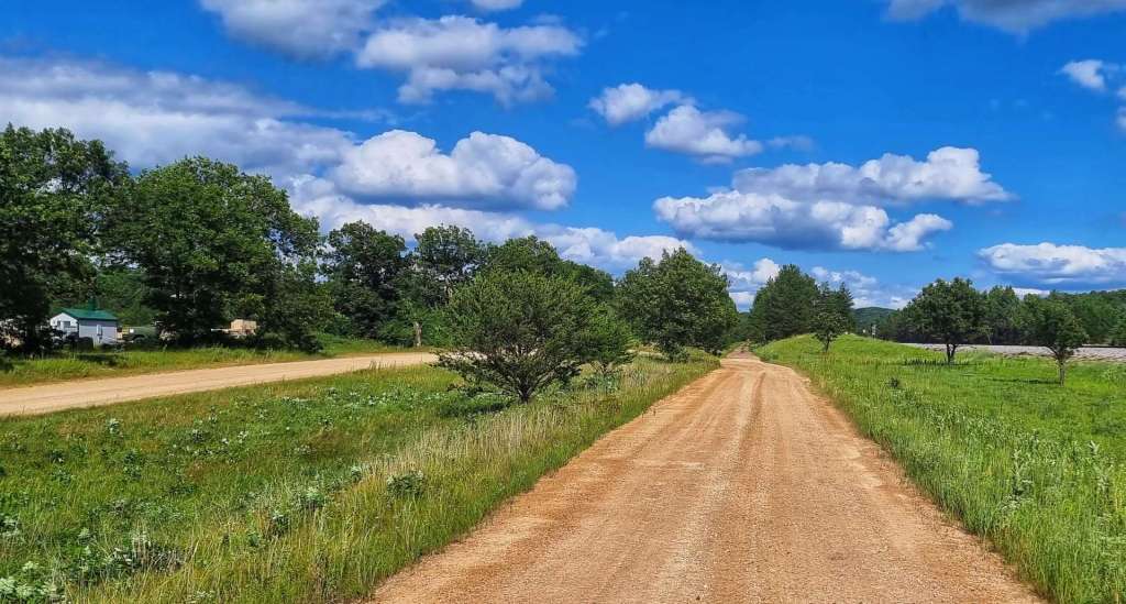
At one point we ended up on a sandy trail that was only just rideable & we worried that we may be on private property. However, just 2 minutes later we found ourselves back on a paved road about 5 miles from Tomah, our home for the next 2 nights. We toasted our big adventure on 3 separate bike trails & our trip across an army training ground – we lived to tell the tale!!!
Wednesday 20th July & Thursday 21st July – Rest & Relaxation
Wednesday 20th July (Rest Day One)
Back to Back rest days for the first time since West Yellowstone on 15th & 16th June. The plan is to combine sightseeing with some essential admin like getting the bike serviced, laundry, catching up with my blog, planning the route & booking accommodation for the coming week or so.
I found a local bike shop less than 1/2 a mile from the hotel that had good reviews, so we dropped off our bikes off at 10am with a list of what needed looking at – rear & front gear indexing, brake pads, checking tyre pressures & a squeaky headset for me. The same for Sean, plus truing his front wheel. They should be ready this afternoon.
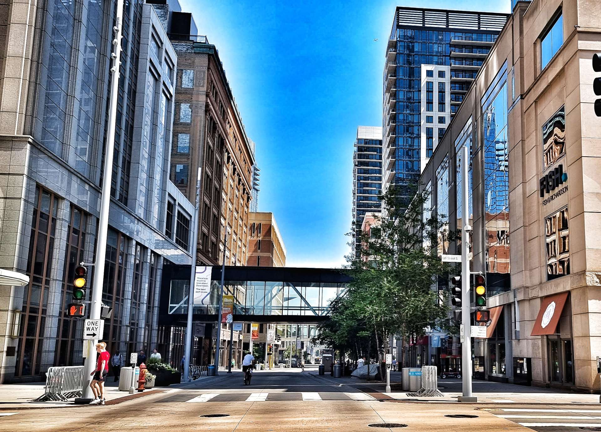
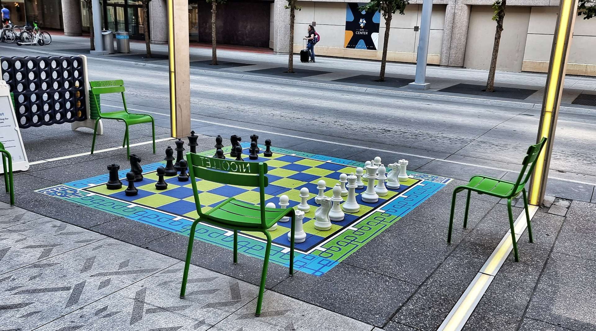
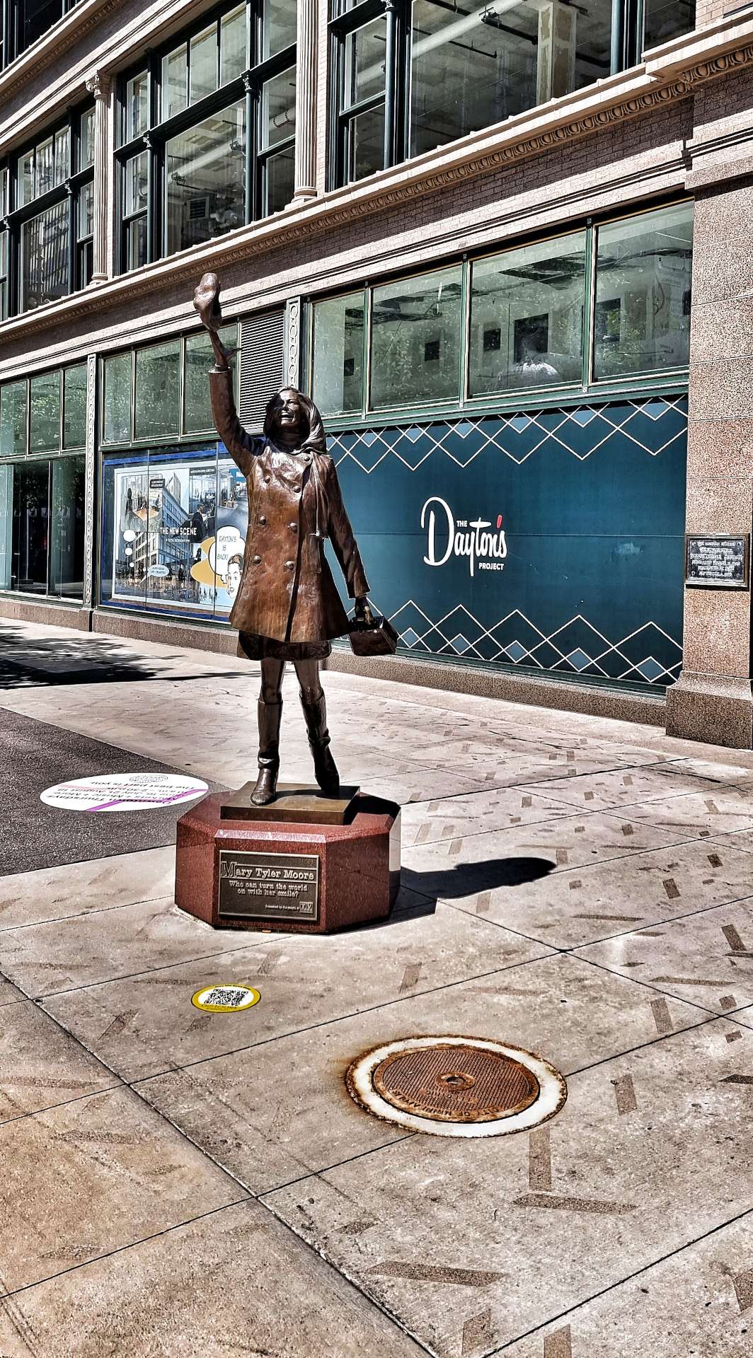
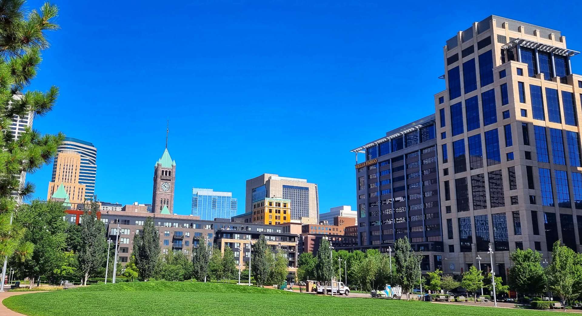
While we waited for the bikes to be serviced, we had time for a bit of sightseeing – there’s a Tram stop less than 2 minutes from the hotel, so we took the Green Tram as far as Nicollet Mall ($4.50 for a 5 hour ticket) then took a walk -Minneapolis has a relaxed vibe, with Games On Nicollet that anyone is welcome to use. There’s a statue of Mary Tyler-Moore near the site where she threw her hat in the air at the end of the opening credits of her show. I also took a photo looking back towards Nicollet Mall, as the sun reflected off a nearby building.
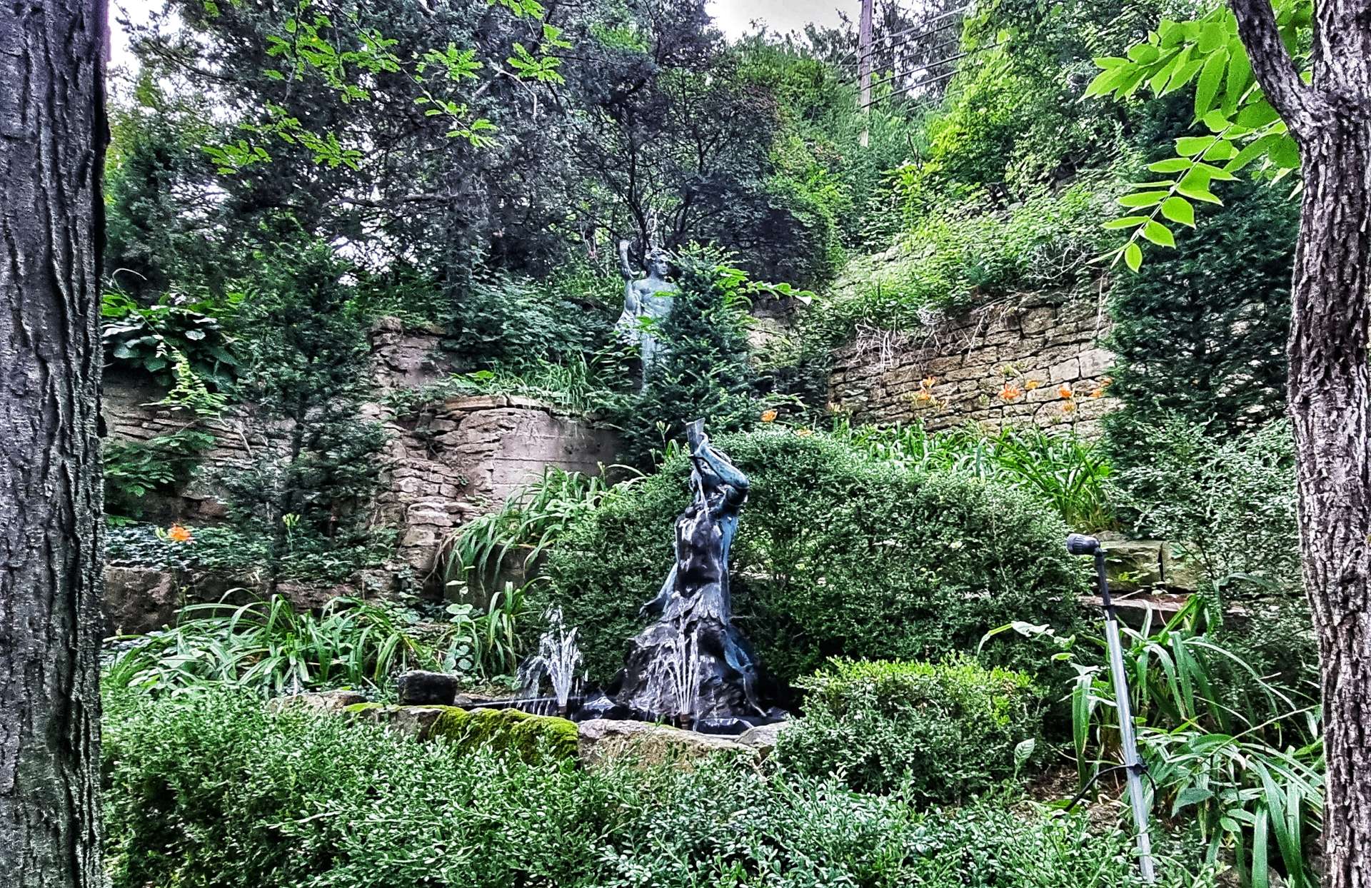
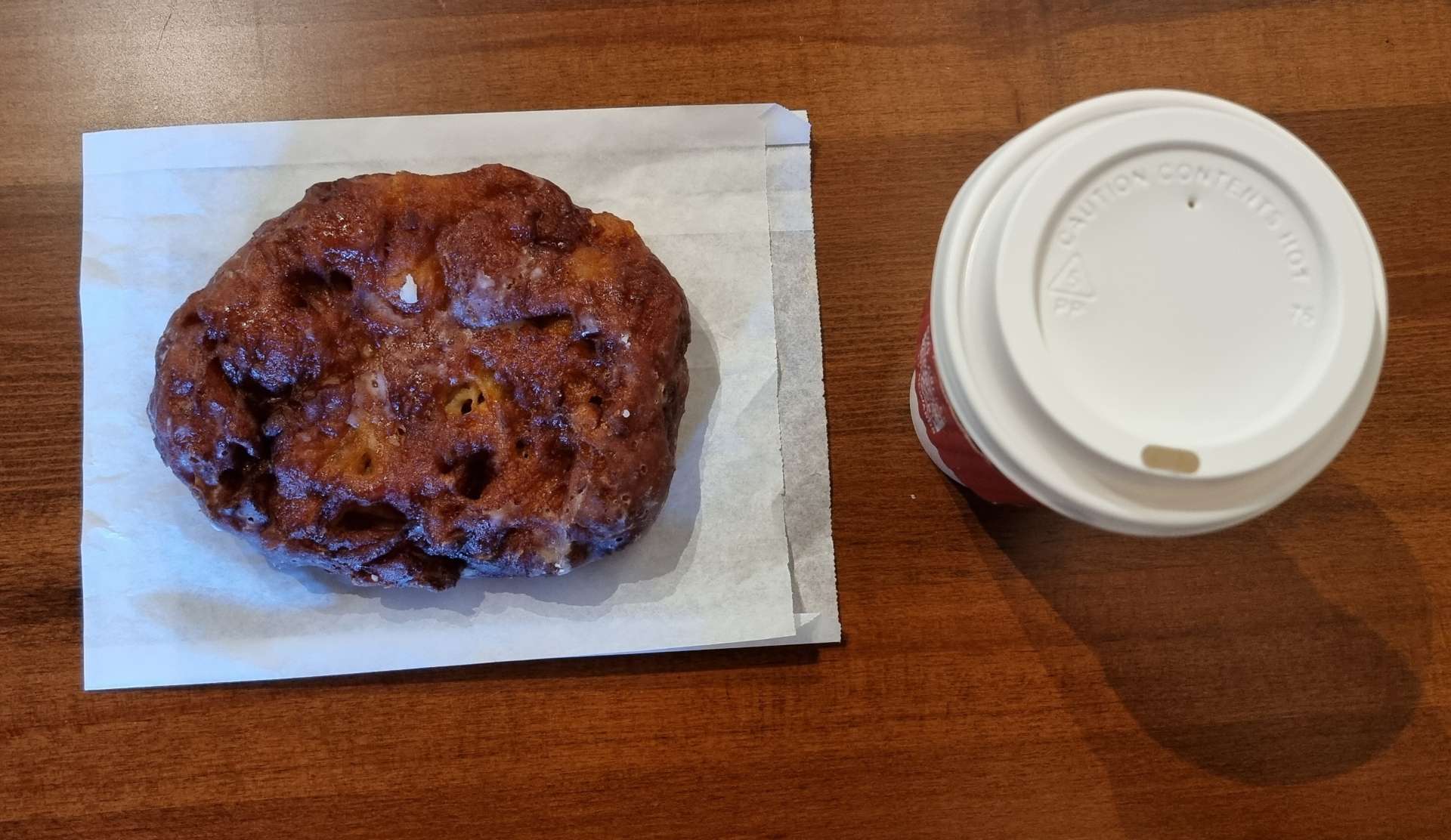
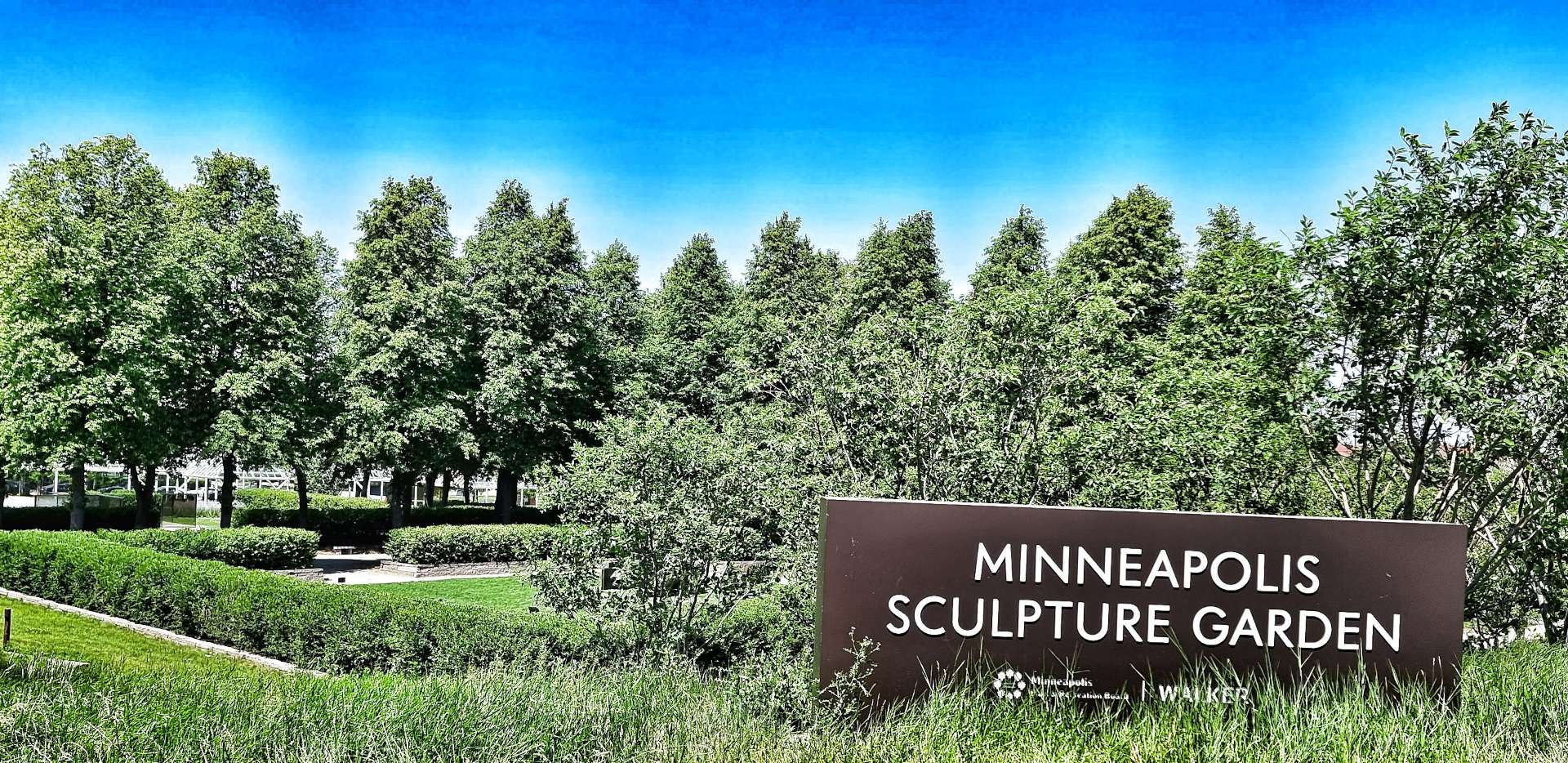
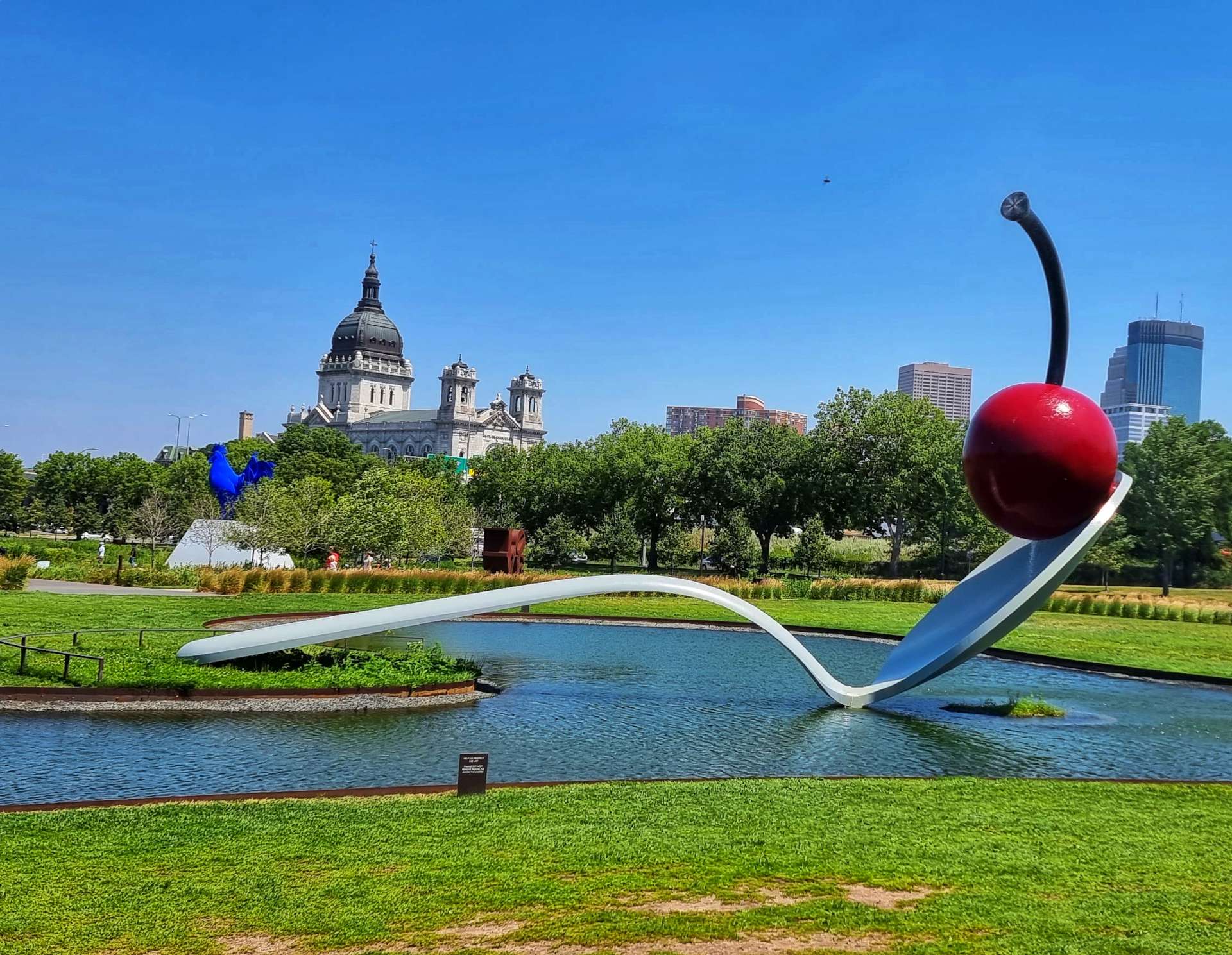
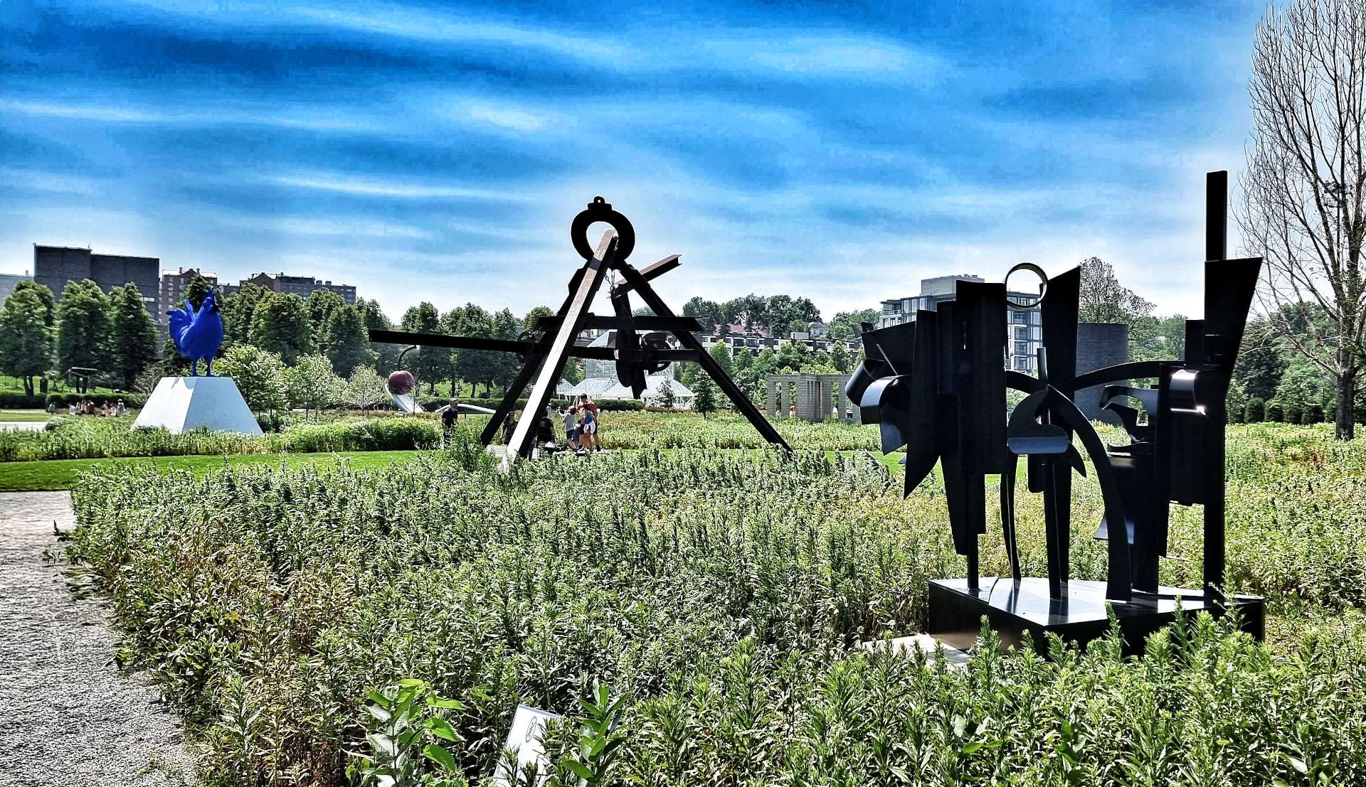
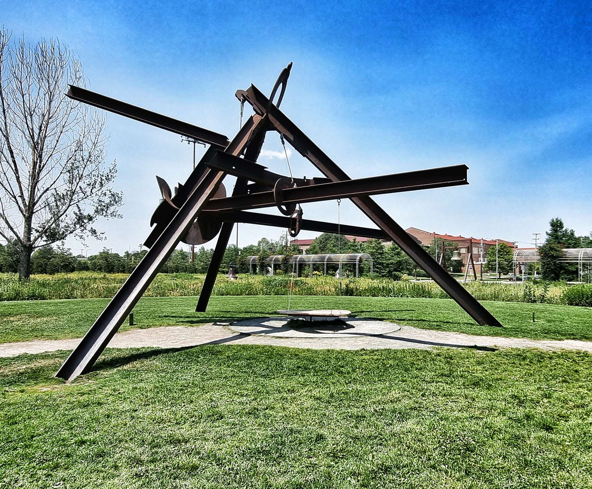
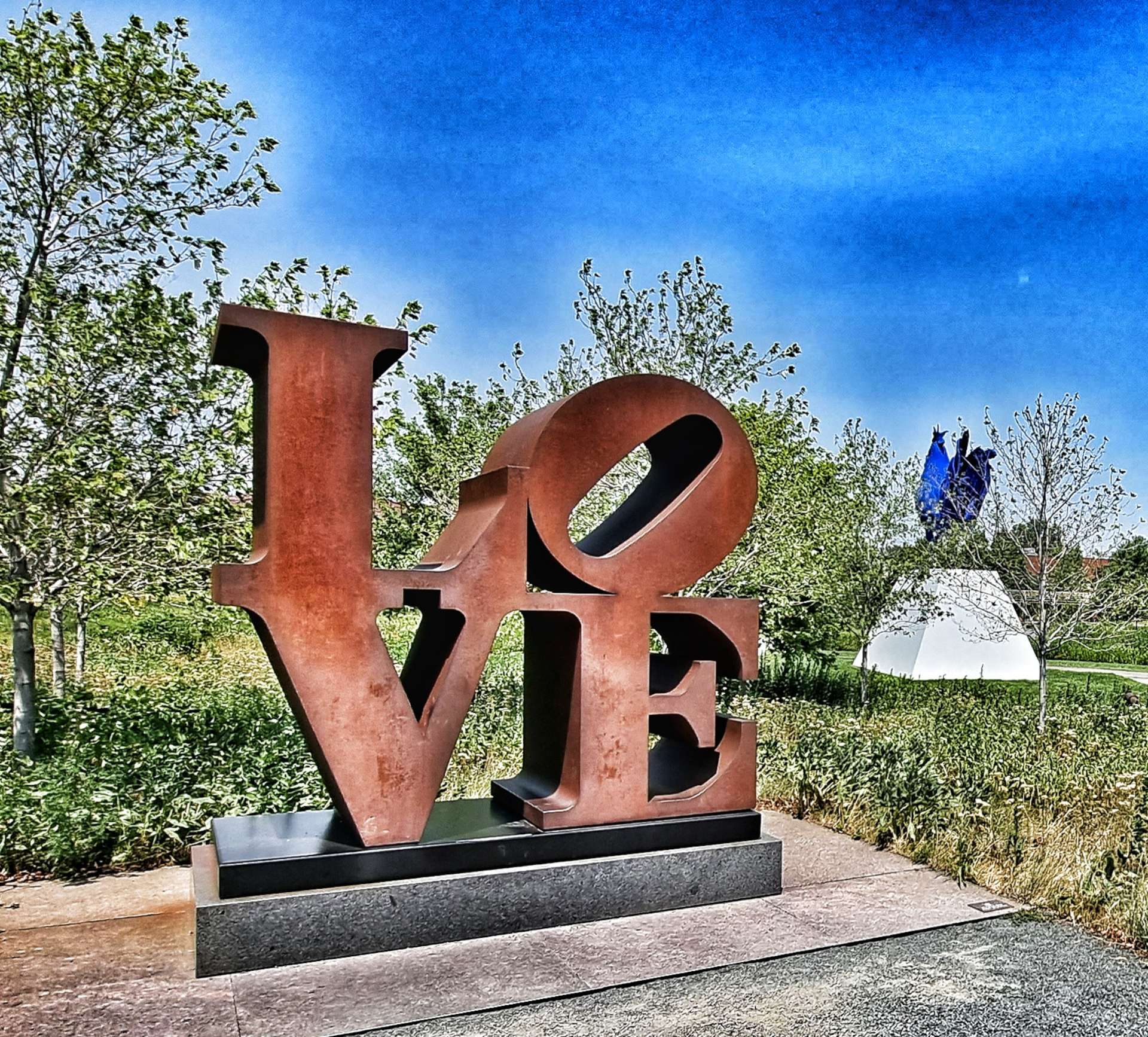
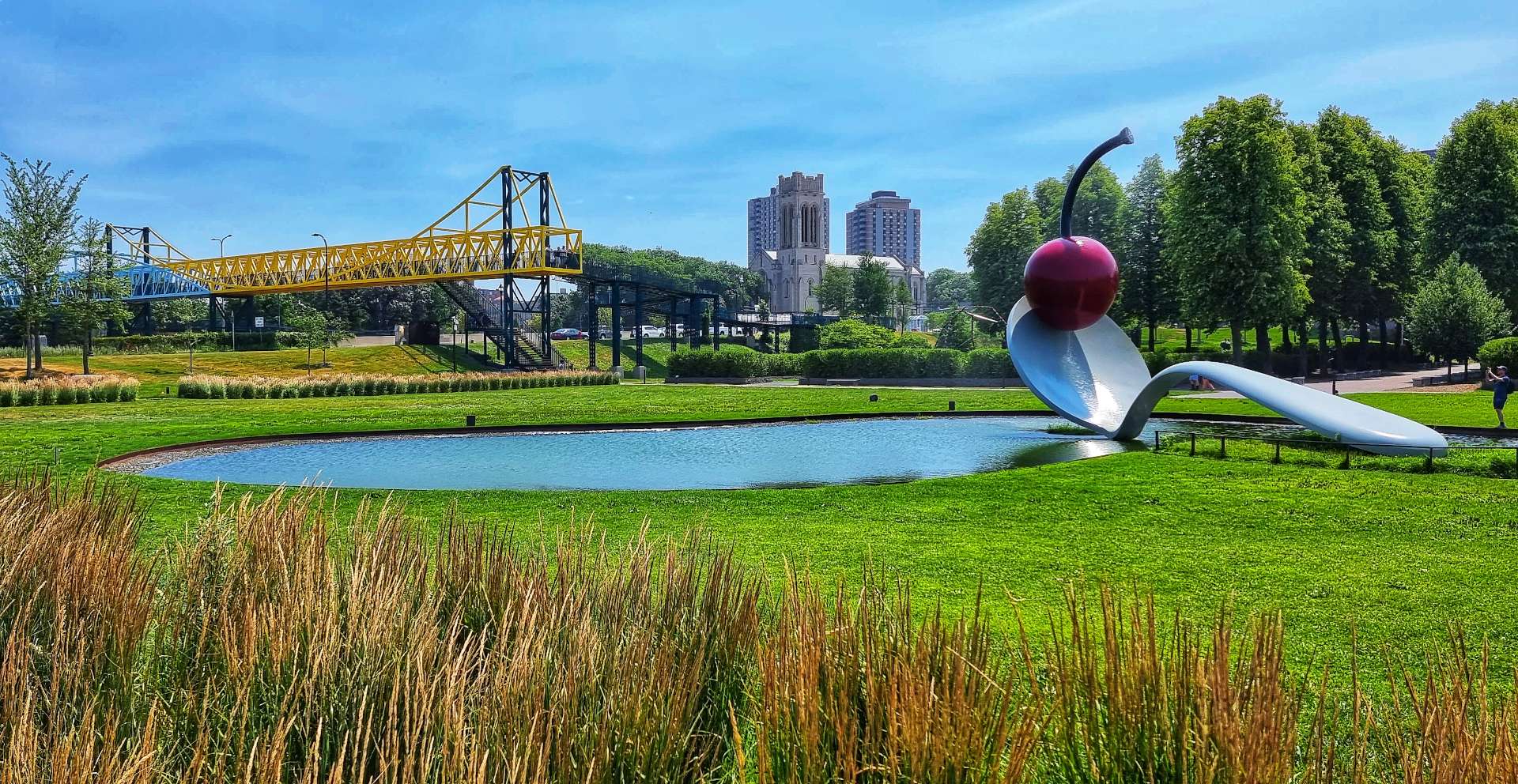
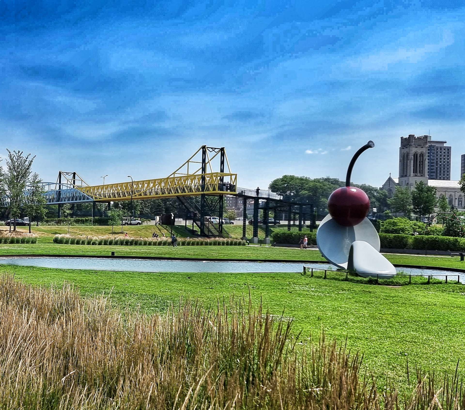
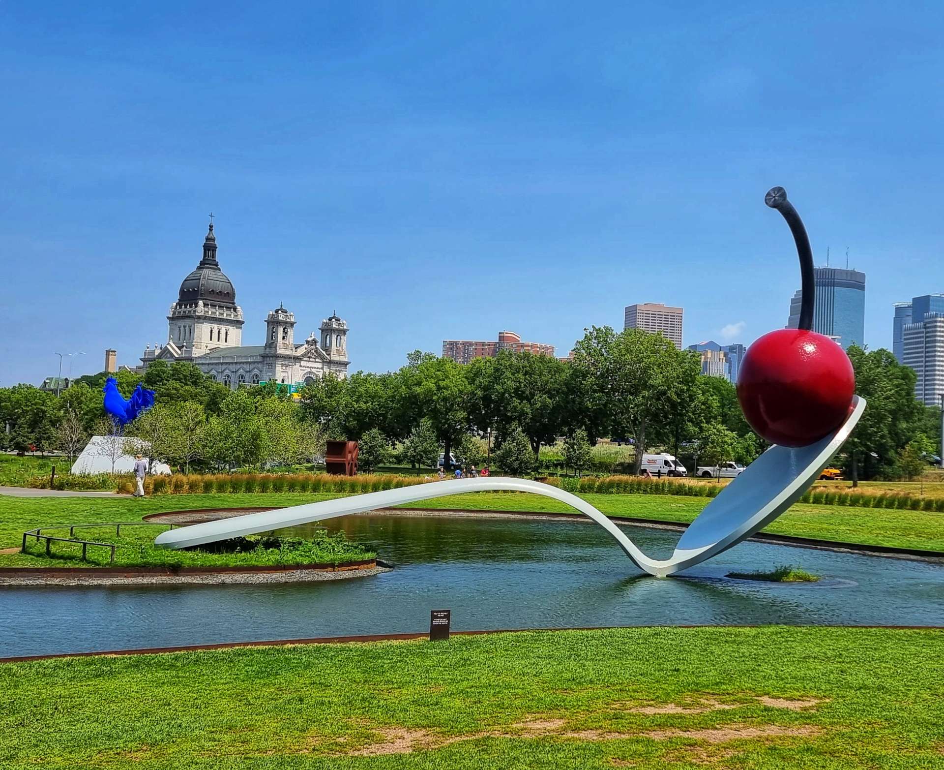
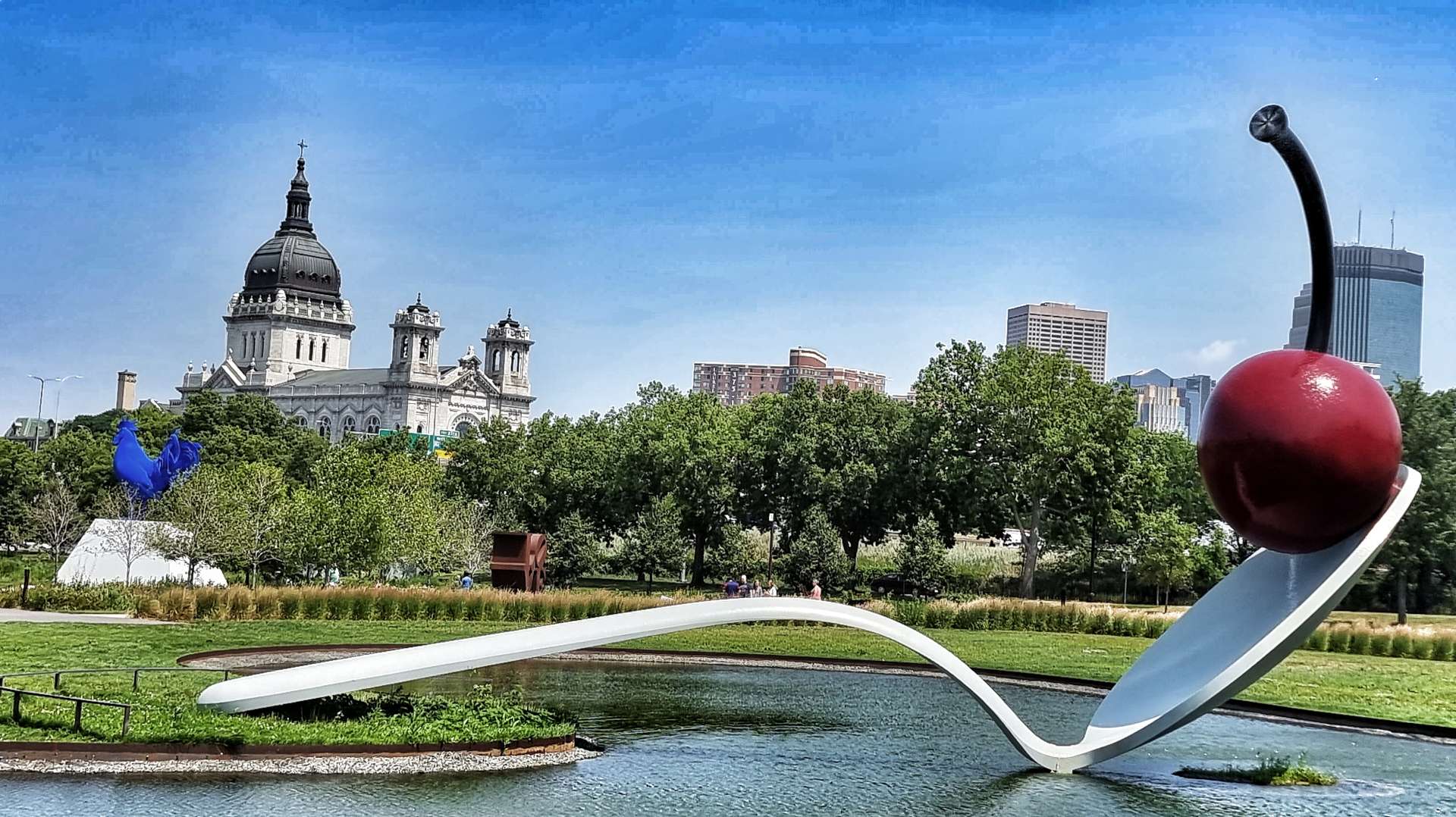
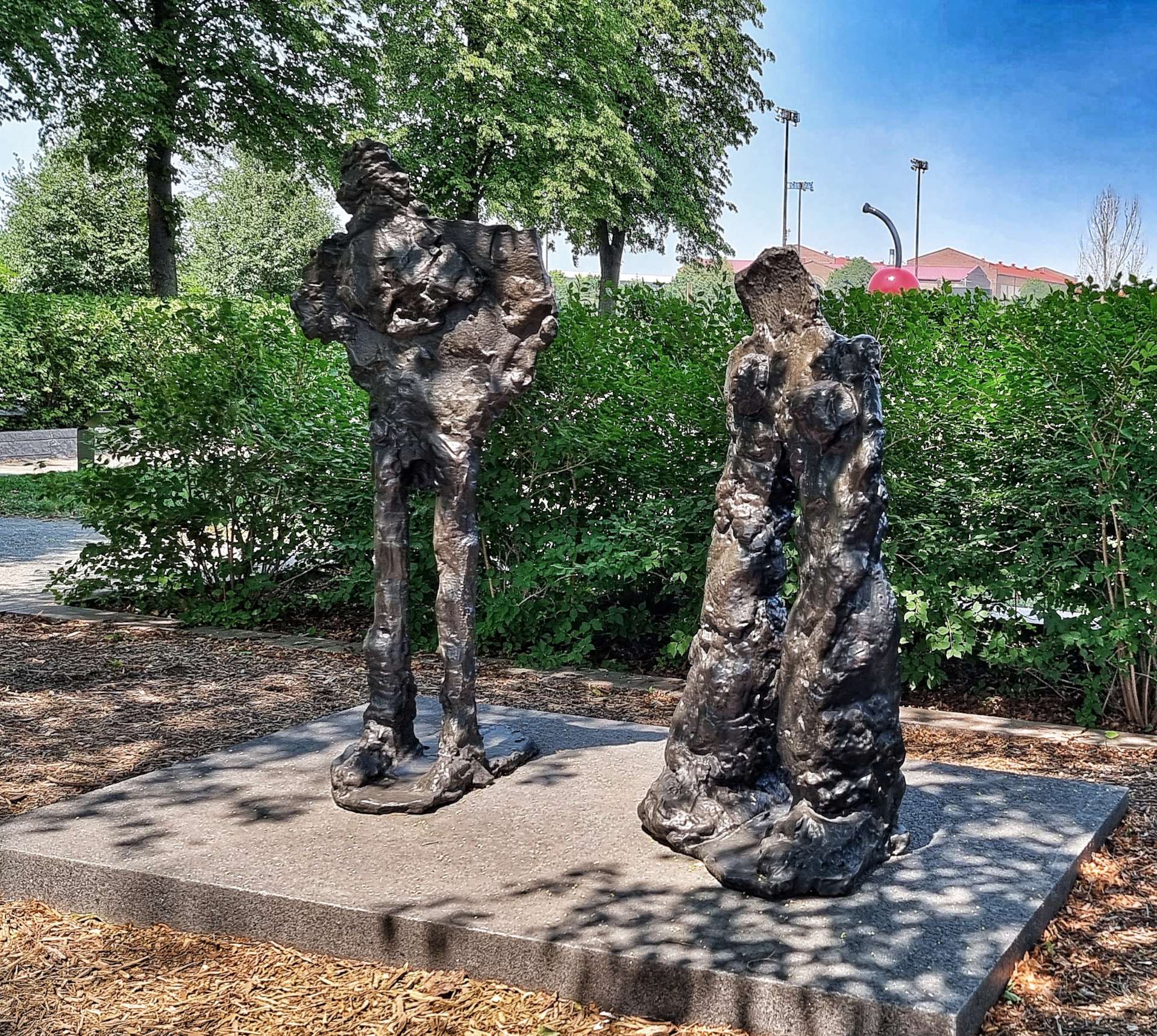
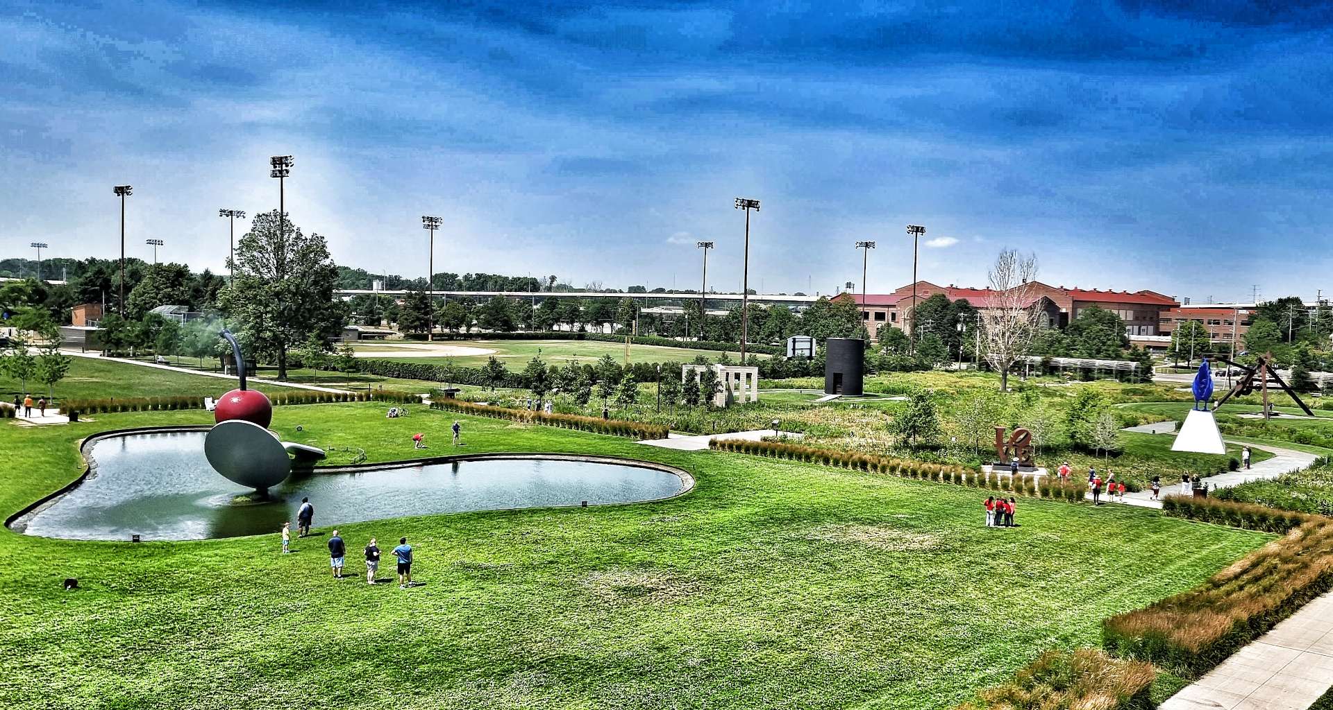
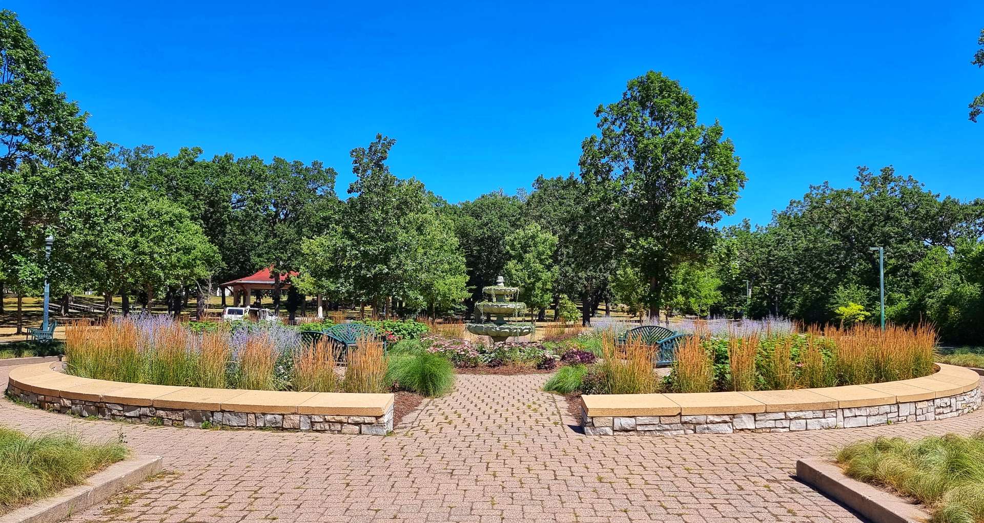
Our plan was to head towards Loring Park, maybe find a coffee shop (we found Dunn Brothers for coffee & an apple fritter), then explore the Minneapolis Sculpture Garden.
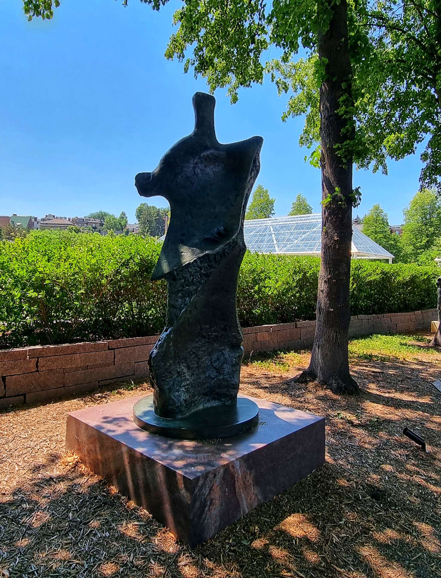
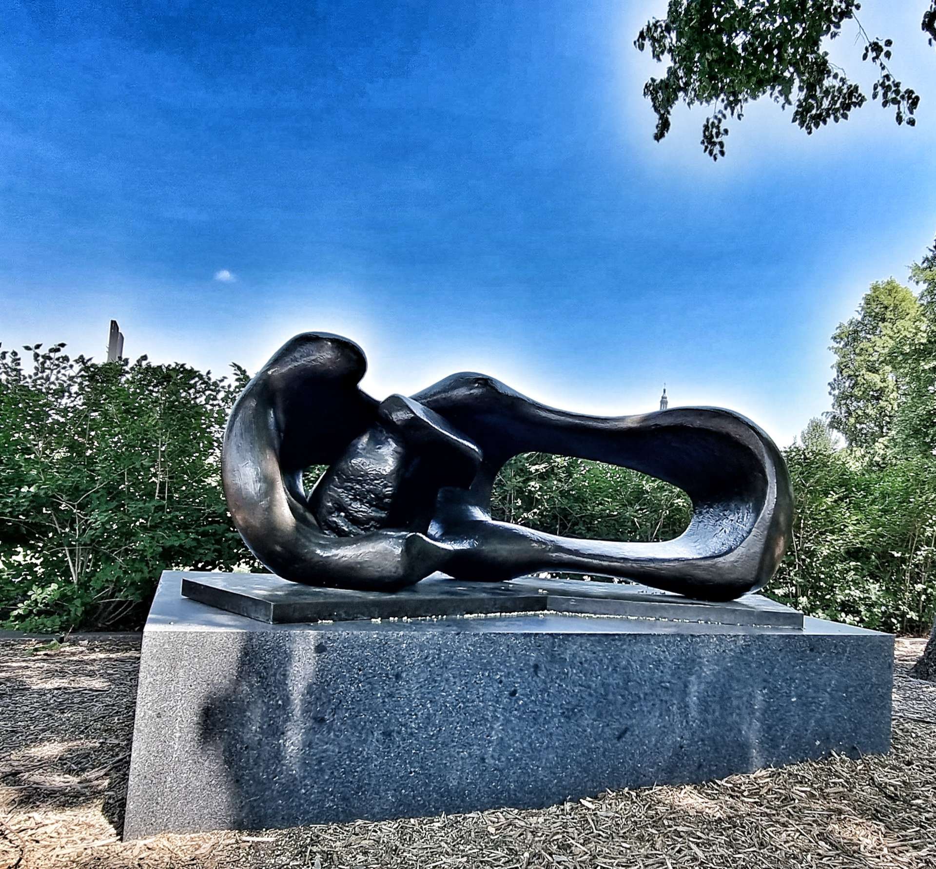
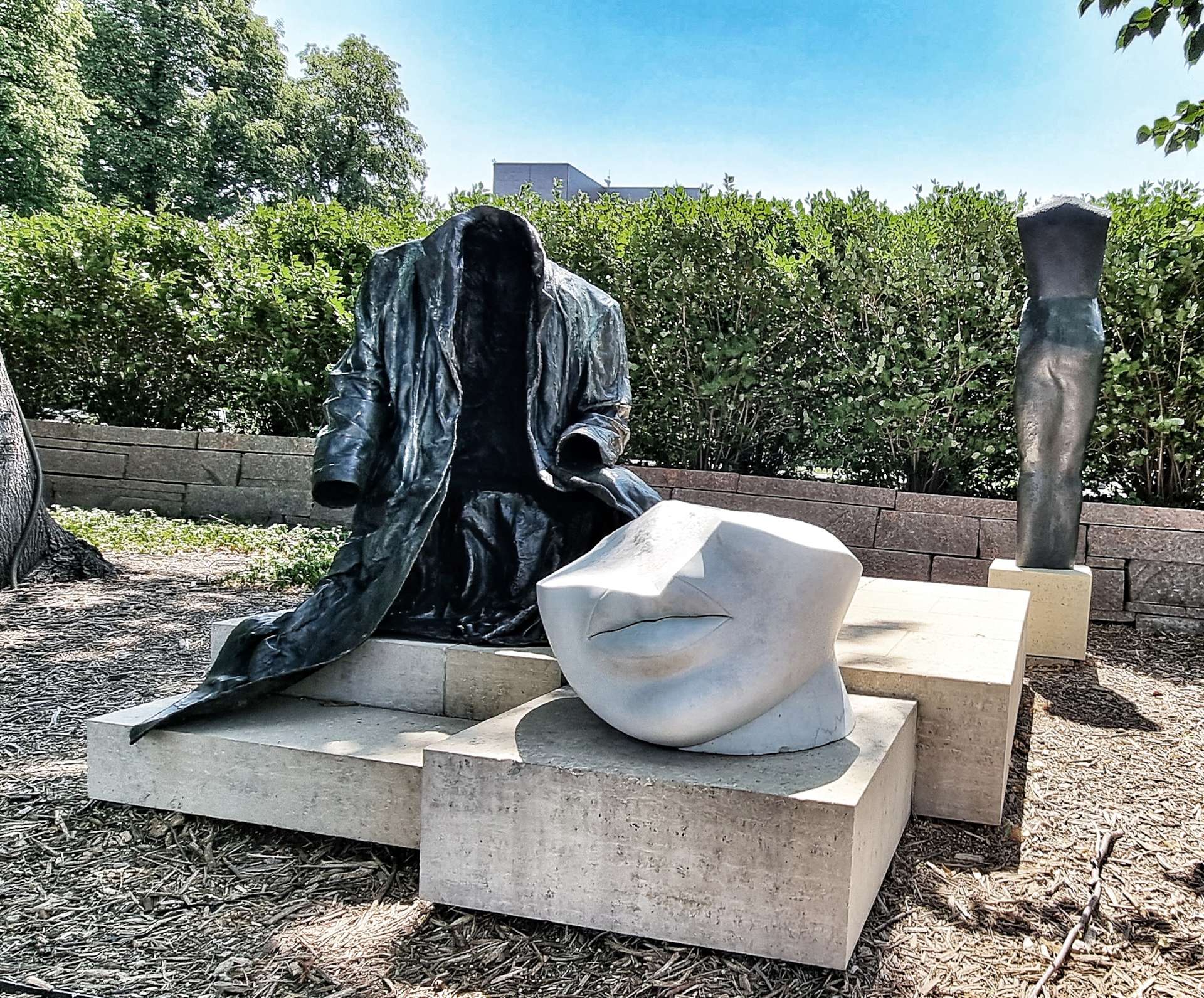
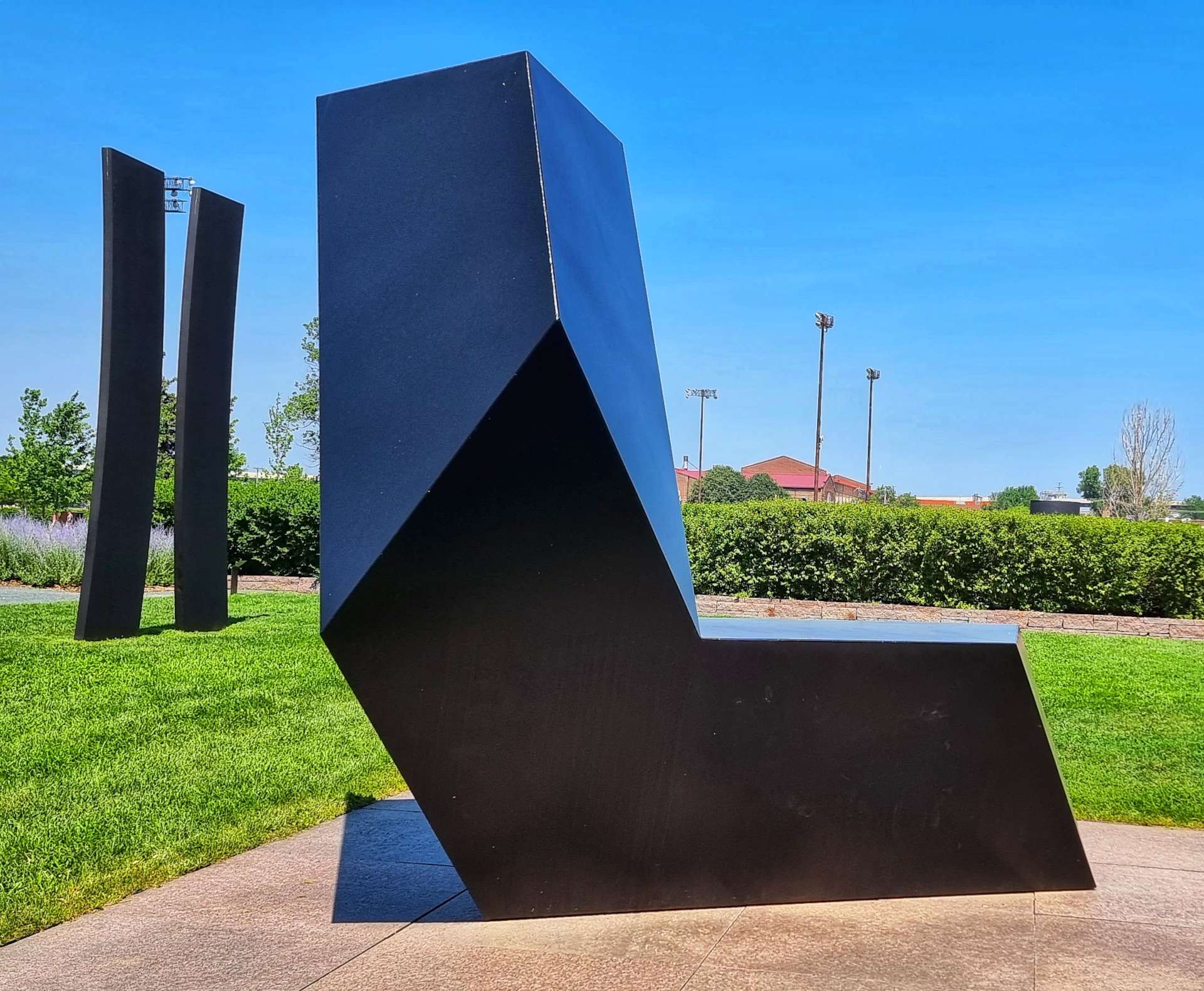
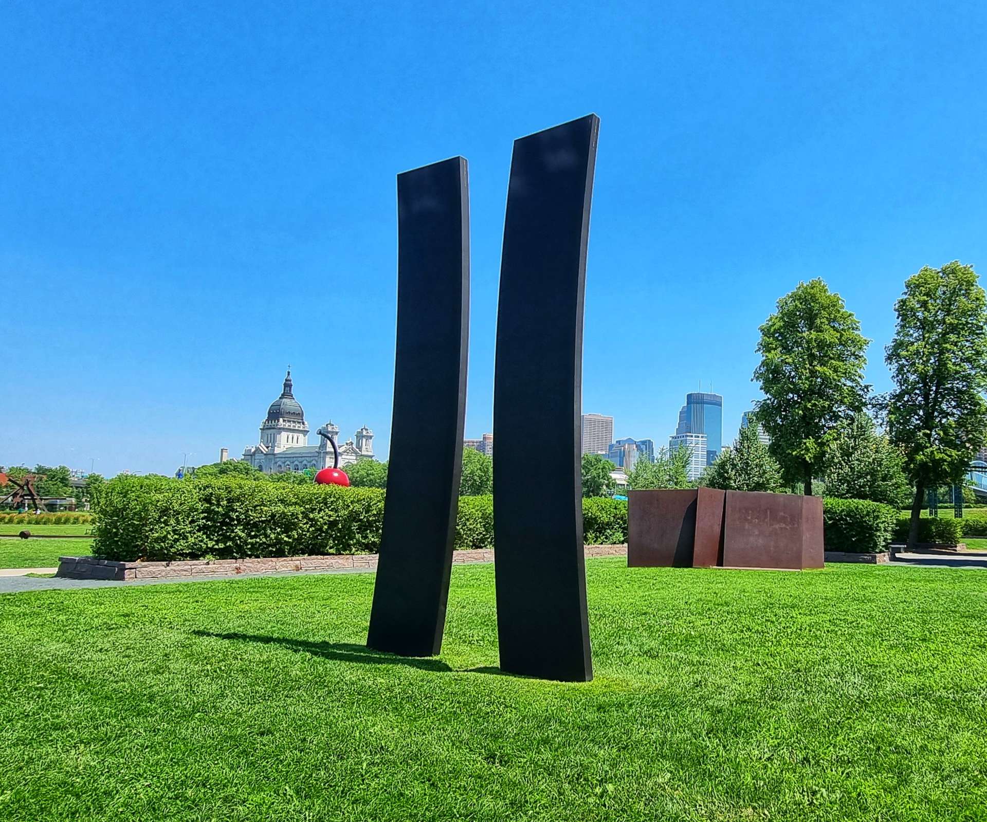
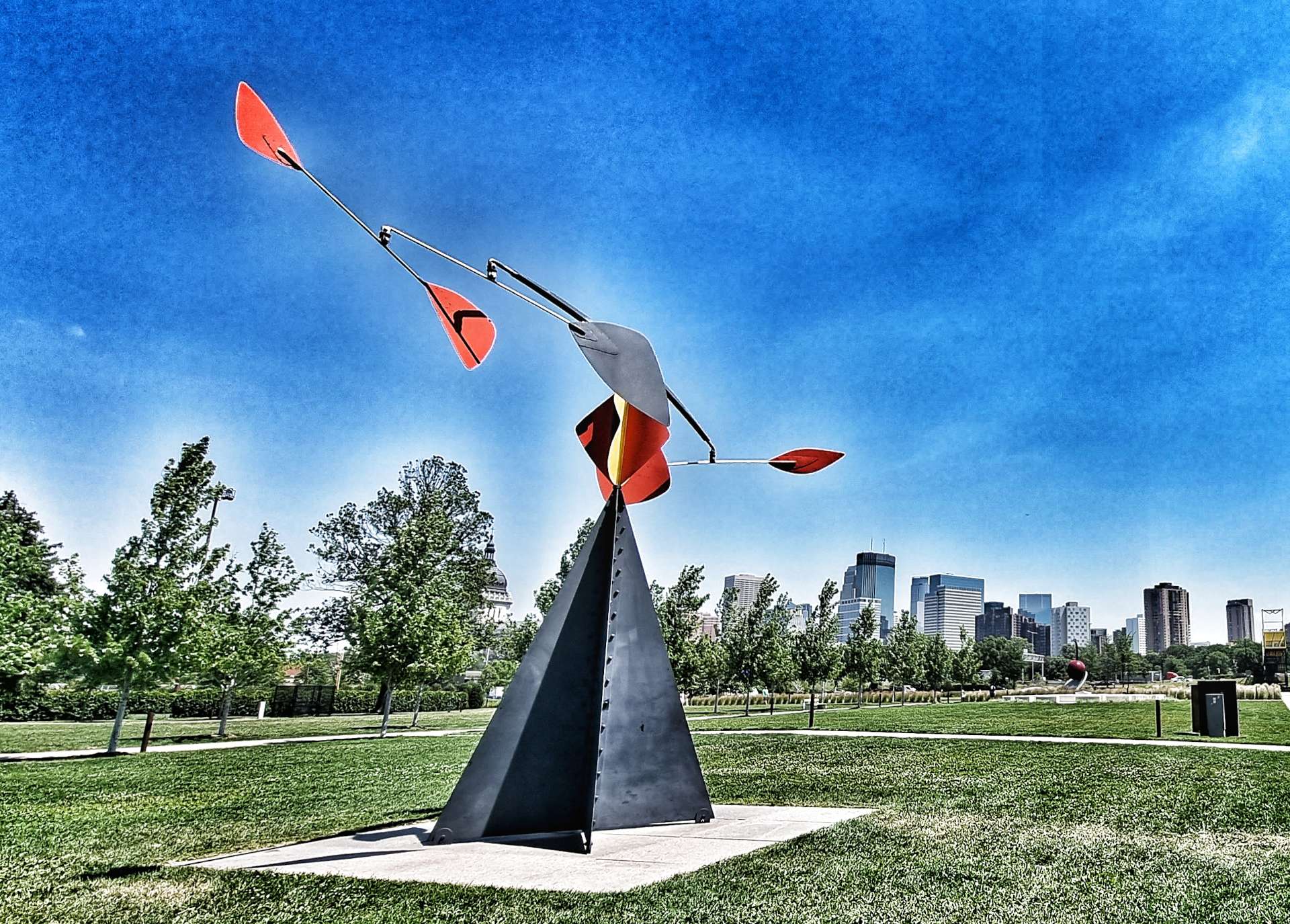
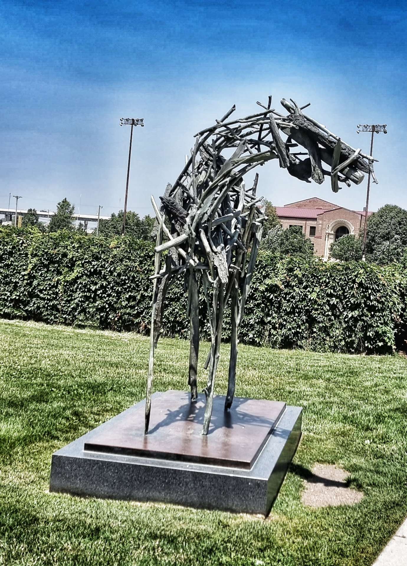
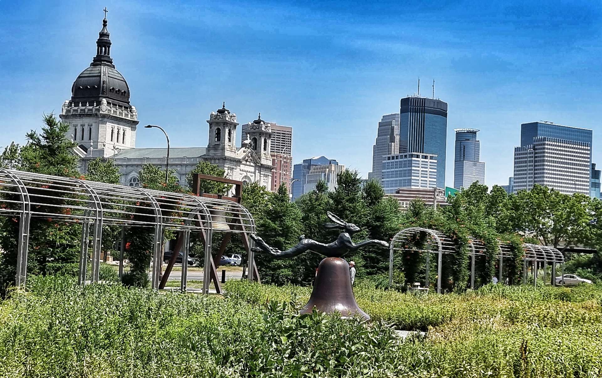
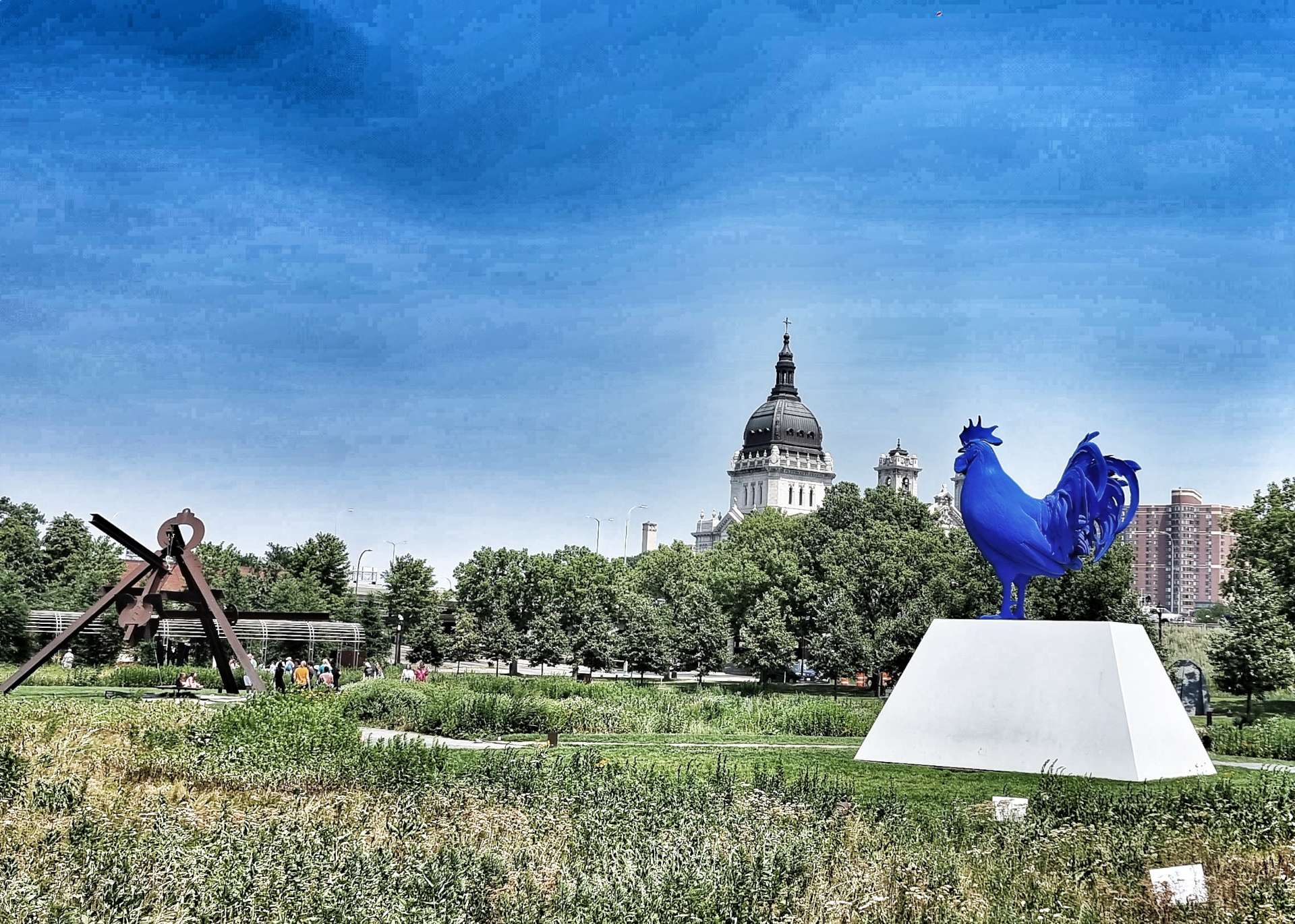
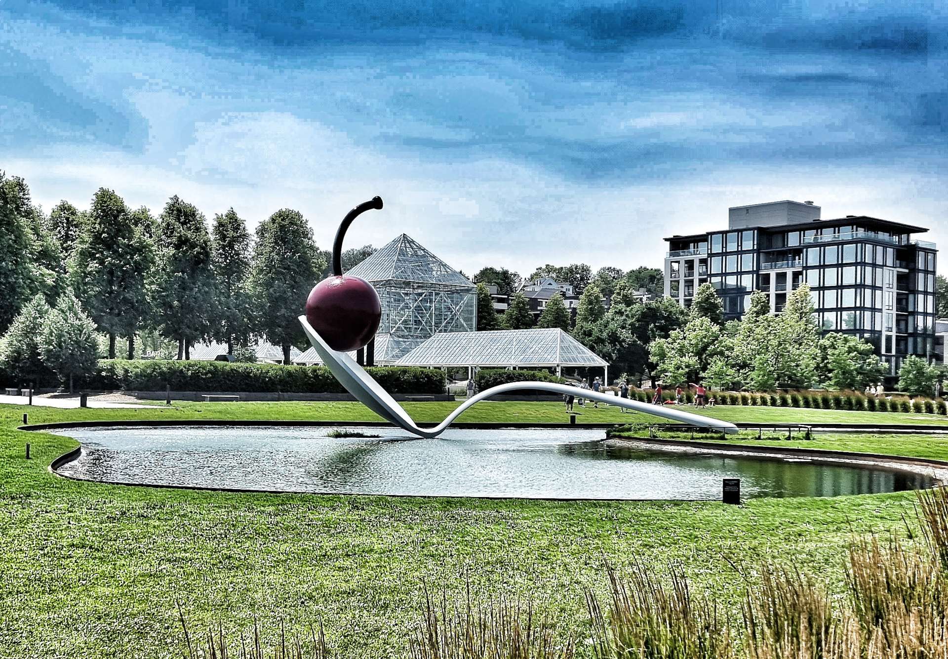
I picked my favourite sculptures & have included the titles & their artists – there are now over 40 separate sculptures in the garden & the centrepiece is the Spoonbridge & Cherry which was funded with a $500,000 donation from Frederick R Weisman in 1988. The cherry was removed last year so it could be repainted & was re-united with the spoon earlier this year.
This is a great place to spend an hour or two relaxing, taking in the art & people watching. Without further ado – Salute To Painting (Roy Lichenstein), Gog & Magog (Martin Puryear), Untitled, Reclining Mother and Child (Henry Moore), Without Words (Judith Shea).
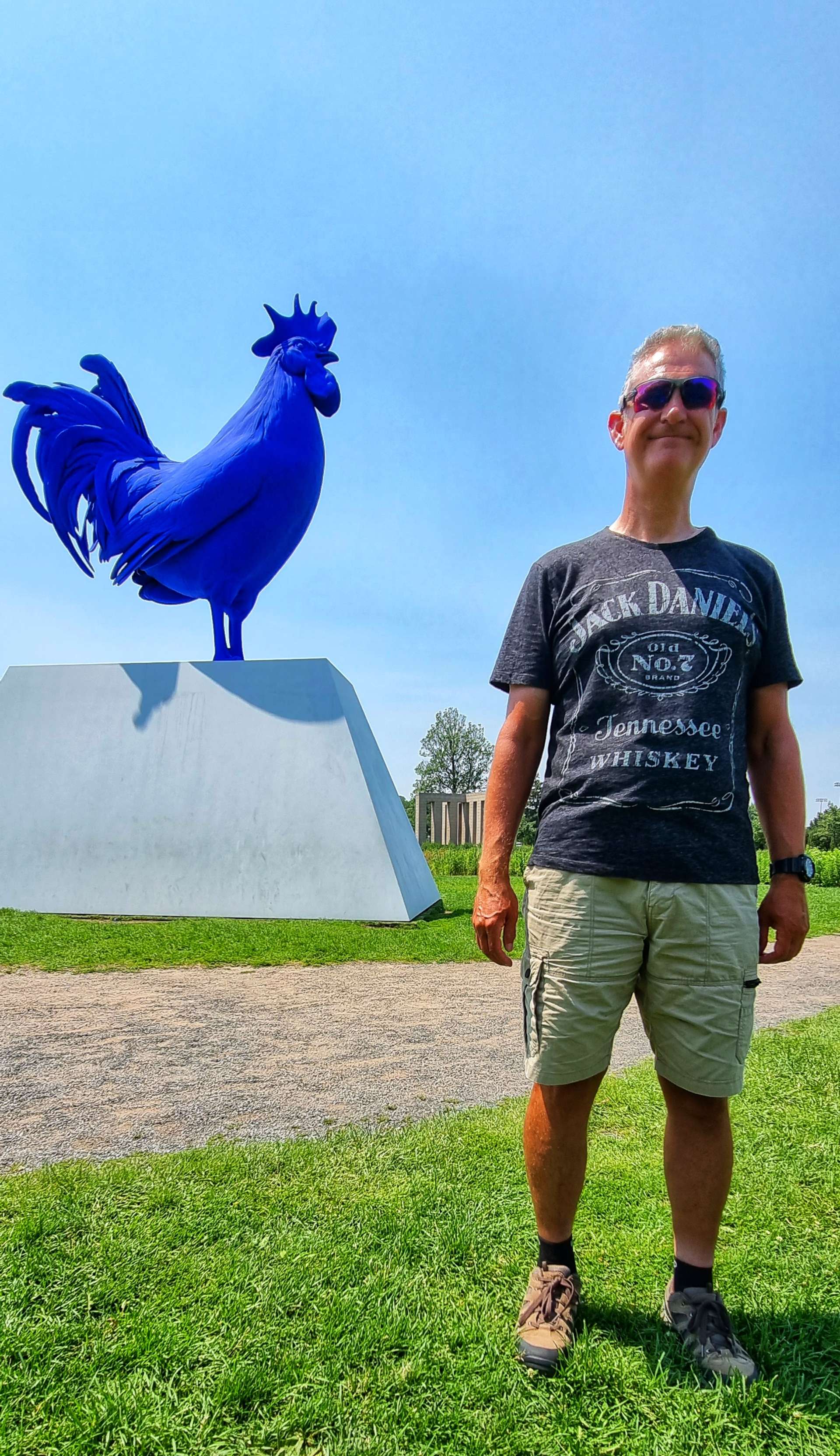
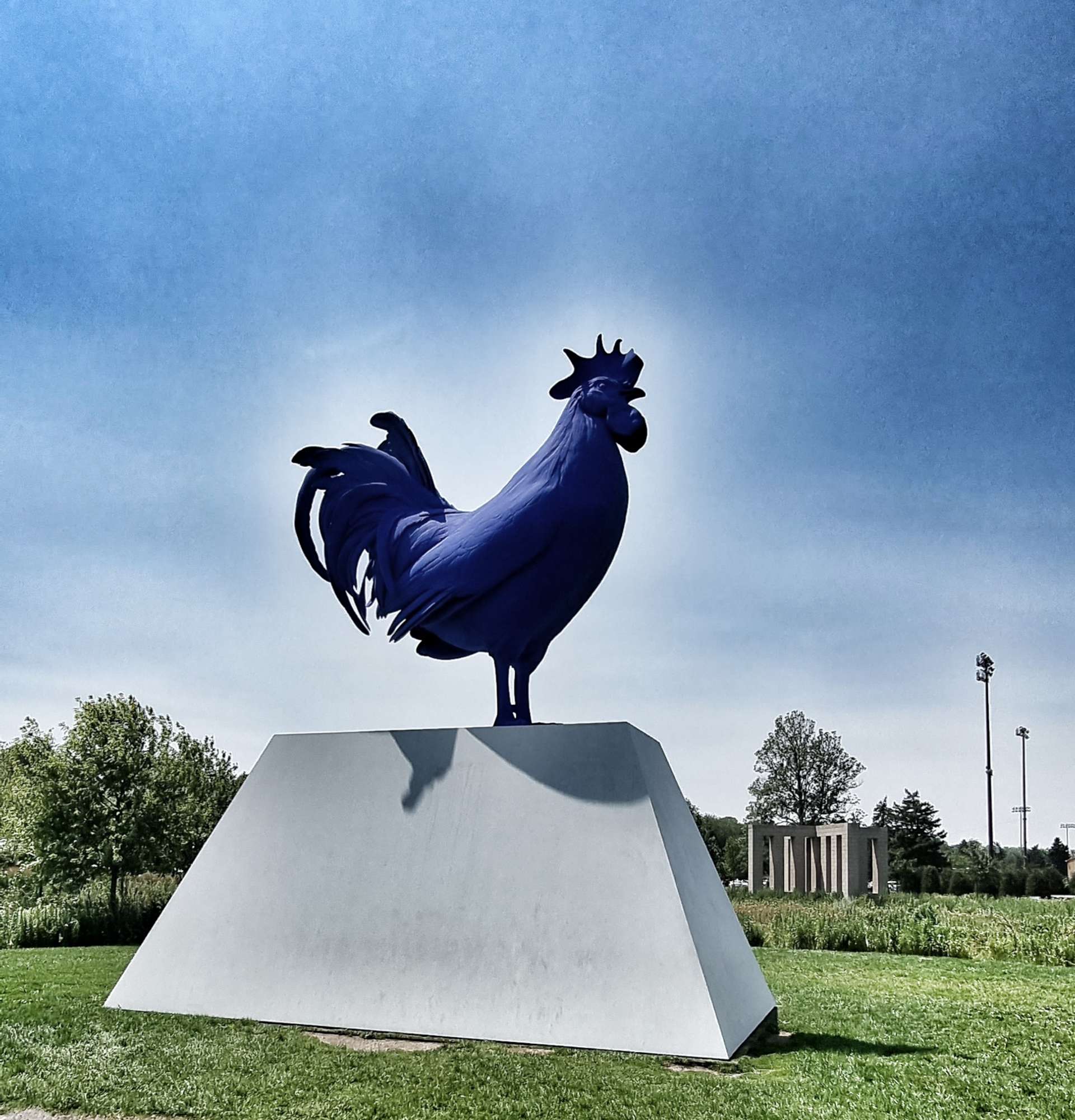
Spoonbridge & Cherry (Claes Oldenburg & Coosje van Bruggen), Woodrow (Deborah Butterfield), Hahn/Cock (Katharina Fritsch), Hare On Bell On Portland Stone Piers (Barry Flanagan).
For Whom…. (Kris Martin), Dawn Tree (Louise Nevelson) & Arikidea (Mark di Suvero), Arikidea (Mark di Suvero), Love (Robert Indiana).
Hahn/Cock (Katharina Fritsch.
Spoonbridge & Cherry (Claes Oldenburg & Coosje van Bruggen).
Walking Man (George Segal), September Room (Mark Manders), Adam & Eve (Simone Fattal), Hephaestus (Matthew Manahan). The final photo is overlooking the park from the bridge.
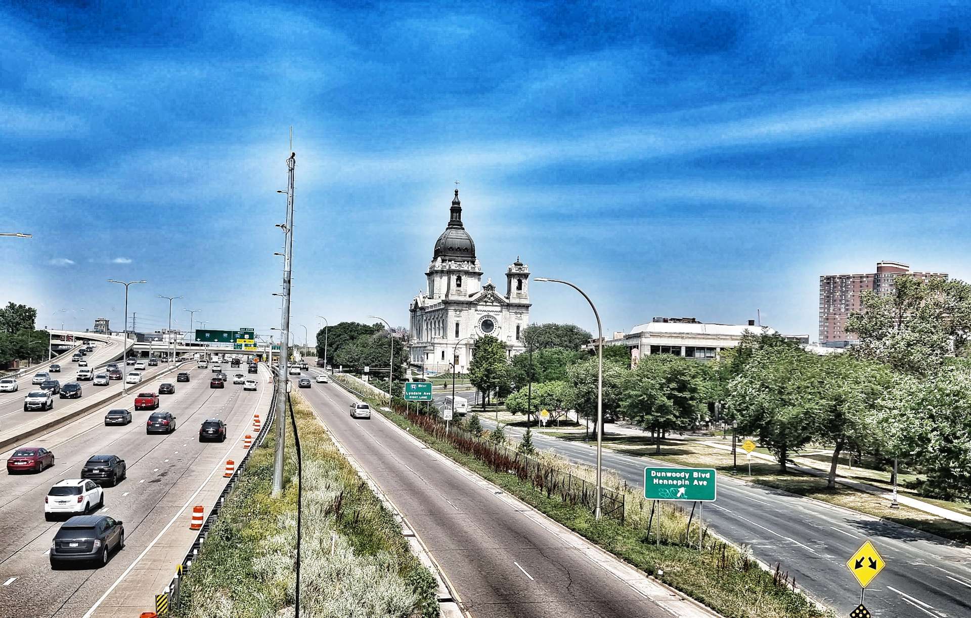
I took the photos of the Basilica of St Mary as we crossed the bridge above the Freeway & 2 photos of the Skyline of Minneapolis as we strolled through Loring Park.
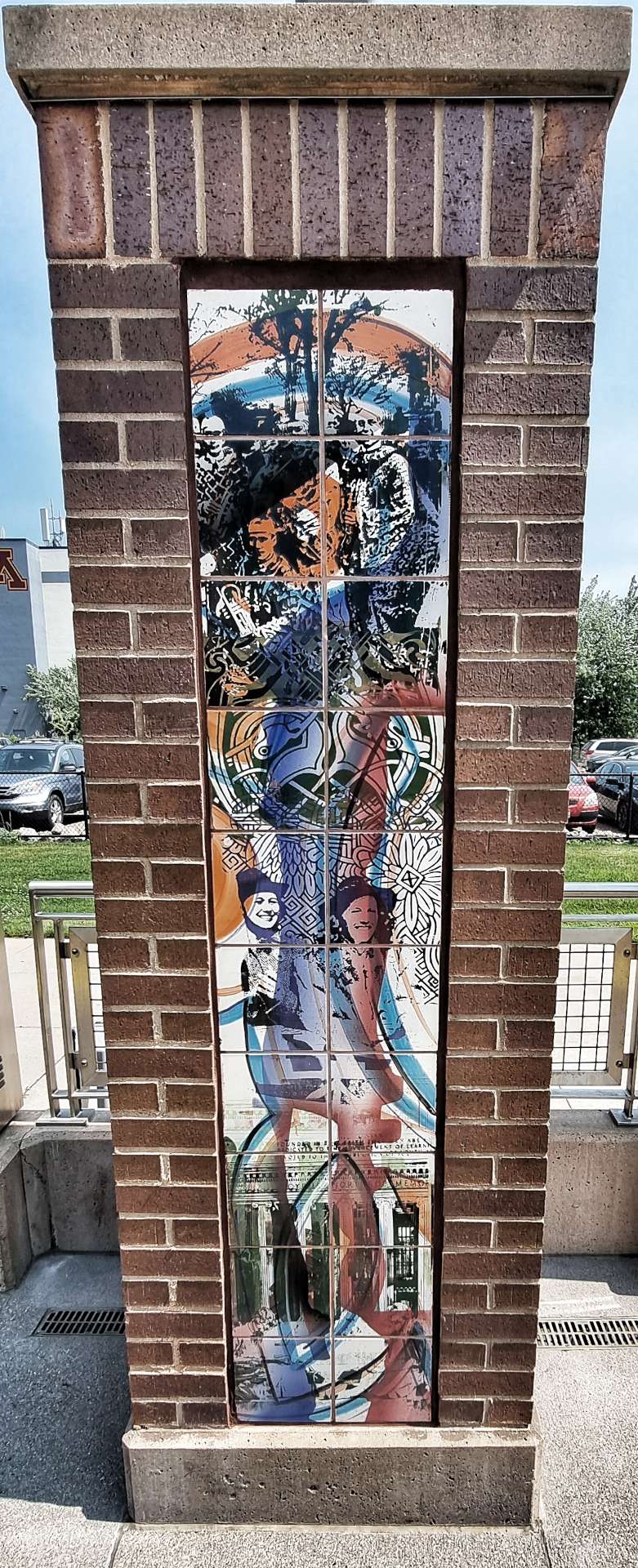
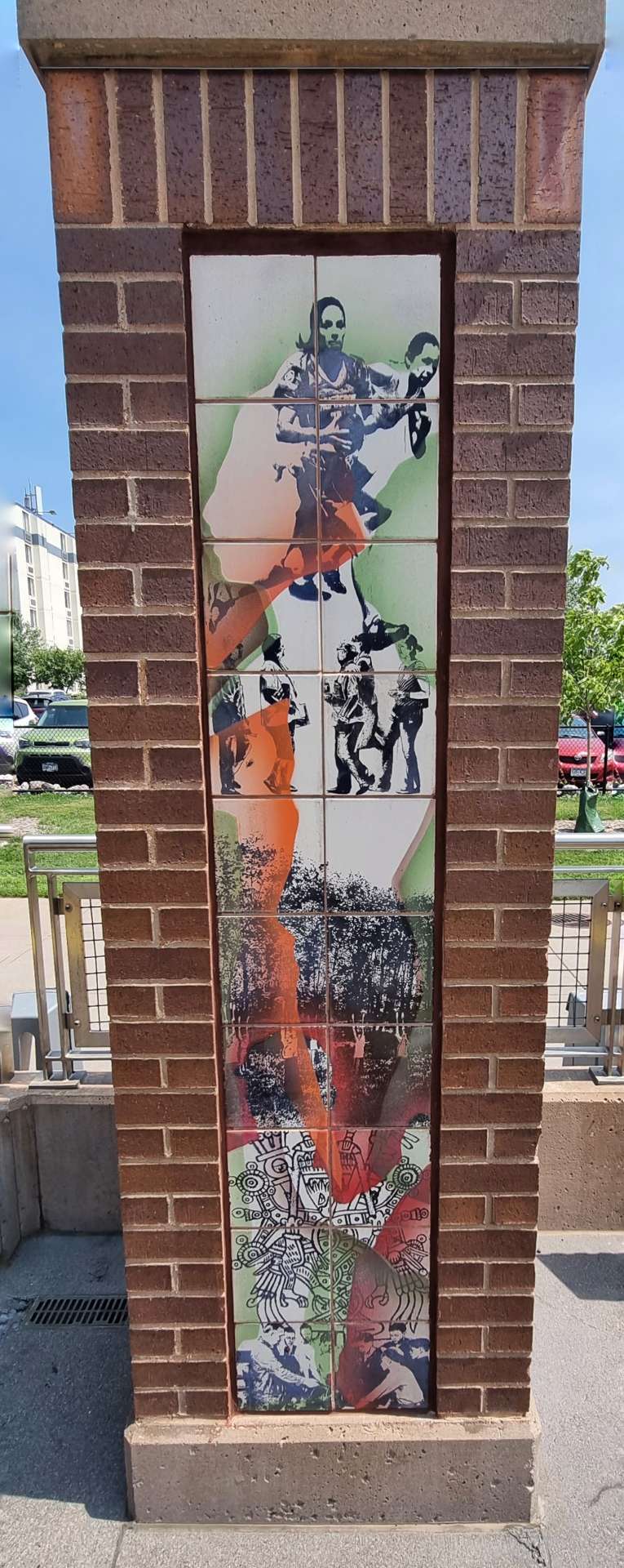
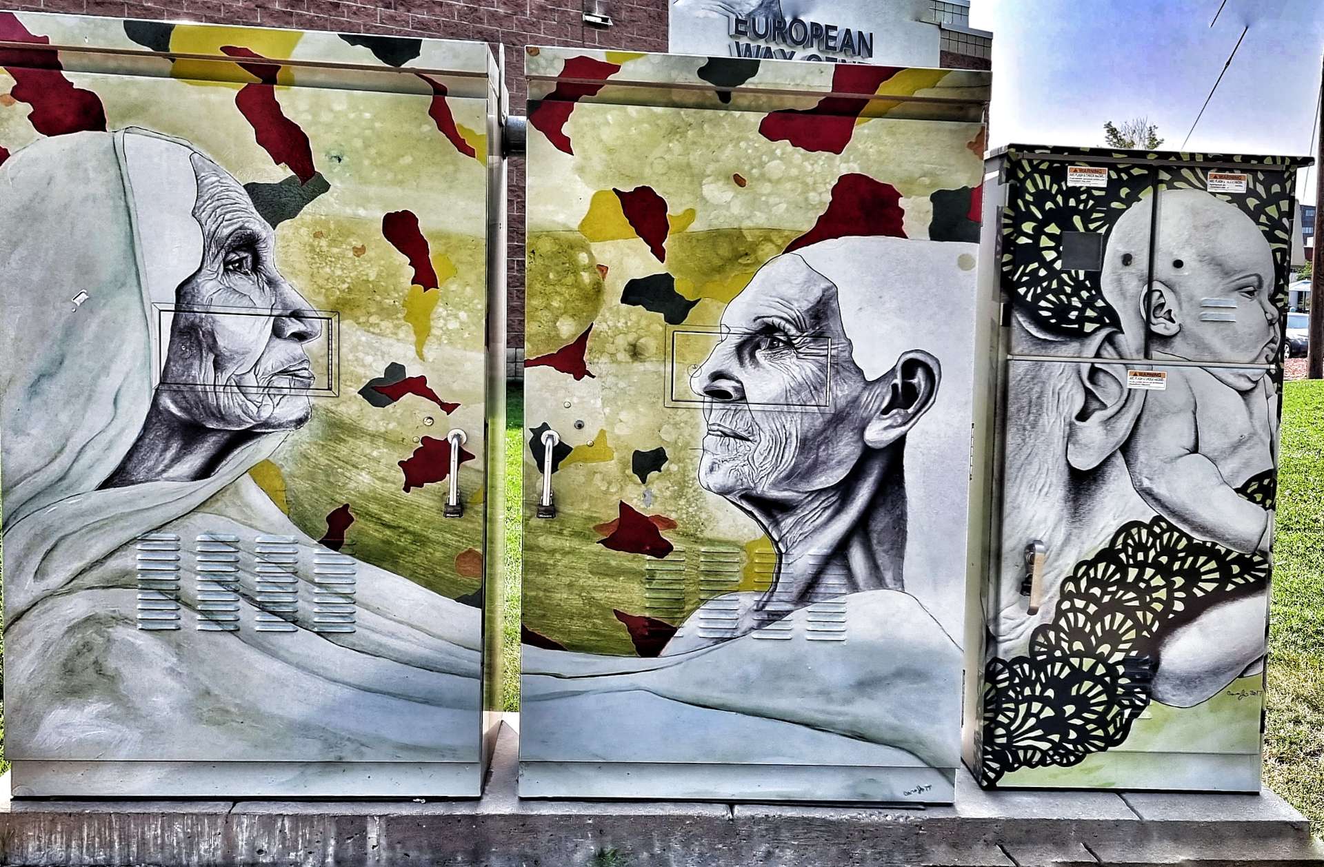
I also spotted a couple of small murals in the brick columns by the Stadium Village Station & on the Electric Generator that we passed on the way back to the hotel.
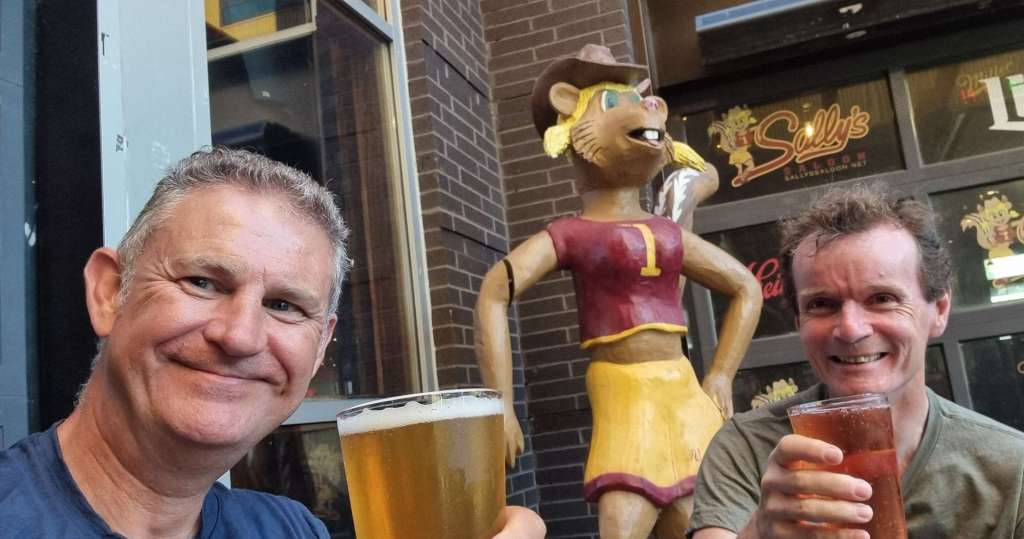
We picked the bikes up this afternoon – everything is sorted & ready to be ridden on Friday. It’s time to celebrate a successful day with a few beers (more than a few in the end!)- tonight we tried Sally’s Saloon, another really enjoyable night sampling the local IPA’s & Blue Moons!
Thursday 21st July – Minneapolis (Rest Day Two)
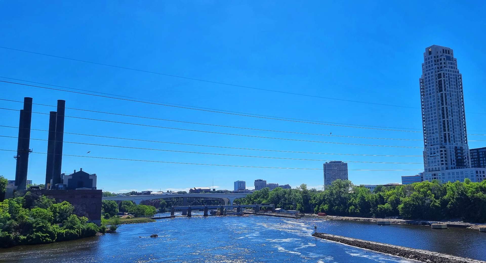
We headed back into Minneapolis on the Tram again to visit the Stone-Arch Bridge. On the way I stopped to get photos of The Commons Park & the US Bank Stadium where the Minnesota Vikings play their home American Football games.
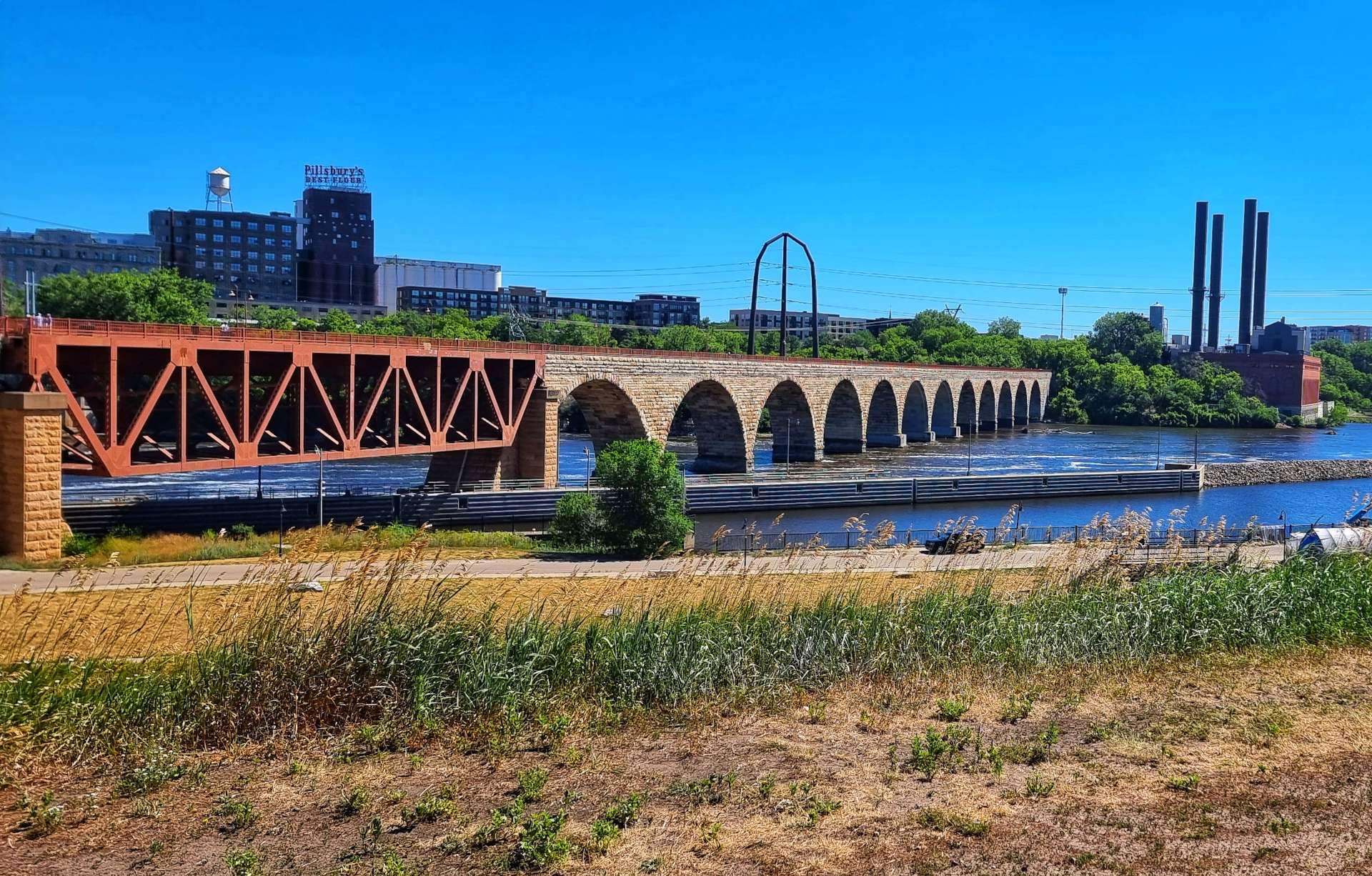
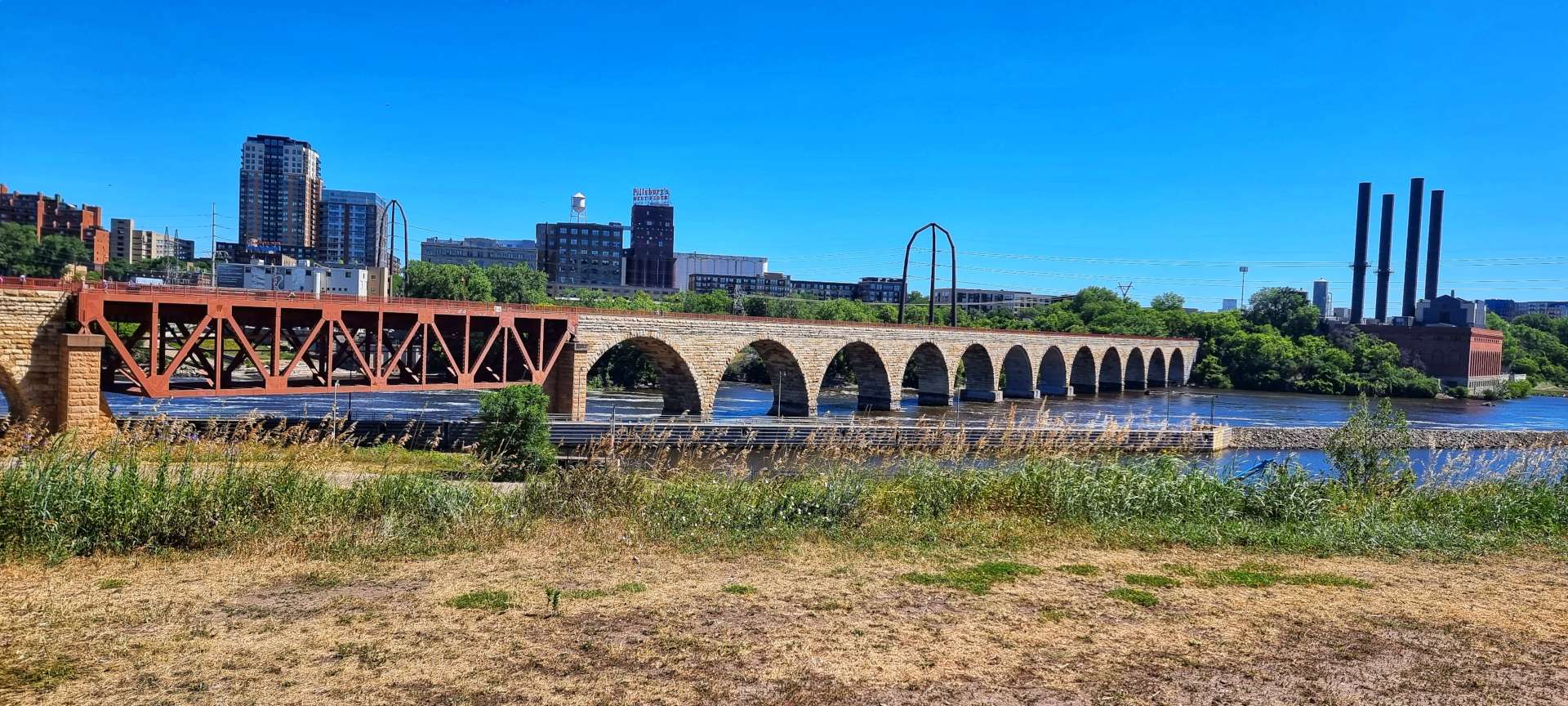
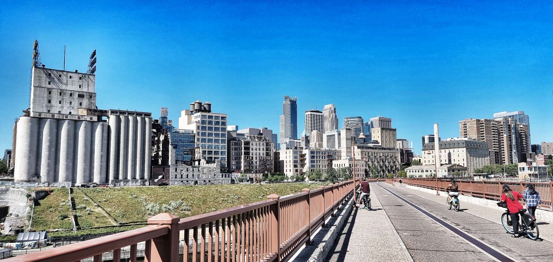
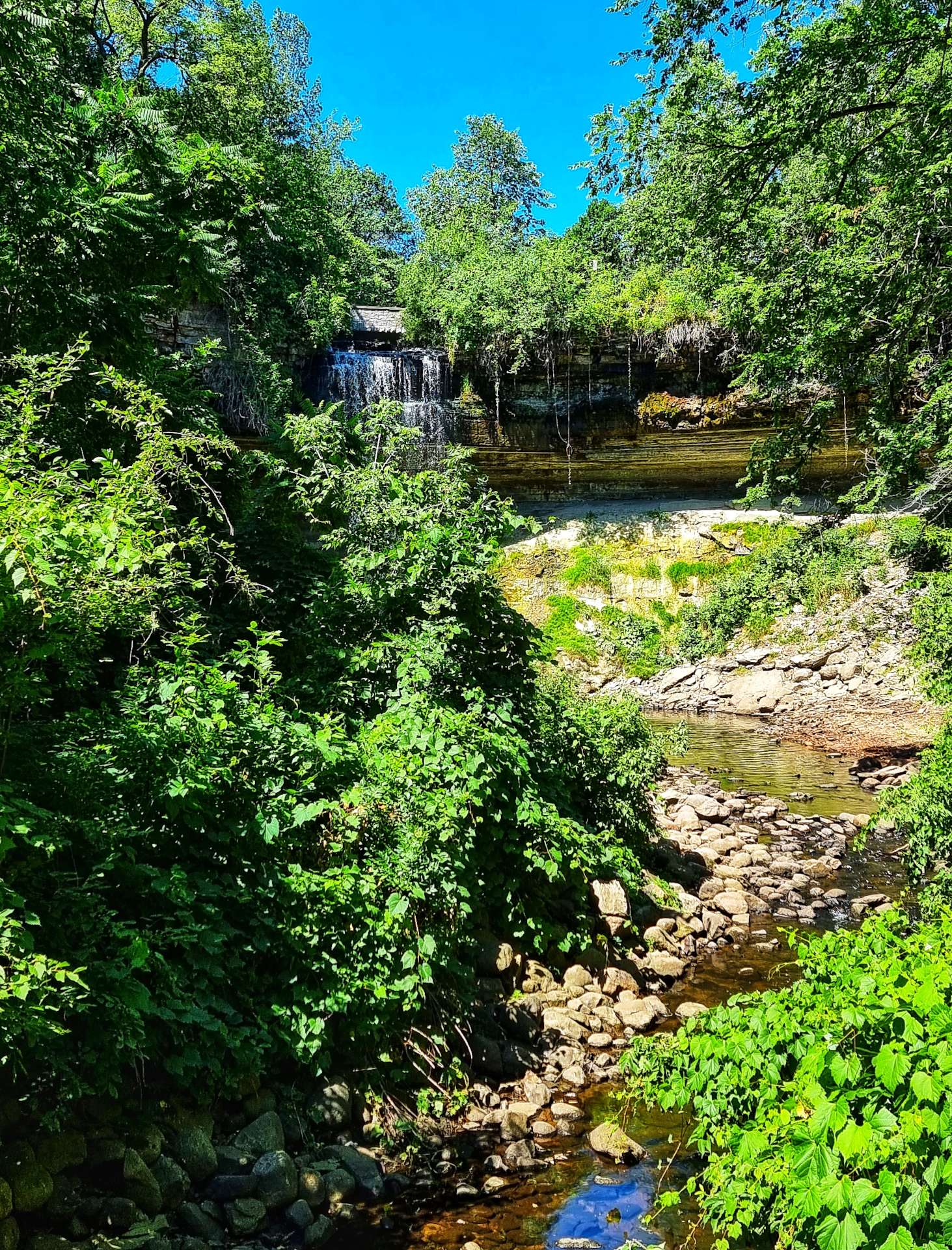
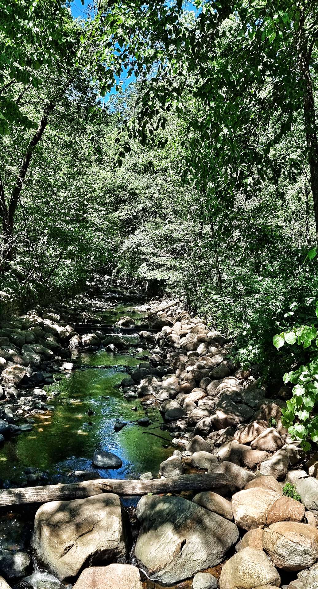
The Stone-Arch Bridge is a former railroad bridge crossing near to St Anthony Falls. It’s the only stone-arched bridge on the entire Mississippi & is the second oldest bridge of any sort across the river. The bridge was completed in 1883 & is now exclusively for use by pedestrians & cyclists.
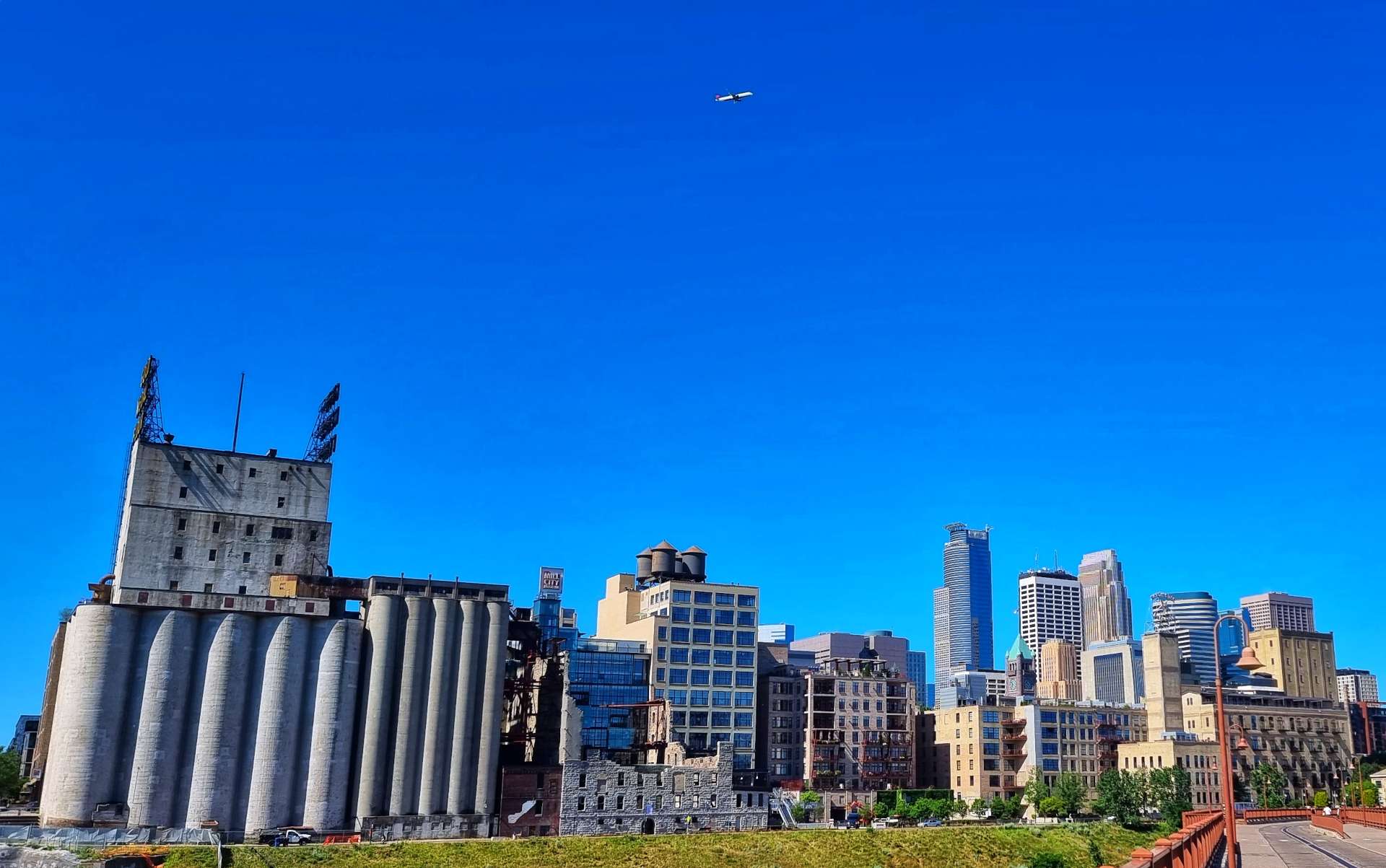
On the West Bank you can see the Old Mill Museum. The museum was built in 2003, in the footprint of the original Washburn ‘A’ Mill. The museum focuses on the founding & growth of Minneapolis, especially flour milling & the other industries that used hydropower from the St Anthony Falls in the 1870’s.
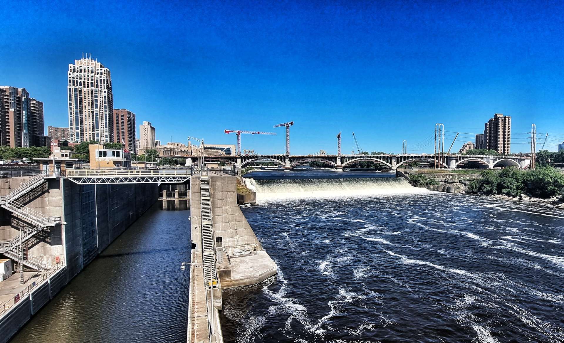
The St Anthony Falls is the only natural major waterfall on the entire Mississippi River – the river drops 49 feet (that’s 10% of the total height that the river loses in the 560 miles from Minneapolis to St Louis.
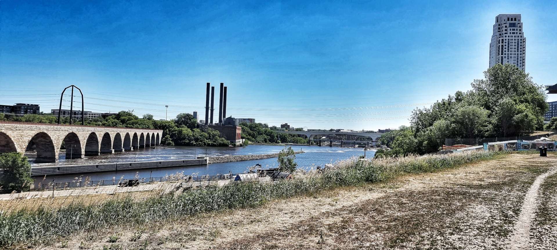
Between 1857 & 1868, the falls were retreating at a rate of 26 feet per year, due damage from logging activities & hydro schemes to power the flour & timber mills. The damage continued until the US Army Corps of Engineers carried our remediation work between 1874 & 1885. Those works continue to protect the falls to this day along with a concrete apron that protects the delicate limestone from erosion.
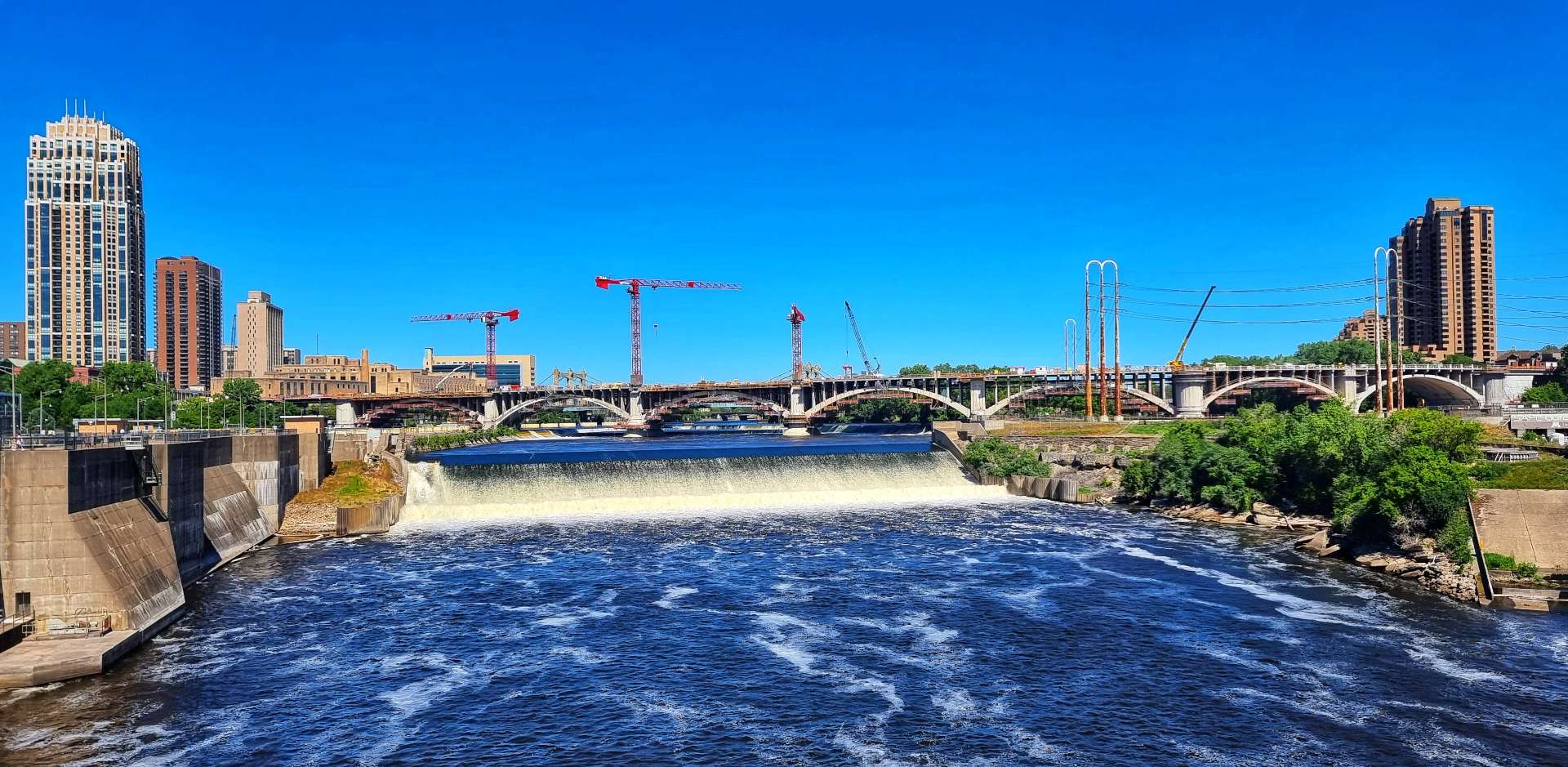
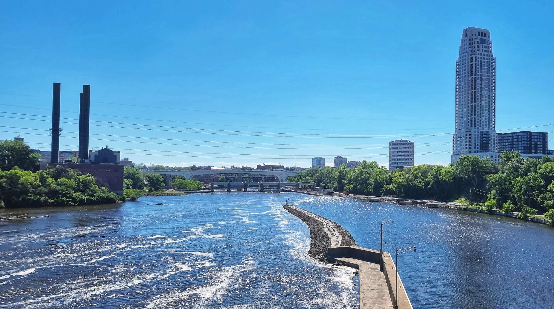
Looking downstream the main channel of the Mississippi is re-joined from the Lock & Dam on the West bank & the hydro-electric facility on the East bank.
The upper level of the lock & dam have been closed to navigation since 2015 in an attempt to prevent carp infesting the upper reaches of the Mississippi. The lock measures 56 feet wide by 400 feet long & the drop is 49 feet.
We only spent about an hour exploring the area, as sadly the Visitor Centre is currently closed as a precaution against Covid. In the event you ever visit Minneapolis I can thoroughly recommend a visit to the Stone-Arch Bridge & surrounding area.
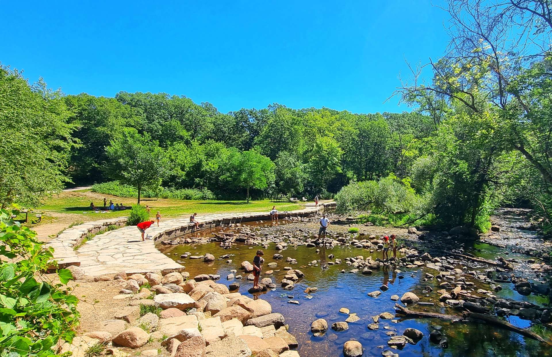
Making full use of our $4.50, five hour Tram ticket, we returned to US Bank Station & caught a Blue Tram to Minnehaha Falls. It takes about a 15 to 20 minute journey on the tram, followed by a 5 minute walk to reach the Regional Park.
We were limited for time, so chose to just visit Minnehaha Falls, although the park has so much more to offer. The park is one of the oldest & most popular in Minneapolis & is most famous for its 53 foot waterfall & limestone cliffs, as well as its river overlooks.
The park had quite a few visitors, but it never felt overly busy – there were a few groups of cyclists exploring the Grand Rounds National Scenic Byway, kids playing in the rockpools & ponds, while adults roamed the gardens. The temperature was in the 90’s today so after we’d walked the Minnehaha Falls trail we stopped for a sprite & then headed back to the hotel.
I’ve had a great couple of days, exploring the City & some of its sights, enjoying some genuine Rest & Relaxation over a pint or two (or three), as well as getting the route planned for the next week or so & also getting the mundane tasks done like laundry.
Tomorrow we start our next block of riding, as we head off down the Mississippi on the Great River Road Scenic Byway. I hope you’ll join me on the next stage of our adventure from Coast to Coast across the USA!
Monday 18th July to Tuesday 19th July – Stages 62 & 63.
Monday 18th July – Redwood Falls to Hutchinson (Stage 62)
We were on our way by 9am, so we could complete today’s ride before the stifling heat that was forecast for mid-afternoon. As we left town, we passed Memorial Park, which displayed a decommissioned Sherman M4A3 tank in memory of World War 2.
There was a steep descent in the first few miles as we had to cross the Minnesota River. We then had a short, but fairly steep climb up the opposite side of the valley.
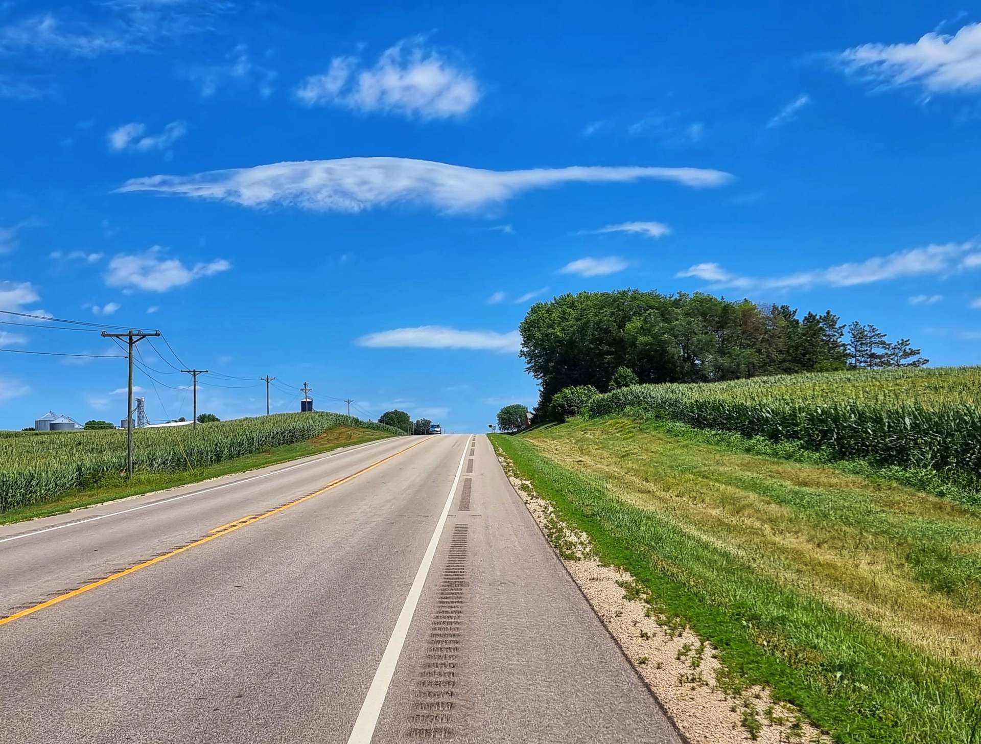
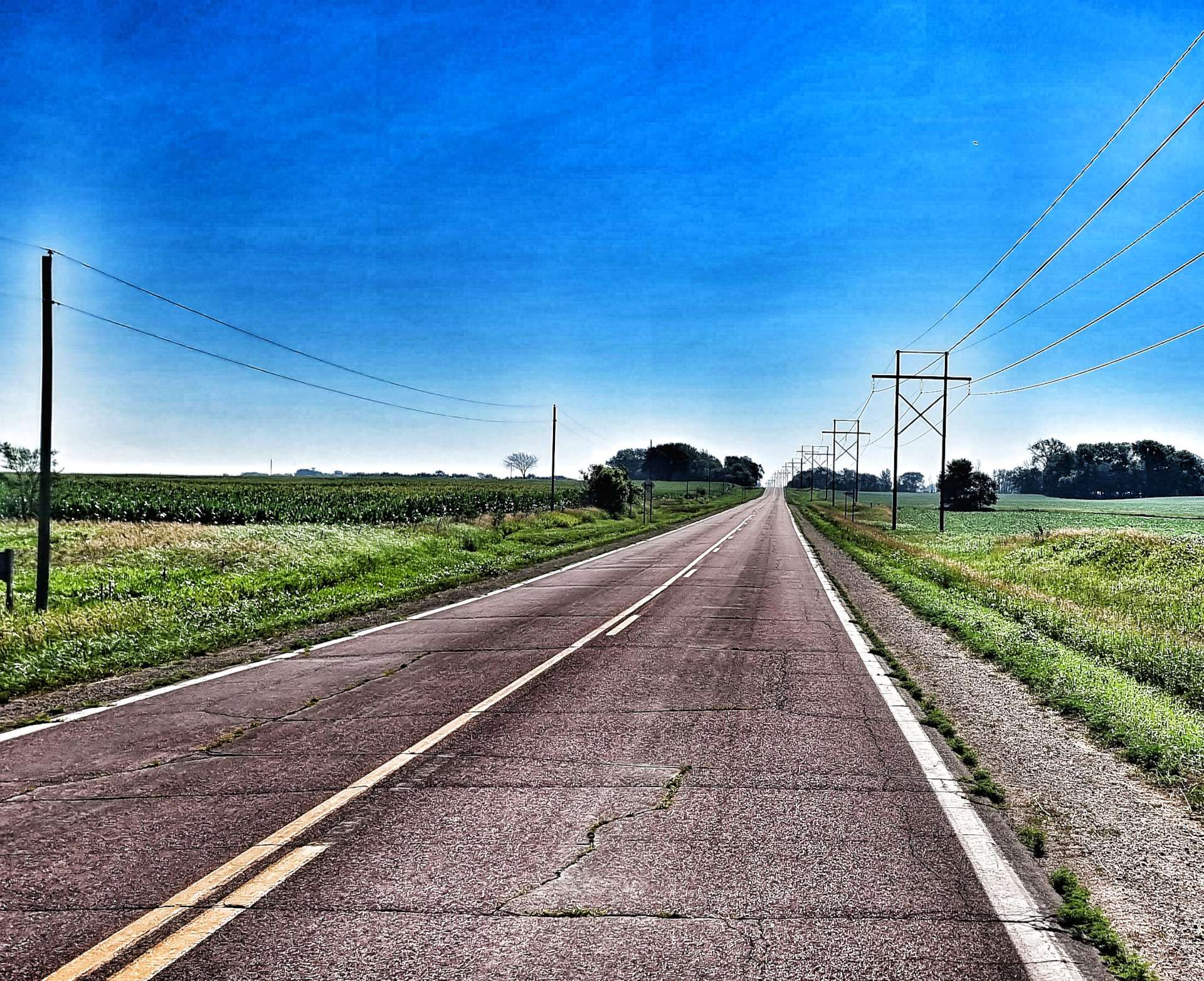
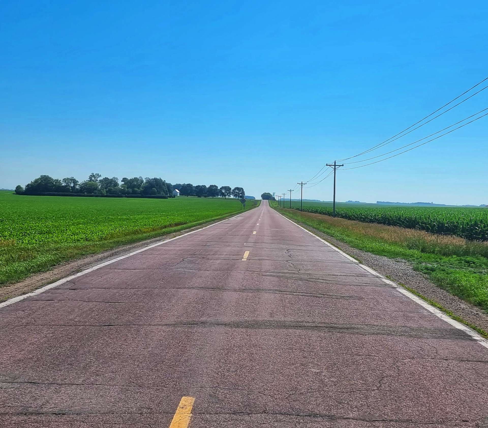
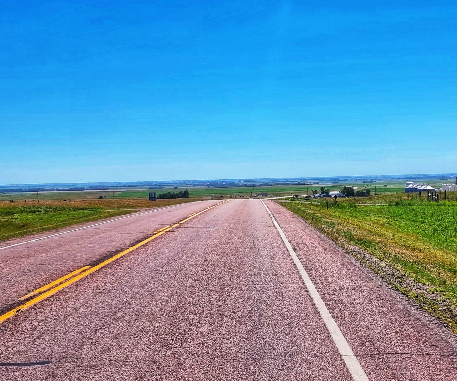
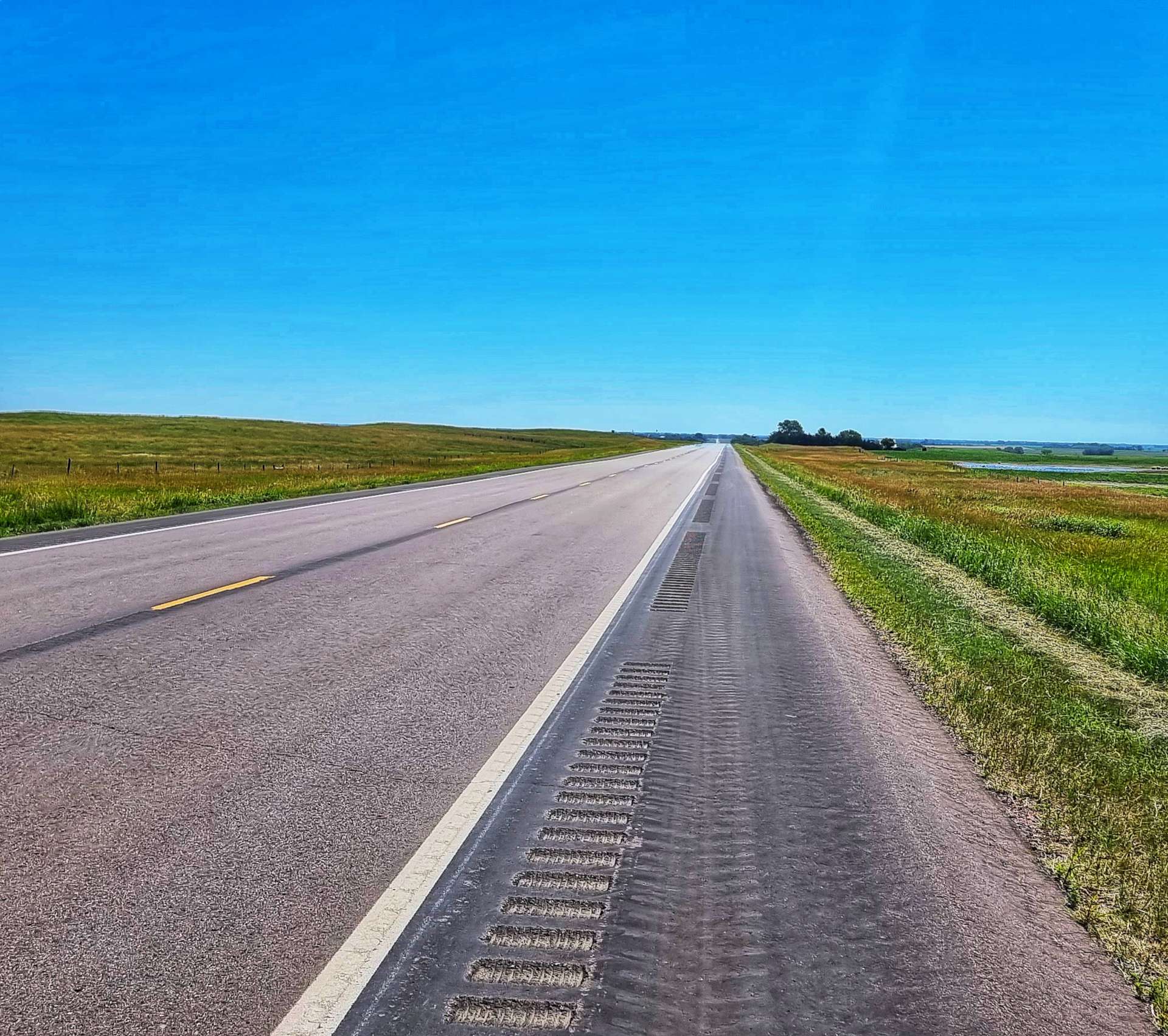
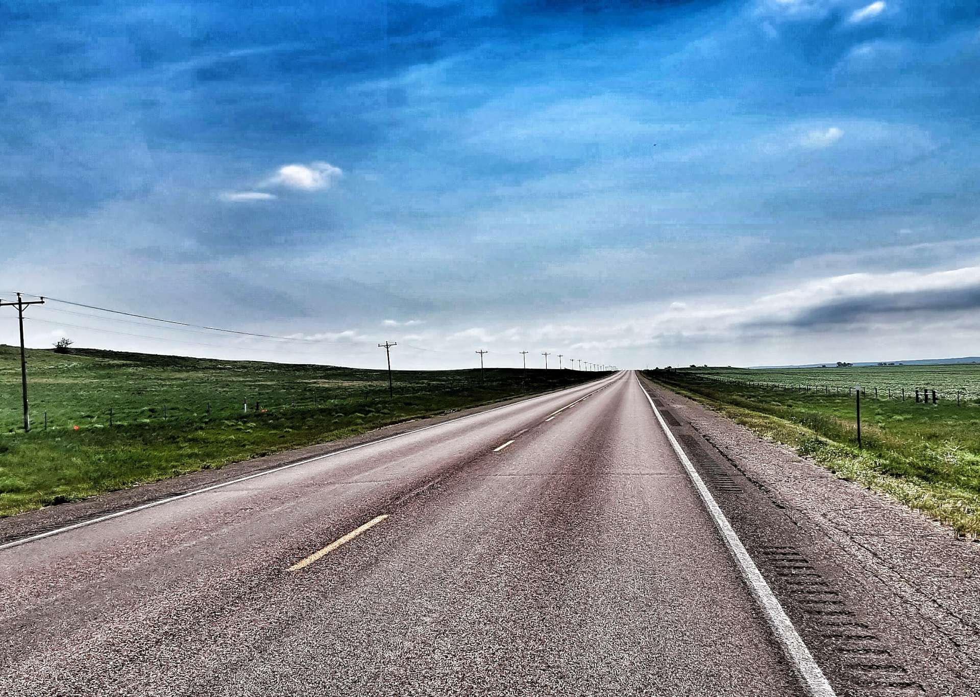
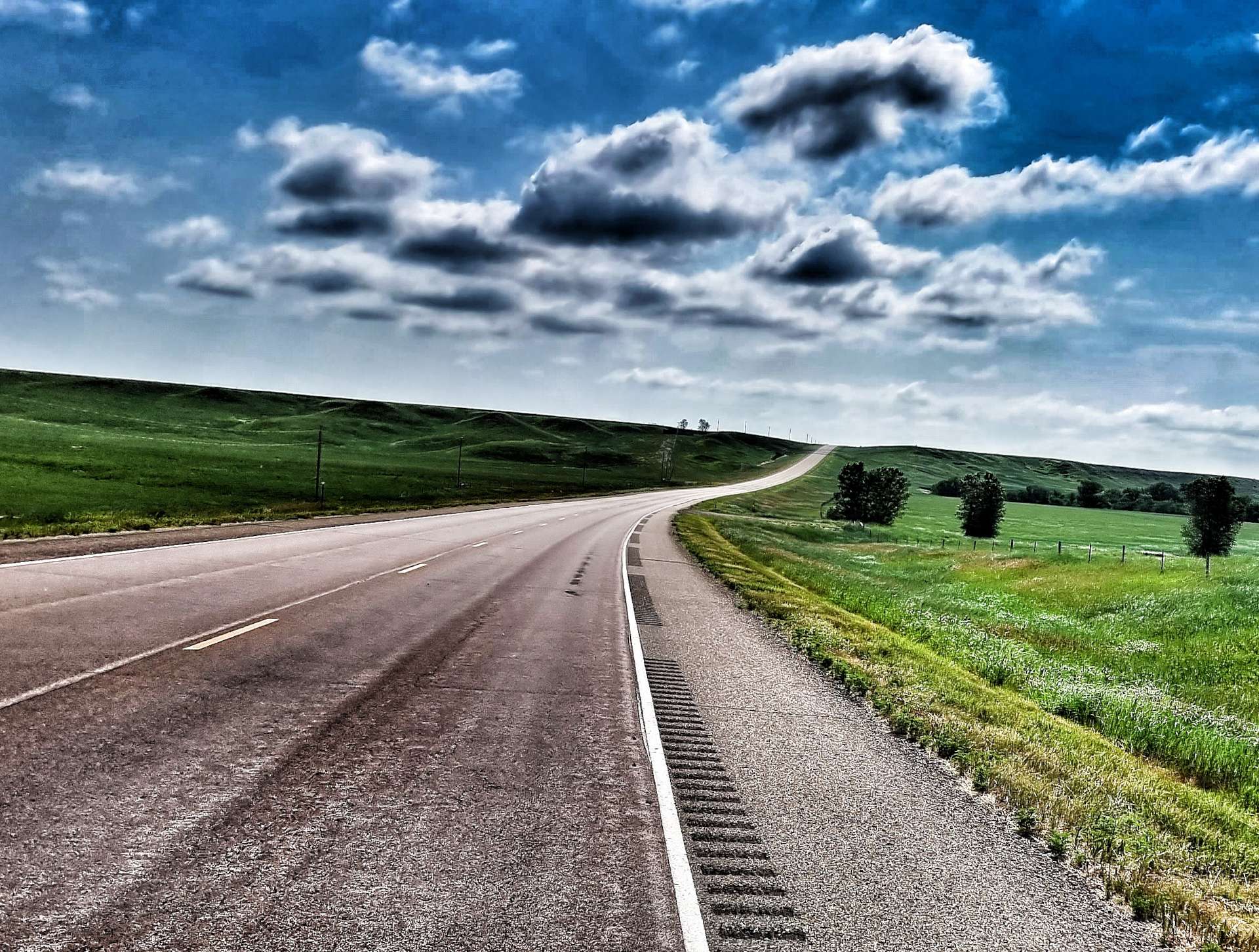
Having conquered the climb, we returned to a familiar landscape of a long, straight road, penned in by maize & wheat fields.
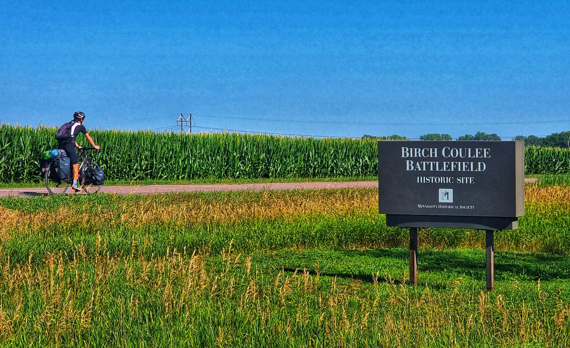
Out of the blue we stumbled across the Birch Coulee Battlefield Historical Site. It was listed in the National Register of Historic Places in 1973 & commemorates the costliest military engagement for US forces during the Dakota War of 1862.
Overnight on 1st September 1862, 200 Dakota Warriors surrounded 170 US Troops & civilian support staff. Within the first hour of the siege, the Dakota had killed most of the horses, prevented the US Troops from escaping. The siege lasted a total of 31 hours & at the end of it, the US forces had lost 13 Soldiers, 50 were wounded & 90 horses had been killed in the battle. More horses & men died from their wounds afterwards. The Dakota lost 2 of their Warriors.
The historic site has self-guided trails & markers interpreting the battle from both sides.
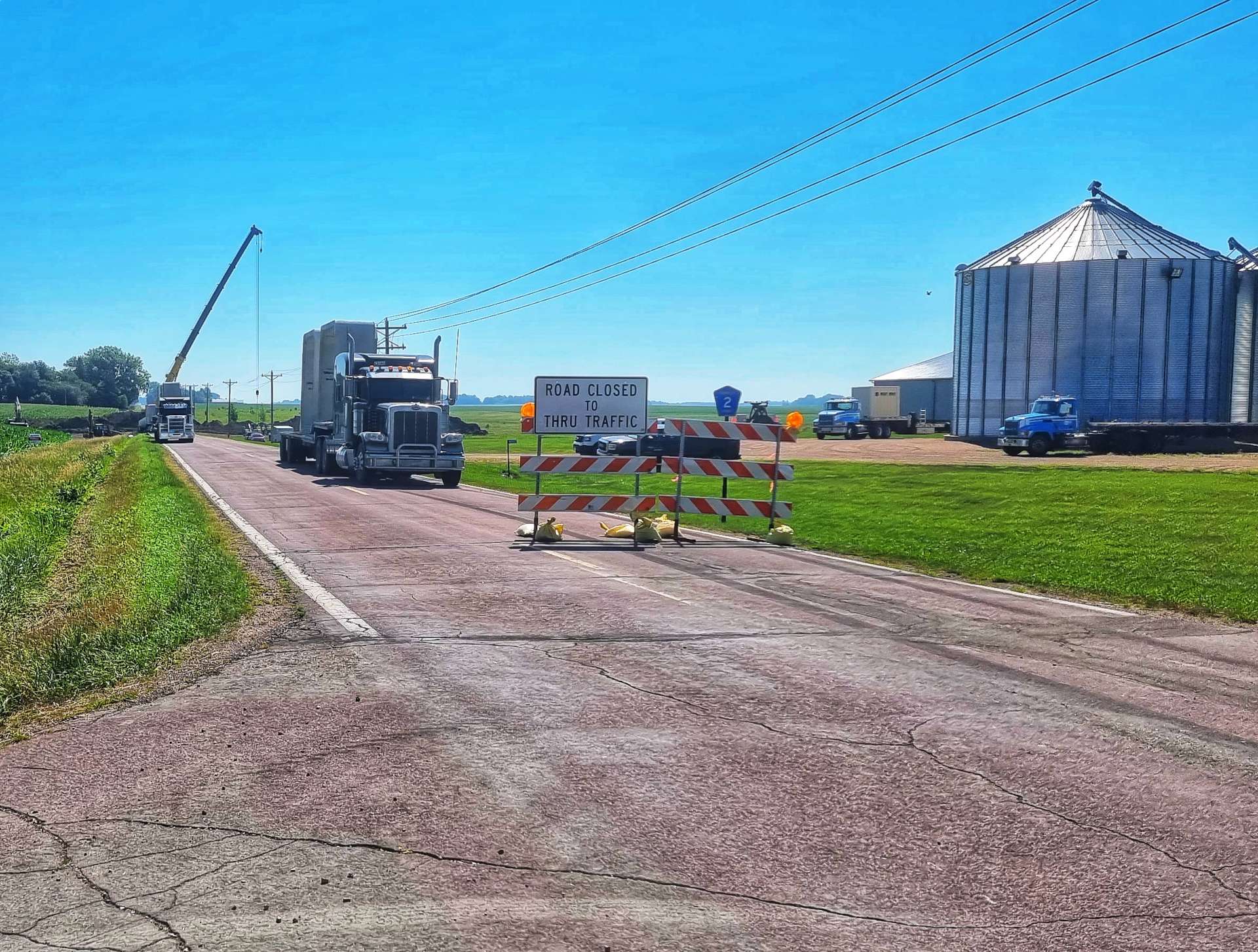
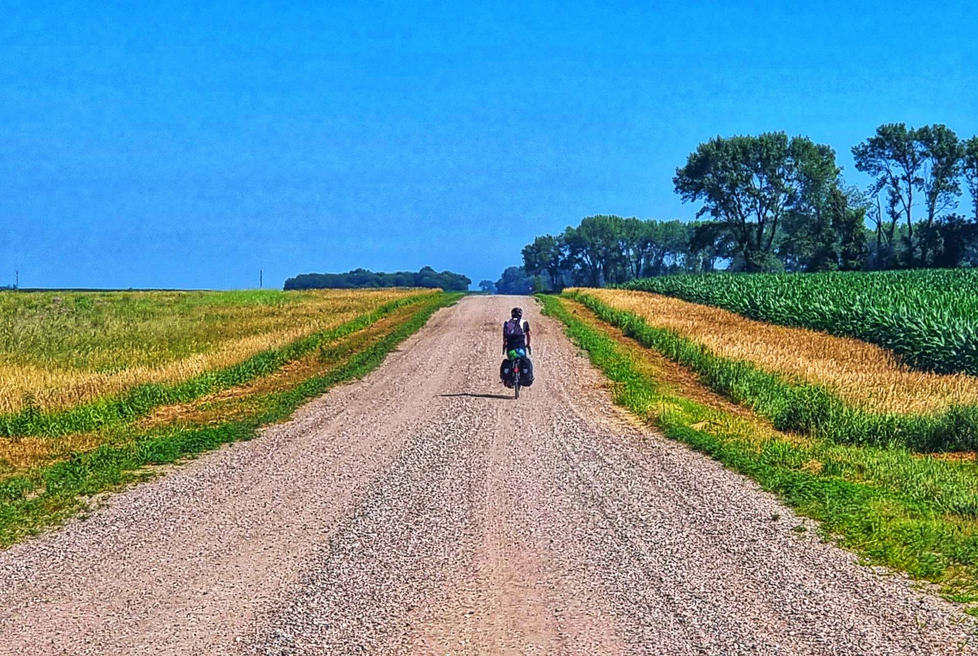
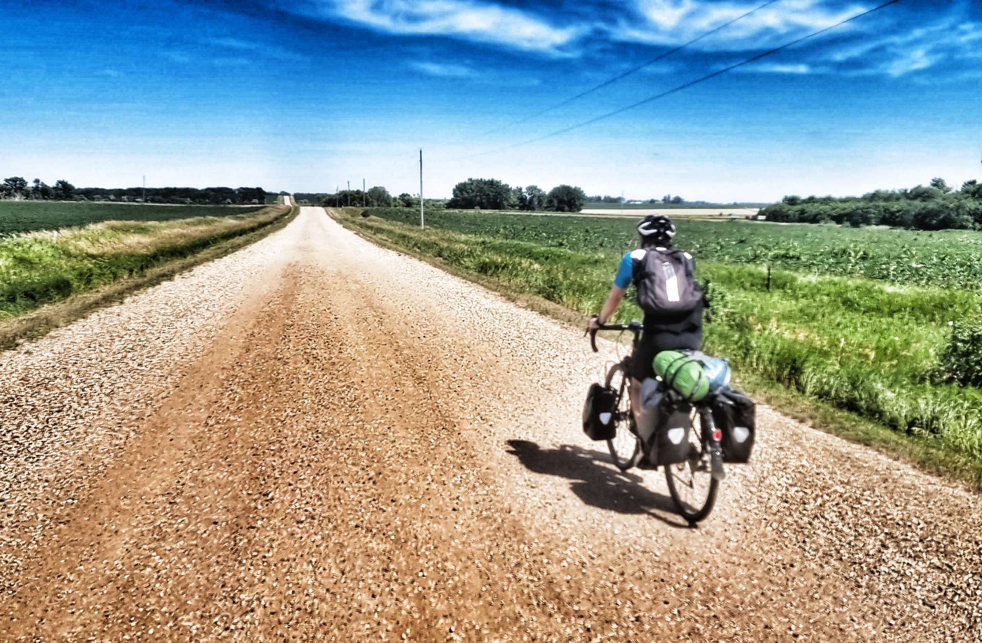
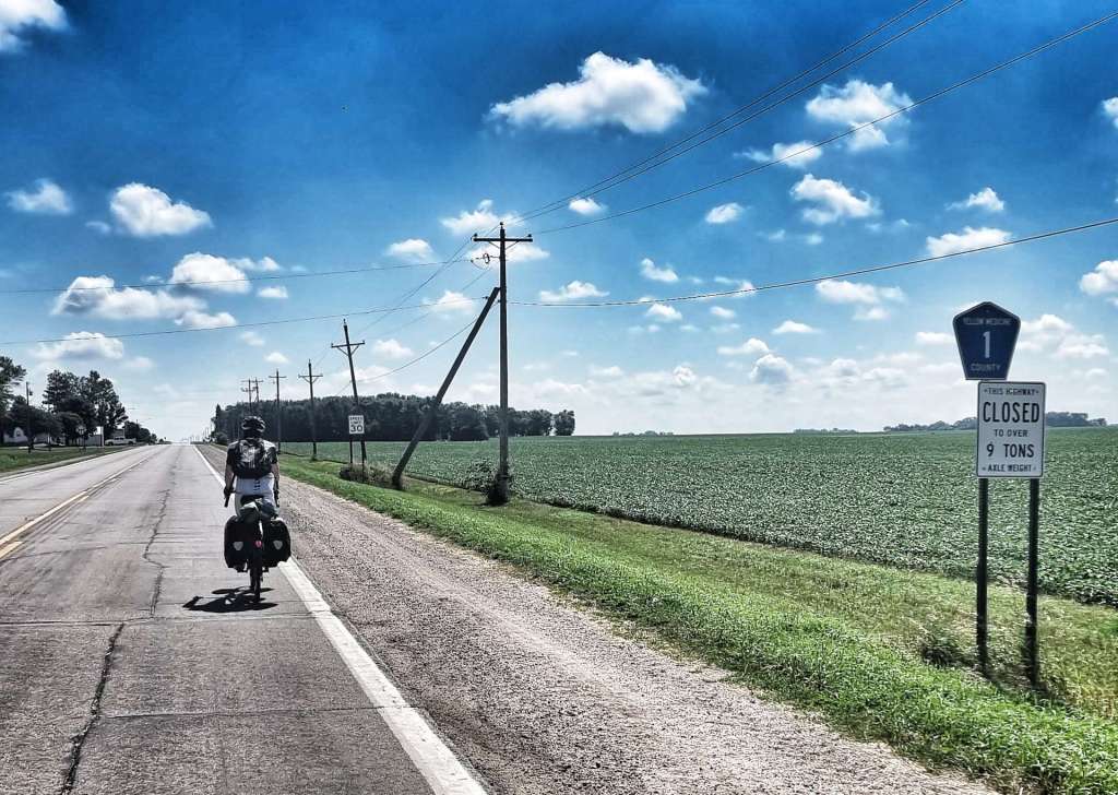
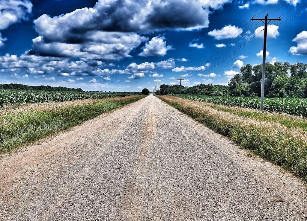
Our next surprise was a section where the tarmac had been removed (as it was in a bad state of disrepair) & replaced with gravel. The Minnesota Department of Transport estimates that almost 50% of all its public roads are gravel, so I guess we shouldn’t have been surprised! We briefly returned to paved tarmac, but it didn’t last long as the road had been dug up to lay drainage pipes & we had to take a detour…..on more gravel!
I carefully map every stage, so we know what to expect & I’d managed Sean’s expectations at the start of the day with the statement “Good news, we’re on tarmac all day!”. As you can see below, we weren’t. However, we’re on an adventure & we don’t let a bit of gravel ruin our day – plus, I’m beginning to enjoy riding gravel now I feel a bit more confident riding on it!!!
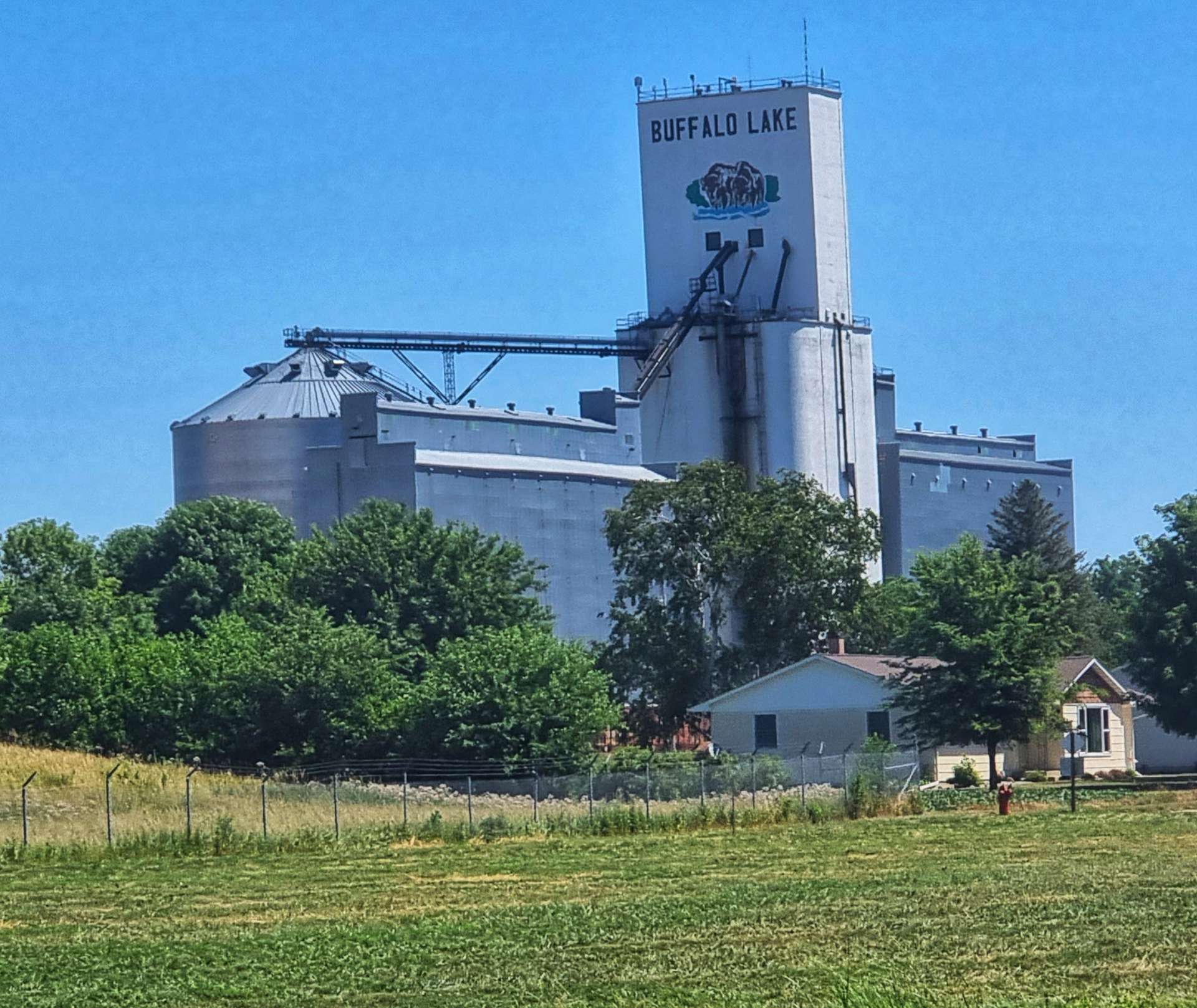
After about 7 or 8 miles we returned to tarmac & picked up a slight tailwind as we headed North towards Buffalo Lake – this was our one & only hope for a coffee stop. Sadly the gas station only sold fuel & the local grocery store didn’t serve coffee. We settled for an ice cream each from the freezer & a can of coke, plus the obligatory refill of our water bottles.
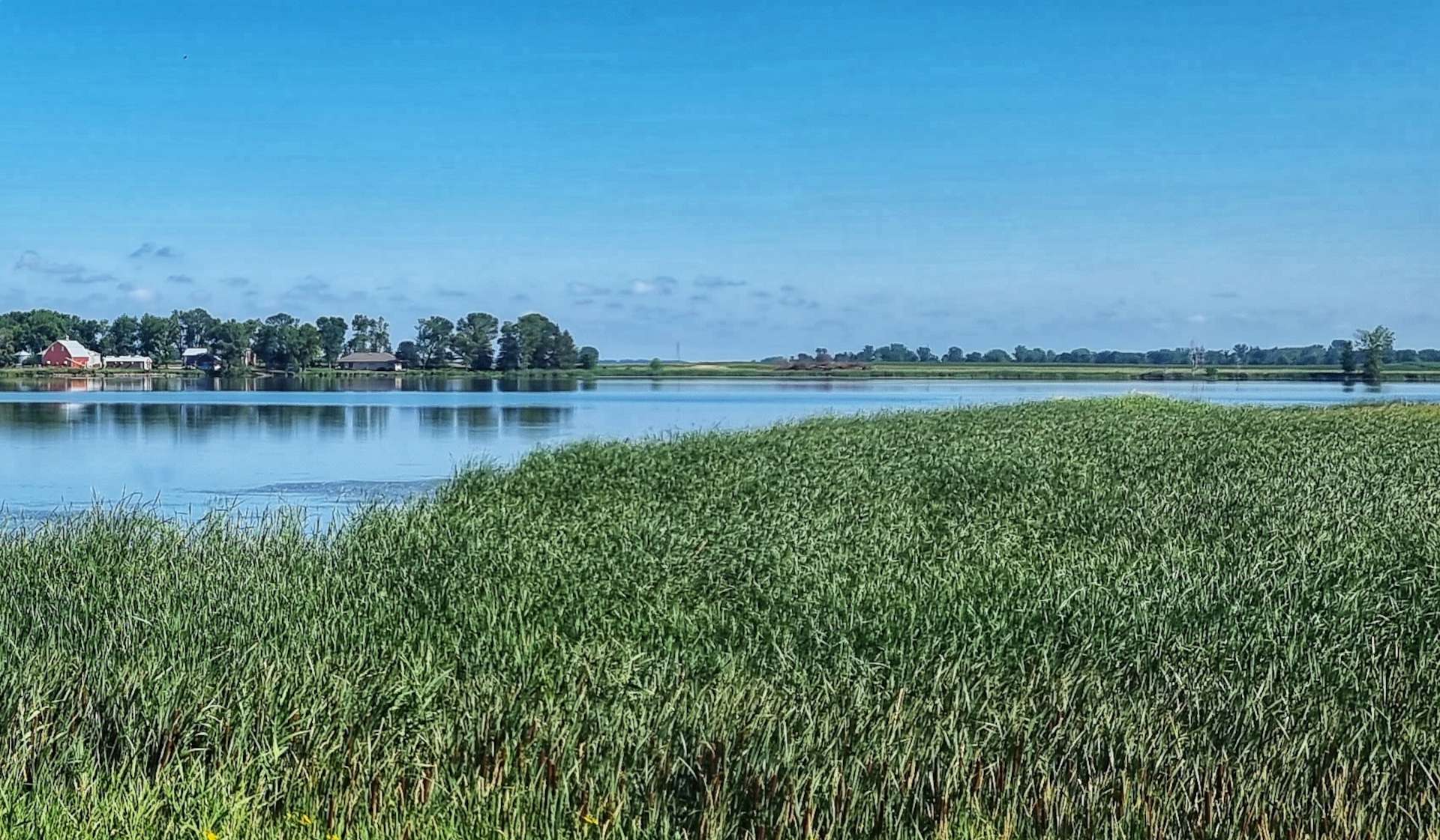
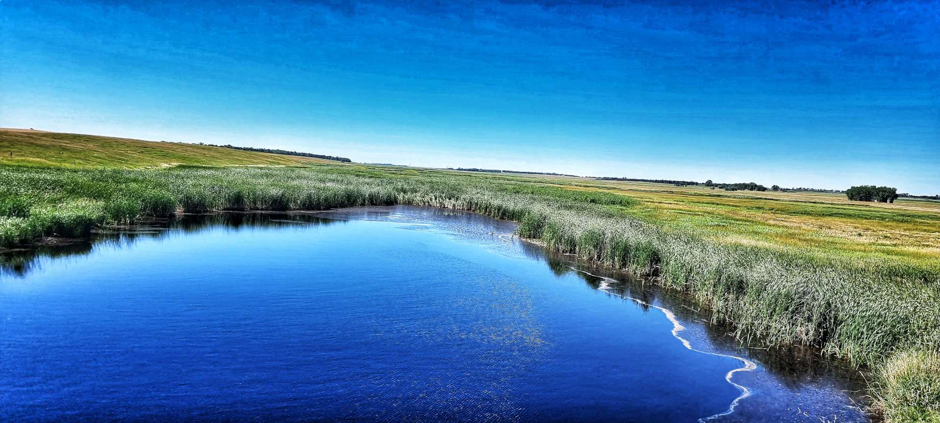
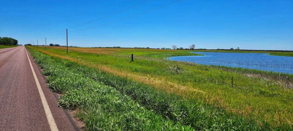
We had 22 miles remaining when we left Buffalo Lake (no buffalo & no lake, in case you’re interested!). County Highway 8 had recently had its tarmac re-laid & we flew along the deserted road. We stopped briefly at Lake Allie County Park to admire the blue water & watch the dragon flies skimming across the surface.
The final 10 miles were on a variety of different roads, but the only difference in the views was the colour of the tarmac – the surrounding countryside remained constant. We arrived at our motel in Hutchinson by about 2.30pm, so we’d made really good time & treated ourselves to 20 minutes in the pool to ease our aching limbs & cool down from the ride.
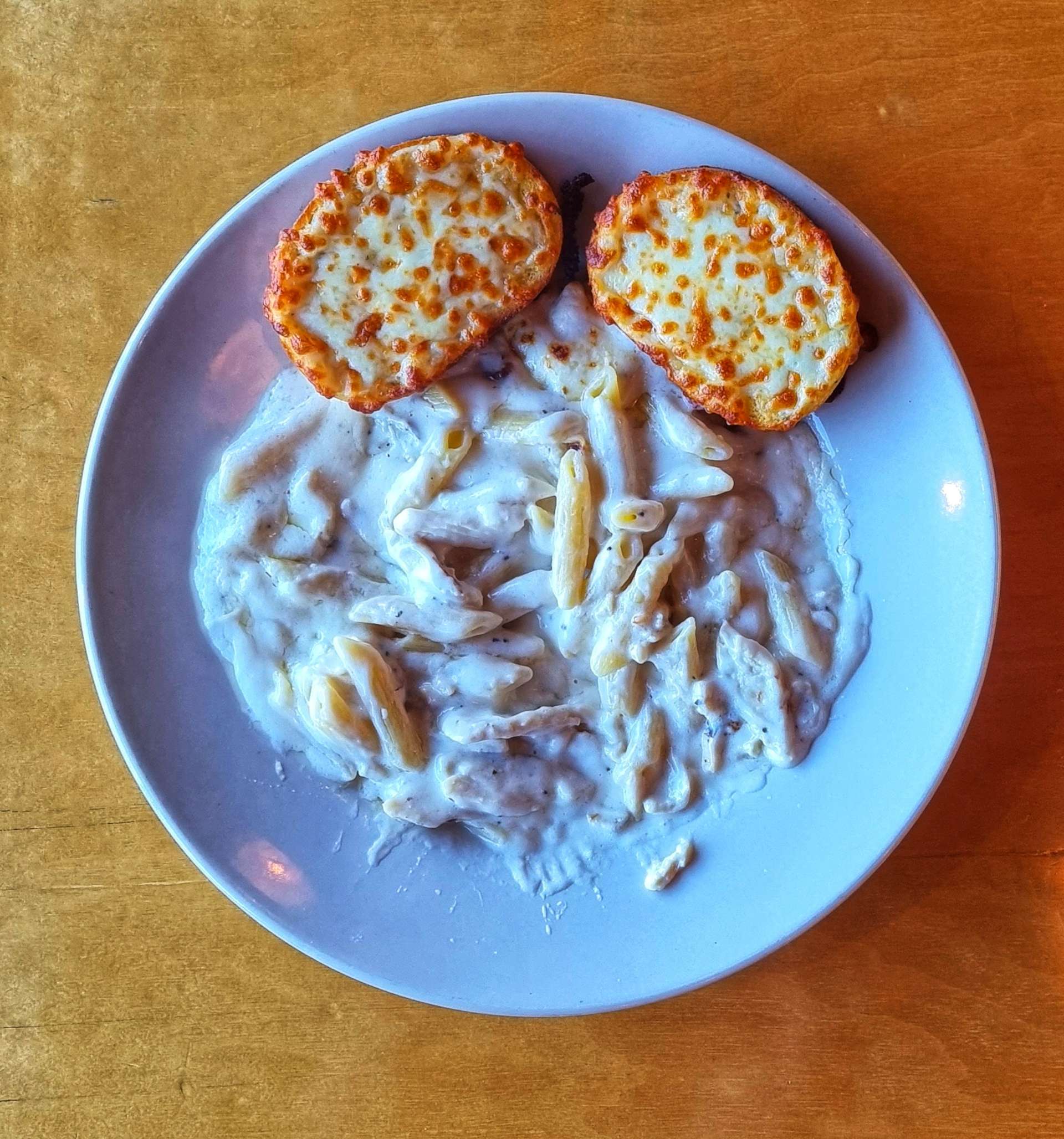
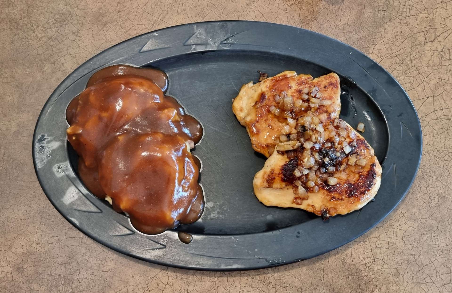
This evening’s dinner was chicken pasta alfredo (that’s garlic bread, not toast!), washed down with coke – we’re hoping Minneapolis provides us with beer options tomorrow.
Stage Stats – 63 miles, 1,027 feet of climbing. Road closures resulted in about 10 miles of unexpected gravel riding.
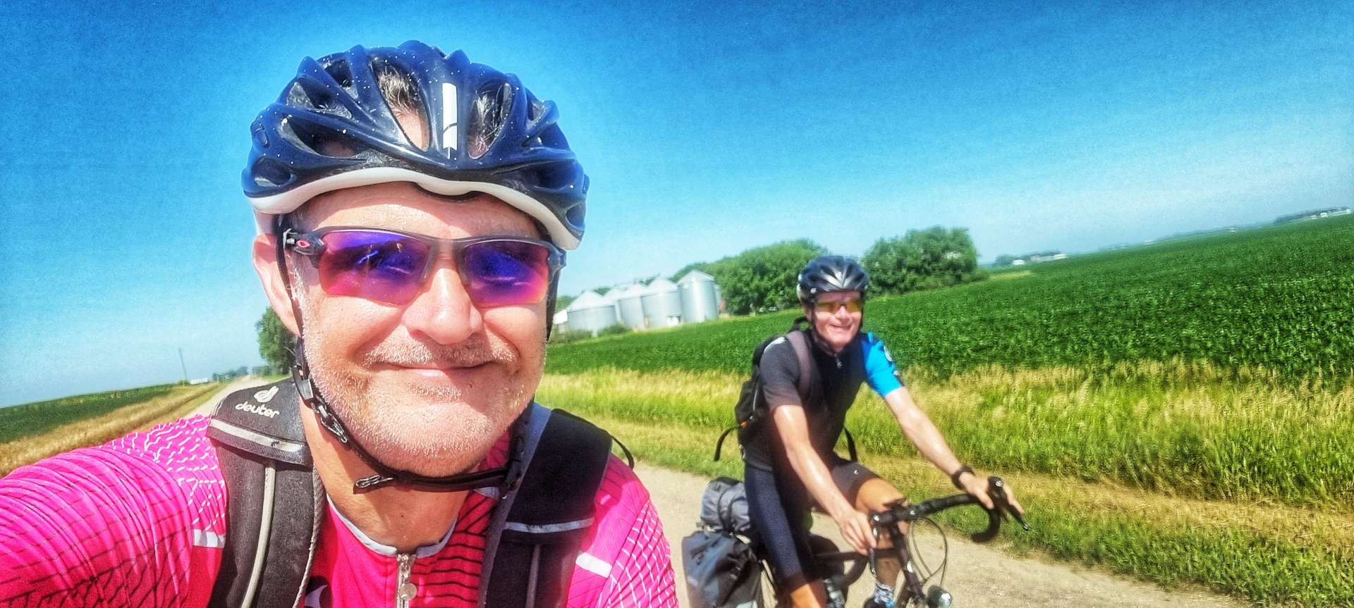
Tuesday 19th July – Hutchinson to Minneapolis (Stage 63)
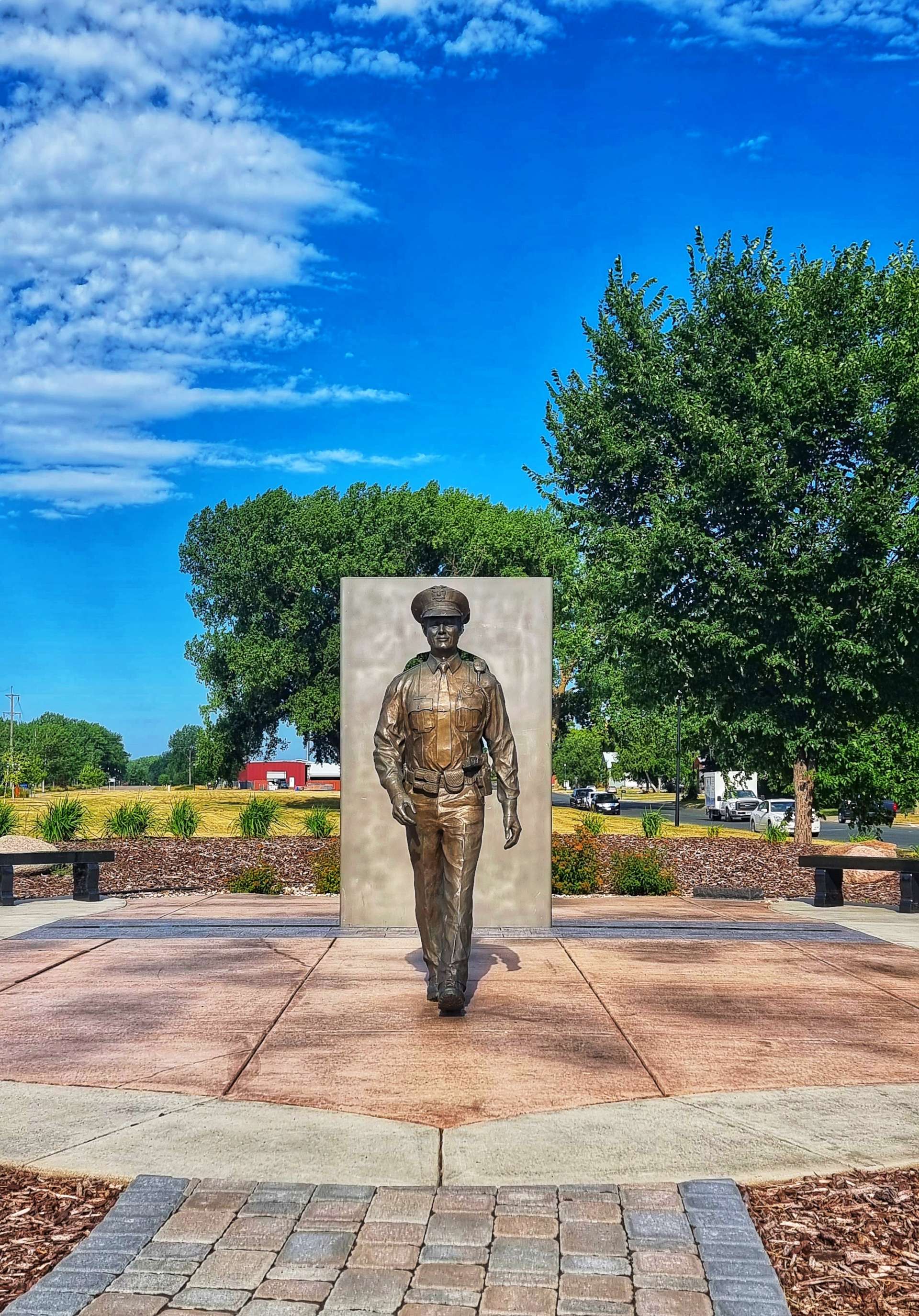
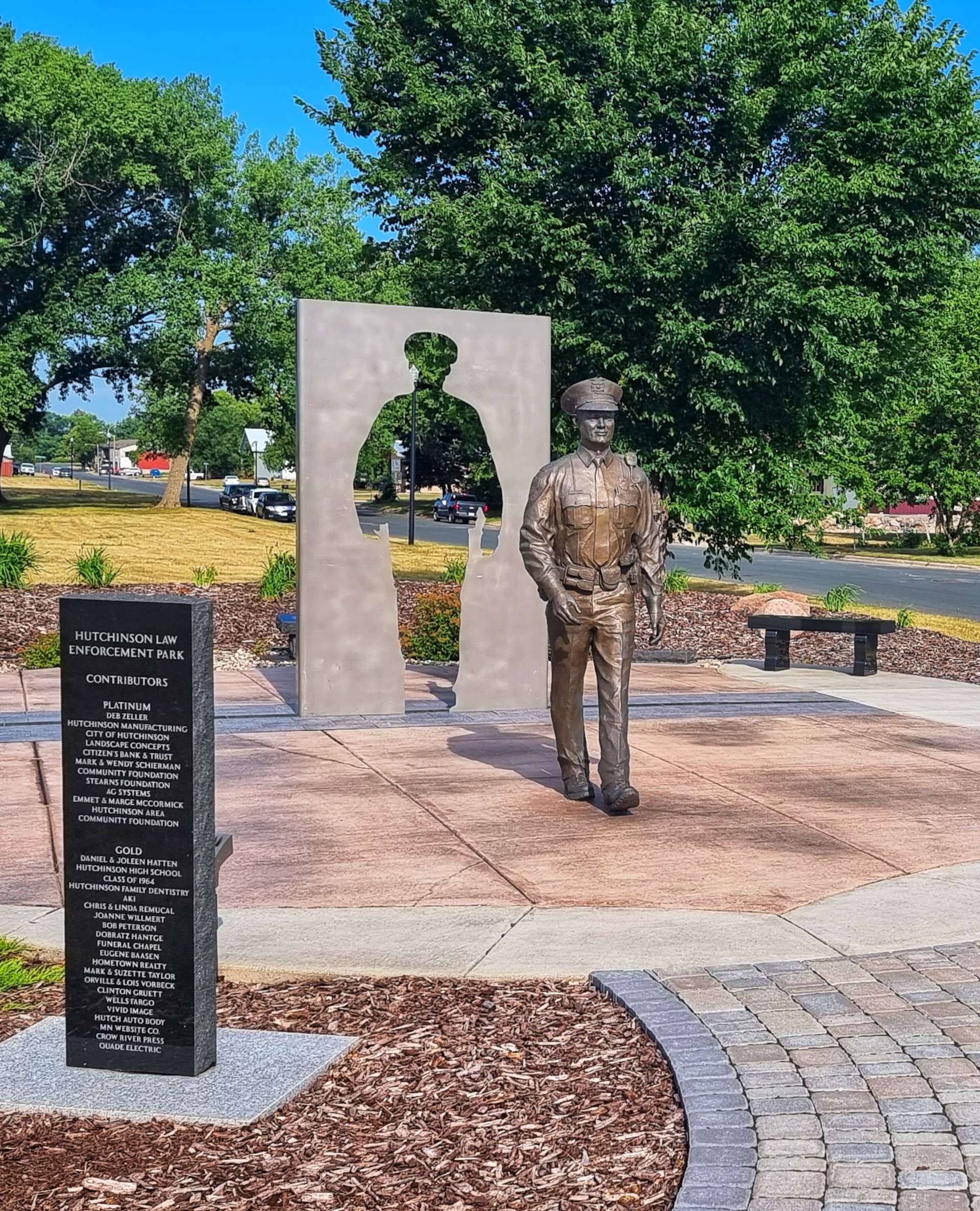
3 bowls of Frosties, yoghurt, toast (with peanut butter) & coffee to start the day – you can’t beat a big breakfast before a big adventure on the steel steed! We were on our way by 9am & picked up the Luce Line State Trail straight away that took us past a wildlife refuge (with deer, swans & geese), through Hutchinson Law Enforcement Park & past a pretty lake as we navigated across town.
The Luce Line State Trail is 63 miles long in total, following the old railroad – we only rode the 10 miles to Silver Lake (all paved), but in that short time we experienced a wide variety of landscapes as we passed small lakes & ponds, heathland, fields & wooded areas.
The 10 miles from Silver Lake to Lester Prairie was either into a strong headwind or crosswind (there was no protection from the wind), so we made slower progress than expected & as a result we chose to look for a coffee stop. We stumbled across the Central Cafe, run by Mary Kay with help from Shelby. We had an enjoyable 30 minutes talking travel, music & growing up in the 60’s / 70’s with Mary Kay – these random encounters with kind spirited people adds so much to the adventure.
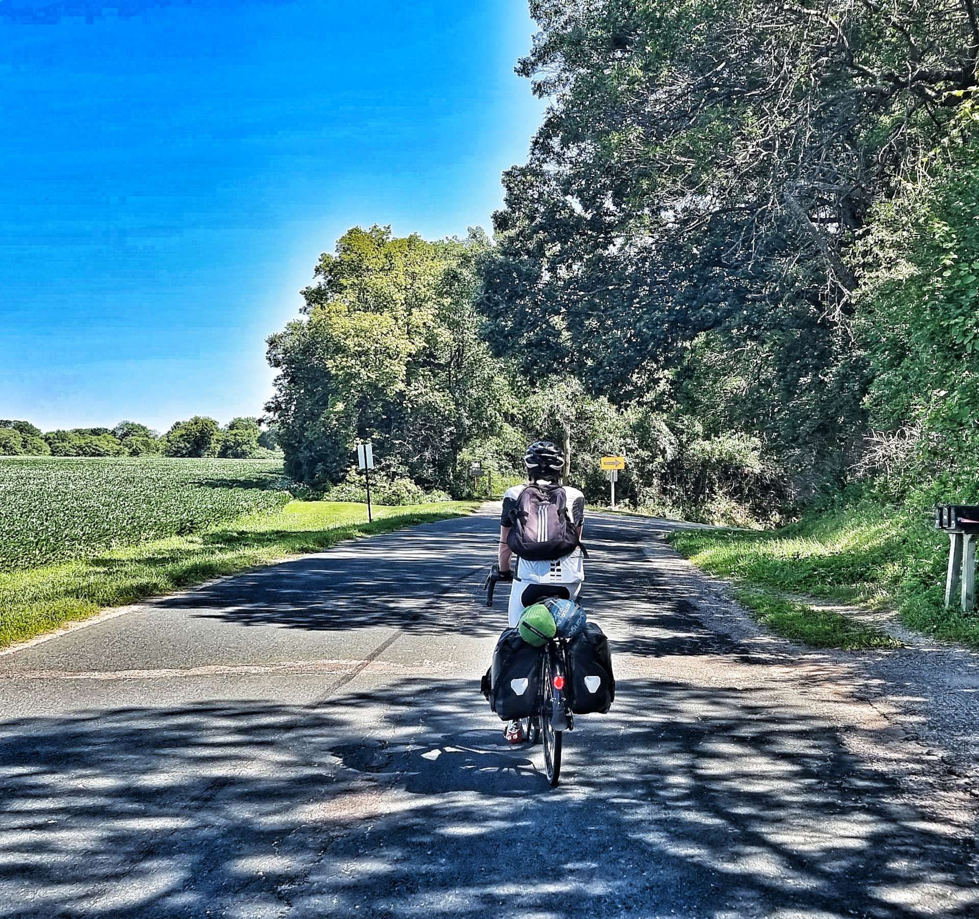
We joined the Dakota Rail Trail as we left town – we would be on the paved trail for the next 15 miles to St Bonifacius. The early part of the path was through a wooded area, before returning us to maize fields. At times we shadowed the main road, as we made our way East via New Germany.
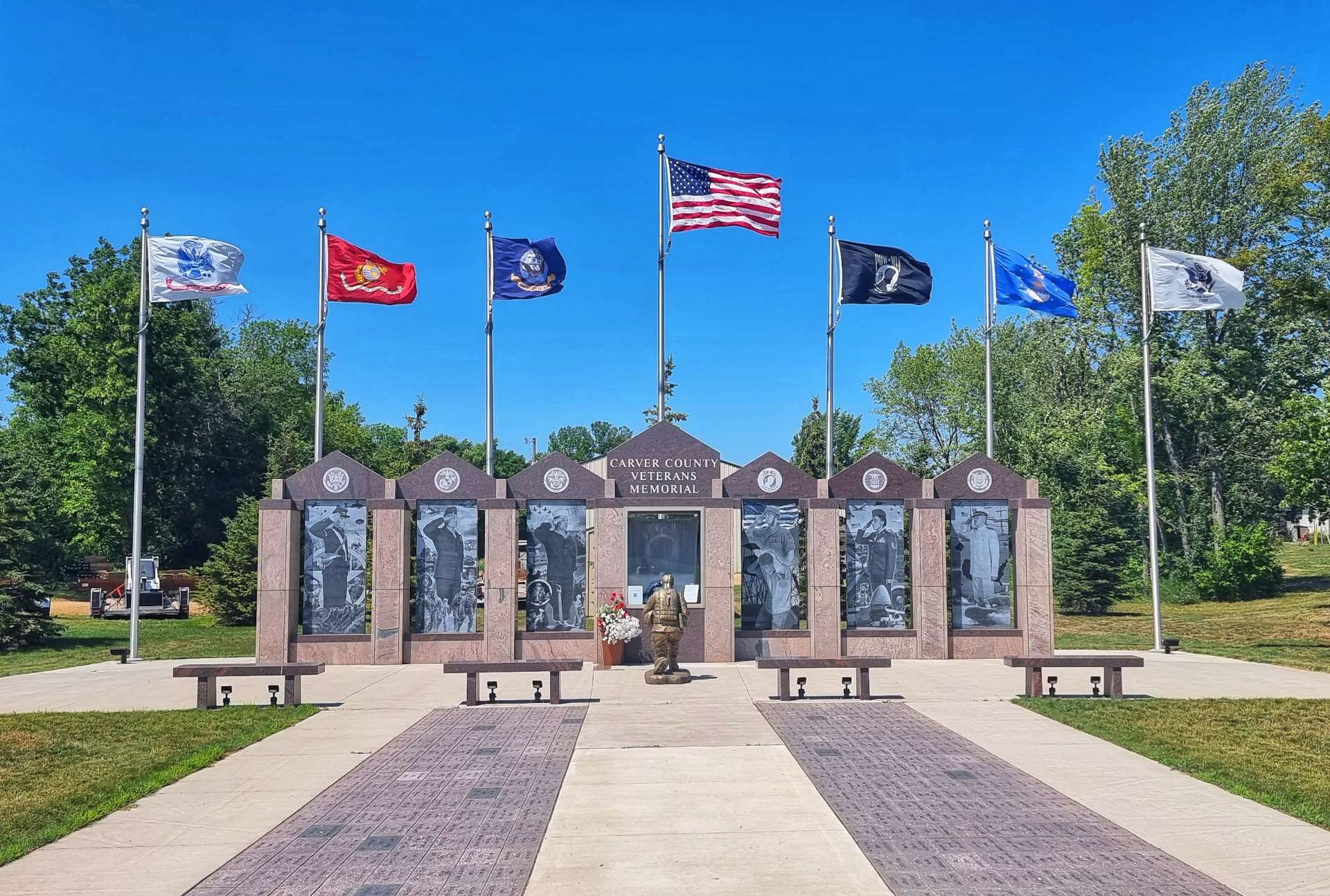
Passing through Mayer I stopped at the Carver County Veterans Memorial – almost every town has a memorial to remember those who fought & lost their lives on behalf of their homeland. The strong wind was whipping up white-topped waves on Lake Waconia & there were even a couple of brave soles wind surfing.
A cyclist passing the other way shouted “Watch out for the tree up ahead!” – an odd conversation opener, until we realised he meant a tree had been blown down across the trail!!! While we were taking the kit off our bikes so we could portage it over the fallen tree, a couple of other cyclists joined us & said the trail was clear only an hour ago when they were travelling in the other direction.
At St Bonifacius we stopped to top up our water, then followed the road for a couple of miles as we made our way to the next element of bike trail at Carver Park Reserve, home of the Lowry Nature Centre. Back in 1984, 6 young osprey were placed in Carver Park, with the aim of establishing a viable nesting population – it’s been a complete success & I was delighted to see a nest being used! This was the first osprey we’ve seen since Mount Rushmore almost 3 weeks ago – welcome back my friend.
The Lake Minnetonka Light Railway Trail follows the route of the old Minneapolis & St Louis Railway & we would be following it as far as the outskirts of Minneapolis. For the first few miles we were surrounded by mature woodland, but slowly the landscape changed as we passed through Tonka Bay & Shorewood.
The trail hugged the shore of Lake Minnetonka as we passed through Excelsior & Greenwood – we could see across the lake to the mansions on the far shore.
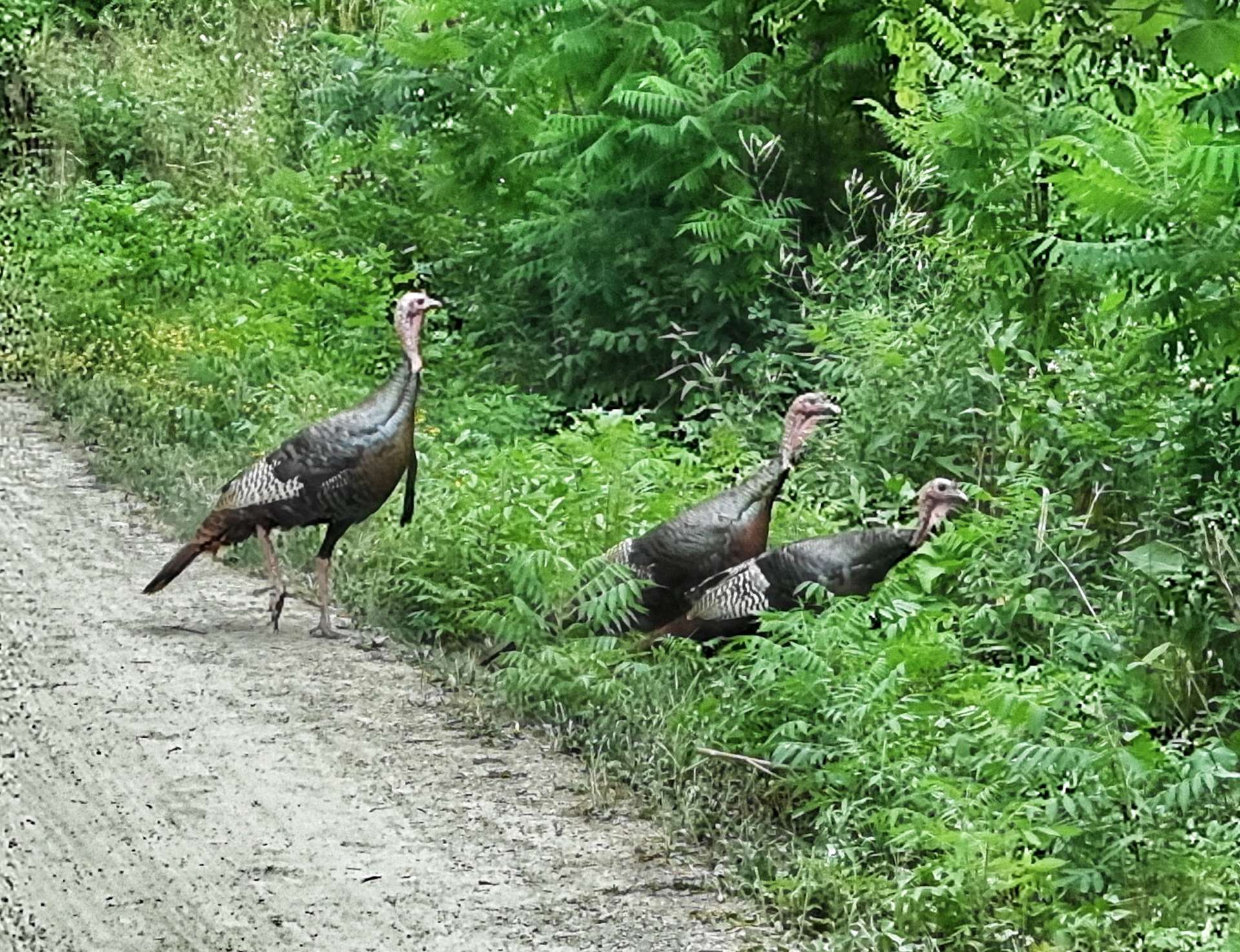
We were surprised when a gang of 3 turkeys crossed the trail in front of us (I prefer the term gobble, but apparently that’s not the correct collective noun!). I took the photo as I cycled past, so you can see they weren’t phased by two people on bicycles.
By now the trail was tracking Minnetonka Boulevard & our adventure on remote cycle trails was almost at an end. For me, the challenge of the day was starting in earnest, as I now had to get us across Minneapolis to our motel. My task wasn’t helped when the cycle path we needed was closed for repairs & I had to navigate by landmarks alone for a while.
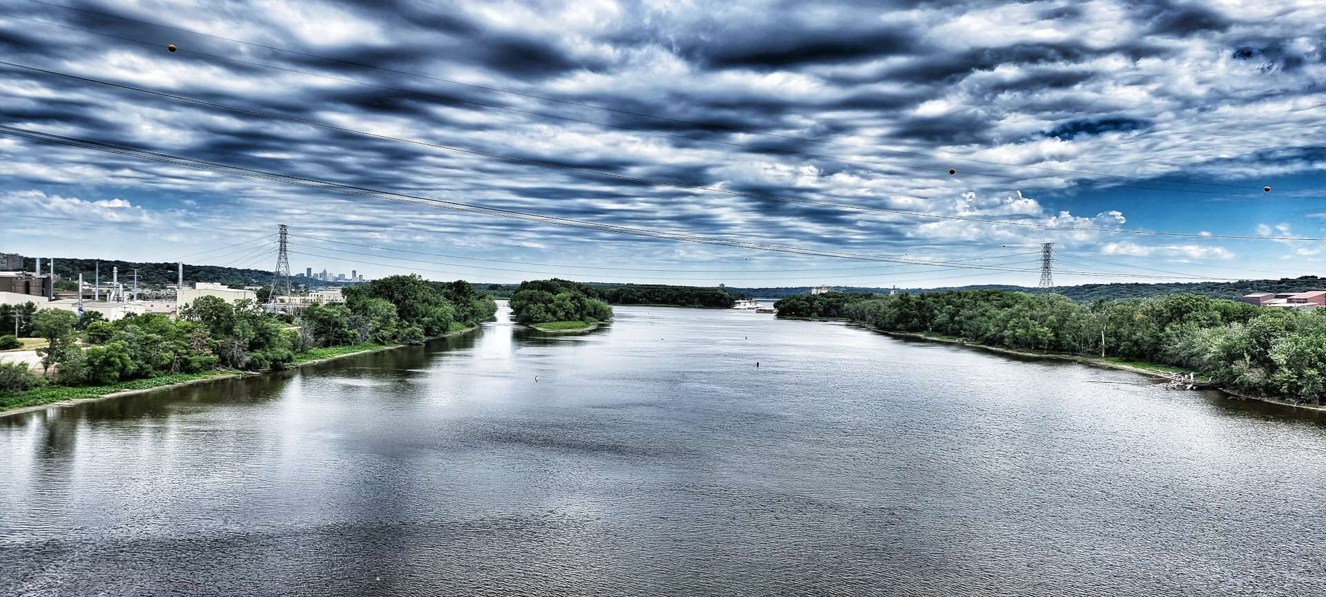
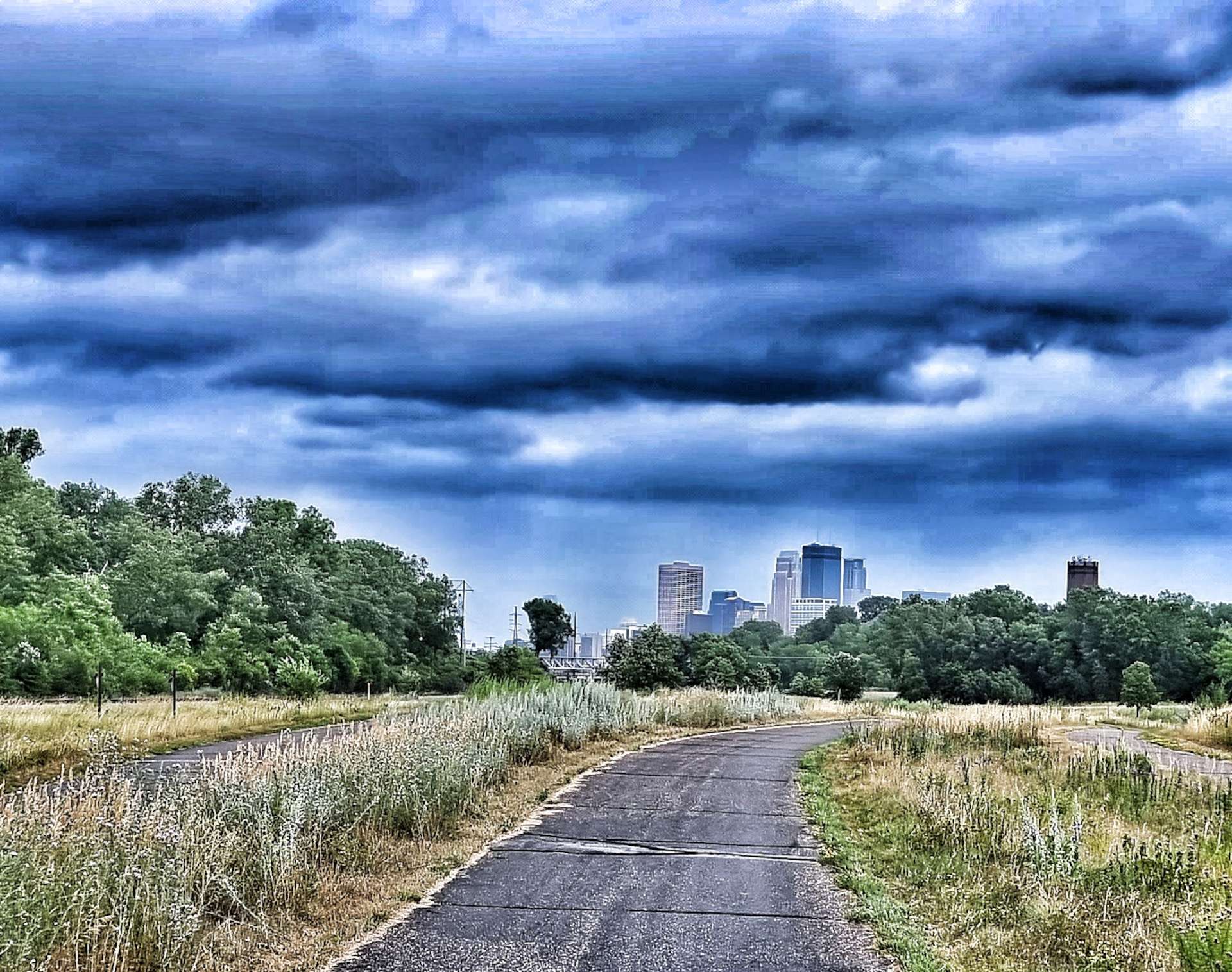
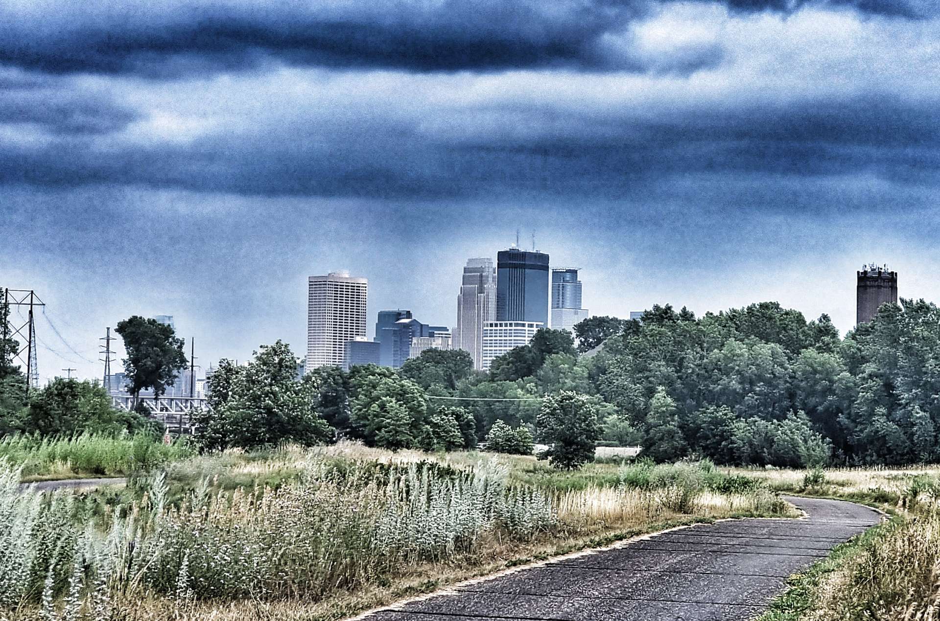
I managed to navigate the couple of miles of detours & got us back on the cycle path into Minneapolis. No sooner had we re-joined the path, than we got our first views of the Minneapolis skyline! A train also arrived right on cue to welcome us to The Twin Cities of Minneapolis & St Paul.
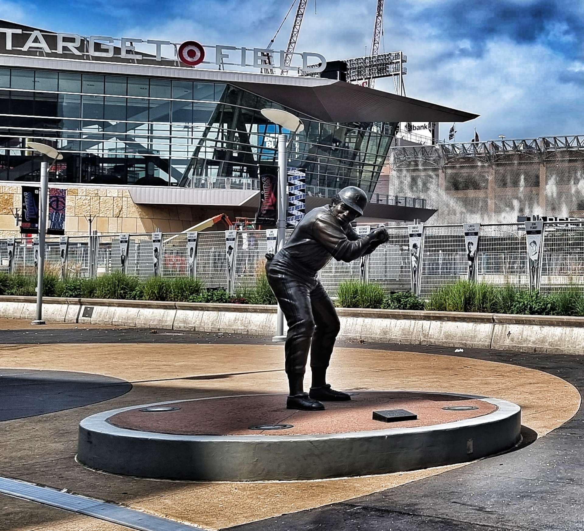
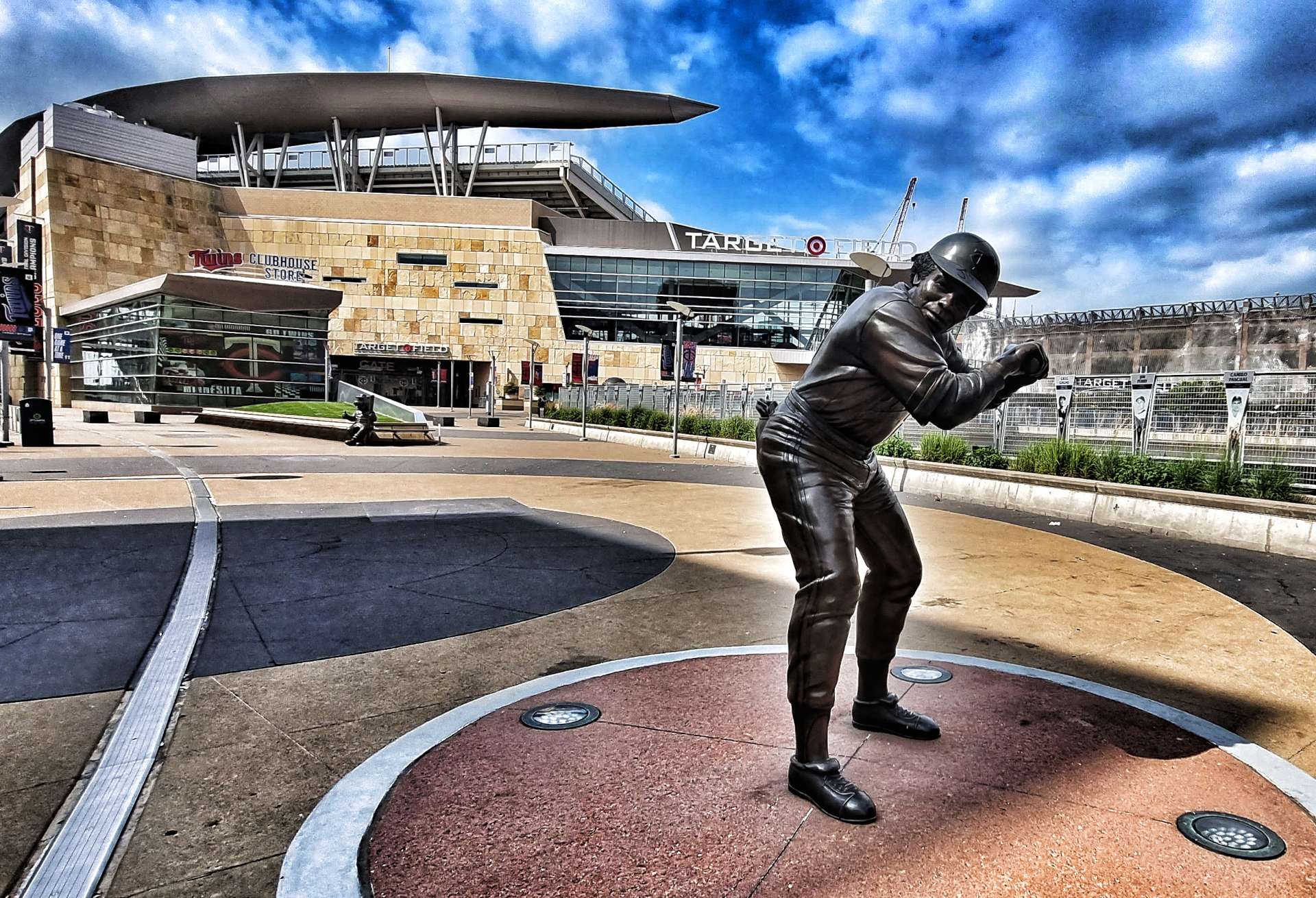
I thought the complicated navigation was out of the way, but as we reached Downtown & Central Minneapolis many of the roads we should be taking were closed for construction projects. I’ll let you insert your own comment for the first photo -it’s a word I used a few times trying to navigate in Minneapolis! I was genuinely pleased to be able to stop at Target Field, home of the Minnesota Twins baseball team.
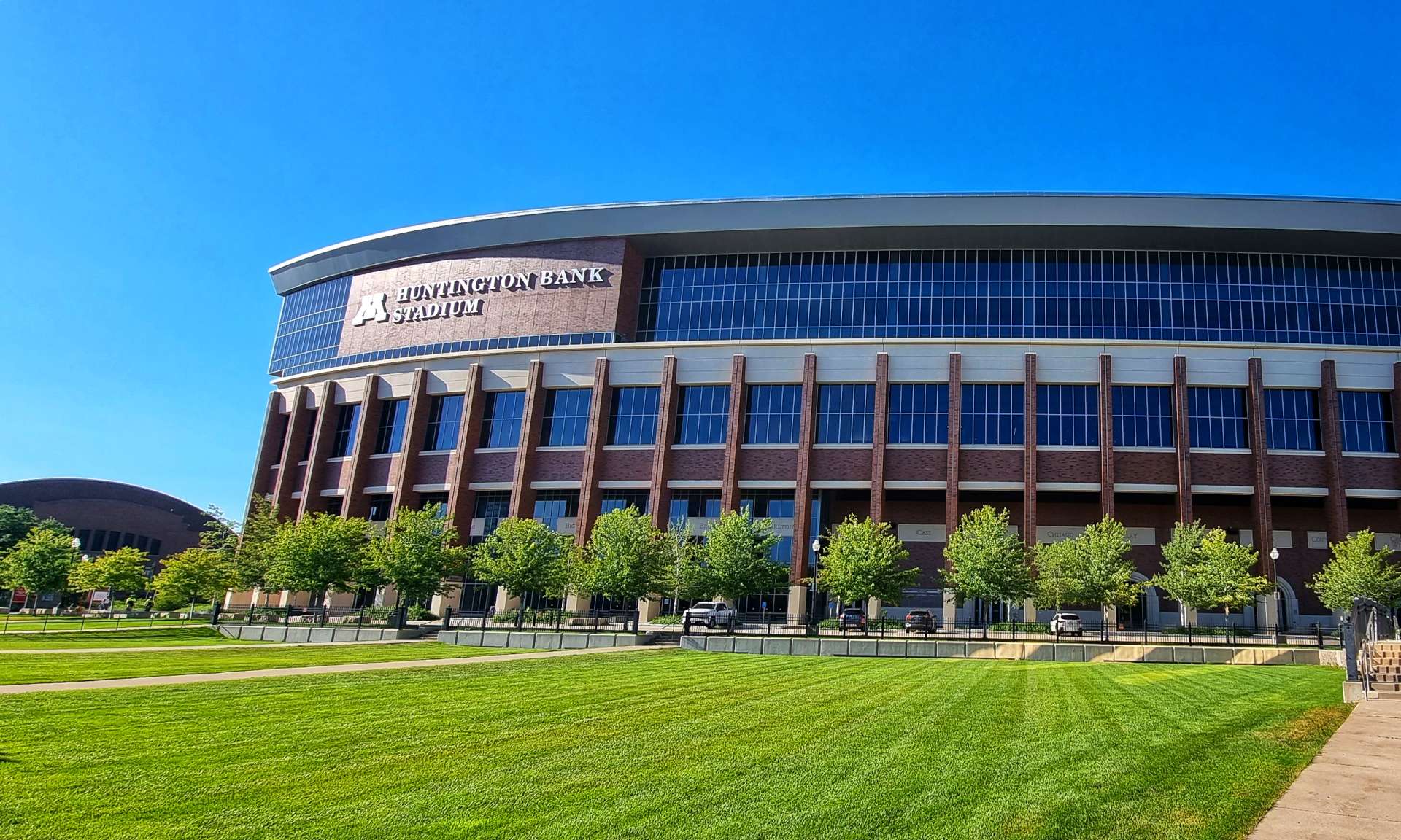
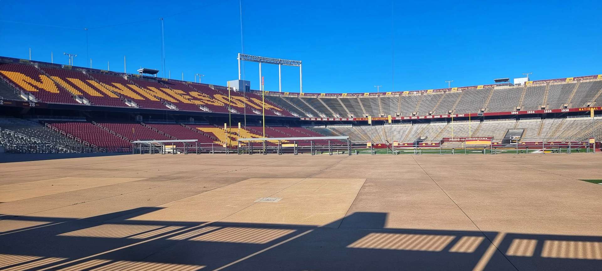
After just over five & a half hours we finally made it to the Mighty Mississippi, 2nd longest river in the USA (we crossed the longest a few weeks ago- the Missouri). Within 10 minutes of crossing the river we were at our home for the next 4 nights next to the massive Minnesota University complex. The 3rd & 4th photos below show where their American Football team play their home matches…..it cost $303 million to build when it was completed in 2009 & can hold 54,000 fans currently & is designed to increase the capacity to 80,000 in future!!
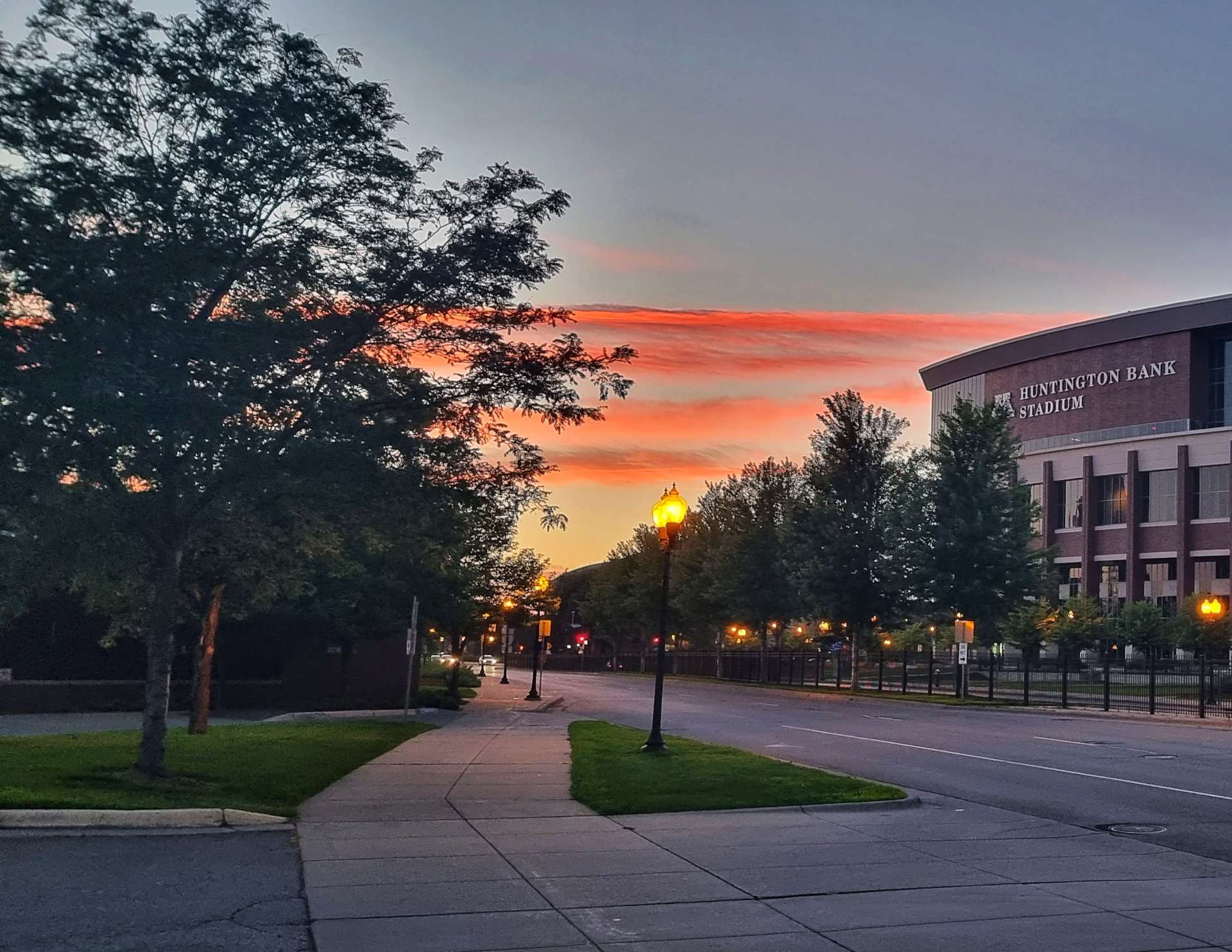
After a block of riding for 5 days, it was time to relax & toast our safe arrival in Minneapolis – we found Stub & Herbs for a burger & couple of beers. The perfect end to a great day & it looks like it will be another one tomorrow if Red Sky At Night can be trusted!
If you’re wondering why so many of the places in Minnesota have Minne at the front – (Minnehaha, Minneapolis, Minnetonka for example) it means water in the Dakota language.
Stage Stats – 73 miles, 1,732 feet of climbing. 3 different rail trails taking us through remote countryside before depositing us safely in Minneapolis for 2 days Rest & Relaxation.
Well, How Did We Get Here? Miles, Feet Climbed, Maps & Profiles.
Previous updates described how we travelled from Seattle to Philip in the first 10 weeks of our adventure. Now find out where we went & what we did in Week 11! Hopefully picking a single photo to represent each day will refresh my mind when it comes to looking back on my adventure!
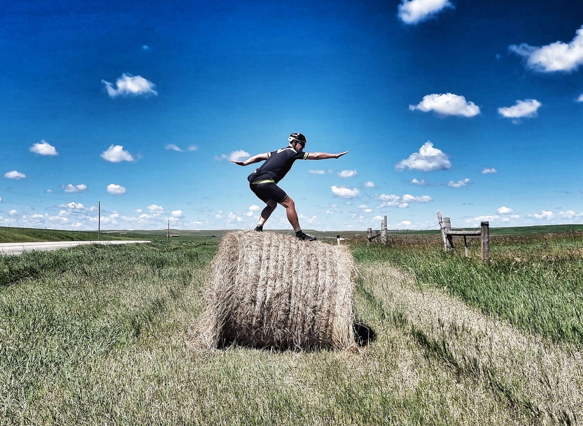
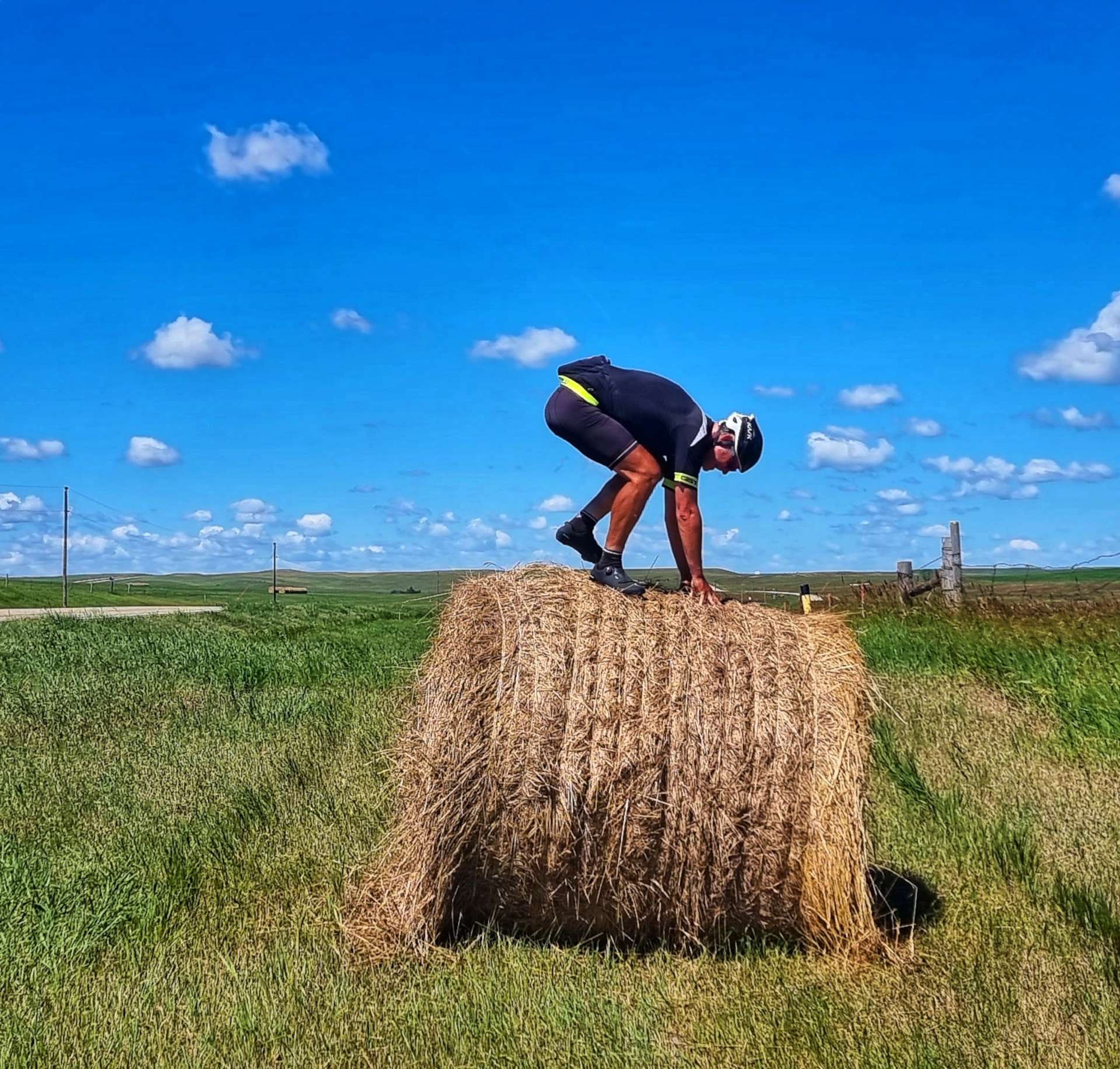
Saturday was all about Tom & Dan as they got Gene Genie back on the road. Philip to Murdo on Sunday involved rolling hills all day & saw us cross our second time zone as we moved to Central Time. Monday was a short riding day into Kennebec, so I practiced my Hay Bale Surfing skills (“more work required” was the result). We had a tailwind as we rode into Wessington Springs on Tuesday, meeting Don & Susan in the evening. Wednesday was another short day, where we celebrated the arrival of a Rest Day in Huron. I visited the Largest Pheasant In The World on our Rest Day. Finally, the week finished with us riding into Oakland Lakes State Park & making new friends at The Wagon Wheel.
Another incredible week of making new friends, getting off the beaten track & exploring some of America’s best scenery on our Coast to Coast adventure.
Week Eleven – Philip (SD) to Oakwood Lakes State Park
Friday 15th July to Sunday 17th July – Stages 59 to 61.
Friday 15th July – Huron to Oakwood Lakes State Park (Stage 59)
Today marks the beginning of a 5 day block of riding with the aim of reaching Minneapolis next Tuesday. The plan is to then enjoy 2 of days of Rest & Relaxation off the bike for the second time on the adventure (the previous occasion was Helena on 15th & 16th June – just before we set off for Yellowstone National Park).
We woke up to blue skies, with cotton wool clouds & from our rooms it looked like perfect riding conditions. When we stepped outside at 9am we realised it was over 80 degrees fahrenheit already (at 9am) & for large parts of the day we’d be riding into the Easterly headwind, plus it was humid. I hadn’t slept well overnight, but you simply have to get your head in the right place & enjoy the day – I could be at home working, instead of having the adventure of a lifetime!
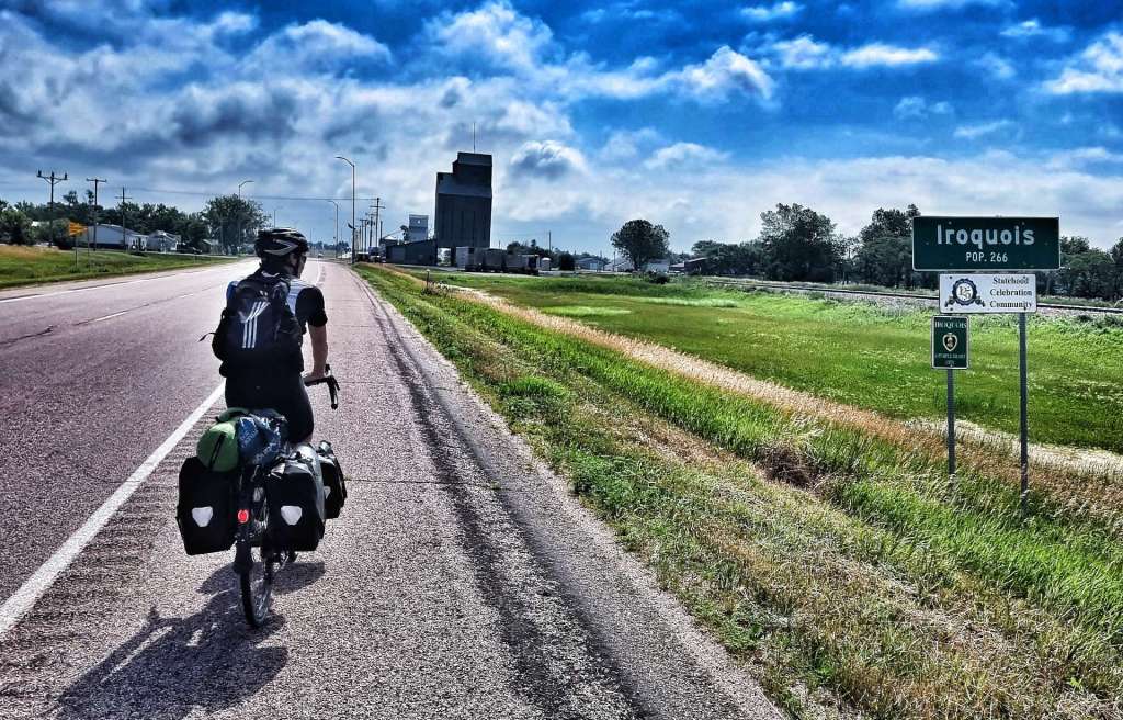
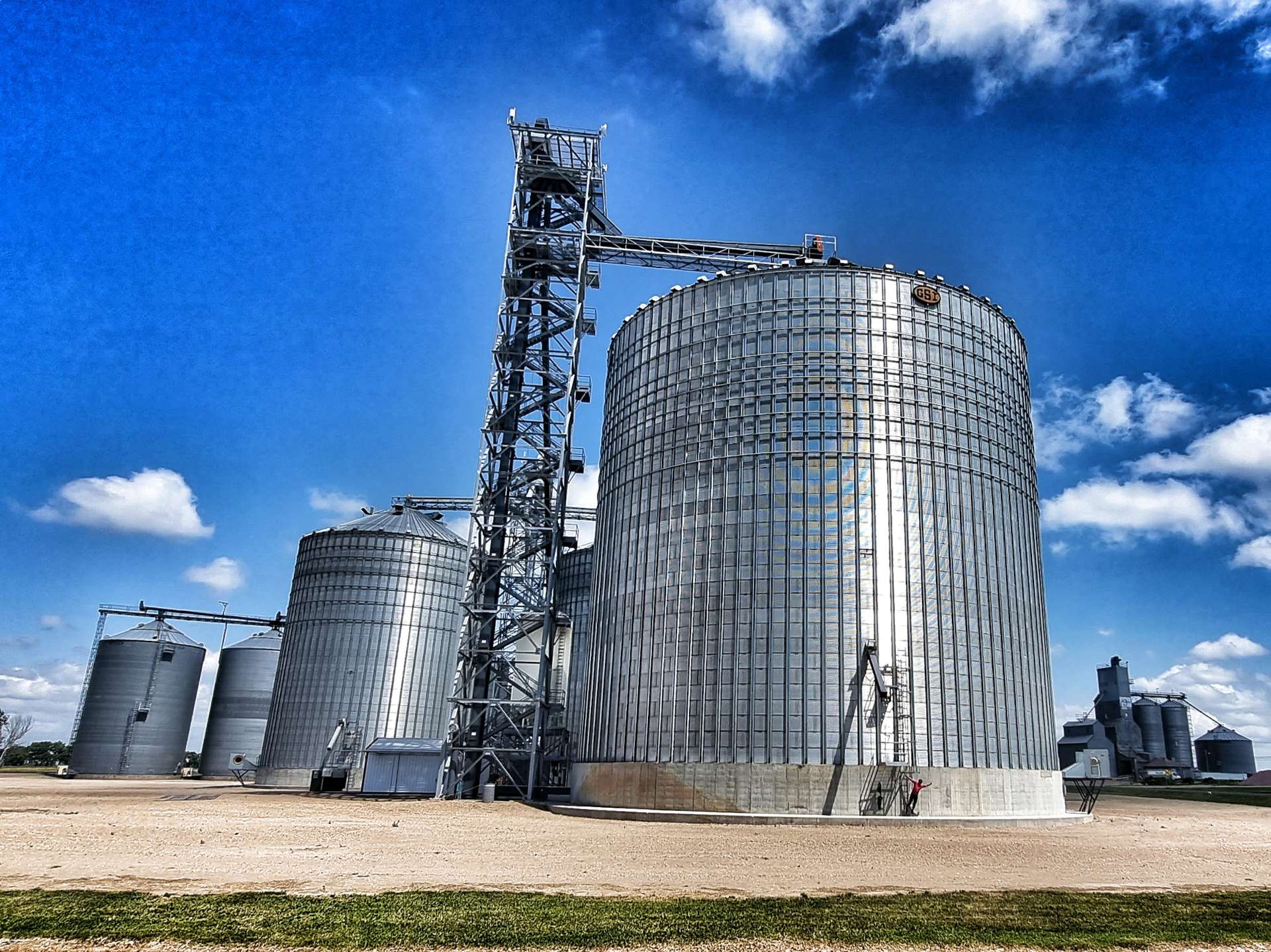
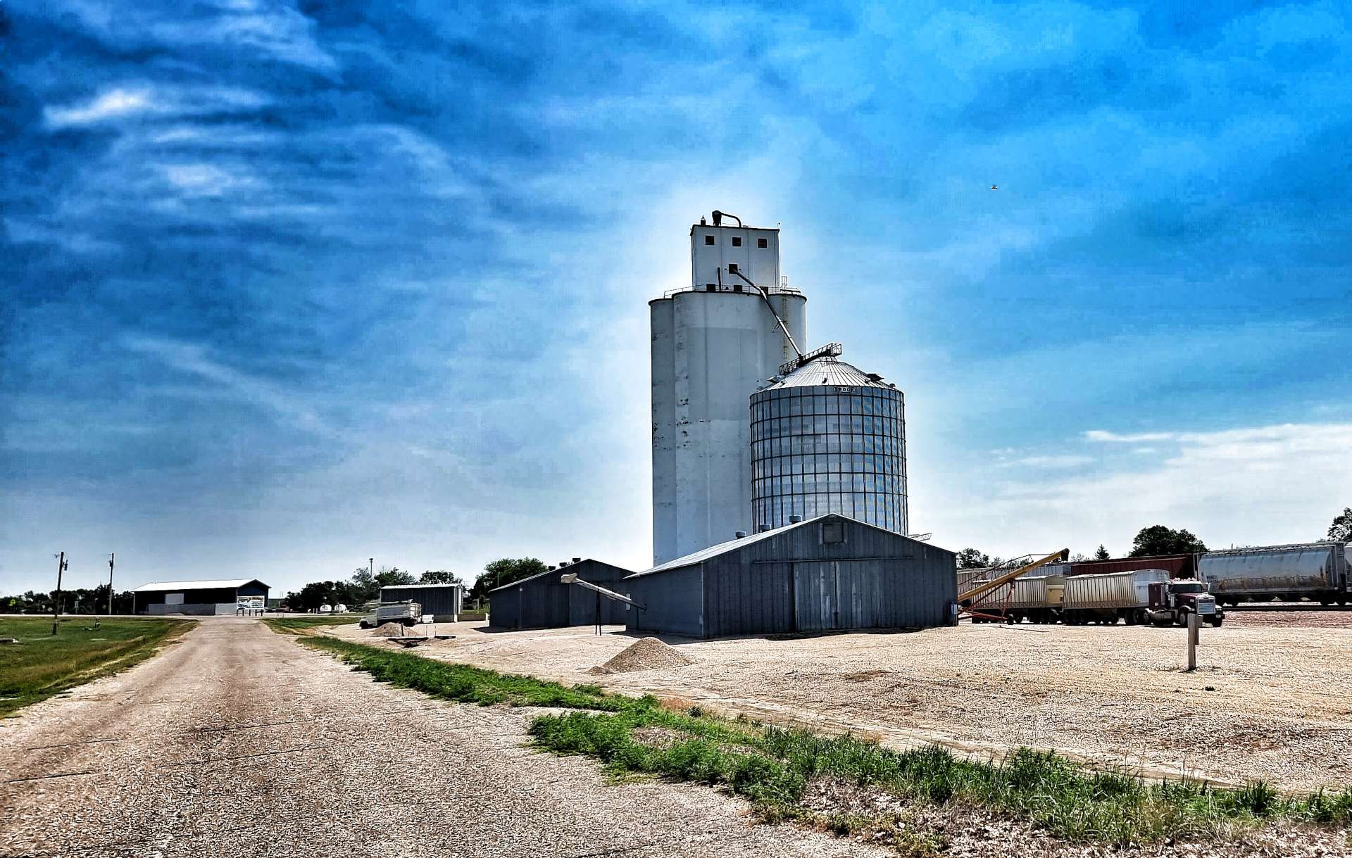
Leaving town, we took the same route as the railroad, crossing the James river along the way. The route missed the World’s Largest Pheasant, so I was glad I got my photo opportunity in yesterday!!! The first 20 miles on Highway 14 were Easterly into the wind on a long, straight road, taking us past the big Grain Elevator Building at Cavour.
Reaching Iroquois (population 266), we took the chance to stop at a gas station to top up our water bottles, enjoy a cold sprite & wolf down a Hostess Cherry Pie (not worth a photo, it’s a mass produced, processed pie). Iroquois has even come up with its own motto – Small Town, Big Dreams.
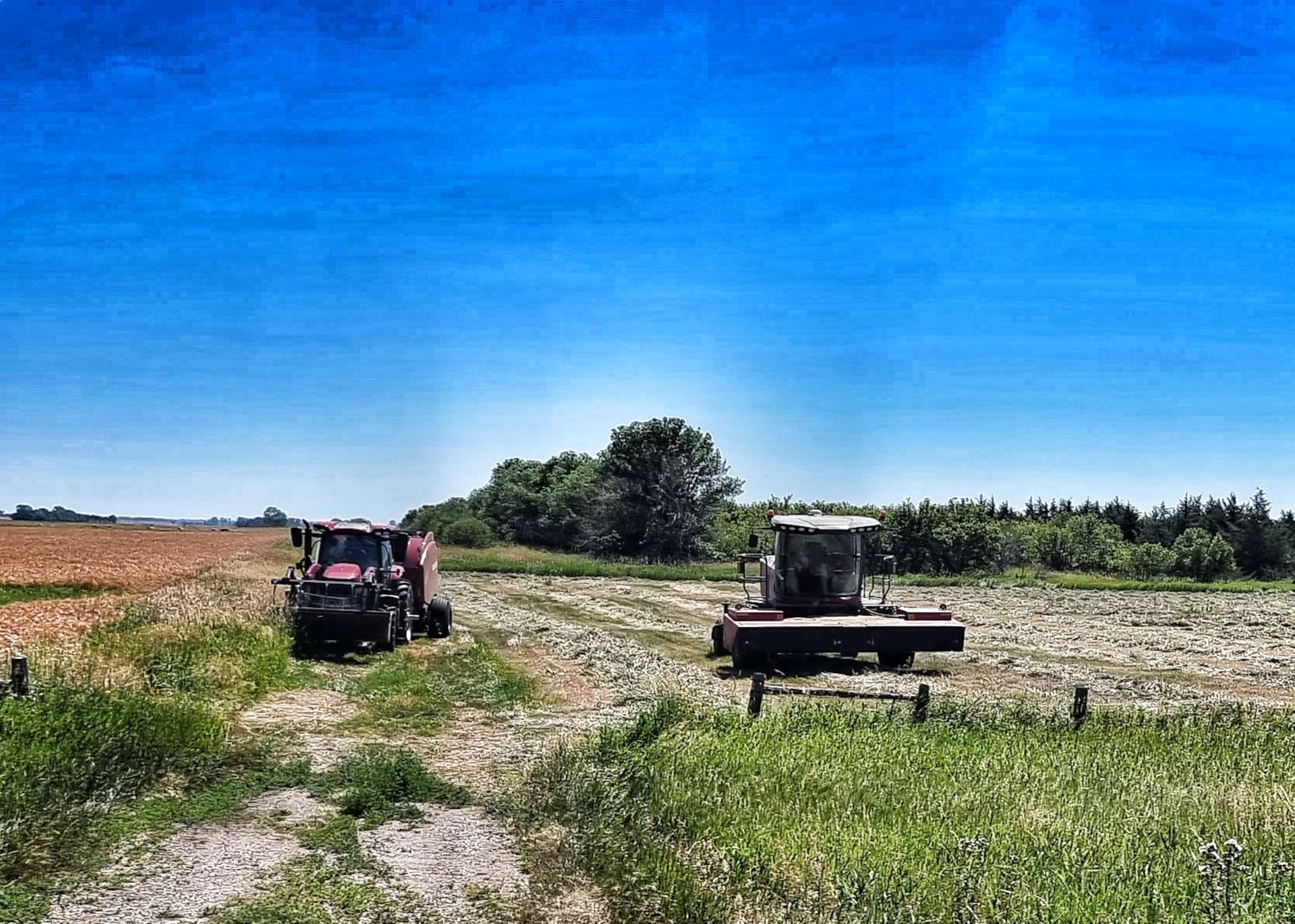
After our brief stop, we took Highway 39 North for 8 miles, giving us some respite from the Easterly headwind. Occasionally there were stands of trees to break up the fields of wheat & maize – there were quite a few farmers out on the road, move their equipment around. The majority continues to be John Deere, always easily recognisable by the green & yellow paintjob. We also crossed the railroad, although I’m still unclear which is the right & wrong side of the tracks when we’re this far from civilisation!
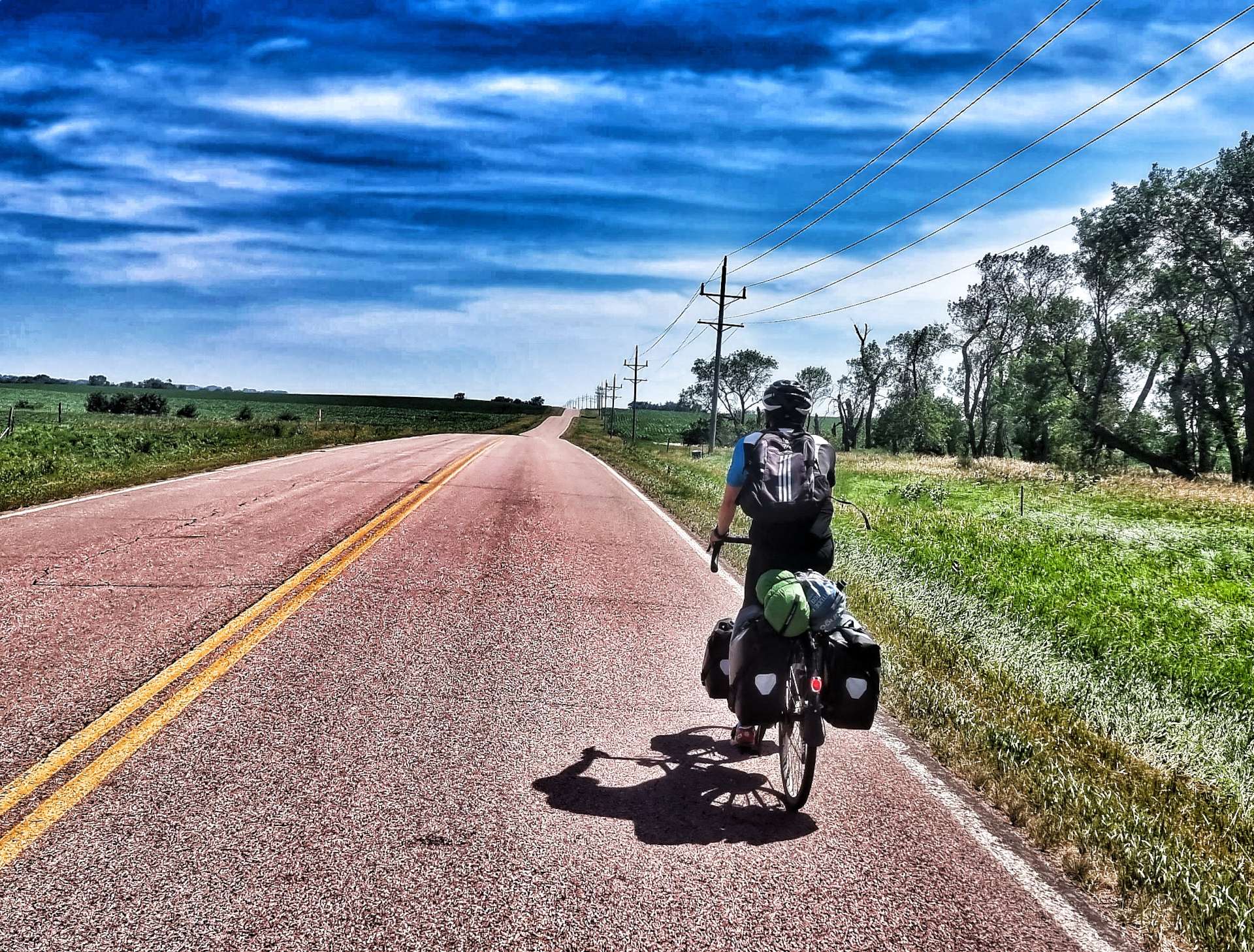
At the 28 mile point we turned right for what I knew would be a 32 mile stretch of road that would be straight into the headwind – I chose not to tell Sean how long the road was, as I didn’t think it would help to know that the next 2 1/2 to 3 hours were likely to be seriously draining.
We both remarked on the huge grain silos in the far distance – they were enormous! I’m stood on the bottom of the ladder in the second photo, you may just be able to make out my pink jersey.
The road was perfectly straight & we could see every undulation in the road laid out in front of us. In that time, we saw one house of note & I managed to find a few roadside flowers to get a photo. Other than that the view was constant for the hour it took us to cover the 11 miles.
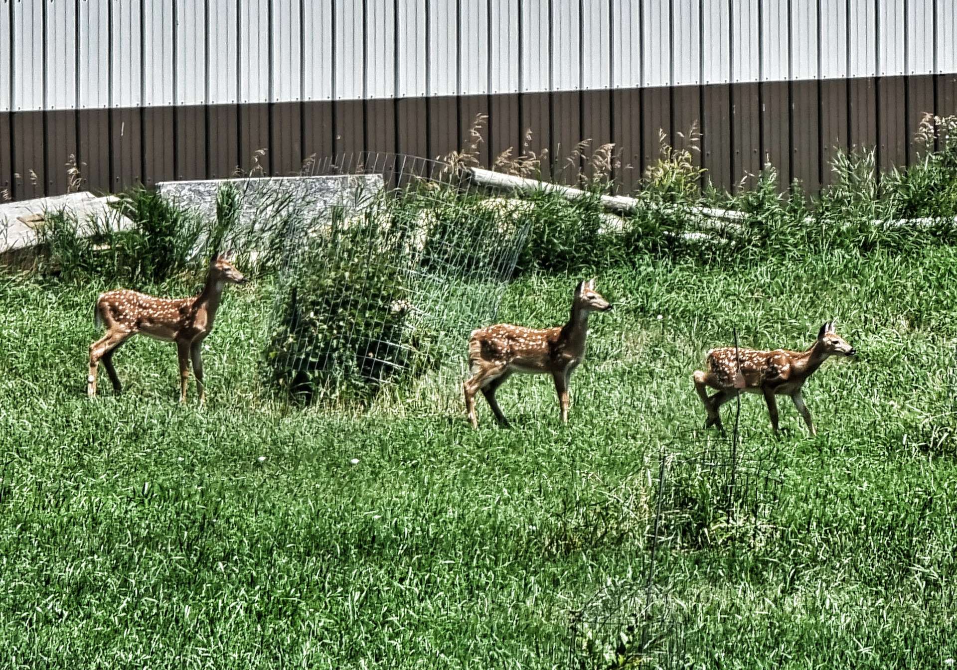
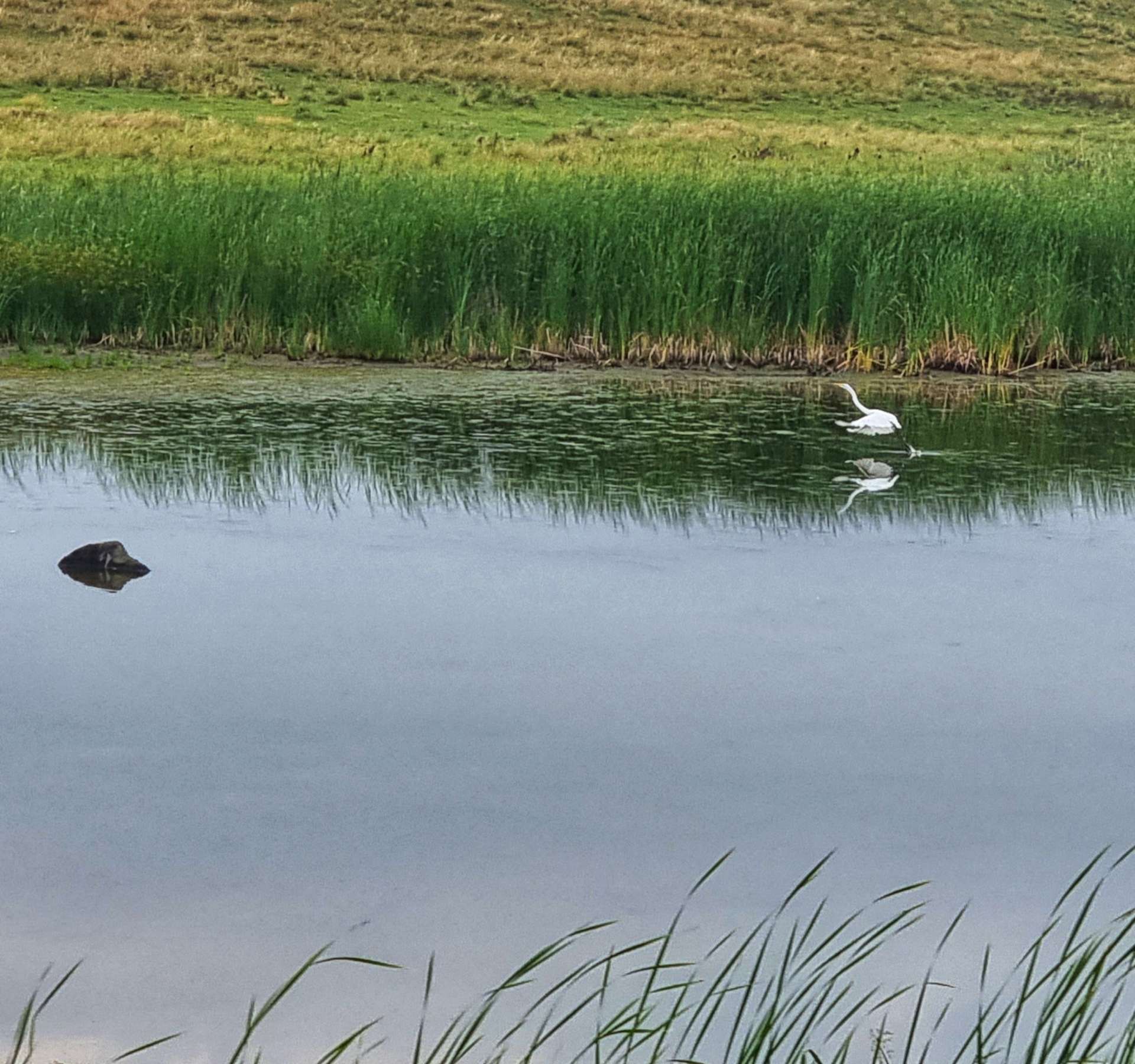
As we reached Spirit Lake, the road took a couple of small twists & turns – as if that wasn’t enough excitement, we also spotted 3 mule deer in the field outside a house & then saw 2 pelicans on the lake. Suddenly our wildlife cup was overflowing!
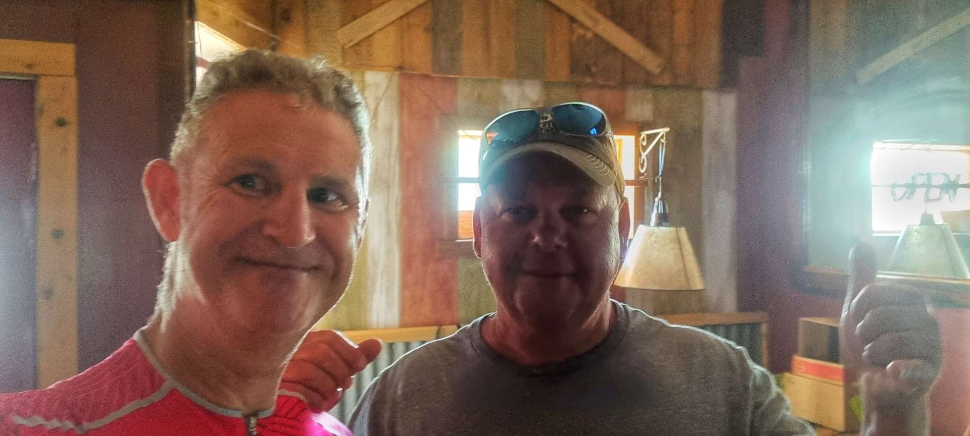
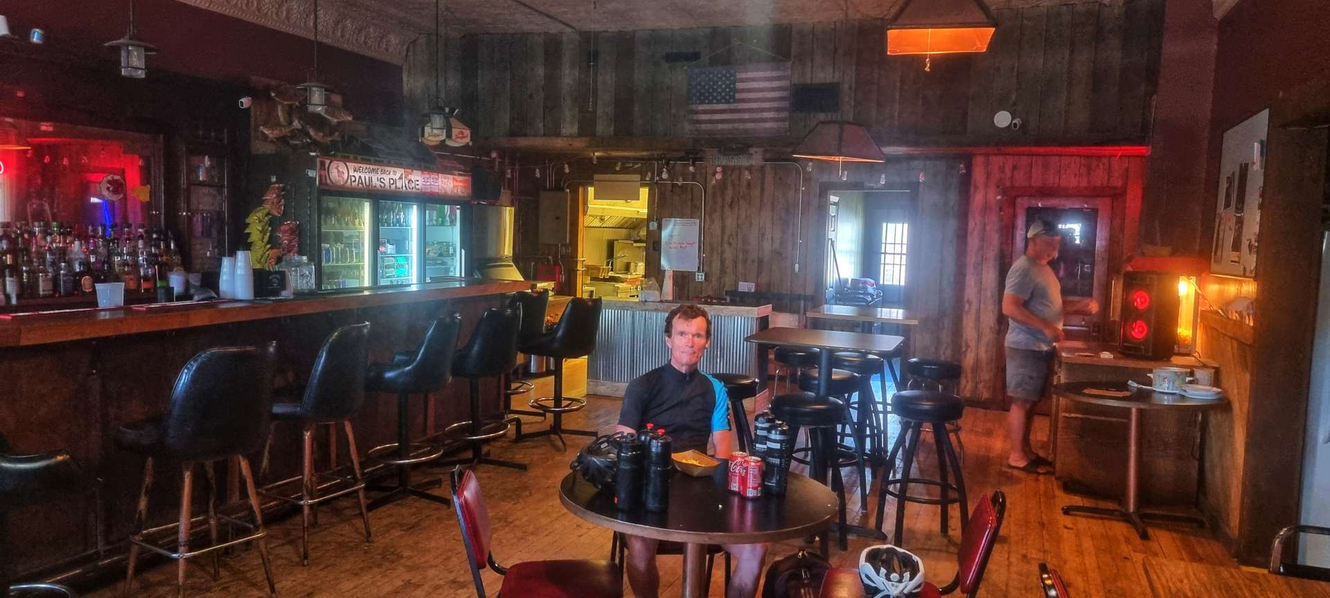
It was a brief interlude & normal service was restored as we continued eastwards into the wind. We were getting very low on water, to the point that we were getting more than a bit concerned, as we hadn’t seen a town of any sort since Iroquois, almost 40 miles previously. I knew there was a bar in Badger, but I didn’t know if it would be open at 2.30pm on a Friday afternooon – there was only one way to find out……
James gave us a friendly welcome when we pushed through the door of Paul’s Place. He topped up the 3 water bottles we were both carrying – there was a couple of sips of warm water left in my final bottle! In addition, we had a refreshing coke & Paul brought over some freshly made, warm popcorn. It may sound like a small thing sat at home, but these are the sort of things that can restore your morale in a heartbeat when you’ve been battling a headwind for the last 32 miles. James also asked where we were headed, when we said Oakwood Lakes, he said to look out for Charly at the local bar.
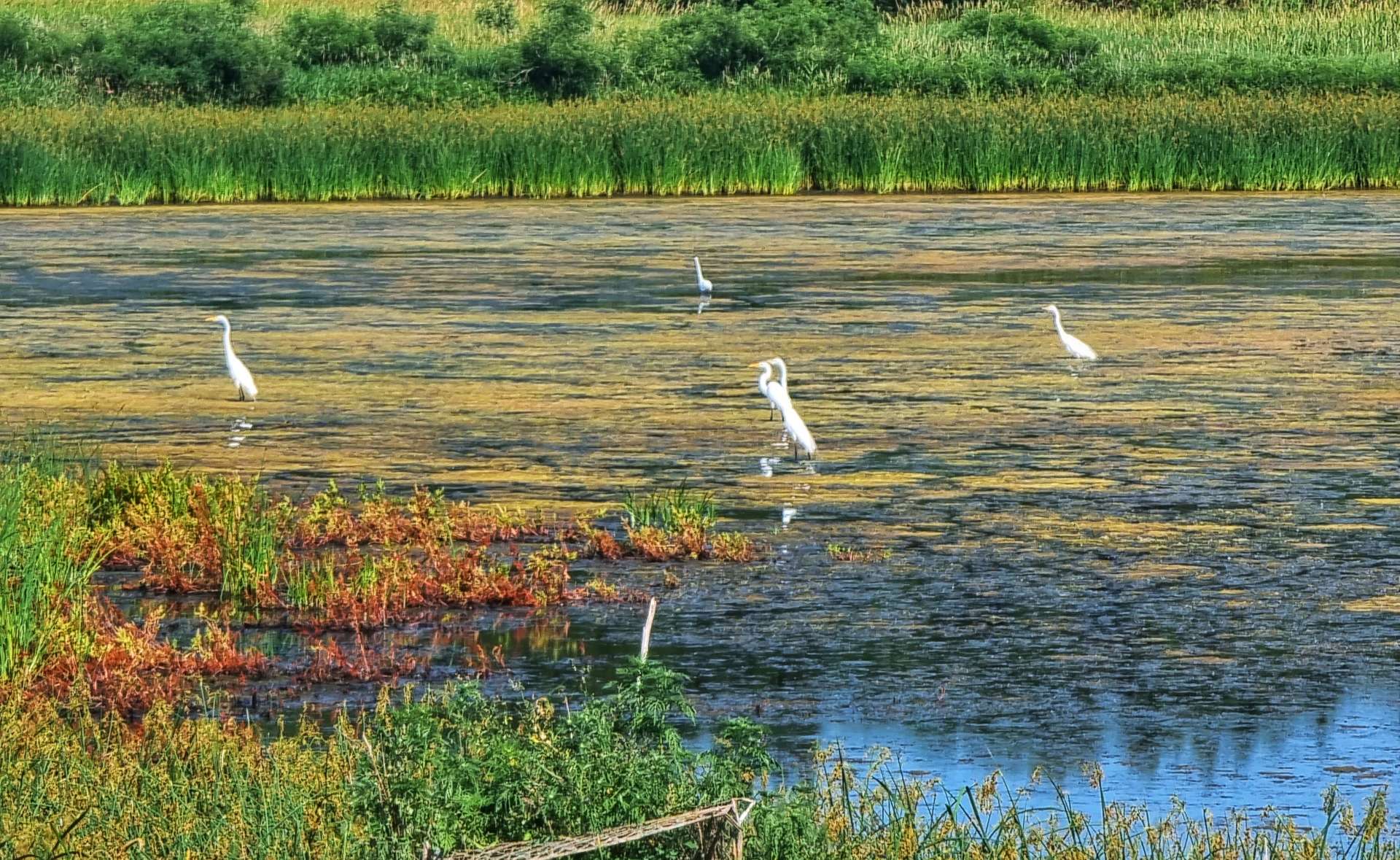
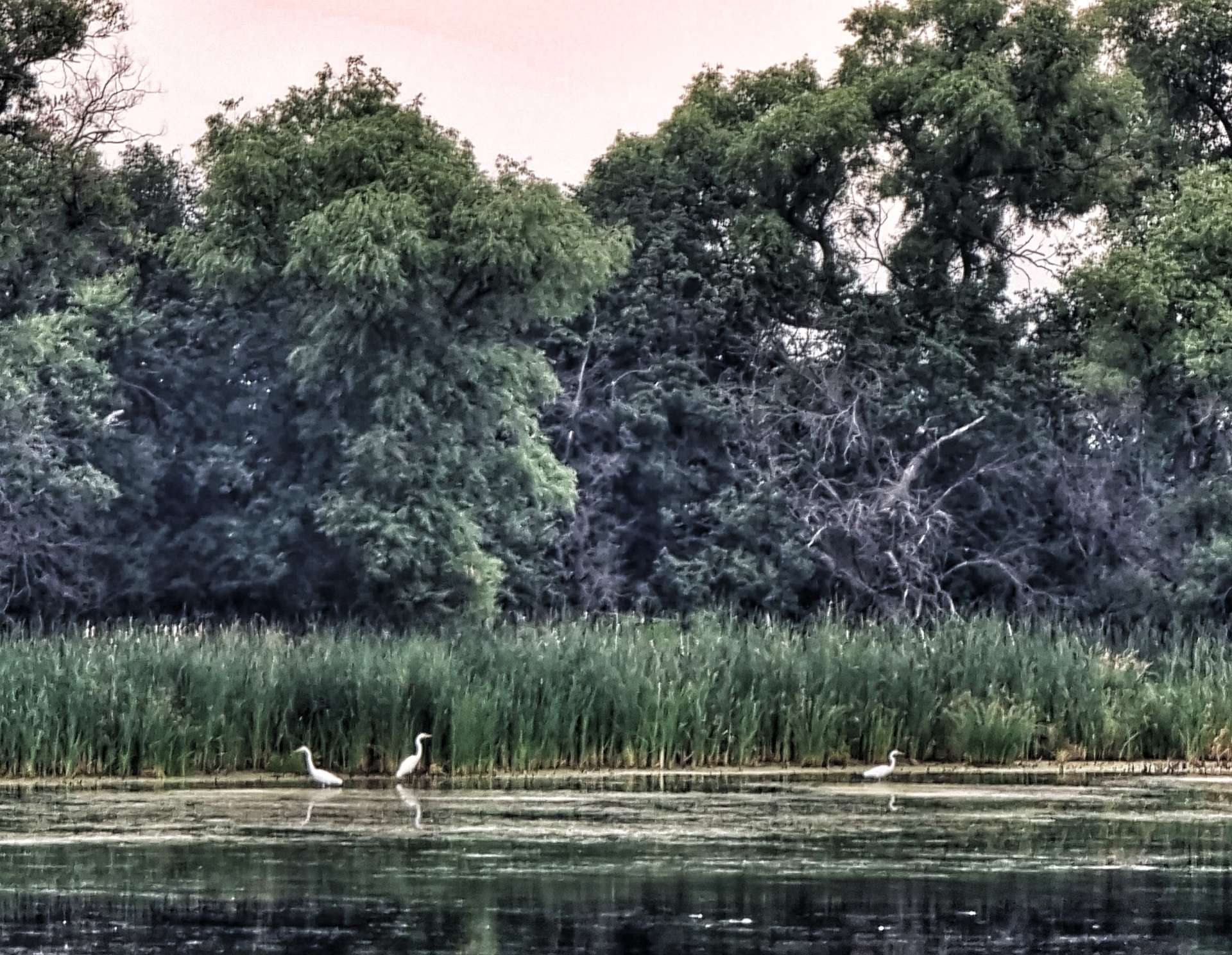
We thanked James for his generous hospitality & set off for the final push to Oakwood Lakes, 18 miles away. Our spirits were lifted by James’ kindness, the sugar in the coke & the right turn that meant we would be heading South for 4 miles! As we reached the left turn to head East again, we were also hit by the realisation the next 4 miles were going to roads be on gravel – a reminder of how fragile our morale really was!!! A gravel road into a headwind after 64 miles was draining physically & mentally, but we made it & re-joined the paved highway for the final 10 miles to Oakwood Lakes State Park. As we made our way to the Visitor Centre, we passed a lake where 5 egrets were perched, hunting for their dinner.
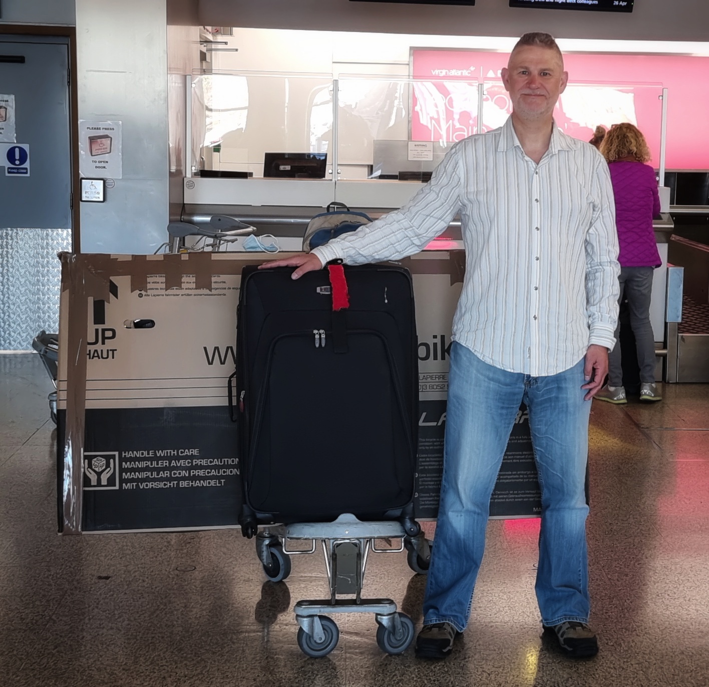
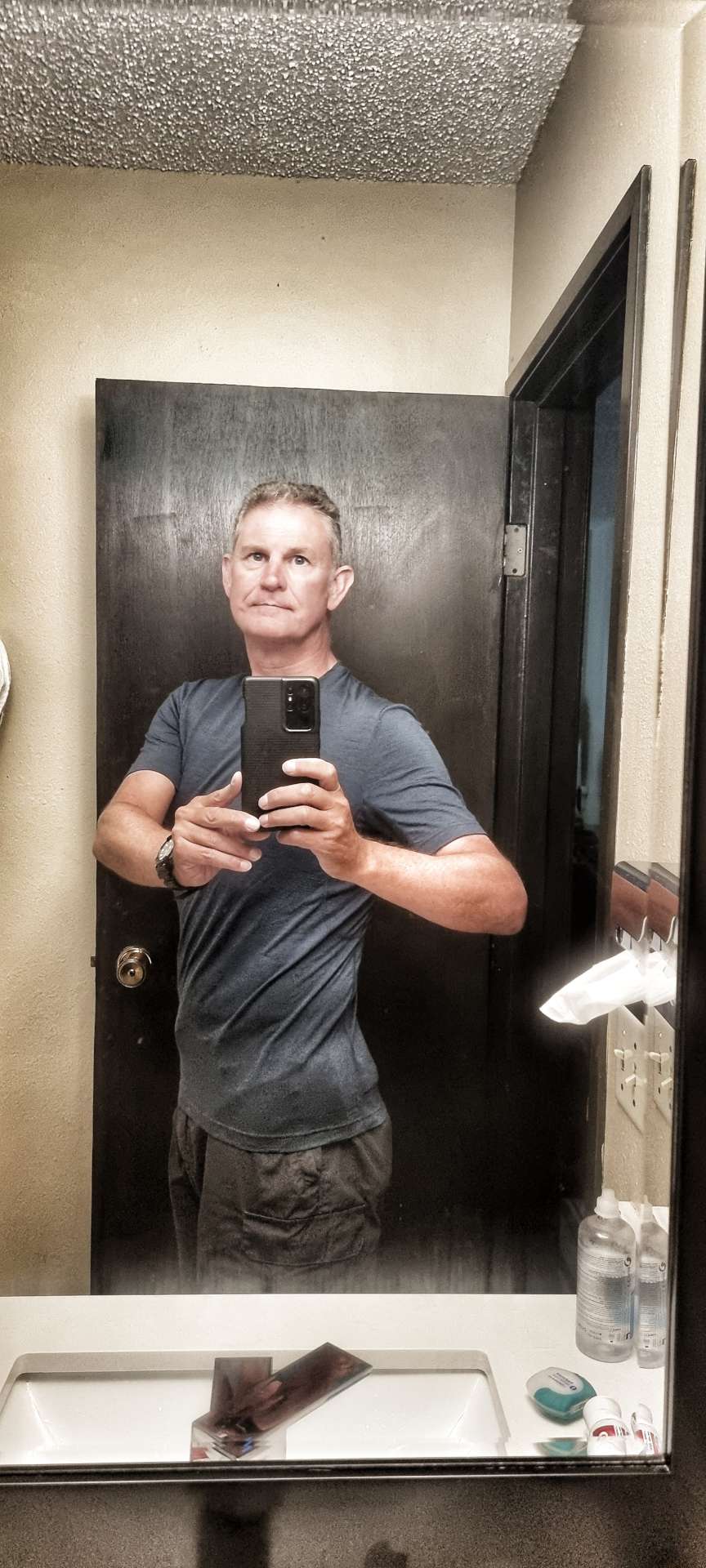
We set up our tents & then had a horrible realisation that we would have to cycle 3 miles back to The Wagon Wheel, to get some food – our only other option was to not eat & as you’ll already know, we’ve both lost a lot of weight already & can’t afford to lose much more. The first photo was taken on 26th April & the second one on 14th July.
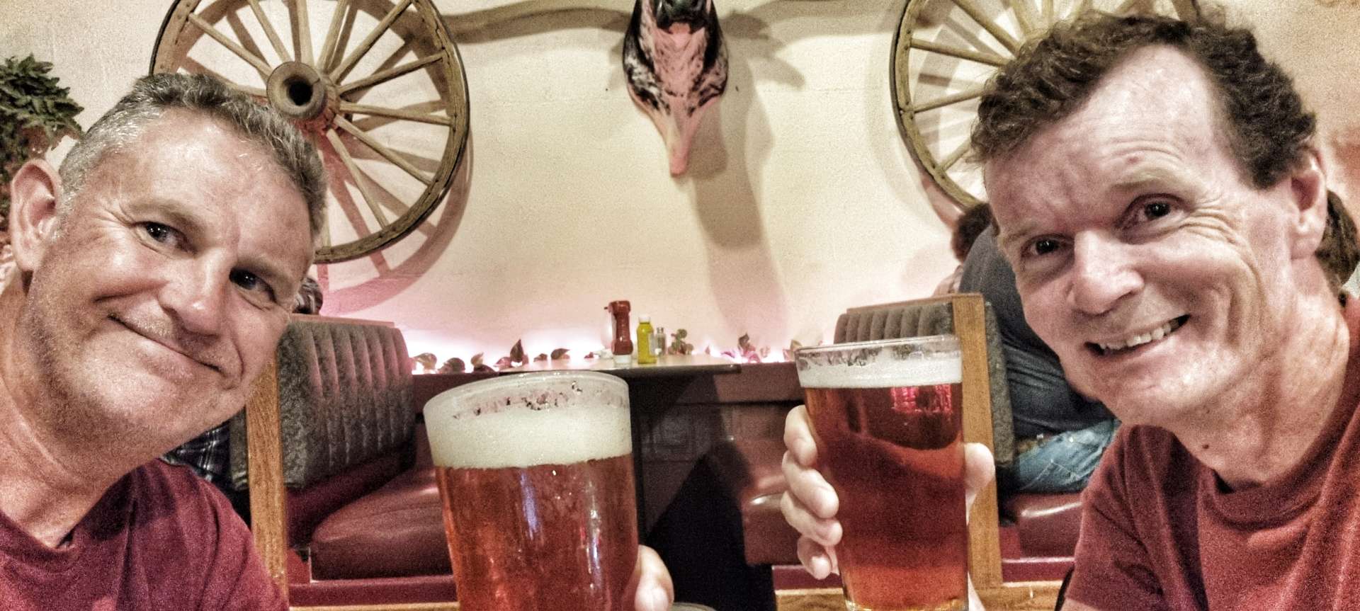
Still in our cycling kit (we swapped shoes), we set off to The Wagon Wheel – what a great decision we made! We were clearly exhausted as we walked into the bar & sat down. “Excuse me, what IPA’s do you have?” It’s my icebreaker question, as it immediately signals I’m not from round these parts & generally gets a conversation of some sort started.
It wasn’t needed this evening as we were clearly smelly cyclists – Don, Joel, Vicki & Sharon wanted to know where we’d started (we have a stock answer which was Huron today & Seattle back on 30th April) – they all belly laughed & said that’s a long ride in the this weather! We’d made friends within 5 minutes when we said we’d stopped in Paul’s Place in Badger – Charly & James are buddies.
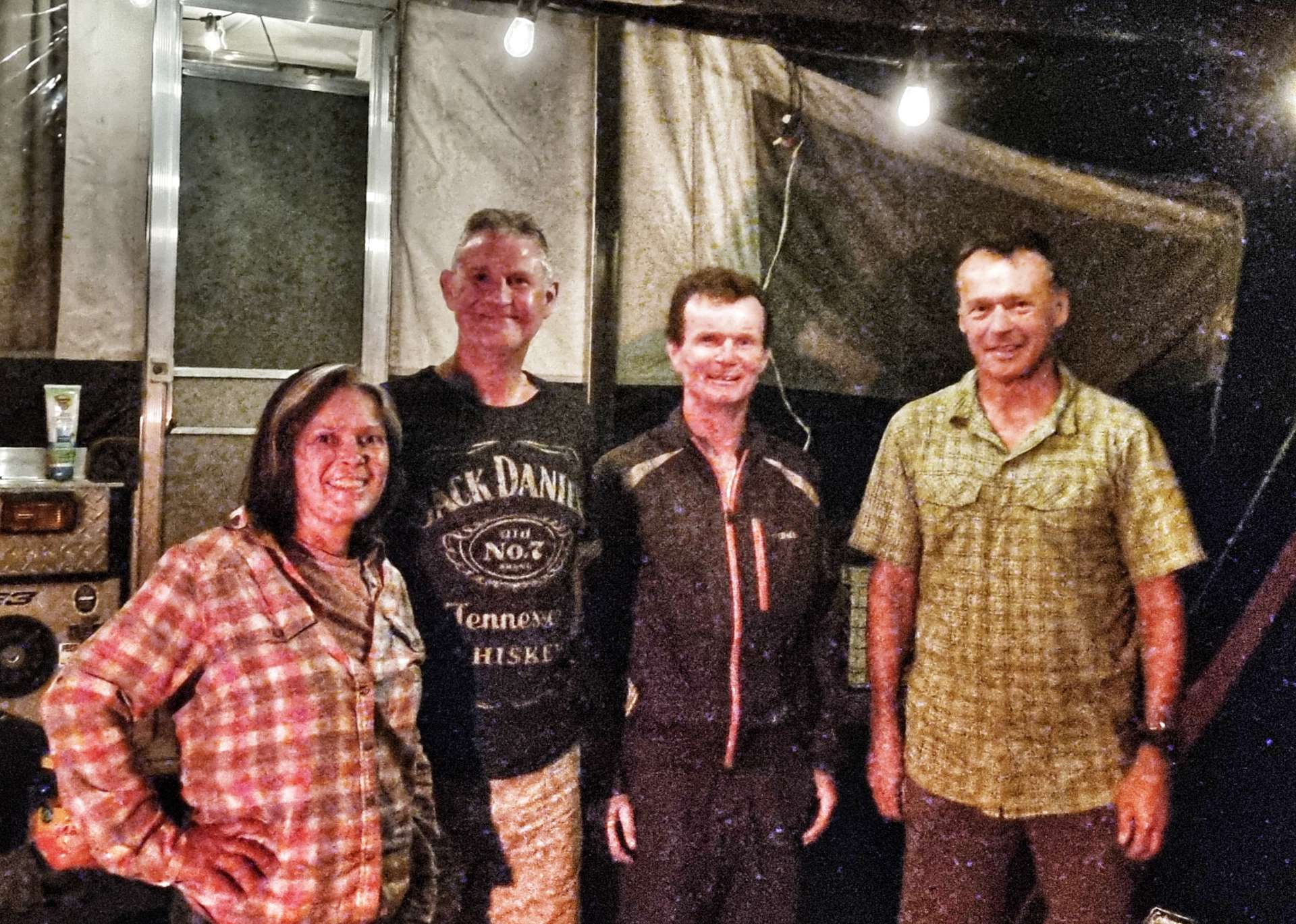
Let me introduce to our new friends – Charly (the owner) & Karie (our barmaid) are with Sean & me in these two photos.
From left to right – Sean, Joel, Don, me, Vicki, Sharon, Charly & Karie. A big thanks to Allen for taking the photo of us all. We’d known everyone for less than 90 minutes at this point!!
We had a great evening chatting & making friends with everyone. We also found out what a Wagon Wheel Token is used for (thanks for demonstrating Joel, Don & Sharon) – it entitles the holder to a free drink & we seemed to be permanently in possession of one each – we still have them as souvenirs! Thank you Vicki for buying our pizzas – Sean & I so much appreciated everyone’s kindness & generosity. I made sure to buy a round too, I didn’t forget my manners!
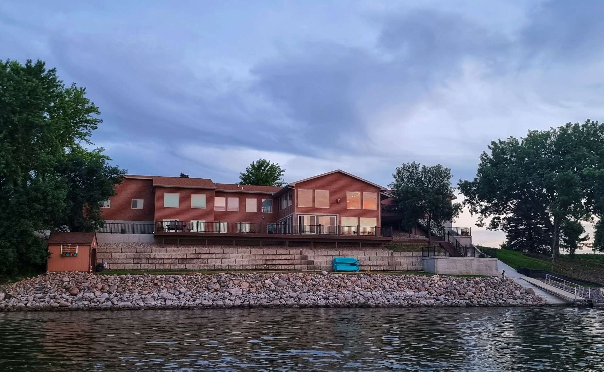
This had been the best night of our adventure so far & then it got even better – Joel & Vicki invited Don, Sharon, Sean & me on a boat ride on the lake as the sun set. We had to say yes & we had a wonderful time watching the sun go down with superb company. Here are a few of the photos I took.
My evening in The Wagon Wheel is imprinted in my memory & I won’t forget it in a hurry – we were at a very low ebb when we walked in the door, yet we’d made new friends by the time we wobbled back to our tents on our bikes less that 5 hours later! Thank you xxx
Stage Stats – 78 miles, 2,011 feet of climbing. A naughty headwind for the majority of the day. A sunset cruise & new friends made.
Saturday 16th July – Oakwood Lakes State Park to Marshall (Stage 60)
We were up bright & early, with our camping gear packed away by 9am. Today we’d be on the hunt for breakfast, as there wasn’t a shop open when we left. As we left Oakwood Lakes, we took one last look at the egrets fishing for their breakfast & one flying away to try another pond.
For the early part of today’s ride it was overcast, but the humidity was high – it made finding stops on the ride even more important. Our first hope of a stop required a small detour into Bruce after 8 miles, but everywhere was shut. Back to the long, straight road we went & passed some cows having an early morning dip.
Our next hope was the small town of White on County Road 6, but again we were out of luck for breakfast. We did find a small gas station where we could top up our water, but they didn’t even serve coffee – there were slim pickings this morning. I did manage to find a packaged blueberry muffin, but the processing stage removed the flavour!!!
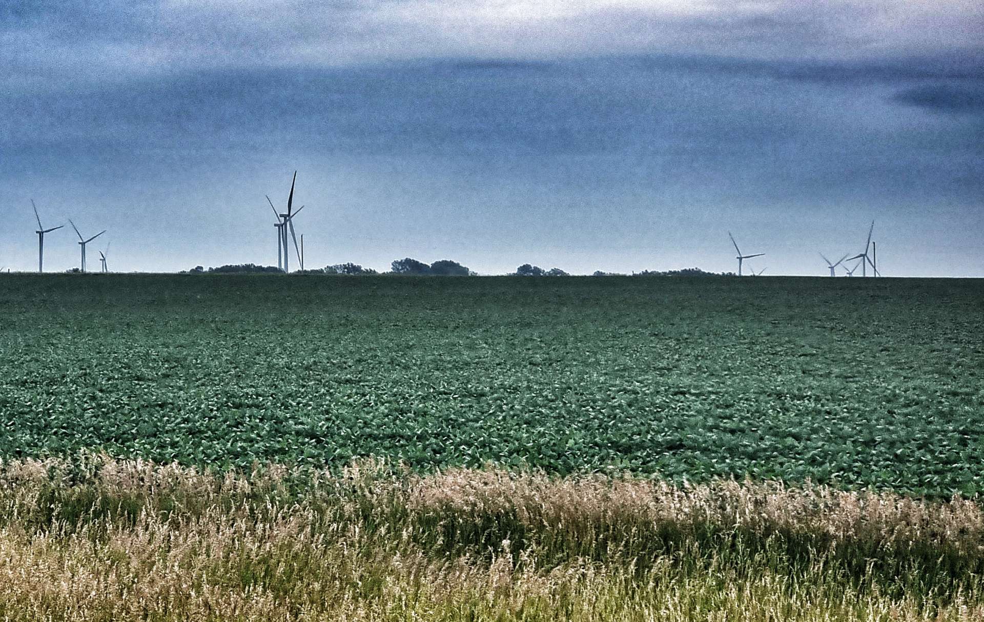
As we left White, we knew our final hope for food was now 21 miles away, so we were hoping for some distractions to take our minds off food. There was an unexpected change in scenery, as we entered a 30 mile corridor of wind turbines – they were in every direction & there must have been a few thousand of them in total.
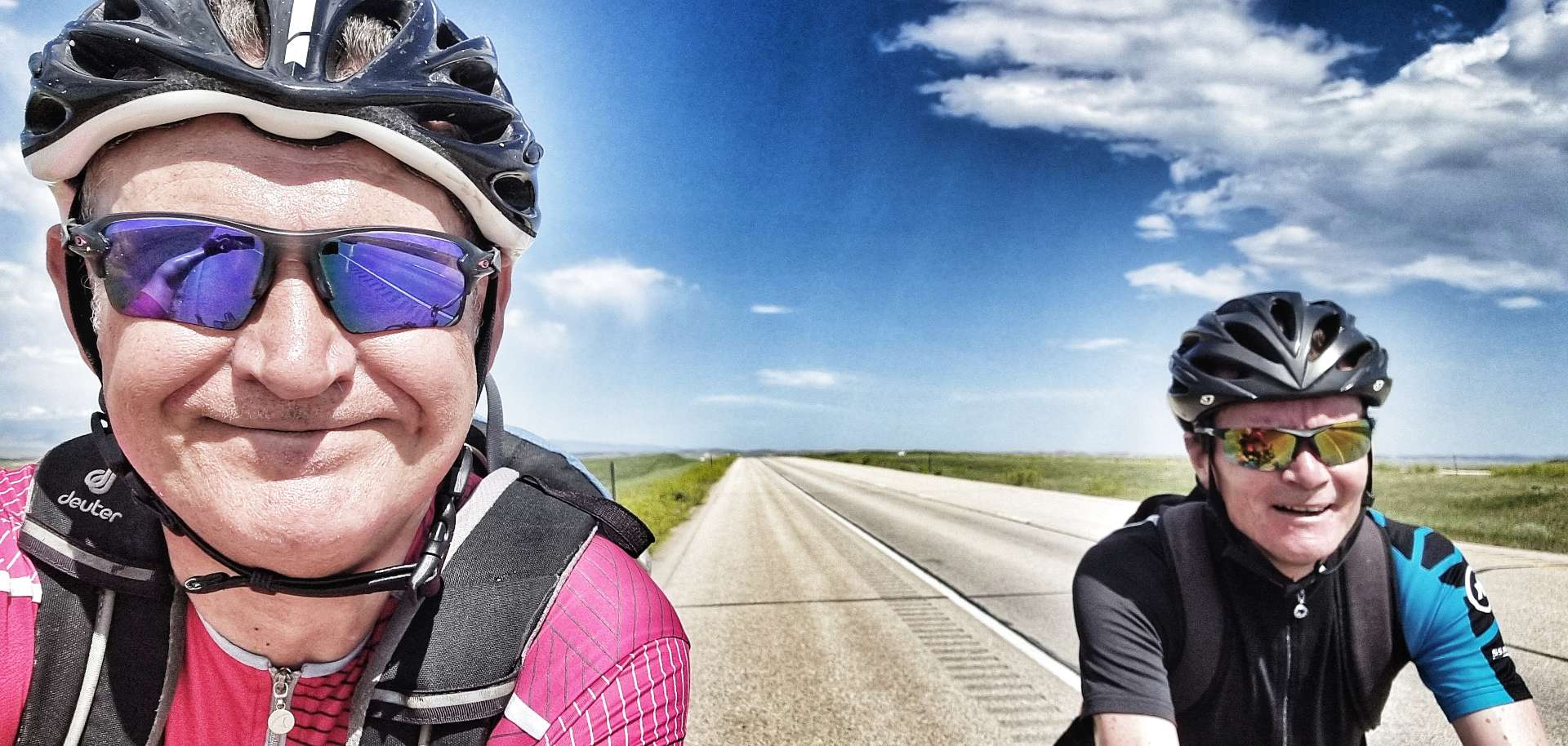
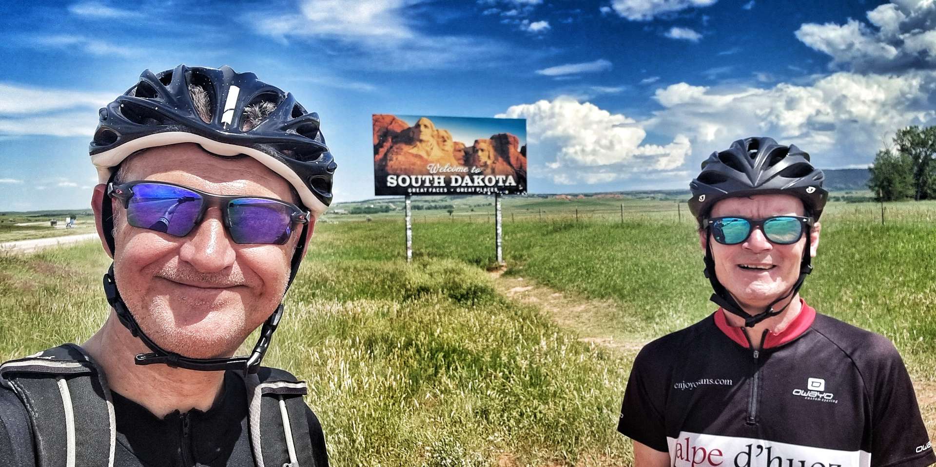
We did have one other moment to savour, as we crossed from South Dakota into our 6th State – Minnesota. The North Star State & Home of 10,000 Lakes are just 2 of its nicknames. We’re looking forward to seeing what it has to offer over the next week or so. Early indications were that maize & wheat will be regular riding companions for us.
After 42 miles of riding & surviving on a muffin, we finally found a gas station that was open & had a sandwich counter – Ivanhoe had come to the rescue & I was going to enjoy a 6 inch chicken salad sandwich for lunch! The lack of food up to this point had made the cycling hard work, so it was time to regroup & prepare ourselves for the final 28 miles.
Our luck had changed for the better, as we picked up a slight cross/tailwind & the road very gently tilted downhill. I was able to sit on the front & churn away at 16 miles an hour, which meant we made significantly better progress that we expected on the way into Marshall.
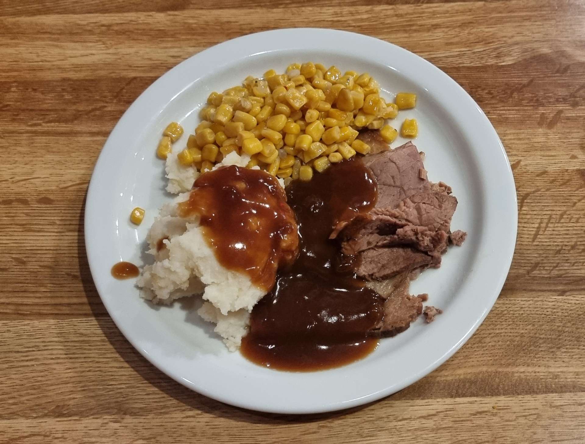
The road in took us past the town baseball pitch & also the Veterans Memorial. The earlier than expected arrival at the Travelers Lodge gave us a chance to wash & dry our kit this evening, while we tucked in to Bourbon Chicken & Mashed Potatoes.
Stage Stats –70 miles, 1,499 feet of climbing.
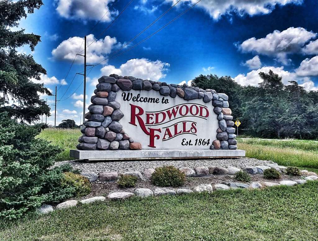
Sunday 17th July – Marshall to Redwood Falls (Stage 61)
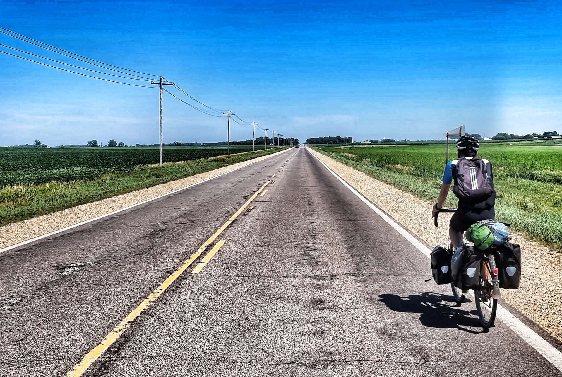
We were up & on our way by 9am, as we wanted to do as much of today’s ride as possible before the temperatures got too hot – it was already 85 degrees when we started & forecast to hit the mid-90’s later. There didn’t appear to be many water stop opportunities either!
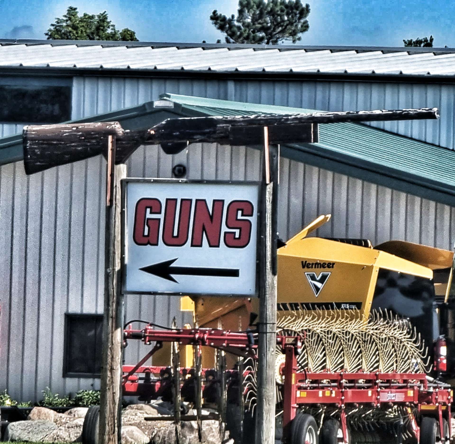
Leaving town on Highway 23, we had the road pretty much to ourselves for 14 miles as we headed North towards Cottonwood – it was fields of maize, wheat & potatoes all the way until I spotted a lake off to the left, with some impressive houses on the far shore. I also saw an understated sign advertising guns – we’re already weighed down with kit, so I didn’t stop!!!
Turning right onto Highway 9, the road stretched ahead of us as far as the eye could see – for 6 miles it didn’t deviate from due East. There was one photo opportunity where some yellow flowers gave me a chance to set up a colourful interlude!
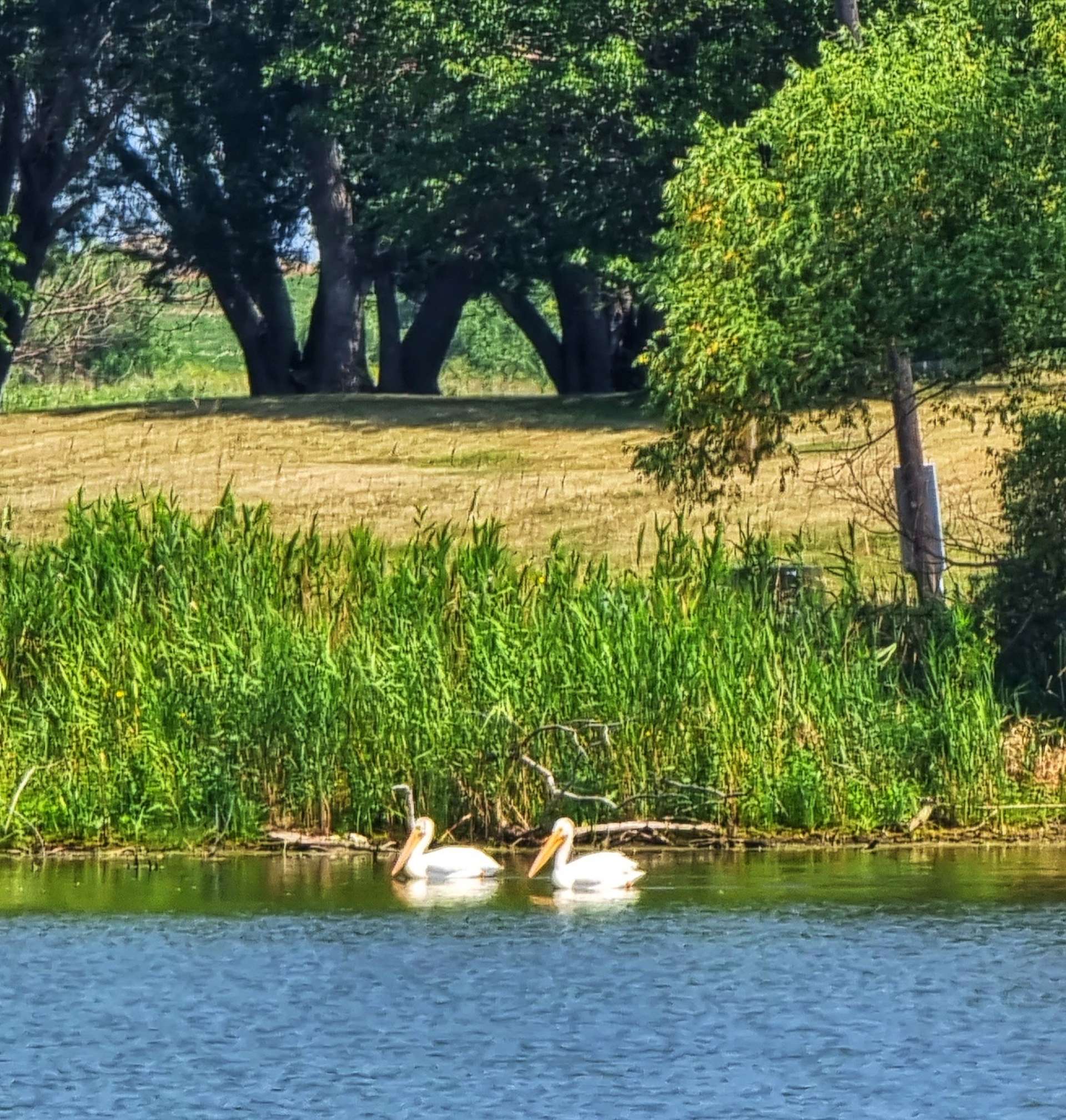
The road twisted around Tyson Lake, where a couple of Pelicans were fishing for breakfast. Then we were back on an arrow straight road through Echo (the name reminded me of the Jack Reacher book Echo Burning) – this was one of two potential water stops, so it was disappointing when the only gas station in town was self service, with no shop. By the time we made a right turn, we’d been on Highway 9 for 16 miles & it had offered up just the one slight change of direction!
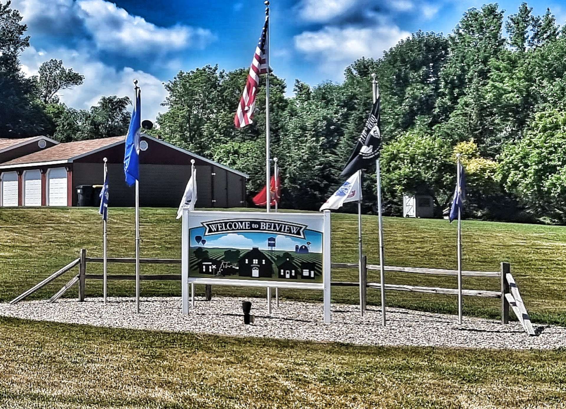
Turning right onto Highway 7, we reached the small town of Belview – again the gas station was self service, with no shop. However, the Belview Bar & Grill was open, so we popped in to see if we could get a drink. The barmaid was really friendly & chatted to us as she took our order for a soda & some iced water. We had a refill of the soda & topped off our water bottles & as Sean went to pay, the barmaid said there was no charge.
The generosity of people in American small towns continues to take us by surprise – almost without exception, whenever we stop in a proper bar or restaurant, we’ve been looked after & made to feel so welcome. We didn’t exchange names, but we did make sure that she knew how much we appreciated her kindness.
We continued through town on the 7 & took a left turn…….
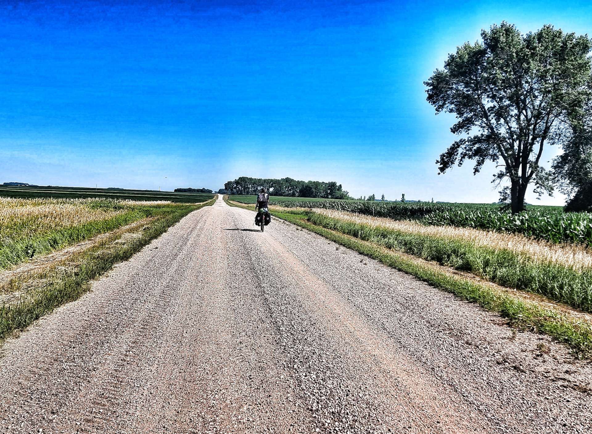
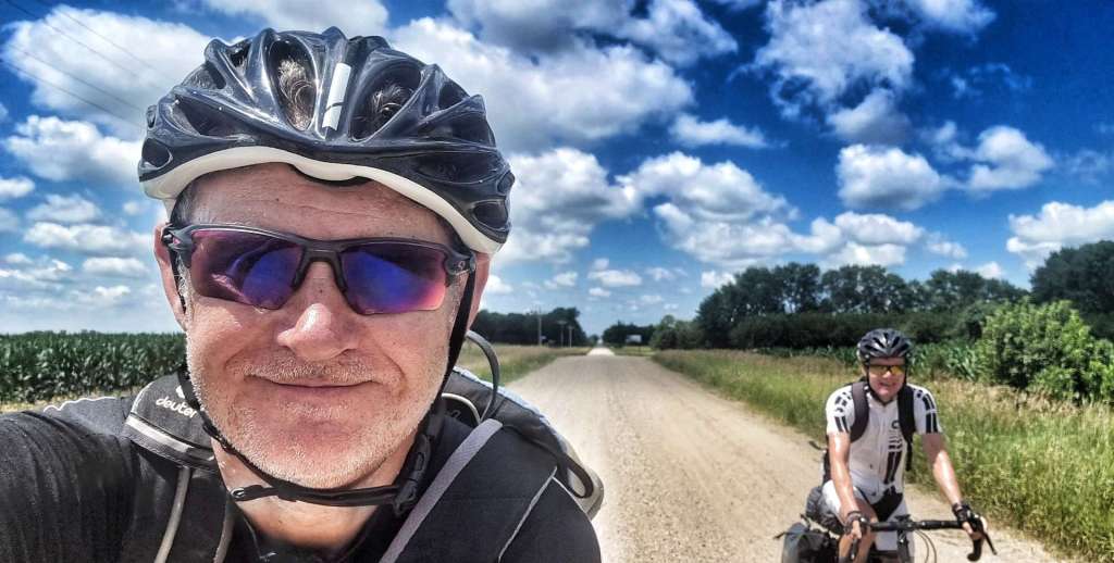
…..onto gravel!! This was a surprise to us both, as my mapping software hadn’t shown any off-road riding today. We ended up riding 4 different gravel roads over about 8 miles – they were all slightly different; the first road was thick, loose gravel which was sketchy, there was some dry gravel with occasional piles of loose chippings, a fast section of hardpacked limestone (see the happy faces) & some soft dirt with gravel thrown over it – slow going!
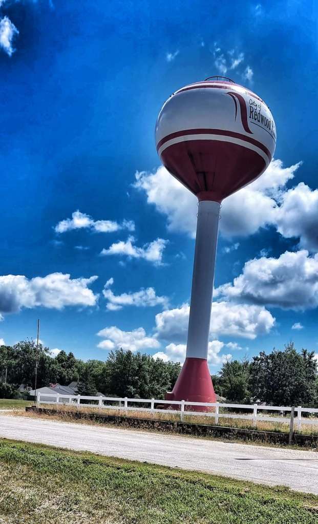
We eventually made our way back to tarmac & within 3 miles we’d made our way into Redwood Falls & found our motel for the evening. We’d made really good time, so were at least 2 hours early, however the owner of the motel managed to find us a couple of rooms that had already been cleaned. He then sorted us out with a microwave meal, protein bar, yoghurt, juice, an apple & some water – we must have looked very hungry & to be fair, we ate everything he gave us!!
Stage Stats –47 miles, 184 feet of climbing. 8 miles of bonus gravel riding!
Monday 11th July to Thursday 14th July – Stages 56 to 58
Monday 11th July – Murdo to Kennebec (Stage 56).
We had a late start planned for today, as it was a short & fairly flat stage into Kennebec. I went to Star Restaurant for breakfast & feasted on Spanish Omelette, toast & coffee, while Sean preferred cereal in his room. We’re becoming more comfortable doing our own thing when we feel like it, although we still prefer doing things together the vast majority of the time.
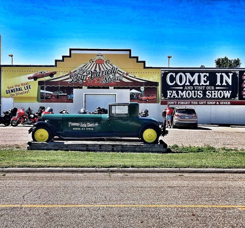
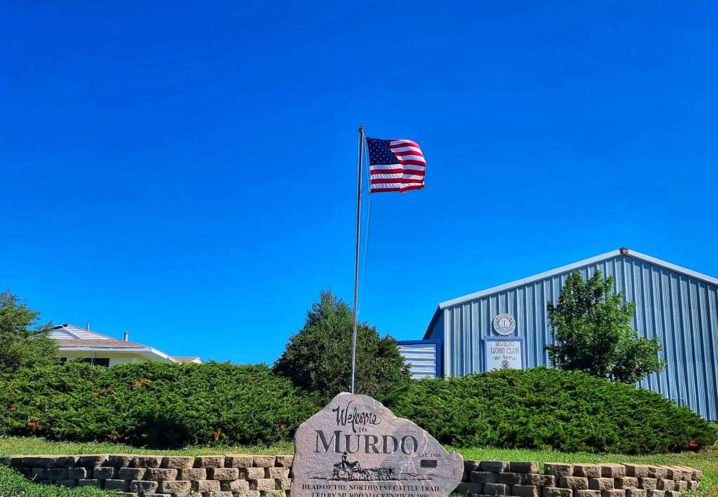
There had been rain overnight, but the roads & pavement were dry by the time we met up at 10.45. It was already in the mid-80’s & there was a slight tailwind when we met – happy days! Leaving town we passed the Pioneer Auto Museum – it has over 275 classic cars, tractors & motorbikes, with one of its star exhibits being the General Lee from the original Dukes Of Hazzard TV show.
Murdo is named after Murdo MacKenzie, who led the first drive of the Northwest Cattle Trail in 1880 – there’s a memorial opposite the Auto Museum.
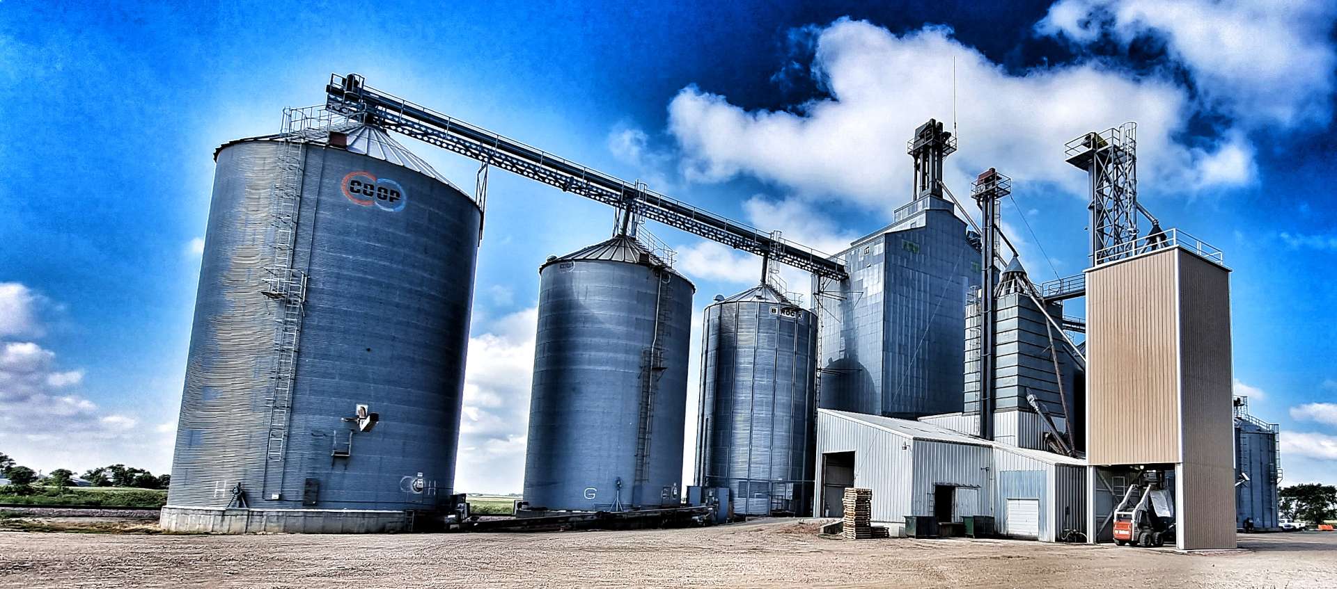
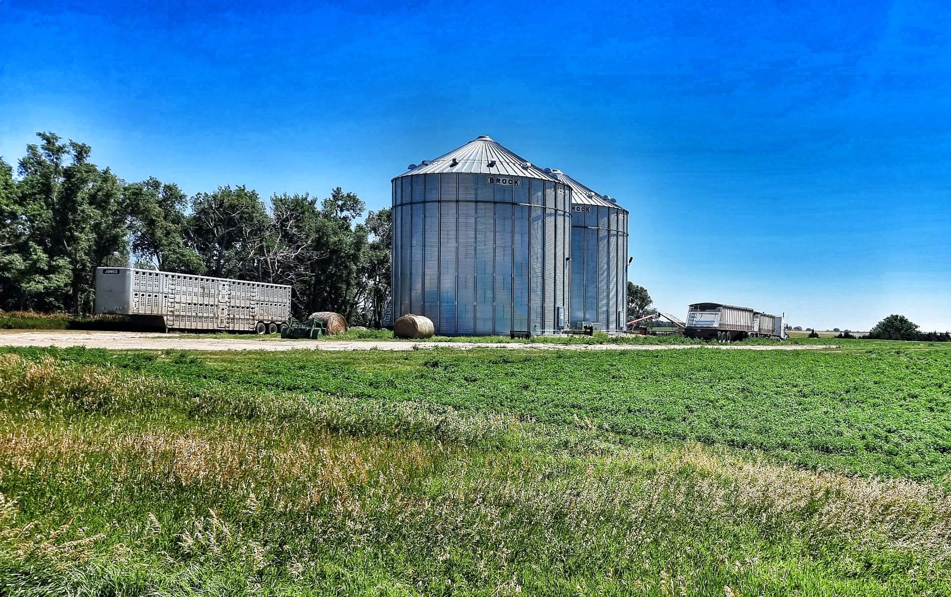
One of the recurring views today was Pepper Pots & Grain Elevator Buildings, as we’re now firmly in America’s Breadbasket where much of the wheat is grown.
In order to transport the vast quantities of wheat, the Pepper Pots are always next to the railroad – this is great news for us, as the railroad generally follows the flattest route available & we were shadowing the railroad! Wooden Trestle Bridges are used to get the railroad over the numerous small creeks & minimise changes to its elevation. Meanwhile, the road was taking us up & down these same rollers – they were never very steep or very long, so it provided an interesting change in landscape for us.
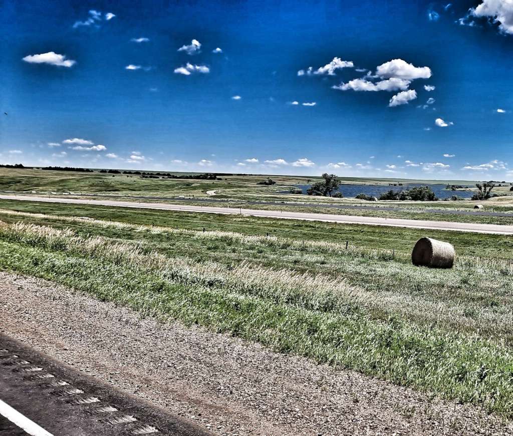
I also took the opportunity to get in some more Hay Bale Surfing training – My mount & dismount needs significantly more work, but I’ve gradually improved my flexibility!
After about 10 miles we passed through Draper (population 66) & continued on towards Vivian (population 87) – while the town wouldn’t have anything in the way of a coffee stop, it has an Entry/Exit ramp to the I-90 freeway & that did have services, it was also at the halfway point of today’s ride (22 miles). Research is everything on days like these! We took a 1/2 mile detour where we found coffee & an apple danish – for freeway services it tasted good.
Temperatures for the last week have been in the high 70’s (24 celsius) when we set off & have risen to the high 80’s / low 90’s (30 to 33 celsius), so staying hydrated during the day is really important & quite a challenge on the remote roads of South Dakota. We used the stop to top up our water bottles before setting off again.
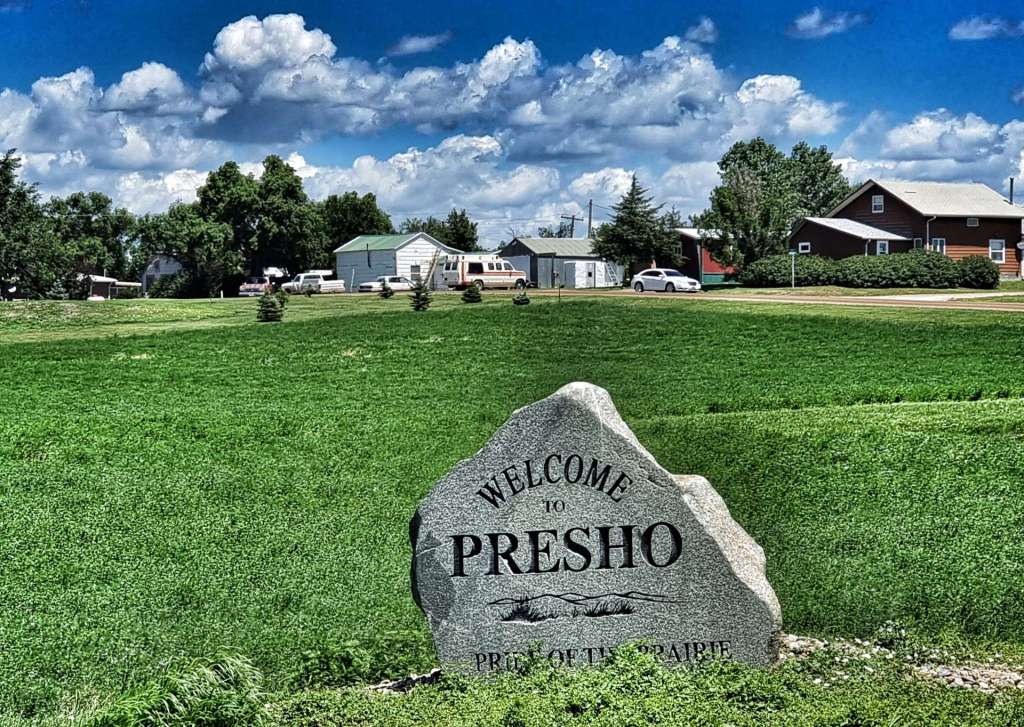
For the next 22 miles we shadowed the I-90, passing through Presho (poulation 411), the self-proclaimed Pride of the Prairie!
Today’s ride was very uneventful – I’ve used pretty much every photo I took! When we arrived at Kennenbec, we’d been riding for 2 hours 50 minutes, so we were quite early checking in to our motel. We made good use of the extra time at our disposal by popping over to the gas station opposite & buying ourselves an ice cream!
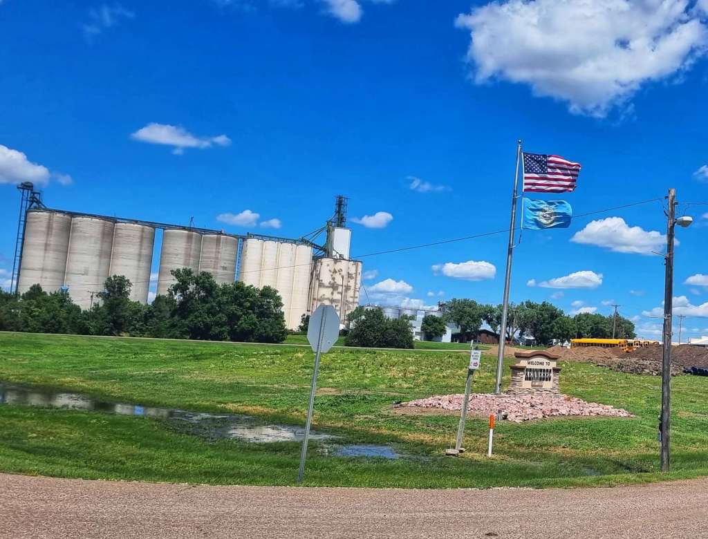
On our trip to the small grocery store I also stopped to add the Welcome to Kennebec sign to my collection.
Stage Stats – 45 miles, 1,056 feet of climbing. A tailwind & a gradually descending profile.
Tuesday 12th July – Kennebec to Wessington Springs (Stage 57).
When we were planning our 4 day adventure from Philip to Huron, our intention was to break the stages up into 4 similar length rides. However, towns with accommodation (or campgrounds) are few & far between. As a result, yesterday’s ride was 44 miles & today’s is 77, so we made an early start. As is the pattern now, we woke to clear, blue skies & the temperature when we set off at 8.15 was already in the high 70’s (24 degrees celsius) & rising. The really good news is that we had a tailwind!
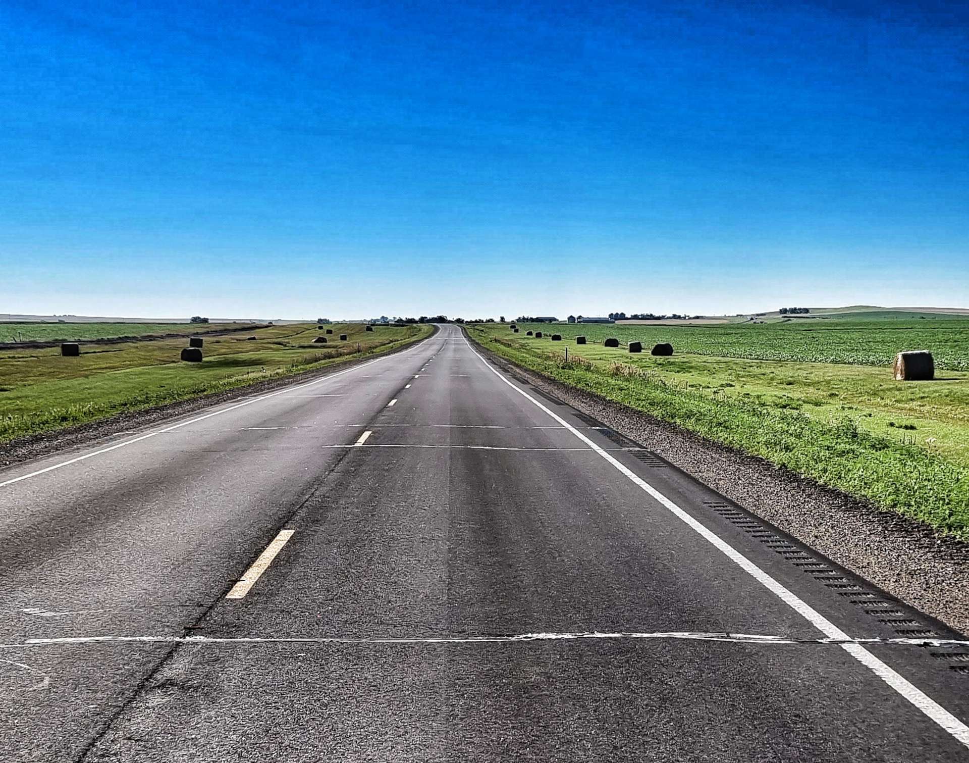
The white tape across the road at regular intervals in the first photo was done last night by a group of very hard working roadmenders – they passed our motel at about 5pm & before dark they managed to seal & protect about 6 miles of road. The scenery started out much the same as yesterday, with haybales at the side of the road, Pepper Pots & long, straight, rolling roads.
After 12 miles we reached Reliance (population 109) & took a left turn on Highway 47 towards Fort Thompson. The road was deserted for the next 18 miles as we rolled up & down along a ruler straight road. While we were still in prairie country, we didn’t see very many fields with crops growing.
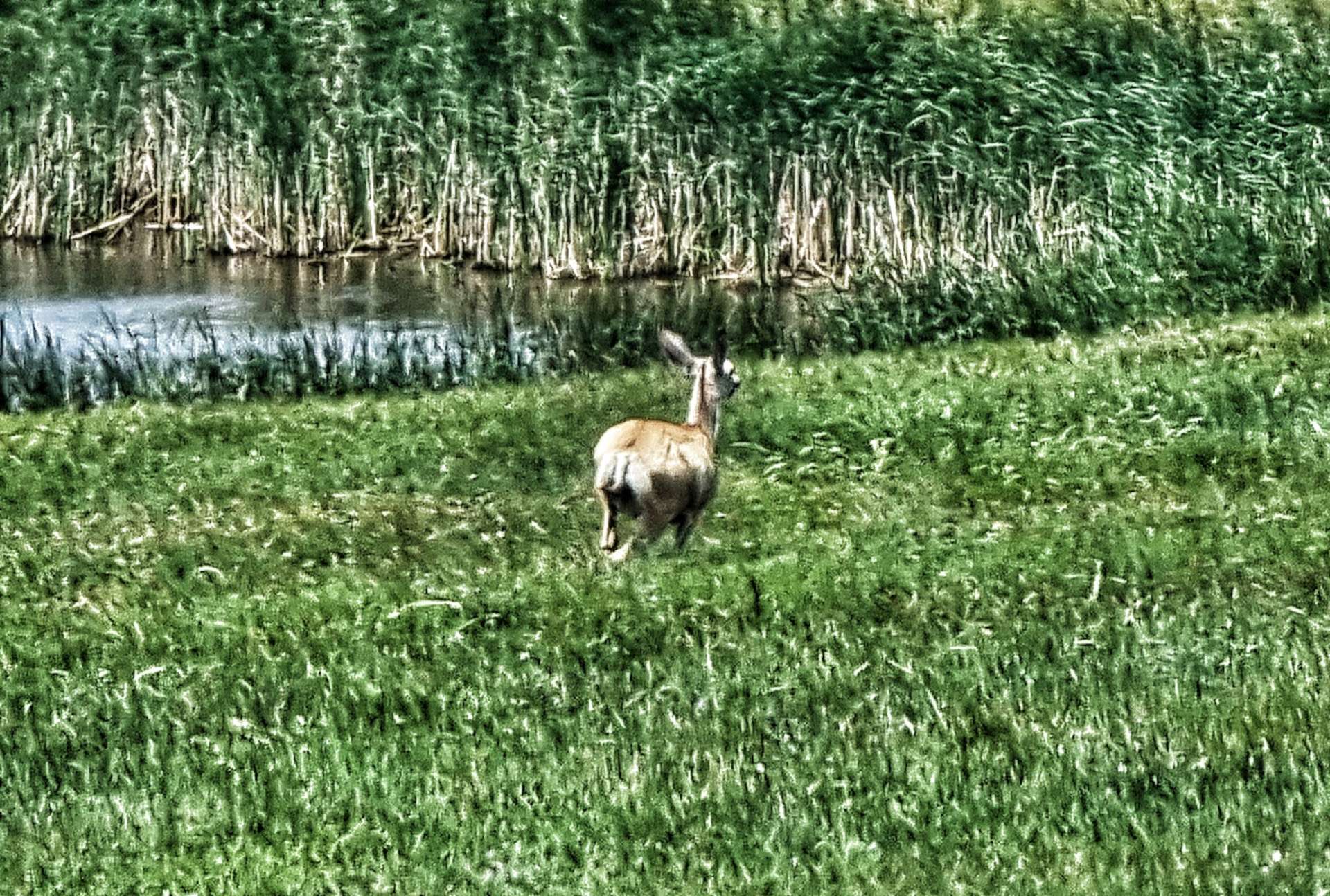
The last couple of days have been lacking in wildlife & today wasn’t much different- I saw one deer in the very far distance & it bounded off just as I lined up my shot on maximum zoom setting (sorry for the blurry photo!).
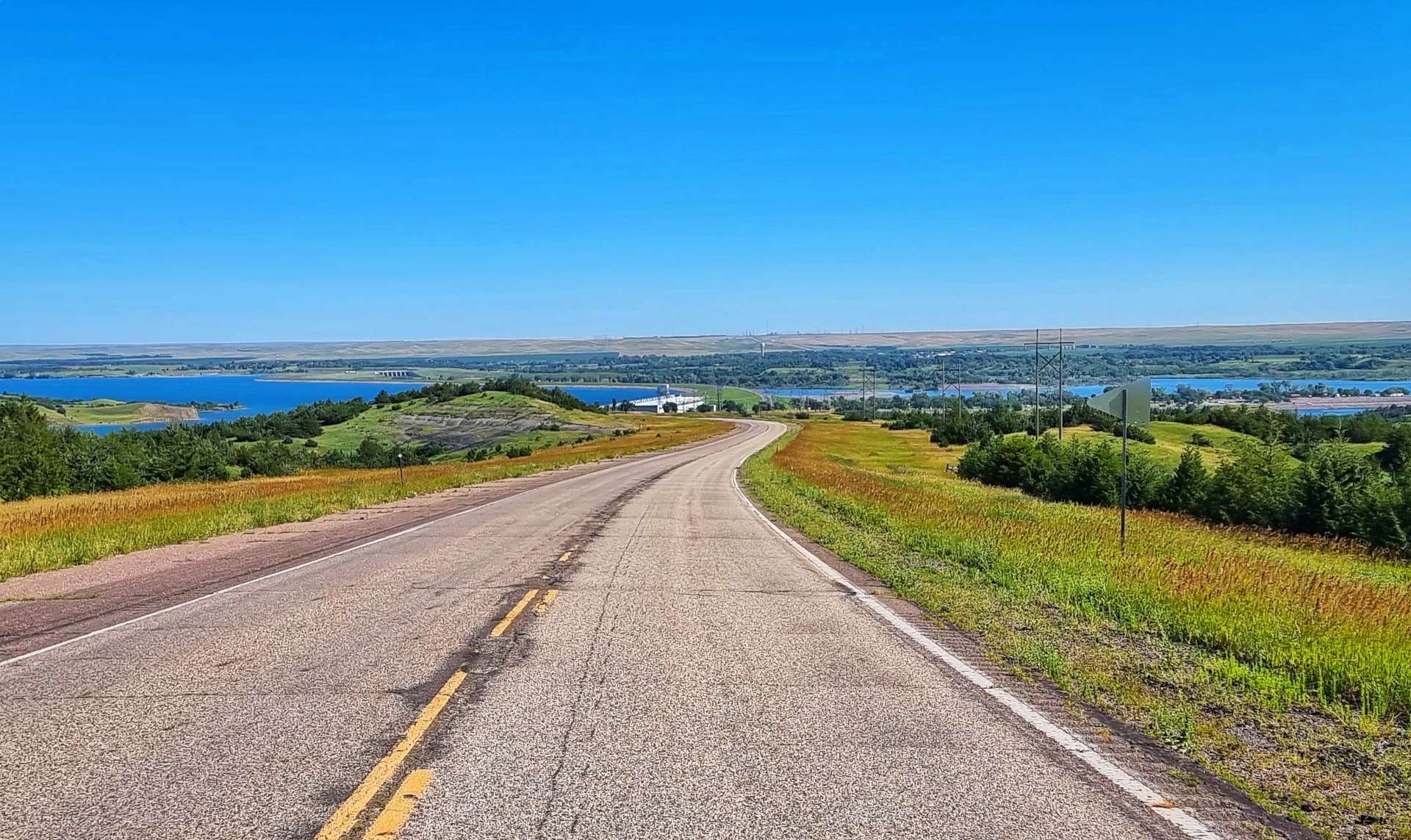
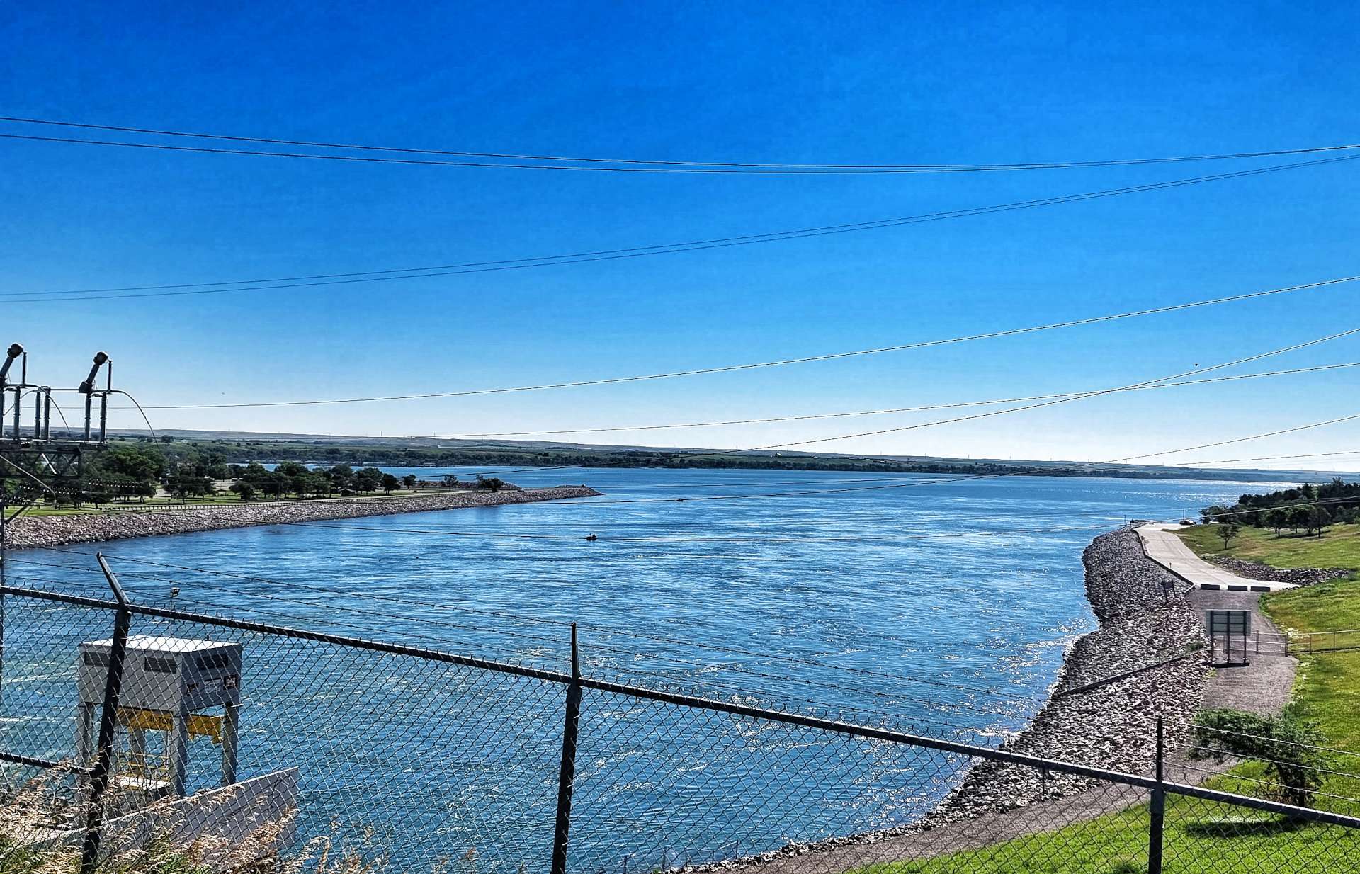
As we reached the top of one roller, we could see there was a break in the horizon & that meant we must be close to Lake Sharpe which was created by a man-made dam across the Missouri river. The Big Bend Dam is maintained & managed by the US Army Corps (this is the same set up as we saw at Lake Koocanusa way back on 22nd May).
There were a couple of boats on the downstream side of the dam when we crossed it.
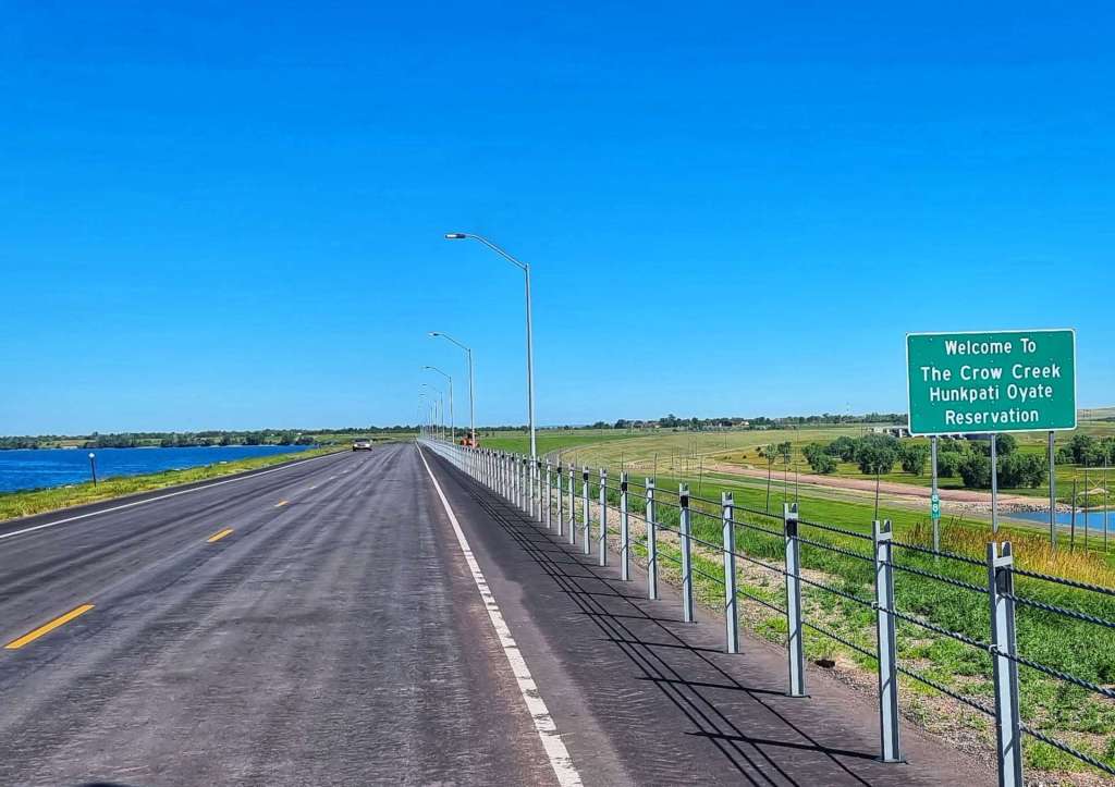
We were now entering the Crow Creek Hunkpati Oyate Reservation – Fort Thompson is the largest town on the Reservation with a population of 1,282.
We stopped at Lynn’s Dakotamart as our water supplies were low & we wanted a 10 minute break in the shade. About 4 or 5 people came over & spoke to us, they were interested in where we were going & where we were from. Without exception, they wished us safe travels & said we’d enjoy the ride as the scenery is beautiful.
An interesting observation is if you ask someone how far away in distance a place is, you are likely to get a reply back in time, rather than miles – when you travel everywhere by car, time has more significance than distance! If you’re interested, Wessington Springs is 43 minutes away from Fort Thompson in the car, or 3 hours by bicycle – in both instances the correct answer would have been 44 miles!!!
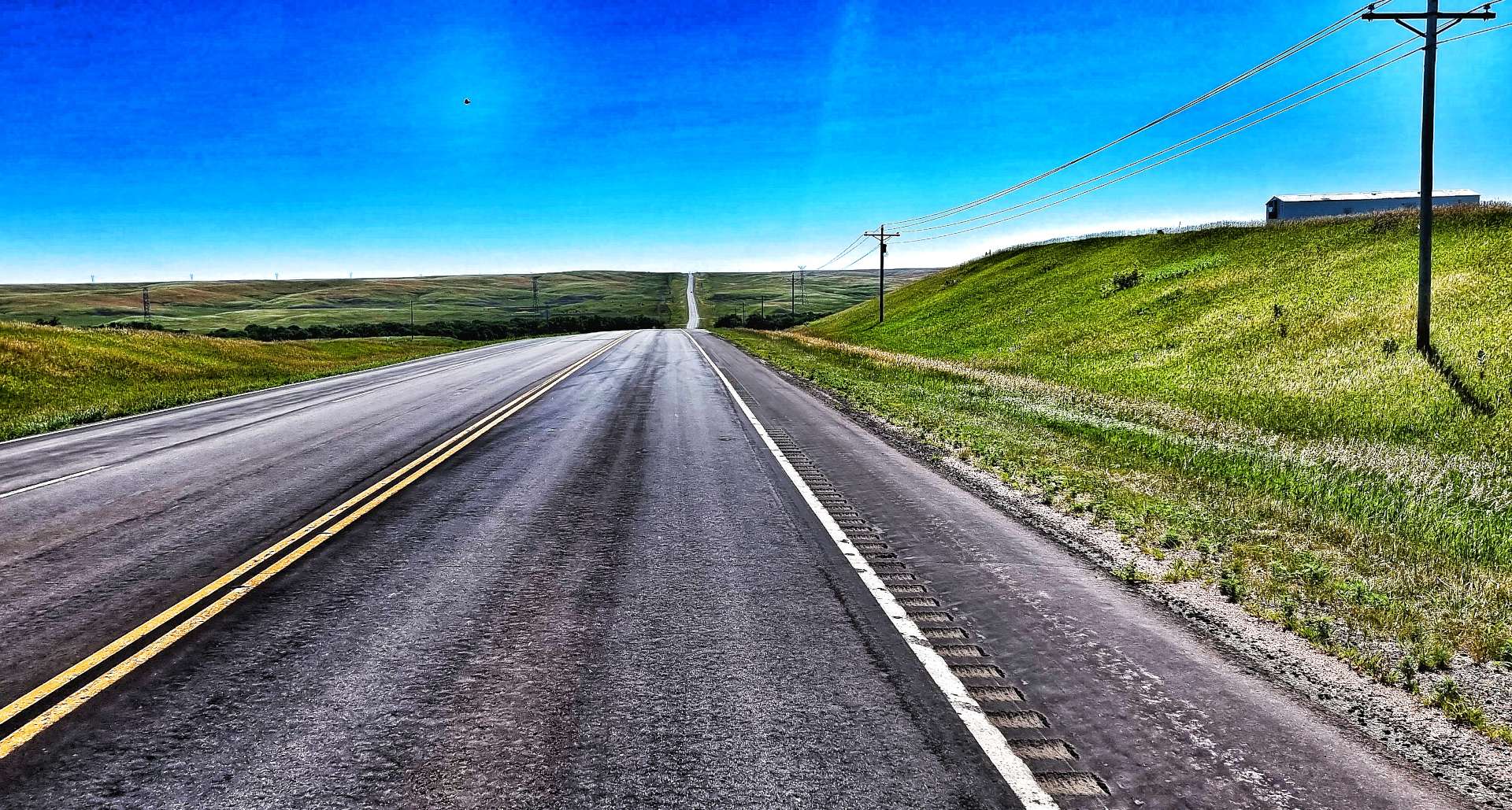
We continued on a road that would be pretty much straight for the next 40 miles (with a few small twists & turns), as it continued to roll up & down some slightly larger hills. Out of the blue & 7 miles from Fort Thompson, the nearest town, we saw a Gentlemen’s Club – one of the more unusual finds on our adventure!
We continued on our way on the empty road, enjoying the big views of the upcoming descents & groaning when we saw the next big dipper heading uphill.
Just after Sean had reached the bottom of a shallow, but long descent, we spotted our first cloud of the day – just the one, all on its own! Up until that point it had been blue sky all day. We were making good progress with the aid of a tailwind, it certainly helped us up a few of the rollers. The scenery was also gradually changing, as slowly, but surely there was more agriculture – maize & wheat fields were appearing again.
In the far distance we could make out Wessington Springs water tower – all the towns seem to have one in the mid-West. We guessed it was a couple of miles away & yet 5 miles later it was still ahead of us! Eventually we reached the edge of town, took a left turn into the commercial district & went to our motel. The tailwind had blown us into town about 45 minutes quicker than expected & there was no-one around.
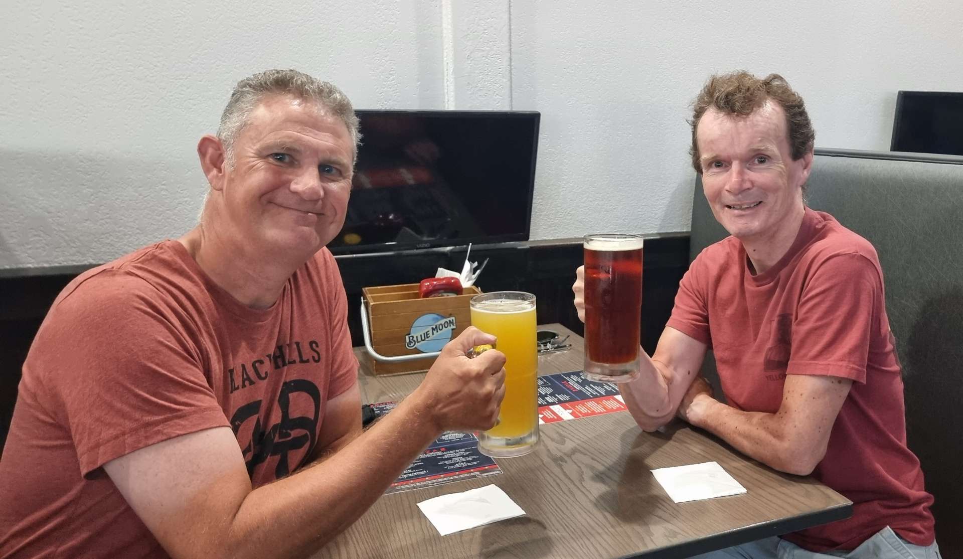
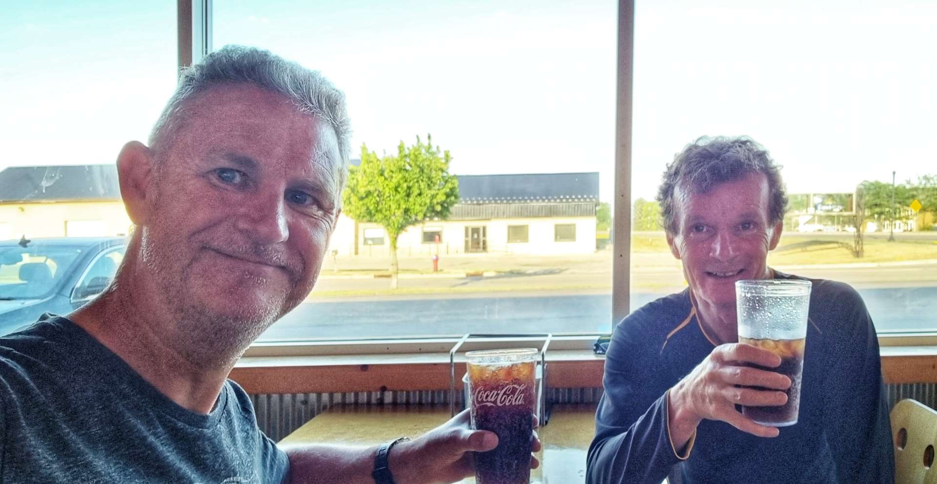
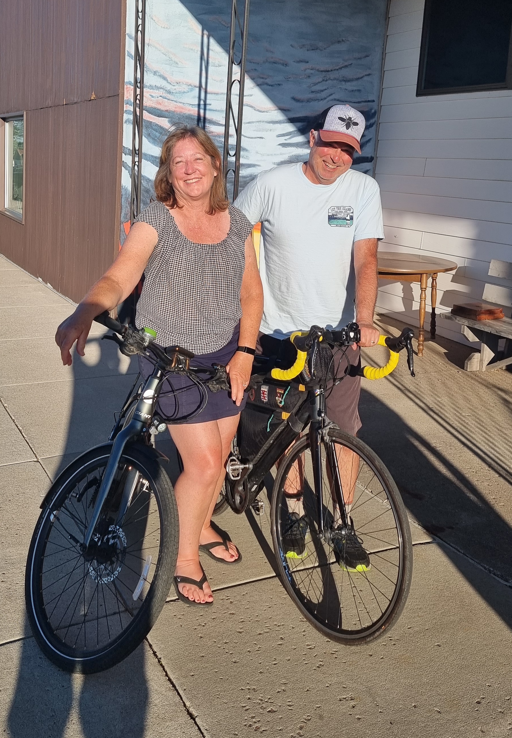
We headed over the road to Springs Inn Cafe, where I treated myself to a slice of lemon & coconut pie & an orange fanta float – delicious! We also went back for dinner that evening, where we had a very tasty cod & chips. We also met Don & Susan – he’s cycling across the USA from East to West with support from Susan.
We had a really enjoyable 30 minutes or so comparing notes & sharing stories – we swapped details & now have each other’s blog details. Meeting up unexpectedly with fellow cyclists is good for the morale, as well as having the chance to find out about the route ahead. Pedal strong Don & safe travels – Susan, don’t help him too much 🙂 It was great to meet you both & enjoy your journey back to Lopez Island.
Stage Stats – 77 miles, 2,231 feet of climbing. A tailwind again with rolling hills.
Wednesday 12th July – Wessington Springs to Huron (Stage 58).
Today was another short day, so we enjoyed a lie-in & set off at 11am. There were 6 turns on the ride & every one of them was a right angle! The first turn took us out of Wessington Springs onto Highway 34, descending onto the prairie below. This section of road (like most of today) was long, straight & flat, with one pond to break up the scenery of wheat & maize as we headed to Lane.
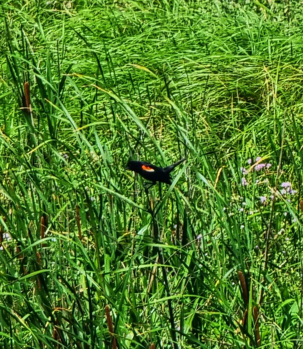
At Lane we took a left onto Highway 281, which stretched way into the distance! There were a couple of farm vehicles which looked like they’d been abandoned, although I’m sure it was more likely they’d just taken a lunch break. As we crossed a river, I stopped to get a snap & finally managed to get a photo of one of the warblers that has been chirping at us for the last 2,000 plus miles!
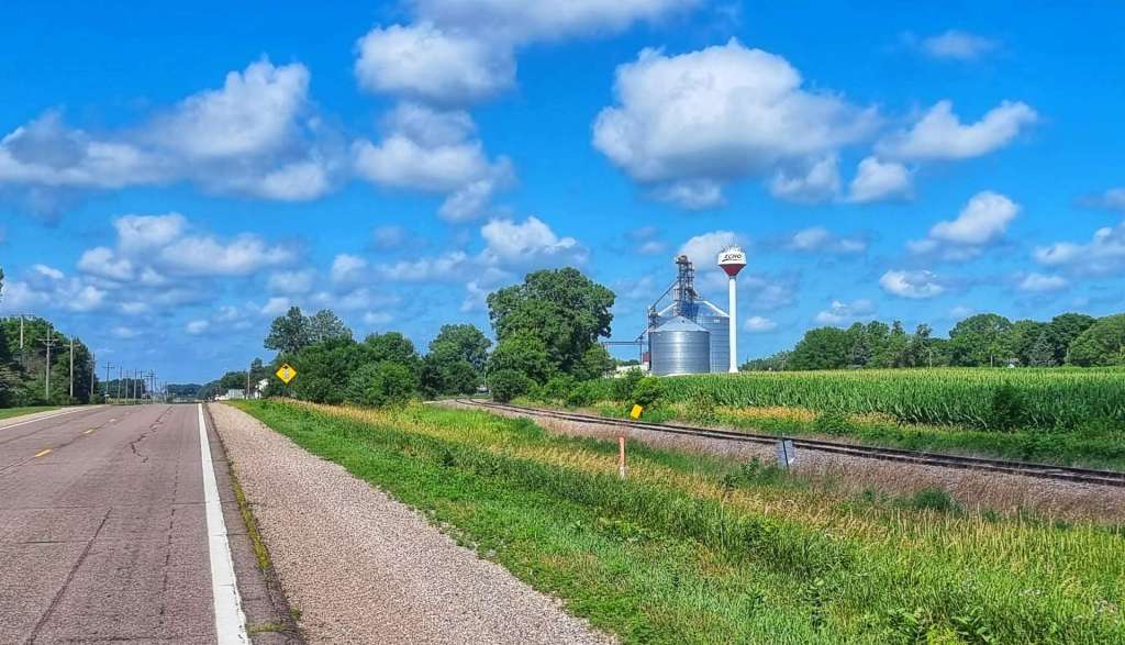
We took a right turn onto Highway 224 which took us past Pepper Pots galore & another small lake. Don had mentioned last night that the small town of Alpena (population 400) had a bar called the Red Hog Saloon that should be open & it was at the halfway point of our ride. We stopped for a twix & coffee, while topping up our bottles with ice & cold water.
There was also a huge factory called Jacks Links in Alpena – I looked it up when we arrived in Huron. It’s where Jacks beef jerky, beef sticks, steak strips & smoked sausages are made. Since I’ve looked them up, I’ve seen their products in many of the gas stations we’ve stopped at. I haven’t yet been hungry enough to buy any!!!
We turned left at Alpena & spotted that an enterprising farmer had harvested the grass by the side of the road & baled it up. While South Dakota doesn’t need the haybales, they are sold to farmers in Minnesota who use it for cattle feed. Although we were on paved roads, we also saw that there were gravel roads every mile that headed off into the distance at right angles. This part of South Dakota is set out on a huge grid formation, but only some of the roads are paved – food for thought when planning the route for the coming days!
We took a left turn on Highway 37 which took us the final 5 miles into Huron. This completed our block of 4 days riding & we spent the afternoon doing out laundry & taking advantage of the hot tub to ease the aching muscles!
I also had a phone signal for the first time since Saturday, so gave Mum a call & wished her a belated Happy Birthday. It sounds like she had a great couple of days celebrating with a surprise lunch with some of her best friends on the Monday. A big Thank You to my Sis-In-Law Nikki, Sarah & Cherry for organising a brilliant spread, Mum really appreciated your hard work!
Prime Time Tavern had a small menu, but what it did, it did well. We had our first steak after 11 weeks of being in the USA – a delicious fillet mignon, finished off with a tasty slice of New York cheesecake. The one disappointment was having to drink a Bud Light, only my 2nd beer fiasco of the adventure!!!
Stage Stats – 38 miles, 305 feet of climbing into a cross / headwind.
Thursday 13th July – Rest Day.
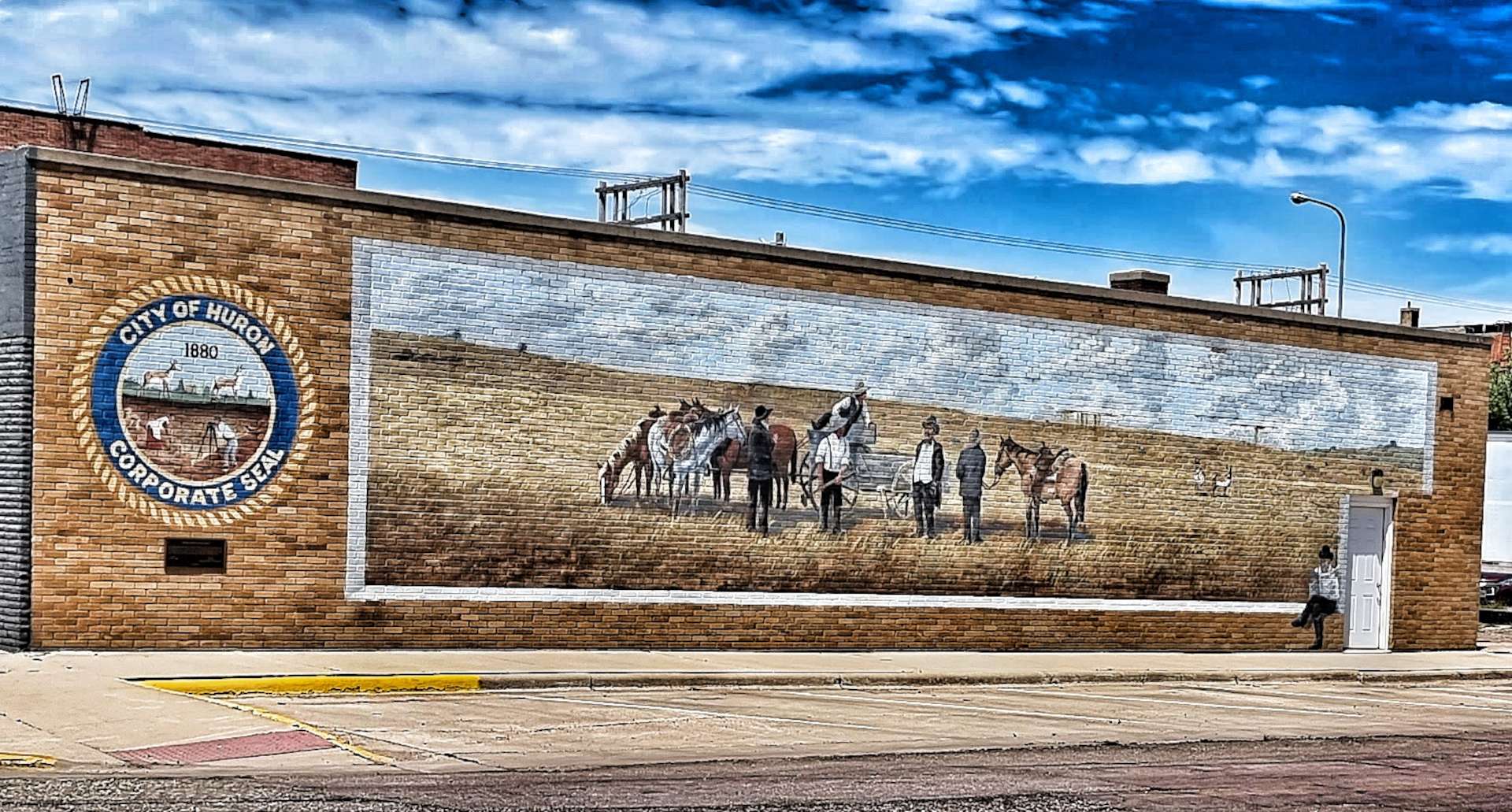
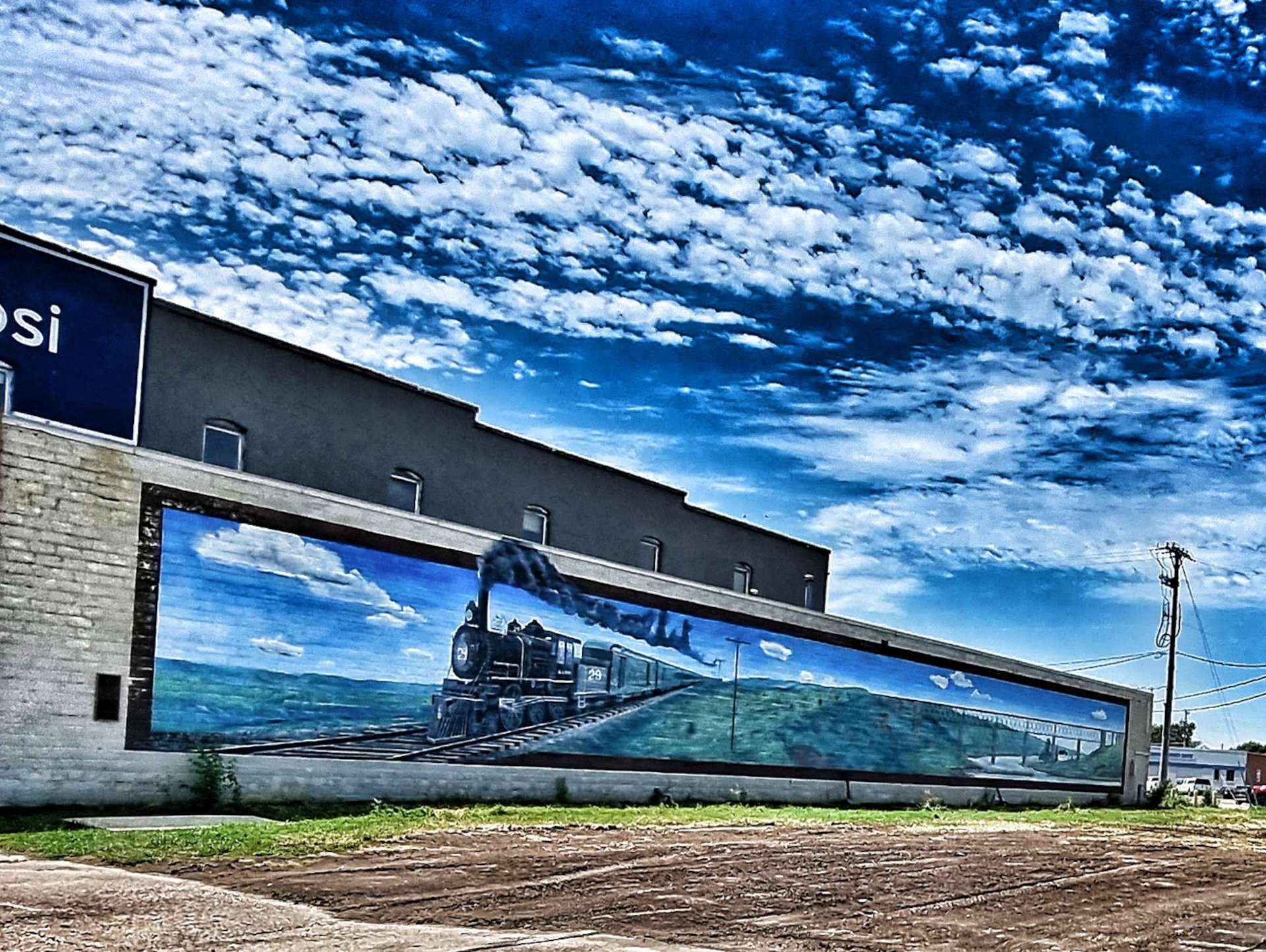
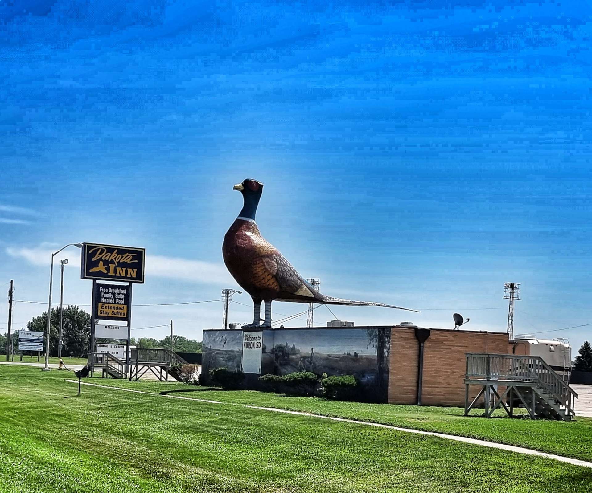
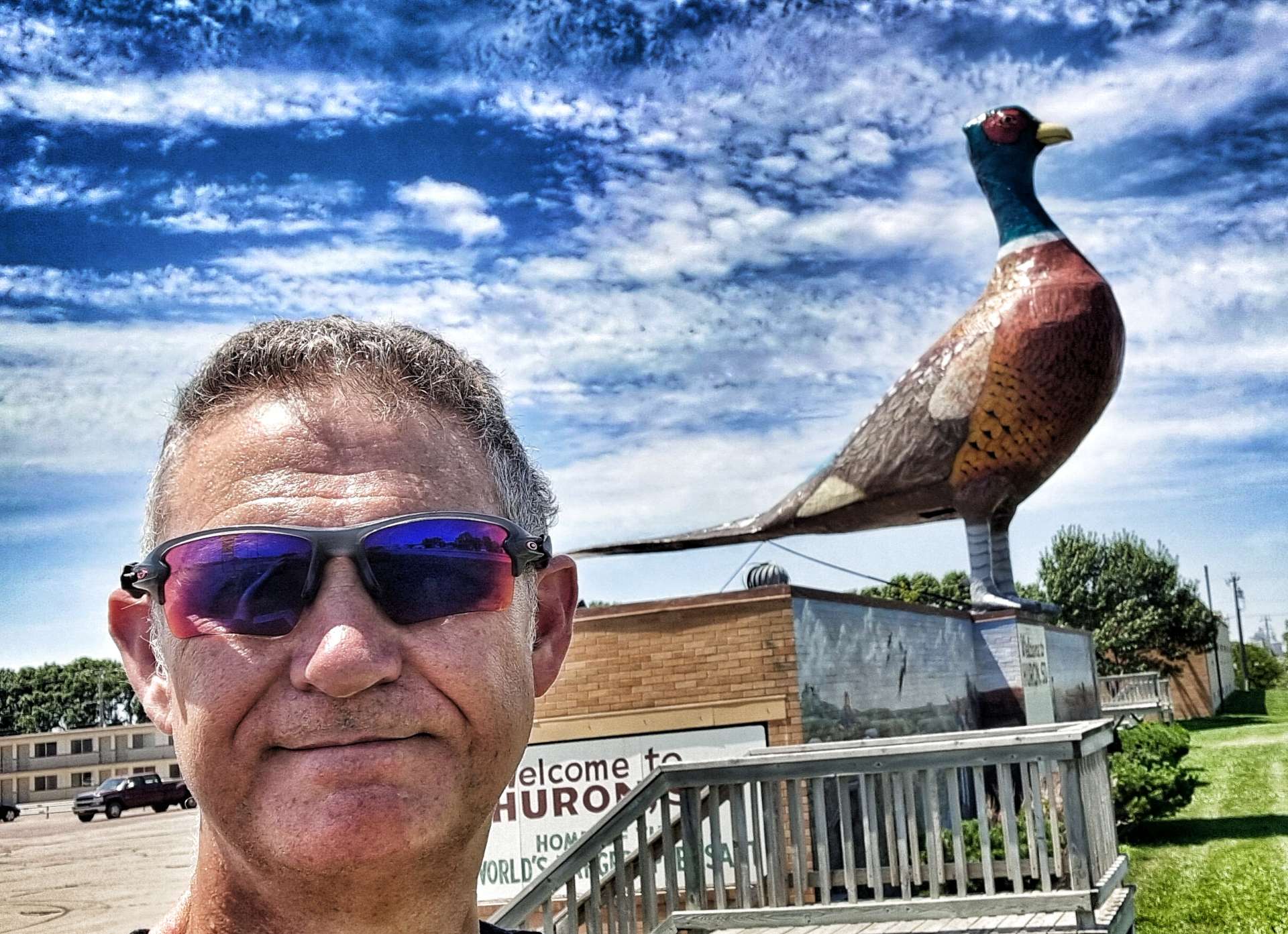
I cycled into downtown at lunchtime, as it was 2 miles from the hotel & the temperature was in the high 90’s. I was looking for the largest pheasant in the world, but on the way I spotted a couple of amazing murals on building walls.
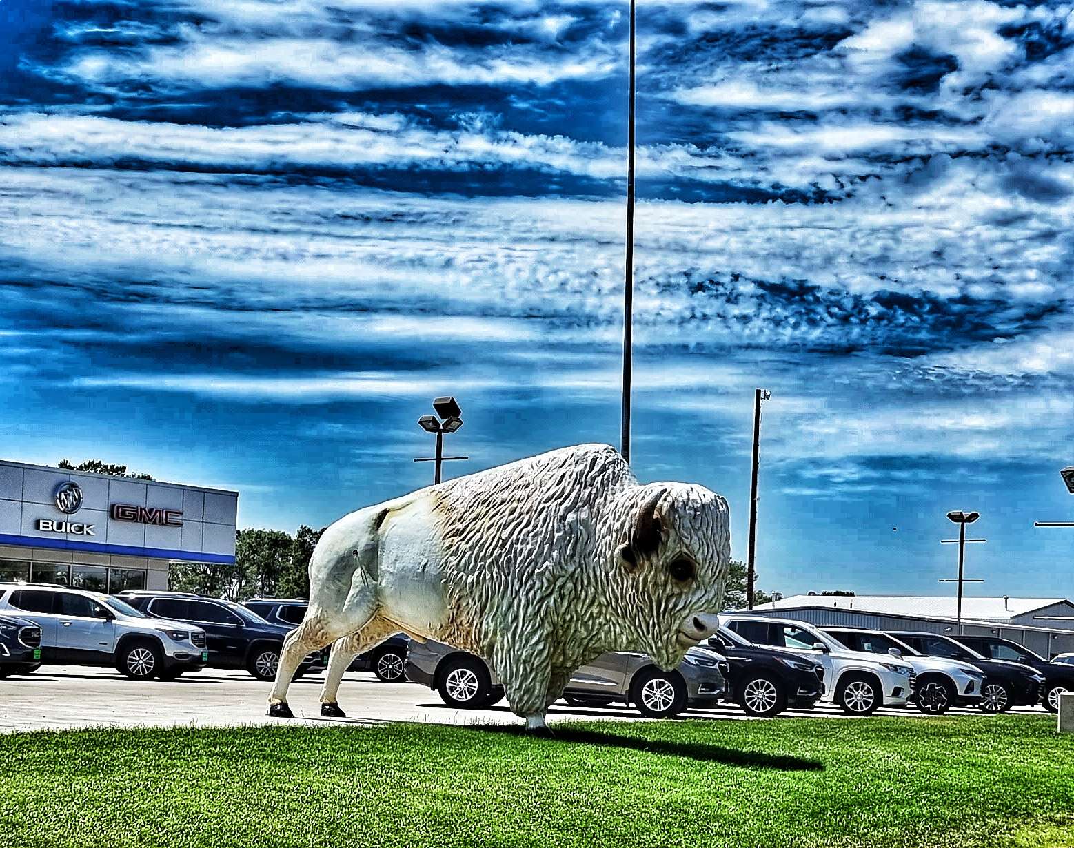
Pheasant hunting is a popular pastime in & around Huron, so the town decided to celebrate & advertise the fact. The local car dealer had decided to get in on the action & was advertising with a huge bison!
I spent the remainder of the Rest Day relaxing, watching Tour de France highlights of Tom Pidcock winning on Alpe d’Huez (the first Alpine climb I ever did in September 2010), catching up on my blog & preparing the route for our next block of riding. We ride again in the morning!
Well, How Did We Get Here? Miles, Feet Climbed, Maps & Profiles.
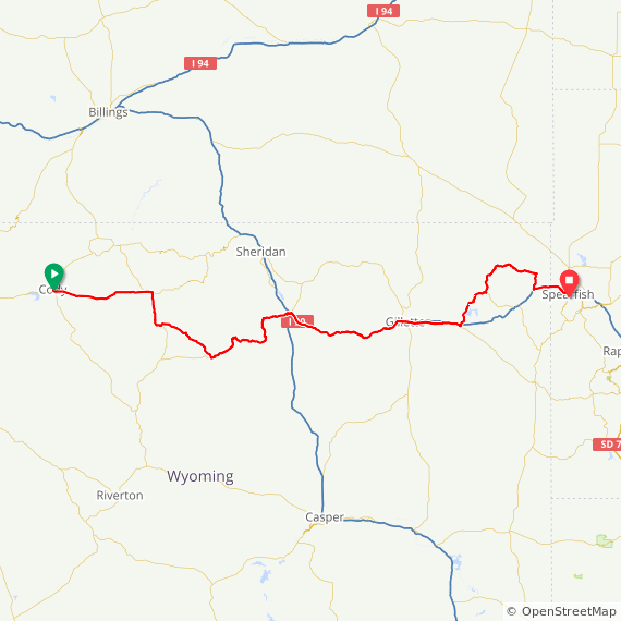
Previous updates described how we travelled from Seattle to Spearfish in the first 9 weeks of our adventure. Now find out where we went & what we did in Week 10! Hopefully picking a single photo to represent each day will refresh my mind when it comes to looking back on my adventure!
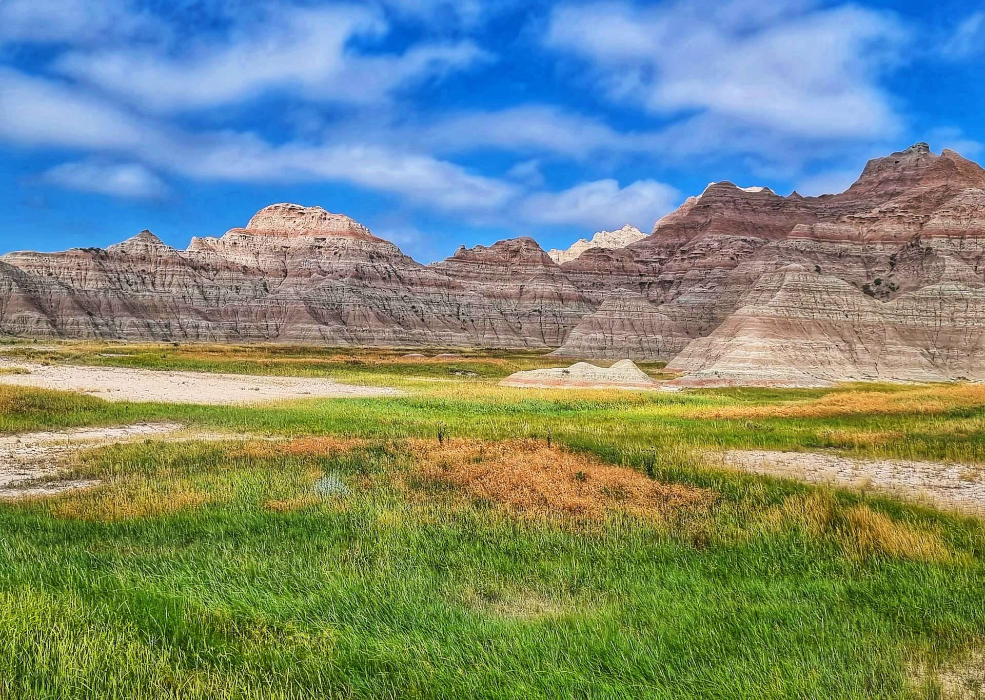
Alex & Mary welcomed us with beer & great conversation on Saturday. Sunday was a real adventure on the crushed limestone & gravel of The George S. Mickelson Trail. Monday was Independence Day & we spent it exploring Crazy Horse, Custer State Park & had our first views of Mount Rushmore. On Tuesday we experienced Mount Rushmore up close & learned about its history, before heading to Rapid City. We had a rare Rest Day on Wednesday & enjoyed some recovery & relaxation. Thursday gave us a brief glimpse of Badlands National Park & a night in a Camping Cabin. Finally, on Friday we had the full Badlands experience – absolutely breath-taking!!!
Another incredible week of making new friends, getting off the beaten track & exploring some of America’s best scenery on our Coast to Coast adventure.
Thursday 7th July to Sunday 10th July – Stages 53 to 55.
Thursday 7th July – Rapid City to Interior (Stage 53).
After a rest & recovery day in Rapid City, we were back on the road just after 9am. We headed across town & picked up Highway 44, which we would be riding for the rest of the day. We passed a few herds of longhorn cattle (they always stop grazing & watch us as we pass them) & old farm equipment near farm entrances, still with Stars & Stripes on display from 4th July.
We stopped briefly at a gas station after about 20 miles to top up on cold water & enjoy a coke & cookie. At this point we’d covered 17 miles in the first hour & were both looking forward to the tailwind blowing us all the way to Interior. The temperature was in the high 80’s fahrenheit & staying hydrated was a challenge, as there were only 2 places to replenish our bottles on today’s route.
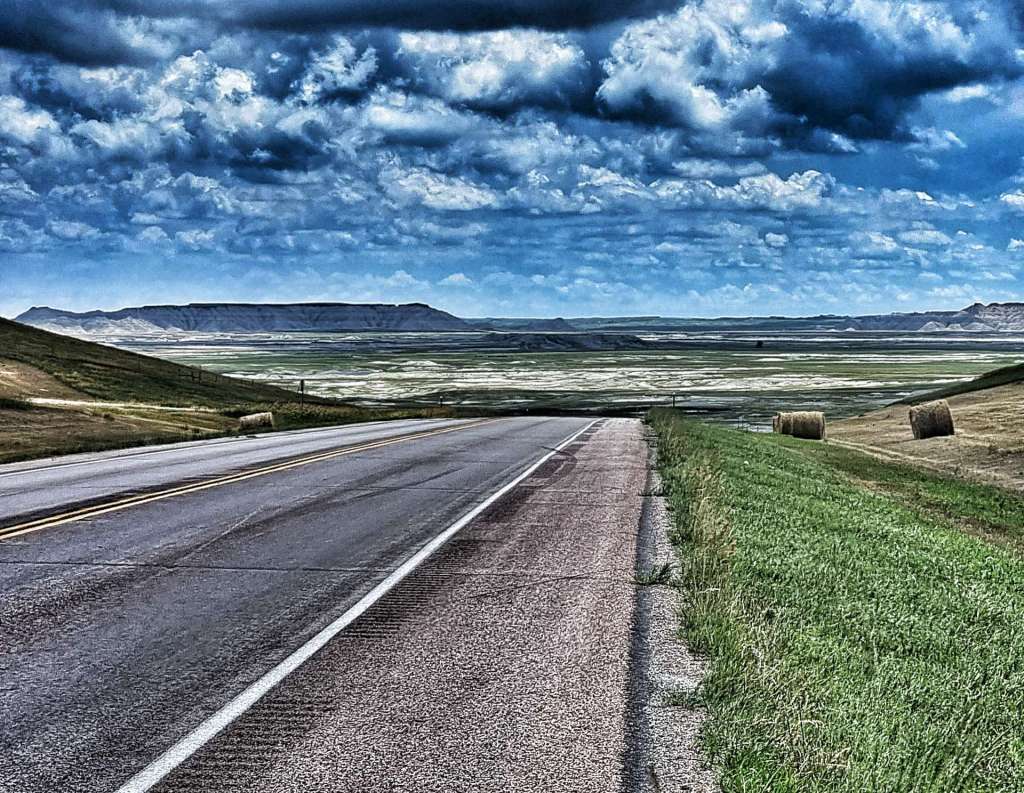
The road stretched far into the distance as the fields slowly switched from pasture to grassland, as we were nearing the Buffalo Gap National Grasslands – the second largest of 20 National Grasslands sites, it’s encompasses about 600,000 acres in various tracts across South Dakota. The characteristics of Buffalo Gap are mixed prairie & chalky badlands. The Buffalo Gap also results in localised winds & unfortunately for us, today’s localised wind was into our faces – from mile 30 until we finished we battled a 10 to 15 mph headwind the whole way.
I stopped for one last look back to the Black Hills – we’ll be slowly descending for the next 2,500 miles until we hit some small hills in New York State & Vermont. That also means there aren’t any more big descents either, which is a bit more of a disappointment!!! Meanwhile, on today’s stage, the road stretched ahead into the distance, taking us ever closer to Scenic, gateway to our next iconic landmark.
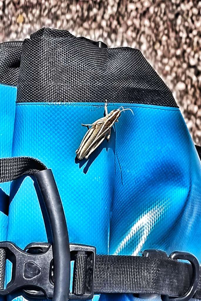
Before that we crossed Rapid Creek & took on one final drag up to the plateau – on the way up, I picked up a passenger. I originally thought it was Jiminy The Cricket, but it’s since been suggested that I may have introduced the first of a plague of locusts into Scenic!
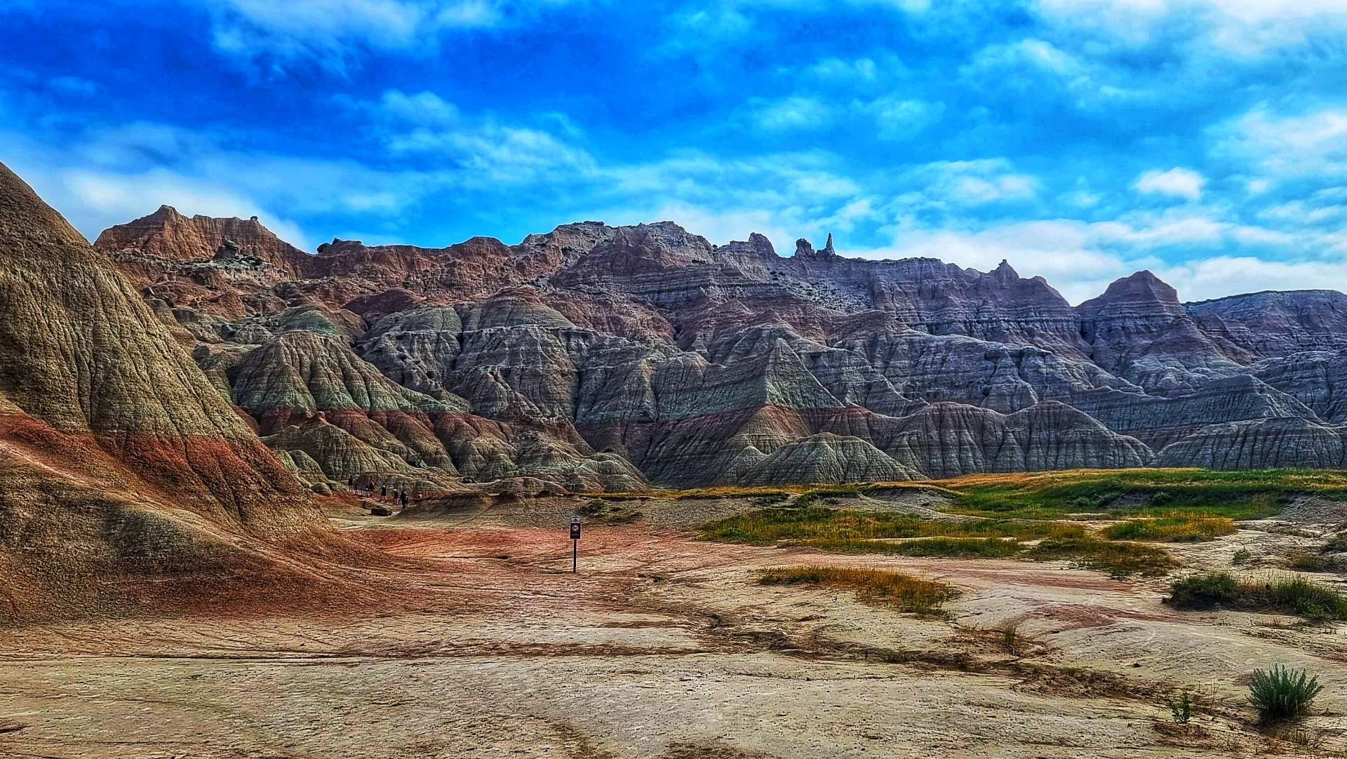
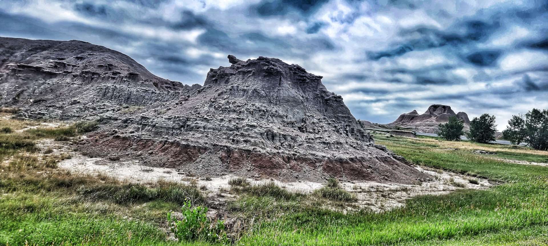
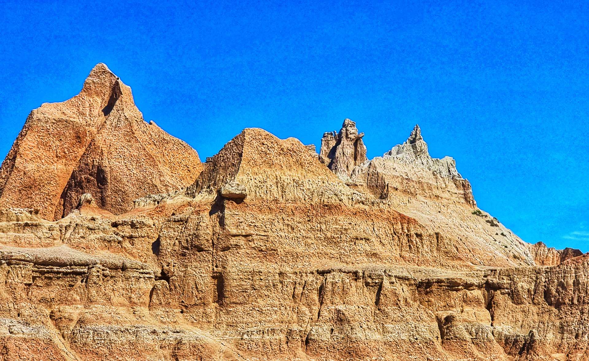
The little fellow stayed on my front pannier for more than 45 minutes, until eventually he got blown off on a small descent when we saw The Badlands for the first time. After seeing fields for the last 3 hours, the outcrops of red, white, yellow & black rock laid out before us seemed even more grand & impressive.
As we reached Scenic, one of 3 ways into Badlands National Park (the others being Wall & Interior), we found what was once a thriving community to be no more than a ghost town with Tatanka (Lakota for Buffalo) Trading Post the only building still in use – we were able to top up our bottles & relax in the shade for 10 minutes with a can of sprite.
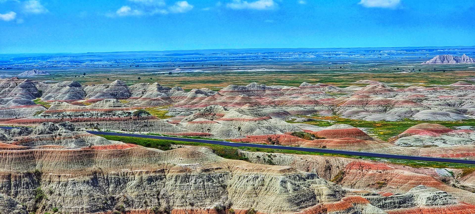
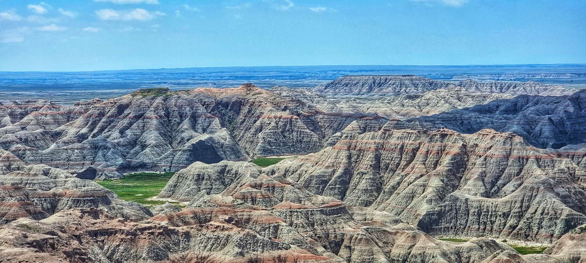
We could now see the rugged beauty of Badlands up close. Although we entered Badlands National Park today, it was only a fleeting visit.
Although we were only cycling through Badlands National Park for about 3 or 4 miles, the scenery was stunning & gave us an idea of what tomorrow might offer up. As we left Badlands, we returned to Buffalo Gap Grasslands – a simple way to tell the difference is whether the photo has a fence (Buffalo Gap Grasslands) or not (Badlands).
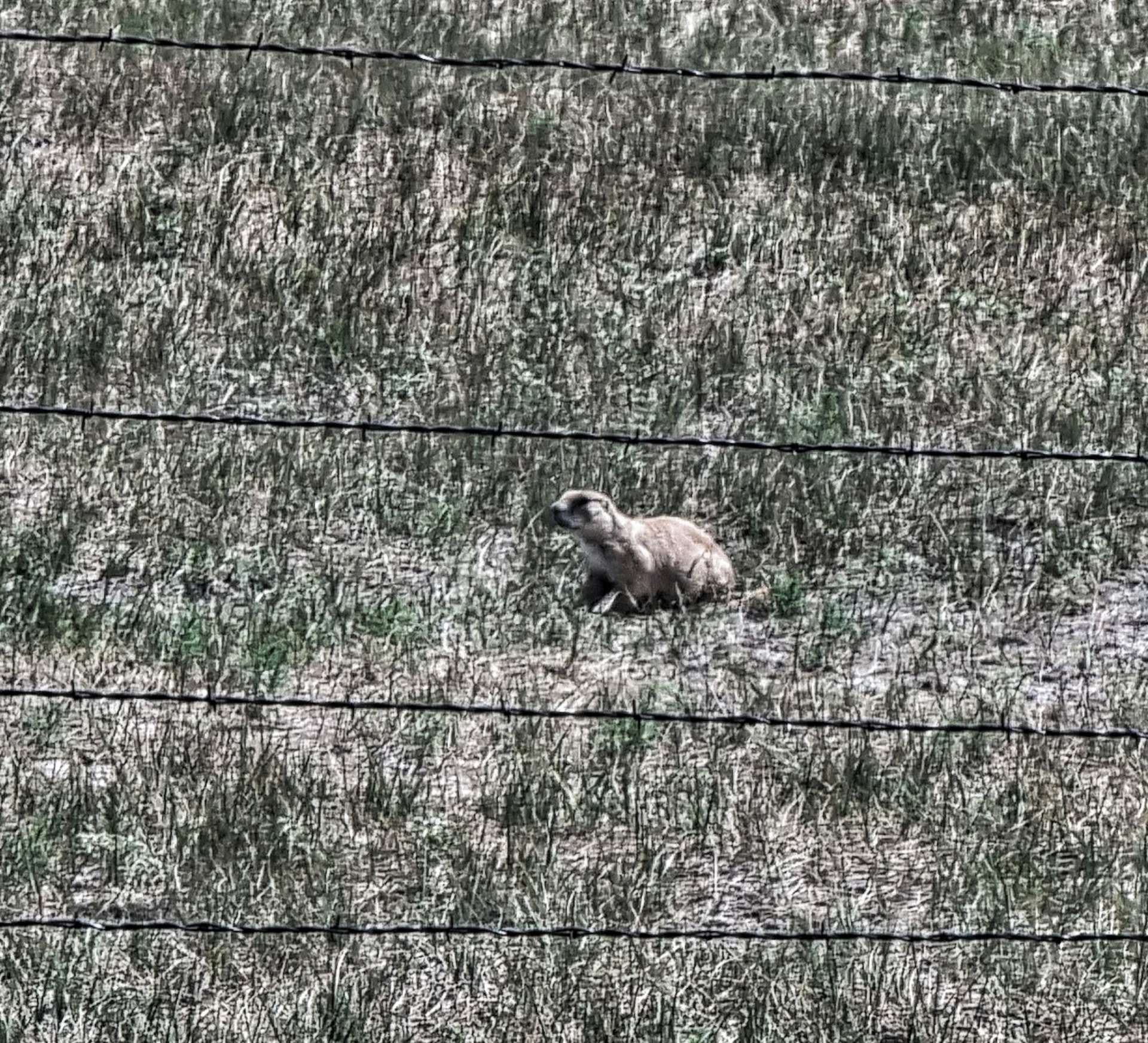
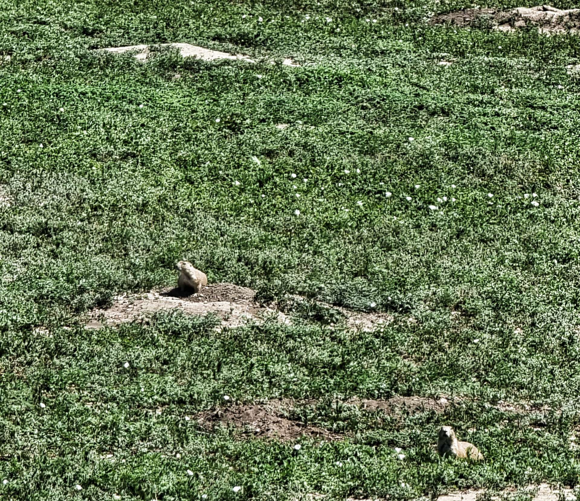
Returning to the carefully managed National Grasslands, we saw the only wildlife of the day (other than cattle) – prairie dogs thrive in Buffalo Gap National Grasslands & Badlands National Park, with very few natural predators. Every now & then the Badlands drew closer to us, giving us a tantalising view.
After over 5 1/2 hours in the saddle we were beginning to feel the heat & our water although plentiful (we still had a bottle each), was tepid like warm bath water – hardly appetising! We could see Interior in the distance & our camping cabins, but our first priority was to raid the town’s gas station for a 28 ounce bottle of gatorade & a 35 ounce bottle of water – we sat in the air conditioned seating area for 10 minutes & demolished the lot!!! It had been a challenging day cycling into a headwind in temperatures of 85 degrees plus.
Sean decided he was going to grab dinner from the shop on the campground, while I fancied some hot food. I visited the Wagon Wheel Bar, where I tucked into a buffalo burger & a bottle of Goose Island IPA as I reflected on a great day in the saddle.
On my way back to the campground I stopped to take a few photos as the sun set over Badlands in the distance – enjoy, I did!
Stage Stats – 74 miles, 1,421 feet of climbing. A fast first hour, followed by 4 1/2 hours battling a headwind. A tantalising taster of what Badlands may offer us tomorrow.
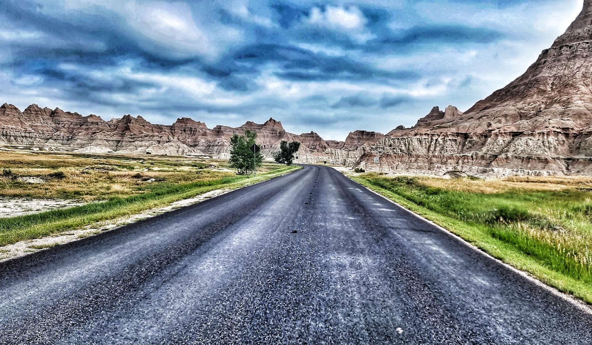
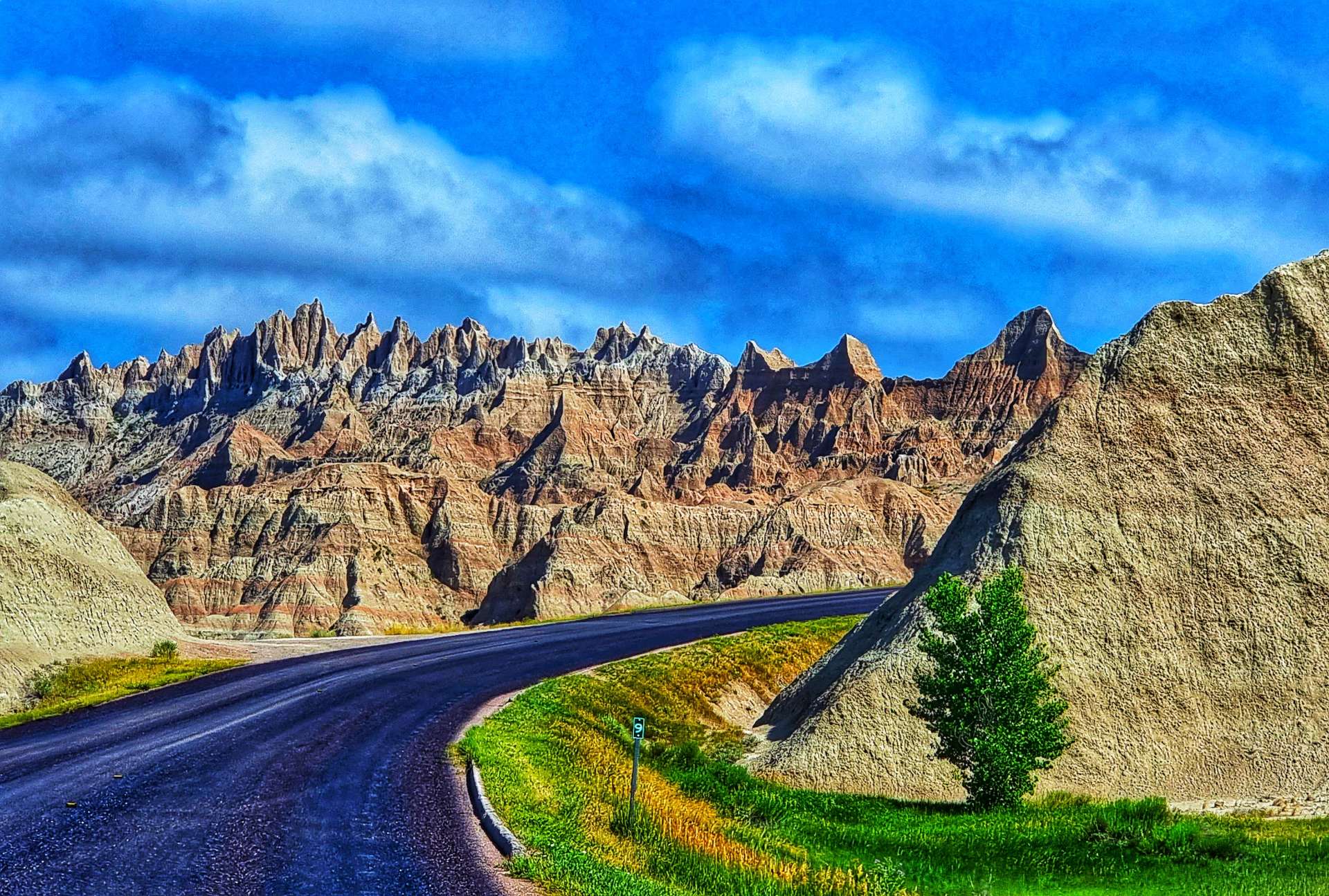
Friday 8th July – Interior to Philip (Stage 54).
The camping cabin was fairly basic (we had a bed, a light, air conditioning & patchy Wifi) – the toilet & showers were in a separate block about 50 yards away & we had to supply our own sleeping bag & pillow. We decided on reflection it was just better than camping, as we didn’t have to put up & take down the tent, but a poor 2nd to a motel!
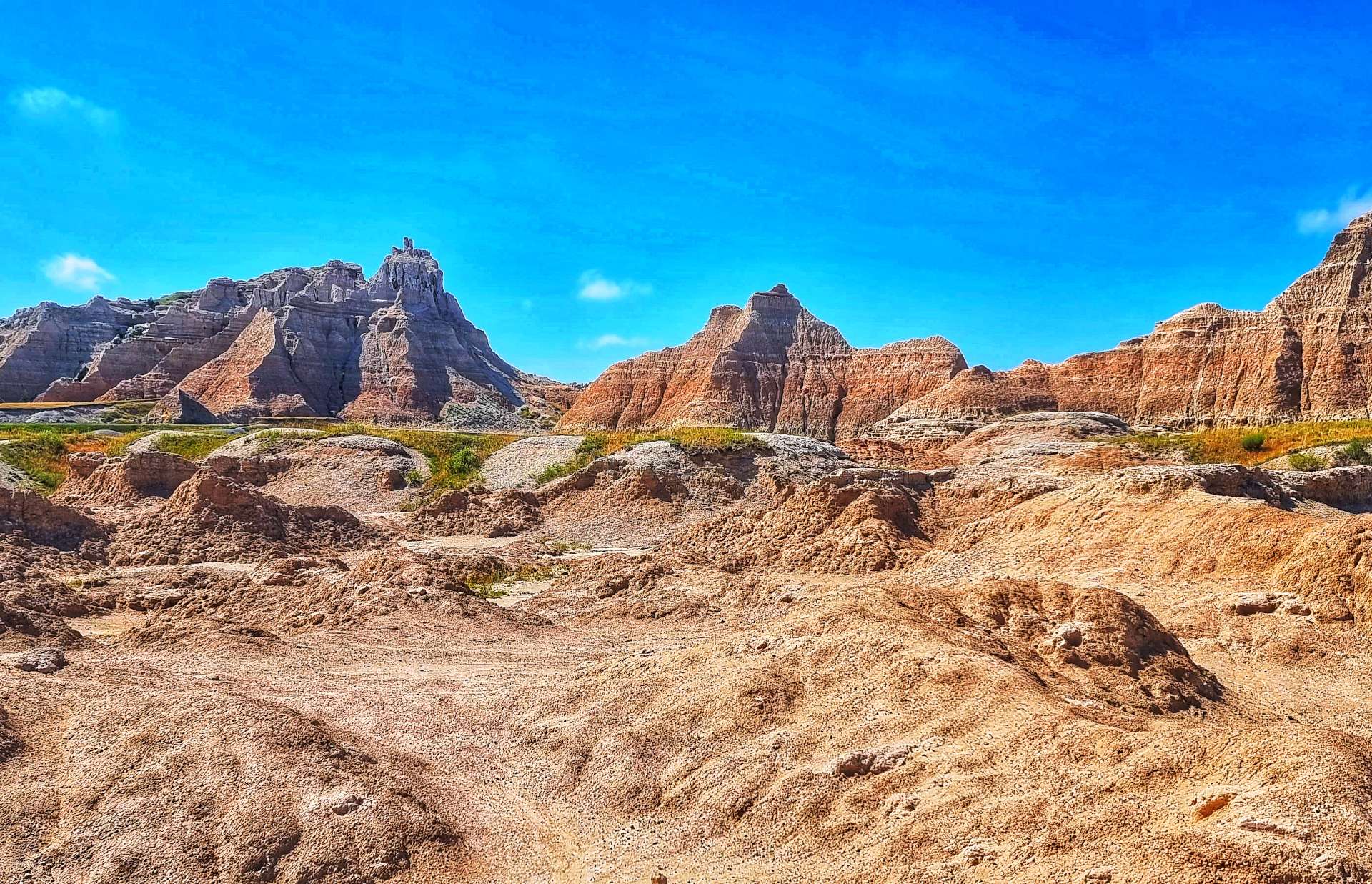
We were both looking forward to cycling through Badlands National Park, so we were on our way by 9am again. I’ve enhanced the colours in the photos in this post, but the views were stunning enough I probably didn’t need to bother, however, old habits die hard! The video later is exactly as we saw the scenery – yes, it does look like a ride through a film set!!!
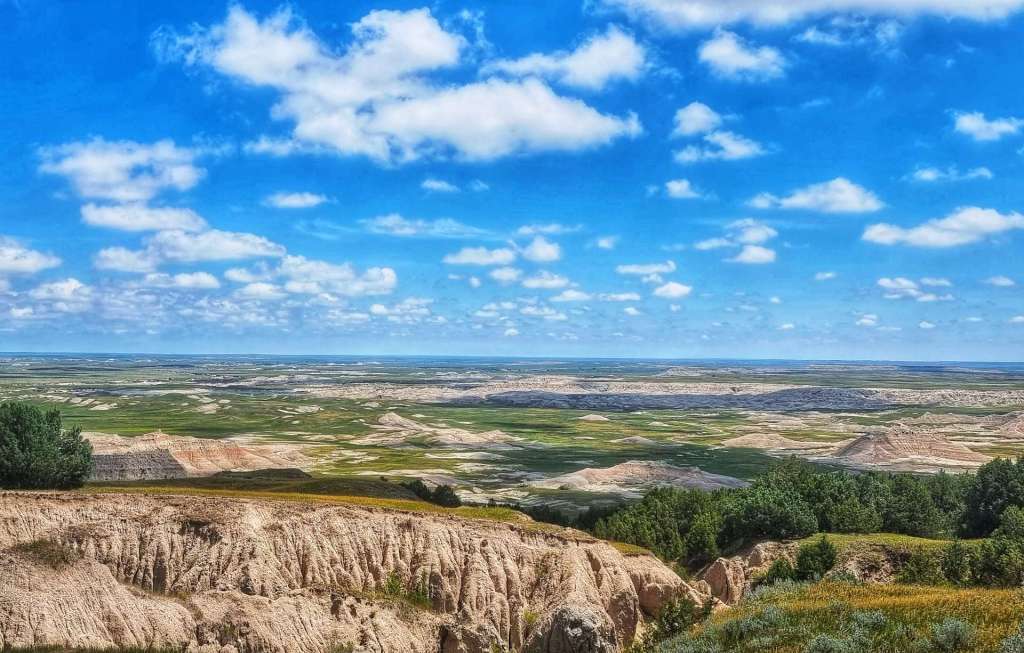
Badlands National Park has one of the richest fossil beds in the world & is spread out over 244,000 acres, which bison, longhorn sheep, prairie dogs & black footed ferrets all call home. The first set of photos were taken just after we’d passed through the entrance gate to the National Park.
We took a left onto Highway 240 by the Cedar Pass Lodge & the stunning views opened up before us – 5 minutes before, we had been riding through grassland & here we were in scenery that looked like it belonged on Mars.
Badlands National Park pays homage to the people who inhabited the area before it became a National Park. For hundreds of years the Lakota people have called the area mako sica which literally translates as “bad lands”. This refers to the challenges of travelling across the land, as when it rains the wet clay becomes slick & sticky, making it difficult to traverse. The jagged canyons & buttes that cover the landscape also make it hard to navigate. The winters are cold & windy, the summers are hot & dry, while the few water sources that exist are normally muddy & unsafe.
A fun fact for you – when Badlands was first proposed as a National Park in 1922, the suggested name was Wonderland National Park!
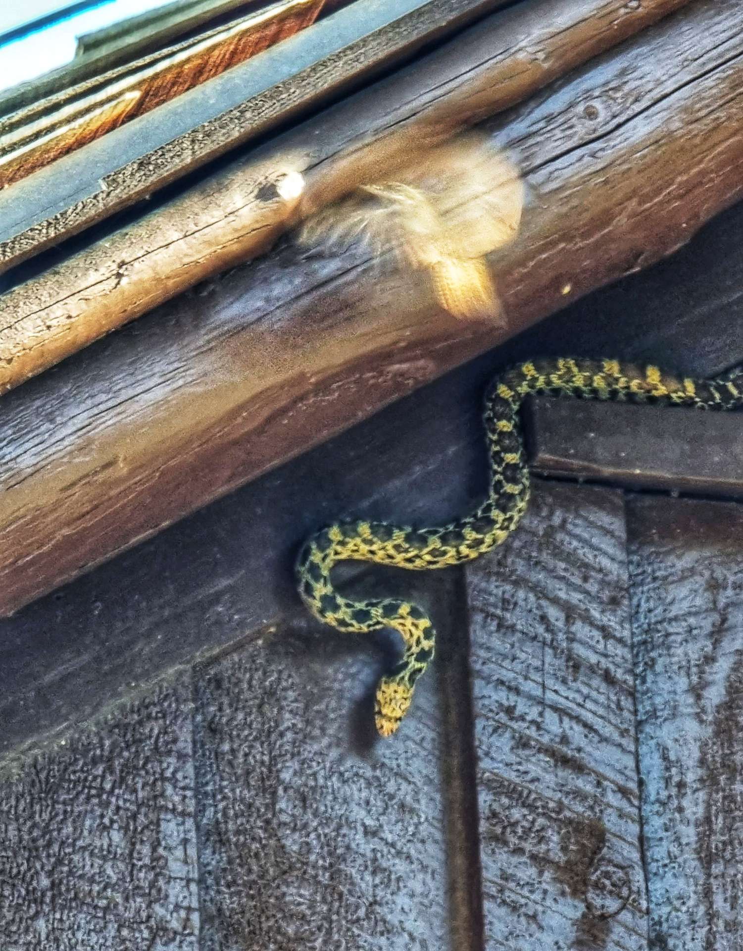
The stunning views continued after a brief stop at Cedar Pass trailhead. We turned up just too late to see a snake, but we saw the photos some other visitors took – we can’t complain, we saw our snake at Devils Tower!
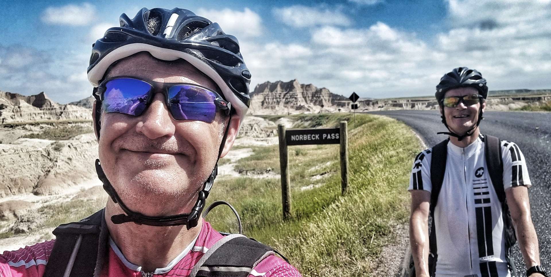
The road starting climbing as we rode between the various rock formations & within 10 minutes we’d crested Norbeck Pass & we were now on a plateau.
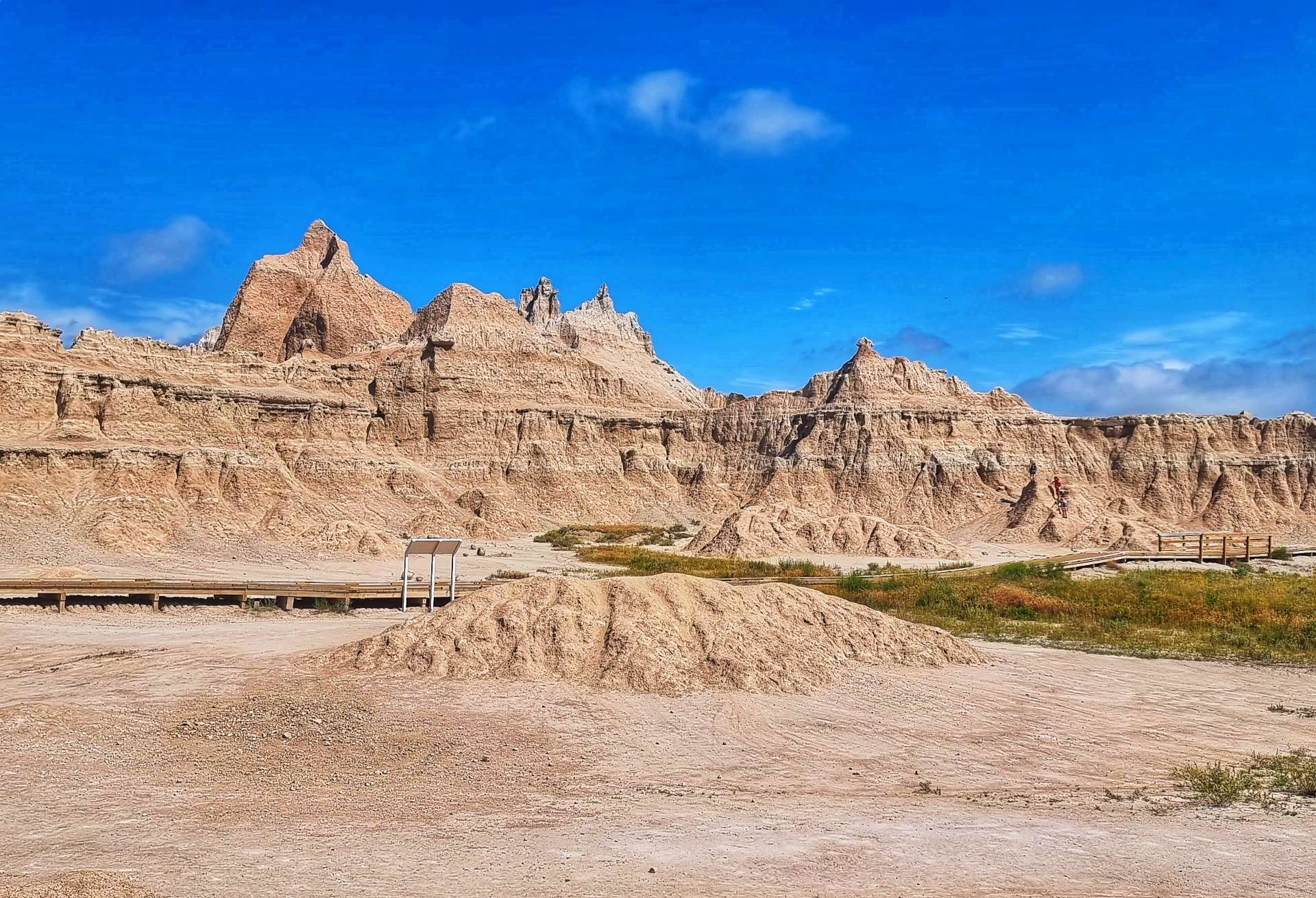
We stopped at Fossil Exhibit trailhead where birds had made small houses under the eaves of the picnic shelter – they took it in turns to occupy the nests. The trailhead featured fossil replicas & exhibits of creatures that once lived in the area.
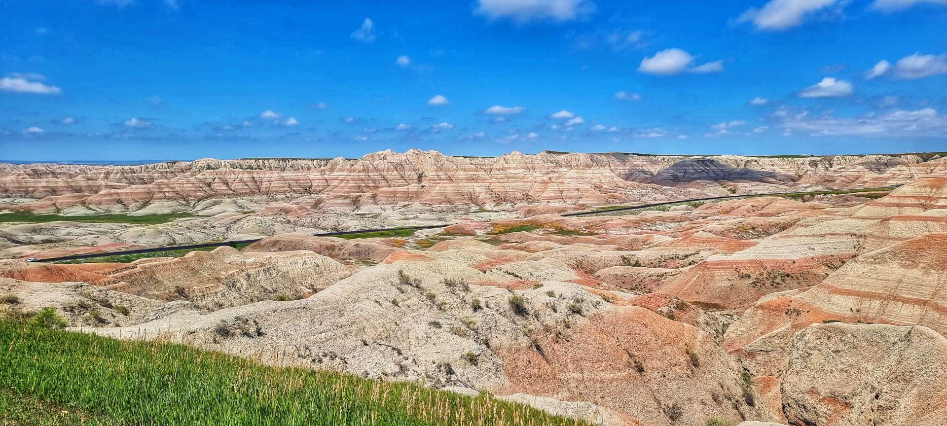
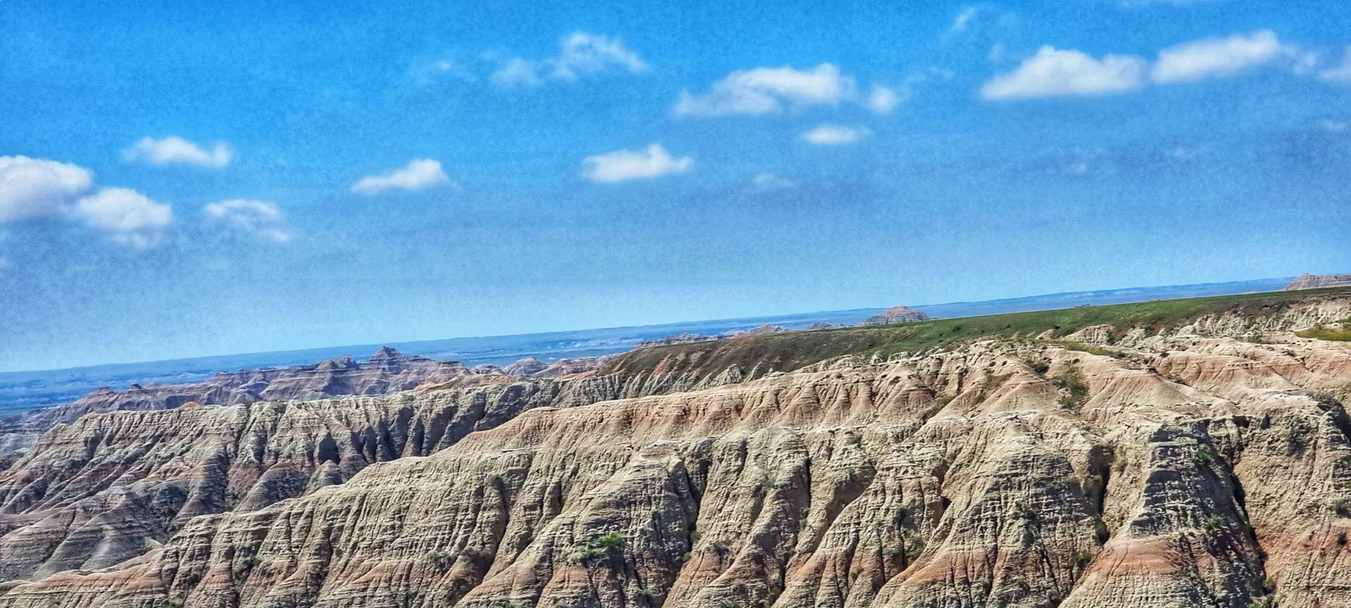
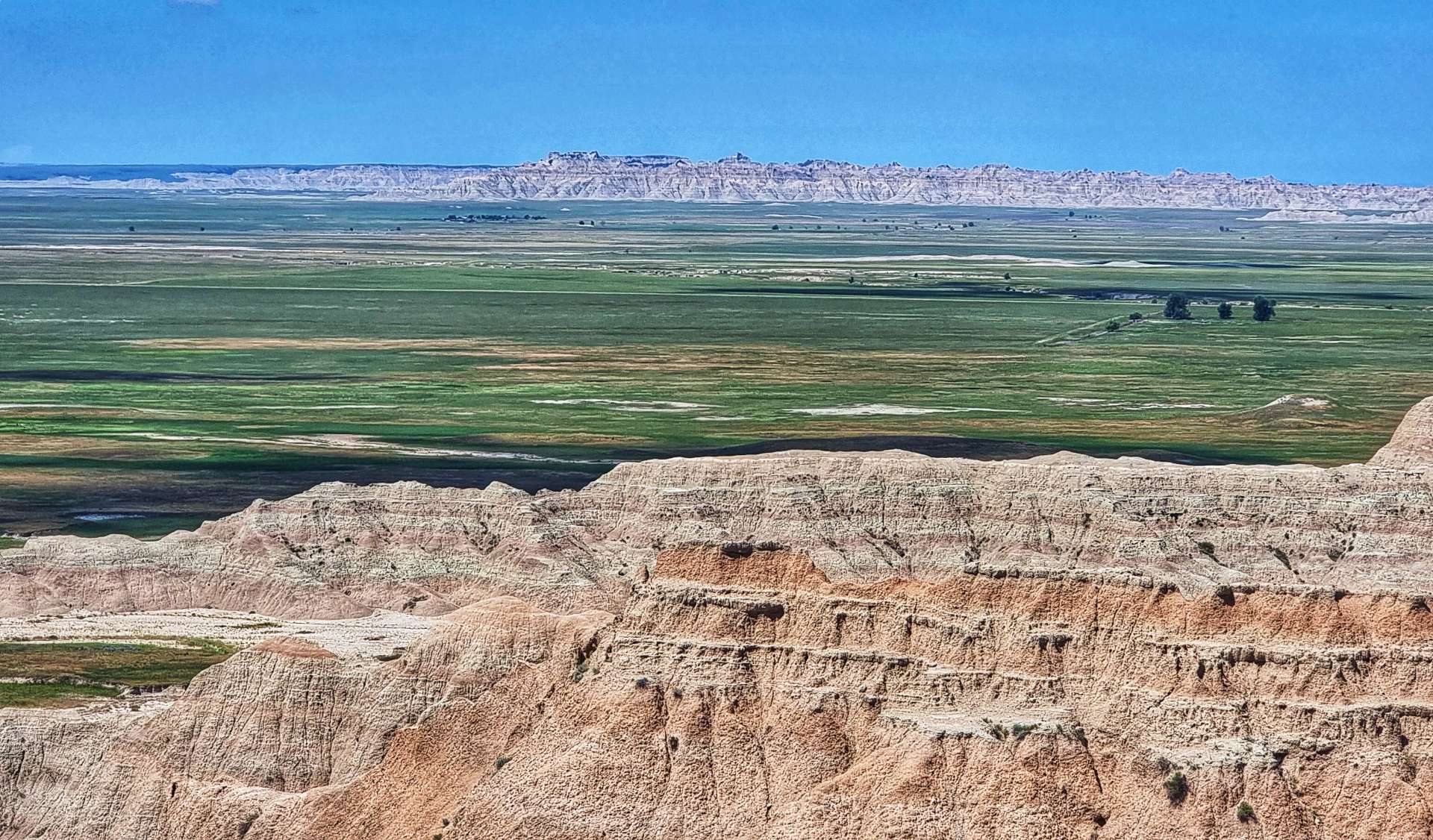
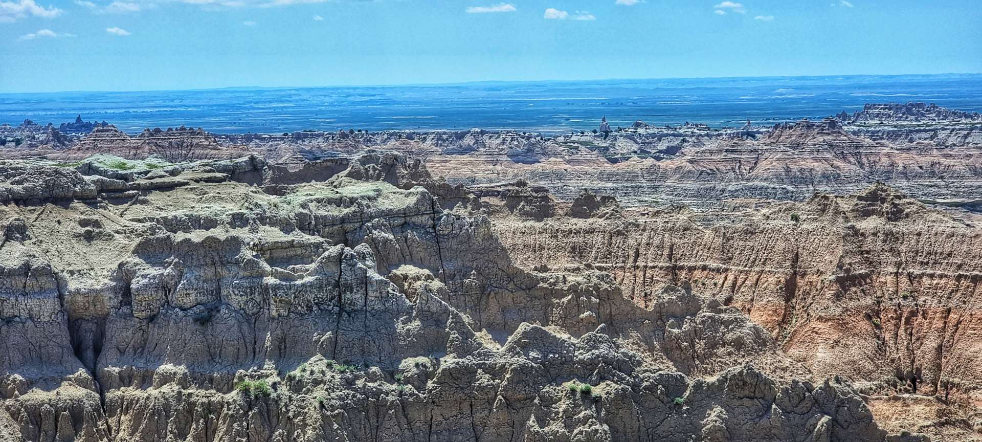
The White River Overlook provided big views across to the dark rocky outcrops on the far side of the plateau. Then we were delivered to Bigfoot Pass Overlook where the valley was laid out in all its glory – the views were immense.
We descended one side of the valley, then climbed the opposite side as we made our way up to the next plateau & passed the Big Foote gravel road – we would pass the opposite end of the road later in the afternoon!
Prairie Wind (first 2 photos) & Burns Basin (final photo) Overlooks offer totally different vistas of the surrounding rock formations & lowlands – the colours, geological structures & panoramic views don’t look anything like the same, yet the viewpoints are less than 800 yards apart.
On the way to Homestead Overlook we passed a prairie dog city – there must have been 50 or more prairie dogs on the lookout for potential predators. There was a constant high pitched squeaking as they communicated with each other.
Homestead Overlook offers views over Badlands & the surrounding prairie. In 1862 Abraham Lincoln signed the first Homesteading Act into Law – a US citizen could claim a 160 acre plot of land in the West by filling in an application, living on & improving the land for a minimum of 5 years & filing for a deed within 7 years.
It was said that back in the 1860’s you could look out from Homestead Overlook & all the surrounding prairie was neatly quartered off into 160 acre plots where people had migrated West to claim their homestead. While the Homesteading Acts offered free land to settlers, this “free” land came at great cost to Native Americans. Much of the land offered as homesteading plots was seized from the Native Americans who previously inhabited the Great Plains.
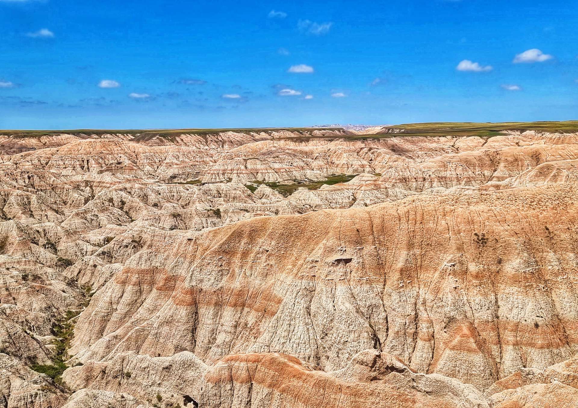
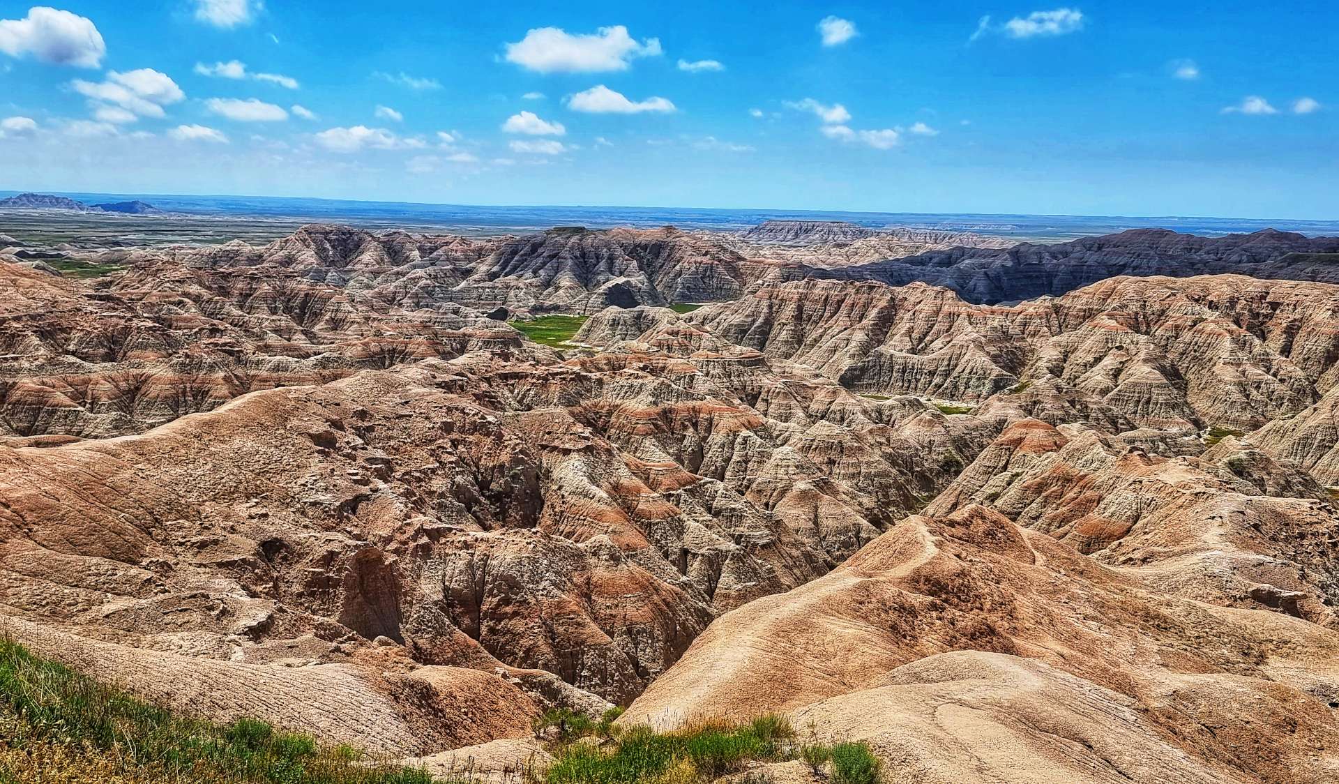
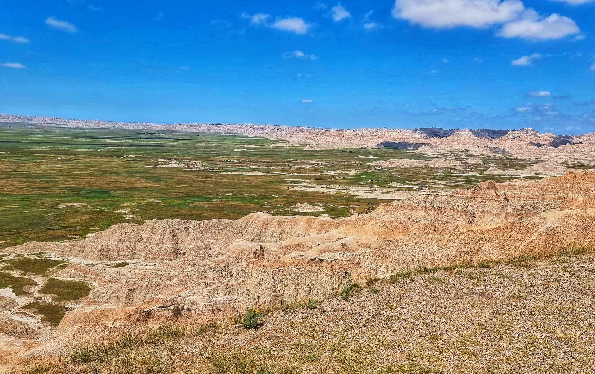
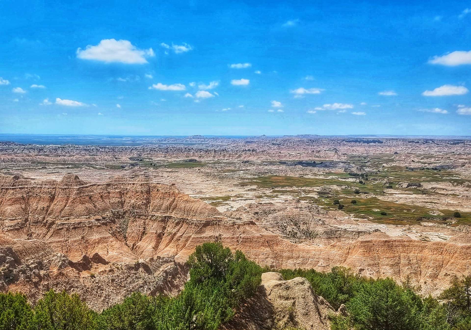
Yellow Mounds Overlook was the final viewing point before we had to descend & quickly tackle a steep ascent up to the final plateau. We were rewarded at Ancient Hunters Overlook with huge views East. This is one of the few spots where it’s wet enough for trees to grow in Badlands. Bison bones & arrowheads have been found in the vicinity & its believed this may be an ancient butchering site.
The final stop on my tour of Badlands National Park was at Pinnacles Overlook. These views reminded me of Bryce Canyon in Utah – the hoodoos, formations & rock colours are all similar. It was the perfect way to end a 3 hour cycling tour of another of the great natural wonders of the USA.
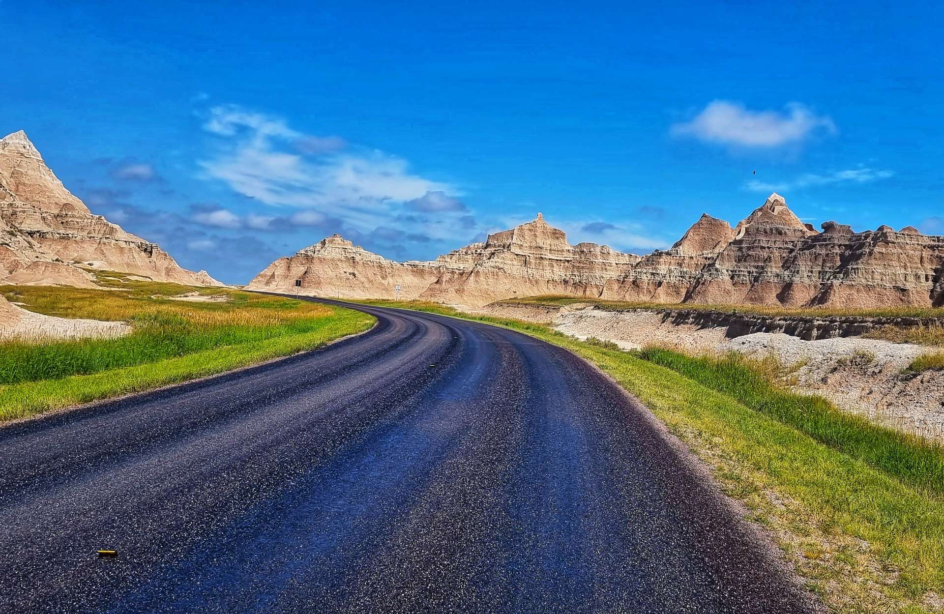
We stopped briefly to get a photo at the exit gate to Badlands National Park, then cycled the 10 miles or so to Wall.
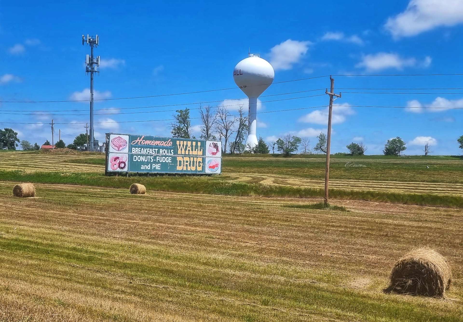
I first visited Wall in 1990 & next to nothing has changed in the intervening 32 years. It’s a place that is famous for being famous – when you approach Wall on the I-90 from the West, there are roadside billboards advertising “Wall Drug – 5 cent coffee since 1930” or “Free iced water at Wall Drug” from 394 miles away – that particular billboard is in Greybull, Wyoming & we stopped there for a night 2 weeks ago!
We stopped at the Badlands Saloon & Grill in Wall (Wall Drug’s advertising didn’t work on me!!) for a lunch of chicken salad & x3 refills of Dr Peppers, while also topping up our water bottles. We still had another 32 miles before we could stop for the day!
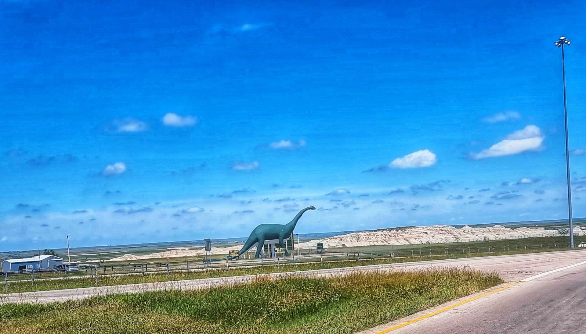
Wall is also famous (at least locally) for having an 80 foot dinosaur on display by the I-90 freeway. I know if I don’t share the photos you’ll think I’m joking!
South Dakota was the home for many of the USA’s Minuteman Nuclear Missiles & there is a silo & Visitor Centre a few miles from Wall. Sadly it was in the wrong direction for us to visit, but I did read about it anyway.
The peaceful prairie of South Dakota around Badlands once had the power to destroy the world. There were 3 strands to the US nuclear policy – Land, Sea & Air. Land & Air were both based out of nearby Ellsworth Air Force Base. An art installation based on a Domino’s Pizza Box design declares “Worldwide Delivery In 30 Minutes Or Less“. In 1945 there were 6 nuclear bombs, all owned by the USA, in 1986 at the peak of the nuclear arms race there were 65,000 bombs mostly split between USA & Russia & in 2009 the number had reduced to 20,000.
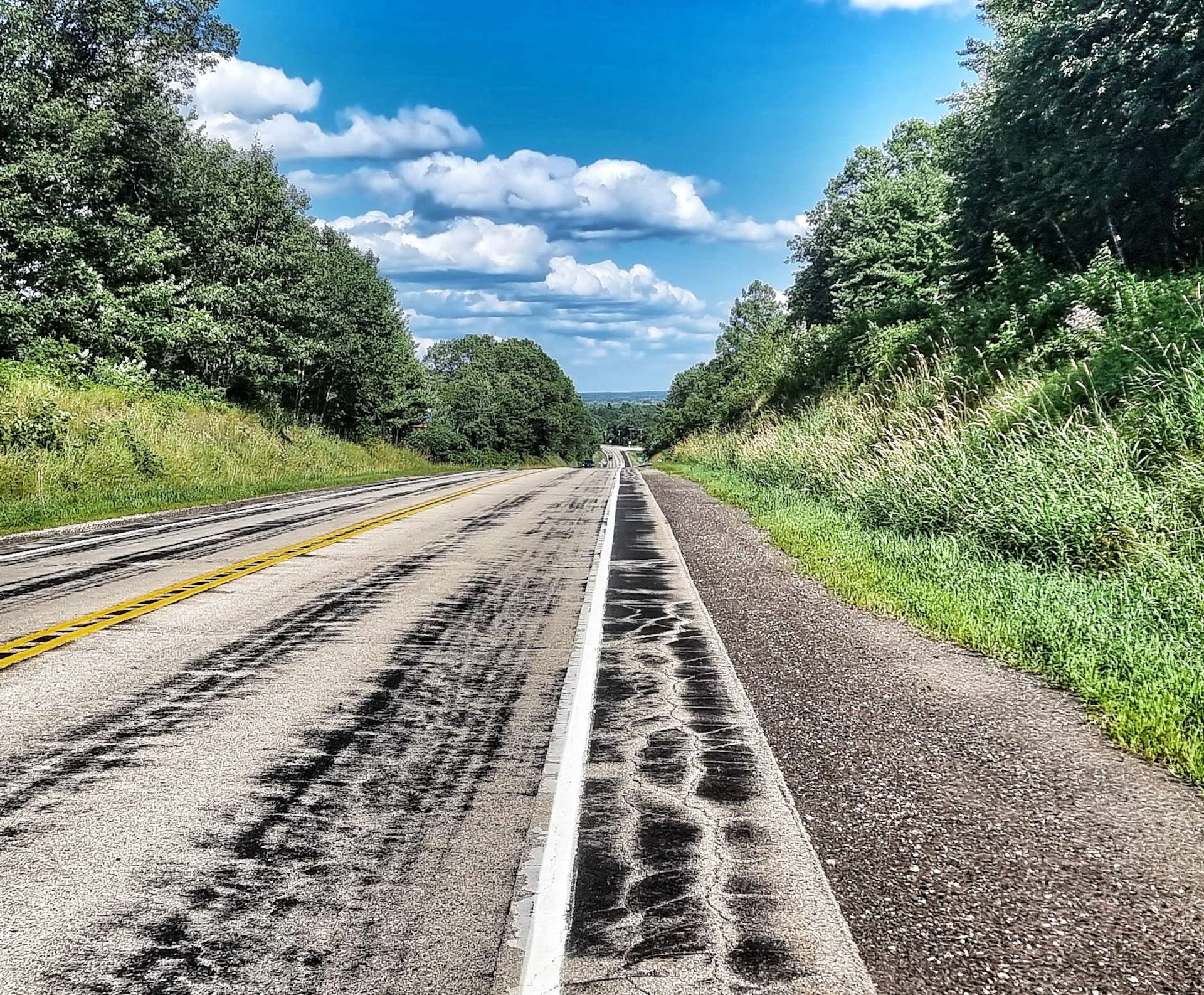
After the majestic scenery of this morning, the afternoon ride was tame in comparison. The road to Philip was long, straight, slightly uphill & into a headwind, so was slightly more effort that we were expecting. I also started to experience some issues with my rear gears in the last 10 miles of the ride. As my friends know only too well, I have a very limited ability to do bicycle repairs, but I have at least learned to recognise a terminal problem when I see one!! I was 90% sure the cable was fraying & if so, I would need to get it fixed sooner rather than later.
While I considered my options (there were very few in truth) we went out for dinner & enjoyed a pint as we toasted a special day exploring Badlands National Park. We found an all you can eat buffet for $15 & quite literally ate them out of salad before starting on the prime rib, mashed potato & corn – I was so hungry I went up for a 2nd plate!!
My options tomorrow are to find a way of either getting to Rapid City (89 miles away) or Pierre (89 miles away) – it’s likely to be a long & expensive day as I’ll need to hire transport. I think my best bet is to return to Rapid City, but I’ll sleep on it & speak to Doug, the owner of the motel, in the morning.
Stage Stats – 65 miles, 2,165 feet of climbing. Marvelling at the stunning scenery in Badlands National Park. Battling a headwind into Philip & the first indications of rear gear cable issues.
Saturday 9th July – Unplanned Rest Day.
I spoke to Joanne & Doug (the hotel owners) this morning at 8.35am & told them all about my bike woes – I’m more sure than ever that it’s a cable problem. Doug agreed my best chance of getting Gene Genie fixed is in Rapid City. Although Pierre (pronounced Pier) is the State capital, it’s more of a hunting, shooting & fishing place.
This is where Doug stepped up to the plate. He said Prairie Transport may be able to pick me up & shuttle me to Rapid City & back today. He phoned them up for me at 8.45am & by 9.05am Tom was outside the motel door with his van, ready to take me to Rapid City. I was so grateful I could have cried & that was before I heard the price – it would be $40 for the round trip! Rapid City is 90 miles in each direction & the driving on its own would be almost 3 hours. It appears this is the standard fare to Rapid City, as the service receives State or Federal support.
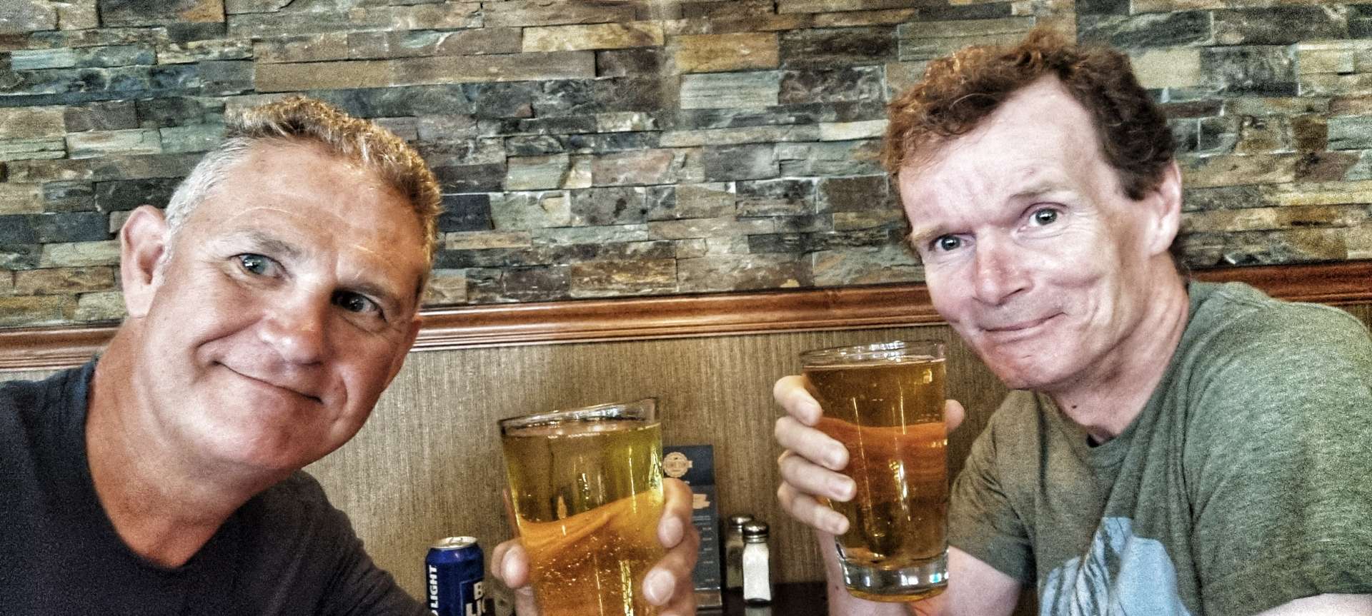
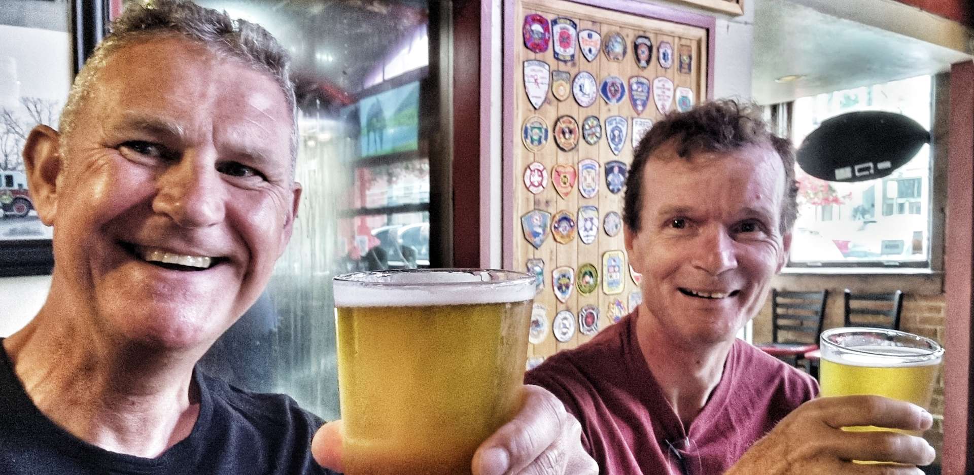
Tom & I chatted all the way to Rapid City about anything & everything – so much so that the time flew by. I had identified a couple of bike shops that might be able to help me, so I called Black Hills Bicycles & spoke to Dan. I told him we were 20 minutes away from Rapid City & I was a hopeless Brit who needed his help, as my Coast to Coast adventure across the USA was about to unravel – I think I may have worded it differently, but that was how I was feeling!!
Dan agreed to look at the bike if we brought it in – I said we were on our way! 15 minutes later, I was talking to Dan & with a big smile, he said “you must have been speeding, I thought you were 20 minutes away”. We hit it off instantly & I explained what the problem was. He immediately put Gene Genie up on a stand & started work.
Within 30 minutes he’d stripped the old cable, confirmed it was frayed, identified a couple of other very small issues with the cable set up, fitted a new cable & checked the front cable as well. In the same 30 minutes I’d identified a Black Hills Bicycles tee shirt I liked & tried it on! Whatever my final bill was, it was going to increase by $20 for the tee shirt.
We spent 5 or 10 minutes talking about my adventure so far, then Dan was ready to work out the bill – 30 minutes (minimum) labour, a new cable, a couple of other small tweaks & a $20 tee shirt. Somehow the total bill was $34.05! I was totally gobsmacked as I’d been fearing upwards of $100 for the repairs (including labour). I asked if he was sure, to which he said definitely. In the end I made a donation to the boys club that the bike shop supported – the Coast to Coast adventure could continue after all.
I’ll be forever grateful to Doug (for sorting out transport in the first place), Tom (for driving me to Rapid City & back, as well as being great company) & Dan (for getting me back on the road). They each demonstrated a level of kindness & generosity of spirit that significantly exceeded anything I could have hoped for. I hope you get to read this & see what an impact you had. Thank you guys!
Tom is in the first photo & Dan is in the second photo – you’re both heroes, thank you so much!!!
Sunday 10th July – Philip to Murdo (Stage 55).
When I arrived back at the motel yesterday at 12.30 & it was 105 degrees outside, so we were fortunate not to be riding in the end! Doug was able to extend our stay for another night, so Sean & I decided to ride today on what should have been a rest day. We were up & on our way by 9am, picking up a tailwind as we continued along Highway 14.
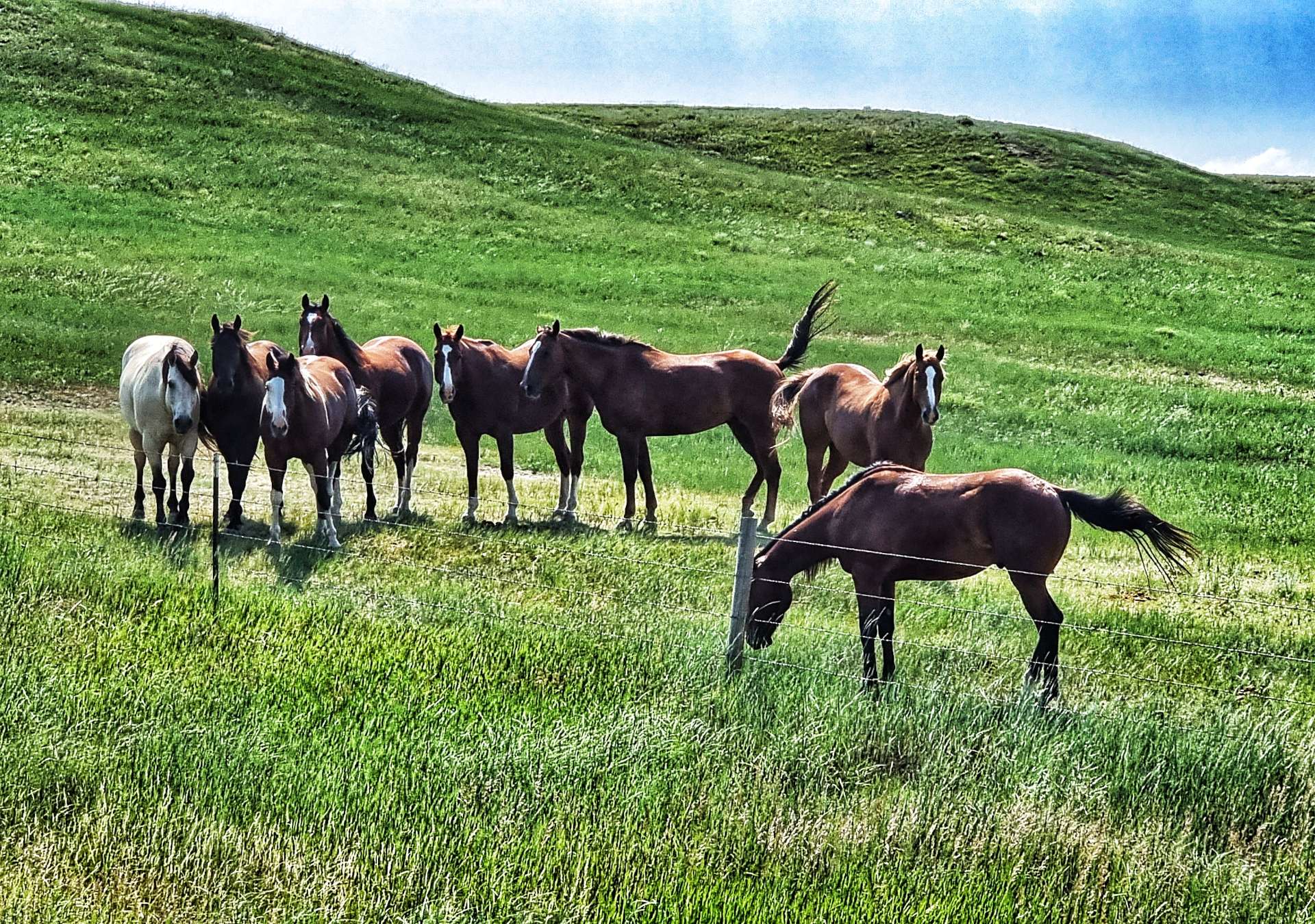
The early miles were a series of ongoing rollers, but we had a tailwind to we made good progress. Whenever the road gets close to horses, they stop whatever they were doing & come over to the fence to have a look at us. It’s as if they know we’re crazy! Following on from Thursday, I picked up another passenger today, this time he had a free ride for about 15 minutes.
We’re beginning to recognise themes emerging in South Dakota (just as we prepare to move States again!) – residents take great pride in the entrances to their property, there are lots of pepper pots & the railroad still uses classic trestle bridges to cross creeks & water.
We stopped briefly in Midland for a cold drink & cookie, as well as to fill our water bottles. As we rode through the small town we passed a Grain Elevator Building & a customised Welcome To Midland sign. After the stunning scenery of the first 10 weeks, today feels like it’s a more run-of-the-mill day.
At Midland we turned right onto the 63 & we were immediately hit by a cross / headwind, just as the road started rising. The next 10 miles were a series of rollers as we bounced along the top of a ridge. We also saw our only real wildlife of the day in the form of a deer.
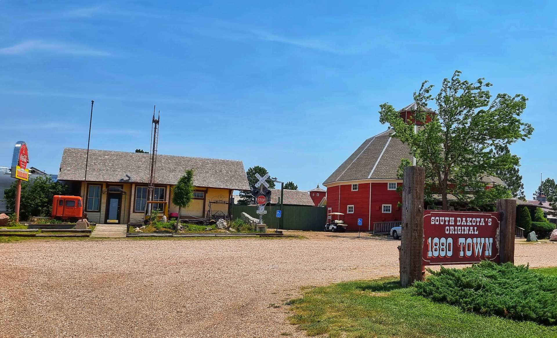
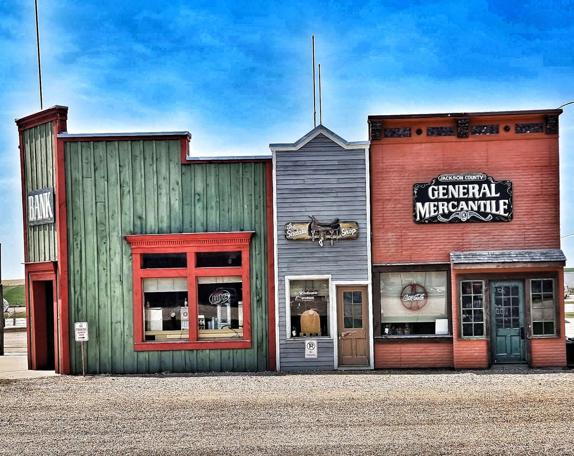
As we closed in on the I-90 junction, we realised that the services were also a historic stopping off point. It was advertised as Original 1880 Town & the shop had been decorated in an 1880’s style. Oddly, there were also other items from the past, like the diesel locomotive, that clearly weren’t from the 1880’s. We had a quick stroll around, then did the important business of throwing away the warm water from our bottles & replacing it with some fresh, ice cold water from the fridge!
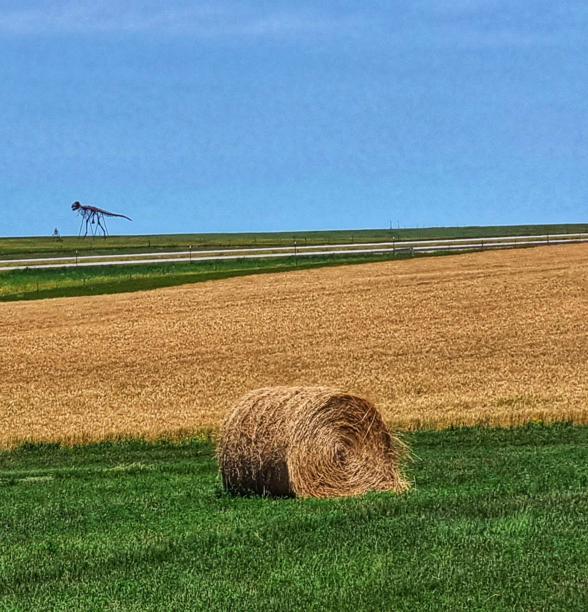
The remainder of the ride was on rolling hills, as we took the frontage road that shadowed the I-90. Along the way we saw a huge skeleton of a dinosaur, as well as recent damage to one of the many pepper pots that were destroyed by a recent storm. In Philip (where we stayed last night), they had been without power for 4 days after the storm passed through. Seeing a large radio tower gave me hope that I might have a phone signal – today is Mum’s Birthday & I planned to call her. Alas, no signal today, so I made a short video & used the hotel Wifi to send it later in the afternoon.
The final few miles were gently downhill until a nasty, steep drag up to the town – all the cows in a nearby field came over to watch us as we battled our way to the top!!!
Stage Stats – 63 miles, 2,500 feet of climbing. Hot & riding into a headwind for large parts of the ride.
Well, How Did We Get Here? Miles, Feet Climbed, Maps & Profiles.
I’ve previously described how we travelled from Seattle to Cody in the first 8 weeks of our adventure. Now find out where we went & what we did in Week 9! Hopefully picking a single photo (2 for Powder River Pass & Devils Tower!) to represent each day will refresh my mind when it comes to looking back on my adventure!