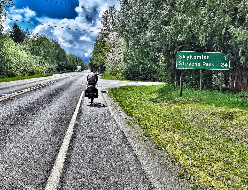
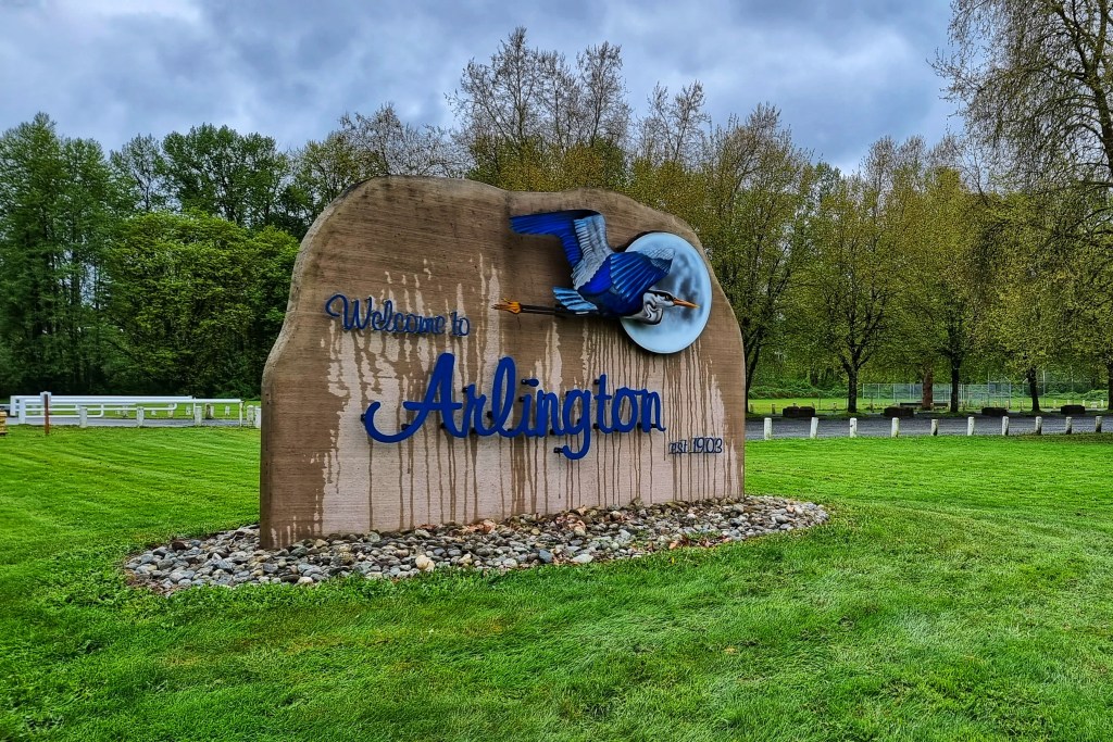
Thursday 26th & Friday 27th May
Thursday 26th May (pm) – Glacier National Park (Stage 21 – continued)
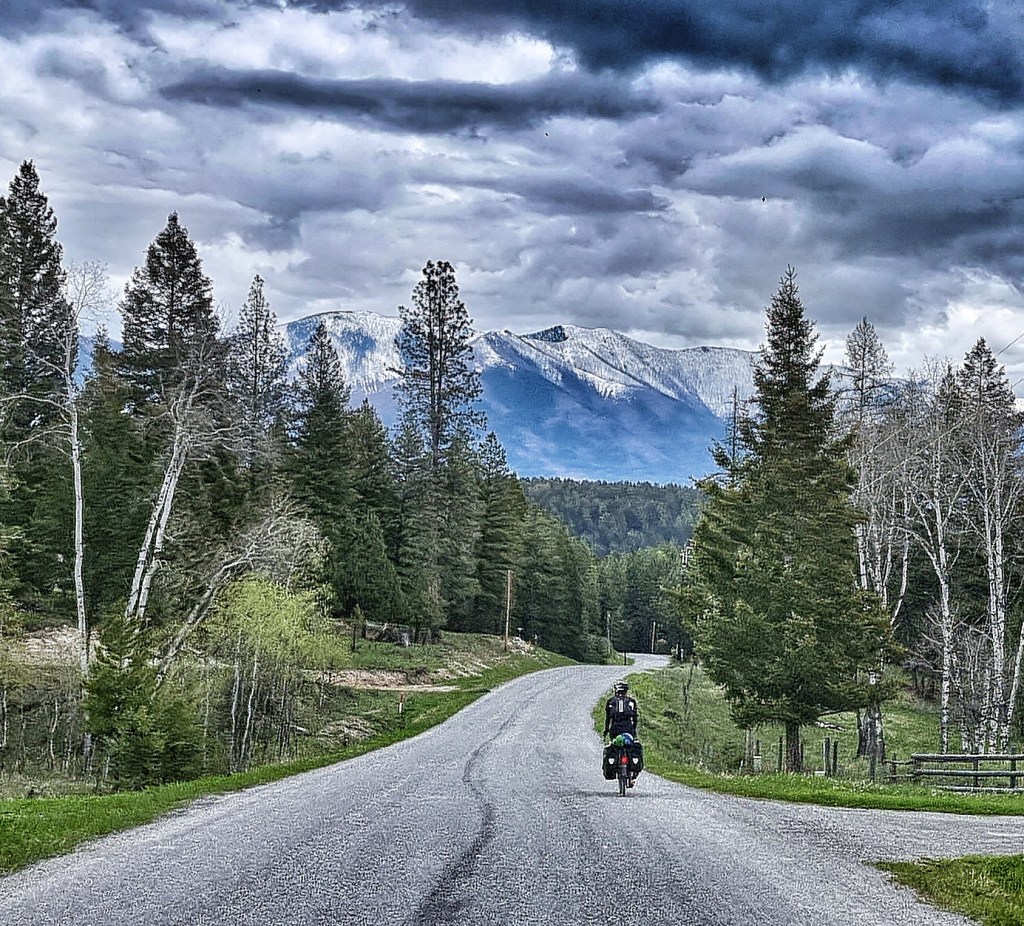
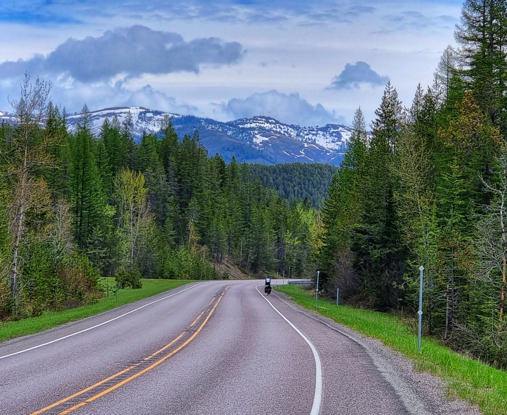
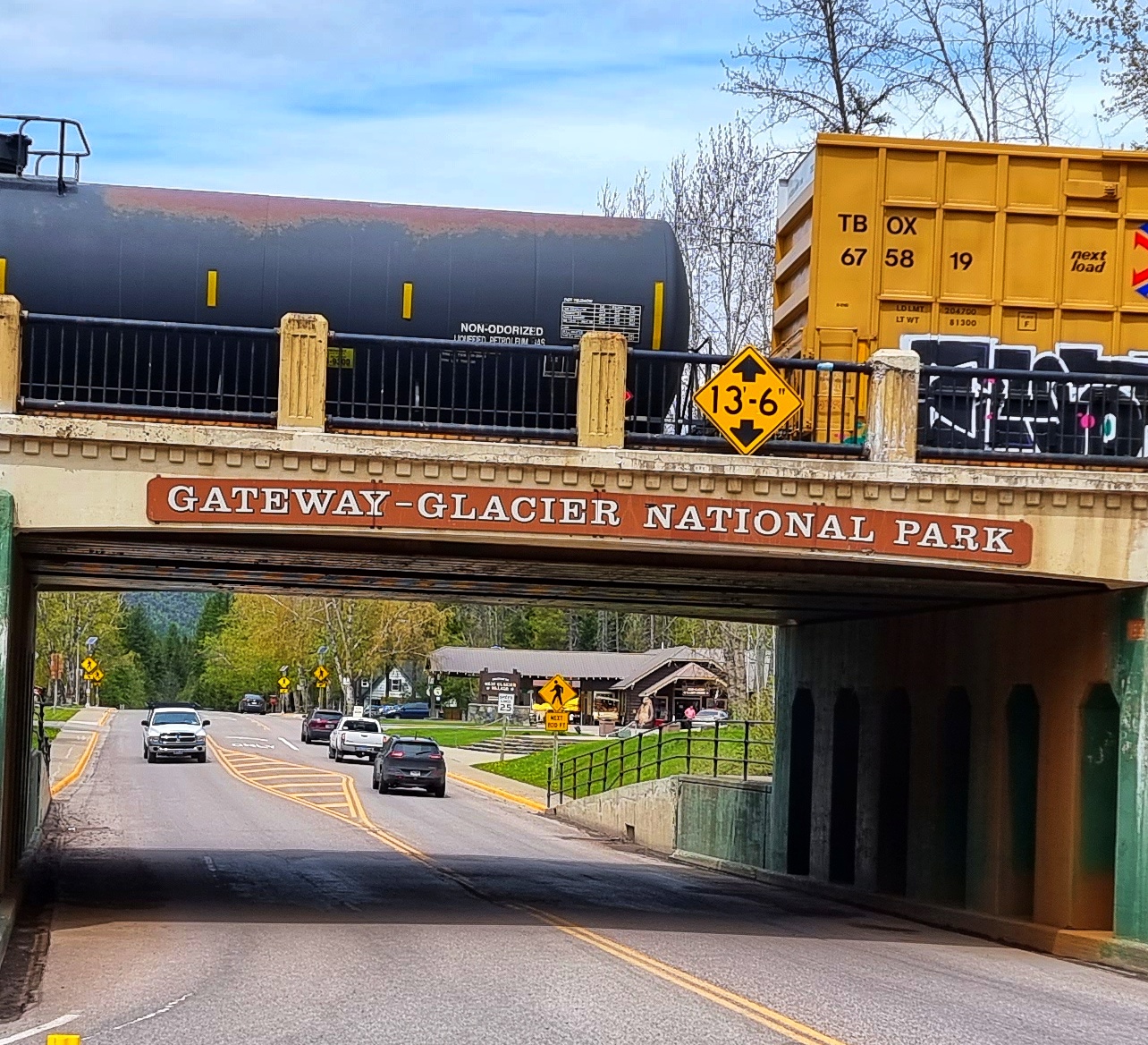
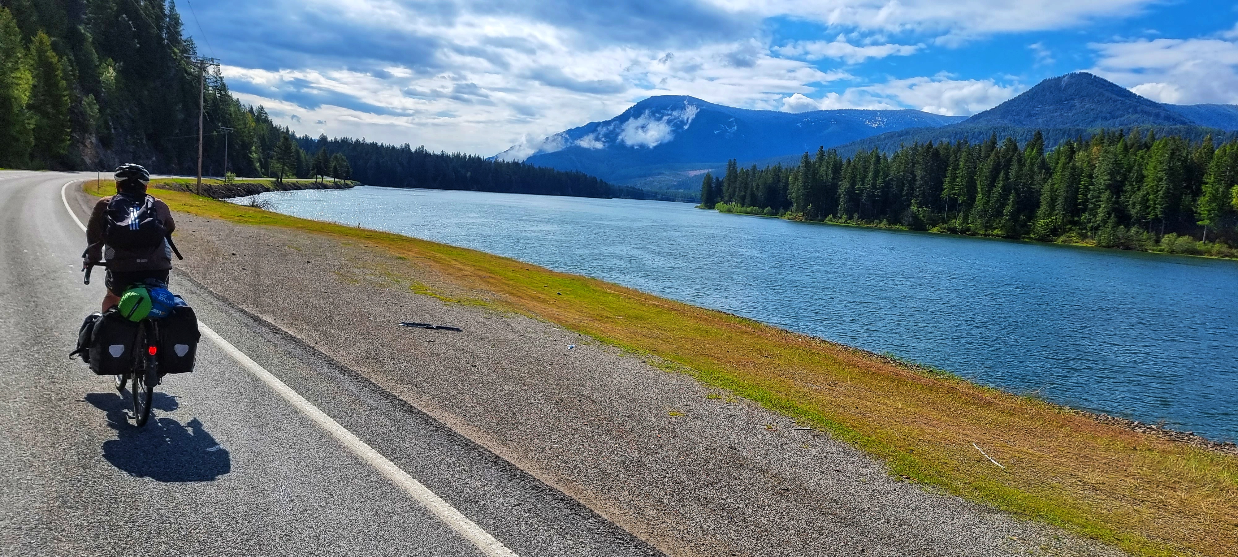
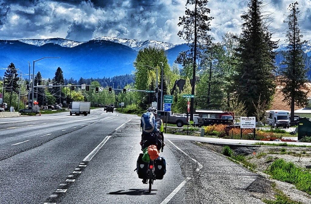
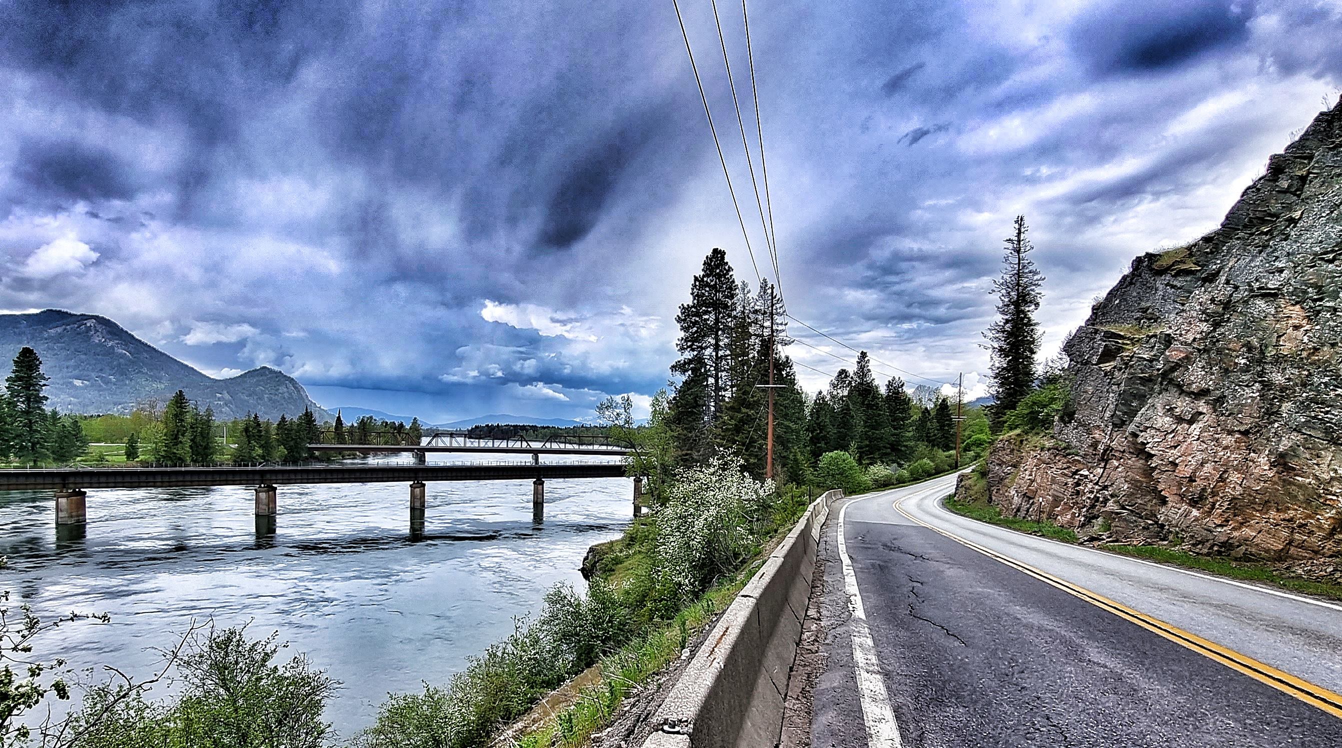
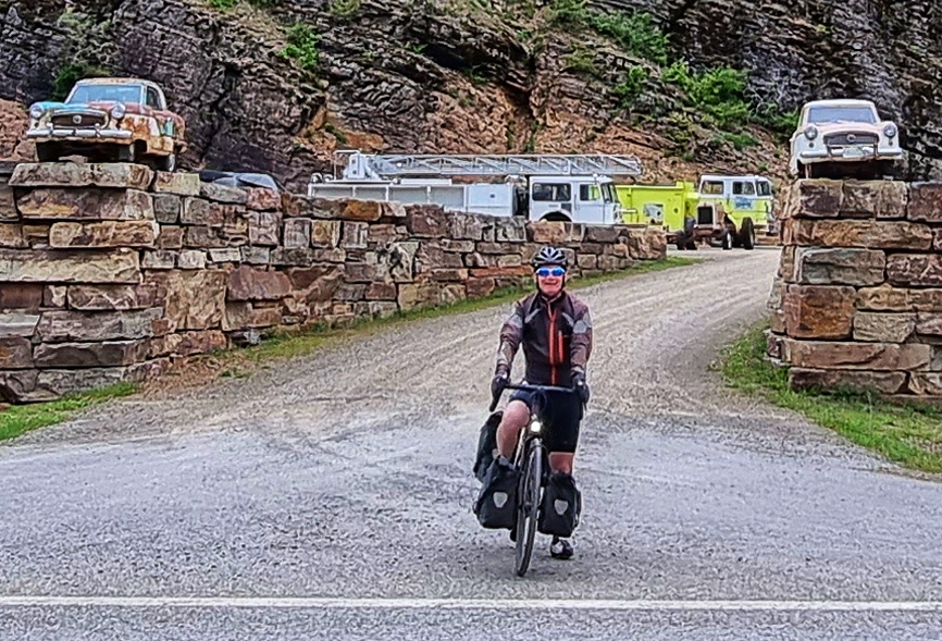
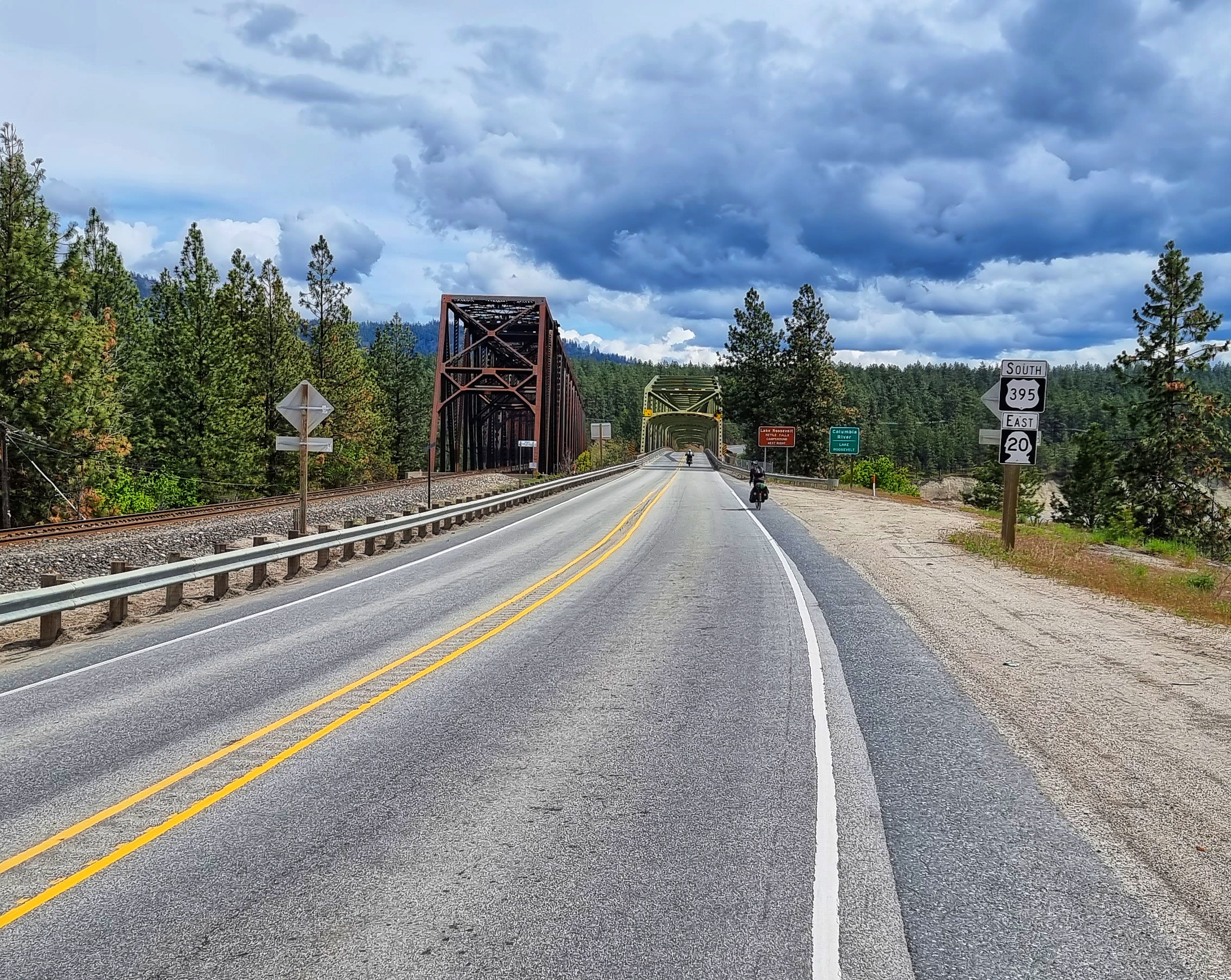
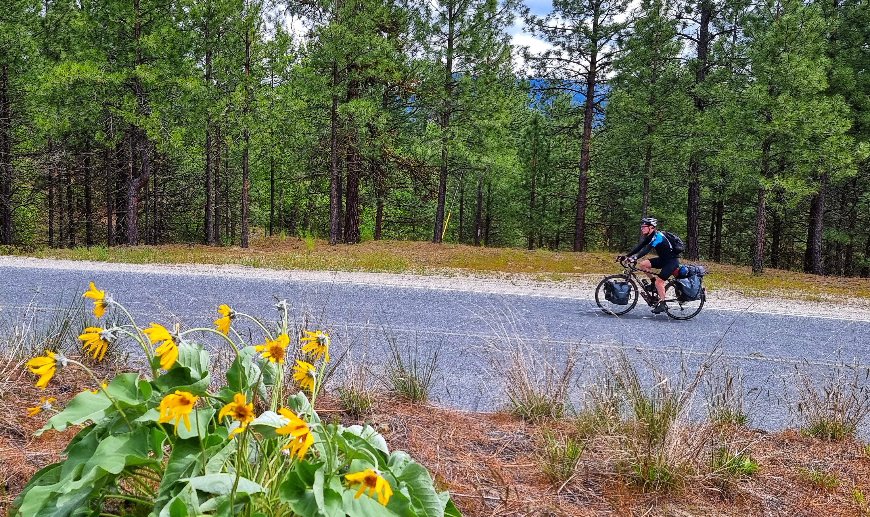
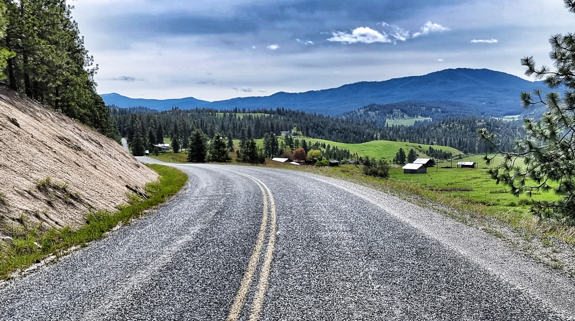
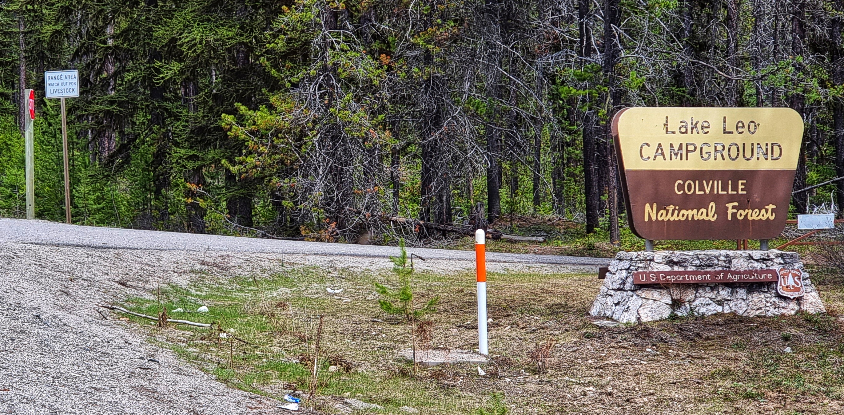
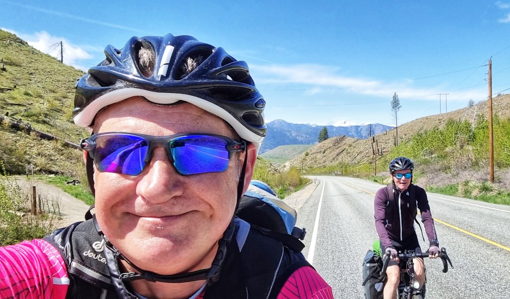
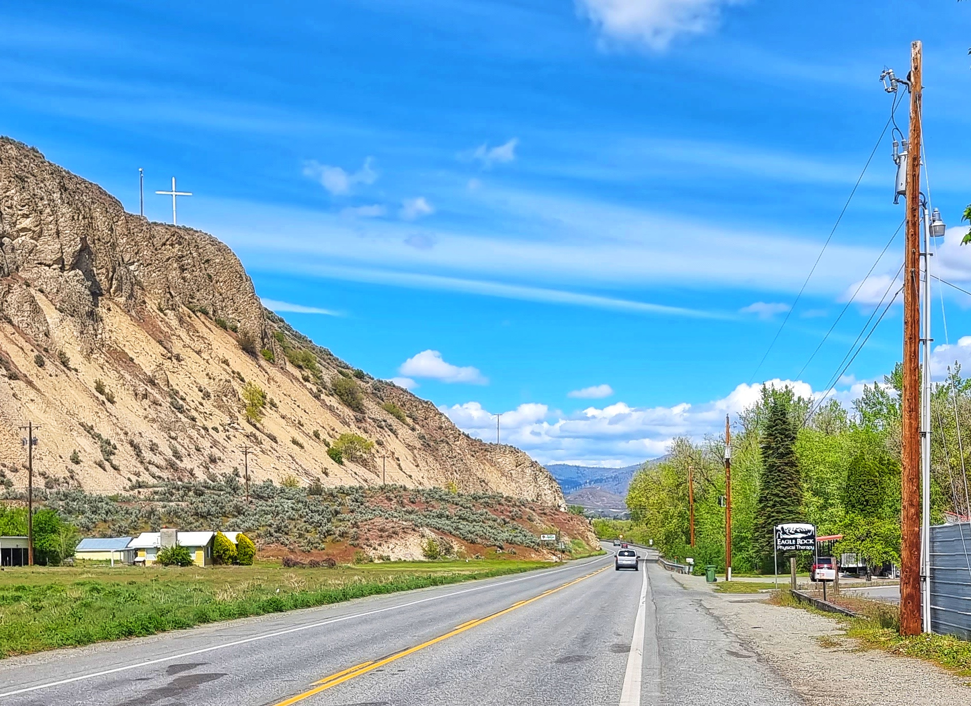
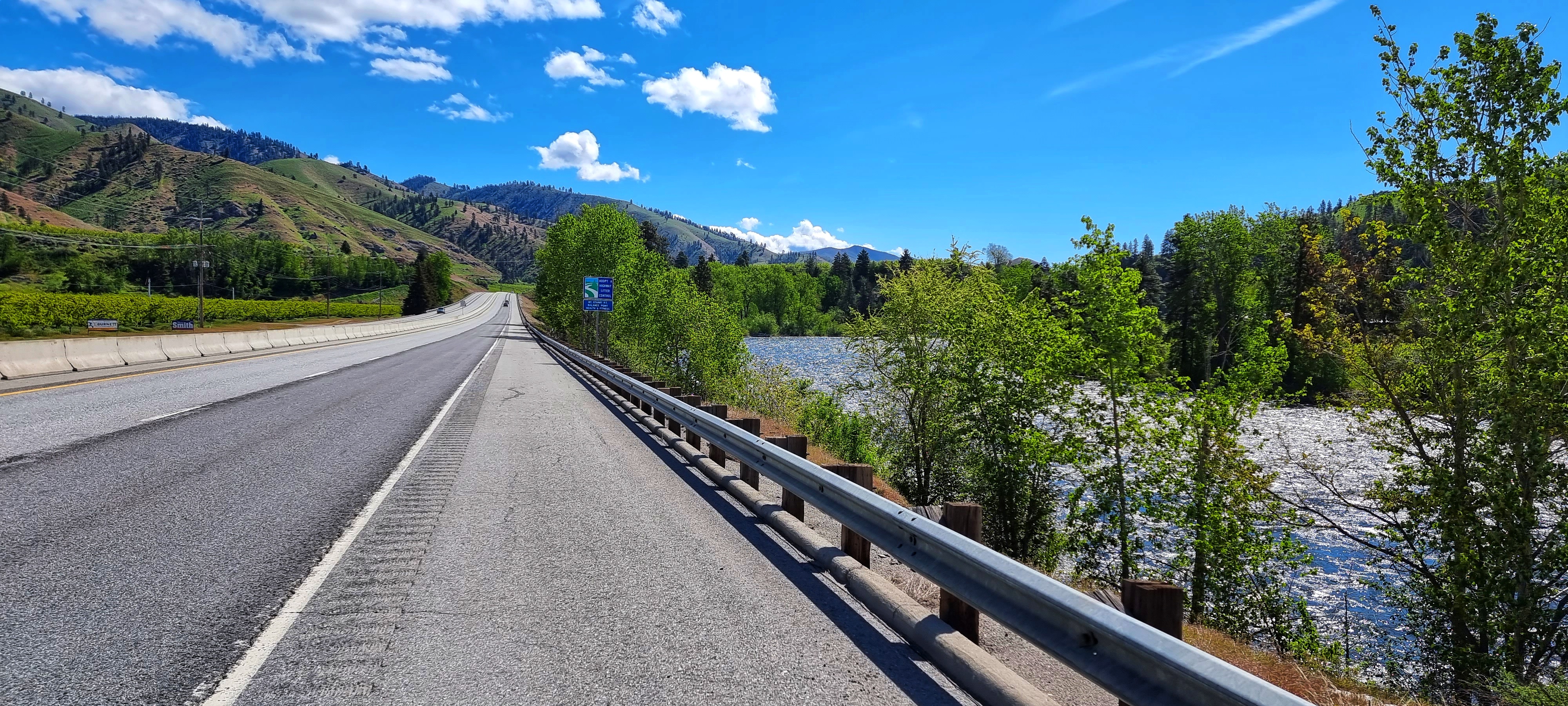
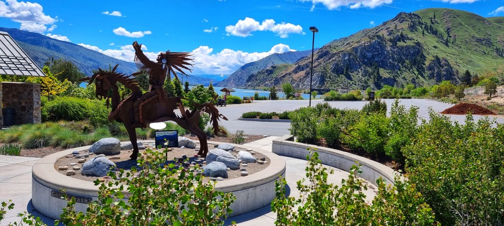
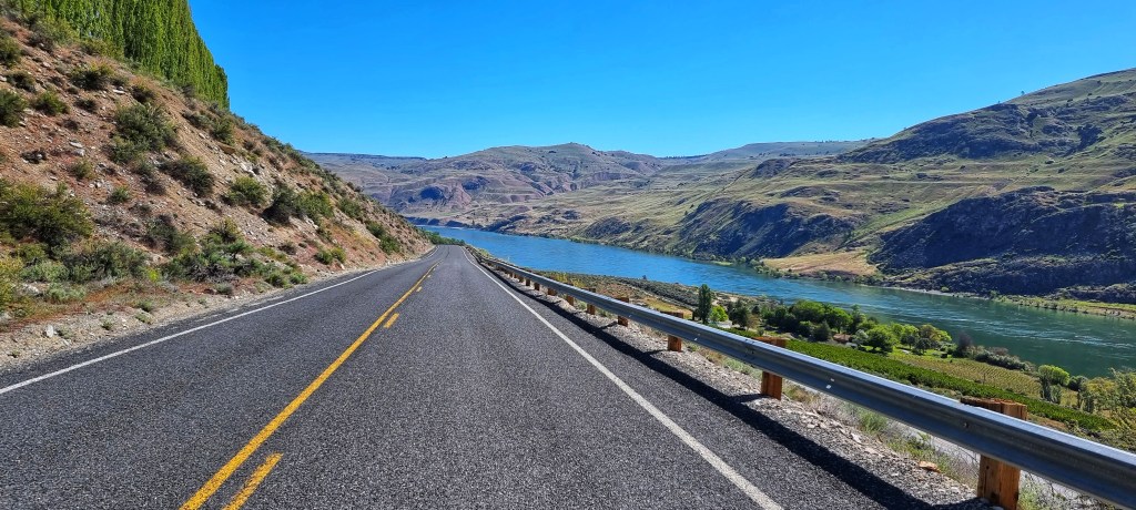
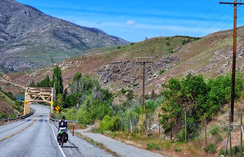
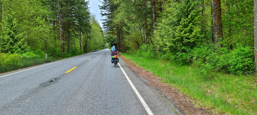
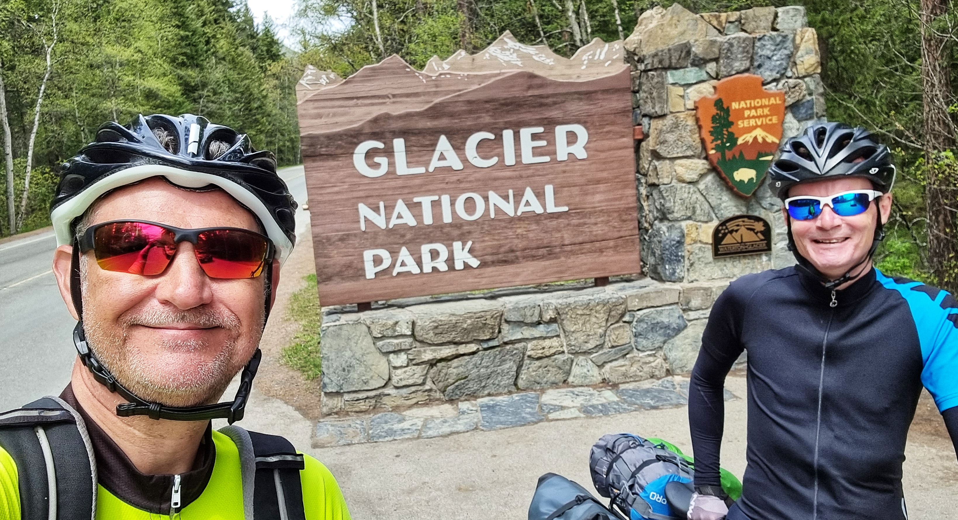
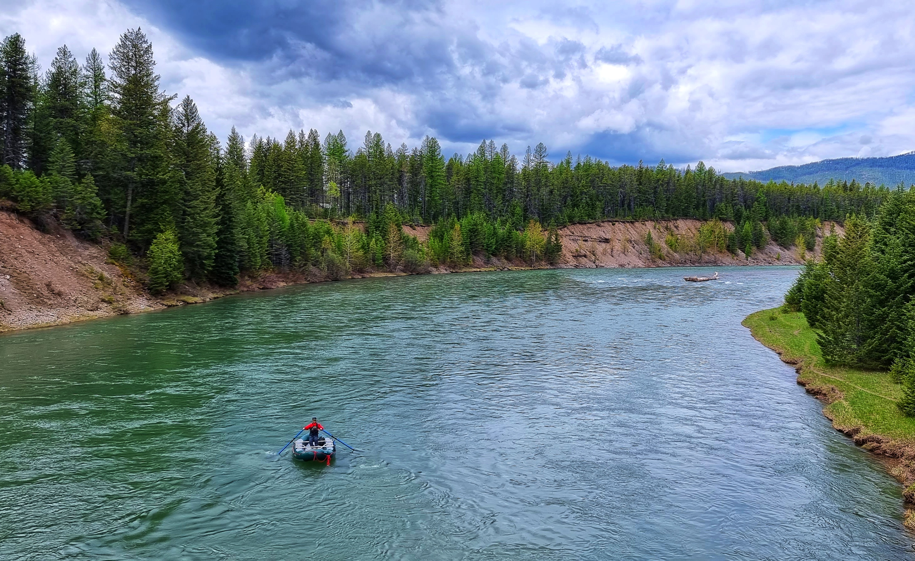
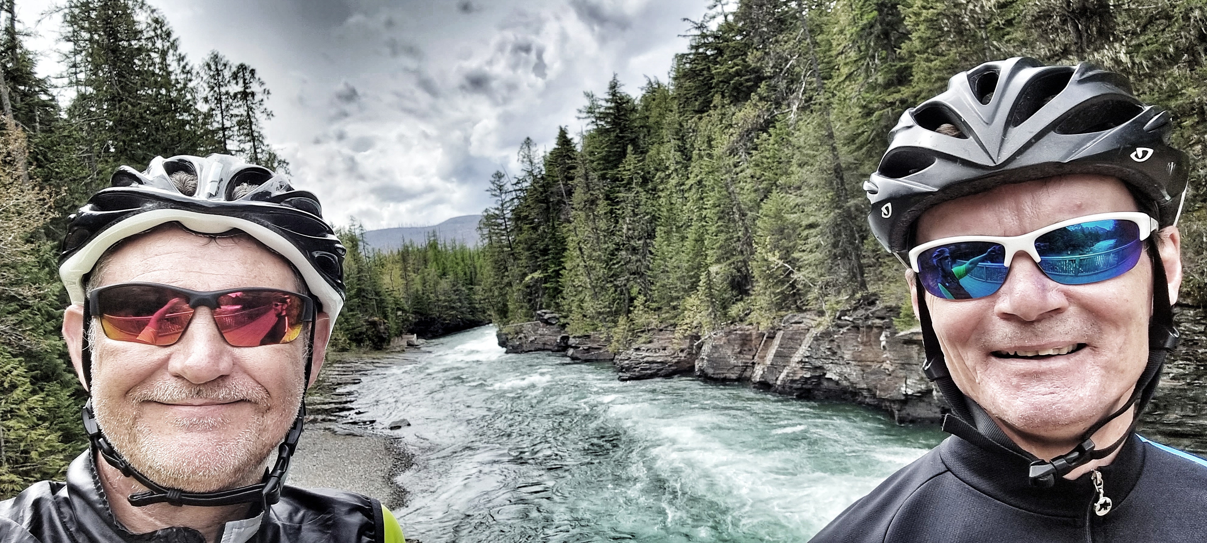
As we entered Glacier National Park (GNP) via the West Entrance, we stopped & took a quick snap as a permanent reminder of our visit. Crossing the Middle Fork Flathead River, we spotted one of the many rafting boats that are advertised – it had just dropped off its passengers & the guide was on his way back to base camp further down the river. Before our adventure in GNP had begun in earnest, we saw at close quarters our first near death moment, as an adult deer bolted across the road in front of two SUV’s that were travelling in opposite directions. A frightening moment for all concerned.
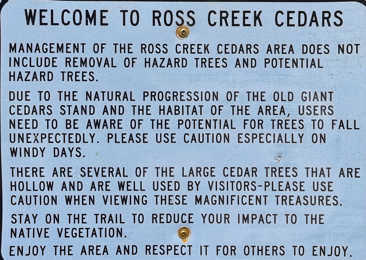
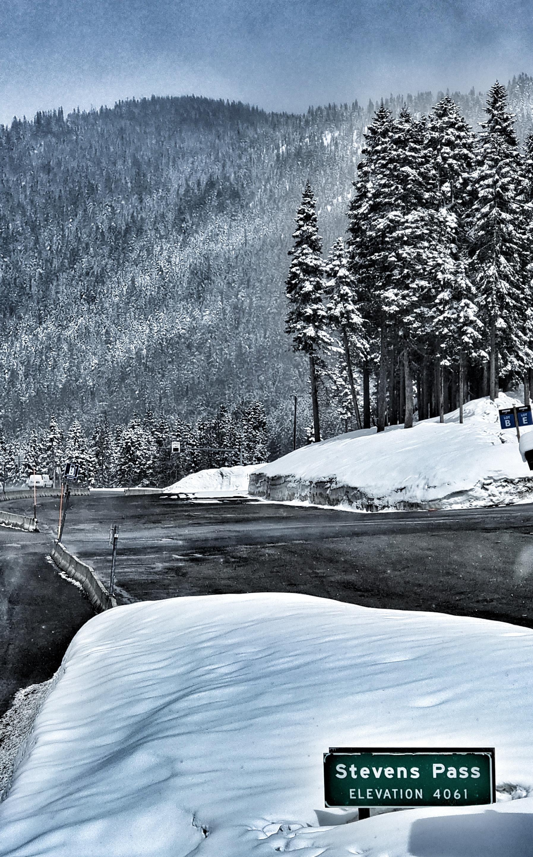
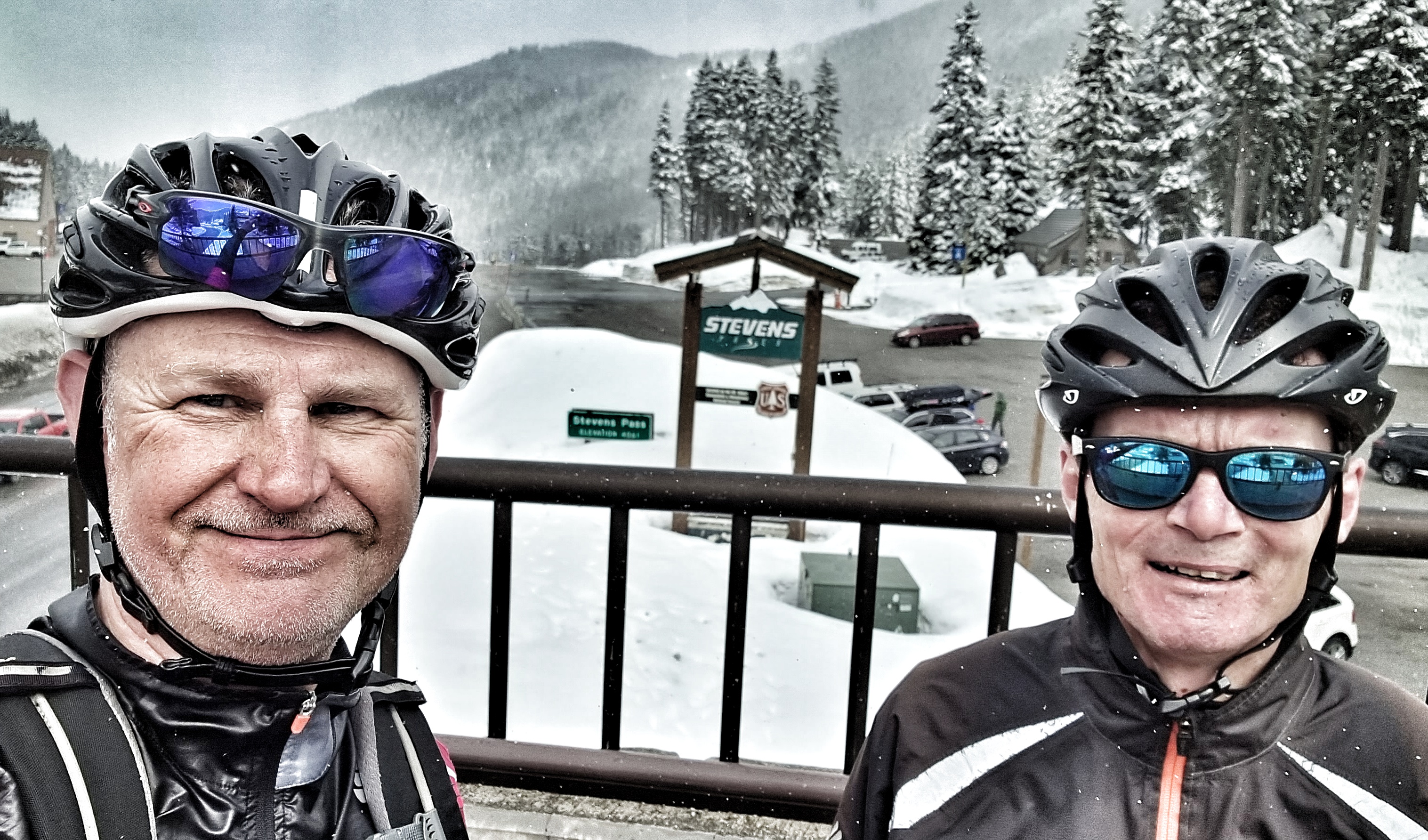
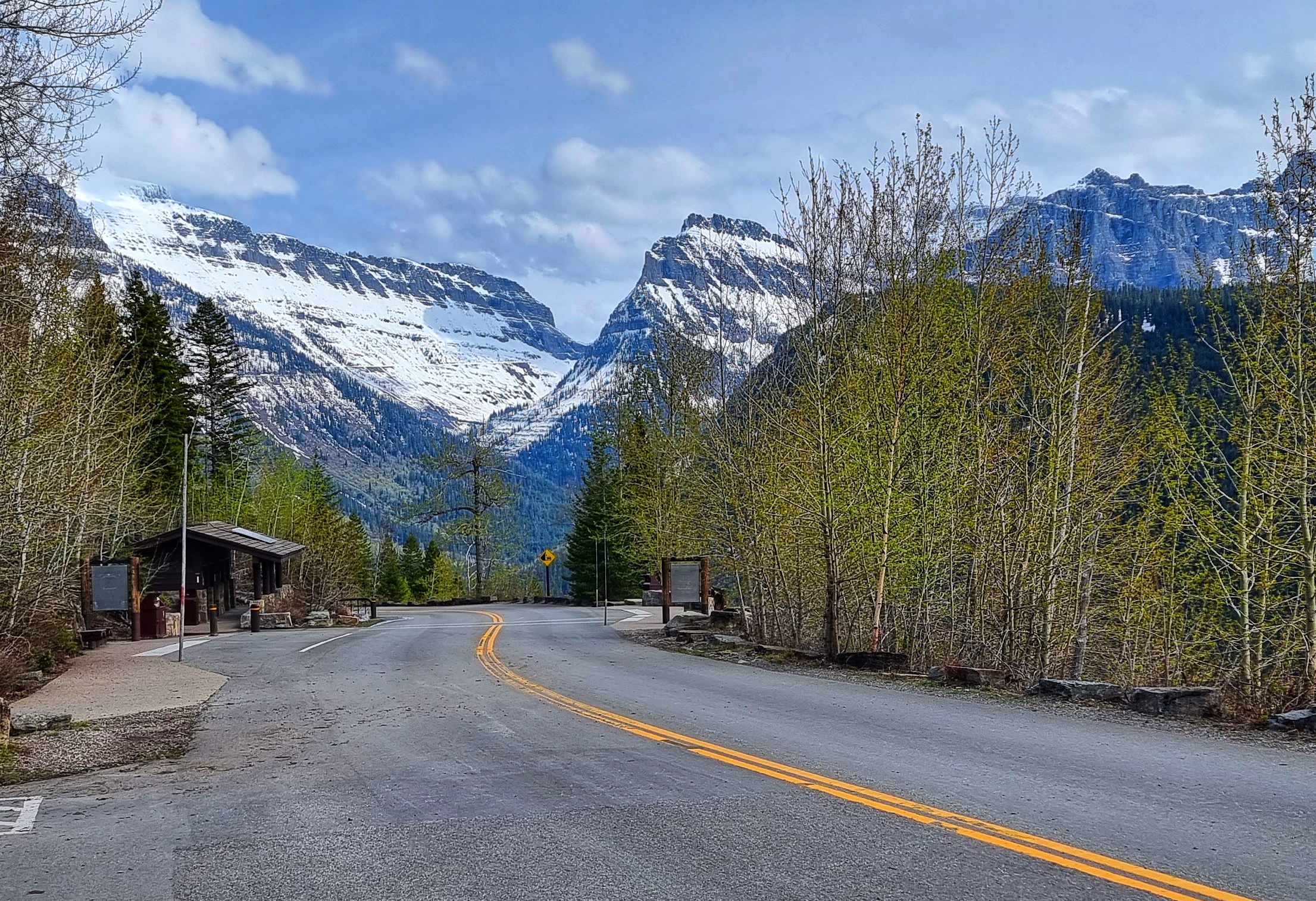
We arrived at the Ranger Station & each bought an America The Beautiful annual pass which gives us access to all the National Parks we plan to visit on our adventure. The Ranger who served us was a genuinely enthusiastic advocate of GNP & answered all my questions about how far up the Going To The Sun Road (GTTSR) motorists & cyclists could travel at the moment & when the Pass may be open. The answers to both questions appear later!
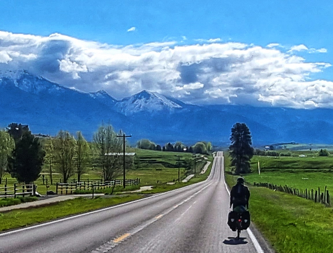
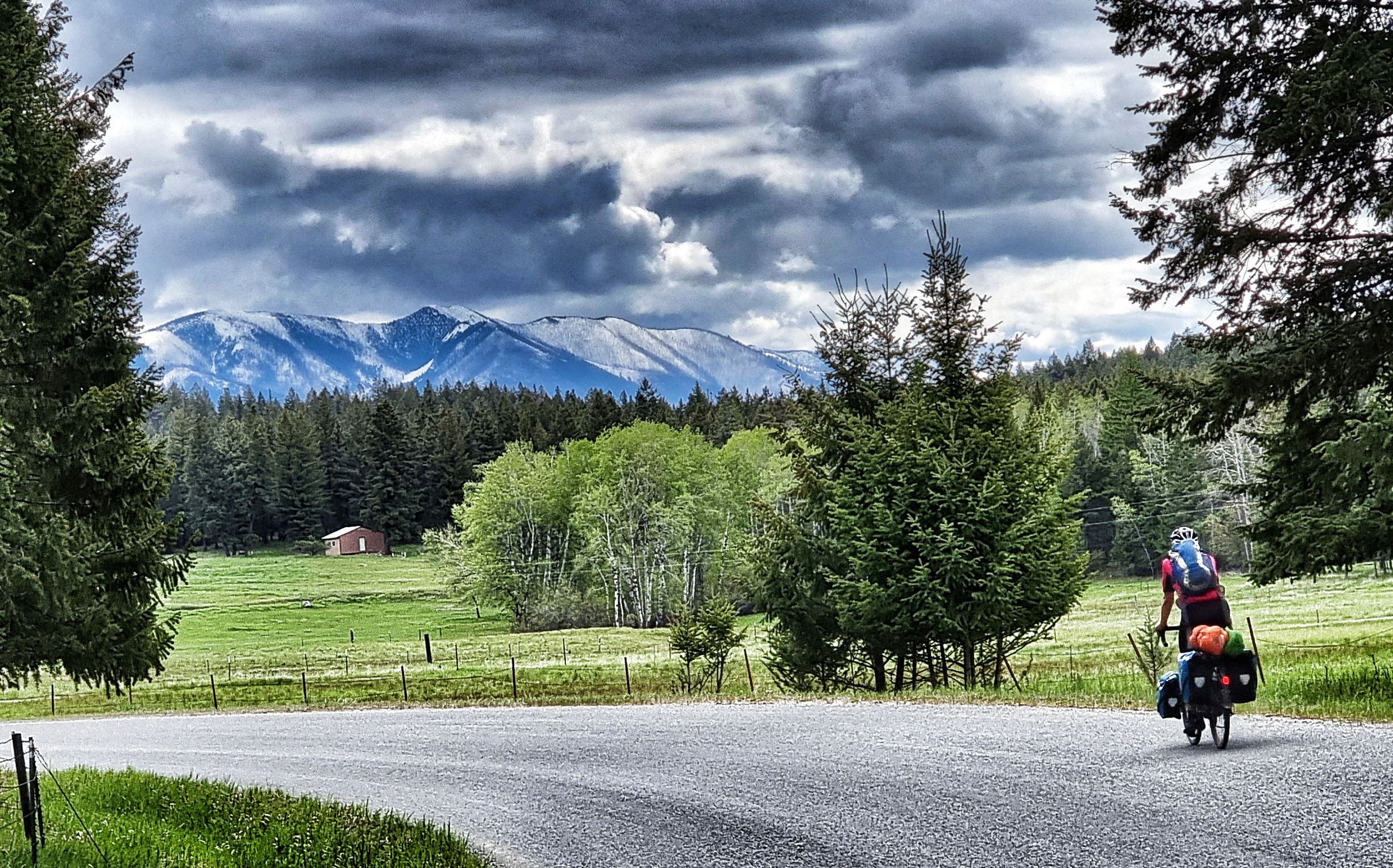
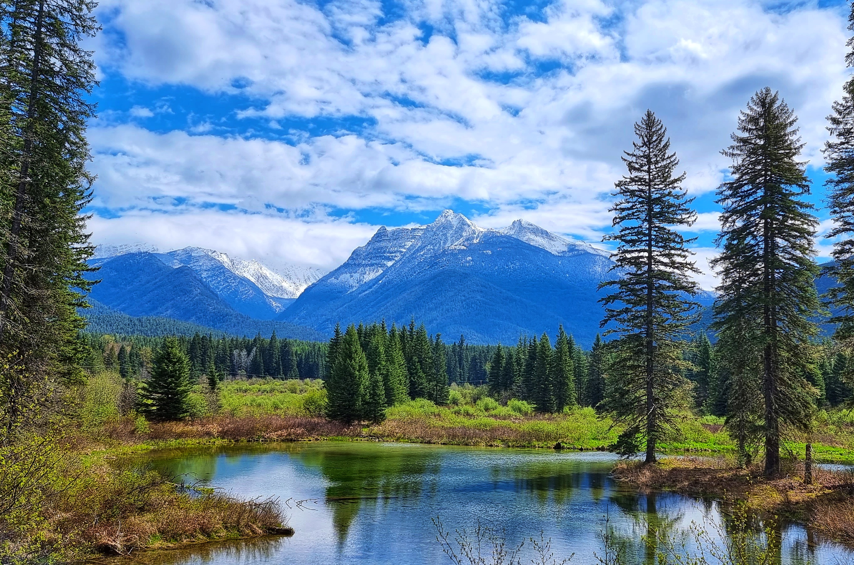
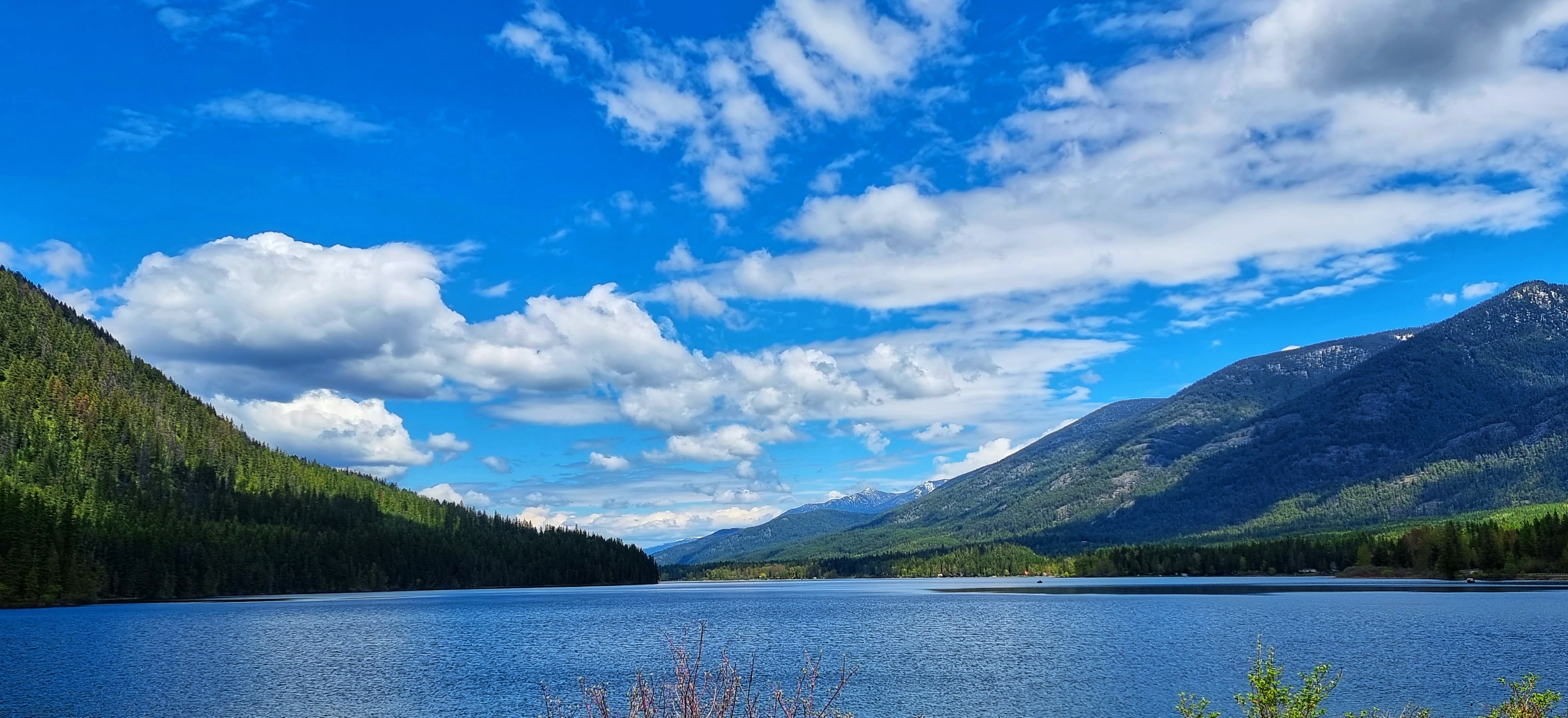
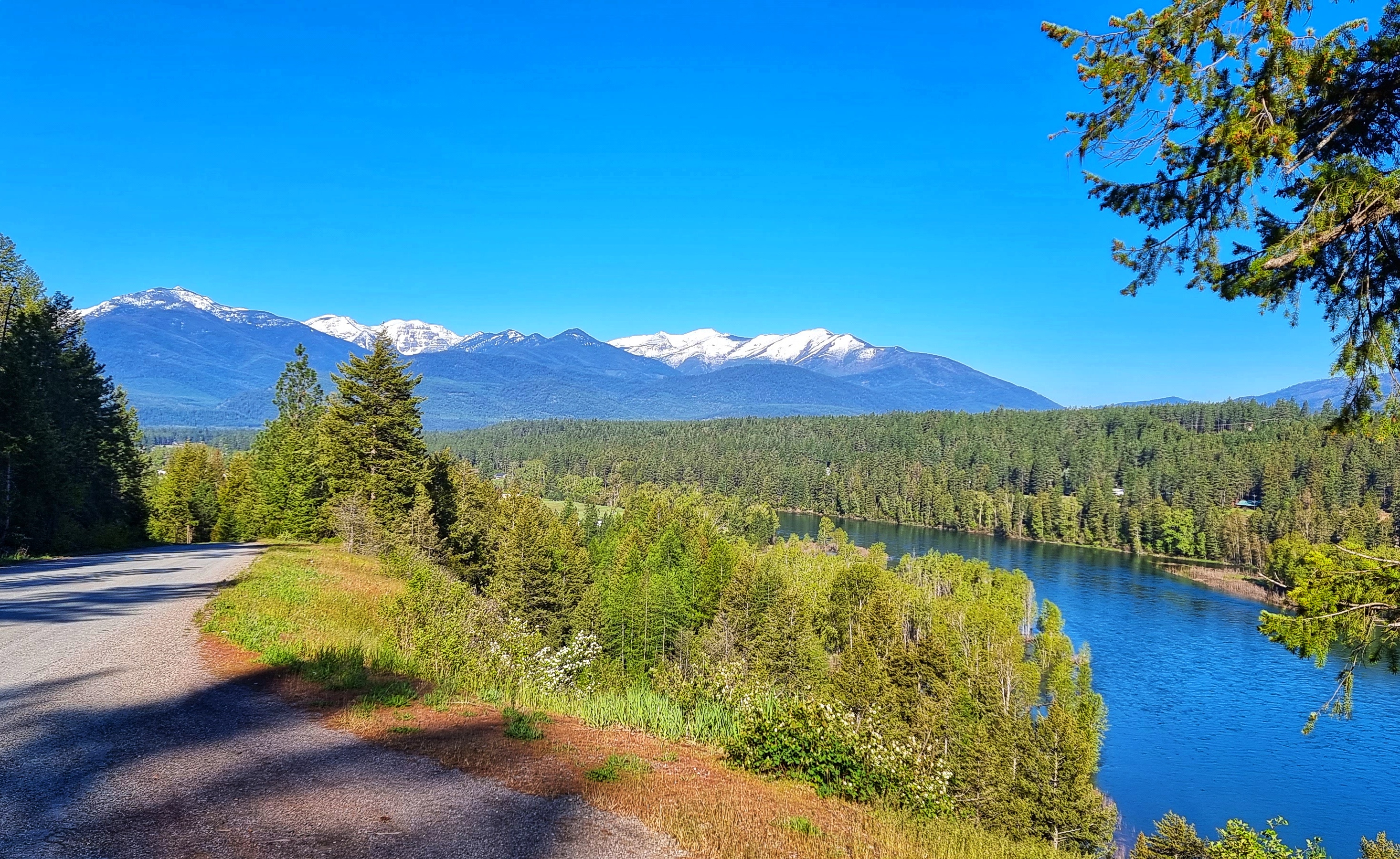
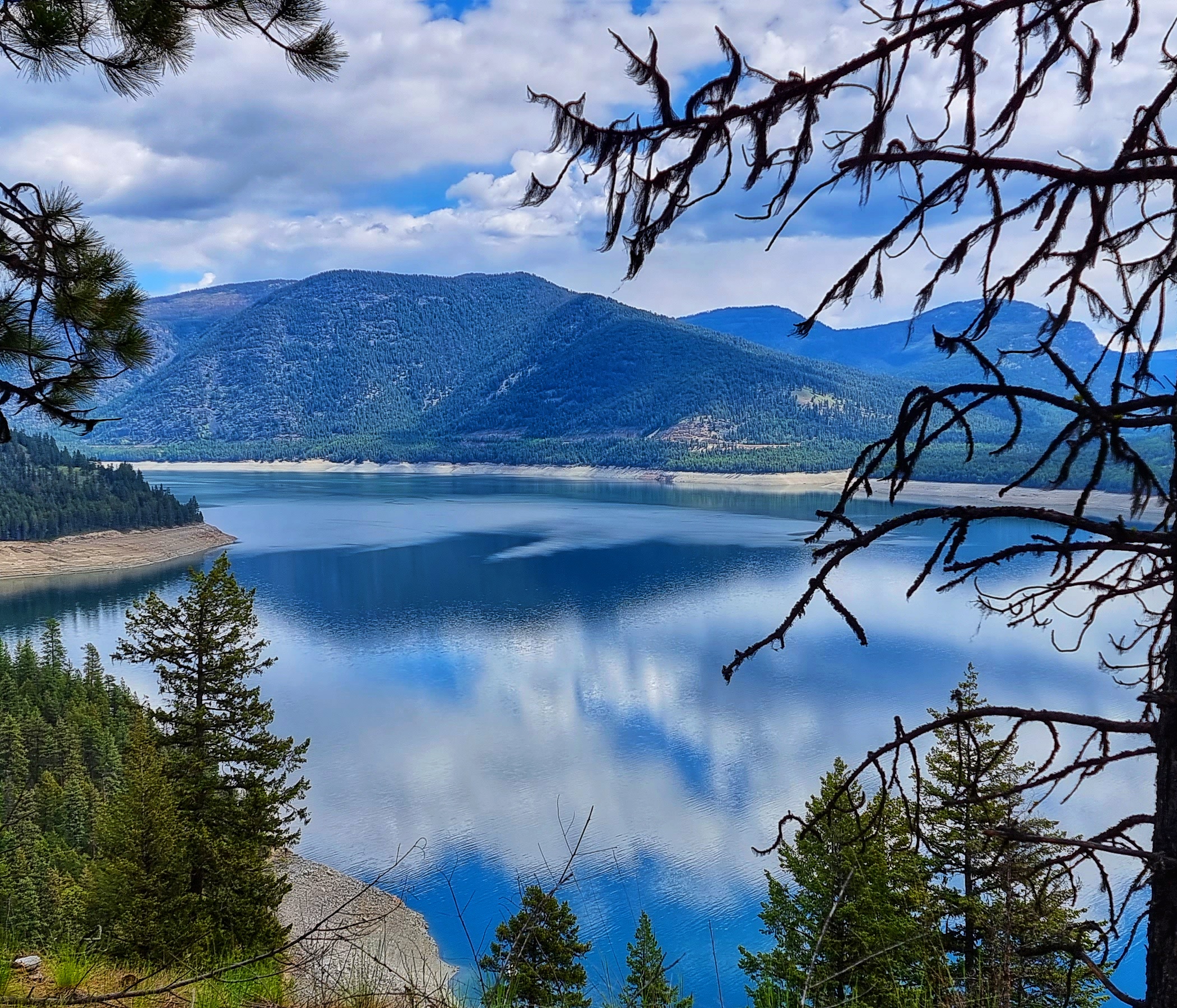
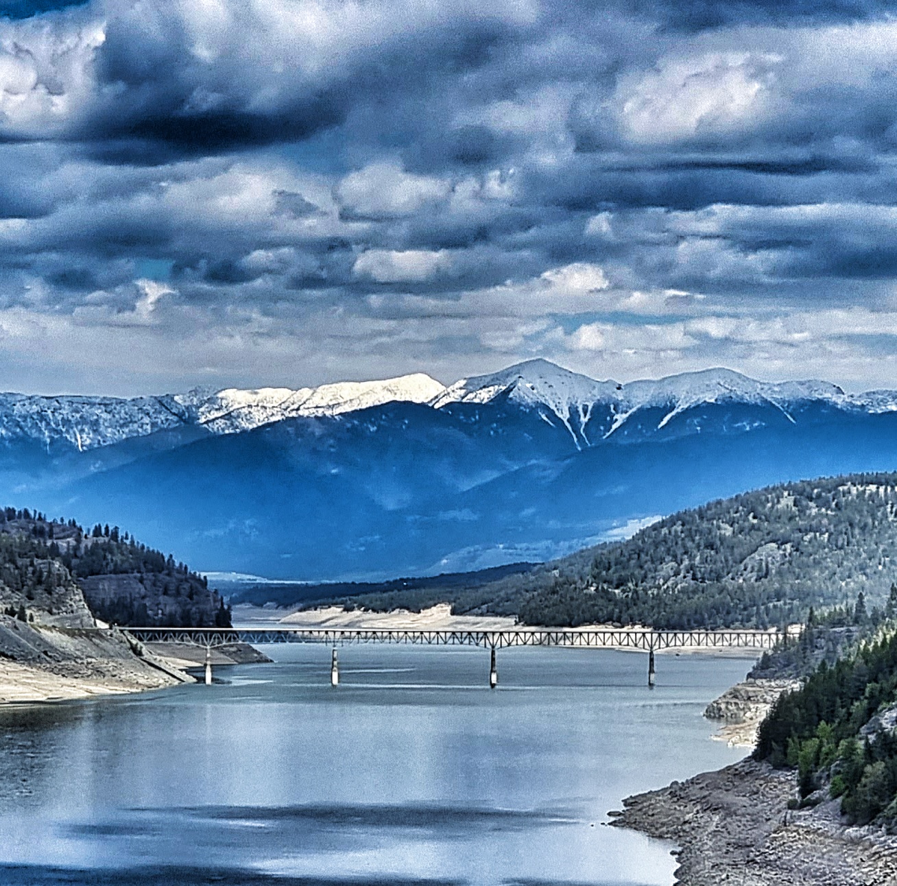
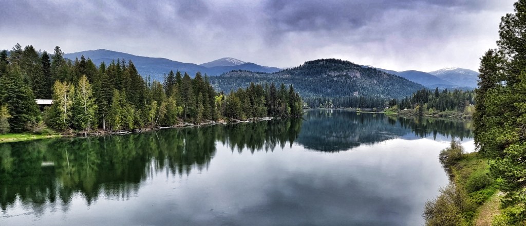
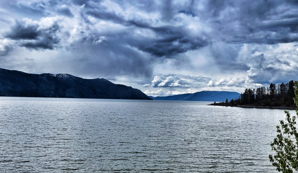
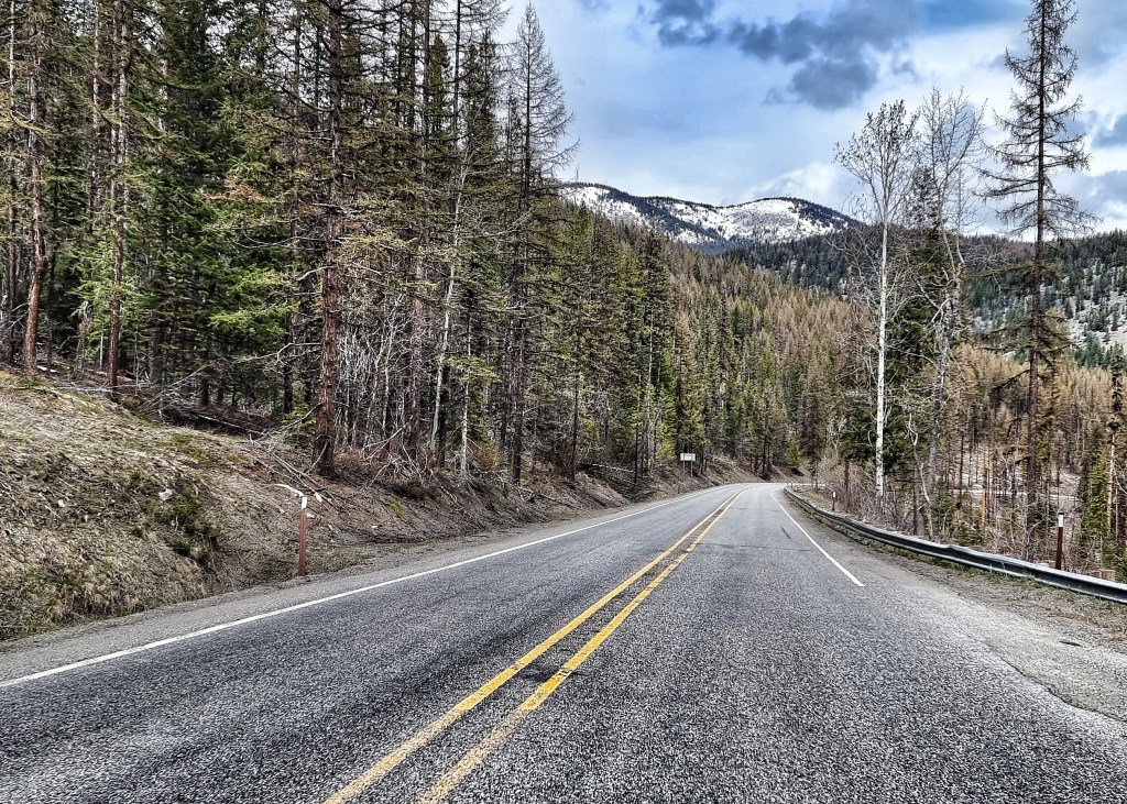
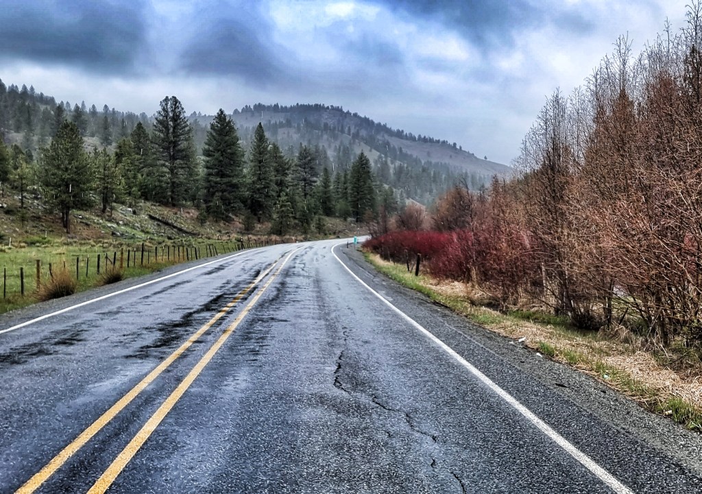
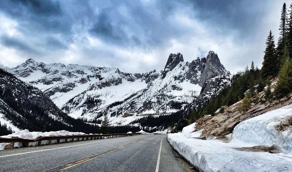
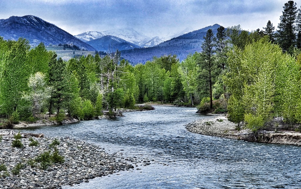
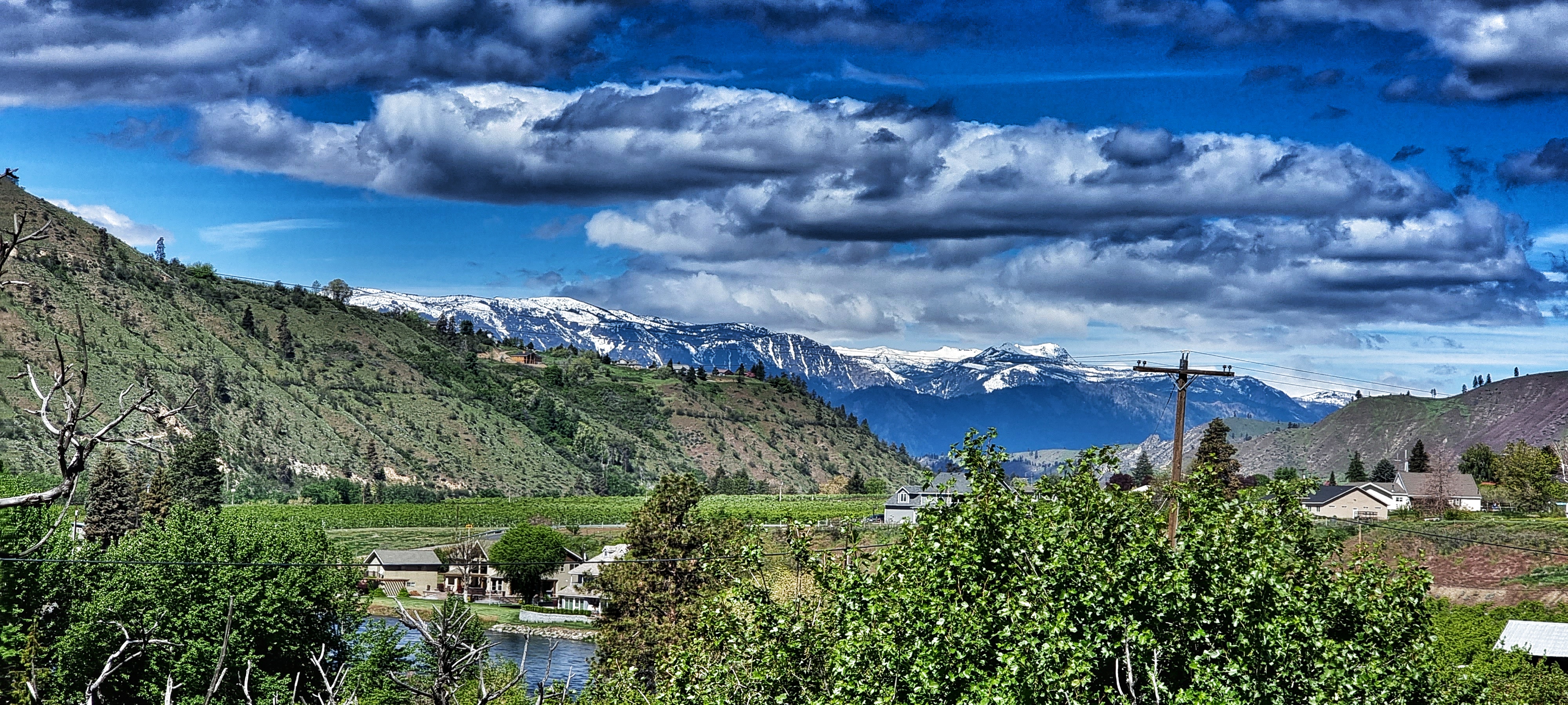
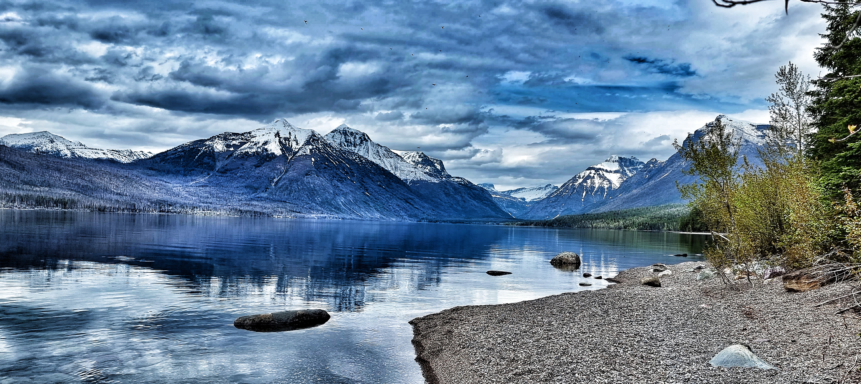
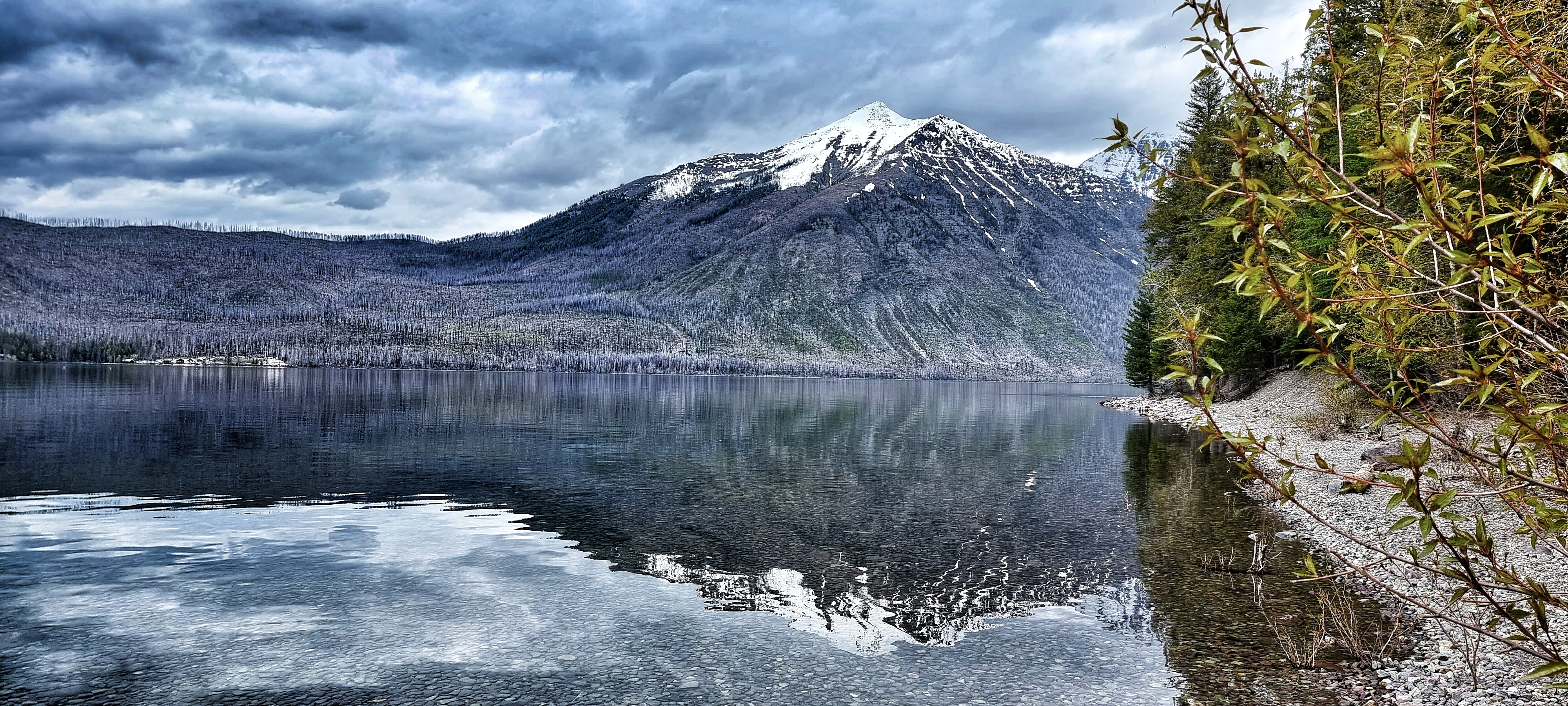
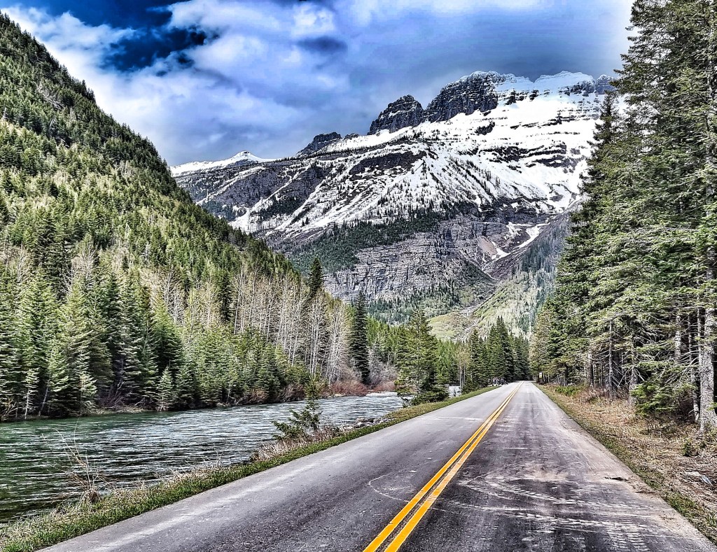
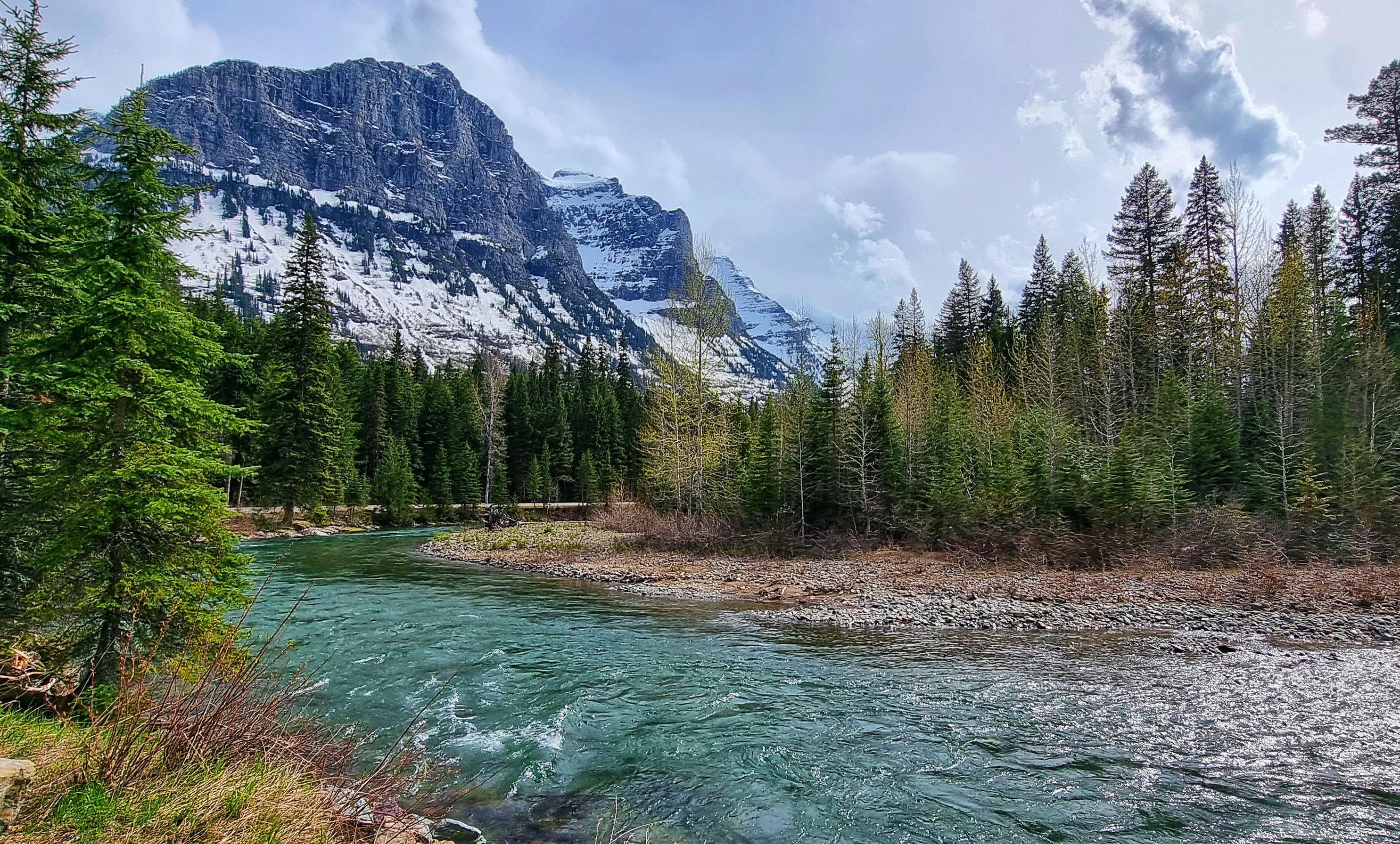
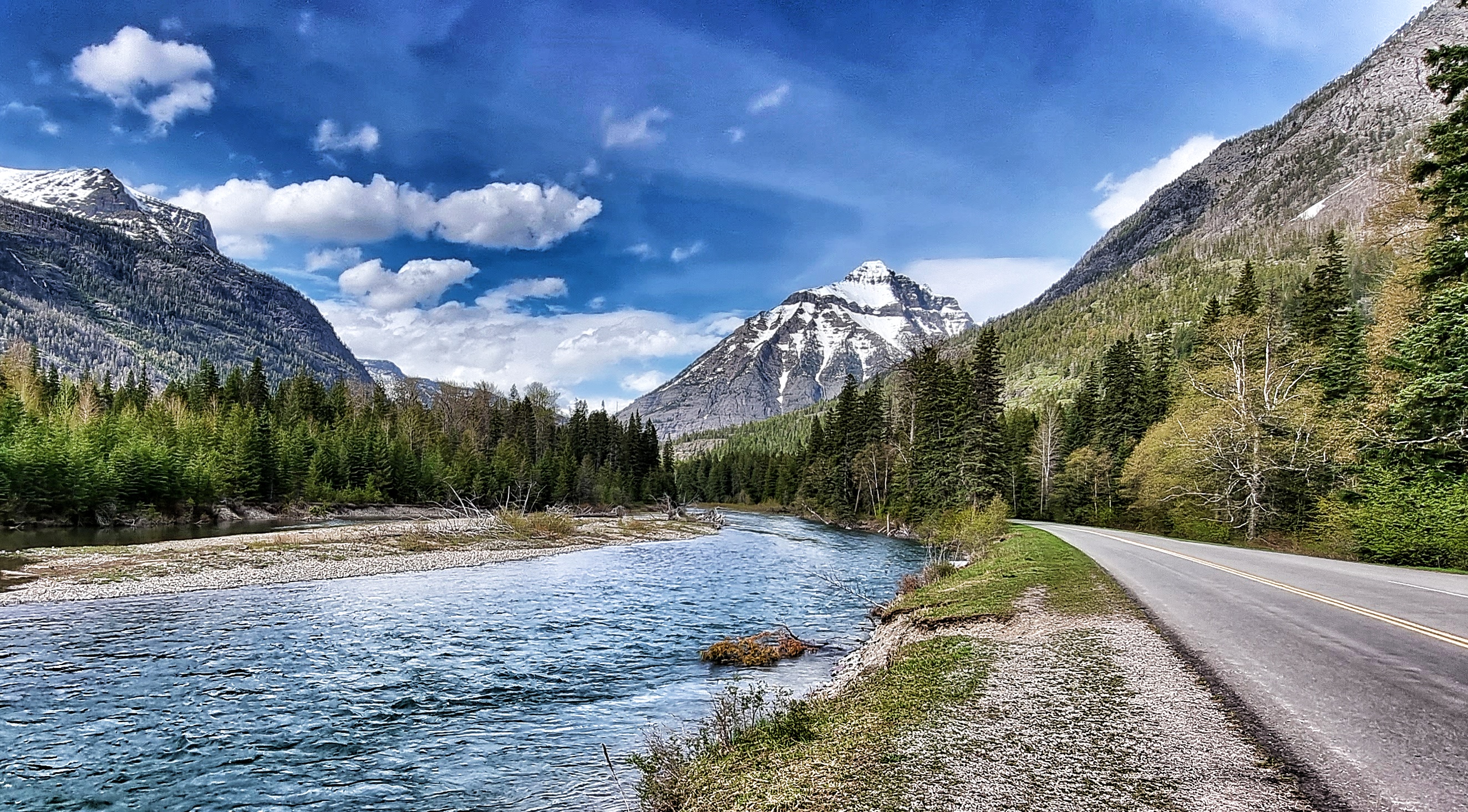
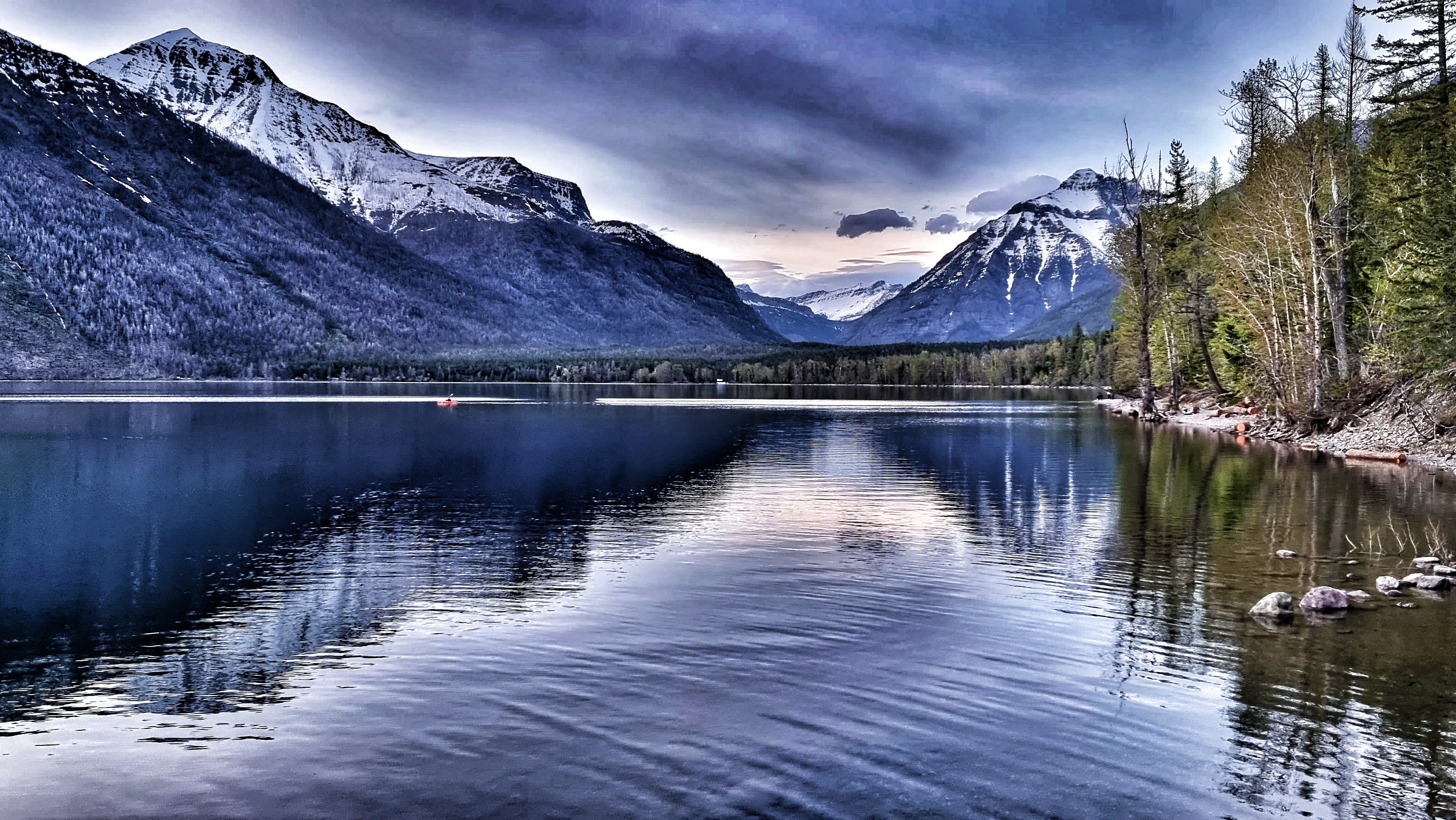
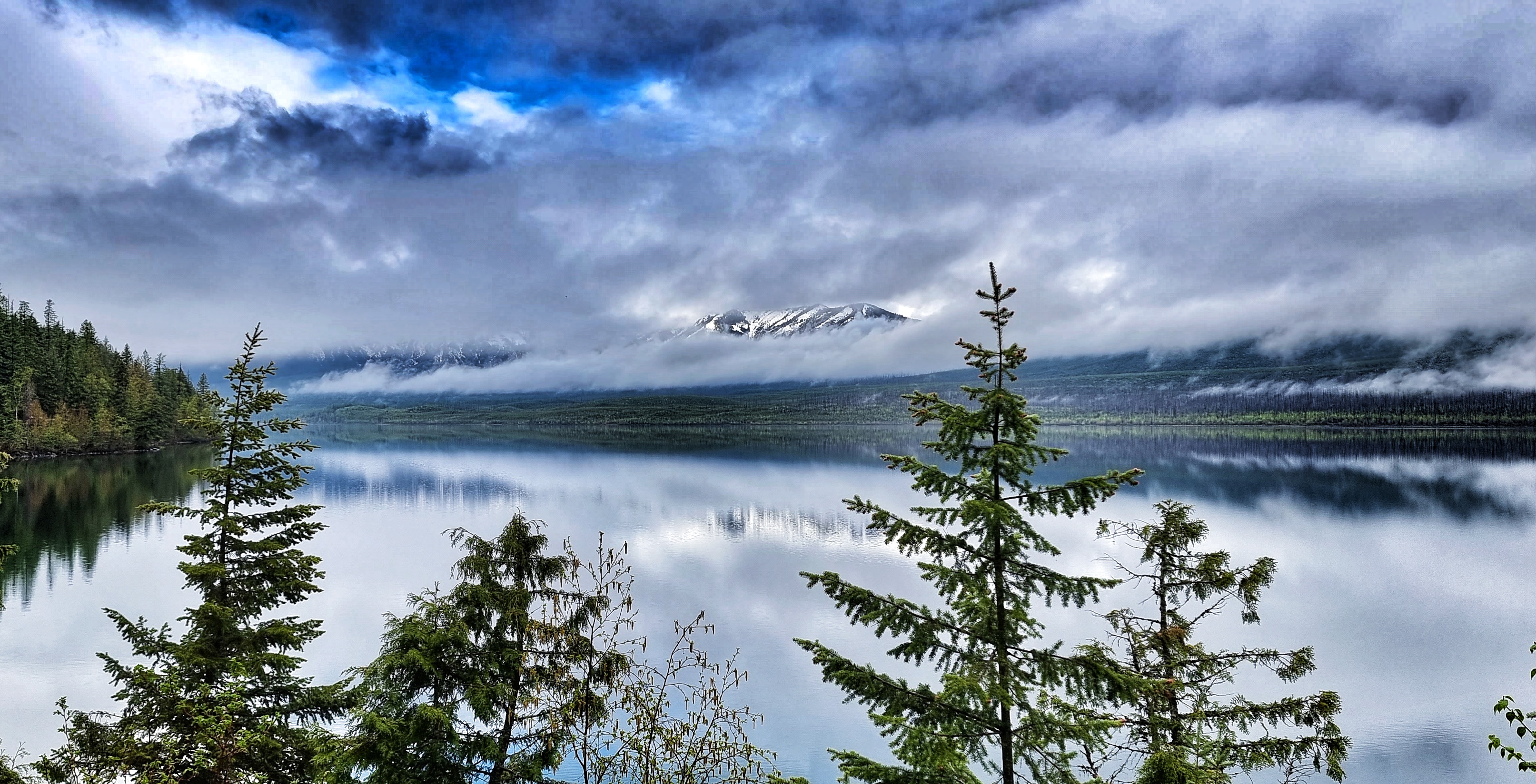
We took the right fork at Apgar which followed the GTTSR, taking us along the edge of Lake McDonald – we’d been told the scenery & vistas were something to behold, but I was still completely taken aback as we got our first views of the snow-capped mountains. The blue skies with fluffy cloud cover & mirror-like lake added to the spectacle.
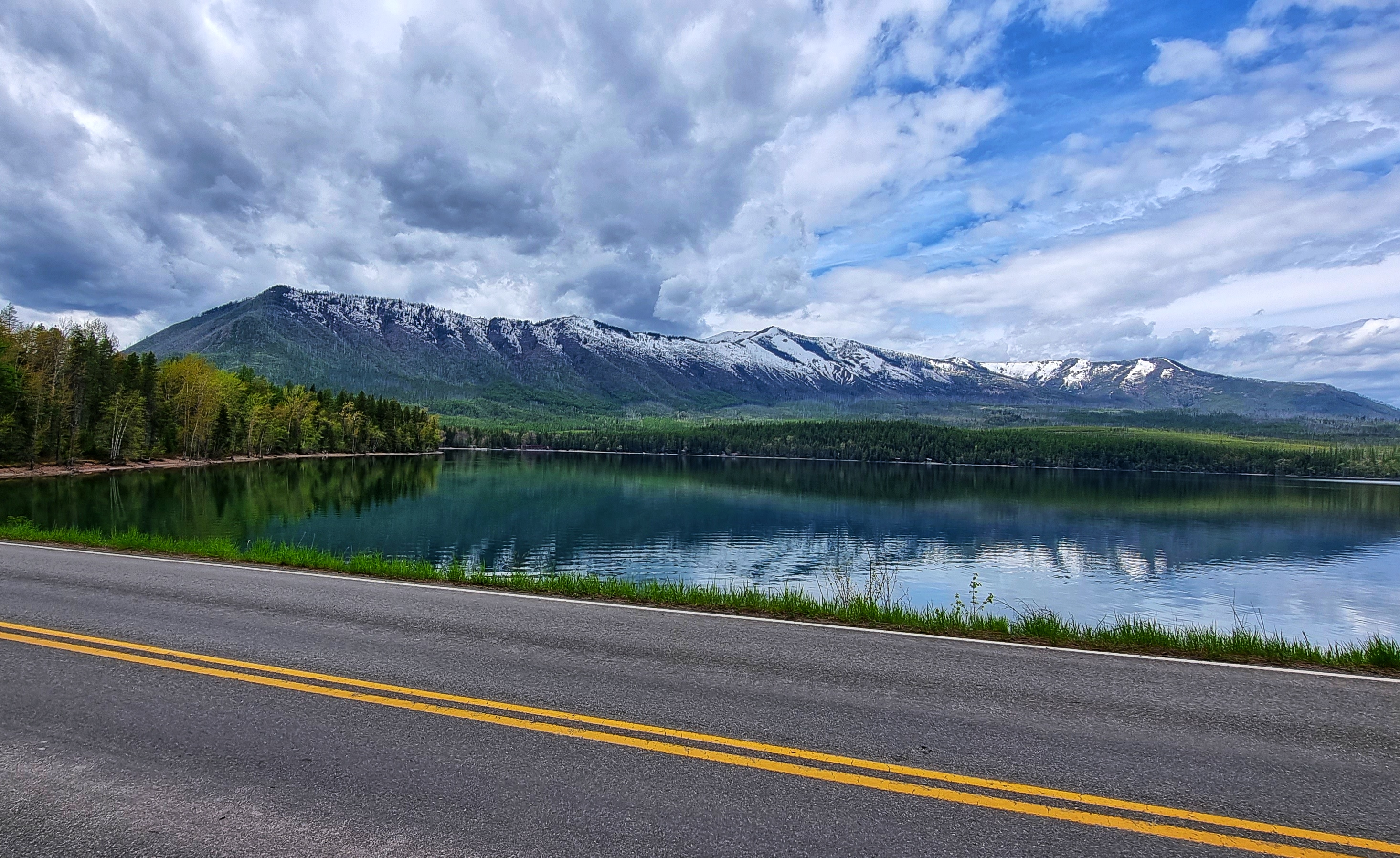

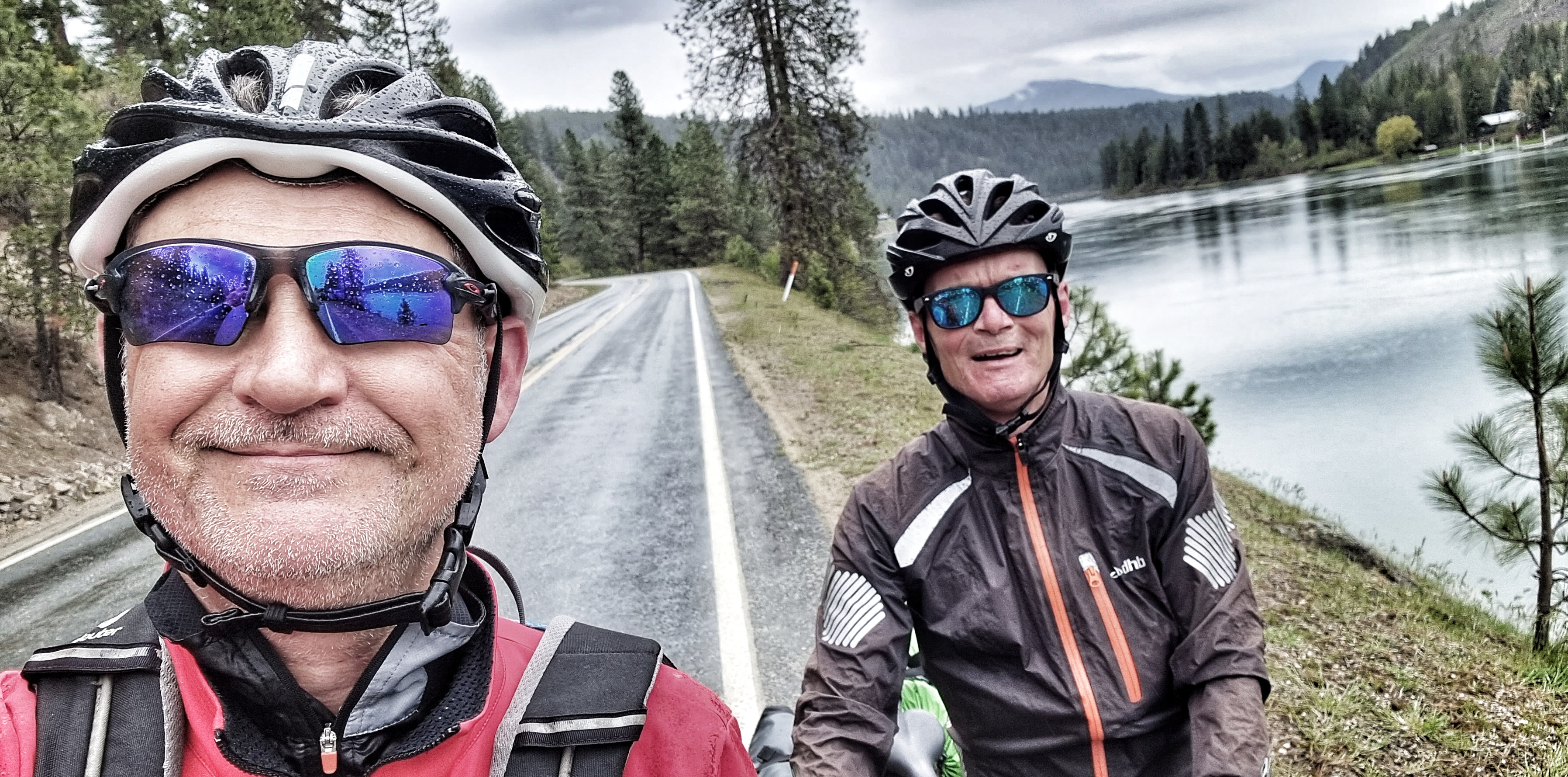
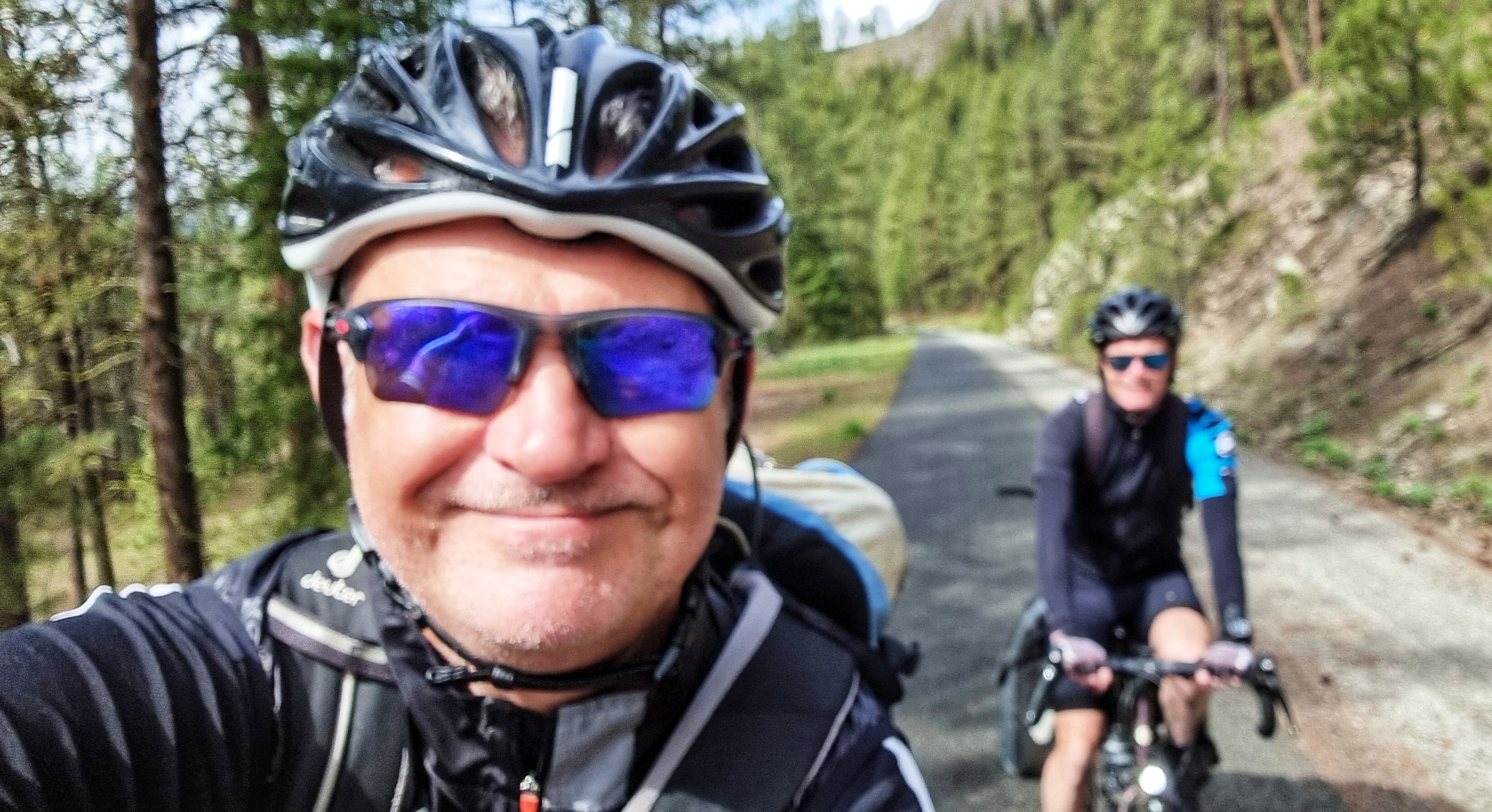
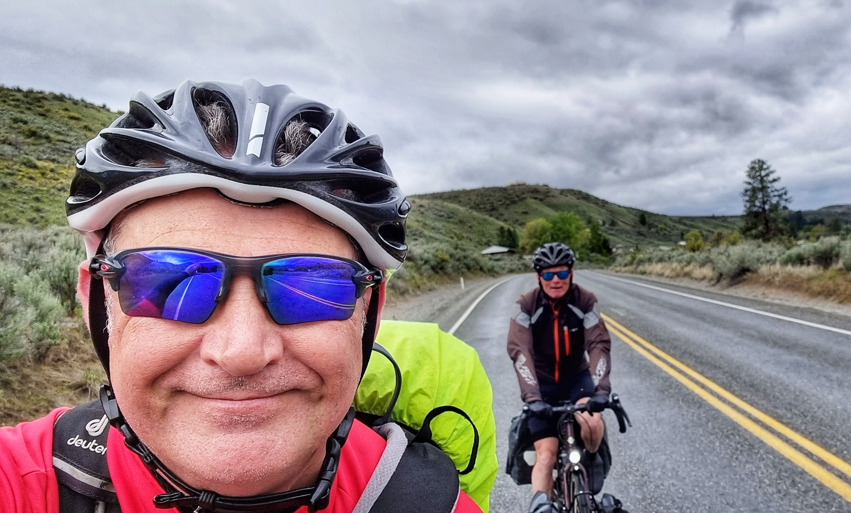
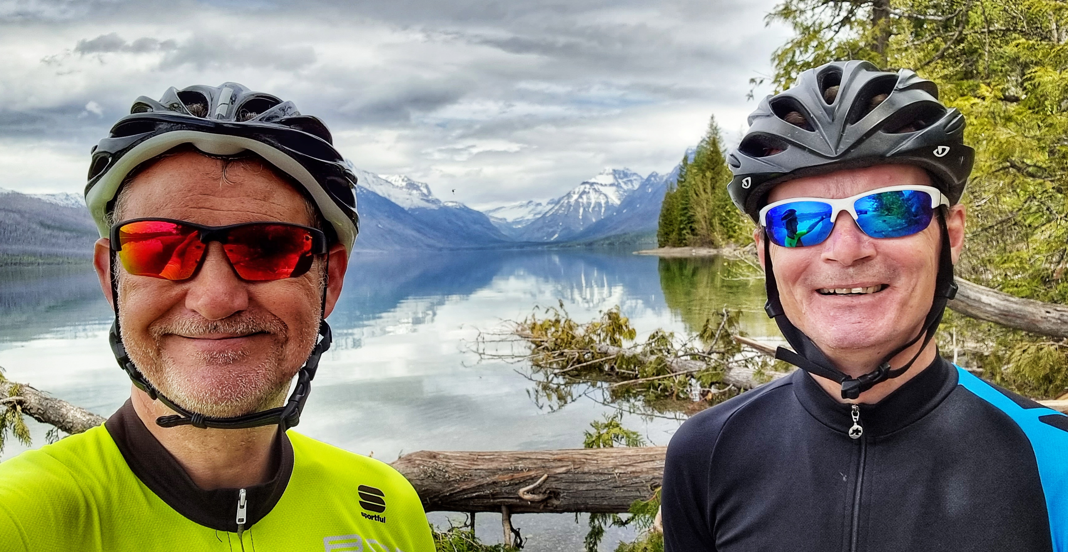
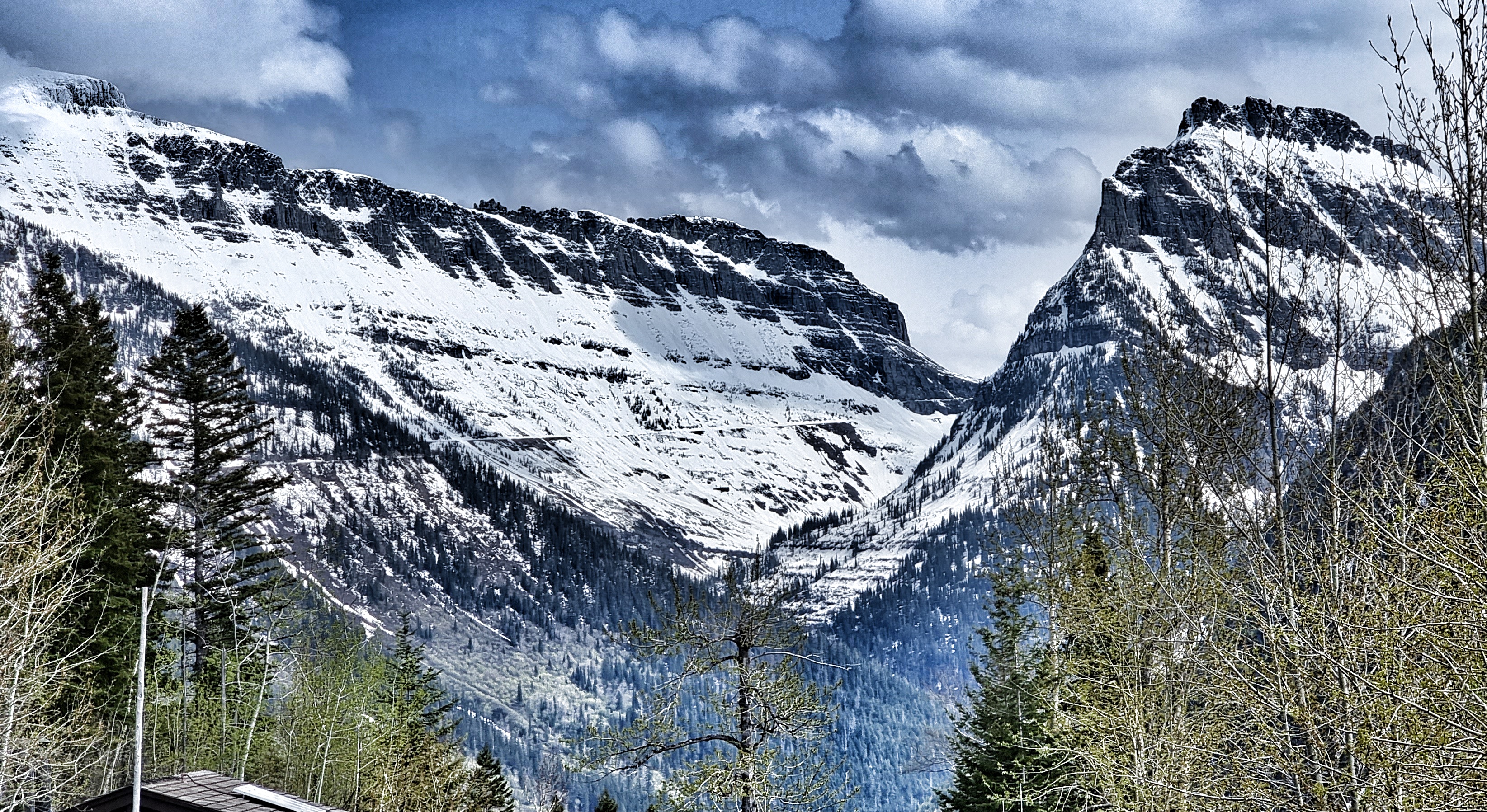
At the next viewpoint I had the opportunity to capture the breath-taking view looking up the lake towards Heavens Peak & Bishops Cap. Apologies for the ugly mugs that rather ruin the 2nd & 3rd photos!
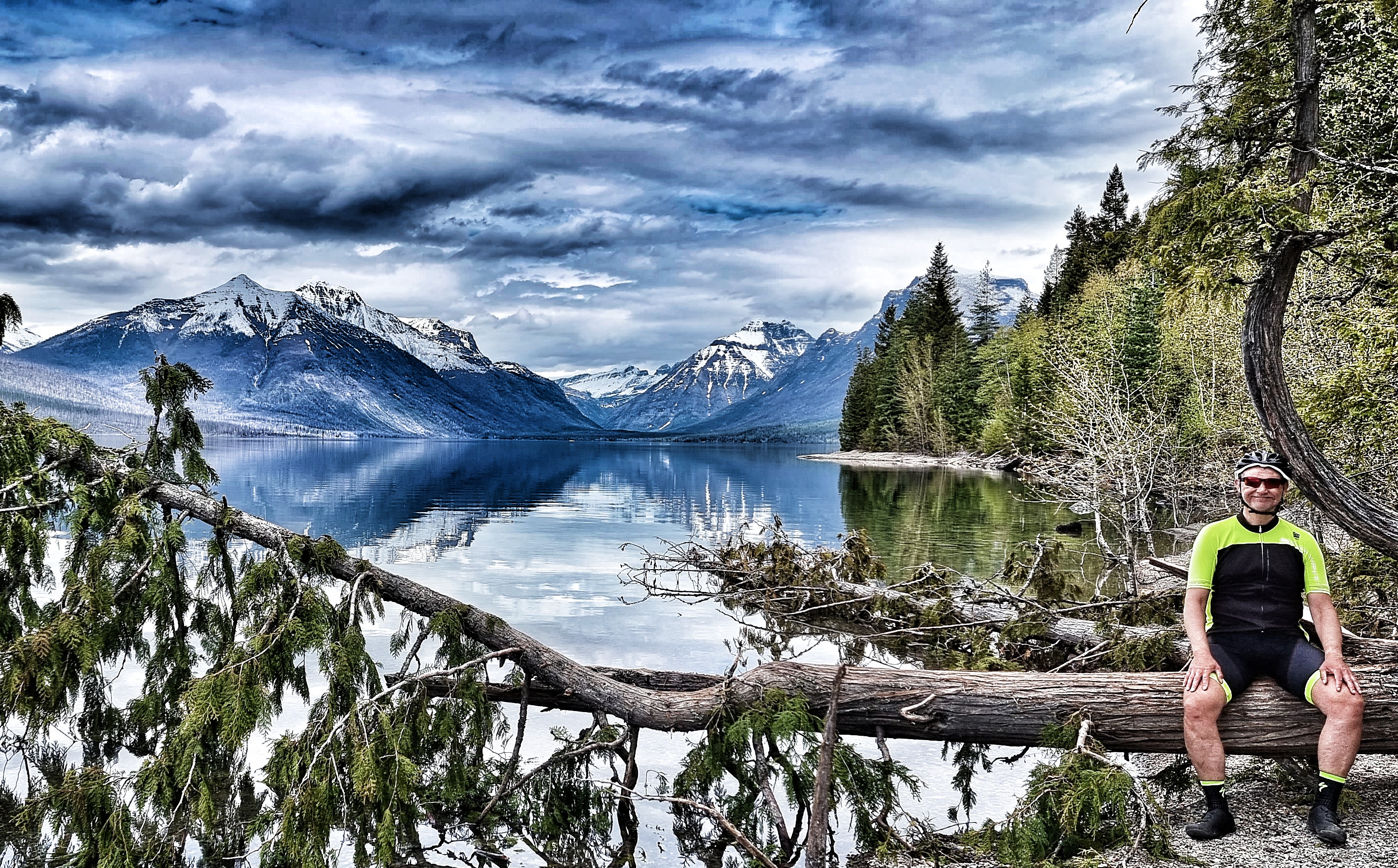
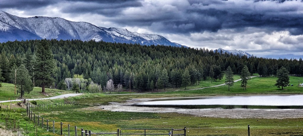
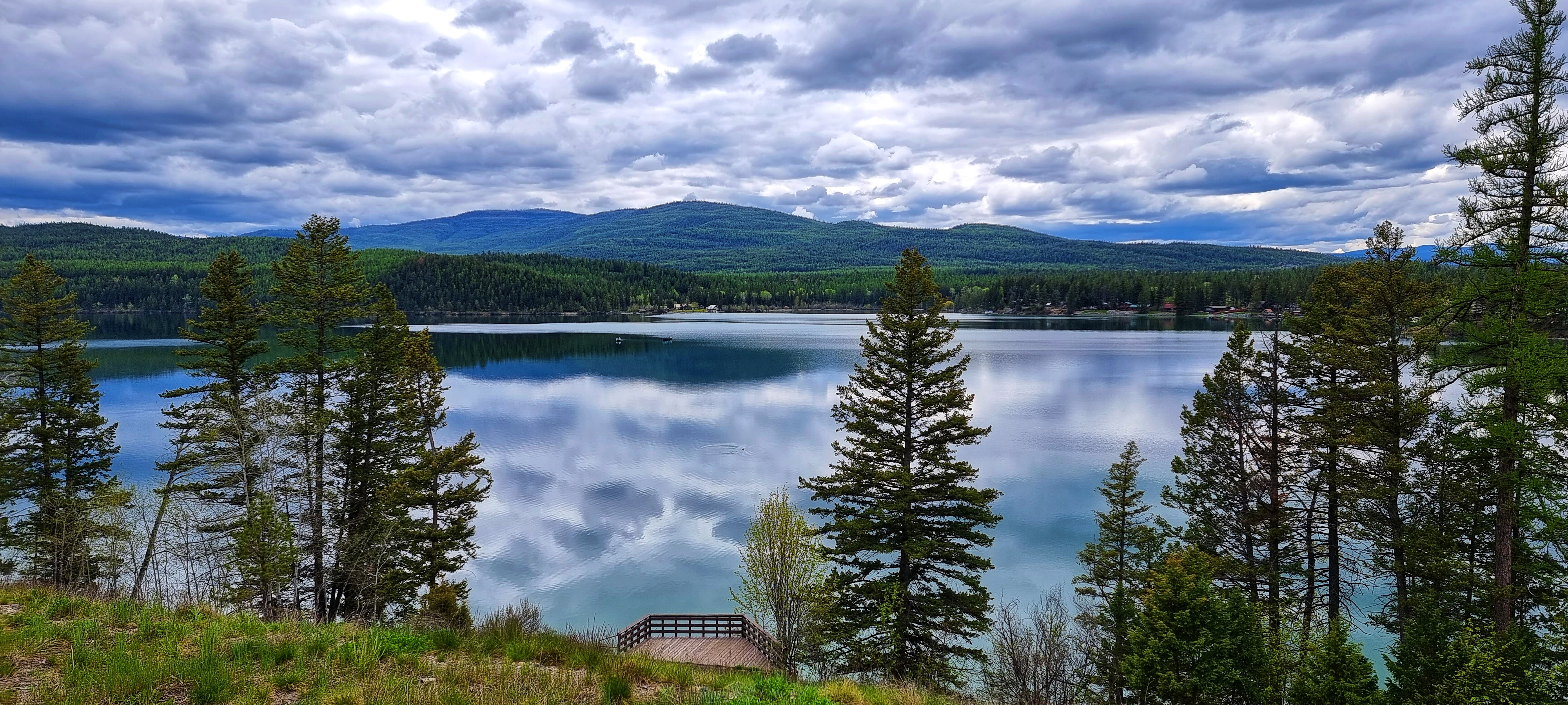
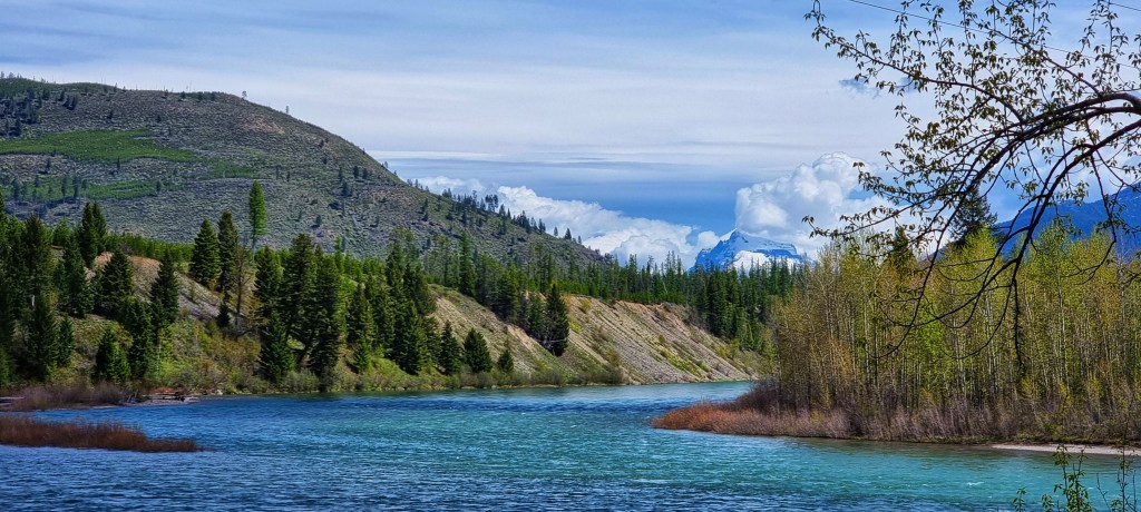
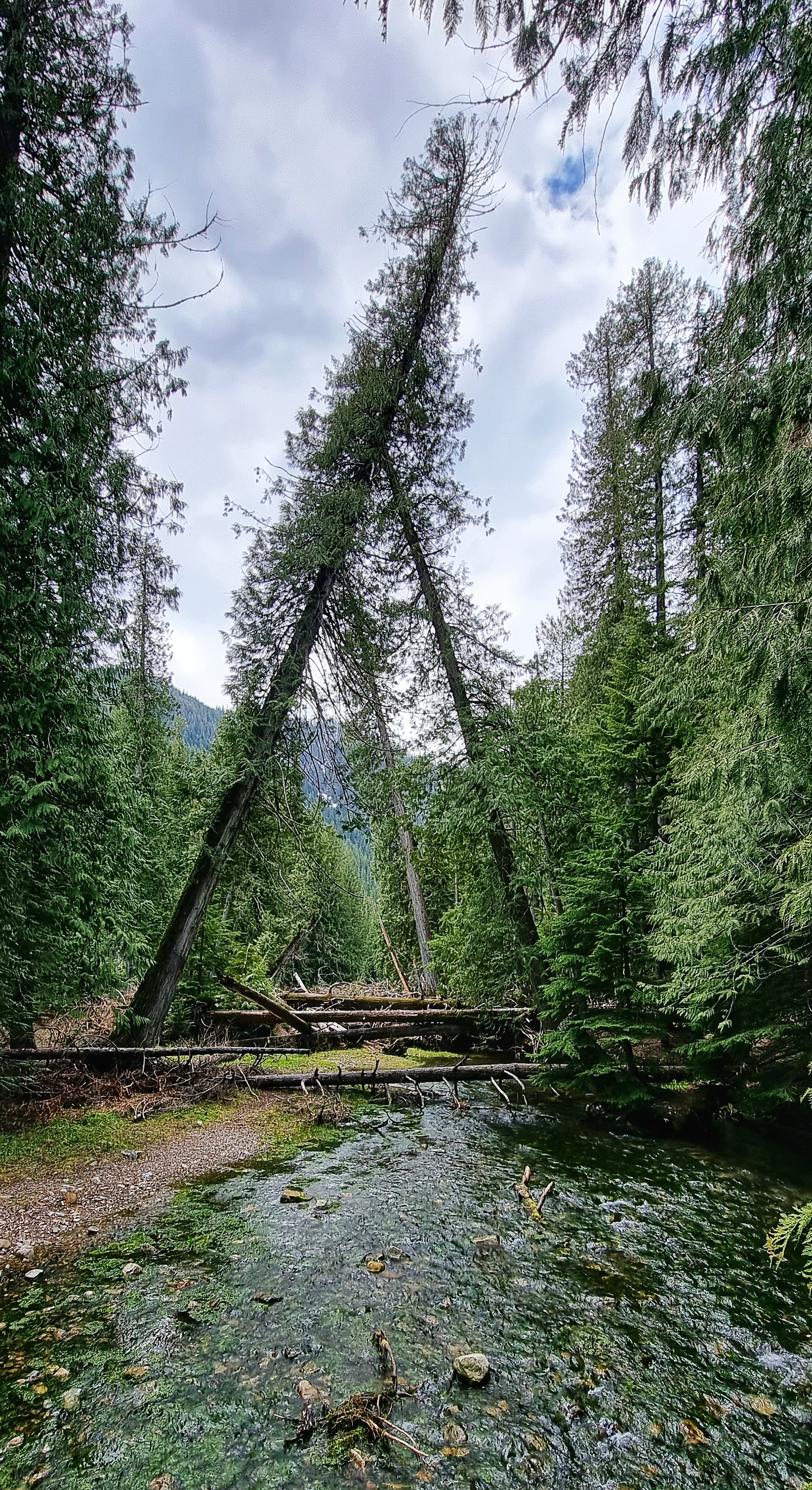
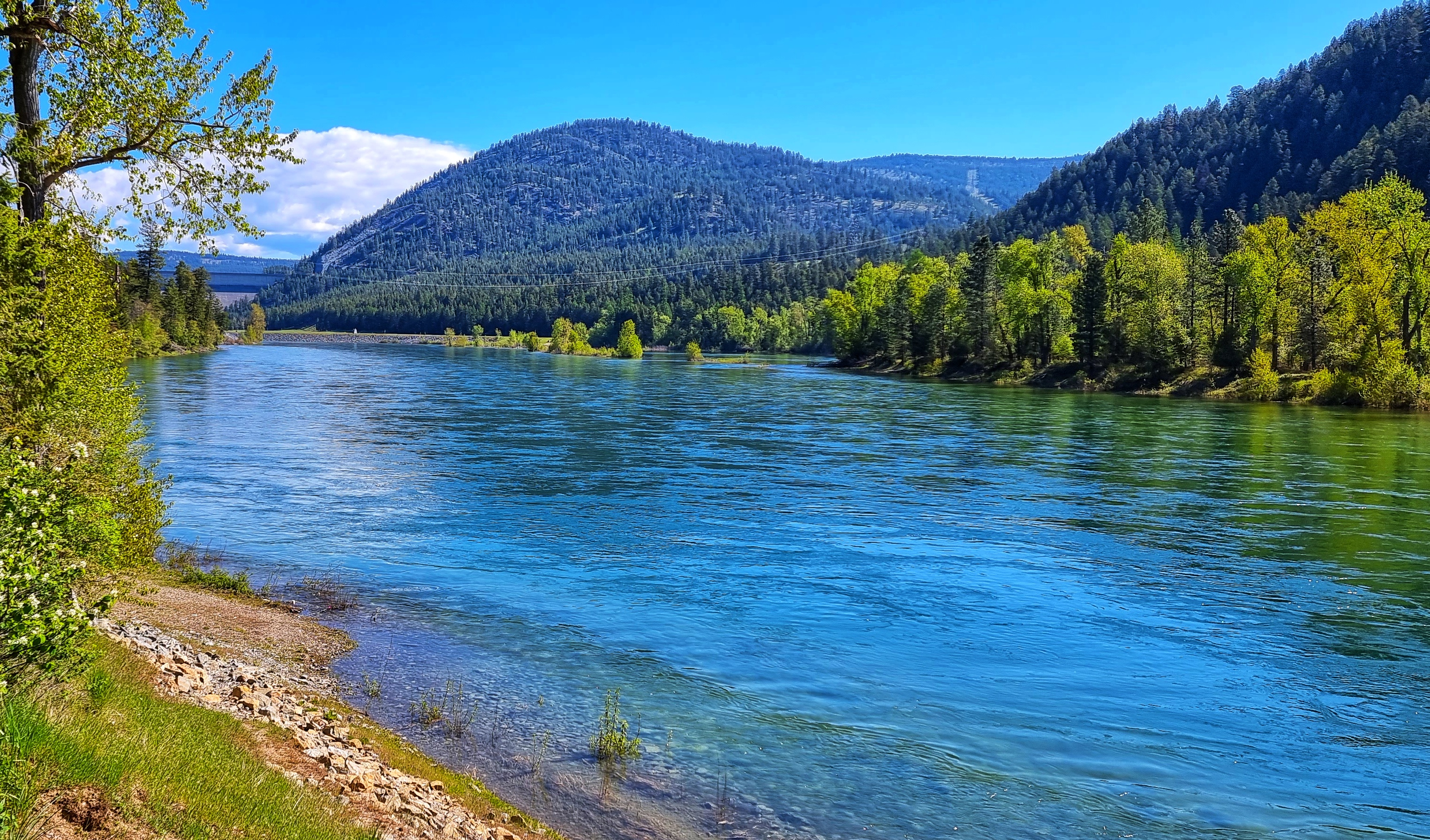
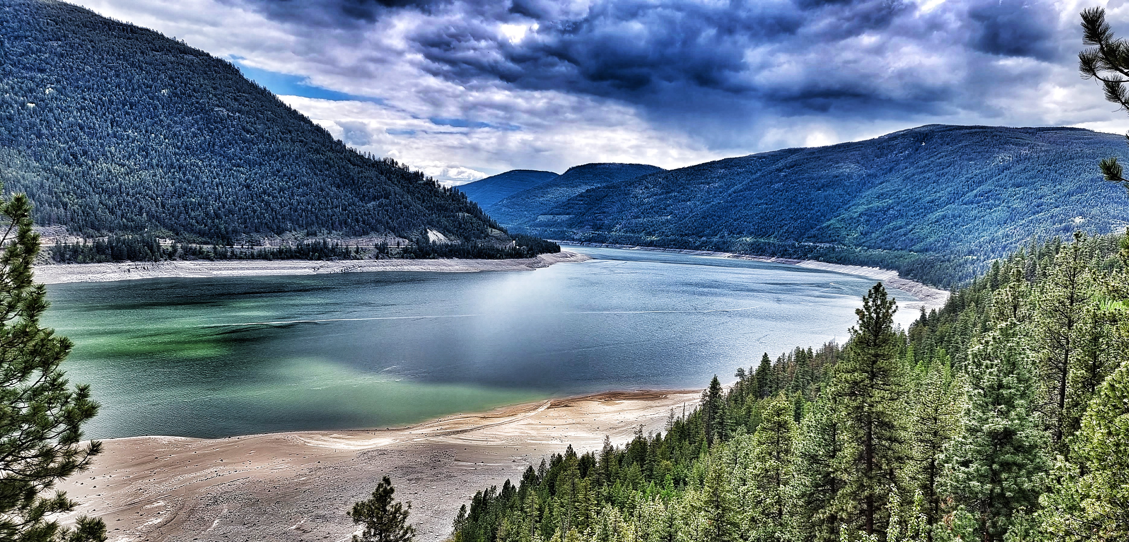
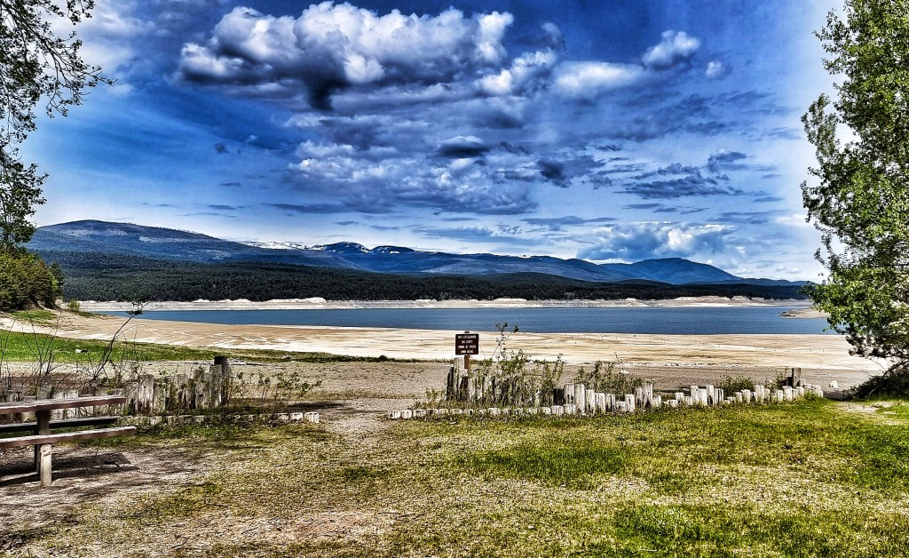
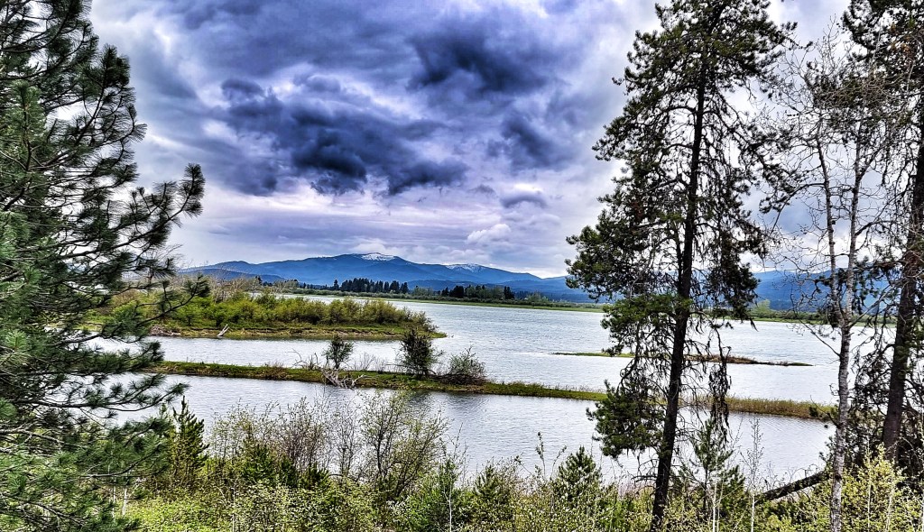
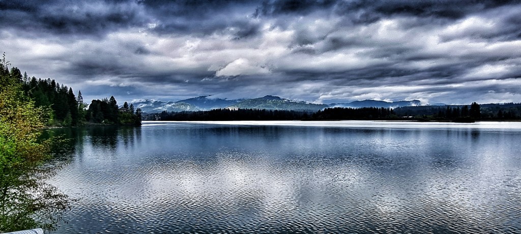
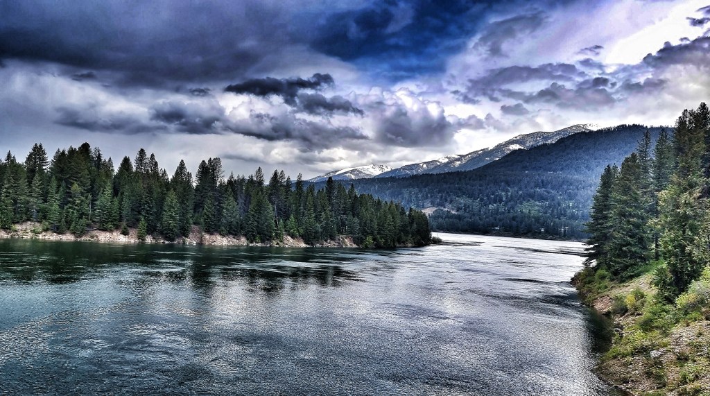
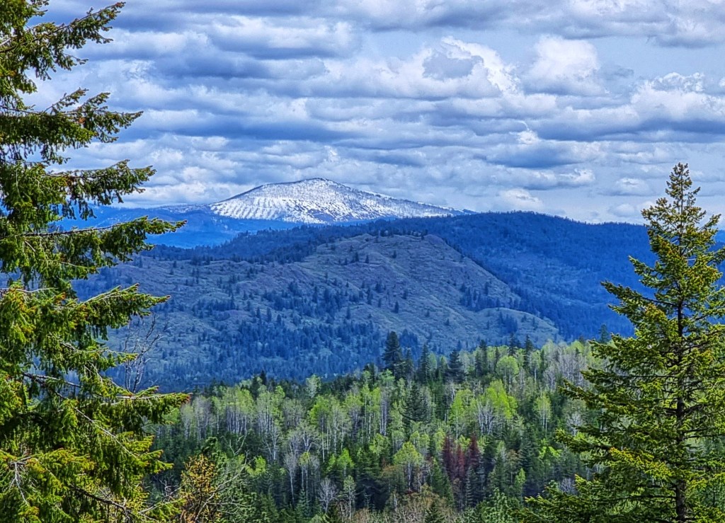
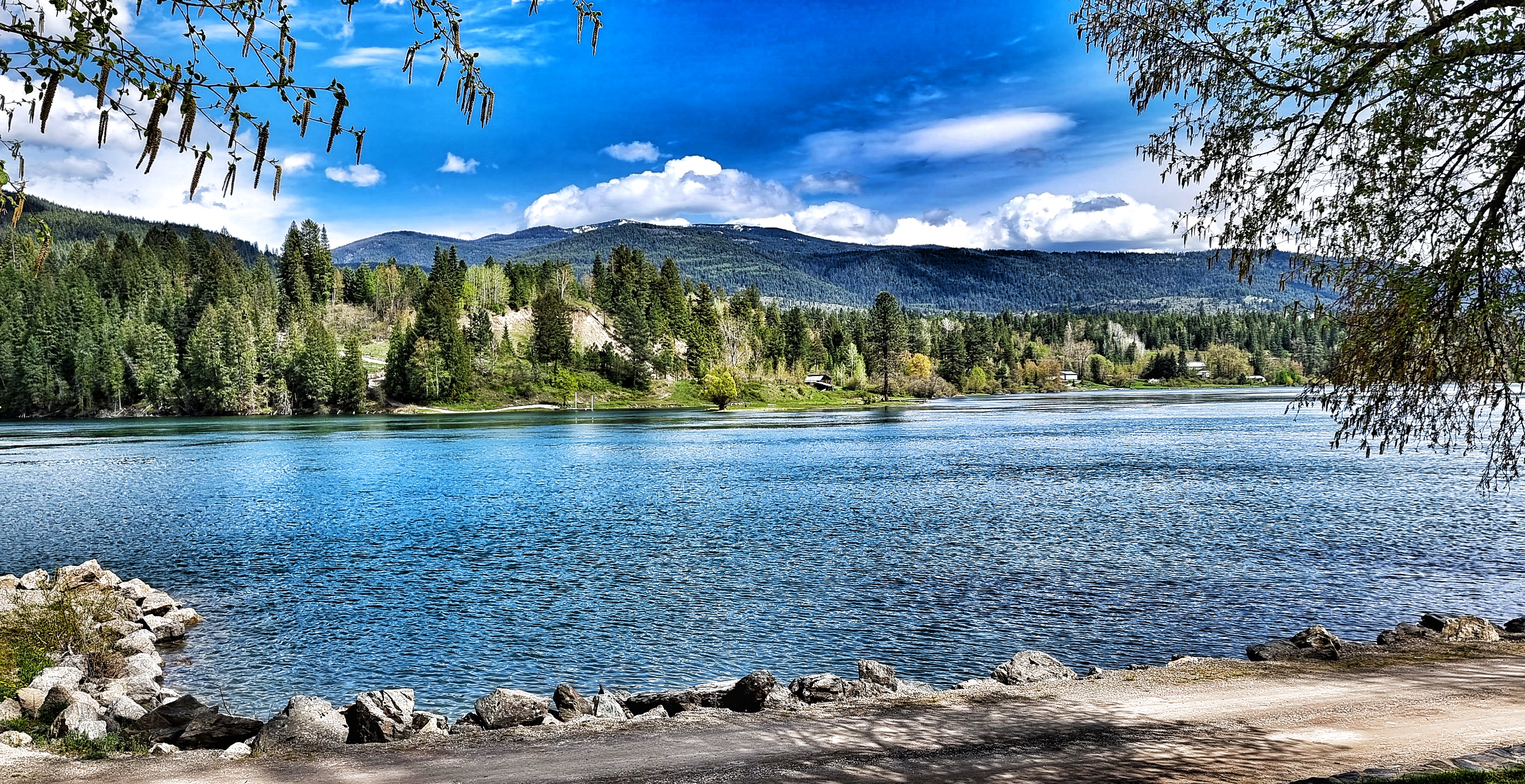
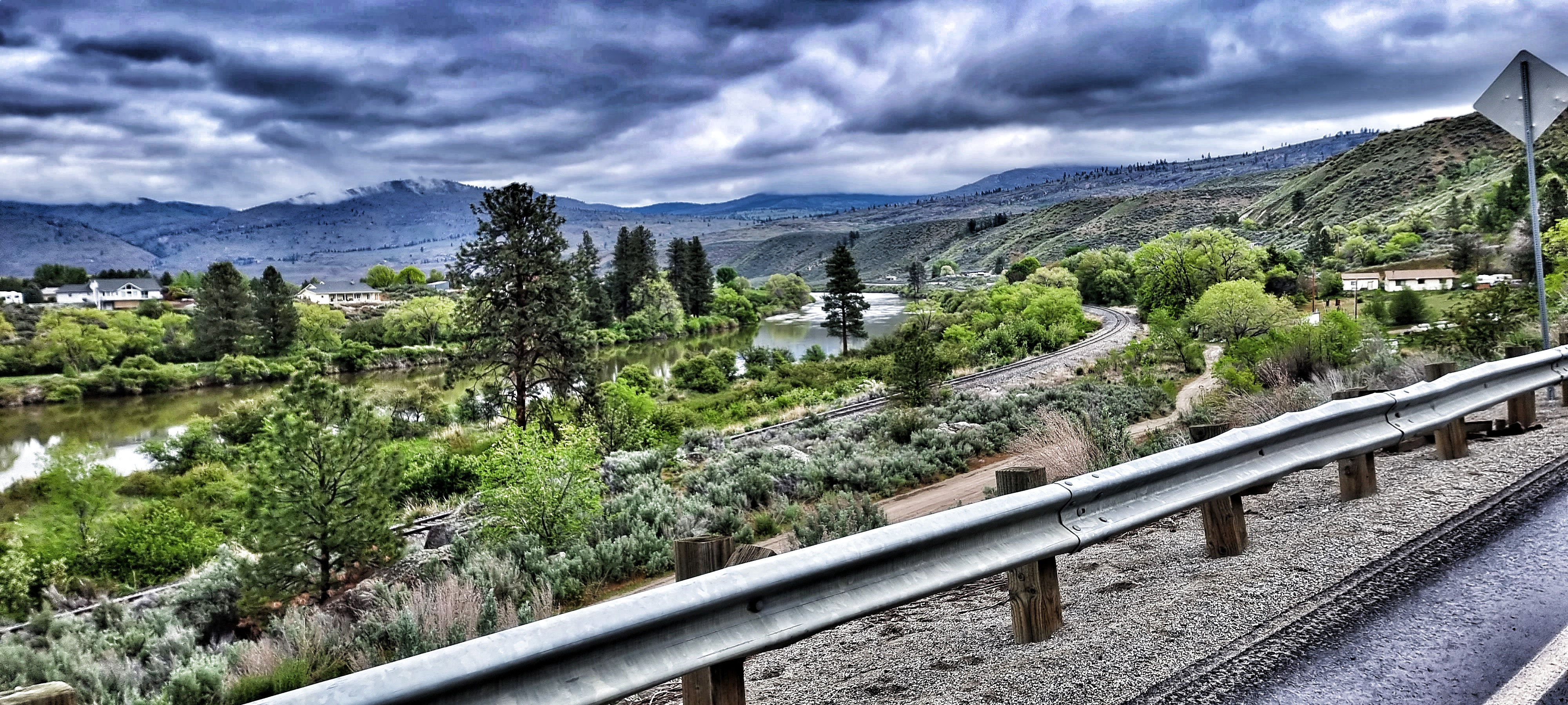
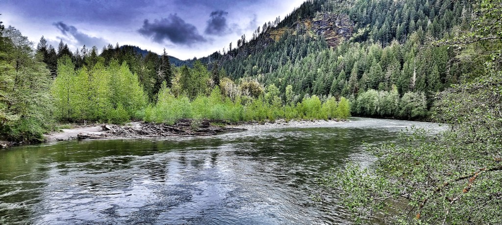
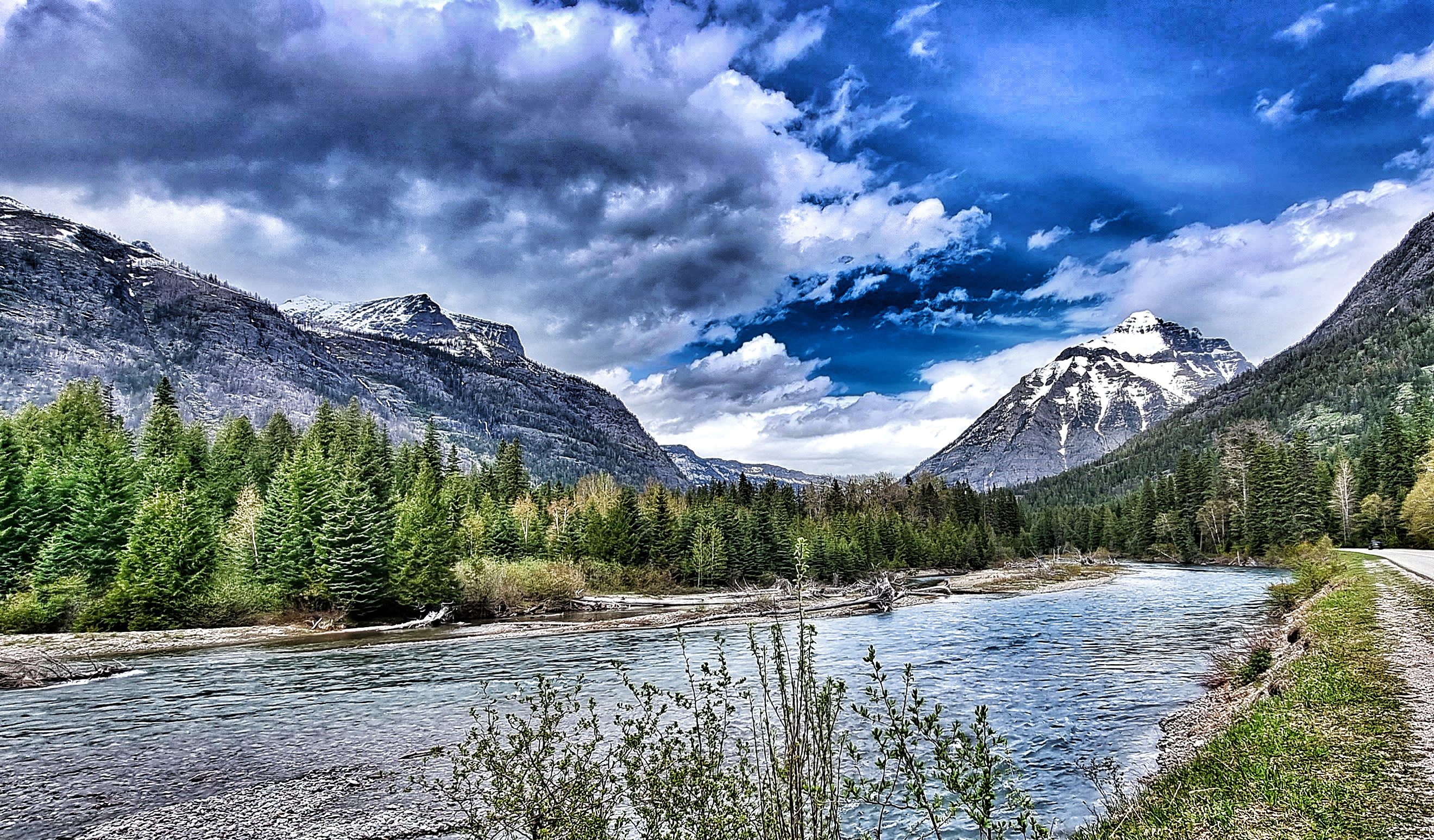
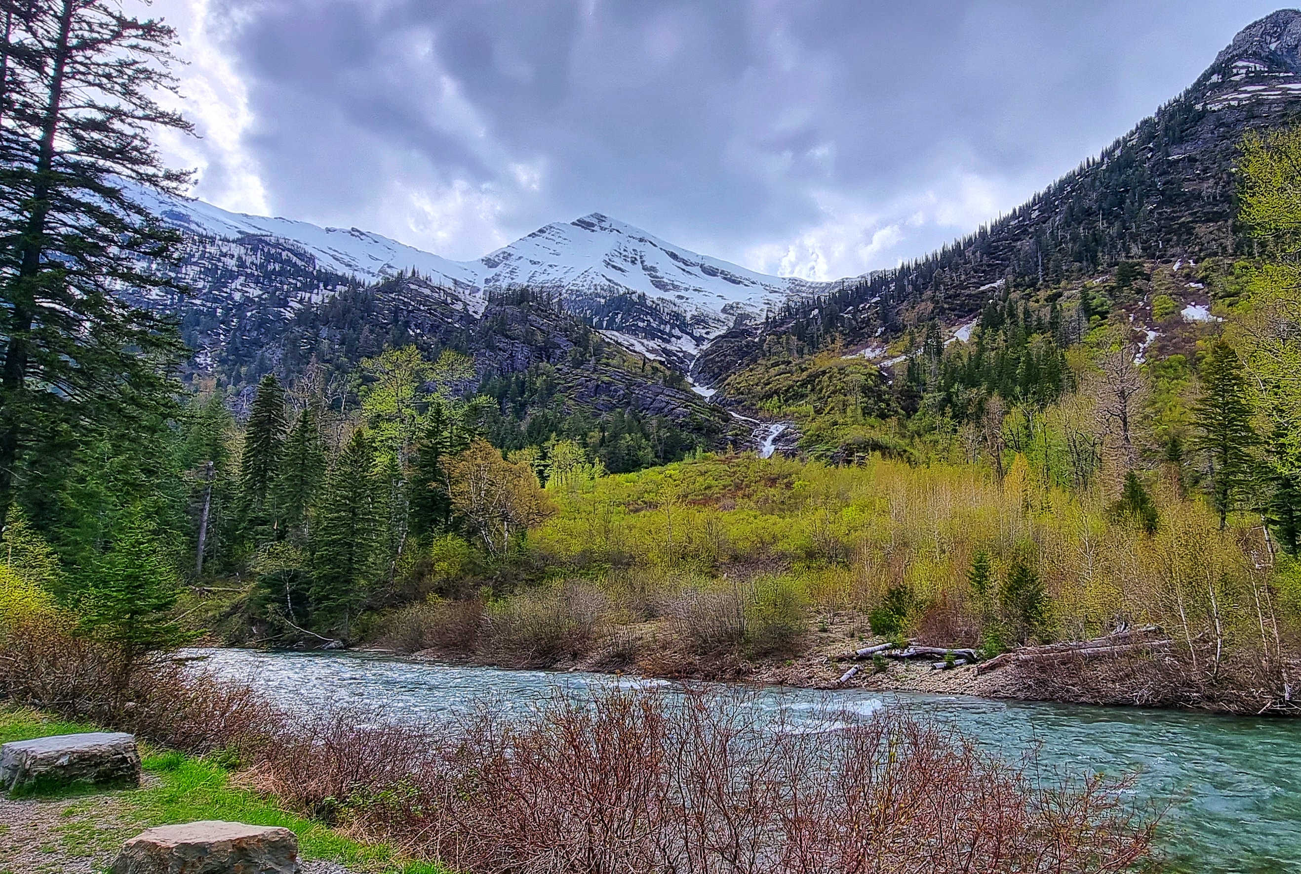
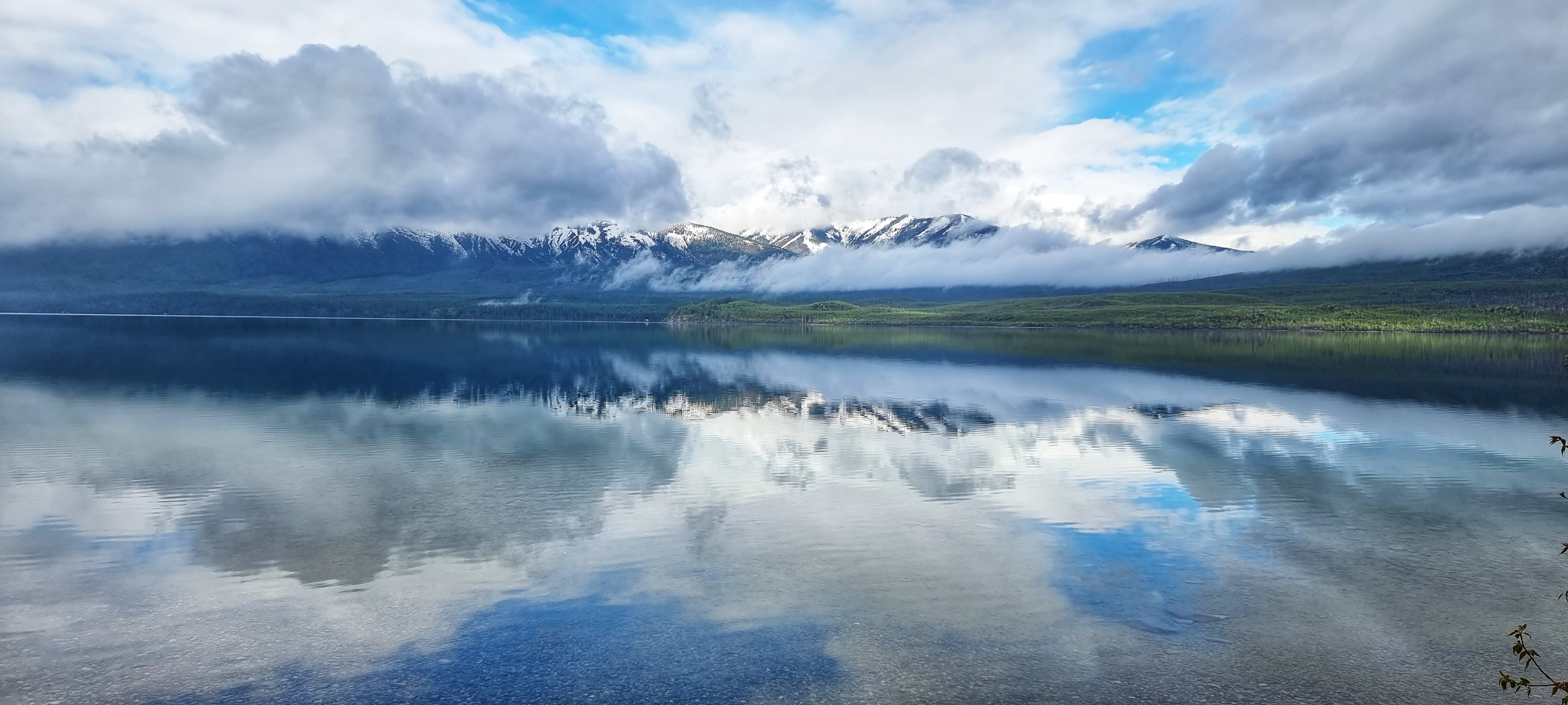
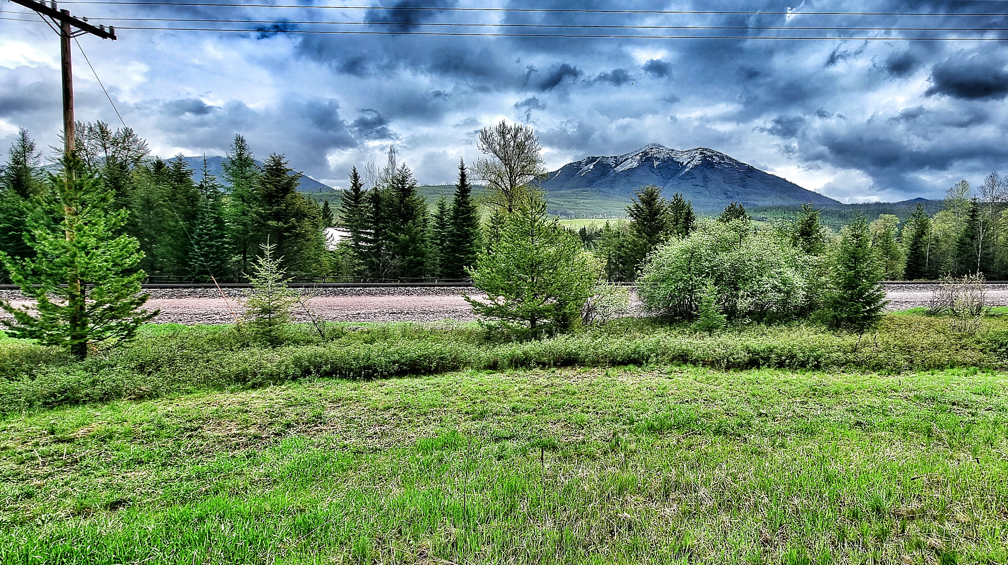
The views changed at each of the viewpoints I stopped at – although these next photos were taken less than a mile from those above, the panoramas are quite different. Lake McDonald was created when a slow moving river of ice 2,000 feet thick moved down the valley. It scoured the rock & transported rubble at its edges. When the glacier receded about 10,000 years ago, it left behind rubble & rock that dammed the McDonald Creek – this is the end result, at 472 feet, it’s the deepest lake in GNP.
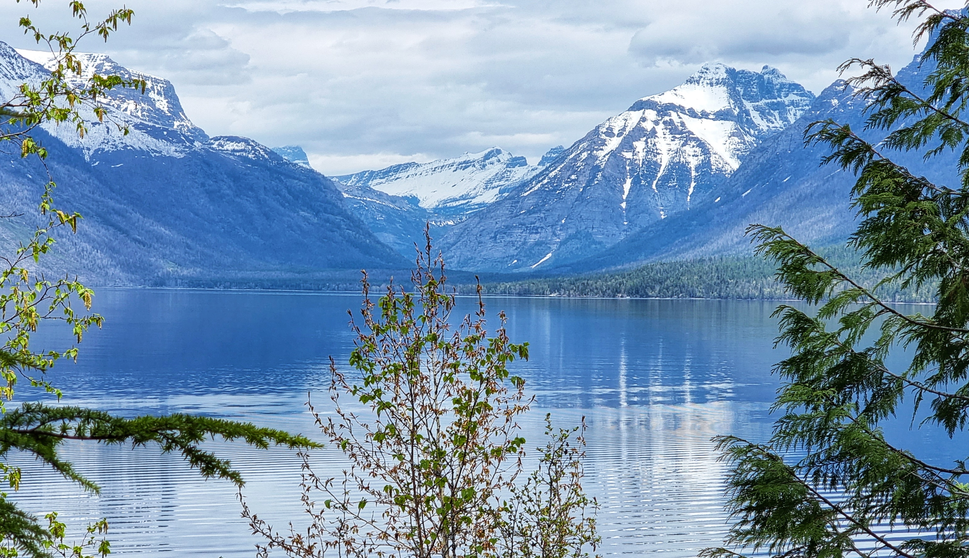
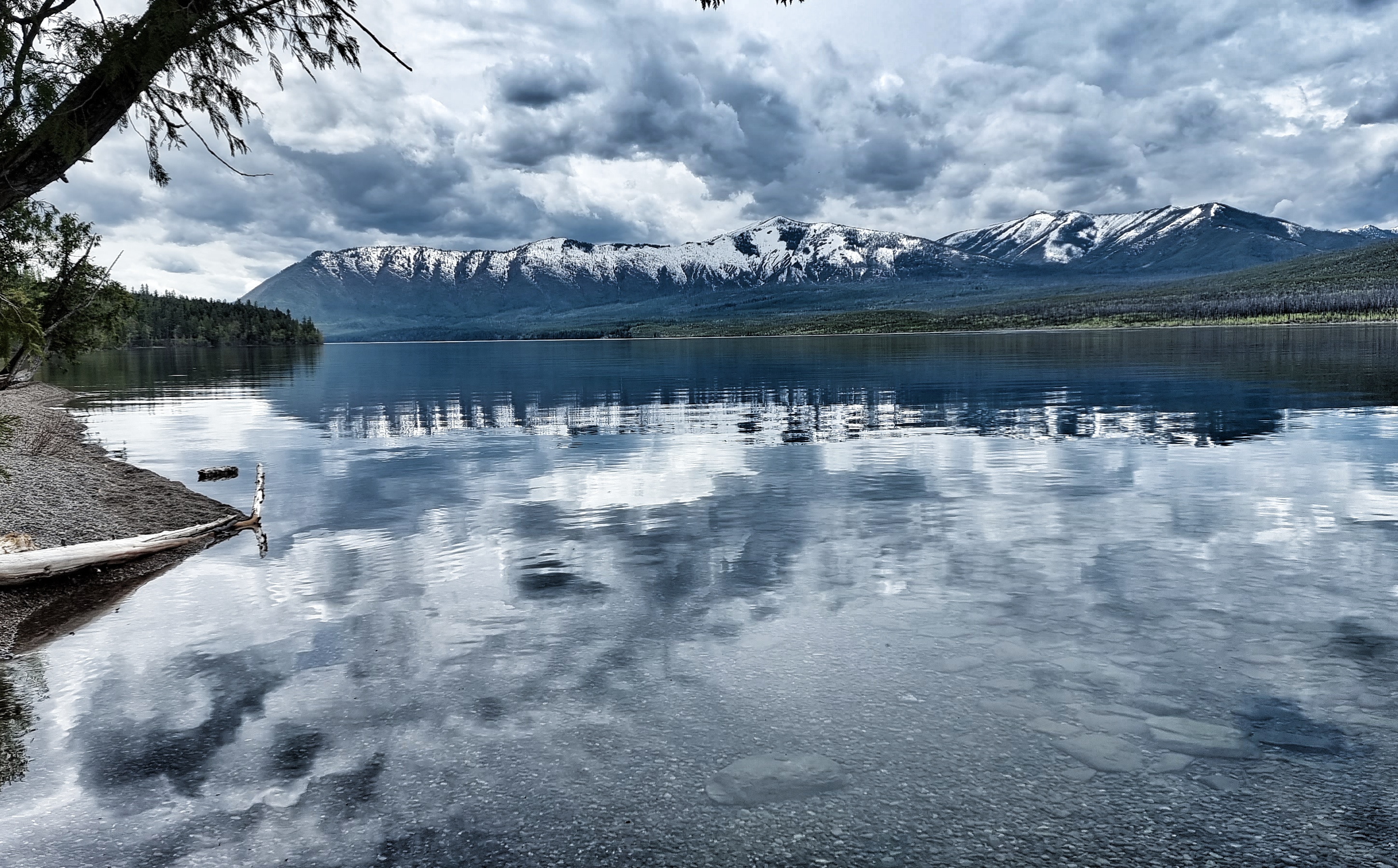
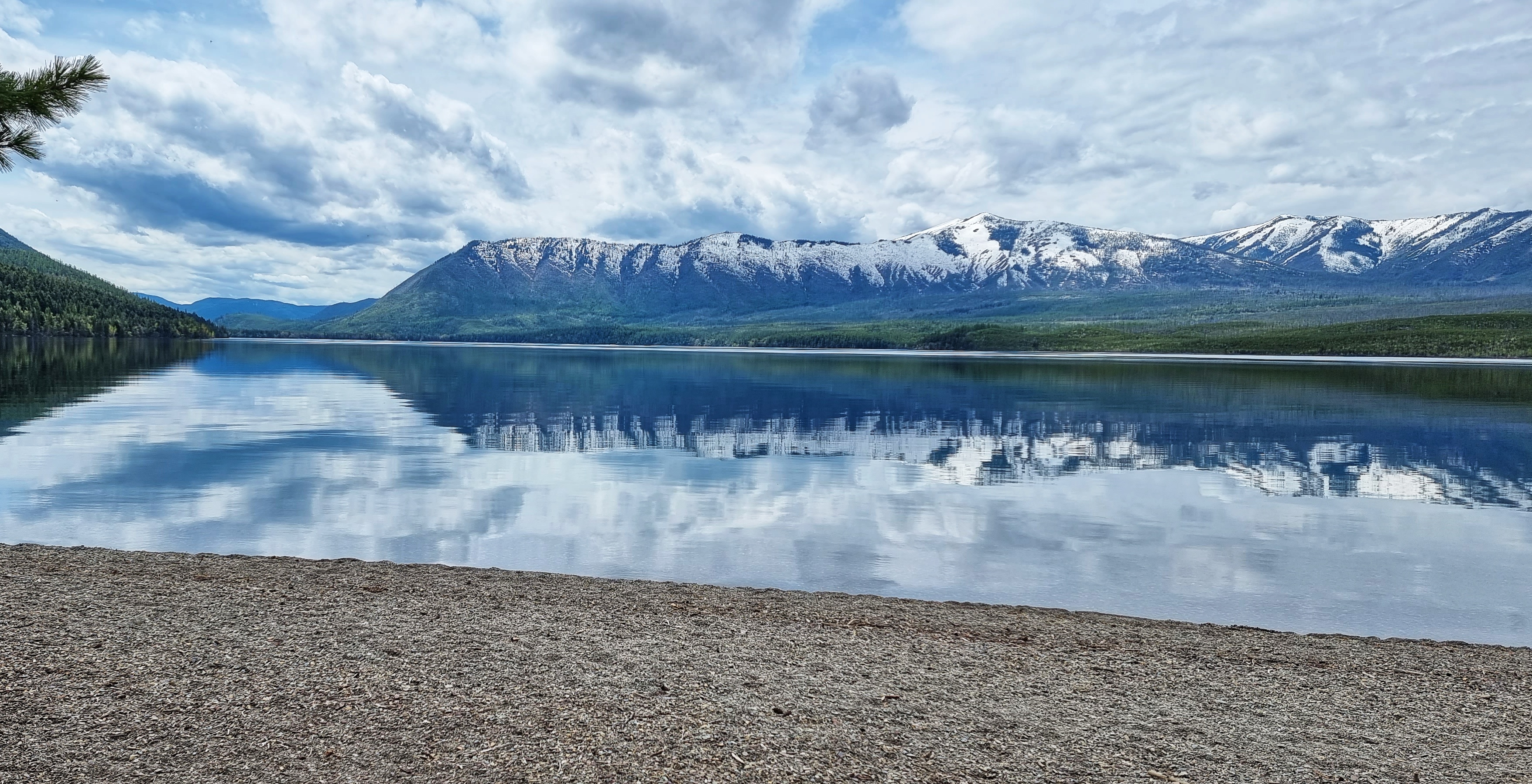
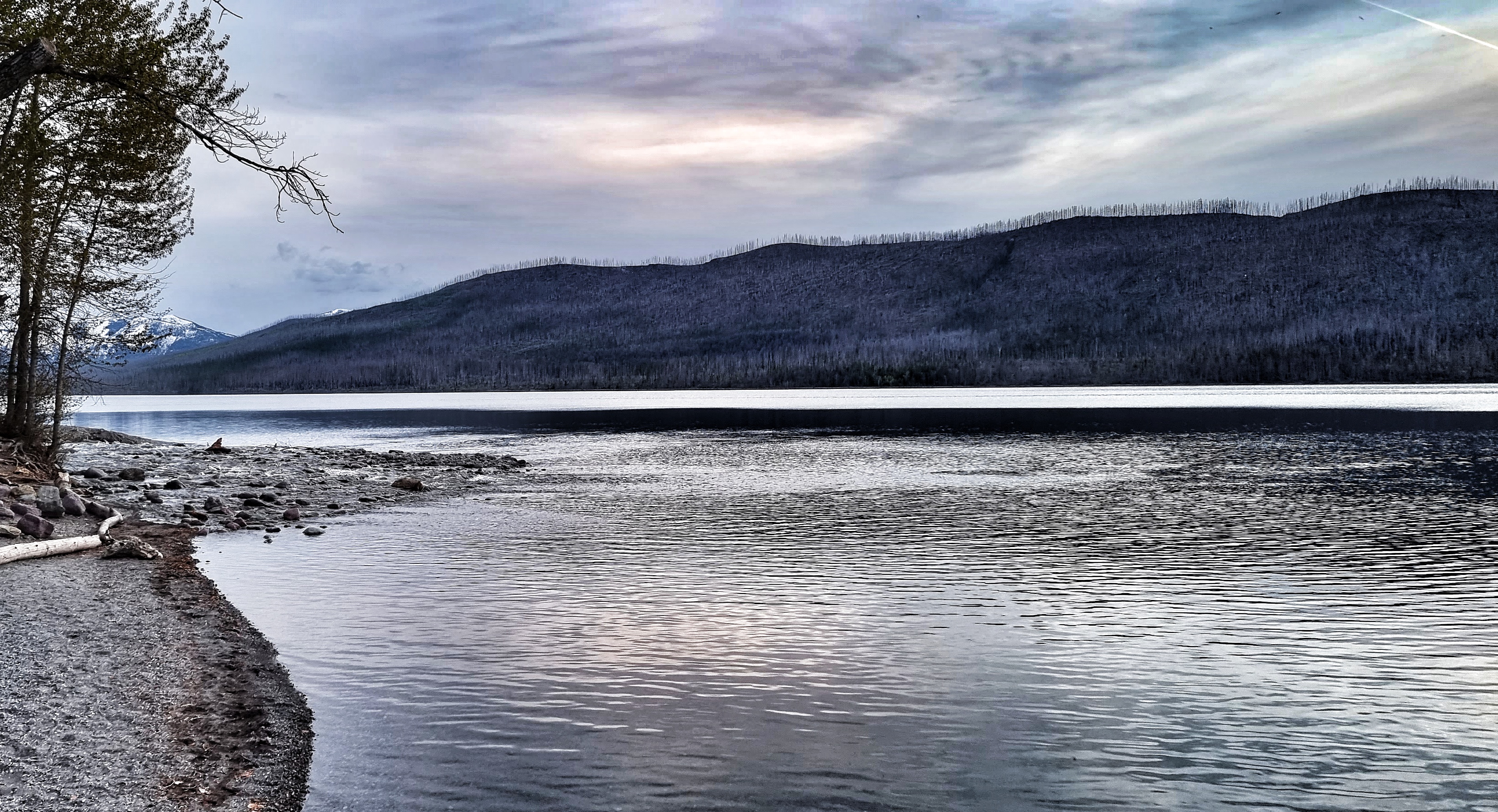
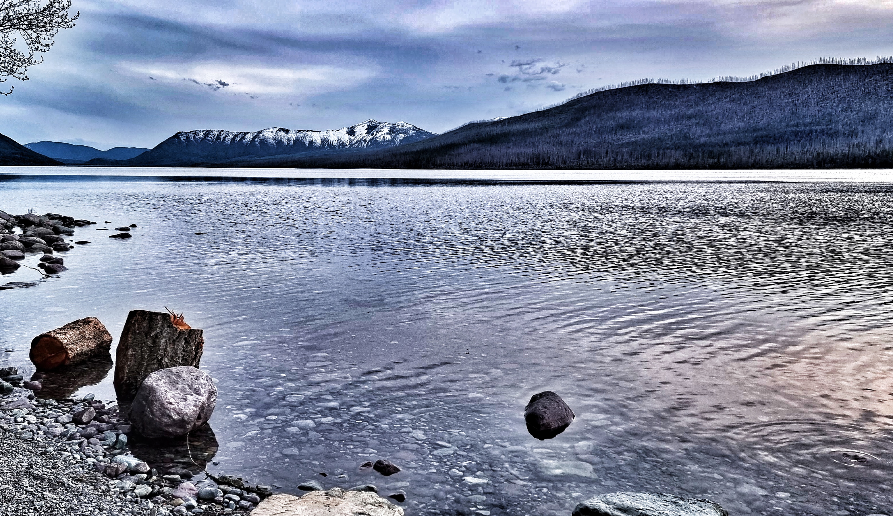
As we continued along the shoreline, there were lookouts where it was possible to get down to small pebble beaches. This low down, the lake almost acted as a mirror, reflecting the glorious views above it.
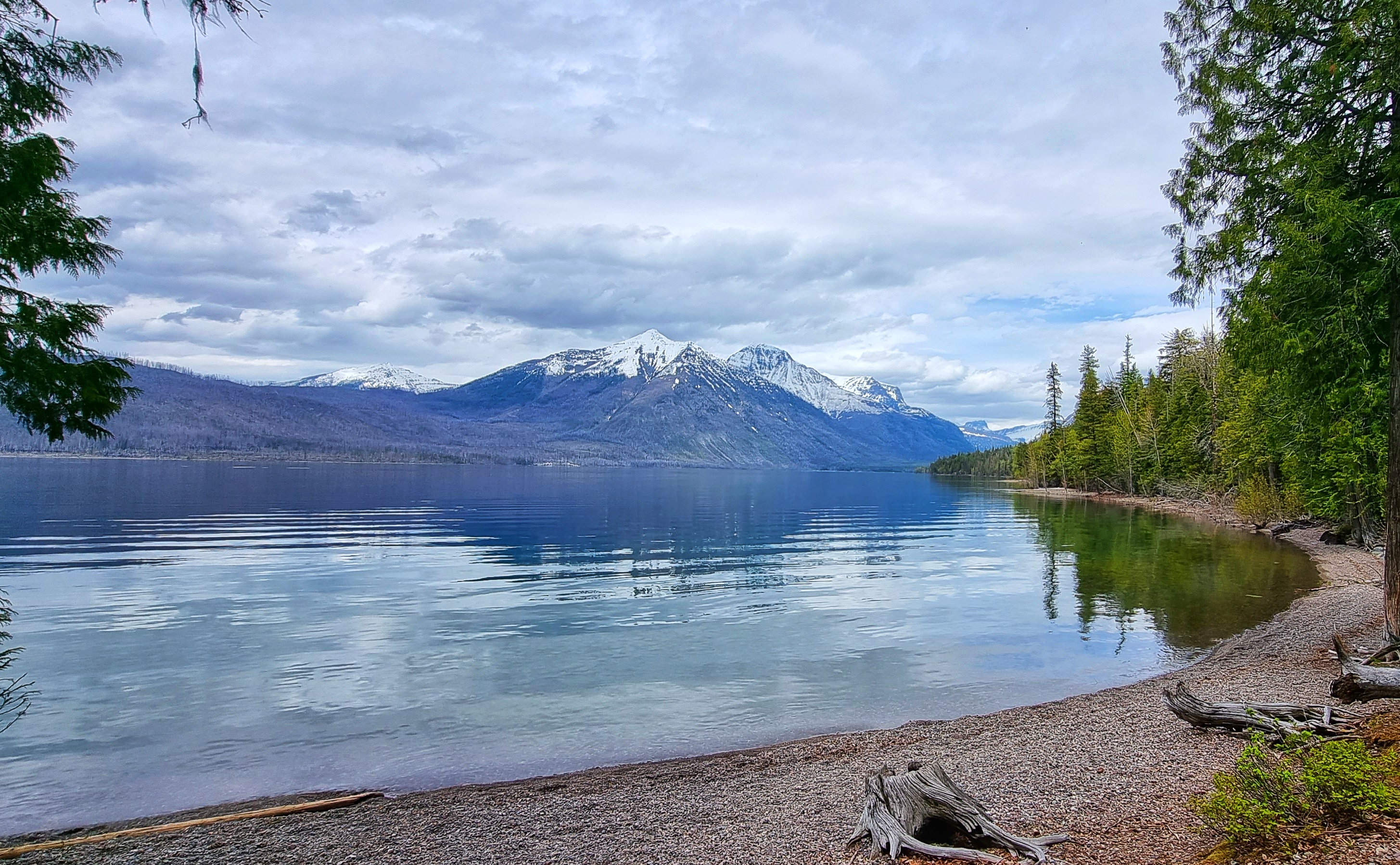
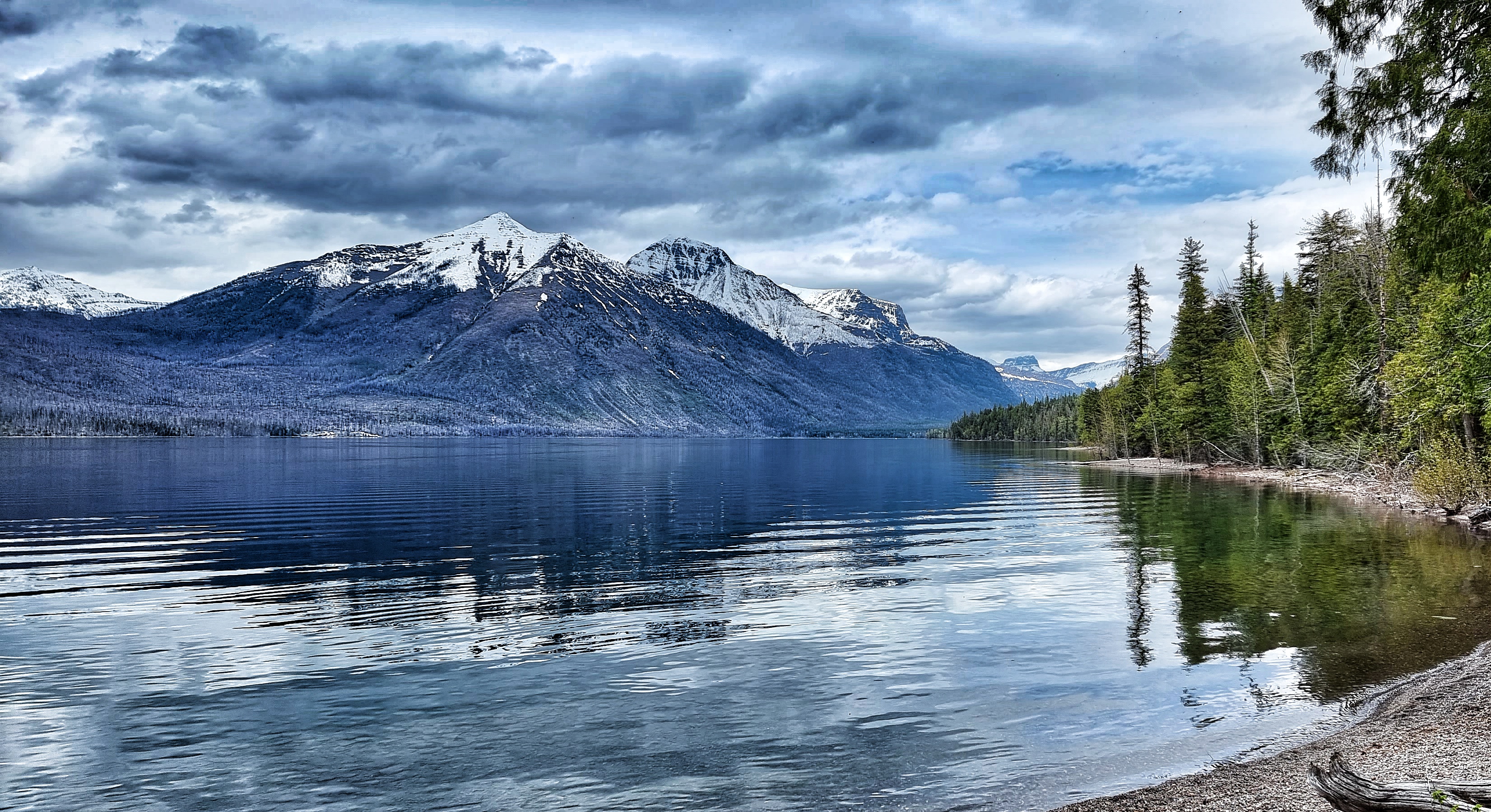
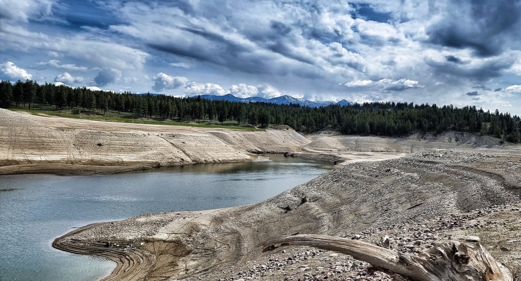
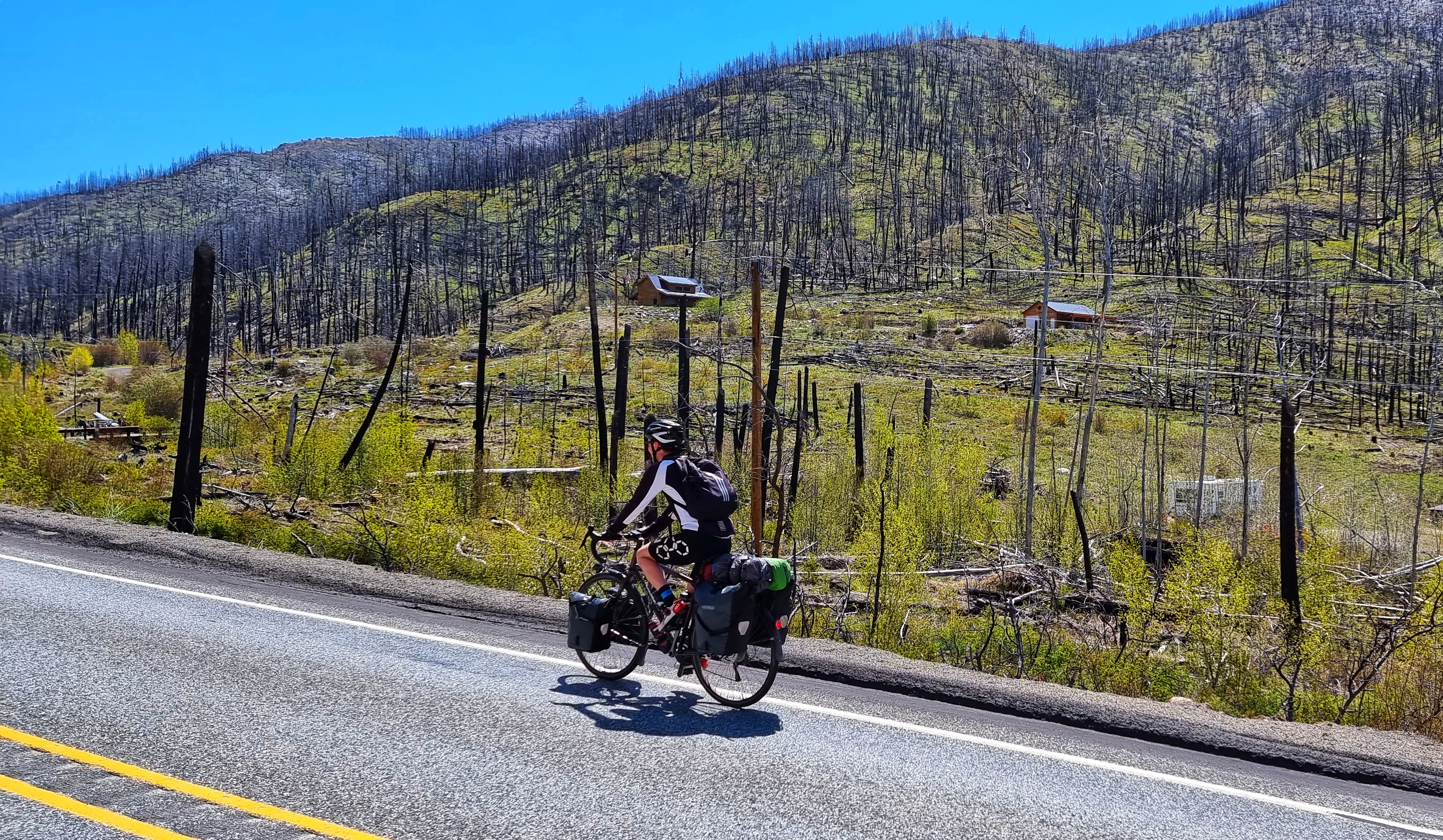
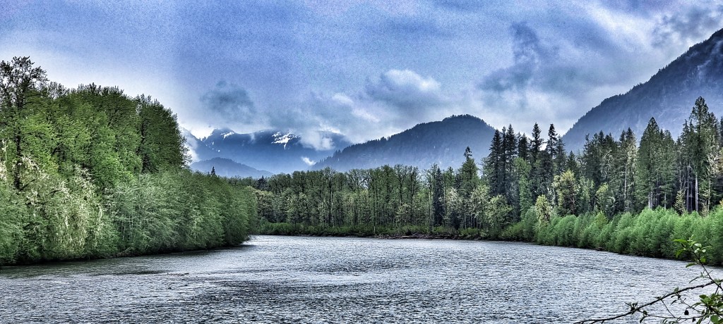
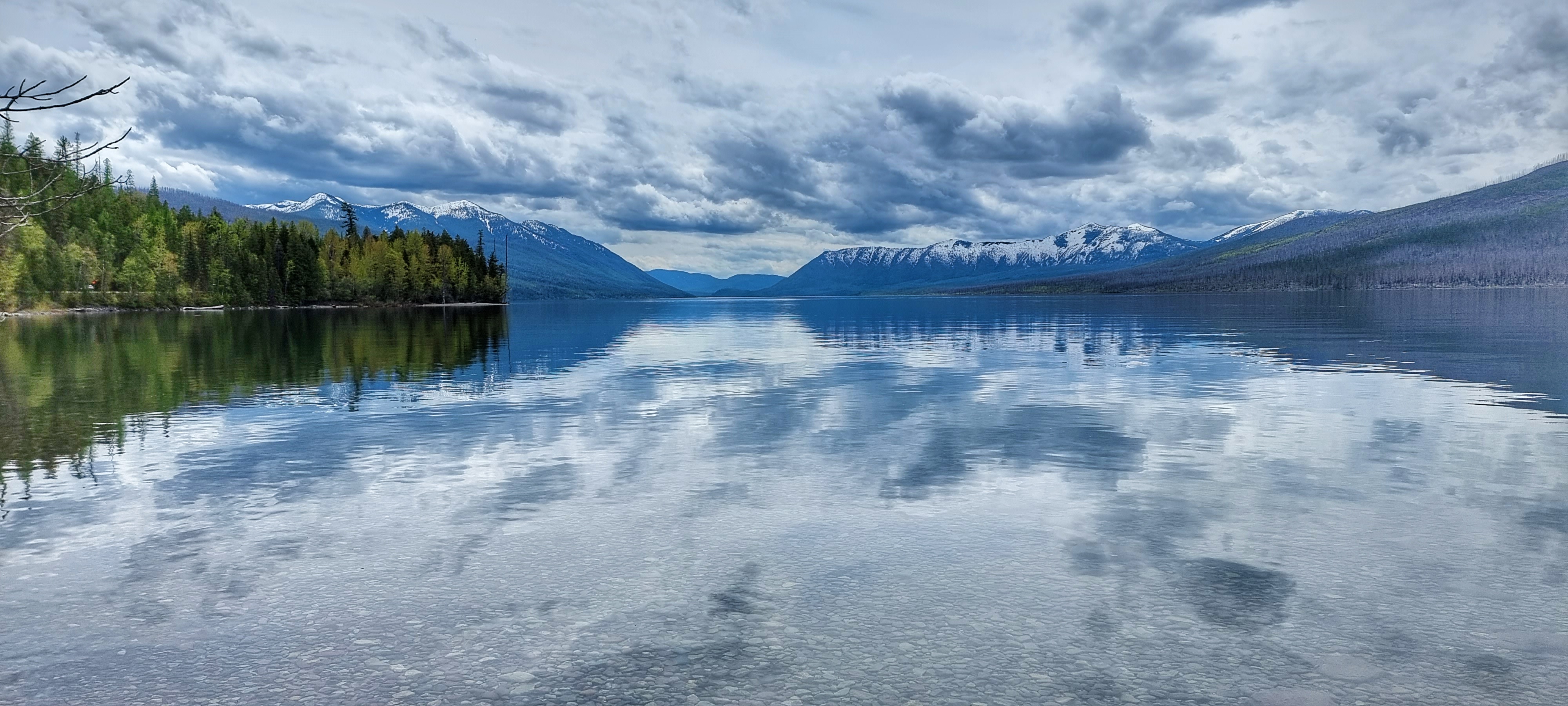
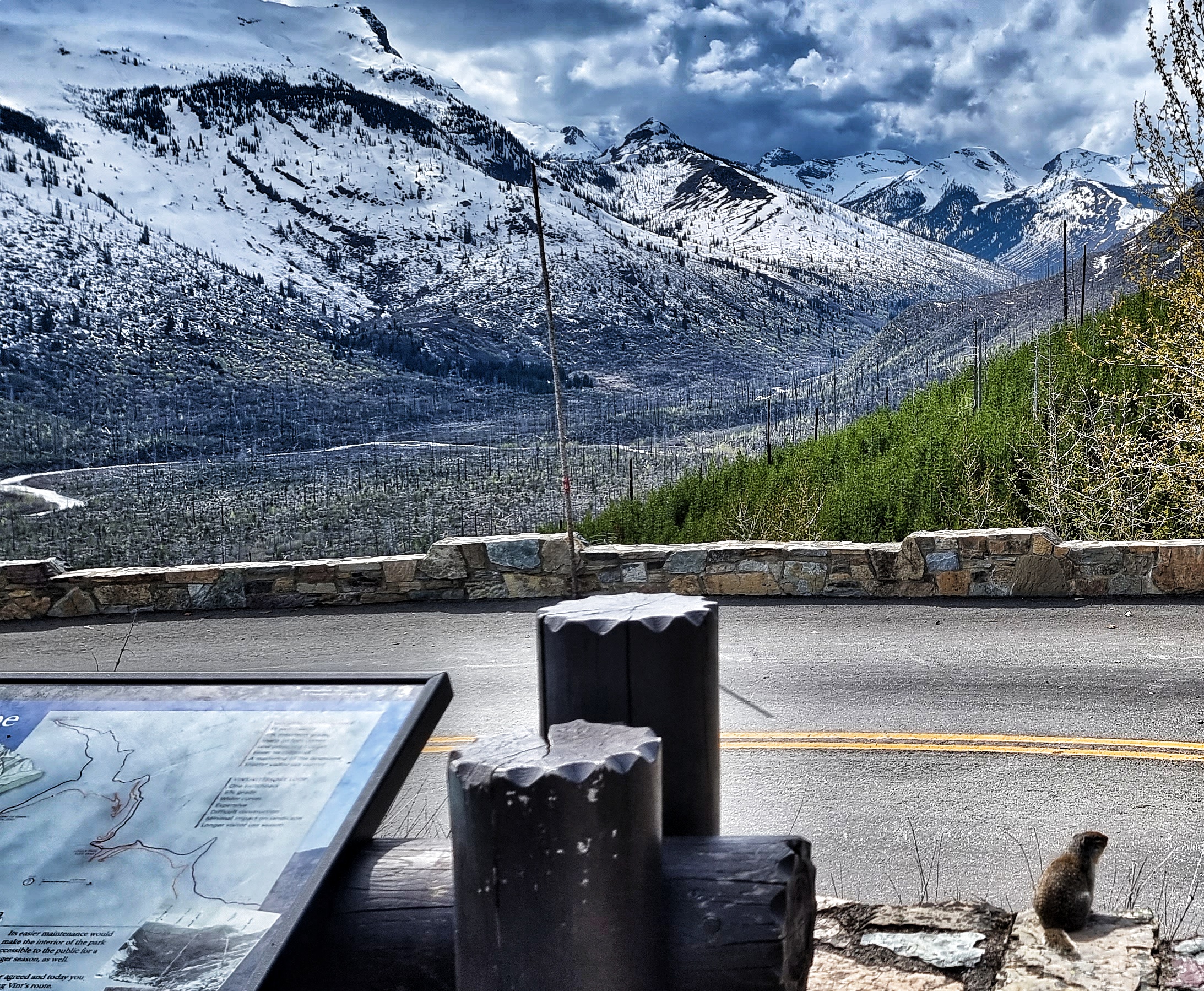
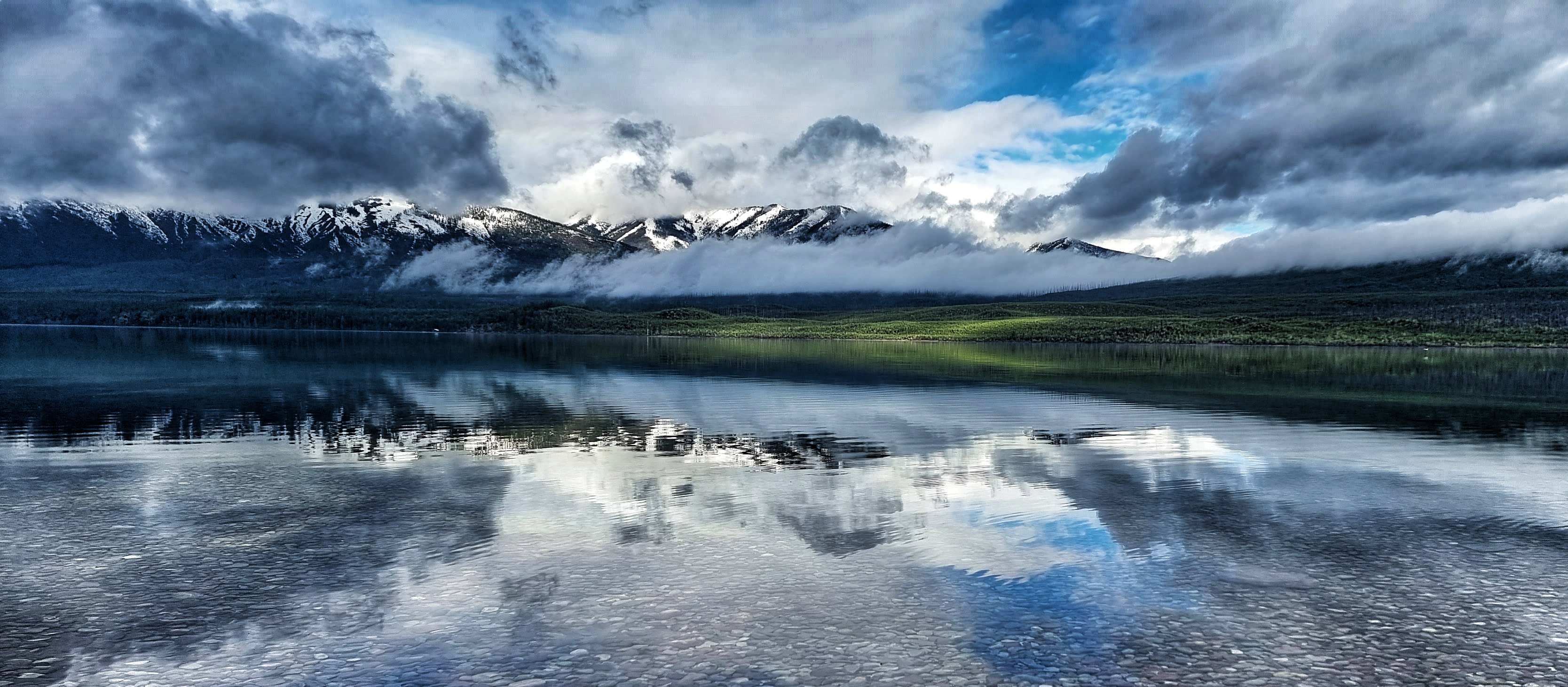
There was one beach that provided end to end views of Lake McDonald, as well as the surrounding mountains & burnt forest on the opposite bank. There are wild forest fires on a regular basis & they are left to run their course naturally – the most recent event in 2018 was caused by lightning, burned 14,522 acres of forest & destroyed 13 residences. This is all part of nature’s way of ensuring the ecology of GNP continues to flourish.
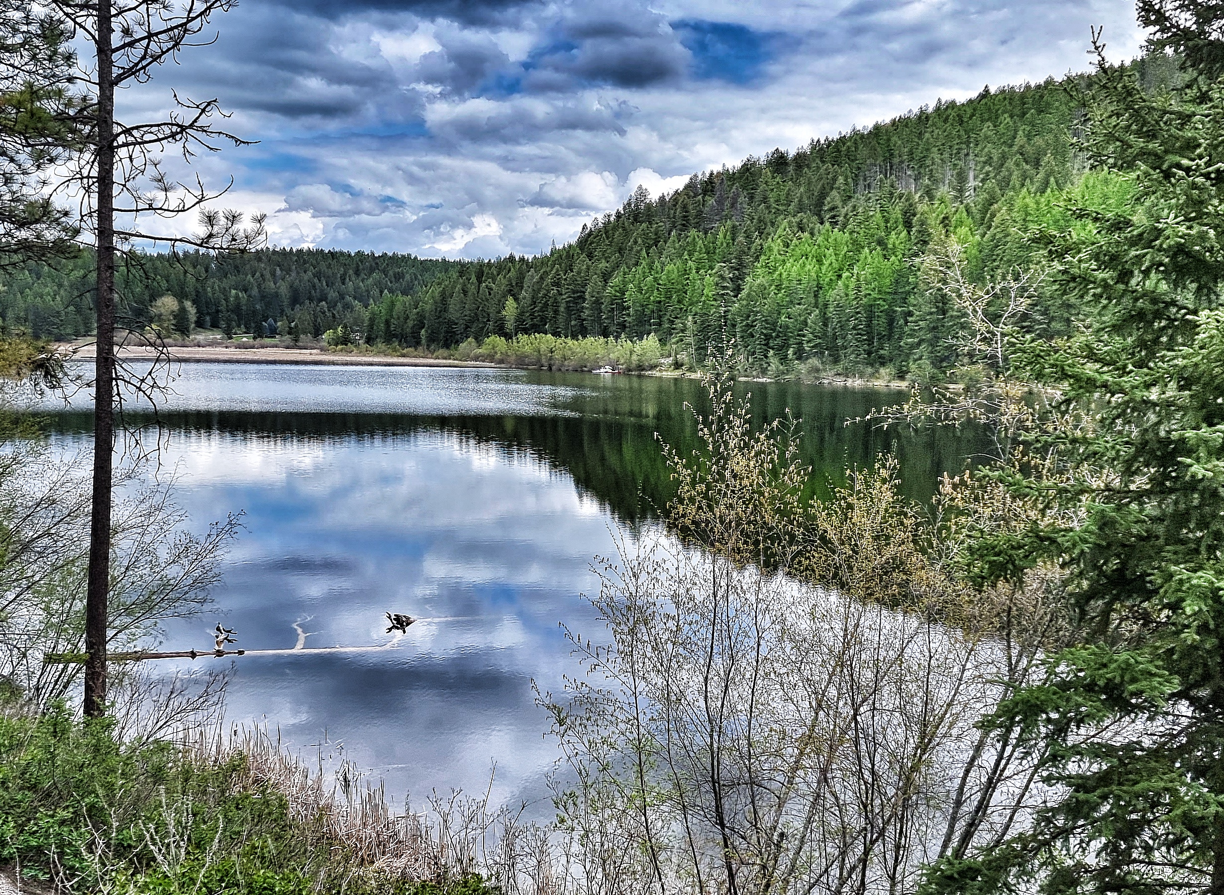
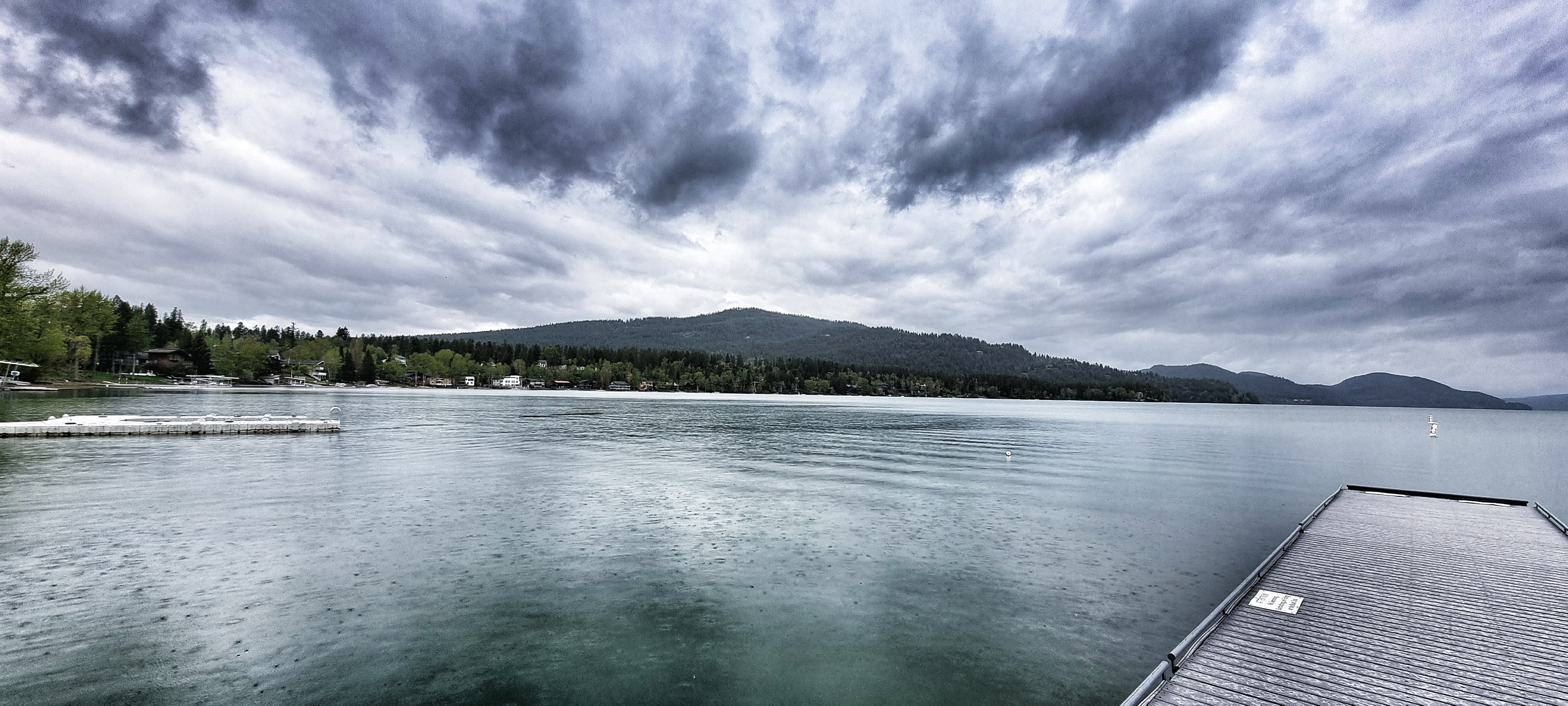
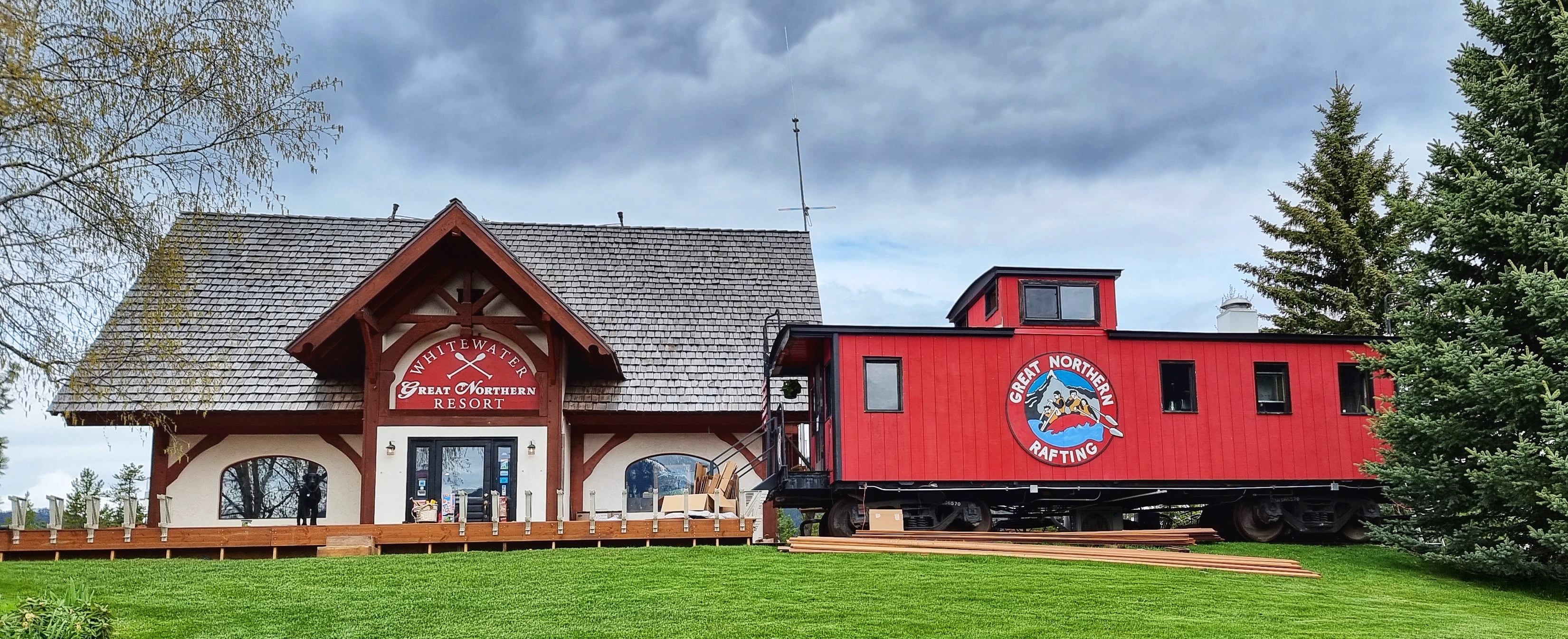
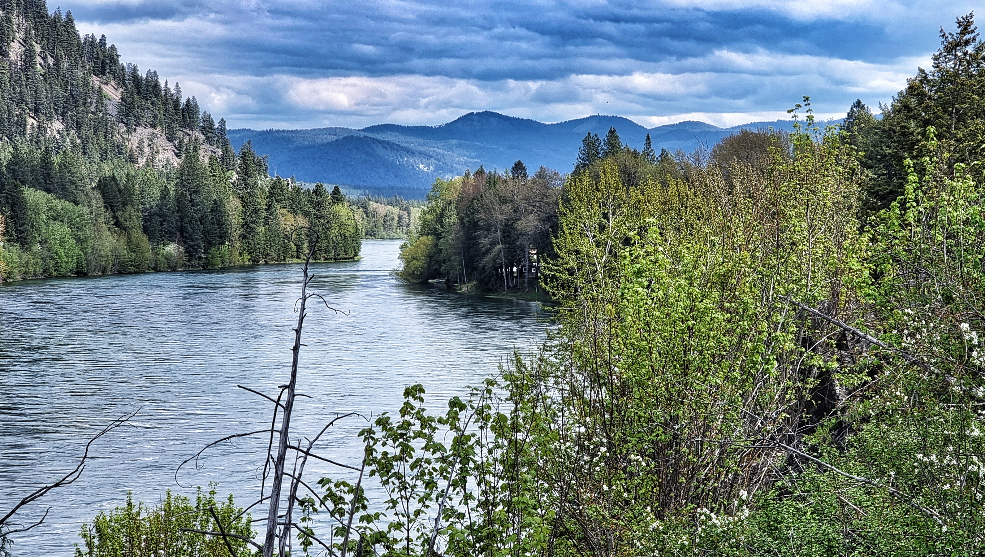
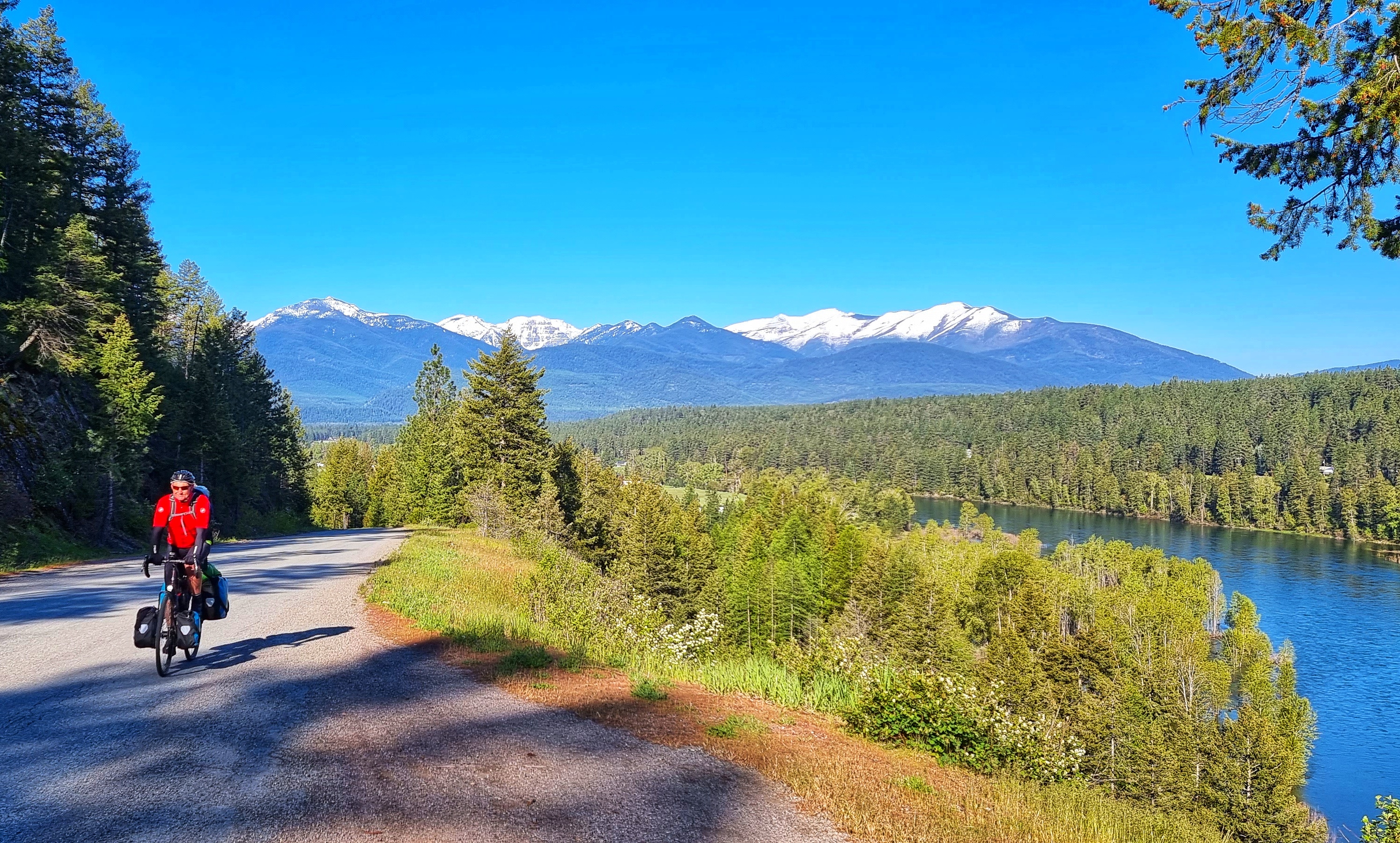
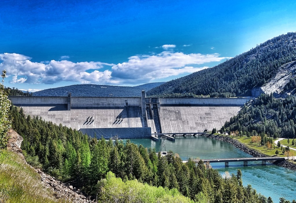
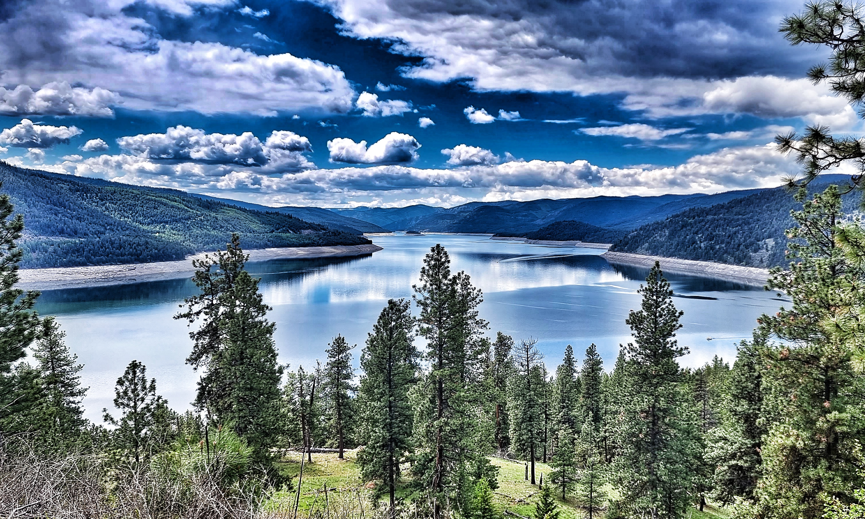
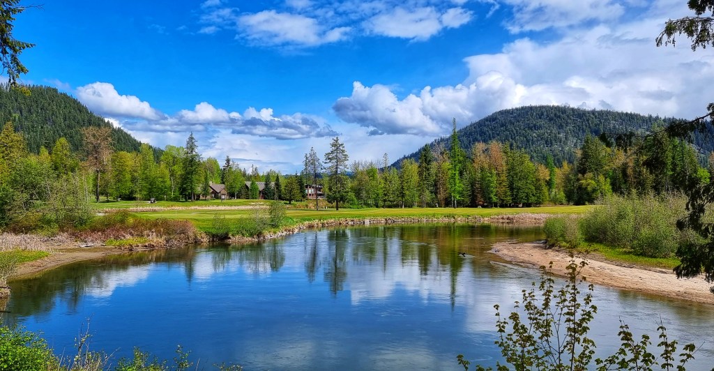
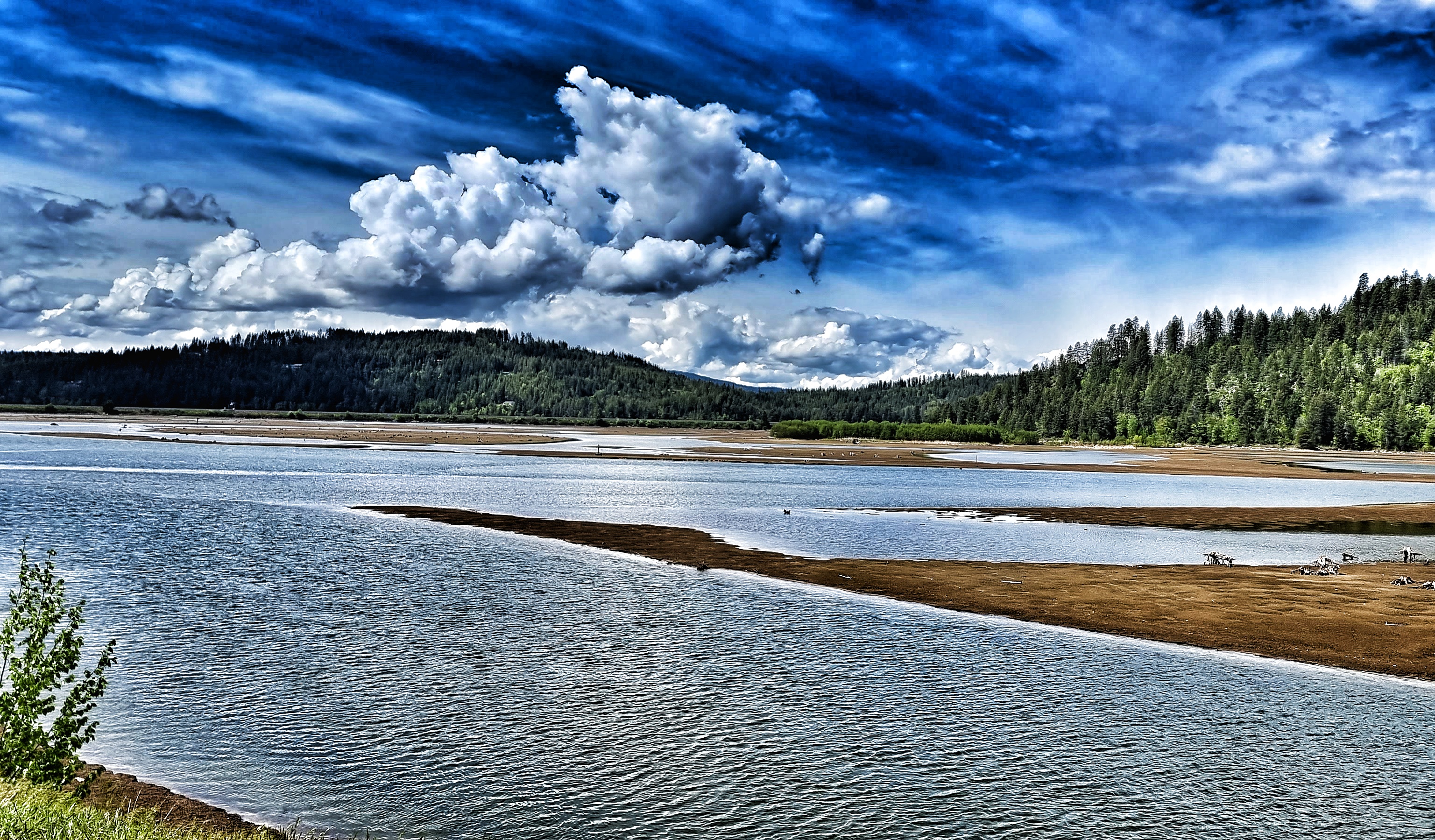
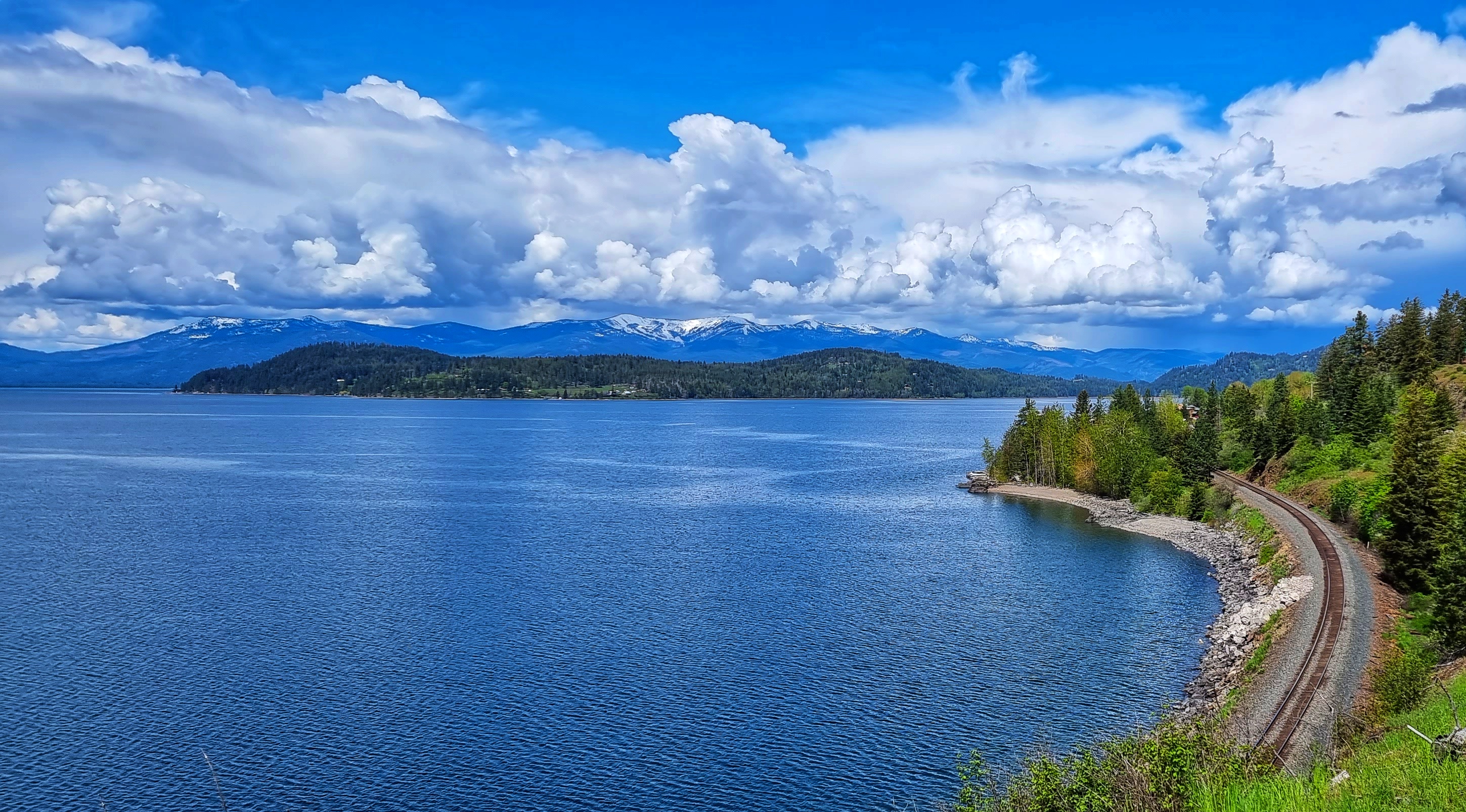
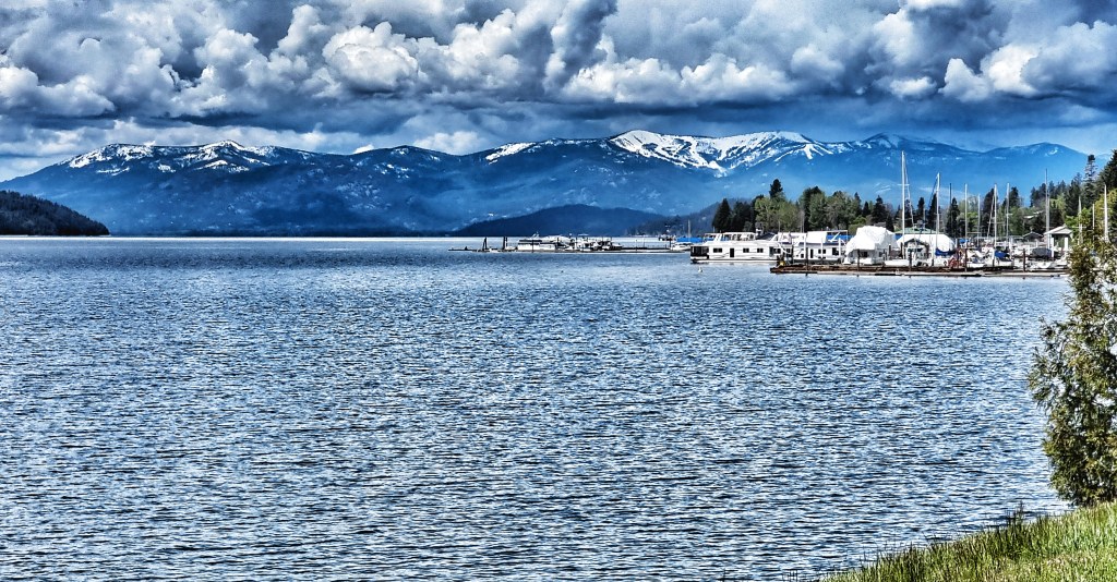
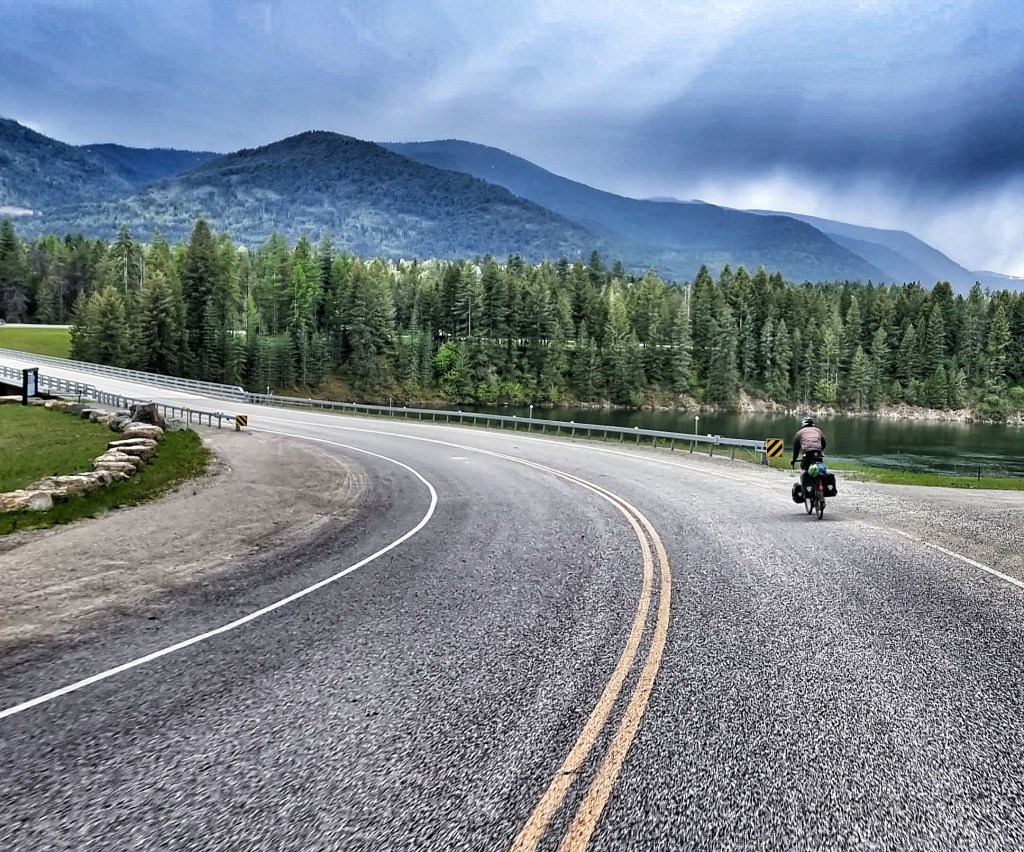
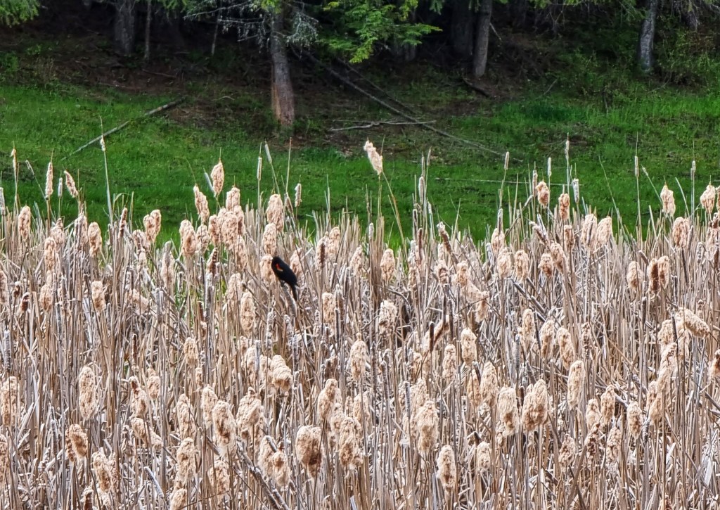
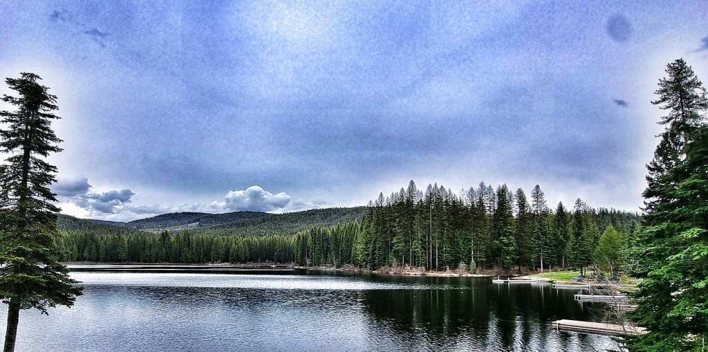
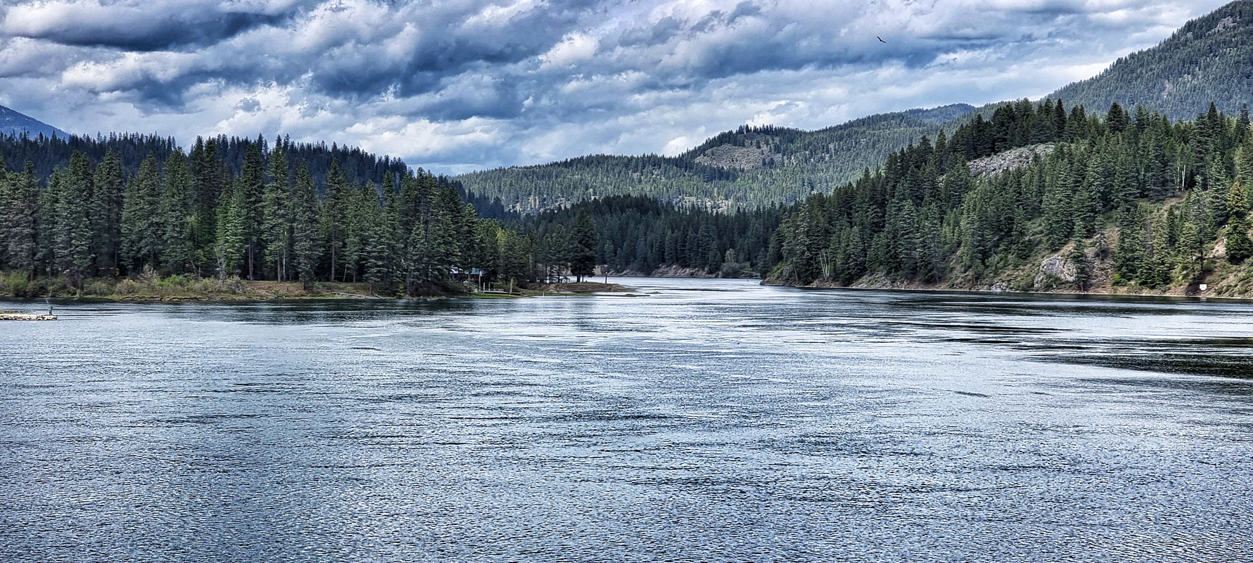
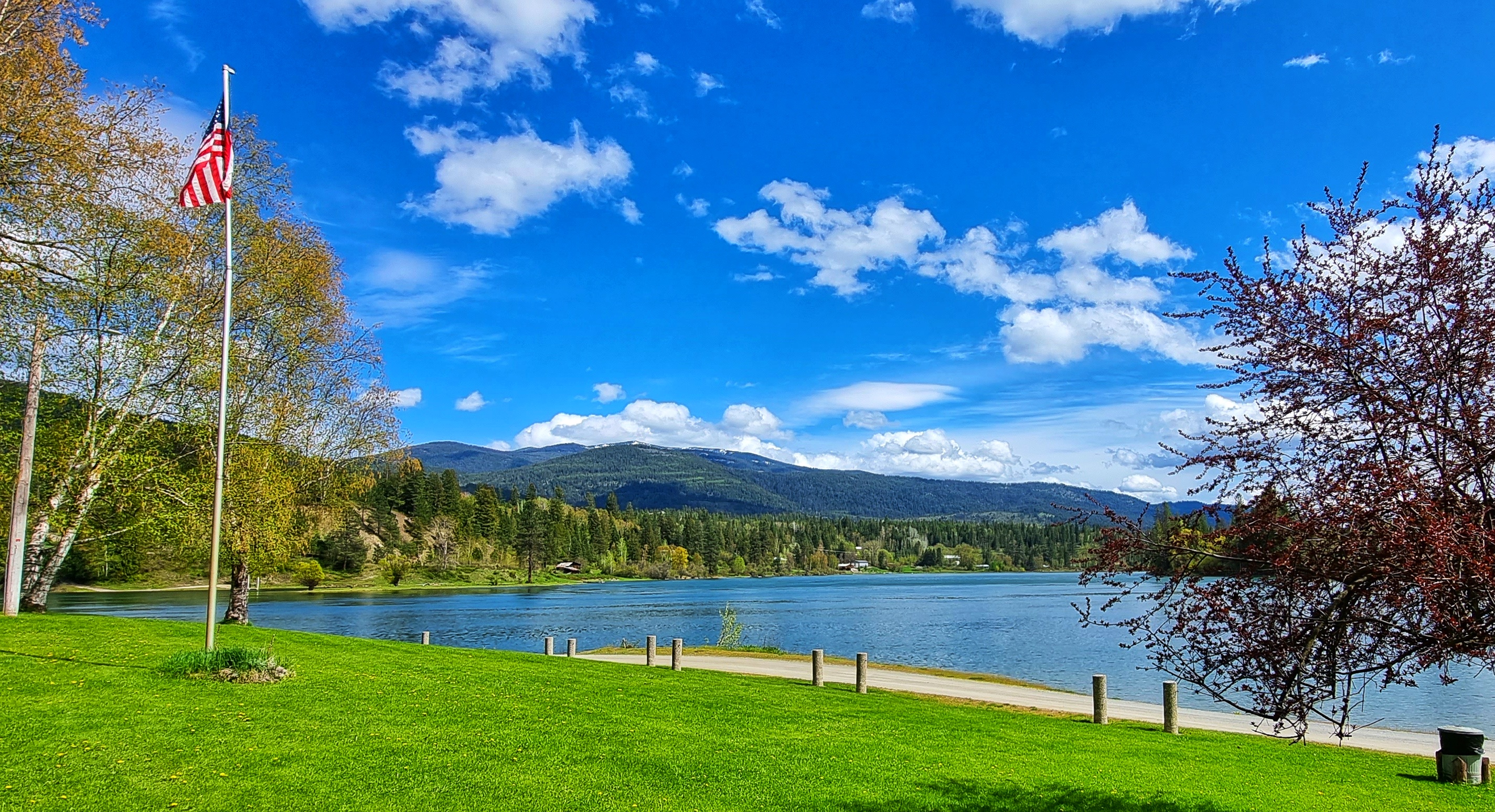
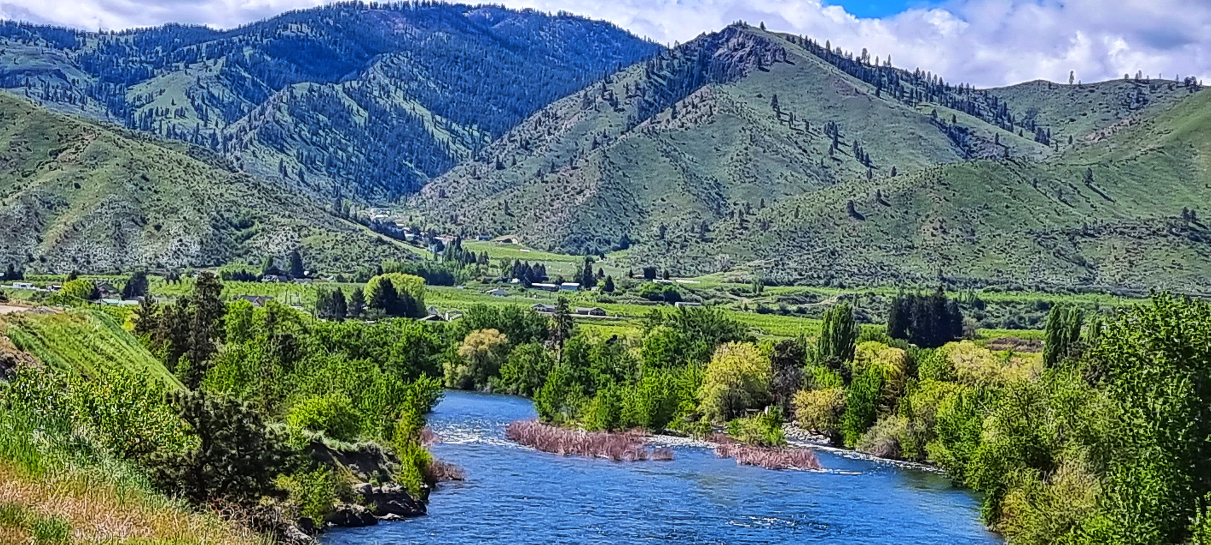
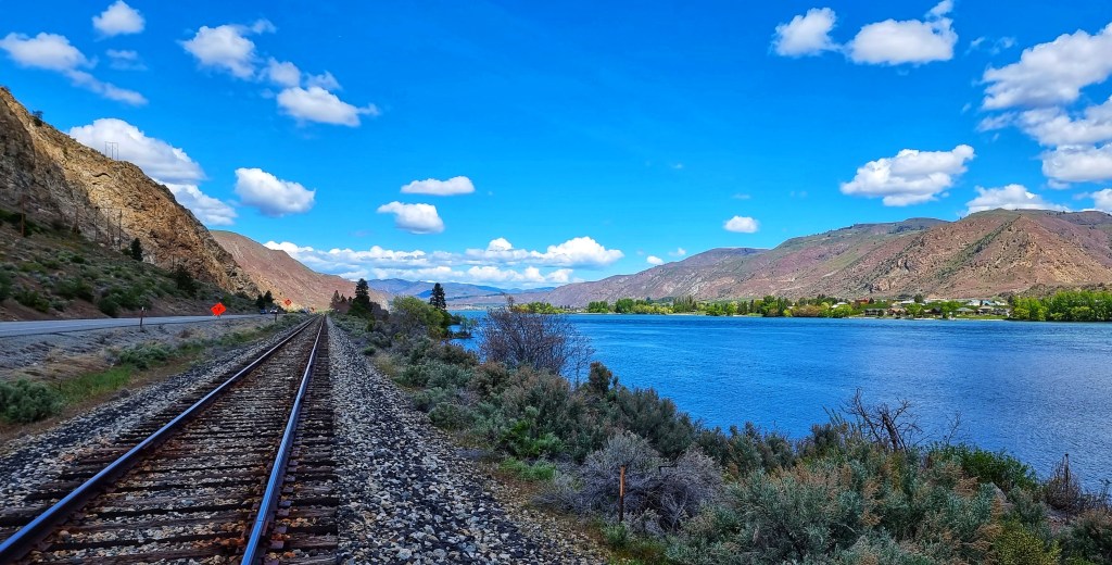
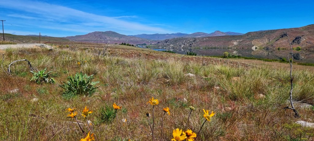
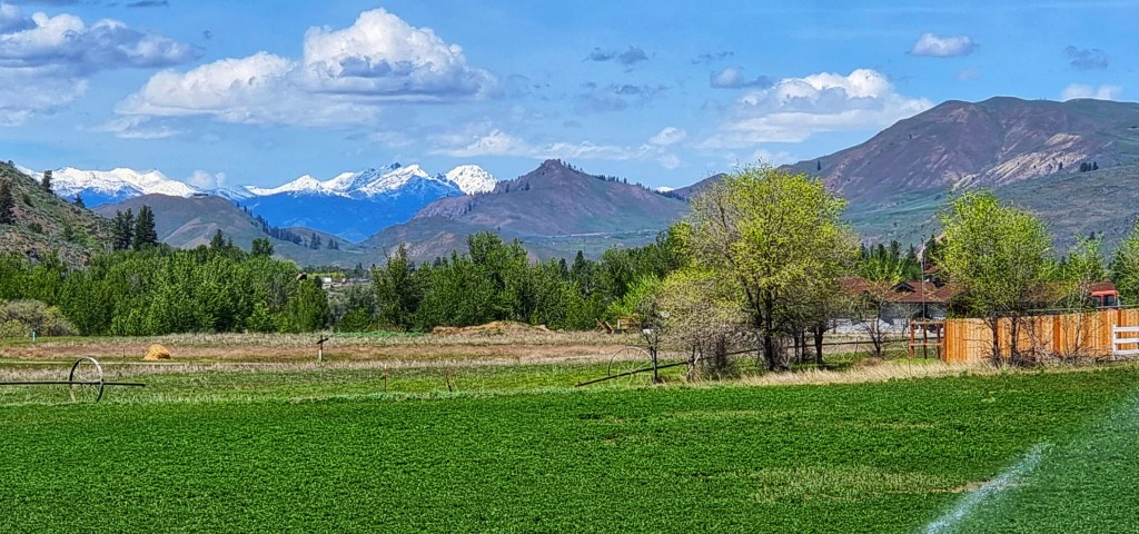
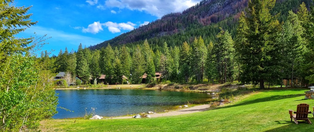
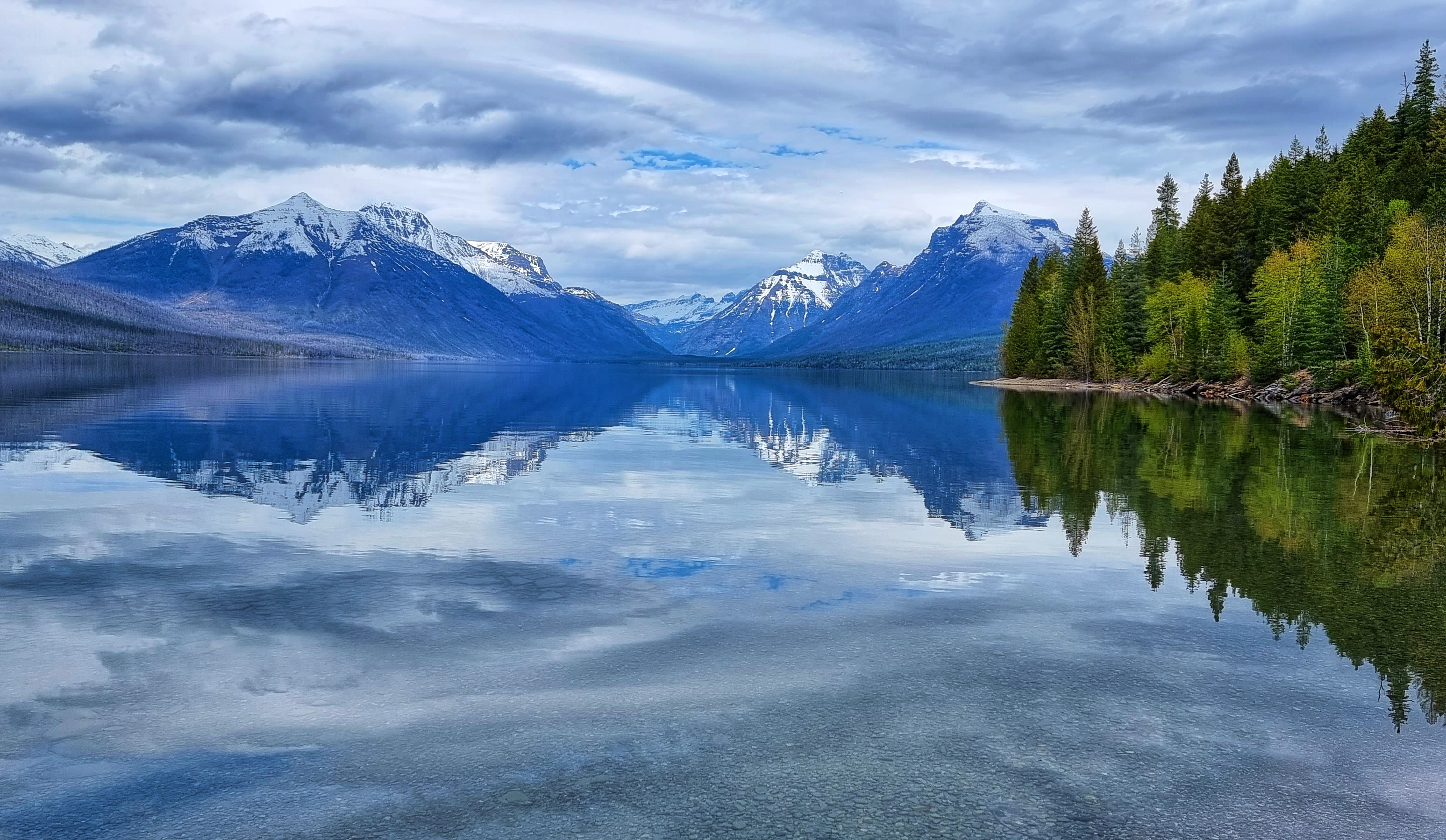
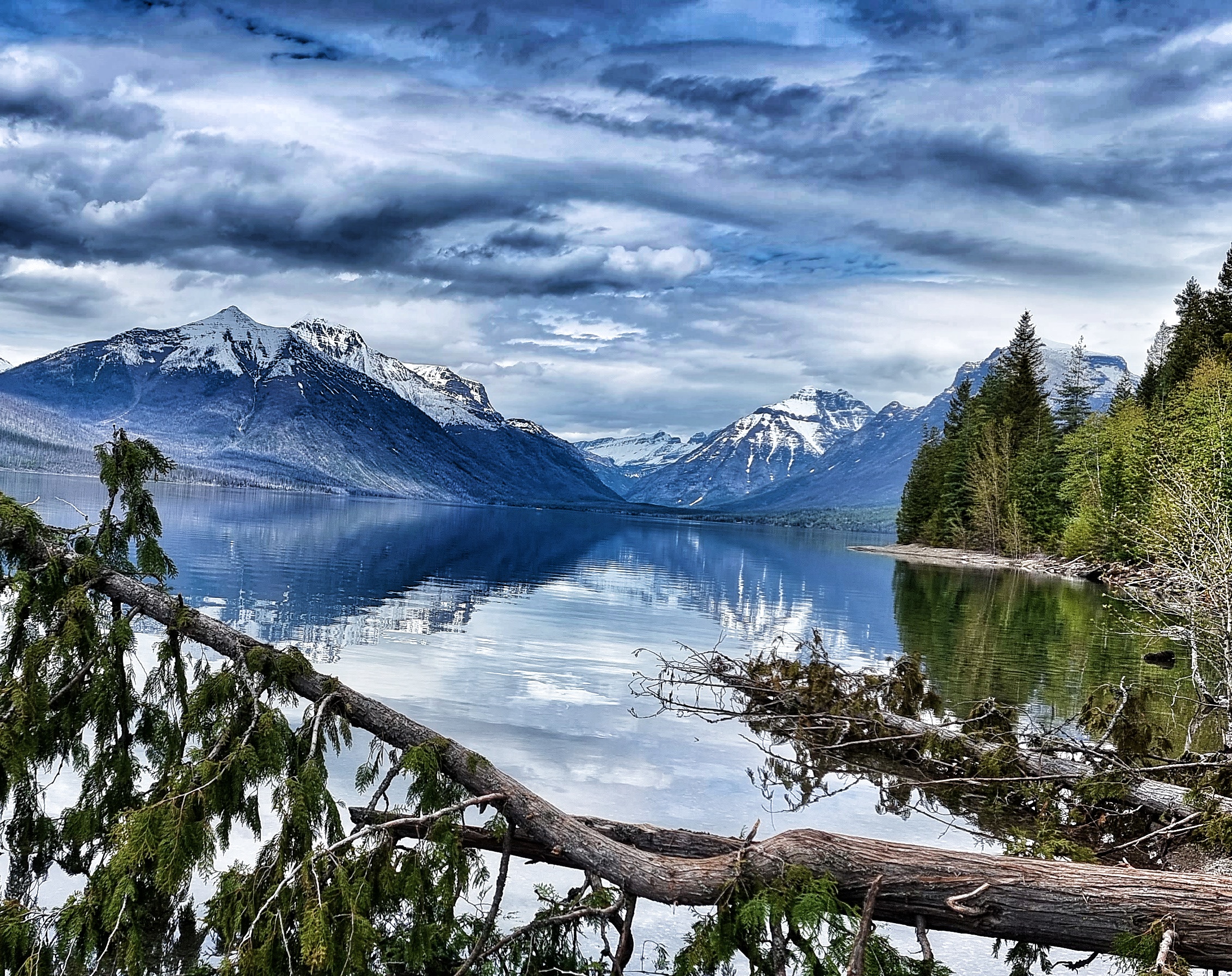
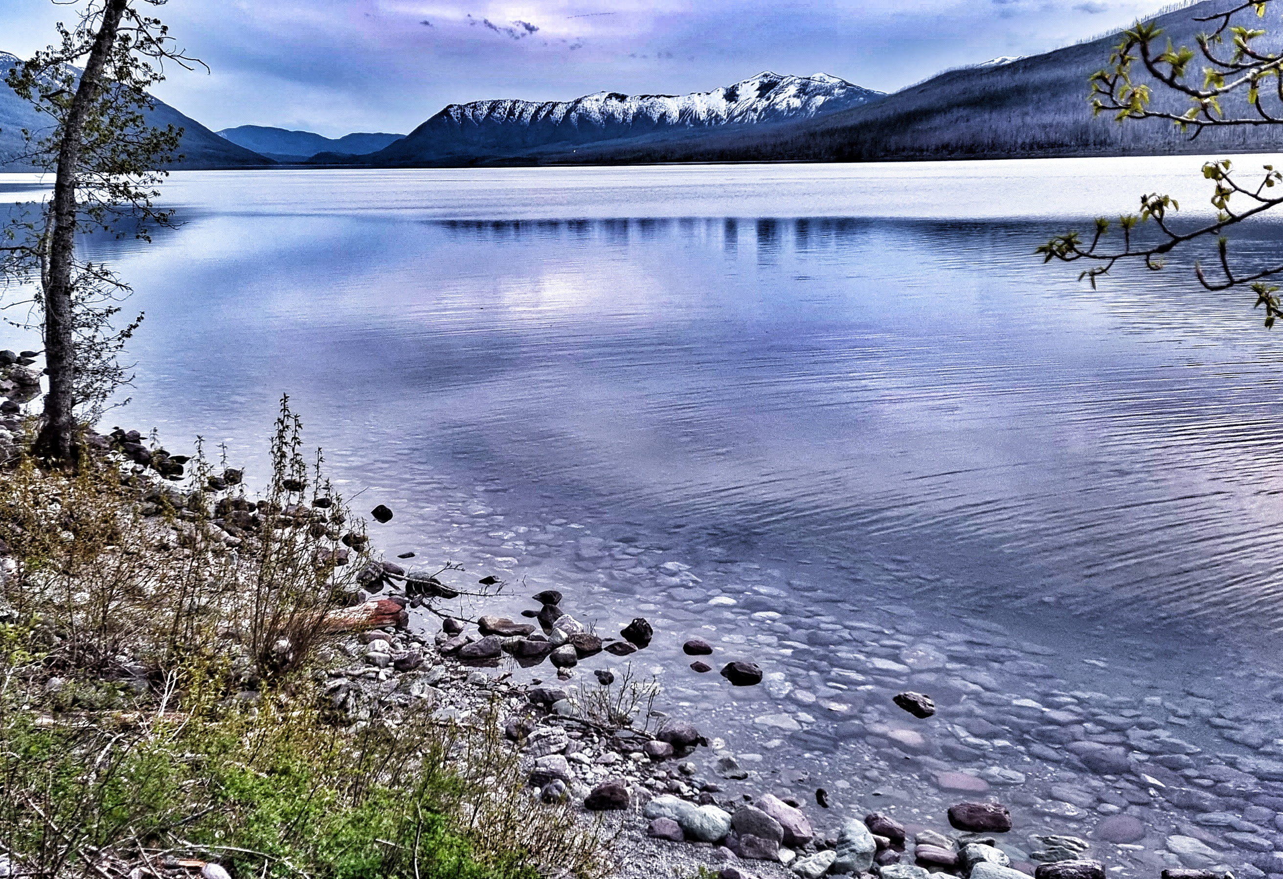
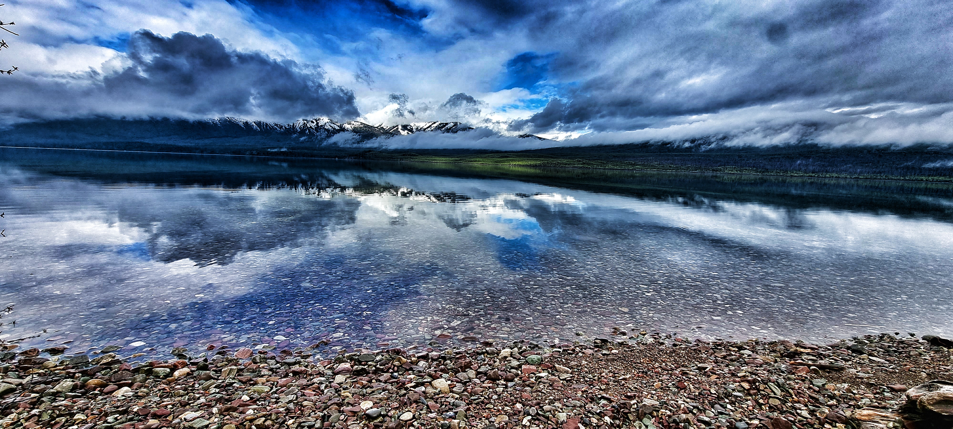
We passed one final lookout spot on the way to our motel at Motel McDonald Lake (not to be confused with Lake McDonald Lodge, which was right next door!). This gave a panoramic view down the 10 mile length of the lake. I learned that fish found in the lake are both native (such as the westslope cutthroat & bull trout, as well as the mountain whitefish) & non-native species added between 1912 & 1970 (lake trout, lake whitefish & kokanee).
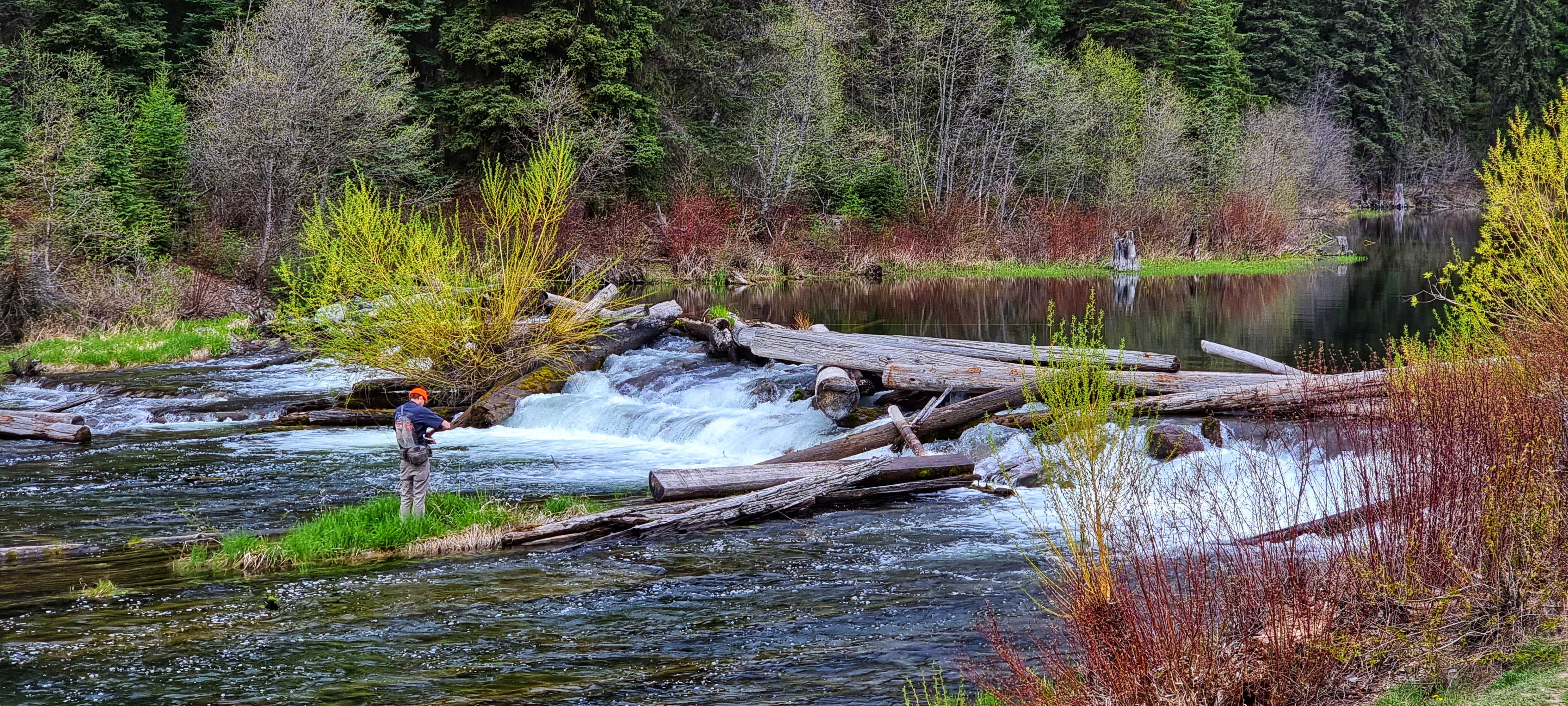
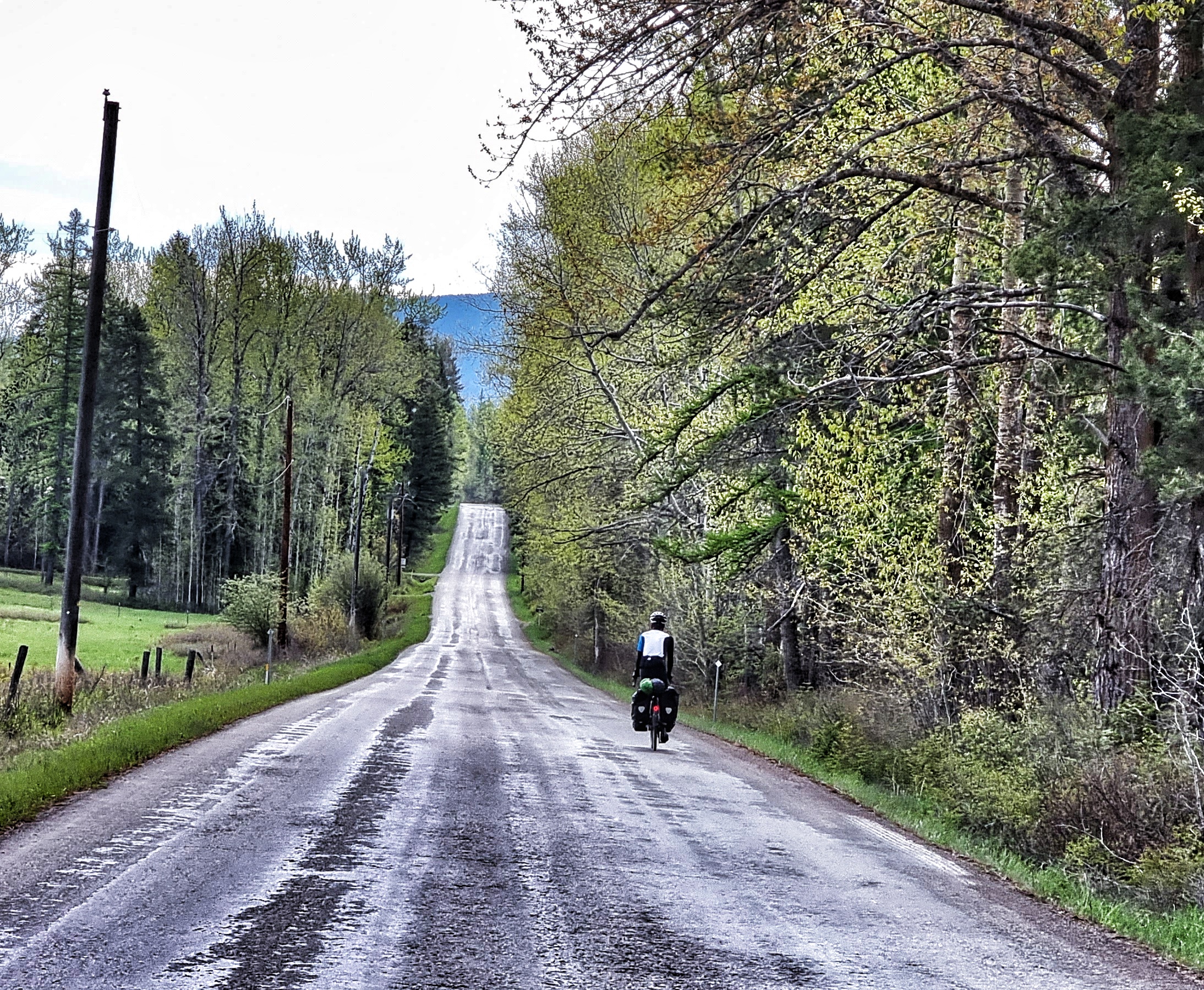
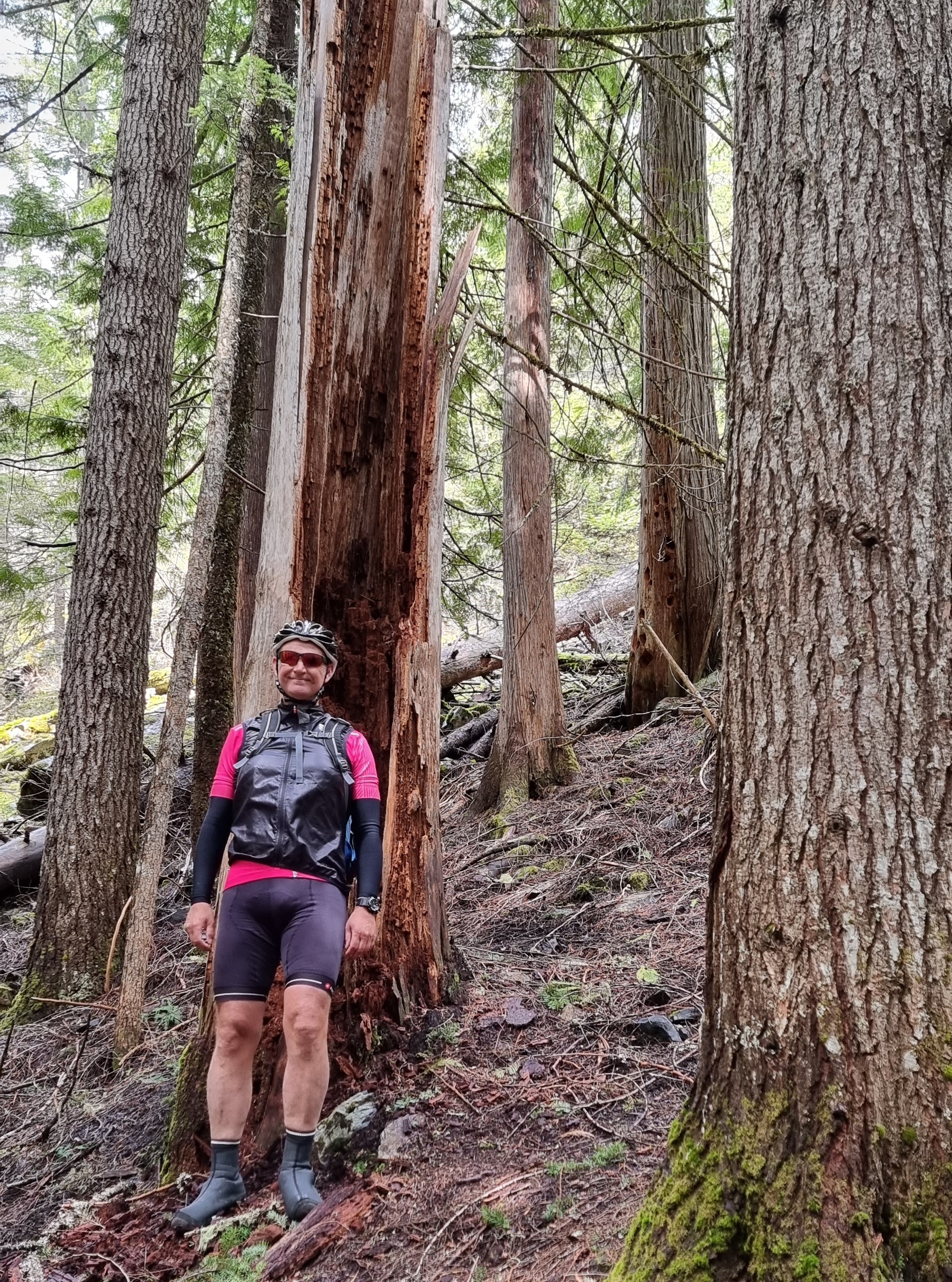
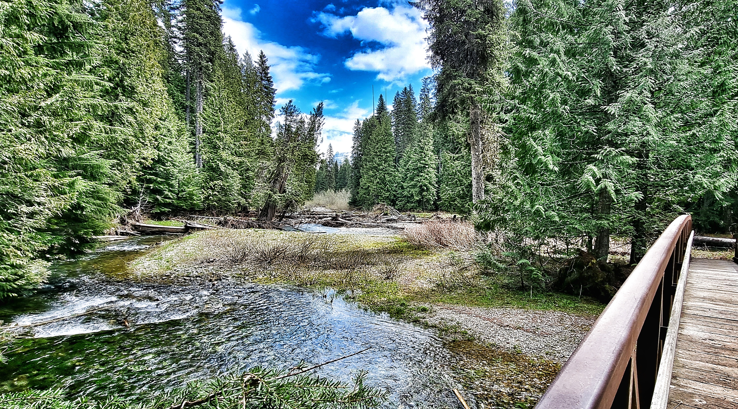
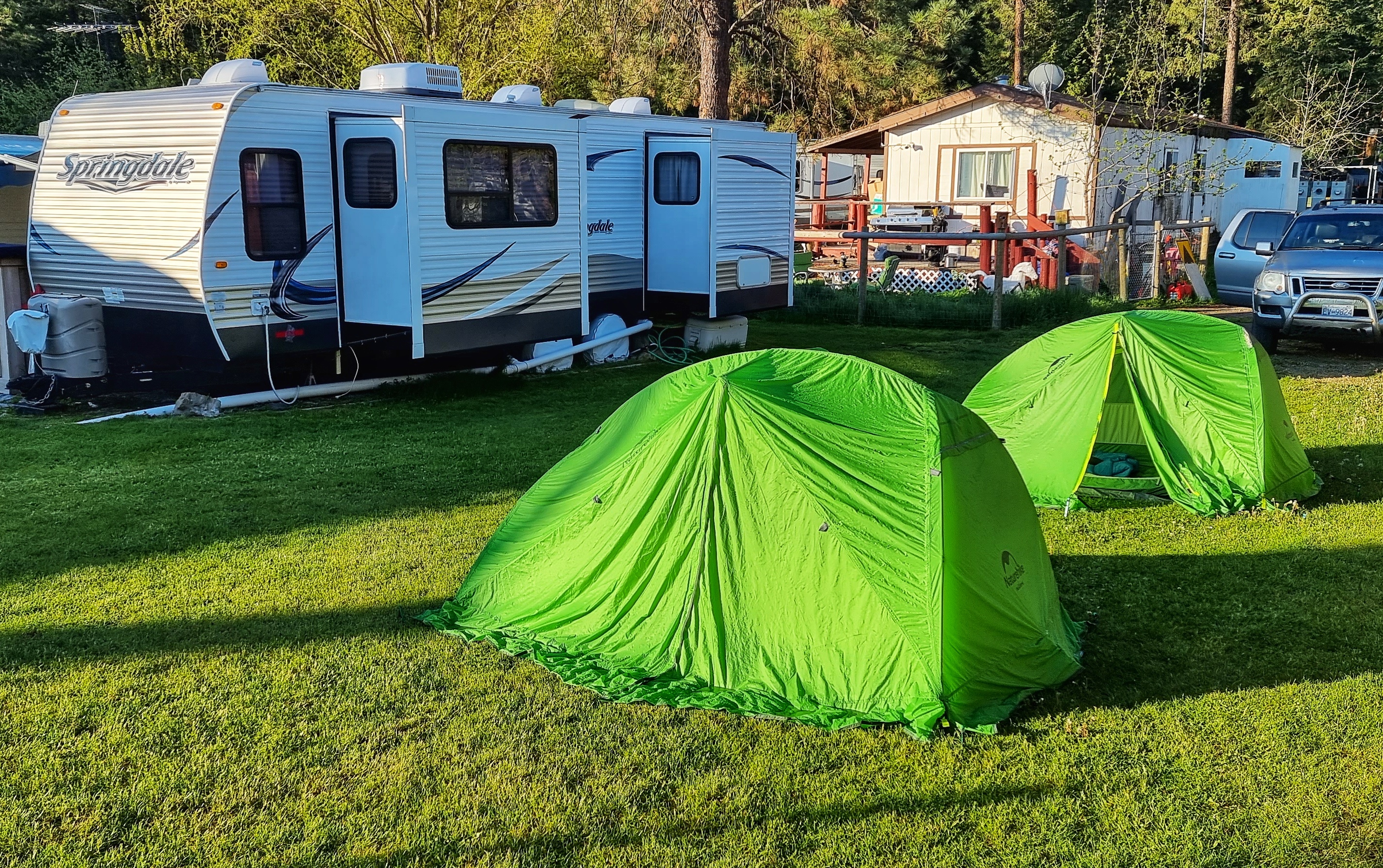
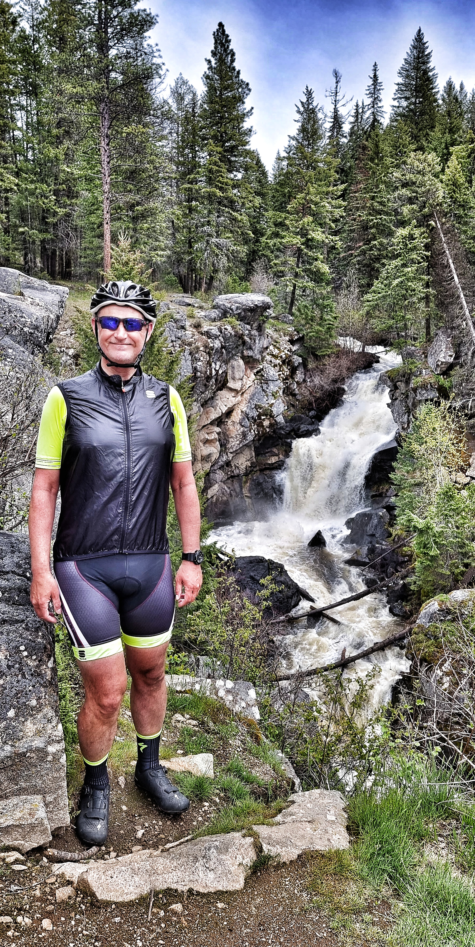
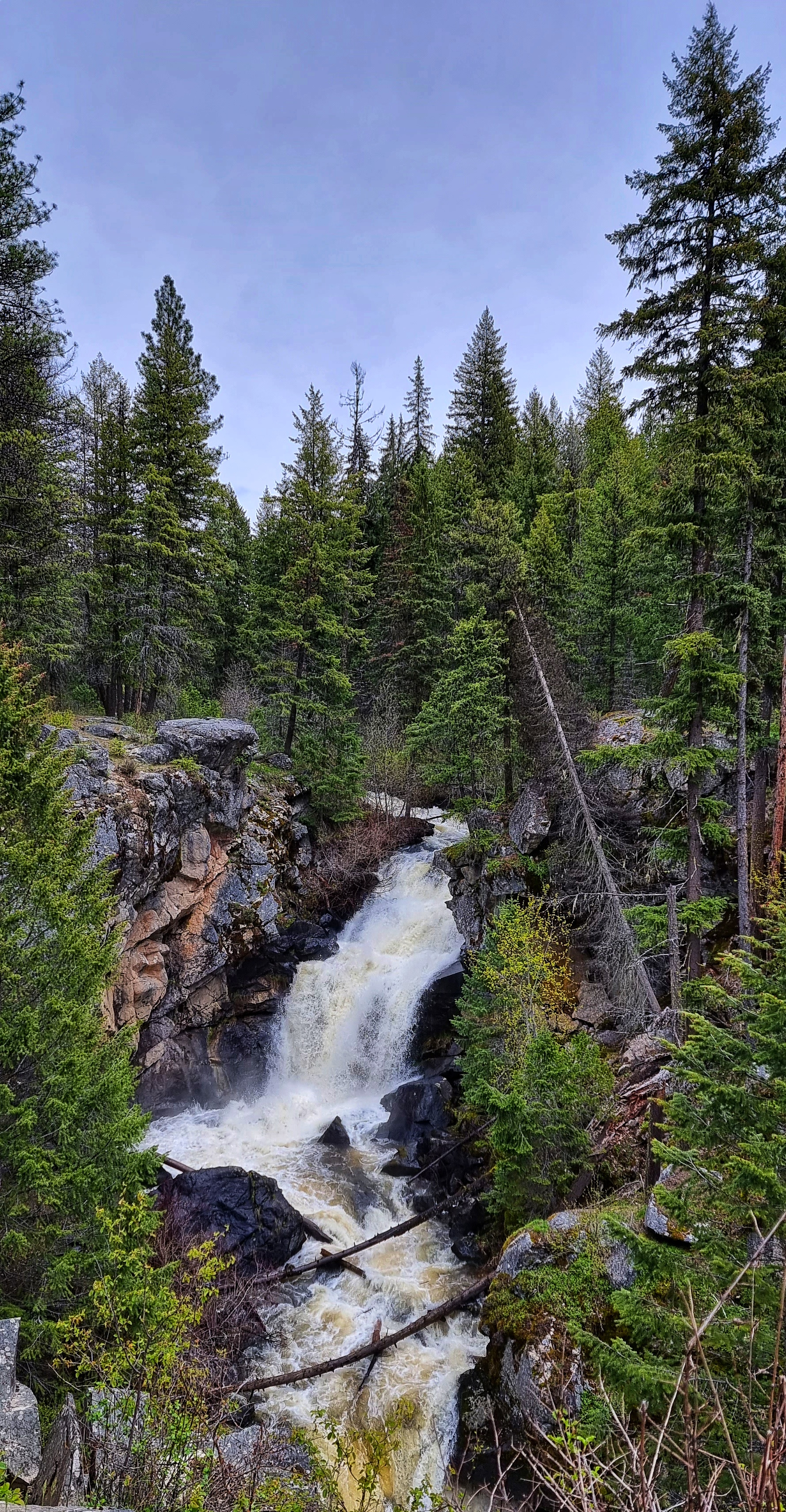
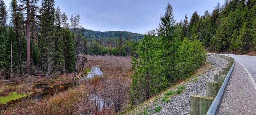
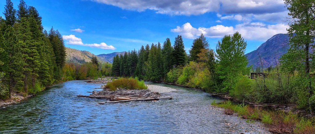
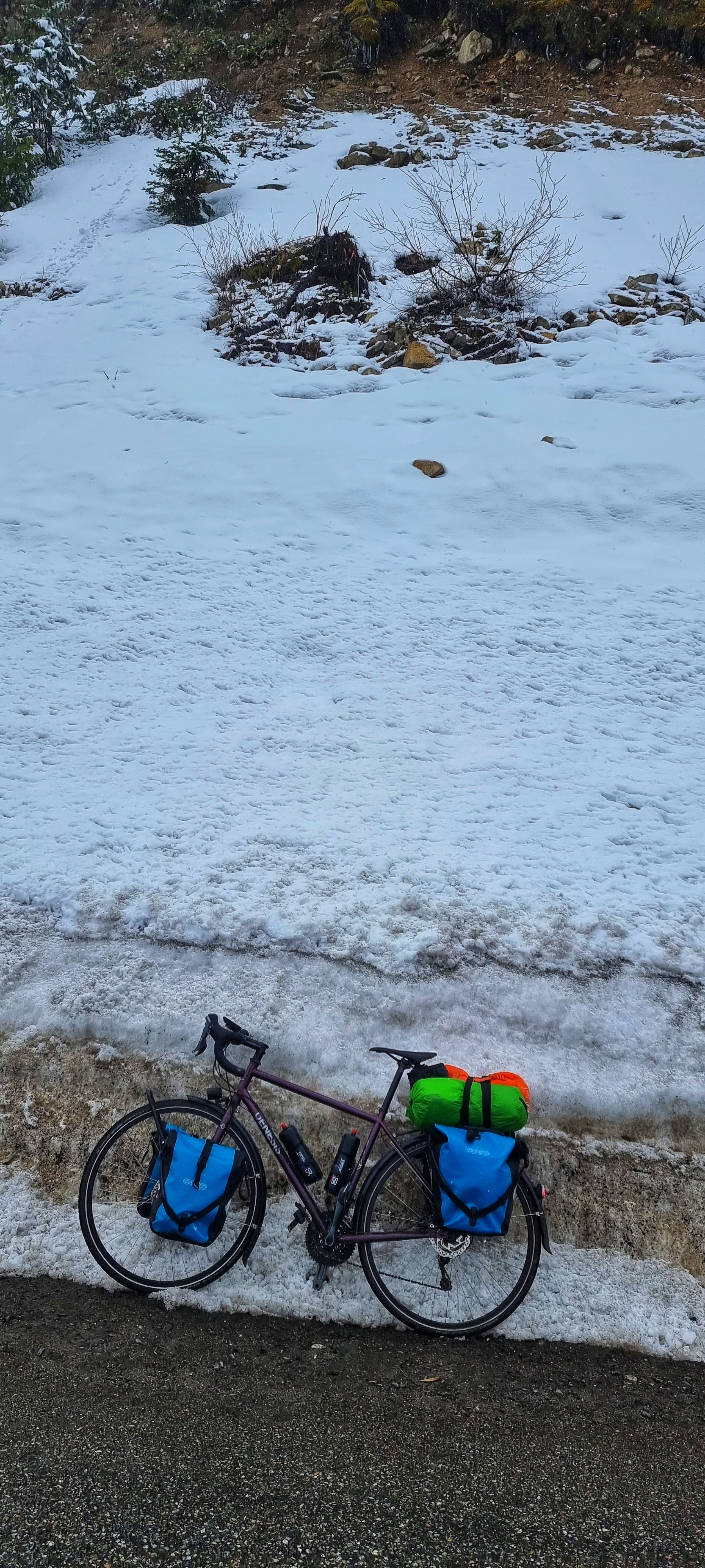
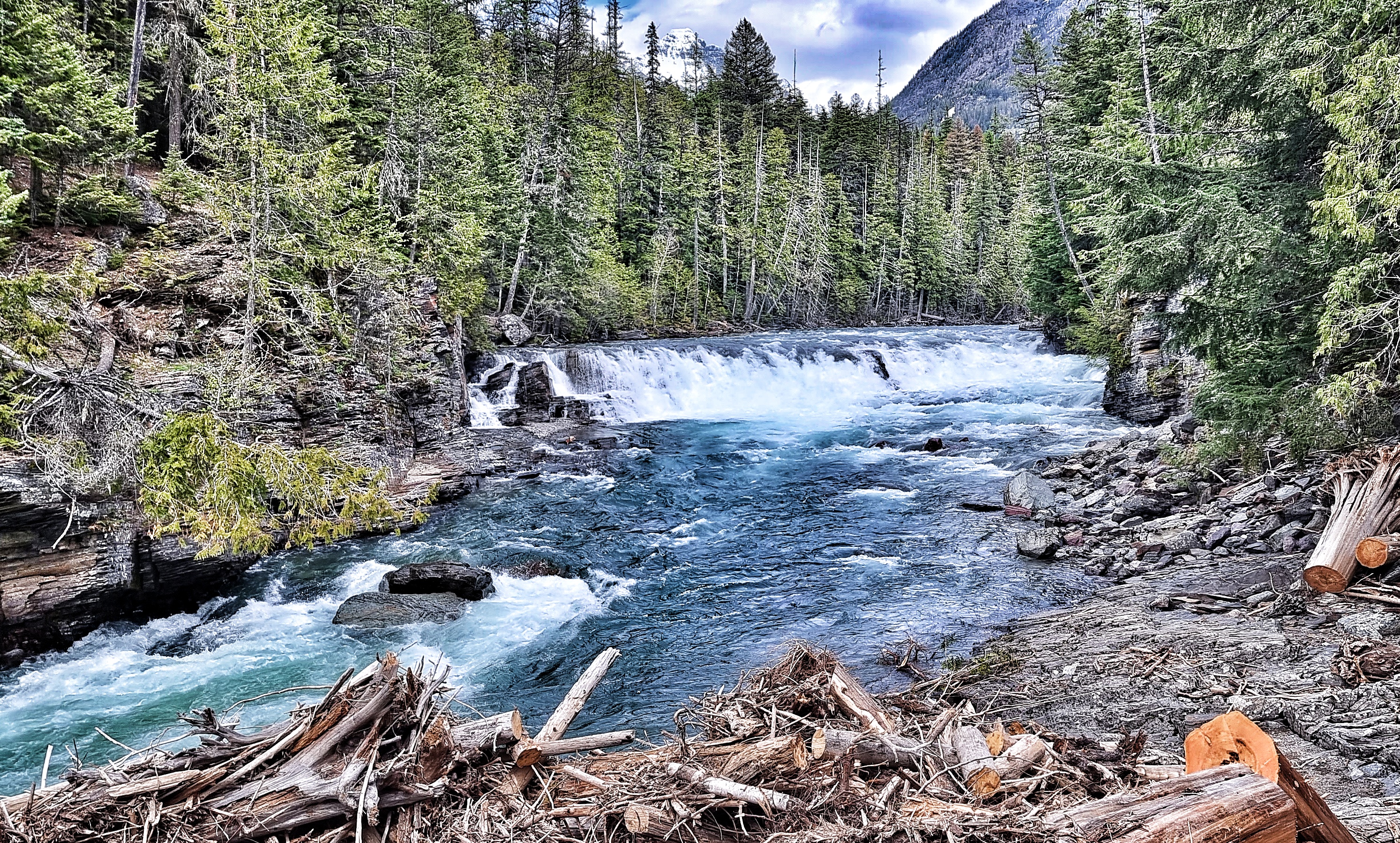
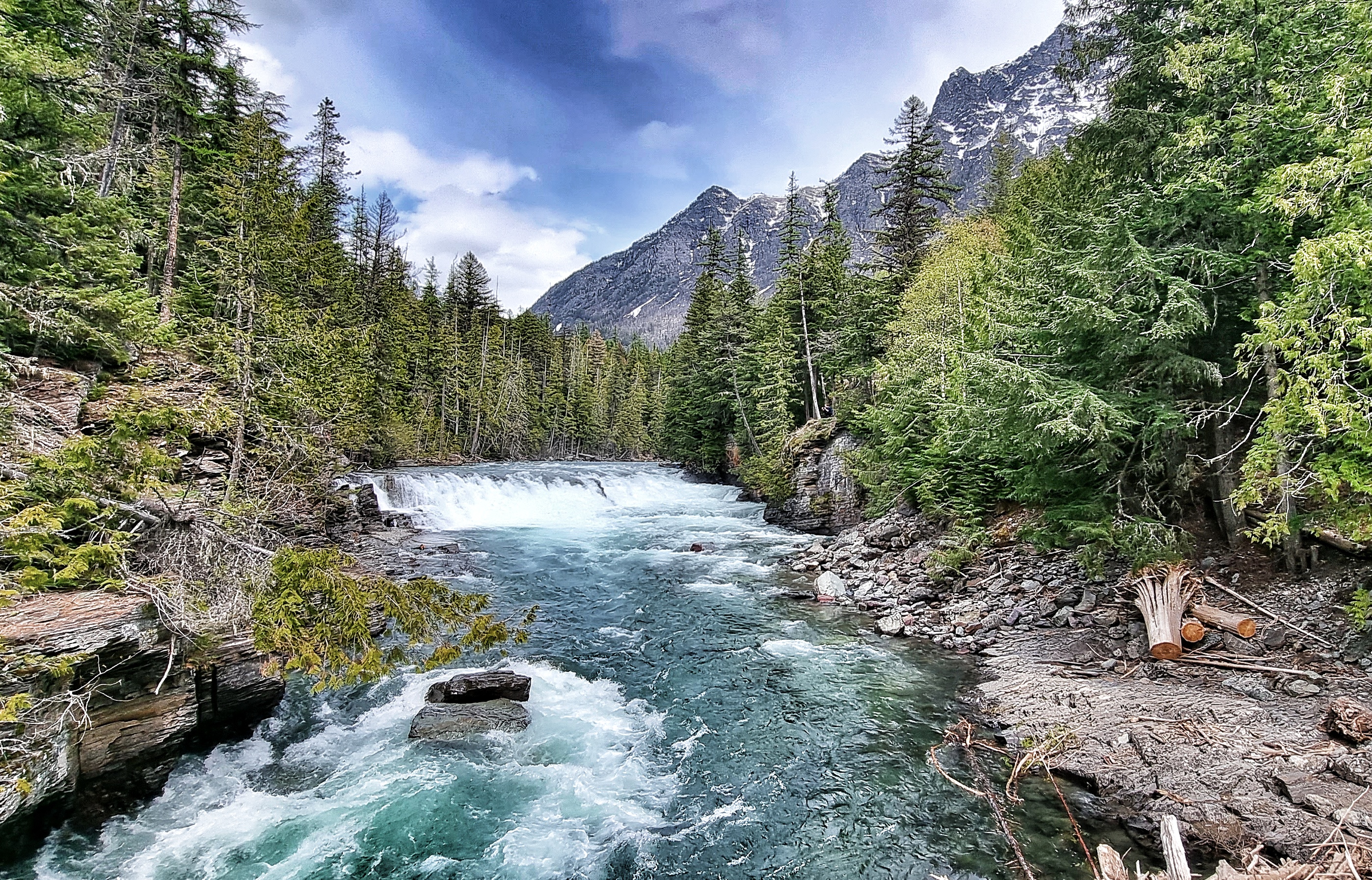
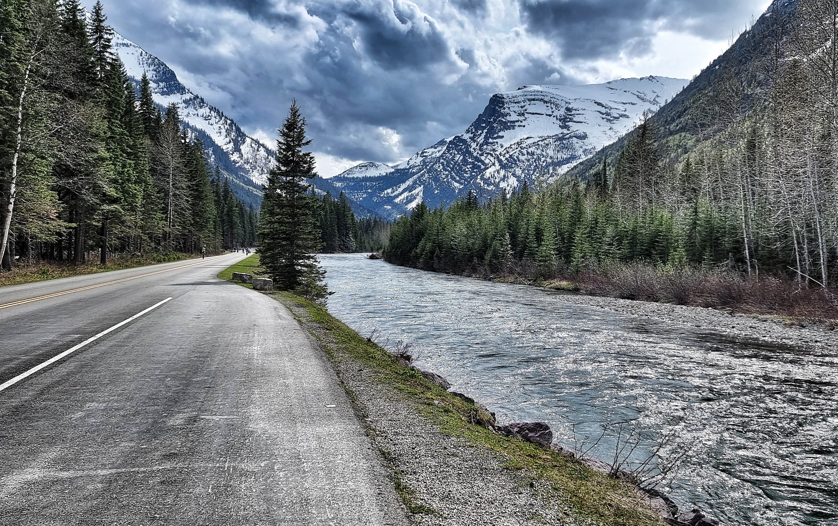
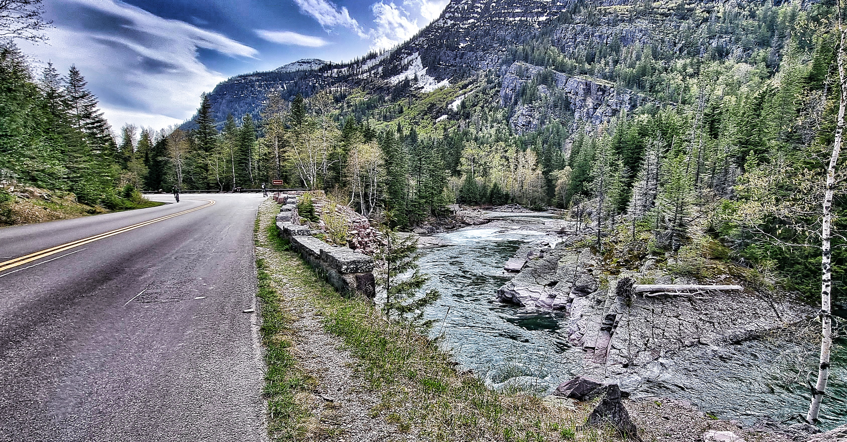
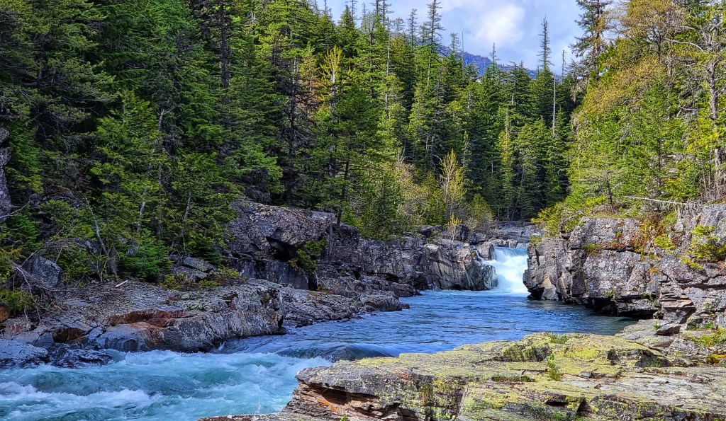
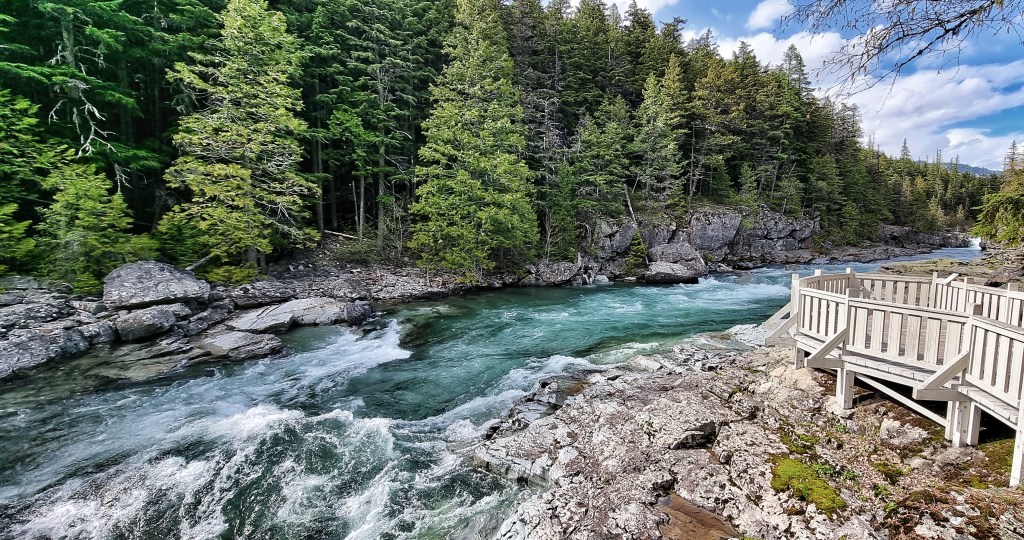
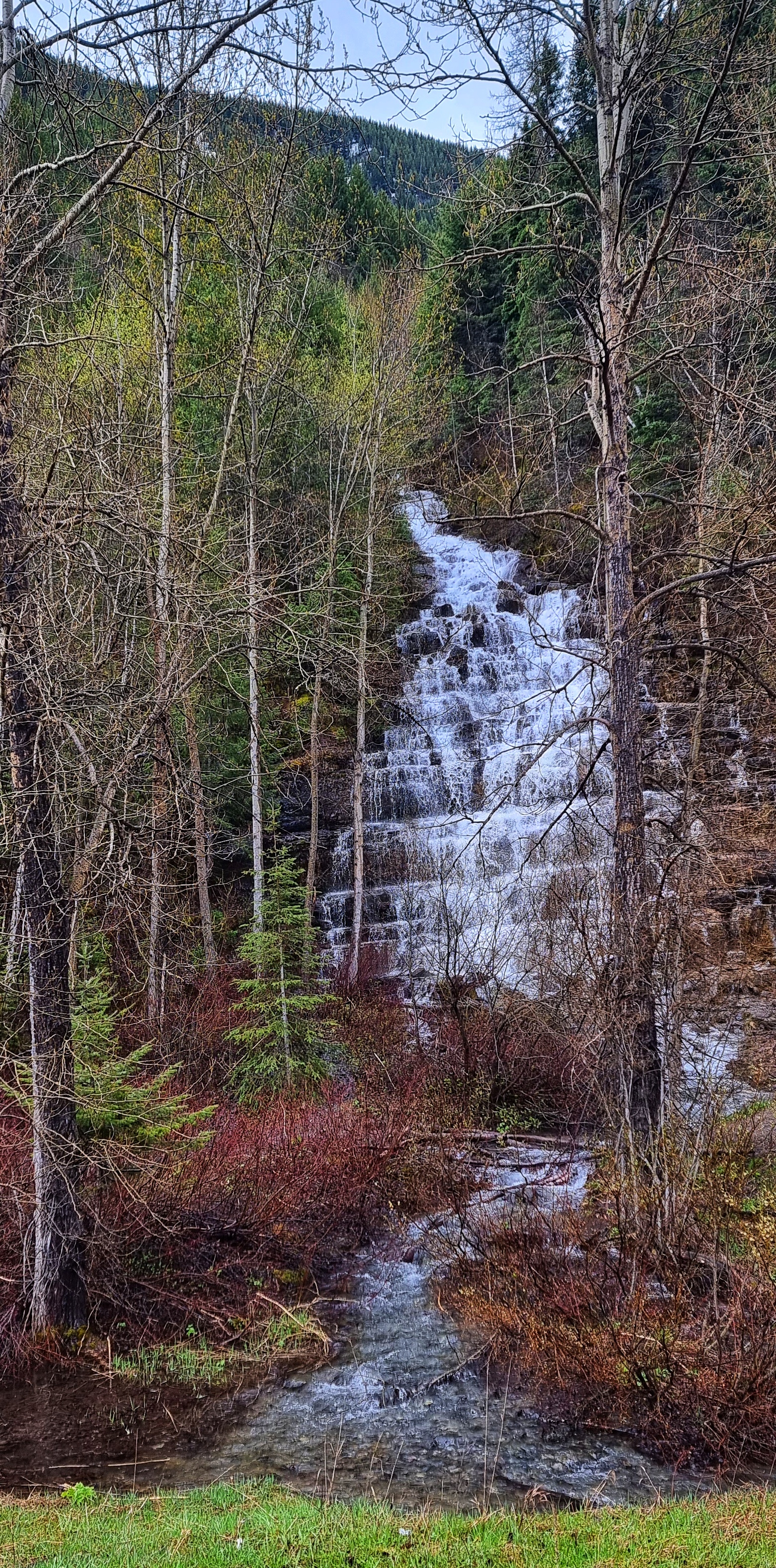
As we reached our hotel, we checked in & dropped off our panniers – the day’s adventure was nowhere near an end! We had plans to explore as much of the GTTSR as possible on our lightened steeds! From here we would be exploring the McDonald Creek valley rather than the lake. Our first stop was a narrow part of the river at John’s Lake Loop, with views up to the small, but fast flowing waterfall.
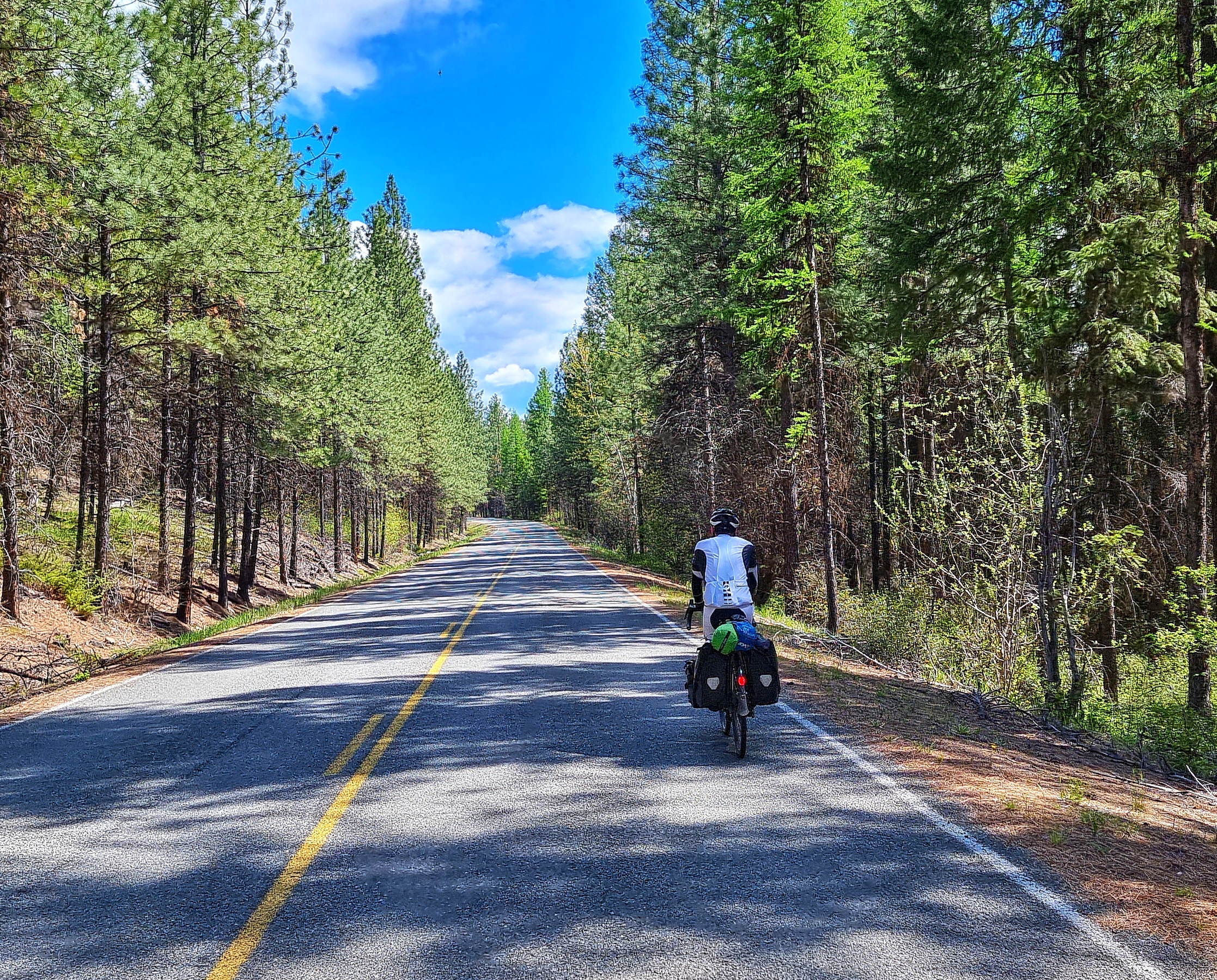
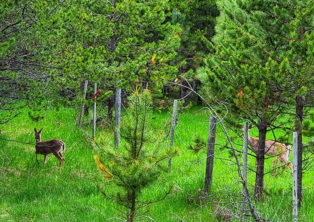
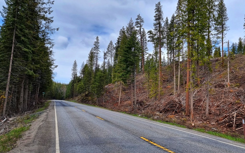
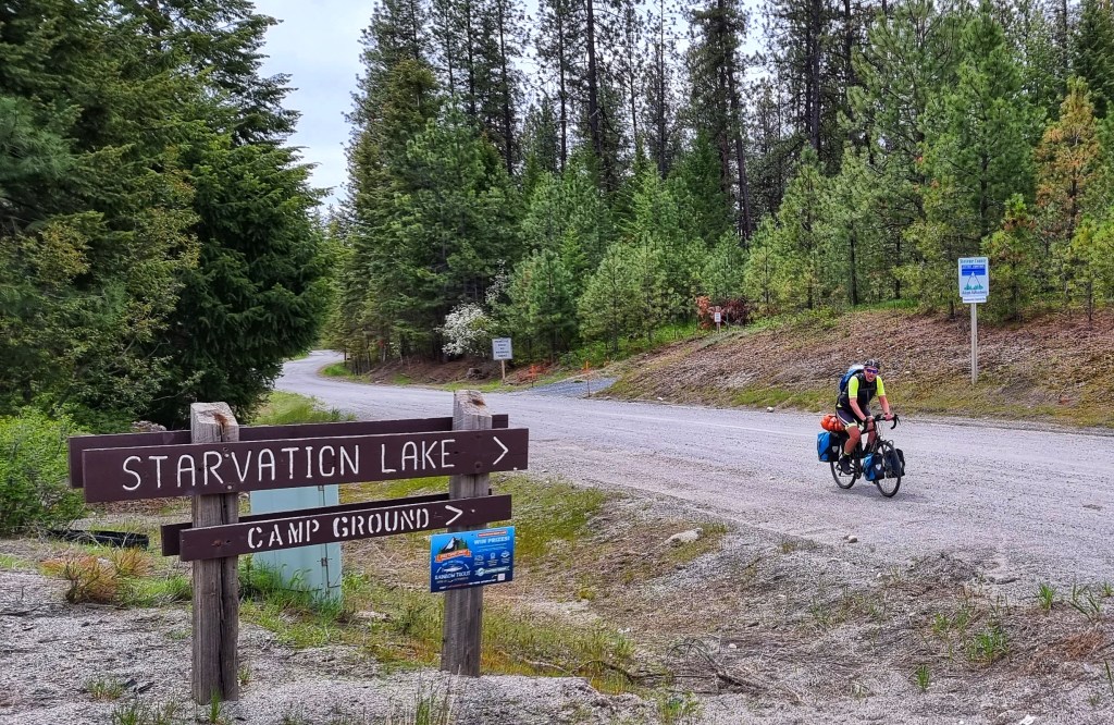
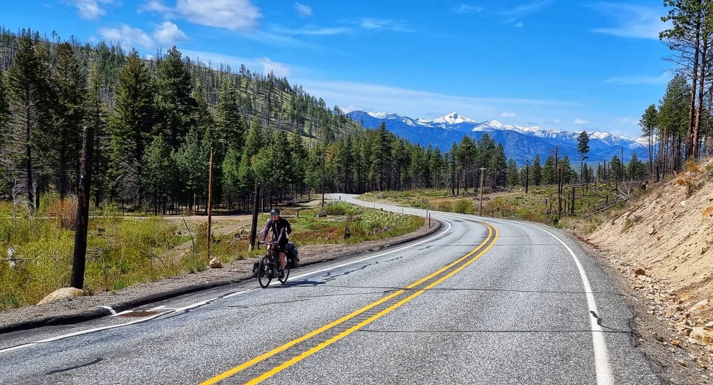
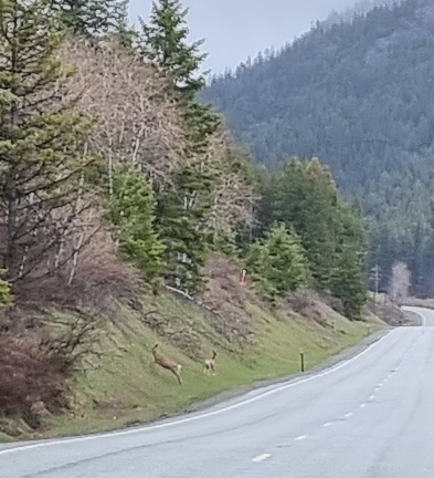
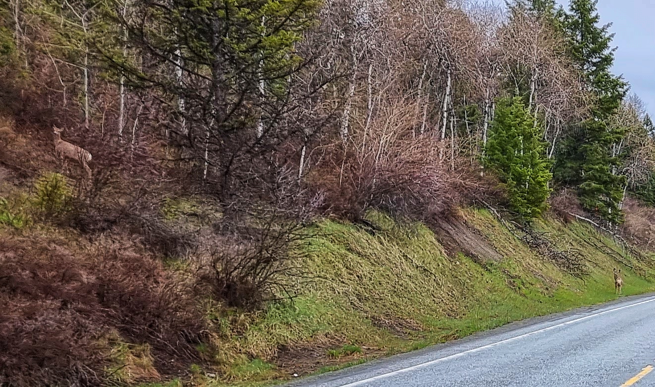
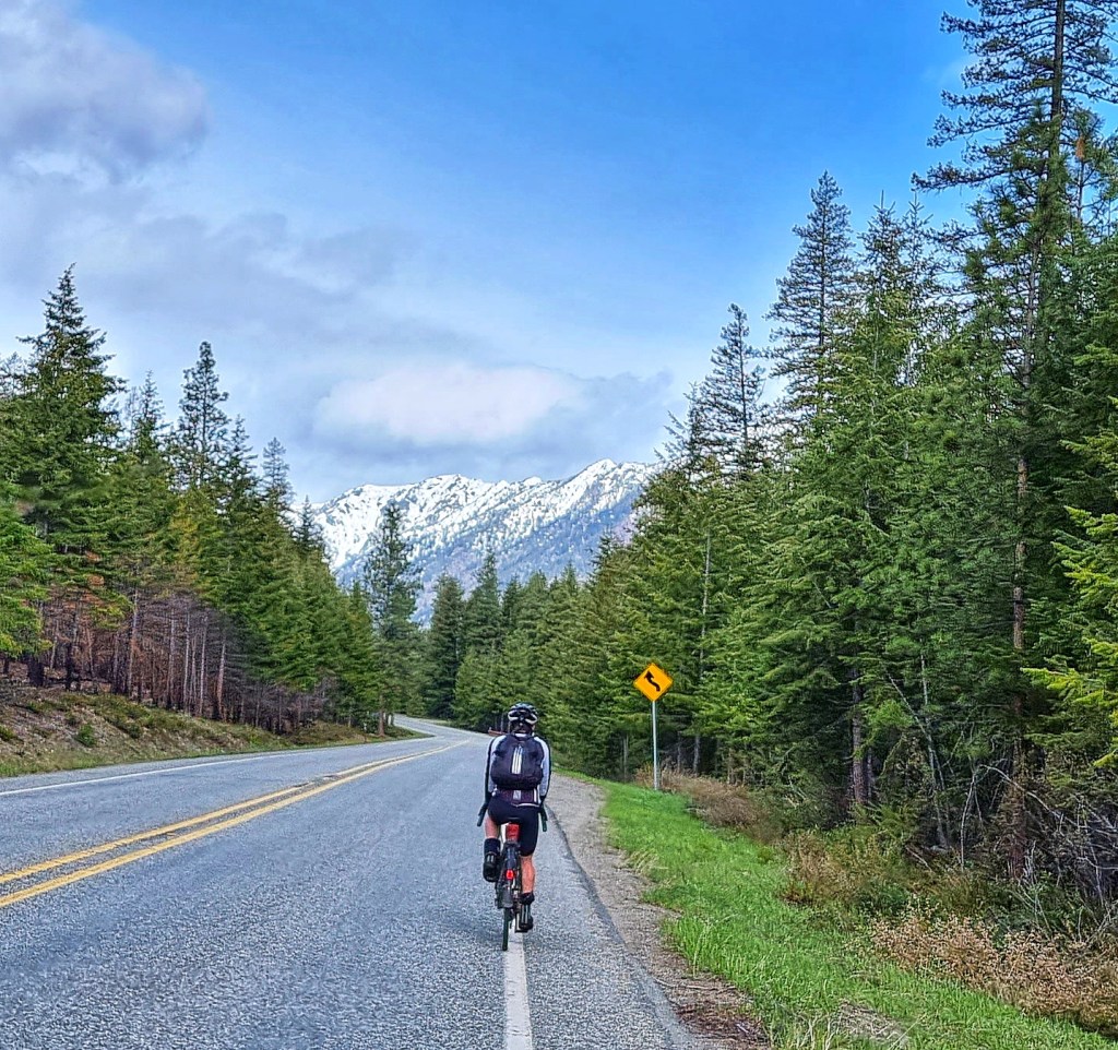
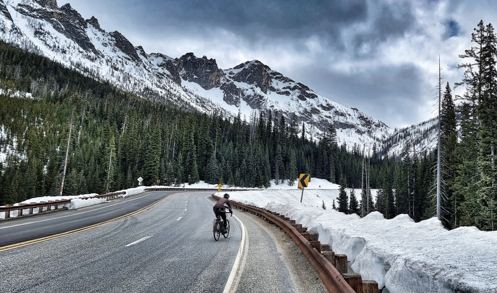
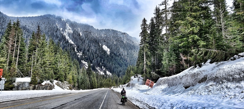
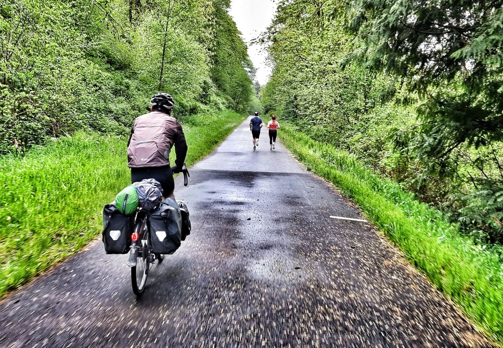
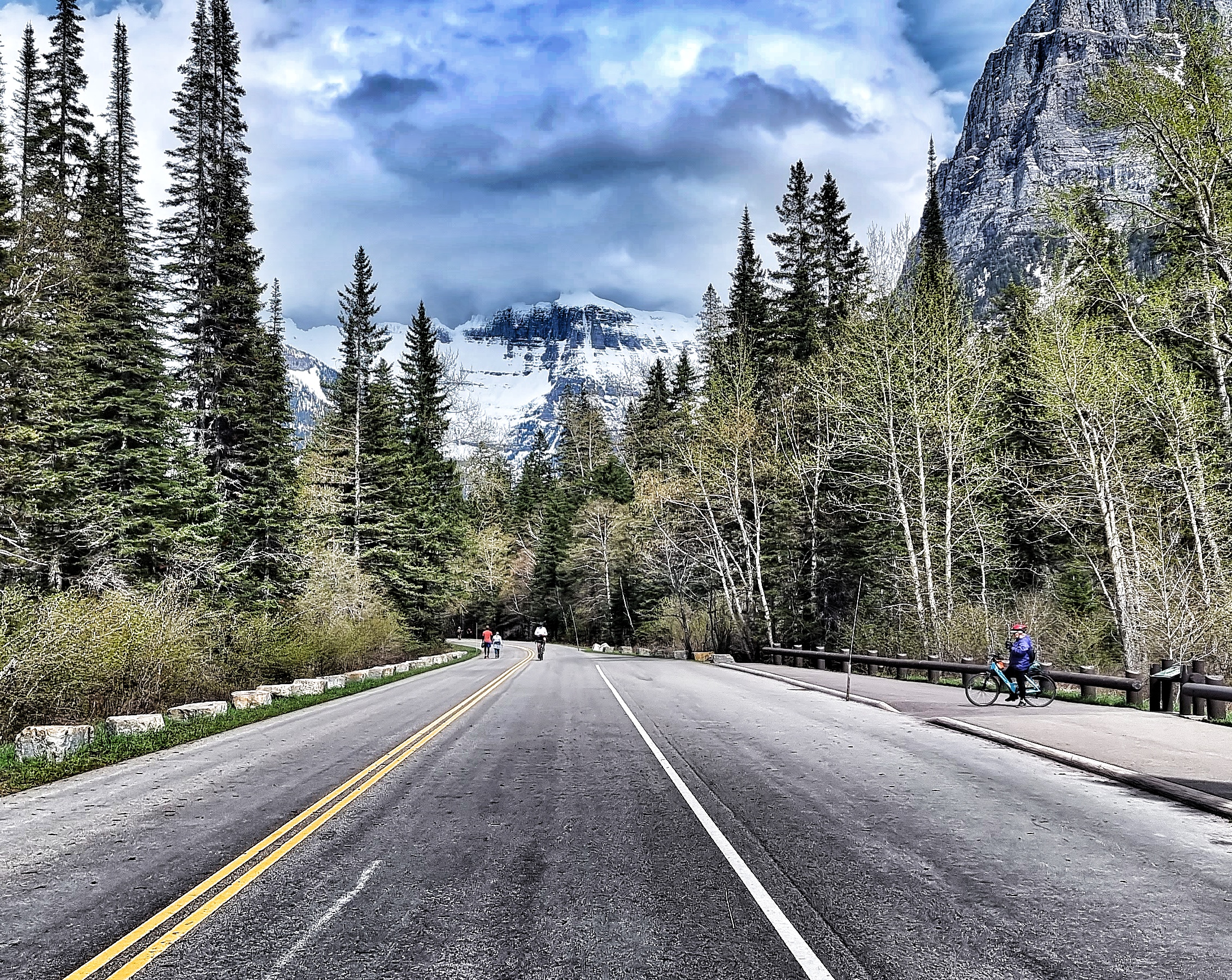
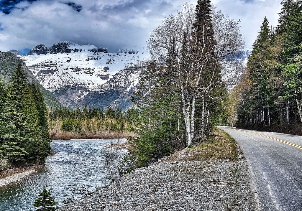
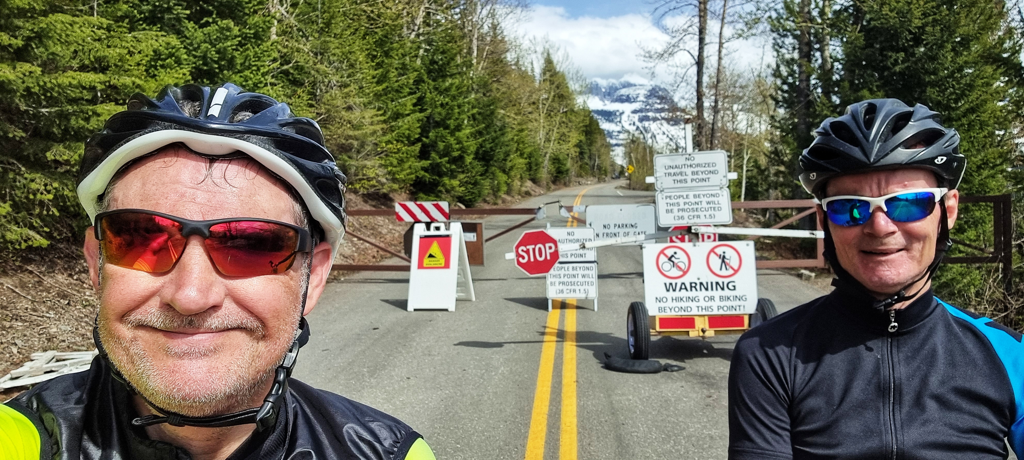
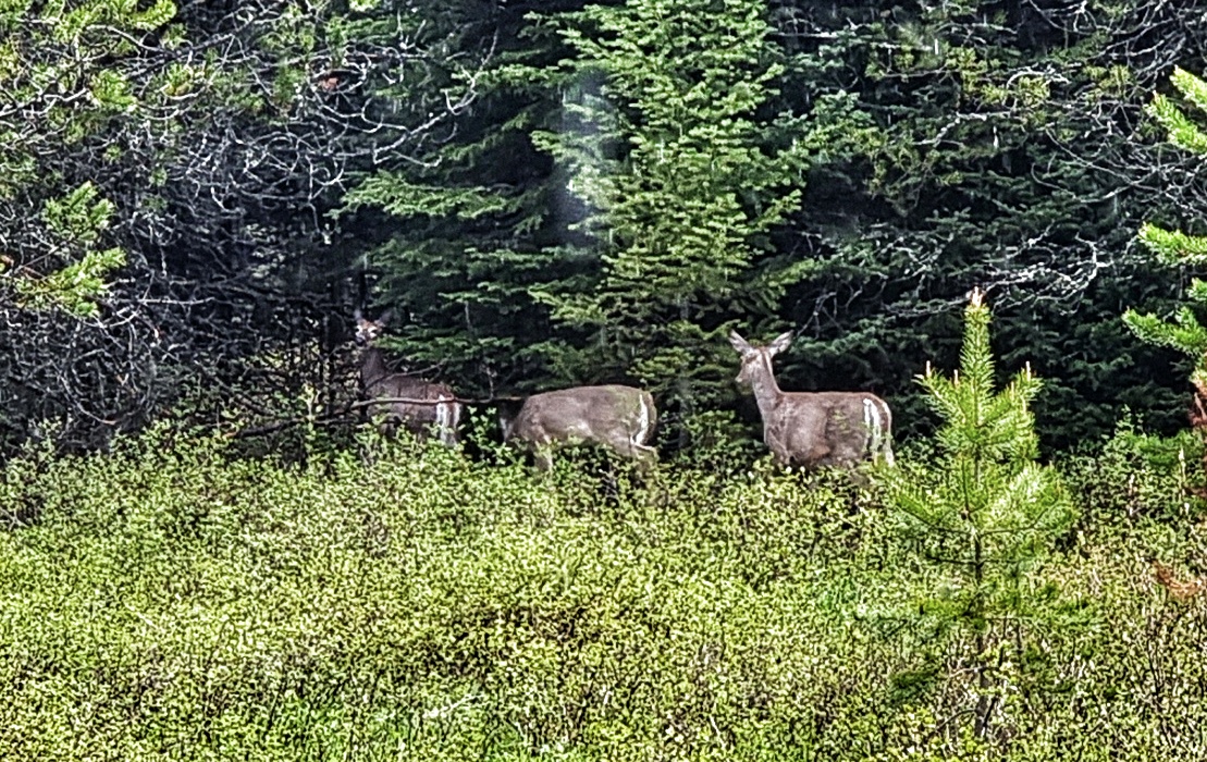
Heading up the valley, it broadened out briefly, giving hints of the climb to come & after less than 4 miles of riding we arrived at Avalanche Creek – at this point GTTSR is still closed to motorised traffic, so the road was now exclusively the playground of cyclists & hikers!! Within minutes we spotted a deer going about its business just yards from the road.

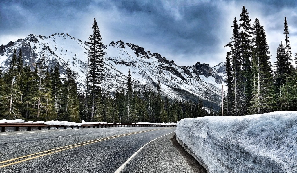
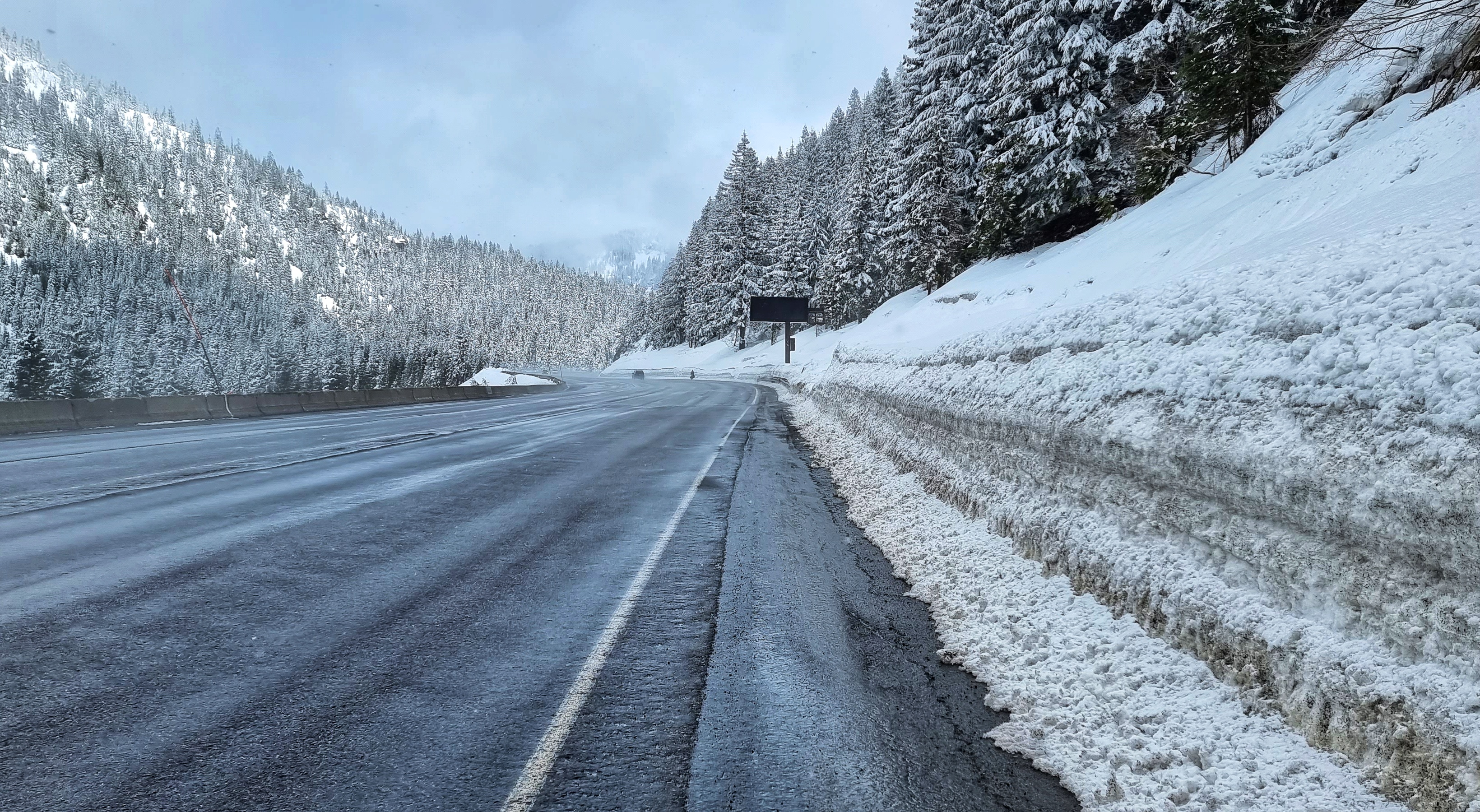
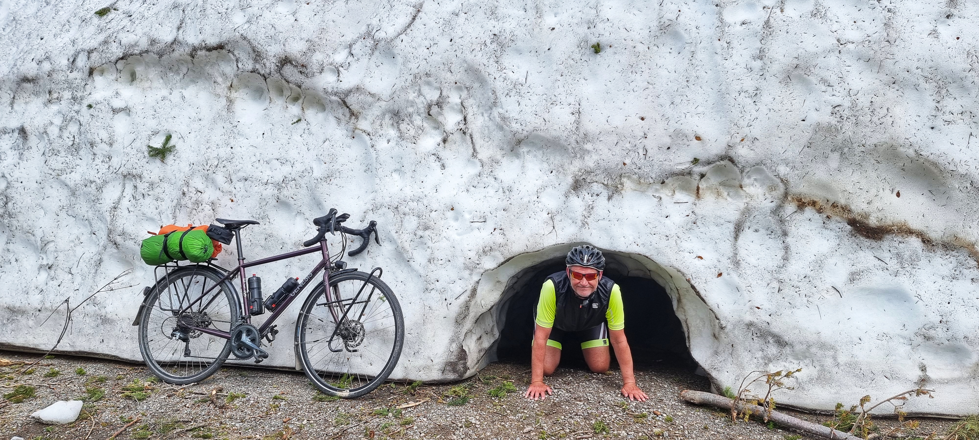
As we started climbing, snowbanks soon came into view as the road followed the twisting route of the river valley – some of the banks were slightly larger than others. I checked the snow cave for signs of wildlife before offering them a mouthful (or 2) of my prime rump!!

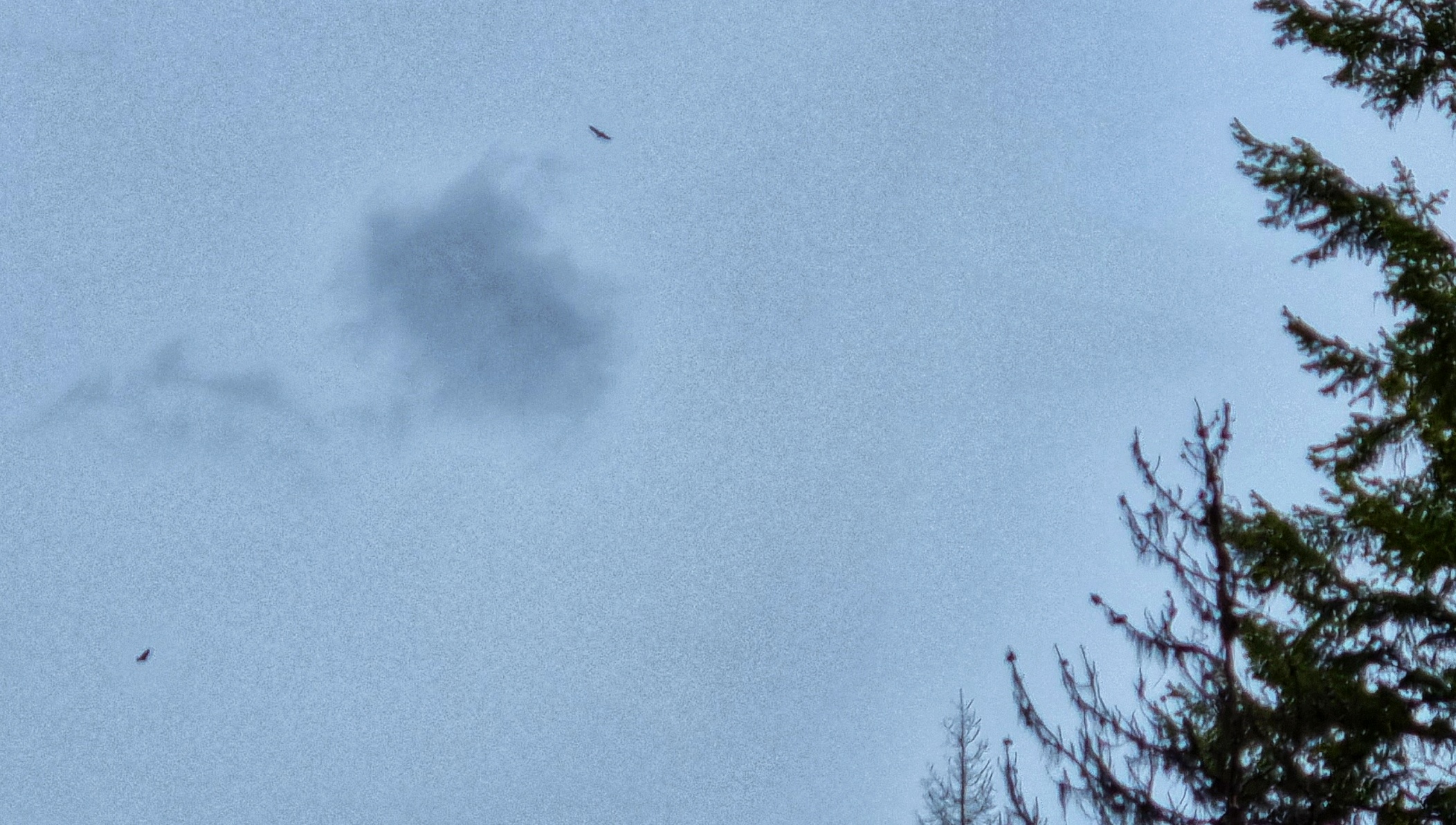
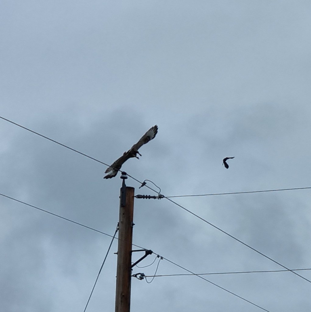
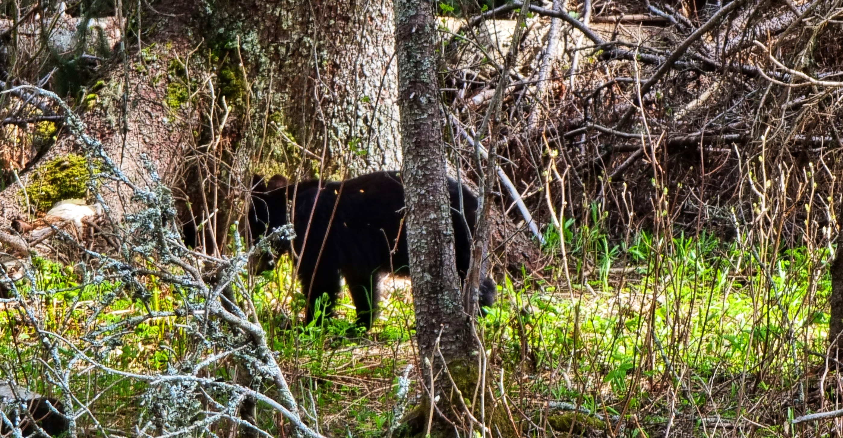
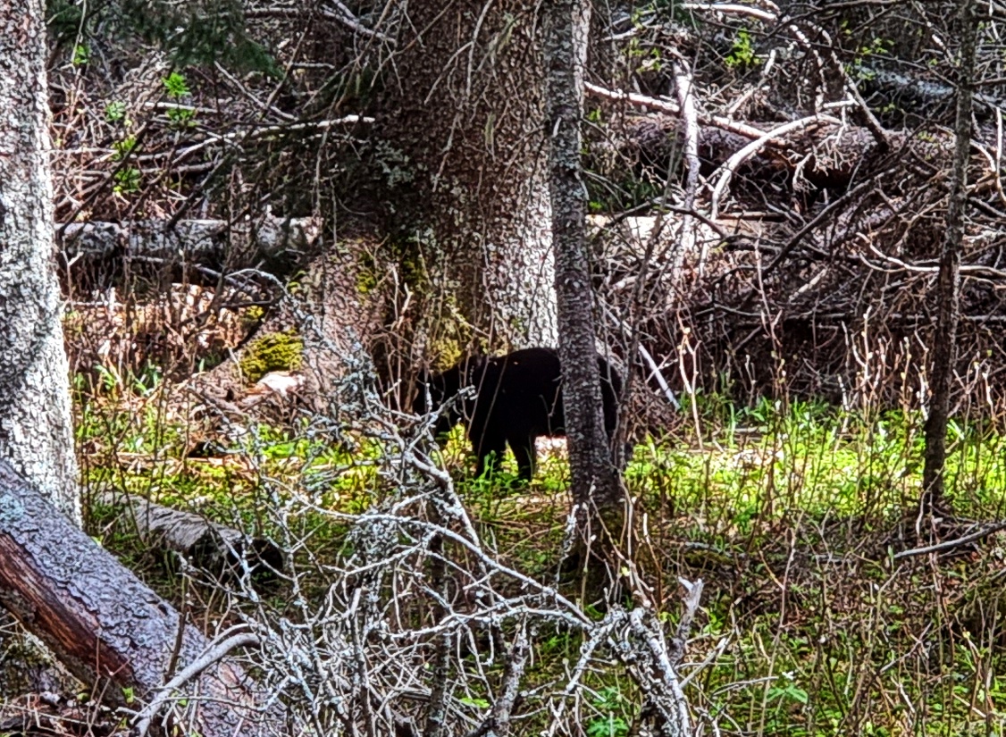
As we continued climbing we spotted some ramblers gazing intently into the forest. This could only mean one thing – a bear sighting!! It was a black bear cub, possibly a year old. There was no sign of mother bear (& we were looking hard for her, in case we needed to move on), hence my assumption of its age. Without a doubt this is the highlight of the trip so far!
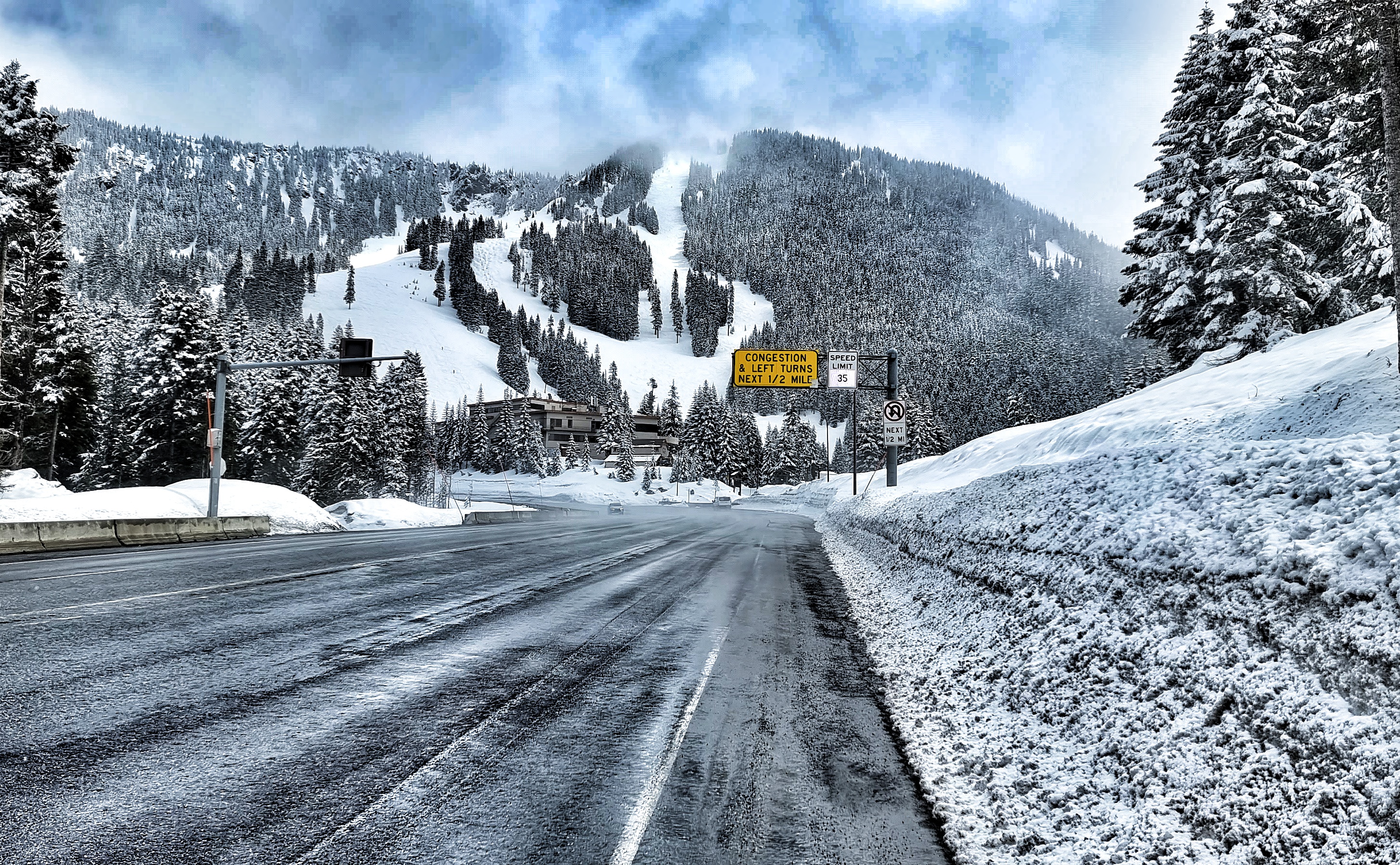
We could just make out the path of the road above. It looked like the lower shelf was clear but the snow crews hadn’t yet made it to the higher shelf, as that looked to be covered in snow. The good news was we still had more road to explore!
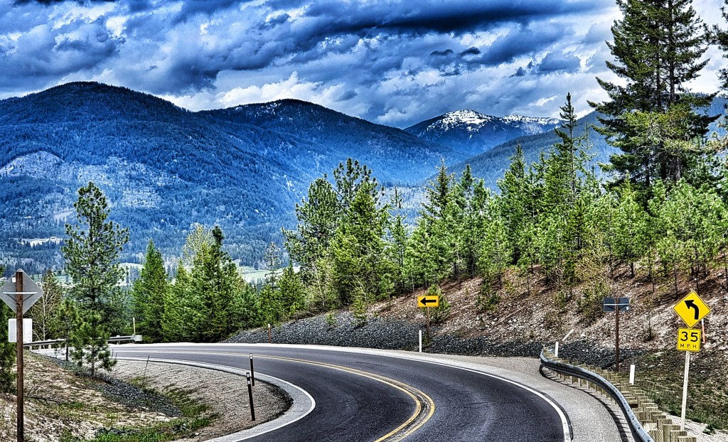
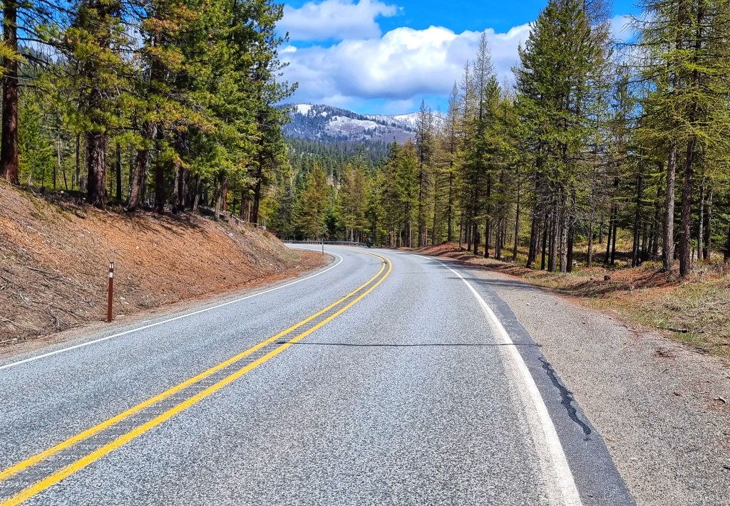
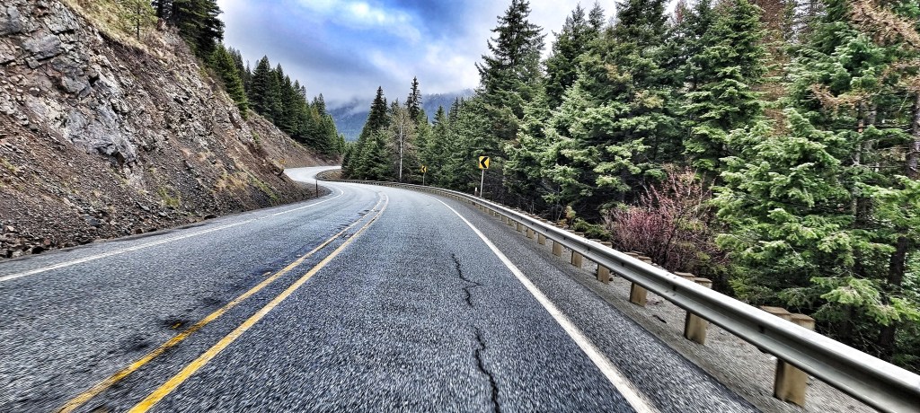
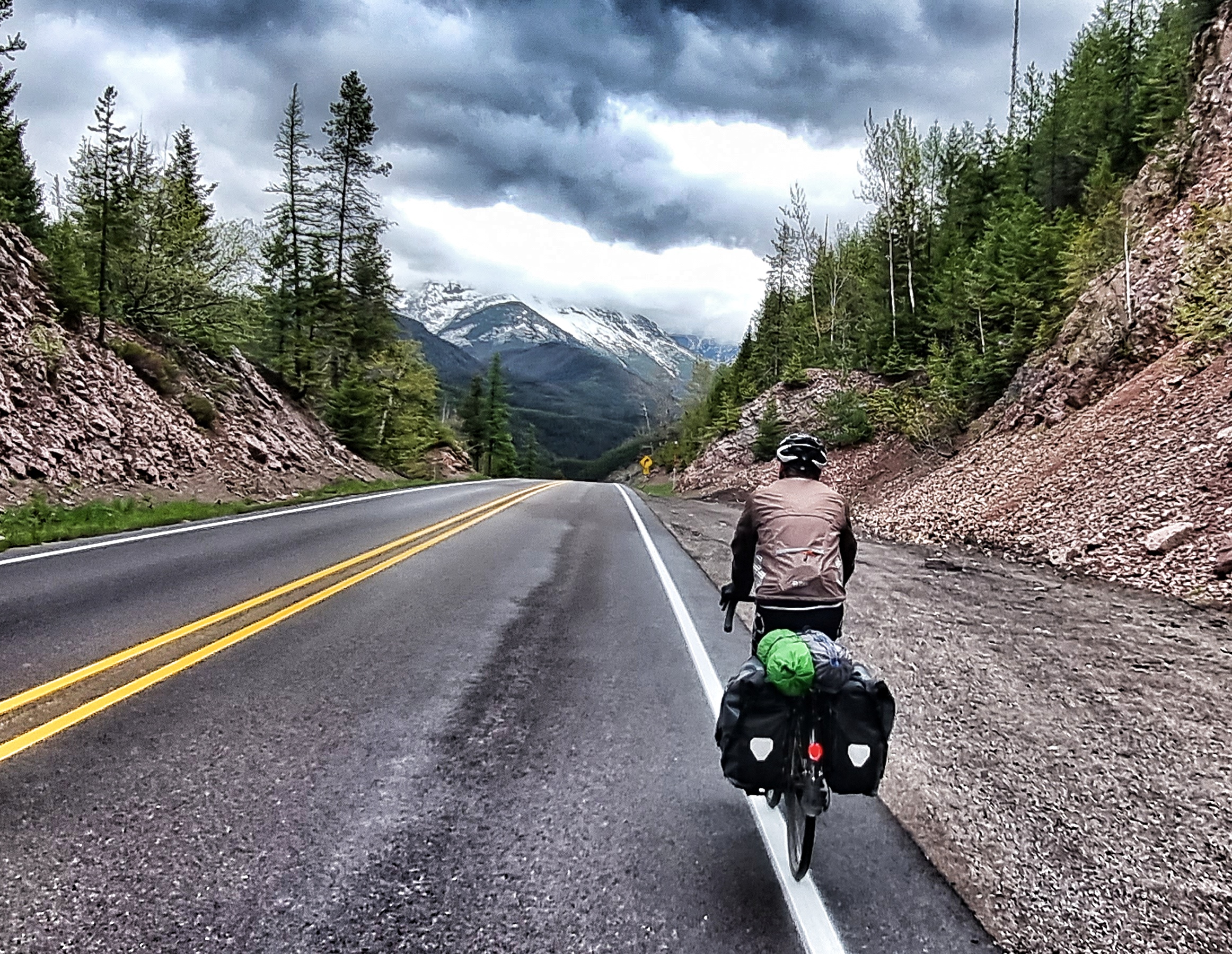
Just round the corner the river & road took separate paths. We now started climbing in earnest, but the great thing with GTTSR is that the gradient never exceeds 6% – the original design by George Goodwin in 1918 recommended a steep, 15 hairpin climb up Logan Creek. However, a later adjustment by Tom Vint resulted in a shallower gradient & only required one switchback – thanks Tom!!
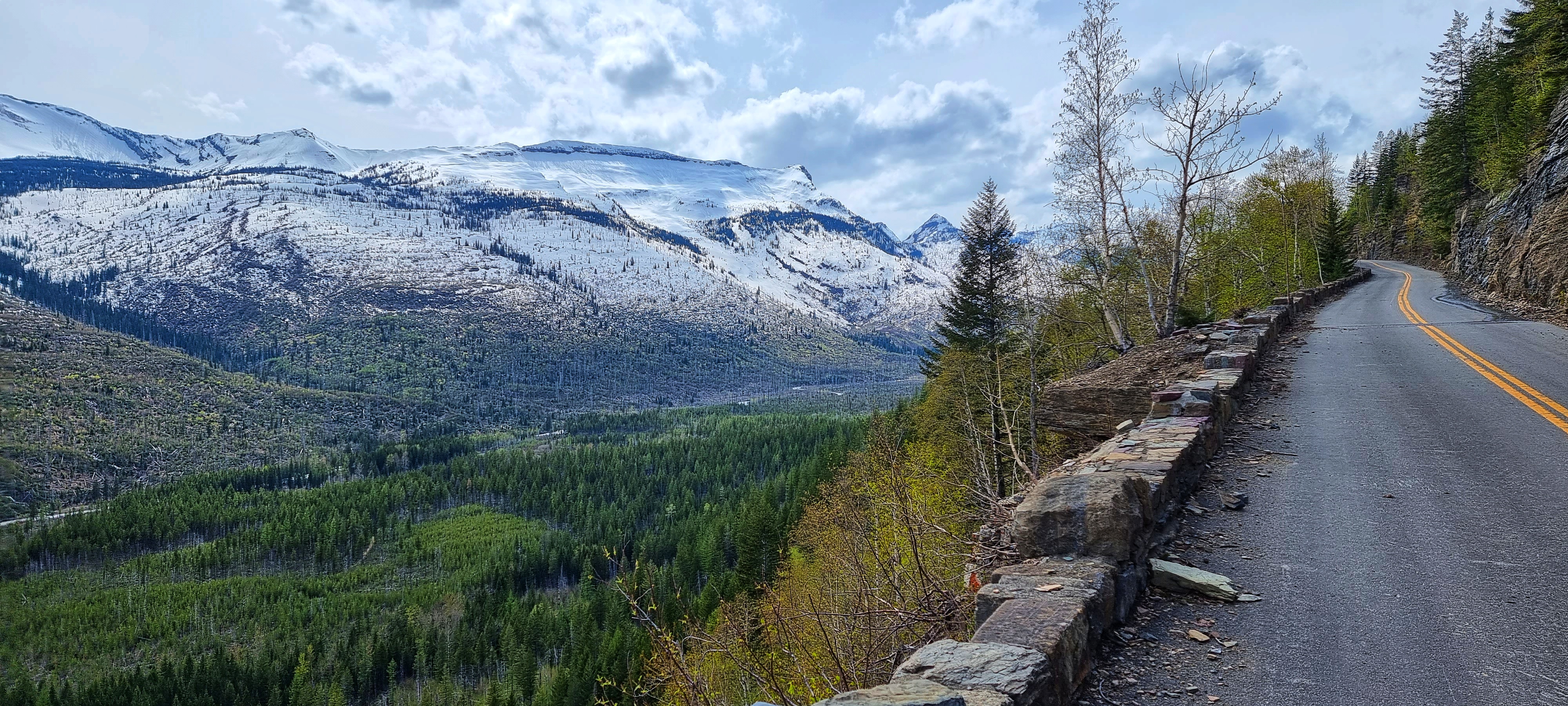
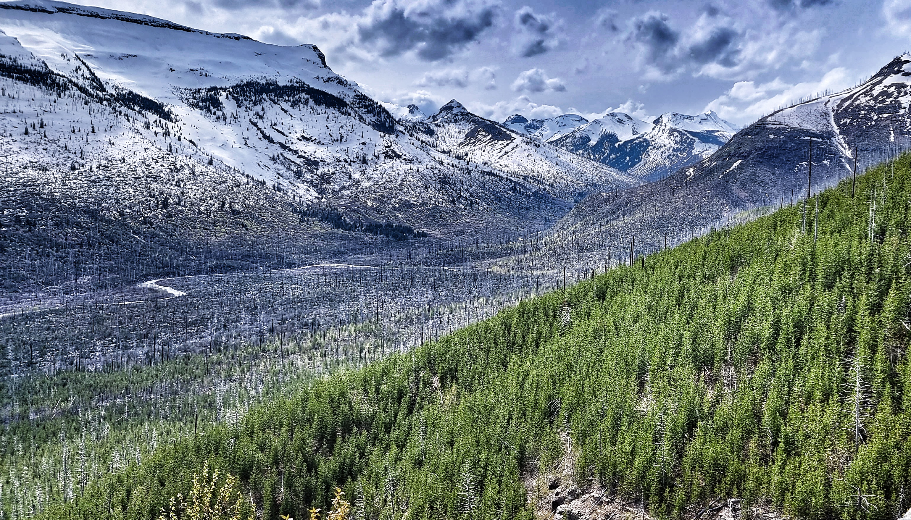
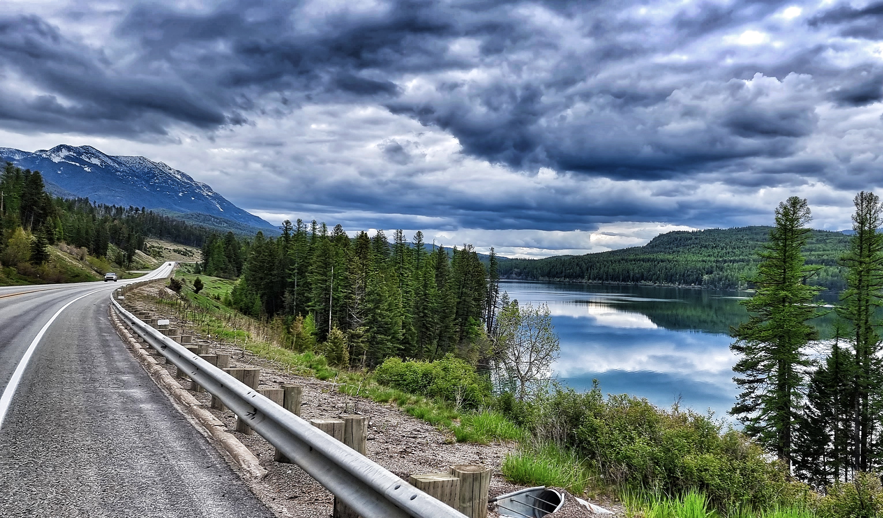
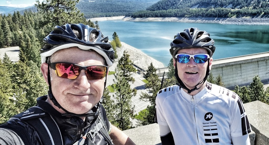
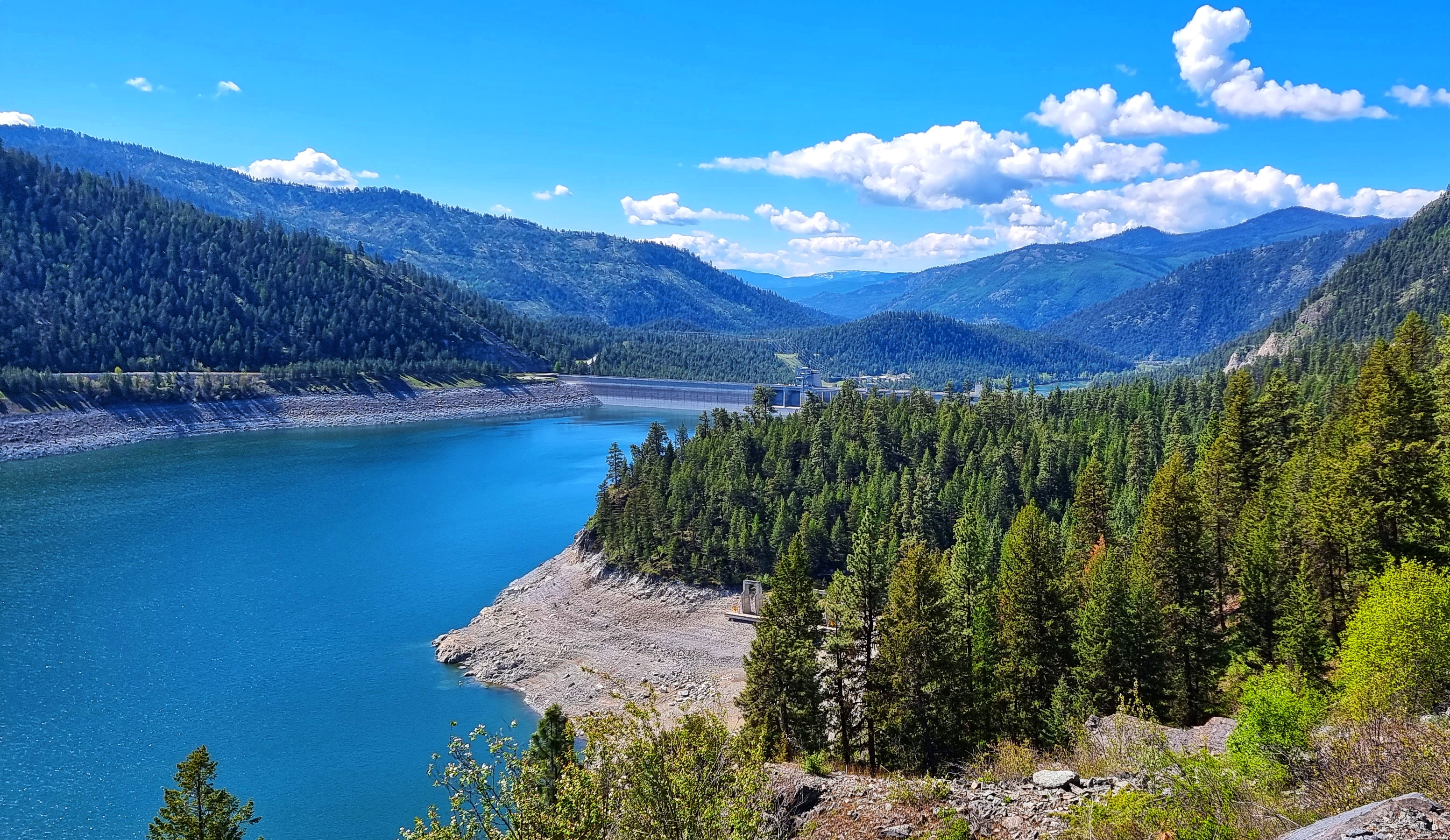
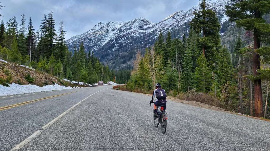
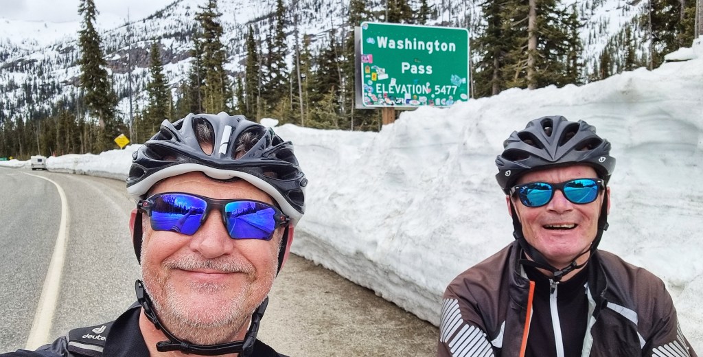
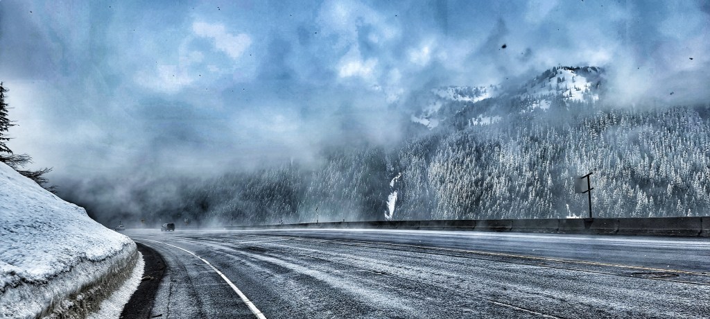
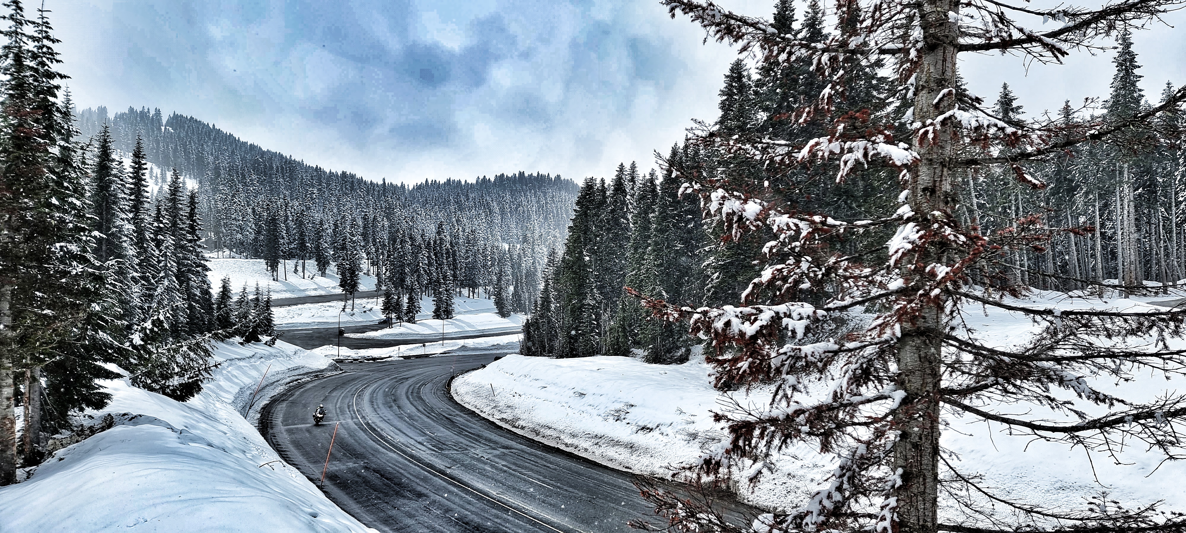
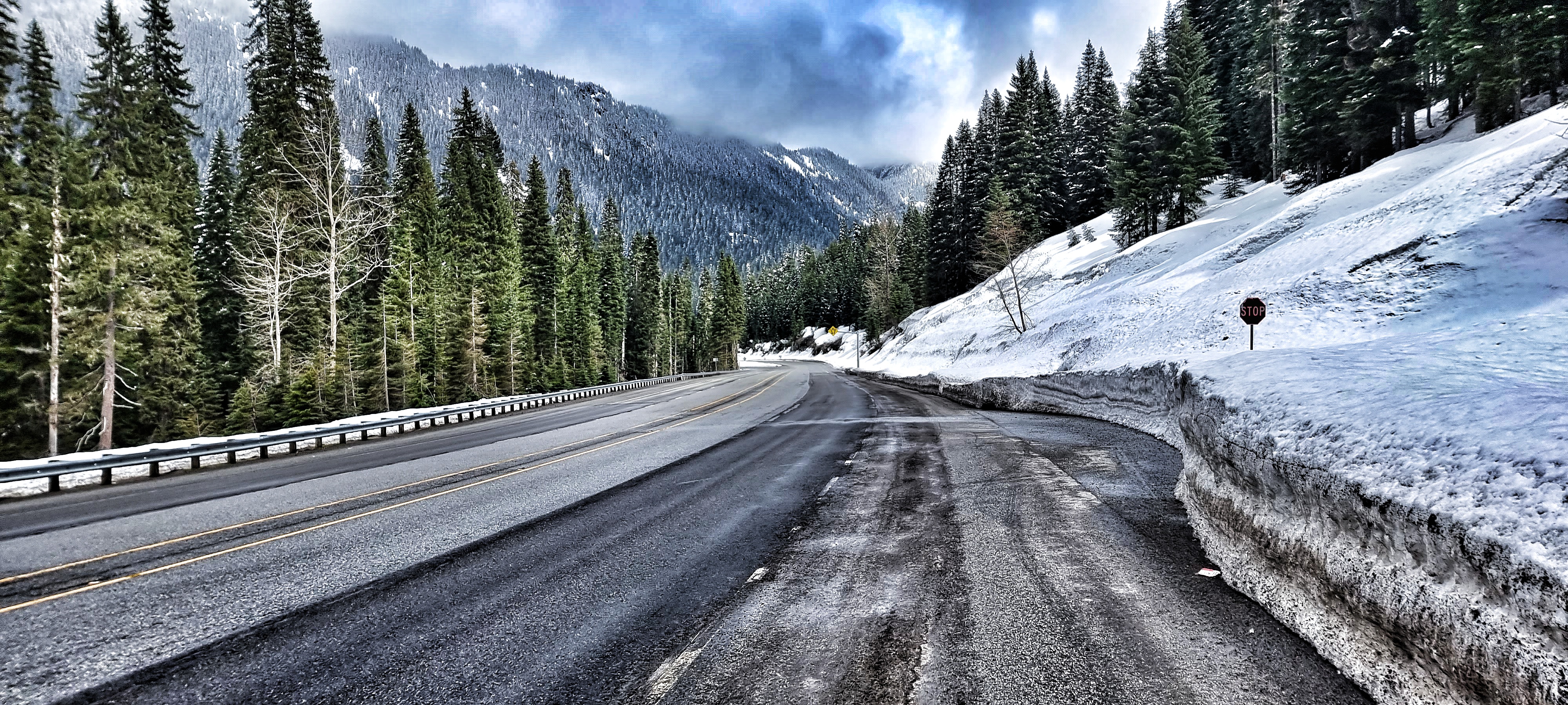
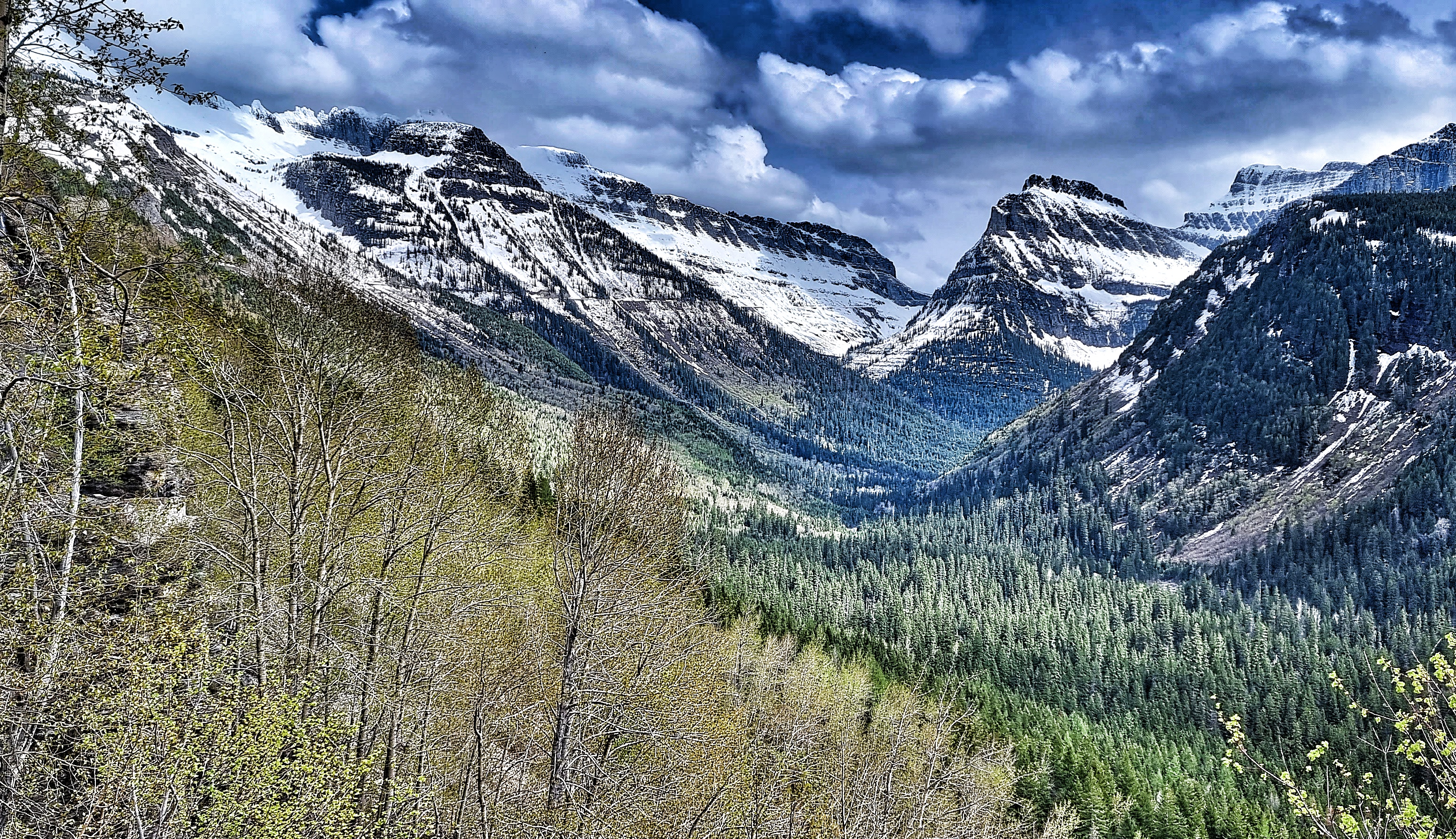
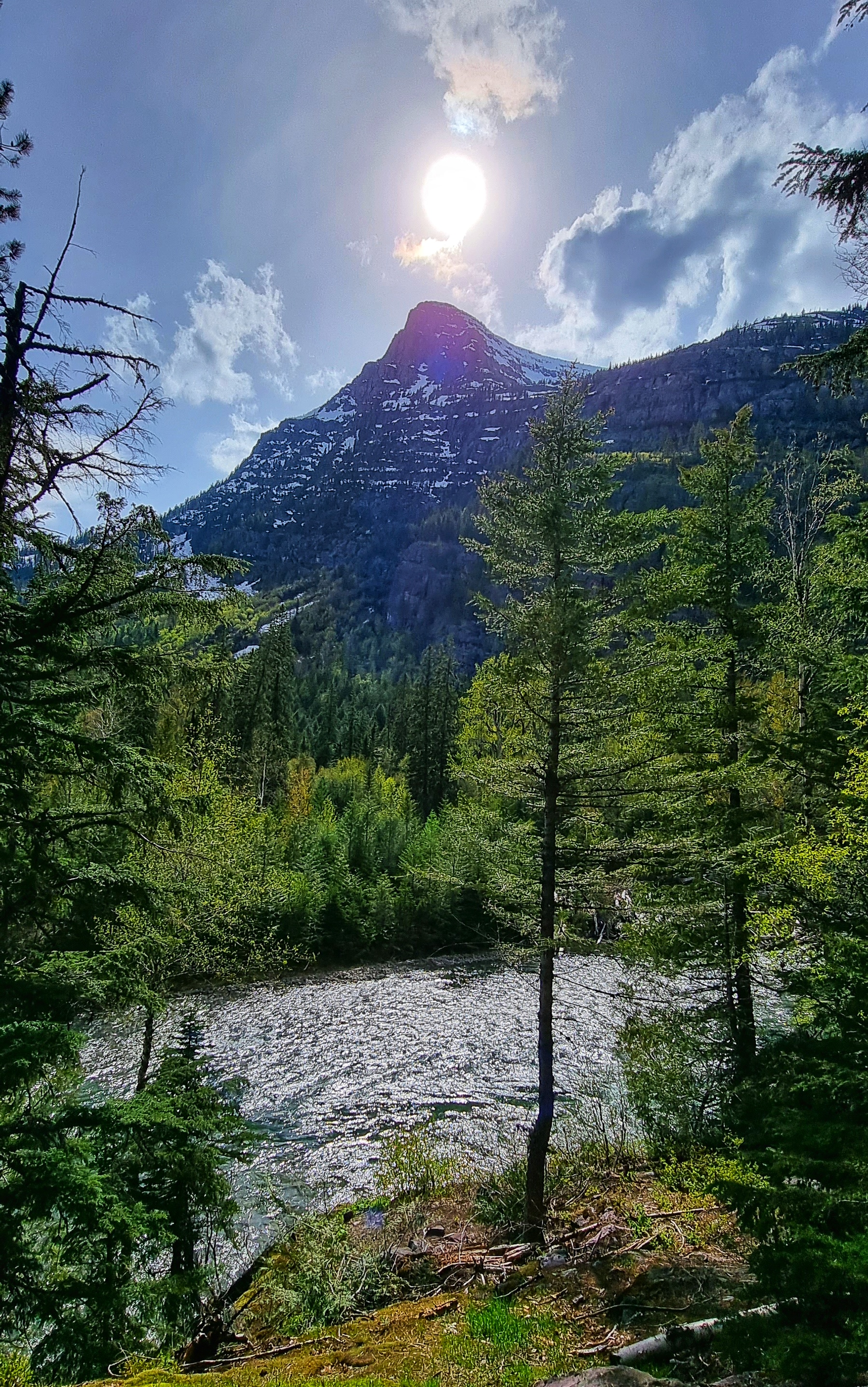
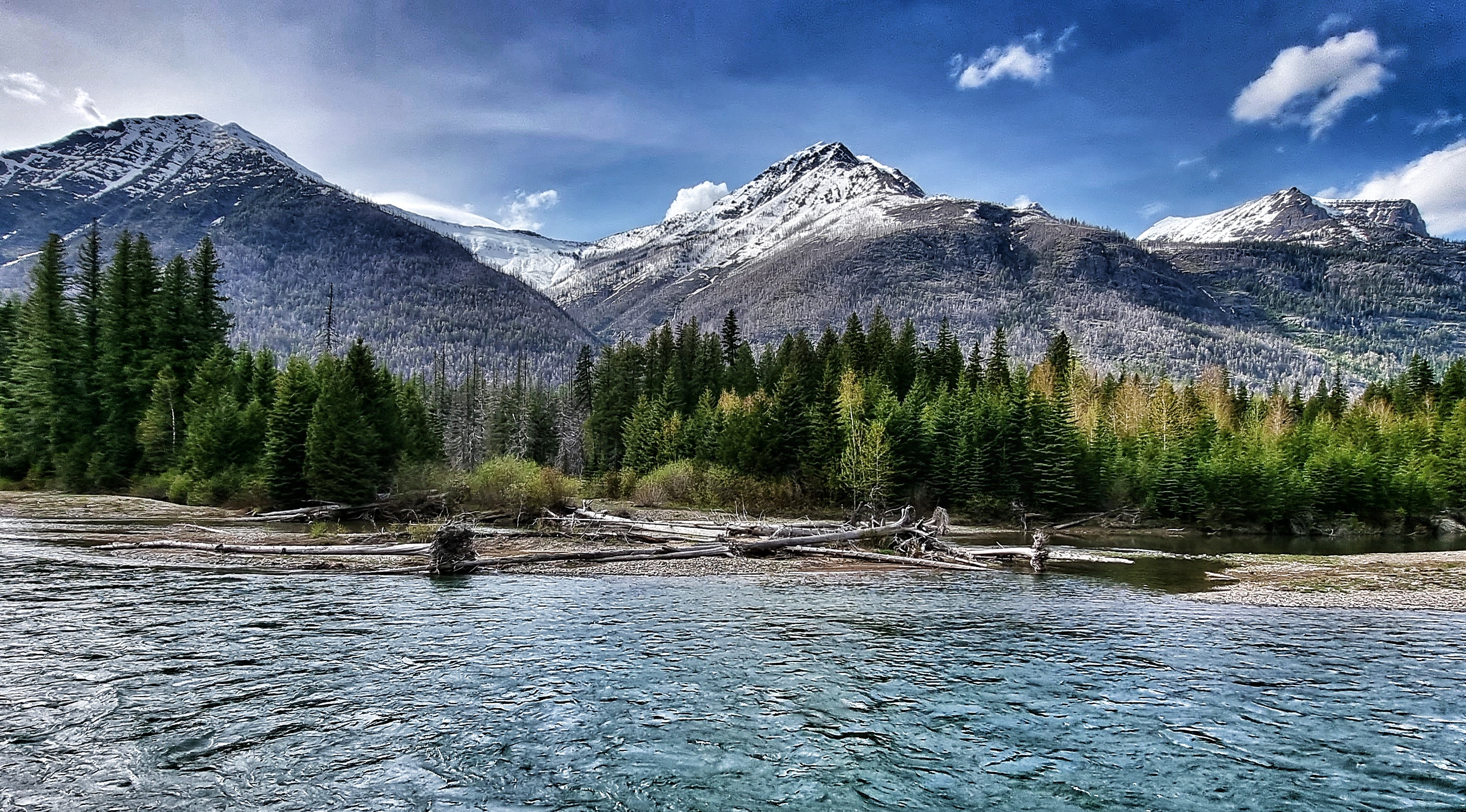
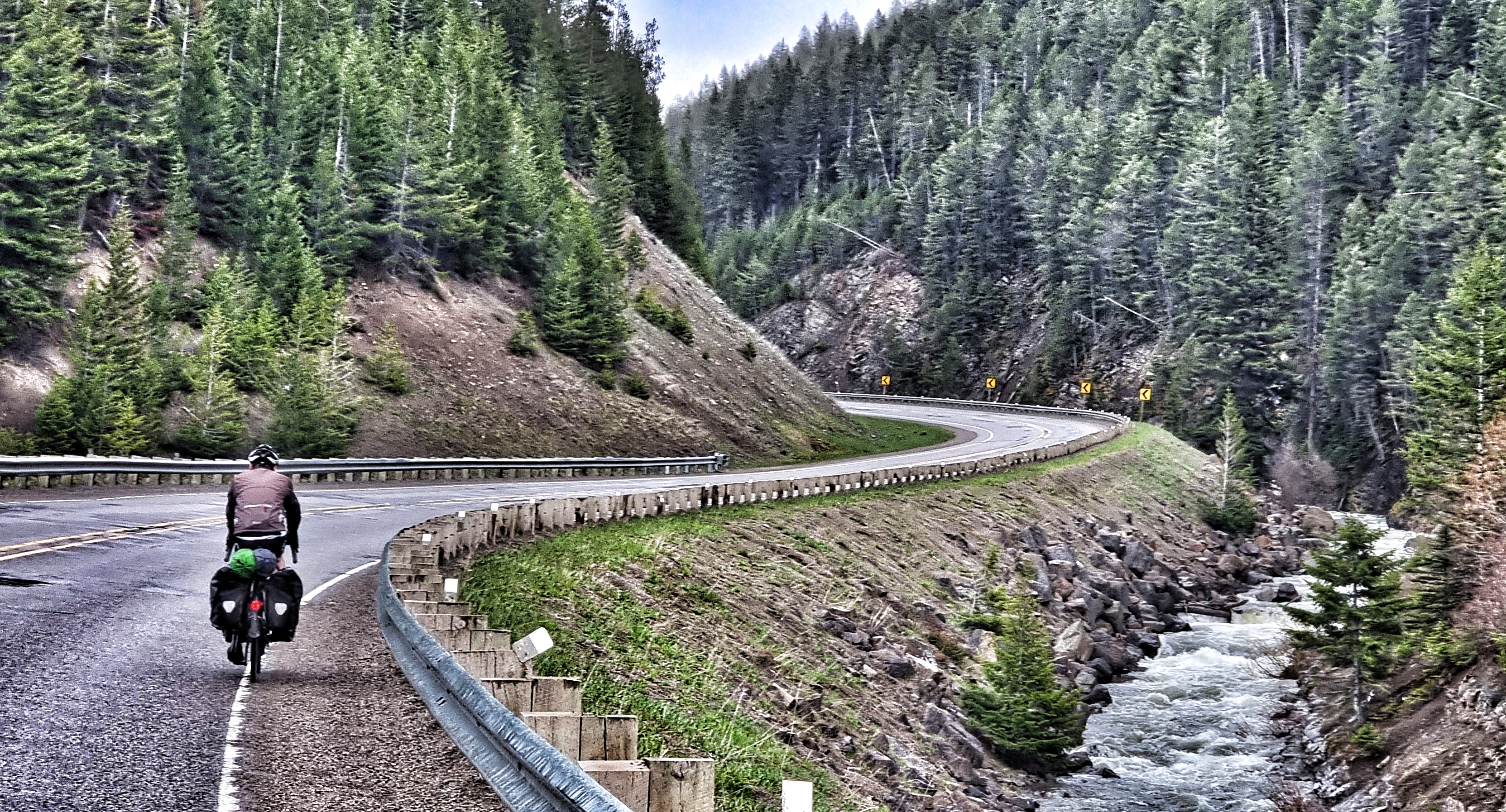
As we reached that single switchback, huge views of the climb up to Logan Pass came into view. Our friendly Ranger who sold us our tickets had told us the road would be closed to motorised traffic from Avalanche Creek & that there were avalanche warnings in place just after Lookout Point – we had to stop climbing at this point. We’d had 8 miles of riding on empty roads, so truly appreciated our good fortune.
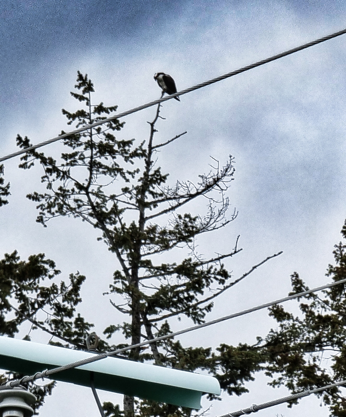
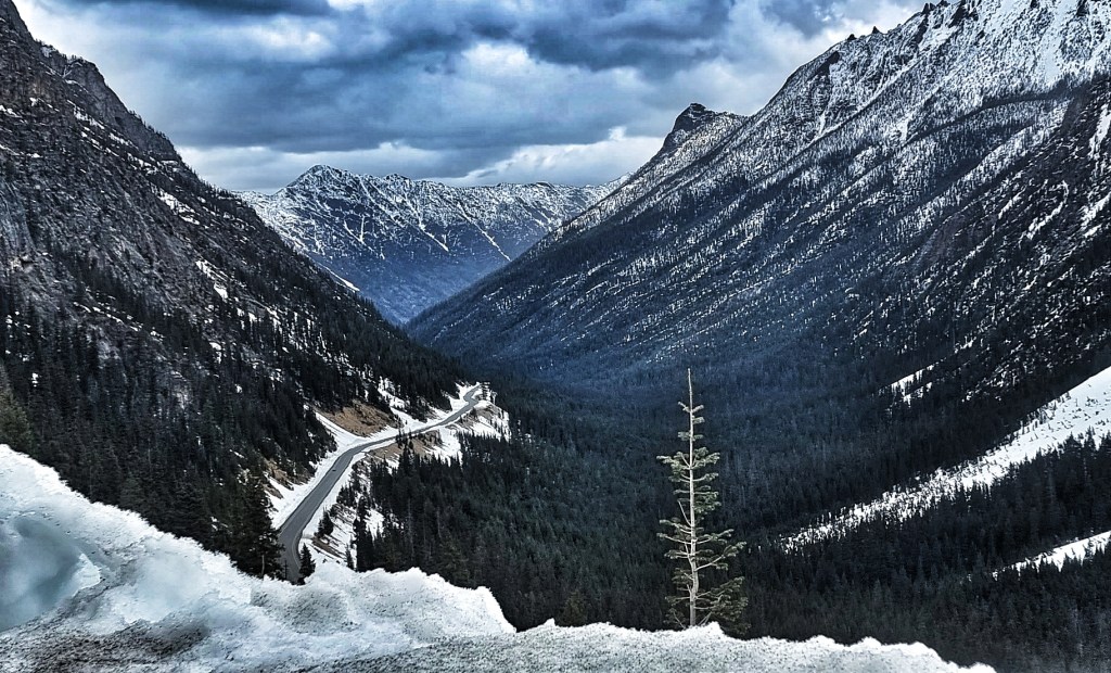
We turned around & pulled in at Lookout Point to drink in the huge vistas & marvel at Heavens Peak, towering above us at 8,987 feet above sea level. As we did, a cheeky chipmonk photobombed my picture!!

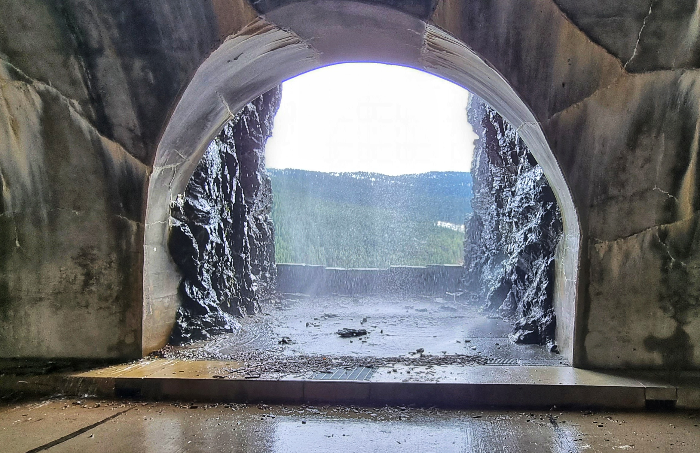
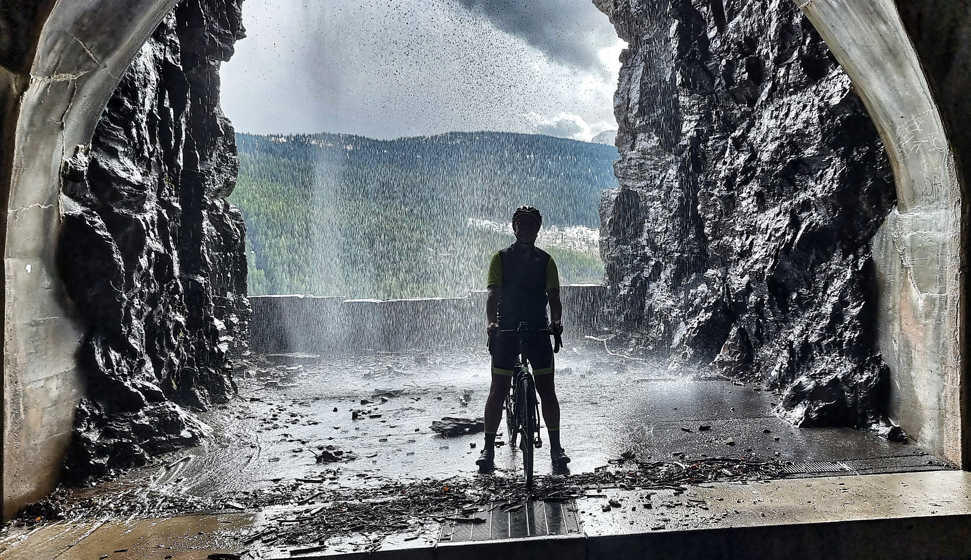
We’d ridden through a tunnel on the way up & it had a couple of windows out across the valley – I’d noticed that water was cascading past the window so stopped for a quick photo – it’s not my greatest ever photo, but it captures the moment.
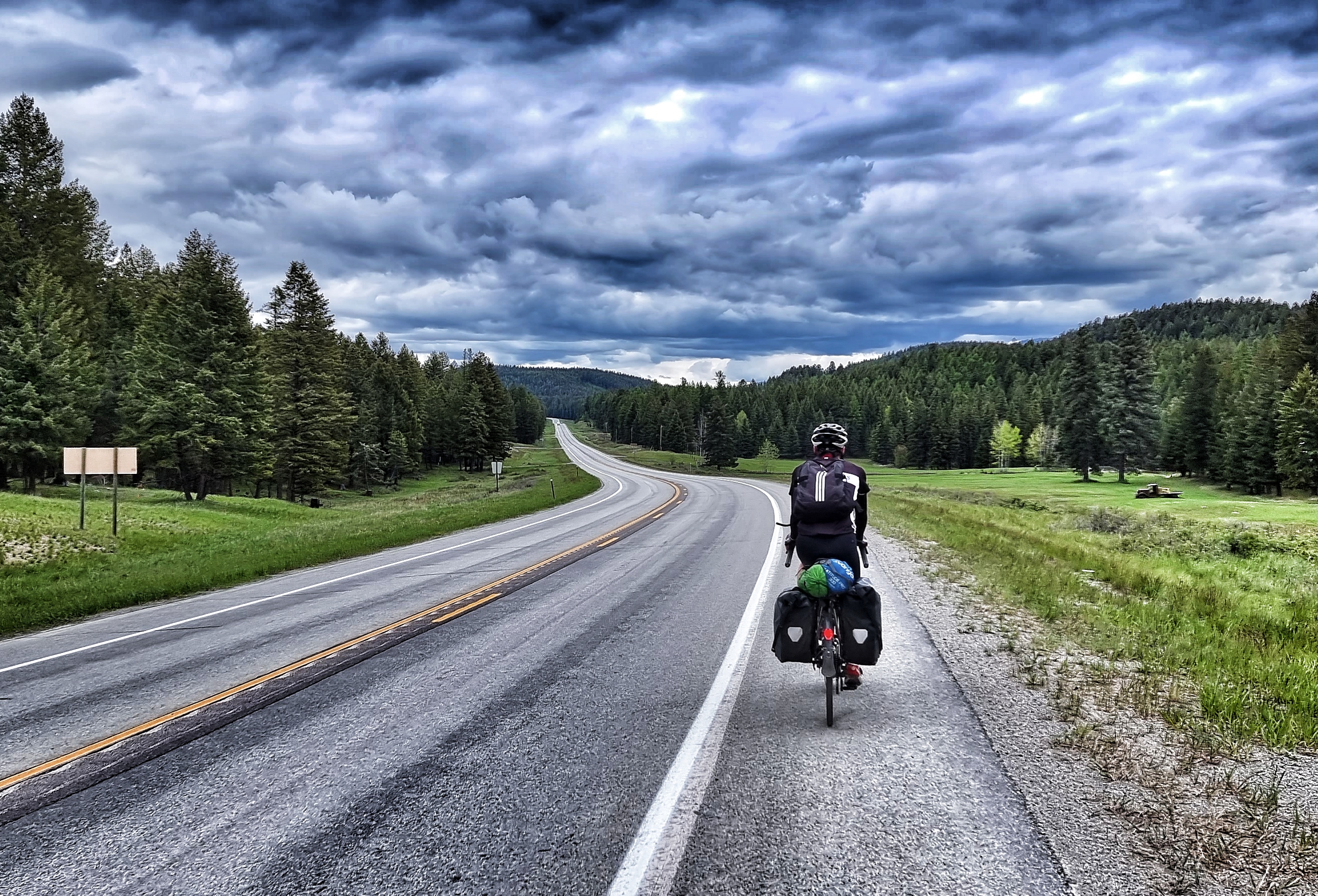
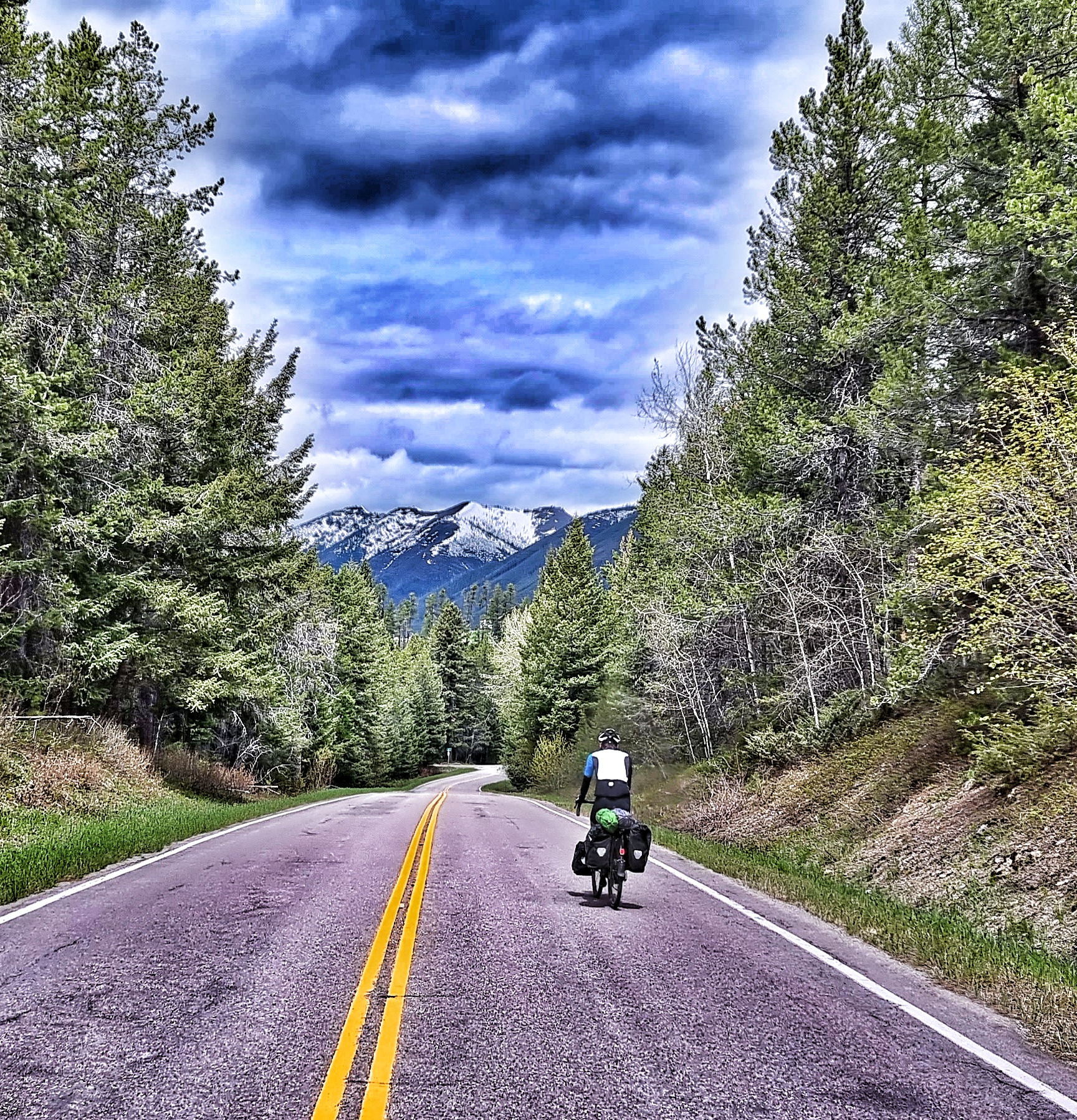
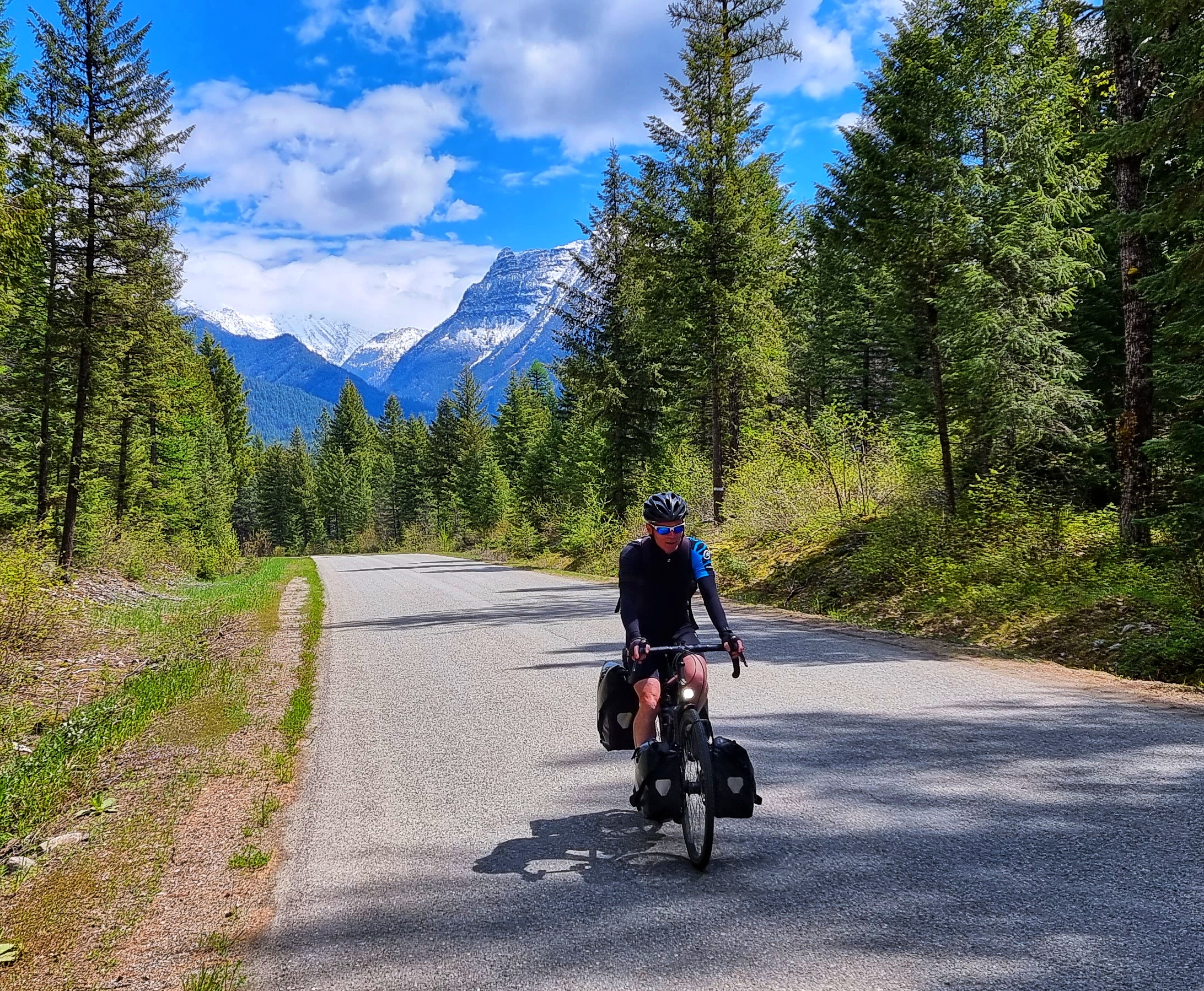
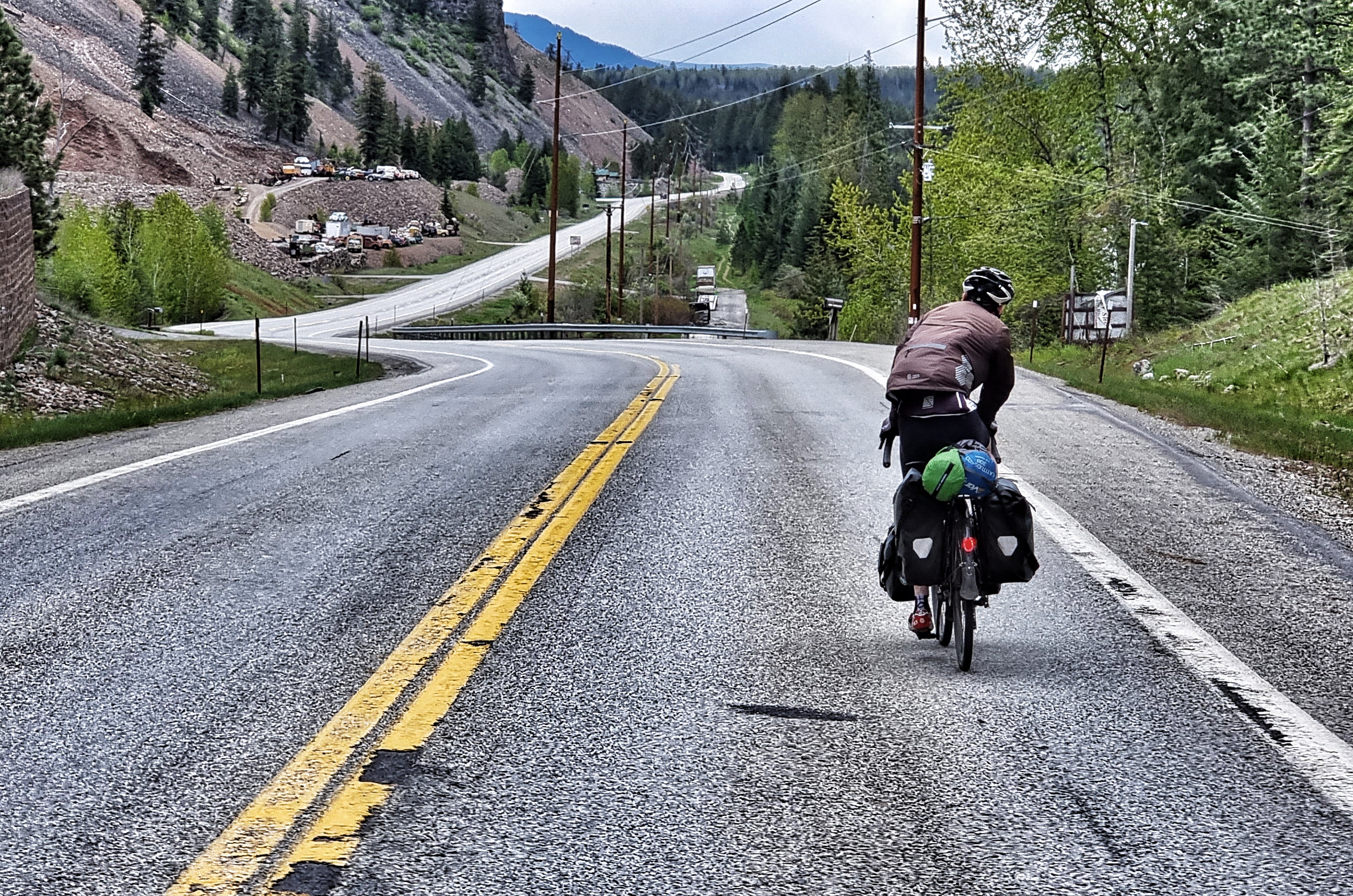
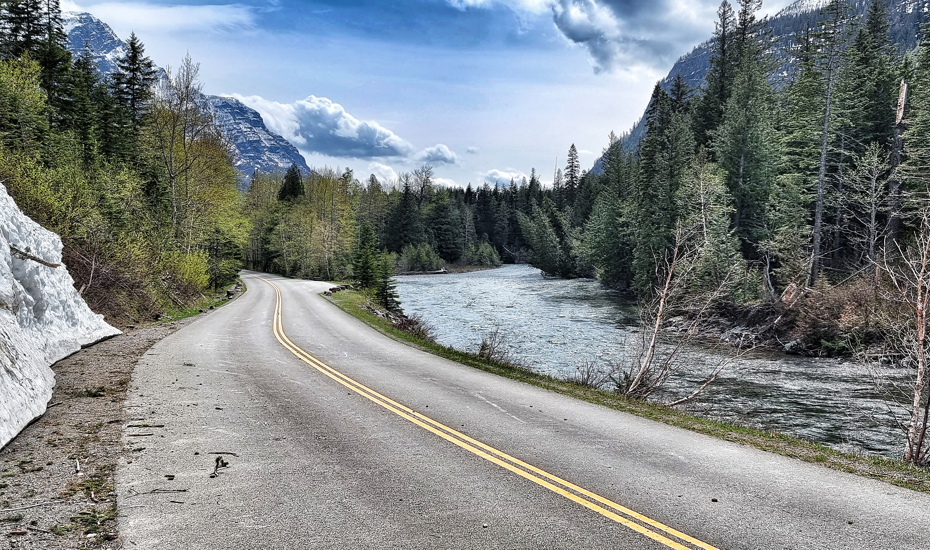
The descent was a joy, as the shallow gradient, wide corners & traffic free tarmac meant that the brakes weren’t required. Having said that, I chose to stop a couple of times to capture the stunning scenery.

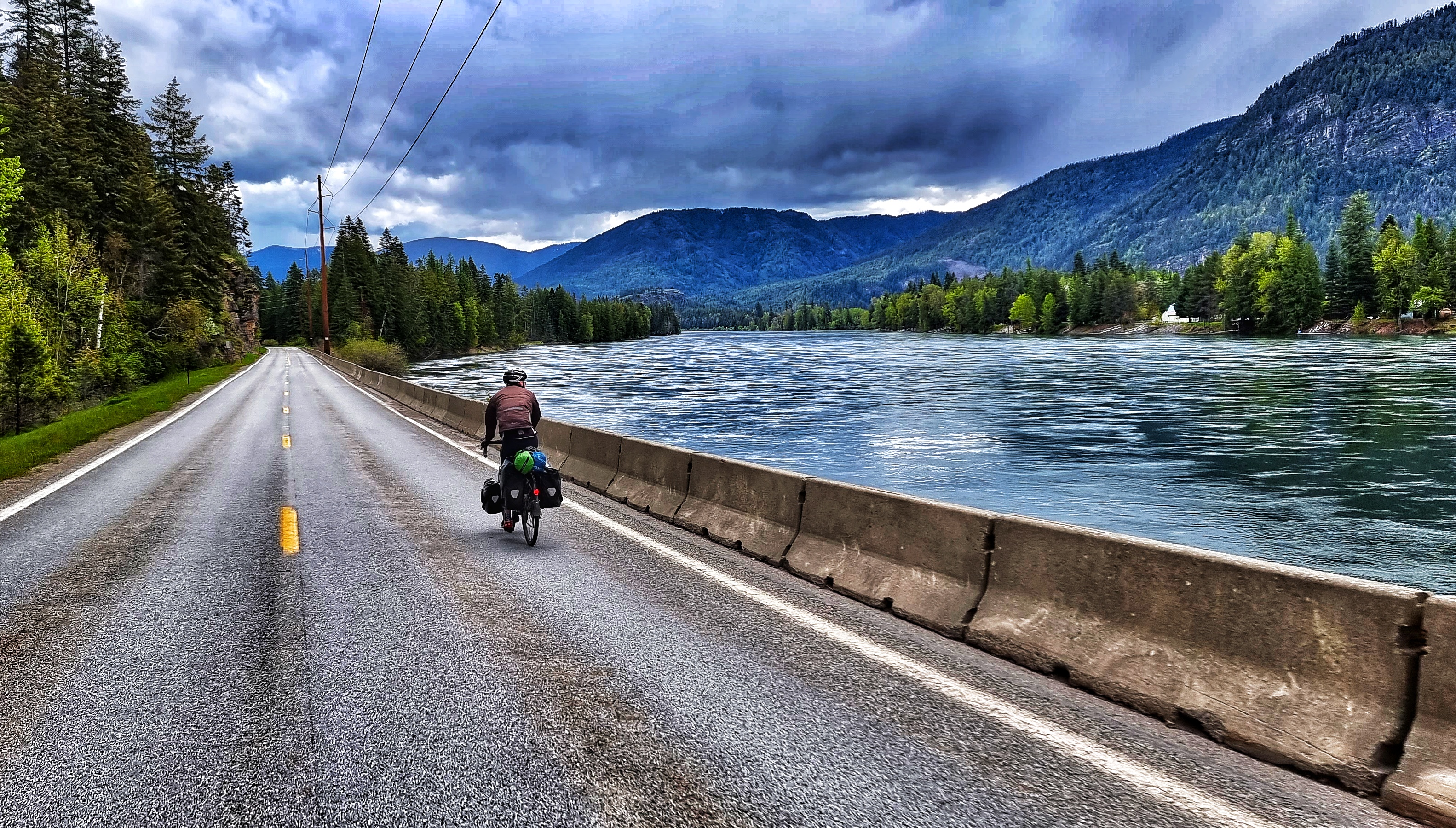
We cycled side by side from McDonald Creek to Avalanche Creek & chatted about our amazing cycling adventure in GNP. We’d also deliberately ridden past a couple of lookout spots on the climb, so we stopped at these on the way down.
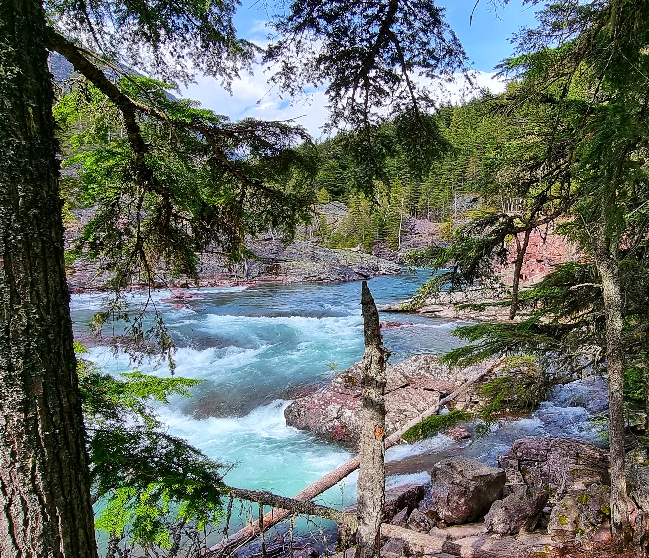
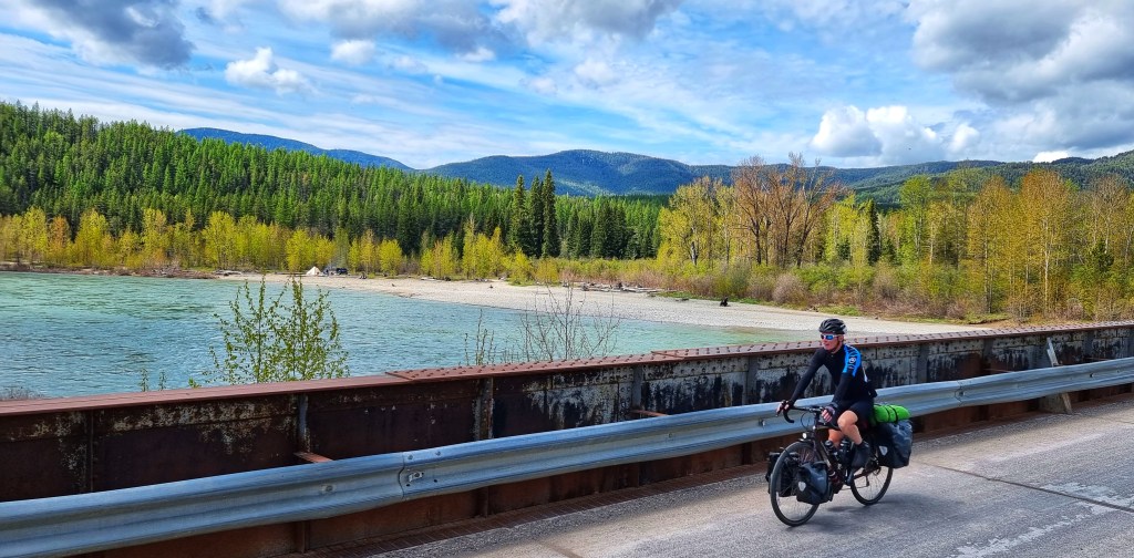
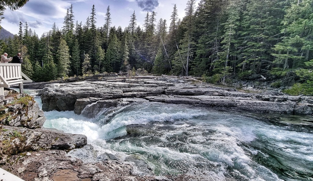
At Avalanche Creek the road re-opened to motor vehicles, so we followed a couple of GNP Tour cars down the valley, stopping at Sacred Dancing Cascade on the way.

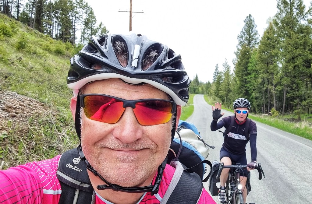
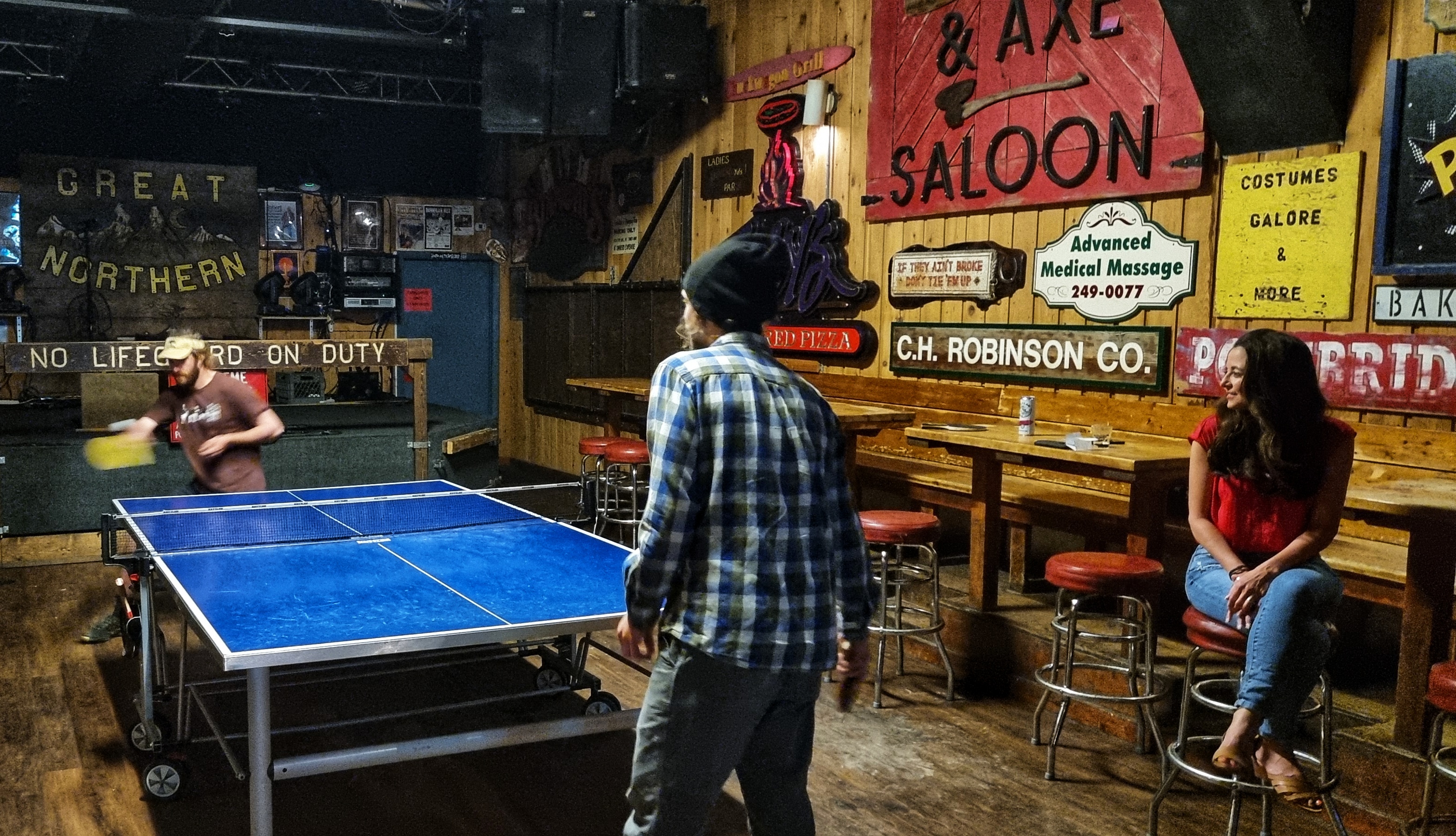
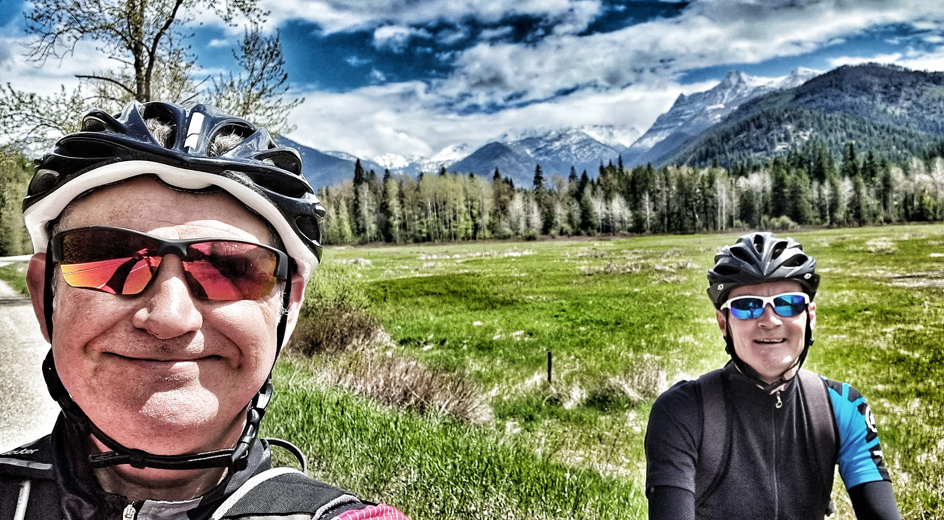
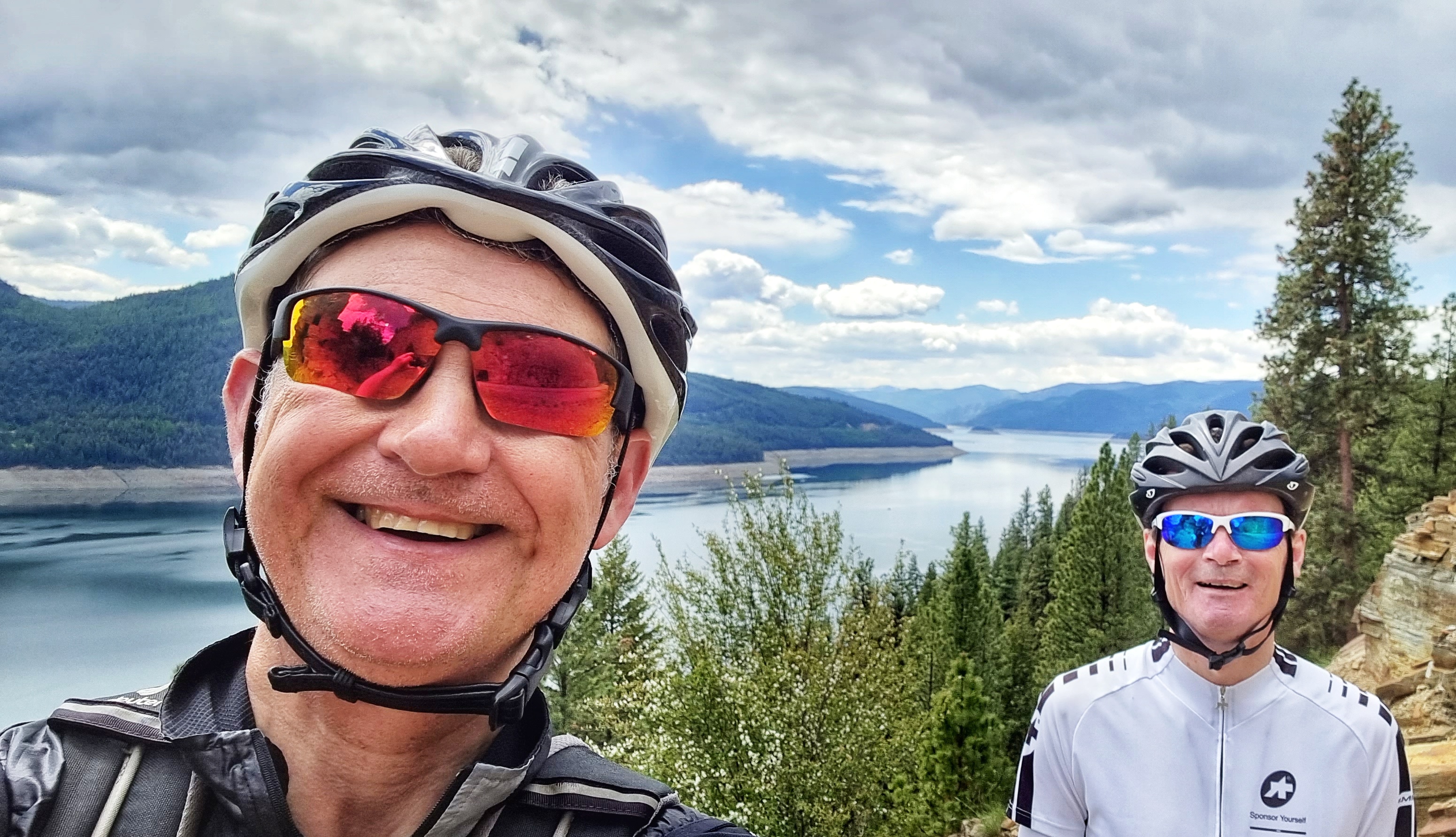
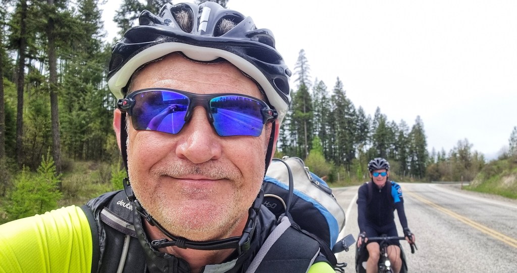
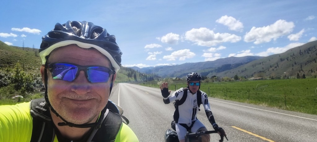
Sean must have the patience of a Saint – I hadn’t realised quite how many photos I’d taken (or how many times I must have stopped) during the afternoon. It would have been easy to get a bit fed up of the countless stops, but he simply let me get on with it – thanks mate, I really do appreciate you giving me the time to capture the moment!!

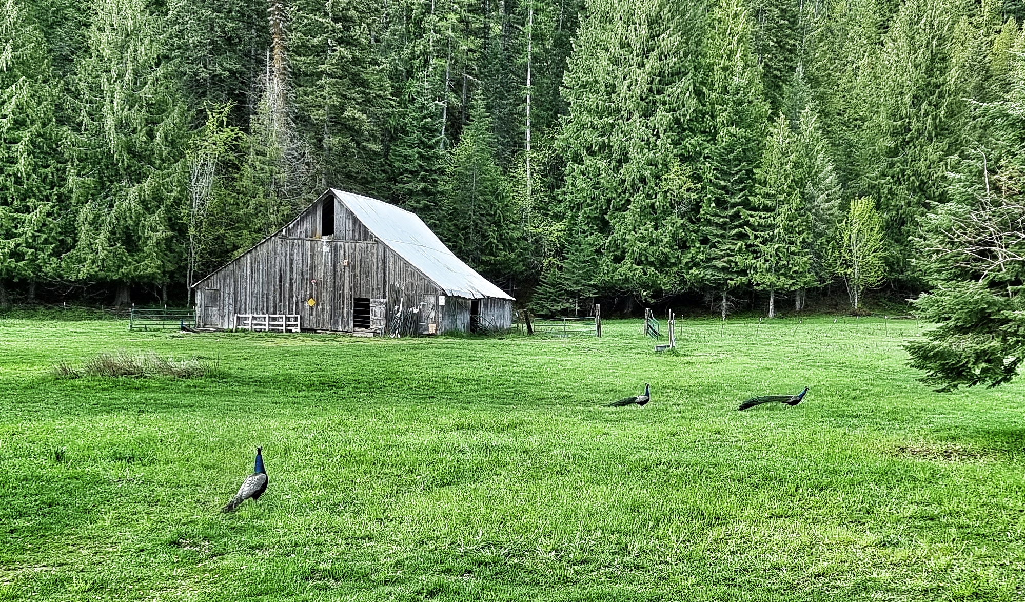
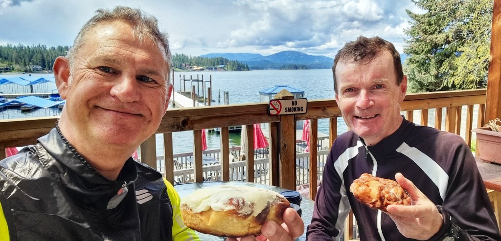
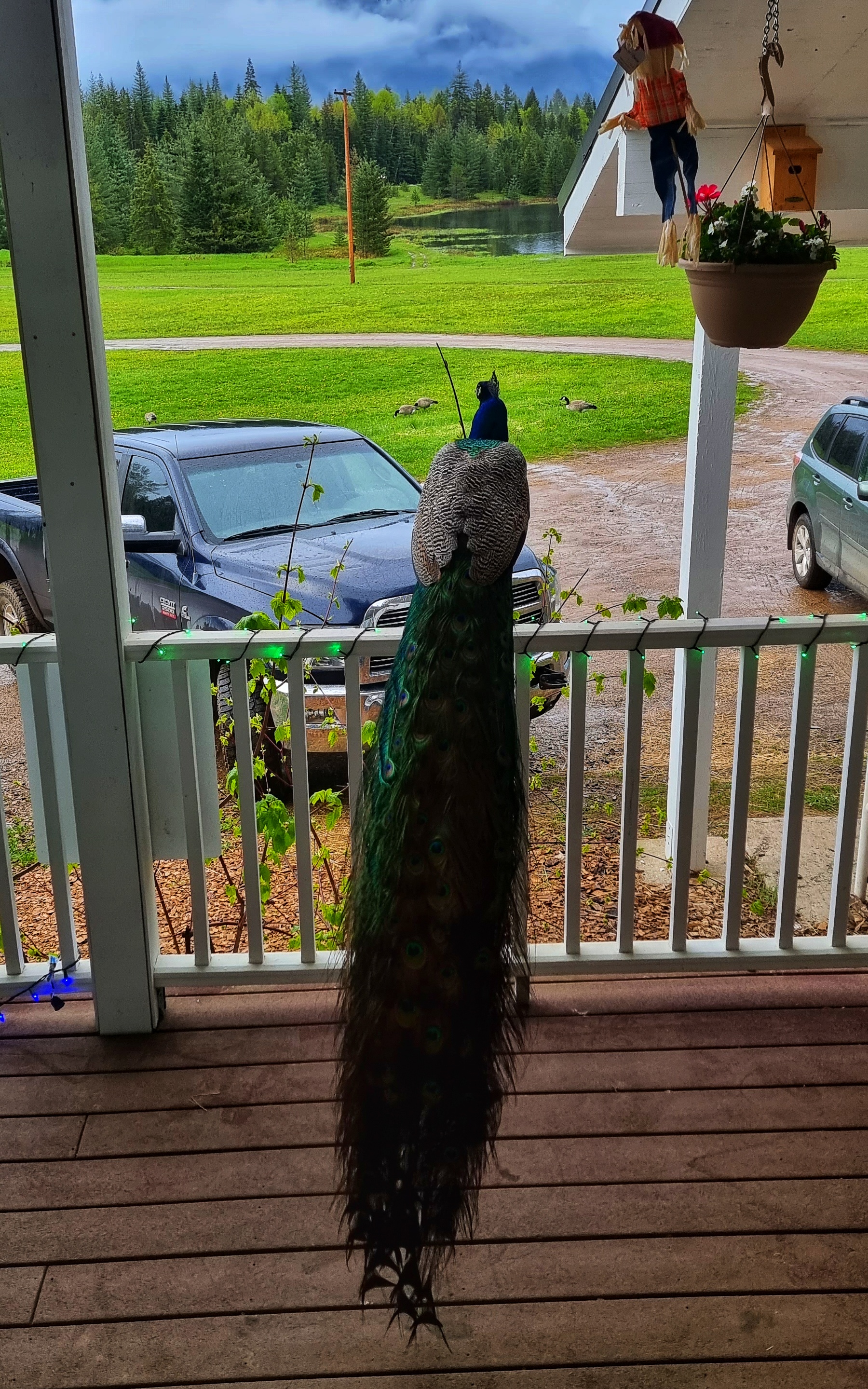
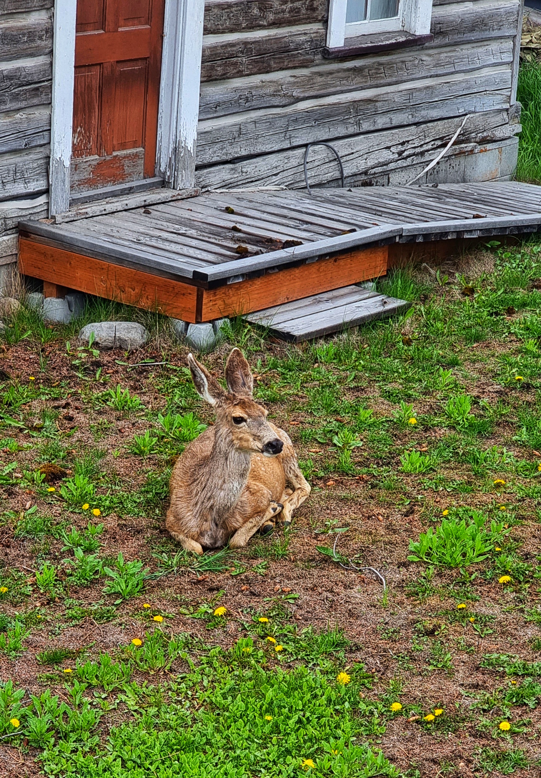
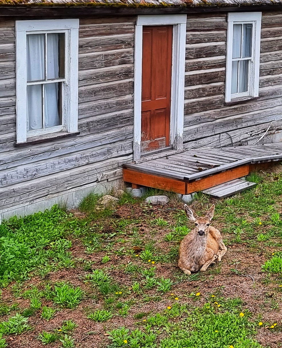
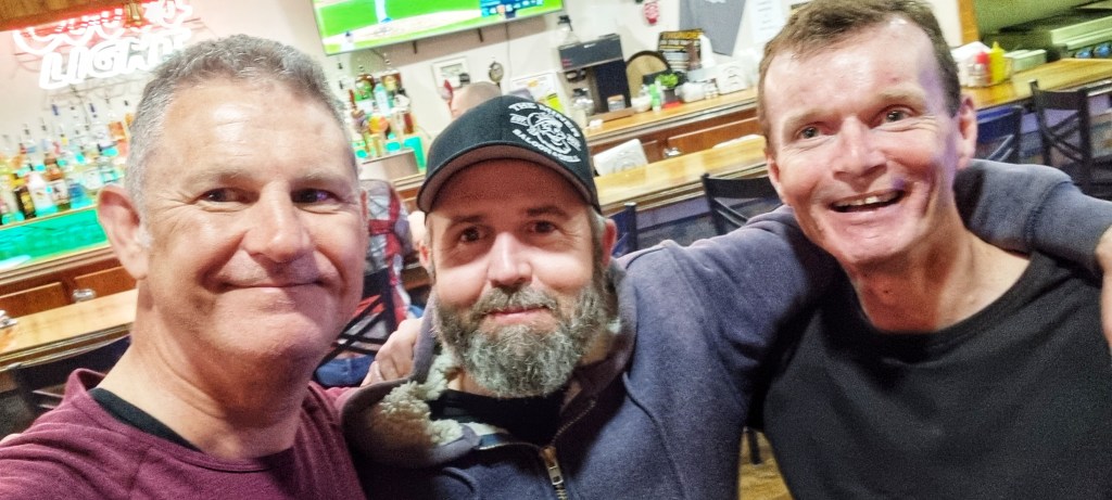
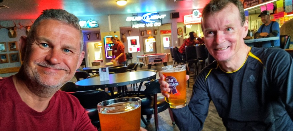
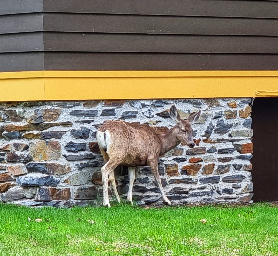
Once we arrived back at our motel, we had a quick shower & change before heading across to the posher Lake McDonald Lodge to reflect on what has been a monumental day in the saddle – we’re clearly making an impression, as one of the deer popped over to check on the out of towners!
After dinner we went for a stroll around the grounds of Lake McDonald Lodge & took in the last of the daylight, as the sun set behind the towering peaks.
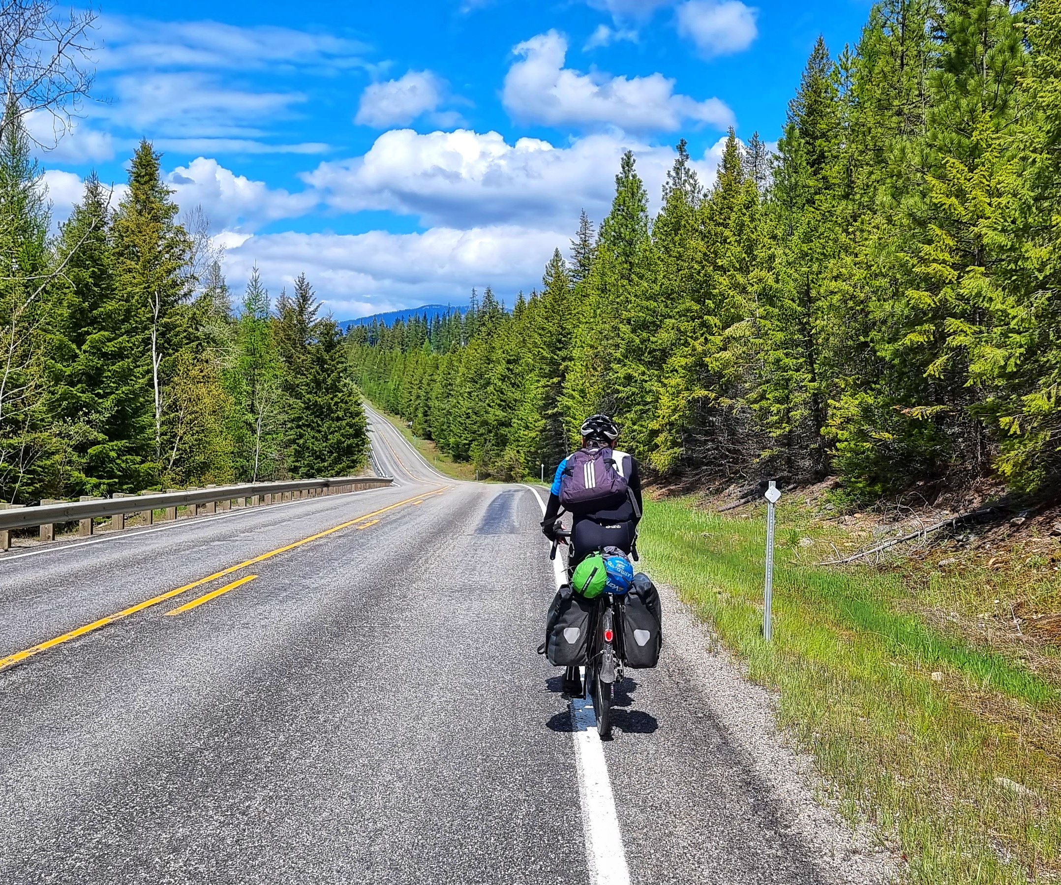
Stage Stats – 27 miles in Glacier National Park, 1,425 feet of climbing. More stunning scenery, jaw-dropping vistas & wildlife than I could count!
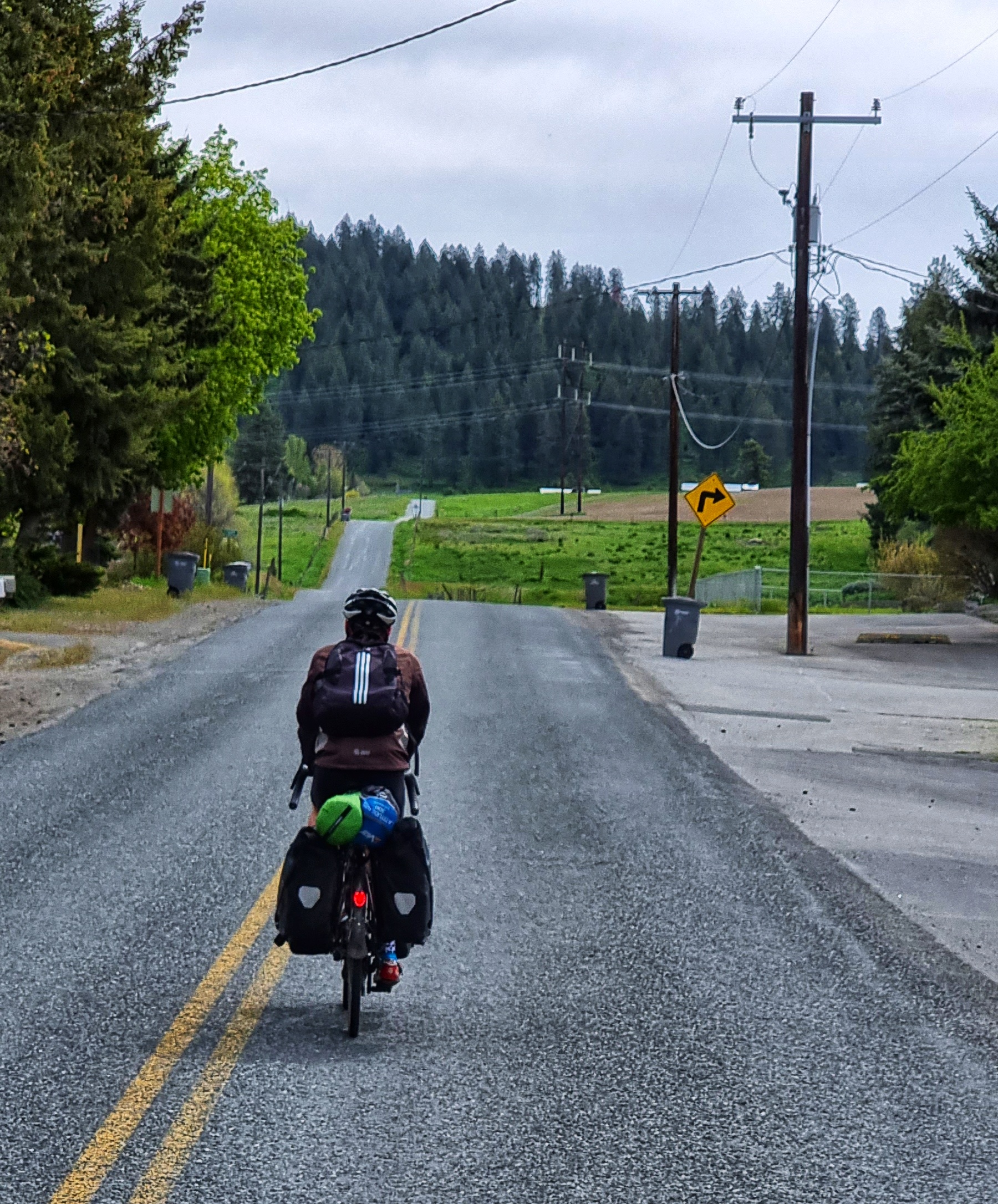
Friday 27th May – Glacier National Park to East Glacier Village (Stage 22)
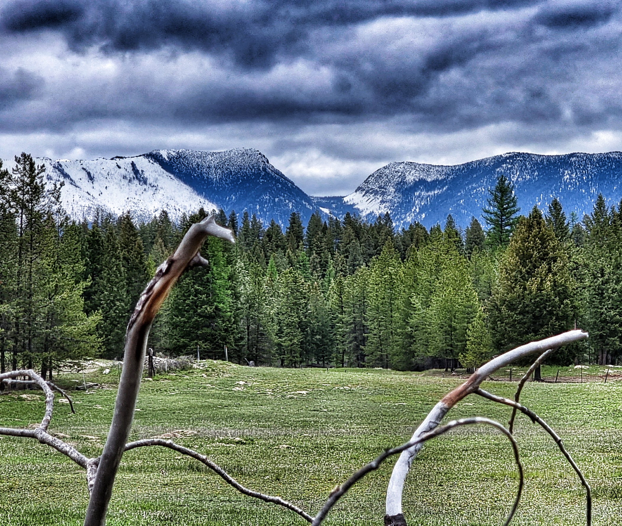
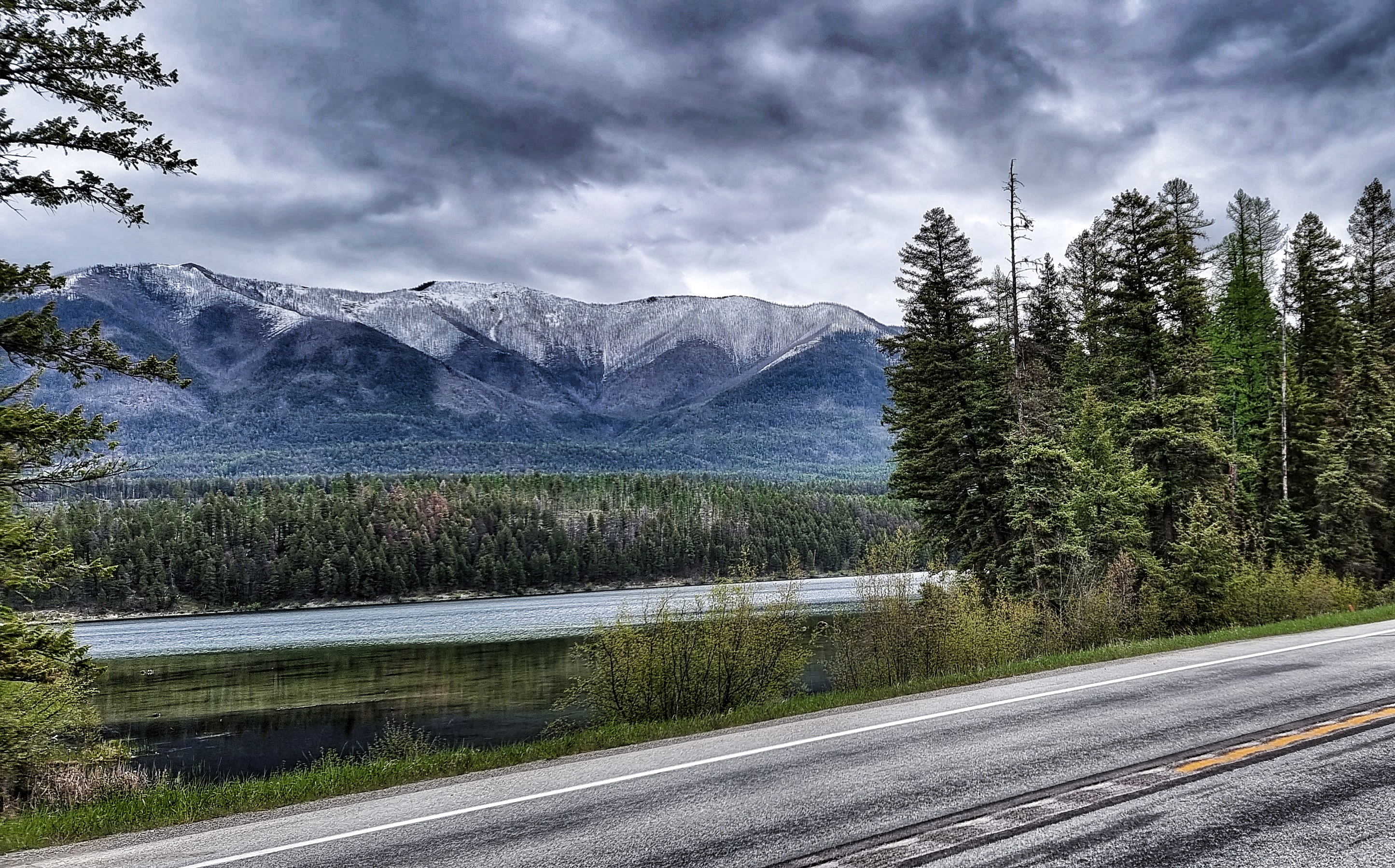
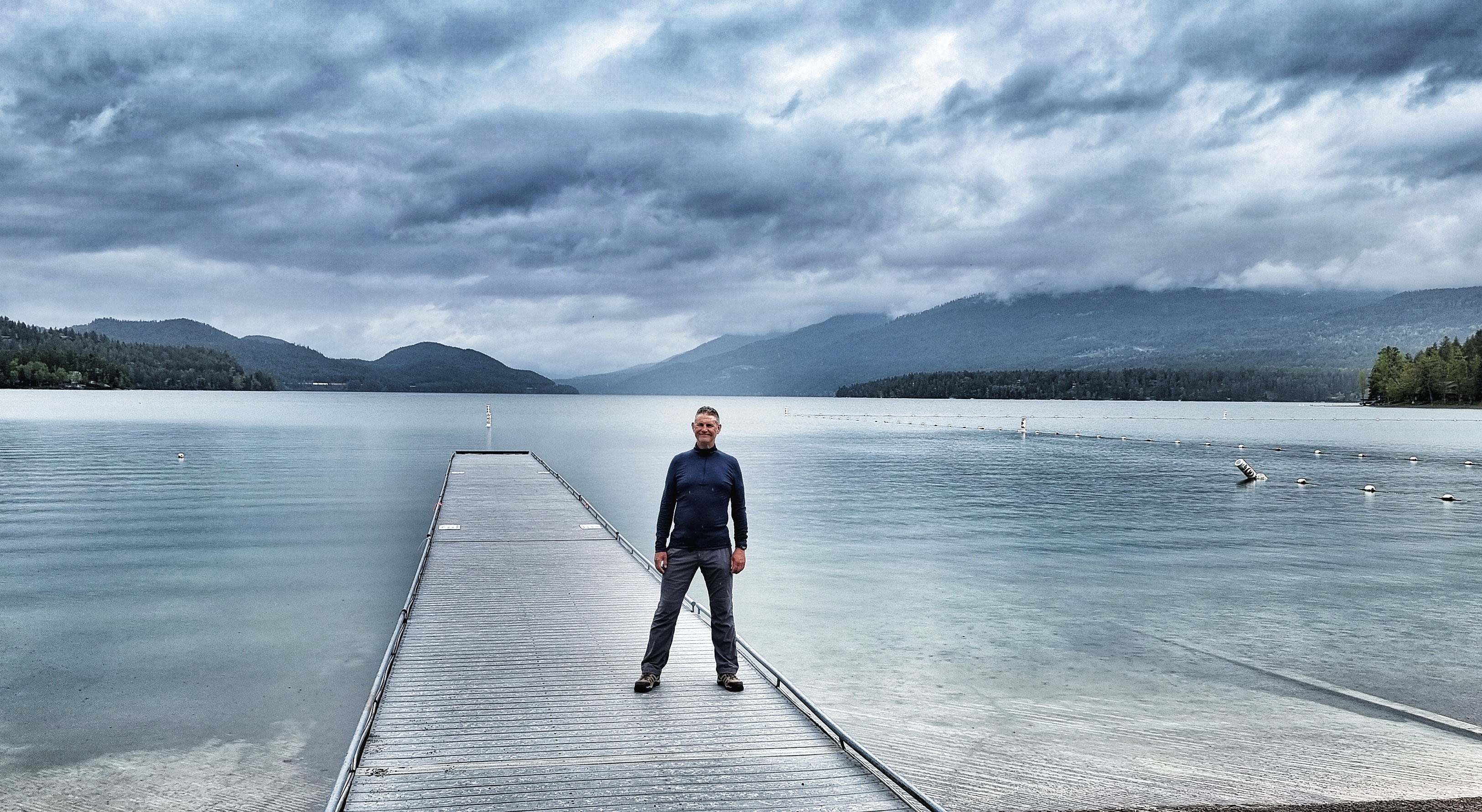
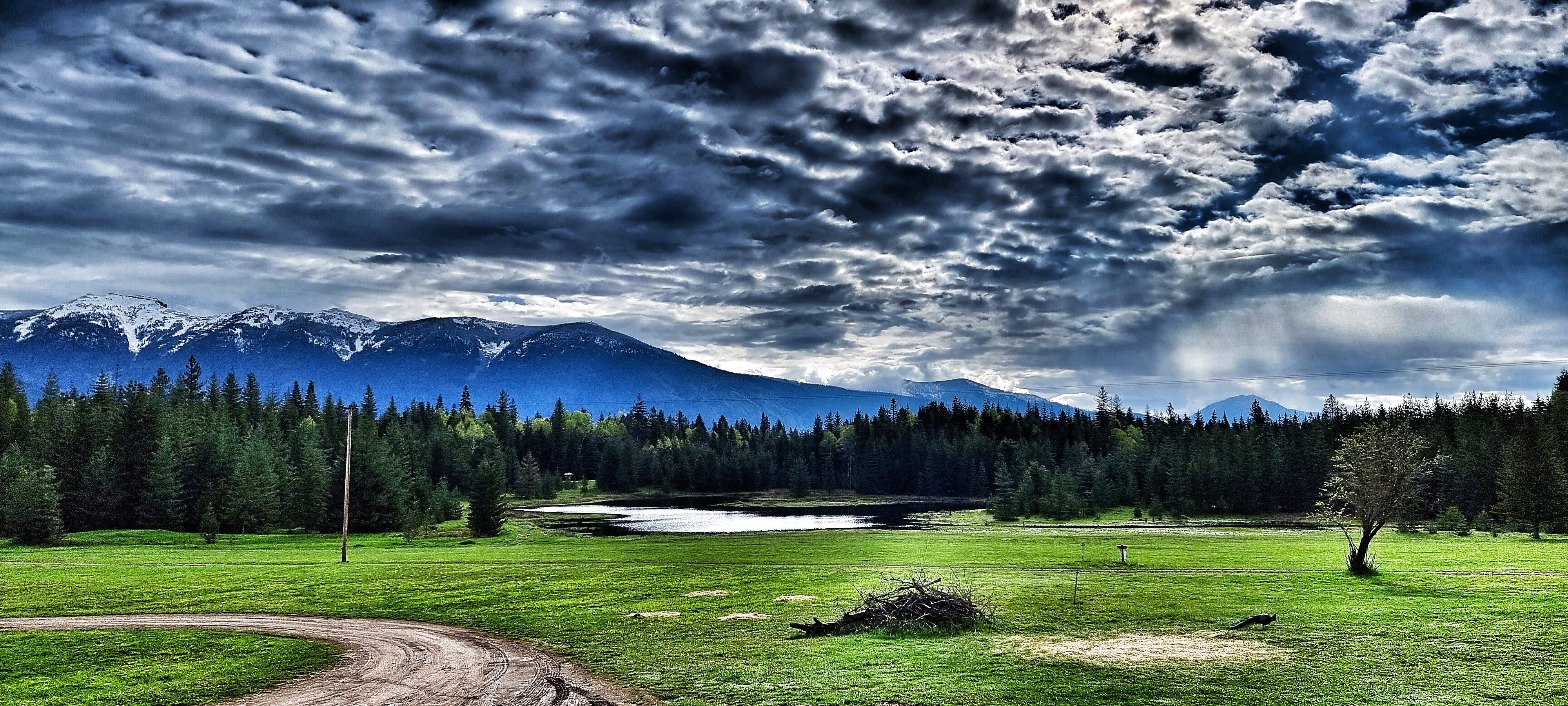
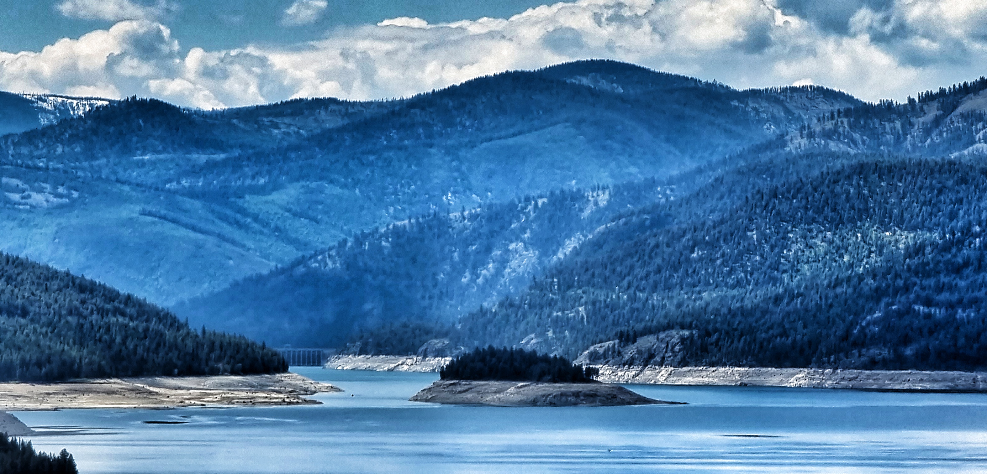
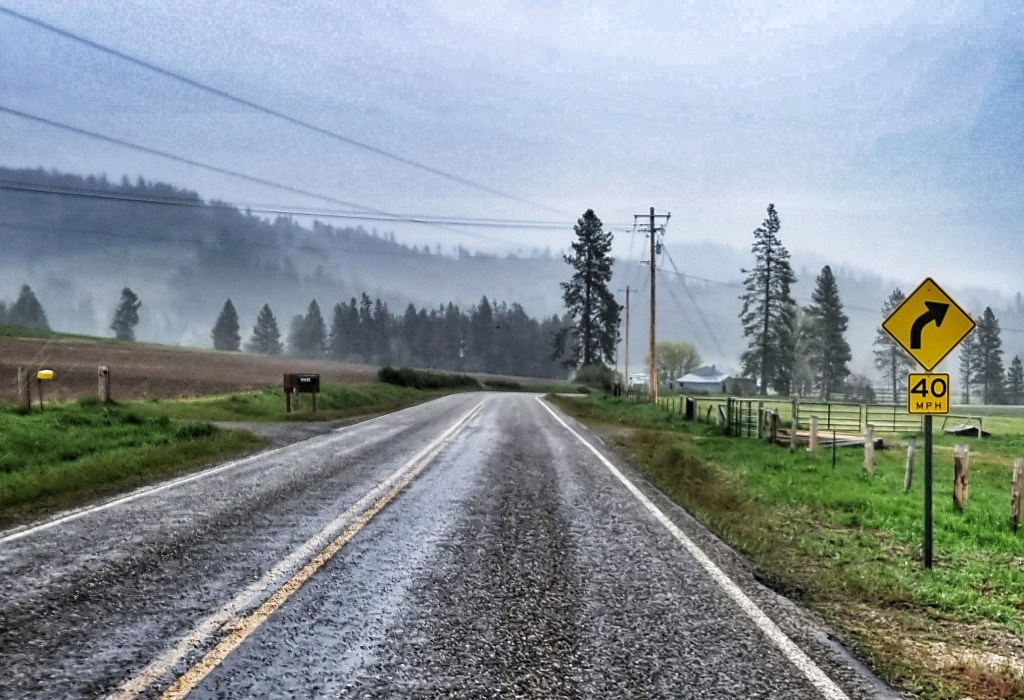
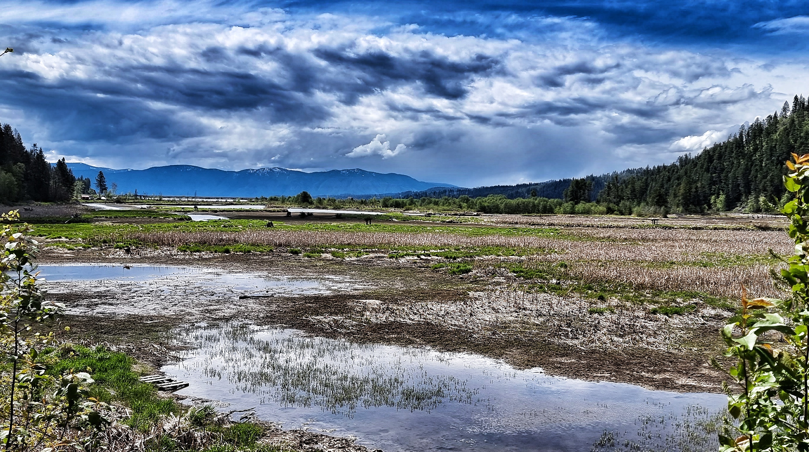
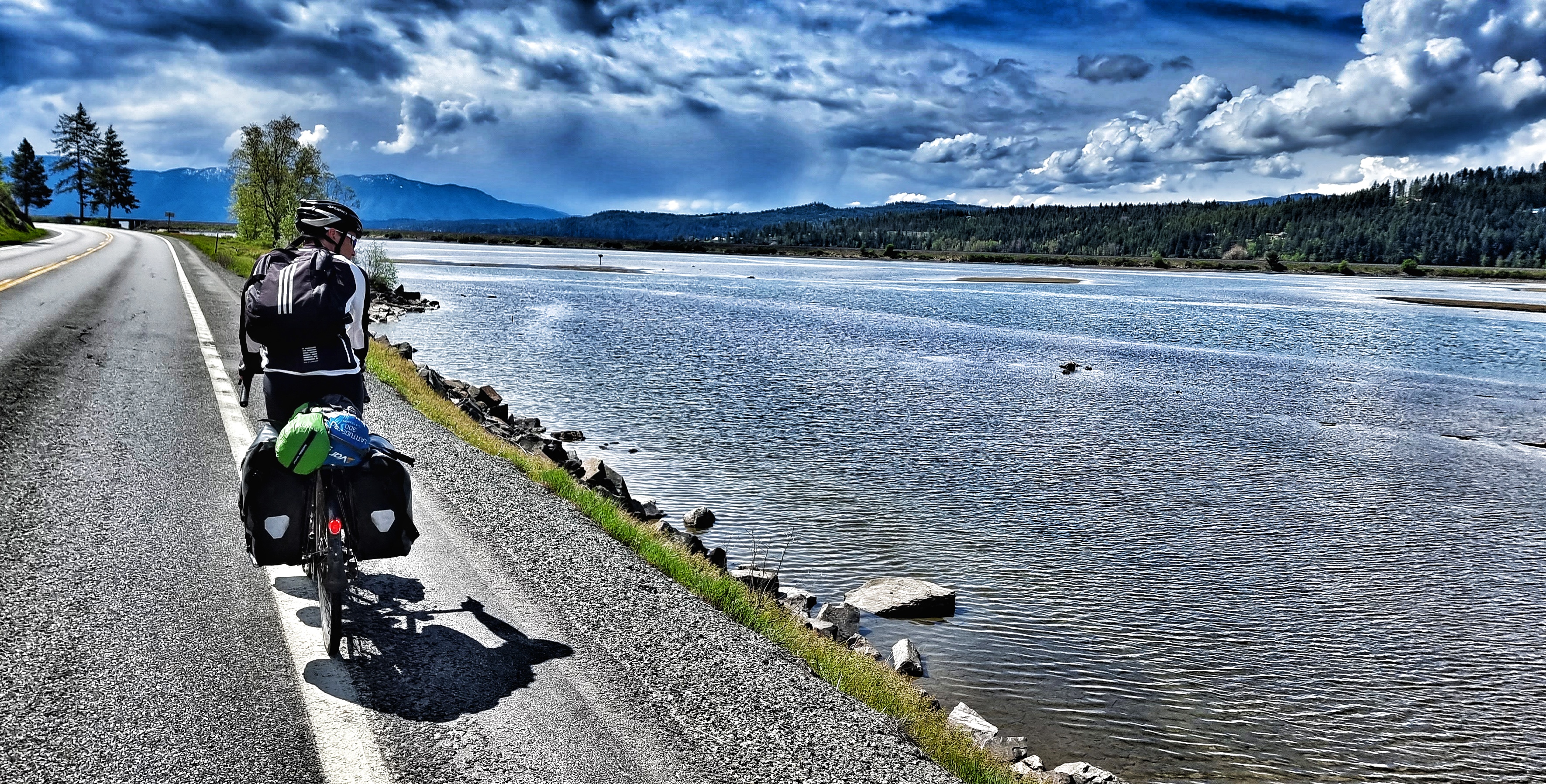
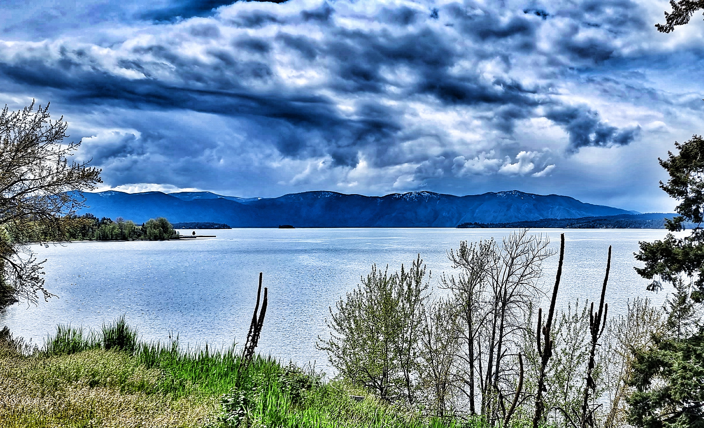
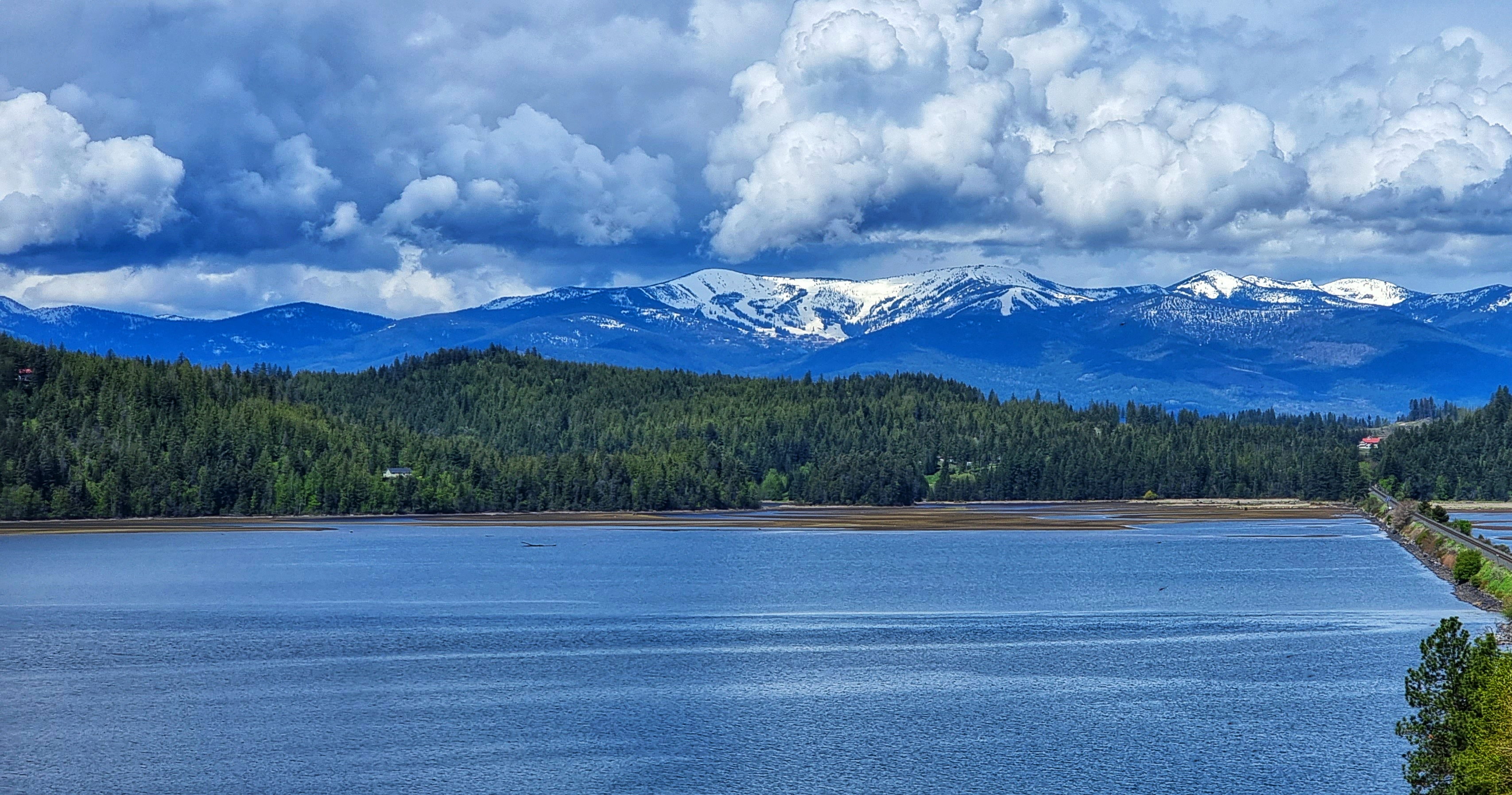
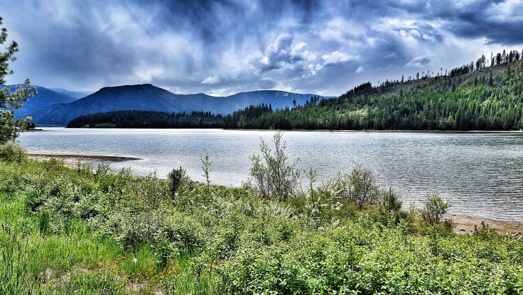
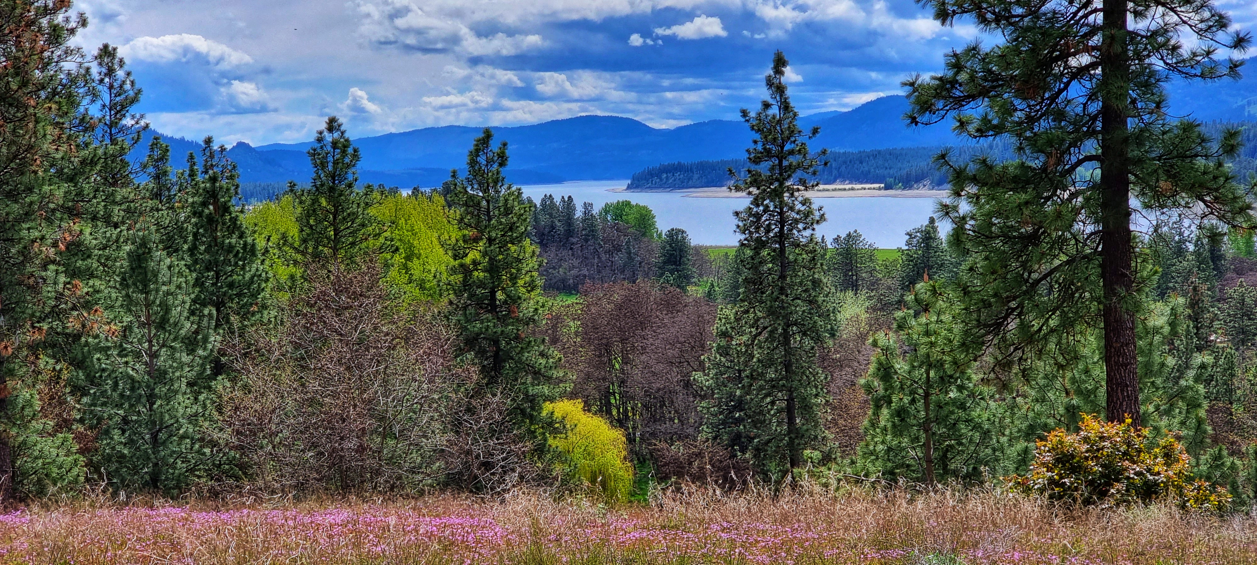
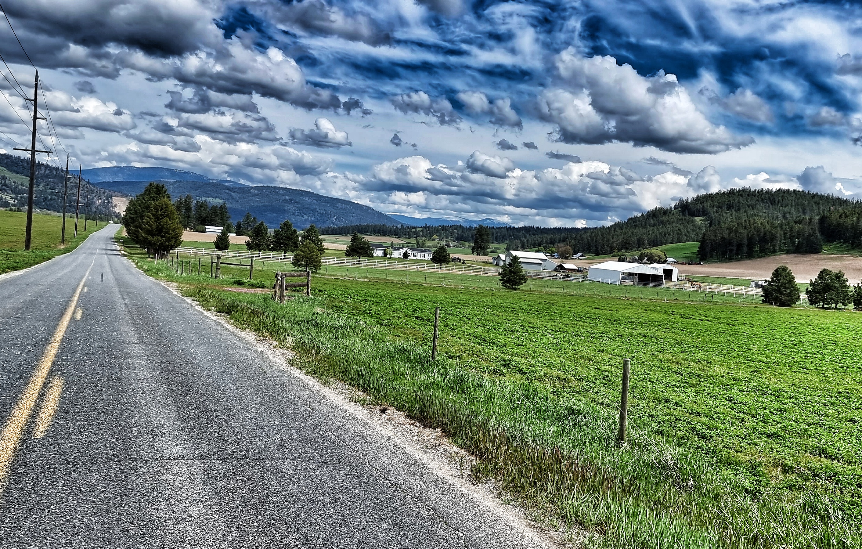
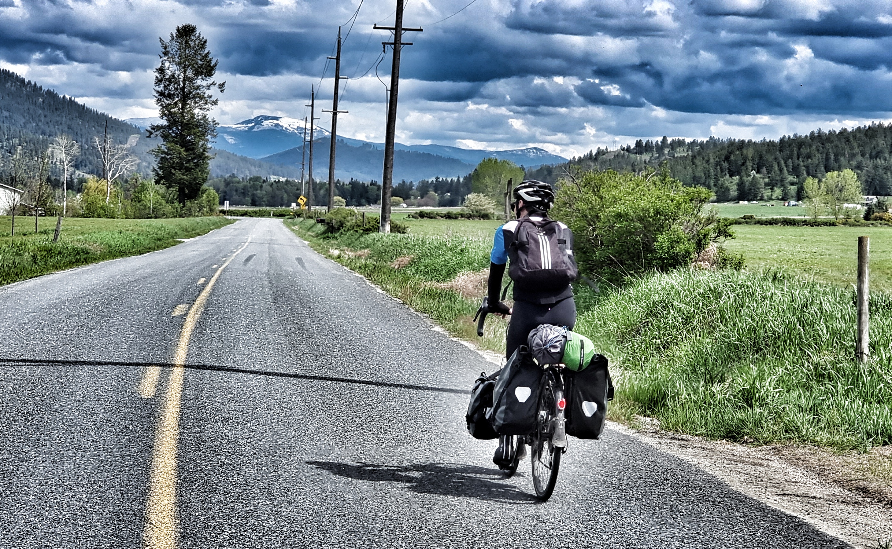
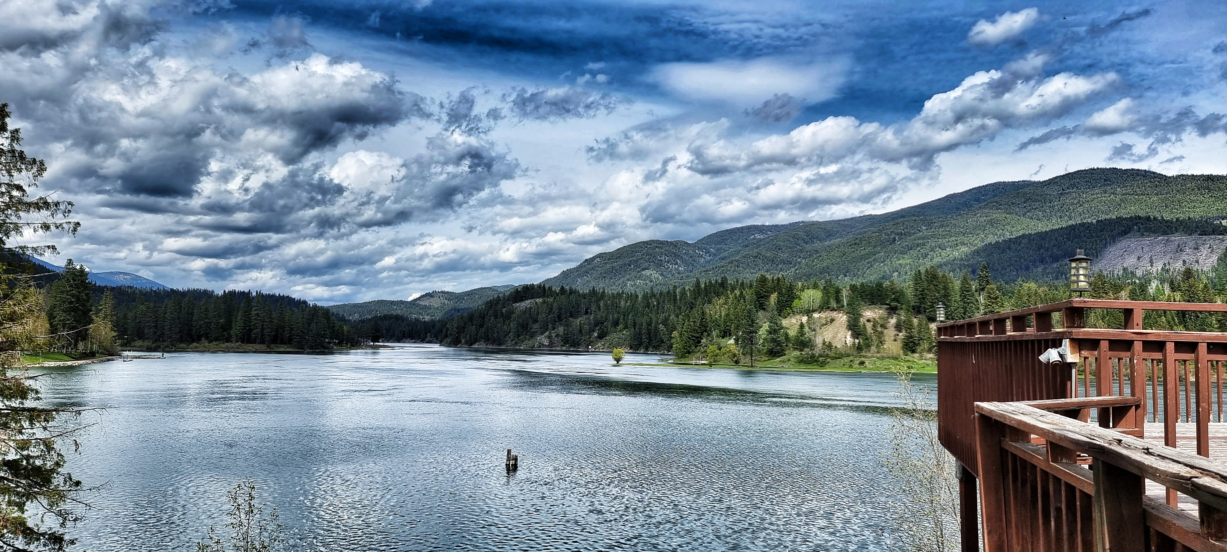
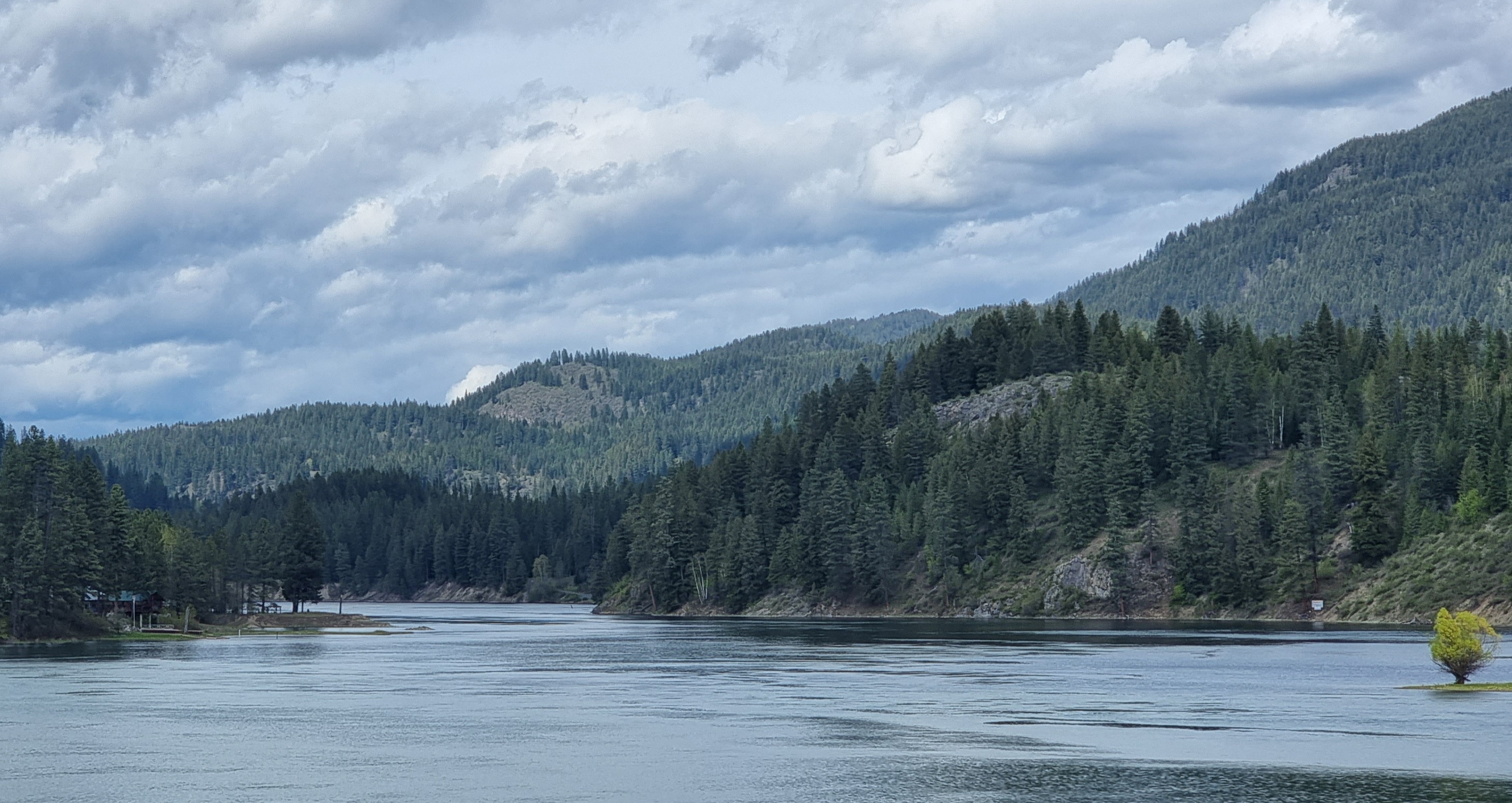
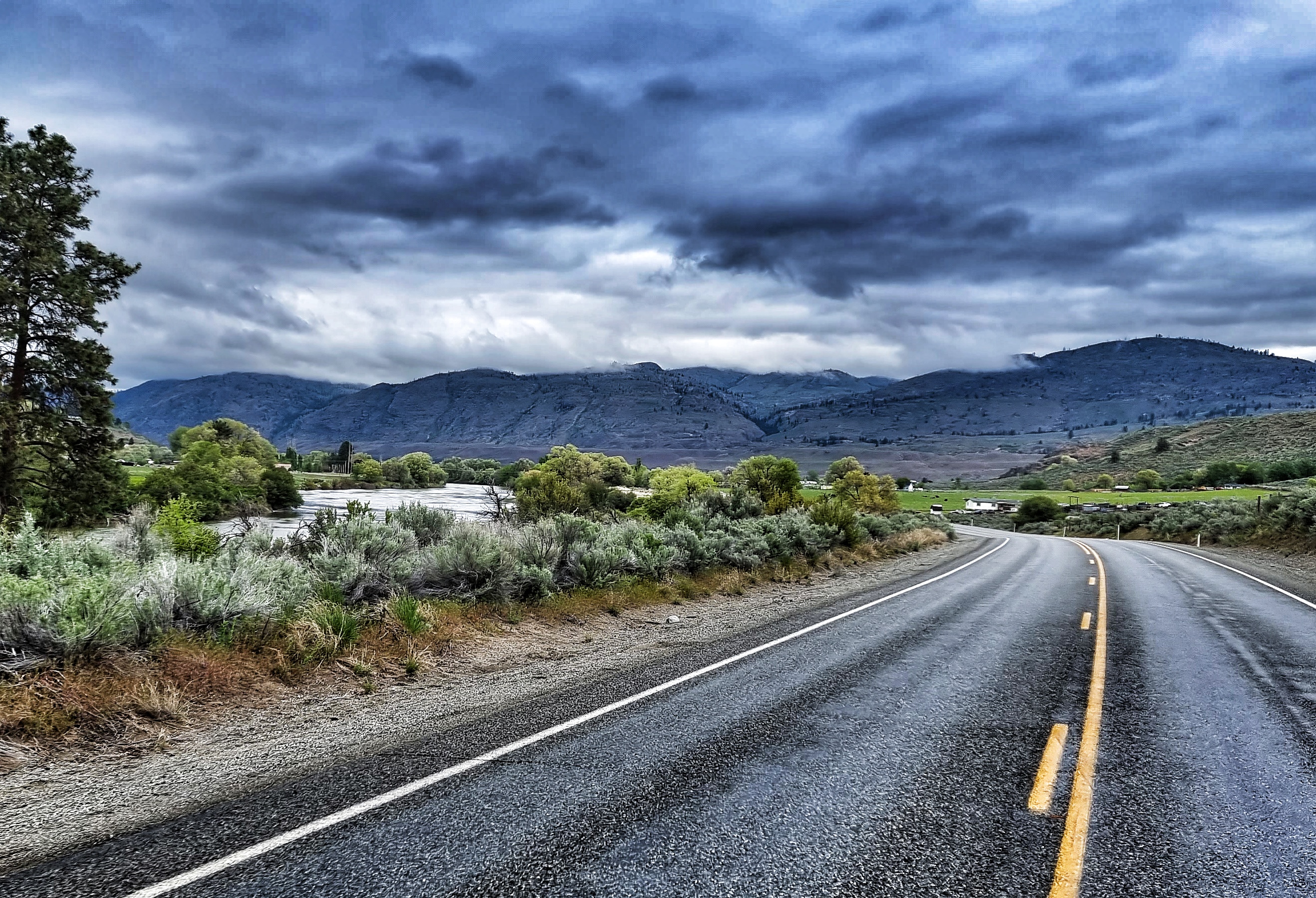
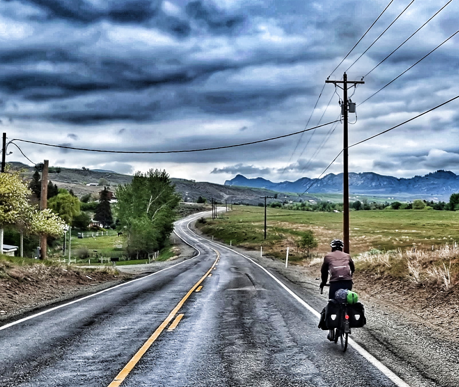
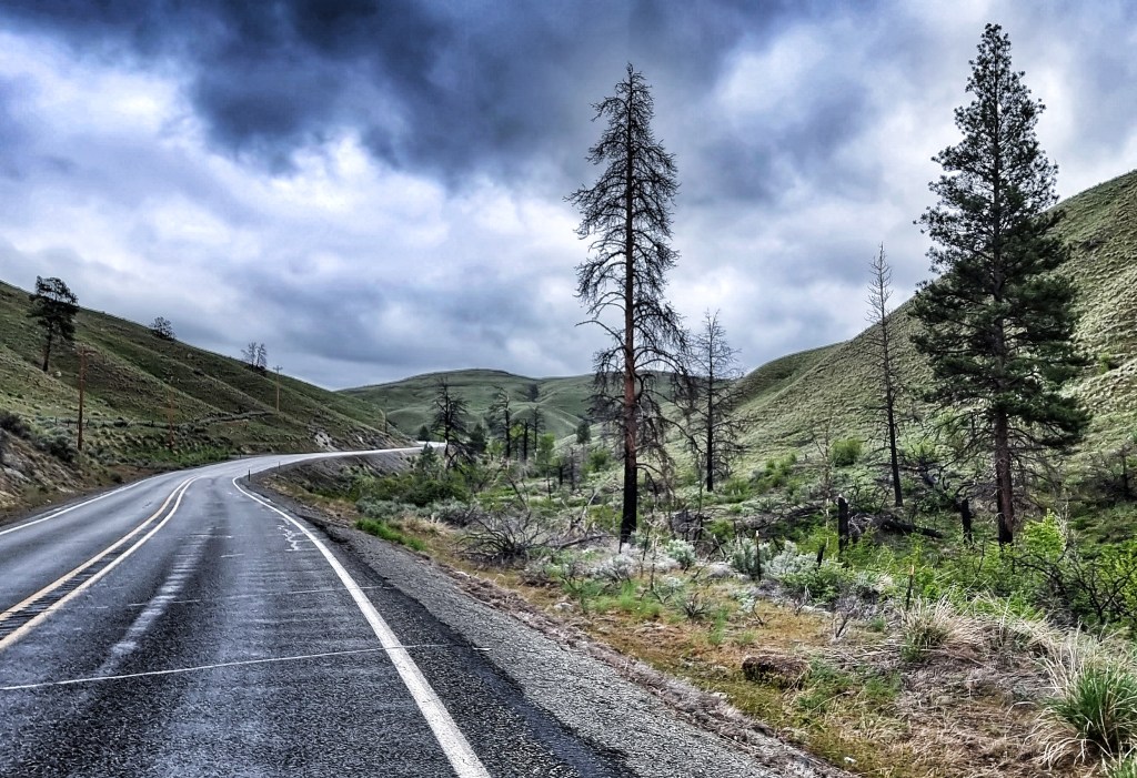
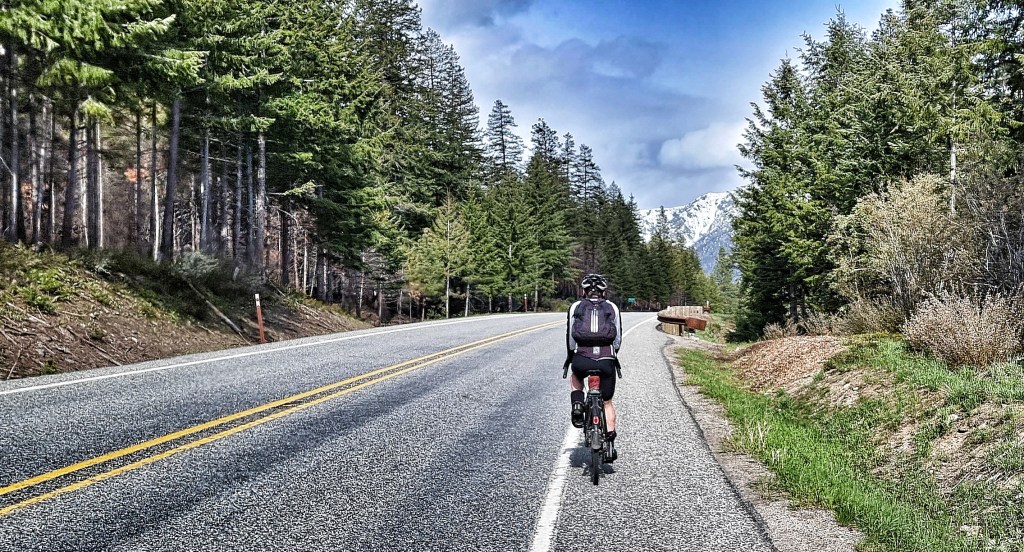
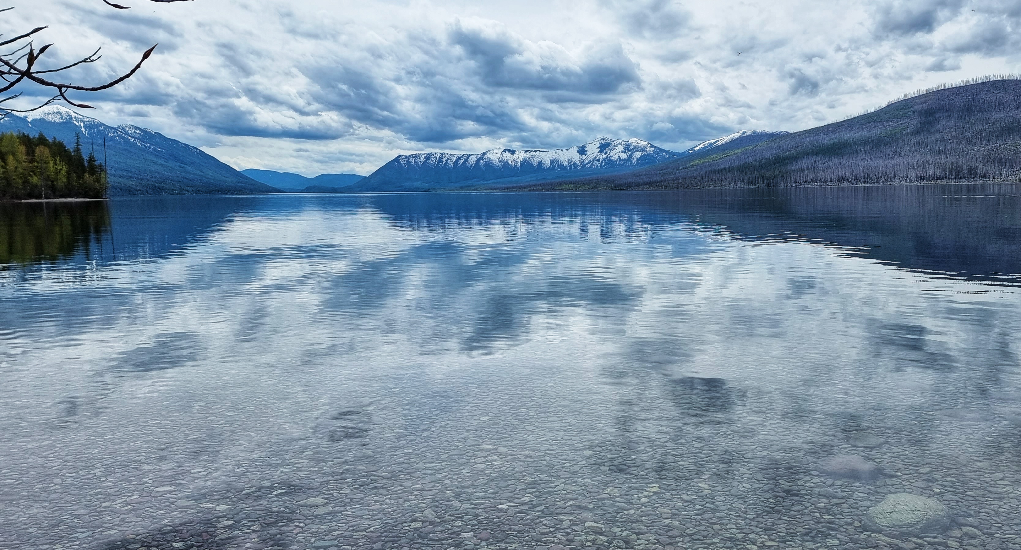
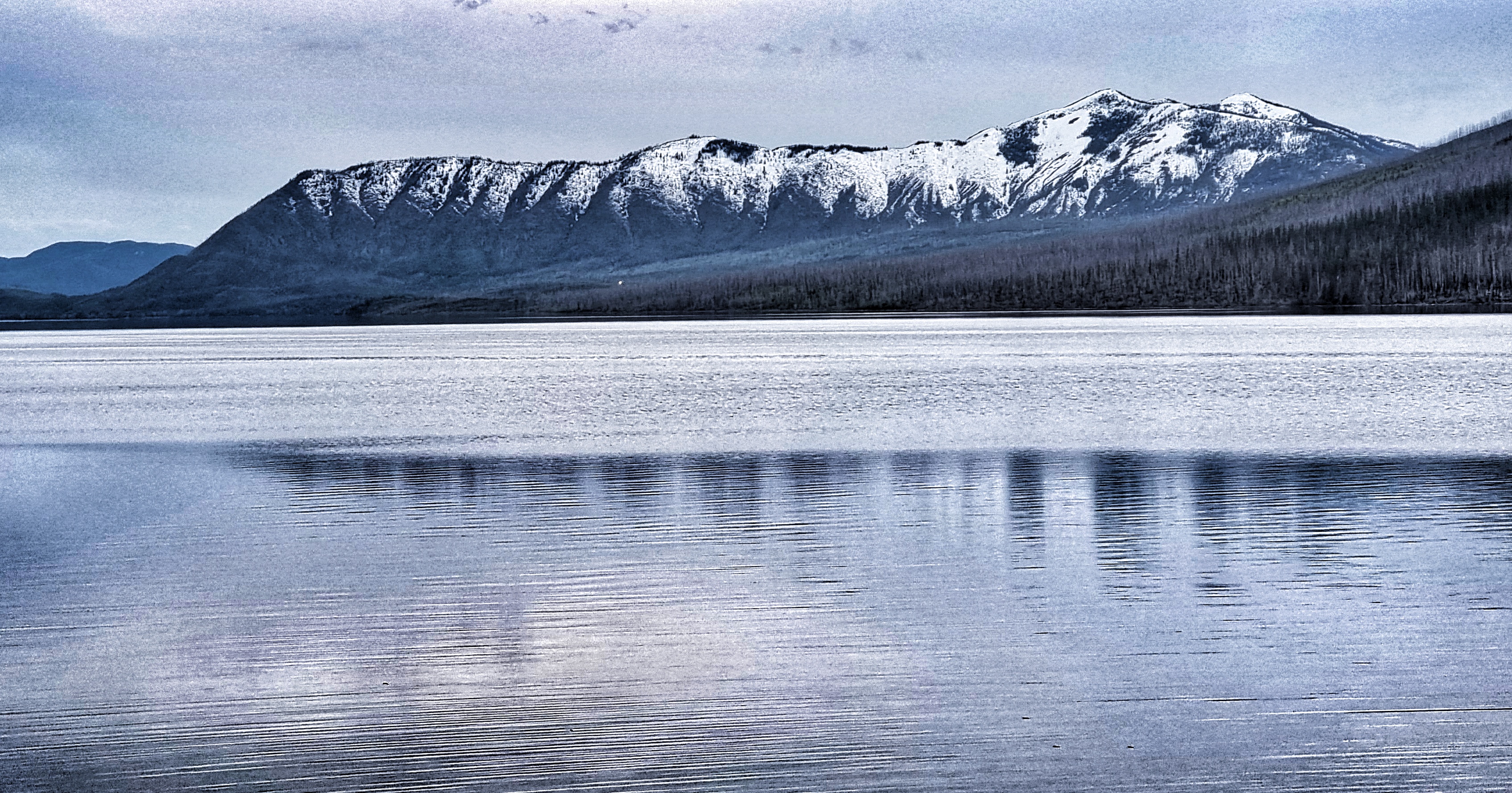
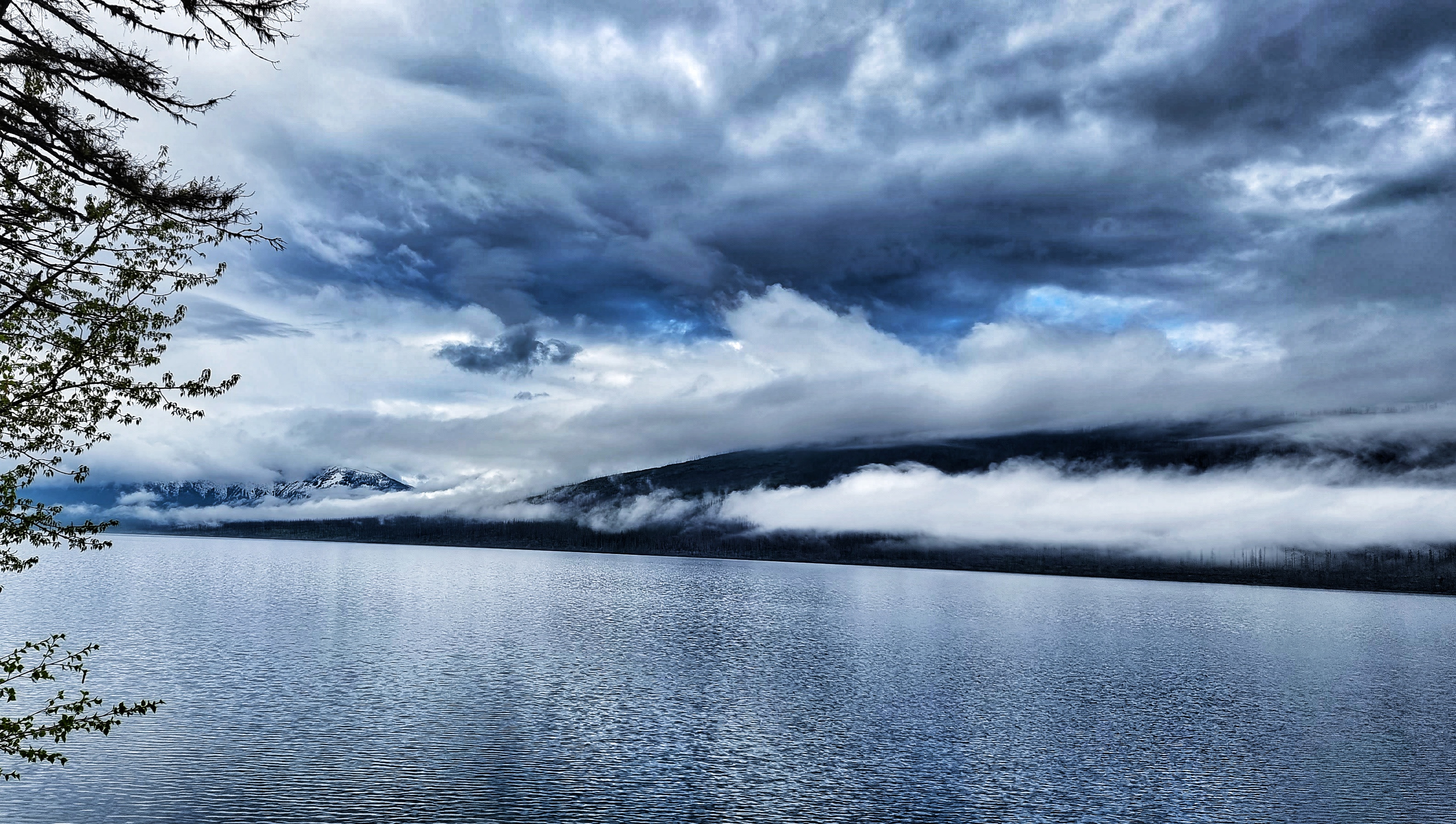
We woke up to slate grey, moody skies – a complete contrast that made us appreciate how fortunate we had been yesterday to see GNP in its fully glory. It was almost as if the curtains had been pulled across the big, snowy peaks today as we made our way back along the lakeside.

I chose to stop at some of the same lookouts, as well as a couple of different ones, just to get some comparisons with yesterday – later in the day I found out that on average, there are 5 days in May where the sun puts its hat on. That really brought home how lucky we were on Thursday.
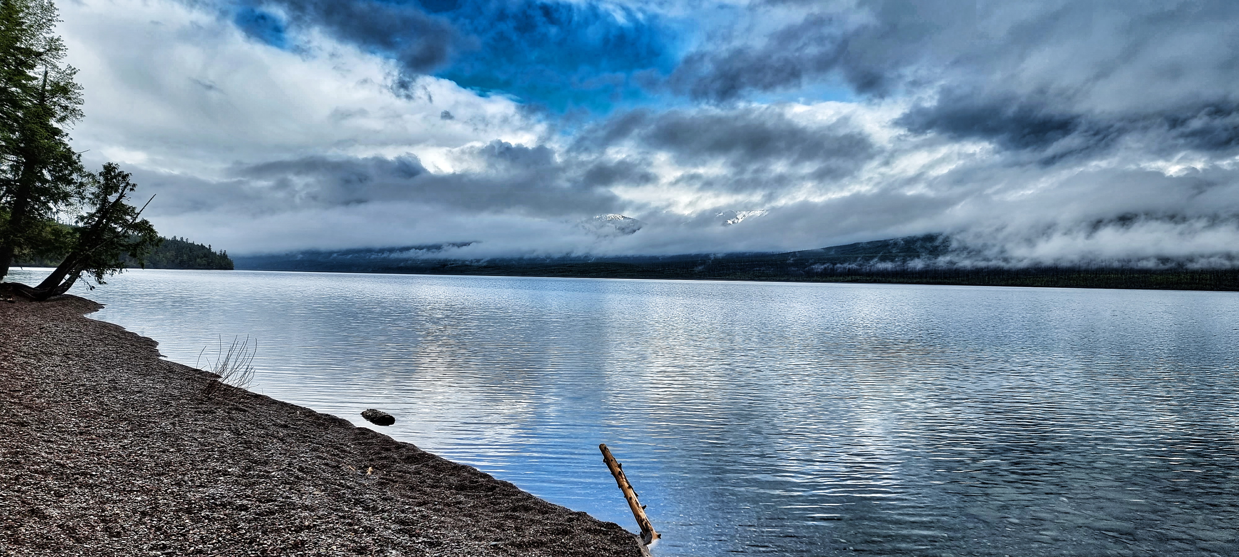

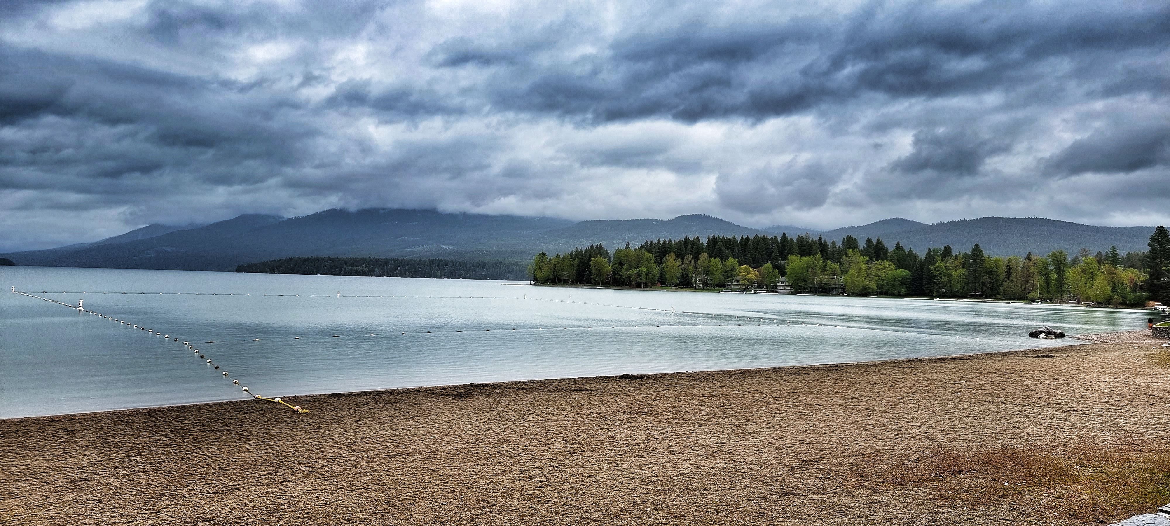
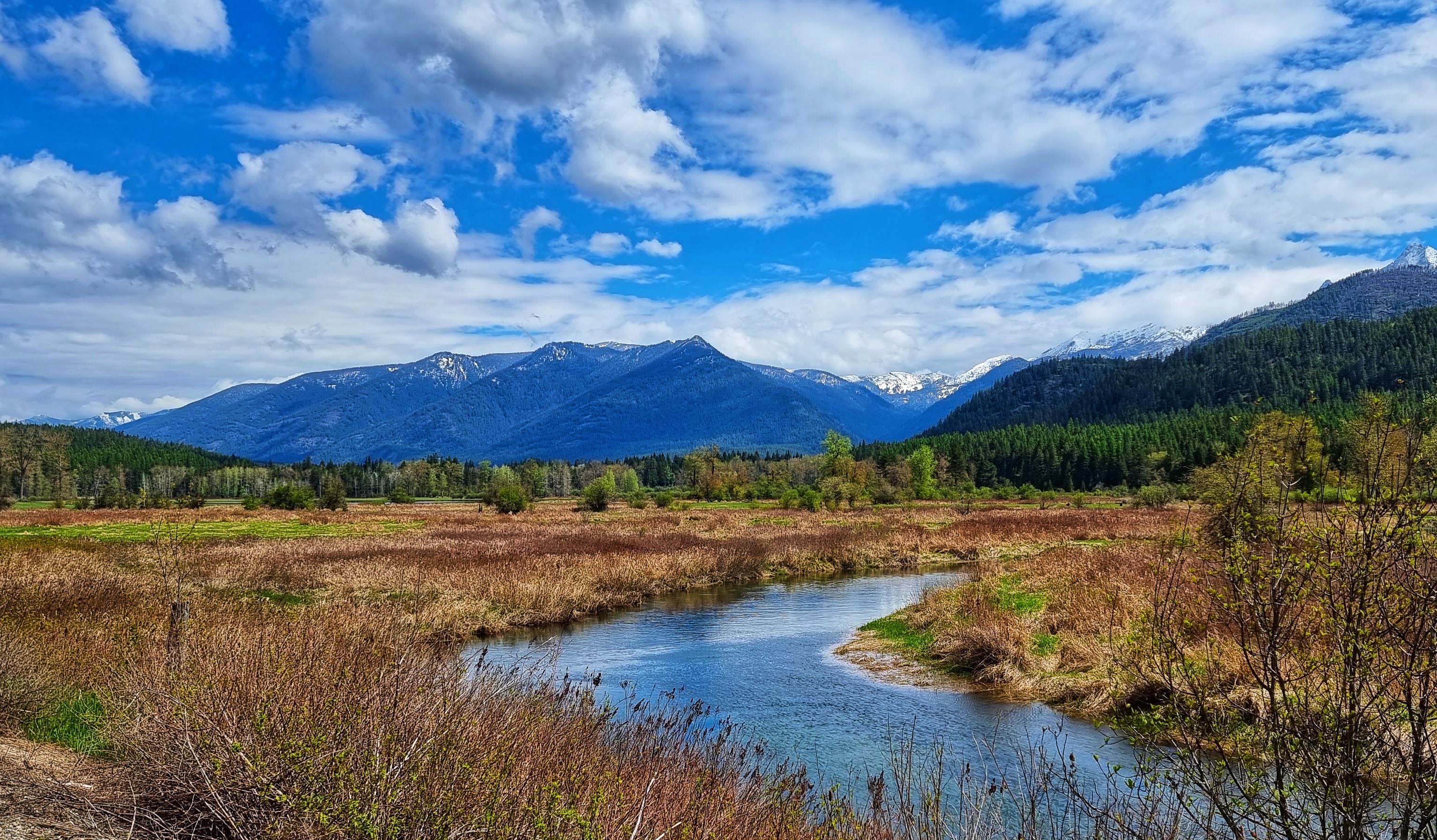
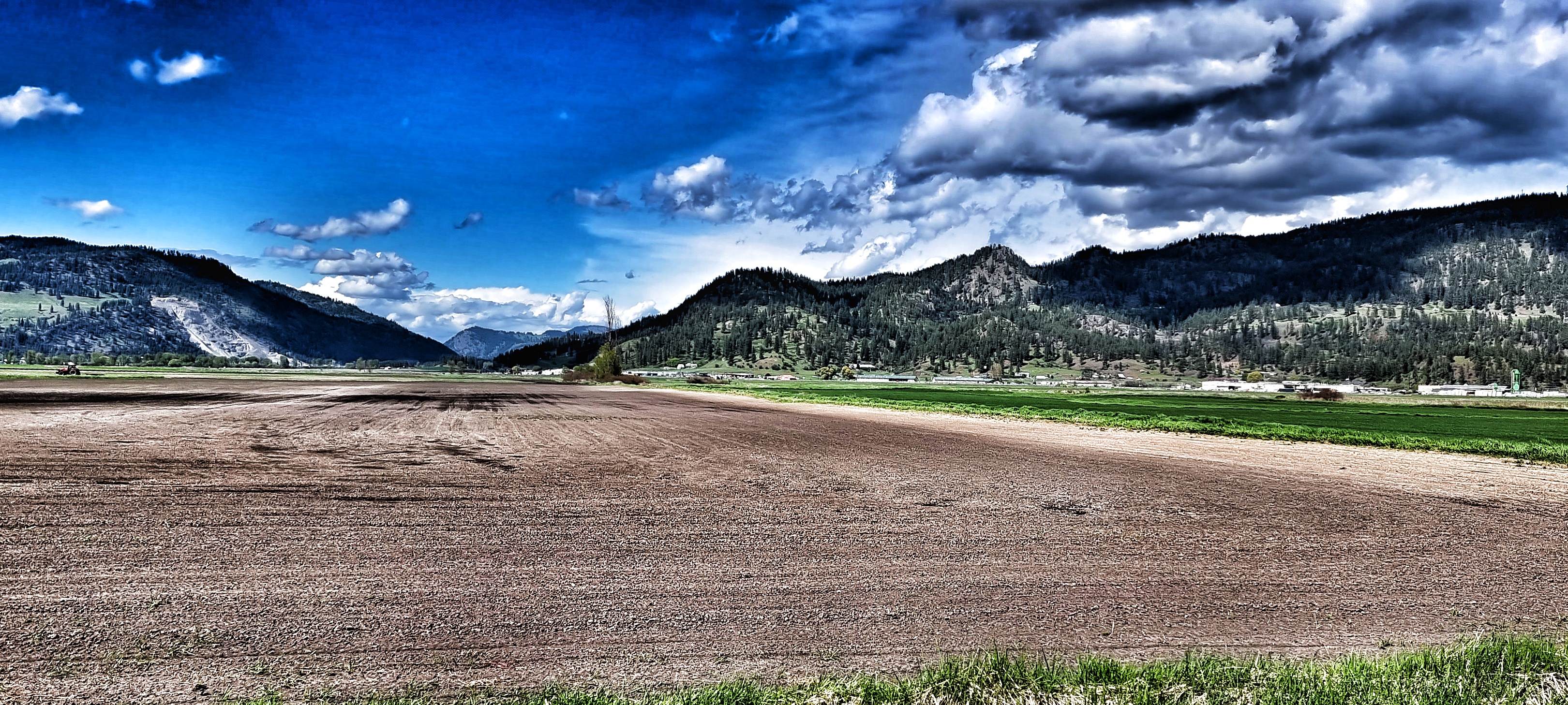
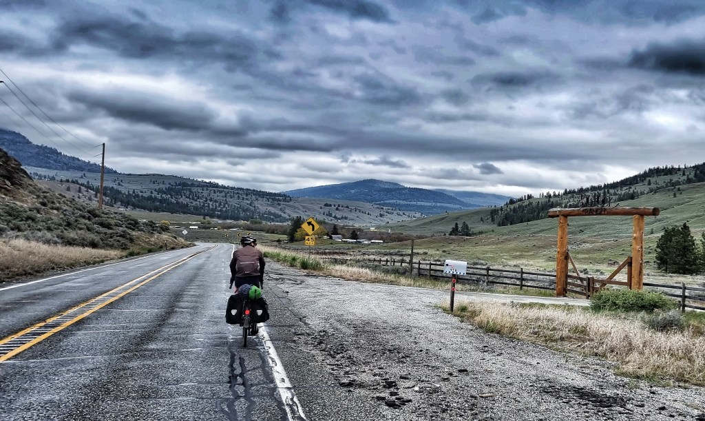
Even though the mountains were mainly hidden, every now & again one of the peaks would peek out from behind its cotton wool curtain – the lake again played its part by acting as a mirror & inverting the view.
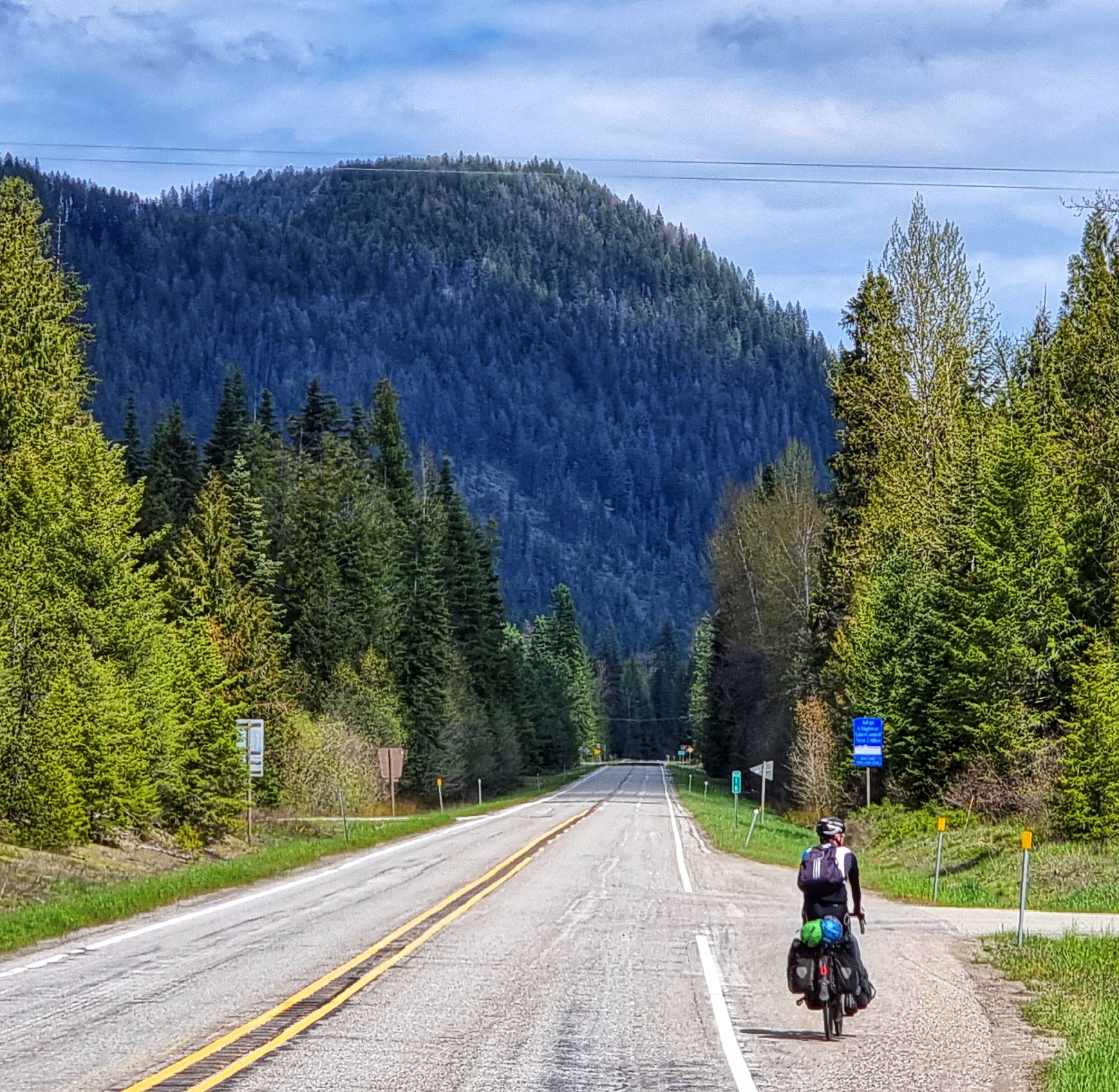
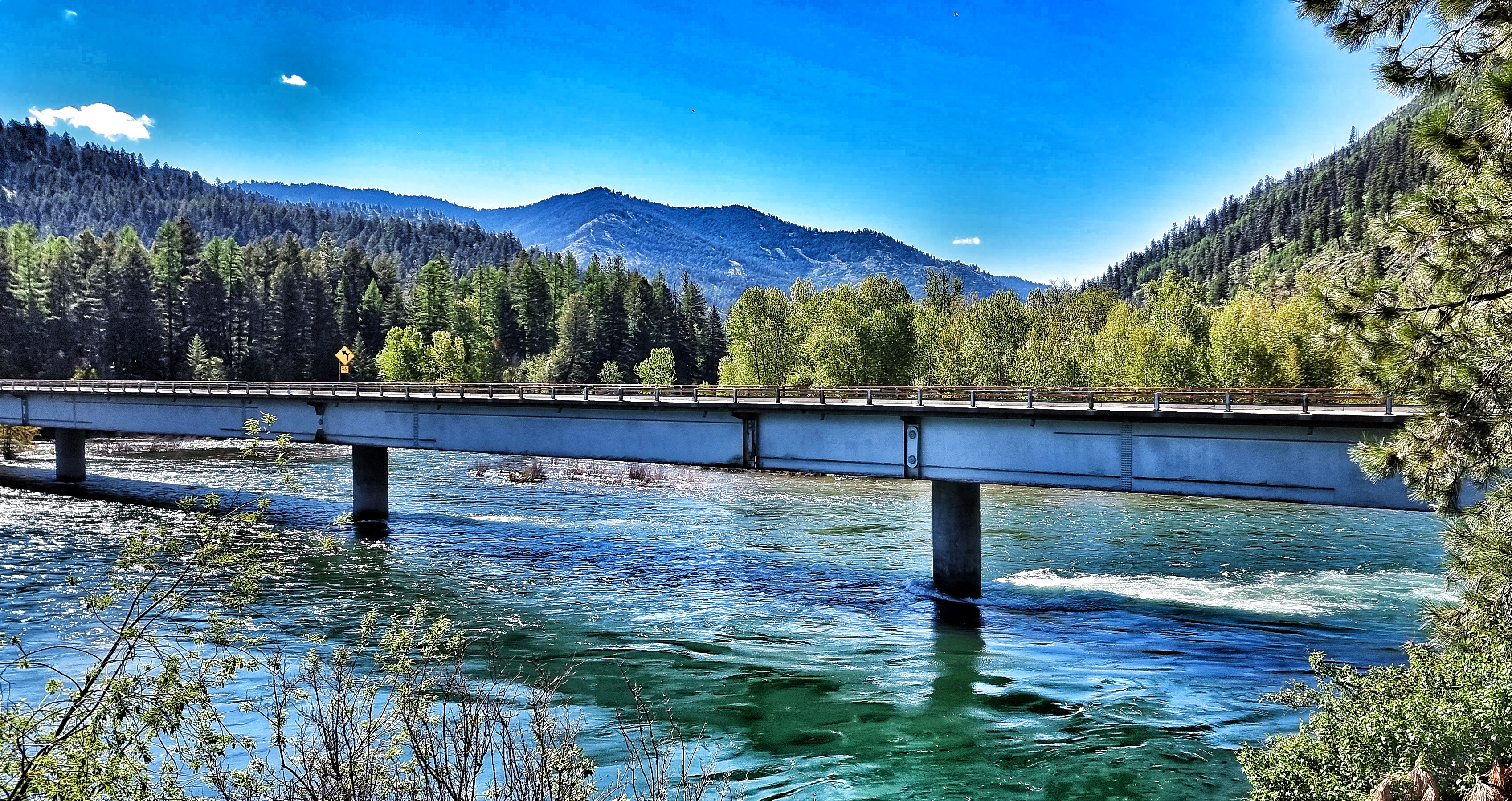
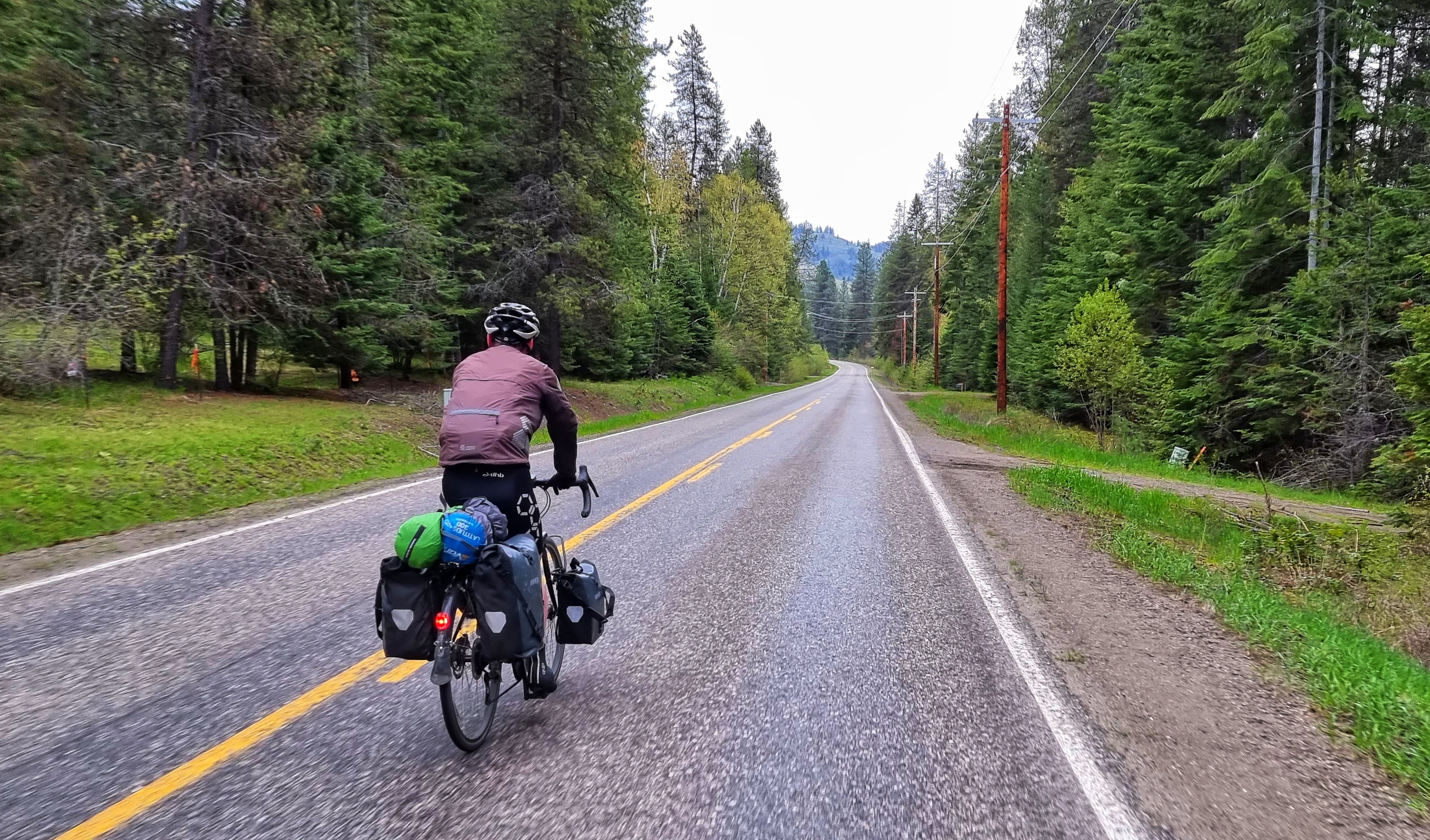
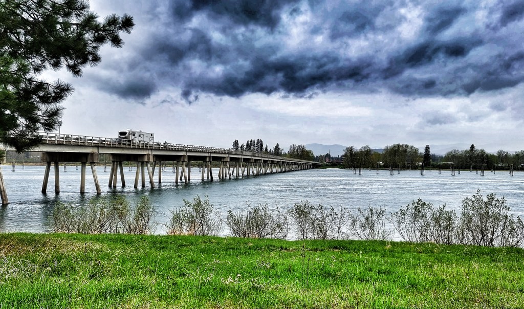
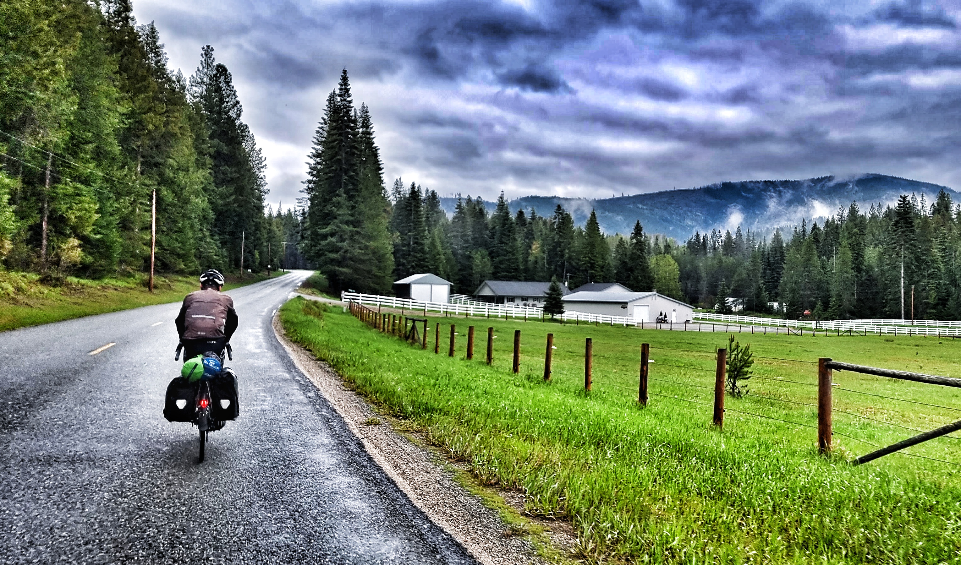
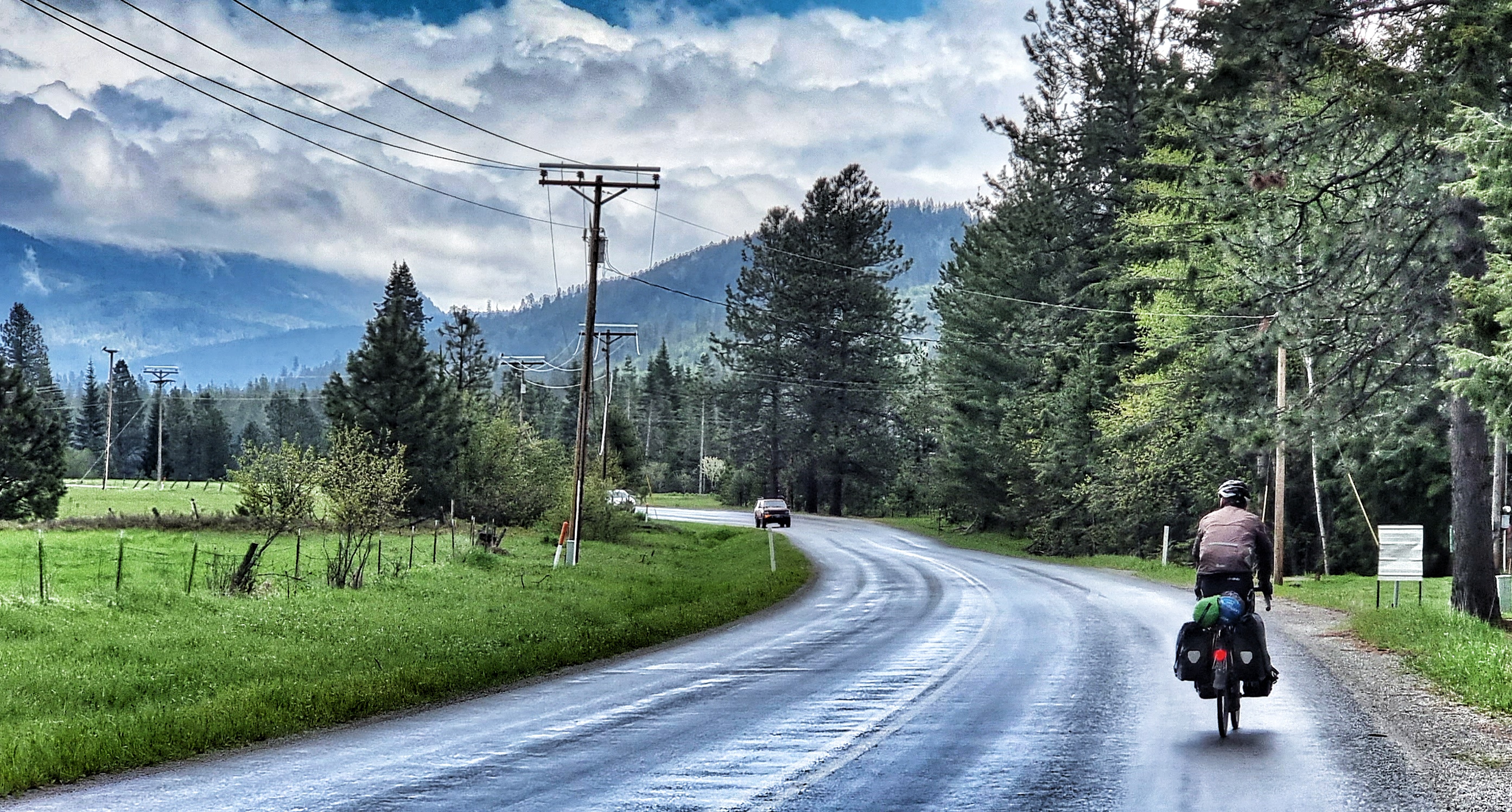
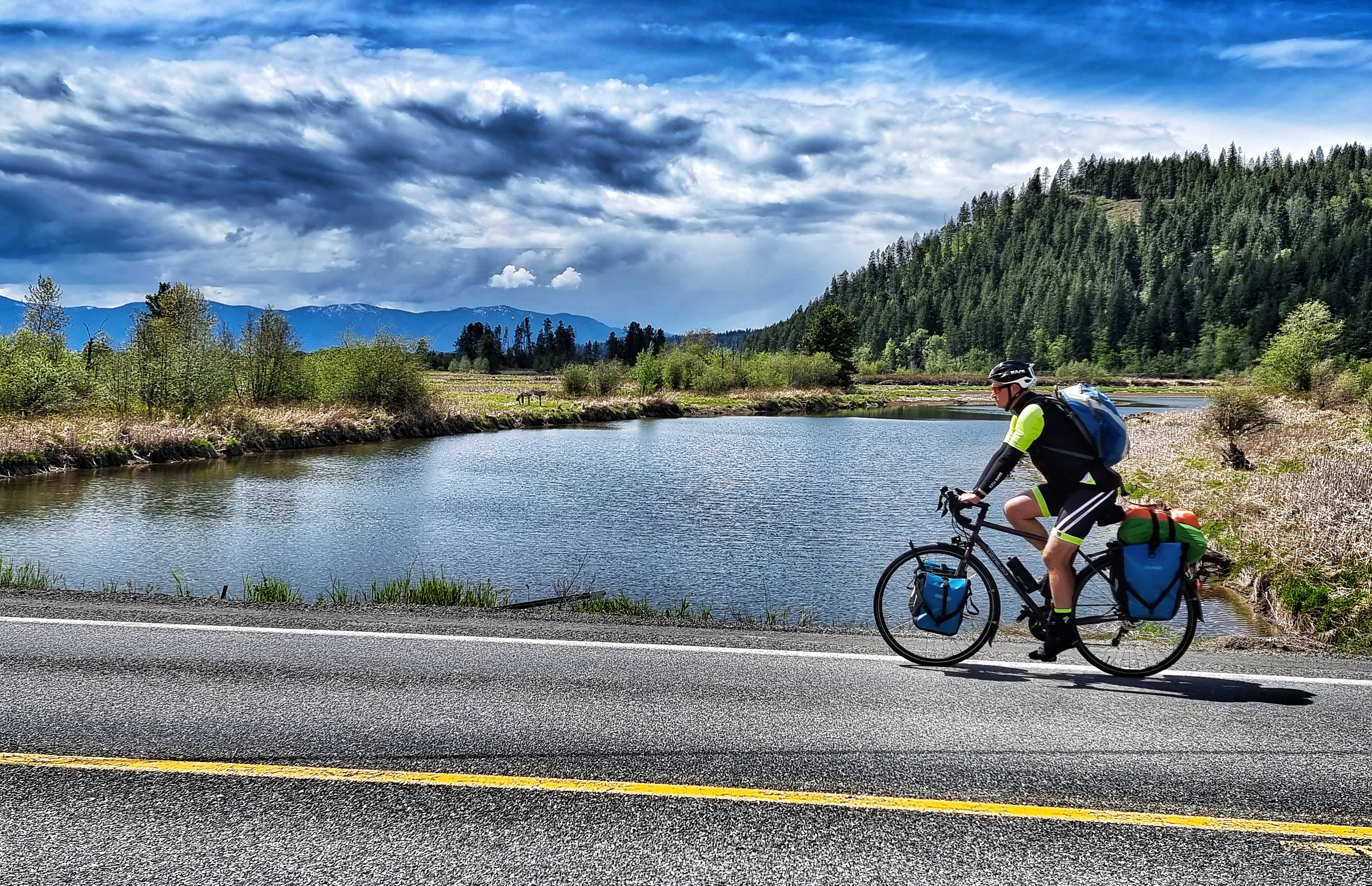
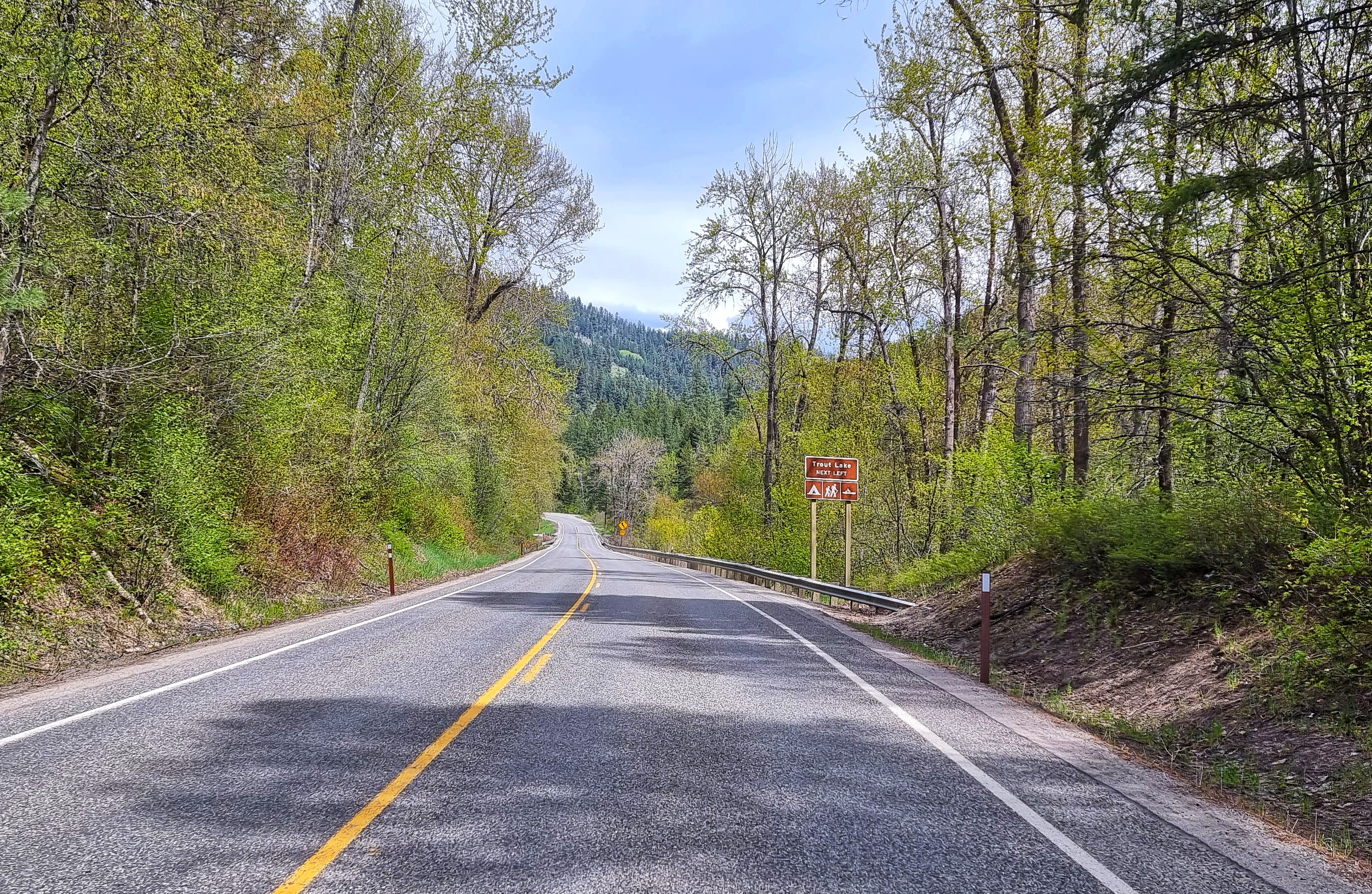
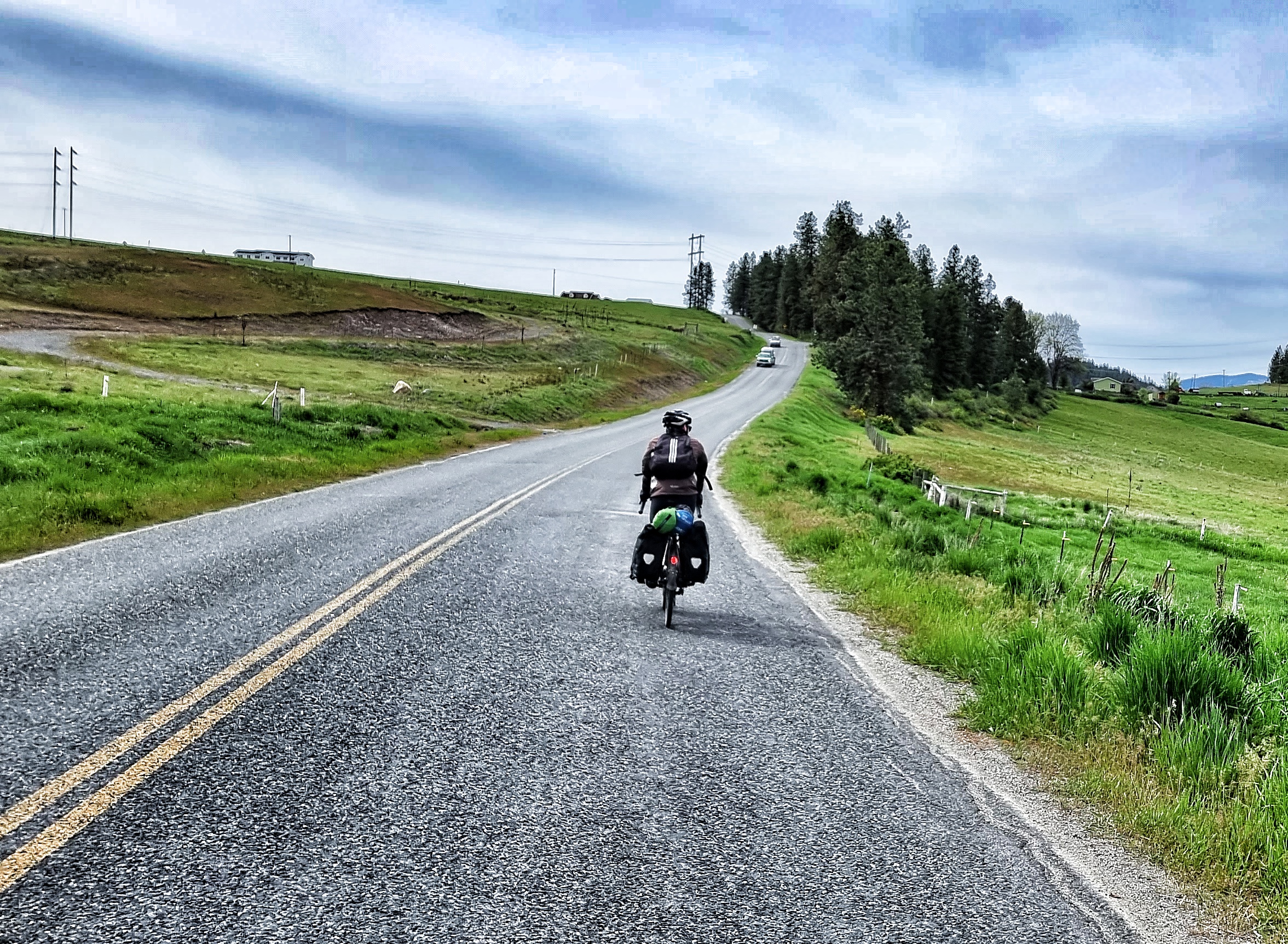
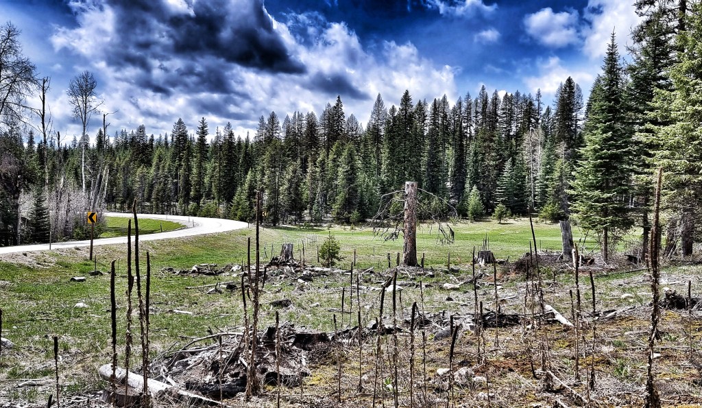
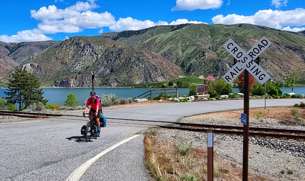
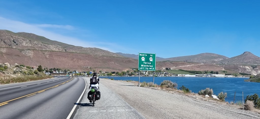
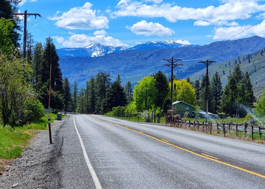
As we reached Apgar we took the campground loop road & then our own cycle path – although it had rained overnight, at this point we were still avoiding the rain! Leaving GNP, we stopped in West Glacier Village for breakfast, as we weren’t quite sure what (if any) our options would be on today’s route & we were still over 50 miles from East Glacier Village.


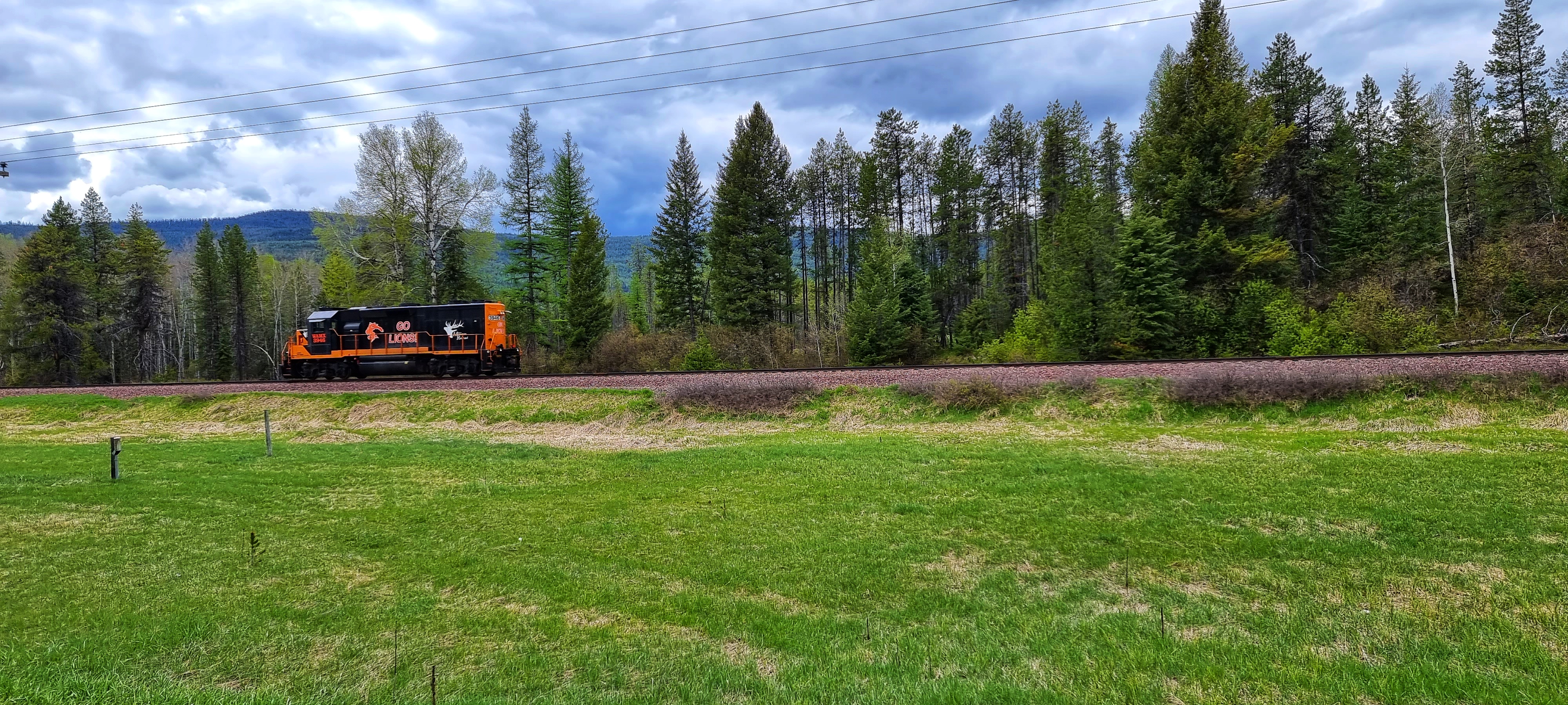
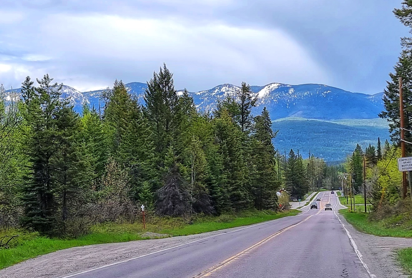
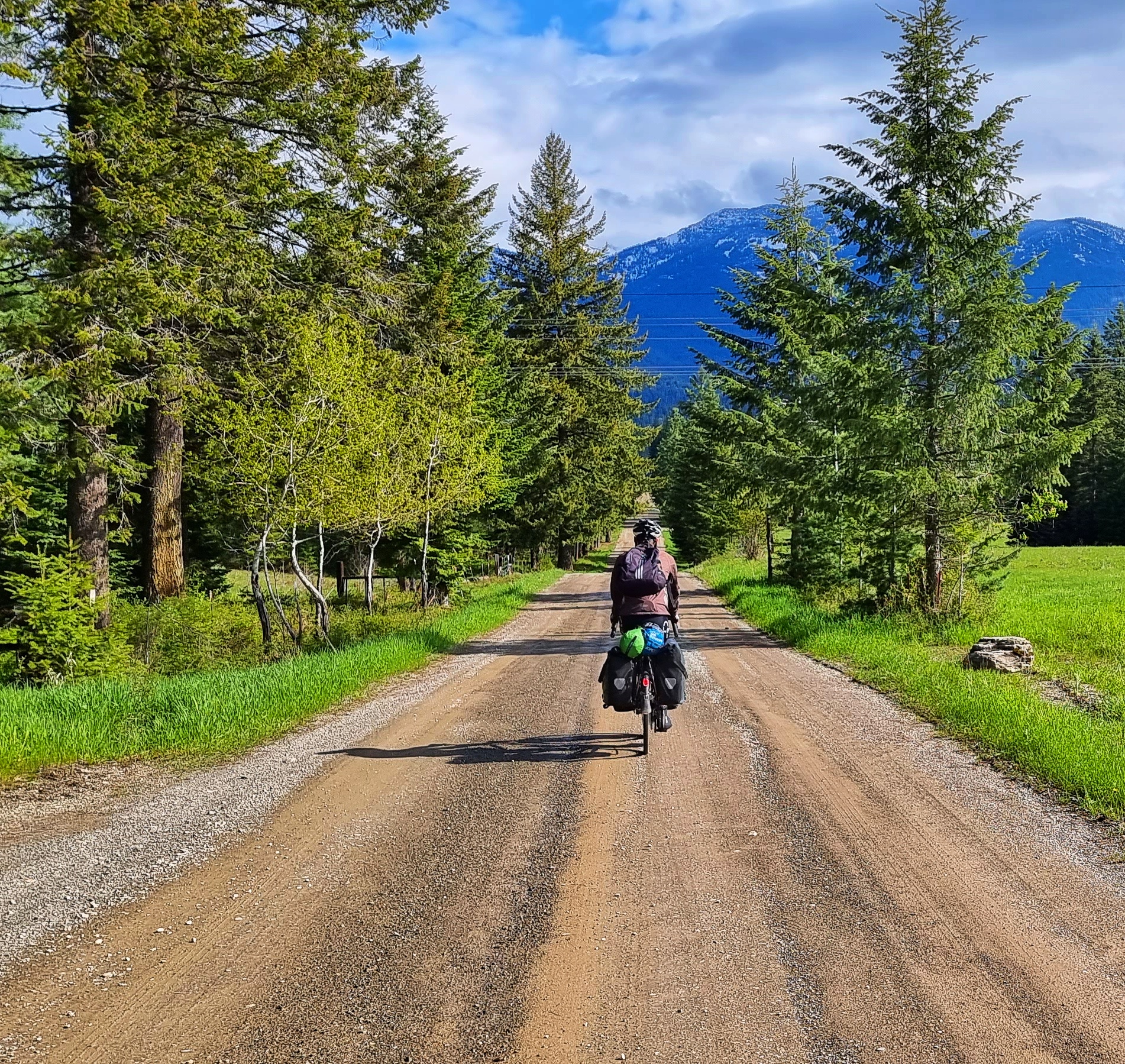
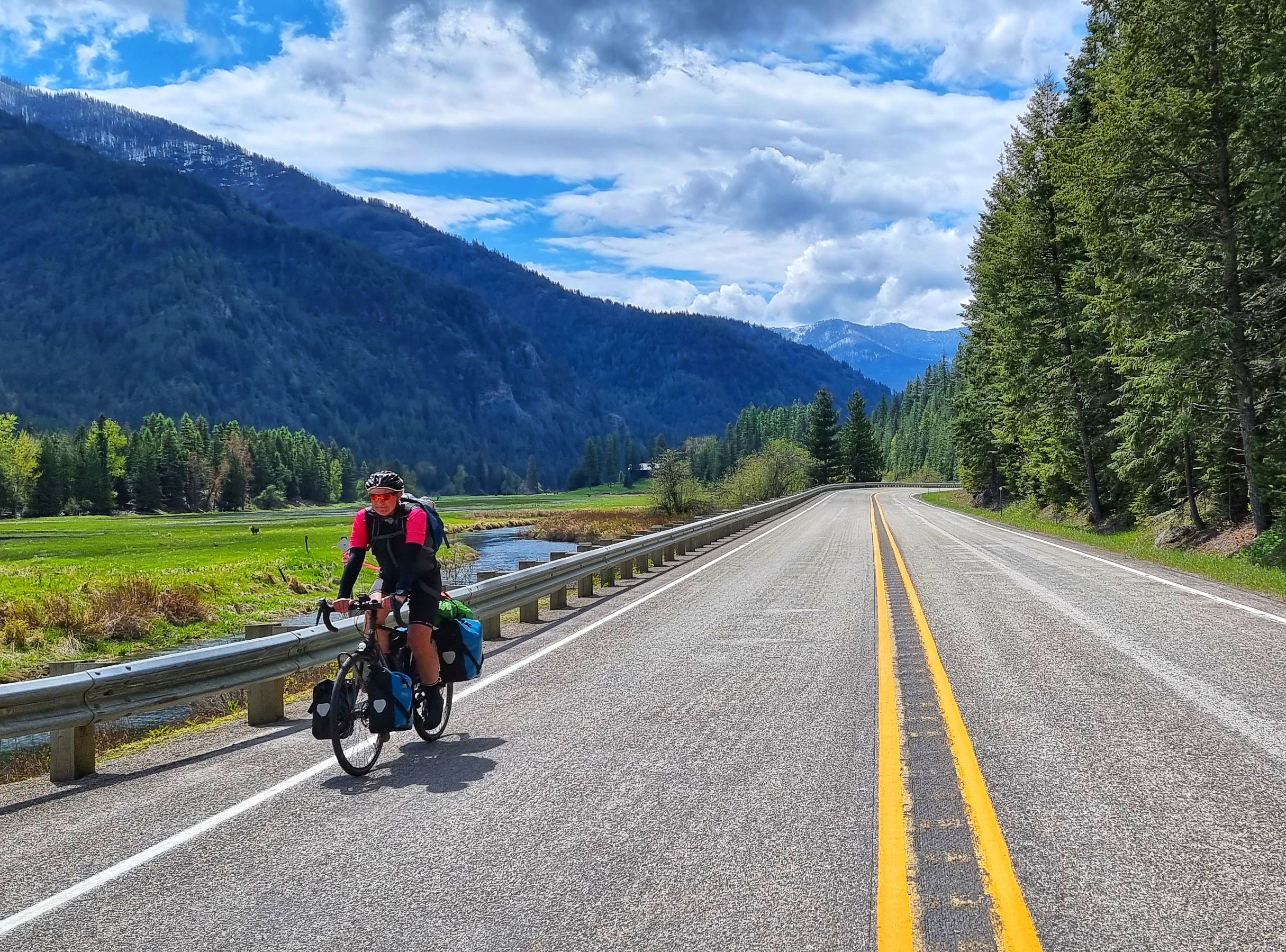
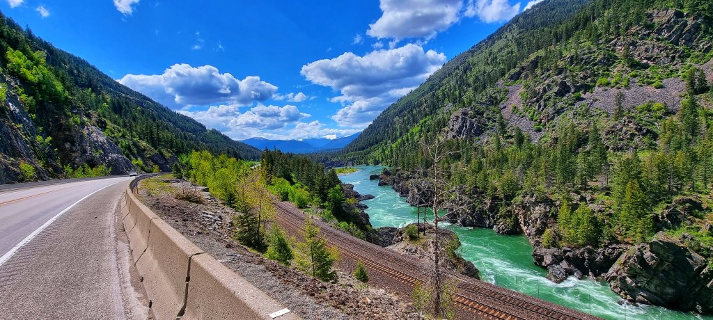
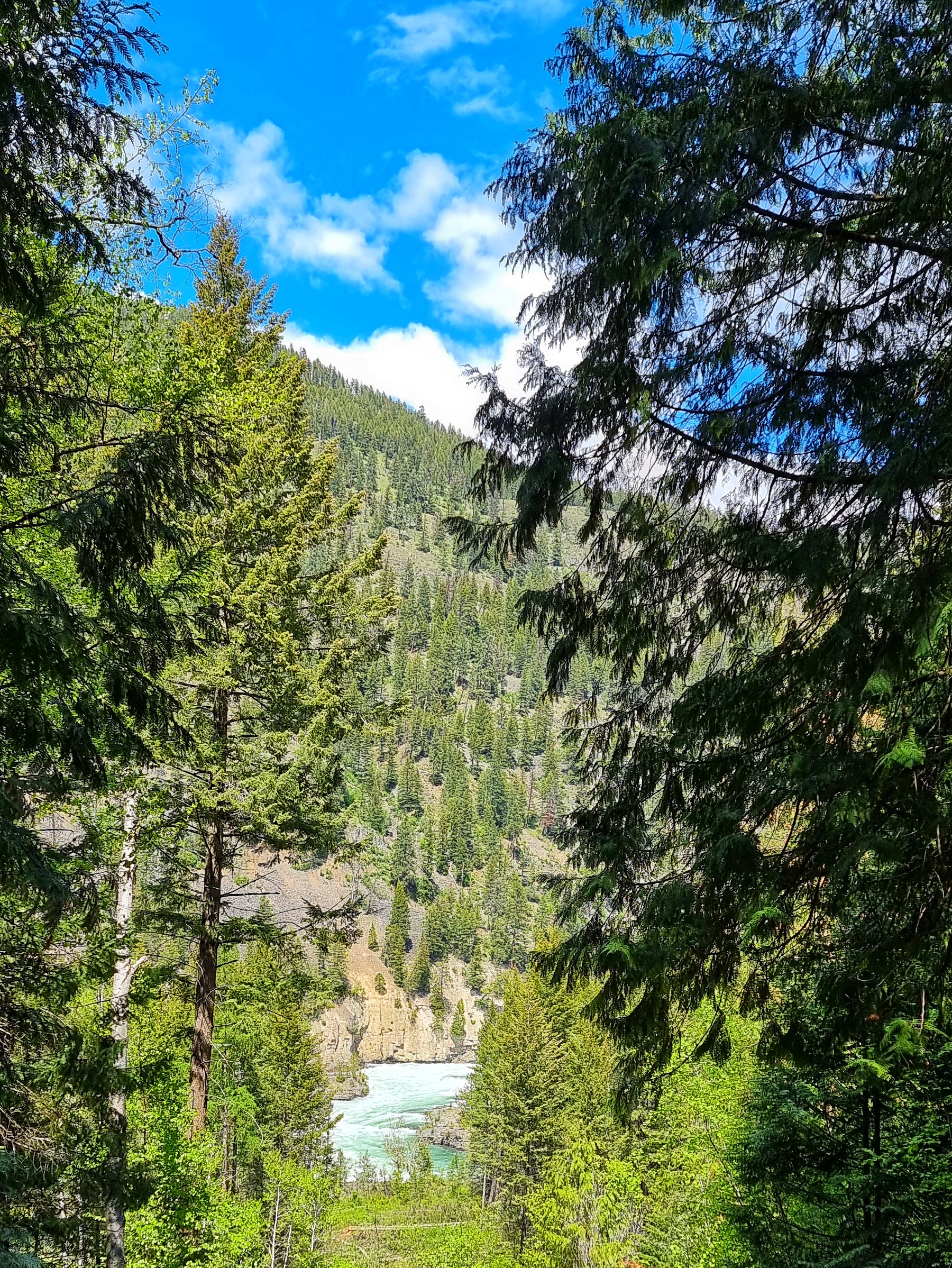
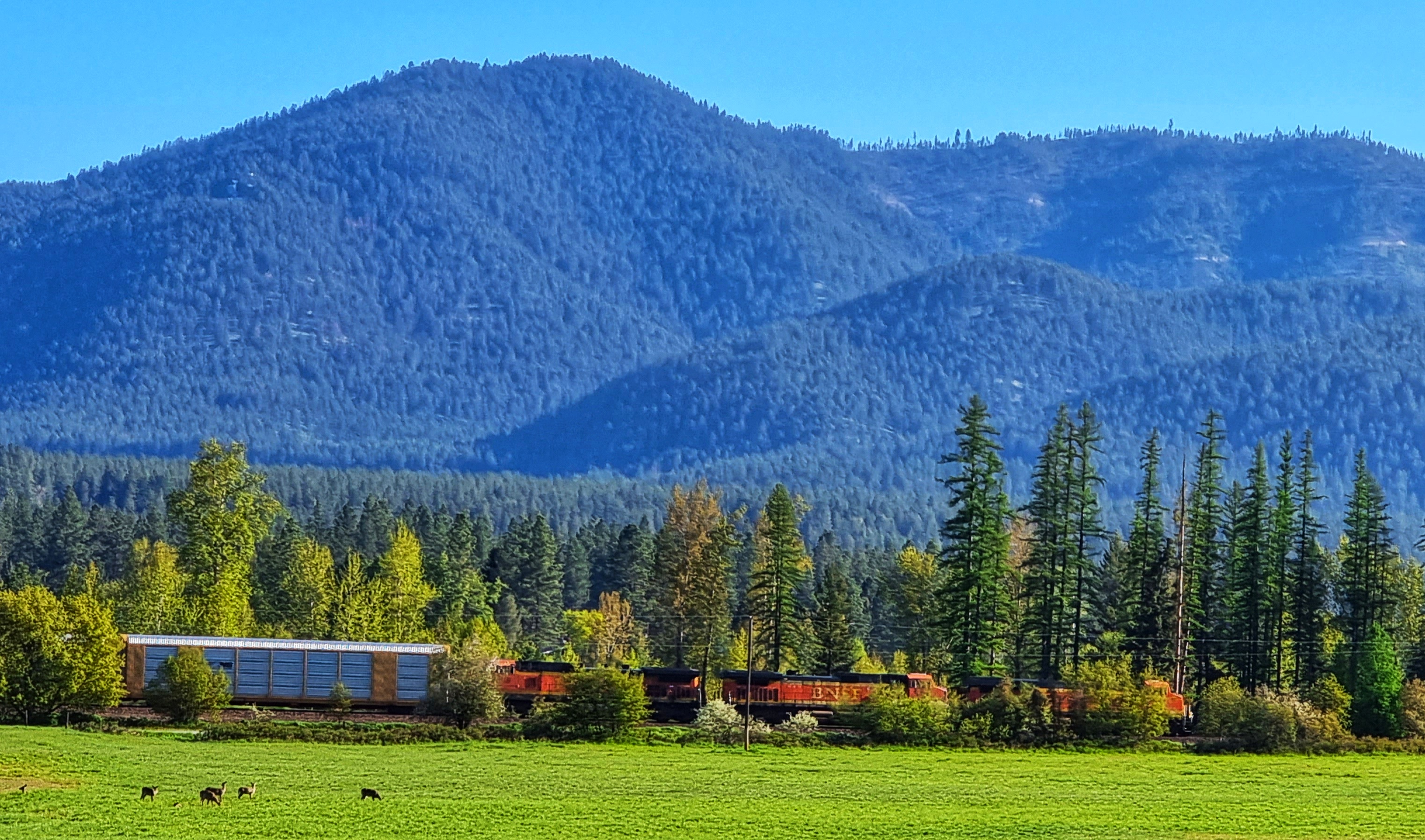
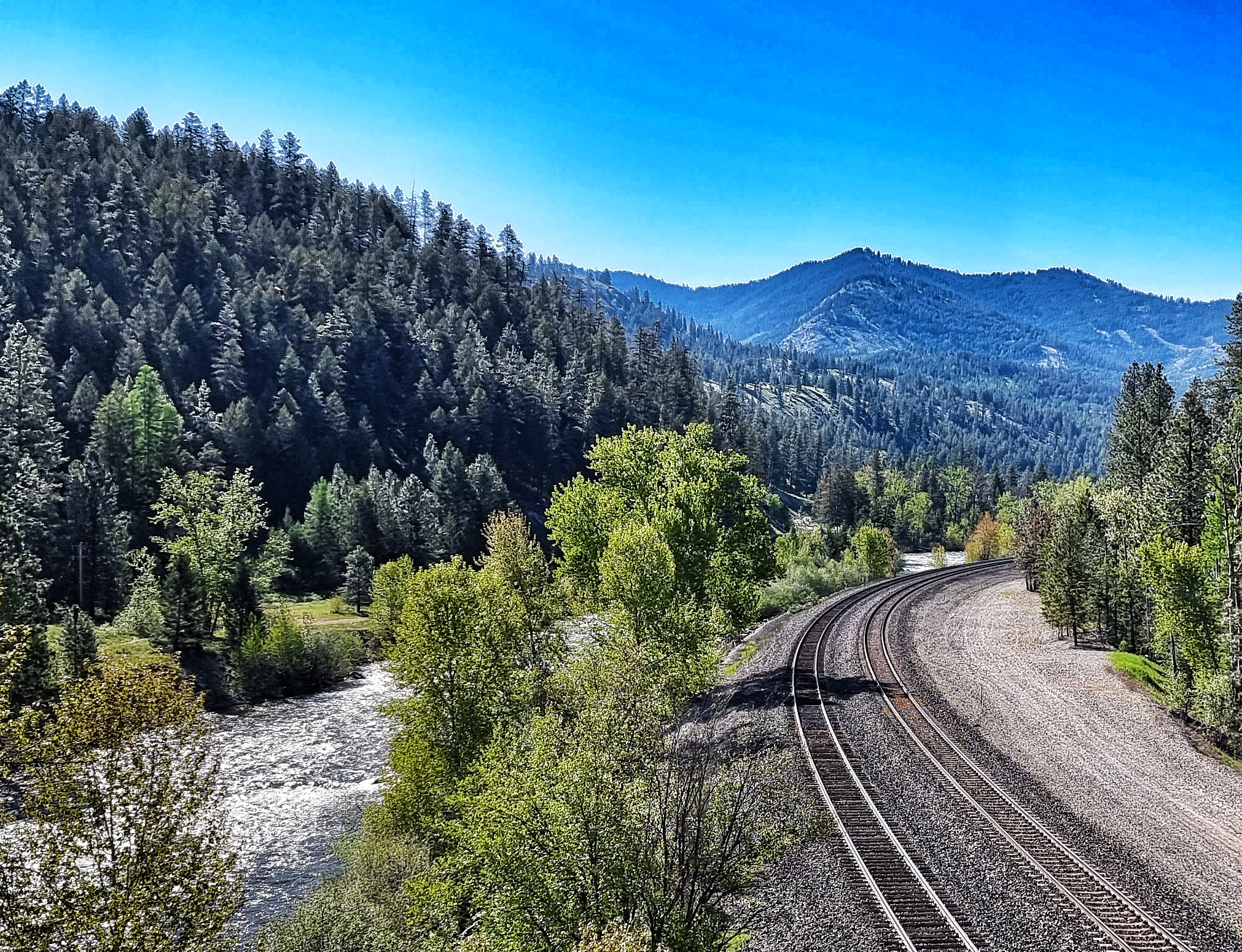
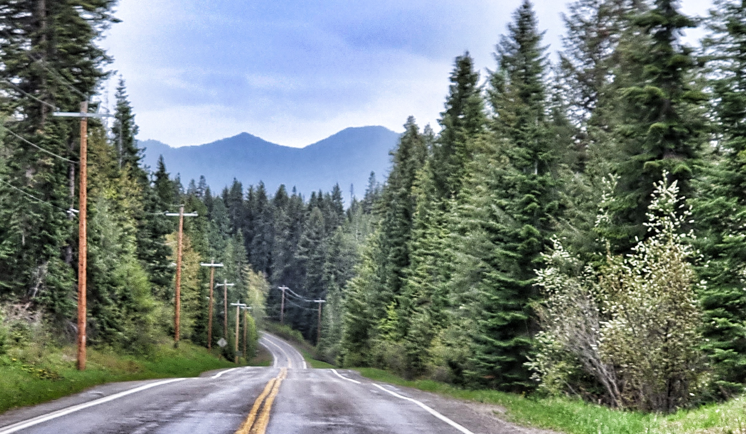
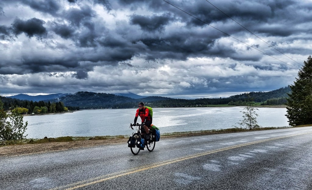
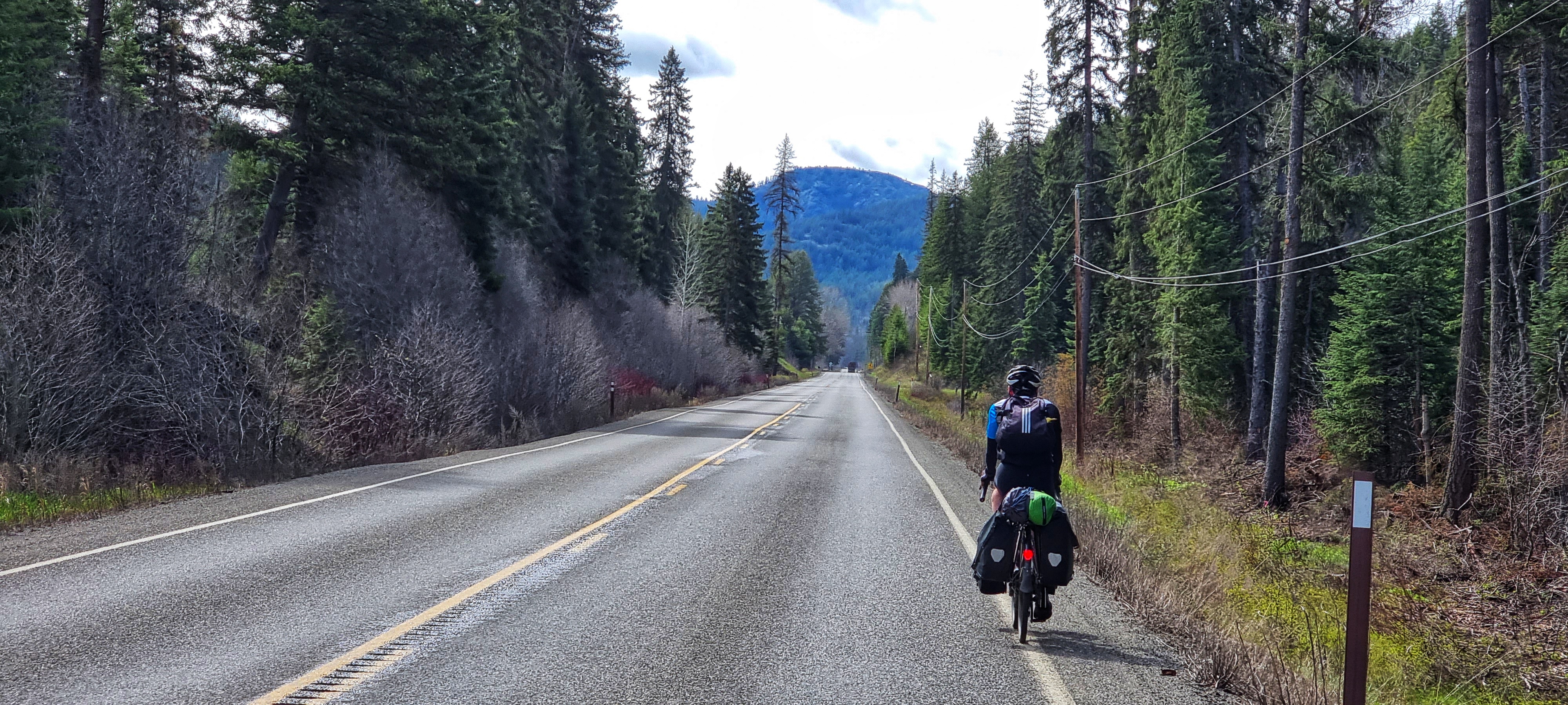
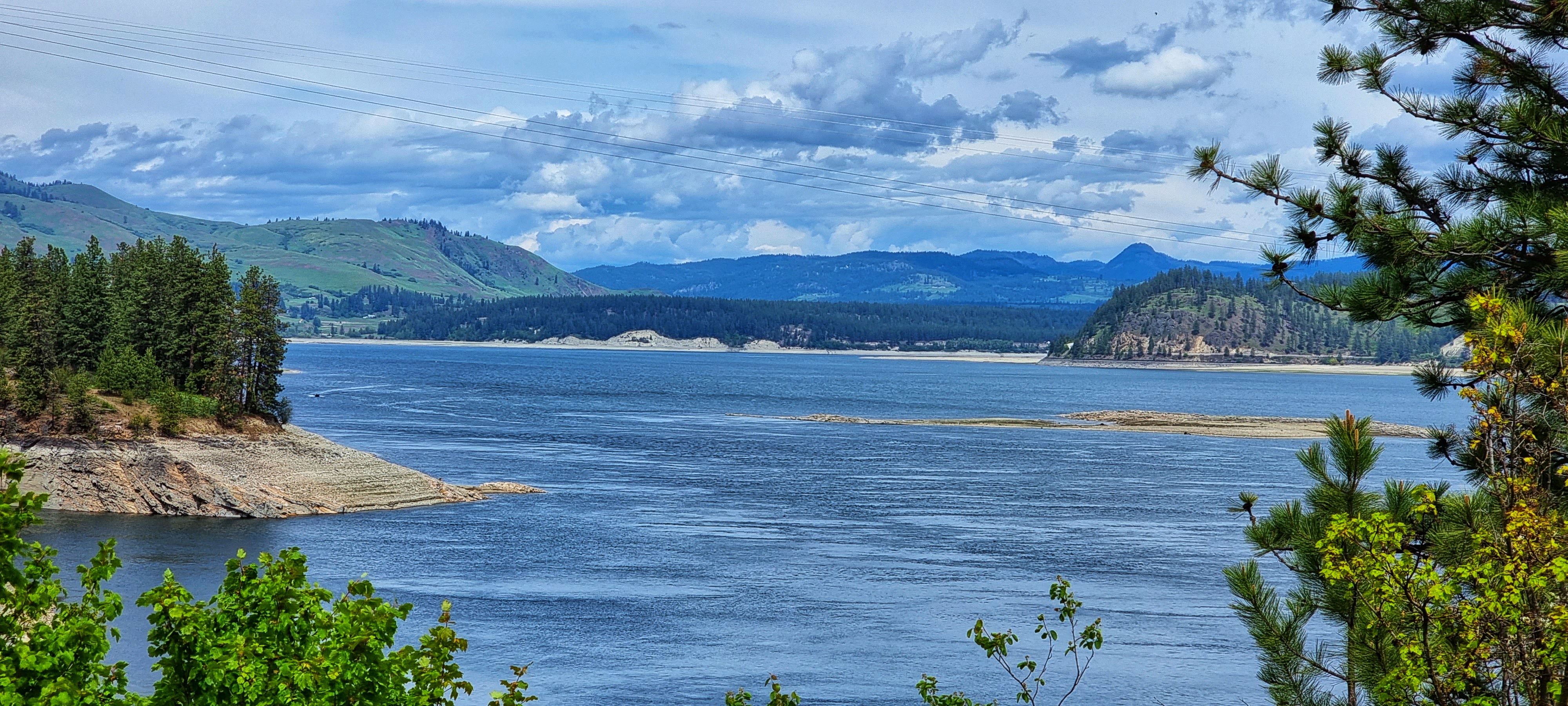
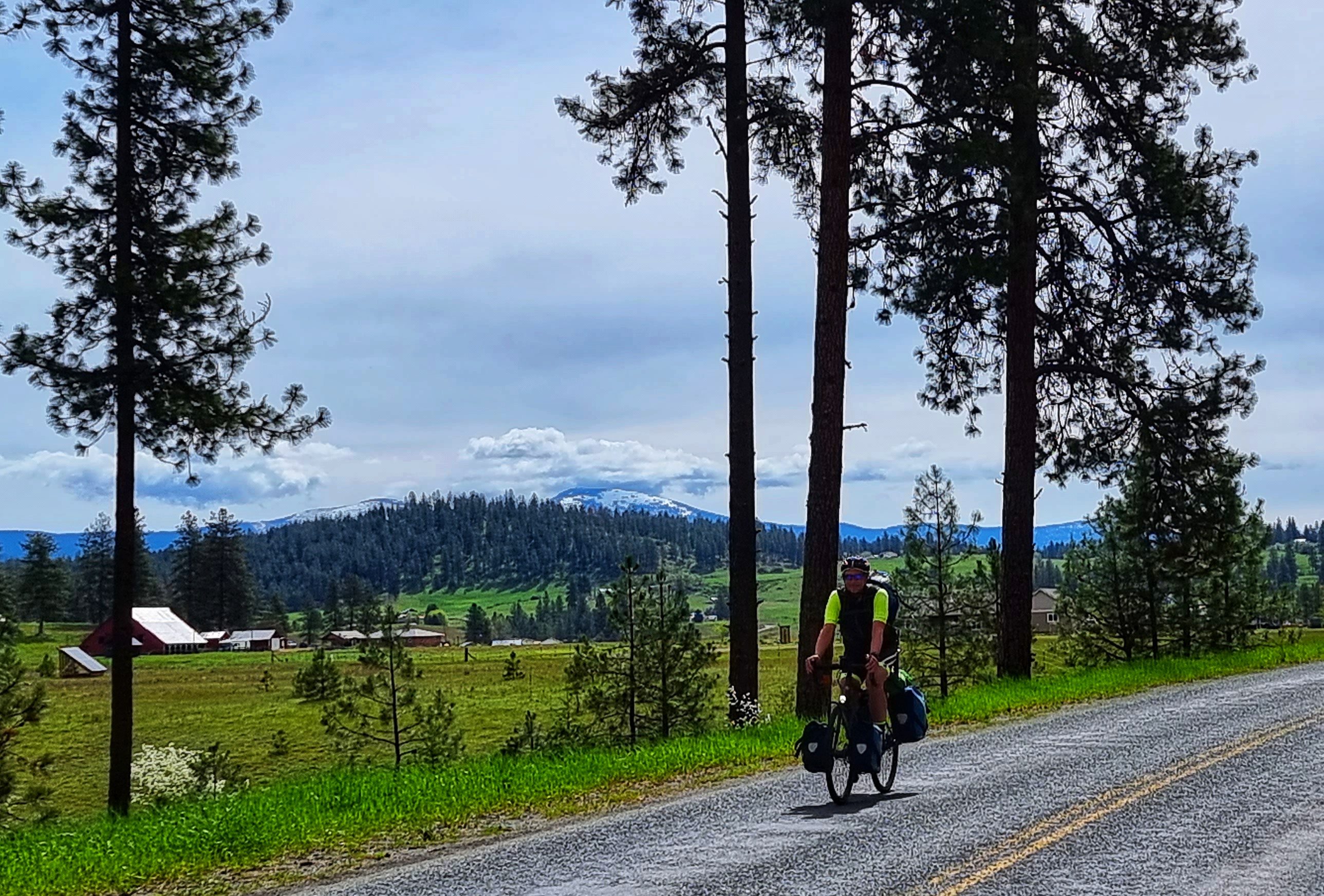
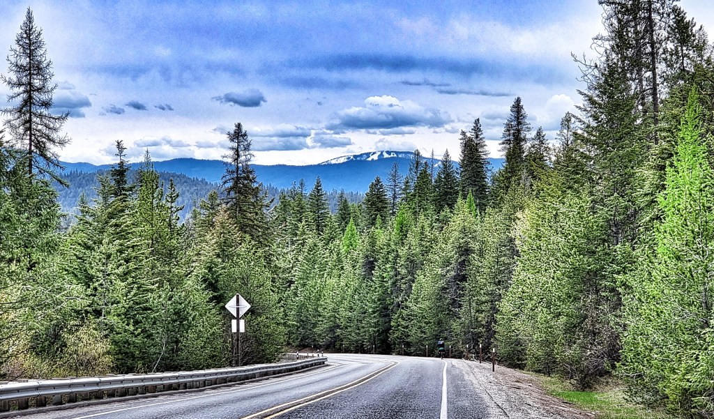
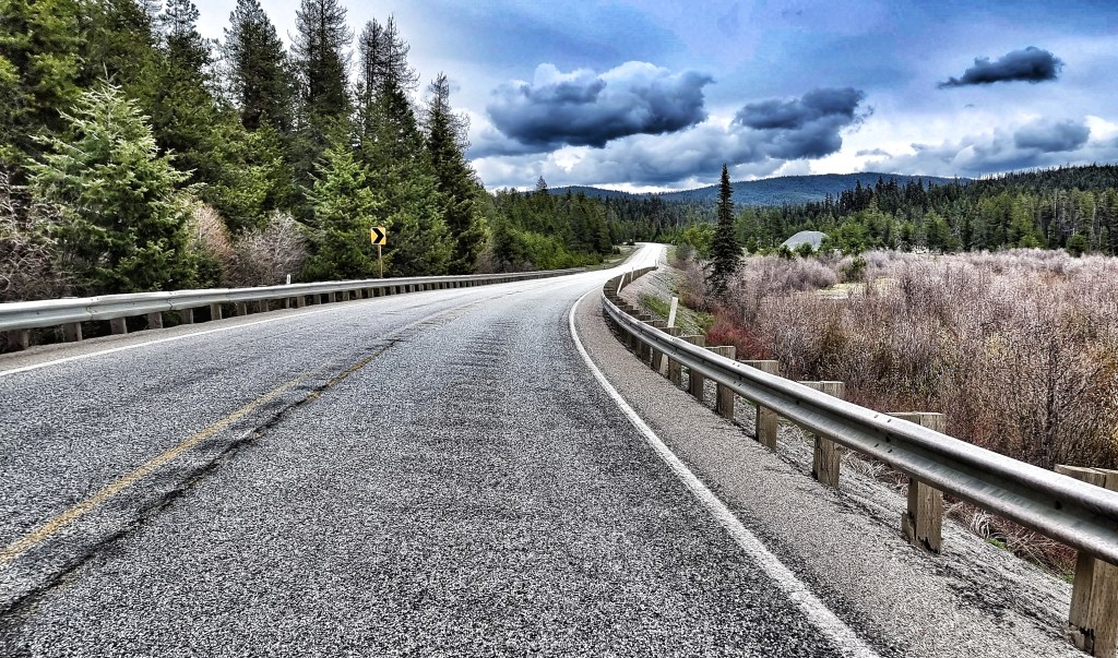
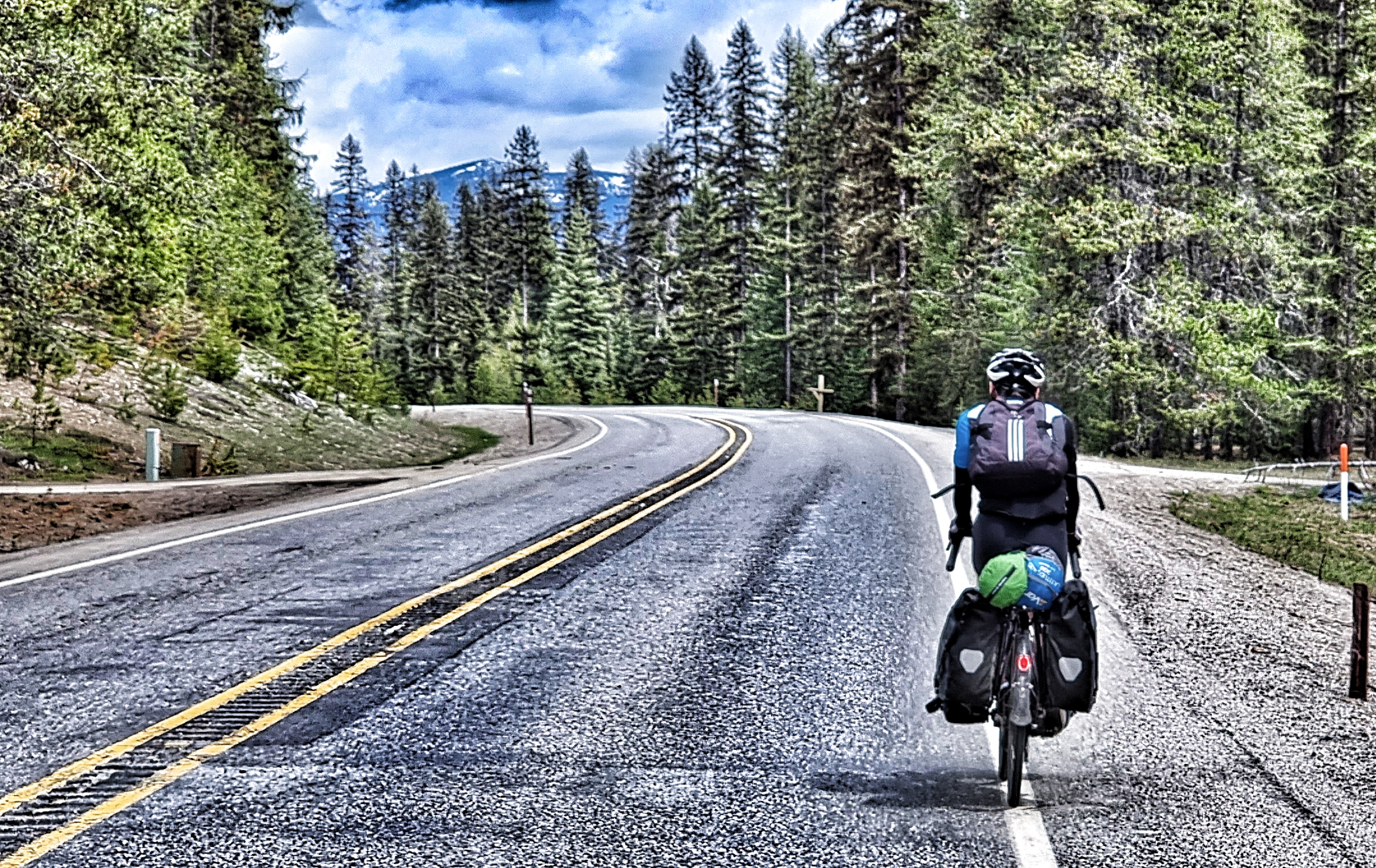
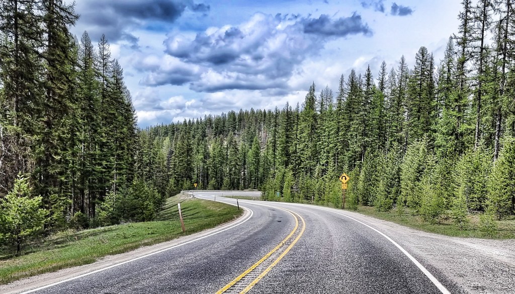
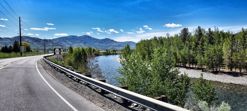
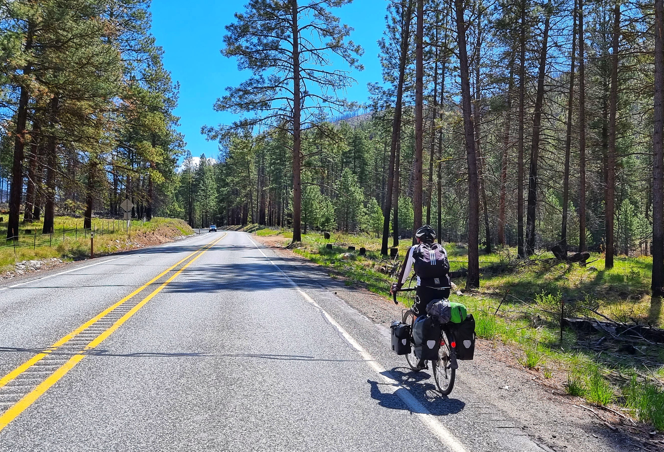
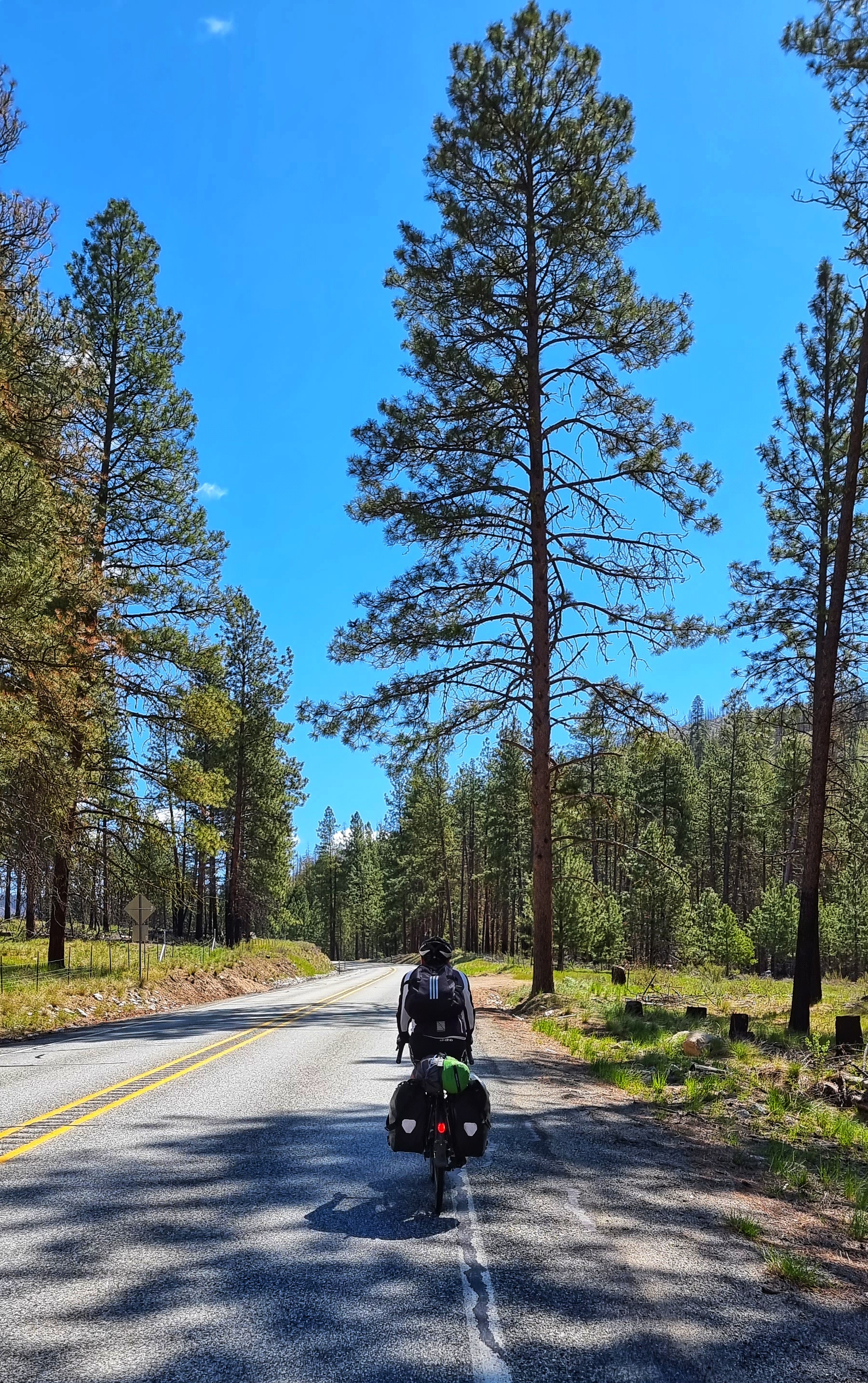
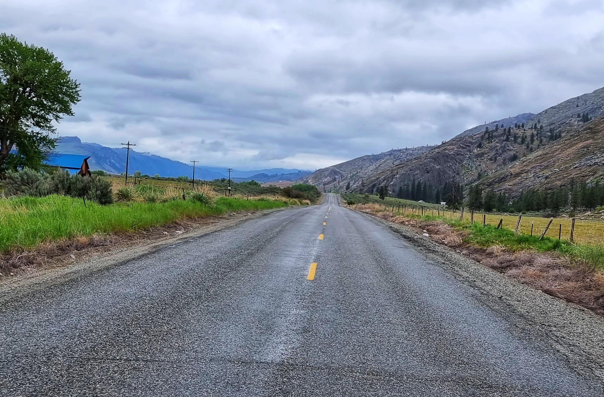
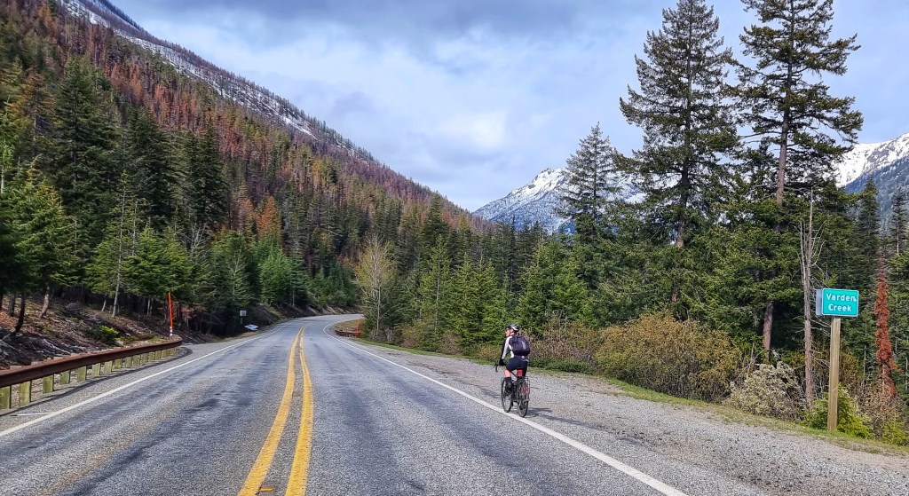
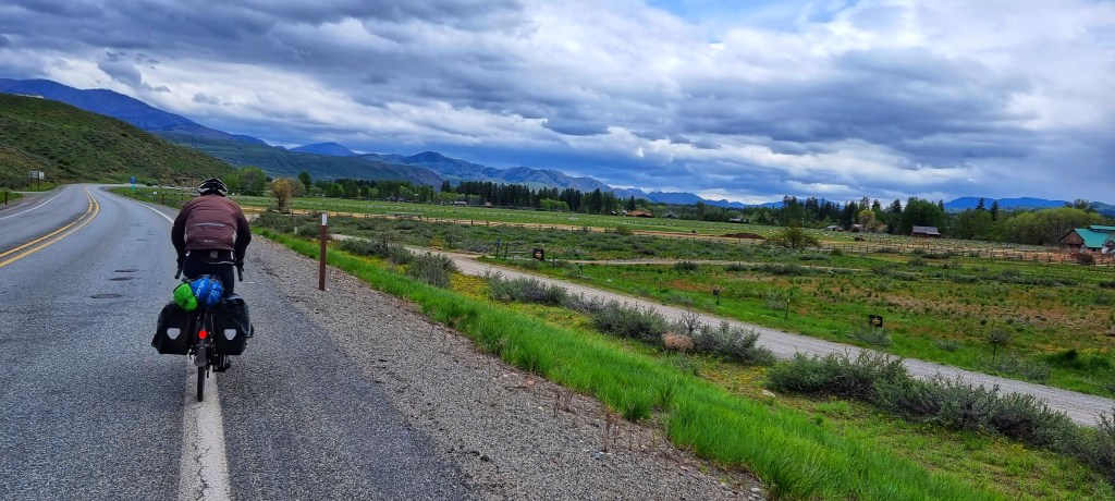
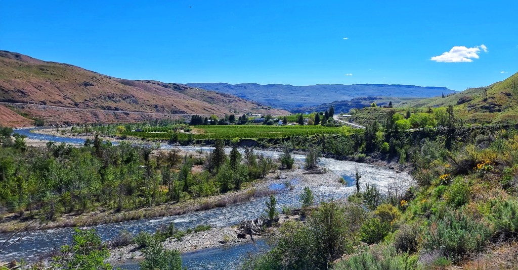
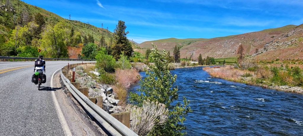
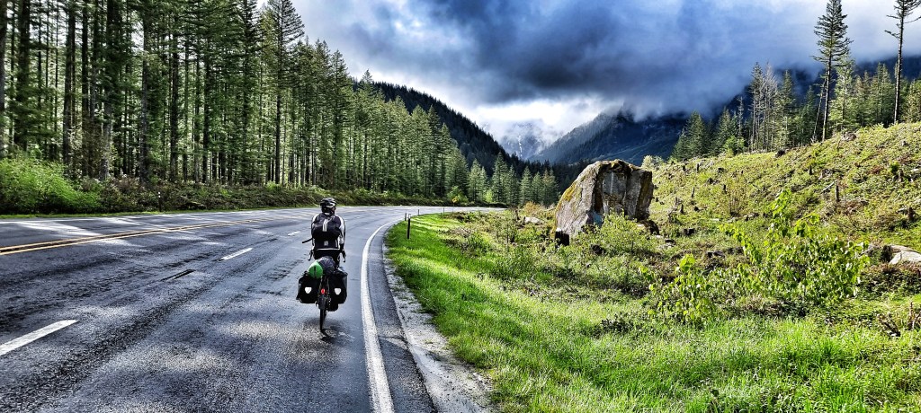
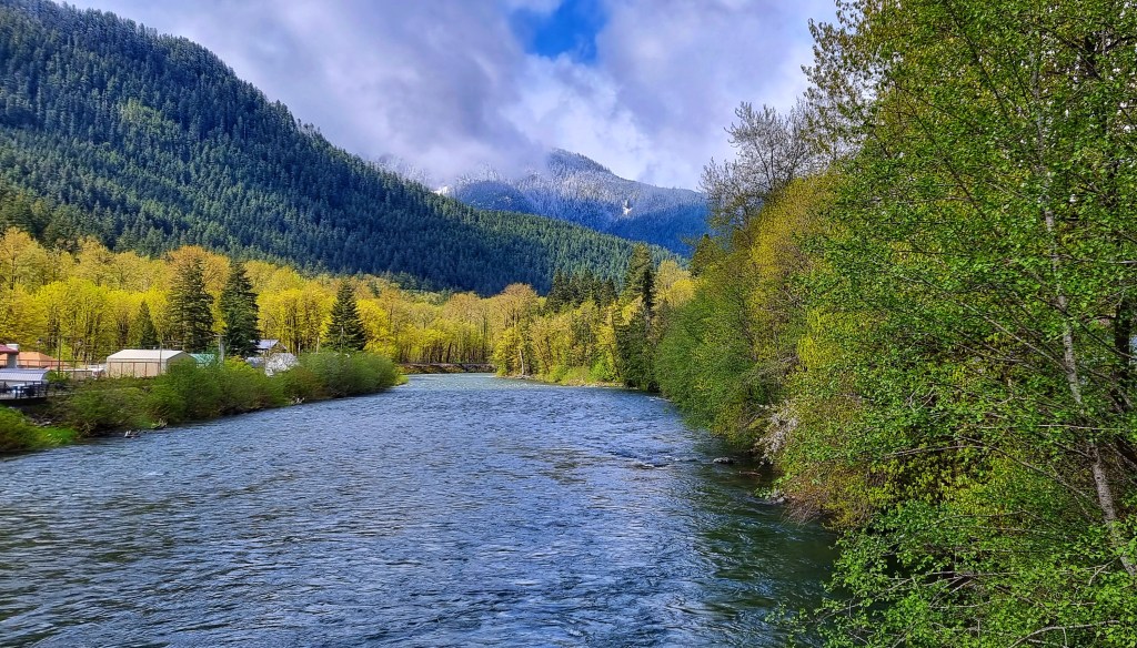
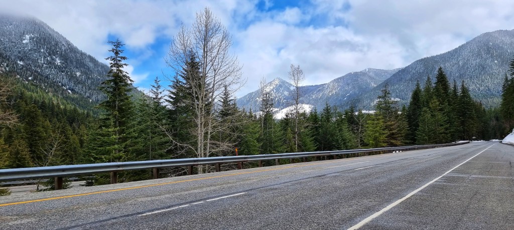
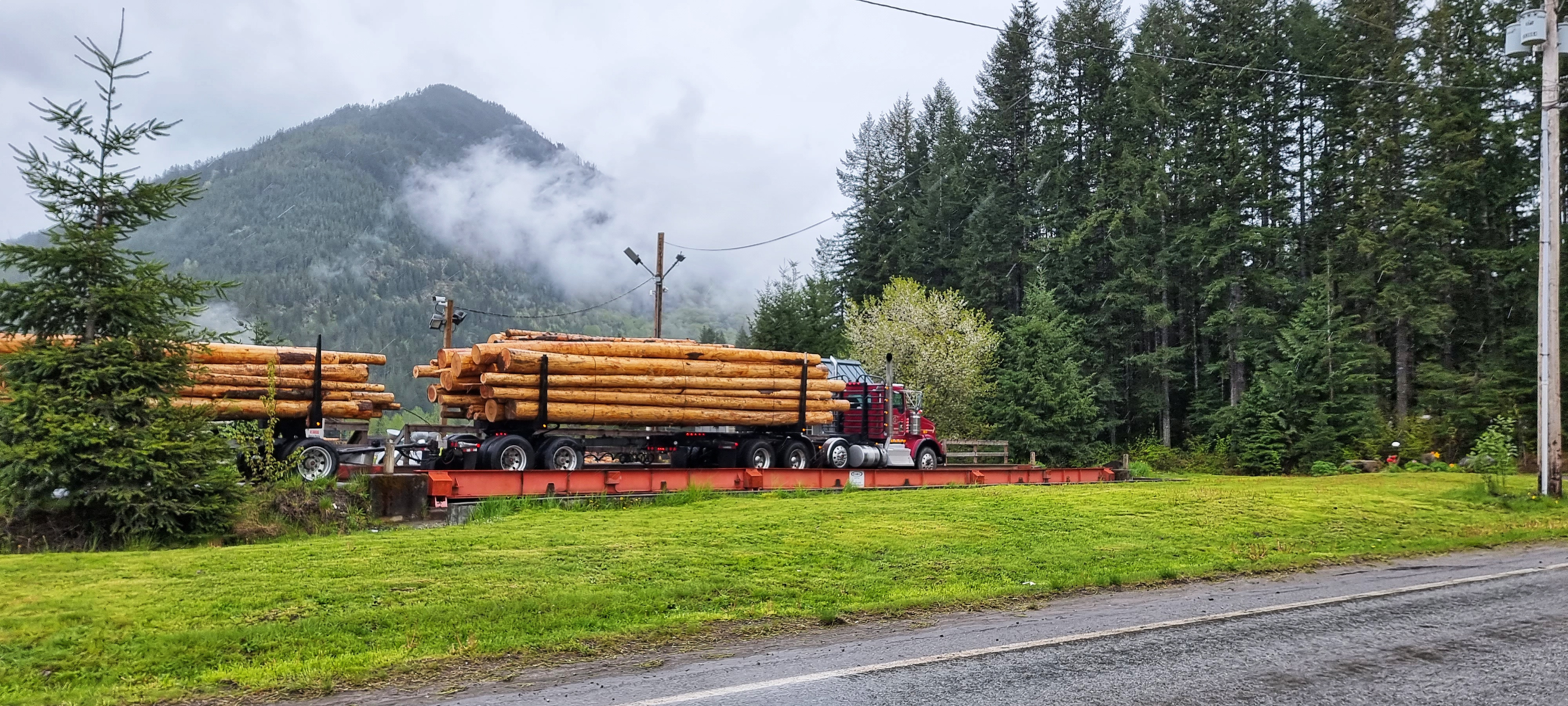
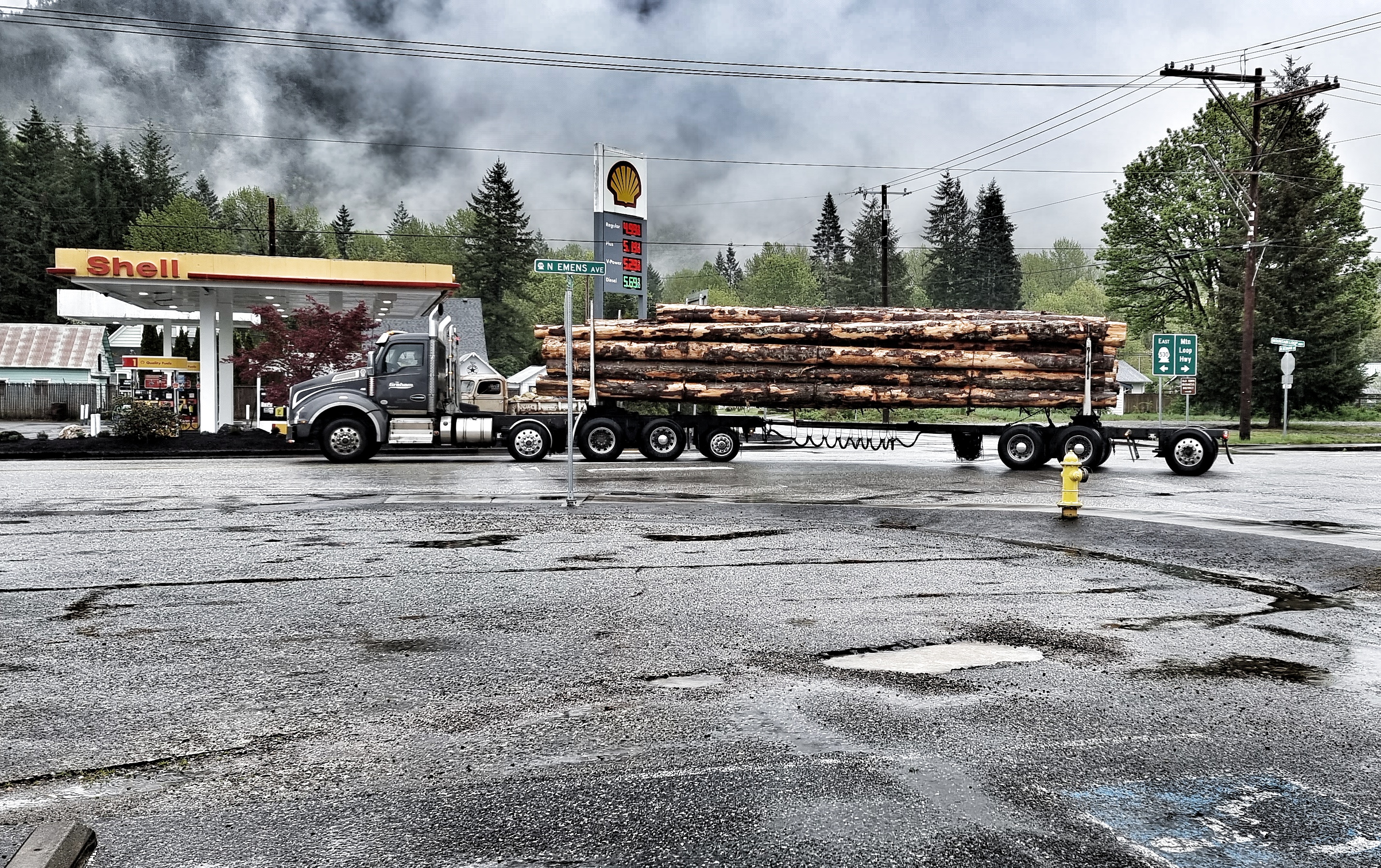
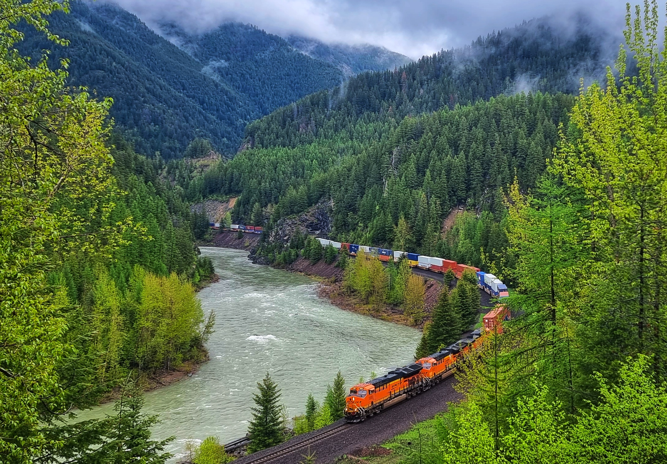
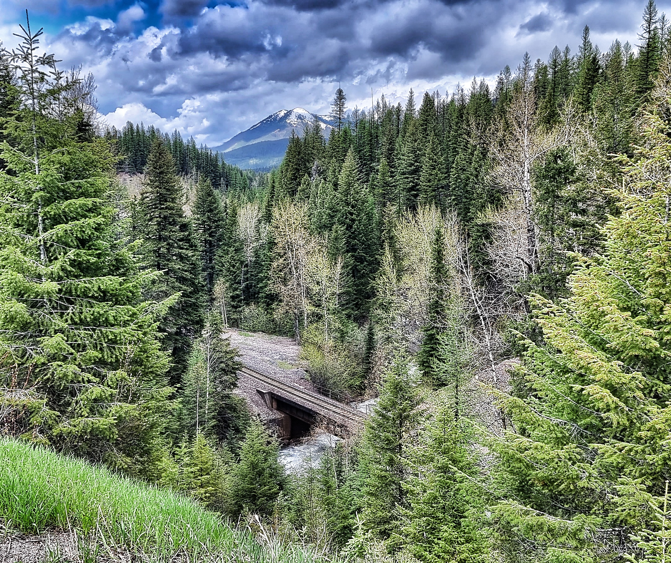
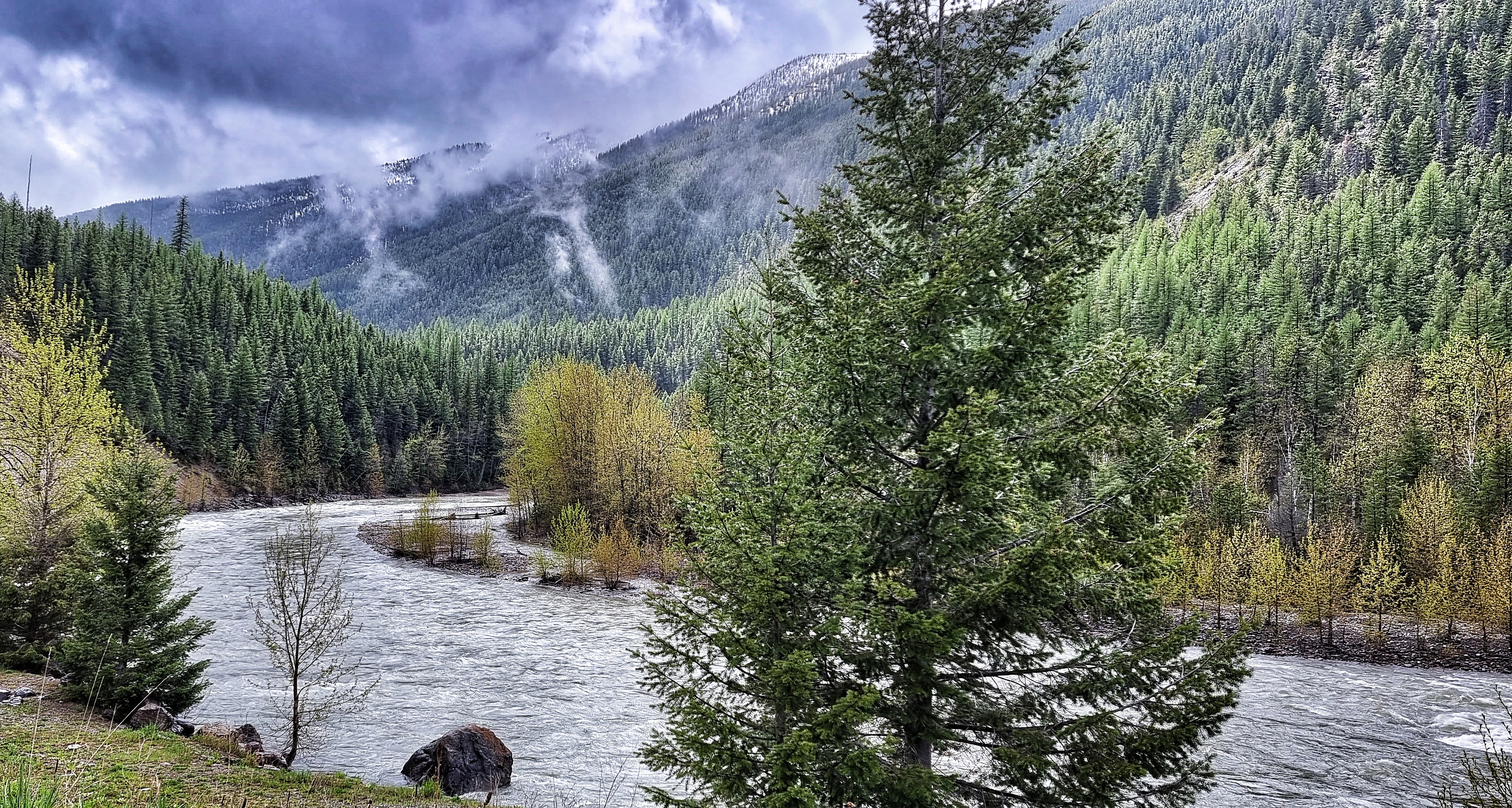
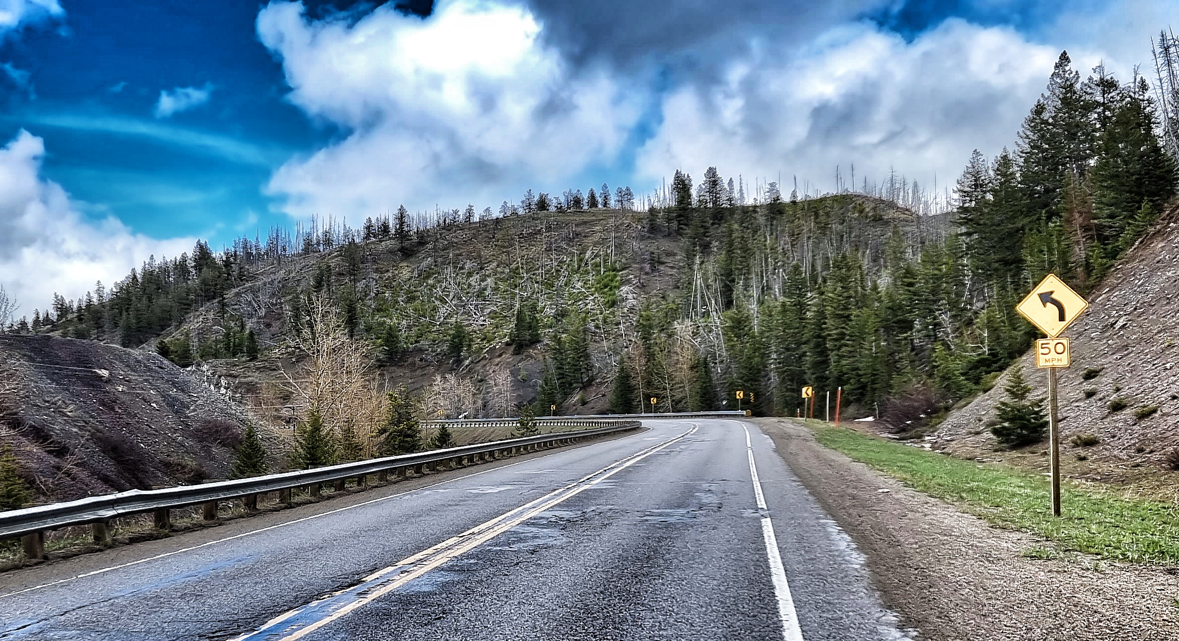
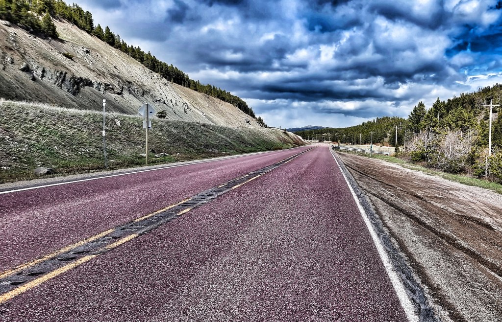
Heading East, we joined the US 2 & immediately started climbing, nothing severe, but enough to wake the legs up! We reached the summit of the climb just as a huge freight train was heading in the opposite direction – this one was double stacked with containers. The road continued to rise & fall gently, as we occasionally caught views of the Middle Fork Flathead river below.
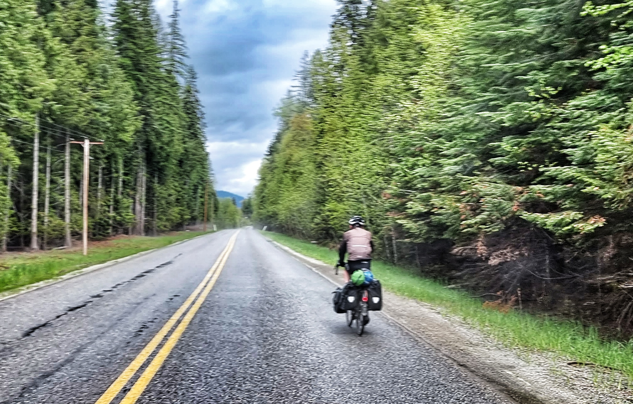
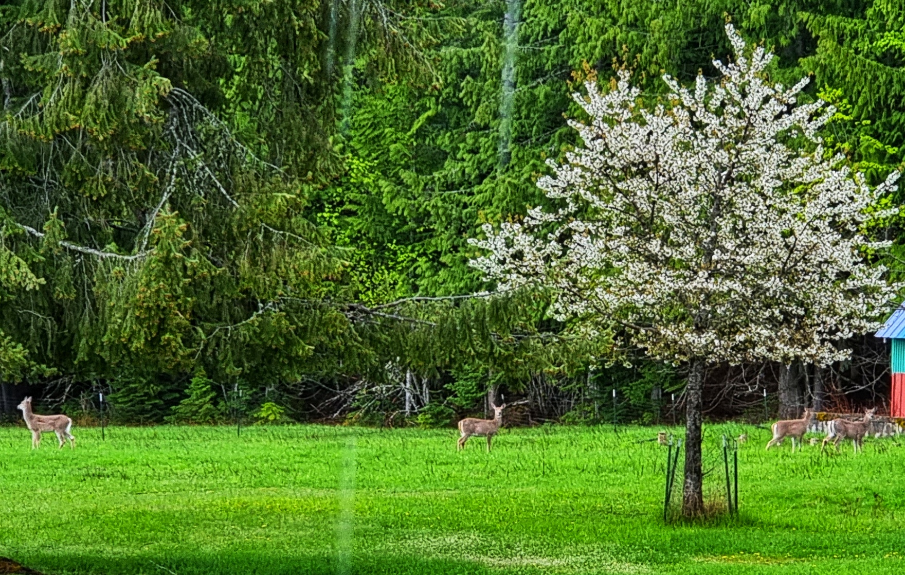
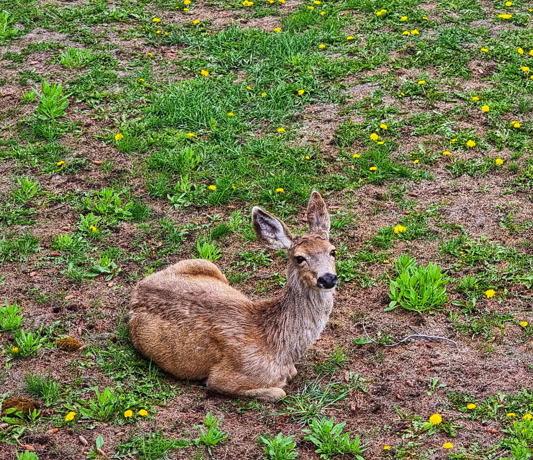
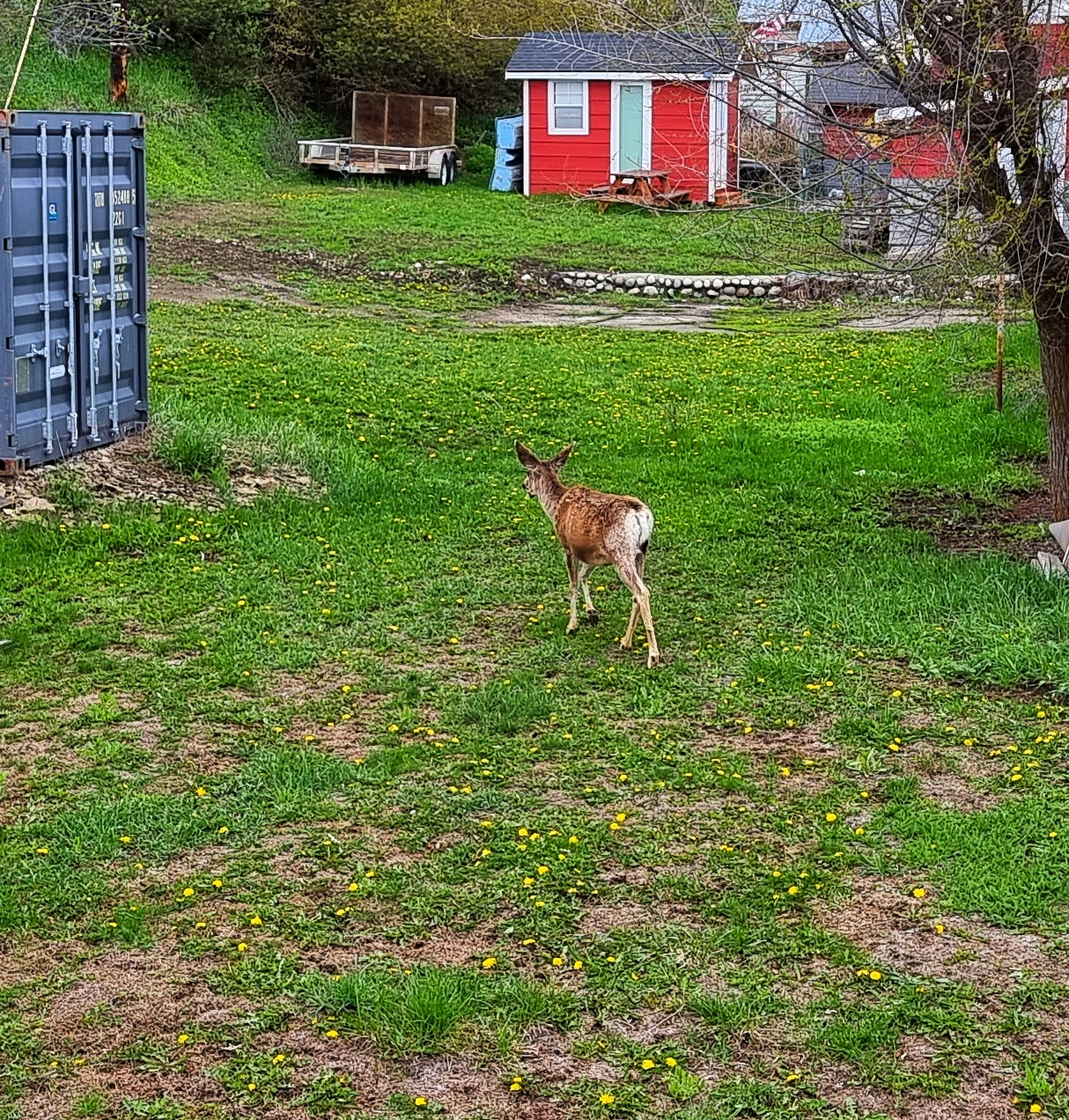
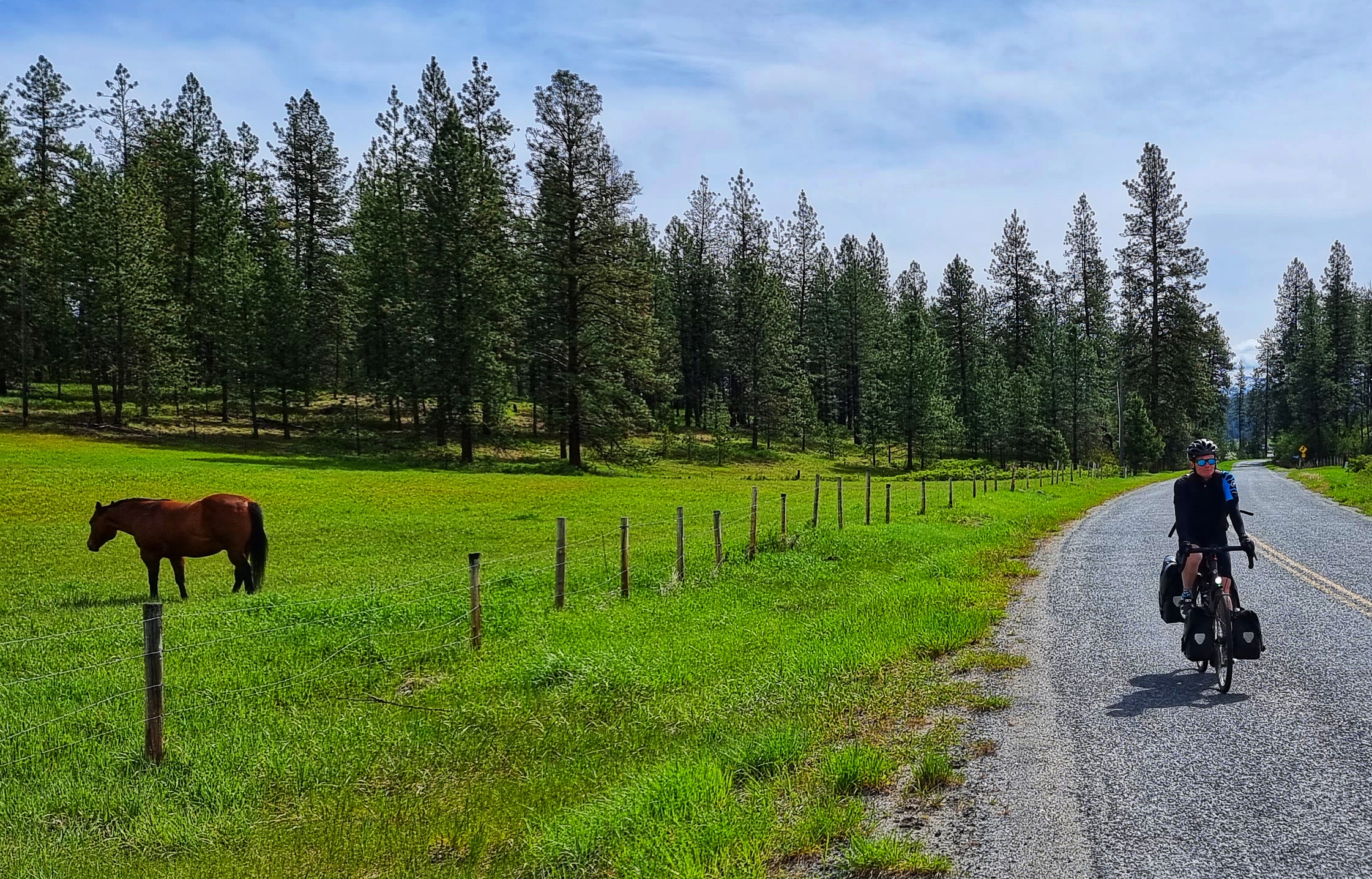
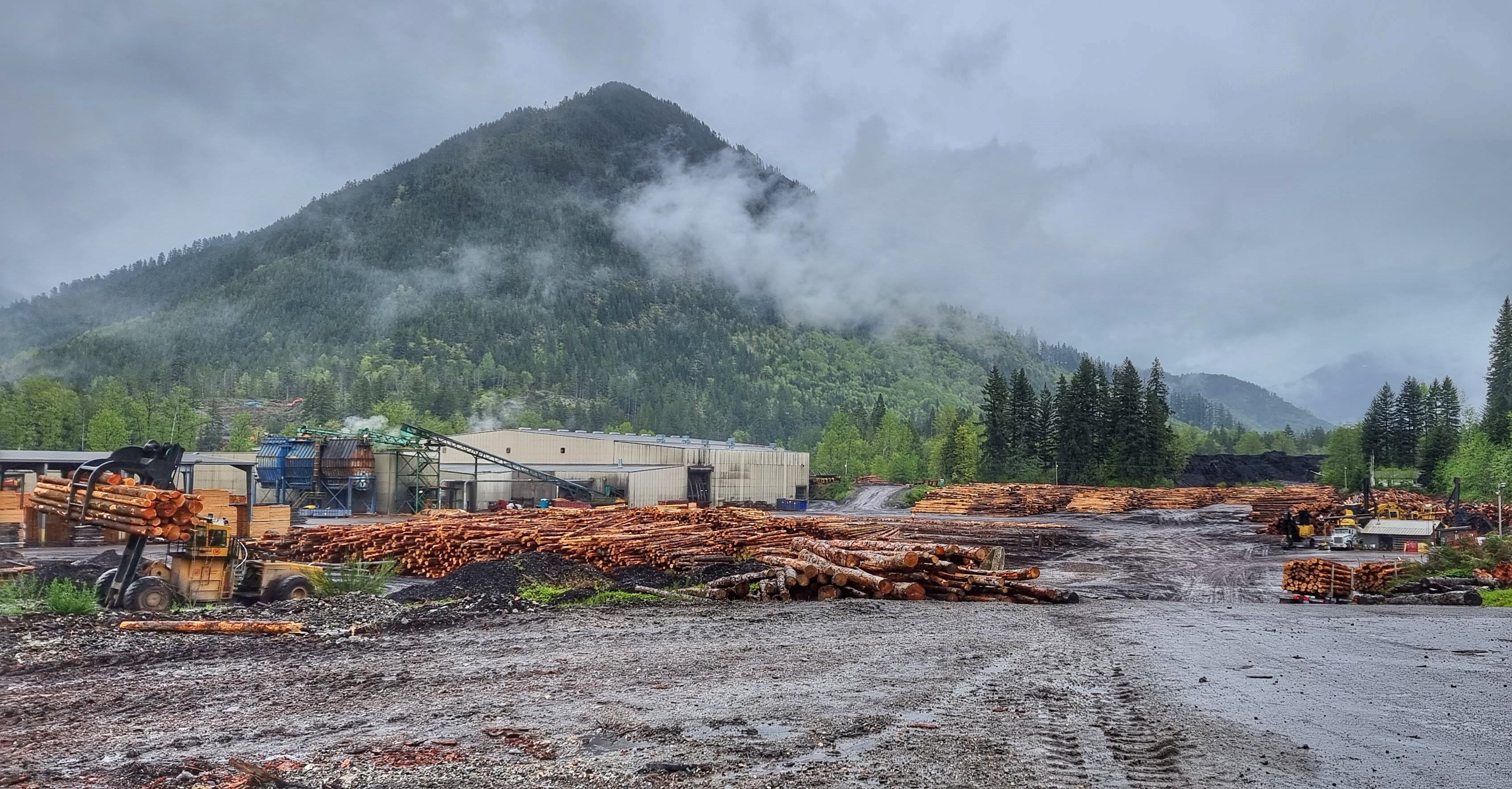
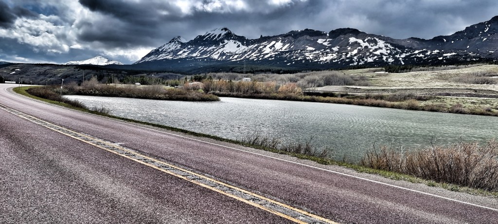
As we continued through the thick pines of the Flathead National Forest, we finally reached the end of the climbing for a while & descended to the valley floor, where we passed Walton Mountain, its summit wrapped in low-lying cloud. We were also visited by our old friends the inquisitive deer!!! It was about here that we got rained on for the first of several times today – never too heavy, or for too long, but enough to get us damp!
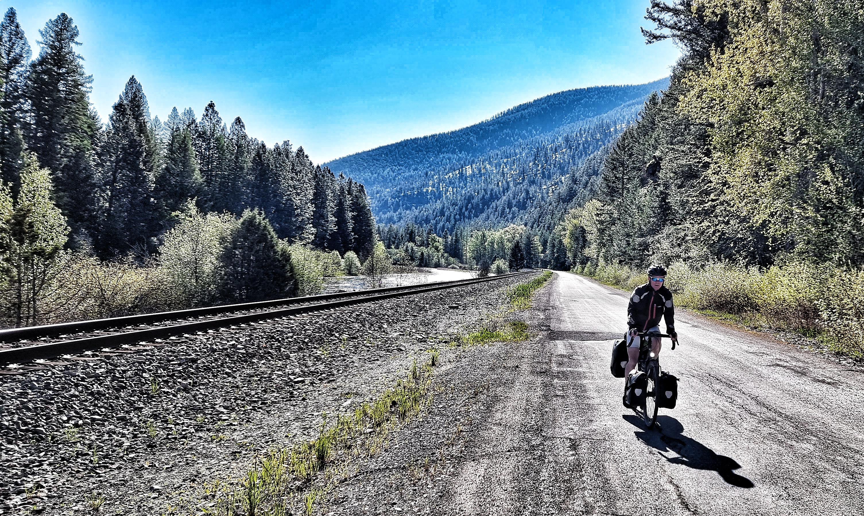
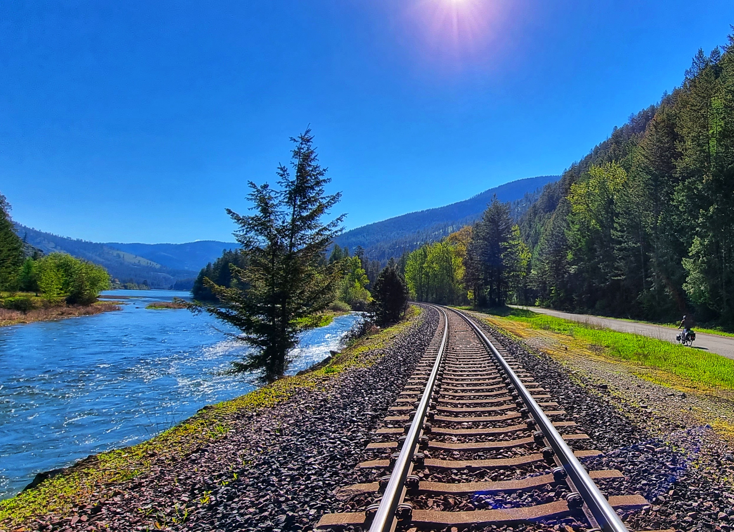
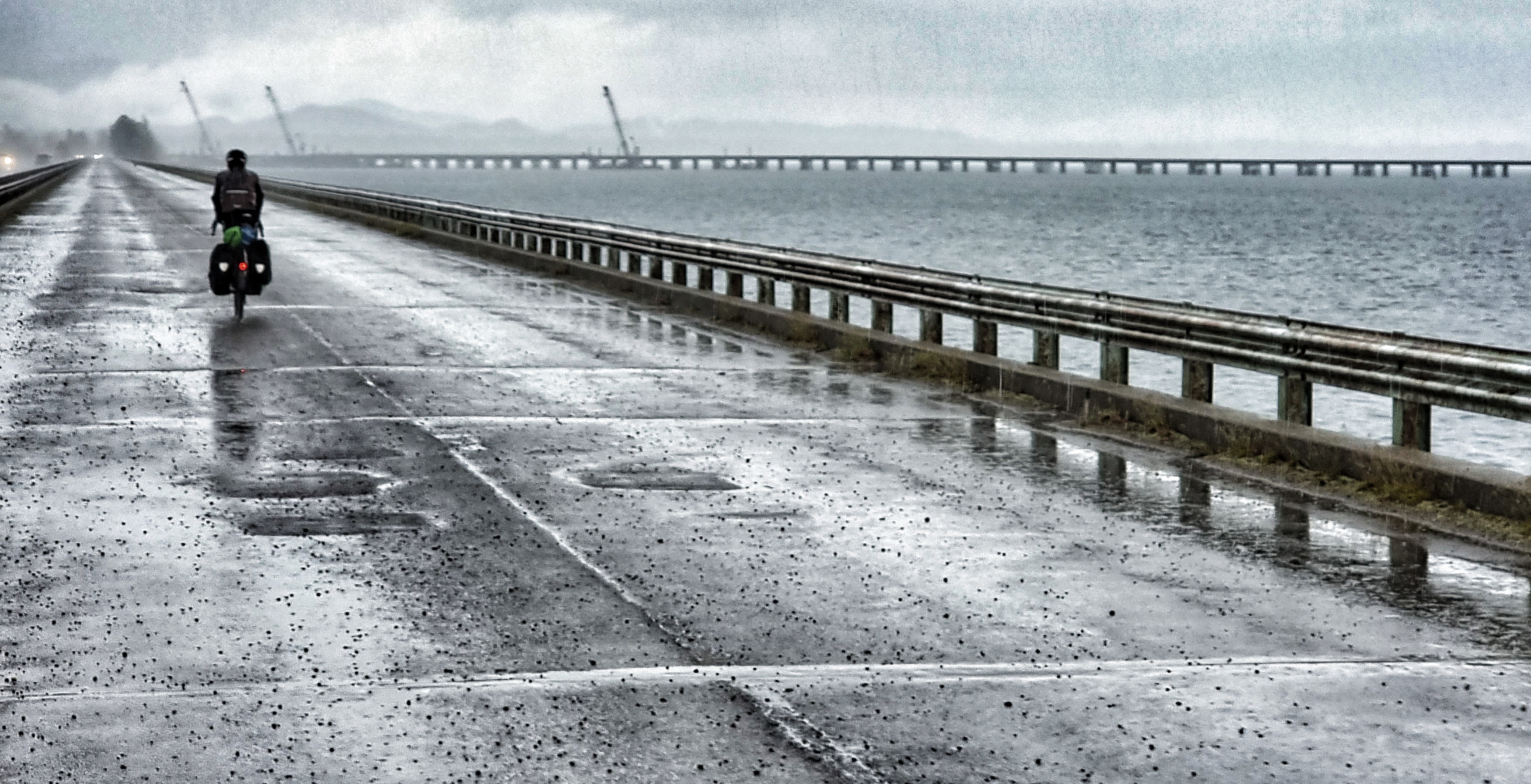
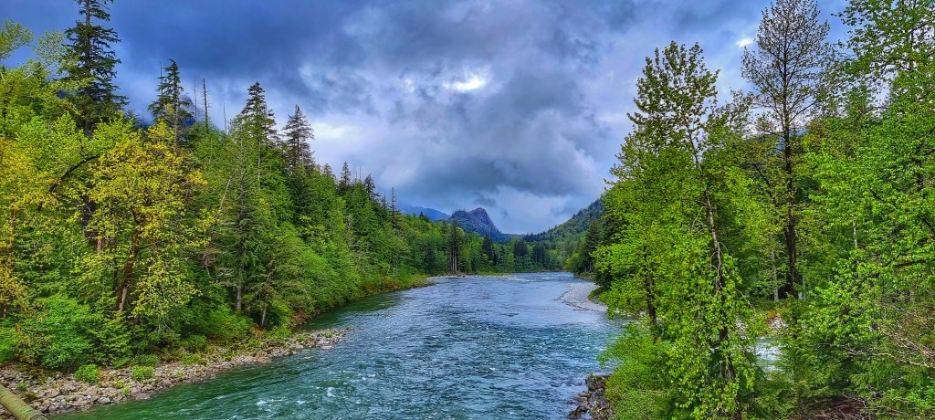
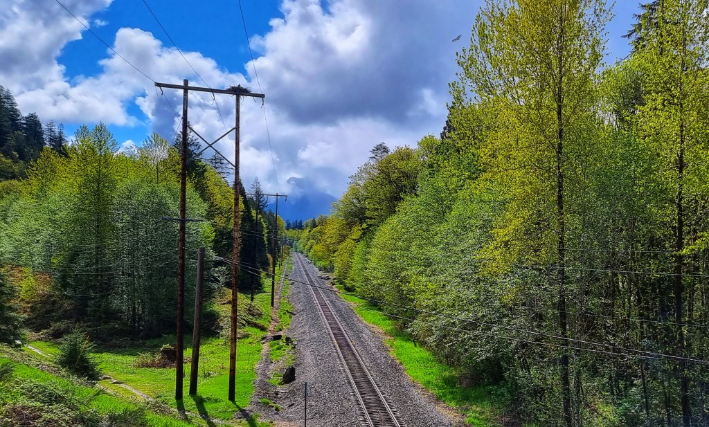
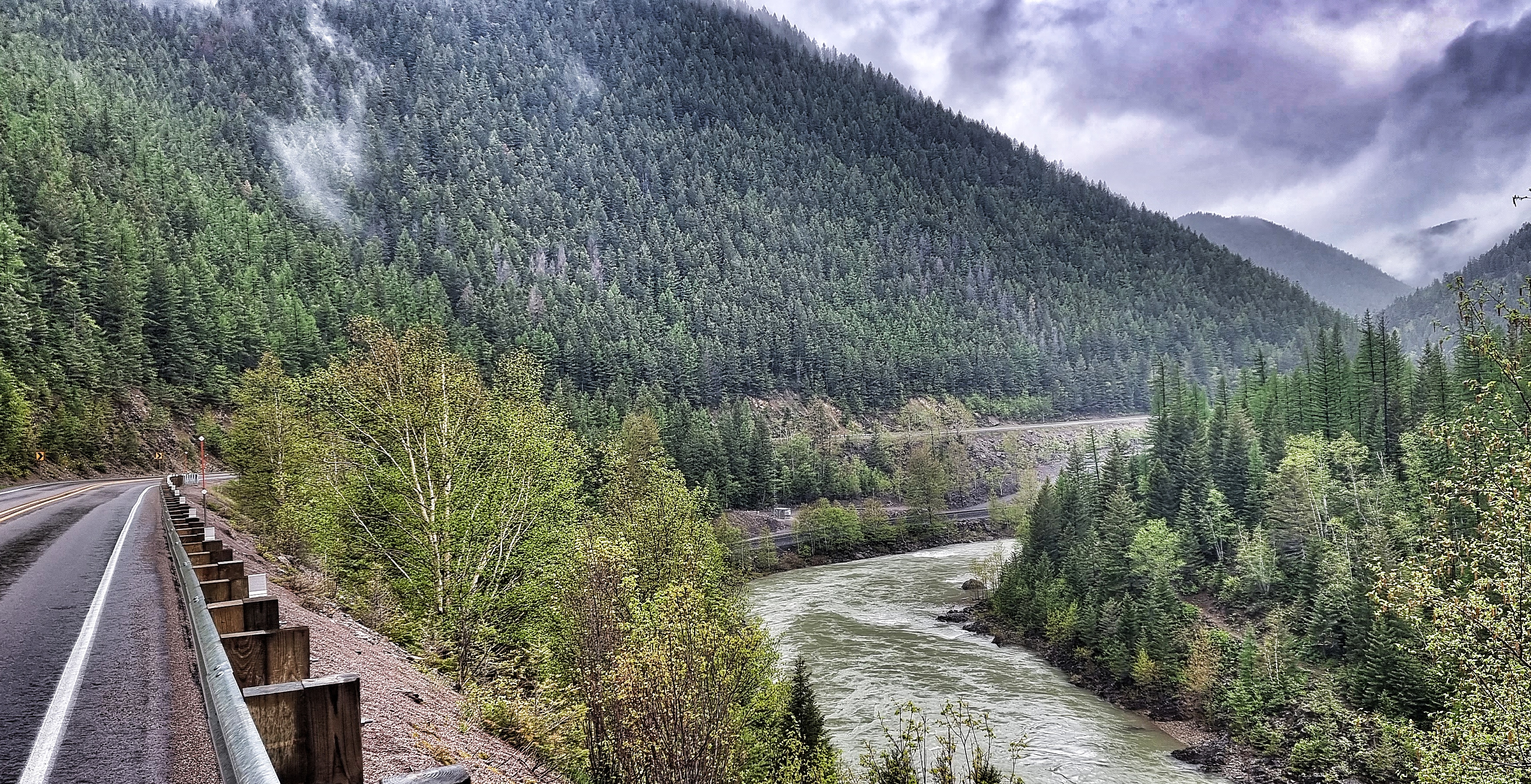
The railroad, river & road converged at a pinch-point in the valley & I was just quick enough to capture it on video. Regardless of the quality of my camerawork & presenting (or otherwise!) I’ve found video to be a great way to be reminded of where we were & how I felt at that time – Tony, thanks for the suggestion.
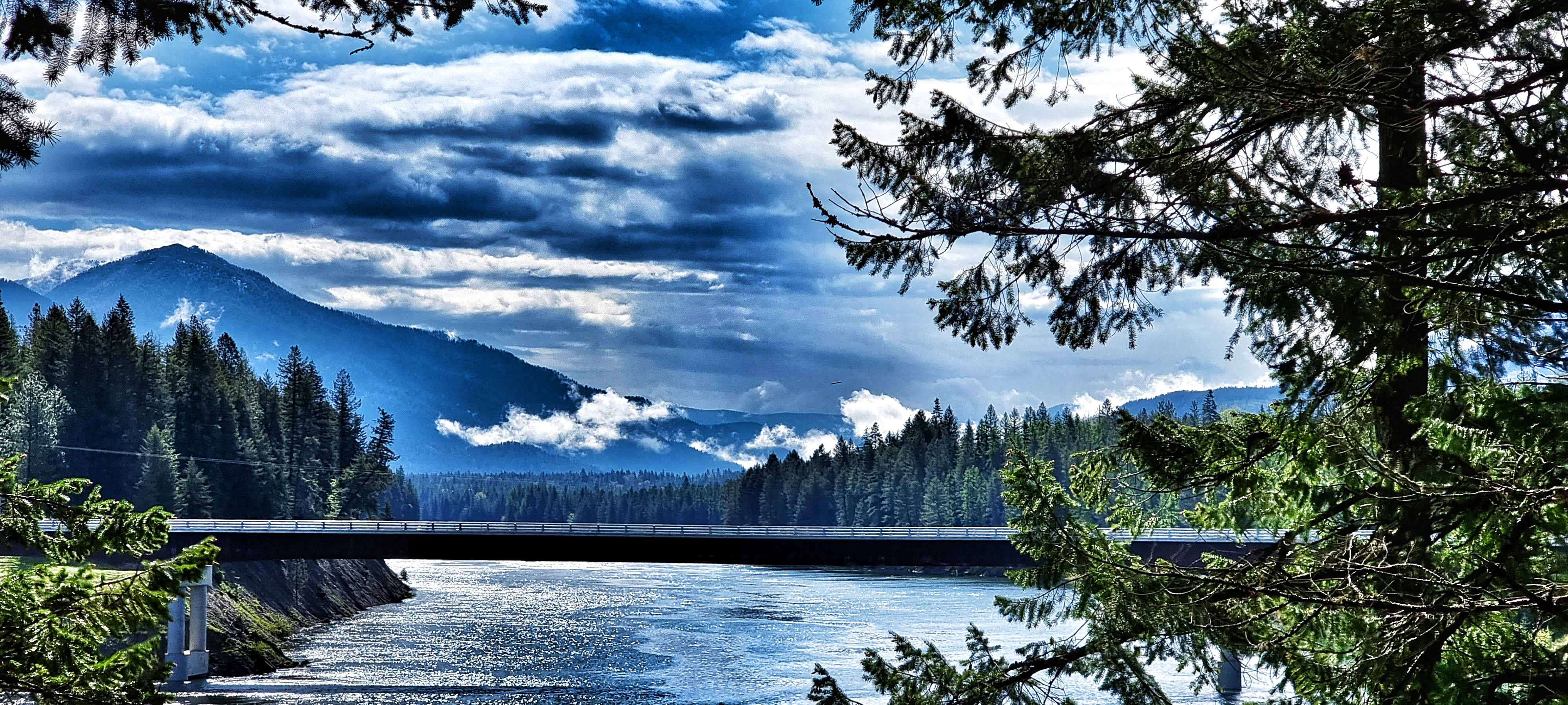
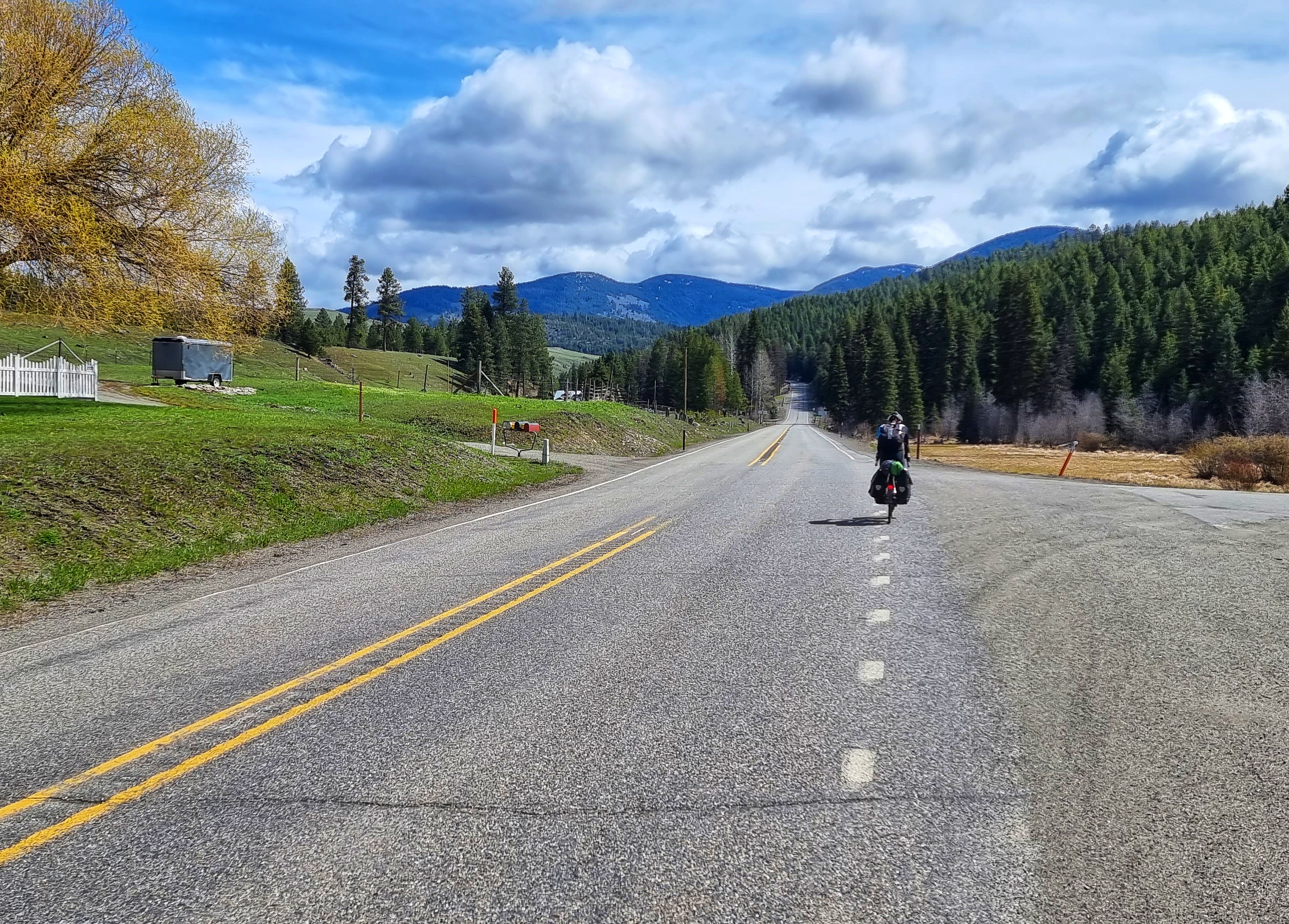
We crossed over the railroad, as it continued along the left hand side of the valley. We took a different route that saw us climbing the side of the valley & offering up views of the river & railroad below.

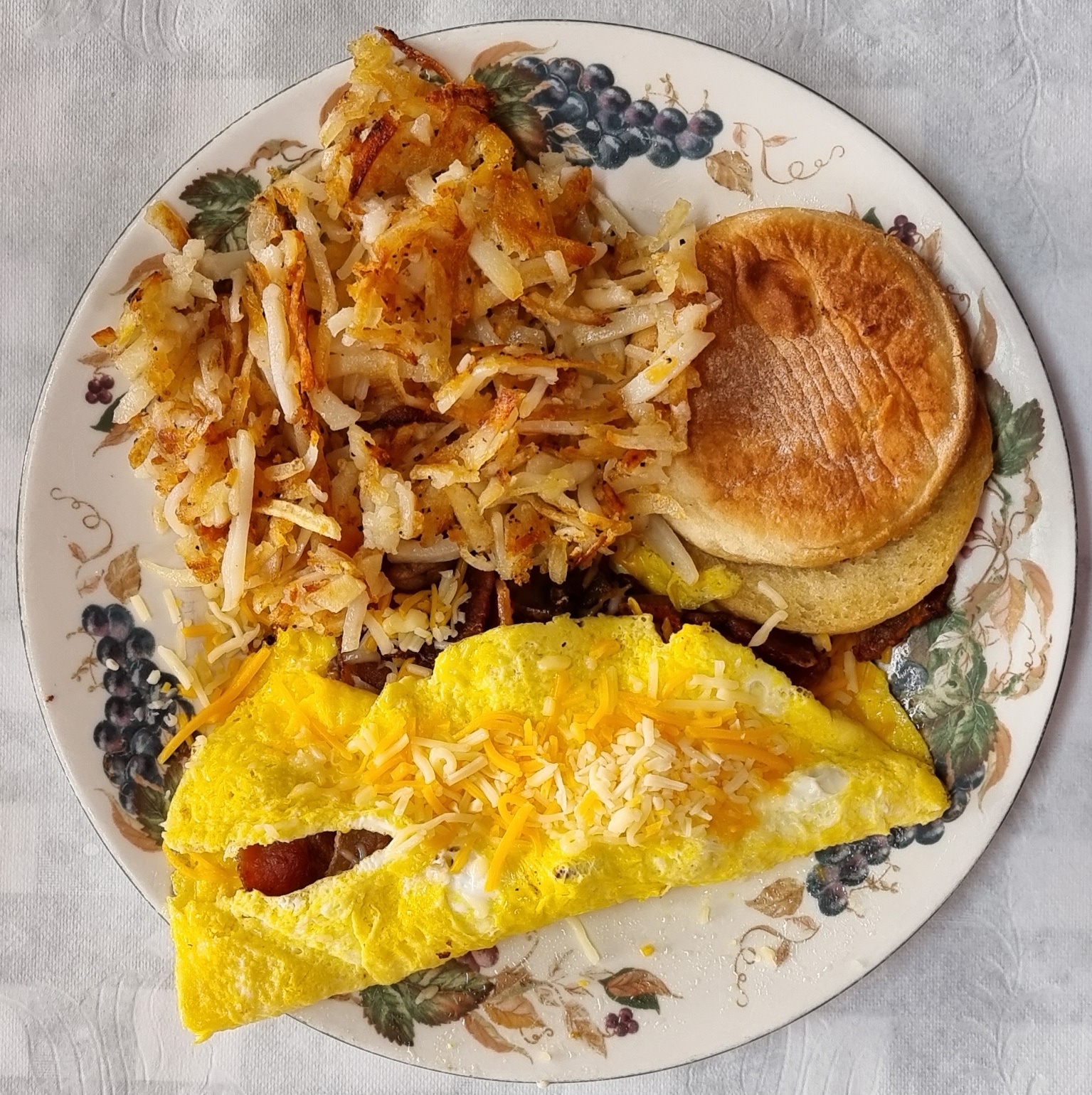
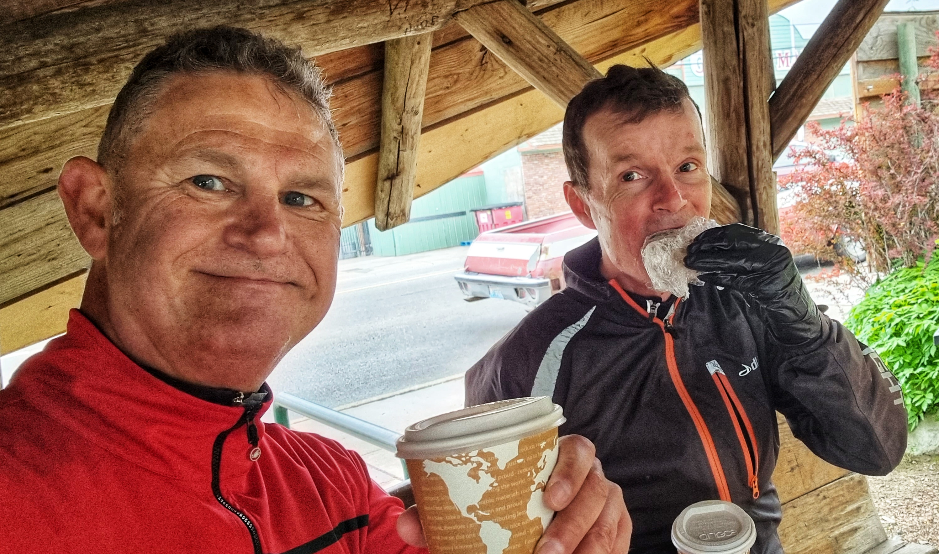
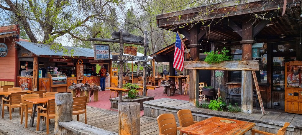
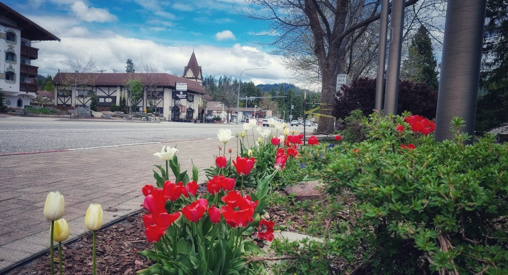
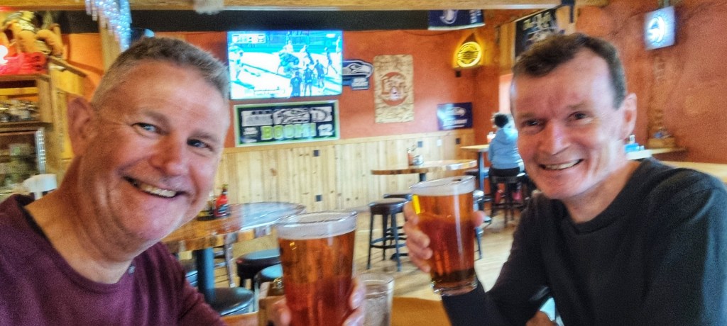
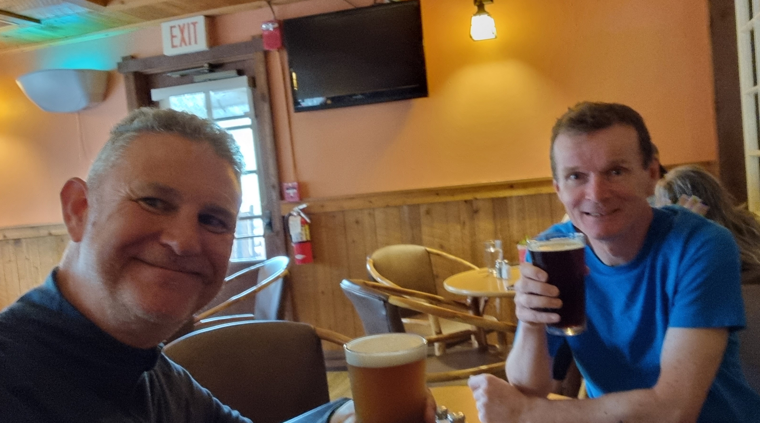
As we reached Essex we saw a sign to the Historic Izaak Walton Inn, so decided to take a detour as it also advertised being open all year – after 39 miles we were ready for coffee!
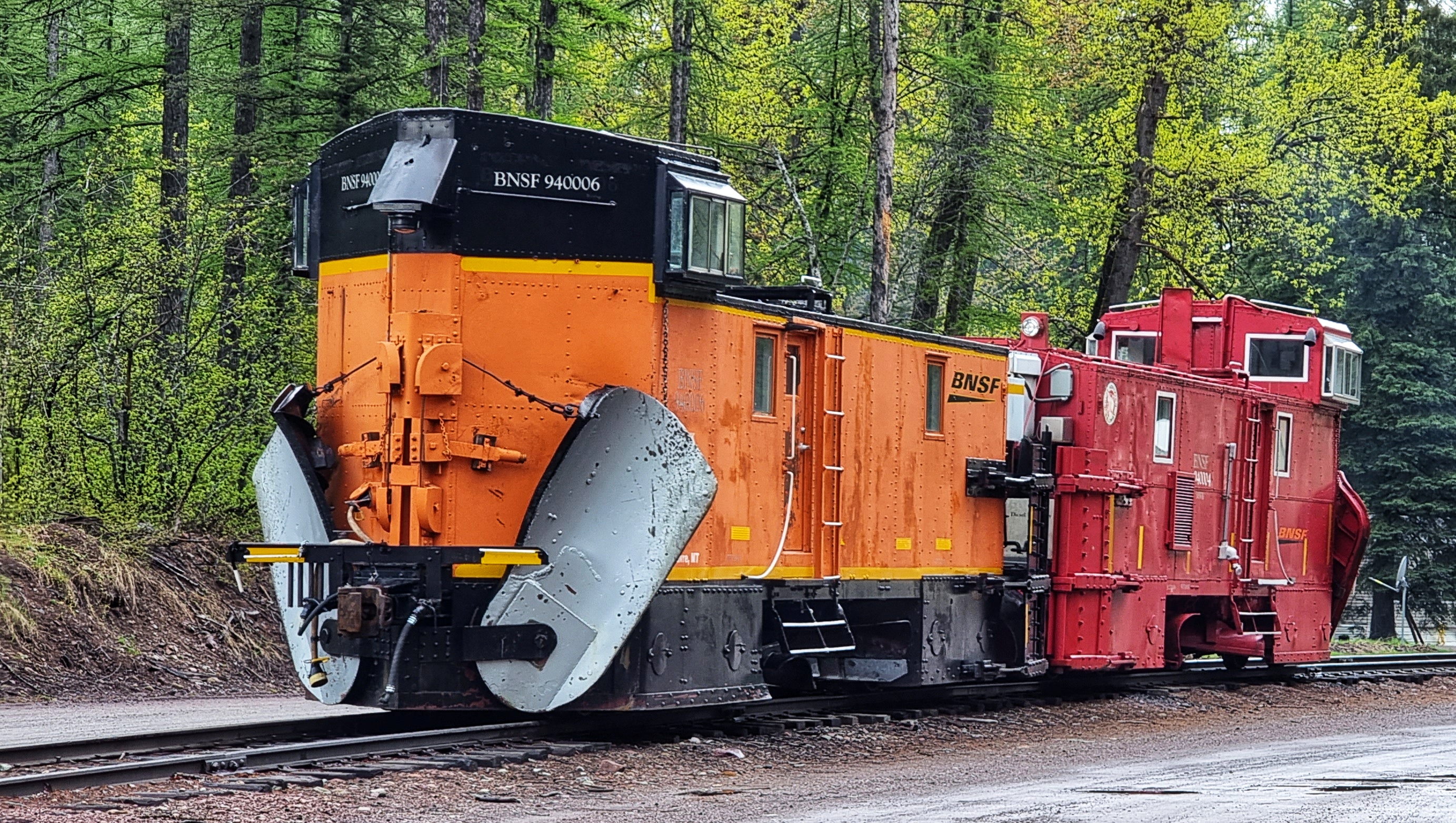
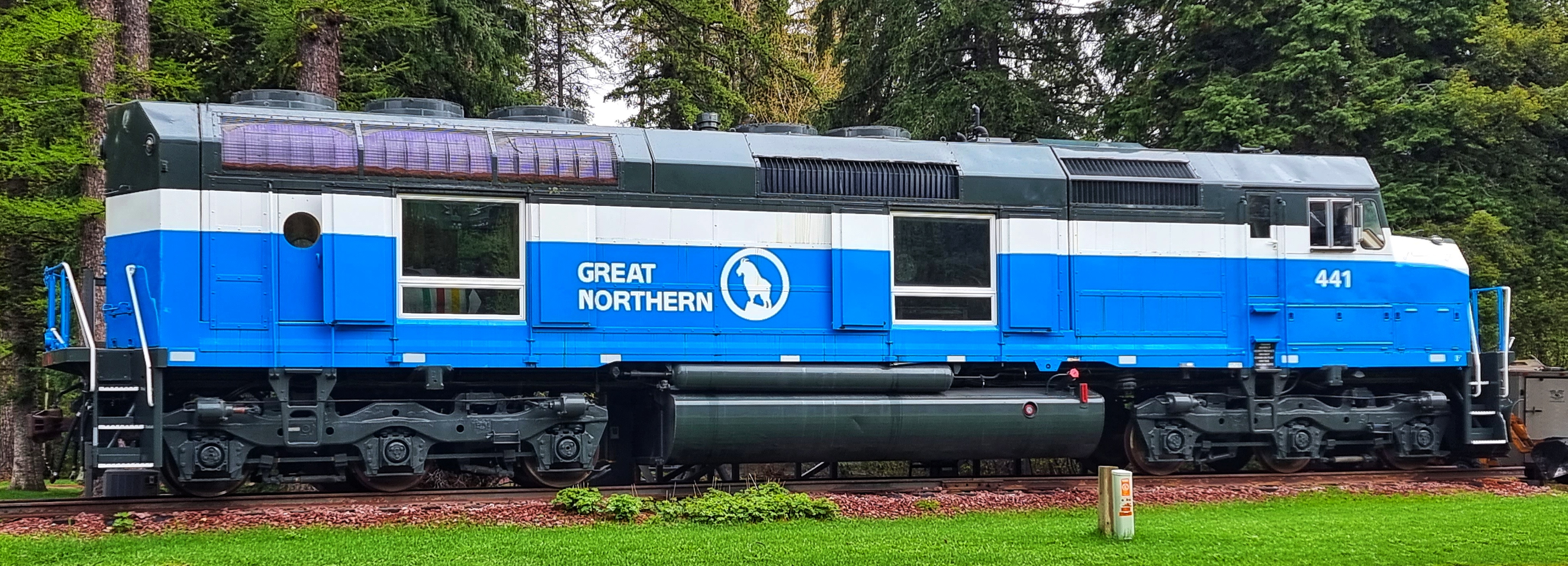
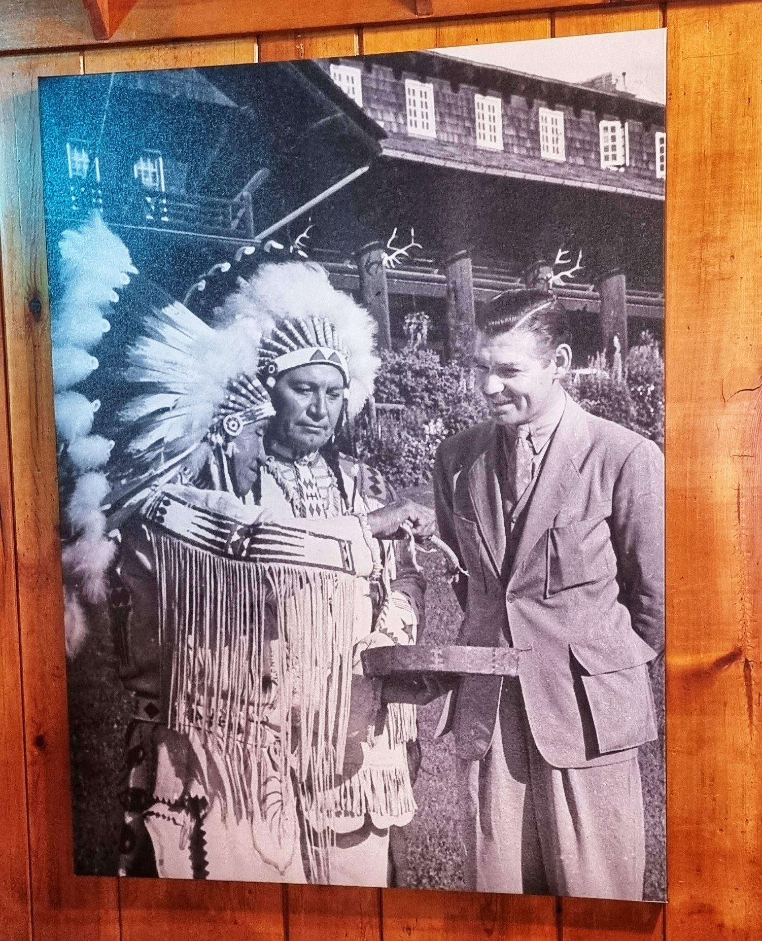
The Great Northern Railway (GNR) built a multi-track yard at Essex to allow “helper engines” to assist heavy Eastbound freight trains overcome the steep gradients of the Marias Pass as they crossed The Continental Divide. In 1939, the GNR authorised the building of the Izaak Walton Inn to accommodate the engine workers & it continues to be a working Inn to this day. There’s also a museum of historic engines & carriages, plus a photo of what looks to be a young Ronald Reagan.

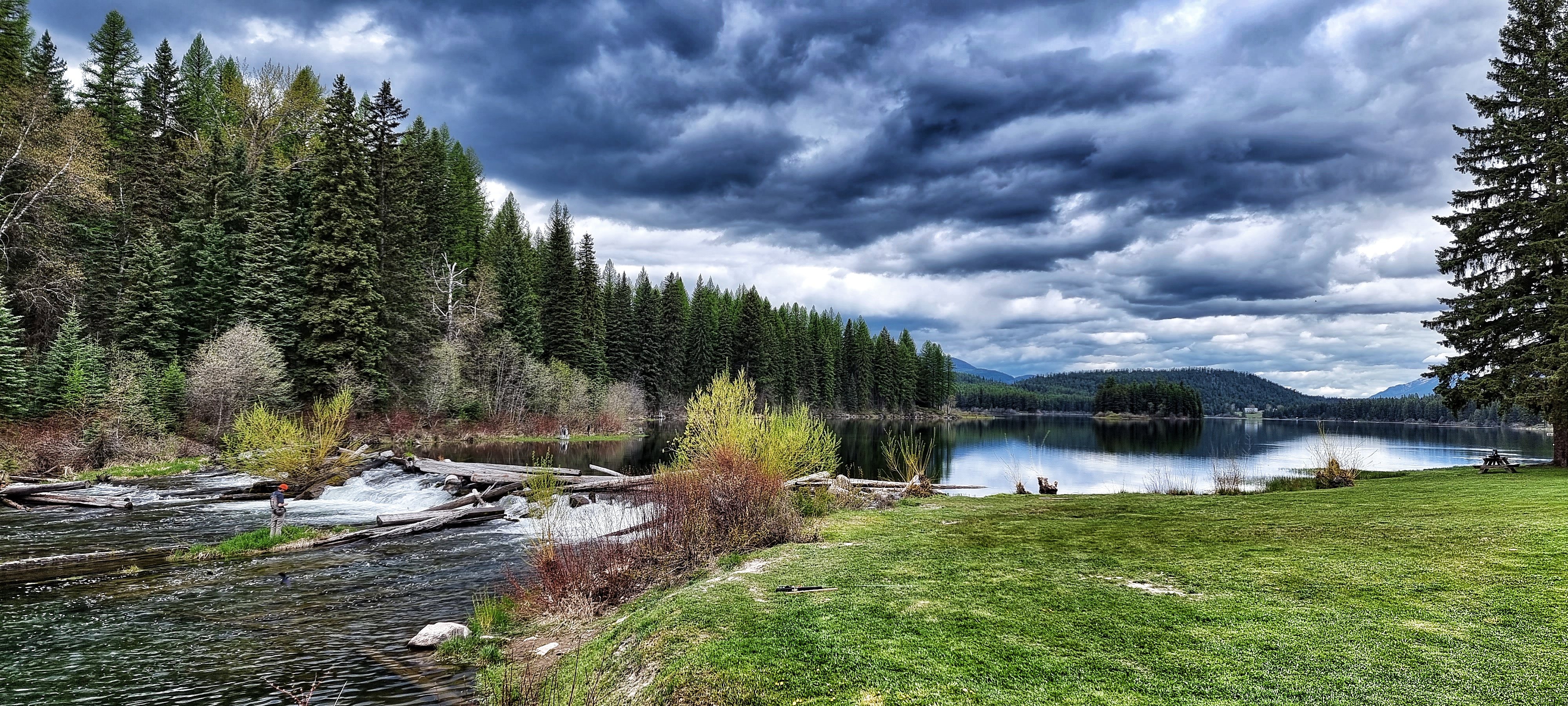
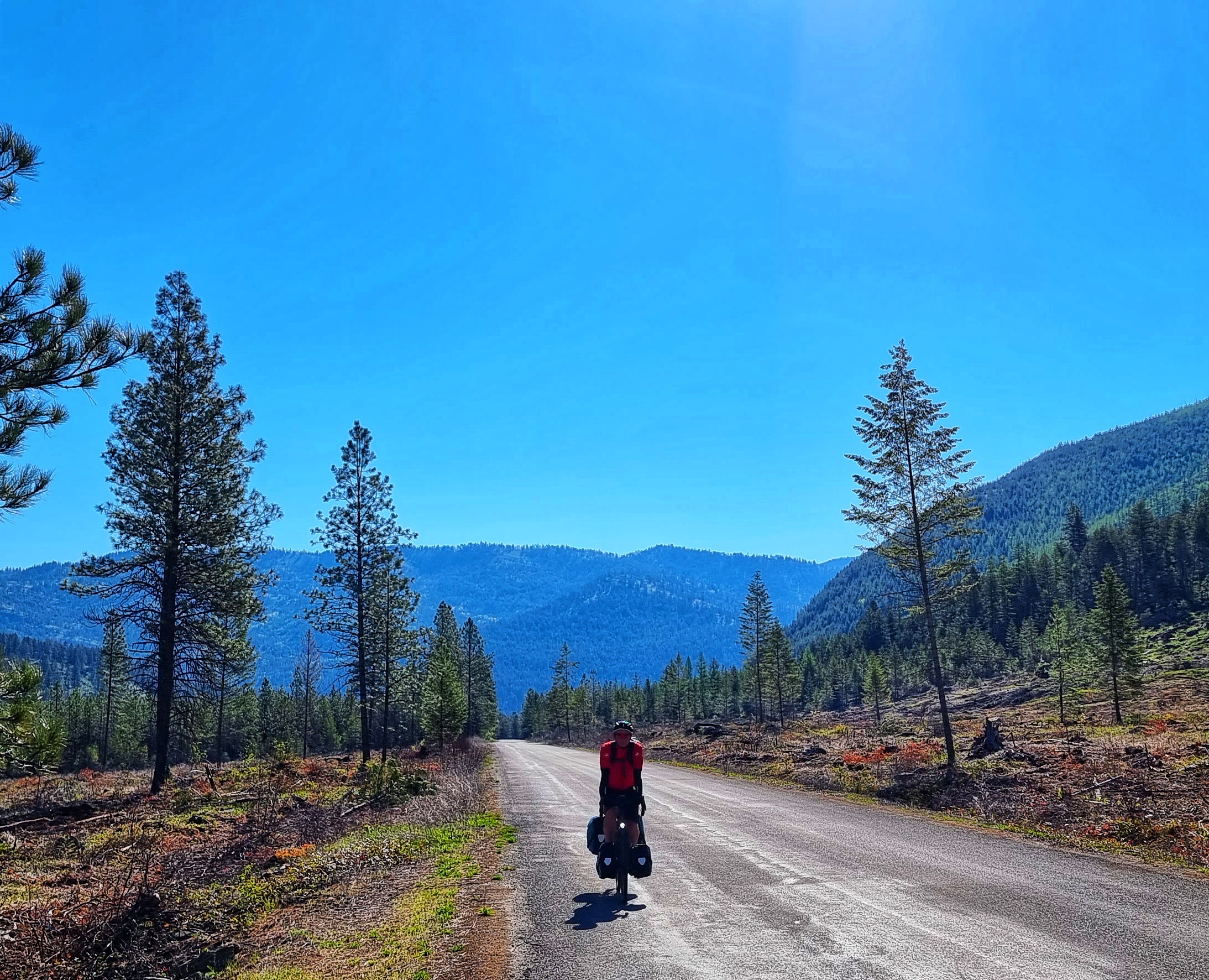
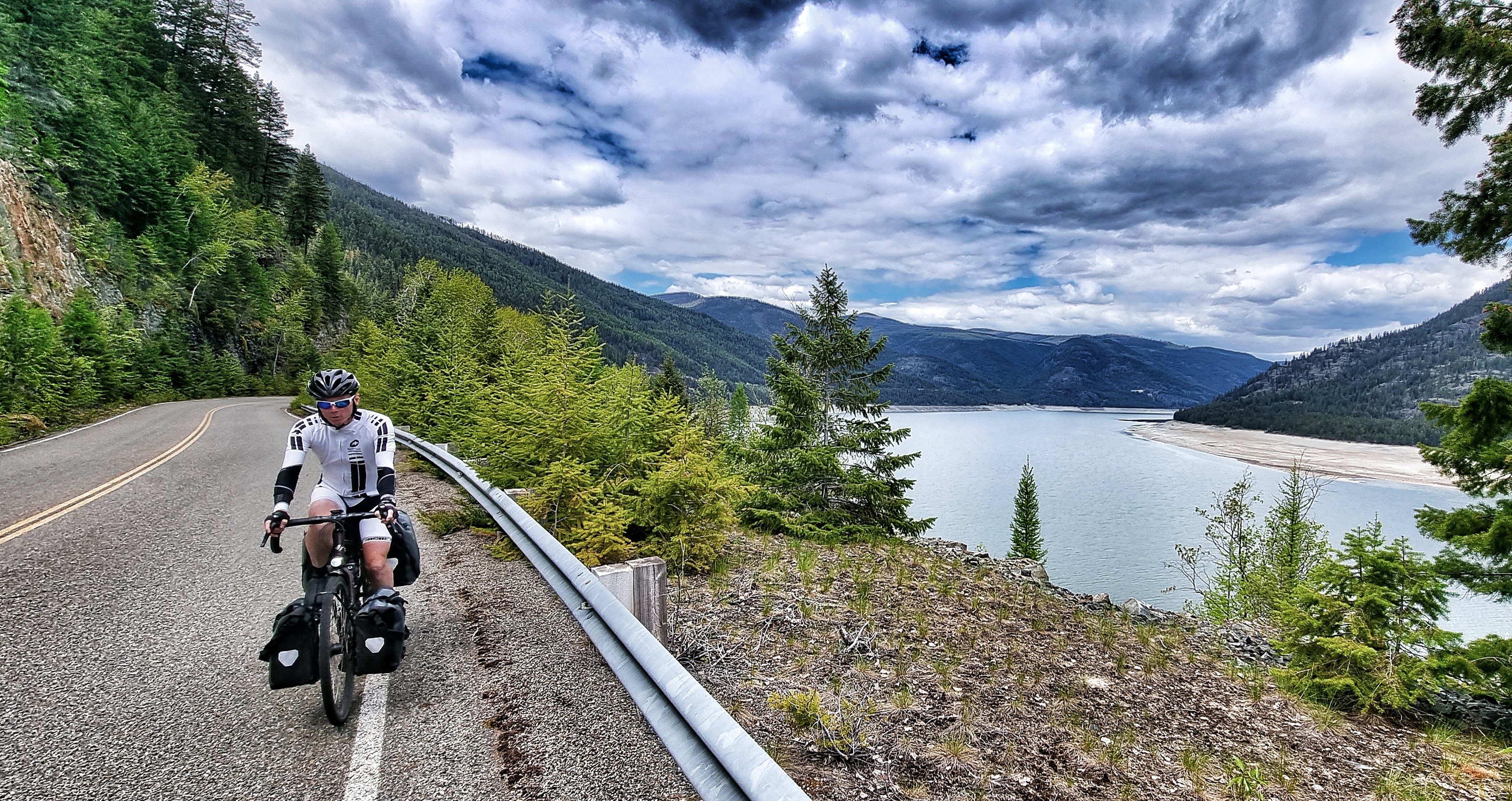
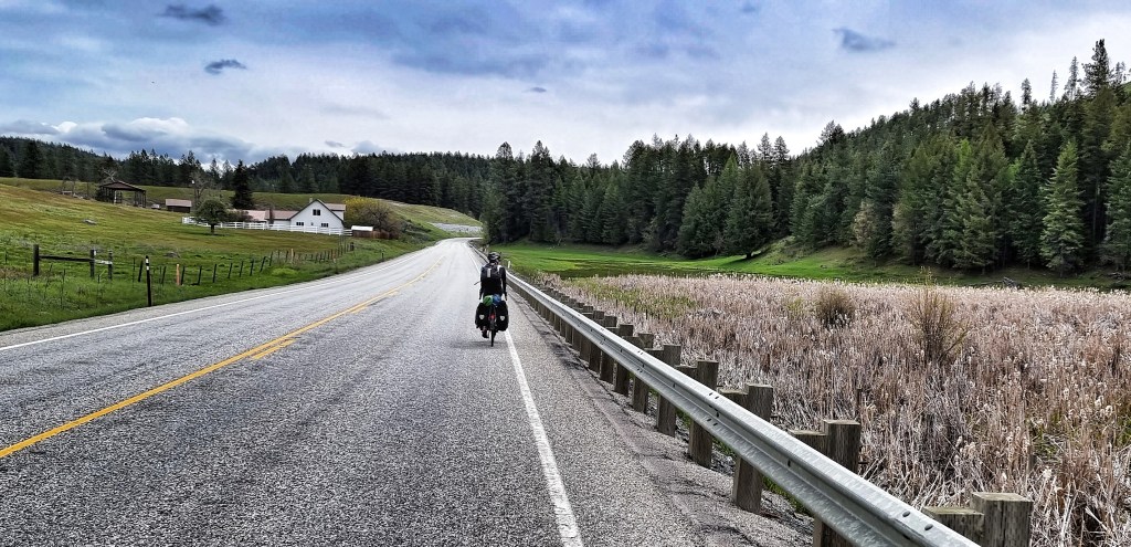
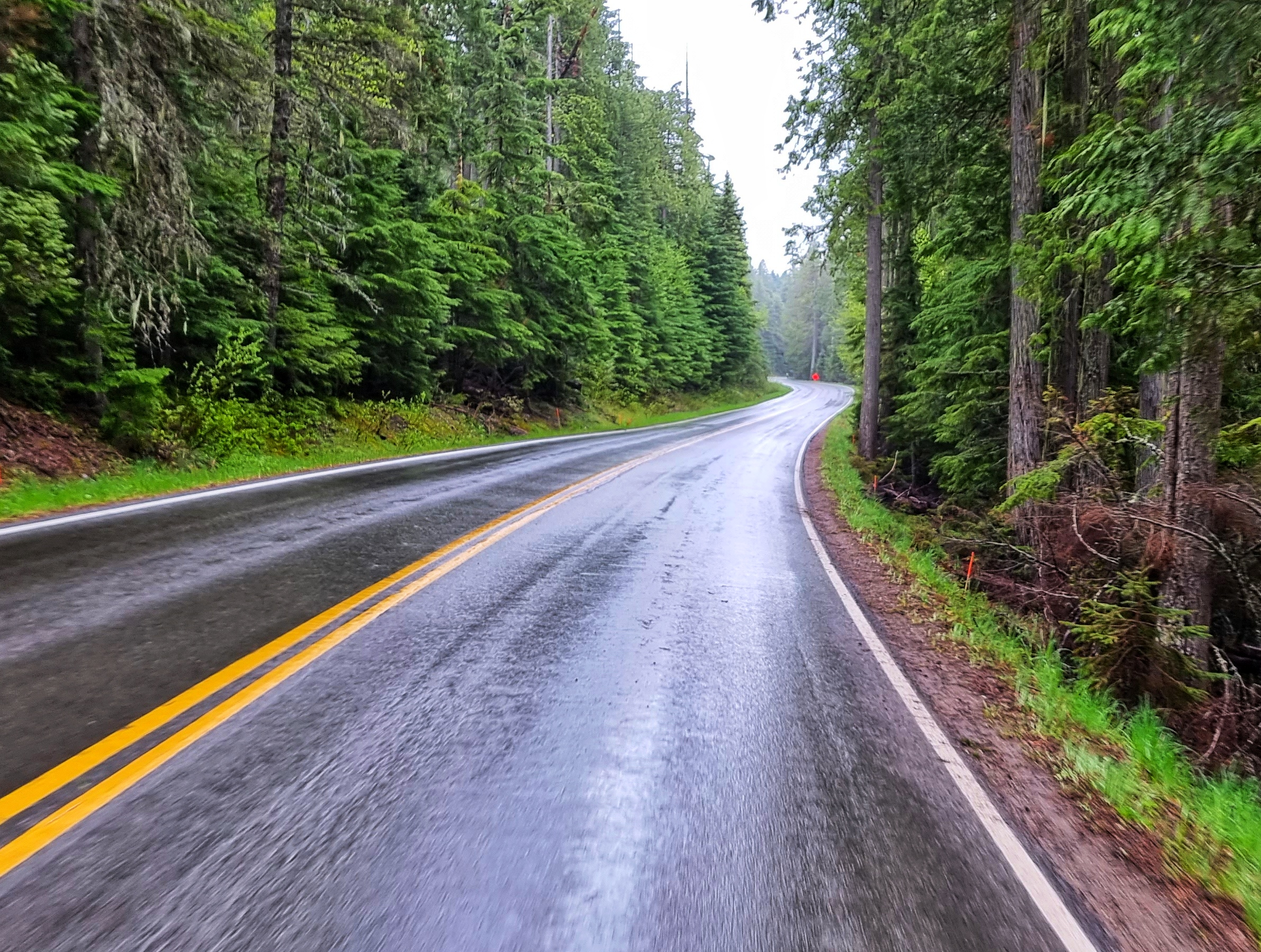
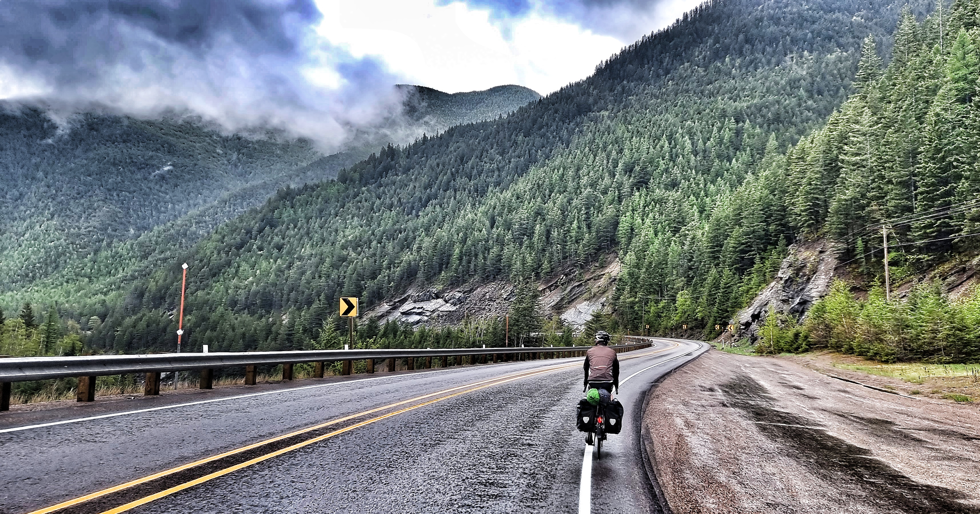
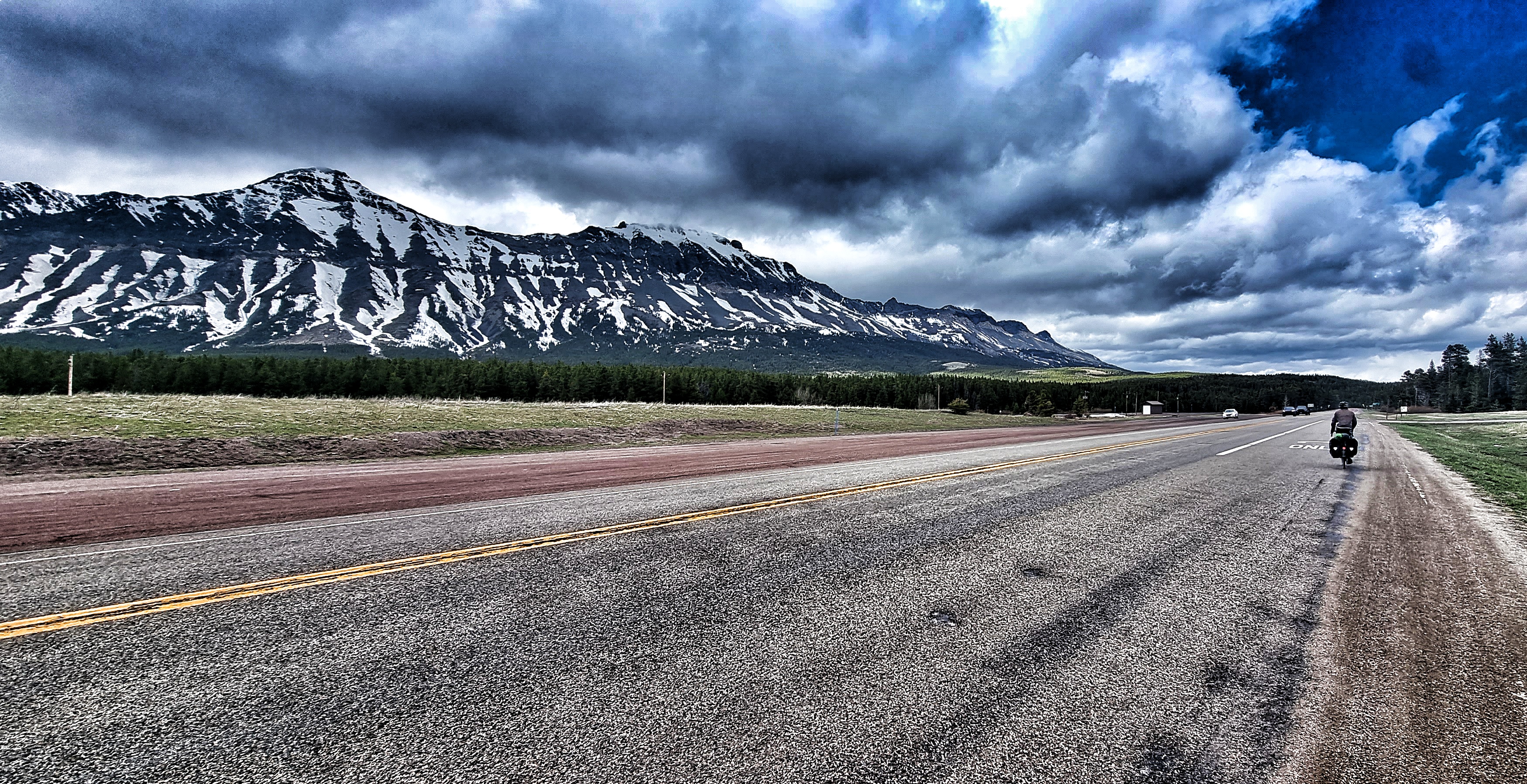
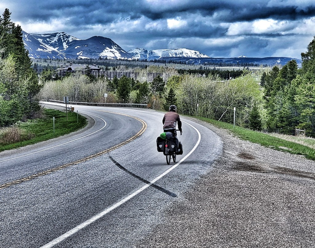
While we were relaxing inside, the heavens opened outside! Luckily by the time we remounted the steel steeds, we only had to deal with light rain & the short, sharp climb as soon as we joined the US 2 soon warmed us up! In no time we had big views over the river & railroad below, but then almost immediately gave all those hard fought for feet back! At Nimrod we left the Flathead river behind us & started following the course of the babbling Bear Creek.


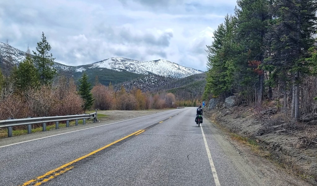
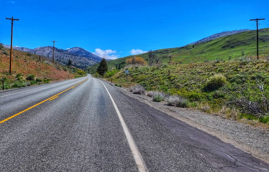
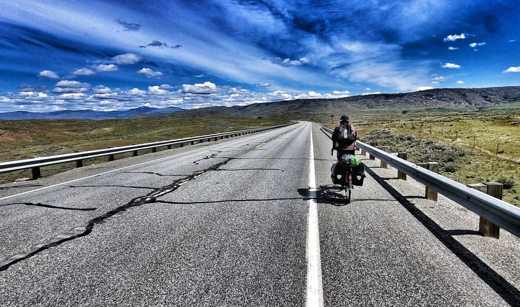
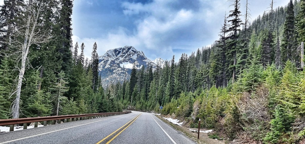
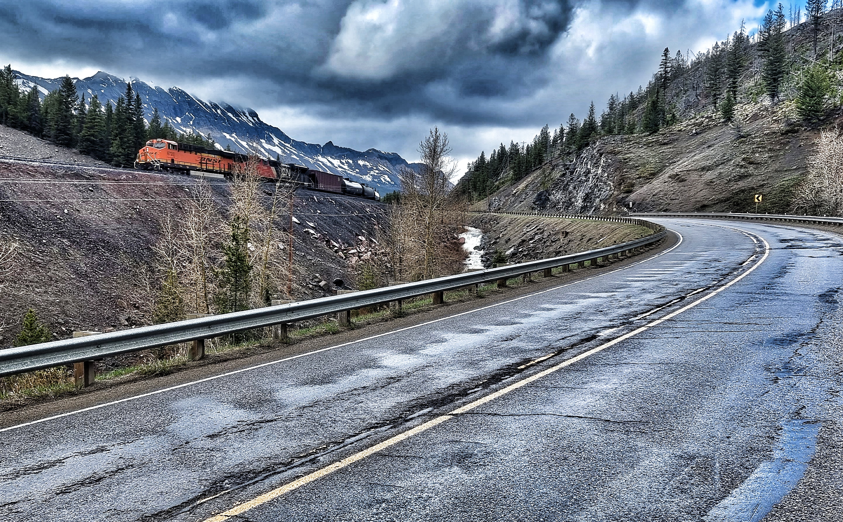
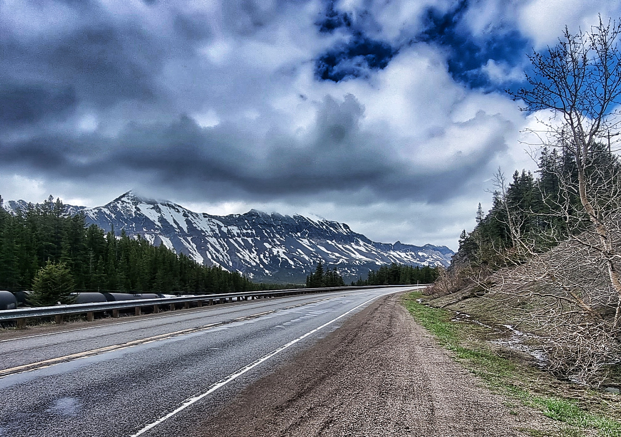
As we passed the Silver Staircase waterfall, it felt like this was where the climb to Marias Pass really began, even though we’d been gently climbing for the last 10 miles. The final 5 miles had a constant 4% gradient & this was made to feel a bit easier by the tailwind we’d picked up. Rounding the final corner, we were treated to the honk of a horn from a passing BNSF freight train.
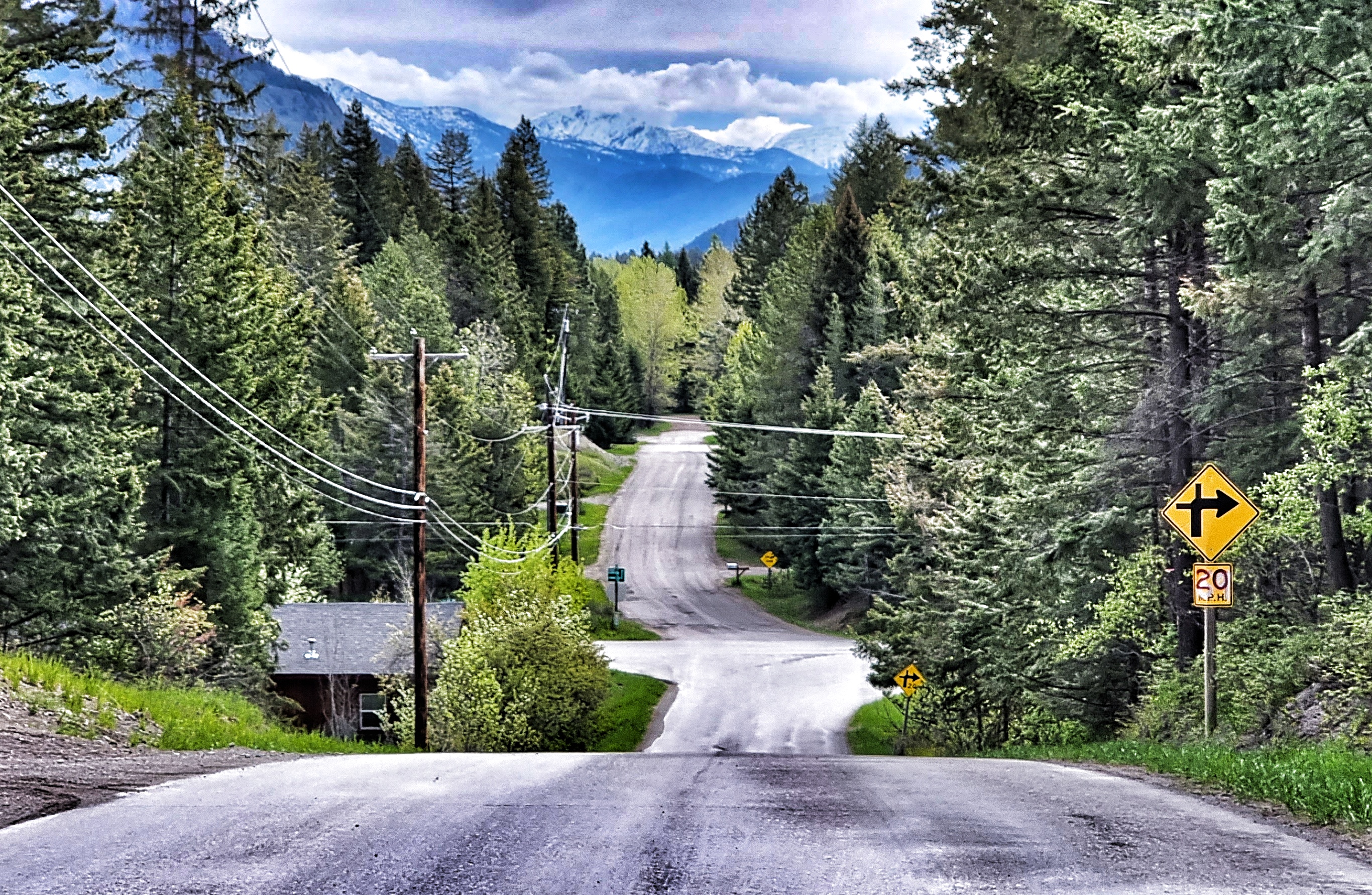
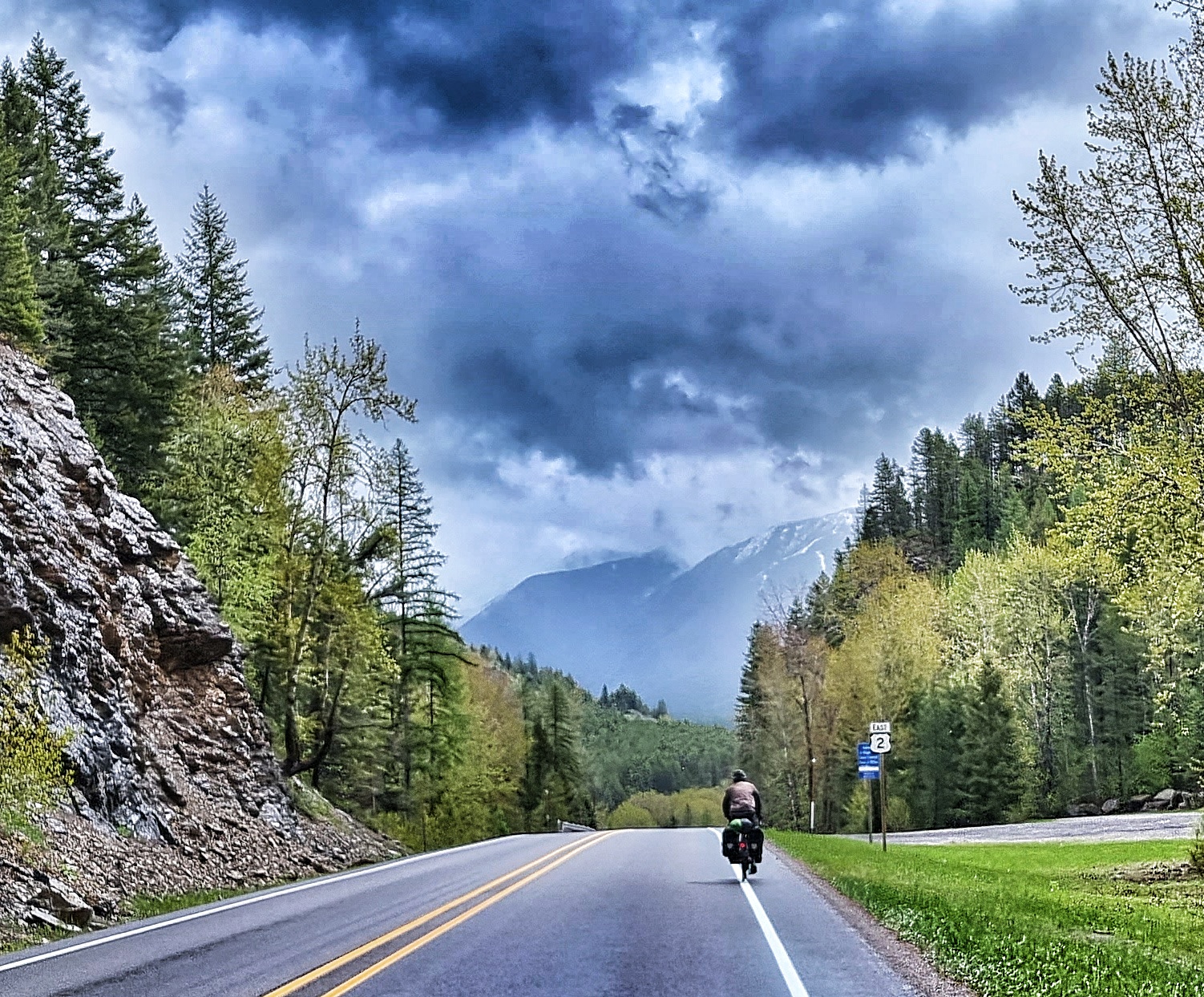
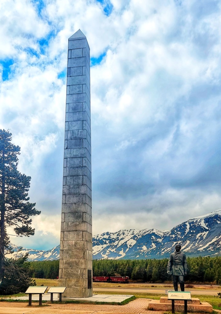
As we crested the Marias Pass, we crossed The Continental Divide for the first time – we hope to be criss-crossing it again later in the trip! Up until now, every river we’d followed had been depositing its water in the Pacific Ocean. Until we cross the Continental Divide again, water will either be making its way to the Gulf of Mexico or the Atlantic Ocean!
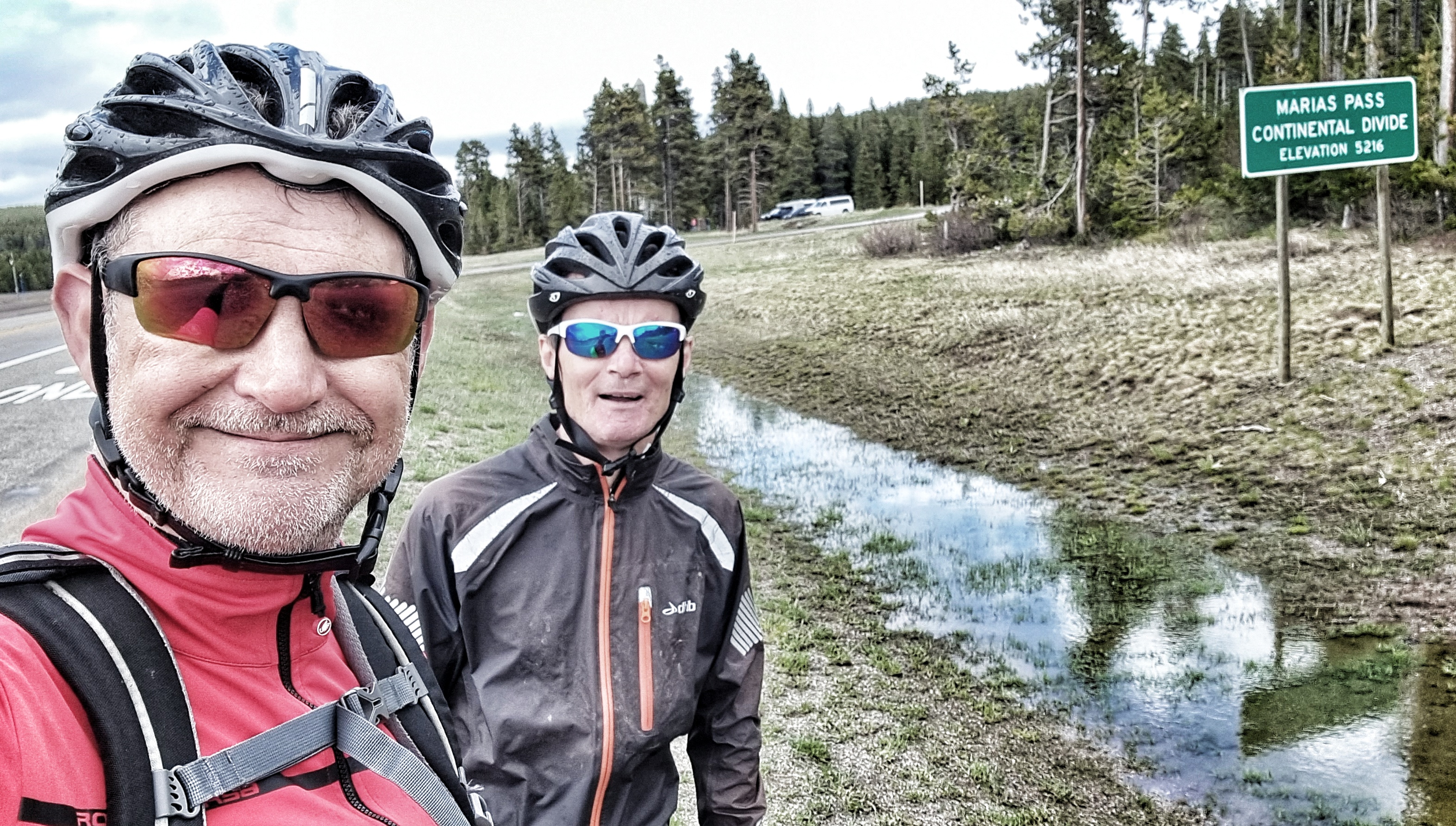
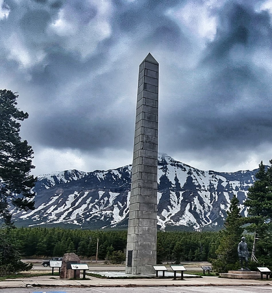
The Marias Pass is the lowest crossing point of the Continental Divide in Montana. Slippery Bill Morrison had claimed squatters rights to 160 acres of land atop the Marias Pass, however he donated a portion of his land to enable the Theodore Roosevelt Memorial to be built in 1932 to recognise him making forest conservation a national policy. The monument is a tapering, 60 foot tall obelisk & is made of solid granite.
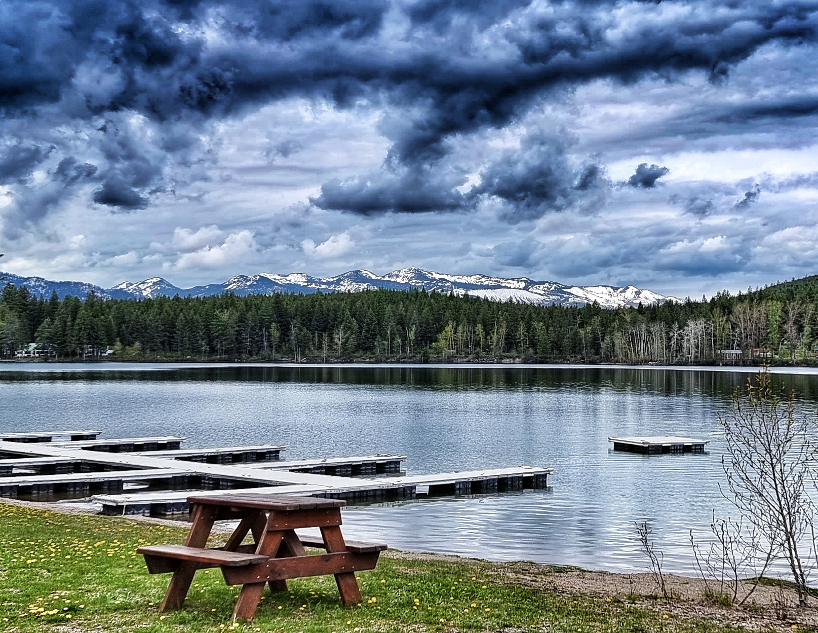
The 10 mile descent into East Glacier Village took us past a couple of small lakes as we followed Summit Creek into town.

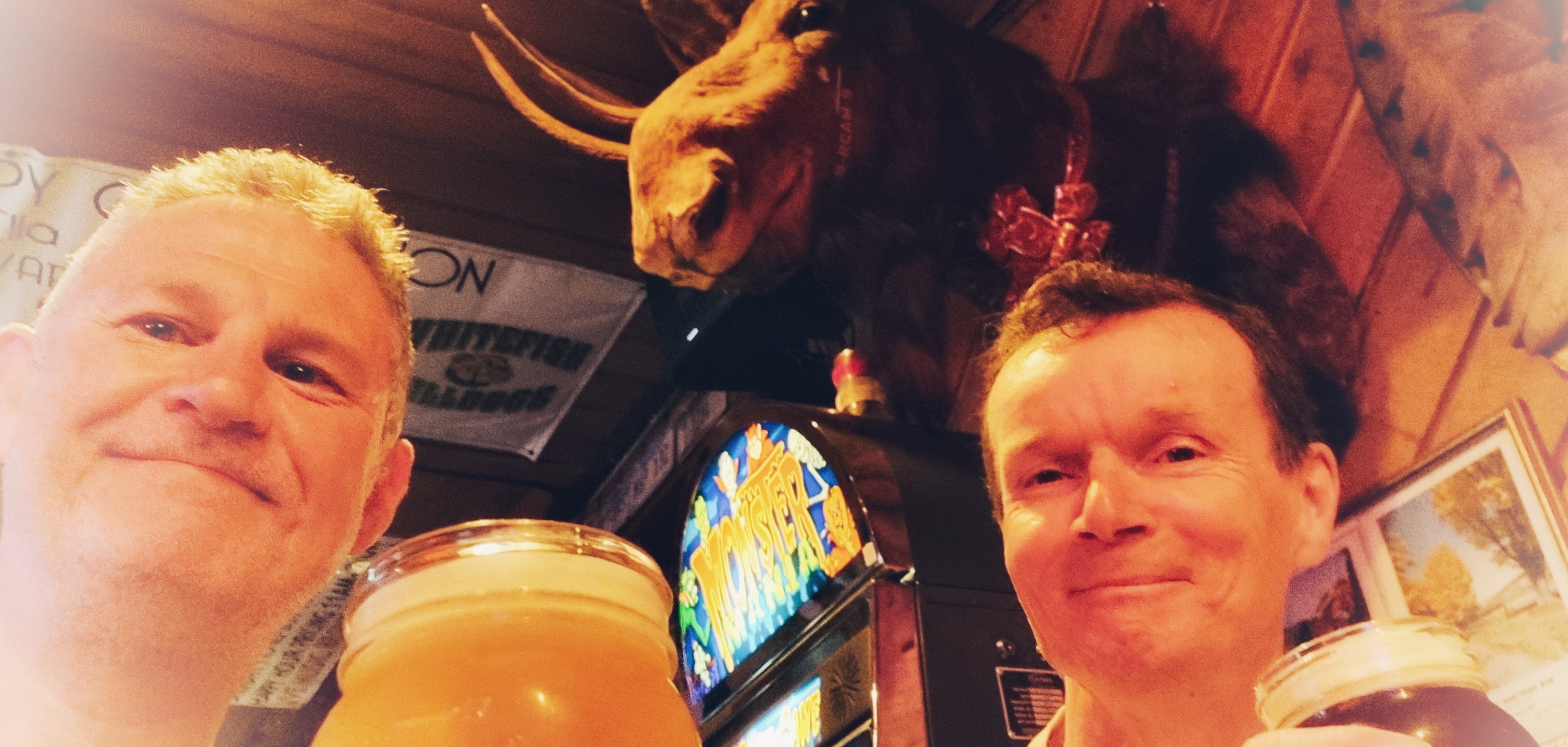
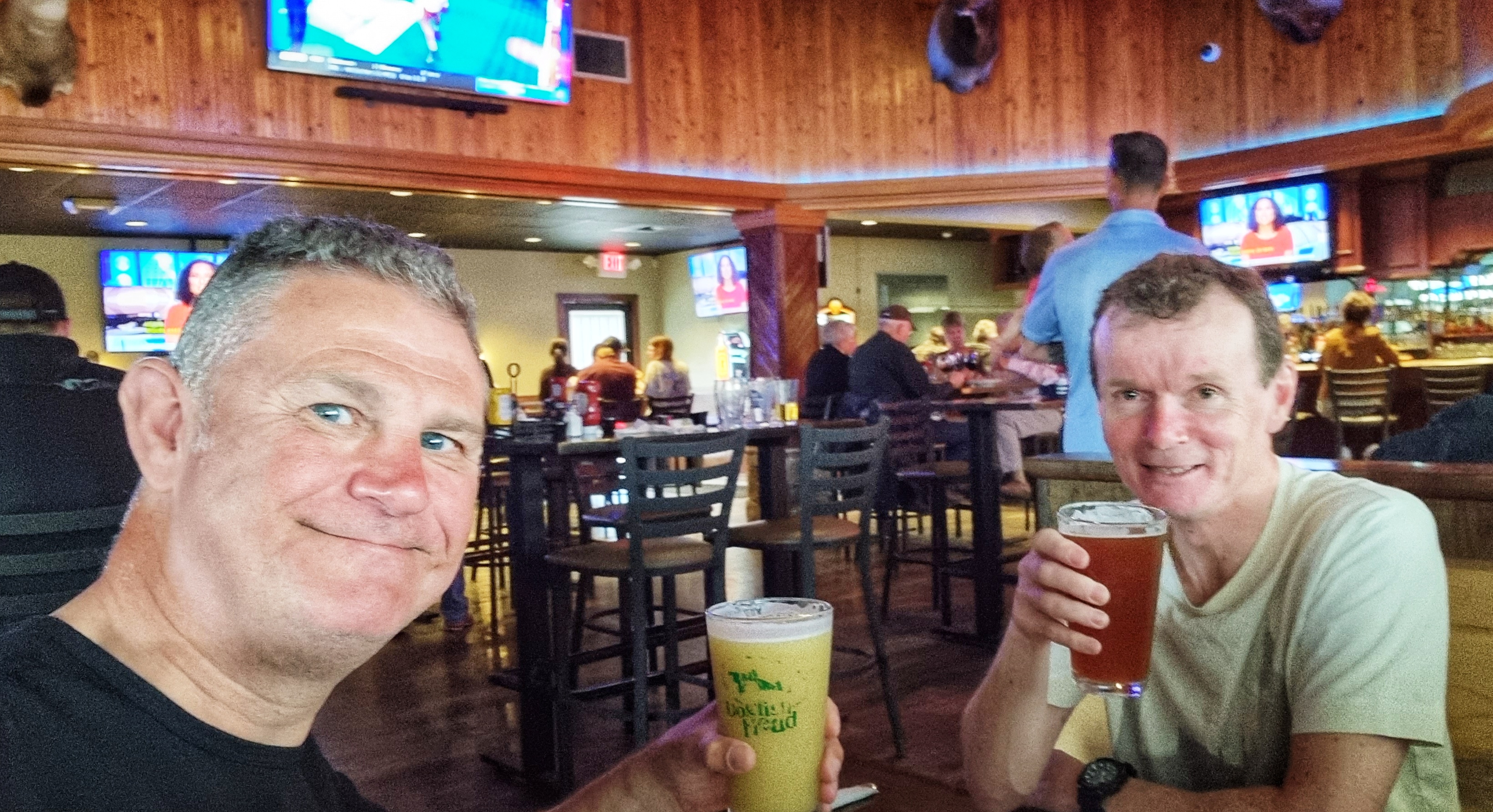
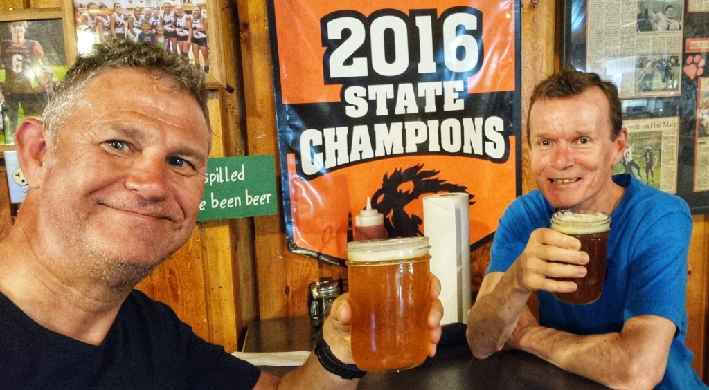
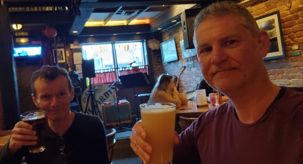
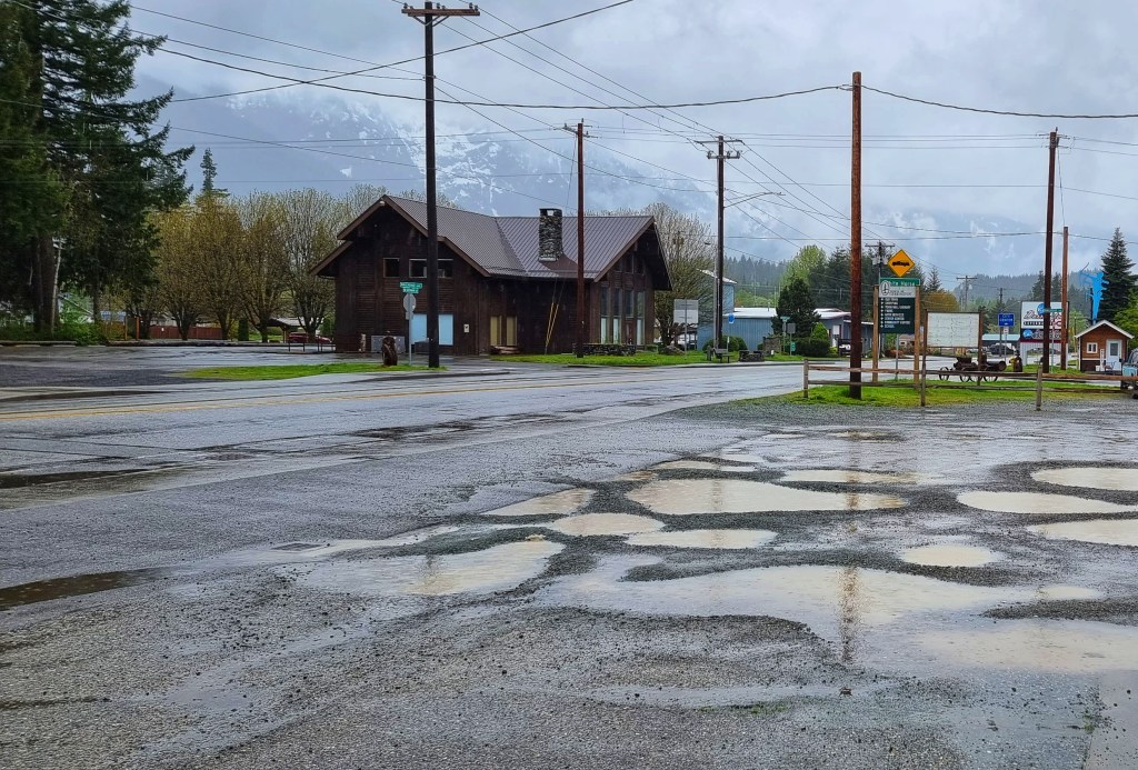
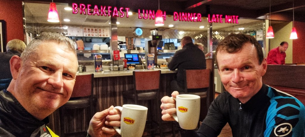
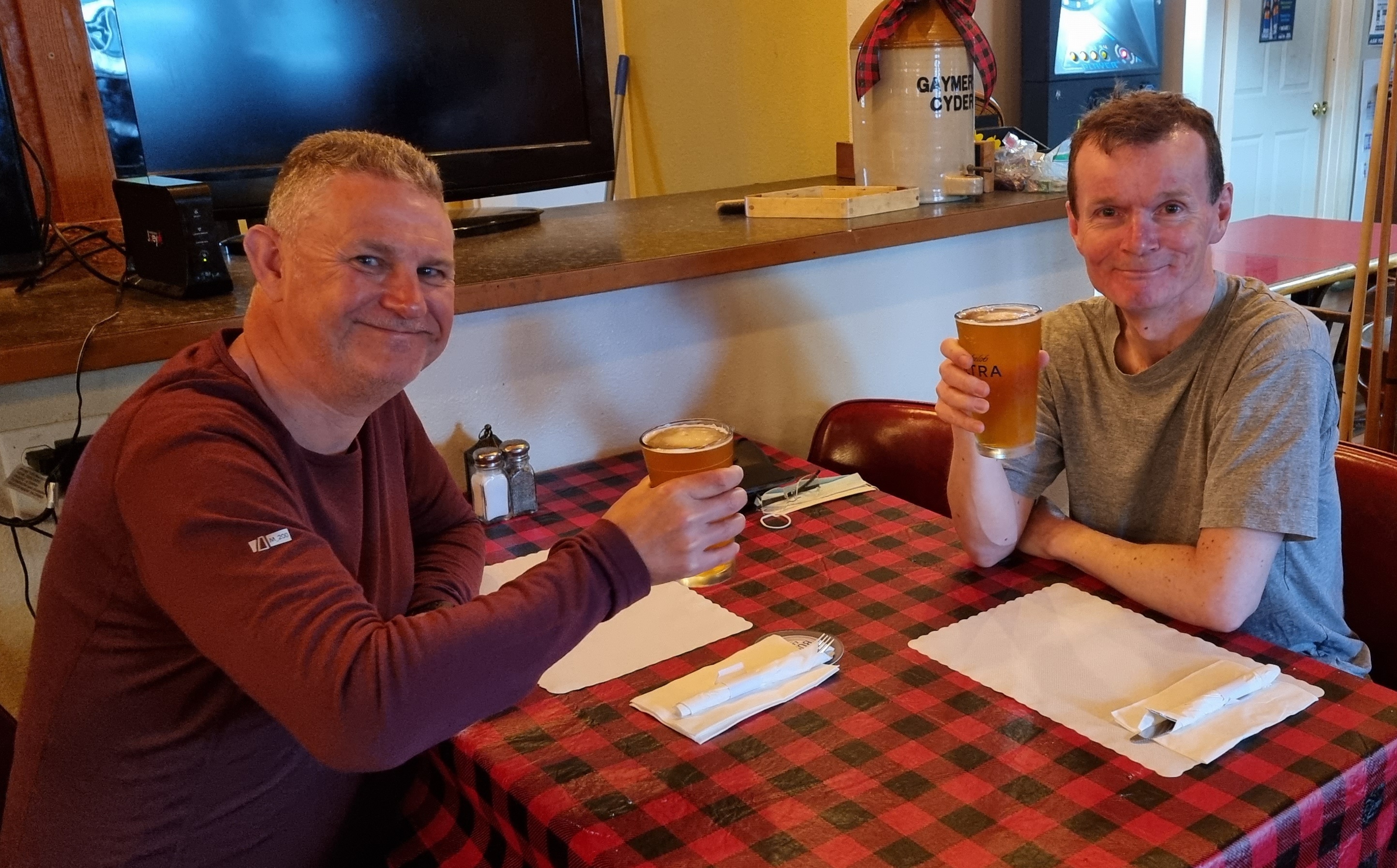
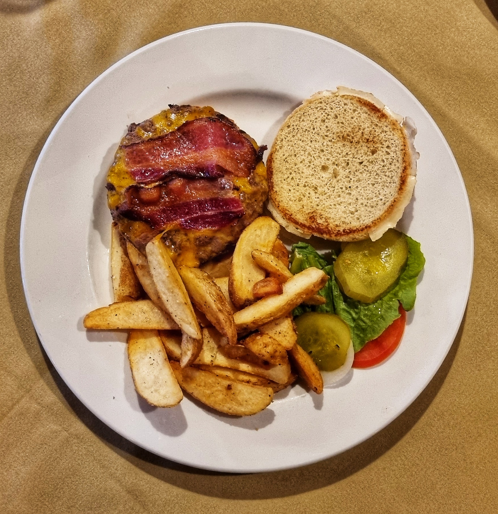
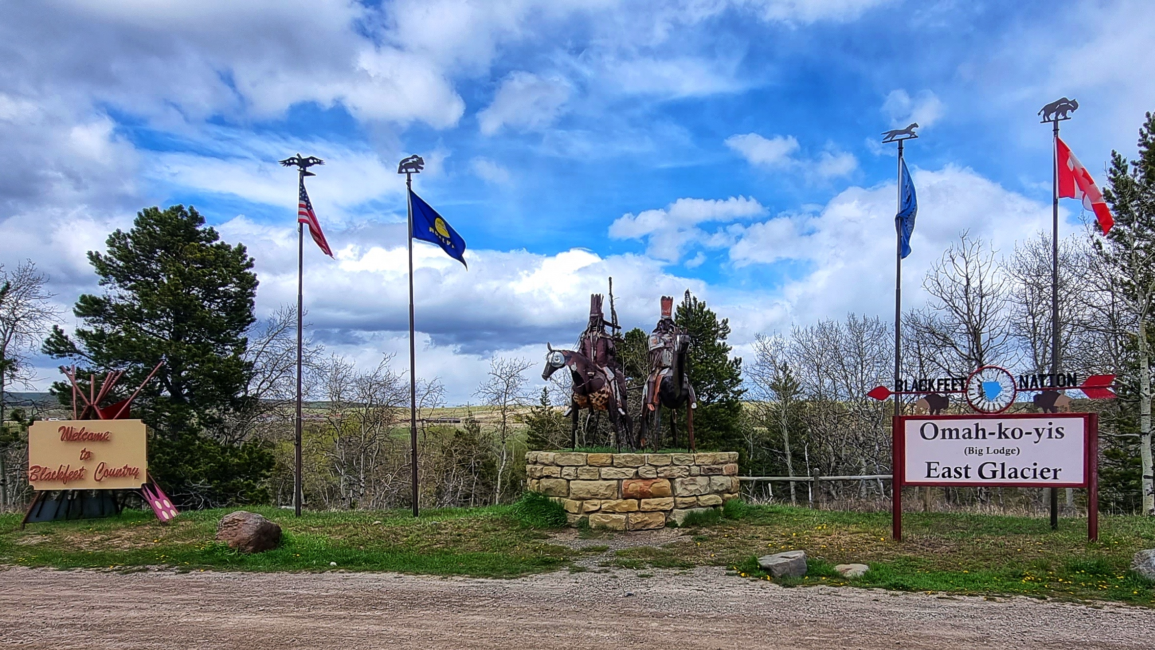
We’d been expecting something along the lines of West Glacier, so East Glacier came as a surprise as it’s an unincorporated town on Blackfeet Nation land. There appeared to be one hotel that was open (the one we were staying in) & there was one restaurant in town (a Mexican) – it certainly made some of our choices easy!! We’d had two incredible days of adventures in Glacier National Park & beyond, so it was time to toast our good fortune once again.

Stage Stats – 68 miles, 3,556 feet of climbing. Lots of small drags early in the ride, culminating in a hors category climb of Marias Pass & our first crossing of the Continental Divide.