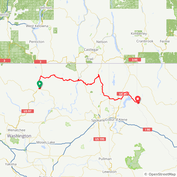
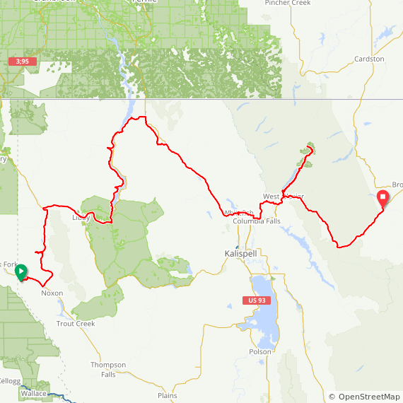
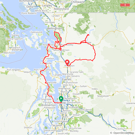
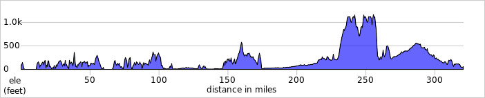
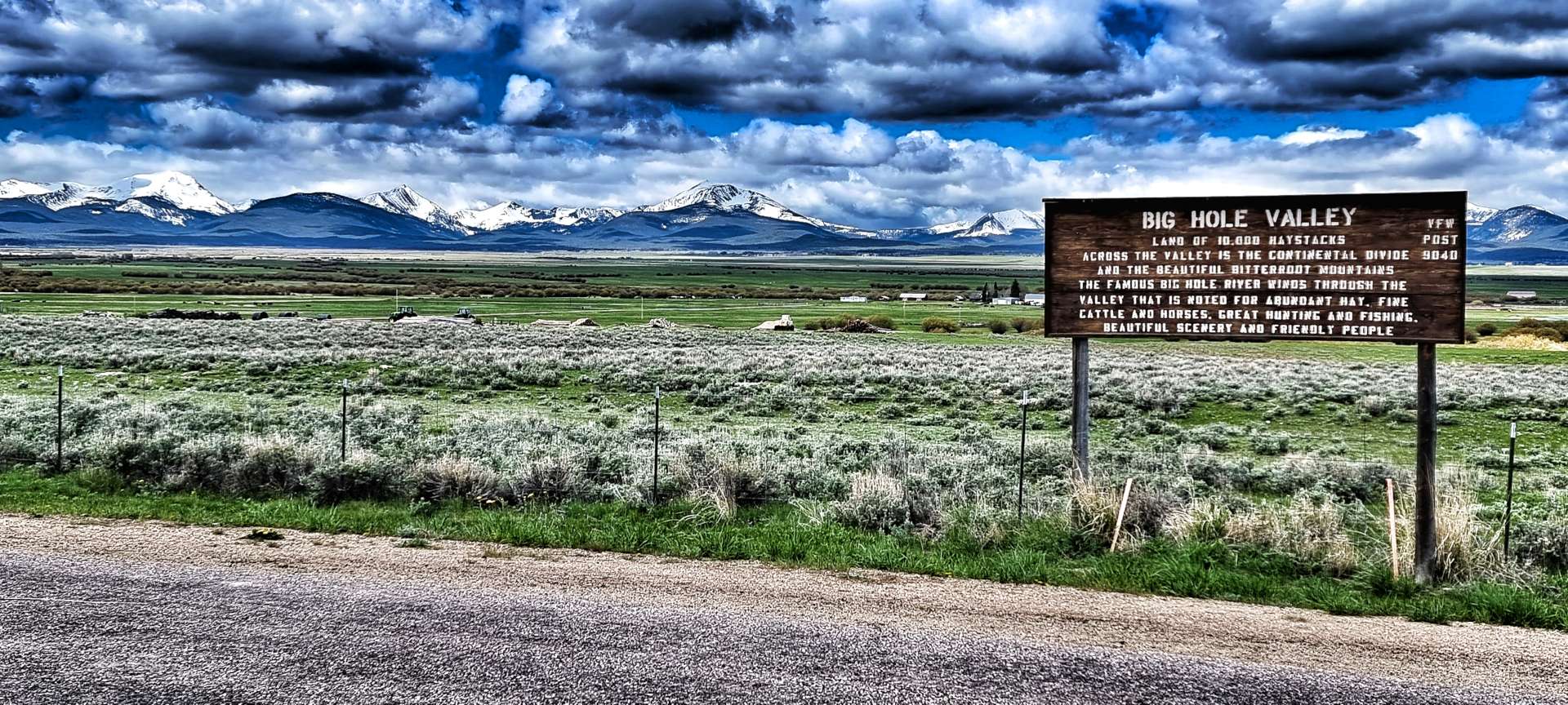
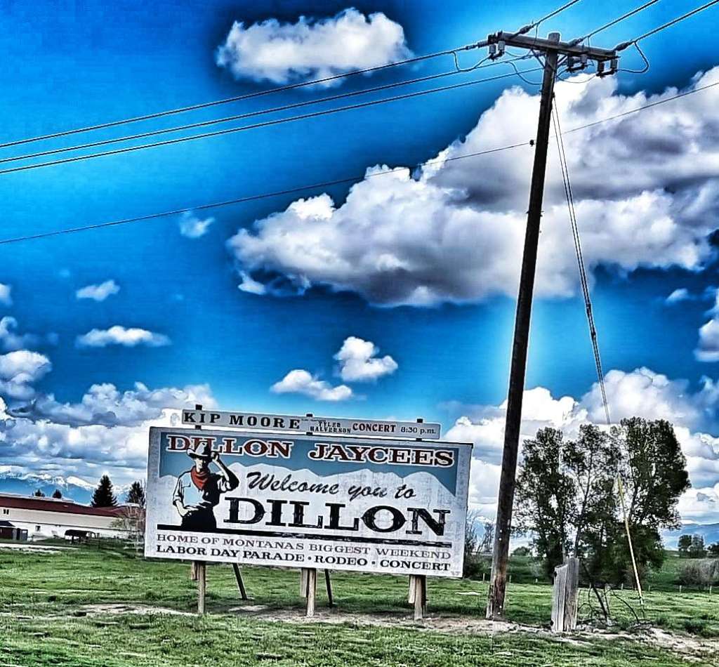
The Long Way Round (Part Two) – Monday 20th to Wednesday 22nd June.
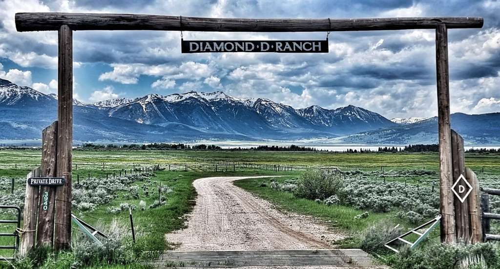
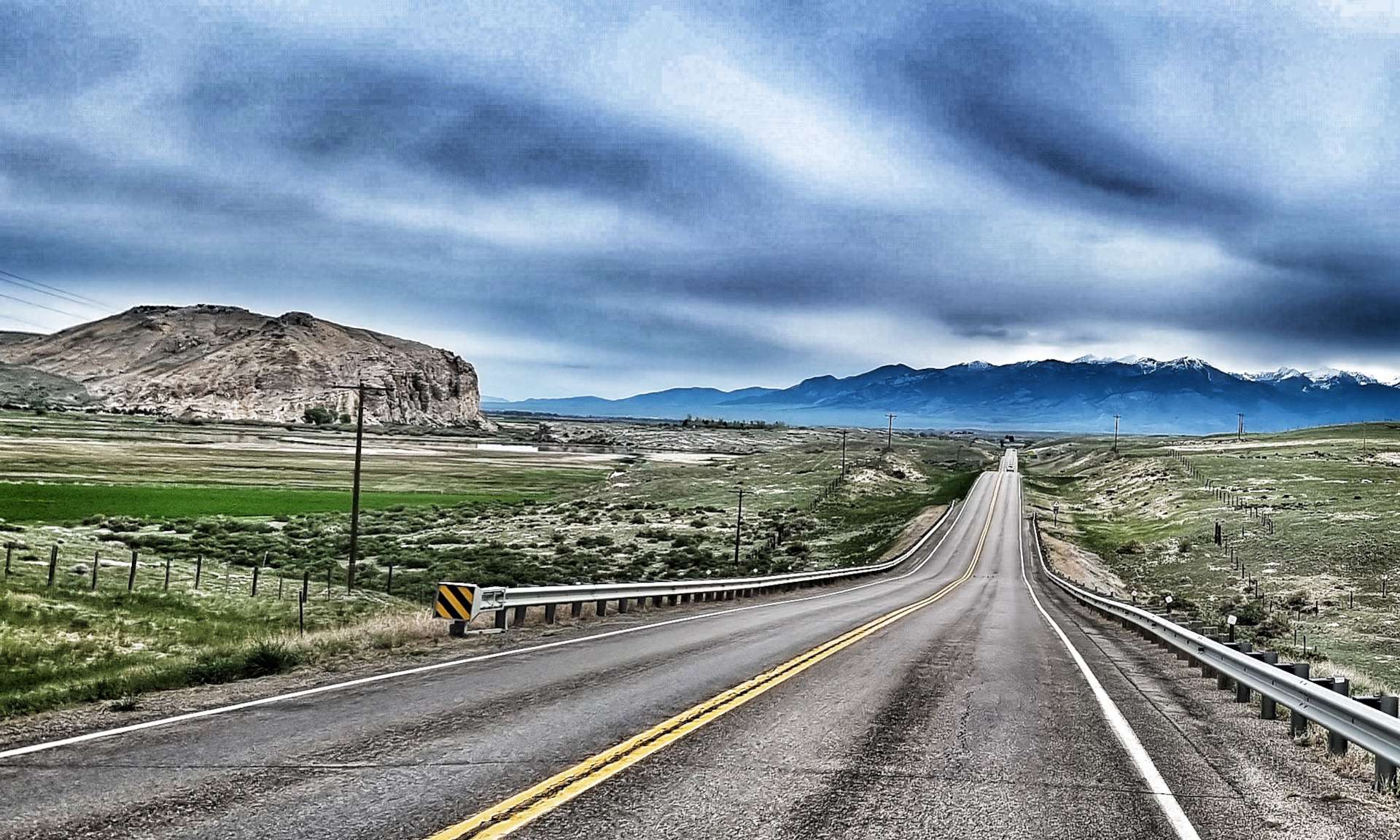
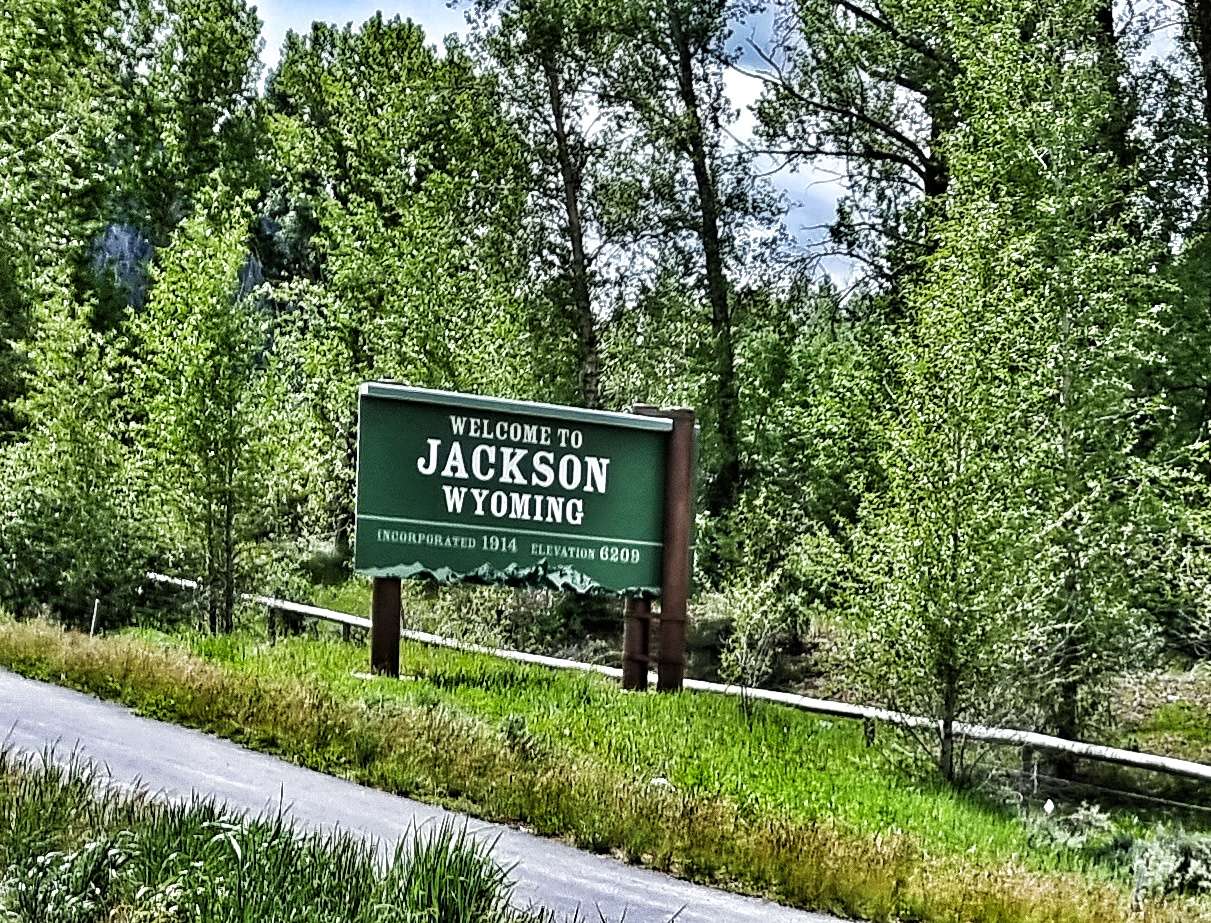
Monday 20th June – Driggs to Jackson (Stage 40).
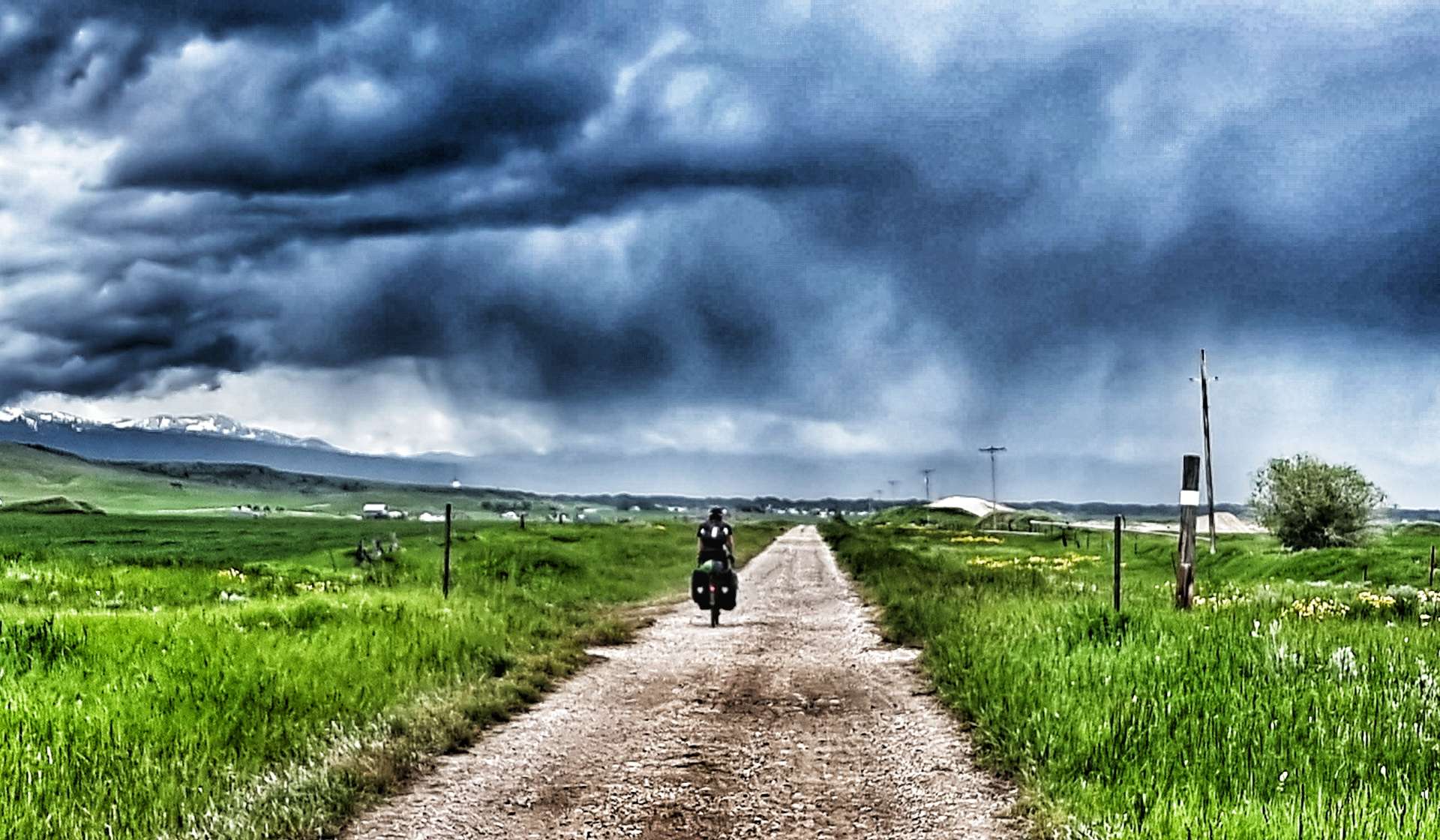
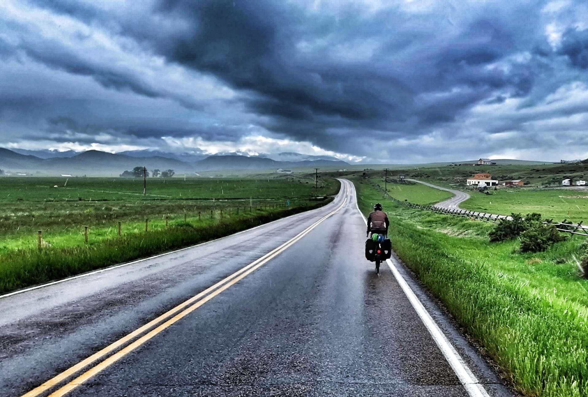
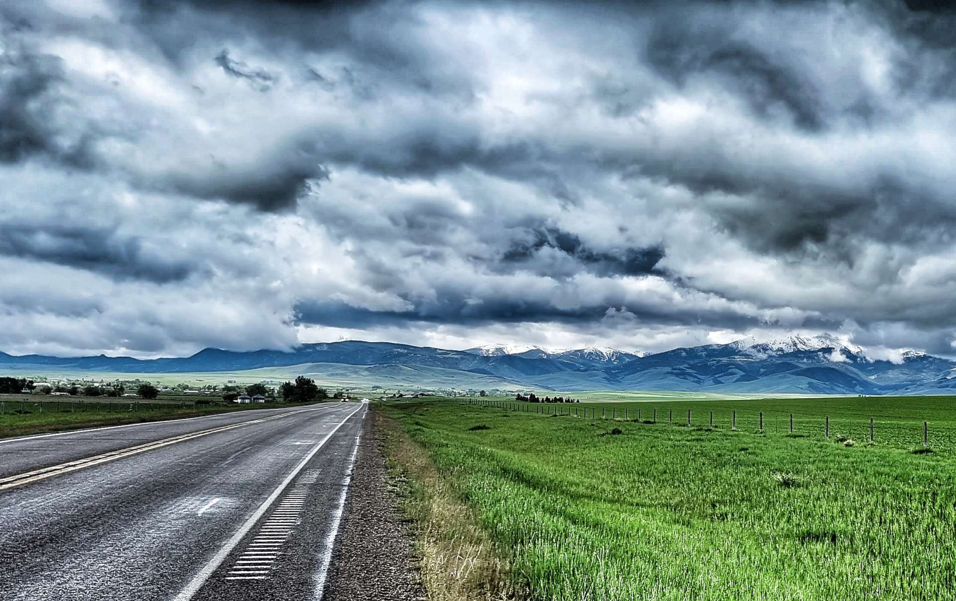
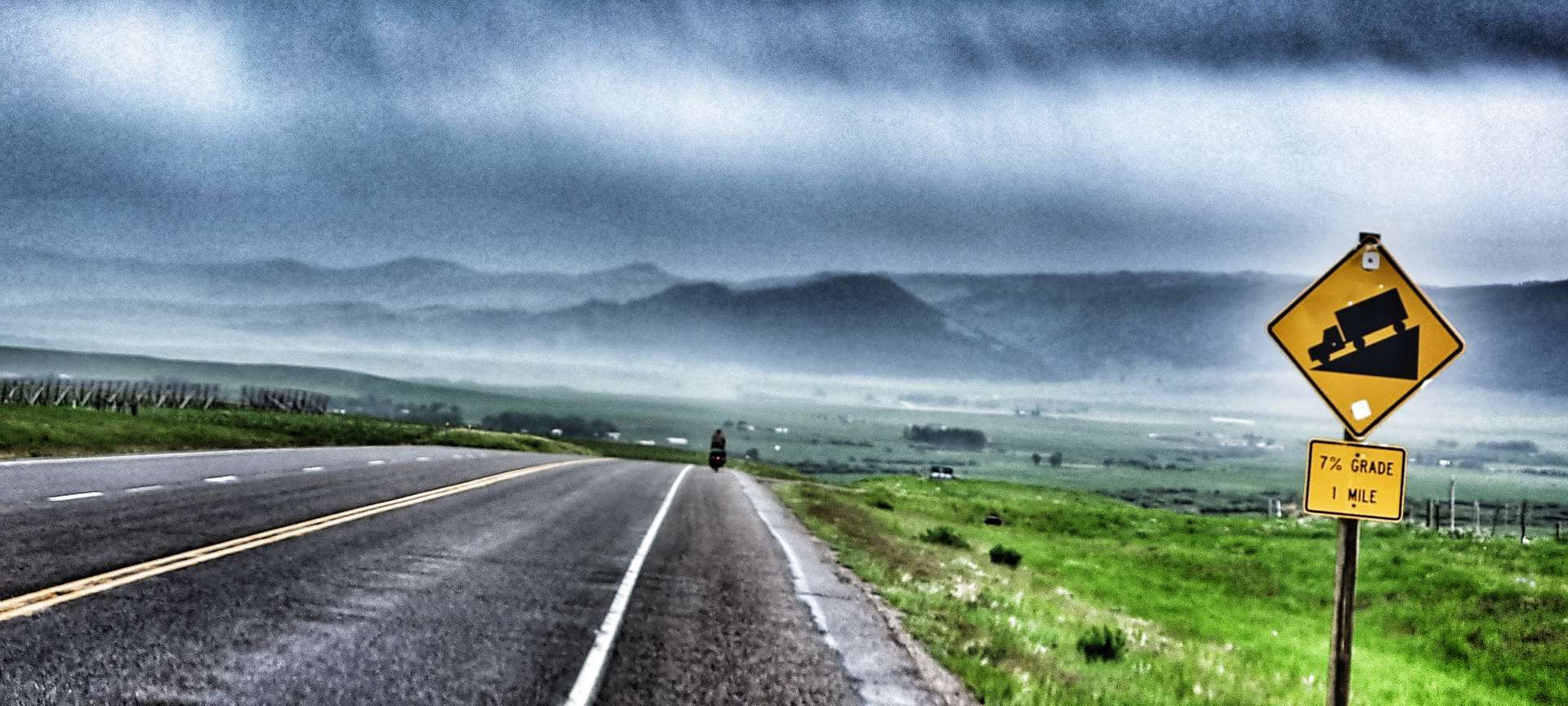
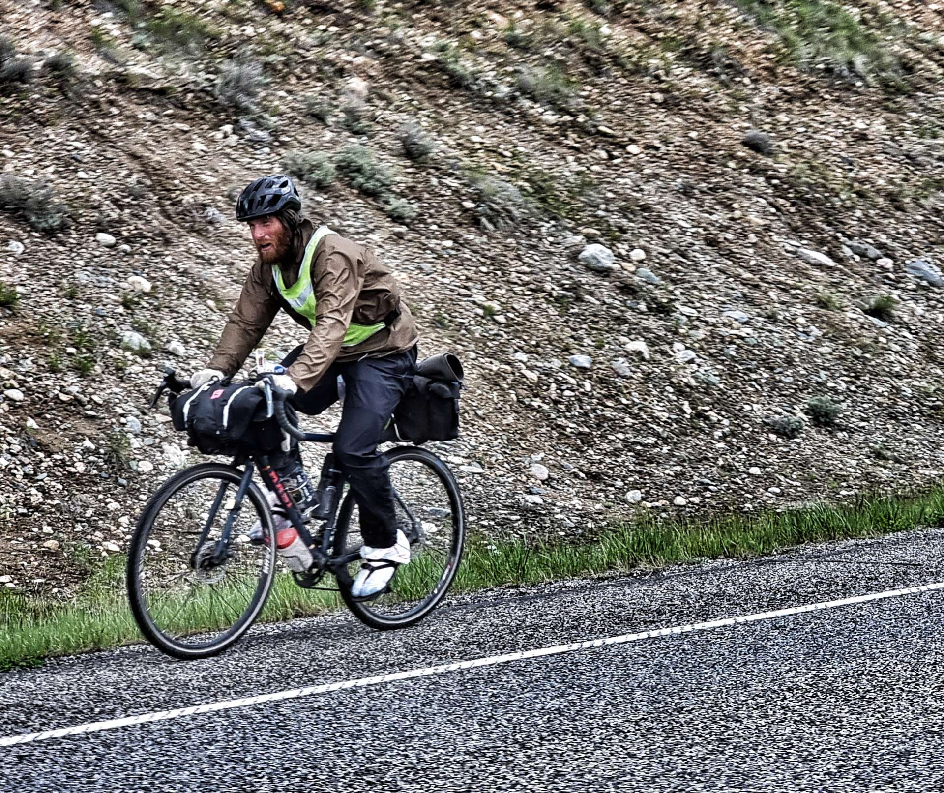
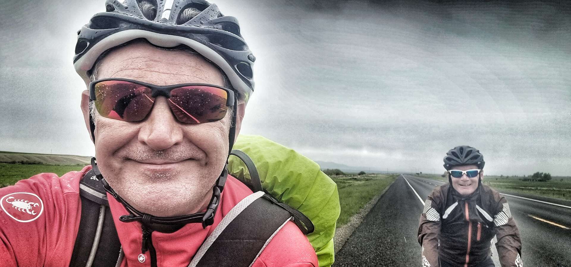
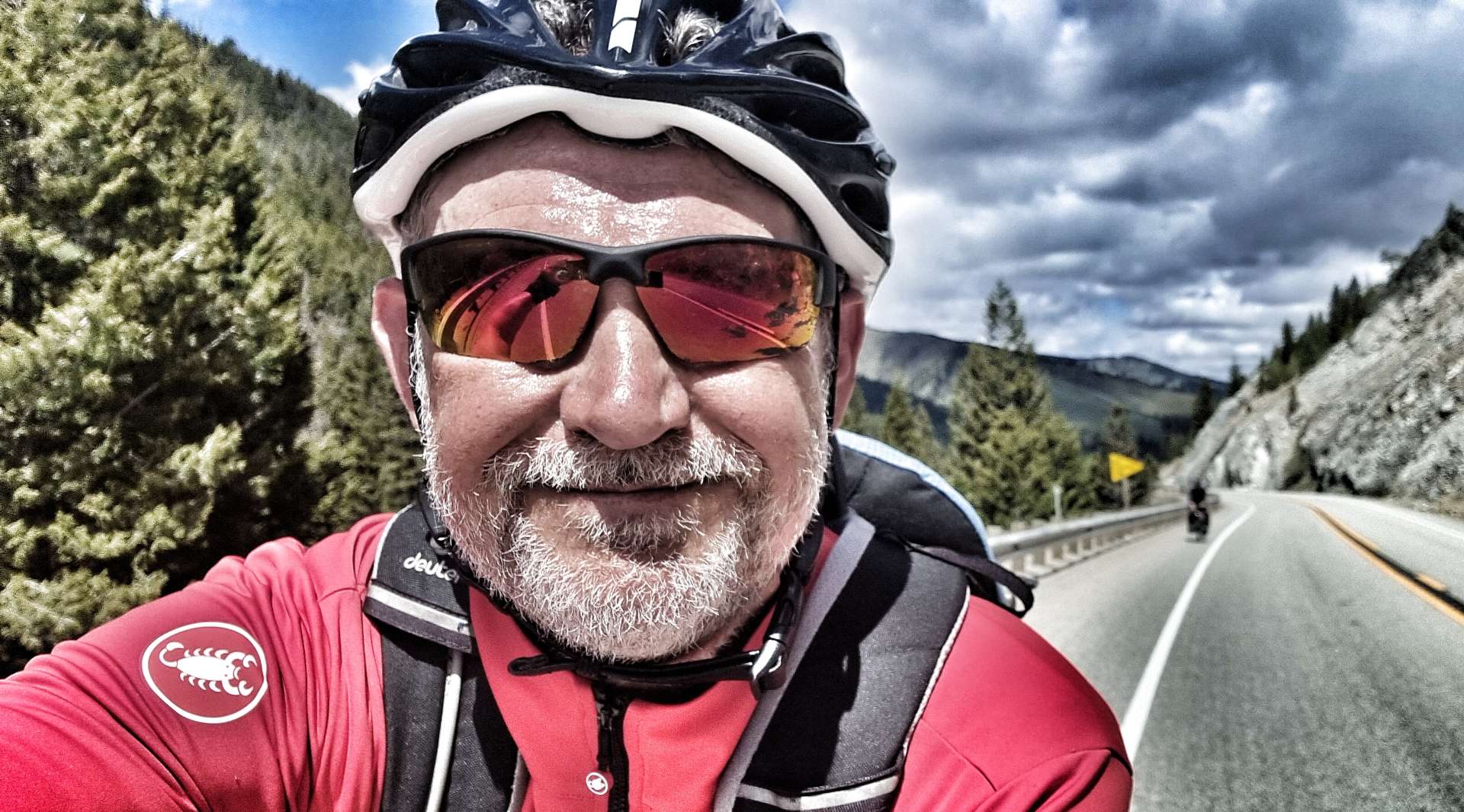
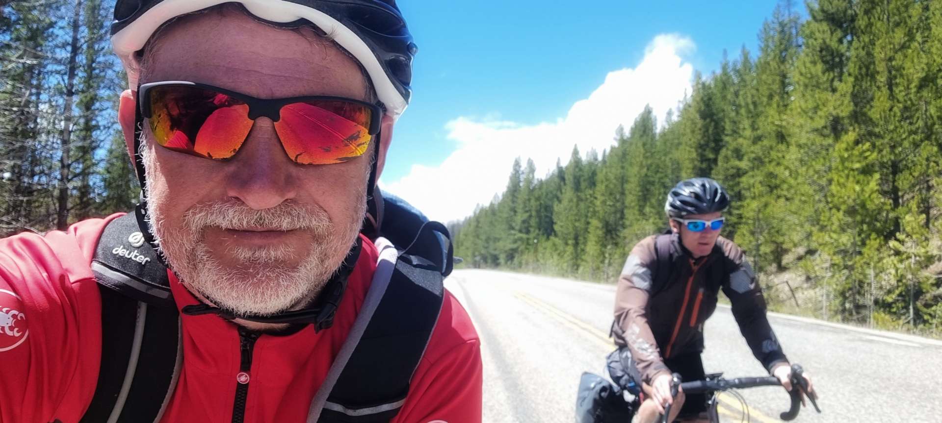
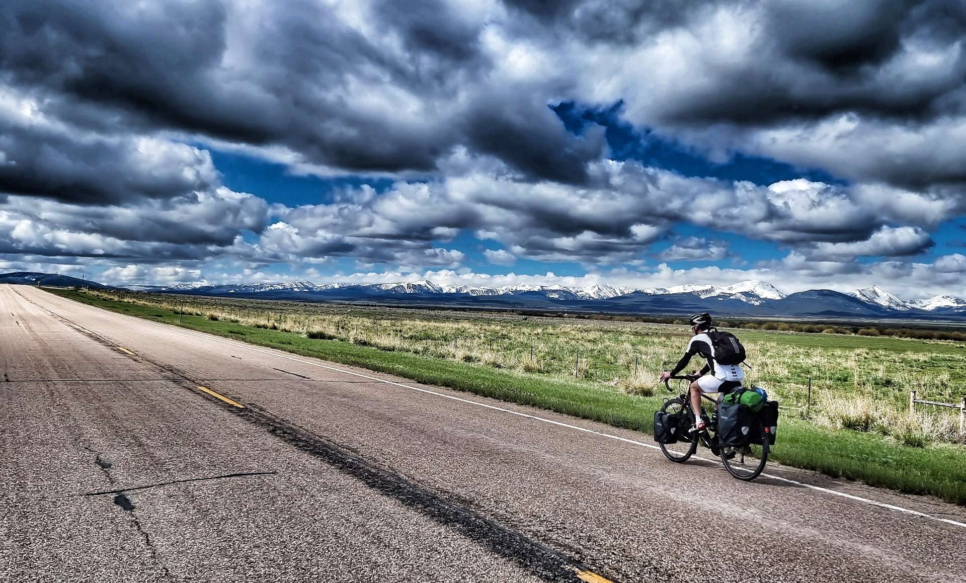
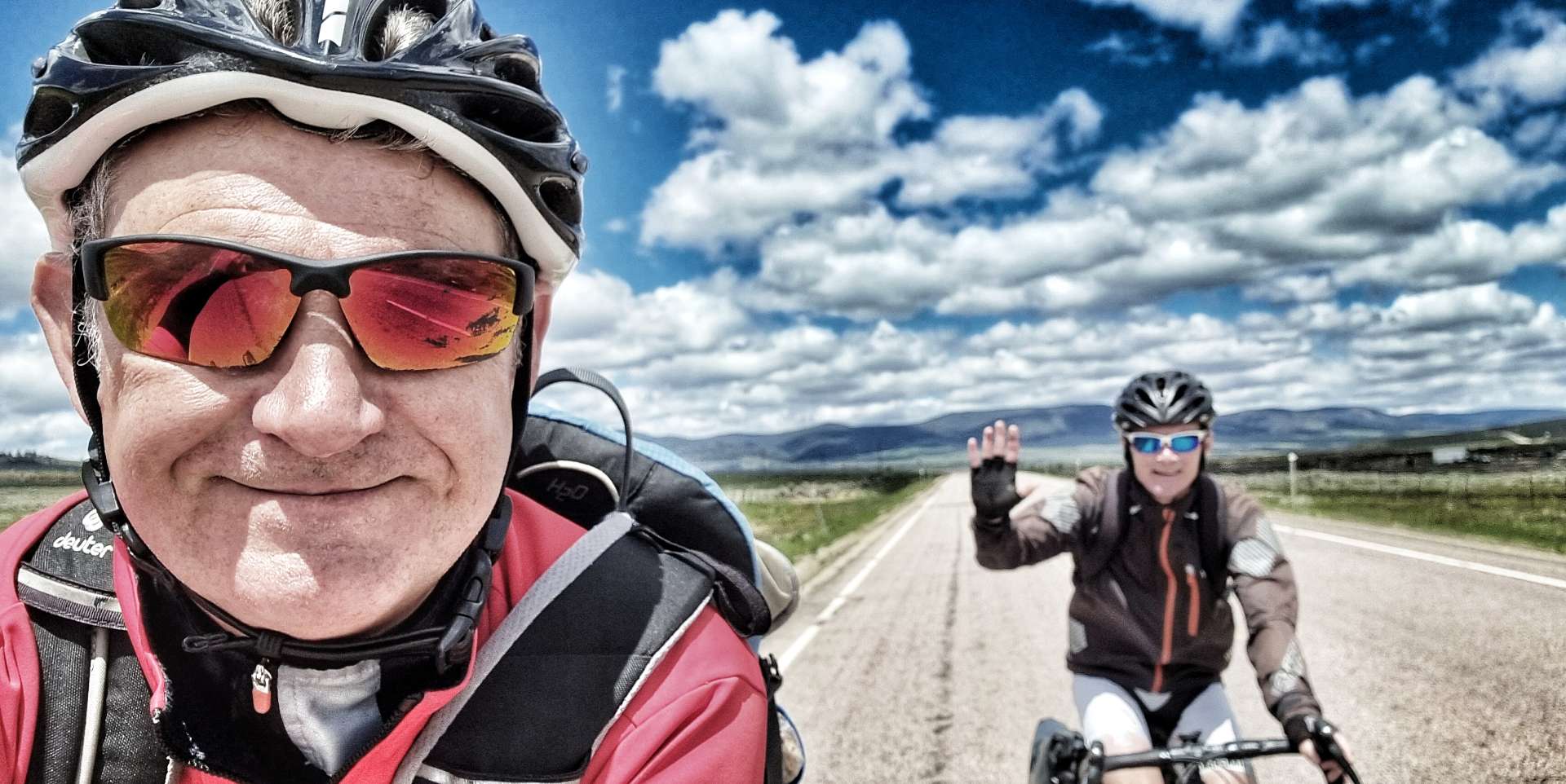
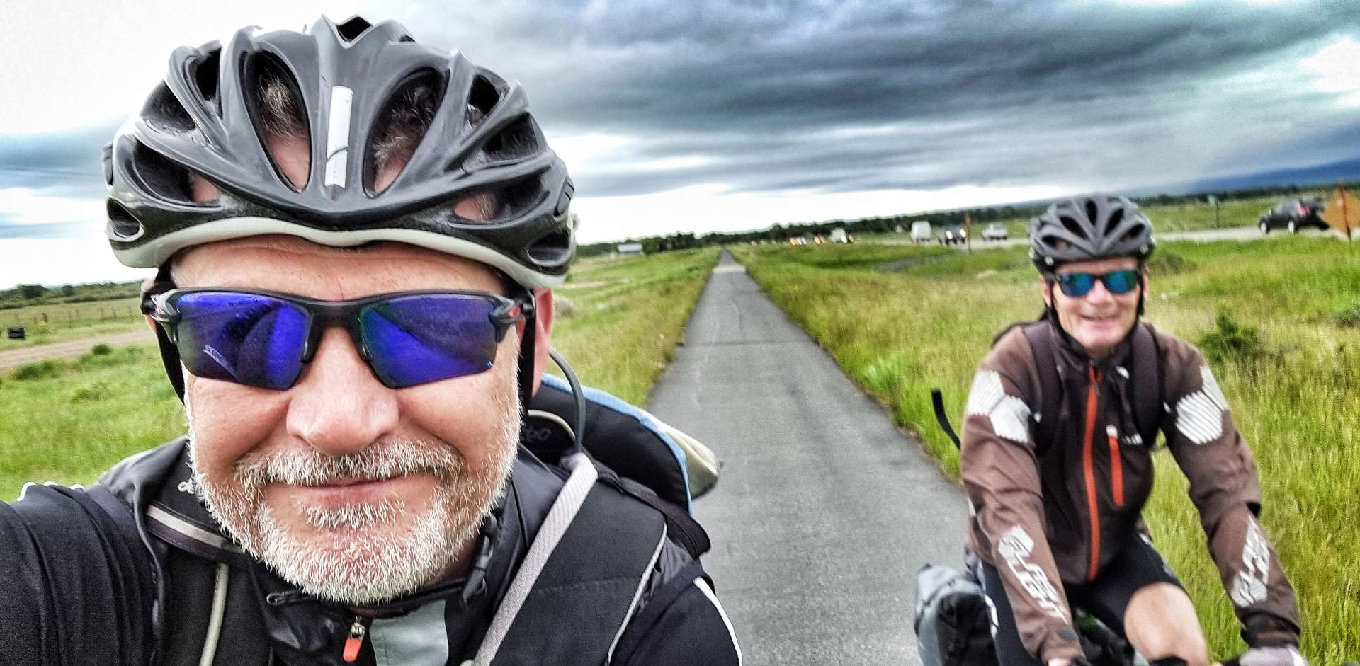
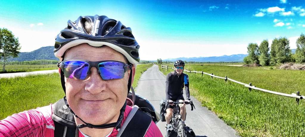
Rain was forecast from 10am in both Driggs & Jackson, so we took the decision to get up a bit earlier & be ready to leave by 9am, so at least we would start riding in the dry. There was another long distance cyclist from the UK staying in our motel & we set off almost together, however, he was soon a long way up the road!
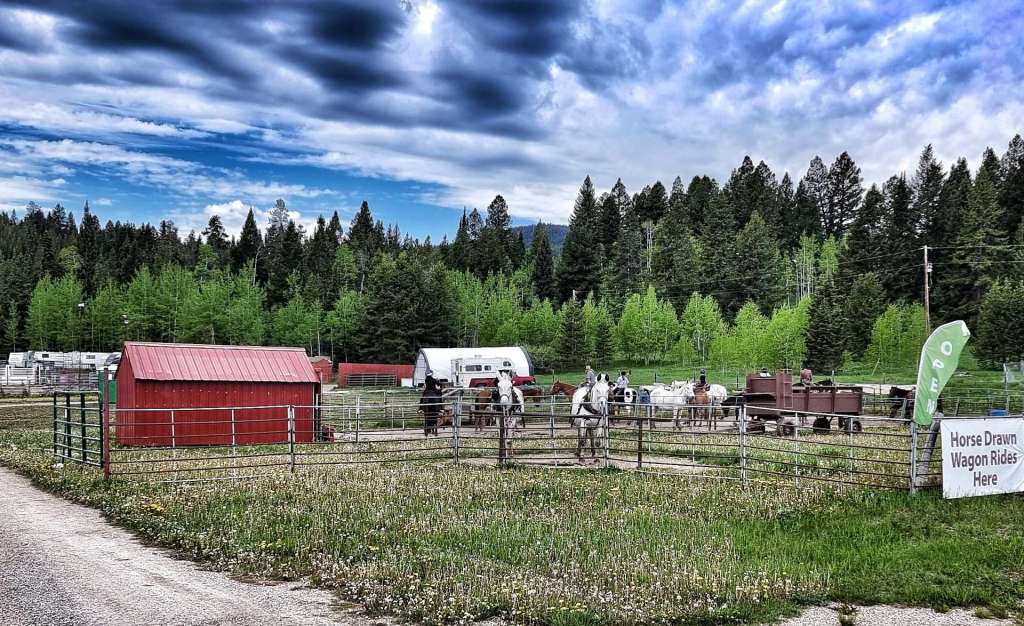
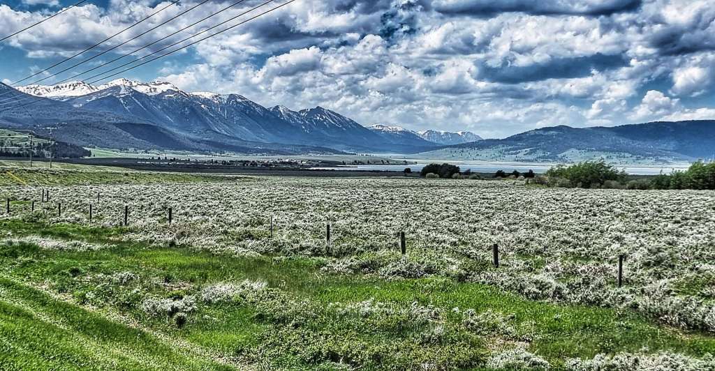
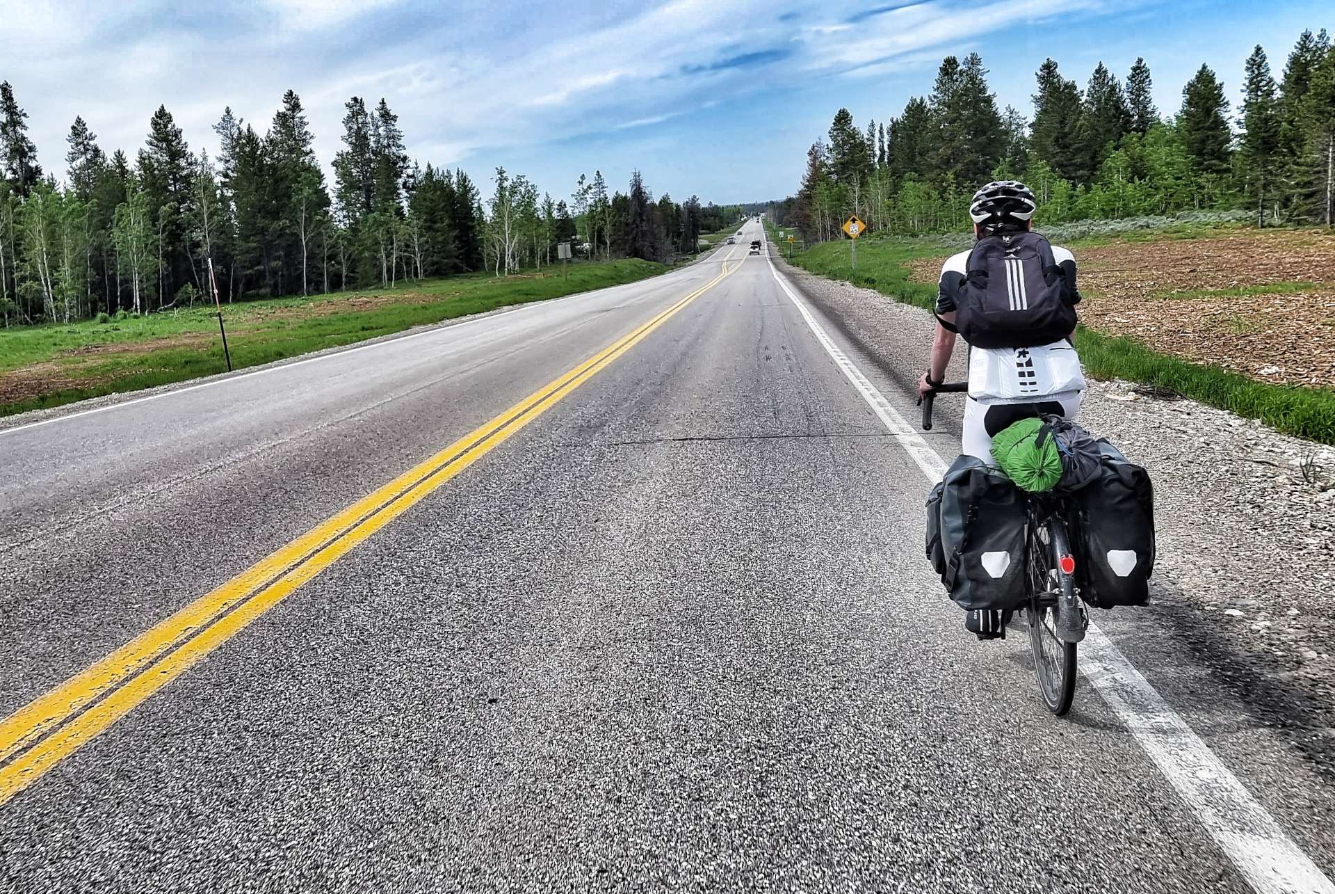
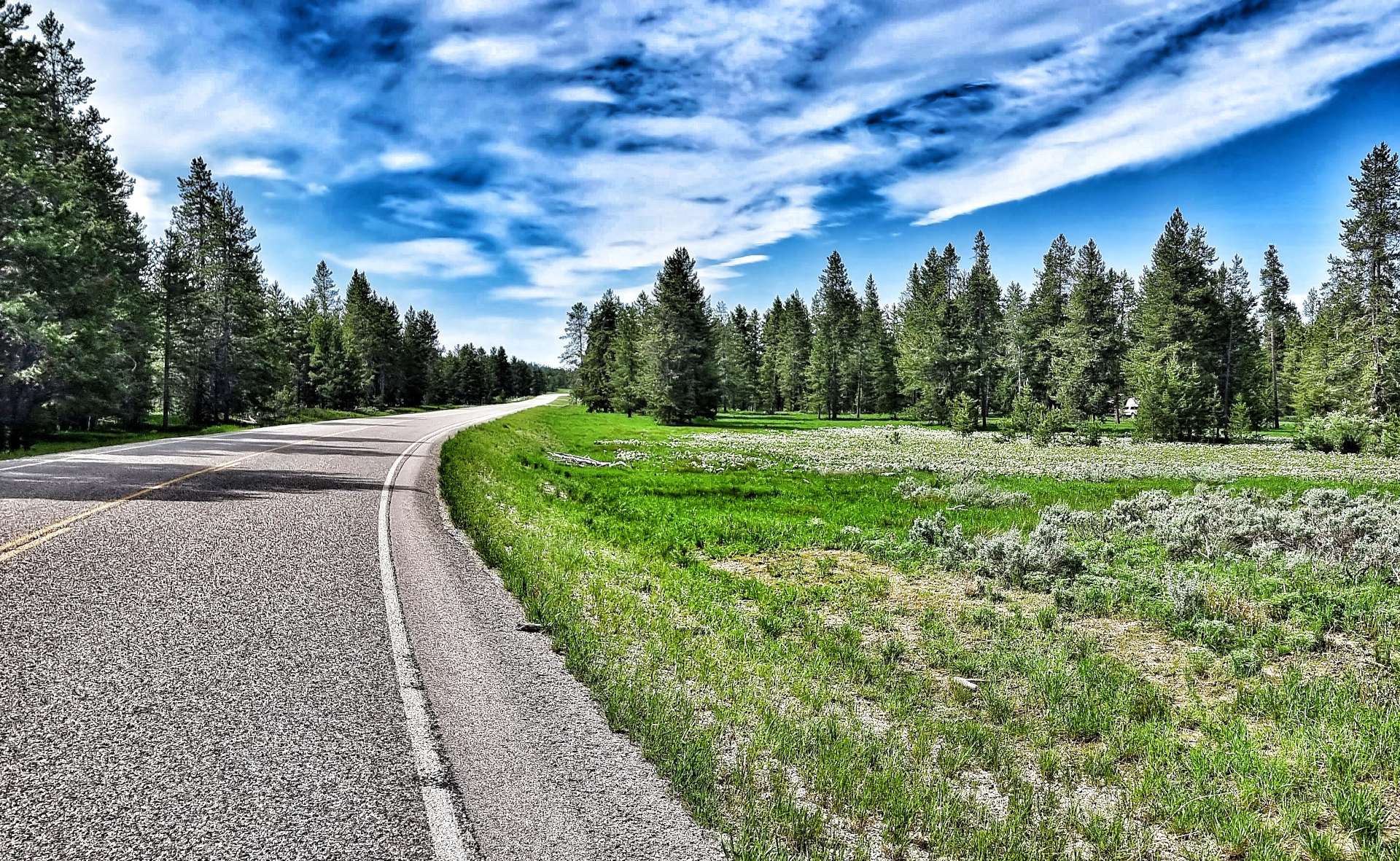
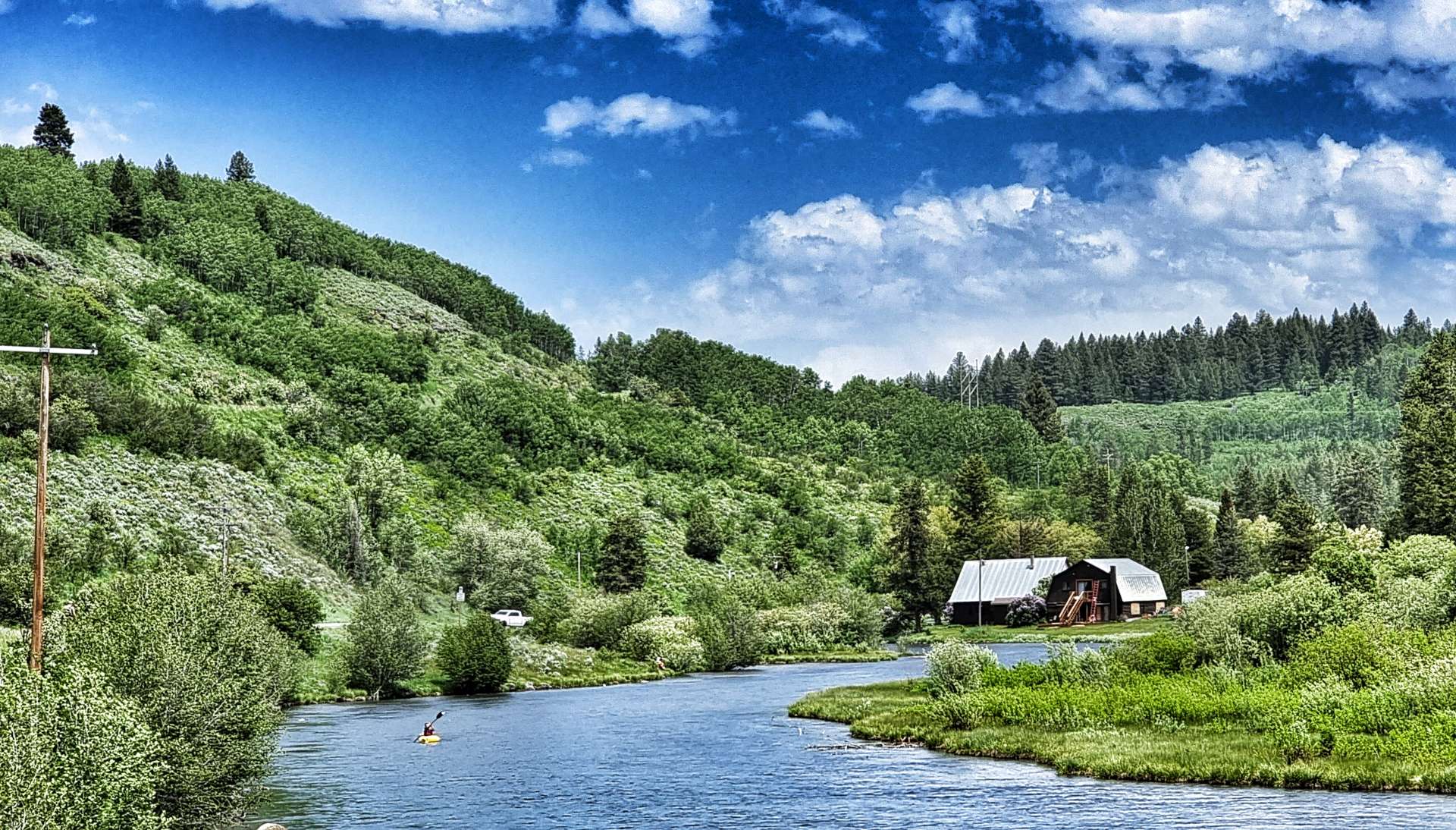
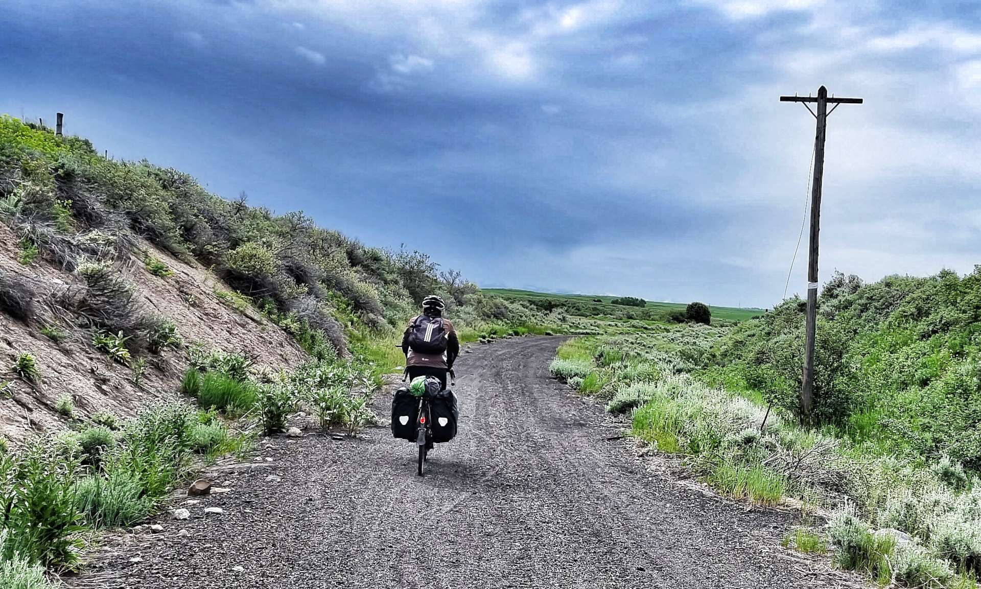
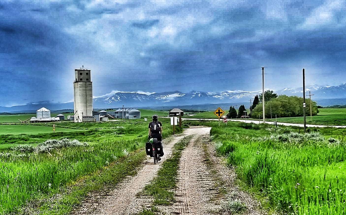
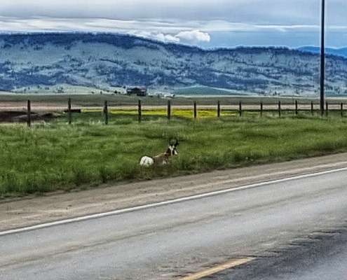
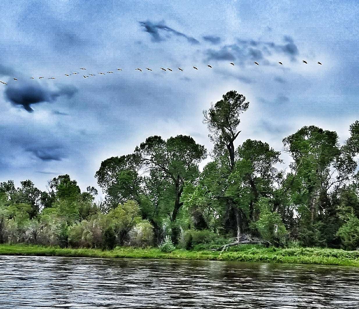
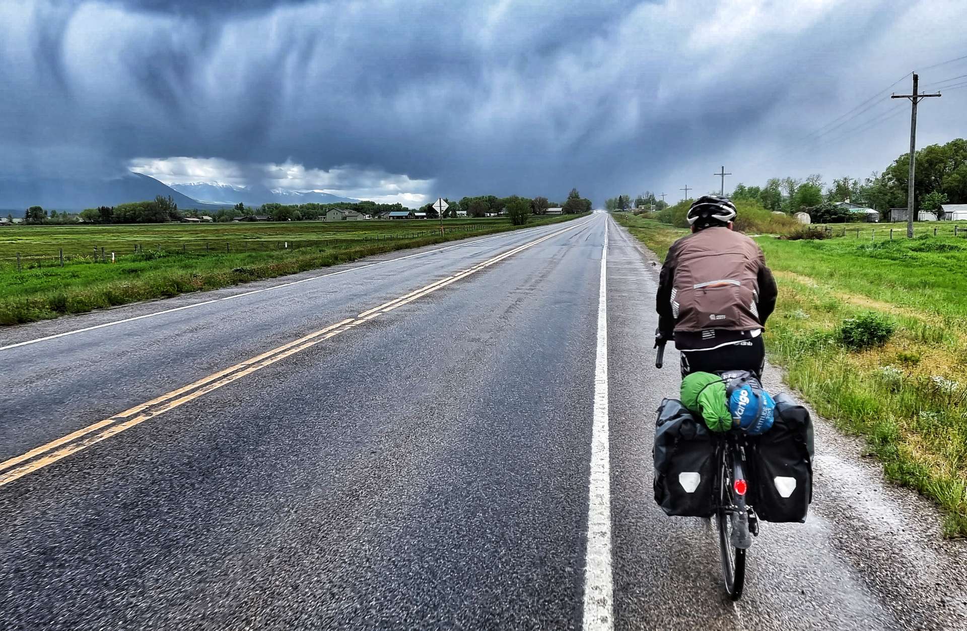
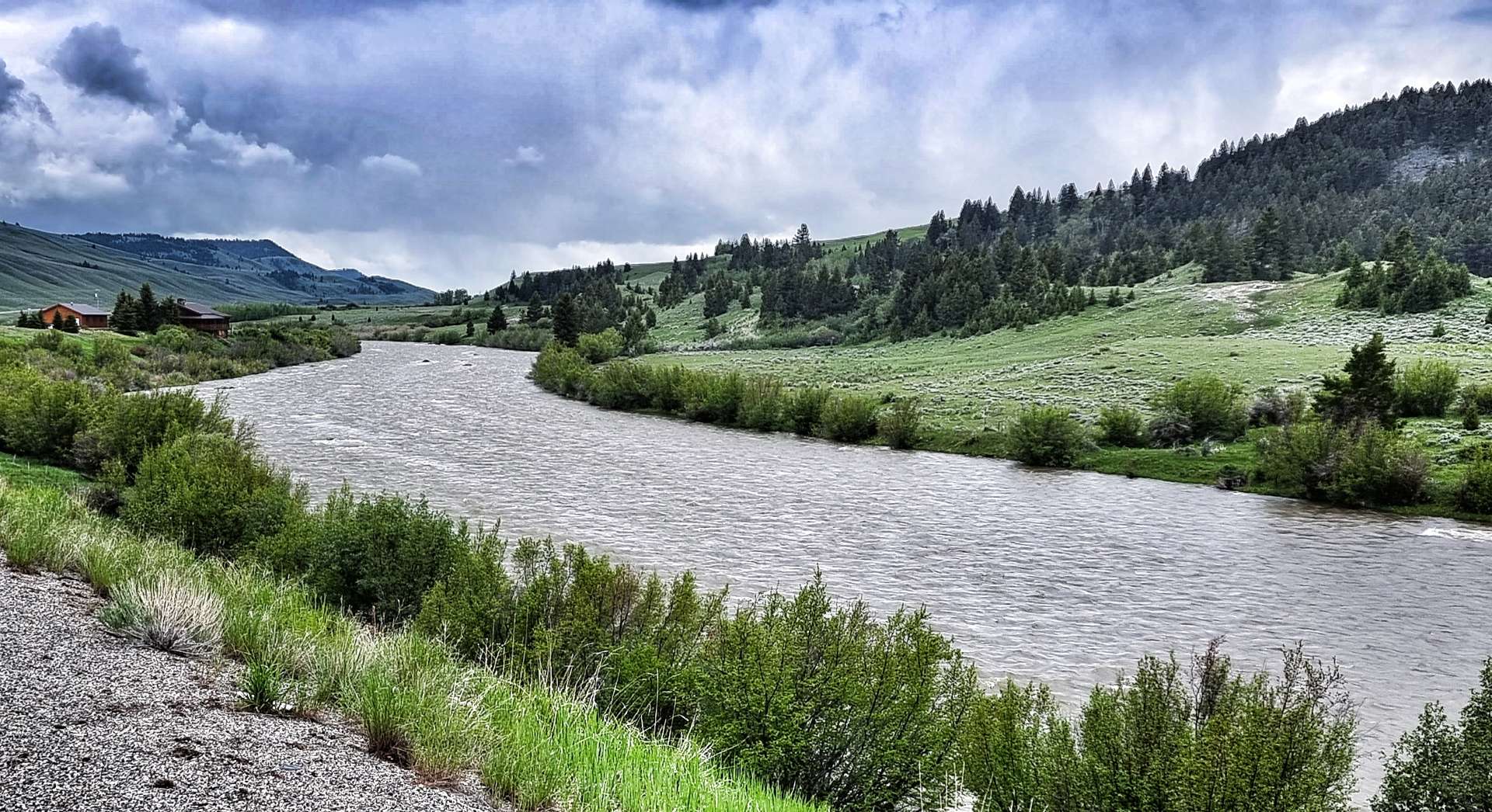
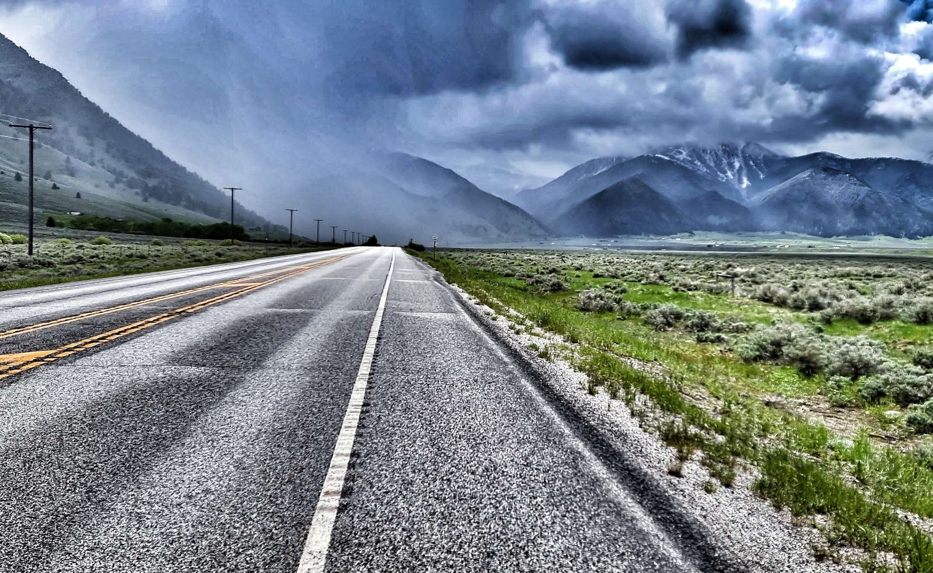
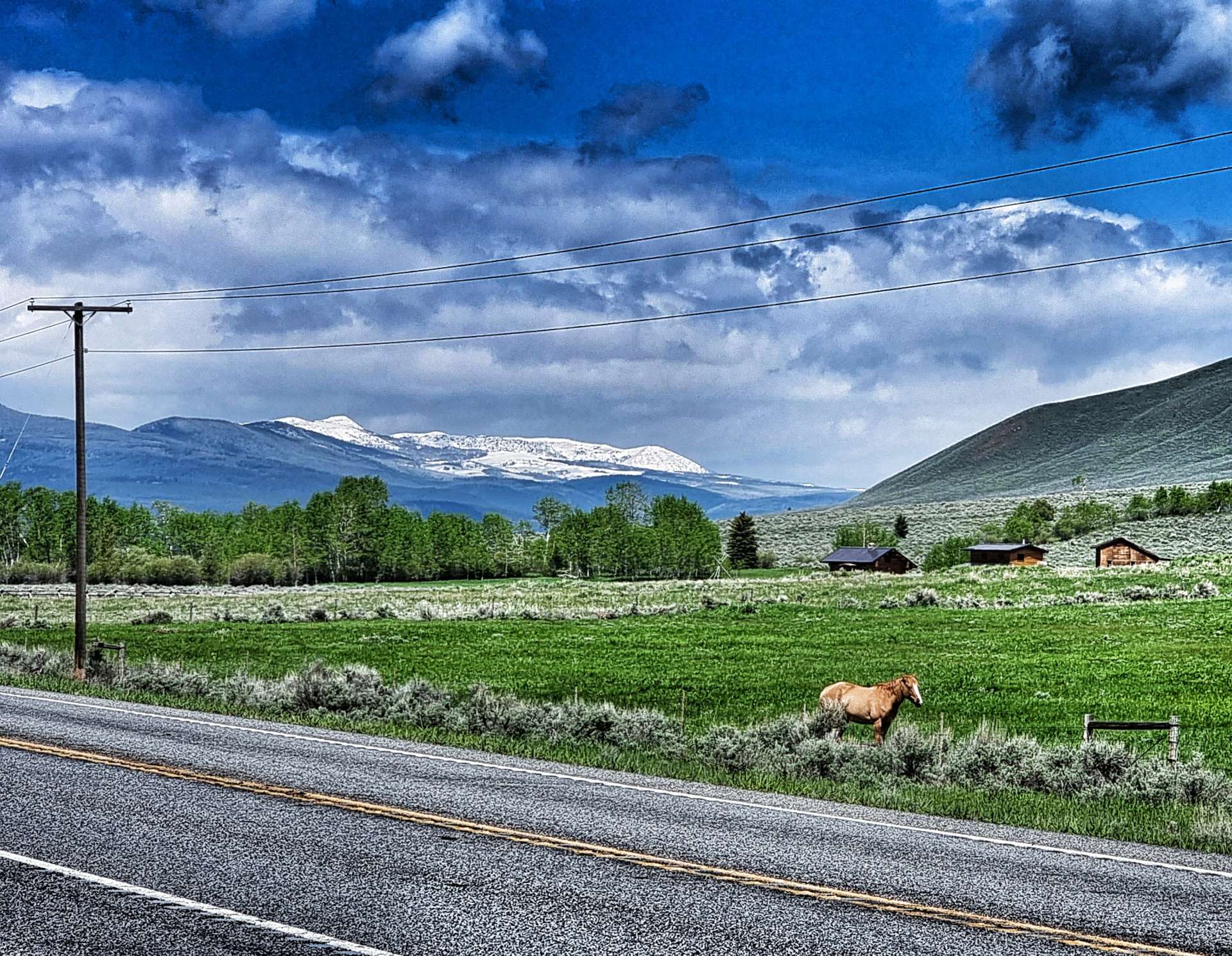
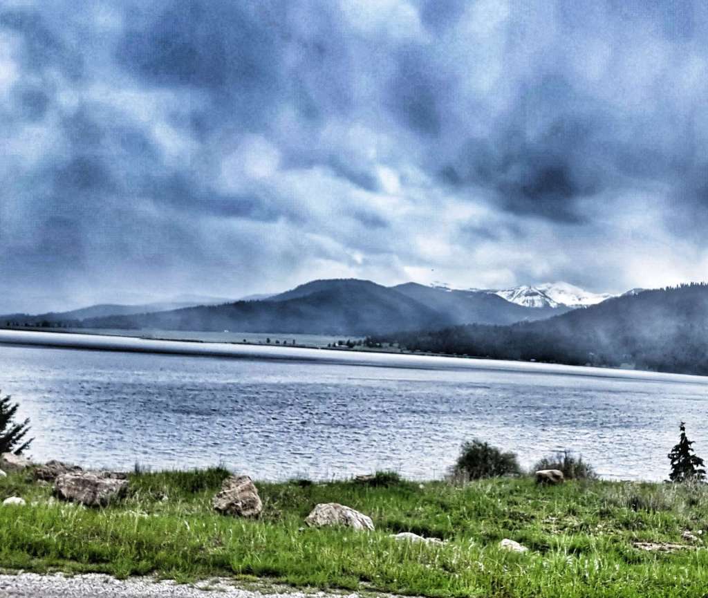
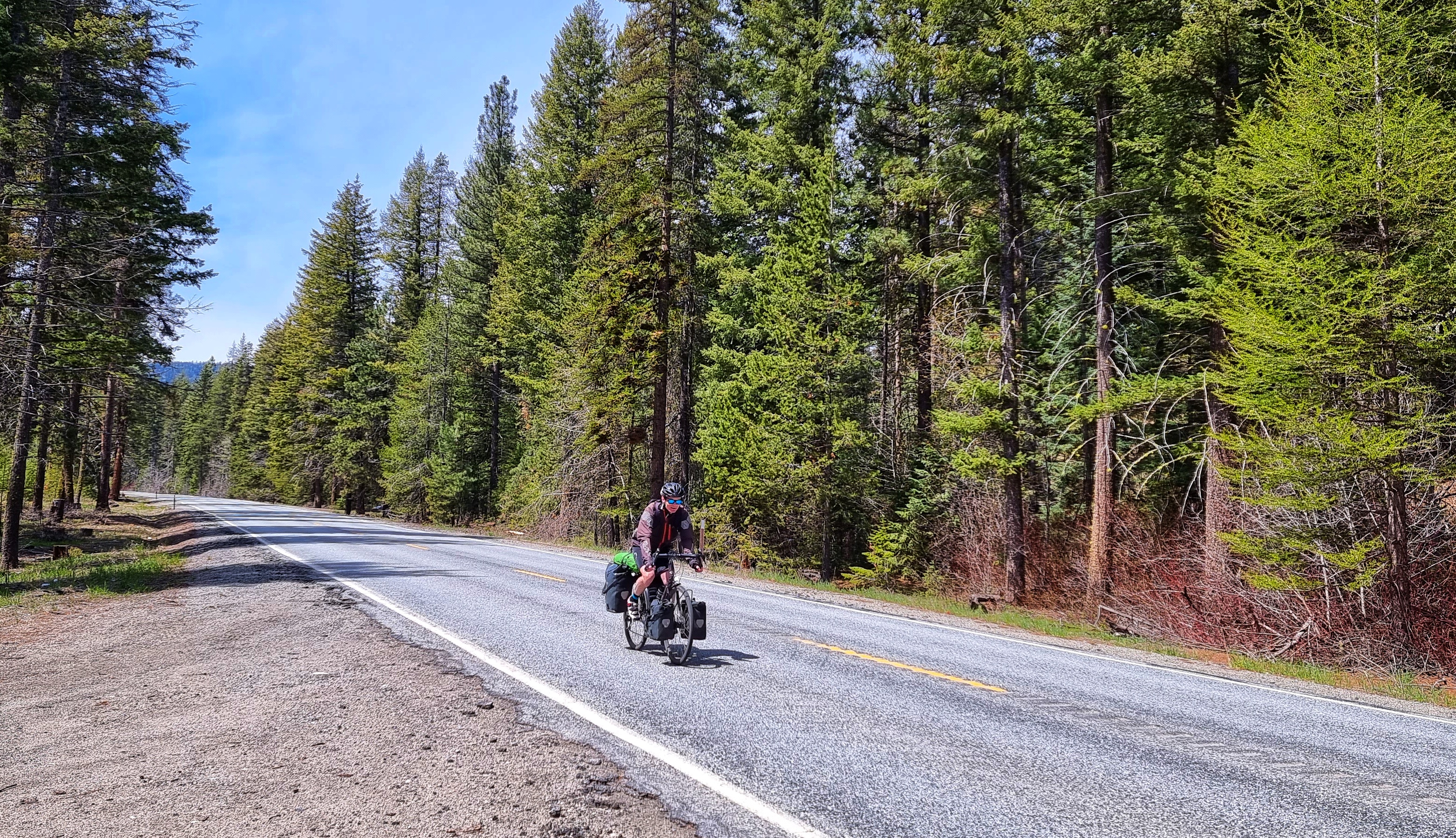
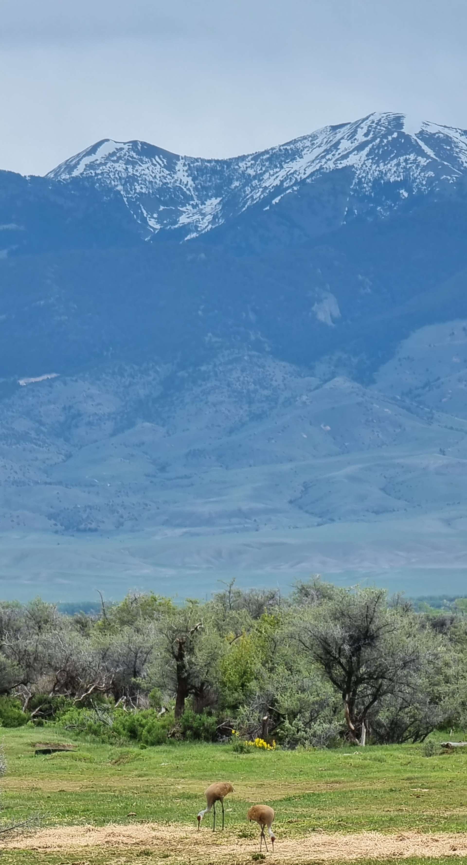
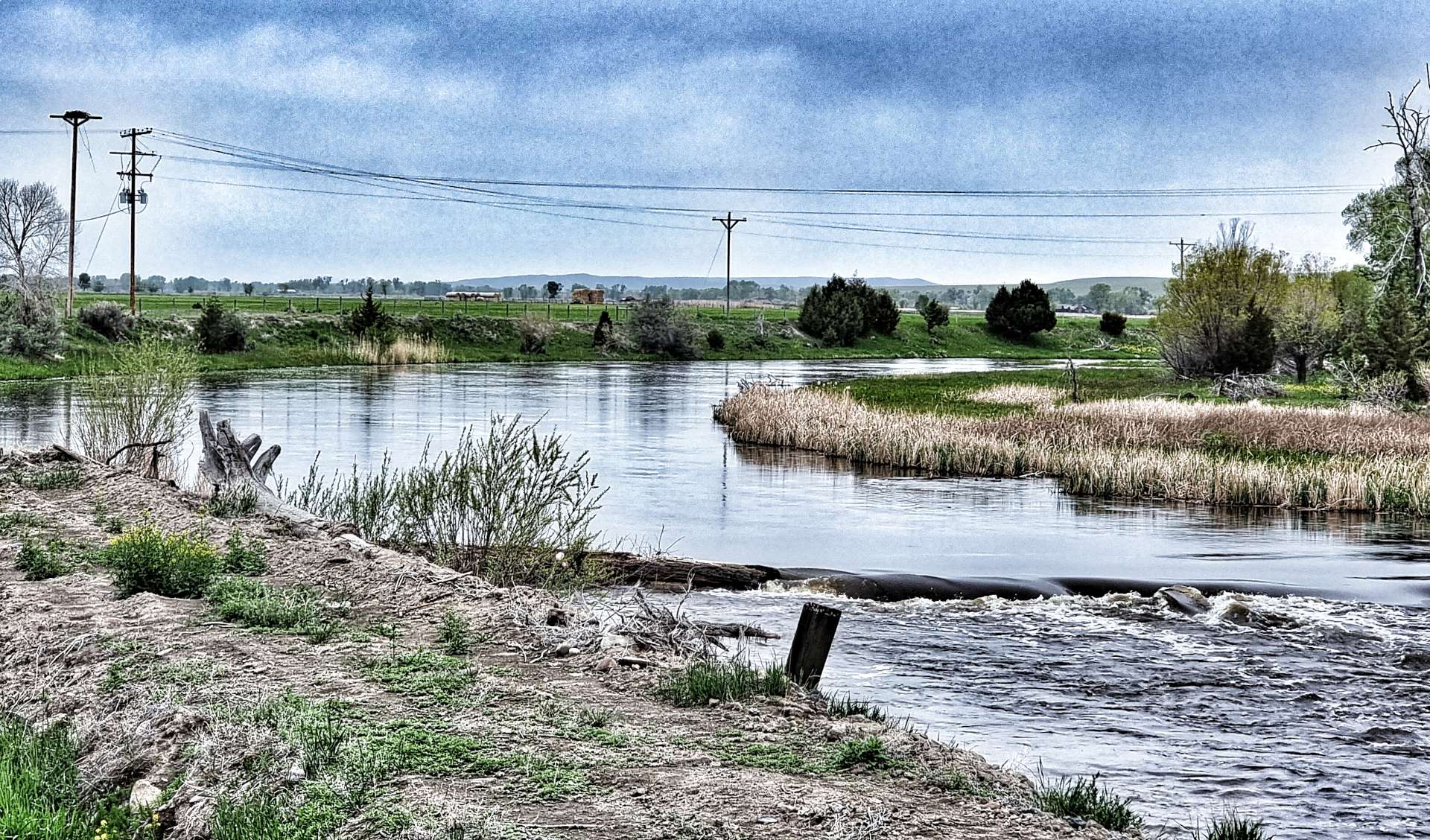
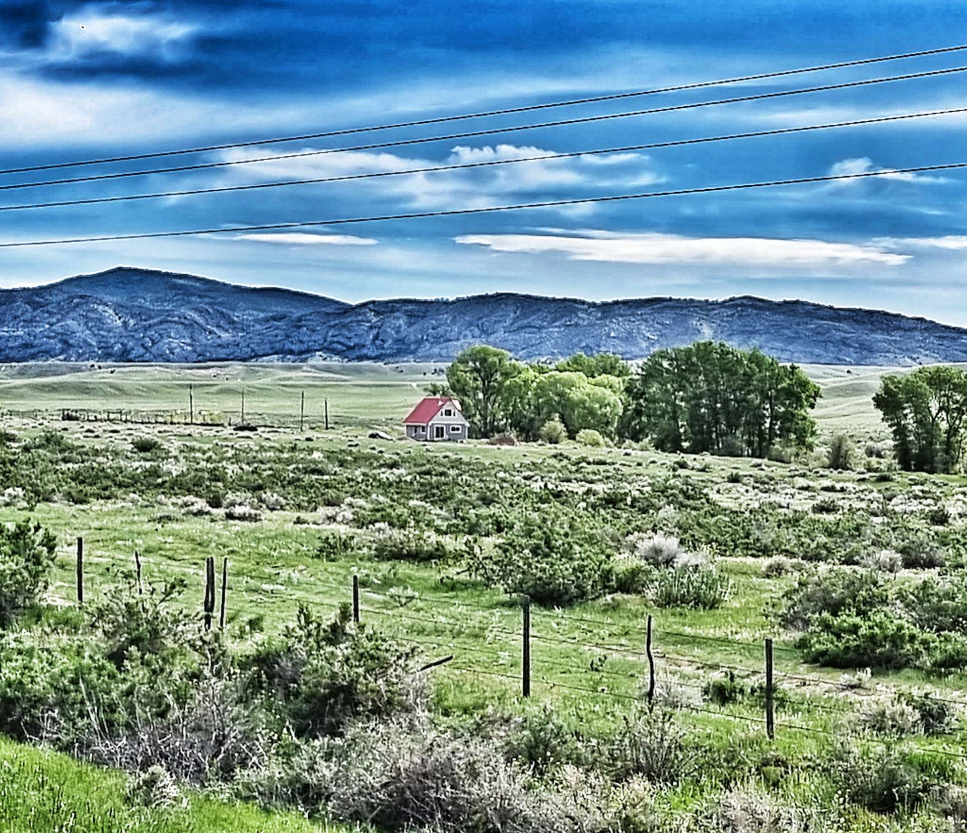
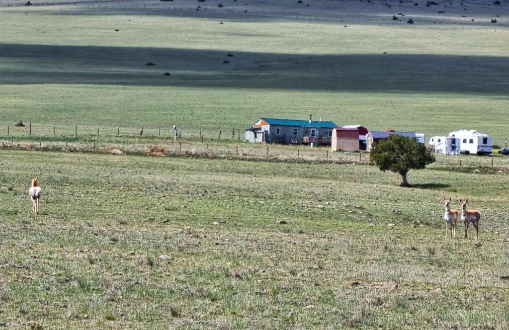
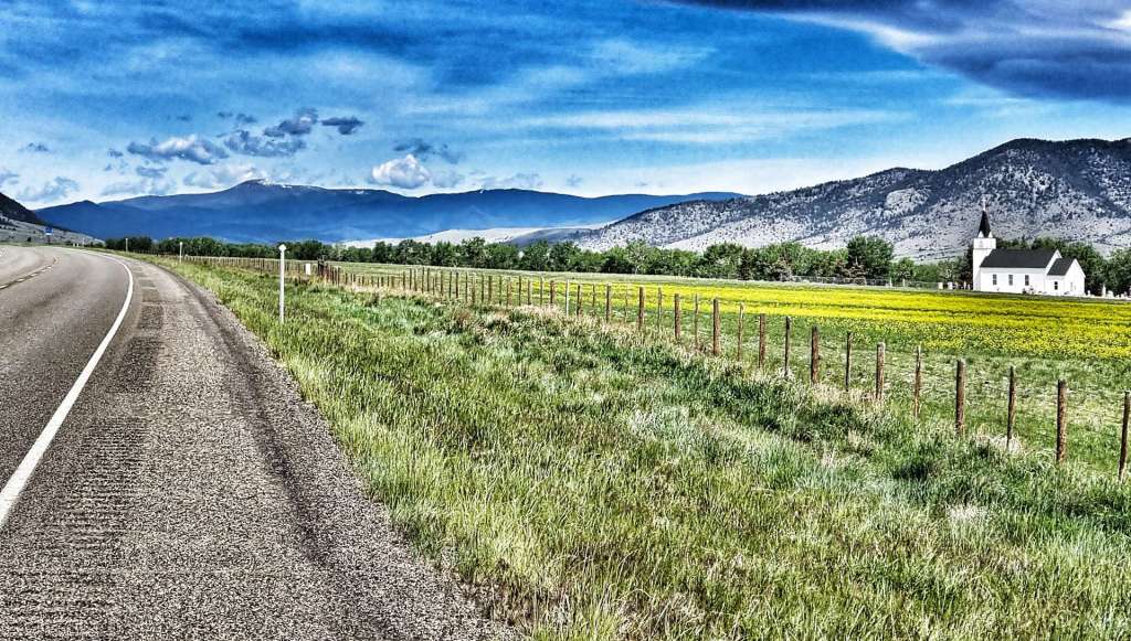
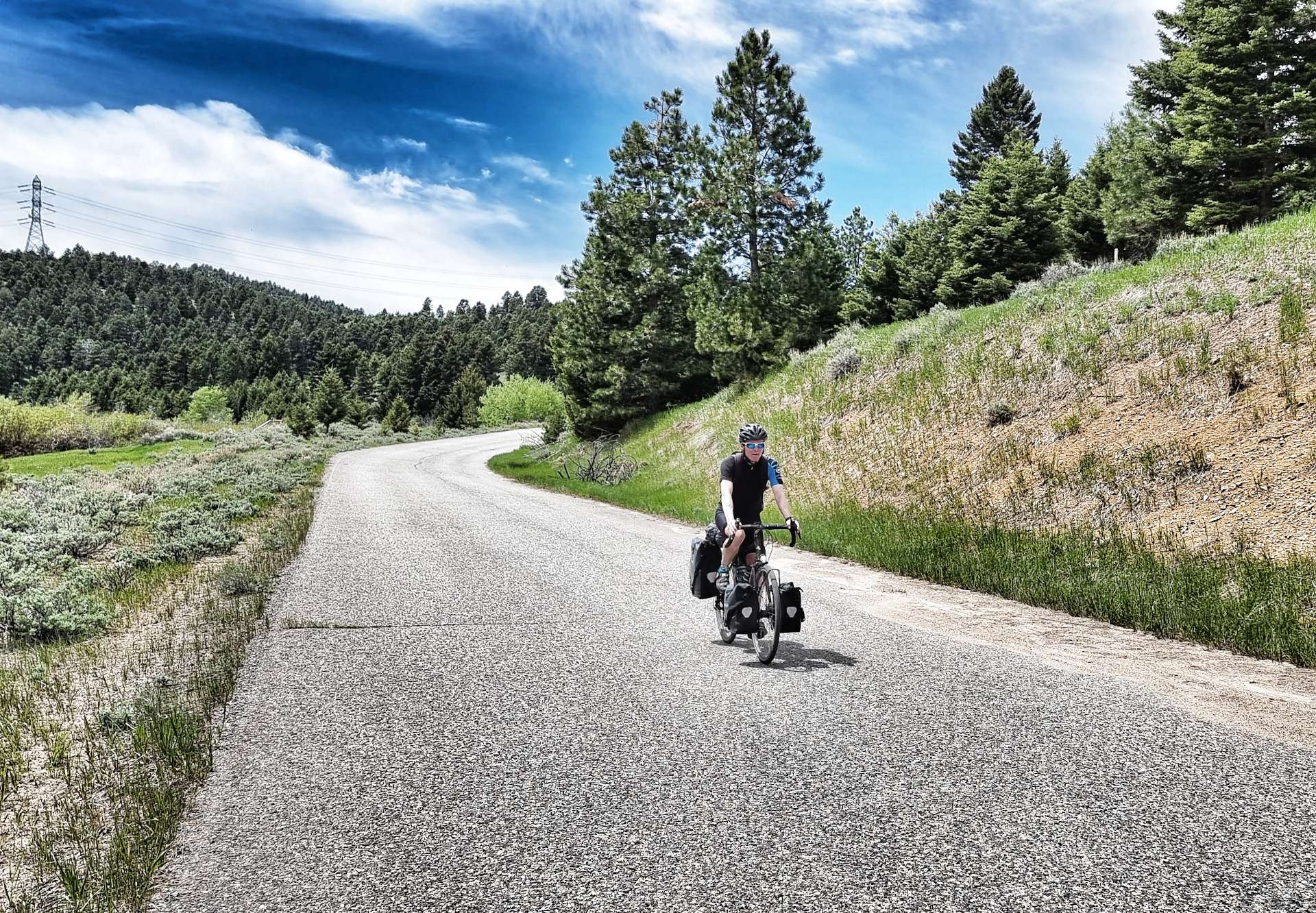
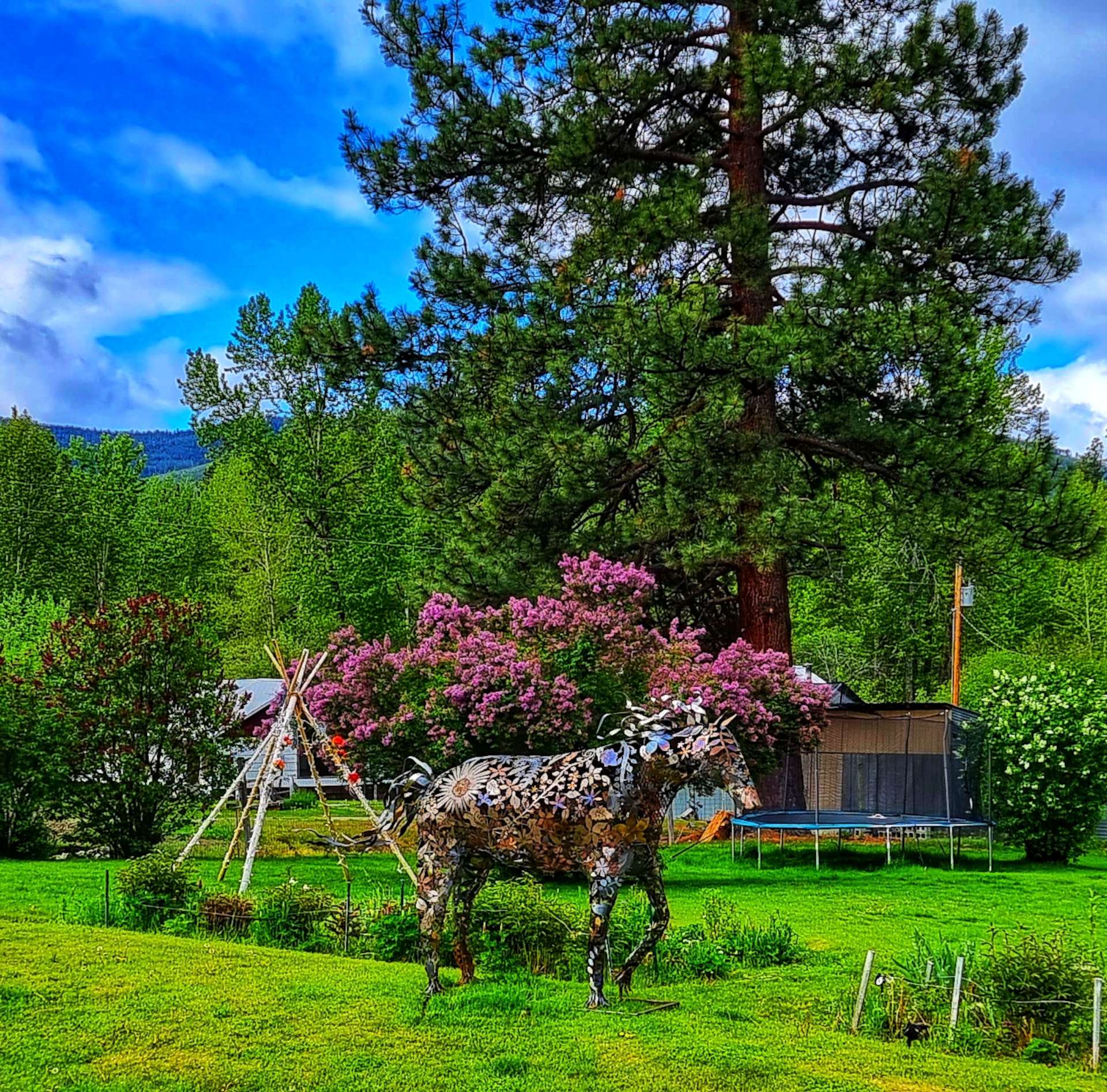
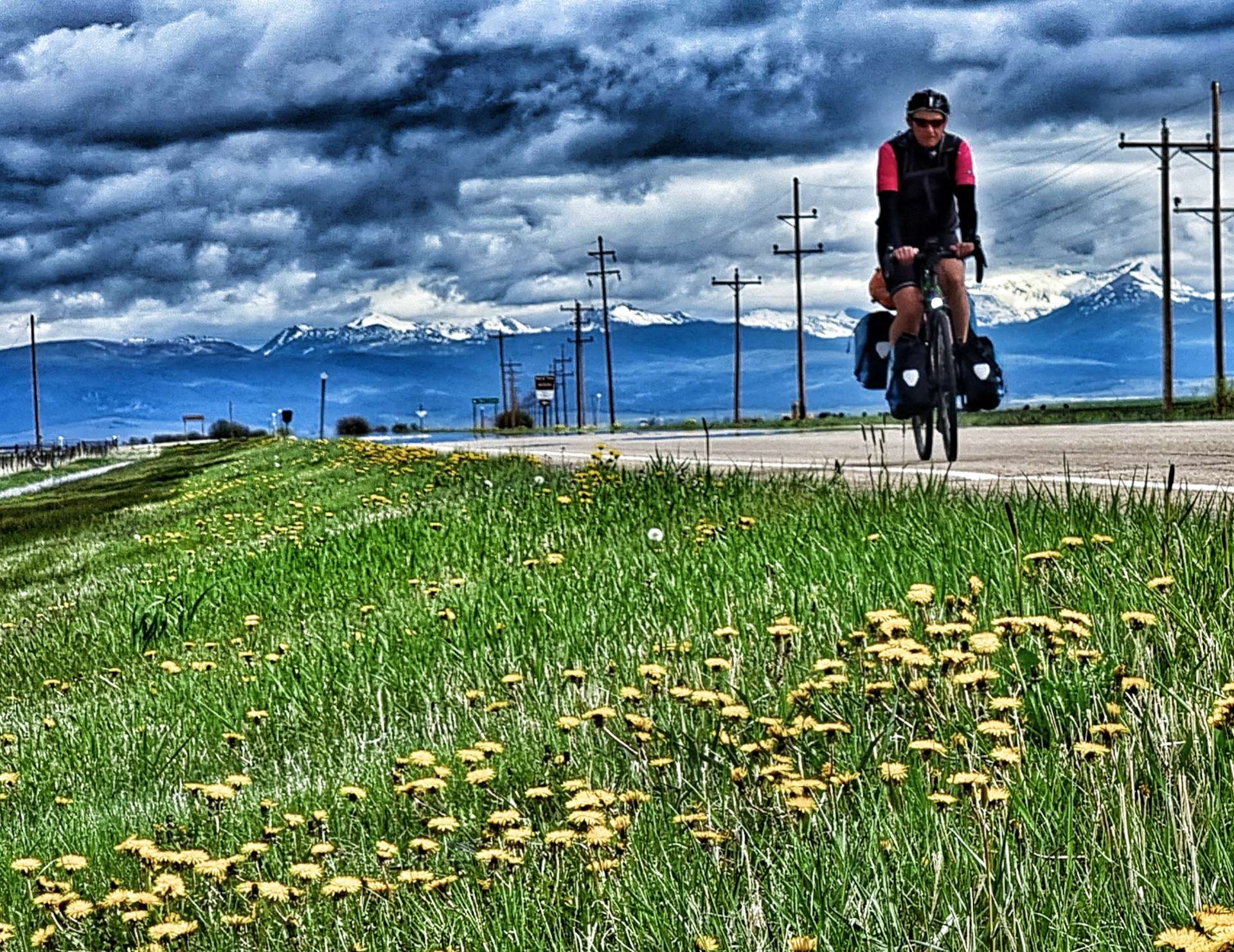
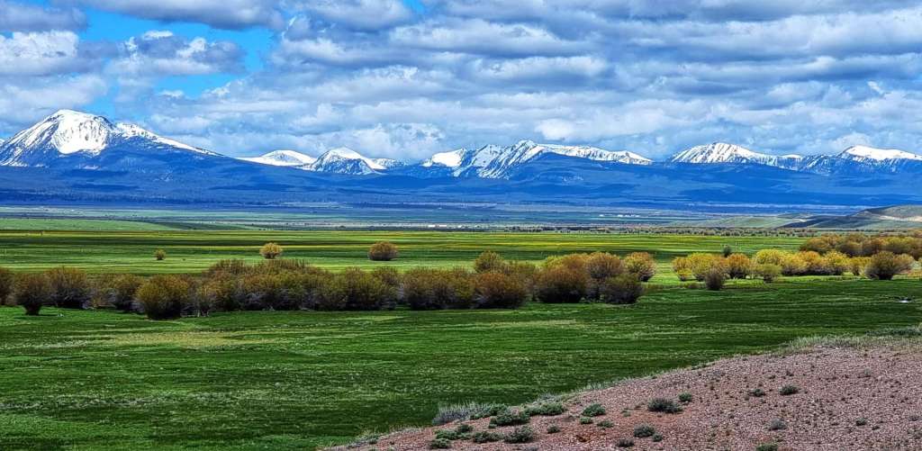
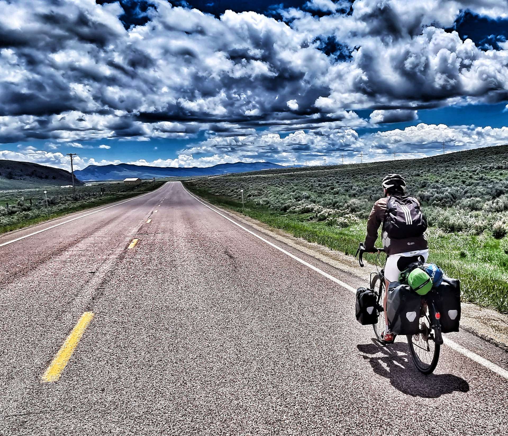
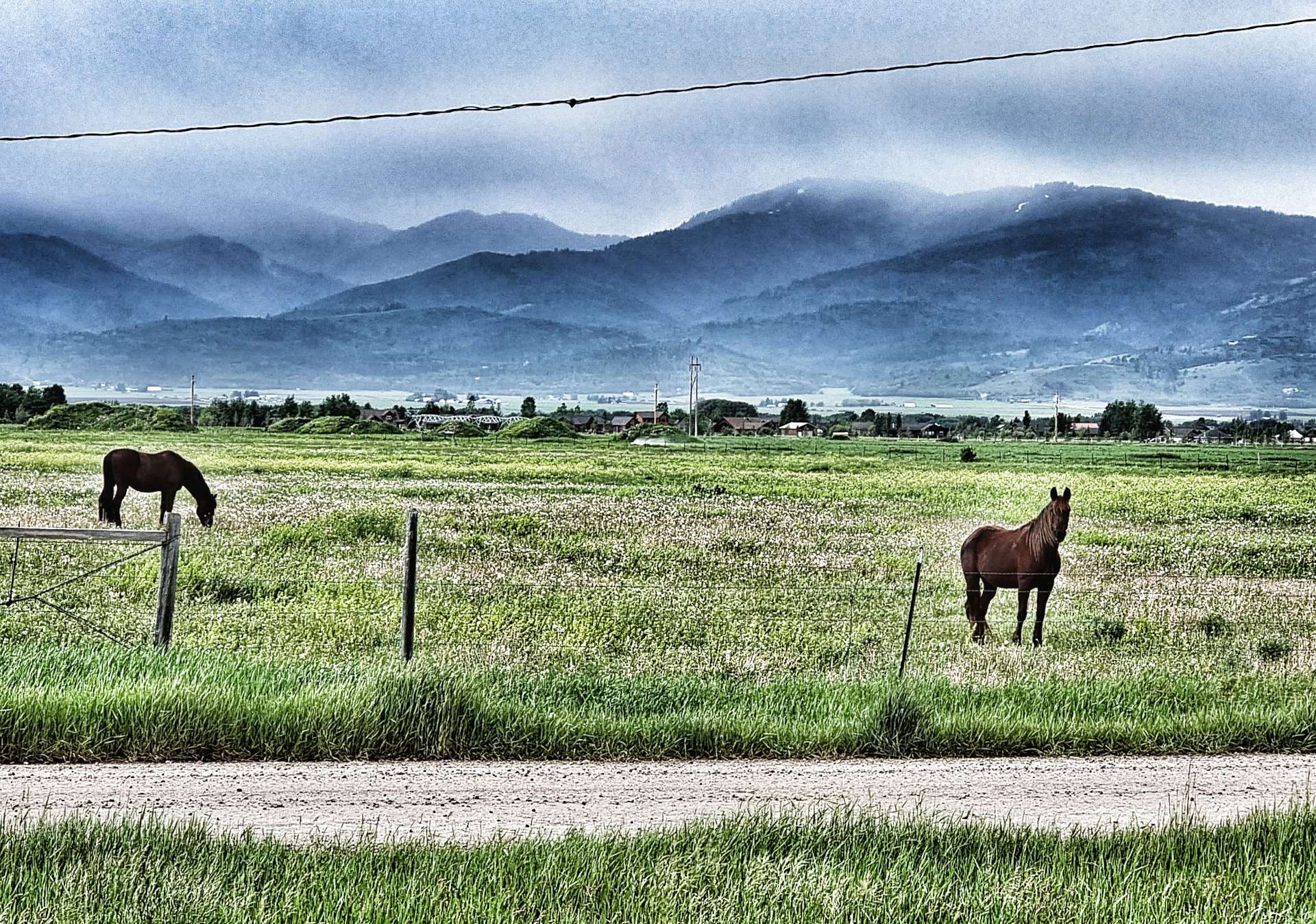
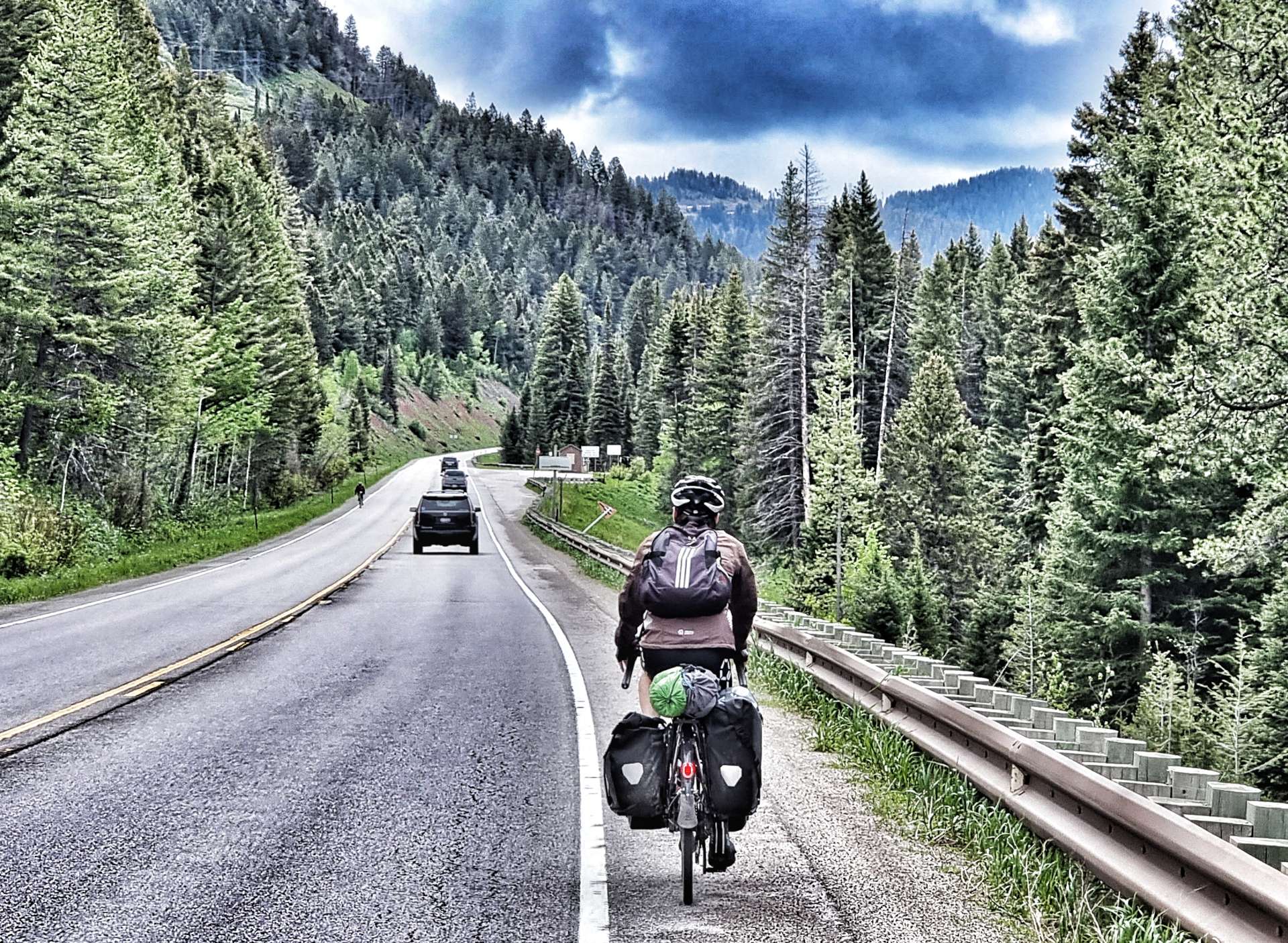
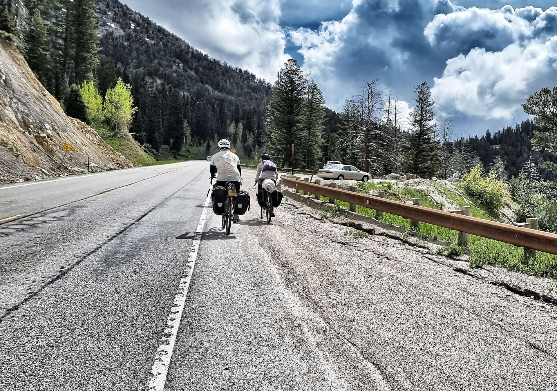
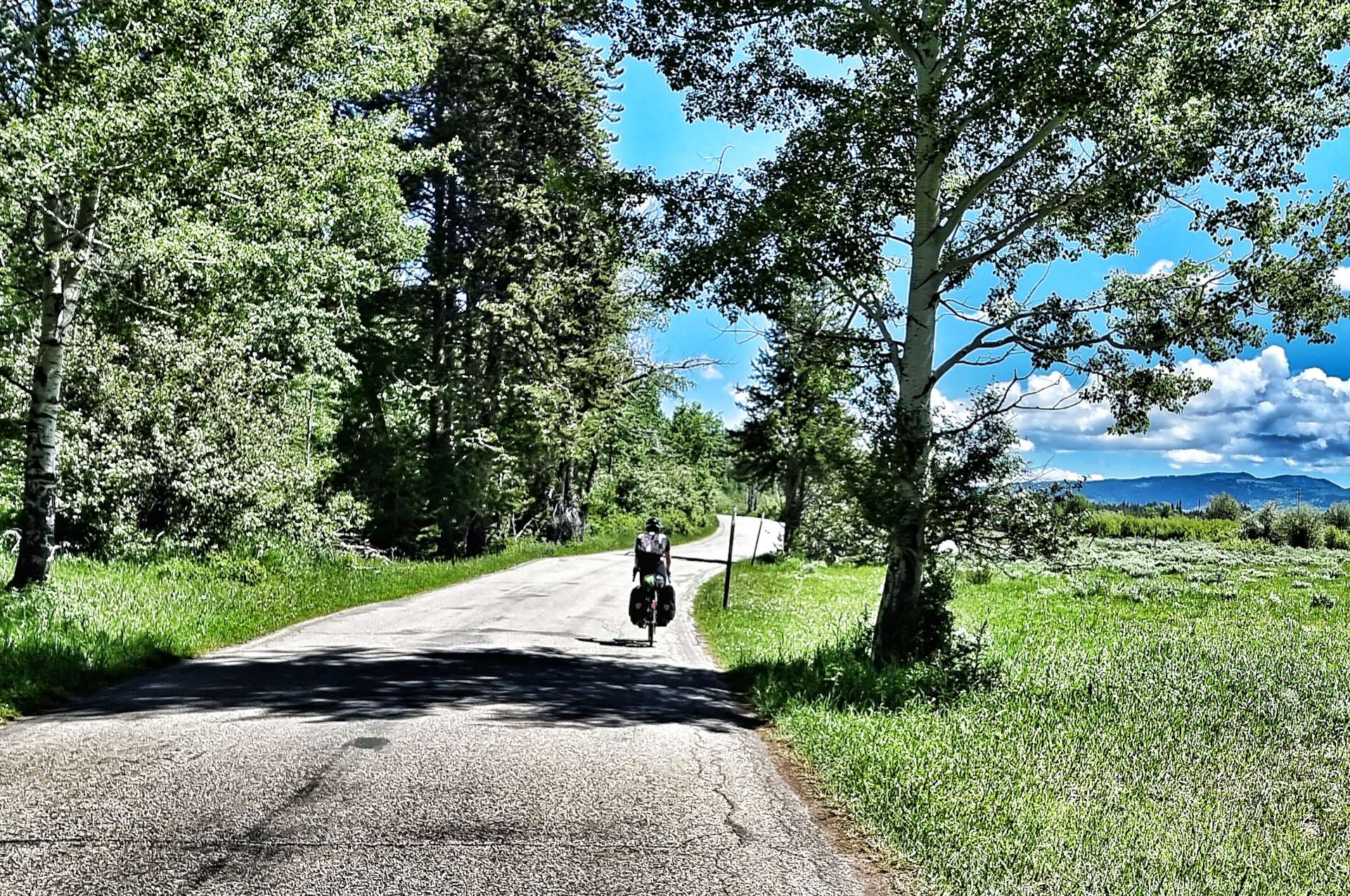
Leaving Driggs, we picked up a cycle track almost immediately that we’d be able to use for the first 9 miles until we reached Victor. We could see rain showers falling to either side of us, but somehow we remained dry – even one of the horses looked on in surprise! You may be able to see in the 2nd photo that Sean had taken most of his kit out of his rear left pannier, we were hoping that the reduced weight would increase the chance of the pannier surviving until Jackson.

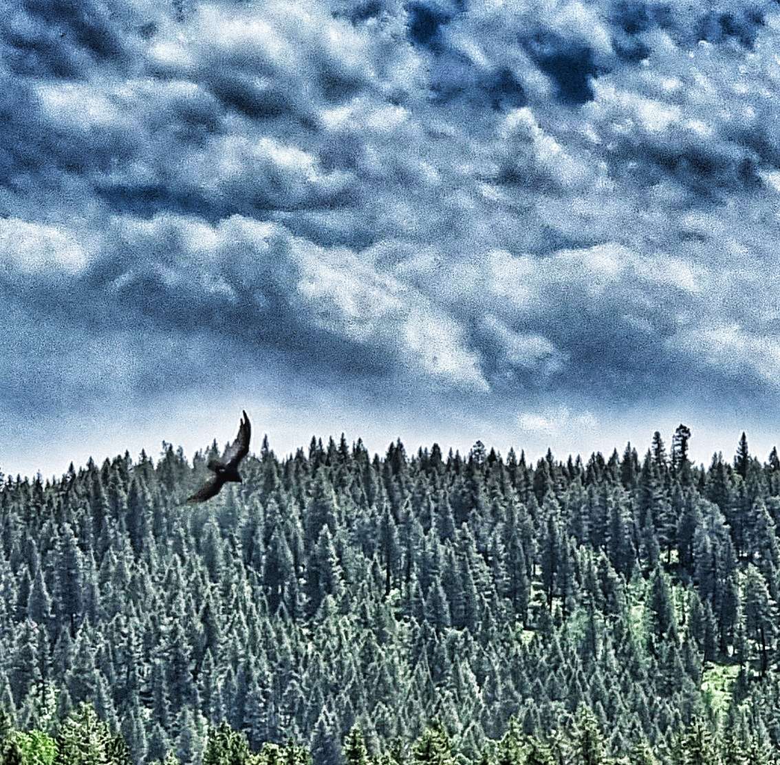
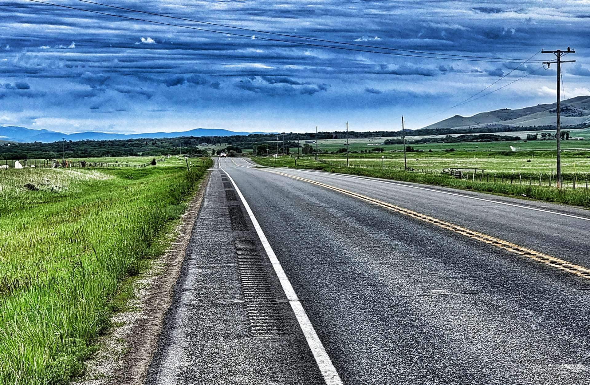
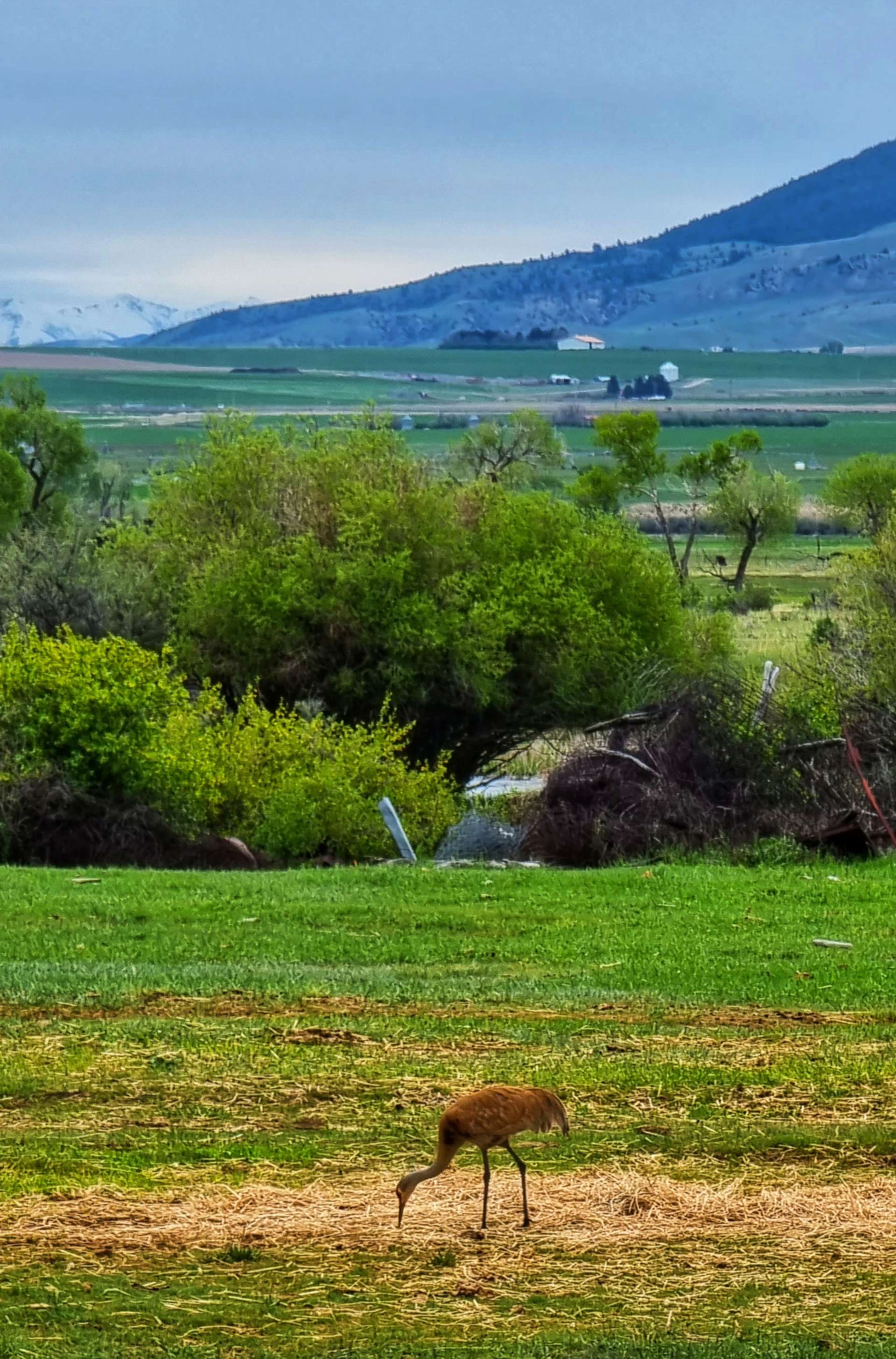
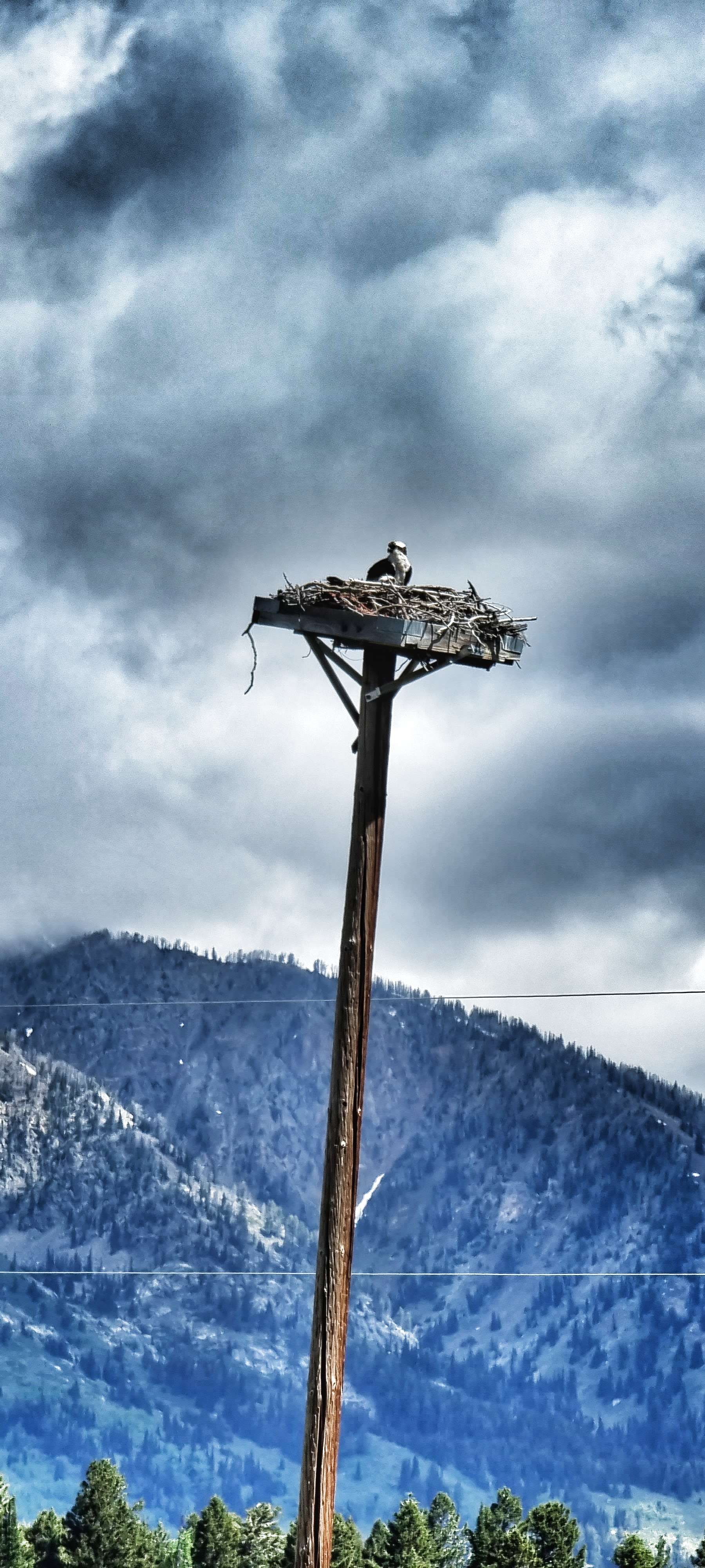
When we reached Victor, two things happened; firstly, the cycle track ended so we were back on Highway 33. Secondly, the road started to gradually head uphill, as we joined the very early & easy slopes of the Teton Pass. As we passed Trail Creek Pond we spotted an eagle who had a fish dangling from its talons as it flew by – sadly it all happened too quickly to get a photo, but it was a great moment & the first time I’d ever seen this happen in real life!
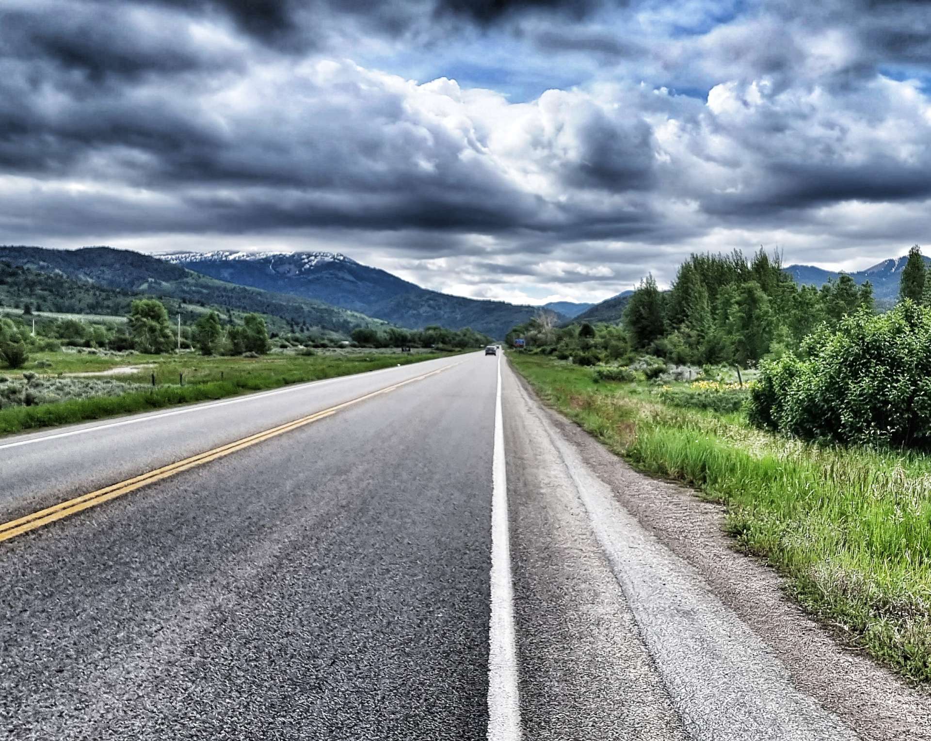

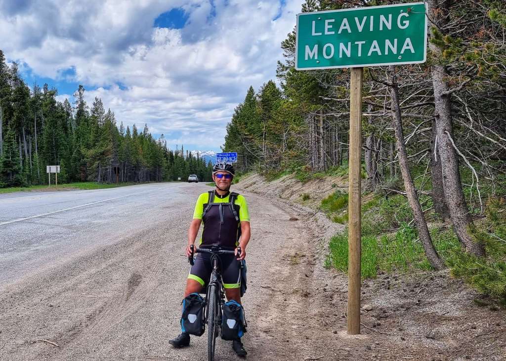
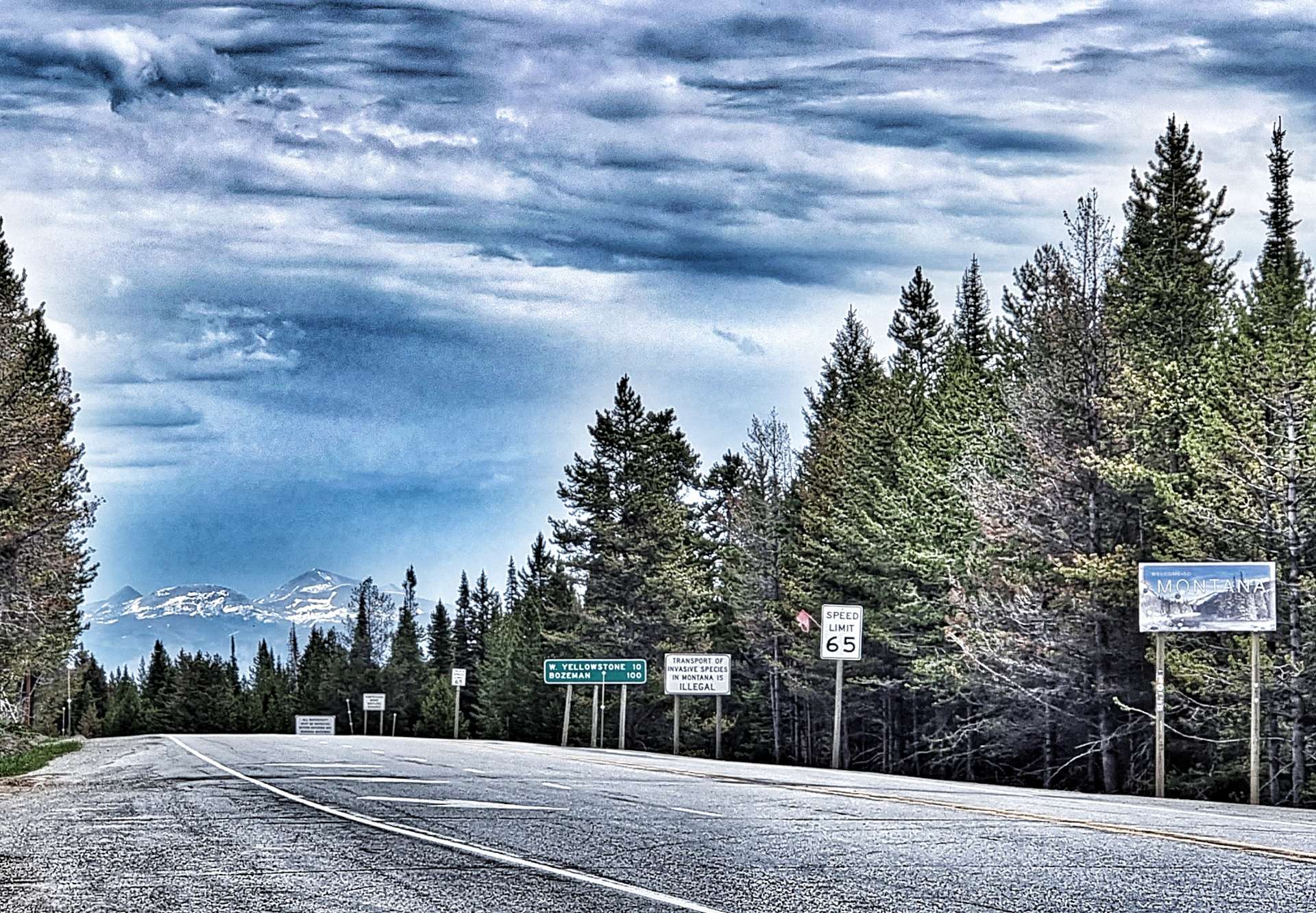
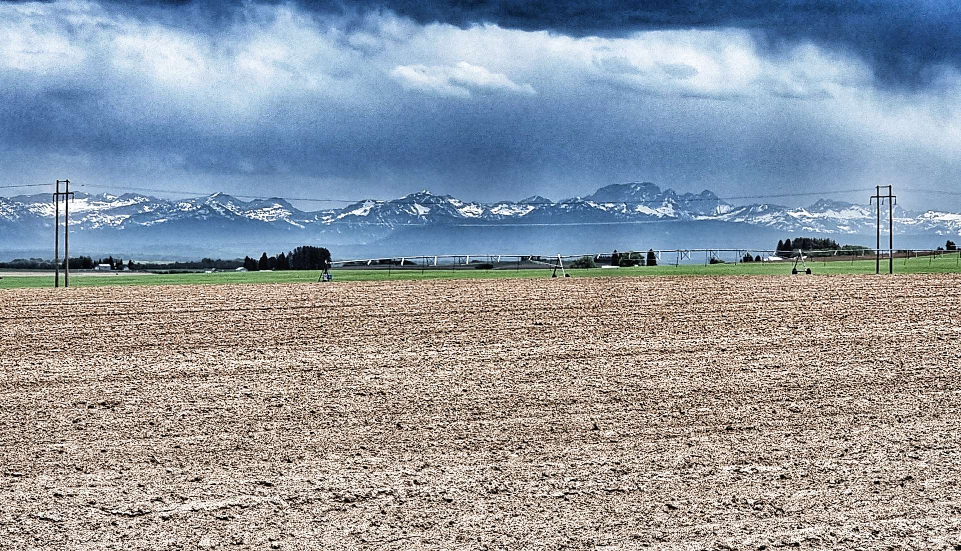
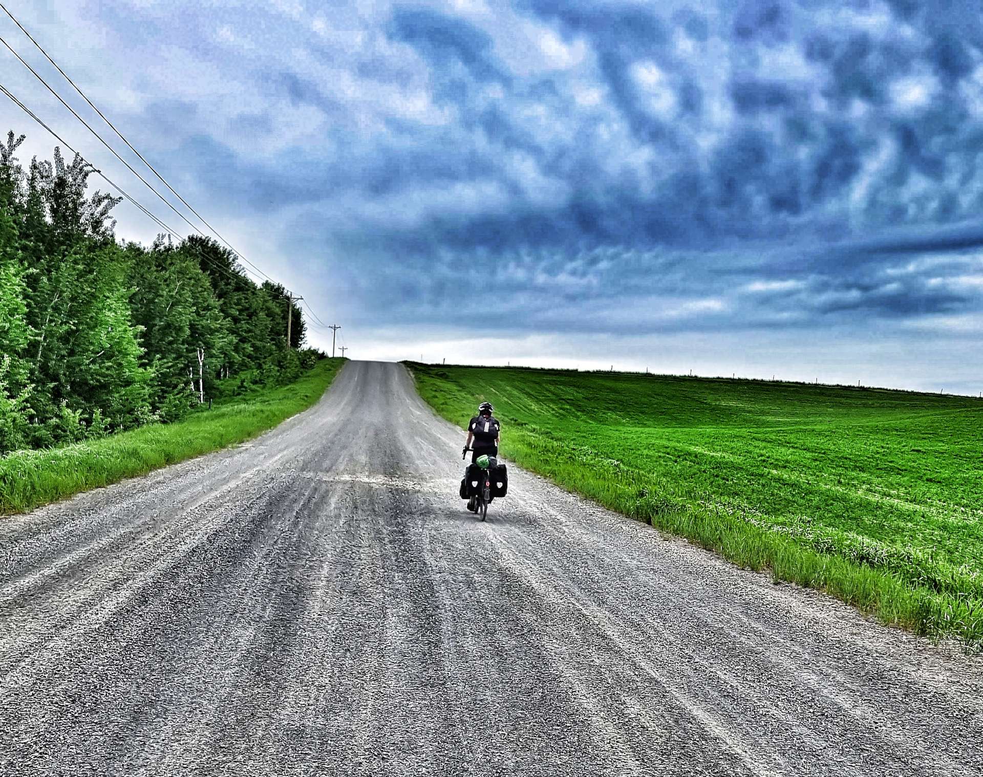
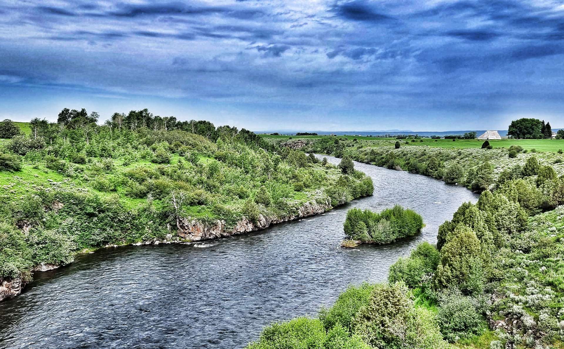
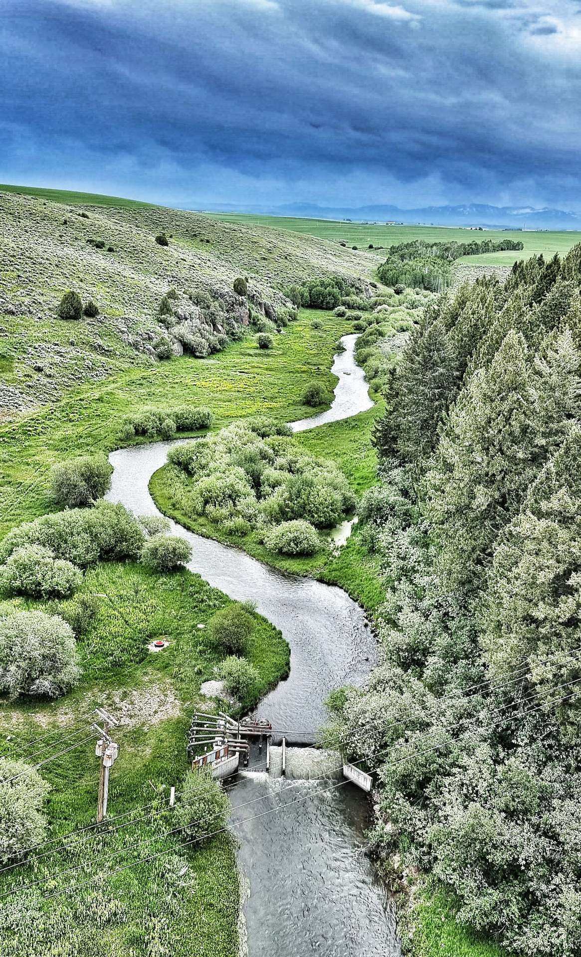
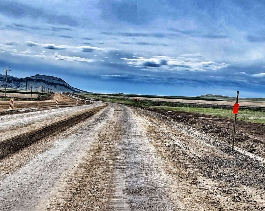
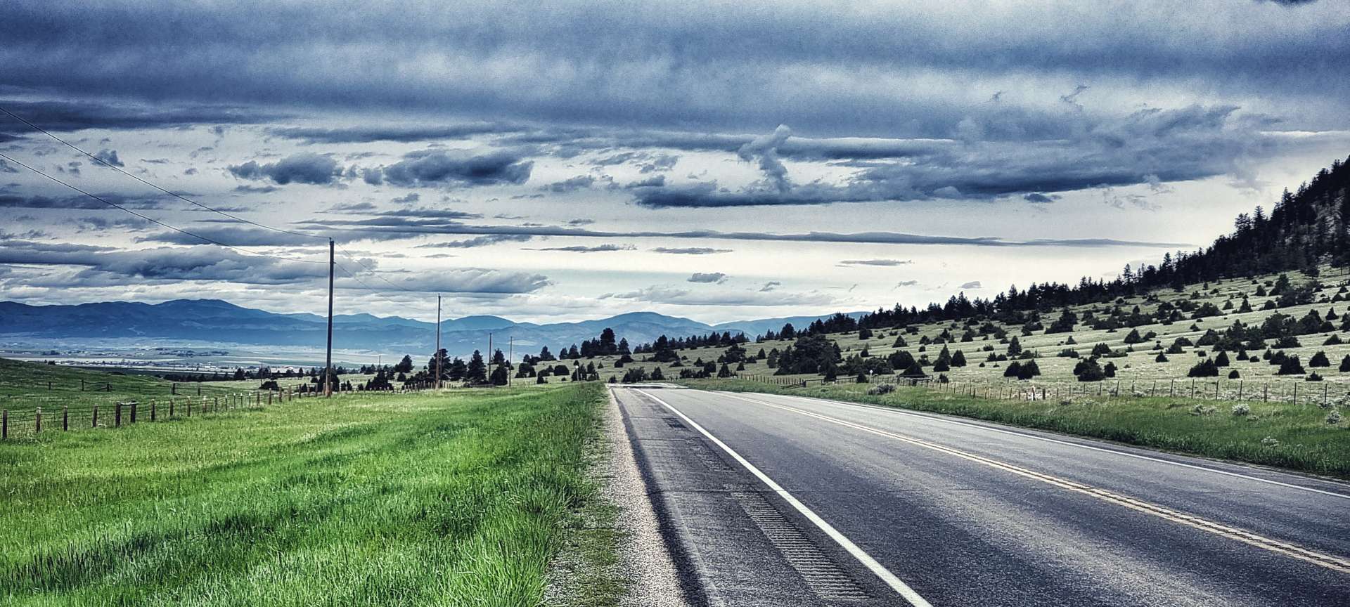
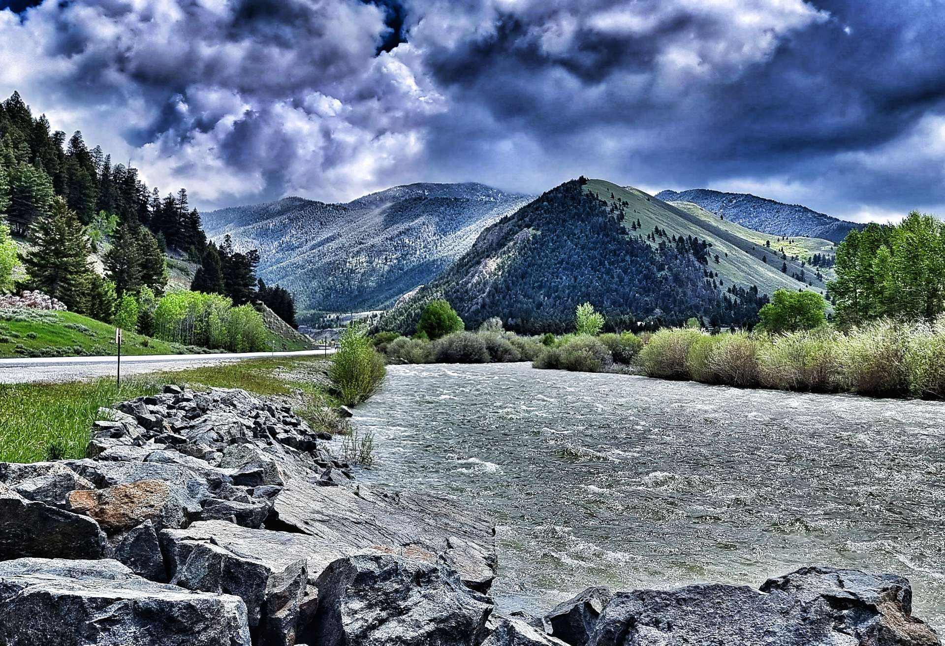
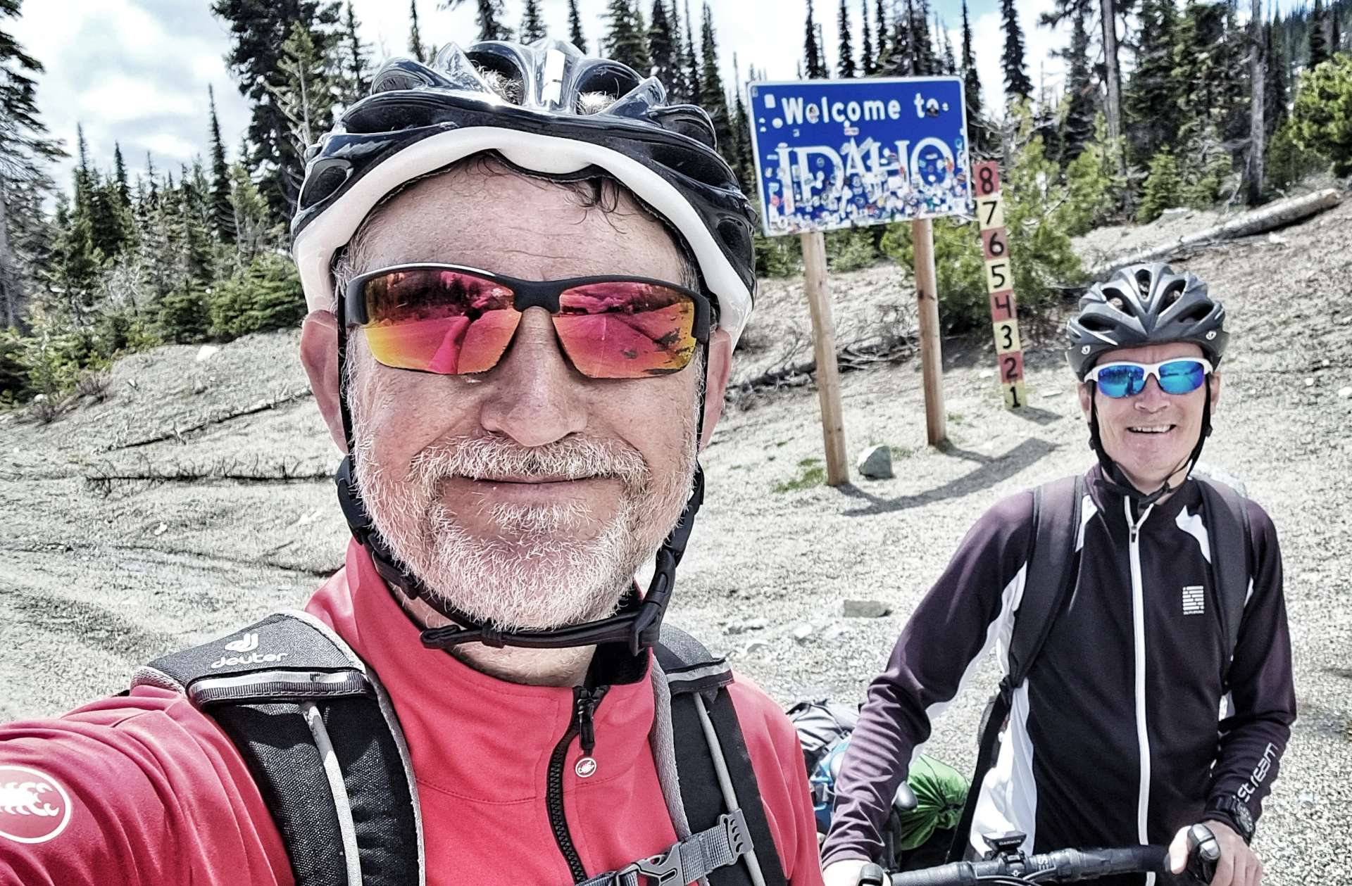
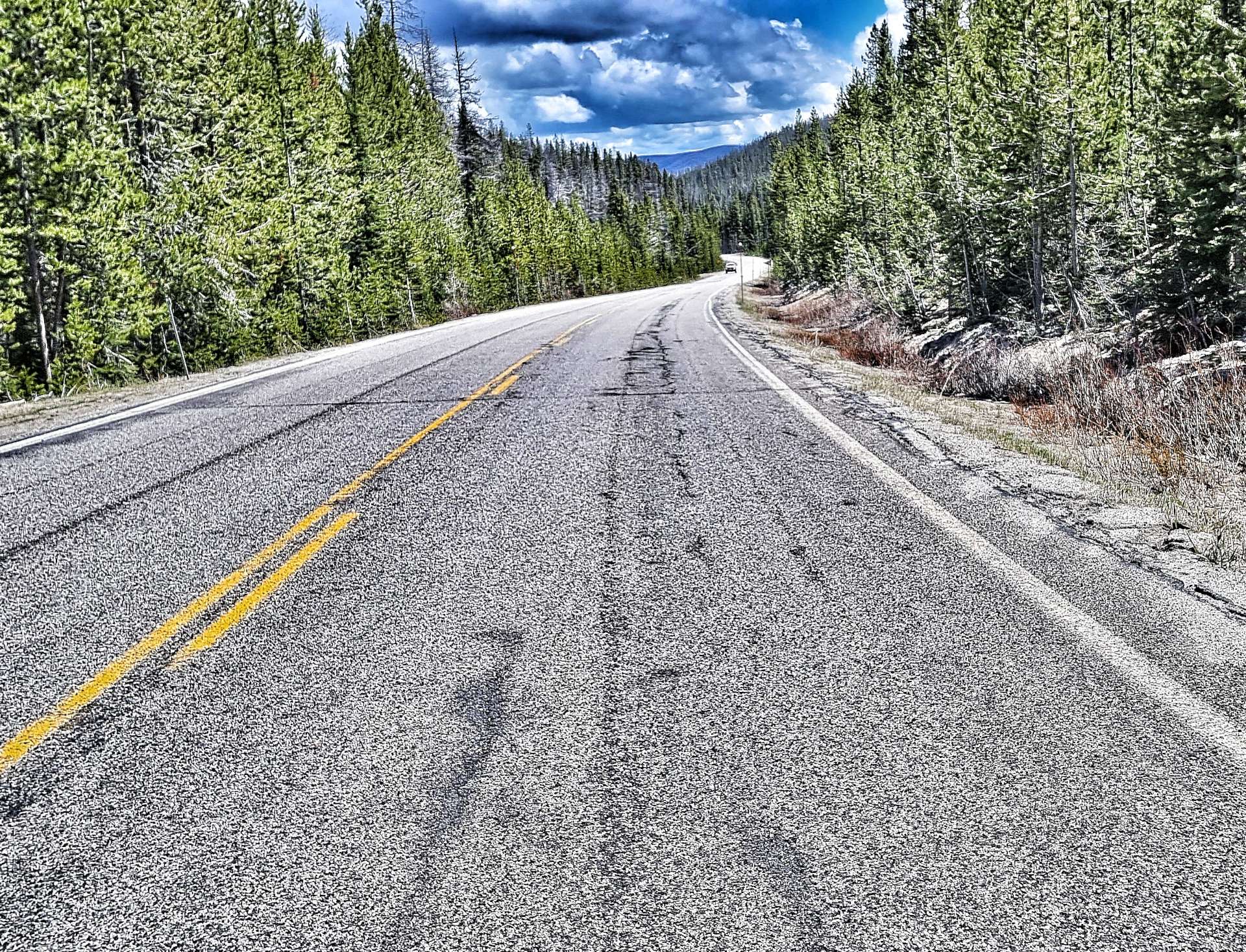
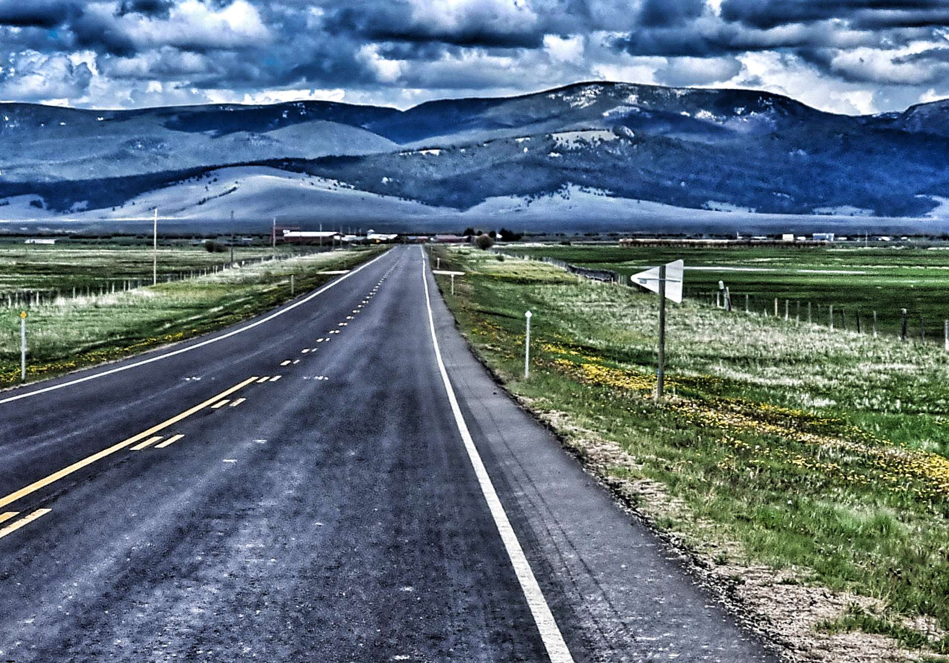
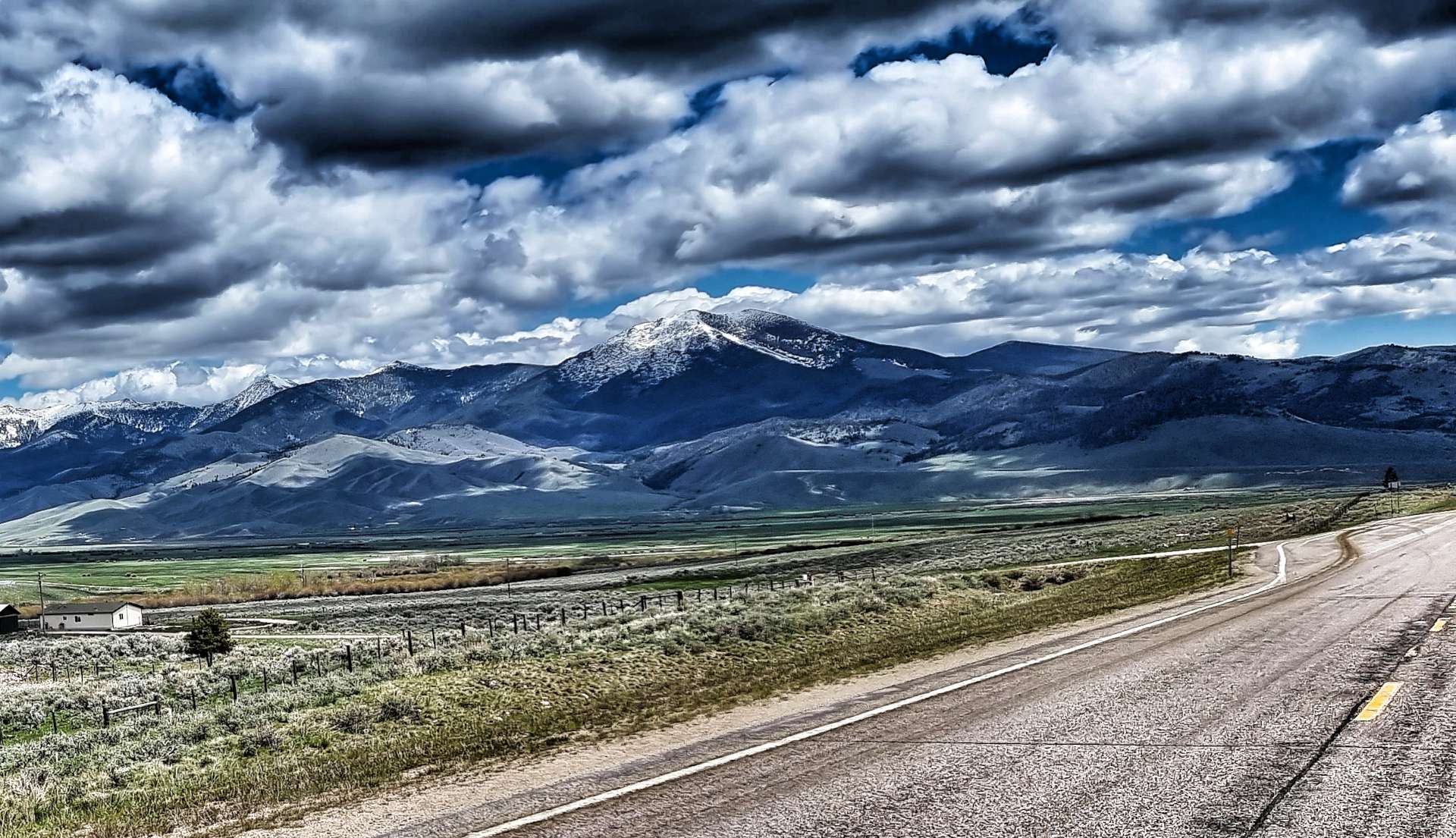
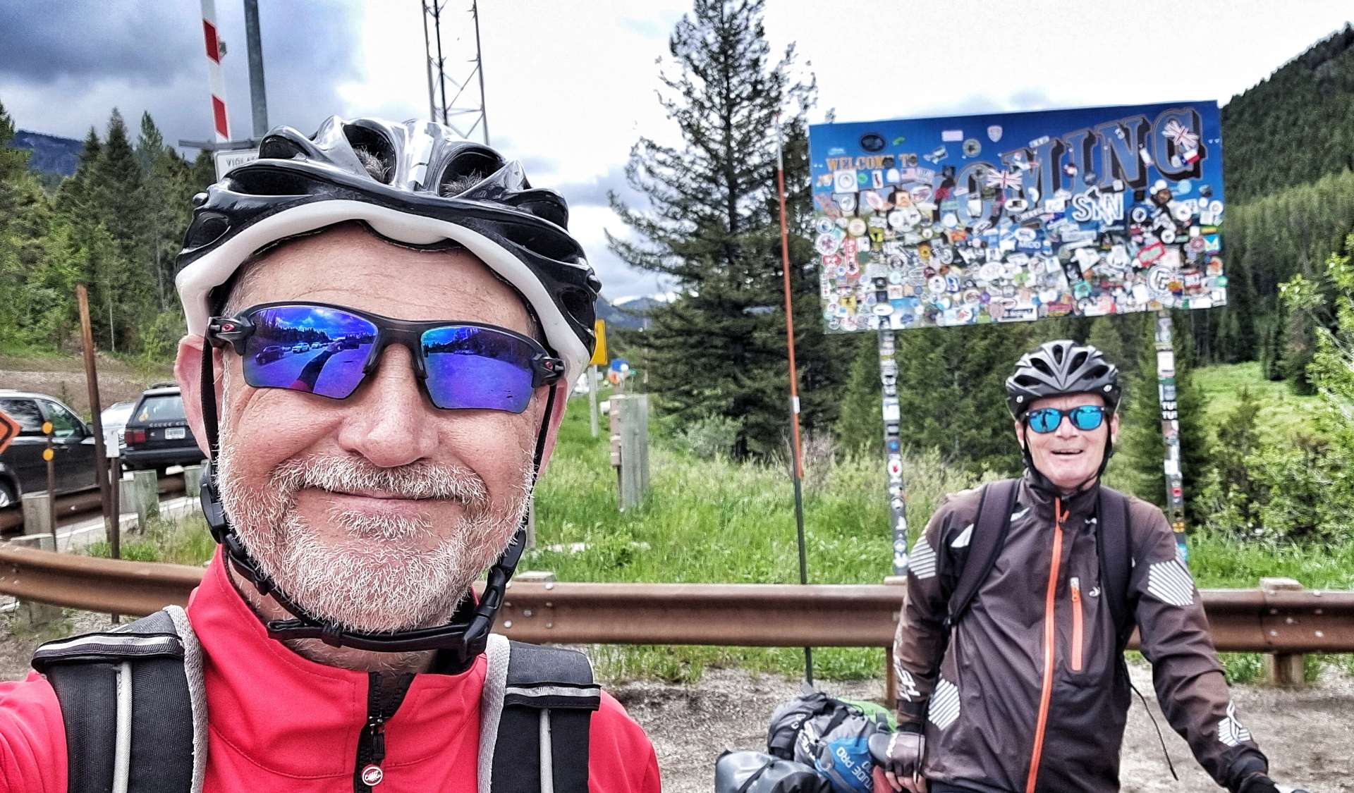
We followed the Trail Creek as it climbed the valley & after a couple of miles we reached the State Line crossing from Idaho into Wyoming (the Highway changed from ID 33 to WY 22). This also marked the point at which the gradient increased from about 2% to 4 – 5%, still very manageable, it just made for slower going.
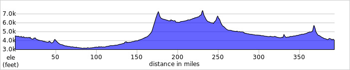
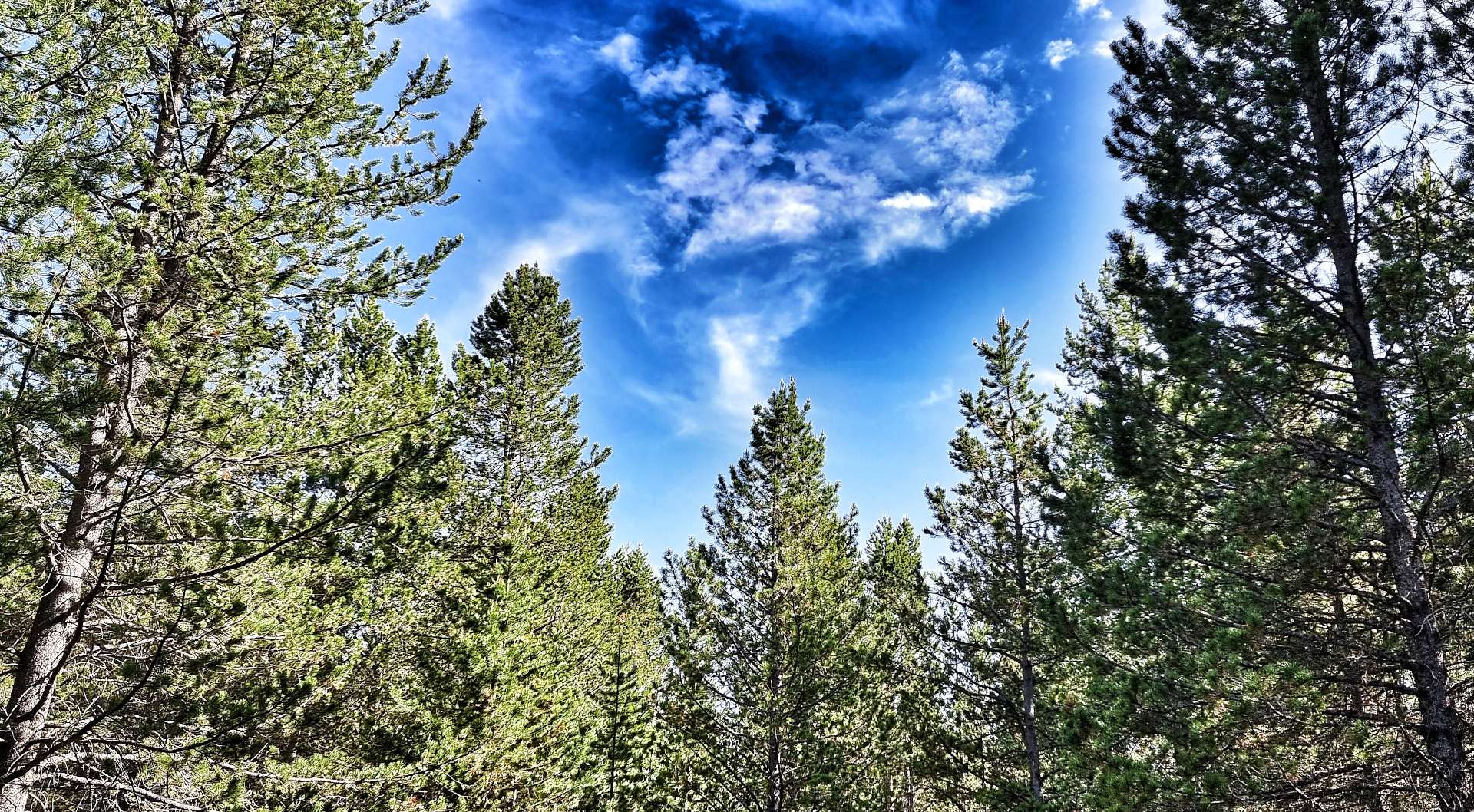
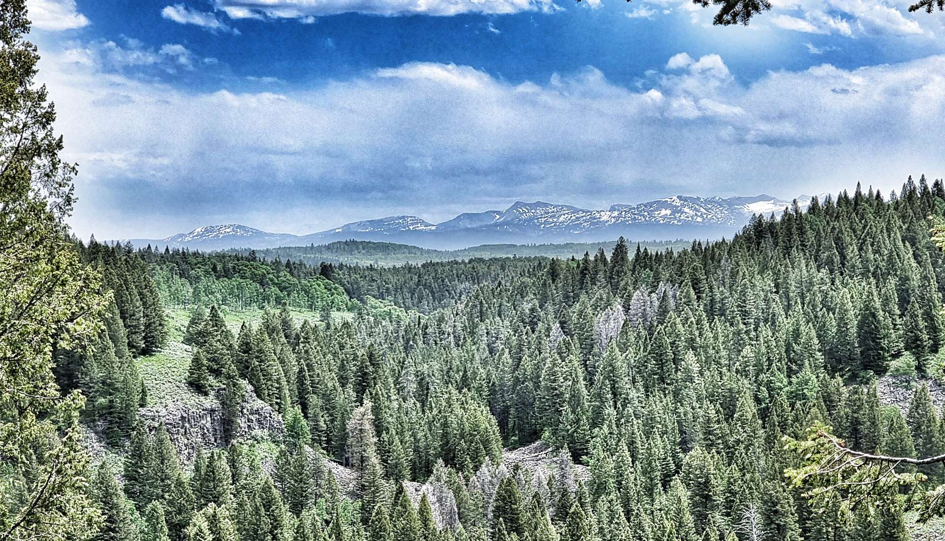
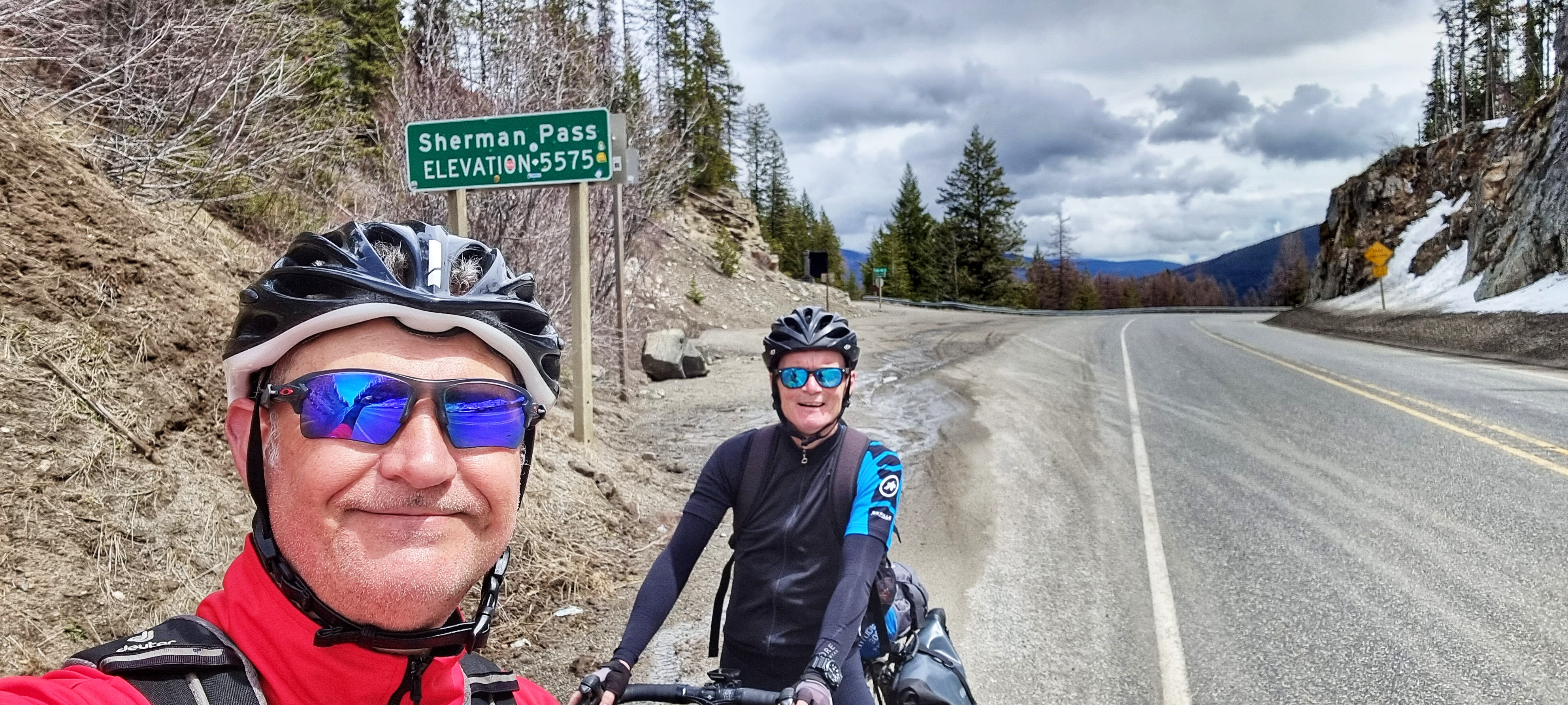
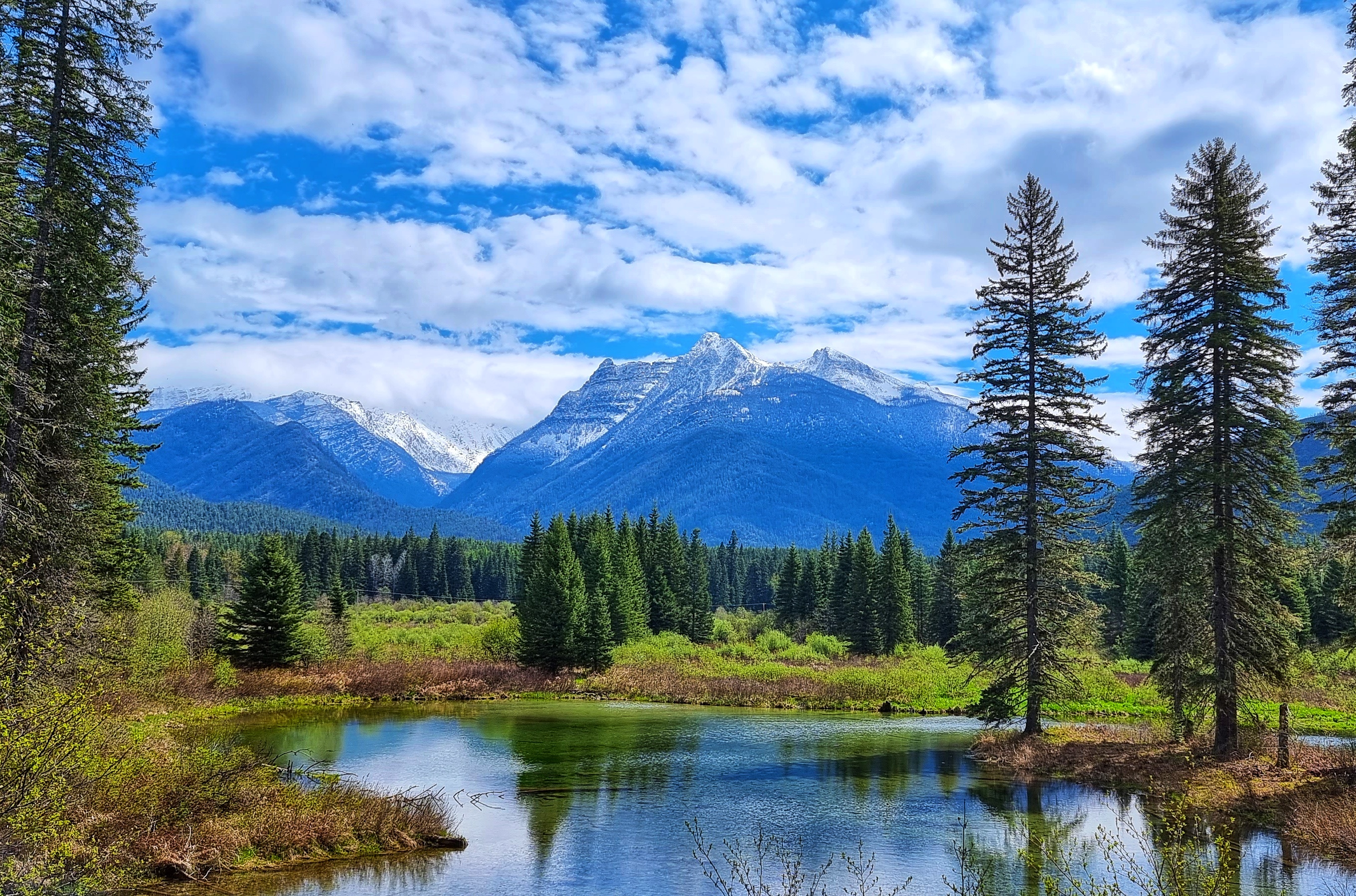
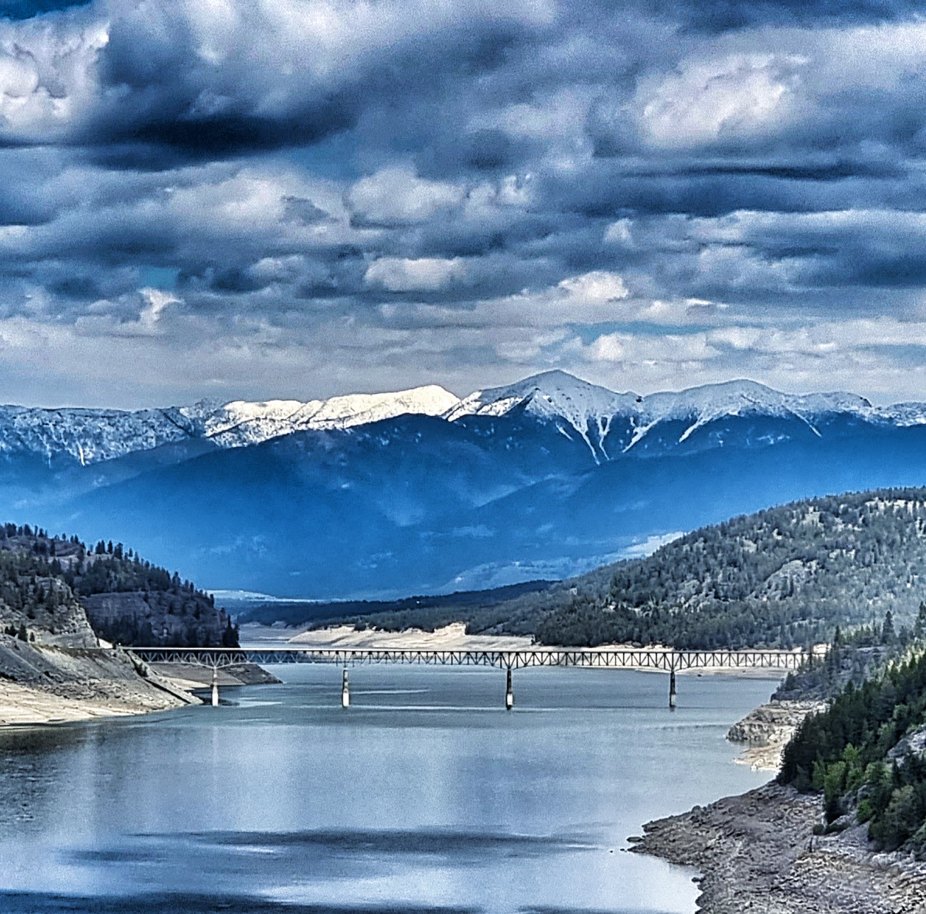
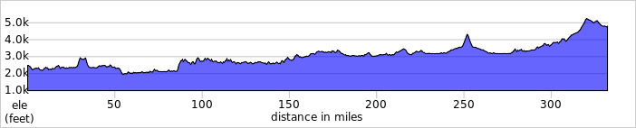
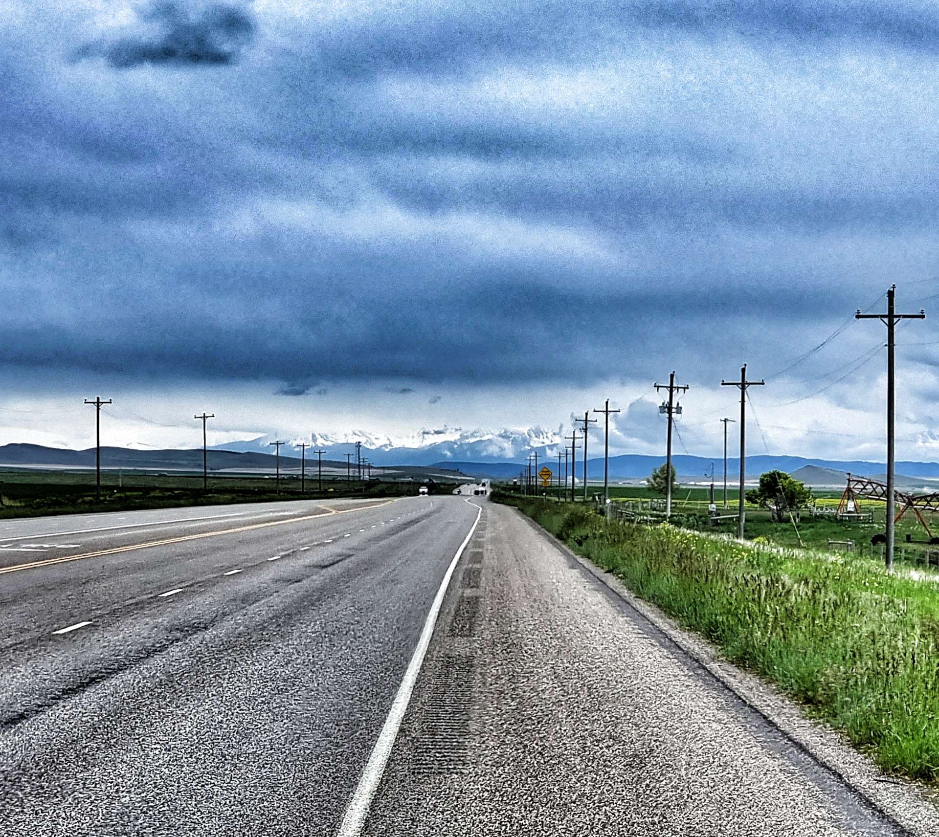
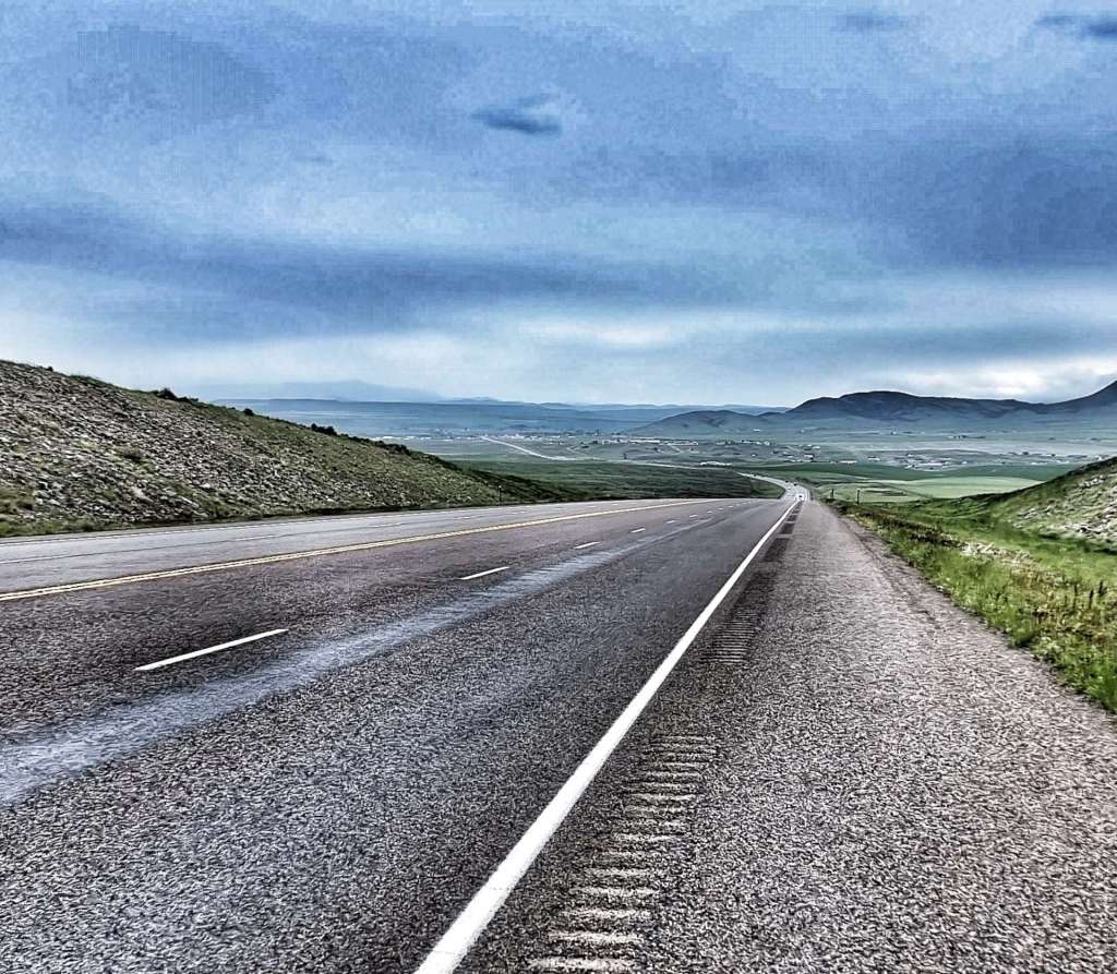
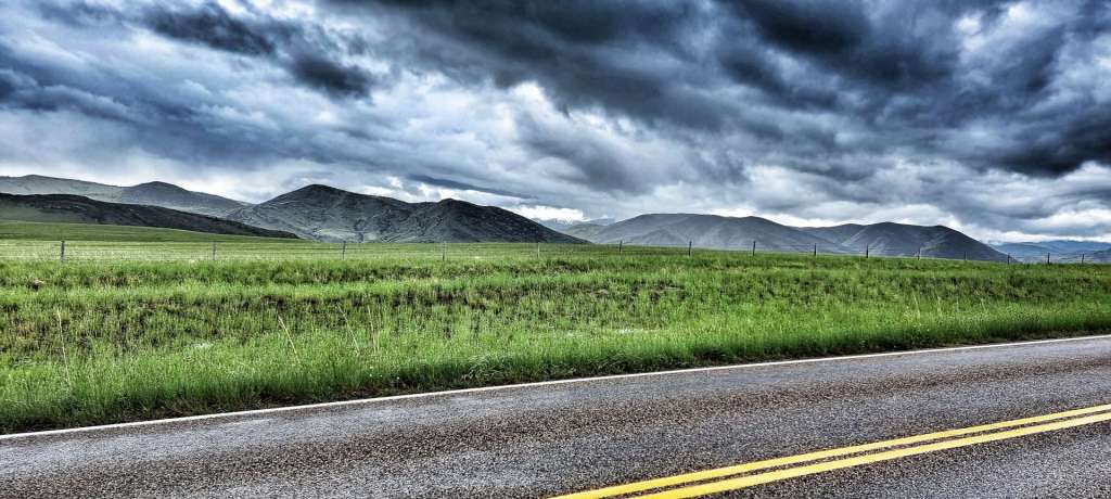
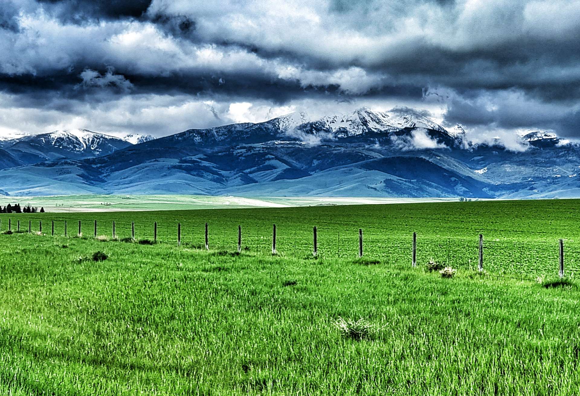
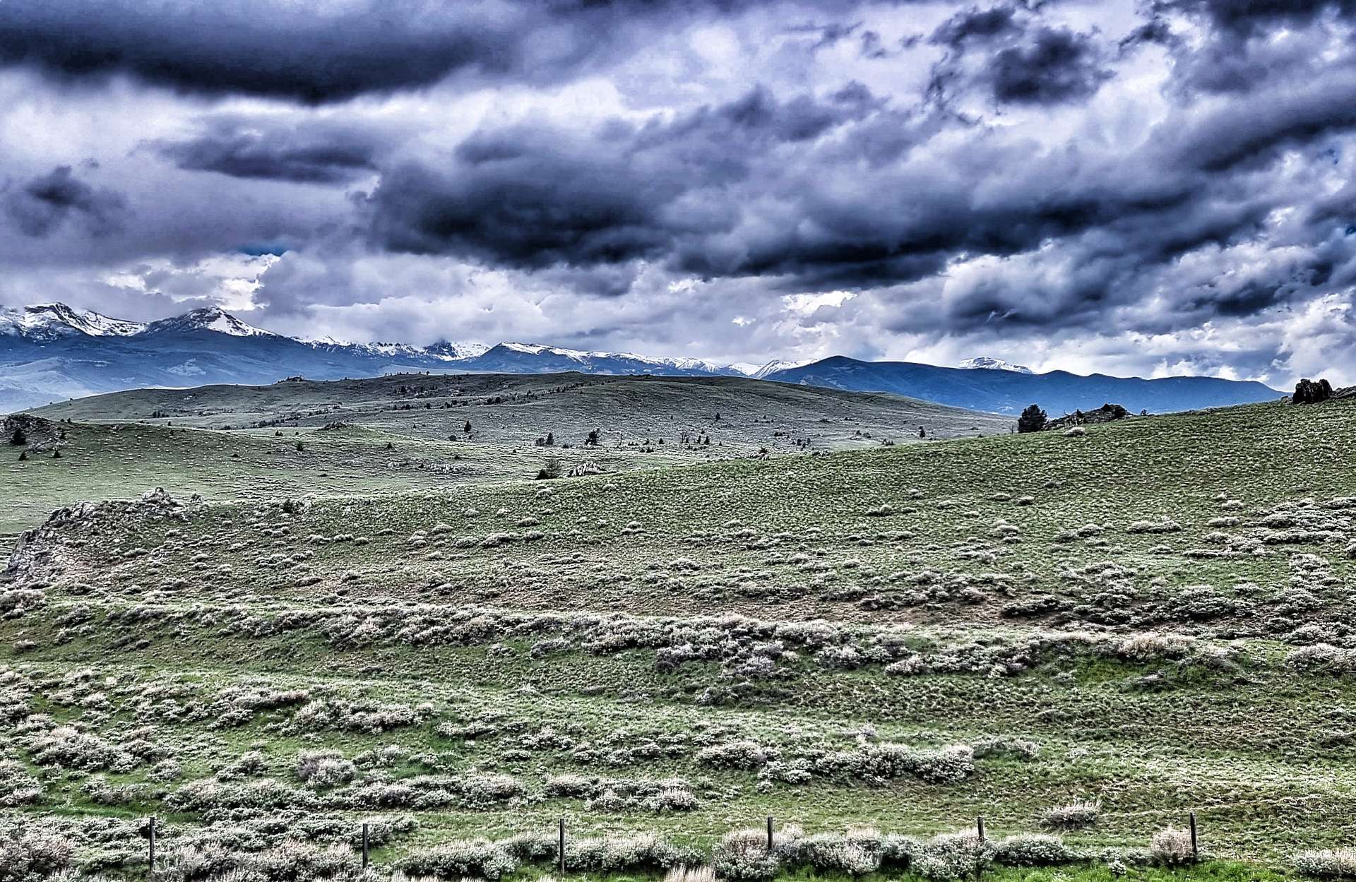
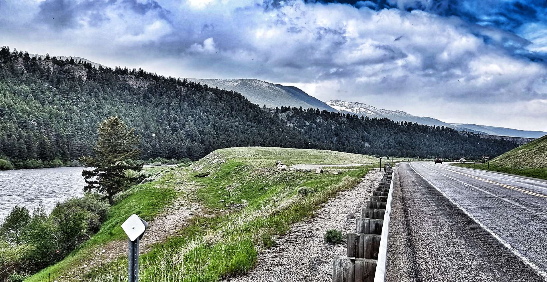
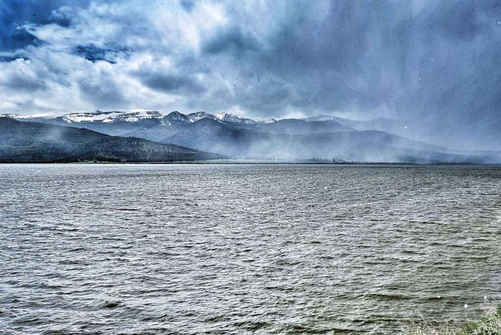
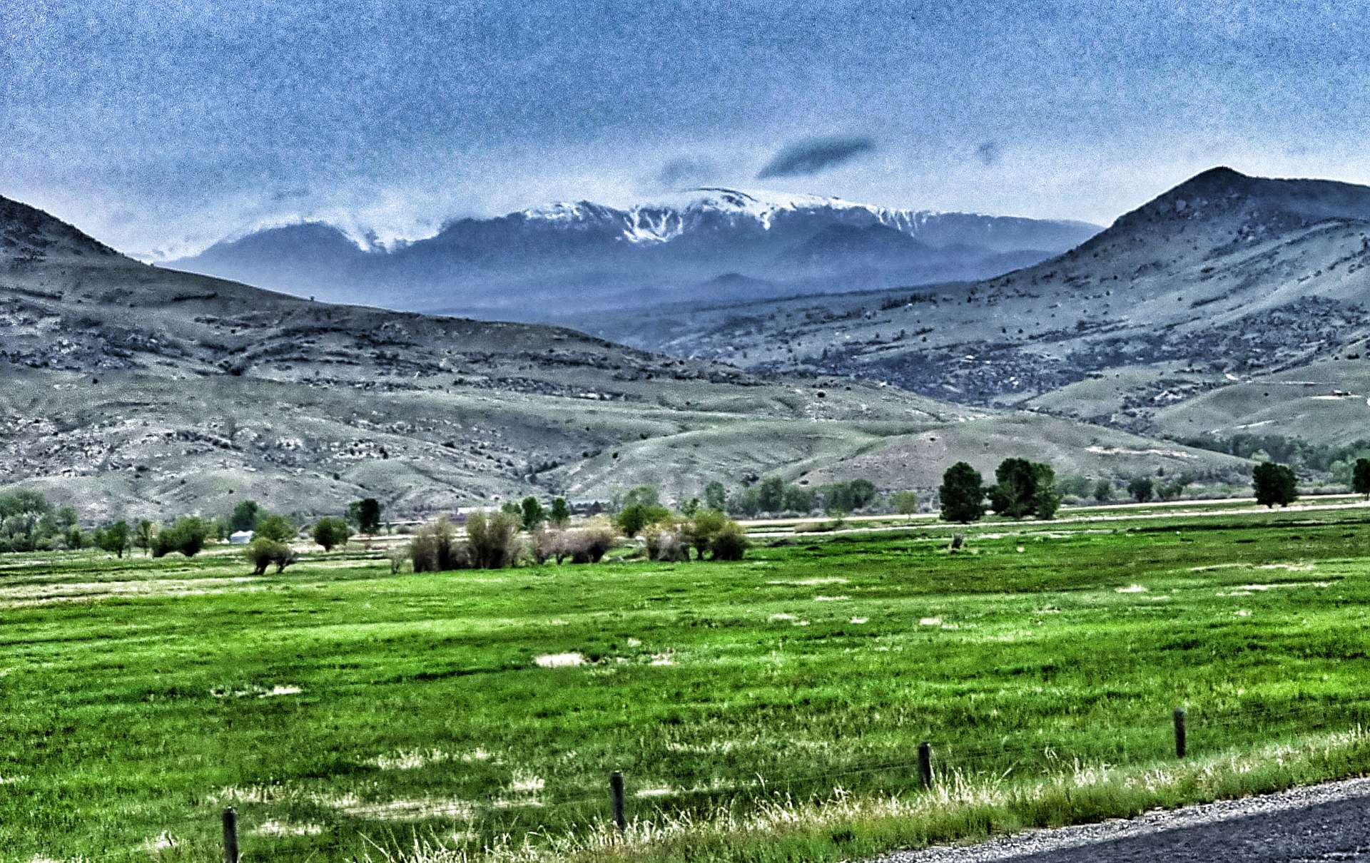
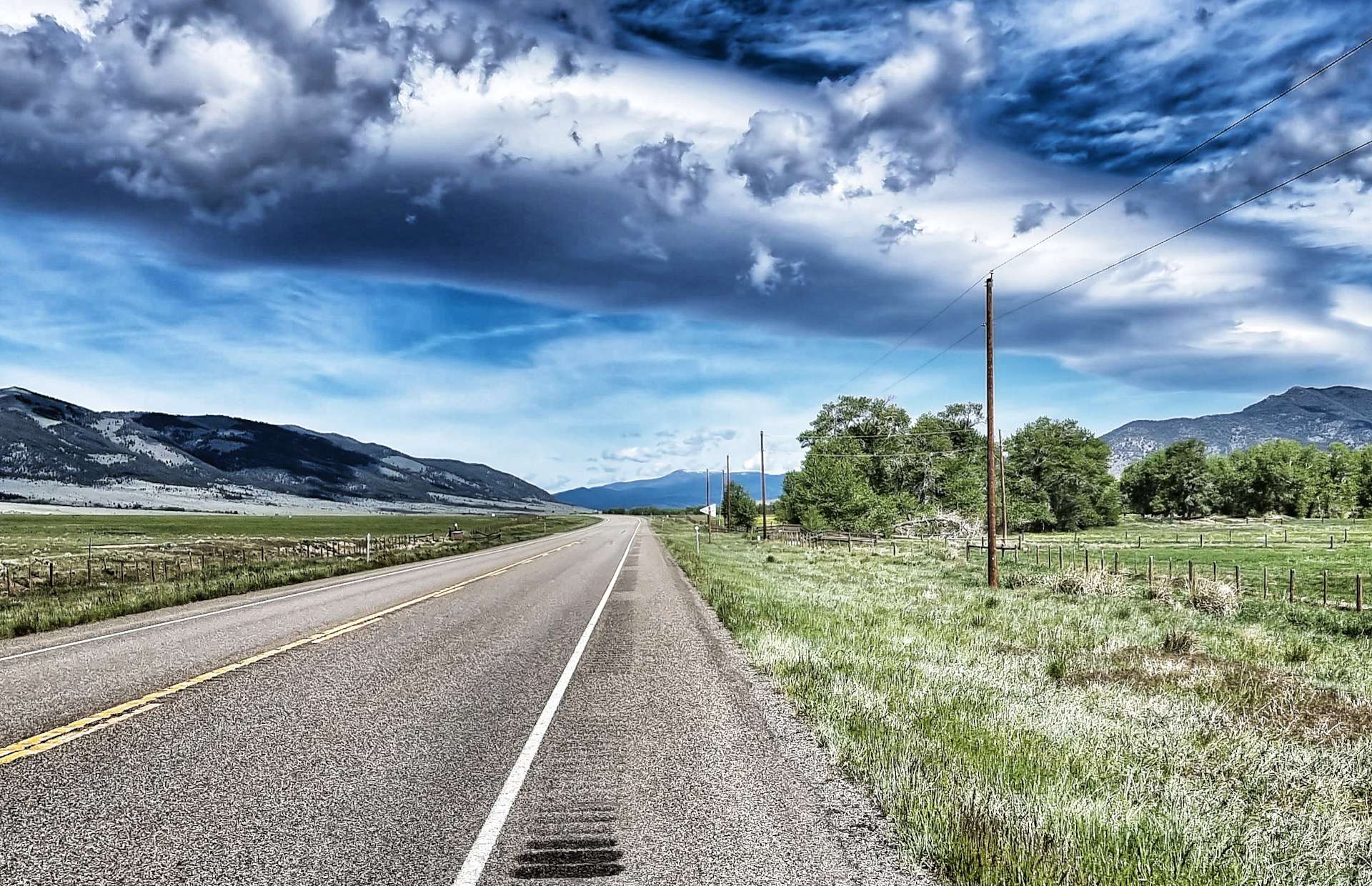
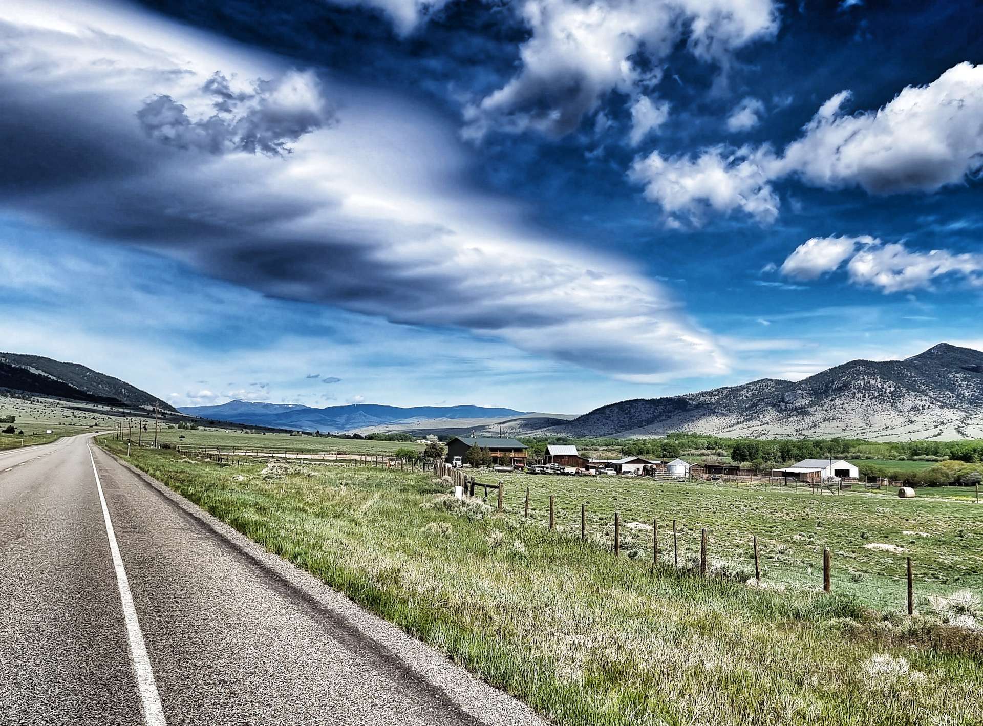
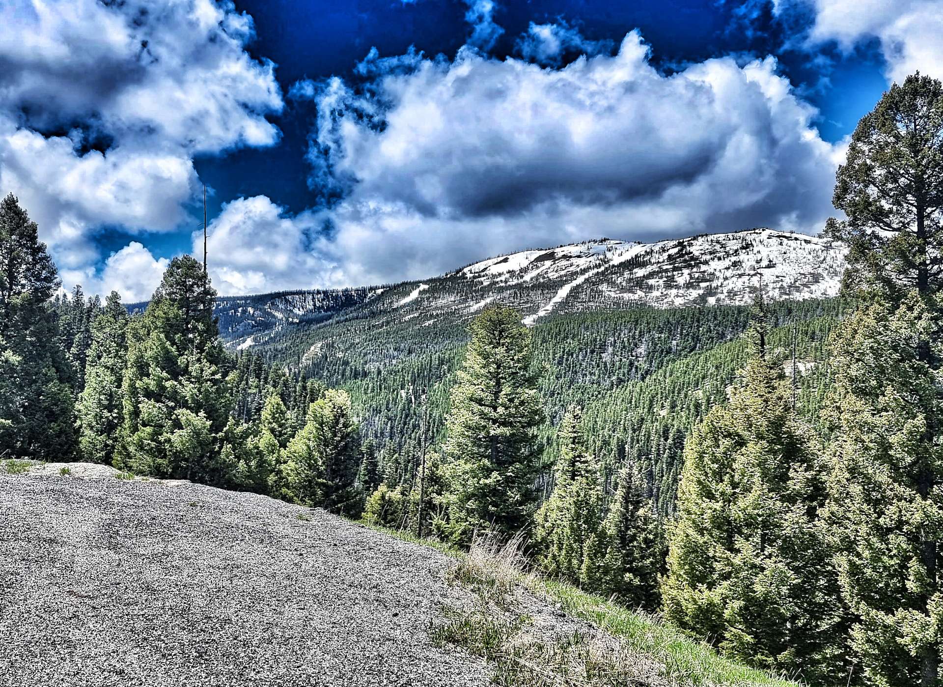
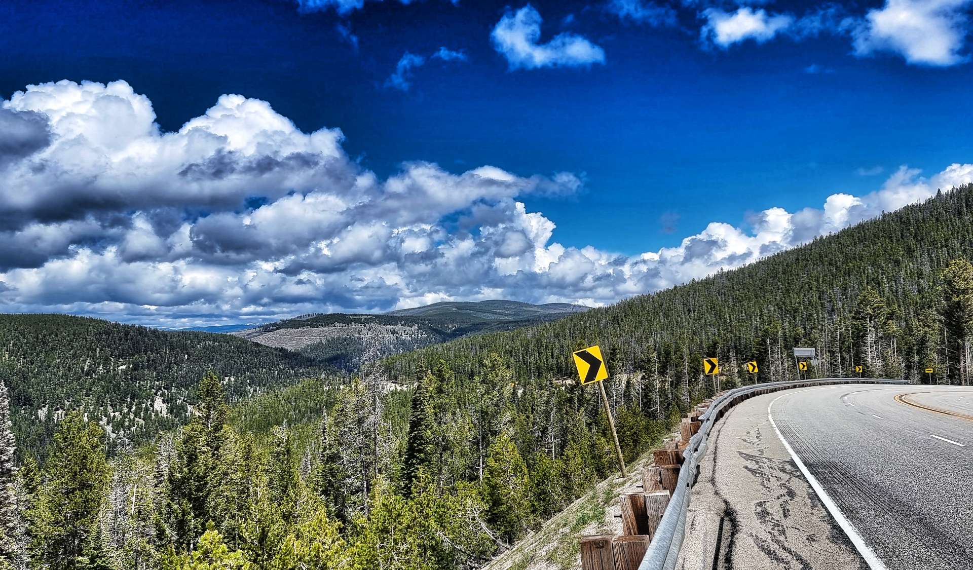
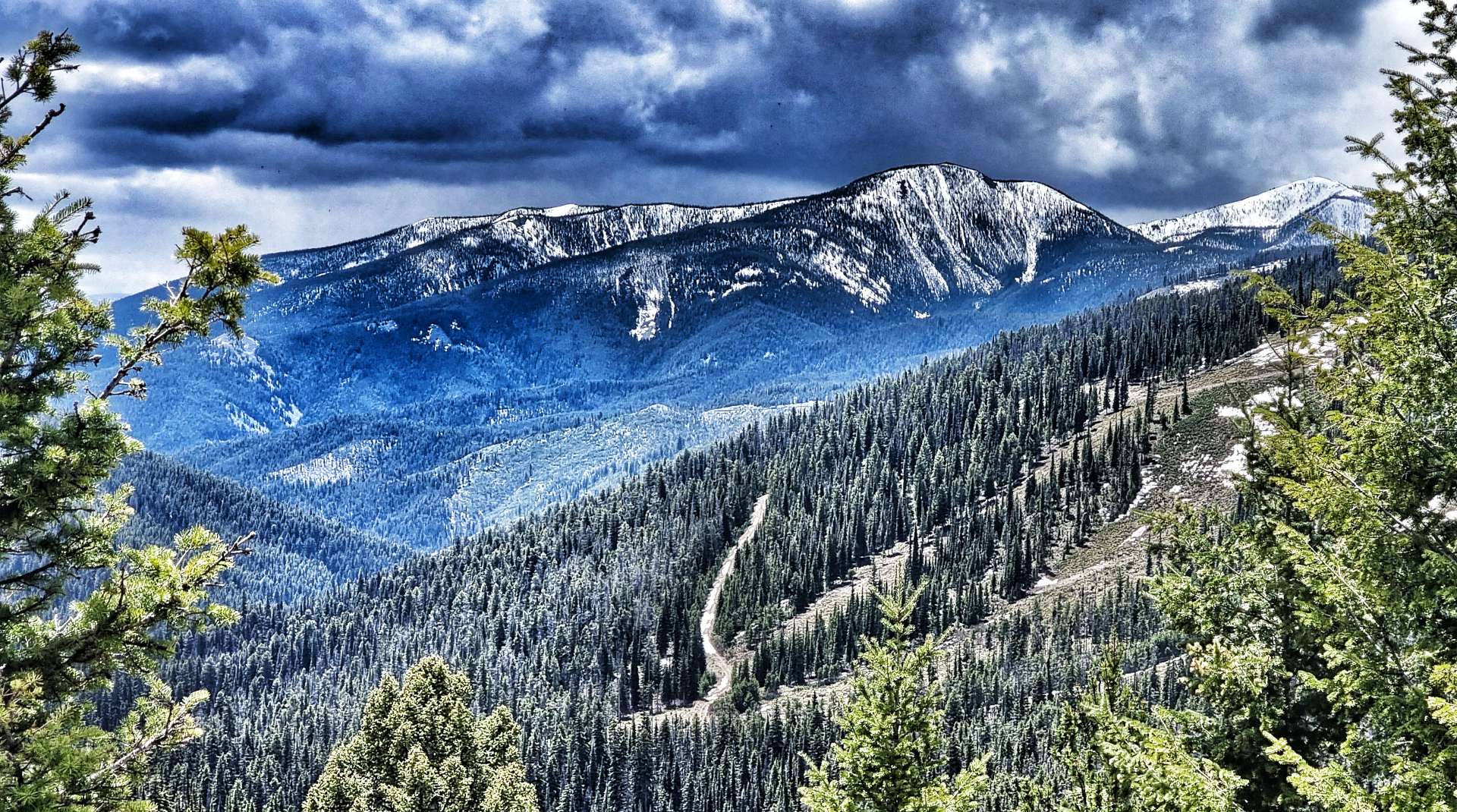
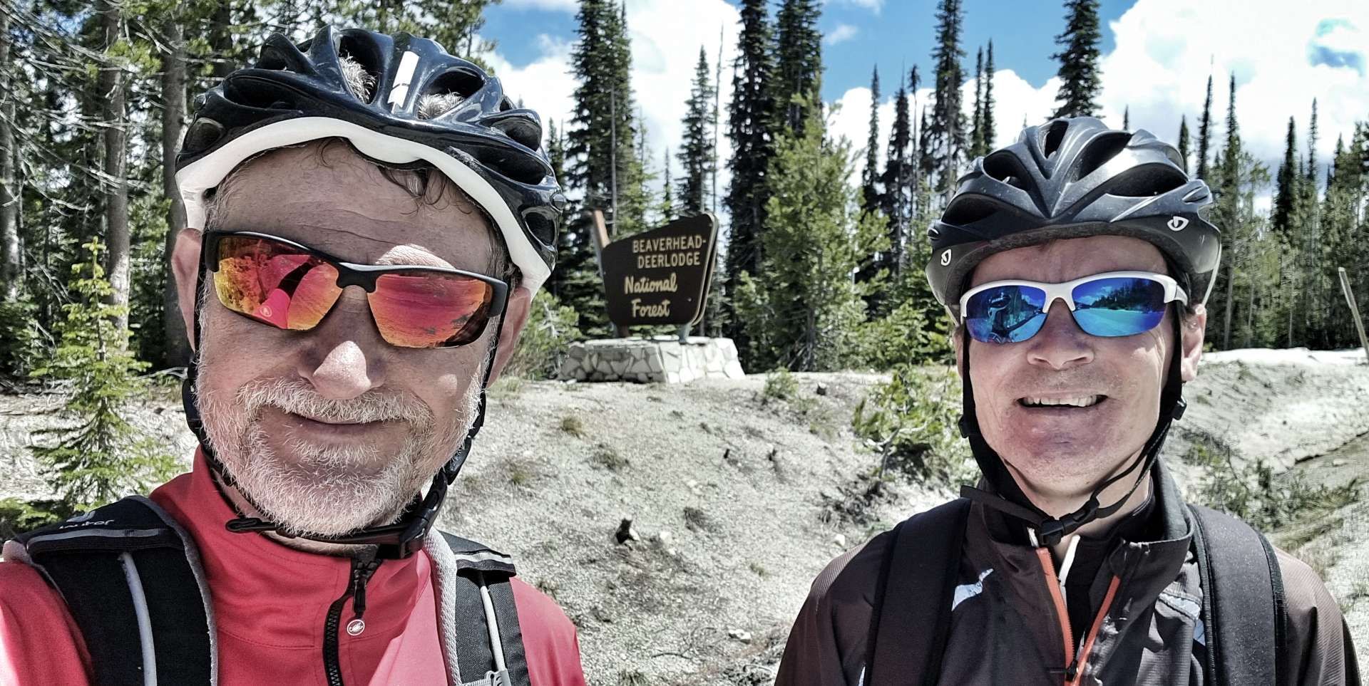
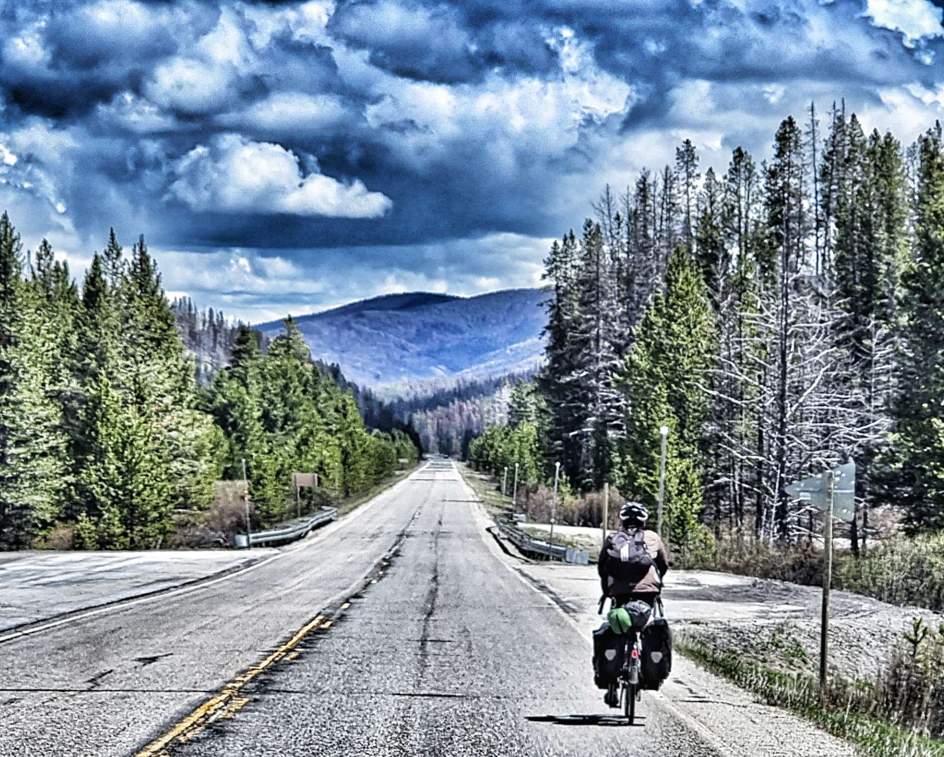
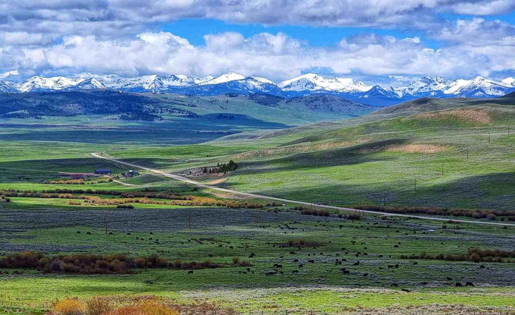
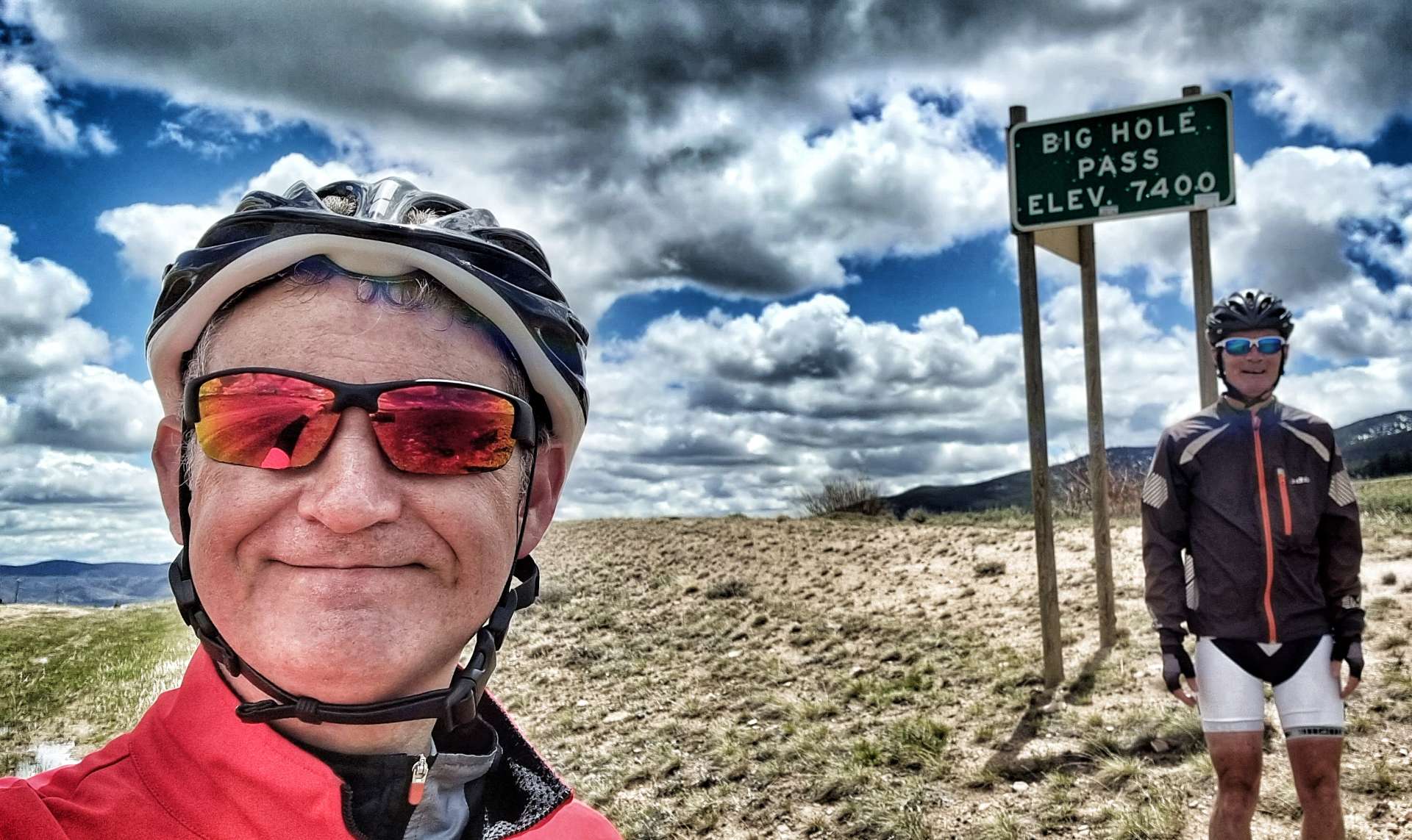
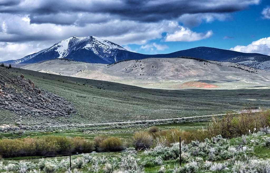
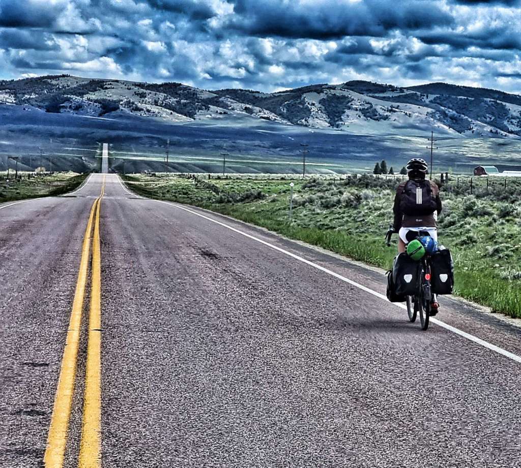
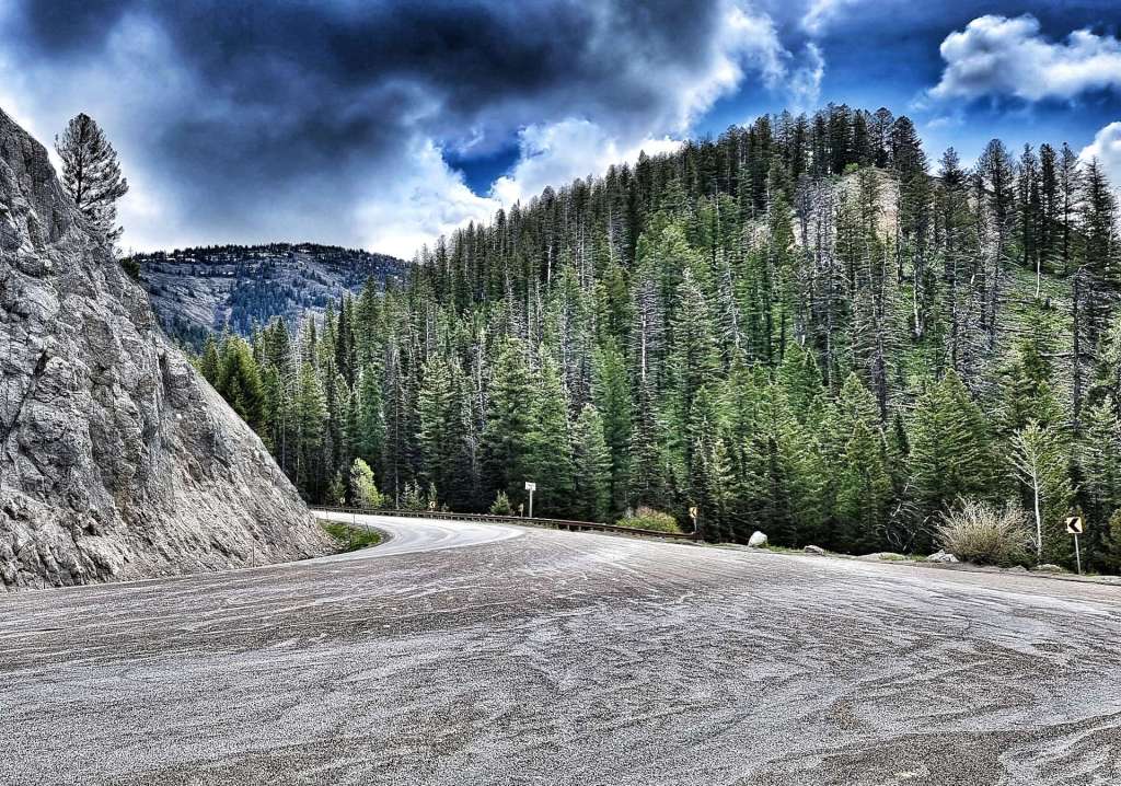
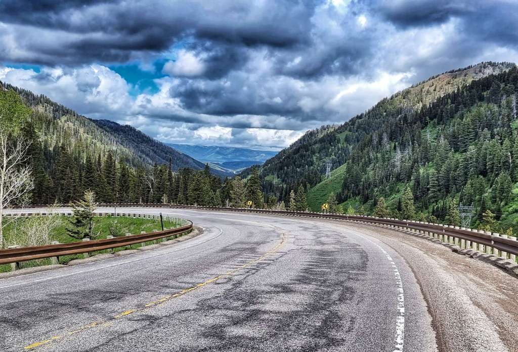
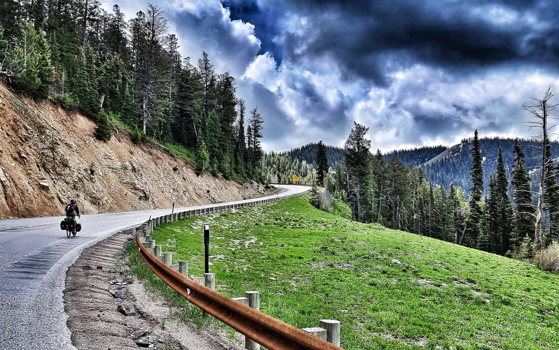
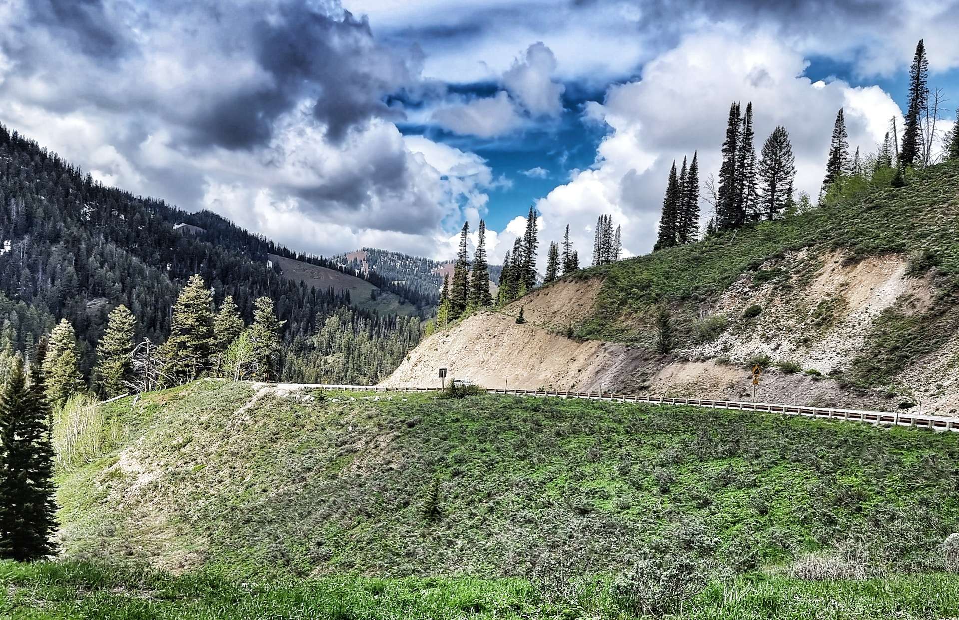
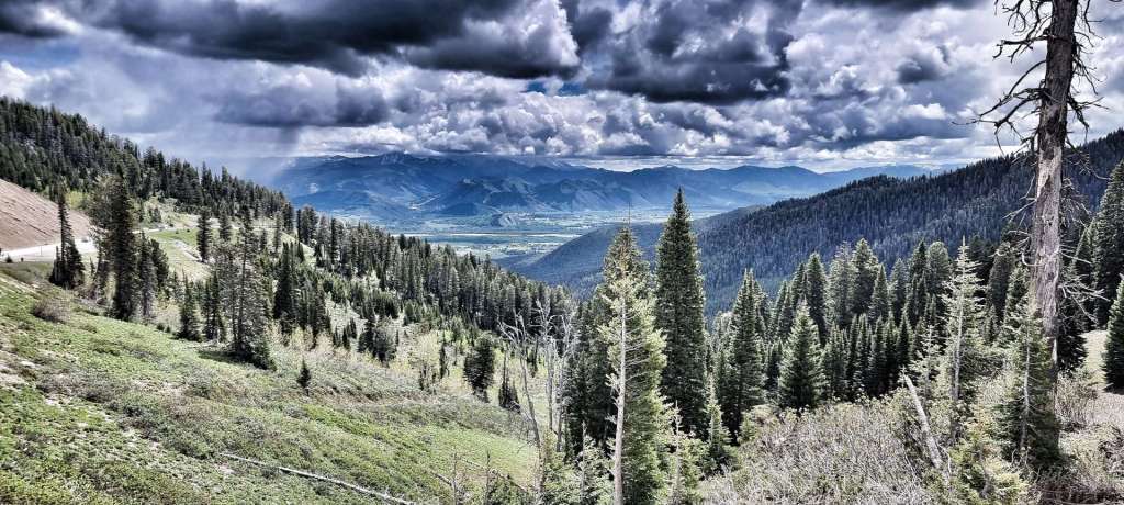
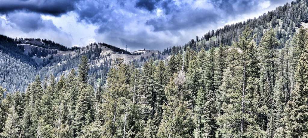
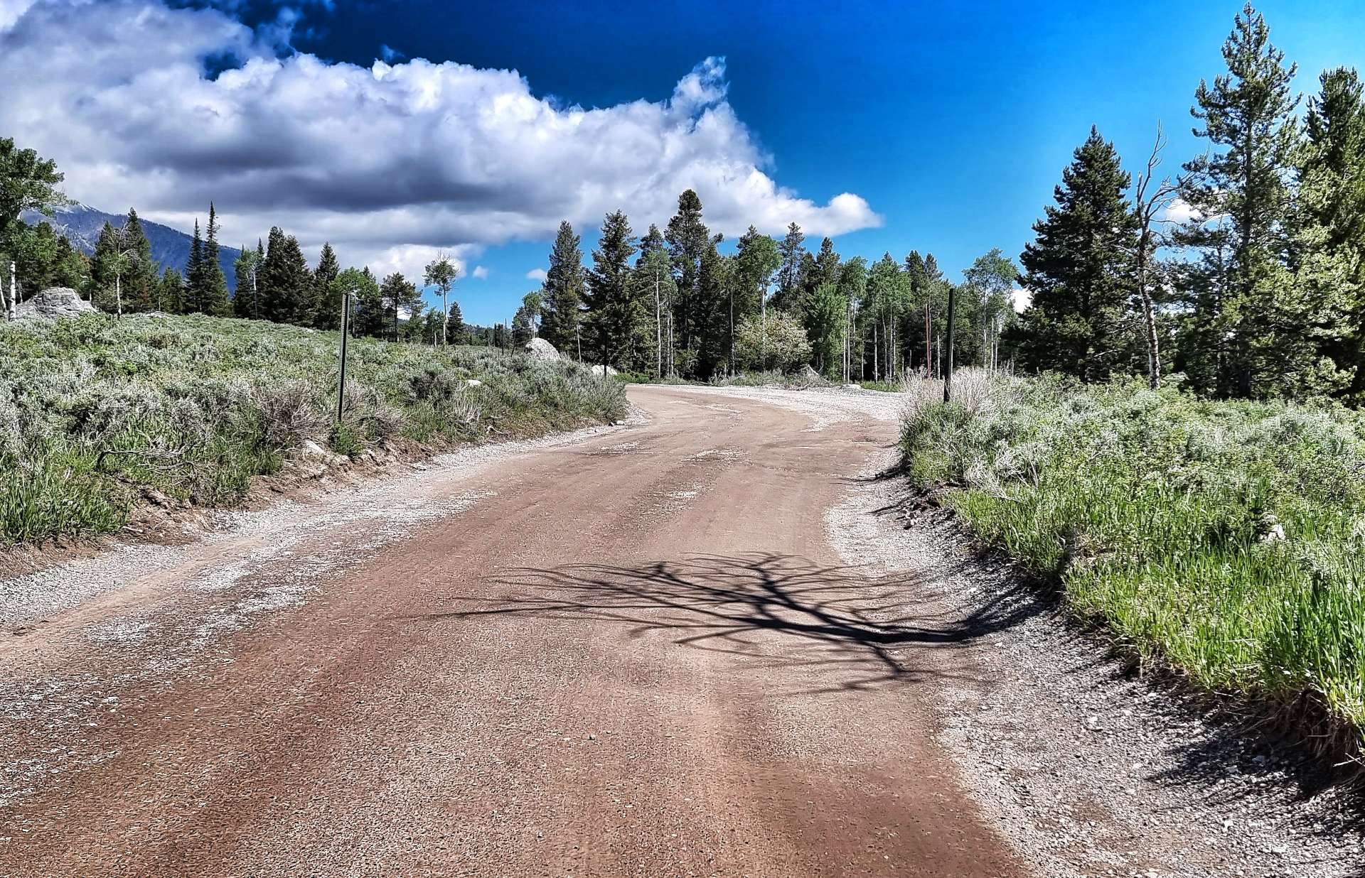
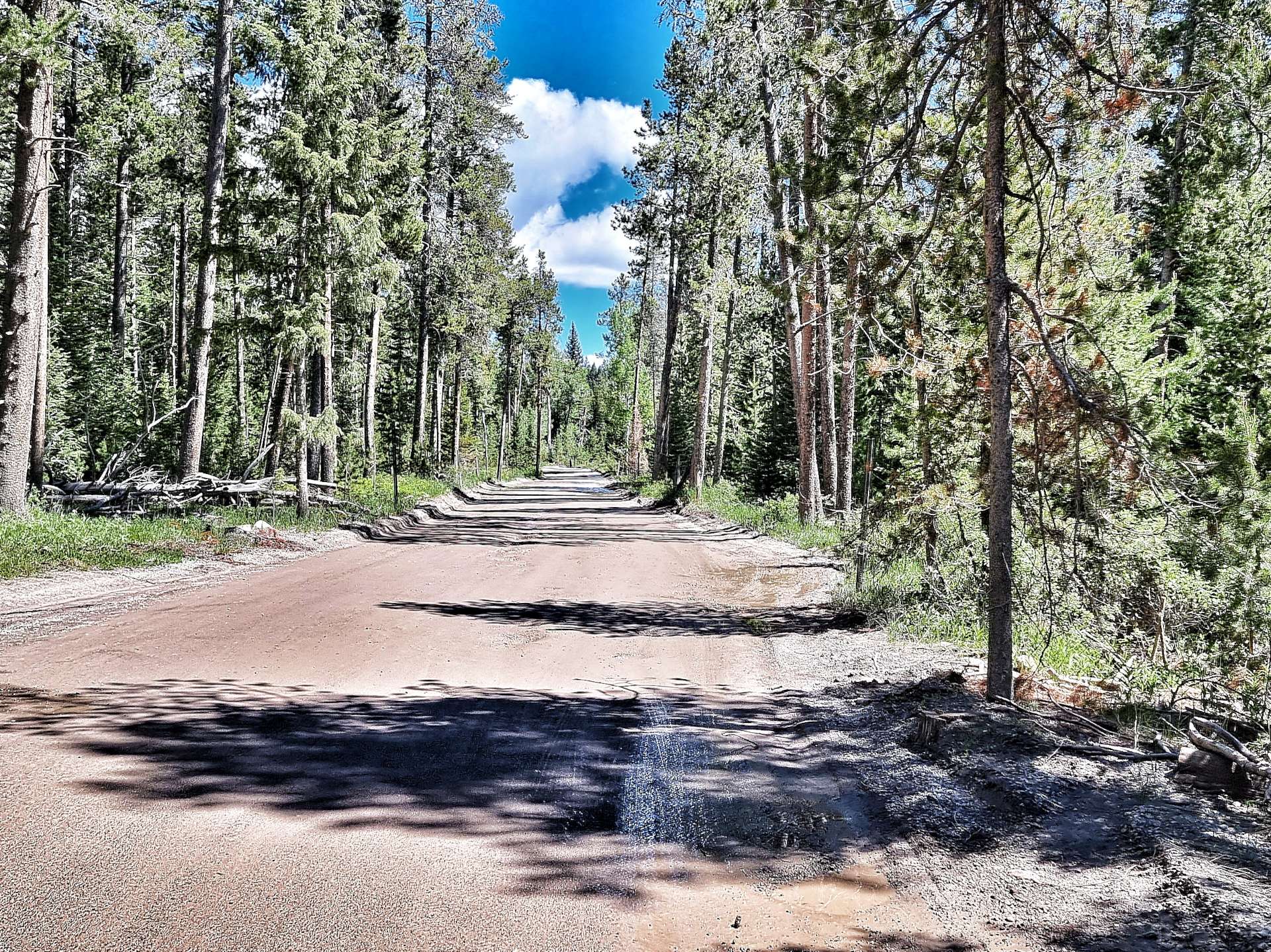
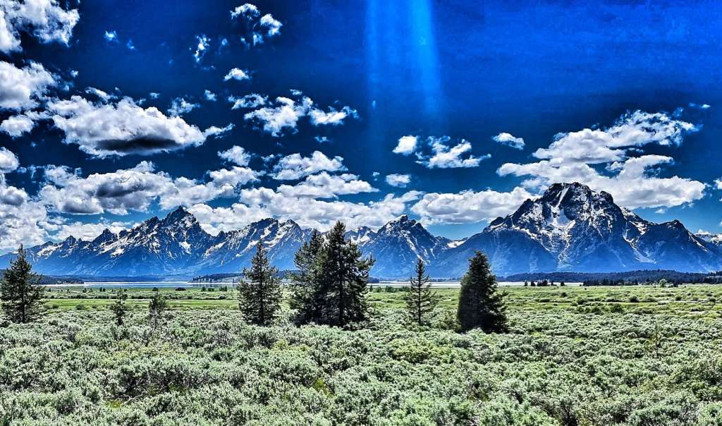
Because the summit of Teton Pass was over 8,000 feet above sea level, I’d researched the climb. This isn’t always a happy place to be, as I knew that from the next corner to the top (about 4 miles in total), the gradient wouldn’t dip below 9% & would max out at 13% – in the first photo you may be able to make out a thin line just to the left & above the treeline, this is the road. The second photo is taken from that spot looking back down the valley into Idaho.
In the video below I tried to downplay the steepness of the climb for my own confidence – as you’ll see, I was struggling to keep pedalling, breathing & talking at the same time!
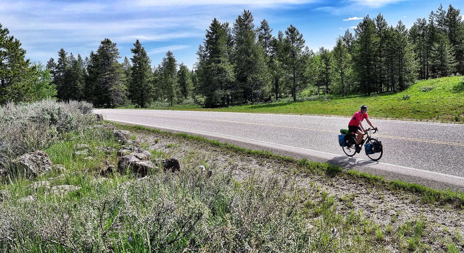
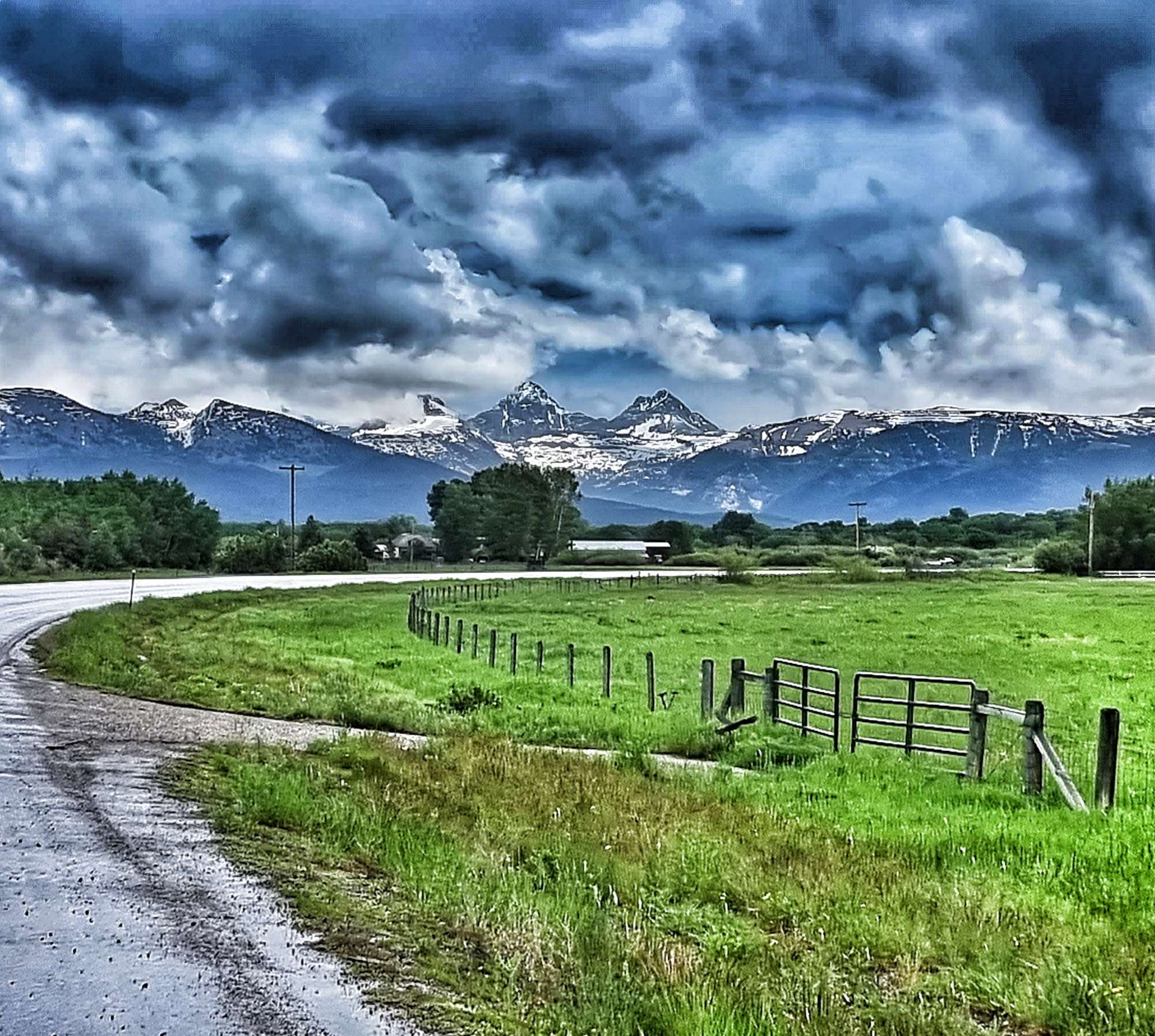
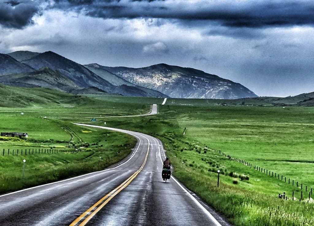
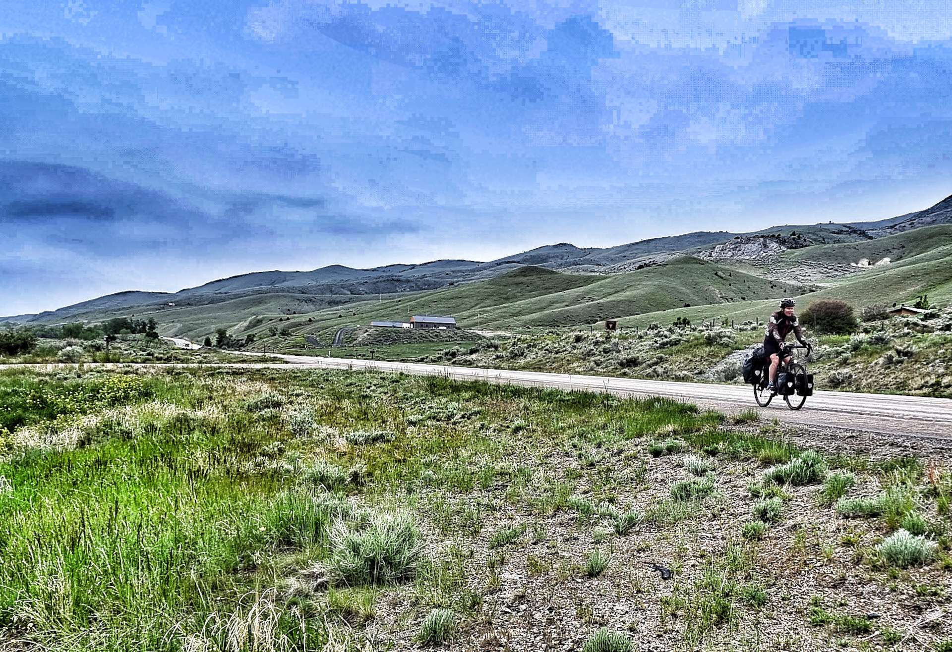
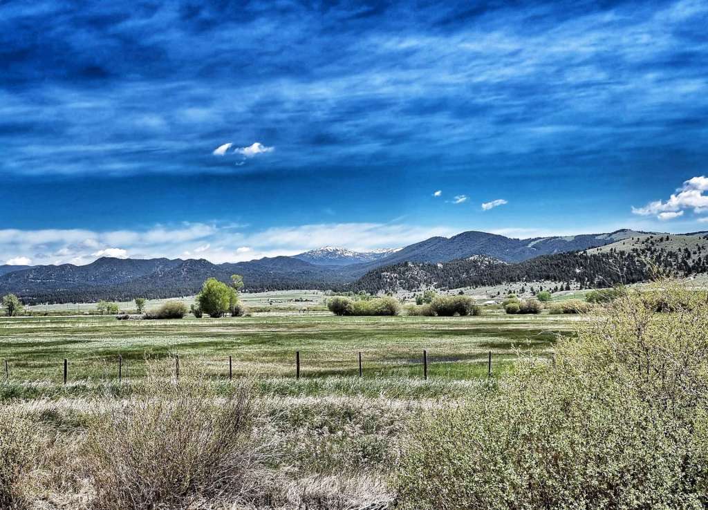
As we climbed higher, we saw two more cyclists daft enough to be climbing the brutal Teton Pass & as we passed them very slowly, we gave them encouragement to keep at it & focus on the vast vistas around a few more corners. As we continued on our way, we could see the first indications that blue skies were coming our way! We’d avoided the rain all morning & couldn’t believe our luck – perhaps the price was having to tackle the steep slopes!!
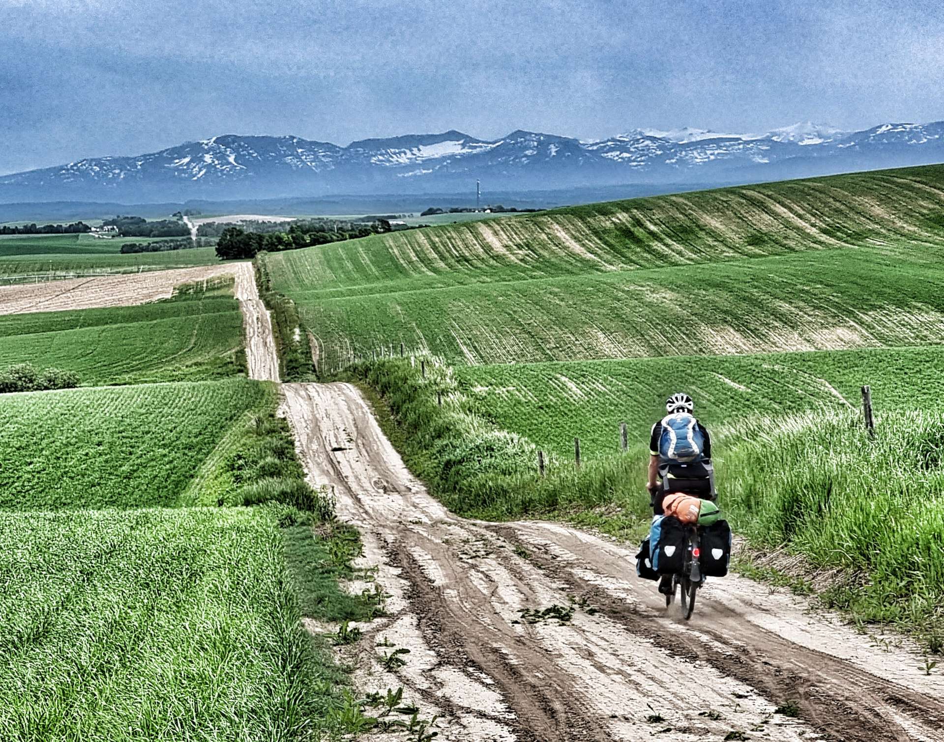
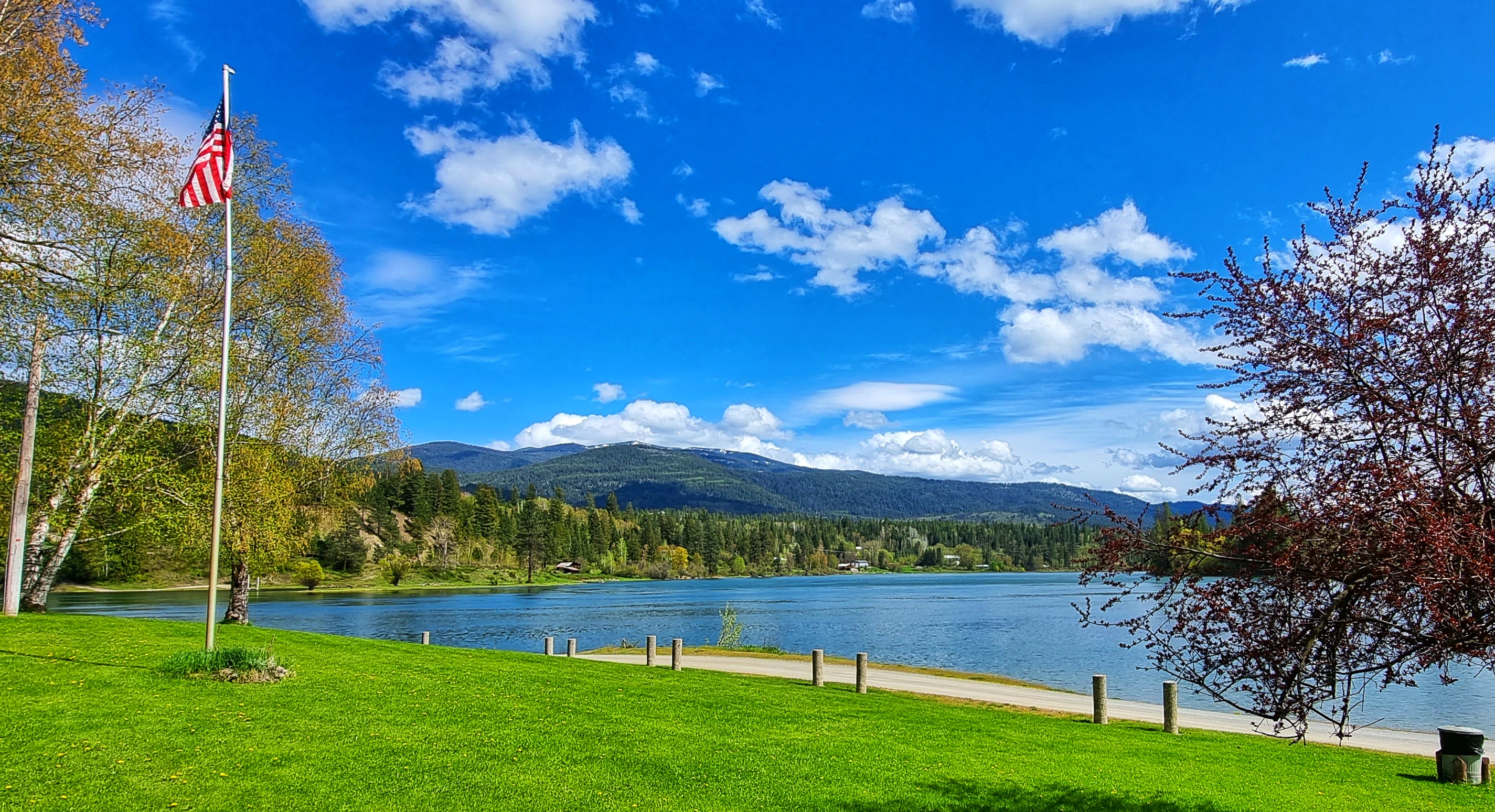
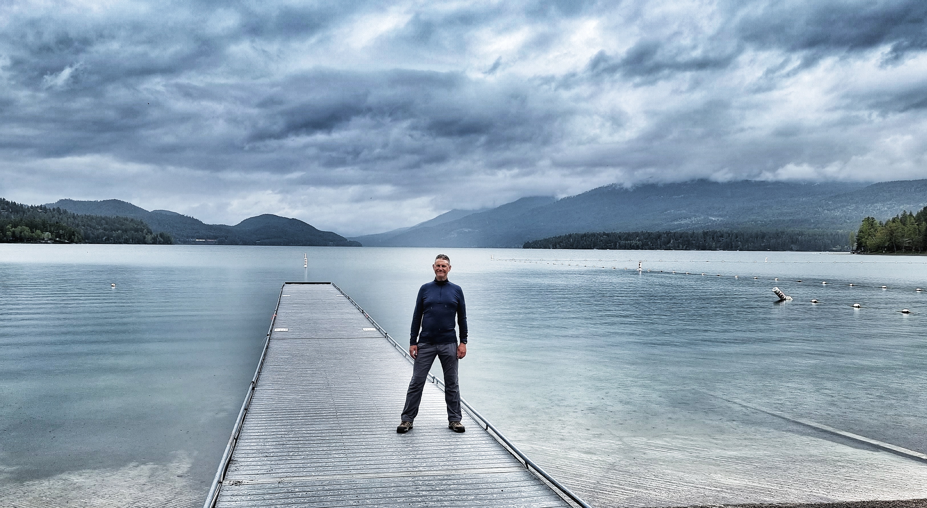
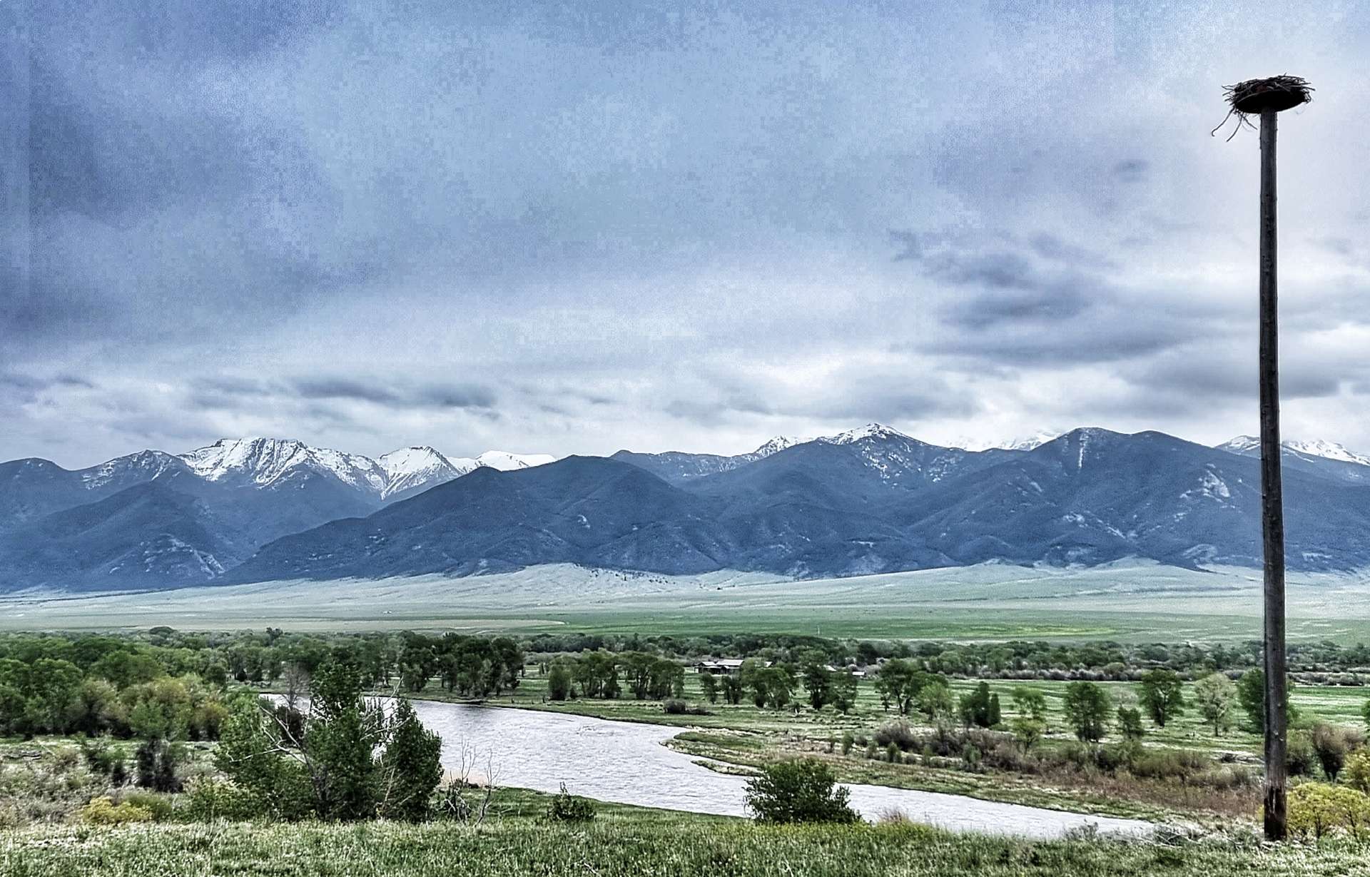
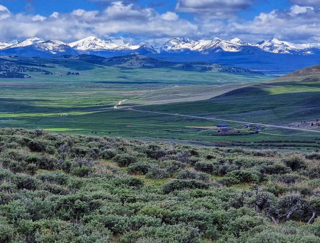
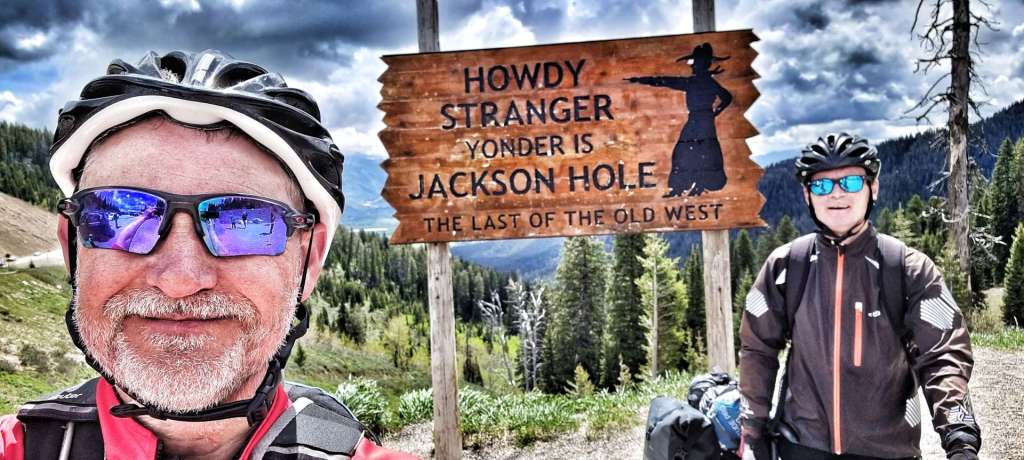
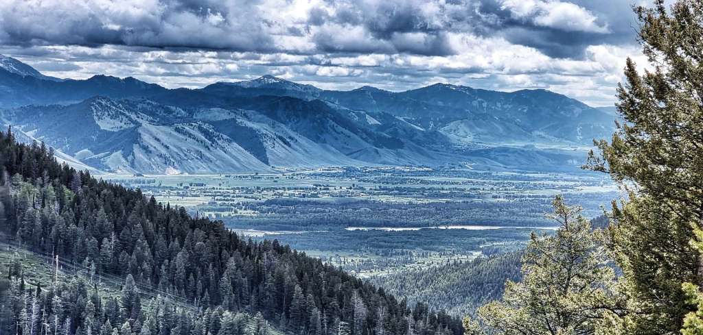
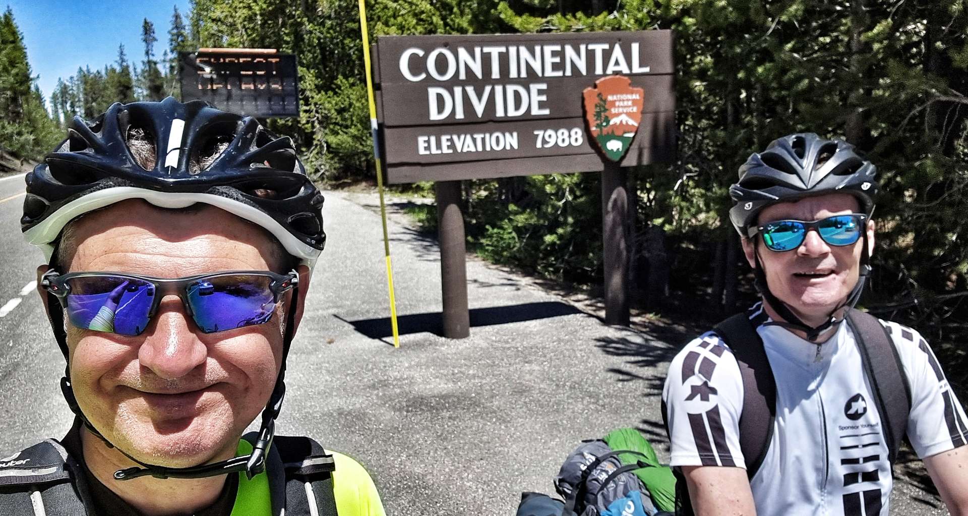
We finally made it to the summit at 8,432 feet (2,570 metres) above sea level & after taking a few moments to gather ourselves, we took a photo & then admired the spectacular views into the Jackson Hole valley from the lookout point.

I took a video of the first 30 seconds or so of the descent, but I picked up speed so quickly I had to put the camera away – LOOK AWAY NOW MUM!!! I hit 53mph in next to no time & decided that was fast enough for me. I’ve not been that fast on my carbon bike!!! I won’t lie, it was exhilarating, but I knew not to push my luck.
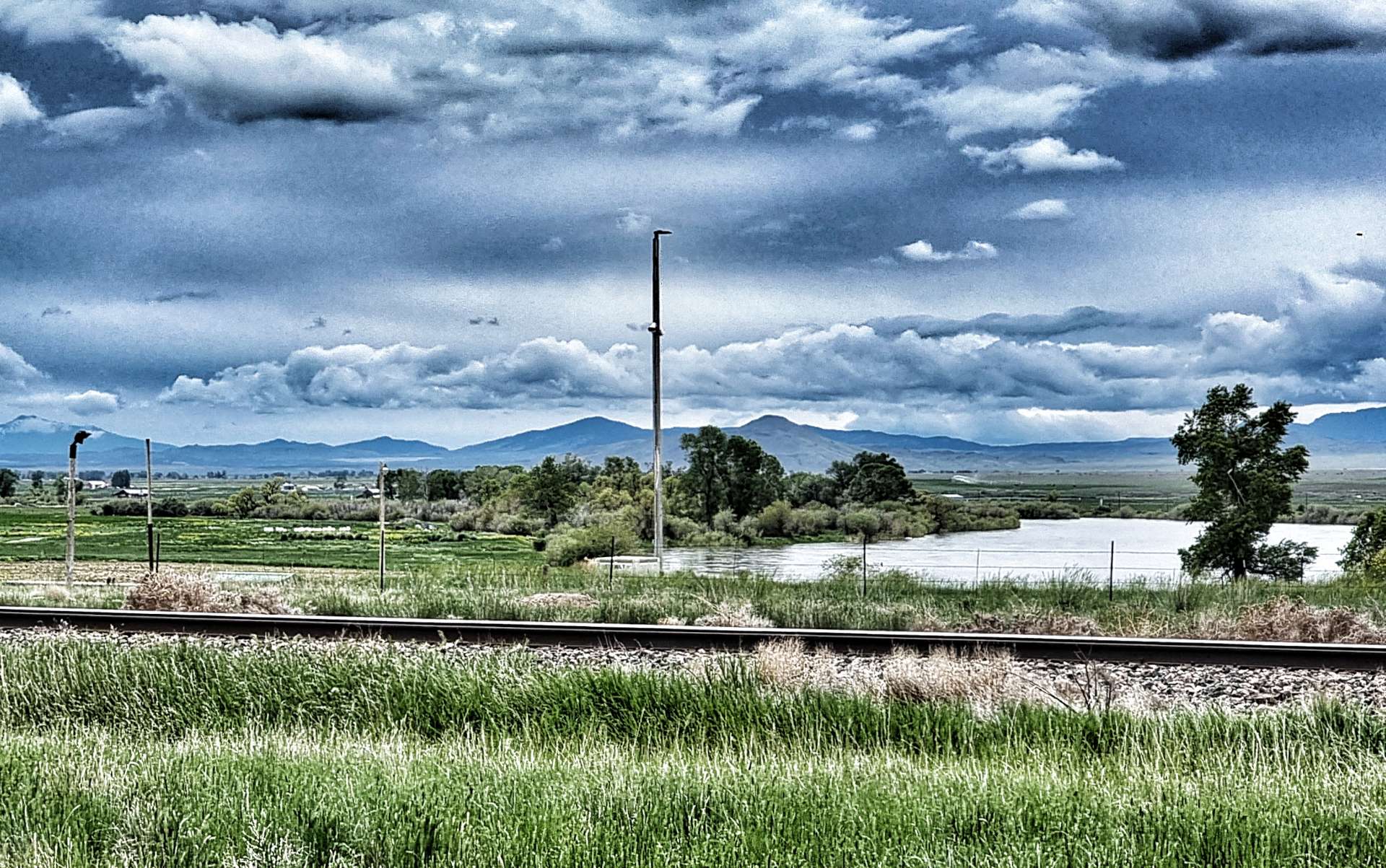
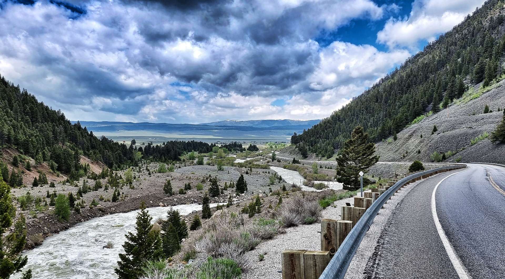
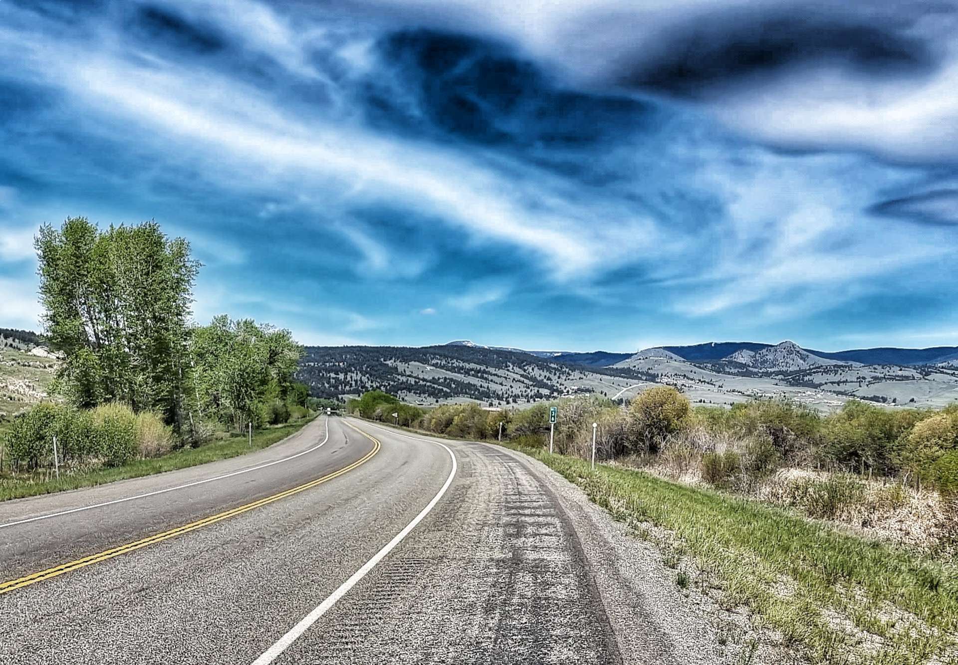
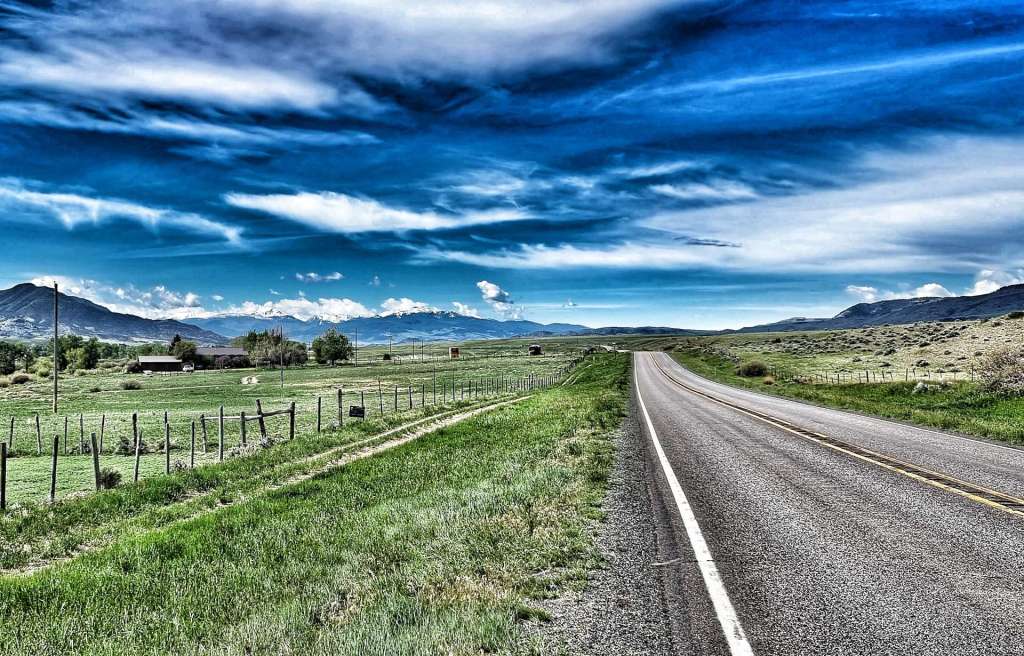
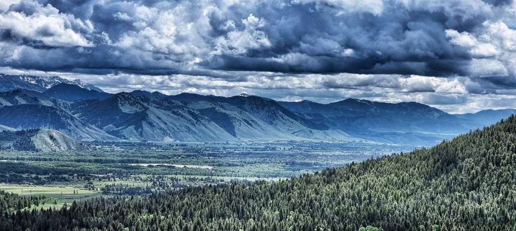
There are a couple of great turnout spots (layby to the Brits). At the first one I could see back to the lookout point a couple of miles away, while the second & third viewing spots gave huge views of the valley as it spread out below.

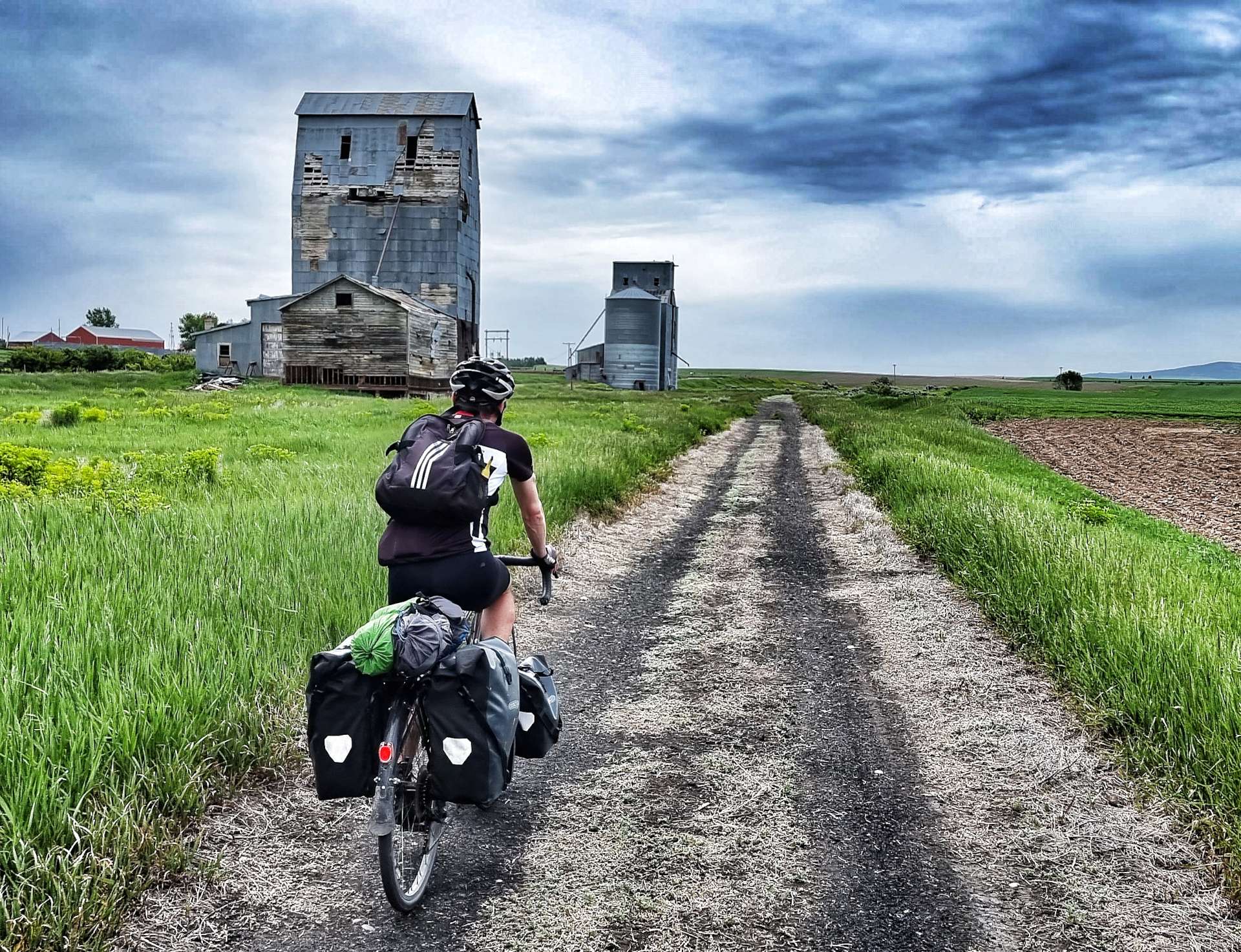
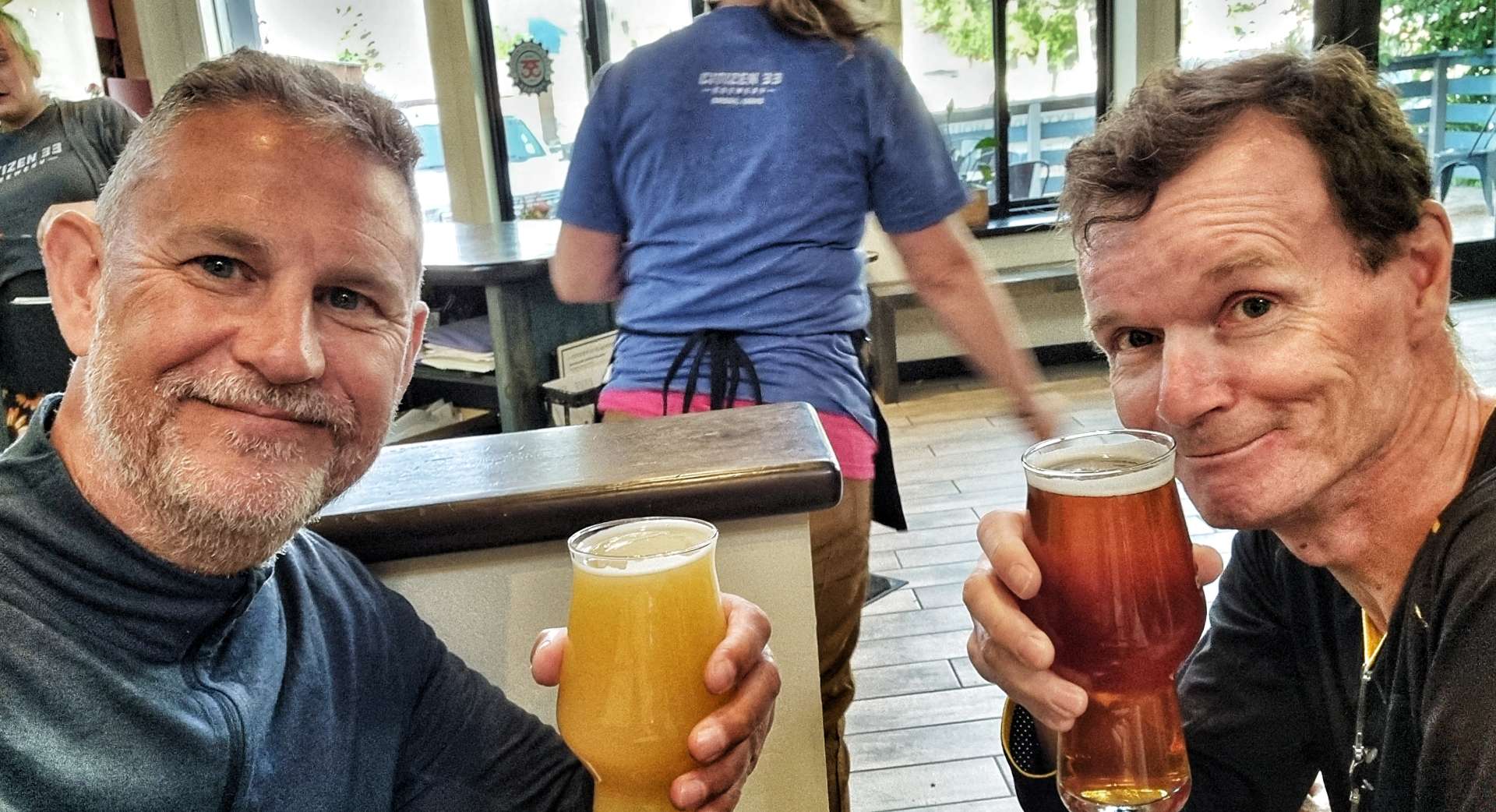
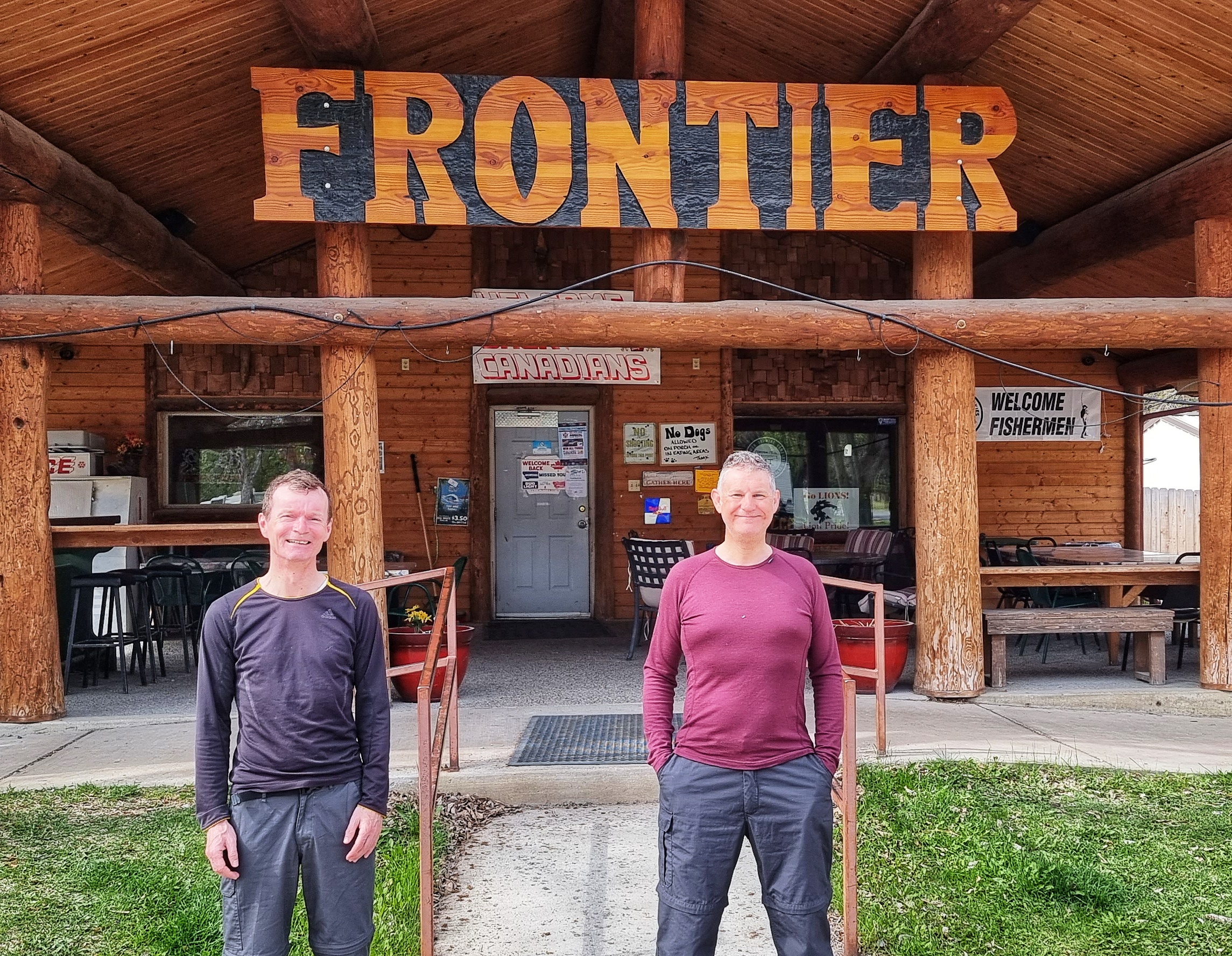
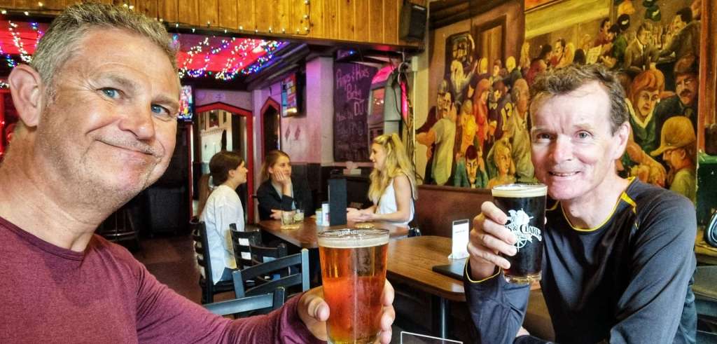
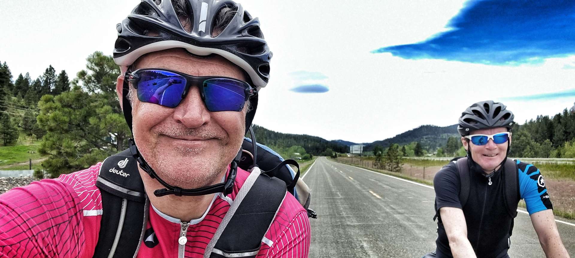
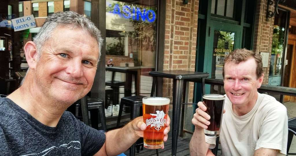
We regrouped at Wilson & agreed that we should continue on to Jackson, so Sean could try & get his pannier fixed. It was a short 5 mile ride along the valley floor – I’d done some research the night before, so knew that there was a bicycle shop next to our hotel that may be able to help. Within 15 minutes The Hub Bicycles had been able to repair Sean’s pannier – they were absolute legends & wouldn’t even accept any money for doing the work! On an adventure like our we’re totally reliant on the kindness & generosity of others to keep us on the road – The Hub Bicycles helped us out big time. Thanks guys! I’ve dropped them an email, so I’m hoping they may see how much it meant to us.
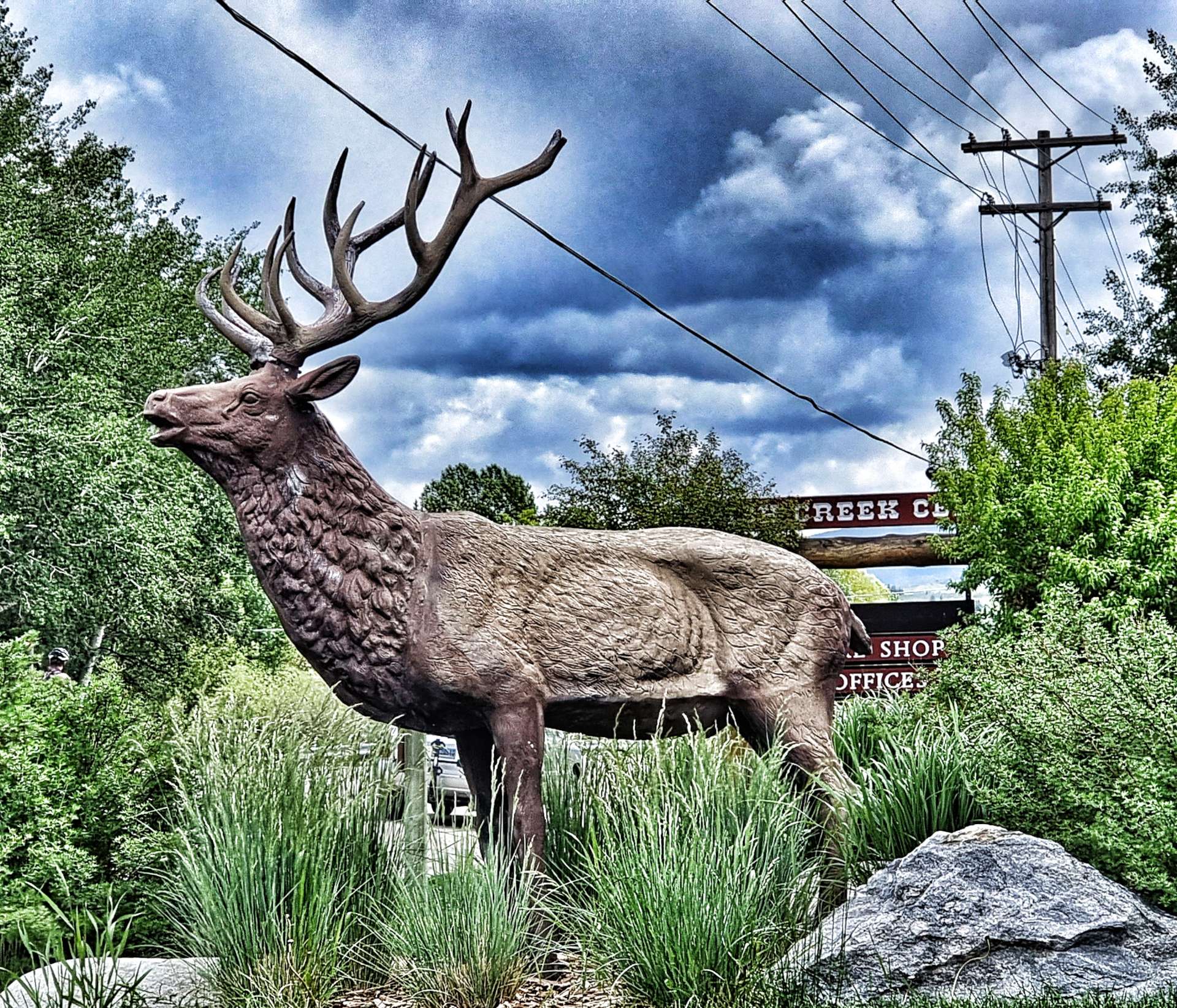
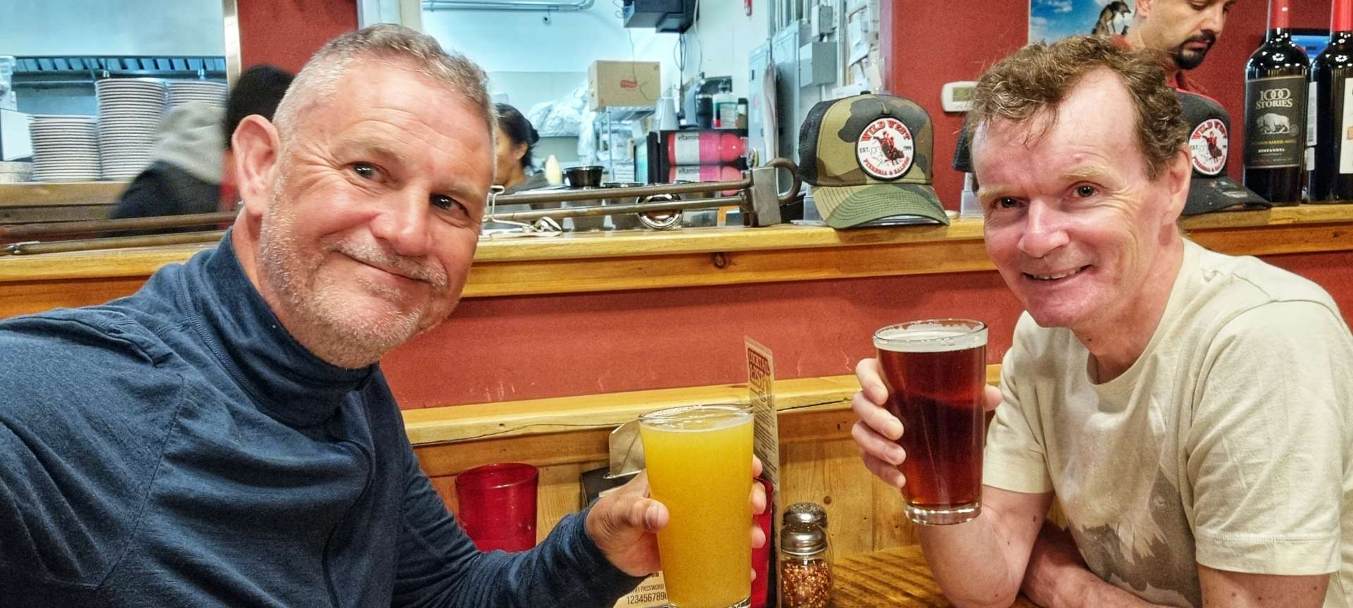
While we were waiting to check in to our motel, we met Owen & Cat, a couple of Brits who were also doing a long distance adventure. They’d started in Eugene & were following the Trans America route towards Virginia (via Colorado, Kansas, Missouri & Kentucky). We shared a really enjoyable 1/2 hour trading stories of our adventures so far.
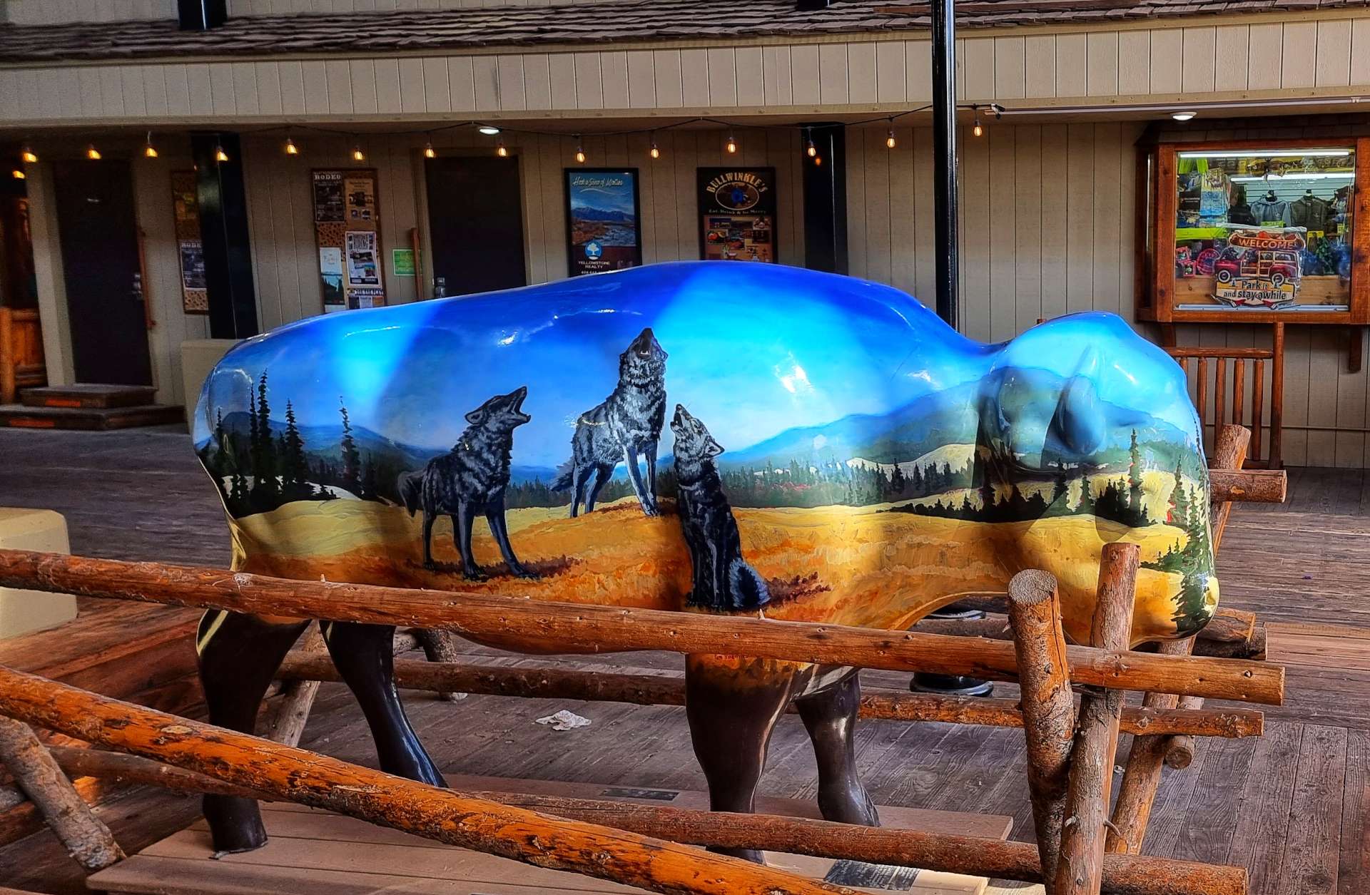
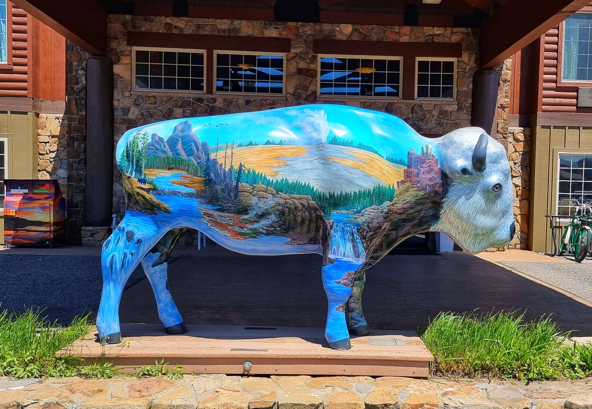
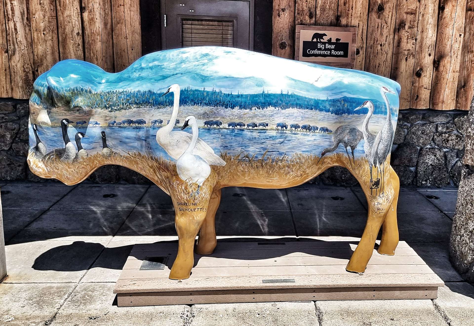
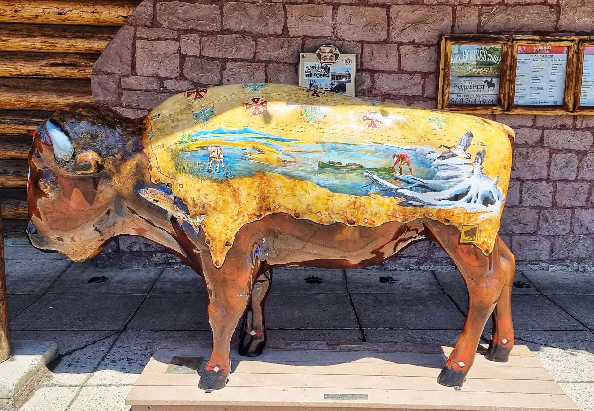
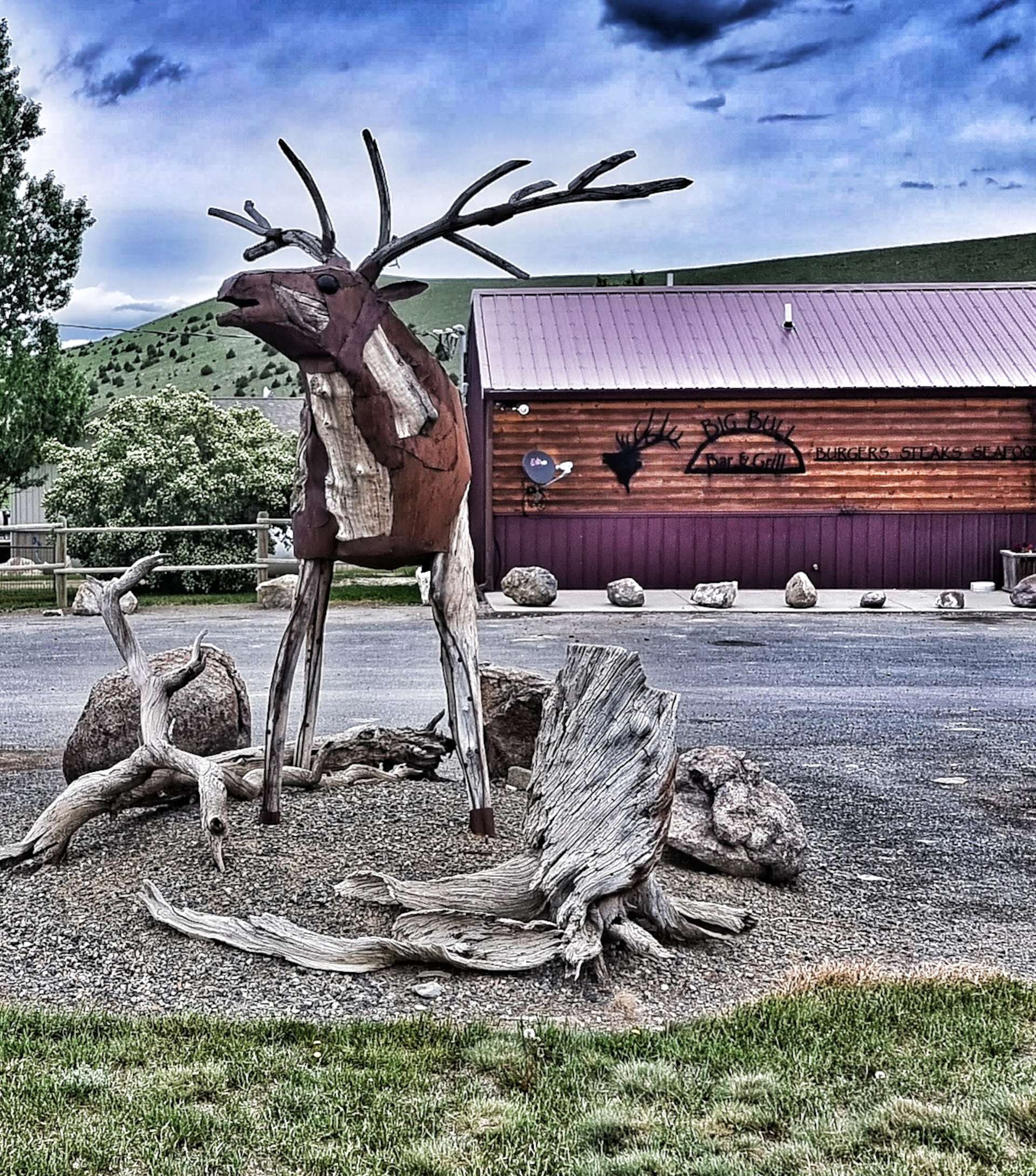
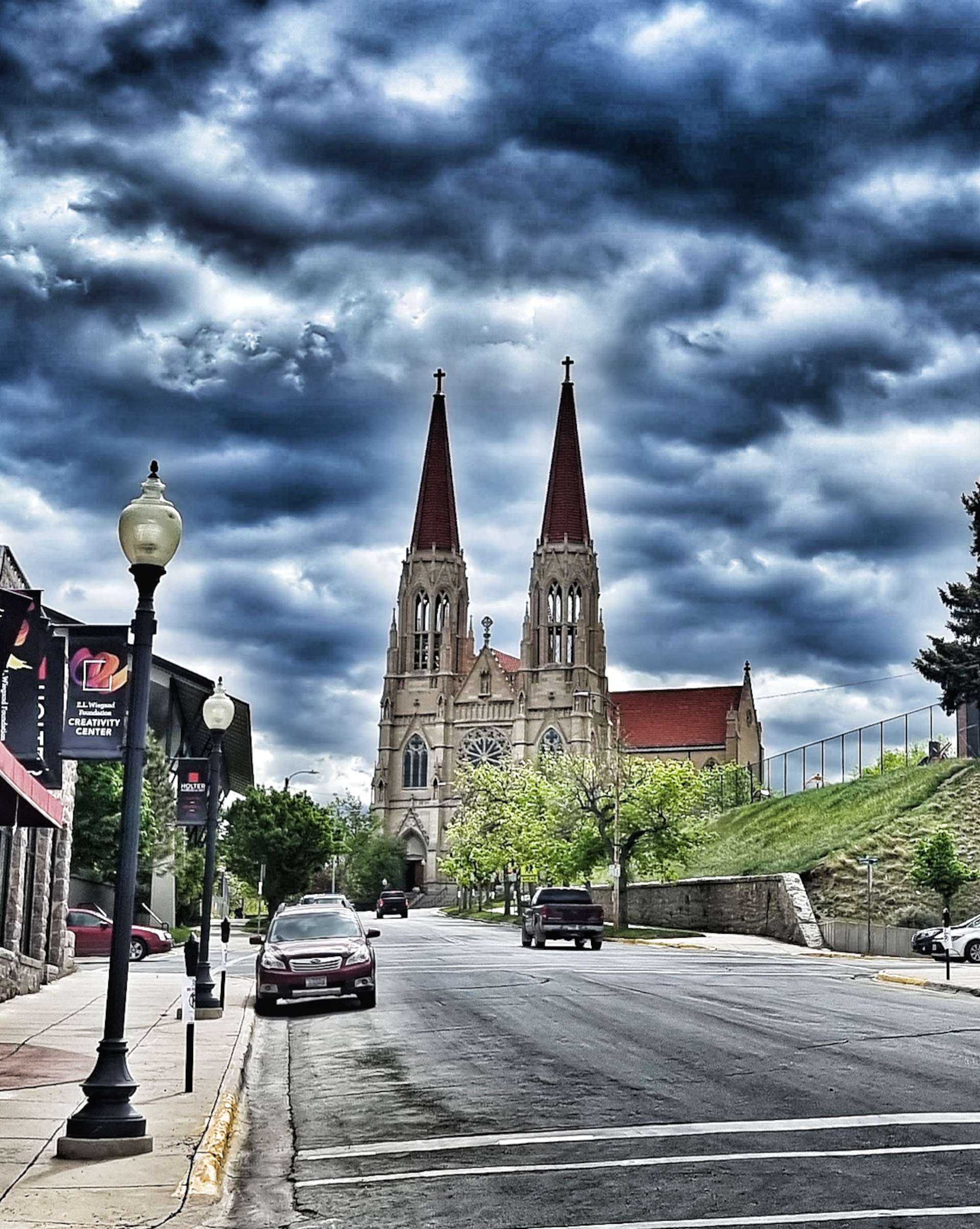
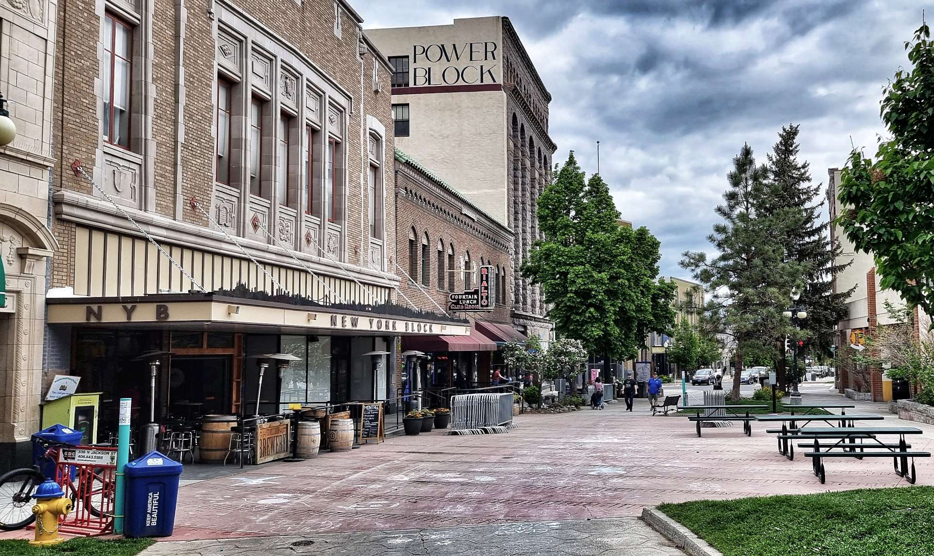
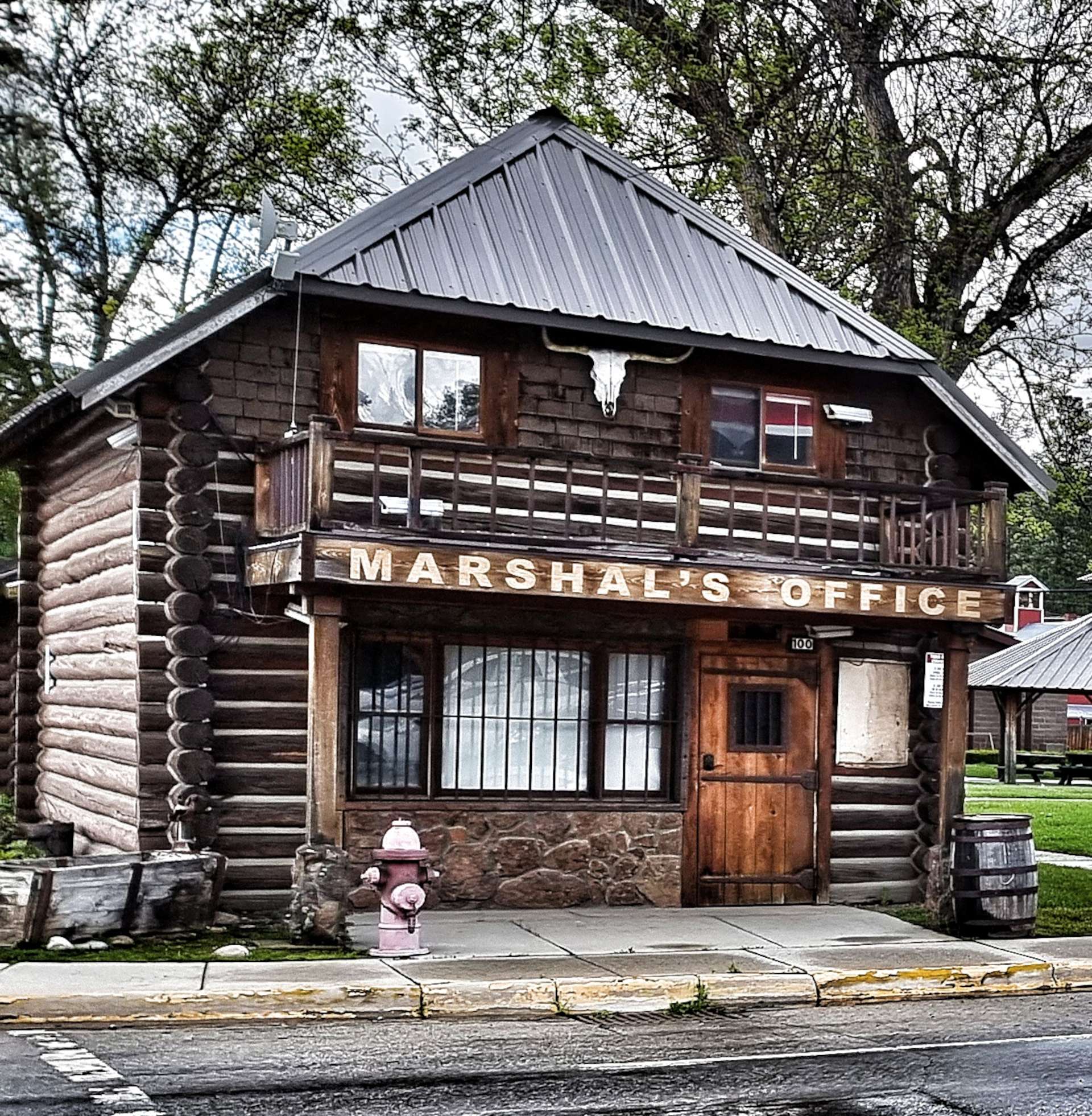
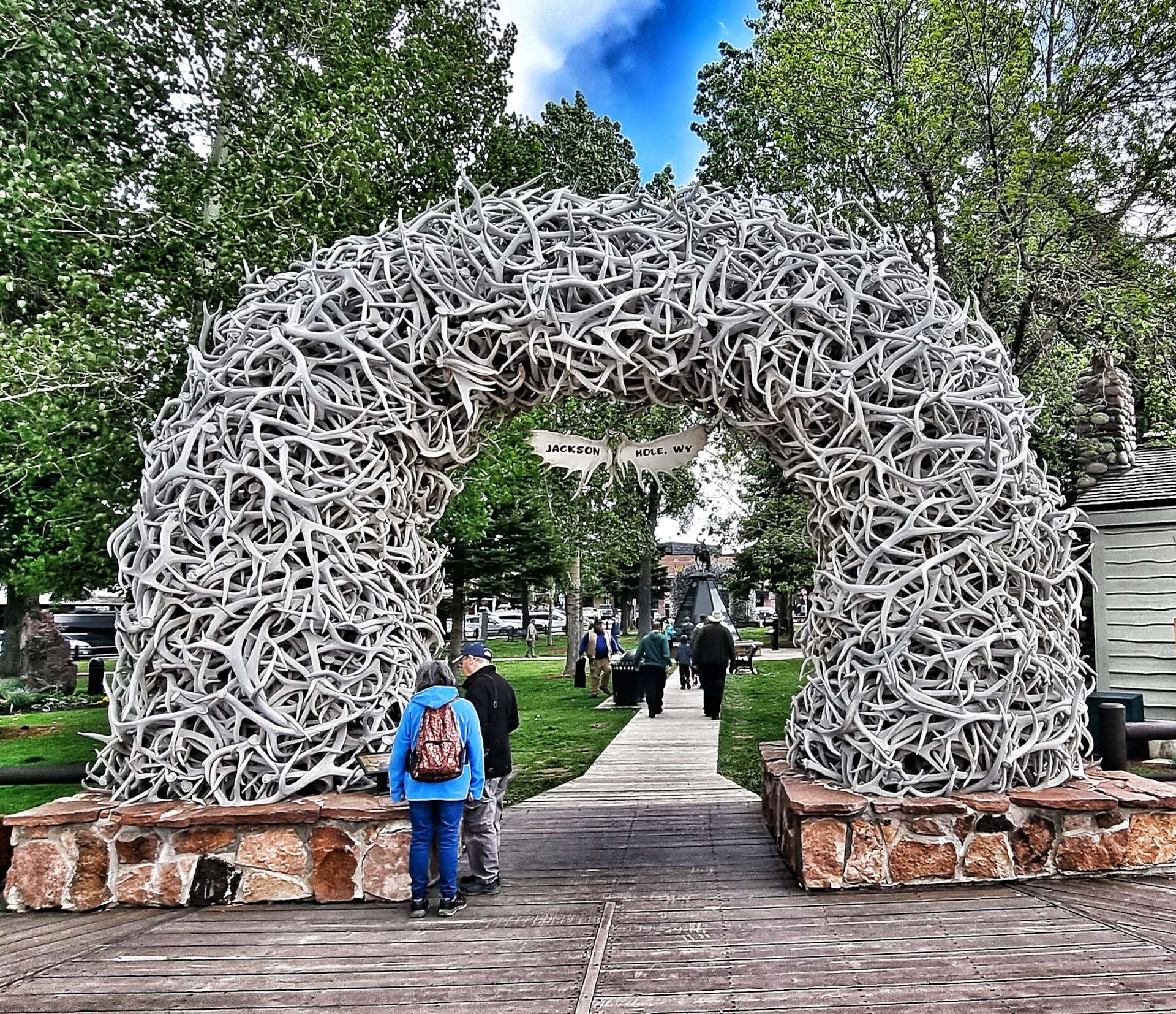
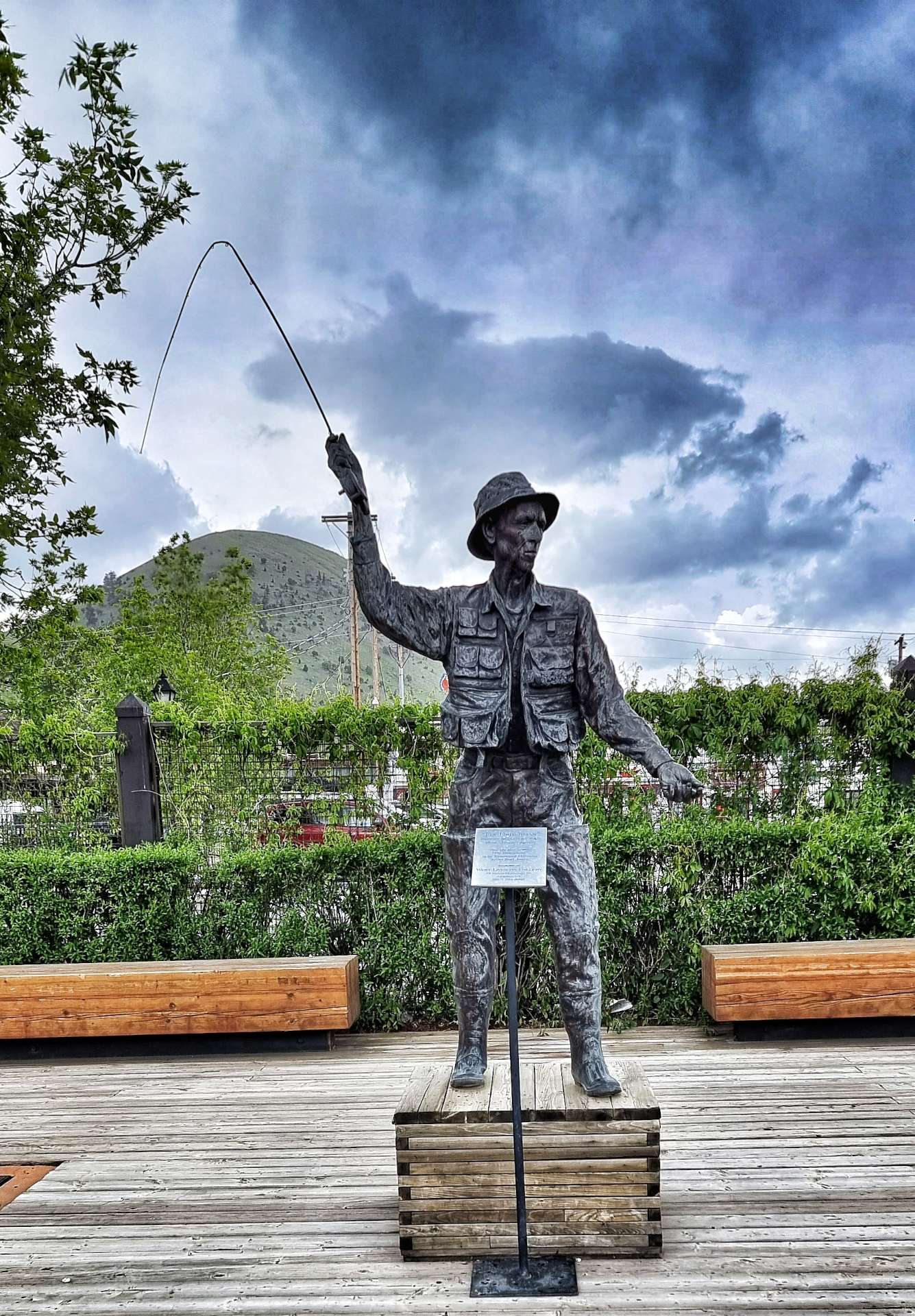
We also went for a quick stroll around the historic part of town. Jackson is famous for its iconic Elk Antler Arches at the four corners of the park. The first arch was erected by the Rotary Club in 1953. Additional arches were added to the other 3 corners of the park between 1966 & 1969.
Elk Antlers have a life span & they begin to decompose after 30 to 40 years, so the oldest arch was rebuilt in 2007, followed by the other 3 arches in 2009, 2011 & 2013. Each arch is in the region of 10,000 to 12,000 pounds in weight (a single antler weighs about 5 to 10 pounds ) & the antlers are are individually weaved into a steel frame.
Final fact – the local boy scouts go out in the Spring when the arches are due to be replaced & pick up the antlers that Bull Elk have shed following the winter.

Stage Stats – 33 miles, 2,431 feet of climbing. One big hors categorie climb taking us over 8,400 feet above sea level.
Tuesday 21st June – Jackson to Lizard Creek Campground, Teton National Park (Stage 41).
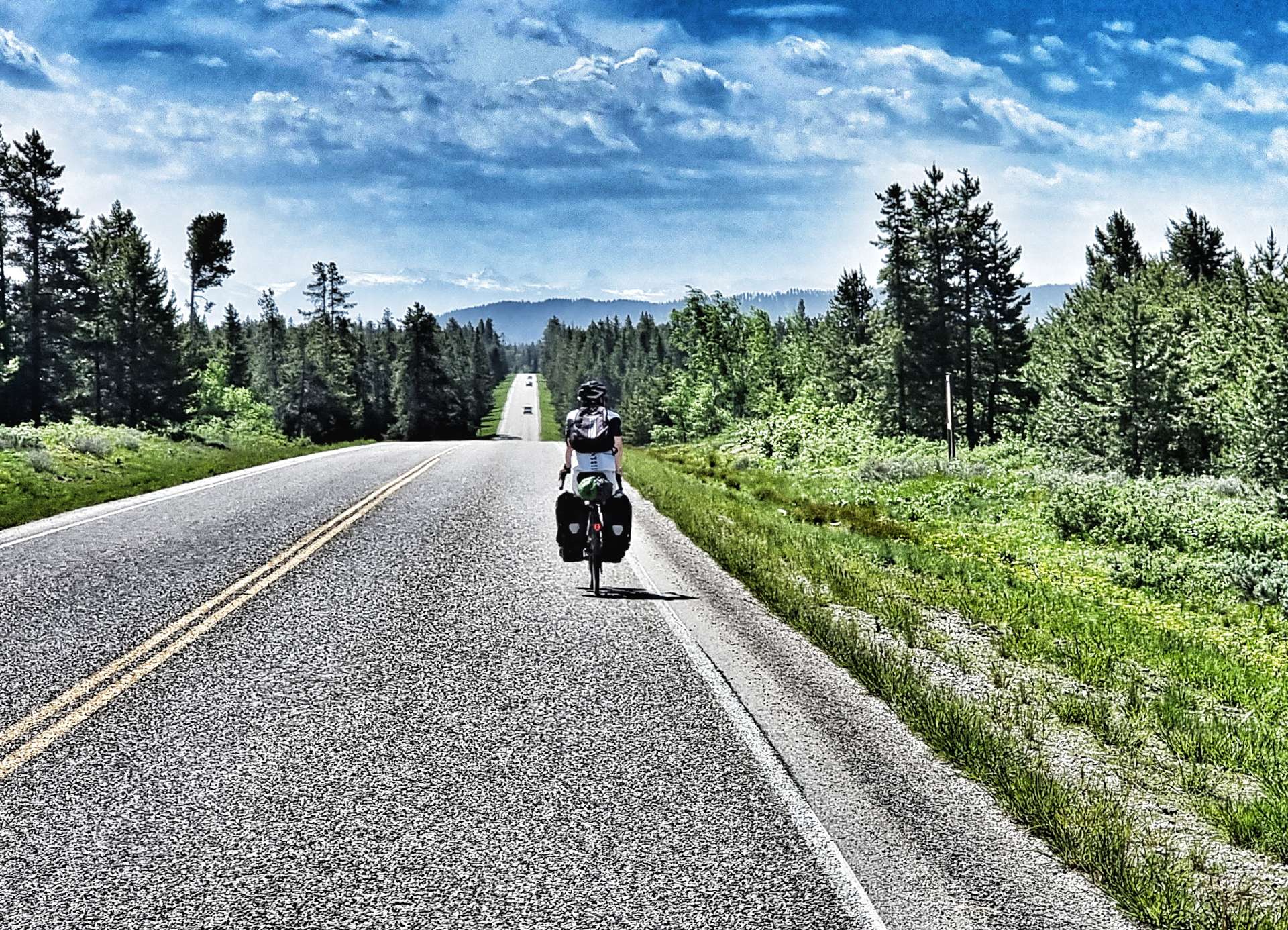
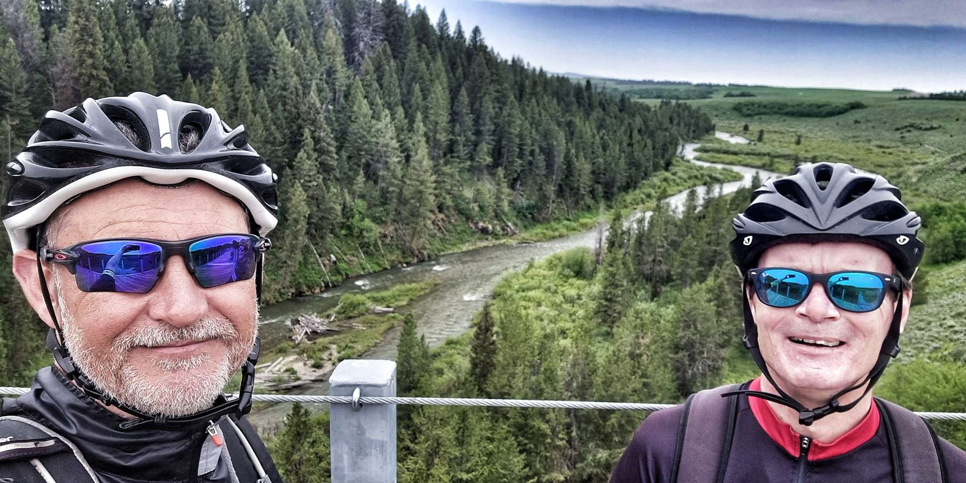
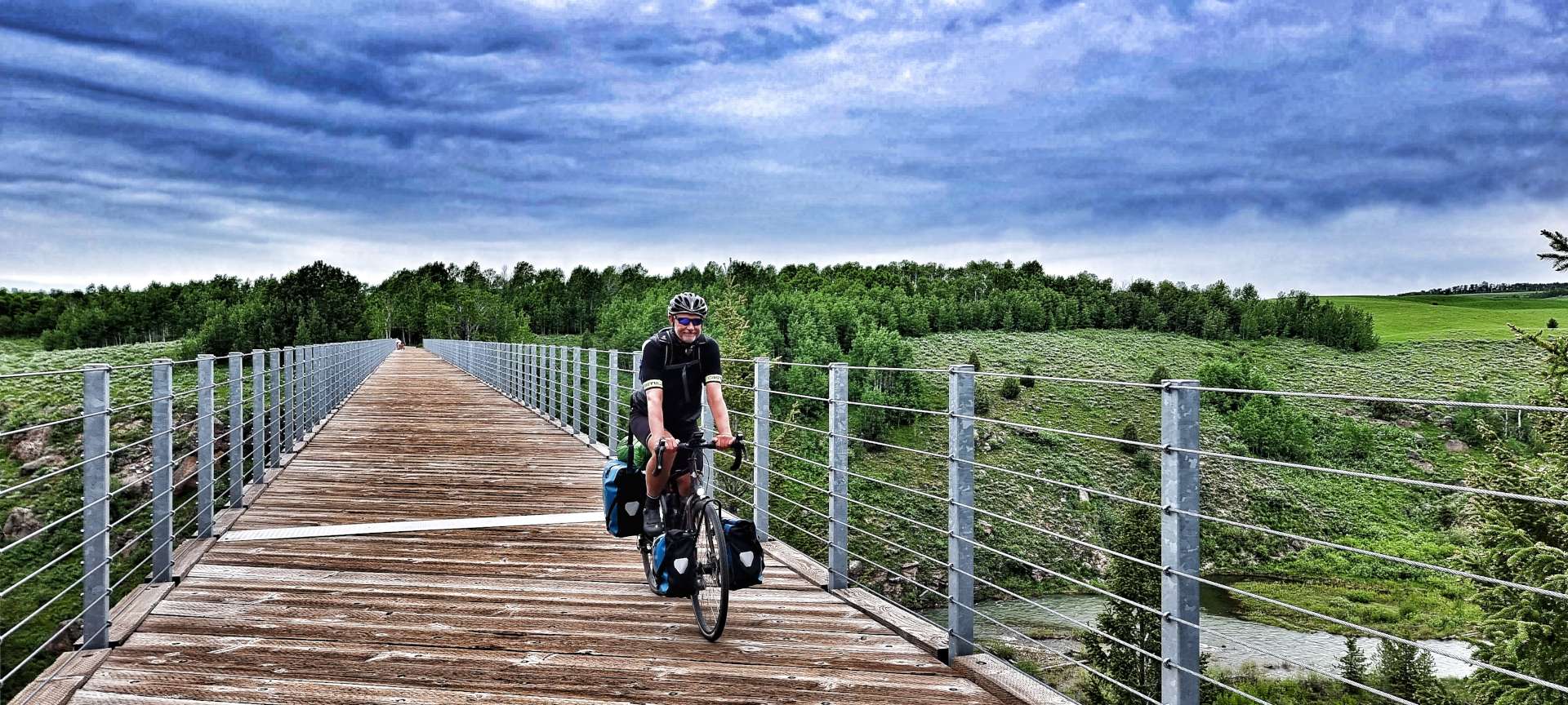
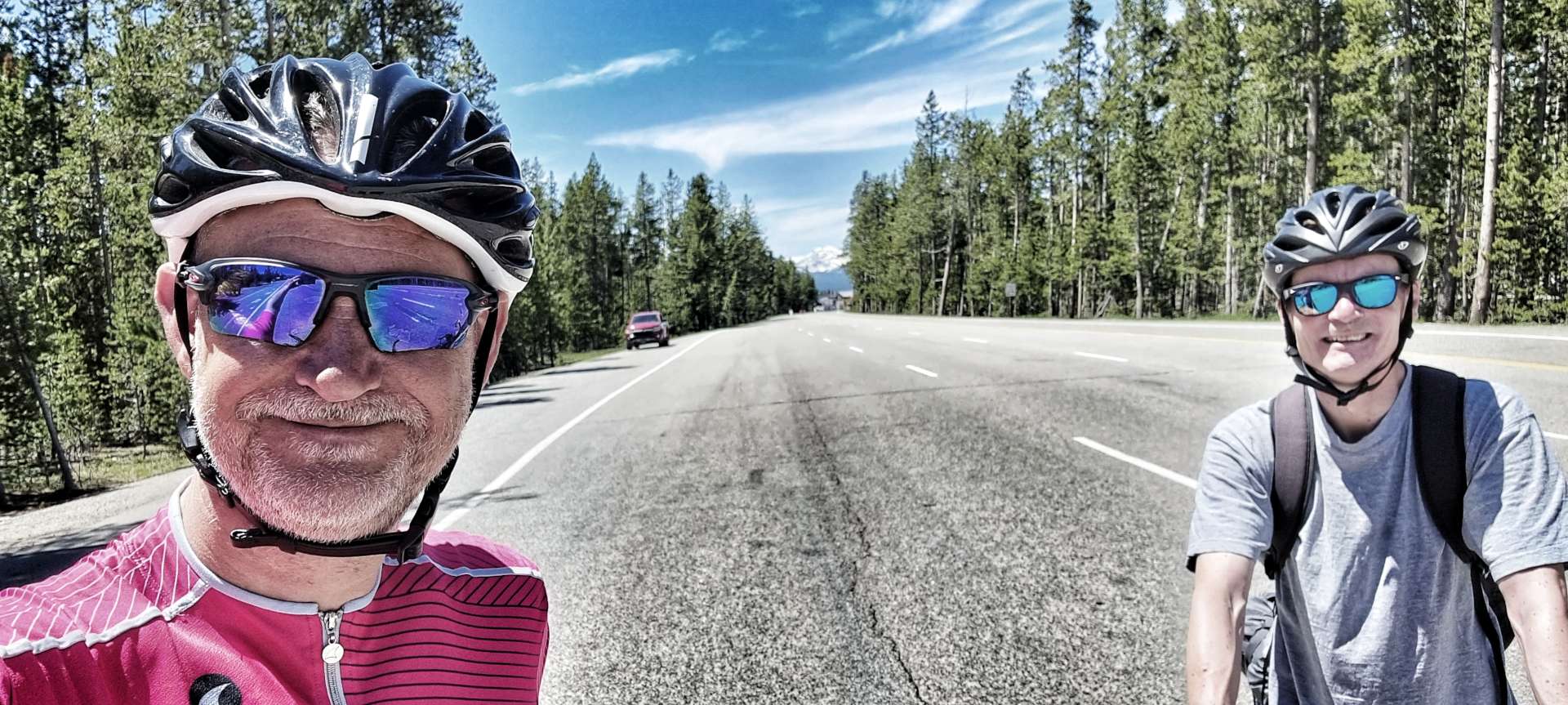
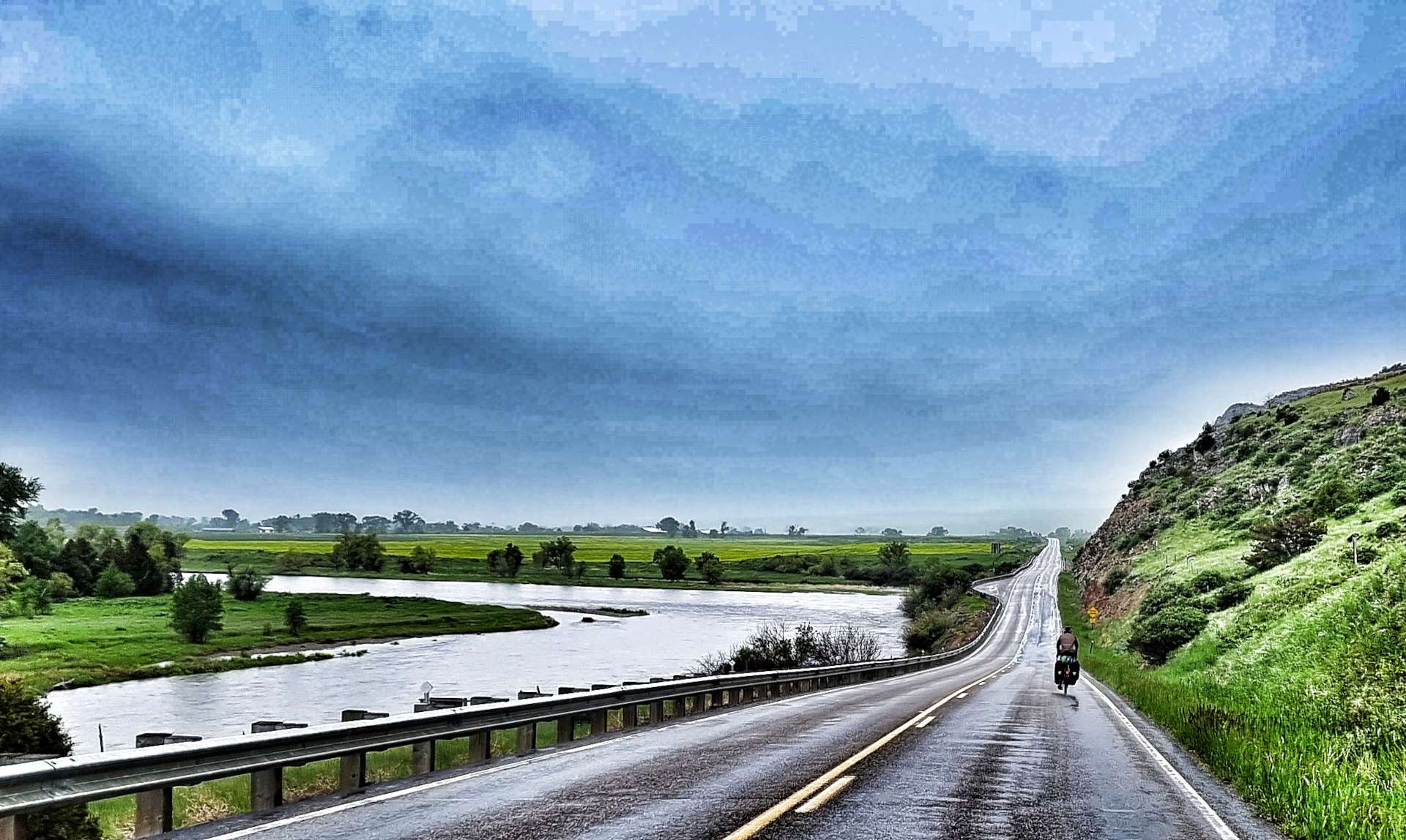
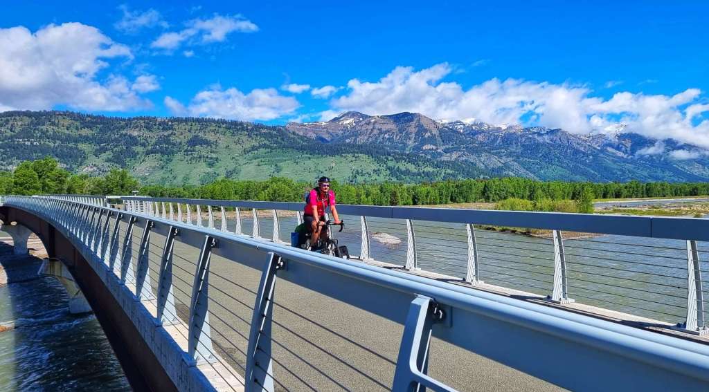
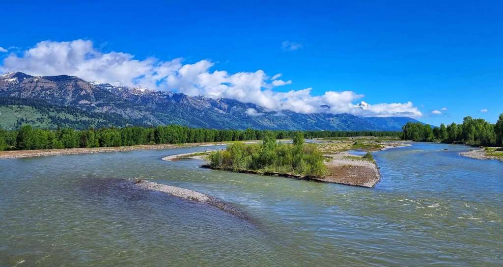
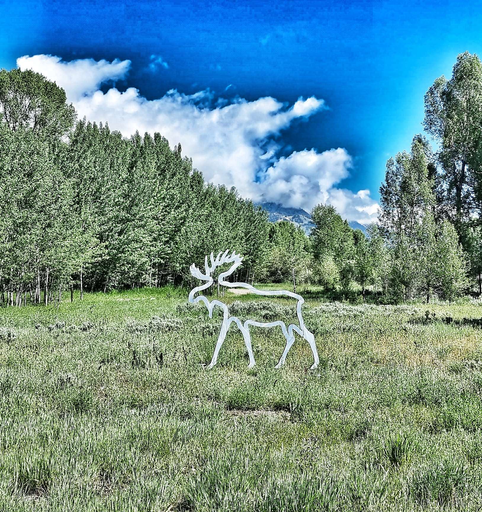
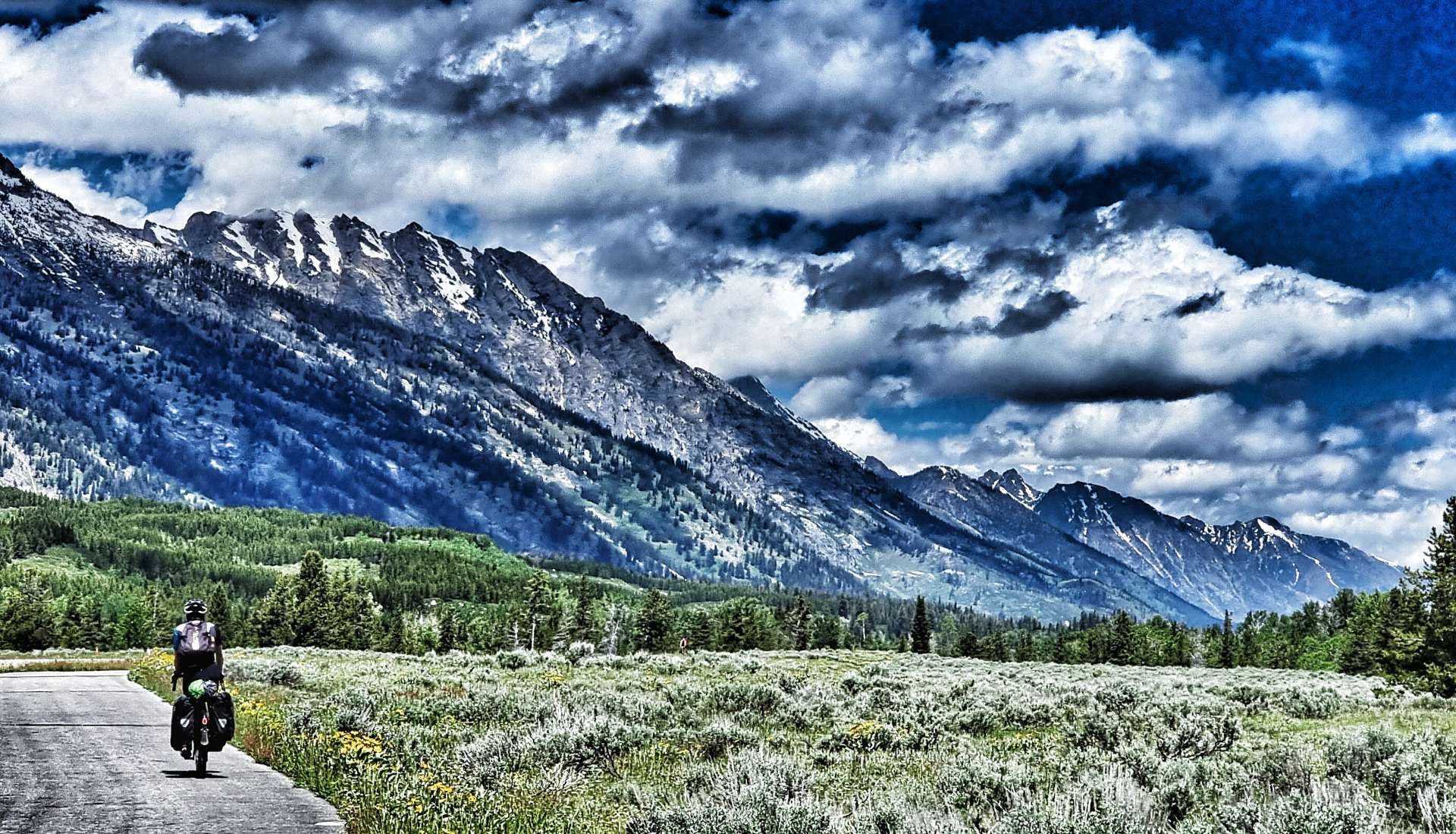
We were on the road for 9.45am & retraced the 5 miles back to Wilson, using the car-free bridge to cross the Snake river & ride through Rendezvous Park (spot the Giant in the 3rd photo!).
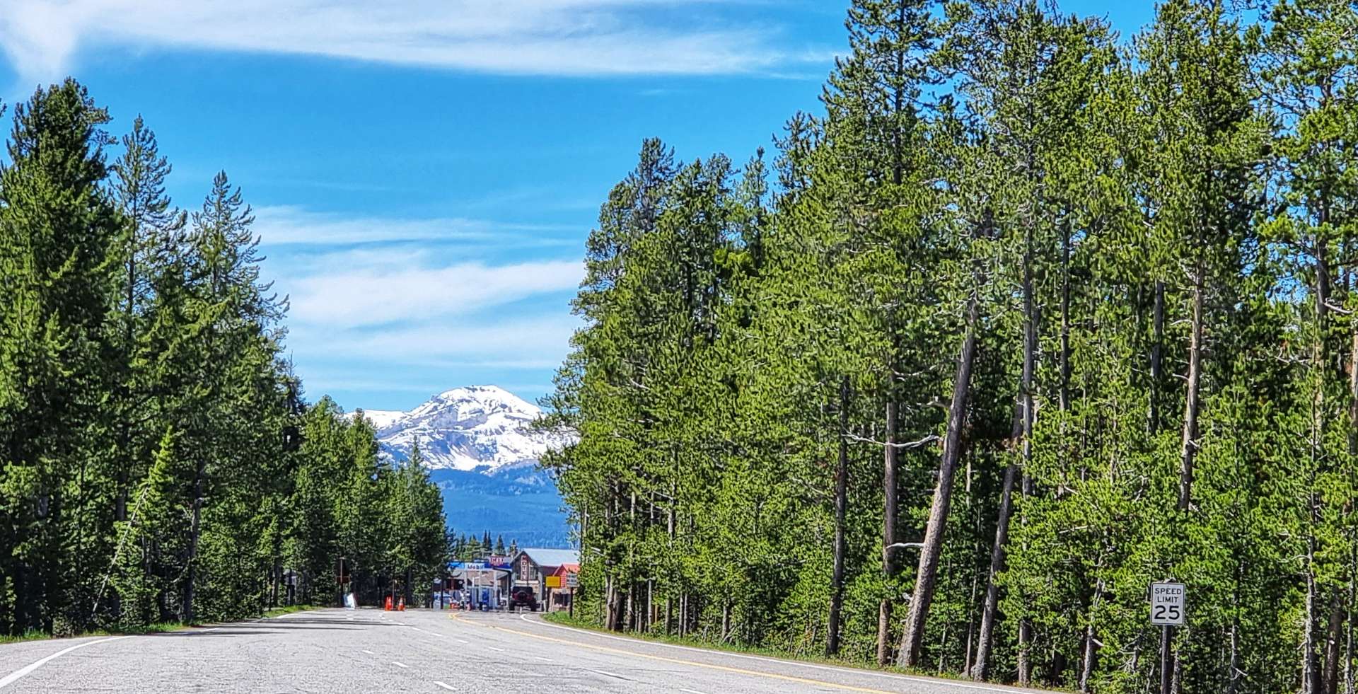
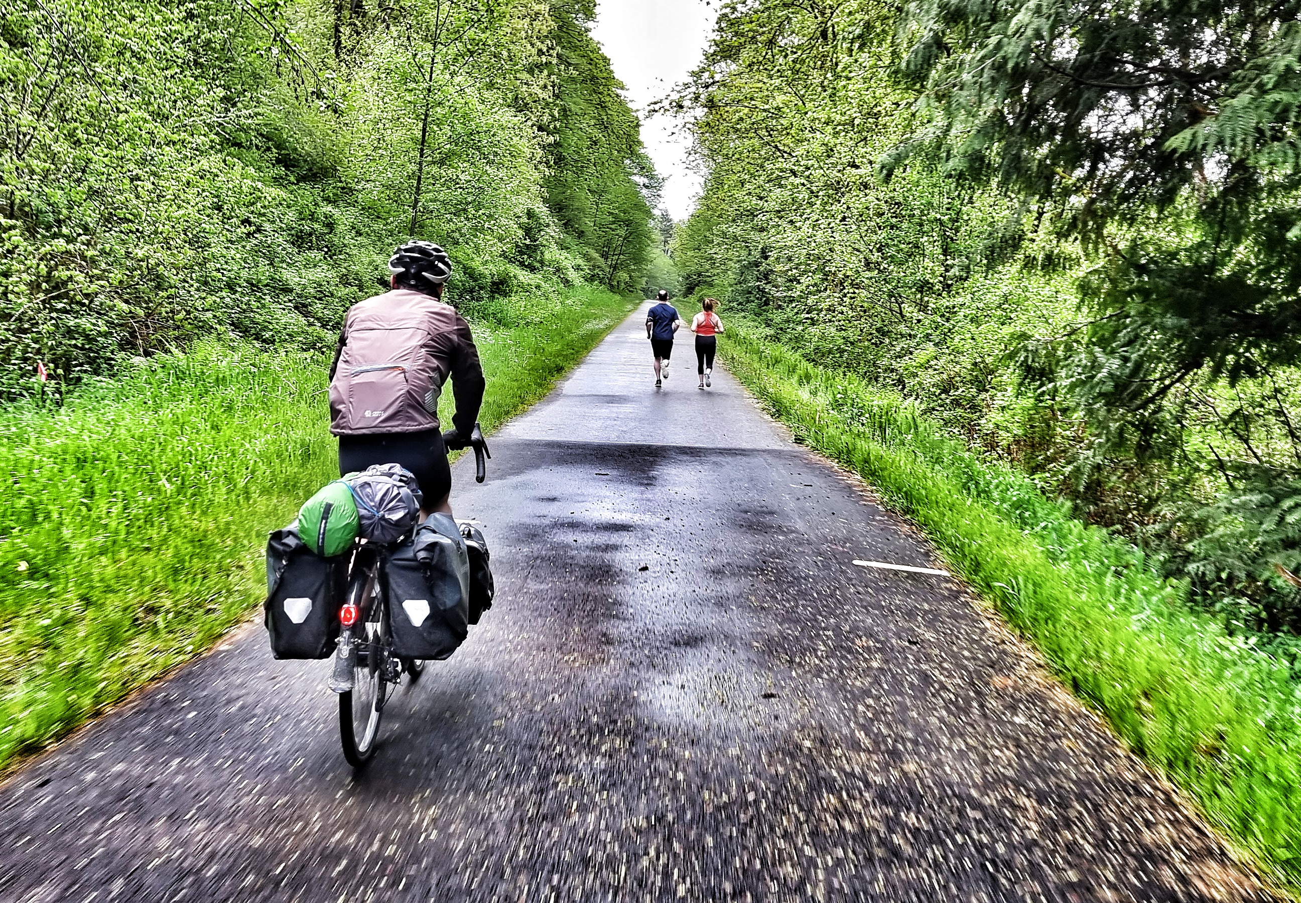
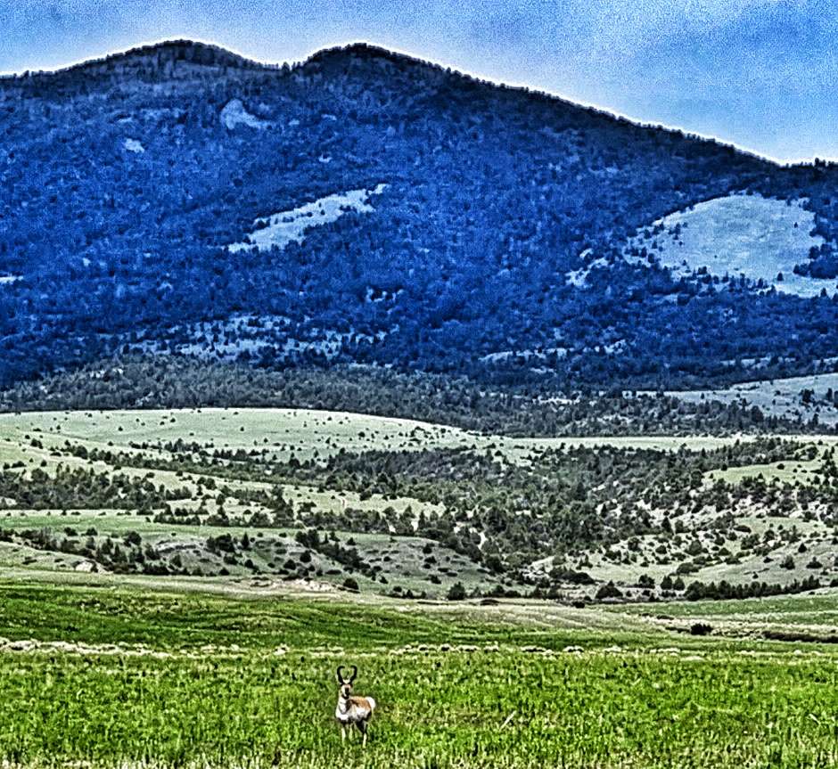
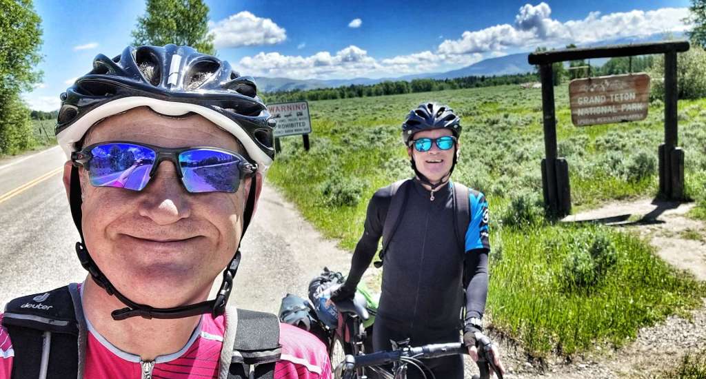
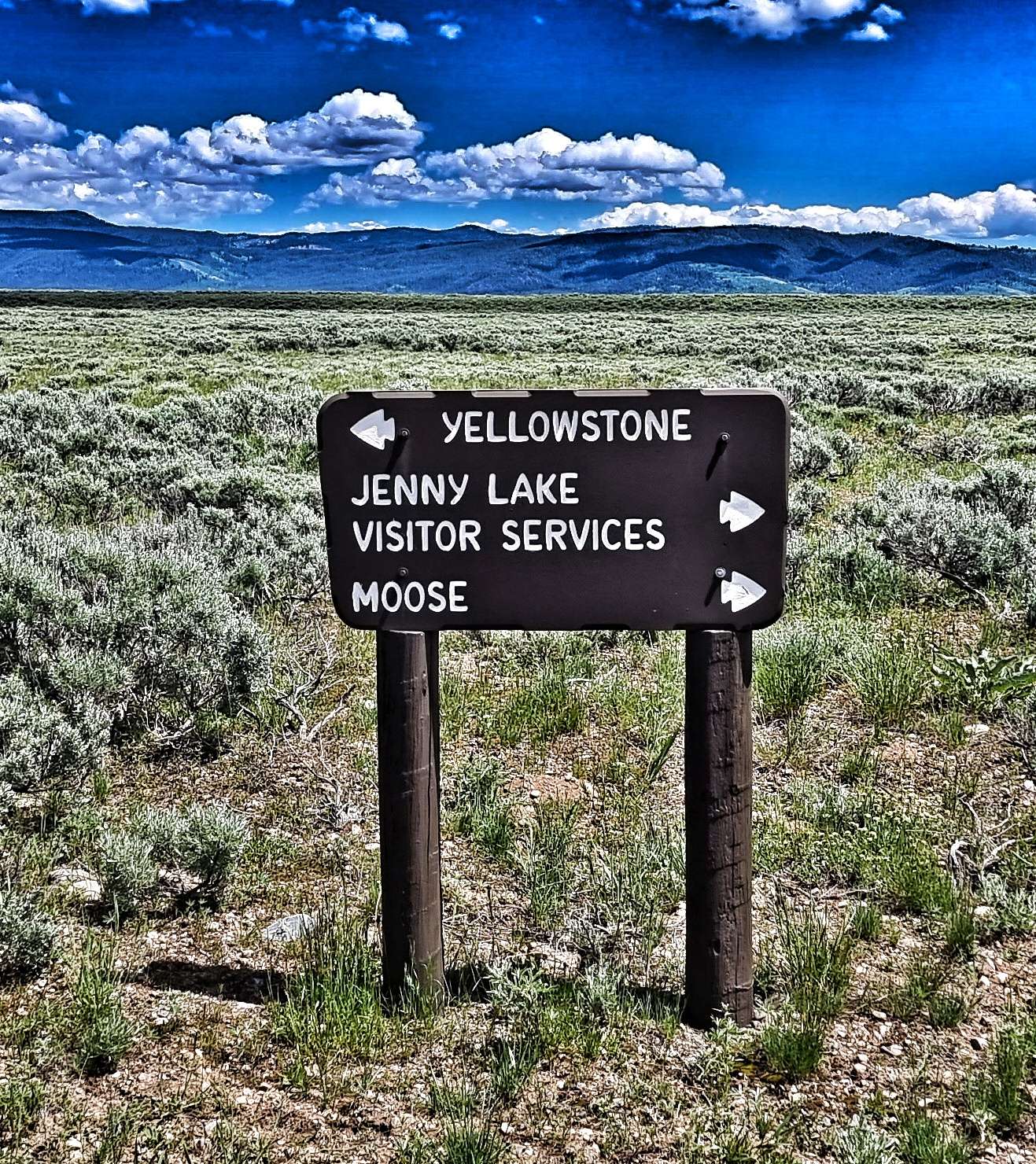
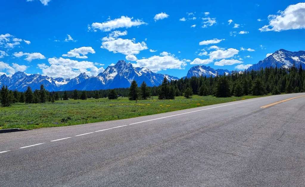
For the next 10 miles we had our own cycle path which ran close to the road, but made for very relaxing & enjoyable riding. We saw a couple of runners & 3 cyclists, so we could take in the mountain views all around us. Before we knew it, we’d passed Teton Village & arrived at the entrance to Grand Teton National Park – thank you to the Ranger on the gate who humoured me when I asked for a selfie!

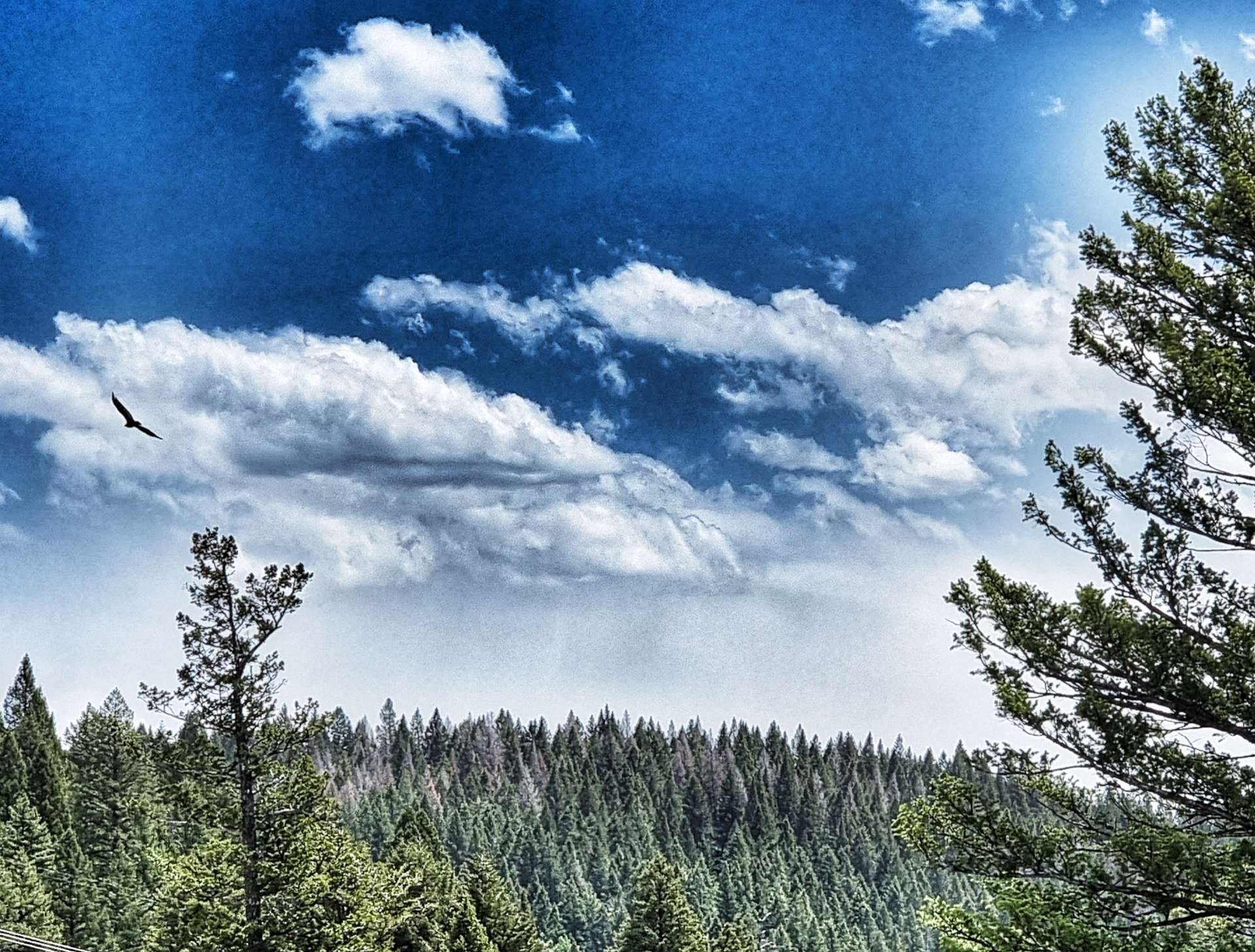
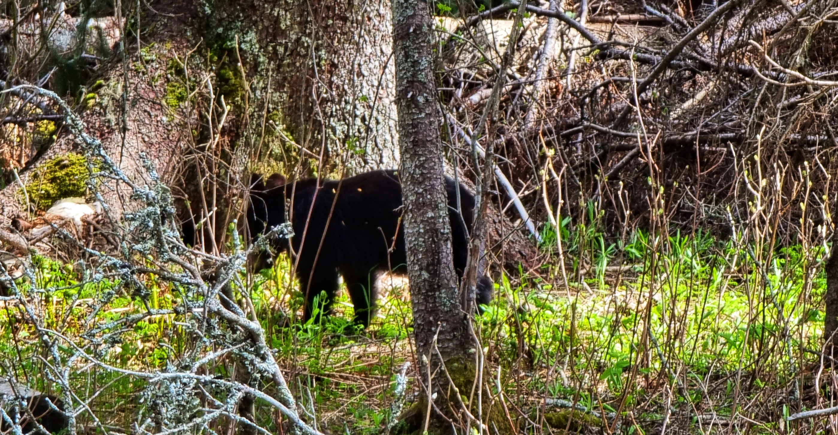
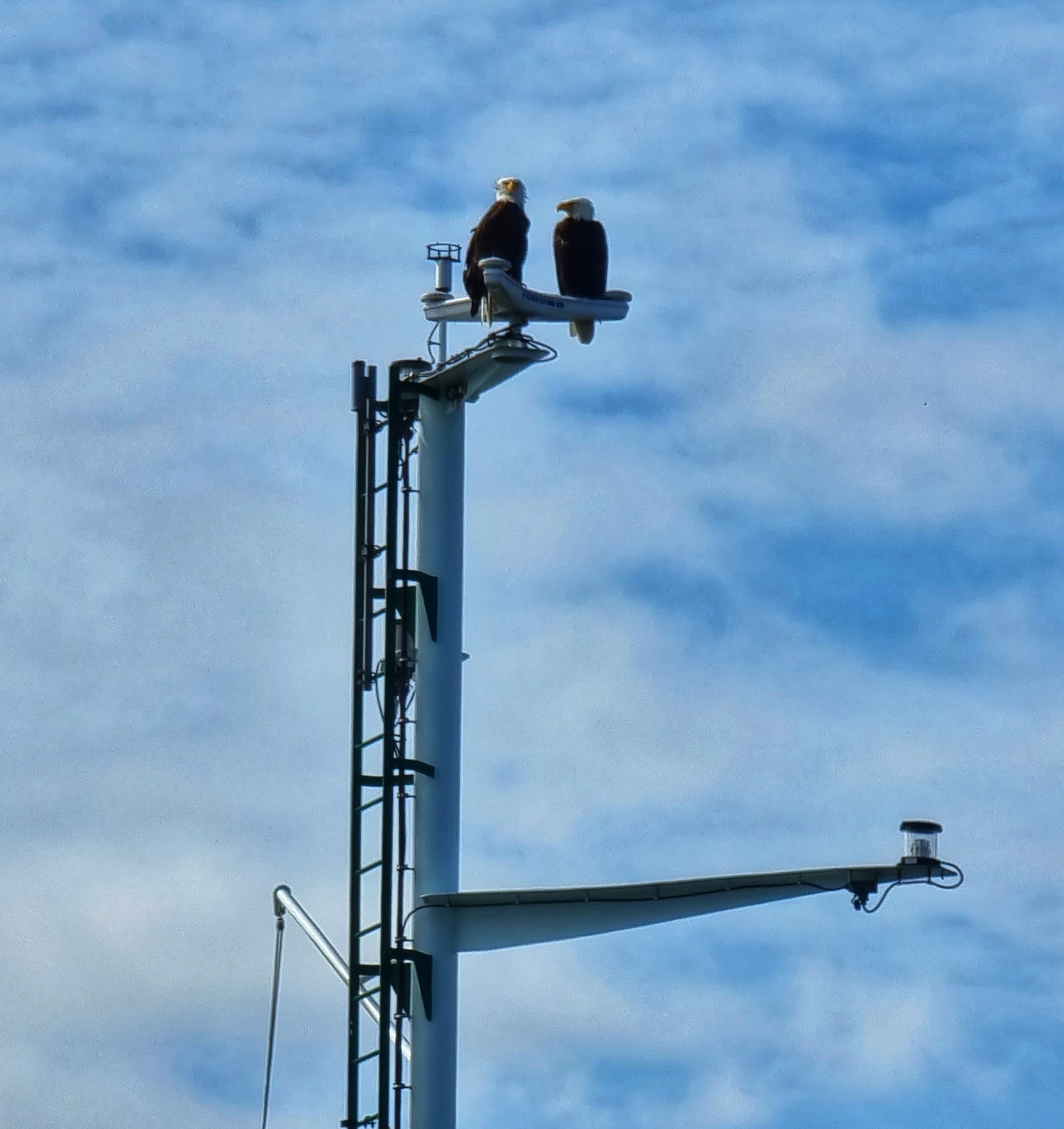
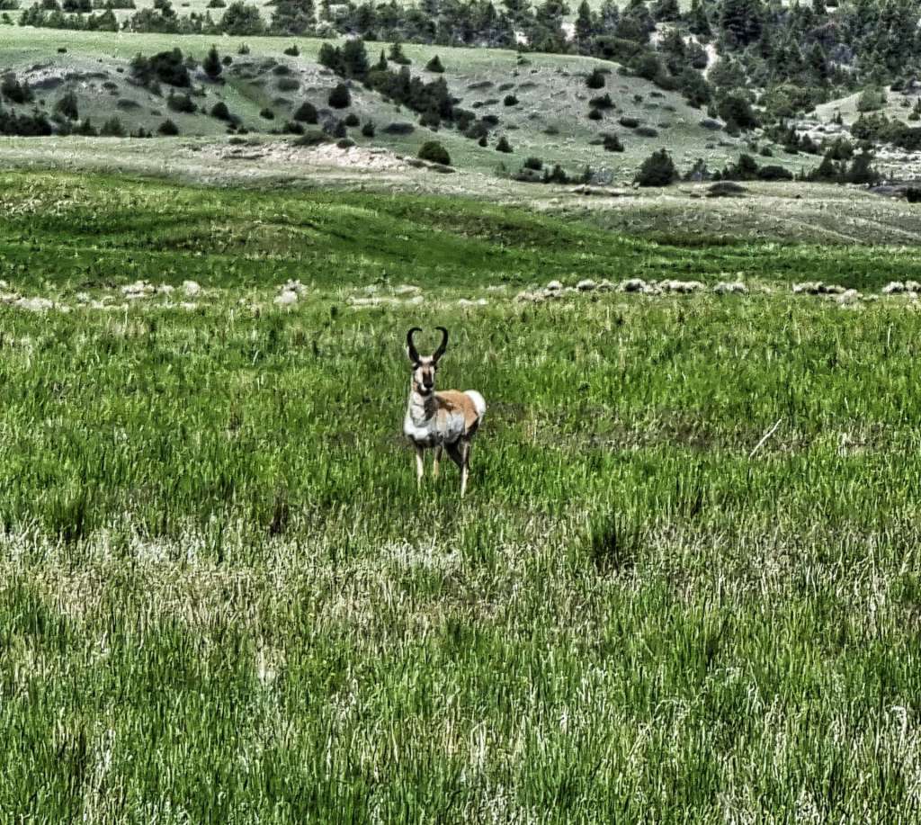
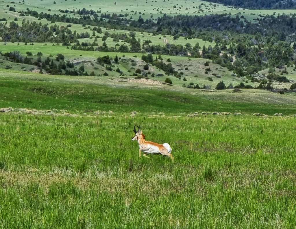
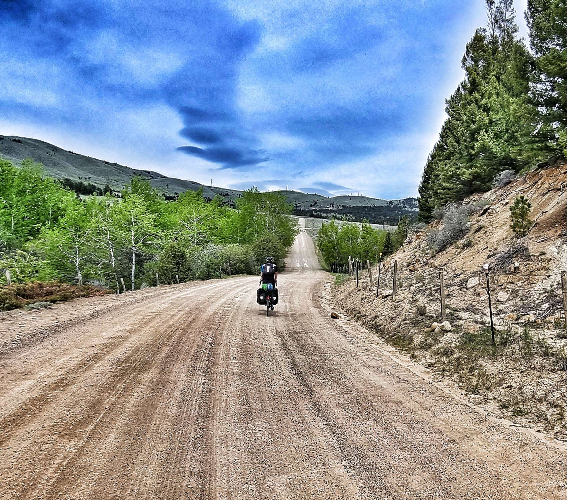
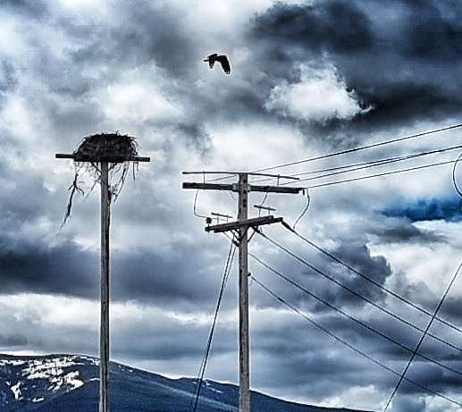
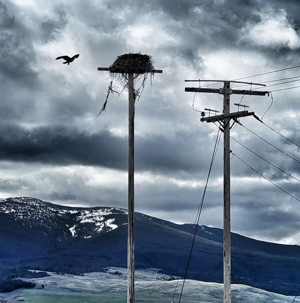
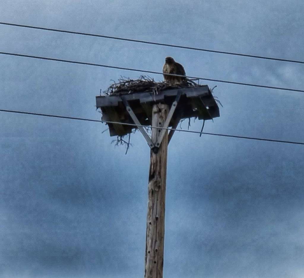
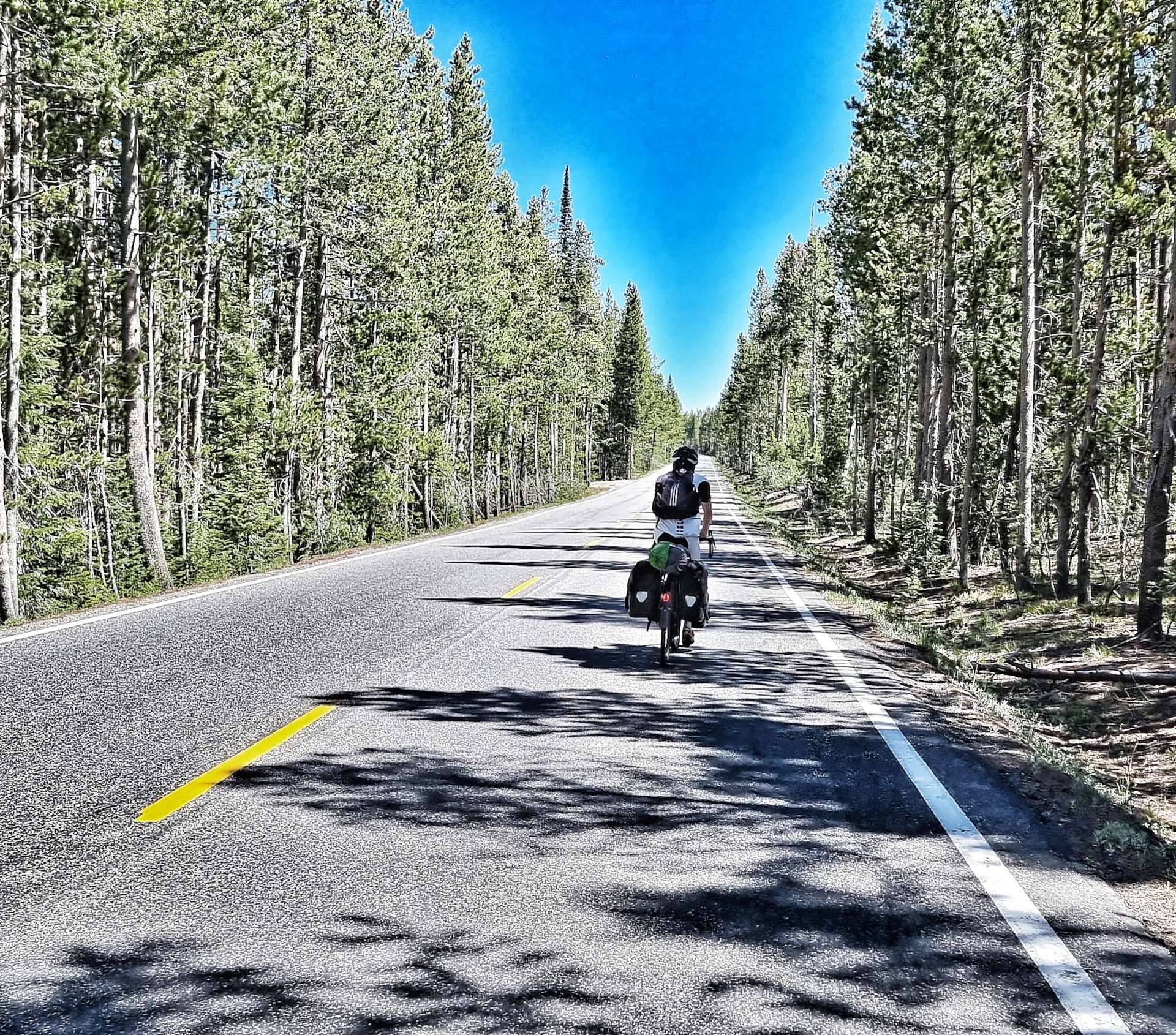
This isn’t a very popular entrance for cars, as the road quickly turns to rough gravel. The quieter roads increase the possibility of seeing wildlife & within 1/2 mile we’d spotted an eagle surveying the world from its eyrie. Tackling the 4 mile off-road section, it felt like we had the park to ourselves as we cycled through the forest. I’m writing this on 28th June & it’s a year ago to the day that I first went off-road on my touring bike – we were on Day One of a 5 day cycling trip to Wales & we did a mile or two of gravel on the Monmouth & Brecon canal towpath – how my adventures have grown!!!
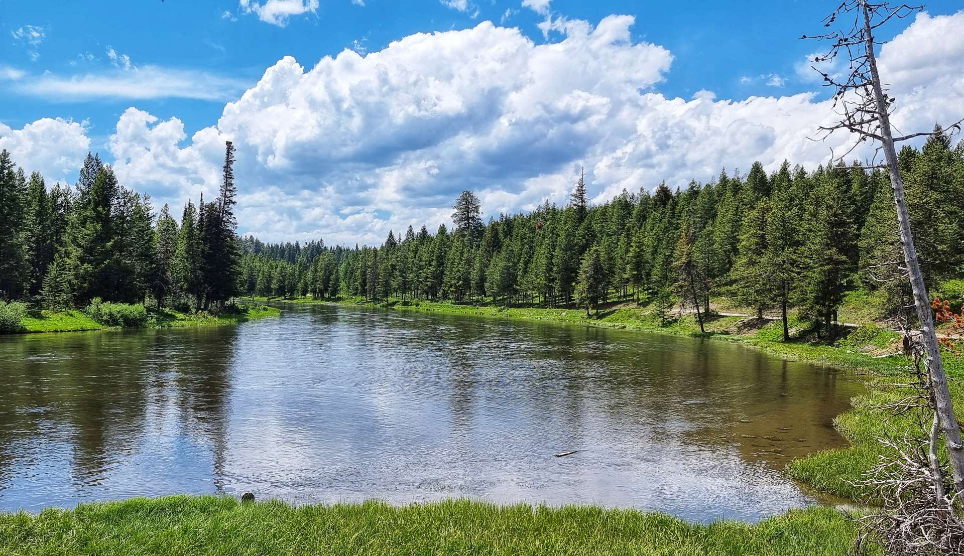
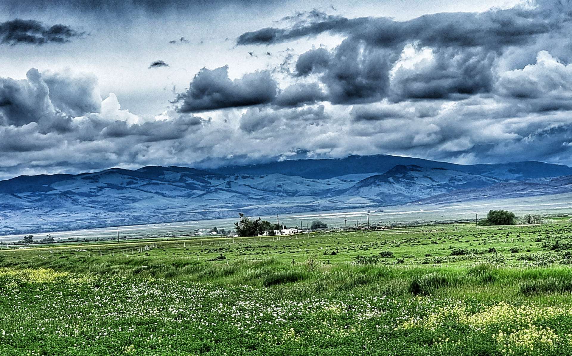
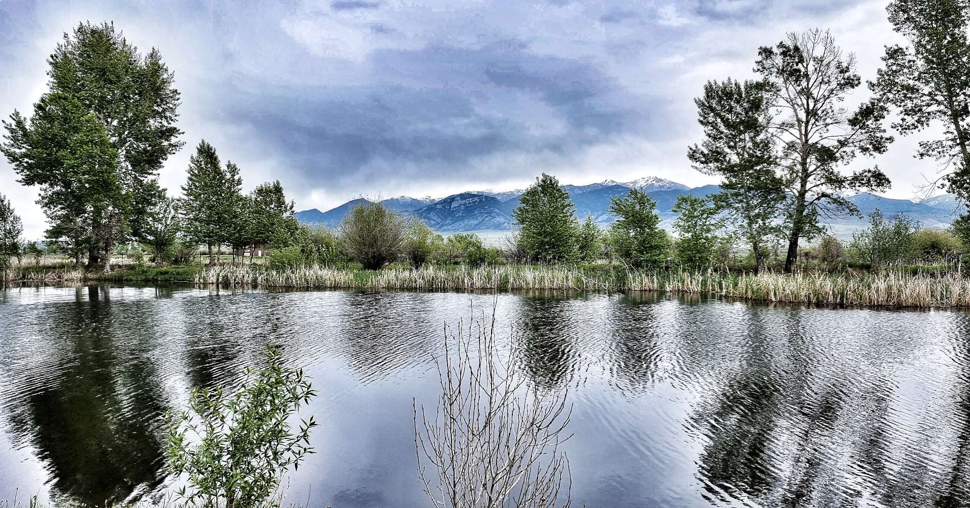
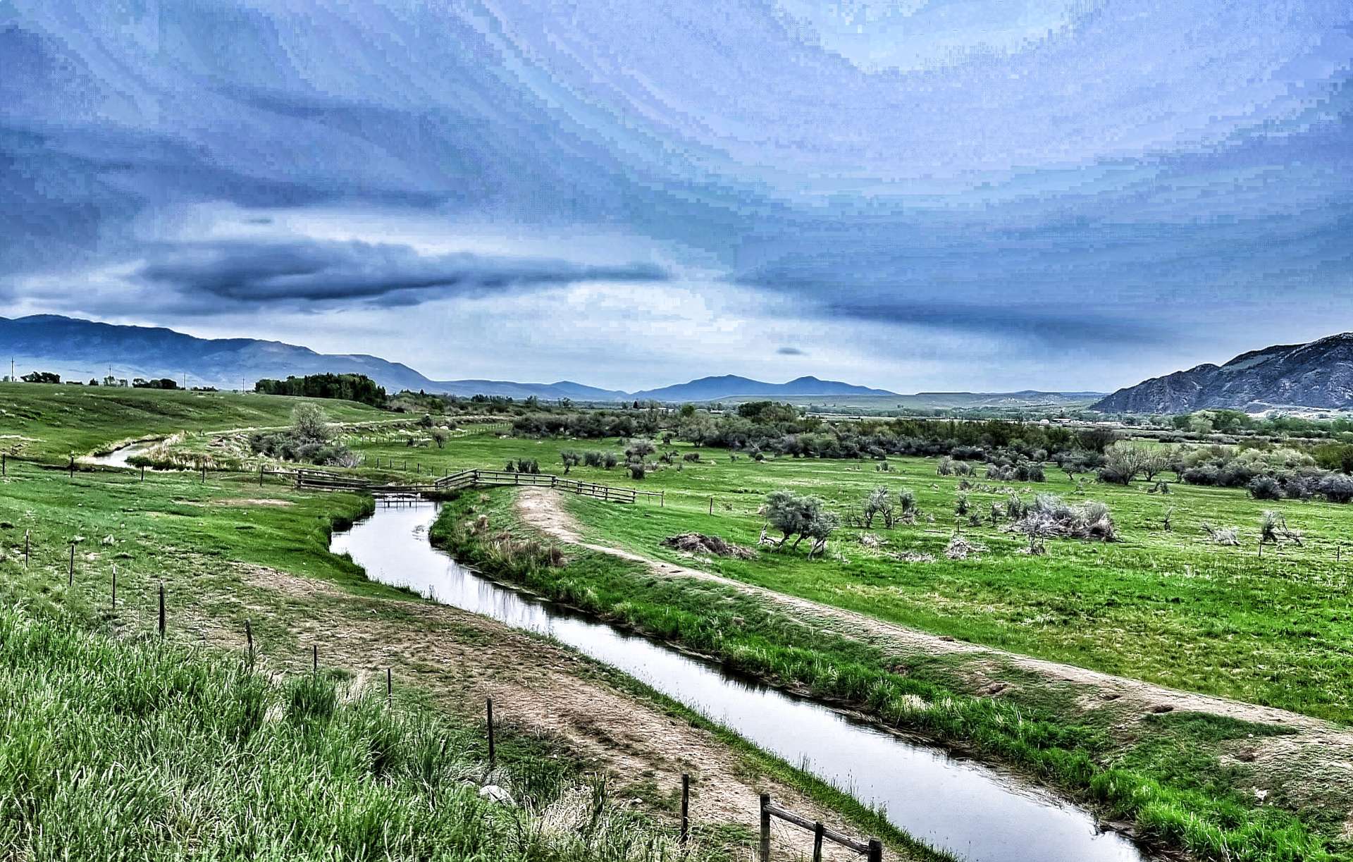
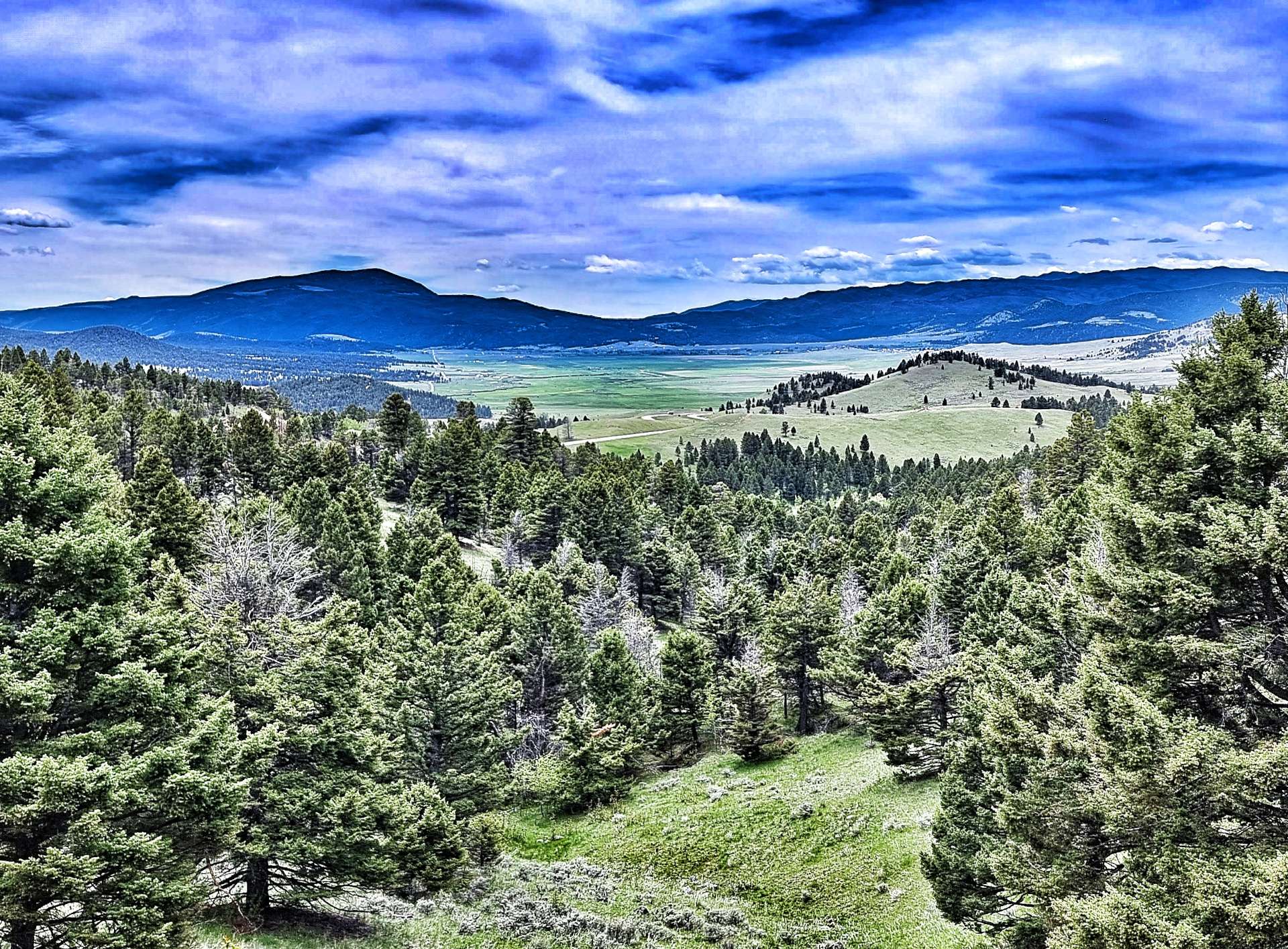
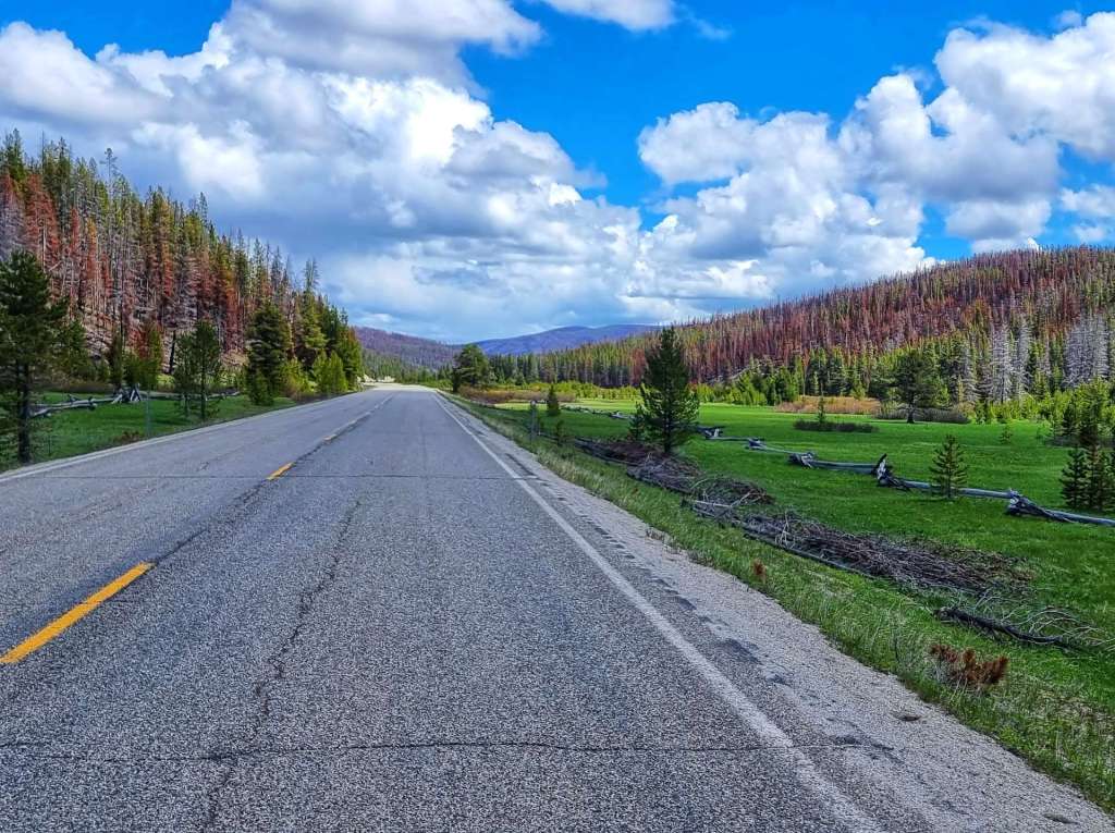
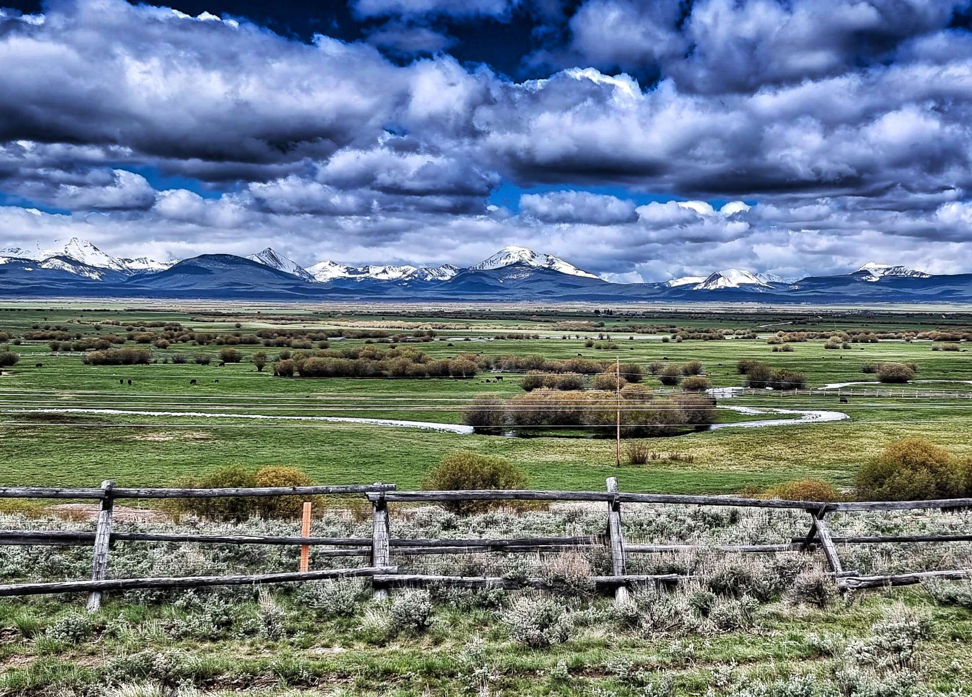
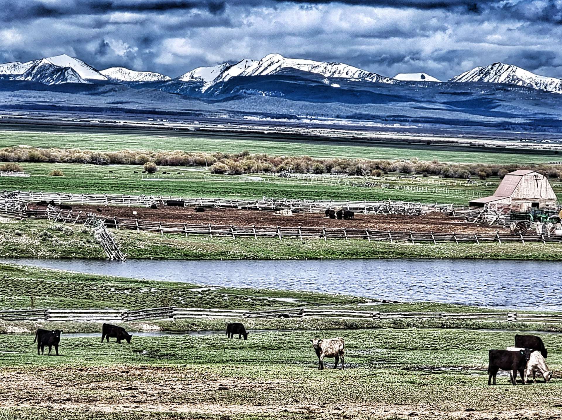
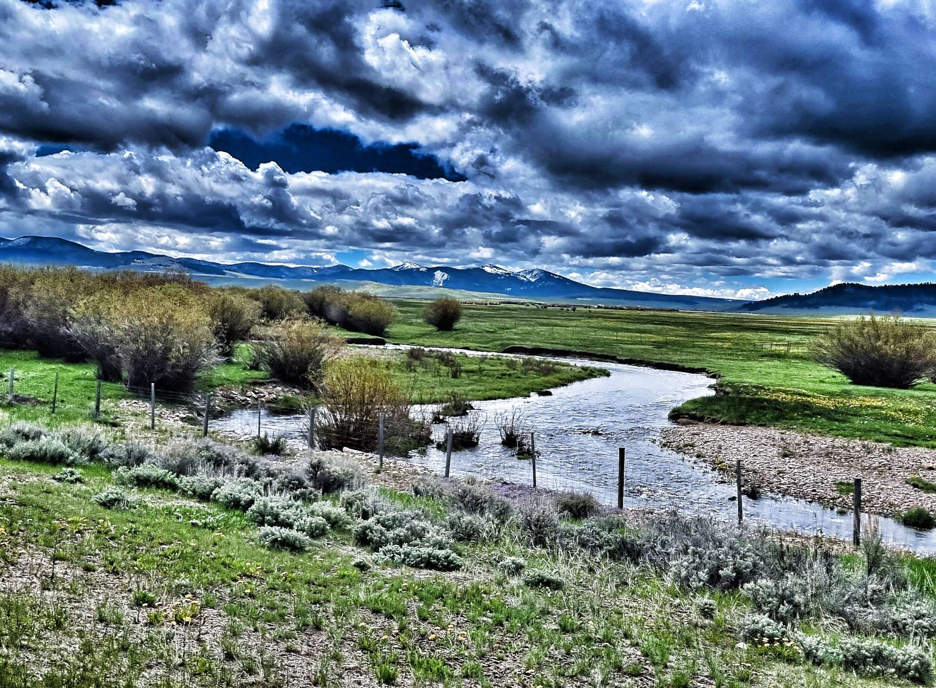
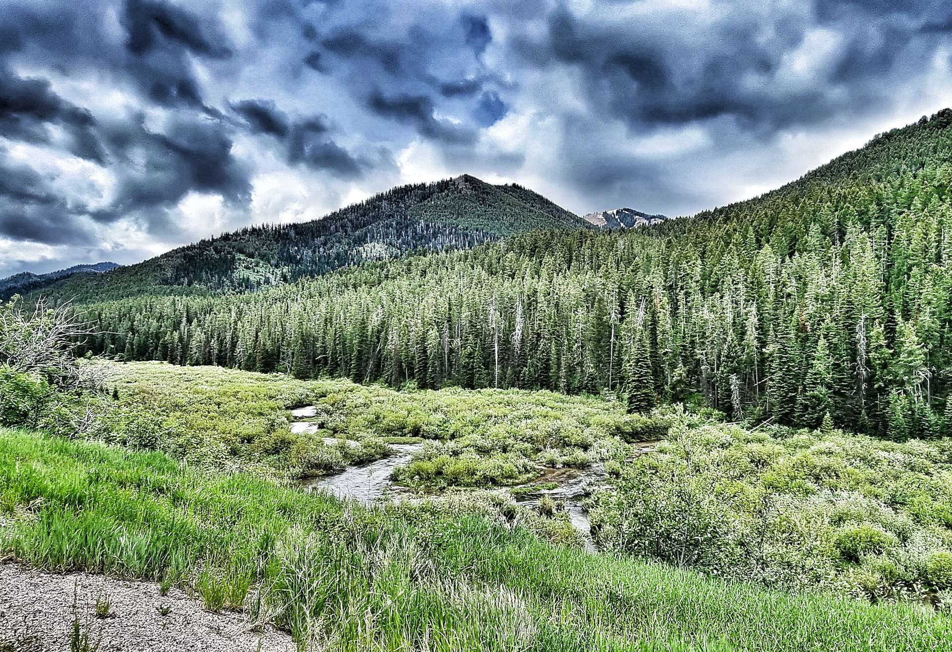
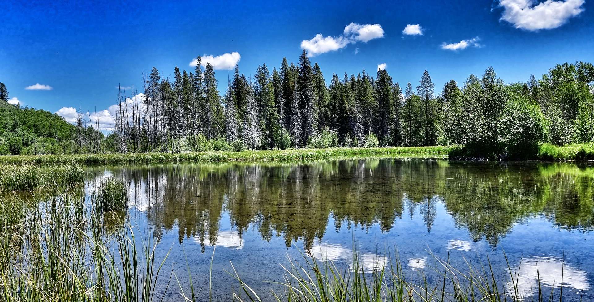
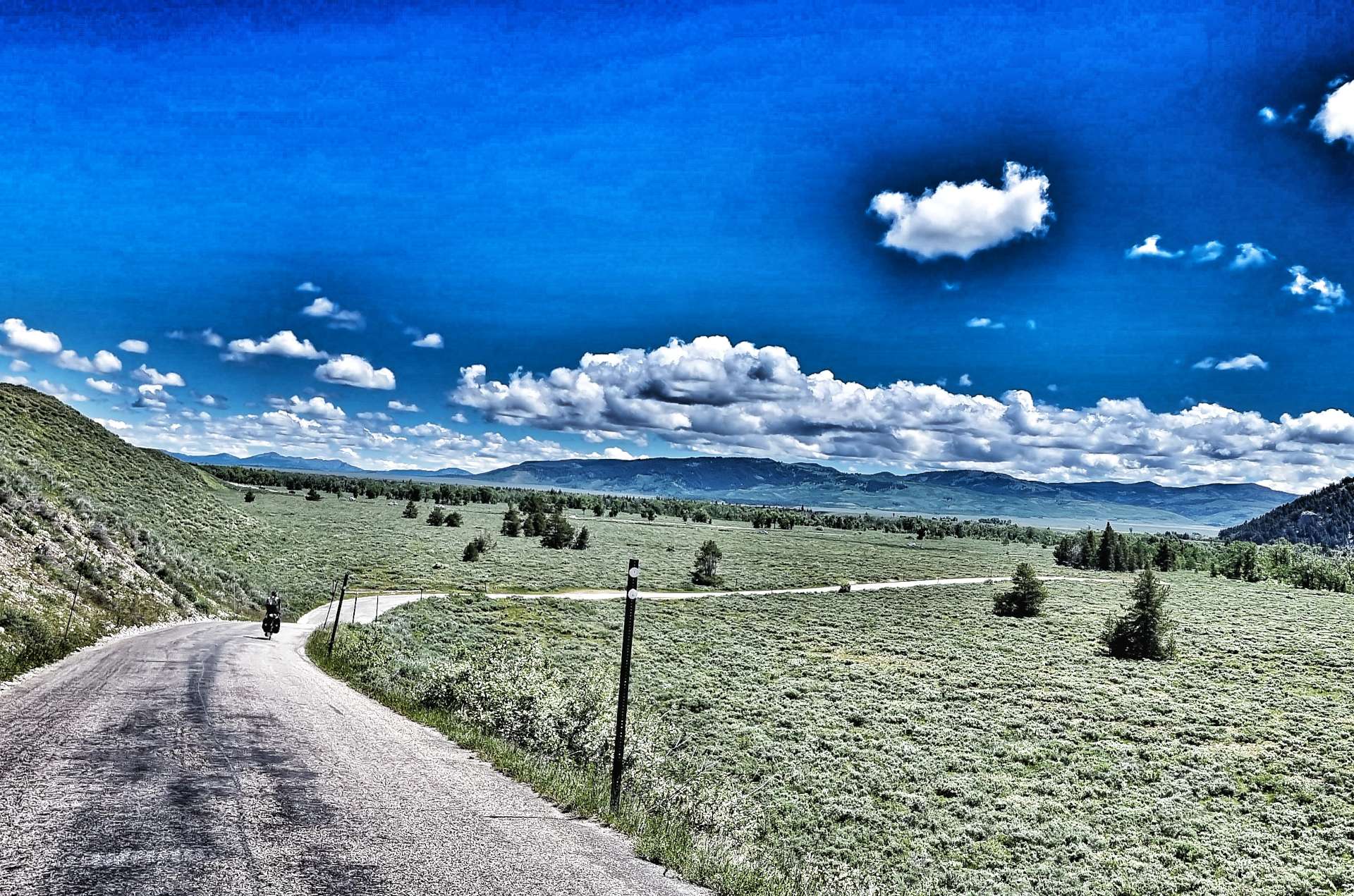
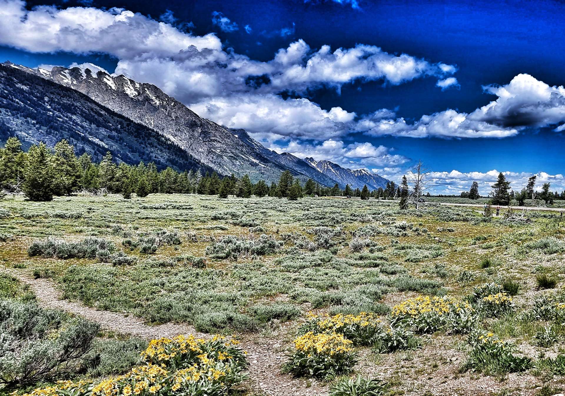
The quiet backroad took us past babbling brooks & creeks which led into or out of the many small lakes & ponds. Then as we turned a corner the forest was replaced by plains & prairie as far as the eye could see. This signalled that we were nearing the end of our remote riding on Moose Wilson Road, but there was plenty more stunning scenery ahead of us.
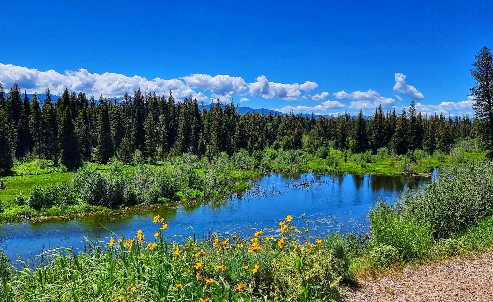
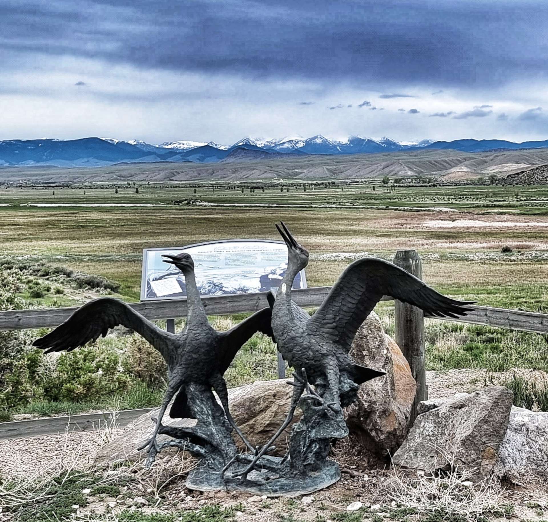
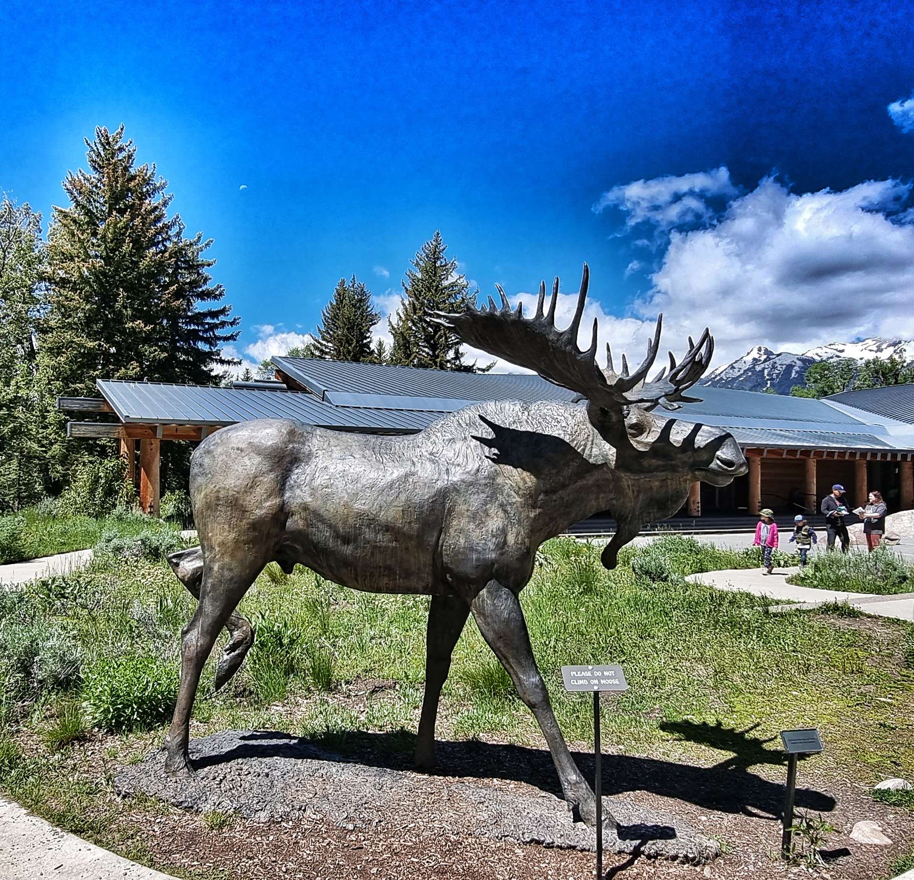
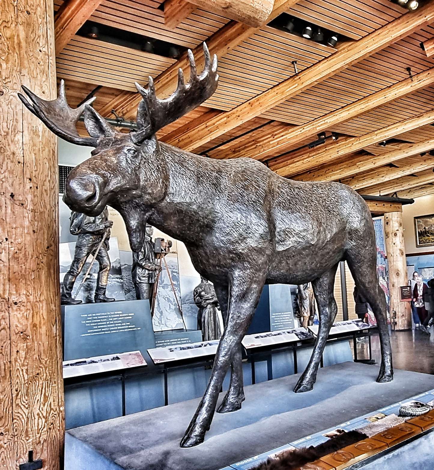
We joined Teton Park Road at Moose, stopping to see the Visitor Centre along the way – I have a few friends (Jo & Tazzer – this is for you both!!) who will appreciate this next set of photos as they’re into Moose. I’ve added my favourite mousse photo!!!

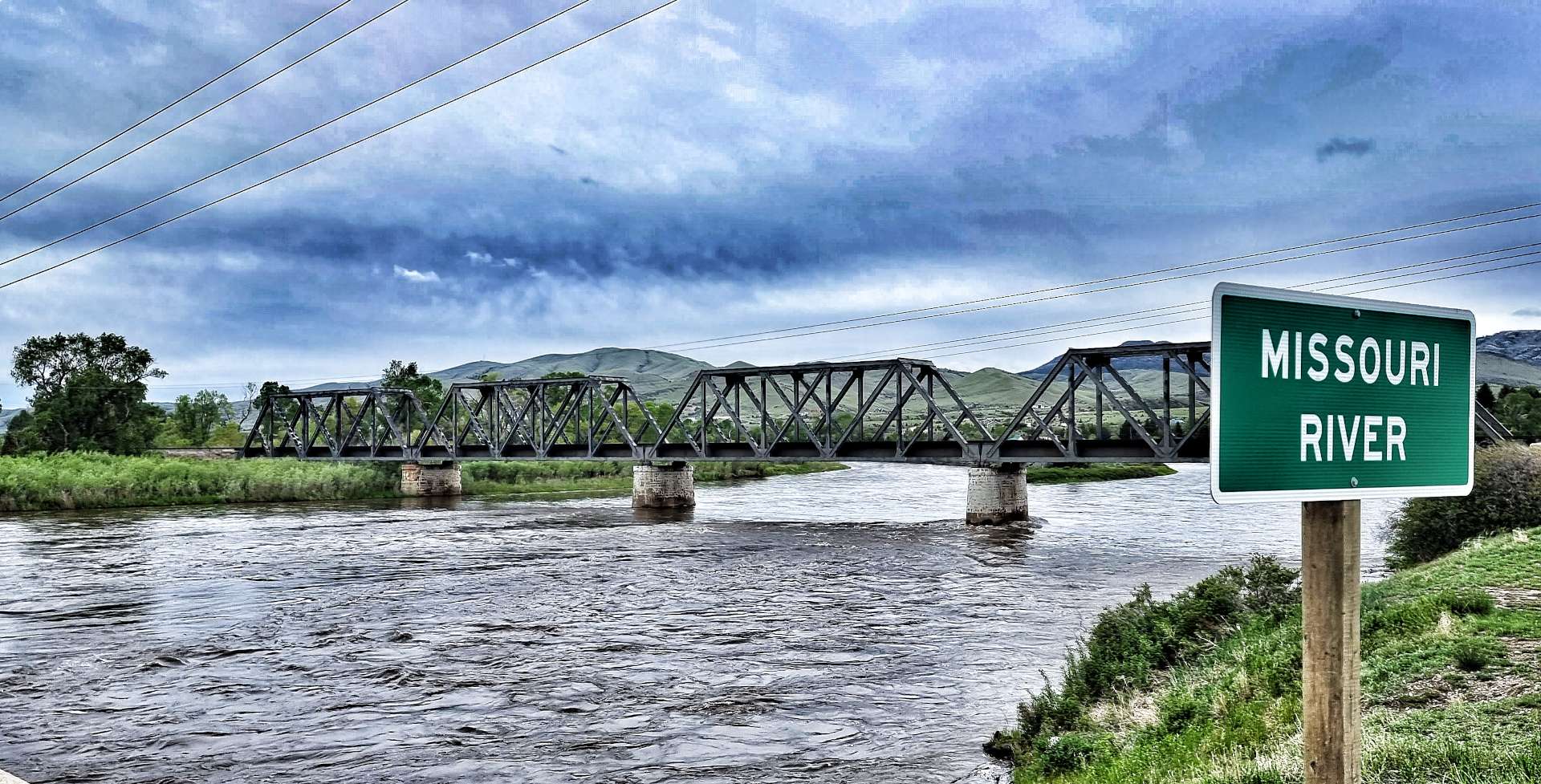
Grand Teton National Park has gone to great lengths to be cyclist & pedestrian friendly. From Moose to Jenny Lake (about 10 miles) we were once more on a separate cycle path. Over billions of years, natural forces including earthquakes, glaciers & erosion have shaped the Teton mountains. The gneiss that makes up much of the range was formed 2.7 billion years ago when the sea floor sediments & volcanic debris were buried up to 18 miles deep as two tectonic plates collided – similar to what is happening to the Himalayas today.


The Tetons are young in geological terms, the uplifting which created them only commenced 10 million years ago. The range continues to uplift one earthquake at a time along the 40 mile Teton fault, a north-south crack in the earth’s crust. As the region is stretched in an east-west direction, this causes stress which is released in the form of an earthquake, lifting the mountain block skywards, while dropping the valley floor.
On average, the fault moves 10 feet with each earthquake – the mountain block rises 2 to 4 feet up, as the valley floor drops 4 to 6 feet. Over 10 million years it’s estimated that the total offset is about 25,000 feet – the flathead sandstone on Mount Moran (to the west of the fault) is at 6,000 feet above the valley, while the same layer is buried 20,000 feet below the valley floor on the east side of the fault. Enough with the geology lesson, here’s some more jaw-dropping scenery!

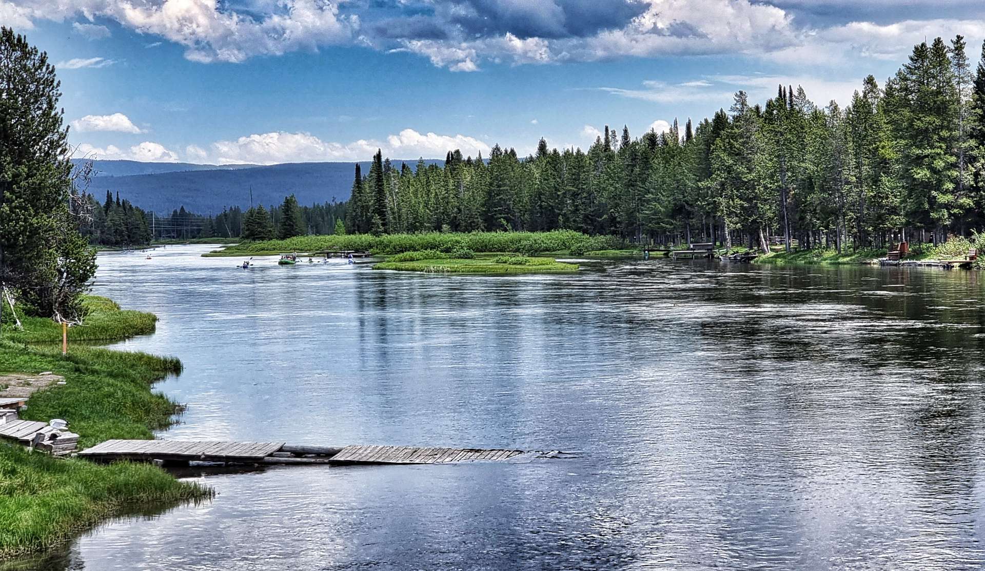
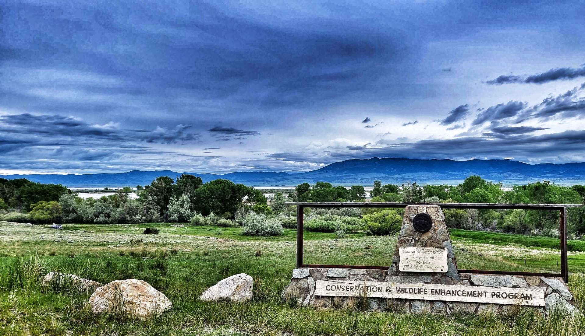
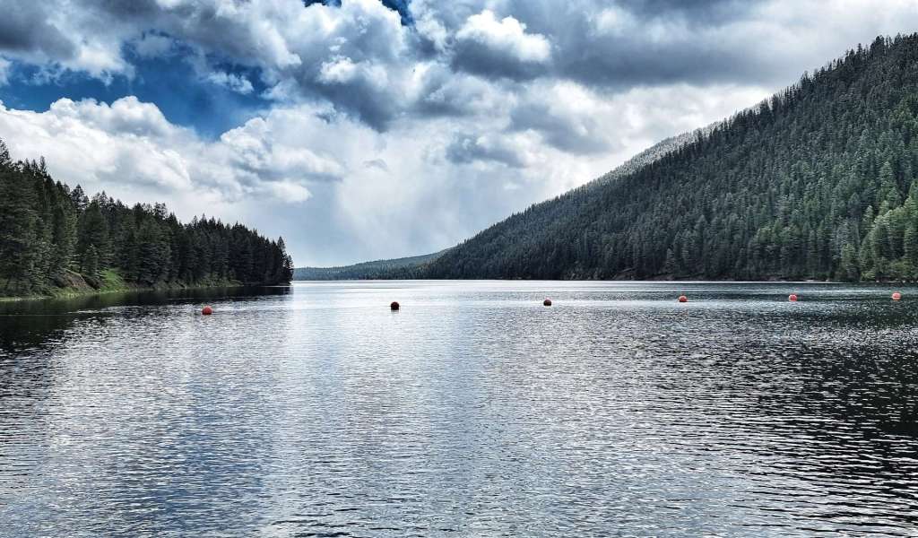
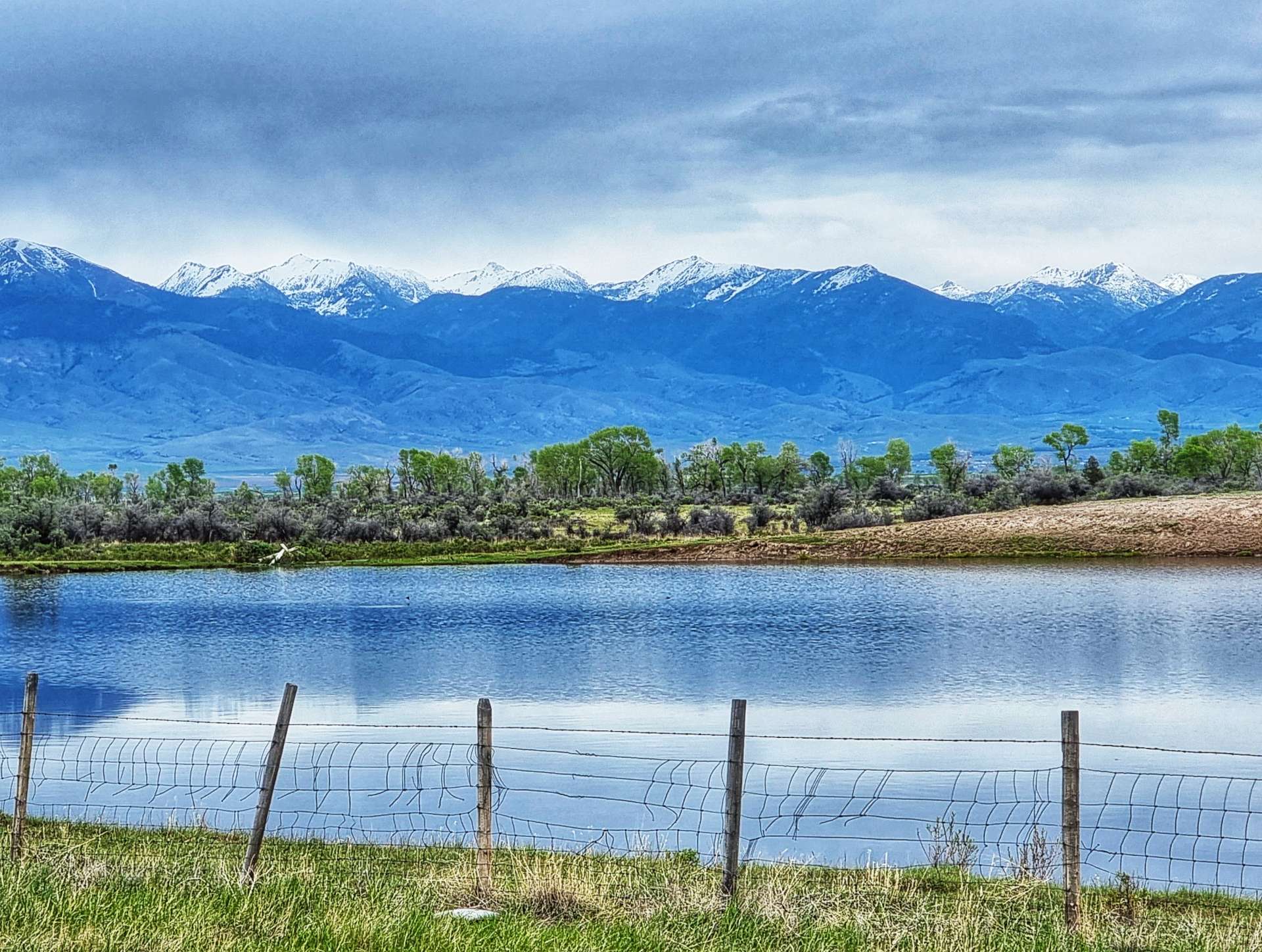
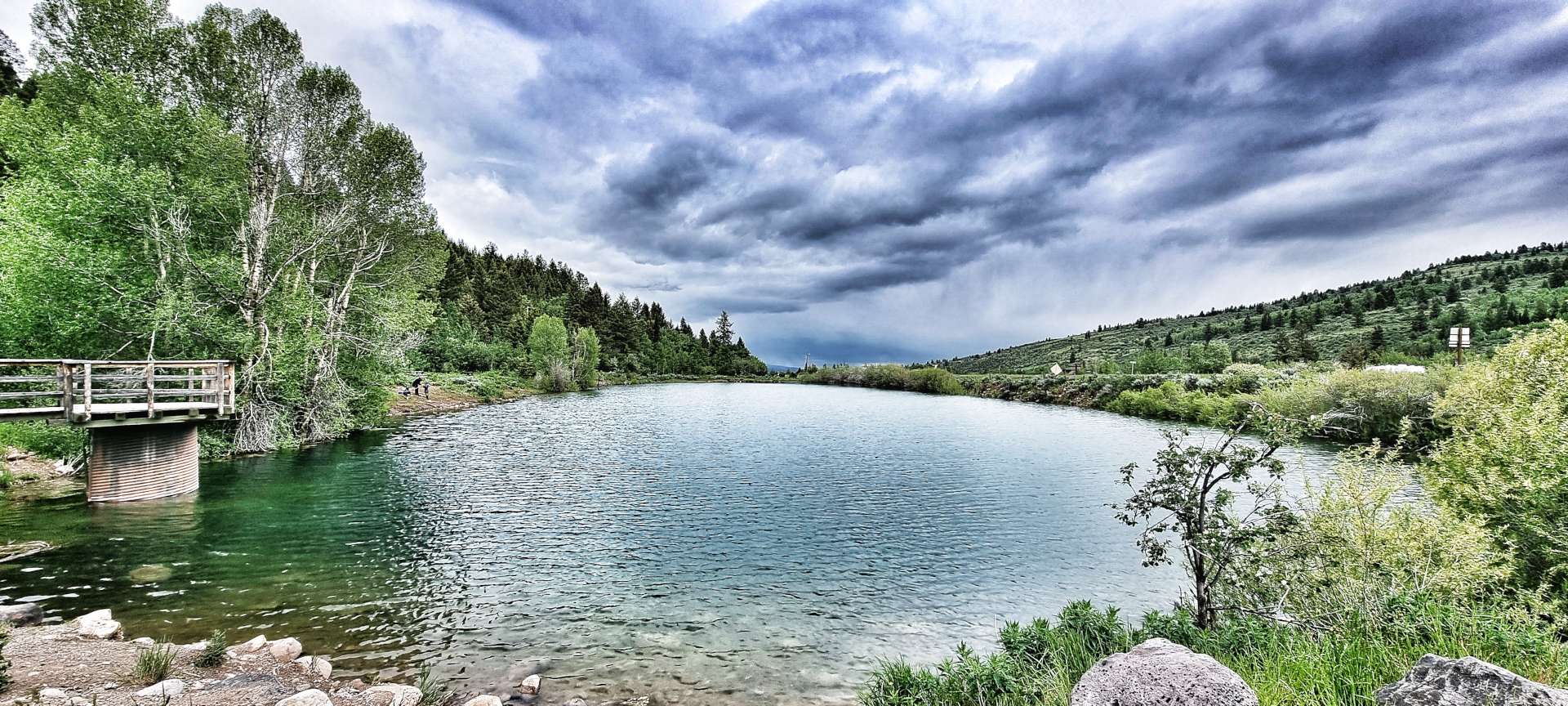
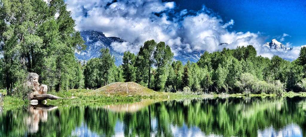
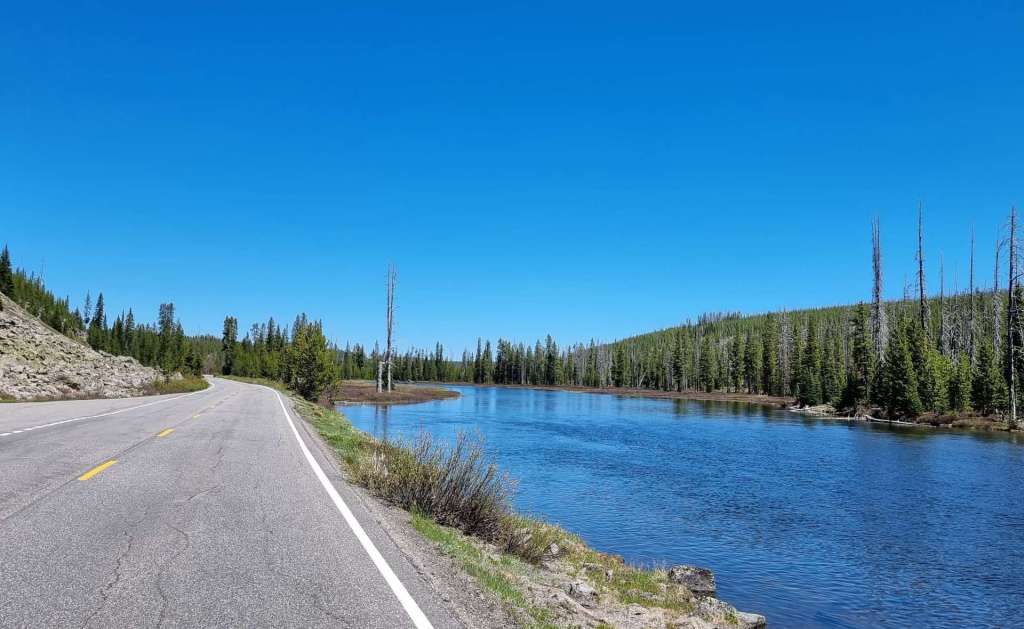
The Grand Teton National Park also has a number of alpine lakes, some natural & others man-made to manage water levels & to create hydro-electric power. When combined with the majestic backdrop of the mountains, the views are out of this world. Jenny Lake is the centre piece of the park, with views of Teewinot Mountain, Mount St John & Cascade Canyon (directly between Tweddle Dumb & Tweedle Dumber!) – you may be able to make out a rowing boat behind us too.


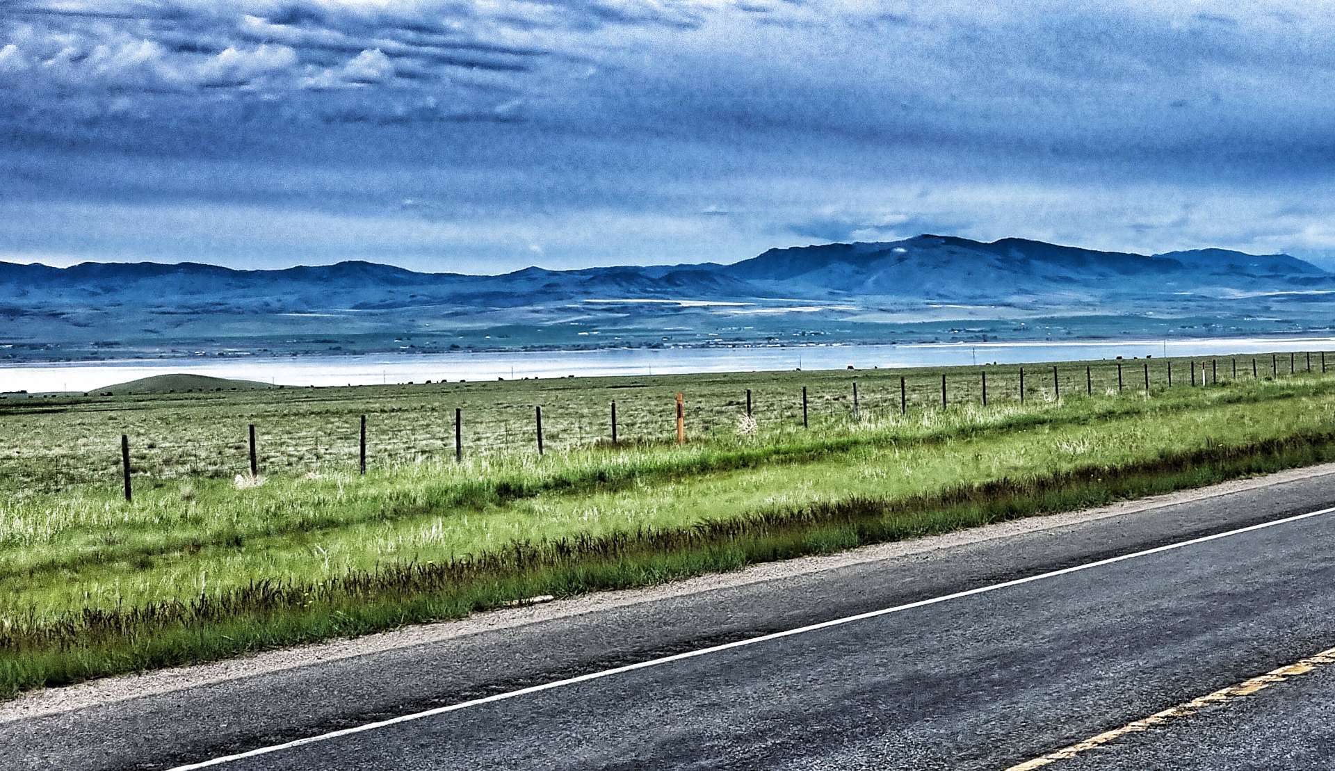
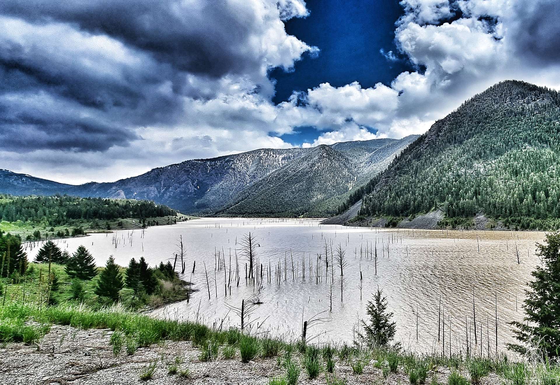
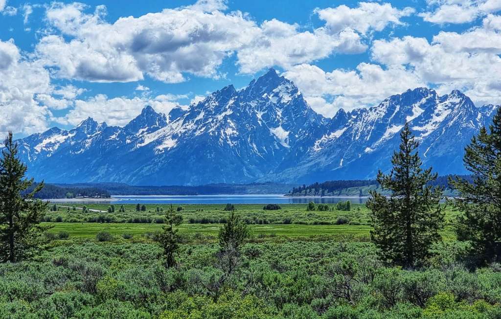
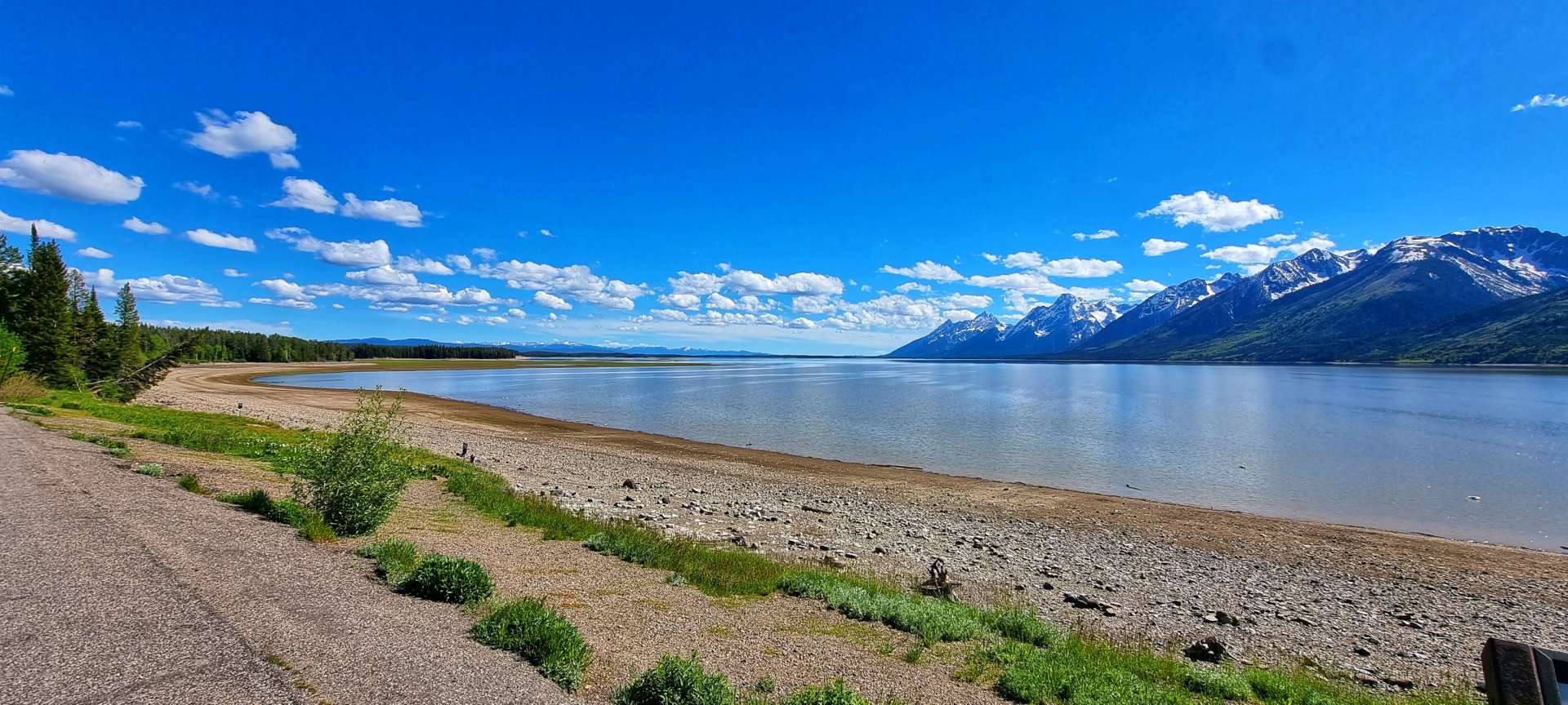
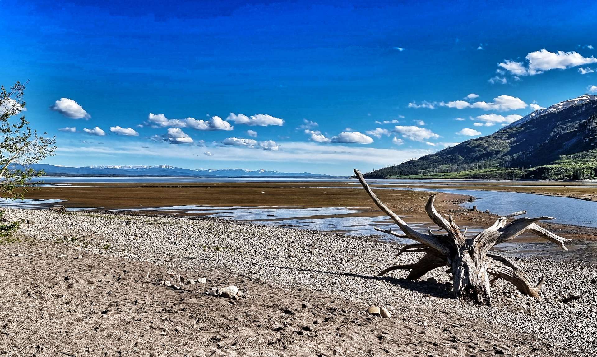
Further up the valley is Jackson Lake – it’s a 400 foot deep natural lake, that was modified in 1916 by the Bureau of Reclamation when they added a 39 foot dam to the lake & rebuilt it in 1989. The lake is a remnant of glacial gouging from the Teton mountain range to the west & the Yellowstone basin to the north. It extends 15 miles up & 7 miles across the valley & is one of the largest high altitude lakes in the USA.


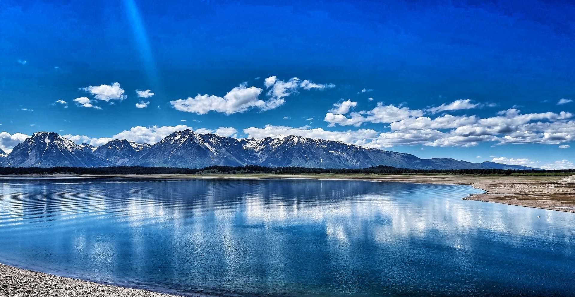

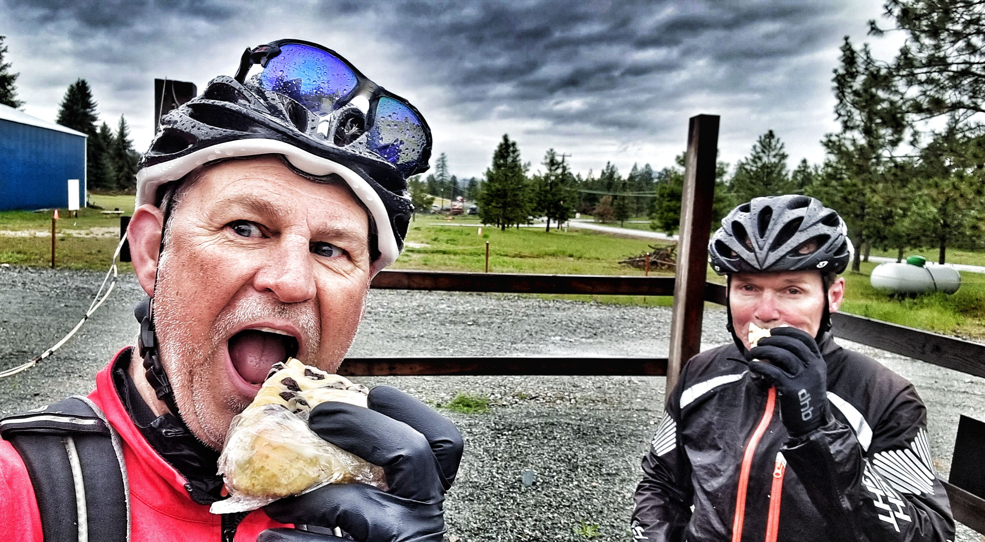
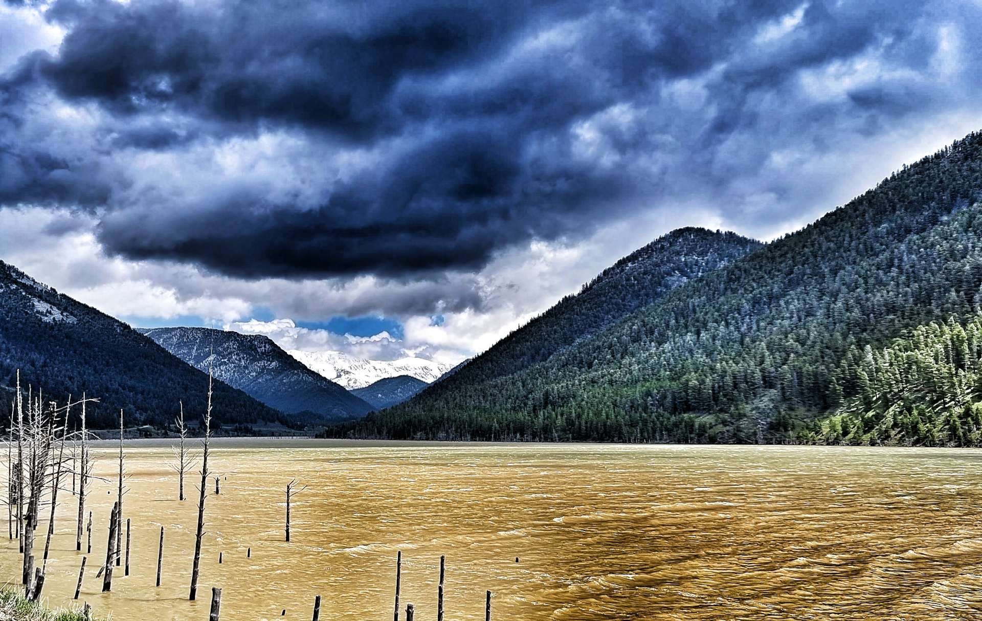
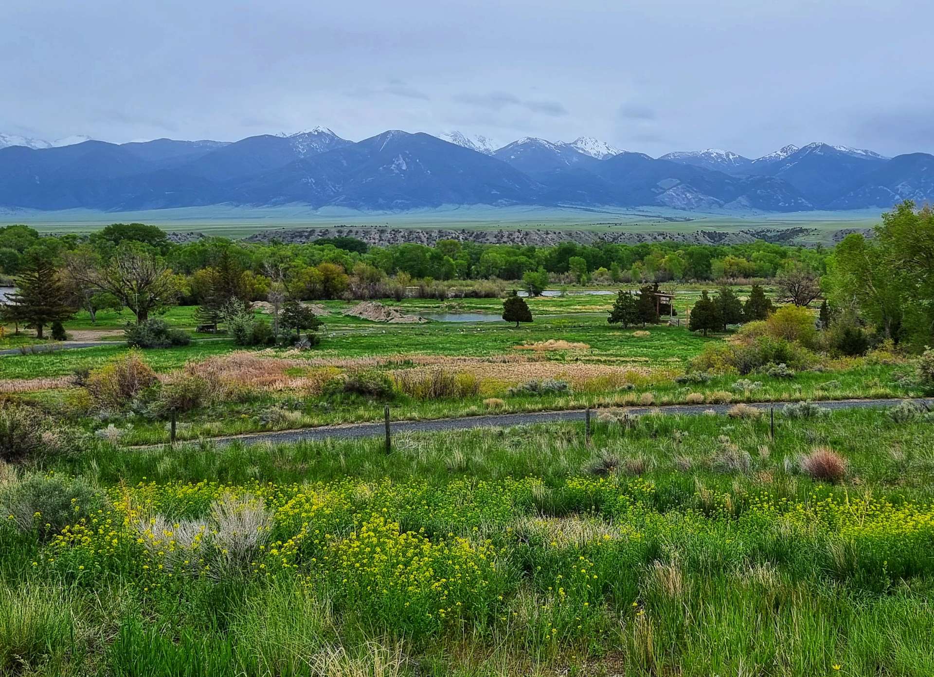
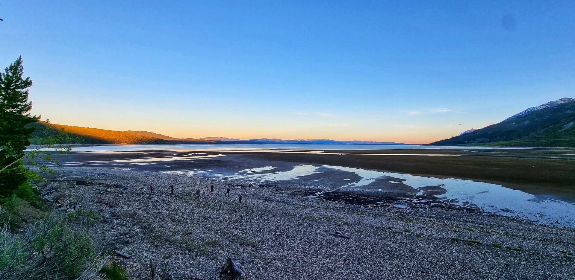
Continuing up the valley, it became more obvious that the water level in Jackson Lake is currently quite low, as more of the shoreline beach became visible. We stopped briefly at Colter Bay Village (a grand name for a gas station, if ever I heard one!) where we stocked up on sandwiches, crisps & fruit for our gourmet dinner later.
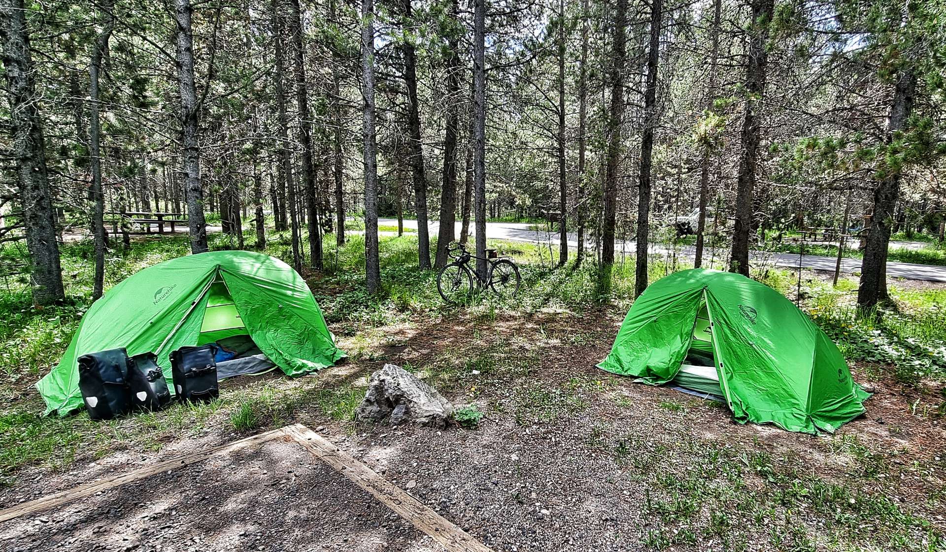
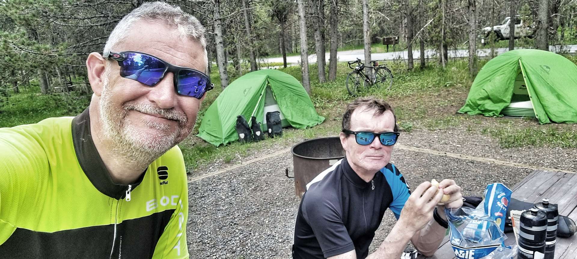
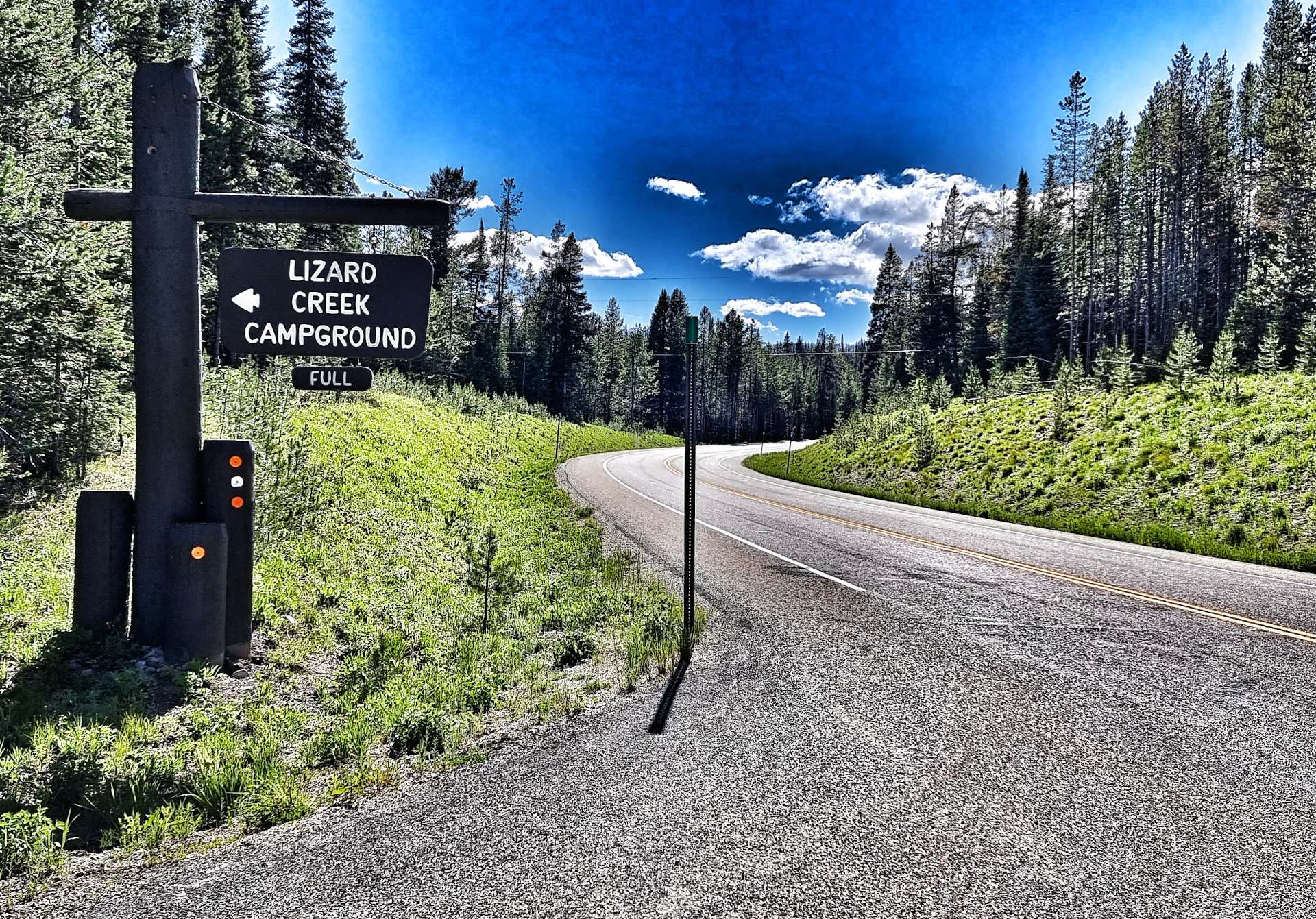
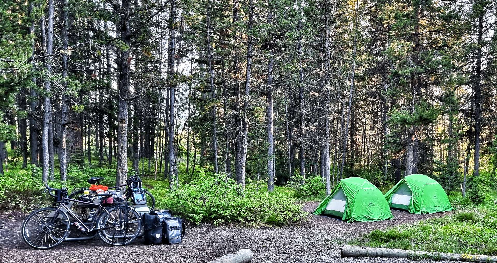
Lizard Creek Campground, where we’d be camping for the night was a mere 8 miles up the road. When we arrived, our friendly campground hostesses Marni & Mandy welcomed us & made sure we found our pitch for the evening.

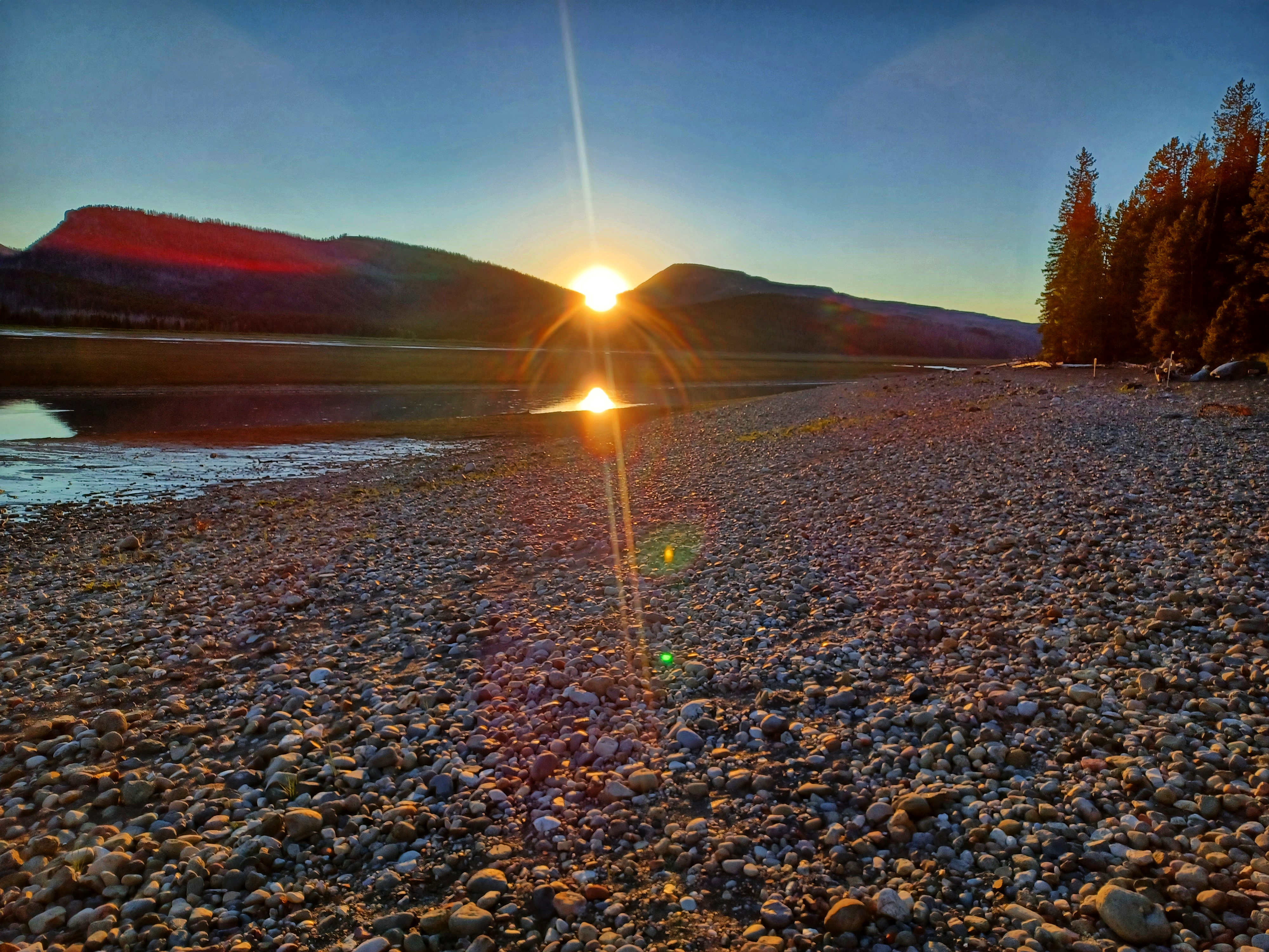
We set up camp, then ate our luxury dinner of ham & cheese sandwiches with either salt & vinegar or plain crisps. A little after 9pm we took a 2 minute stroll to the shoreline of Jackson Lake, where we watched the sun go down – huge thanks to Sean for sharing his sunset photo with me. The perfect end to the perfect day. Grand Teton National Park is a breathtakingly beautiful place & I’d encourage you to make time to visit if ever you’re in the region to see Yellowstone – you won’t be disappointed.


Stage Stats – 64 miles, 2,005 feet of climbing. Sunshine & blue skies all day as we explored a lesser known gem of a National Park.
Wednesday 22nd June – Lizard Creek Campground, Teton National Park to Grant Village, Yellowstone National Park (Stage 42).
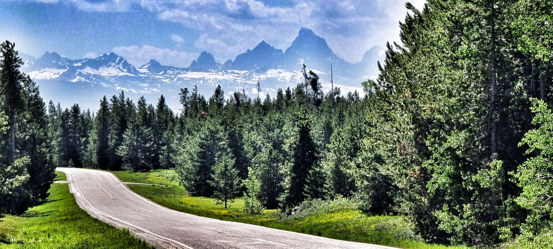
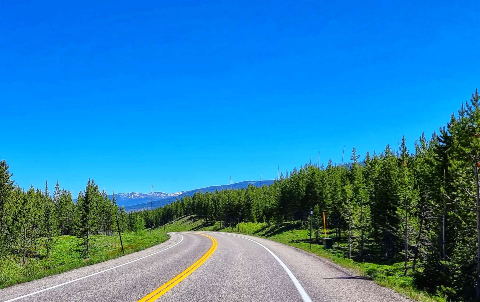
It was bitterly cold overnight (below freezing) – I bought a beanie on 19th May in Sandpoint for just such an occasion & slept in it last night, along with long legged thermal bibs & a long sleeved jersey. We were on the road by about 10am & continued on a constantly rising road for 6 miles through a section of burned forest, before exiting Grand Teton National Park on the John D Rockefeller Jr Memorial Parkway as we headed towards Yellowstone.
John D Rockefeller was the only son of the founder of Standard Oil (now Exxon or Esso depending on which side of the Pond you’re from). He was a philanthropist & financier who donated $500 million to a wide range of causes, including Grand Teton, Acadia & the Great Smokie Mountain National Parks. Congress dedicated a parcel of 24,000 acres of land to recognise his contributions.
He was also involved in the Rockefeller Center (US Spelling), making him one of the largest real estate holders in New York City at one point. I’d encourage you to do your own research to better understand how he amassed his wealth so he could become a philanthropist. It’s not a simple or straightforward story so I’ll leave you to draw your own conclusion.


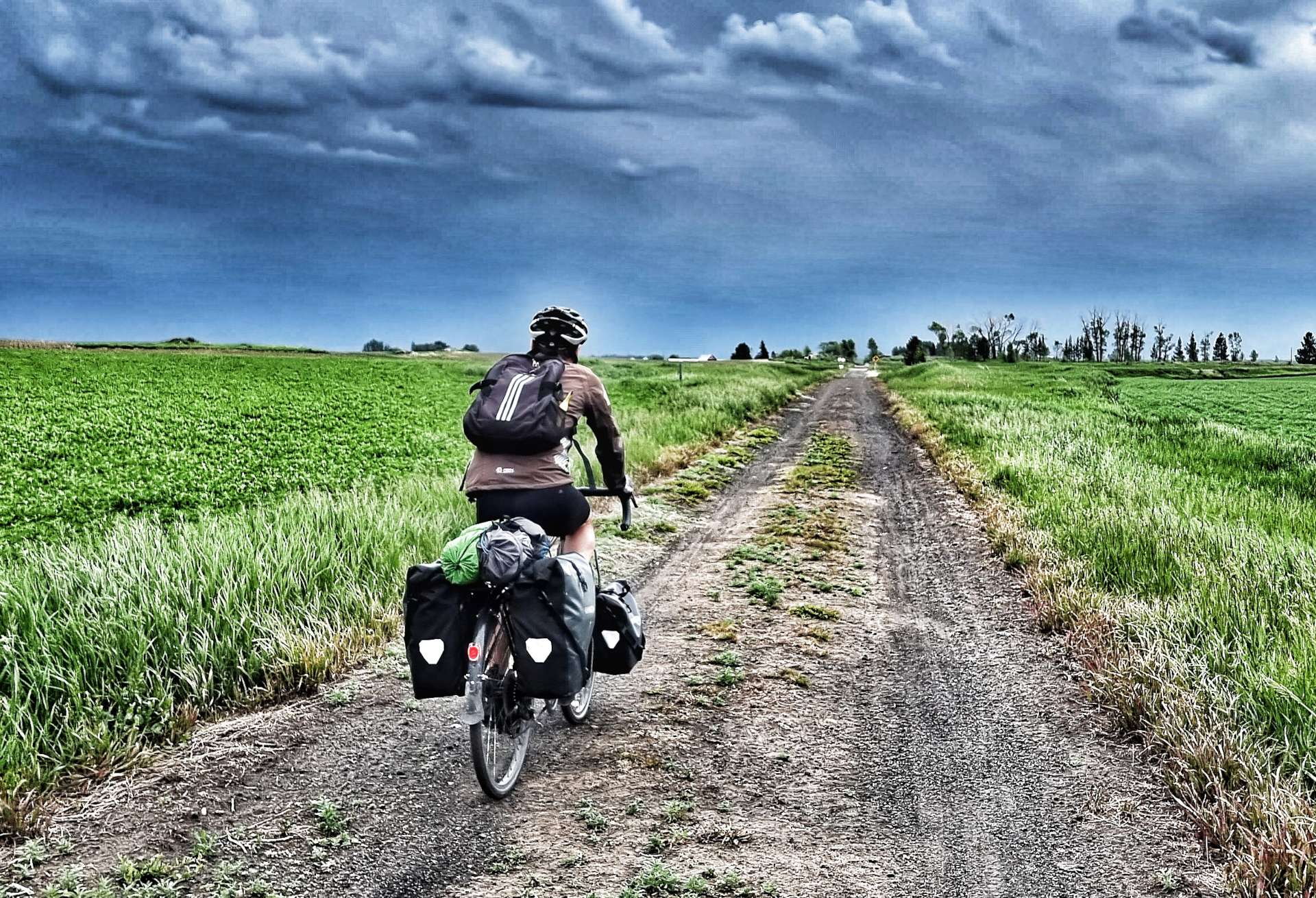
I’ll remember the stretch of road between Grand Teton & Yellowstone National Parks for two unrelated reasons.
Firstly, it’s where I experienced my first p*nct*re of the adventure – it took between 15 & 20 minutes to unload the bike, check the tyre, fit a new innertube & be on our way again. I’ll try & remember to take a photo next time!
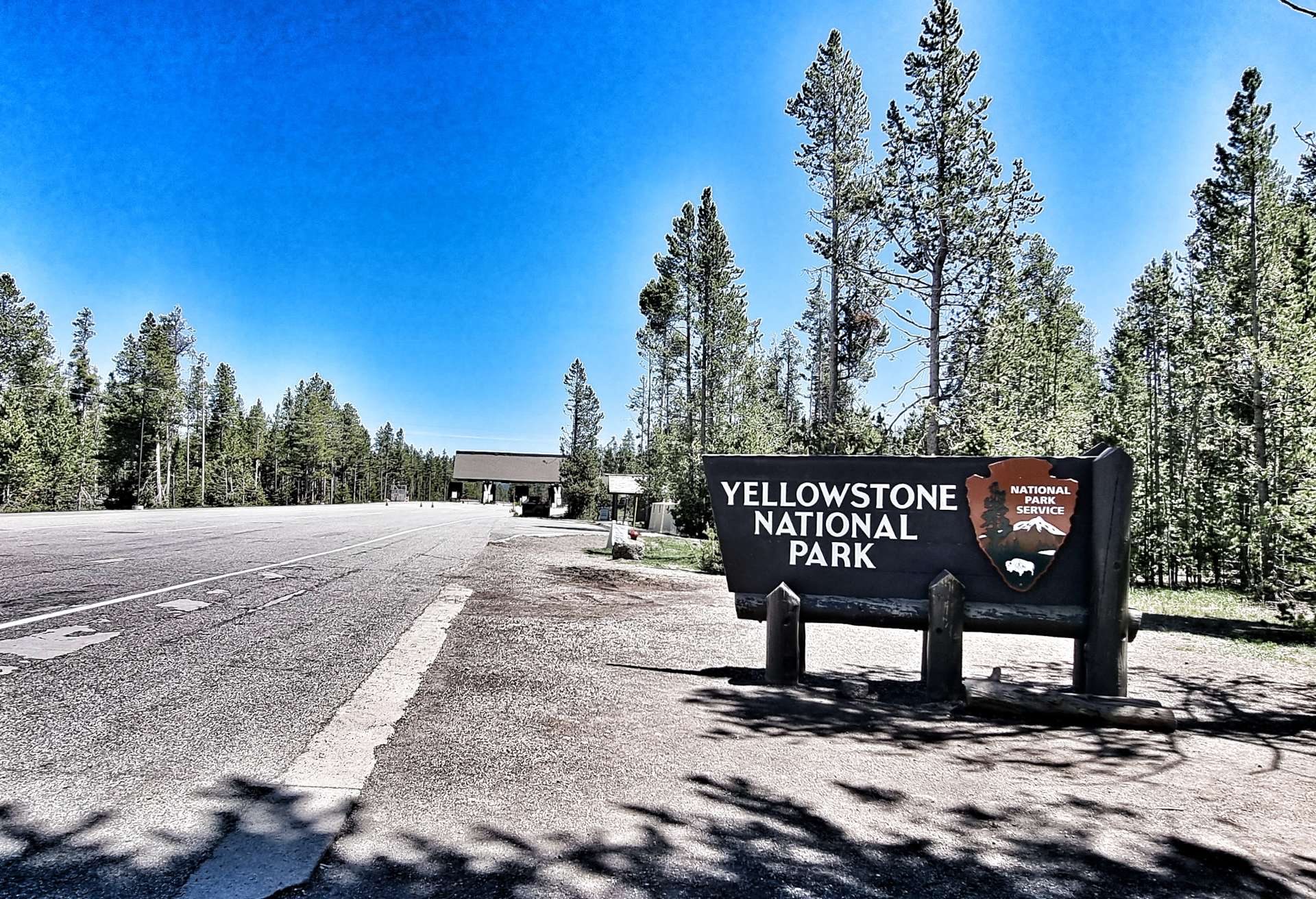
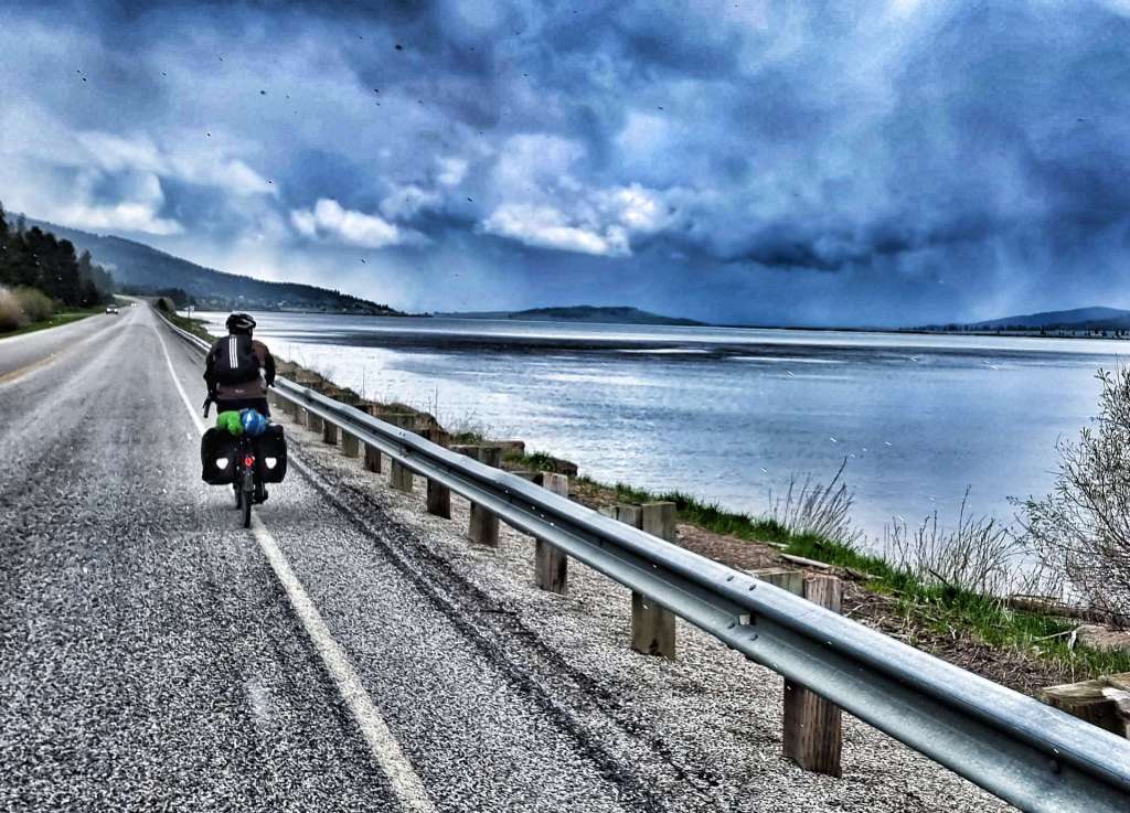
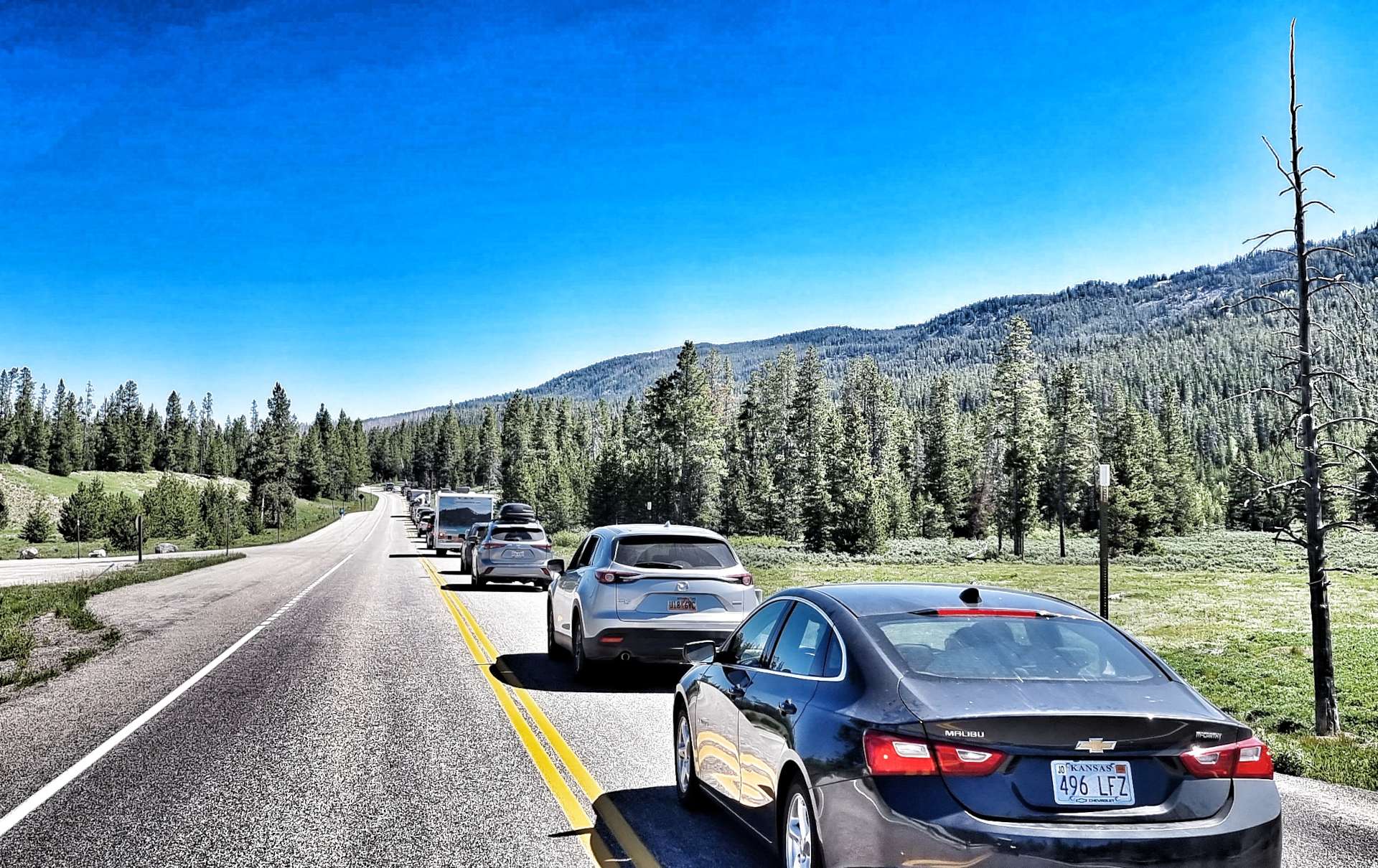
Secondly, we cycled down the hard shoulder, passing a 4 mile tailback of cars queueing to get in Yellowstone’s South Entrance. As an aside, when we stayed at West Yellowstone, we were less than 1/2 mile from the West Entrance Gate – we took a 227 mile detour to get into Yellowstone via the South Gate. But look at the unexpected adventures the last week has brought us!
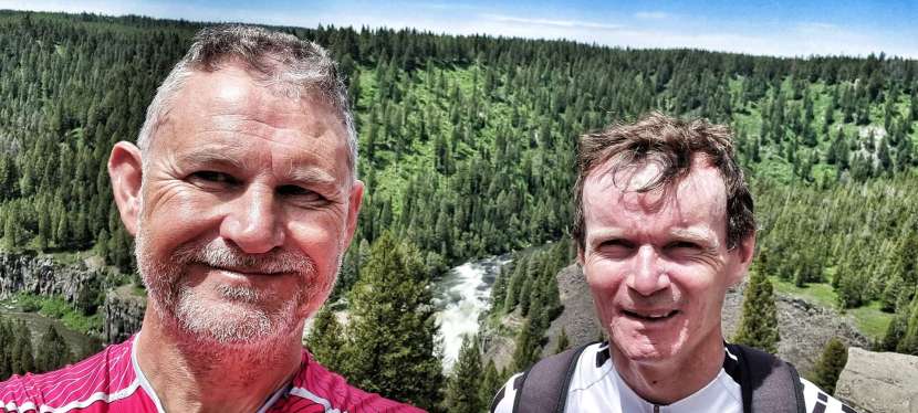
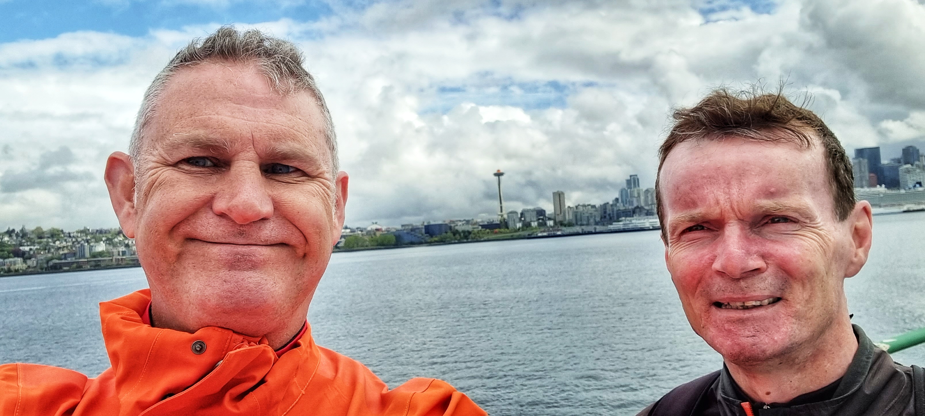
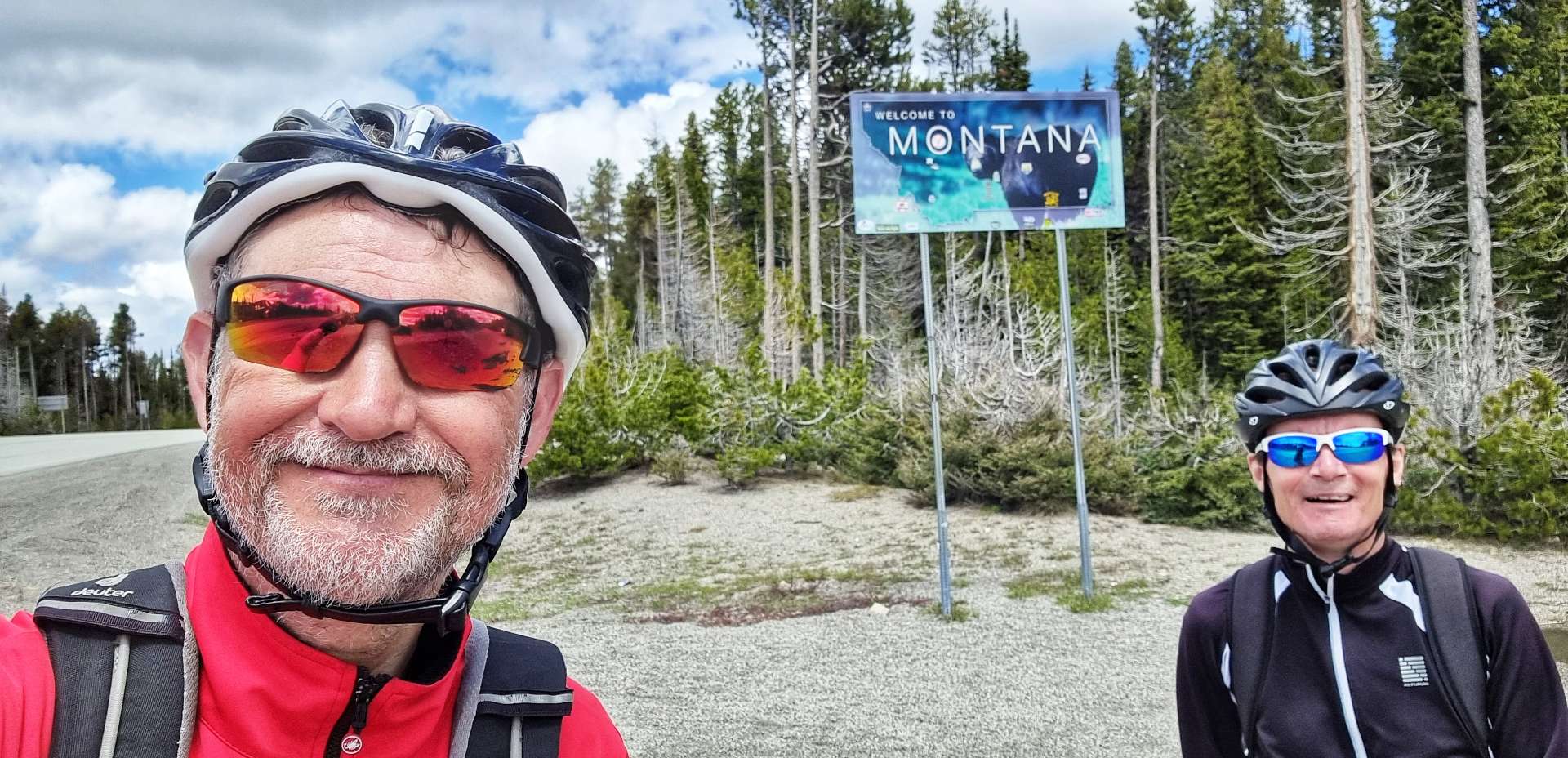
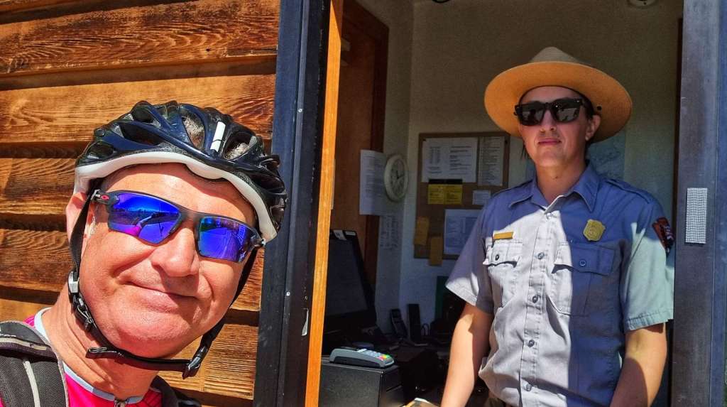
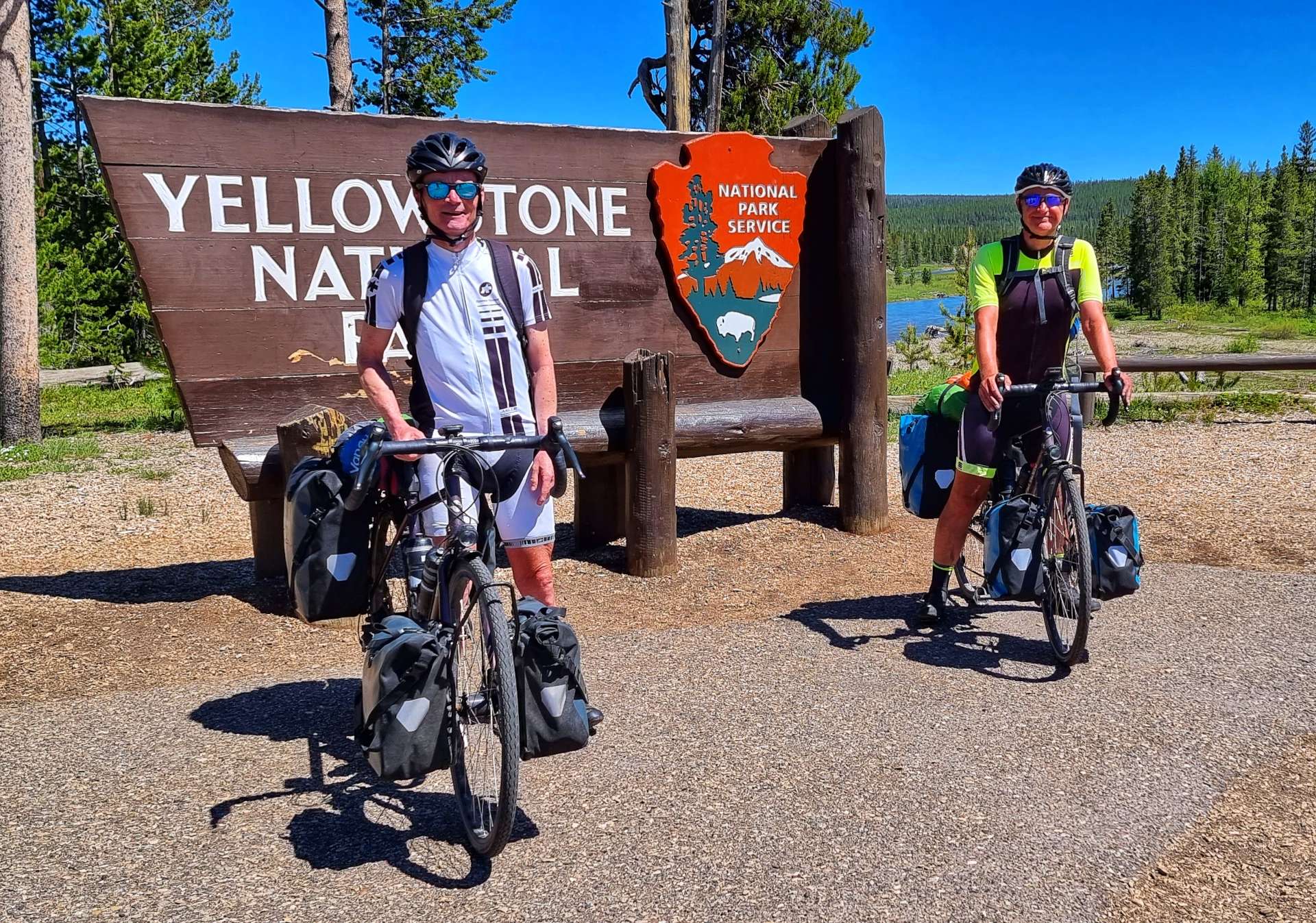
A friendly Ranger took a photo of us both by the Yellowstone sign, before we set off up the Snake River valley.
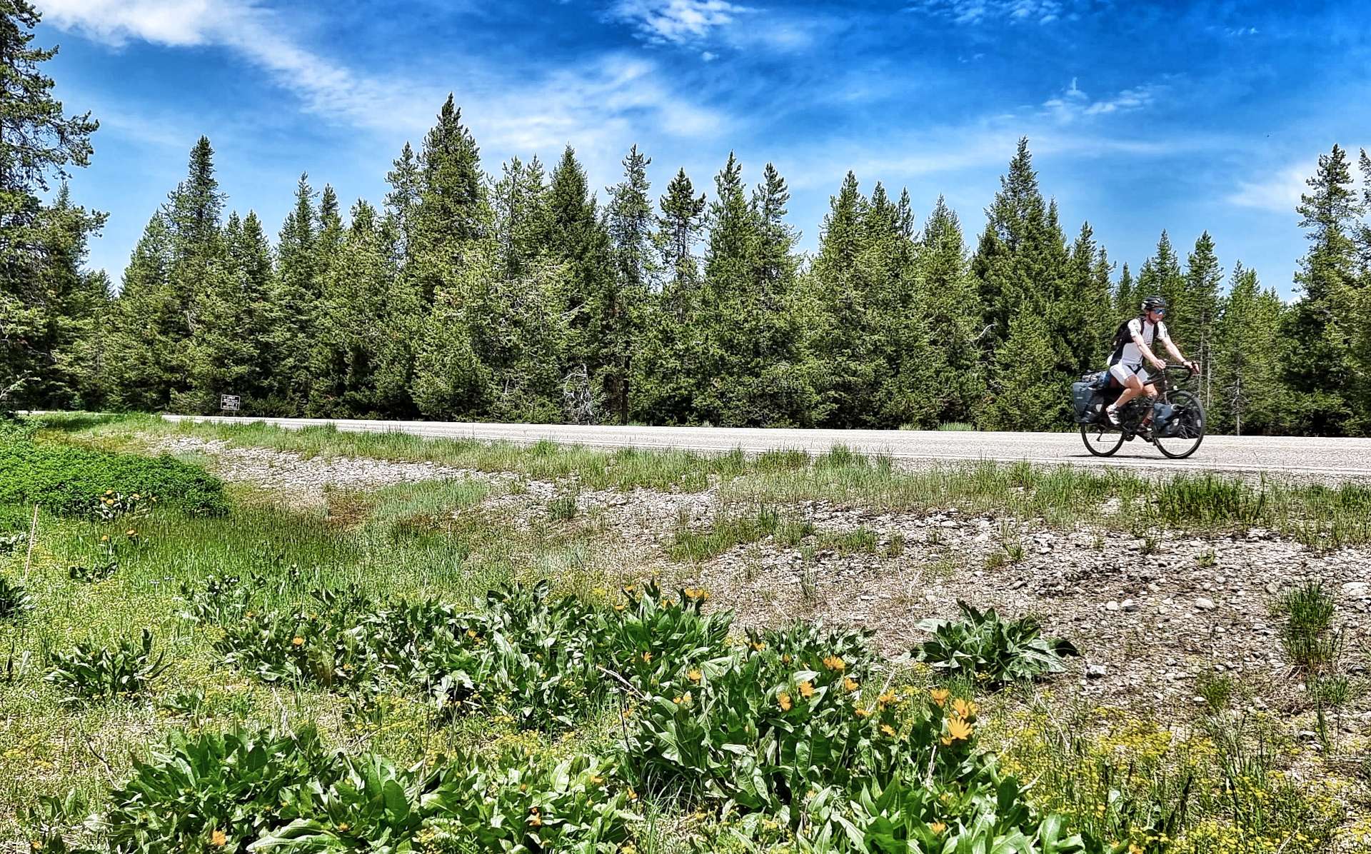
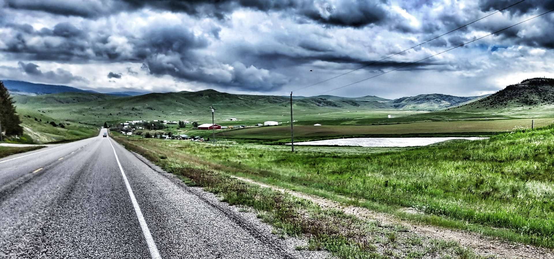
Yellowstone opened today for the first time in over a week – while this increased queues for cars trying to get into the park, the upside was no traffic was leaving the National Park, so traffic could overtake us safely whenever they wanted to. The climb up the Snake River valley was relentless – never steep, but also never ending as we threaded our way through the forest!
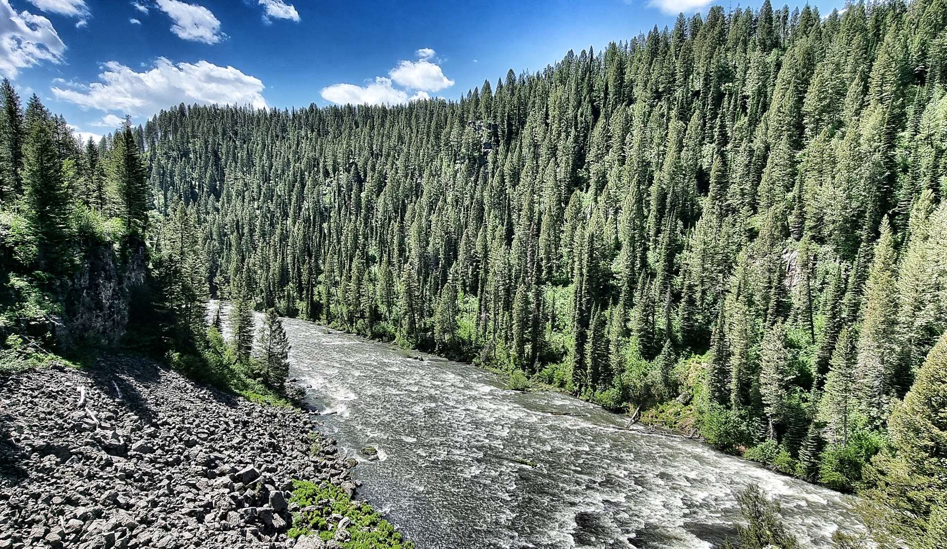
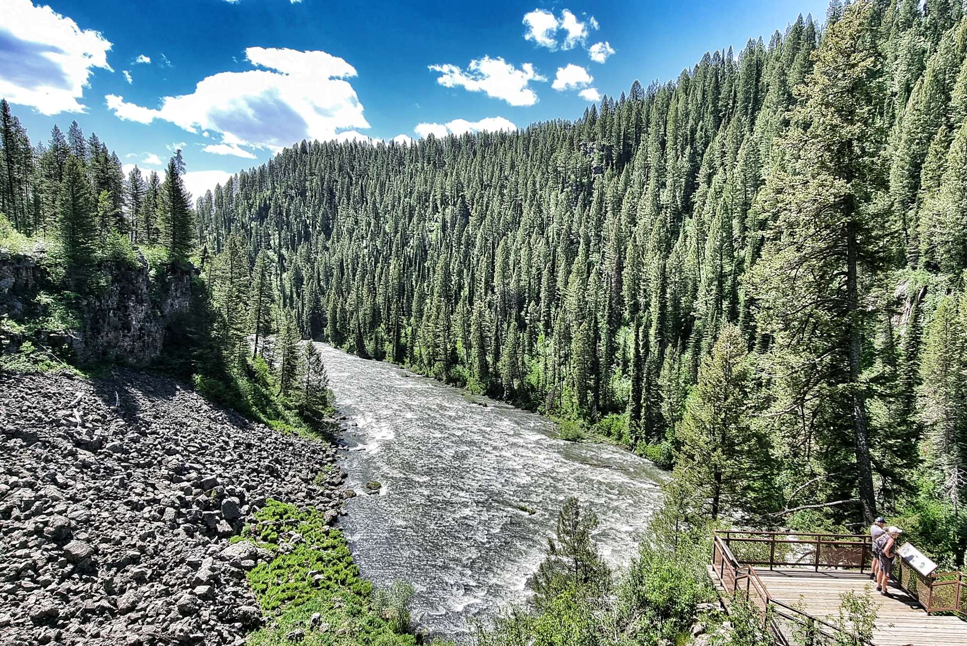
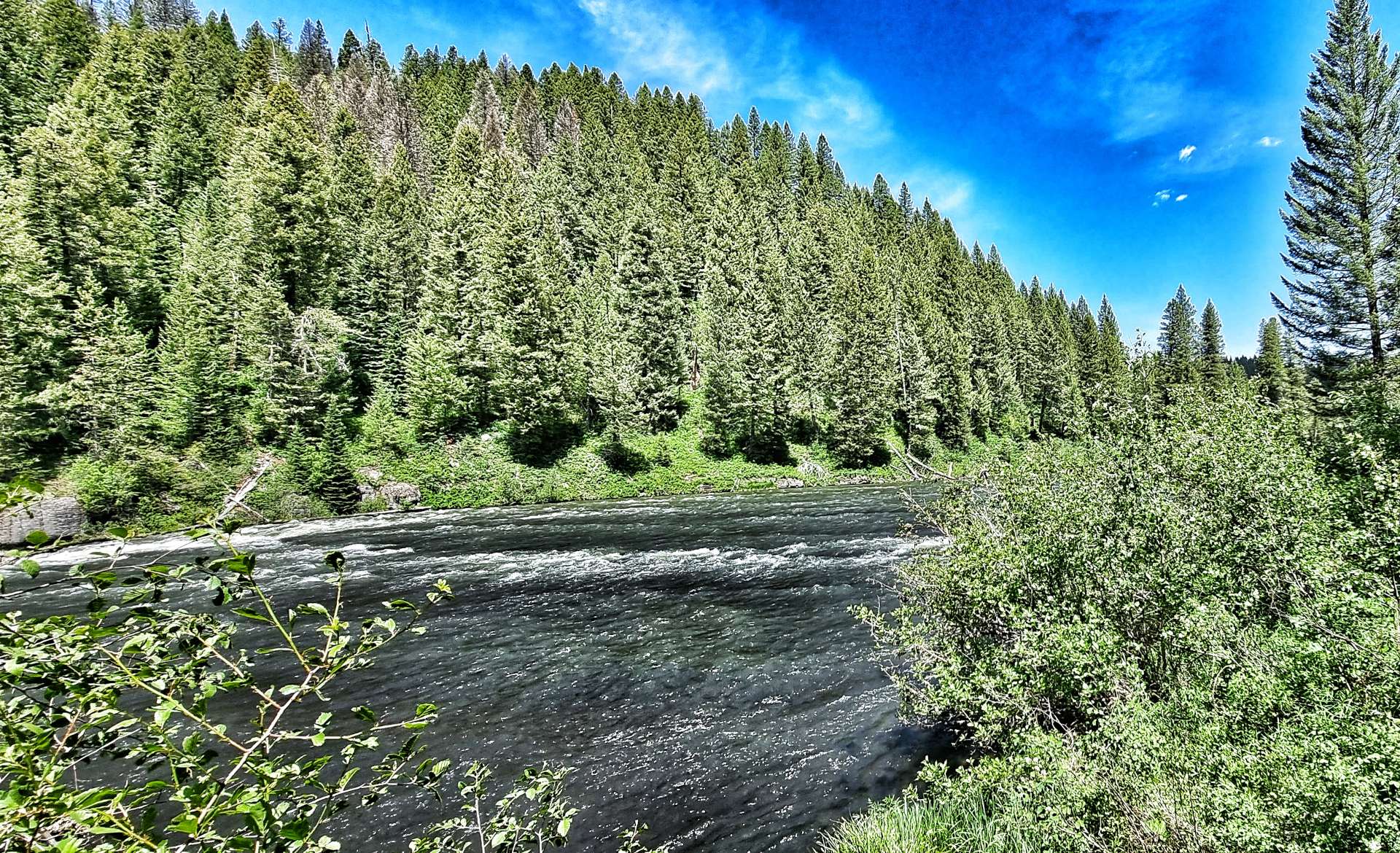
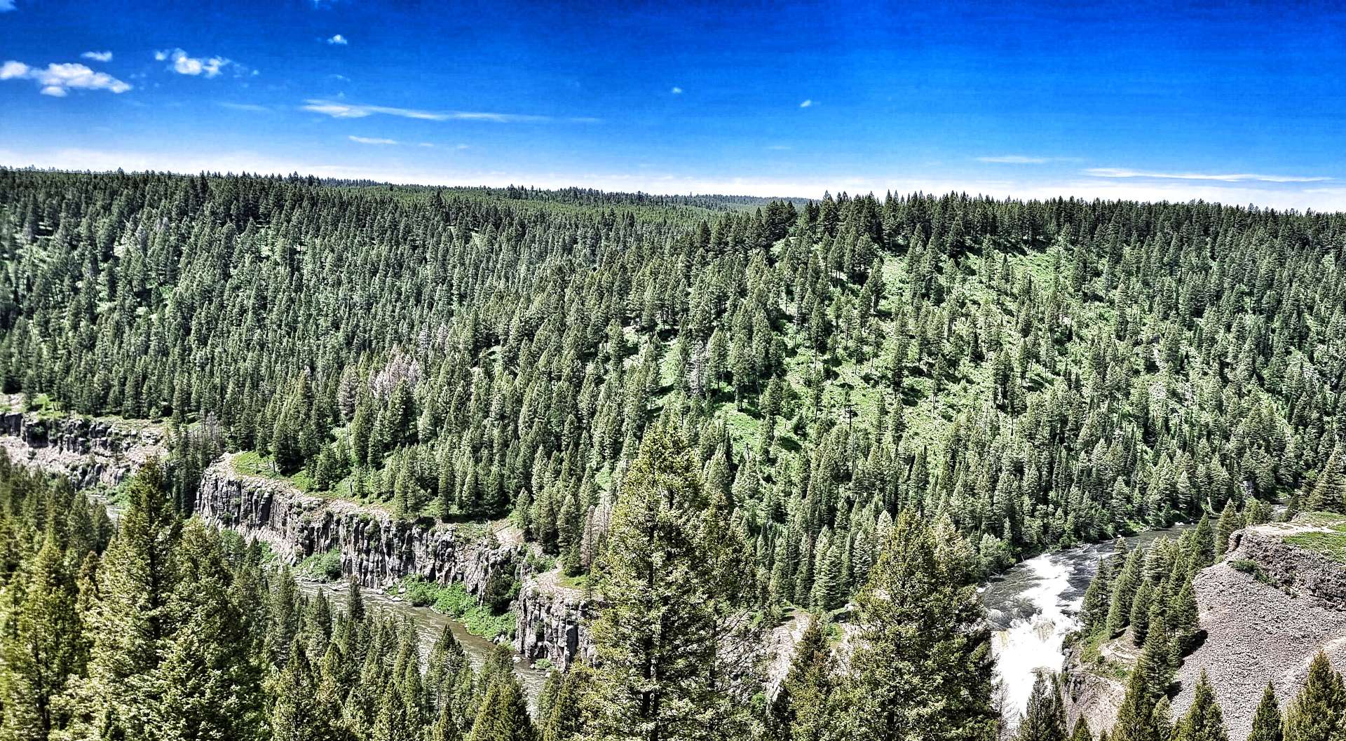
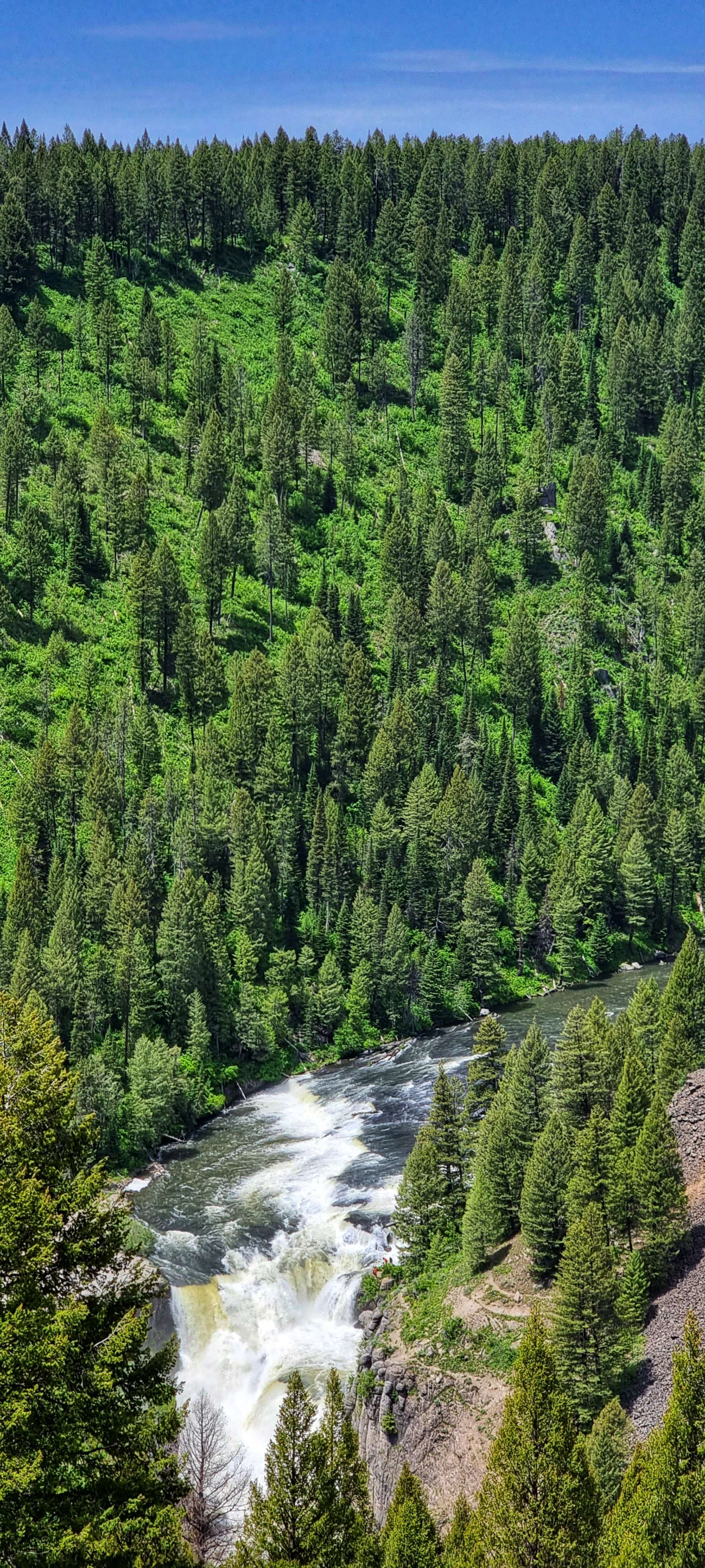
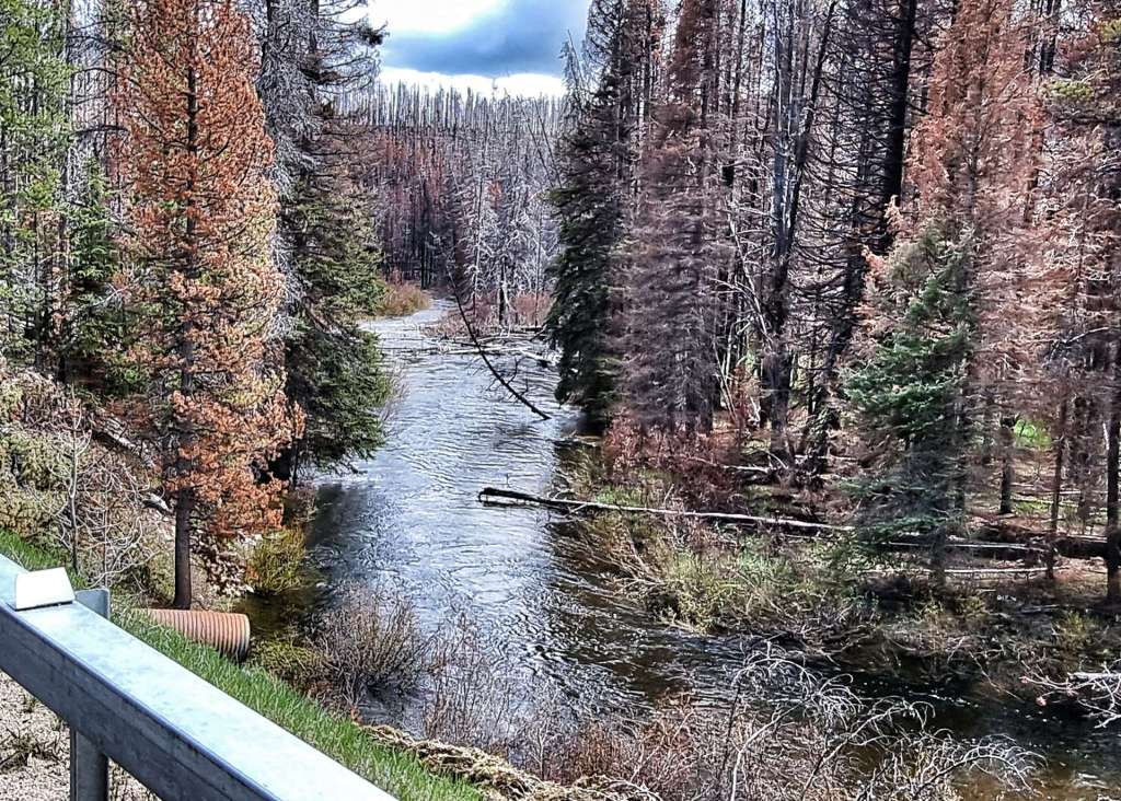
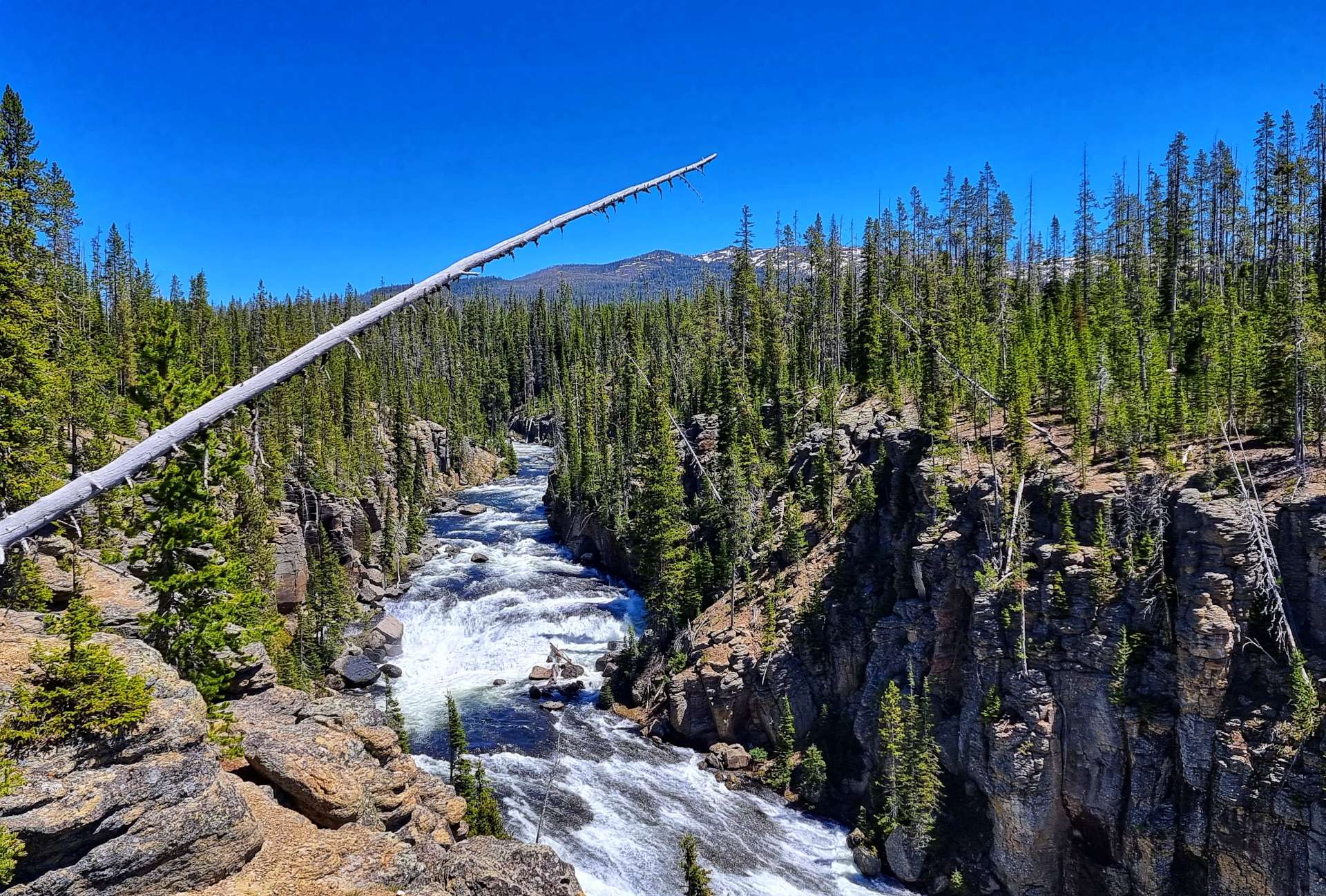
As we headed towards the rim of the canyon, views to the other side of the valley opened up, with occasional sightings of the river below.
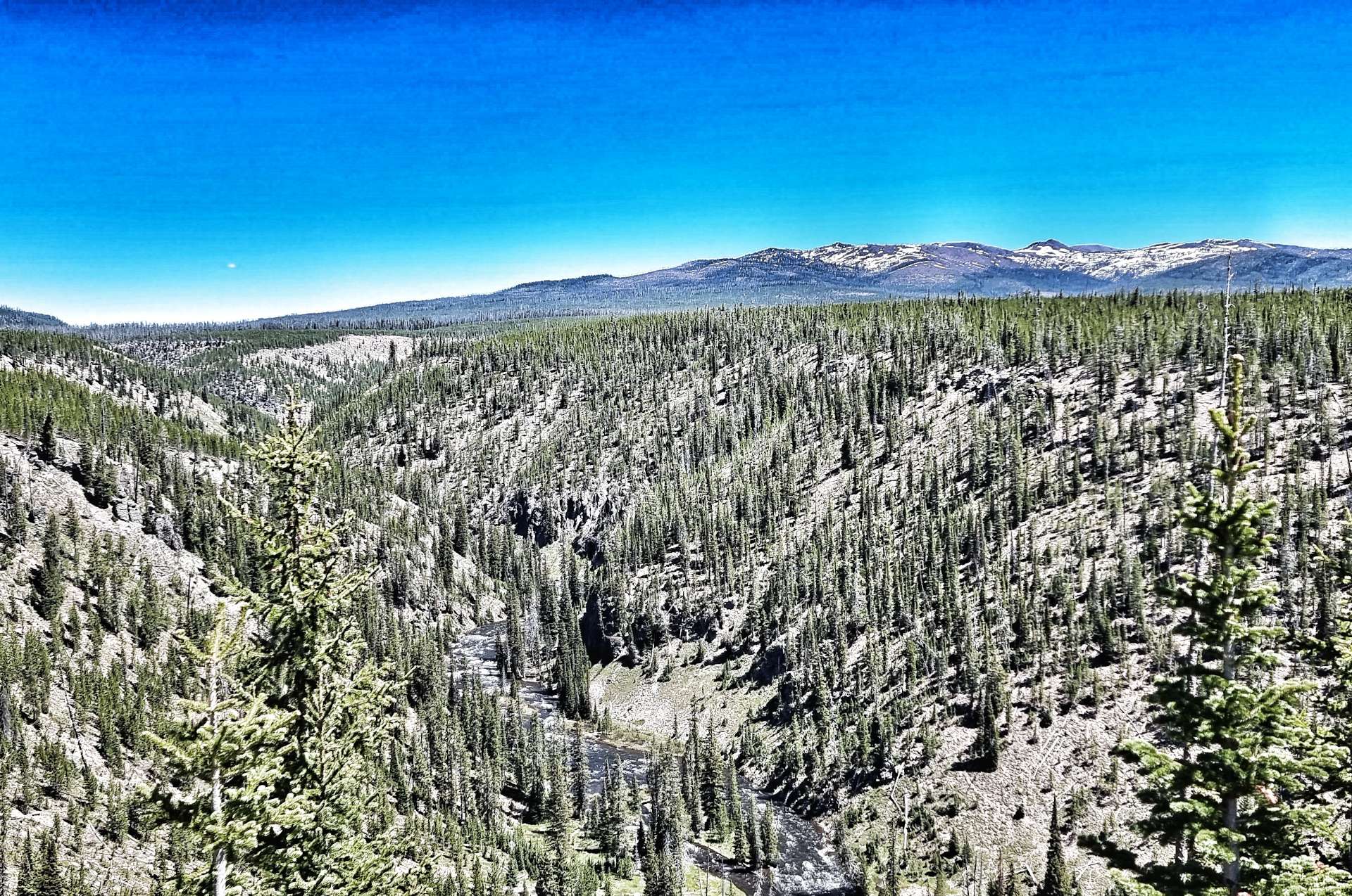

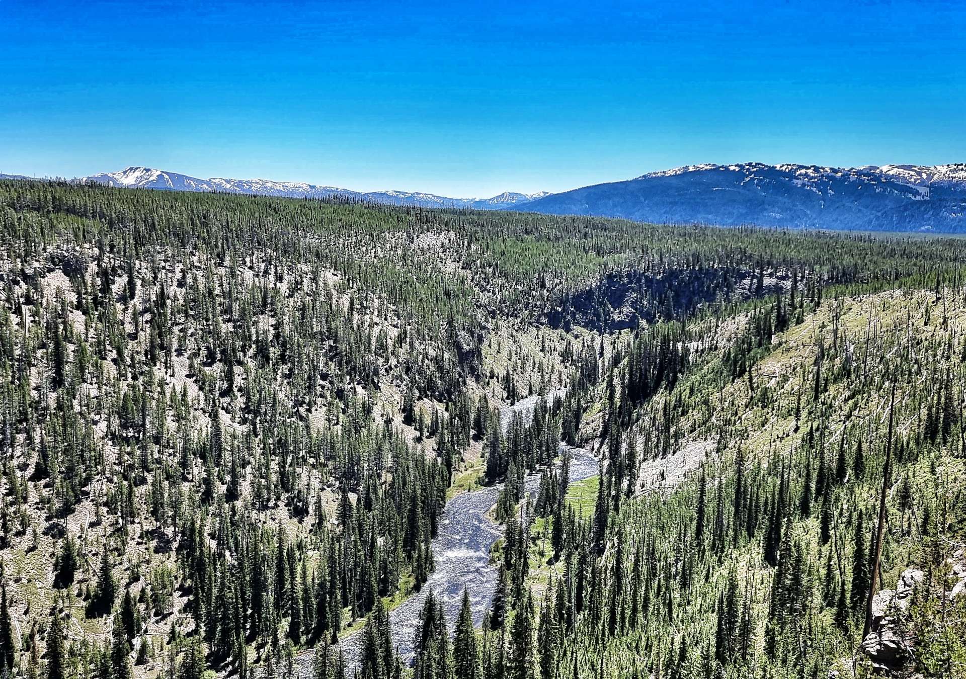
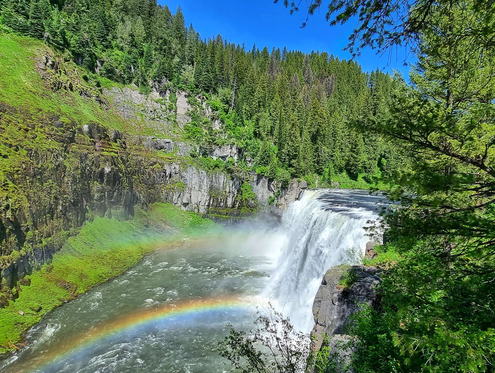
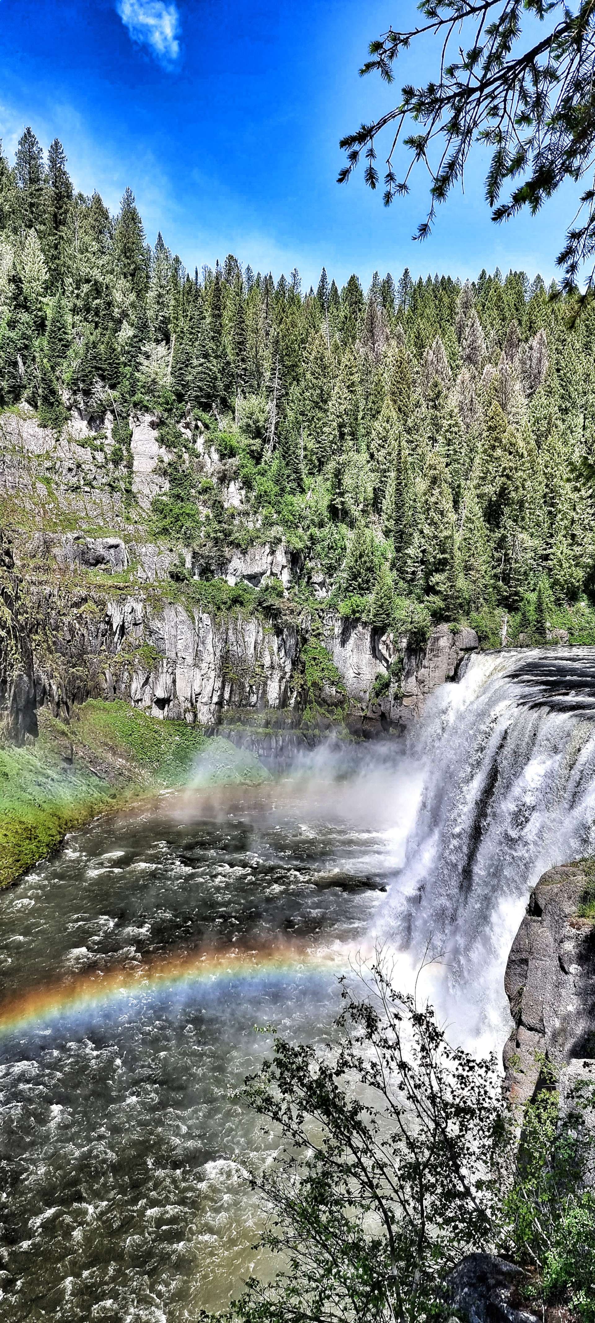
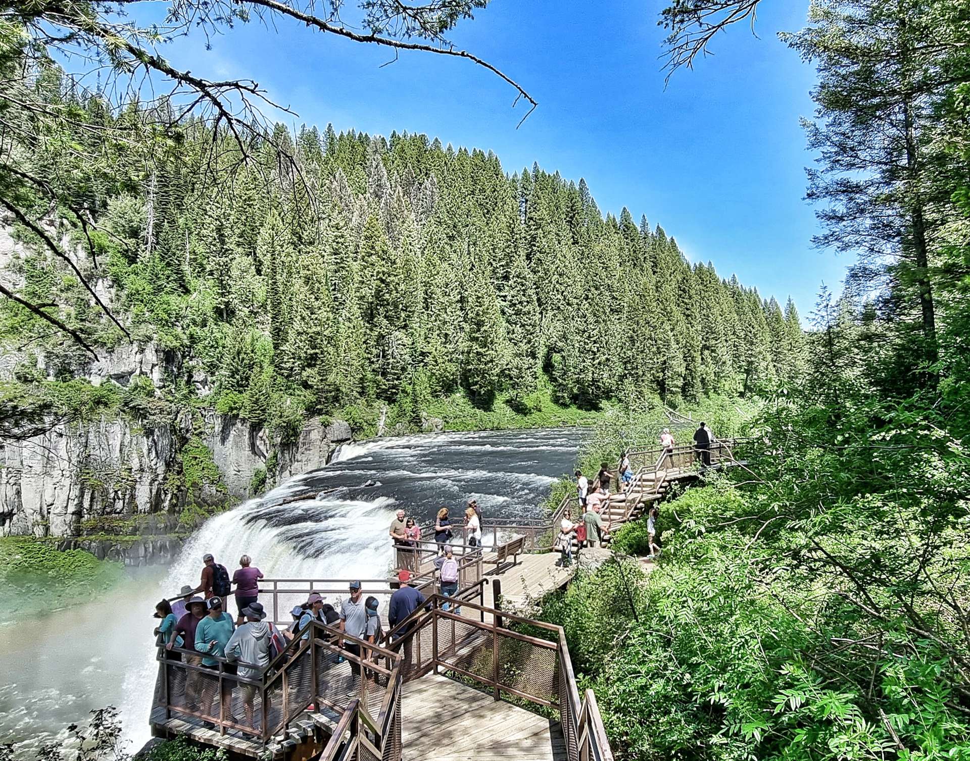
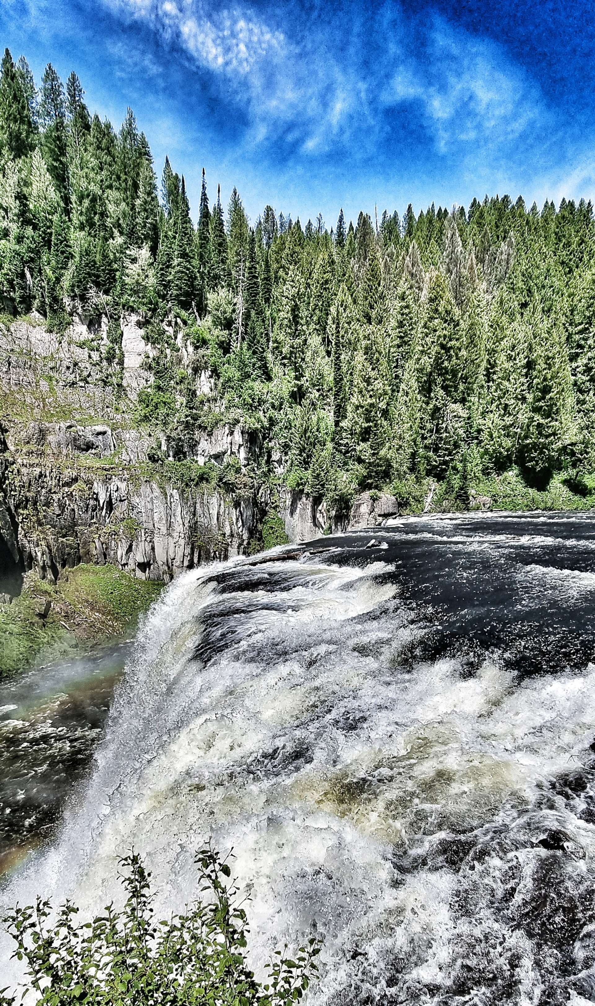
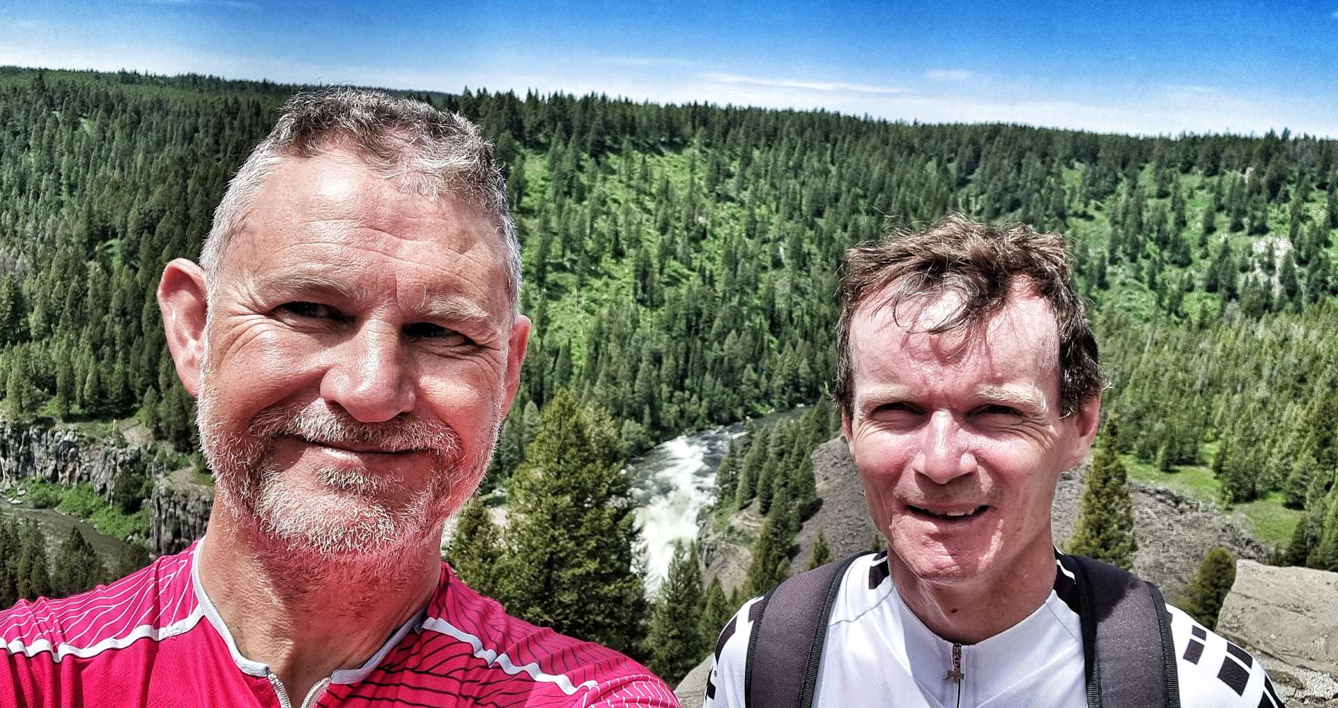
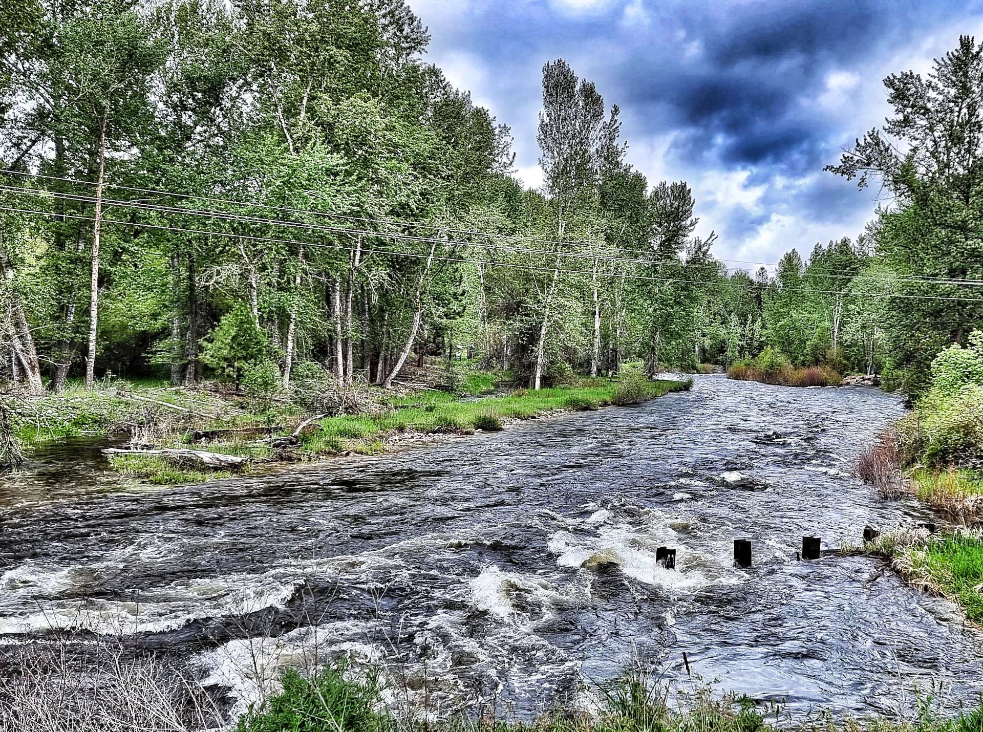
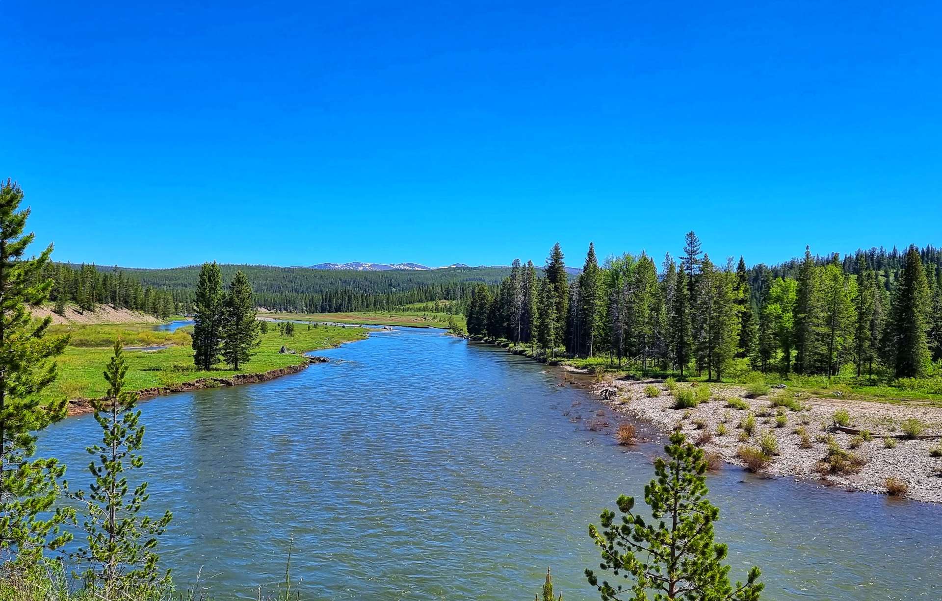
Then all of a sudden the Snake River revealed itself as it cascaded down the valley at Moose Falls & Lewis Canyon Falls – there was white water all the way, suggesting that the water was fast running & the river lost height quickly.

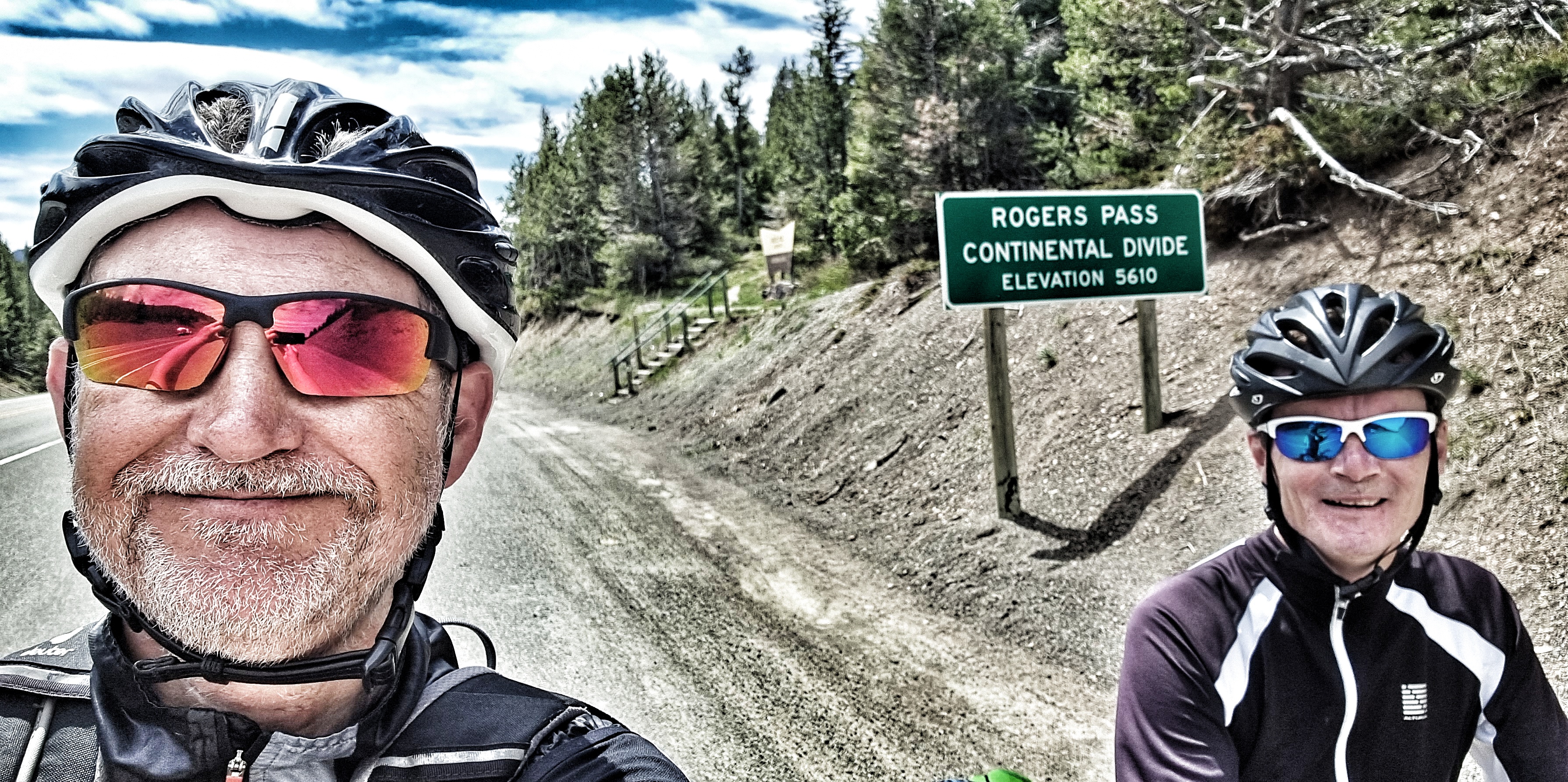
Although the climbing hadn’t quite finished for the day. we were now on much kinder gradients – instead of fast running rivers, we were surrounded by lakes that fed into the Lewis River. As we passed Lewis Lake itself, we knew the climbing was at end end & we had a reward waiting for us……

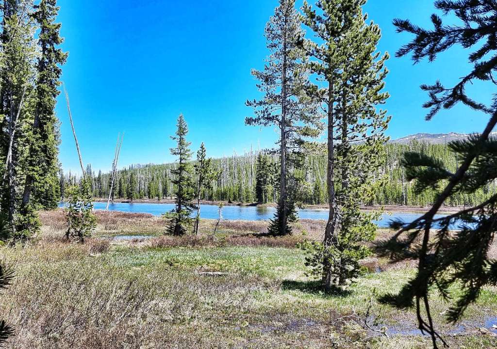


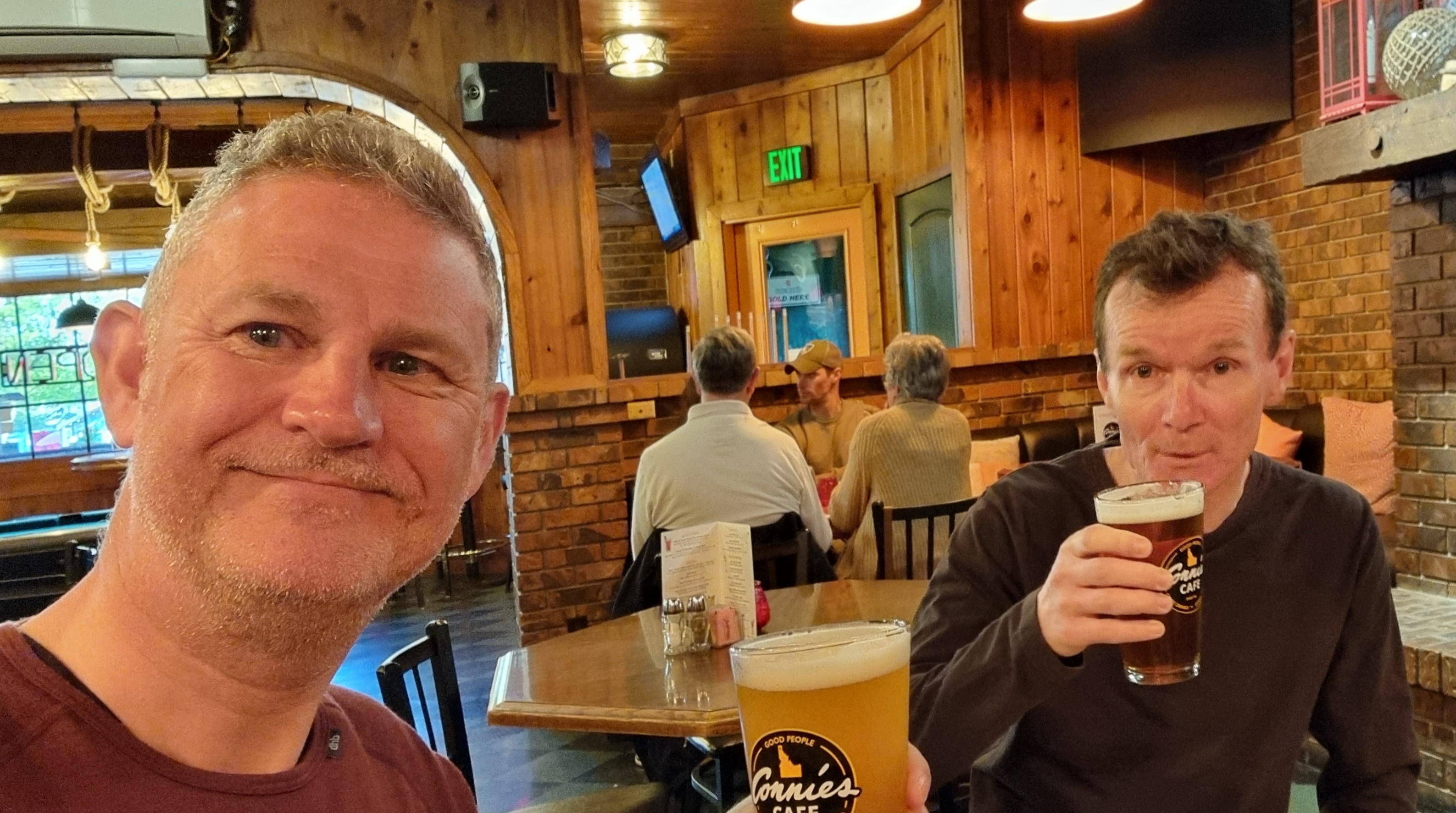
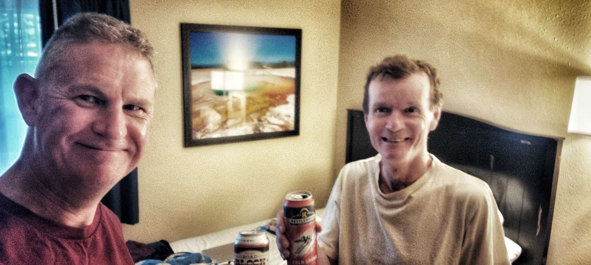
We were on the Continental Divide once more! After a quick selfie, we were on our way again for the gentle descent into Grant Village, where we’d managed to secure a non-air conditioned, no tv, flaky wifi room for the bargain price of $366 (including tax) between us. Luckily sandwiches were slightly cheaper than that at $8 each, but dinner in our room still cost $35 each, including a tinny to celebrate making it to Yellowstone in the first place!
Tomorrow our Yellowstone adventure continues!
Stage Stats – 31 miles, 2,251 feet of climbing. Sunshine & blue skies all day again as we said goodbye to Grand Teton National Park & hello to Yellowstone National Park.