
Hey, Hey, Hey, we’re off to see Yogi at Yellowstone. Oh, no we’re not! Sunday 12th to Tuesday 14th June
Sunday 12th June – Helena to Three Forks
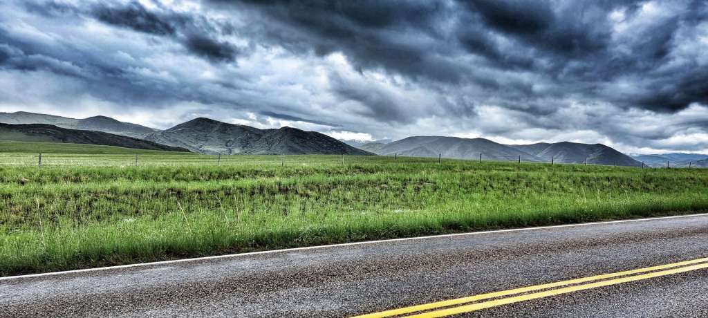
After a couple of rest days, we were looking forward to a 3 day block of riding which would take us to Yellowstone National Park to see Yogi Bear, Booboo & Ranger Smith. We were up & on the road under overcast skies by 9.15am, for what on paper looked to be a straightforward day – gradual climbing most of the day with a couple of small downhills.
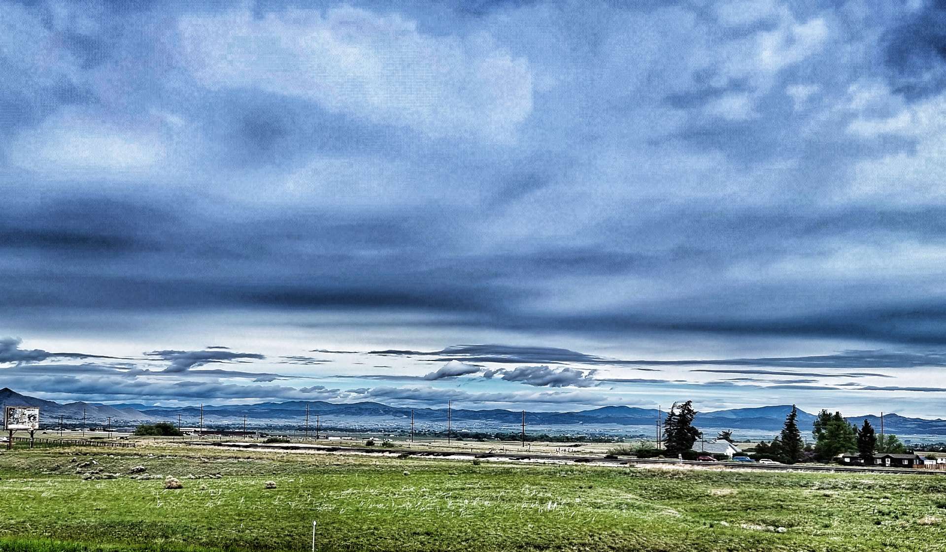
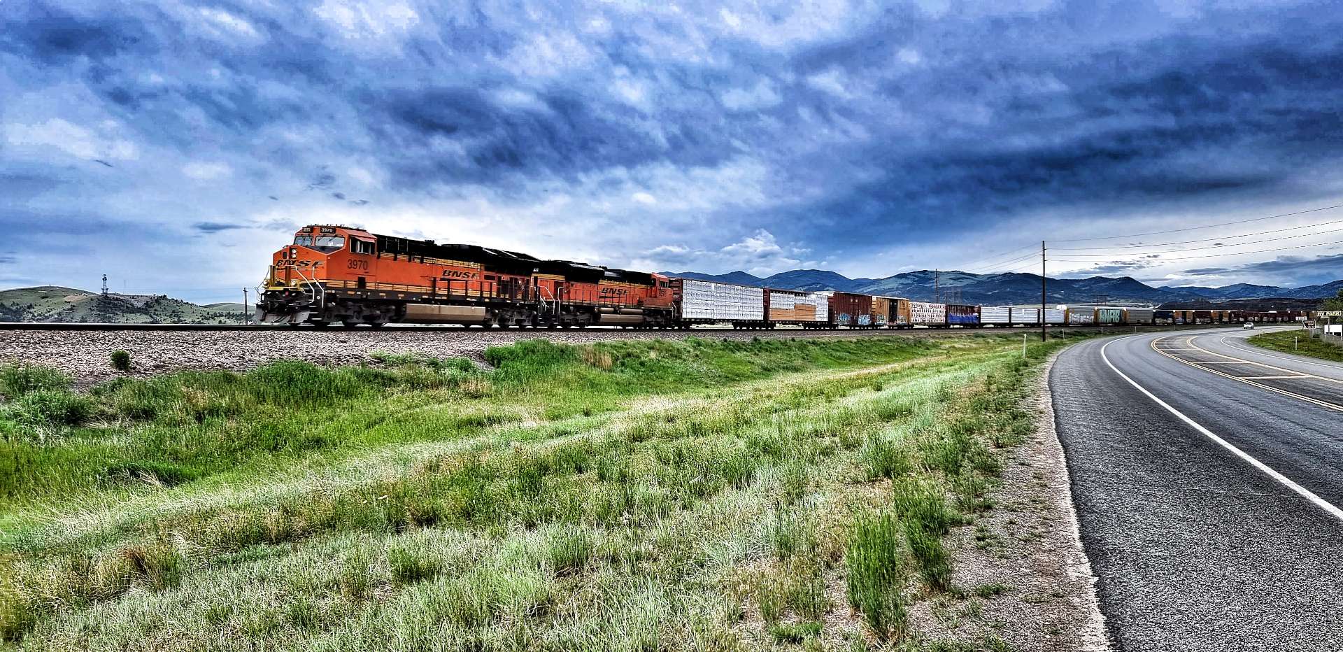
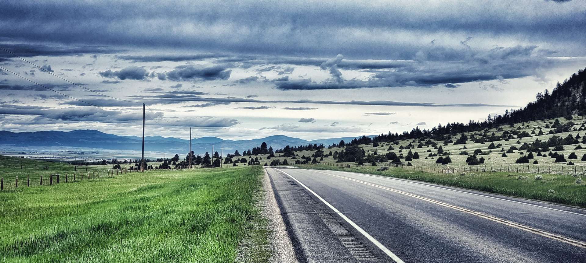
Before we’d even left town we passed a docile deer nibbling on a boundary hedge of a house – it can’t have been 5 yards away from us & to begin with I thought Sean was joking when he said “Deer Alert!” & as a result I missed my opportunity for another deer close-up. We soon picked up Highway 287, which was going to be our road for the next 3 days. We were surrounded by big mountains, with the railroad off to our right & big, cloudy skies overhead. There was also a wind that was beginning to pick up some momentum & it was blowing across us & into our faces!

A combination of cross-headwind & a small incline results in slow progress for me – I realised this when I deliberately let Sean ride off the front so I could get a photo, then had to work really hard to get back in his wheel! The road was quite busy with RV’s making their way towards Yellowstone & one poor deer found himself on the wrong side of the road. We watched vehicles speeding past until the deer spotted a gap & sprinted across the road, fleeing into the wide open spaces.
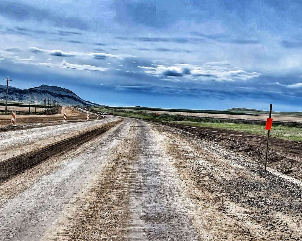
After about 10 miles we hit a 4 mile patch of rough gravel laid on mud, as the main carriageway was being resurfaced – we bumped & rattled along, making progress as fast we could, with cars & RV’s impatiently passing us.
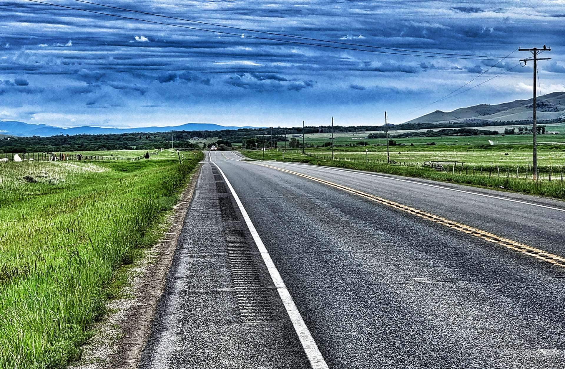
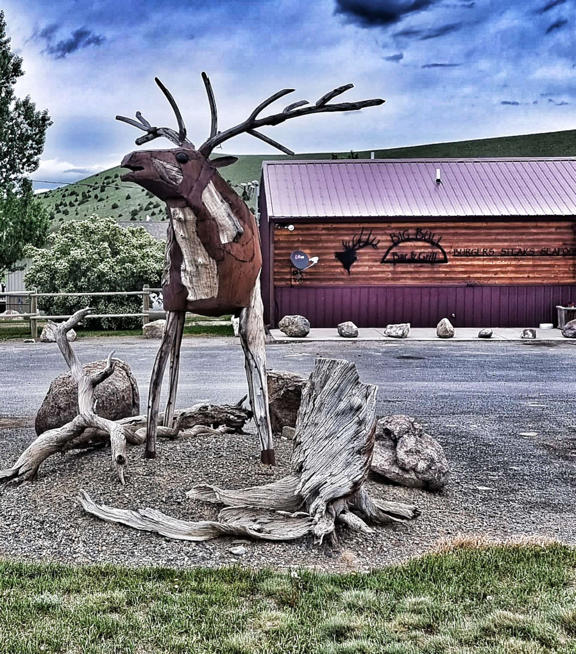
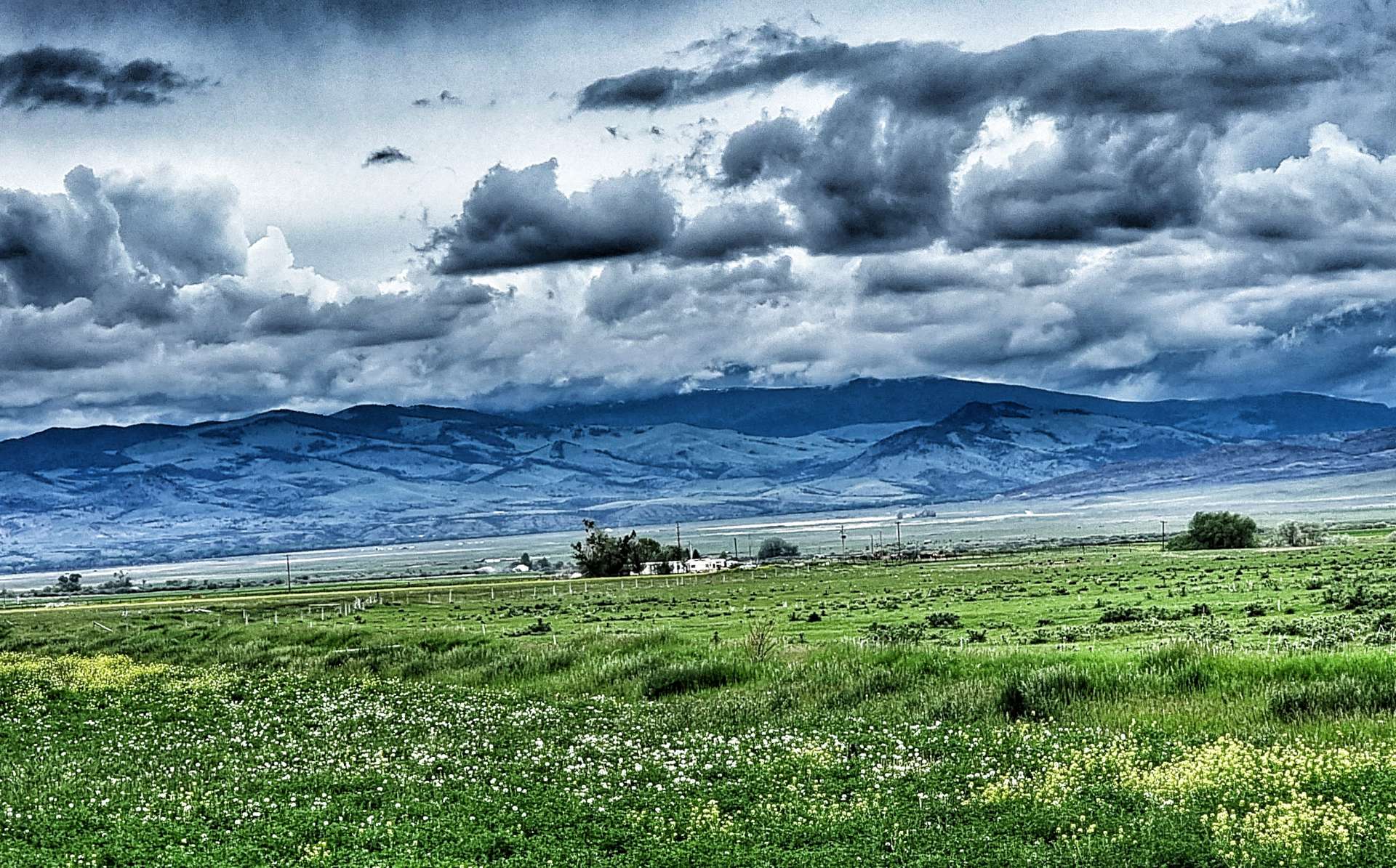
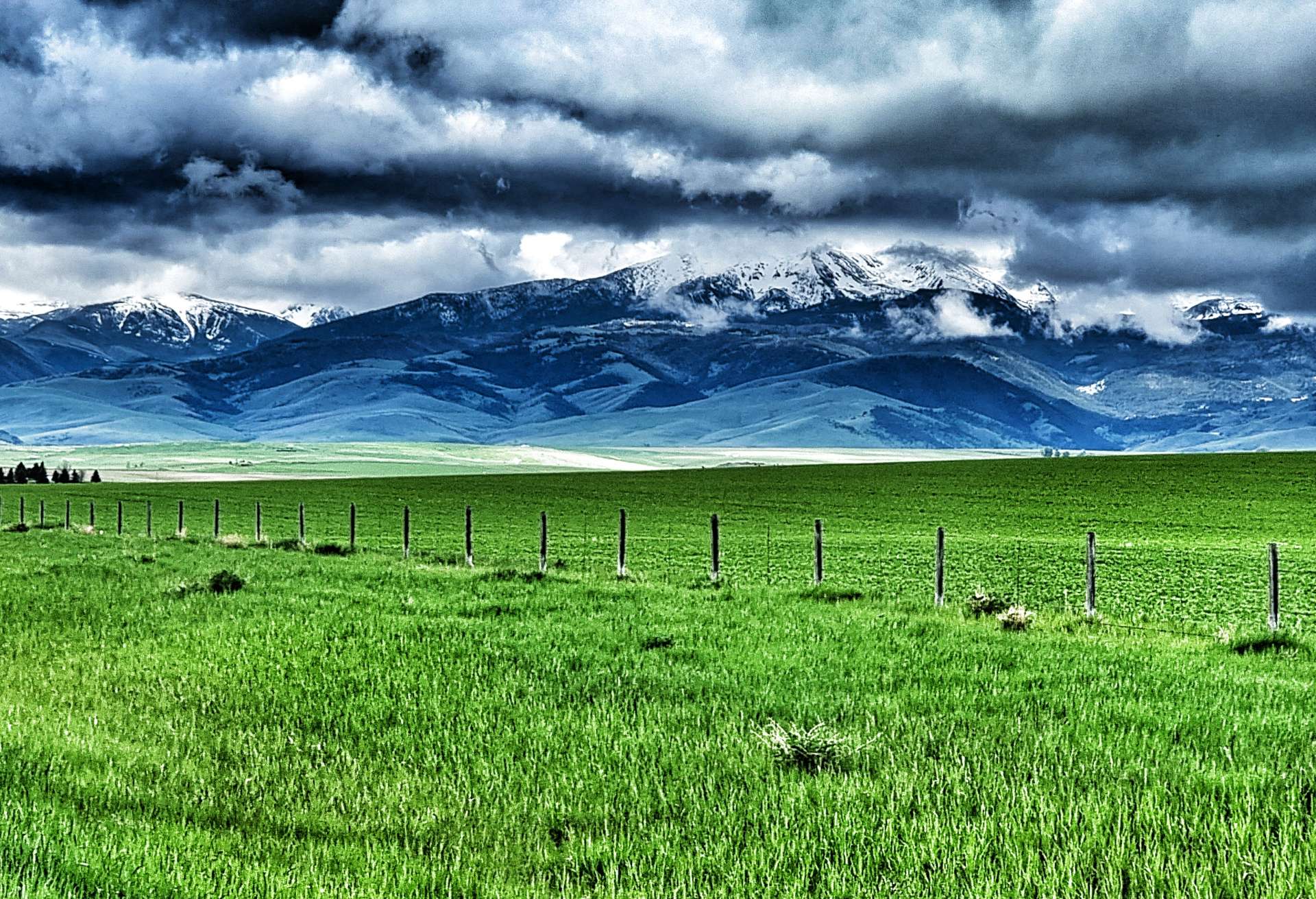
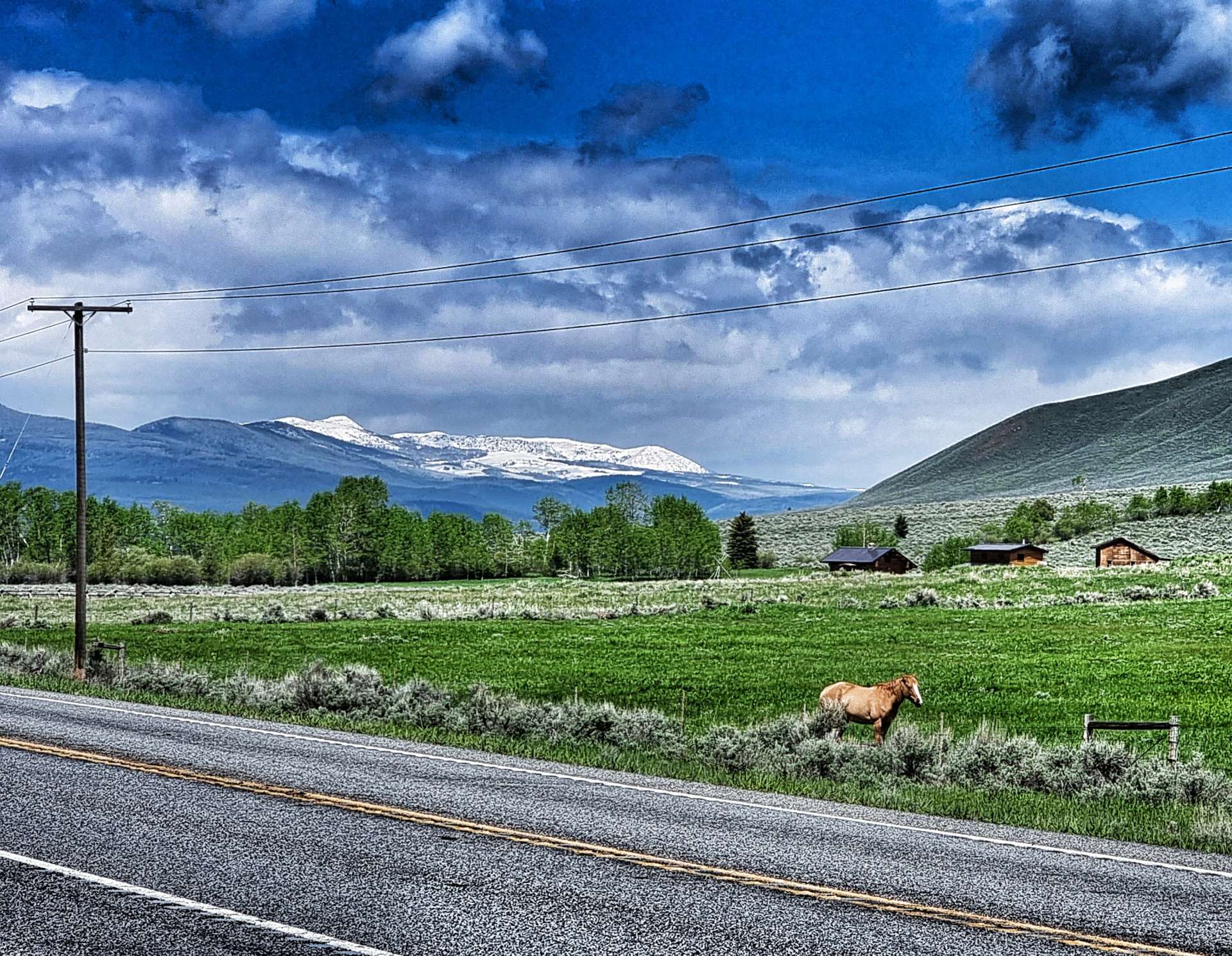
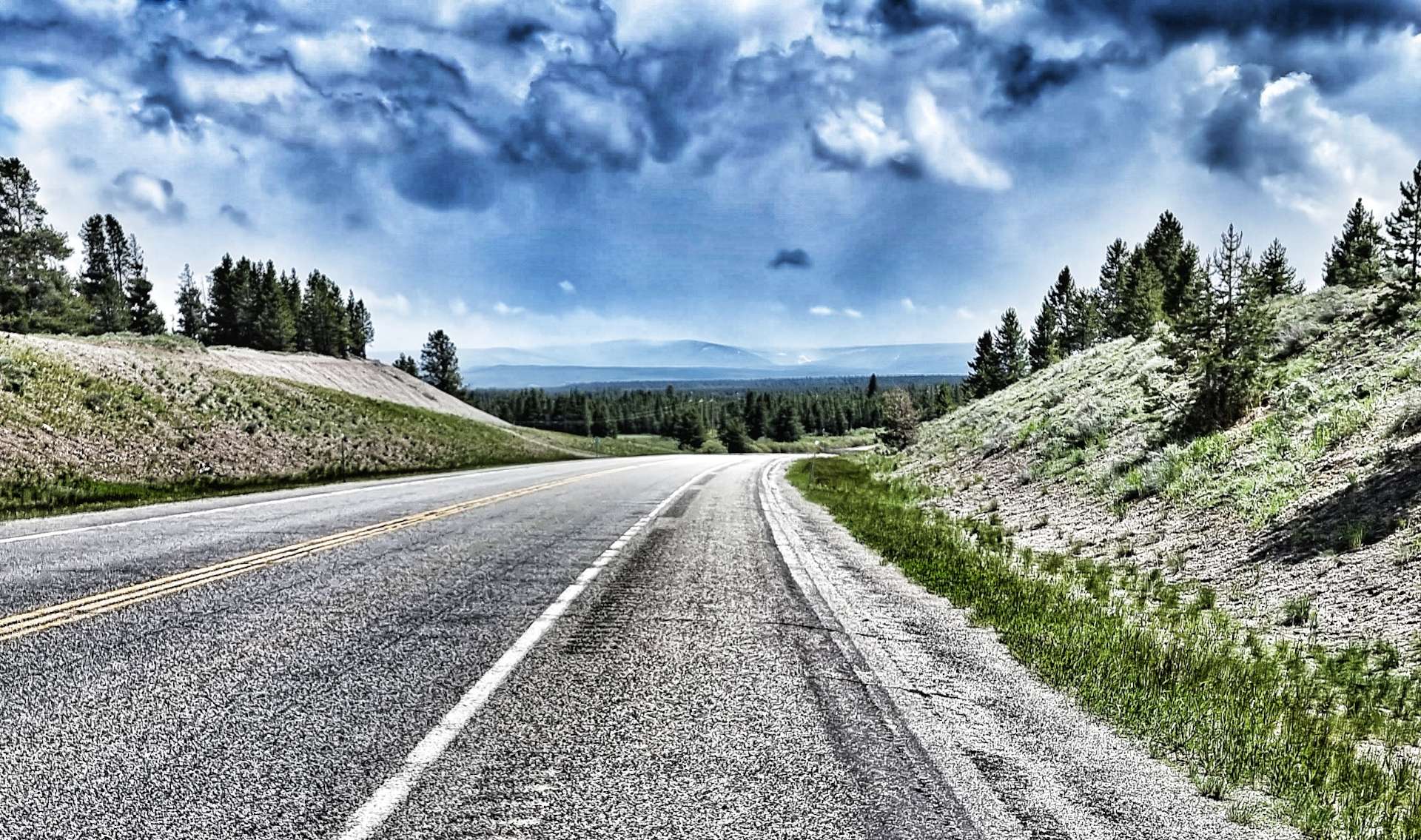
We were still very much in ranching & cattle country, as the long, straight road stretched into the distance. For about an hour the scenery hardly seemed to change at all (good practice for when we hit Mid-USA), until we stopped at a Historic Marker to learn about the town of Winston. It now has a population of less than 100, but in the 1860’s & 70’s it was big enough to have its own newspaper, as well as 7 saloons – this was at the height of the gold rush. Having topped up my knowledge banks, I grabbed a photo of the moose statue made of metal & wood!
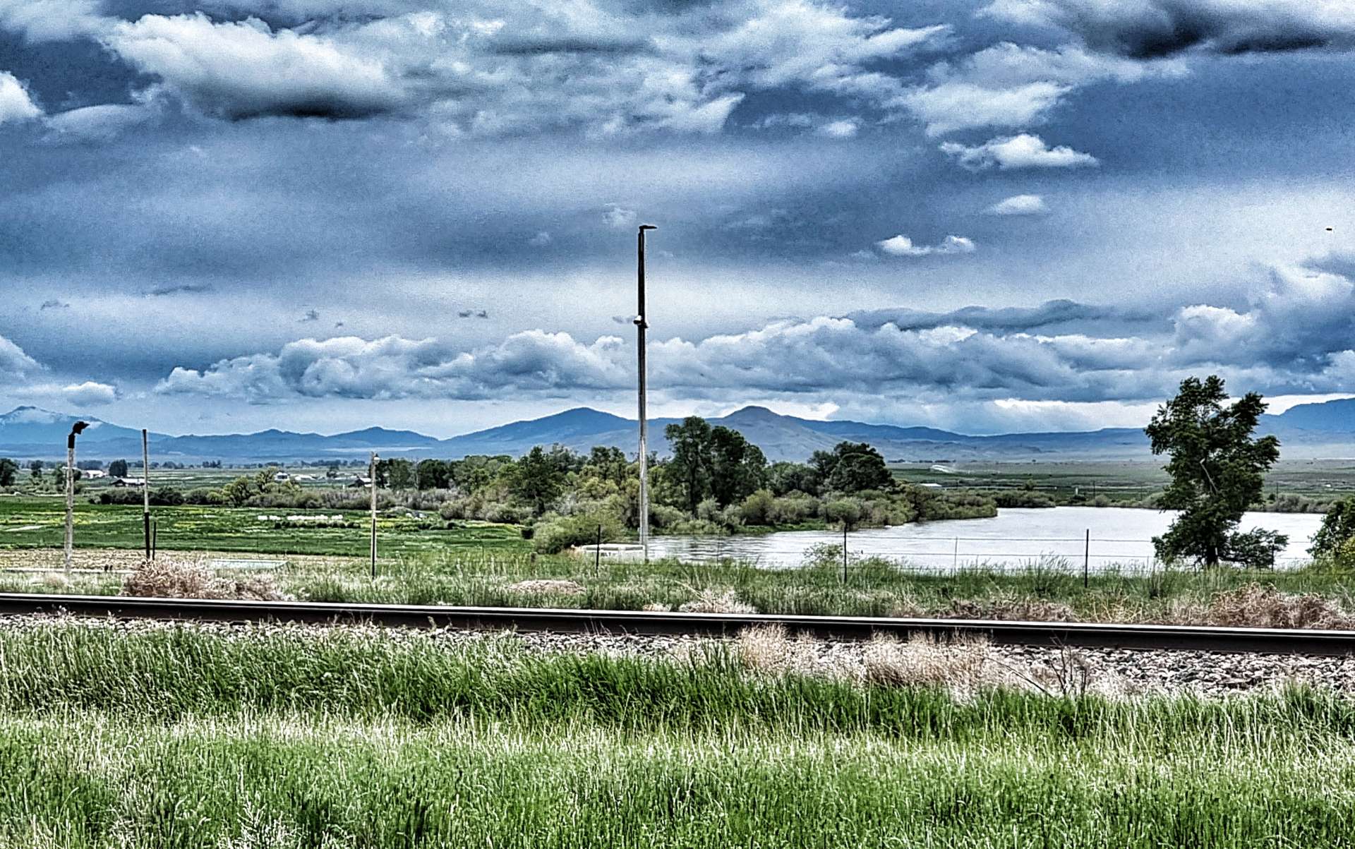
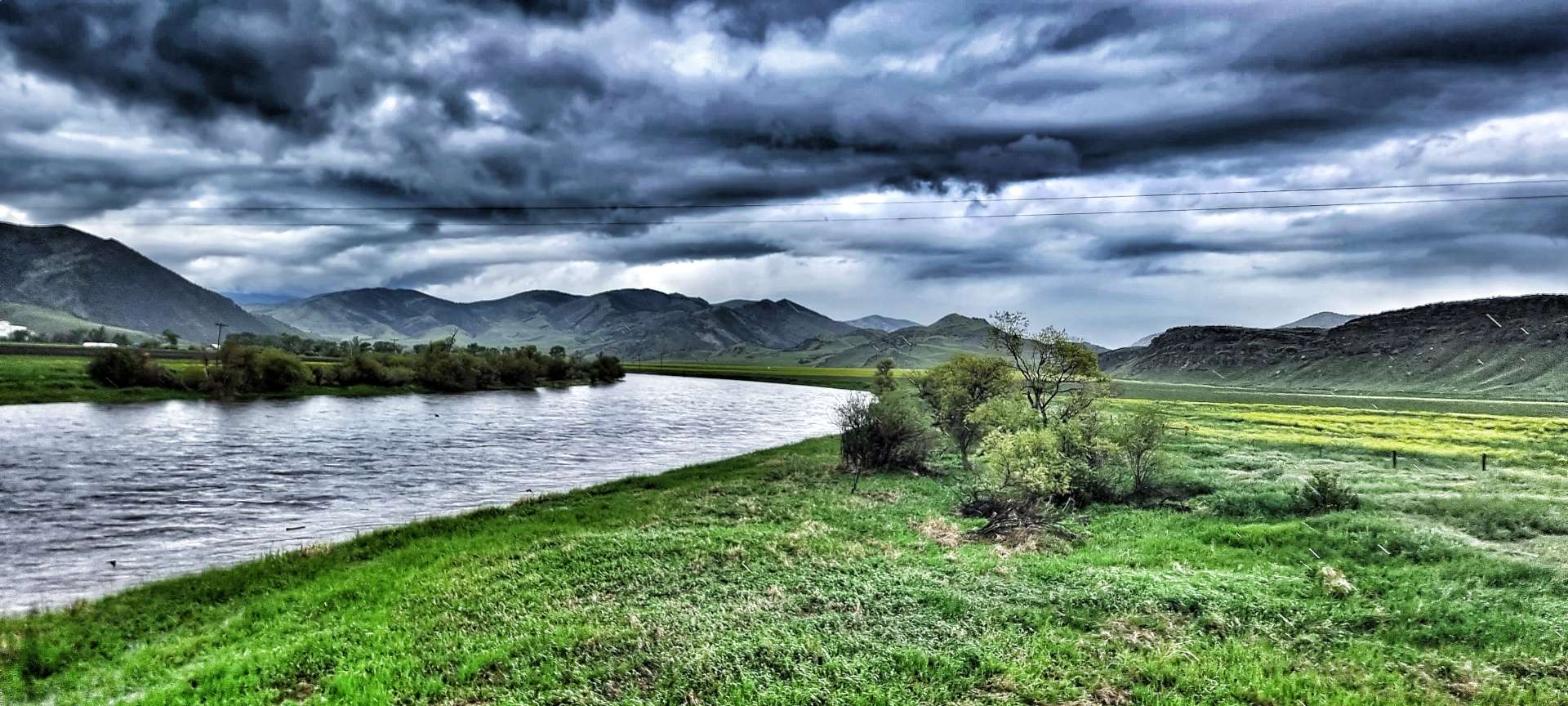
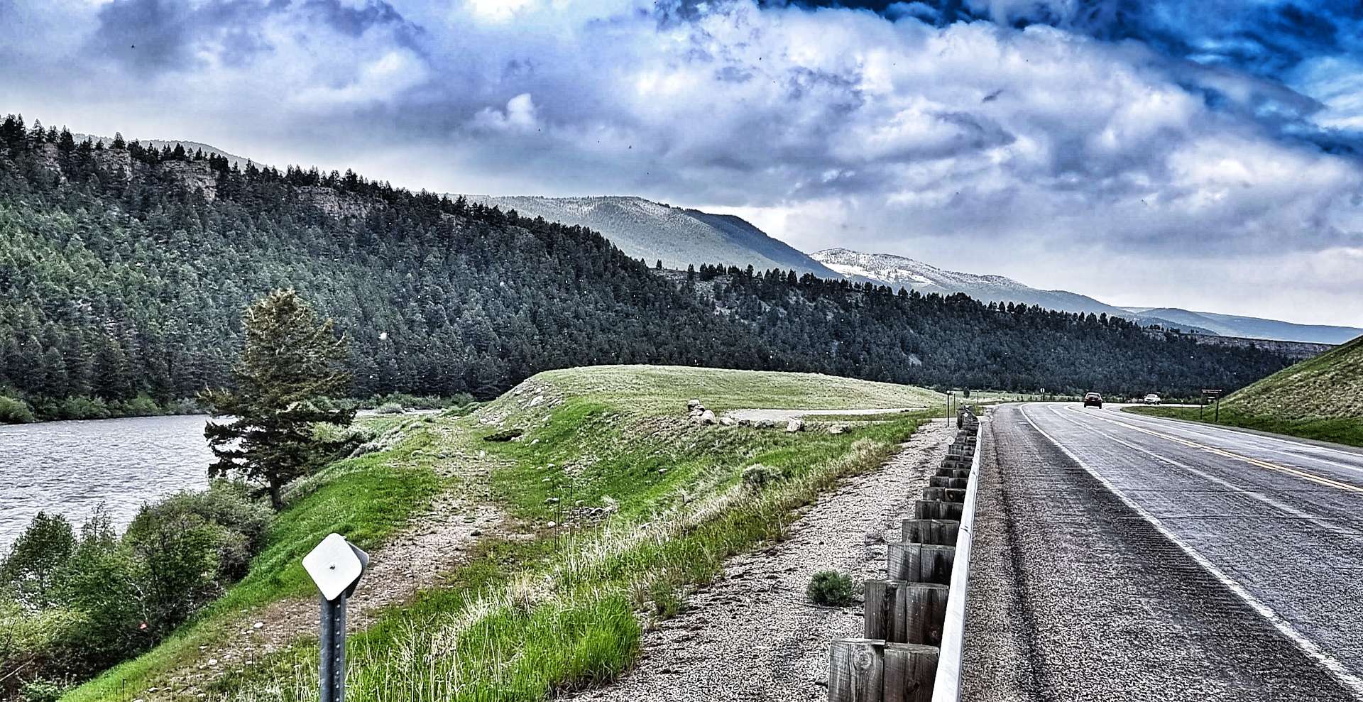
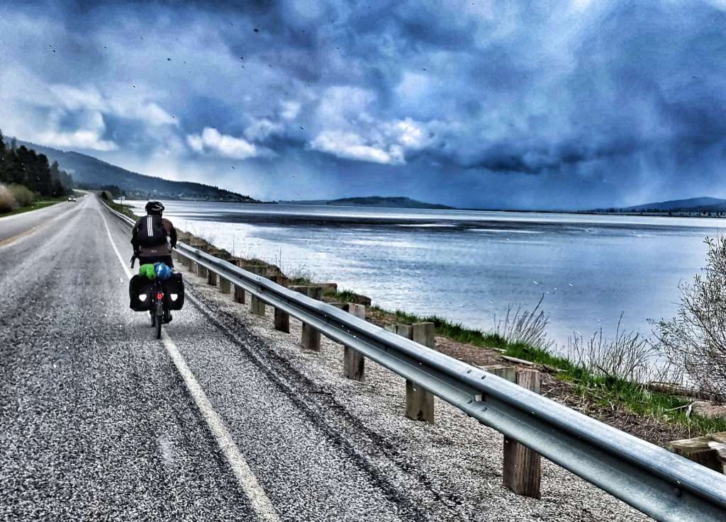
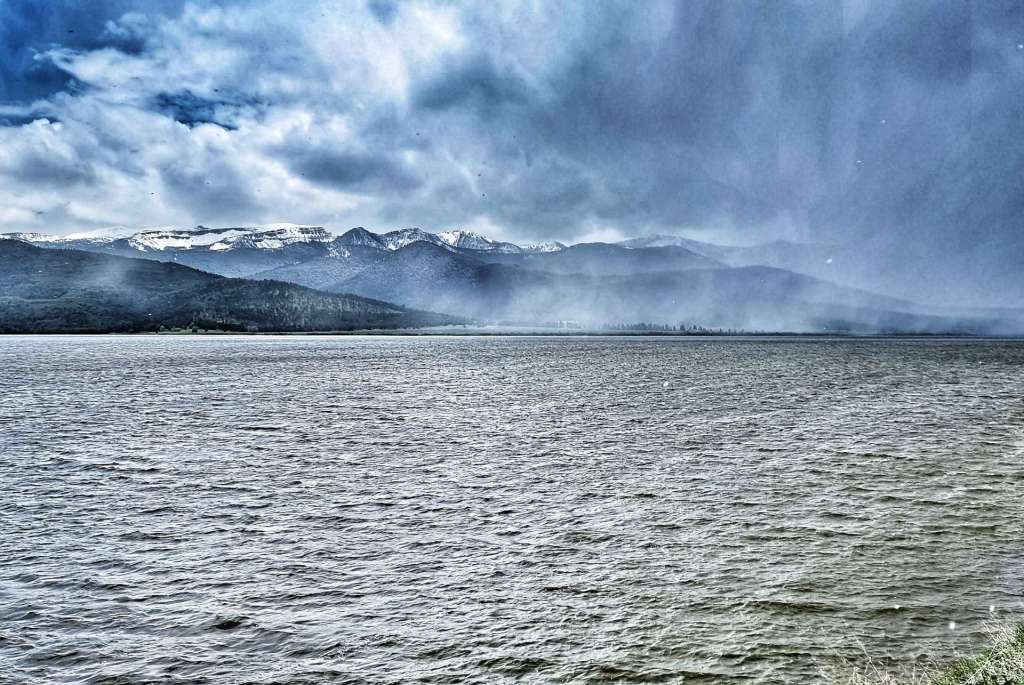
We started a long, shallow descent & had to pedal, so we knew for certain that the wind was picking up & that we were going to be working hard for the remainder of the ride. As we descended, we could see Canyon Ferry Lake getting even nearer. The lake is the third largest body of water in Montana, with 76 miles of shoreline & was created when a hydro-electric dam was built between 1949 & 1954. It’s a popular recreation site, offering fishing, boating, hiking, camping & swimming opportunities as well as having a wetland & wildlife conservation area.
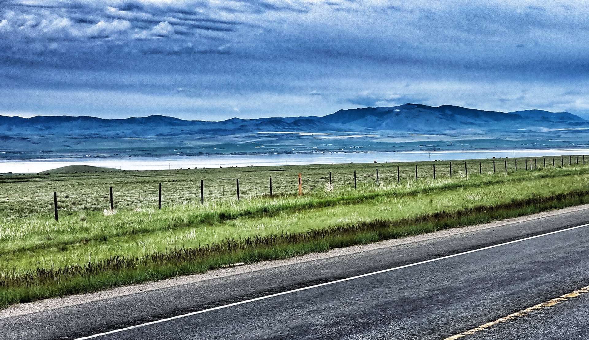


The Missouri river is the longest in the USA at 2,341 miles & the source of water for Canyon Ferry Lake. It’s considered the main artery for the Great Plains, supporting exploration, growing of food, trade & transportation – we hope to pass 2 of its 3 tributaries later in the week.
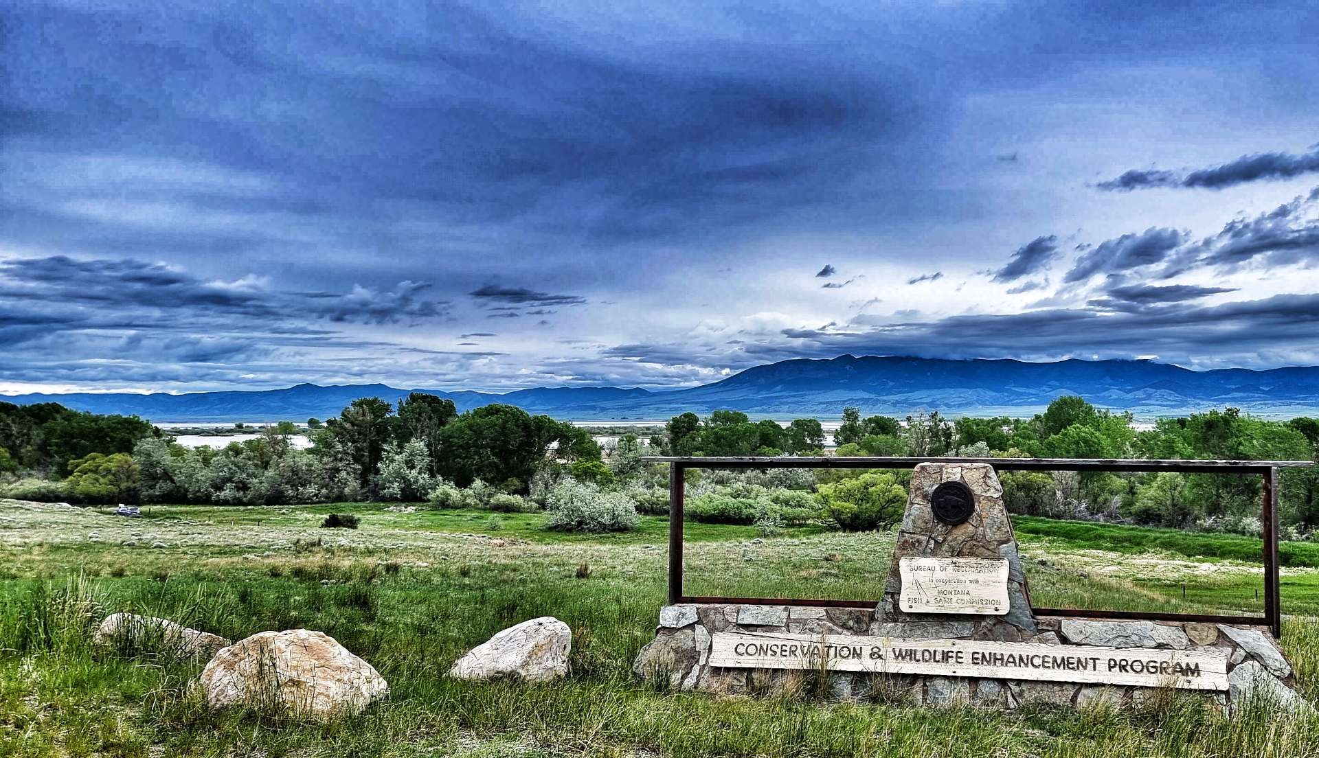
About 3 miles after crossing the Missouri, we spotted a Historical Site sign that took us about a mile down a gravel track & took us right to the riverbank. York was a black slave to William Clark & was integral to the success of the Corp of Discovery – we were looking across to York Islands, one of two places in Montana which were named after him. Clark spent 5 years trying to negotiate York’s freedom from slavery, but he remained a black man living in a world of segregation.
As we looked over to York Islands, above us a chevron of Canada Geese were practicing their aerobatic manoeuvres – they kept splitting into small strings, then re-forming into a long line again. After heavy rains & late snow melts in the Rocky Mountains, the Missouri was looking full to overflowing.


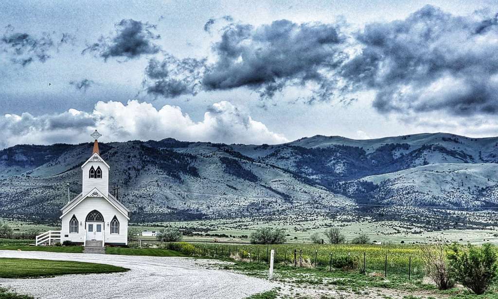
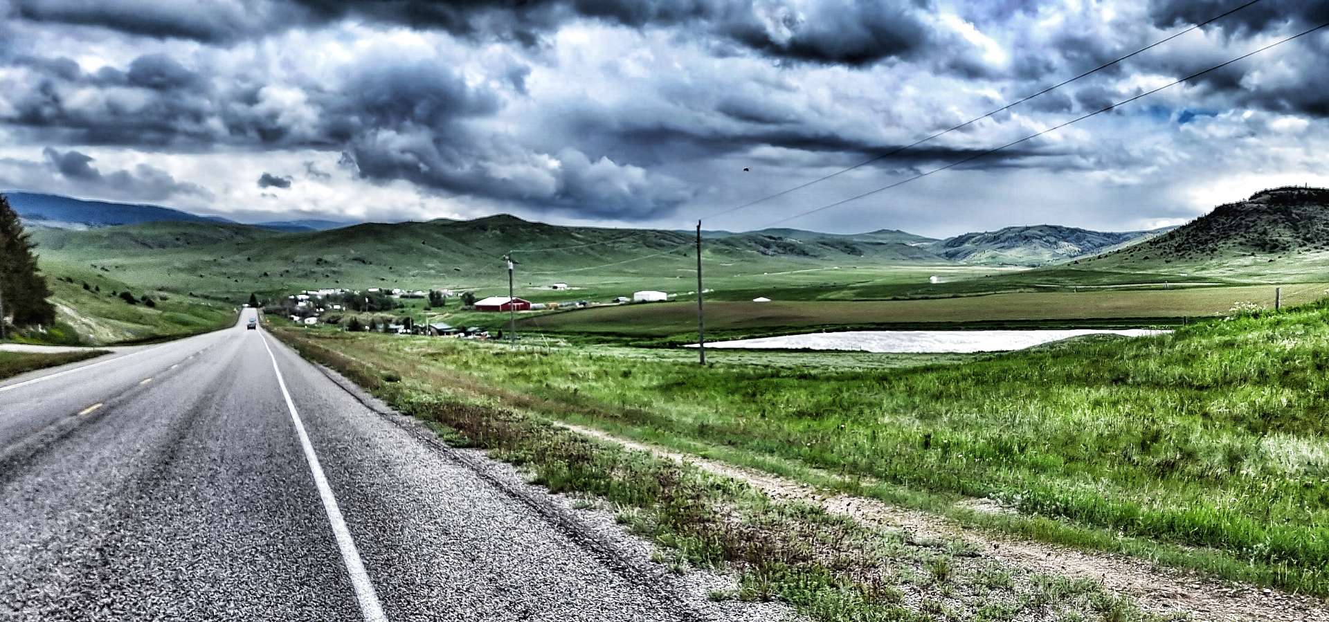
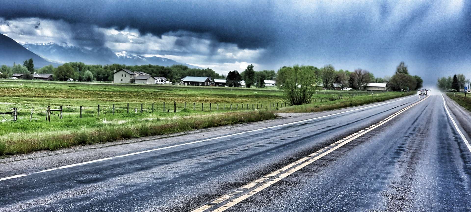
As we continued towards Townsend, we passed a small resort complex on our right, which offered wedding, christening & elopement ceremonies! Their post box at the end of their drive was an exact replica of their chapel. Our coffee stop today didn’t warrant a photo – lukewarm, stewed coffee & a processed muffin – not every day is gourmet cake day!!
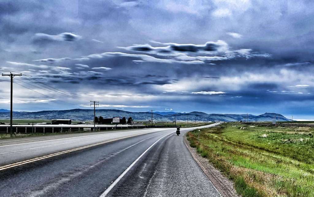
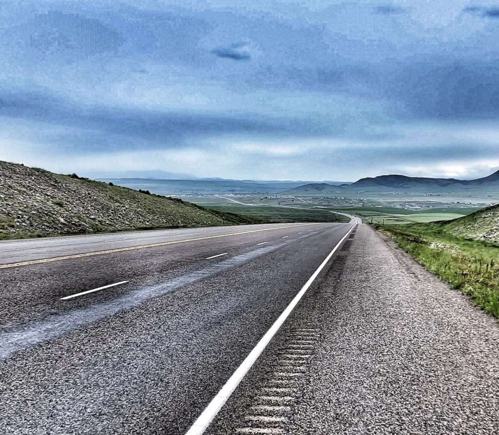
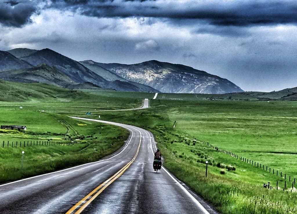
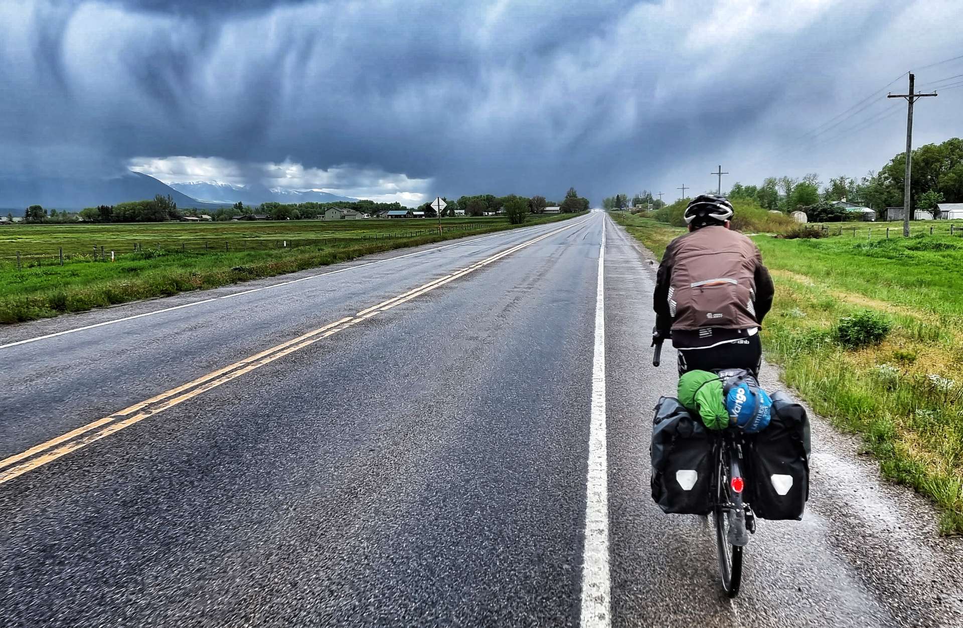
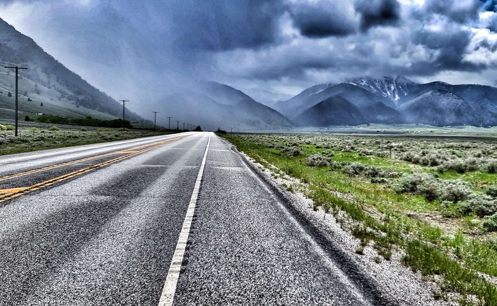
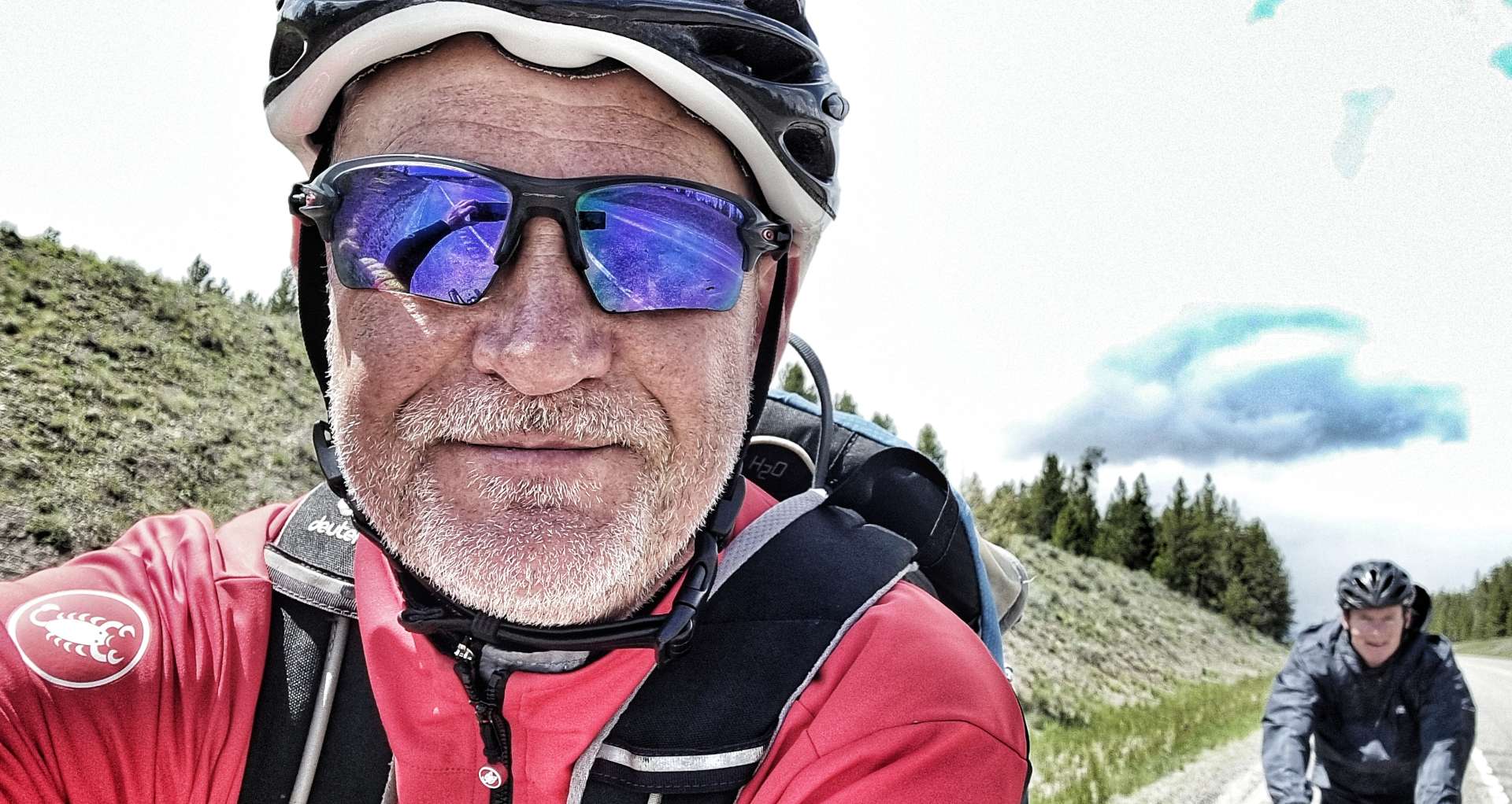
Leaving Townsend behind, we continued on an arrow straight road with a gusting cross-headwind from the right – this wasn’t good news, because as we reached Toston it became a full on headwind. We struggled to maintain 10 mph on the flat & when the road gradually rose, our speed dropped correspondingly!!! I foolishly stopped to take a photo of Sean against a mountain backdrop & a combination of the headwind, gradual climb & tiredness meant it took me 3 miles to get onto his back wheel again!
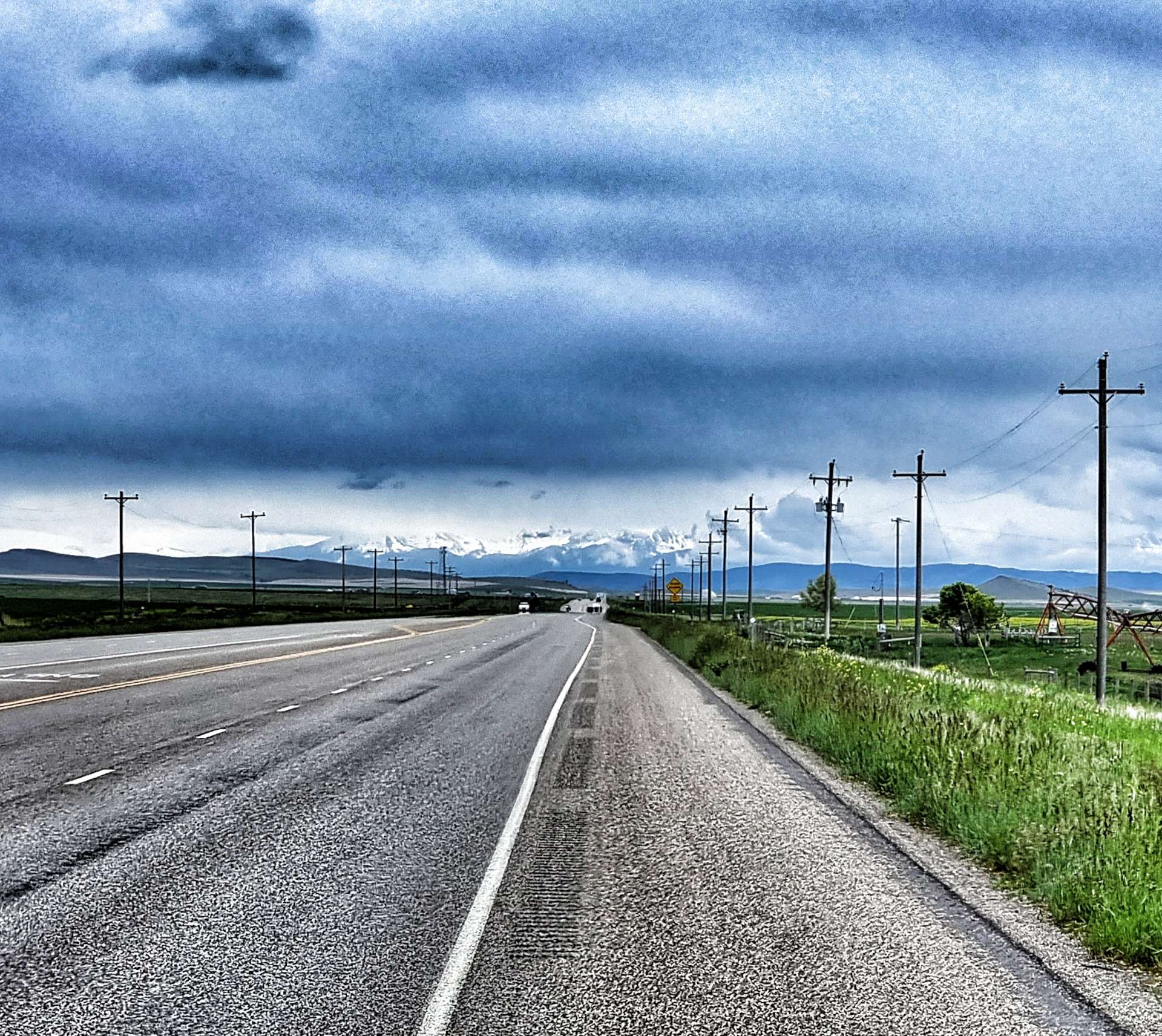

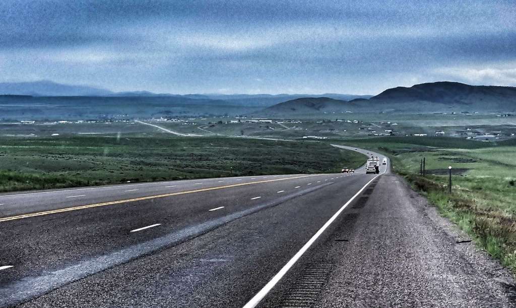
As we crested the long drag, we could make out Three Forks way off in the distance, but at least it was downhill! You may be able to make out the headlights of the cars coming up the hill towards us – it was only about 4pm, but it was already getting murky & that’s when we both realised that although the headwind was tough, rain would have been way worse! This was the closest we could get to saying “What an epic day out!”. Tomorrow’s another day & hopefully the wind will have calmed down & it will still be dry.
Stage Stats – 66 miles, 1,667 feet of climbing. Gradually climbing all day into a character building headwind!
Monday 13th June – Three Forks to Ennis
We woke up to overcast skies & trees bending in all directions – another headwind had been delivered, but at least it wasn’t raining…….it waited until we’d had a Frosties breakfast & tasteless motel coffee before it turned up! If you’ve been taking part in my adventure for a while, my last sentence yesterday set up today’s weather!!!
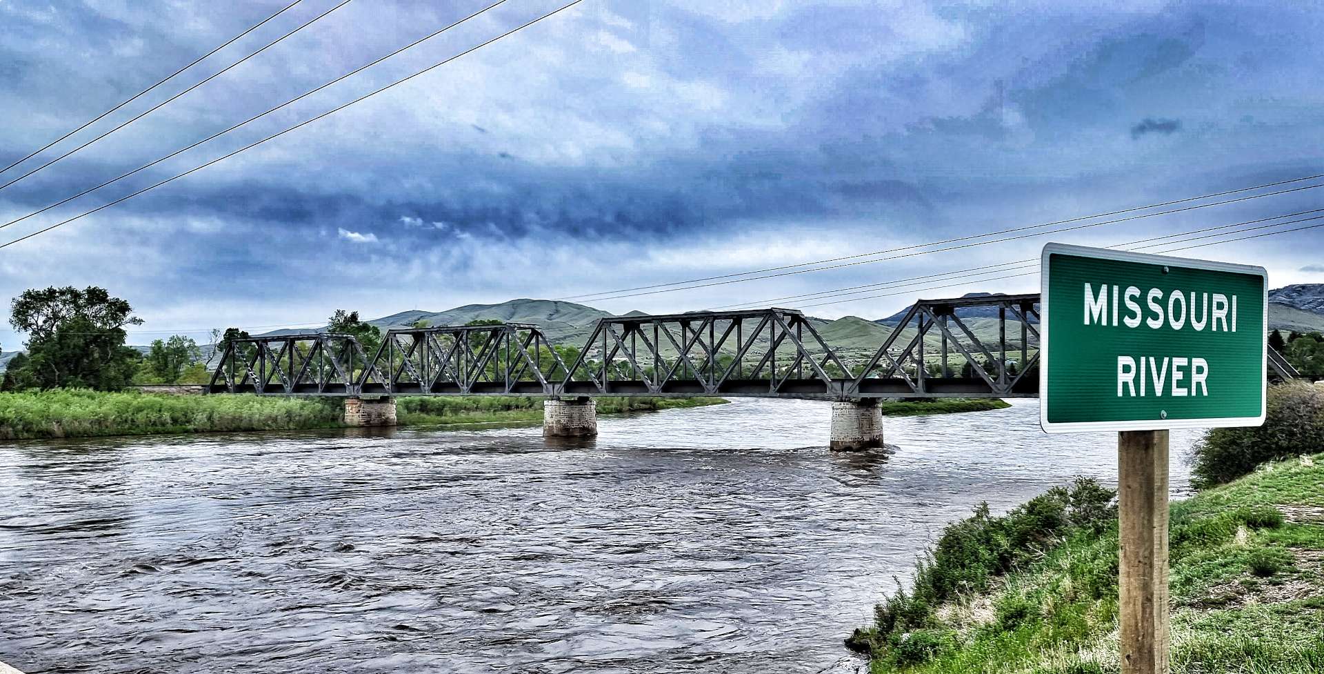
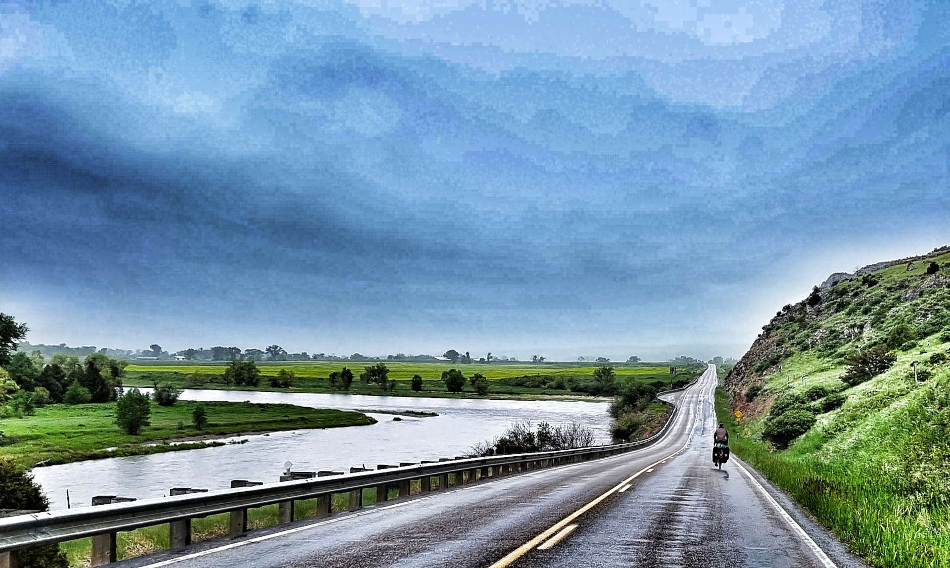
Almost immediately we passed the turn-off for the town of Three Forks (we’d stayed at the Travelodge on the I-90 junction) & picked up the Jefferson river for a short while (one of the 3 tributaries to the Missouri). The early miles were rolling in nature, which combined with a headwind made getting into a rhythm more of a challenge than usual. However, it wasn’t all bad news, as we could see slightly less dark clouds in the distance & after 10 miles the rain stopped.
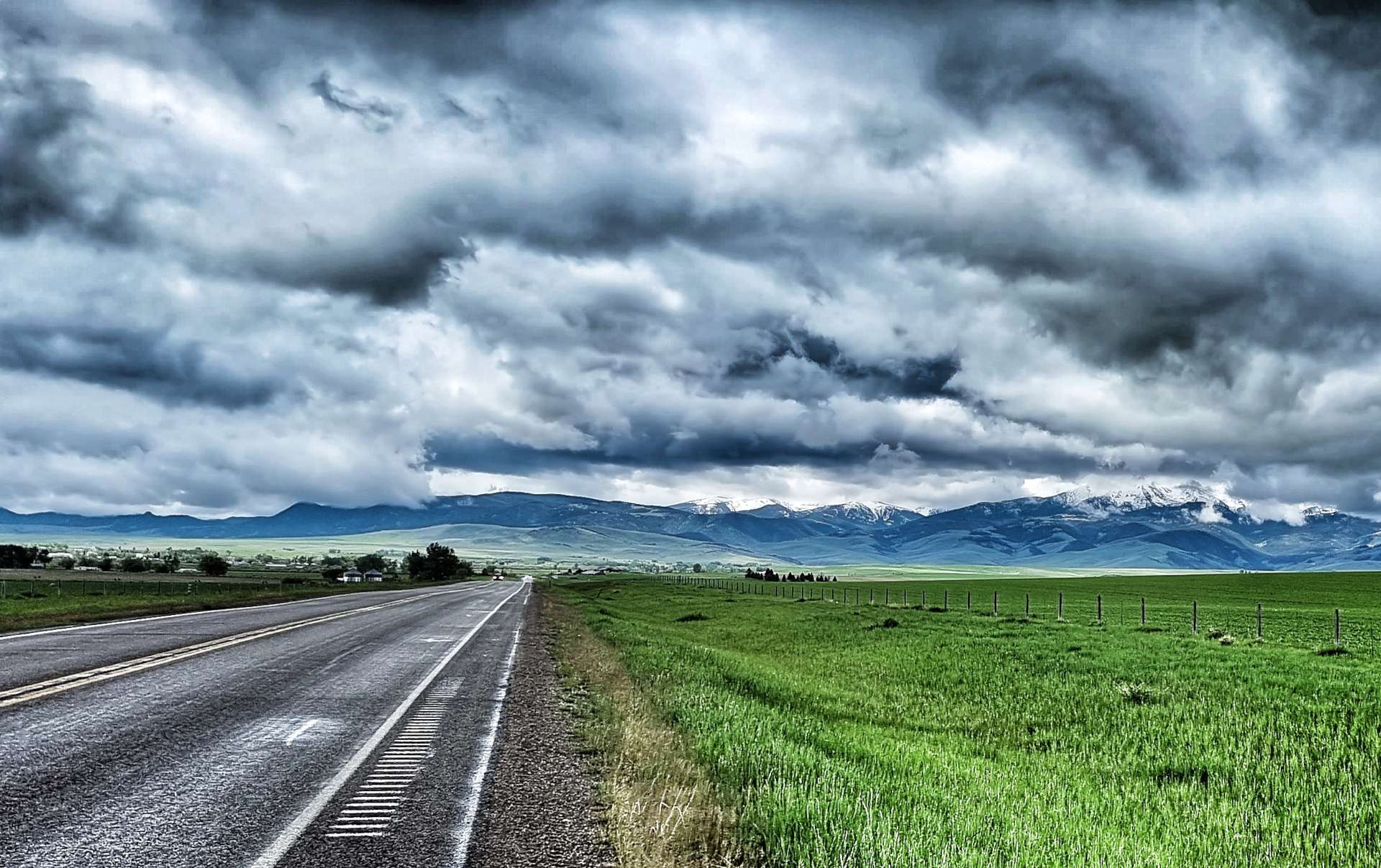
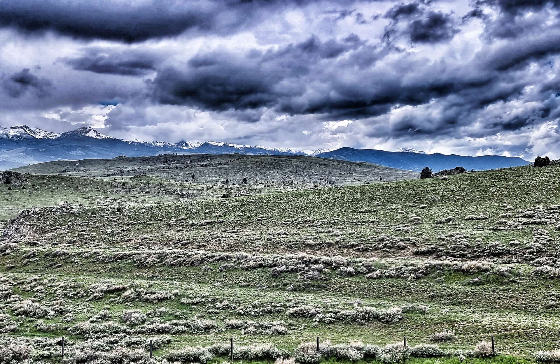
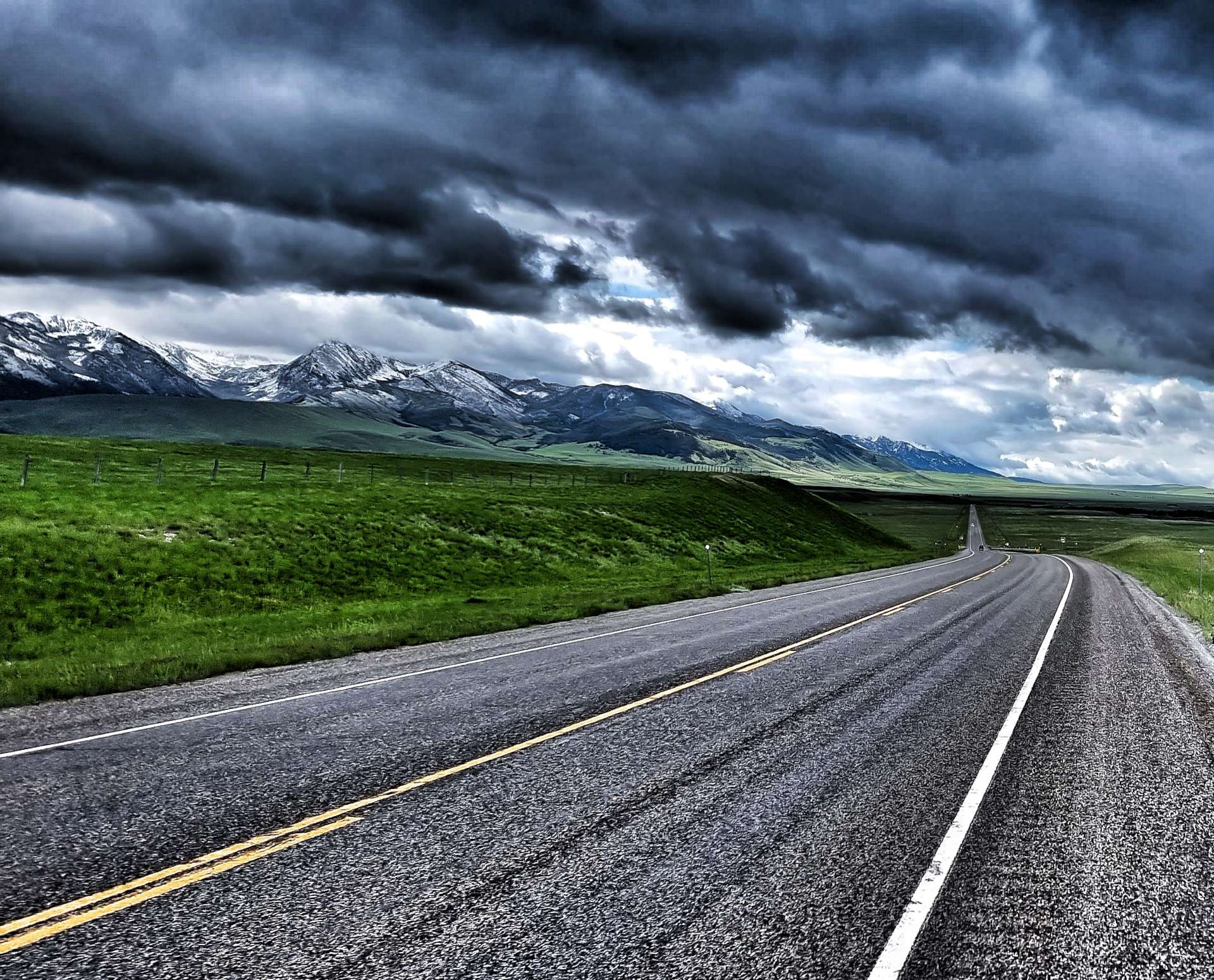
Within 5 minutes, mountains that had been hiding in the clouds suddenly started to show themselves. At the time we were riding, it felt like the wind was always in our faces, but looking back at a few of the photos, the road wasn’t ruler straight, although the general direction was always North to South into a Southerly wind. If I’m honest, I enjoy these days, I weigh enough to be able to push through the wind & the moody skies always look dramatic on photos – it’s the wet I dislike!

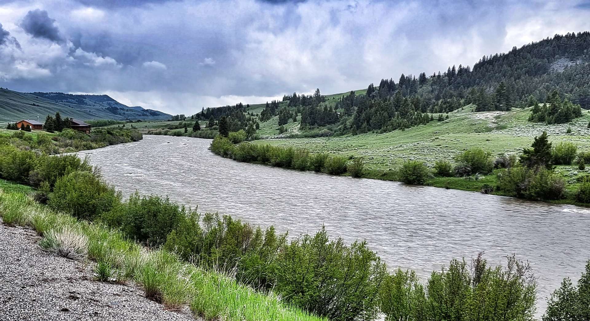
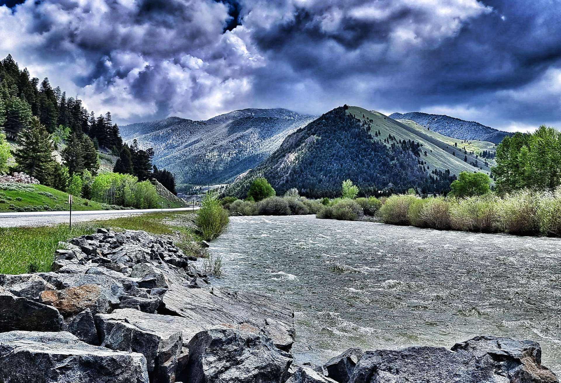
As we reached Sappington, we passed signs for the Lewis & Clark Caverns National Park, but unfortunately they were too far off our route to make a detour. We crossed the Jefferson river, which I now know begins at the confluence of the Beaverhead & Big Hole rivers near Twin Bridges (all of which we passed last week). This marked the start of the first climb of the day, a 4 mile ascent to a plateau with snow-covered peaks in all directions.
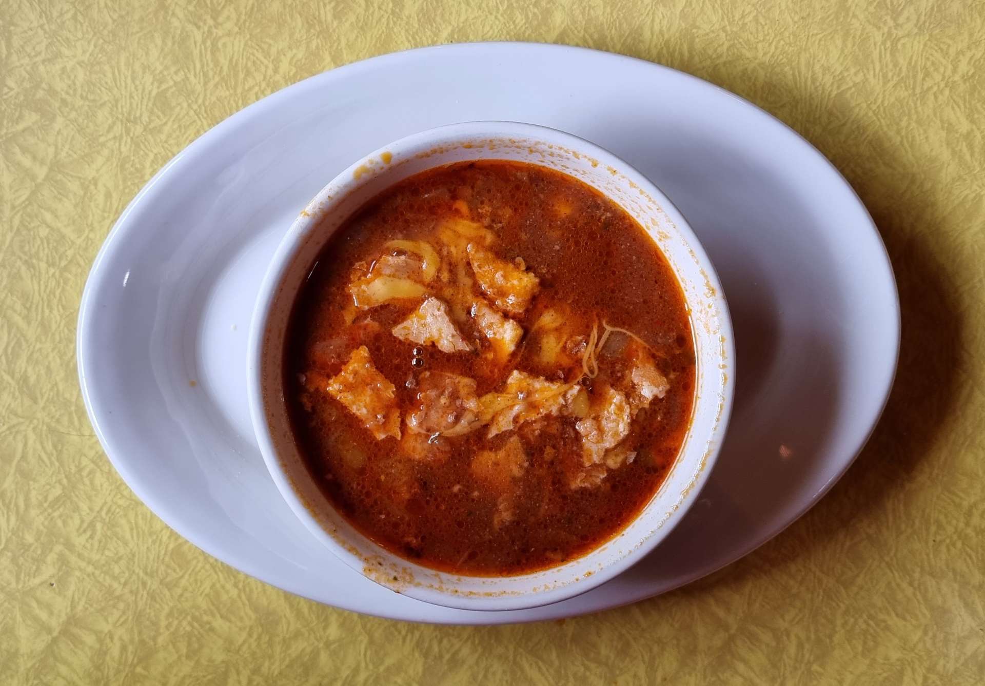
There was no protection from the wind, so we were both grateful when we reached the small town of Harrison (population, 137) & spotted the Town Haul Diner, where we stopped for soup & coffee – rain & headwind makes for a cold day in the saddle!! Within its Town Limits, Harrison only has buildings east of Highway 287, as a fire in the 1920’s destroyed everything to the west of the road.
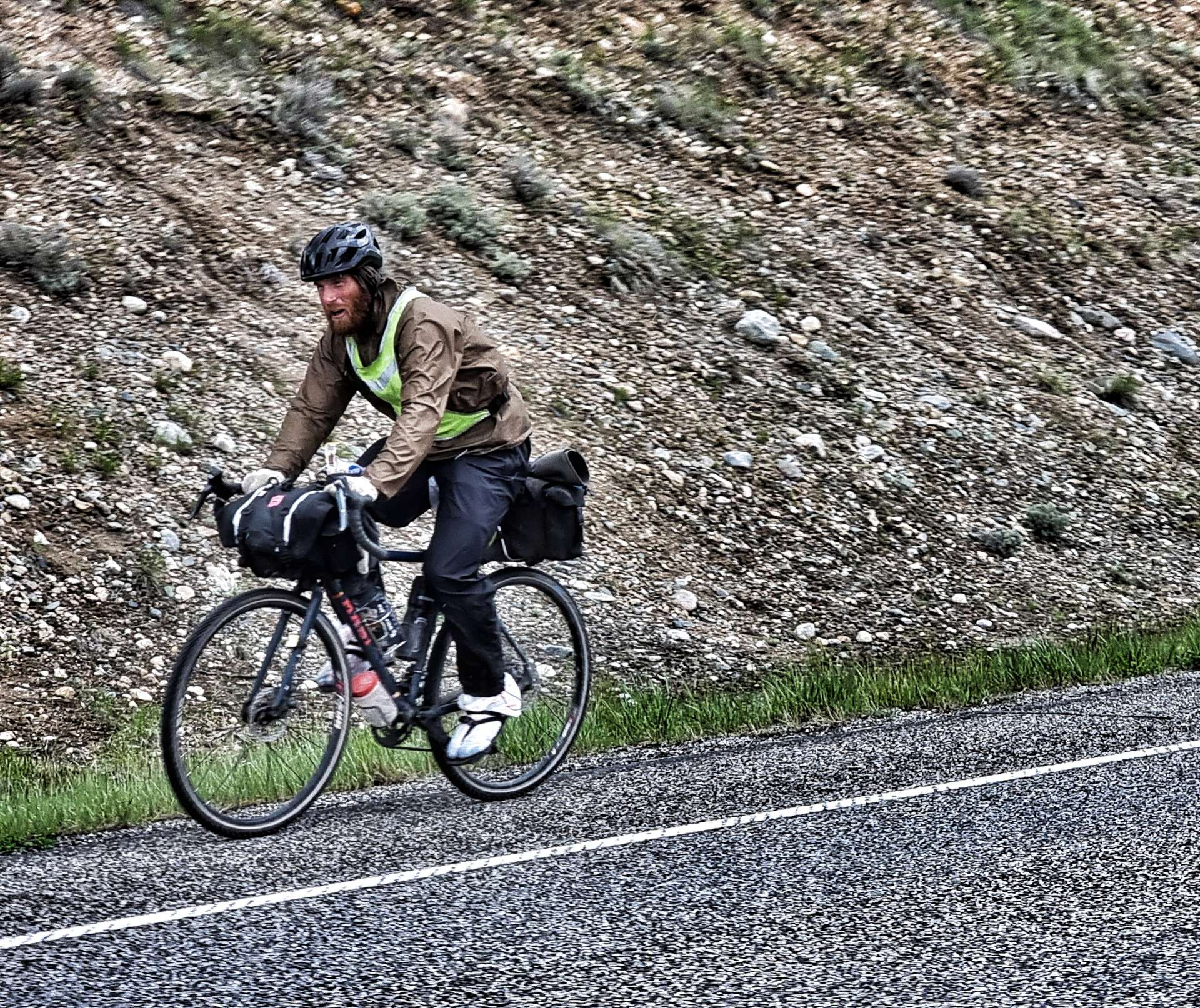
We spoke briefly to a mountain biker who was 4 months into a 6 month adventure riding the Great Divide Mountain Bike route – he was leaving just as we arrived. We would see him again later, as he was on thick tyres, a heavy bike & carrying more kit than us. As we left town, I took one final look back to the Tobacco Root mountains behind us.


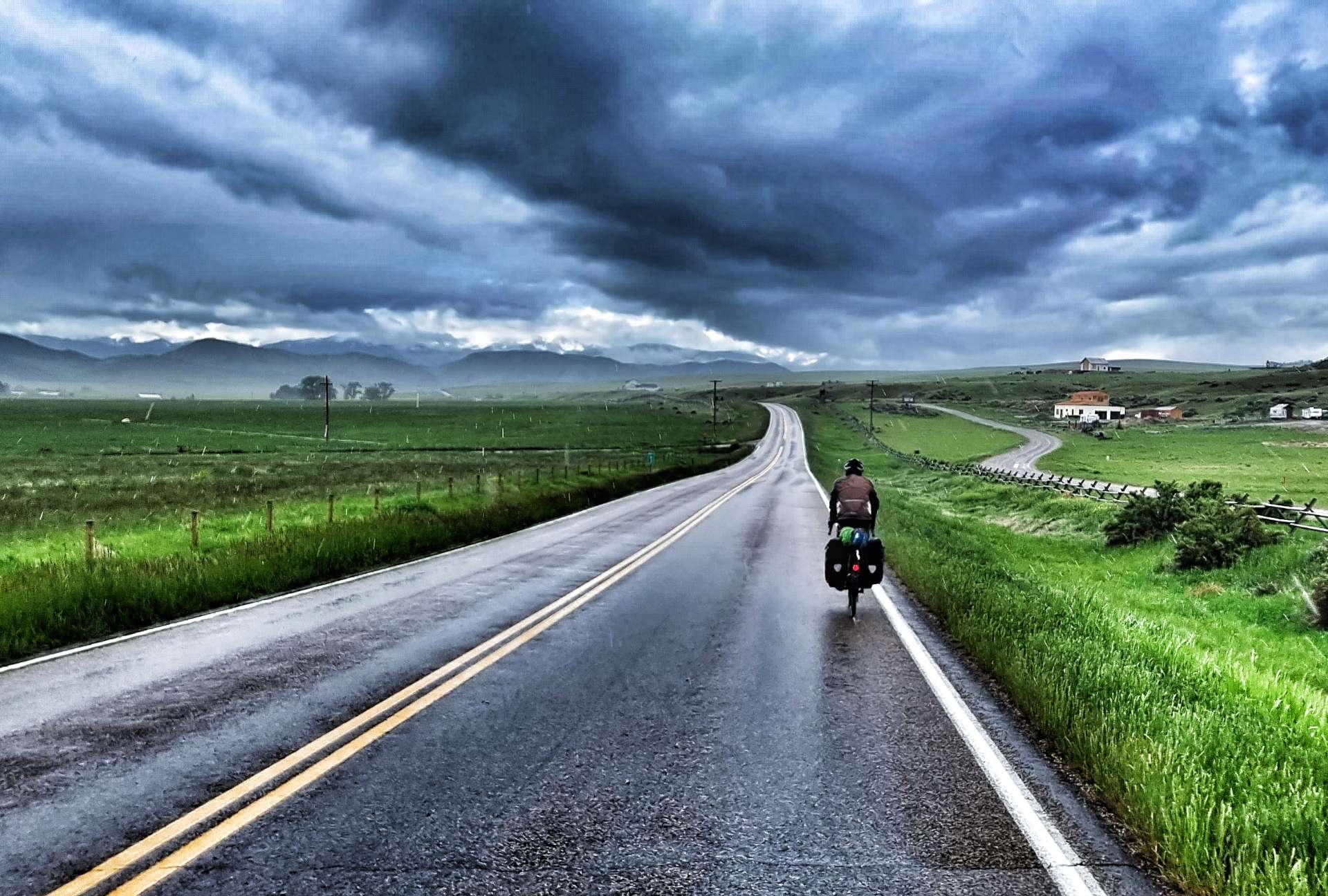
The next 10 miles were among the toughest of our adventure so far, making yesterday’s headwind feel like a minor inconvenience! We took it in turns to ride on the front for no more than 2 minutes & covering about 1/4 of a mile), then tucked in to recover (we would usually be happy doing 5 minutes each & covering about a mile in that time). As fellow cyclists know, headwinds start getting into your head in a bad way – I’ve had to learn how to accept anything & everything that comes our way on this adventure & my resilience has probably improved as a result. Anyway, enough psycho-analysis for now!!
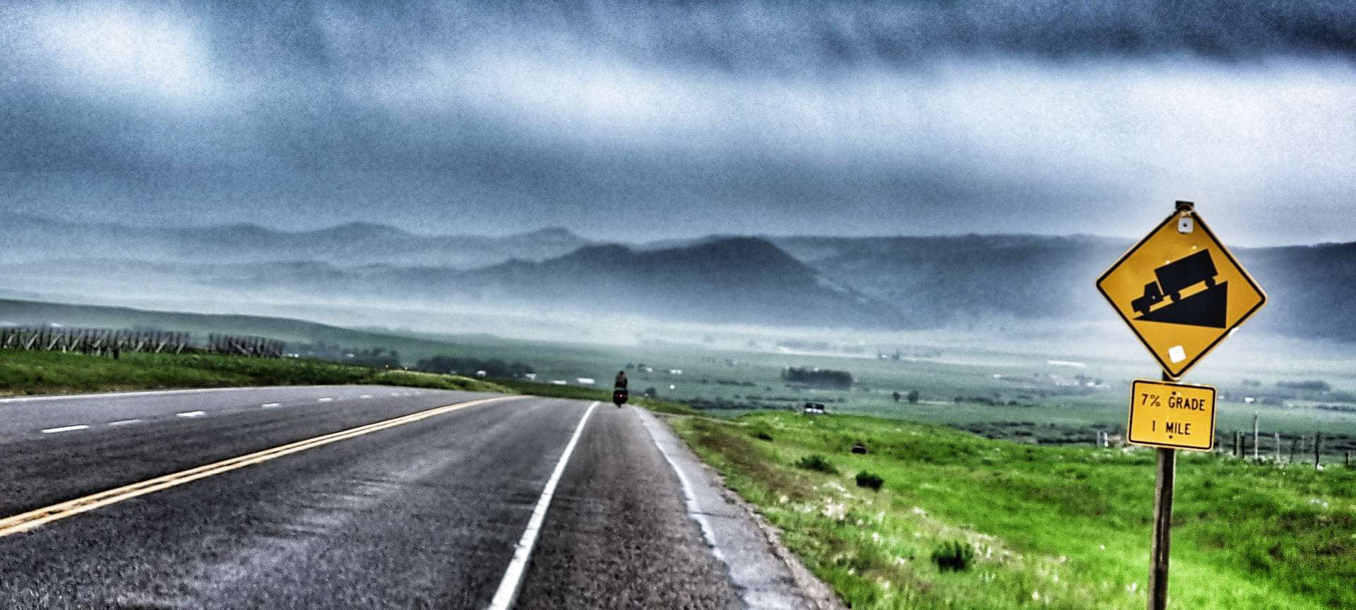
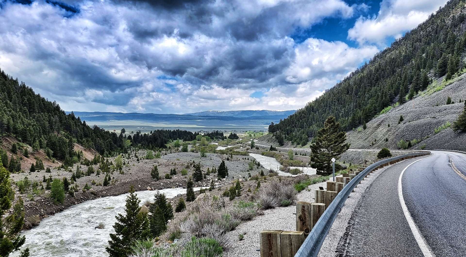
As we dropped into Norris Hot Springs our second & final climb of the day was laid out in front of us.


At 5 miles long & 900 feet it took me about an hour to complete the climb of Norris Hill – we both set our own pace on these long climbs & as you can see, Sean was some way ahead of me! The road already existed in 1864, when it was used as an extension to the Bozeman Trail, which was a short cut to the Montana gold fields from Casper, Wyoming. We’re retracing history on a daily basis & as a result of the numerous Historic Point markers, we get to see what that history is.
The view from the summit of Norris Hill was awe-inspiring (big views in all directions), exciting (a 7% descent for a mile) & disappointing (sheets of rain rolling in) all at the same time.

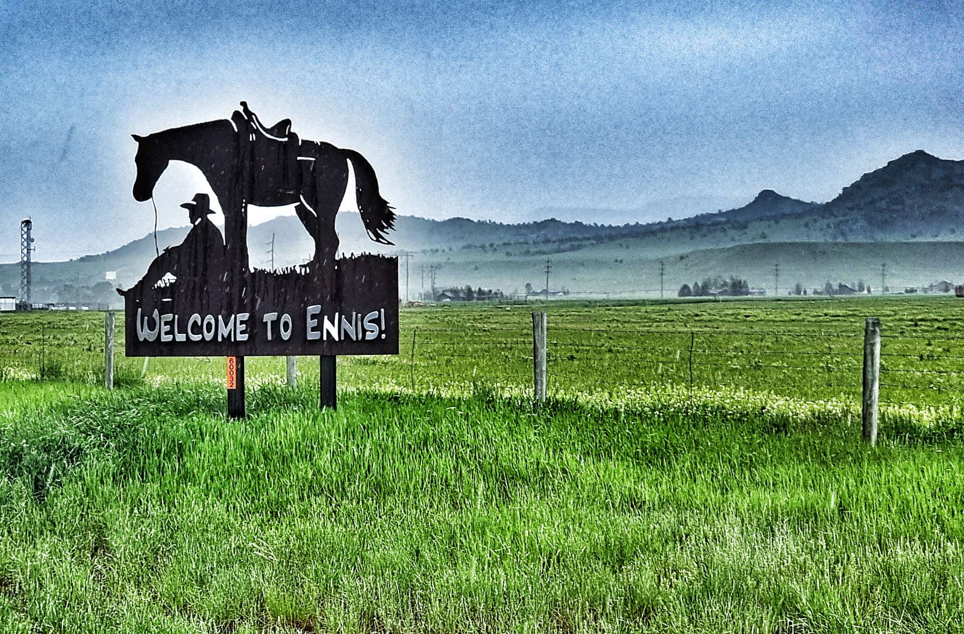
As we reached the valley floor, we got hit with the rain & it was heavy! Although we were only about 5 miles from Ennis Town Limits (pronounced EEEE-Niss), we got totally drenched & cold!
In spite of the rain I stopped to get a photo of the Ennis sign – this was an expensive mistake, as there were another 5 miles from here to our motel & I’d be riding them on my own. I hadn’t told Sean I was stopping & he’d carried on riding – a valuable lesson on the importance of communication, as it made the end of the ride more difficult for both of us.
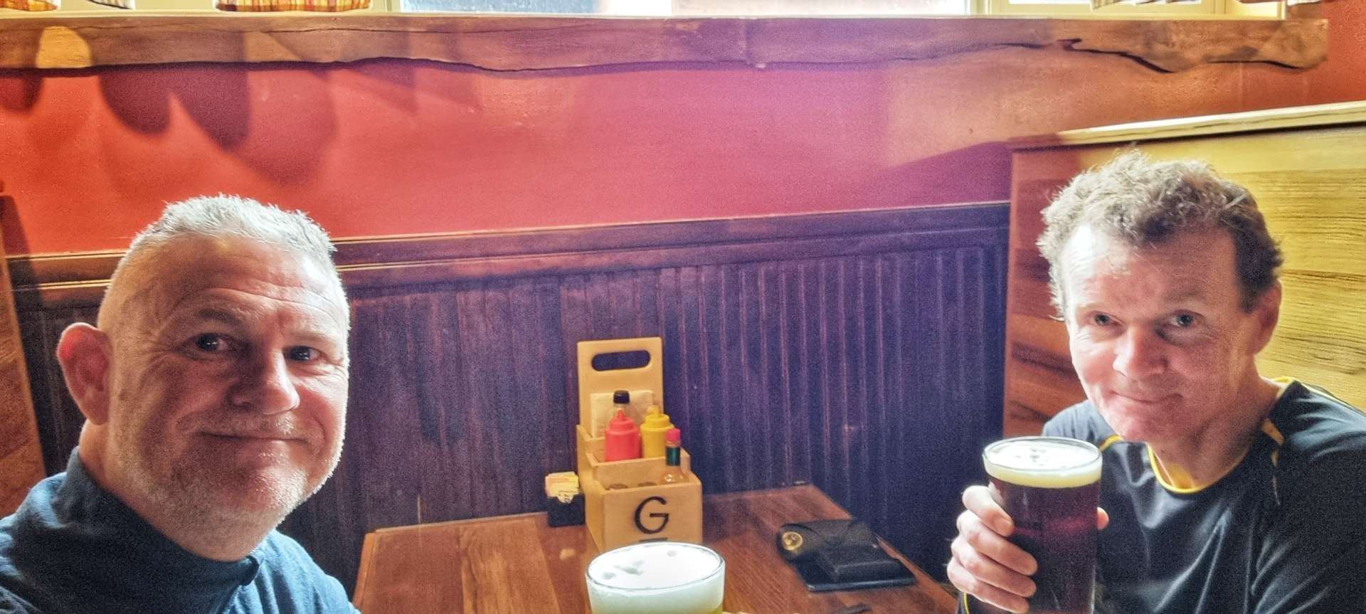
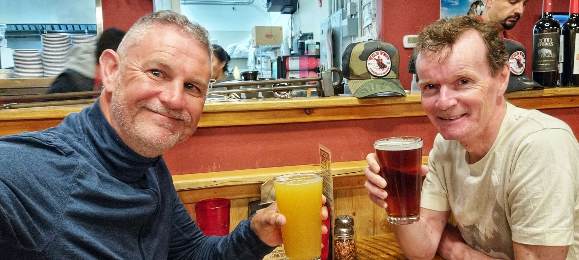
Our motel turned out to be more of a cabin & we had our own room each, which enabled us to dry all of our kit overnight. However, of a shorter term priority was having some warm food (we both had a chicken focaccia sandwich & fries washed down with a Midas Crush IPA for me & a Devil’s Hump for Sean. Cheers everyone!
On a serious note, when we got back to out motel, we found out about the terrible flooding of the Northern Loop in Yellowstone National Park – I’m pleased to report there were no casualties, but there was huge damage to the roads. The National Park will be closed for the foreseeable future, so we will likely need a new plan for where we go when we get to West Yellowstone tomorrow evening.
Stage Stats – 47 miles, 3,825 feet of climbing. Going uphill most of the day with 2 proper climbs & a powerful, gusting headwind all day.
Tuesday 14th June – Ennis to West Yellowstone
We awoke to new footage of the chaos in Yellowstone National Park – large sections of the Northern Loop road have been washed away, a house tumbled into the river & the town of Gardner is under threat of flooding. I hope everyone stays safe – it’s a brutal reminder of how fast conditions can change in The Rockies.
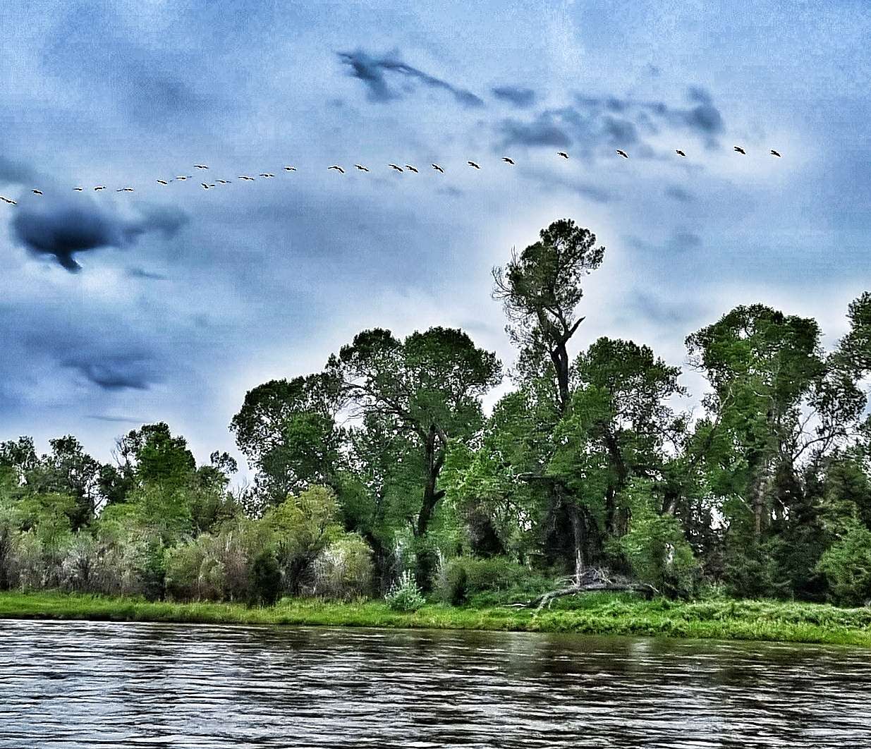
As we had a long day ahead of us, we were on the road by 8.15am. Leaving town there was still a headwind, but it was less powerful than yesterday’s battering & although overcast, it was dry. We immediately crossed the Madison river (the second of the Missouri river’s tributaries) & ahead of us could see rain showers on both sides of the valley, as well as how far we had to ride. We would need to be lucky to stay dry!


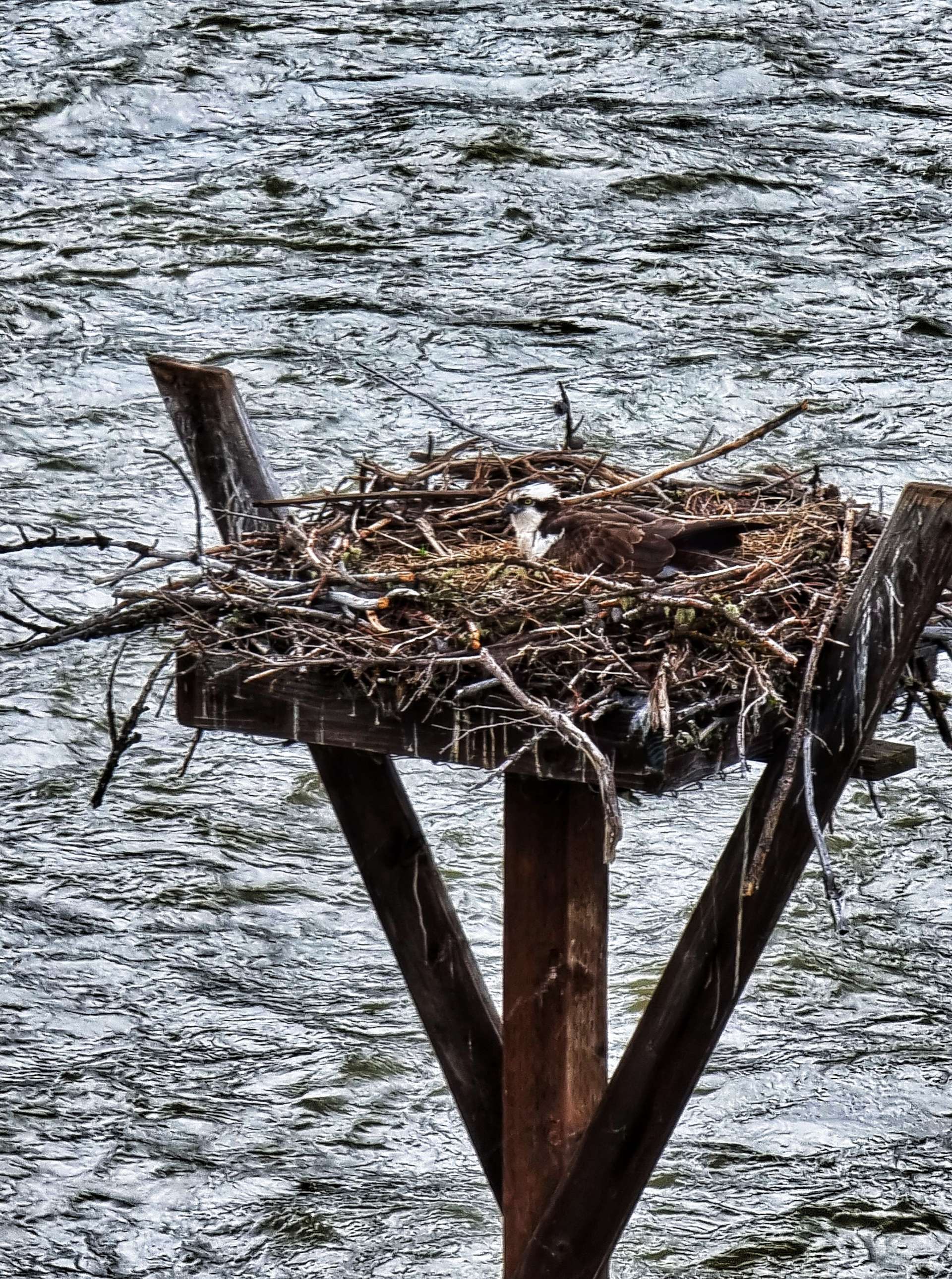
There were imposing mountains all around us as we continued up the Madison valley & after about 15 miles the river re-appeared from a gulch below us & with it an opportunity to look down on an eagle in its eyrie – the first time I’d actually seen the inside. We were taking it in turns to ride on the front, which resulted in the morning passing quickly as the miles ticked down.
Over the next 10 miles we saw 4 long distance cyclists heading in the opposite direction (presumably previous Yellowstone plans had been scrapped). As we approached a fork in the road we could see heavy rain ahead of us, yet miraculously by the time we eventually reached the turning we were in glorious sunshine! The weather gods were clearly looking down on us!

Taking the left fork towards West Yellowstone, we were entering the Yellowstone Basin, one of the most active geological regions on the planet. In 1959 there was a huge earthquake that registered 7.5 on the Richter scale. At the time the quake was the 2nd largest in the continental USA.
We stopped at the Visitor Centre to learn more, but first a Park Ranger insisted on making us a cup of coffee, although the Visitor Centre is food & liquid free. We must have looked like a couple of very cold waifs & strays!
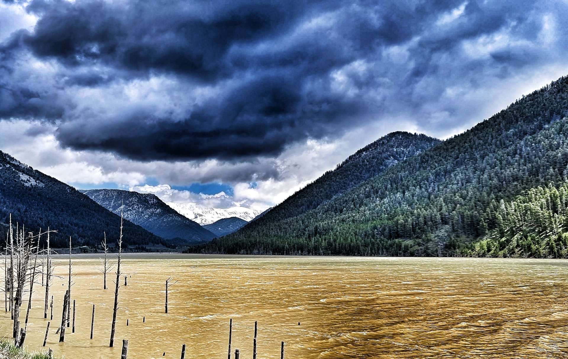
The quake caused an 80 million ton landslide, which formed a dam across the Madison river as it travelled down the side of Sheep Mountain at 100 miles an hour. The landslide killed 28 people who were camping along the shores of Hebgen Lake & further down the valley on the Madison river.
The earthquake caused the ground to subside by 20 feet & the fault line is visible to this day. We could see the tops of trees that had been submerged in Quake Lake more than 60 years ago. Prior to the 1959 earthquake the Madison river was cutting through the valley just like the 2 photos above – less than a month after the initial earthquake, Quake Lake extended 6 miles & had a maximum depth of 125 feet.

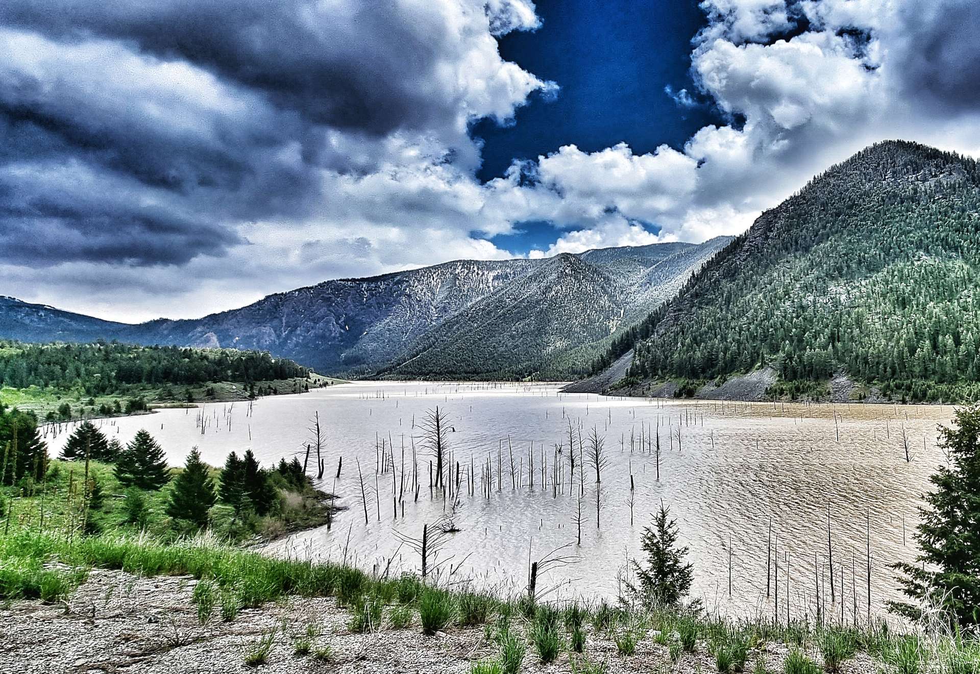
Upstream, the faulting caused by the earthquake forced the waters of Hebgen Lake to shift so violently that a wave crested over the dam, causing cracks & erosion. 32,000 acres of land around Hebgen Lake subsided by 10 feet – the impact of the earthquake was truly earth shattering & aftershocks of up to 6.5 on the Richter Scale were felt for several months afterwards.
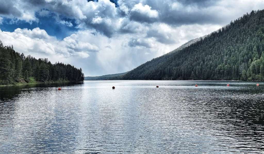
The Hebgen Lake was created in 1917 by building a dam 85 feet tall & 721 feet in length across the Madison river. It stores & regulates water supplies for reservoirs further downstream, as well as generate hydro-electric power. The lake is a popular recreation destination, with fishing, boating, swimming, hiking & camping all taking place.
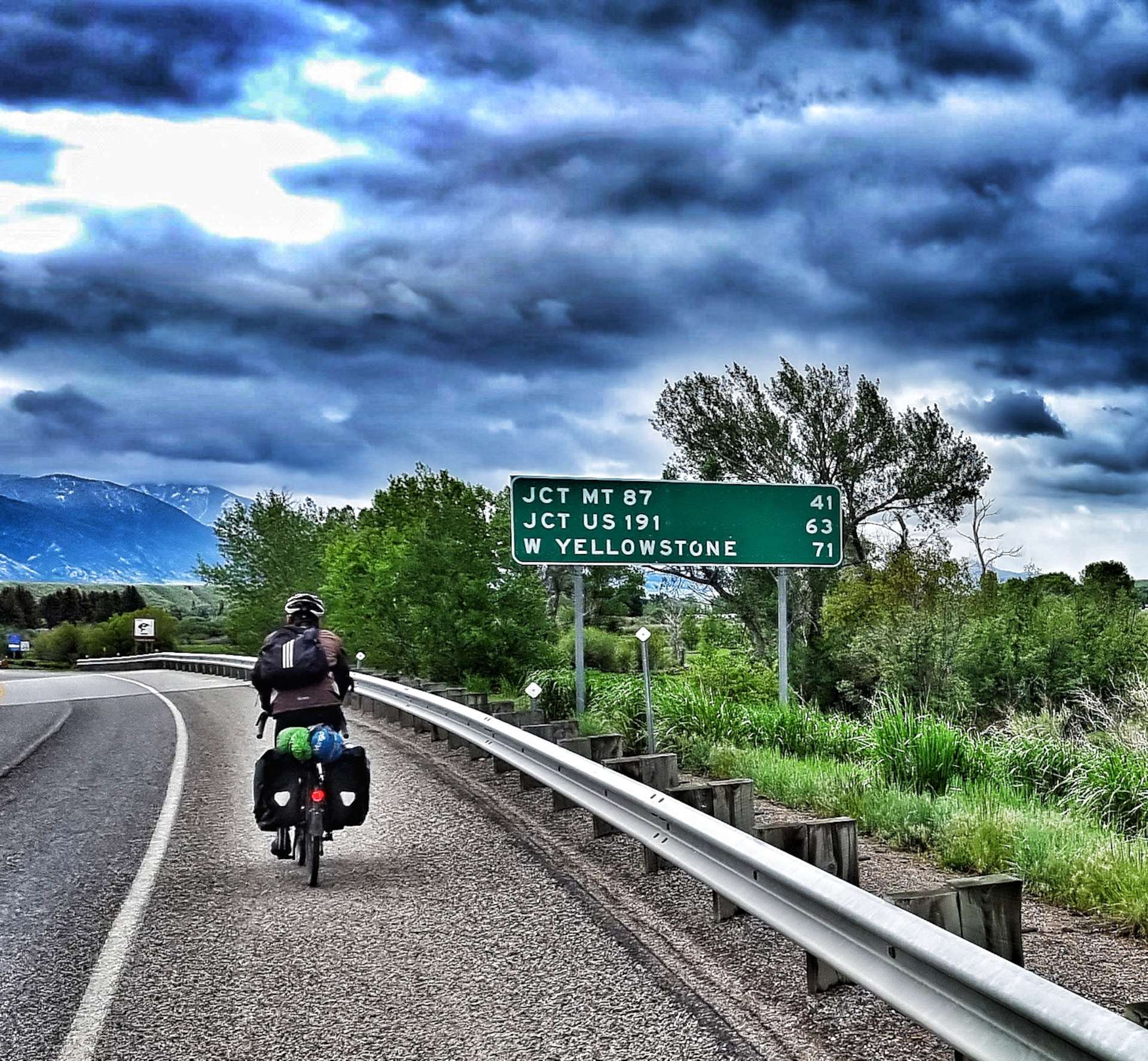
As Lake Hebgen receded behind us, we had almost reached our destination – just a right turn onto Highway 191 & the final 7 miles to go. You can almost see the excitement on our faces! We’d stayed dry all day – we later admitted that we’d been dreading the ride this morning as we were both convinced we were going to get soaked & then have to ride for 6 or 7 hours in the rain!
We checked-in to our room at the Dude & Round Up, then headed across the road to enjoy a huge portion of spaghetti marinara, washed down with a Hazy IPA. Tomorrow’s a rest day as we plan what to do next & where to go.

Stage Stats – 72 miles, 3,107 feet of climbing. Going uphill most of the day with 1 climb.
