Timmelsjoch / Passo del Rombo Loop

Alpine Adventures – Day Five (Austria)

Our last day of cycling in Austria started with a drive of just over an hour to the all year round resort of Solden – skiing in winter (it regularly hosts a round of the Downhill World Cup) as well as cycling & hiking in the summer. The Ice Q restaurant was used as a location in the James Bond film Spectre & there’s also a ‘007 Elements’ cinematic experience way above the town.

Solden is a bustling tourist resort, with all the usual trappings – hotels, bars, restaurants, outdoor adventure clothing shops & gift shops which may have robbed the town of some of its original charm. However, we were only parking the car here, so would soon be heading upwards on the main road which serves as a link between Austria & Italy.

Our plan was to tackle a 15 mile ascent of the Timmelsjoch & drop 6 miles or so into Italy. At which point we would ascent the Passo del Rombo (same mountain, but now climbing the Italian side) & then drop back into Solden – an out & back route.

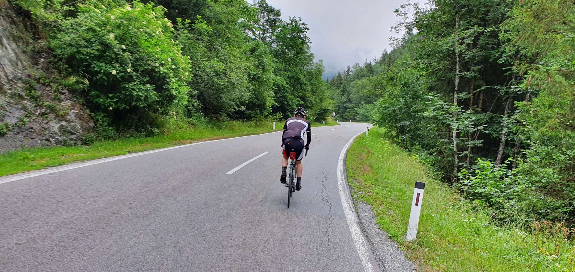
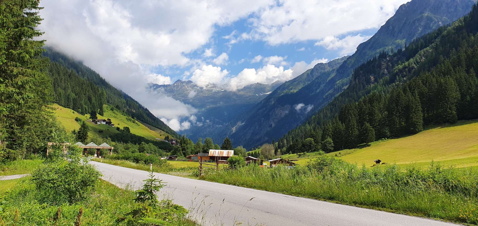
There were quite a few lorries & coaches on the lower slopes, serving a couple of ski resorts slightly higher up the mountain. The first mile or so rose steeply, but then the gradient evened out to a fairly consistent 6% – 8% for about 6 miles. As we reached the resort of Obergurgl, we crossed the valley floor & started climbing in earnest, as the next 2 miles zig-zagged their way through forest, up towards Hochgurgl – at this point there’s a toll booth (similar to our ride up to Kaunertal), so the traffic would thin out after this point.
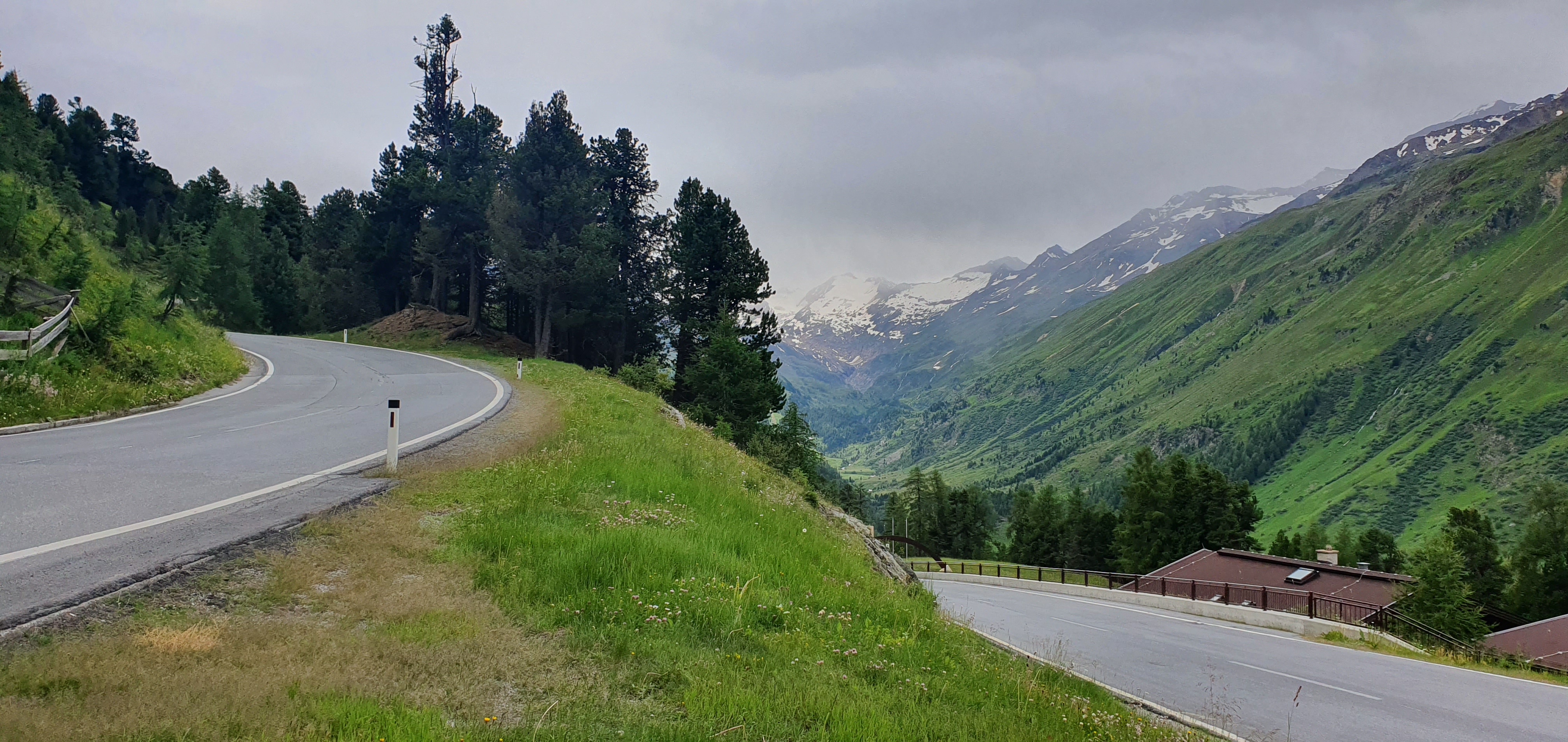
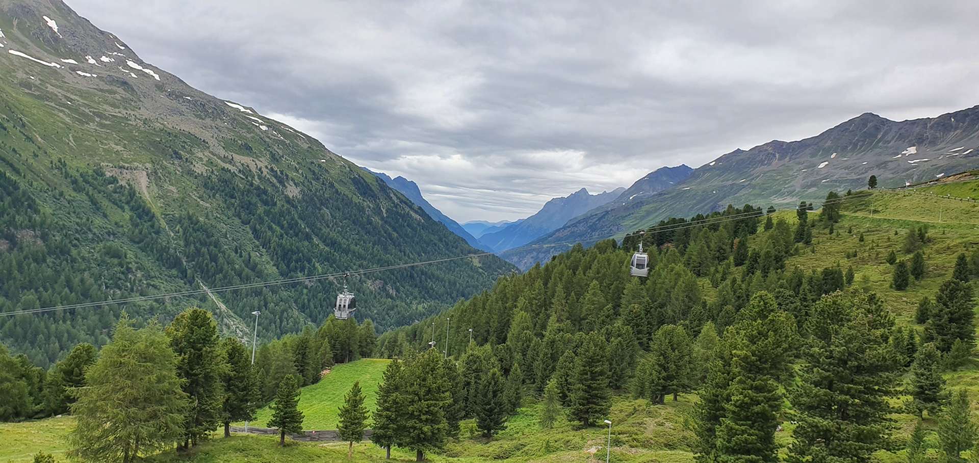
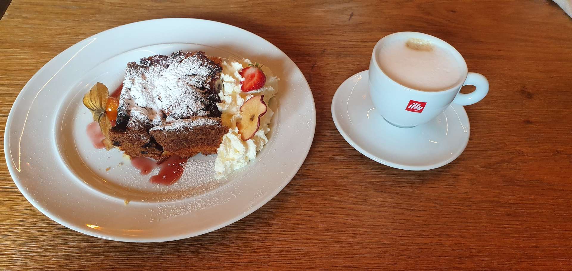
Hochgurgl is also home to a motorcycle museum & it has over 230 motorbikes from 100 plus manufacturers, including some early Harleys. Our reason for stopping was that it also does great food & coffee, so after about 90 minutes of riding we were ready for some refreshments – today’s treat was cherry tart & cappuccino!
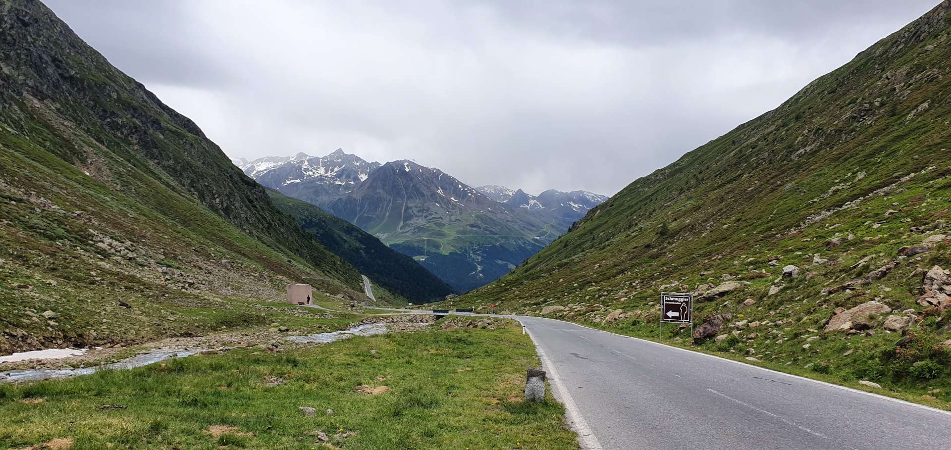
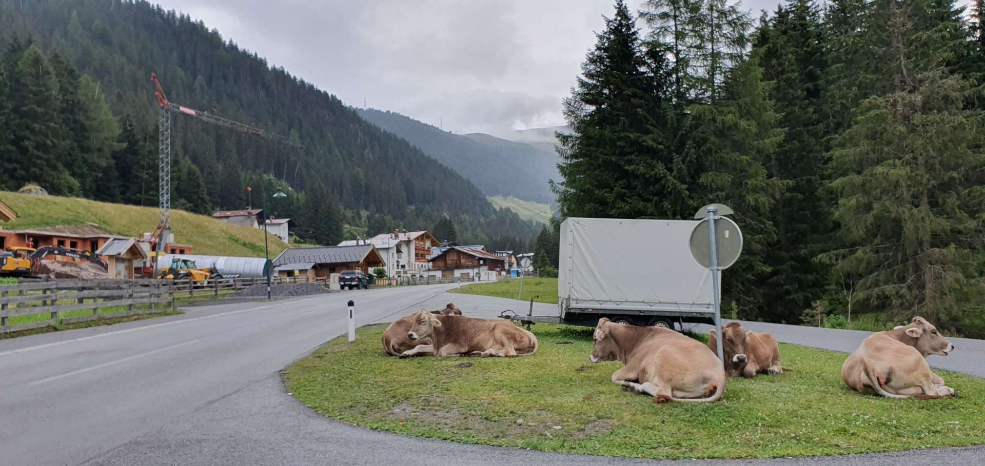
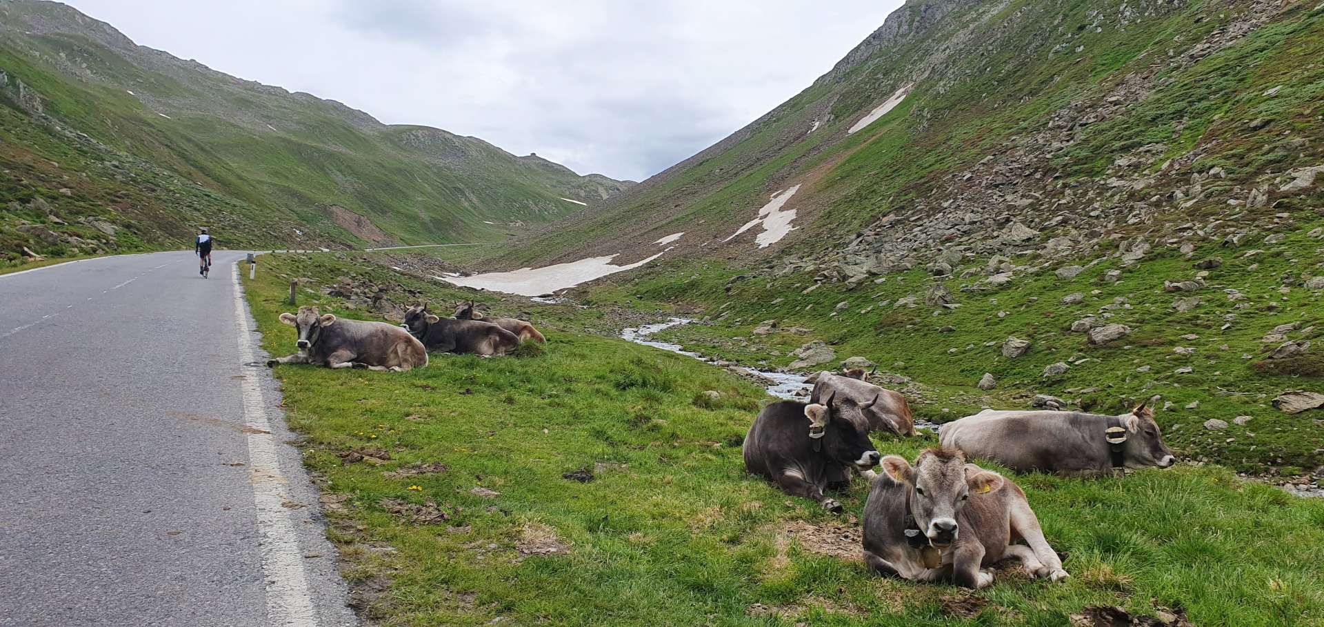
After a brief stop were on our way again & although we weren’t anywhere near the summit of the Timmelsjoch, the road descended for a mile & we gave away 450 feet of hard earned altitude! The final 3 miles to the summit were the most wild & rugged, as the only vegetation was grass which was being grazed by wild cows & sheep. They roam freely & as we were climbing, a convoy of Porsches were forced to stop their descent as the cows chose that moment to cross the road.
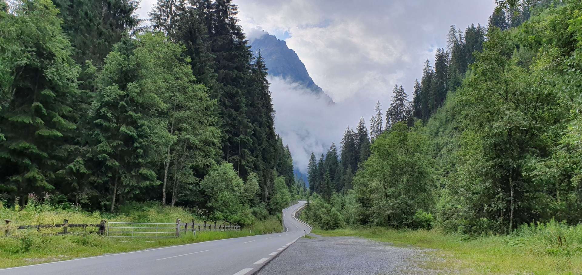
By now, the weather was closing in, the sun was a distant memory & cold rain was starting to fall. We were also above the snow line & the final couple of corners still had decent sized snow walls on them.
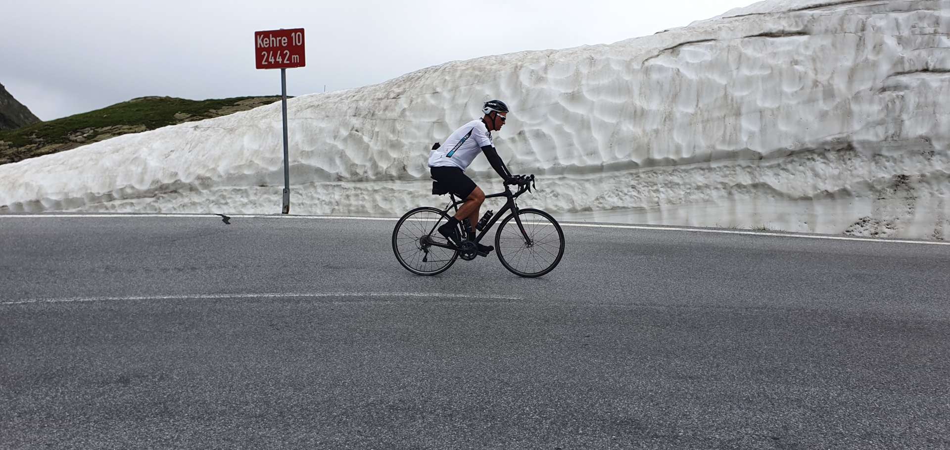
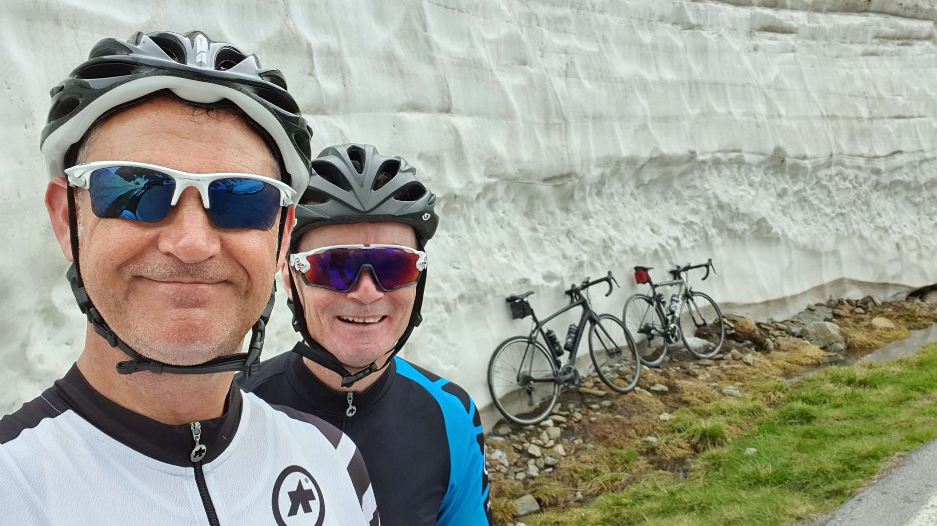
After a brief stop at the summit for a few photos & to don our rain jackets, we headed down the Italian side, where the Timmelsjoch becomes the Passo del Rombo.

The first mile of the descent is a very gentle gradient, as the road follows a cliff face before passing through a long tunnel & exiting to an enormous view of the valley below. We would descend 6 miles in total & the road took hairpin after hairpin as it hugged a valley wall on the way down. It took us less than 15 minutes to plummet 2,000 feet in just under 5 miles, so we were in from a long climb back to the summit!

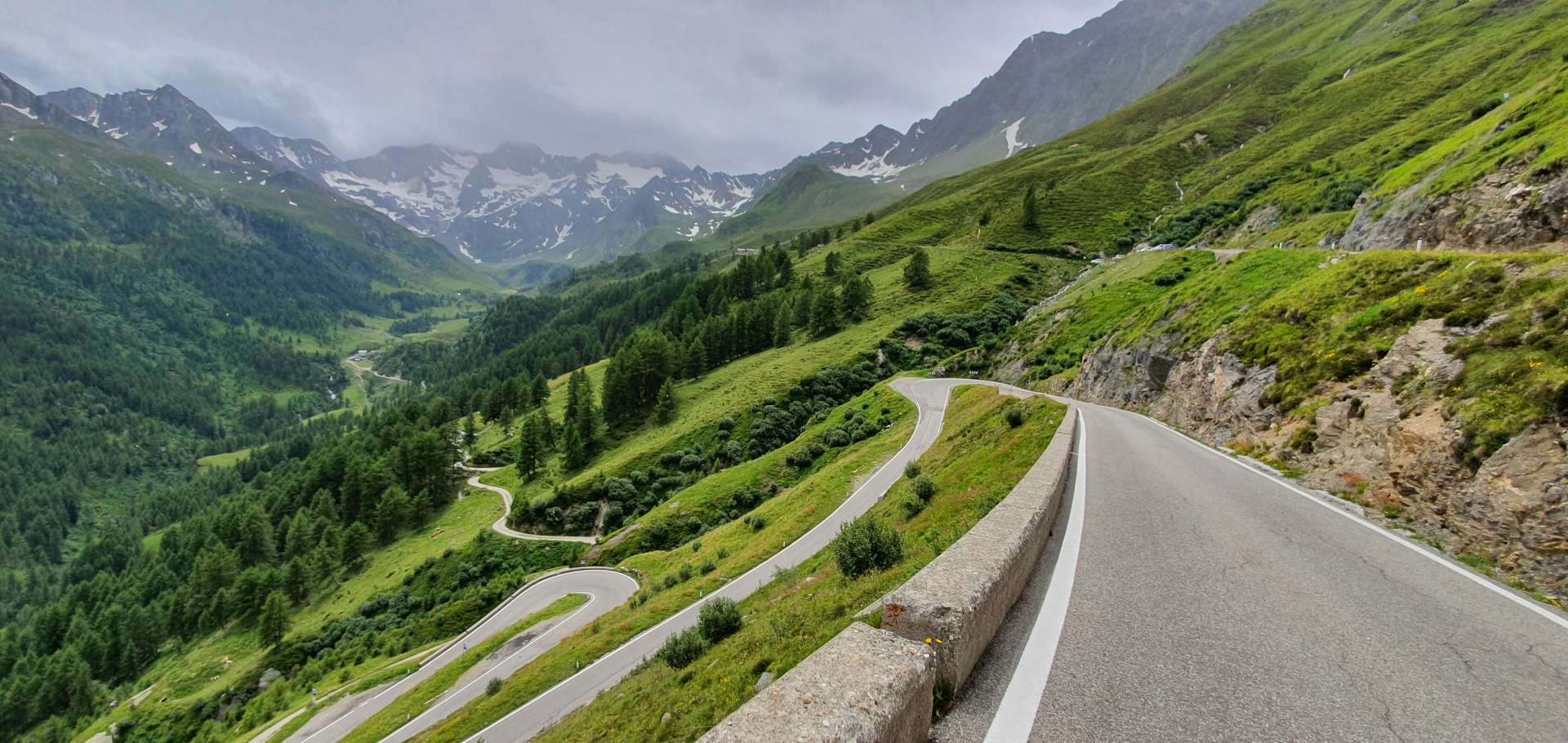
The ascent to the summit took about 90 minutes & was superb – the sun had come out again & we were just a few feet from a cliff edge with drops of over 2,500 feet to the valley floor below. There hadn’t really been time to take this in as we descended – there were too many tight turns to keep us focussed.
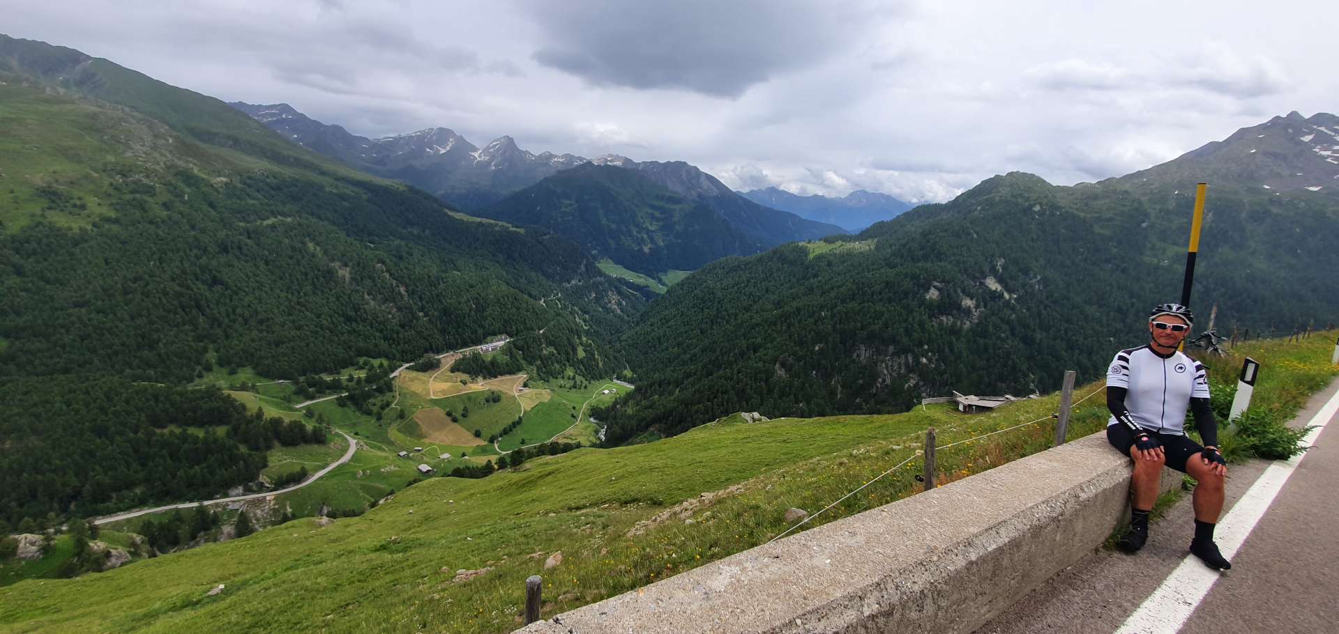
We stopped for a warming minestrone soup at a restaurant on the Italian / Austrian border, before descending back to Solden. It was raining again at the summit, so once we’d put our rain jackets on, we set off back down the Timmelsjoch – after a few hairpins near the summit, the road opened out & in no time I had hit 43mph & was still accelerating when I remembered the cattle & sheep crossing the road earlier, so I started to reduce my speed, just as well as there were now sheep where the cattle had been!!!

After negotiating our way around the sheep, we had a small descent left, before that nasty climb back up to the Motorbike Museum. My legs were so cold from the rapid descent, that it was quite a struggle to get them turning again for the short, sharp climb. Once we reached the plateau at Hochgurgl, the final 9 miles was a fast & flowing descent & before we knew it, we were back to Solden.

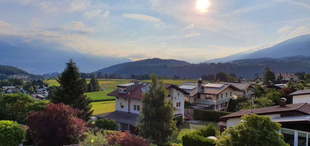
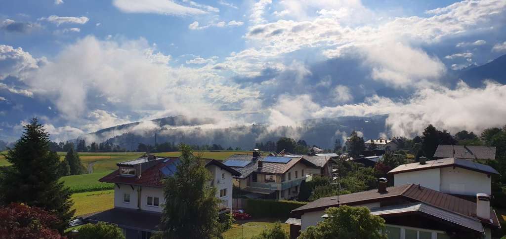
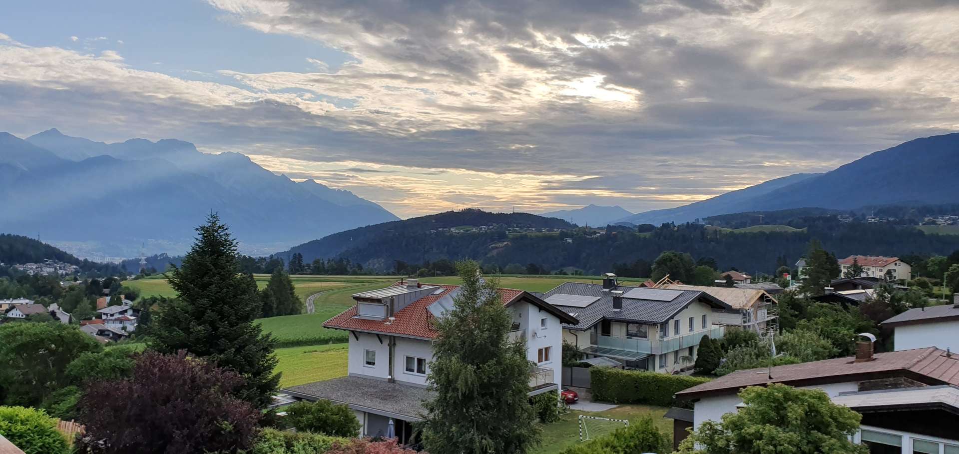
This was another epic day in the high mountains & although this was our last day of cycling in Austria, the adventure isn’t yet over. After taking in a final view from my hotel window, we spent the evening carb loading in preparation for 5 more days of riding, this time in the high Italian Alps above Bormio!
Garmisch Loop

Austrian Alps – Day 4, 2019.

After yesterday’s epic day in the saddle, today was a far more sedate affair, but fun on every level. We’d planned a 72 mile loop that would start & finish in Telfs, a 25 minute drive from our hotel in Mutters.

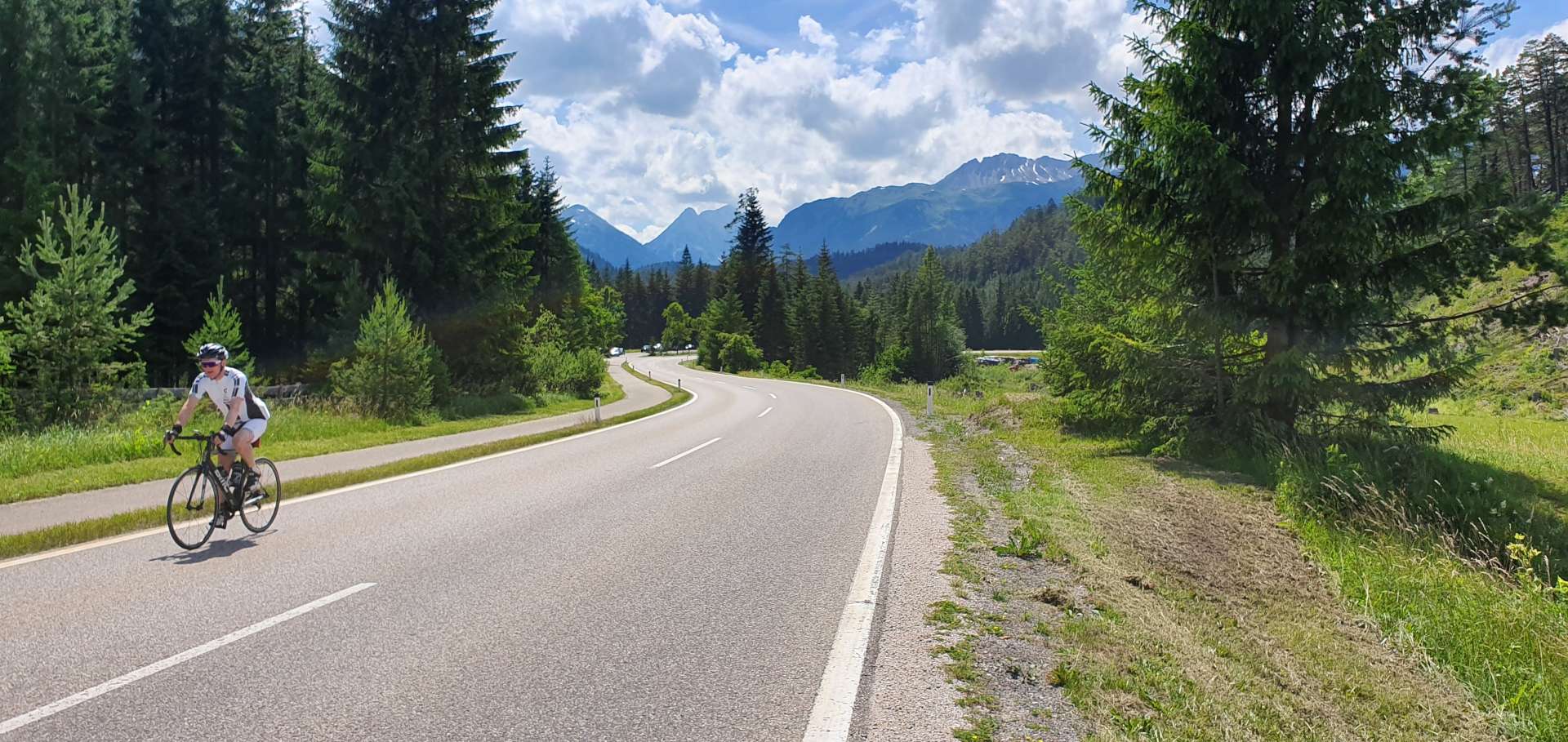
The first 2 miles took us out of town on a long, straight road which was reminiscent of a French avenue with tall trees on either side, providing some protection from the overhead sun. Unlike the first 3 days of riding, there was no need of arm warmers or rain jackets – the only protection we required was sun tan lotion.

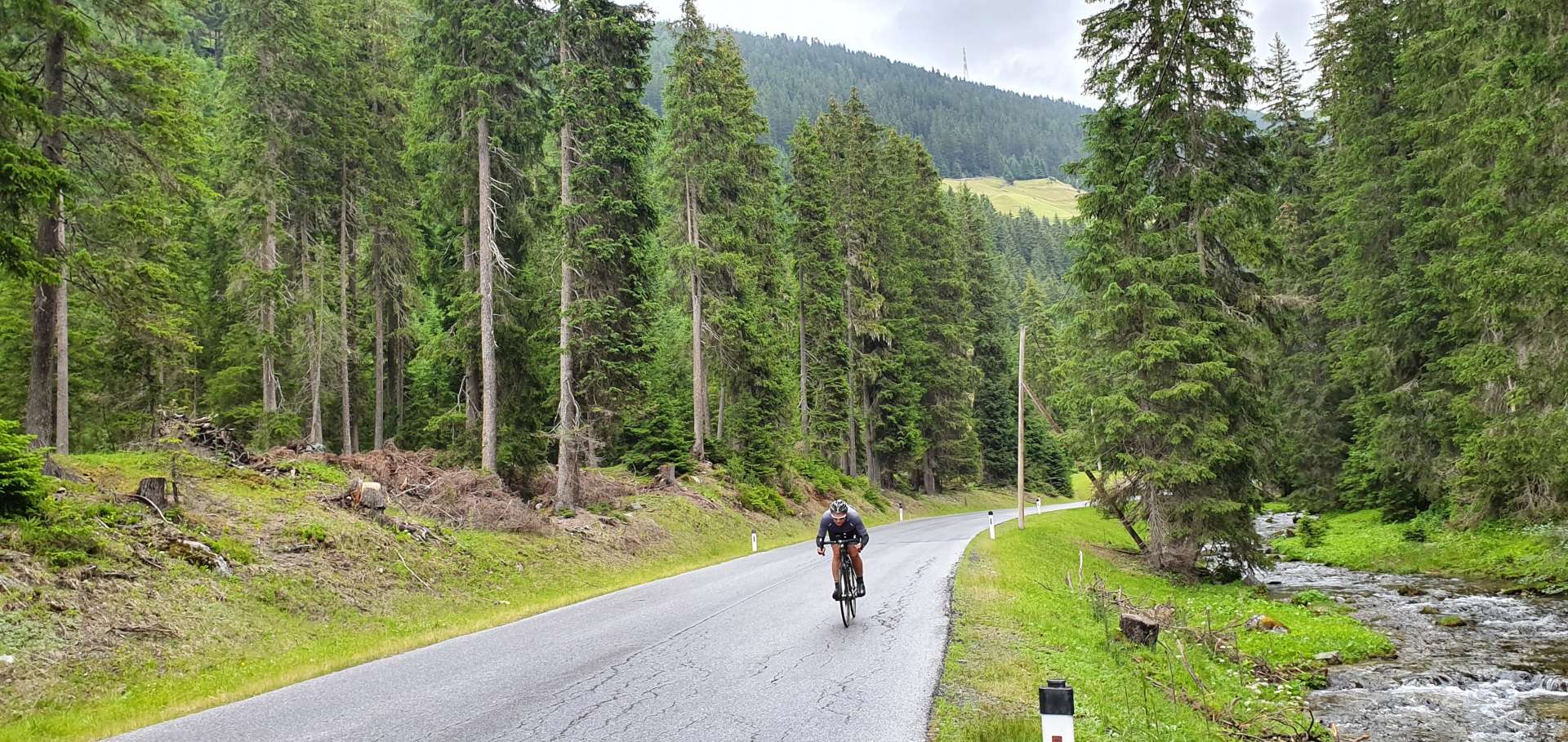
After our warm up, we were introduced to our first climb of the day, a 4 mile effort at a fairly steady 8% to 9% through a pine forest as the road rose ever higher above the alpine valley below. As I stopped to take a photo, what I think was an eagle flew across the shot & it’s ended up in my first picture.

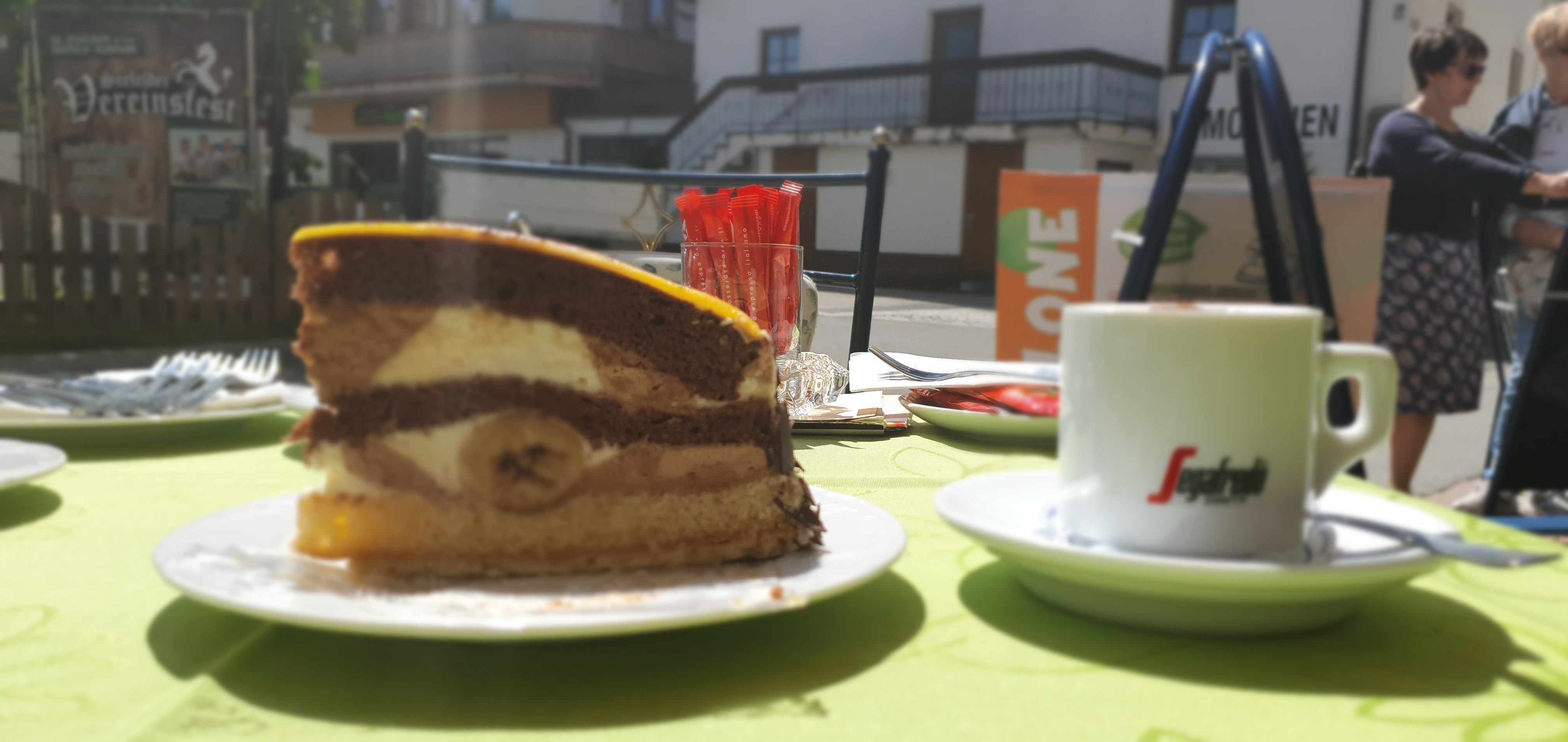
Mosern marked the summit of the first climb – we’d ascended 1,932 feet over 4.17 miles & it had only taken us 45 minutes. For the next 9 miles the road twisted & turned as we descended into Seefeld, where we stopped for the best banana cake & a cappuccino!
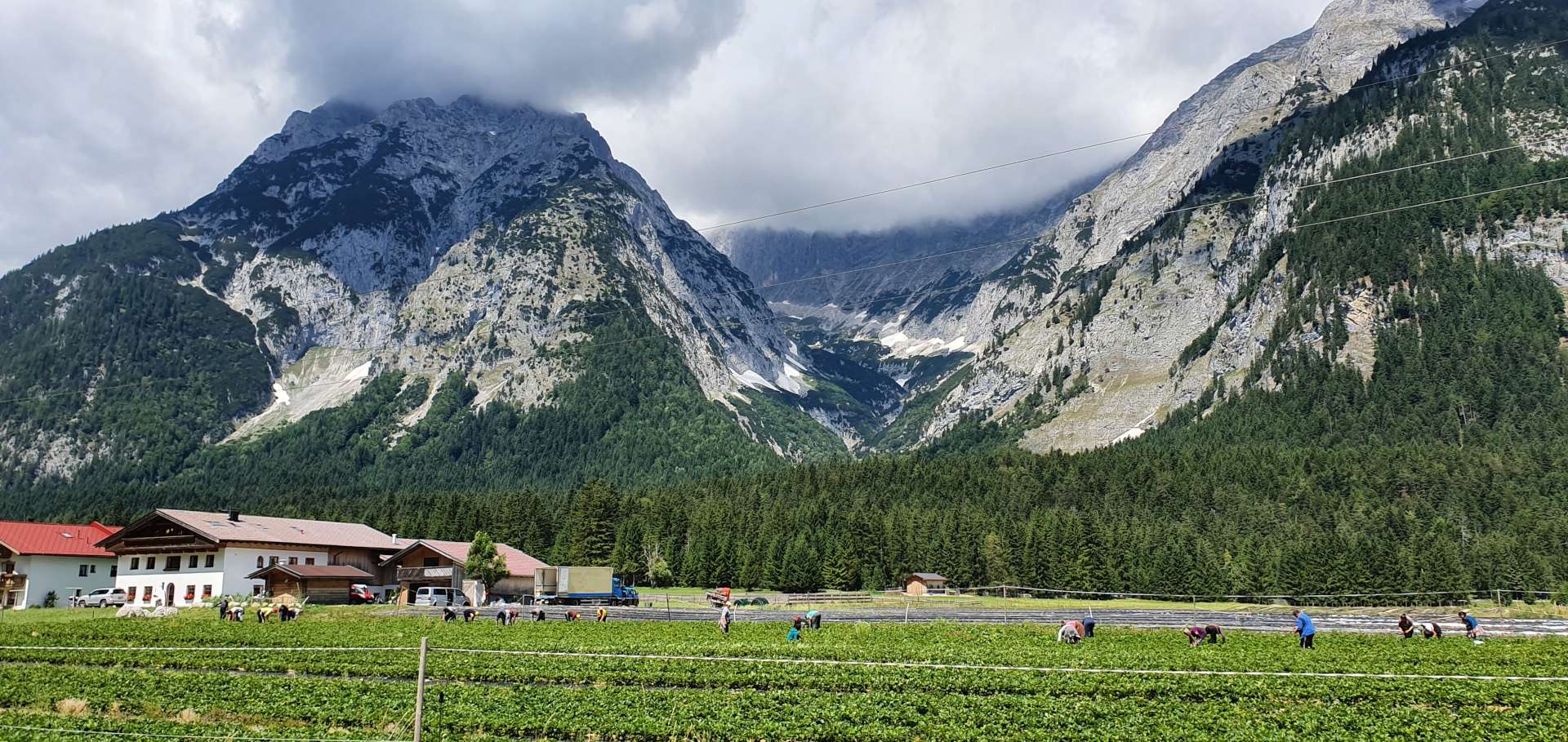
We took a slight left & picked up a tail wind as we followed a verdant valley where we saw groups of workers picking strawberries & raspberries in the adjacent fields.

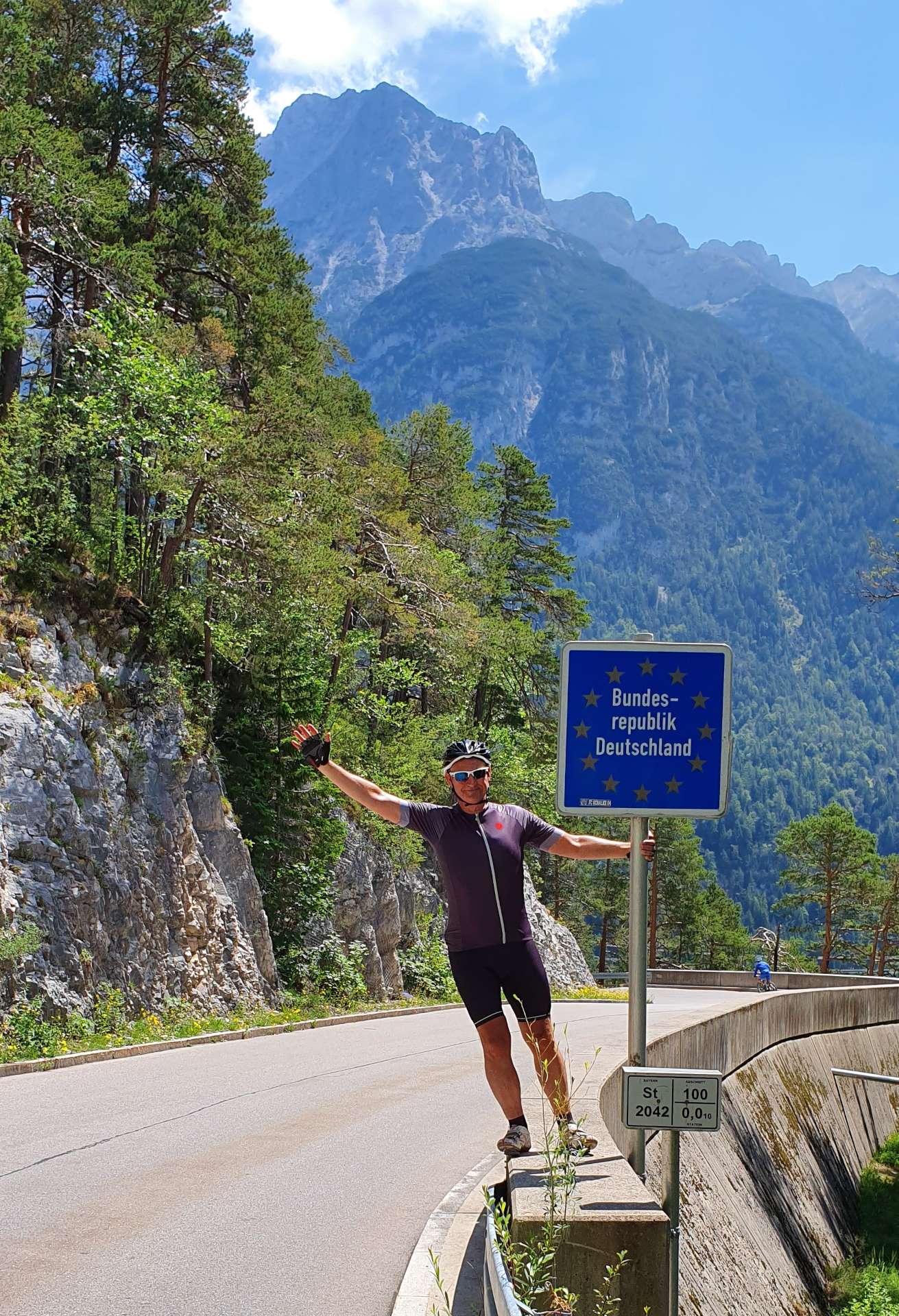
The road continued to drop slowly towards the Austrian/German border & before we knew it, we were in Germany & heading through the ancient town of Mittenwald, which was gearing up for a garden festival this coming weekend.

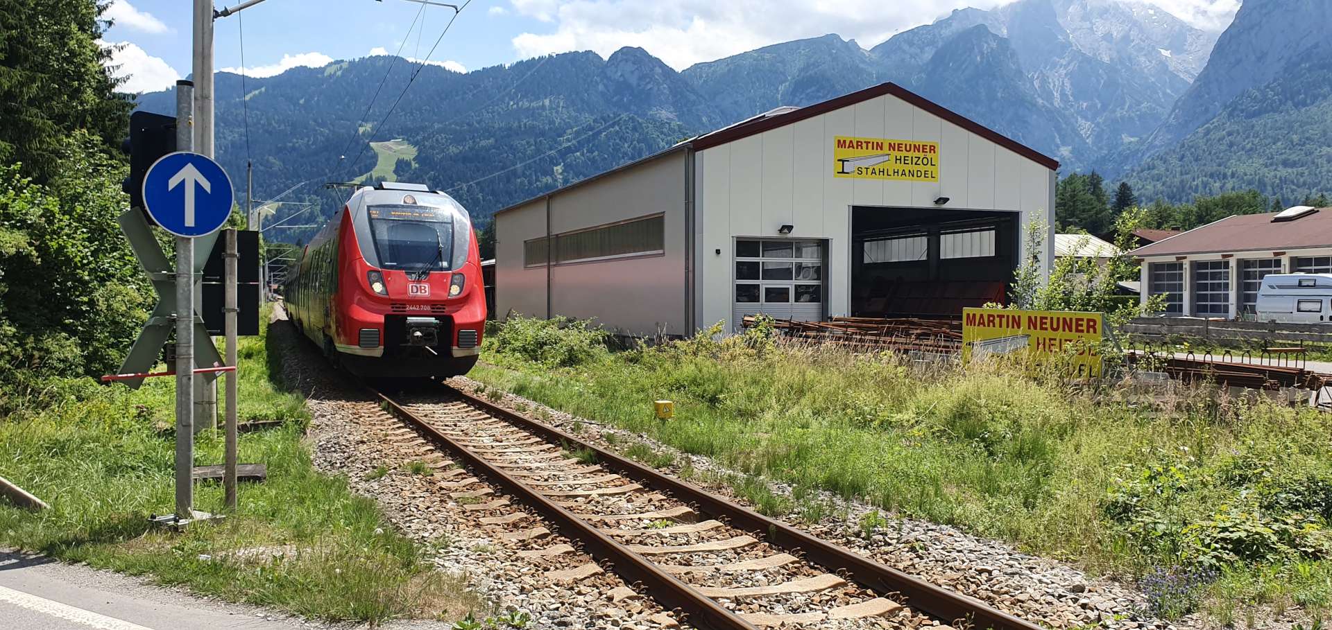
Up to this point, we’d been on quiet back roads, however, for the next part of the loop to Garmisch-Partenkirchen we were following a fairly main road, with occasional stretches of bike path – I’m sure that if I’d done a bit more research before the trip, I could have found a better way of navigating this section. We had plenty of big views up to the surrounding mountains to take our minds off the traffic – we also had the excitement of stopping at a level crossing & seeing one of the local trains go past.

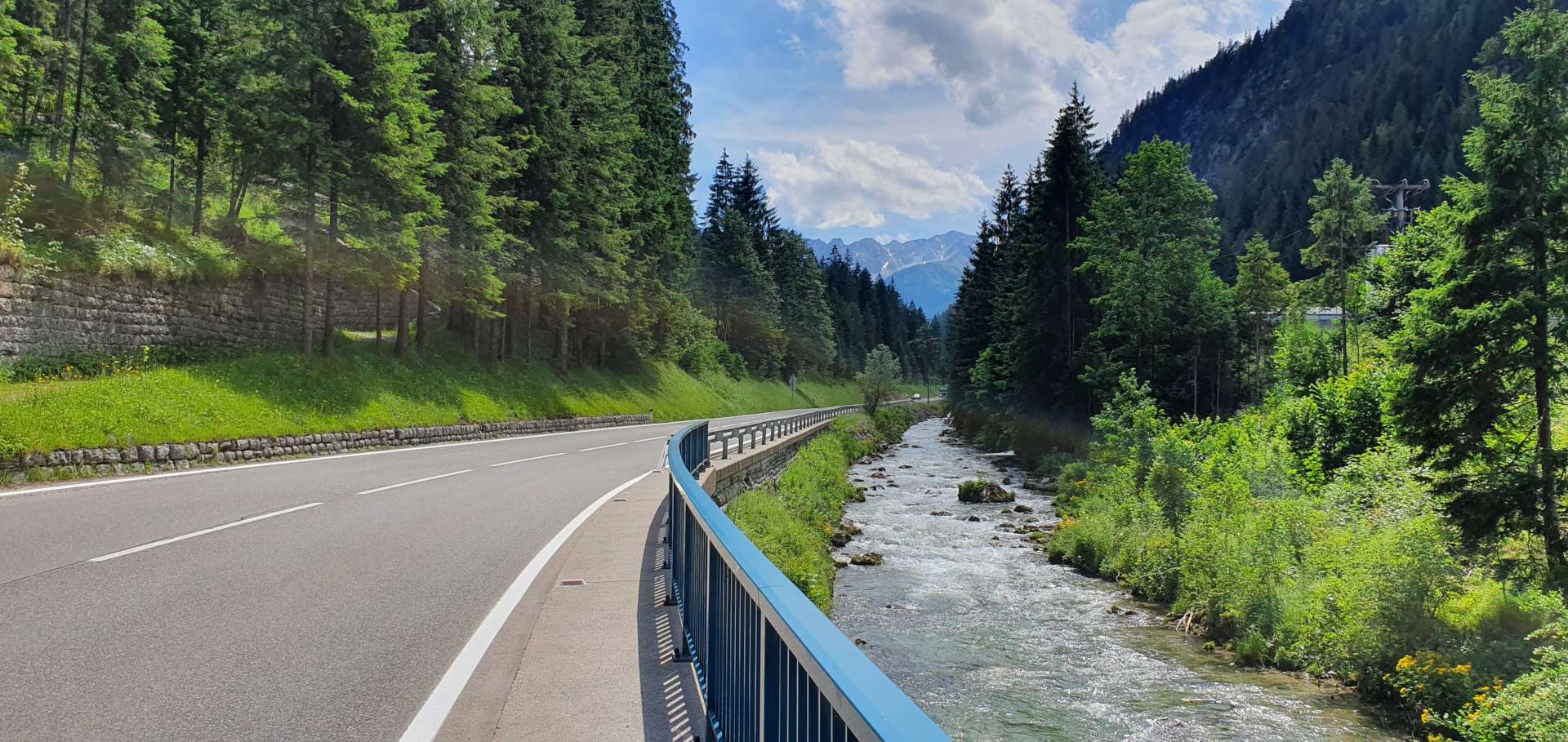
We skirted around Garmisch & joined a slightly quieter road as we spent the next 13 miles gradually gaining height as we headed towards the day’s next categorised climb.

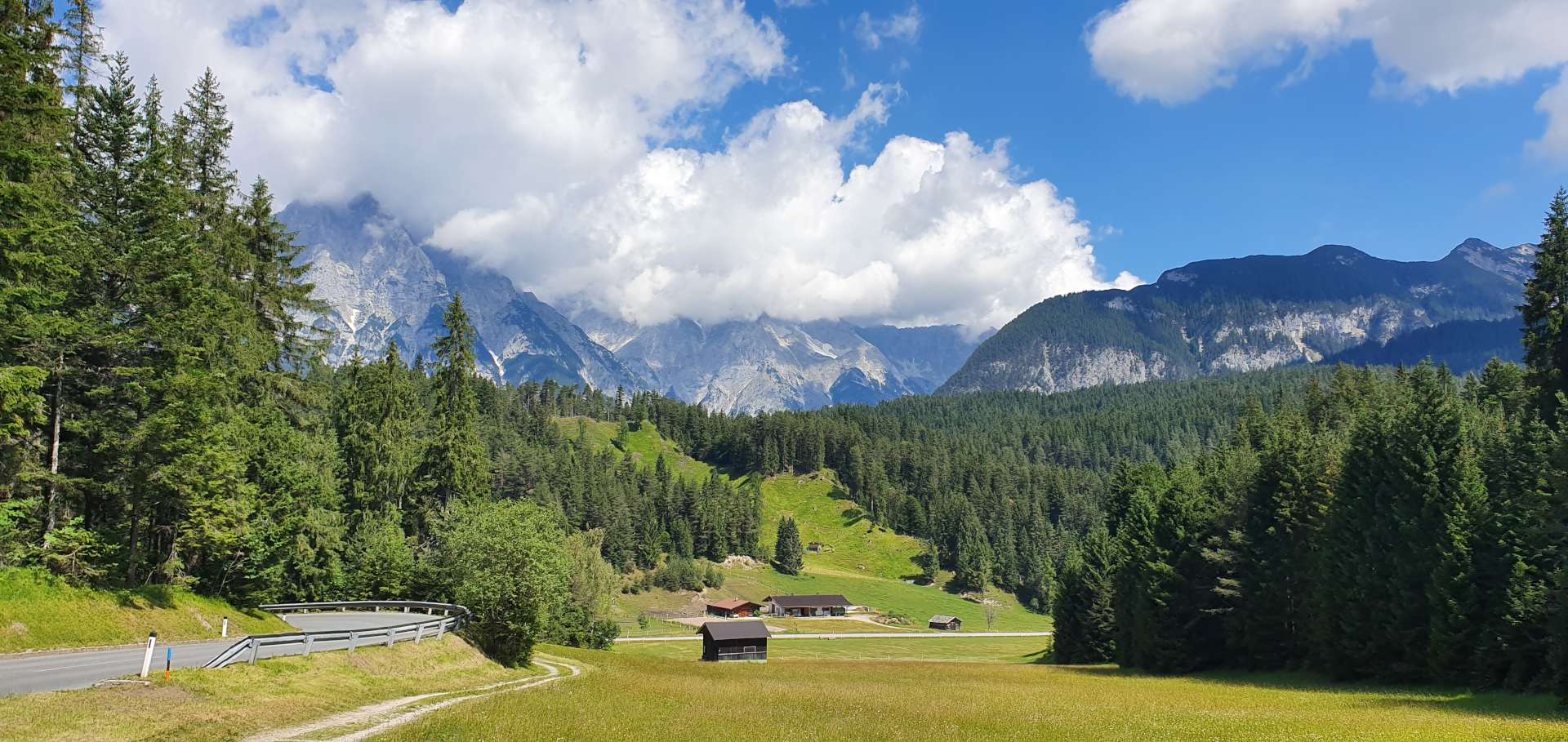
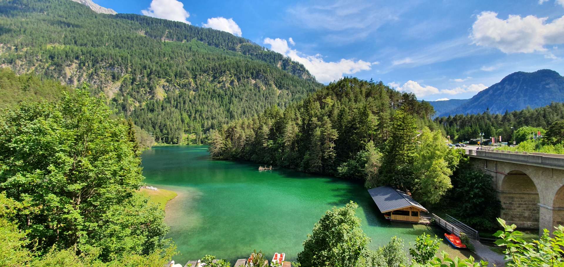
The Fernpass is only about 5 miles long & gains about 1,000 feet from it’s start point in Lermoos. As we approached the summit we saw signs for a panoramic rest stop, so decided to pull in just to see what it was all about. Way below us between the pine trees was a lake of aquamarine with huge mountains in the background – it was well worth stopping for.

As we swooped down the other side of the mountain, we passed the equally scenic lake at Fernstein, where holiday makers were sunning themselves on the beach below. We continued to descent to Nassereith, before picking up the main road again for the day’s final climb (it didn’t appear to have a name, but as we ascended more than 1,000 feet, it definitely counted as a climb!

All that remained was to descend the final 10 miles from Holzleiten back to Telfs. On a scale of 1 to 10, this loop would score a 7 (it loses 2 points for the stretches of main road where articulated trucks thundered past us – they always gave us plenty of room & it wasn’t ever dangerous, however it did detract slightly from the whole experience. I’m probably being a little harsh, as we’ve had 4 brilliant days of cycling in Austria so far, with another big day planned for Day 5.

Kaunertaler Glacier Loop

Austrian Alps – Day Three, 2019

The day began with an hour drive to the small town of Prutz, where the road to the Kaunertal Glacier starts. The logistics for the day couldn’t have been any simpler – 25 miles each way, following one road up to the summit. This tells you nothing about what the day would be like however, as the Kaunertaler Gletscherpanoramastraße tops out at 2,750 metres & is the 6th highest paved road in the Alps.

I first read about this epic day in the saddle from a cycling blogger called Will Davies (no relation), he has an awesome website www.cycling-challenge.com & over the years I’ve used it as valuable research for my cycling adventures around Europe. When Will says he loved the climb, then you know it needs to be conquered!

The purpose built road was built in 1980 & exists solely to enable people to reach the ski station at the summit, as a result, it’s open all year round – from there it’s possible to take a cable car up another 1,000 feet. The road itself is wide to ensure that coaches & large trucks can make the trip to the summit.

Our ride started under slate grey, cloudy skies & we used the first few miles as a gentle warm up, but then the bike route detoured around 3 road tunnels – they were all gravel, so the effort to pedal is that bit harder, plus the gradient increased to 9%. The climb is unusual in that from the very start the gradient jumps up & down, so it’s hard to get into a comfortable climbing rhythm.

The early slopes were cut through a pine forest, but as we rounded a sharp corner, the forest gave way to alpine meadows, with sheep & cattle grazing on the lush grass. Every now & then we passed through small villages, until after 7 miles we passed through a toll booth (for cars only) – from this point on, the road became significantly quieter. We were now following the route of a babbling brook as it meandered down the valley from a lake above.

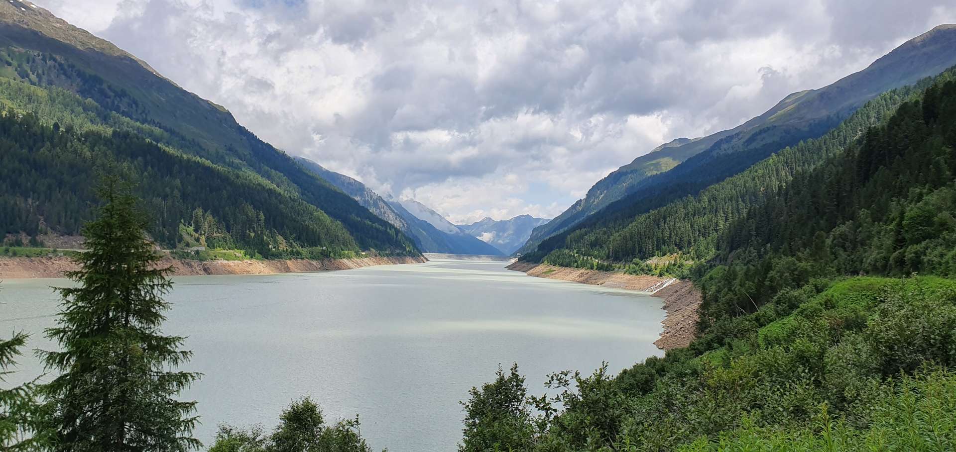
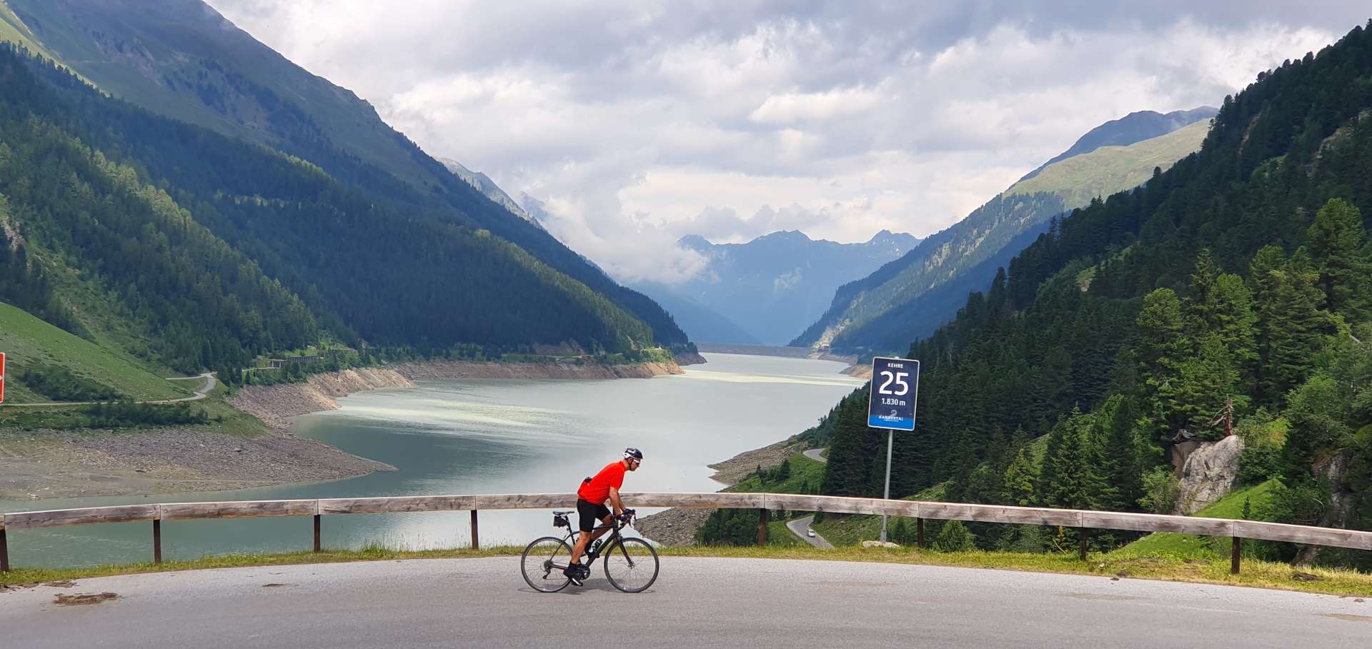
We could just make out the dam wall of the artificial lake in the distance & as we got closer, the road kicked up for 2 miles, with the gradient varying between 7% & 12% – we also passed the first of 29 numbered hairpin bends. The views from the dam made the effort well worthwhile, as by now the sun had got its hat on & there were the beginnings of a blue sky overhead. We rode along the edge of the lake for about 3 miles, before starting the really challenging & fun part of the ride.

The views of the surrounding valley & lake below became more spectacular the higher we climbed. There were some wickedly steep sections by now, as the hairpins came thick & fast – at one point the hairpins were less than 100 yards apart & the gradient kicked up to 12% as the road followed the natural contours.

With 5 miles to go, we got our first glimpse of the glacier & we foolishly thought that we’d broken the back of the ride. We couldn’t have been further from the truth – the next 5 miles took me 1 hour 7 minutes to ride (at an average of 4.5 mph), with over 2,200 feet of ascent. This was quite simply the toughest 5 miles I’ve ever ridden, as the gradient regularly exceeded 13% for in excess of ½ mile at a time. We were also treated to some stunning scenery that helped to take my mind off the pain of the climb.

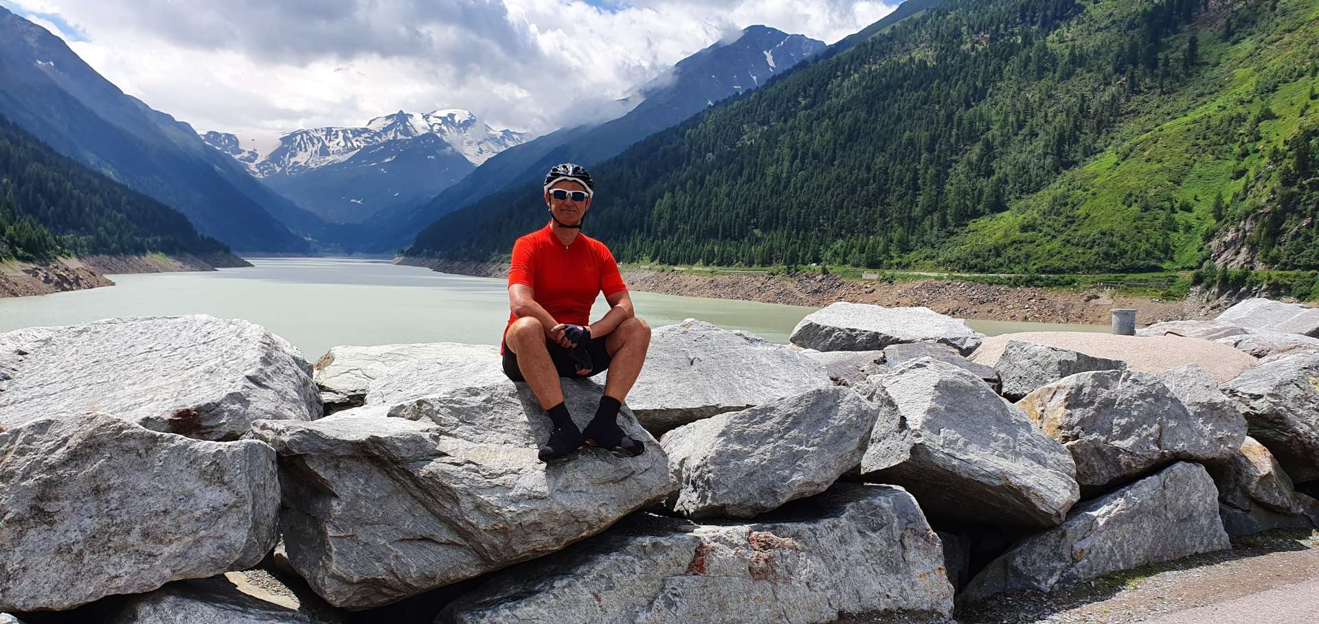
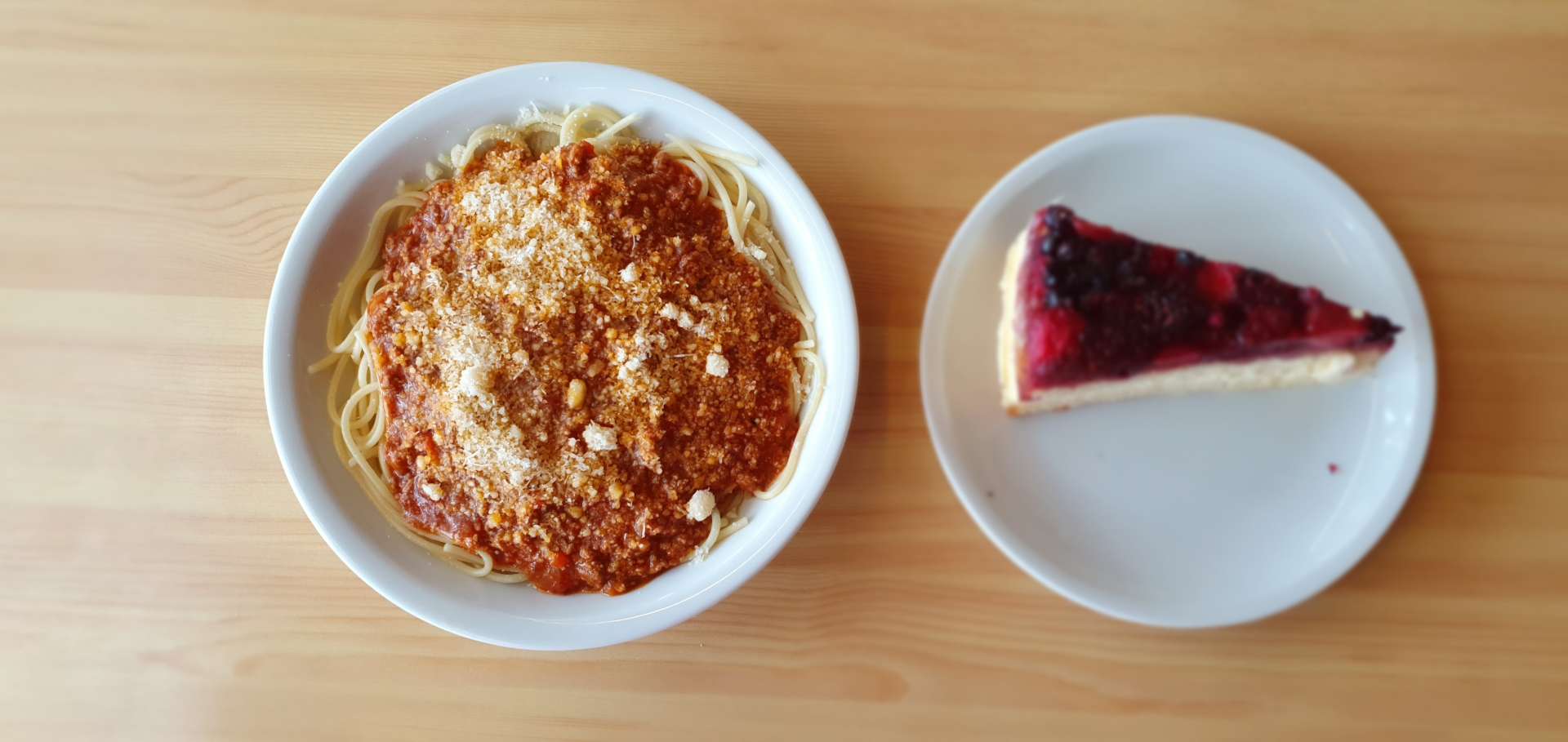
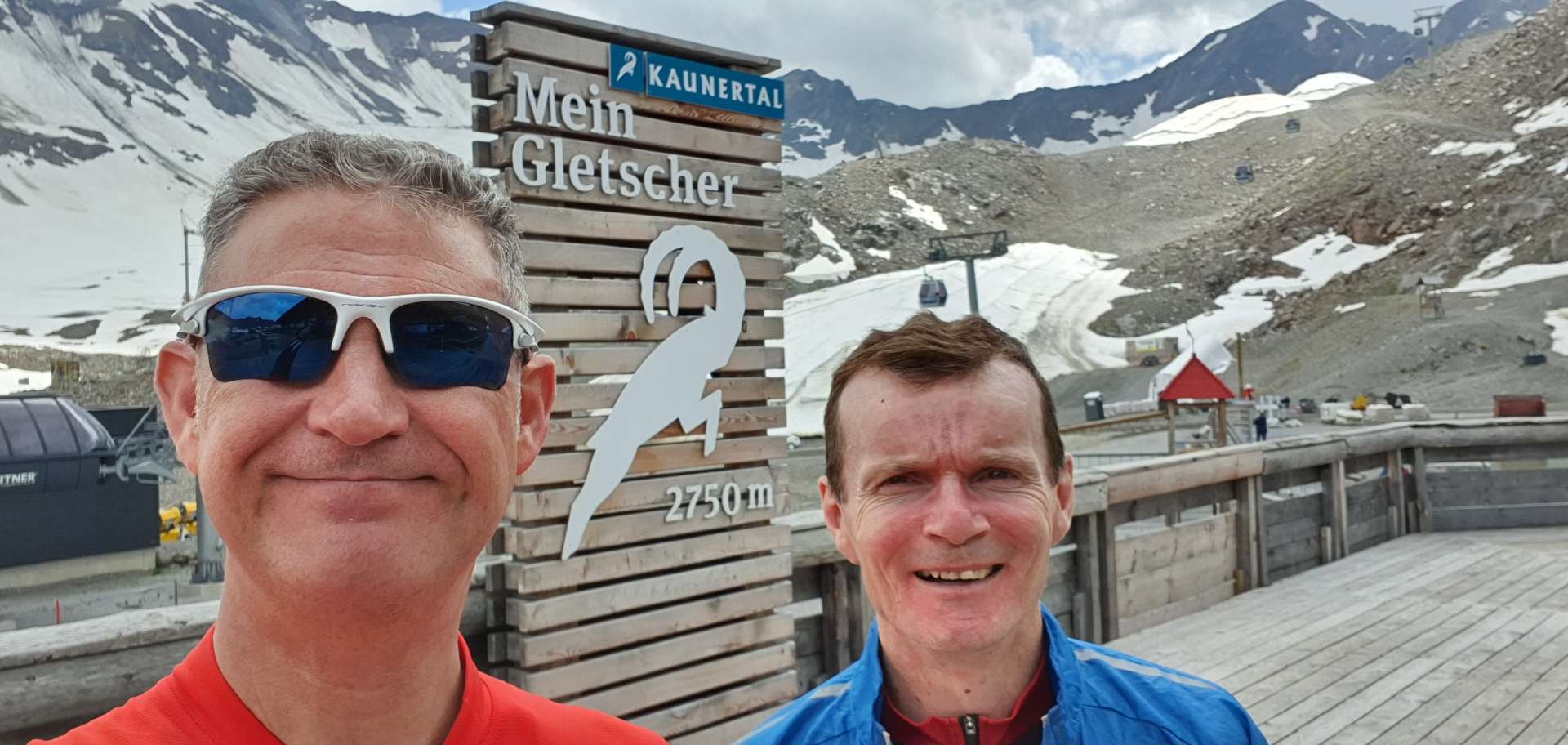
The summit was very busy, as workmen were undertaking all the repairs that need doing between ski seasons, plus there were several hundred tourists. We headed for the restaurant to replenish our energy supplies (you may have noticed I didn’t make any mention of a coffee stop on the ride) which were now depleted. After a spaghetti bolognese & gateau, we ventured outside to get our photo taken next to the tourist trap sign – 2,750 metres above sea level!

Having taken 3 hours 45 minutes to complete the climb, we could now relax & enjoy the plummet back to the start point, some 2,000 metres below.

We stopped a couple of times to check out the views again & also to admire some of the brilliant wood sculptures that were in every lay-by  most of the trail heads.

Less than an hour & 10 minutes after leaving the summit, we were back at the car – it had been an incredibly tough climb to the summit, but was also a truly epic day in the saddle! A few hours later, we’d recovered enough to raise a glass to another amazing Austria Alpine adventure.

Kuhtai Loop

Austrian Alps – Day Two, 2019

Day two carried on where Day One left off. I woke to the sound of rain on the window panes, but by the time we’d had breakfast & prepared the bikes, the precipitation had moved further along the valley. The cloud base was still really low & all the mountains were hidden from view as we set off. As bad weather had again been forecast, I planned a route along the valley floor, before looping round to take in the day’s only climb of significance (at least on paper!) in the latter half of the day.

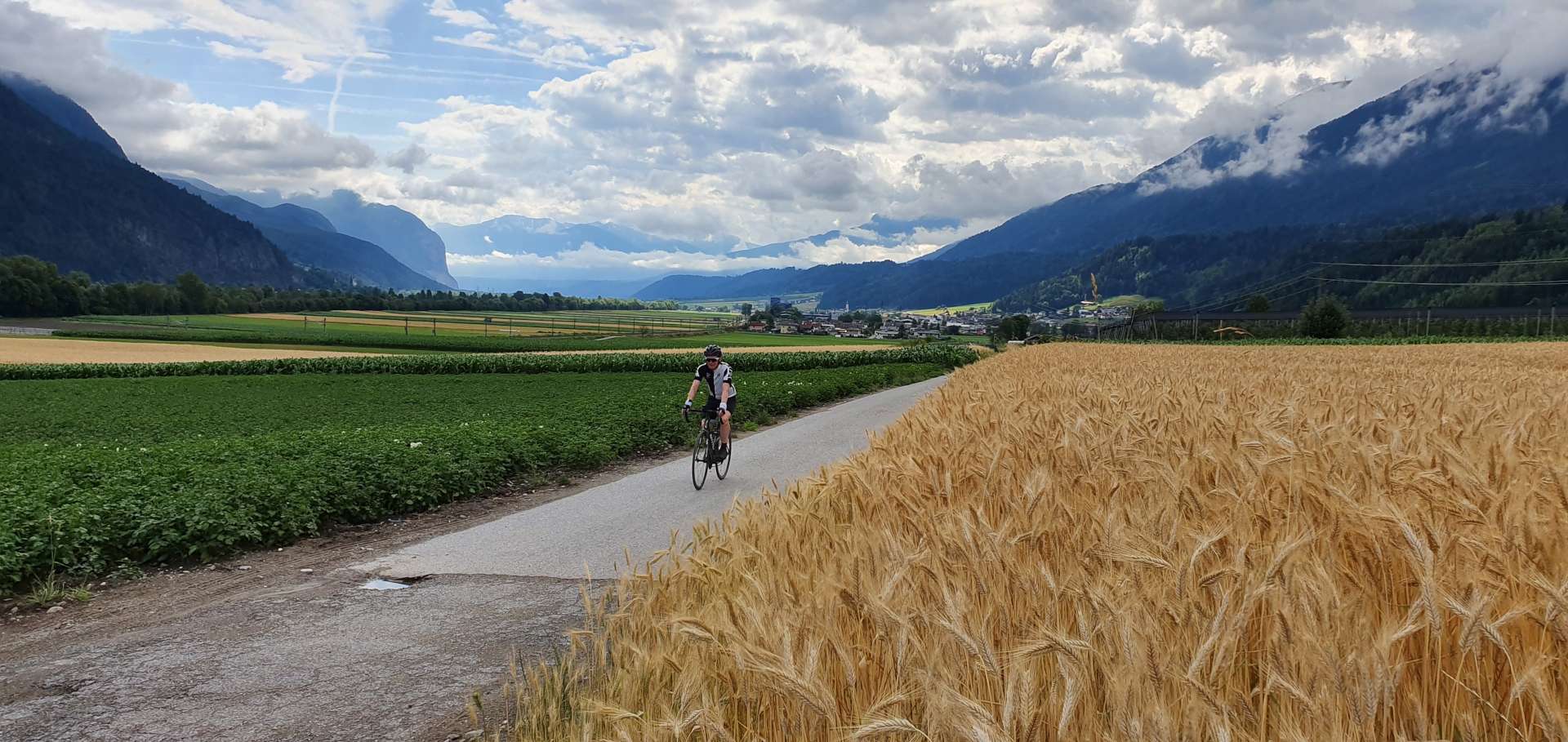
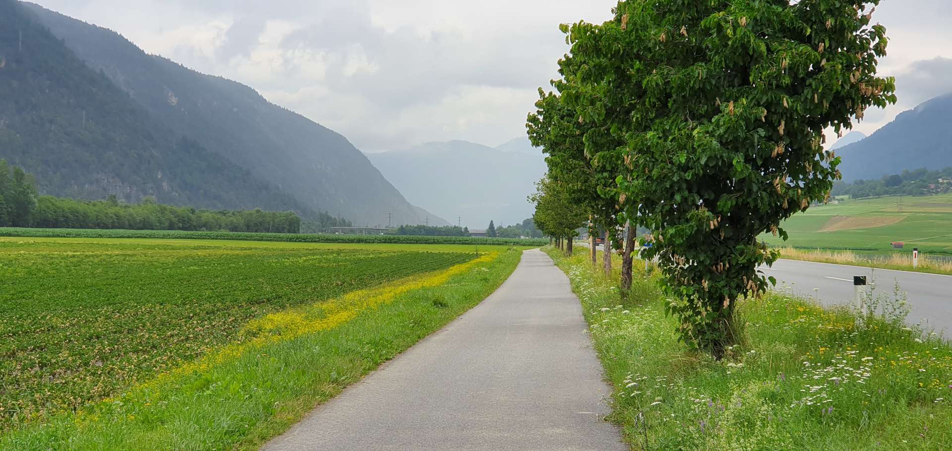
We started with a gradual climb out of Mutters towards Axems, before a fast, fun descent towards the River Inn, some 1,000 feet below. As we hit the valley floor, the sun came out, although the big mountains were still shielded from view by the low lying cloud. We followed a busy main road for about 5 miles, before detouring on to a quiet cycle path for the next 10 miles or so.

We were in prime agricultural farming country, as we passed fields of potatoes, lettuces & wheat, as well as orchards of apples, pears & cherries.

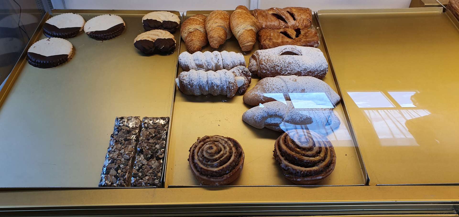
As we hit the 25 mile mark, we found a small bakery which had a great array of pastries. The only challenge was picking just one to eat with our coffees! In the end I chose a cherry pastry & wasn’t disappointed!

Having recharged our batteries, we re-joined the cycle path as it wound through a quiet forest – in the middle of nowhere we spotted a small chapel that had been built to remember all those who lost their lives in the First World War.

After hugging the valley floor for the best part of 20 miles, it was time to take a left turn & follow a tributary of the River Inn as it gradually wound up the side of the valley. For the next 20 miles, the road would be heading ever higher – the first 8 miles until we reached Otztal were a gentle warm up for the main event (Kuhtai is about 11 miles long & climbs about 4,500 feet), so we decided to stock up on energy with a quick lunch of ham salad roll & a cappuccino.

As we rolled out of town, we took a left & the road immediately started climbing, with the first couple of miles averaging 8%, with a few stretches in the 10% to 12% range. The road continued to snake its way up the side of the mountain, as we passed through tiny villages (some of them were less than 200 yards in length). As the road took us round the back of the mountain, we left civilisation behind & entered a pine forest as we twisted & turned up hairpin bend after hairpin bend for about 15 minutes.

As we continued to climb higher, the temperature began to drop & we felt the first drops of rain – by now it was about 2.30pm & the forecast had been for rain all day, so we were still thinking we’d been lucky with the weather. We continued to ride with arm warmers, as we were generating plenty of heat as we climbed. With about 5 miles of the climb remaining, the forest abruptly ended & we were entered an alpine meadow, with occasional herds of cattle roaming freely. With less than 2 miles to the summit, we had to stop to put on rain jackets, as it was now properly raining & would continue to do so for the remainder of the climb.

All of a sudden, the road flattened out as a lake & hydro-electric dam appeared on our right – this was great news, as I knew this was close to the top of the climb! We stop for a couple of quick photos, before pushing on for the summit. Before we knew it, we’d reached the Kuhtai sign & we relaxed as we took some snaps – we jumped back on our bikes, ready for the descent, only to realise we still had another couple of hundred feet of climbing to reach the town itself!

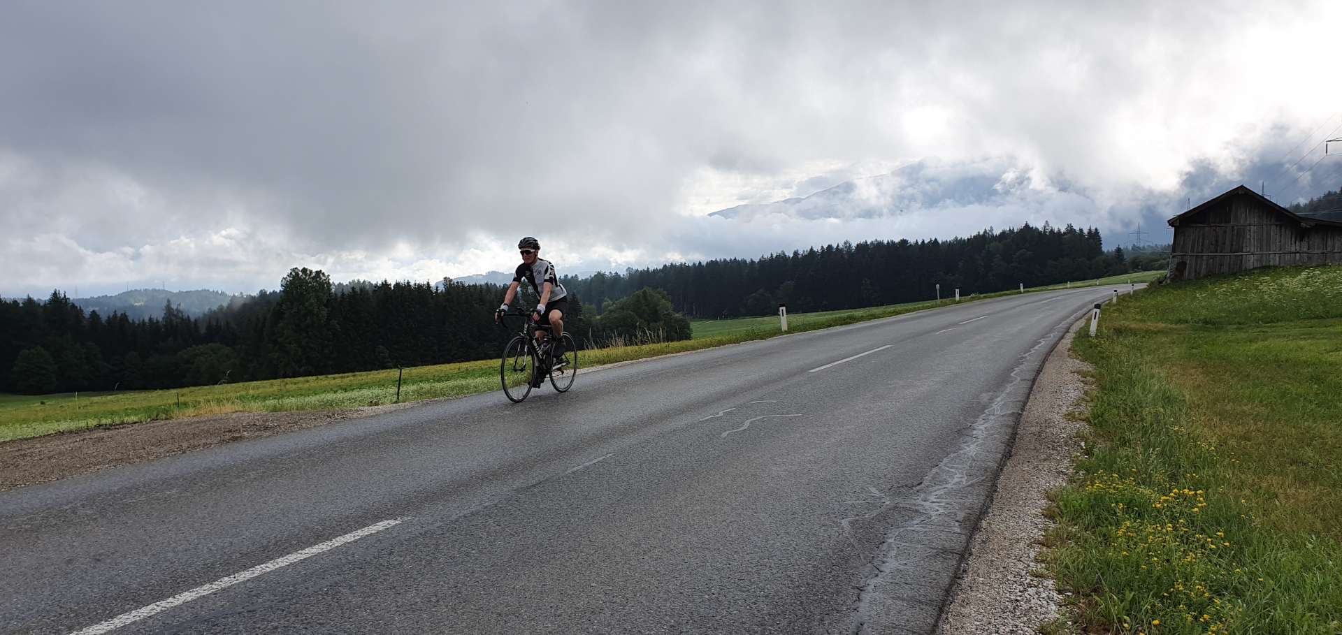
As we crested the summit, we commenced what would normally be a fast descent on a wide road, with great views. However, we were on wet roads & visibility was limited, so we adapted to the conditions. One of the unexpected hazards of our descent was a herd of longhorn cattle loose on the road – they looked like they were itching for a fight, so there was a bit of a Mexican Standoff while Sean plucked up the courage to pass them! As we began to lose some altitude, the air warmed up & as quickly as it started, the rain stopped.

After 10 miles of descending, we took a sharp right & were both surprised to see we had more climbing to do. The route profile had such a big lump for Kuhtai, that the rest of the route looked flat! It only lasted for 15 minutes or so & before we knew it, we were in Axams, so we’d circled the loop – all that remained was a relatively flat 5 mile ride back to Mutters & just as we walked into the hotel, the skies opened again! We had been so fortunate all day – the actual weather was way better than what we were expecting & the ride itself had been a real adventure.

We decided to celebrate our good fortune, by catching the mountain railway into Innsbruck, enjoy a couple of beers with dinner & then catch the train back too – I’m sure we were mistaken for locals, especially when I thanked our driver in true Bristolian fashion, with a “Cheers Drive!!!”.