Timmelsjoch / Passo del Rombo Loop

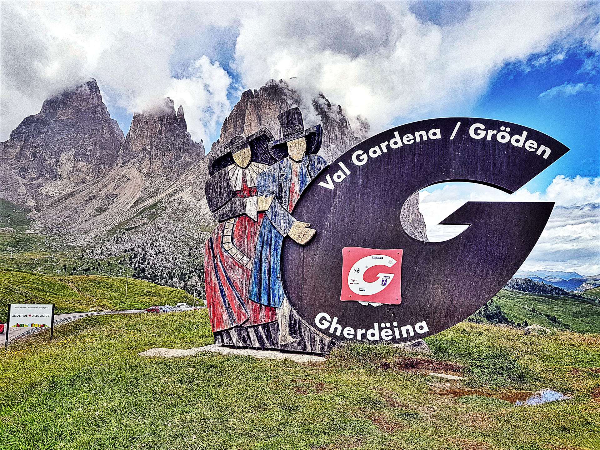
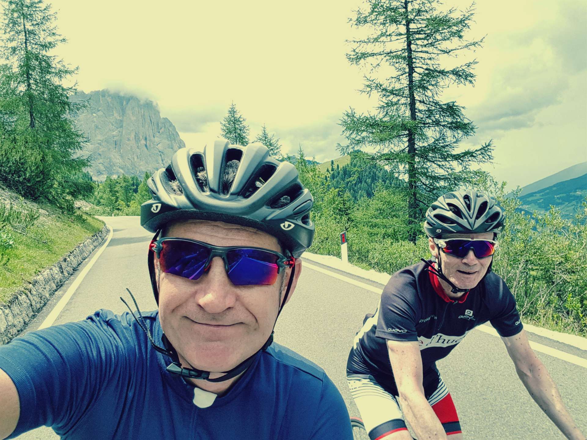
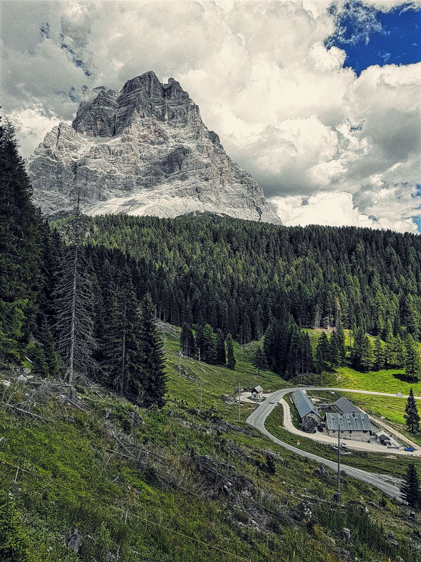
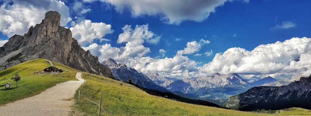
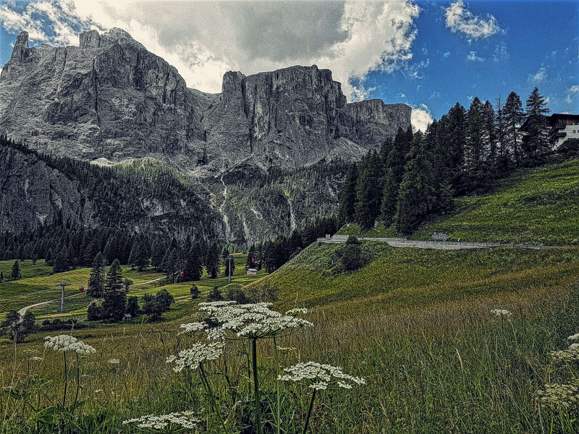
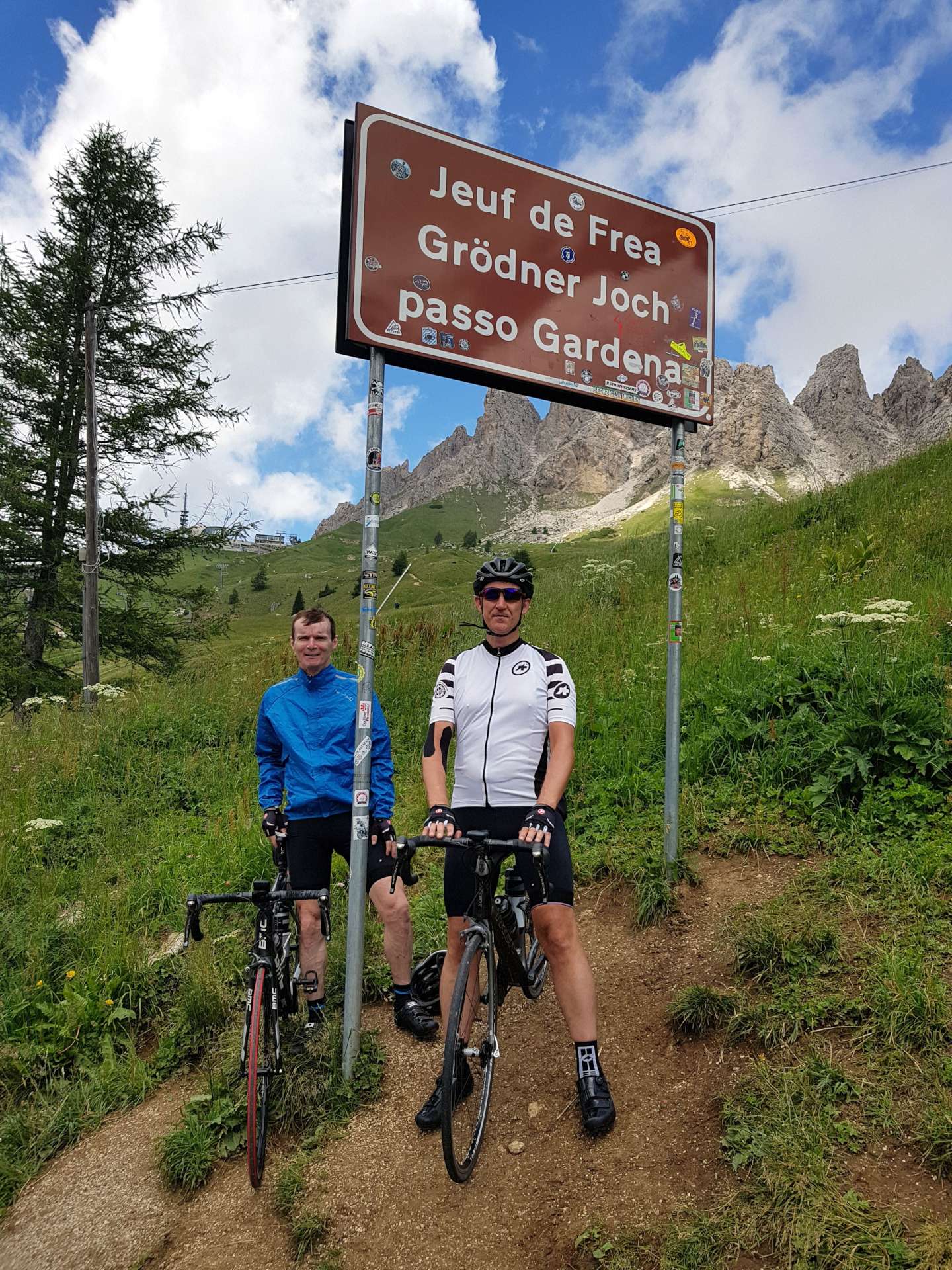
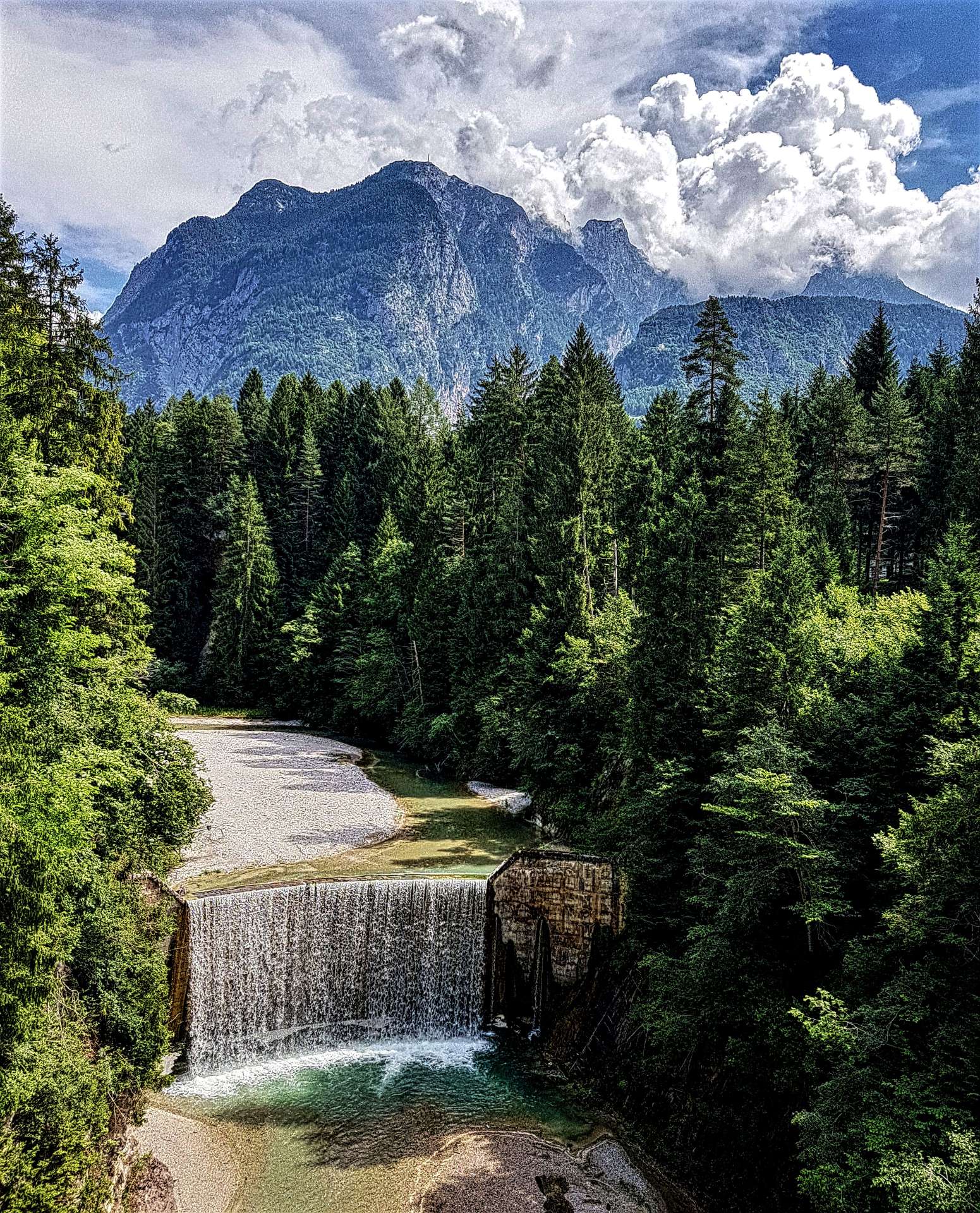
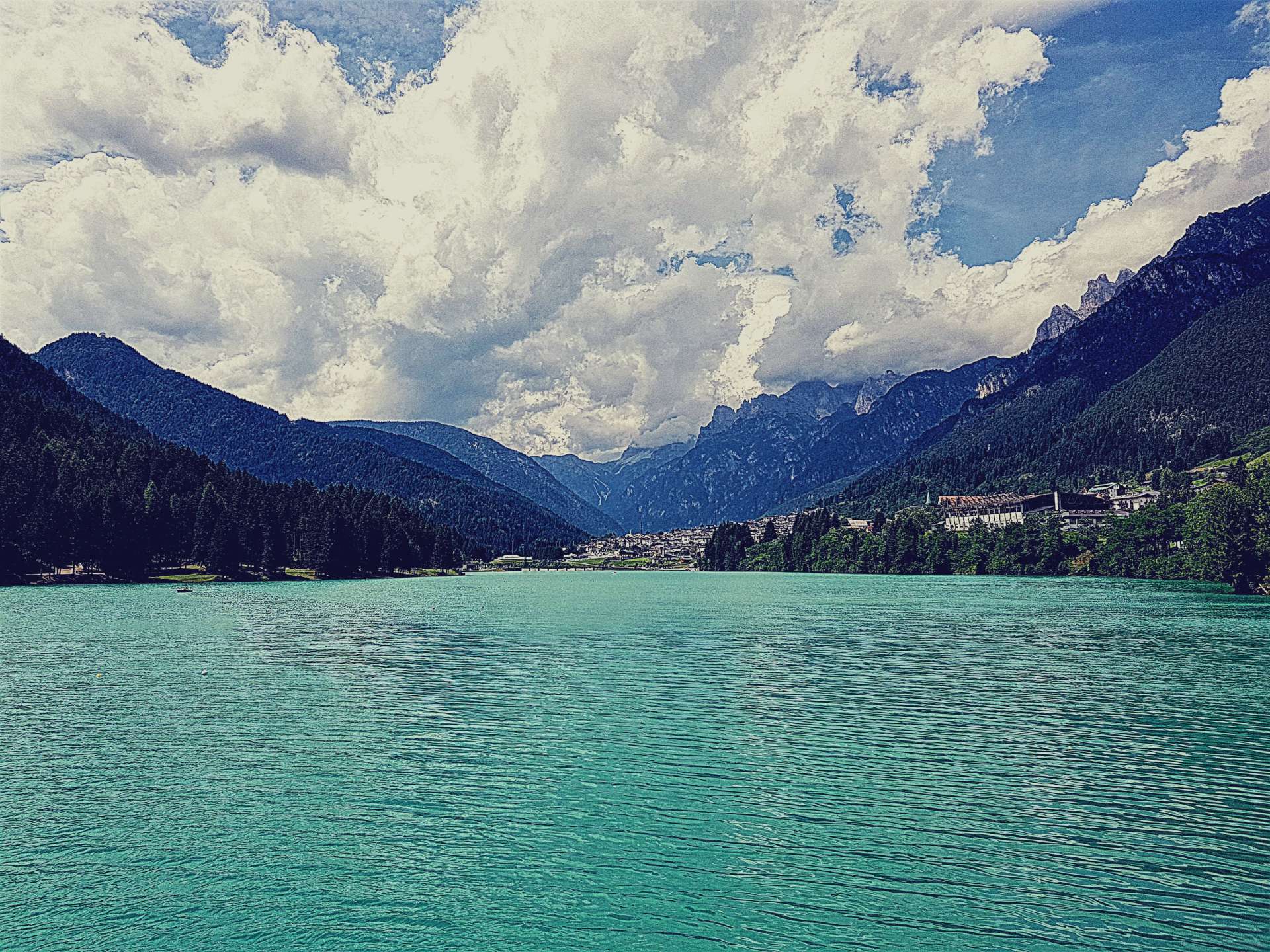
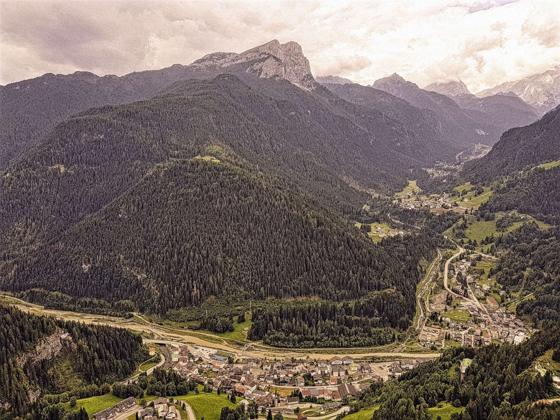
Alpine Adventures – Day Five (Austria)

Our last day of cycling in Austria started with a drive of just over an hour to the all year round resort of Solden – skiing in winter (it regularly hosts a round of the Downhill World Cup) as well as cycling & hiking in the summer. The Ice Q restaurant was used as a location in the James Bond film Spectre & there’s also a ‘007 Elements’ cinematic experience way above the town.

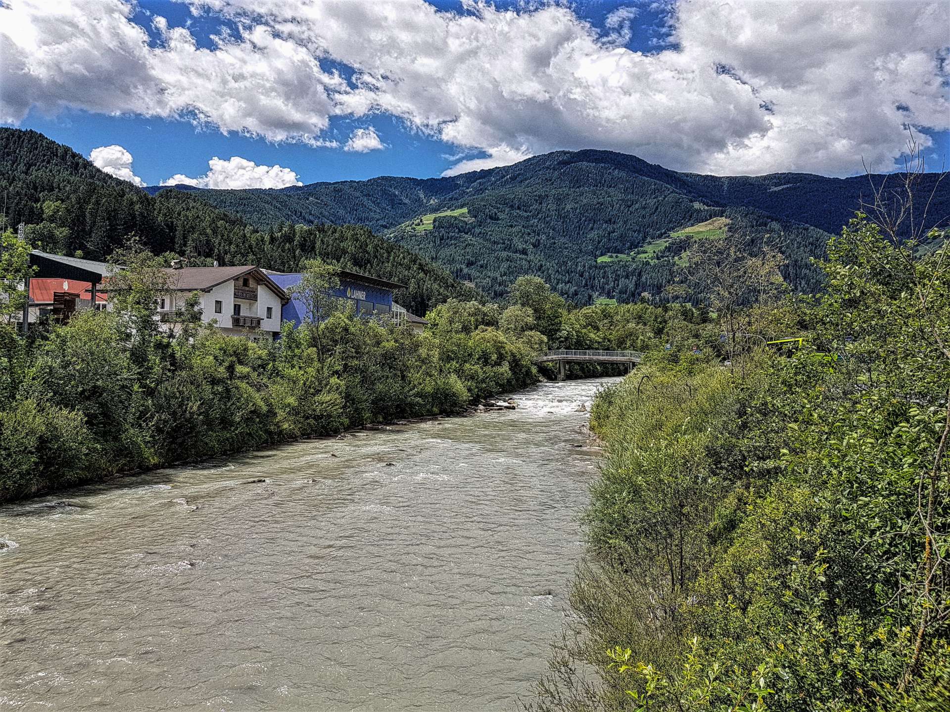
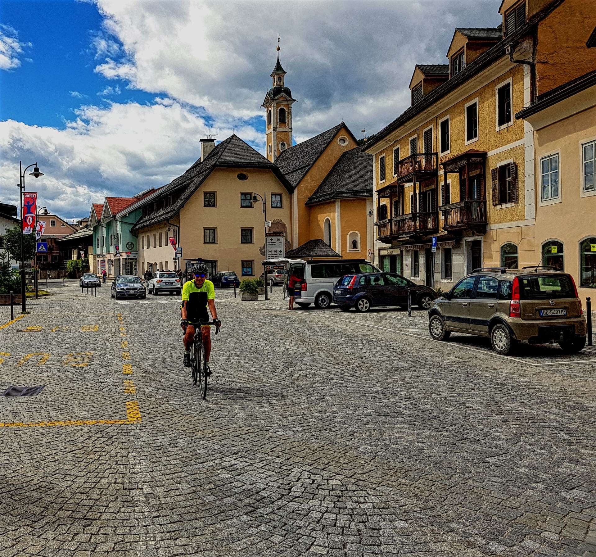
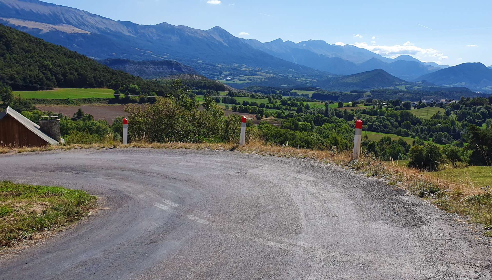
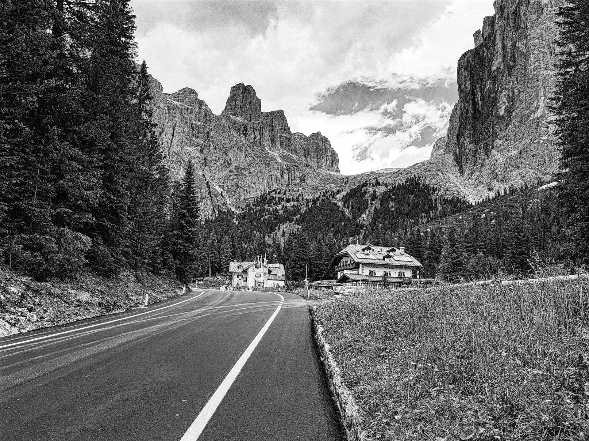
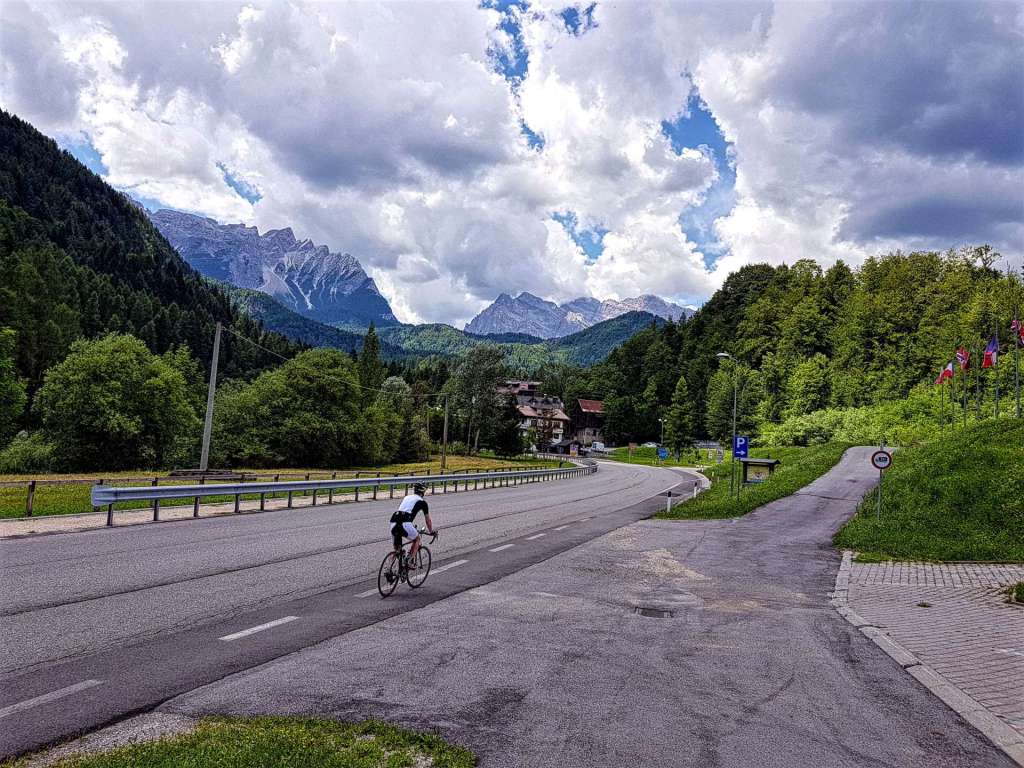
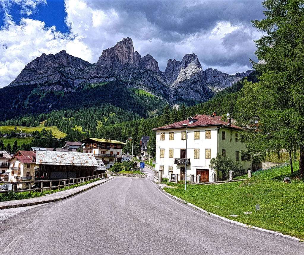
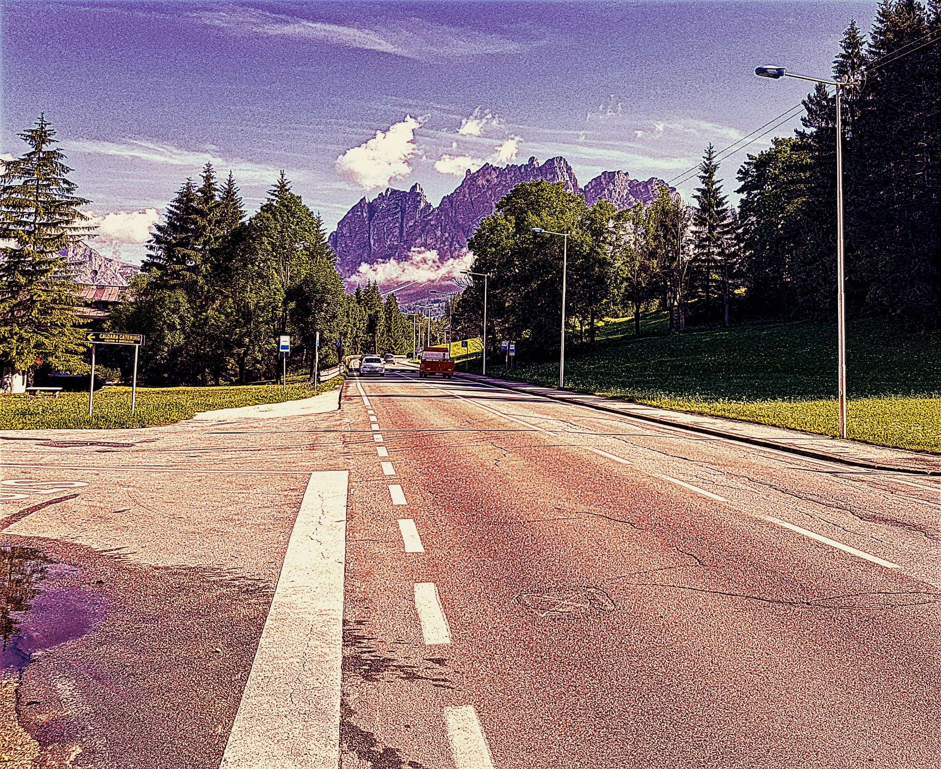
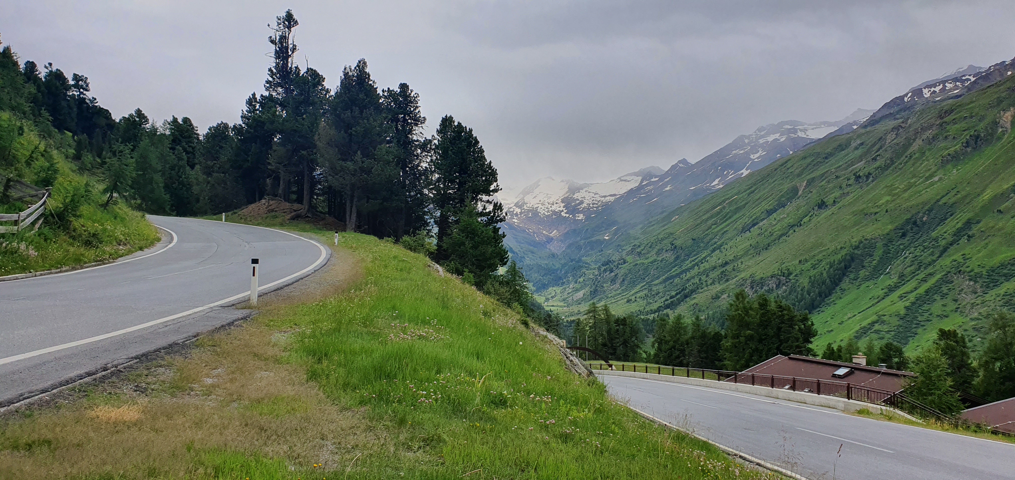
Solden is a bustling tourist resort, with all the usual trappings – hotels, bars, restaurants, outdoor adventure clothing shops & gift shops which may have robbed the town of some of its original charm. However, we were only parking the car here, so would soon be heading upwards on the main road which serves as a link between Austria & Italy.

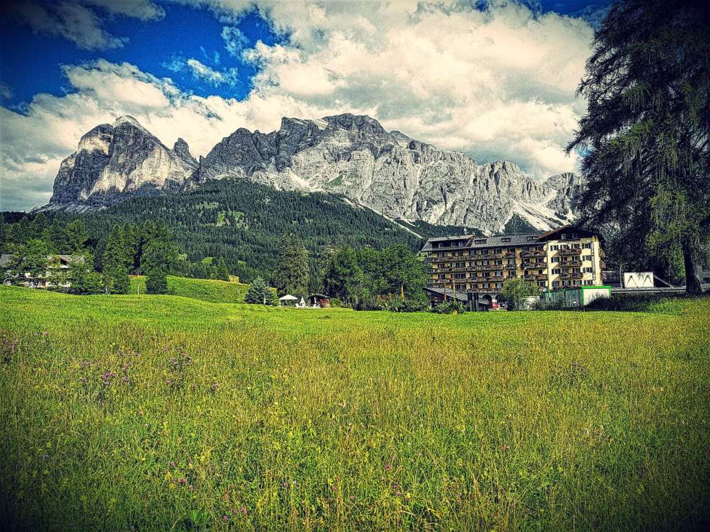
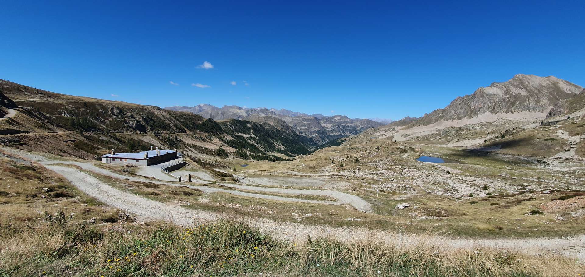
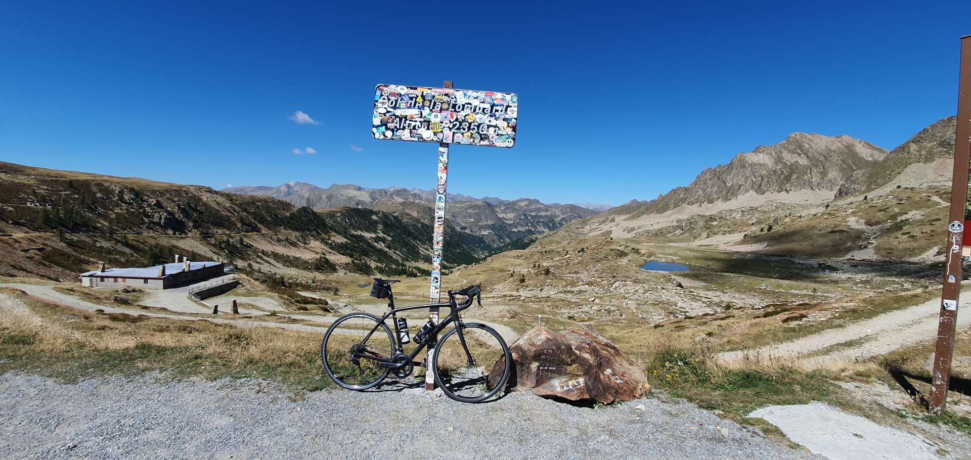
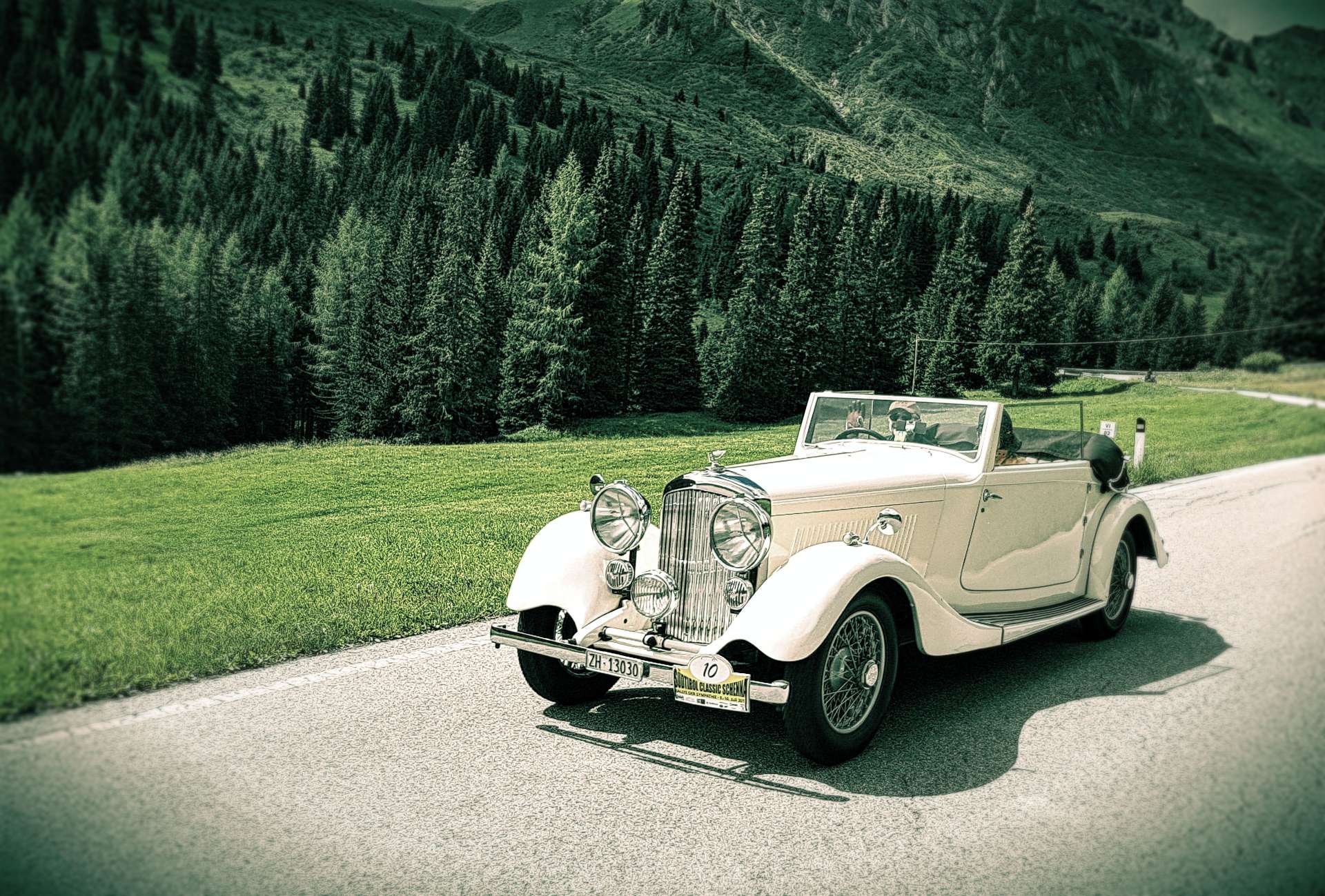
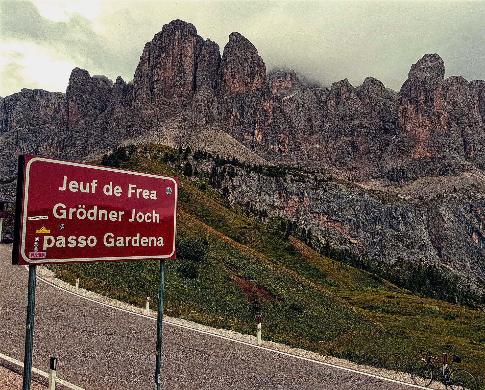
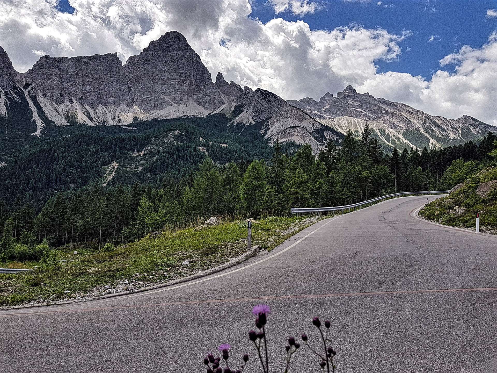
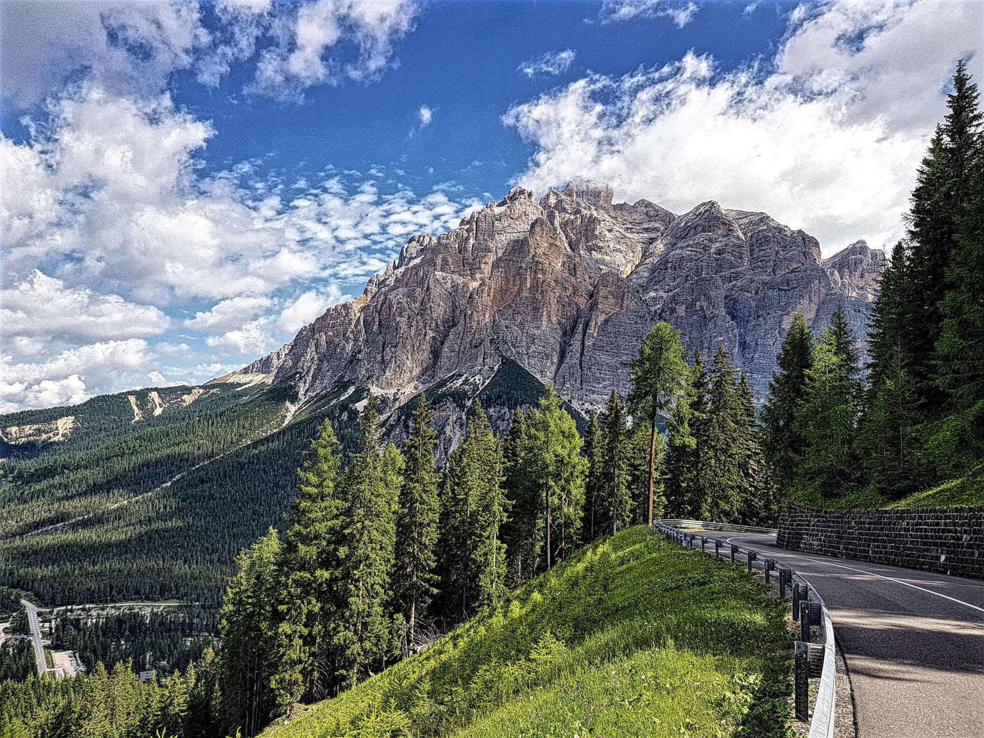
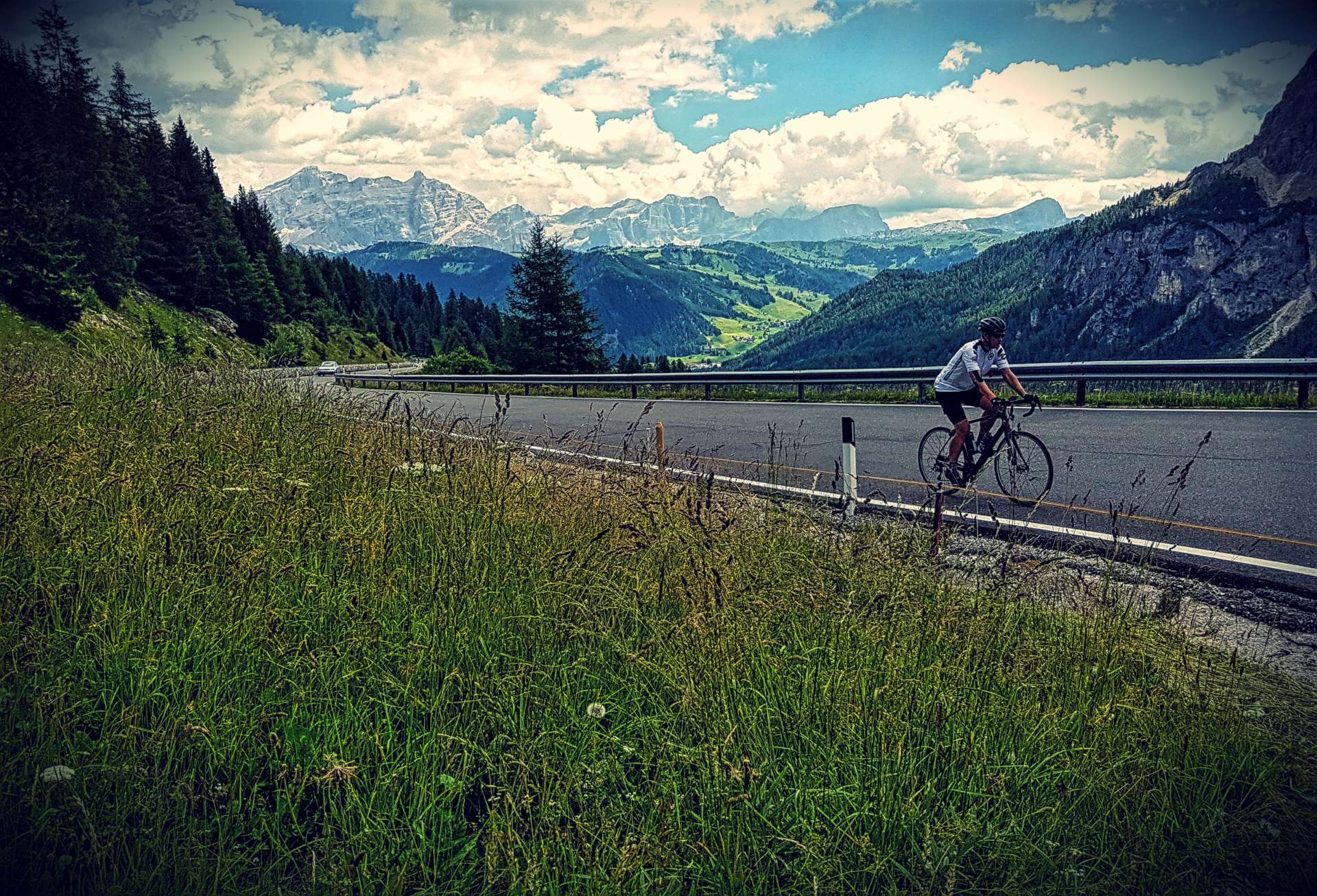
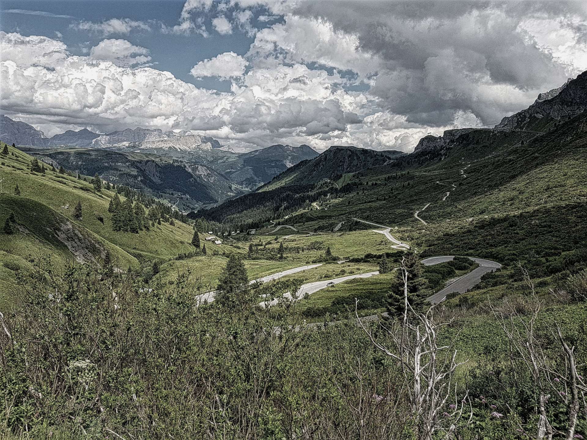
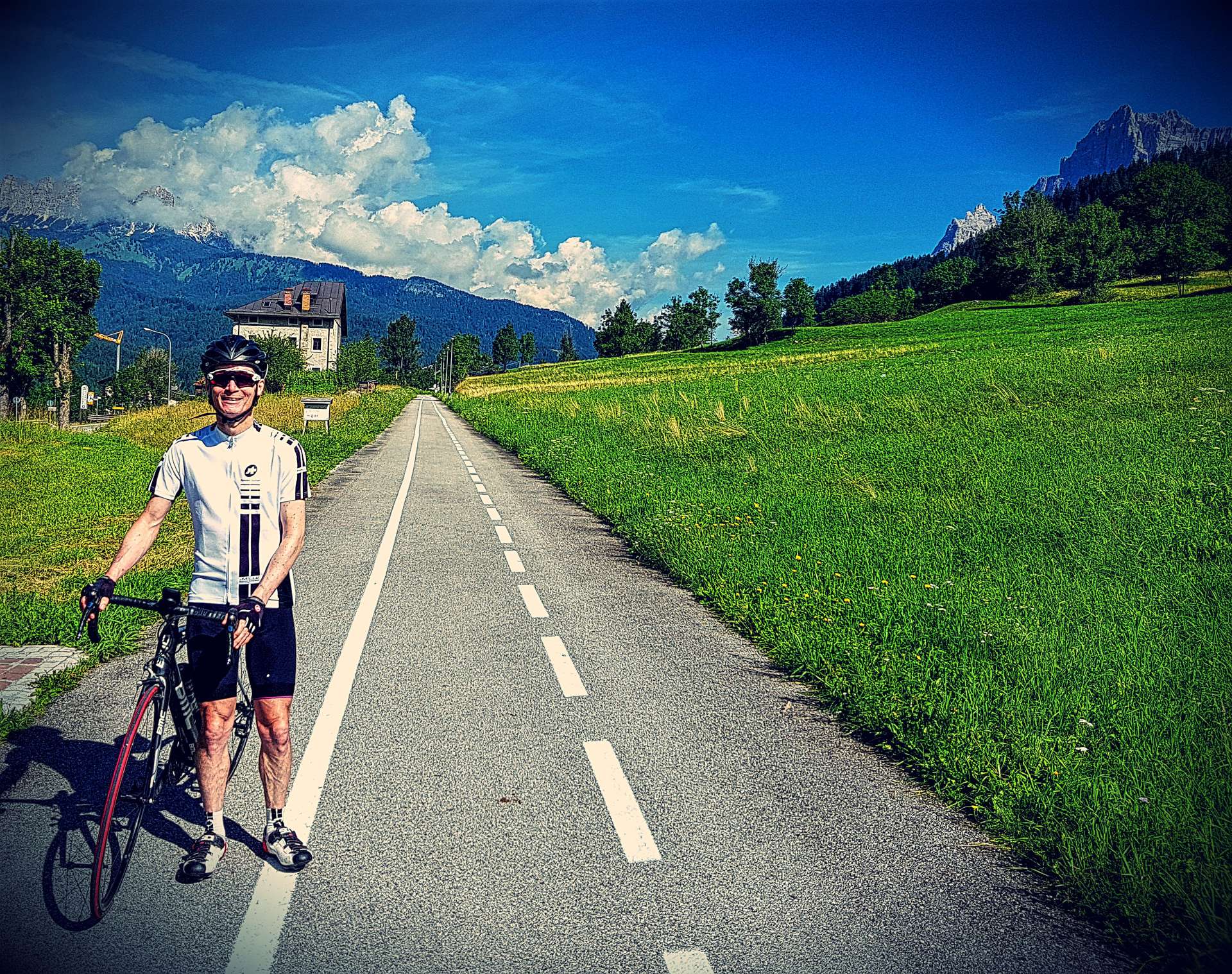
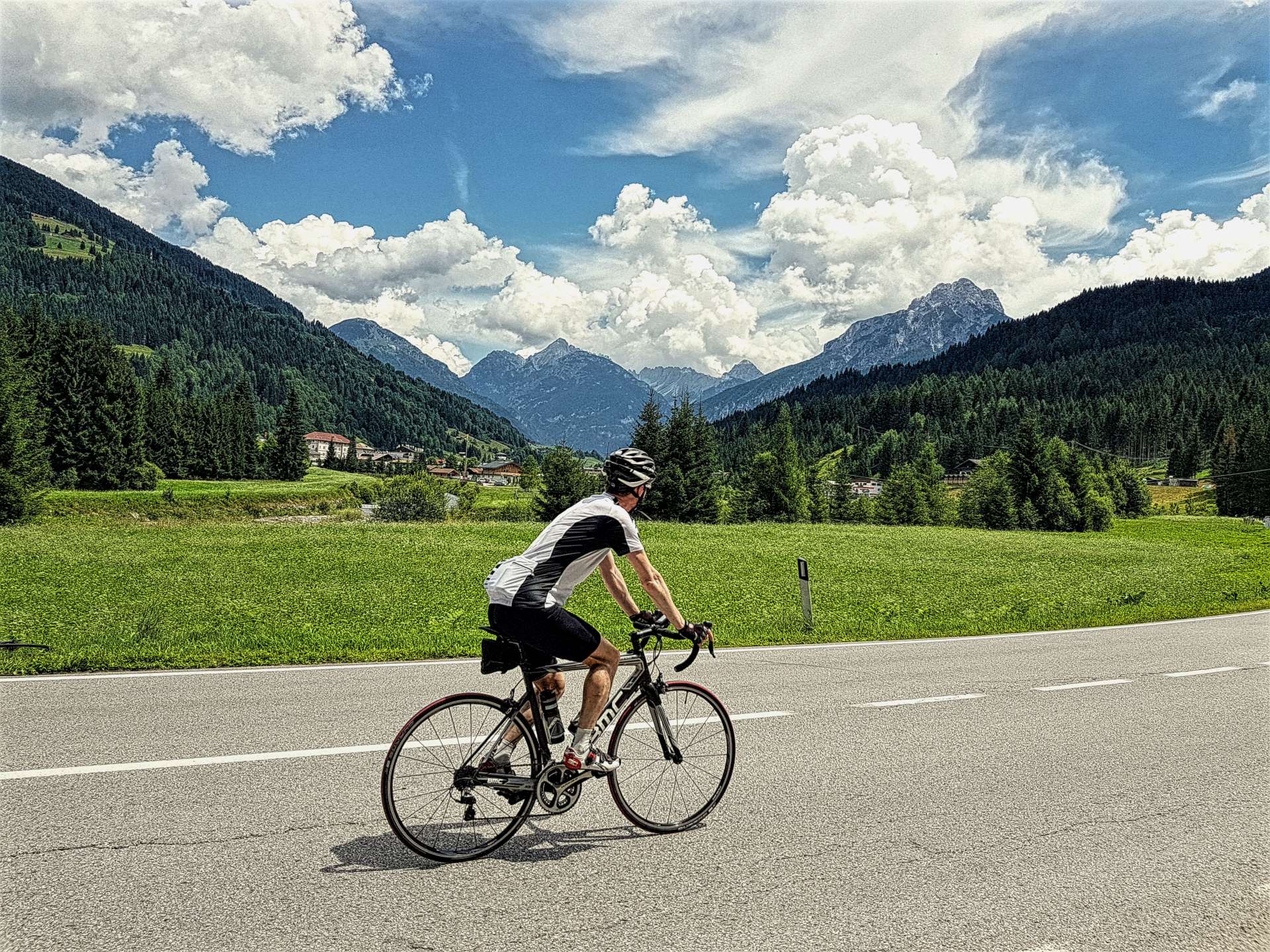
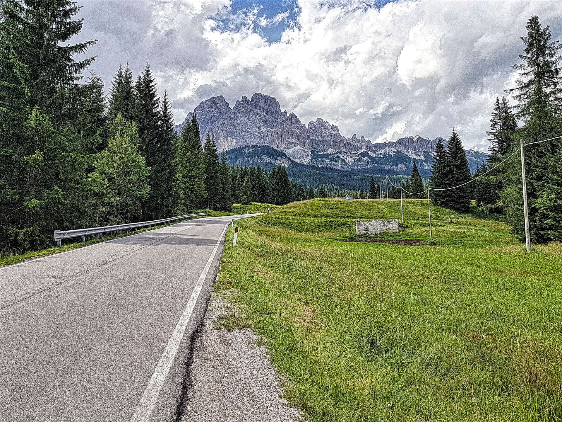
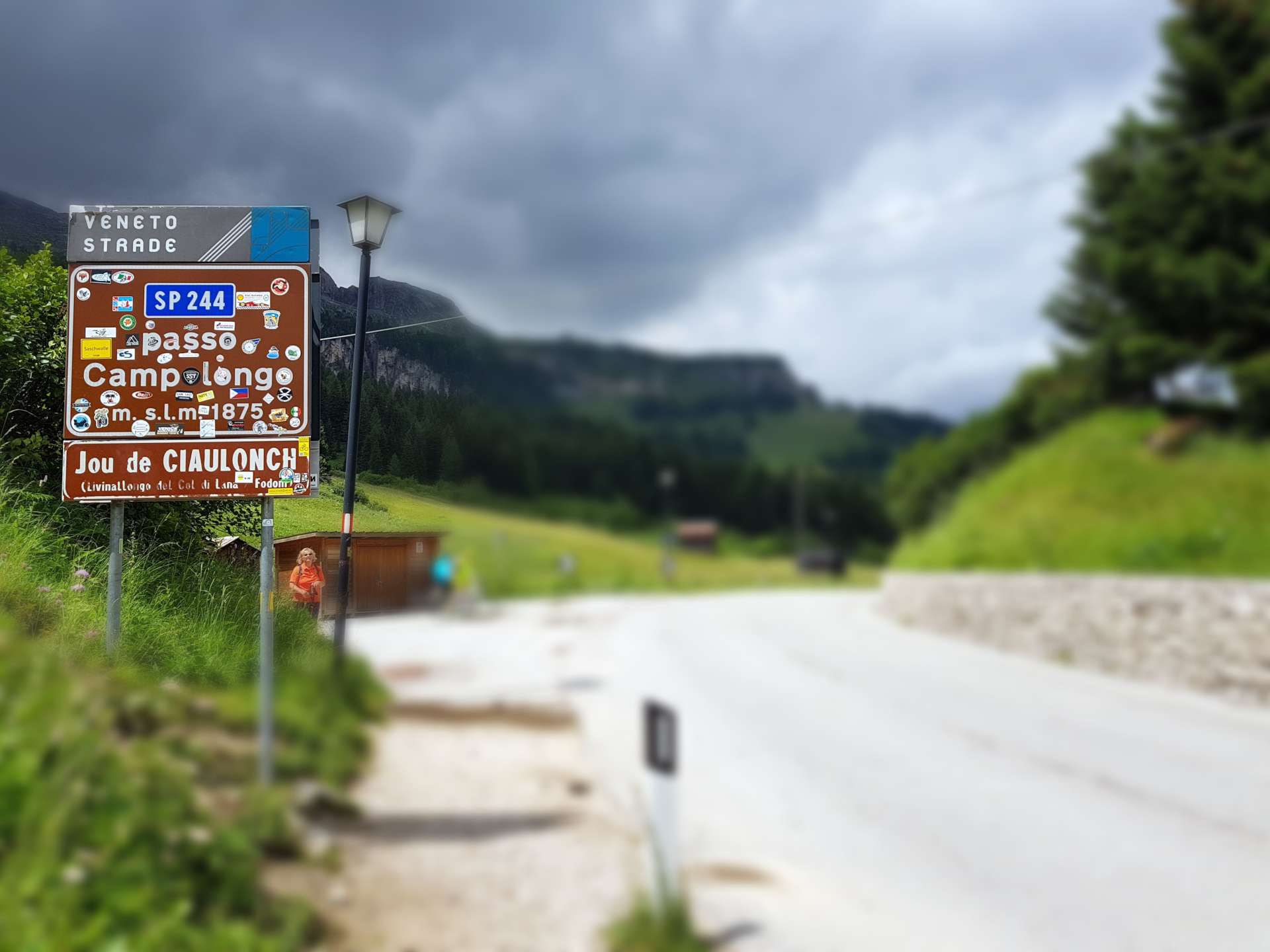
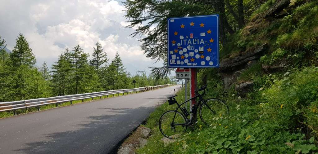
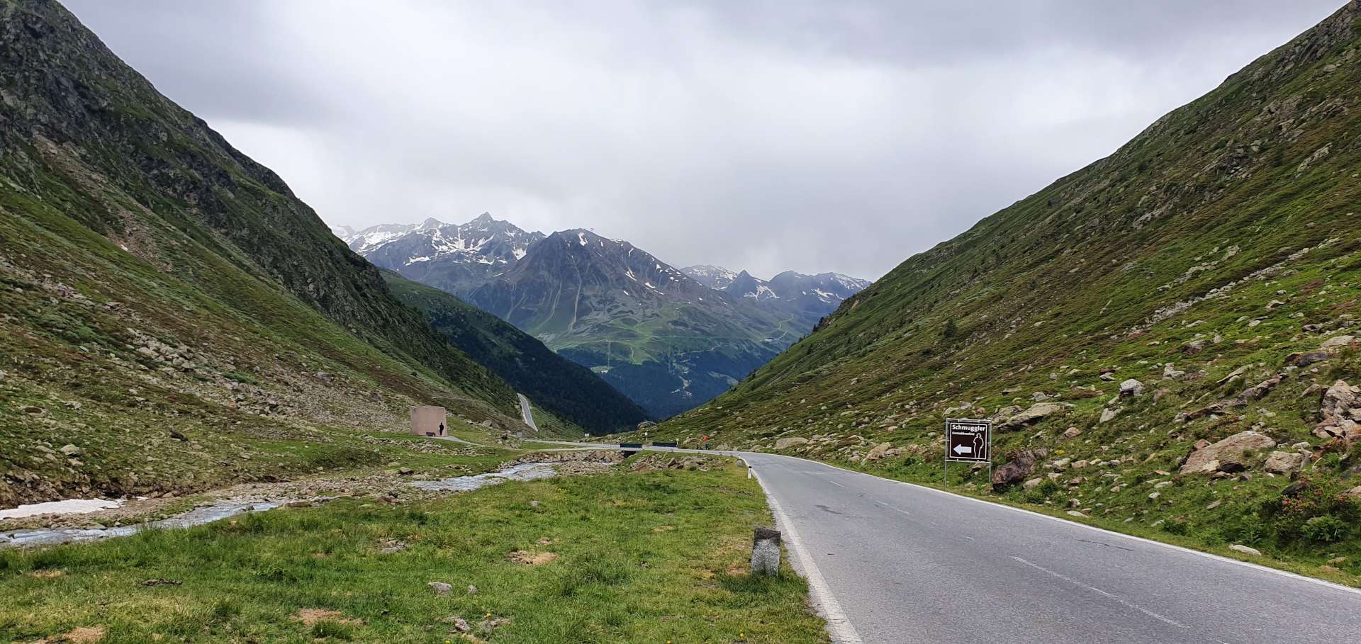
Our plan was to tackle a 15 mile ascent of the Timmelsjoch & drop 6 miles or so into Italy. At which point we would ascent the Passo del Rombo (same mountain, but now climbing the Italian side) & then drop back into Solden – an out & back route.

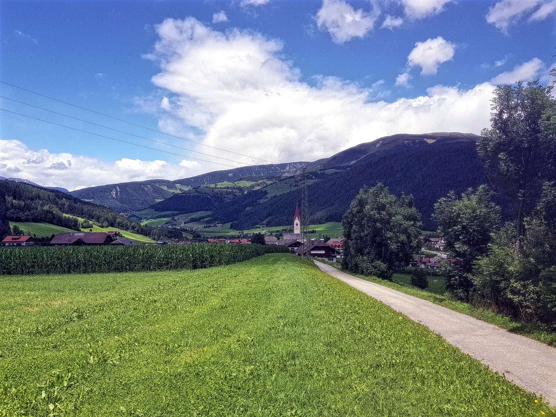
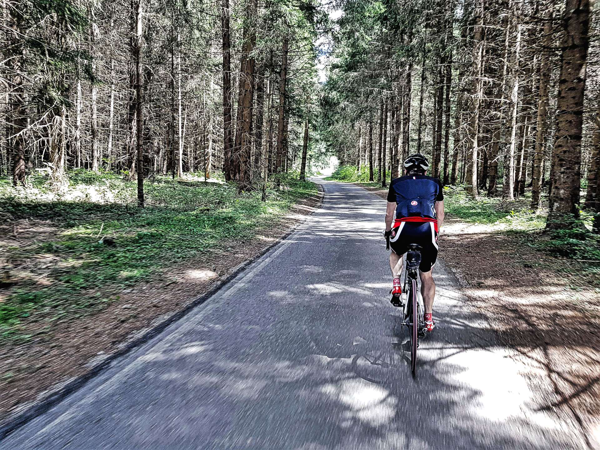
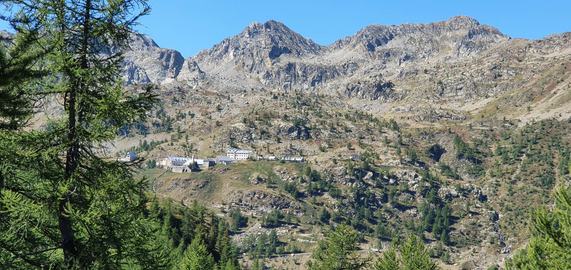
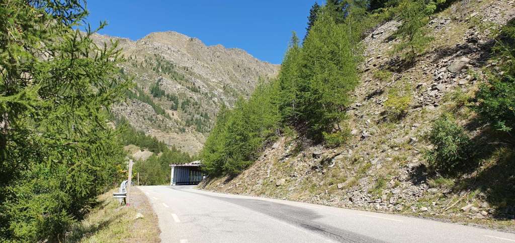
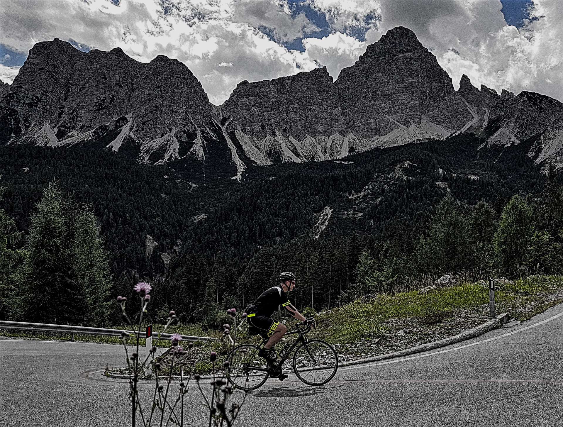
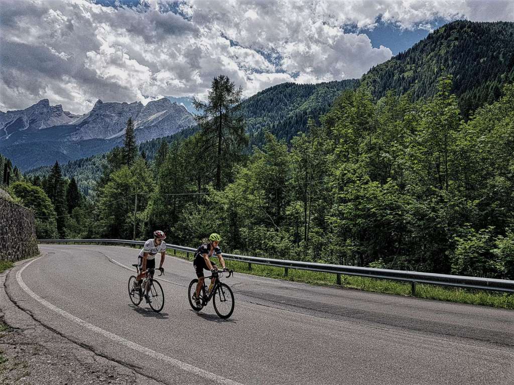
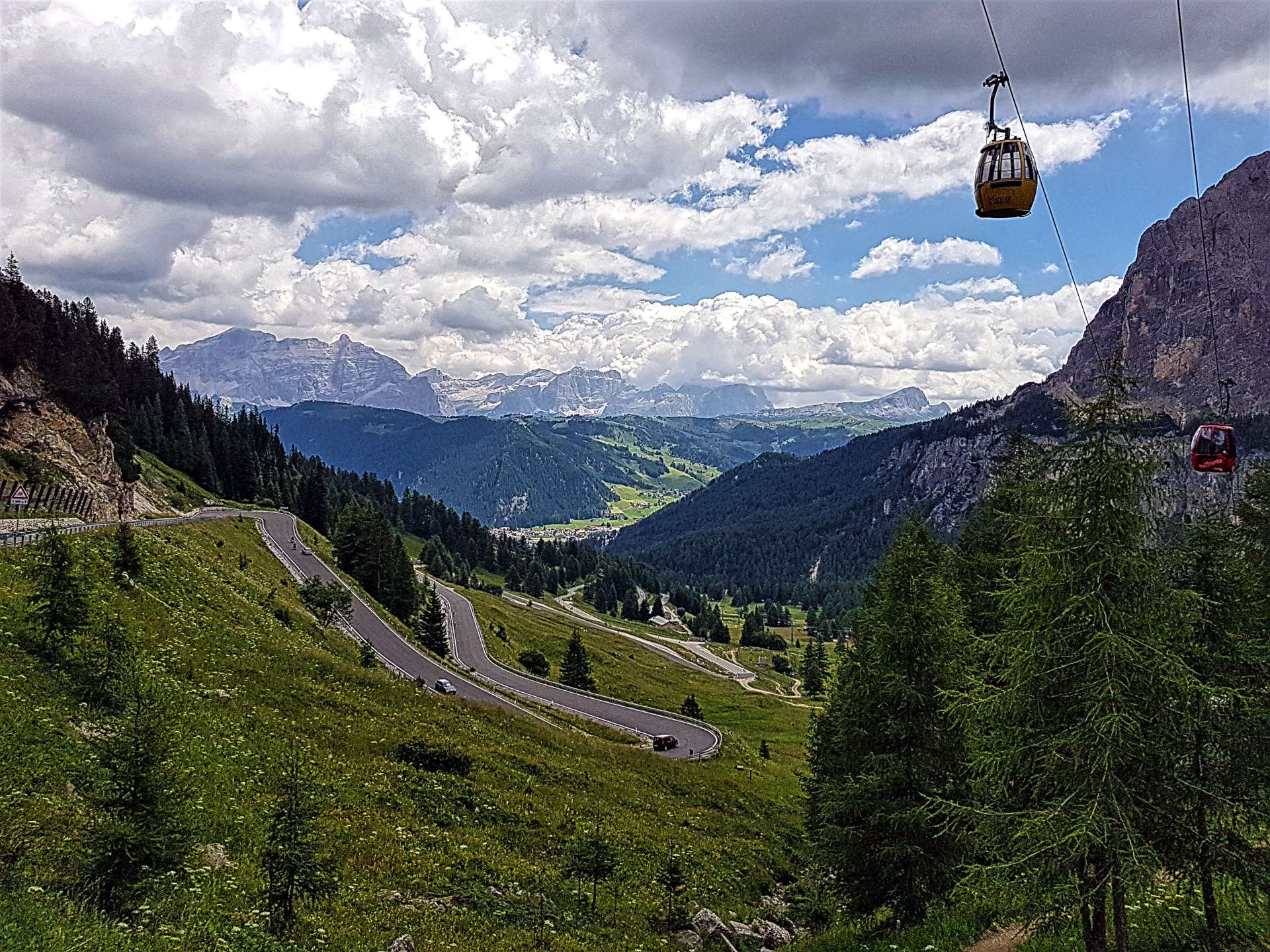
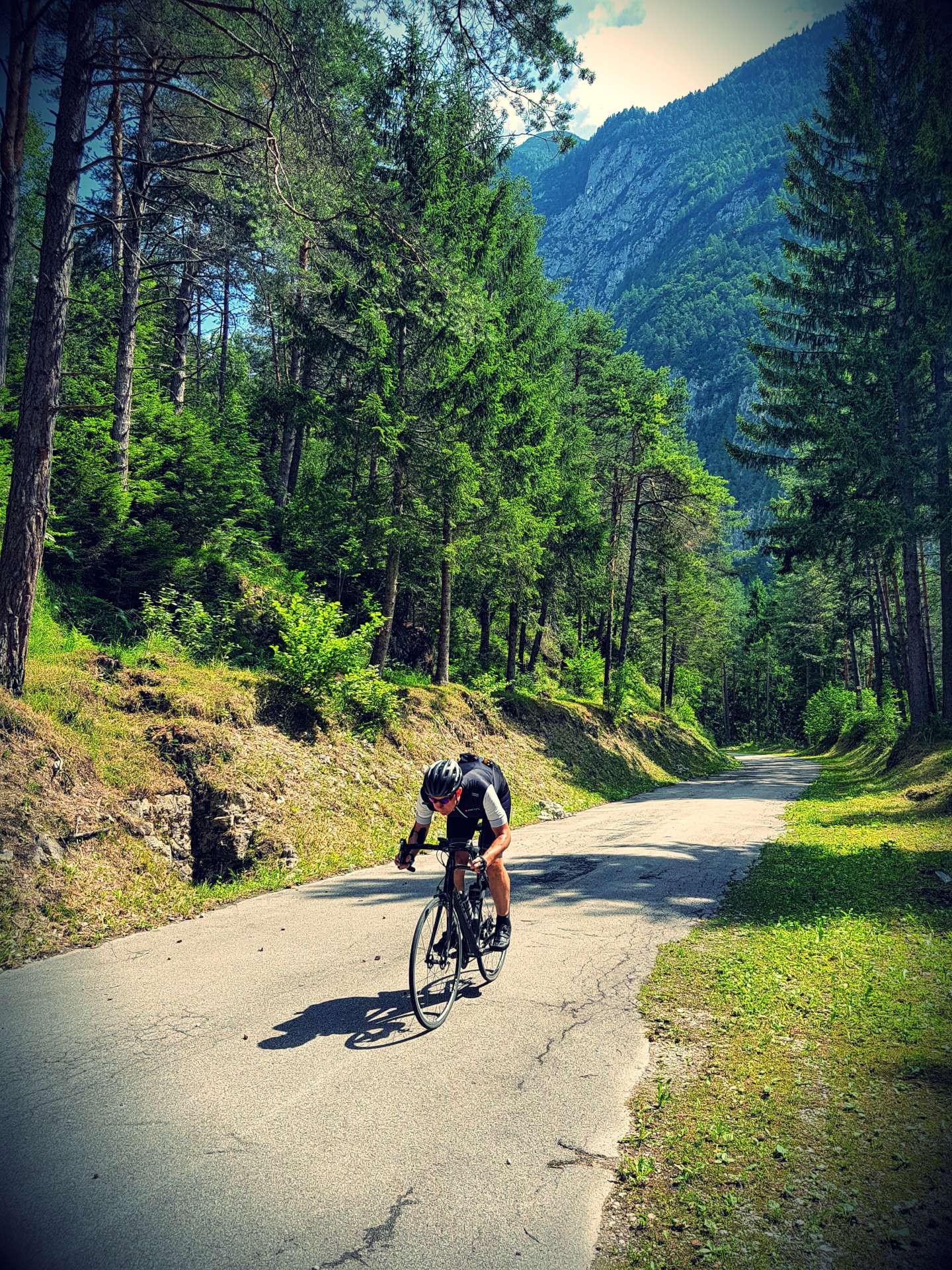
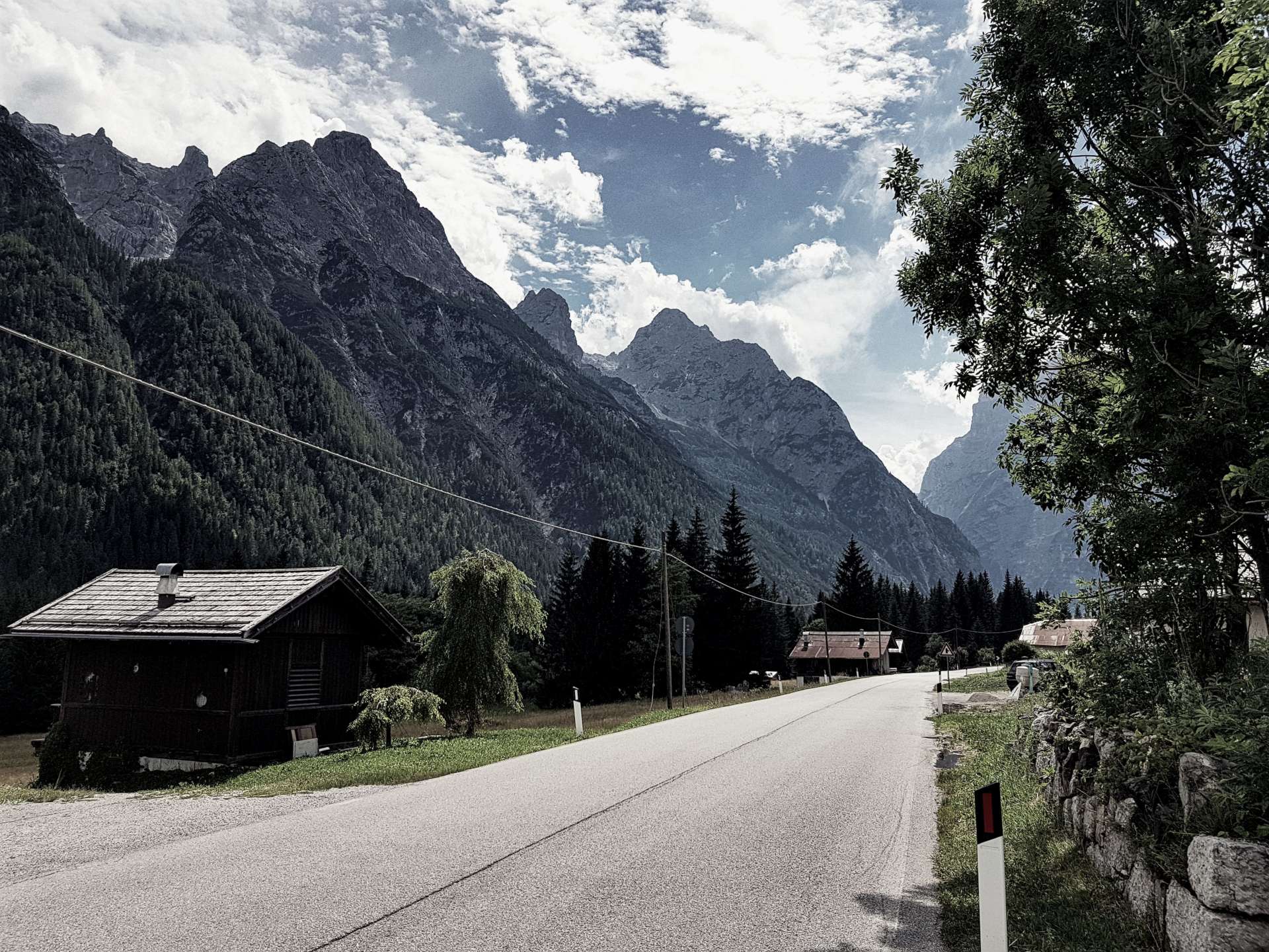
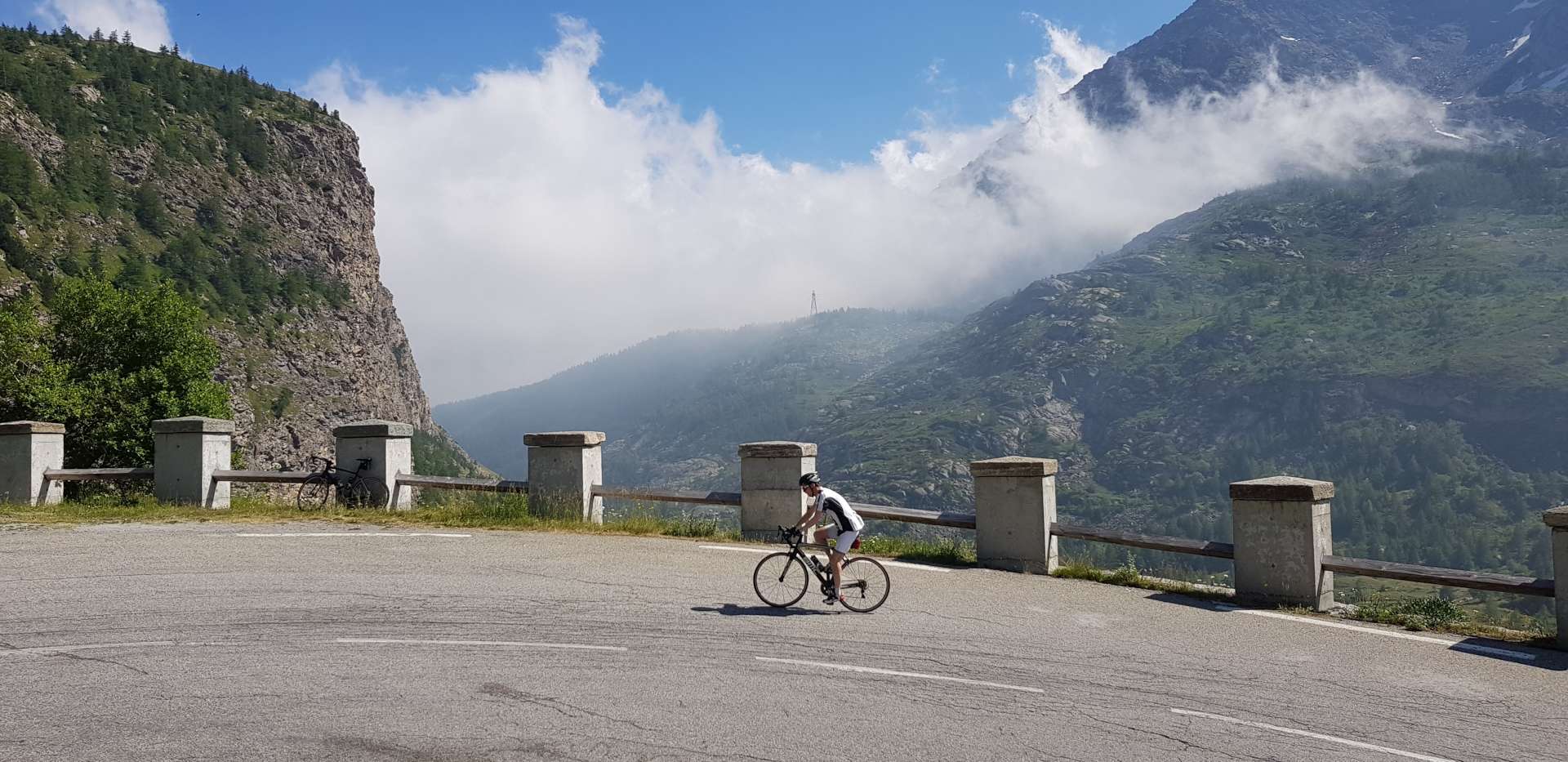
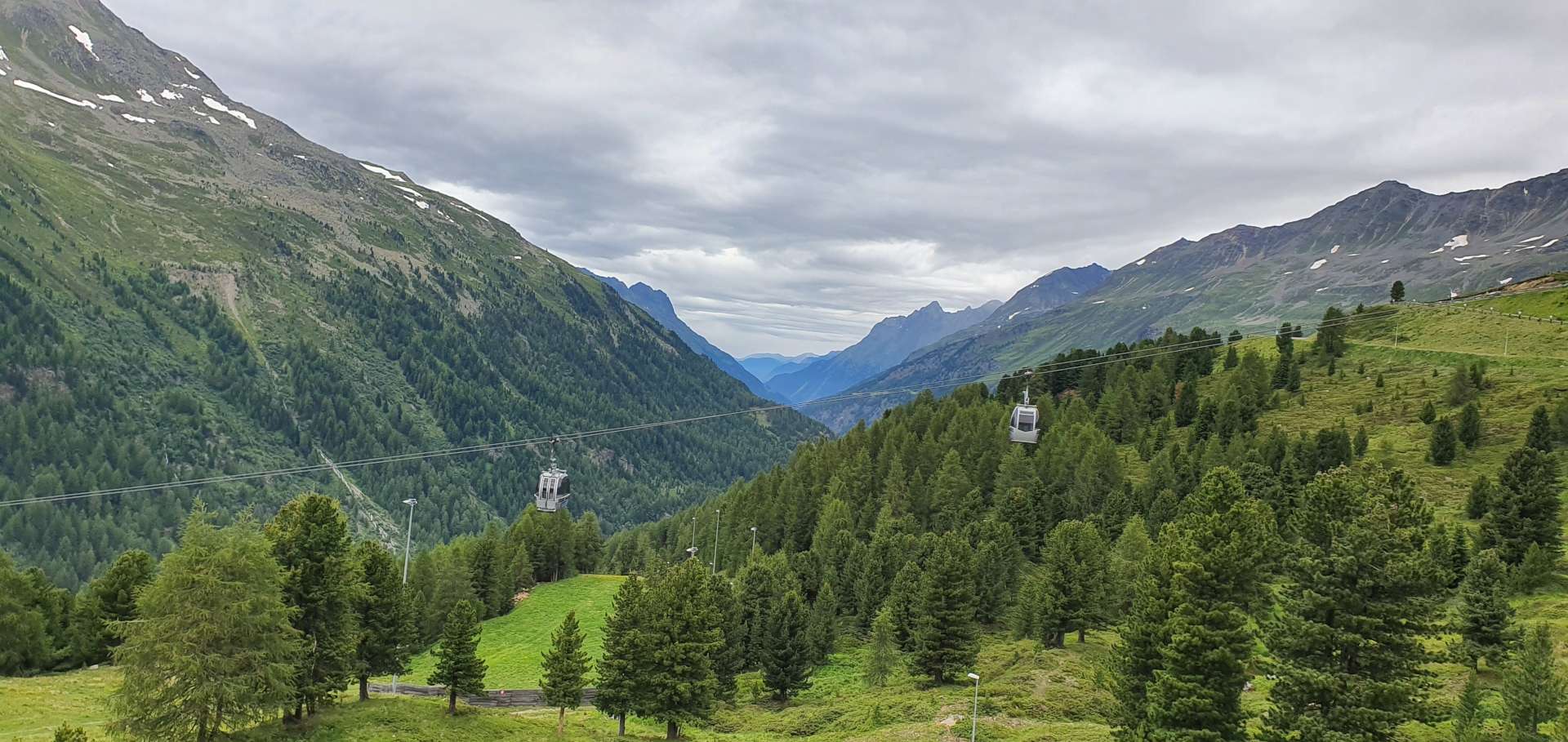
There were quite a few lorries & coaches on the lower slopes, serving a couple of ski resorts slightly higher up the mountain. The first mile or so rose steeply, but then the gradient evened out to a fairly consistent 6% – 8% for about 6 miles. As we reached the resort of Obergurgl, we crossed the valley floor & started climbing in earnest, as the next 2 miles zig-zagged their way through forest, up towards Hochgurgl – at this point there’s a toll booth (similar to our ride up to Kaunertal), so the traffic would thin out after this point.

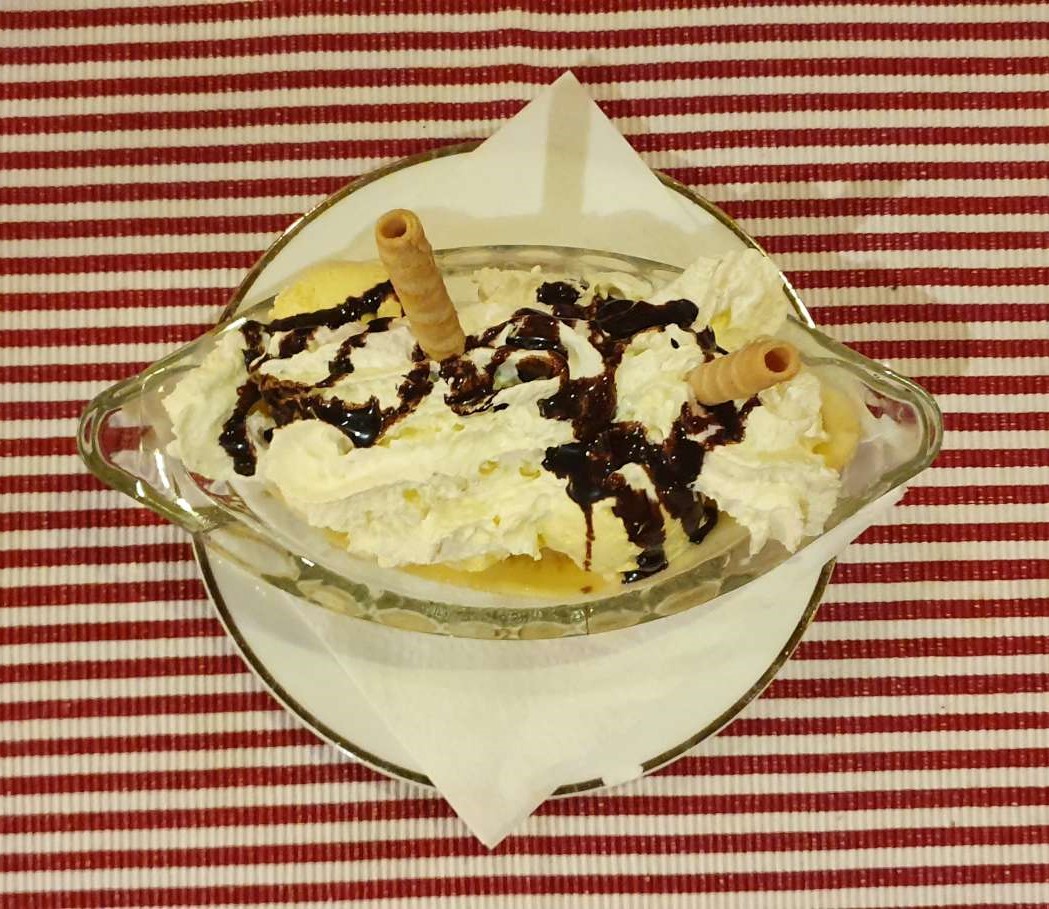
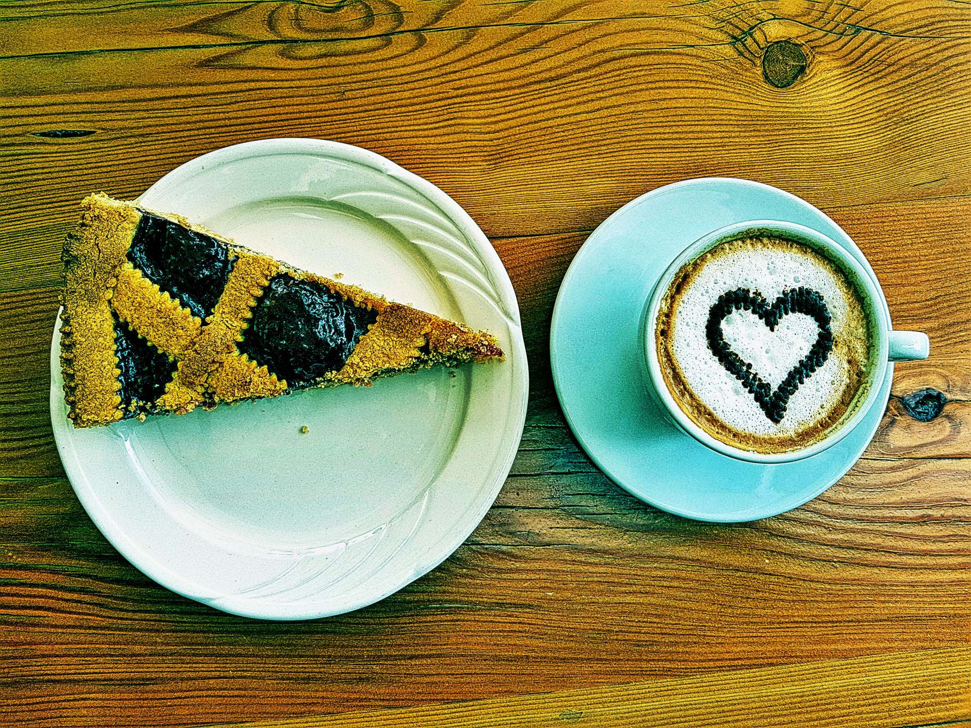
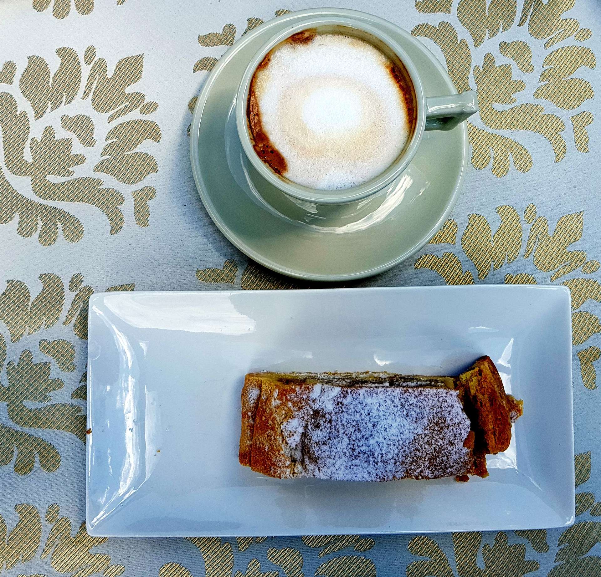
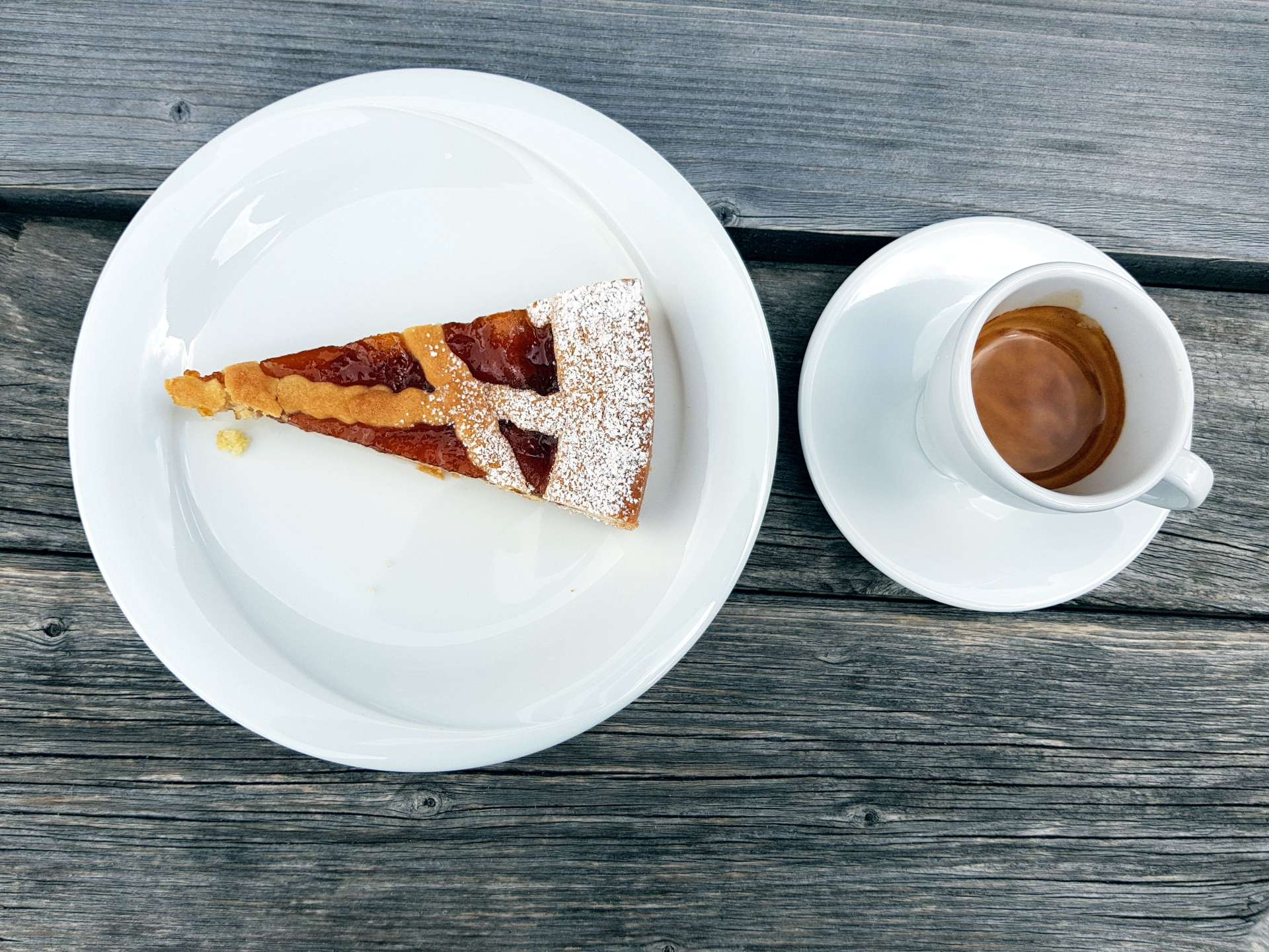
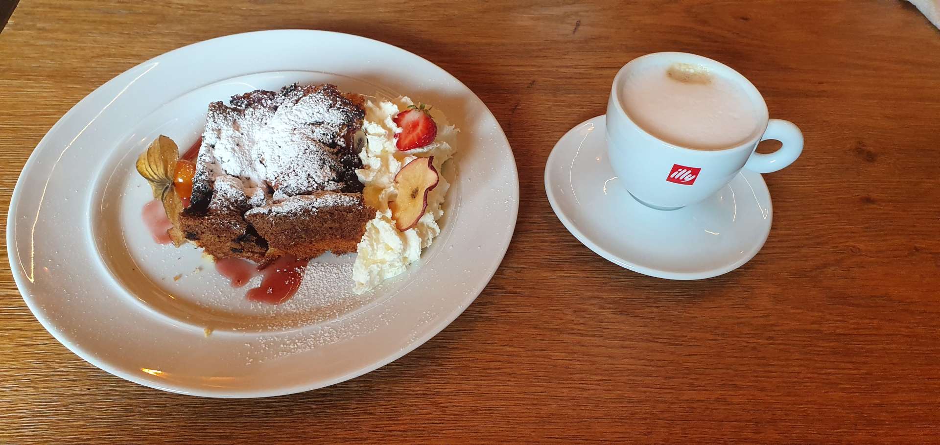
Hochgurgl is also home to a motorcycle museum & it has over 230 motorbikes from 100 plus manufacturers, including some early Harleys. Our reason for stopping was that it also does great food & coffee, so after about 90 minutes of riding we were ready for some refreshments – today’s treat was cherry tart & cappuccino!

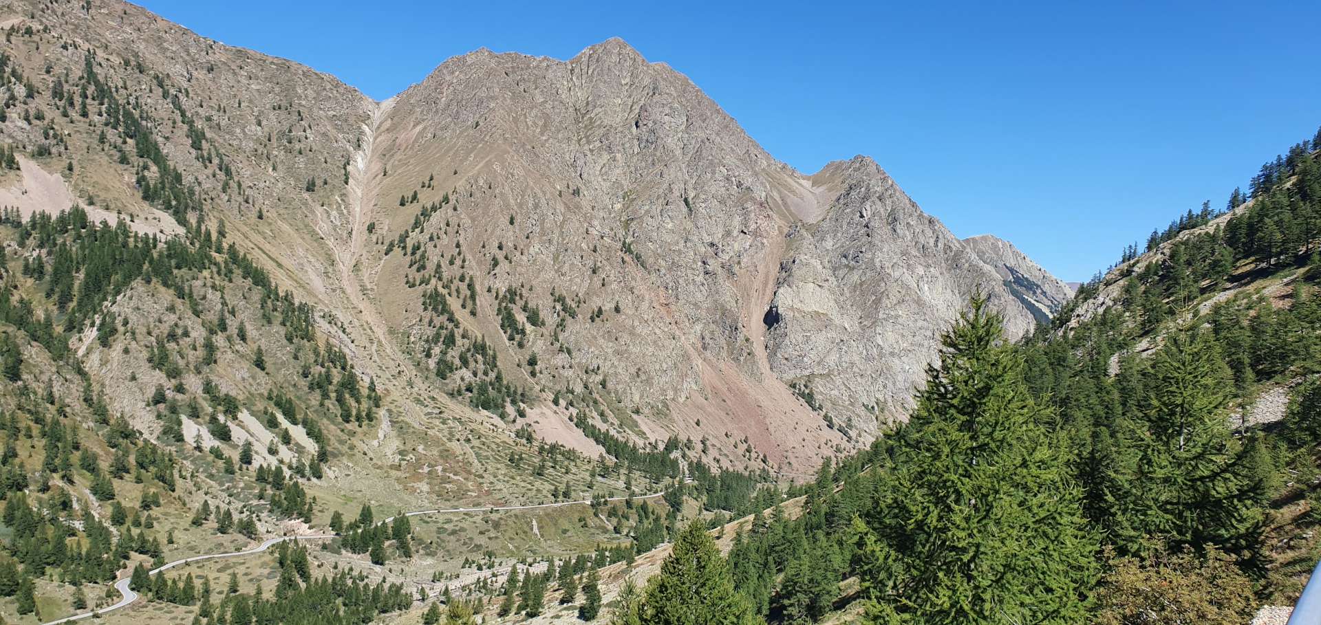
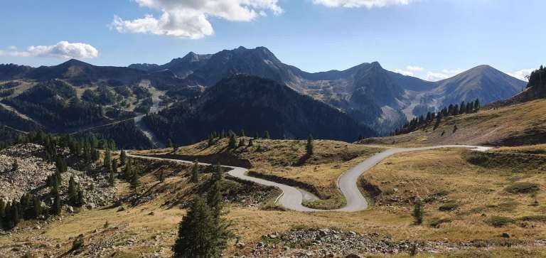
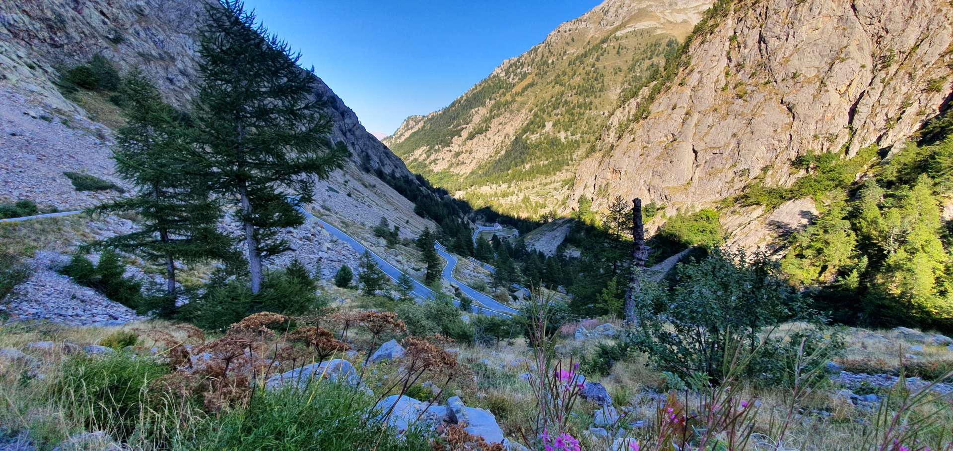
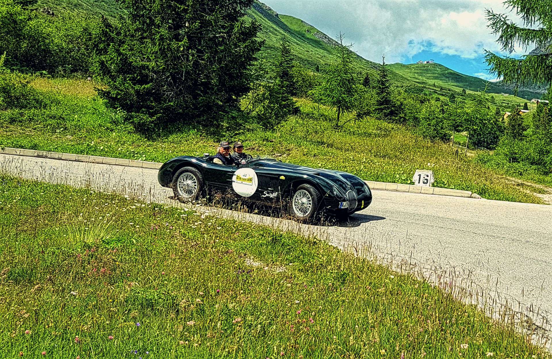
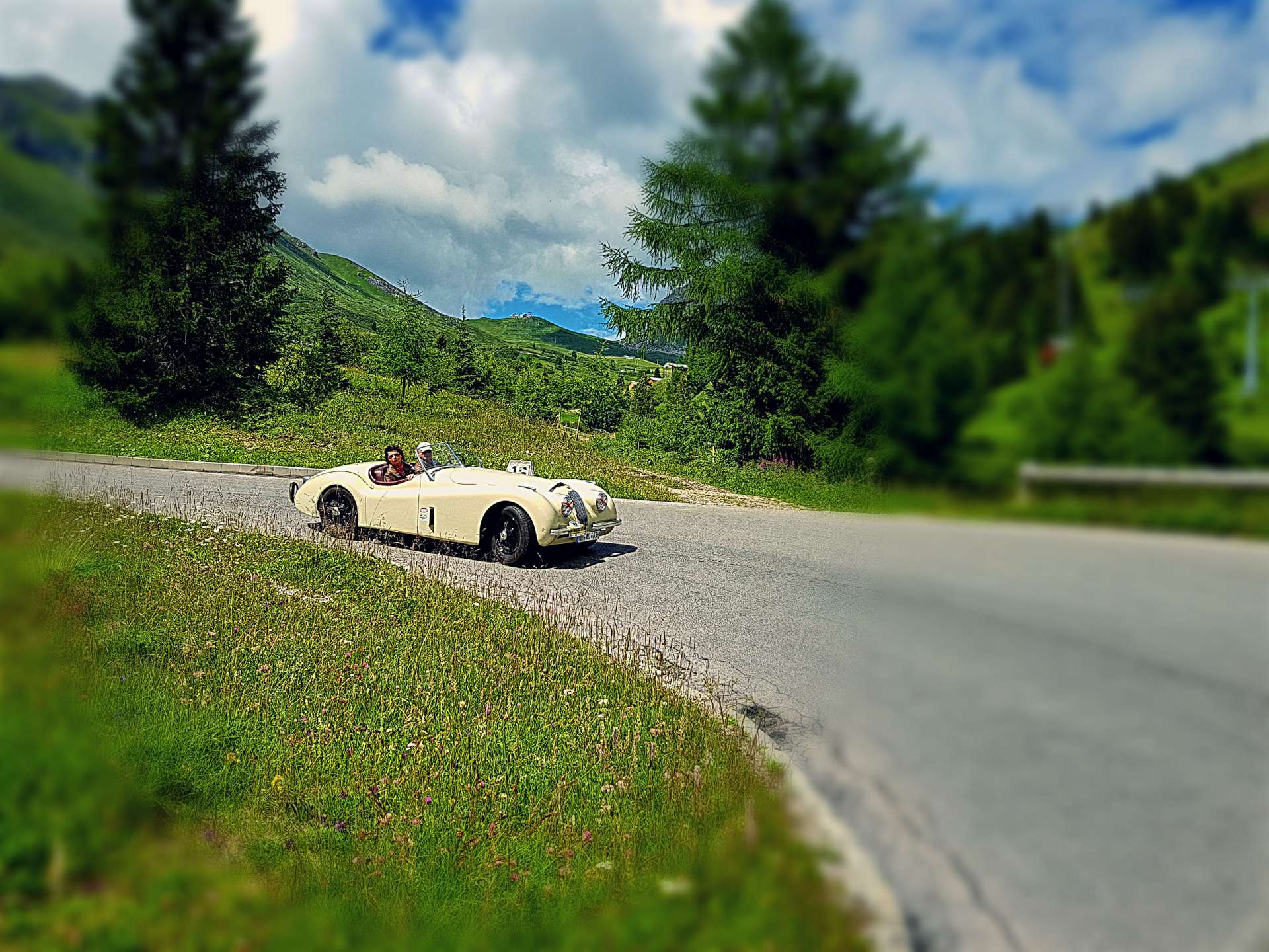
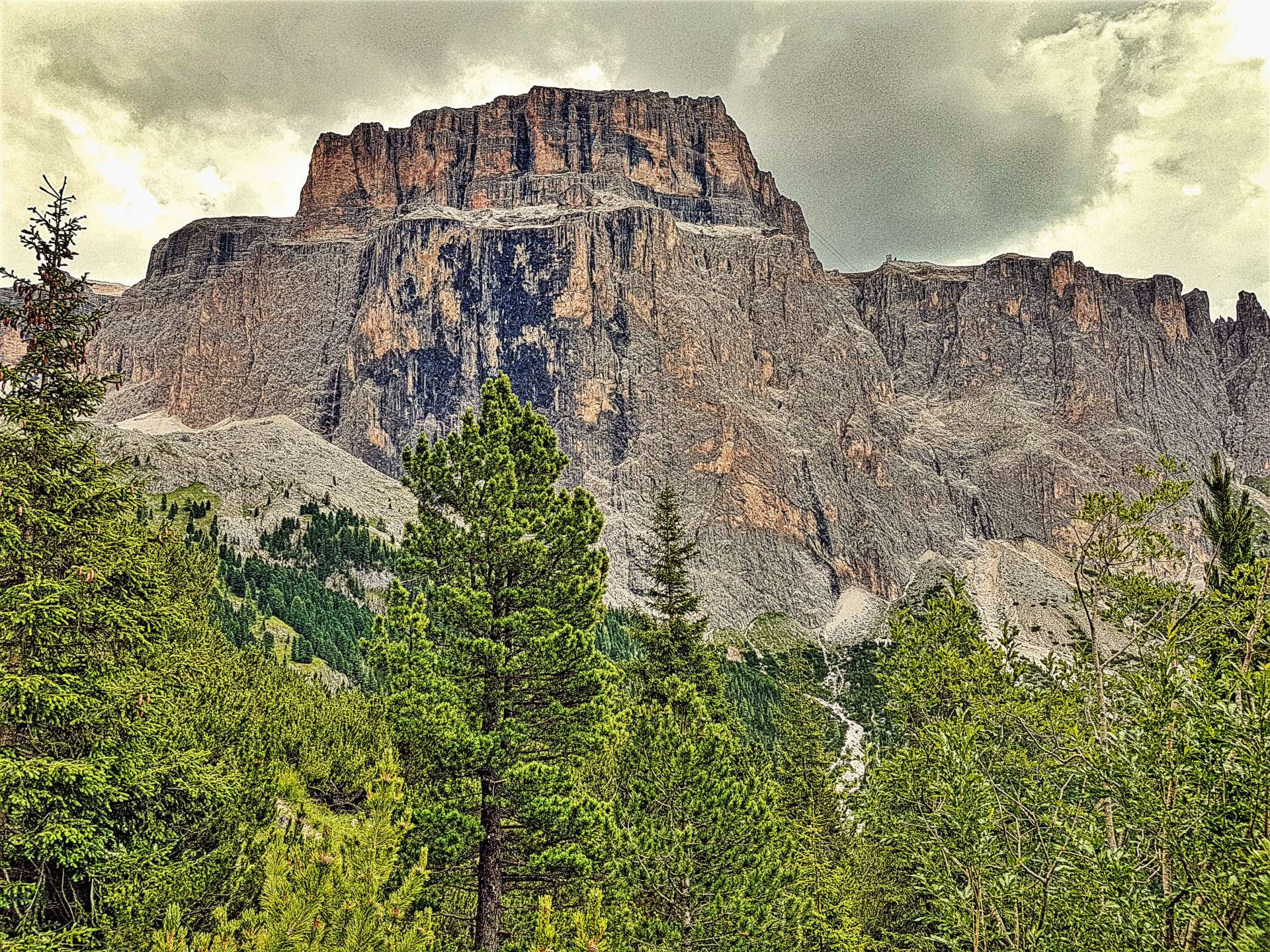
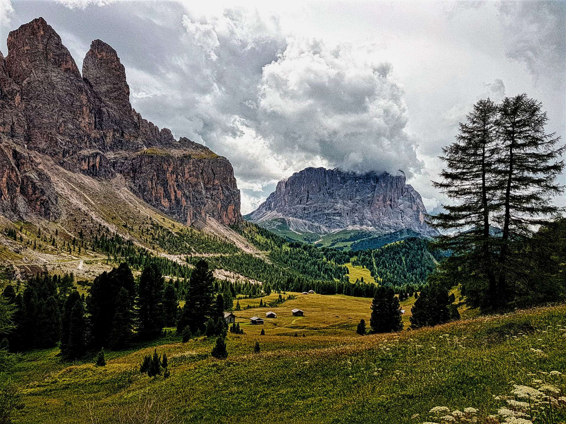
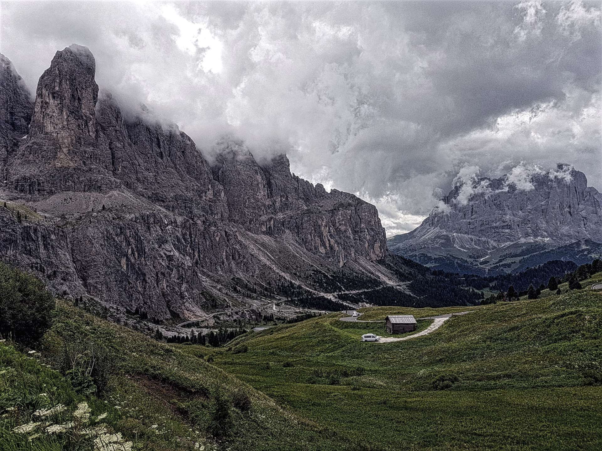
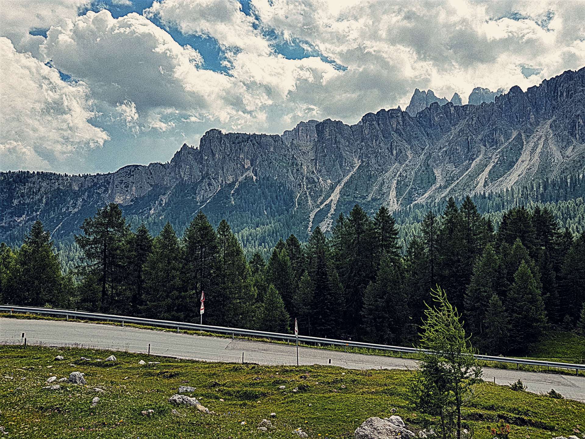
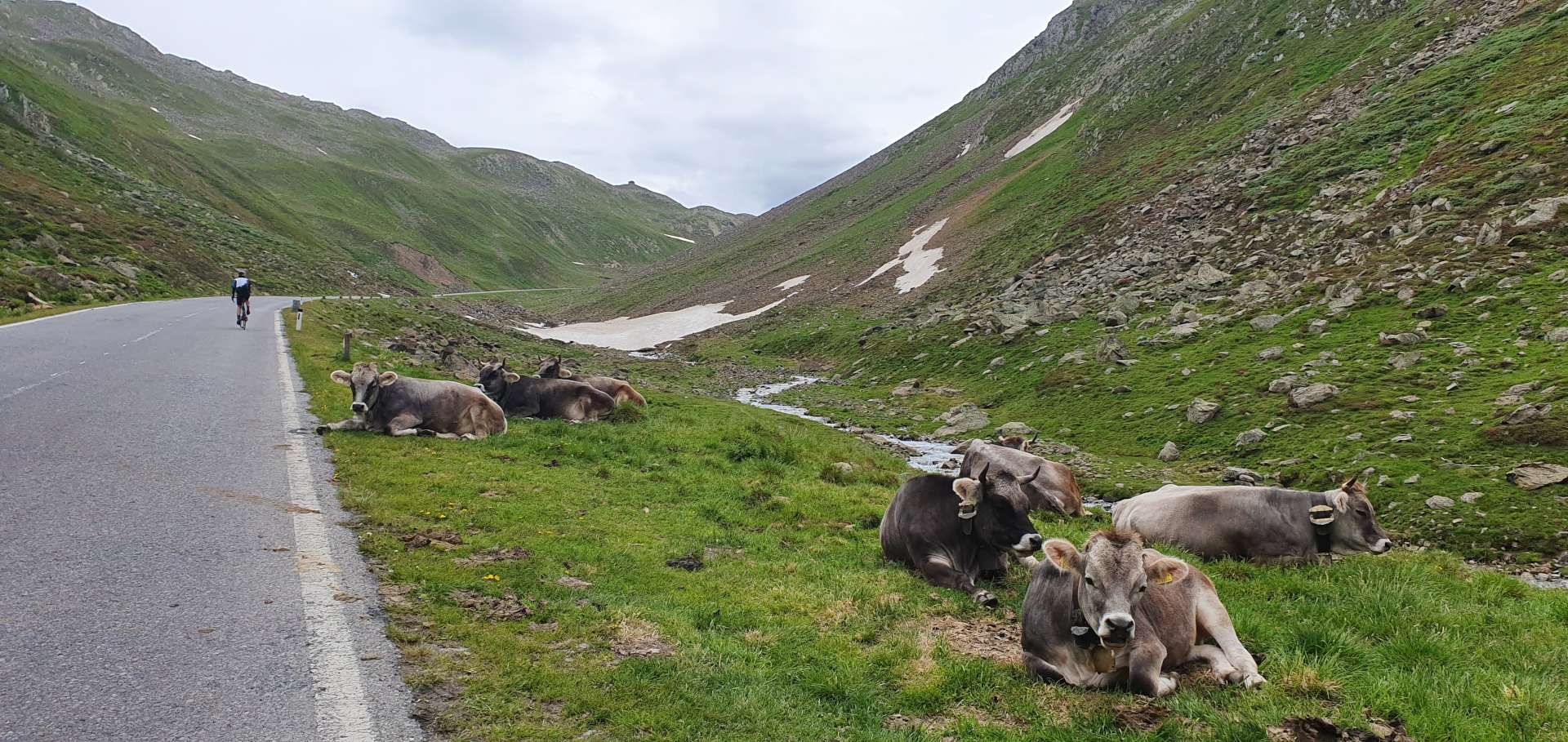
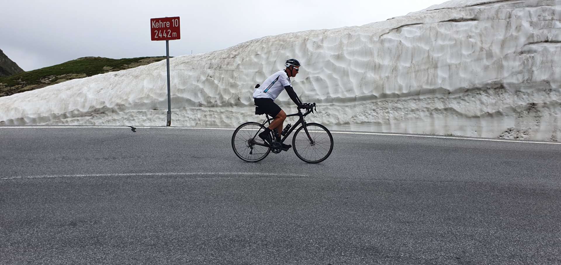
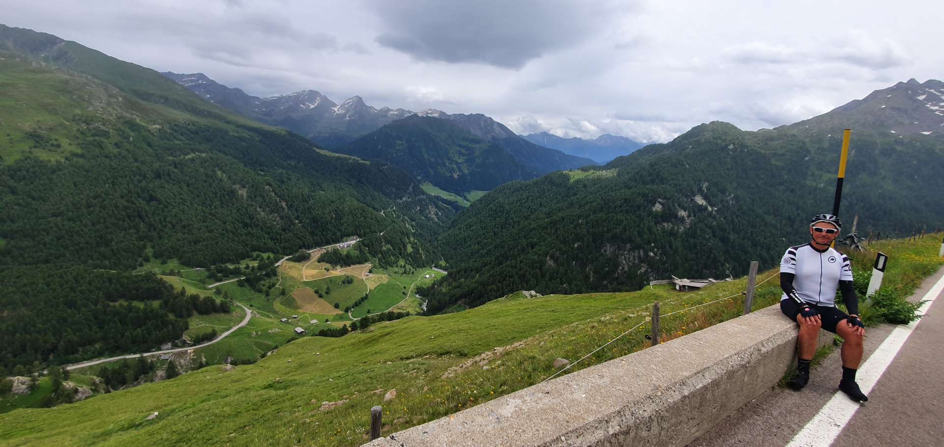
After a brief stop were on our way again & although we weren’t anywhere near the summit of the Timmelsjoch, the road descended for a mile & we gave away 450 feet of hard earned altitude! The final 3 miles to the summit were the most wild & rugged, as the only vegetation was grass which was being grazed by wild cows & sheep. They roam freely & as we were climbing, a convoy of Porsches were forced to stop their descent as the cows chose that moment to cross the road.

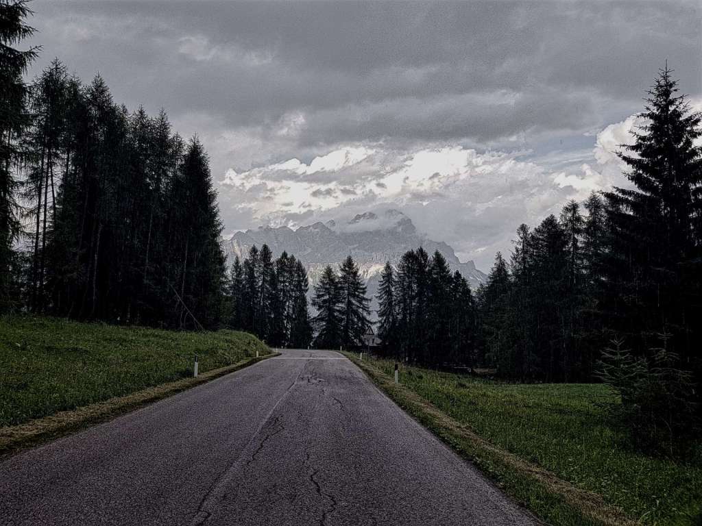
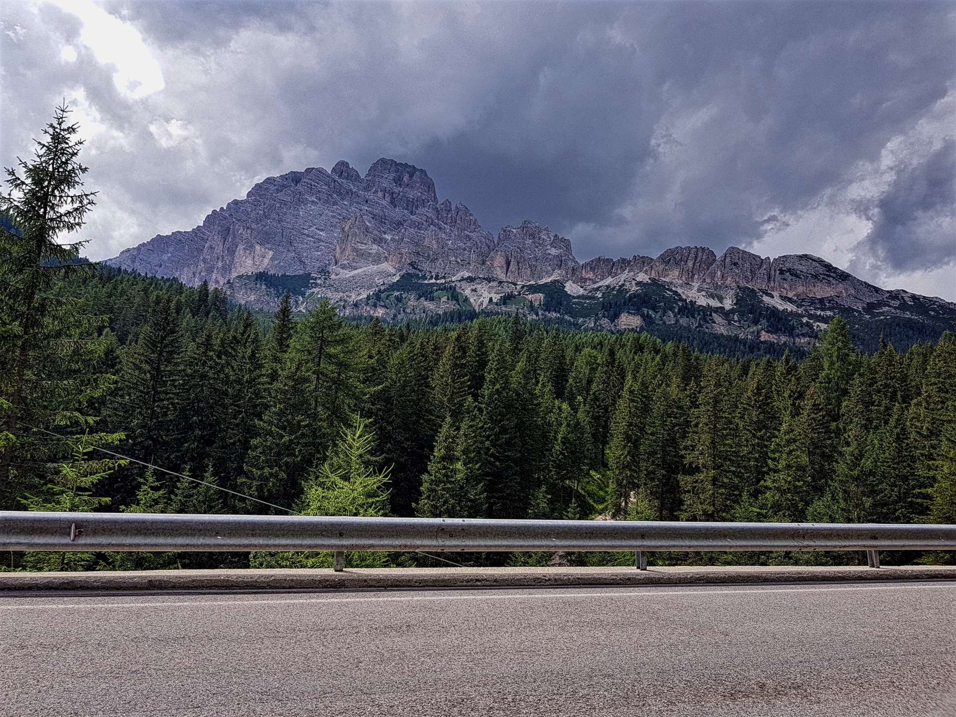
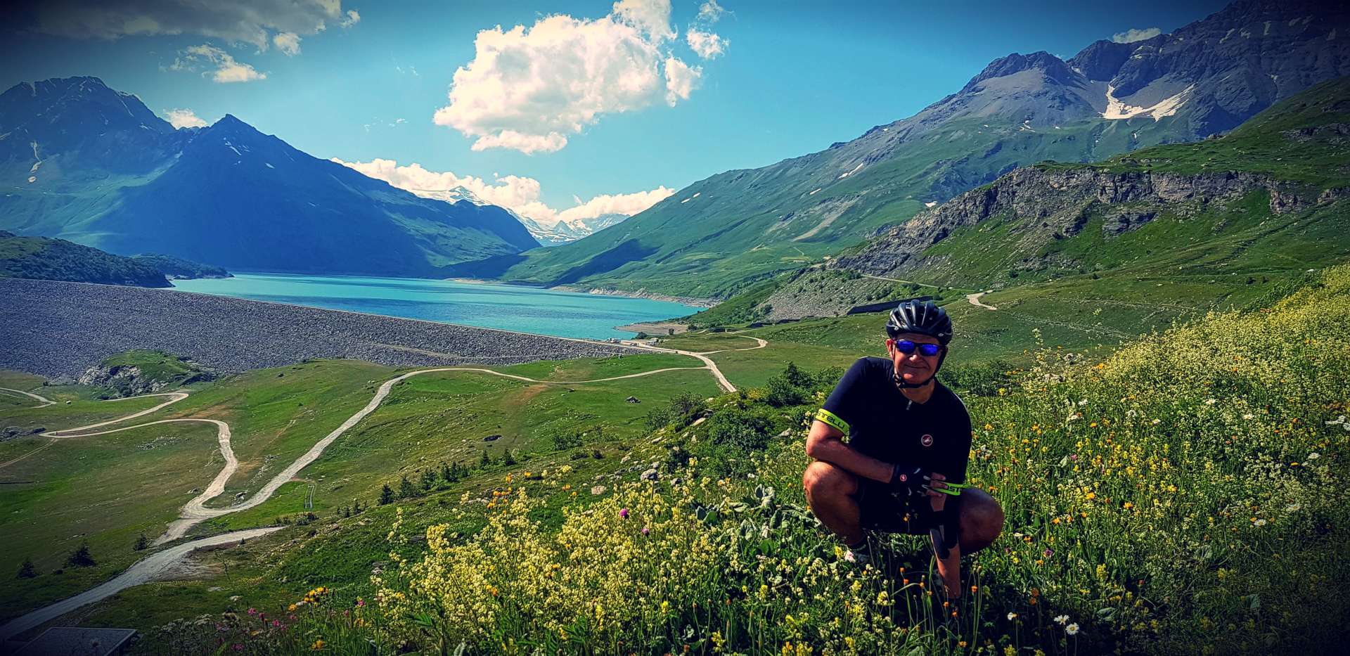
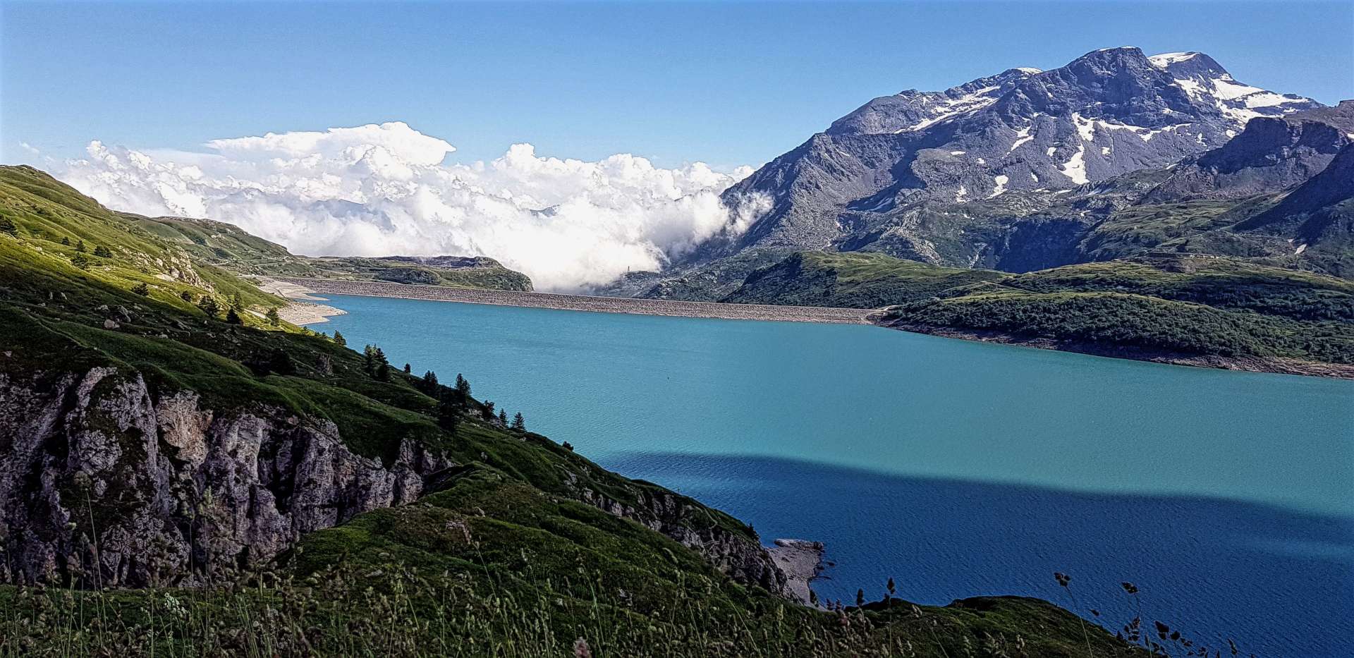
By now, the weather was closing in, the sun was a distant memory & cold rain was starting to fall. We were also above the snow line & the final couple of corners still had decent sized snow walls on them.

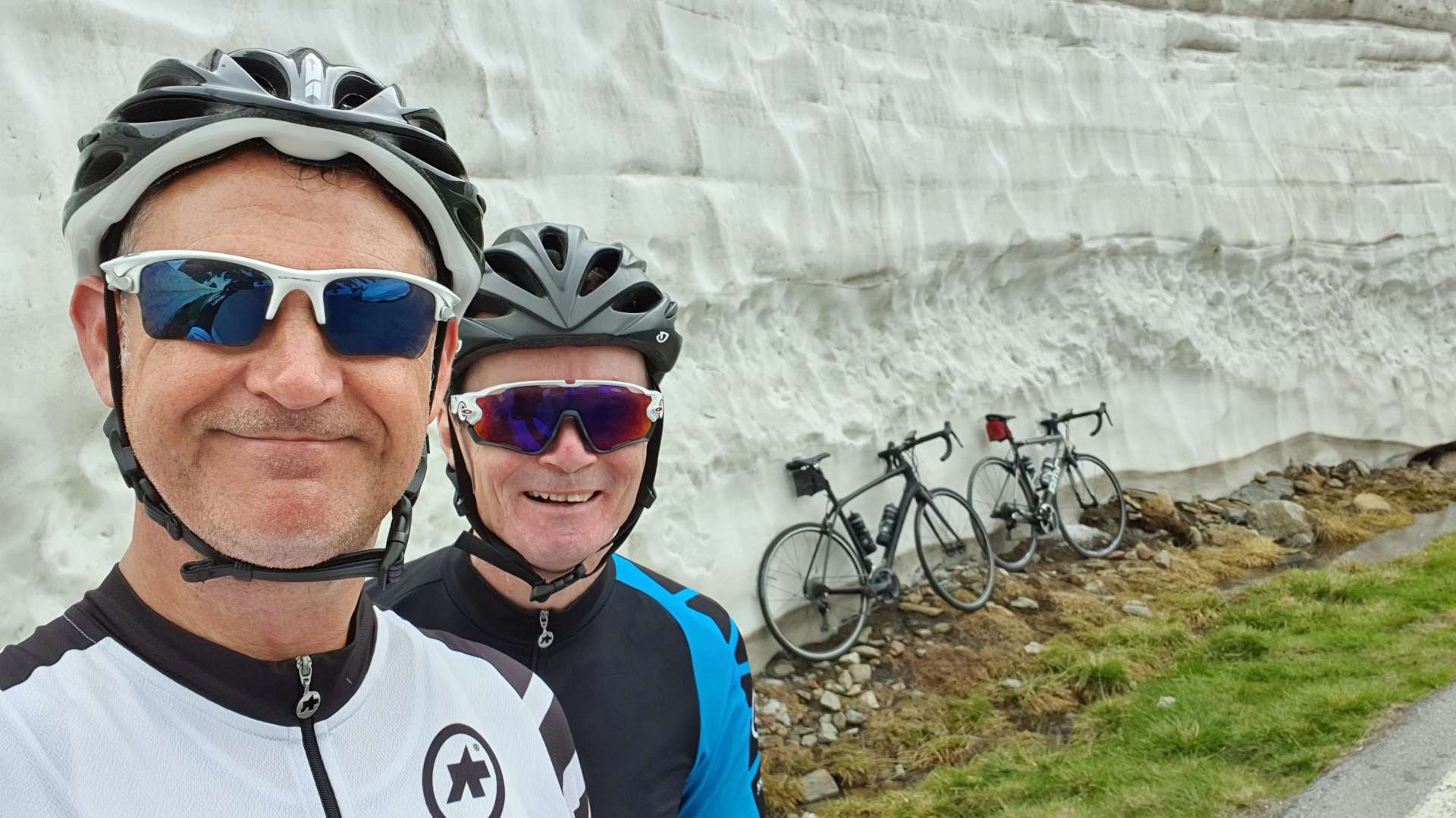
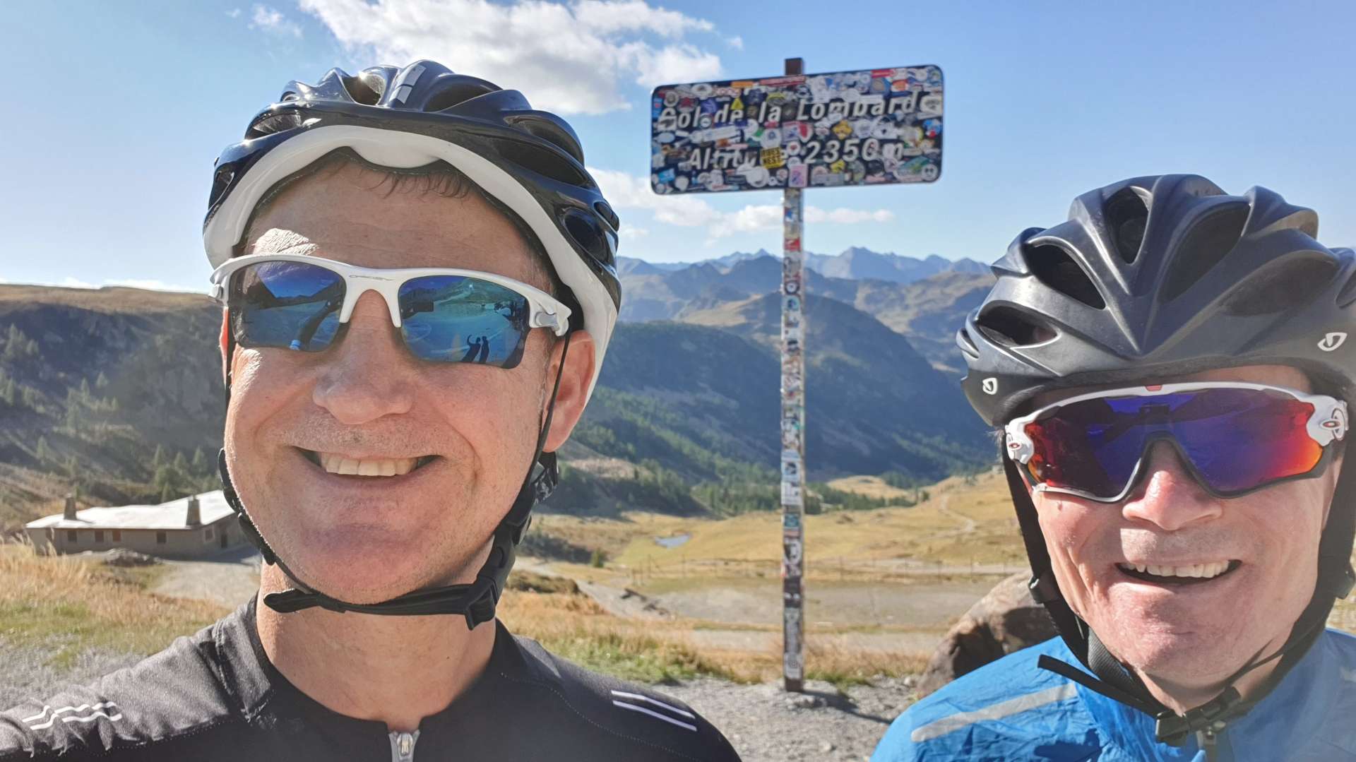
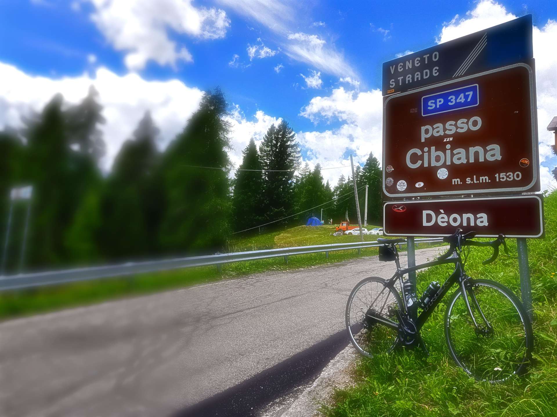
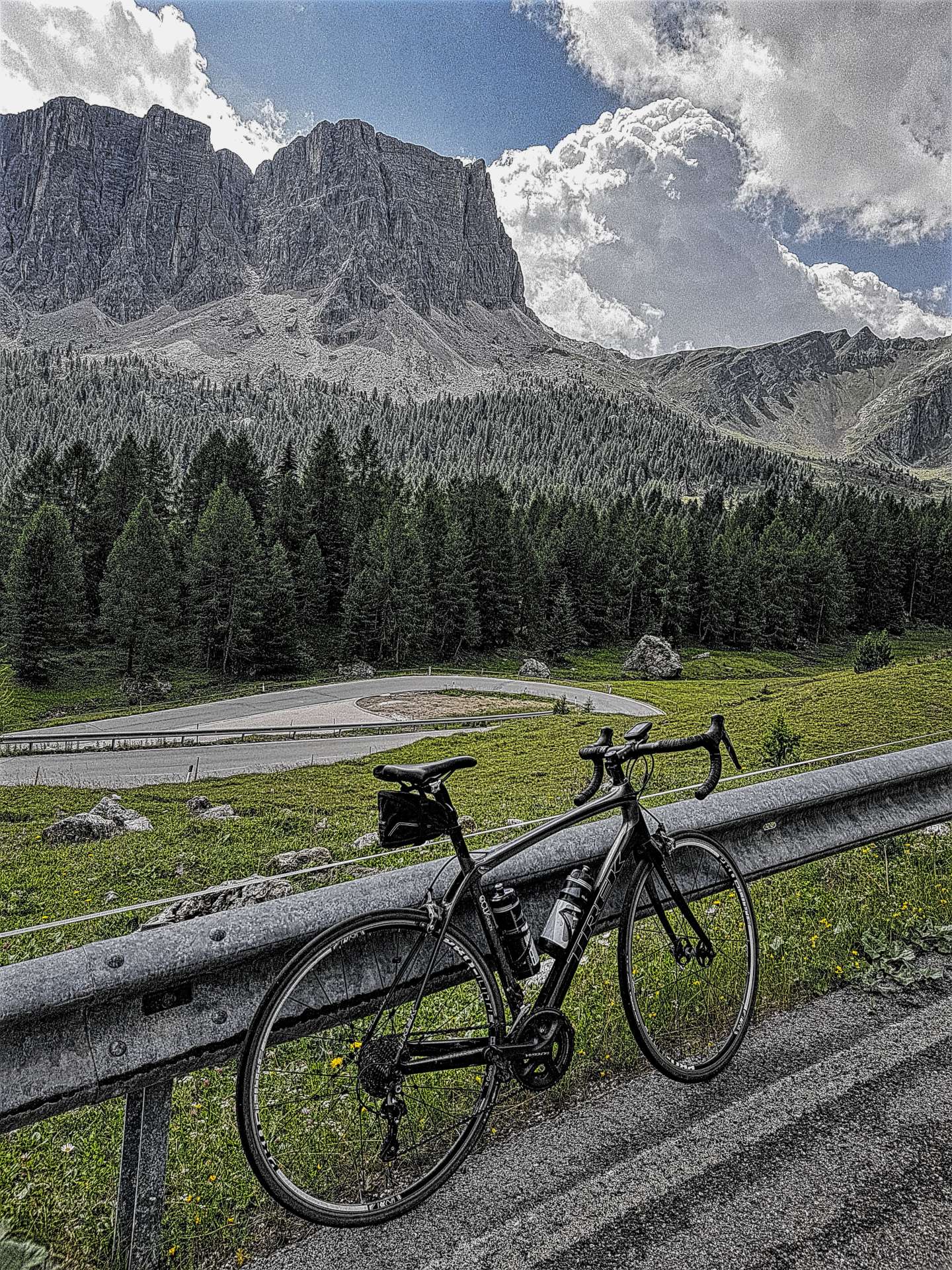
After a brief stop at the summit for a few photos & to don our rain jackets, we headed down the Italian side, where the Timmelsjoch becomes the Passo del Rombo.

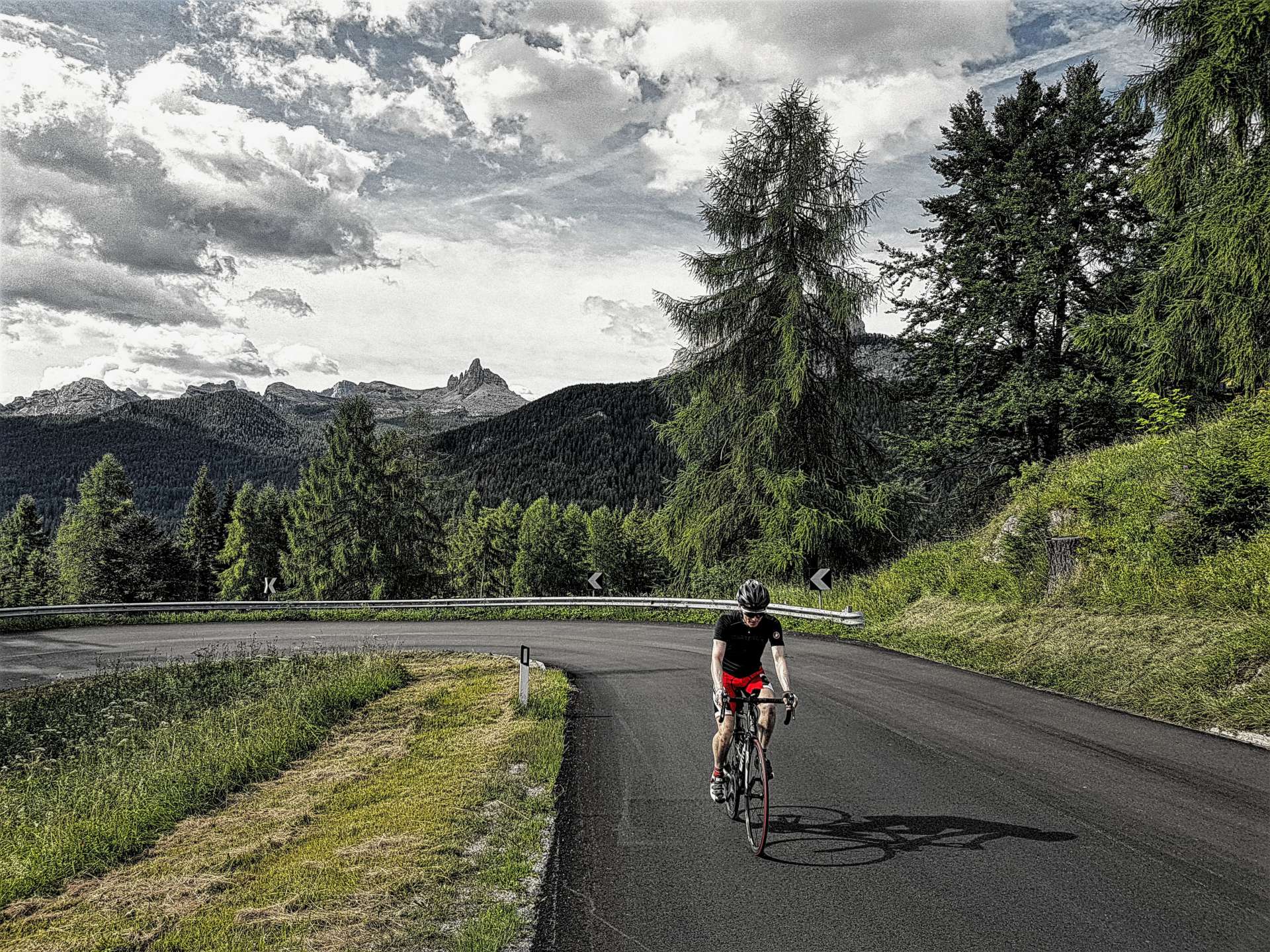
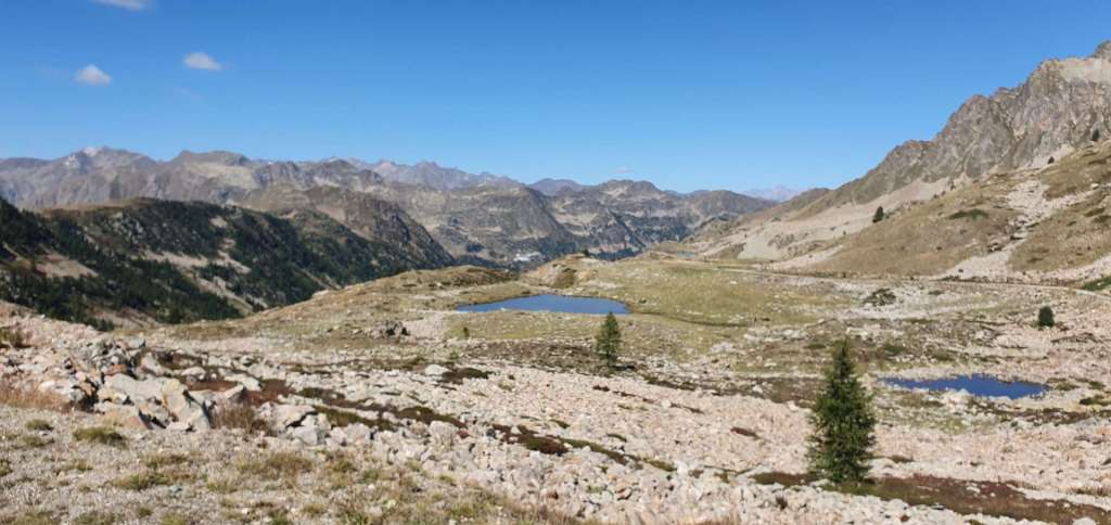
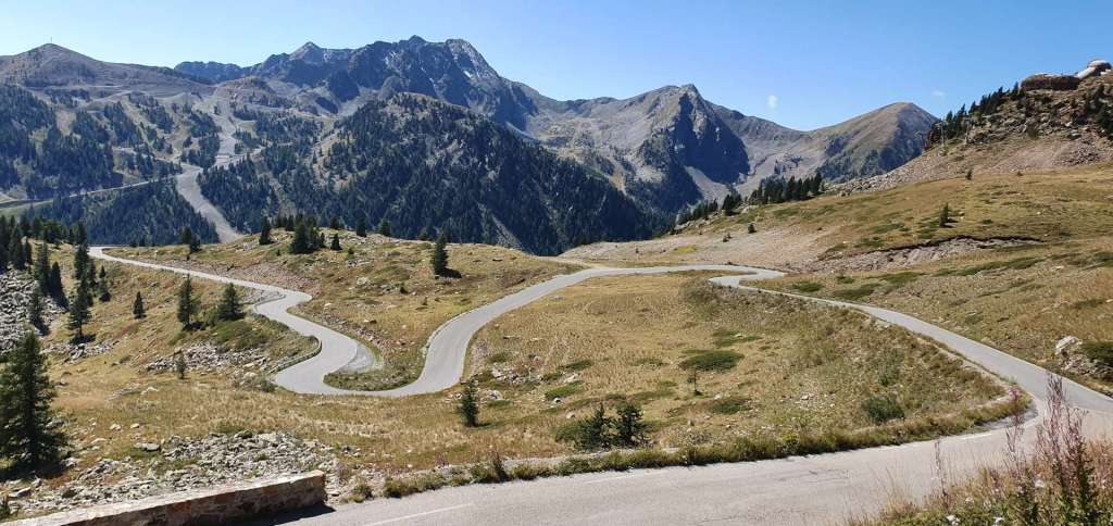
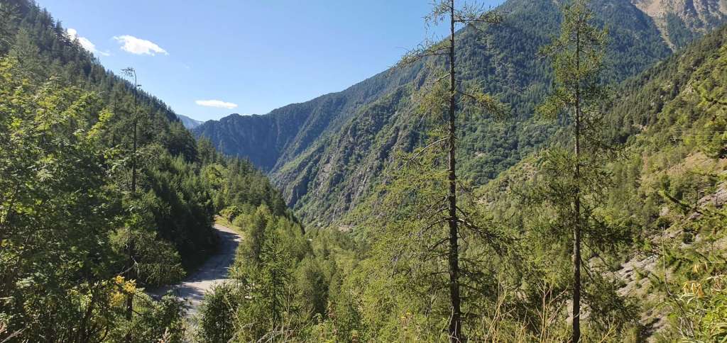
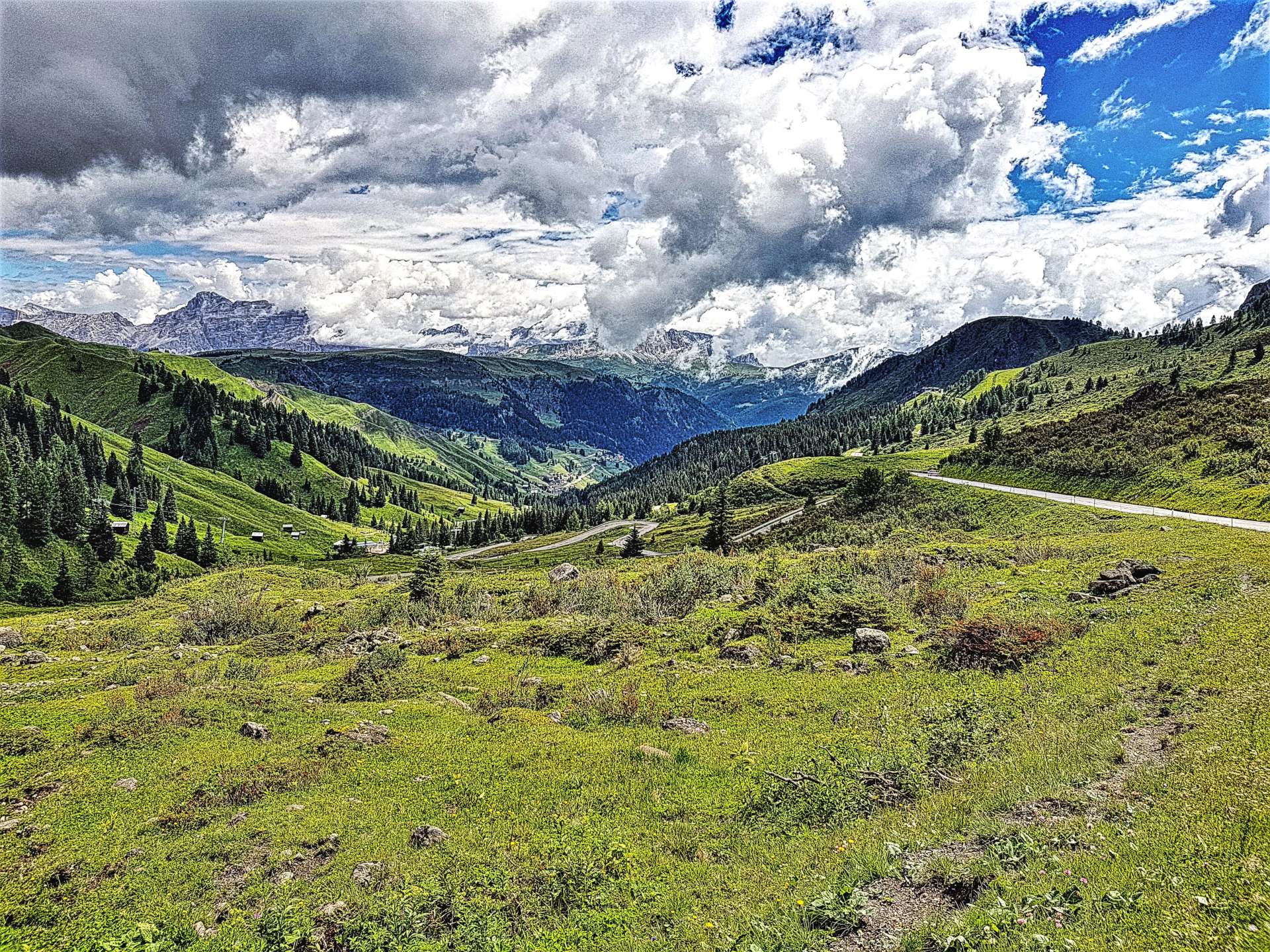
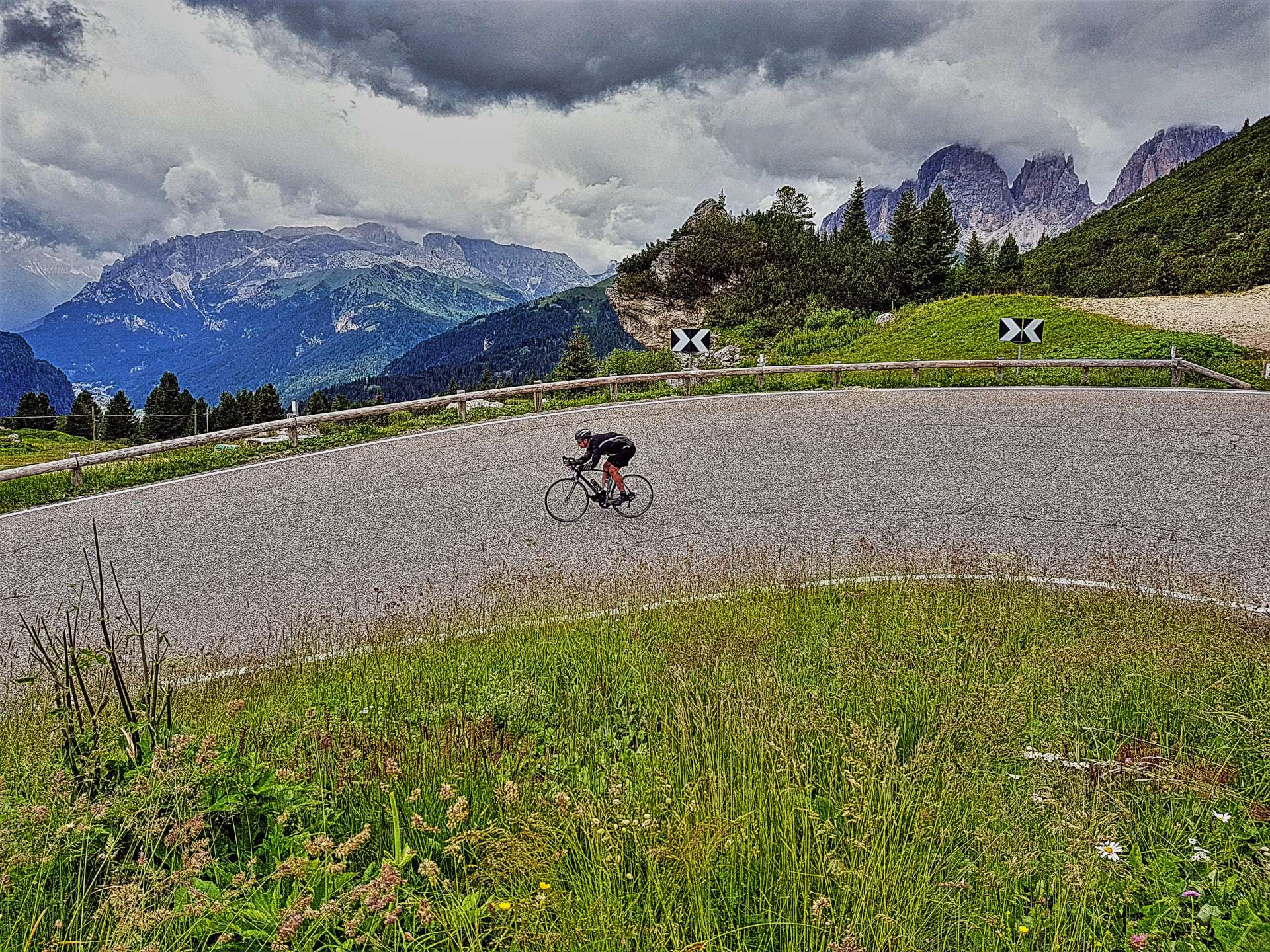
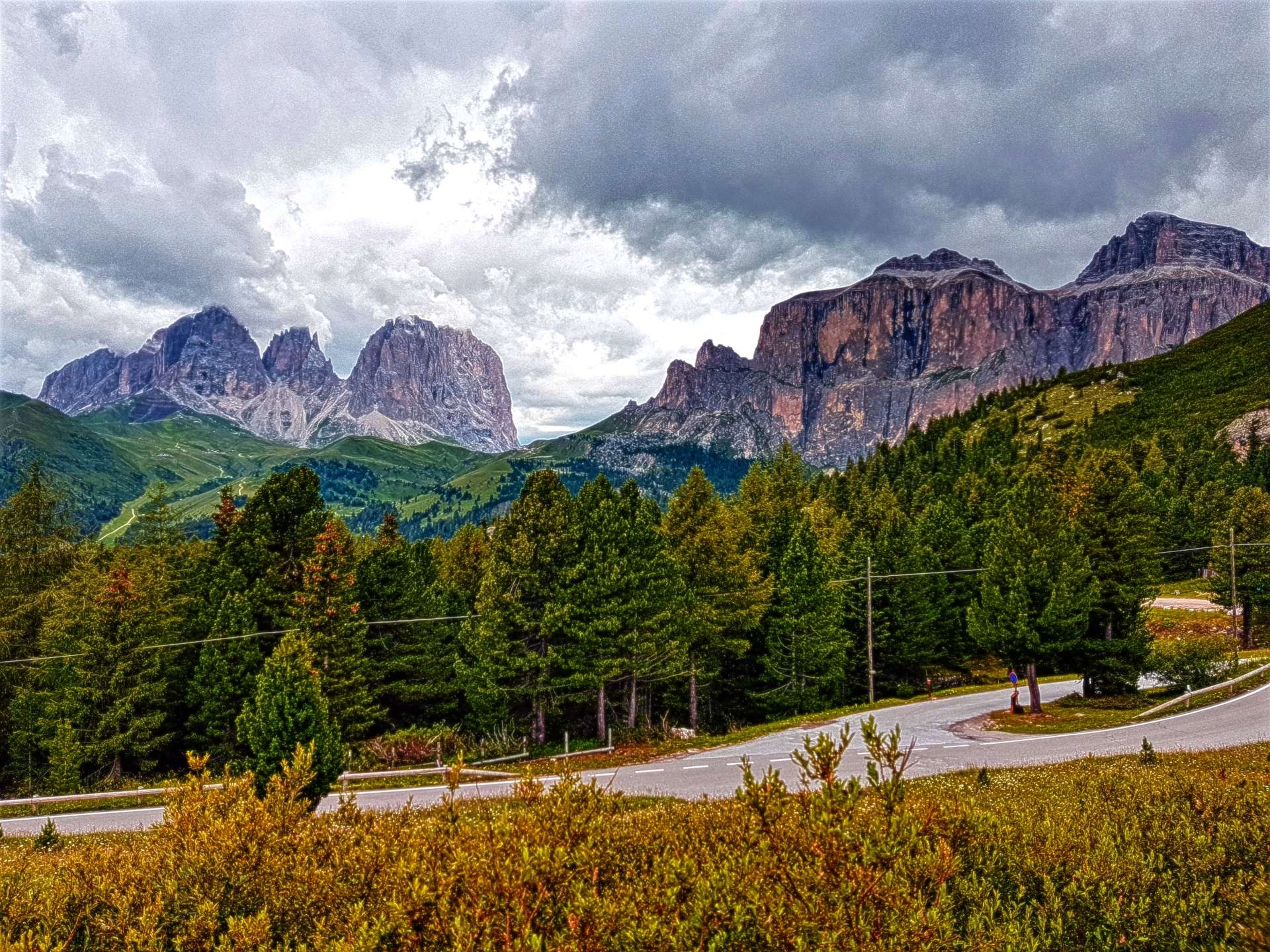
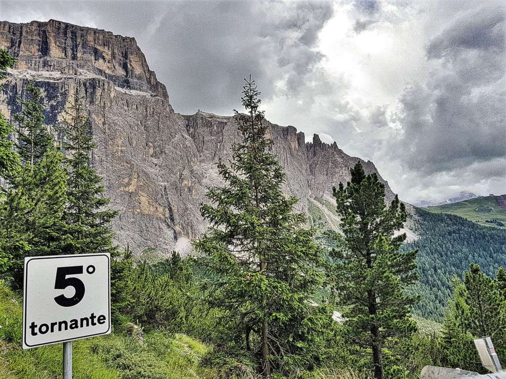
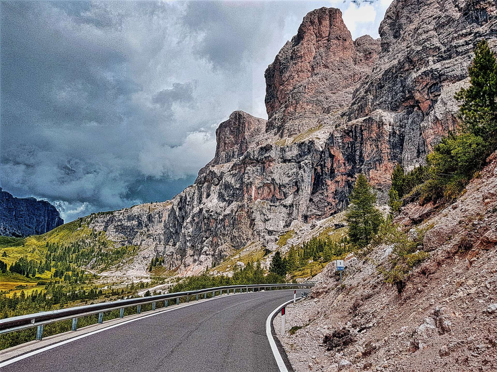
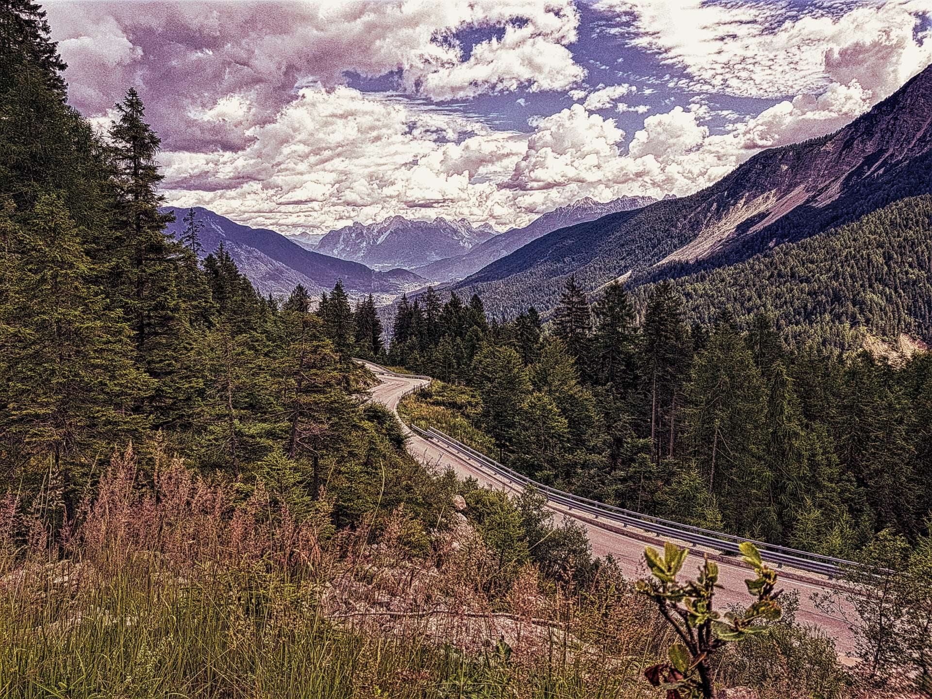
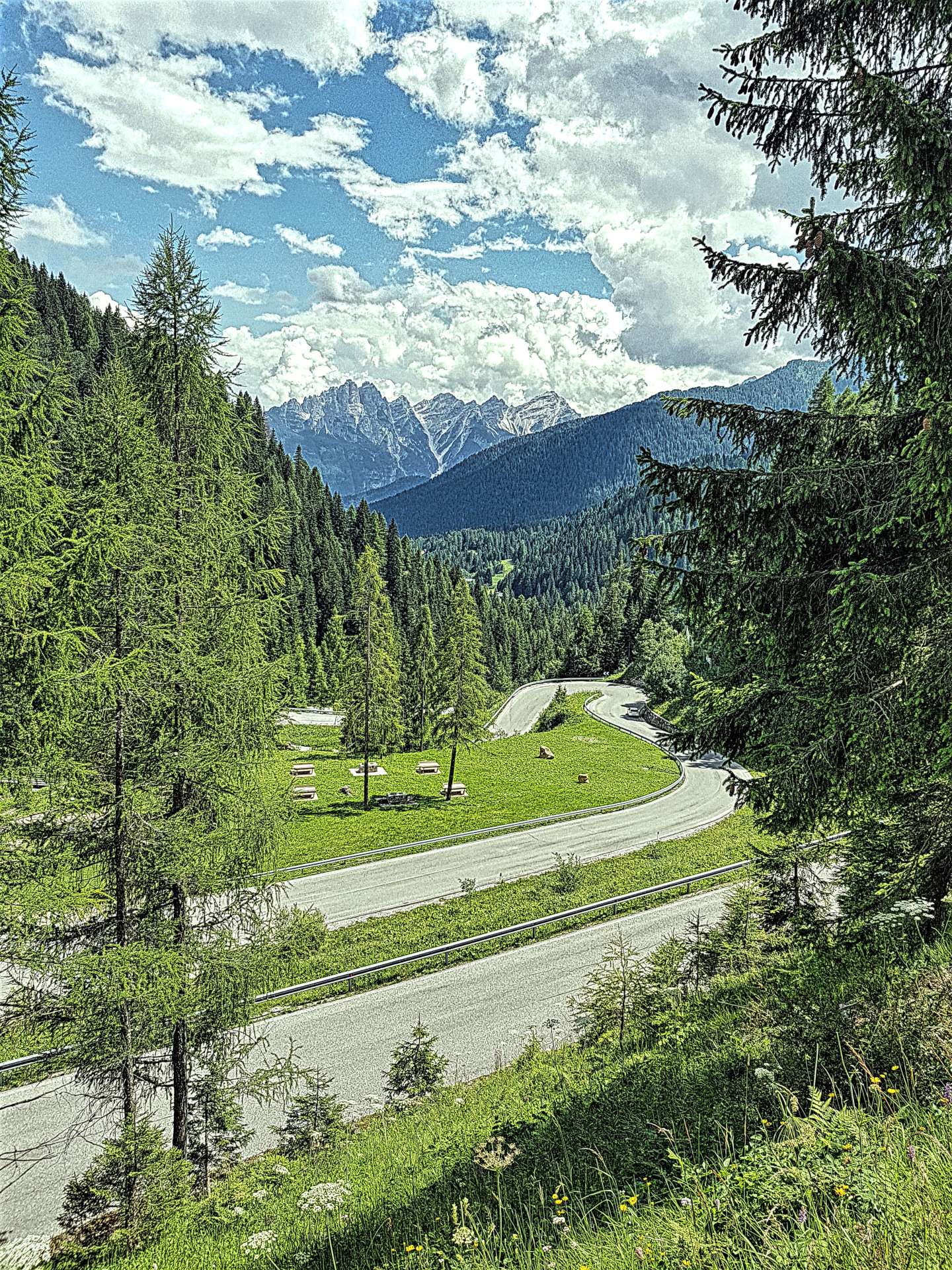
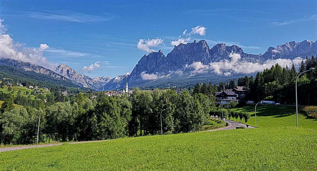
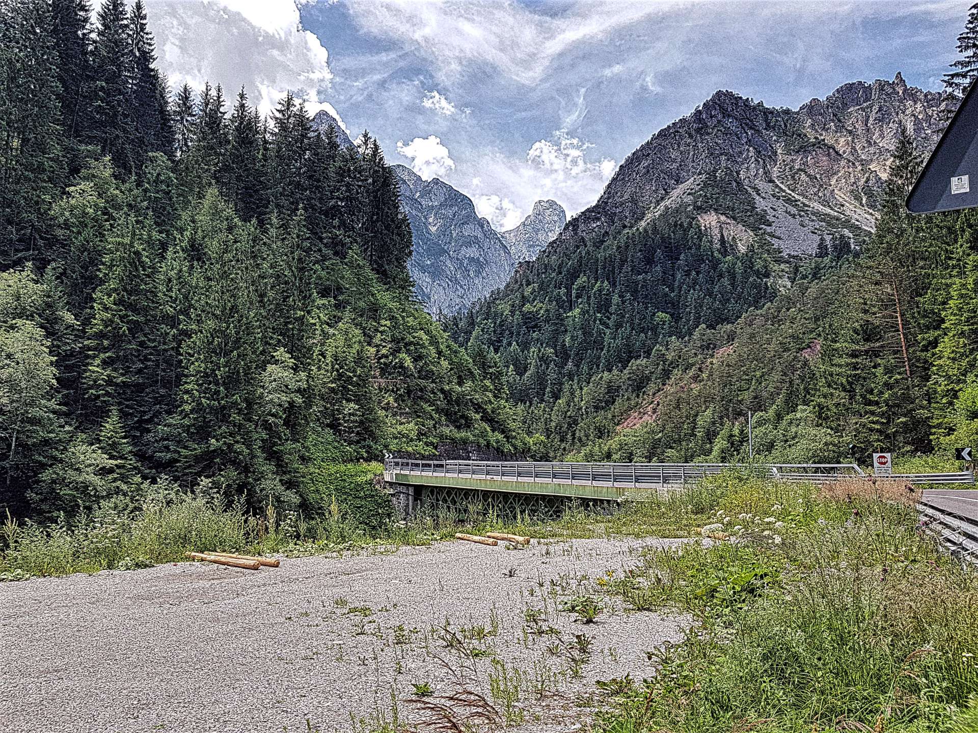
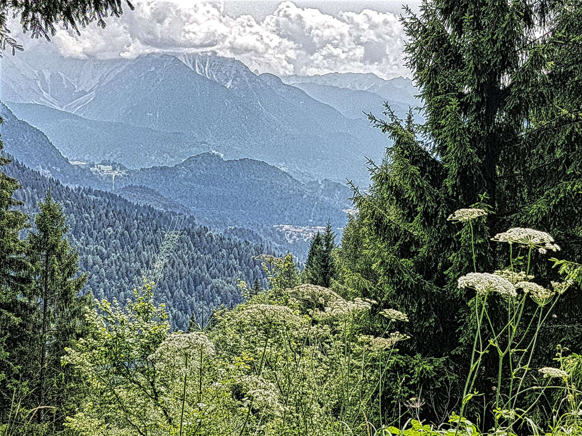
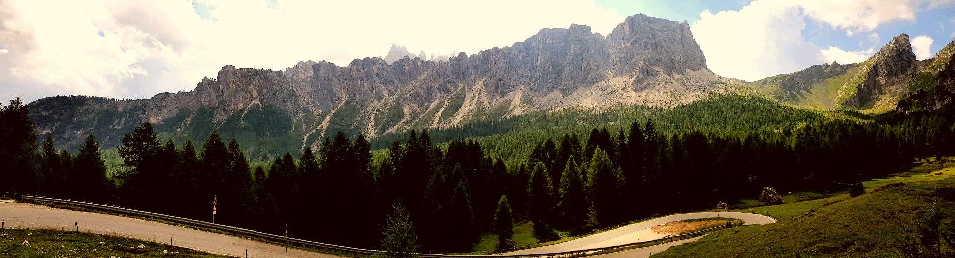
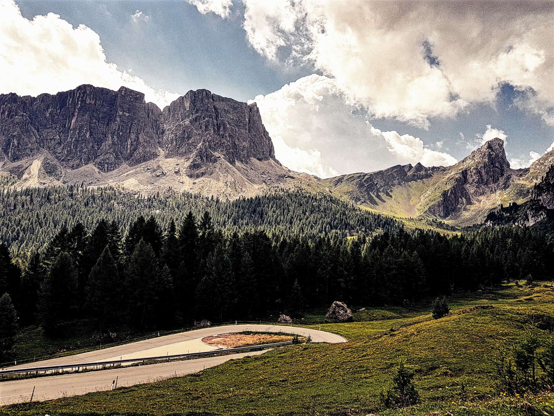
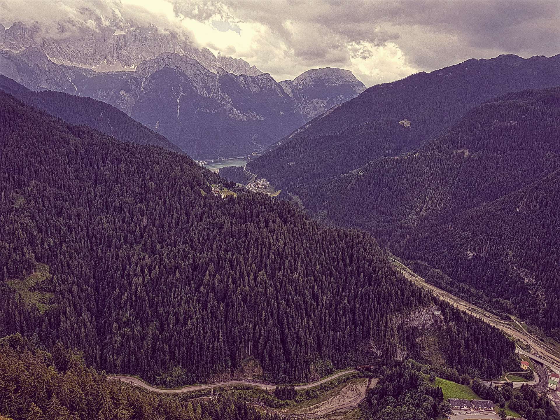
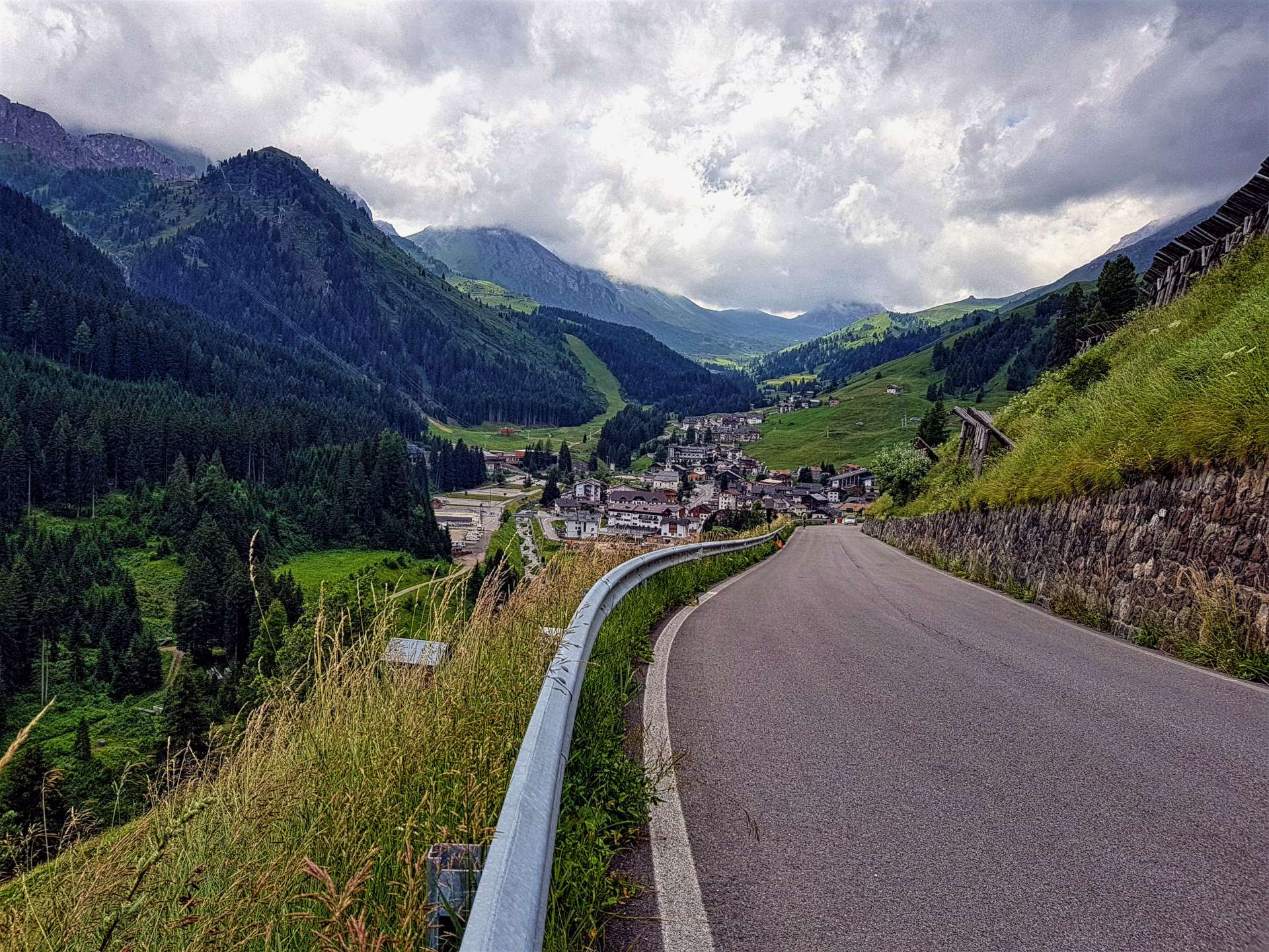
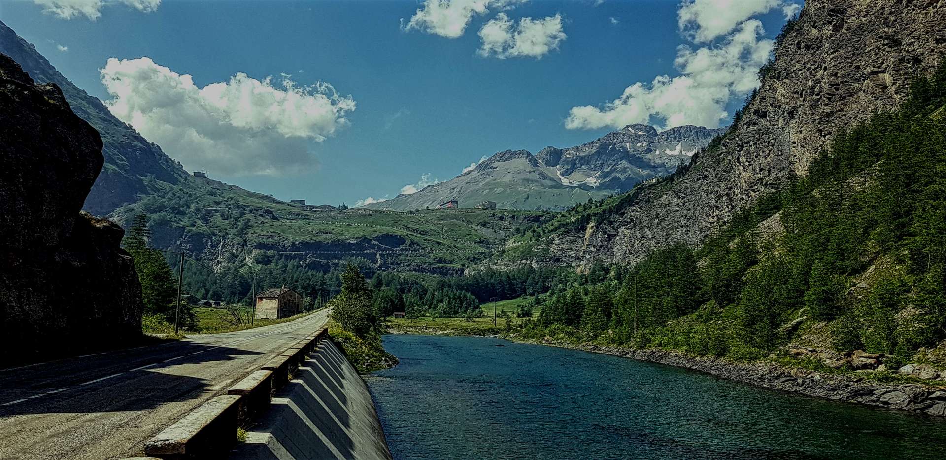
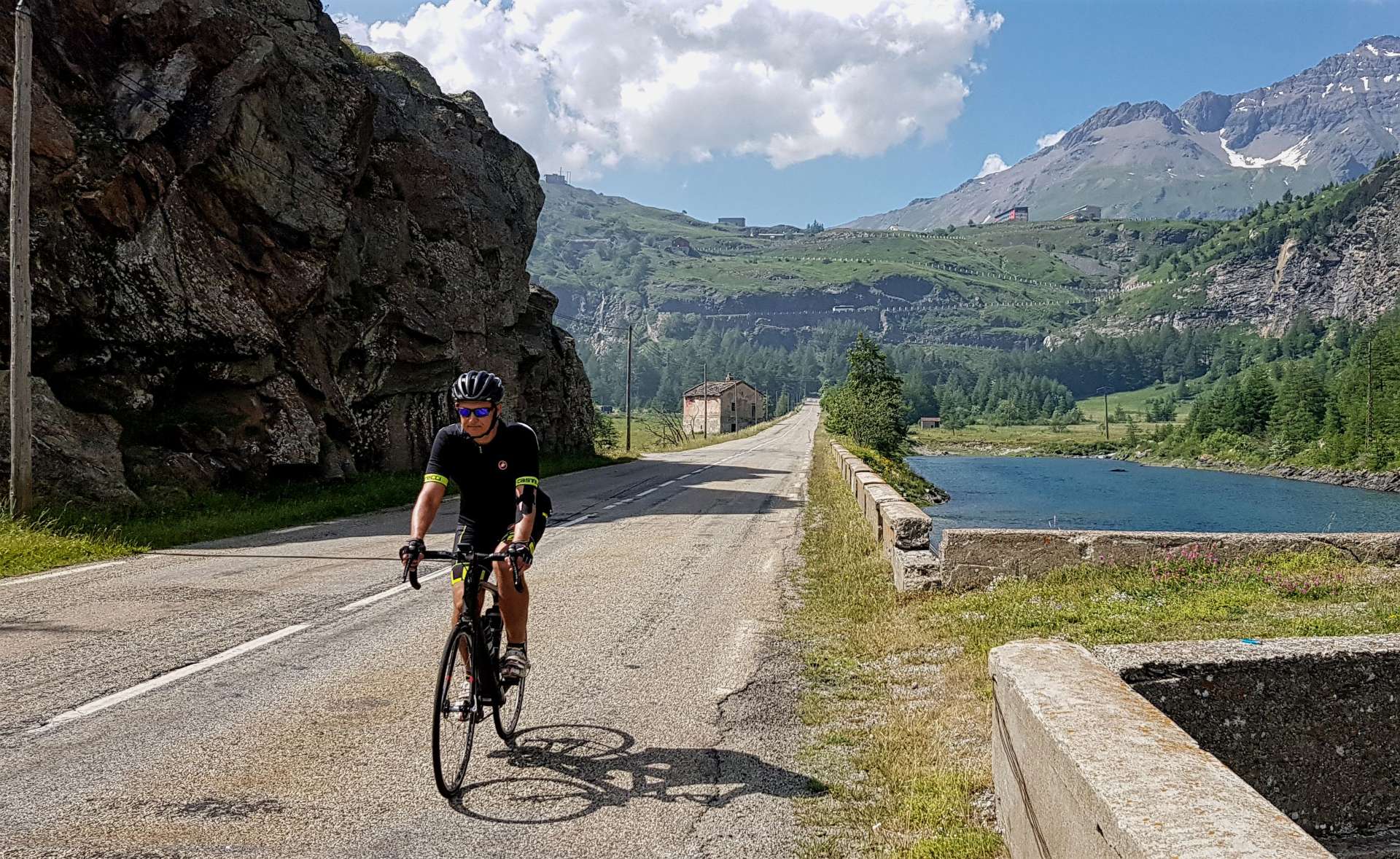
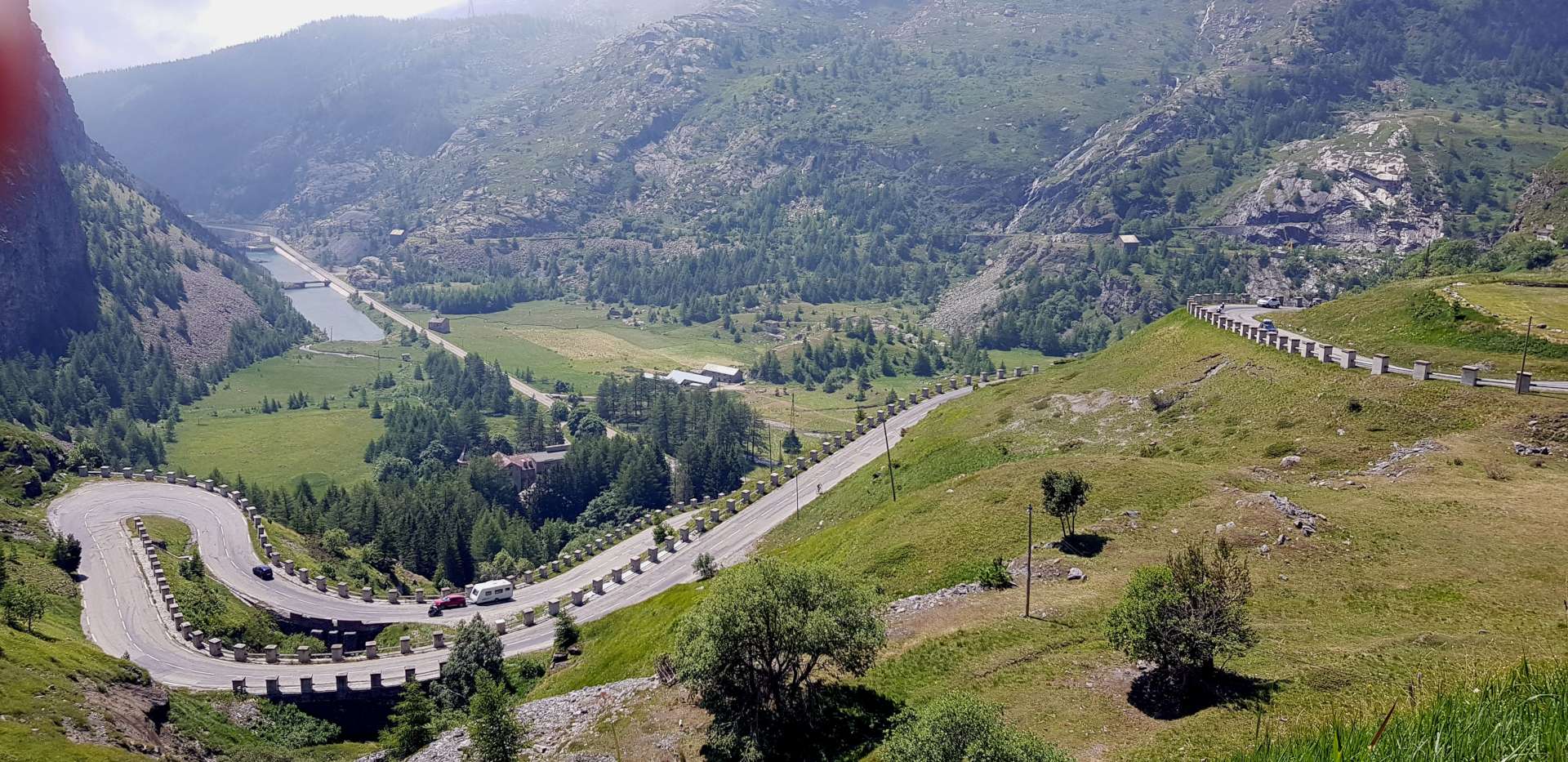
The first mile of the descent is a very gentle gradient, as the road follows a cliff face before passing through a long tunnel & exiting to an enormous view of the valley below. We would descend 6 miles in total & the road took hairpin after hairpin as it hugged a valley wall on the way down. It took us less than 15 minutes to plummet 2,000 feet in just under 5 miles, so we were in from a long climb back to the summit!

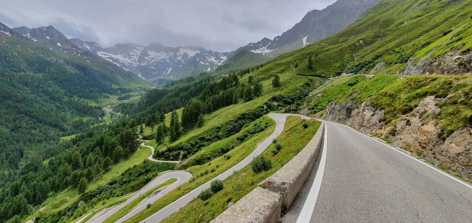
The ascent to the summit took about 90 minutes & was superb – the sun had come out again & we were just a few feet from a cliff edge with drops of over 2,500 feet to the valley floor below. There hadn’t really been time to take this in as we descended – there were too many tight turns to keep us focussed.

We stopped for a warming minestrone soup at a restaurant on the Italian / Austrian border, before descending back to Solden. It was raining again at the summit, so once we’d put our rain jackets on, we set off back down the Timmelsjoch – after a few hairpins near the summit, the road opened out & in no time I had hit 43mph & was still accelerating when I remembered the cattle & sheep crossing the road earlier, so I started to reduce my speed, just as well as there were now sheep where the cattle had been!!!

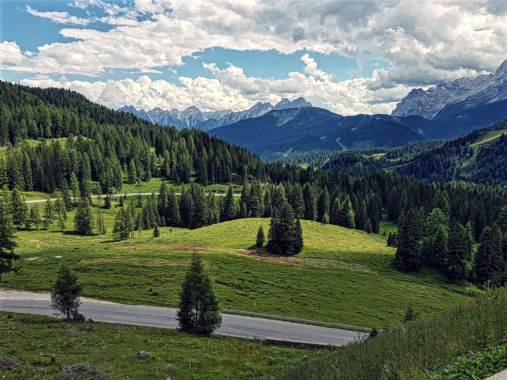
After negotiating our way around the sheep, we had a small descent left, before that nasty climb back up to the Motorbike Museum. My legs were so cold from the rapid descent, that it was quite a struggle to get them turning again for the short, sharp climb. Once we reached the plateau at Hochgurgl, the final 9 miles was a fast & flowing descent & before we knew it, we were back to Solden.

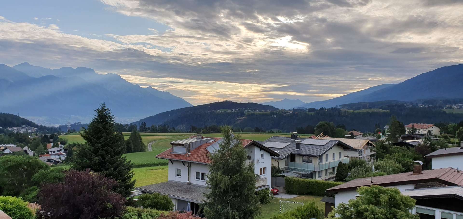
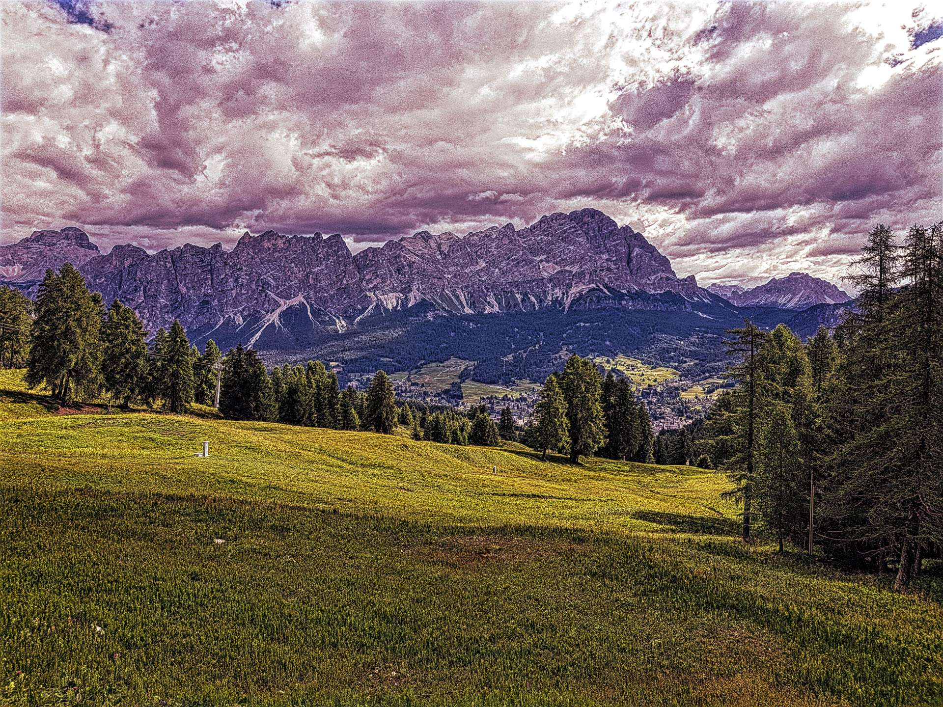
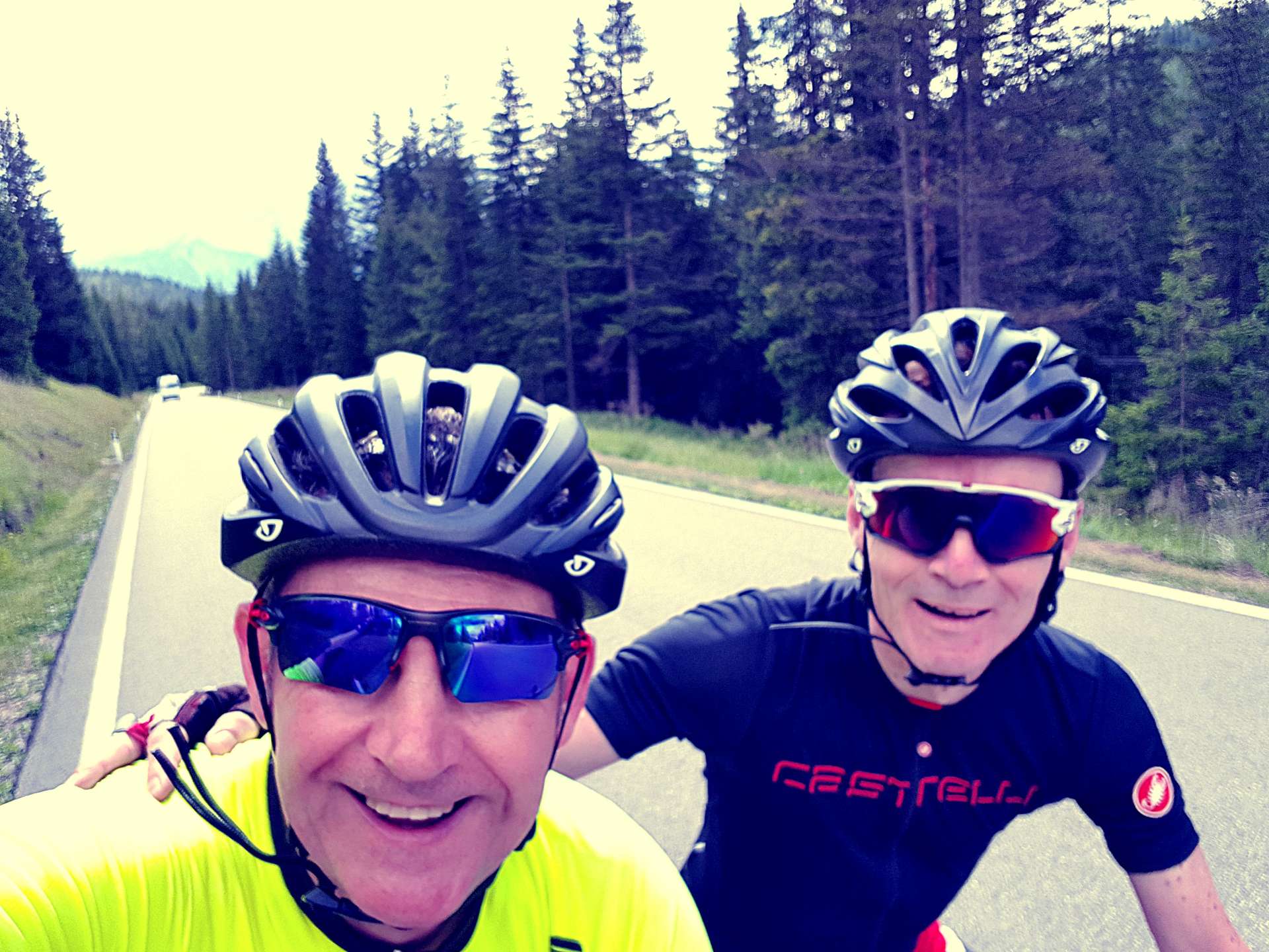
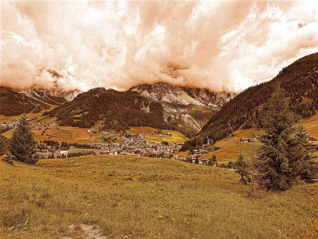
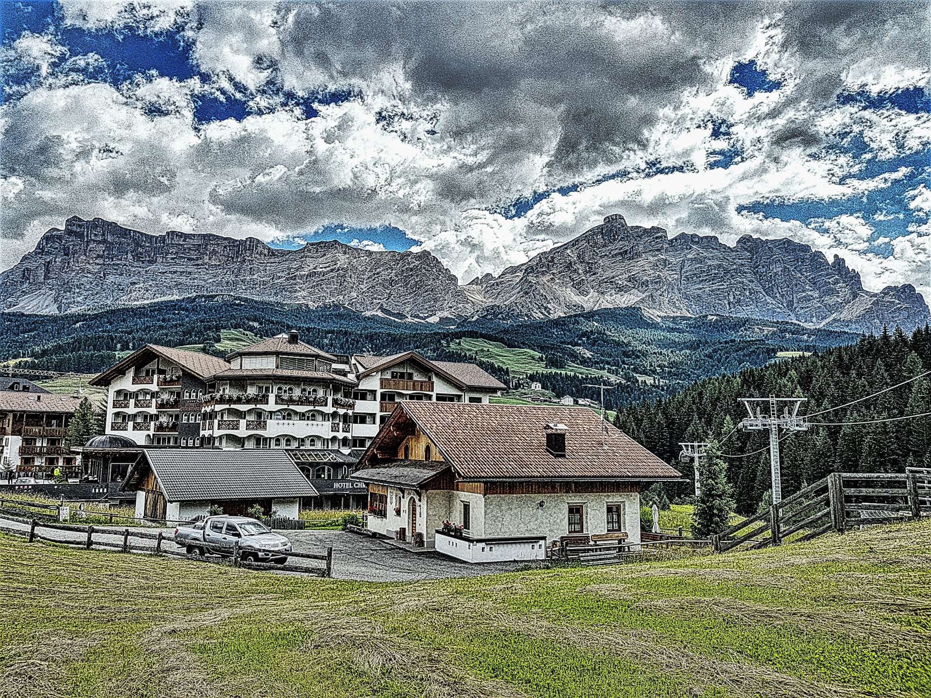
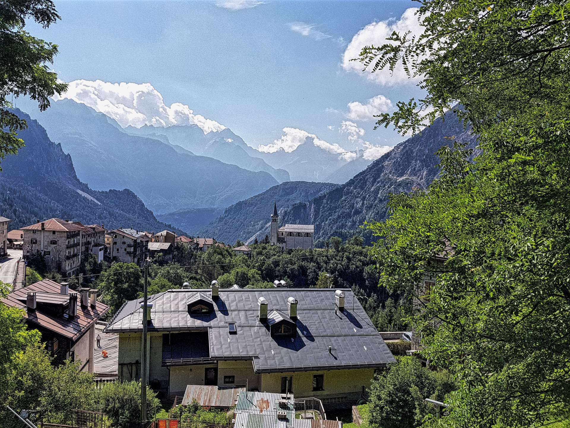
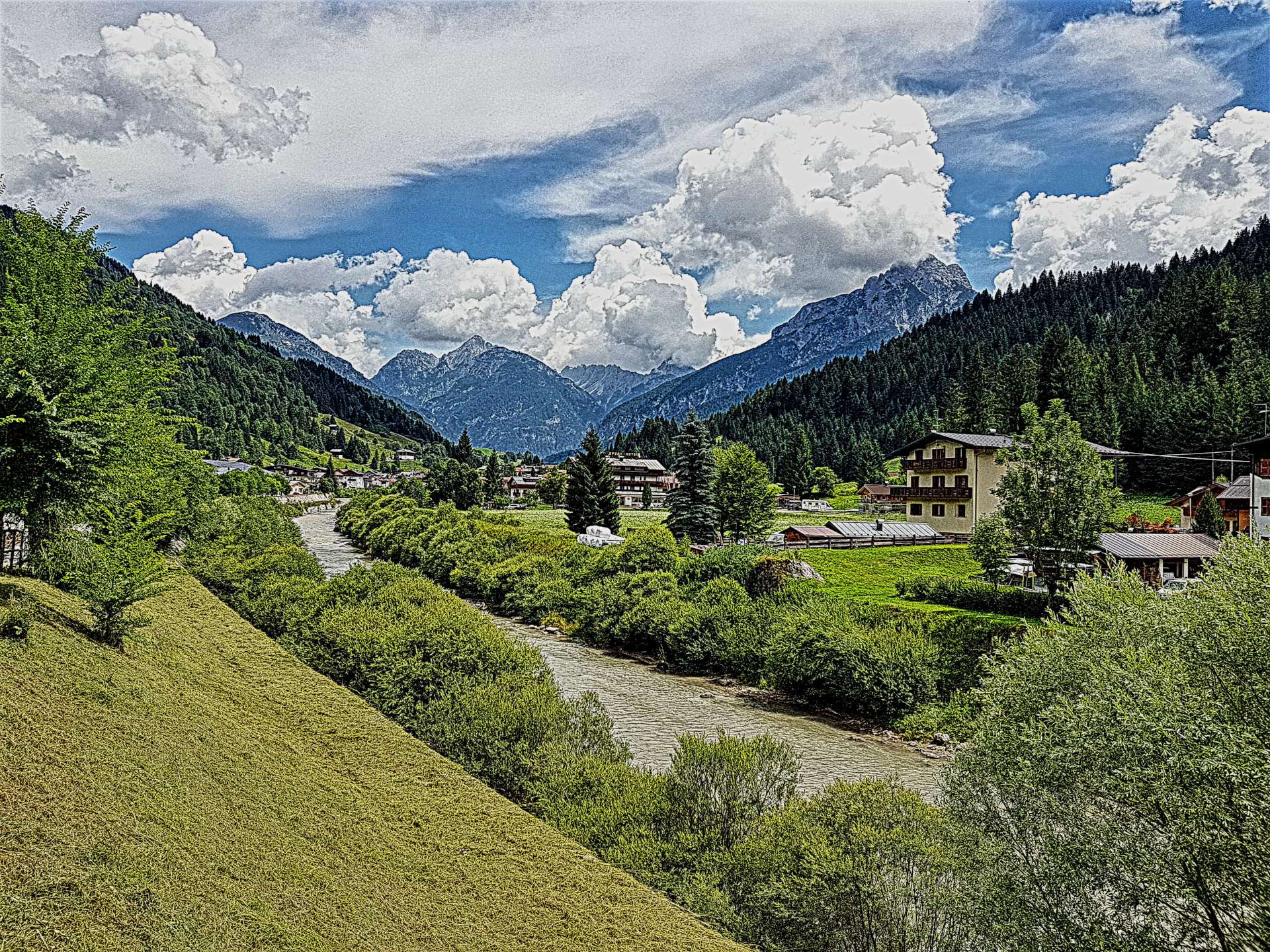
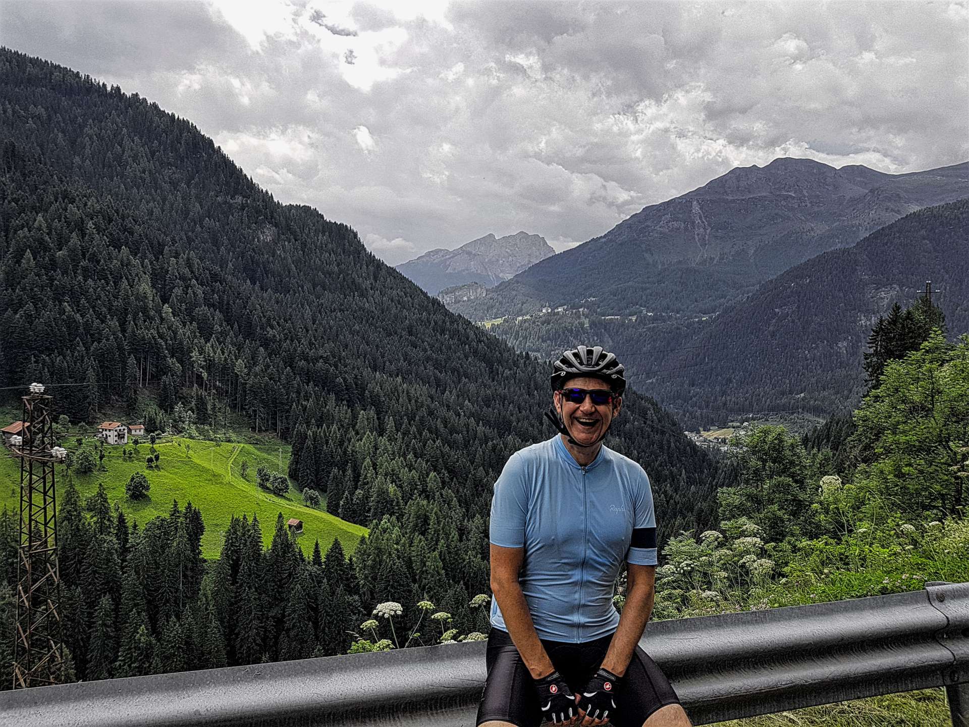
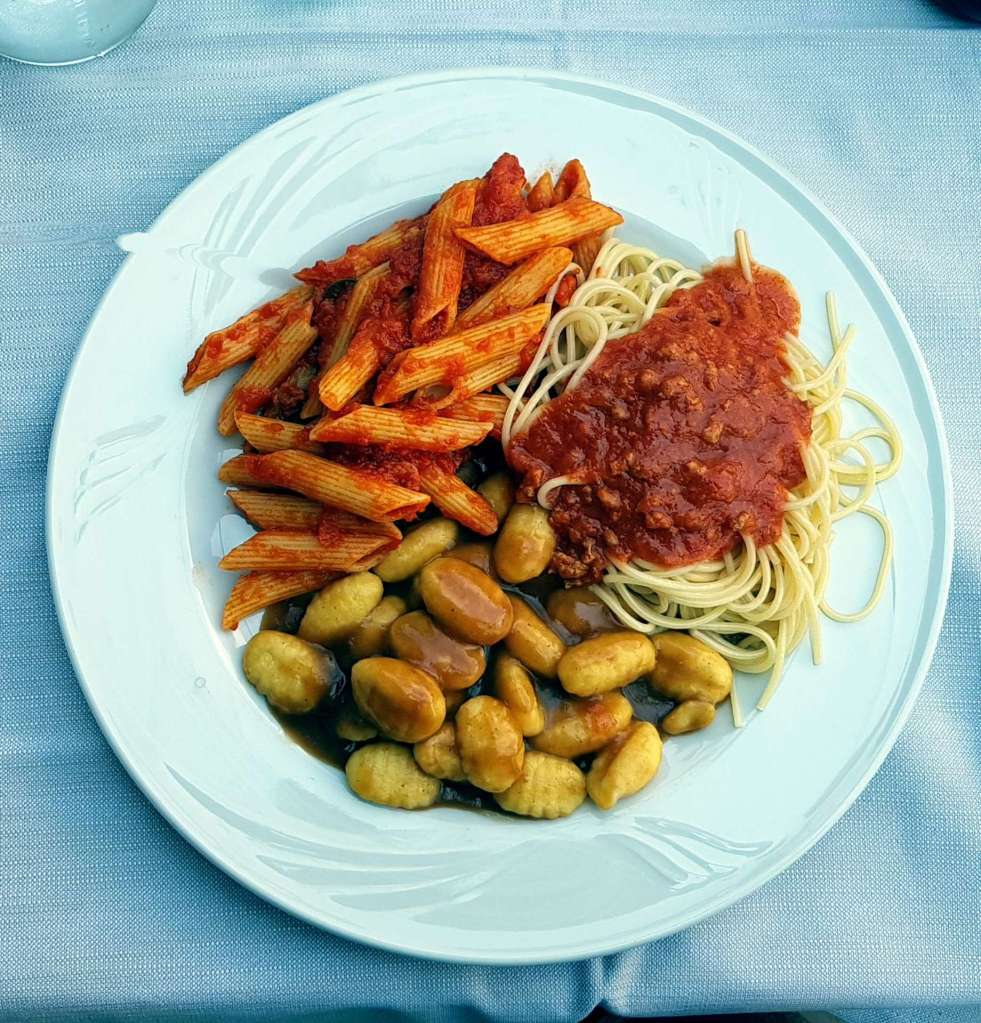
This was another epic day in the high mountains & although this was our last day of cycling in Austria, the adventure isn’t yet over. After taking in a final view from my hotel window, we spent the evening carb loading in preparation for 5 more days of riding, this time in the high Italian Alps above Bormio!

Passo Falzarego & Passo Cimabanche

Devilish Dolomite Delight – Day Six

Wow, where has the last week gone? It feels like my Dolomites trip started only yesterday & yet here I am writing about my 6th consecutive day of cycling!! Today the plan was to ride up the Passo Falzarego, complete a long loop & return via Passo Cimabanche – in total the route would be just over 80 miles via the towns of Brunica & Dobbiaco, but nothing too strenuous as far as climbing was concerned. Cortina d’Ampezzo is at 4,000 feet above sea level & whenever one of my trips involves staying at altitude, it takes me 4 or 5 days to become acclimatised to the lack of oxygen, especially when the mountain summits take us above 7,000 feet above sea level.

My climbing legs had recovered after a good night’s sleep & we set off up Passo Falzarego in beautiful sunshine as soon as we left our hotel in Cortina. The climb itself is just over 10 miles in length & rises just over 3,000 feet (including the steep ramp to Passo Valparola.  We’d previously driven the ascent on two separate occasions, as well as descending it once on the bike, so we knew what faced us – we decided to make this our only Full Gas effort all holiday, as it was the last day & we could always ease back if it got too hard/painful part way up the climb!!!

The early slopes pass through meadows, before the ubiquitous pine forests take over. This is great on the one hand, as it provides protection from the sun & wind, but it also limits the views of the surrounding mountains. Every now & again the amazing vistas sneak into view for a few moments, but you have to pay attention or they’re gone!

The landscape suddenly changes about three quarters of the way up, when the trees simply disappear to be replaced by scrub & bare rock – this is when the true majesty of the mountain is clear for all to see. It’s also very exposed & today the wind whistled into our faces for the final section of the climb, an unexpected & naughty surprise!! We stopped at the summit long enough to get a couple of photos & don our rain jackets for our second descent this week of the Valparola.

After a quick coffee in La Villa, we turned right & continued descending into a strong headwind – if I stopped pedalling, my speed dropped instantly, which was a bit of a blow, as I was hoping for an easy 20 miles of riding!!! For once, my route research was seriously lacking & I missed a small right turn somewhere & as a result we had to endure 5 long tunnels (varying in length from 500 metres to 1.9km) with traffic hurtling past us – this was the one moment of cycling disappointment on the whole trip, so all in all it wasn’t that big a deal.

Having survived the tunnels, I was now paying much more attention & spotted the cycle path we should have taken earlier – at the same moment, the sun came back out & we packed away our rain jackets for the final time on the trip. We were on quiet country lanes that meandered across farmland & through picturesque villages.

As we continued along the cycle route, we stumbled across a restaurant & decided that it was a signal that we should eat – as we wandered in, there were a couple of tables of locals engaged in a card tournament, while out on the terrace there was one empty table available & it had our name on it!!! The food was great & the staff really friendly (they also thought we were a bit mad to be doing such a long ride!).

There was still time for a couple more unexpected surprises, the first of these was a 5 mile stretch of gravel as we skirted around a man-made lake that provided drinking water to the surrounding villages. Road tyres aren’t really made for this type of terrain, but we took our time & admired the scenery as we navigated our way around the shoreline. Before we knew it, we’d reached the outskirts of Dobbiaco & we took the road towards Cortina.

The Passo Cimabanche was the final climb of the trip & it was a very gentle 3% to 5% the whole way, except for a plateau where Lake Dobbiaco had formed – another stunning alpine lake in a jaw dropping location. In spite of there being a few hundred tourists admiring the views, there was a real peacefulness to the place – it would be an amazing place to camp for the night under the stars.

After reaching the summit of the climb, we had a rollercoaster descent back into Cortina d’Ampezzo, with big views of the surrounding peaks. We were back in town just after 5pm, so decided to round off the week long adventure with a locally made ice cream, while relaxing in the sun. The perfect end to another amazing cycling adventure!

Daily Cortina Trivia Feature (stage 6) – The 2015 remake of Point Break was filmed in Cortina d’Ampezzo. As if that wasn’t enough trivia, AC Milan run a summer training academy for children aged 6 to 17 – coaches in the past have included George Weah & Stefano Eranio.

Alpine Adventures – Tour de Barcelonnette – September 2019

Both sides of Colle della Lombarde / Cold de la Lombarde – Day Five

Blue skies overhead for the second day running, so we decided to jump in the car for a 1 hour commute to Italy, to climb the Colle della Lombarde from Italy, descend to Isola in France, climb the Col de la Lombarde from France & descend back to the car. Just in case you didn’t realise, this is the same mountain, but I’ve used their Italian & French names!

Today’s adventure would only involve climbing or descending, so while we would only be riding 53 miles, more than 26 miles would be uphill. As soon as we set off the road began climbing a sheer cliff face in a series of tornantes (hairpins), very similar in appearance to the Lacets de Montvernier in France. The gradient was a constant 8% for the first couple of miles, as the road weaved its way through a deciduous forest & followed a roaring river that was below us & off to our right.

The road surface was potted & rough from the constant freeze/thaw cycle that takes place during winter, but wasn’t an issue as we were ascending. There wasn’t much in the way of views to talk of in the first 5 miles, as we were surrounded by tall trees. However this all changed when we crossed a bridge to the other side of the river & the landscape switched to meadow, with views of the huge mountains all around us.

As we continued to climb, there were great views of the road below, as the switchbacks allowed the tarmac to find its way between the outcrops of rock. The views also helped to take my mind off the consistently steep gradient of the climb. As we continued to gain altitude, the valley opened out & we had our first views of where the road would be taking us – a long way up!

To the right of the valley a group of baroque buildings came into view – at 2,035 metres, the Sant Anna Sanctuari is the highest in Europe. Unfortunately, time was against us today, so we followed the signs to Francia & crossed back to the forested side of the valley. As we continued to climb, there were great views across & down to the Sanctuari. We were now about 9 miles into the 13 mile climb & as we rose above the treeline, we were back in alpine meadows.

The Colle della Lombarde was just visible in the far distance, some 1,500 feet above us. Along the way, we spotted parked cars where their passengers had set out for a day’s hiking on one of the many trails into the wilderness. There were also a couple of people who had set up a picnic on the edge of an alpine lake – they really had got back to nature.

At the 12 mile mark, the climb eased off slightly for about ½ mile, which enabled me to gather my breath & prepare for the final push up to the summit. In the distance I made out what looked to be a statue of a deer, perched above the Col. I decided to explore further when we returned later in the day. Once we reached the summit, I took a couple of snaps, pulled on my windproof jacket & set off into France, for a 13 mile plummet to Isola, via the ski station of Isola 2000.

The first 3 miles of the descent were full of twists & turns, as the single track road zig-zagged down to Isola 2000. As with many other ski stations, the roads up to them are wide affairs – what struck me as being different about this one was how steep it seemed to be. If I let go of the brakes, I picked up speed incredibly quickly – it was only the sharp bends that forced me to moderate my speed. The first warning signs about the climb back up to the summit!

Once we reached Isola, the plan was to grab some lunch, however, the village/town only appeared to have 1 restaurant & it was just closing when we arrived. Although we had enough cycling food to get us back to the summit, there’s something morale building about sitting down & enjoying a nice meal – oh well, a banana bar & raspberry gel it was for lunch.

The early miles of the climb out of Isola were brutal – the first 3 miles averaged 10%, but due to the hairpin bends being level, the actual climbing was nearer 11 or 12%. As we toiled away under a baking sun (the temperature hit 27 centigrade), we could almost feel our energy draining away. The climb itself followed a river, but the valley was really narrow, so there wasn’t much in the way of views.

There was welcome relief from the sun as we passed through a number of avalanche tunnels, this also provided a degree of recovery time, as the gradient eased slightly through the tunnels. The higher up the mountain we climbed, the harder it felt – this could have been a combination of lack of food & water / our 5th big day of riding / being at altitude (the summit tops out at 2,350 metres). In any event, we were relying on good old British grit to see us through!

As we reached the 6 mile point in the climb, we got a glimpse of Isola 2000 & our spirits rose – we’d both seen a restaurant on the way down & there were people sat outside. This spurred us on as the road continued to climb through the trees, taking us ever closer to…….disappointment! The restaurant was long closed. We took a few minutes to regroup & down our final gels before the final push to the summit.

The good news was that it was only another 3 miles to the summit, the bad news was the final mile was at a gradient of about 9%. All around us the mountain peaks loomed above us, providing some great views as we continued to climb. As we turned to tackle the final steep ramp, we realised that we had a tailwind to help us get to the summit! An Italian couple were sat on the verge watching us battle up the climb & as we passed them they shouted out ‘Bravissimo!’ – a small gesture, but one that was really appreciated, as they could see I was at my limit to finish the climb.

More snaps at the summit, then a short hike to get a closer look at the animal sculpture on the mountain peak – it appeared to be a bull, but with elongated coloured antlers, rather than horns. I’m none the wiser as to what it represented, but I enjoyed looking at it anyway.

After strolling back to the bikes, we put on our jackets for the descent on the single track road & with regret, we both agreed we were too tired to do the extra climb up to the Sant Anna Sanctuari. All that remained was to buckle up & enjoy the banzai descent back to the car as we returned to Italian soil.

An epic & challenging day in the high Italian & French Alps – the views were spectacular & the climbing was about the toughest I’ve experienced on any of my Alpine Adventure trips to date!

Passo Campalongo, Passo Pordoi, Passo Selle & Passo Gardena

Devilish Dolomite Delight – Day Five

After yesterday’s epic day in the saddle, I woke up this morning feeling dehydrated, heavy legged & several hours short of the sleep I wanted (& probably needed). The plan today was to drive to La Villa (a 20 mile drive), then ride the Maratona Dles Dolomites short course loop. In other words, 4 climbs in just over 36 miles with 5,600 feet of climbing.

For the first time this week, the skies were overcast & the mountains were all hidden from view as we drove out of Cortina & up the Passo Falzarego – we were soon in the clouds & the incredible views of previous days were very much a distant memory! However, the cycling gods were on our side, as the weather changed as soon as we drove down to La Villa.

We parked the car by the sky lift & as soon as we started riding, the road to Corvara started gradually rising – today we would be tackling the Campalongo, Pordoi, Sella & Gardena from a new direction. While we’d experienced the scenery previously, a combination of the different weather & a new direction guaranteed that it would feel like a totally new ride.

As we left Corvara & started to climb Passo Campalongo, it quickly became apparent I was in for a challenging day, as I didn’t have any power in my legs & I couldn’t raise my heart above 150 beats per minute (normally I’m comfortable doing a 1 hour effort at 175 bpm). This is a fairly standard symptom of being over tired – I was finally paying for missing 3 weeks of training. I knew this was likely to happen at some point on the trip & I’m rather happy it’s taken until day 5 for the symptoms to show themselves.

The climb to the summit was a little over 4 miles long & the road snaked its way between forest on the one side & ski runs on the other. It was pretty Alpine scenery at its best & the ascent was done in a little under 45 minutes. As we crested the summit, the clouds disappeared & we had glorious view down towards Arabba below.

We were only an hour into the ride at this point, so we made the decision to delay our planned coffee stop until we reached the summit of the Pordoi. Almost as soon as we started the climb (not that steep as you can see below), I dropped further & further behind Sean – we both know the importance of climbing at our own rhythms, so while it was frustrating to be feeling so weak, it wasn’t a big deal for either of us.

There’s a classic car rally taking place in the Dolomites this week & we were lucky enough to see tens & tens of vintage Bugatti’s, Mercedes’, Porsche’s & Jaguar’s (amongst others) streaming down the hill, as they did the same loop as us but in reverse.

I took time to take in the views as the road twisted & turned towards the summit. The climb itself took a minute over an hour for me, which was more than acceptable, considering how I was feeling – we’d climbed a little over 1,800 feet in 5.5 miles. Needless to say, warm chocolate cake & cappuccino revived my spirits.

The descent from Passo Pordoi was hairpin heaven, as we twisted & turned during the 4 mile descent to the start of Passo Selle.

The longest & steepest of the climbing was now behind us & we were back in sunshine – hurrah!!! Pine trees were immediately next to the road & further in the distance were enormous cliffs of bare rock – the view today was so different, mainly because what had been in sunshine on our previous ride was now in shadow & vice versa. Once again, the gradients were never too steep, although they always kept me honest.

A feature of the Selle Ronde circuit from either direction is the multitude of hairpin bends (there were 31 on the Pordoi, 18 on the Selle & more than 20 on the Gardena) – these give respite from the climbing & provide an opportunity to give the legs a fleeting moment of relief.

Before we knew it, we’d reached the top of the Selle with stunning views in every direction. Once again it was threatening to rain on a mountain summit, so we put our rain jackets on yet again & set off for the valley floor.

Within 5 minutes, the rain had stopped & we could enjoy the descent on bone dry roads. As we plummeted downwards, I could make out the rifugio on the summit of our final climb of the day – The apex of the Gardena was some 6 miles away at this point.

After a brief stop to tuck away the rain jackets, we began the final 4 miles of climbing on today’s epic route. As the road rose higher, some of the rocks that were visible on Wednesday were hidden from view, while some new ones showed themselves for the first time.

Once again, we clouds closed in the nearer we got to the top & by the time we reached the summit sign, it was spitting rain again, so it was out with the rain jackets for the final time.

The rain had finally caught us up & we were on damp/wet roads all the way back to Corvara, but all things considered, we’d been incredibly lucky to avoid any proper rain. The micro climate in the mountains is amazing, as by the time we’d completed the descent, we were back on dry roads again, enjoying the sculptures that make the Dolomites so unique.

We stopped in Corvara for a quick bite of lunch, then retraced our way back to where the car was parked in La Villa. As we crested the Falzarego, it was raining in the Cortina valley – when we got back to the hotel, the owner said it had been raining for most of the day. The cycling gods really had been kind to us today!

Daily Cortina Trivia Feature (stage 5) – The stunning mountain scenes in Cliffhanger (starring Sylvester Stallone) were filmed in Cortina d’Ampezzo, although the film was set in the Colorado Rockies. More useless trivia tomorrow!

Passo Cibiana, Passo Staulanza & Passo Giau

Devilish Dolomite Delight – Day Four (July 2017)

It was a late start today as we had to wait for the car repair workshop to open, but not for the reasons you’ll be thinking! One of our group (not me, the other one!) somehow managed to get a front wheel spoke stuck in the seating mechanism when we were loading the bikes into the car after yesterday’s ride – it was a one in a thousand moment & neither of us would have been capable of doing it deliberately! I’m pleased to say that after about 15 minutes of poking around, a very kind mechanic managed to release the spoke & we were good to go!

The first 14 miles of today’s ride followed the same route as Tuesday’s ride (Day 2), so we powered downhill on the cycle path. Again, we were riding under blue skies & enjoying early morning temperatures in the mid 70’s, with next to no wind to speak of.

We turned off the main road before plummeting downhill to cross the River Boite & start our first climb of the day, the Passo Cibiana. We had a rather rude introduction, as the first couple of miles kicked up at 10%, although it had the advantage of very quickly giving us wide views of the river valley way below us. We had a brief respite as the road flattened out as it passed through the village of Cibiana, a beautifully laid out place with a pretty clock tower at its centre – the village was typical of so many we’ve ridden through this week.

As we continued to wend our way up the valley towards the summit, we were slapped in the face with a 200 yard stretch of 17% gradient – this is right on my limit of what I can ride before I topple off & not really what I wanted to experience on day four of an adventure!! Luckily, it was a very short stretch, but most of the remainder of the climb stayed in the 9% to 11% range. I was grateful there were plenty of stunning views to help take my mind off the challenge.

The climb took us a minute over an hour to complete & we’d clocked up just over 2,200 feet of ascending in that time, so we were certainly ready for a coffee & strawberry flan stop at the summit!

The start of the descent was very sketchy, grit covered the road, there were smallish potholes & the corners were blind, so we took things very cautiously to begin with. After about 5 minutes, the road surface improved significantly, the corners were less severe & the views into the valley below suddenly opened up. All was good with the world again & we thoroughly enjoyed ourselves! Before we knew it, we were on some flat road for the first (& only) time of the day. We passed through the small town of Forno di Zoldo & aimed for our planned lunch stop of Dont – there are so many simple gags to be made at this town’s name. If you’re planning to stop here for lunch Don’t, as in spite of what I’d read online, there wasn’t a single restaurant open!

Dont marked the start of our 2nd climb of the day, the exotically named Staulanza. The early slopes kicked up to 8%, just to remind us we were on a mountain, but soon the gradient stabilised at a far more manageable 6%. After 3 or 4 miles we found a small restaurant that very generously agreed to serve us a late lunch, although they were in the process of closing up. This has been typical of the friendly greeting we’ve received from everyone we’ve met.

After a quick spaghetti bolognese lunch, we were back on our way up the Staulanza, as it continued upwards at a steady 7%. On the way to the summit, we passed a couple of chic sky resorts, with what looked quite scary runs through the pine trees – no doubt an experienced skier would correct me & say they were nothing more than nursery slopes!!

The summit of the climb was marked by an incredible rock outcrop that rose some 1,500 feet above us & was in the sun, although we were firmly in the shade. After a quick stop to get a few photos, we plummeted down the other side on near perfect roads, with wide open corners – the only thing that slowed me down was the cars in front of us – it was much easier to manoeuvre a bike through the corners than a car!!! As the road began to level out, we began to get more nervous – while there was only one climb left to tackle, it was the monstrous Passo Giau from the classic (read ‘more difficult’) Selva di Cadore side.

A mere 7 miles long, its average gradient is 9.4% – it was also the last road to be built to reach a Dolomite Pass when it was completed in 1986 (prior to that it was simply a mule track). The first ½ mile was all over 14%, so we simply paced ourselves to survive this part of the climb, as we knew that things got slightly easier after this first stretch. The early stages of the climb follow the Codalonga river & there are 4 bridges where you have the briefest of respites from what is a constant 9% to 10% gradient for the entire climb – there was nowhere to hide, especially when the temperature was in the high 80’s!

After the bridges were crossed, the hairpins began (there are 29 of them), which kept our minds occupied as we fought the relentless gradient. The early slopes took us through pine scented forest, which while pleasant on the olfactory organ, closed off all the surrounding views. About half way up the climb, the trees were replaced by typical Dolomite pastures (as seen on each of our routes so far) & every now & then we could hear the marmots calling to each other.

With only 2 miles remaining, the enormous Nuvolau peak came into view, perhaps the largest of all the surrounding peaks & definitely the most awe inspiring. The rifugio at the summit of the Giau came into view with a mile to go – it seemed so near & yet by this point I was only travelling at 4 miles an hour & it felt like some kind of torture! Finally at the summit, we celebrated with a coke, took some panoramic photos & prepared for the final descent back into Cortina.

The descent was truly amazing, with hairpins upon hairpins as the road plummeted down the mountain. There was hardly any traffic, as by now it was 5.30pm & most tourists were long gone, which allowed us to use most of the road on the way down.

We finally arrived back in town at about 6pm & stopped for a pint so we could absorb what has been one of the epic days in the saddle. No words or photos can describe the climbs, descents or scenery, but I’ve given it my best attempt!

Daily Cortina Trivia Feature (stage 4) – The 1956 Winter Olympics took place in Cortina d’Ampezzo. We rode past the original ski jump on today’s ride, however you’re more likely to recognise it from the James Bond film For Your Eyes Only. More useless trivia tomorrow!

Passo Valparola, Passo Gardena, Passo Sella, Passo Pordoi & Passo Falzarego

Devilish Dolomite Delight – Day Three (July 2017)

Today we experienced the Italian Dolomites in all their magnificence as we explored 4 classic climbs from the Maratona dles Dolomites sportive, which was held last weekend. We drove to the summit of Passo Falzarego, to commence our loop.

Straight from the get go the road headed upwards & today we got the most difficult gradients out the way in the opening one mile – Passo Valparola is known as a wall, as although it’s only 1 mile on from the Falzarego, it rises at a constant 12%. However, because we knew what was ahead, we could spin in our smallest gear, knowing that this particular beast would be out the way in less than 15 minutes.

We then had a 7 mile descent with huge views of the mountains on both sides of us.

We reached the small town of La Villa (the start & end point of the Maratona) as we reached the bottom of the roller coaster descent, then took a sharp left to Corvara – this part was the reverse of Monday’s route & it was so much easier this way!

We found a great bar/restaurant for apple strudel & cappuccino (the best coffee so far) before setting off on the Selle Ronde Loop, which takes in the climbs of Passo Gardena, Passo Selle & Passo Pordoi. I had very high hopes for this part of the ride, as I’ve seen loads of GCN cycling videos which have been filmed here – I wasn’t disappointed, as this really was cycling nirvana.

First up was the Passo Gardena at 5.5 miles in length & an altitude gain of just over 2,000 feet, all of it at a steady gradient. The climb started by passing through a couple of small villages, before it started to snake its way up the plug of volcanic rock that marked the end of the valley. The lower slopes were tree lined, before we reached the alpine meadows, with cows & sheep grazing to their hearts content.

Either side of us were monstrous monoliths shaped like teeth & they towered many hundreds of feet above us. Looking back down the slopes, it was possible to make out the road twisting like spaghetti up the mountain, while in the far background were more enormous mountains dwarfing the towns below. We stopped for a few mountain top snaps, crossing to the Gardena valley for a swift, but relatively short descent.

Again the views were breath-taking & it took all my concentration to stay focused on the road – we had plenty of photo stops!Our road would have descended all the way to Gardena (the World Cup skiing venue), but we took a left turn to climb the Passo Selle.

A very welcome surprise was that Wednesday’s are vehicle free days, so as cyclists we had the road pretty much to ourselves, We followed a ribbon of tarmac between the pillars of rock on either side & marveled at a couple of climbers who were rappelling some 300 feet above us – they must have nerves of steel!! The gradient was consistent again, so it was easy to find a rhythm & then lose yourself in the majestic beauty all around us.

In some ways, the summit almost arrived too soon, however it also meant that I had another opportunity to practice my cornering techniques on the wide open bends on the descent. Just before the bottom, we stopped for a quick bite to eat & drink, before heading for the Passo Pordoi. This was the baby of the bunch in terms of length (4 miles) & gradient. The scenery was once again out of this world – I now know why this loop is considered the most stunning 25 miles of road cycling in Europe!

From the summit we could see all the way back to the Passo Valparola, some 25 miles away & all around us were more towering mountains. This was my favourite downhill of the day, with 31 hairpins (eat your heart out Alpe d’Huez, with your measly 21) on almost perfect tarmac.

We stopped in Arabba for a quick espresso & caught up on the action in Le Tour, before racing to the day’s final climb, a 7 mile ascent of the Falzarego, which would take us back to the car. I wouldn’t be surprised to find out the engineers for this road were cyclists, as again the gradient was fairly consistent & never above 9% (much like a typical Alpine climb).

Almost the entire climb was in pine forest & the shadows from the trees gave regular respite from the sun overhead. At one point it had been necessary to tunnel one of the hairpin bends into the rock face, as there was so little room to climb the final cliff face.

This was an awe inspiring day of cycling, with scenery the exceeded even my wildest expectations. The icing on the cake was the friendly gradients, so we were able to enjoy the views. After a quick photo opportunity at the summit, I also made a visit to the souvenir shop to buy a fridge magnet for my cycling memorabilia collection.

As we were putting our bikes back in the car for the 30 minute drive to the hotel, disaster (of sorts) struck – Sean somehow managed to clip his spokes into one of the clips that hold the seats in place. We spent 20 minutes attempting to free the wheel, but to no avail, so in the end we had to remove the rest of the bike from the wheel, so it would fit in the car. This was done in a bit of a rush, as the skies were darkening by the minute & a thunder storm was on its way! We’ll have to try & find a mechanic to help us tomorrow.

Daily Cortina Trivia Feature (stage 3) – The opening scenes in the 1963 version of The Pink Panther (starring Peter Sellars) were filmed at The Hotel Cristallino in Cortina d’Ampezzo. More useless trivia tomorrow!

Passo San Antonio, Lake Misurina & Passo Tre Croci

Devilish Dolomite Delight – Day Two (July 2017)

After yesterday’s monster day of climbing with relatively low miles, we decided to switch things around today & do a longer ride but with less climbing. The plan was to do a 75 mile loop, with 3 medium difficulty ascents in the 2nd half of the ride. The weather had defied the forecasters again & we were greeted by the sun & blue sky, much better the rain that we were expecting!

We set off from Cortina d’Ampezzo at 9am in what the route described as a ‘power descent’ for the first 25 miles – I now know this means you can get into an aero position & let gravity do its stuff as we dropped downhill & reversed the final 18 miles of our Sunday evening’s car journey from Venice. After about 5 miles, we stumbled upon a cycle track that followed the route of the old railway track & would take us all the way to Pieve di Cadore – this was a real bonus, as the road was busier than we expected & we’d already been passed by a large petrol tanker & a couple of logging lorries with additional trailers.

The cycle path took us through meadows, along the edge of a pine forest (which seems to be the tree of choice in the region) & gave us a great view of a deep river valley several hundred feet below us. All this scenery was wearing us out, so we decided to stop at a small café on the cycle path & build up our energy levels ahead of the climbing fest later in the day. Today’s delight was a scrummy apple roll (picture a sausage roll, but filled with apple!) & cappuccino as we overlooked huge views of the mountains in the distance.

After our refreshments, we continued downhill for another 7 or 8 miles before we came across the first of several lakes on today’s route. Due to the glacial sediments, the water had an un-natural greenish/blue tinge & it marked the end of our long descent. At this point we had the first of several surprises, as the cycle path that avoided a 2.5 mile tunnel was closed & that meant we had to either miss out an 18 mile segment of the ride, or brave the tunnel…. 2.5 miles later we were back in daylight – let’s face it, you knew that’s what we’d do!

We were now in a wide open glacial valley, cycling the opposite way to the flow of the river, so at some point we’d have to climb our way back to freedom! The road rode gently for the next 6 or 7 miles & then as we reached the village of San Nicolo di Comelica, we started the proper climbing – nothing too serious but enough to warm the legs up for the bigger challenges to come. We were now 39 miles into the ride & the climb had temporarily flattened out, so it was time to recharge the batteries with a lunch stop. We found a great little restaurant that rustled us up some pasta & sauce, even though they were just about to close – we were so hungry, I forgot to get a photo of lunch!

After lunch we continued along a shelf road for another couple of miles, before making a left turn at Padola for the ascent of Passo San Antonio. I hadn’t been able to find out anything about it, except that it was approximately 4 miles long & rose about 700 feet. On the face of it, one of the easiest climbs we’ll do all trip & that’s how we treated it….until it ramped up to 11% for the last but one mile (pretty much all the climbing was in the middle two miles!) Surprise number two delivered.

The start of the descent was incredible, steep long straights & wide corners, giving clear views of the road ahead. As we dropped down, the road began to twist & turn as it followed the contours of the mountain. After a mere 5 miles, we were in Aurenzo di Cadore, where we found another lake where the water was of the purest green.

Aurenzo also marked the start of the day’s longest climb, the 10 mile ascent rose 3,000 feet up to Lake Misurina. The alarm bells started ringing when after 5 miles we’d been climbing a 2% to 3% gradient in the big ring – if the stats were right, we were in for a torrid 2nd half to the ascent! The good news was my stats were right, the bad news, was also that my stats were right!

The final 4 miles of the climb didn’t drop below 11% & it regularly hit 14 & 15% – luckily there were stunning views every way we looked, but this was also where I found out how much top end fitness I’d lost in the last 3 weeks – this climb would have been tough whatever my fitness, but my arm, back & legs took it in turns to object to the stresses & strains they were under!

The climb topped out at the tourist friendly Lake Misurina, with incredible views up to the Tre Cime de Lavaredo (The three peaks of Lavaredo) – the spot where Vicenzo Nibali won the penultimate stage on a summit finish in driving snow storms & secured overall victory in the Giro d’Italia in 2013. After a pit stop of shortbread dipped in chocolate & a coke, we were ready for the final short, sharp ascent of the Passo Tre Croci. Just as we were puffing & wheezing our way up another steep ramp, we were overtaken by two JLT Condor professionals, who were sprinting up it in the big ring – a huge reminder of the difference between keen (but old) amateurs & the pros! This area’s a cycling mecca, as yesterday we saw the UAE Bahrain Merida squad heading to the Passo Giau on a training ride.

Once we’d crested the climb, we stopped long enough to absorb the surroundings, take a quick photo & then descend back into Cortina. It was another high quality road, with plenty of long, sweeping corners, which made for a fun last few miles – the final surprise of the day was to take a left turn into the town, only to realise it was a one way street! No harm done, as the road was empty, but another reminder of the need to concentrate all day!

Daily Cortina Trivia Feature (stage 2) – the ski chase in the James Bond film ‘For Your Eyes Only’ (starring Roger Moore) was filmed in Cortina d’Ampezzo.  More useless trivia tomorrow!

Passo Giau, Passo Campolongo & Passo Valparola

Devilish Dolomite Delight – Day One

The first task of the day was to check out the breakfast facilities, so we turned up 7.35am thinking we’d have the place to ourselves – there were already at least 20 people sat down & tucking in! I won’t bore you with the breakfast options (I’ll save that for another day!), but needless to say we’ve got plenty of choice.

We arrived in Cortina d’Ampezzo at 9.45pm last night, so we needed to build our bikes before we could start today’s epic adventure. As a result, we started riding later than originally planned, but when you’re on holiday, time has no importance! We set off under mostly bruised grey clouds, with occasional glimpses of blue sky, however the temperature was already in low 70’s when we set off at 9.15am. I had absolutely no idea how I would cope with today’s devilish delight, as I’ve ridden a grand total of 4 miles in the 3 weeks since I was knocked off my bike & am still having a few issues with my elbow & forearm – not ideal preparation! Anyway, enough of the excuses…..

The road headed up straight out of town, as we headed up the first 4 miles of Passo Falzarego & clocked up 1,000 feet of ascent in the process.

After this rather rude awakening, we were ready to meet today’s legend in the shape of the Passo Giau (I believe its correct pronunciation is Gee-Ow!!!) – this is an absolute monster of a climb, it averages 10% as it rises 3,300 feet in 6 miles. That makes it tough enough, but the real sting in the tail is the ever changing gradient as it ramps up from a benevolent 6% to a brutal 15% in the space of a few tortuous yards. The lower slopes take you through scented pine forest & the beauty of the Dolomites is hidden from view until about 2 miles from the summit.  This is where the treeline finishes & is replaced by meadows, with cows & horses roaming freely.

The mountain also rewards you with stunning views of enormous limestone monoliths.  The 360 degree panorama from the summit made all the effort well worth it. If you’re not a cyclist, visit anyway, as there are trails for all levels of walkers, plus if you’re really adventurous you could join one of the many climbing groups.

Incredibly, we were only 11 miles into the ride when we reached the summit, but it had taken us over 90 minutes to cover that distance. It was the perfect moment to stop & take in the views & reflect on the climb – the Rifugio at 2,238 metres was the lucky winner of our custom,  so we rested & tested out the freshly made apricot tart & enjoyed an espresso to liven us up before the plummet down the other side.

I’ll be honest, I was nervous about how my arm would cope with heavy braking on the descent. I managed the descent of the 29 hairpins safely enough & am now a little worried about how tough the climb of this side might be in a few days. But that’s a challenge for another day!!

We then had our first real surprise of the day, as we were expecting to follow the valley floor as it descended towards Arabba, however it went up, not down! Nothing too steep, but totally unexpected. The scenery all day was stunning & now that the sun was behind us, we could see the mountains in their full majesty. As we climbed above the valley floor, there were massive mountains on either side of us, as well as an enormous drop down to a river below us.

Lunch came at the halfway point of the ride in terms of distance, but we’d already climbed 5,000 of the 8,750 feet of ascent. We found a great little restaurant/bar for an energy top-up of spaghetti bolognese, before setting off up the sedate climb of Passo Campolongo – a relative baby at 3 miles long & only 700 feet of climbing. As we climbed out the valley, we had a final view back down from where we’d come.

The descent into Corvara was loads of fun as I now knew my braking limitations & could go just a little bit quicker – I maxed out at 43 mph, but then had to back off to safely navigate the next corner. There’s an iconic Corvara sign with the huge Dolomites in the background & as I was taking a photo I somehow managed to ‘save’ my ride – effectively ending my ride some 25 miles earlier than expected! Luckily, I’ve managed to upload Sean’s ride, so at least I’ve got a single ride with all the stats.

We bumped along the valley floor through the towns of Verda & La Villa before turning tight for our final climb of the day – the Passo Valparola. At 10 miles long & 2,500 feet of climbing it should have been straightforward, only there were flats & descents, which resulted in the uphill sections being 7% to 9% in gradient……. & we were into a headwind! This was when I found out what 3 weeks off the bike does to you at altitude. It was a case of digging in deep & drinking in the amazing views, while making sure I kept pedaling. It was a mighty relief to finally reach the summit, but strangely I also had a real sense of achievement.

All that remained was to take a photo at the summit & then enjoy the final 10 miles of descending back into Cortina. If you were one of the unlucky people who had to listen to me bang on last week about my injuries, my sincere apologies, as I’ve made it through the first day of the trip!

Daily Cortina Trivia Feature (stage 1)– I’ll get the obvious one out the way first. The Ford Cortina is named after the town of Cortina d’Ampezzo & several of the cars were driven down its bobsled run – it was called Cortina Auto-Bobbing. More useless trivia tomorrow!

Col du Mont Cenis (Both Sides)

Amazing Alpine Adventures – Day Nine, St Jean de Maurienne.

Today was our first (& possibly only) commute, so we had a 1 hour drive up the Maurienne valley to Lanslebourg for the start of our adventure. Most of the Mountains we’ve ridden on this trip are famous for the cycle races that use them. Today was different, as Mont Cenis is a famous passage in its own right that occasionally has cycle races on its slopes.

At 2,081 metres, Col du Mont Cenis separates Lanslebourg, France from Susa, Italy – it also marks the border between the Cottian & Graian alps. From Lanslebourg, it’s a 6.25 mile ascent with 2,100 feet of climbing as the road winds through fir forests at a fairly consistent 8% gradient. There are a couple of lookouts where there are huge views to the Iseran at the end of the valley – although it’s almost mid-July, there is still plenty of snow in sight! As we climbed higher, the scenery changed to meadows with goats & cows roaming freely.

After 65 minutes, we’d reached the summit & were ready for elevenses – blueberry tart & a quick espresso. We were expecting a long day in the saddle, with plenty of photo ops, so we decided to speed up our traditional lazy coffee stops!

Col du Mont Cenis is steeped in history, as historians believe this may be where Hannibal & his Elephants crossed the Alps from France into Italy in 218 BC & from the 1860’s the summit was considered as the border between France & Italy. However, after World War 2, the plateau & lake were ceded to France, so the border is now several kilometres down the Italian side, below the dam & lake.

This is one of my favourite alpine lakes, as the colour of the water is incredible & it’s normally quite full – today was no exception, the only difference to normal being that the enormous mountains were shrouded in clouds & there was a haziness to the sky.

While the climb of the French side of the mountain is short & sharp, the Italian side of the mountain is a complete contrast. We descended 19 miles into Susa in a little over 40 minutes, as the road is wide & the corners are sweeping, allowing us to ride through the bends, rather than having to brake before them.

By the time we arrived in Susa, it was time for lunch, so we went all in on a pasta dish of gnocchi with mushroom sauce, penne with tomato sauce & spaghetti bolognese. The food was out of this world & was so filling that I didn’t need dinner this evening. All was going well until Sean ordered a Cappuccino at 1.30pm – as all coffee aficionados know, this is a criminal offence, especially in Italy!

We set off from Susa at about 1.45pm on what we knew would be a long haul back to the summit, although the good news is that the 19 miles ascends at an average gradient of 6%. Based on my climbing over the last 8 days, we knew this was likely to be a 3.5 hour ascent, with the temperature hitting 90 degrees fahrenheit for most of the afternoon. During today’s ride I drank 7.5 litres of water, which equates to over 10 pints – it was scorching all day!!

The early stages of the Susa climb were through deciduous forest, which became pine as the altitude increased. The Col du Mont Cenis used to be a main trade route between France & Italy, however in 1980 the Frejus Tunnel was opened & much of the heavy truck traffic was diverted away, which is great news for cyclists. However, there was a price to pay for the locals, as many of the restaurants & cafes that catered for the passing haulage trade closed down – we passed numerous deserted bars, cafes & restaurants on the ascent.

As we continued our ascent, we could see a huge bank of cloud forming above us at the lake (although we were still in the sun) – it appeared that the clouds were rising from the Susa side today, but the warm air from the plateau was then pushing back the colder mountain air – there was an invisible wall that prevented the clouds reaching the lake.

After about 2.5 hours of riding & a quick stop for espresso & an ice cream lolly, we had our first glimpse of the switchbacks – at this point we both knew we only had an hour or so left of the ascent. The hairpins climb a wall of a cliff & the views back down the valley are superb, as the trees are replaced by grassland & a man-made lake/pond provides colour to proceedings.

The final push saw us reach the summit & stop for some more snaps of the lake, as the sky was now much clearer. It was just after 5.30pm, so it had been a very long day in the saddle & we still had the final descent to Lanslebourg to negotiate. After the first couple of blind corners the road opens out & there’s clear line of sight on where the corner ends, so I was able to let the brakes go & simply enjoy the ride.

I can’t believe that this is the end of Day Nine already, where has the time gone? Today was another awesome day of cycling in the big mountains & I’m hoping for one final day of fun tomorrow!