
Friday 22nd July to Monday 25th July – Stages 64 to 66.
Friday 22nd July – Minneapolis to Red Wing (Stage 64).
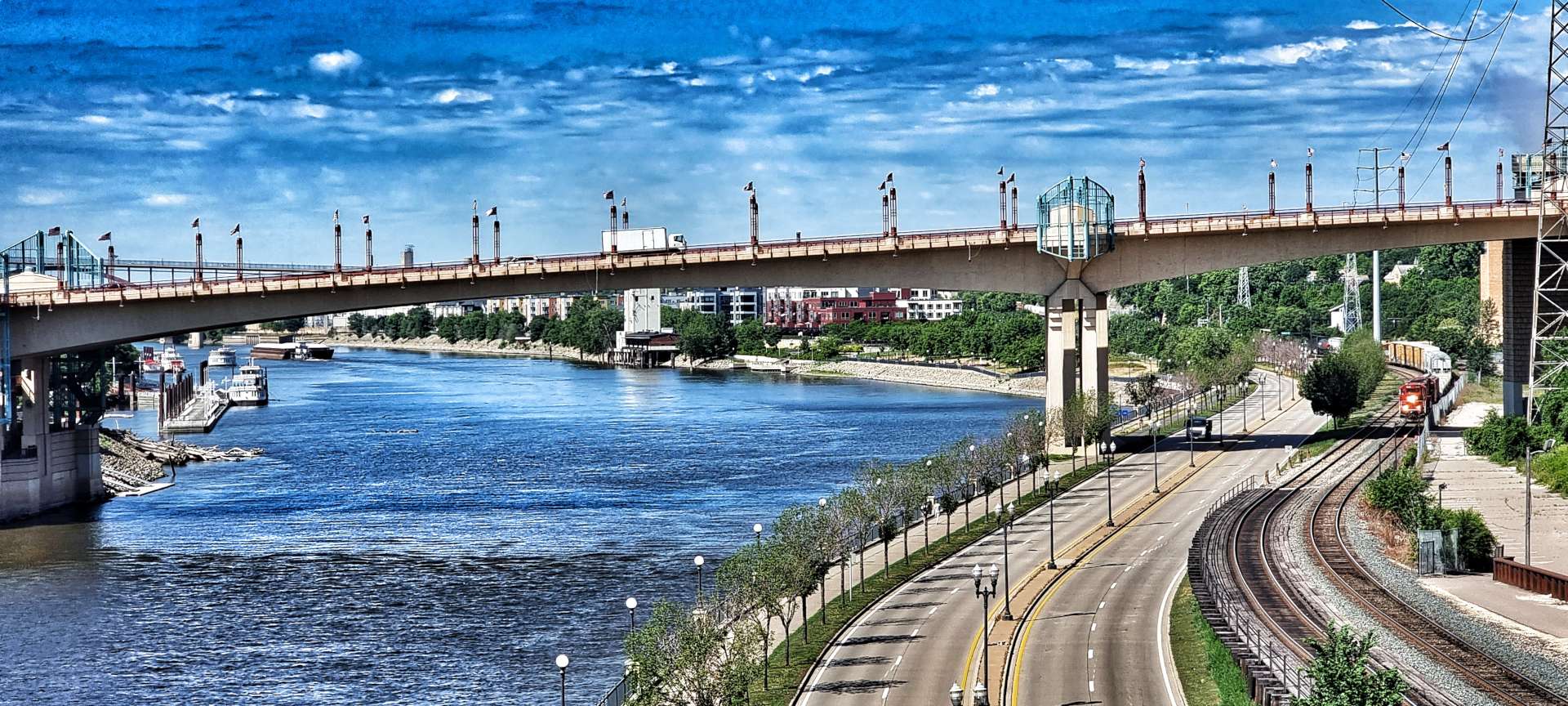
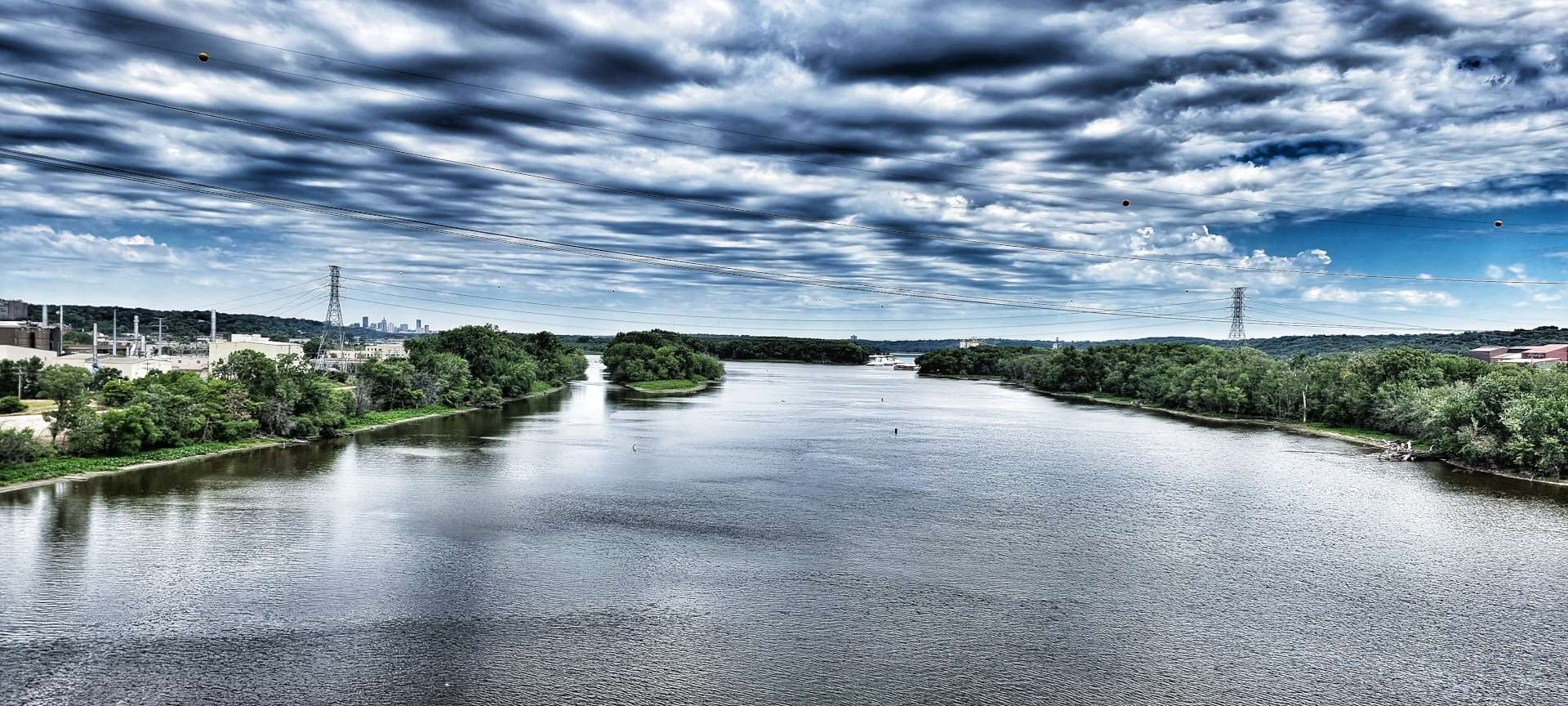
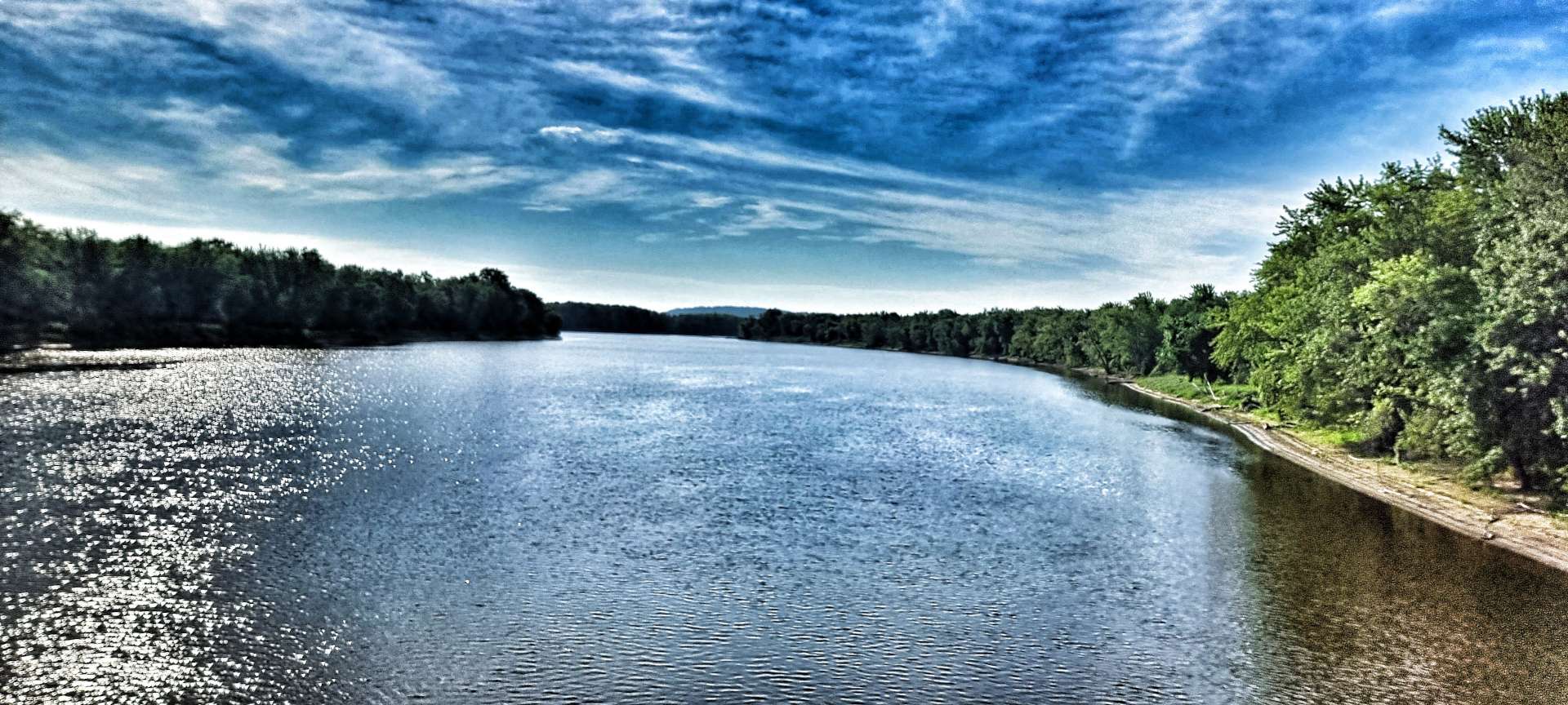
We had a final Big Breakfast at our hotel & were on our way by 9.30am, leaving Minneapolis via Minnesota’s State Capital city of St Paul. The first 45 minutes saw us navigating urban sprawl with the occasional interesting sight, like the Capitol Building & the view looking up the Mississippi river from Robert Street Bridge. We could just make out a tug pushing a raft of barges upstream, as a freight train headed down river.

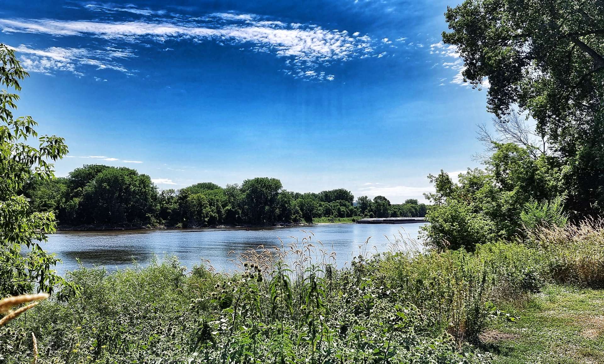
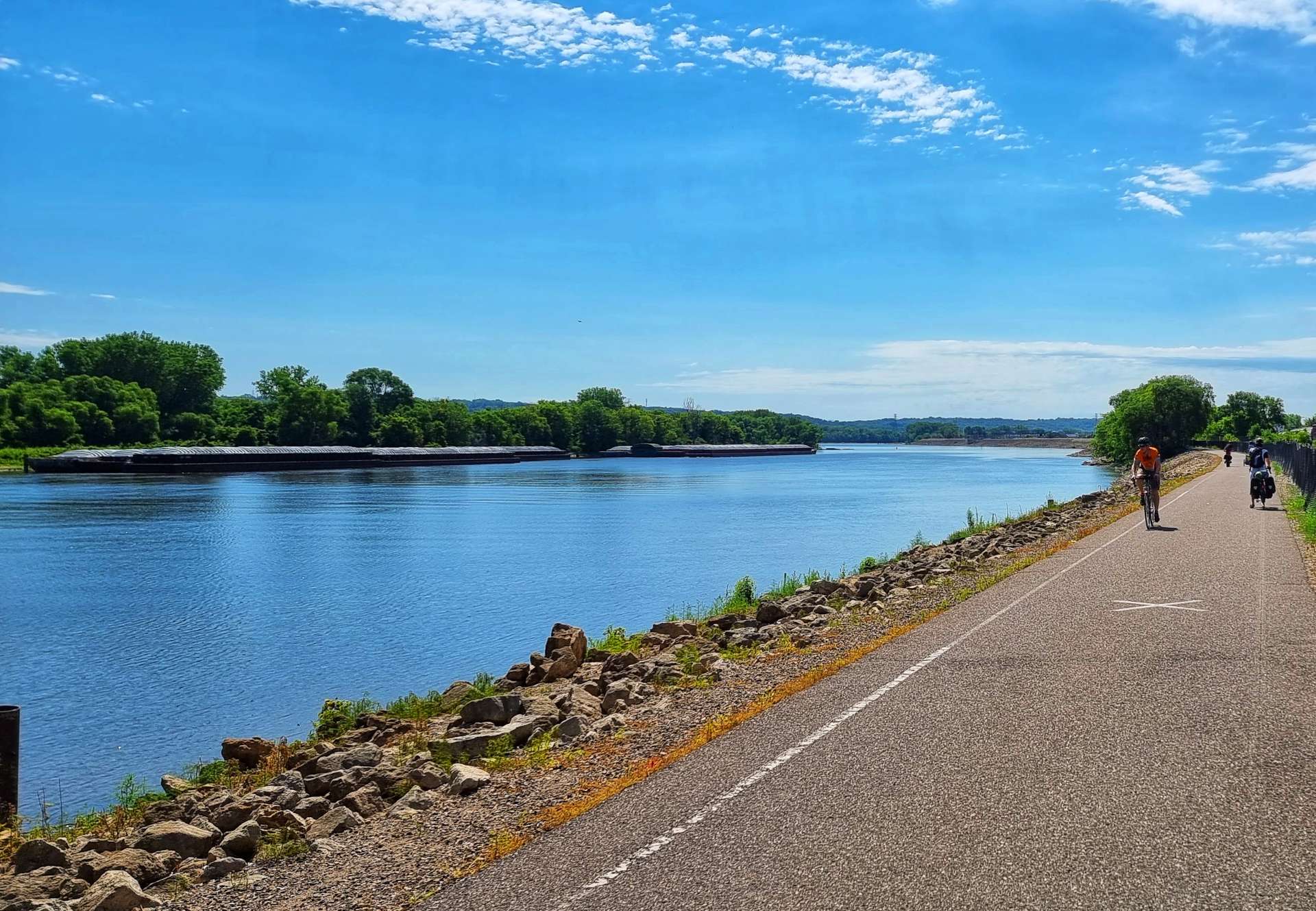
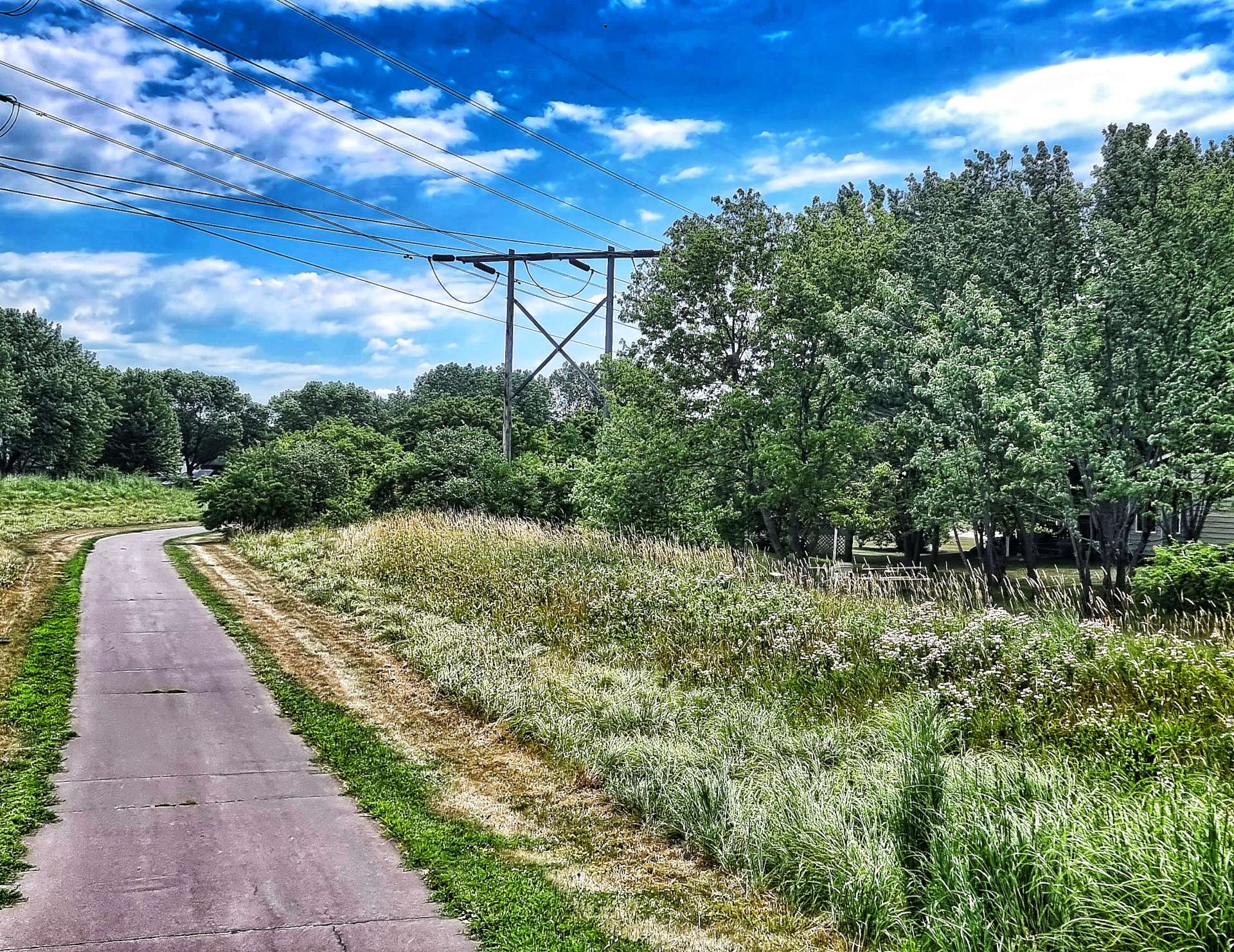
Within 10 minutes of crossing the bridge, we picked up the Mississippi River Trail at Kaposia Park & found ourselves on the banks of the Mississippi itself. For the next 5 miles we rode along the defensive levee that protects the communities along the Mississippi from serious flooding. The ant sculpture was made from trash collected from the Mississippi river itself.


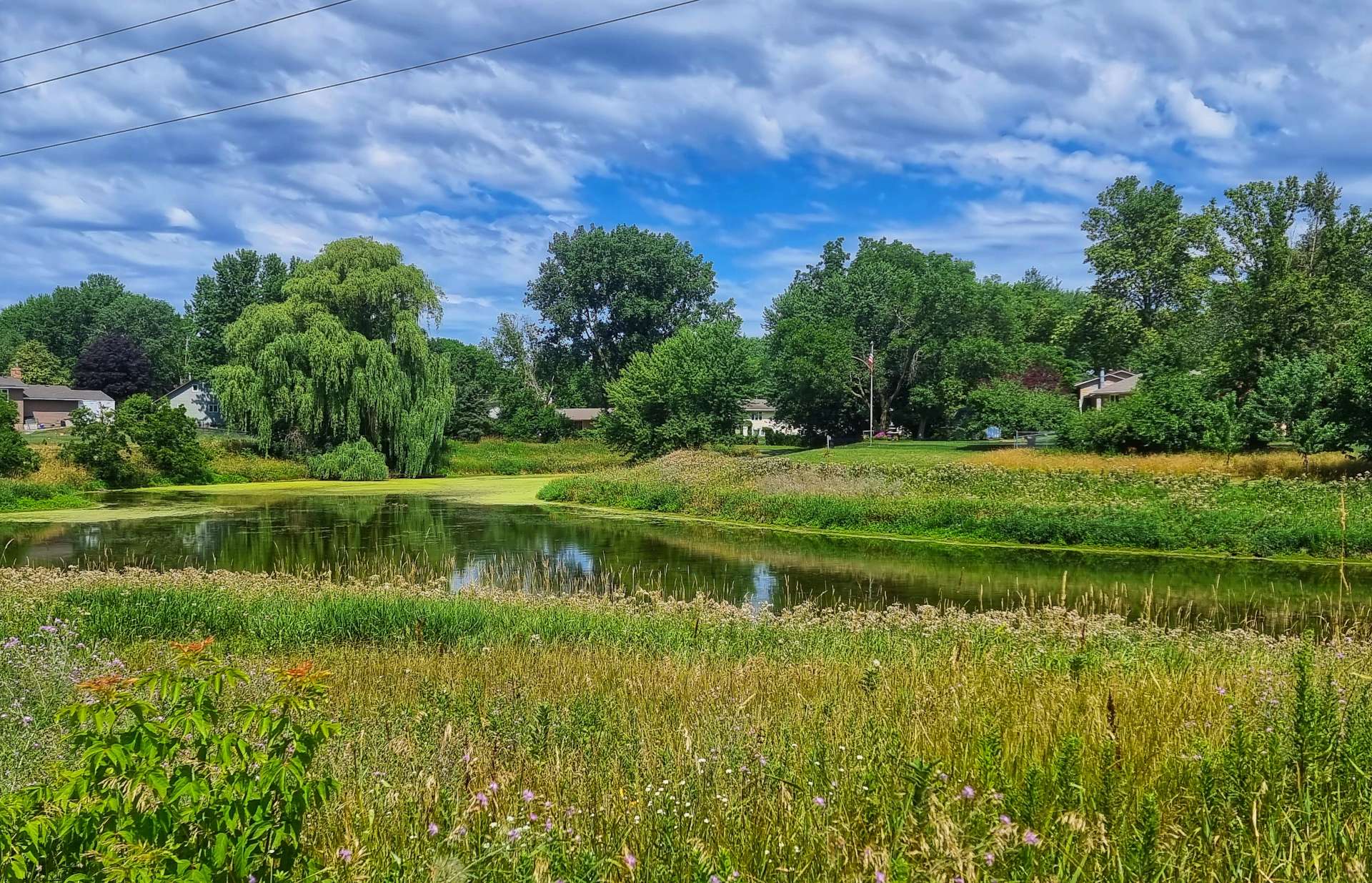
We crossed the Mississippi for the 2nd time at Newport on a cycle path by the side of the busy Highway 494. As we left the town behind us, we picked up a cycle path at Cottage Grove that took us through peaceful meadows that teemed with butterflies & dragonflies. Somehow we also found ourselves cycling around a busy sports day as the path took us past a local school.

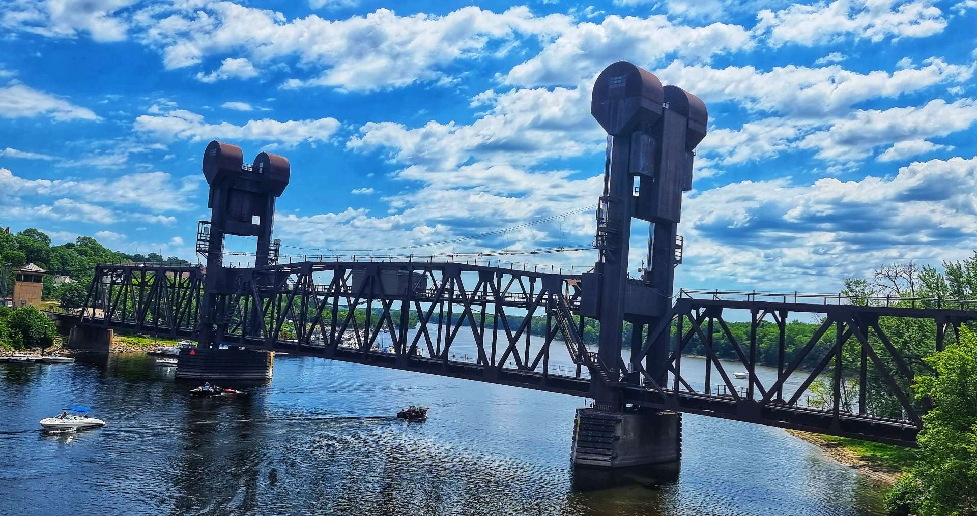
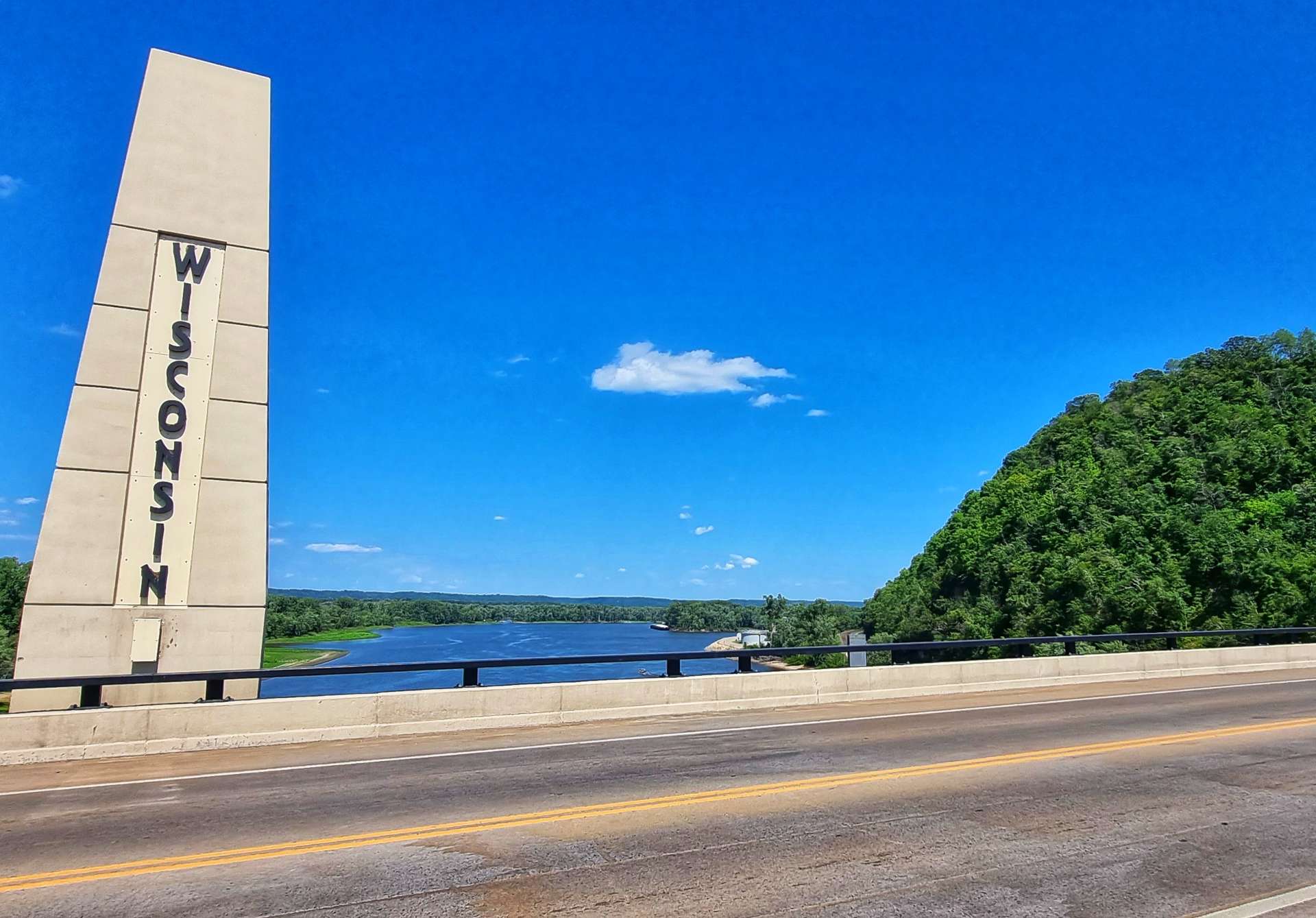
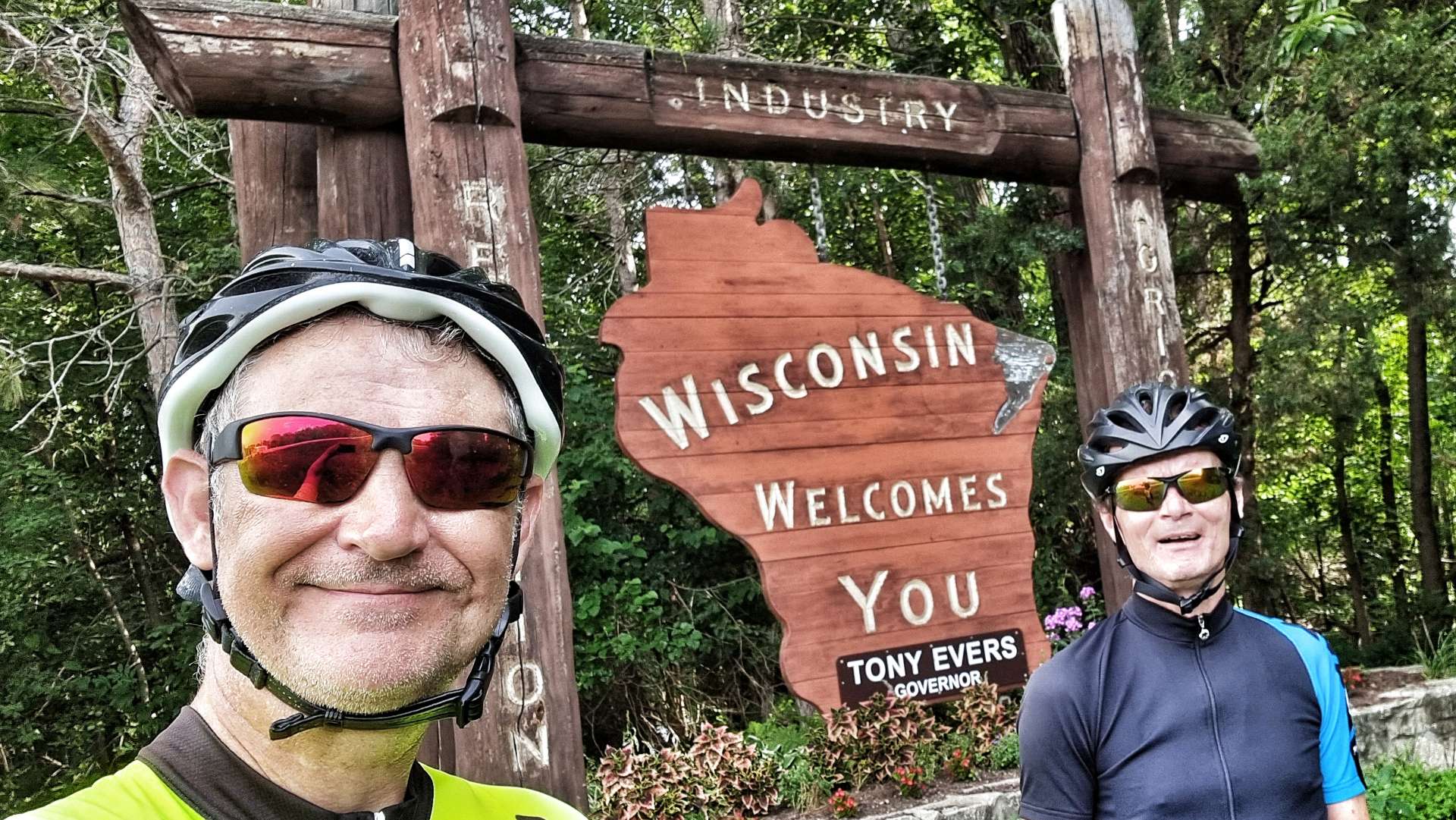
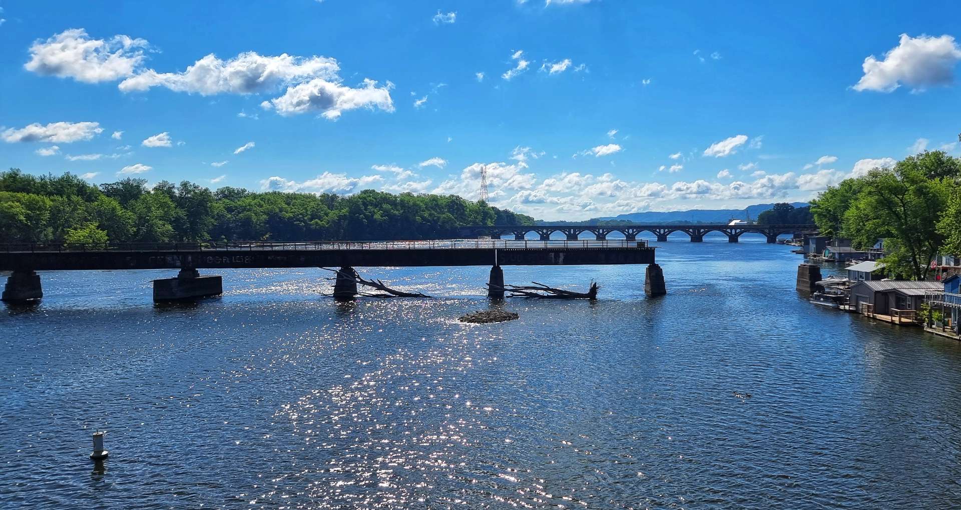
We were aiming for the small town of Prescott, which marks the State Line between Minnesota & Wisconsin & the start of the Great River Road Scenic Byway. Passing the railroad swing bridge, we spotted the Twisted Oak Coffee Shop where we stopped briefly for a strawberry fritter & americano. We also topped up our water bottles.


The Scenic Byway climbed up to the bluffs above the river, where we stopped at the Great River Road Visitor Centre to learn more about how cargo is transported up & down the Mississippi. Dry Cargo Barges are 195 feet in length & 35 feet in width, enabling them to carry a cargo of 1,500 tons. The even larger Liquid Cargo Barges are 295 feet long by 50 feet wide & they can carry 2,500 tons. The vast majority of the wheat & grain harvest is transported by Dry Cargo Barge at some point on its journey from the Bread Basket of America.
A single tug can push a raft of up to 42 barges – they’re configured in a 7 wide by 6 long rectangle. The journey of 1,800 miles from Minneapolis to New Orleans takes the barges anything from 14 to 50 days, depending on the load & whether stops are required to pick up or drop off any of the barges.
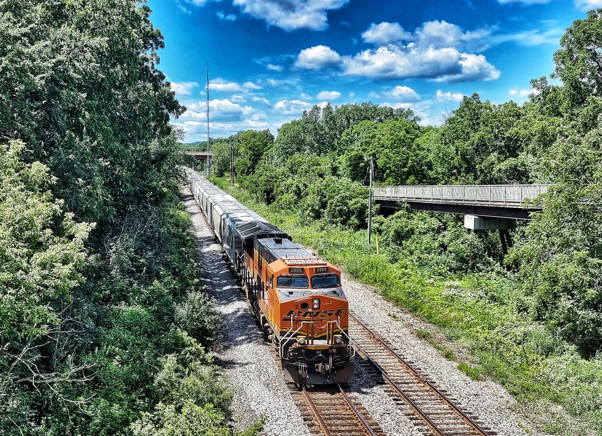
The railroad is still active too, with about 70 freight trains a day travelling in each direction – the trains are upwards of a mile long! Vast volumes of freight are transported each day up & down the Mississippi, whether by rail or river.
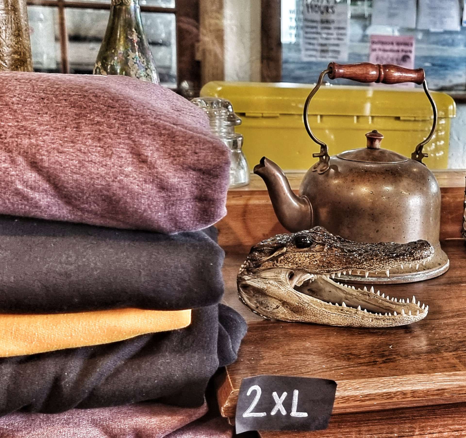
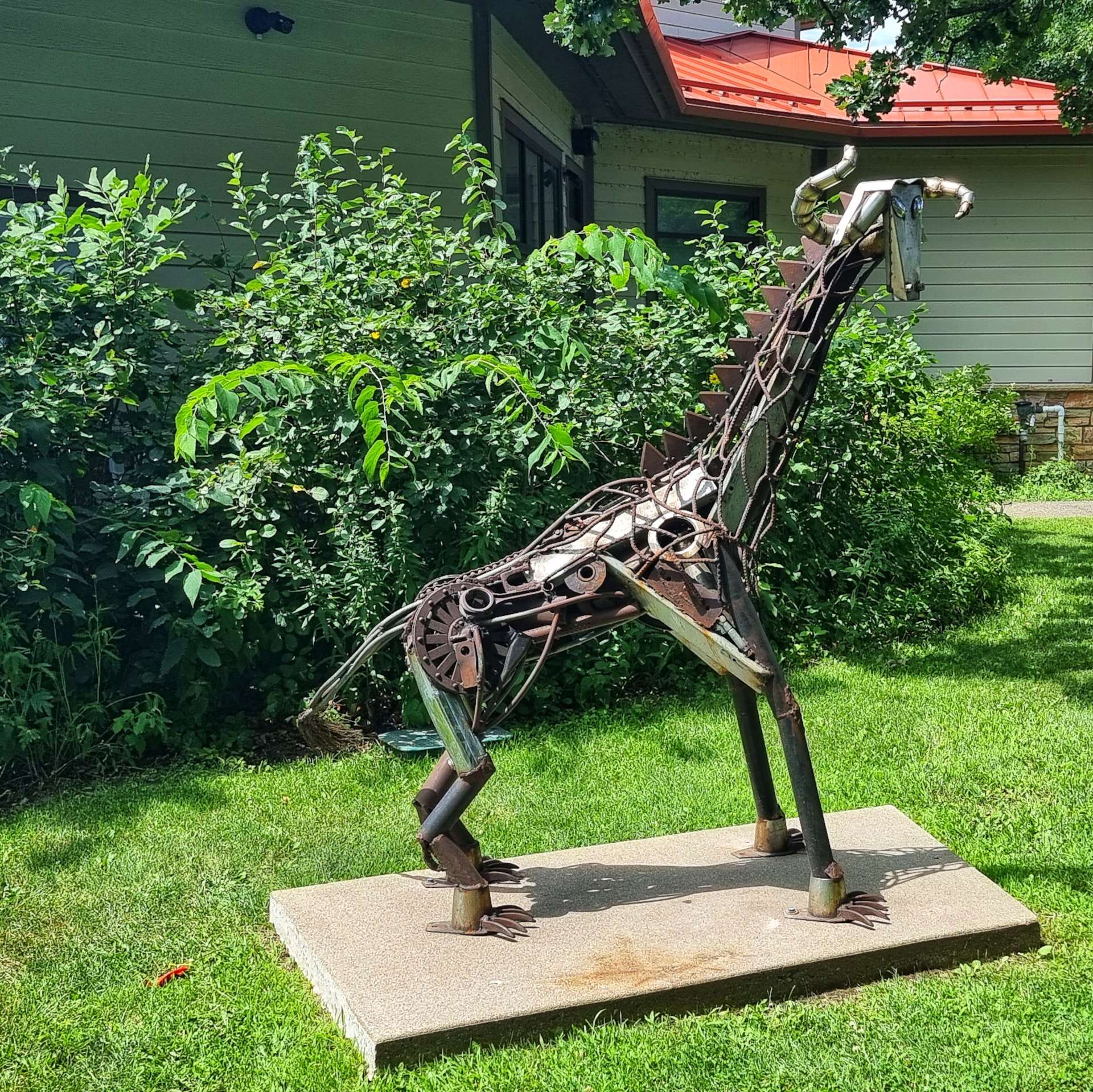
The sculpture was again made from items removed from the Mississippi, there seems to be a small sub-culture of artists who use reclaimed metal in their works.
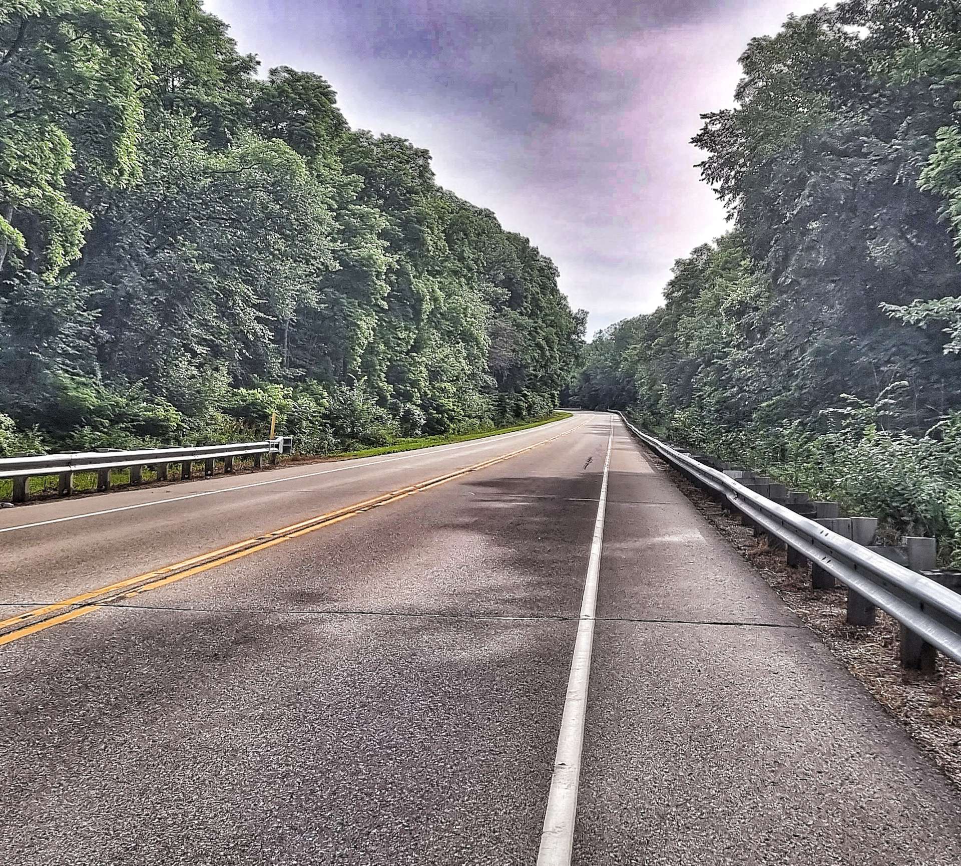
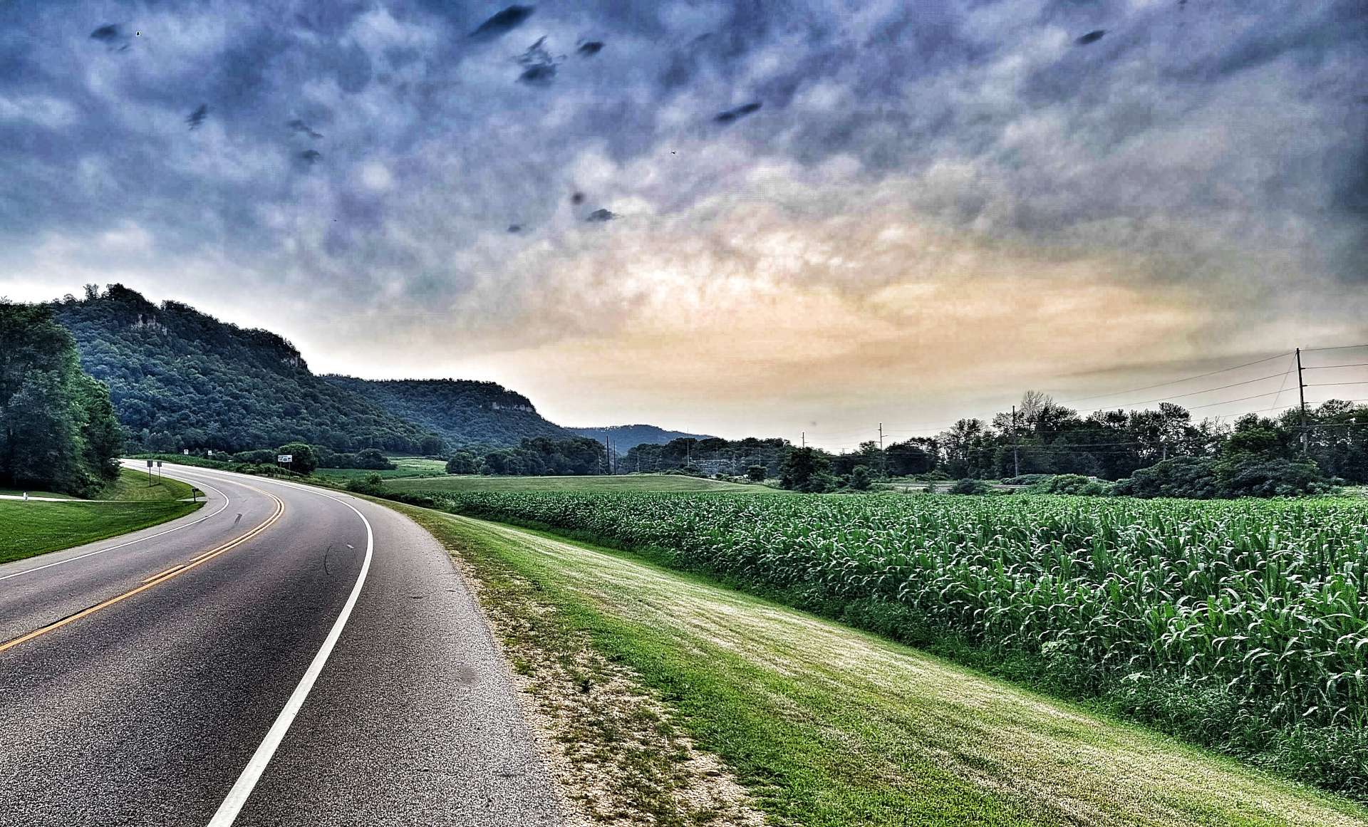
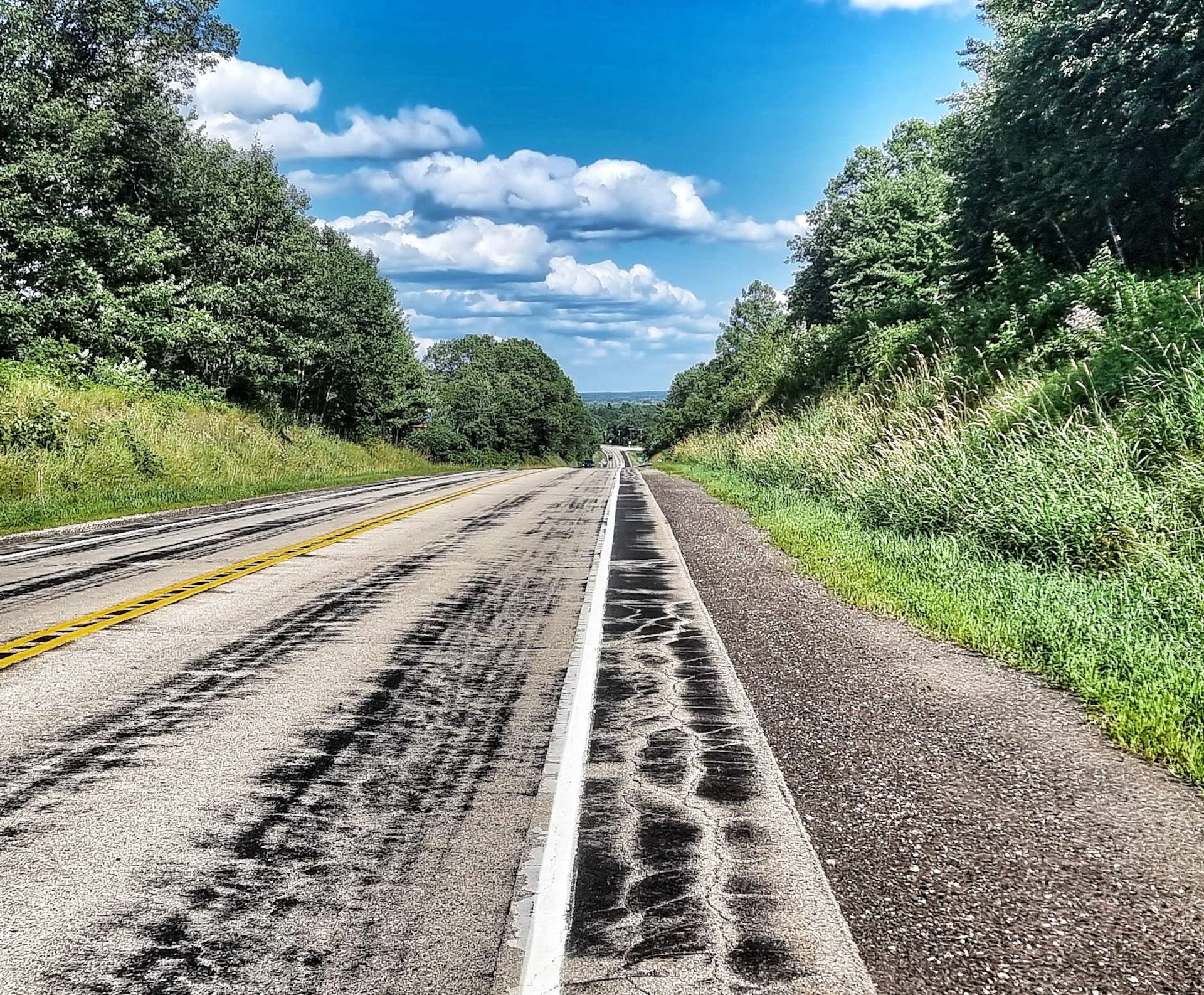
Returning to the Scenic Byway, we were passed at regular intervals by groups of Harley Davidson motorbikes – we had plenty of warning, as we could hear the throaty gurgle of their engines long before they reached us! We were back on rolling terrain, as the road climbed up to the bluffs above the river before plummeting back down to the valley floor – for this stage of the route, the river remained hidden from us.
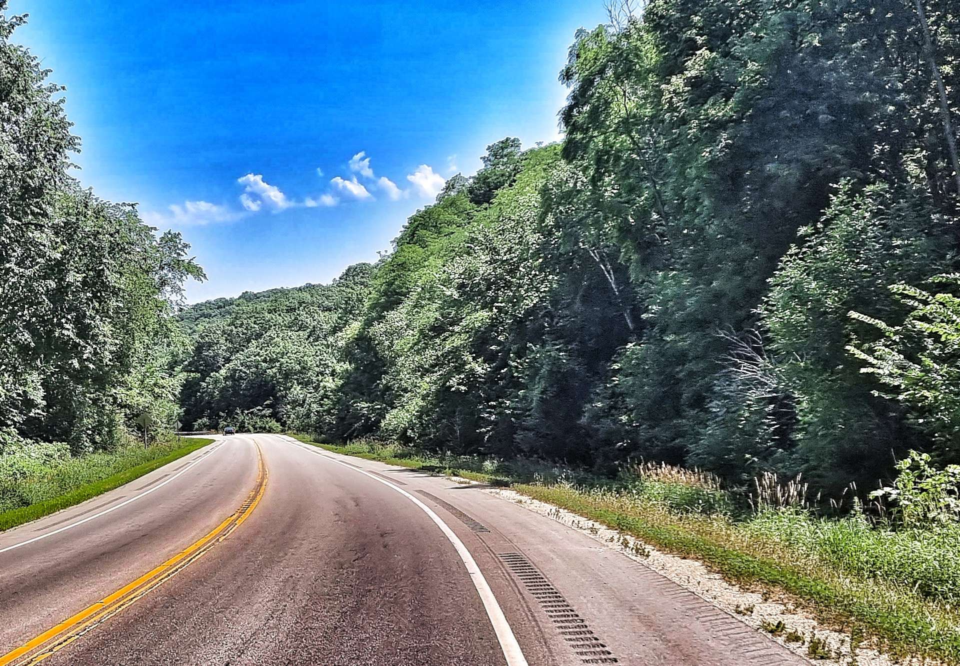

As we reached the small community of Trenton, we turned right & headed for our overnight stop of Red Wing, on the Minnesota side of the Mississippi – our third crossing of the Mighty Miss in a day!

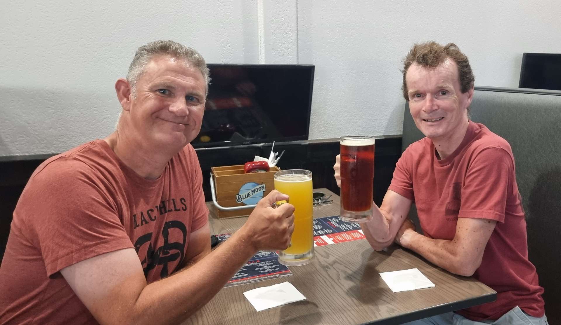
We found a great little bar in town where we had pizza & a beer to toast our first day of riding along the Mississippi. Tomorrow we’re hoping for more of the same, although rain is expected later in the day.

Stage Stats – 58 miles, 2,385 feet of climbing. Our first experience of the Mighty Mississippi on the Great River Road Scenic Byway.
Saturday 23rd July – Red Wing to Winona (Stage 65).
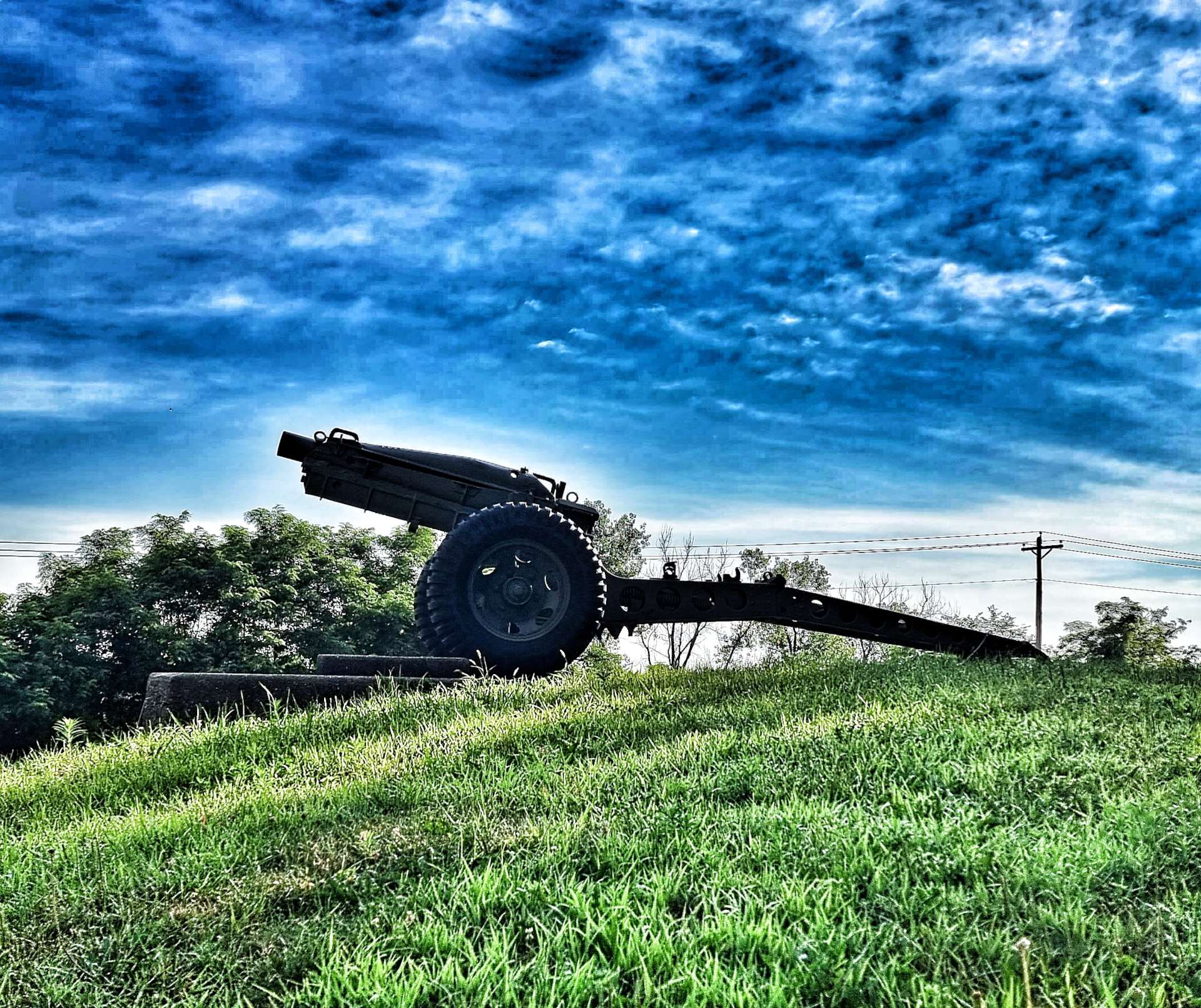
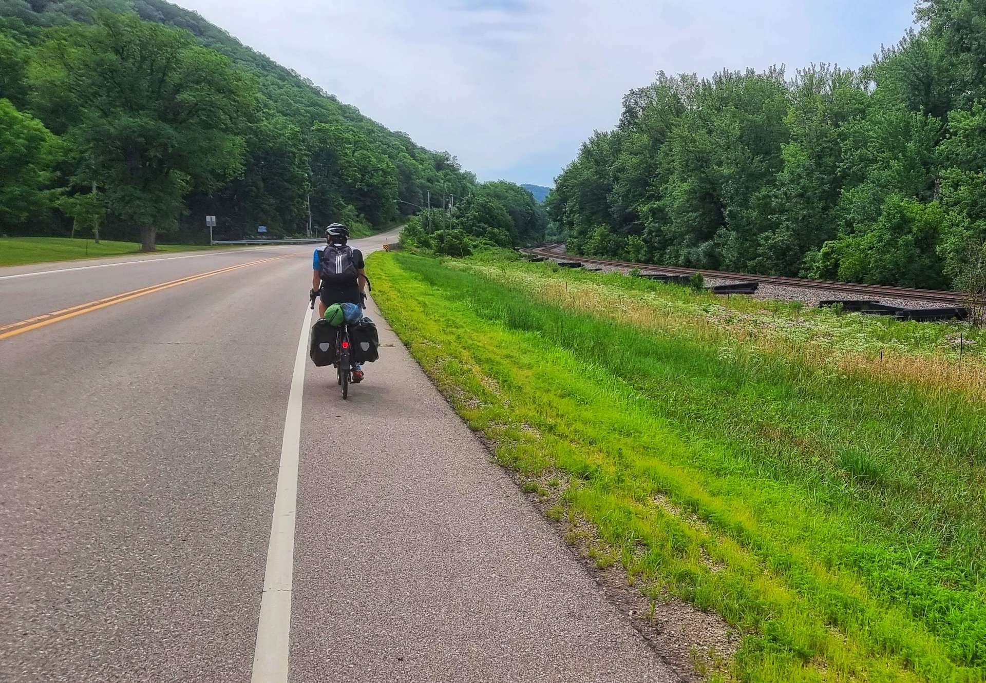
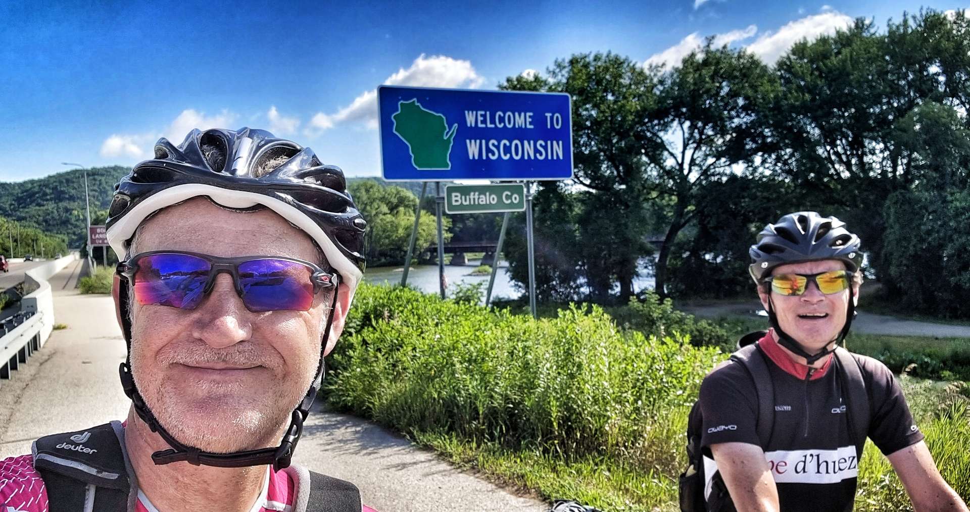
We were up early today & on our way by 8.15am, as electrical storms are now being forecast for early to mid-afternoon. We retraced our way back over the Mississippi into Wisconsin & on to the Big River Road, passing an artillery cannon at the gates to Red Wing Memorial Park.
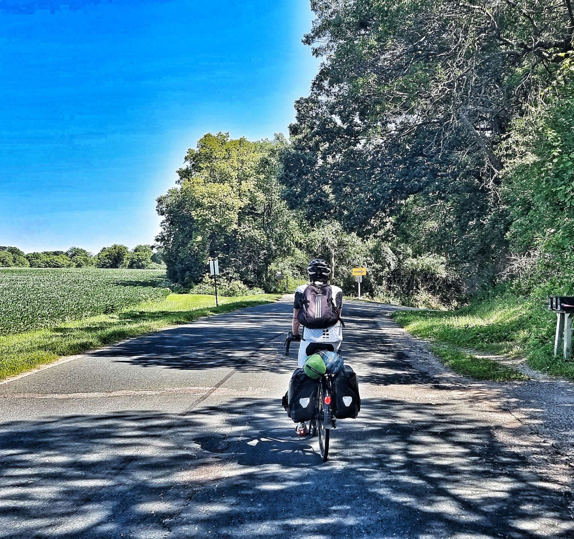
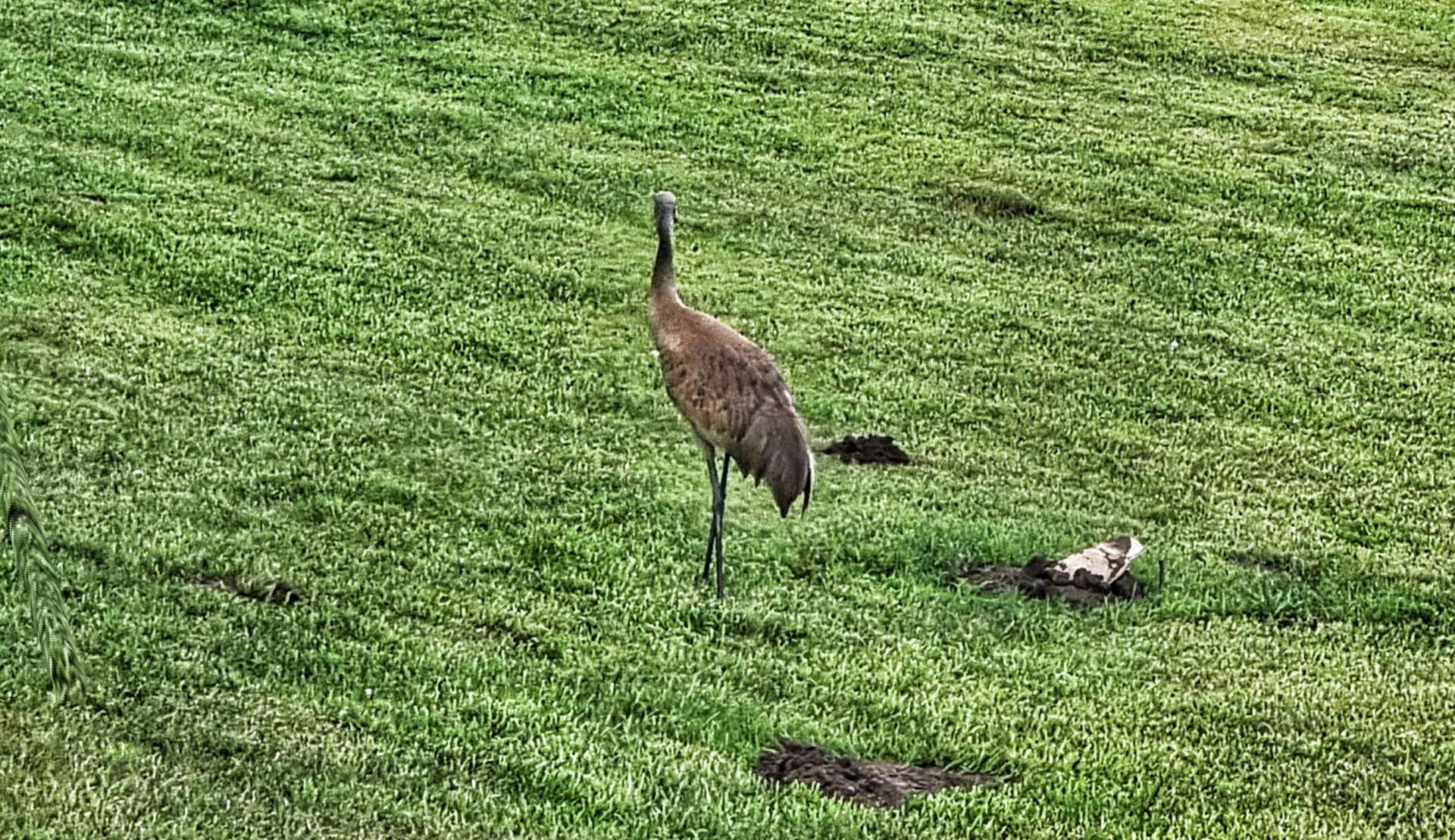
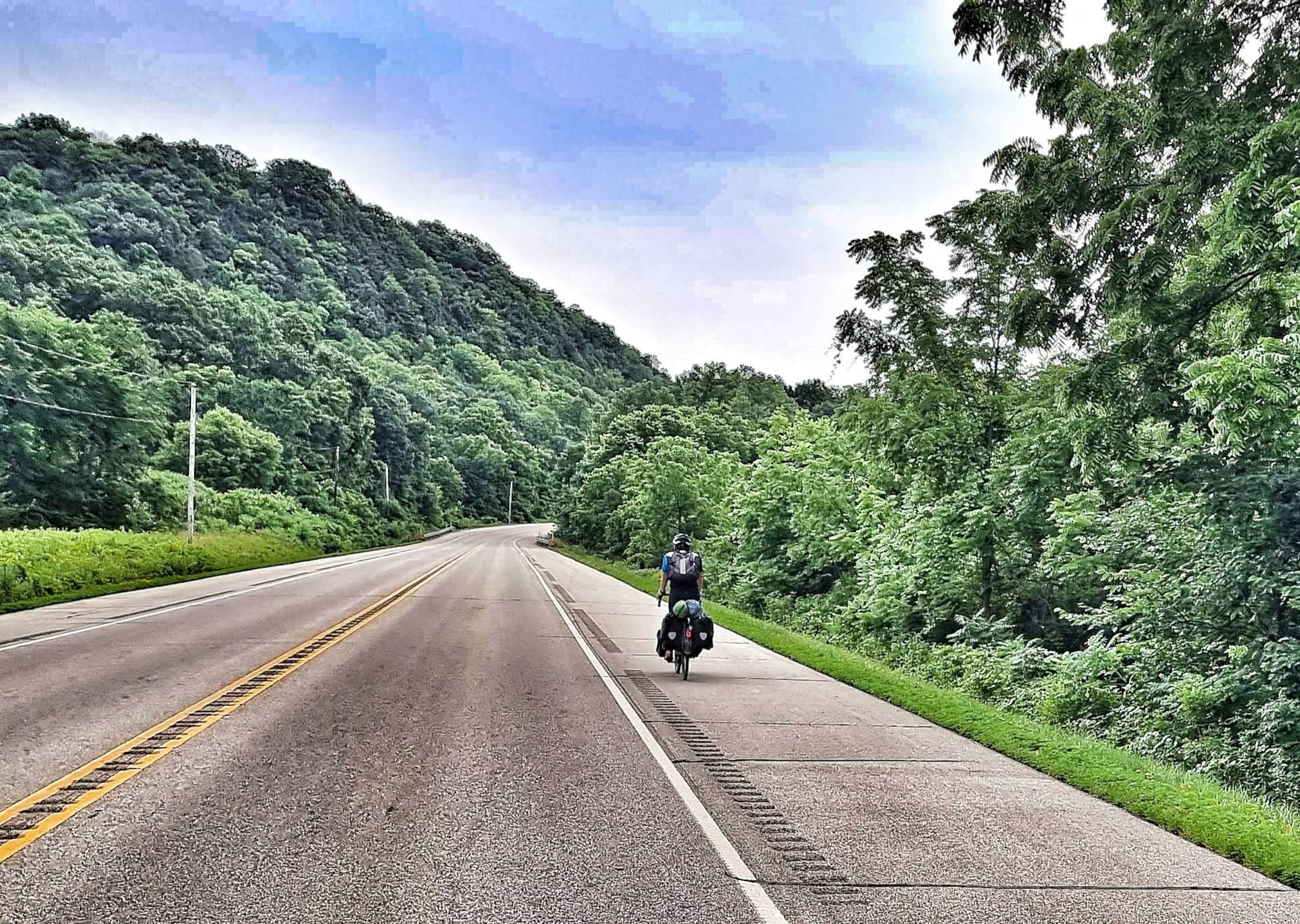
Almost immediately we spotted a heron walking in someone’s front garden – we’d only seen heron either flying or wading in the water, so this was new behaviour to us. The early part of the ride was on a rolling road as it took us through woodland & occasionally offered a sneak peak of the Mississippi.
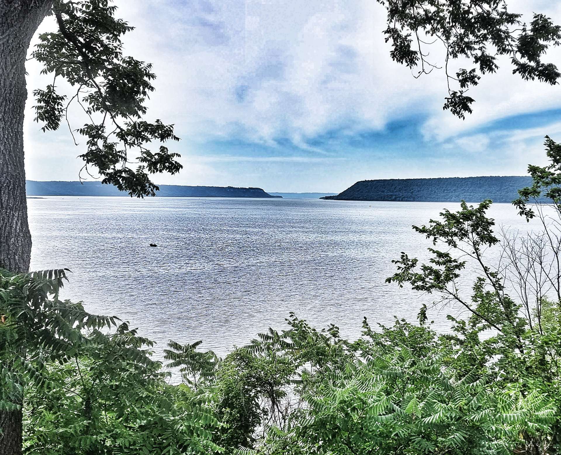
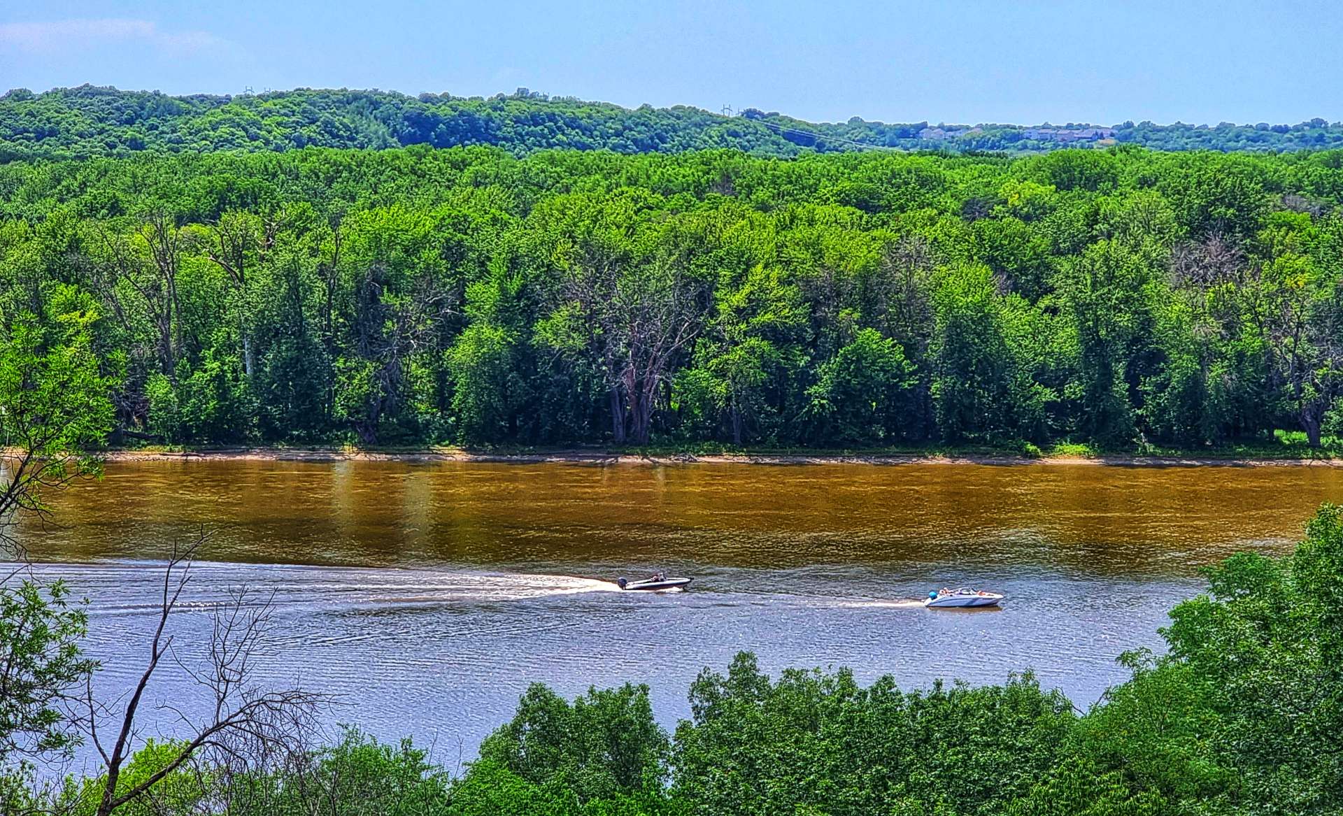
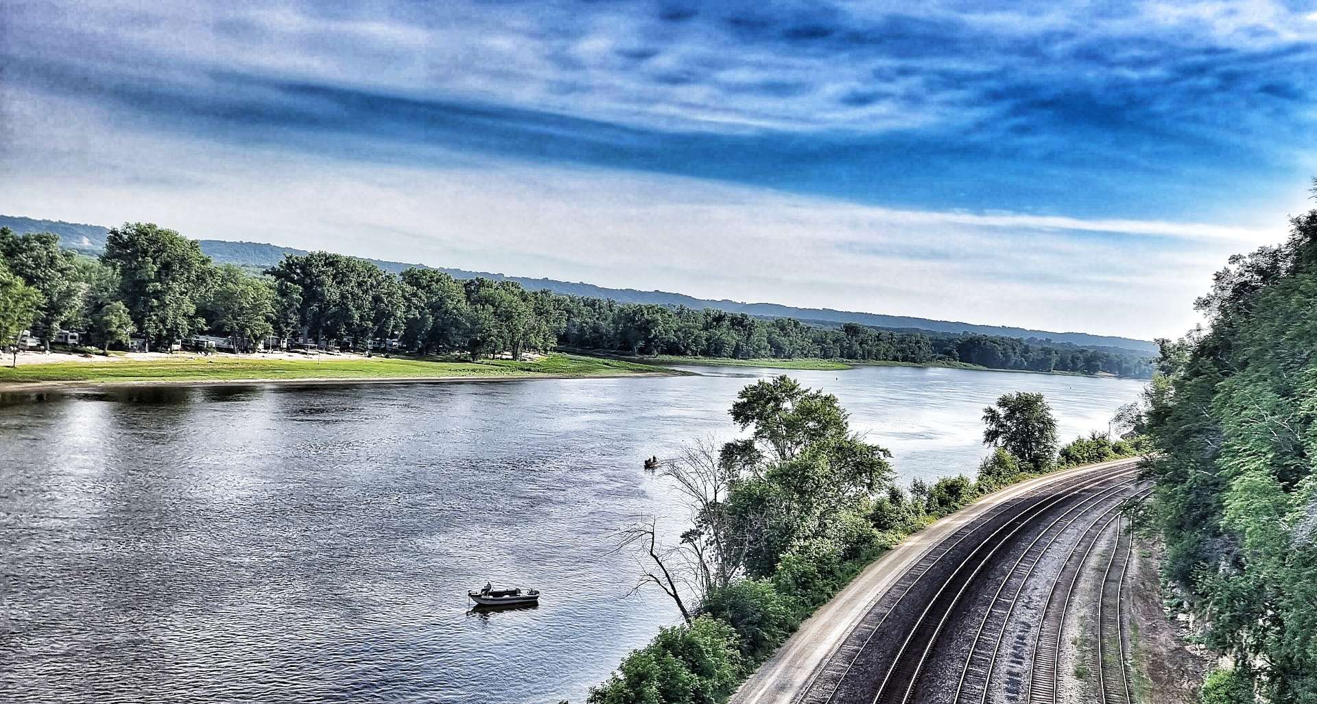
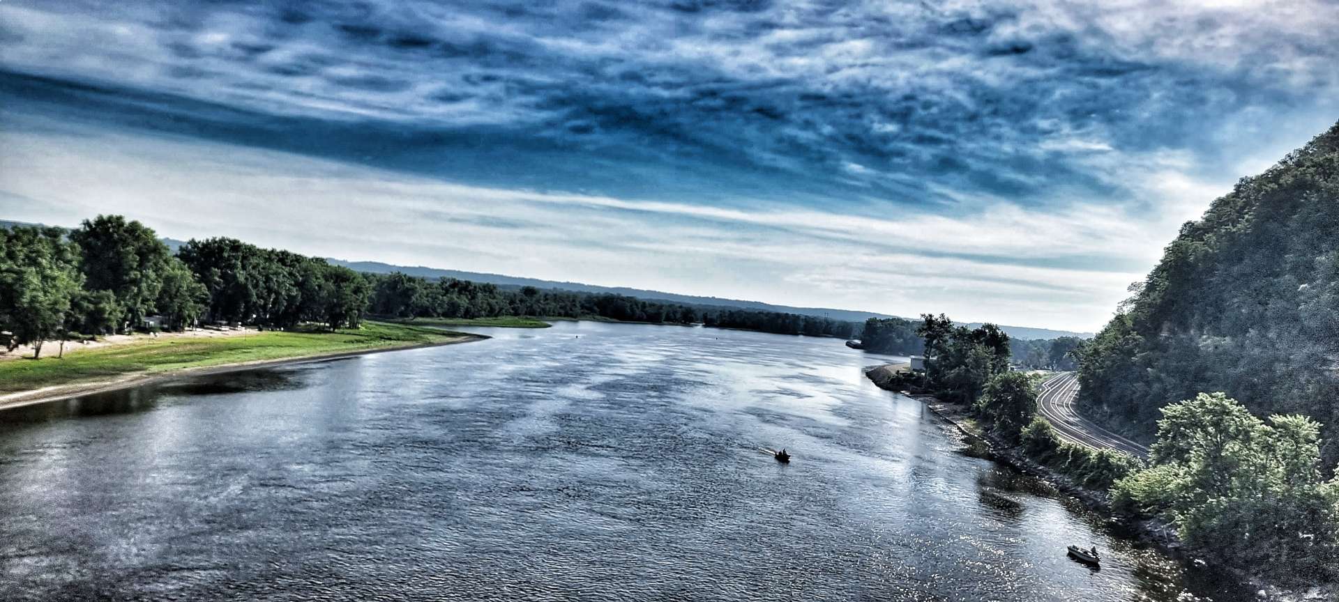
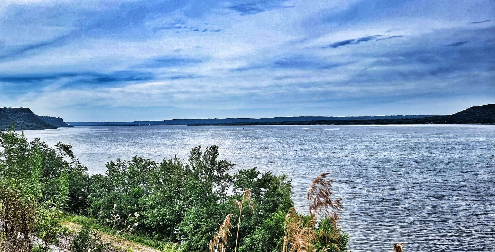
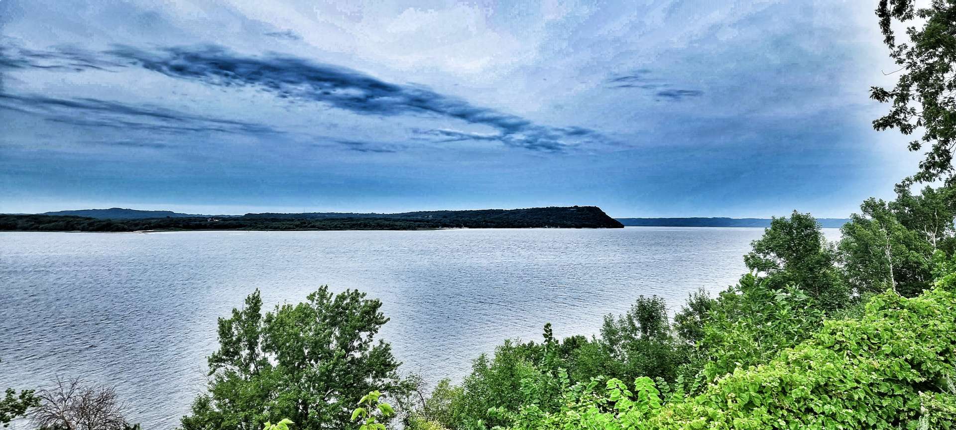
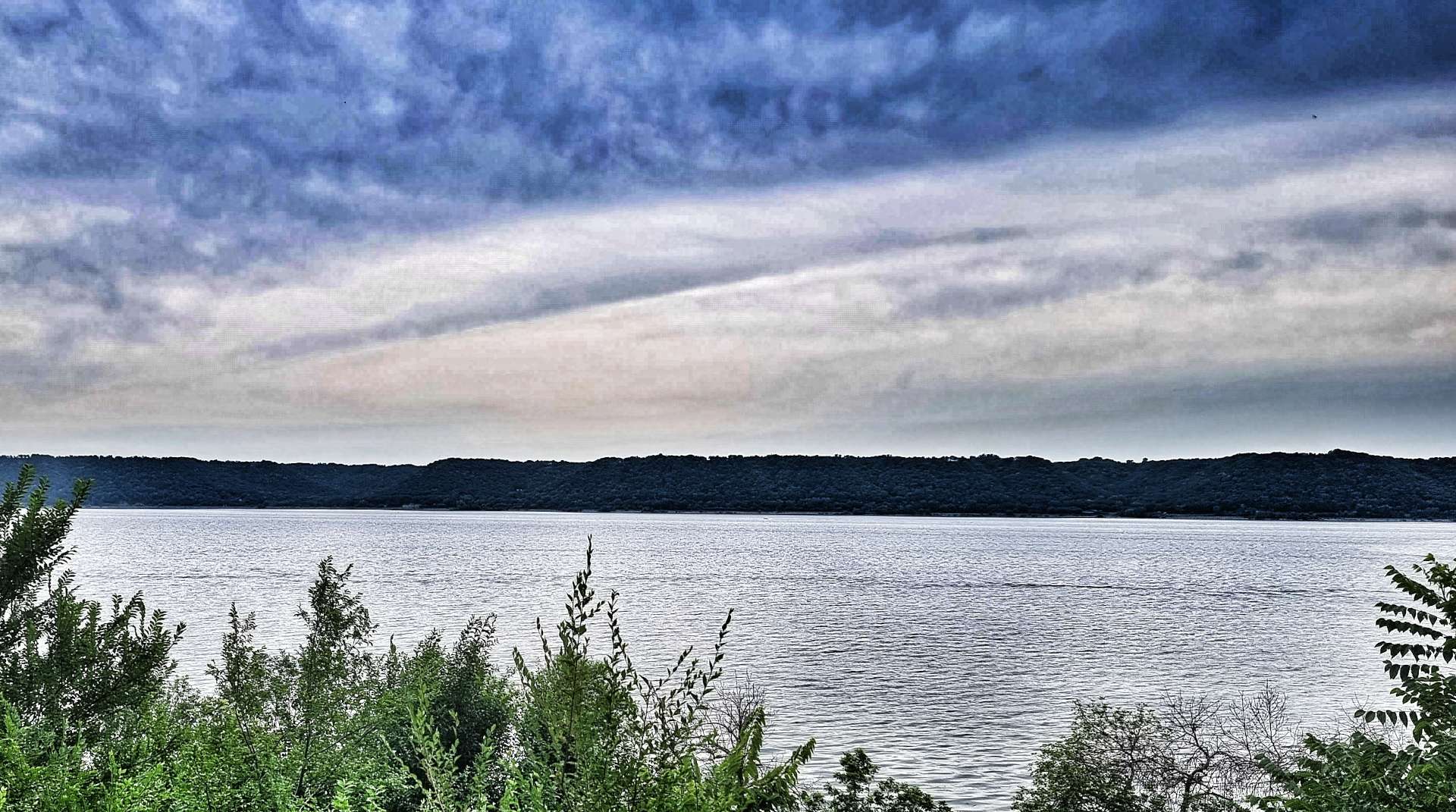
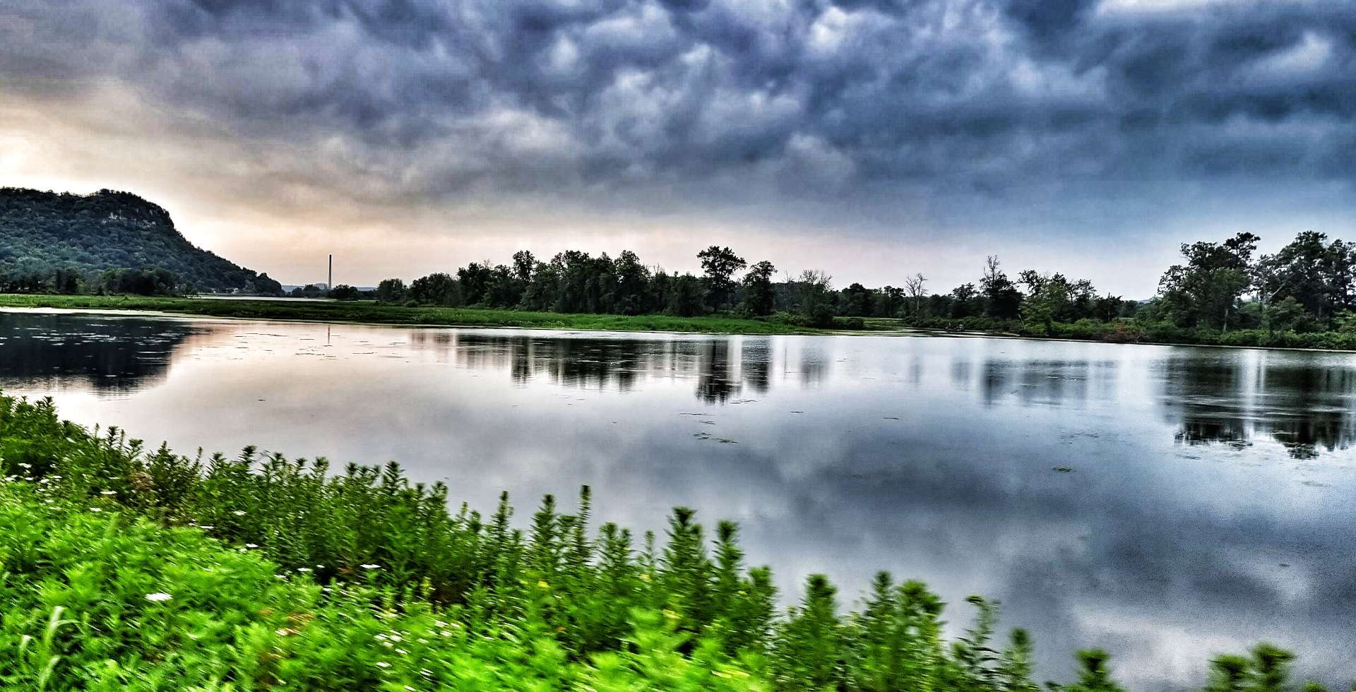
Lake Pepin is a natural lake on the Mississippi formed by the back-up of water behind the sedimentary deposits from the Chippewa river’s delta on the Wisconsin side. It’s about 21 miles long & 2 miles across at its widest point. There were a couple of overlooks where we pulled in & took 5 minutes to admire the vast vistas across the lake to Minnesota – the lake is a popular recreation site & we saw plenty of small boats out fishing with a few speedboats too.

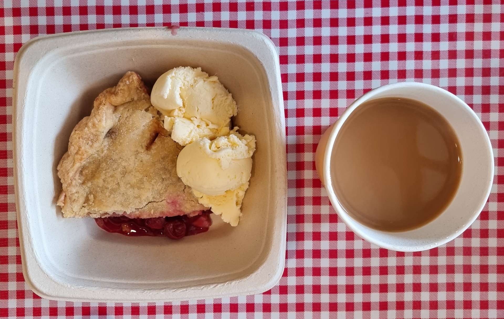
Heading into the small town of Stockholm, we spotted Stockholm Pie & General Store – we had to stop, just to see what pies they offered. The answer was every type of fruit pie under the sun!!! I chose a slice of warm cherry pie topped with vanilla ice cream & it was a serious contender for best pie of the adventure so far!
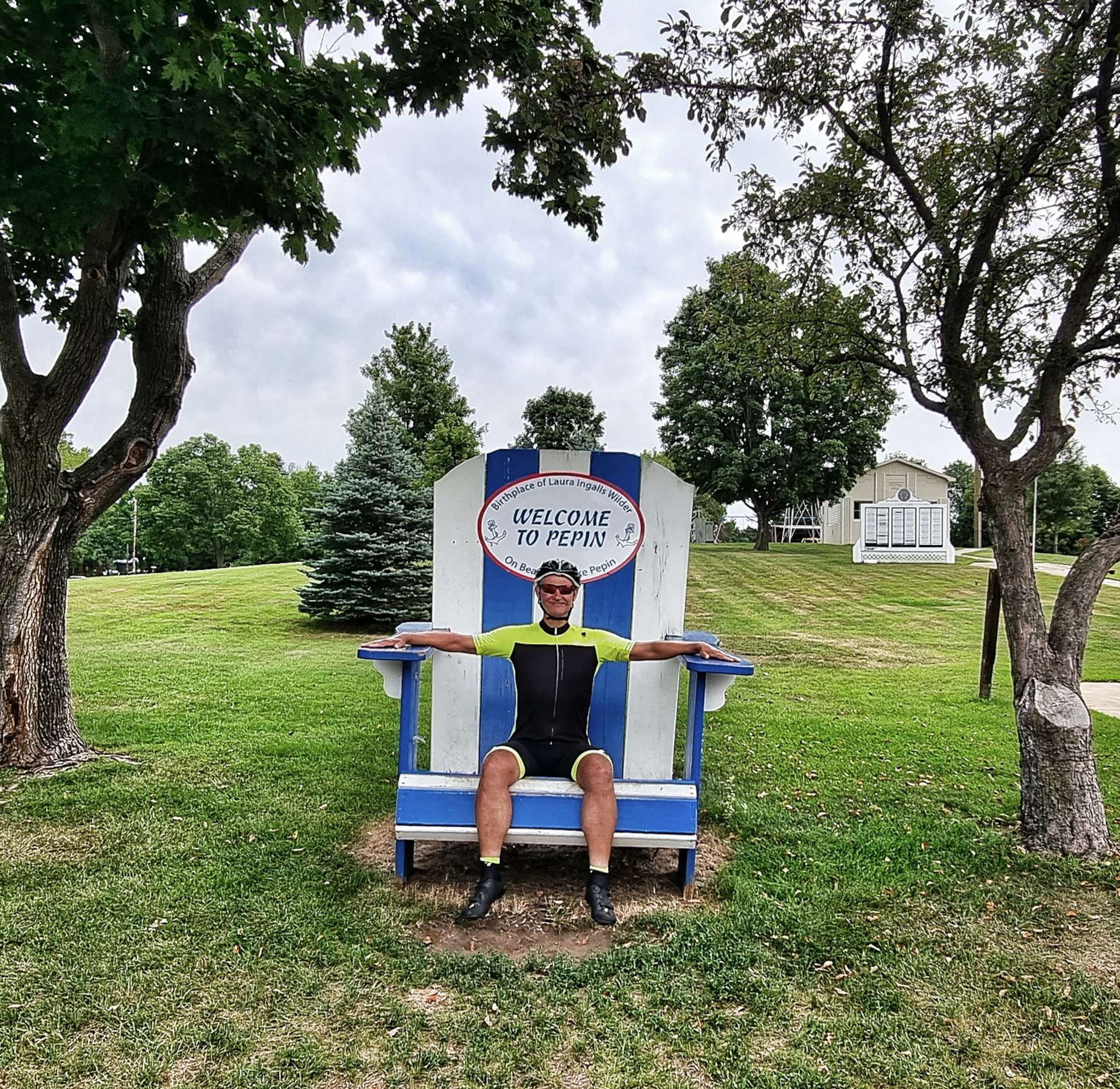
As we set off again, we were on the final section of small rolling hills as the road continued through woodland. Heading through Pepin we stopped at a Historic Marker where we learned that Laura Ingalls Wilder (author of the Little House series of books – the tv show Little House On The Prairie was based on her books) was born near here.
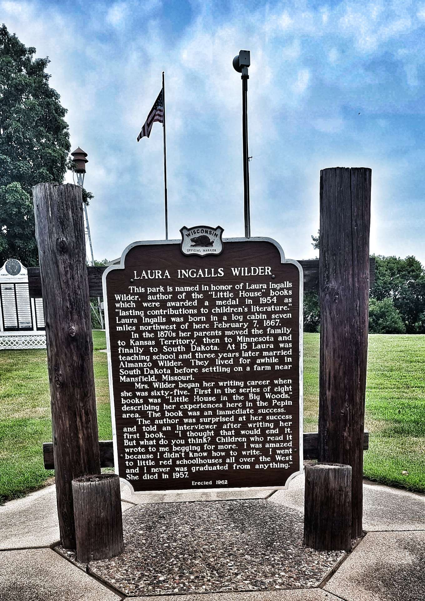
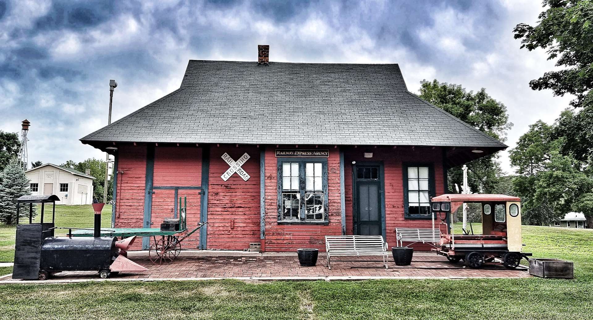
I took advantage of the town’s oversized deckchair to rest my weary bones! The old railroad station has been renovated & restored to something like its original condition. Much of small town America takes care of its historical monuments & as a visitor its a really interesting way to learn about a town’s past.
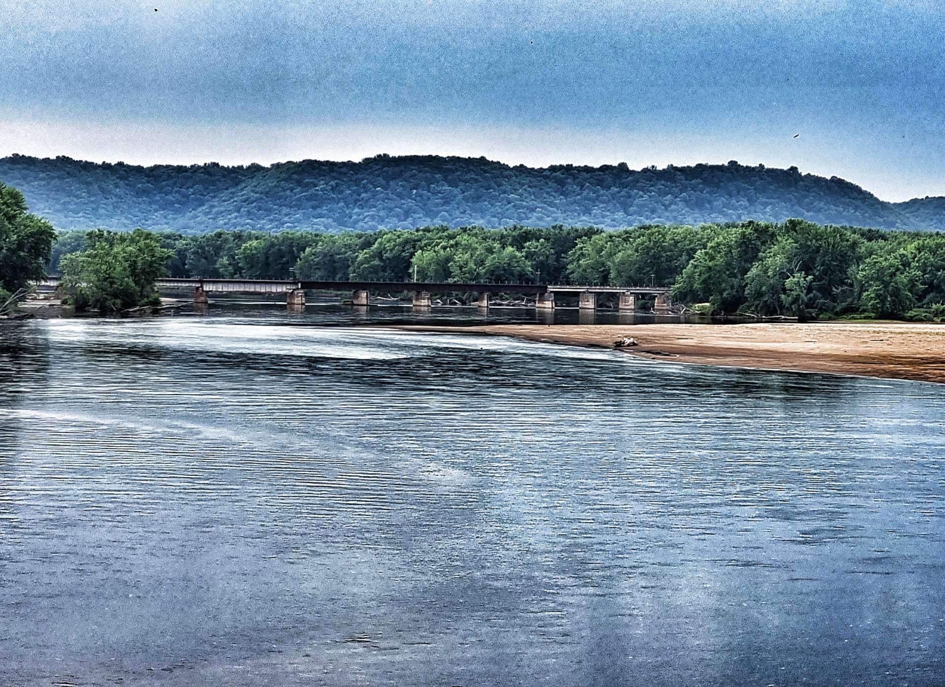
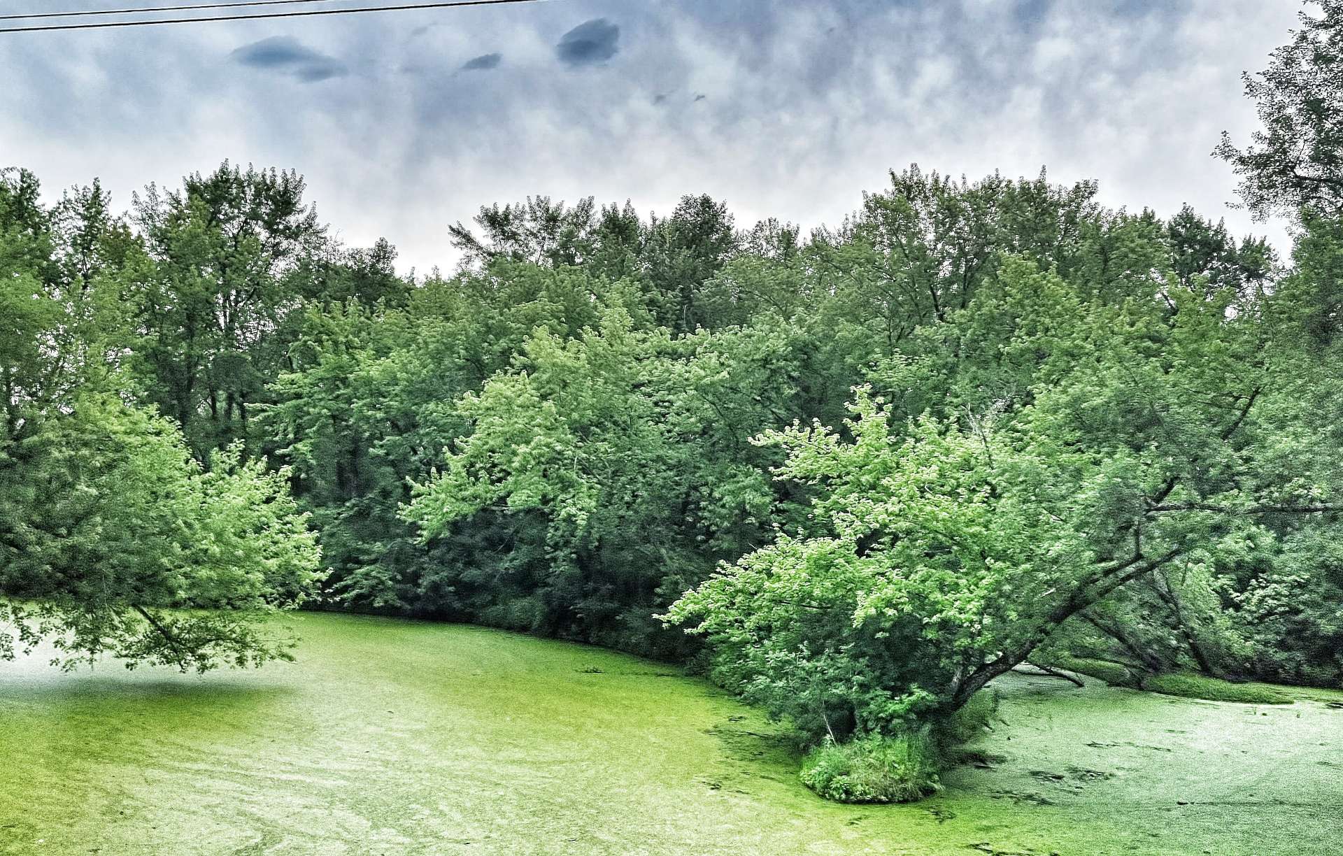
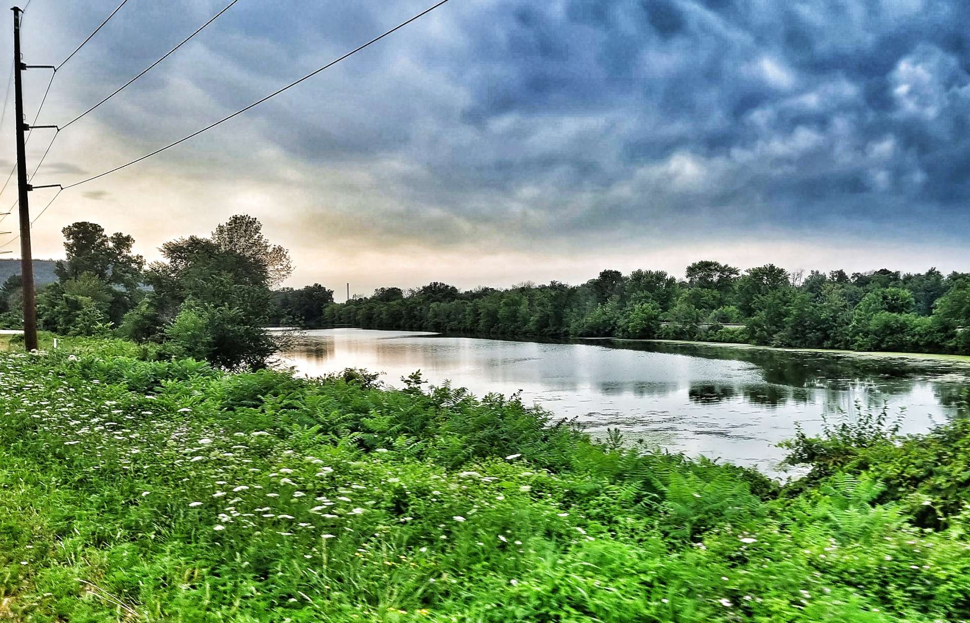
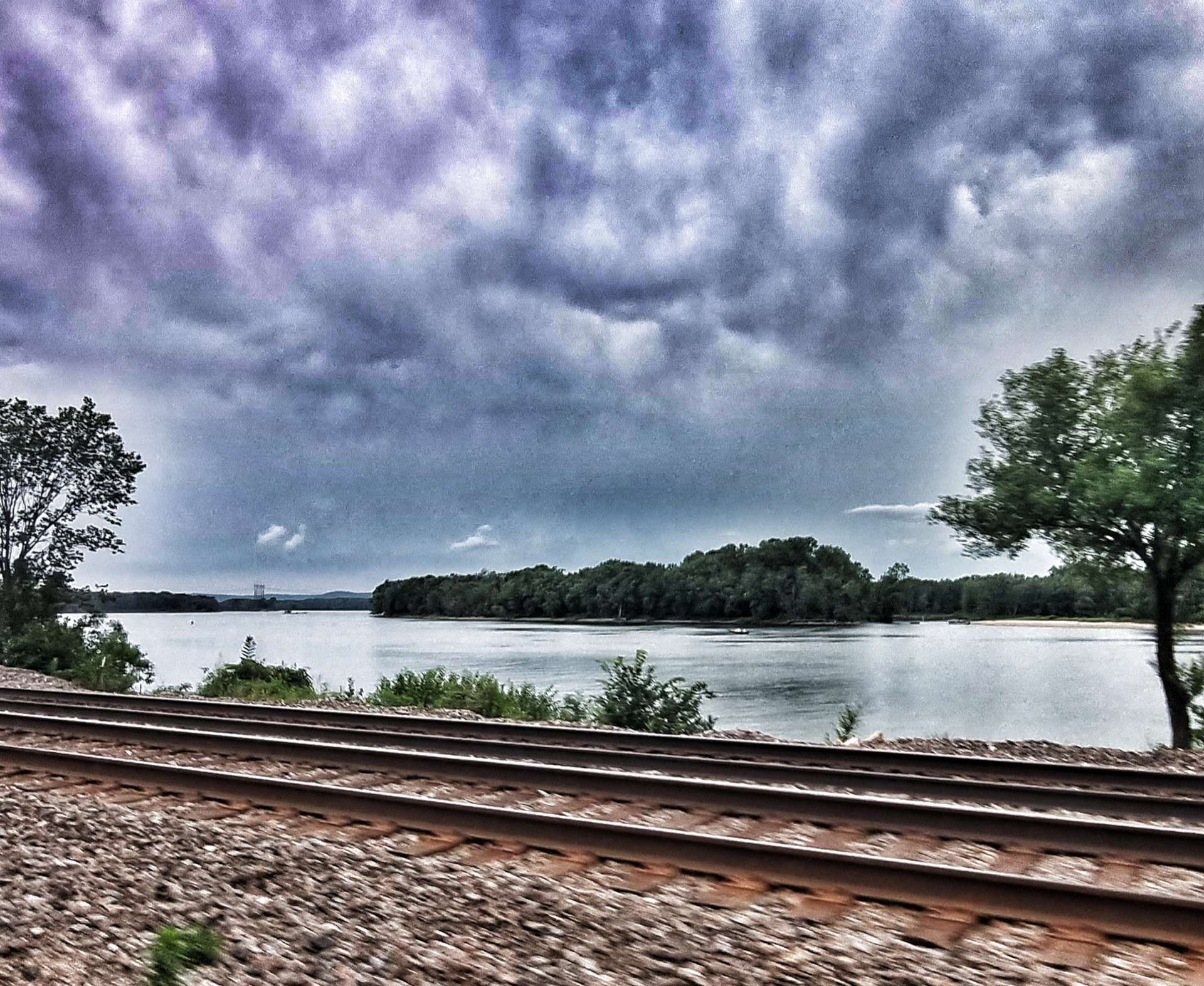
Leaving Pepin, the scenery had changed & we were back among the wheat & maize fields again, but soon enough we crossed the Chippewa river, with the railroad visible in the distance. We also passed a number of slow moving tributaries that were covered in pondweed, resulting in the water having a green film over the surface.

We also saw that the sky was changing colour – it seemed to have an orange tinge to it, a sure sign that a storm was moving in! This was confirmed by a driver who spoke to us as we were riding into Alma – a big storm was due within the next 1/2 !

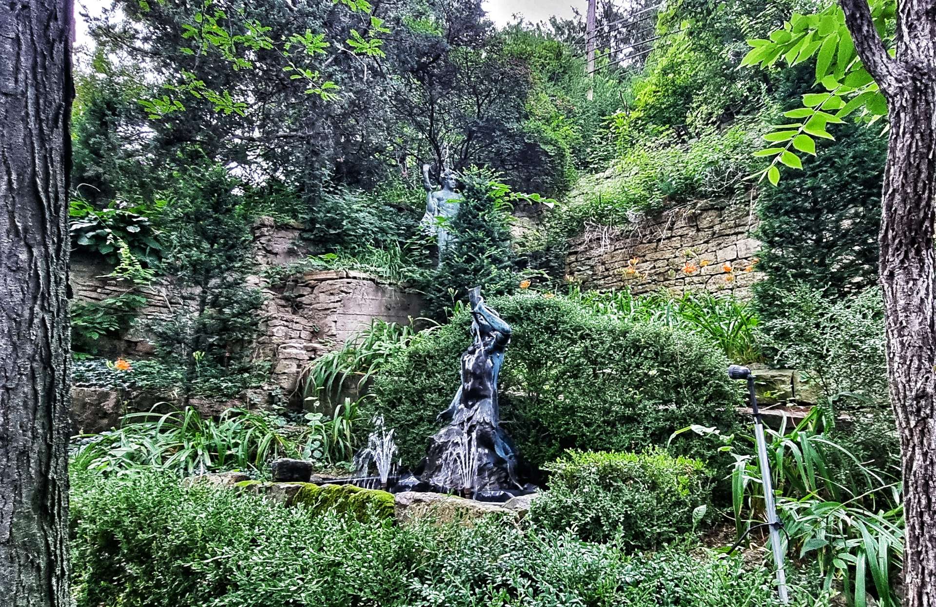
We decided we couldn’t beat the rain, so might as well enjoy a 2nd coffee & cake stop at Hotel de Ville – a tasty piece of peach pie & turtle ice cream (no animals were injured in the making of the ice cream!). We were also treated to a tour of the back garden, which the owner said was based on a Baroque European theme.


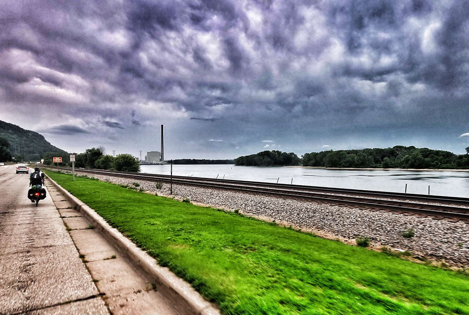
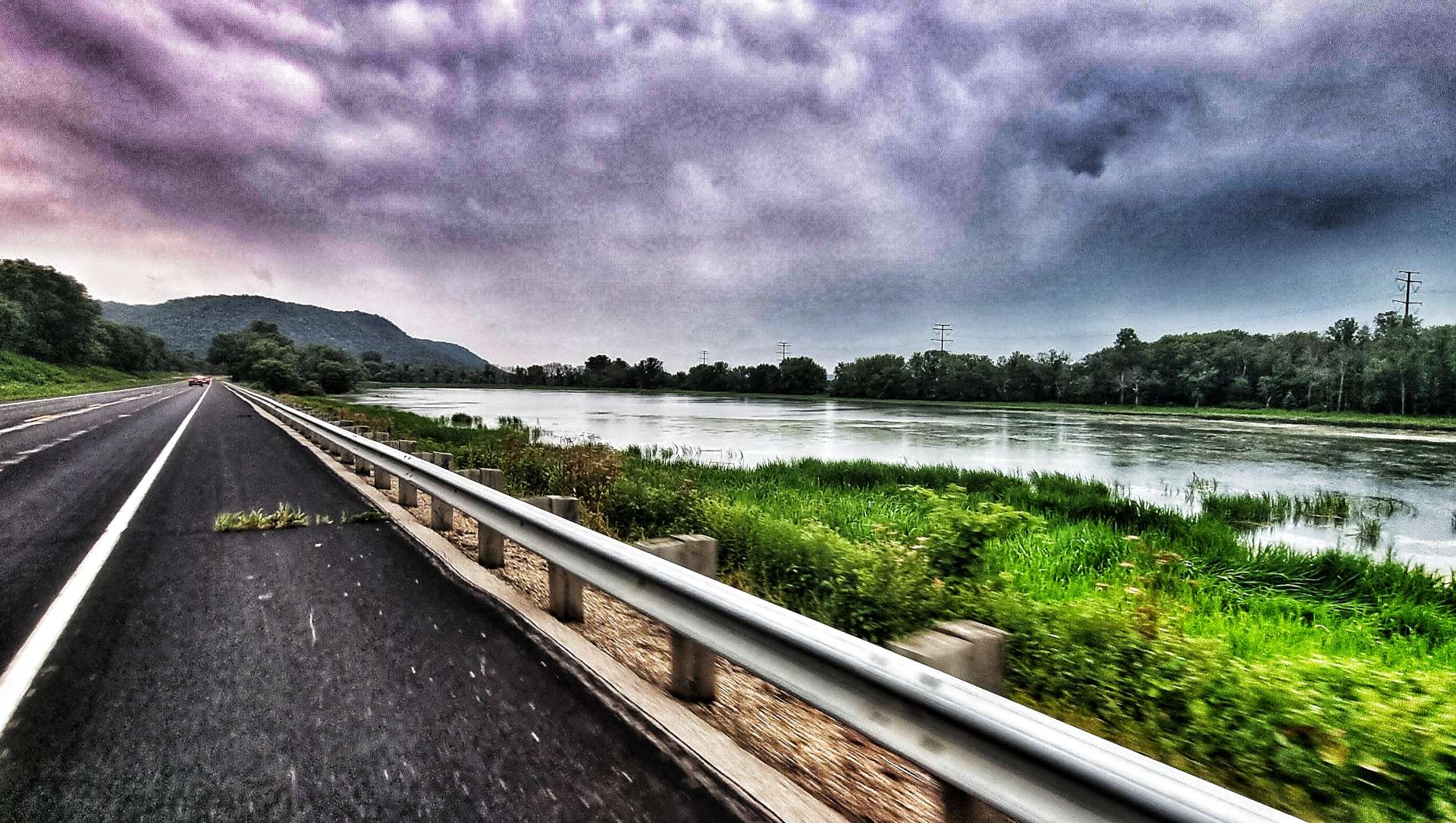
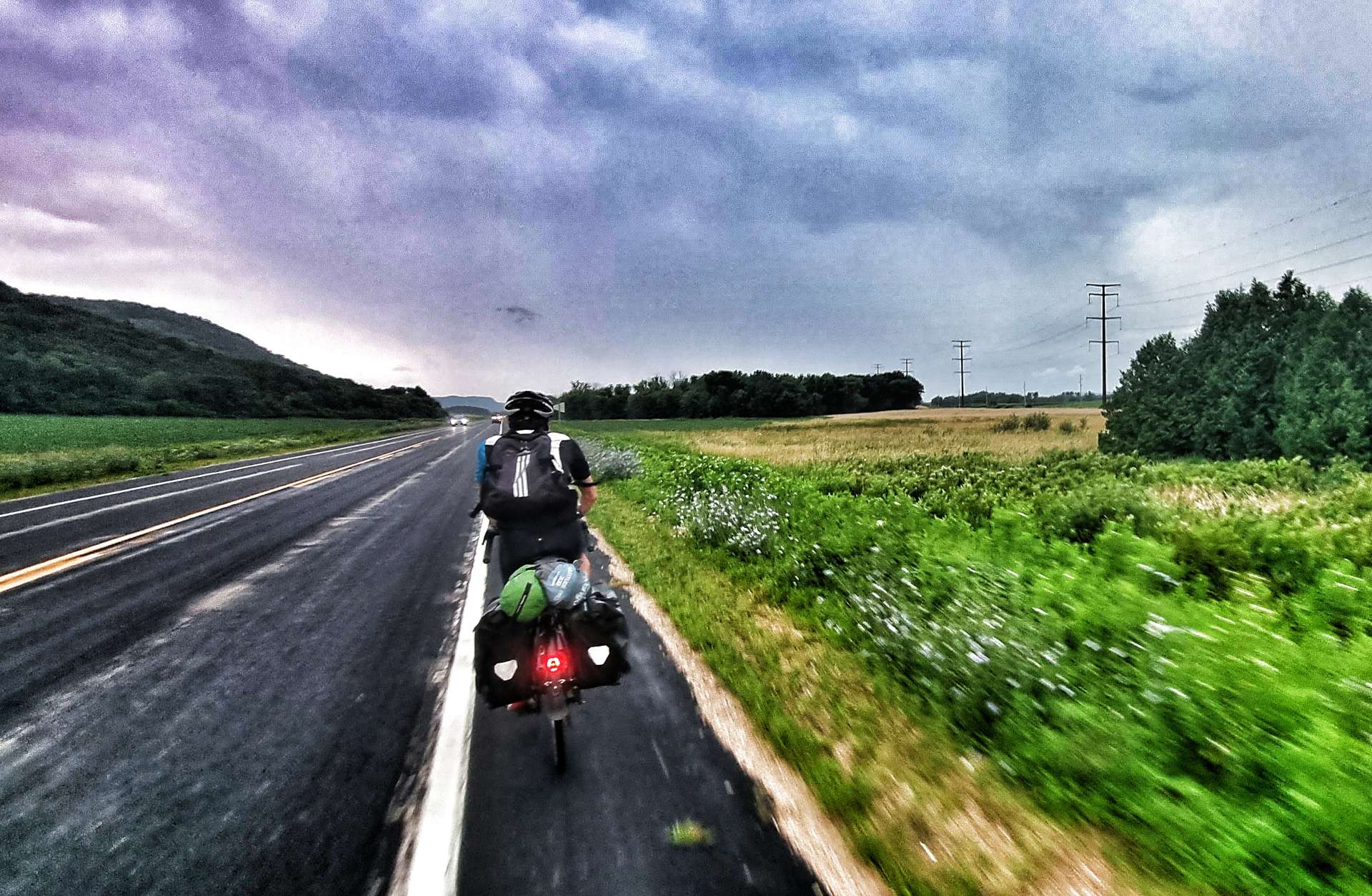
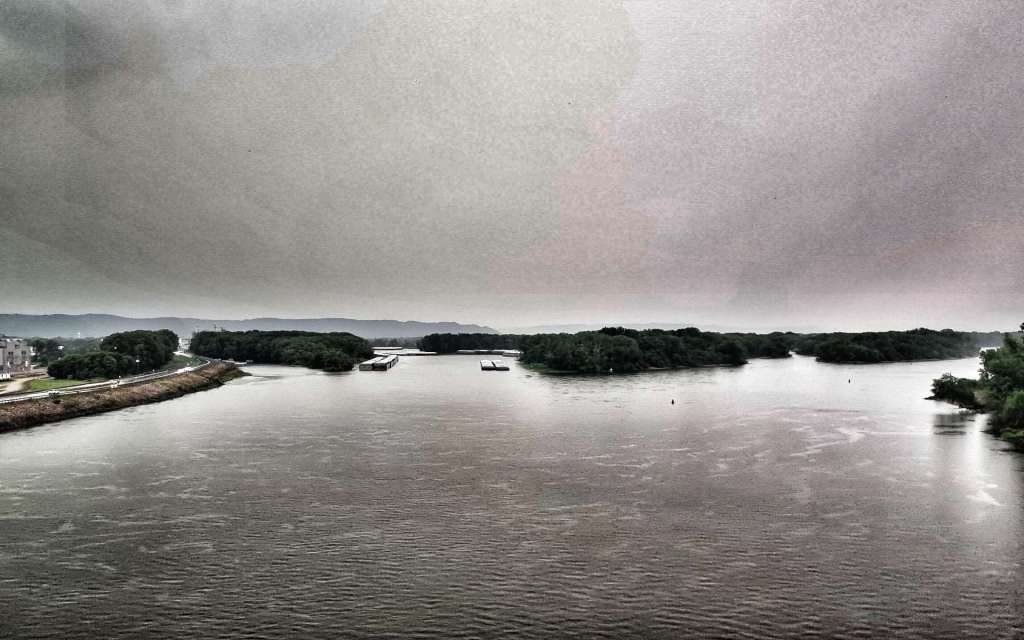
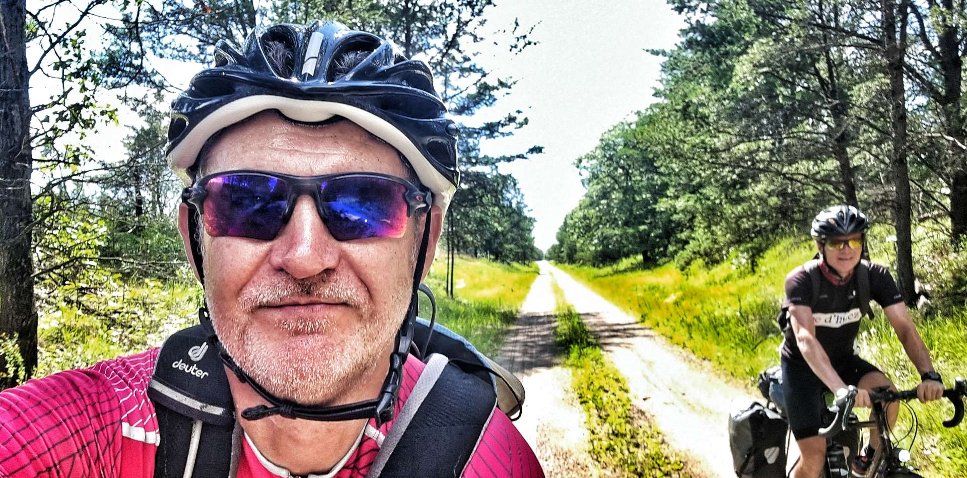
As we left Alma, we were right next to the Mississippi & ahead of us the forked lightning started giving us fair warning the storm was closing in. We’ve generally ridden well within ourselves on the adventure to date, but this was a moment when we needed to make some distance quickly. There was a bit over 20 miles to go until we reached our motel in Winona, so we took turns to ride hard on the front – my greater weight is an advantage on the flat, so I took slightly longer turns & we managed to maintain about 18 mph for the next hour.
You can see from the last photo how dark it was, as Sean’s rear light & the car’s headlights really stand out.
The video footage give an idea of what was happening & how I was feeling about things.
The rain arrived for the final 15 miles or so of the ride – to begin with it was gentle drizzle, but it soon became a full on monsoon! In no time we were soaked from head to toe, but unlike the UK, the rain was actually warm, so wasn’t too bad to ride in.
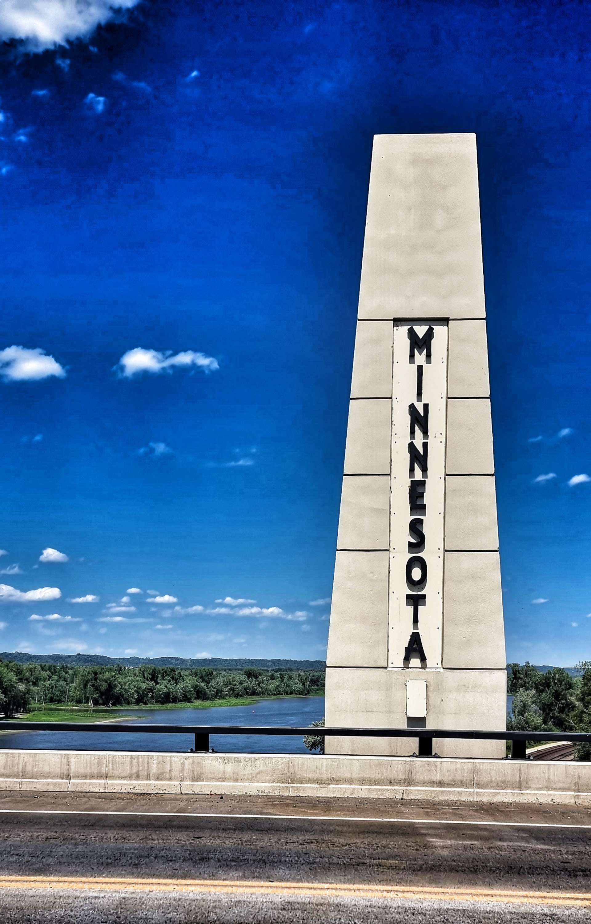
Just over an hour after leaving Alma, we were crossing the Mississippi back into Minnesota & making our way to the Super 8 in Winona. Once I’d checked in I took a couple of short video clips of the weather & the state of my kit – damp would be typically British understatement!

Stage Stats – 74 miles, 1,958 feet of climbing. Our final night in Minnesota.
Sunday 24th July – Winona to Tomah (Stage 66).
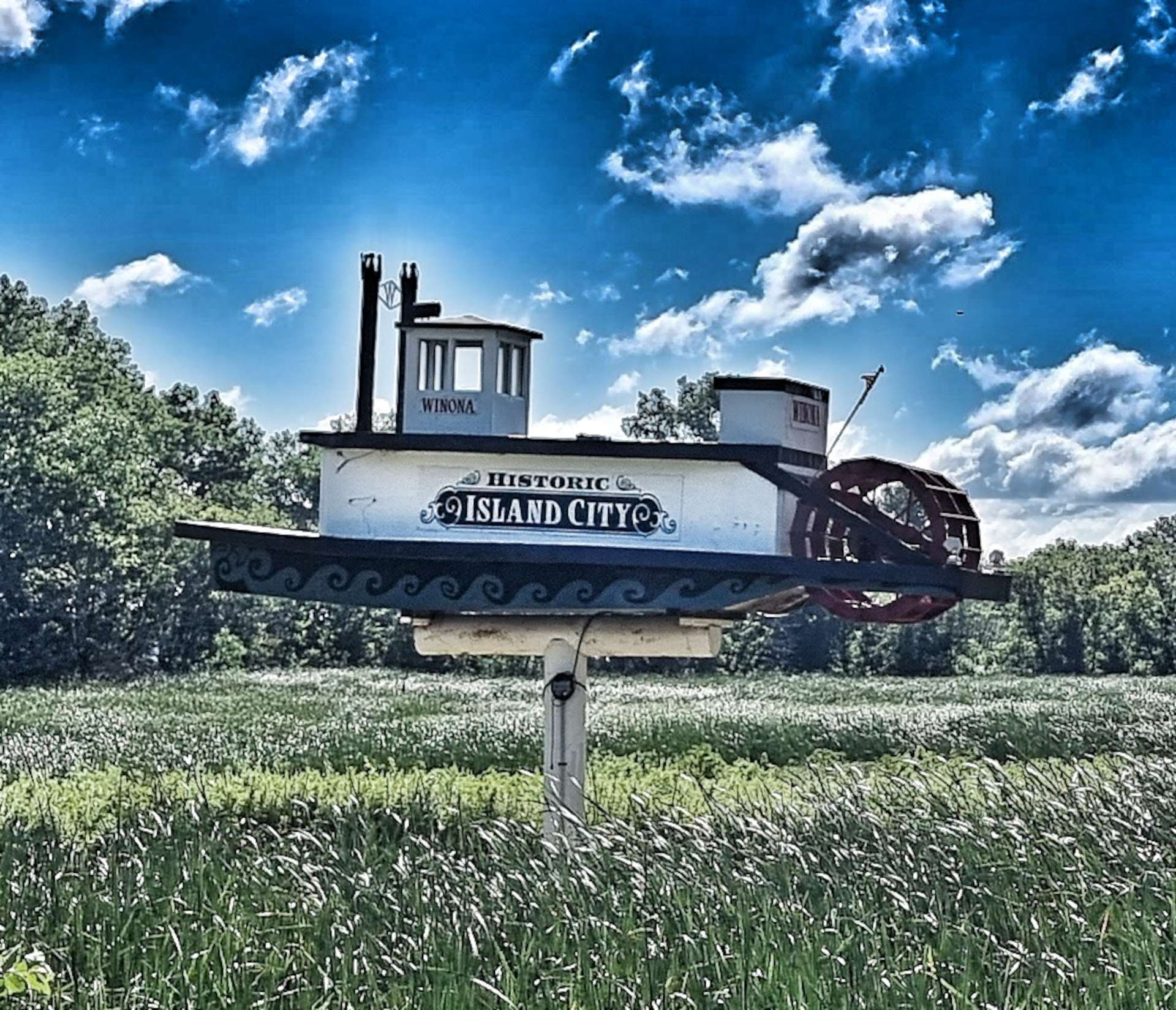
After yesterday’s deluge, the weather was back to normal this morning – hot & sunny with a light breeze. Heading out of Winona, we finally saw our first (& only) paddle boat steamer before crossing the Mississippi for the last time as we returned to Wisconsin.
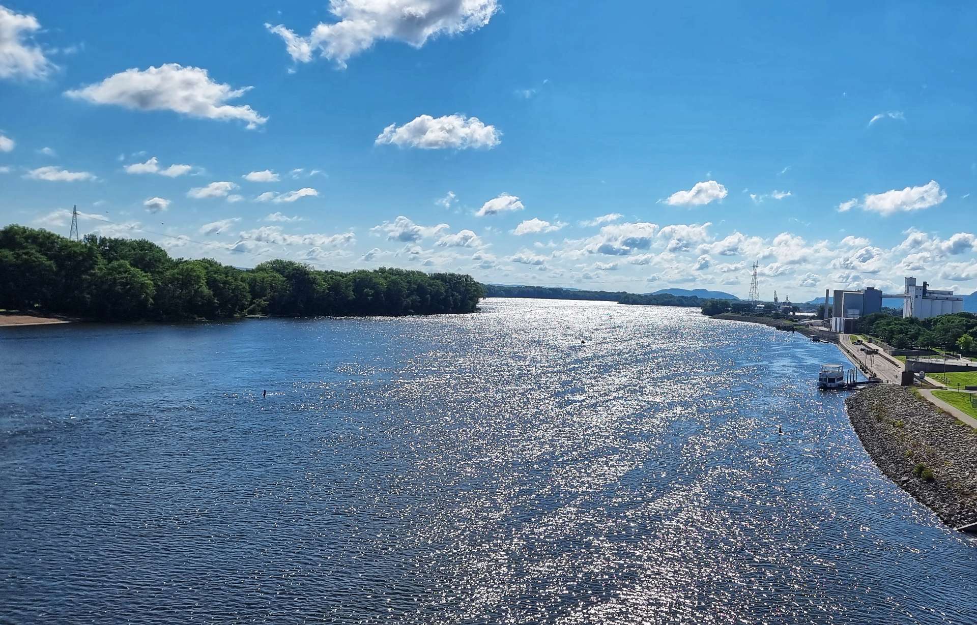
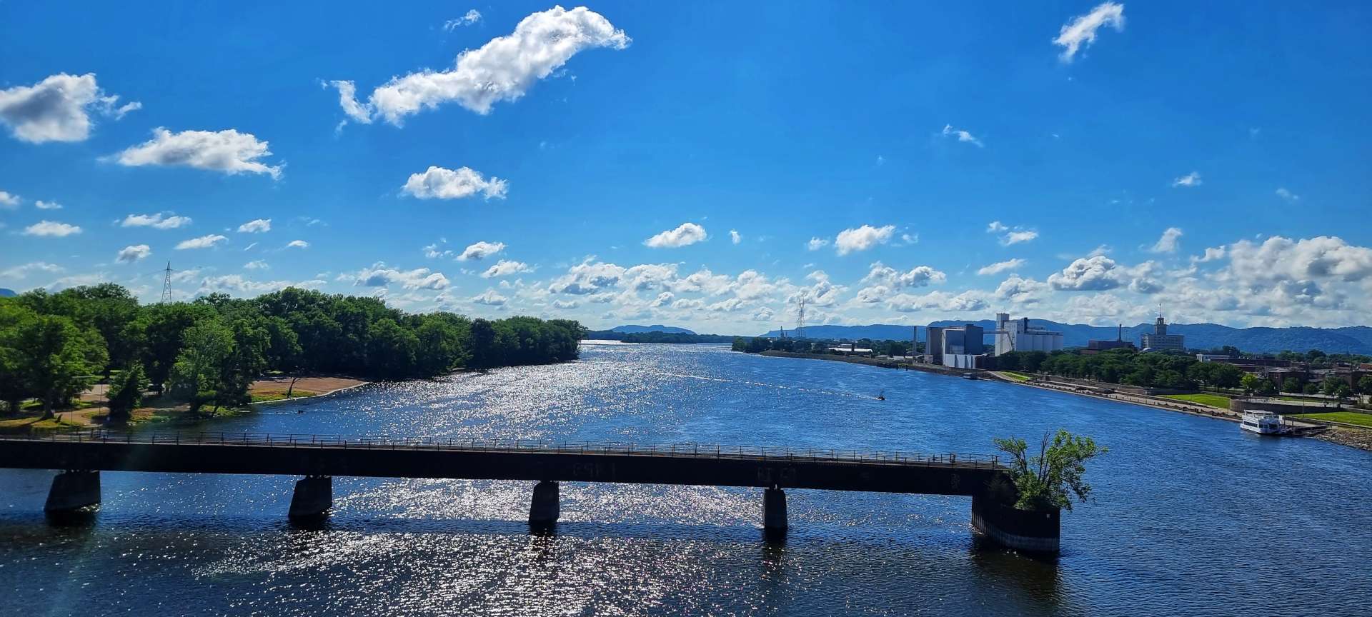
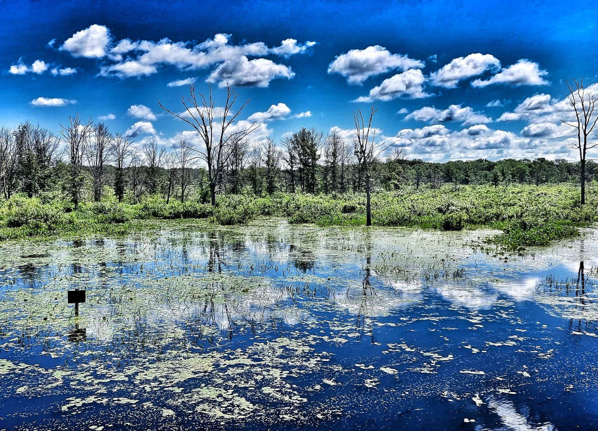
We’d be following the railroad for most of the day, starting as we crossed the Wisconsin spur of the Mississippi before heading for the wetlands that run alongside the Great River Road.
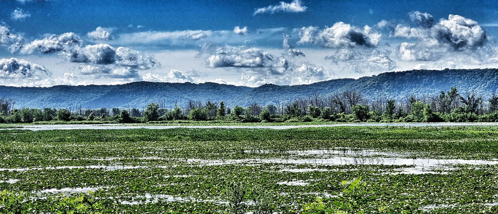
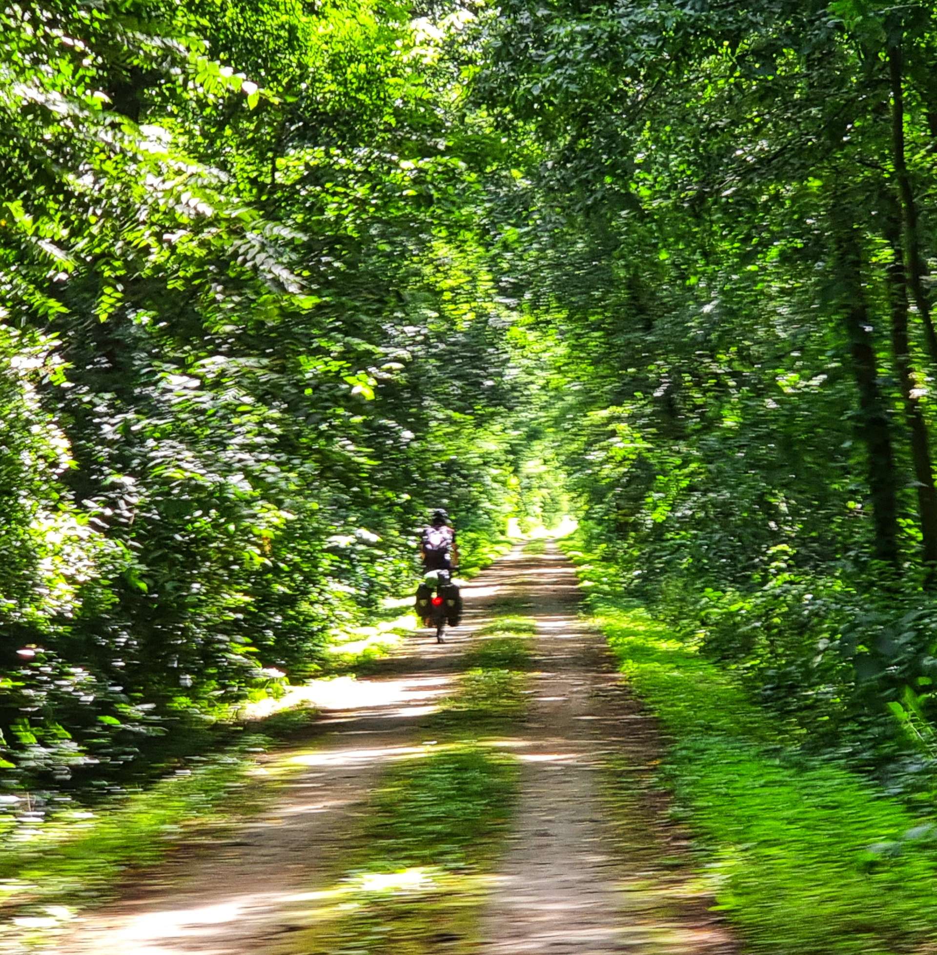
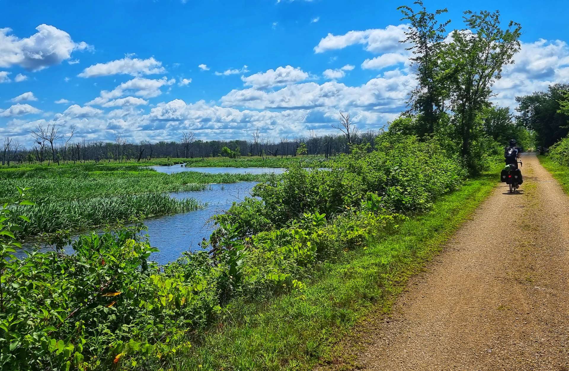
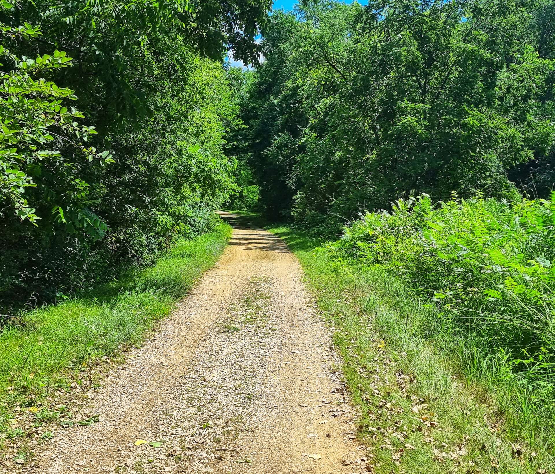
After 5 miles we took a right turn at Marshland & left the paved roads behind. We entered the Trempealeau National Wildlife Refuge on the Great River State Trail – we would be riding a combination of farm track, gravel, crushed limestone & mud for 21 miles as we rode between the many ponds & lakes. We were in prime osprey territory & I managed to capture a shot of one as it was perched on a branch.
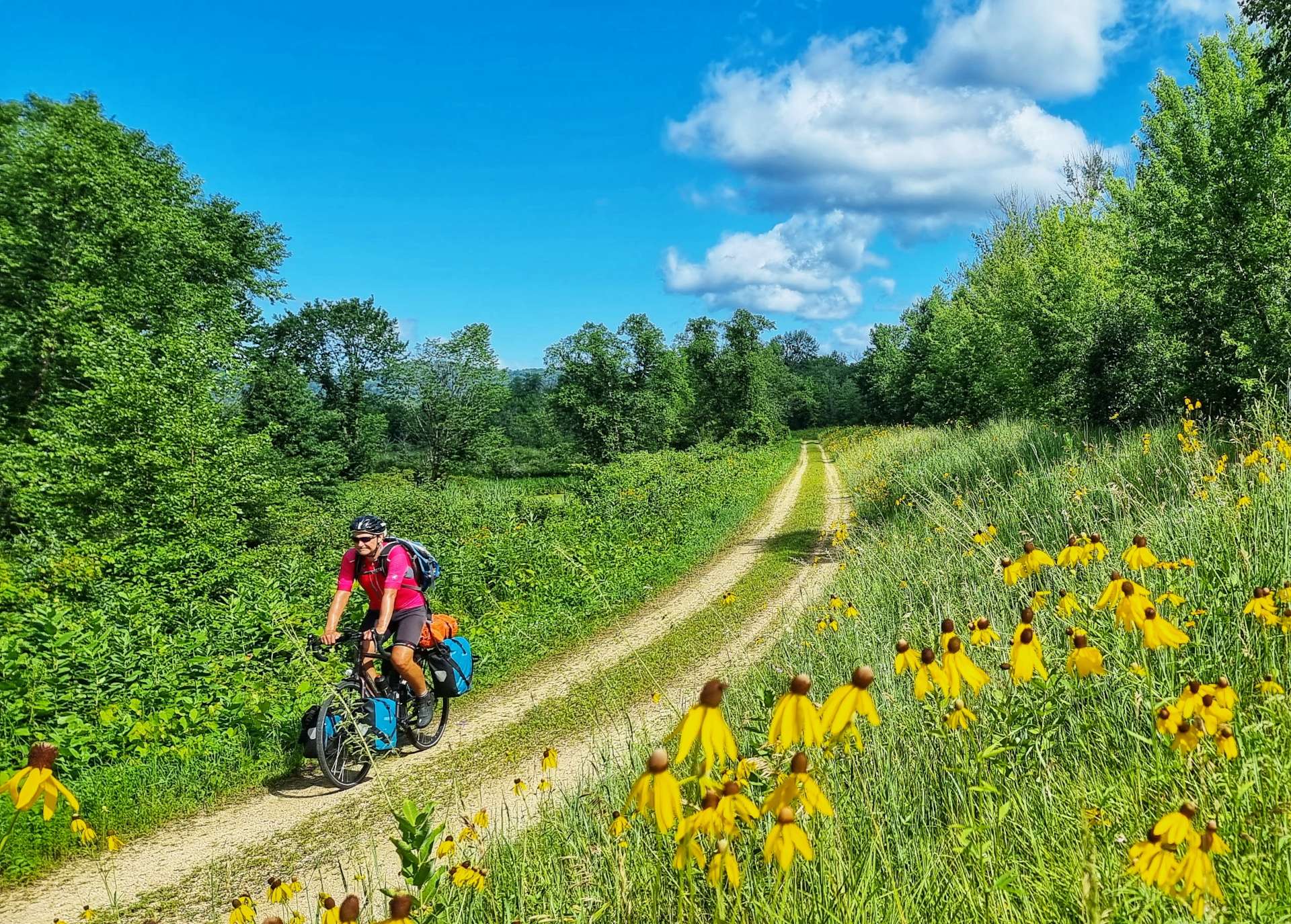


Every now & again we would see a paved road, but for the majority of the next 10 miles we were alone. On one stretch of gravel, a tree had fallen in last night’s storm & it was strewn across the entire path. I forgot to take a photo, but we ended up having to remove the panniers from our bikes & the pair of us had to lift our bikes over the fallen tree!
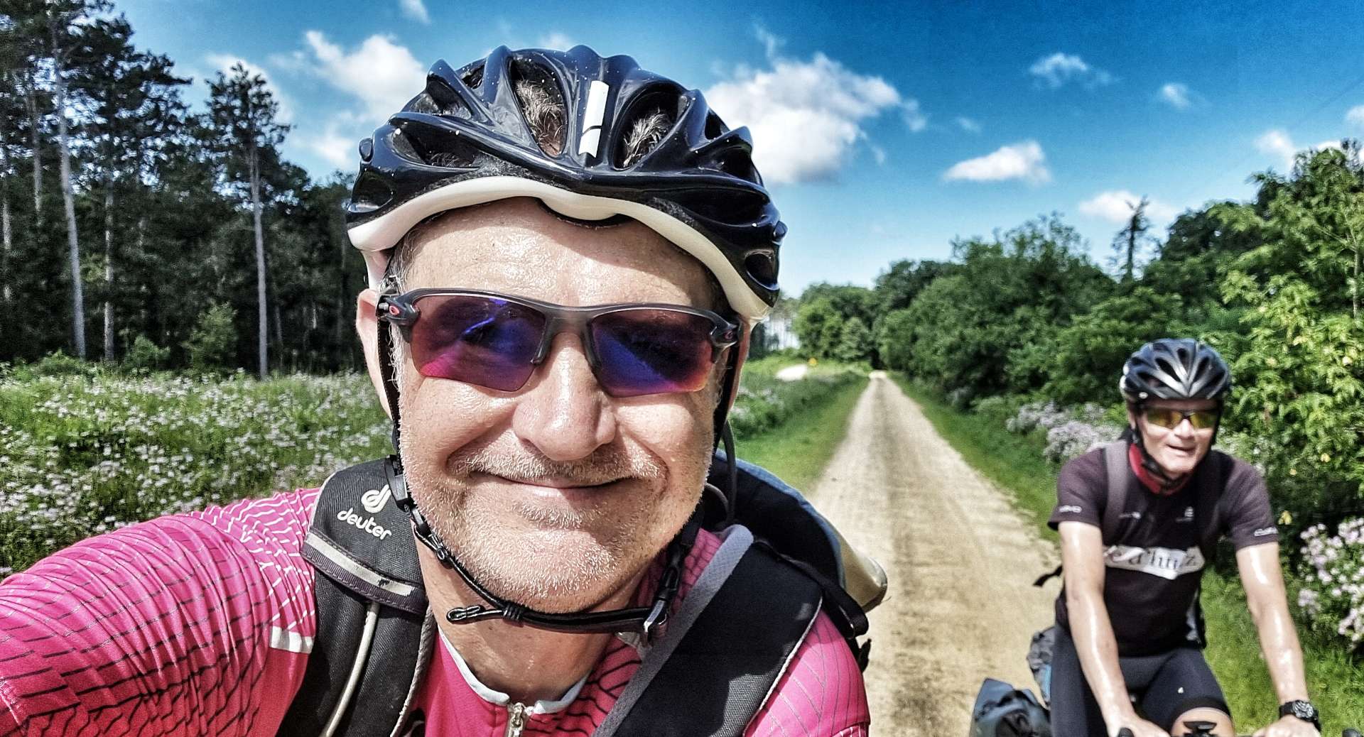

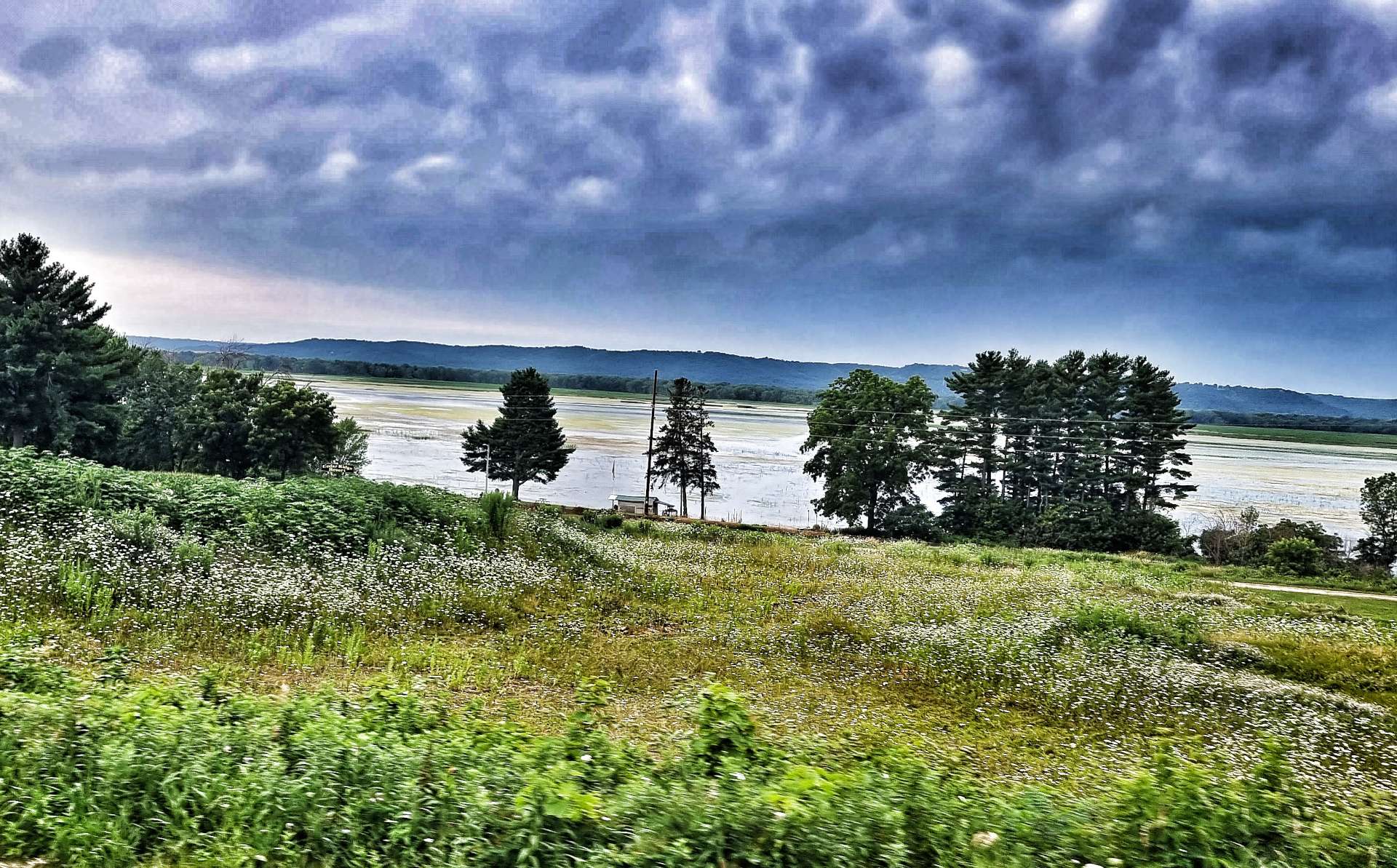
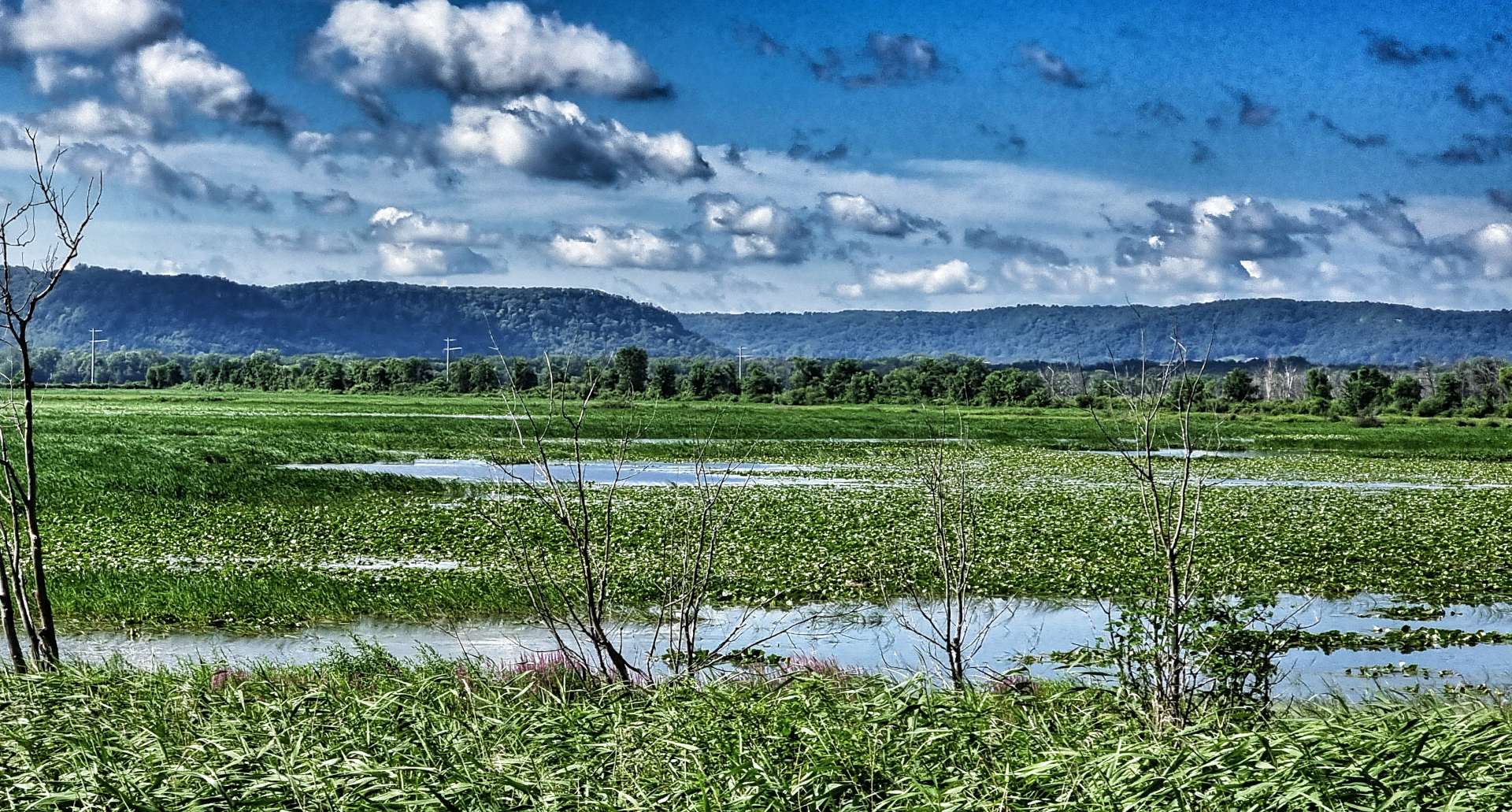
Although we didn’t see any more wildlife in the morning, the views of the wetlands were beautiful & we also had some protection as the trees kept the sun at bay.
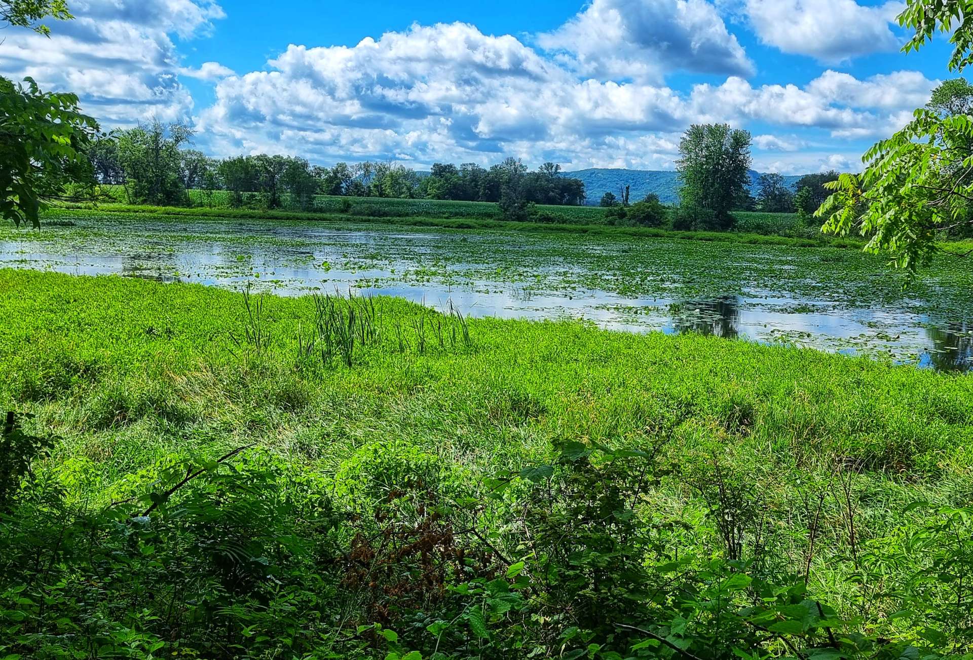
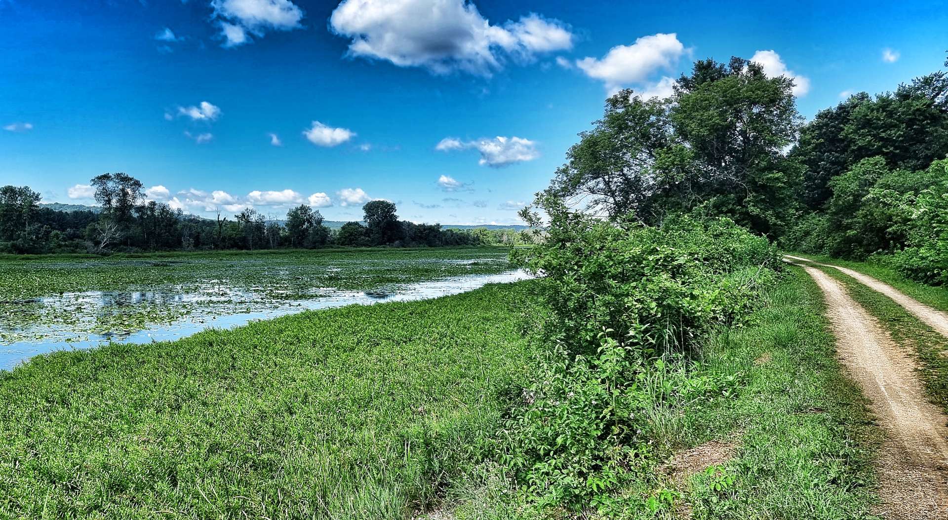
Sometimes the lakes would appear to be in the middle of a field & other times the lakes stretched away into the woodland.
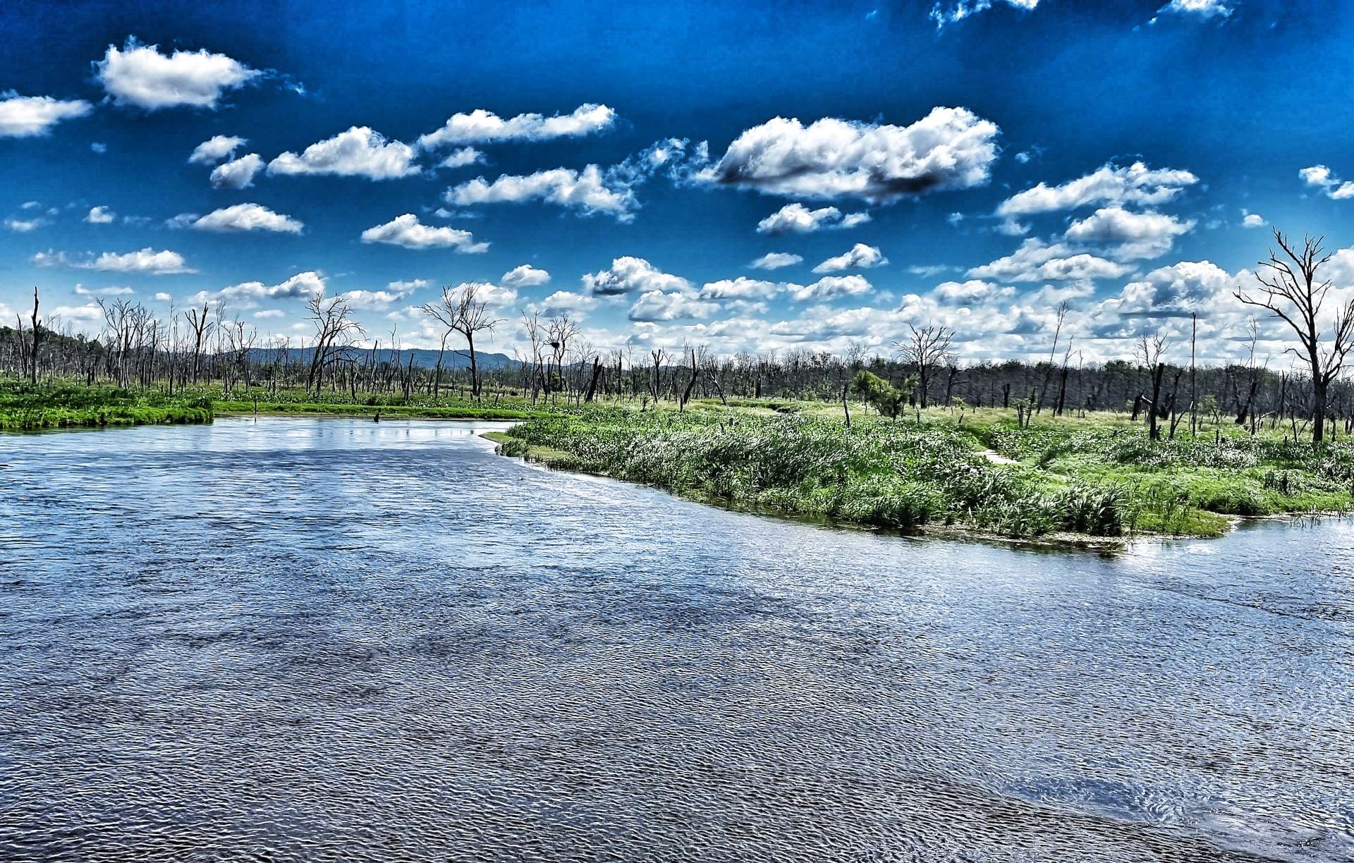
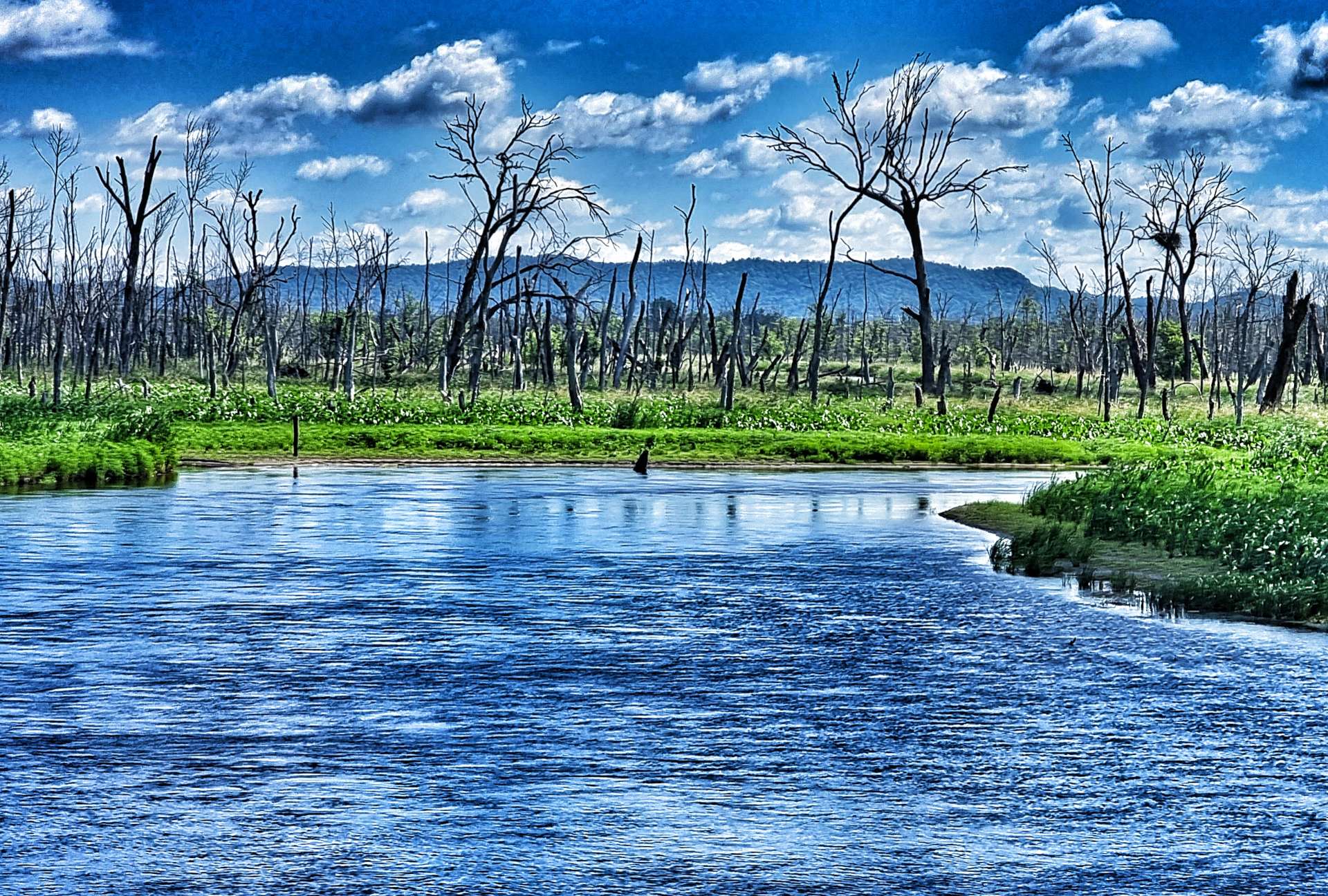
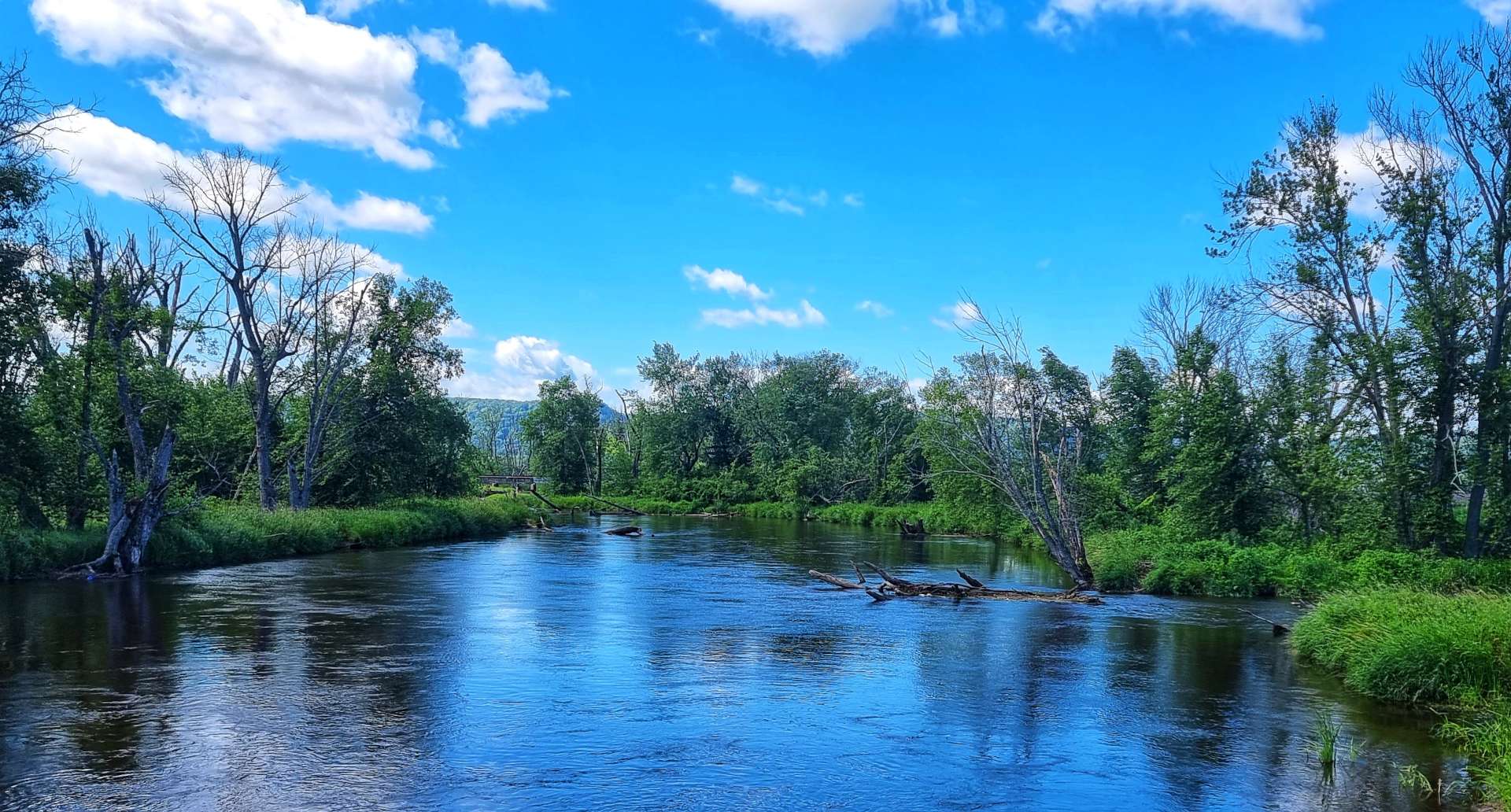
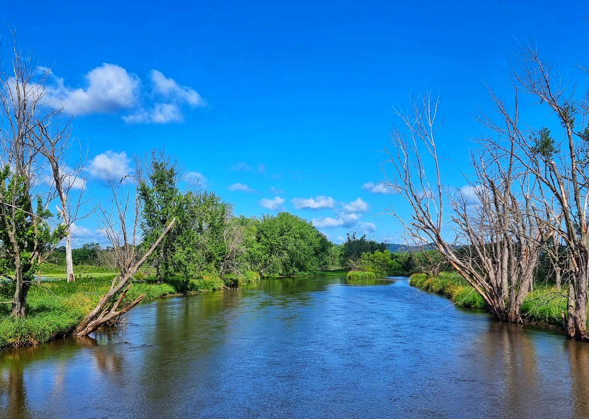
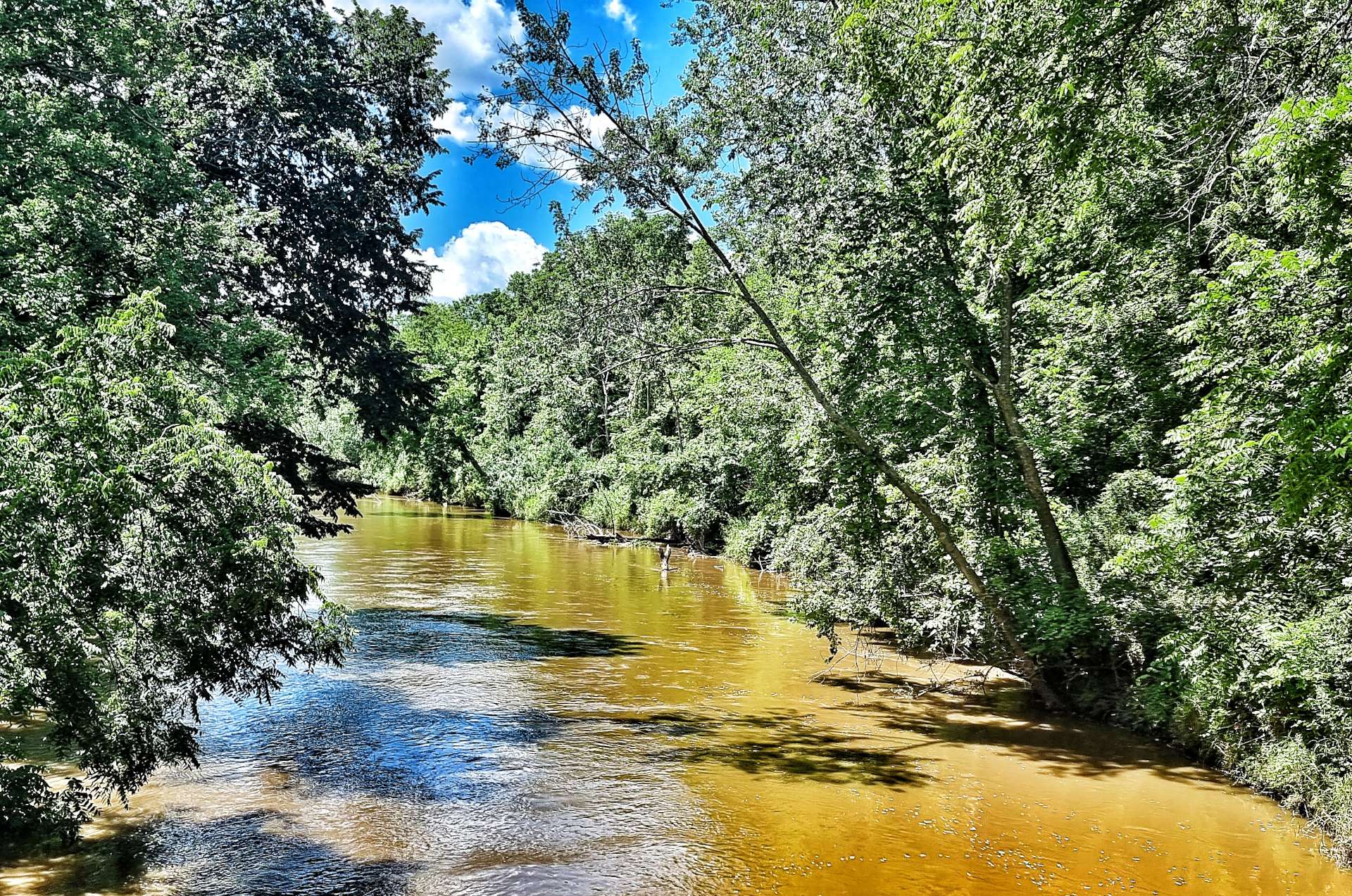
There was even a river where there appeared to be a beach on one of the banks, while looking in the opposite direction we could see the railroad crossing the river on a trestle bridge.


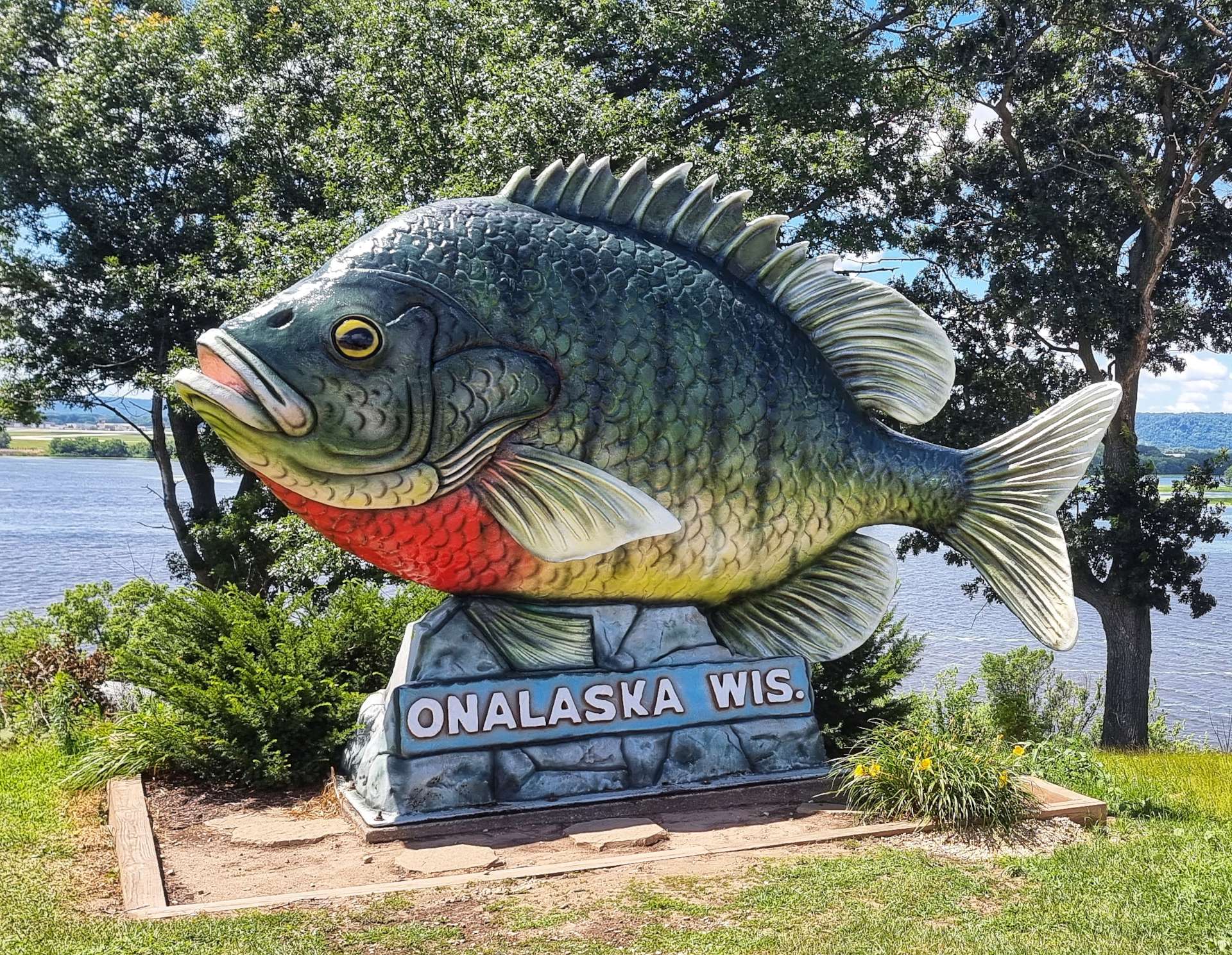
We briefly re-joined the road at Onalaska – it considers itself the sunfish fishing capital & “Sunny” (a 20 foot long by 12 foot high plastic fish) is their way of reminding everyone of the fact! The fish was impressive in its own way, but I preferred The Crossroads pop-up ice cream shop, where we stopped for a brief break!


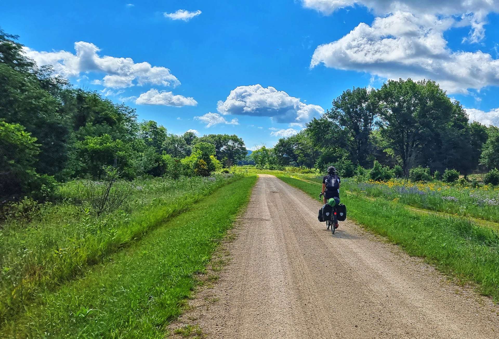
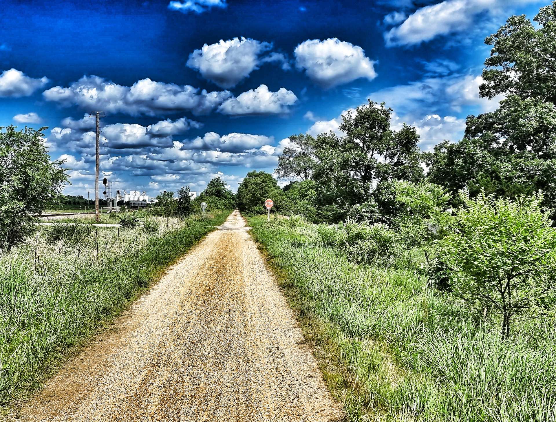
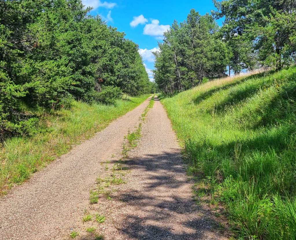
On the outskirts of Onalaska we picked up the LaCrosse River State Trail for a further 23 miles. It follows the route of the abandoned Chicago & Northwestern Railroad between LaCrosse & Sparta.

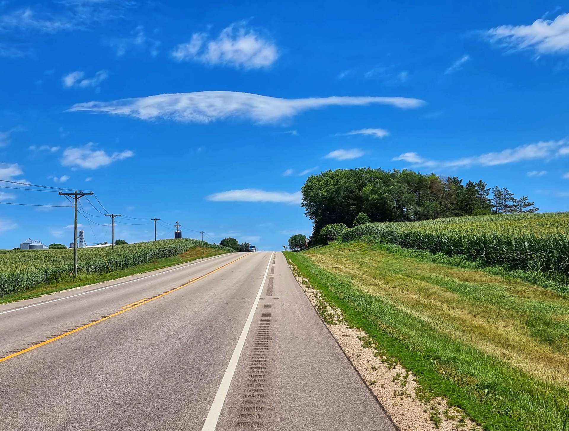
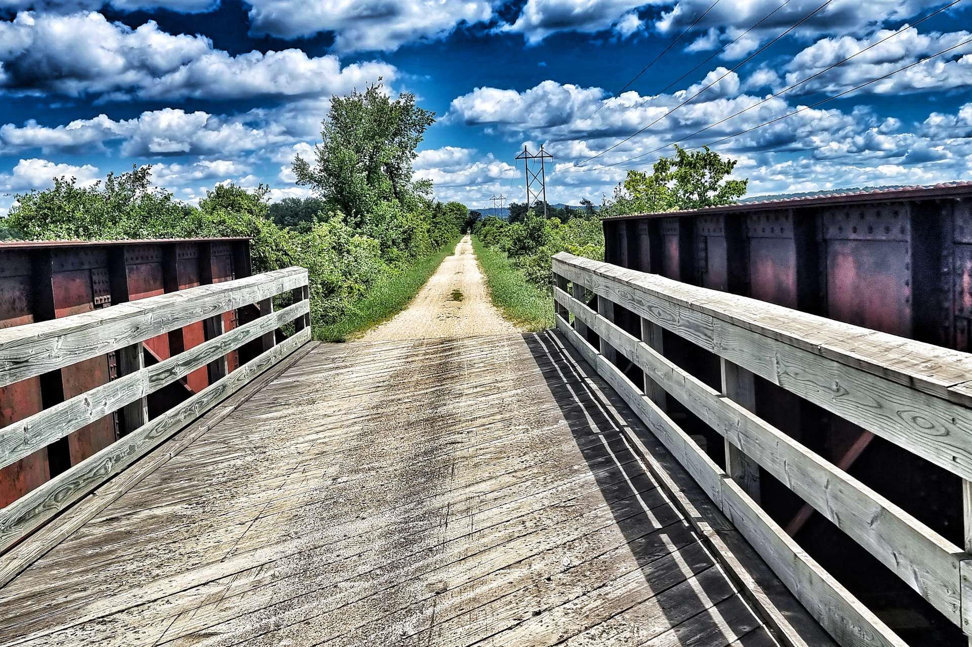
The surface was crushed limestone except where the route crossed restored bridges. We passed maize fields one minute, then headed back into prairie & grassland.


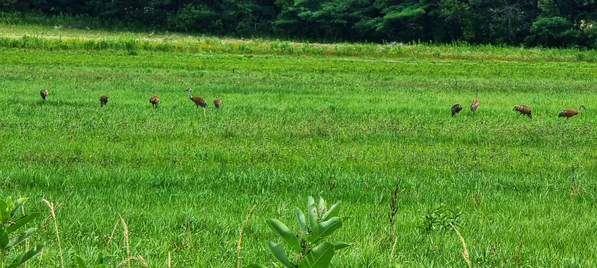
There was a siege of 9 heron in a field of soya beans – it looked like they had found a source of food on the ground, although from such a long way away, it wasn’t clear what they were doing!


The last few miles of the State Trail ran alongside the current railroad & delivered us to a renovated Sparta Station – my one disappointment is the station sells tee-shirts & keyrings, but not coffee or cake & I’m sure they’re missing a trick as many people join & exit the trail here.
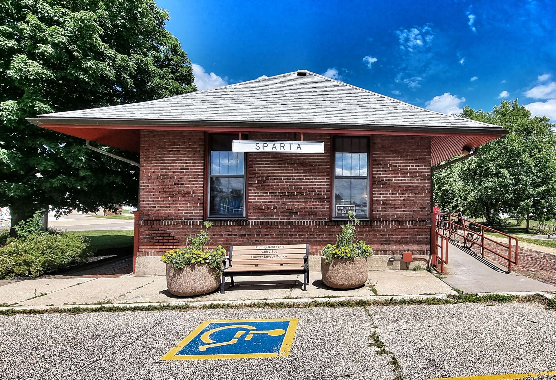
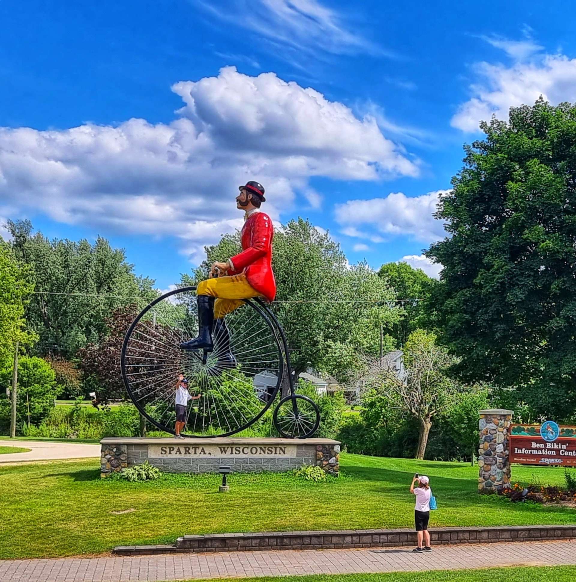
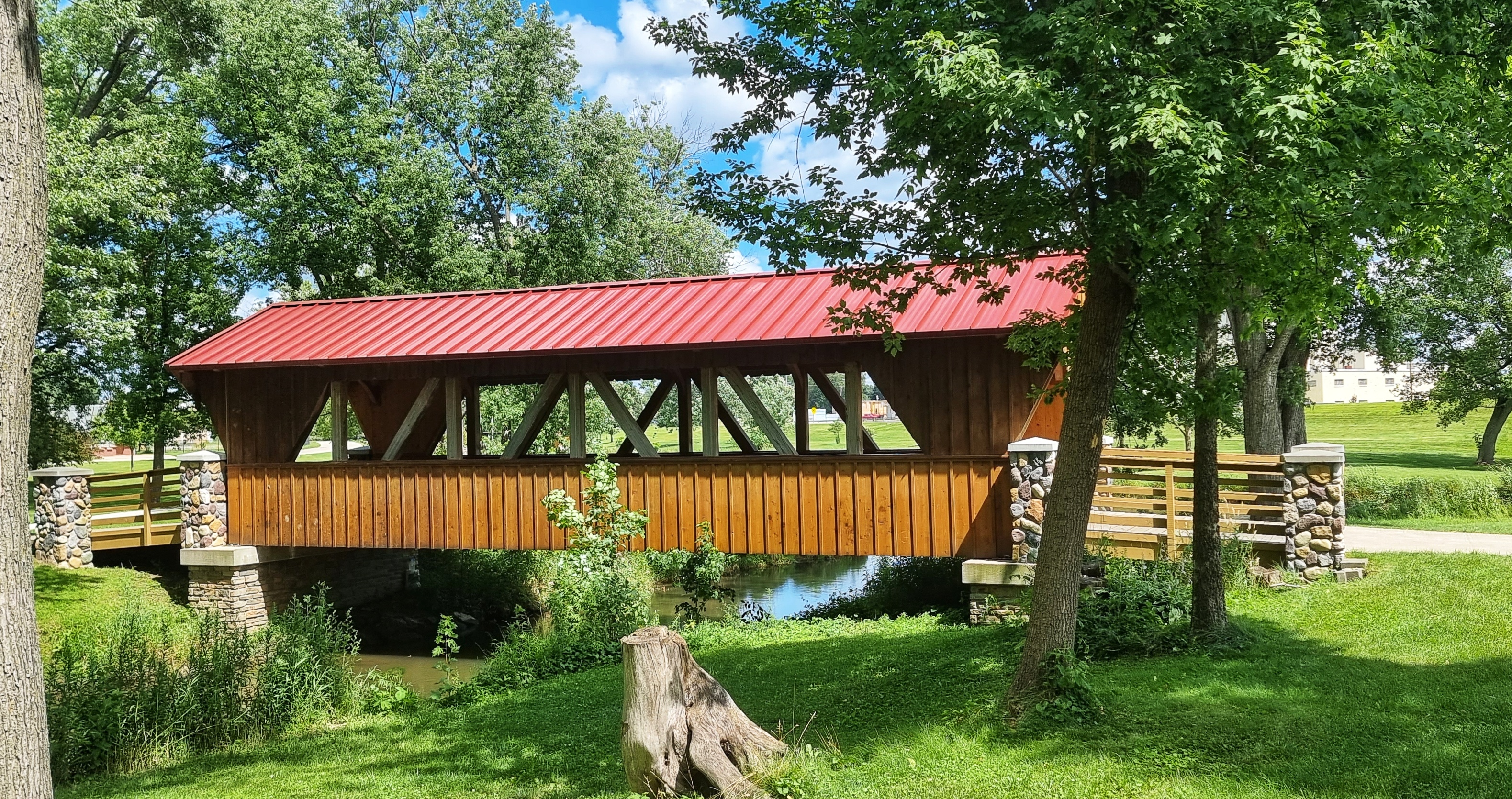
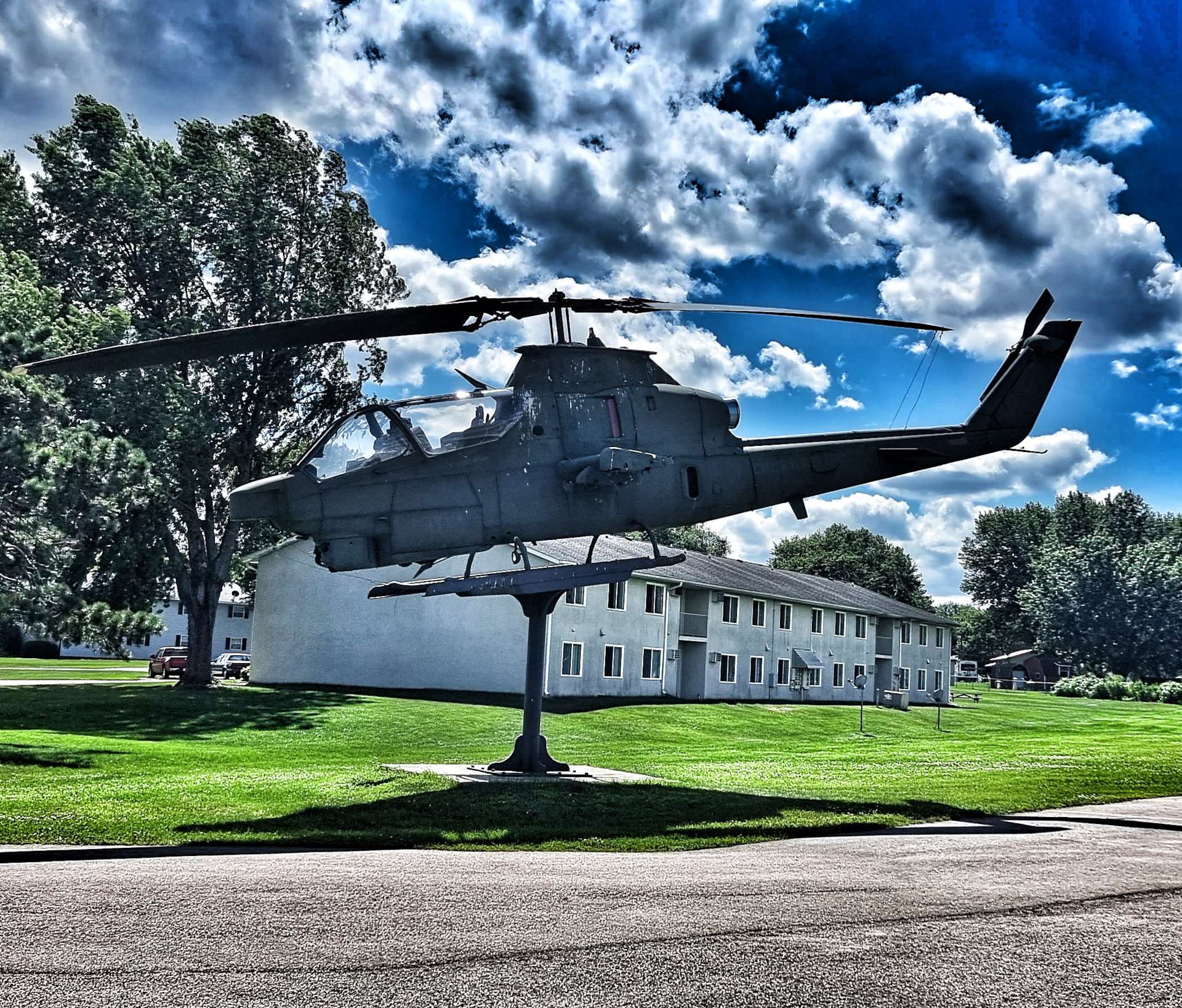
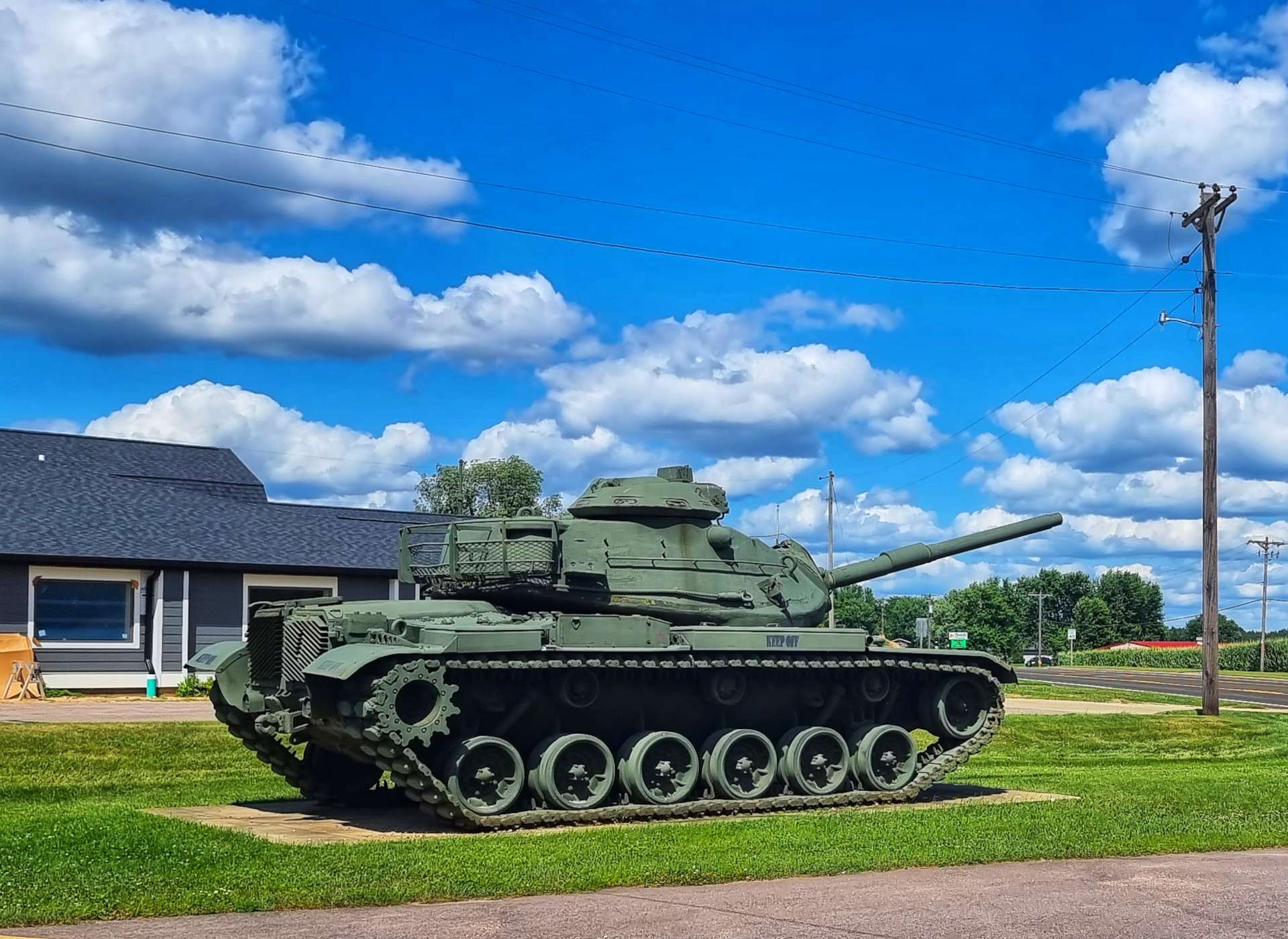
Sparta is only a small town, however it had 4 unusual displays – a 19th century man on a penny farthing, a covered bridge, a helicopter & a tank (the last 2 were displayed by the American Legion).
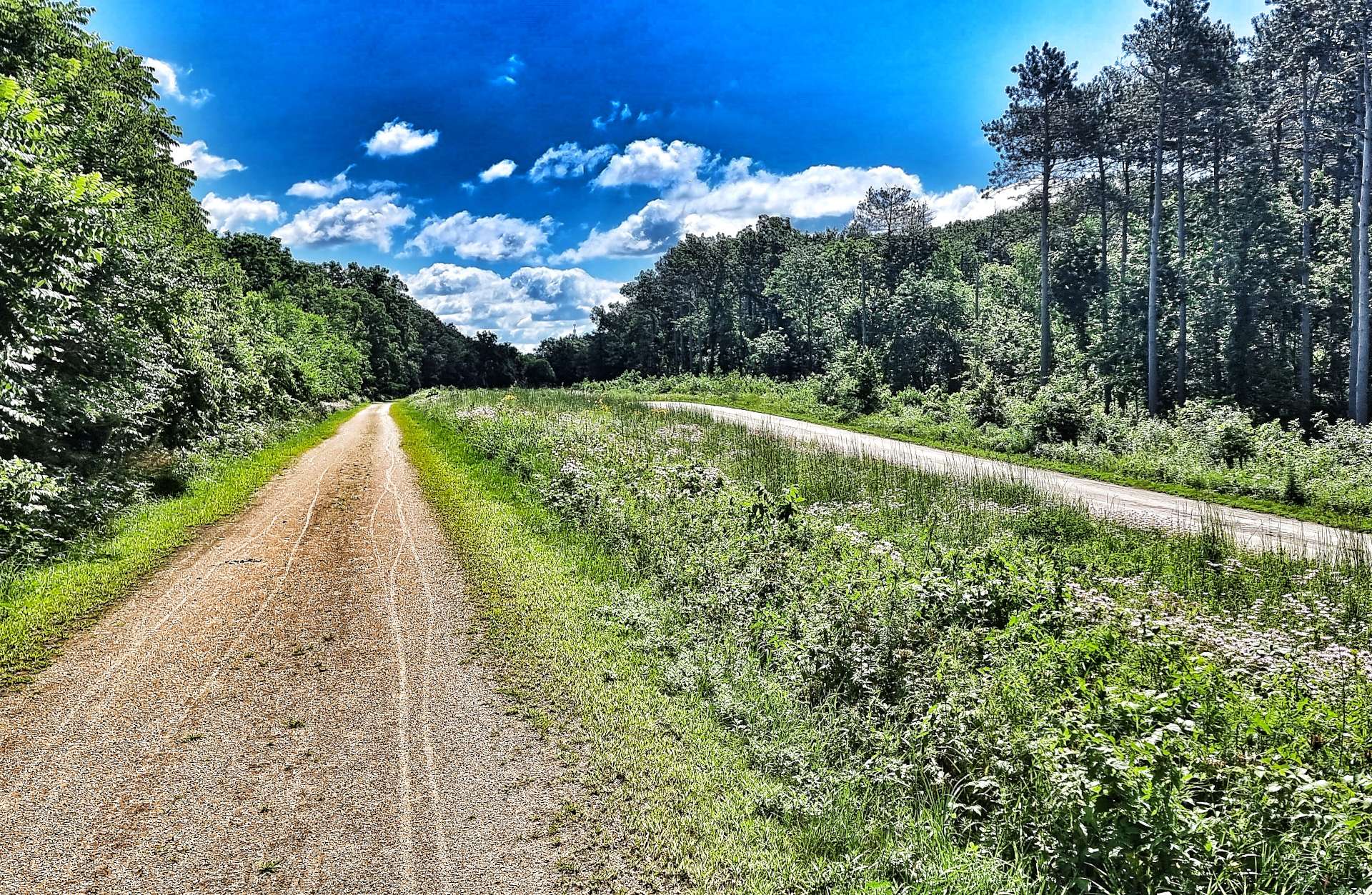
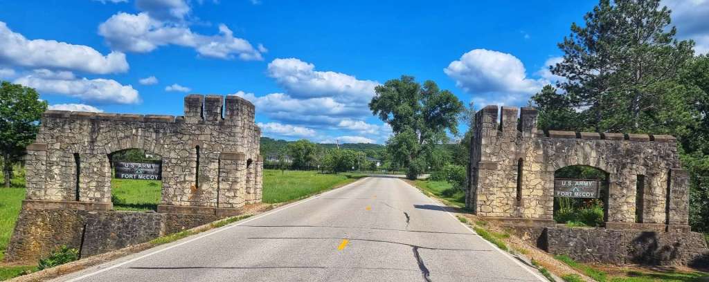
Our route then took us to the entrance of Fort McCoy an active military base. We found ourselves on a public gravel road that took us past one of a few areas where training exercises take place.
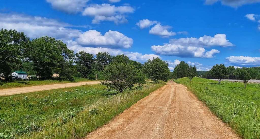

At one point we ended up on a sandy trail that was only just rideable & we worried that we may be on private property. However, just 2 minutes later we found ourselves back on a paved road about 5 miles from Tomah, our home for the next 2 nights. We toasted our big adventure on 3 separate bike trails & our trip across an army training ground – we lived to tell the tale!!!
Stage Stats – 75 miles, 948 feet of climbing. 3 rail trails explored.
