North Woodstock to Brunswick

Monday 29th to Tuesday 30th August – Stages 92 & 93.

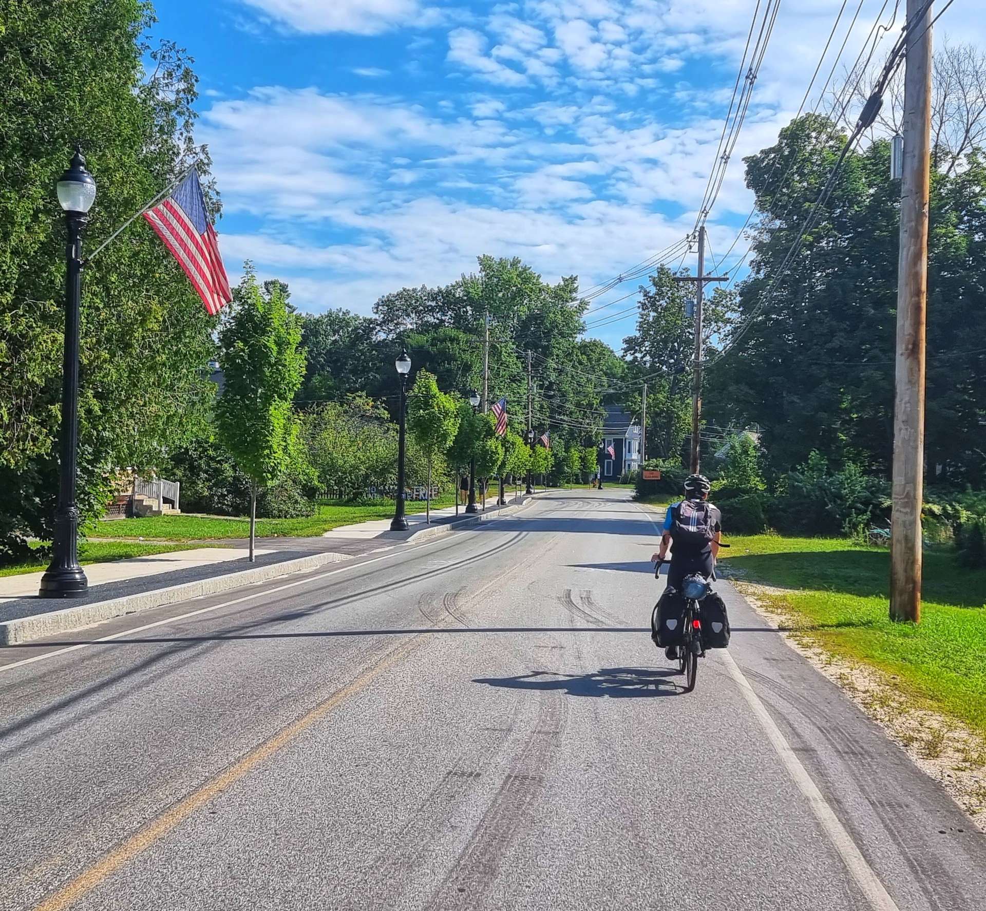
Monday 29th August – North Woodstock to Bridgton (Stage 92)

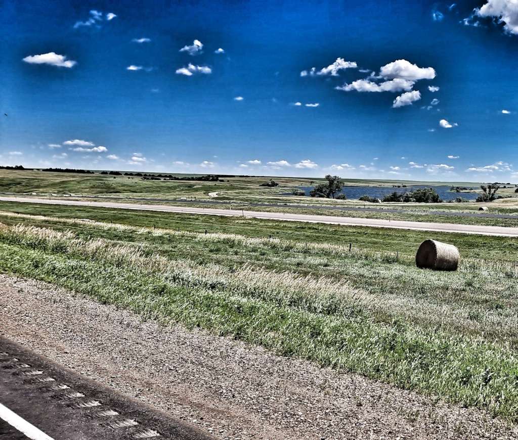
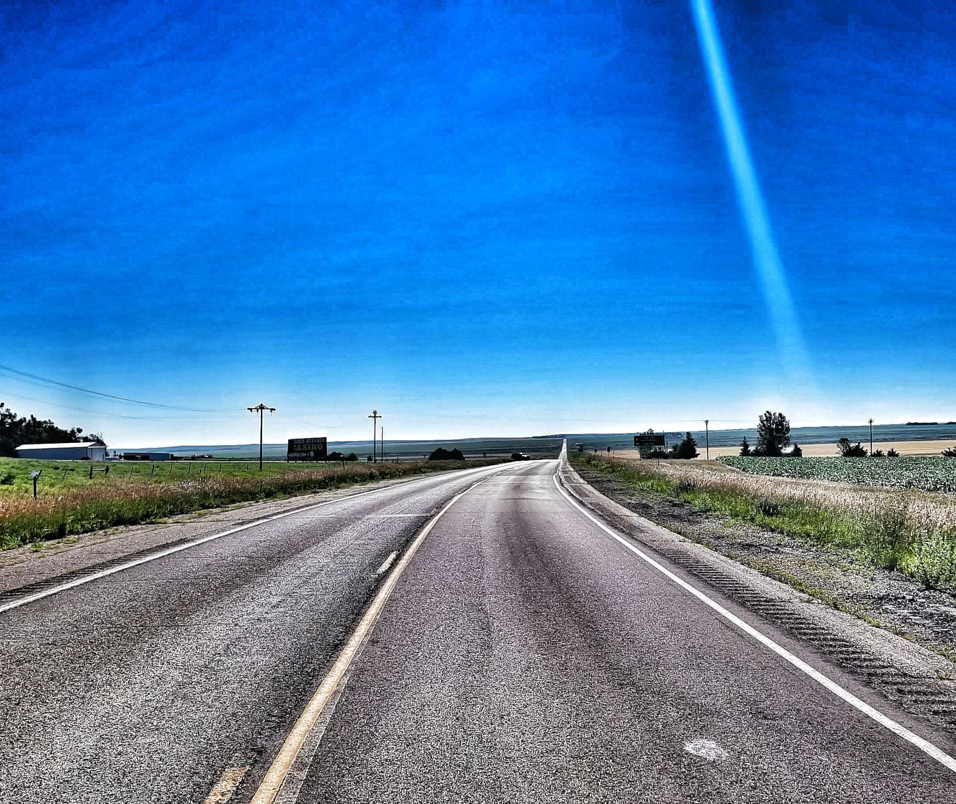
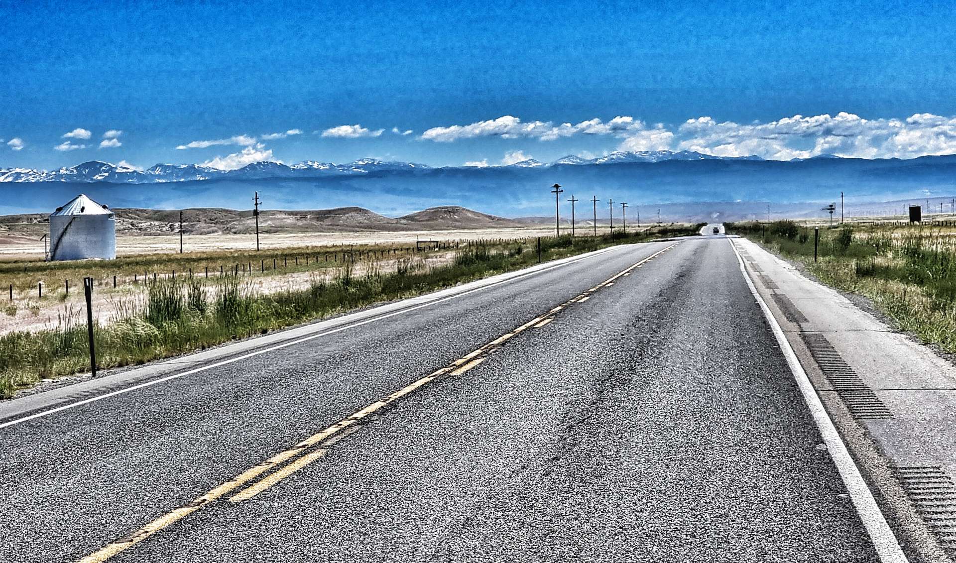
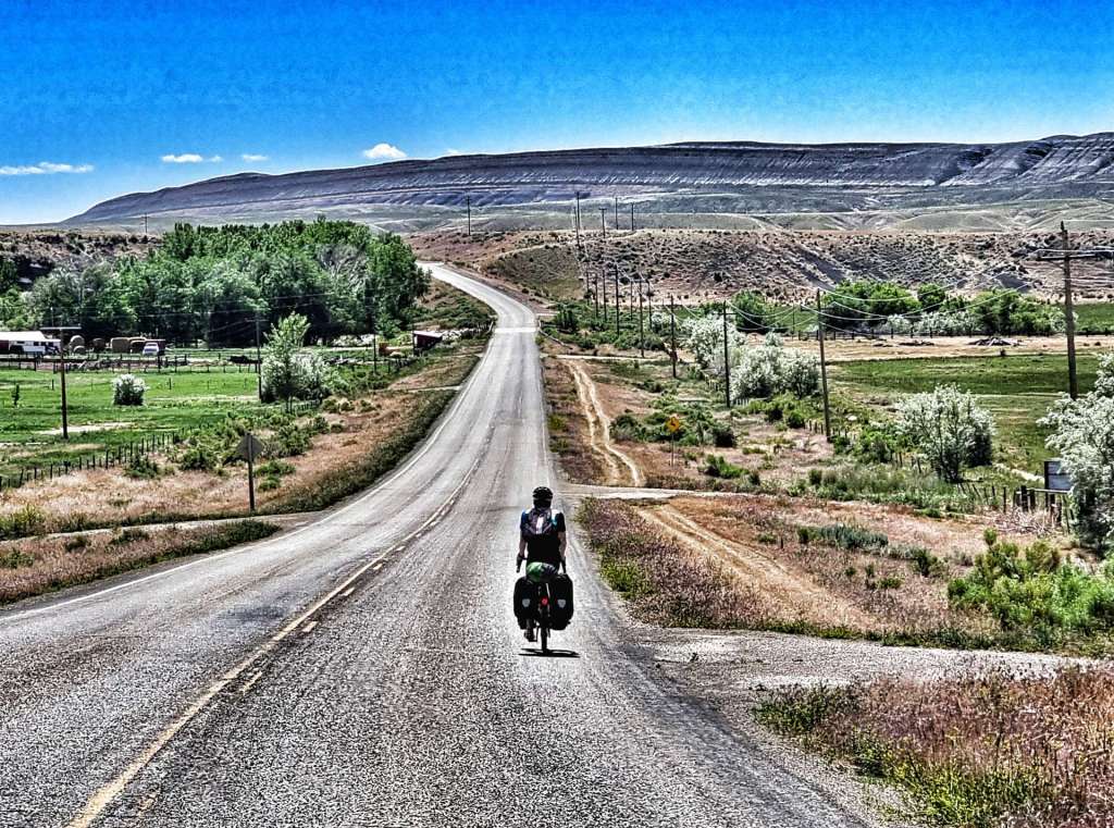
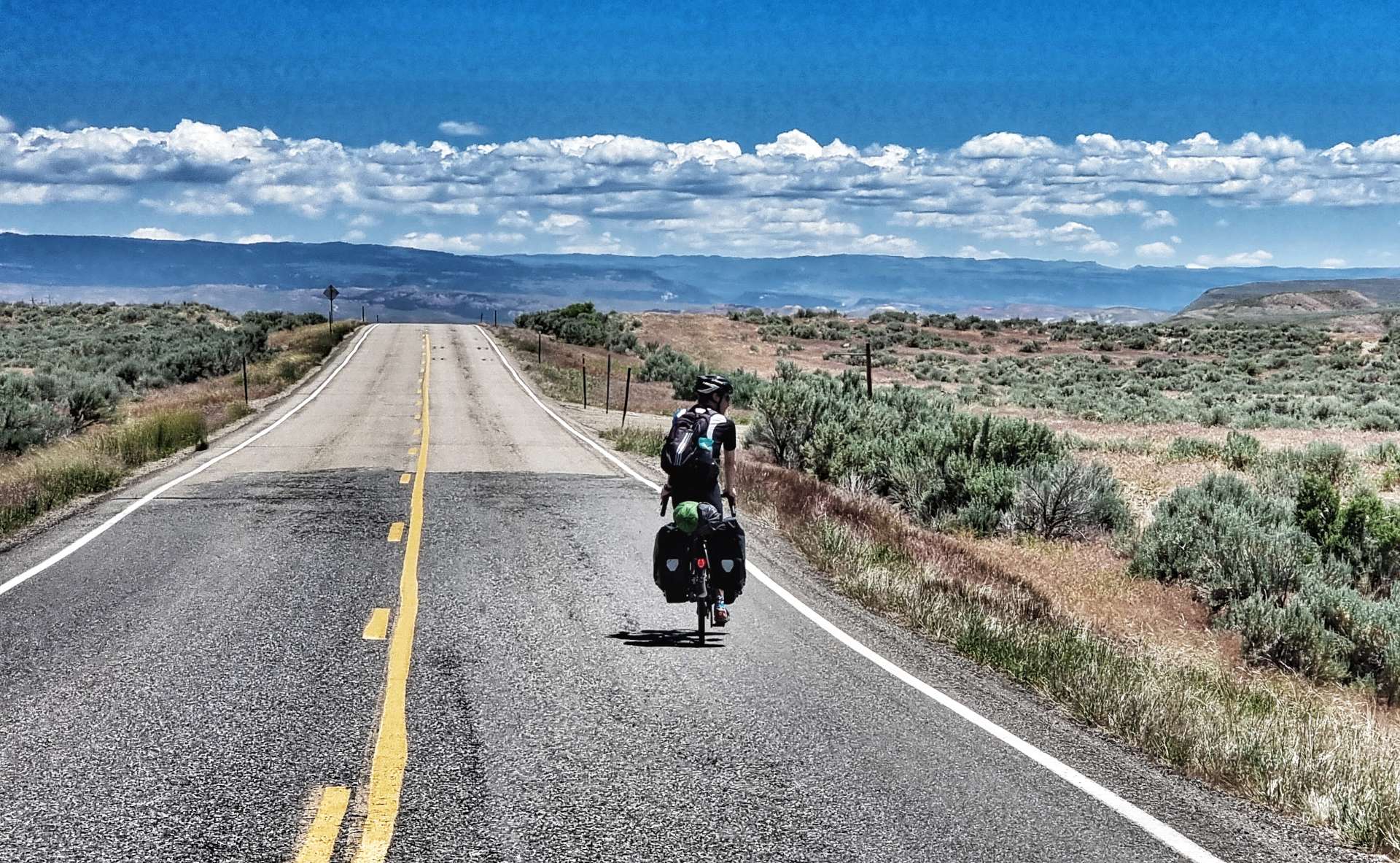
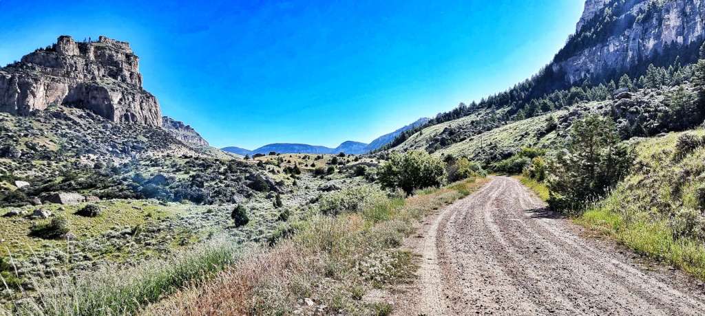
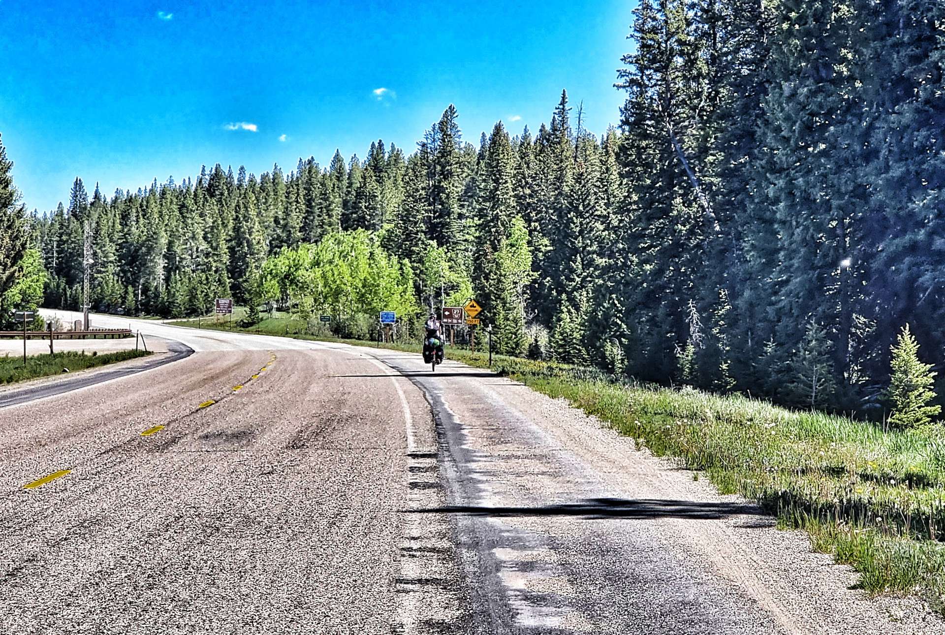
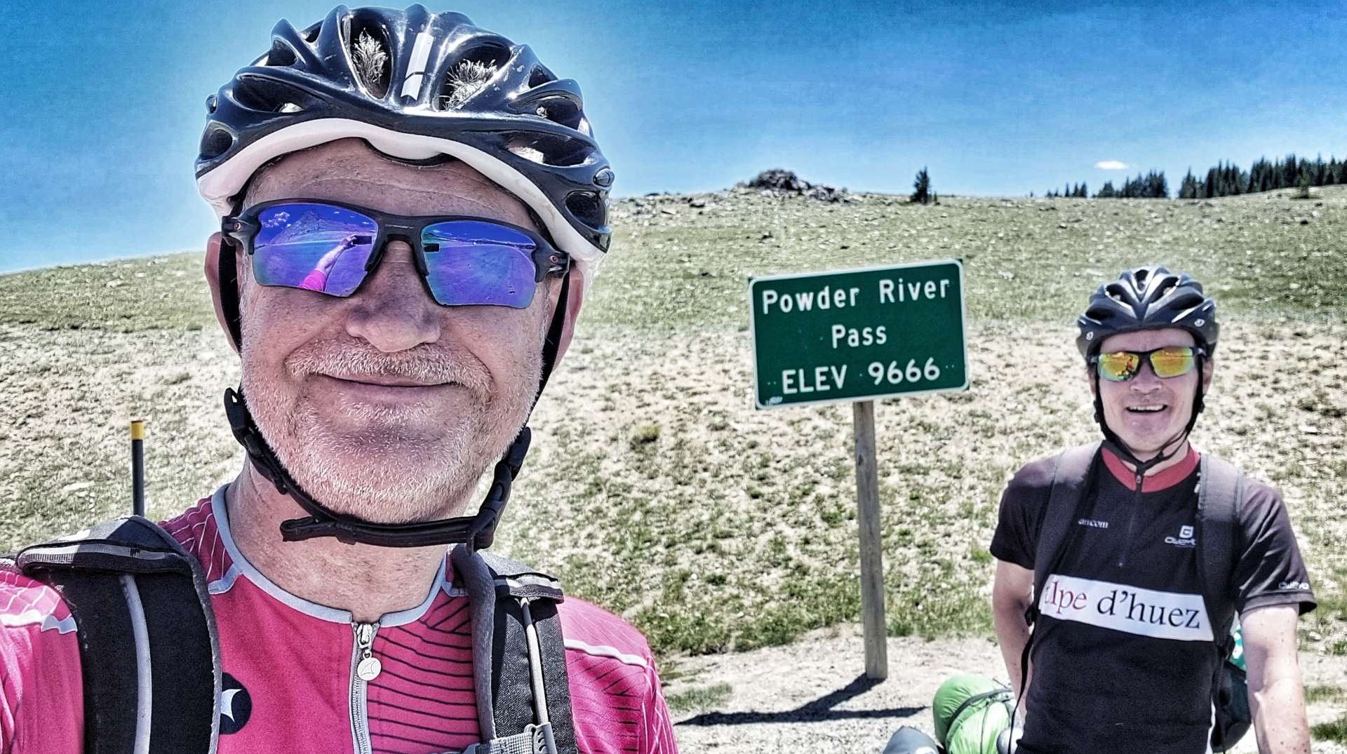
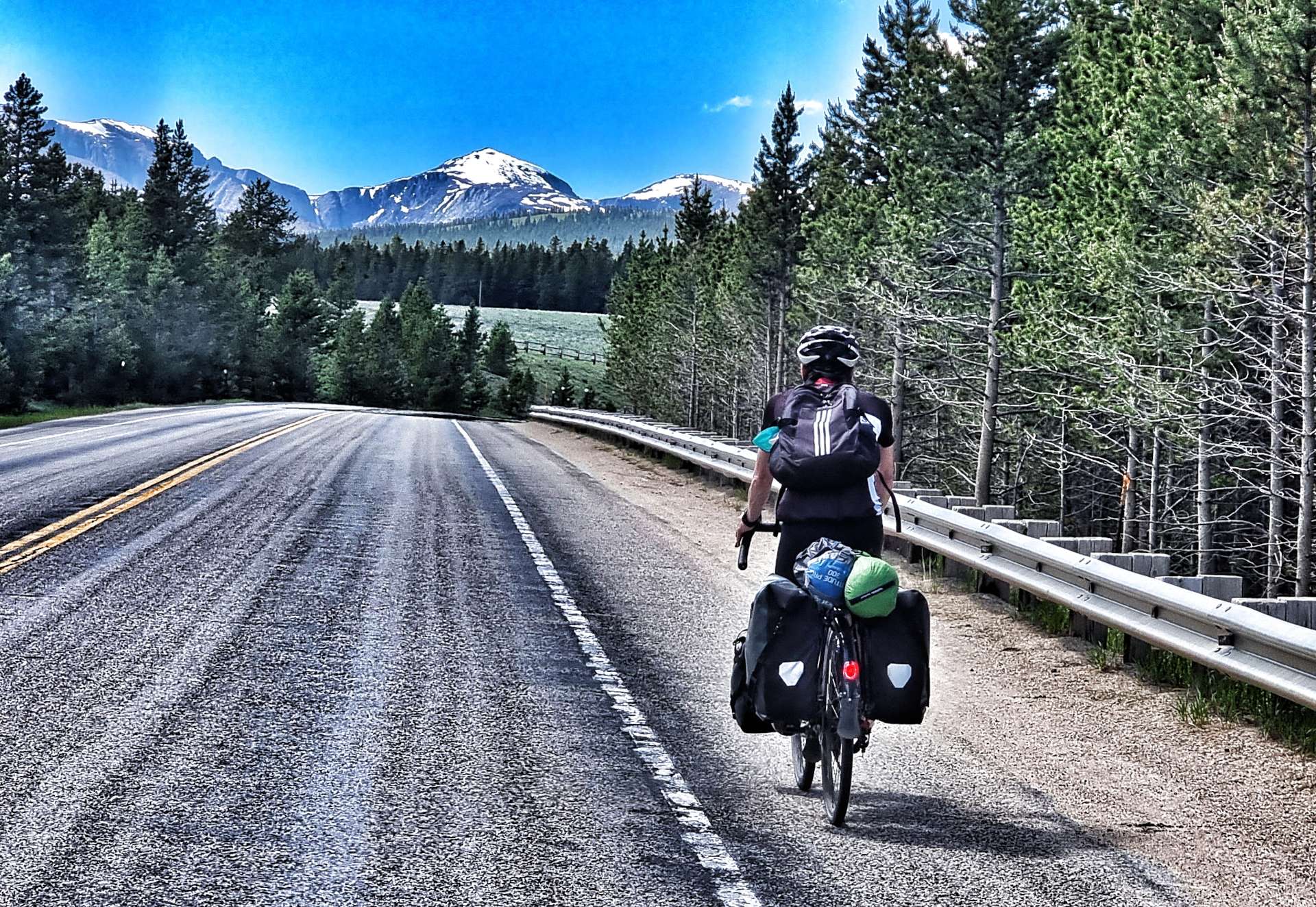
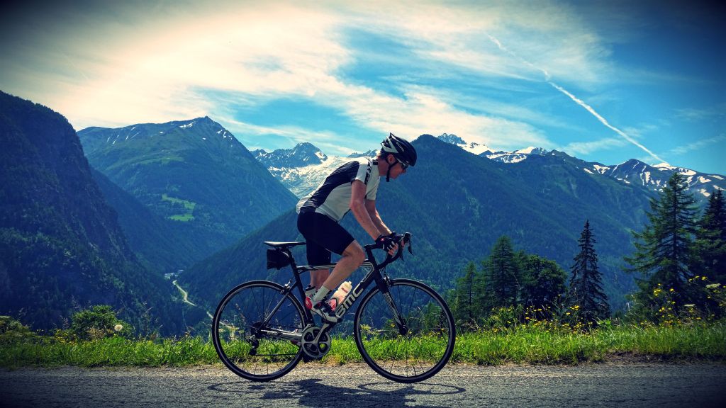
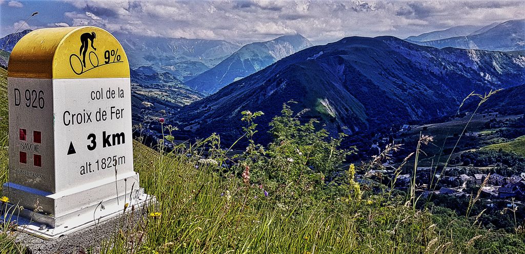
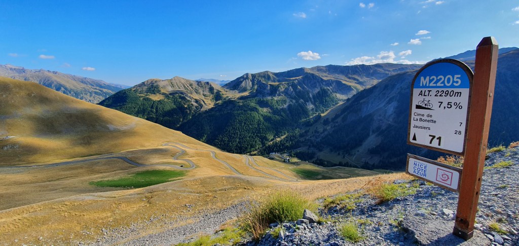
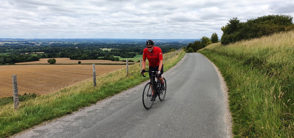
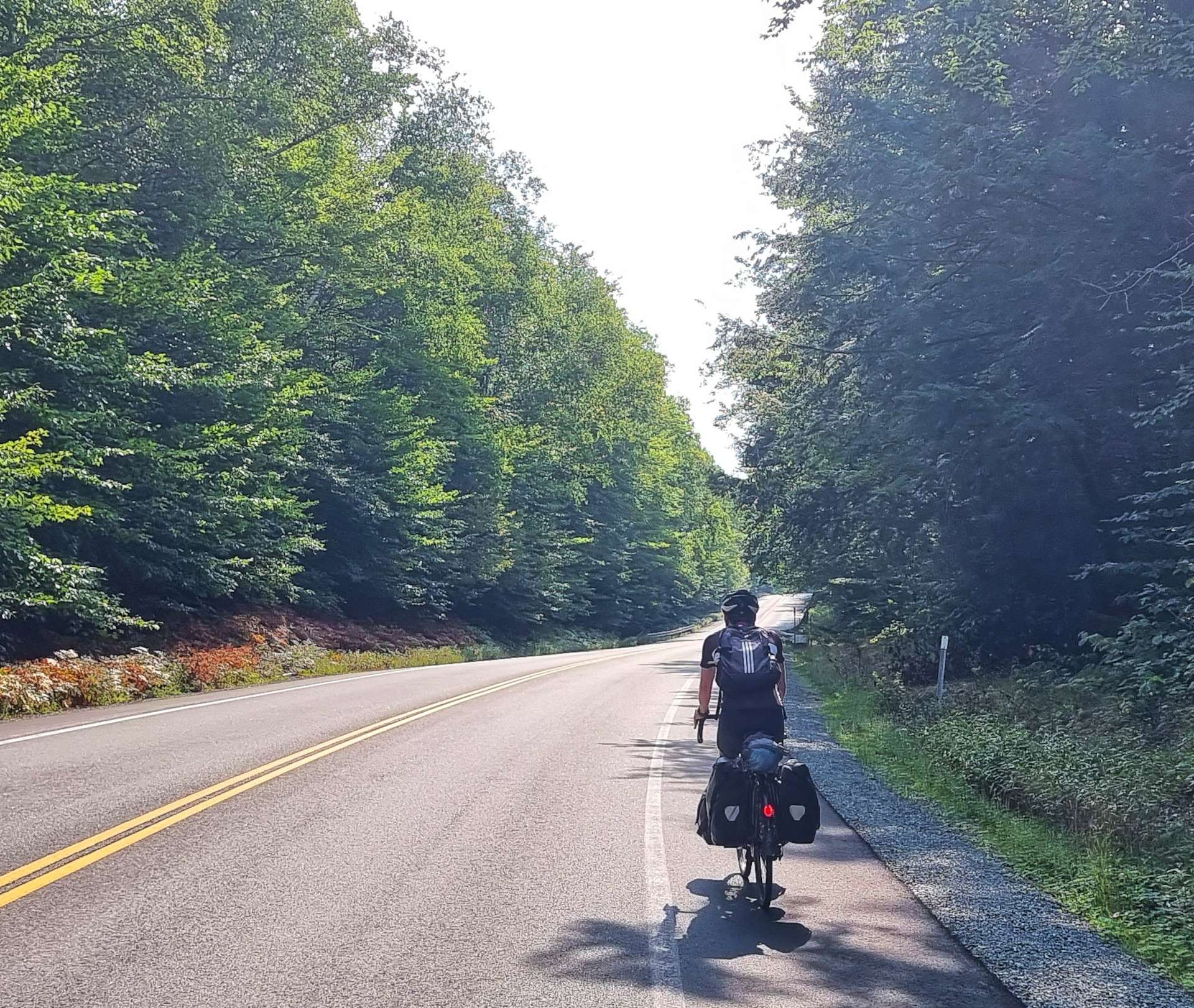
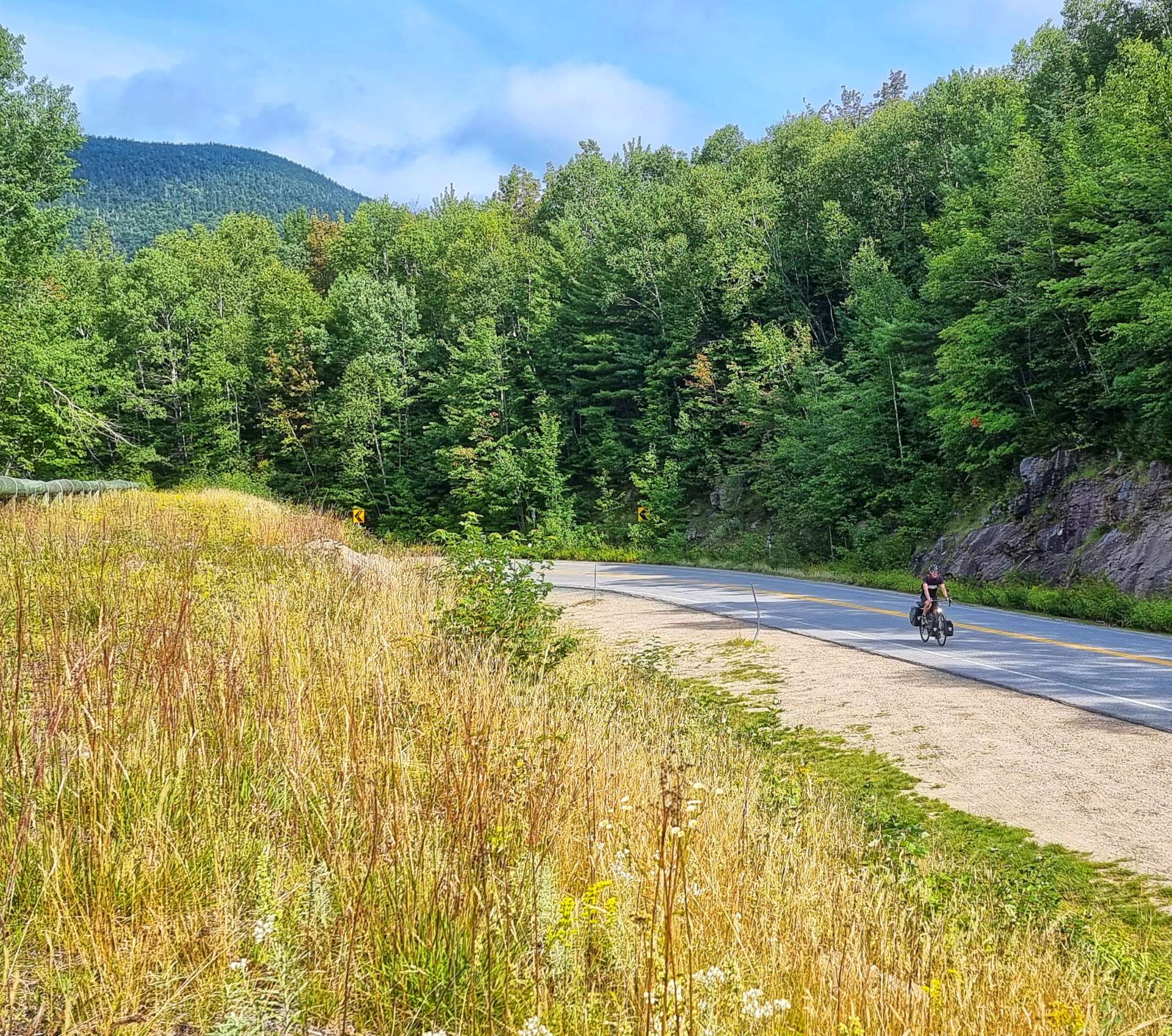
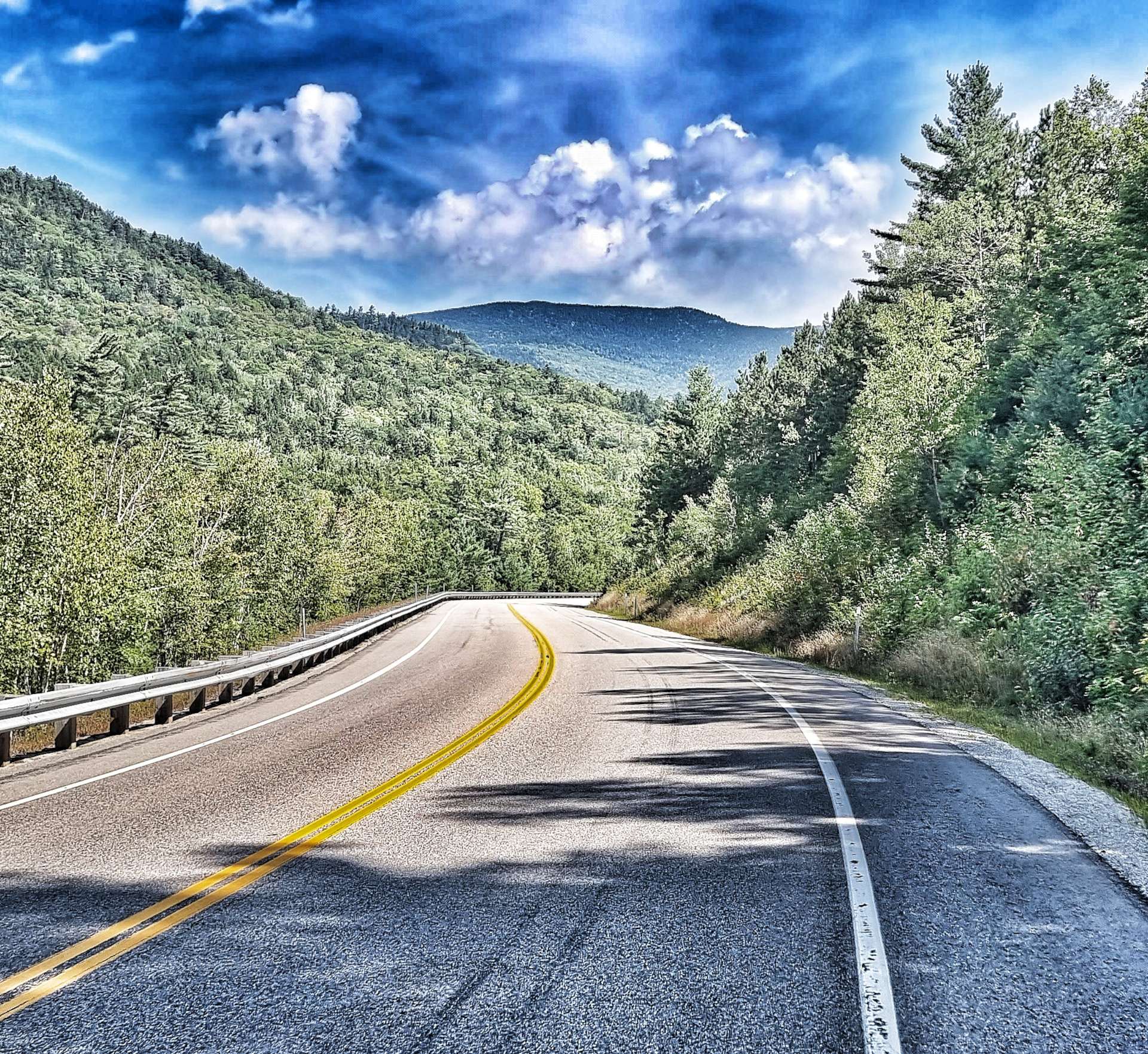
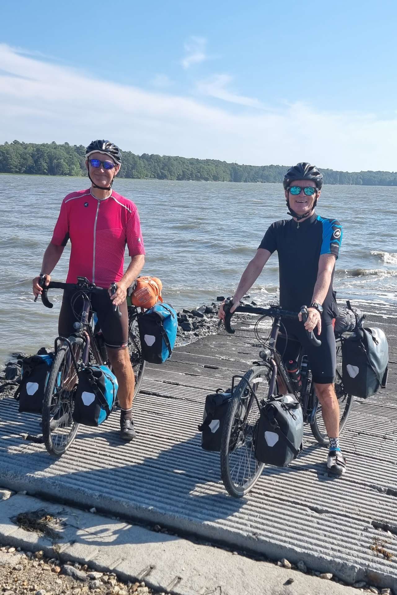
We only have two days of our Coast to Coast adventure remaining, but that doesn’t mean we can take it easy, as today we plan to ride 69 miles & climb the Kancamagus Pass (pronounced Cank-a-Magus I’m reliably informed!). At 15 miles in length & 2,200 feet of vertical, it’s almost Alpine & the first BIG climb since Powder River Pass on Stage 46, way back on 26th June.

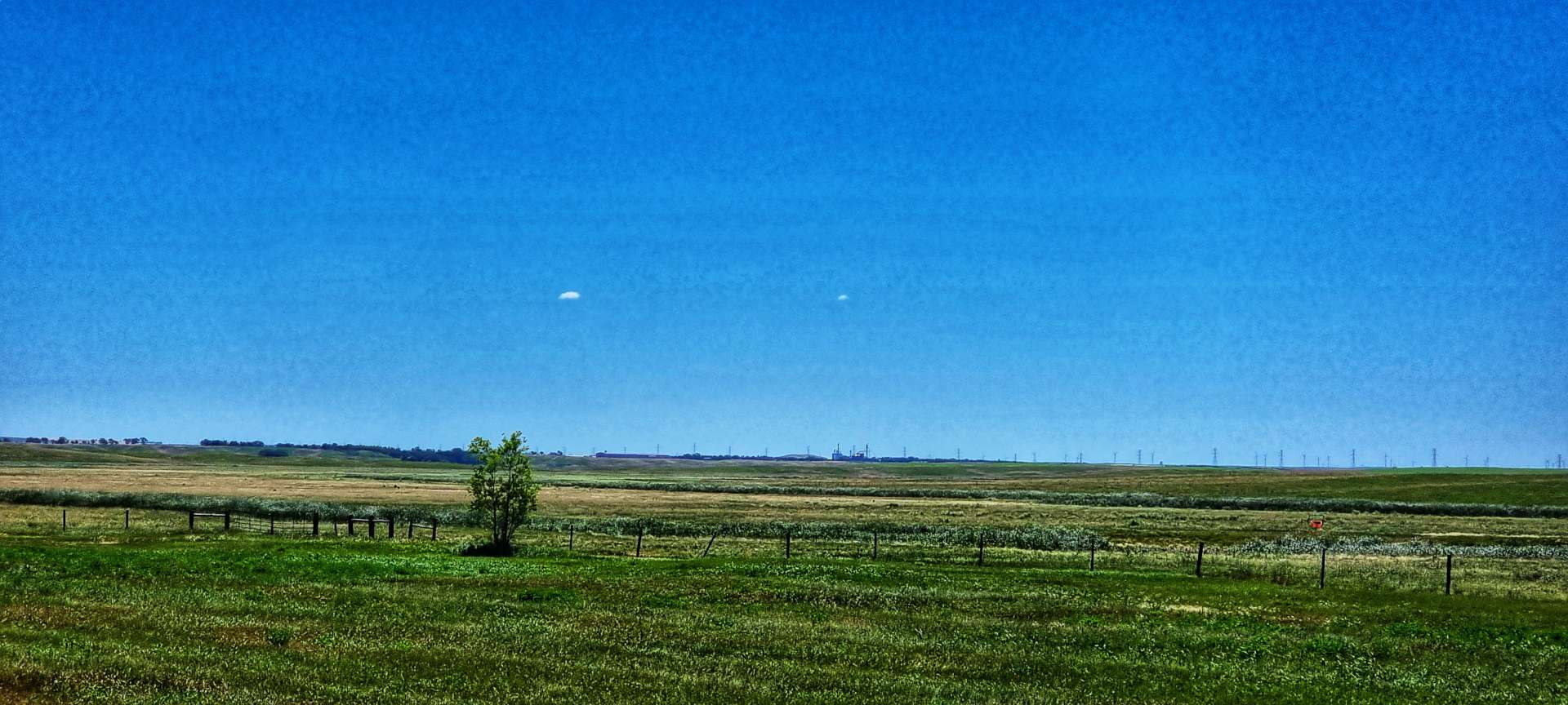
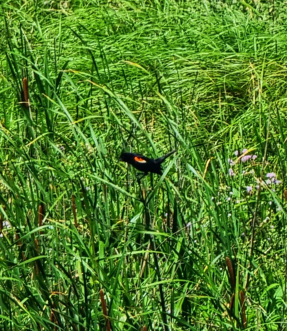
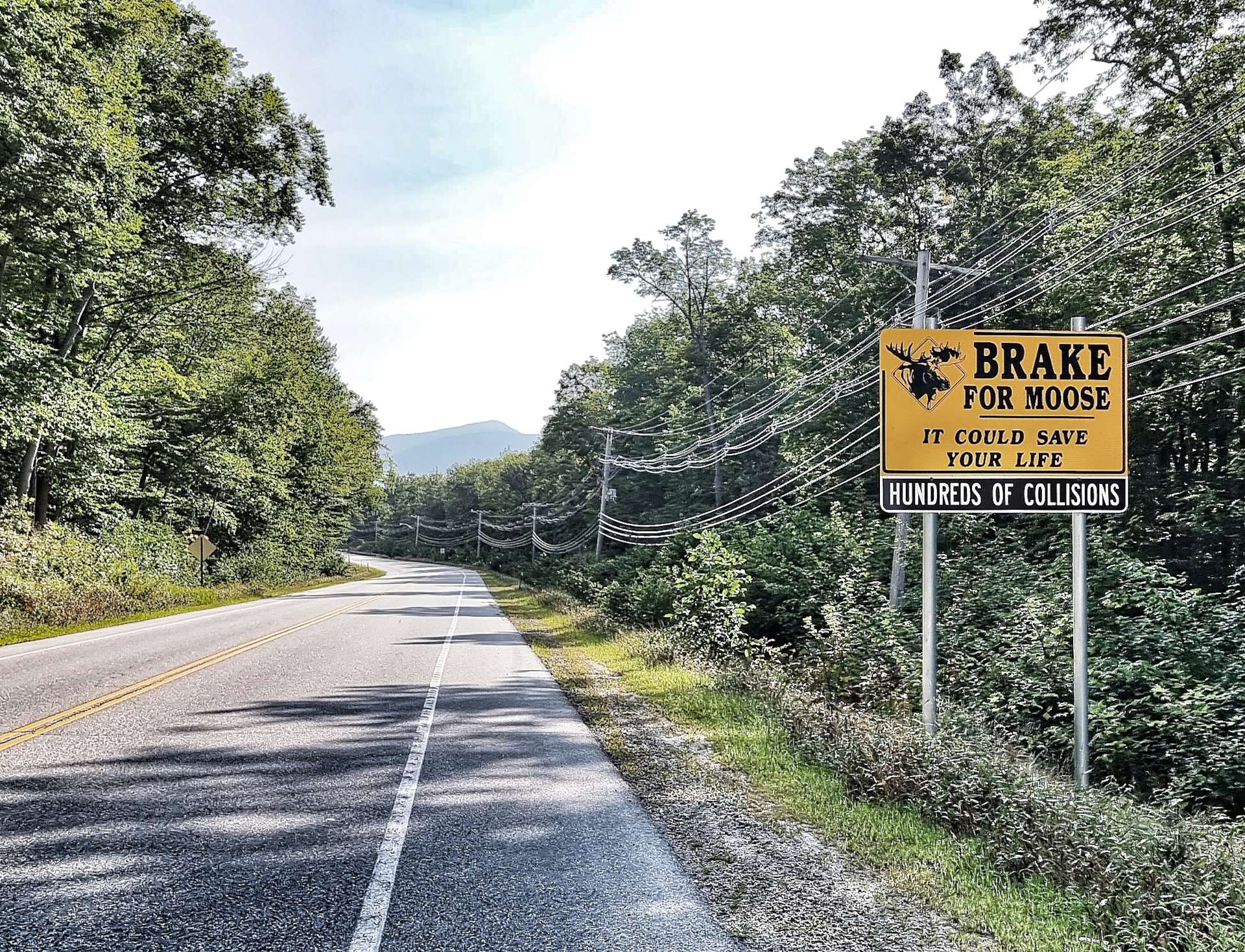
We continue to see reminders that Moose do exist, although this feels a little that we’re being taunted. as it’s one of the few animals that has eluded us on our travels! We’ve seen a whole load of animals I didn’t expect to see (like a black bear cub & a golden eagle), so I shouldn’t complain.

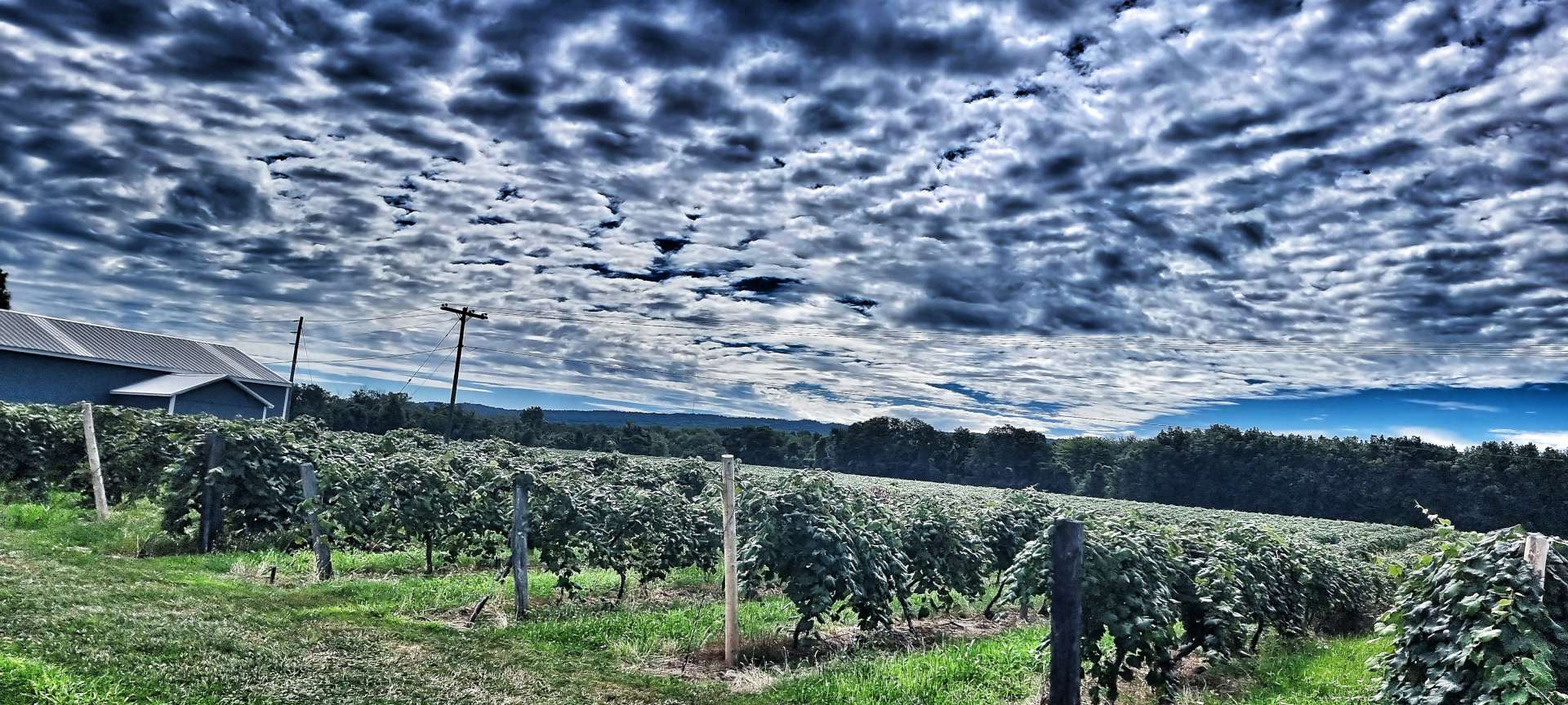
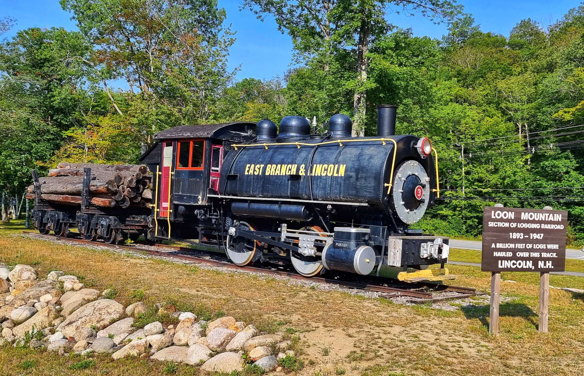
The towns of North Woodstock & Lincoln are ski resorts in winter, but they have also harvested the forest since the late 1800’s – between 1893 & 1947, 2 billion feet of logs were hauled out of the Loon Mountain forest on the railroad!

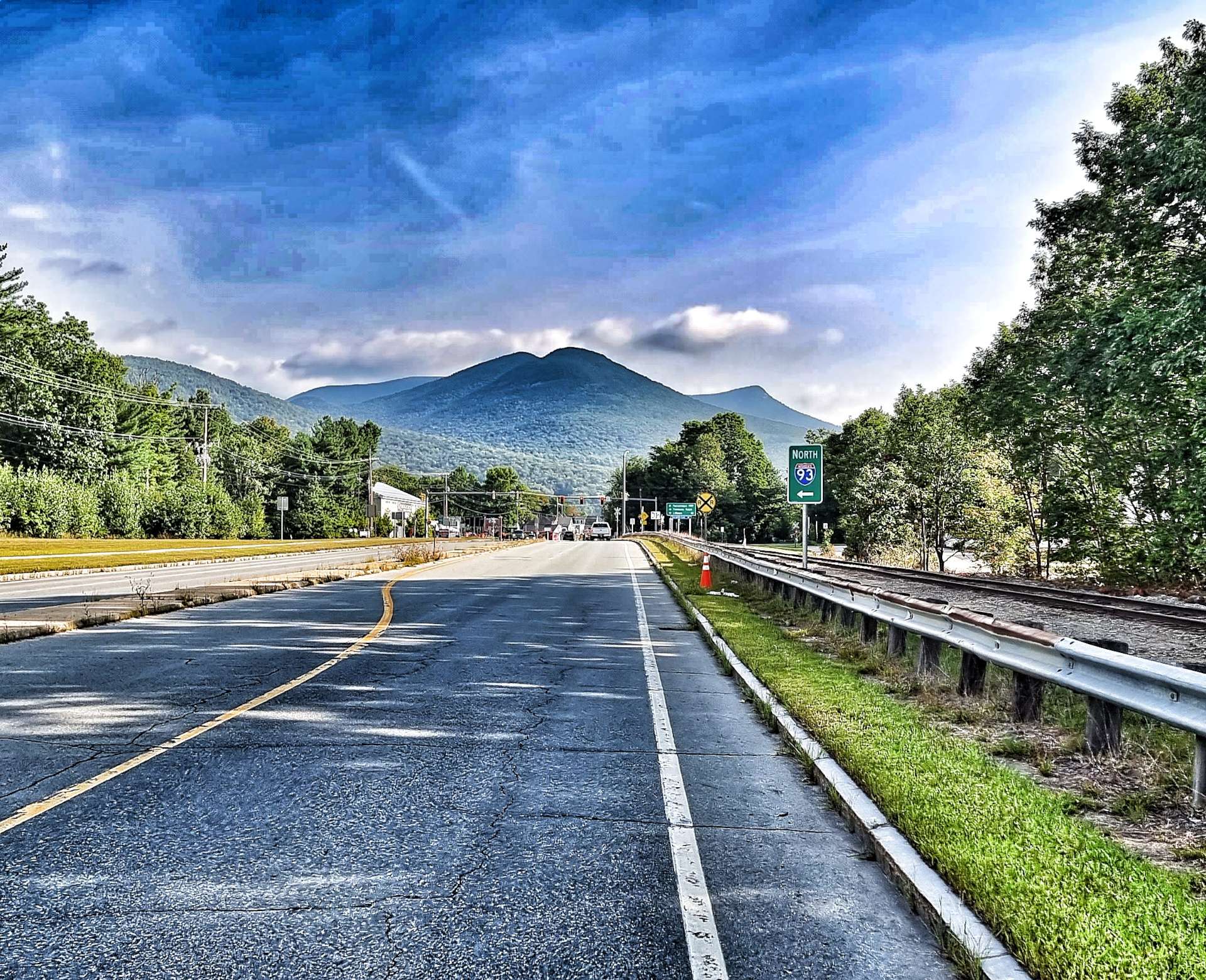
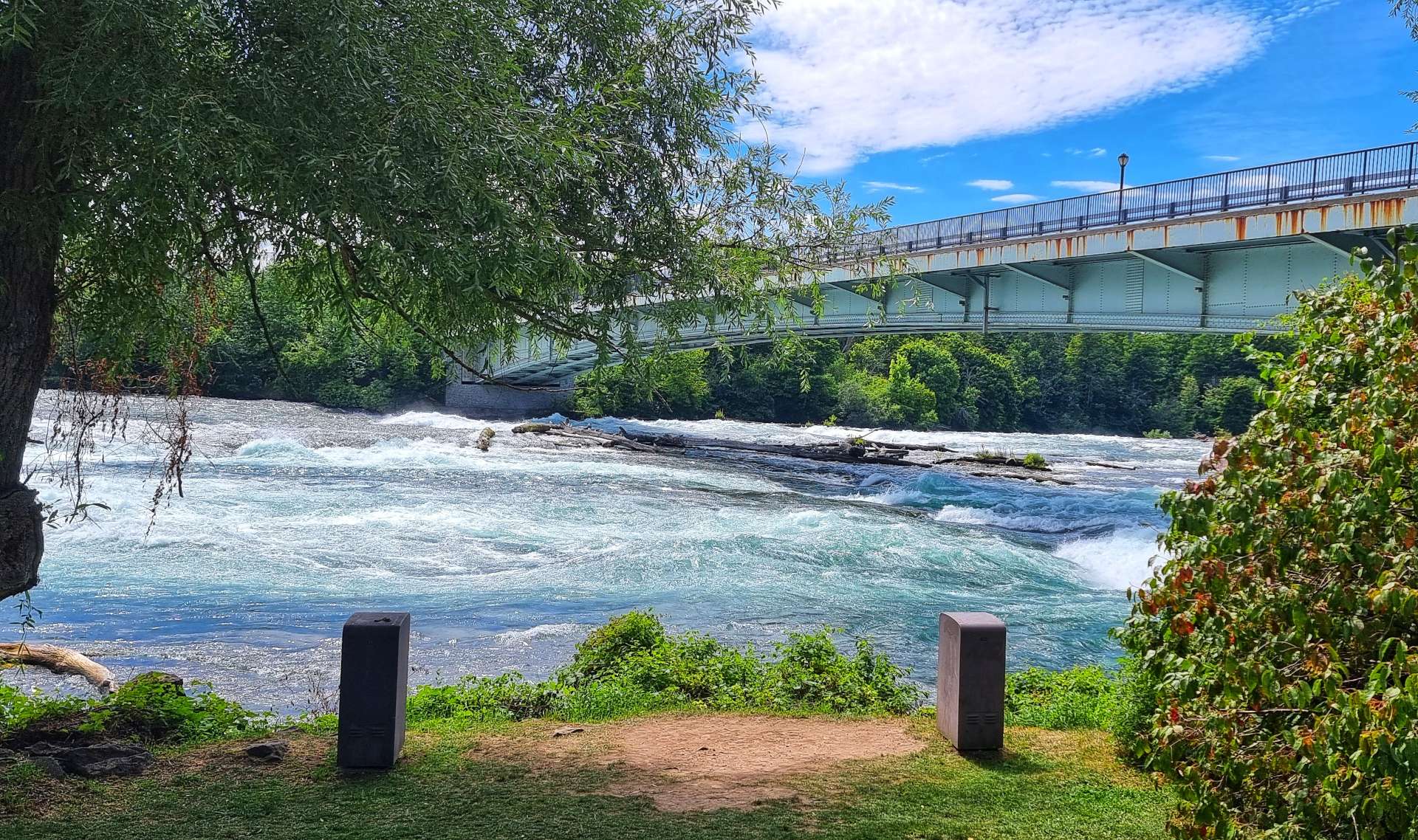
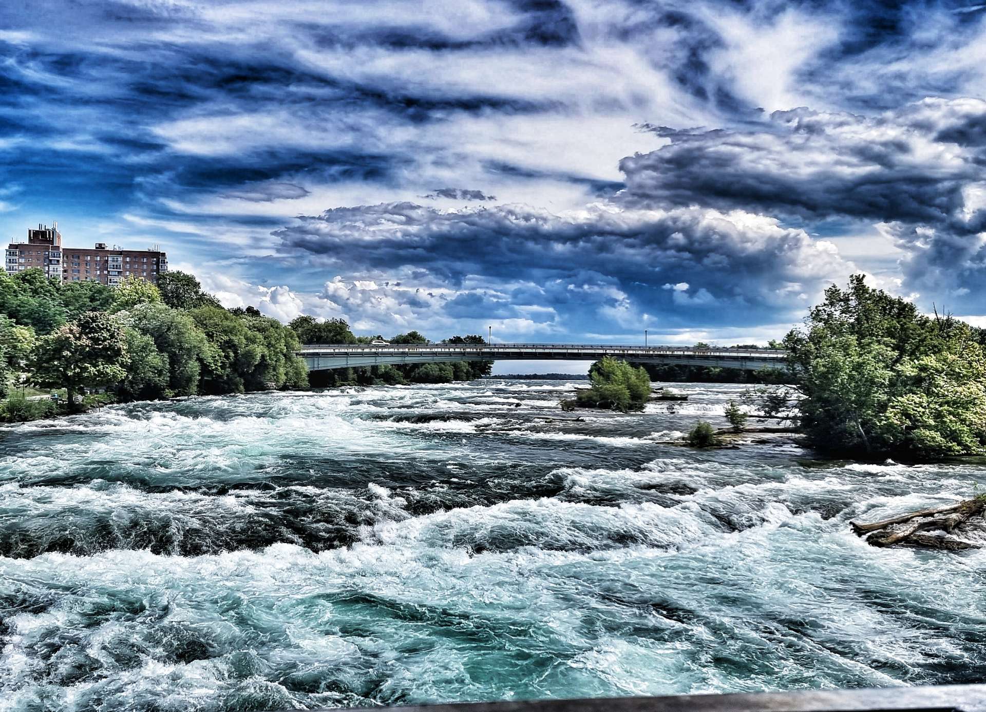
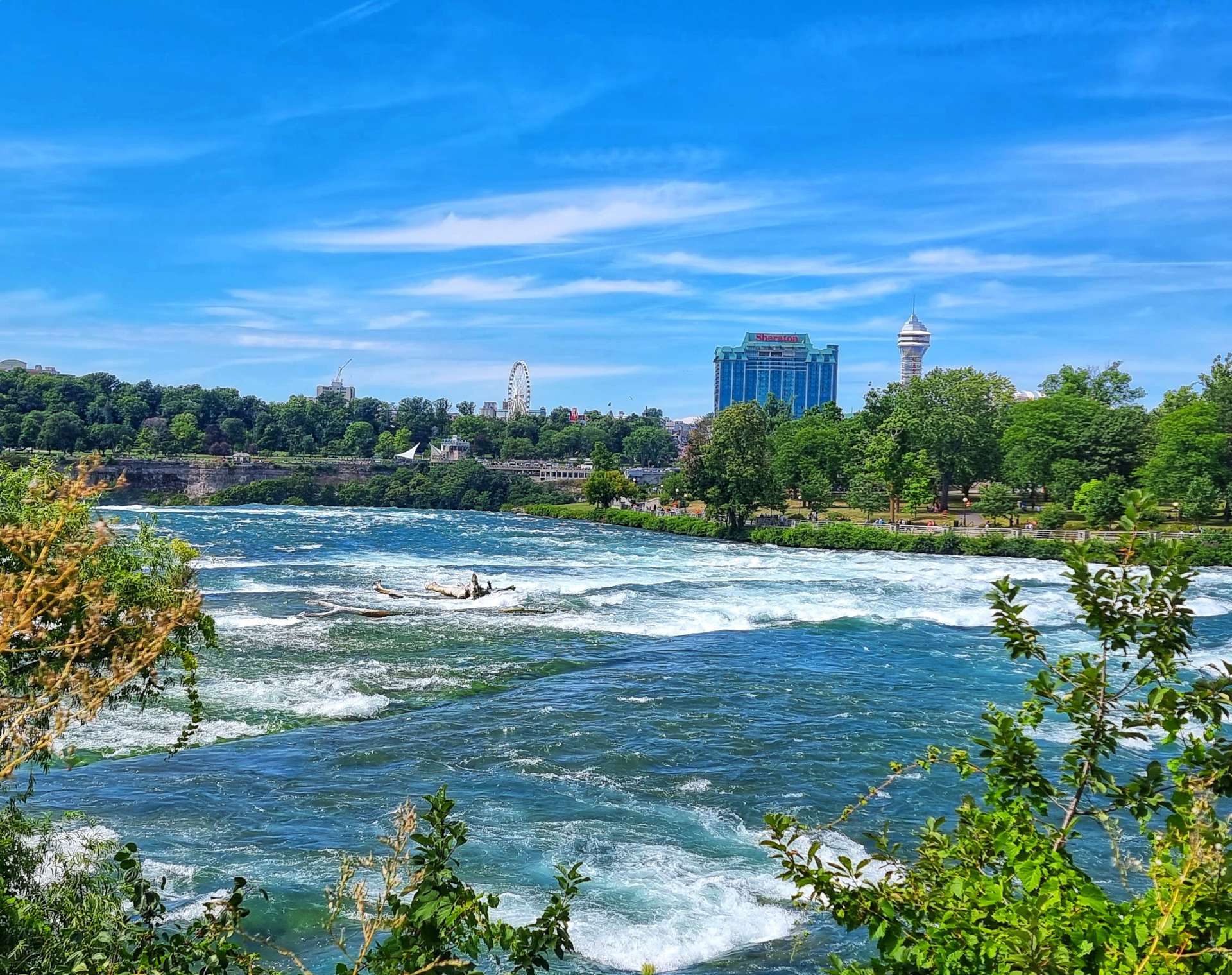
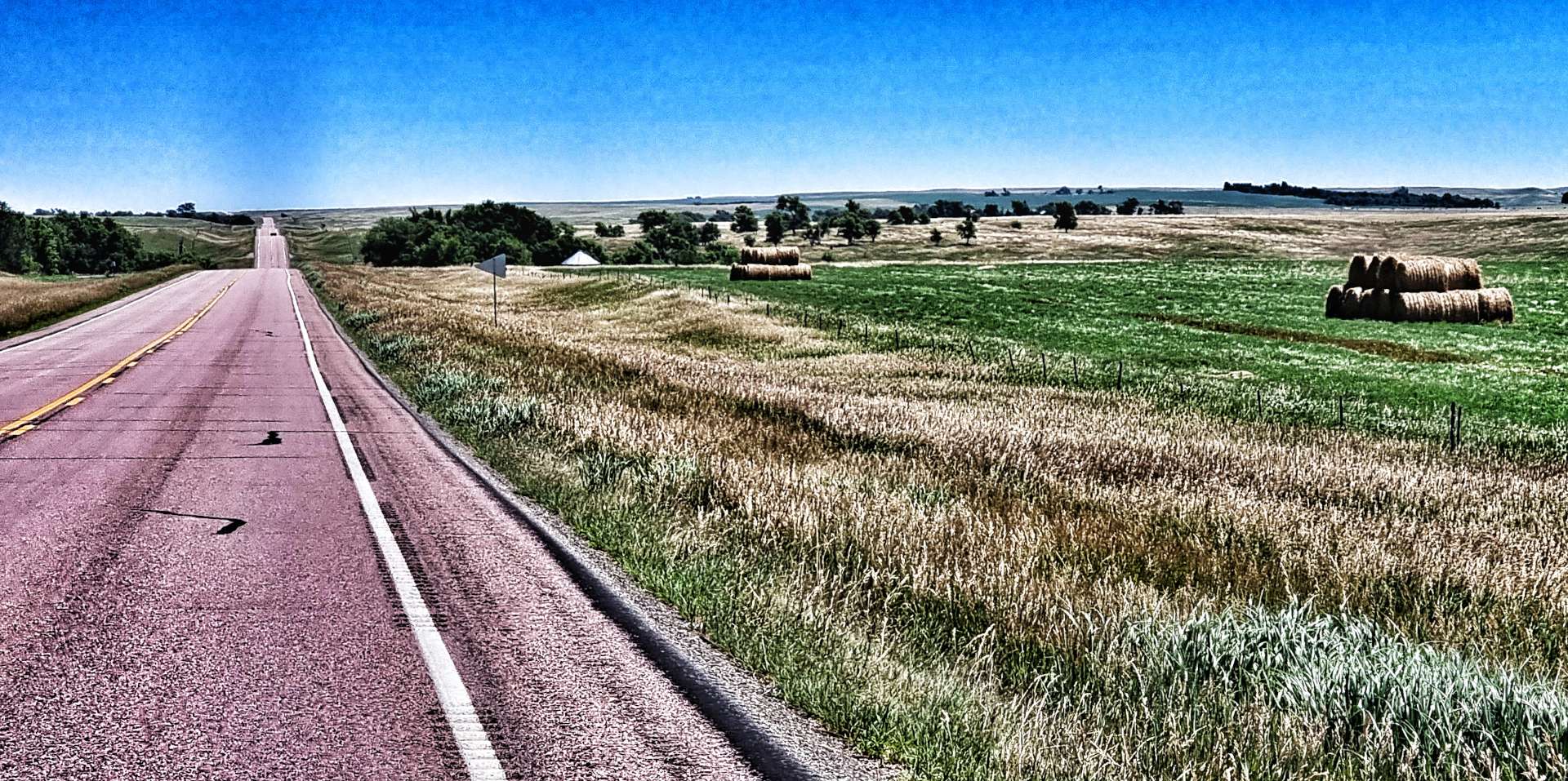
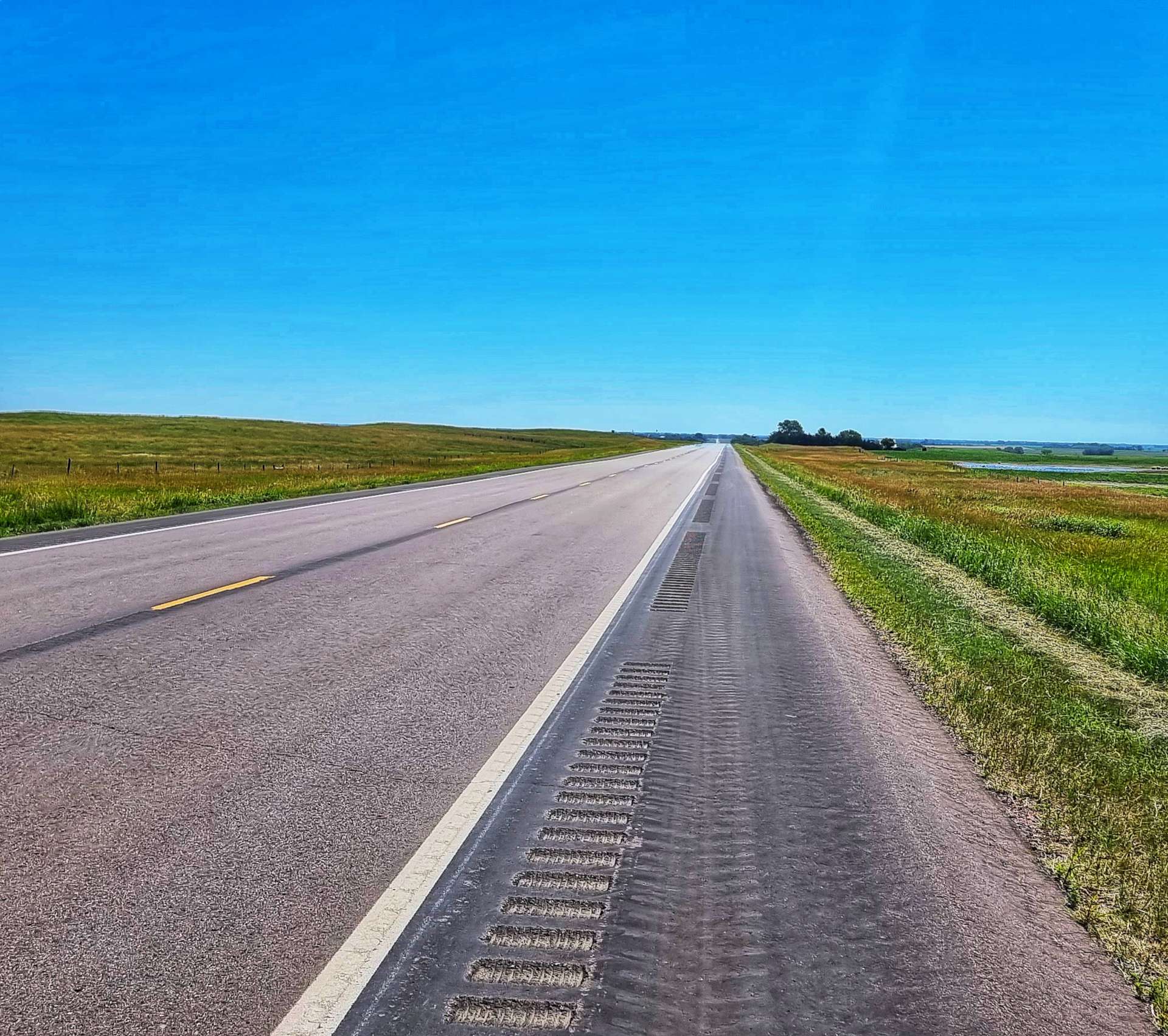
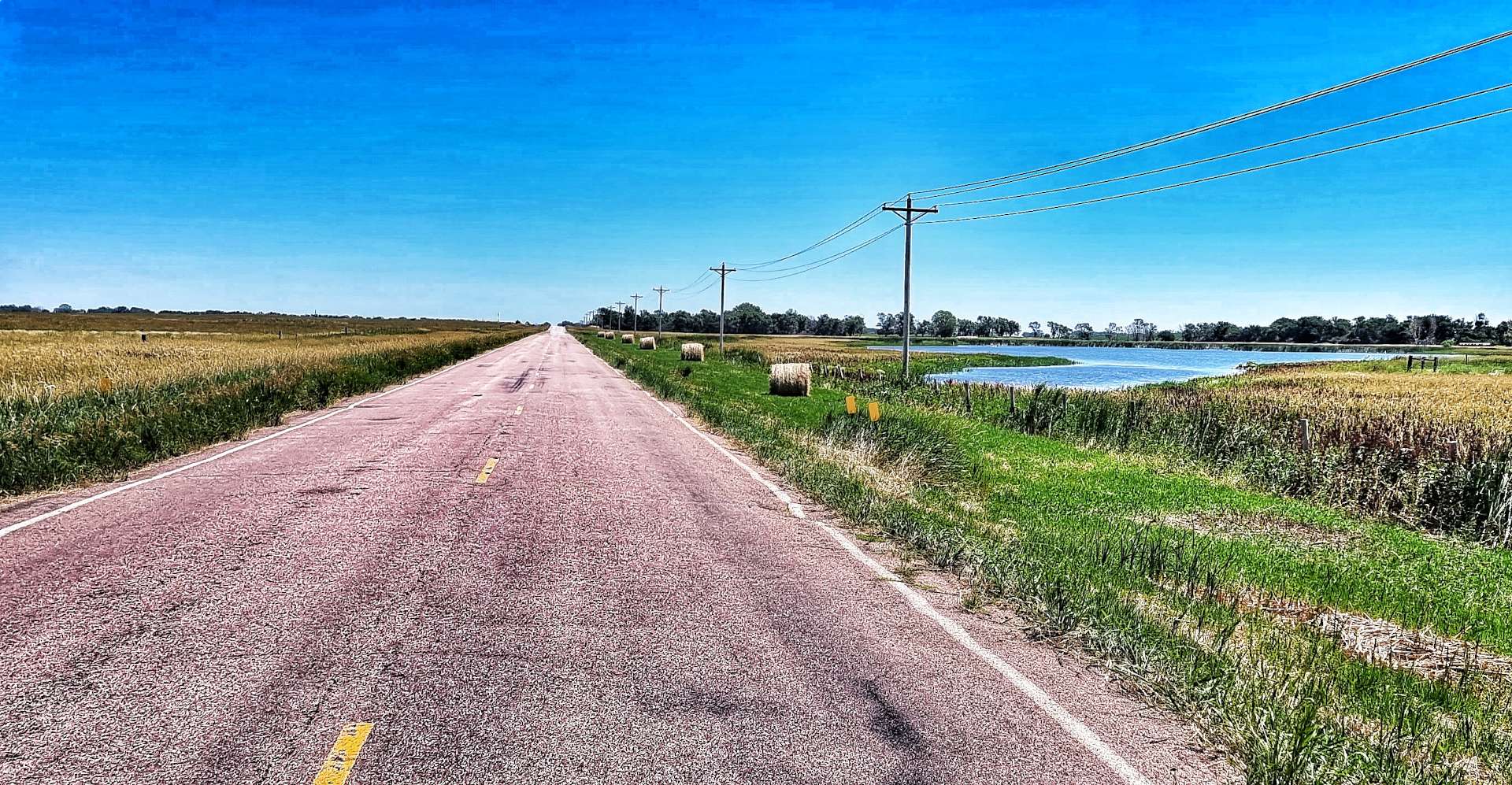
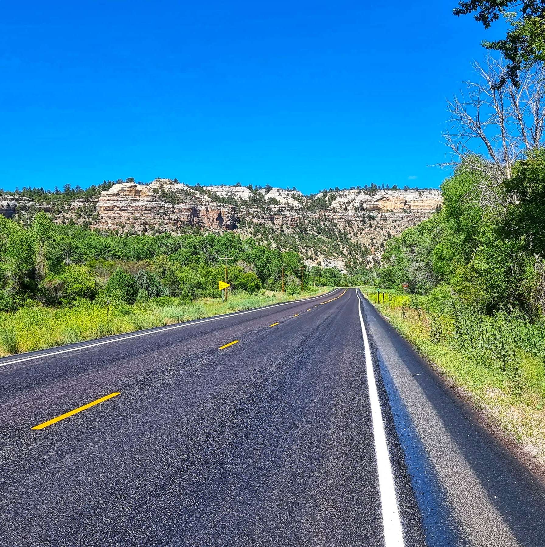
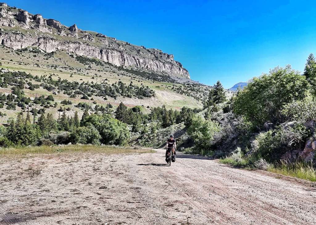
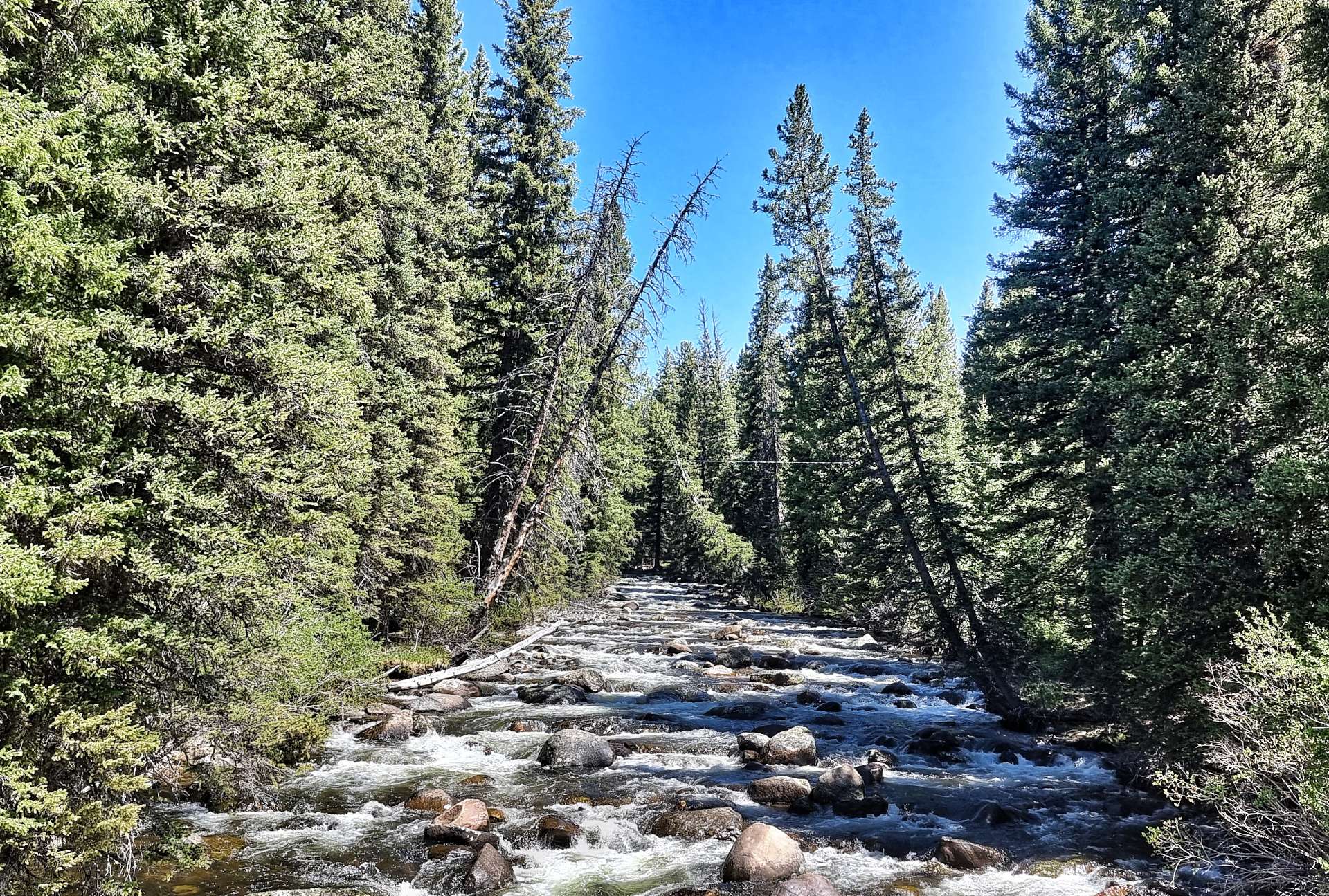
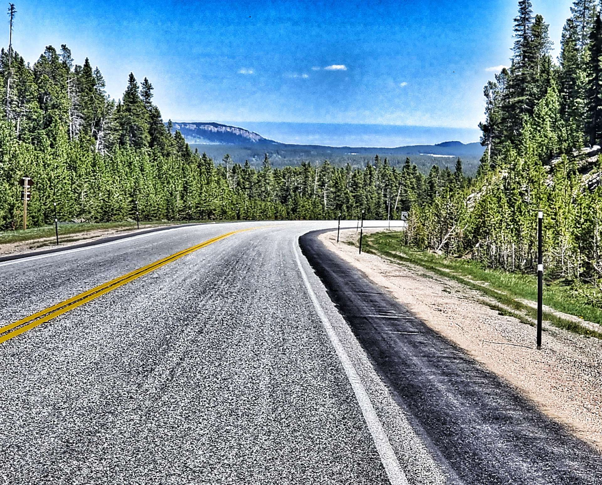
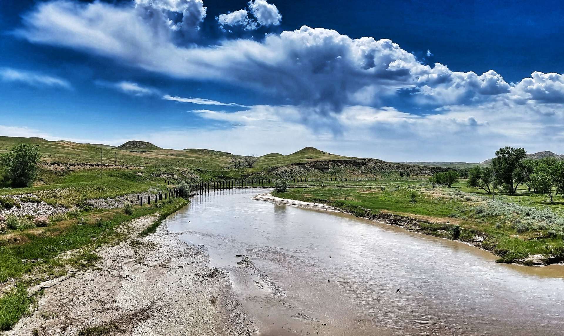
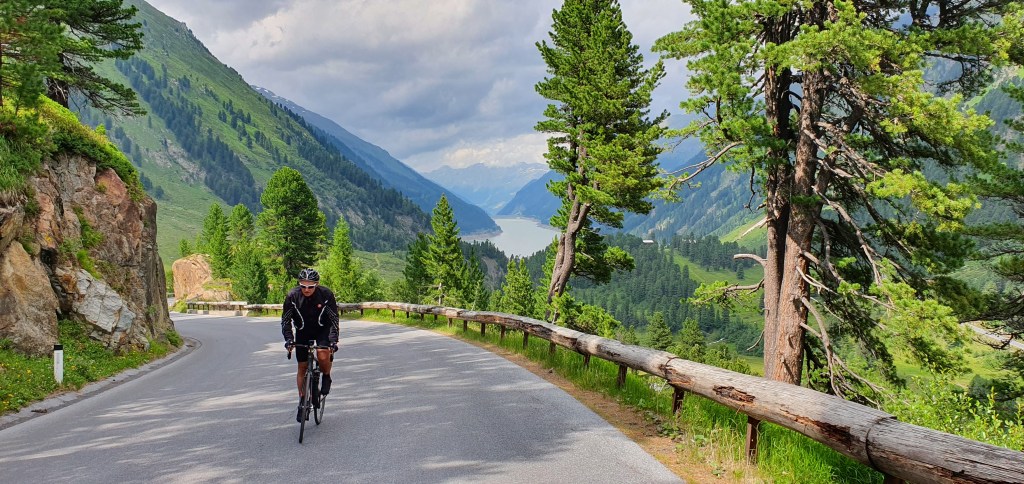
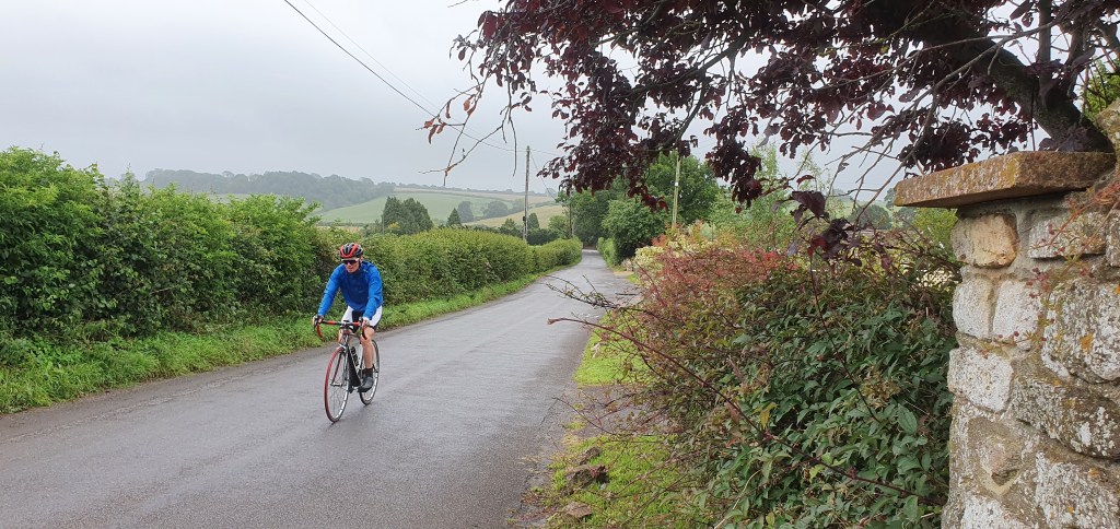
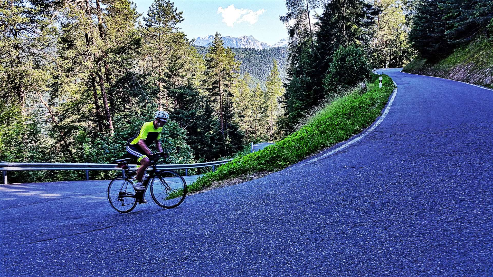
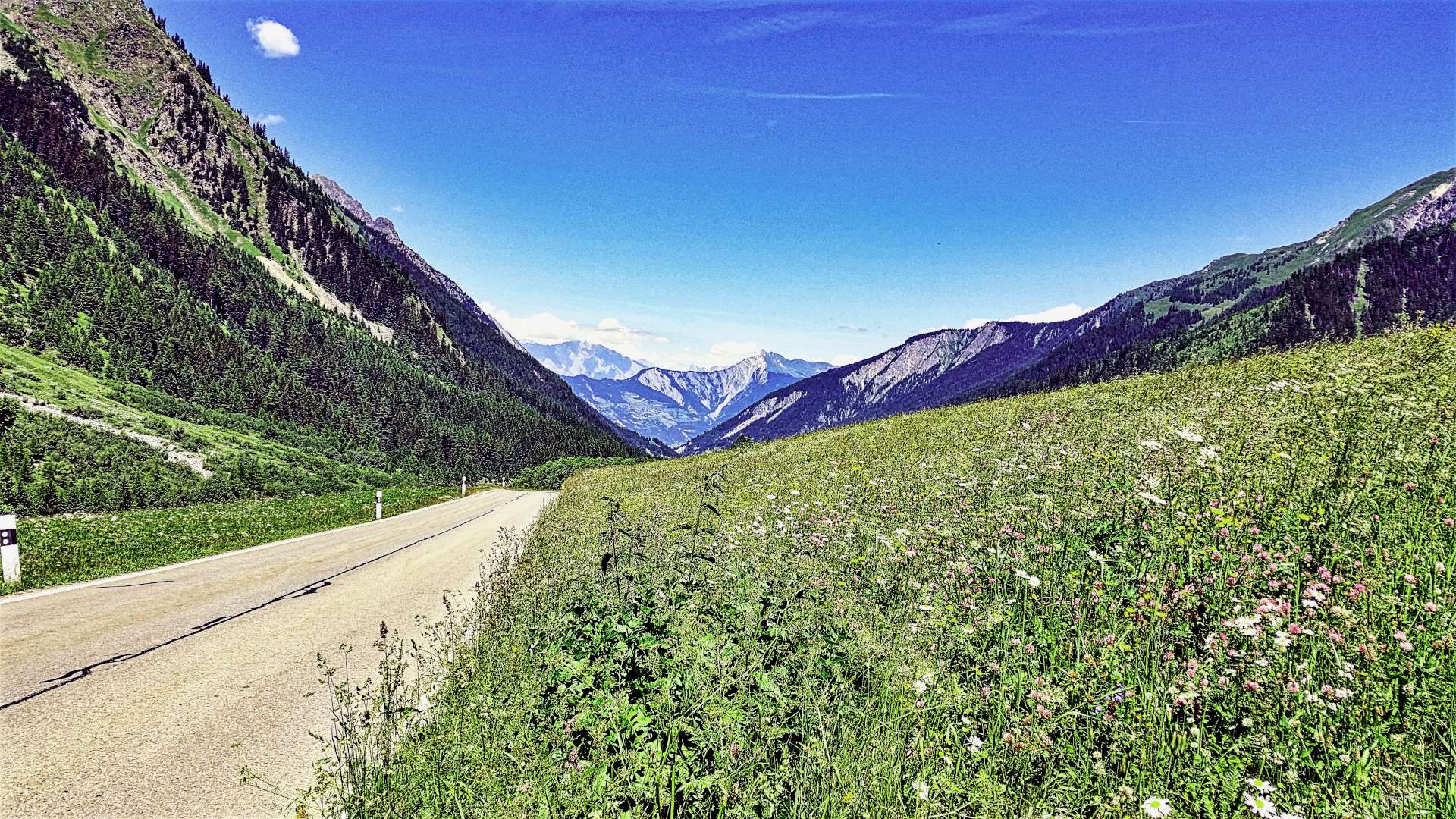
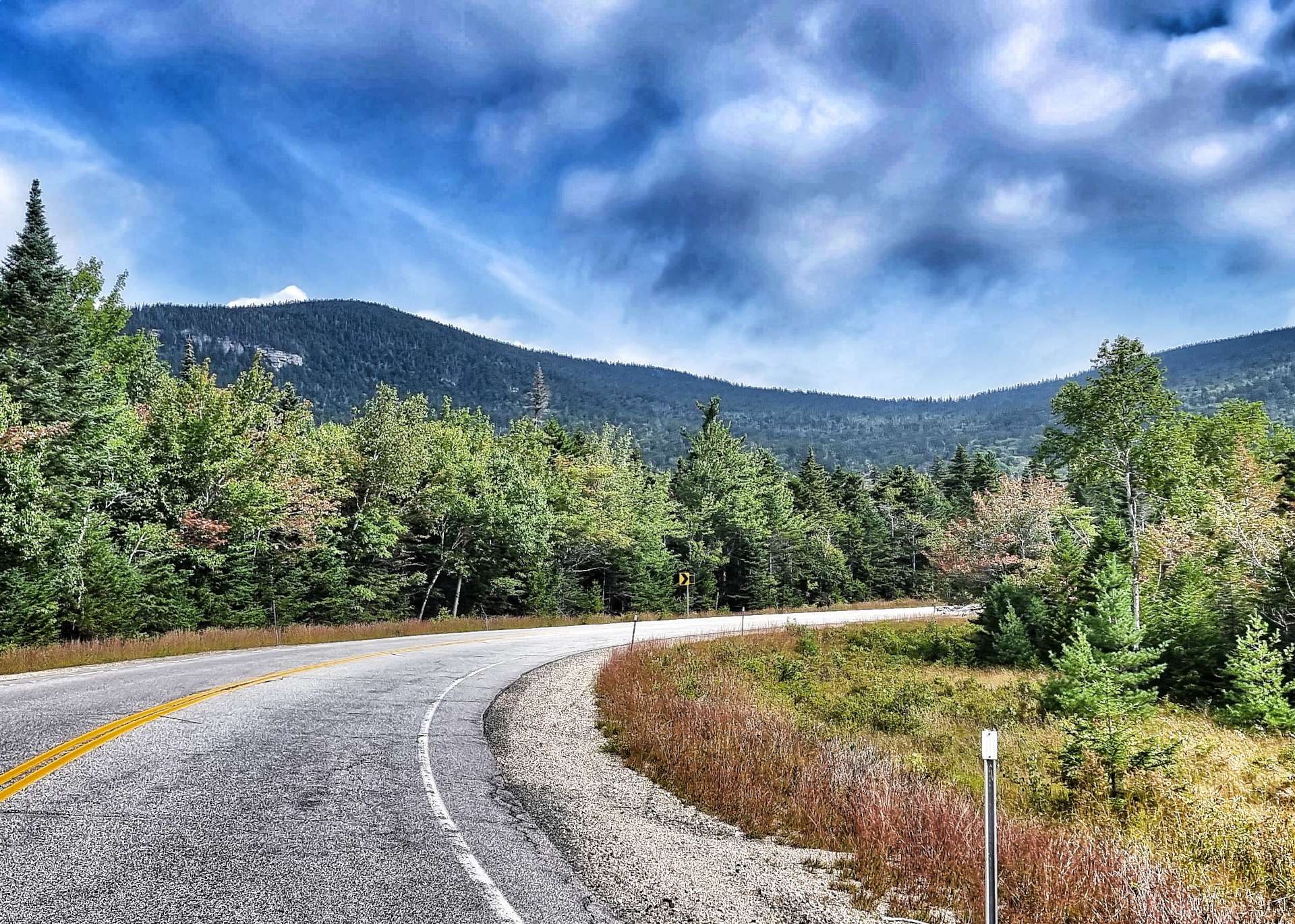
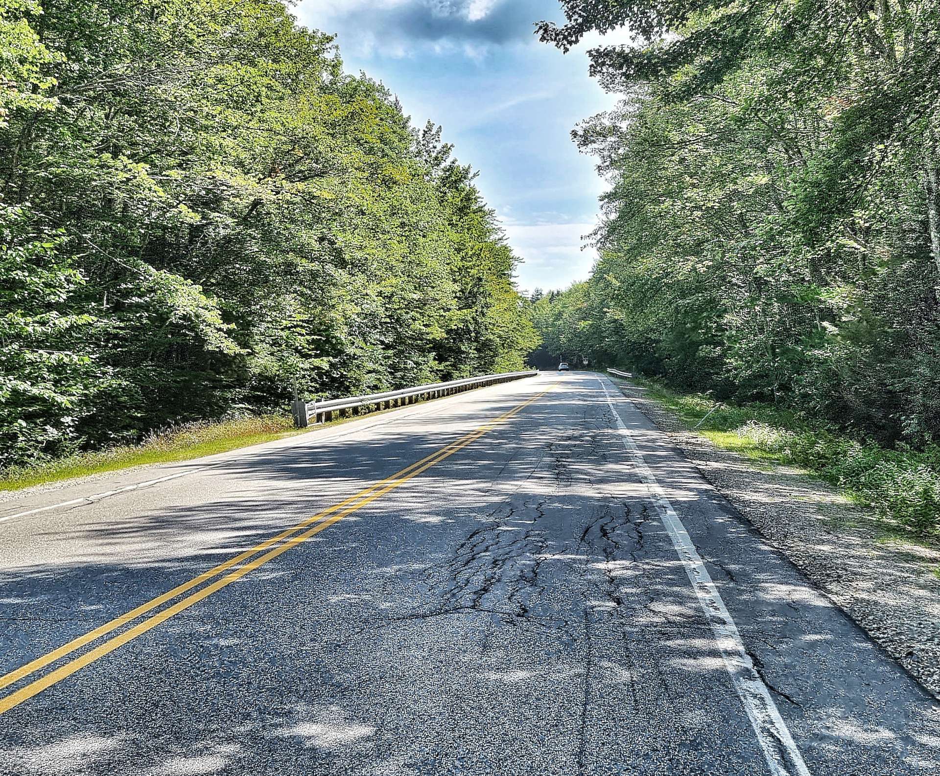
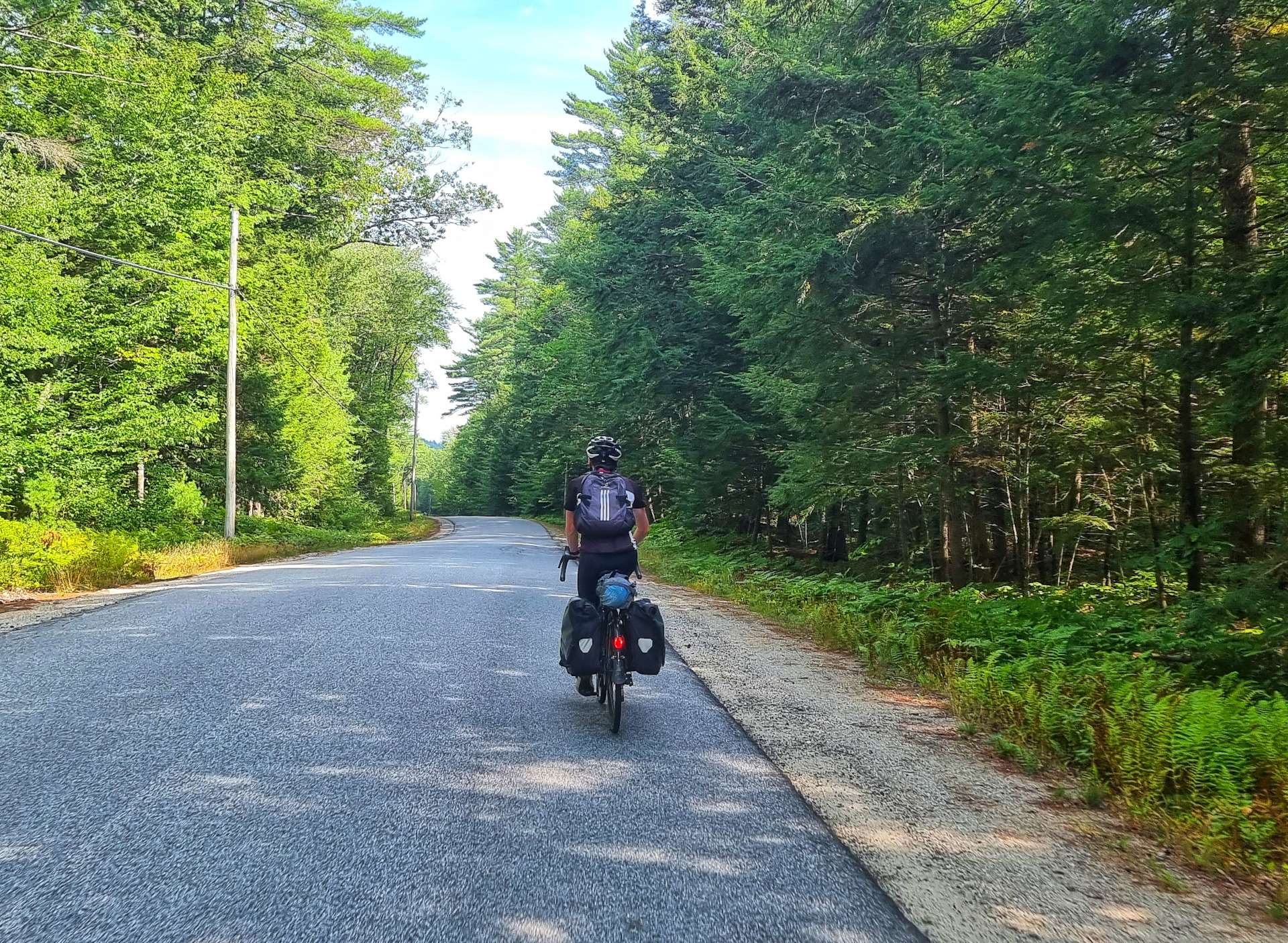
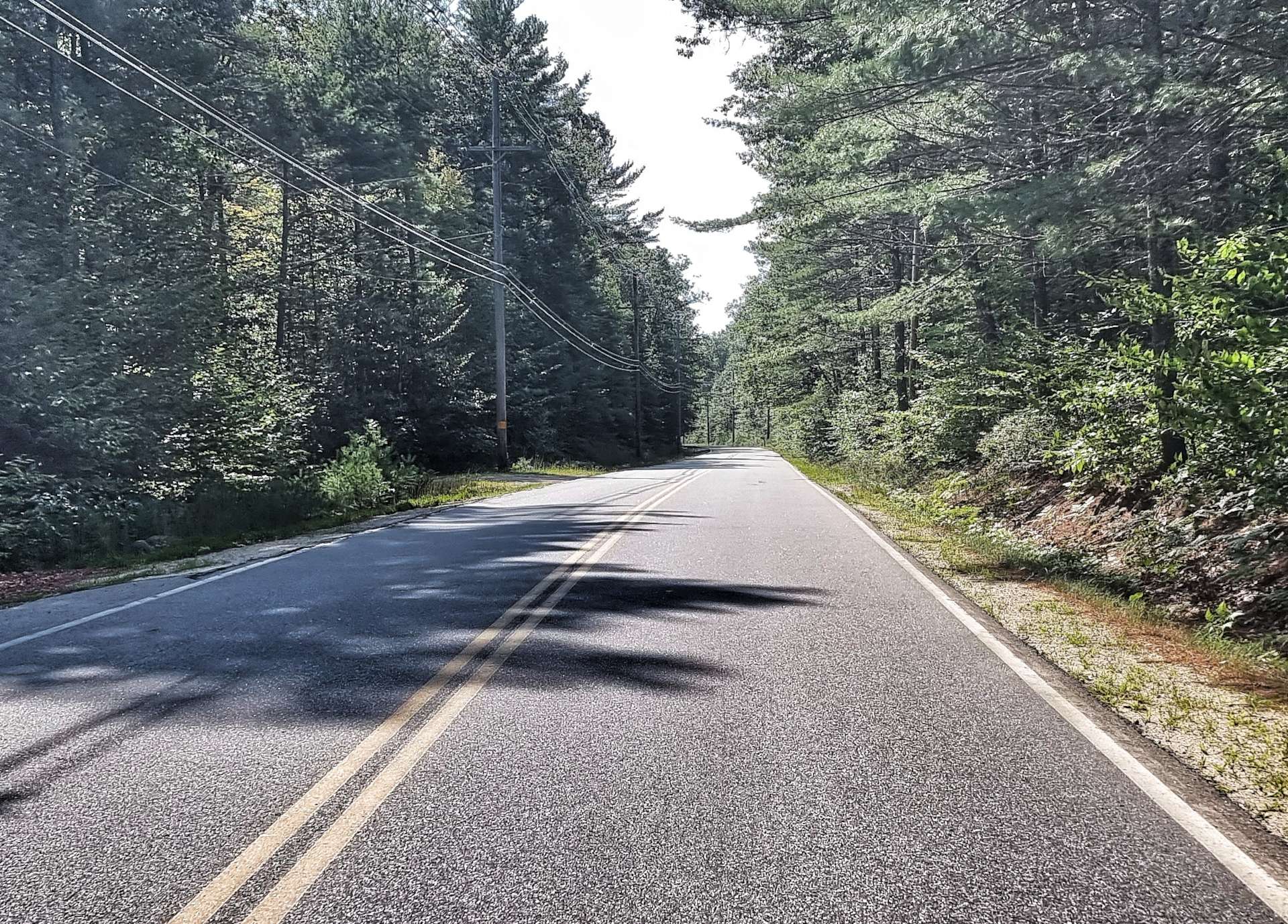
We’re riding the Kancamagus Highway, which is a scenic byway that links Lincoln with Conway, 37 miles to the East (it’s also our planned coffee stop in a few hours time). The early slopes of the climb followed the course of the Swift River & that resulted in the gradient being more friendly than either of us had expected – we were climbing at a fairly consistent 4% to 5%.

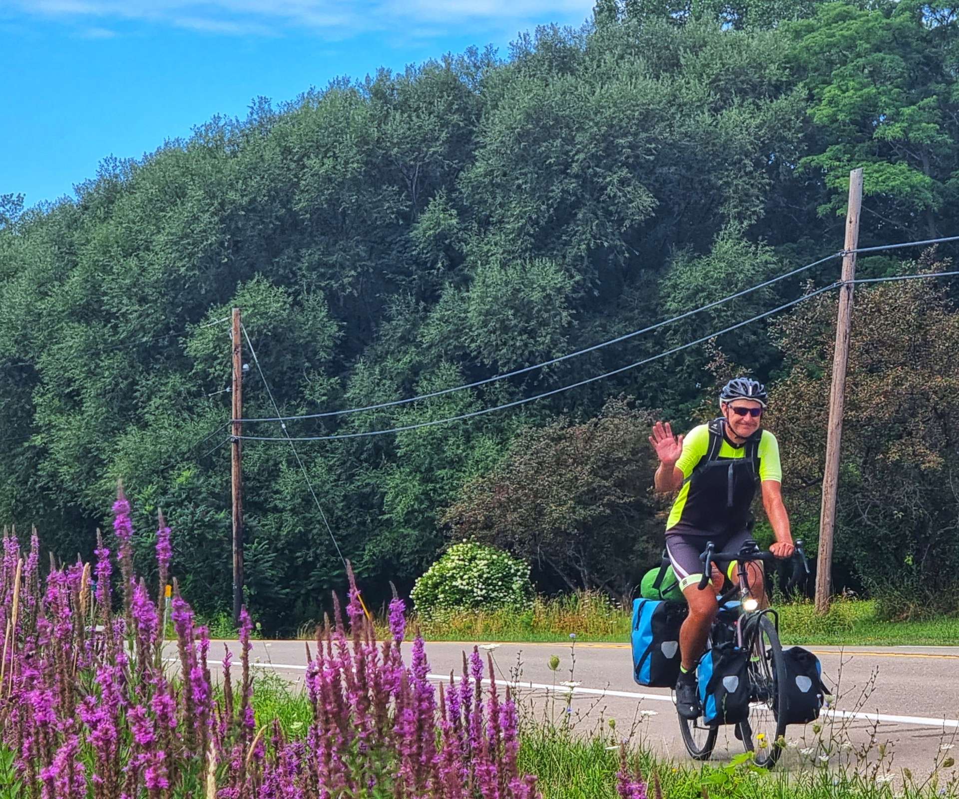
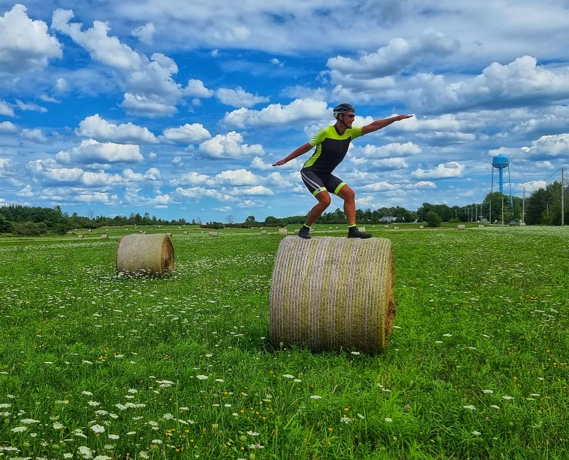
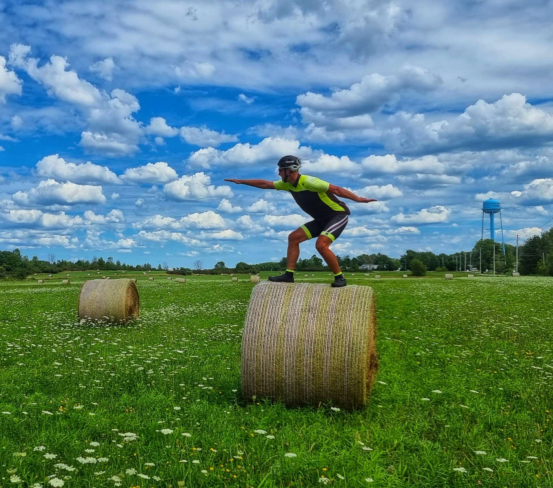
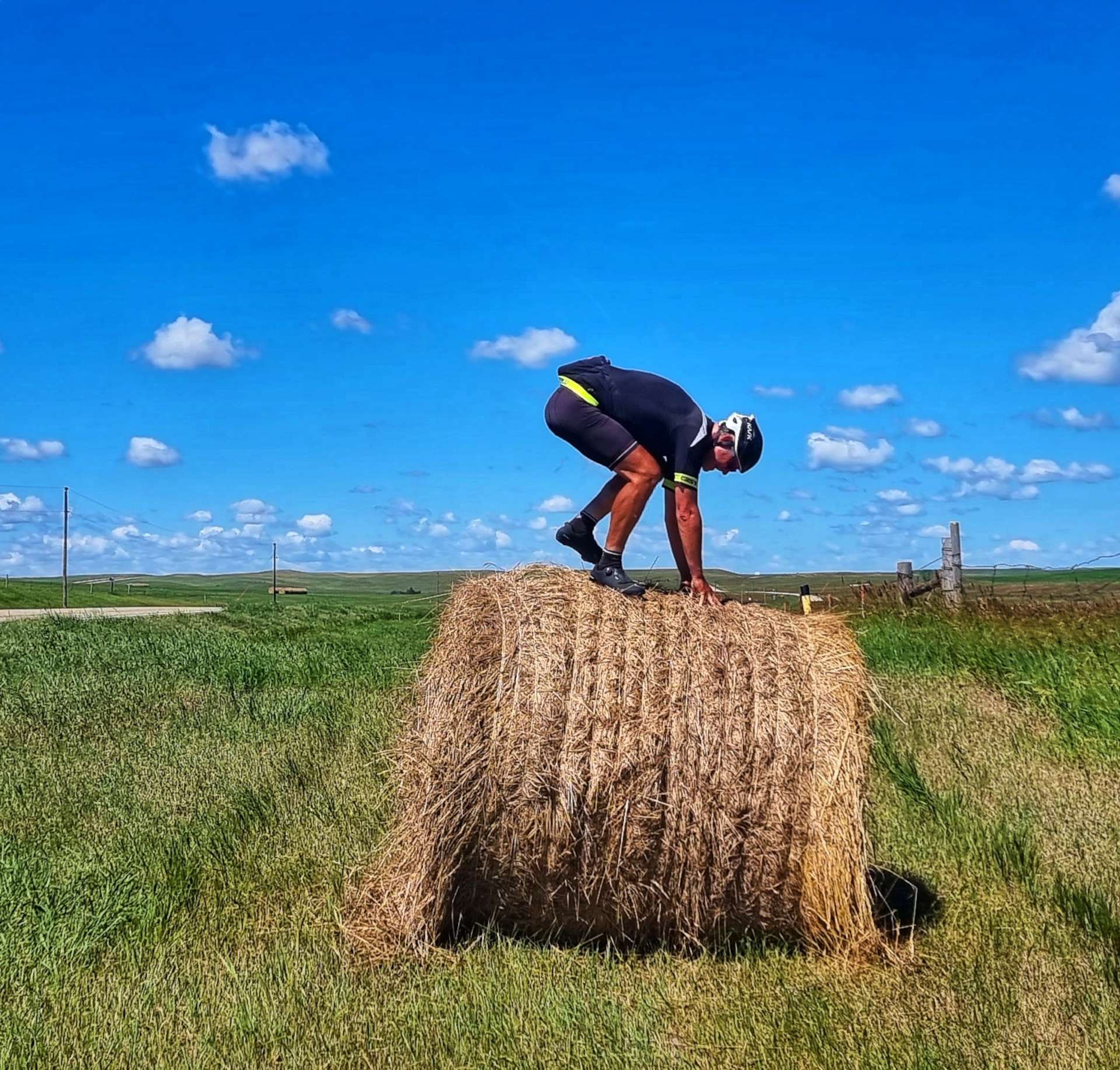
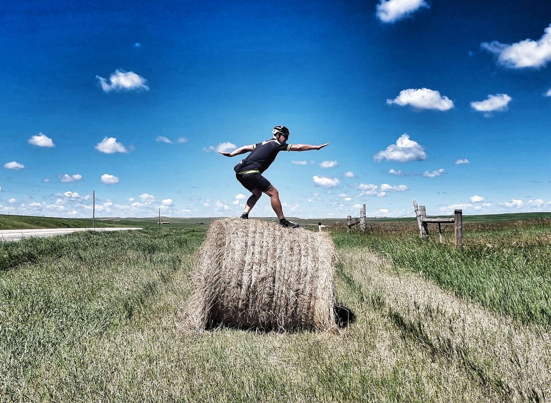
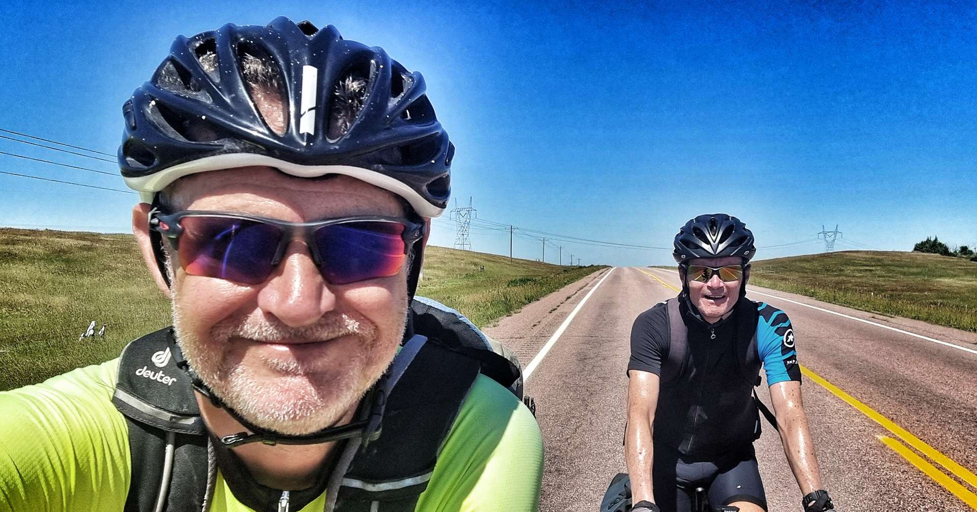
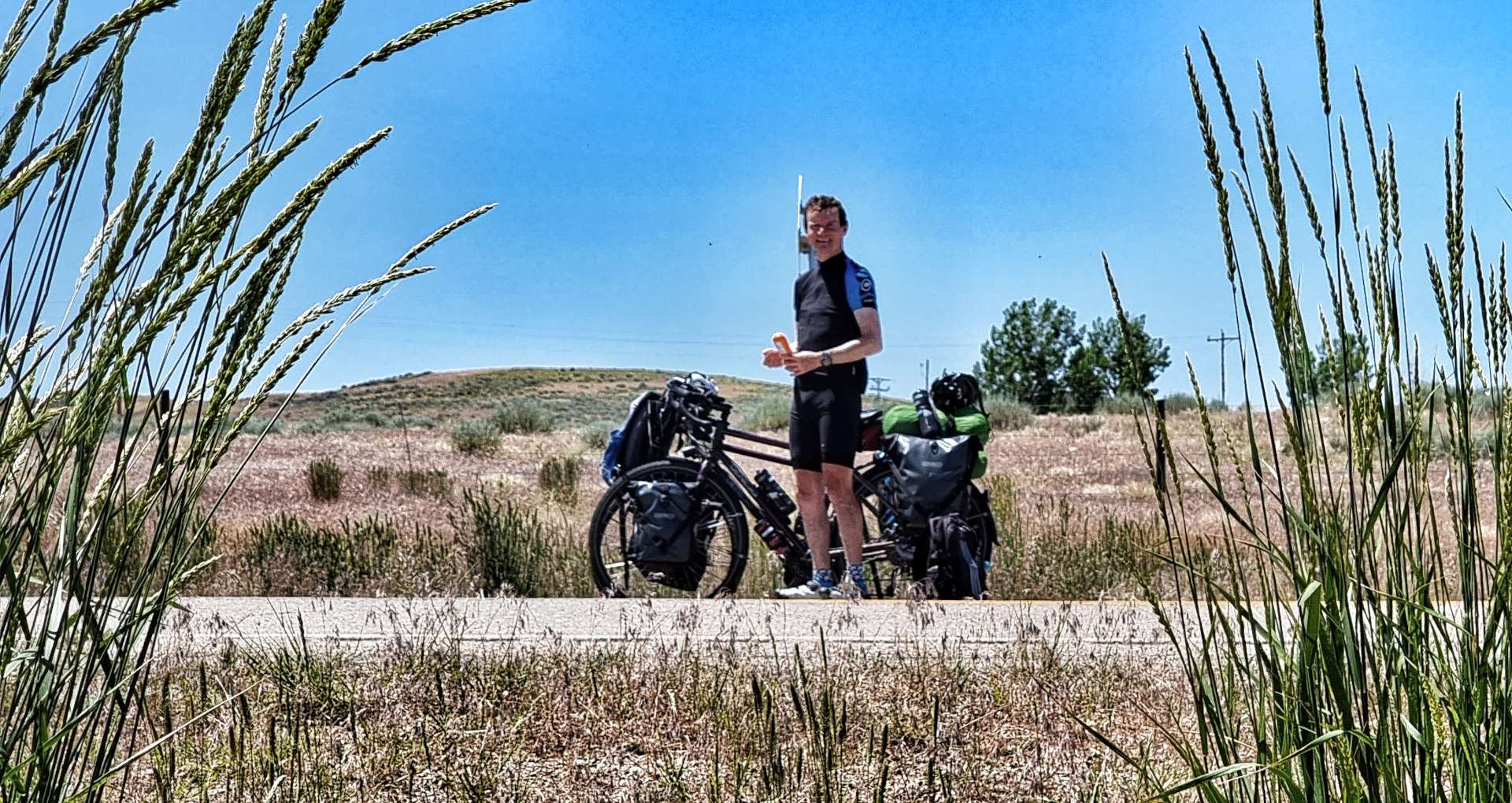
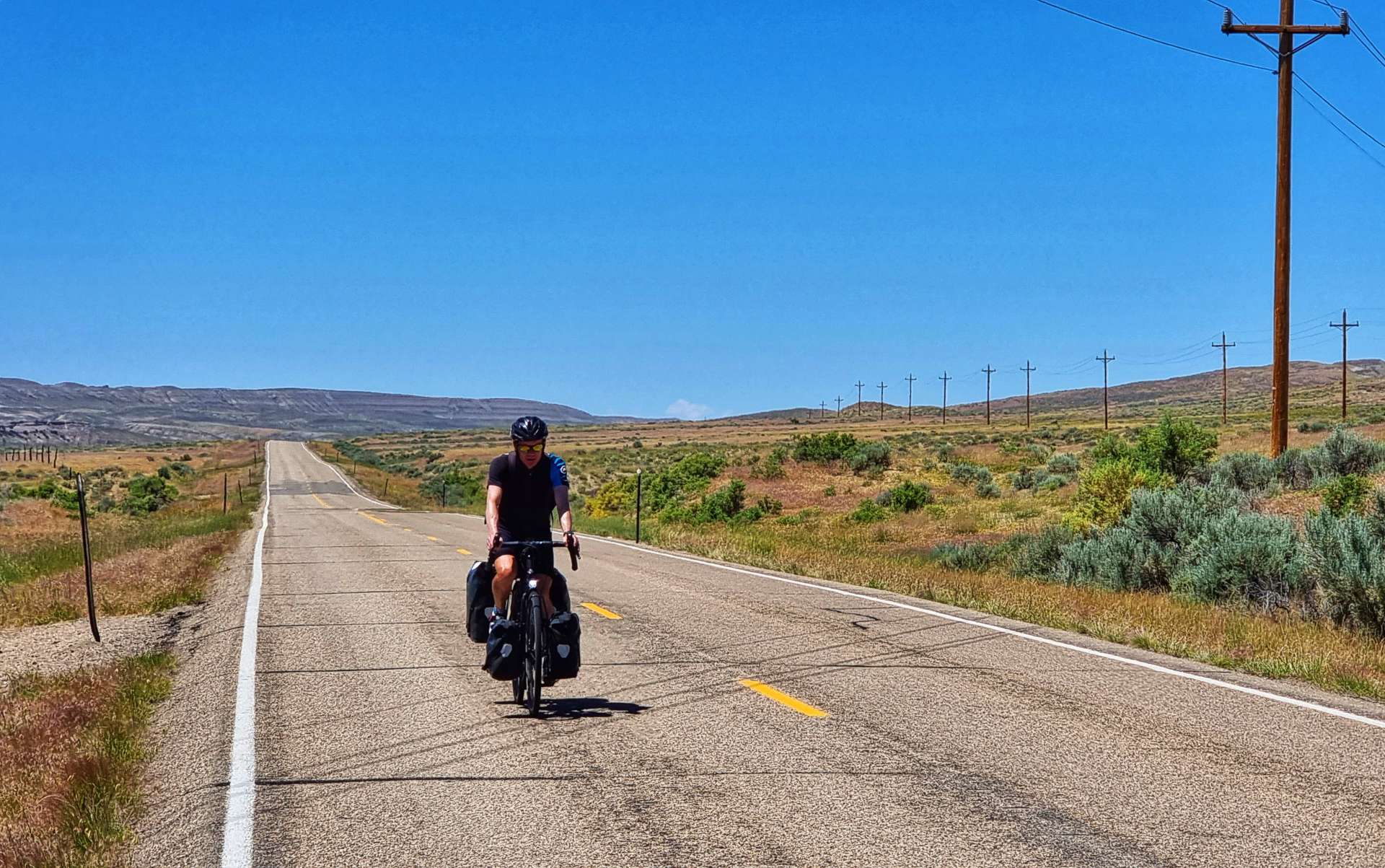
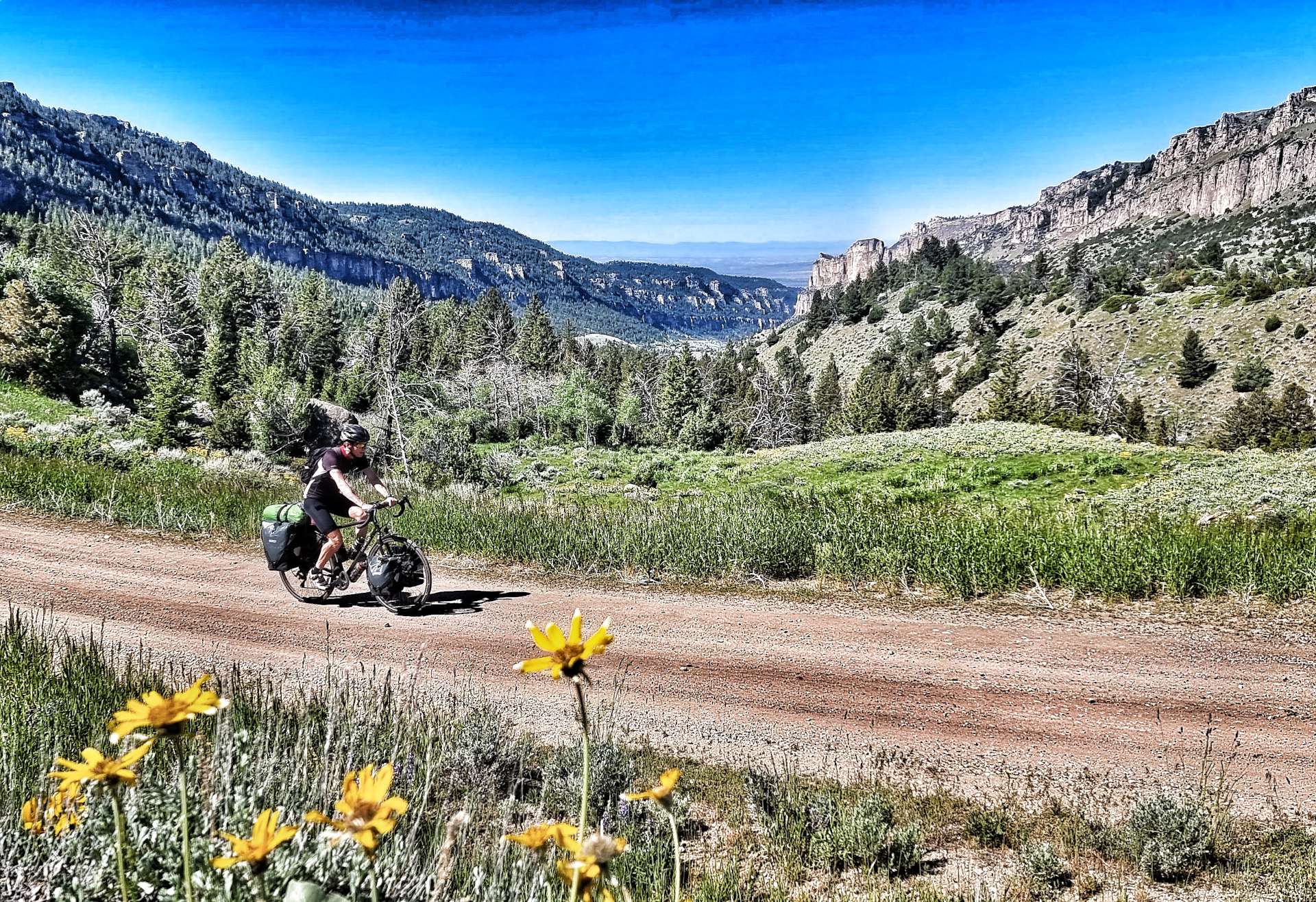
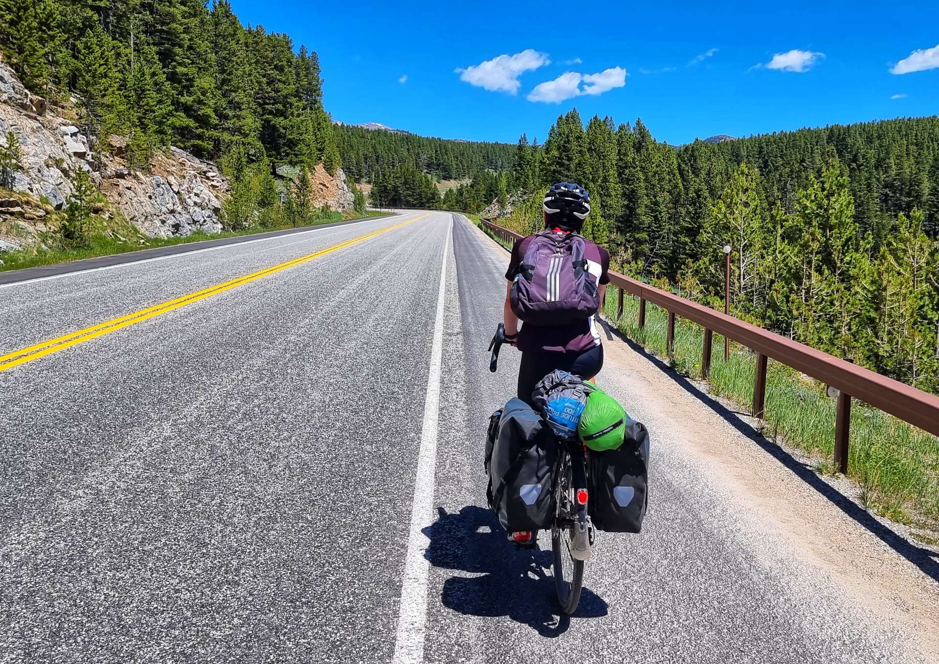
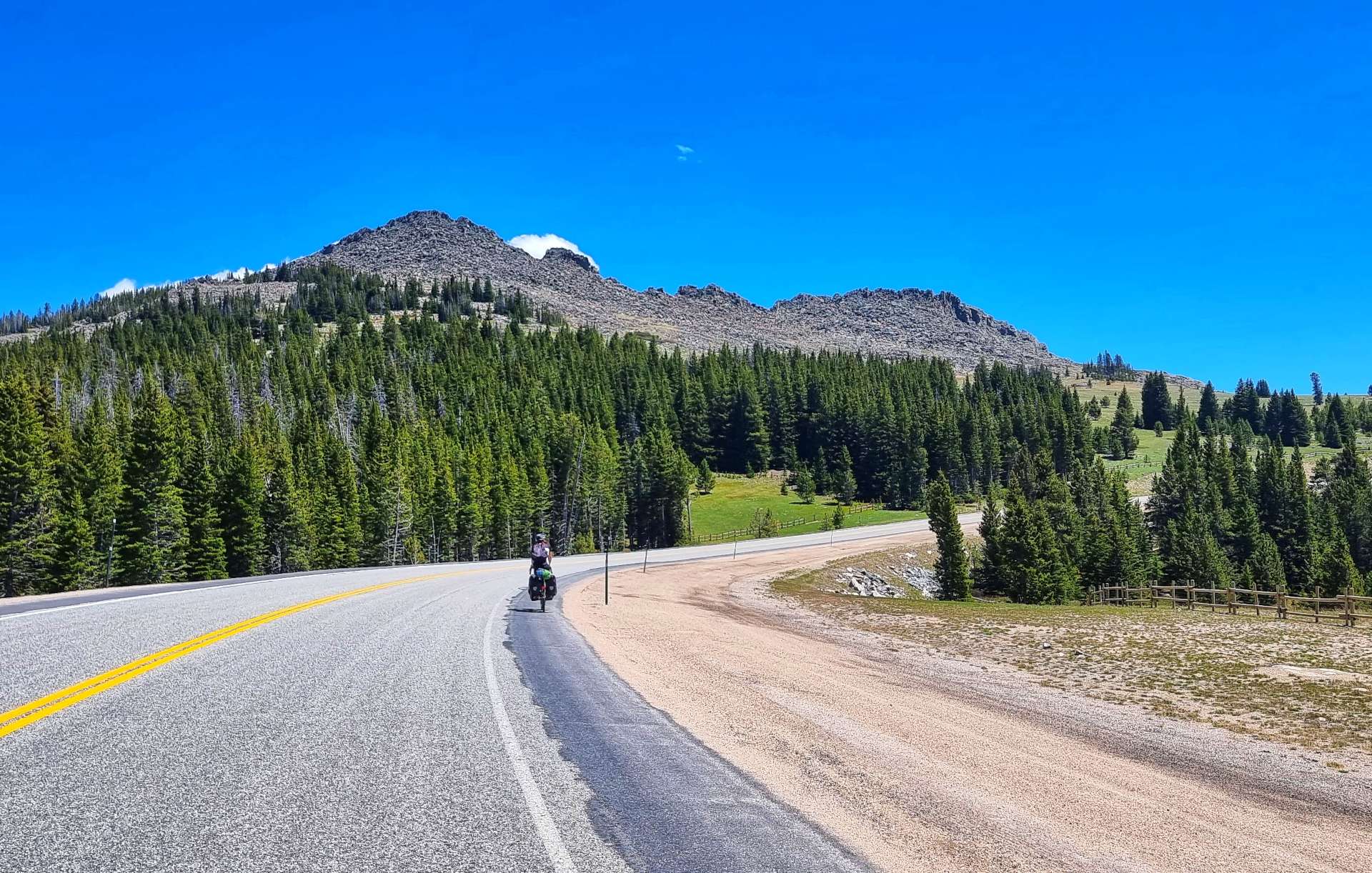
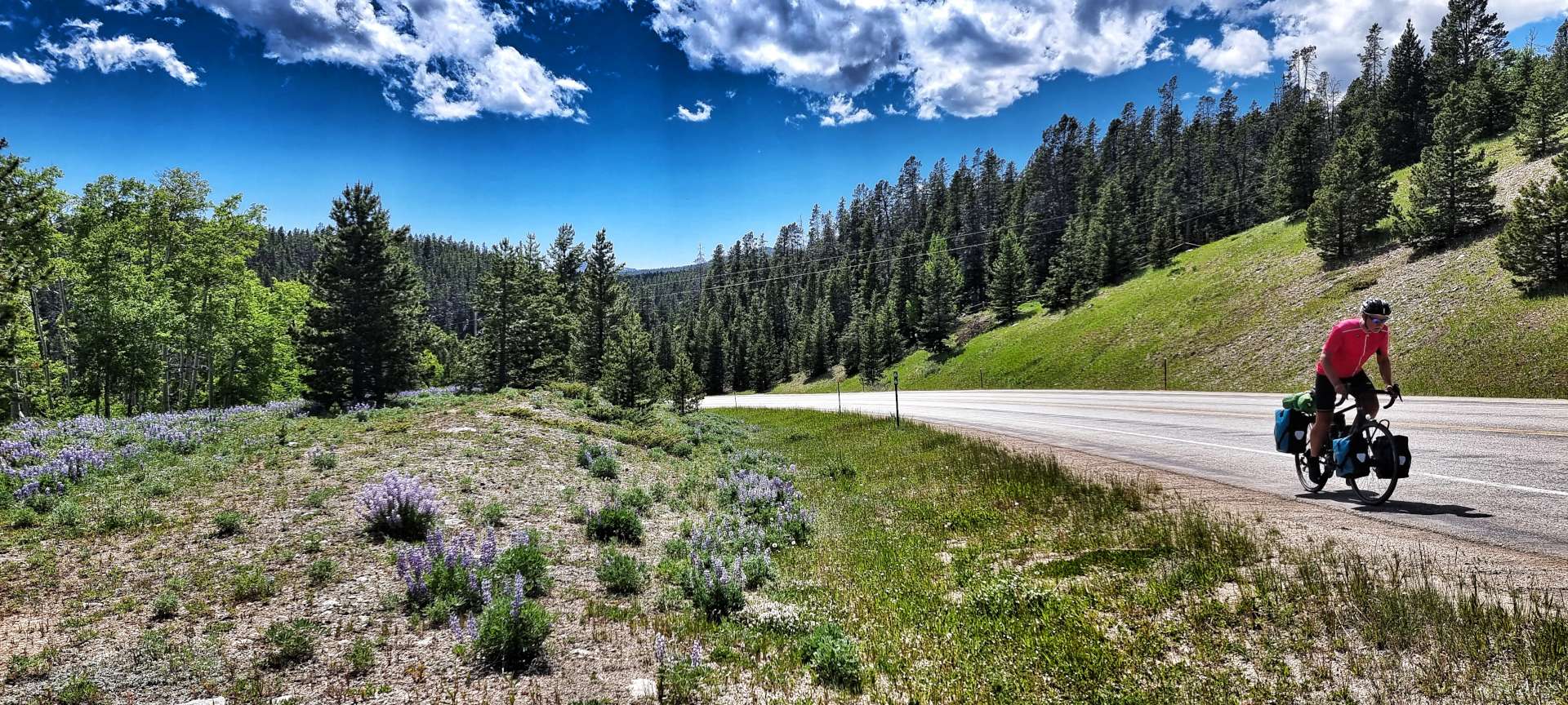
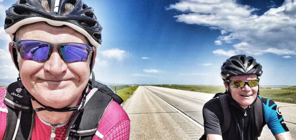
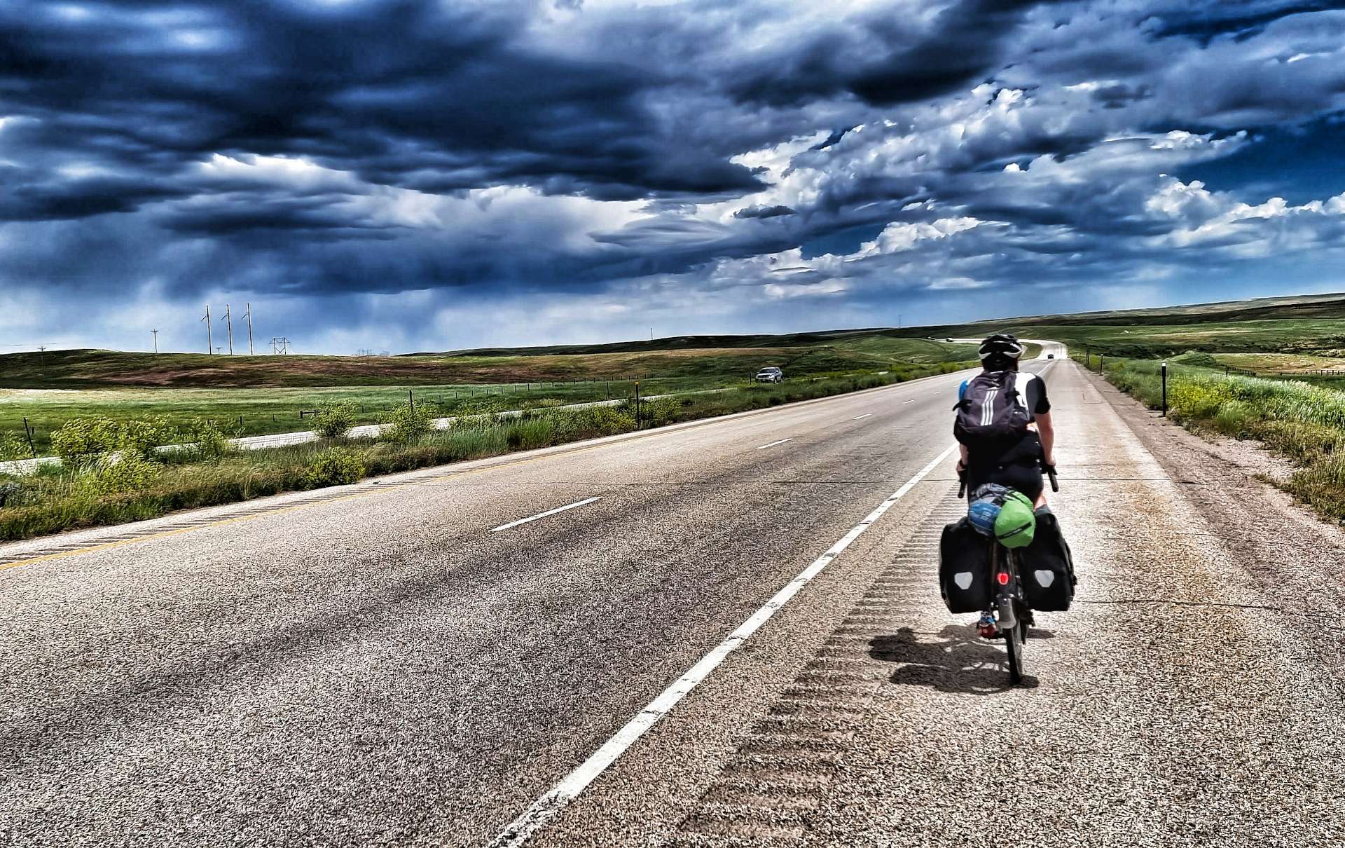
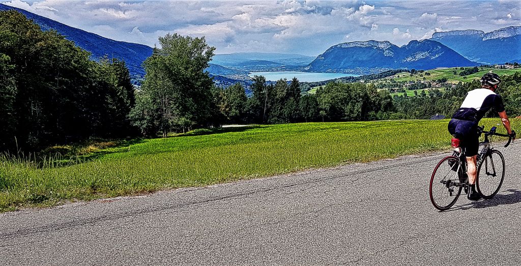
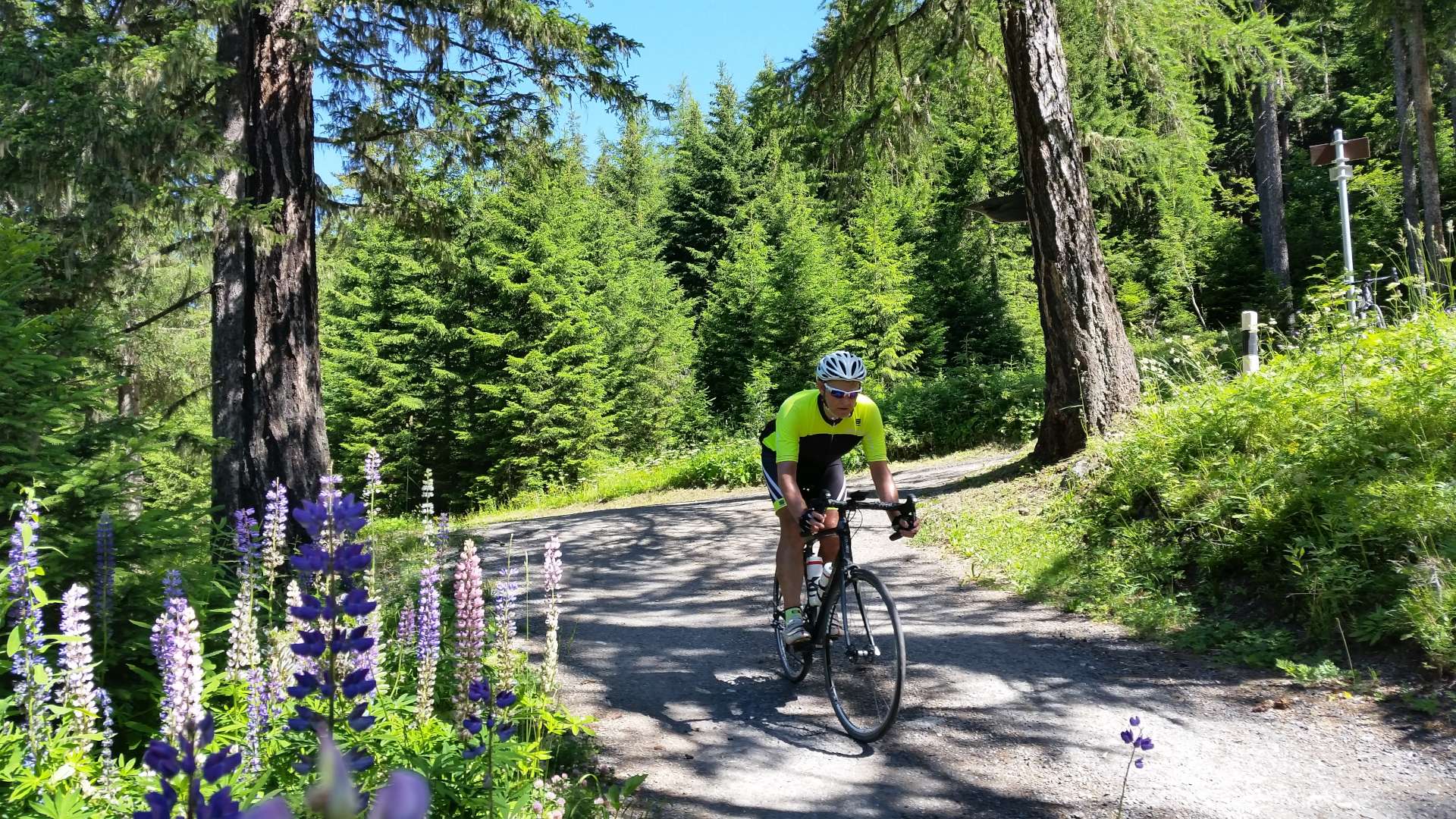
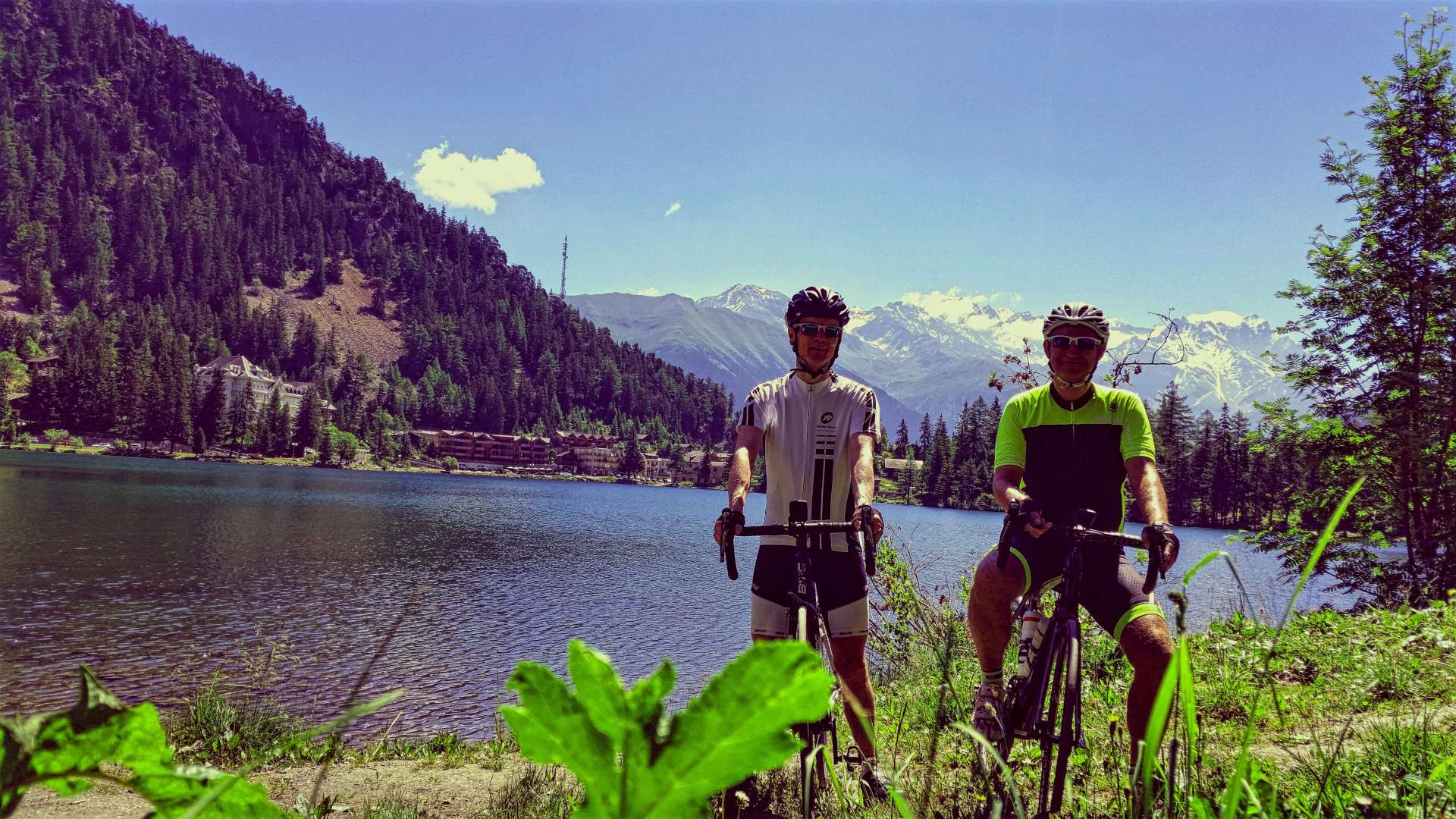
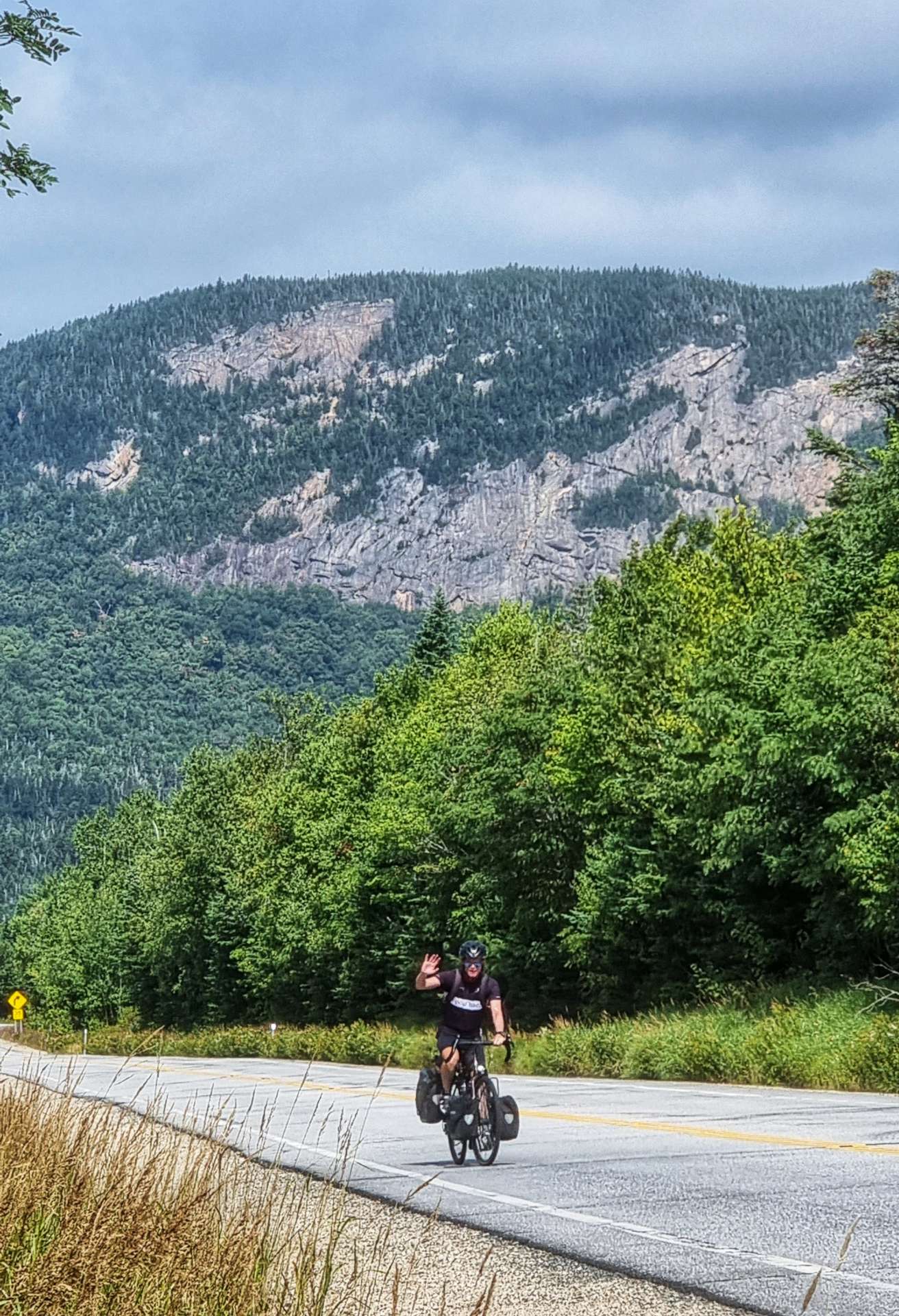
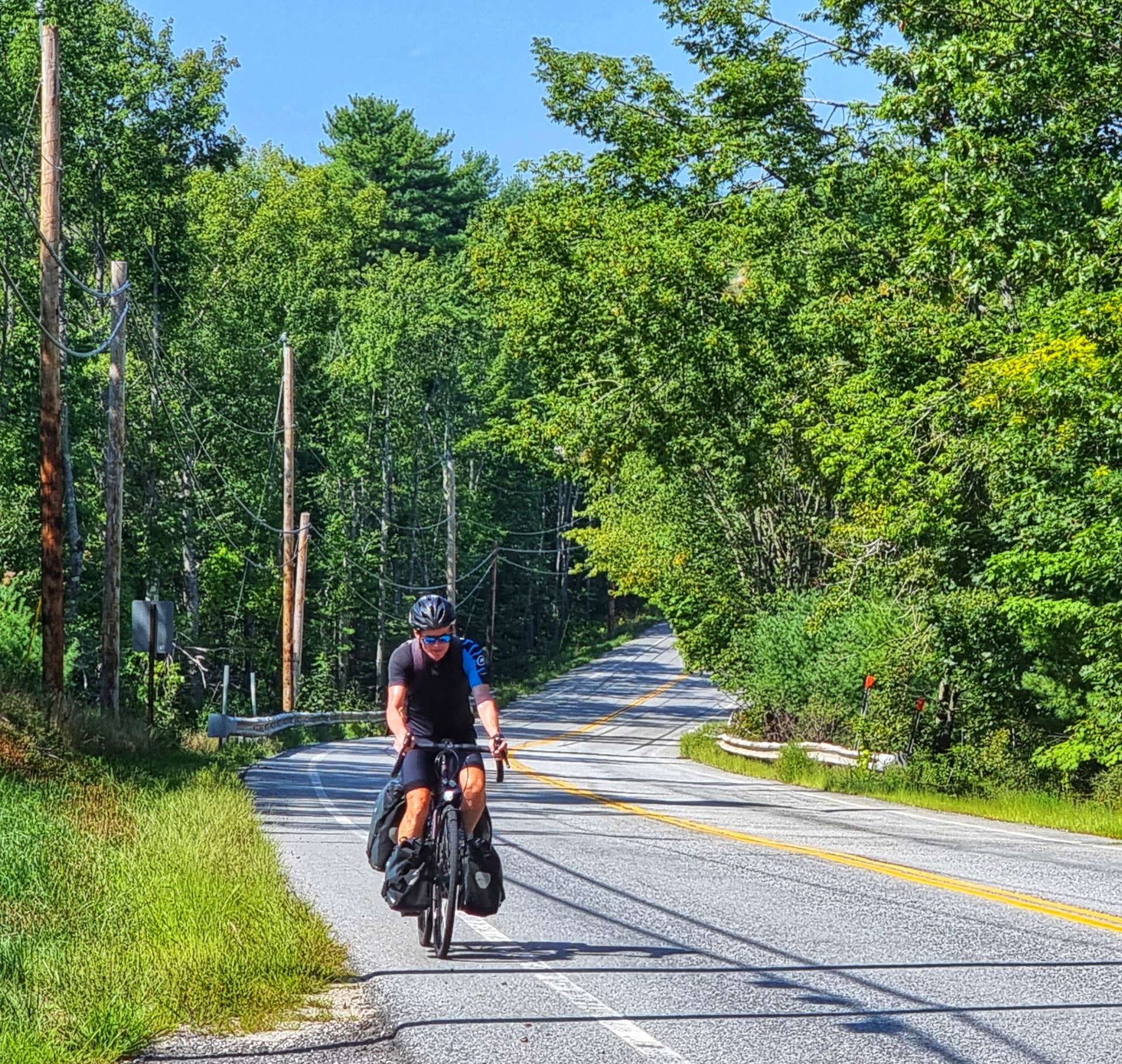
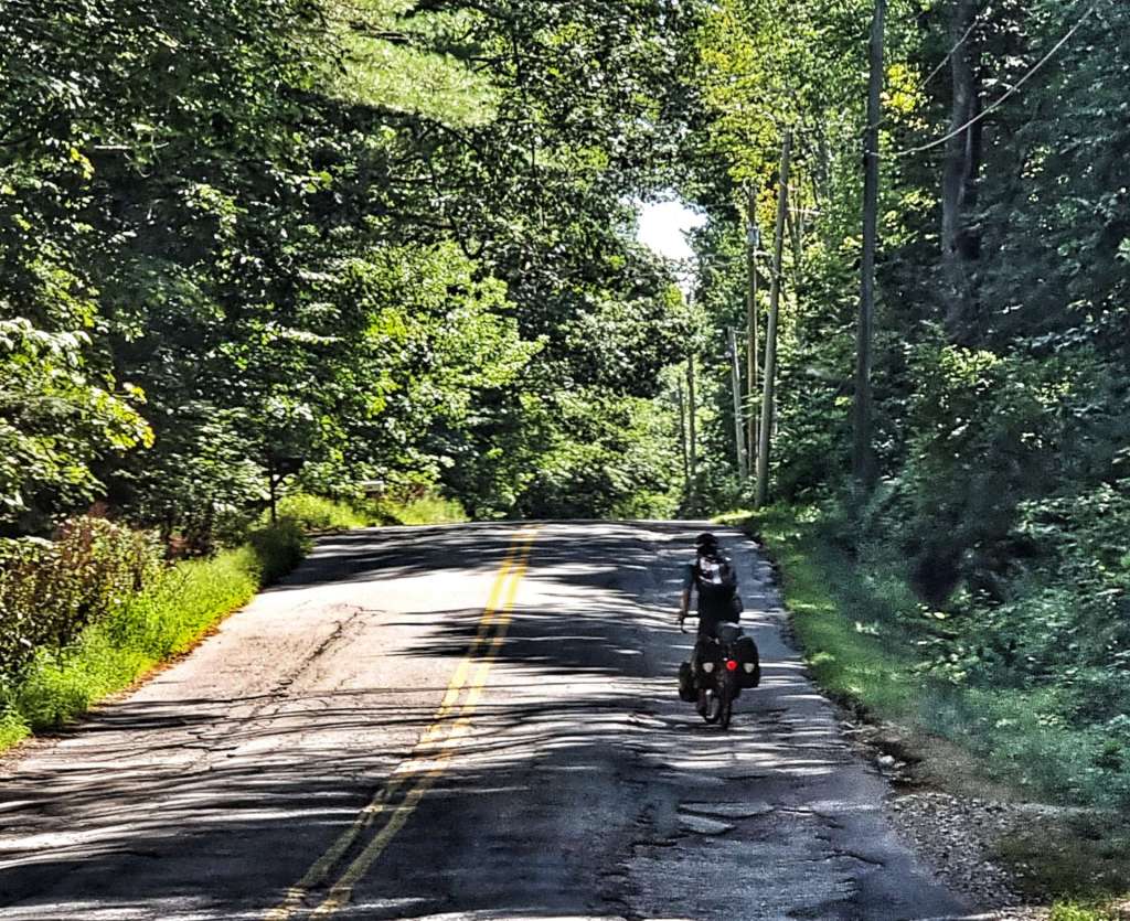
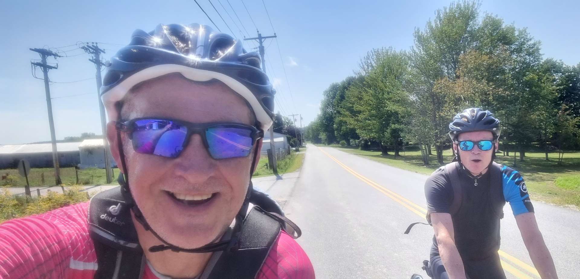
This was our last chance to get some action photos on a climb, so we took a few shots of each other – the best are included in the next two sets of photos. At this point we were about half way to the summit & were grateful it hadn’t been as bad as we had initially feared, although we knew it ramped up in the last half mile or so of the climb.

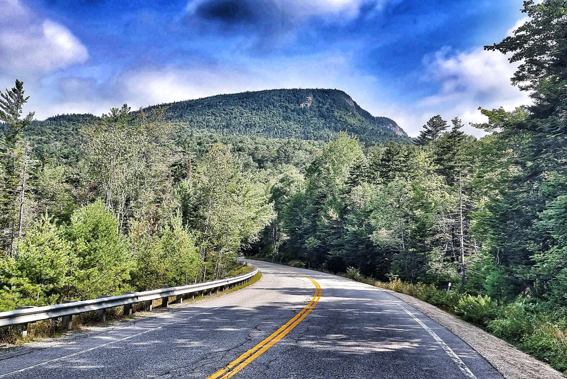
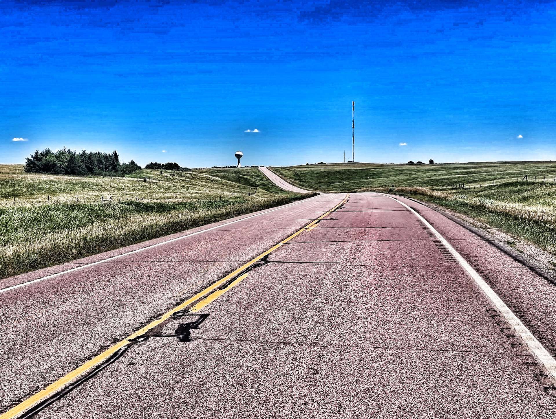
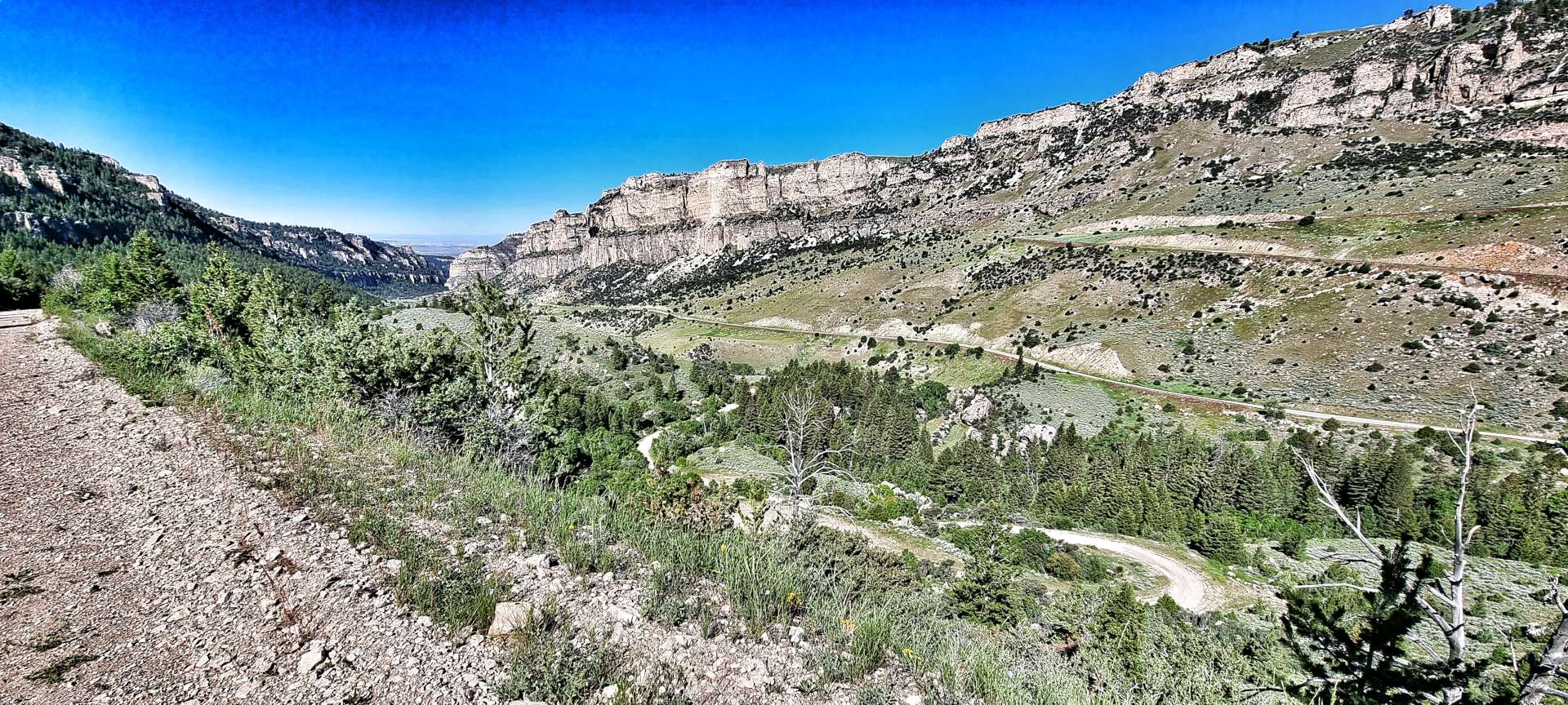
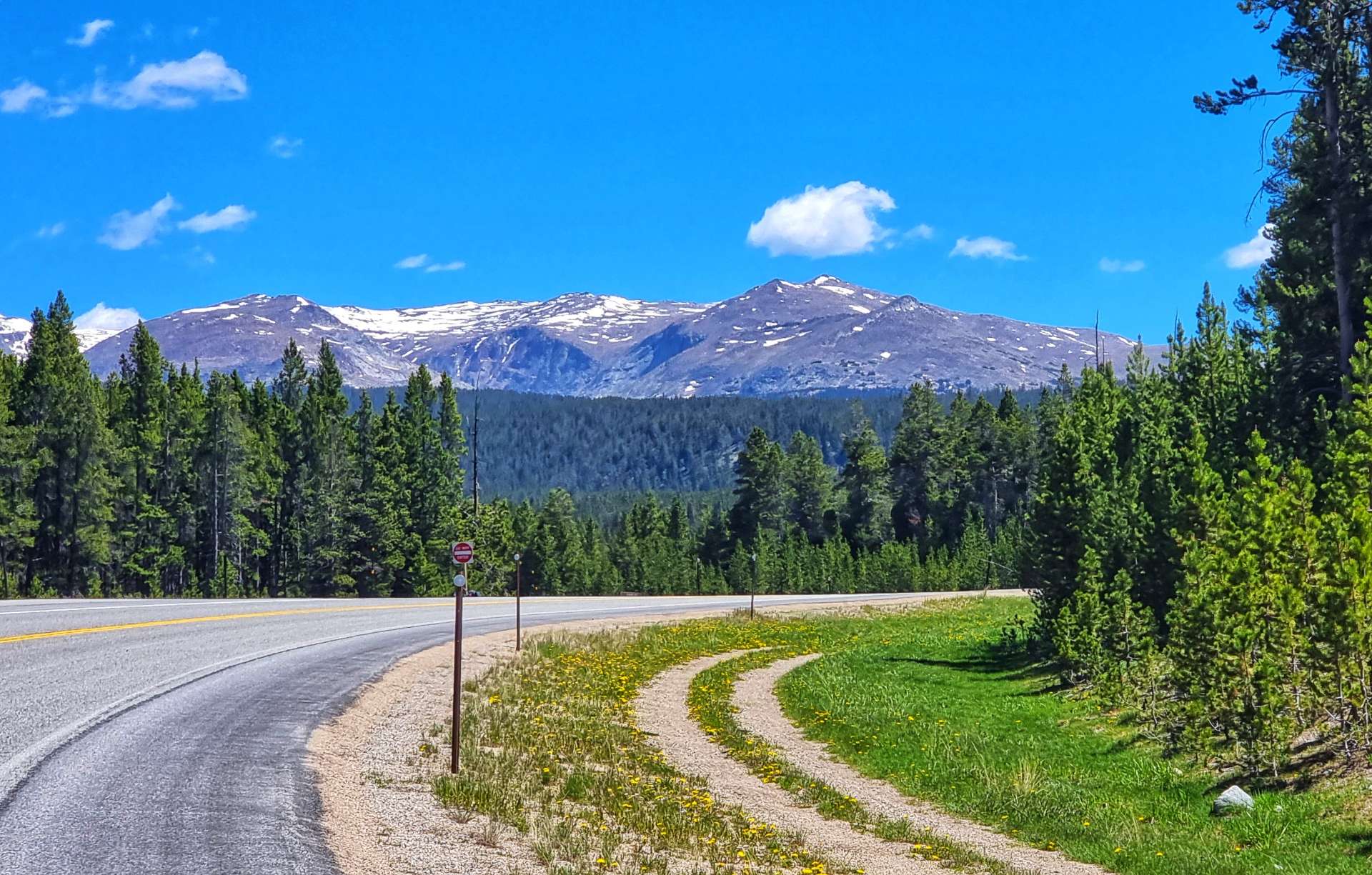
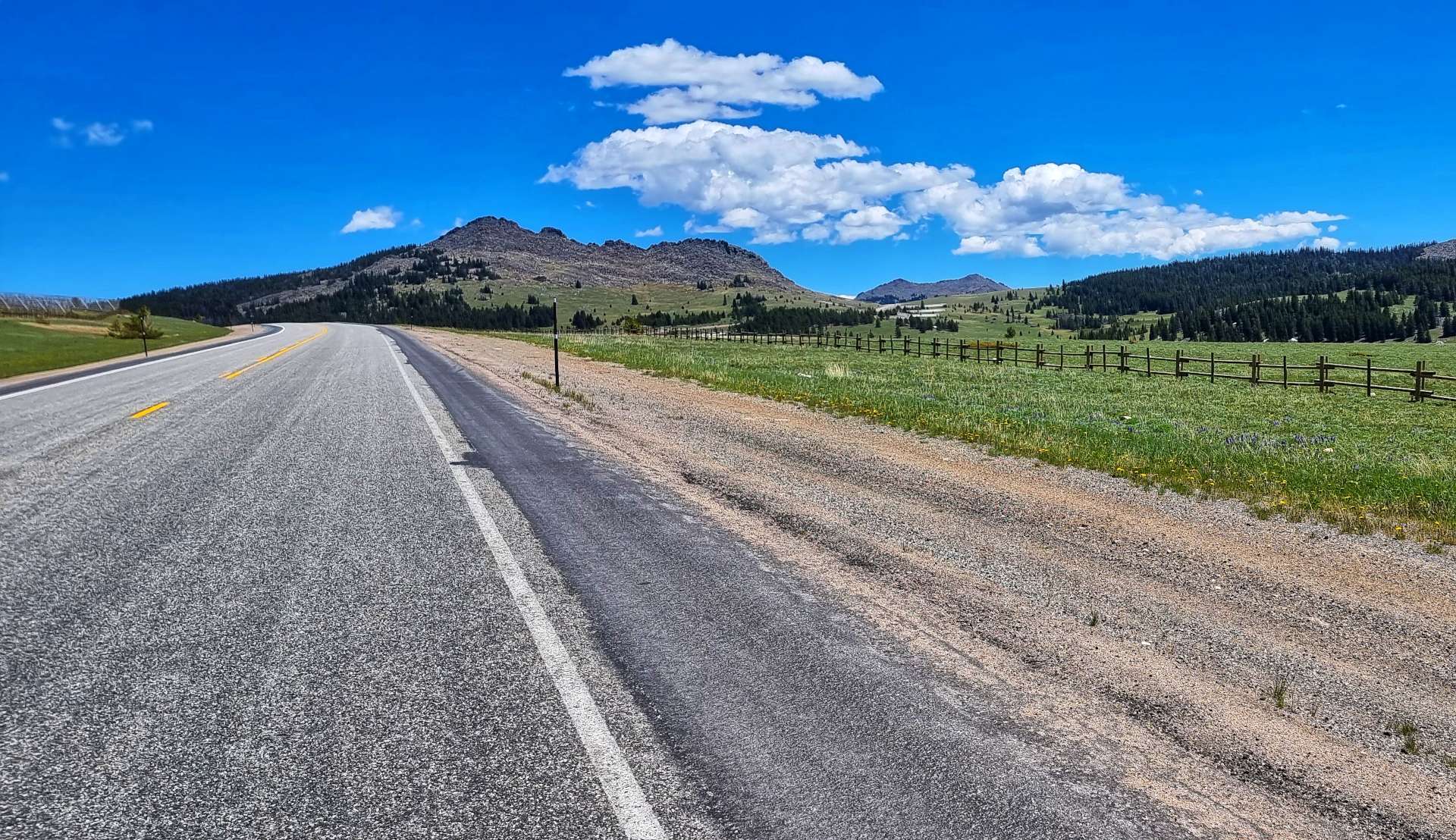
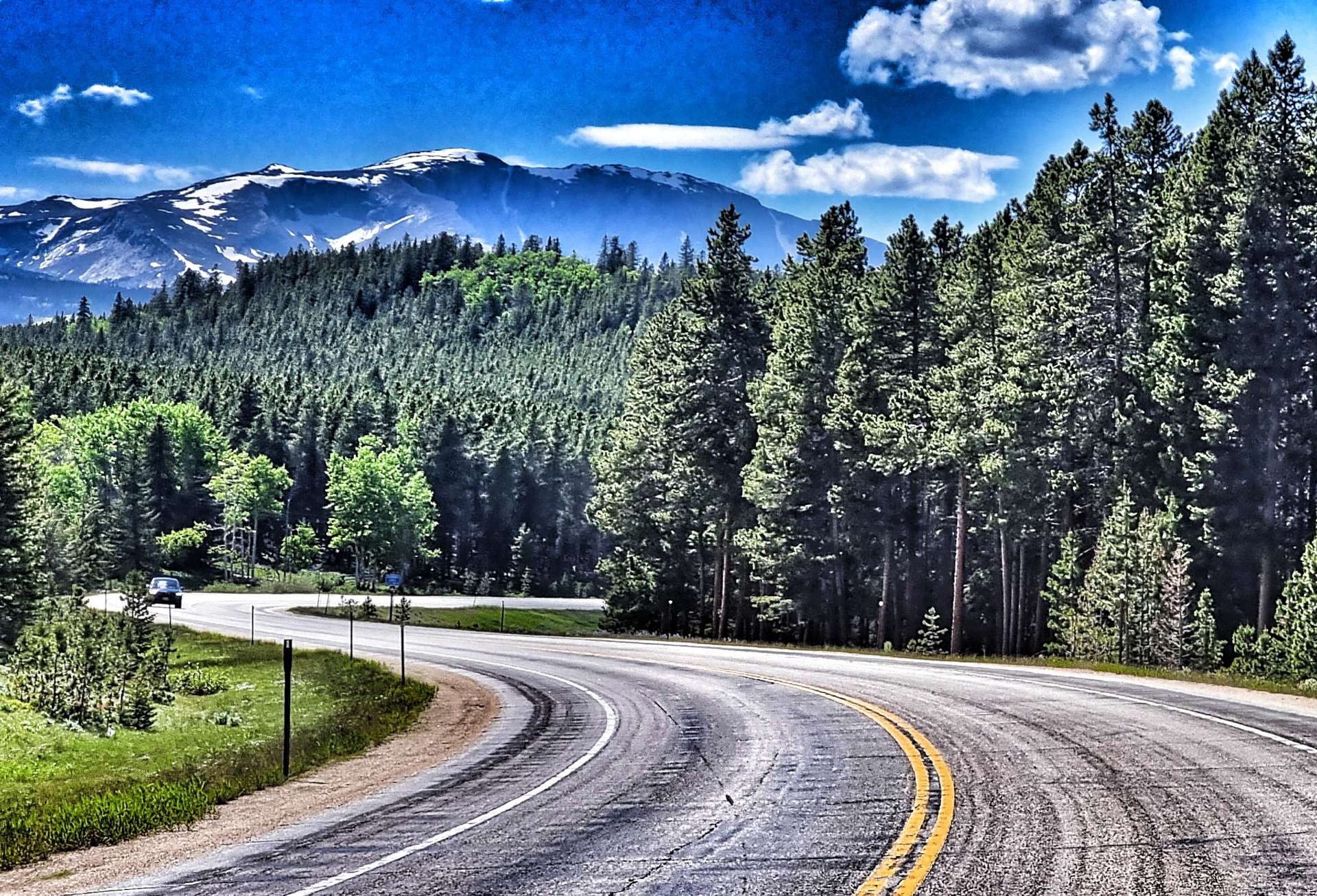
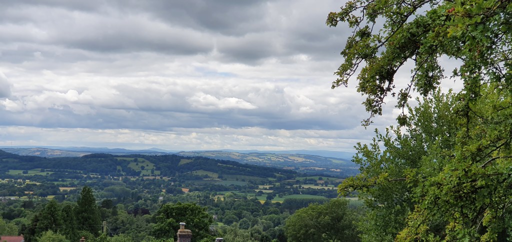
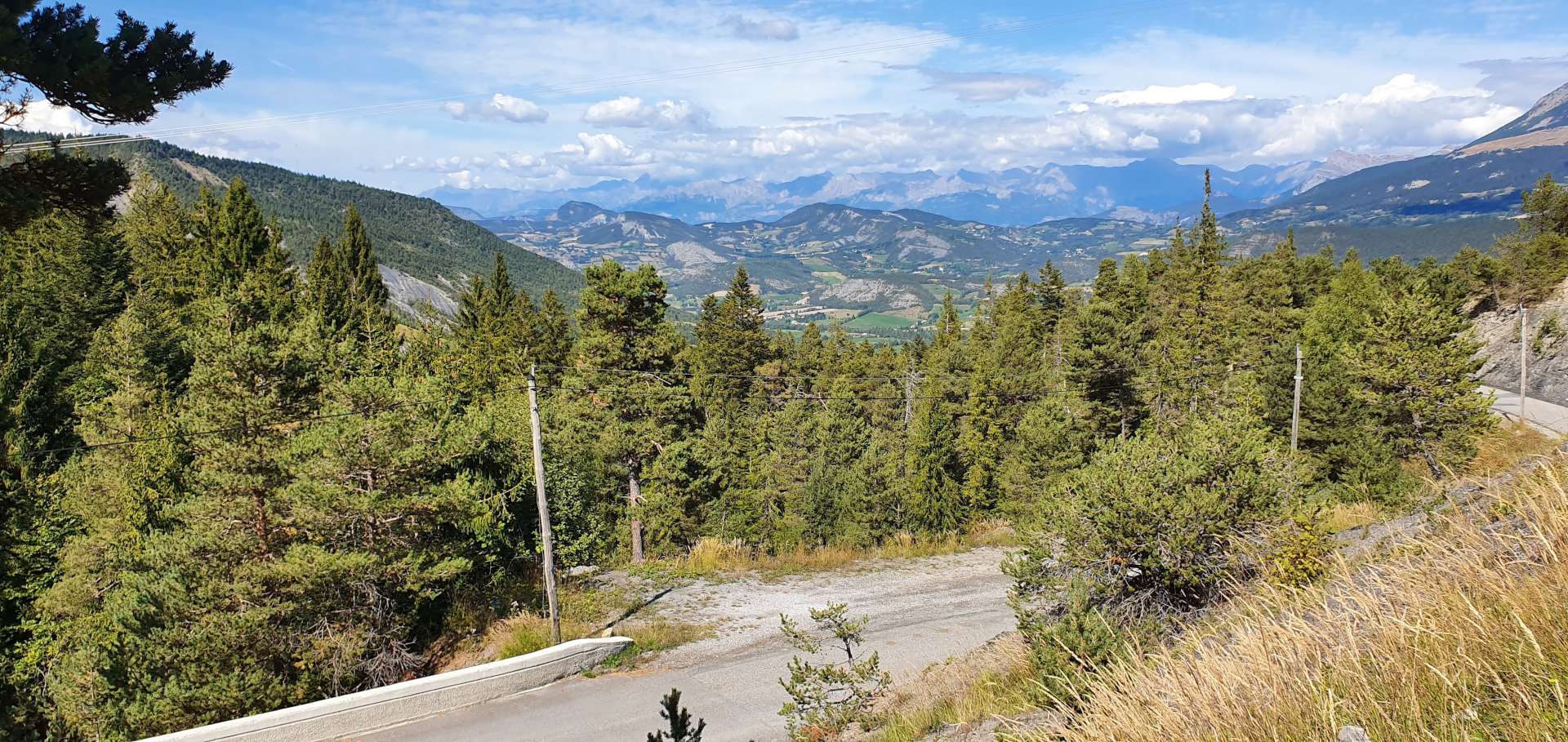
As we climbed higher, the views became more dramatic, as the road cut a way through the forest. We only had about 3 miles to the summit from here & we began to relax a little, as we climbed ever higher.

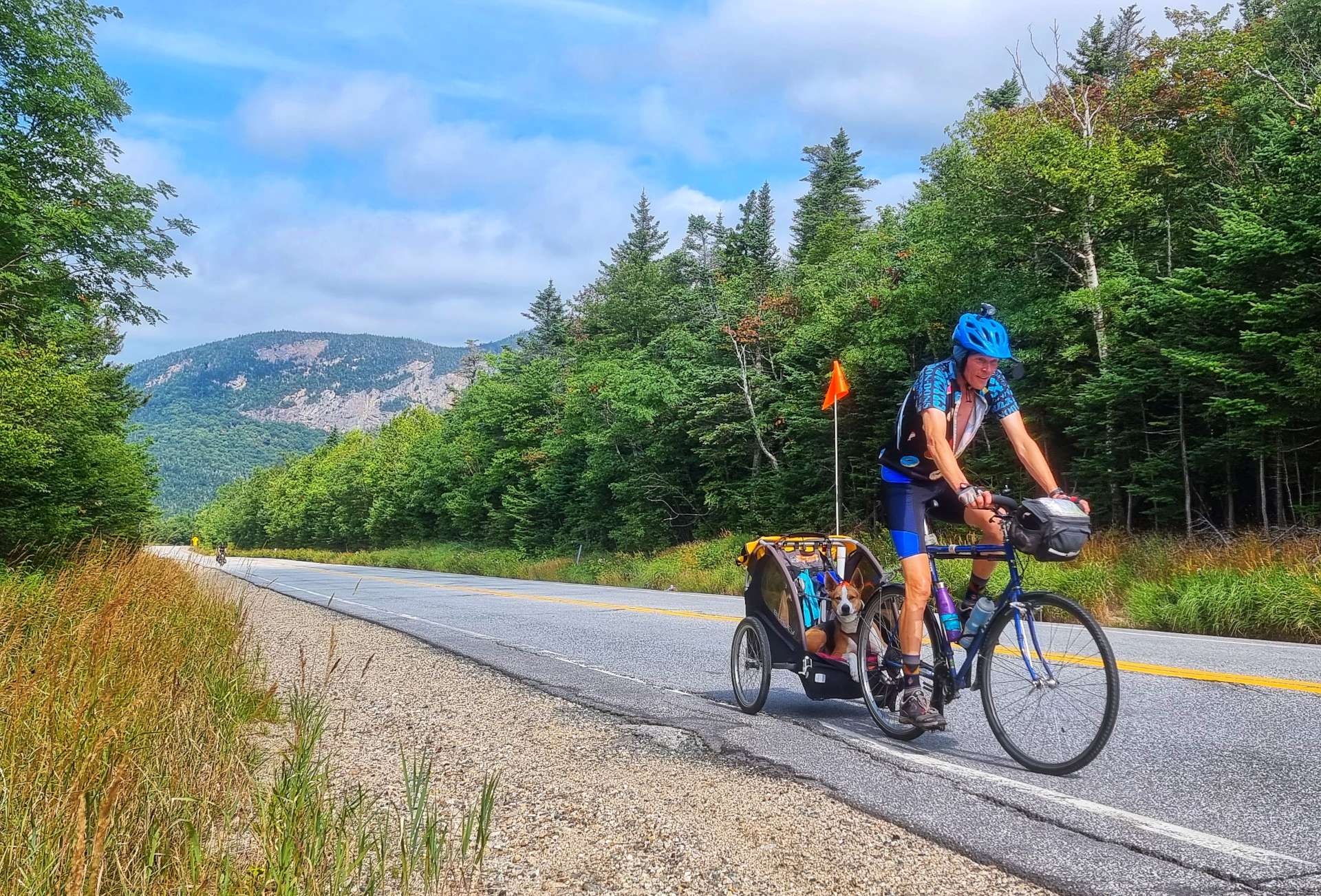
There was one final hairpin, where the gradient increased slightly, but then we passed a sign for the Pemigewasset Overlook & we knew the big climb of the day was almost over. Just before the summit I passed Paul, who was on a 5 day tour & he was towing his dog in his trailer! Sean was moments behind & we stopped at the overlook to compare stories.

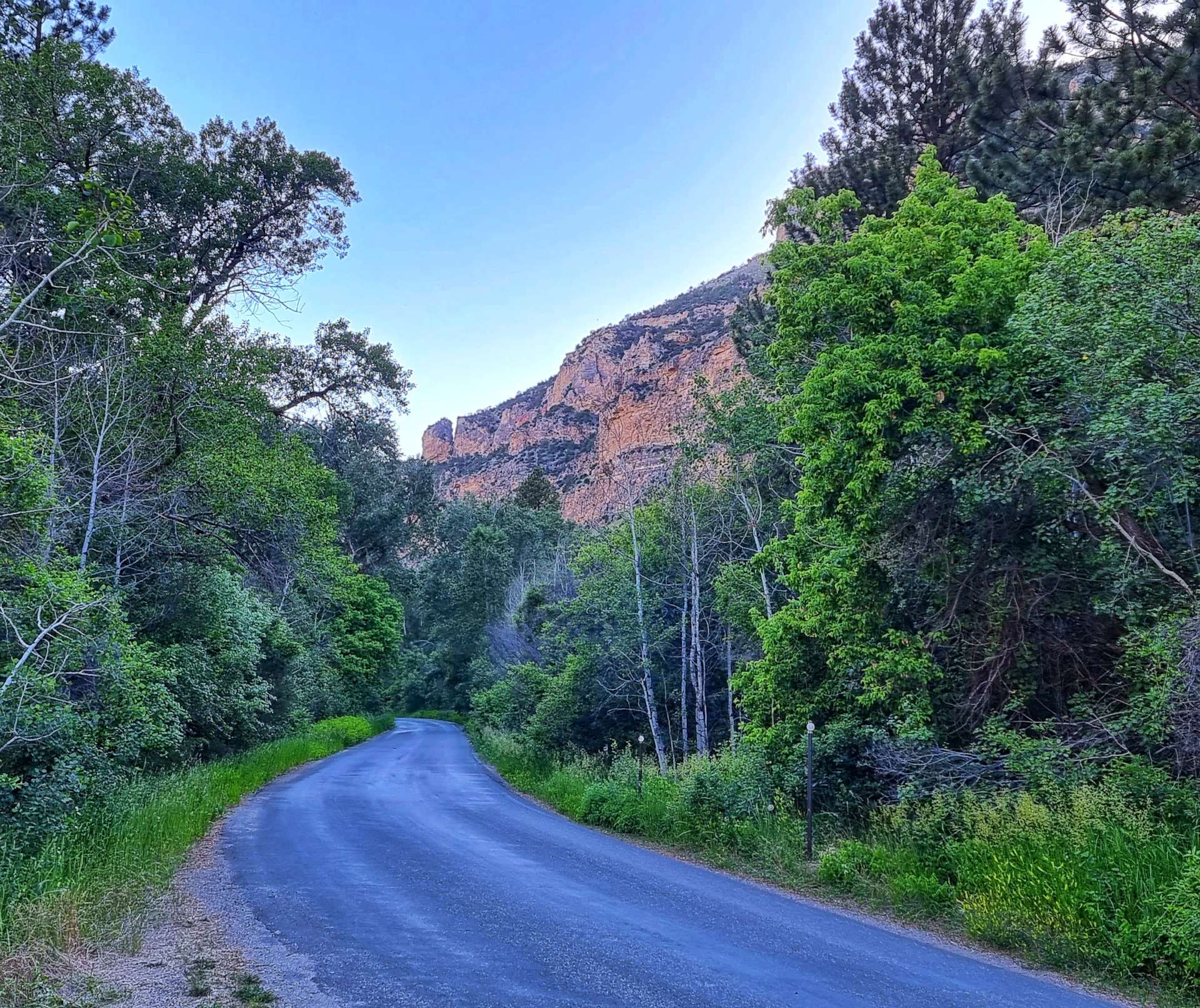
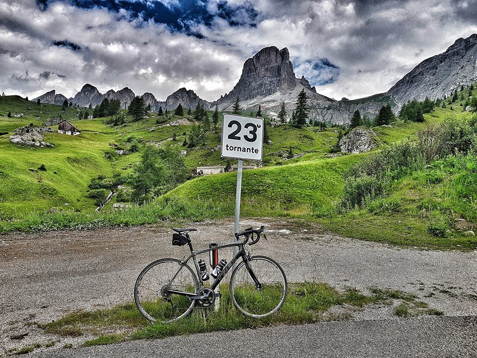
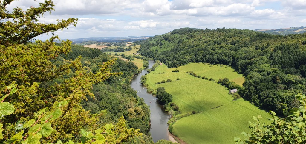
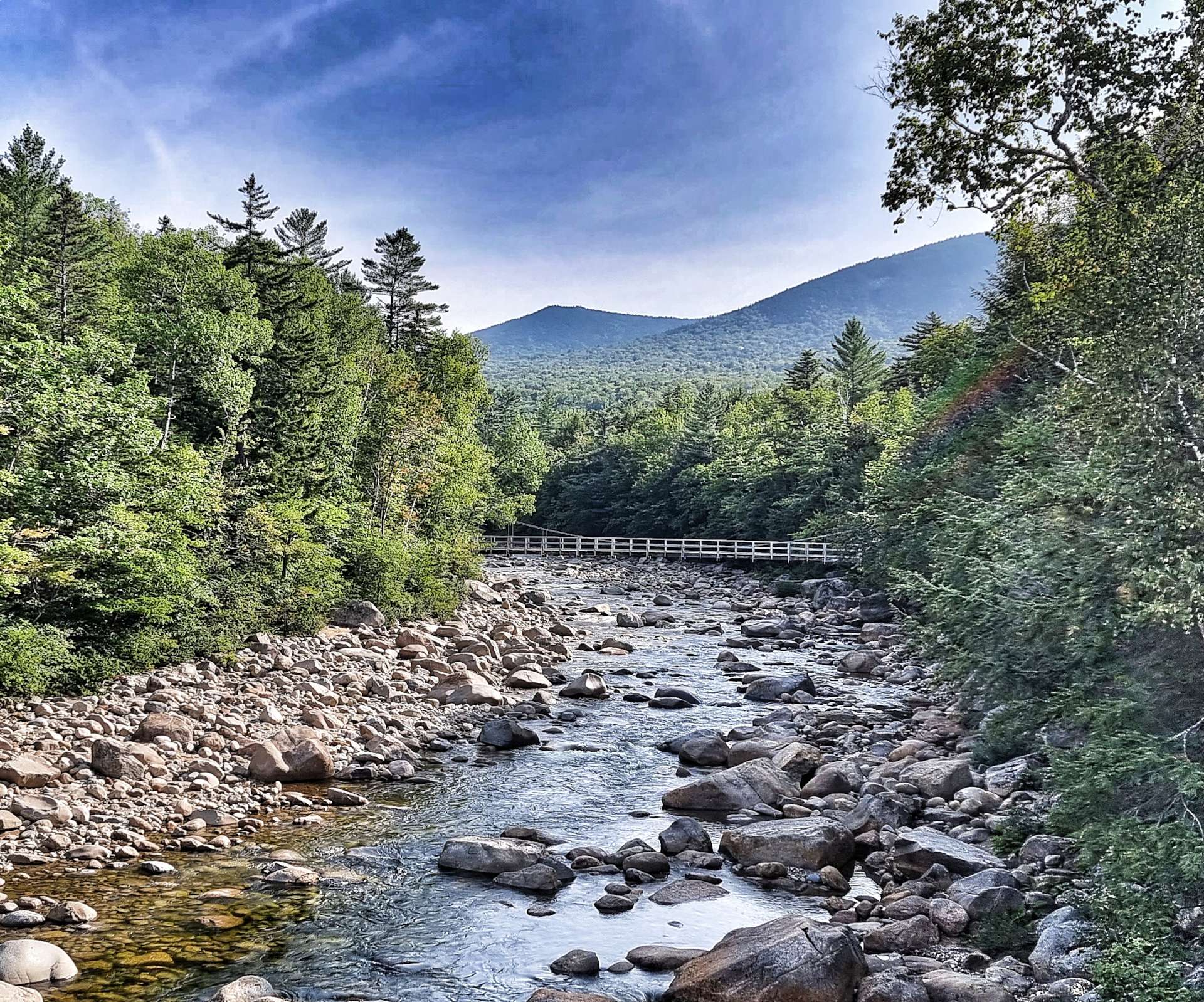
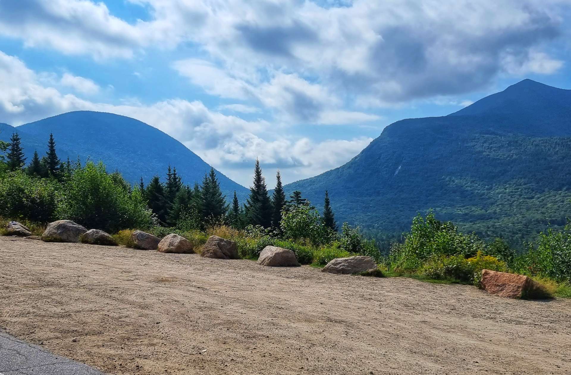
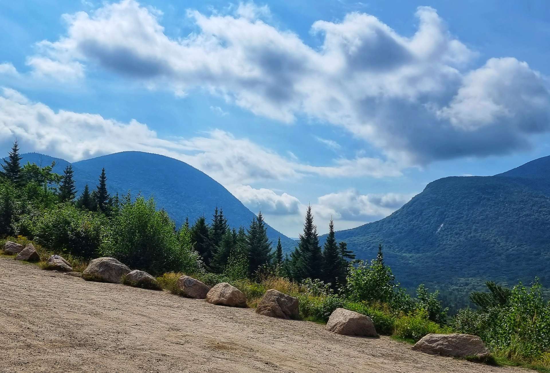
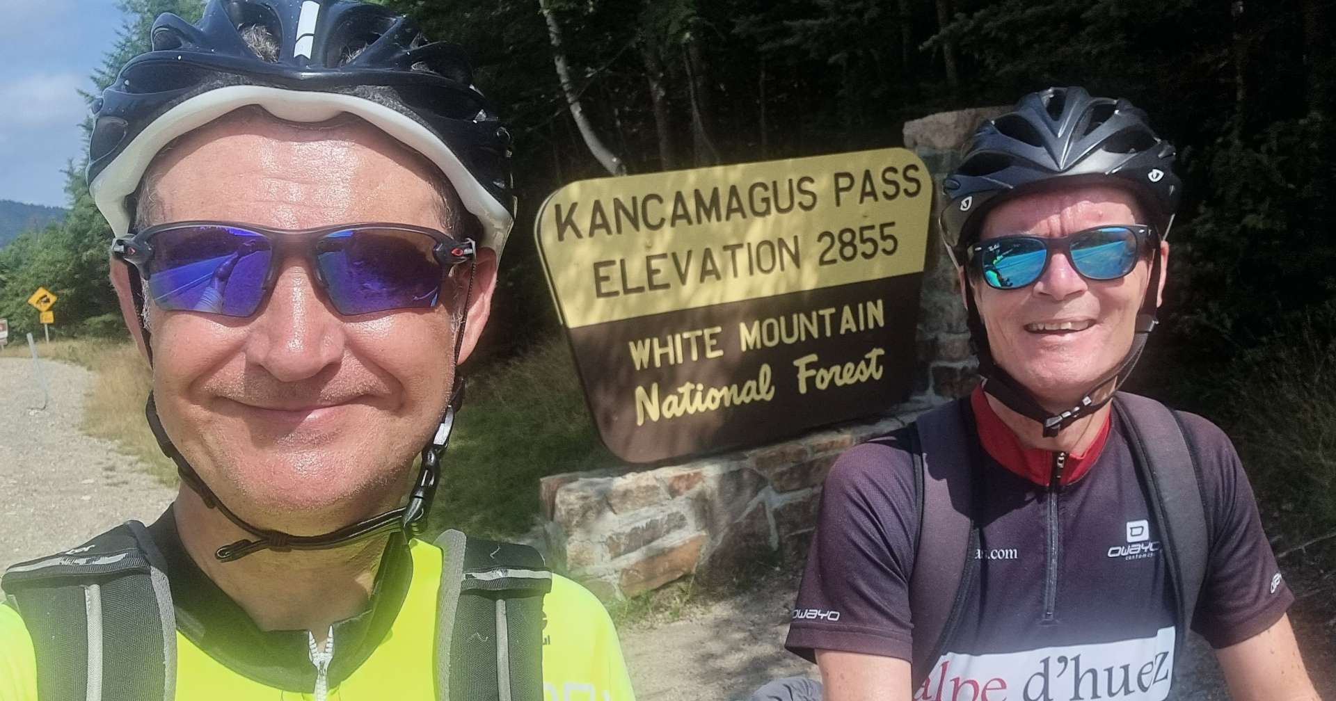
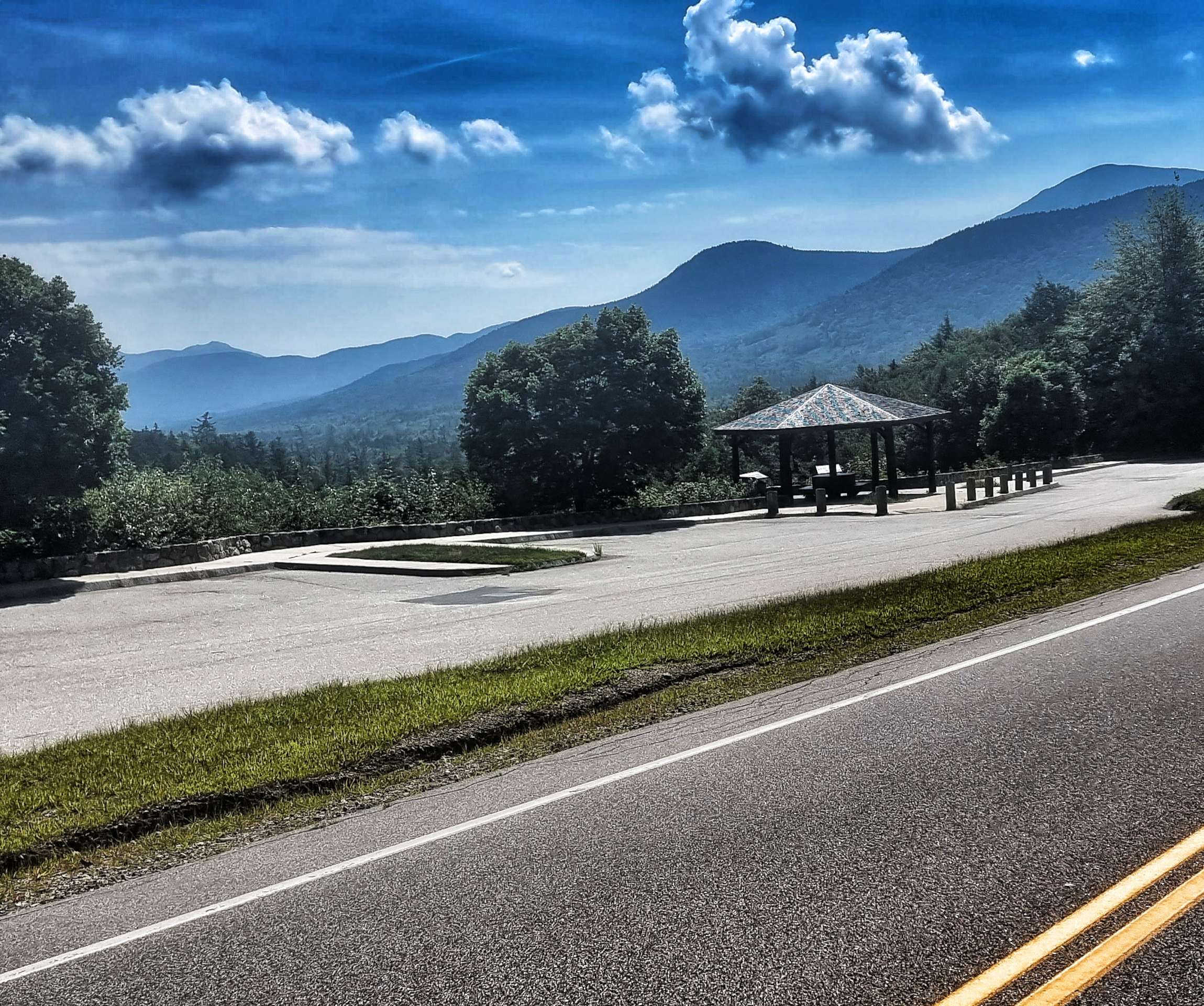
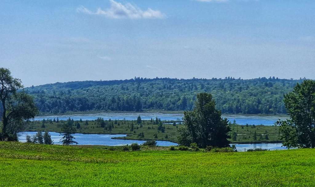
The summit itself is about 1/10th mile beyond the overlook, so after taking in the view, we said our goodbyes to Paul & headed off to get a shot at the Kancamagus Pass sign. We also stopped briefly at Beaver Brook Overlook to take in the views on the other side of the mountain.

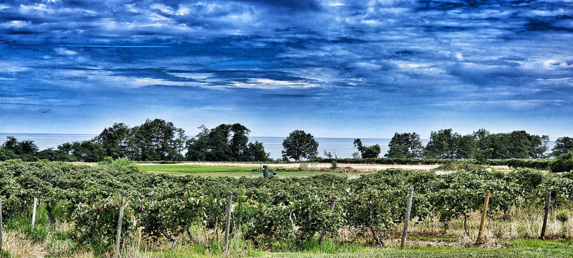
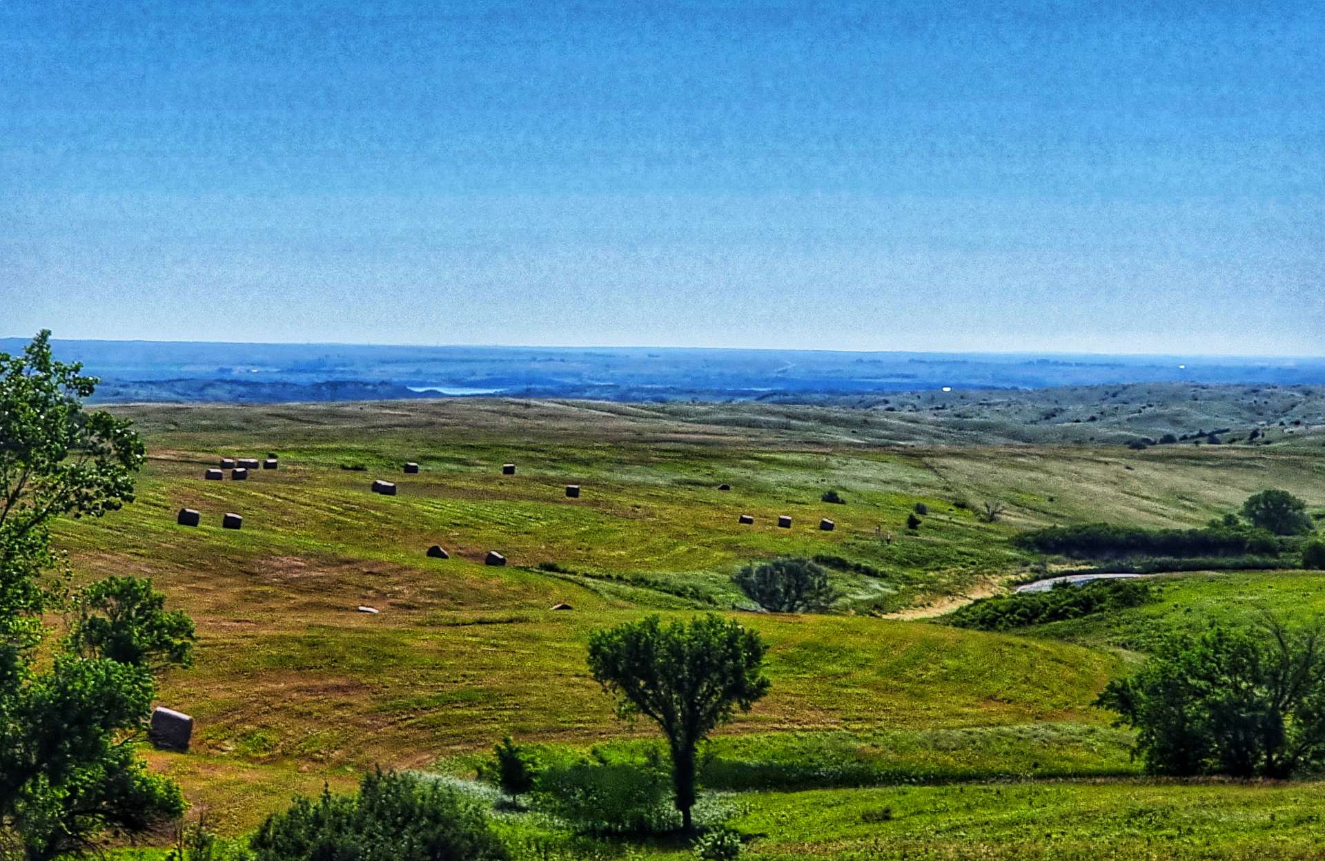
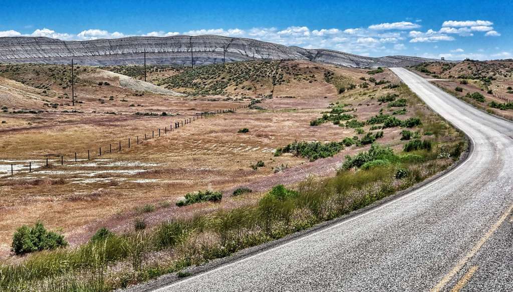
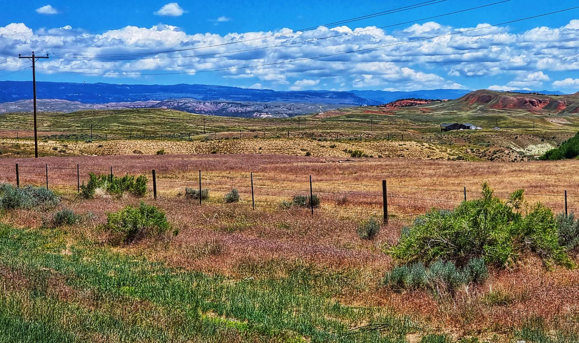
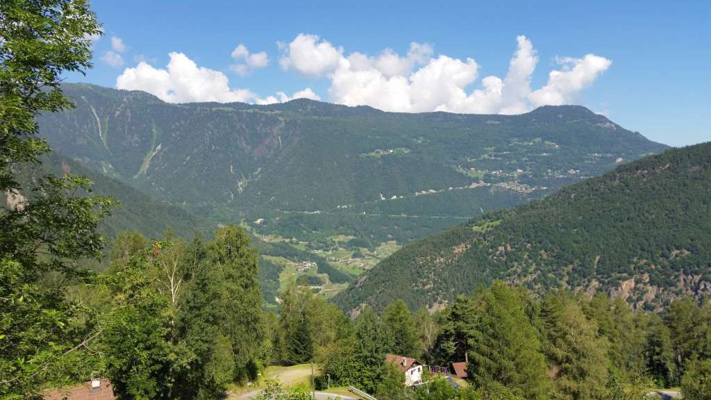
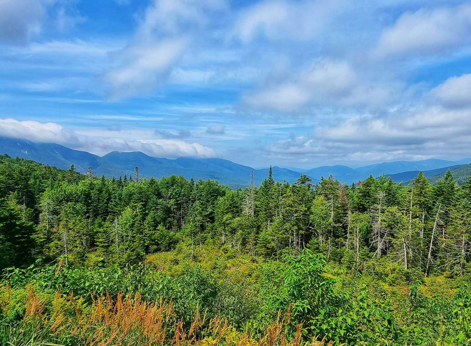
The White Mountain National Forest is very carefully managed & incredible as it may seem, all you can see in the photo below Sean & myself has been harvested at least once & some sections have been cut 2 or 3 times. The National Forest are responsible for ensuring that the environment remains pristine, while balancing our requirements for timber & recreational space – they appear to be doing a great job in this particular instance.

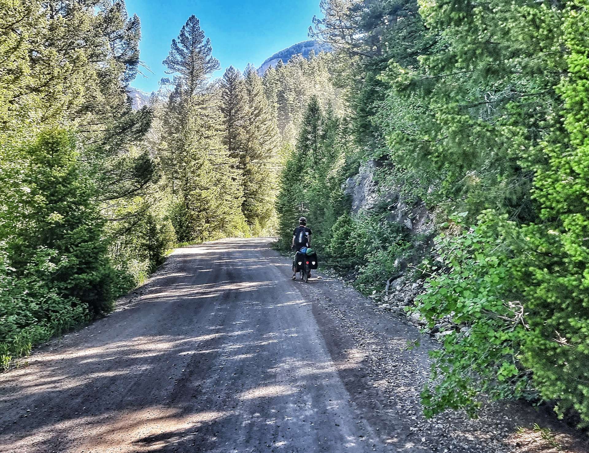
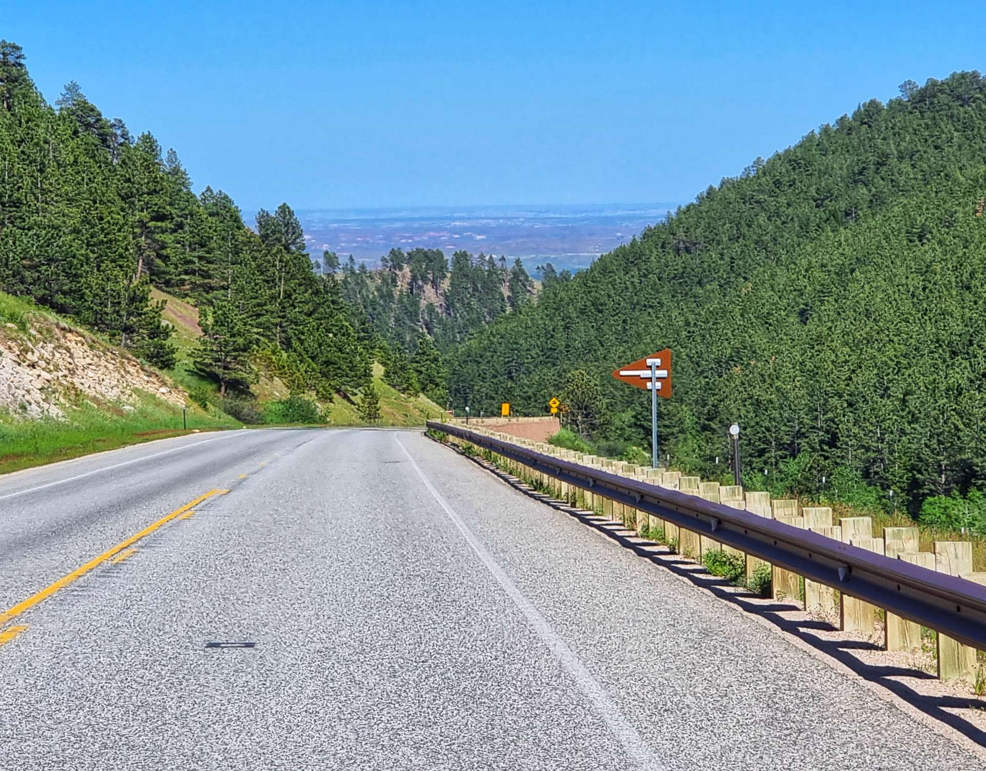
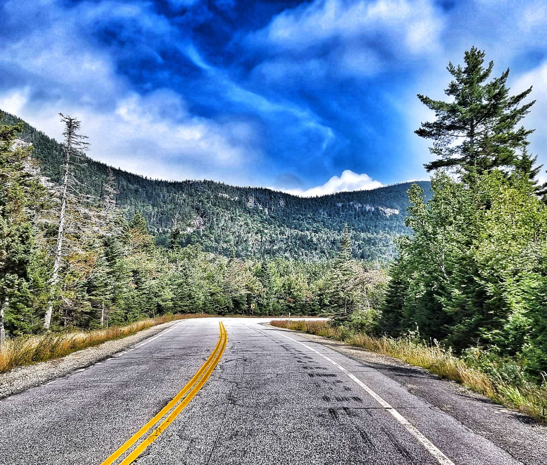
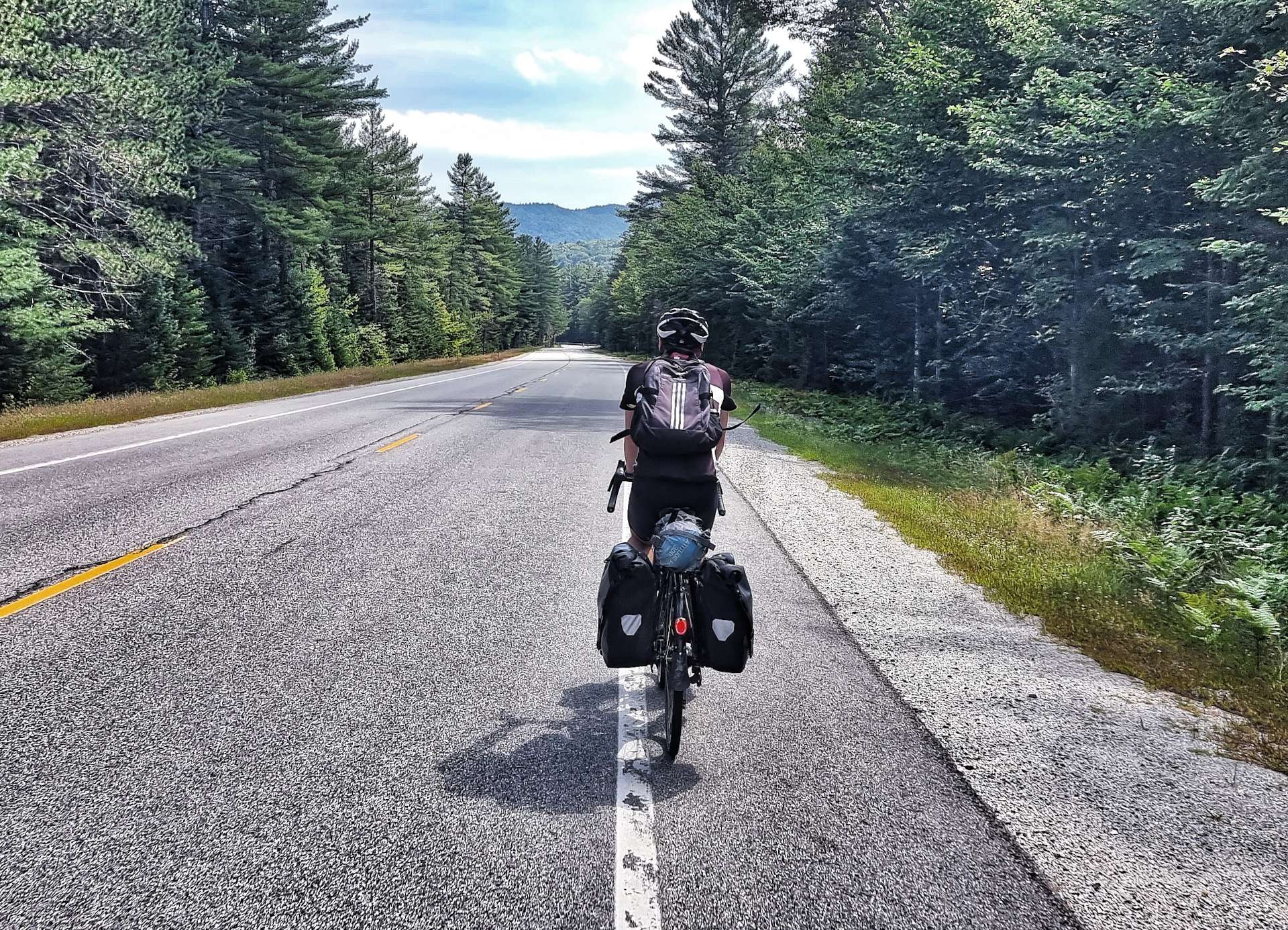
The descent was fun, so I’ve included some video, as well as the usual photos. There were a few large logging lorries doing the descent too, but they gave me plenty of room.

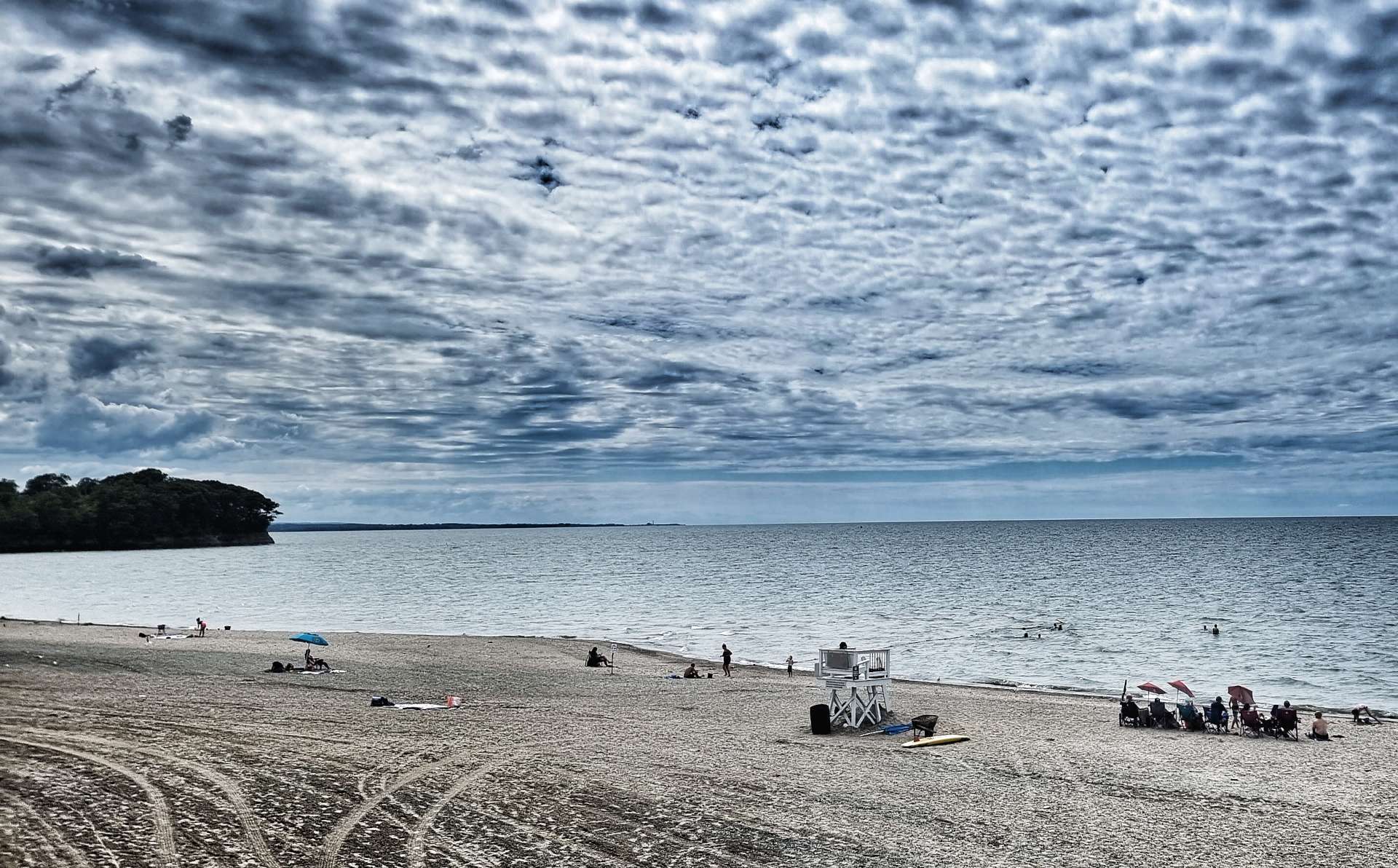
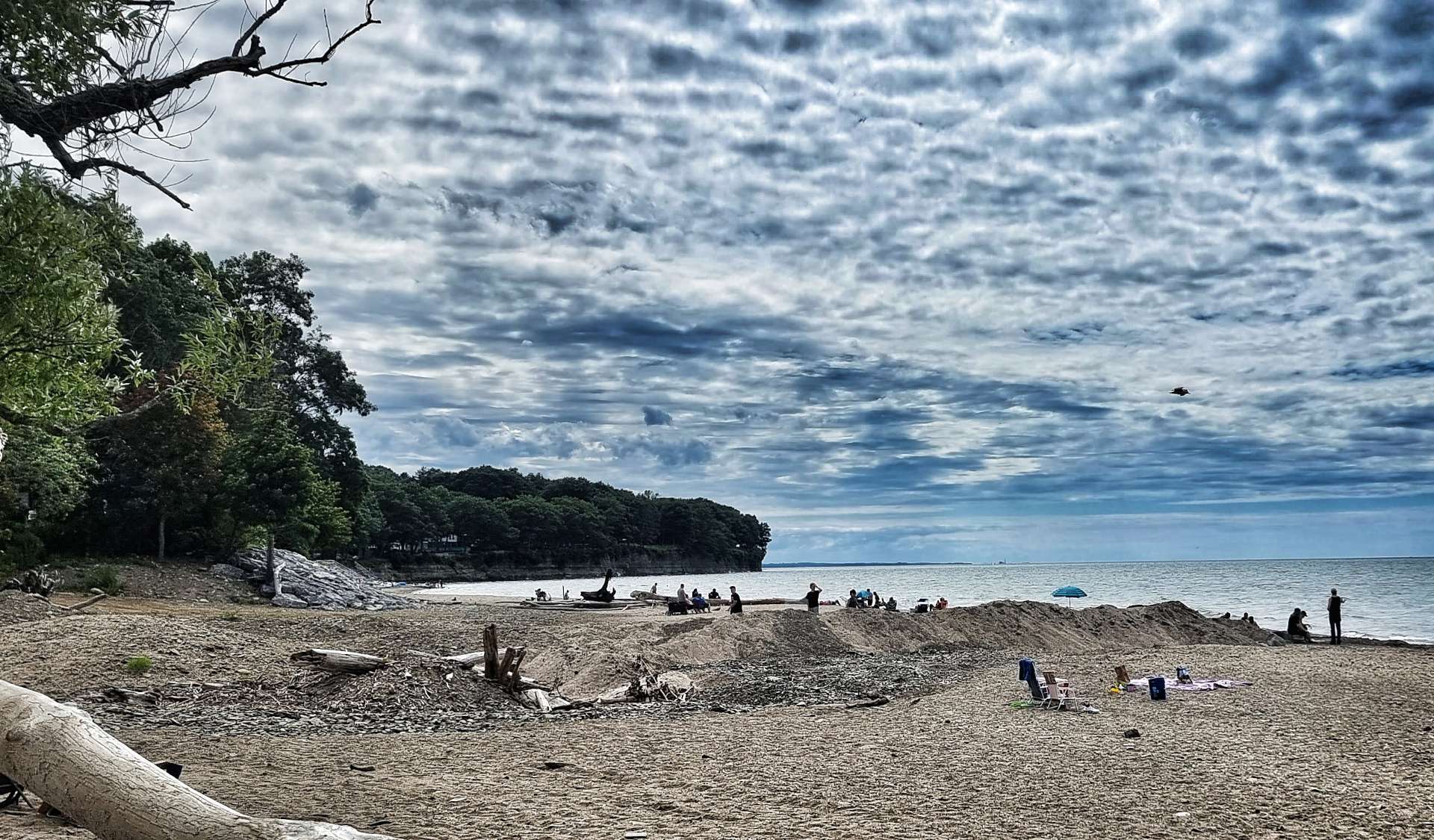
Lower Falls had parking for about 200 cars & about half of them must have been in use. There were families sat sun bathing & enjoying the glorious sunny weather. I had a couple of attempts at capturing the scene, but neither of them worked at all – it just looked like people sat on rocks!!!

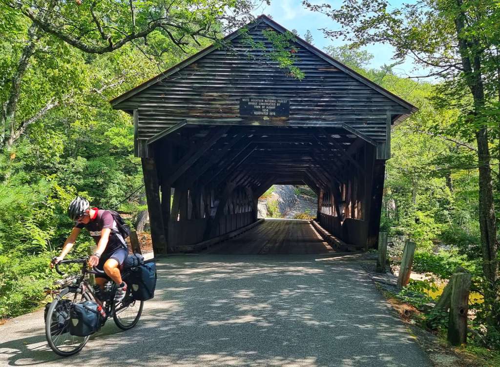
Covered Bridges are an integral part of New England landscape & the White Mountains have more than their fair share. The majority were toll bridges, built in the late 19th Century. One bridge in nearby Lebanon made a 70% annual return on investment in 1870!!!

The examples below are the Albany Town Covered Bridge in the first photo & the Conway Covered Bridge in the final photo. We had the road to ourselves for the 5 miles between the two bridges.

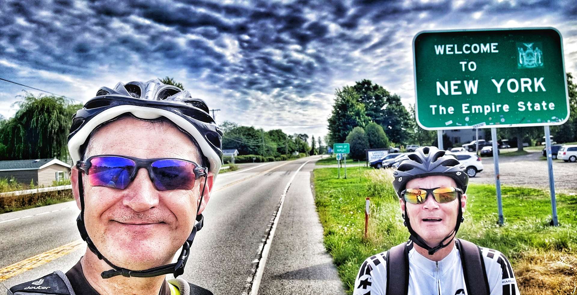
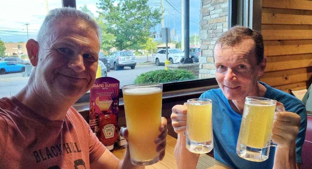
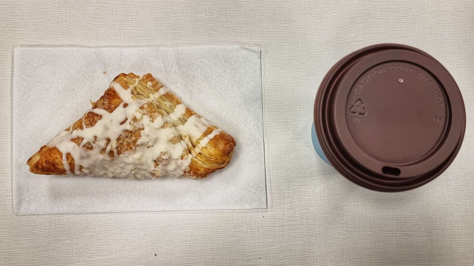
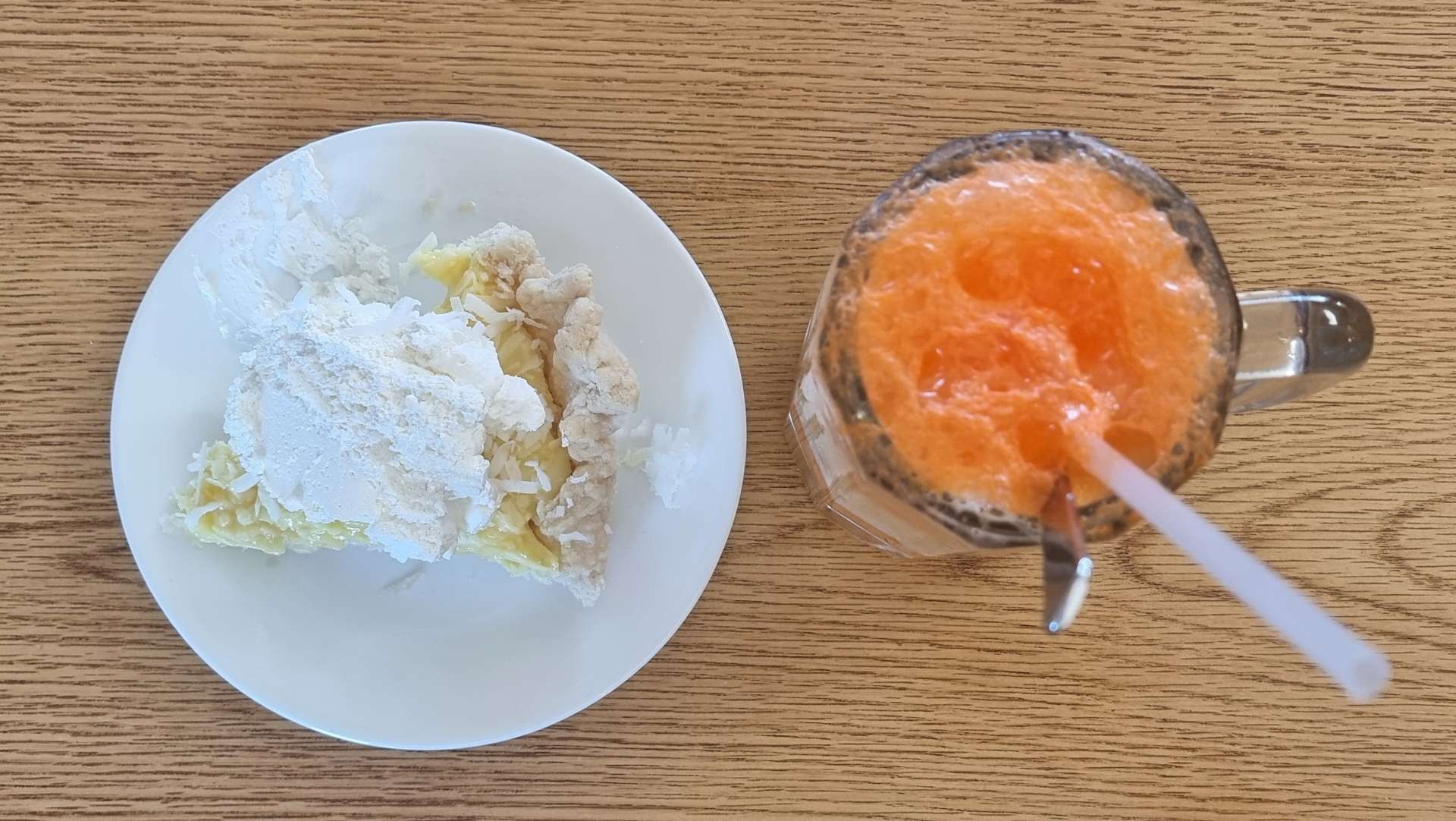
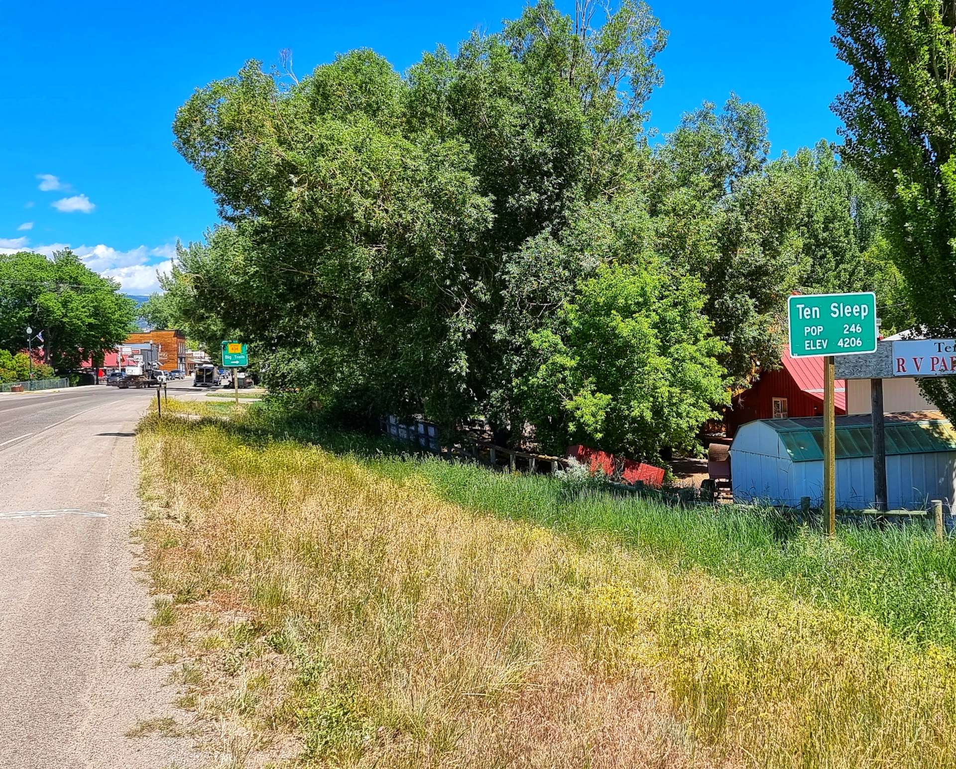
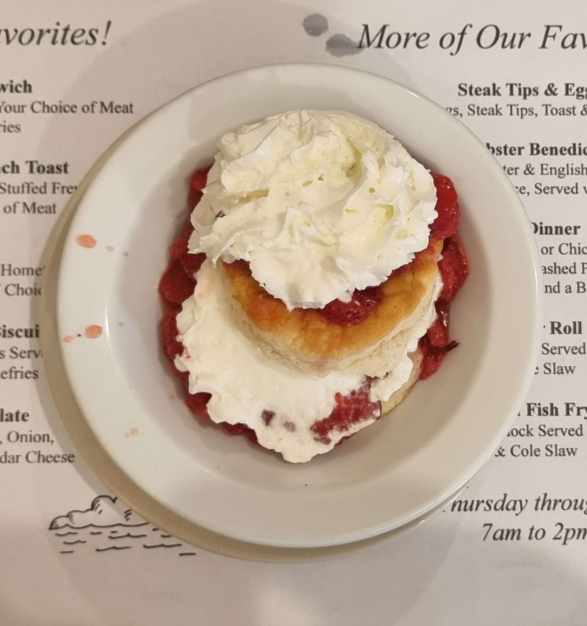
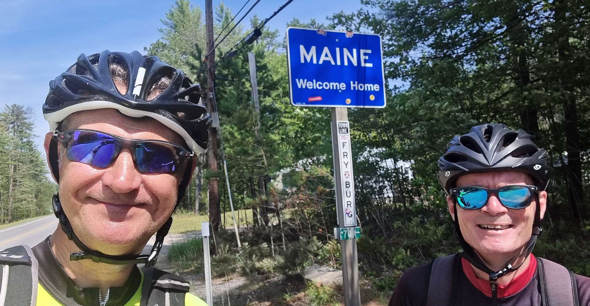
We stopped in Conway for a portion of strawberry shortbread – we’d completed 38 miles & also seen off the big pass of the day, so were in a good place! Within a few miles of setting off again, we arrived at our last State Line & crossed from New Hampshire into the Pine Tree State of Maine. The end of our adventure really is close!

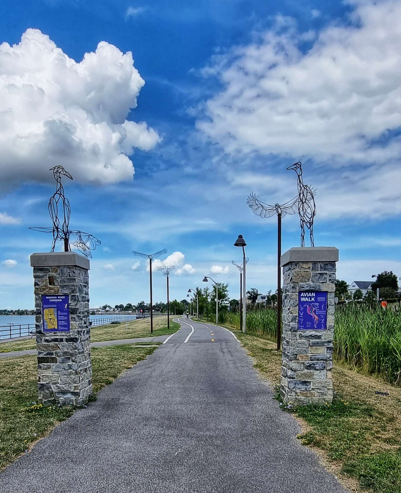
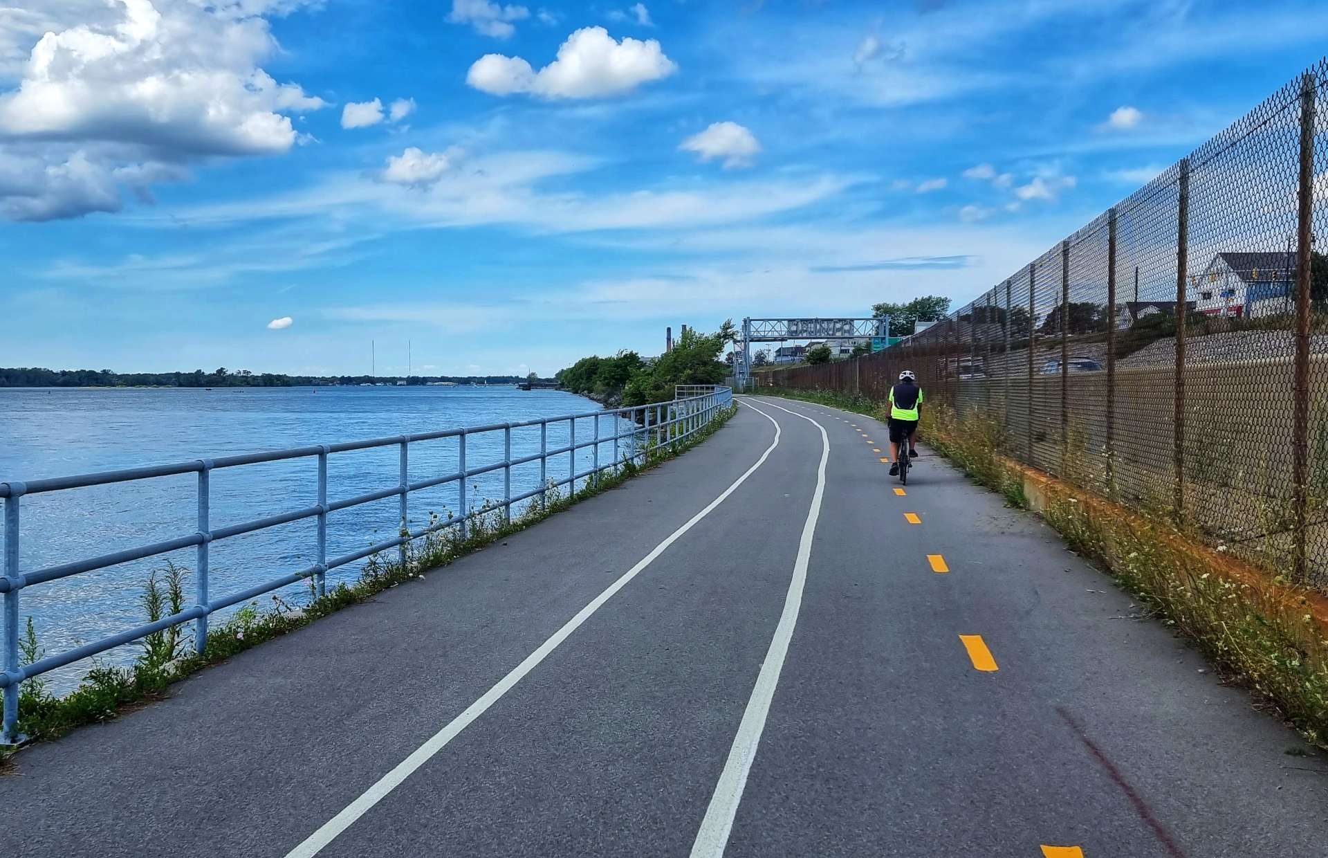
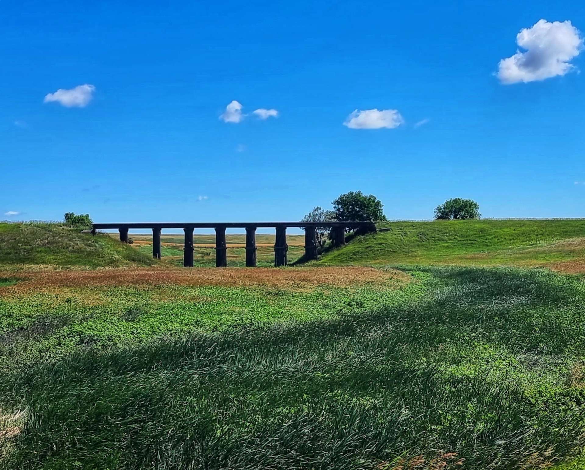
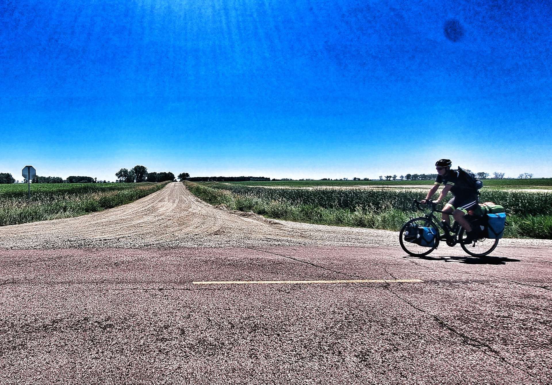
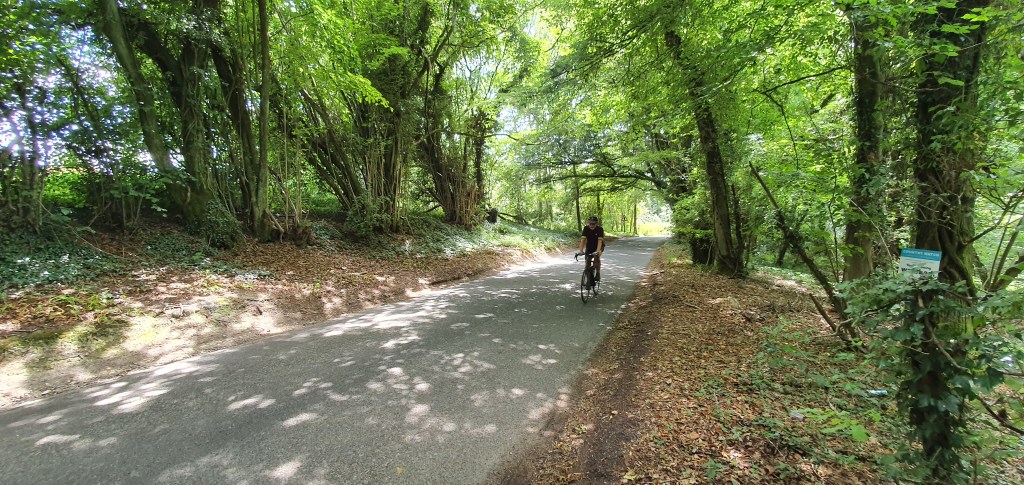
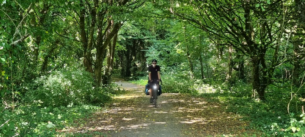
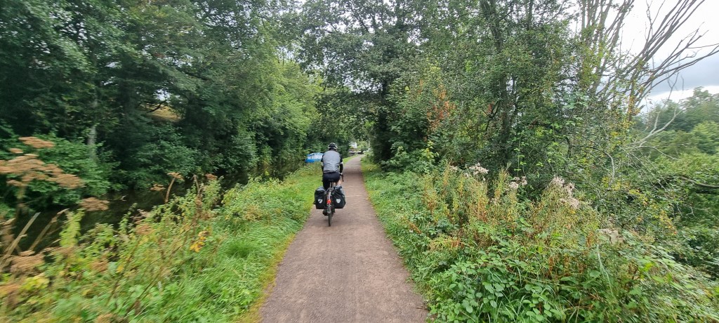
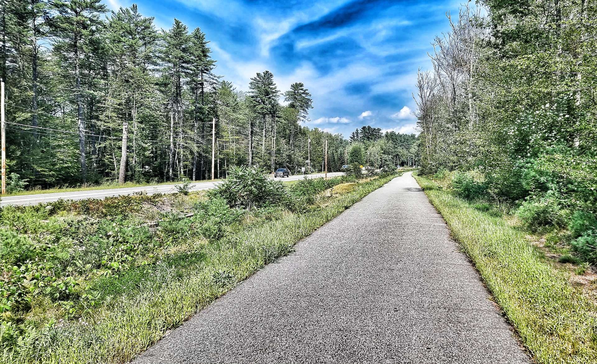
We also took a small Adventure Cycling Association detour onto our last piece of cycle track – we were on the Mountain Division Trail for less than a mile of the 6 mile track, but it felt like a symbolic moment. At some point I’ll work out how many miles we did off-road, but it feels like the answer will be at least a few hundred miles!

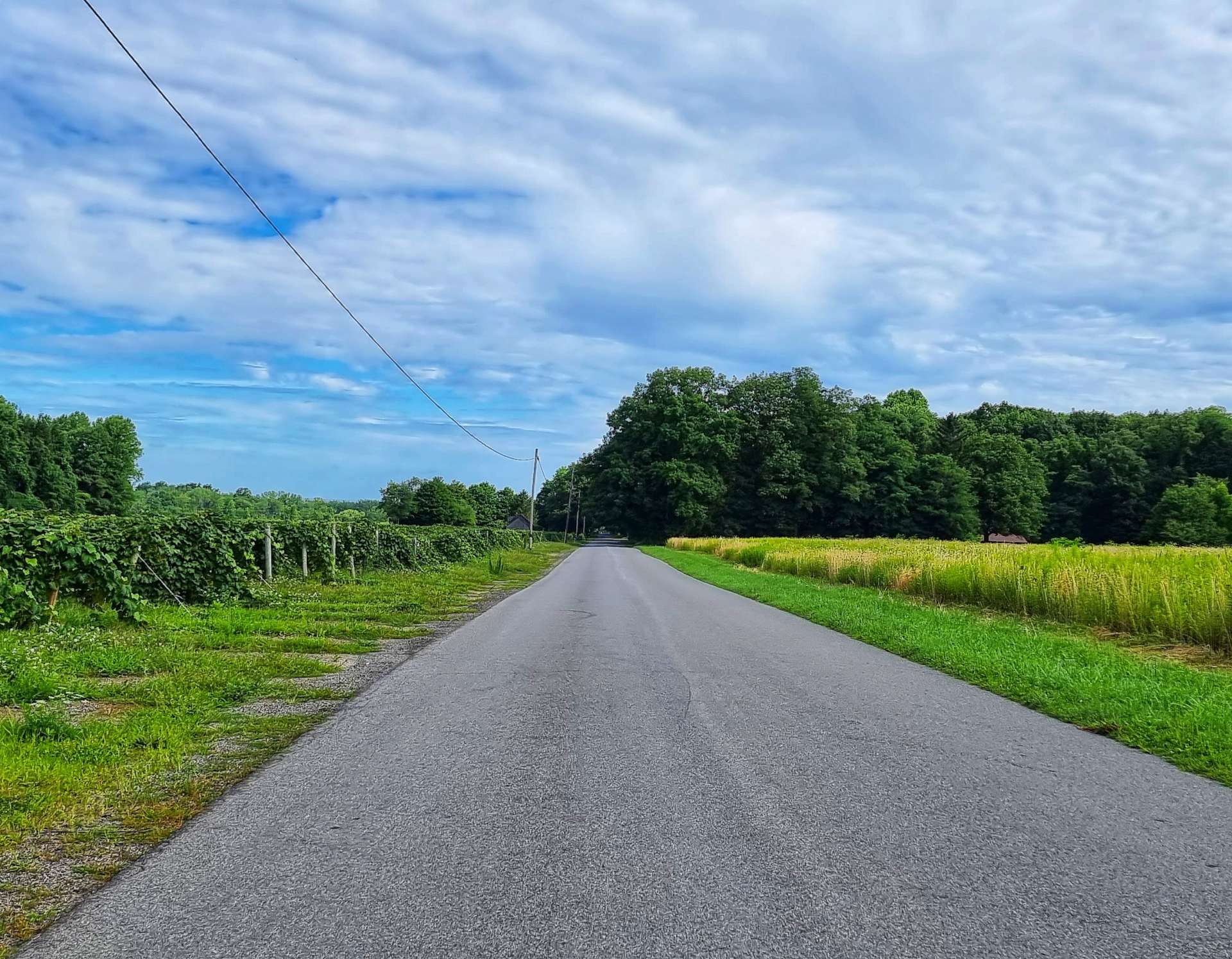
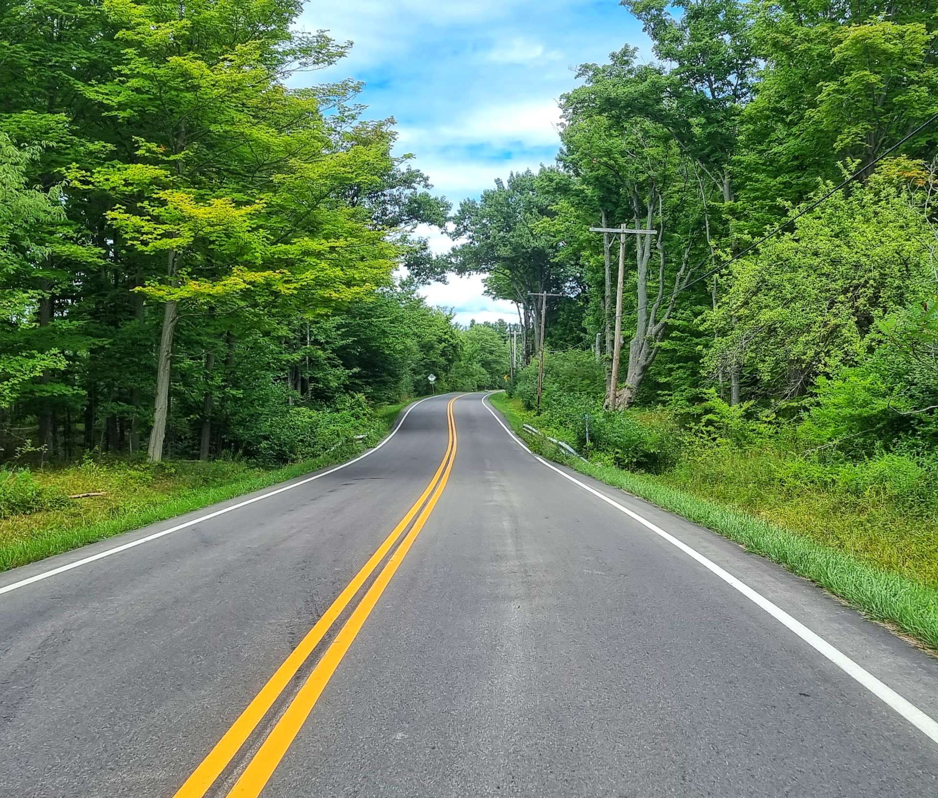
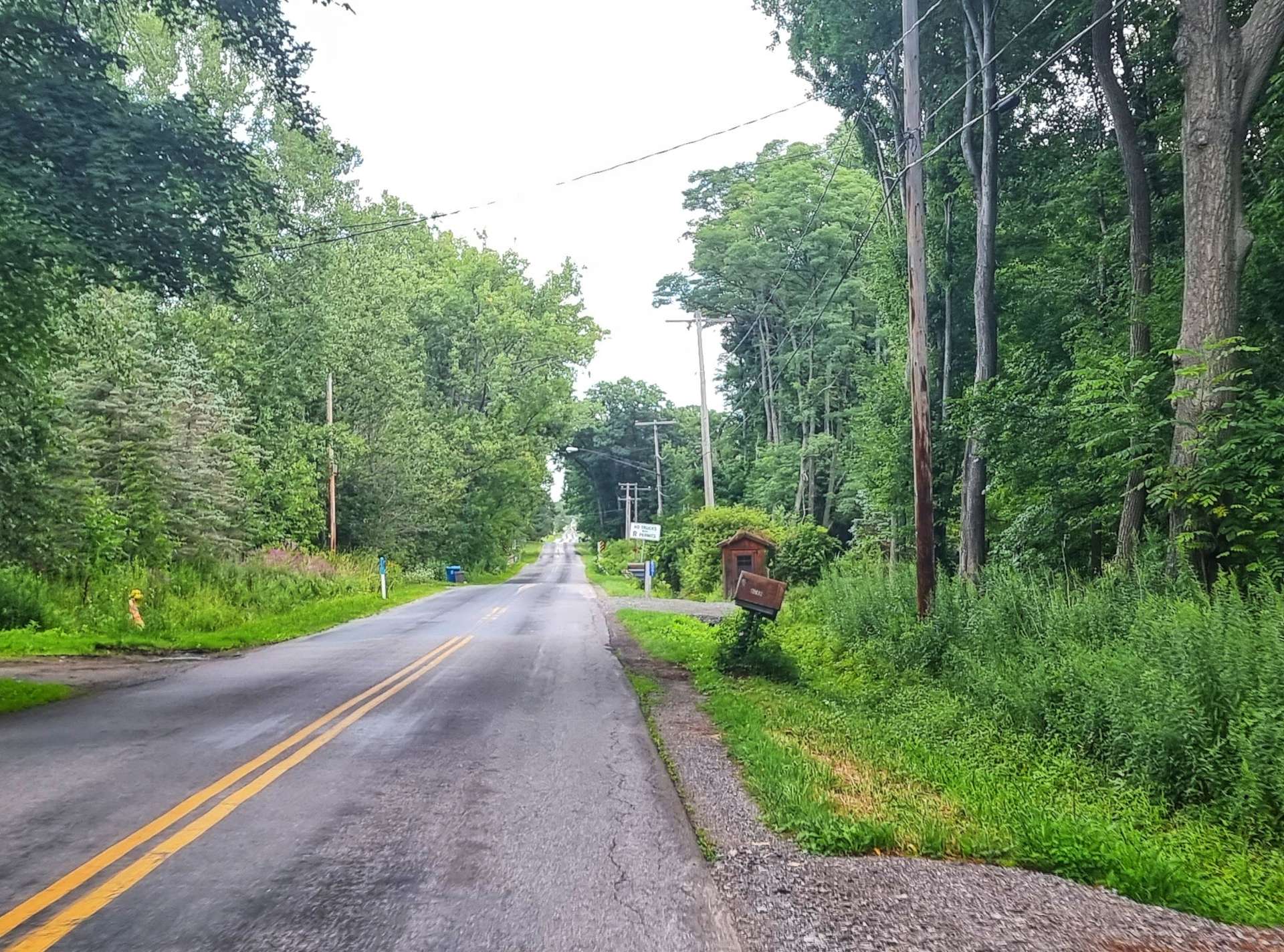
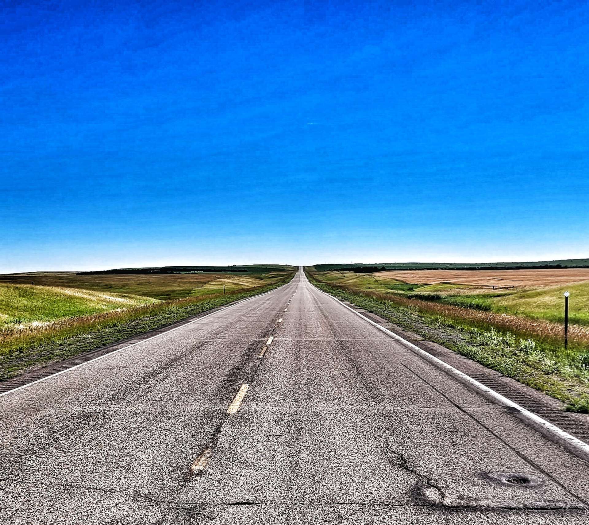
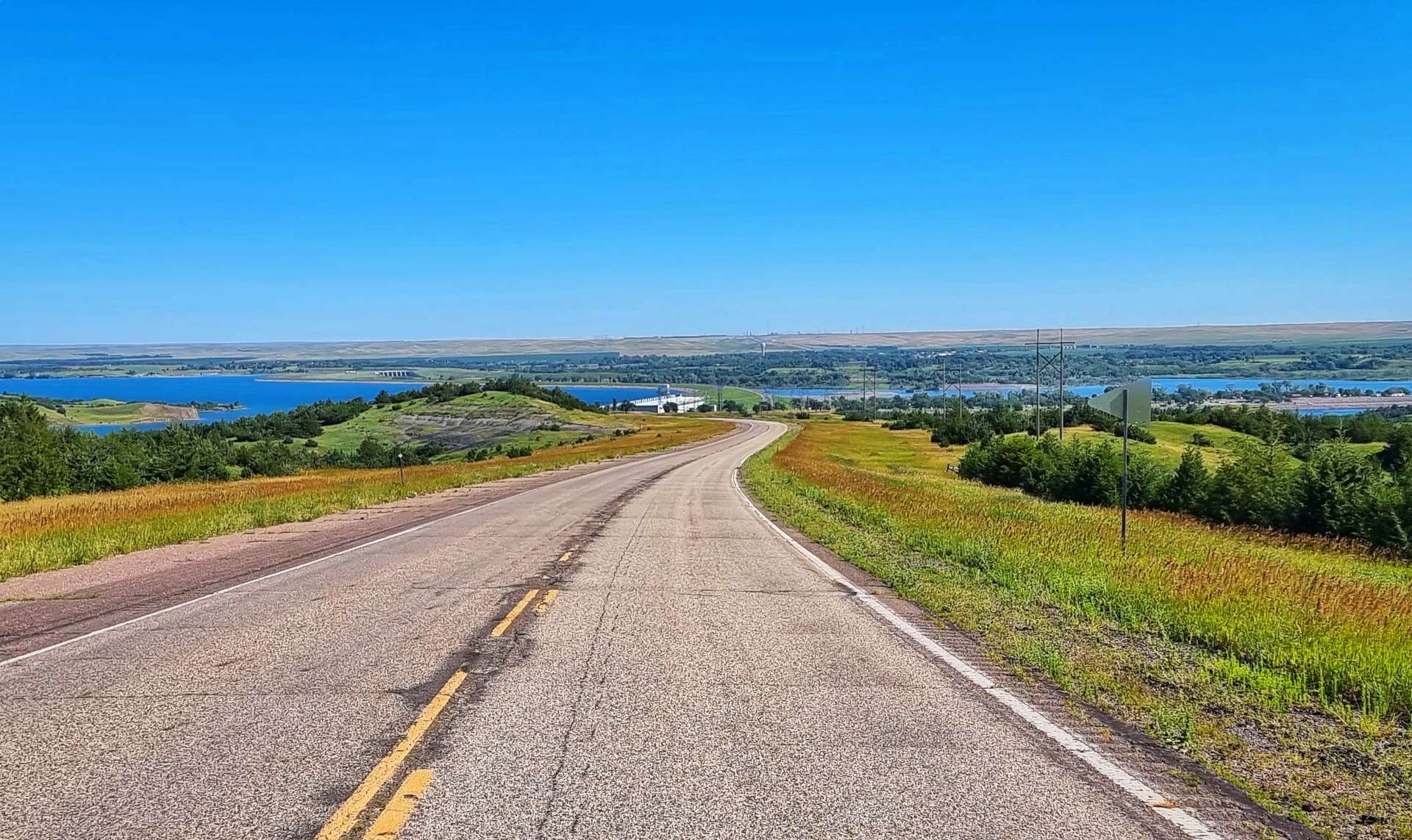
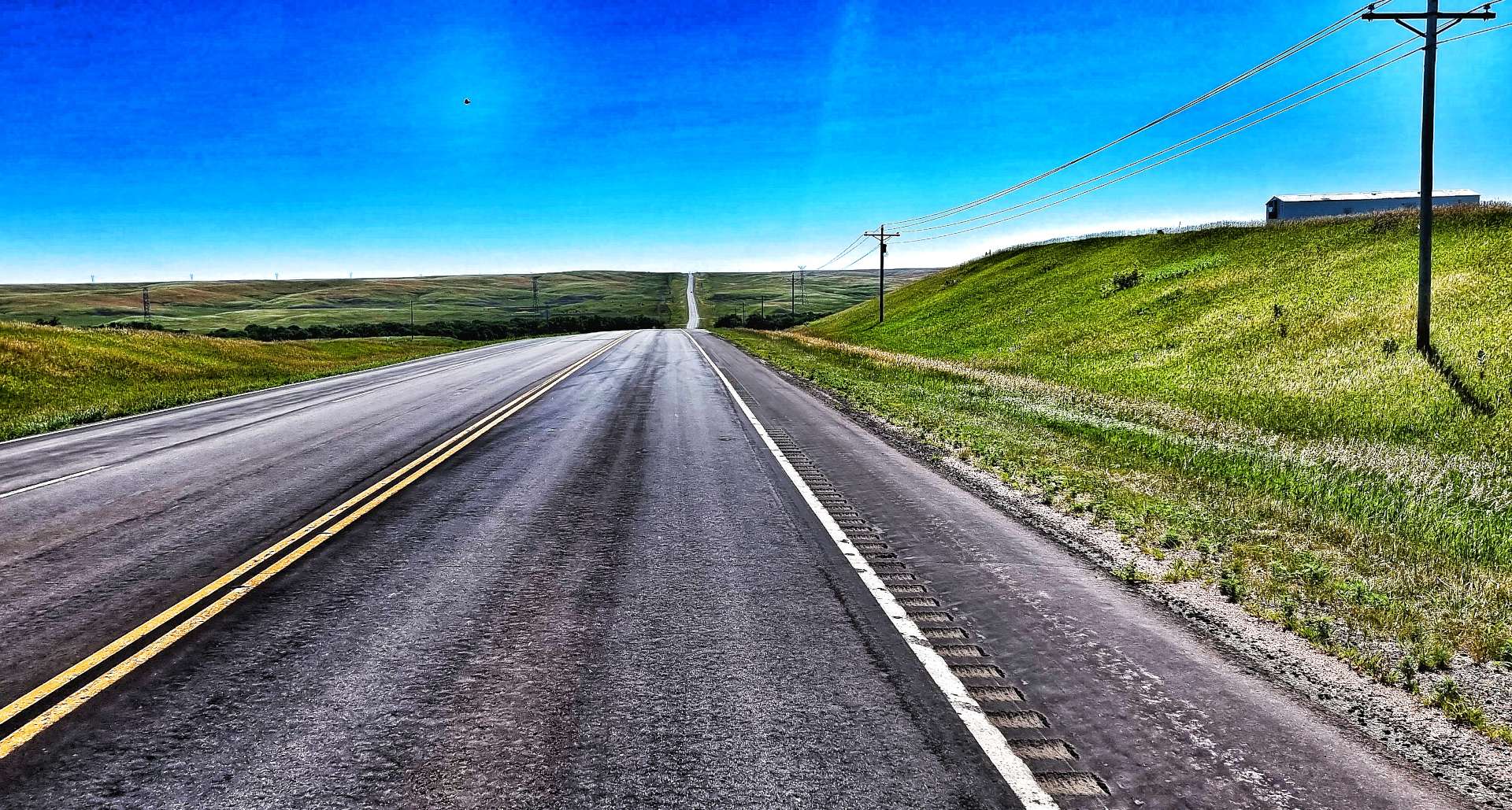
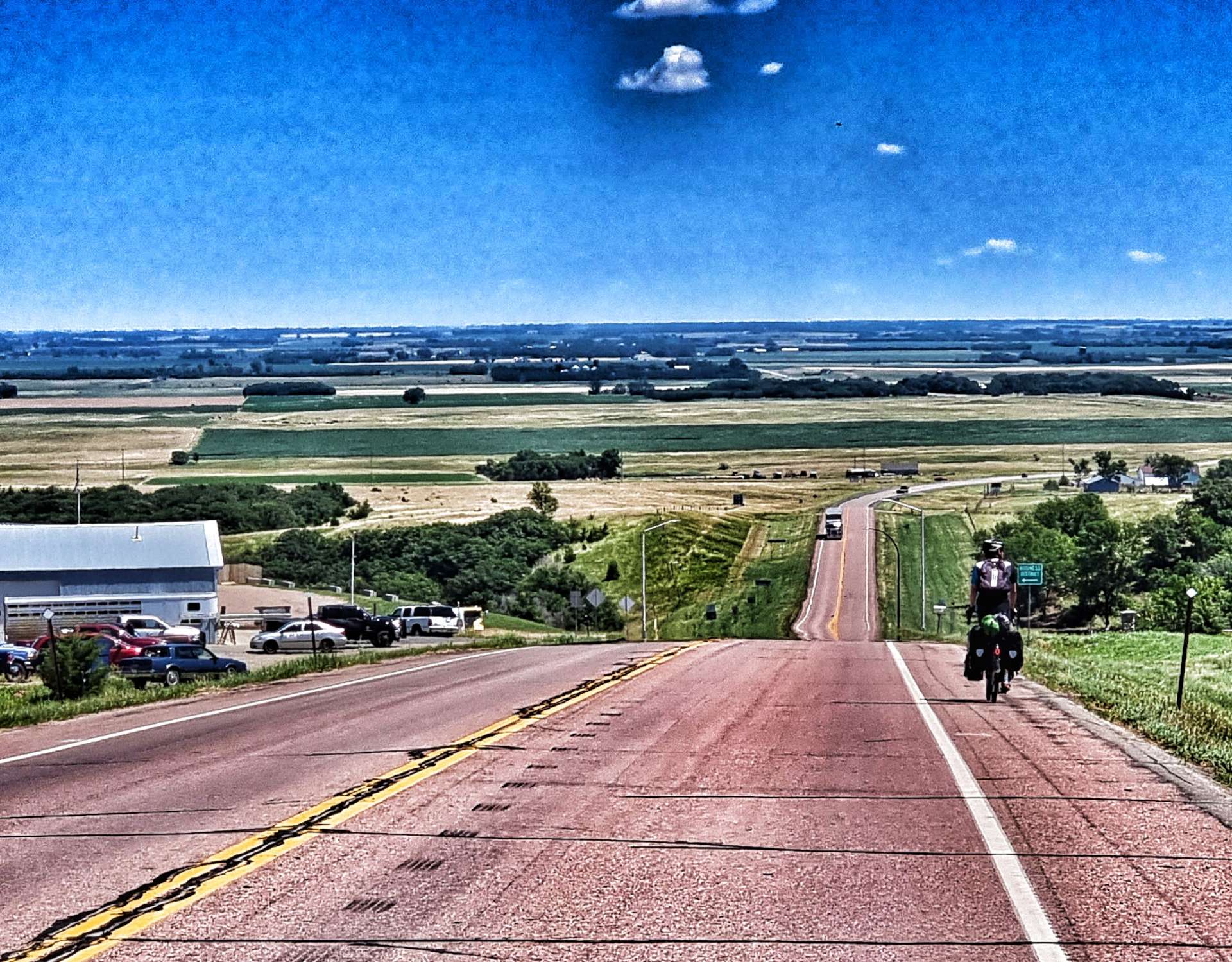
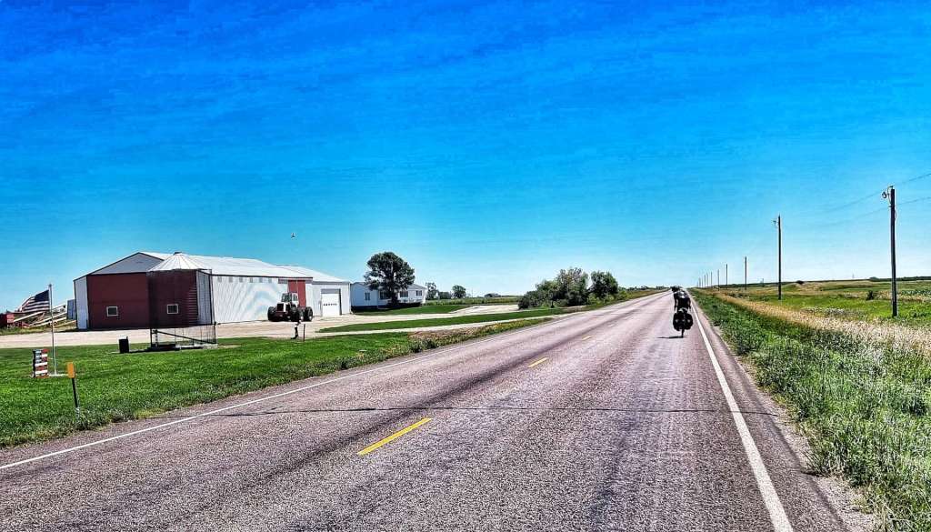
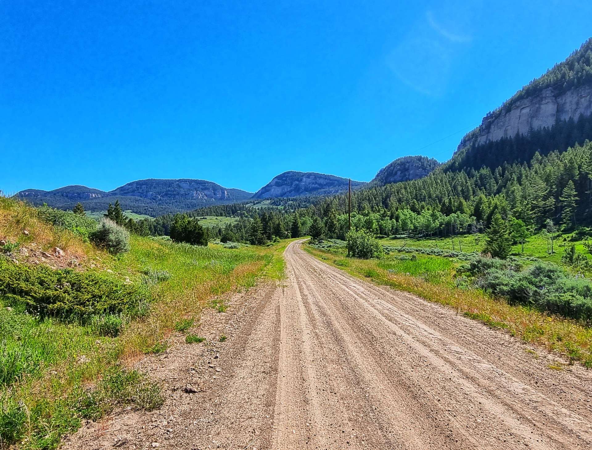
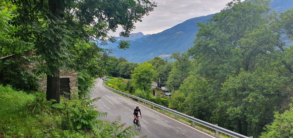
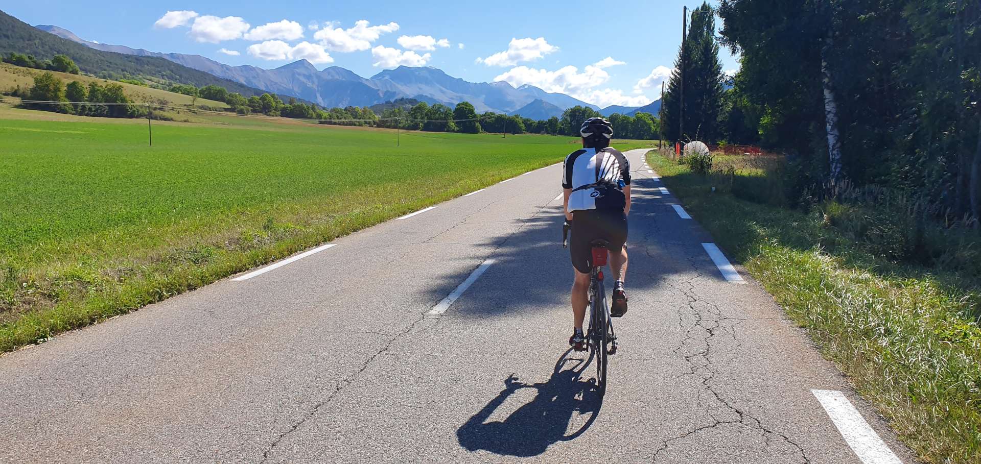
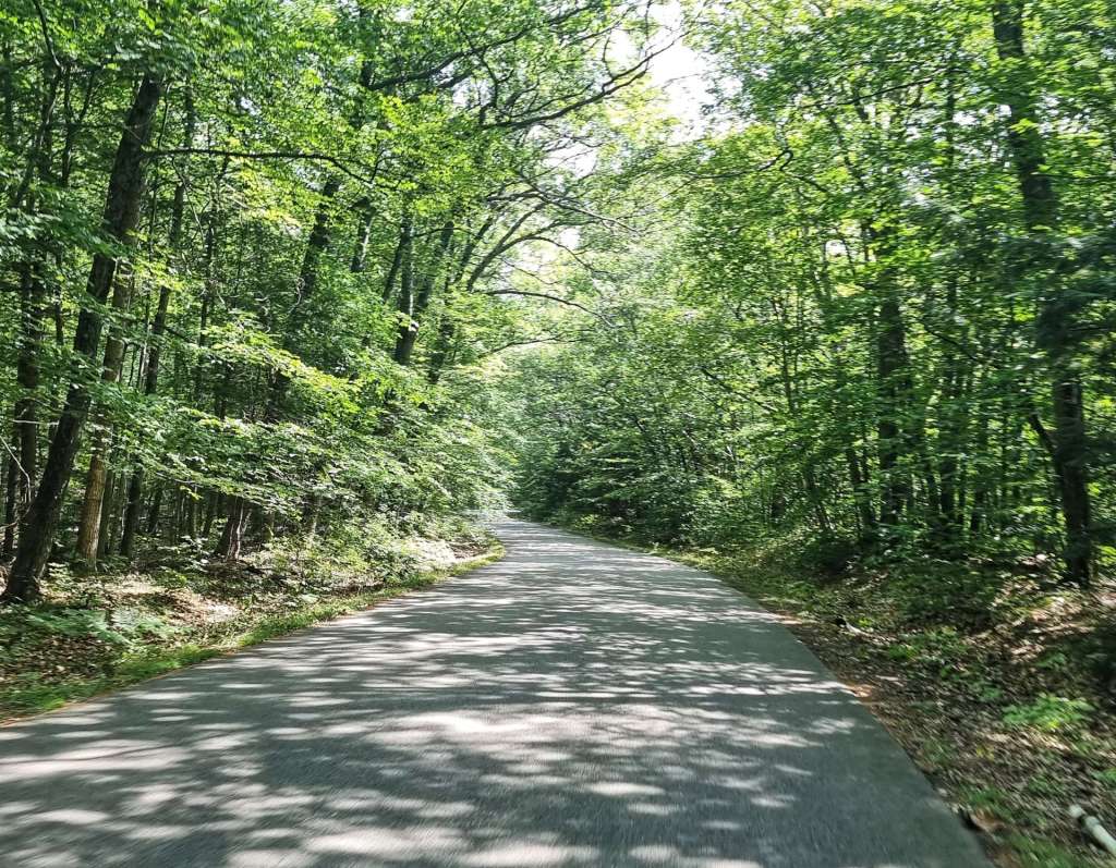
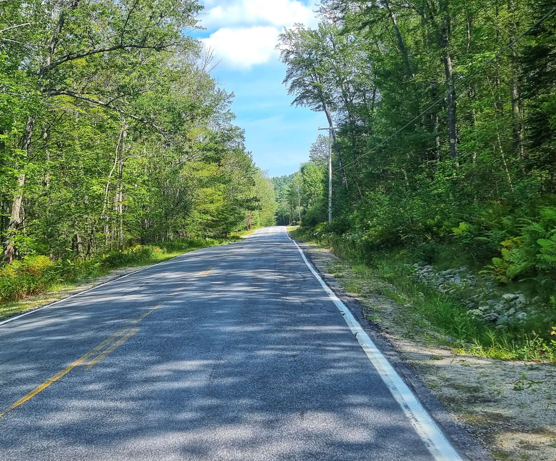
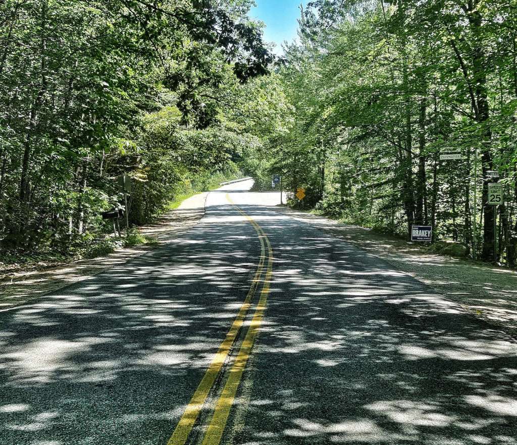
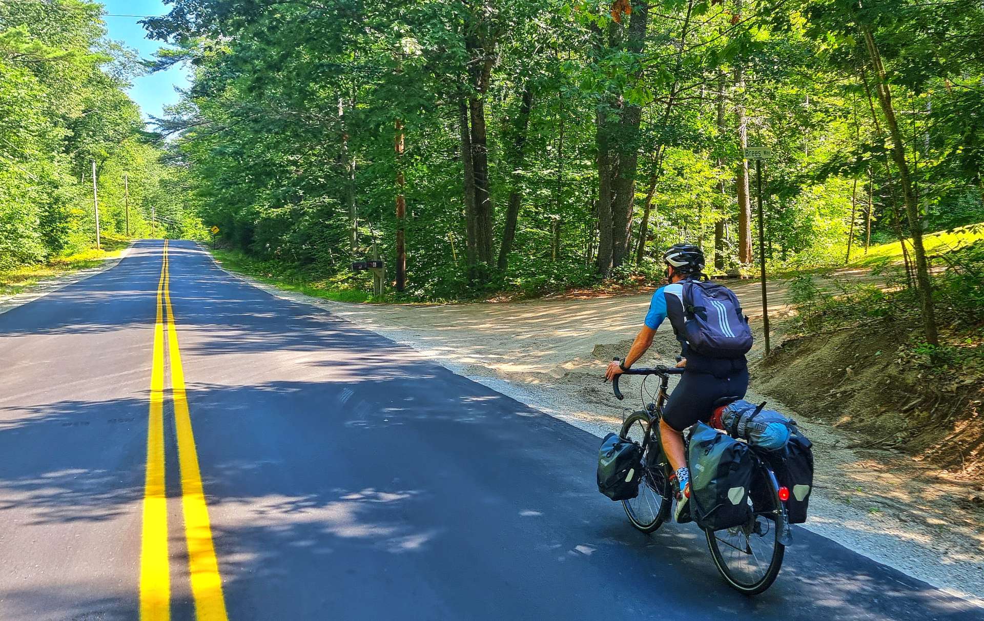
In Fryeburg we found more quiet roads as we gradually made our way towards our overnight stop.

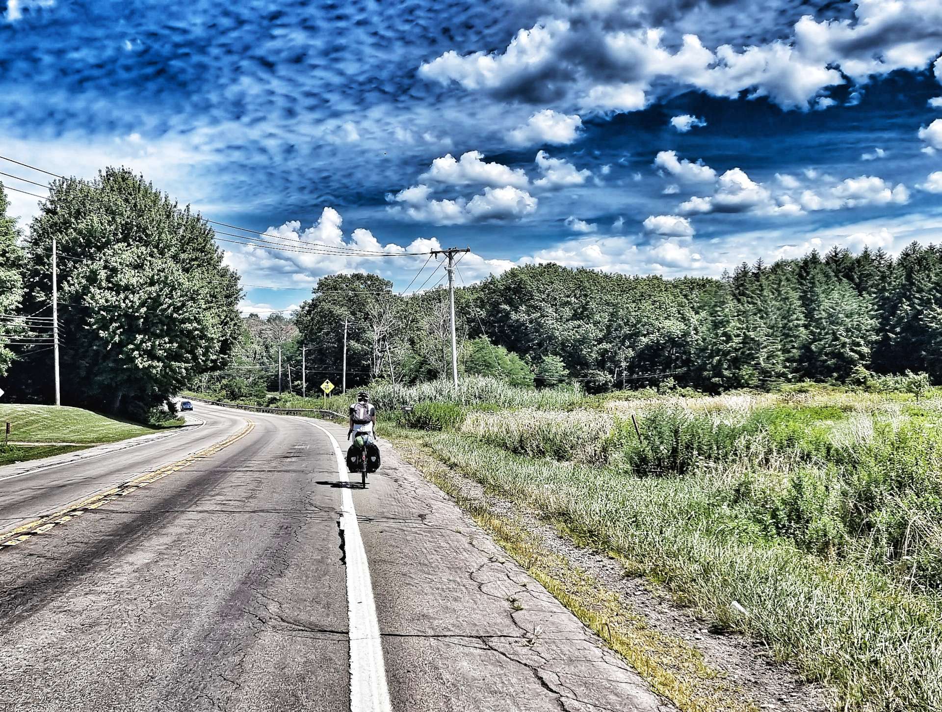
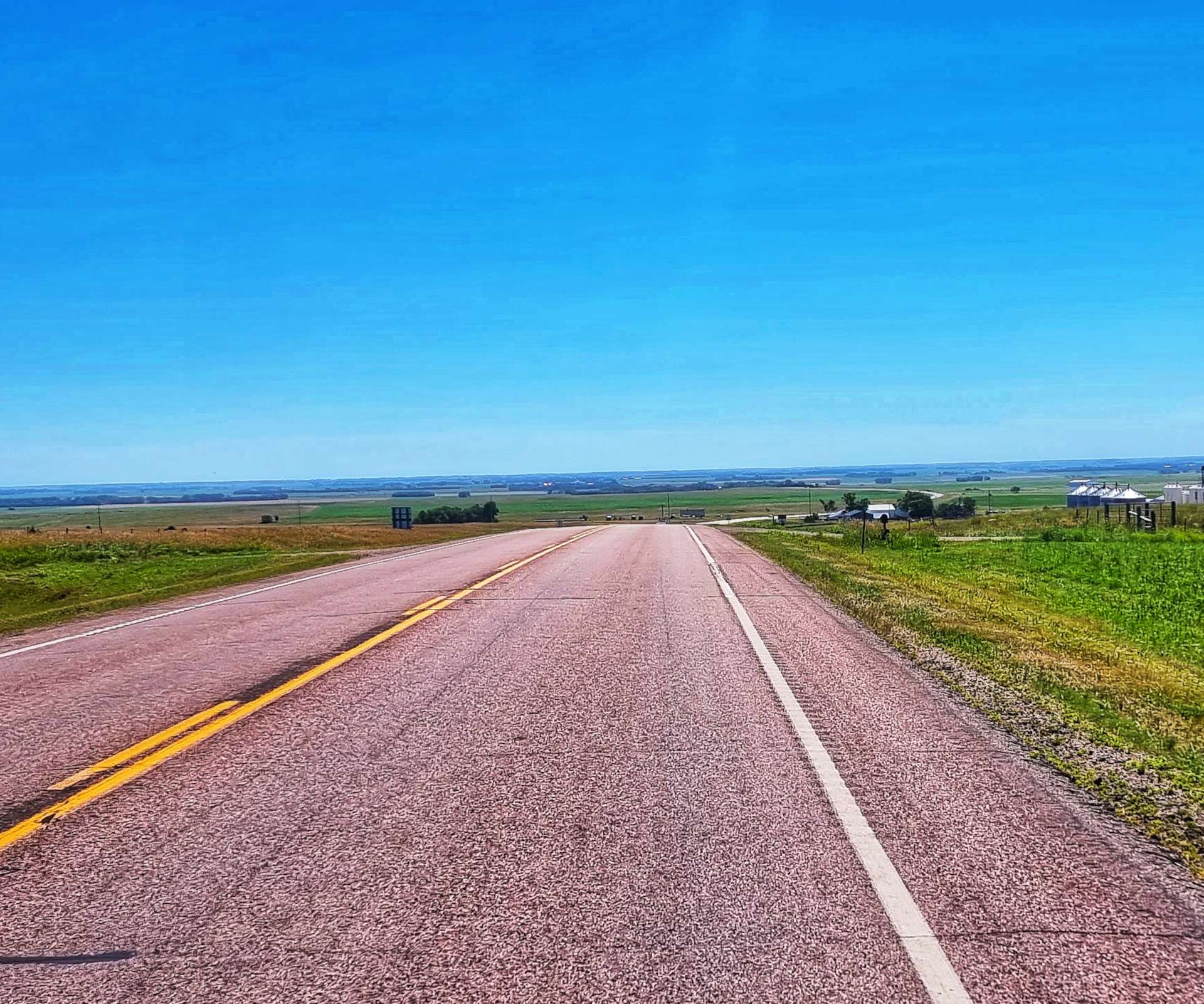
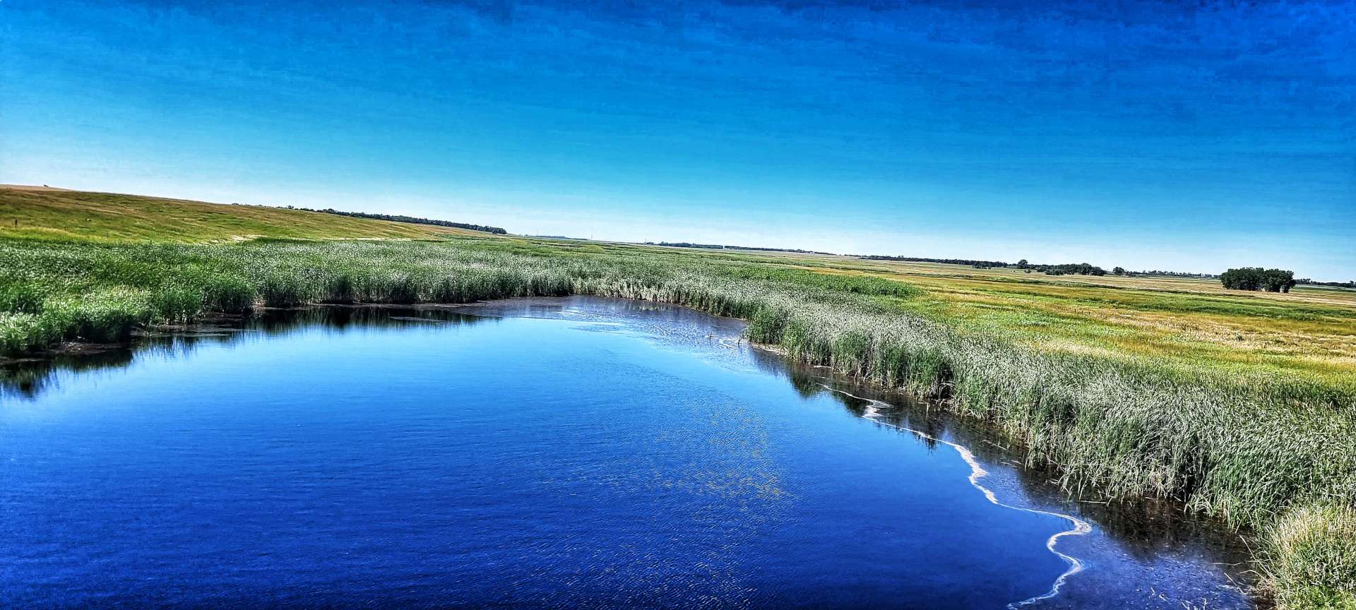
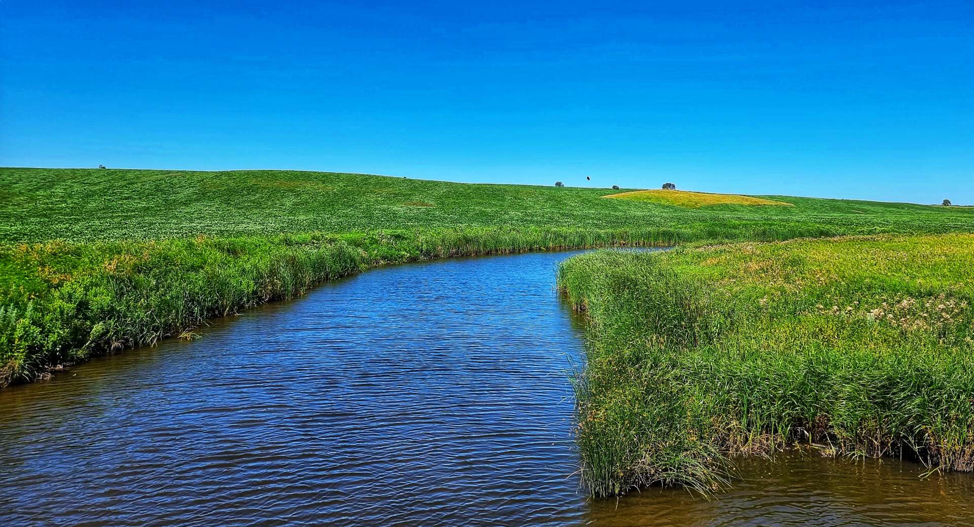
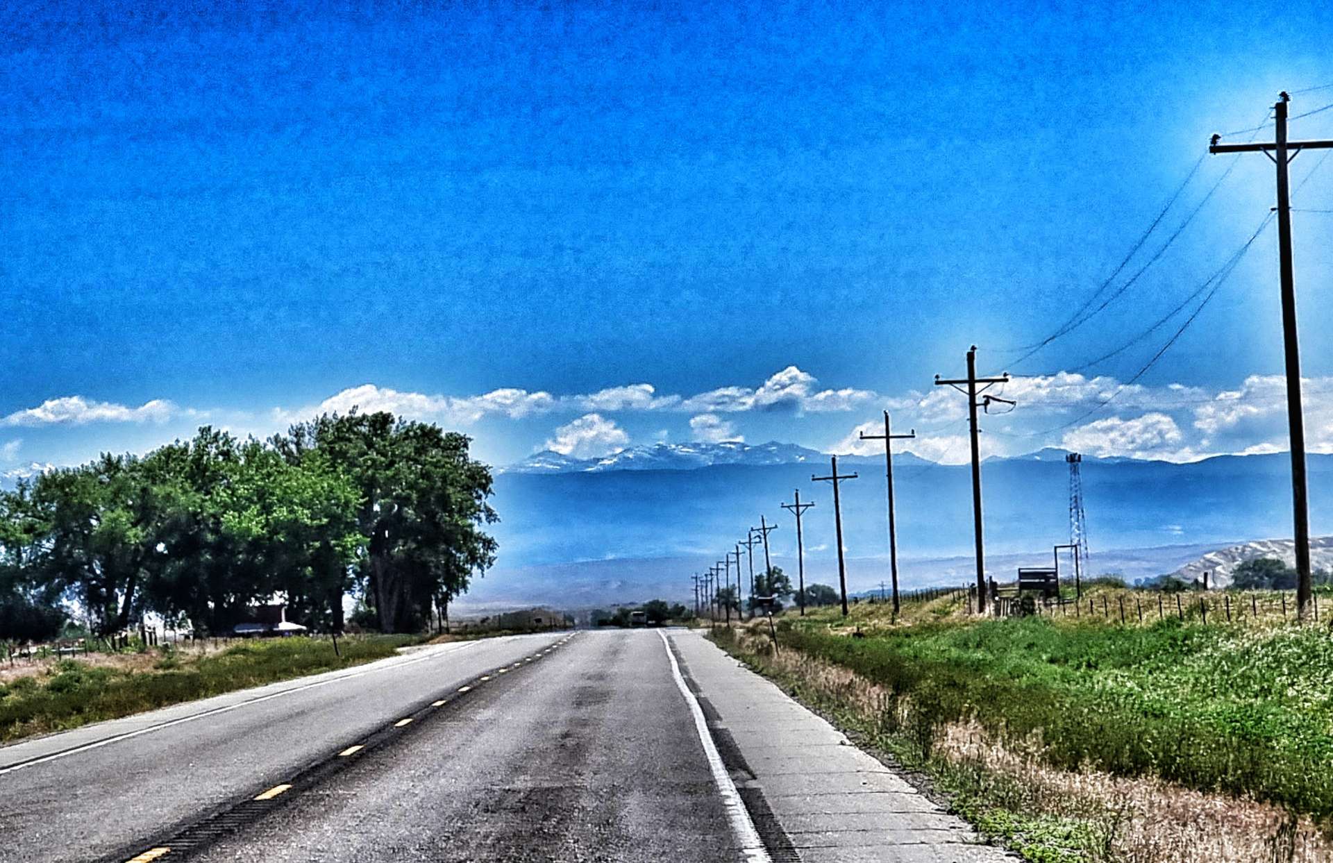
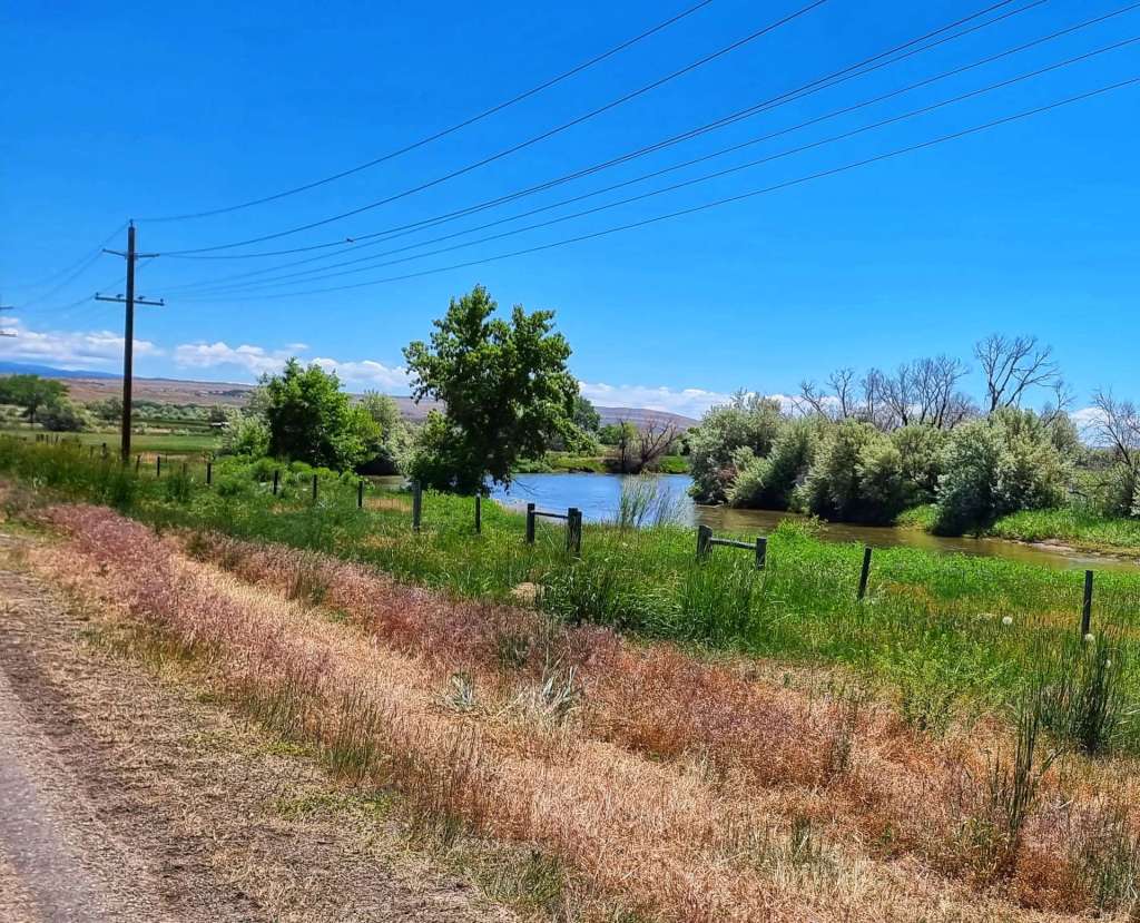
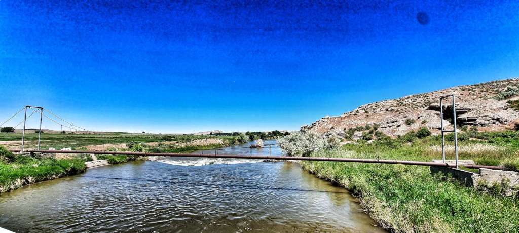
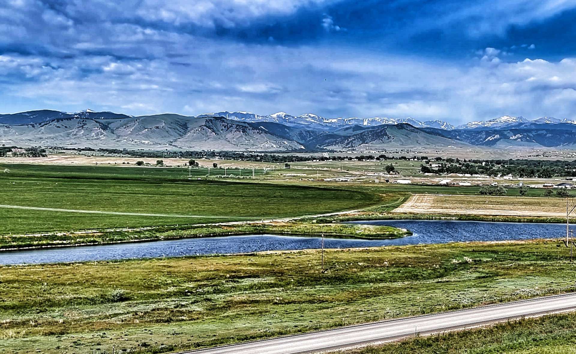
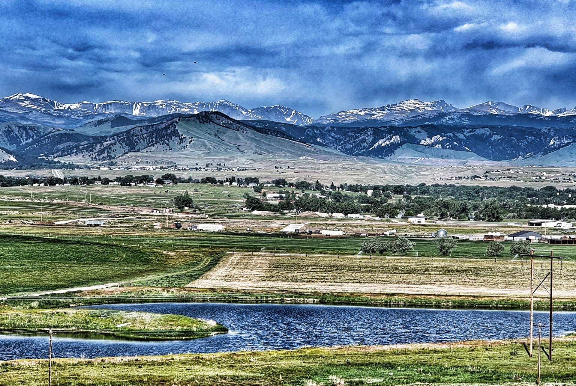
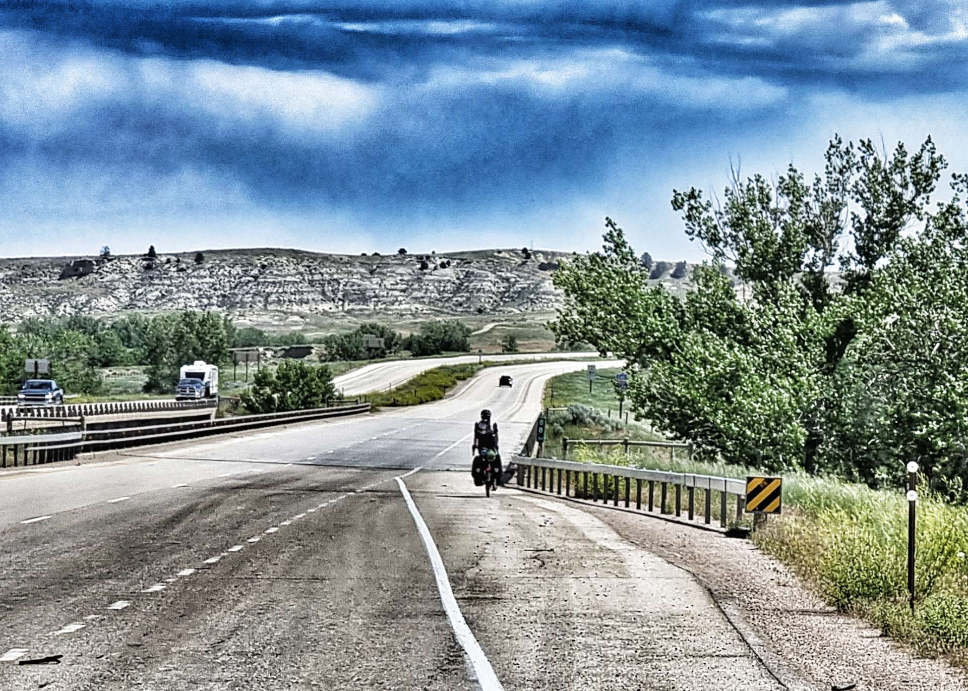
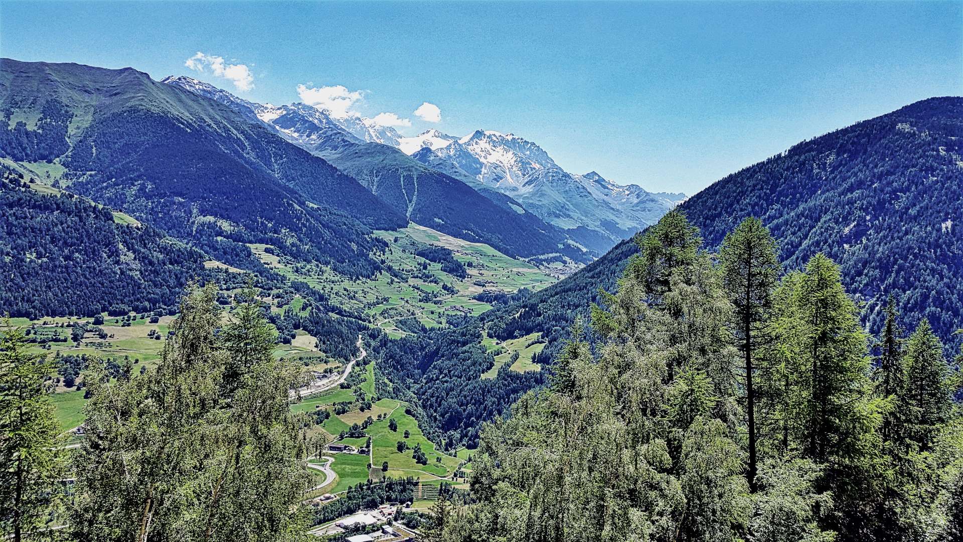
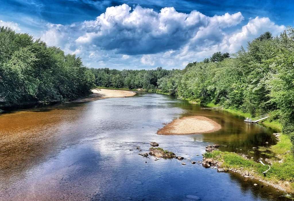
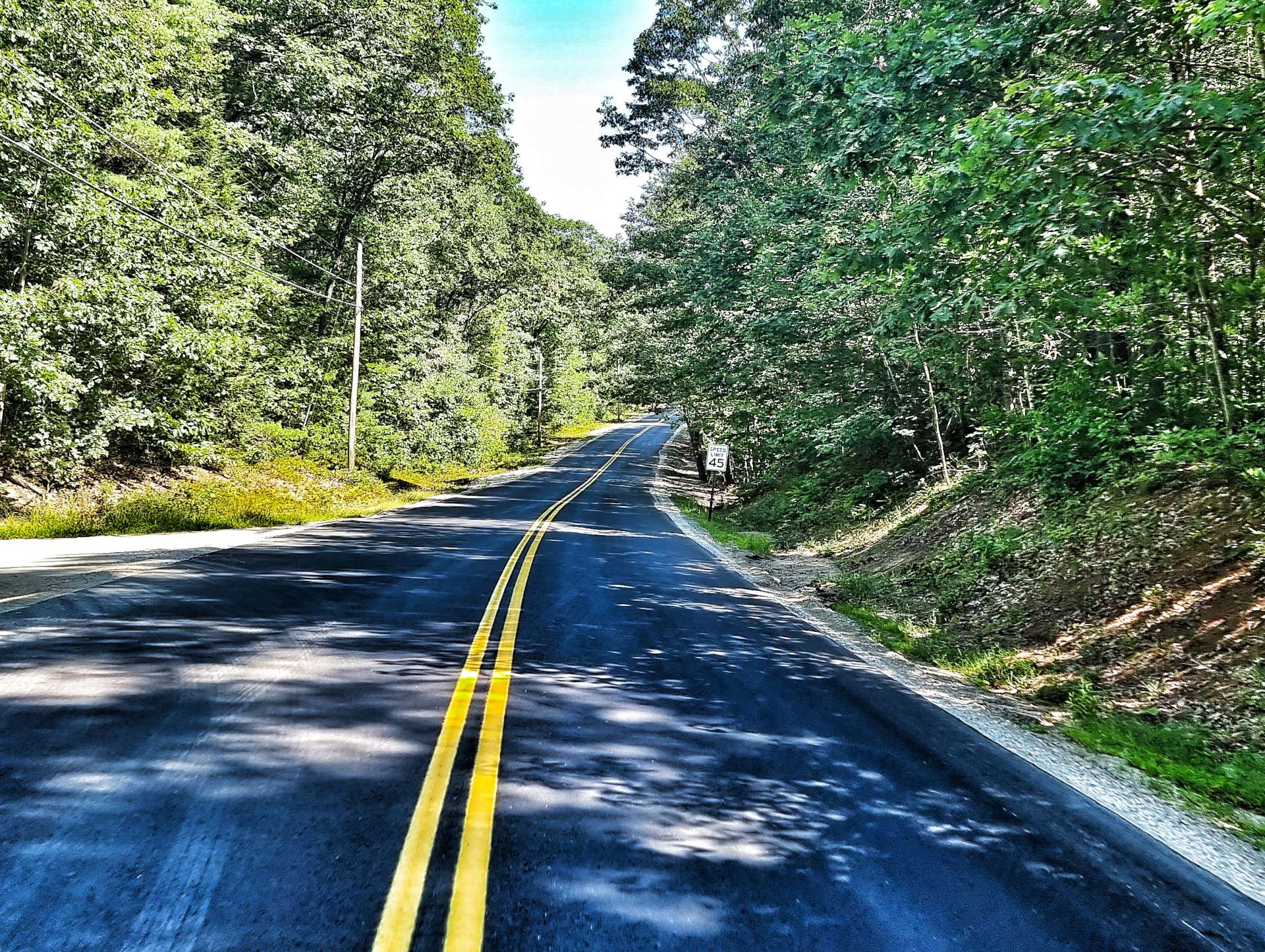
We were following the Saco River upstream, so were gradually climbing. The long views across to the White Mountains in the distance help take our mind off the drag uphill. The few houses we saw were what I would call up-market with plenty of land too. We’d both checked the route last night & commented that it looked like there was a hilly end to the route – we were just about to find out how hilly!

The answer quickly became clear – quite hilly & quite steep at times! The forest protected us from the heat of the sun, although the ambient heat was plenty warm enough. The road rose in ramps, so we also had a few nice descents where we could recover before the next ascent – at times the climbs hit 11% & 12%, which is more than enough in the later stages of a ride!

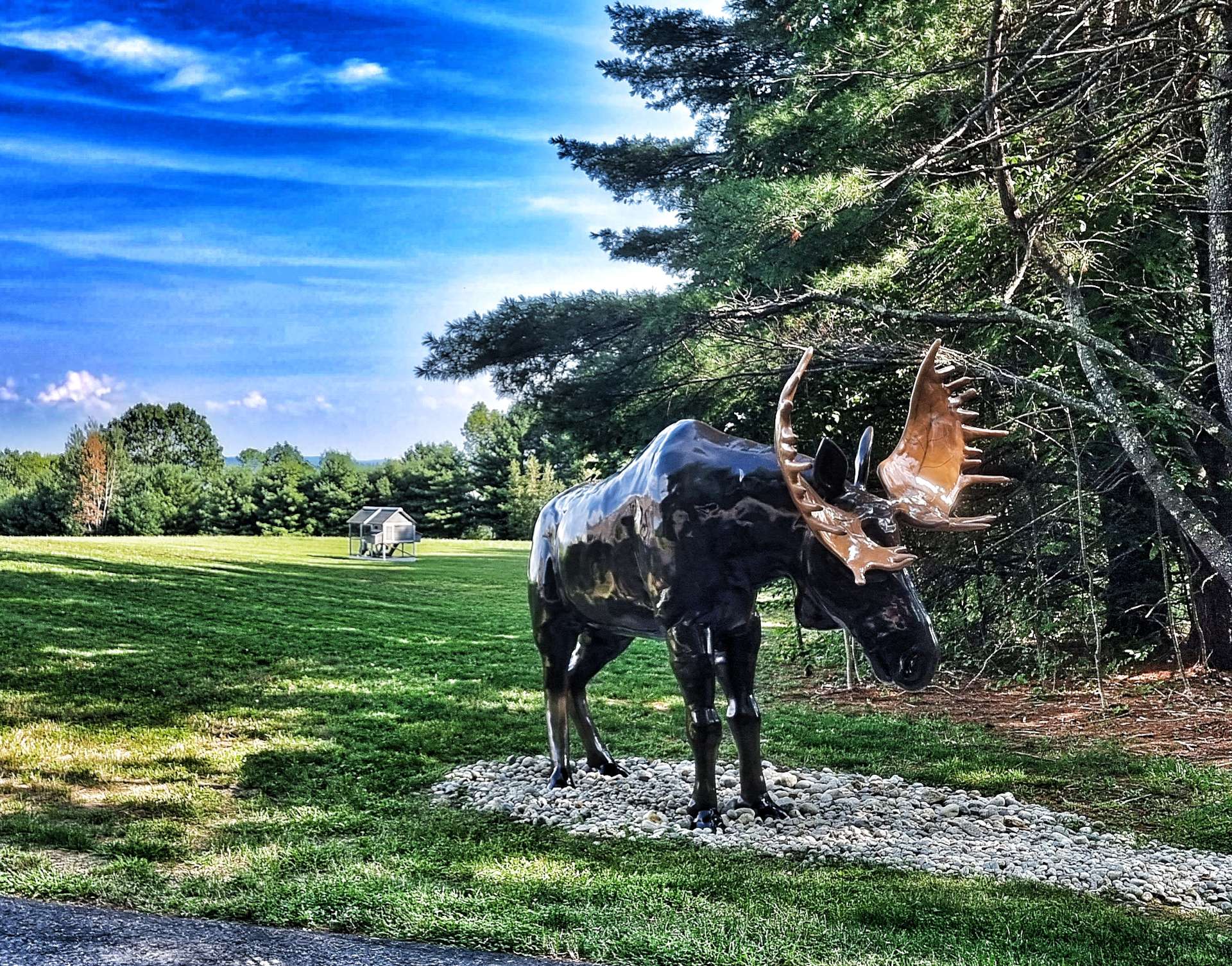
Real moose had avoided us again today, but we did at least see a life-size representation of one in a front garden! This was at the top of the final climb, so all that remained was to freewheel the final mile or so to our overnight accommodation in Bridgton.

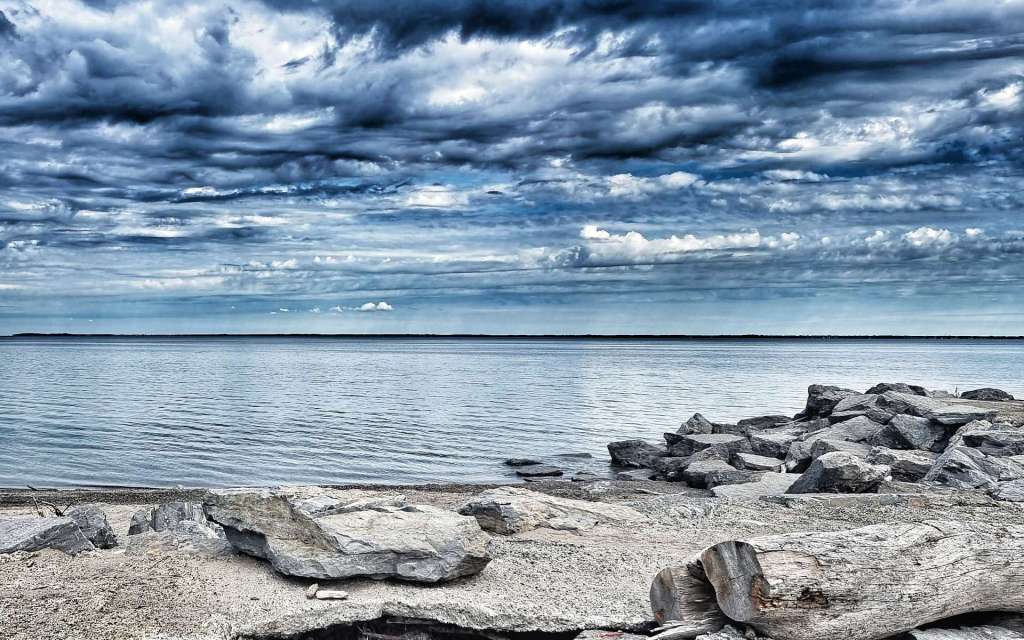
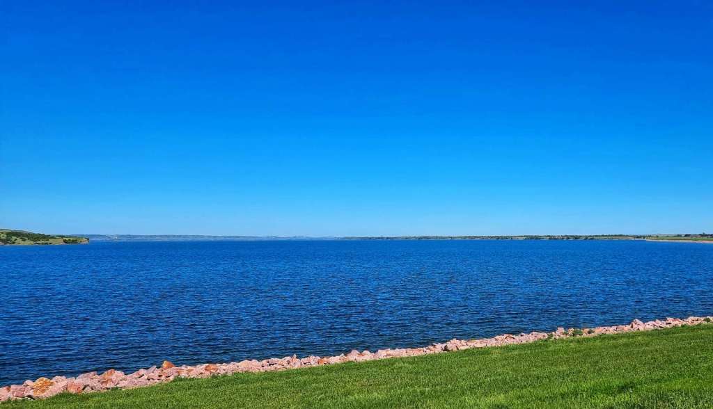
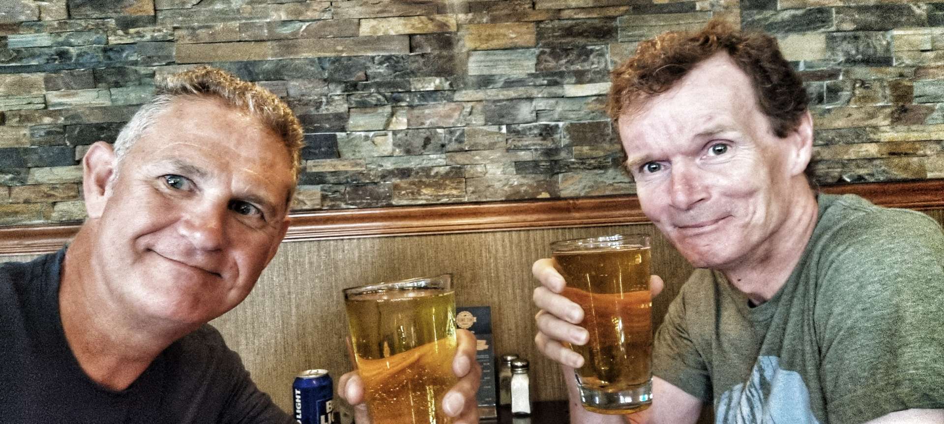
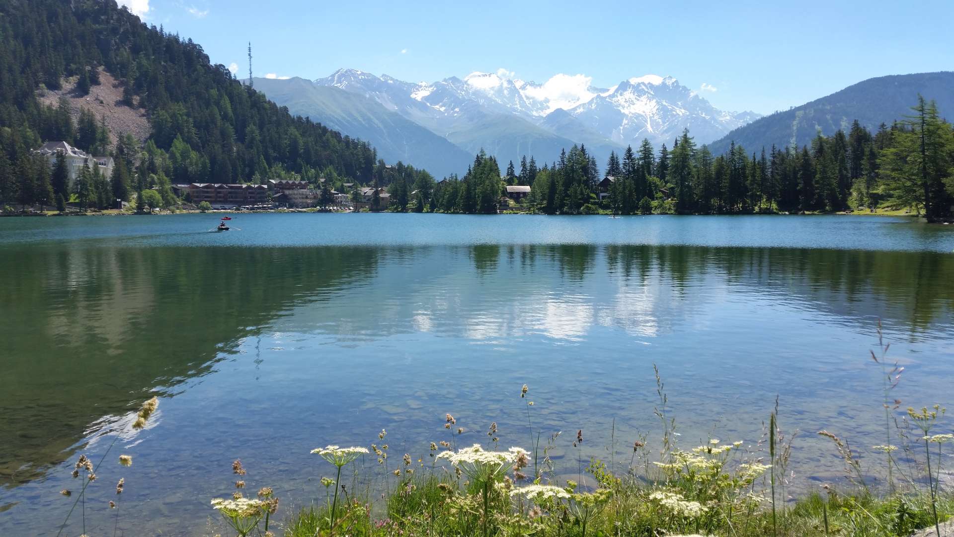
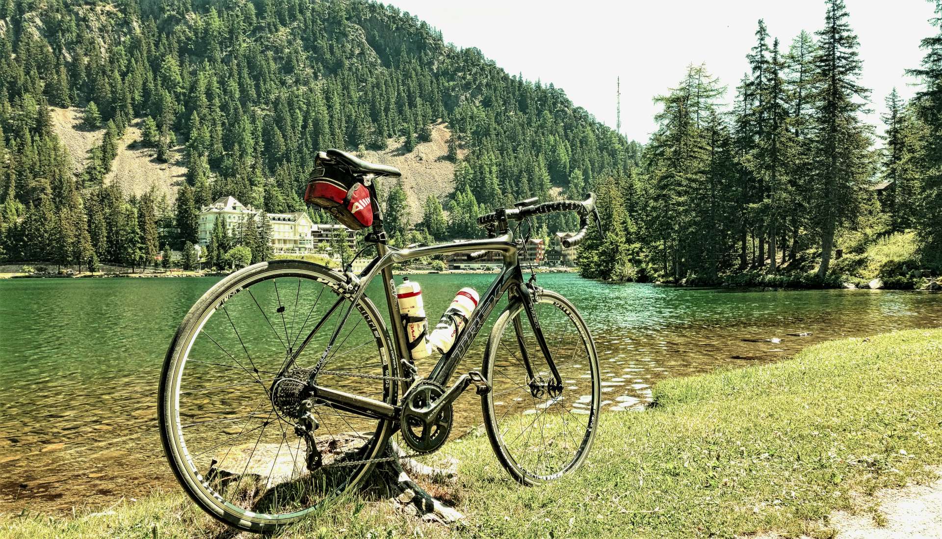
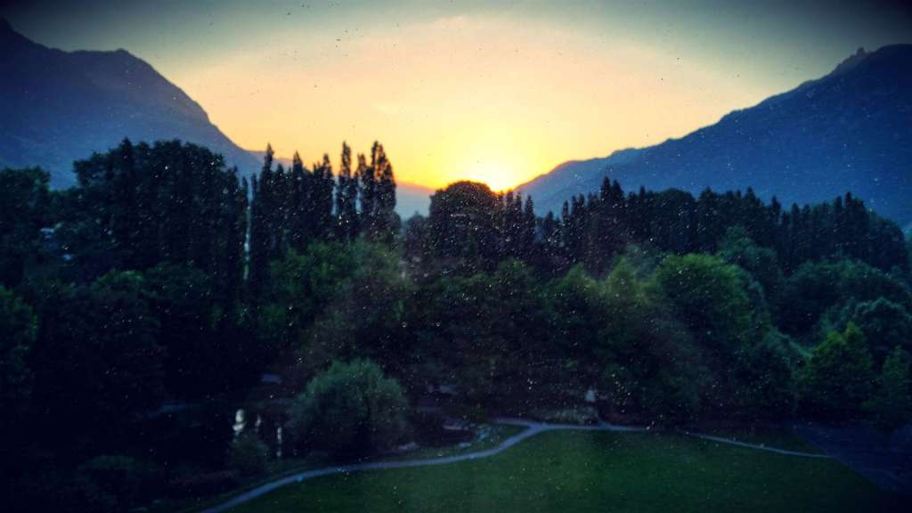
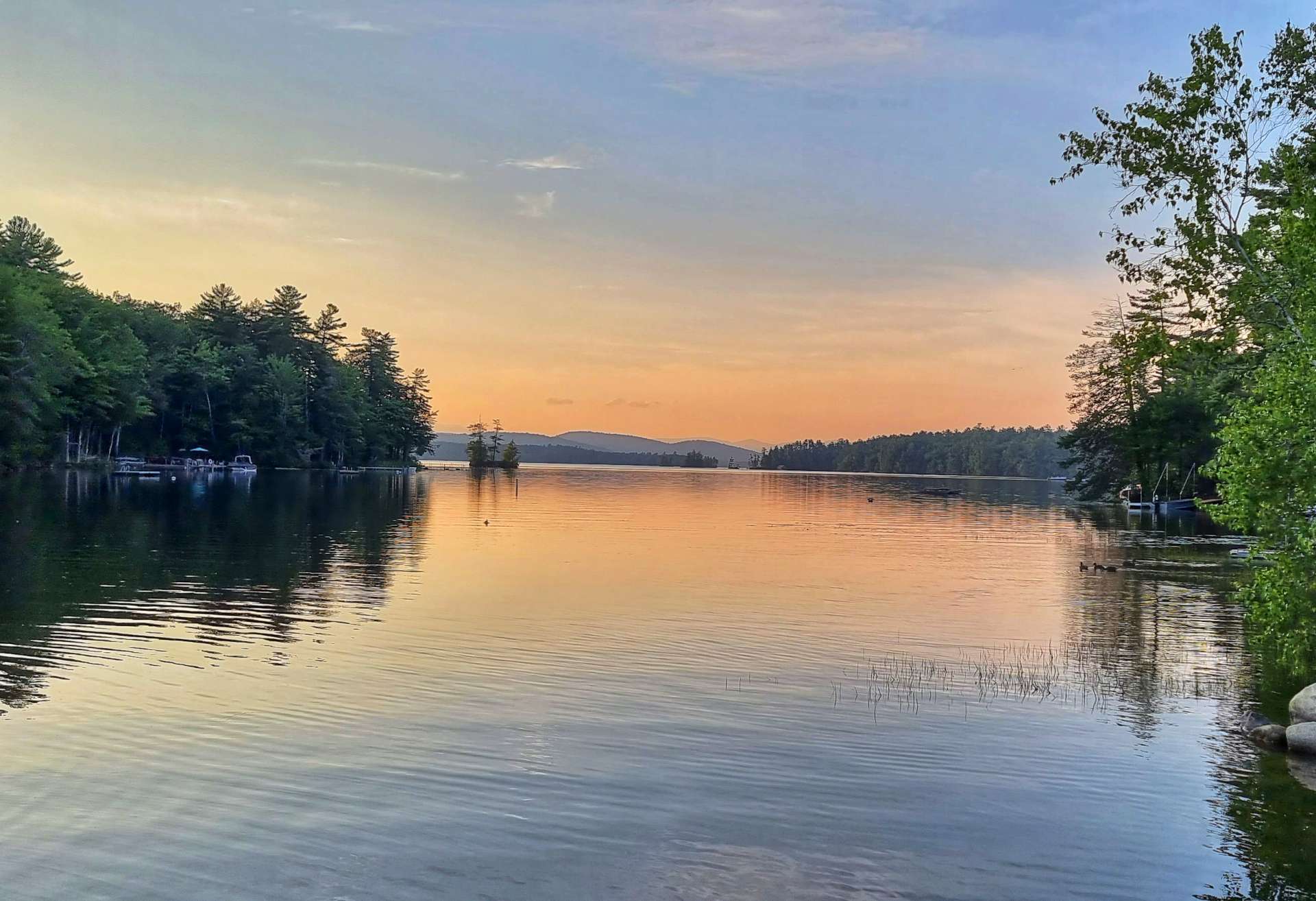
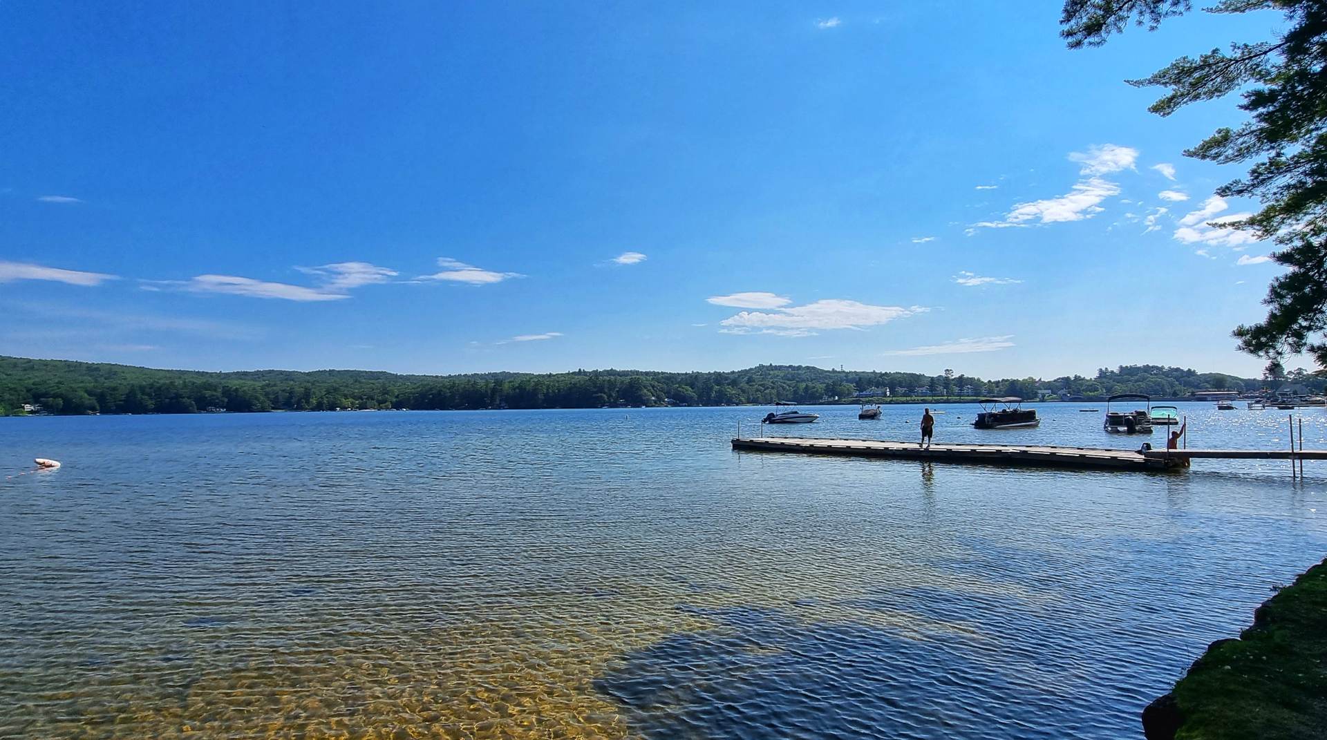
The Noble House Inn was located right across the road from a gorgeous lake – I captured the sunset as we were heading out to dinner. This is our last night of the cycling adventure, so we enjoyed a couple of drinks with our meal & chatted about what an absolutely amazing adventure this has been.

Stage Stats – 70 miles, 4,308 feet of climbing. Our final Mountain Pass of the adventure!

Tuesday 30th August – Bridgton to Brunswick (Stage 93)

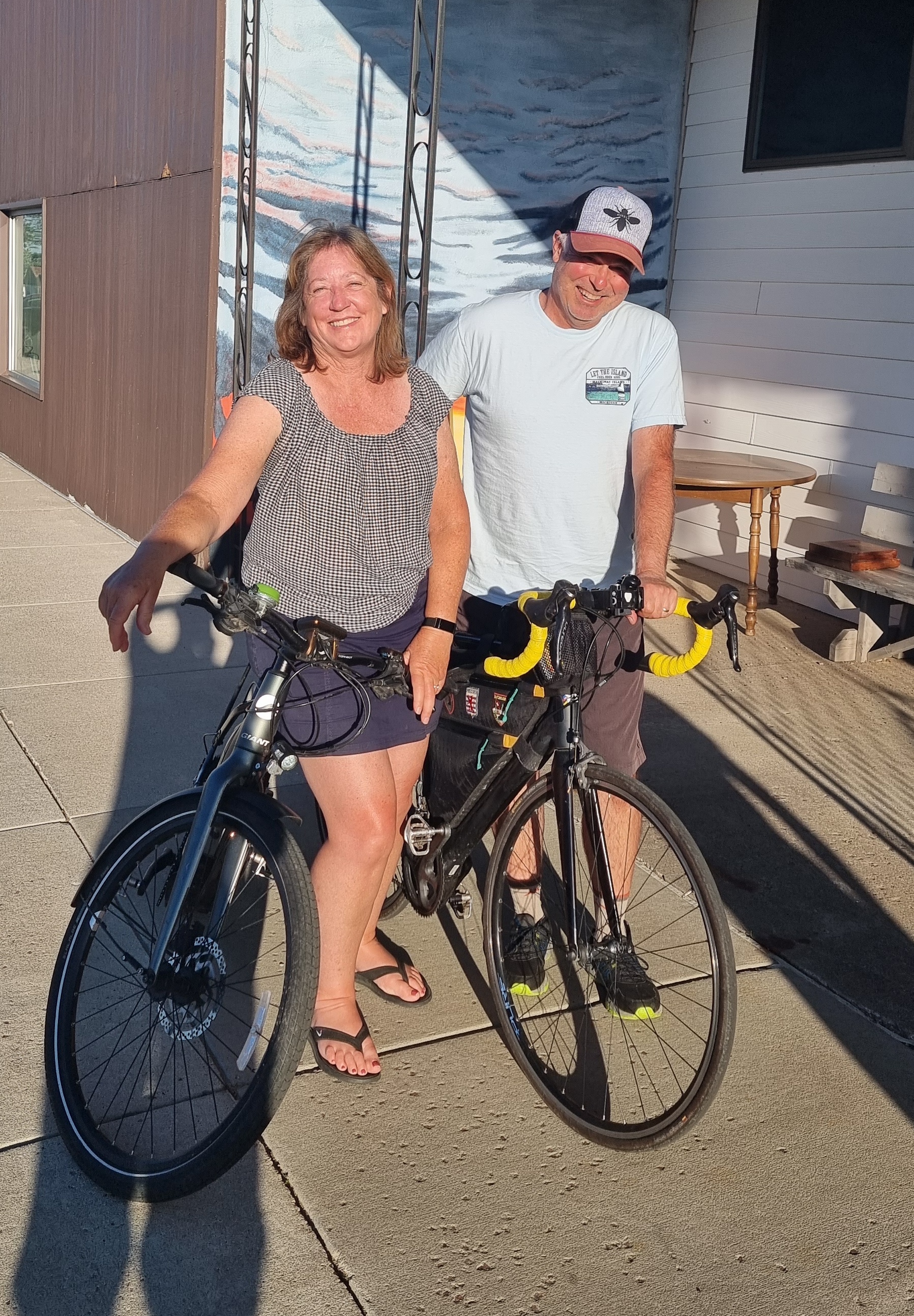
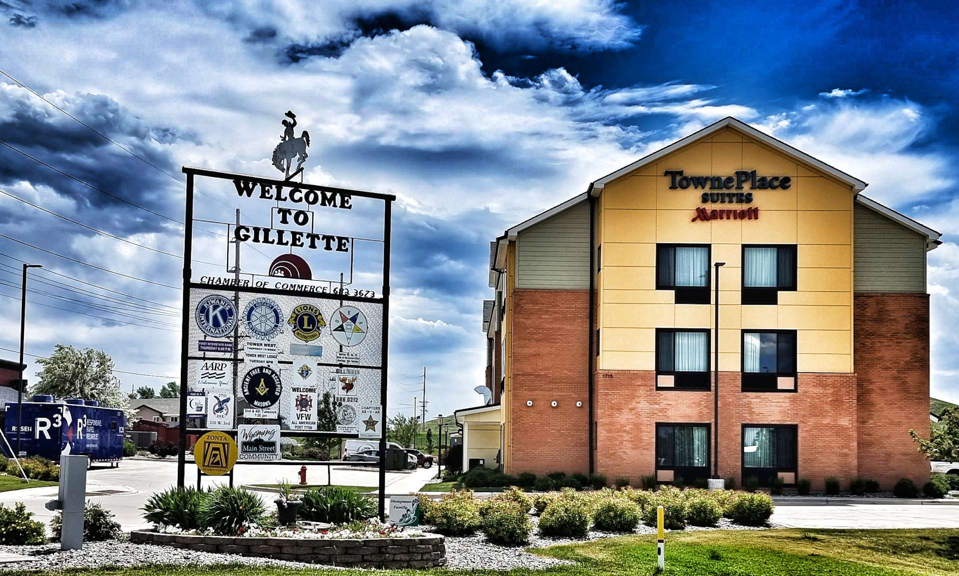
Our final day of our cycling adventure is here already – I can still remember our first day in Seattle like it was yesterday, when we struggled to get our kit on the bikes! Matt & Lynn were the perfect hosts & served up a treat of a breakfast, fresh fruit & a cooked breakfast, washed down with fresh orange juice & coffee!

I have many competing emotions this morning. On the one hand, we’re a mere 58 miles from achieving our shared dream of cycling across the USA, Coast to Coast from the Pacific Ocean to the Atlantic Ocean. On the other hand, I feel a sense of loss, as our adventure is drawing to a close. We’ve had the most incredible 4 months since we started in Seattle & I’ve made some memories that will keep me smiling for the rest of my days, so please don’t feel sorry for me!

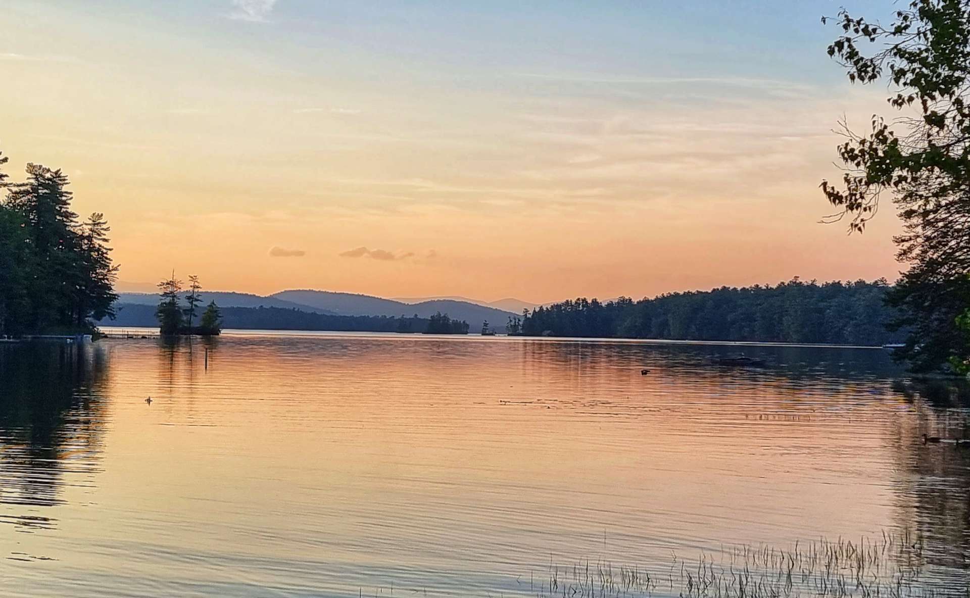
I took a final photo of the idyllic lake opposite our hotel, then we made our way across town & headed into the forest as the road carved through the trees & followed the rising & falling contours of the land.

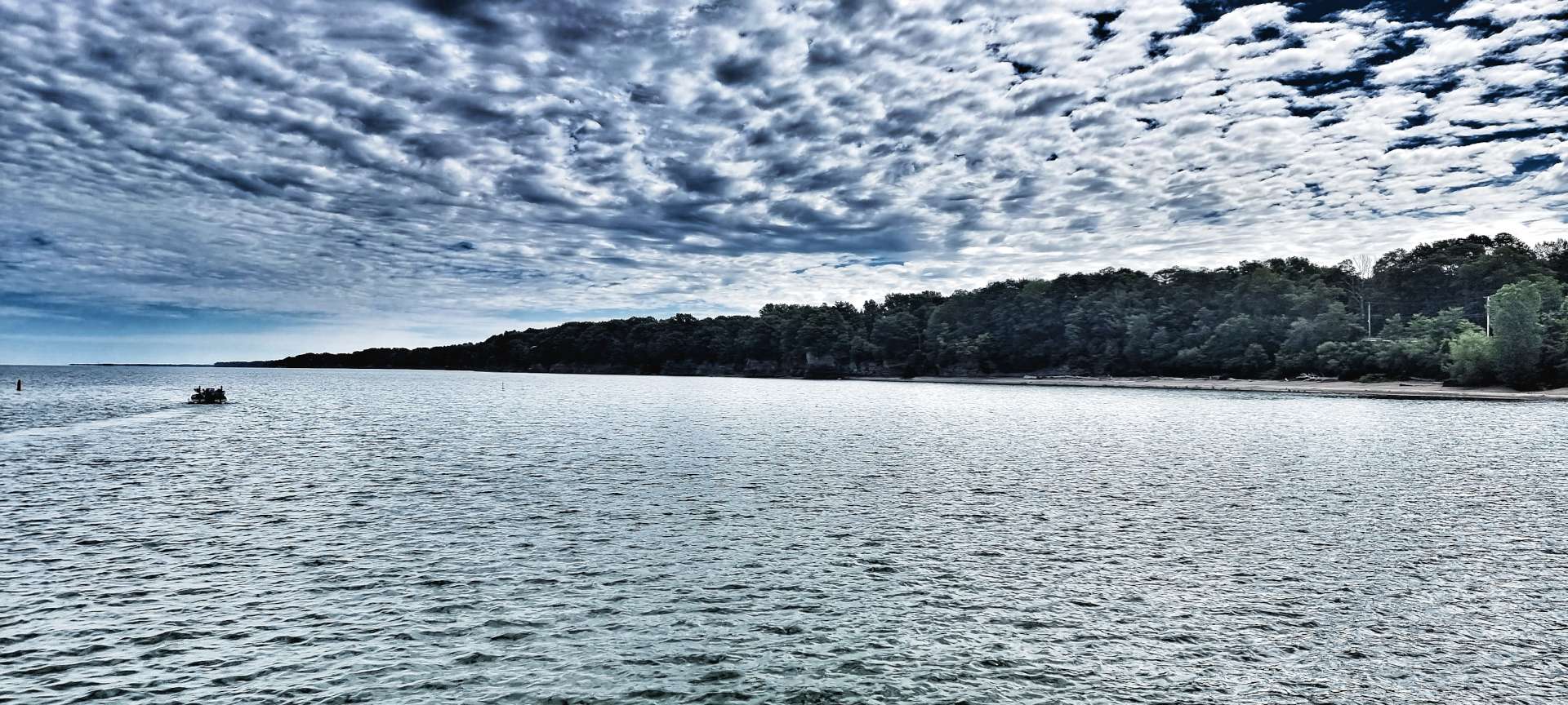
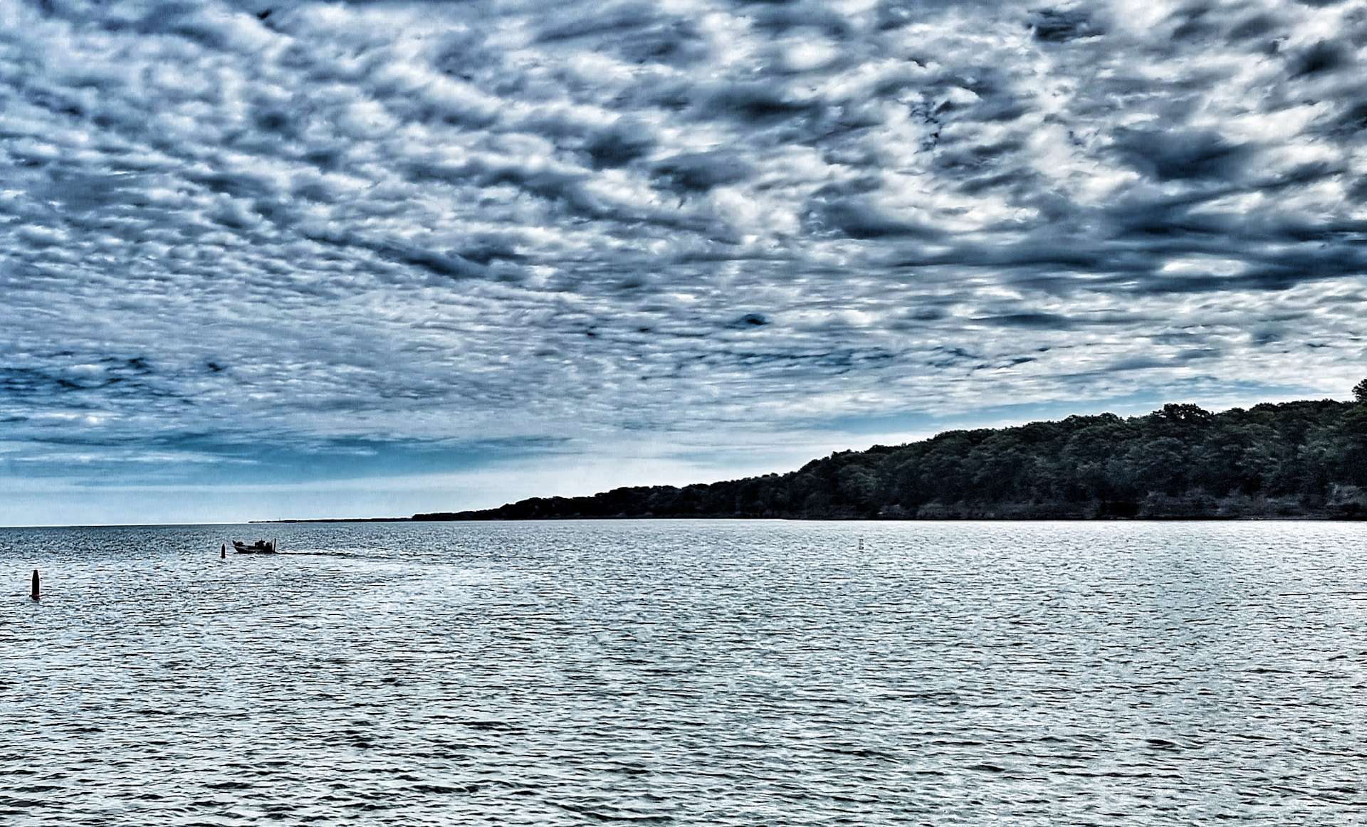
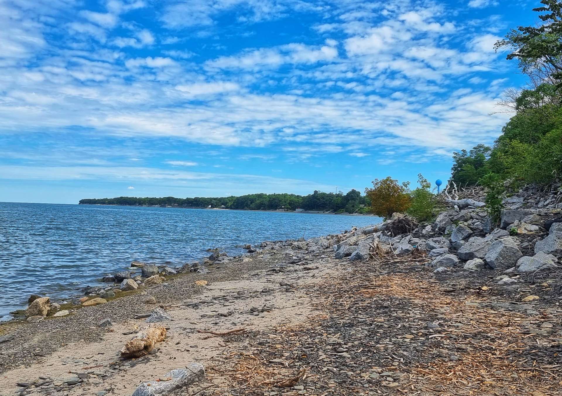
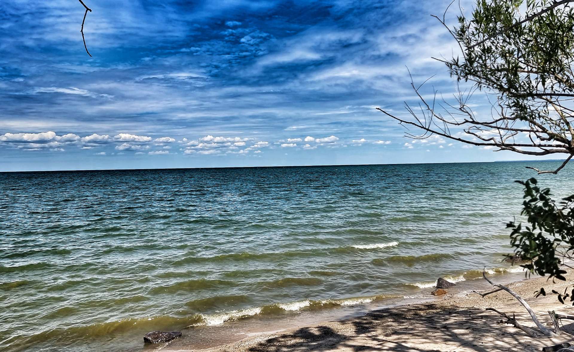
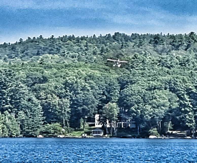
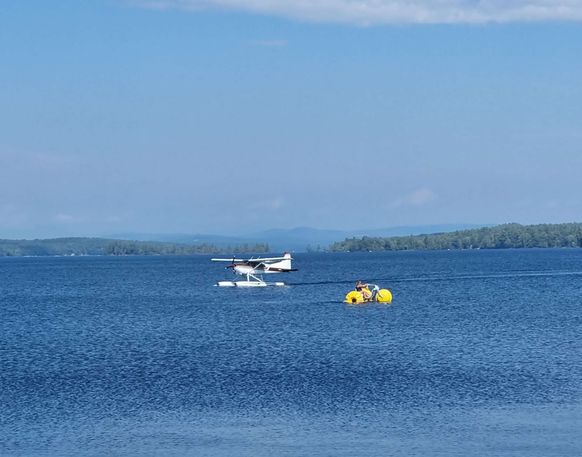
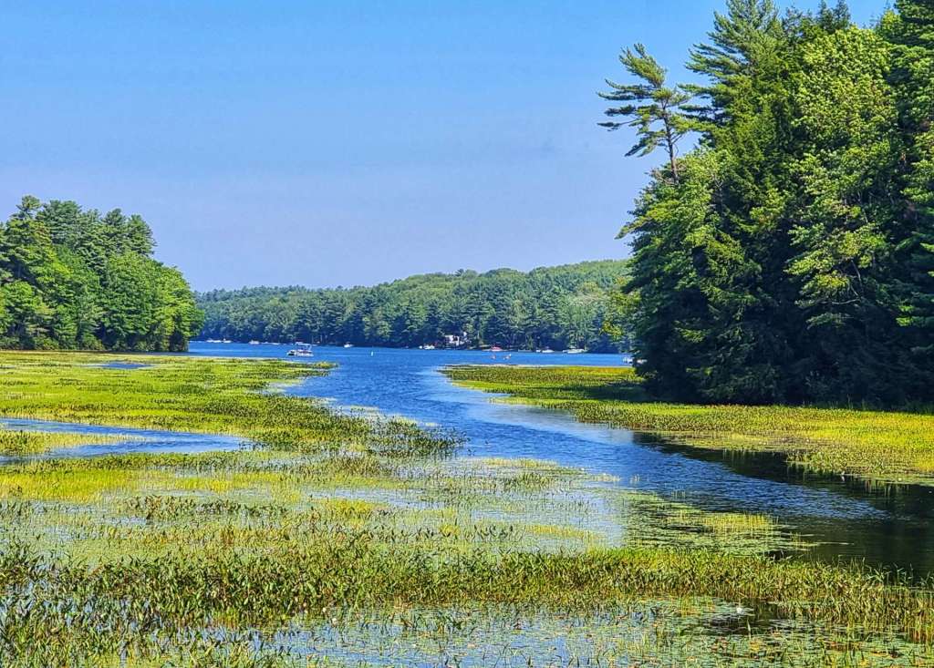
As we reached Long Lake, we stopped to enjoy the view at Naples & that was the moment that a seaplane came in to land. Once more we’d arrived at just the right moment!

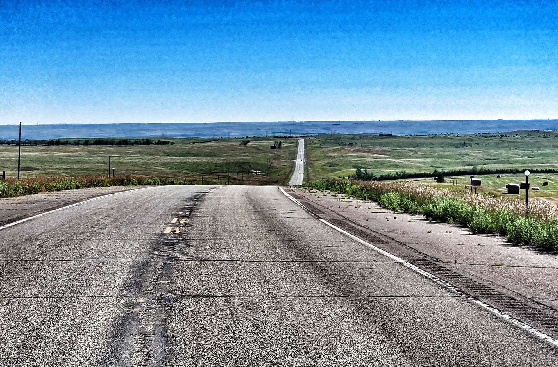
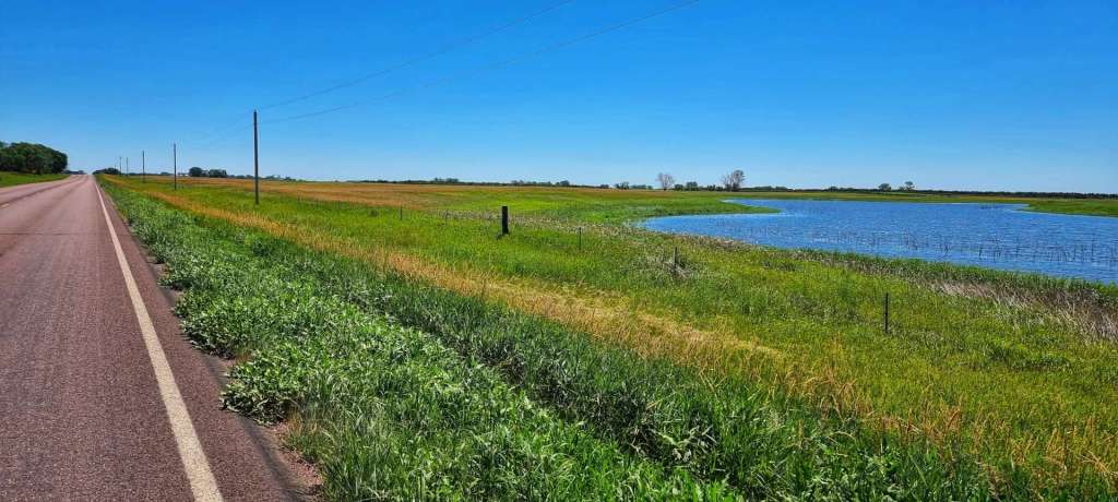
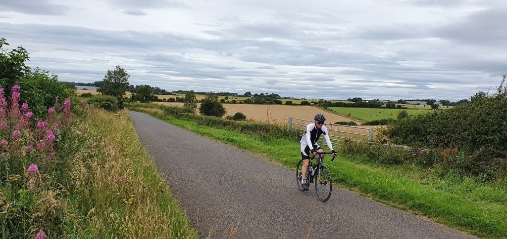
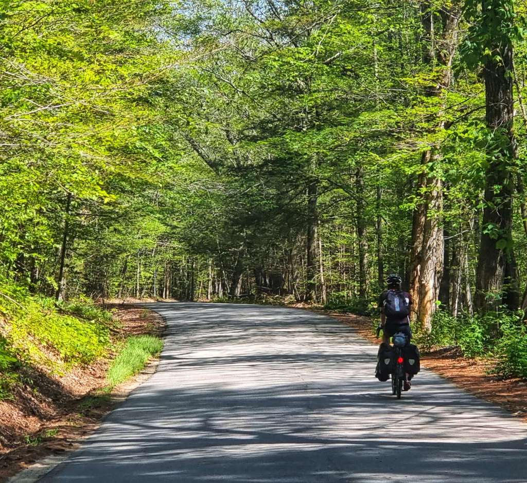
The road through Naples was a slightly busier State Road, but we were only on it for about 10 minutes before joining another deserted County Road (the US equivalent of a lane in the UK, only wider). We’d identified that the remainder of the ride was either uphill or down dale, so we were expecting things to become a little bit tougher. The early climbs were quite comfortable & the scenery made it easy to forget about the gradient & simply enjoy the view.

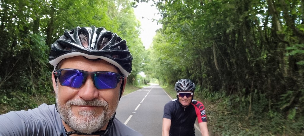
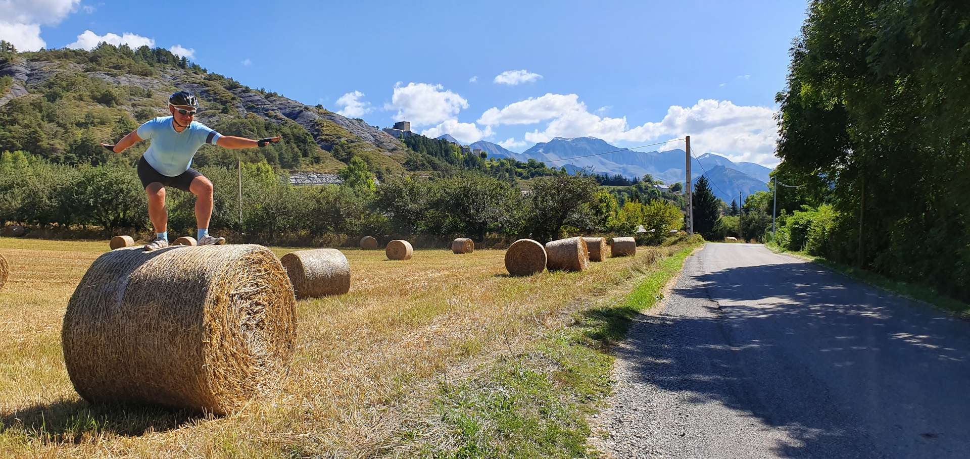
Having said that, Sean looks to be putting in a lot of effort in the last photo!!

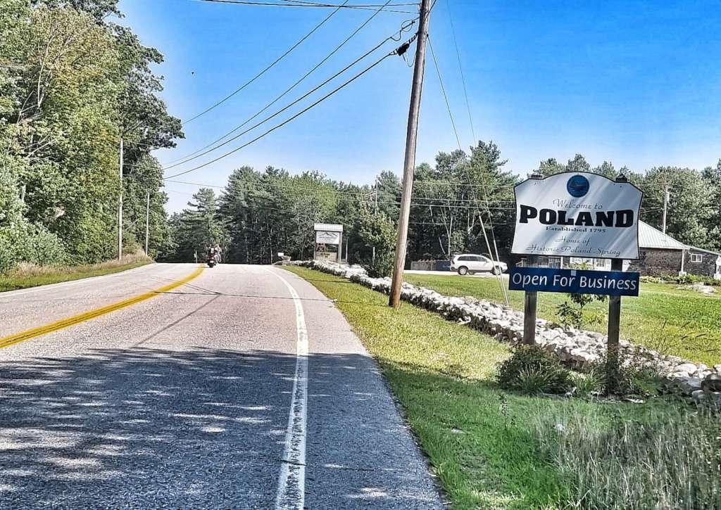
Our trip round Europe continued as we arrived in Poland – this is where Poland Spring bottled water is sourced. Waterford, Paris & Norway were all sign-posted as being within 10 miles of Poland, as was Wales, Monmouth, Yarmouth & New Gloucester!

As the temperature rose during the morning, we began to appreciate the shadow that the trees provided, especially on the climbs.

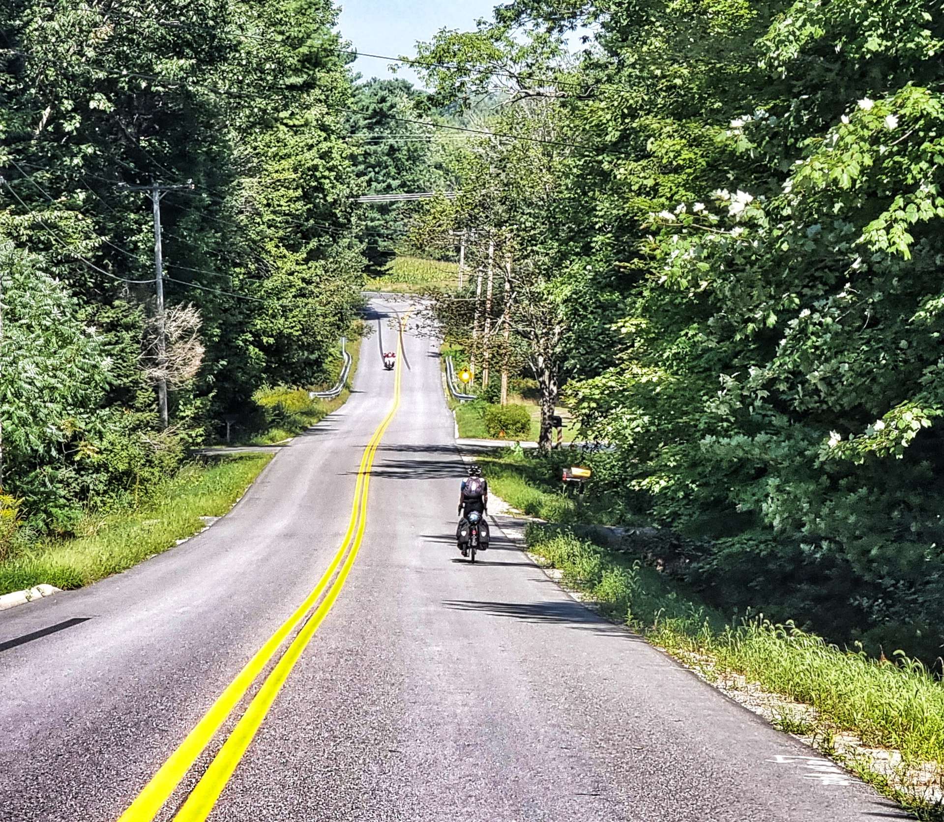
I wasn’t quite sure how many downhill sections were remaining, so I decided I’d get a final video of me descending quite early in the day. As the day continued, I found out there were still plenty of climbs & descents left!

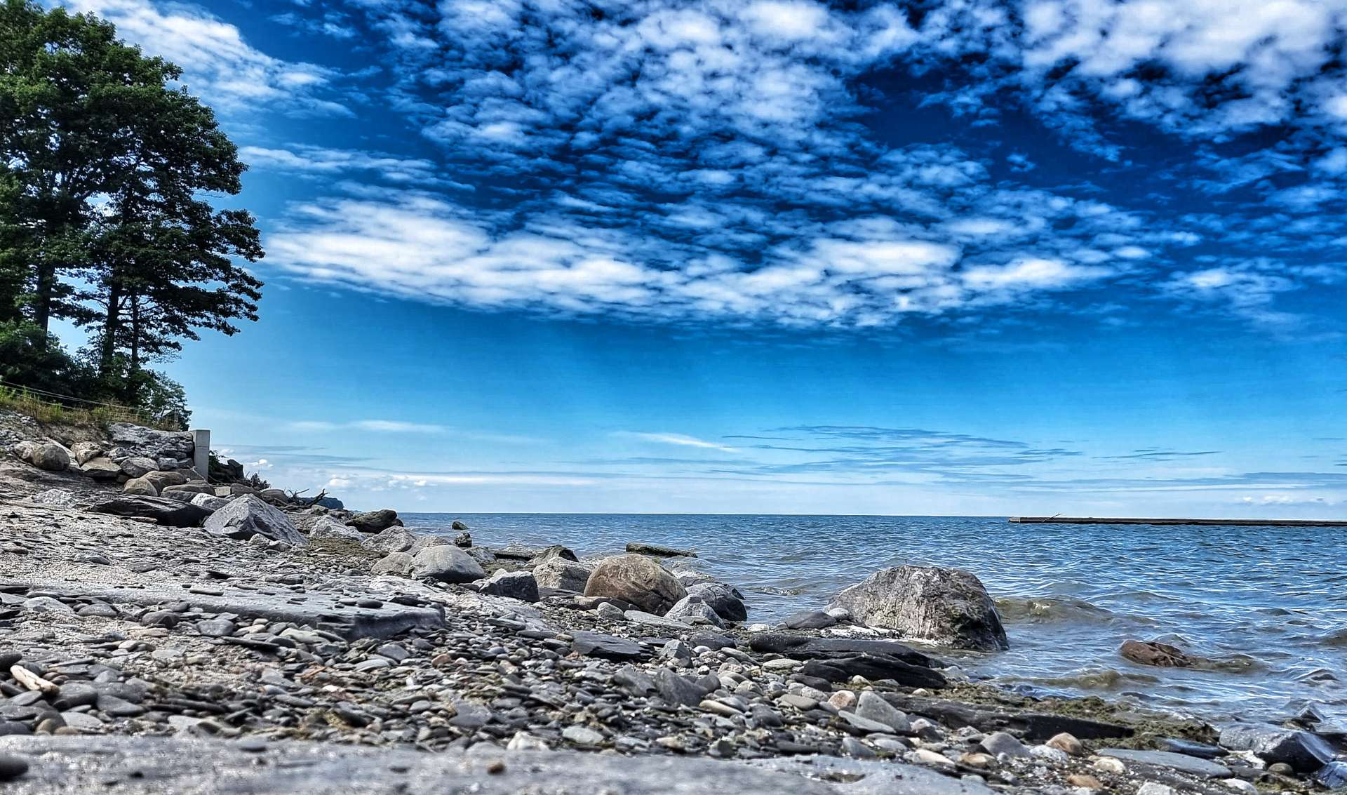
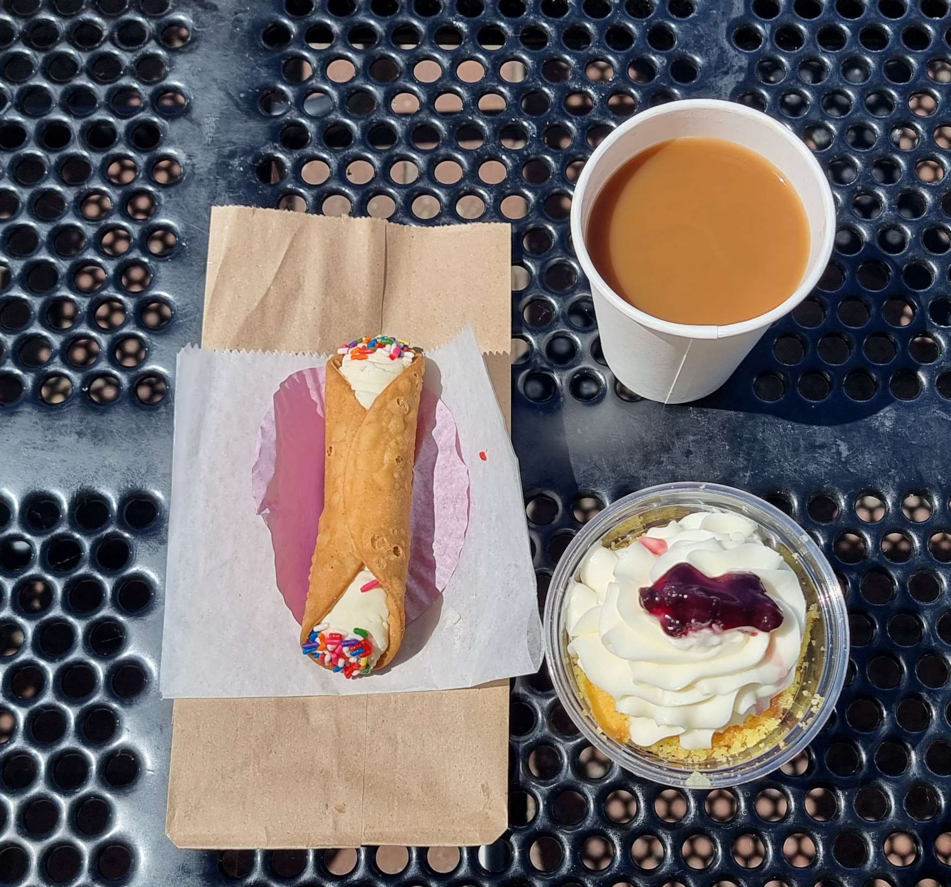
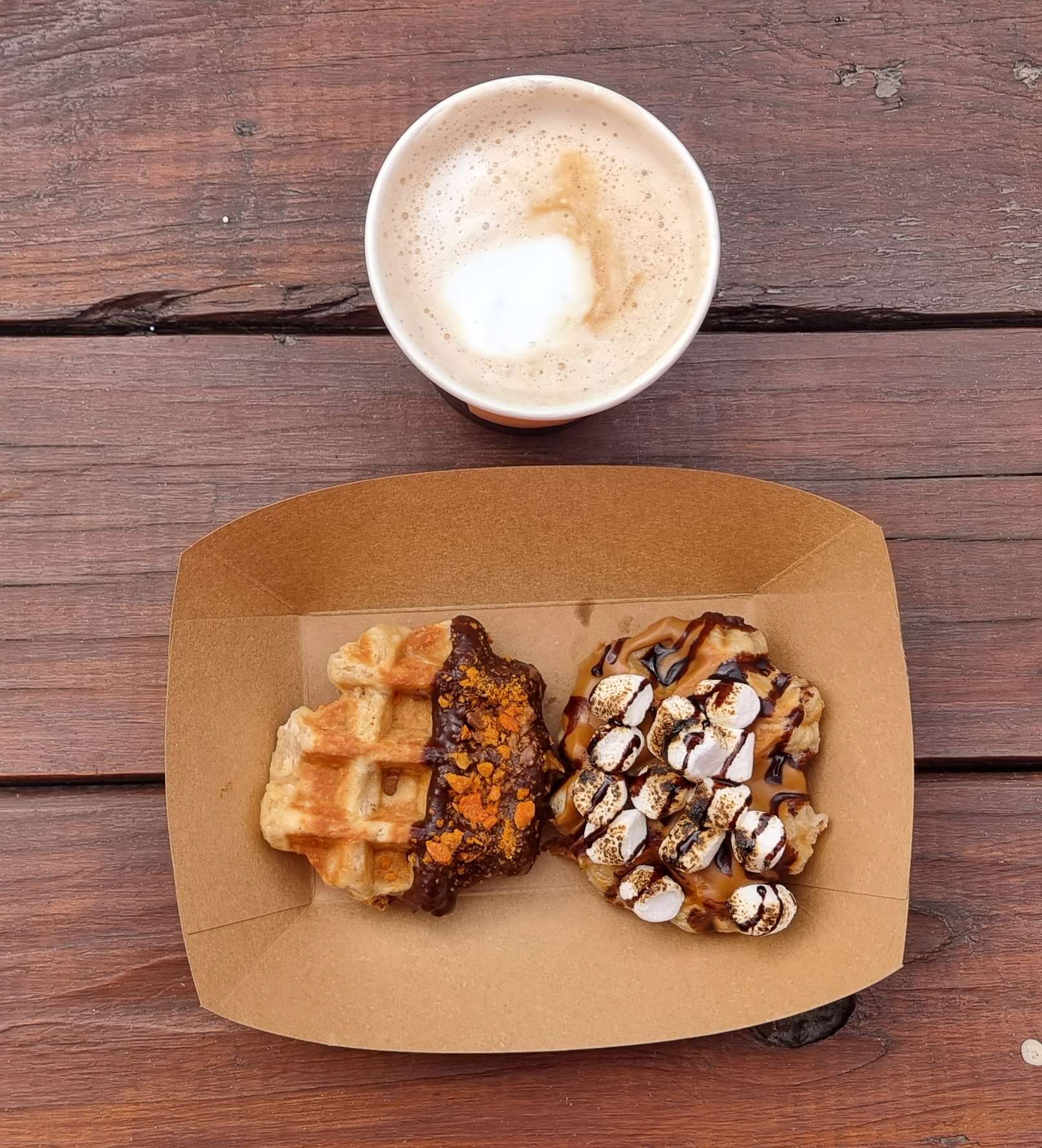
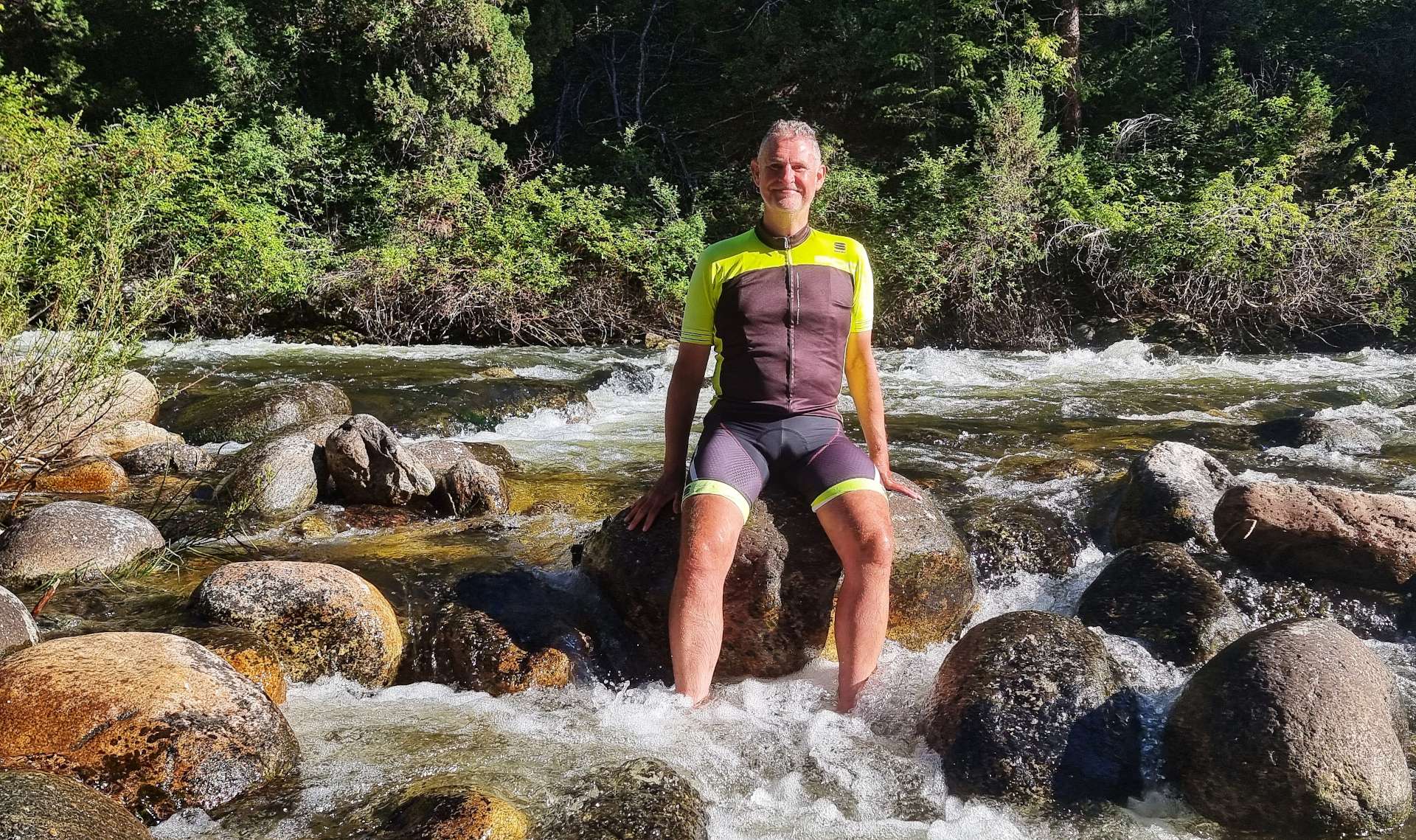
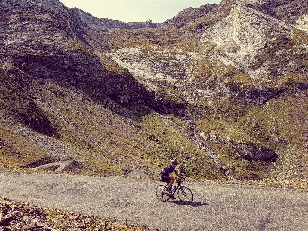
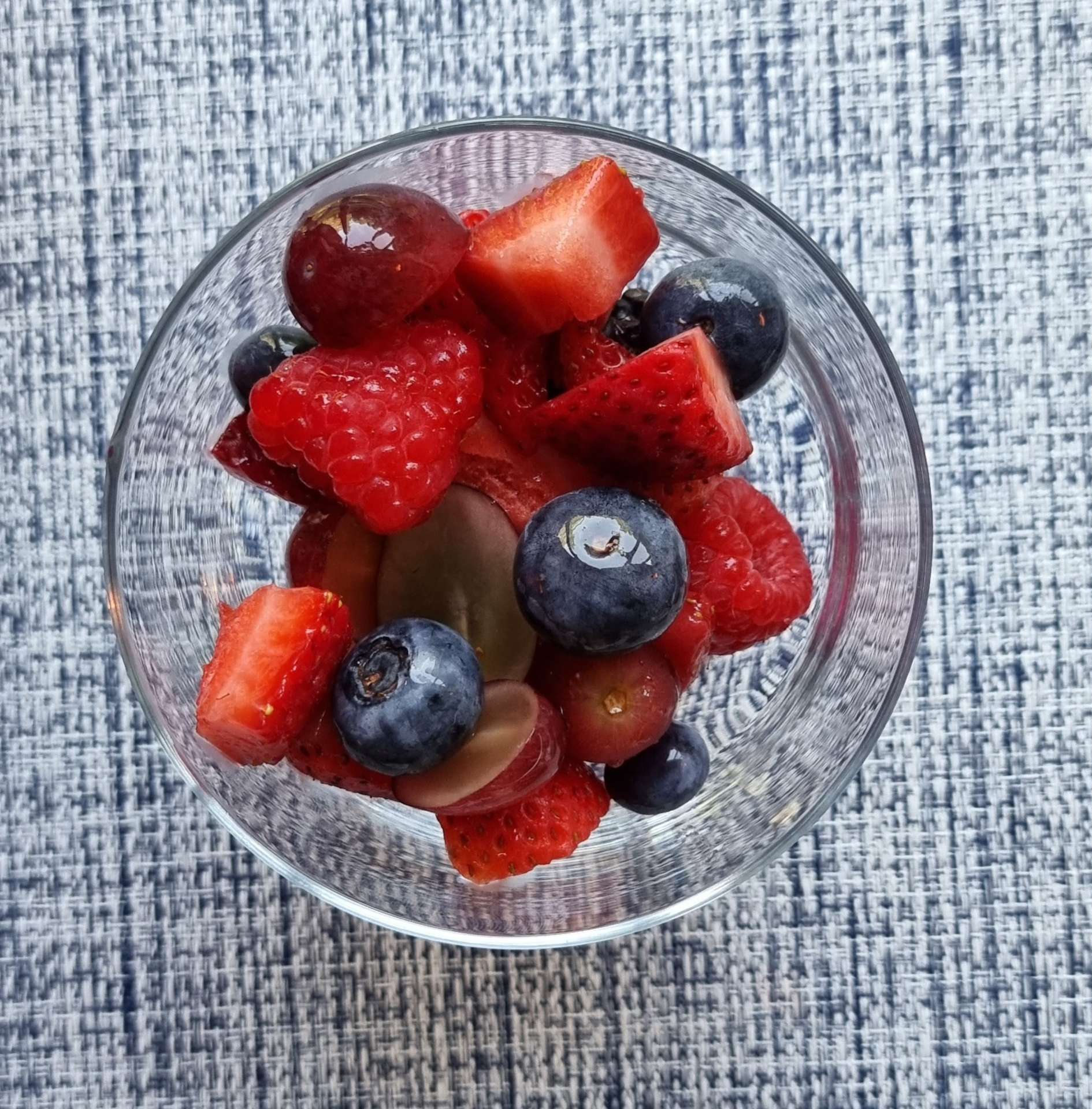
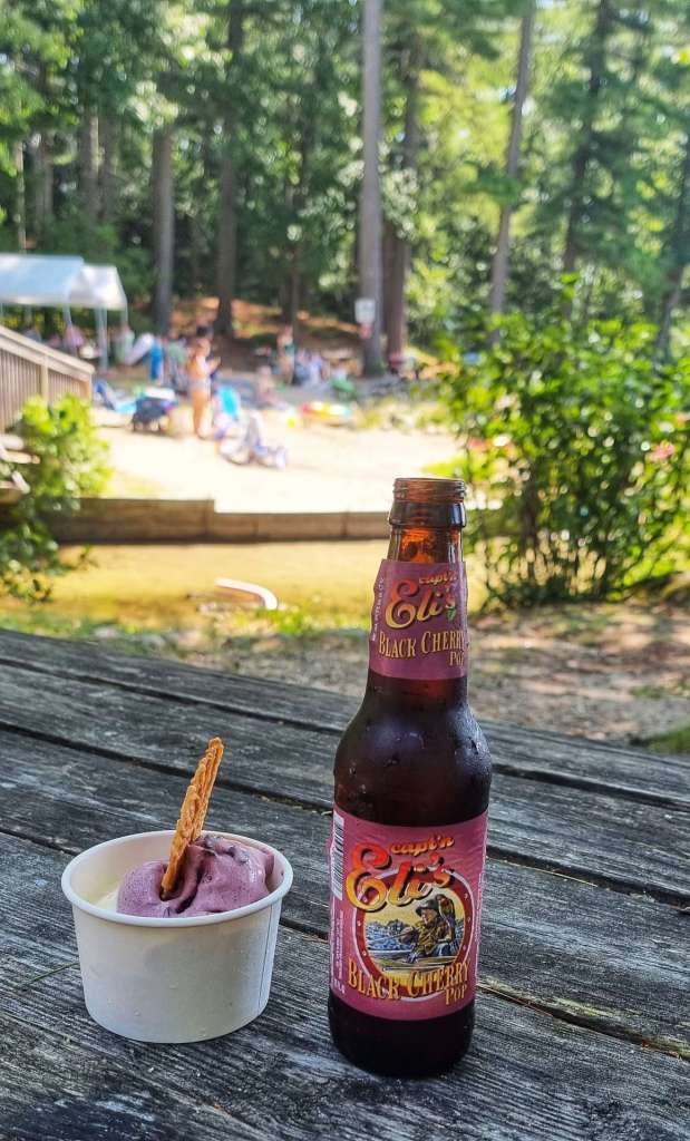
The descent took us past a pretty lake & then straight into a brute of a climb – 15% for 400 yards was enough to make the eyes water & the legs sting! The next descent took us past Shaker Village & along the shoreline of Sabbathday Lake, where we found a great ice cream & soda stop on a sandy beach. The perfect stop for our final stop of the adventure! A scoop each of black raspberry & choc chip ice cream washed down with a black cherry soda – delicious!

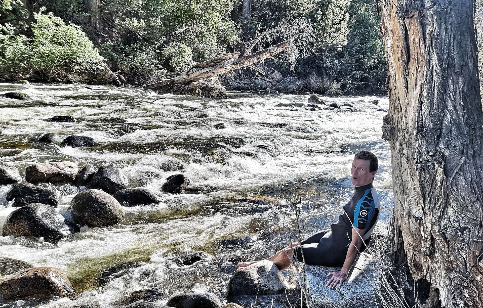
As we left the lake behind, we hit our steepest climb of the entire adventure – a 16% section that went on for about 5 minutes & was at the very limit of what I can climb on a fully loaded steel bike! I was doing about 3 mph up this ramp & was close to having to weave across the road to keep going.

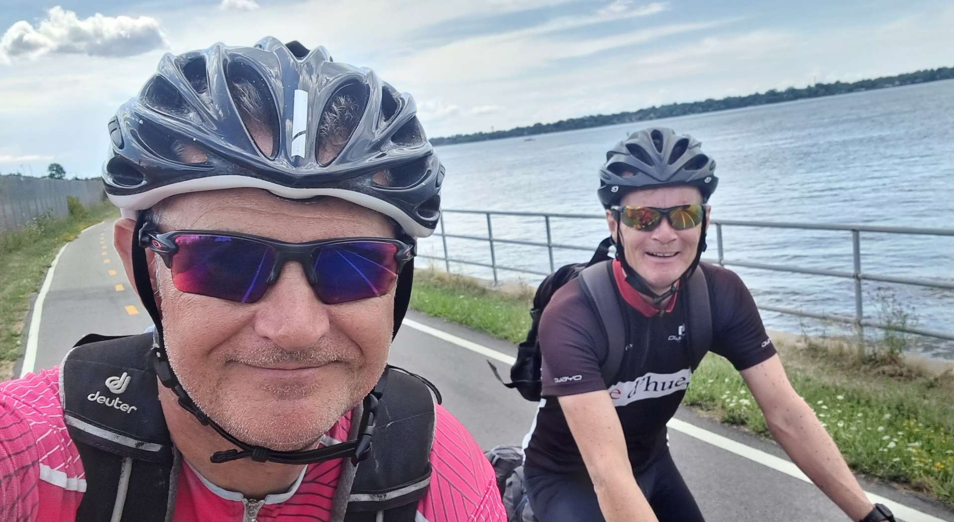
You might be able to see the look of relief of mine & Sean’s faces at having survived the climb! We spent quite a bit of time today talking about the whole adventure & how neither of us had really prepared for how we might feel at the end of it. It’s almost as if living in the moment every day enabled the end to creep up on me. A combination of planning the daily routes, riding & keeping my blog up to date took up most of my day – I’m pleased it did, as it means I’ve focussed on the adventure itself until the very end.

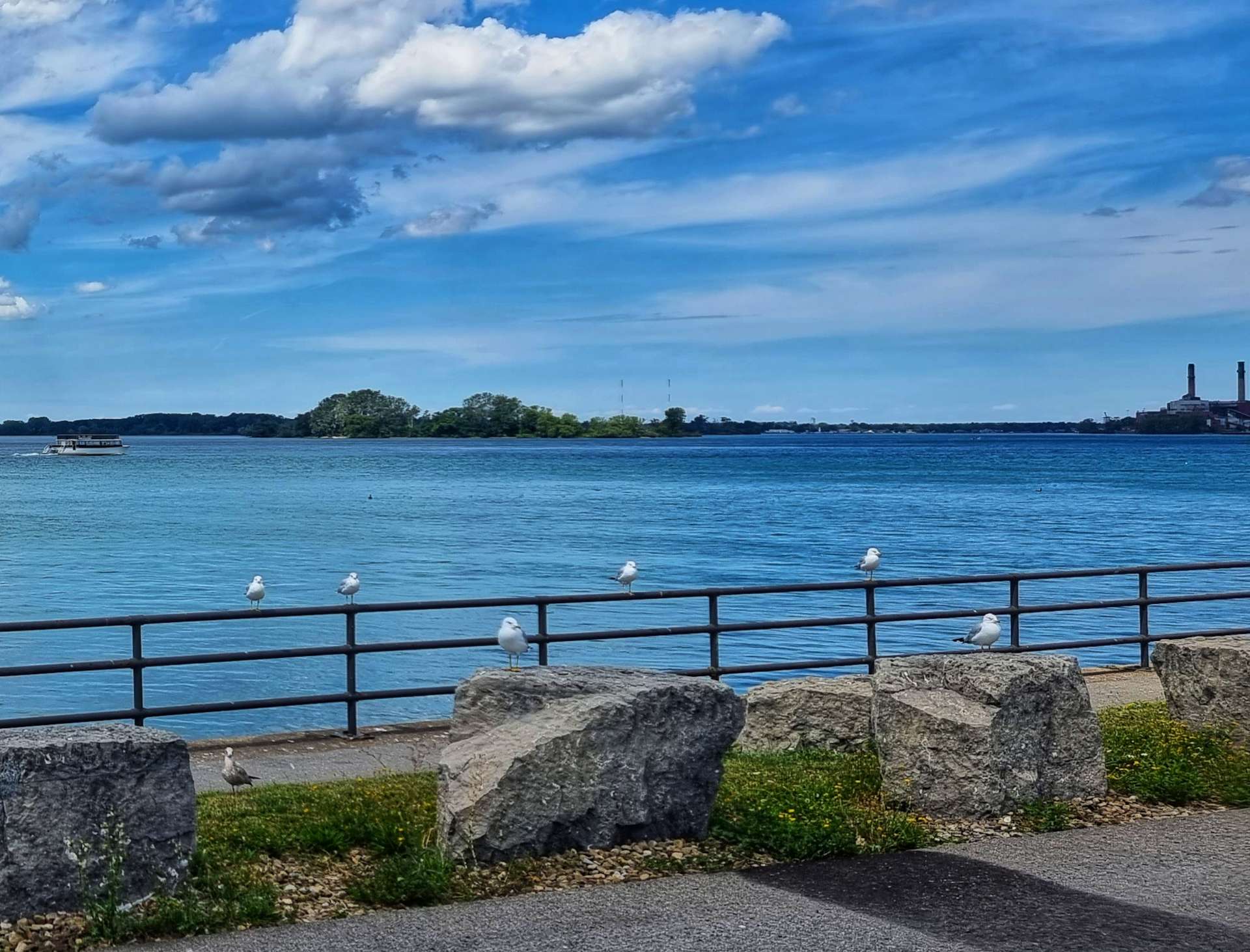
I had one final opportunity to capture birds on the water, as well as demonstrate how much the body loses flexibility over an 18 week cycling adventure! My legs were still in shock after the steep climb earlier & they were shaking as Sean took the photo for me!

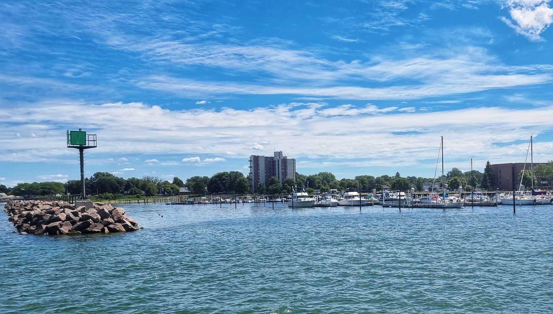
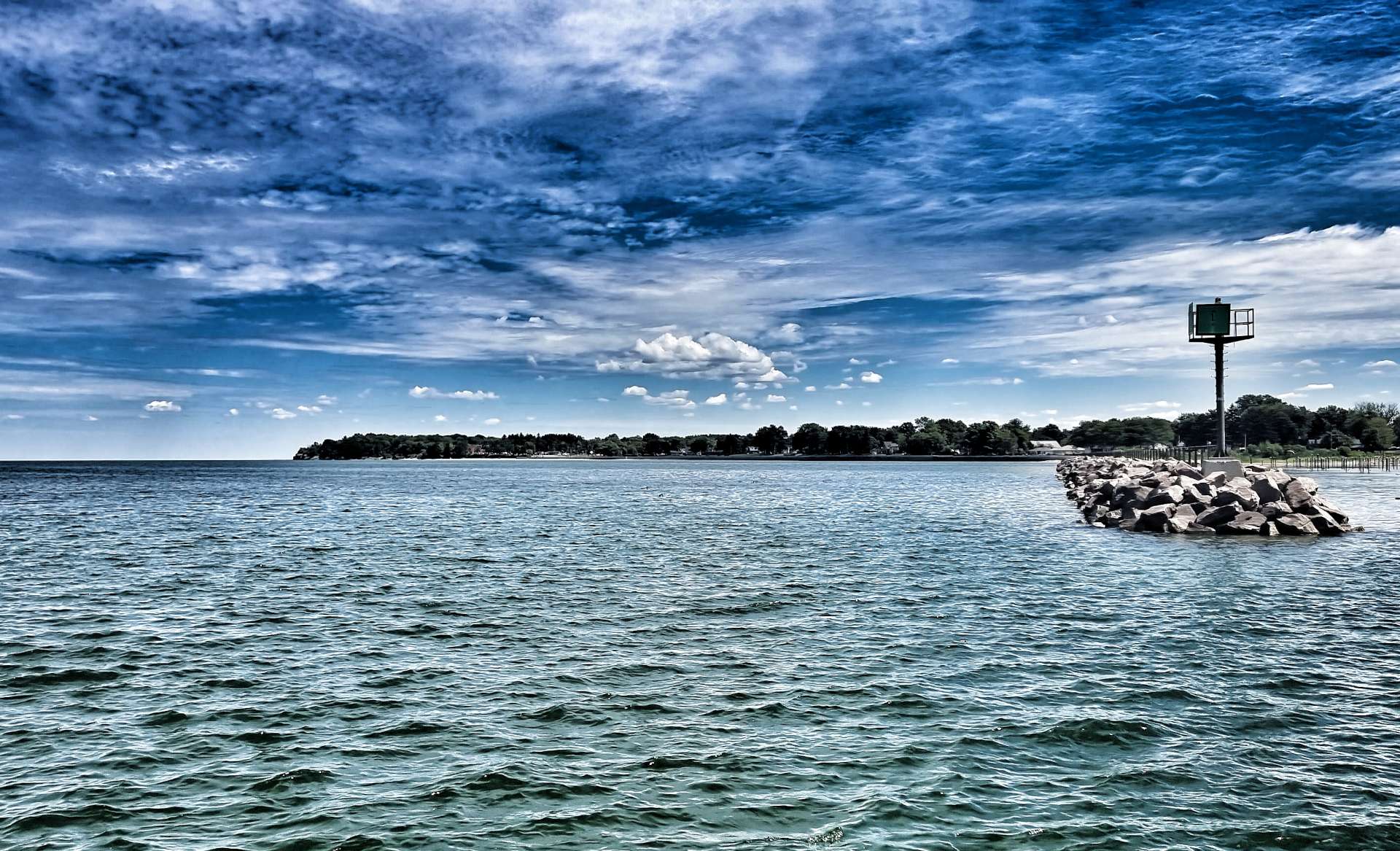
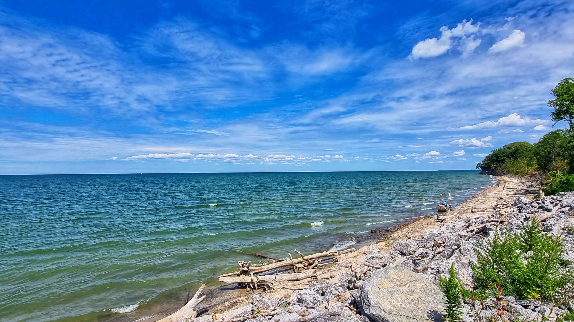
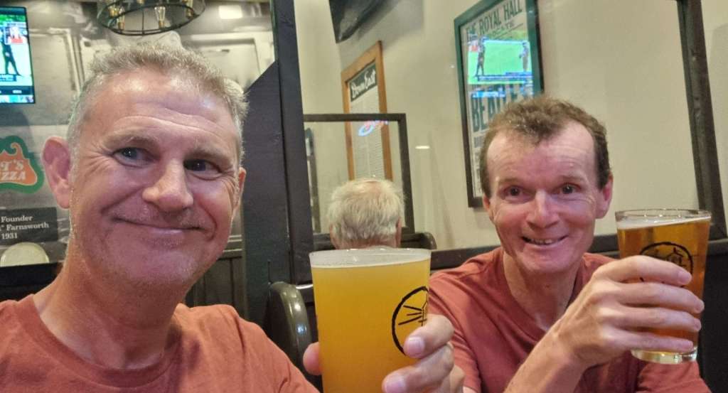
As we reached Brunswick, we cycled past our motel for the next 3 nights & headed for Maquoit Bay on the Atlantic Ocean. It was an emotional moment (in a very British ‘stiff upper lip’ type way) – it took us 93 riding days to ride from the Pacific Ocean in Seattle to the Atlantic Ocean in Brunswick. In that time we cycled 5,689 miles & climbed 207,143 feet!

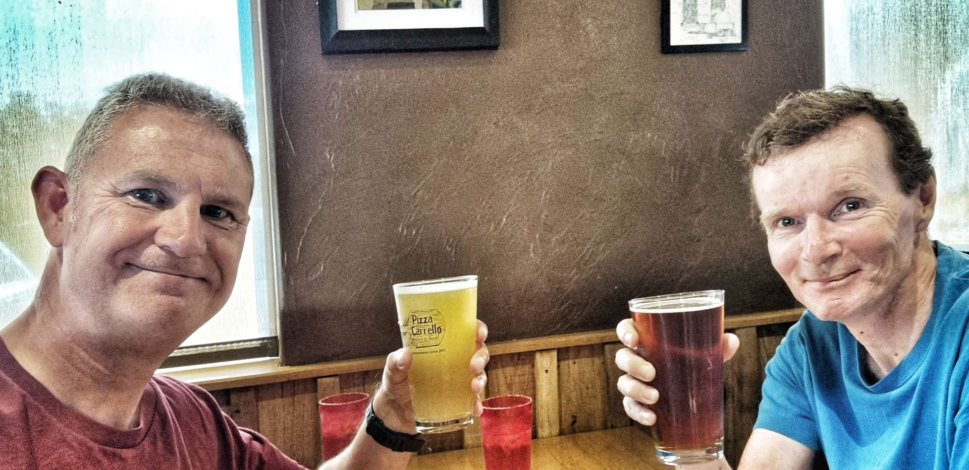
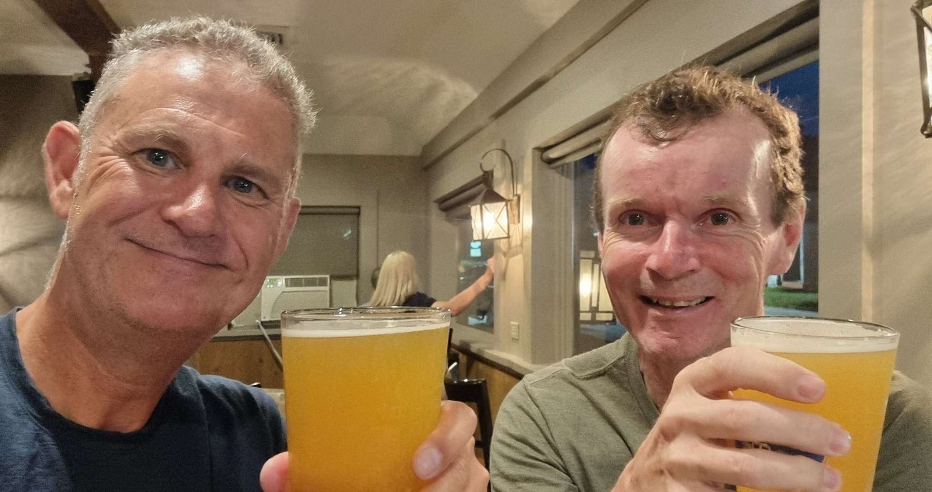
Ivan kindly took the photos for us – he had completed a supported Coast to Coast crossing in July, which added a nice touch to our finish. We exchanged a few stories, before heading back to the hotel, where we captured a photo at the finish point of what has been an epic cycling adventure.

Thank you to everyone who has helped us along the way – I plan to do an August update, where I’ll take time to say a proper thank you.

I hope you’ve enjoyed joining us on our adventure of a lifetime – I’ve been humbled & delighted in equal measure that so many friends, family & strangers have chosen to engage in the adventure with us! If you have an opportunity, don’t be frightened to chase your dream, whatever that may be.

I’m off to The Big Apple for a few days of Rest & Relaxation. Once I get home, I’ll post an update on my time there too.

Thank you, once again for coming with us as we across the USA, Coast to Coast!

Stage Stats – 61 miles, 4,049 feet of climbing. The final day of what has been the most incredible adventure!

North East to Niagara Falls

Sunday 14th & Monday 15th August – Stages 81 & 82.

Sunday 15th August – North East to Angola-on-the-Lake (Stage 81).

Yesterday’s rest day was spent writing & publishing my latest post, as well as planning routes & accommodation for the coming week. This morning we were on our way by 9am as we left North East on a deserted back road that took us past more vineyards.

Almost as soon as we joined US 5, we were welcomed into The Empire State of New York – it would have been easy enough to ride through Pennsylvania on Friday if we’d have wanted to, but there’s something pleasing about spending a night sleeping in every State I’ve cycled in!

The early miles in New York were much like the last miles in Pennsylvania, as we climbed & descended the rolling hills, cycled between vineyards & had views across to the hills further South.

Our first view of Lake Erie in New York was when we were passing through Barcelona – it was the first lighthouse we’d seen along the shore of the lake & it also provided sweeping views of Barcelona Bay from the marina. This continued the European theme from Geneva yesterday.

Between Barcelona & Lake Erie State Park, Sean popped on ahead so he could get an action shot of me (he did himself proud by getting some purple in the photo too). The beach at the park was mainly gravel, although it did provide some good views of the bay.

The European theme continued a little longer as we entered Dunkirk. I made my way to the end of the marina to get a few photos of boats that were moored & a view further along the shore. The real highlight was finding Chai’s Chocolates & Gifts on the pier, where I tucked into a cannoli, as well as a blueberry & lemon cheesecake and a coffee!

When we first left Dunkirk, we headed slightly inland & passed through woodland & wild meadows. We were still going up & down the same 100 feet of elevation as we continued to head back towards the lake.

I found a couple of spots where I could park up the bike & go rummaging through the undergrowth (if you’re old enough, imagine David Bellamy or Lenny Henry saying it!) & look down on the sandy beaches below. I tend to take a bit of time when I do this, so Sean had gone on ahead at 60% effort so I could catch him up once I was done faffing.

We headed inland again as we approached Silver Creek & the volume of traffic picked up slightly – the first photo below would qualify as busy for the last 3 days, so everything is comparative. There was a short steep hill out of town & as we summitted the climb, we were confronted with the biggest waitress I’ve ever seen – she towered over the building behind her!!!

Approaching Irving, we entered into the Seneca Nation of Indians – “Onondowaga Honoeja de” translates as People of the Great Hill Place & is used by Seneca Indians to describe themselves.

We turned back into woodland briefly, then as the road turned left I saw a whole field of hay bales calling to me. Dad was ambidextrous & in a cruel twist of fate, it appears that all he passed on to me is an inability to Hay Bale Surf to the right or left!!! I think my form may be slightly less bad in the second photo…..

Sean said my surfing really was something to behold, although I don’t think he meant it as a compliment! I put his cruel barbs to one side & we set off for the next treat on today’s ride. Evangola State Park is located to the West of Farnham – I only mention this because there’s also a Farnham near where I was born in Surrey. It’s 733 acres in size & has a couple of top quality beaches & picnic facilities, as well as hiking & biking trails. It’s a little gem of a place & attracted over 140,000 visitors in 2019.

From Evangola we headed to Lake Erie Beach Park for our final view of the lake today. It was a buzzing little place, with a couple of beach bars & food joints which were doing a brisk trade. All that remained was an easy 3 mile ride to our motel in Angola-on-the-Lake, as we completed another great adventure along the shore of Lake Erie.

Stage Stats – 58 miles, 1,421 feet of climbing. Crossing the State Line into New York & making our way through more European towns!

Monday 16th August – Angola-on-the-Lake to Niagara Falls (Stage 82).

Setting off from our motel, we took a left towards the lake, but before we got there, we spotted a tank at the Veterans Park. War artefacts at the Memorials have become more prevalent as we’ve headed East.

I then added a cockerel photo to my collection & sent it on to my good friend Bob (well, he was a good friend before I kept sending him photos of Man with big cockerel texts!).

The road meandered through the woods, as the lake continued to hide away.

Below are three of the reasons we didn’t see the lake on this stretch of road! Massive mansions with waterfront gardens & CCTV protection above the gate pillars.

The route through Angola was an Adventure Cycling Association recommendation to keep us on quiet backroads. However, at some point we needed to head towards Buffalo & that required us to join the main road again. The upside was that this also enabled me to get some photos of Buffalo & a wind turbine farm, as well as views across the lake.

Our European theme continued as we passed through Hamburg – in a twist of fate, Hamburg (Germany) is the first place Sean & I ever went on an overseas cycling adventure, way back in 2006.

As we approached Buffalo, we passed a couple of reminders of Buffalo’s past as a major Great Lakes shipping centre & grain storage hub. It was also a major steel producer, automobile manufacturer & aircraft builder. All these industries have since departed, however, Buffalo is making a comeback.

We had to take a detour because the bridge we planned to use was closed for roadworks & as a result we found the Buffalo Riverworks space & Wonder Coffeehouse, where I tucked into a s’mores & a peanut butter waffle along with a latte. Another great little coffee stop!

The Buffalo Riverworks complex includes a brewery, restaurant, sports, leisure, adventure & entertainment on the waterfront & has become a popular place with locals & visitors alike. We were on a tight schedule, but it looks like a fun destination.

As we made our way across town, we passed a wall of stunning art on the walls – try to imagine all the separate pieces below in a long line, as that’s how they were set out. I’ve also included a shot of my favourite, which was obviously the cyclists!

As we joined the Shoreline Trail, we took one final look at at the lake, as the Niagara River began its 36 mile journey from Lake Erie to Lake Ontario. We immediately rode by the Peace Bridge which connects the USA & Canada.

The Shorefront Trail is paved all the way from Buffalo to Niagara Falls, 23 miles down river. We had great views of the river & across to Unity Island & Grand Island as we made our way ever nearer the mighty Falls.

I was keen to get a long shot of the Grand Island Bridge, to go with my symmetrical photo above & it took a few attempts to find somewhere where I could get most of the bridge in the picture.

Finally the cycle path gave us our first view of the mist rising from Niagara Falls – a genuinely exciting moment, as I’ve been looking forward to returning to Niagara Falls for a while.

Sean & I did a cycling trip to Niagara Falls way back in April 2008 – we got sunburned on our first afternoon in Central Park NYC, then a week later, on Sean’s birthday, we watched as huge chunks of ice tumbled down Niagara Falls.

Before we knew it, we’d arrived at Niagara Falls State Park. Designed by Frederick Law Olmsted (he also designed Central Park in NYC) & established in 1885, it’s the oldest State Park in the USA & marks the start of Niagara Falls.

Tomorrow we’re planning to spend the morning exploring Niagara Falls, so I’ll do a separate post once we’ve seen what it has to offer! We still had just over 5 miles to our motel for the next 2 nights, so we said Au Revoir until tomorrow.

Once we’d checked in, we headed out to toast another brilliant day in the saddle! The story behind Sean being double parked is that his Sammy Adams was 2 for the price of 1, so he had 2 small glasses, while I dived in on a big glass – that’s his excuse & he will stick to it!!

Stage Stats – 58 miles, 1,040 feet of climbing. We said goodbye to Lake Erie for the last time as we made our way to Niagara Falls.

Murdo to Huron

Monday 11th July to Thursday 14th July – Stages 56 to 58

Monday 11th July – Murdo to Kennebec (Stage 56).

We had a late start planned for today, as it was a short & fairly flat stage into Kennebec. I went to Star Restaurant for breakfast & feasted on Spanish Omelette, toast & coffee, while Sean preferred cereal in his room. We’re becoming more comfortable doing our own thing when we feel like it, although we still prefer doing things together the vast majority of the time.

There had been rain overnight, but the roads & pavement were dry by the time we met up at 10.45. It was already in the mid-80’s & there was a slight tailwind when we met – happy days! Leaving town we passed the Pioneer Auto Museum – it has over 275 classic cars, tractors & motorbikes, with one of its star exhibits being the General Lee from the original Dukes Of Hazzard TV show.

Murdo is named after Murdo MacKenzie, who led the first drive of the Northwest Cattle Trail in 1880 – there’s a memorial opposite the Auto Museum.

One of the recurring views today was Pepper Pots & Grain Elevator Buildings, as we’re now firmly in America’s Breadbasket where much of the wheat is grown.

In order to transport the vast quantities of wheat, the Pepper Pots are always next to the railroad – this is great news for us, as the railroad generally follows the flattest route available & we were shadowing the railroad! Wooden Trestle Bridges are used to get the railroad over the numerous small creeks & minimise changes to its elevation. Meanwhile, the road was taking us up & down these same rollers – they were never very steep or very long, so it provided an interesting change in landscape for us.

I also took the opportunity to get in some more Hay Bale Surfing training – My mount & dismount needs significantly more work, but I’ve gradually improved my flexibility!

After about 10 miles we passed through Draper (population 66) & continued on towards Vivian (population 87) – while the town wouldn’t have anything in the way of a coffee stop, it has an Entry/Exit ramp to the I-90 freeway & that did have services, it was also at the halfway point of today’s ride (22 miles). Research is everything on days like these! We took a 1/2 mile detour where we found coffee & an apple danish – for freeway services it tasted good.

Temperatures for the last week have been in the high 70’s (24 celsius) when we set off & have risen to the high 80’s / low 90’s (30 to 33 celsius), so staying hydrated during the day is really important & quite a challenge on the remote roads of South Dakota. We used the stop to top up our water bottles before setting off again.

For the next 22 miles we shadowed the I-90, passing through Presho (poulation 411), the self-proclaimed Pride of the Prairie!

Today’s ride was very uneventful – I’ve used pretty much every photo I took! When we arrived at Kennenbec, we’d been riding for 2 hours 50 minutes, so we were quite early checking in to our motel. We made good use of the extra time at our disposal by popping over to the gas station opposite & buying ourselves an ice cream!

On our trip to the small grocery store I also stopped to add the Welcome to Kennebec sign to my collection.

Stage Stats – 45 miles, 1,056 feet of climbing. A tailwind & a gradually descending profile.

Tuesday 12th July – Kennebec to Wessington Springs (Stage 57).

When we were planning our 4 day adventure from Philip to Huron, our intention was to break the stages up into 4 similar length rides. However, towns with accommodation (or campgrounds) are few & far between. As a result, yesterday’s ride was 44 miles & today’s is 77, so we made an early start. As is the pattern now, we woke to clear, blue skies & the temperature when we set off at 8.15 was already in the high 70’s (24 degrees celsius) & rising. The really good news is that we had a tailwind!

The white tape across the road at regular intervals in the first photo was done last night by a group of very hard working roadmenders – they passed our motel at about 5pm & before dark they managed to seal & protect about 6 miles of road. The scenery started out much the same as yesterday, with haybales at the side of the road, Pepper Pots & long, straight, rolling roads.

After 12 miles we reached Reliance (population 109) & took a left turn on Highway 47 towards Fort Thompson. The road was deserted for the next 18 miles as we rolled up & down along a ruler straight road. While we were still in prairie country, we didn’t see very many fields with crops growing.

The last couple of days have been lacking in wildlife & today wasn’t much different- I saw one deer in the very far distance & it bounded off just as I lined up my shot on maximum zoom setting (sorry for the blurry photo!).

As we reached the top of one roller, we could see there was a break in the horizon & that meant we must be close to Lake Sharpe which was created by a man-made dam across the Missouri river. The Big Bend Dam is maintained & managed by the US Army Corps (this is the same set up as we saw at Lake Koocanusa way back on 22nd May).

There were a couple of boats on the downstream side of the dam when we crossed it.

We were now entering the Crow Creek Hunkpati Oyate Reservation – Fort Thompson is the largest town on the Reservation with a population of 1,282.

We stopped at Lynn’s Dakotamart as our water supplies were low & we wanted a 10 minute break in the shade. About 4 or 5 people came over & spoke to us, they were interested in where we were going & where we were from. Without exception, they wished us safe travels & said we’d enjoy the ride as the scenery is beautiful.

An interesting observation is if you ask someone how far away in distance a place is, you are likely to get a reply back in time, rather than miles – when you travel everywhere by car, time has more significance than distance! If you’re interested, Wessington Springs is 43 minutes away from Fort Thompson in the car, or 3 hours by bicycle – in both instances the correct answer would have been 44 miles!!!

We continued on a road that would be pretty much straight for the next 40 miles (with a few small twists & turns), as it continued to roll up & down some slightly larger hills. Out of the blue & 7 miles from Fort Thompson, the nearest town, we saw a Gentlemen’s Club – one of the more unusual finds on our adventure!

We continued on our way on the empty road, enjoying the big views of the upcoming descents & groaning when we saw the next big dipper heading uphill.

Just after Sean had reached the bottom of a shallow, but long descent, we spotted our first cloud of the day – just the one, all on its own! Up until that point it had been blue sky all day. We were making good progress with the aid of a tailwind, it certainly helped us up a few of the rollers. The scenery was also gradually changing, as slowly, but surely there was more agriculture – maize & wheat fields were appearing again.

In the far distance we could make out Wessington Springs water tower – all the towns seem to have one in the mid-West. We guessed it was a couple of miles away & yet 5 miles later it was still ahead of us! Eventually we reached the edge of town, took a left turn into the commercial district & went to our motel. The tailwind had blown us into town about 45 minutes quicker than expected & there was no-one around.

We headed over the road to Springs Inn Cafe, where I treated myself to a slice of lemon & coconut pie & an orange fanta float – delicious! We also went back for dinner that evening, where we had a very tasty cod & chips. We also met Don & Susan – he’s cycling across the USA from East to West with support from Susan.

We had a really enjoyable 30 minutes or so comparing notes & sharing stories – we swapped details & now have each other’s blog details. Meeting up unexpectedly with fellow cyclists is good for the morale, as well as having the chance to find out about the route ahead. Pedal strong Don & safe travels – Susan, don’t help him too much 🙂 It was great to meet you both & enjoy your journey back to Lopez Island.

Stage Stats – 77 miles, 2,231 feet of climbing. A tailwind again with rolling hills.

Wednesday 12th July – Wessington Springs to Huron (Stage 58).

Today was another short day, so we enjoyed a lie-in & set off at 11am. There were 6 turns on the ride & every one of them was a right angle! The first turn took us out of Wessington Springs onto Highway 34, descending onto the prairie below. This section of road (like most of today) was long, straight & flat, with one pond to break up the scenery of wheat & maize as we headed to Lane.

At Lane we took a left onto Highway 281, which stretched way into the distance! There were a couple of farm vehicles which looked like they’d been abandoned, although I’m sure it was more likely they’d just taken a lunch break. As we crossed a river, I stopped to get a snap & finally managed to get a photo of one of the warblers that has been chirping at us for the last 2,000 plus miles!

We took a right turn onto Highway 224 which took us past Pepper Pots galore & another small lake. Don had mentioned last night that the small town of Alpena (population 400) had a bar called the Red Hog Saloon that should be open & it was at the halfway point of our ride. We stopped for a twix & coffee, while topping up our bottles with ice & cold water.

There was also a huge factory called Jacks Links in Alpena – I looked it up when we arrived in Huron. It’s where Jacks beef jerky, beef sticks, steak strips & smoked sausages are made. Since I’ve looked them up, I’ve seen their products in many of the gas stations we’ve stopped at. I haven’t yet been hungry enough to buy any!!!

We turned left at Alpena & spotted that an enterprising farmer had harvested the grass by the side of the road & baled it up. While South Dakota doesn’t need the haybales, they are sold to farmers in Minnesota who use it for cattle feed. Although we were on paved roads, we also saw that there were gravel roads every mile that headed off into the distance at right angles. This part of South Dakota is set out on a huge grid formation, but only some of the roads are paved – food for thought when planning the route for the coming days!

We took a left turn on Highway 37 which took us the final 5 miles into Huron. This completed our block of 4 days riding & we spent the afternoon doing out laundry & taking advantage of the hot tub to ease the aching muscles!

I also had a phone signal for the first time since Saturday, so gave Mum a call & wished her a belated Happy Birthday. It sounds like she had a great couple of days celebrating with a surprise lunch with some of her best friends on the Monday. A big Thank You to my Sis-In-Law Nikki, Sarah & Cherry for organising a brilliant spread, Mum really appreciated your hard work!

Prime Time Tavern had a small menu, but what it did, it did well. We had our first steak after 11 weeks of being in the USA – a delicious fillet mignon, finished off with a tasty slice of New York cheesecake. The one disappointment was having to drink a Bud Light, only my 2nd beer fiasco of the adventure!!!

Stage Stats – 38 miles, 305 feet of climbing into a cross / headwind.

Thursday 13th July – Rest Day.

I cycled into downtown at lunchtime, as it was 2 miles from the hotel & the temperature was in the high 90’s. I was looking for the largest pheasant in the world, but on the way I spotted a couple of amazing murals on building walls.

Pheasant hunting is a popular pastime in & around Huron, so the town decided to celebrate & advertise the fact. The local car dealer had decided to get in on the action & was advertising with a huge bison!

I spent the remainder of the Rest Day relaxing, watching Tour de France highlights of Tom Pidcock winning on Alpe d’Huez (the first Alpine climb I ever did in September 2010), catching up on my blog & preparing the route for our next block of riding. We ride again in the morning!

Greybull to Gillette (The Best A Man Can Get!)

Sunday 26th to Wednesday 29th June (Stages 45 to 47).

Sunday 26th June – Greybull to Tensleep, Leigh Creek Campground.

After a continental style breakfast at the motel, we were on the road by just after 9.30 – this was the first morning it felt hot from the moment we set off. Right outside our motel some top quality murals had been painted on the Elevator Buildings. Leaving town on Highway 20, we crossed the Greybull river before heading in the direction of Basin. The surrounding landscape was fairly barren, with the snowy peaks of the high mountains just visible in the far distance.

As we exited Basin we took a left turn onto a small two lane road – this was another Adventure Cycling Association recommendation that would ensure we saw no roadworthy cars for the next 45 minutes, although we did see a classic car at Lewis’s Place!!! It also gave me an opportunity to get in some Hay Bale Surfing practice & looking at the photo I still need quite a bit more training!!! Eight weeks of cycling has certainly reduced my flexibility in my lower back & hamstrings.

As we reached Manderson & crossed the Bighorn river, we watched a boat heading upstream & pull in by the boat launch point. They’d spent an hour or so fishing further downriver – it didn’t look like they’d caught anything. Within 5 minutes we were in the wild wilderness, with nodding donkeys off to the left & right of us, while directly ahead was a shimmering heat-haze.

There was no protection from the sun & we were also getting slightly concerned about our water supplies, as we hadn’t seen anywhere to top up ou 3 bottles & the water was starting to get warm & a bit unpleasant to drink.

The Nowood river snaked its way across the valley floor, resulting in pockets of green verdant pastures every now & again, before we were plunged back into prairie & brush. It was hot enough that regular applications of suntan lotion were required – on one stop I managed to find a slightly arty photo opportunity.

Eventually the Nowood river joined the larger Bighorn just before we took a right turn along County Road 43 1/2 – the roads were becoming ever more remote & the views were beginning to grow larger, with the red, yellow, purple & grey bachdrops.

Remember me mentioning it being hot & us not finding anywhere to re-fill our bottles? Well, we were now carefully rationing our drinking to ensure we could make it to Tensleep, the next place we knew there would be supplies. This also required us to ride slightly slower, so we could manage how much we sweated – we weren’t in any danger, just facing a minor inconvenience! In the end it wasn’t a problem, as Nathan from Bicycle Adventures was providing support to a private cycle tour & he pulled in as he passed us.

We chatted for about 20 minutes & he kindly topped us up with water, as well as giving us an ice cold coke – a real treat on a baking hot day! We shared a few cycling adventure stories & he told us about some of his European trips. Once again we’ve been introduced to the generosity of the people we’ve met. I dropped him & his tour company a thank you email a couple of days later, when we got back to civilisation.

As we set off again, our spirits were lifted, in part by Nathan’s generosity & in part by the coca cola! The 5 miles into Tensleep (population 246), passed in a flash & we stopped to stock up on supplies for our camping dinner this evening. Tensleep was an American Indian rest stop & is so named because it was ten sleeps from Fort Laramie in one direction & Yellowstone in the other.

Leaving town we picked up new tarmac as we joined Scenic Byway 16. We continued for about 8 miles, as we climbed the shallow, lower slopes of the Powder River Pass – the big climb is tomorrow!

Leigh Creek Campground is a National Forest site on the old road. We were hemmed in on all sides by the imposing ancient rocks & valley walls. We quickly set to work on getting our tents pitched, so we could relax & enjoy the late afternoon sunshine.

The creek is filled with run-off from the snow some 5,000 feet above us – we had our very own ice bath on site!!! We tucked in to a dinner of very average shop bought sandwiches, breakfast bars & a bag of crisps. We don’t always eat like kings!!!! Tomorrow is due to be another long day in the saddle, so we retired to our tents early to recover.

Stage Stats – 62 miles, 2,411 feet of climbing. A hot day in the saddle, rounded off with an ice bath for our feet.

Monday 27th June – Tensleep, Leigh Creek Campground to Buffalo via Powder River Pass.

We were up bright & early with the aim of being on the tarmac by 8am. A couple of different events impacted that plan, when first of all I found my tyre had gone flat overnight. Pumping it up appeared to resolve the issue, although as I found out later it hadn’t!! Secondly, after only 1 mile of tarmac, the old road turned to rough gravel & stayed that way for the next 7 miles!!!

As you might have noticed, in addition to the road being on gravel, it also rose at a steep gradient (7% plus for most of the 7 miles) – it took us 1 hour 45 minutes to complete the 7 mile stretch on gravel!!! At times we could see across the valley to the new road as it hair-pinned its way ever higher. The stunning views helped to take our minds off the slow progress, but it couldn’t take away the feeling of the power being sapped from our legs.

I’d been able to better cope with the gravel, but the roles were instantly reversed when we finally joined the new road & its pristine tarmac. We’d researched where we might be able to stop to replenish our water bottles & we stopped for the first time at Boulder Creek Campground to fill all 3 bottles – we’d run out in less than 2 hours of riding!!!

This was also where I had my only moment of self-doubt on the adventure to date – we were 9 miles into a 21 mile climb, all of it over 5% & the sheer scale of what remained hit me hard. After 2 minutes of feeling sorry for myself I stood up & said to Sean “I need to get going now, otherwise I may not get started again”.

The views were stunning as we continued through the forest & passed Meadowlark Lake, but the gradient didn’t get any easier!

After another 1 or so of riding we saw what we knew would be the only coffee & cake stop opportunity of the day. We had a coke, coffee & cake – I made the mistake of asking for my cinnamon bun to be gently heated up…… it came out looking like it had been nuked!!! It was so bad I wasn’t able to finish it & that’s never happened before!!! On a more positive note, the coffee was nice & we managed to fill up our 3 water bottles again for the final push to the summit.

The summit was still another hour away – when we finally made it to Powder River Pass at 9,666 feet above sea level, it had taken us 4 hours of climbing to cover the 21 miles. When we rode through Tensleep at the bottom of the climb yesterday, we were at 4,205 feet above sea level – it really is a monster of a mountain!

At least it would all be downhill from here, so we had that to look forward to – although, I was slightly troubled that Sean could ride in my slipstream without any difficulty!

All became clear a few minutes later as my rear tyre became spongy! That instant remedy this morning was no such thing, I had a puncture & it needed to be fixed now. After my practice in Yellowstone, I had the tyre off, a piece of debris removed & the innertube replaced in 15 minutes & was feeling good about myself.

Until 10 minutes later, when I got a 2nd puncture on the same back tyre! I eventually found another nick in the tyre & scratched out a really small piece of glass. I was out of inner tubes, so had to borrow one from Sean (& a gas cannister). While all this was going on, a Department of Transport lorry started honking its horn at us as it descended the mountain – it was painting the white lines at the side of the road & had no intention of stopping!!!

Although we moved my stuff as far out of the way as we could, the lorry kept on coming & sprayed small amounts of paint over my bike, helmet, rucksack & panniers as it continued on its way. I can’t repeat my comments, but they were Anglo-Saxon in origin!

We also found out that there were 5 short, sharp, steep climbs to be endured on the way down too!

Suddenly the road opened up in front of us with enormous views across to Loaf Mountain, Bighorn Peak & Darton Peak. They tower over the valley below. Finally, after just over 6,000 feet of climbing & 6 hours of tough cycling, we could make out the town of Buffalo below us. It would take us less than 30 minutes to cover the final 10 miles, in sharp contrast to the 2 hours 30 minutes it took to climb 10 miles!

Today was a truly epic day out & was what I was hoping to experience when I originally planned our Coast to Coast Adventure – sometimes though you need a little bit of time to really appreciate what a great day it really was! Today was one of those days & my moment of self-doubt is now far behind me.

Stage Stats – 58 miles, 6,070 feet of climbing. Our biggest day of climbing to date as we crested the monstrous Powder River Pass!

Tuesday 27th June – Rest Day.

Our Rest Days now have a familiar pattern to them – enjoy a bit of a lie-in & then have breakfast, before heading out to get the laundry done. We only have 3 sets of cycling kit, so every 3rd day is laundry day! We’ve also had to be frugal with the amount of off the bike clothing we brought – 2 pairs of lightweight trousers, a pair of shorts, 3 tee-shirts, 2 long sleeved tops, 3 pairs of socks & boxers. Not much for a 6 month adventure!

I needed to get a new tyre, innertubes & gas cannisters. A quick look at Mr Google told me that I needed to visit The Sports Lure, as it eas my best chance of getting what I needed – my tyre had done 7,500 miles, so I’d got my money’s worth from it. I was directed to the workshop where I met Helene – she found a similar tyre & fitted it for me, as well as sorting me out with innertubes & gas cannisters.

While Helene was doing all the work, I got out the way & found a coffee shop & tucked in to a peanut butter & chock chip slice! When I returned, Helene had replaced the tyre & I was good to go. Once again I’d met a kind & generous soul who had taken pity on me & helped me out of a tight spot.

Helene – Thank You so much for your kindness.

While I was in town I took the opportunity to have a stroll round & see the murals & sculptures in the historic district. The remainder of the day was spent planning the upcoming routes & also writing my next instalment of our adventure.

Wednesday 29th June – Buffalo to Gillette (Stage 47).

We were on the road for 9am, after a breakfast of cereal, yoghurt & toast from the hotel. Today is all about getting to Gillette in the shortest distance possible. We had two possible routes, one was over 90 miles long, through remote & deserted backroads. The second option was to cycle on I-90 from Buffalo to Gillette, which is 70 miles with a single stop for water.

There will be no services other than this single rest area. We would prefer a 3rd option, but of the two we have, cycling on the Interstate is the least bad & is allowed as far as I’ve been able to establish. We took a final look behind us to Powder River Summit, before setting off for a 66 mile ride on the Freeway.

We chose to enjoy today regardless of the somewhat limited opportunities to take photos – there were still great views on offer, the road was very quiet & we were in good spirits!

At the 30 mile marker we reached the rest area – we took the opportunity to top up all 3 of our water bottles, as we learned about the history of the Powder River Basin. For example, it produces 1/6 of the world’s power, due to it’s low sulphur coal reserves which are shipped around the world.

We also learned that the Hole In The Wall hide out of Butch Cassidy & The Sundance Kid was on the Middle Fork of the Powder River. This is in addition to the lesson we learned yesterday – Powder River Pass is a high mountain pass!!

Someone spotted our touring bikes & came over to talk to us – he only stayed 5 minutes, didn’t give us his name, but did seem excited when we explained we’d been in Jackson a few days ago, as that’s where he’s from & he used to train on Teton Pass when he was younger.

We crossed the Powder River almost as soon as we re-joined I-90. The only potential cloud on the horizon was the real cloud on the horizon – rain looked imminent! We chose to ignore it & enjoy the downhill parts of the ride instead.

At least the cloud resulted in temperatures falling by a few degrees, which ensured we had enough water to comfortably complete the riding on the Freeway. We’d had a tailwind for most of today’s ride & it was also relatively flat – we were checked in to our motel by about 2pm. We only realised how lucky we were 30 minutes later, when large hailstones were bouncing off the car park floor. If we’d had headwind or crosswind today, we’d probably have still been riding when the storm struck.

We decided to pop out to a local Italian restaurant to toast our good fortune today & to ask for more interesting views tomorrow!

Stage Stats – 70 miles, 2,306 feet of climbing. Our first experience of riding the Freeway – neither of us are in a rush for a repeat performance!!!

From Sardinia to the USA (Part Three)

Once In A Lifetime (remastered) – revisiting some of our favourite places, but finding new routes to explore. Part Three also includes trips in the UK as we prepared for our USA adventure. The following lines summarise some of the questions I’ve asked myself at various times on my cycling adventures to date;

You may ask yourself “Where does that highway go to?”

And you may ask yourself “Am I right? Am I wrong?”

And you may say to yourself “My God! What have I done?”

The final chapter of my journey from clueless cyclist to American Adventurer focuses on my later trips to Europe, as well as my self-supported UK trips during Covid times.

As well as our annual Spring trip to Mallorca in 2016, we returned to Switzerland in the summer. This time we based ourselves in Martigny & explored the quiet roads up to the numerous hydro-electric dams in the Swiss Alps.

Mallorca again kicked off my 2017 adventures, followed by a first summer foray into the Italian Dolomites. The mountains are unlike anywhere else I’ve visited, with enormous grey crags & alpine lakes in every direction – I really struggled to limit myself to just a few photos from our week in Cortina d’Ampezzo!

We also managed to fit in a week of late summer riding in the French Pyrenees – we were based in Lourdes for our first visit. The mountains were steeper, more remote & wilder than their Alpine cousins! This is somewhere we want to explore further in the future.

Our 2018 adventures kicked off again with a Spring break to Mallorca, however, I had a low speed crash on the first day which resulted in me spending the remainder of the trip sun bathing (which rather ruined my sharp tan lines!), instead of cycling.

My Mallorcan injury kept me off the bike throughout May & early June, so I had a few concerns about my cycling fitness ahead of our 11 day summer trip to Lake Annecy & St Jean de Maurienne. Our luxurious base in Talloires was the perfect launchpad for 5 days exploring quiet mountain passes as I built up some fitness for the huge climbs to come. Hopefully the photos below will show why I love visiting the big mountains – they also show my left elbow being held together with kinesiotape from my crash in April.

The transfer to St Jean de Maurienne took less than 2 hours so we were able to fit in an extra ride on our transfer day up to the ski station of Karellis. This was one of a few lesser known climbs we explored, others included Les Lacets de Montvernier / Col du Pre & Col de la Beaune. We also returned to Col de la Madeleine & Col de la Croix de Fer, regular guests on the Tour de France & favourites of ours.

I went to Ibiza in September for Stevie W’s birthday & managed to hire a bike & sneak in a day of riding – this is another place well worth returning to for further exploration. I also won a competition to spend a day in the Neutral Service Car at the OVO Energy Tour of Britain, which helped me appreciate the difference between cycling athletes & novices like myself!