Col du Tourmalet & Col d’Aspin

Pyrenees Peaks – Day Three, Lourdes (5th September 2017).

I was super excited (to quote pro cyclists the world over) this morning, as today’s ride was a loop straight from the hotel & we were taking in two more Tour de France climbs. The first climb needs no introduction, the Col du Tourmalet (The Distant Mountain) has featured in the Tour de France on more occasions than any other mountain since 1910 – a total of 85 times. There was the opportunity to also add a bonus ascent of the Col d’Aspin, which has featured a on a mere 73 occasions!

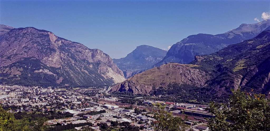
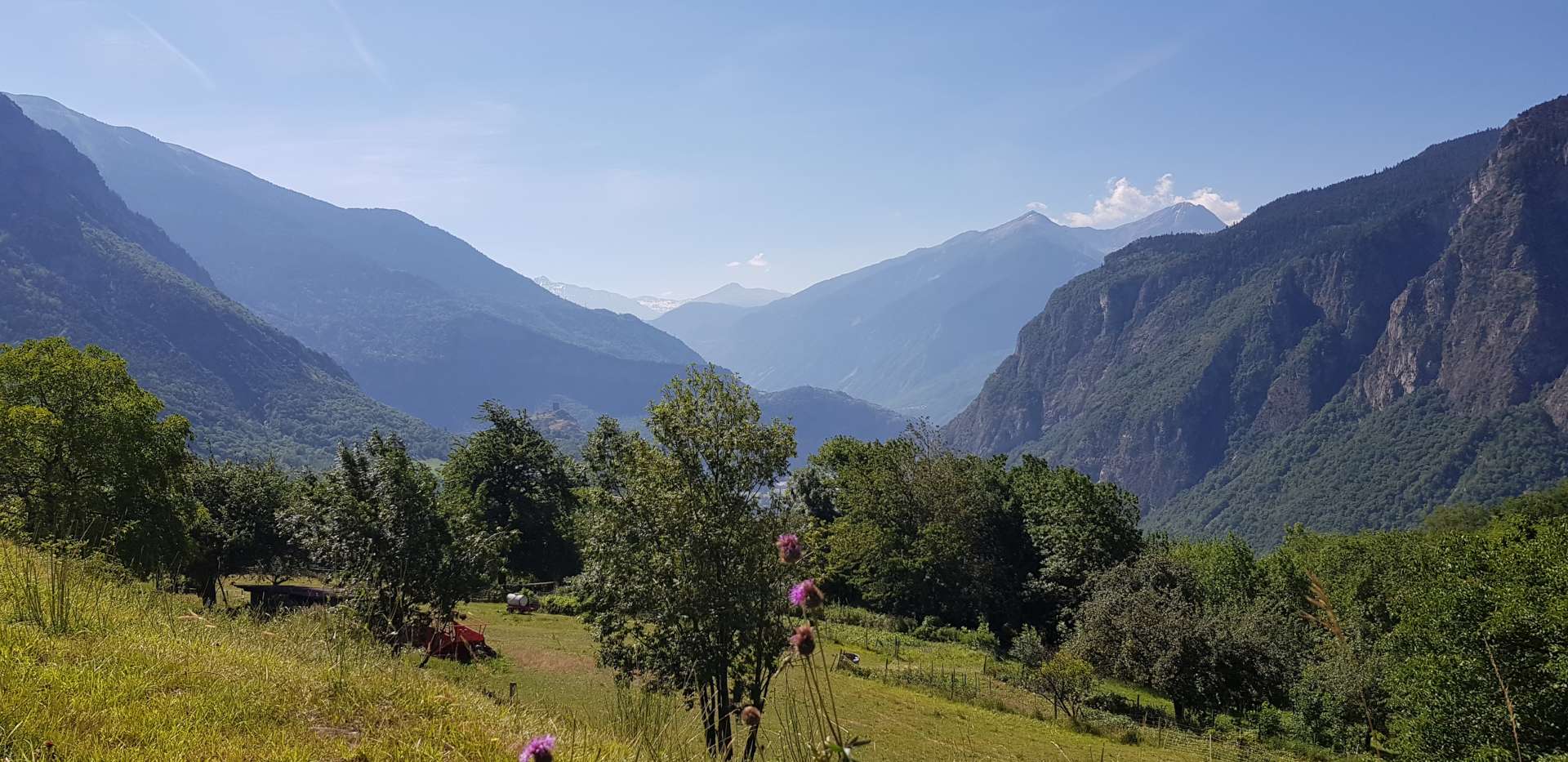
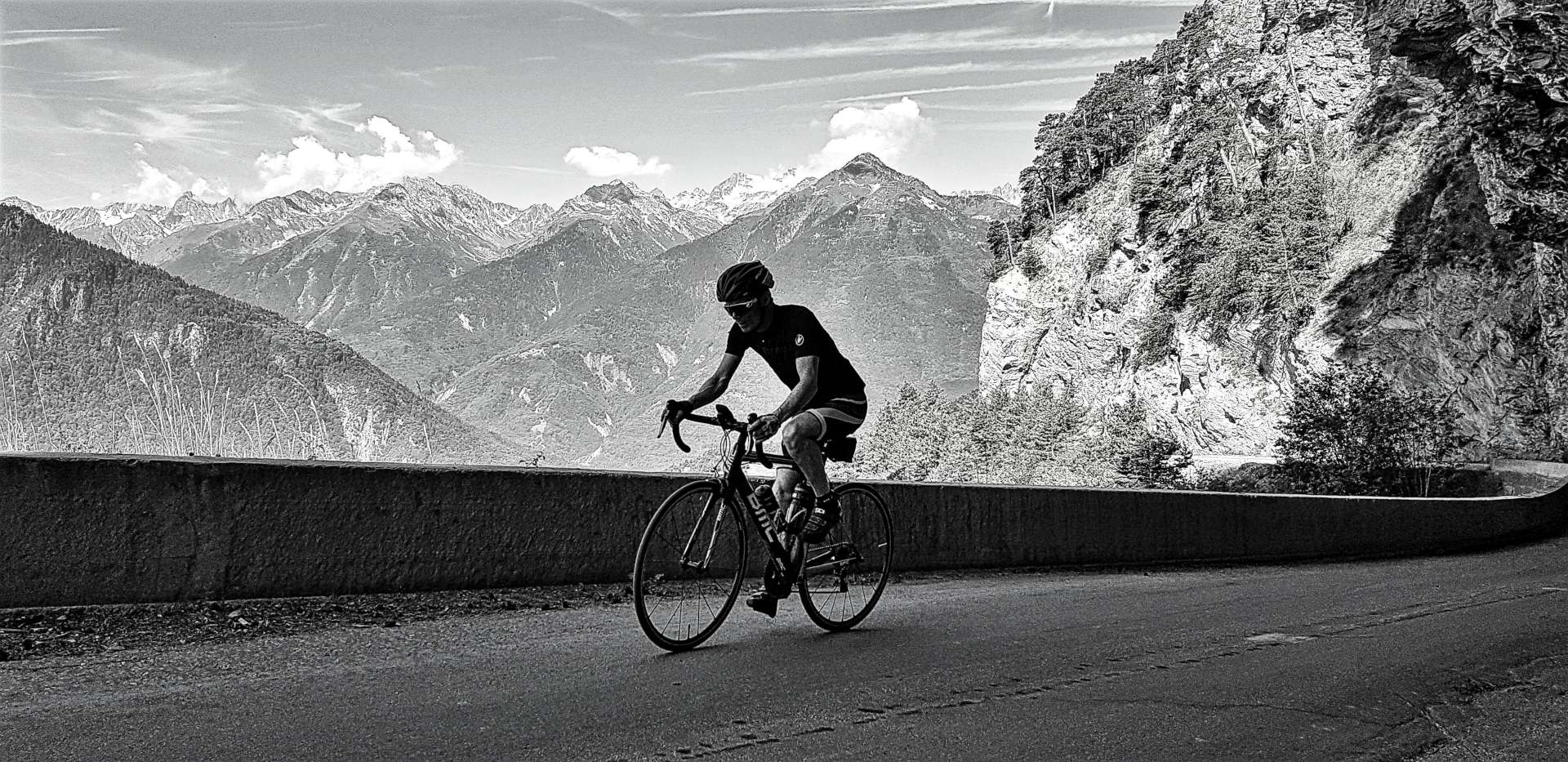
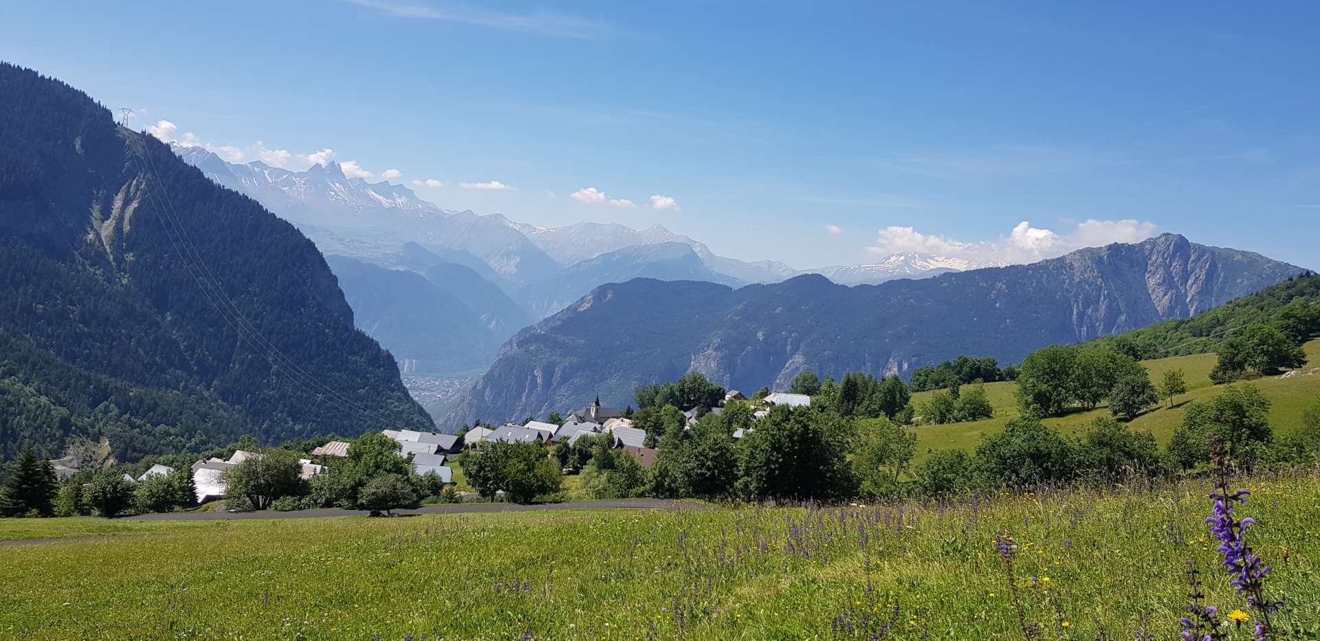
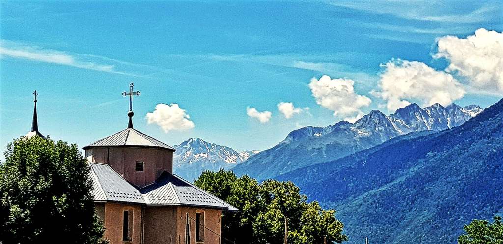
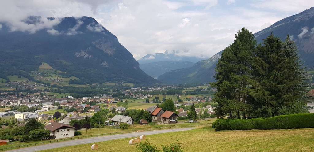
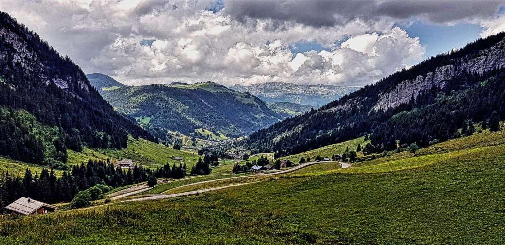
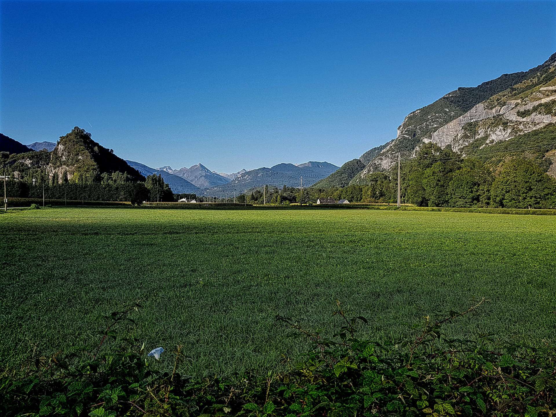
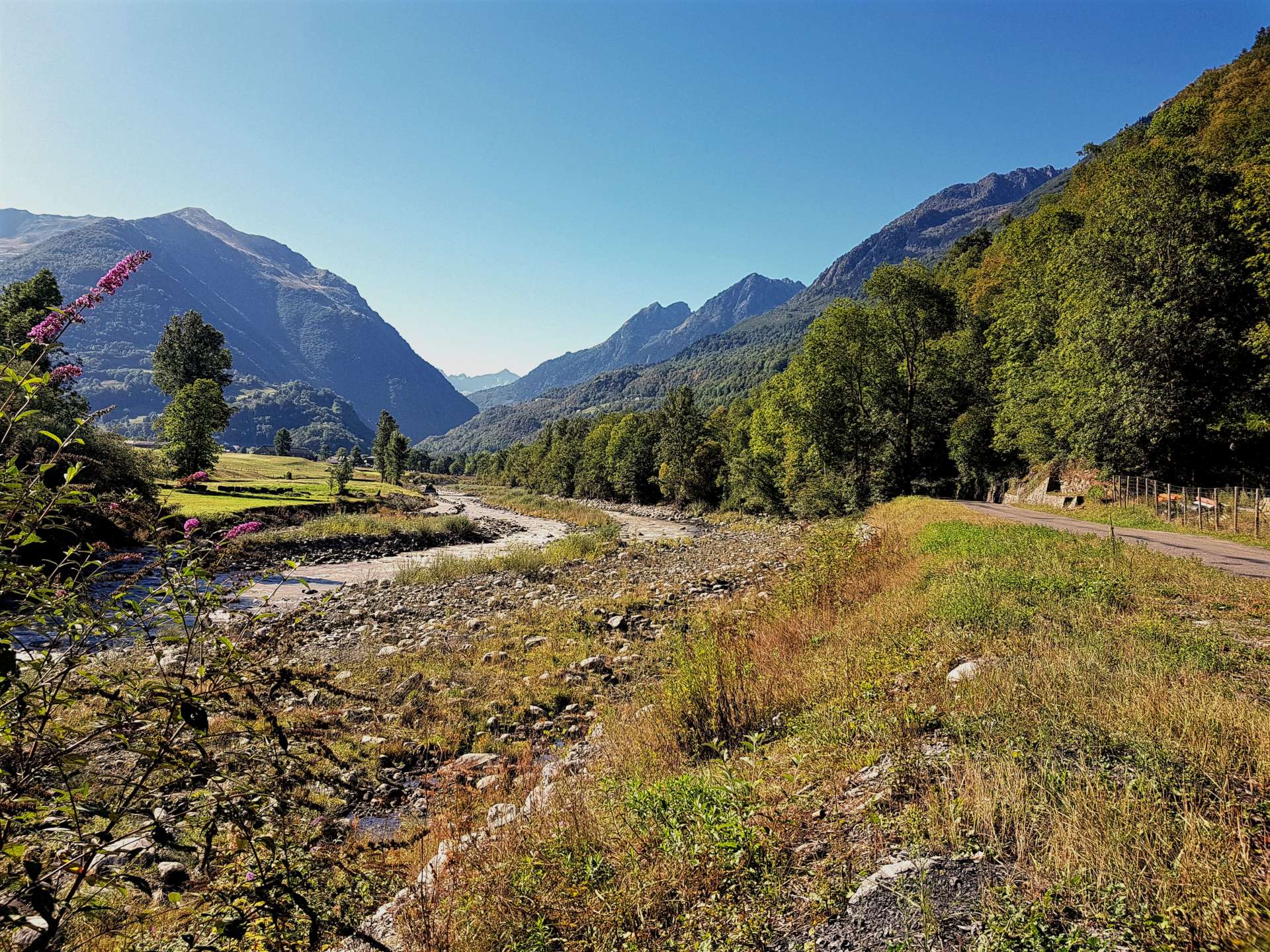
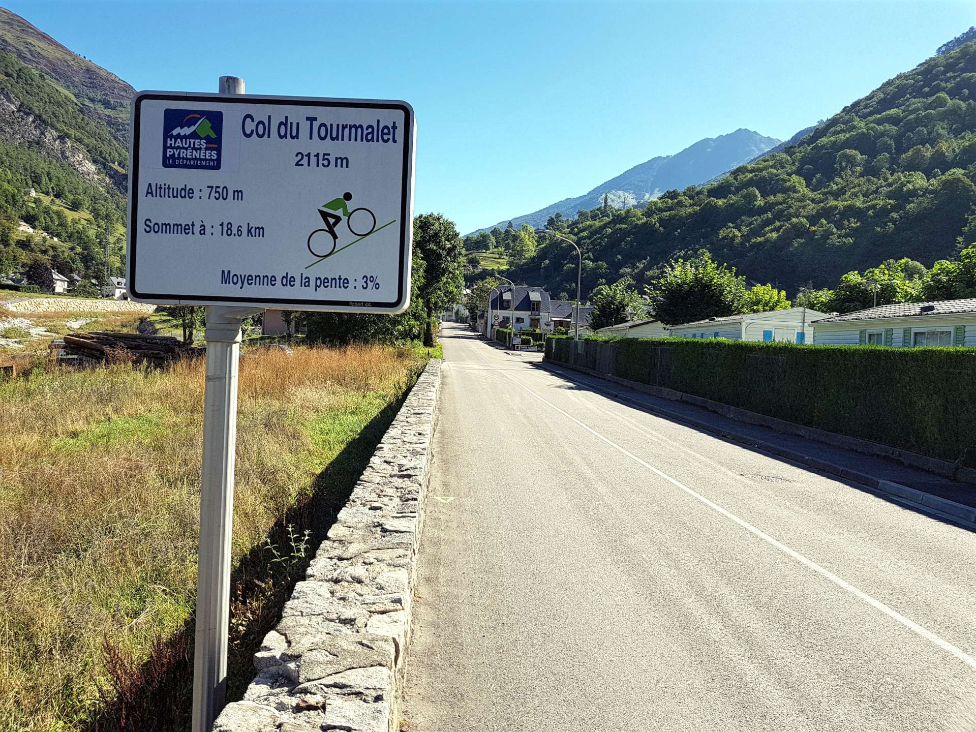
The route started on quiet country roads, as we twisted & turned between fields, with big views of the Pyrenees in the background. The first 10 miles took us in a similar direction to our Sunday ride, but as we reached Argeles-Gazost we took a left turn & started gradually gaining altitude as we followed Route de Luz up a small river valley. By the time we reached Luz Saint Sauveur, we were 20 miles into the ride & had clocked up 1,600 feet of climbing & the serious stuff hadn’t even begun. We decided to stop & have a quick pain au chocolat & espresso while we gathered our thoughts for the big challenge ahead – from Luz St Saveur, Col du Tourmalet is 11.8 miles long, gains an altitude of 4,606 feet & has an average gradient of 7.4%.

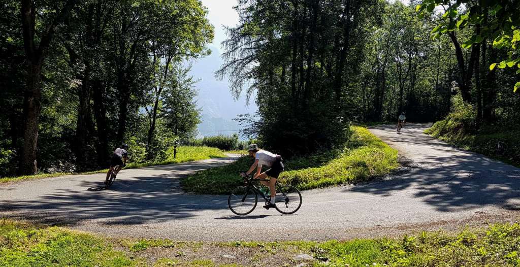
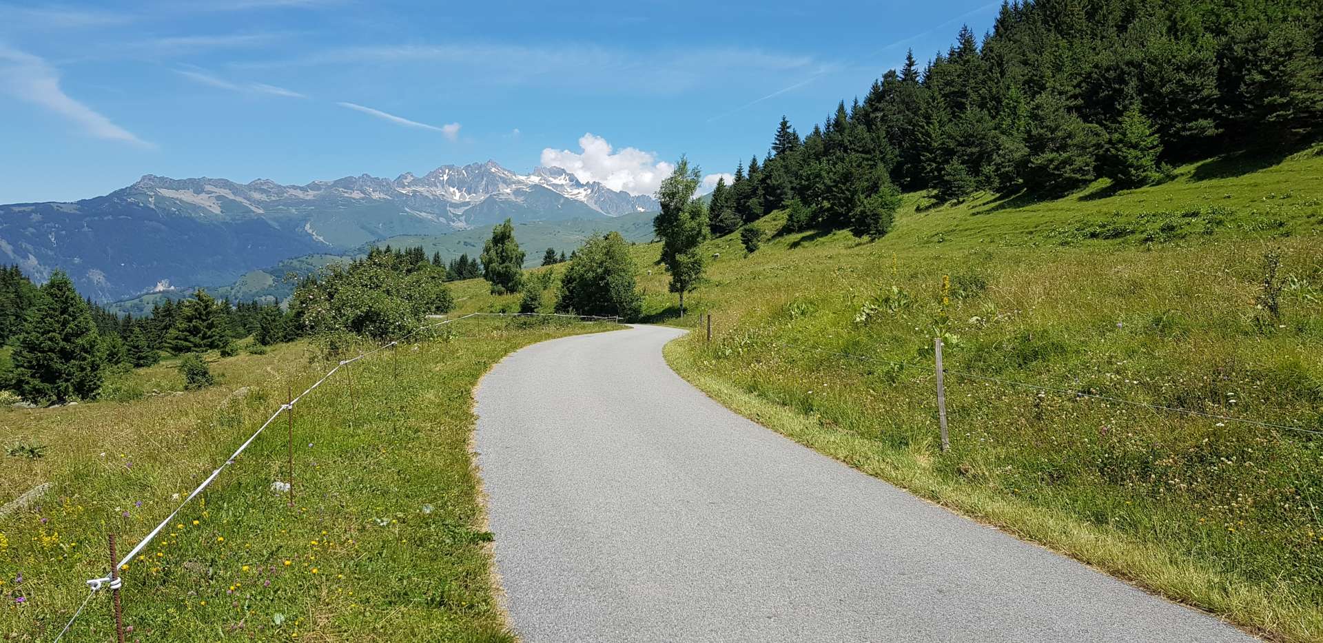
The early slopes are very gentle & provide an opportunity to take in your surroundings (big mountains on all sides!) & get into a rhythm for the climb ahead. I know from many previous experiences the key to long climbs is slow & steady at the start, as you can’t recover if you expend too much energy early on. There are a few pretty villages lower down, but as soon as we passed through Bareges, we left civilization behind.

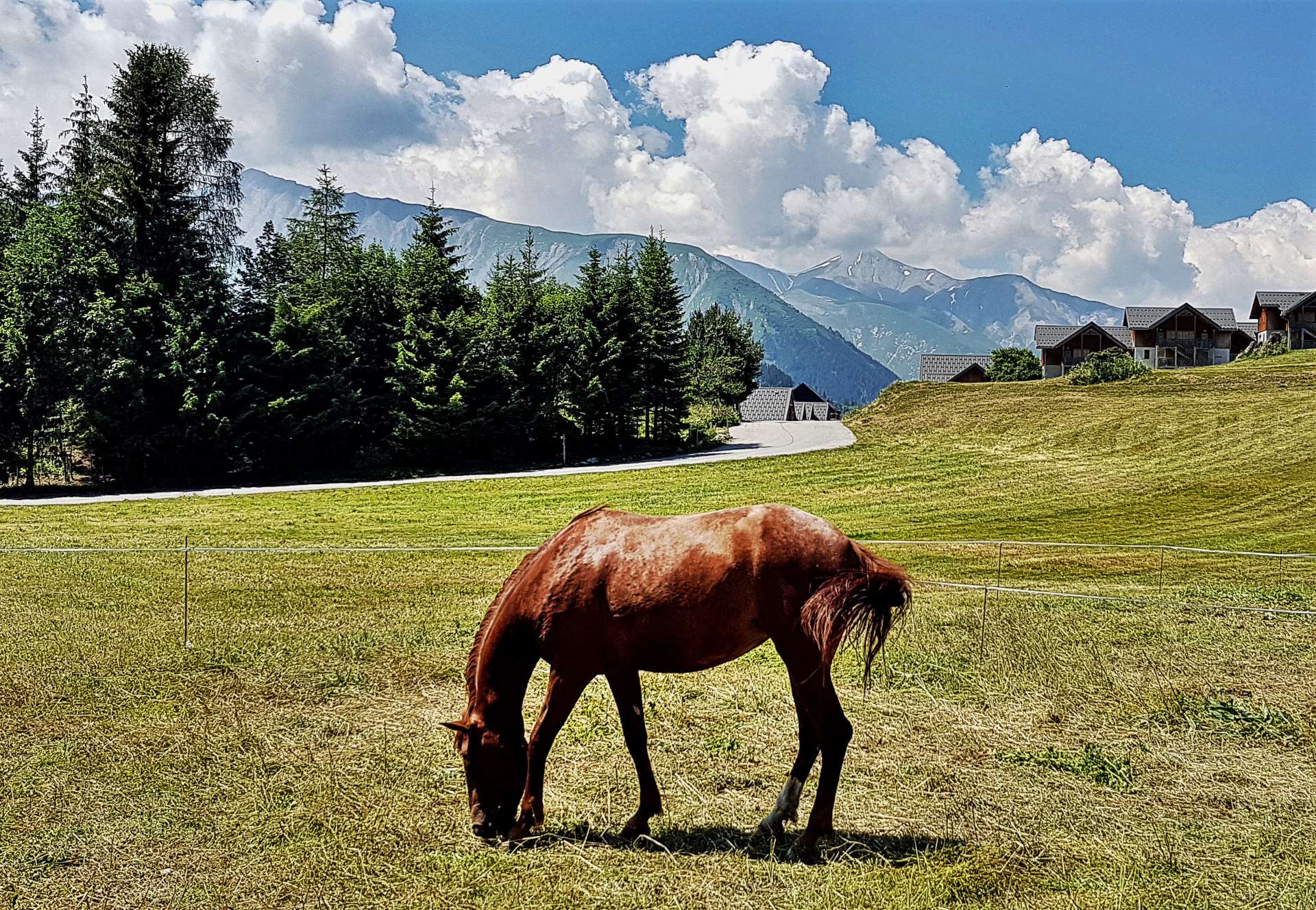
By now the gradient has reached a fairly consistent 7-9% – I far prefer this to a constantly changing gradient, which seems to deaden my legs in no time! The views by this point were spectacular, as it was possible to make out the summit café way off in the far distance & also look back towards the parapenters who were riding the thermals. Once again, the cows & sheep have complete freedom of movement & it’s the responsibility of drivers & cyclists to get out of their way.

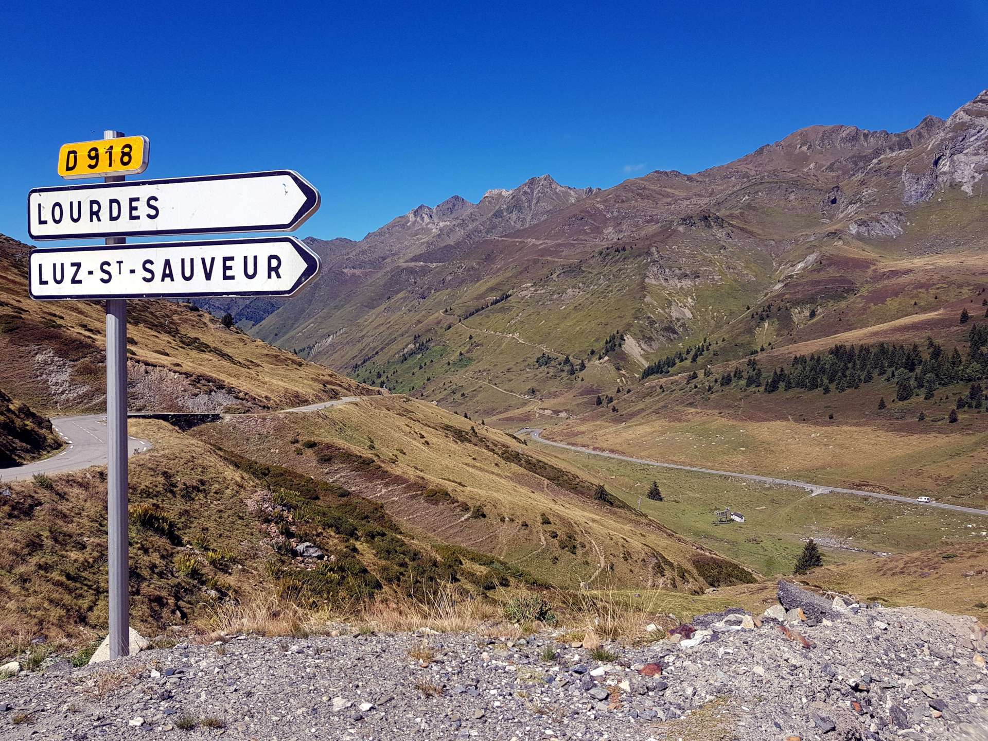
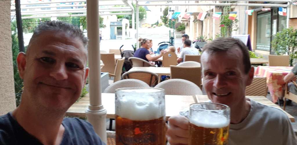
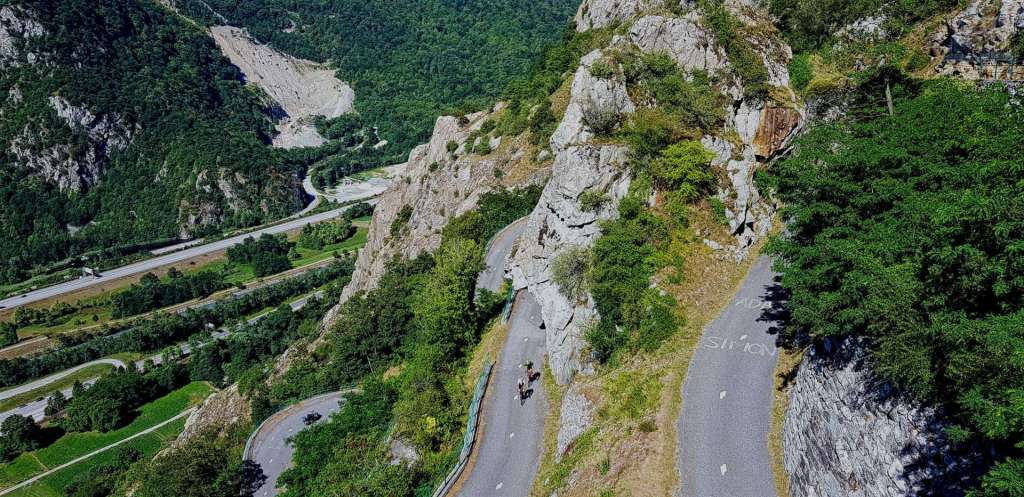
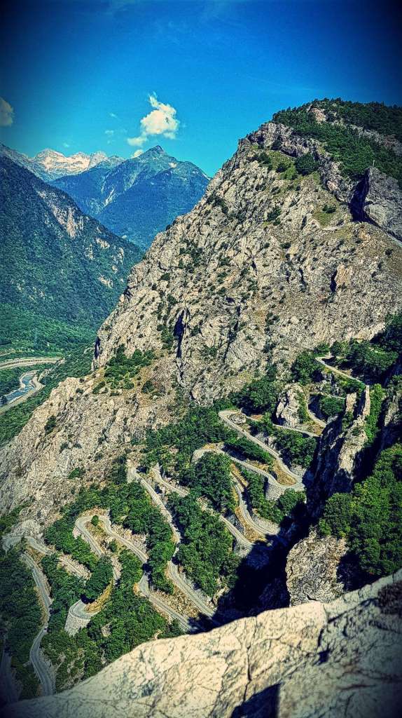
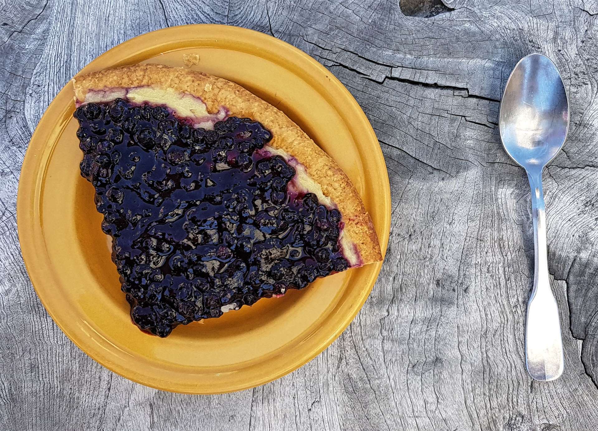
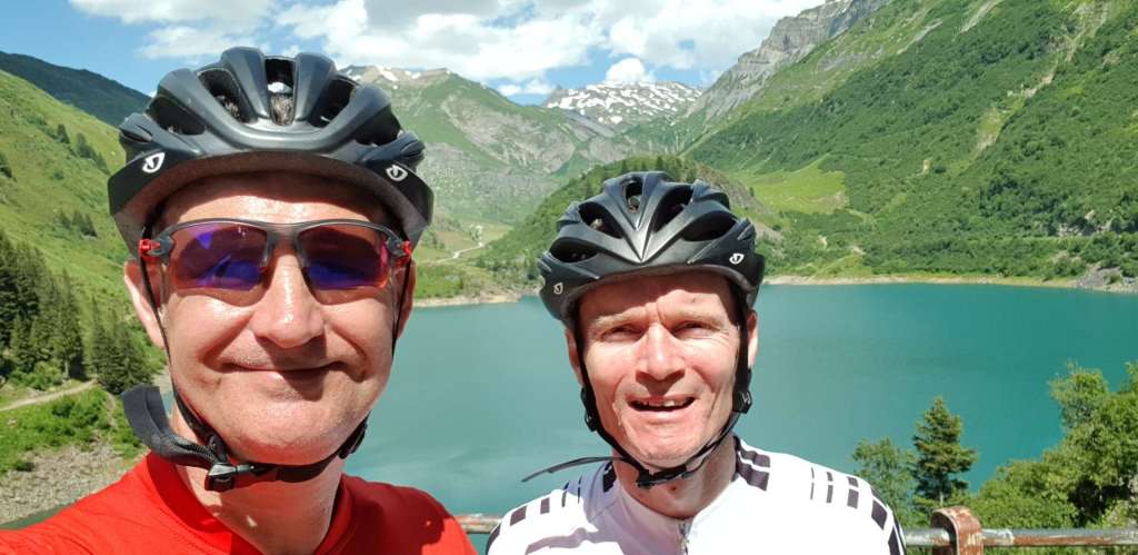
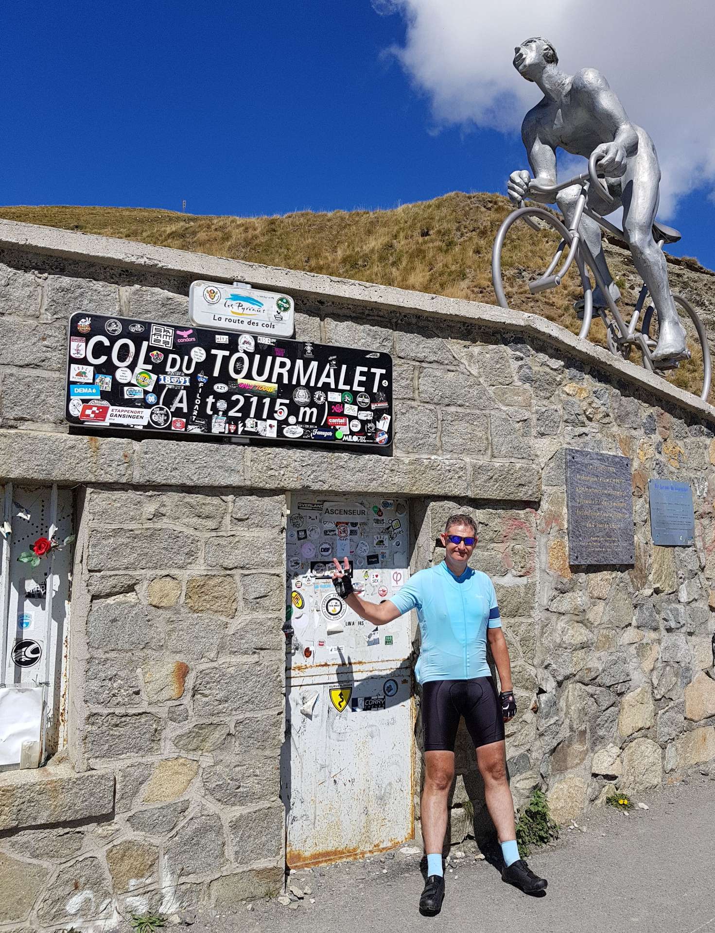
All that remained was to tackle the final 4 miles, as I started climbing the ‘back wall’ of the mountain – effectively riding switchback after switchback up what would have been a sheer drop if the road wasn’t there. The engineers had built one final hurdle for me to overcome, as the final ½ mile or so ramps up to 10%. Having researched the climb in advance, I knew this in advance, so had a bit of energy saved up (not much, but enough!). After 2 hours & 20 minutes of effort I was at the summit & it was time to celebrate with a fanta citron et tartelette du myrtille (lemon fanta & blueberry tart) as I took in the massive views in all directions & got a couple of souvenir photos.

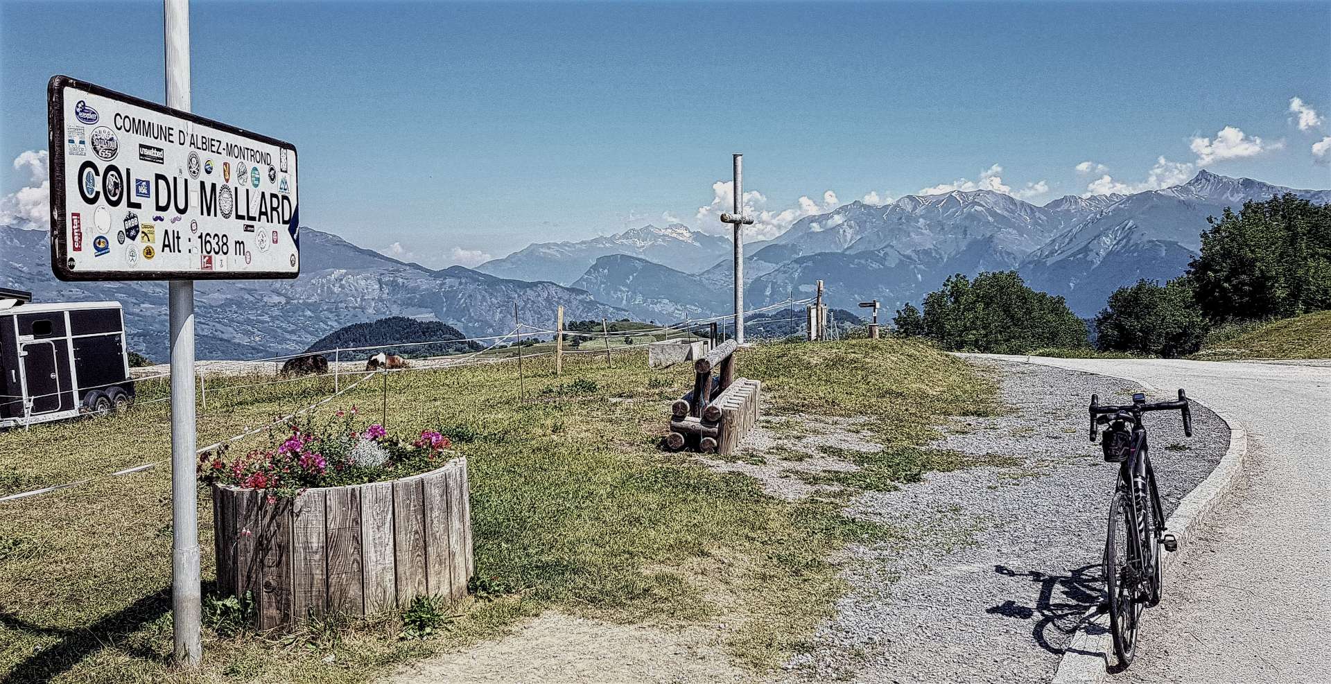
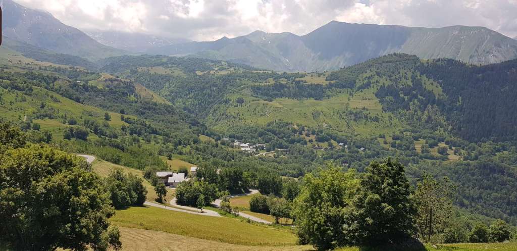
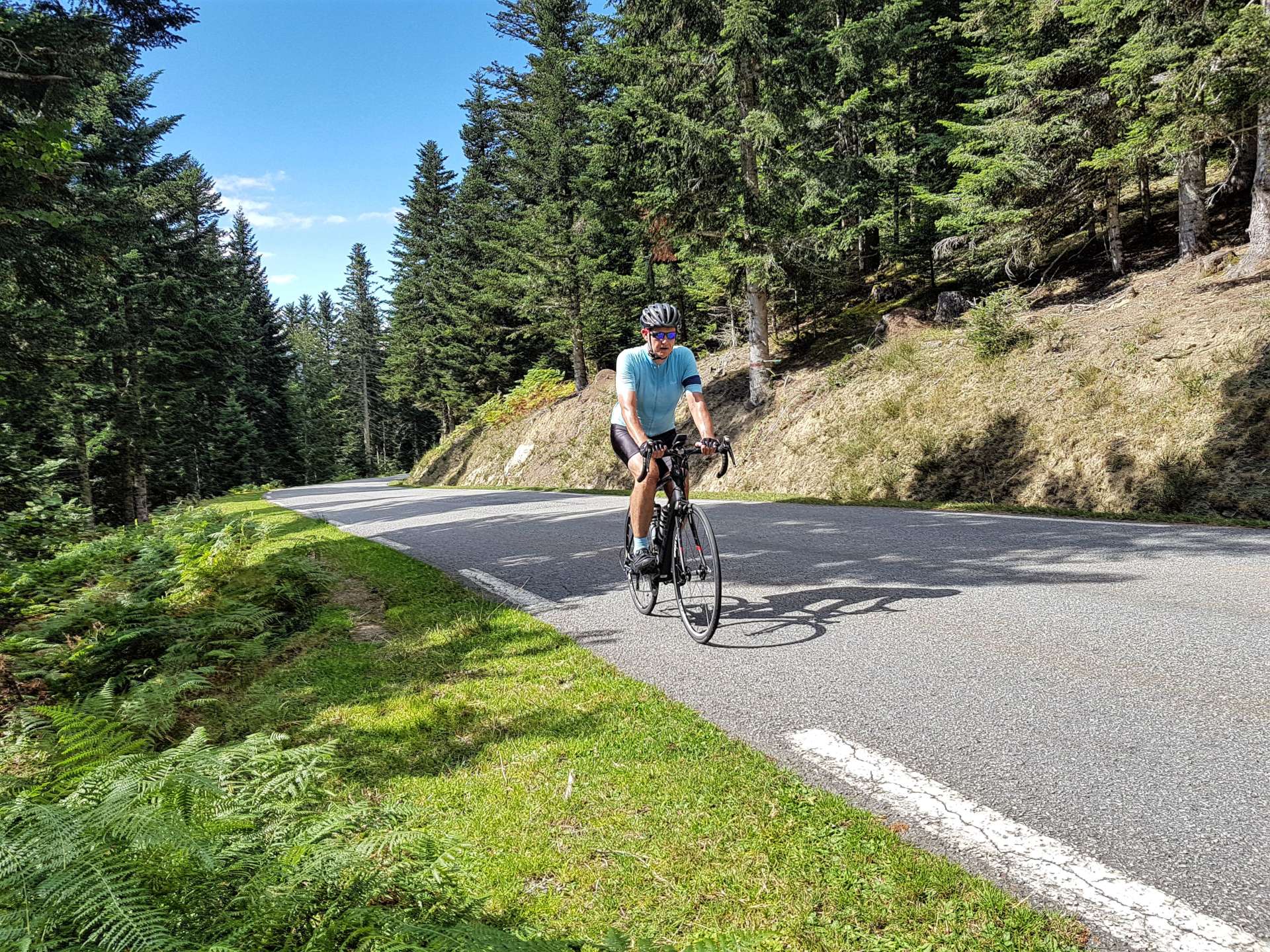
As we continued over the summit & commenced our descent, we bumped in to a herd of llamas! I had to get a photo, as I knew no-one would believe me without the evidence! We also stopped briefly in La Mongie Ski Station for a quick lunch of chicken salad baguette. Although I was going downhill, this looked the more difficult side to climb, as we fairly flew down the mountain through long, sweeping bends. At Campan we decided the legs were feeling good & we should also climb Col d’Aspin – it’s 8 miles long, gains 2,106 feet & has an average gradient of 5%. This is all a little misleading, as all the serious climbing is done in the final 4 miles, where it averages 8%. Most of the climb is through pine forest & the smell was amazing, although the views were somewhat limited as a result. The other remarkable feature of the climb was how peaceful & quiet it was – traffic was light & it was great to hear nothing but the sound of the bikes changing gear as we climbed.

Once again, the views from the summit were beautiful & it made the decision to ride the climb so worthwhile. I enjoyed a few more moments of quiet contemplation before getting a photo of the summit sign as a memento.

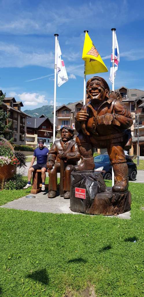
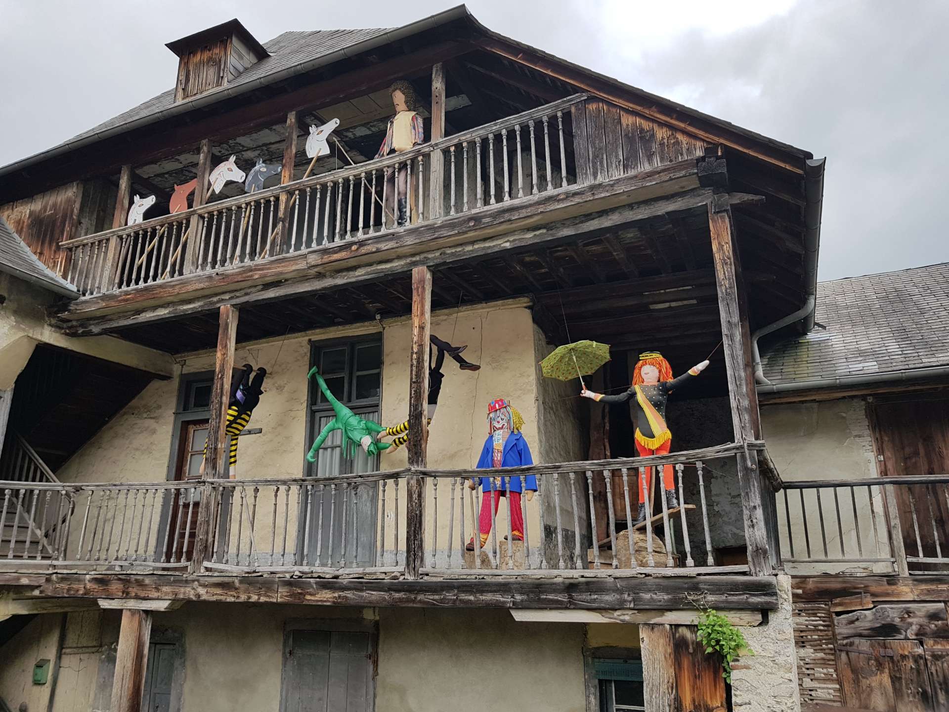
We fairly flew down the descent again (back the way we came this time) & I stopped briefly on the lower slopes to get my photo taken between two dolls/models – they were everywhere in Campan, although I haven’t yet found out why there were so many of them! This really wraps up the interesting part of the ride – at this point we were 60 miles into the ride & all that remained was the final 20 miles of the loop back to Lourdes & to be honest there wasn’t anything memorable about it – there was also nothing wrong with it either, we’ve simply been spoiled for stunning scenery today!

Col du Tourmalet & Col d’Aspin has been one of my favourite days of riding in the high mountains of Europe. It lived up to its billing as the Queen Stage of the Pyrenees Peaks adventure & I still have three more days of riding to look forward to!

Col du Mollard, Col de la Croix de Fer & Col du Glandon Loop

Amazing Alpine Adventures – Day Eight, St Jean de Maurienne.

After yesterday’s epic day in the saddle, the intention was to take on a slightly more straightforward challenge. At points it was clear this wasn’t that easy ride! For the third day running, we rode straight out the hotel car park & rolled slightly downhill for 3 miles to the small village of Villargondran, for the start of our first climb of the day. The Col du Mollard can be tackled from 3 different directions & today we chose the route with 40 hairpins (yes, 40!) through a shaded, deciduous forest.

Throughout our stay in France, the temperatures have been in the high 80’s / low 90’s & today was no exception, so we were mighty relieved that the trees kept some of the sun off our backs for the first 45 minutes or so. This meant that we weren’t always aware of how high we’d climbed – we had an opening over St Jean de Maurienne after about 15 minutes of climbing & the valley floor was already more than 500 feet below us.

After 45 minutes of climbing the forest opened out onto alpine meadows & there were big views in all directions, although the haze limited the quality of the photos. In addition, the higher mountain peaks were hidden by cotton wool style clouds. We could just make out the classic route up the Col de le Croix de Fer on the opposite side of the valley, as it wound its way around the bluffs & promontories or cut through the rock via the 4 small tunnels.

At this point, we still had another 5 or 6 miles of climbing to reach the summit of Col du Mollard, in the skiing village of Albiez-Le-Vieux & the perennial problem of sourcing water reared it head – this is a daily challenge on the bike in high temperatures, as we only carry 1.5 litres split between 2 bidons. Sometimes the villages will have a communal tap/spring where cyclists can fill their water bottles. The tricky bit is finding where they are, as not all free flowing water is drinkable. Luckily Albiez-Le-Jeune came to our aid & I was able to top off my two empty bottles.

We eventually reached the summit & the village had entered into the Tour de France spirit by decorating an old racing bike in the red polka dots of the King Of The Mountains. Once I’d taken my customary photos, we found a neat place for lunch, with views towards the our next climb, which gave us something else to chew over, as well as our rather tasty burger!

The descent from the Mollard to join the main Croix de Fer route had roadworks, gravel & was in generally poor condition, but we both made it down safely, which is the measure of any descent. We joined the climb 10 miles from the start in St Jean de Maurienne, but there were still another 9.5 miles to go – this is a Hors Categorie in the Tour for a reason!

The first 4 miles are gentle, with gradients averaging between 5% & 7%, but then it gets tough – as we arrived at Saint-Sorlin-d’Arves the road ramped up to 11% for about 1.5 miles. As if this wasn’t a big enough challenge for me (it was, in case you’re wondering!), there was yet more roadworks & all the tar had been removed from the road, so we were riding on the metalworks, which made for a jarring experience in many ways!!!

Once we were through town, the magic of the climb began. The final 4 miles of the route are up a sheer wall at the end of the valley & this is achieved by a series of amazing switchbacks that rise ever higher above the ski village below.

It’s a consistent 8% to 9% throughout, until eventually we passed through a gap in the rock & there was the Col de la Croix de Fer signpost! This is one of my favourite places, as it is named Croix de Fer for a reason – it has an Iron Cross at the summit, which always makes for a great photo! A few years ago some vandals knocked the cross down & stole part of the base, but I’m delighted to report it’s now back in pristine condition again.

After a quick espresso, we set off to bag our 3rd & final Col of the day & less than 4 minutes later we’d also climbed the Col du Glandon! This is a huge climb from either St-Etienne-des-Cuines (12.5 miles at 7.1%) or Allemont (20 miles at 4.75%), but it’s only a 2 mile descent from the Croix de Fer, with a small 100 foot climb to get to the summit.  Beware anyone who claims to have climbed both the Croix de Fer & Glandon in a single day!!

The first 2 miles of the descent from the Col du Glandon are crazy, as the road hairpins down 12% gradients – I could hear my brakes squealing every time I applied them! We zig-zagged through grassland as we plummeted down the first 4 miles, with cows & sheep kept in their ‘fields’ with electric fencing….you wouldn’t want to meet one of them on the road!

All of a sudden the grassland stopped & was replaced by woodland, which makes spotting the exit of corners that much trickier, so concentration was fully engaged. We had huge views across the valley to the lower slopes of the Col de Madeleine, although the haze meant I couldn’t get any ‘Top 5’ photos today.

The final 5 miles of the descent were on a wide two lane road, with fast, sweeping corners & at last I could feel some of my confidence returning, as I wasn’t having to continually second guess the corners, I could actually ride through them. Once we reached St Etienne, we had a relatively flat return to the hotel by quiet back roads & we were back in time to enjoy a pint as the final few teams in the Tour Team Time Trial came in. What an incredible day of cycling in the huge Maurienne Mountains!

Col de Chaussy (via Les Lacets de Montvernier) & Col de la Madeleine

Amazing Alpine Adventures – Day Seven, St Jean de Maurienne.

Today was all about exploring the wild back country of the Maurienne valley, while taking in some epic climbs. We started by heading to what was once the best kept secret climb in the region, Les Lacets de Montvernier (which translates as ‘the shoe laces of Montvernier’).

There are 17 hairpins in the space of 1.5 miles & the single track road (it looks more like a cycle path) rises just over 650 feet. I managed to get one action shot, where there was a motorcyclist on one set of hairpins, while I captured two cyclists further up the ascent. There was still some graffiti from the 2016 Tour de France, which is just visible on the  photo below – Adam & Simon refers to the Yates brothers who competed for Mitchelton Scott that year.

Once we reached the summit of the hairpins, I jumped off the bike & headed down a farm track for about 400 yards & then cut through some woodland. I was now stood on the edge of a 1,000 foot vertical drop to the valley floor below (not good for my vertigo), with a stunning view of Les Lacets laid out below & across from me – my photo doesn’t really do the climb justice, but it’s a great reminder of a stunning piece of tarmac. The Tour de France is visiting again this year, so look out for Les Lacets de Montvernier on Stage 12.

After another mile or so, the single track joins the main route up to Col du Chaussy, which is a 9 mile brute of a climb with stretches hitting 13% in gradient for 400 yards or more – plenty long enough to cause me significant difficulty (& pain!). The scenery was awesome at this point, with huge views across to the snow-capped mountains that surround the Cols de Glandon & Croix de Fer. We were heading ever higher & the trees were getting thinner (hence the views) & then we saw a tiny balcony road, threading its way across what appeared to be a sheer faced cliff. As we got closer, we realised that’s exactly what it was & that the only thing protecting us from the 2,000 foot drop would be a concrete barrier!

The road was so quiet, at least we didn’t have to worry about traffic – other than the odd motor bike, the only people we saw until we reached the summit were other cyclists, as they motored past us! Once we’d made our way past the cliff road, it was a steep few miles of climbing through forest, before another change of scenery as we left one valley & joined another. The final 2 miles of the ascent took us through alpine meadow & then finally we could make out the Col du Chaussy sign in the distance – it’s not the greatest of signs!

We stopped at the summit café for a coke followed by coffee & watched in amazement as above us about 25 eagles soared on the thermals looking for their Sunday Lunch – we hoped we weren’t on the menu!! As we headed over the summit we knew we were in for a helter skelter descent of some 6½ miles on narrow farm tracks – we were effectively transitioning over to the lower slopes of the Col de la Madeleine, before our next 9 mile ascent to the summit some 4,000 feet above us.

I’d always known I would be fine climbing the Chaussy, as it was only about 3,500 of climbing although some was steep, however, backing this up with an ascent of a Tour de France legend (it’s referred to in the climbing guides as Mythique because of its difficulty) was going to be completely unknown territory & I genuinely didn’t know if I would be capable of completing the climb – but that’s what challenges are about.

The first of a few acid tests came after less than a mile of climbing, when the roadside marker showed that the gradient for the next kilometre averaged 11% – I couldn’t hang on to Sean’s wheel as my speed plummeted to 3.5 miles an hour! My lack of climbing training was exposed right there & the next 45 minutes were the most painful I can remember on a bike, as the gradient hovered between 8% & 10% while horseflies mocked me by taking bites out of my oversized arse – I couldn’t go fast enough to escape them!! The views were beautiful up towards the snow peaked mountains, but I experienced a very rare crisis of confidence about whether I would see the new summit sign on the Col, some 7 miles further on.

At that moment I stopped to take the photo below & made a conscious decision to ride to the summit, but to do it at my pace & to enjoy every minute of the experience. All of a sudden I was ok – I’d had the opportunity to stop & had made the choice to continue, so I knew I’d complete the climb. It was still an incredibly difficult few miles up to Saint-Francois-Longchamp, the last sign of civilisation before the summit. From here the road twists & turns over cattle grazing land, with huge views all the way down to La Chambre, some 13 miles & 3,500 feet away on the valley floor.

Finally, after 1 hour 50 minutes we’d reached the summit – again Sean rode at my pace all day & never complained about me slowing him down. That made it all the more enjoyable to get a photo together in front of the new Col sign, then head to the café for a massive slice of blueberry tart & coke!!

The first 4 miles of the descent were on twisty & wide roads, but at that point the road was being repaired ahead of Le Tour & there was gravel on almost every corner for about 2 miles. I’d been warned about this yesterday by a group of Oz riders who are staying at our hotel, so at least we were both prepared for it. After that, the road took long sweeping corners ever downwards towards La Chambre & some 25 minutes after leaving the summit, we were back on the valley floor.

All that remained was to cycle the final 6 miles beside the river as we headed back to St Jean de Maurienne. Today was yet another stunningly beautiful day in the saddle, here’s hoping tomorrow brings more of the same!

Col des Aravis Loop

Annecy Alpine Adventure – Day Four, Talloires.

Last night the mountain weather treated us to a lightning & thunder extravaganza which lasted for over 2 hours, incredible to watch, but impossible to film. We set off under grey, bruised skies after our hosts assured us that while we may experience brief but heavy cloudbursts today, it would be dry for the majority of our ride today. The plan was to visit the Col des Aravis as part of a 55 mile, 5,000 foot climbing loop. This is a great route that included a bit of everything, quiet cycle path, long ascents on deserted roads & a couple of fun descents.

The first 14 miles followed a familiar routine, hug the shoreline of the lake as far as Doussard, then hop on the cycle path until we reached the turning for today’s climb – in this instance we had 14 miles under our belt by the time we left the beautiful & deserted cycle track at Ugine. The next 35 miles would be either climbing or descending! During my research, I’d found a high, but quiet back road that would keep us off the main Gorge d’Arly road for the majority of the 11 mile drag to Flumet. We started ascending on gentle hairpins as we left town & then it pitched up to about 8% as we rose ever higher up the side of the gorge. We were riding through pristine pine forest, an intoxicating smell followed us, but sadly it also limited our views from the balcony/shelf road to the valley below.

After about 2,000 feet of climbing we descended back onto the main road for the final 3 mile stretch of gentle uphill towards Flumet. From here the 8 mile ascent of the Col des Aravis began in earnest, as the road snaked its way up the valley. The first few miles were gentle & gave us a chance to get into a rhythm of climbing, but also make good time. At the halfway point of the climb, we stopped for lunch in La Gittaz – a delicious spaghetti carbonara with authentic fromage & jambon was just what the body needed. We’d landed on our feet, as this is also when the heavens opened, so we avoided getting wet!

The final ½ of the climb zig-zags between the huge Aravis mountains at a steady 7% – I now know that so long as I ride within my current limitations, I can tap out a cadence for a couple of hours so this became an enjoyable experience for the most part. It was a different story whenever we zigged (or was it zagged?) into the headwind as that made things more challenging, however, less than 45 minutes after lunch we were on the summit admiring the big views all around us.

As we continued the loop & descended the Col des Aravis towards La Clusaz, St Jean de Sixt & Thones, my bike started to wail like a banshee – this was unlikely to be good news!! I eventually worked out it was coming from the rear wheel & was likely being caused by the bearings. I took things easy on the remainder of the ride & am hoping that the local mechanic in Talloires will be able to swap out the bearings straight away – if not, I’ll hire a replacement wheel for the day & beg that he fixes it for Saturday morning.

We stopped briefly for coffee in La Clusaz, which is a skiing hotspot in winter & a cycling mecca in summer. The Tour de France is visiting this year & they’d entering into the spirit of things, with cycling references displayed everywhere in the town. The highlight was a bike & rider displayed on the roof in E.T. style!!! The Etape de Tour takes place this Sunday over the route of Stage 11 – the Queen (& toughest) stage of this year’s TdF & this was right in the middle of things.

As we exited Thomes, we passed the National Cemetery of the Glieres, which commemorates all those who lost their lives fighting for the Resistance in the 2nd World War – the Maquis were very active in the region & each new generation is made aware of the sacrifices their forebears made to protect their freedom. After a brief moment of quiet reflection, we were on our way towards the 2nd & final categorised ascent of the day, Col de Bluffy – a tiny pimple of a climb & not really worthy of being called such, as it took about 10 minutes to climb!!!

From here, it was a 2 mile descent back to Lake Annecy & then a 3 mile pootle along the lakeside back to our hotel. Another amazing day of cycling, against a backdrop of awe inspiring scenery.

Col de Meraillet, Cormet de Roselend & Col du Pre

Annecy Alpine Adventure – Day Three, Talloires.

Today we jumped in the car & took a one hour drive to the small town of Beaufort, home of the famous cheese. The Beaufortain region is surrounded by the high mountains on all sides & is on my list of places to visit as a base for a week of riding (I picked up a route guide from the Tourist Office, so that’s now one step closer to happening!).

The aim today was to cycle part of Stage 11 in this year’s Tour de France, namely the Cormet de Roselend from Beaufort. If you’ve followed my previous trips, you’ll already know this is where I had the accident which smashed up my left collar bone & wrote-off the bike I had at the time. At 13 miles & with 4,000 feet of climbing to reach the summit, this would be my biggest challenge so far of this year’s trip.

It’s a wooded, green & pretty ascent to Col de Meraillet, with views back down the valley & the gradient is a constant 7% to 8% for these first 8 miles. As soon as we passed this intermediate col, we had our first views of one of my favourite alpine lakes, the glorious Lac de Roselend. The next mile or so followed the shore of the lake & I took the opportunity to gather my mental & physical resources by suggesting a quick coffee & raspberry tart stop.

After a 10 minute stop, it was time to push onward & upwards, as the scenery changed completely & the trees of the lower slopes were replaced with alpine meadows & numerous rivers plunging down the mountain to supply the lake below. The gradient was between 7% & 8% all the way to the summit, which at least allowed me to establish a rhythm & cadence, that while slower than normal, was within my current capabilities.

After 2 hours 15 minutes of climbing, we’d reached the summit & I’m grateful to Sean for happily cycling at my reduced pace & making small talk all the way up – it made the ride even more fun. We managed to persuade a fellow Brit to take a photo of us both, although the language barrier was a bit of a challenge, he was a Yorkie!!!!

Much as I wanted to ride both sides of this mythical climb, today wasn’t the day, as I don’t have the training in the legs this year, however, I’ll be back again to fulfil that dream. Instead, we headed back down to Col de Meraillet & then took a detour across the Barrage de Roselend & then did a short, sharp bonus climb up to Col du Pre. This is a climb that reminded me of a classic Spinal Tap quote where the volume was turned up to 11 – in this case it was the gradient that was louder than 10!!! The real reason for this side ride was the absolutely breath taking view across the Barrage & Lake to the huge snow encrusted mountains in the bacckground. All Alpine lakes are beautiful, but some are more so than others – the mountain to the left of the photo with its head in the clouds is Mont Blanc.

We retraced our wheels back to the Route de Roselend & then took another planned side road to check out the Lac de la Gittaz, which had been recommended by someone who had visited the region previously. Yes, it was pretty, but after all of today’s remarkable scenery, it didn’t stand out as much as it would on any other ride. However, I’m pleased we stopped to see it.

All that remained was to follow the road back towards Beaufort & remain vigilant of the ‘gravillons’ (dodgy as you like ‘chippings’ to you & me!) which have been laid ahead of the Tour de France circus coming to town. I’m usually a confident & competent descender, but this was no fun at all as for 2 miles all I could think of was ‘don’t tense your arms’, which of course made me tense my arms!! I got down the descent safely, so it was time to celebrate an amazing day in the saddle with an artisan ice cream (coconut & rum raisin, as it happens & it was delicious!).

We spent a few minutes strolling round town admiring all the Tour de France paraphernalia that has already been put on display – whole bikes hanging from balconies, bunting in the colours of all the competition jerseys etc. The final treat of today was to stop off at Forclaz de Montmin on the way home, a brutally steep (I wouldn’t be able to climb it at my fittest) 5 mile climb. From the summit we had huge views along the length of Lake Annecy & could even make out our hotel on the valley floor, some 2,400 feet below. What a great way to round off a brilliant day of cycling!