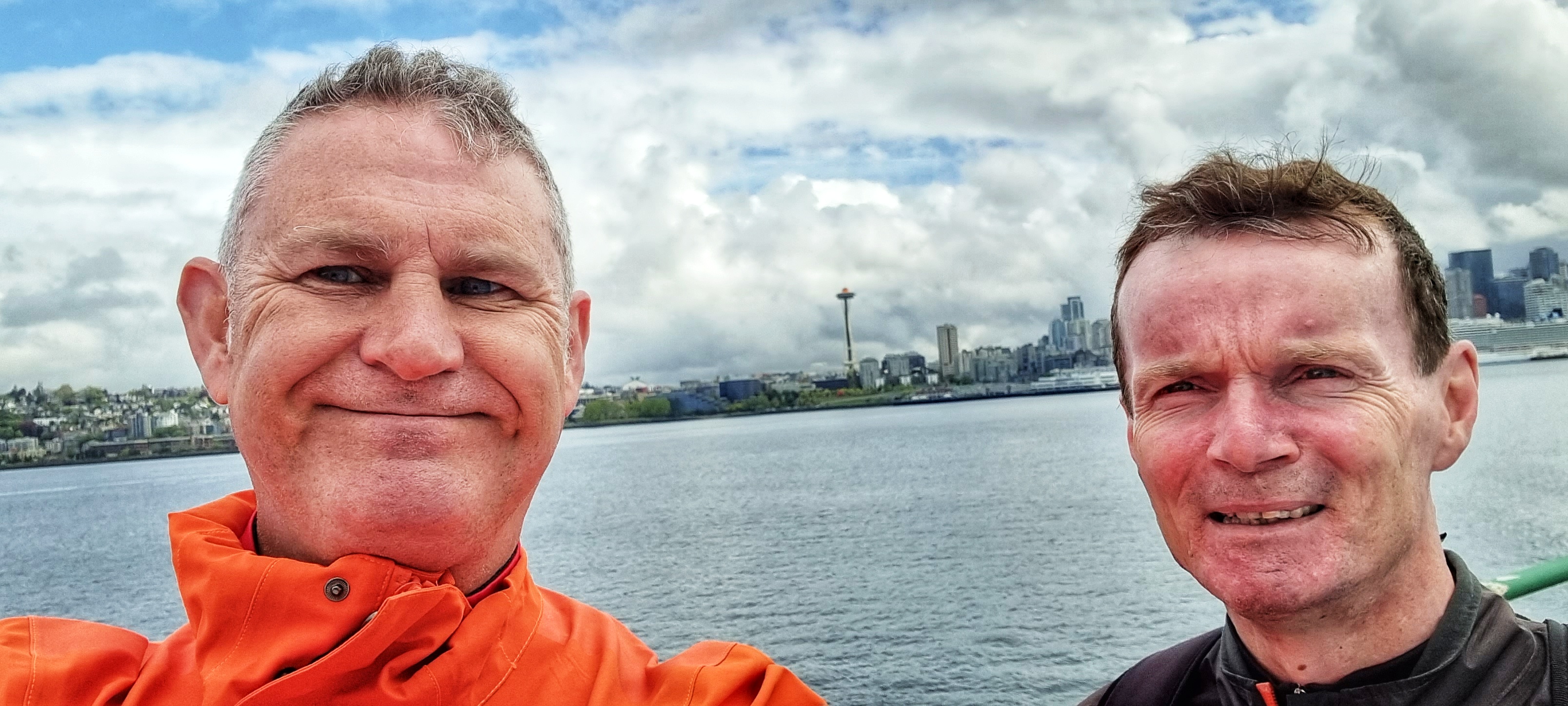
The Long Way Round (Part One) – Friday 17th to Sunday 19th June
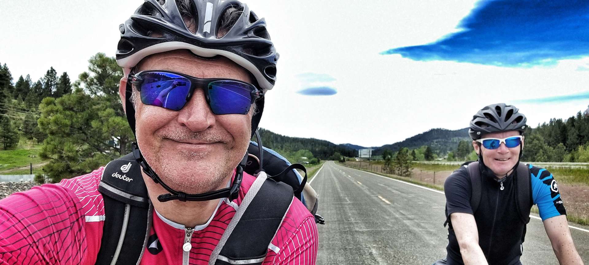
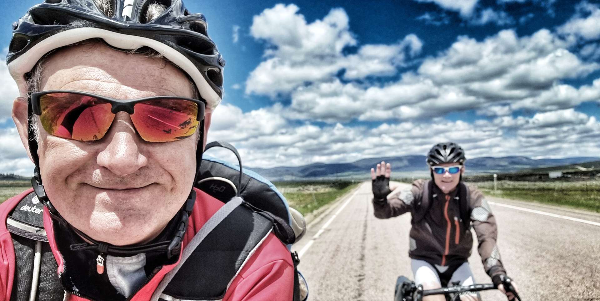
Friday 17th June – West Yellowstone to Island Park, Buffalo Campground
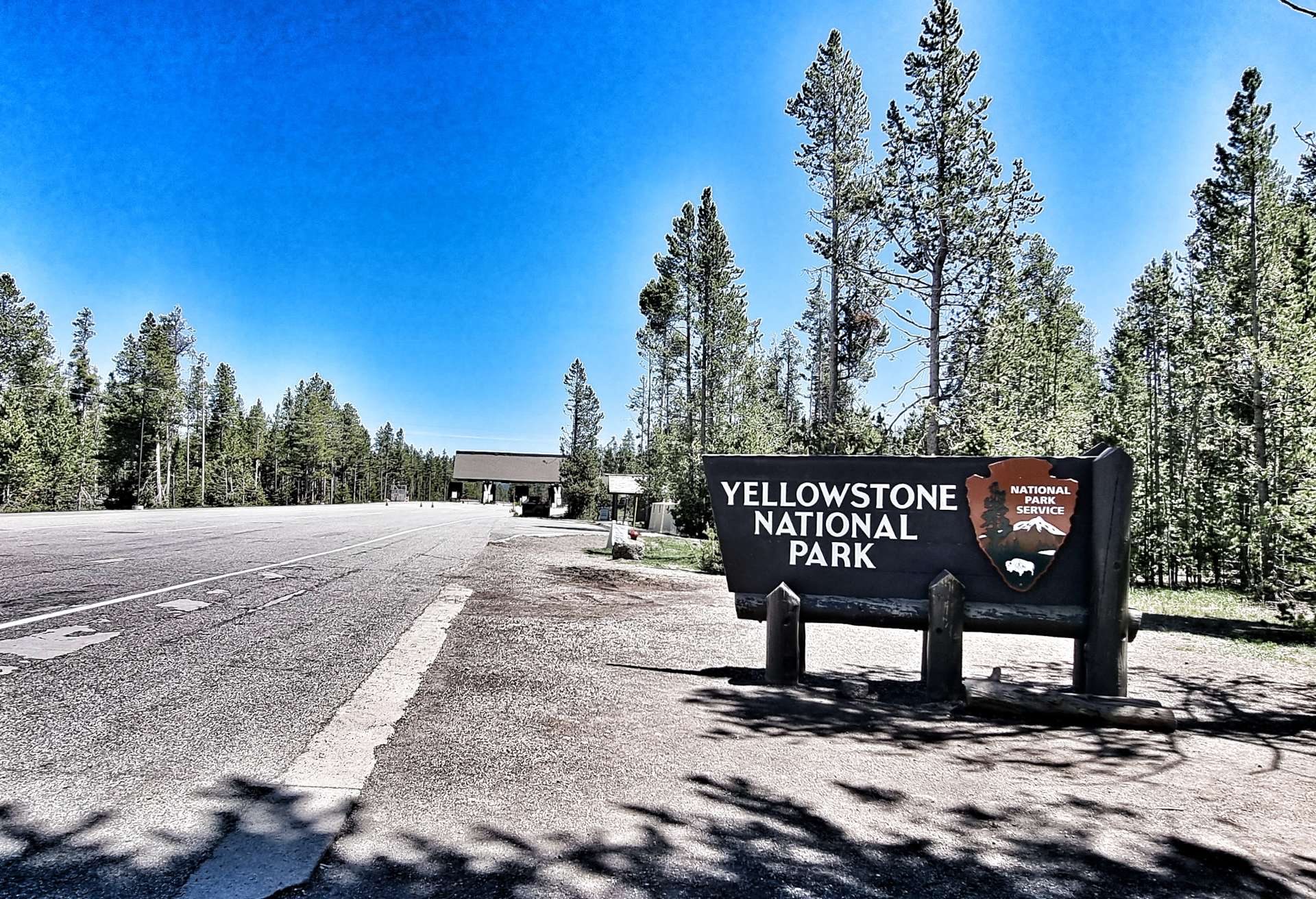
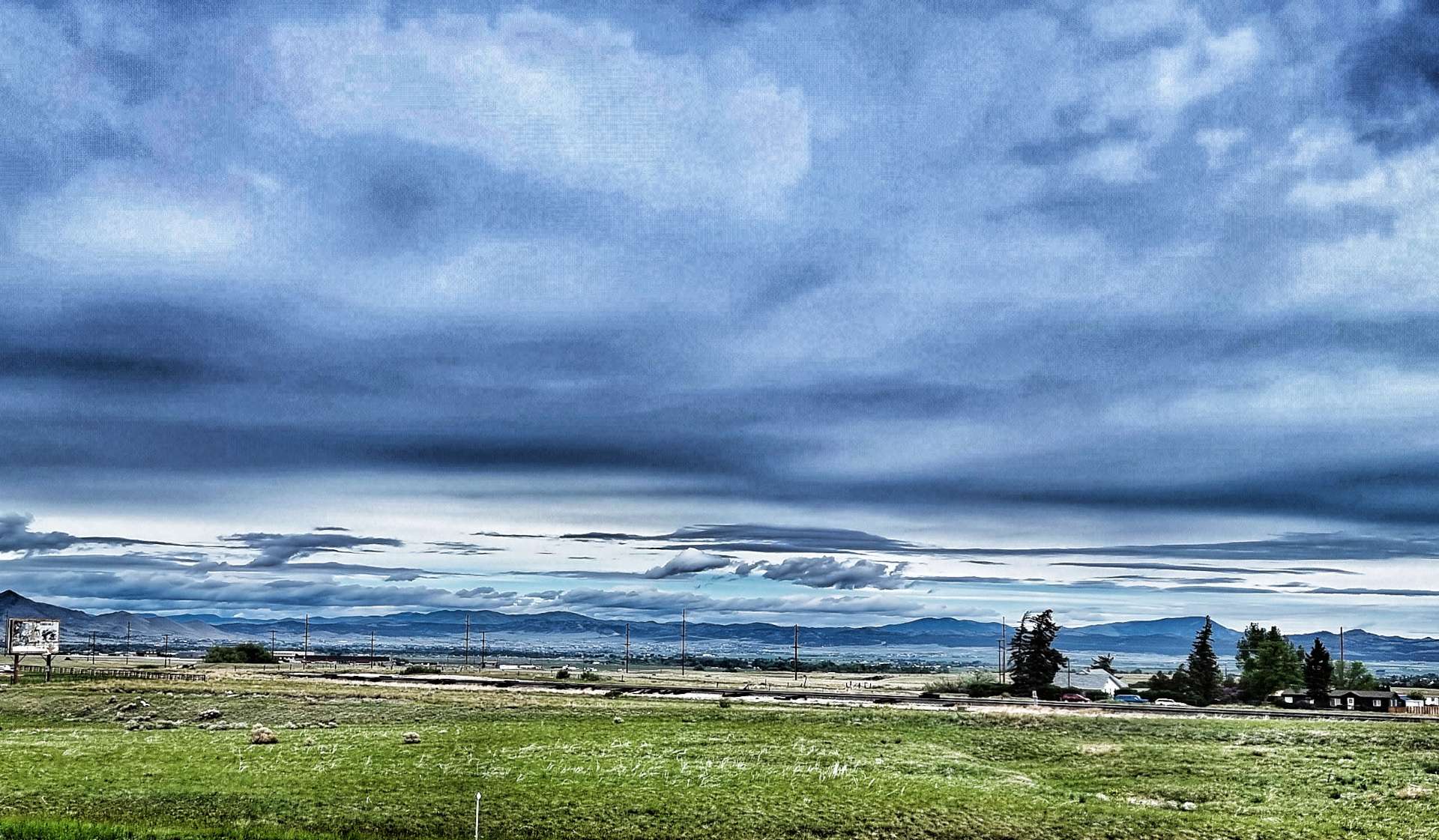
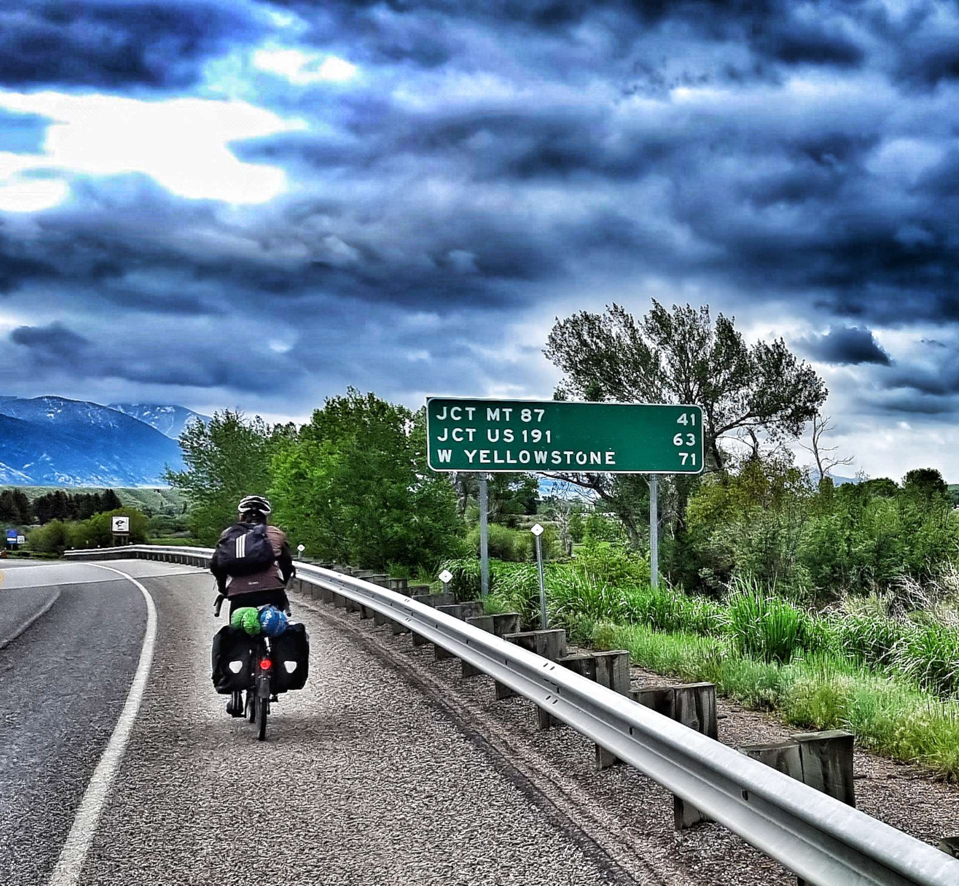
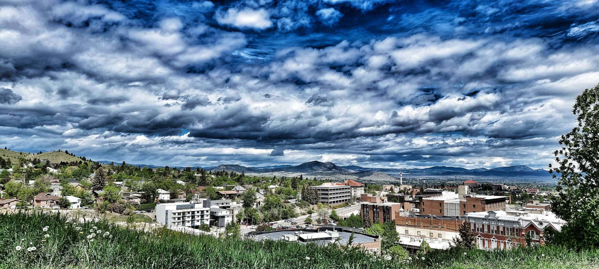
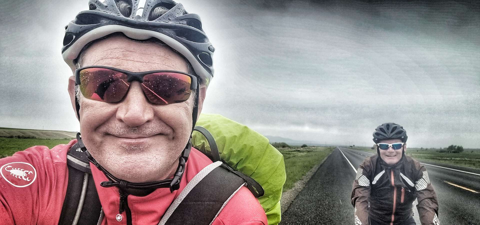
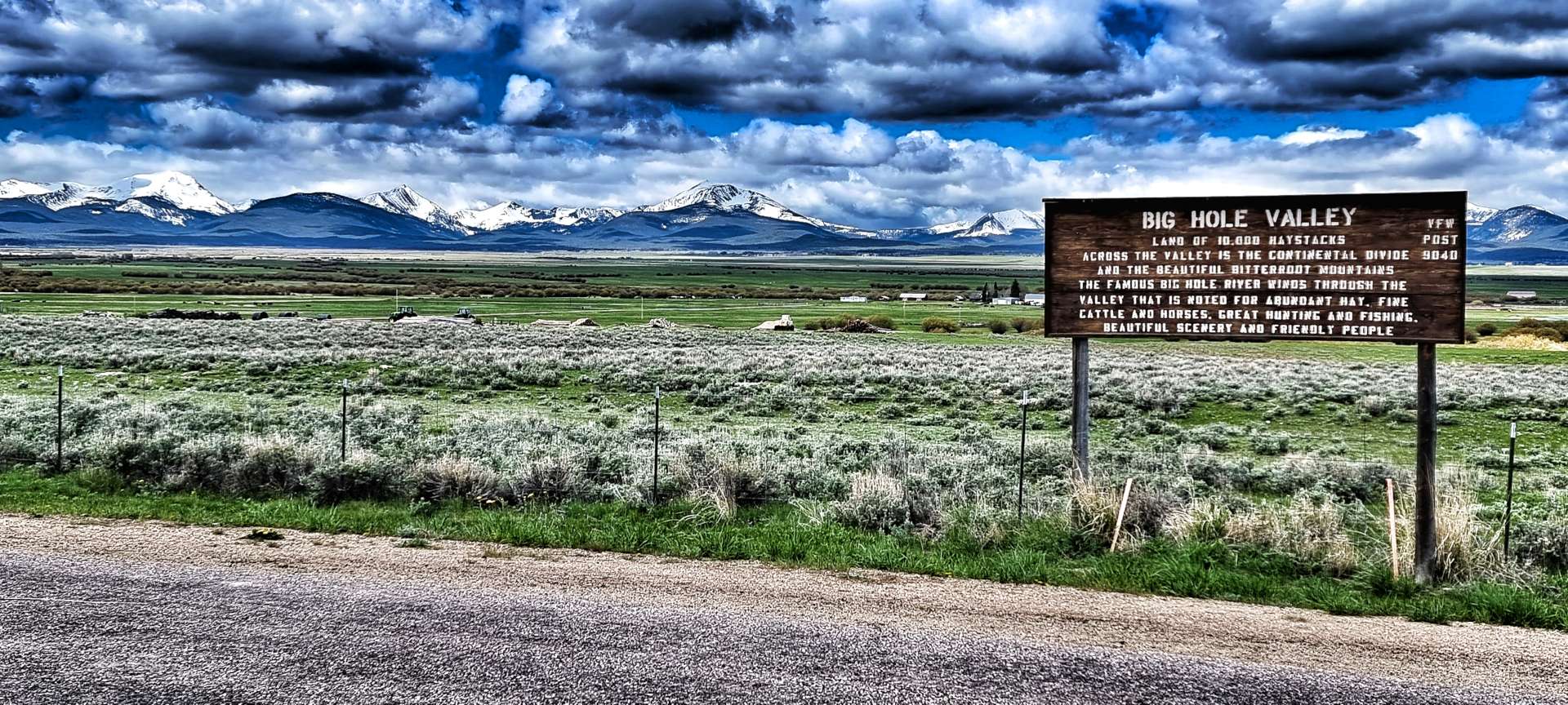
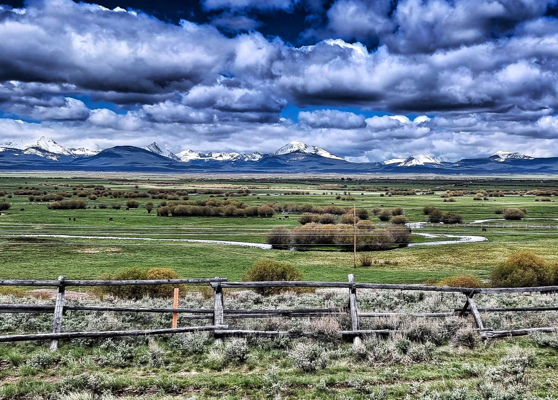
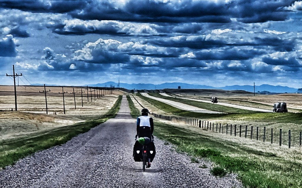
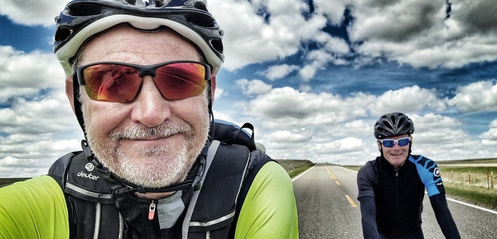
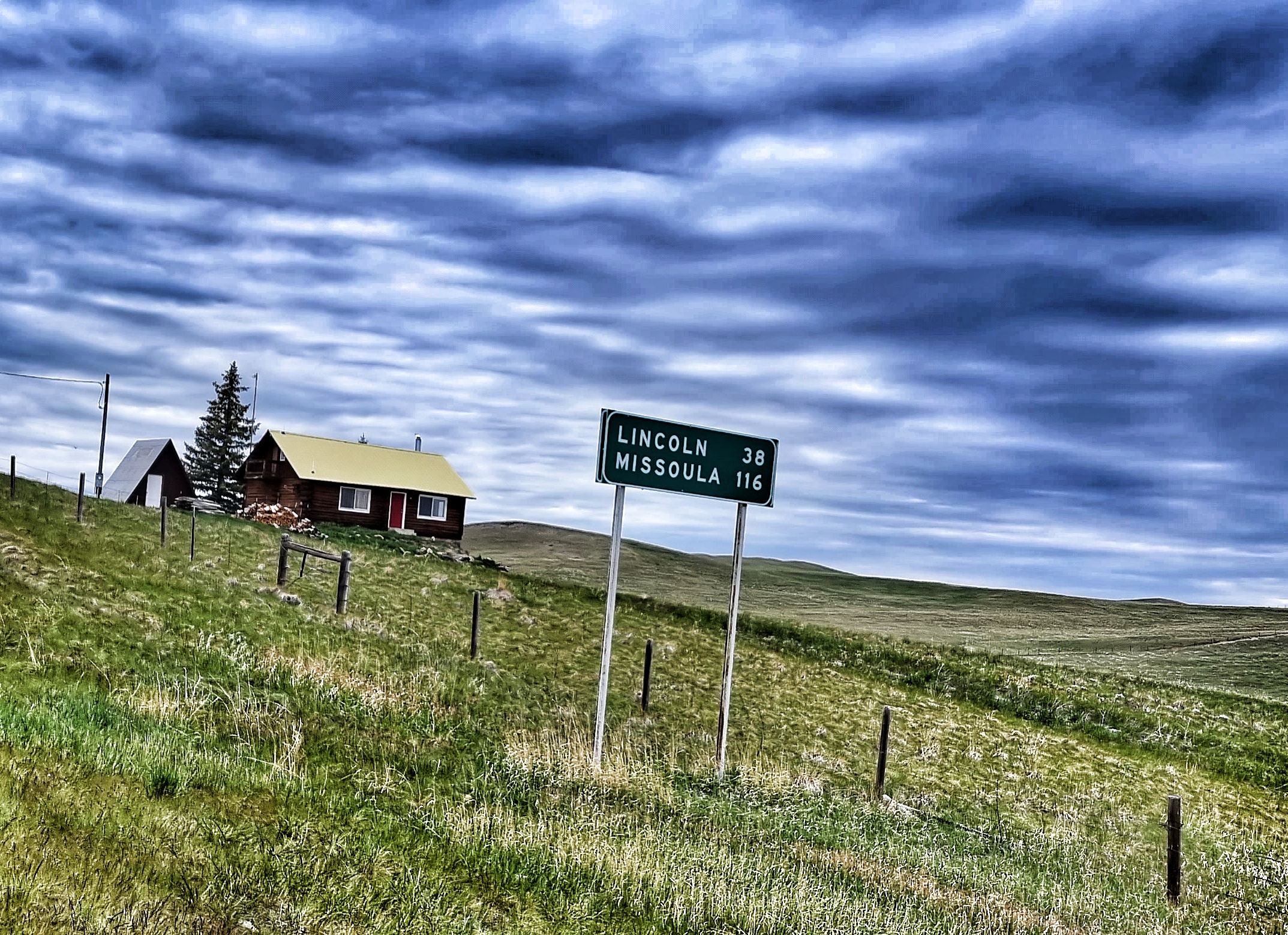
With Yellowstone National Park being closed, we decided to carry on with our adventure & take a different route to that previously planned (again!!) – West Yellowstone to Grant Village can be done in 51 miles, but we’re going the long way round, so join us as we explore some more of Idaho & Wyoming! This route also gave us the opportunity to have a few shorter days in the saddle & today that also included a lie-in!
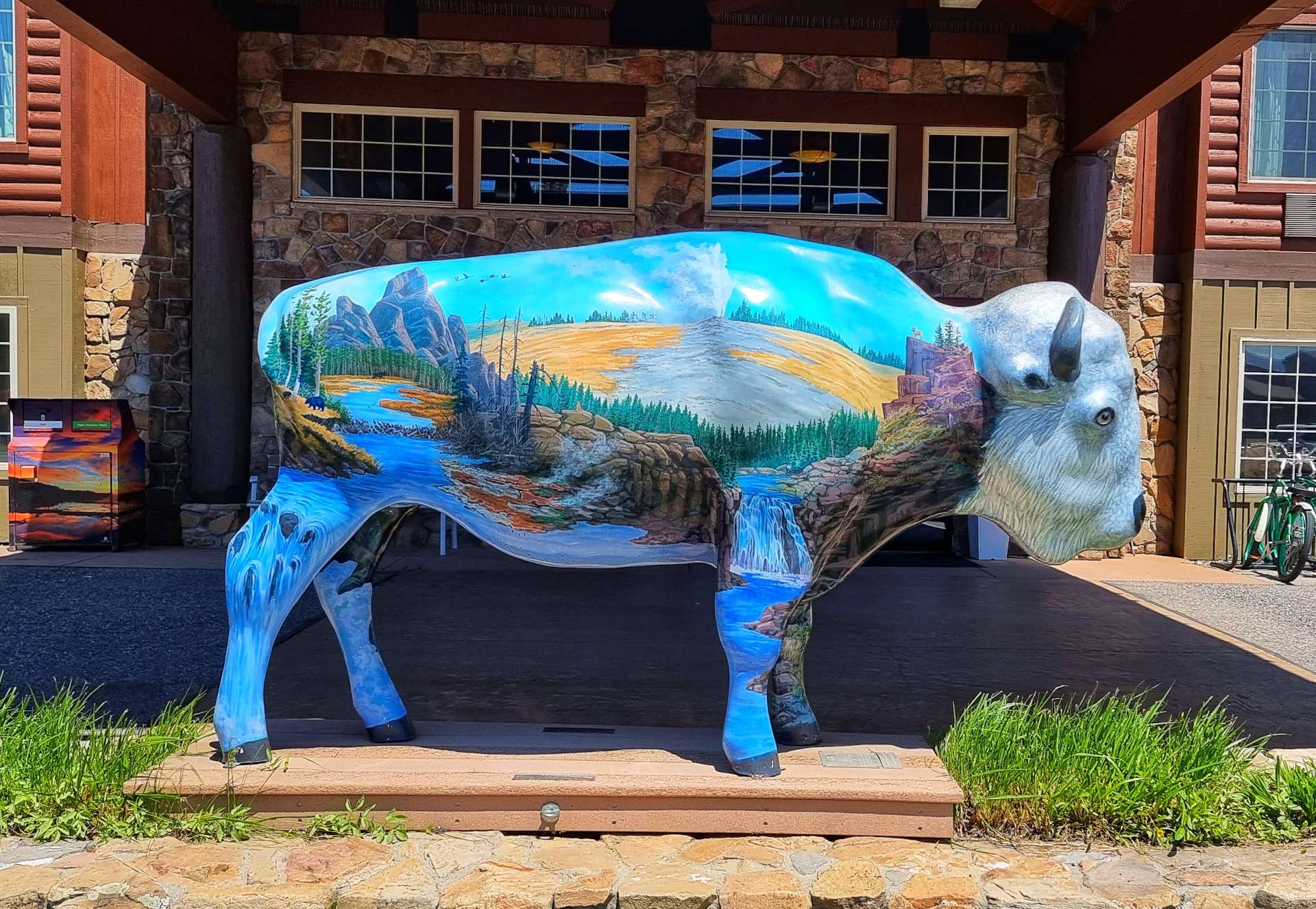
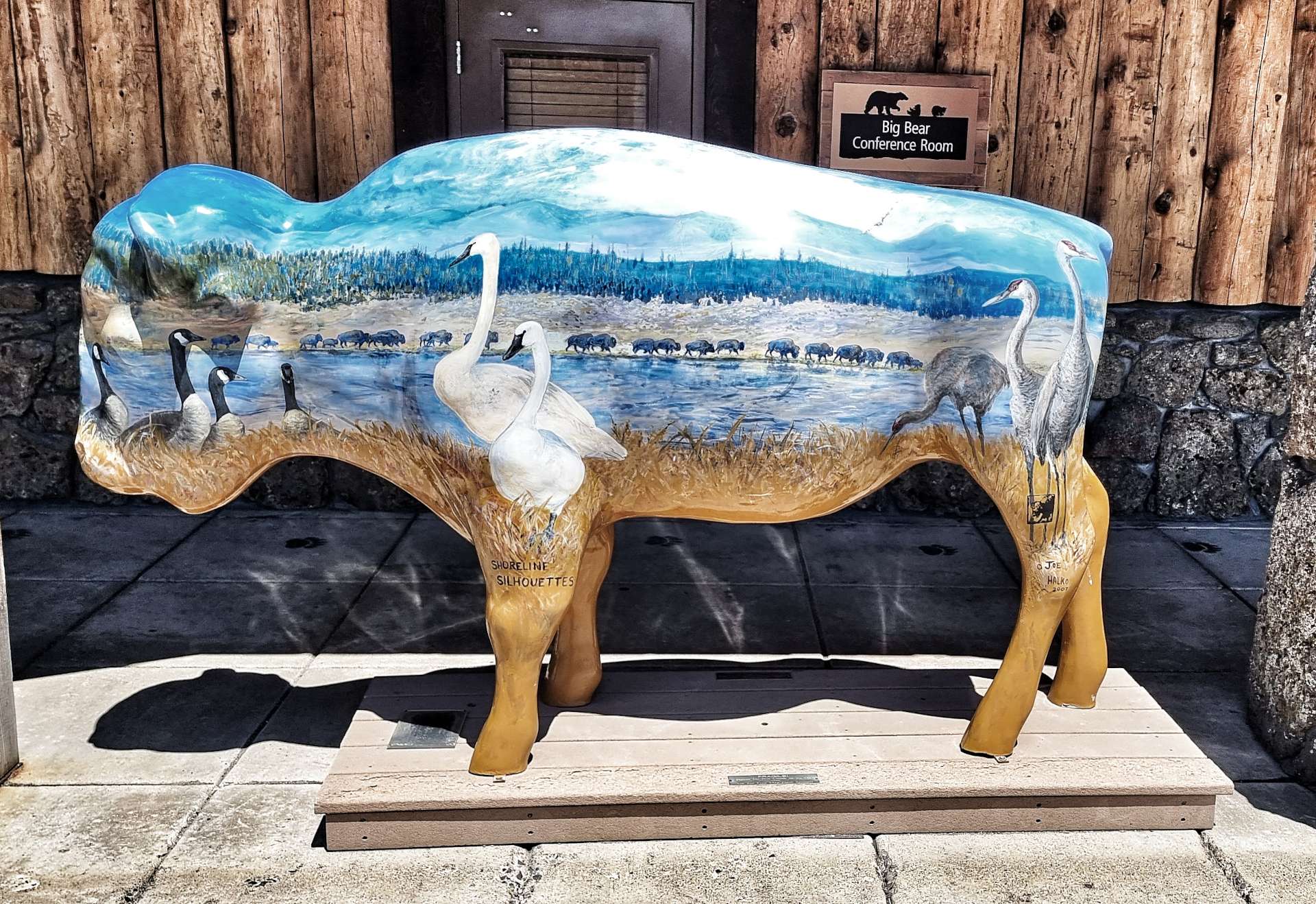
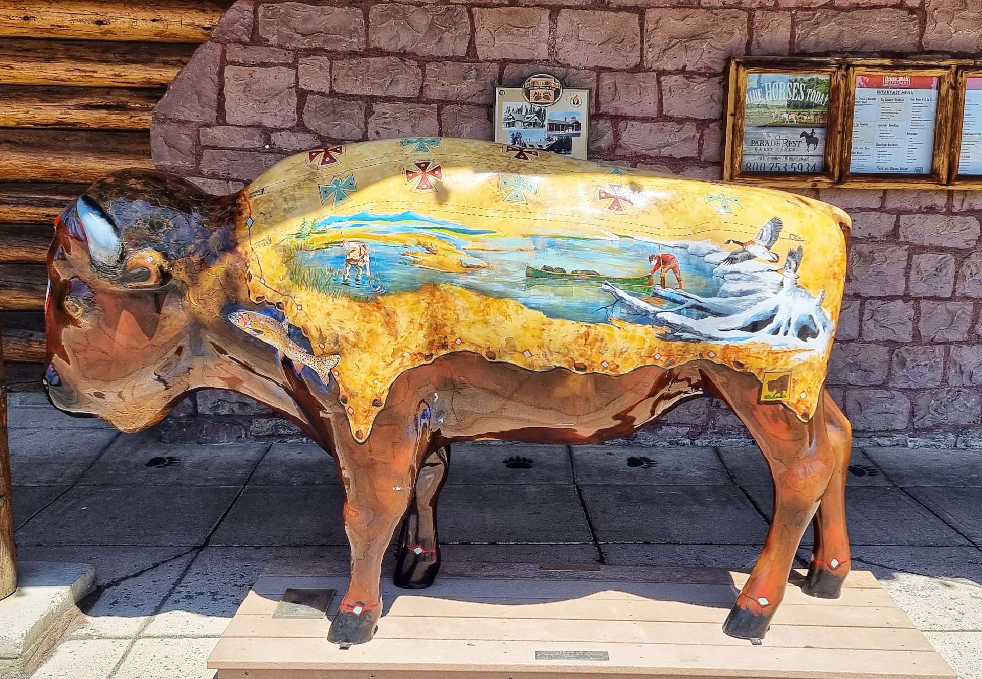
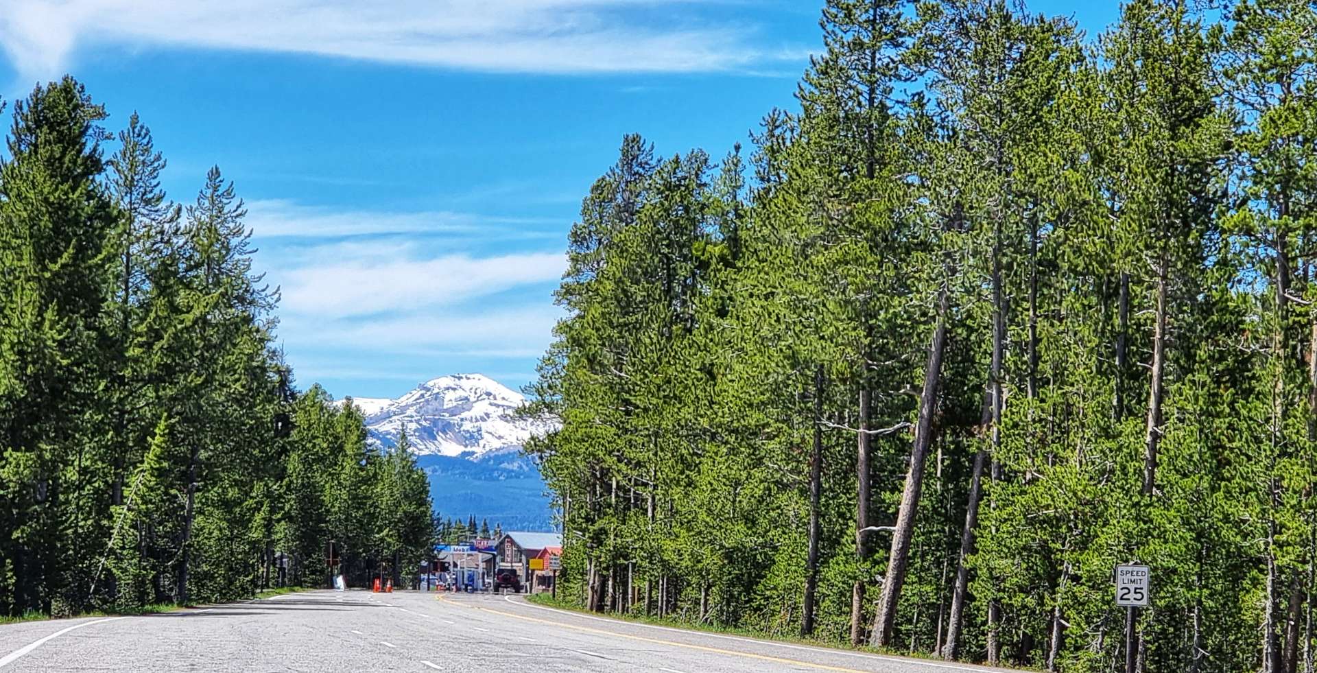
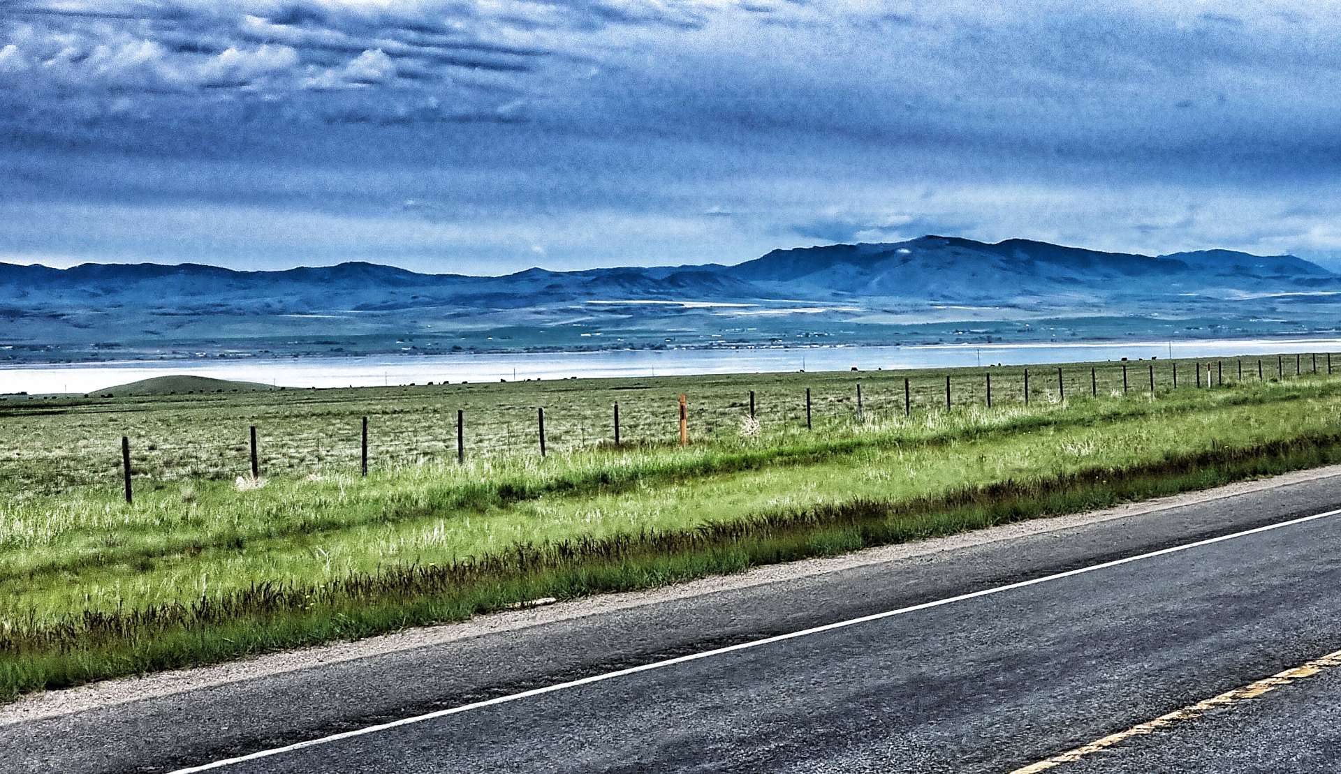
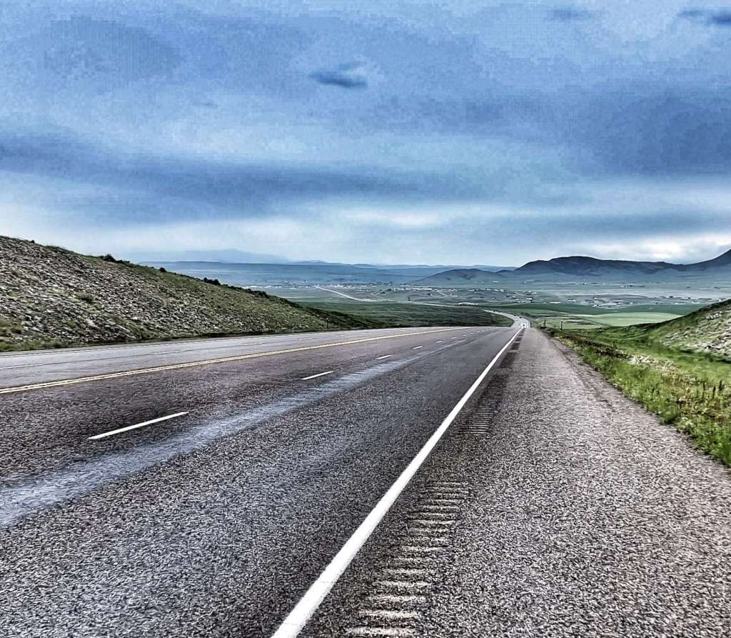
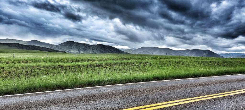
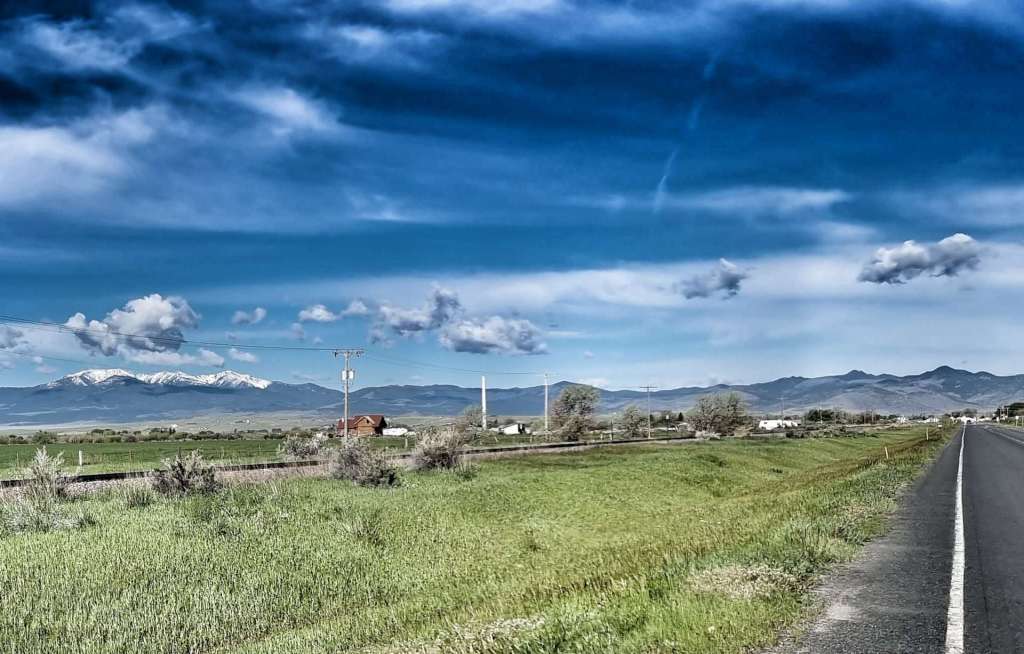
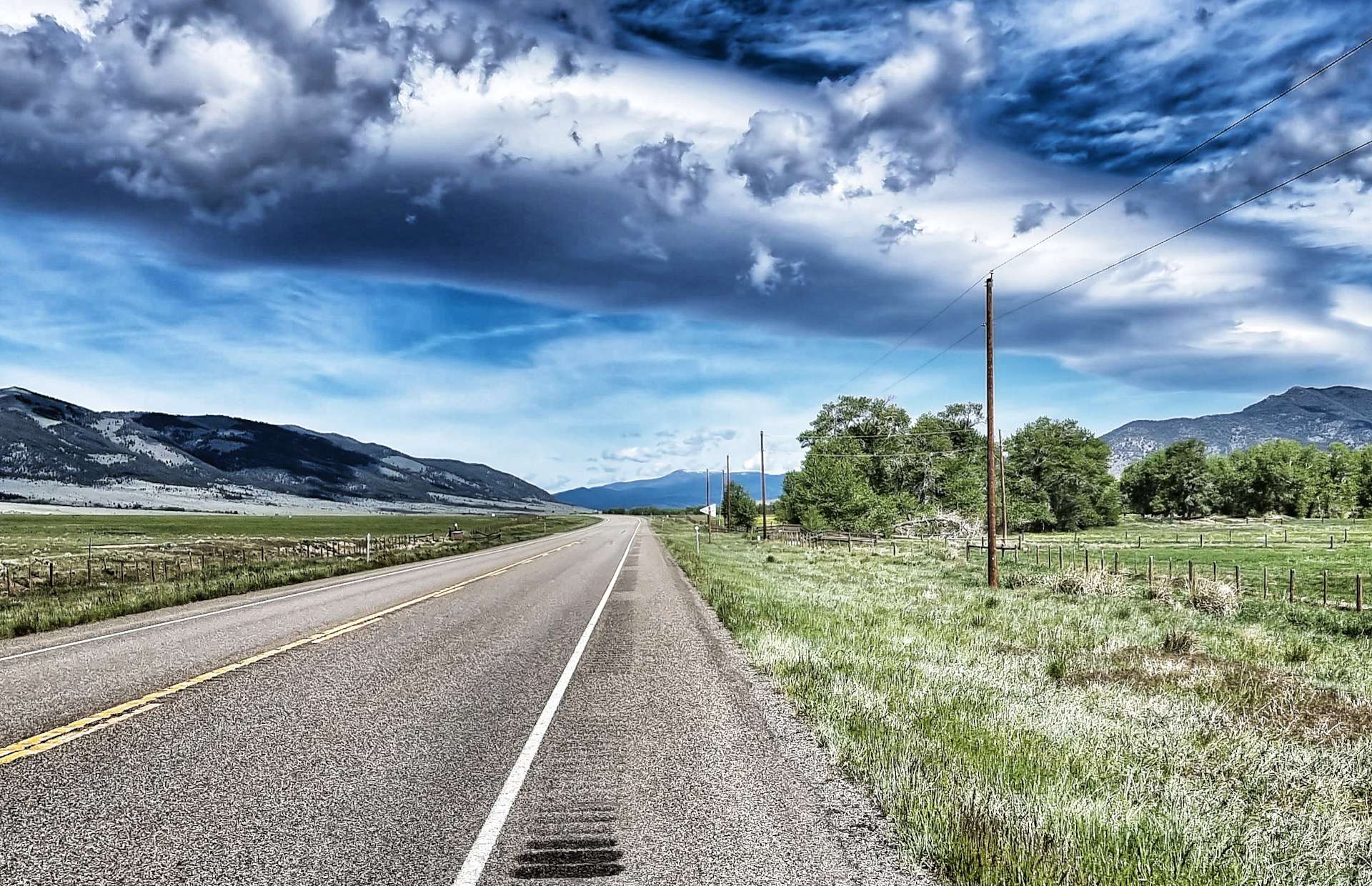
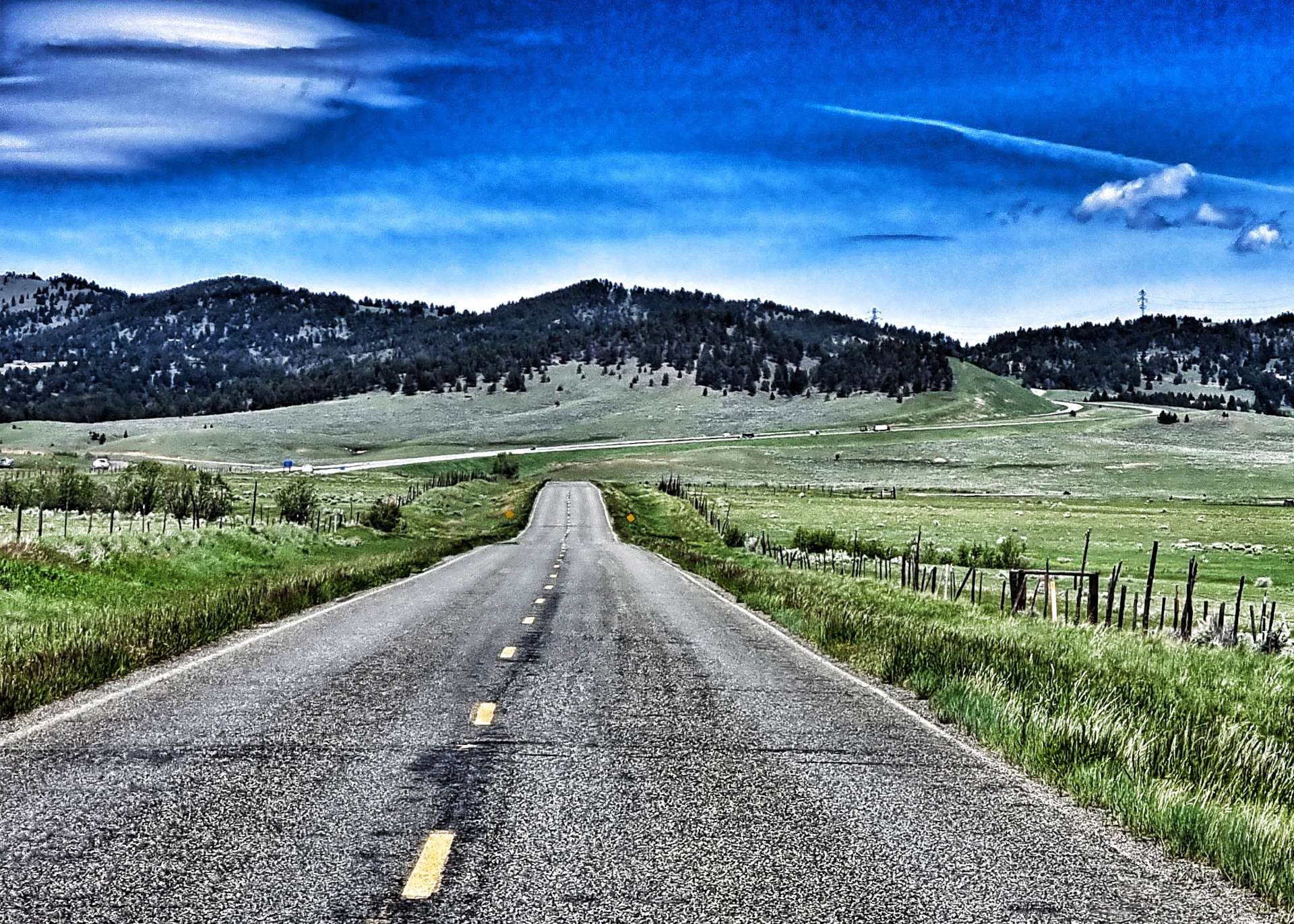
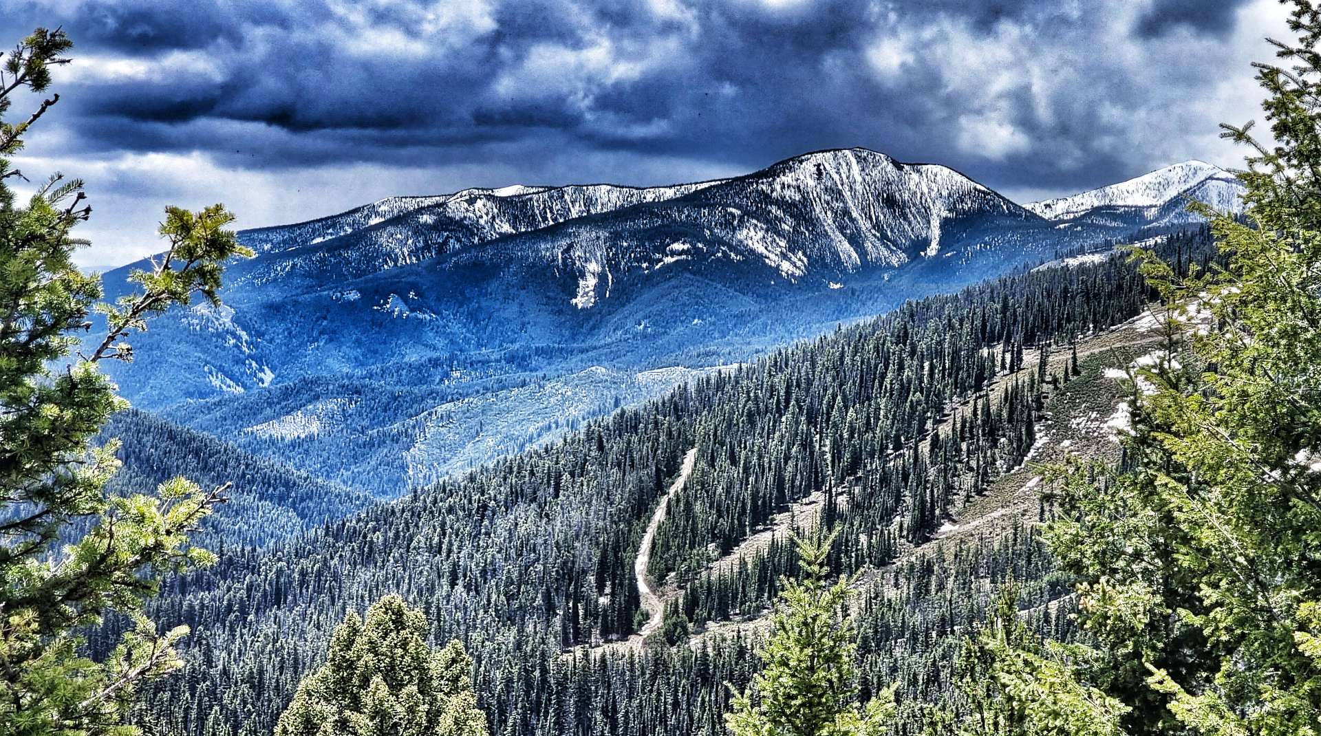
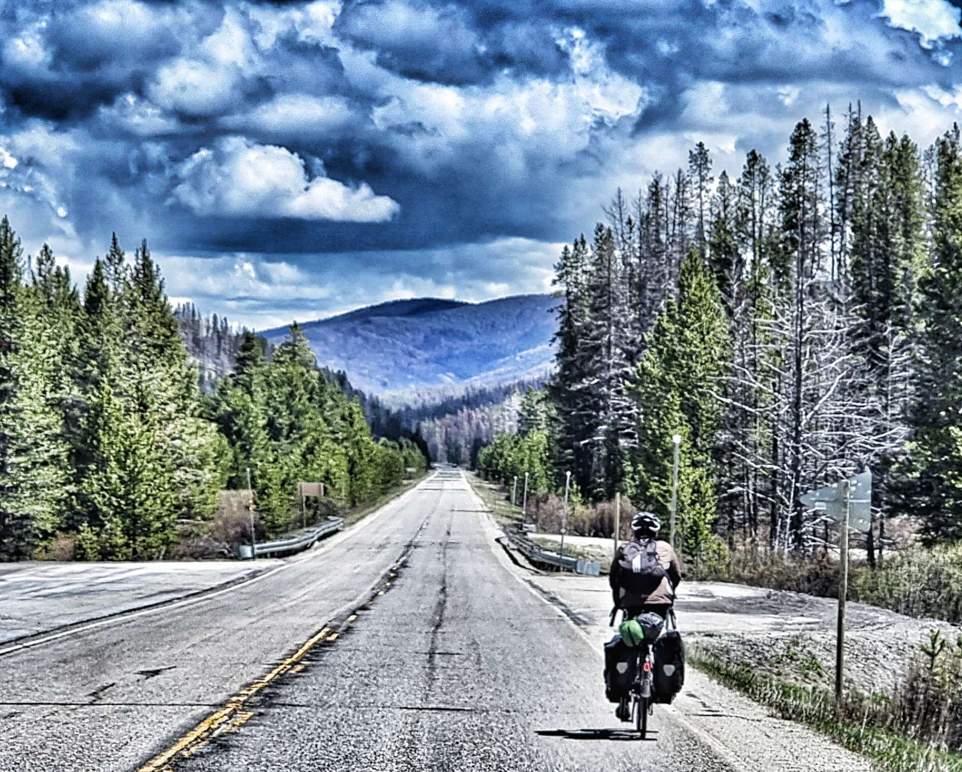
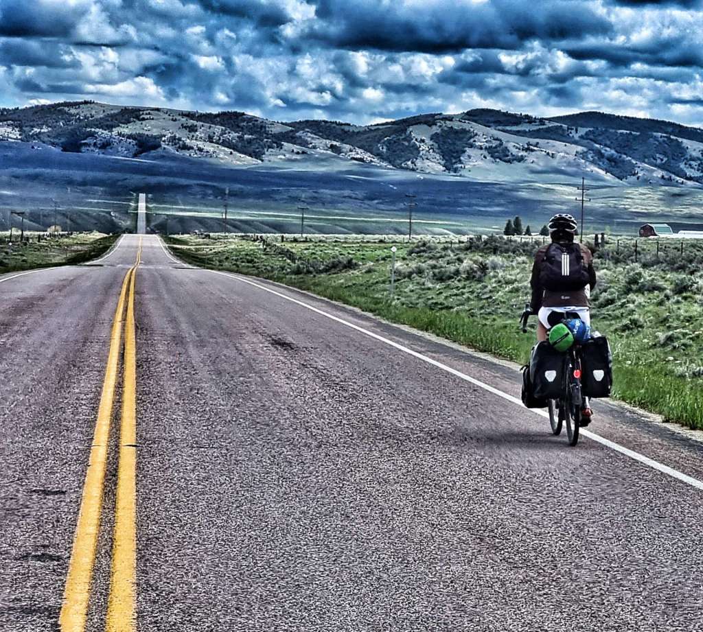
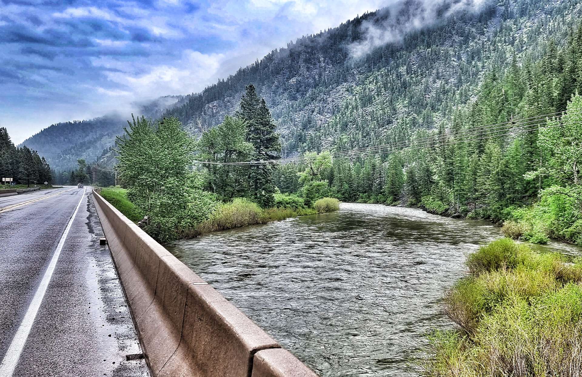
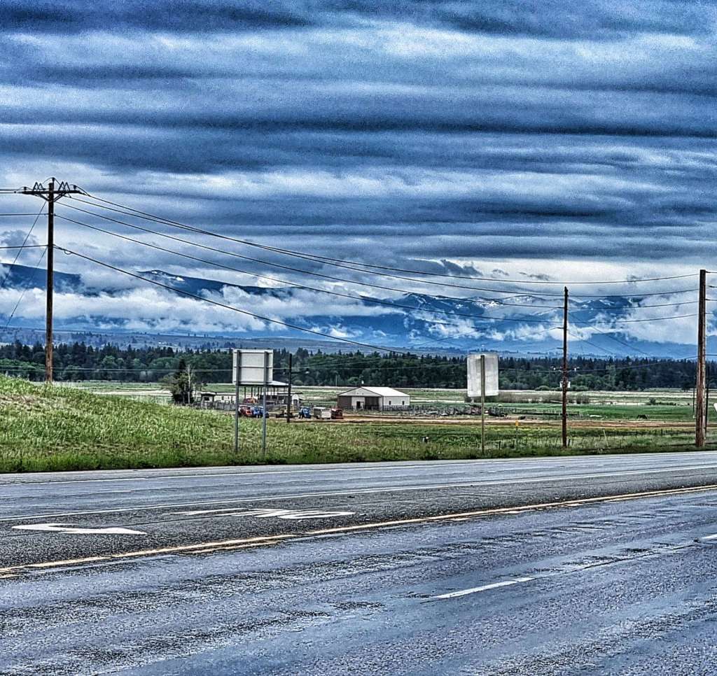
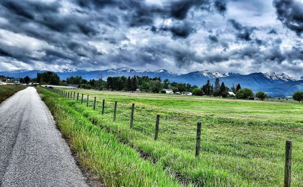
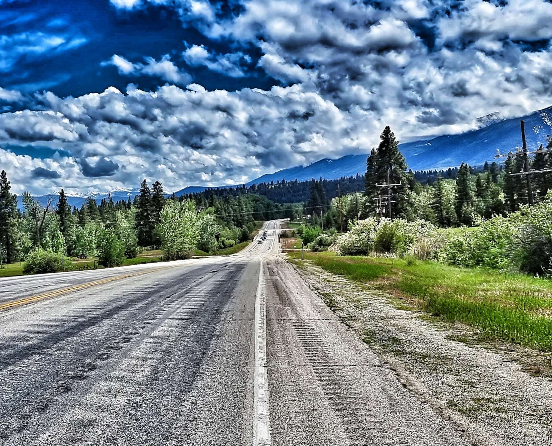
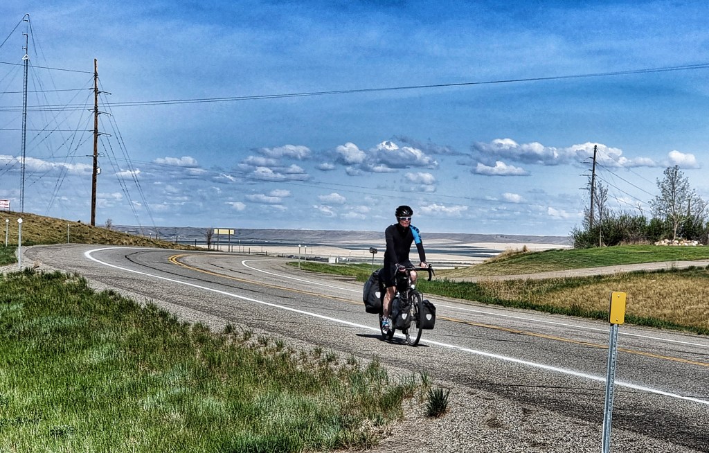
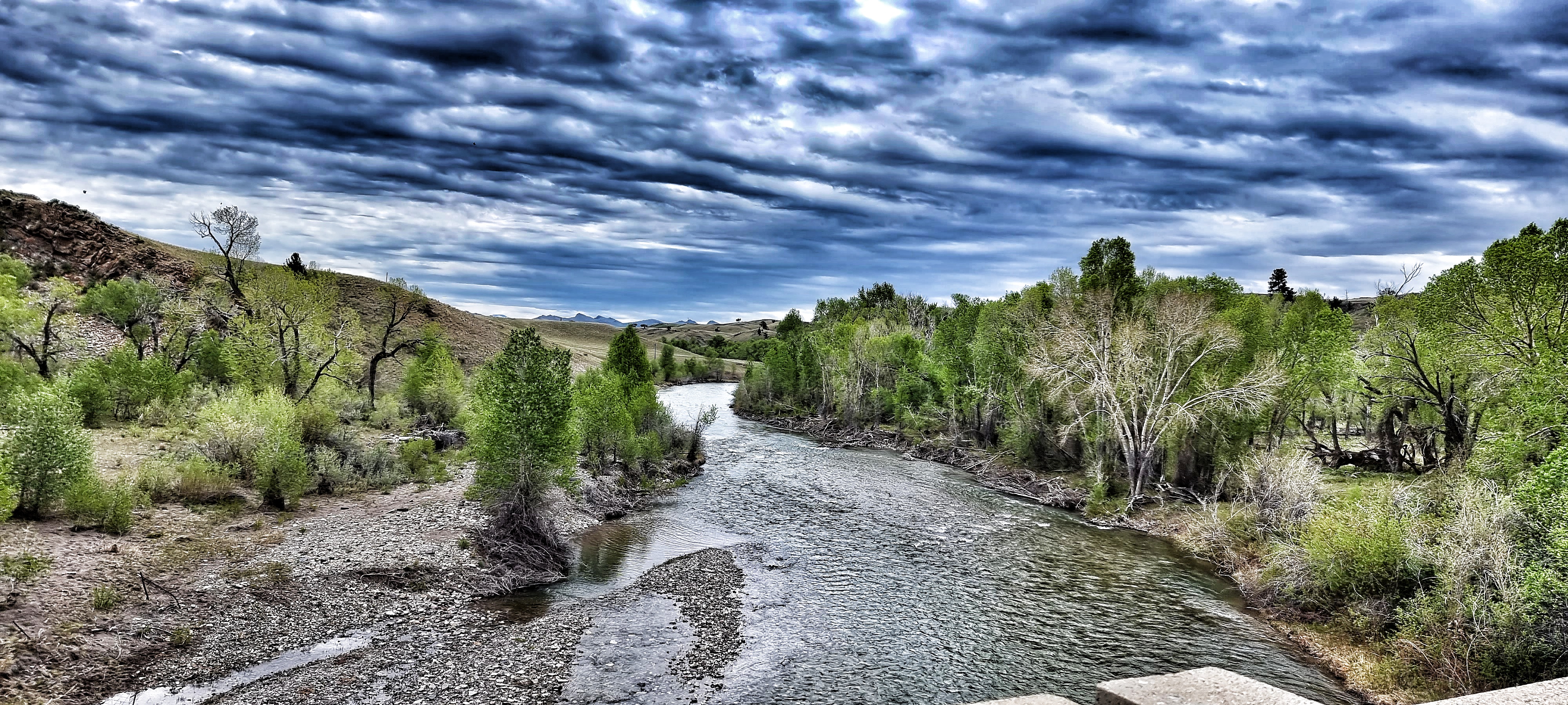
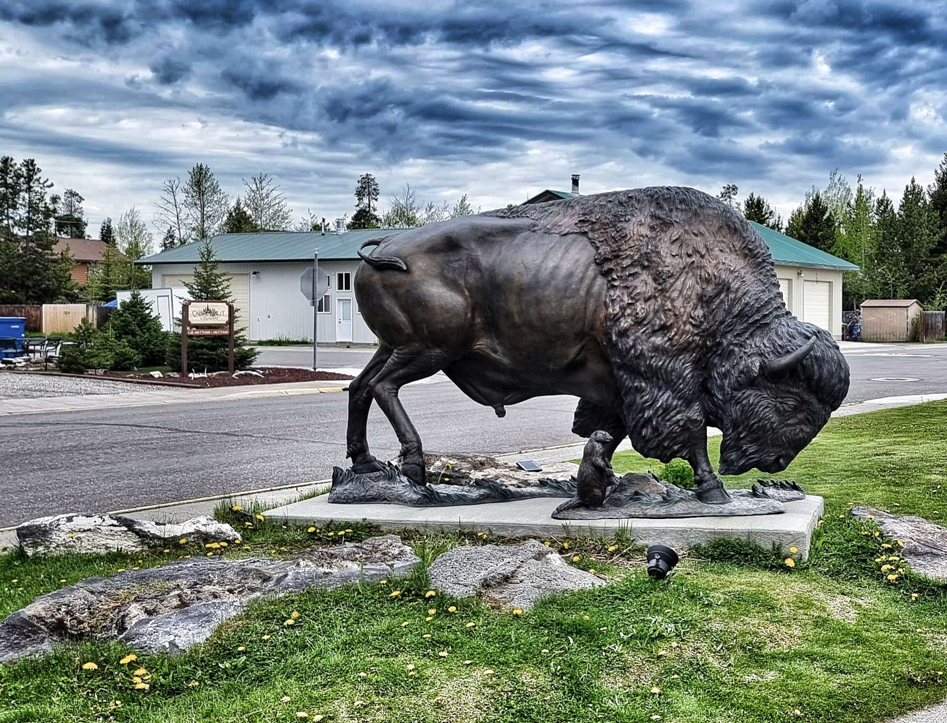
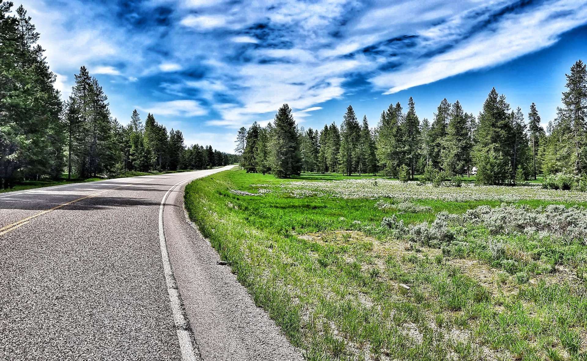
As we left town at 10.30am, we passed one final reminder of bison, before picking up the main Highway 20. We initially headed west towards Bald Peak which dominated the vista for the next 20 minutes or so, as we gradually descended until we crossed Buttermilk Creek.

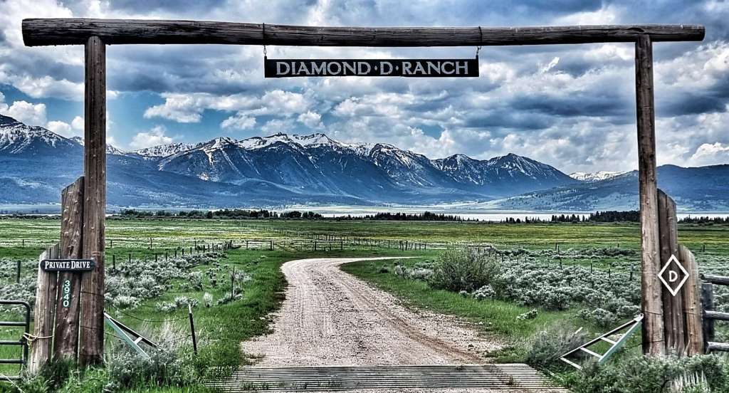
As we passed a ranch offering Rodeo training a very kind motorist pulled in ahead of us, ran to the back of his car & offered us a couple of ice cold cokes – as we’d only be going for about 1/2 hour, we decided to carry on. In the event this happens again, I think we’ll stop, as we missed a good chance to chat to very kind-hearted person & fellow cyclist (he had a bike on his roof).
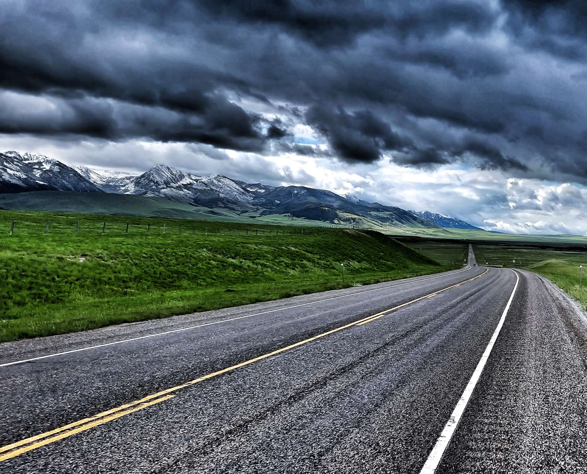
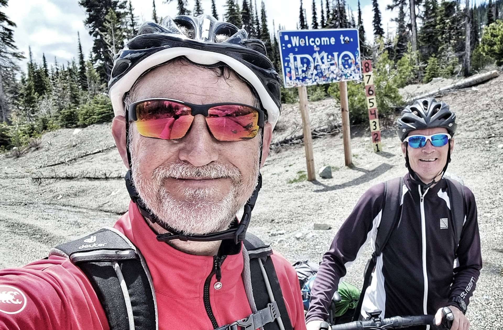
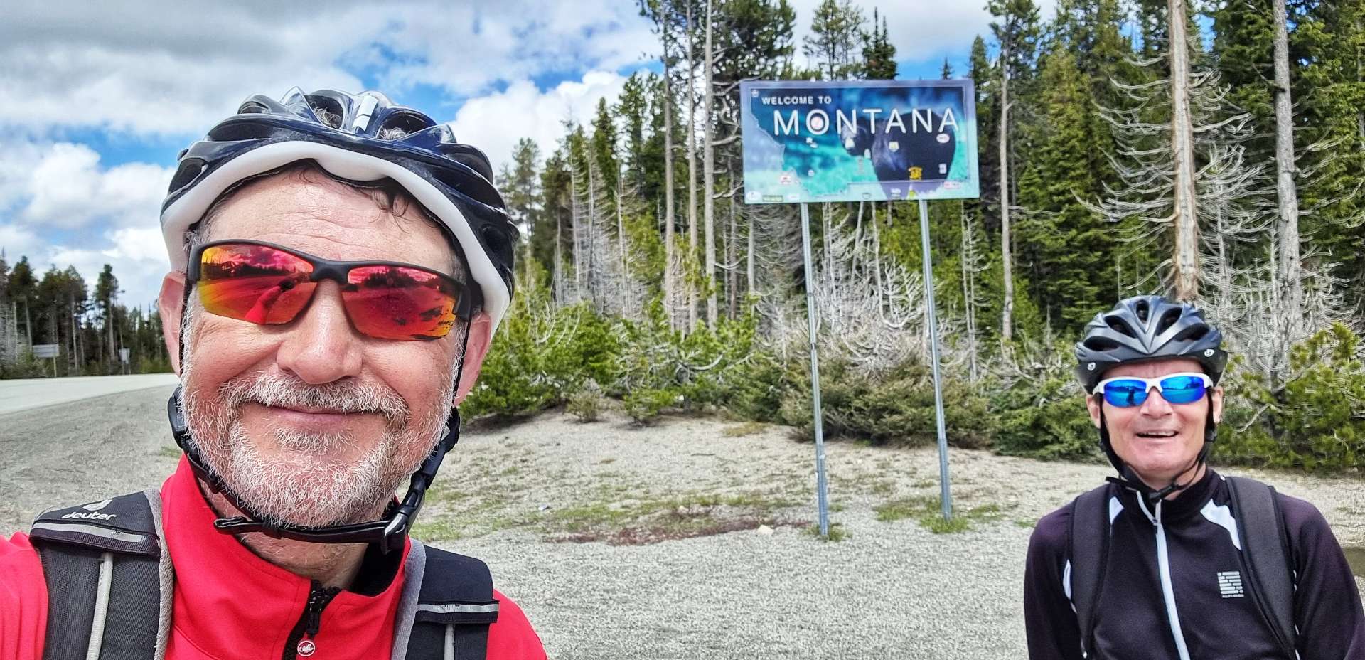
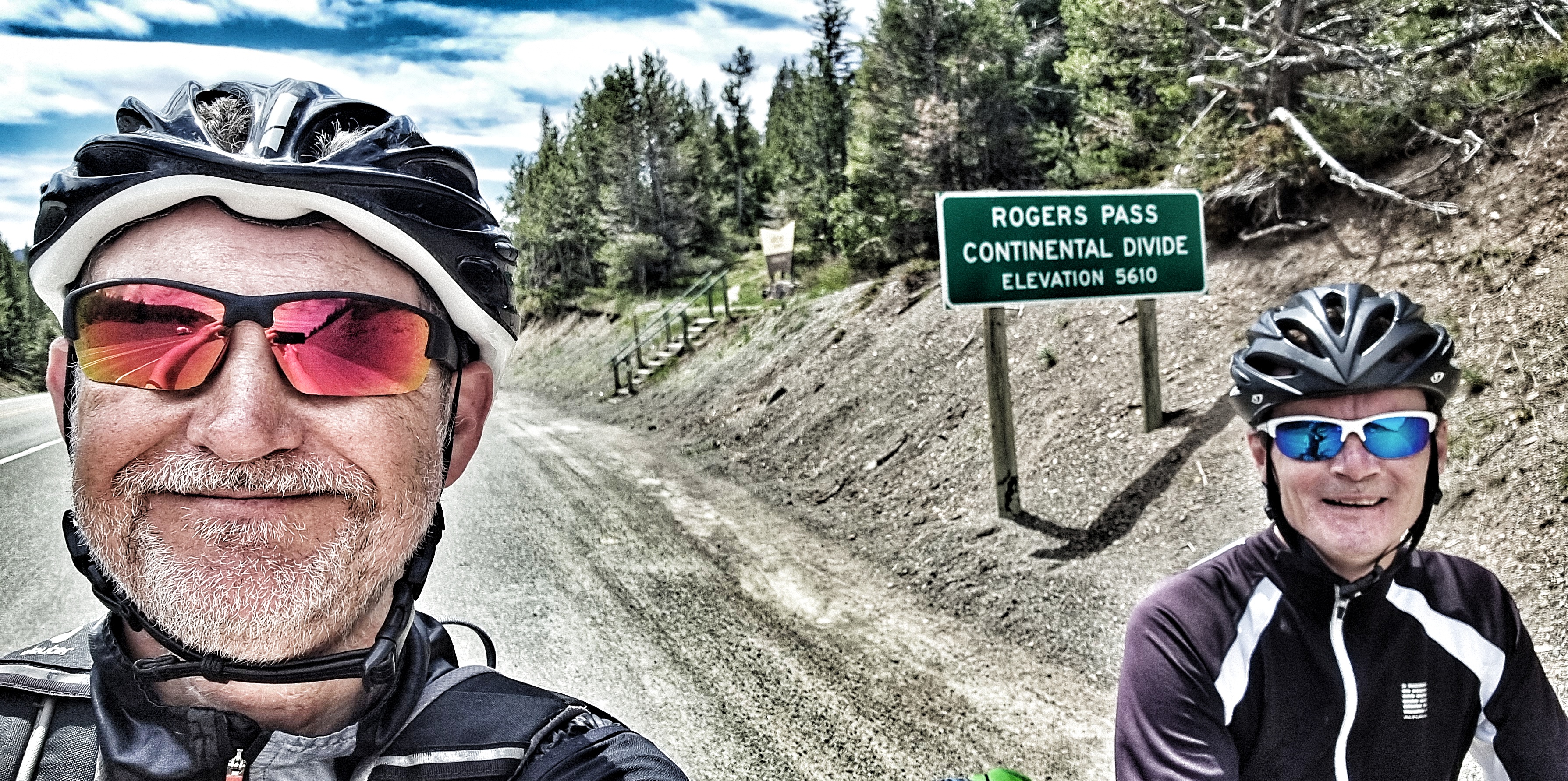
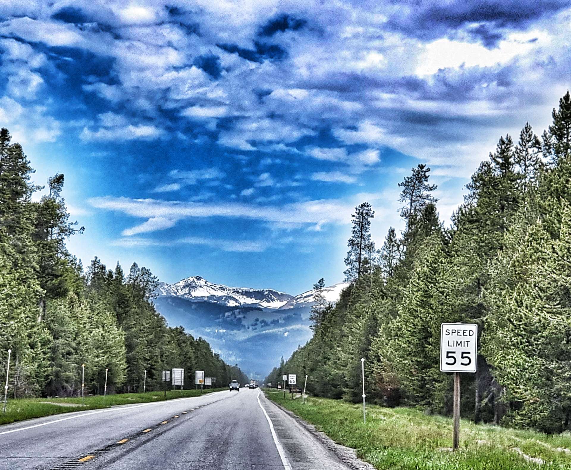
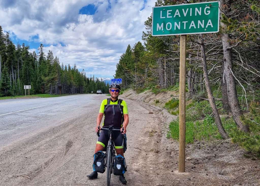
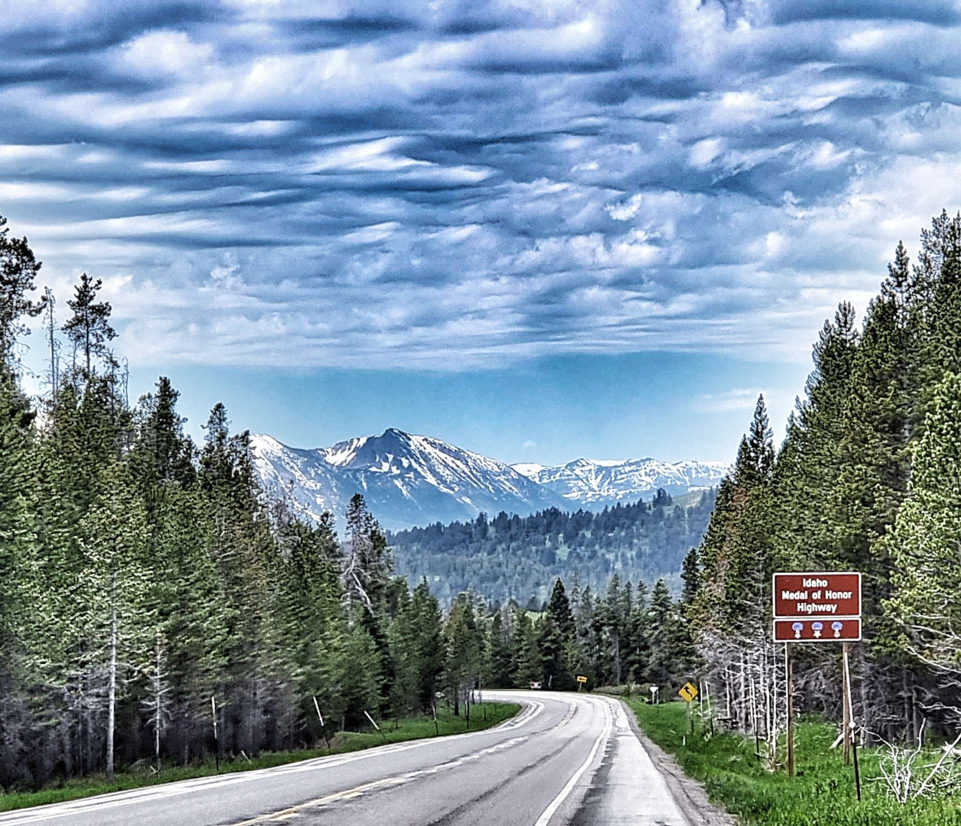
Leaving civilisation behind us, we started climbing the Targhee Pass (not a long or difficult climb) which marks the border between Montana & Idaho at its summit. I was initially confused, as I knew Idaho was in a different time zone – my confusion was caused by Northern Idaho being on Pacific Time, while Southern Idaho (where we were) is on Mountain Time, the same as Montana!!!

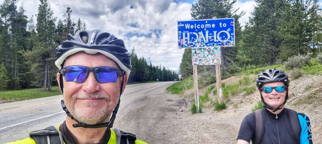
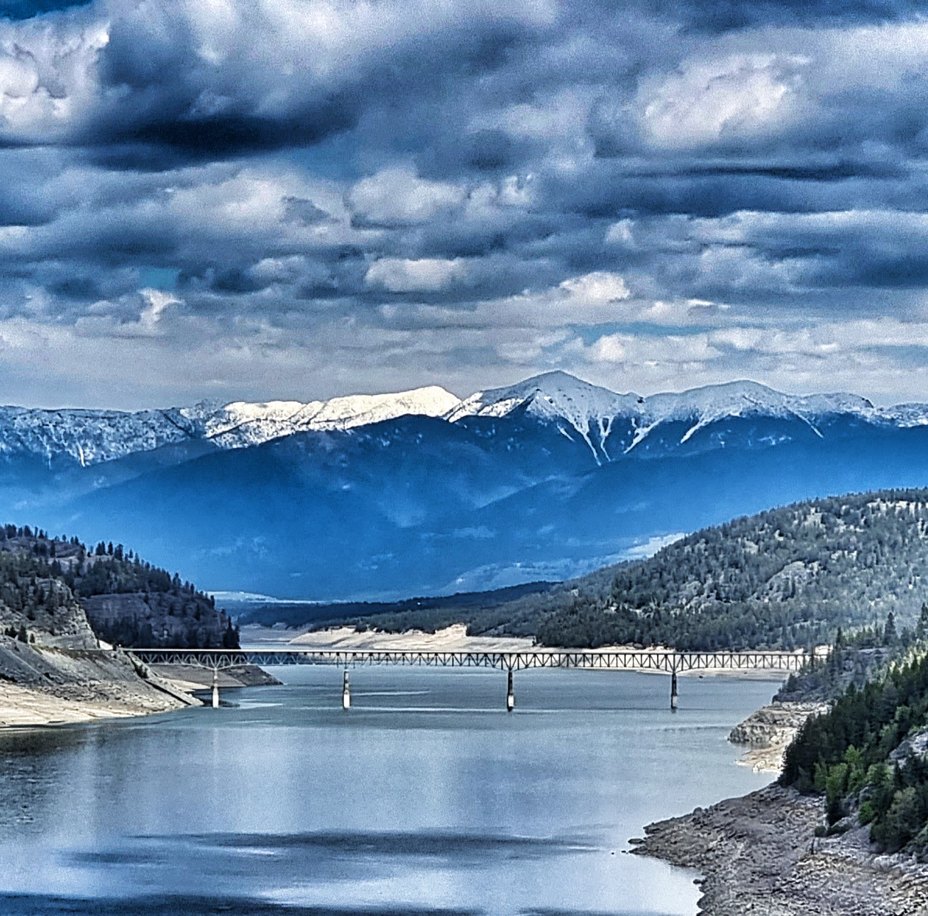
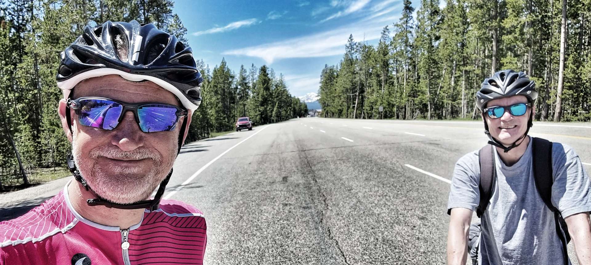
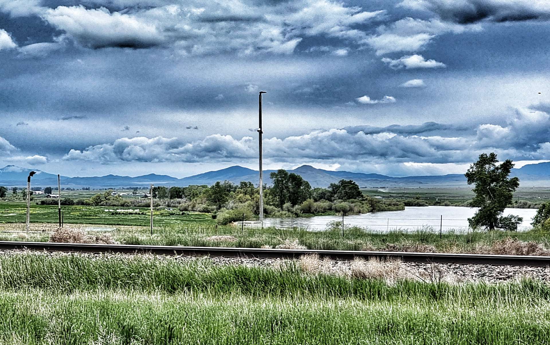
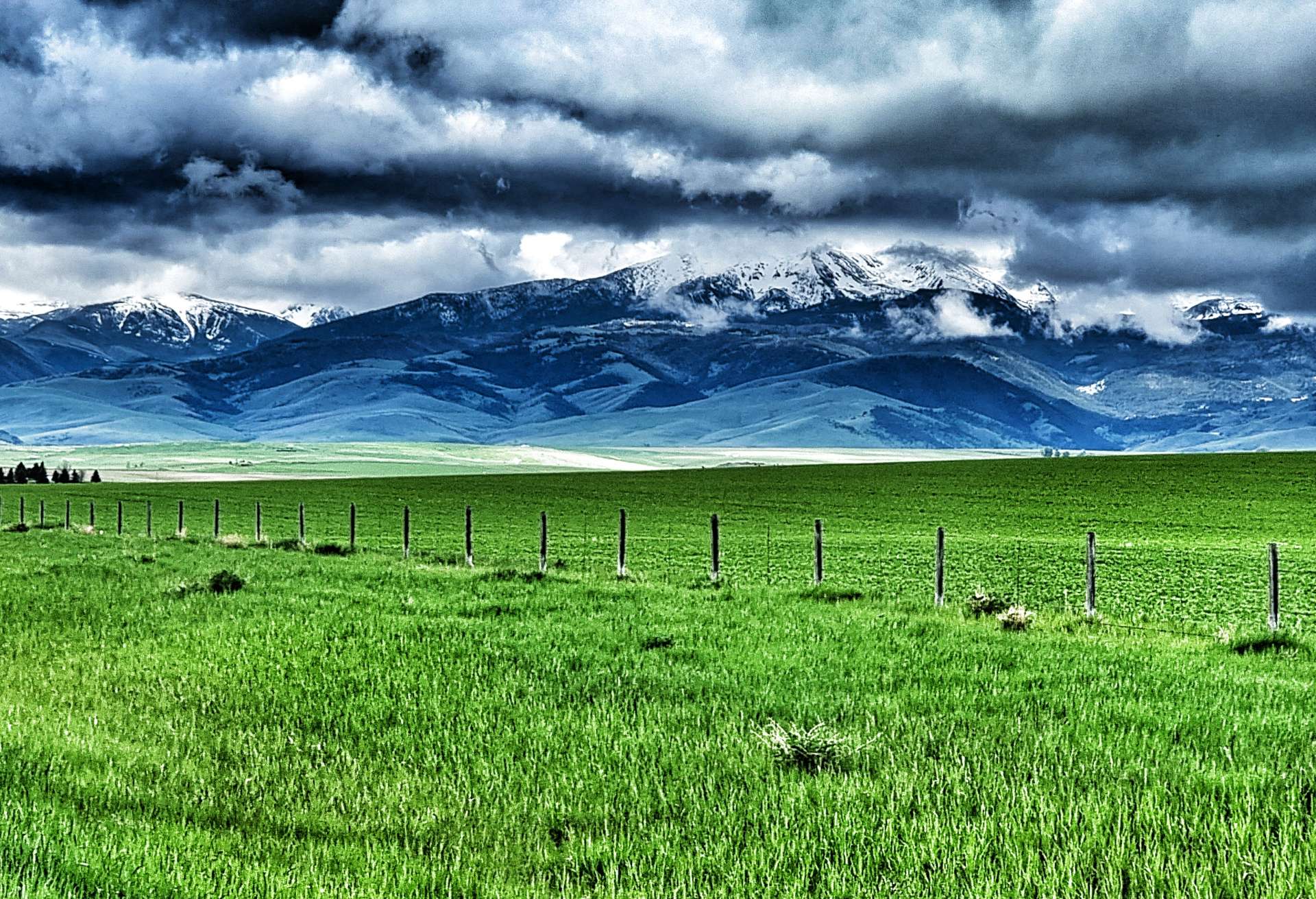
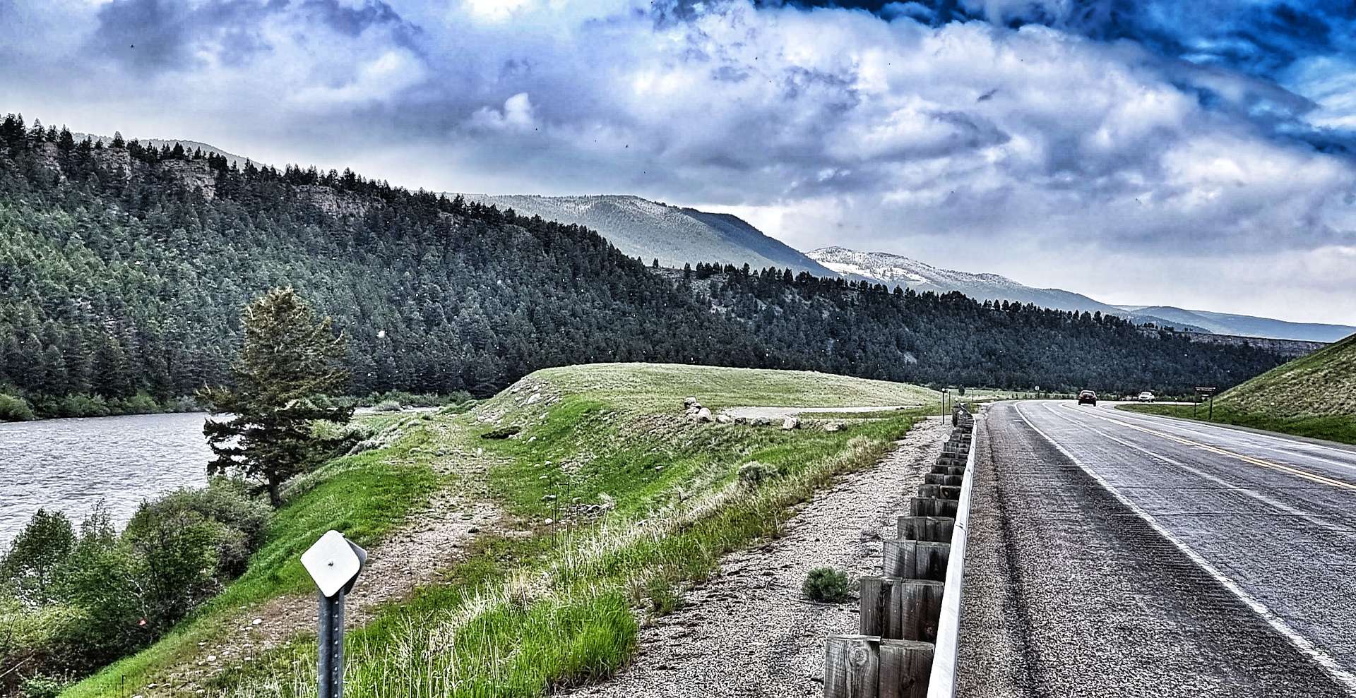
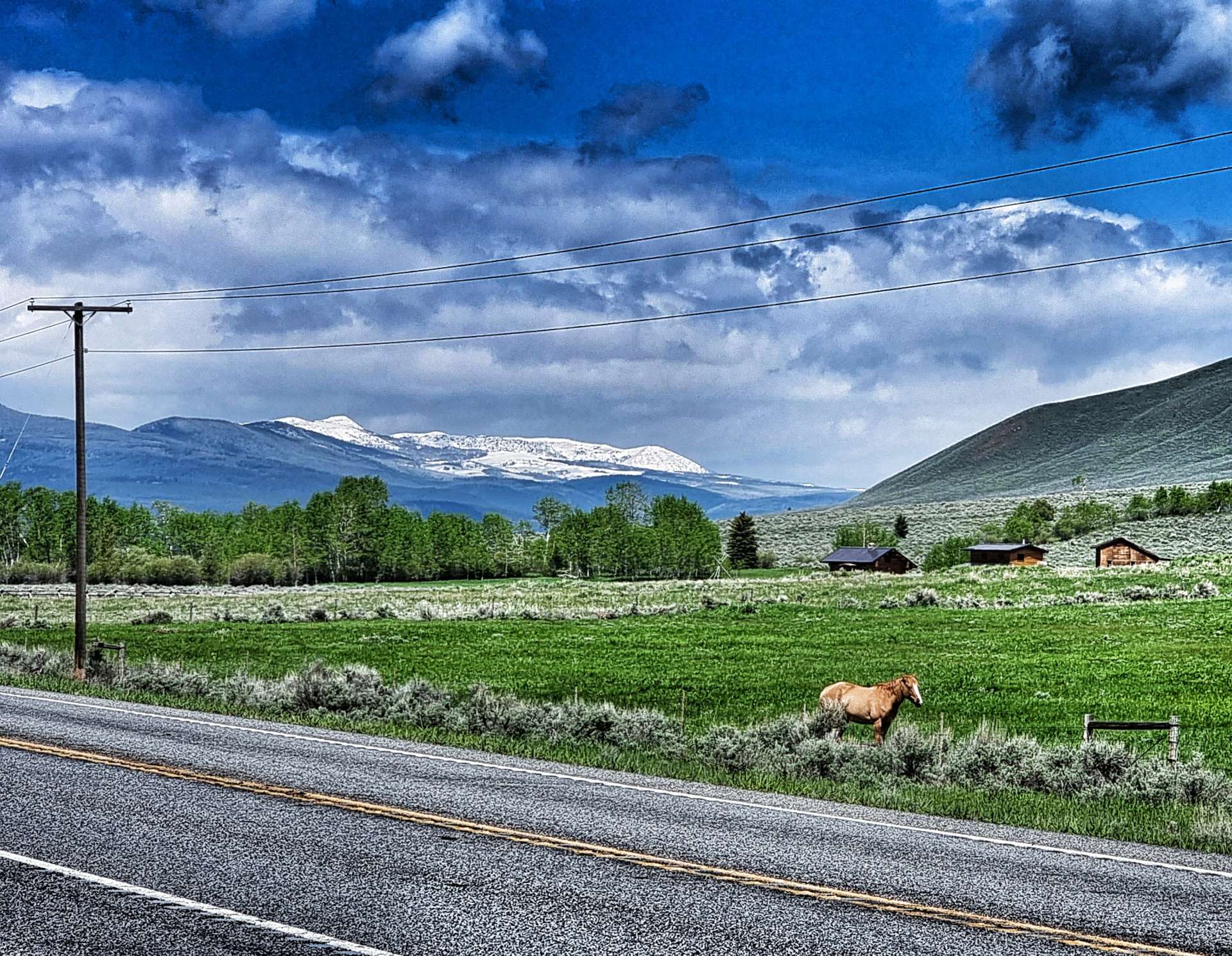
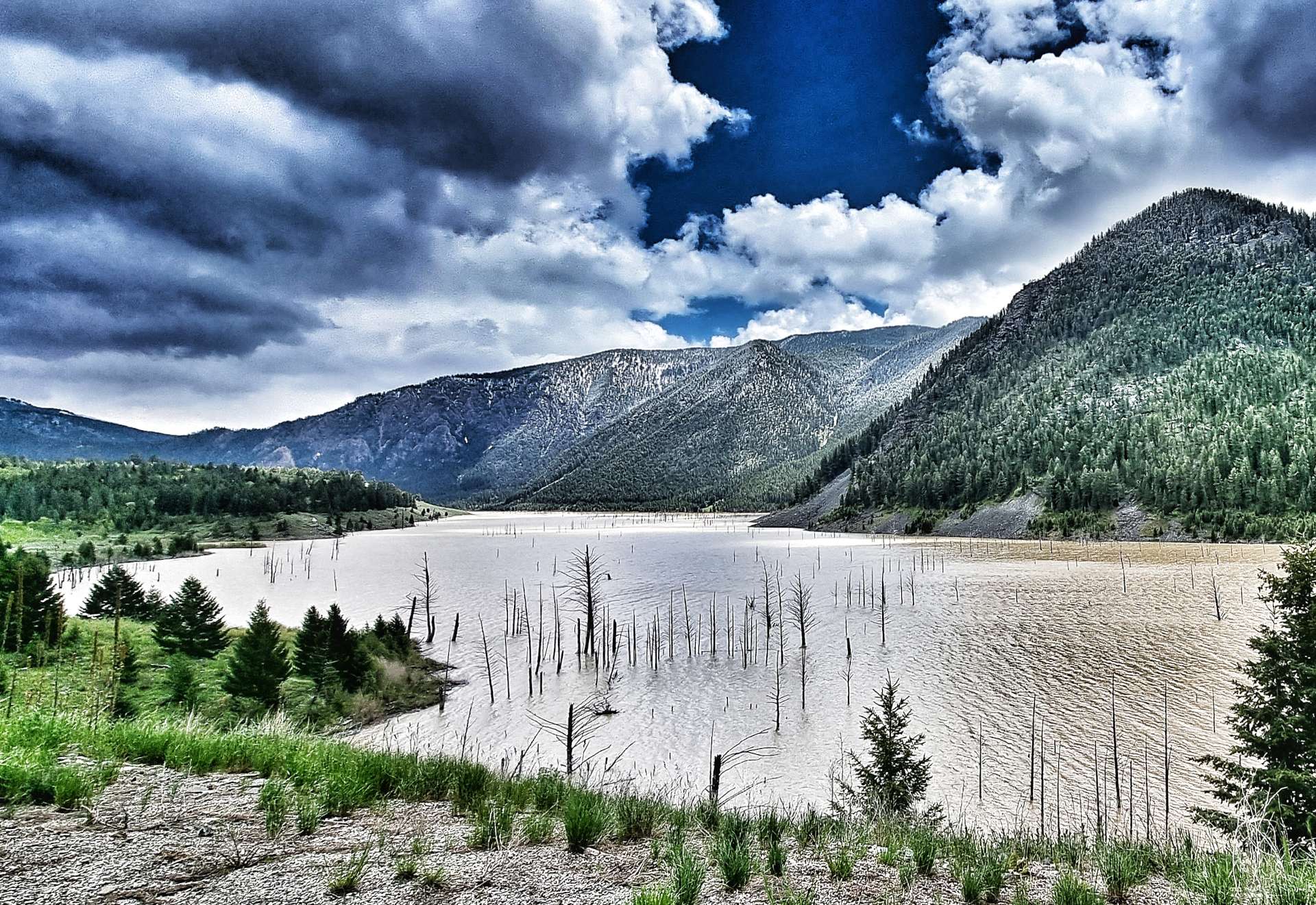
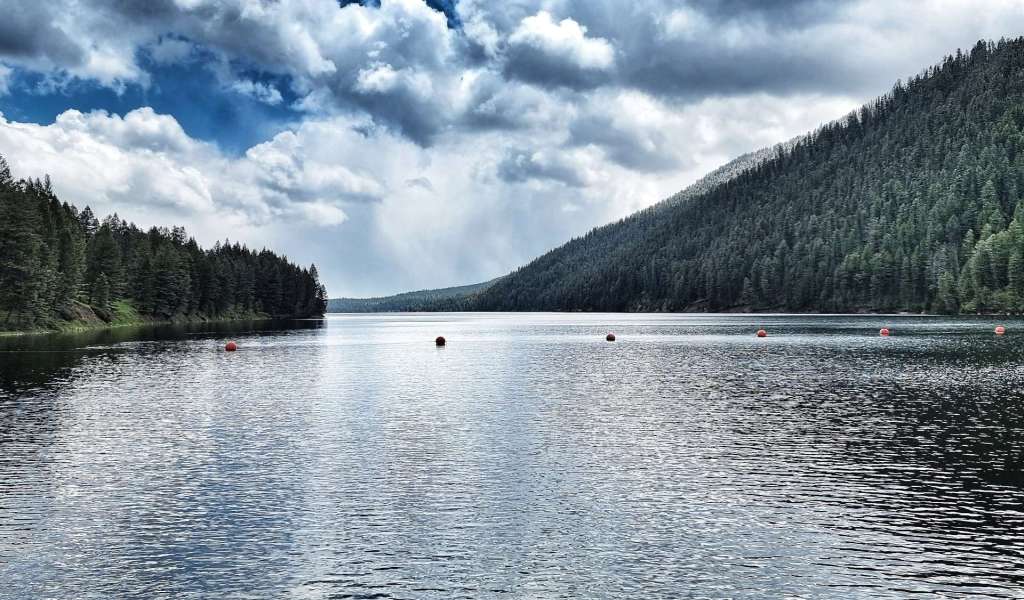
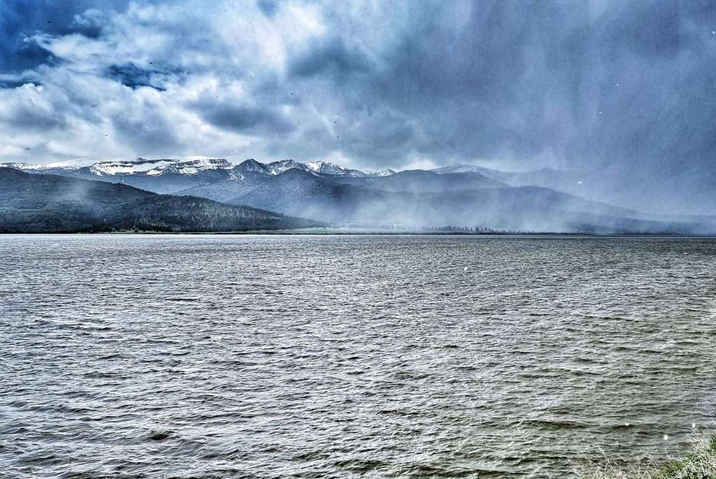
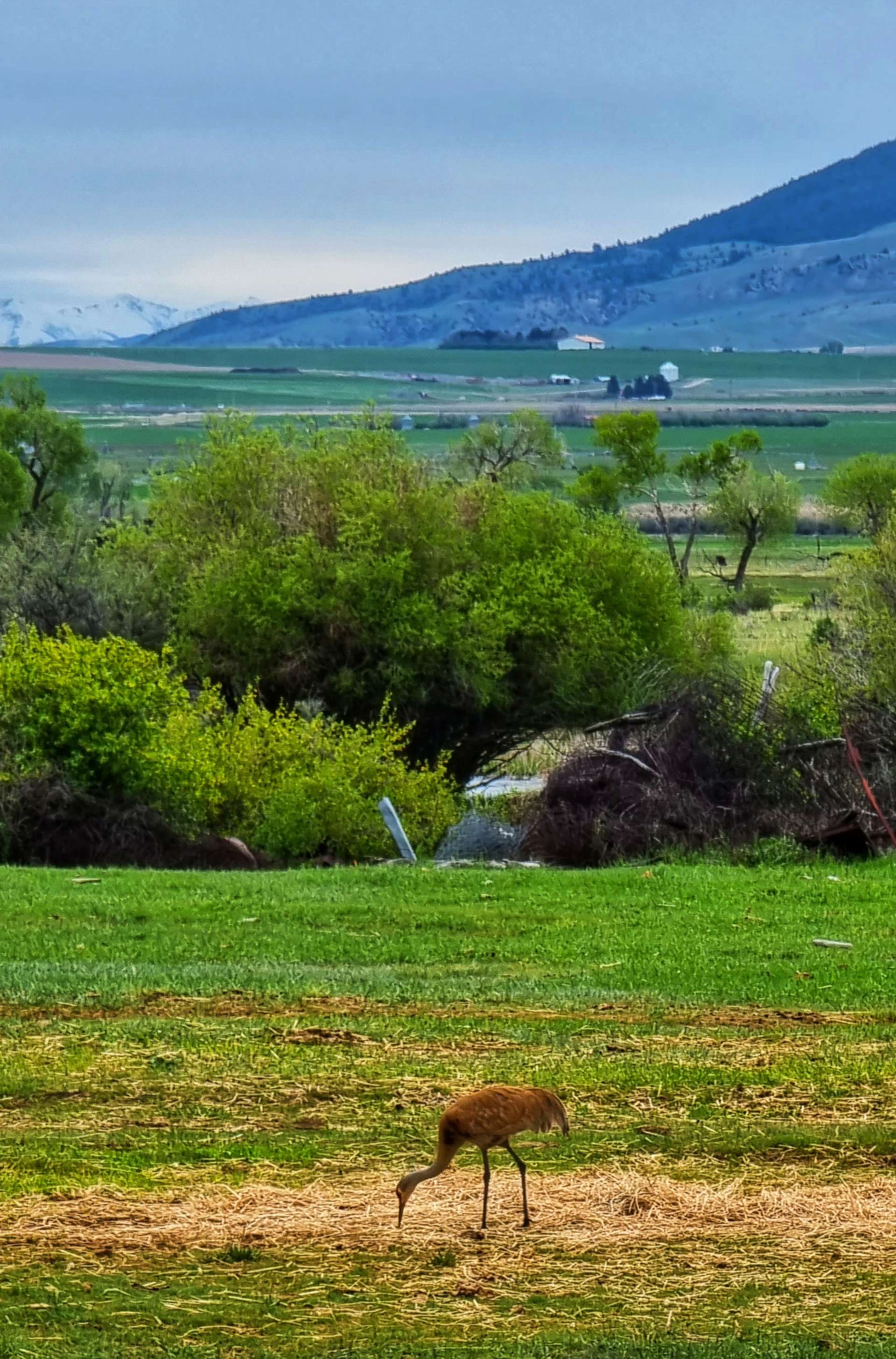
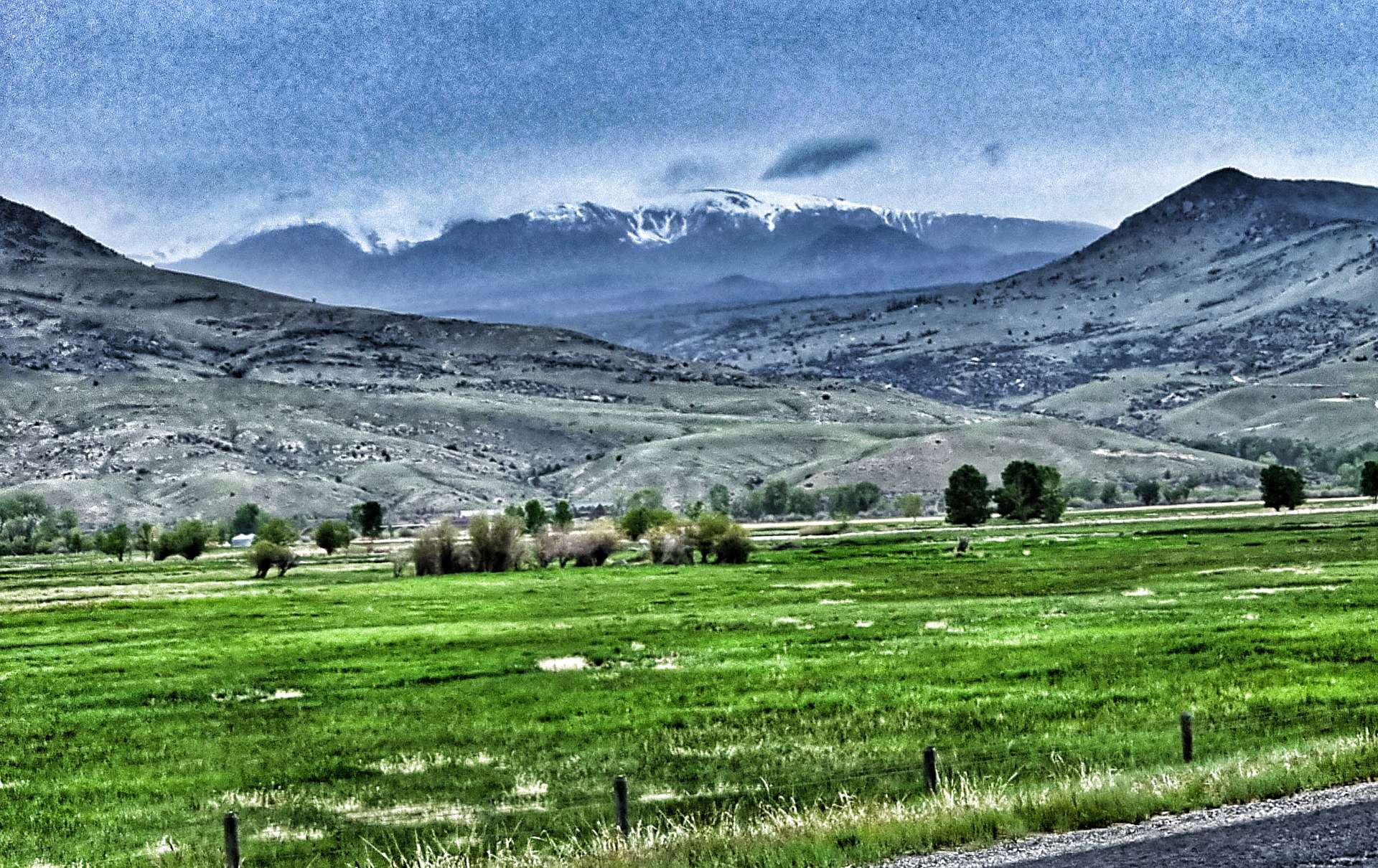
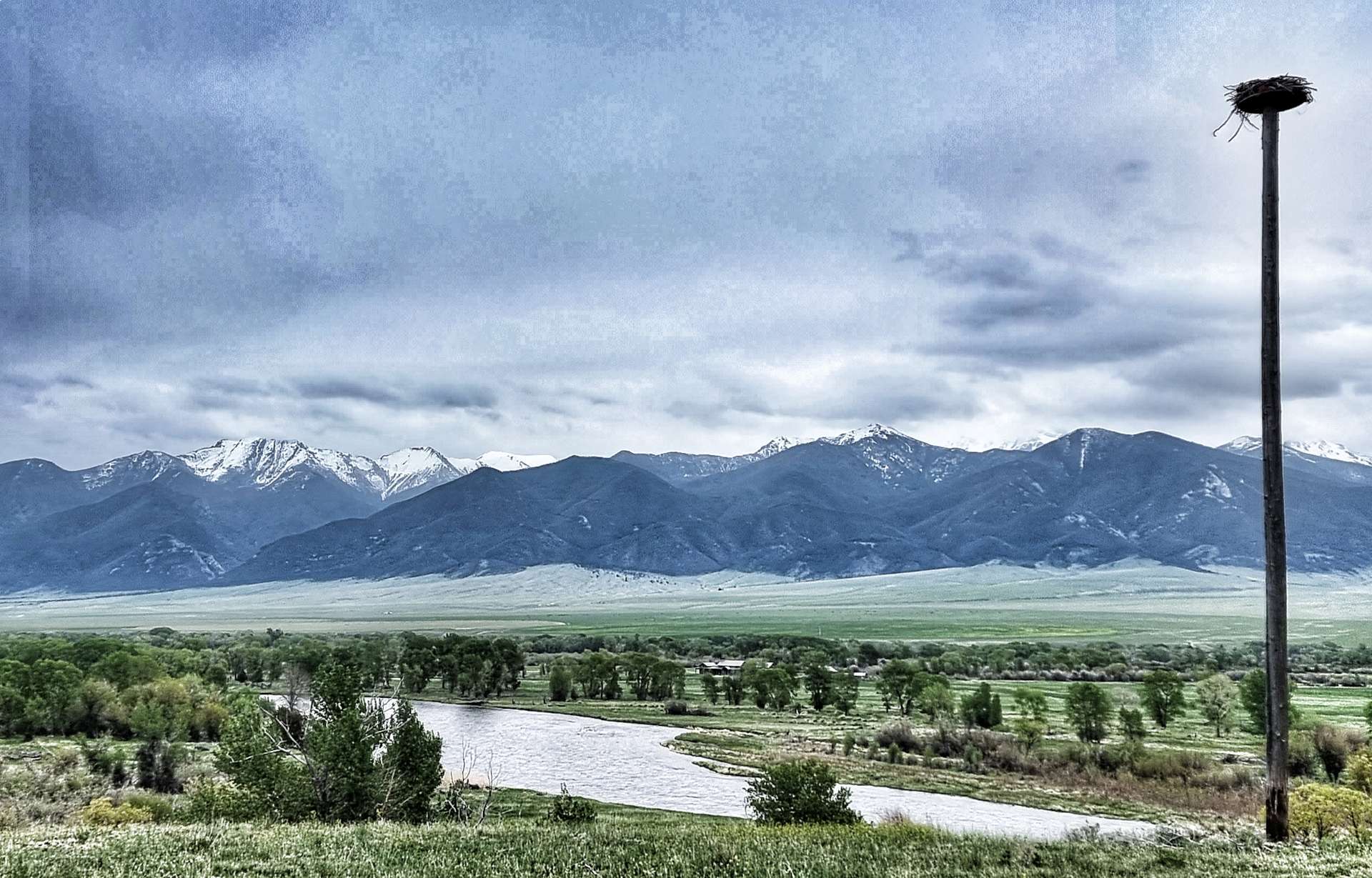
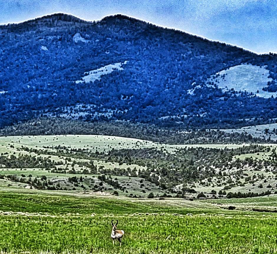
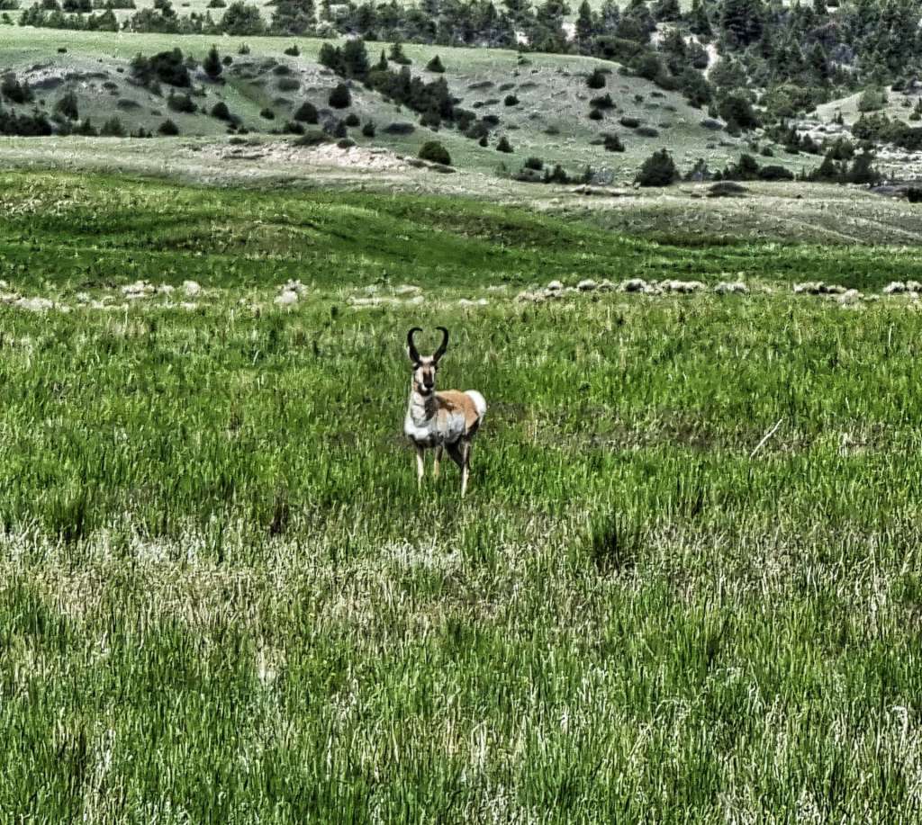
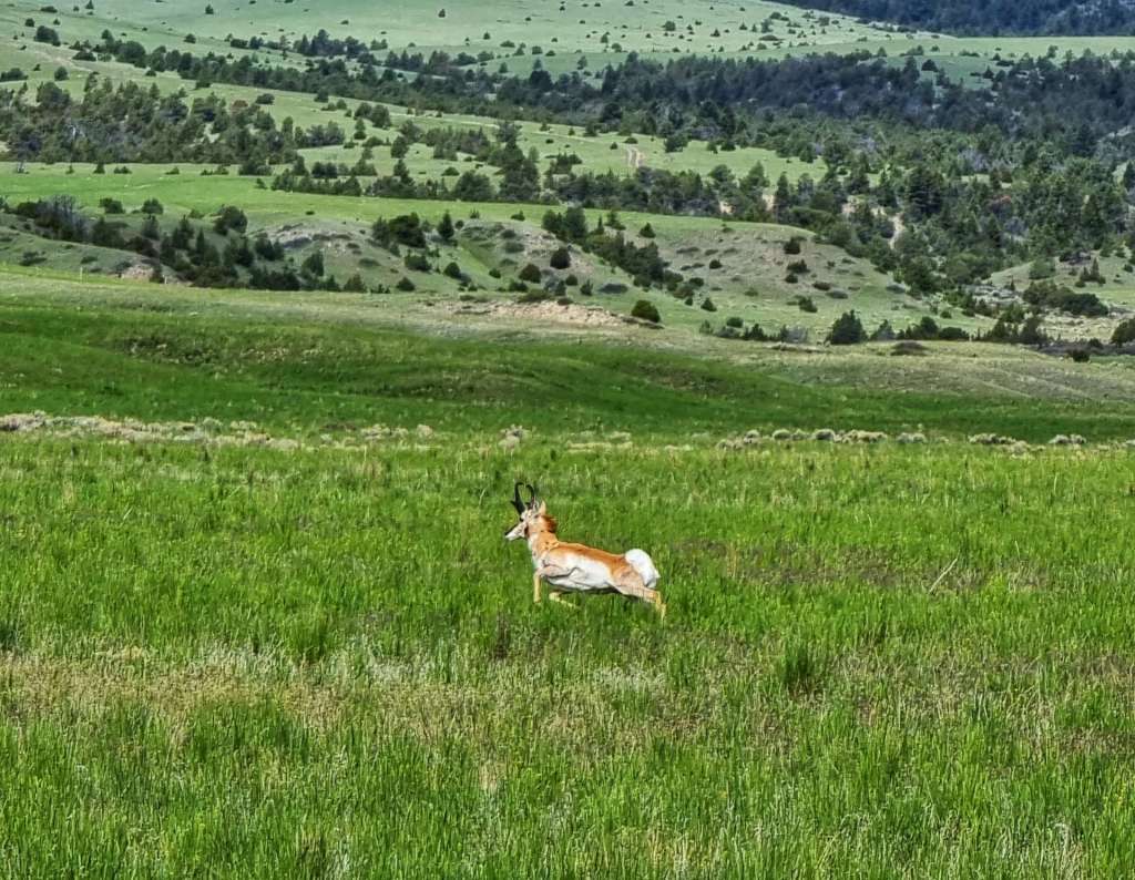
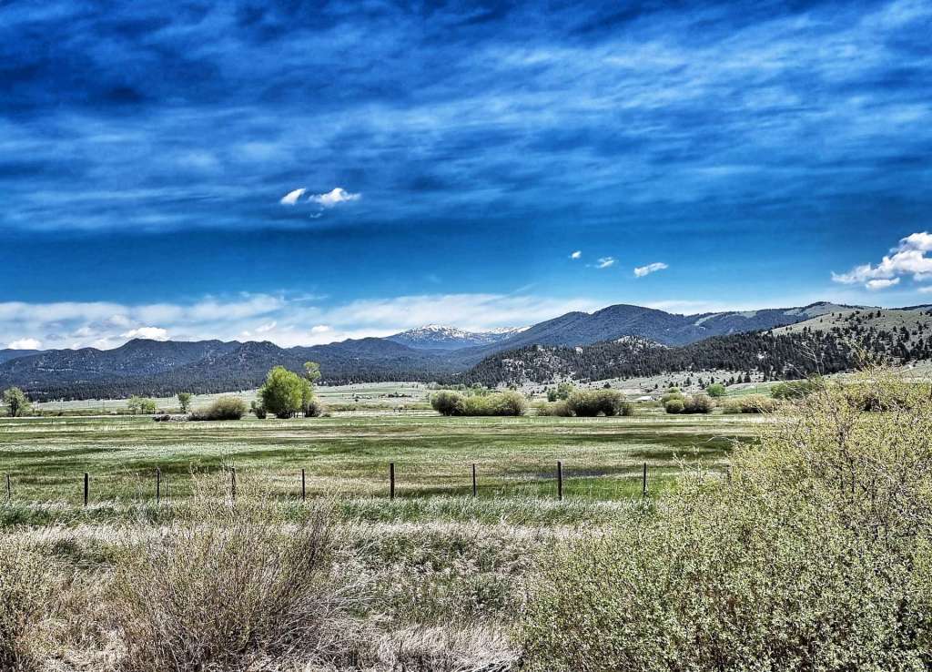
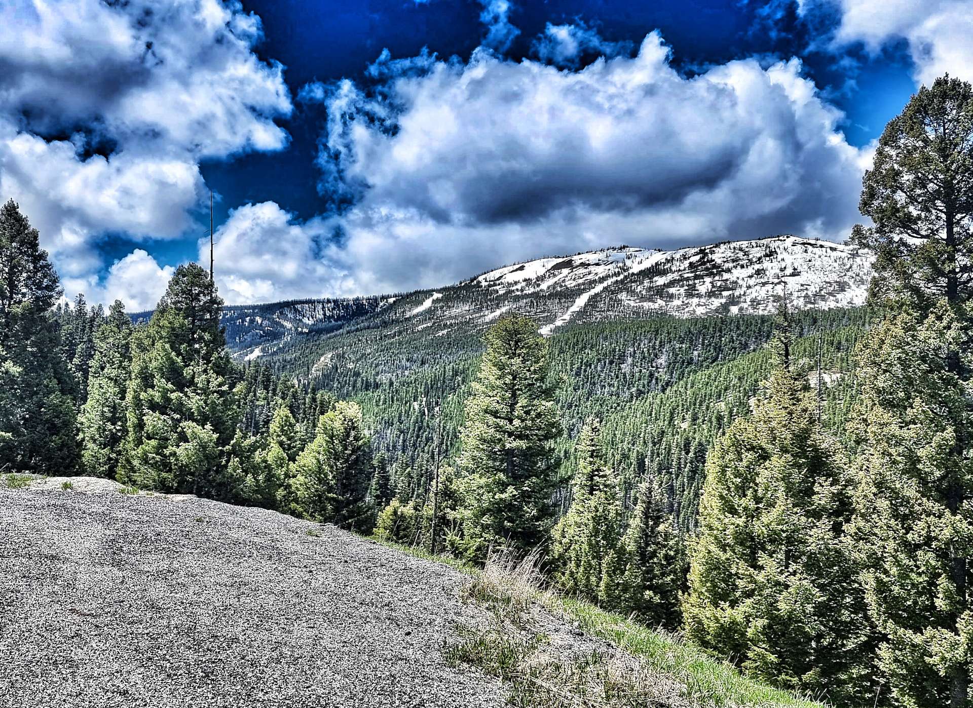
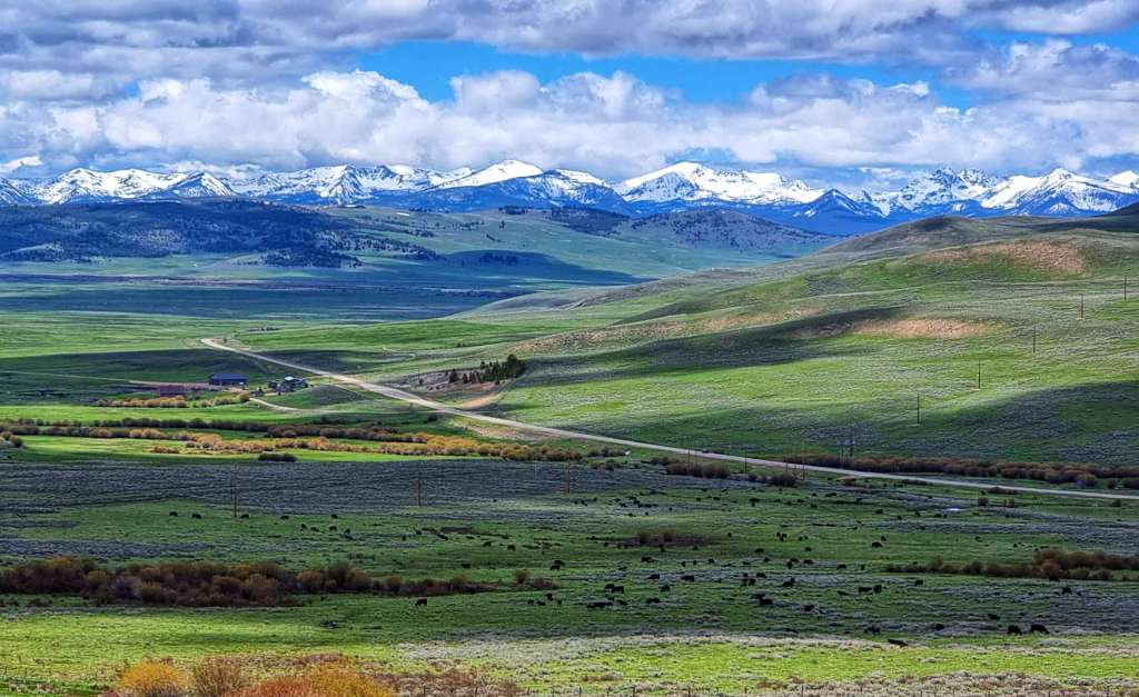
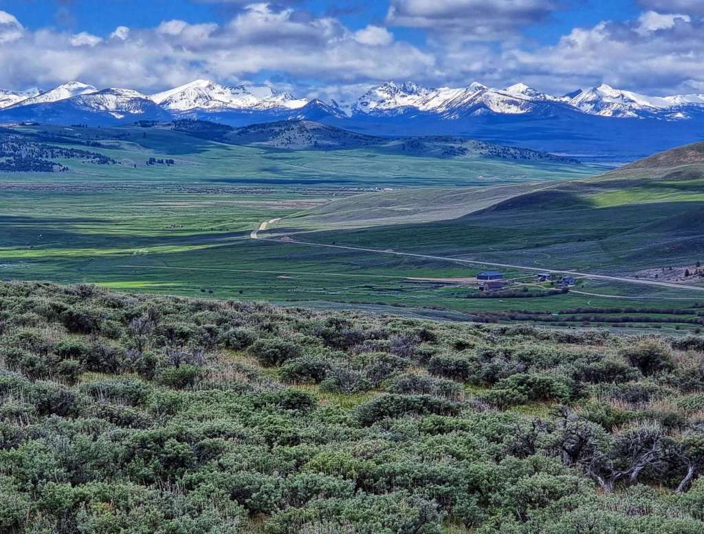
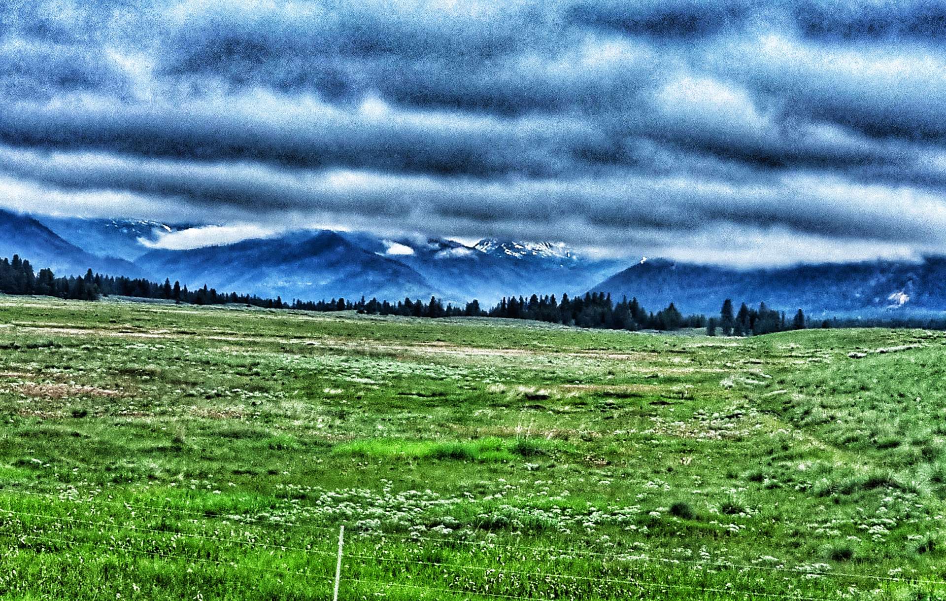
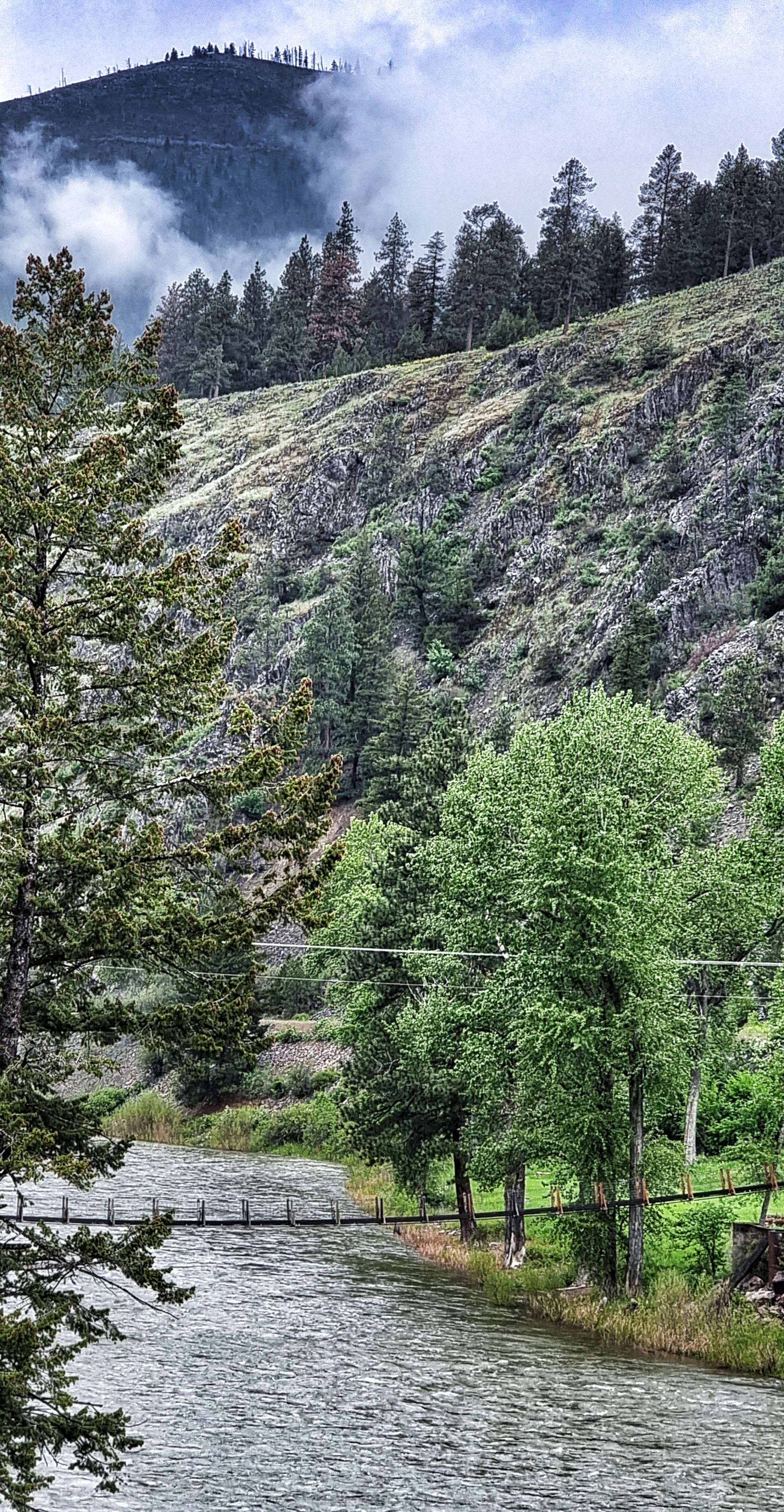
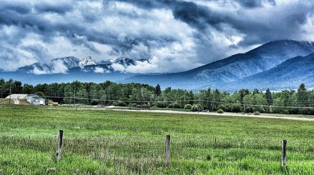
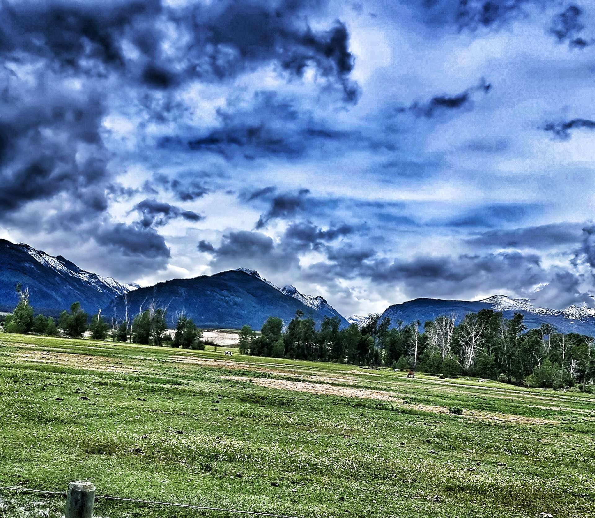
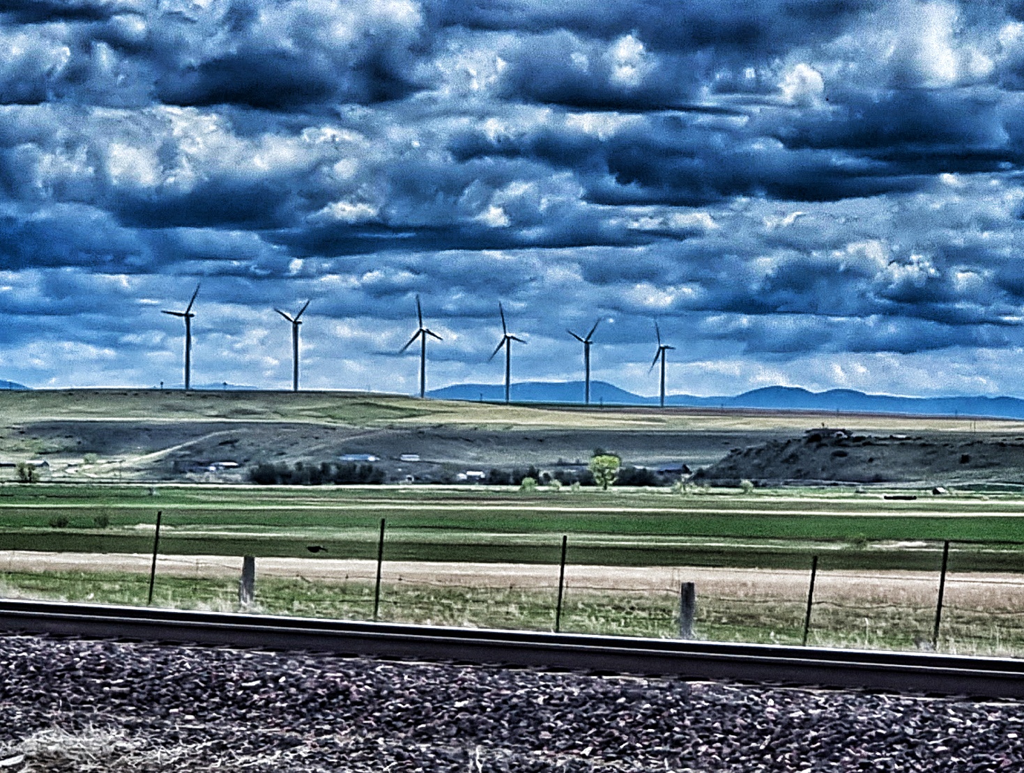
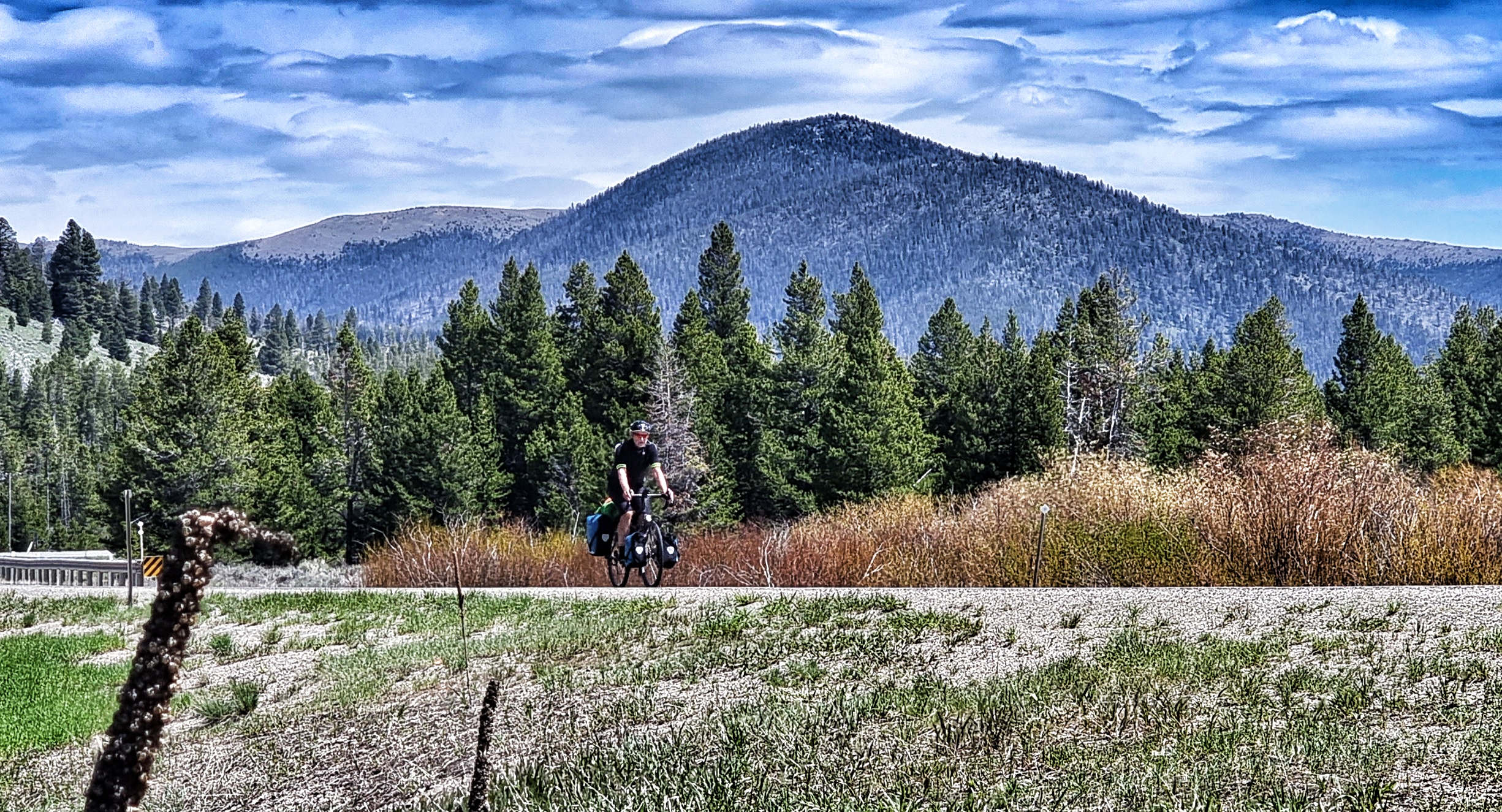
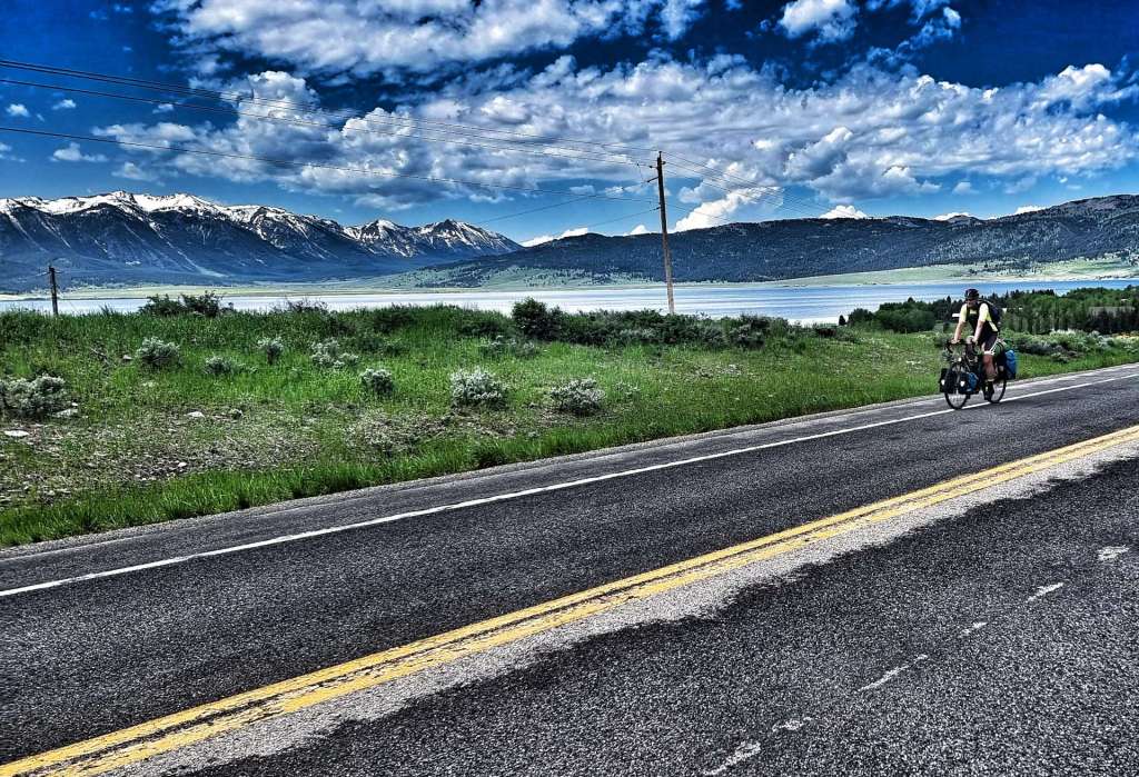
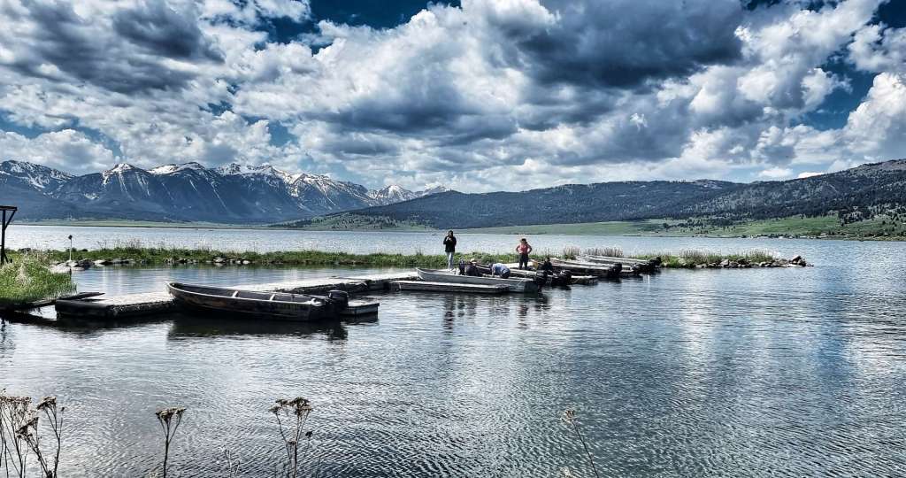
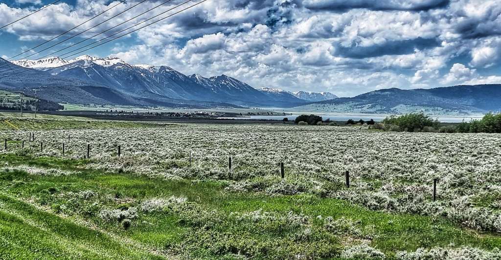
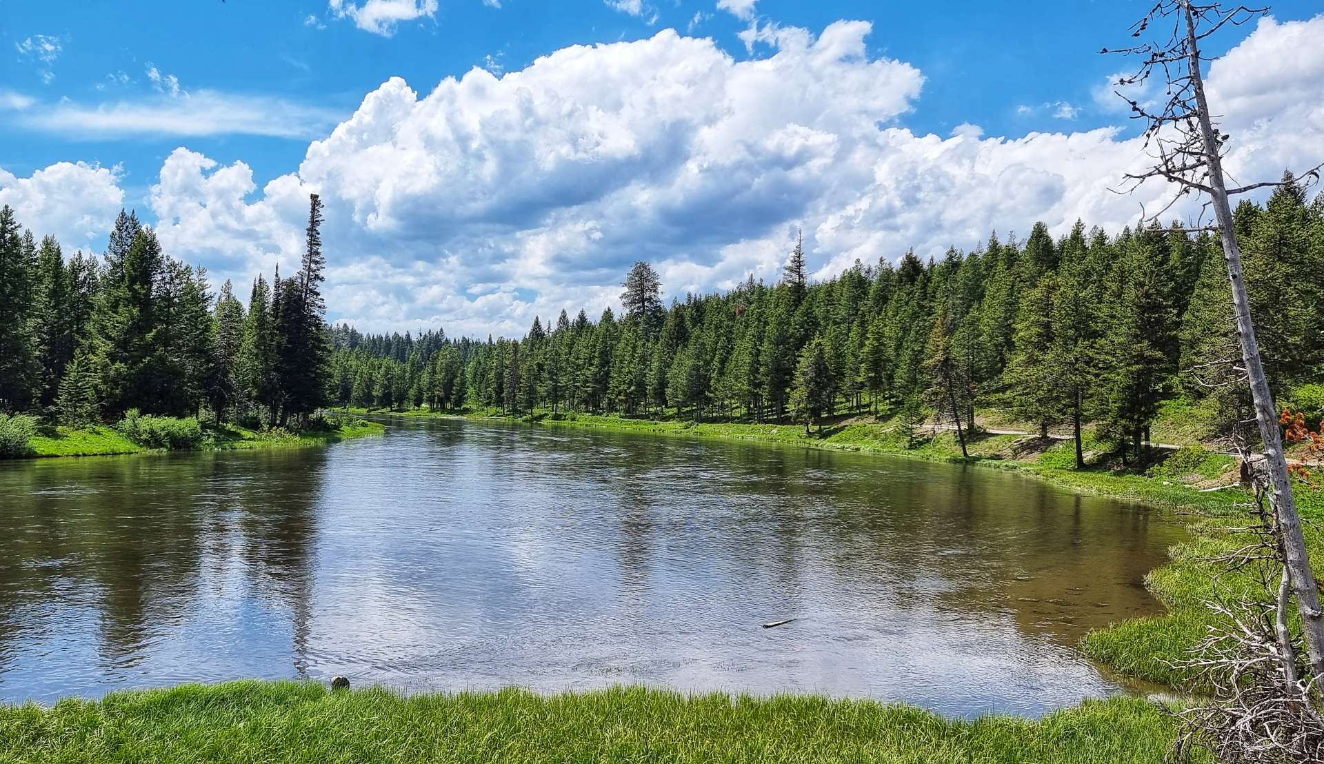
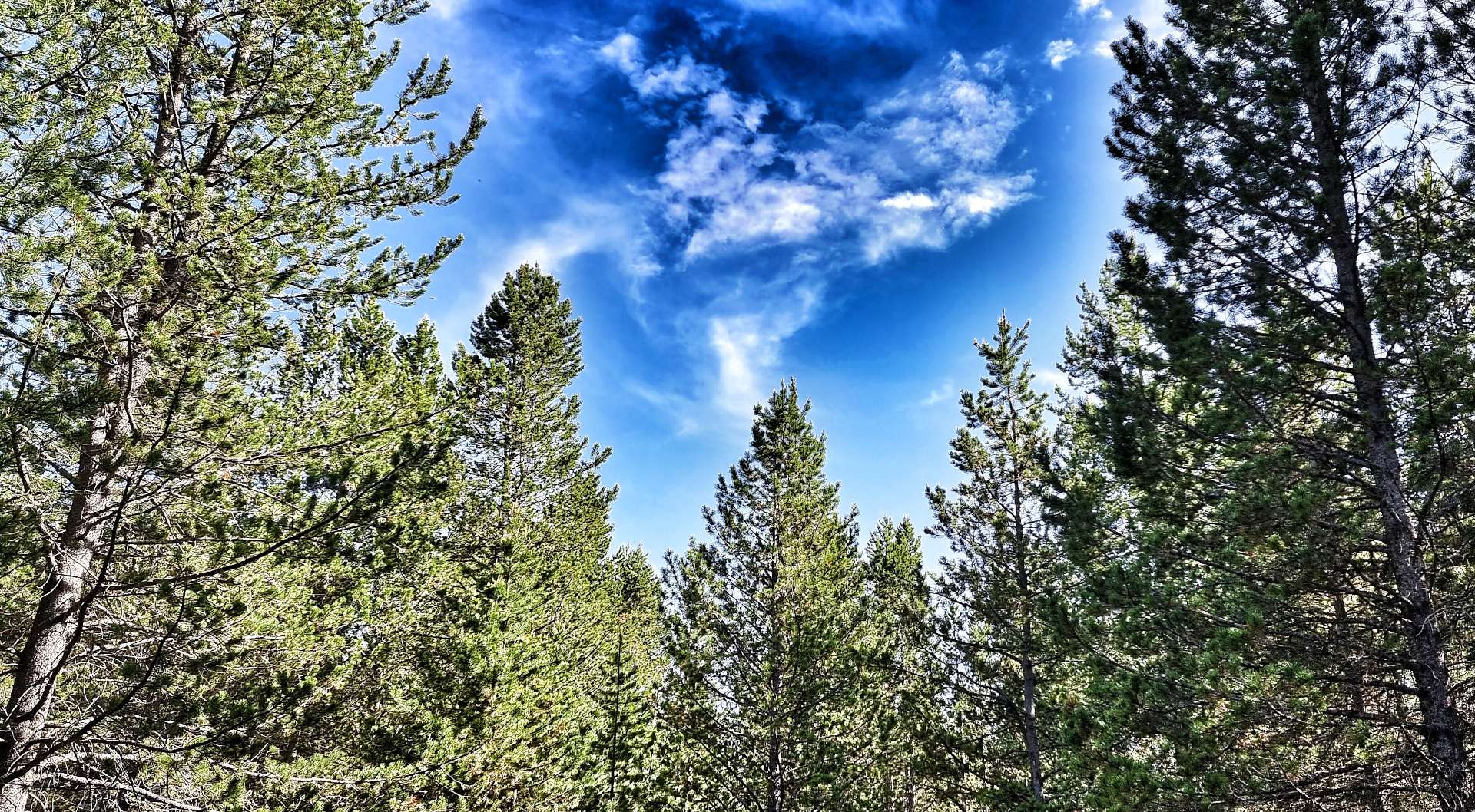
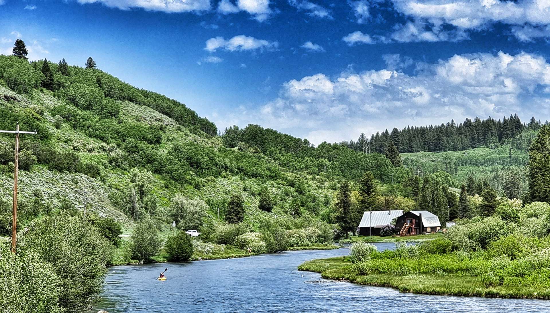
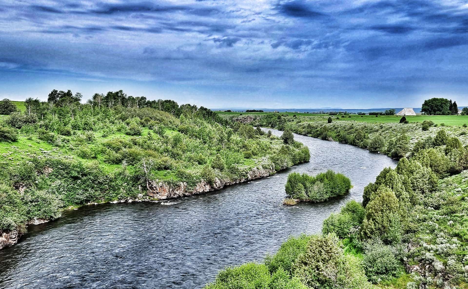
Looking in all directions, we were surrounded by panoramic peaks. Descending into Idaho, we transitioned through a wetland marsh, where the “ribbit ribbit” of frogs could be heard above the noise of the wind in our ears. On the spur of the moment, we took a right turn towards Henry Lake – this wasn’t on our planned route, but that’s the point of having an adventure, to explore the unknown & see what’s around the corner!!

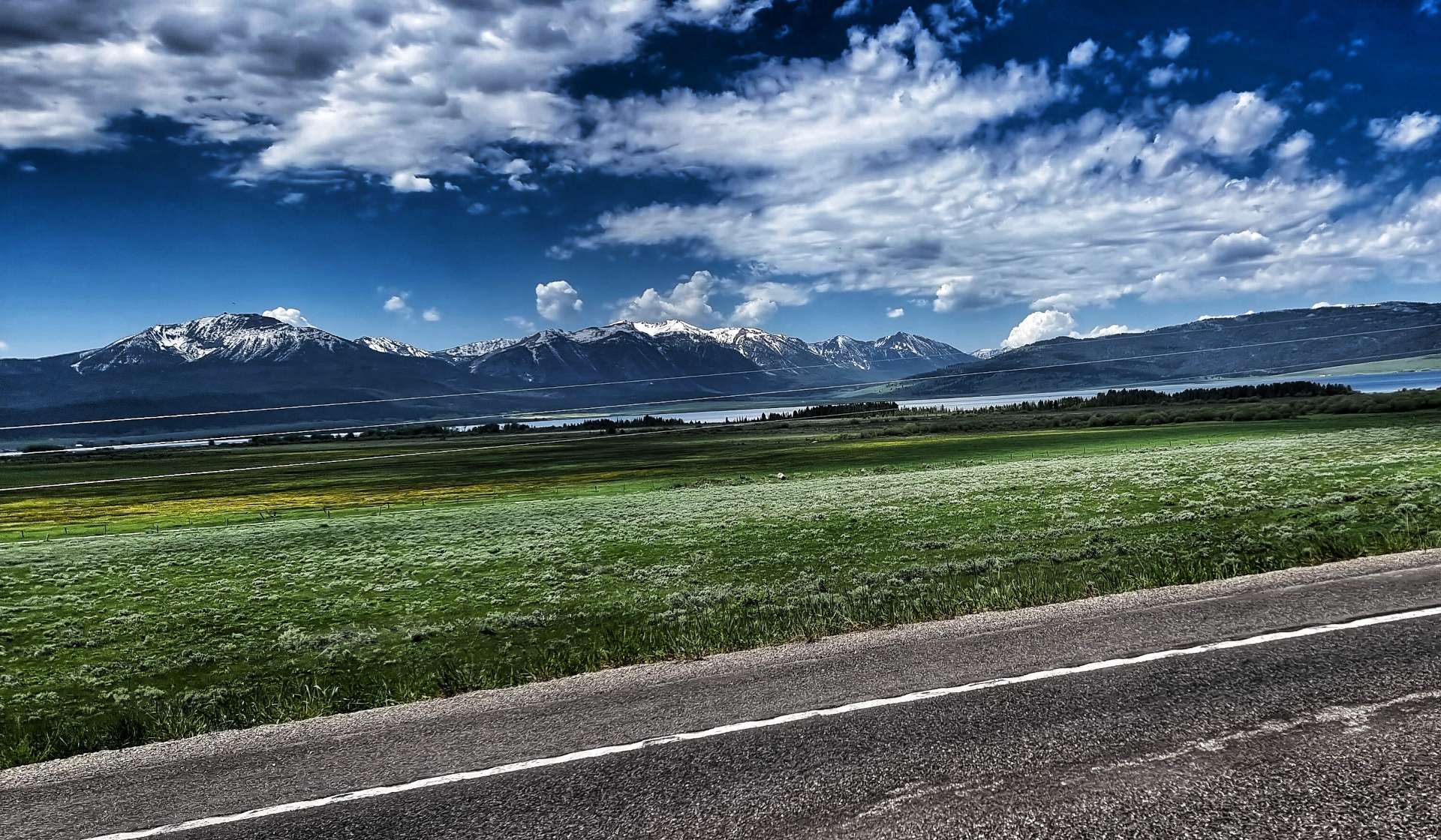
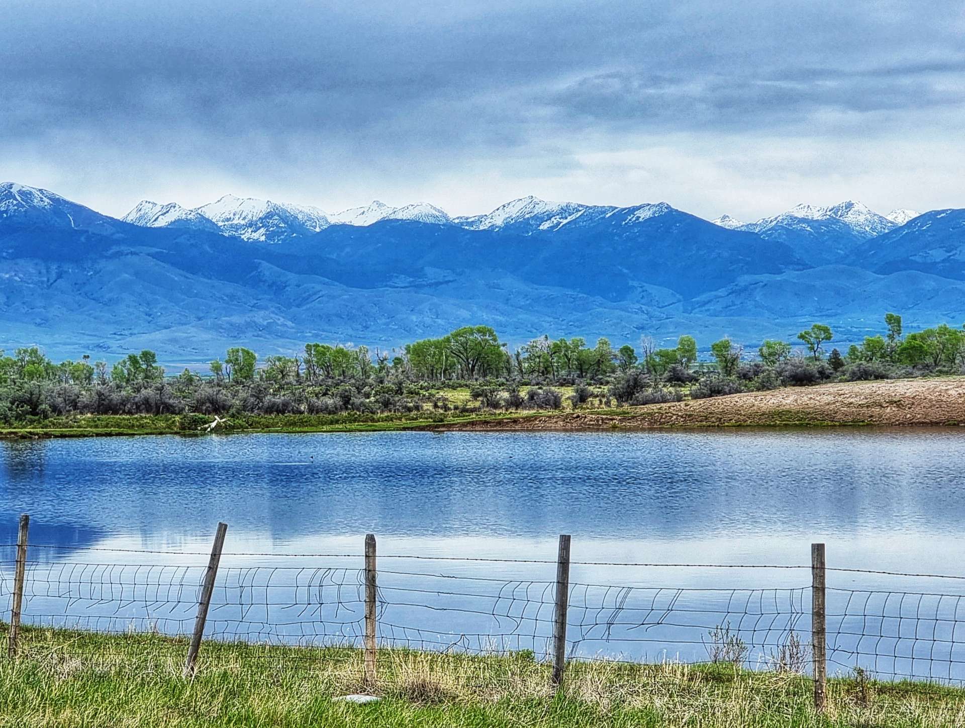
We were at the opposite end of Highway 87 to when we visited Earthquake Lake on Tuesday & we had the road almost to ourselves. We took a couple of action photos as we rode along the shoreline, then turned round as the lake ended at Jared’s Wild Rose Ranch Resort & Marina. Deer Mountain, Sawtell Peak, Mount Jefferson & Nemesis Mountain provided the backdrop to the lake.
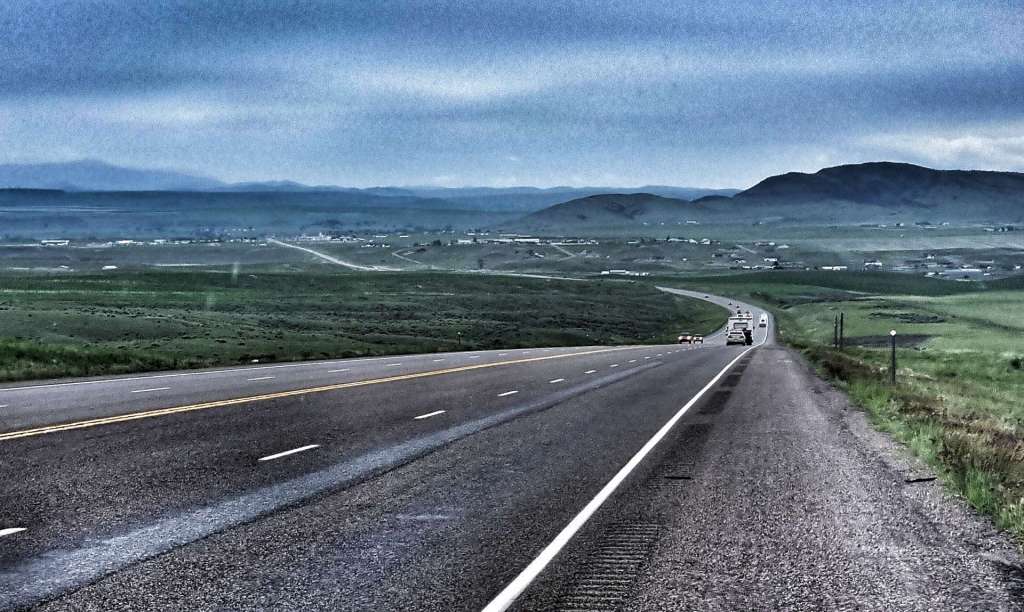
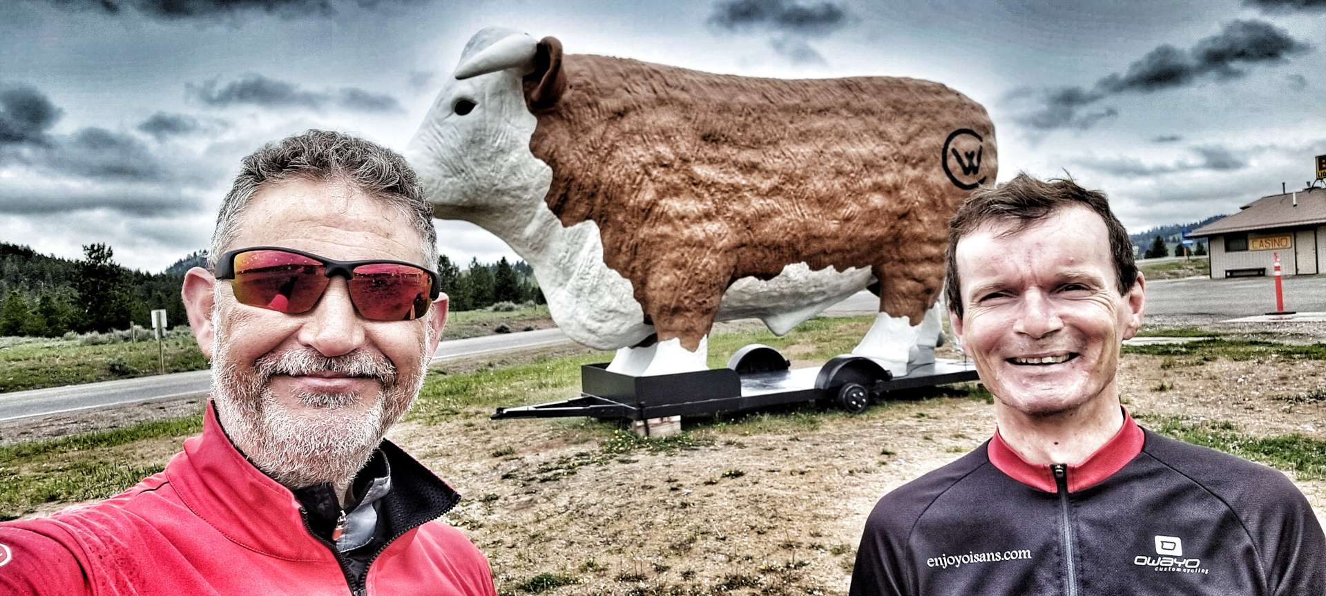
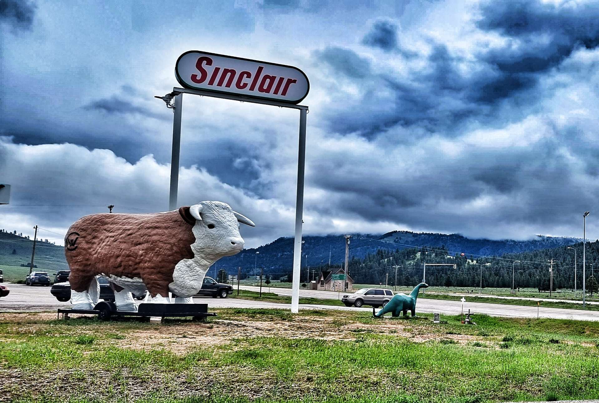
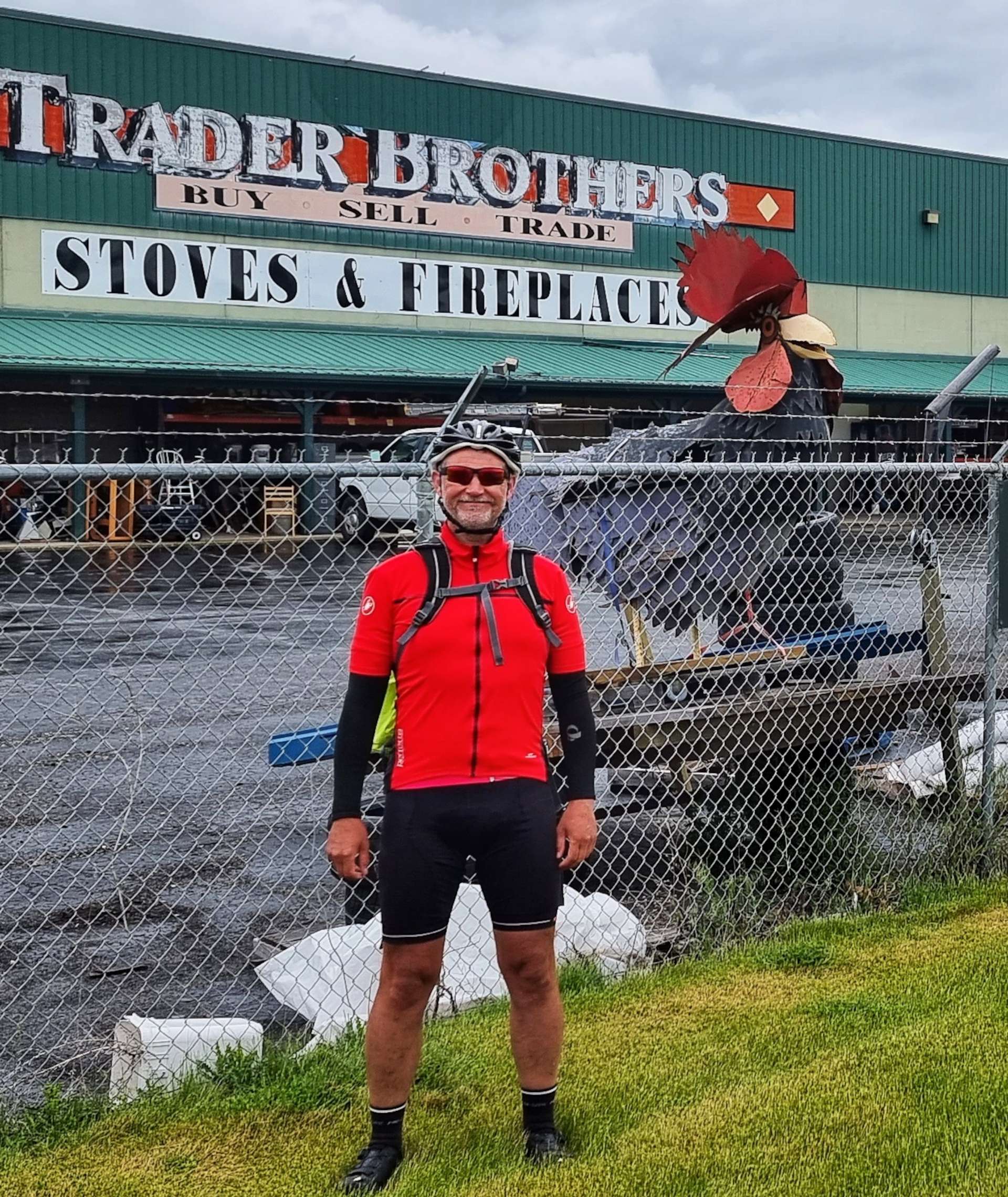
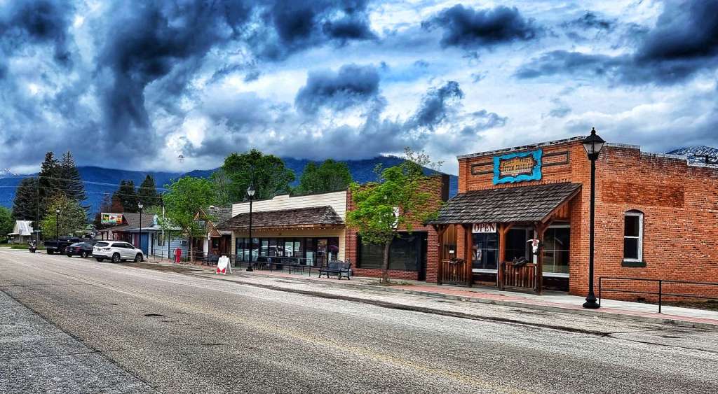
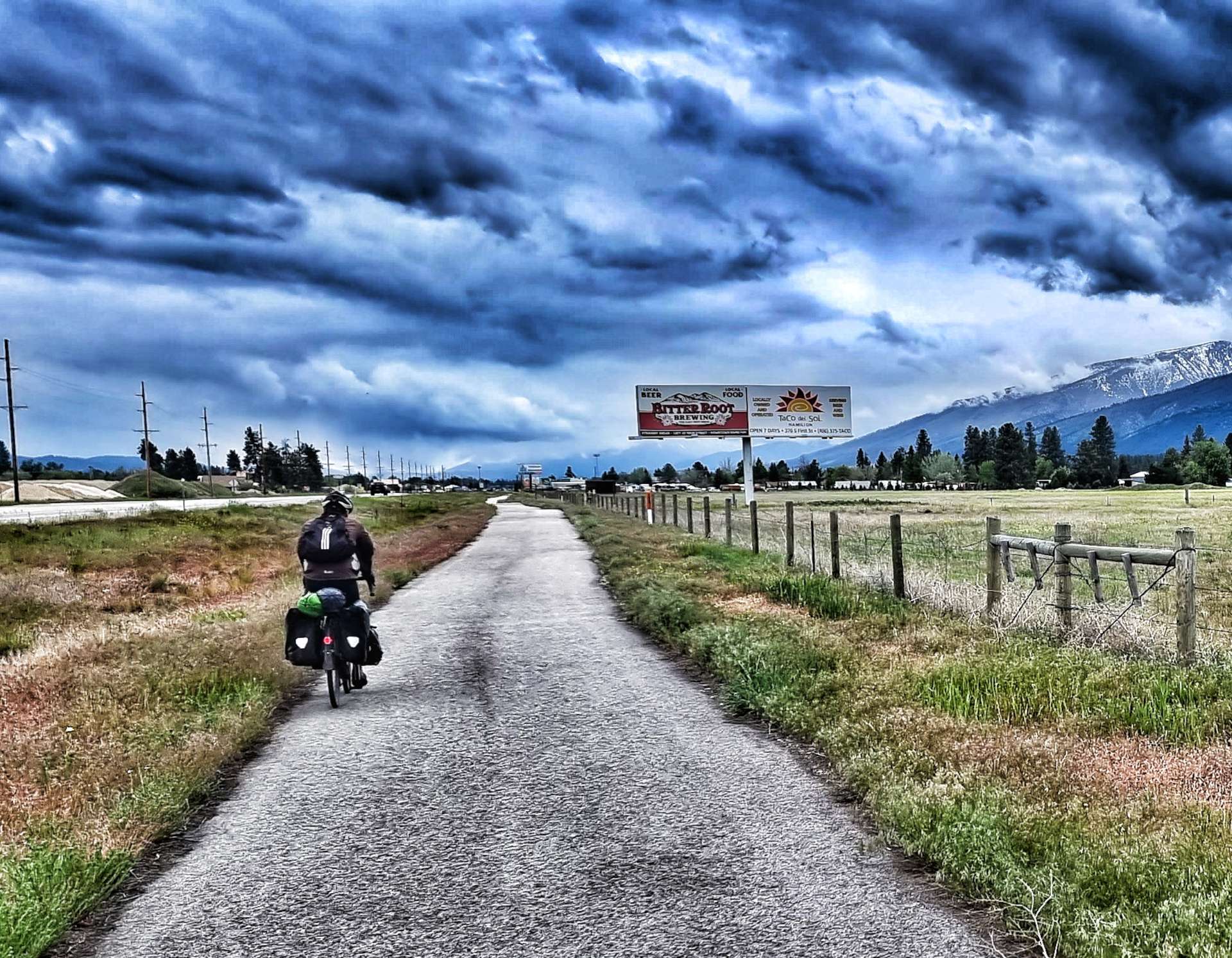
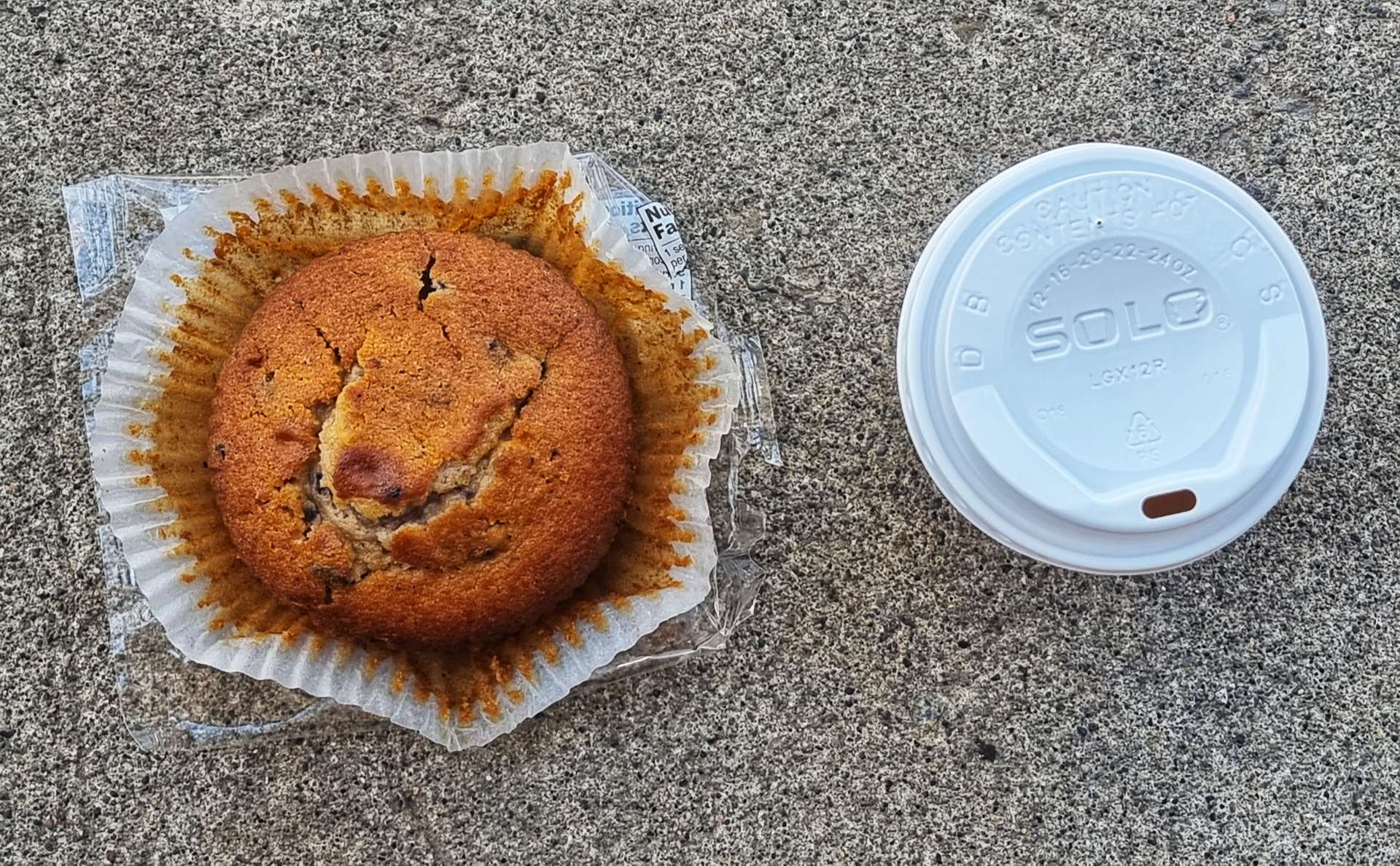
As we re-joined Highway 20, we entered Island Park. We decided to stop for a coffee & packaged muffin from the Exxon Gas Station (not every day involves luxury cake!) before setting off to explore part of the longest main street in America…..

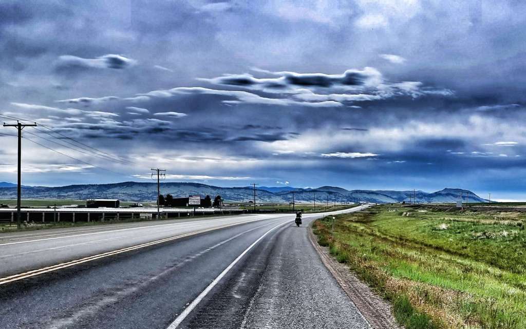
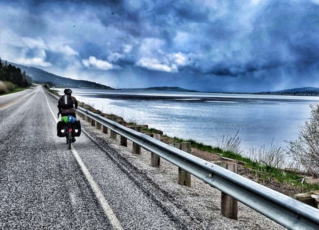
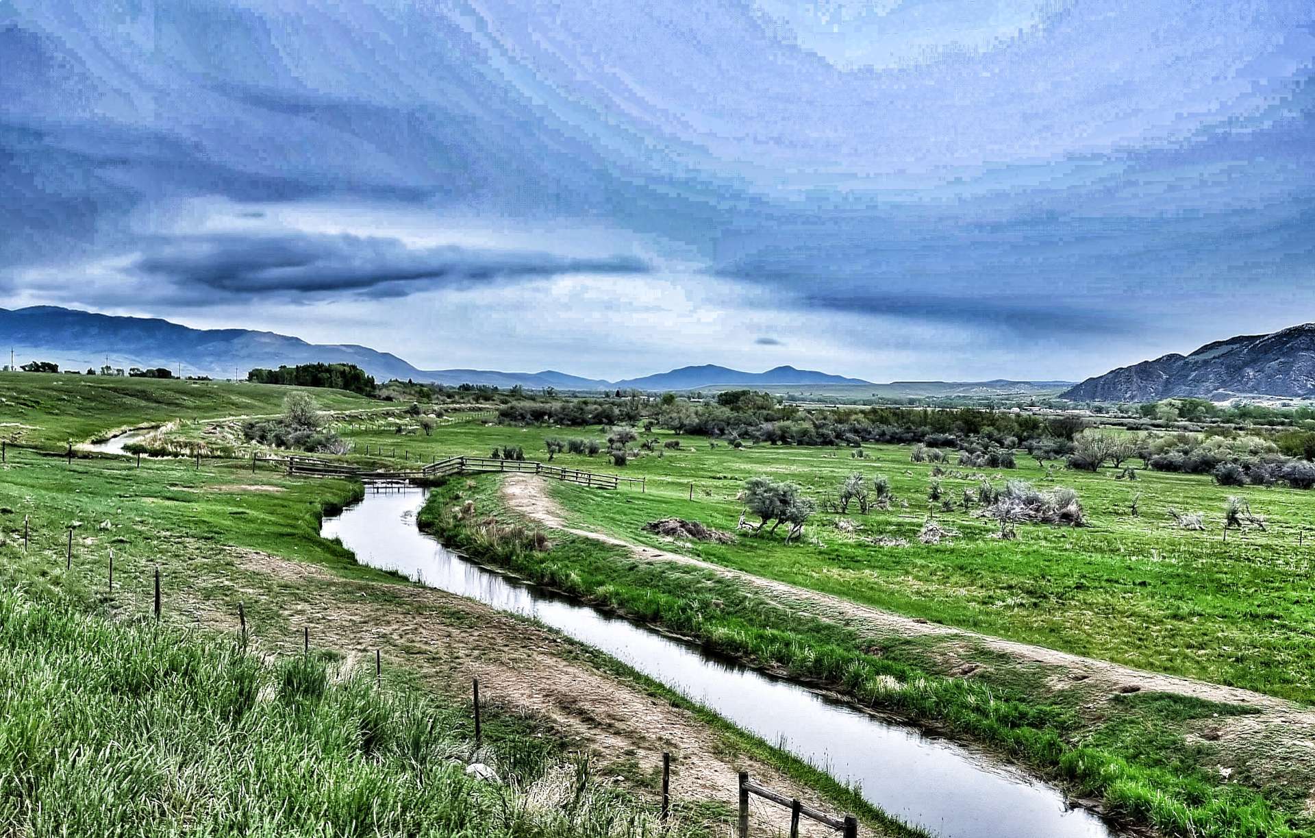
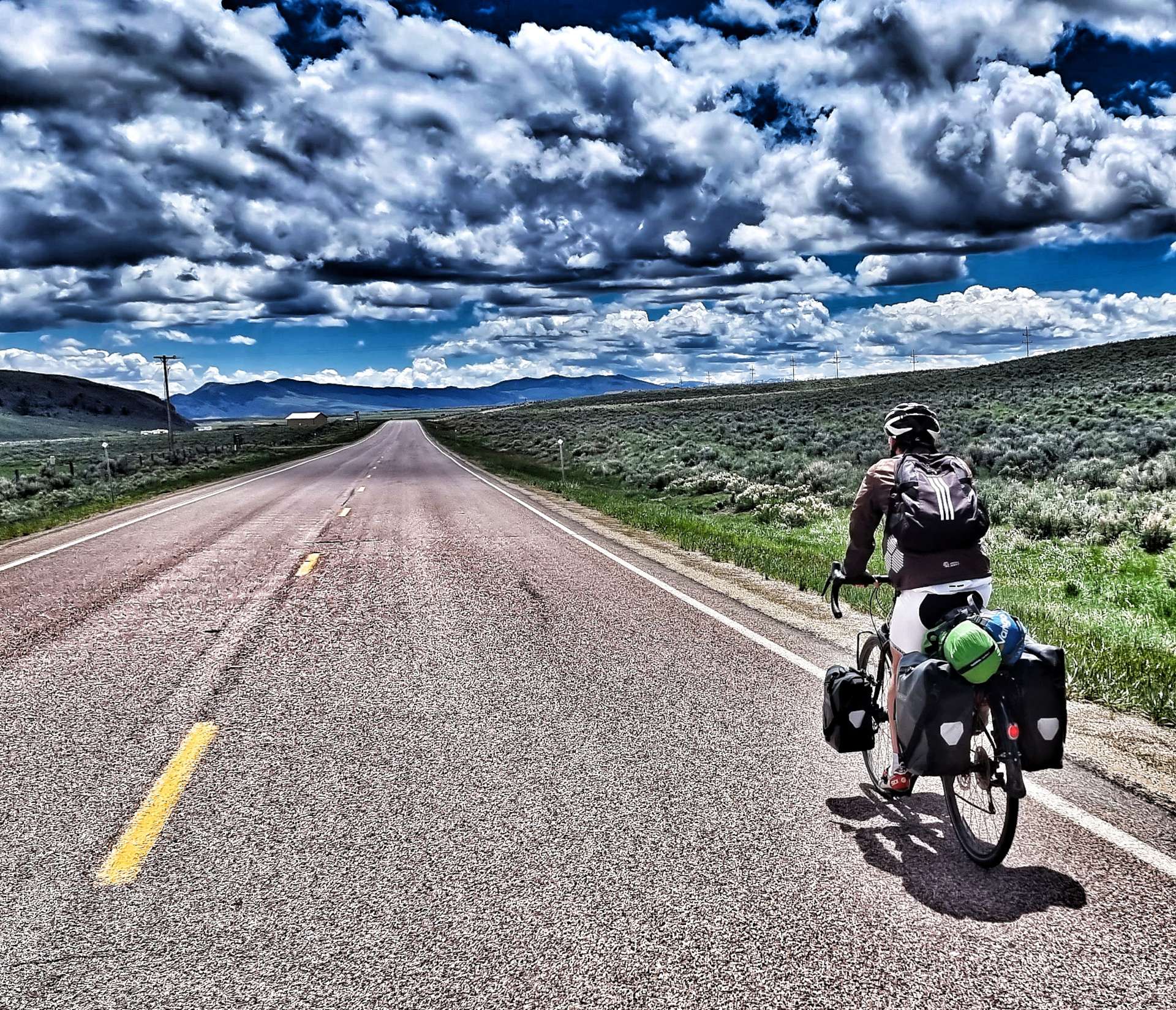
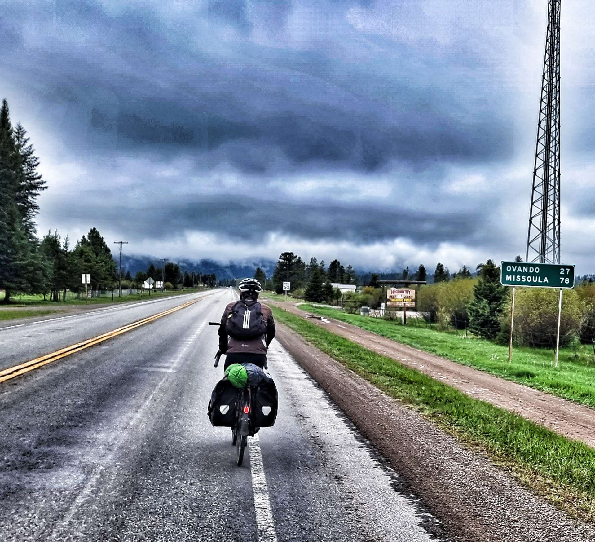
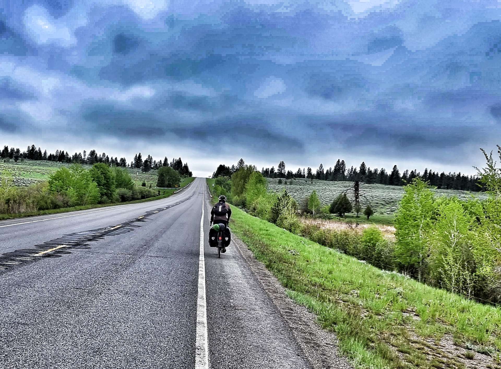
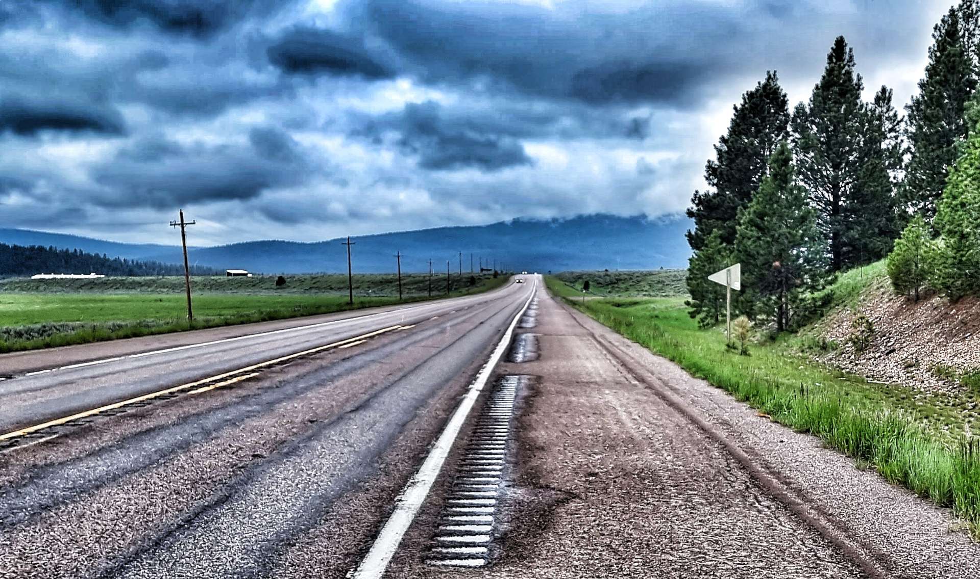
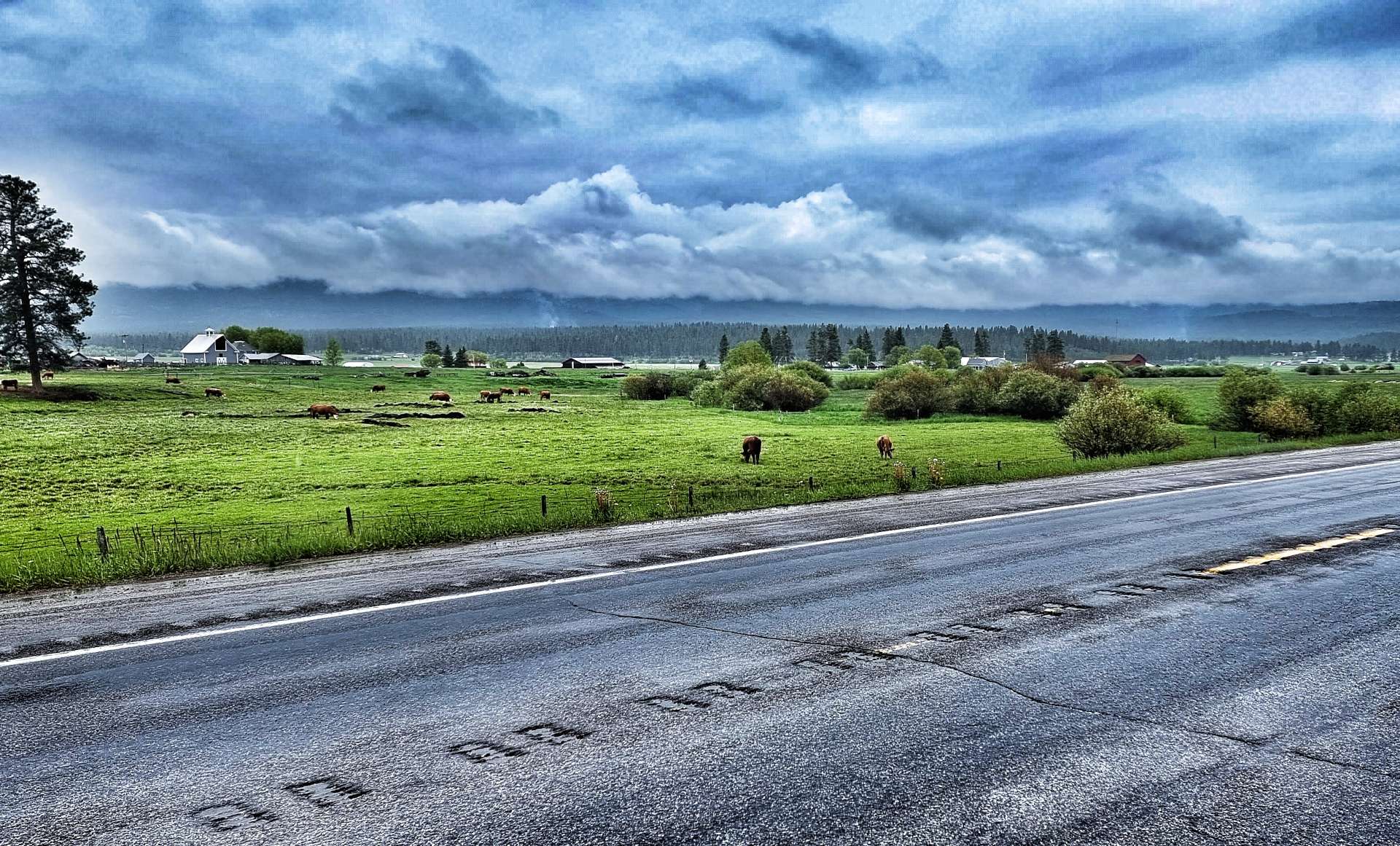
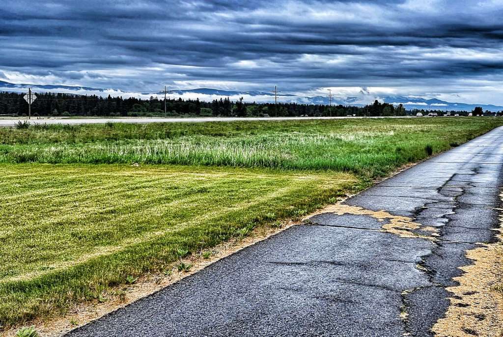
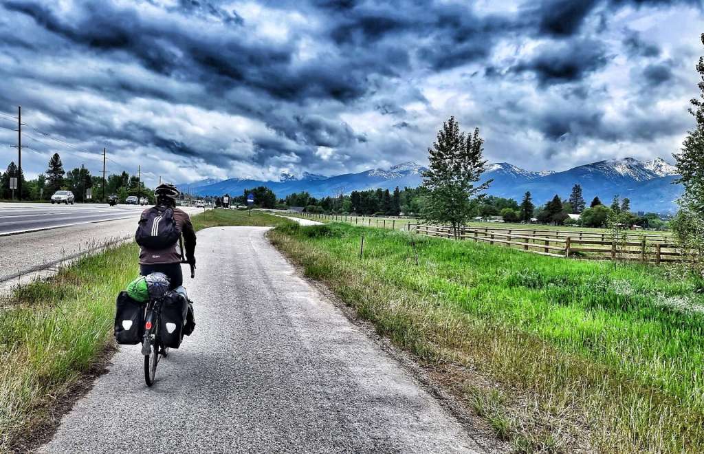
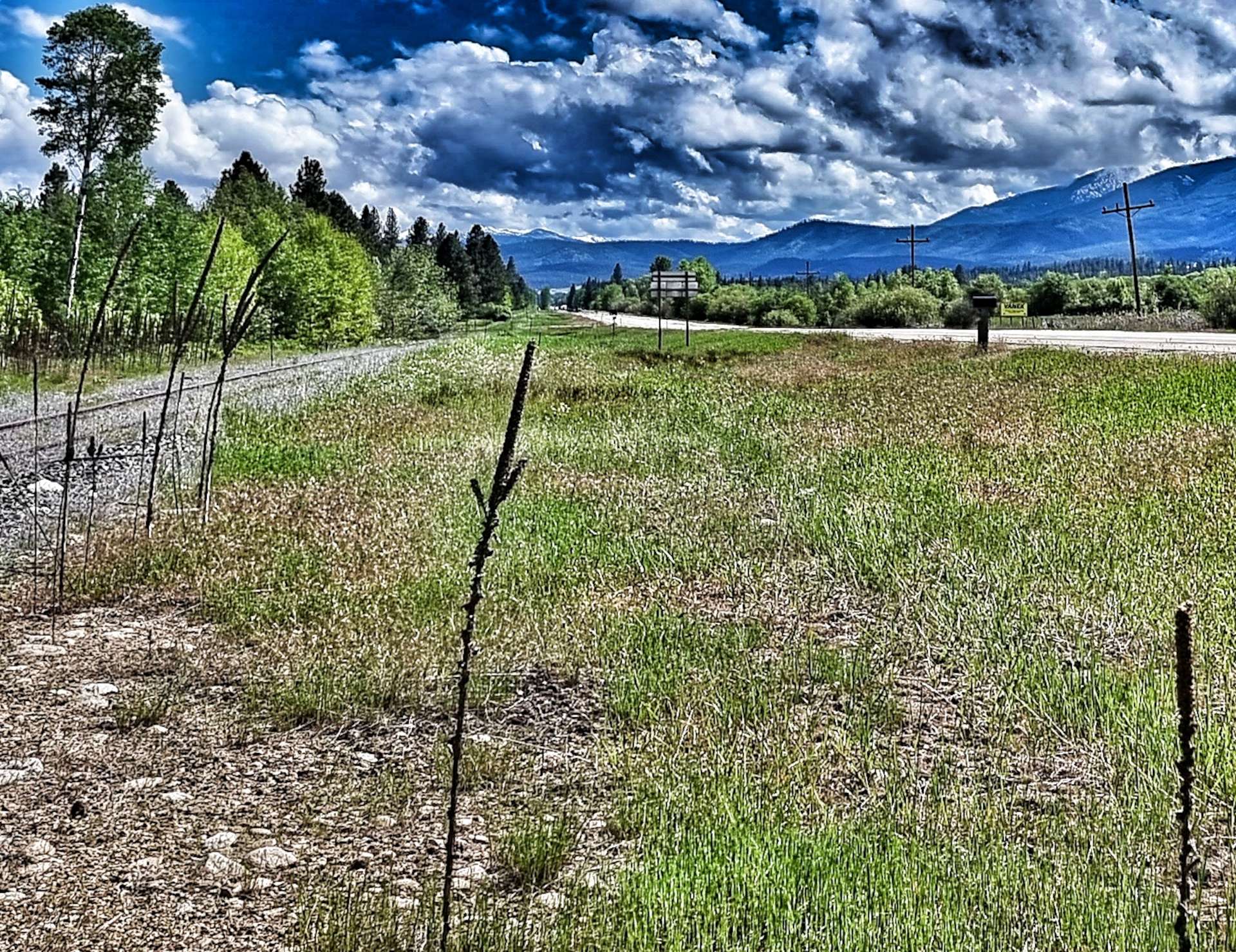
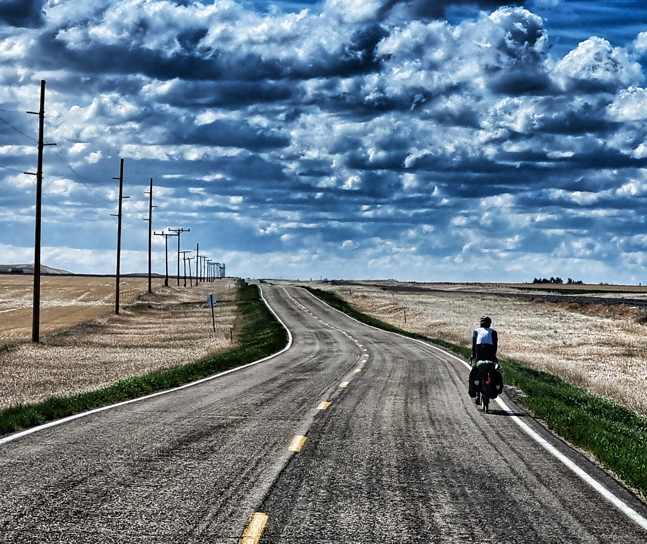
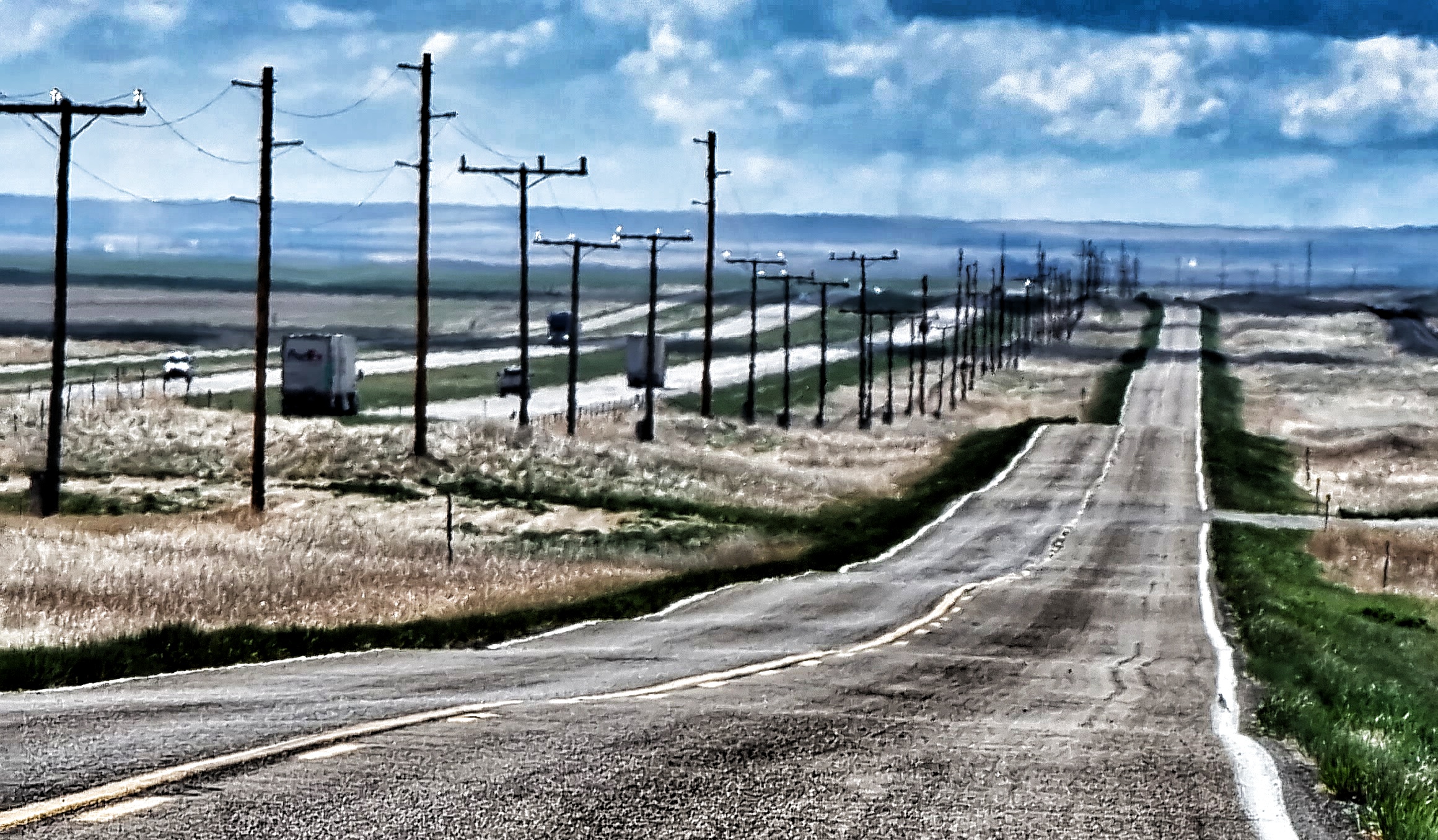
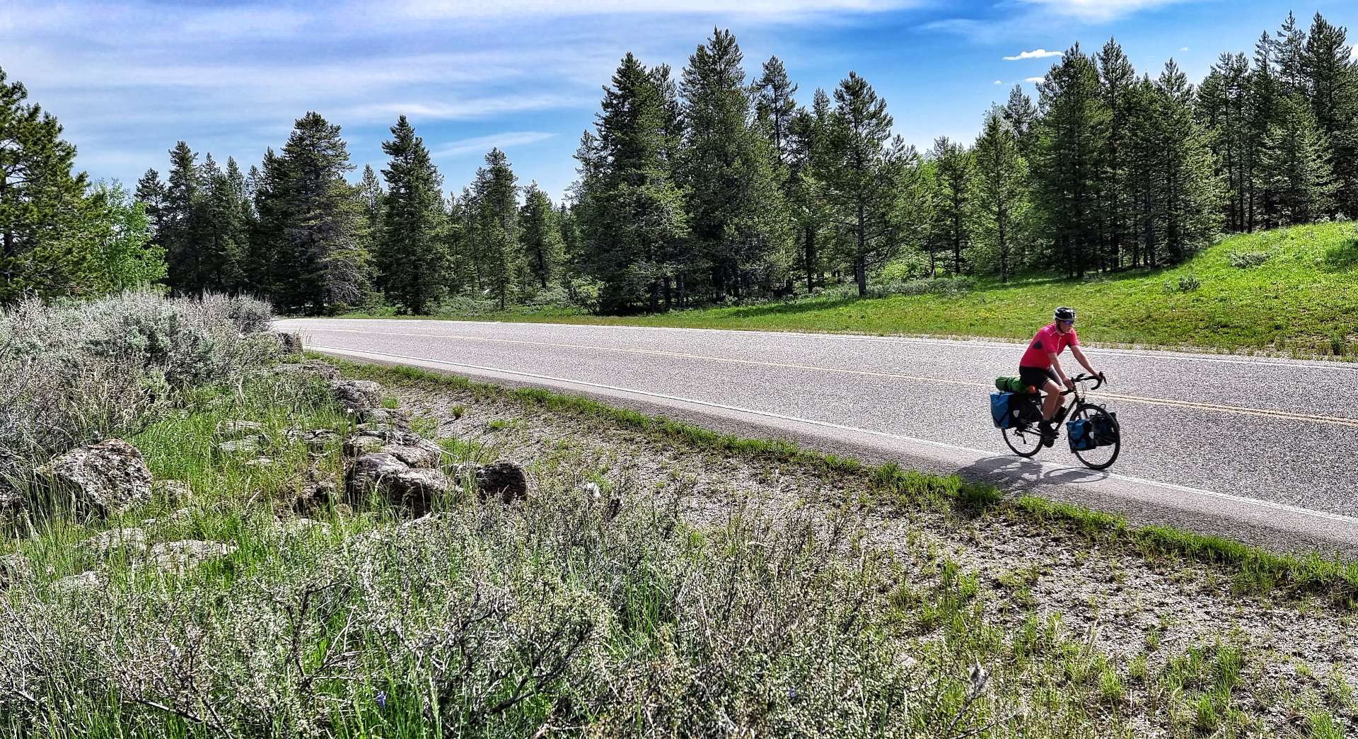
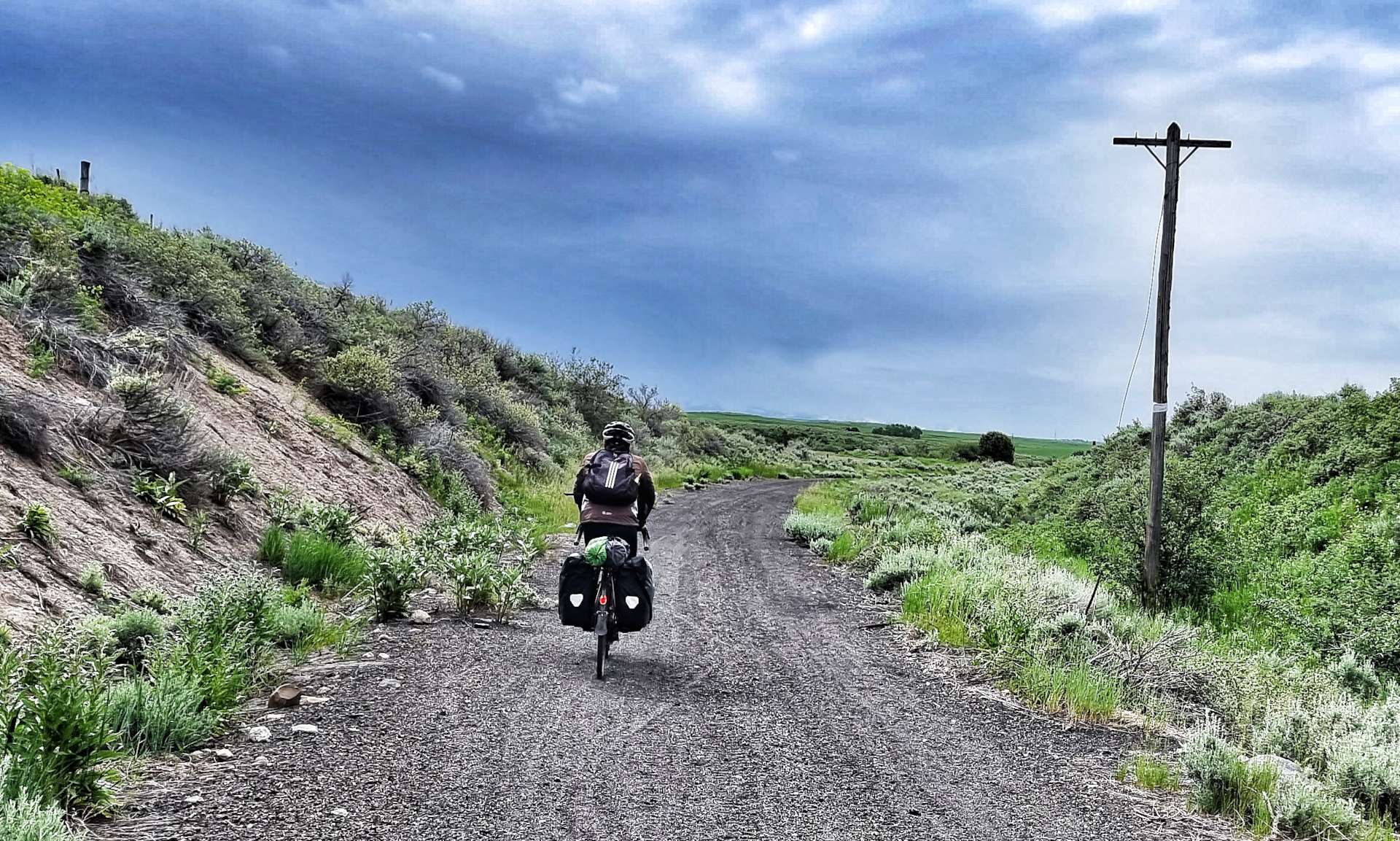
I was faintly amused by the longest Main Street claim as we started cycling across the prairie into a nagging headwind. However, for the next 17 miles we remained within the City Limits of Island Park!
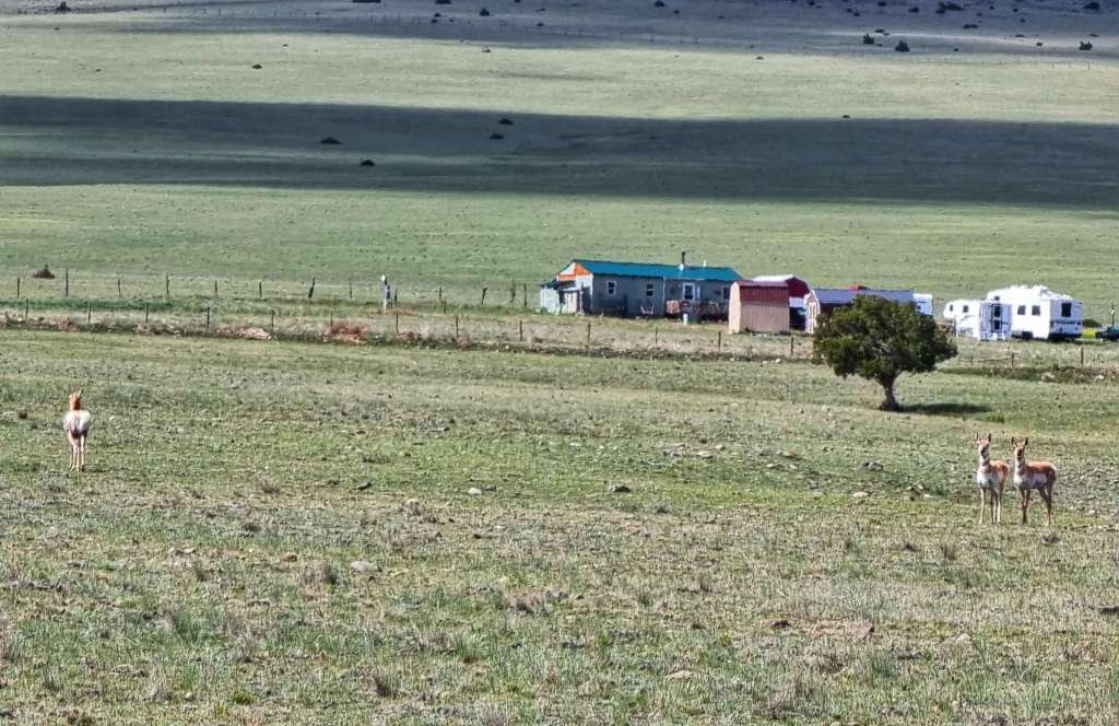
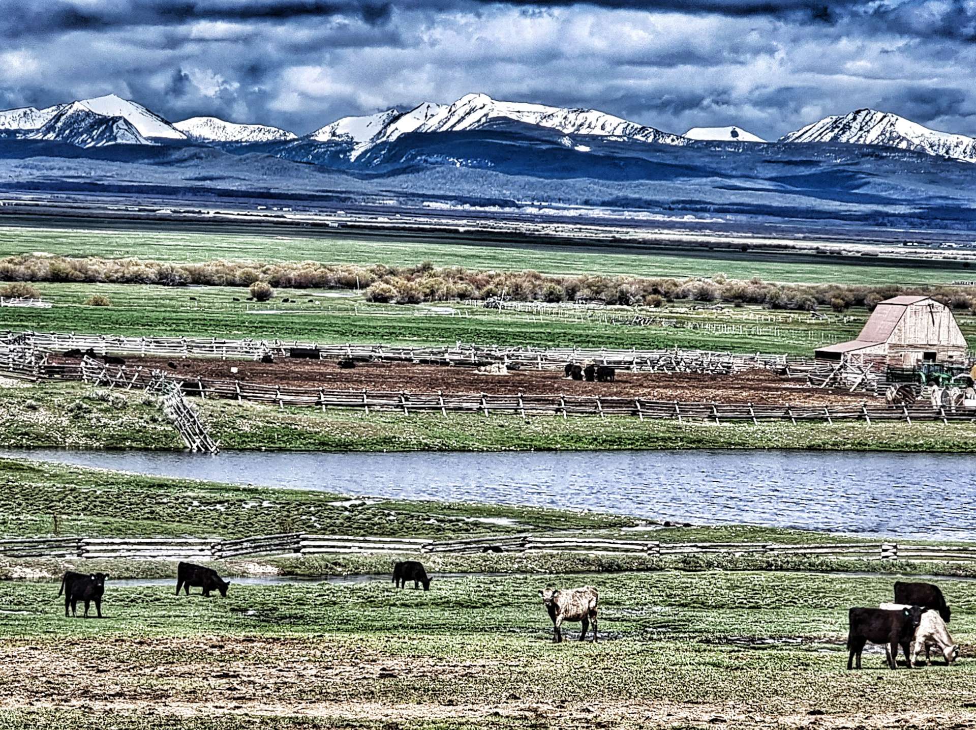
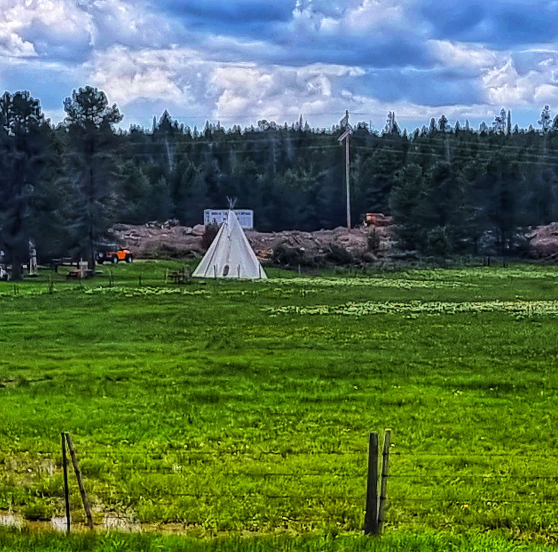
In that time, we passed a number of ranches & resorts offering wild west experiences, including overnight Teepee camping. We stopped at one of the river crossings to watch sea gulls diving into the water, trying to catch fish. I’d always been under the impression that gulls were scavengers (perhaps influenced by watching them bully tourists, then stealing their fish & chips in places like St Ives). This was a completely new behaviour to me.
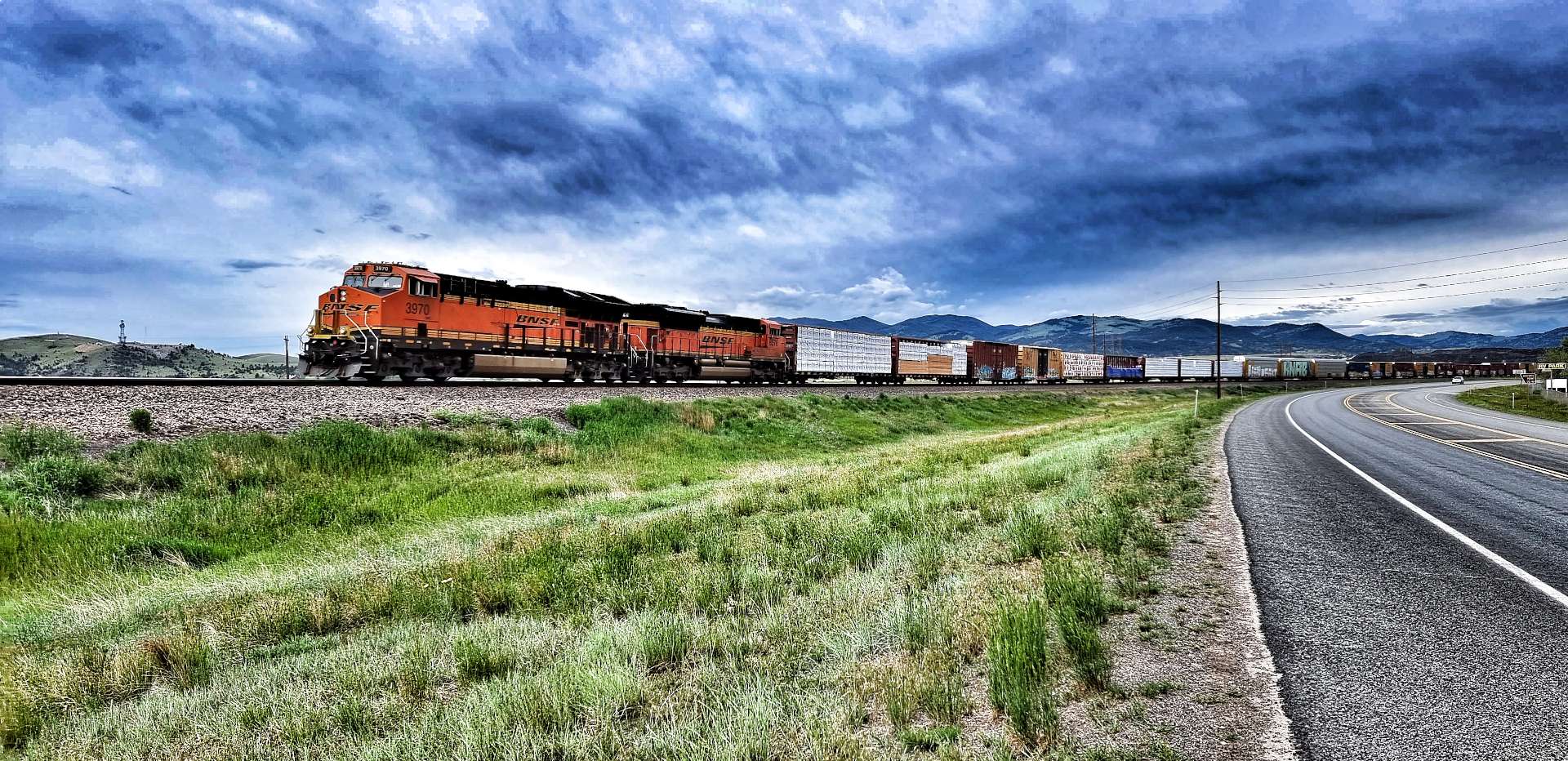
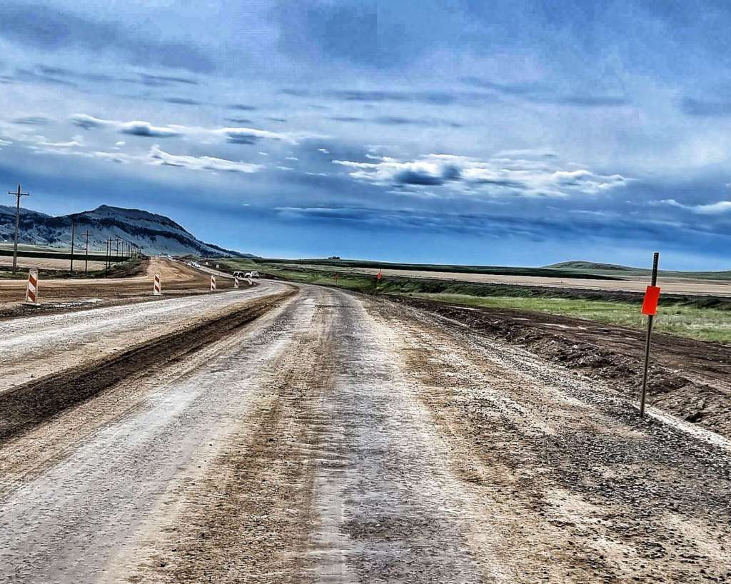
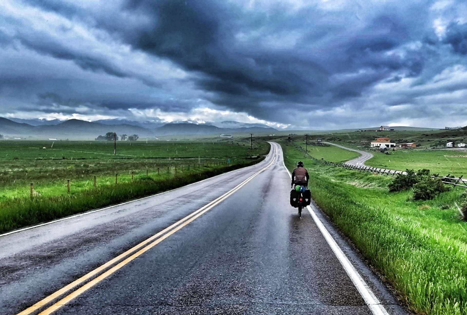
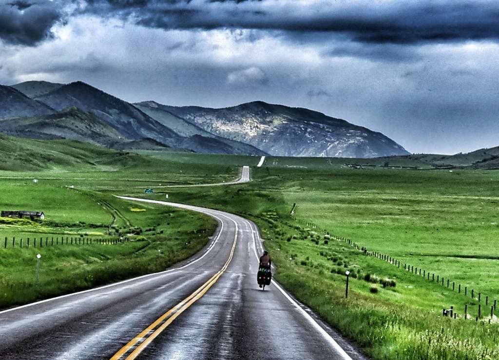
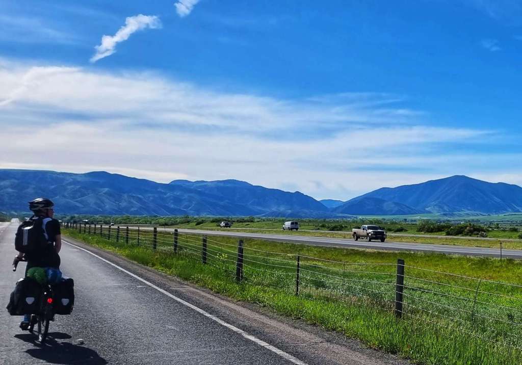
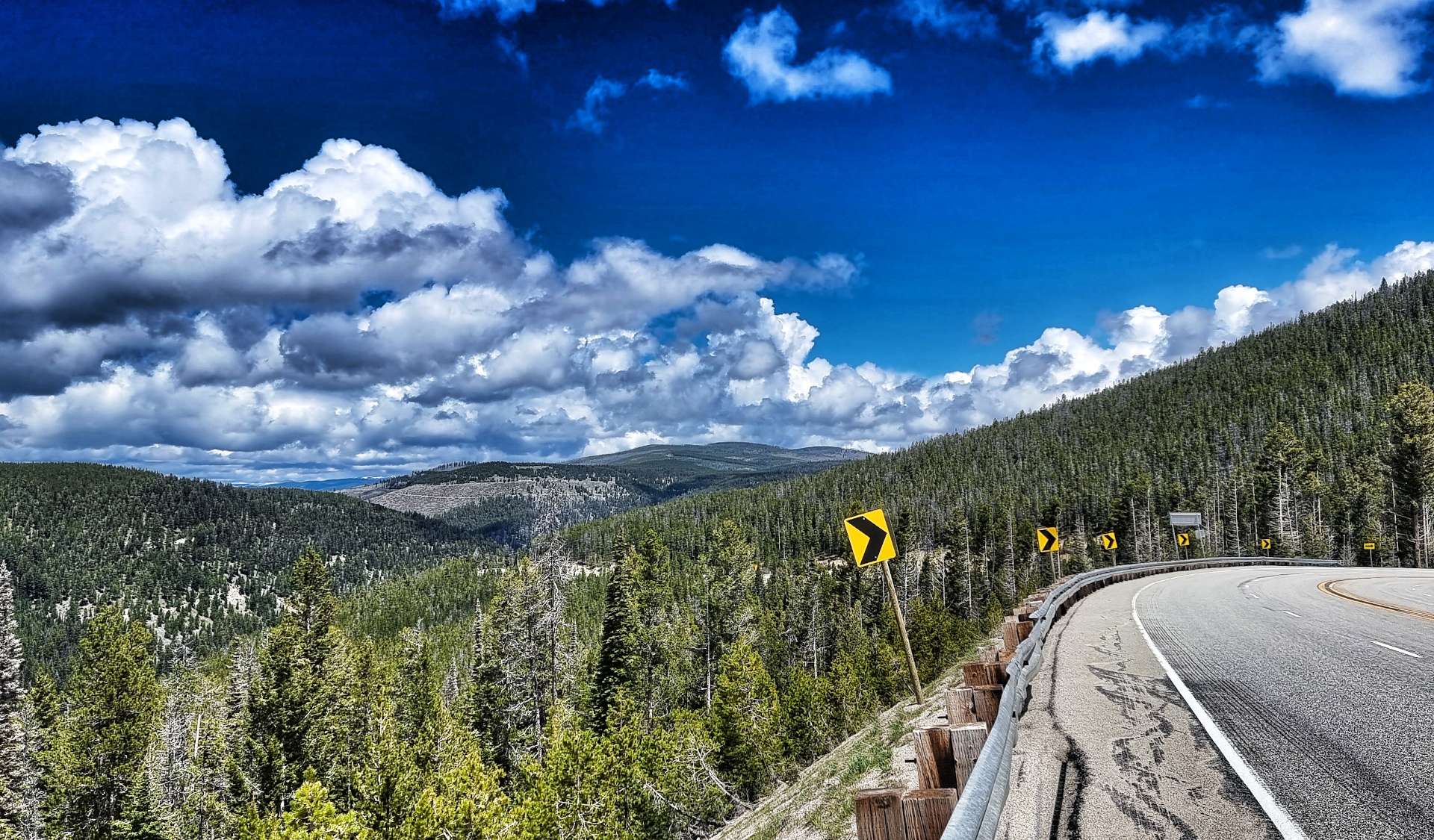
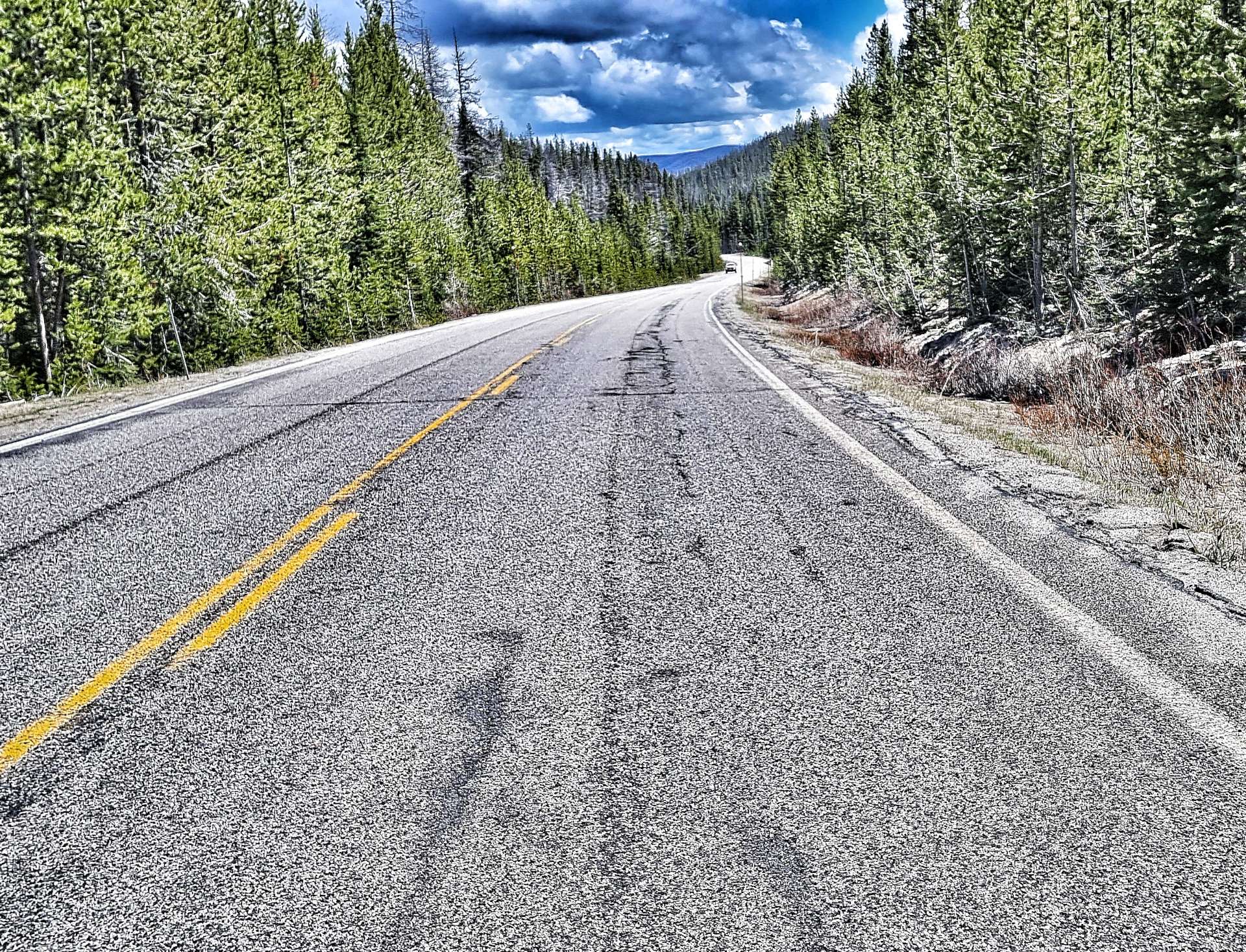
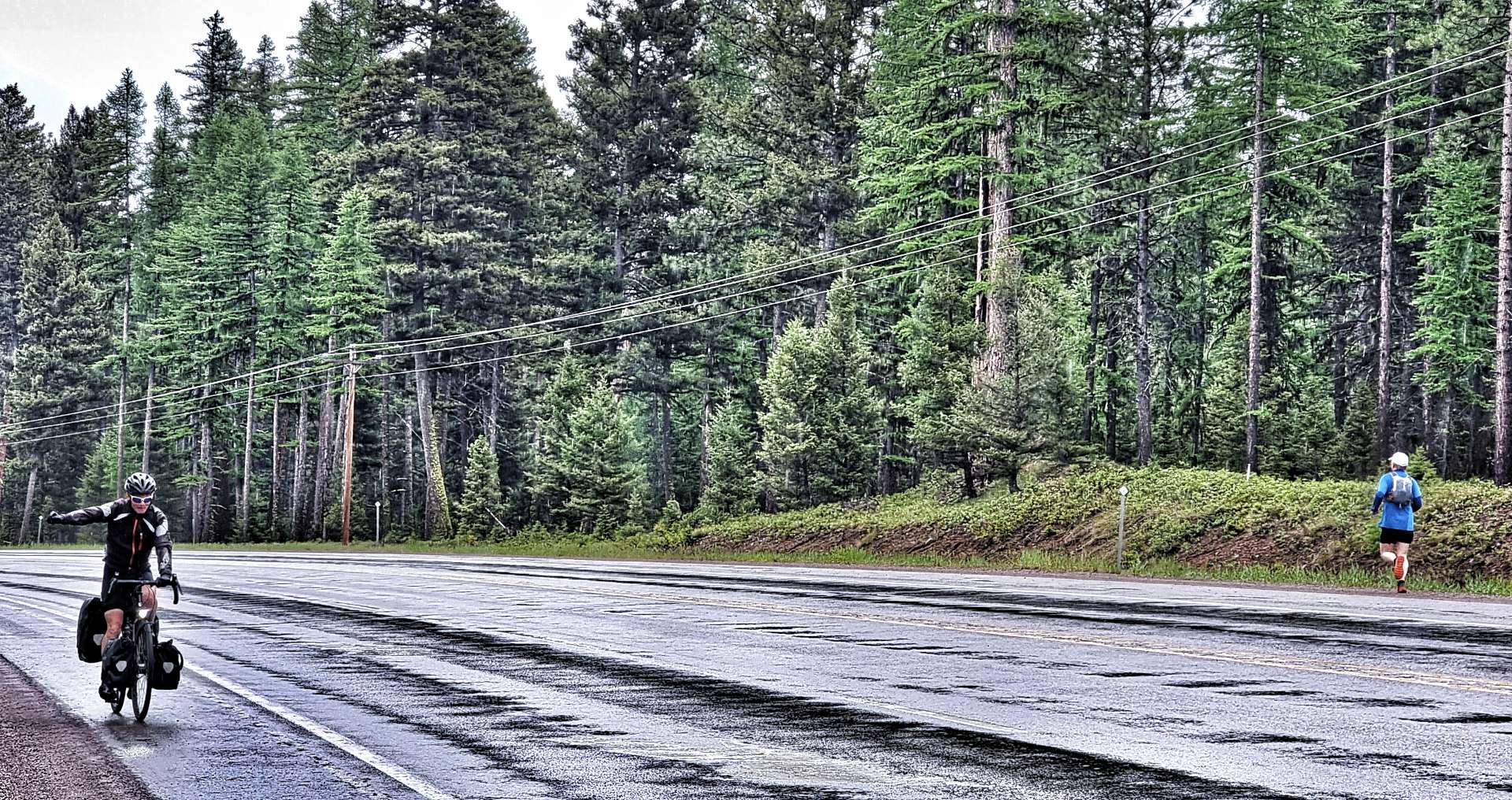
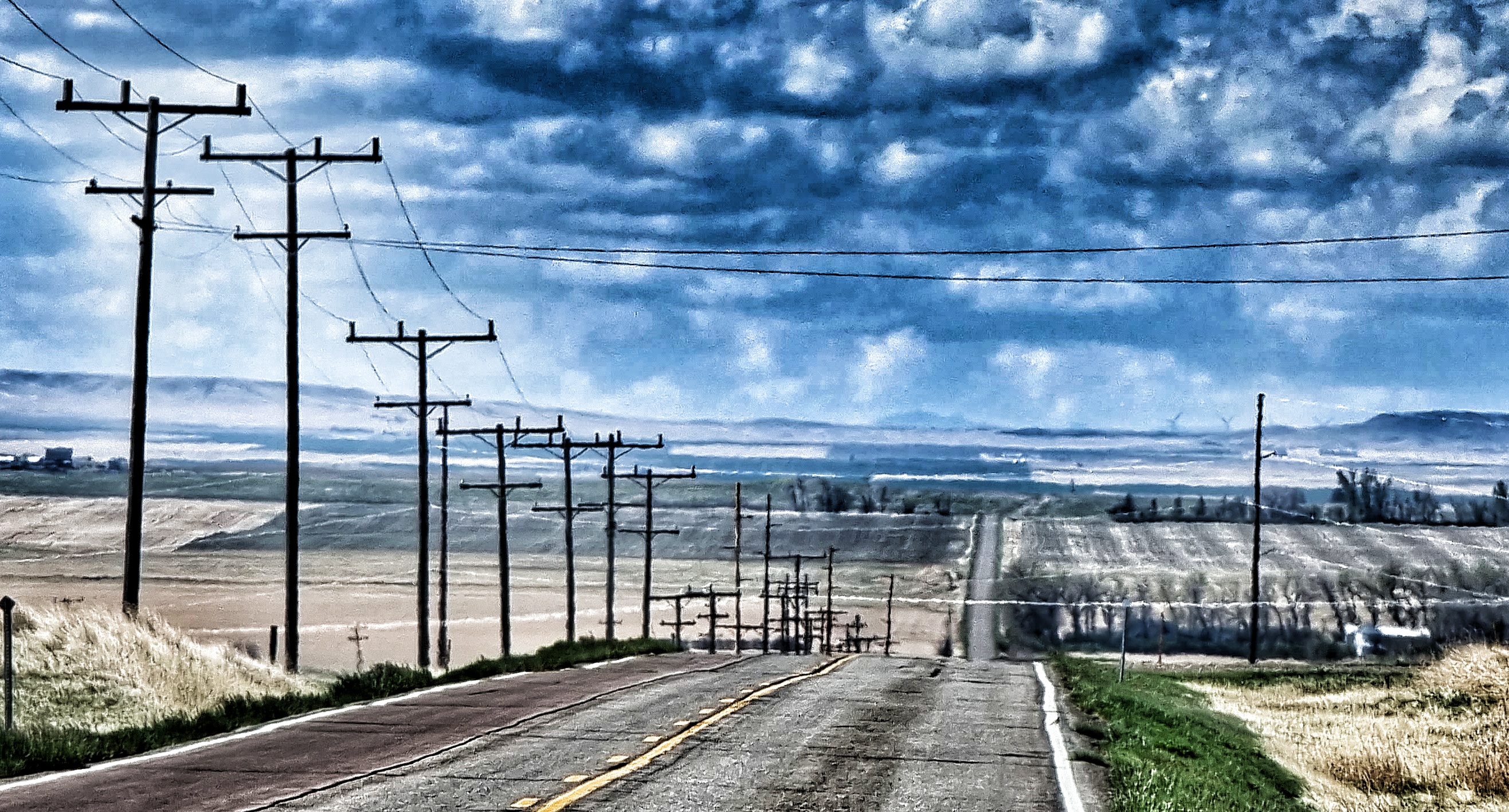
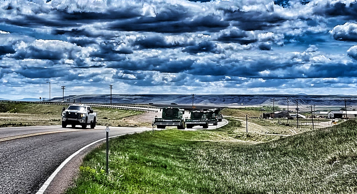
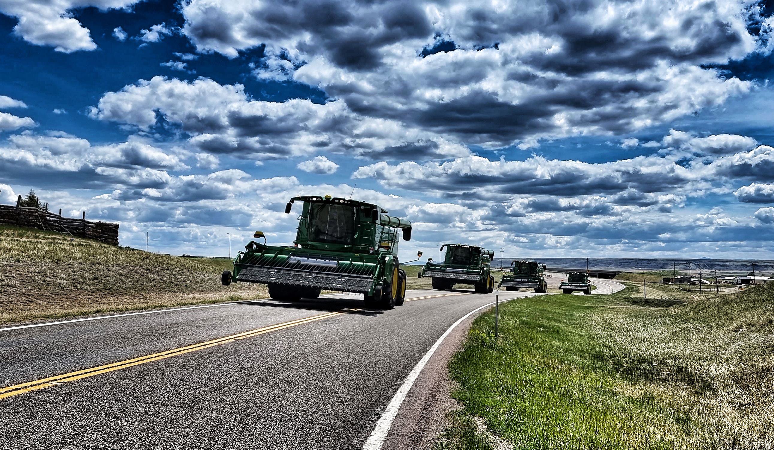
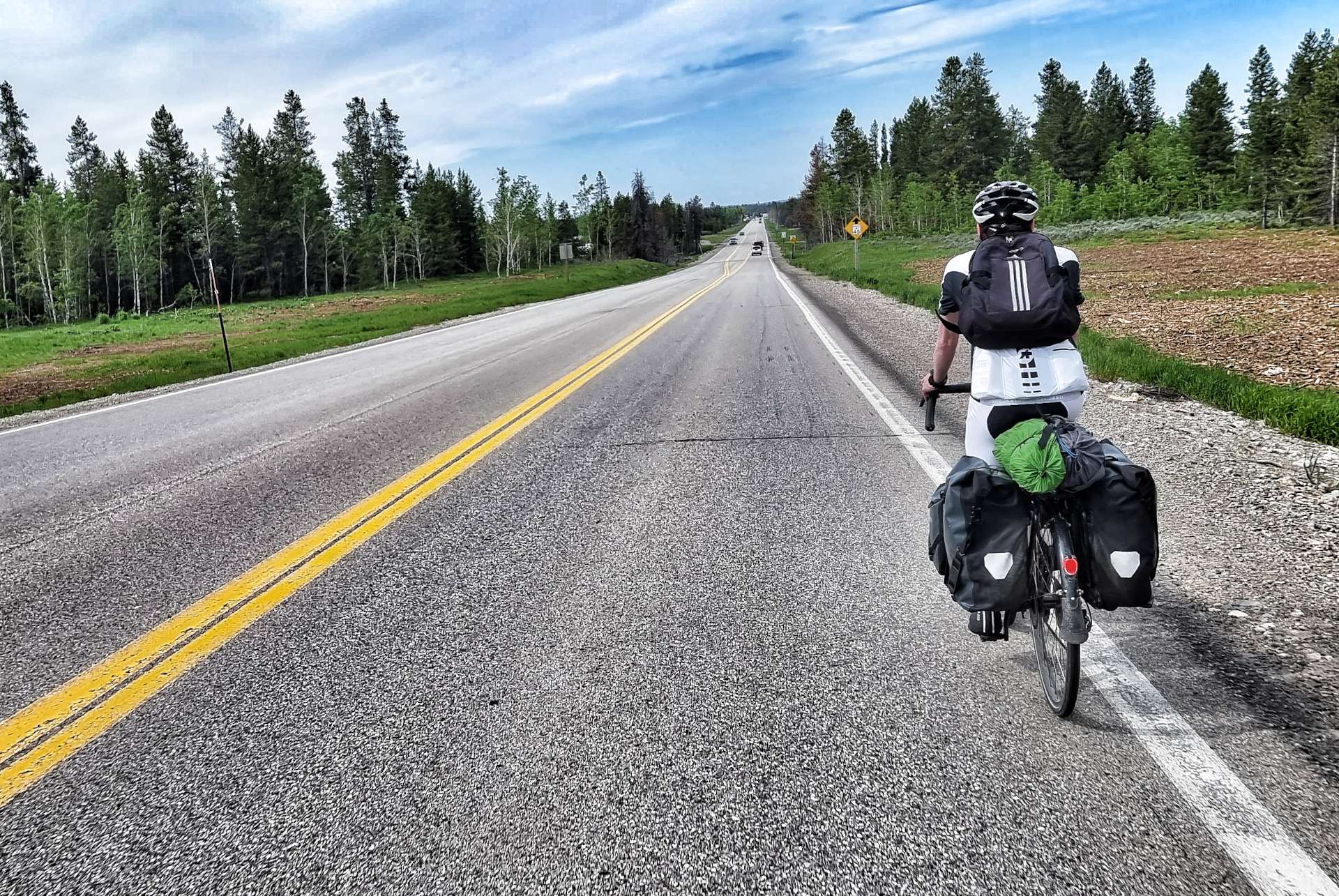
My only disappointment with Highway 20 was the narrow shoulder in places – there were a few close passes which also included those same drivers Rolling Coal over us (a term used to describe when a driver blows a pile of thick smoke from their exhaust over cyclists). We generally cursed under our (polluted) breathes & simply carried on!


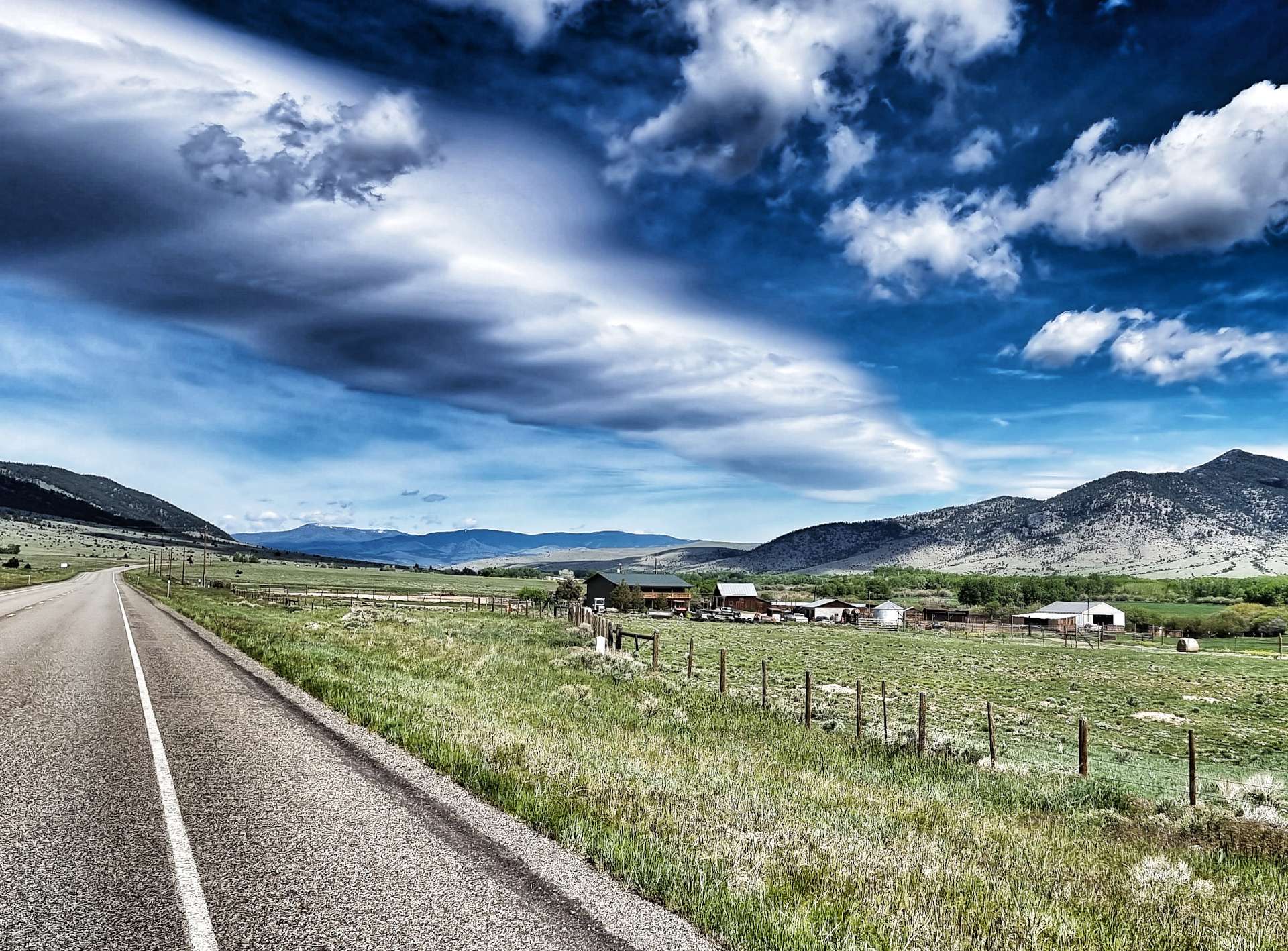
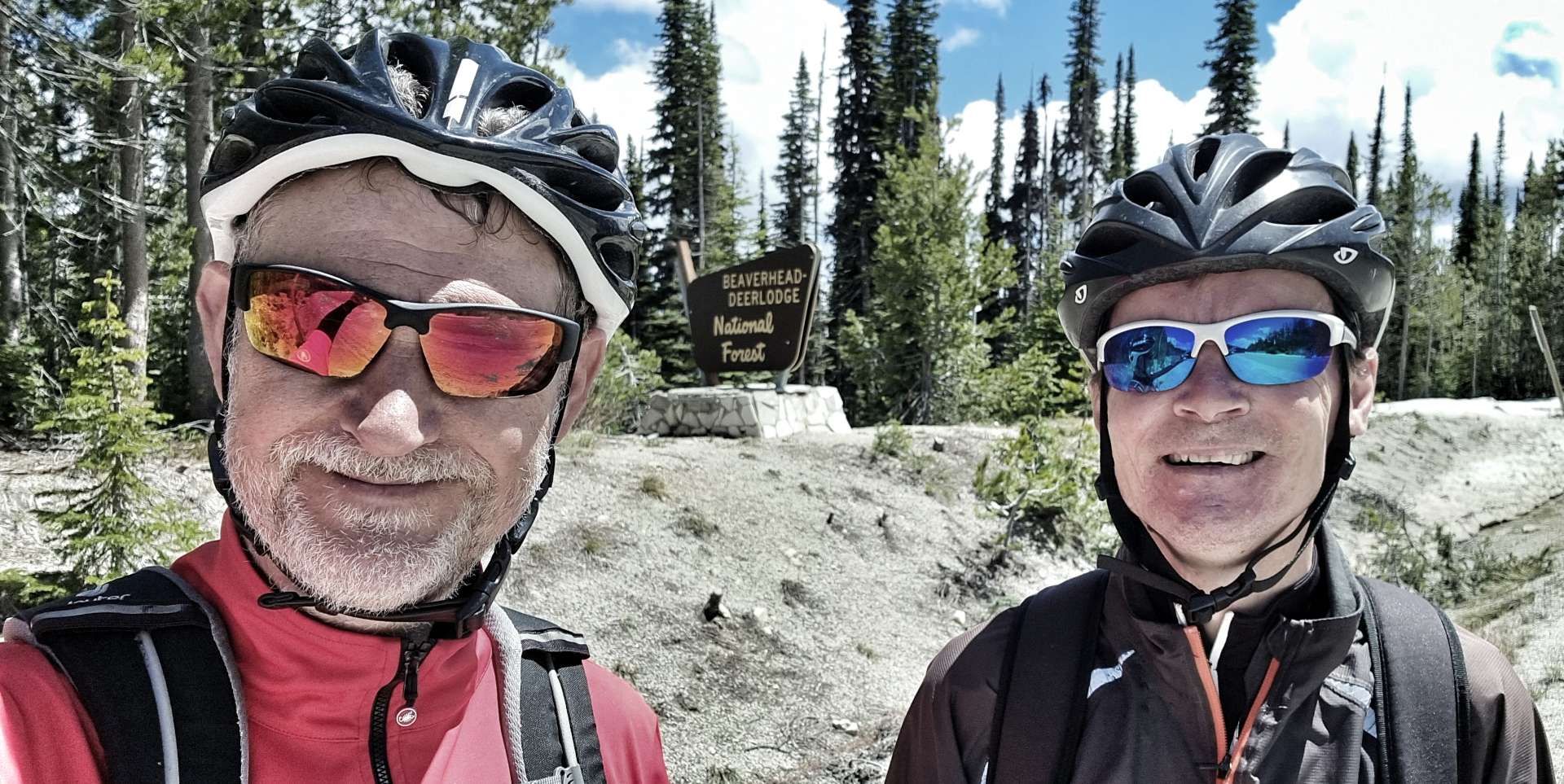
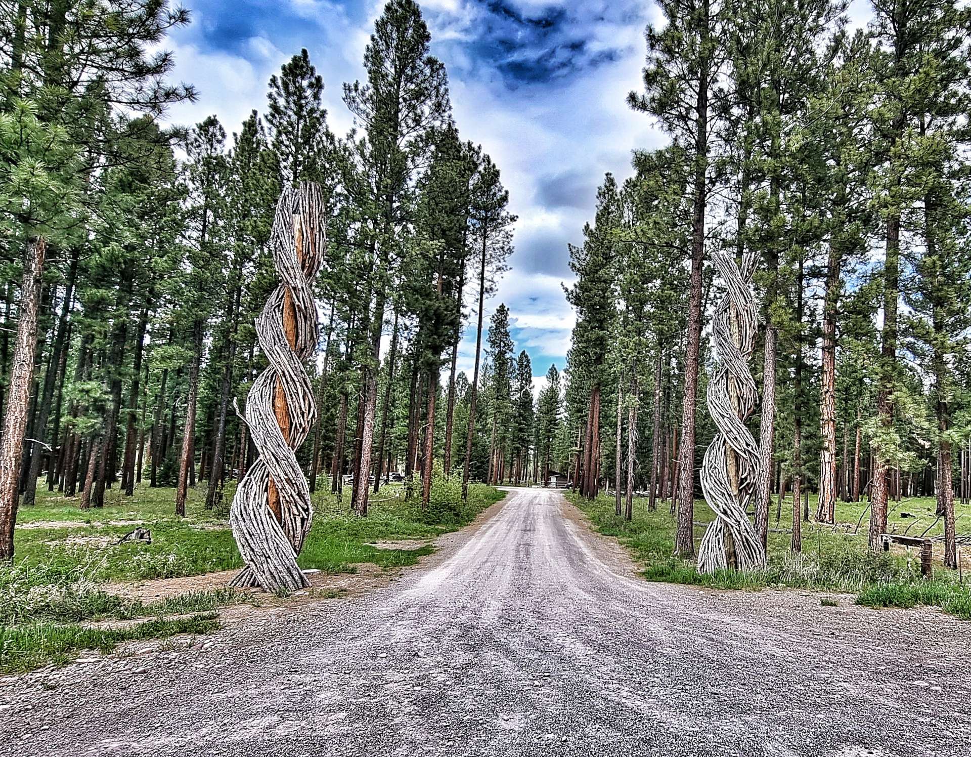
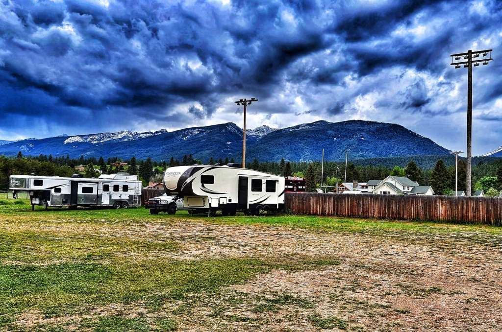
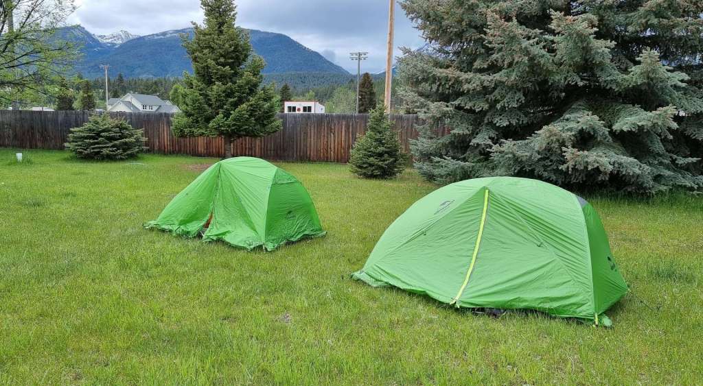
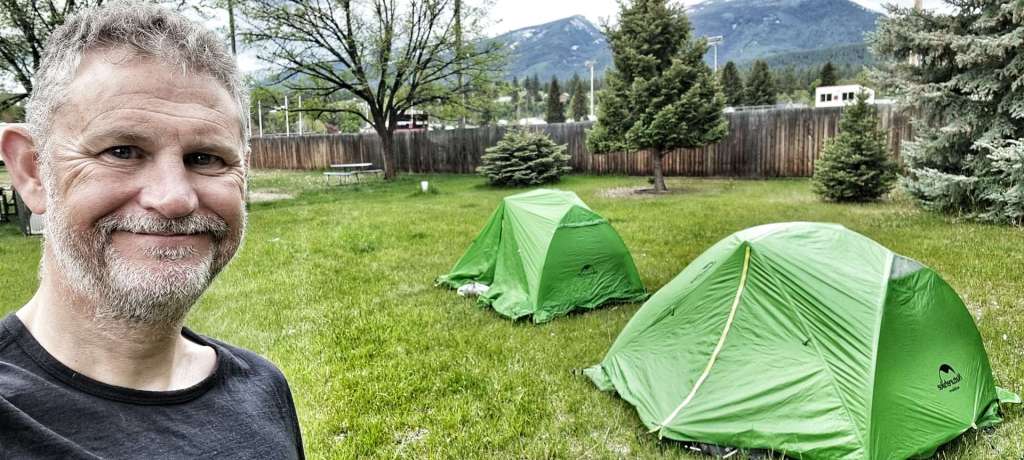
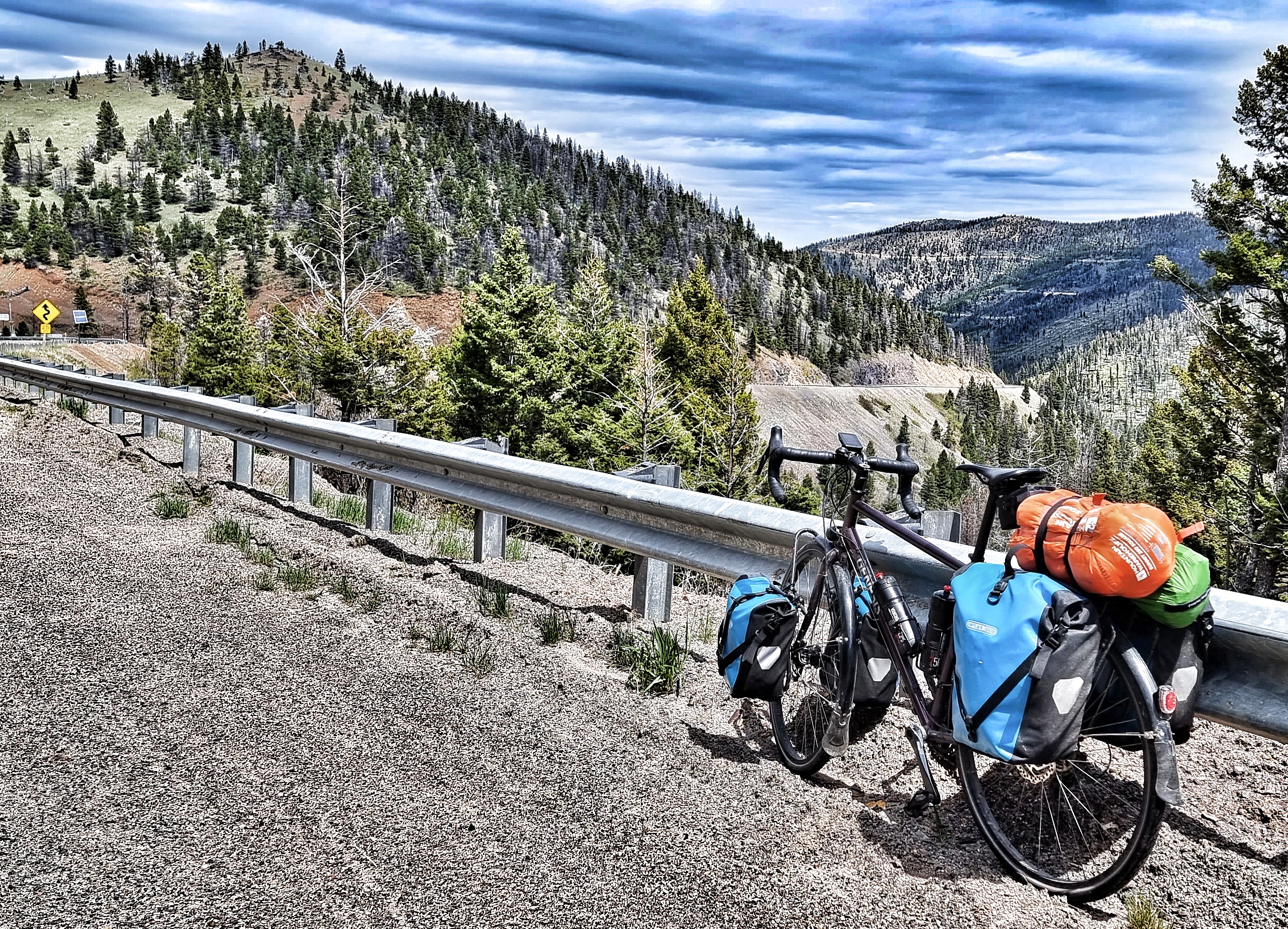
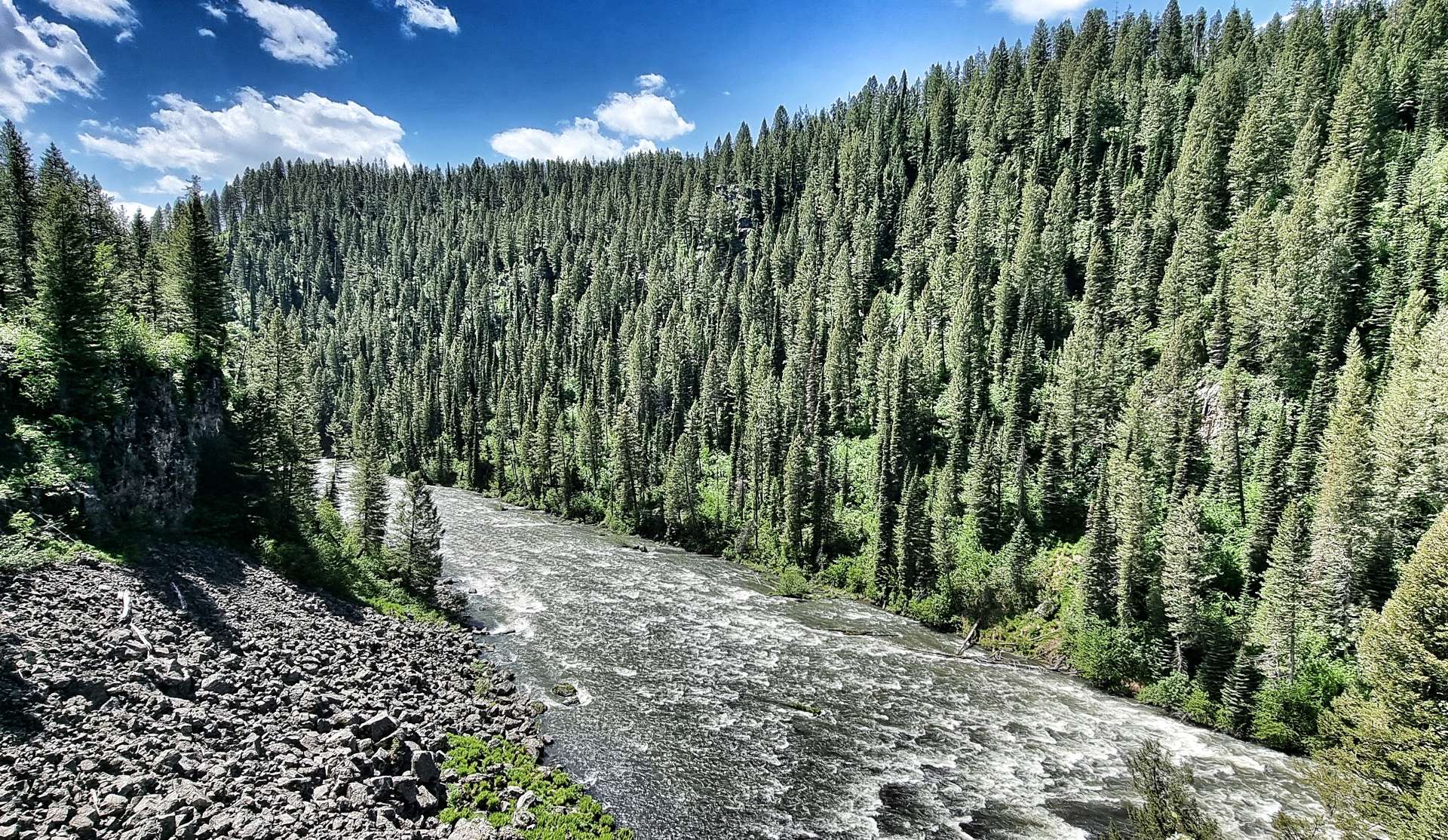
Arriving at Buffalo National Forest, we were welcomed by Helen the campground hostess, who gave us the happy news that our National Park Passes entitled us to a 50% discount on the cost of our campsite. We had our tents pitched in less that 20 minutes, had a snack & generally relaxed in our peaceful surroundings (although we both commented that we could hear the traffic). The campground shower block wasn’t yet open for the season, but even so, we were happy with our site, considering it was $10 between us!
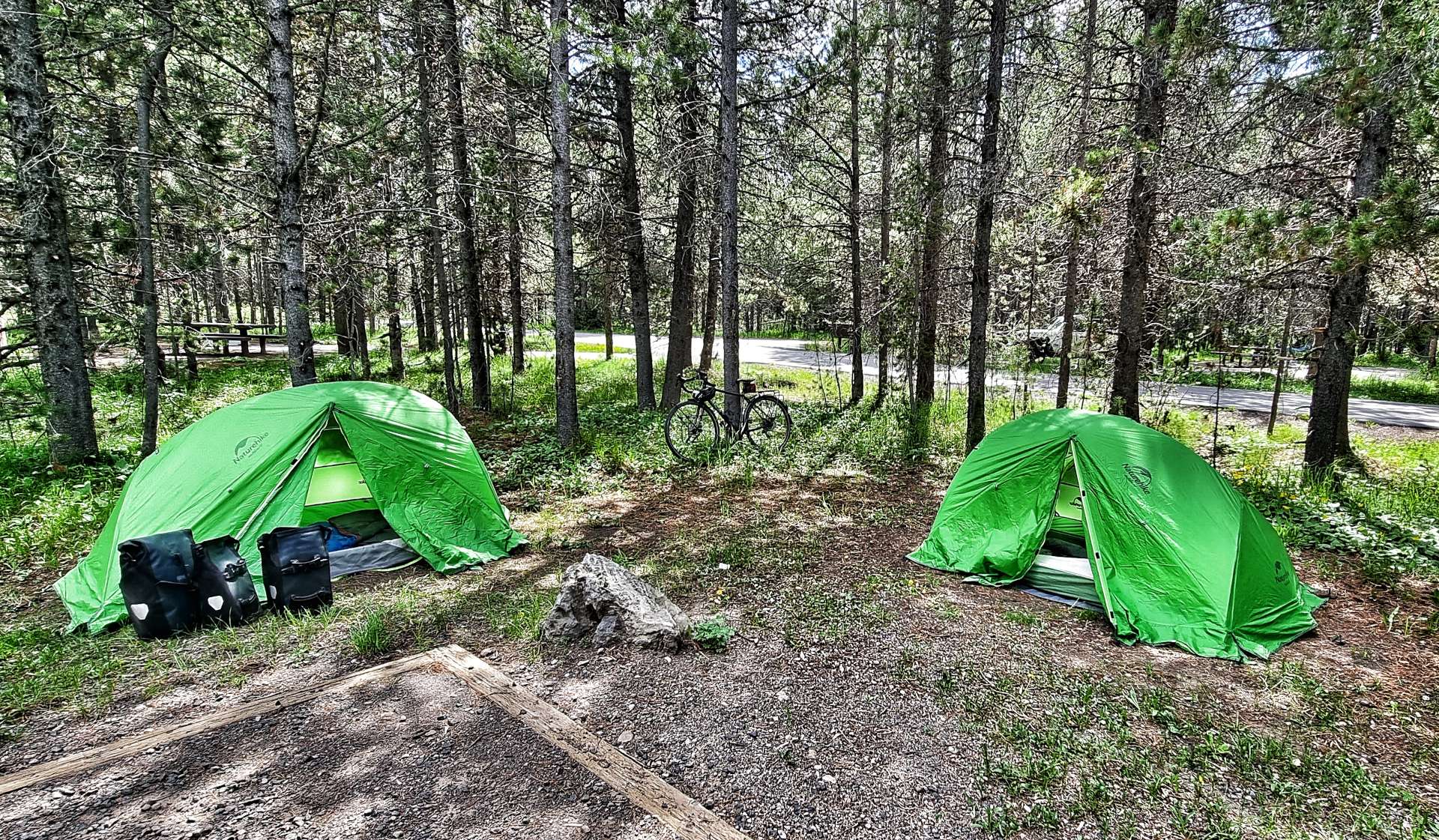
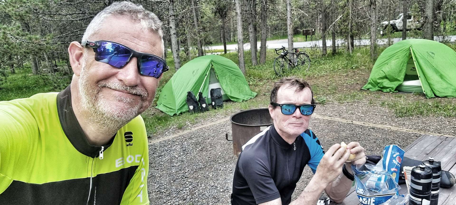
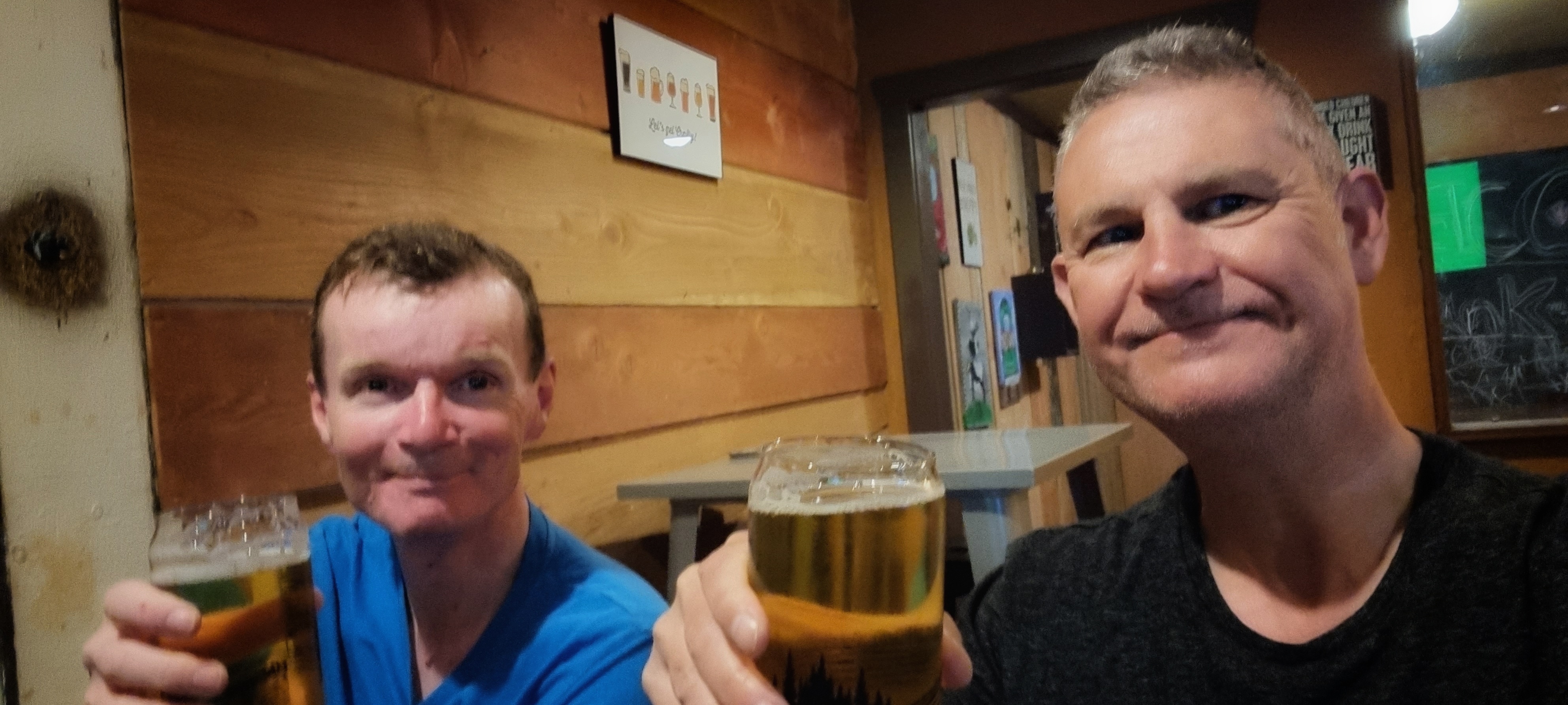
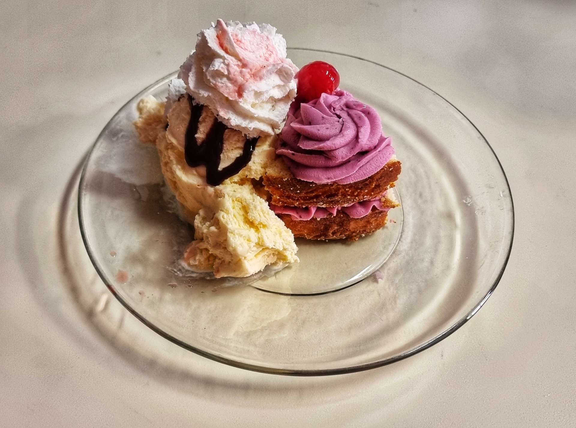
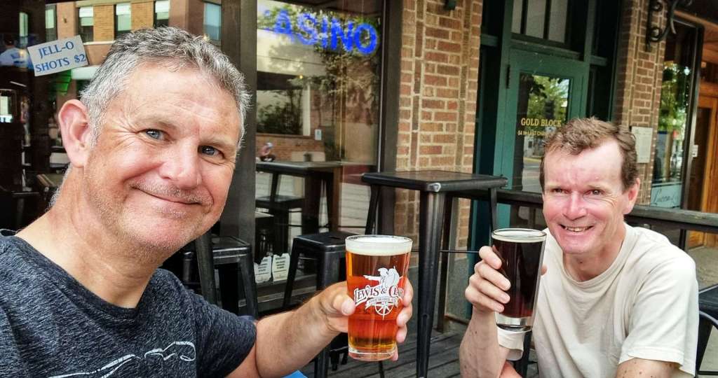
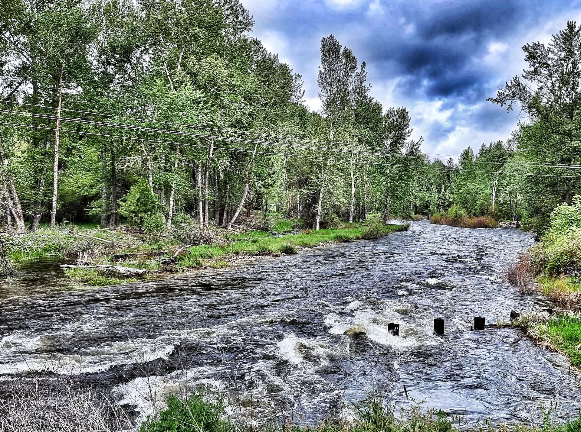
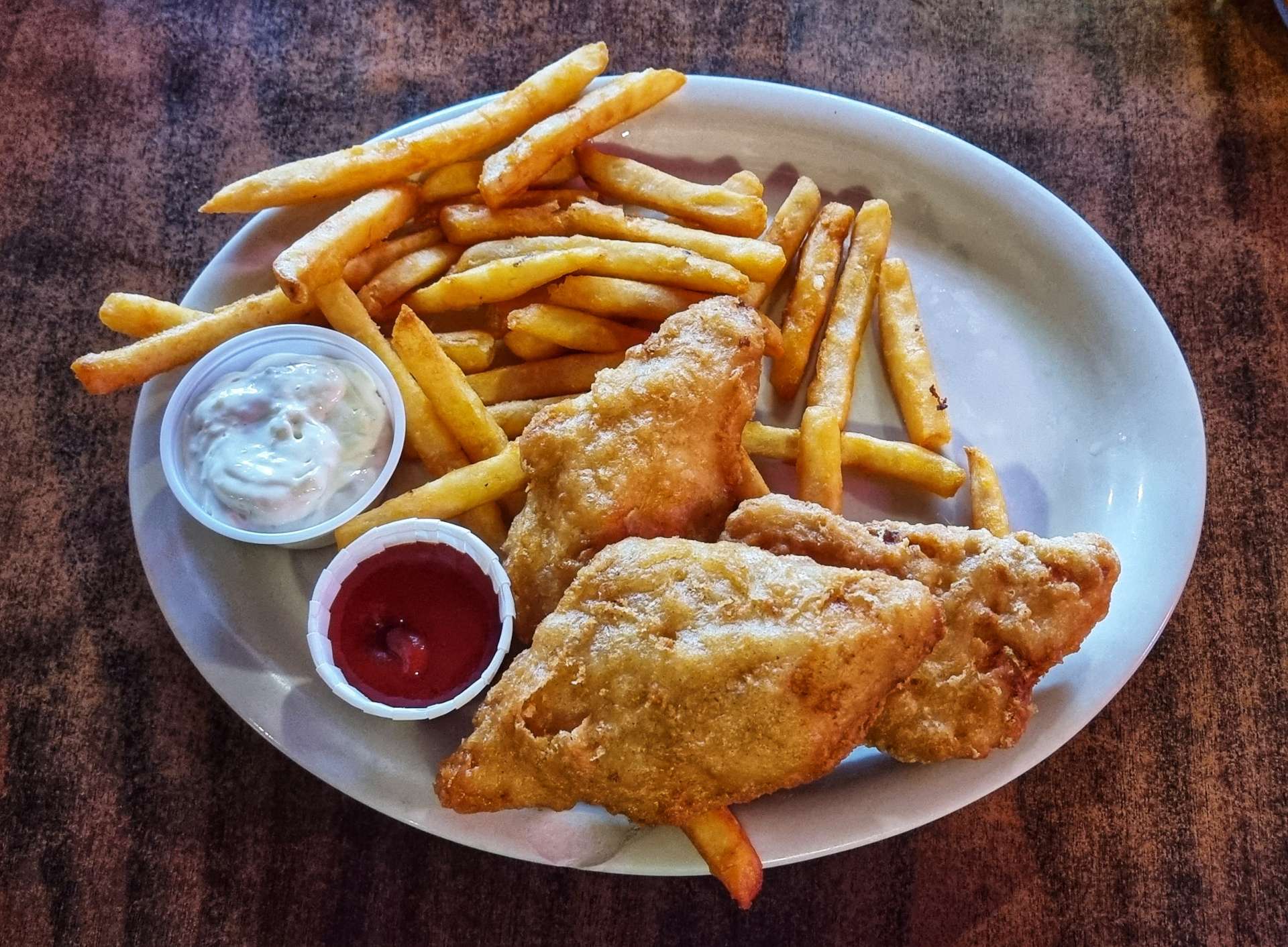
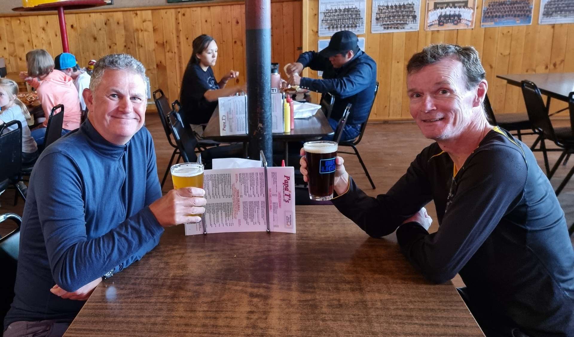
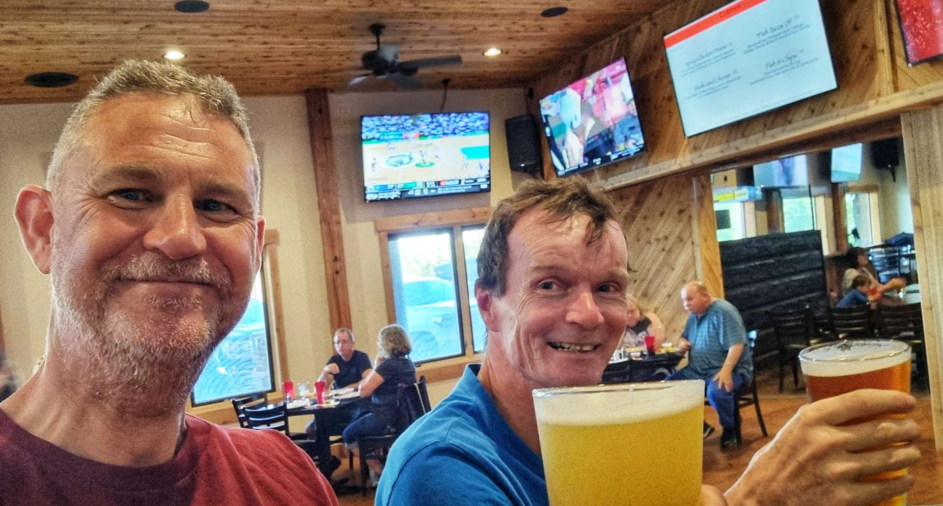
We took a stroll around the campground & down to the nearby river, before walking over to Ponds Lodge for a lovely dinner of chicken pasta & a pint.
Upon our return to the campground, we had to put all our food & wash kit into the bearproof lockers for the night. As we sat chatting at our picnic table, I realised that the local mosquitoes had taken a liking to British meat & were feasting on me! It was time to turn in for the night & we learned that the traffic was indeed very close, as it kept us awake for large parts of the night.

Stage Stats – 40 miles, 2,024 feet of climbing. Cycling into a nagging headwind for the final 17 miles.
Saturday 18th June – Island Park, Buffalo Campground to Ashton
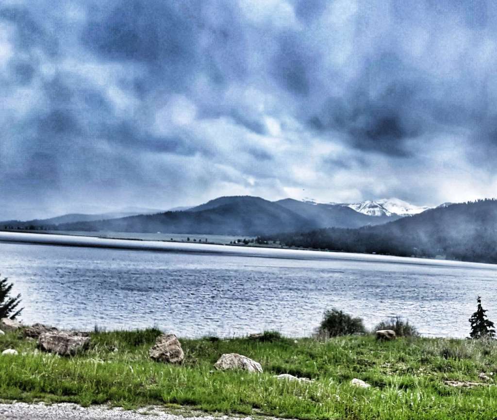
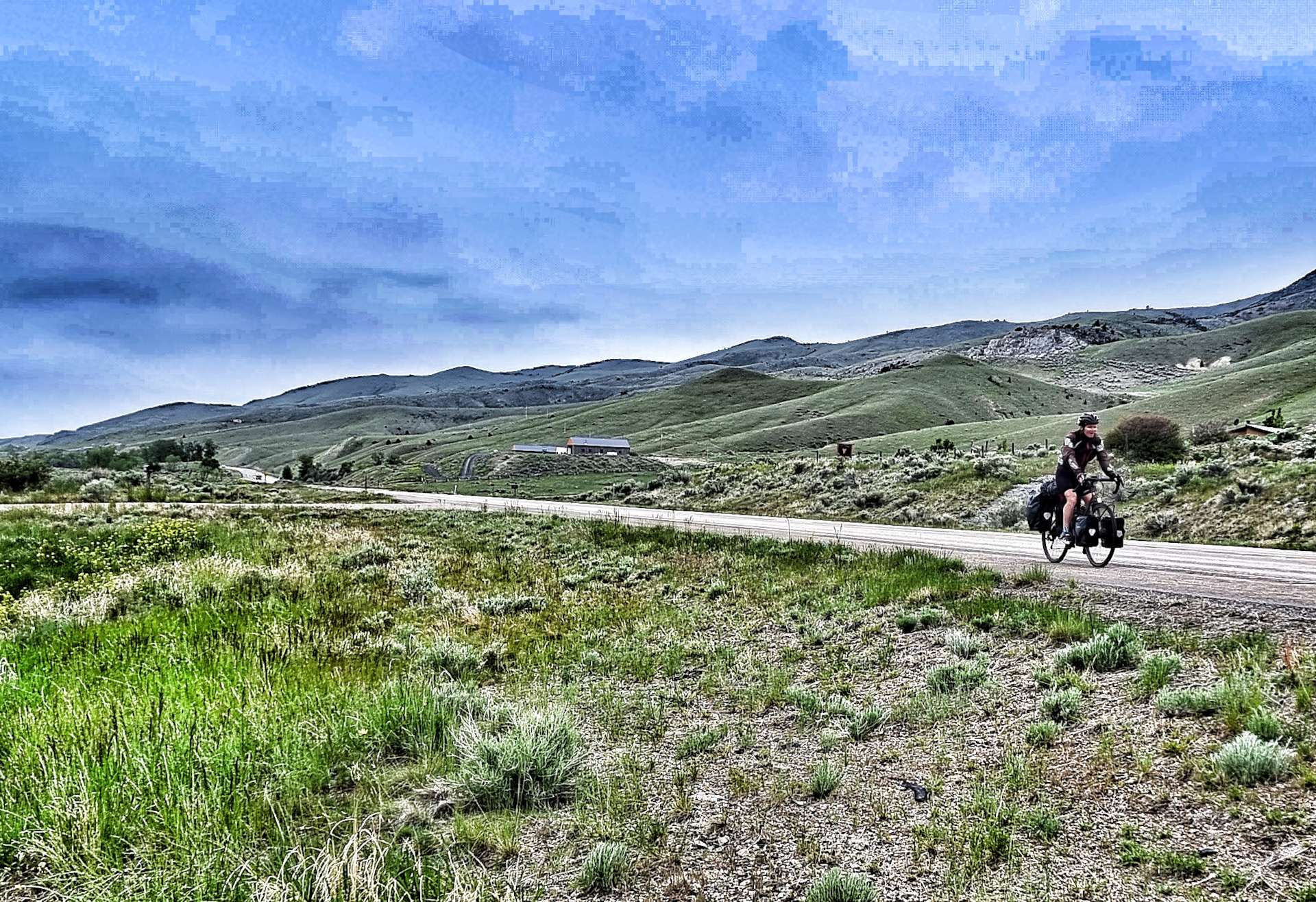
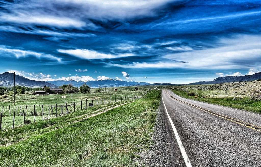
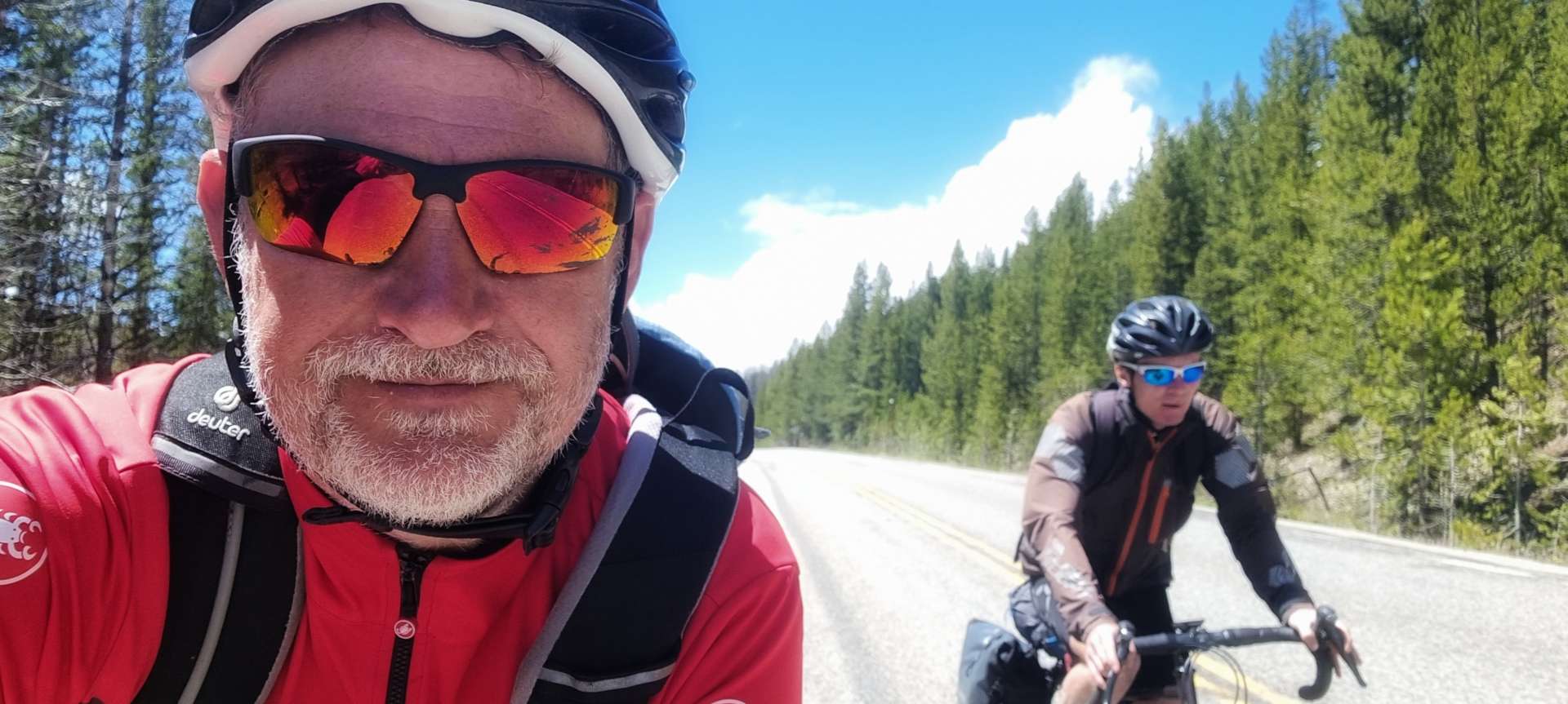
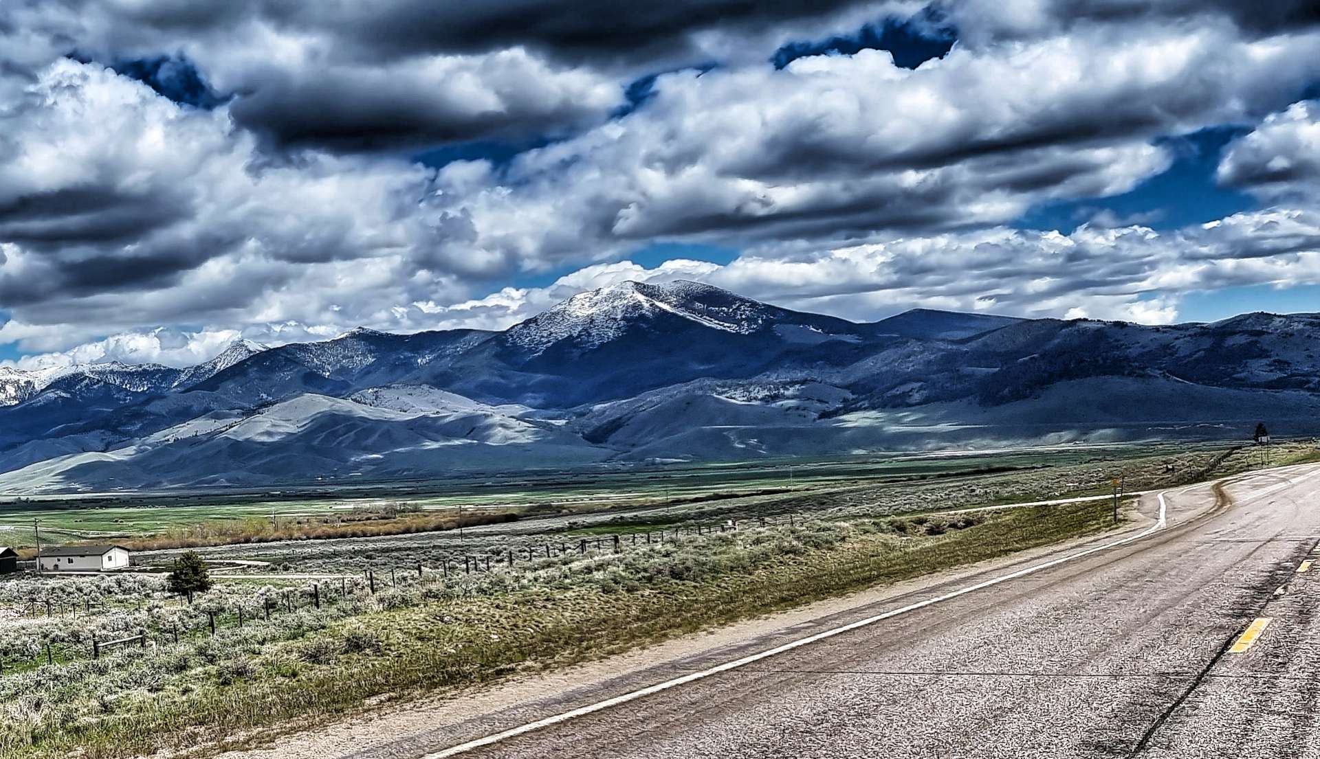
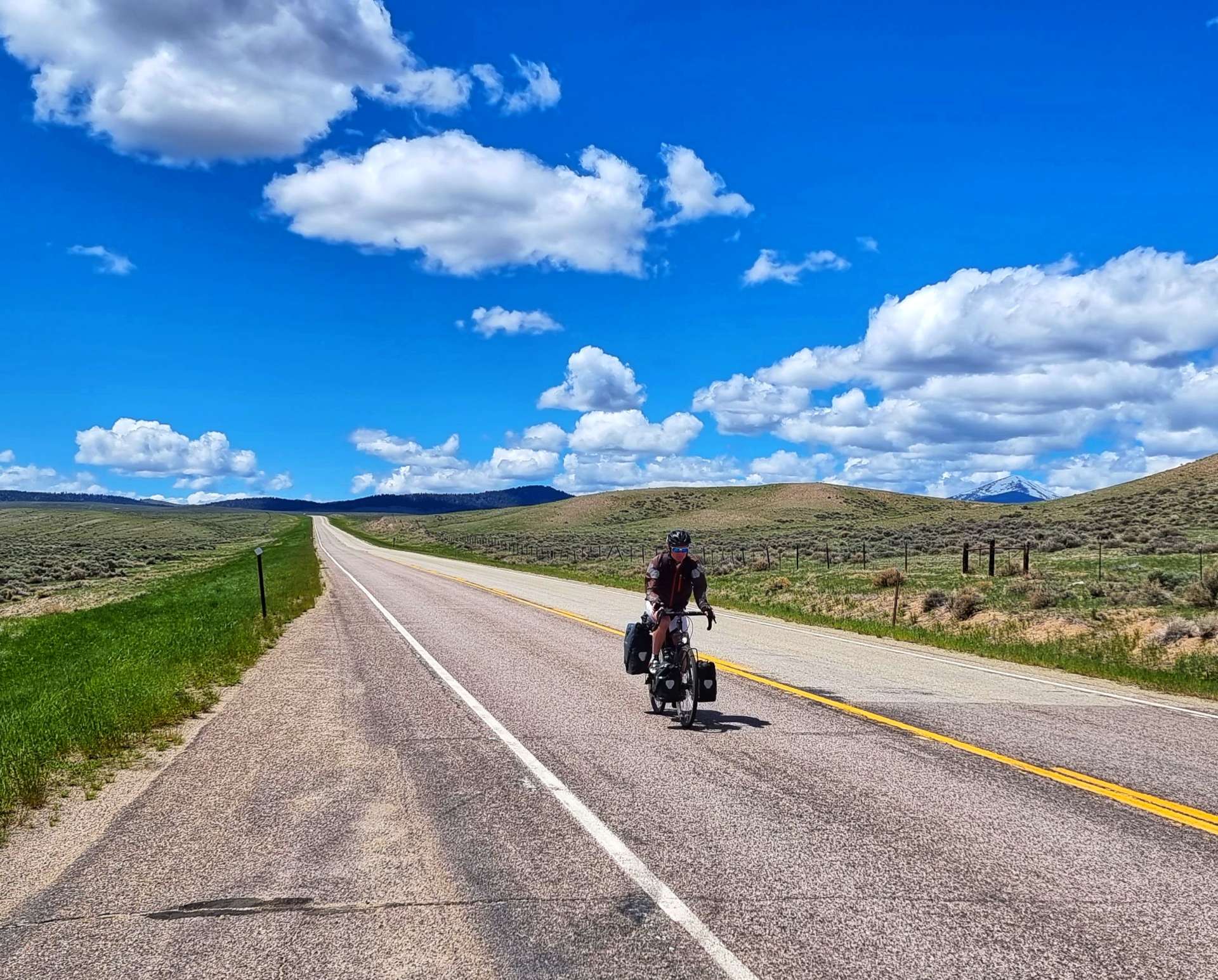
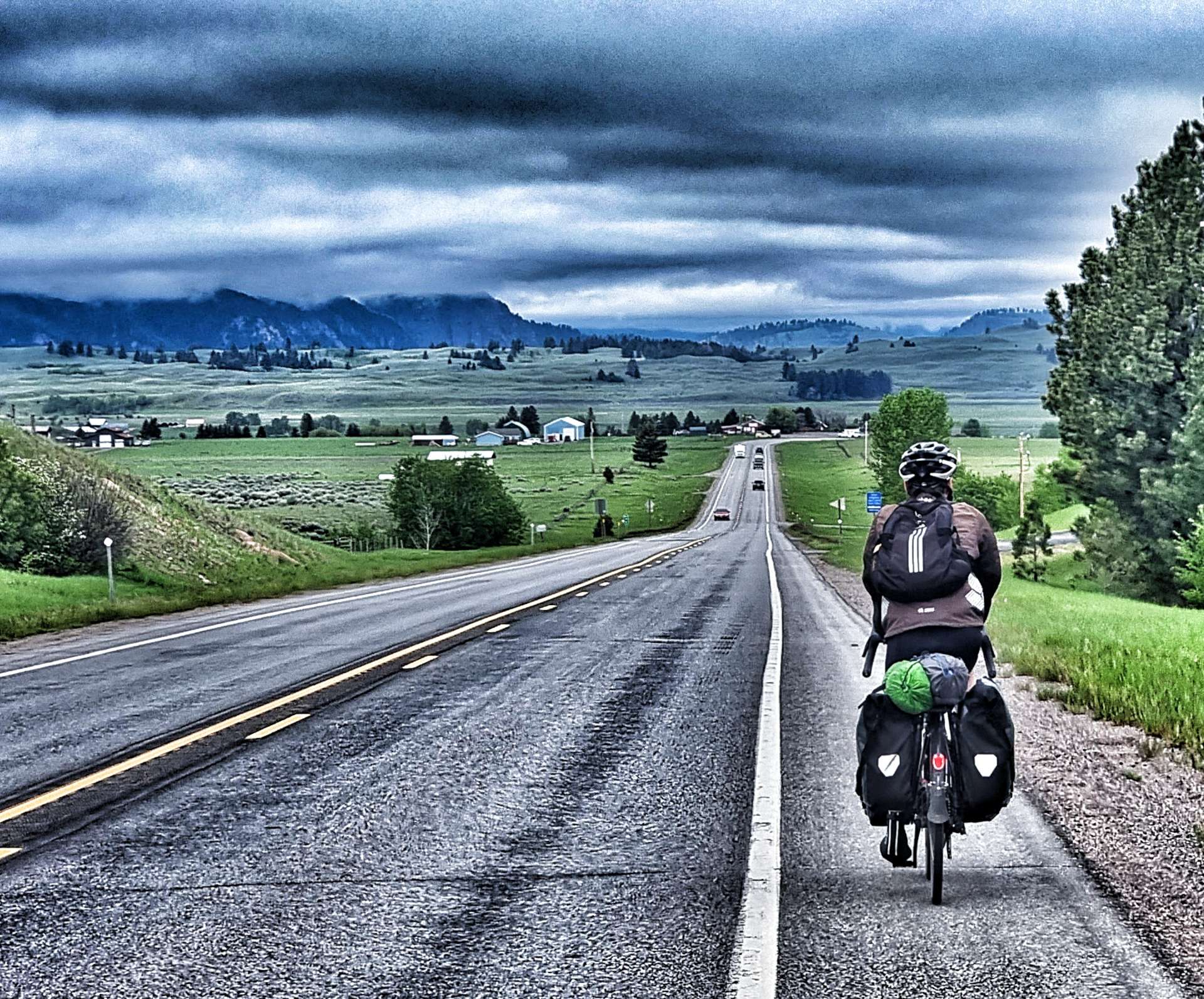
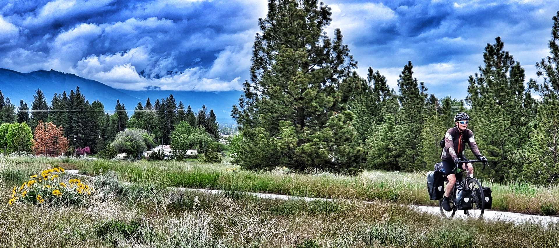
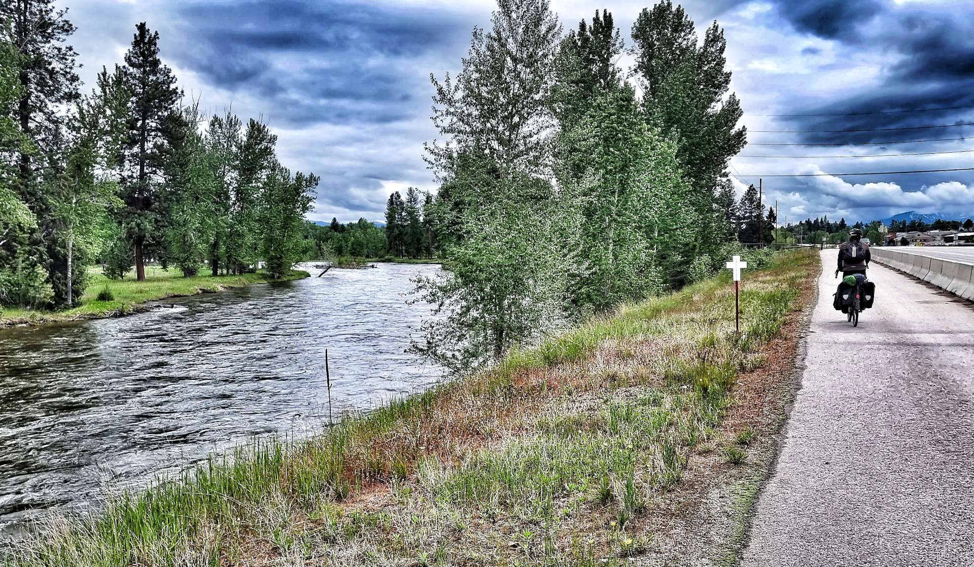
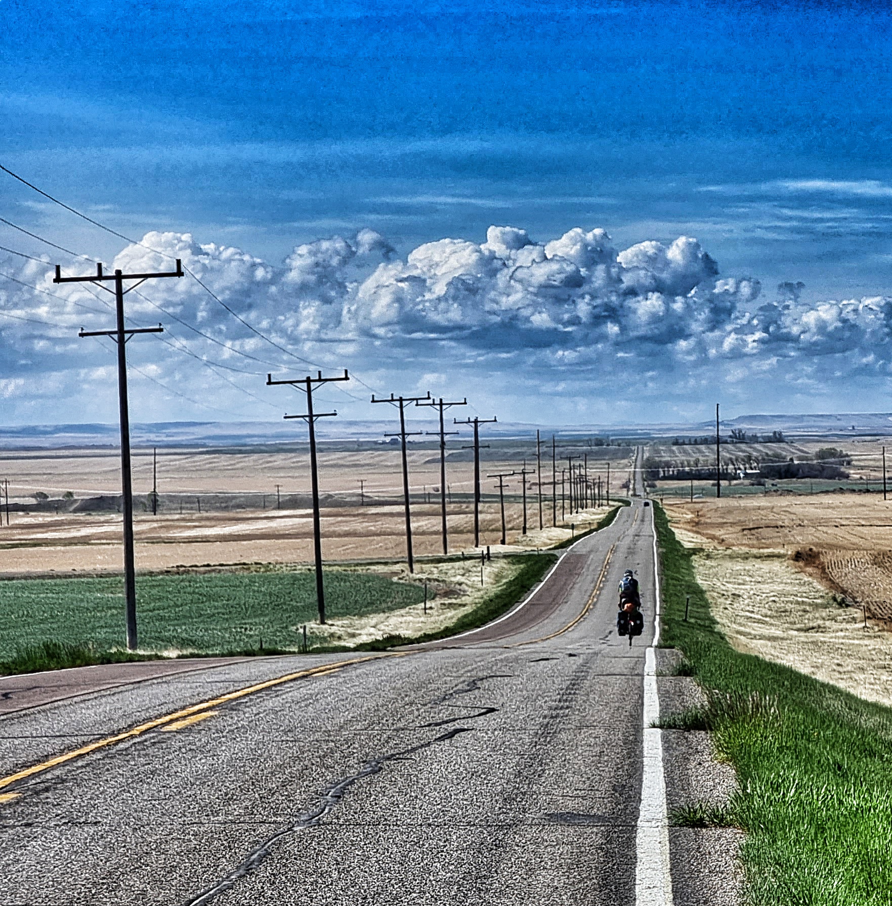
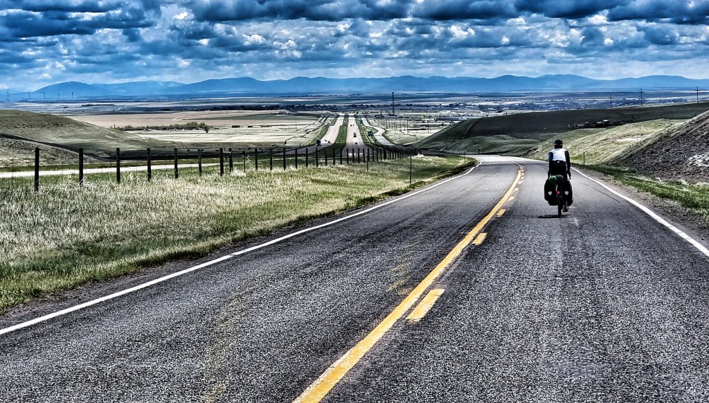
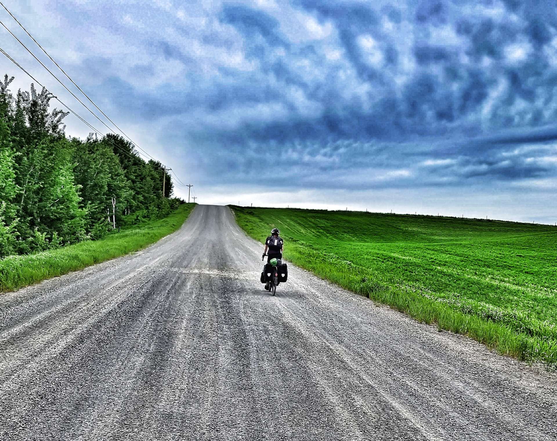
We were both up by 7.30am, so had all our kit packed away & were on the road by about 8.30am. The Gas Station & restaurant weren’t open when we cycled past, so we chose to carry on riding & make do with trail mix if we got hungry. The early start meant that the narrow shoulder wasn’t an issue today, so we could simply enjoy the huge views as we continued on through Island Park for another 8 miles (making 25 in total)!! A long Main Street after all.
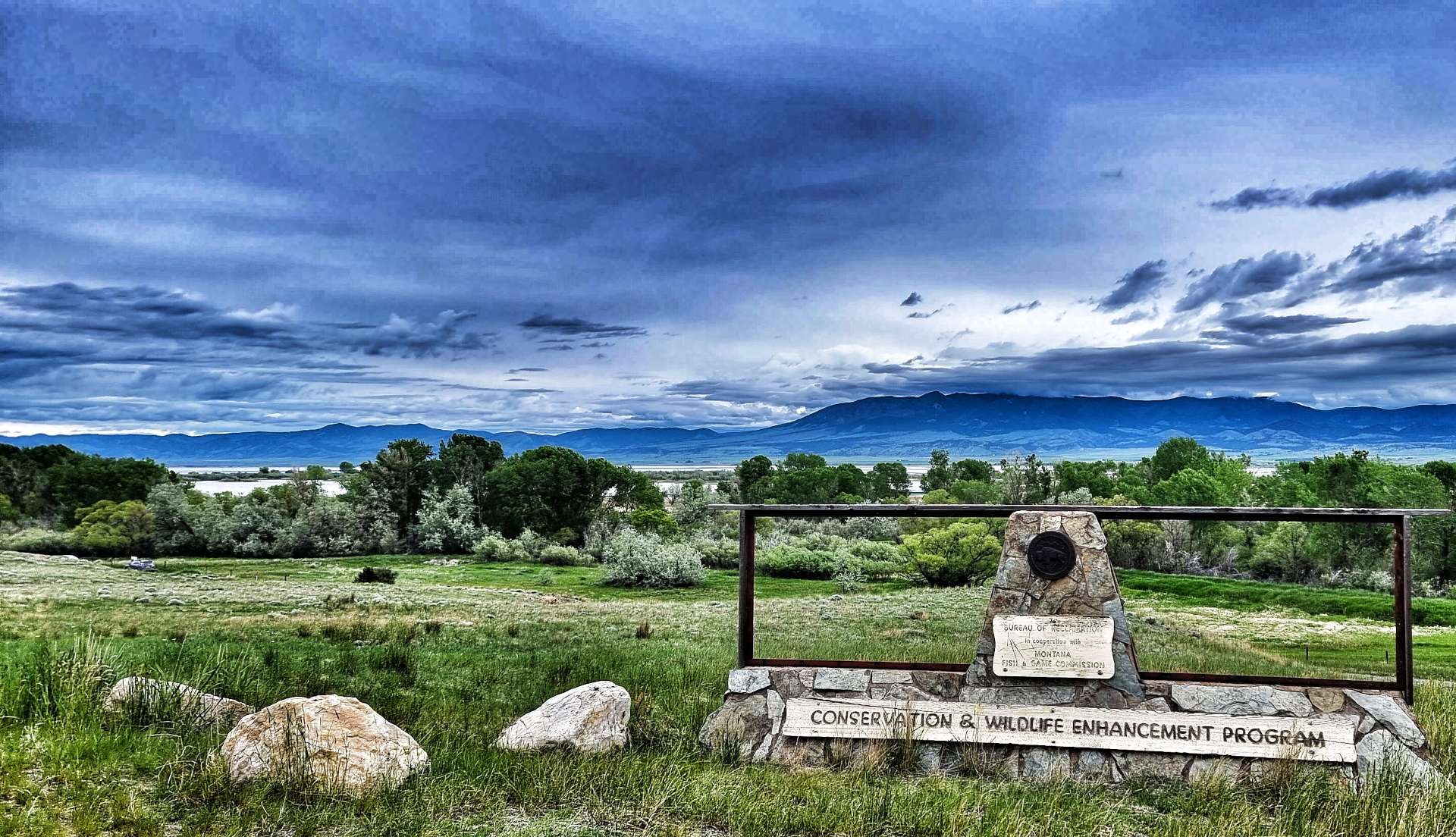
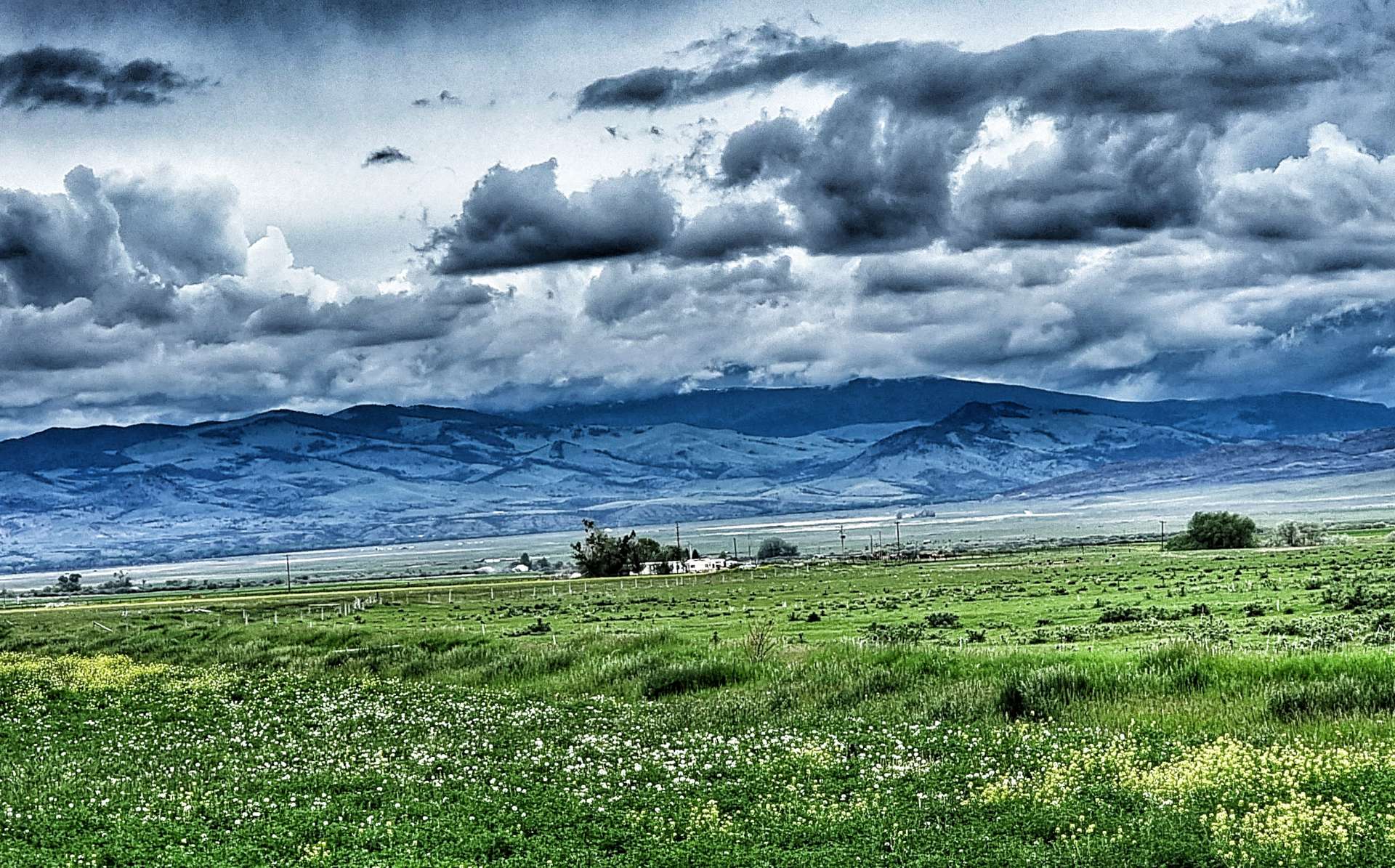
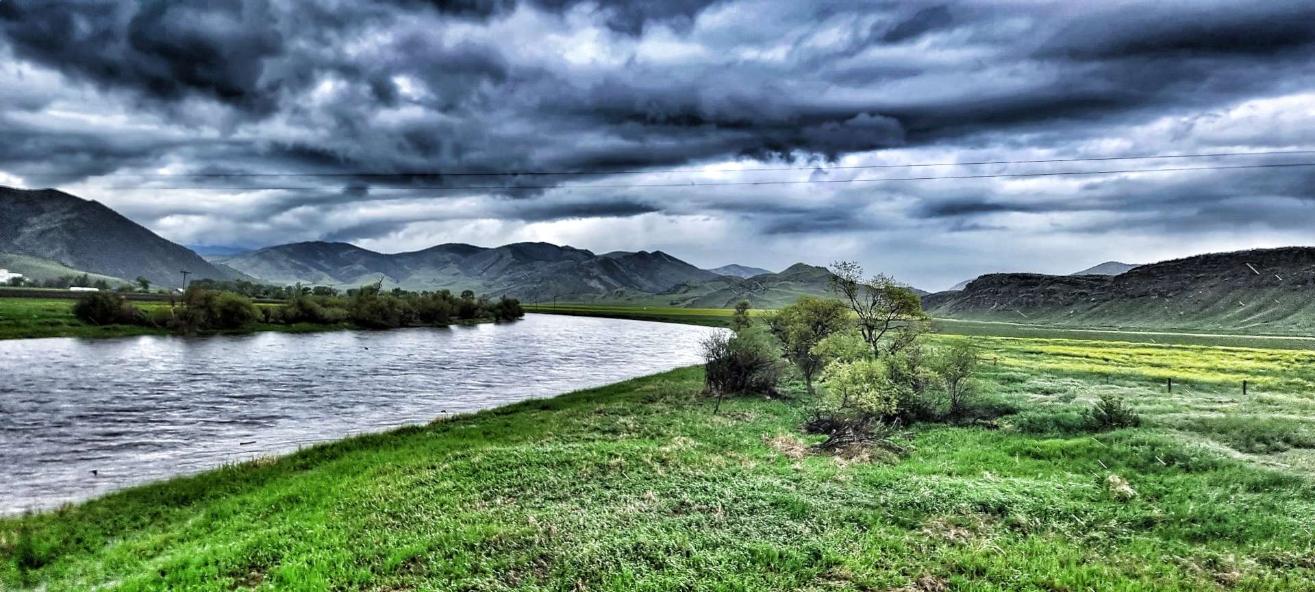
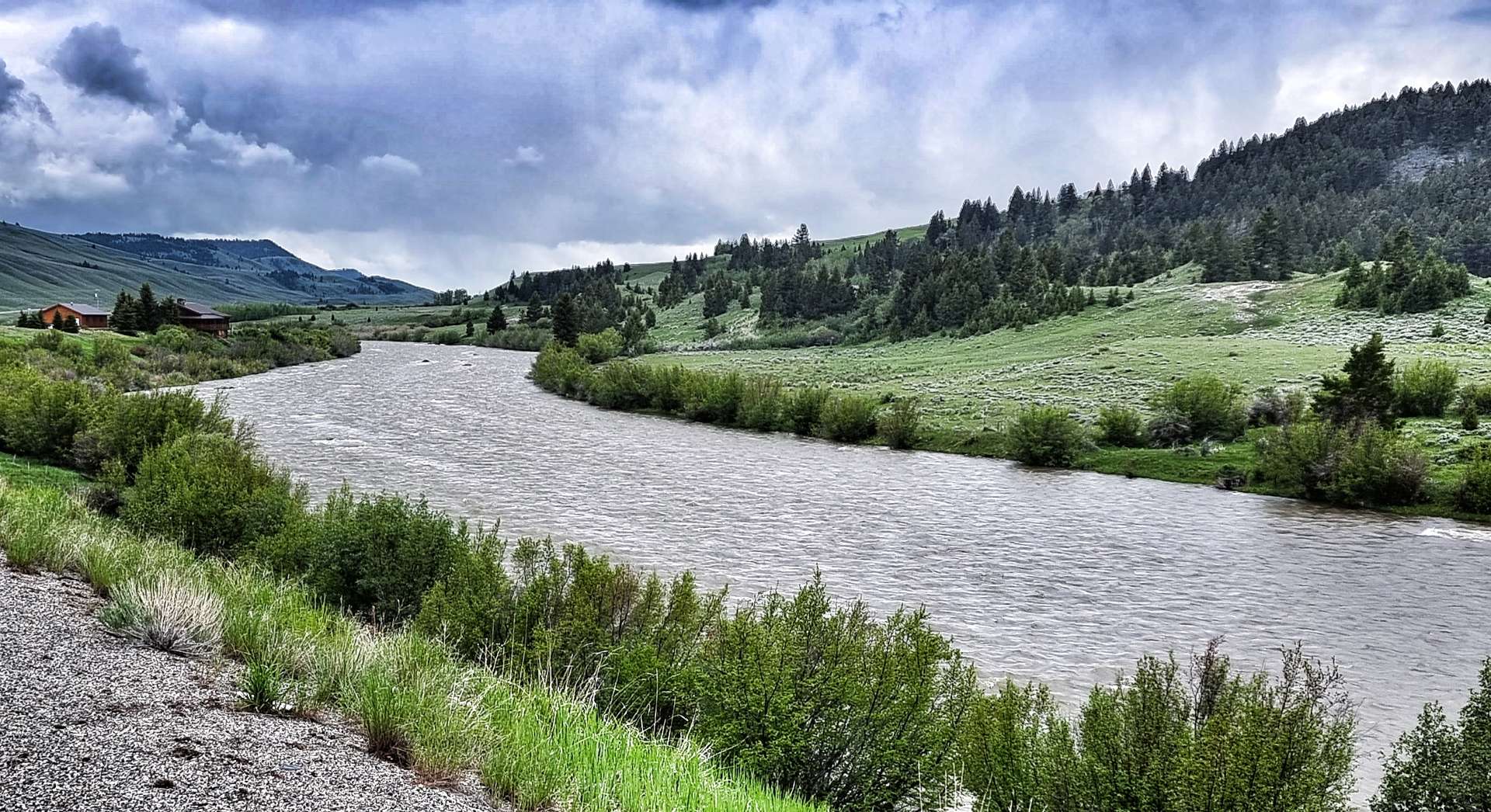
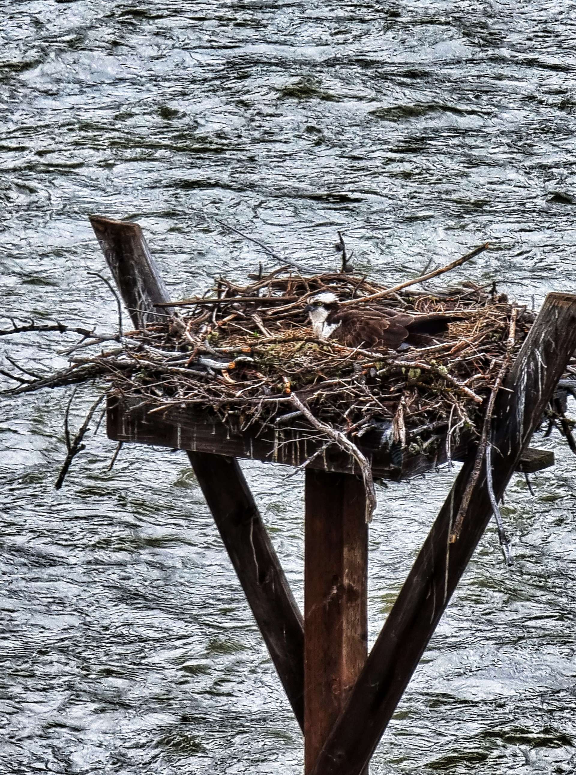
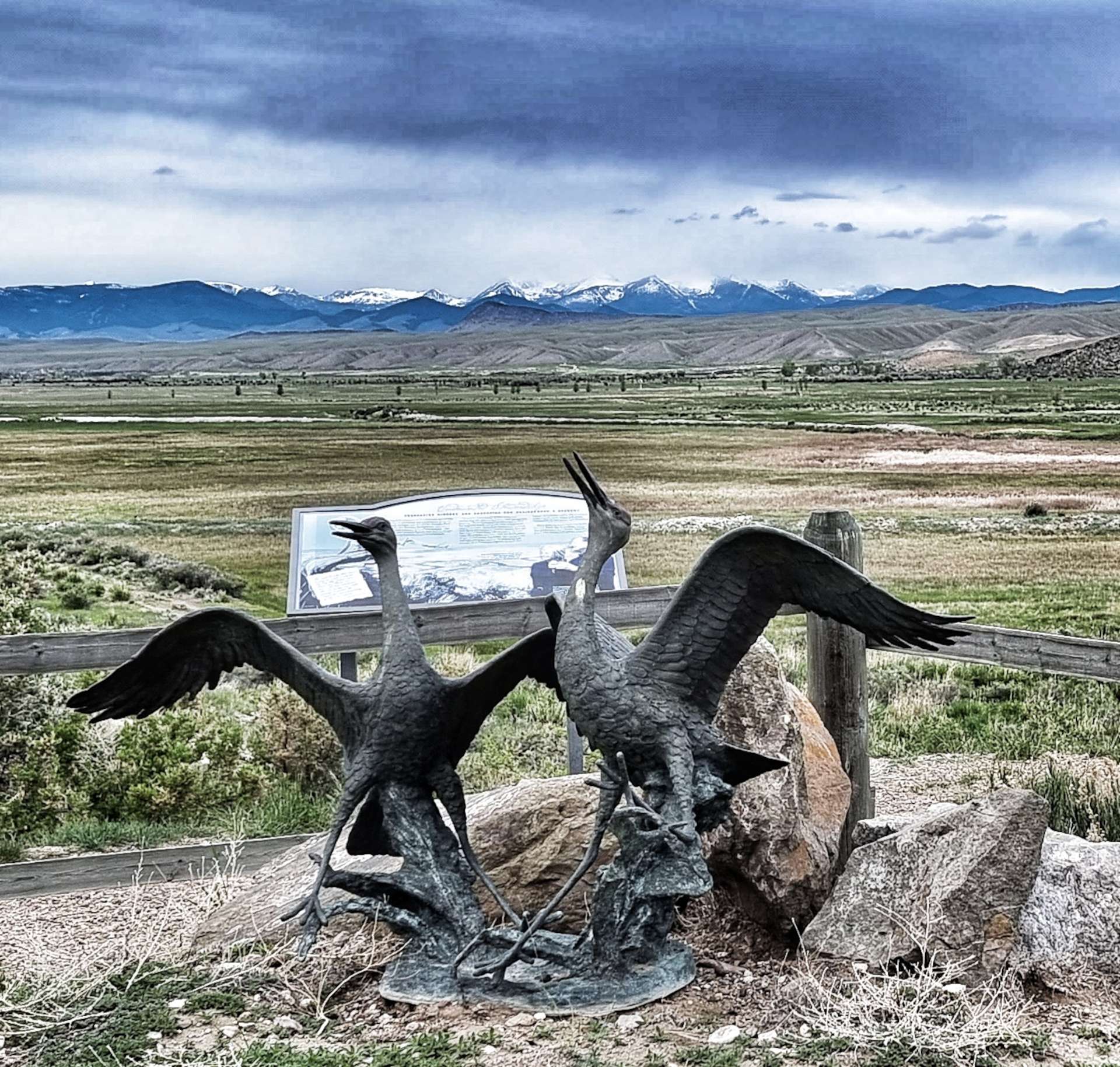
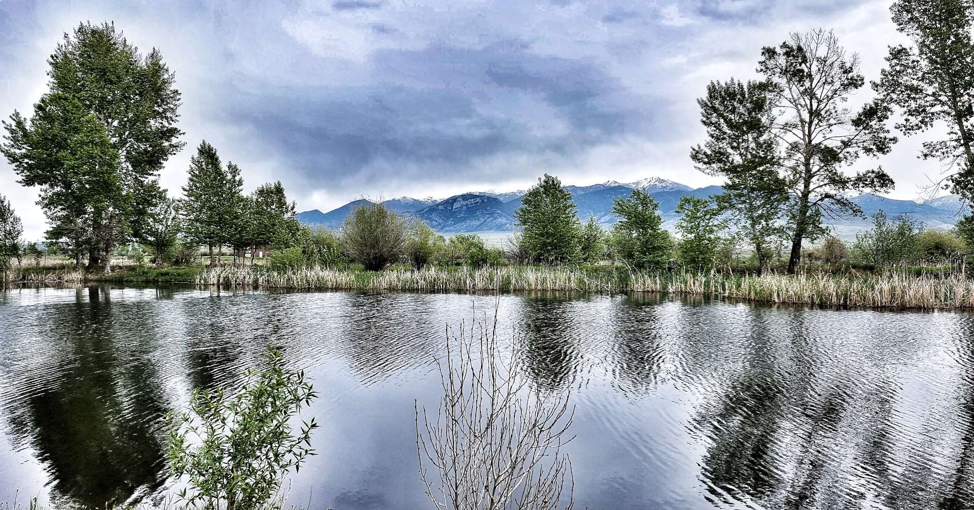
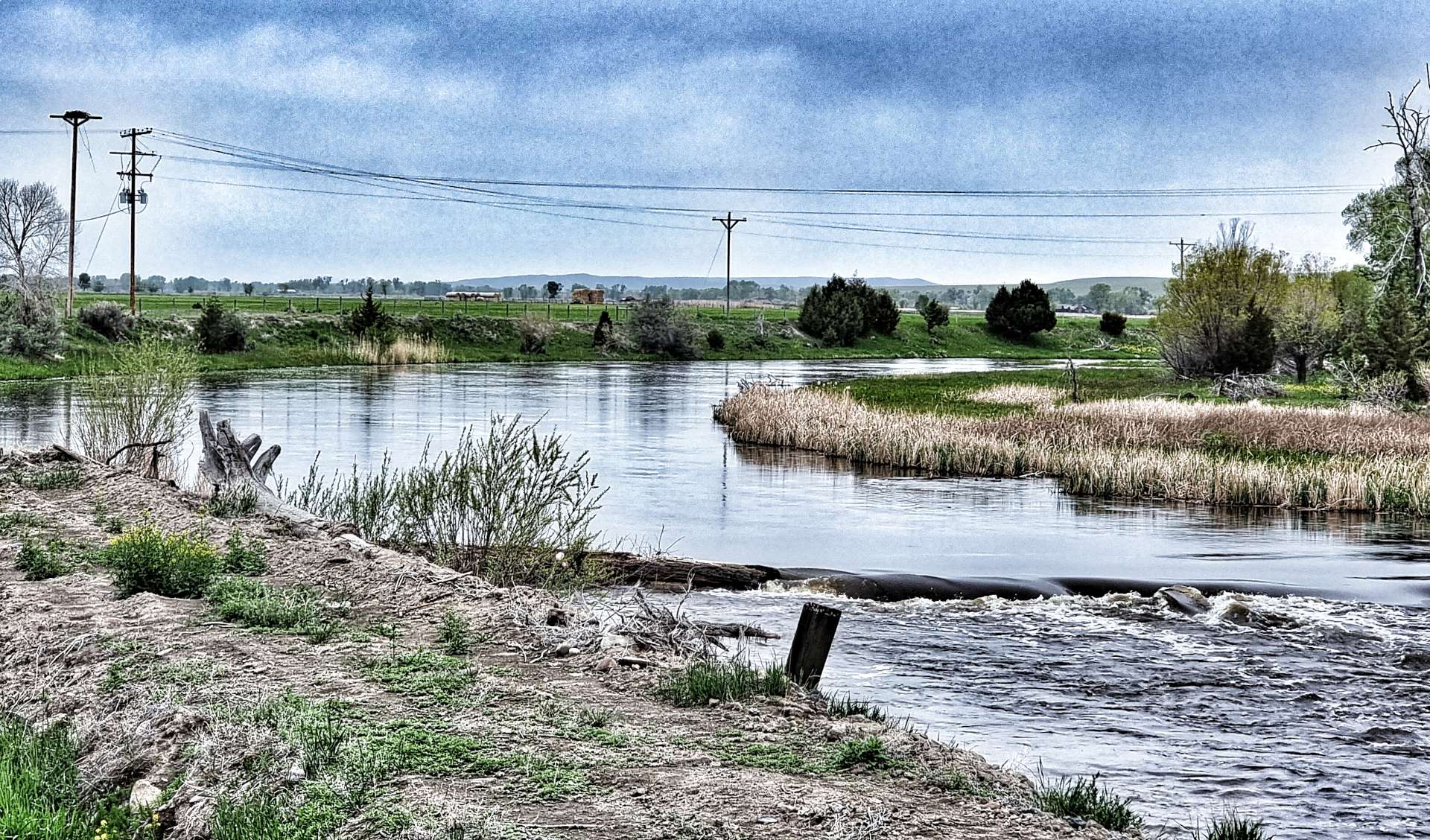
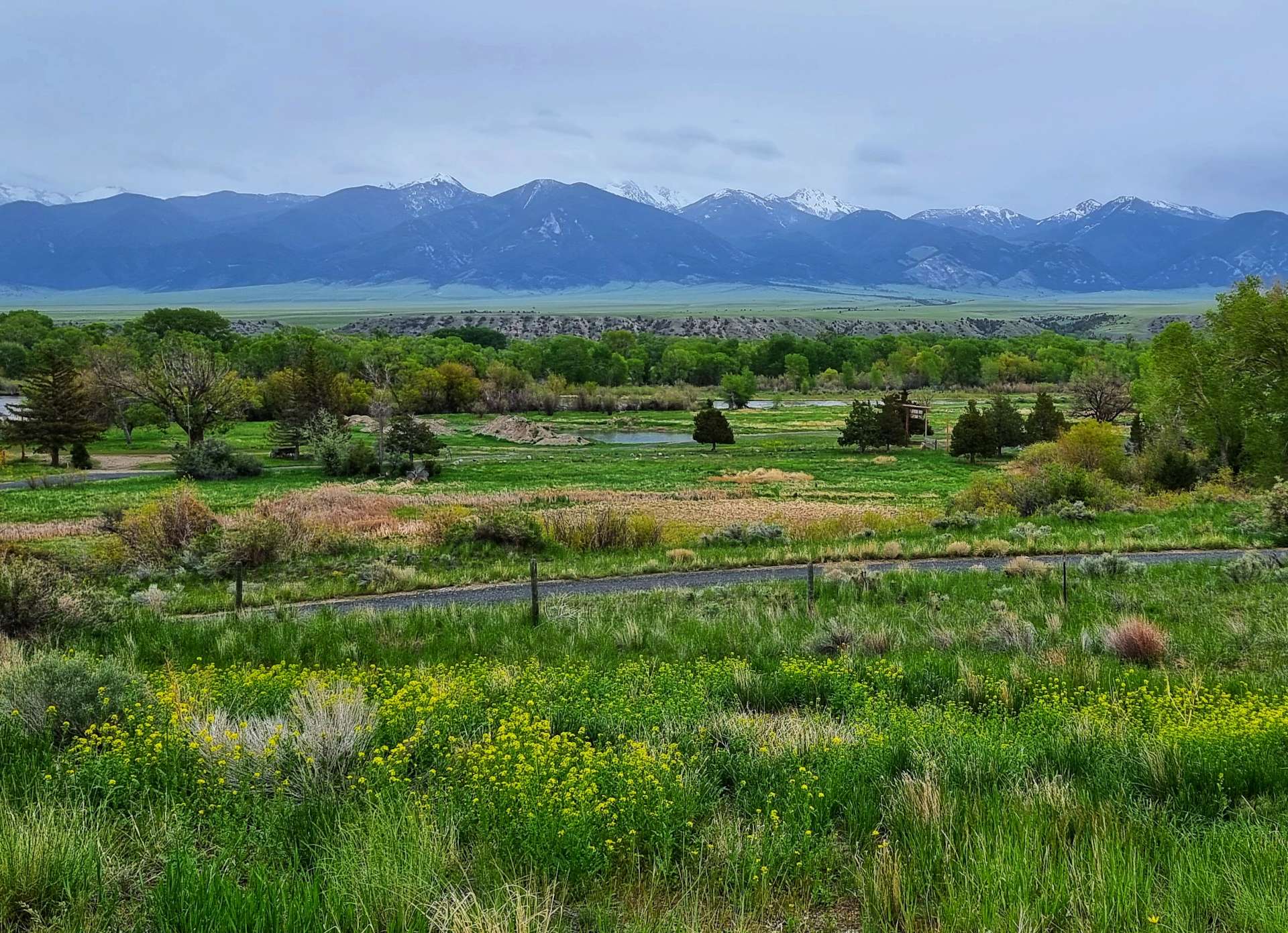
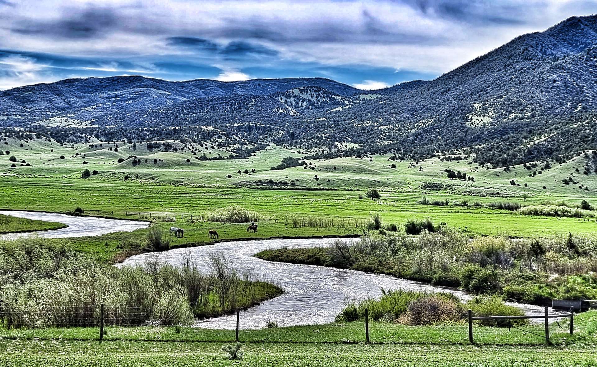
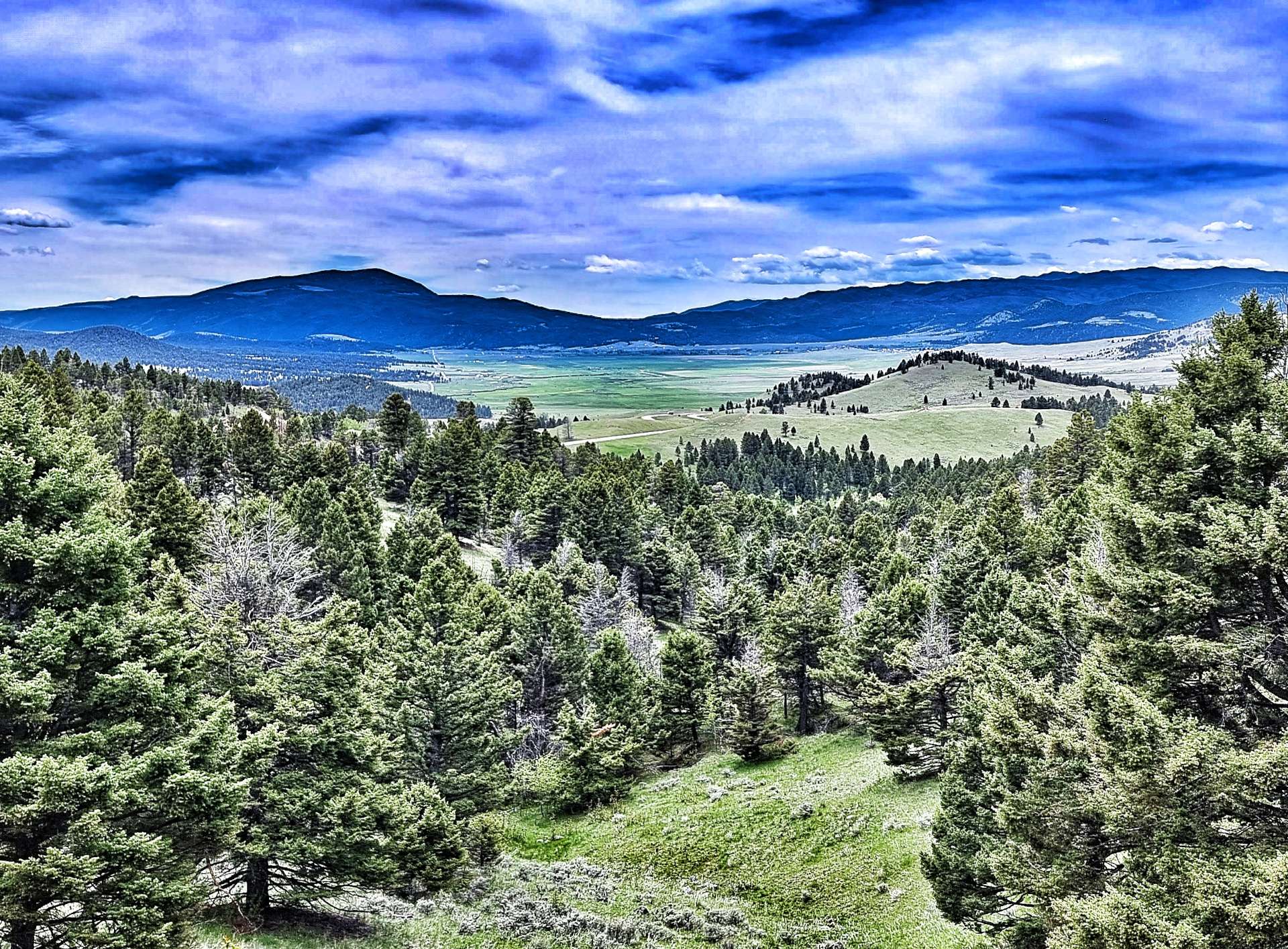
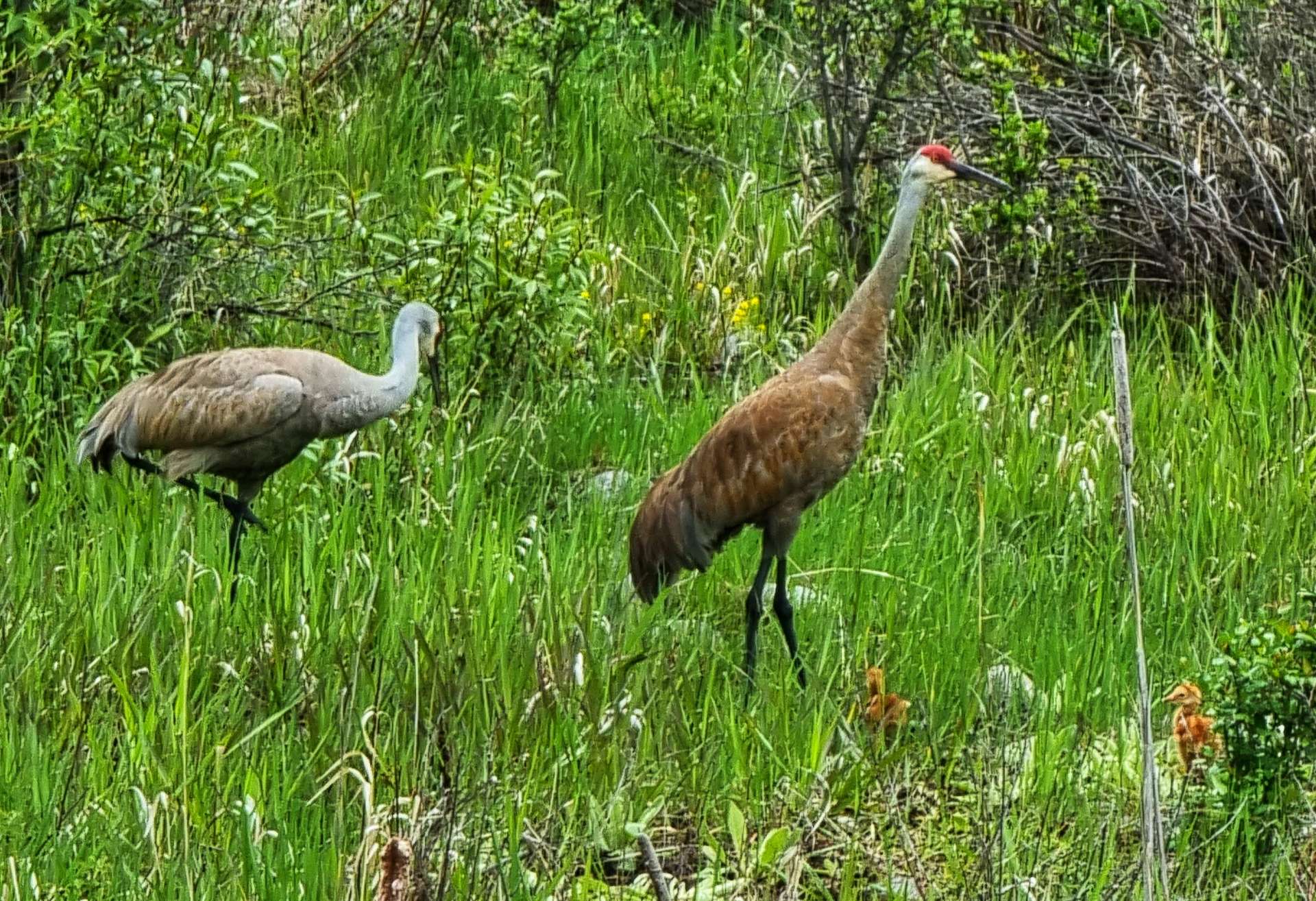
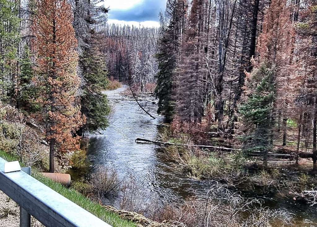
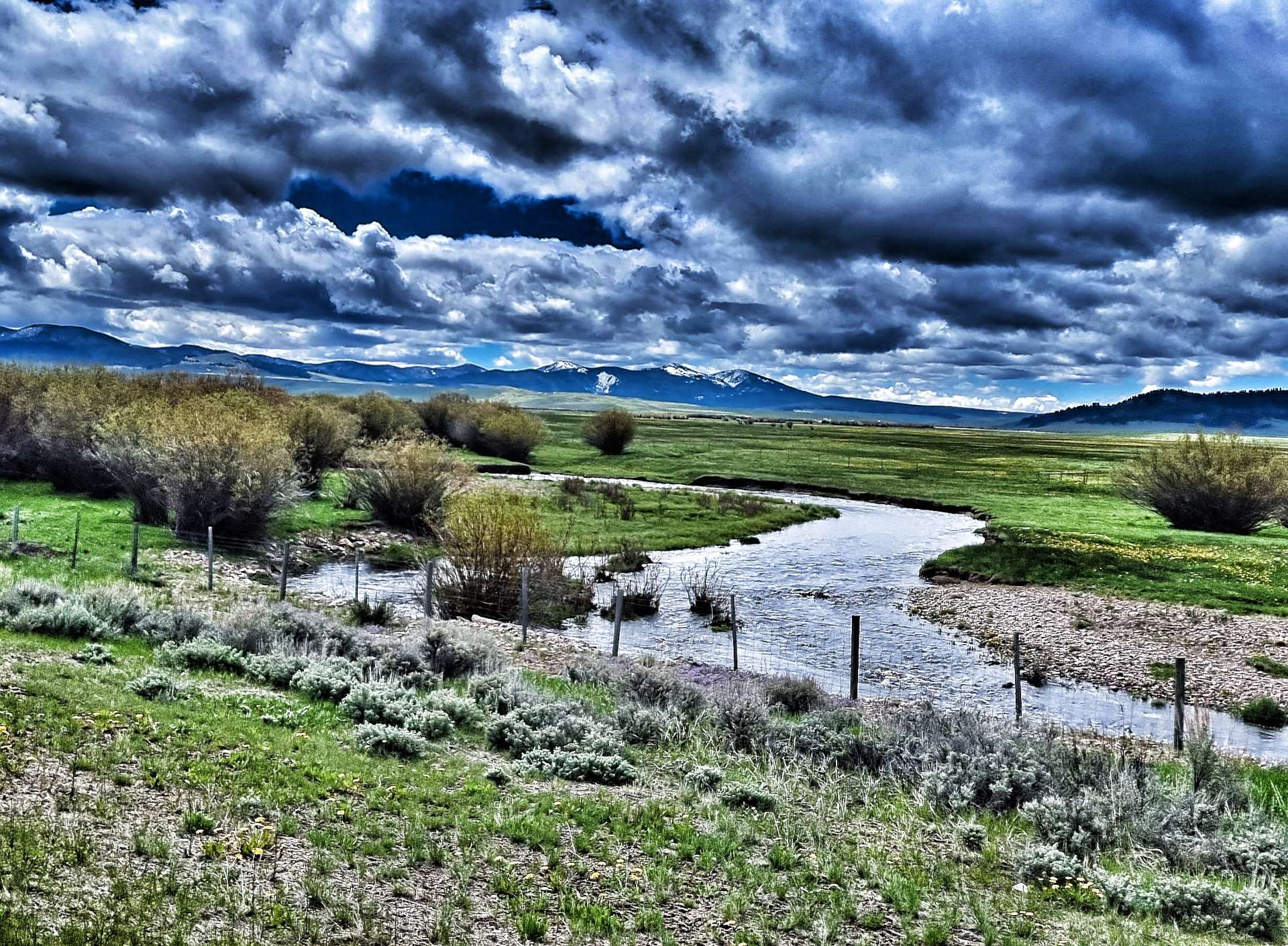
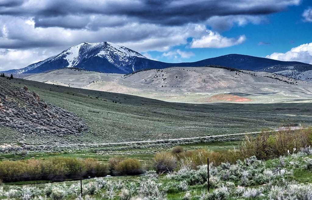
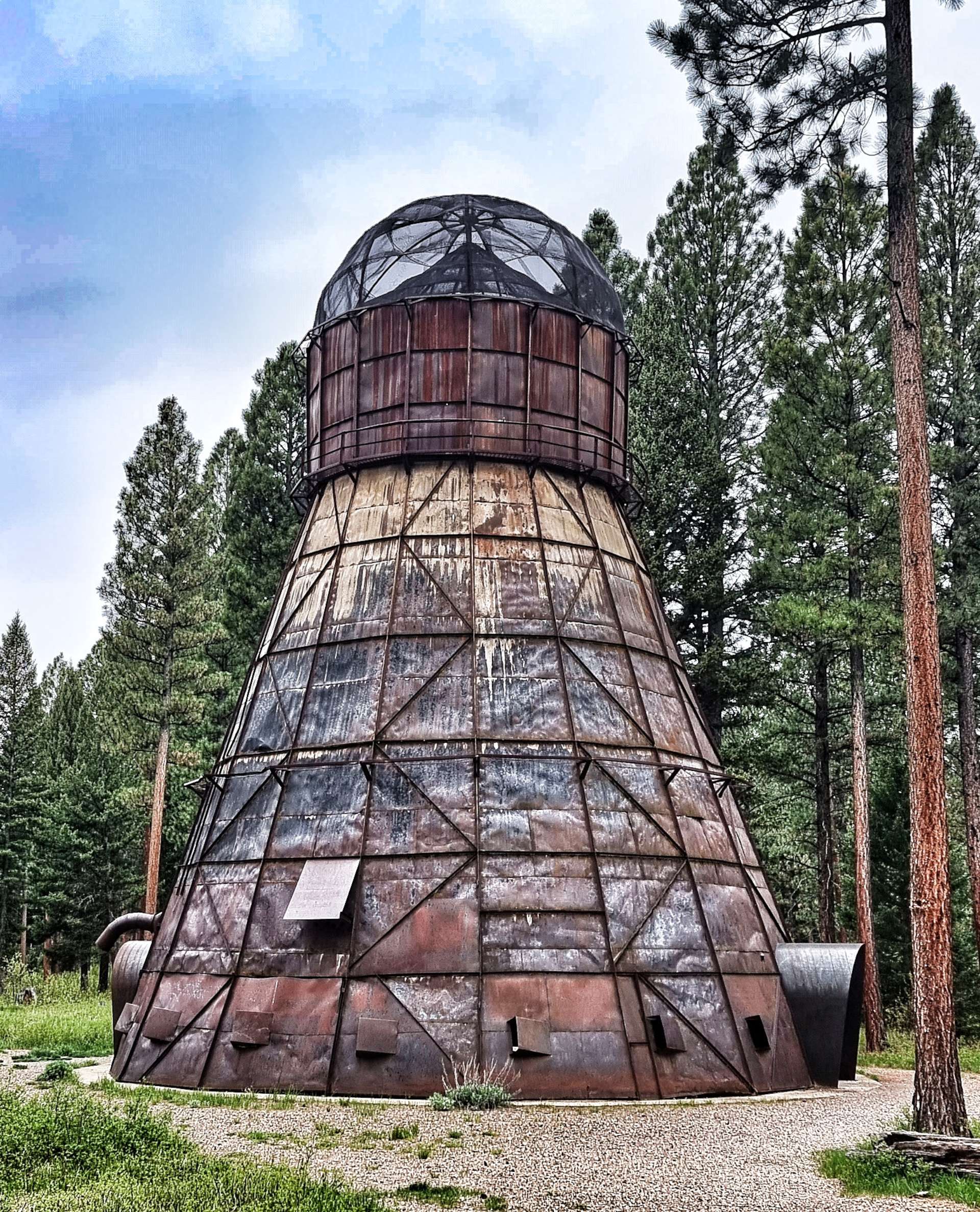
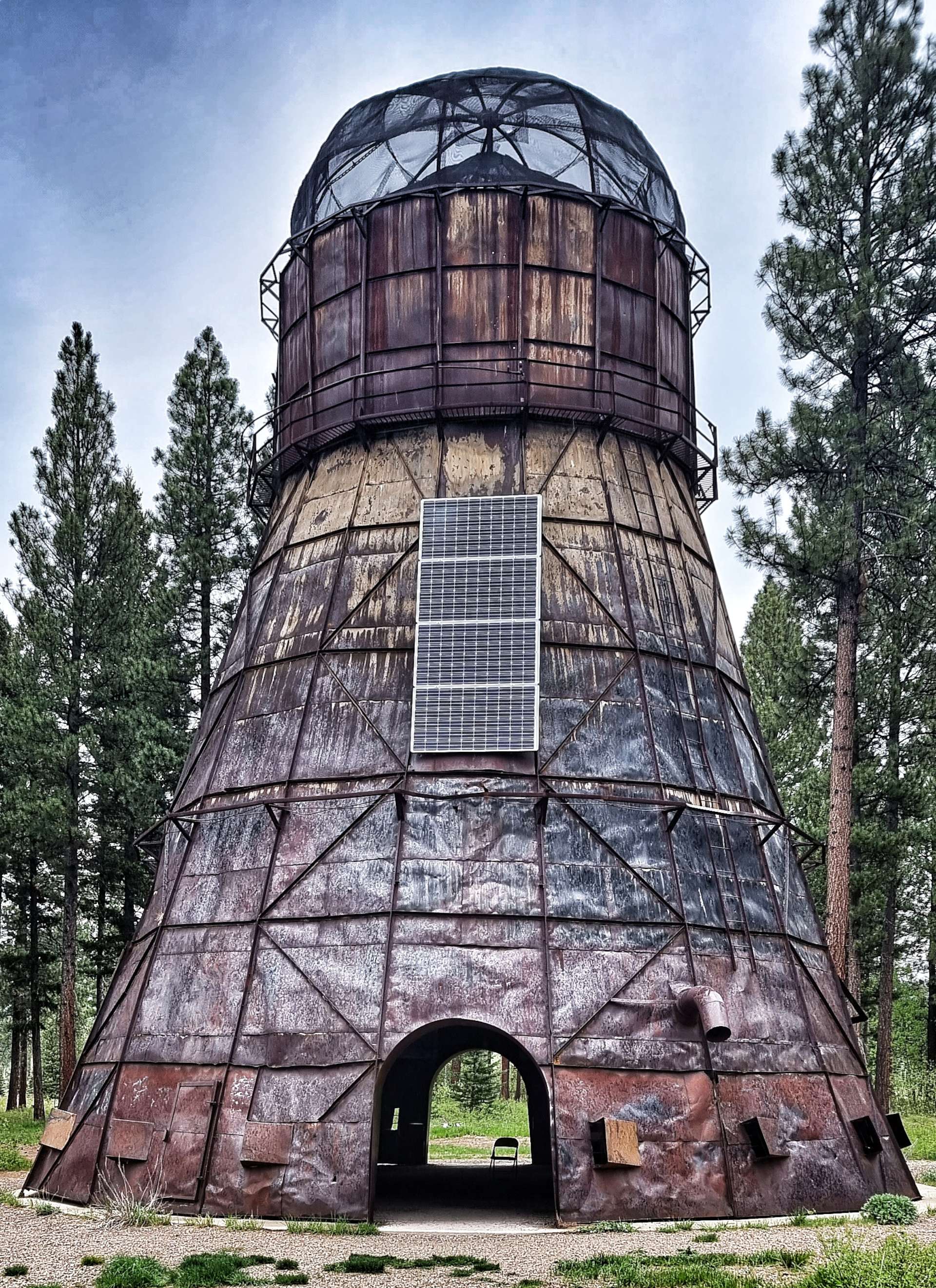
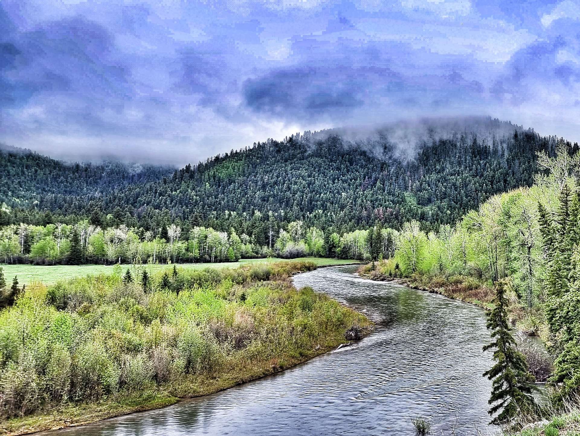
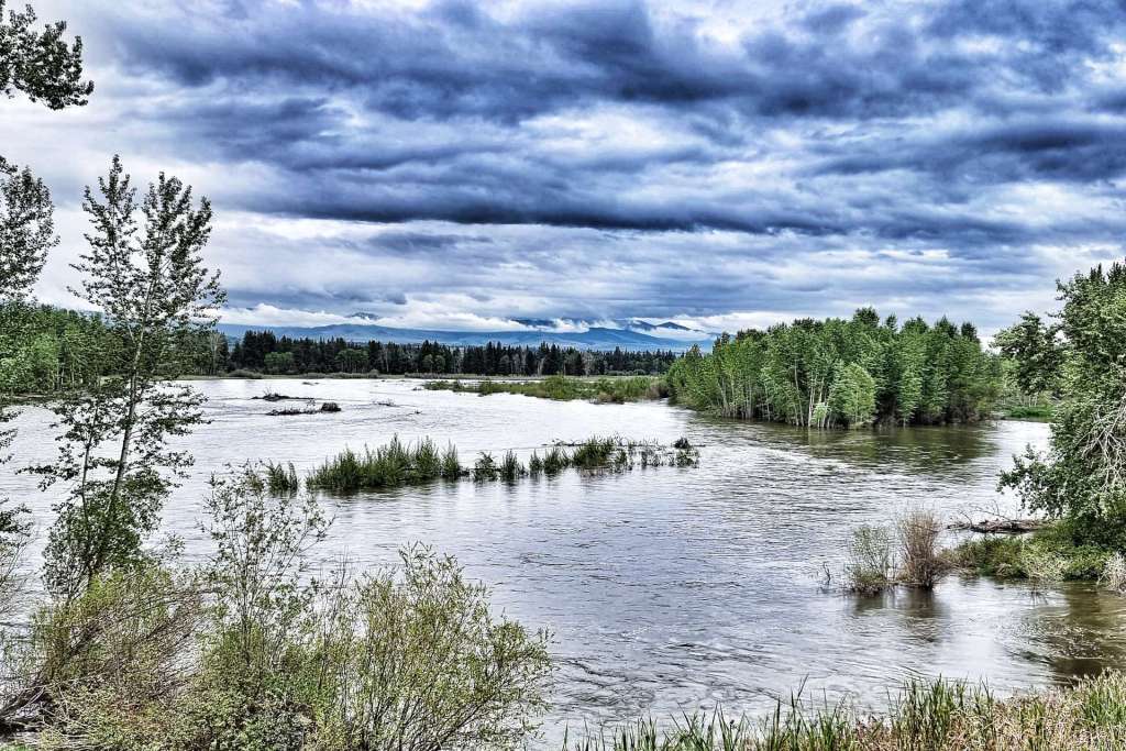
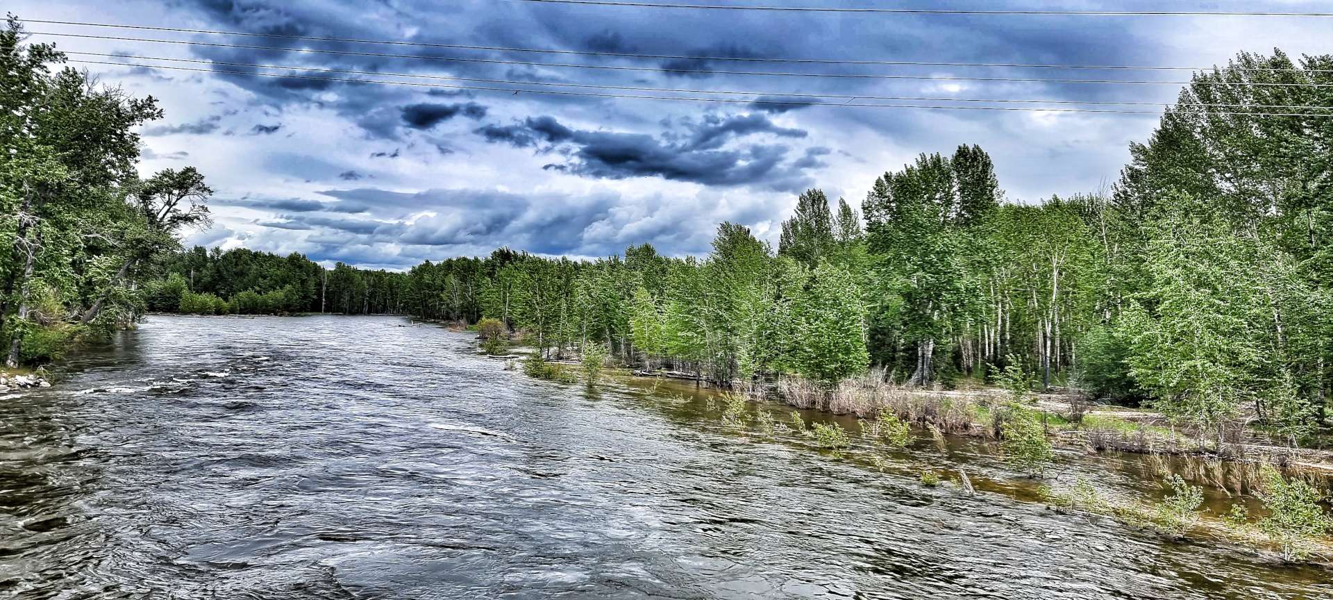
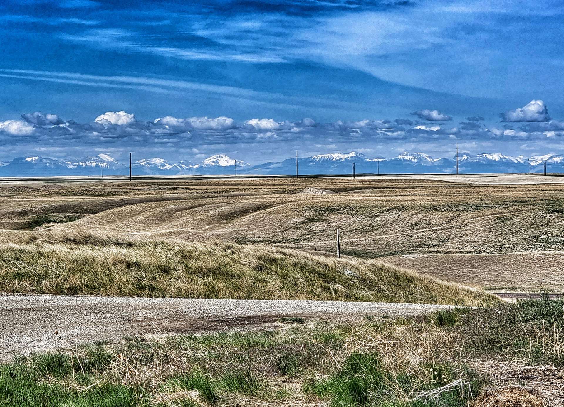
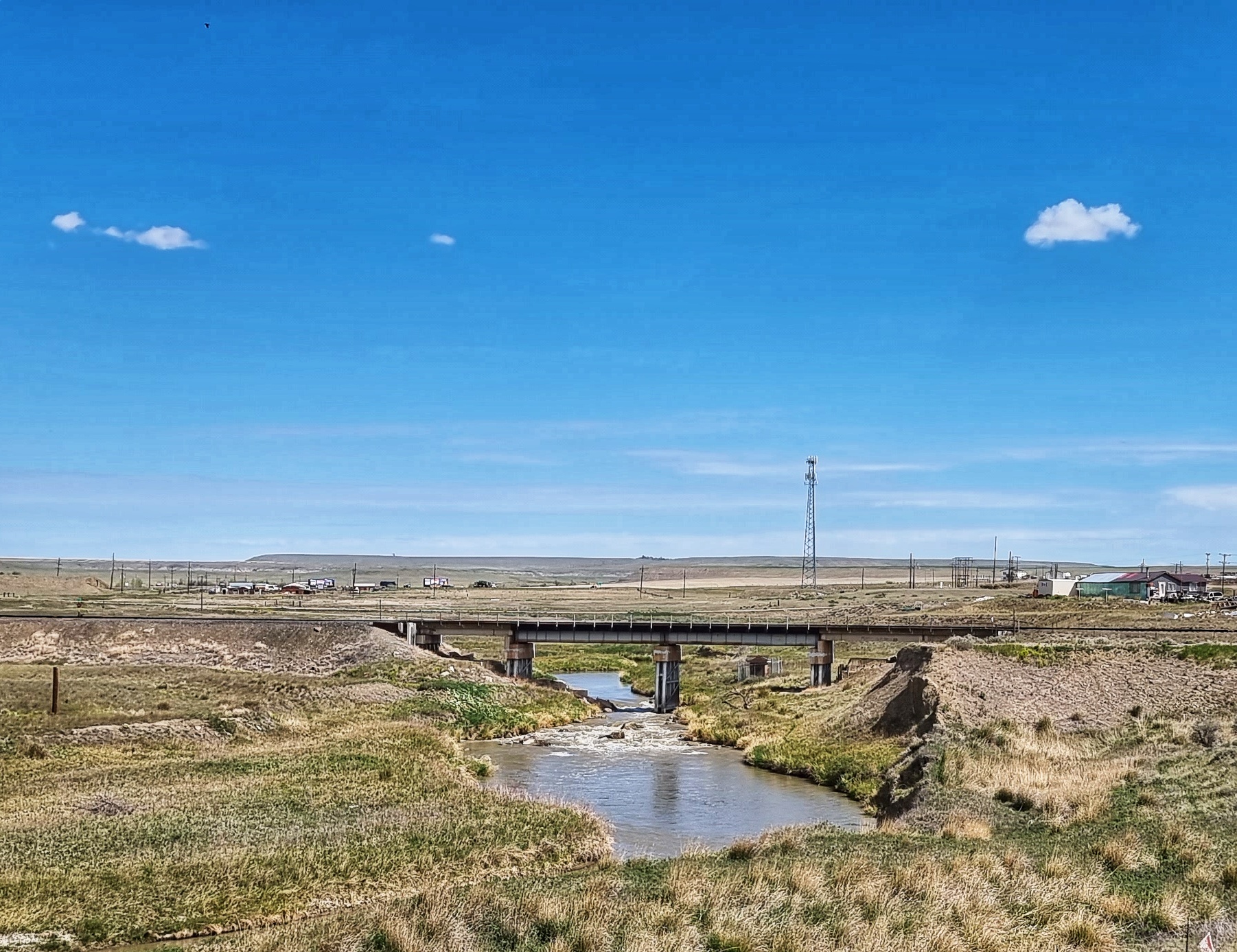
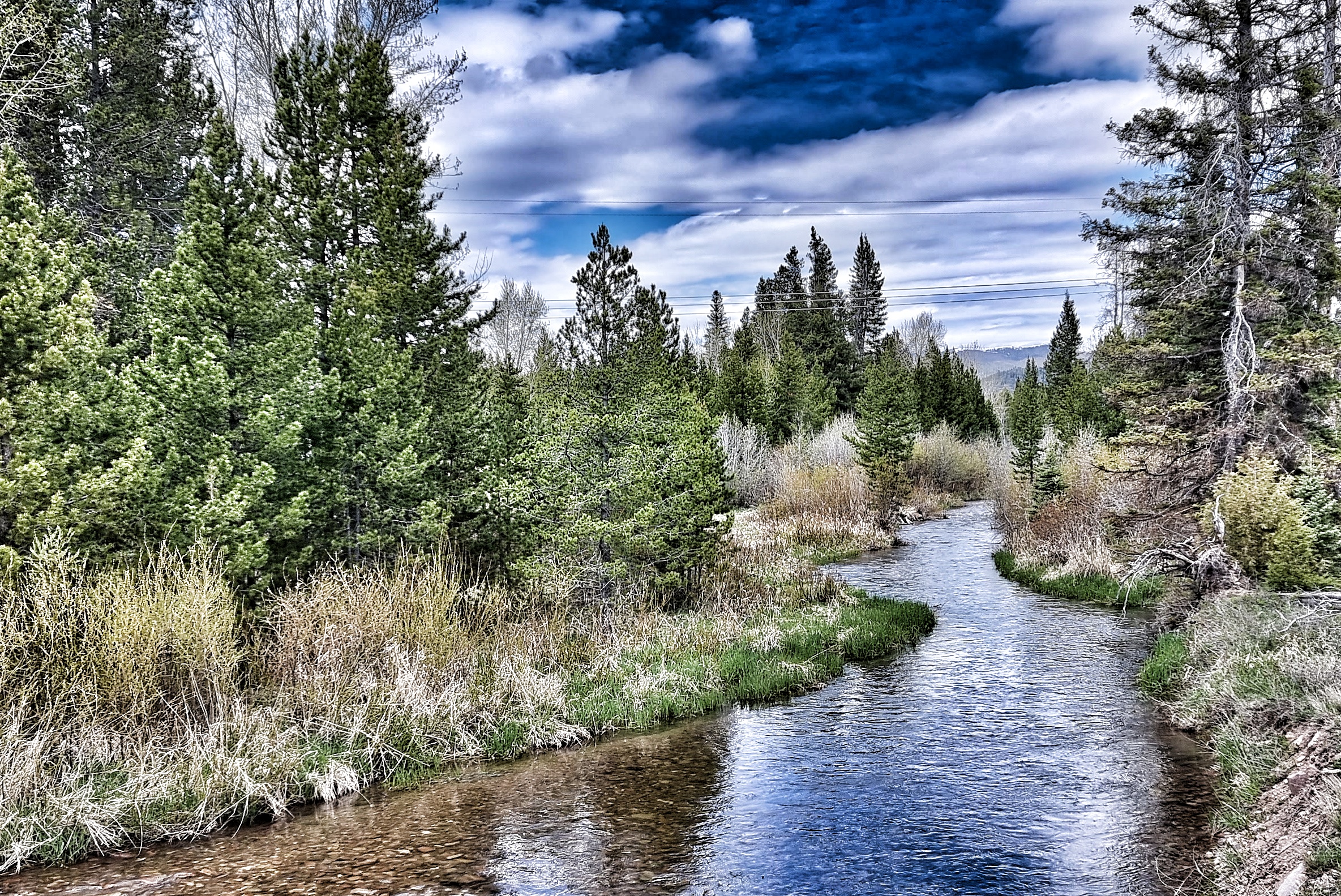
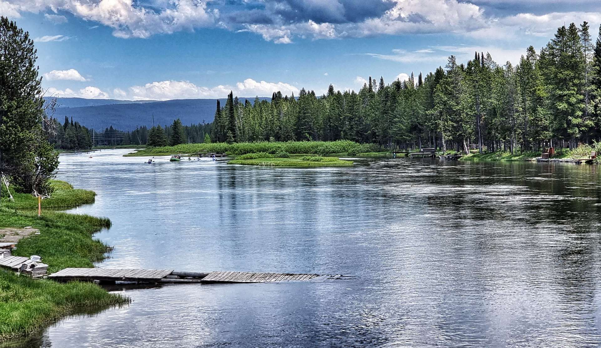
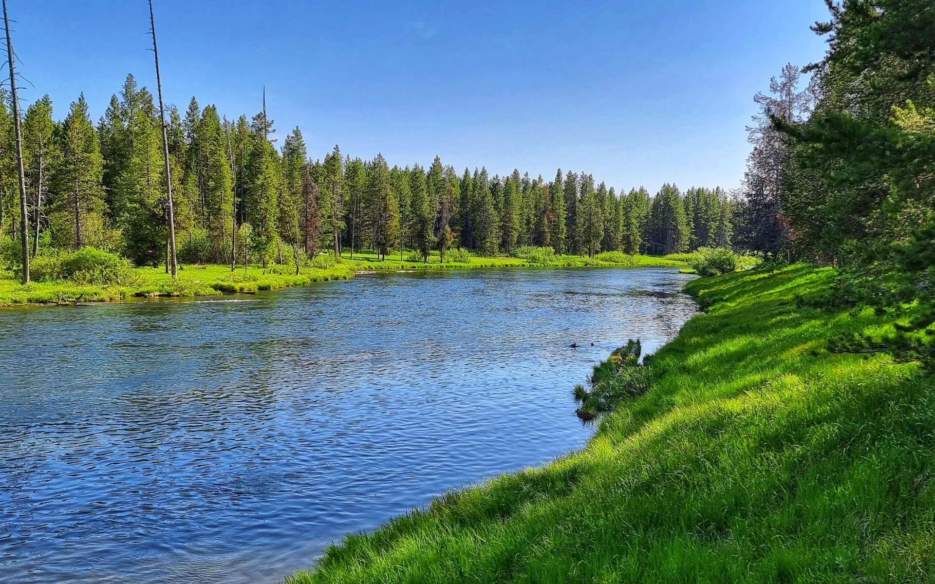
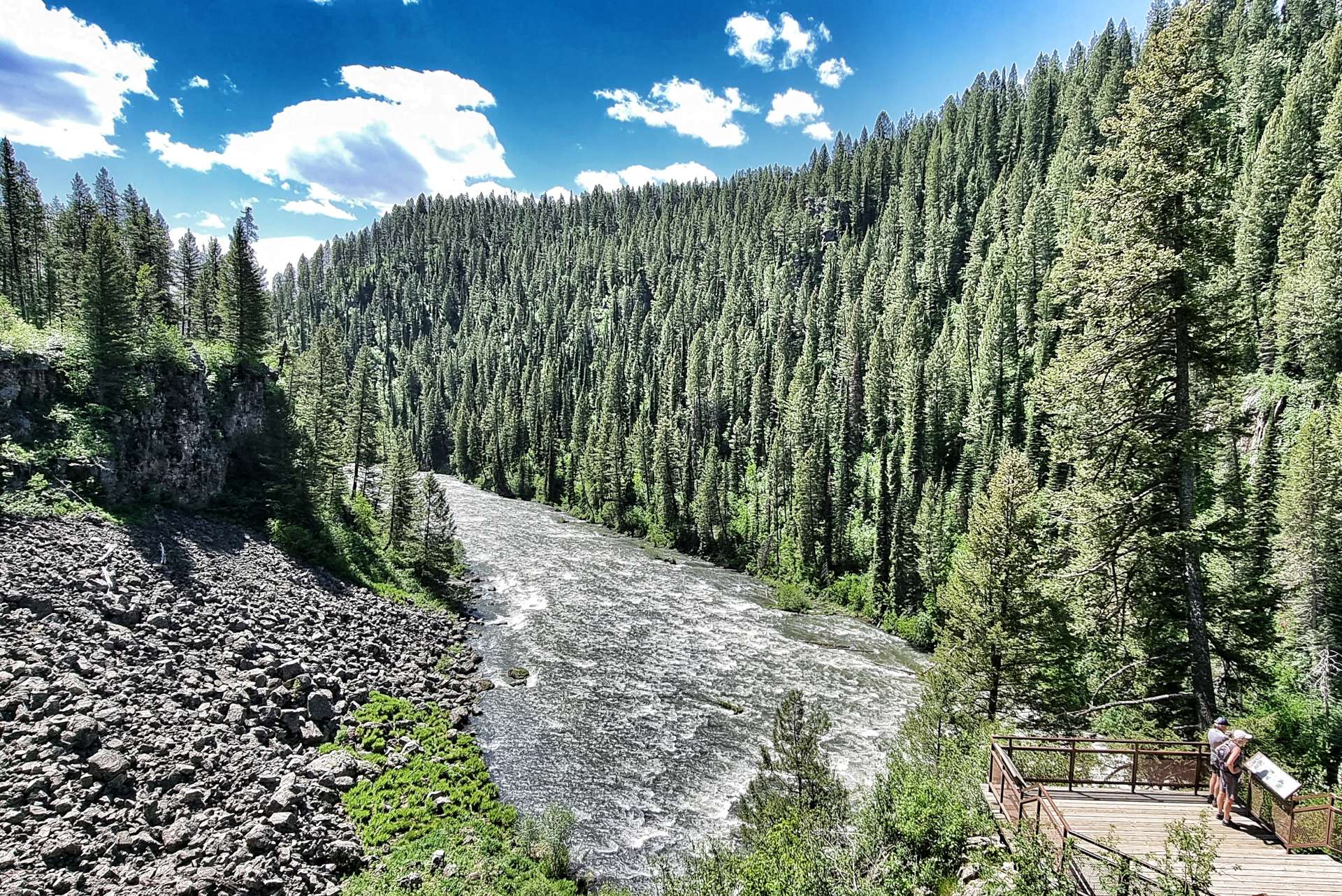
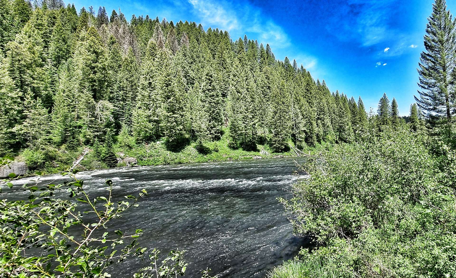
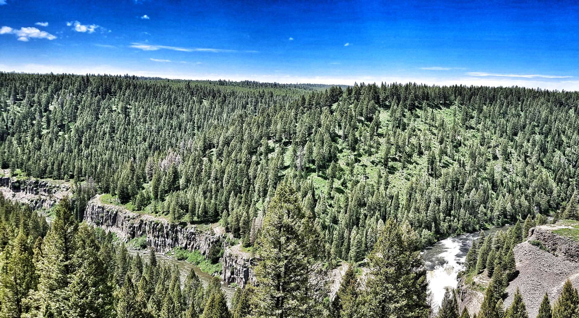
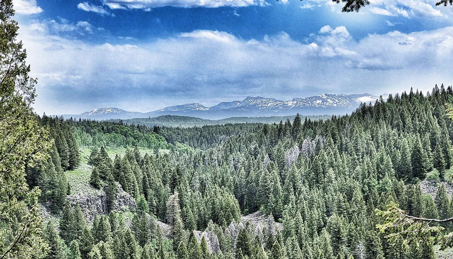
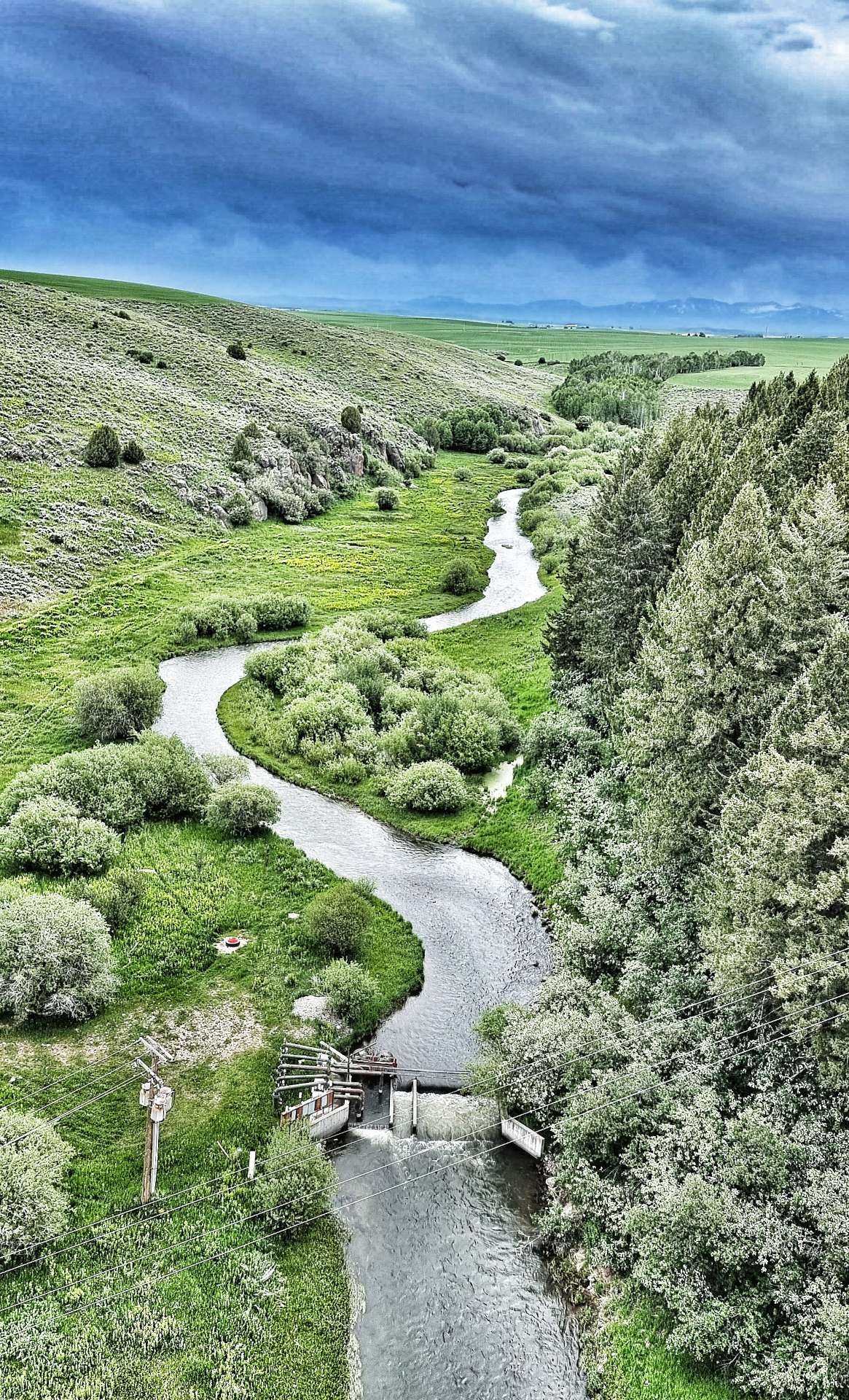
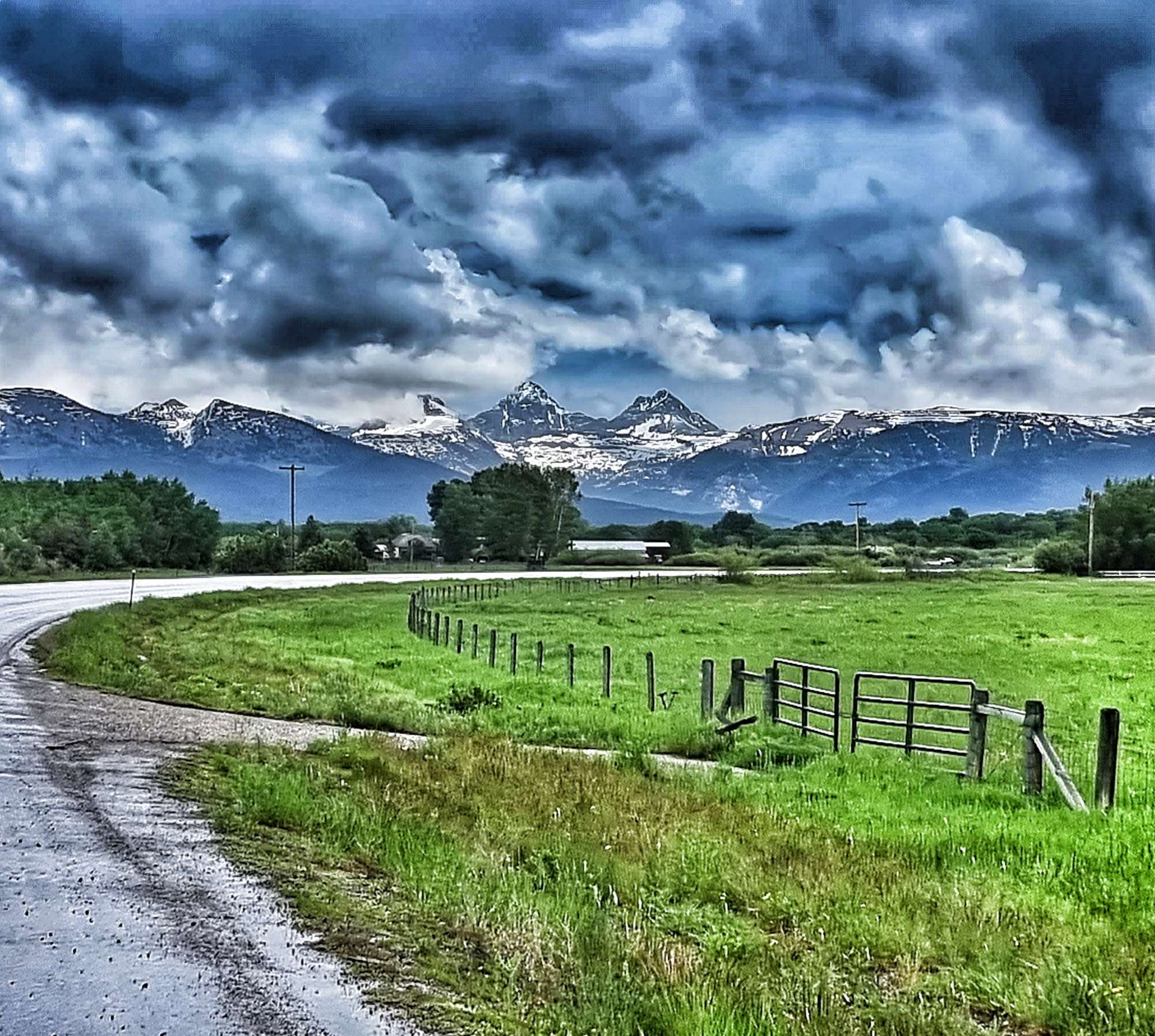
We stopped at Henry’s Fork river to learn about the steps that are being taken to restock the native cutthroat trout. It gives me hope that the stunning scenery & wonderful wildlife will remain for future generations. In the background of the 2nd photo below you can make out the rim of the Henry’s Fork Caldera, formed over 1.3 millions years ago. This is one of 3 calderas in the Greater Yellowstone Basin region & this eruption spewed 280 cubic kilometres of molten lava across Wyoming, Colorado, Kansas & Nebraska! Henry’s Fork Caldera measures 18 miles long by 23 miles wide – the power of nature is mind-blowing.

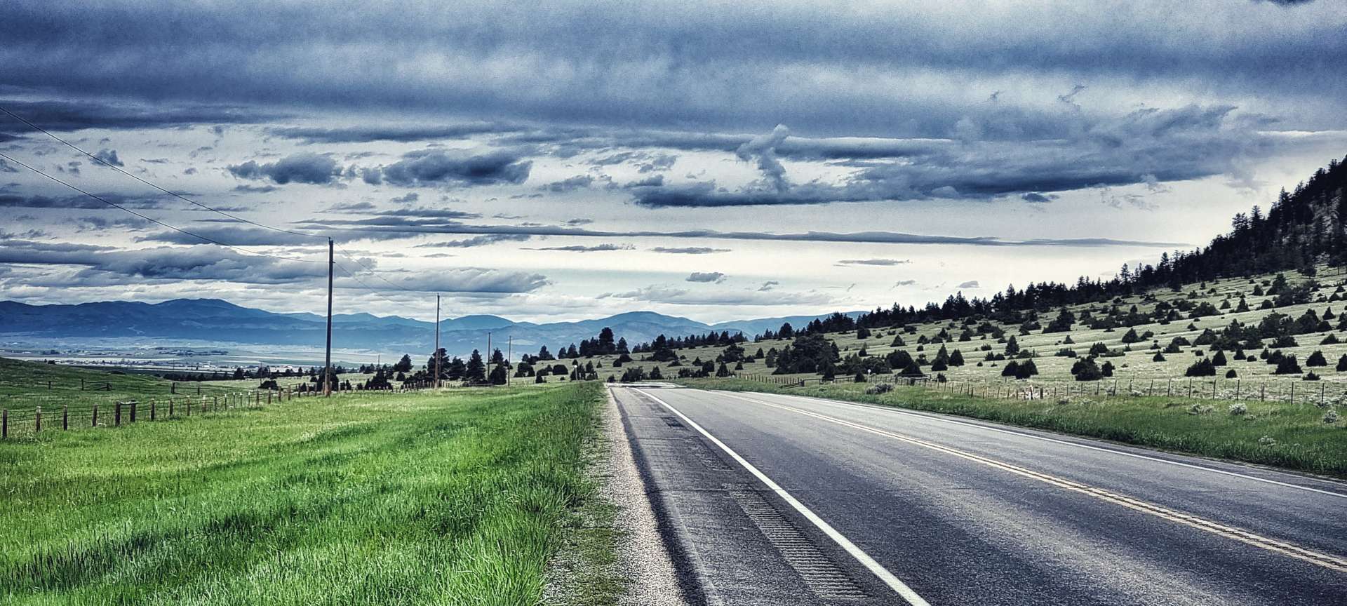
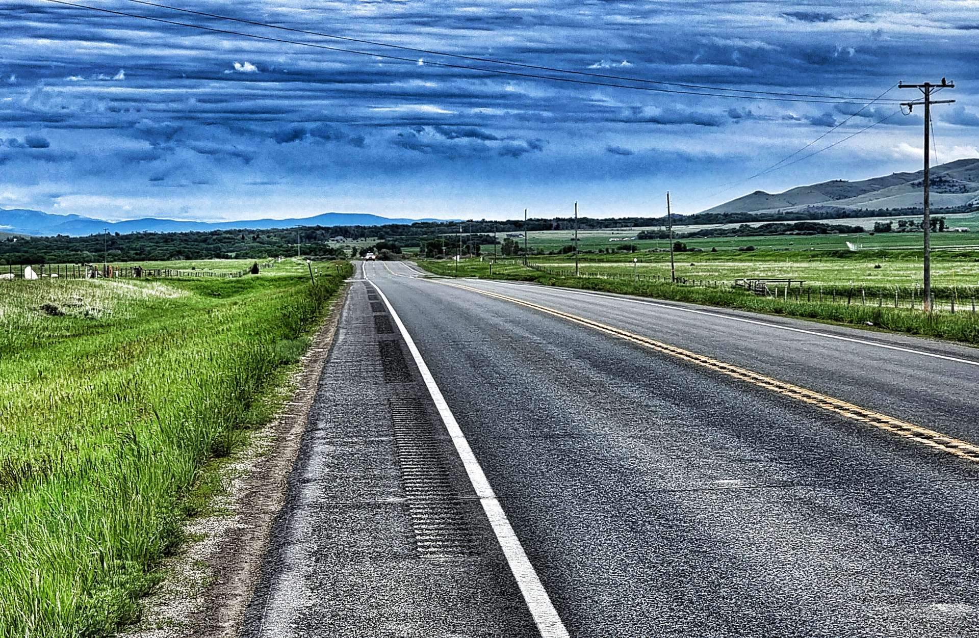
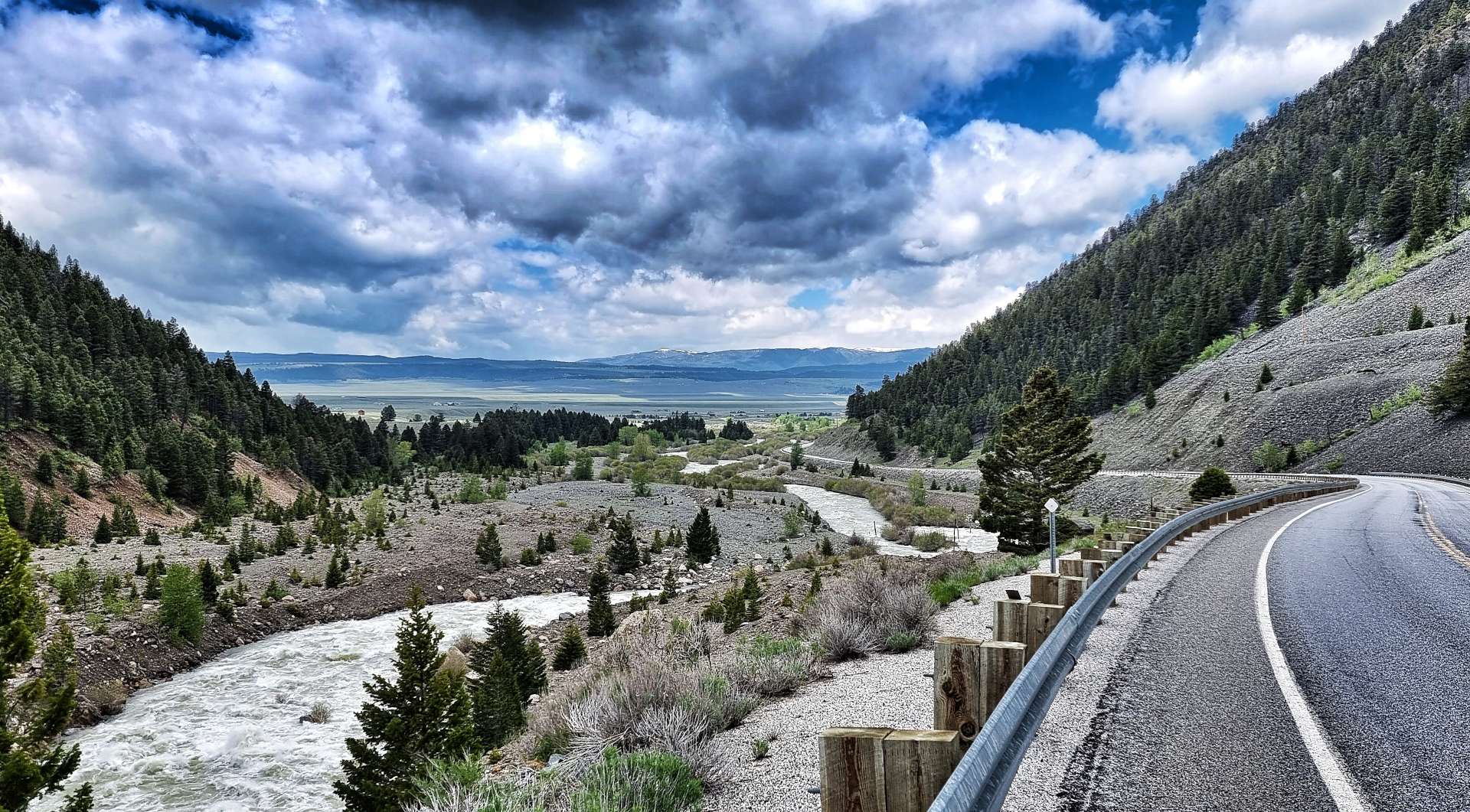
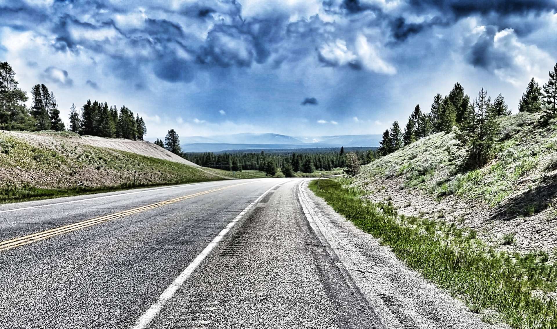
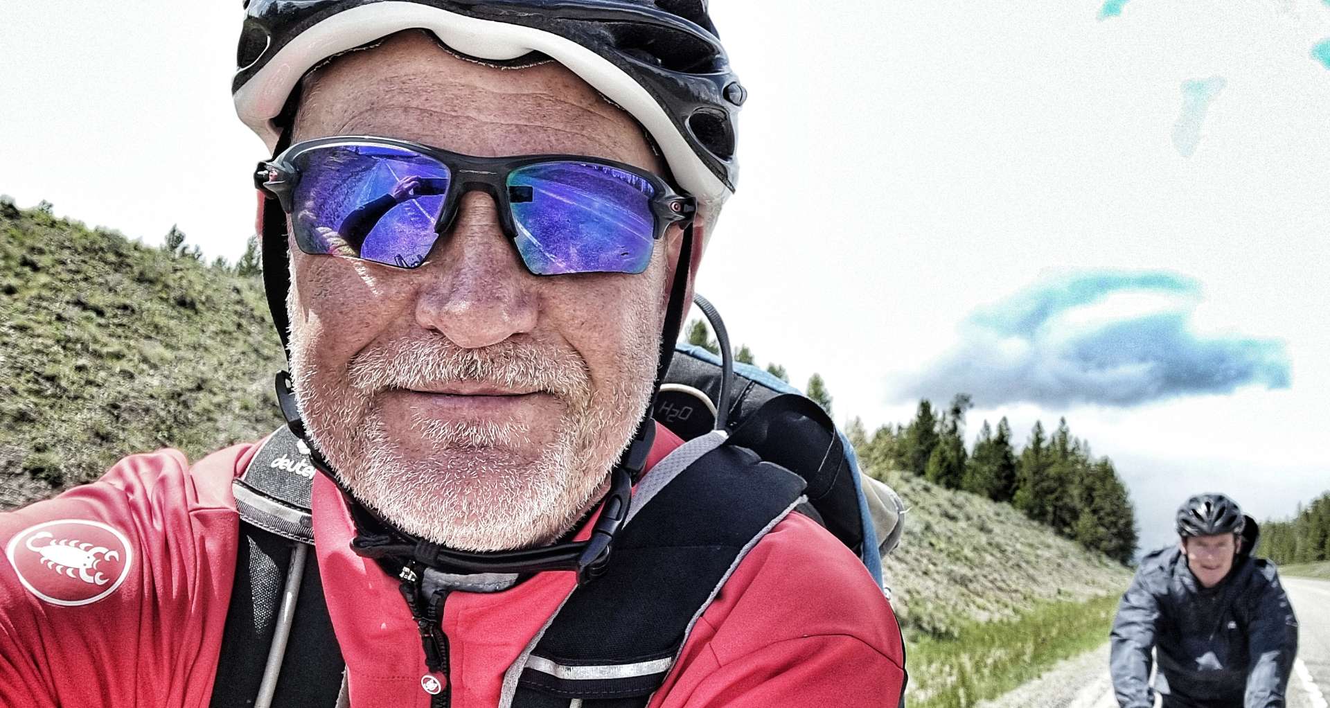
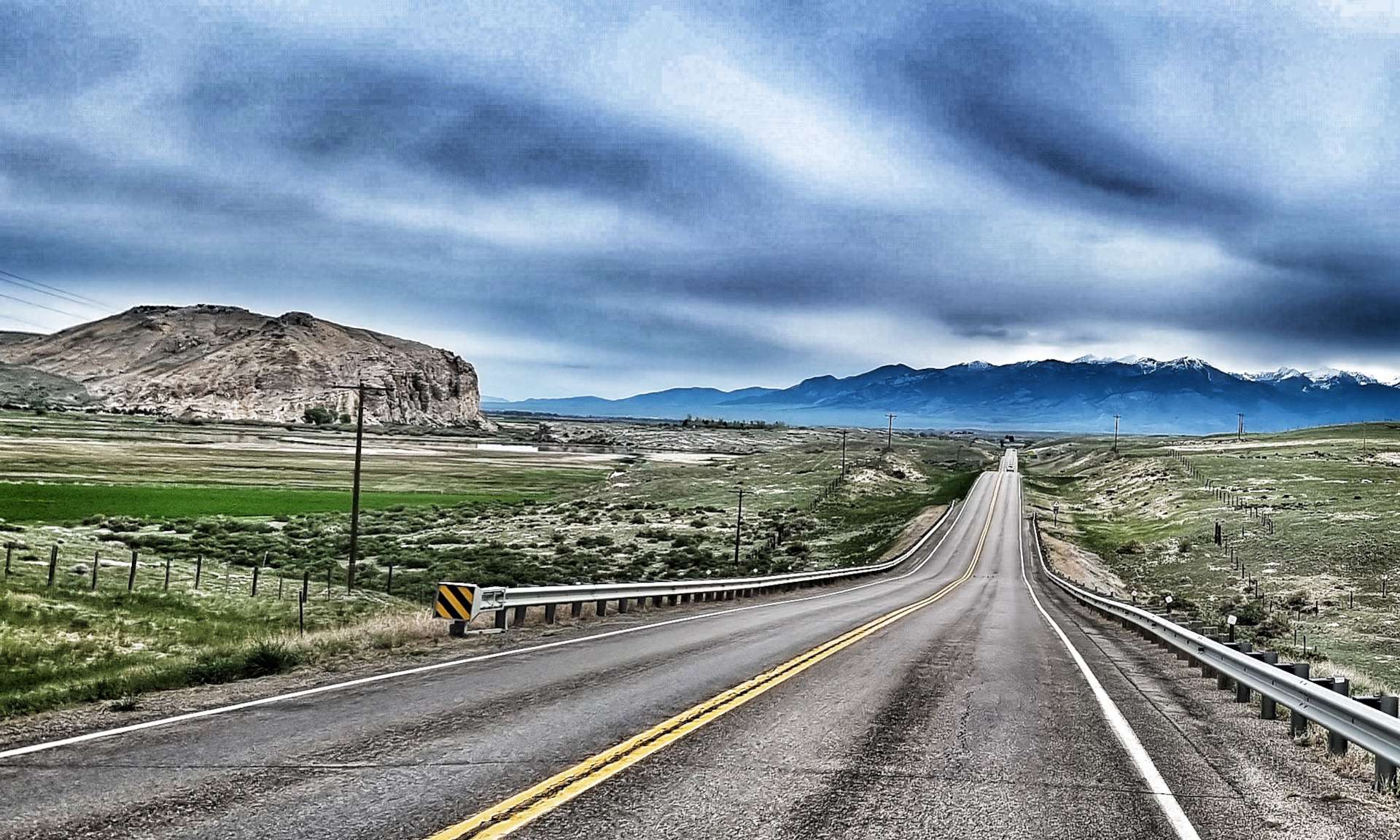
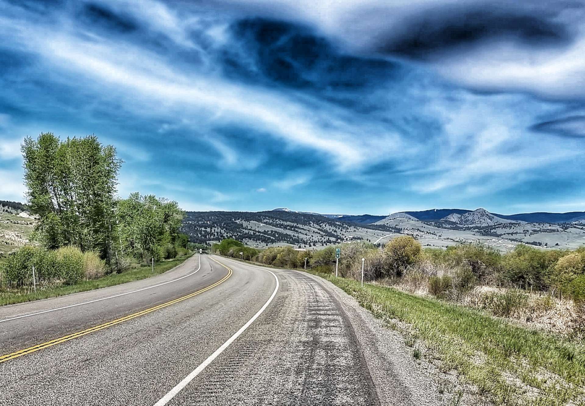
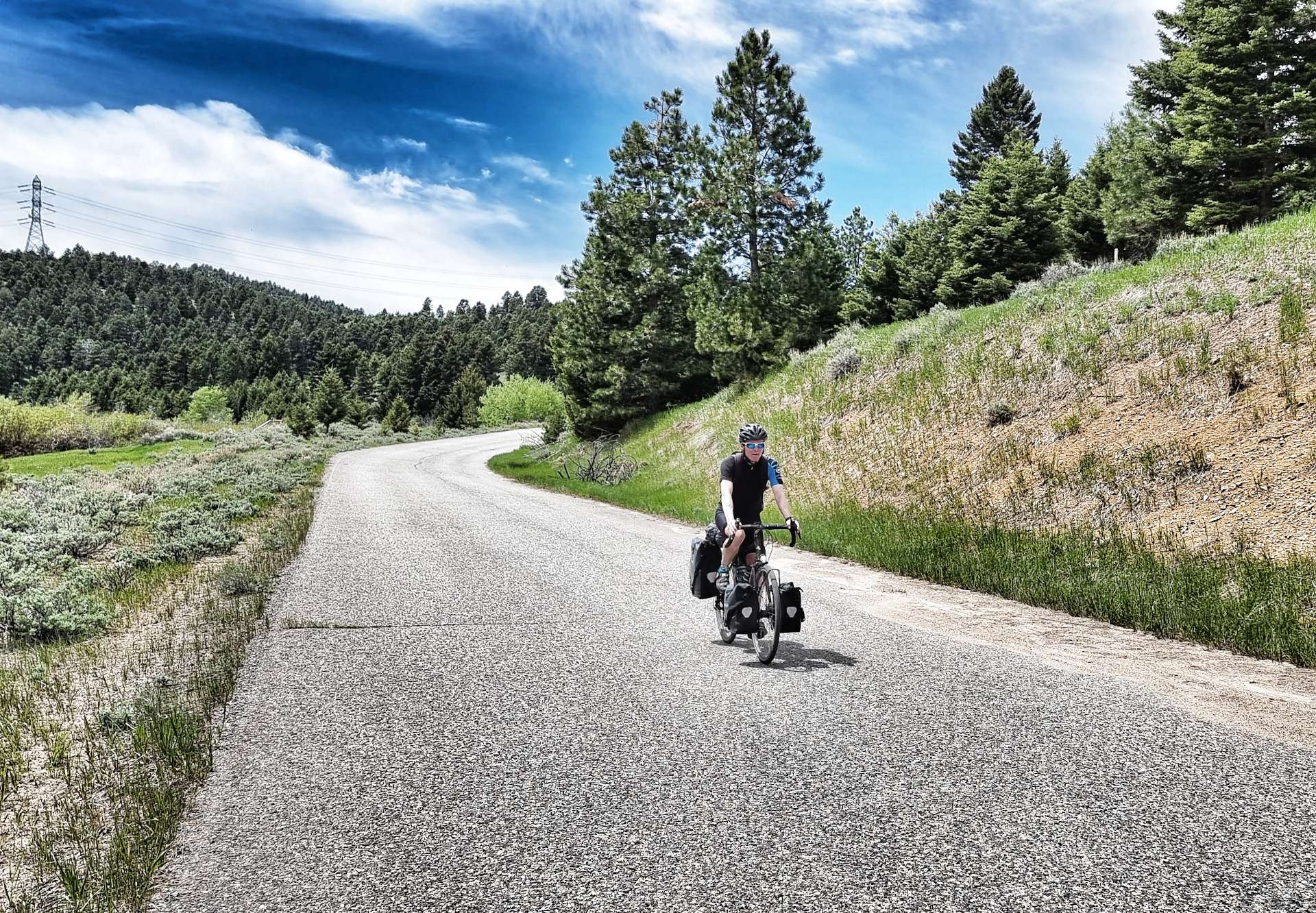
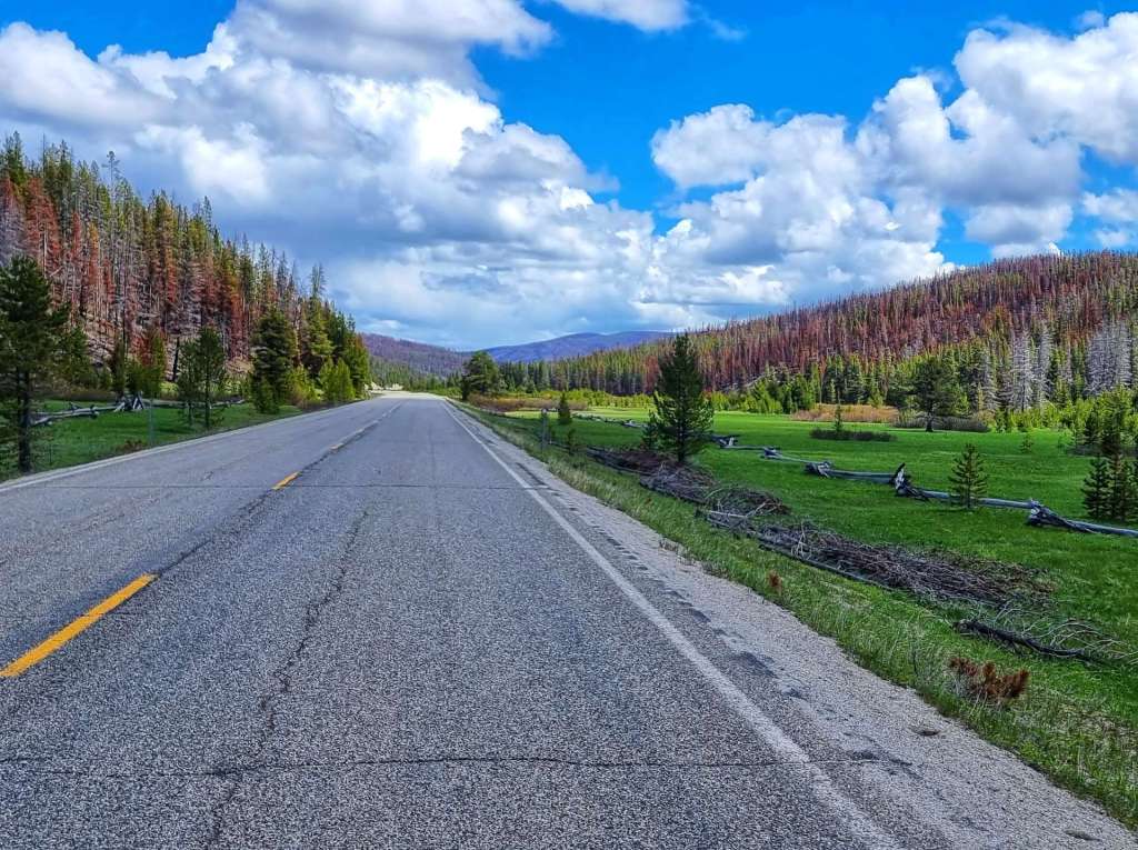
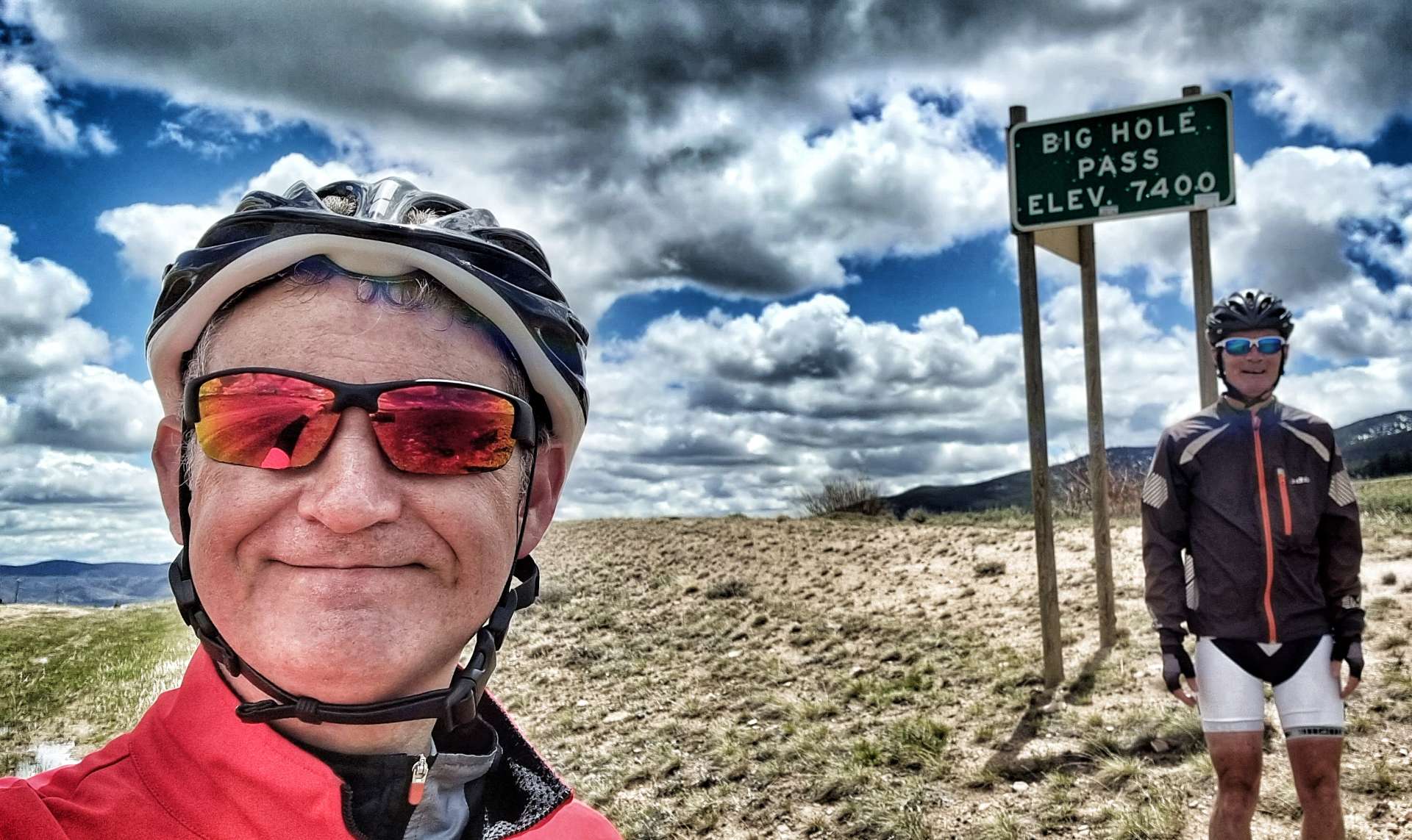
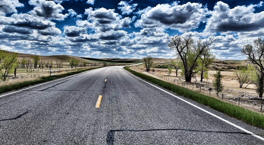
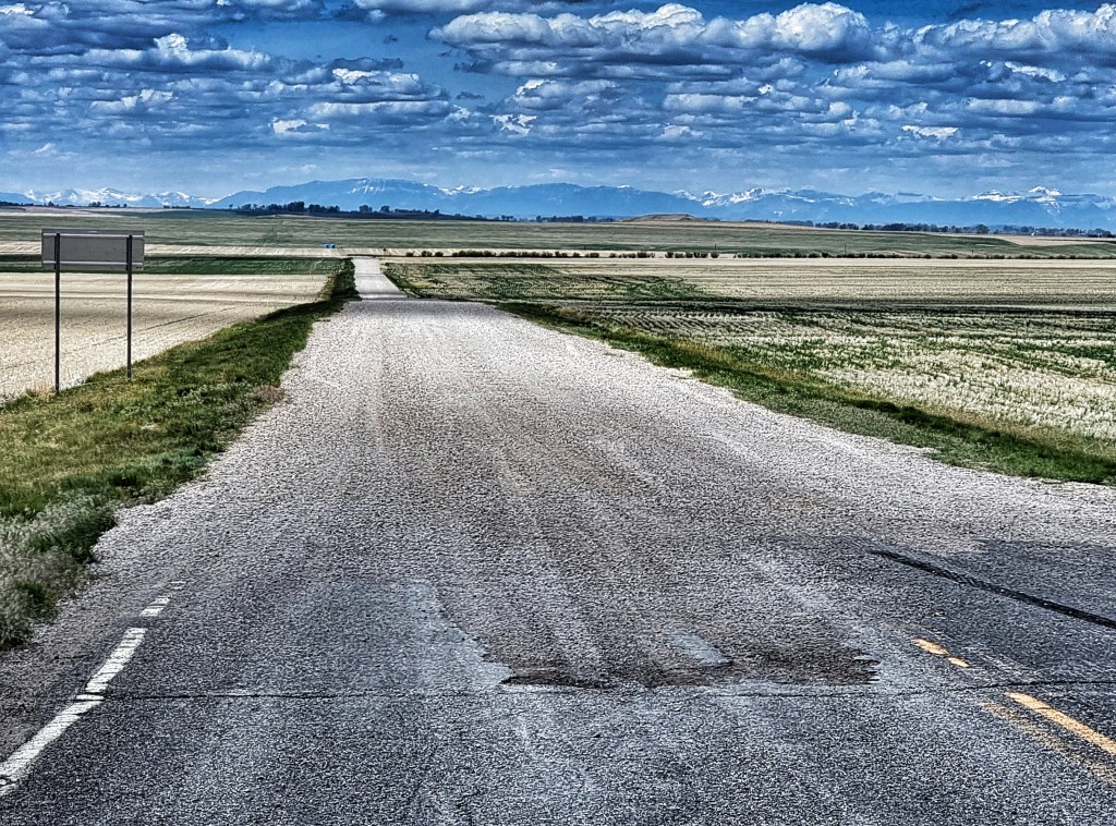
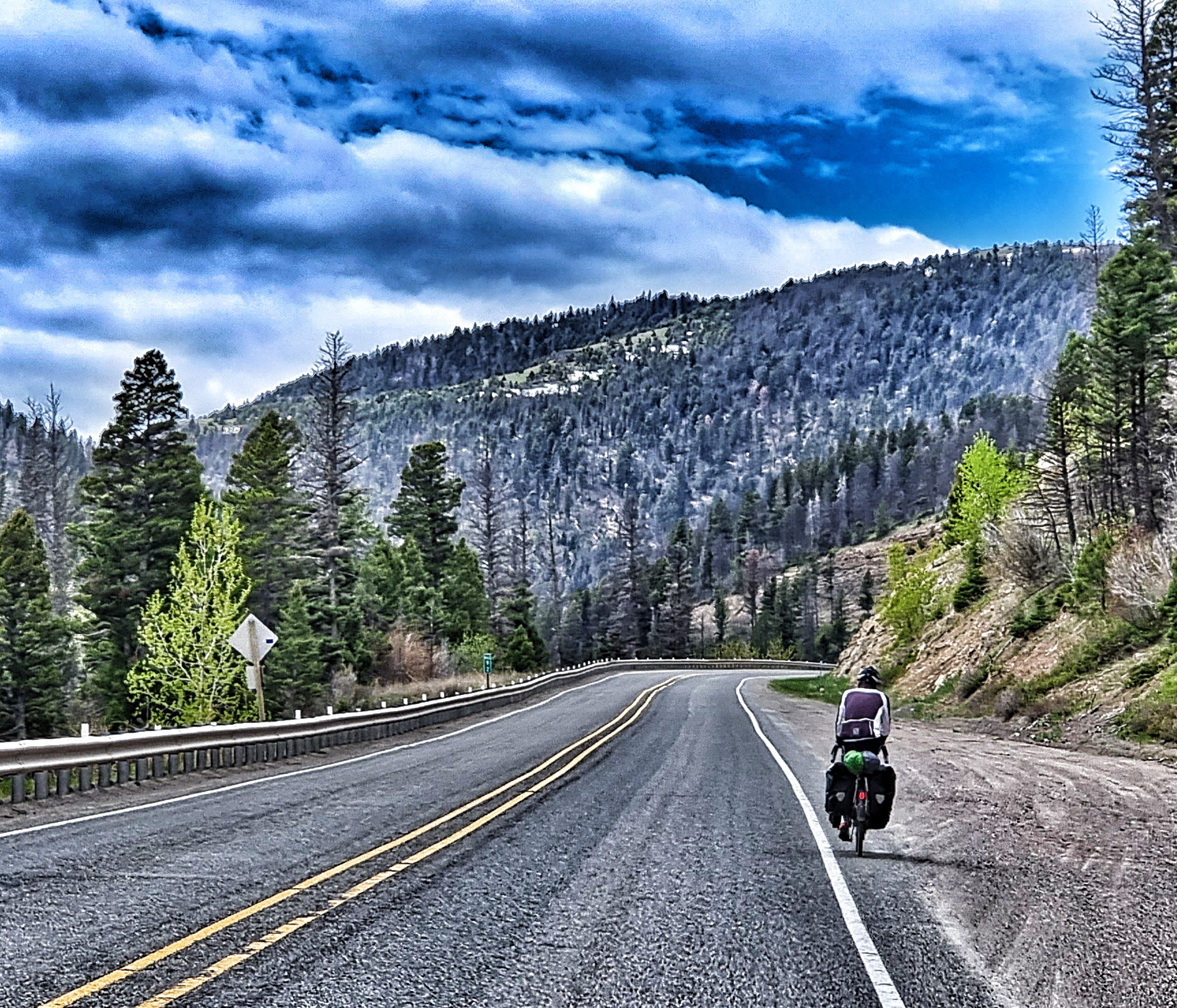
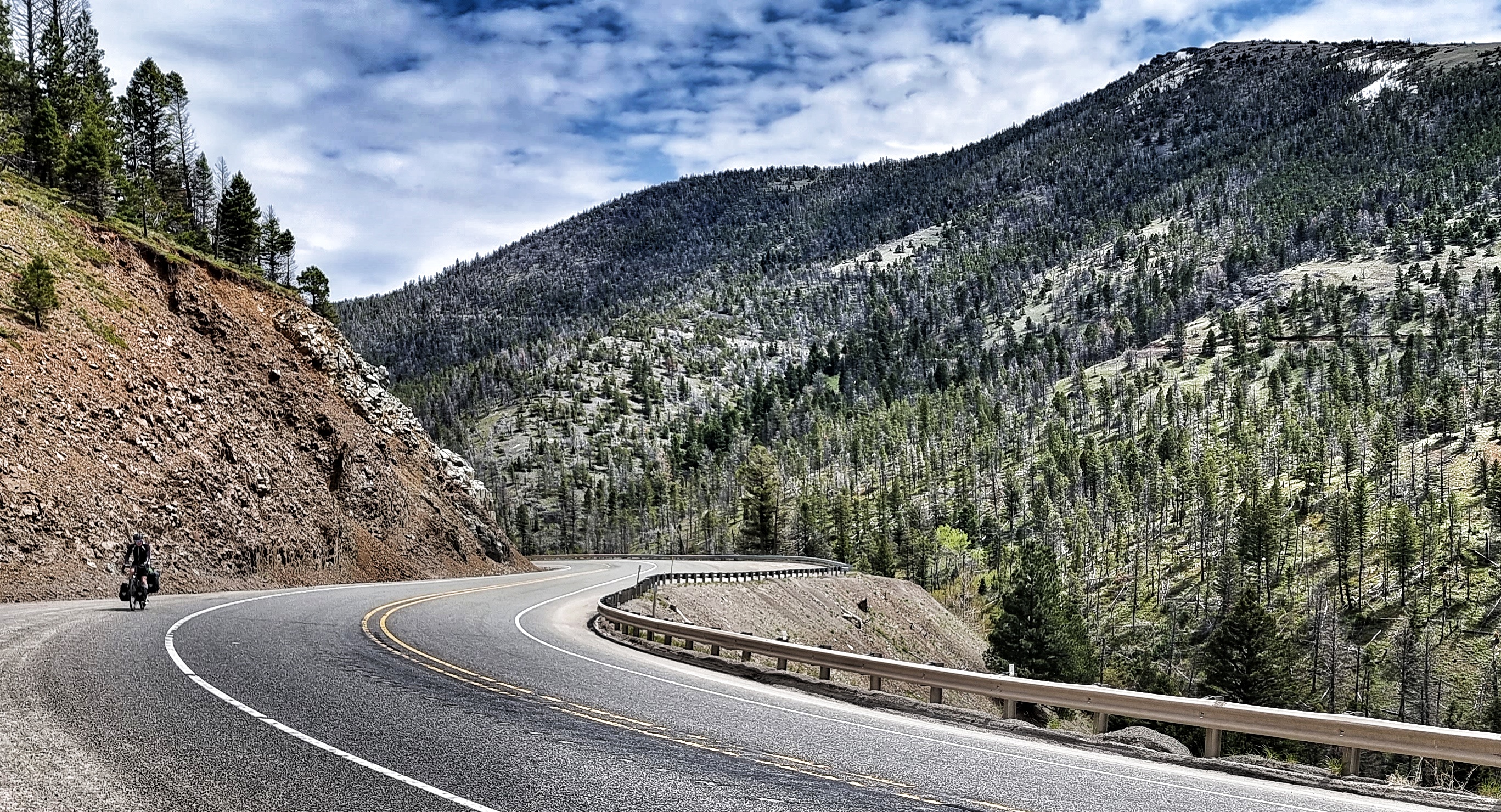
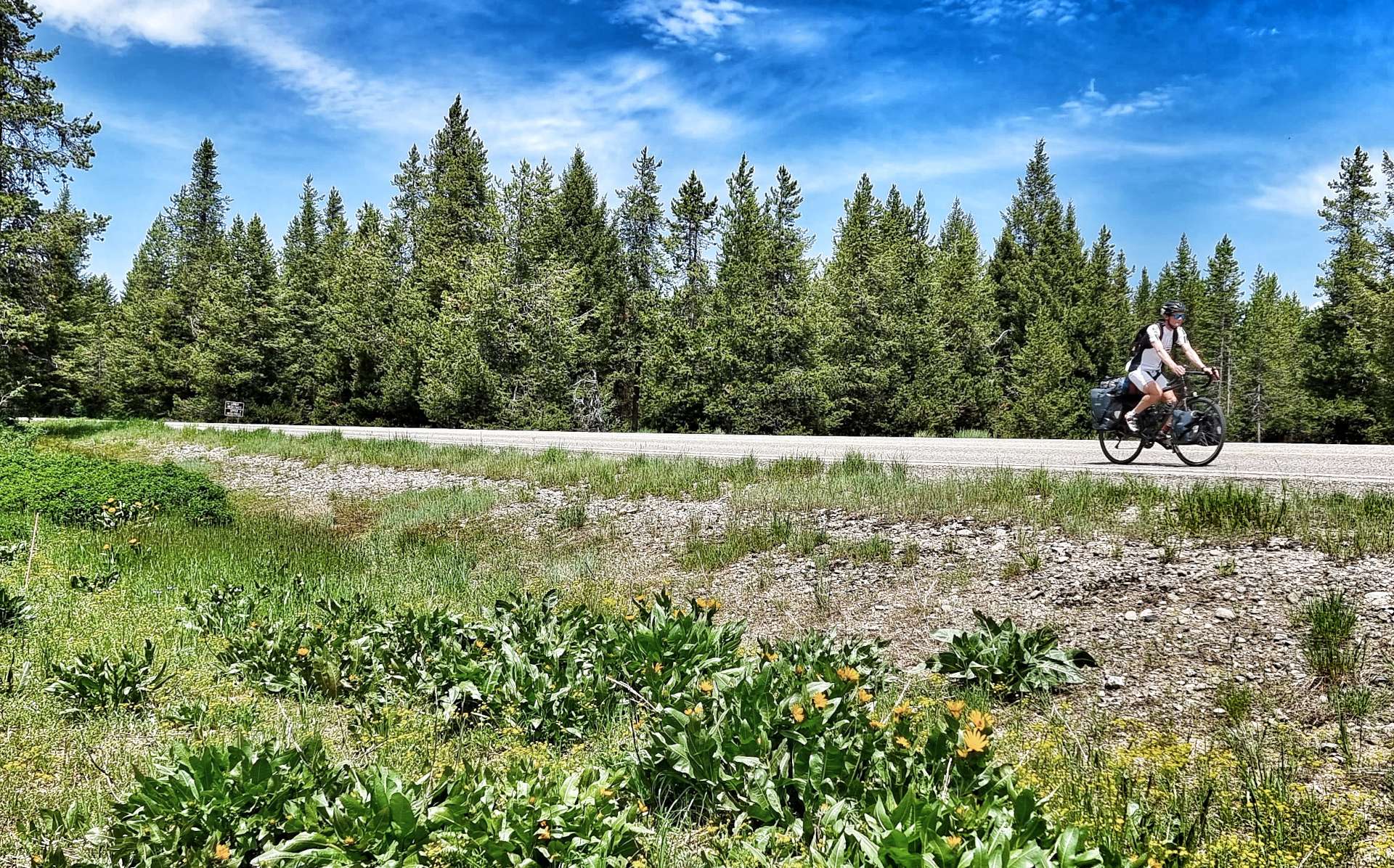
It was time to head into the wilderness, so we took the Mesa Falls Scenic Byway, one of Idaho’s hidden gems. If cycling in the USA over the years has taught me anything, it’s that you simply MUST take any road with Scenic Byway in the title! I know my fellow Cycling Escapes friends will agree.
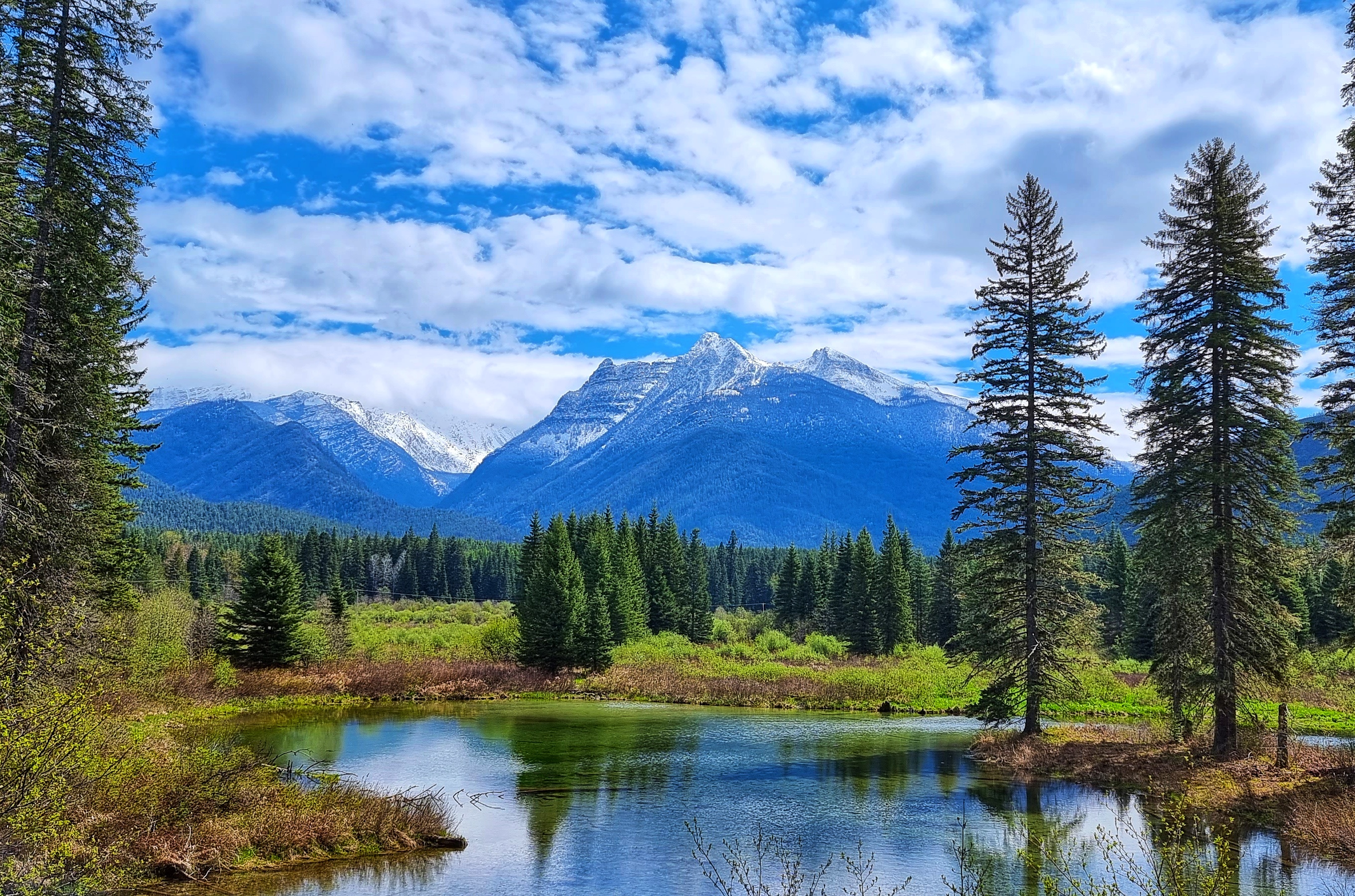
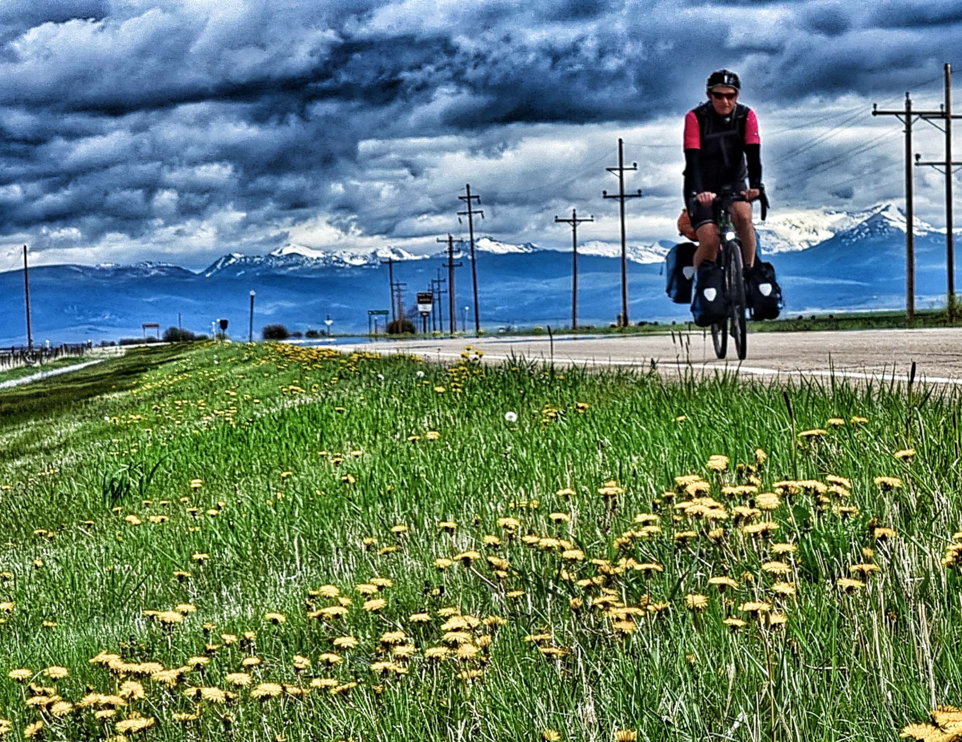
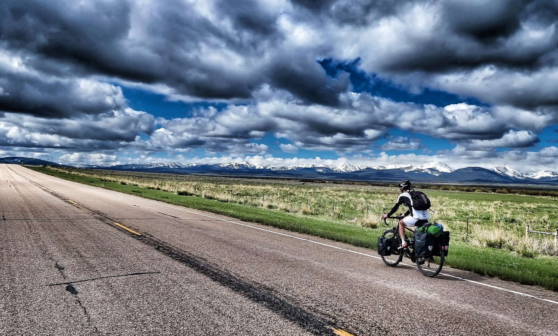
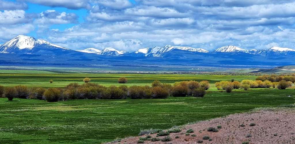
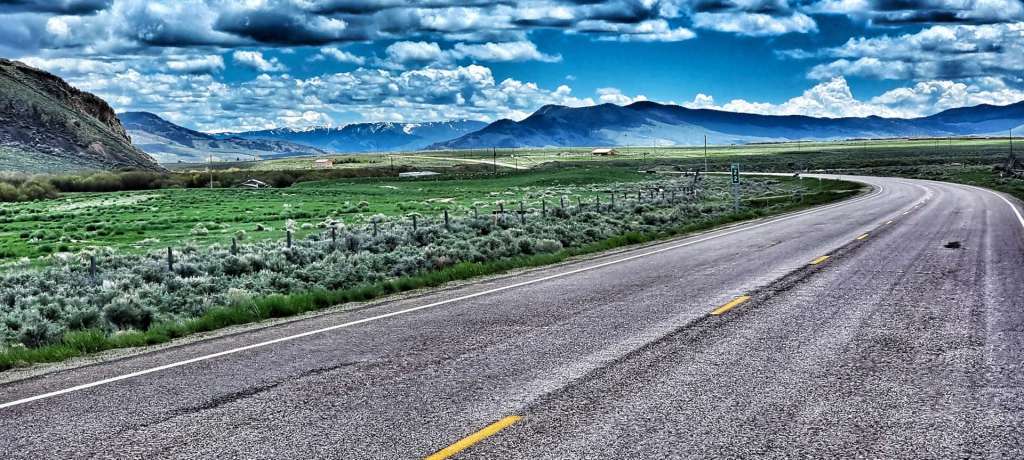
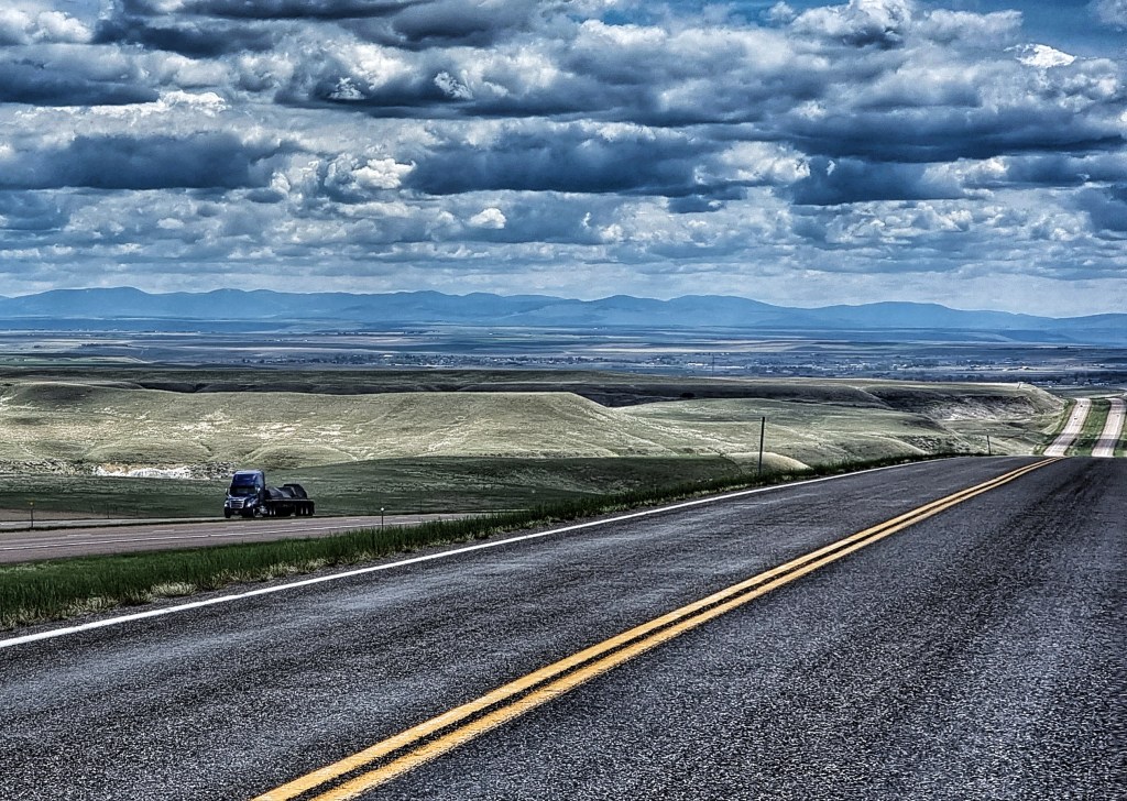
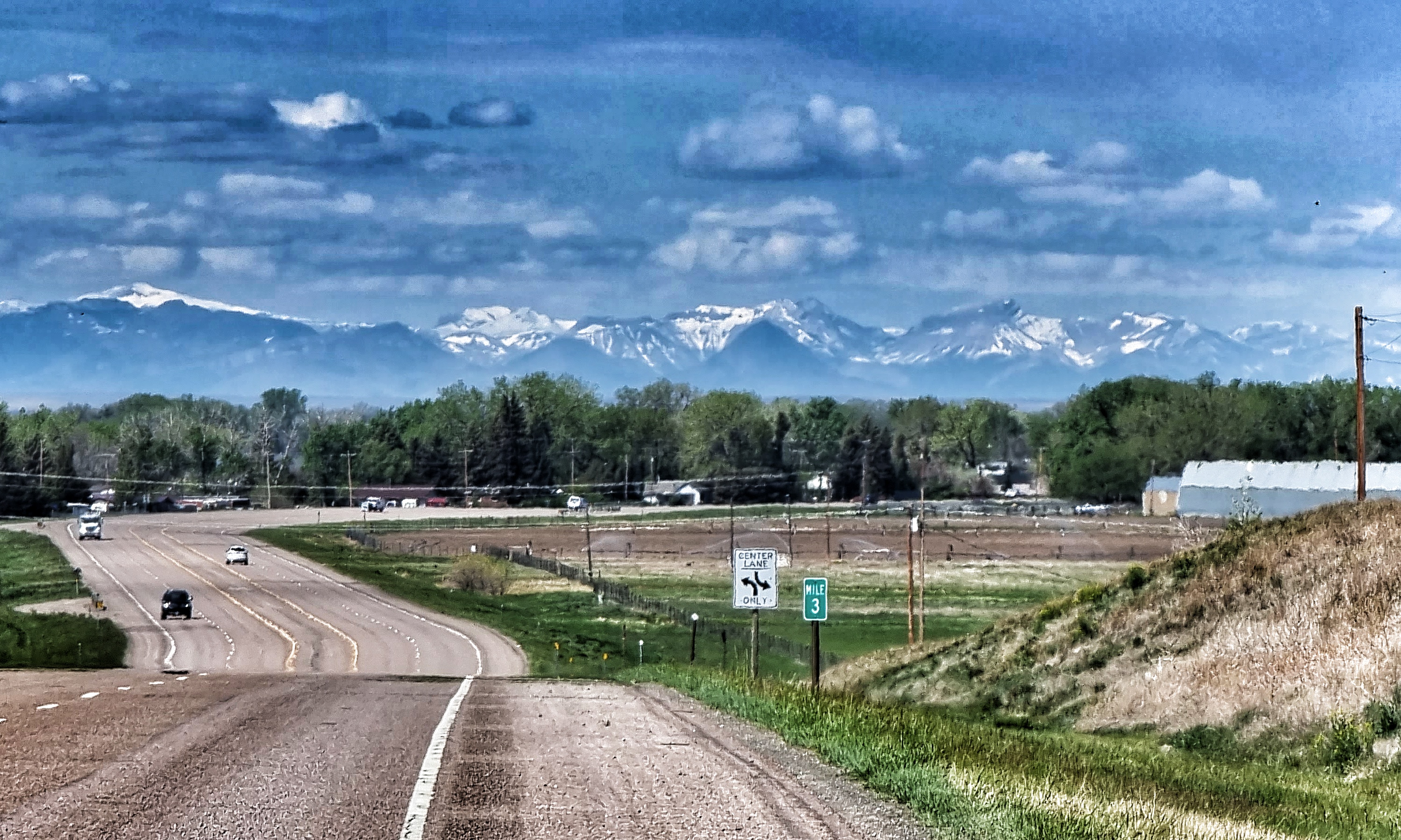
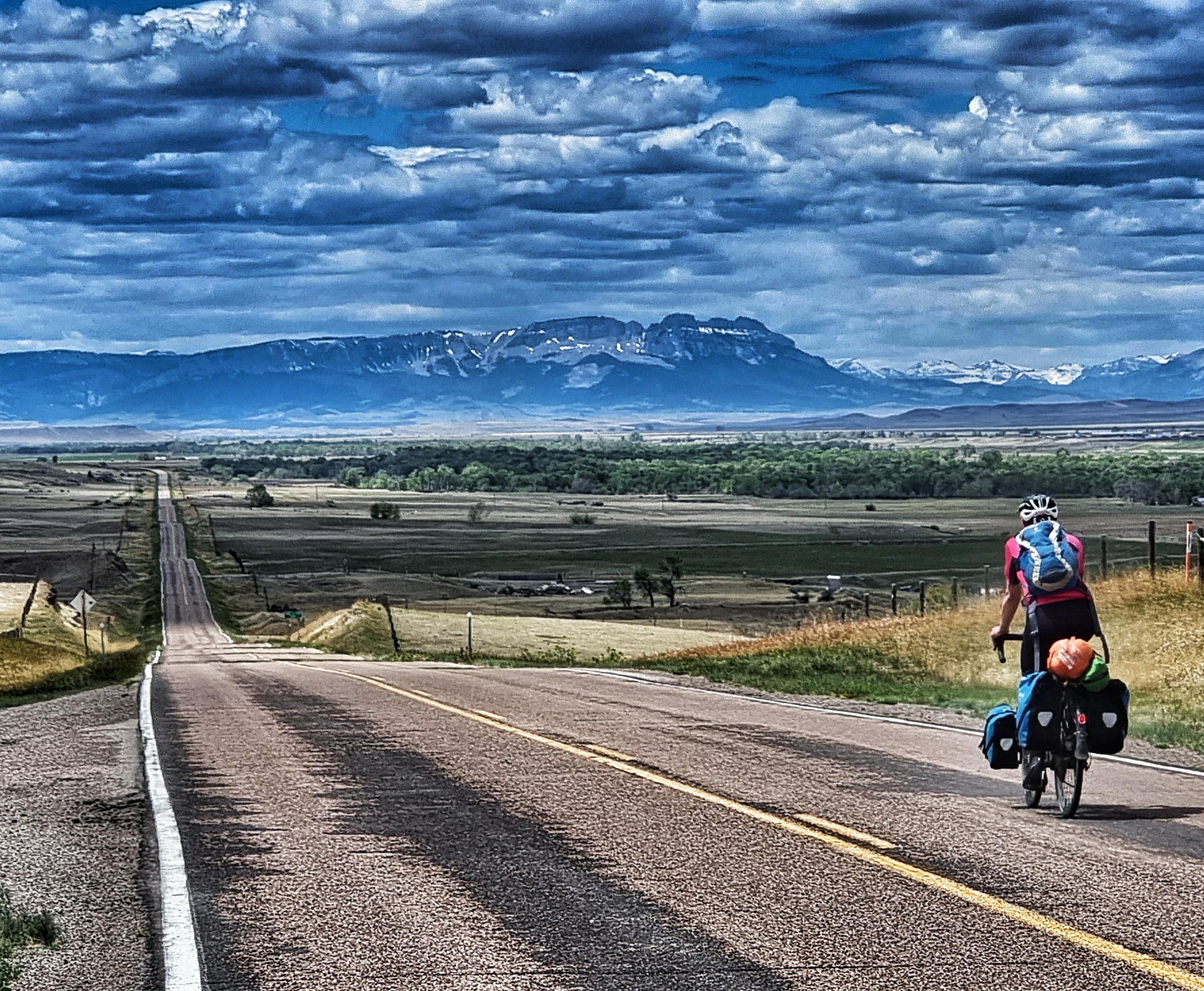
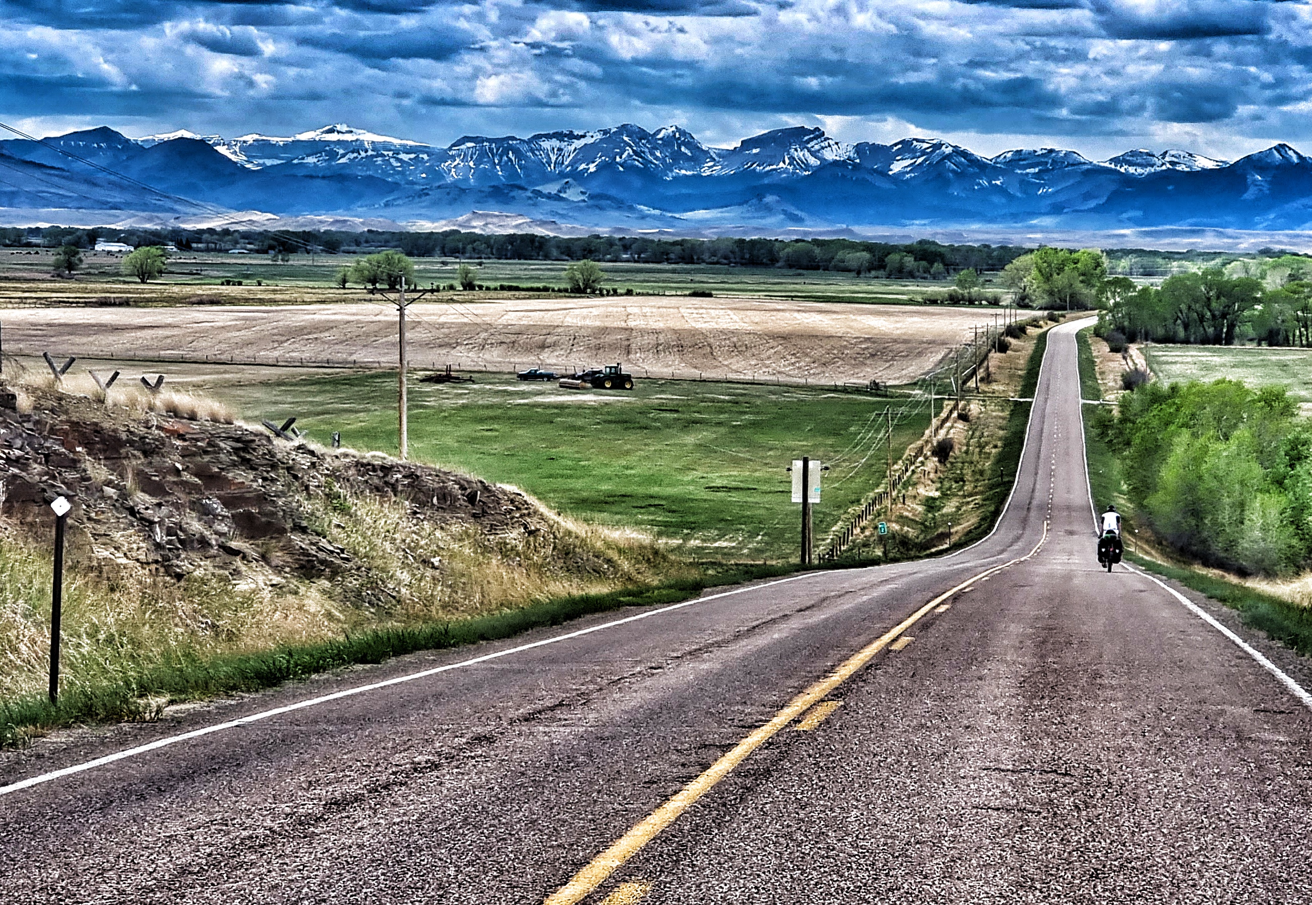
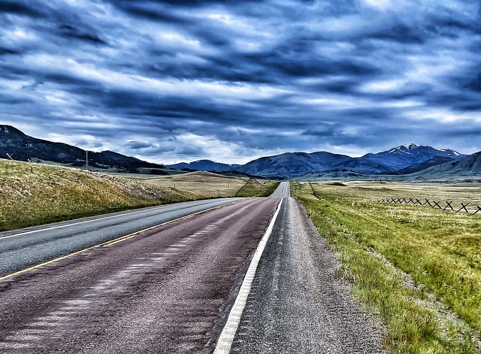
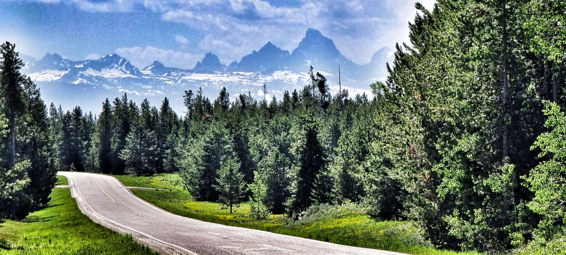
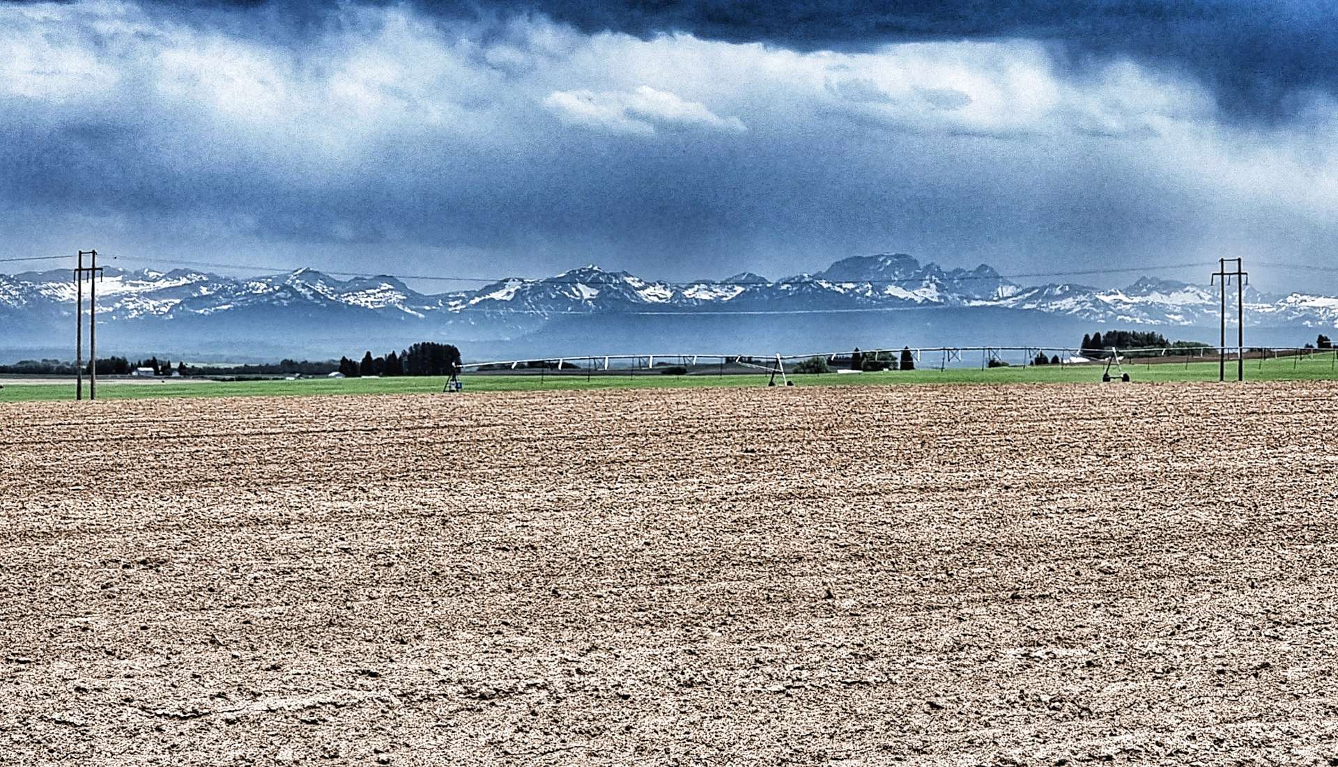
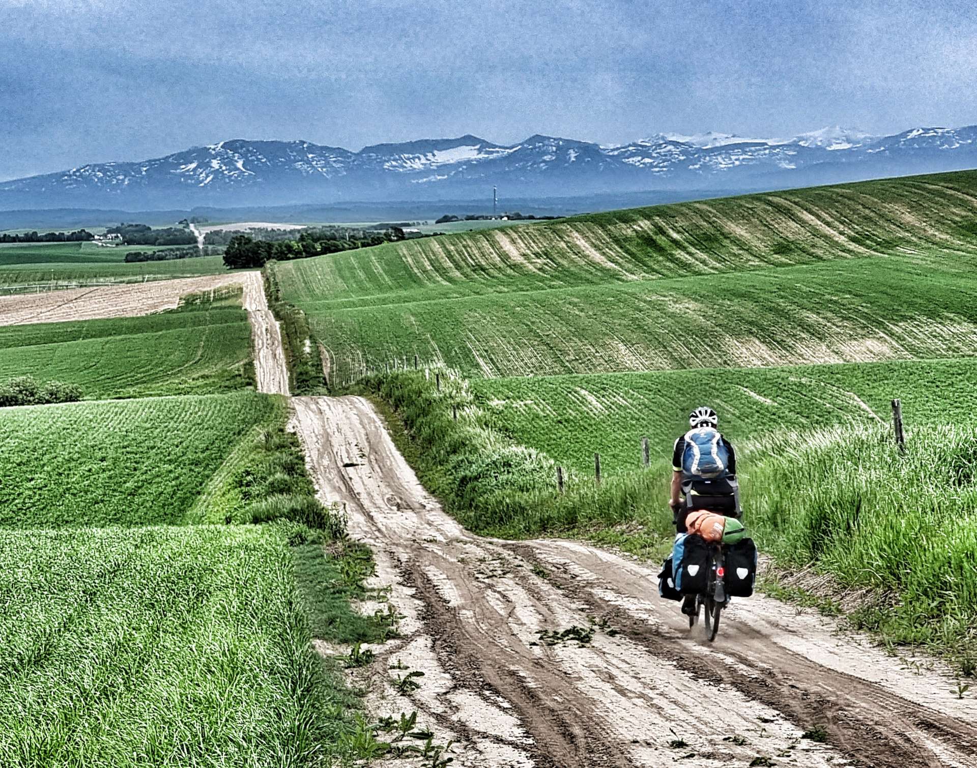
The temperature had warmed nicely & we were cycling under big blue skies – perfect riding weather. The Caribou-Targhee National Forest provided the backdrop of trees, while every now & then the immense Teton Mountain Range showed themselves, even though they were more than 40 miles in the distance. An amusing story is that French trappers in the 1800’s named the mountains “Les Trois Tetons” (the three teats, or breasts) & the name stuck.
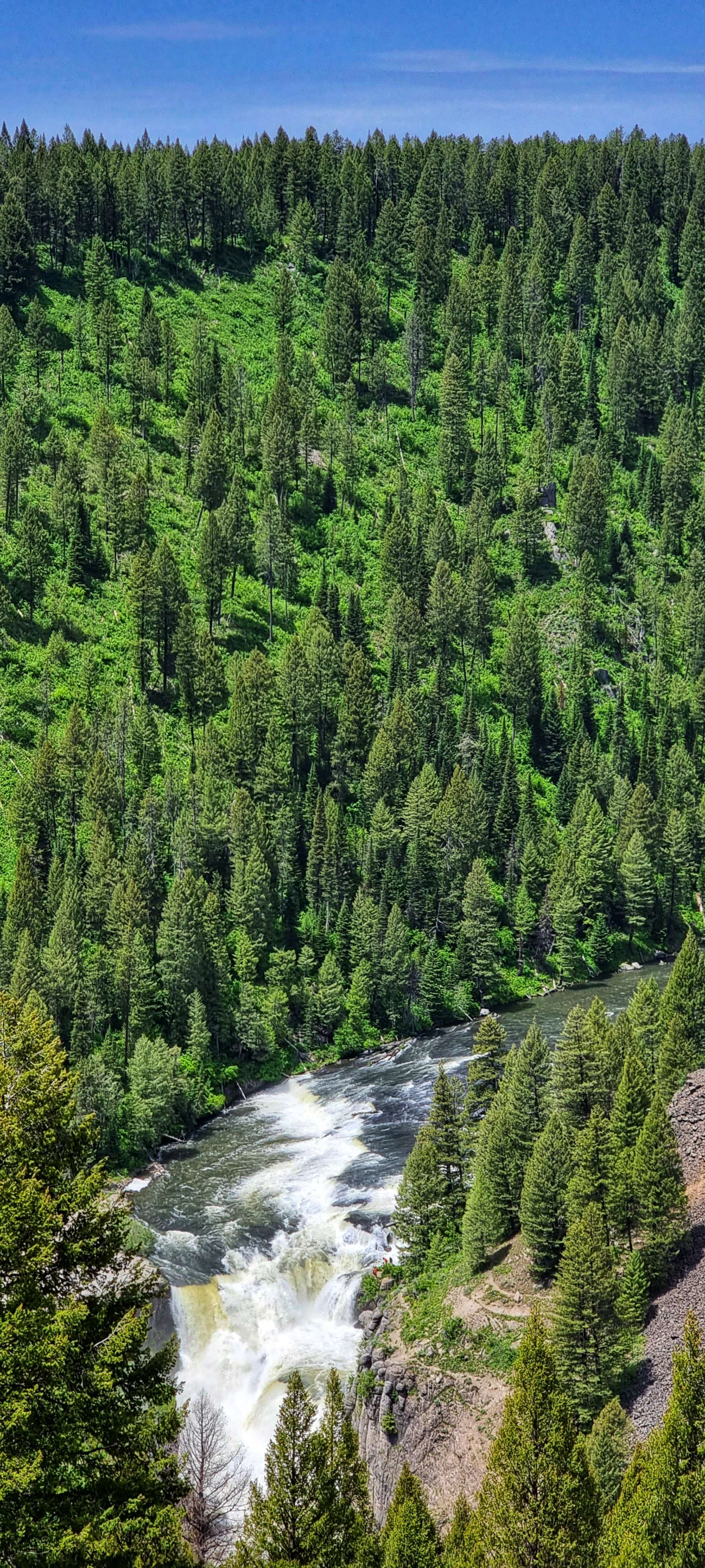
Enough schoolboy humour – the main reason for our detour was to see the Upper & Lower Mesa Falls. A few people I’d chatted to in West Yellowstone said it was a must see sight if we were anywhere near. The Mesa Falls were owned by Montana Light & Power until December 1986, when Targhee National Forest completed a Land Exchange agreement. The National Forest then worked hard to open up this natural gem to the public.
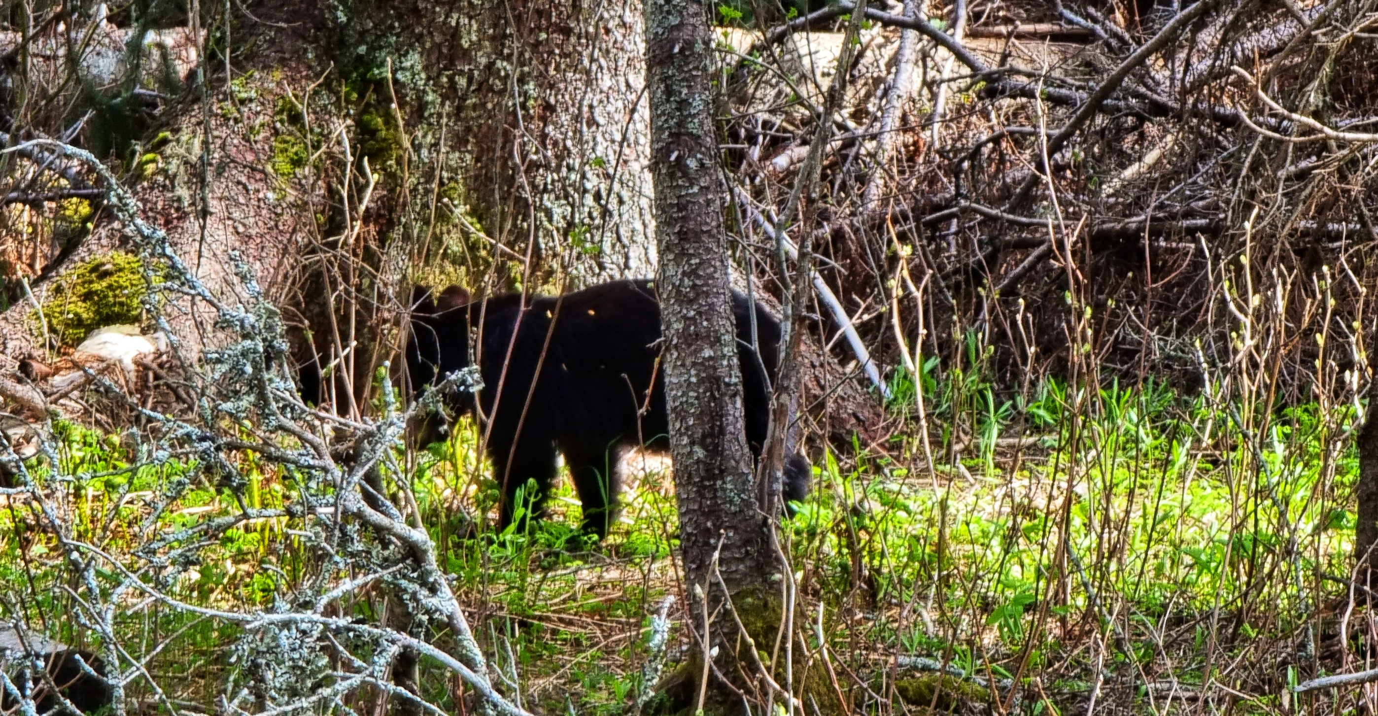
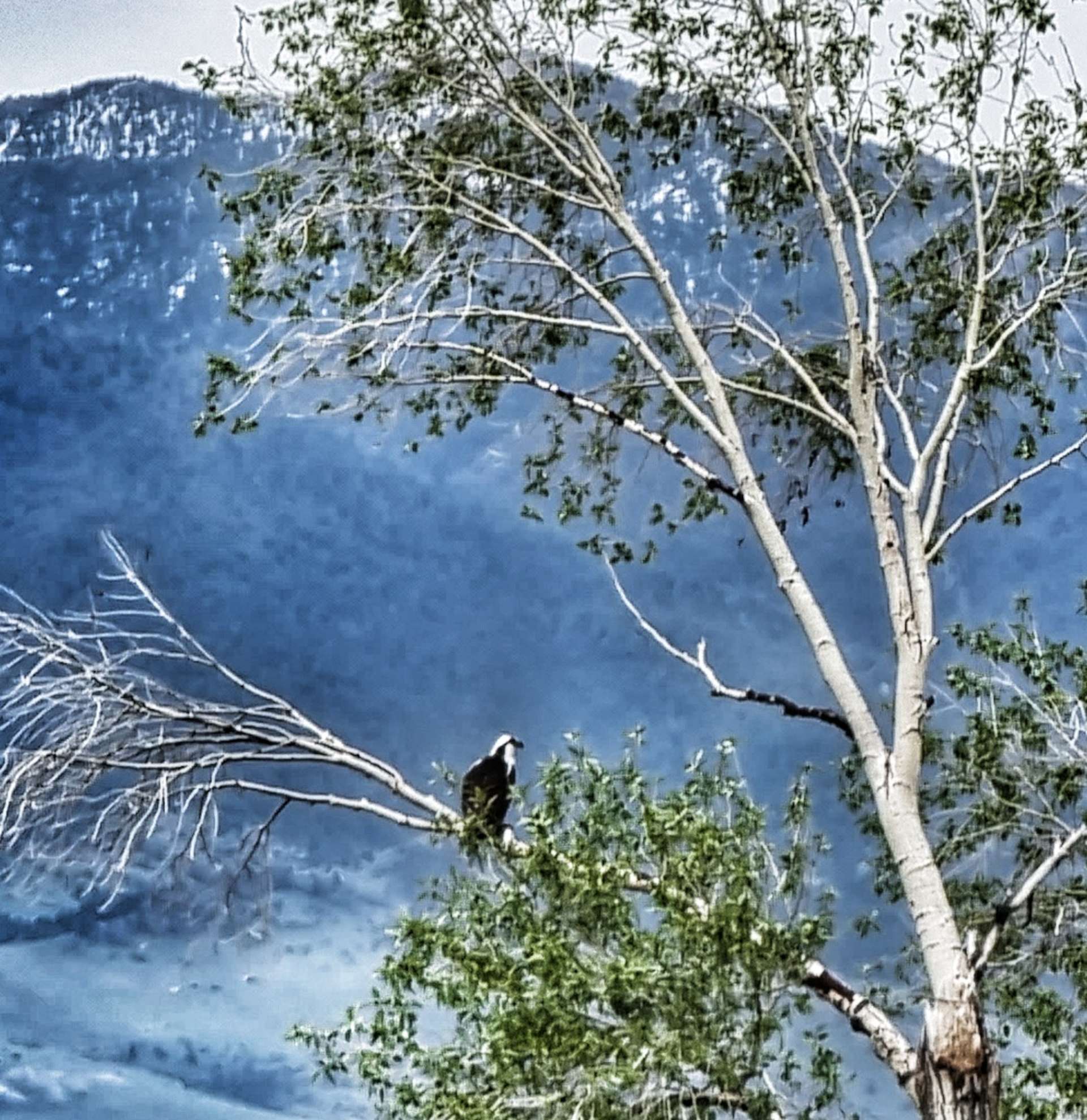
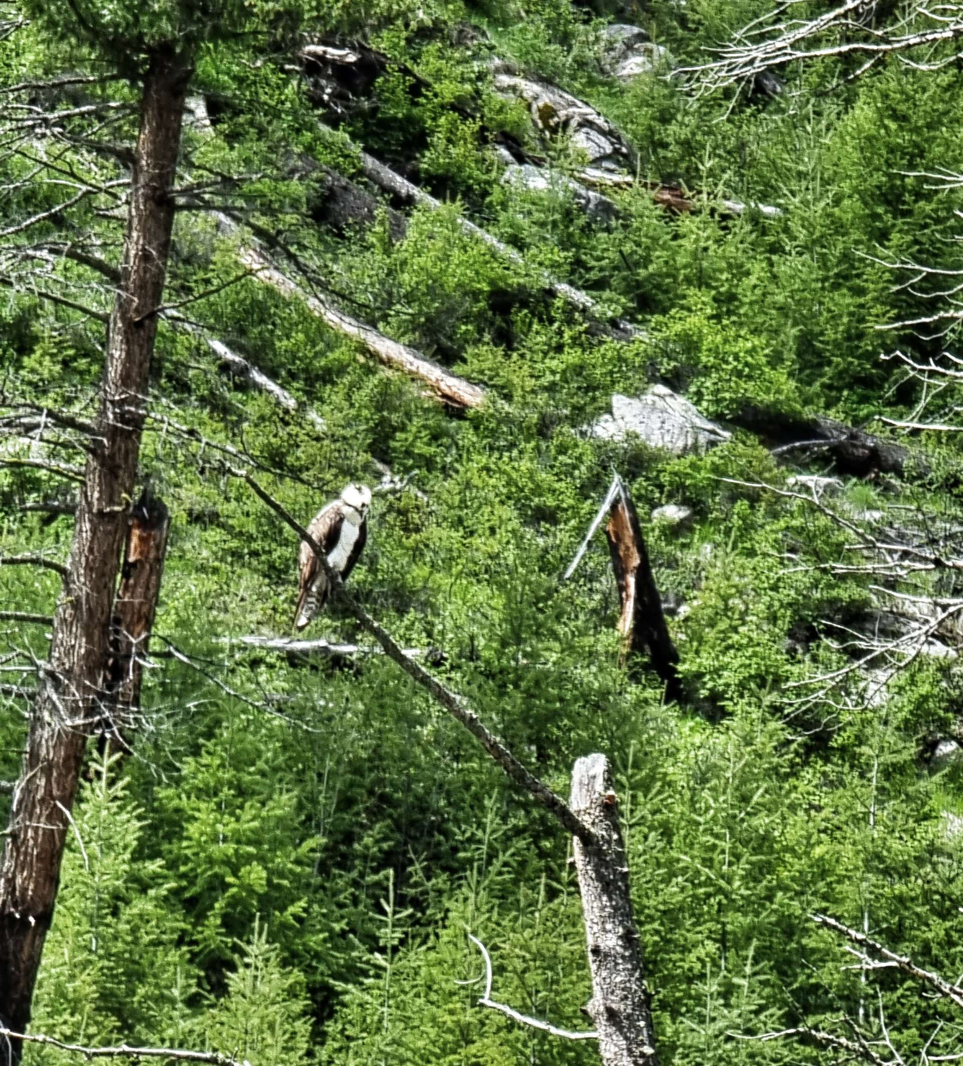
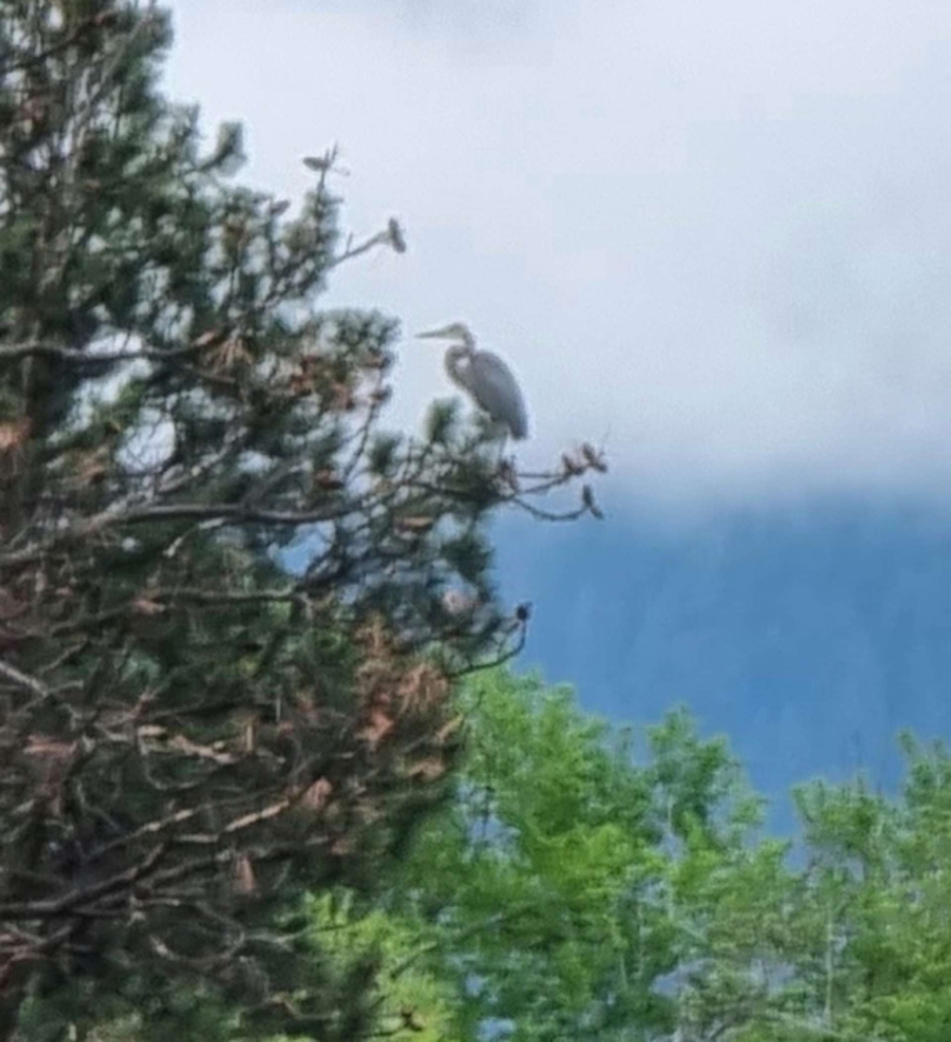
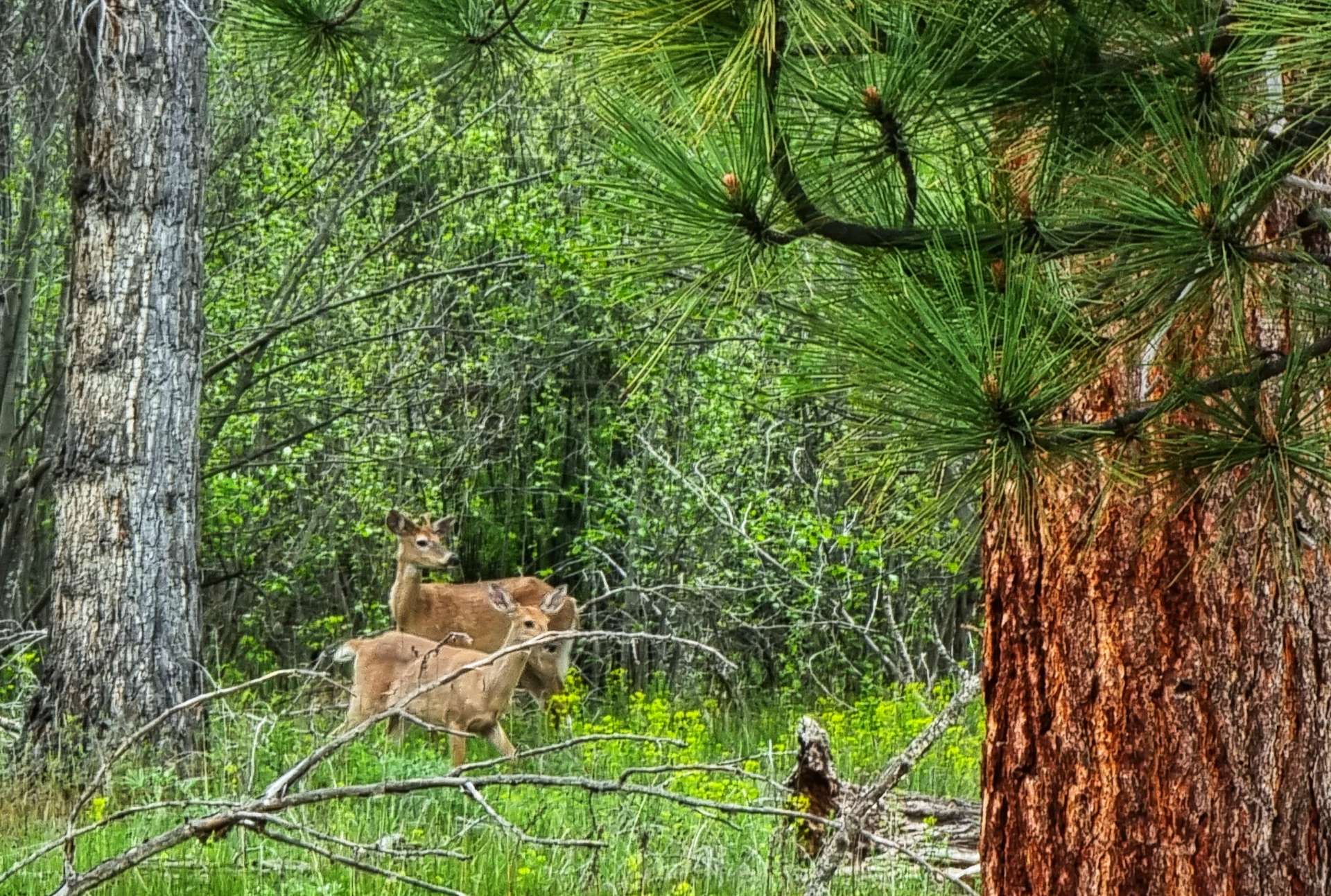
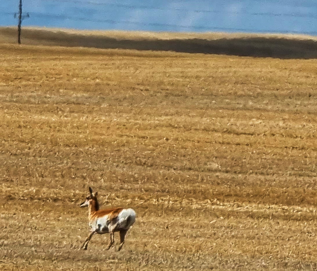
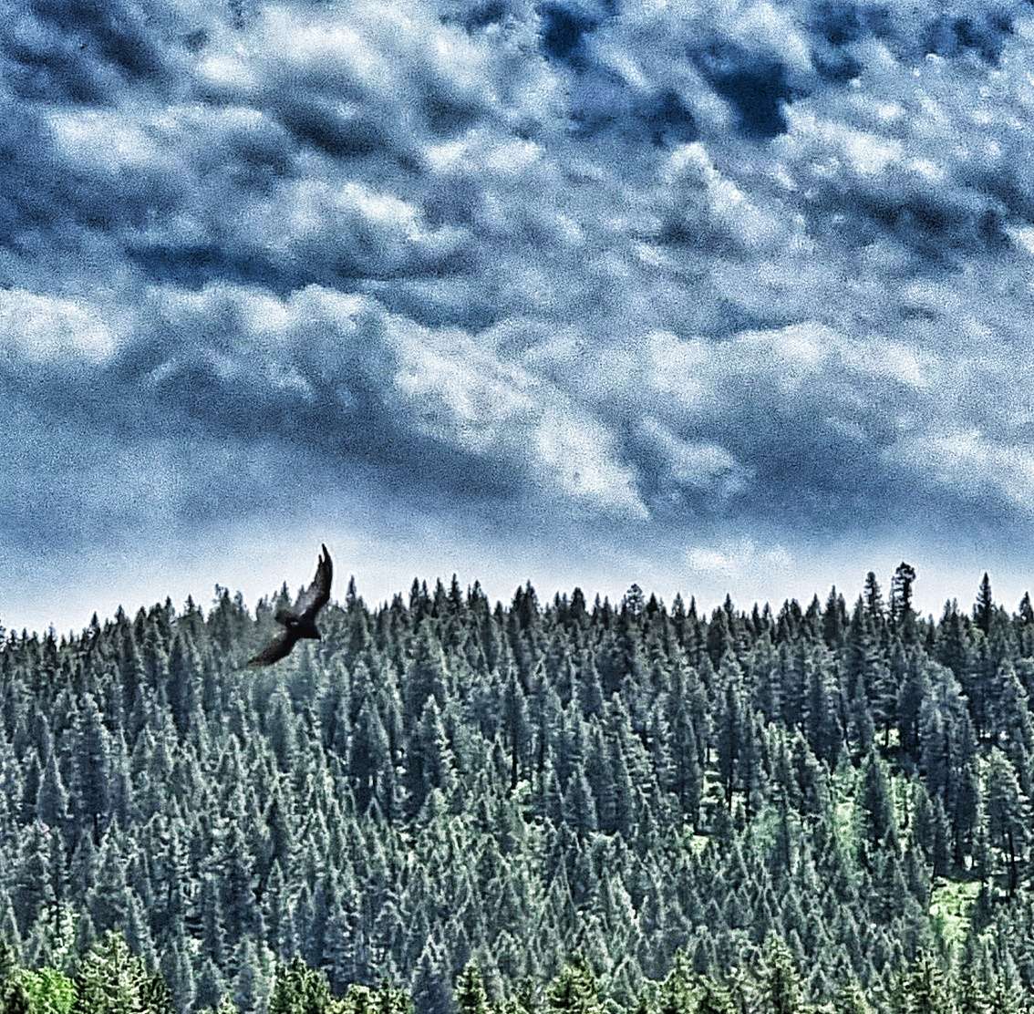
We took the 1 mile descent to the car park & changed into walking shoes – a walkway took us down further into the valley & the thunder of the water indicated there was some big white water ahead long before the Mesa Falls introduced themselves. Overhead there were eagles gliding on the thermals, while bears, deer & elk wandered the forest, always too shy to show themselves.
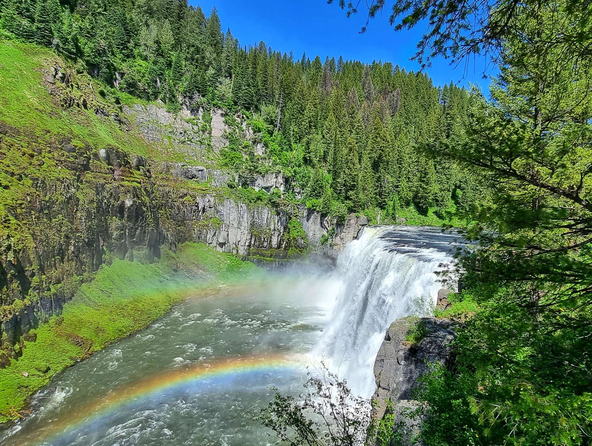
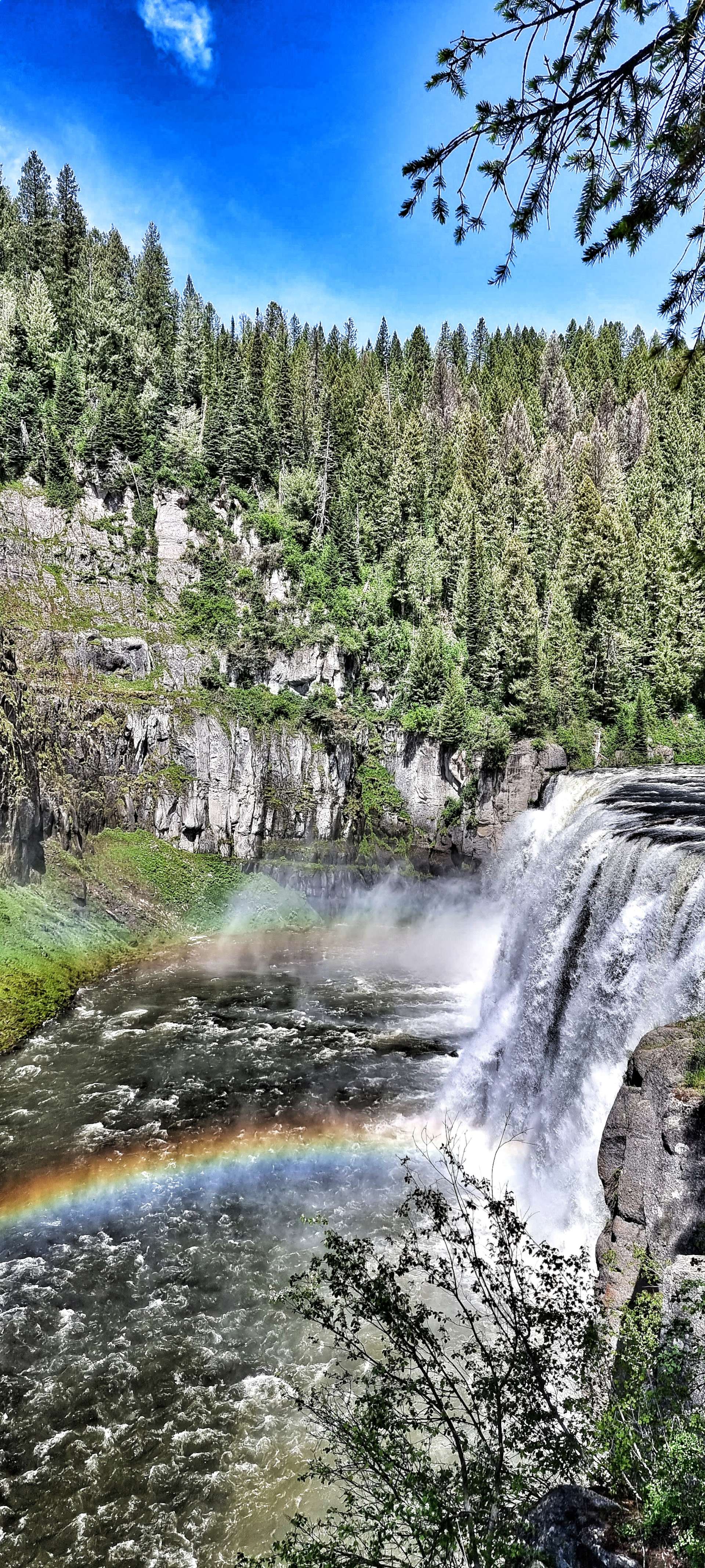
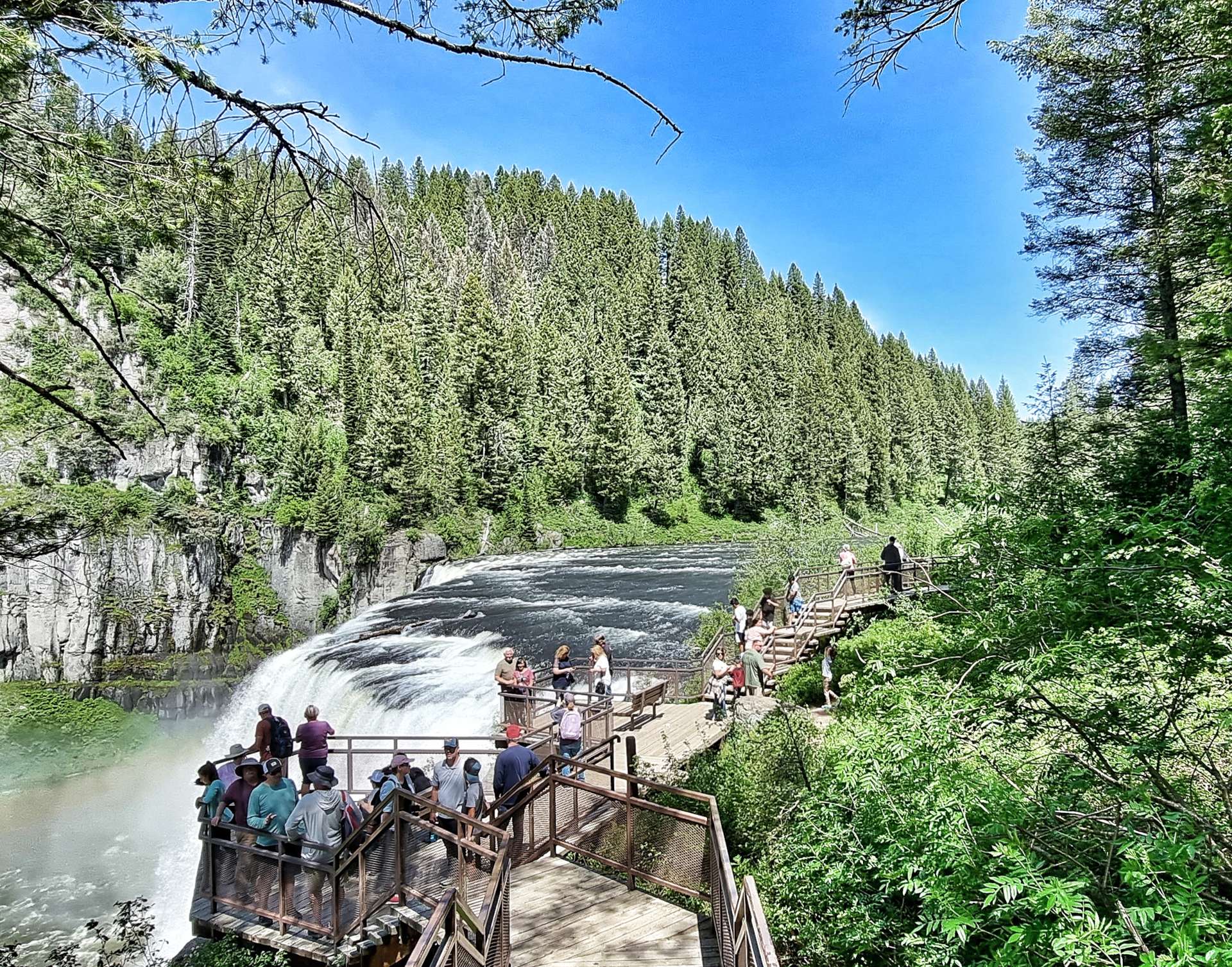
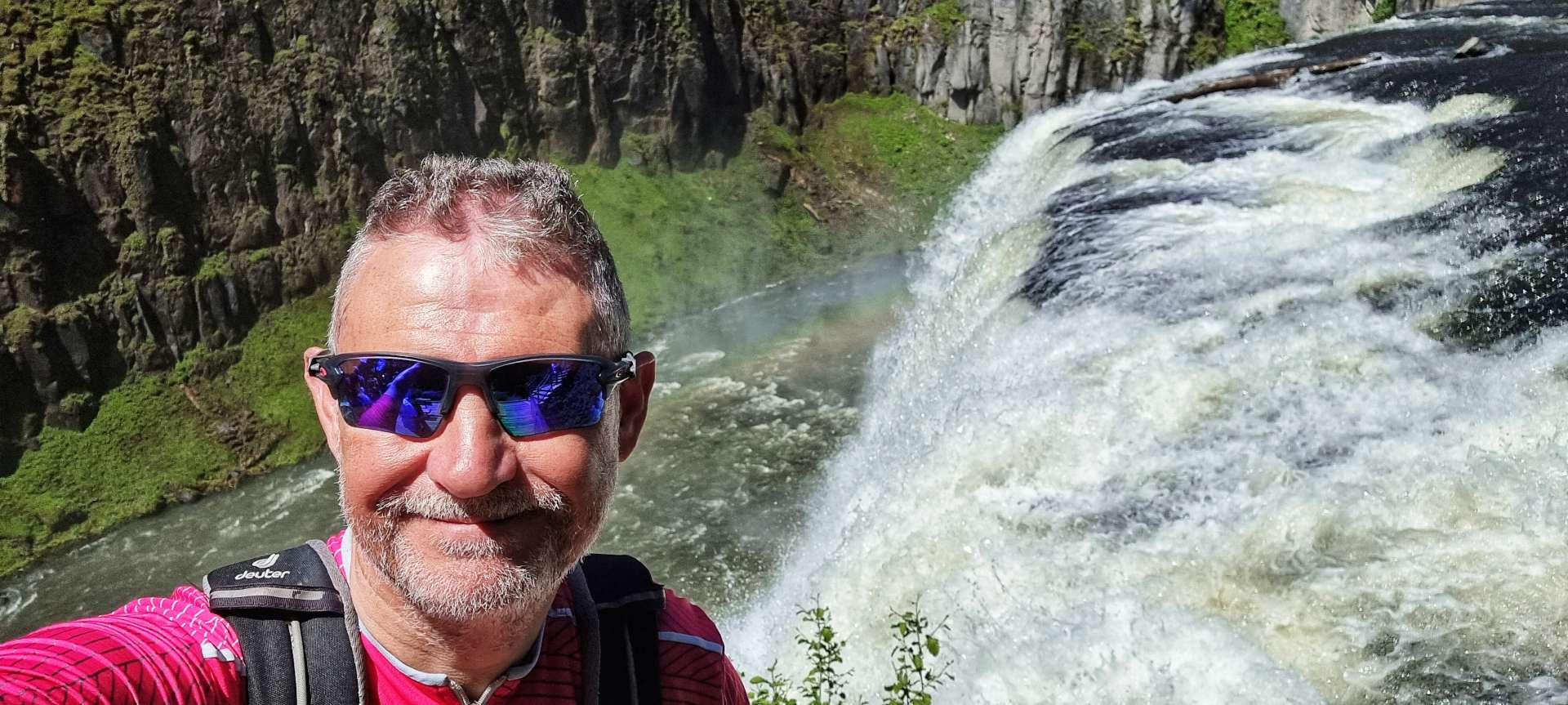
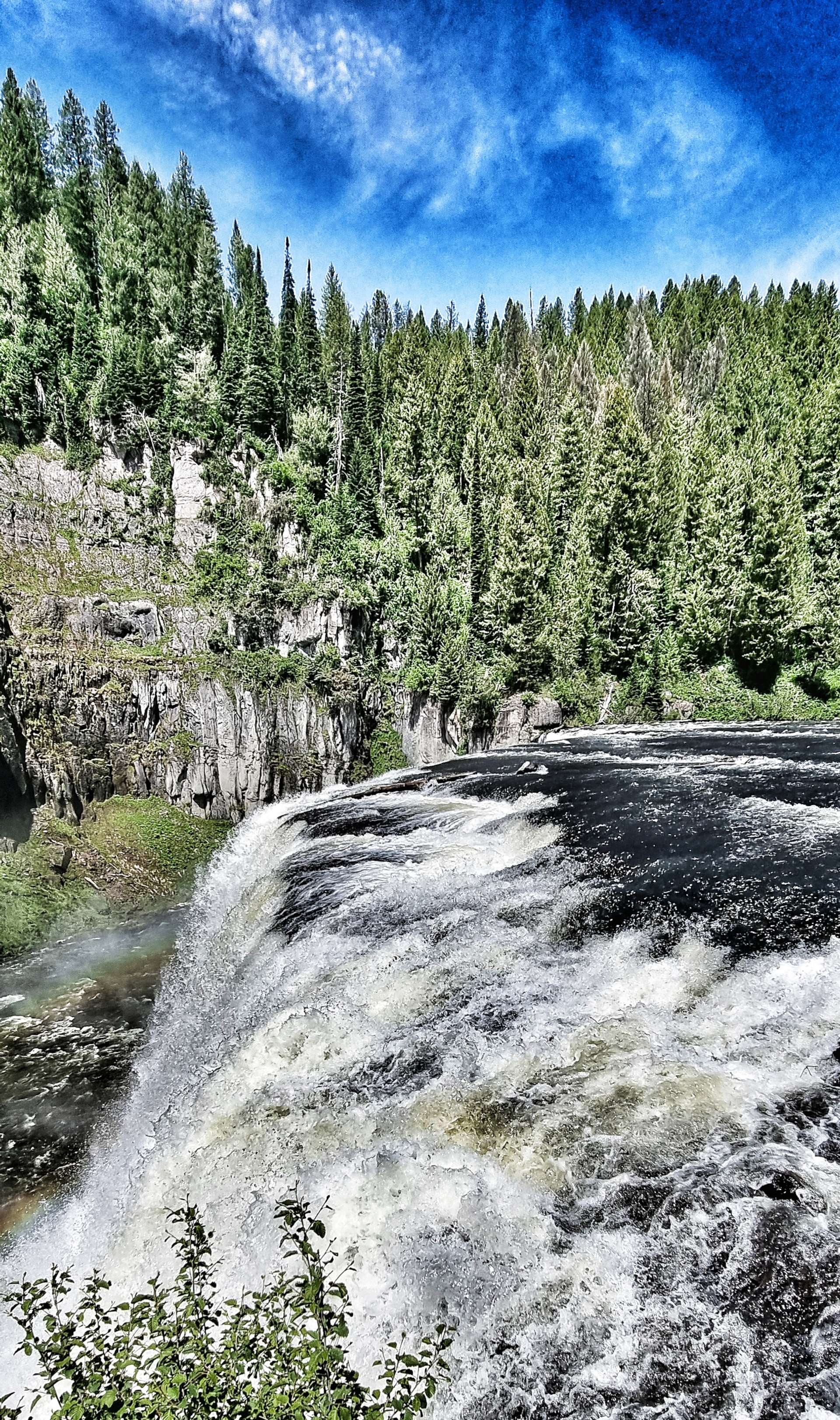
We reluctantly left Upper Mesa Falls behind (in part because of the steep climb ahead of us to get back to the Scenic Byway!) & made our way along to Grand Overlook where we took in the vast views of the Lower Mesa Falls – from here you could really see that although they were born of fire, they’ve been shaped by water.

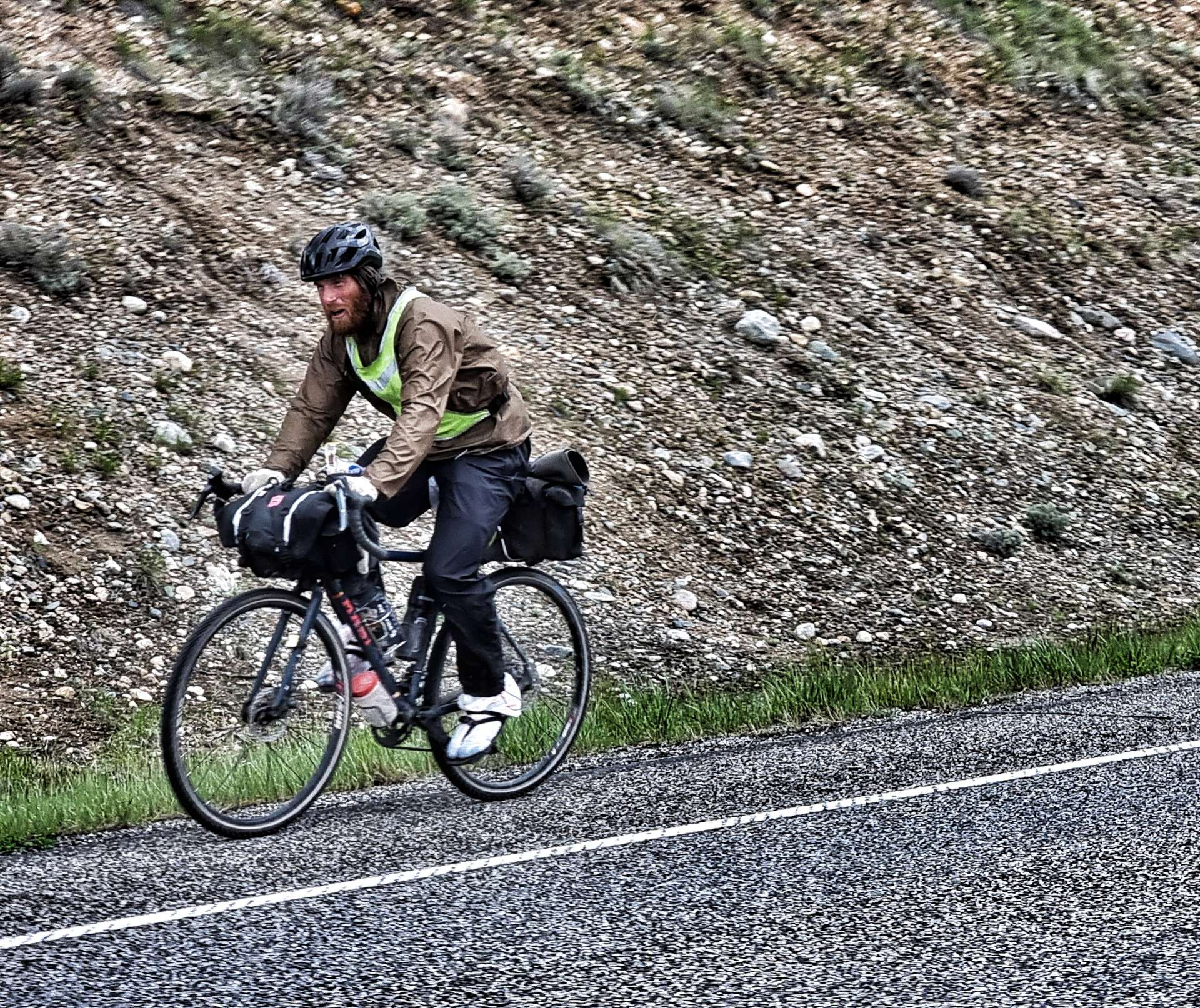
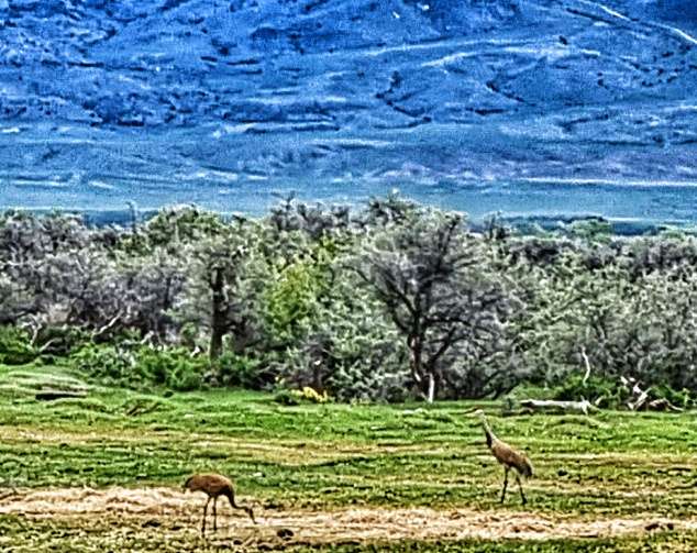
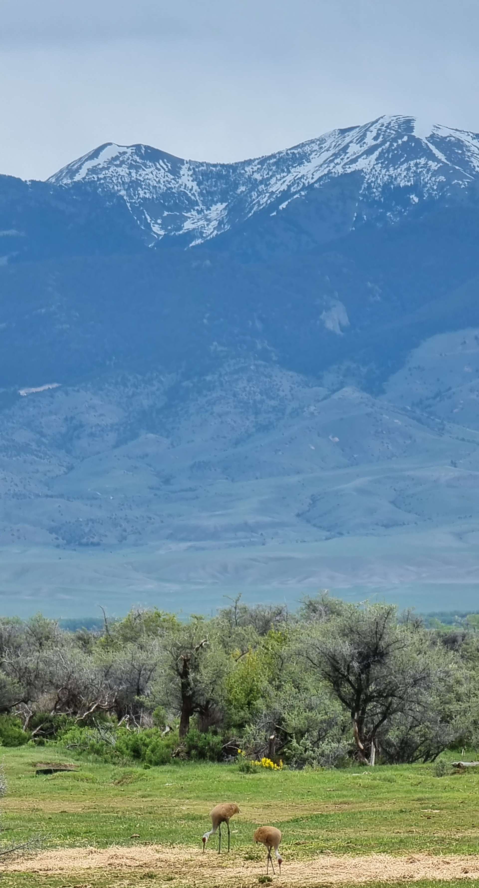
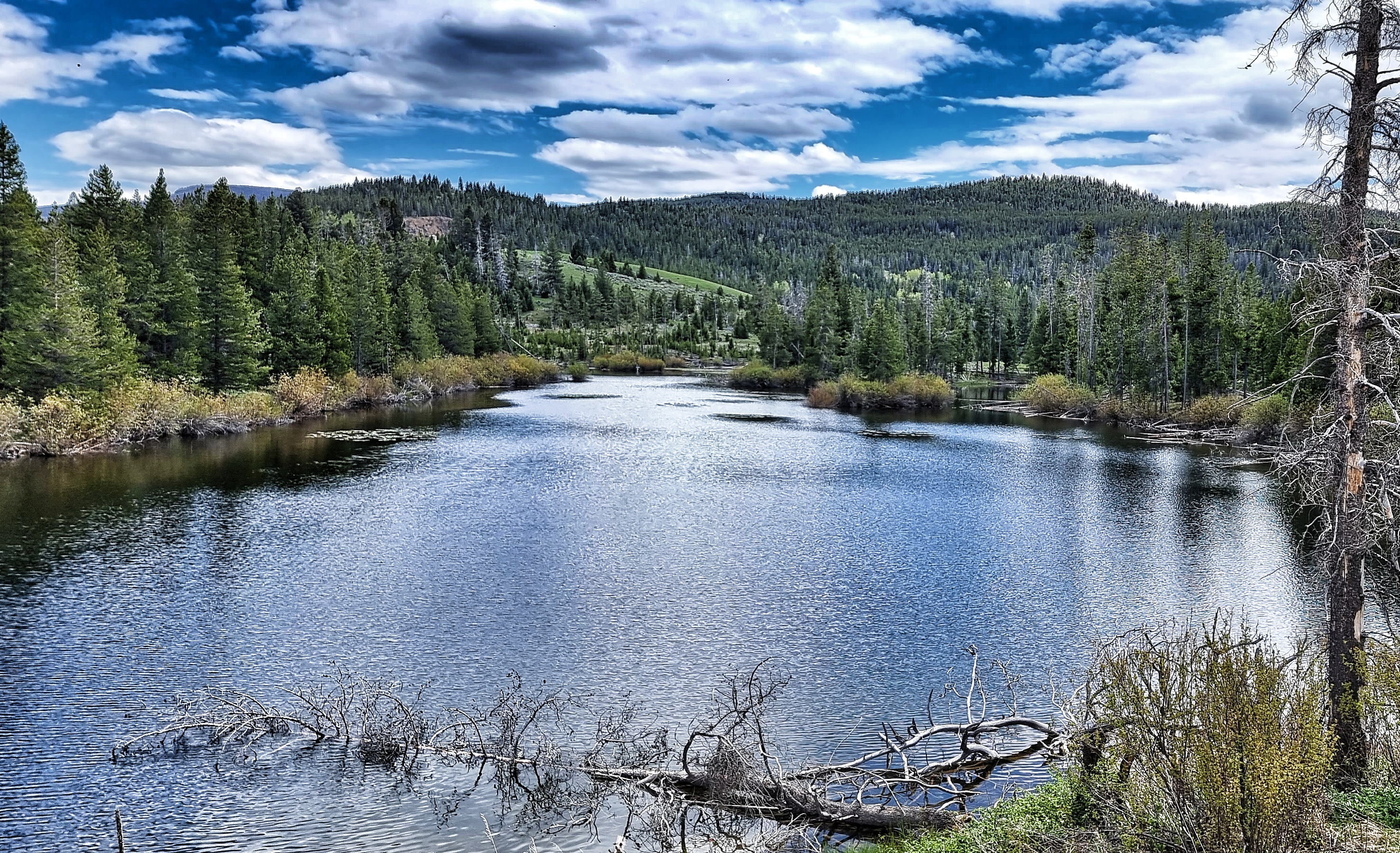
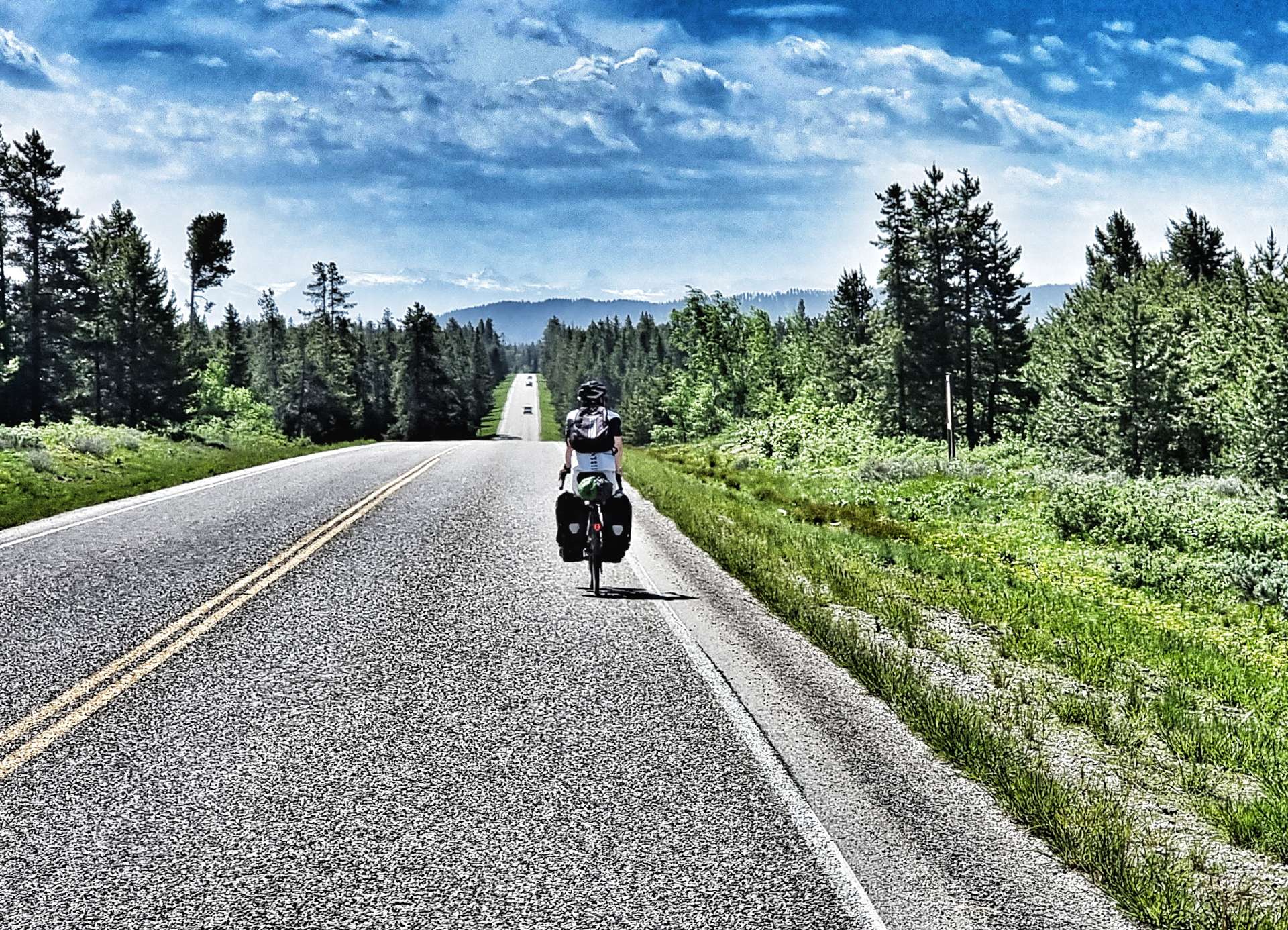
We continued along the almost deserted road, giving us time to set up the odd action shot, as well as stop & poke around the small ponds seeking the eternally ribbiting frogs – we never did find one! All the while, the Tetons edged ever nearer.


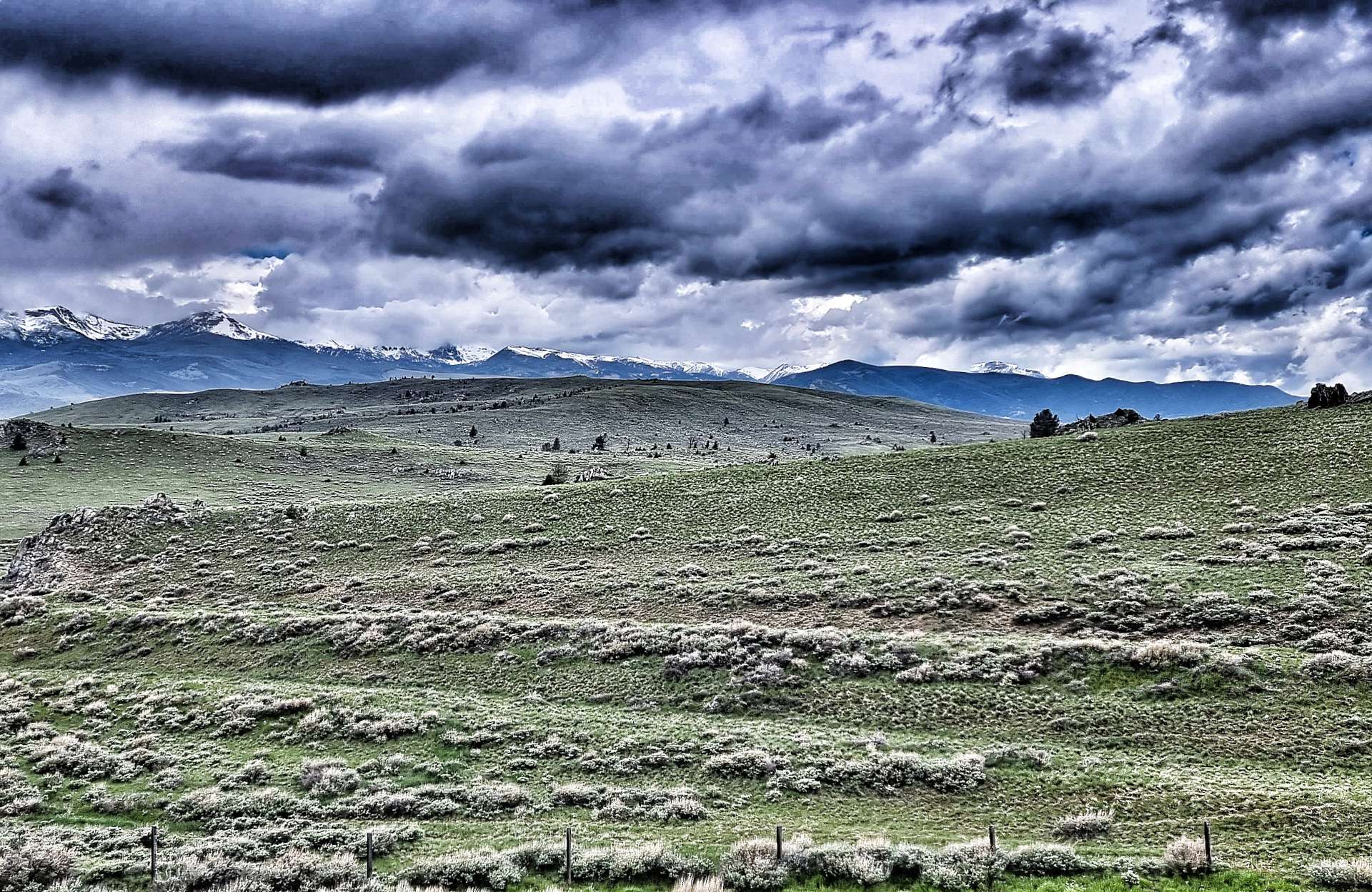
In 1938, Bear Gulch was the second ski resort to be established in Idaho (after Sun Valley). Alf Engen, a world-class skier who had emigrated from Norway helped lay out the first runs of what later became Bear Cat, Dipper & Teddy Bear. It endured a troubled history as ownership regularly changed hands & ongoing development & running costs soared.
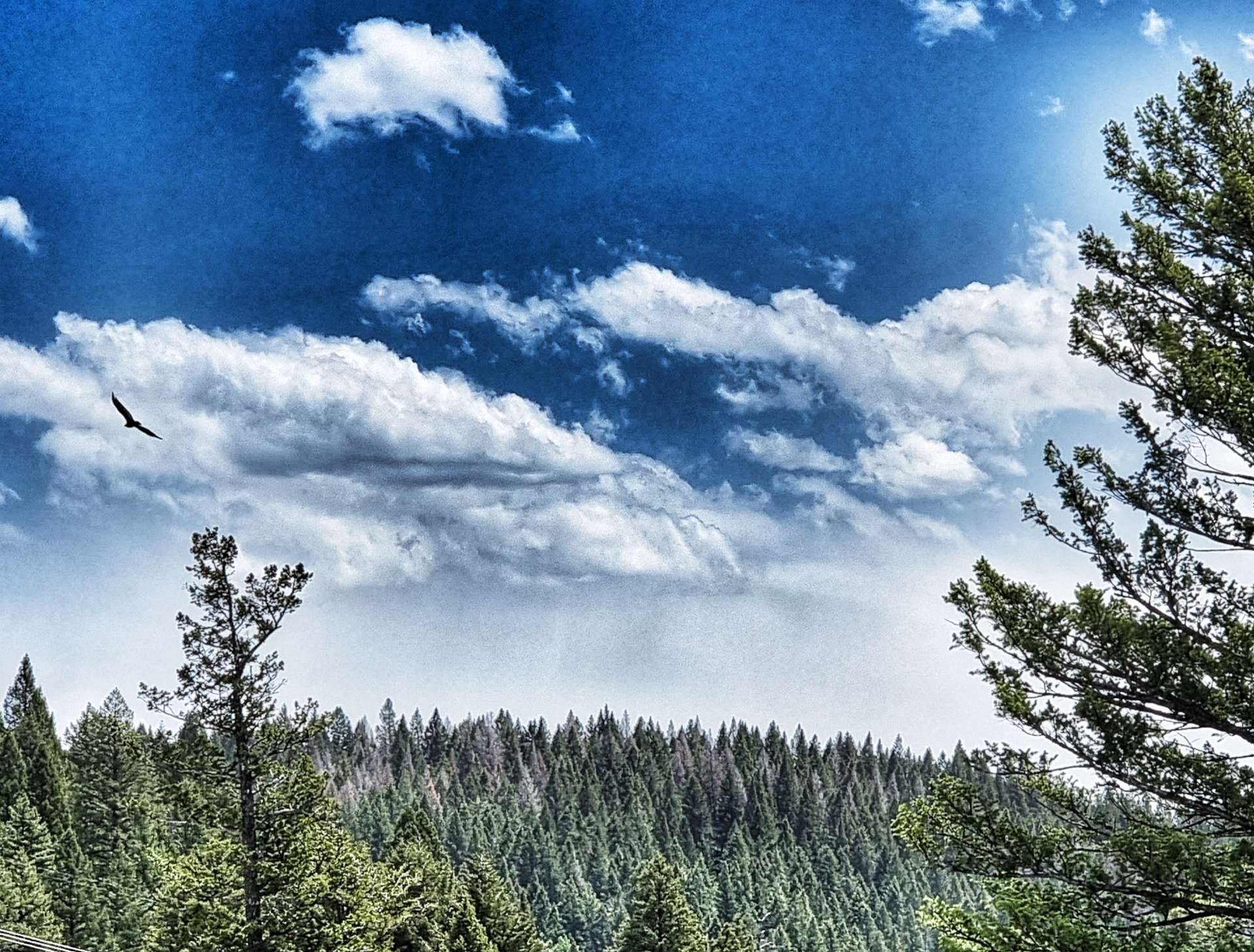
While we were reading about the history of Bear Gulch, an eagle glided overhead, keeping its beady eye on us! It’s a shame the resort didn’t flourish, as it’s in a glorious location with big views of the surrounding mountains.
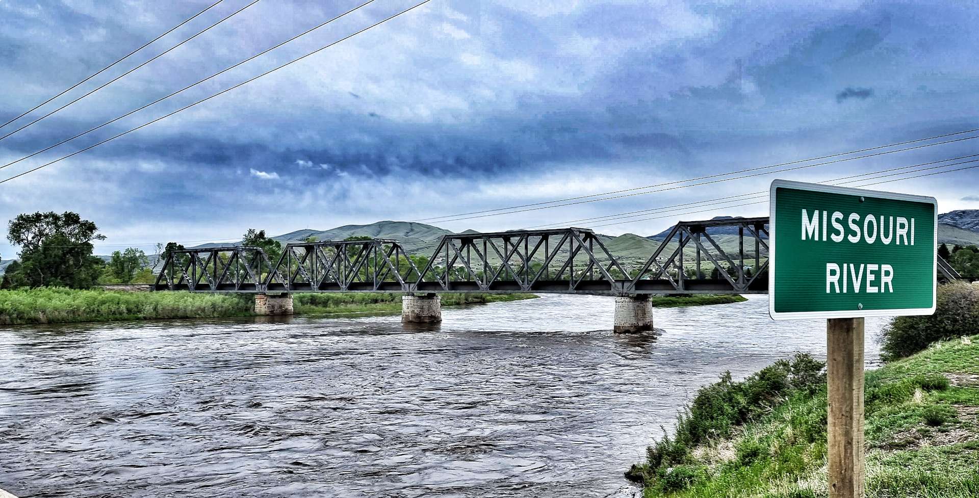
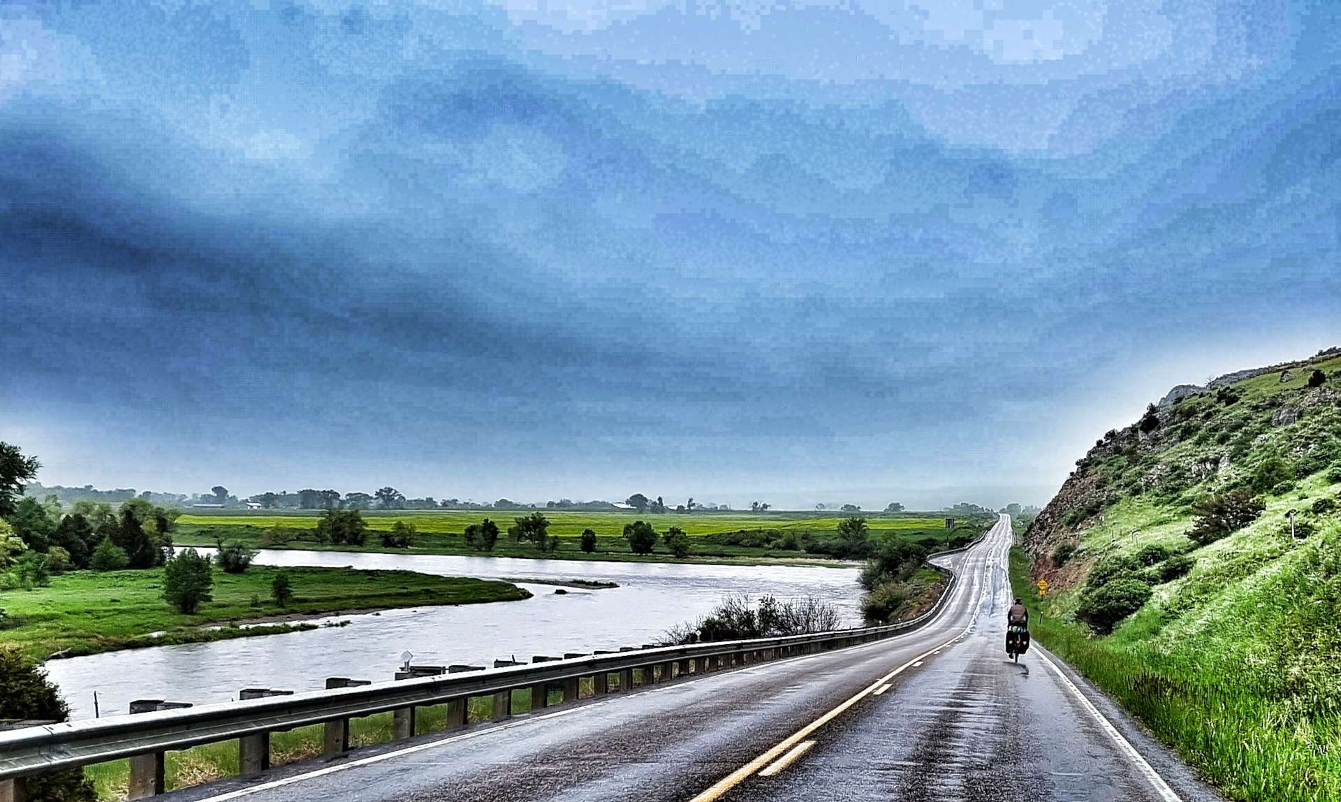
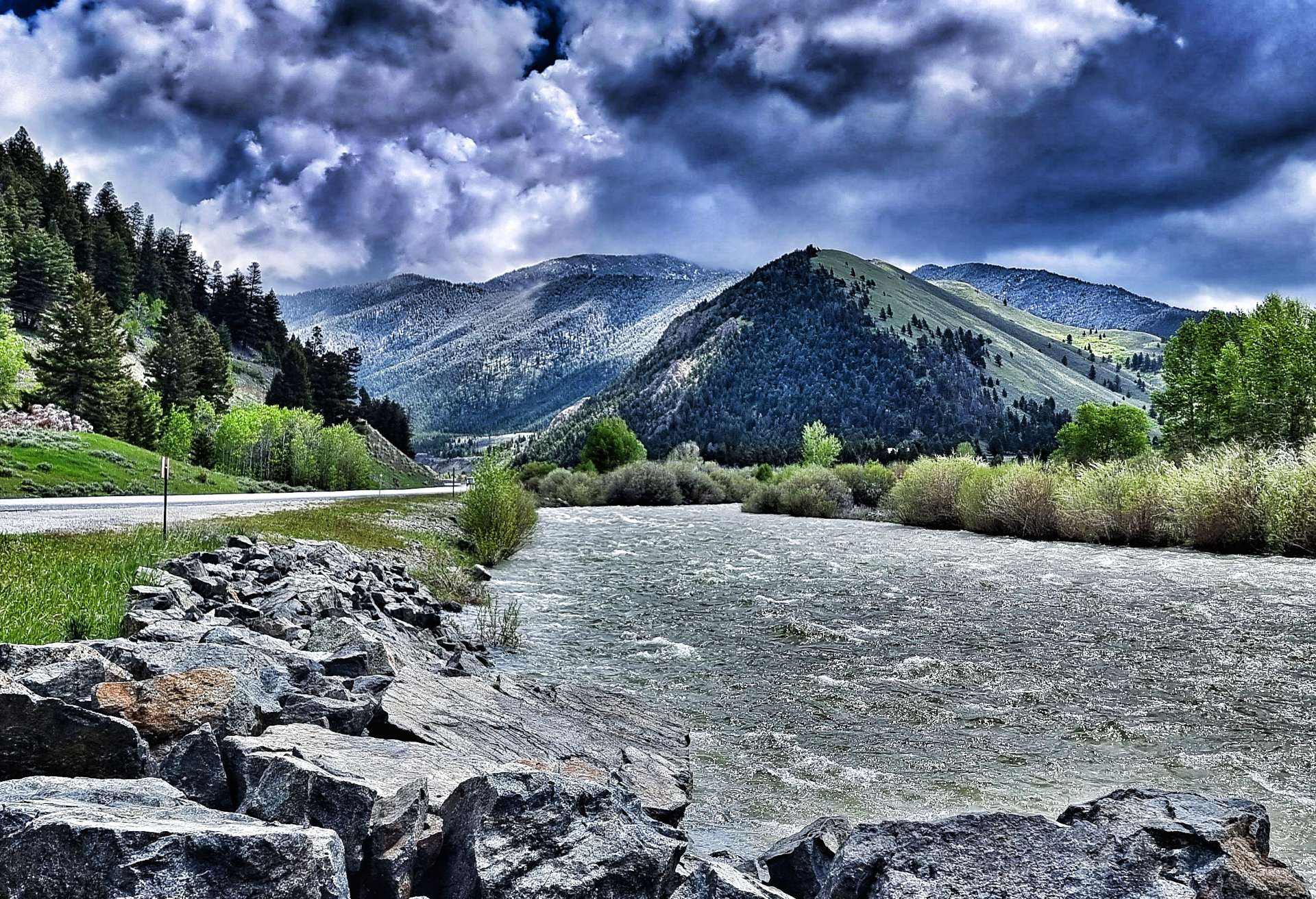
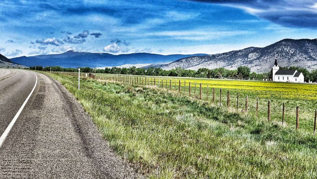
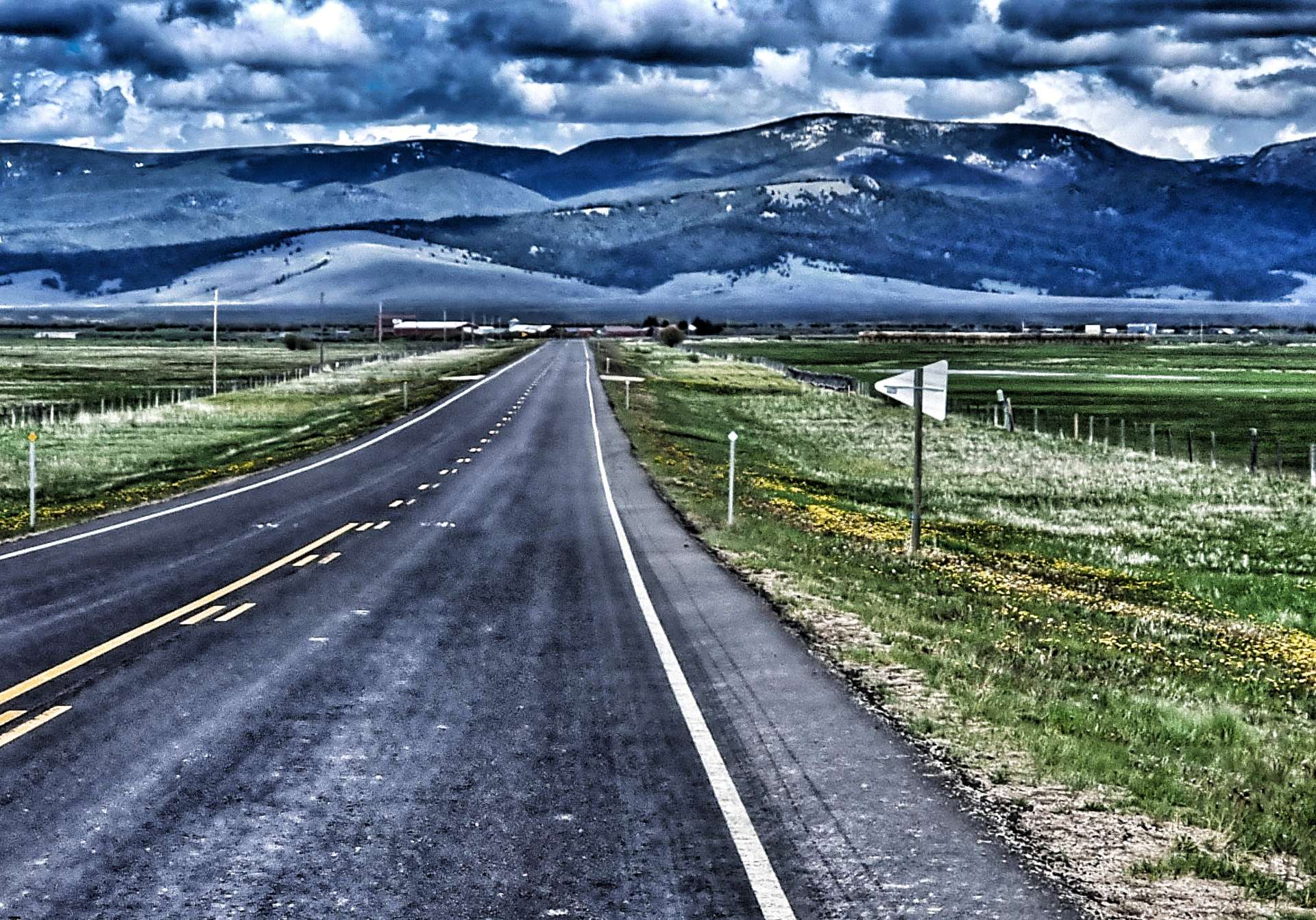
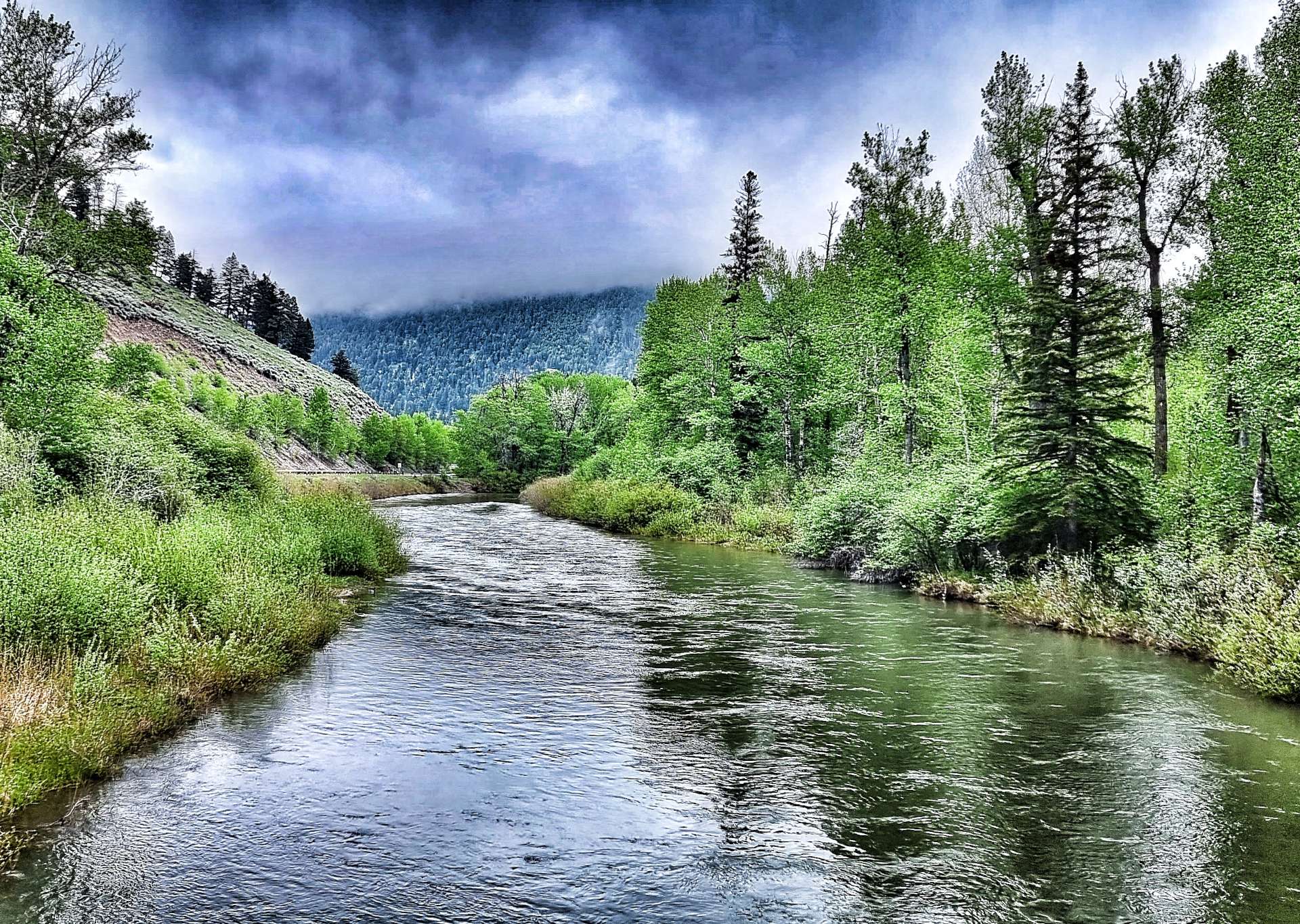
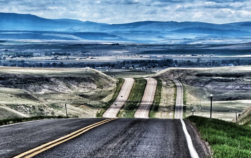
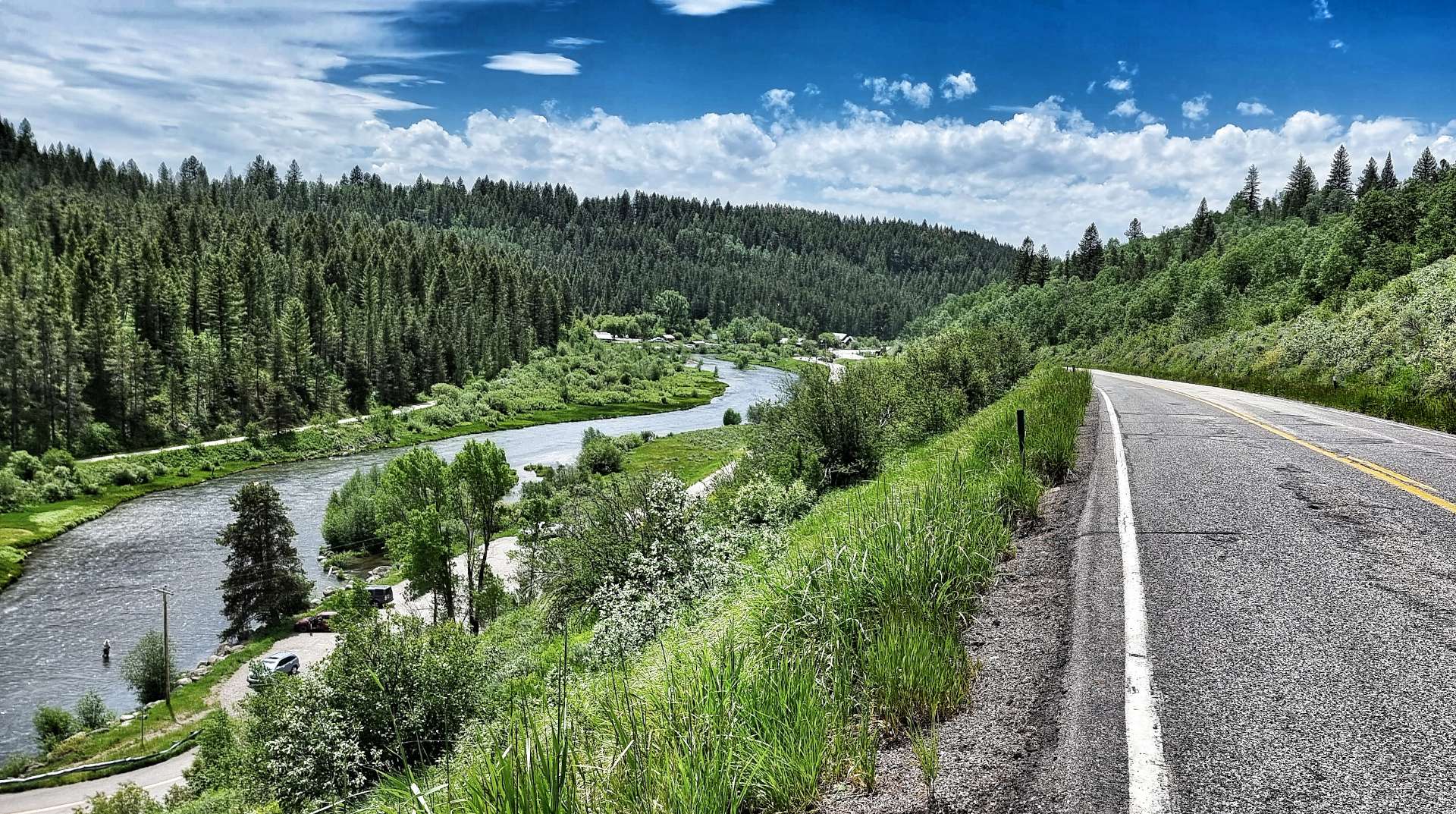
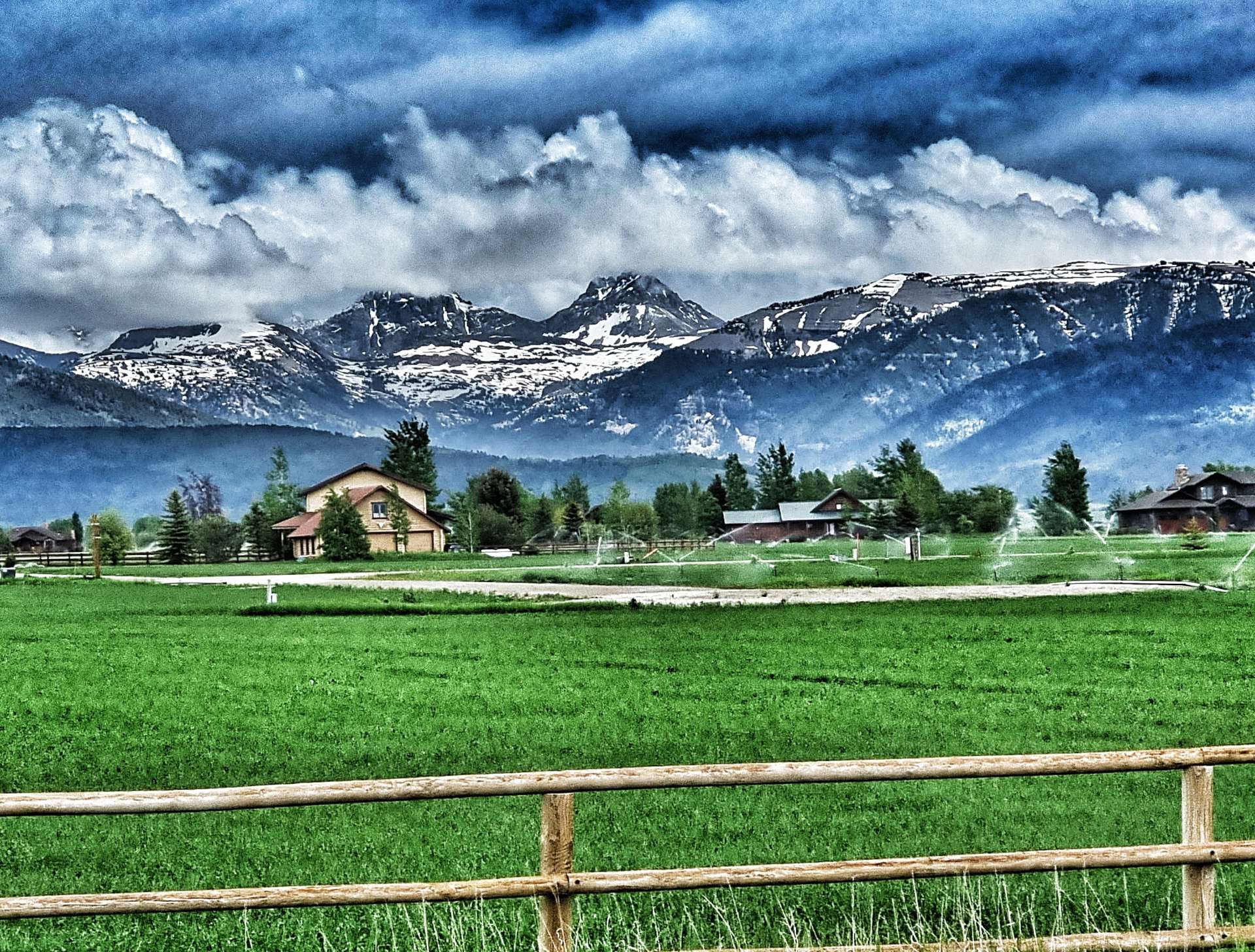
In order to reach Ashton, we needed to cross the Warm River in the valley below. That involved a descent to the valley floor where we saw people fishing & canoeing on one side of the bridge, while on the other, children were throwing bread into the river & watching the feeding fish.
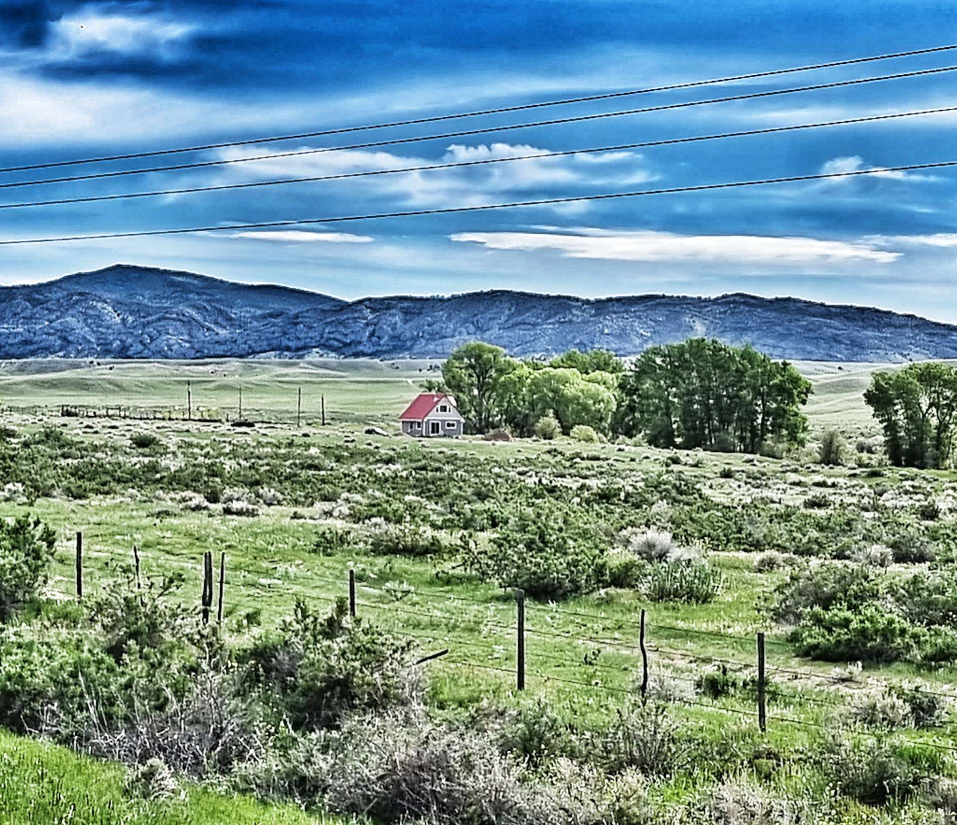
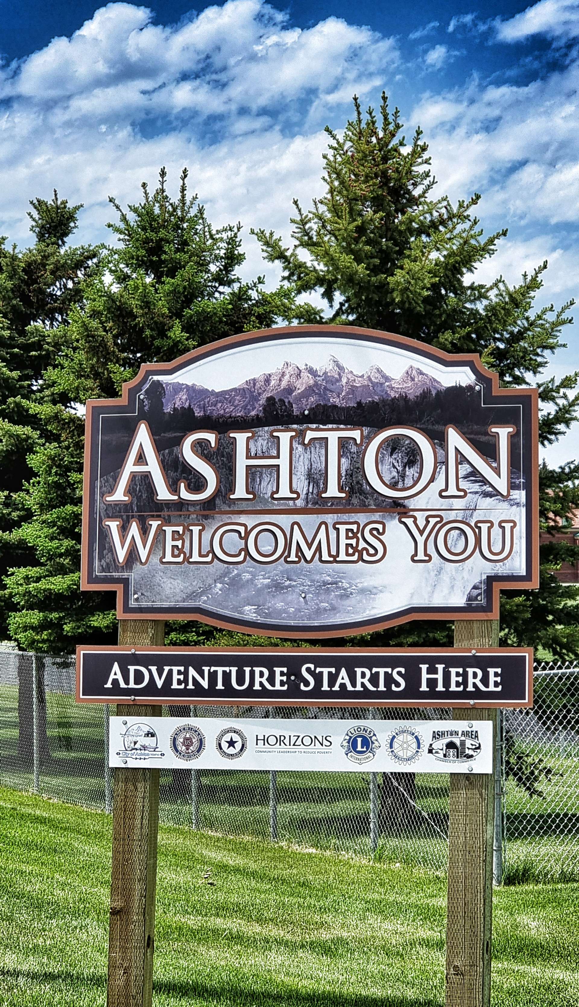
A two mile climb took us back up to a plateau on the opposite side of the valley & we were now in farming territory, as was obvious from the ploughed fields & irrigation systems. It was a short ride into Ashton, where we would be staying for the night.
Stage Stats – 40 miles, 1,345 feet of climbing. Stunning scenery on the Mesa Falls Scenic Highway.
Sunday 19th June – Ashton to Driggs
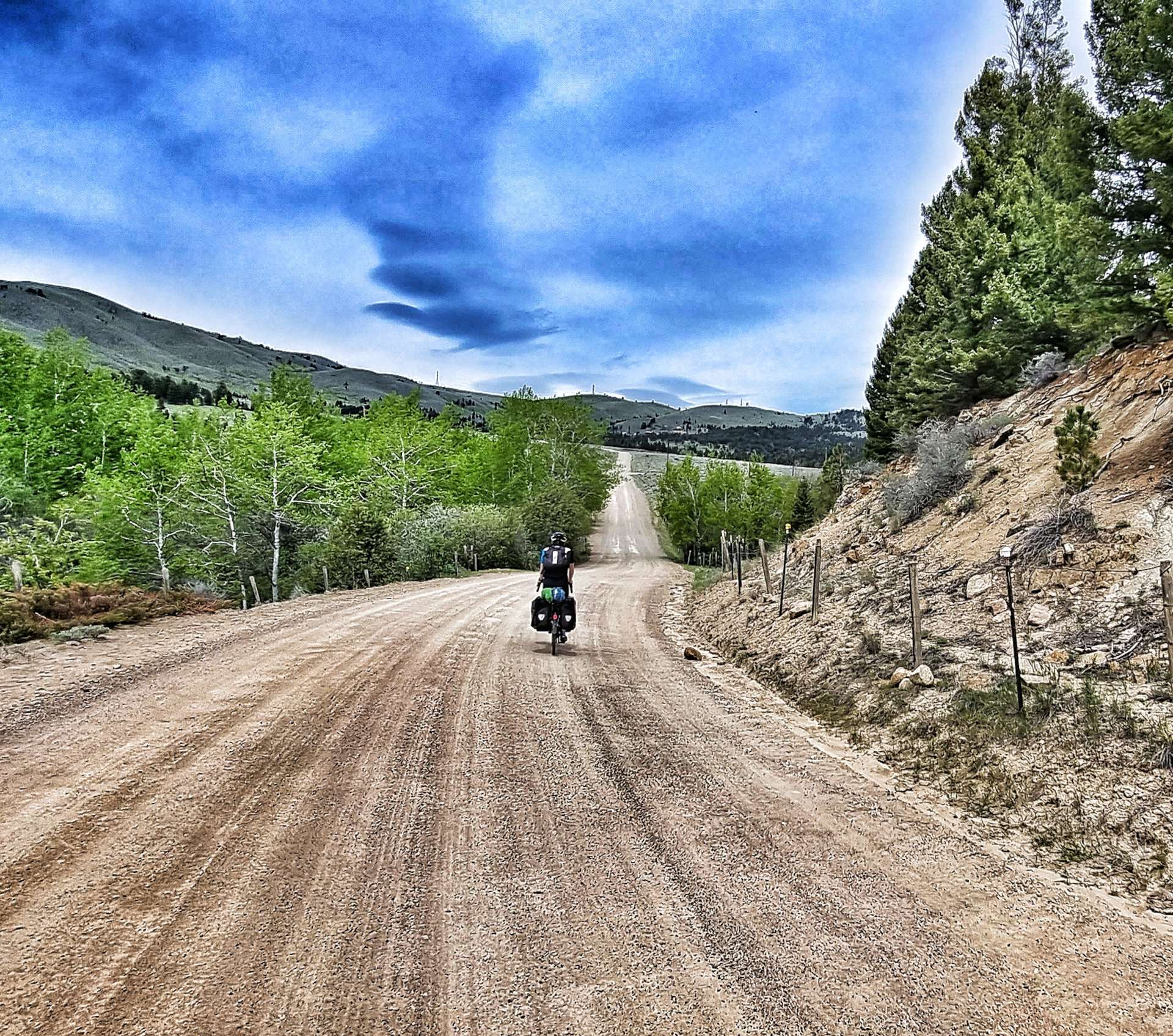
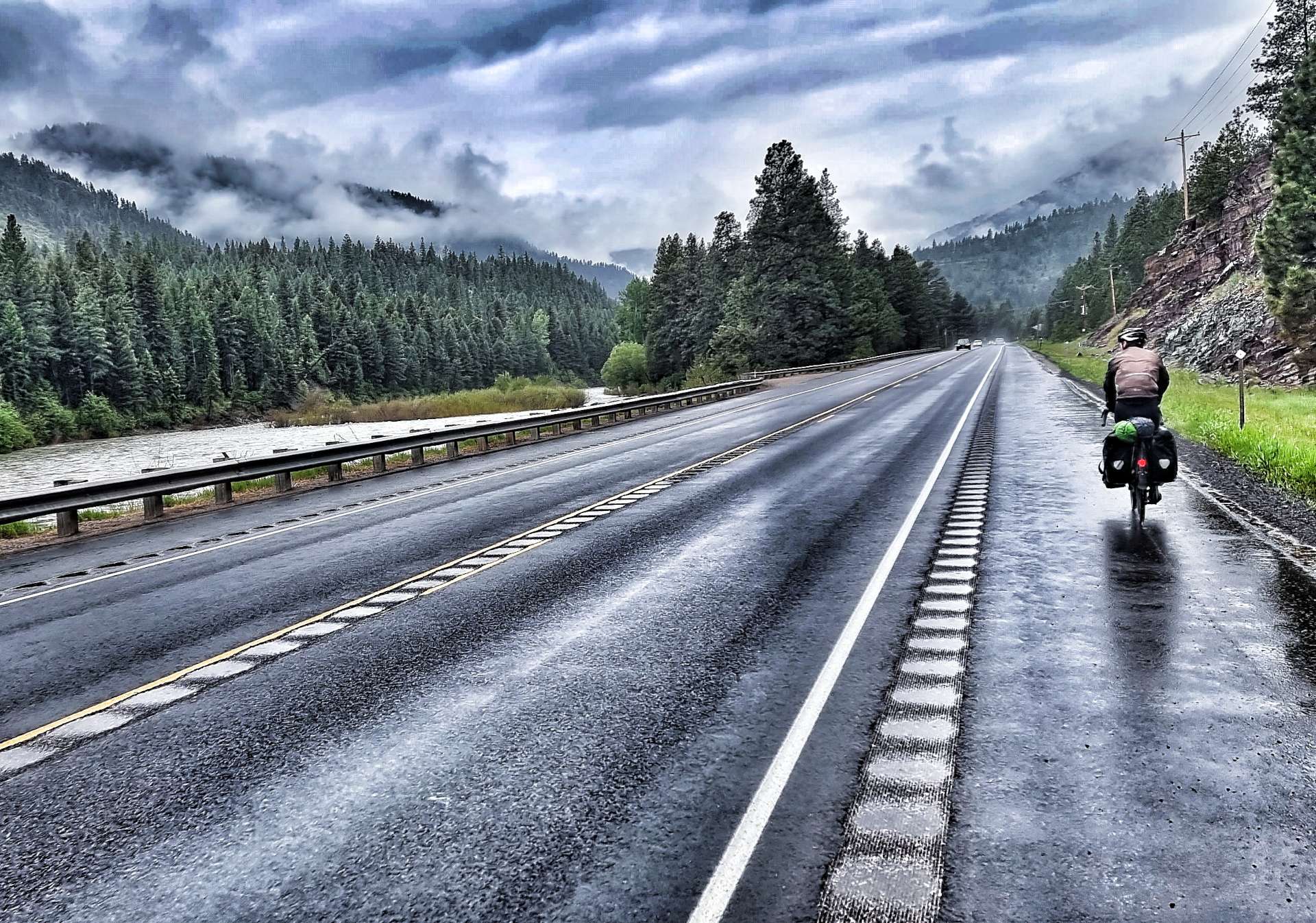
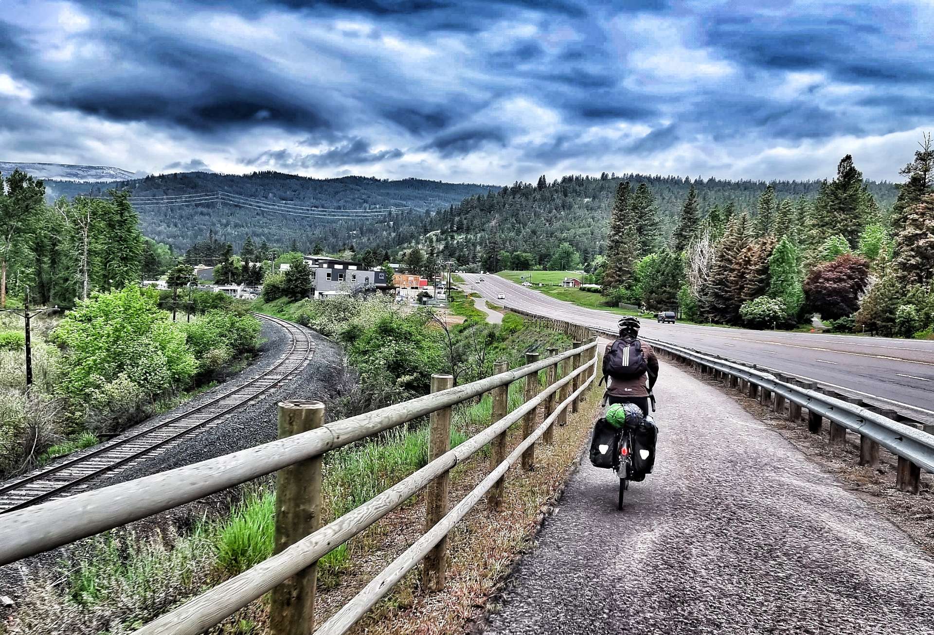
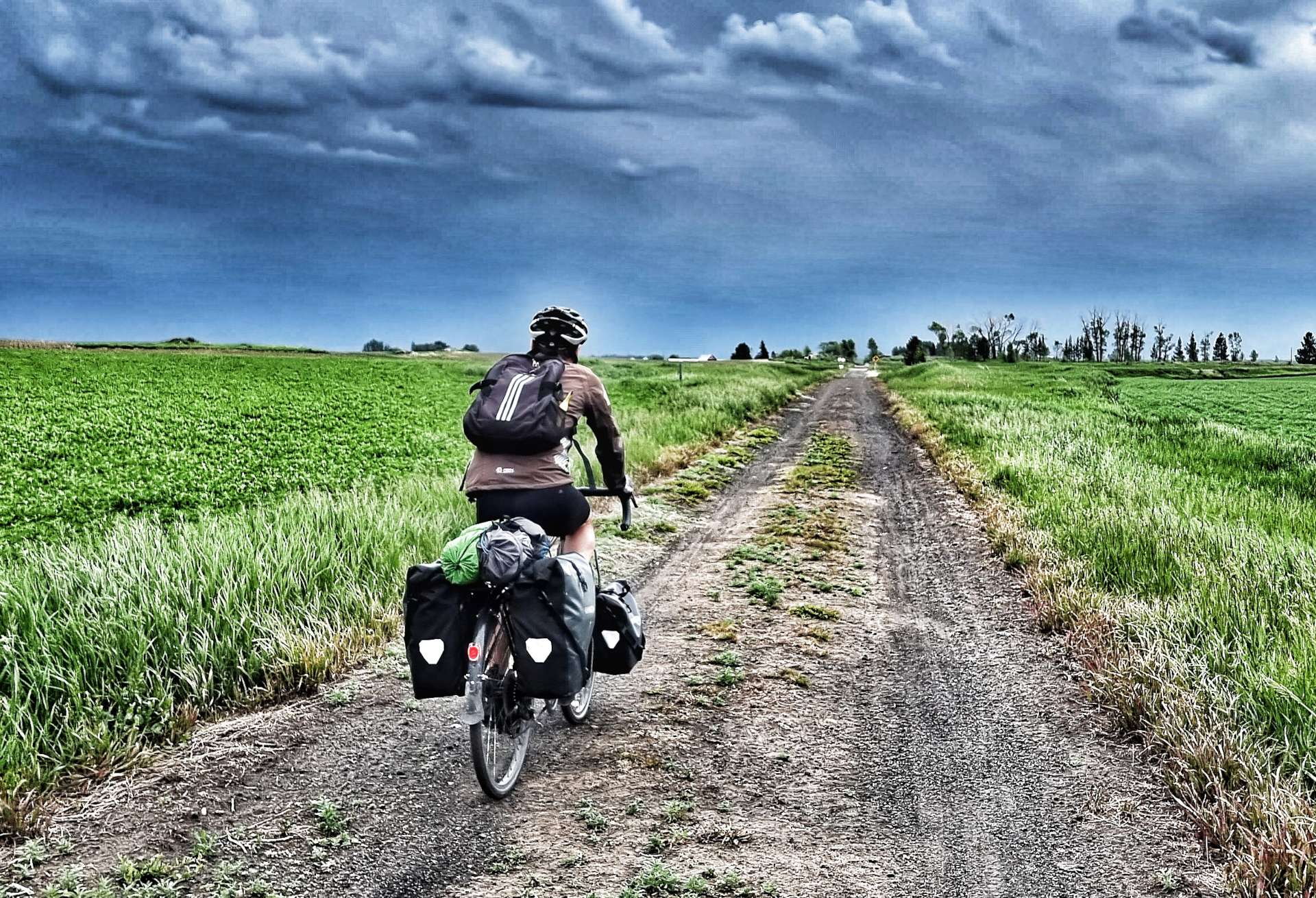
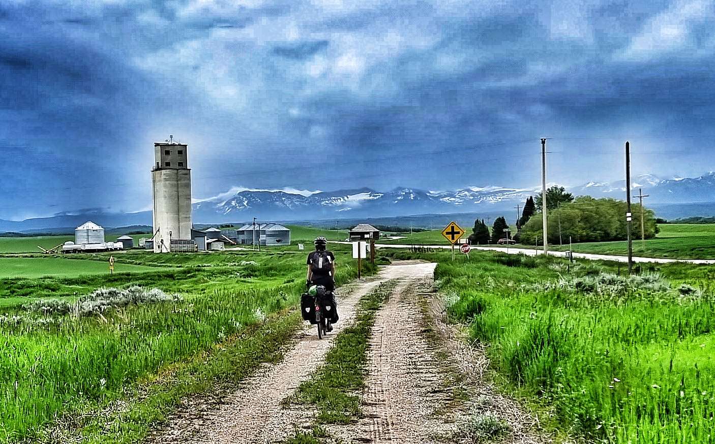
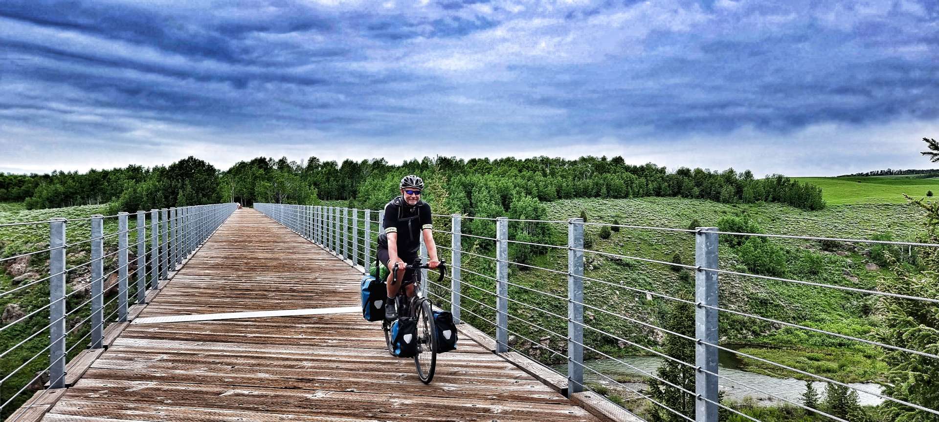
We woke to overcast skies, but decided to continue with our plans for the day. The Ashton to Tetonia Rail To Trail is a 29 mile of off-road track which was opened to the public in 2010 & follows the Teton Valley Branch of the old Union Pacific Railroad. It was originally used to move livestock, seed potatoes, peas & grain.
The surface was constantly changing as the trail crossed different terrain – in the early miles we encountered rough farm tracks, flint, grit & fine soil (on a brutally steep descent) that required me to ride with one foot out the cleats in case the bike slipped from under me – it didn’t, but it was tricky!!
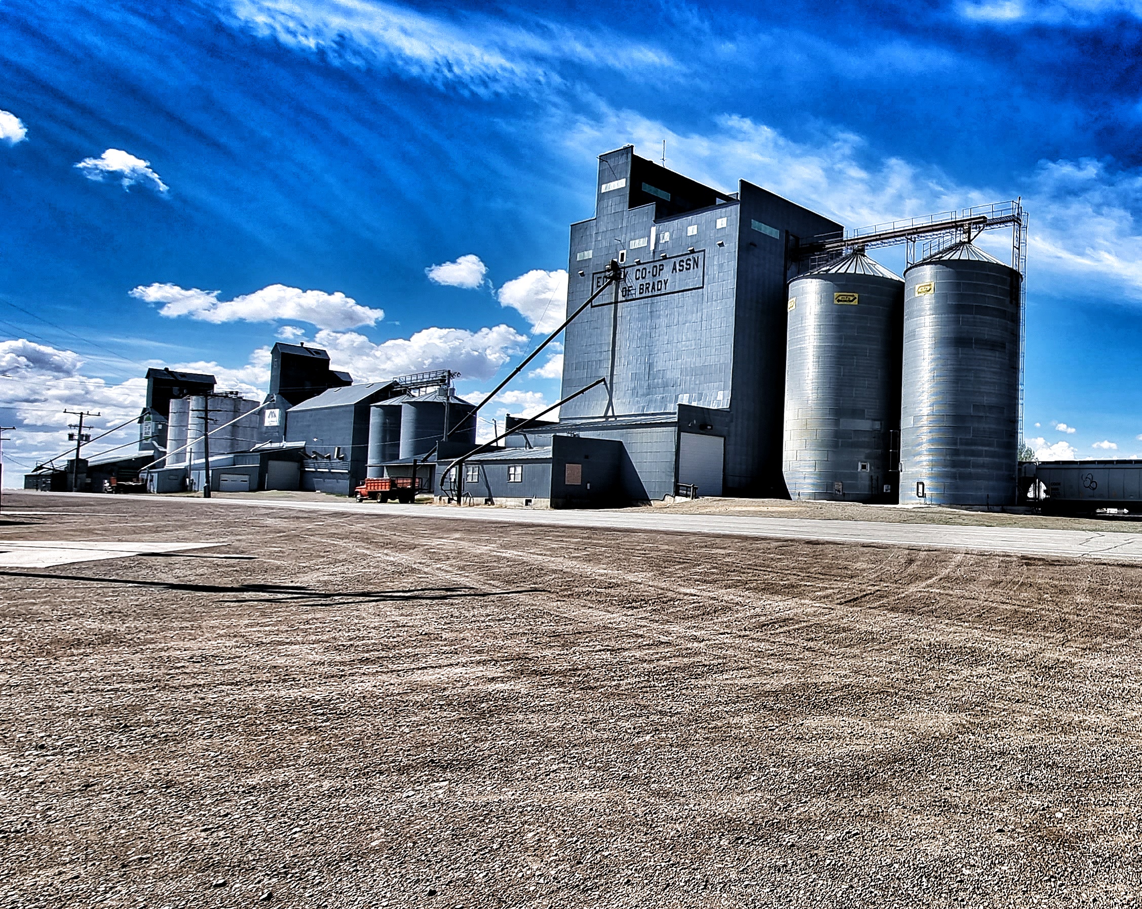
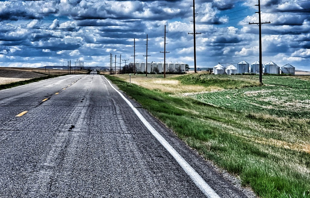
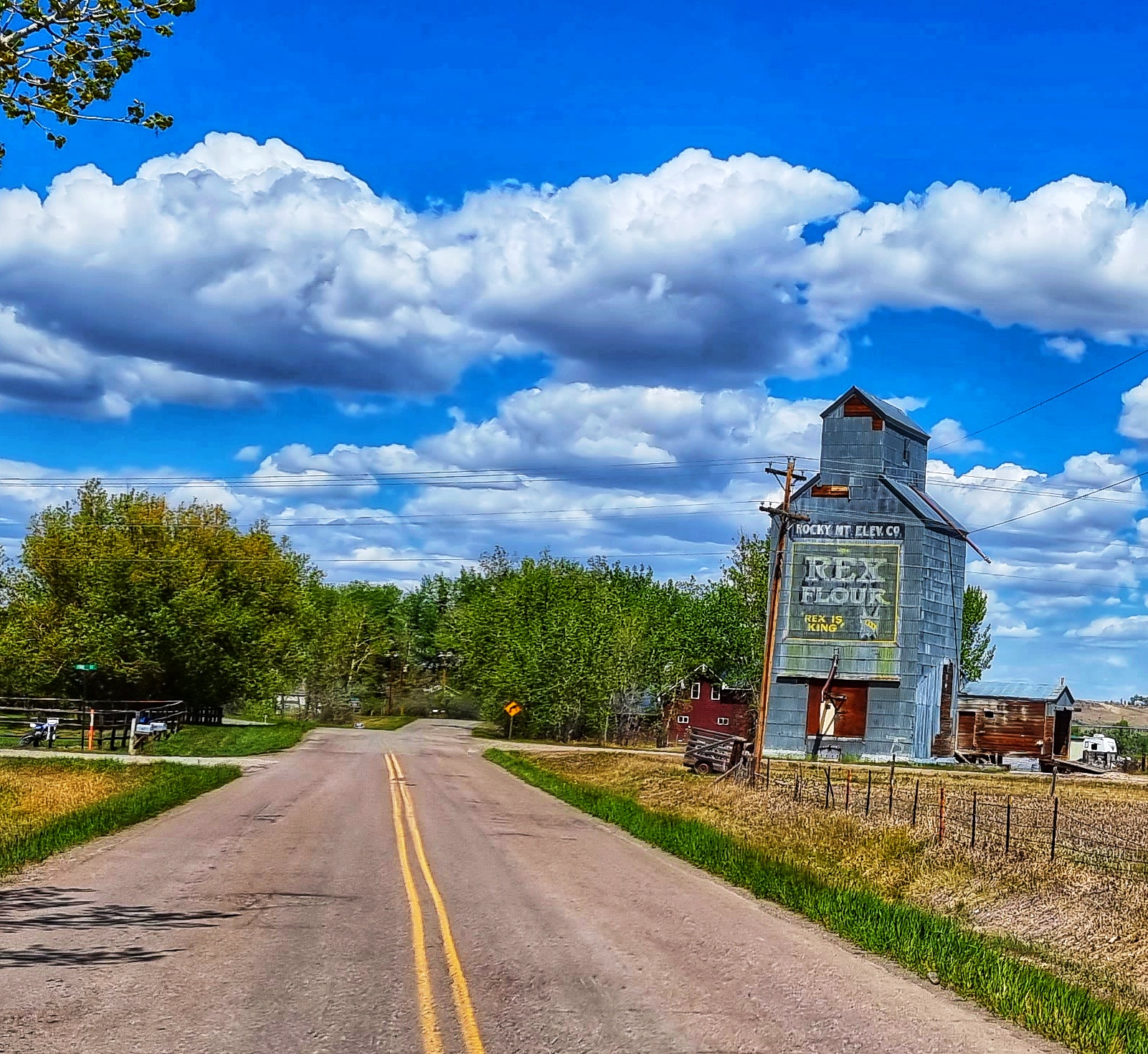
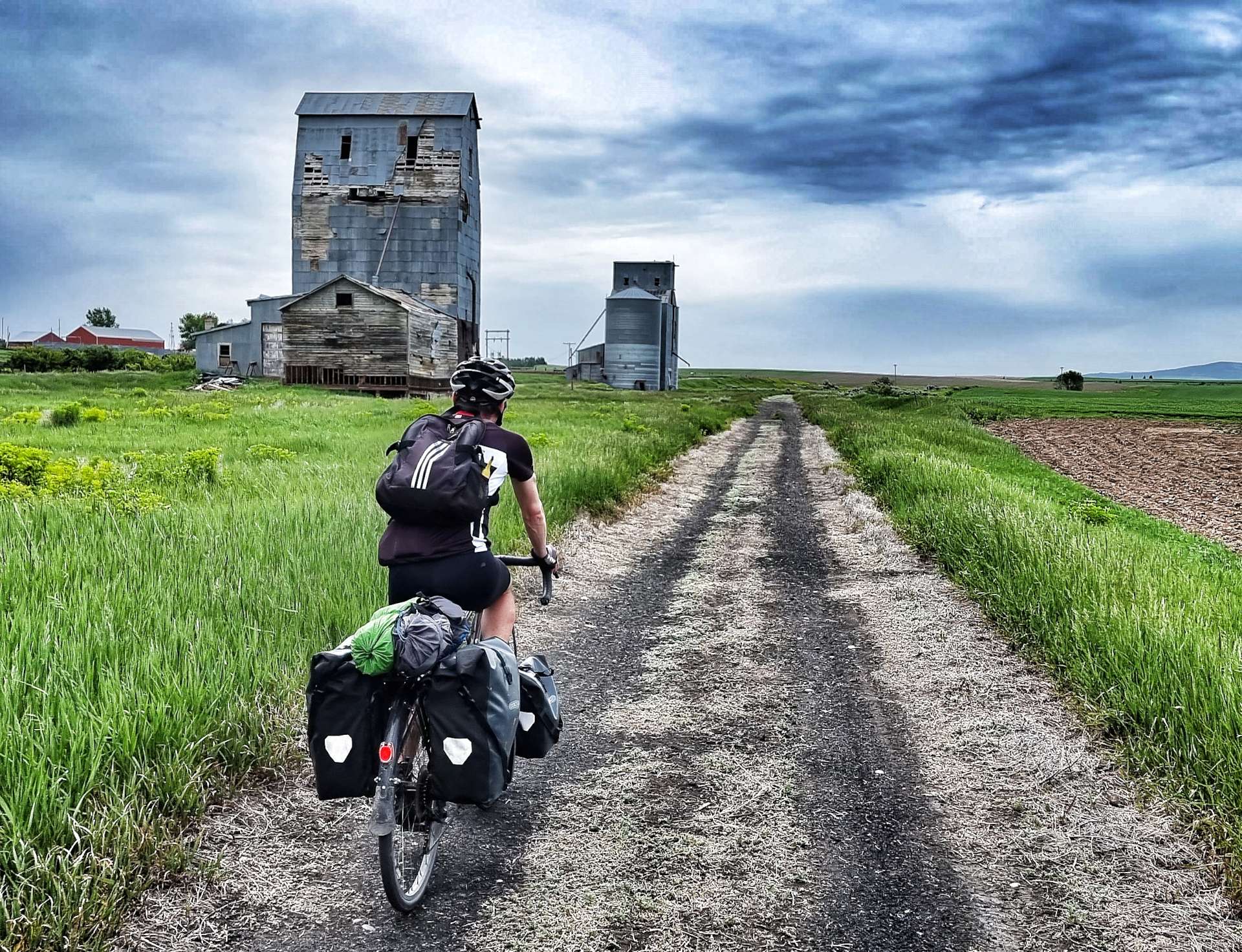
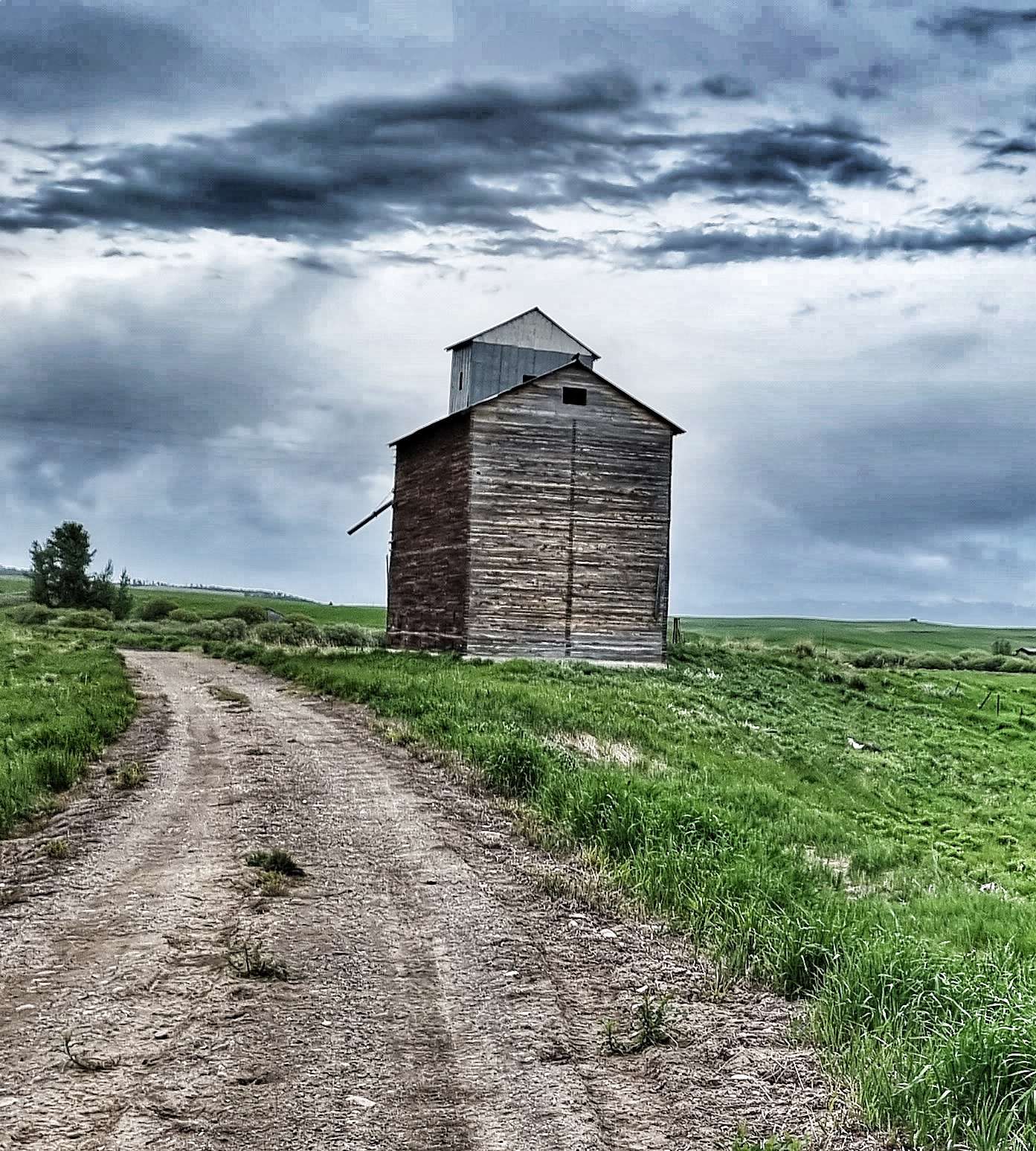
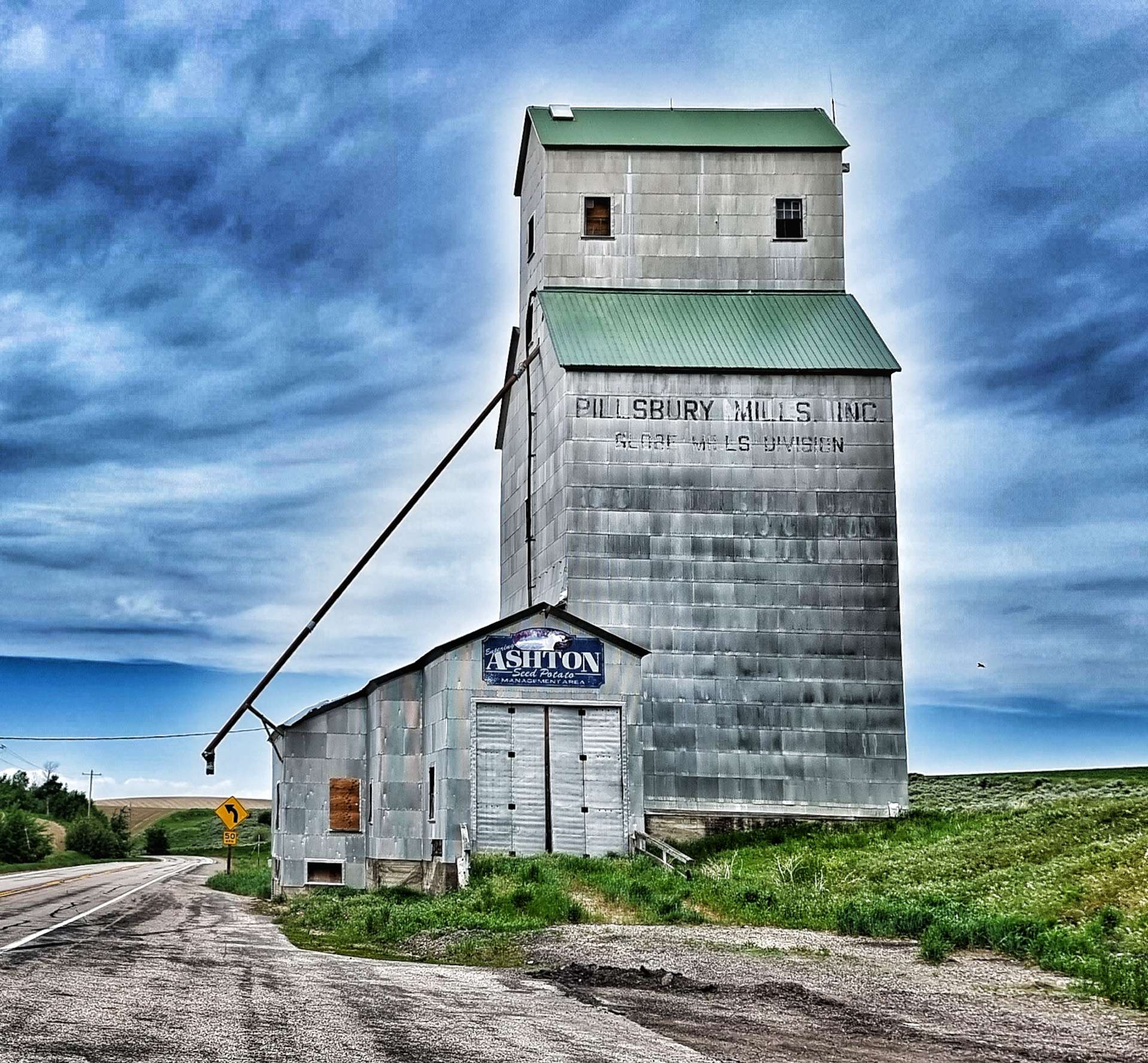
Along the way we passed a few historic Elevator buildings used to store & transfer wheat &/or grain. The most iconic is the Pillsbury Mills Elevator – does anyone else remember the Pillsbury Doughboy giggling when his stomach was poked? Google it if you’re wondering what I’m on about, it was an advertising gimmick from the 1960’s to earlier 2000’s!
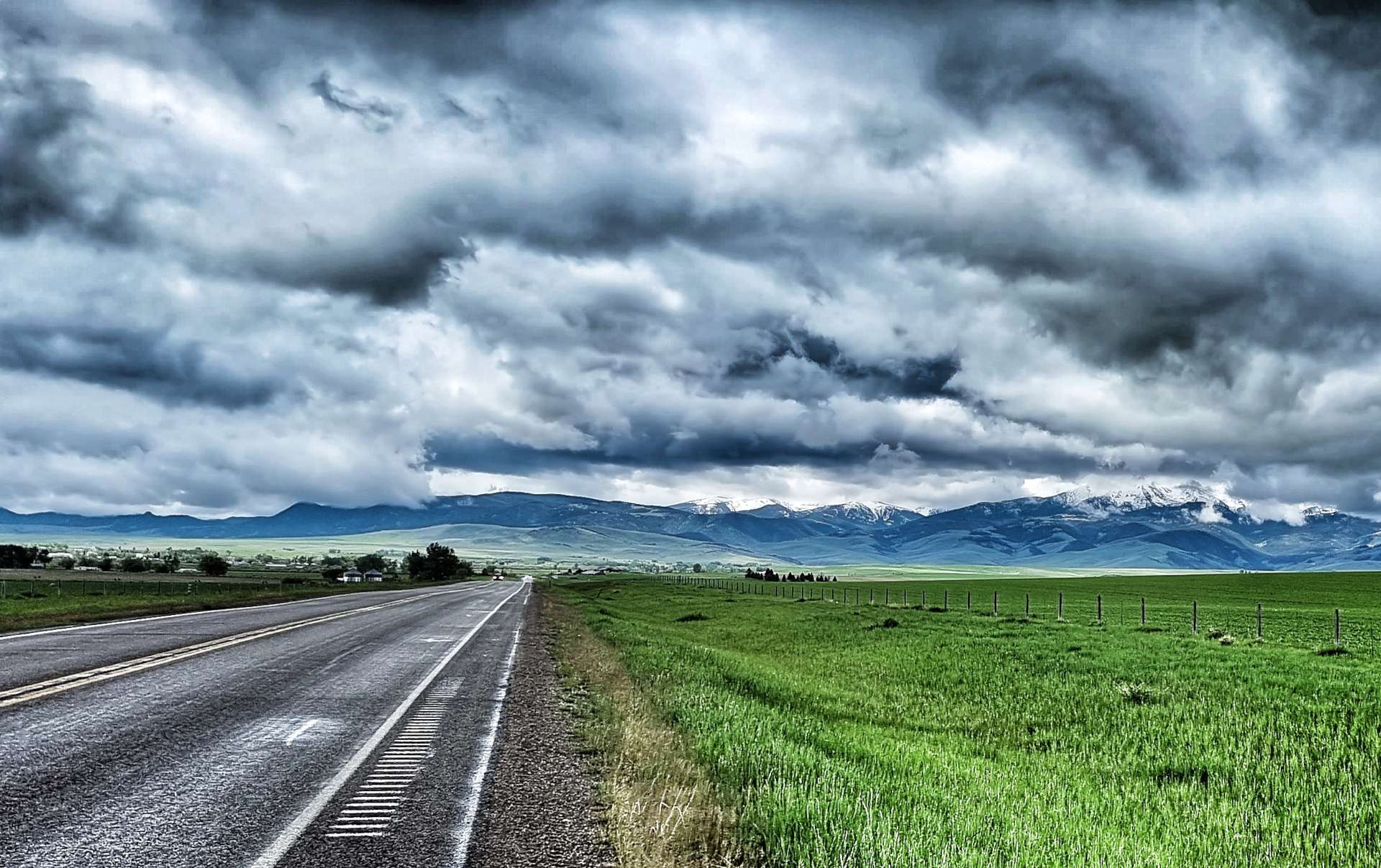
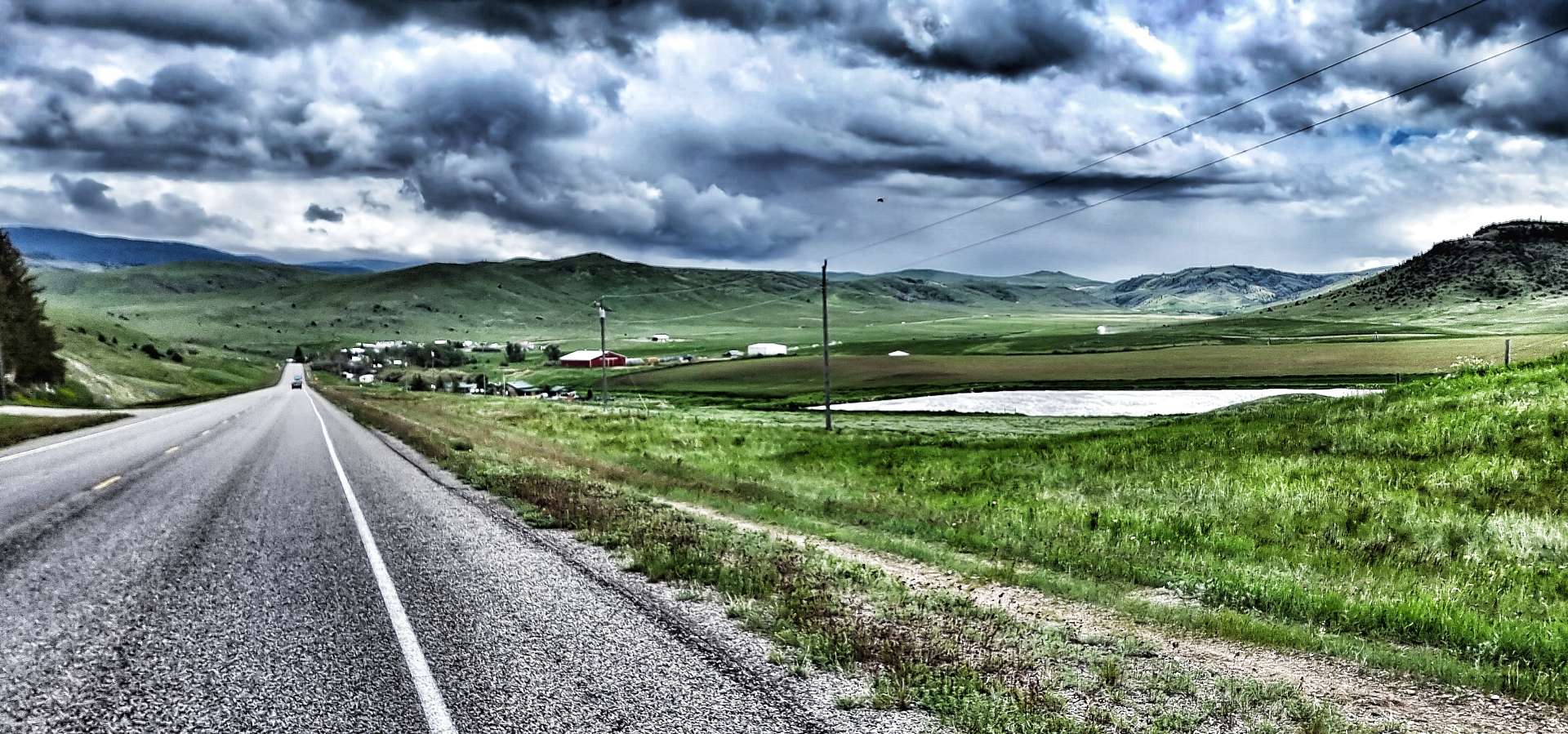
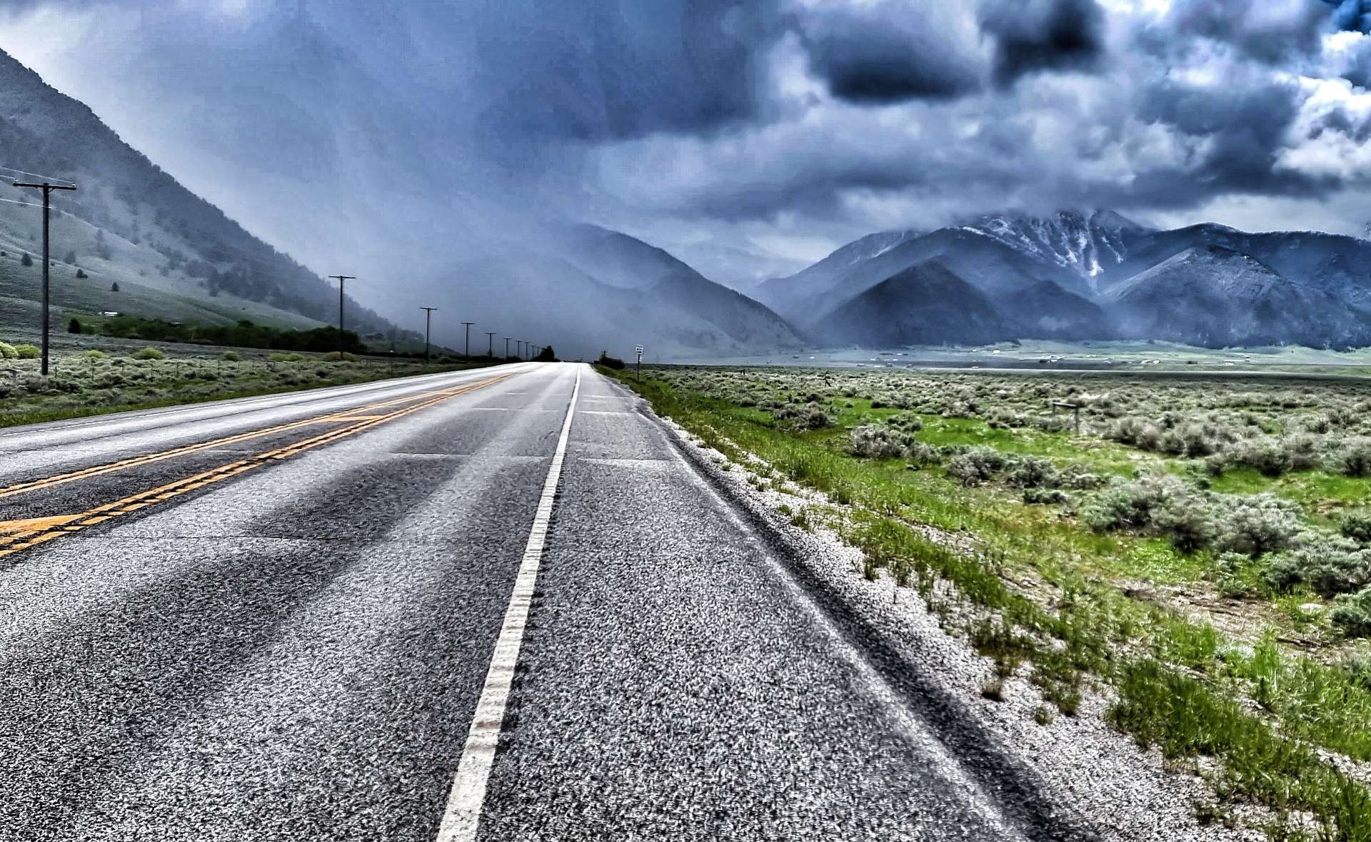
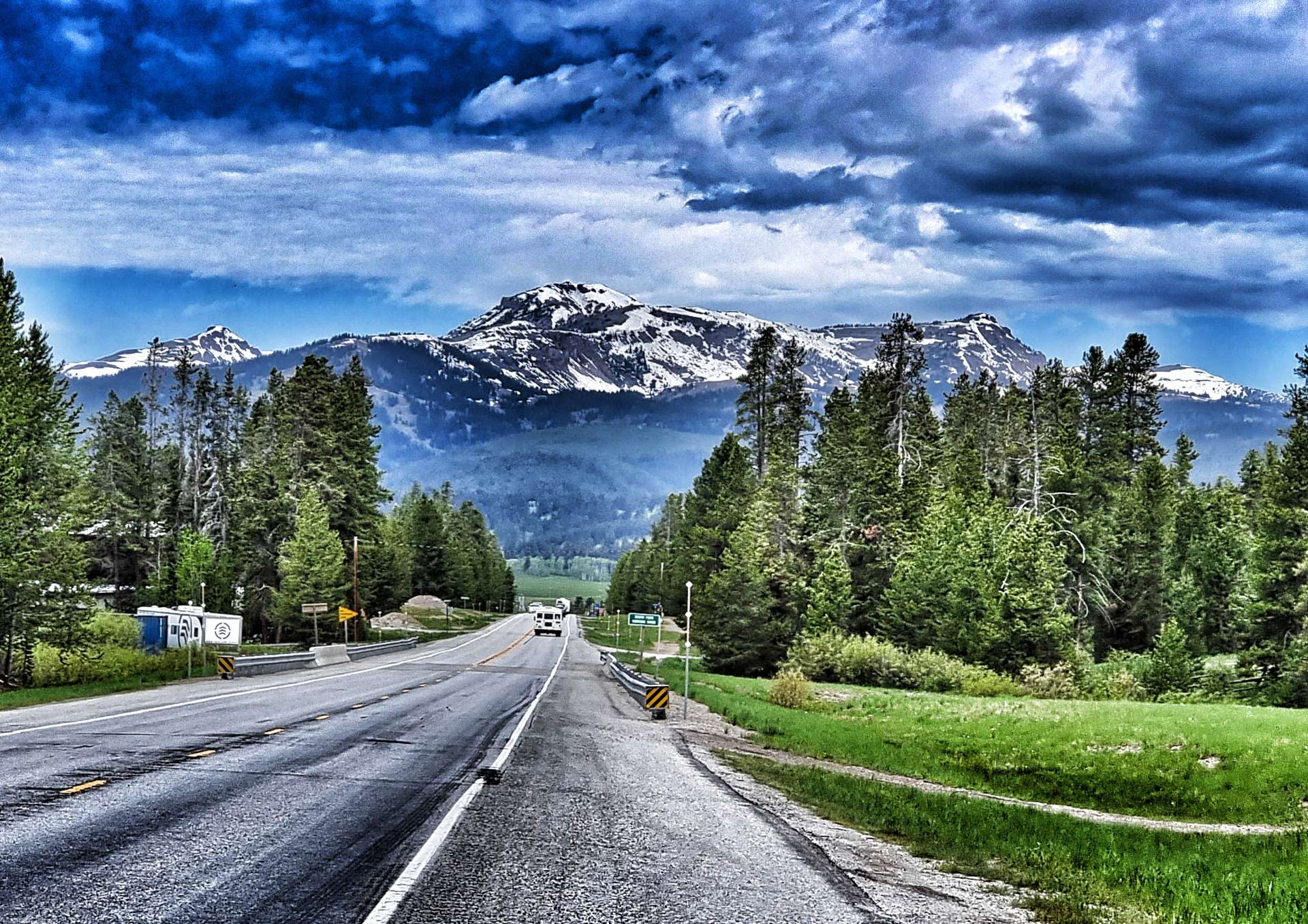
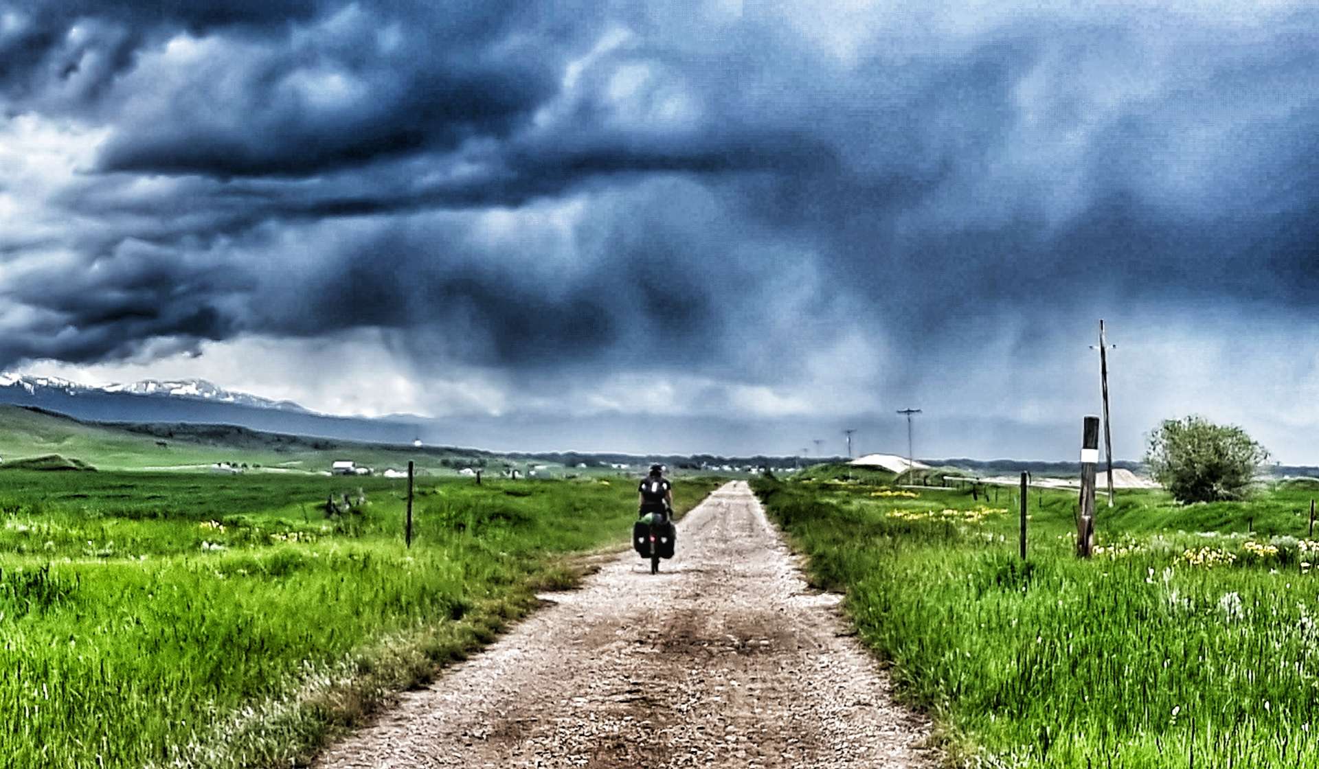
Every now & again the Grand Tetons reminded us of their presence. They now only appeared to be on the opposite side of the valley, but were still in the region of 20 to 25 miles away. The moody skies also indicated that rain would probably be on its way to meet us at some point, but in the meantime we had 3 final treats to look forward to…..


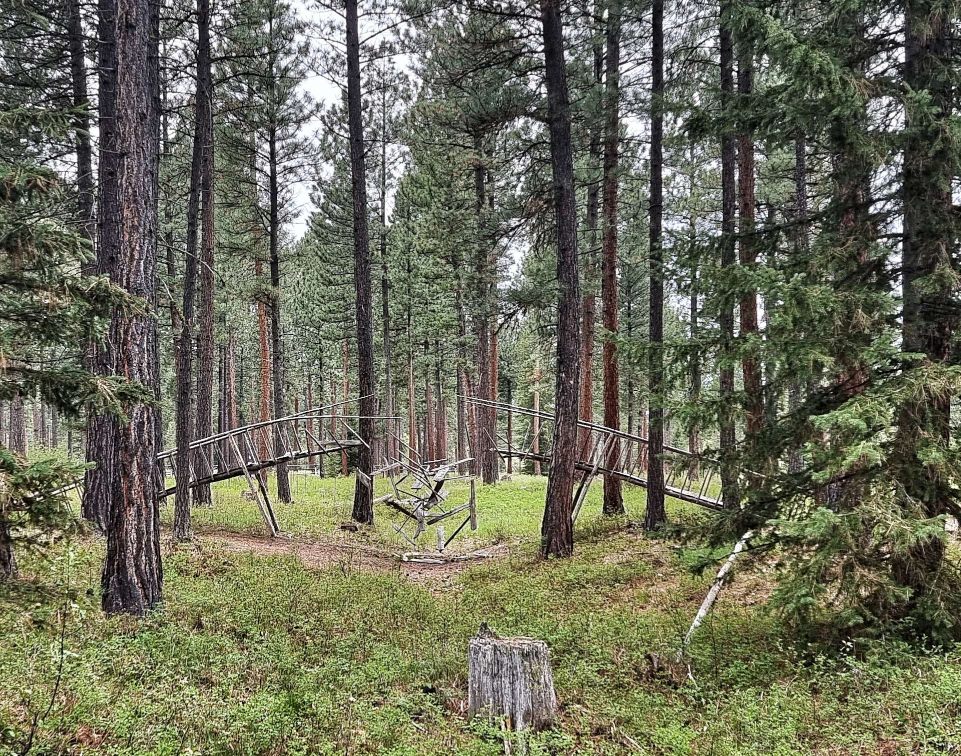
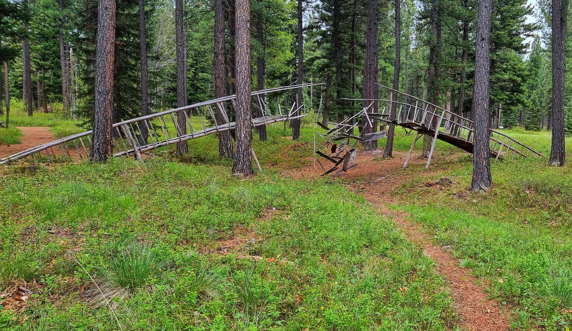
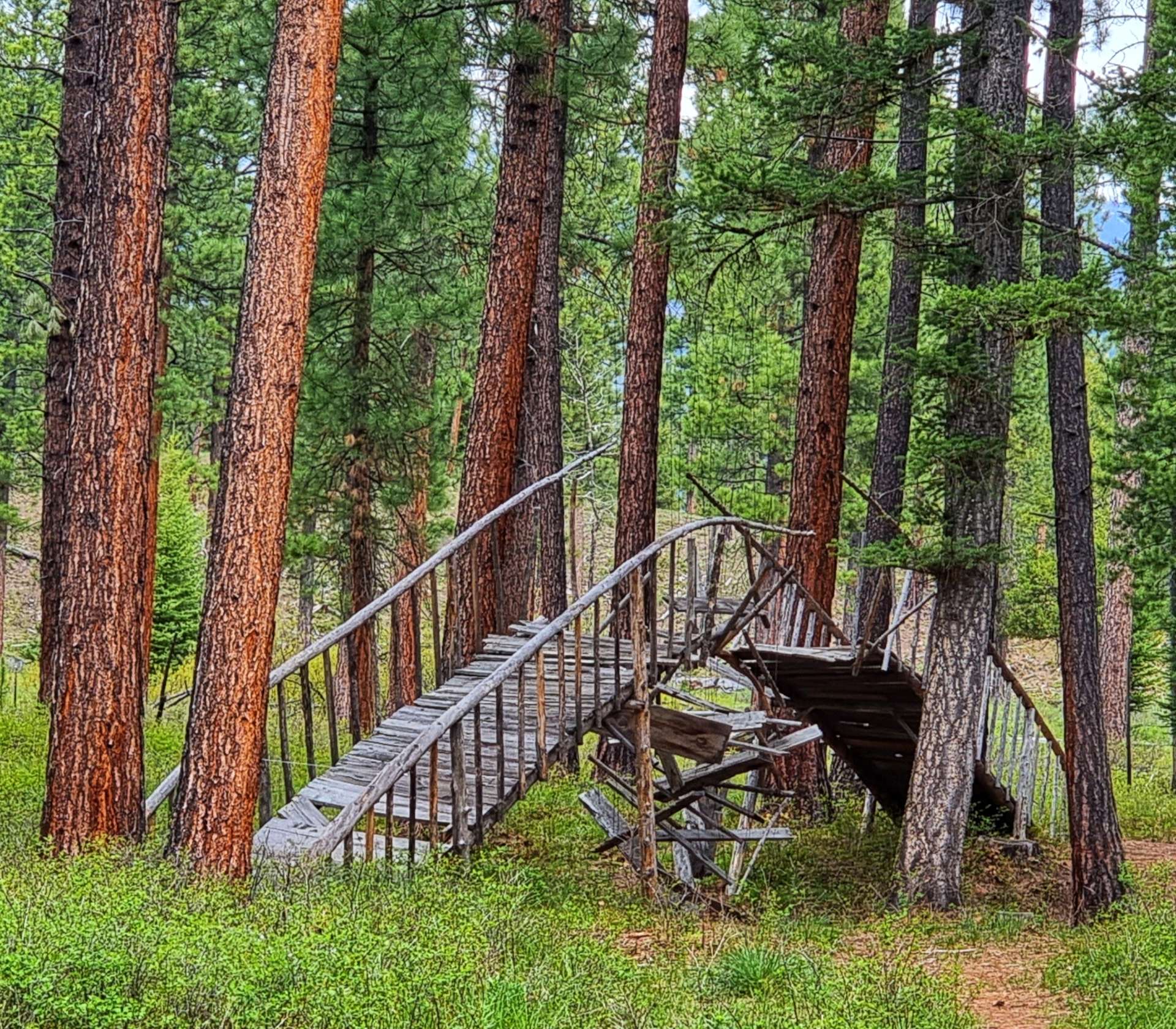
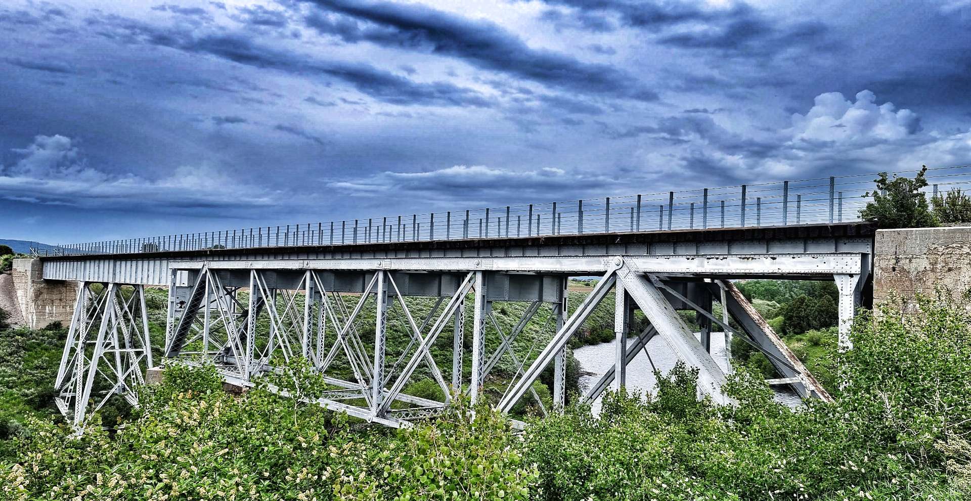
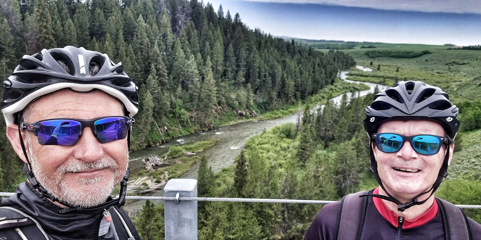
The trail includes three trestle bridges which cross Fall River, Conant Creek & Bitch Creek – they each span 600 feet in length & 130 feet in height. It was an instant step back in time to when I used to watch Casey Jones on tv at the throttle of the Cannonball Express. The Conant Creek Bridge (in the photo with the Tetons in the background) was constructed in 1911. It used a Truss section previously designed & built in 1894 to cross the Snake River at American Falls.


As we neared the end of the 29 mile trail we could see the rain directly in front of us – by some wonder of science, it had almost completely dispersed by the time we reached the road, where it had been raining but 5 minutes before! The skies were already starting to clear & they gave us one last peep at the perky Teton peaks – a size D up close!
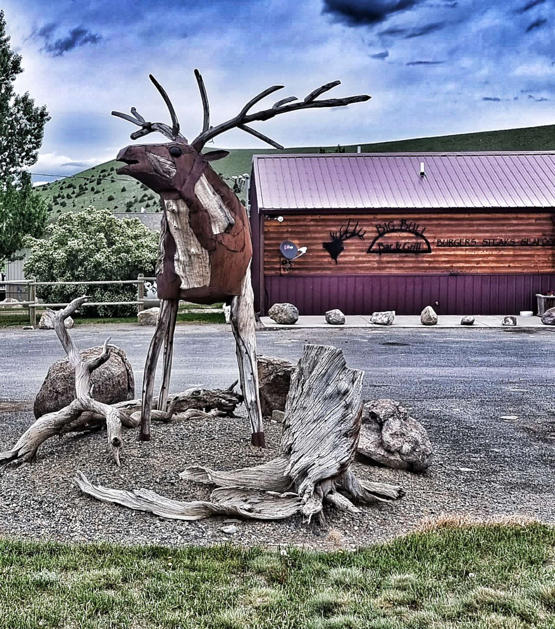
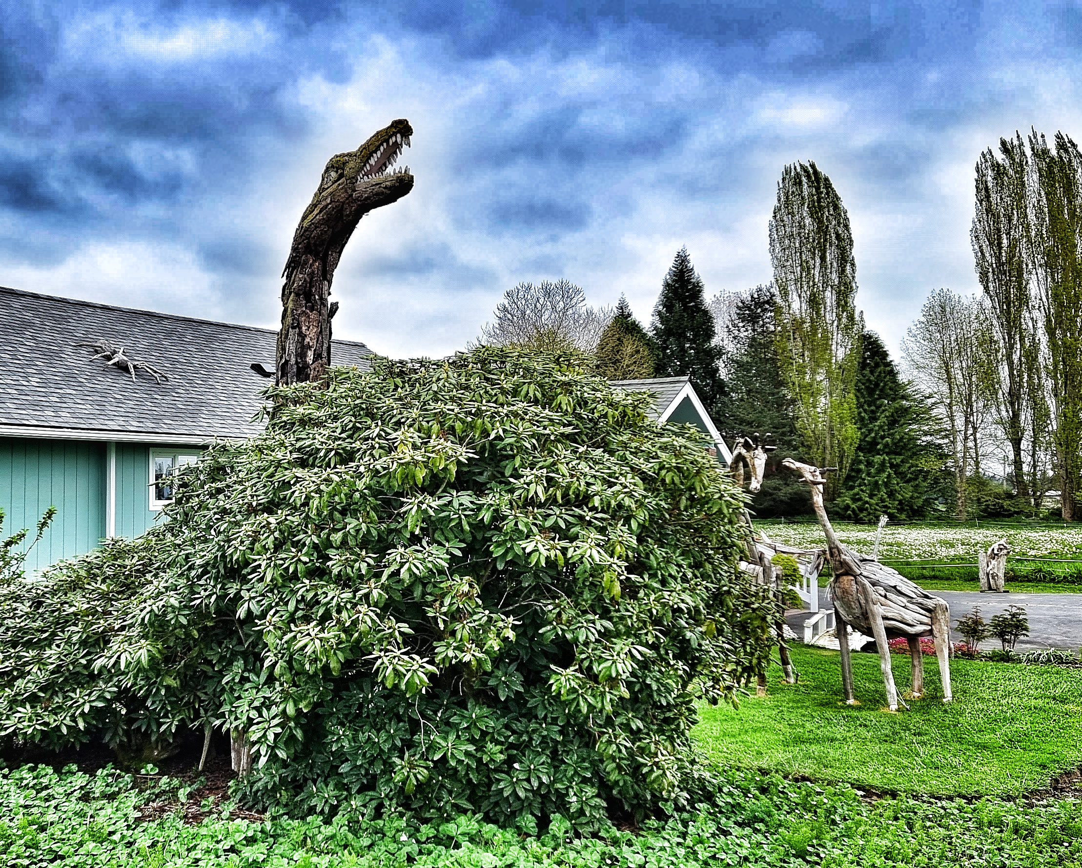
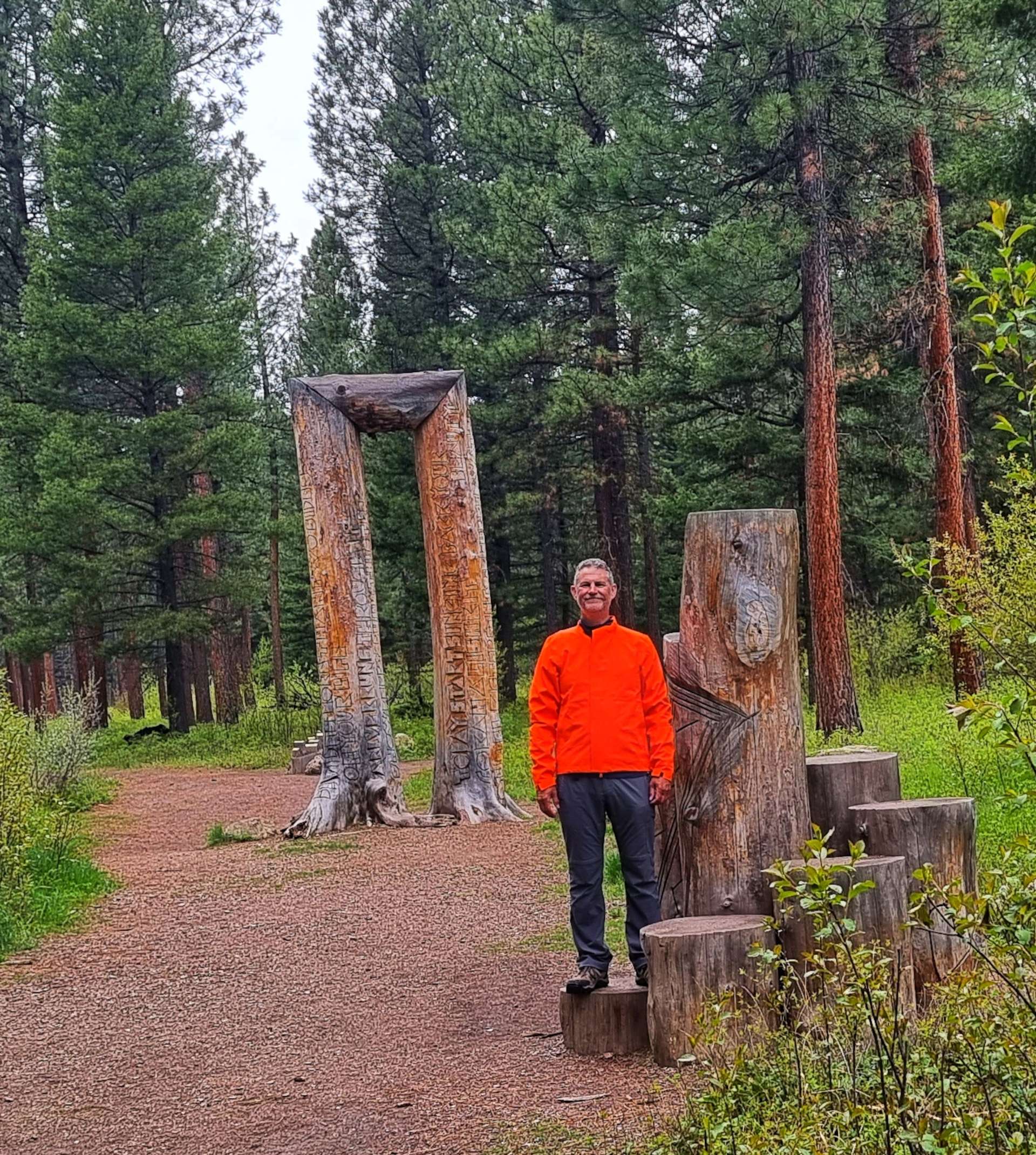
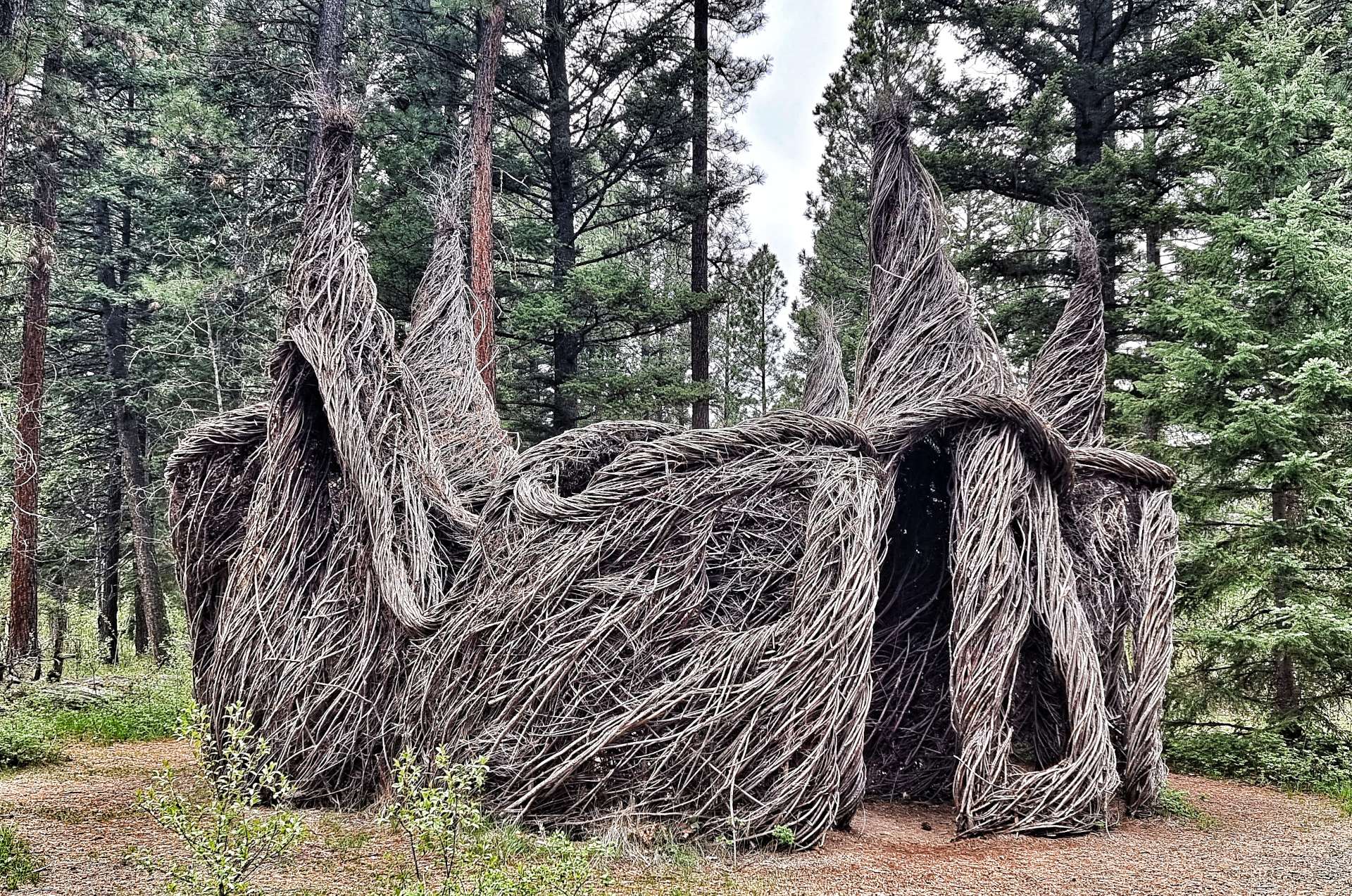
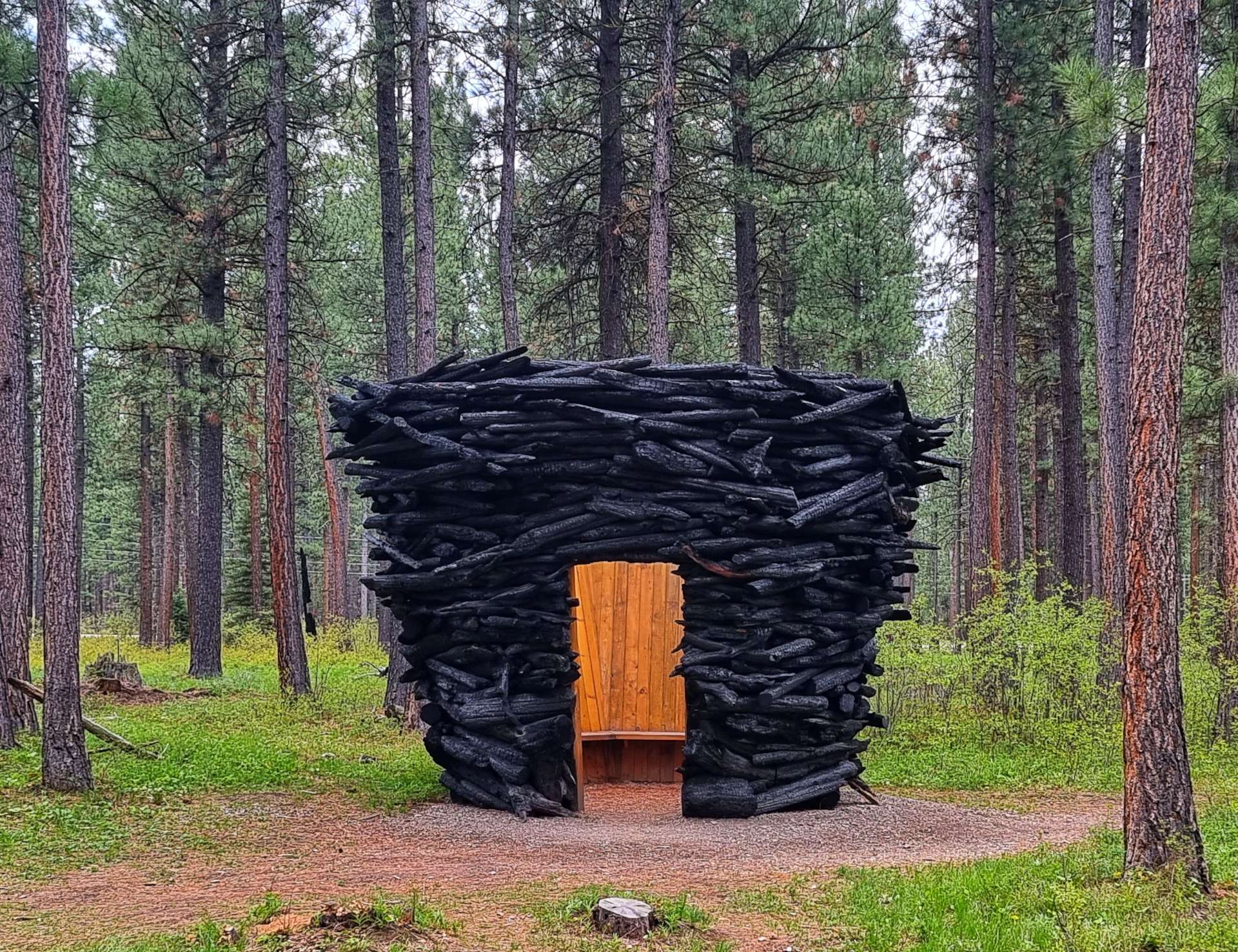
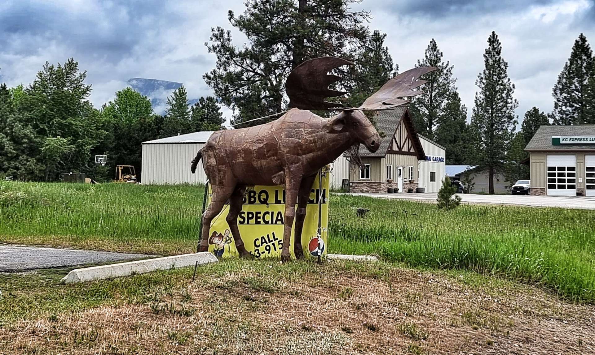
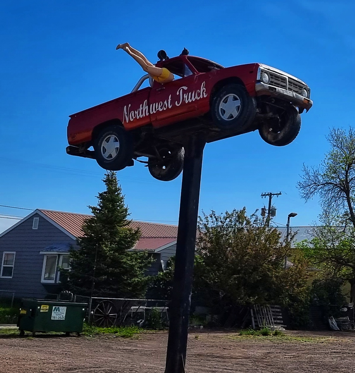
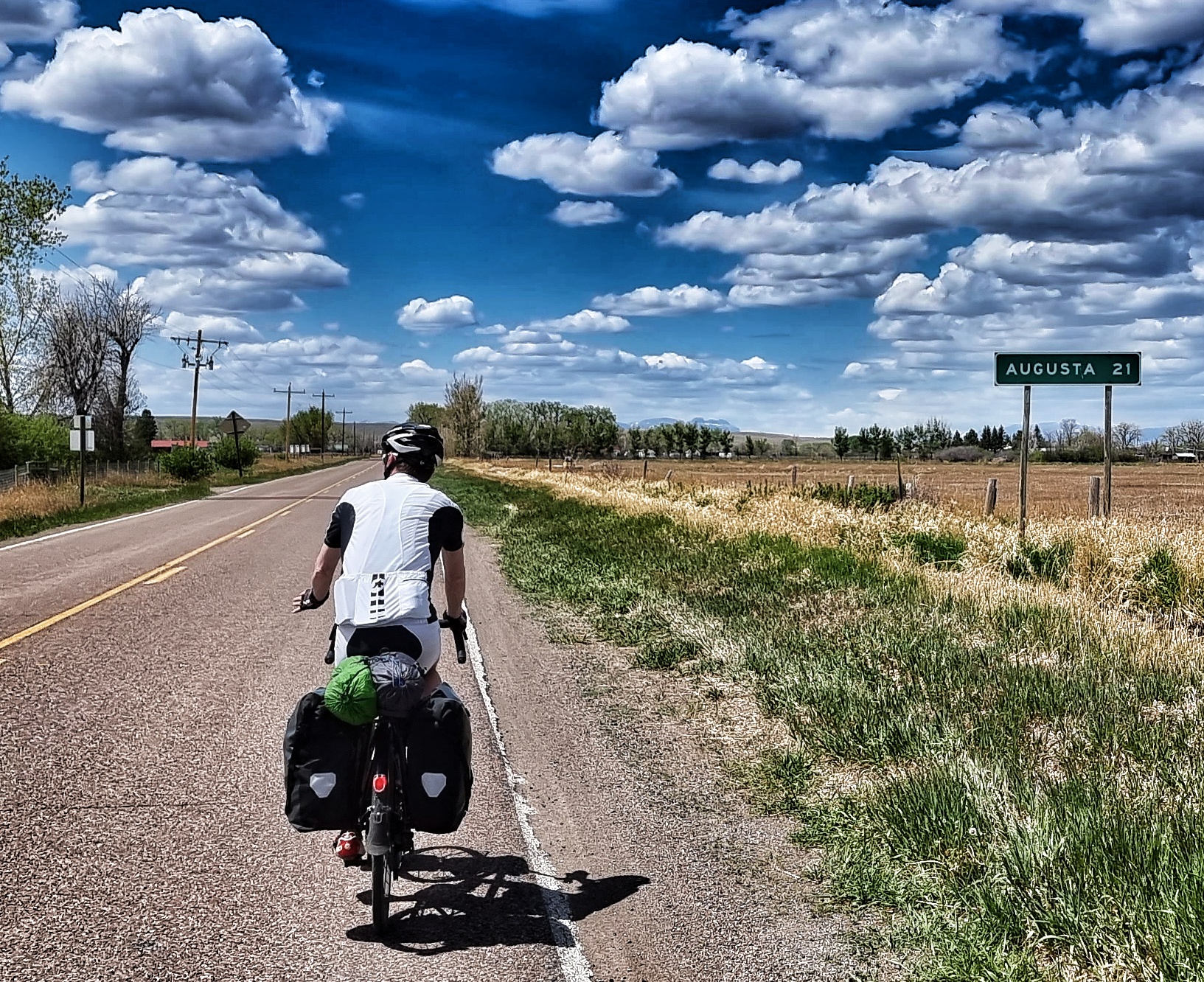
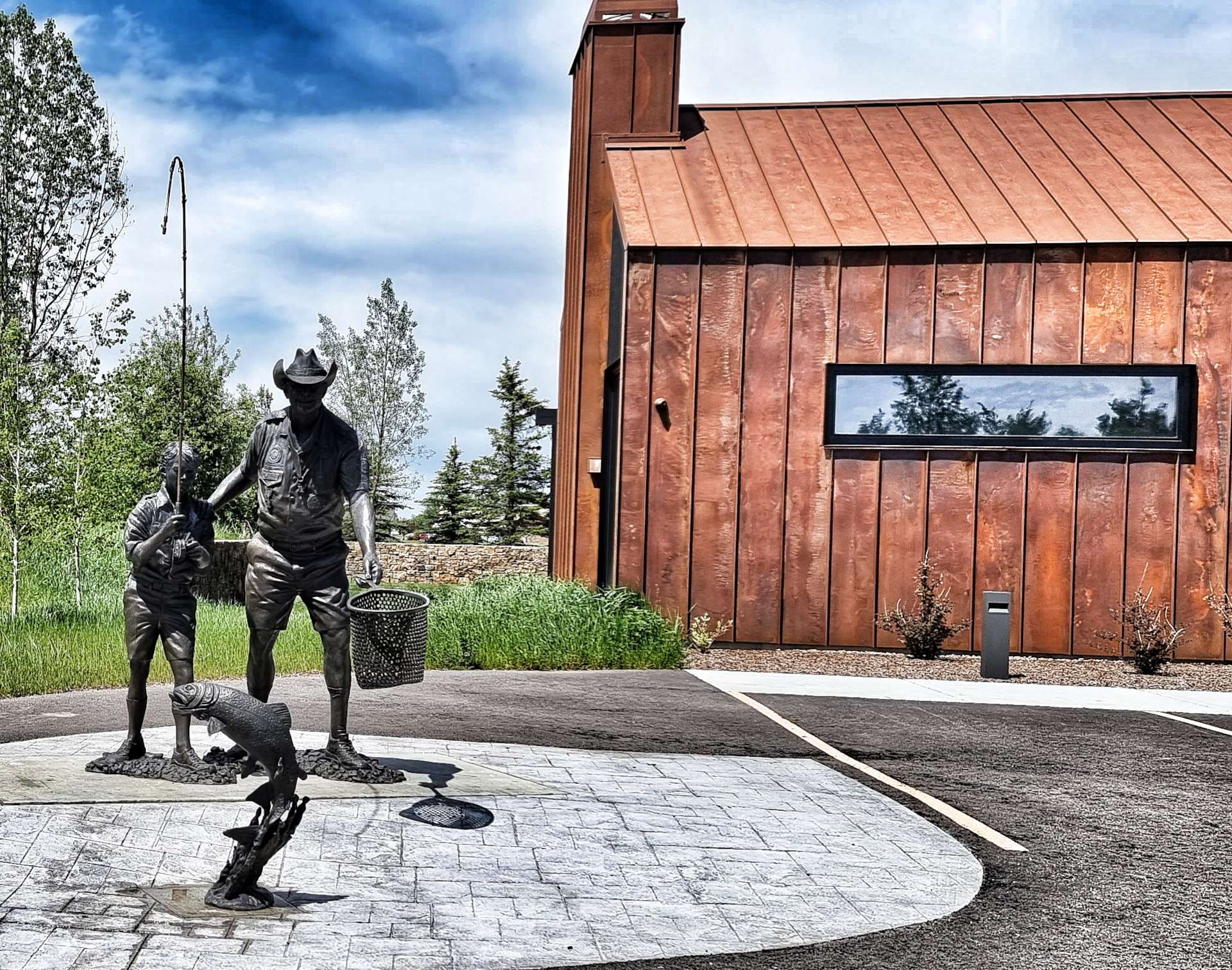
We had an 8 mile ride into a stiff headwind before we reached Driggs – another town that offered up a selection of unusual statues, the most striking of which was an adult teaching a young boy how to fish. As we rode up Main Street, a private jet was in the final stages of landing at the local airport.
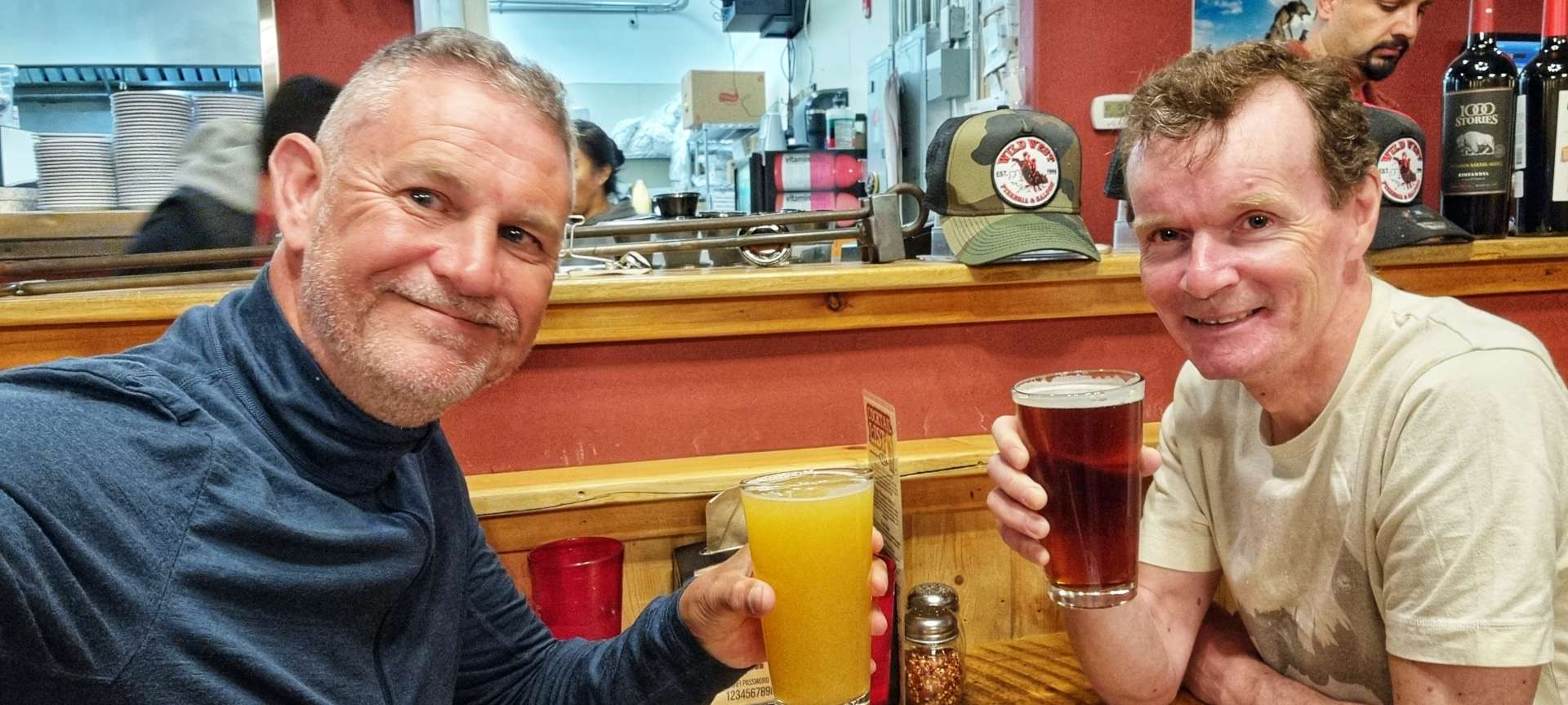
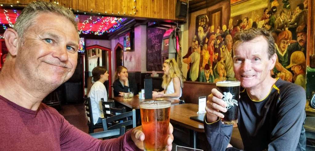
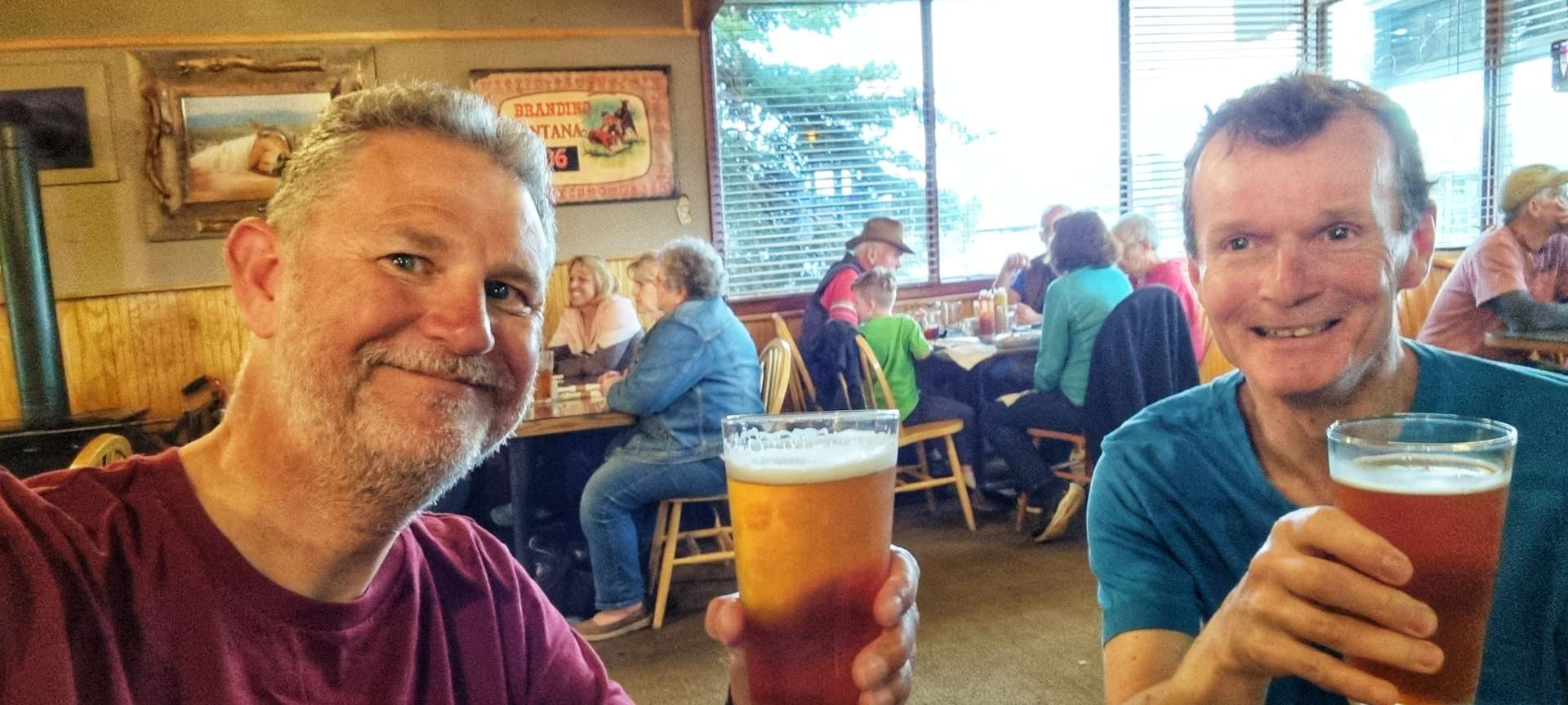
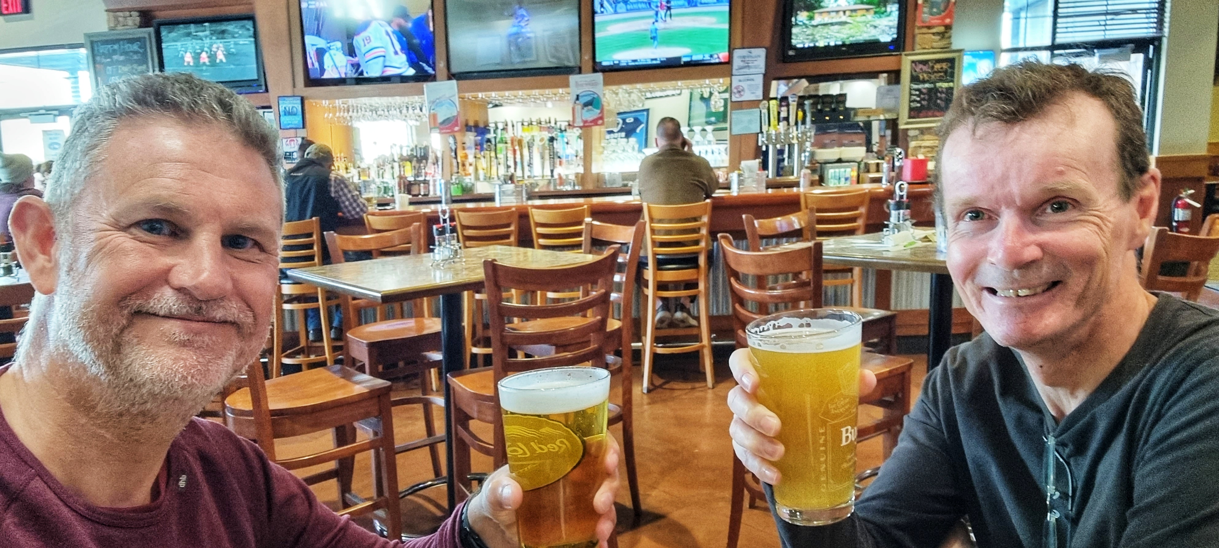
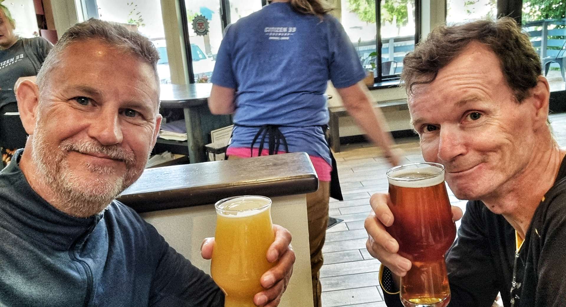
All that remained was to do get the laundry out the way, then head next door to Citizen 33, where we toasted yet another wild day of adventures. We have an unexpected task tomorrow, as Sean’s pannier didn’t survive the off-road adventure as well as us – we need to find an Ortlieb dealer or someone who can cobble together a repair for us!

Stage Stats – 40 miles, 1,365 feet of climbing. Exploring the Ashton-Tetonia Rail to Trail.