Ticonderoga to North Woodstock

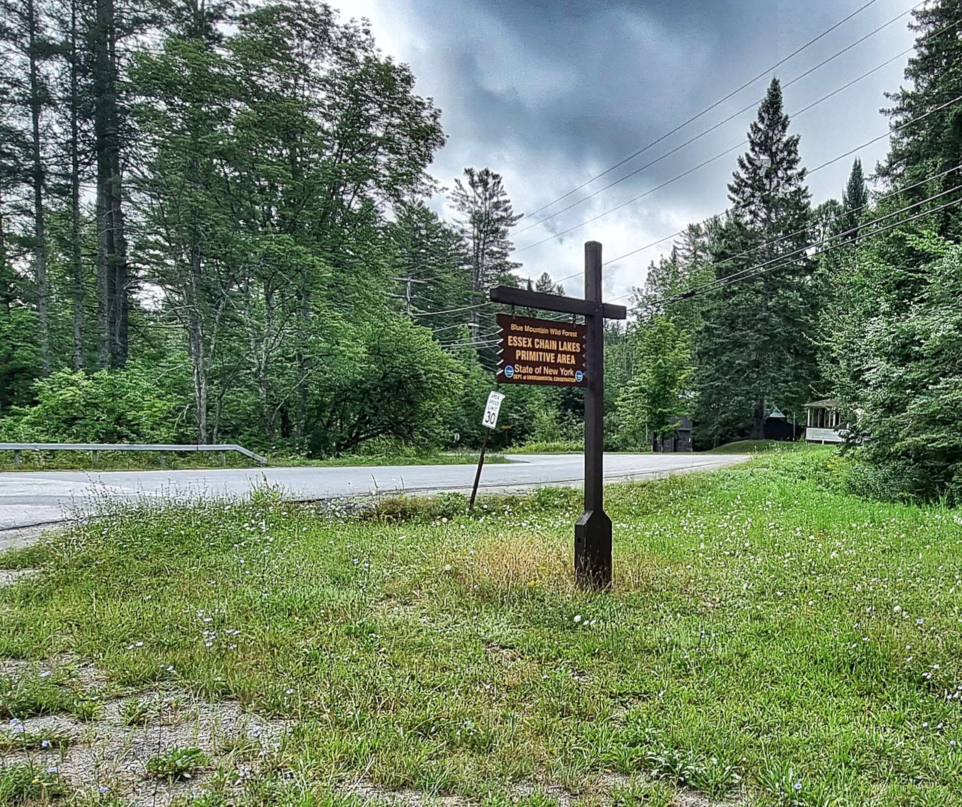
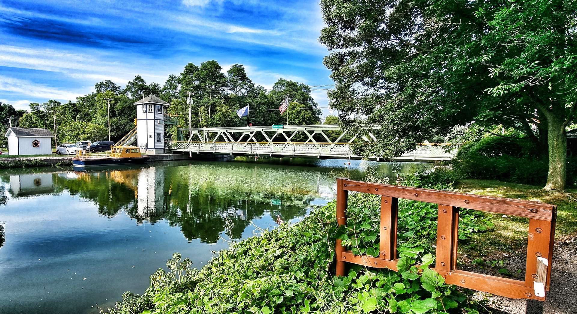
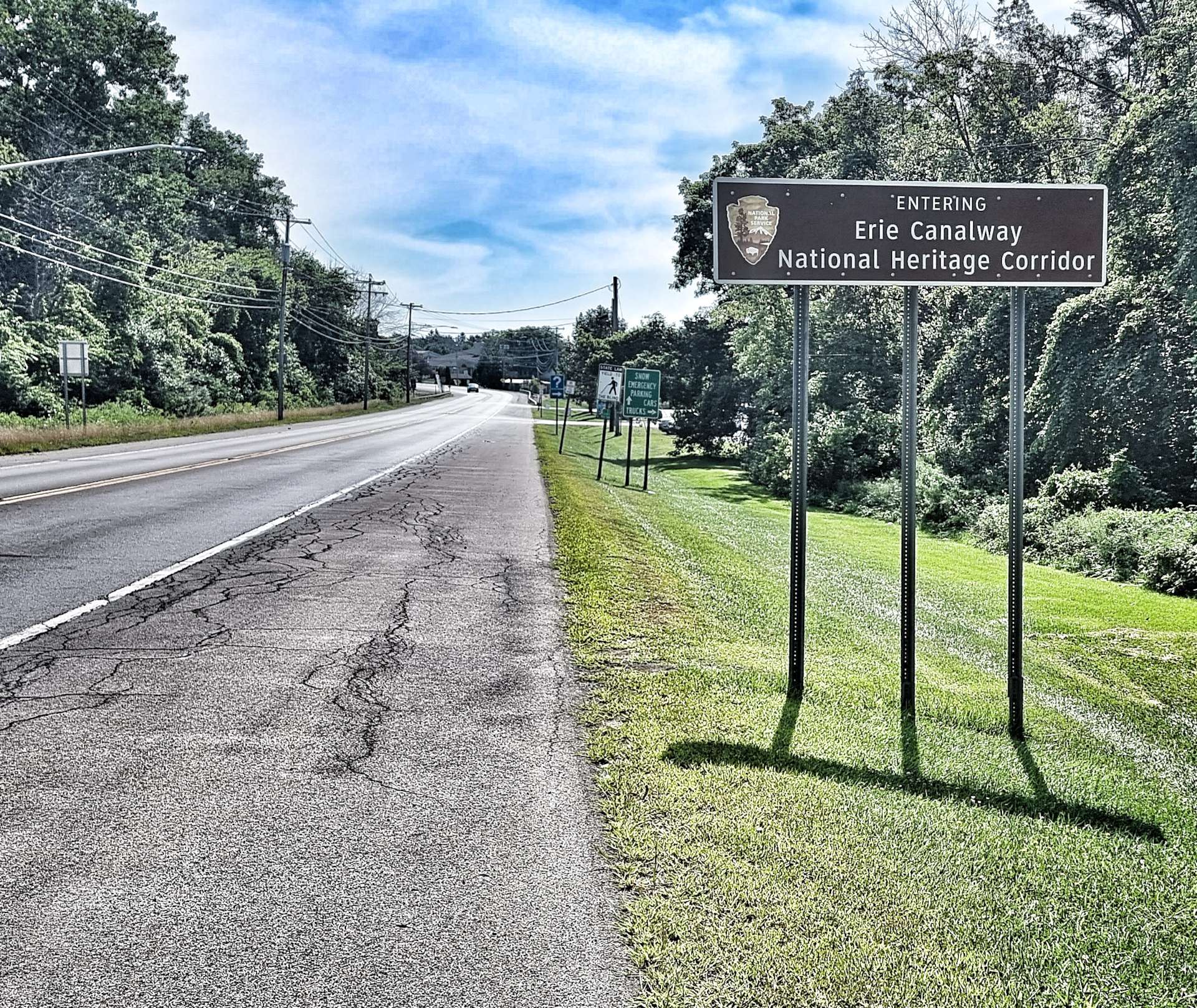
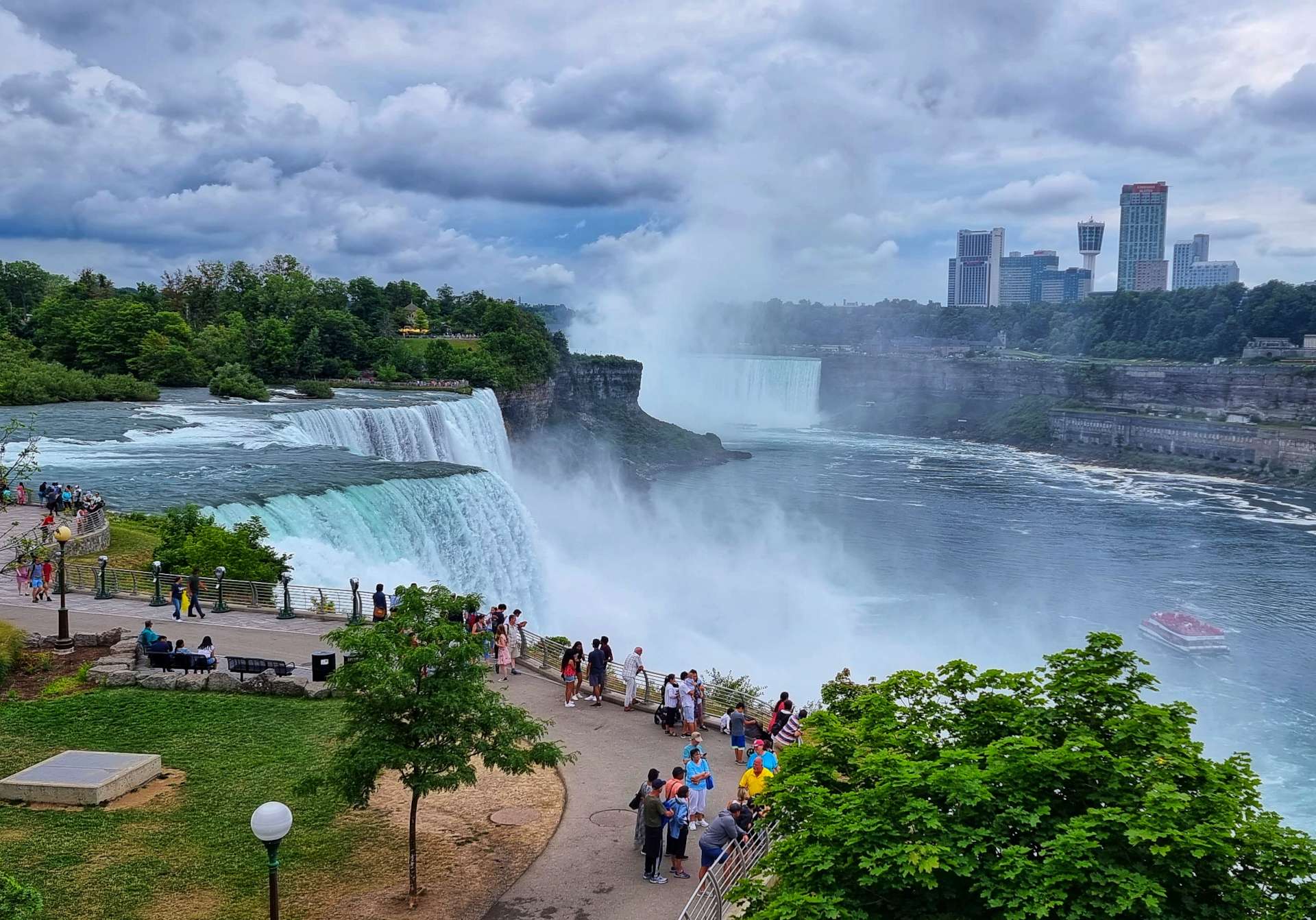
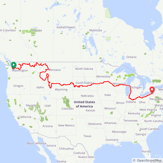
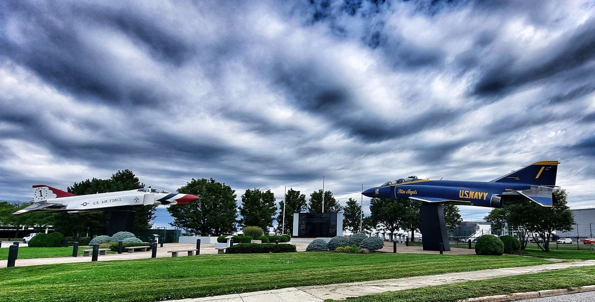
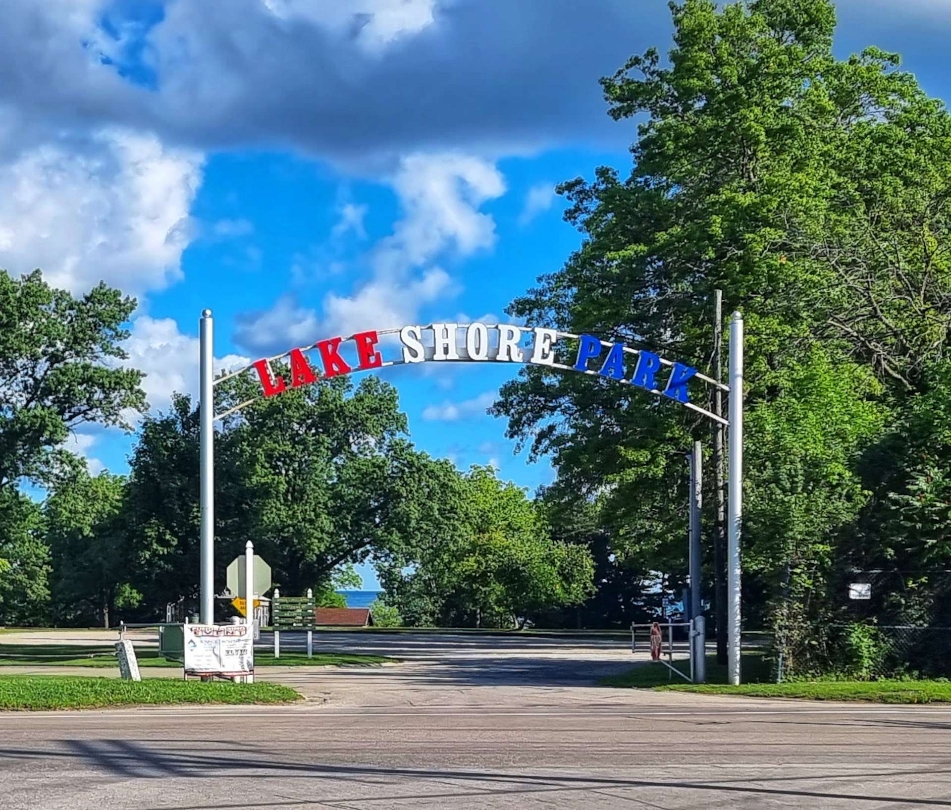
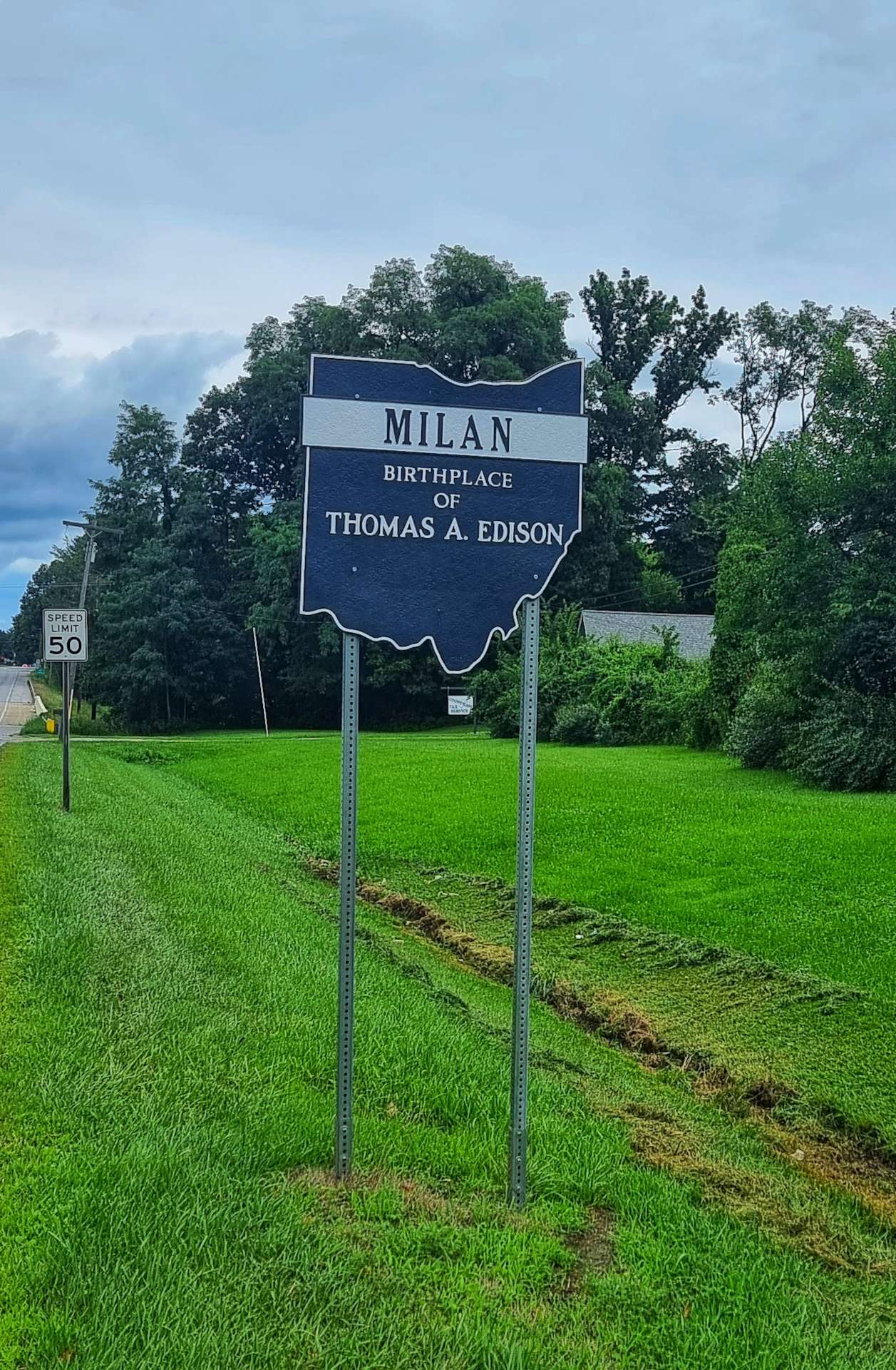
Wednesday 24th to Saturday 27th August – Rest Day & Stages 89 to 91.

Wednesday 24th August – Rest Day.

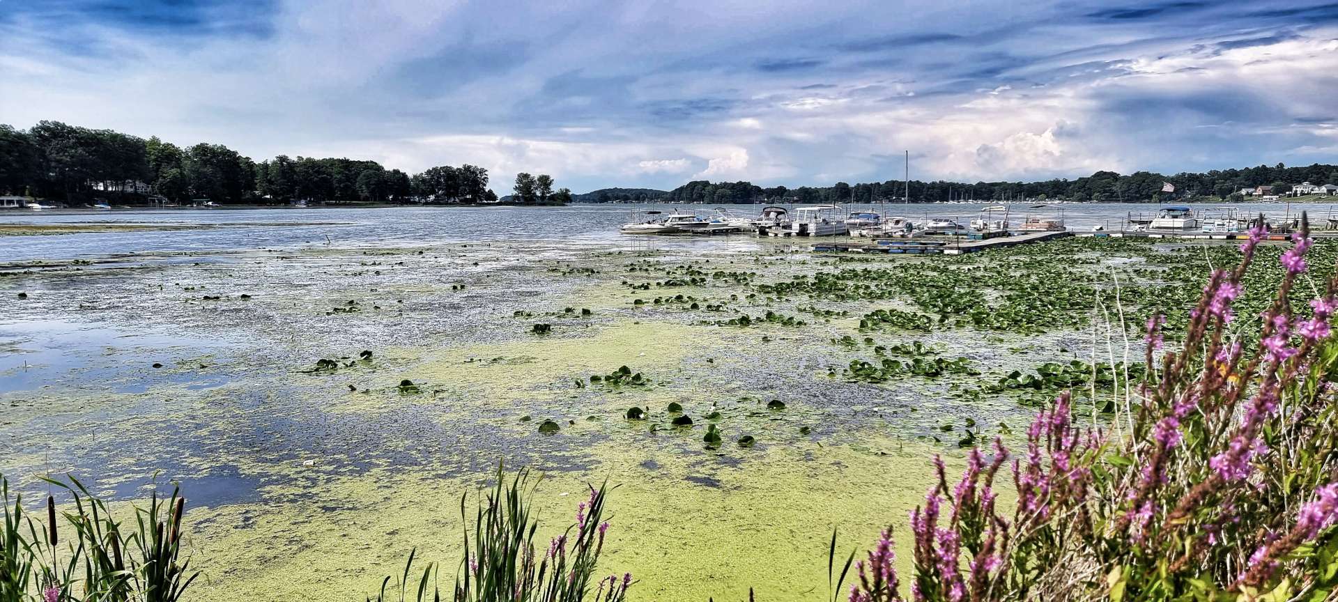
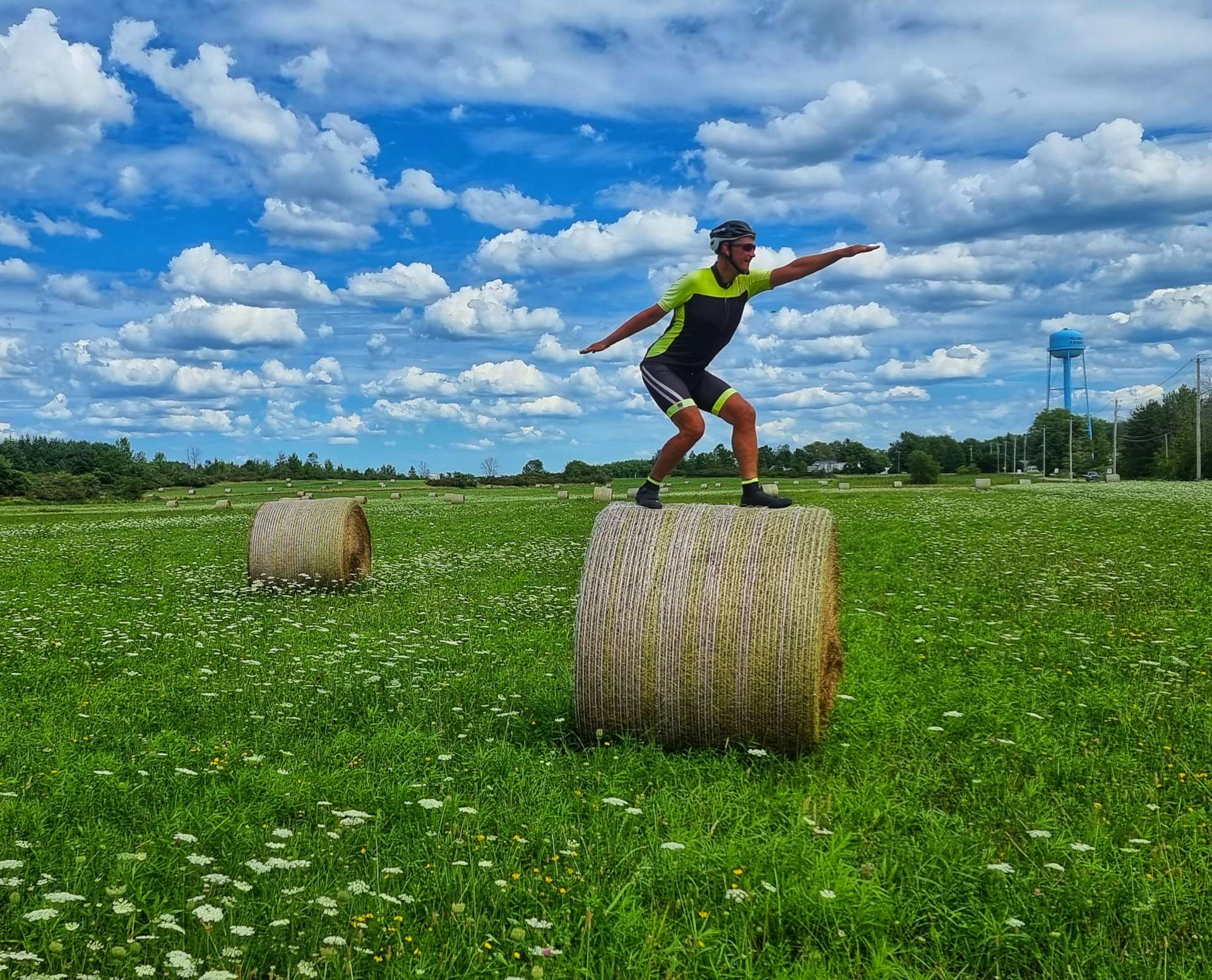
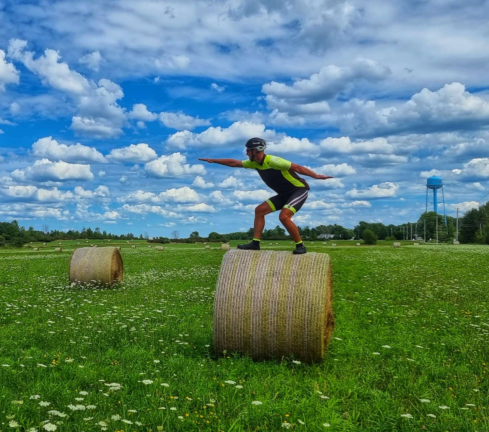
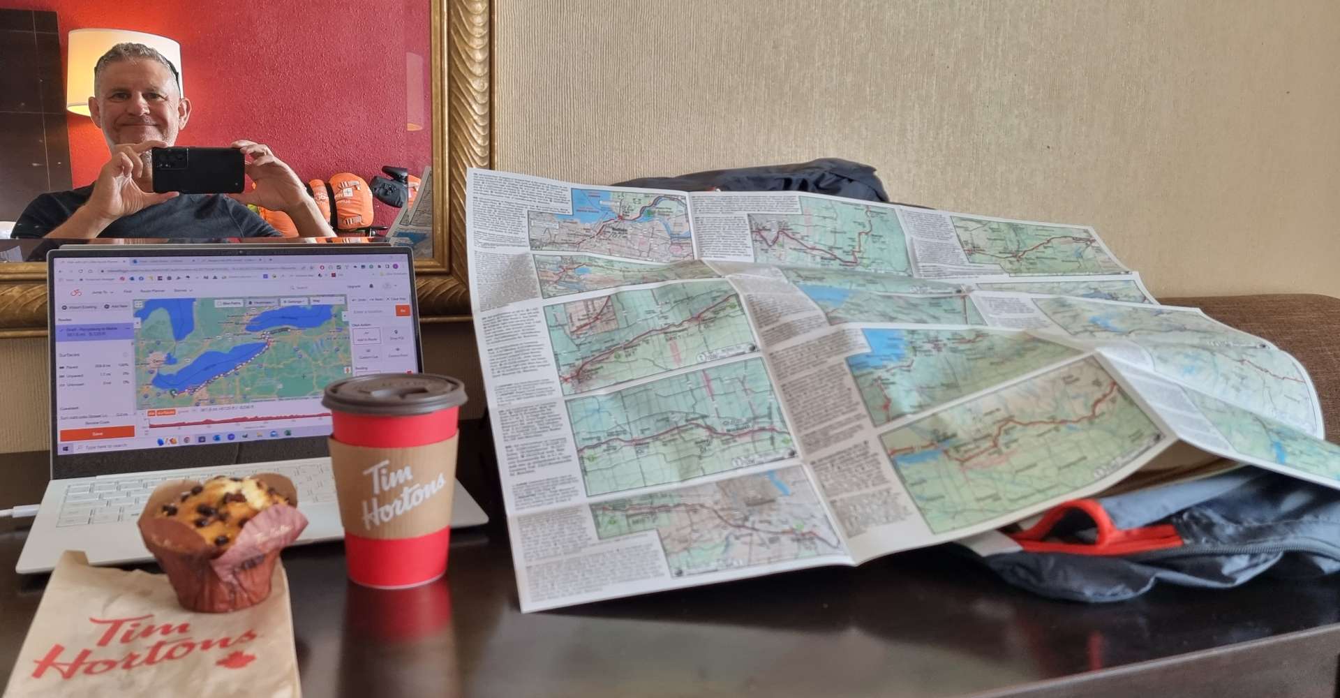
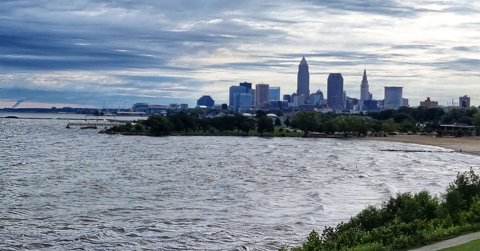
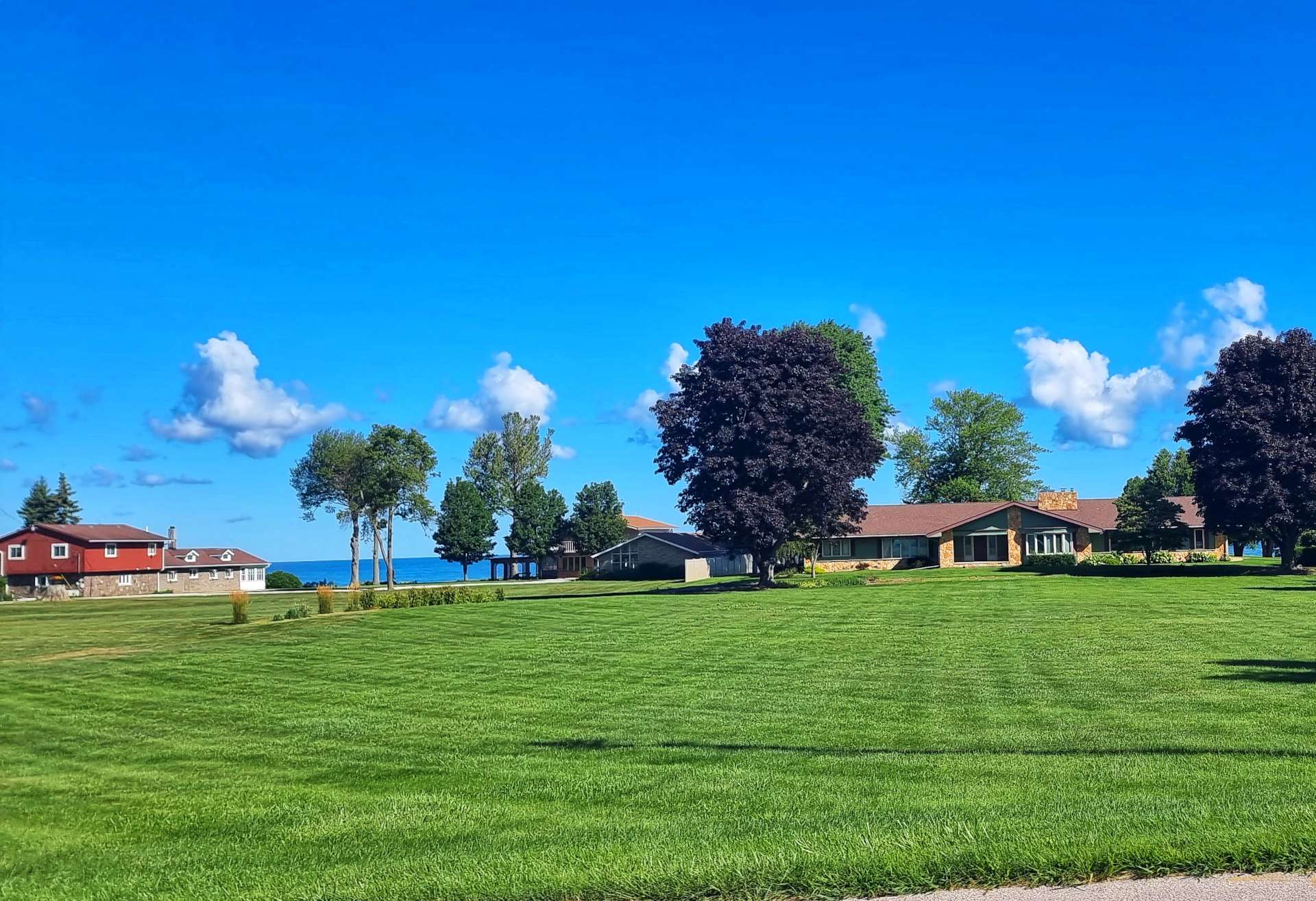
We were staying outside of the town itself, so we were a bit limited on activities today. That was no bad thing, as it gave me an opportunity to catch up on my journal, as well as start preparing my weekly & monthly blog posts. I also needed to update our routes from now until we finish our adventure next Tuesday.

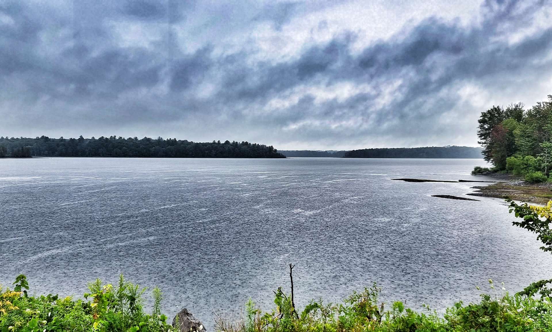
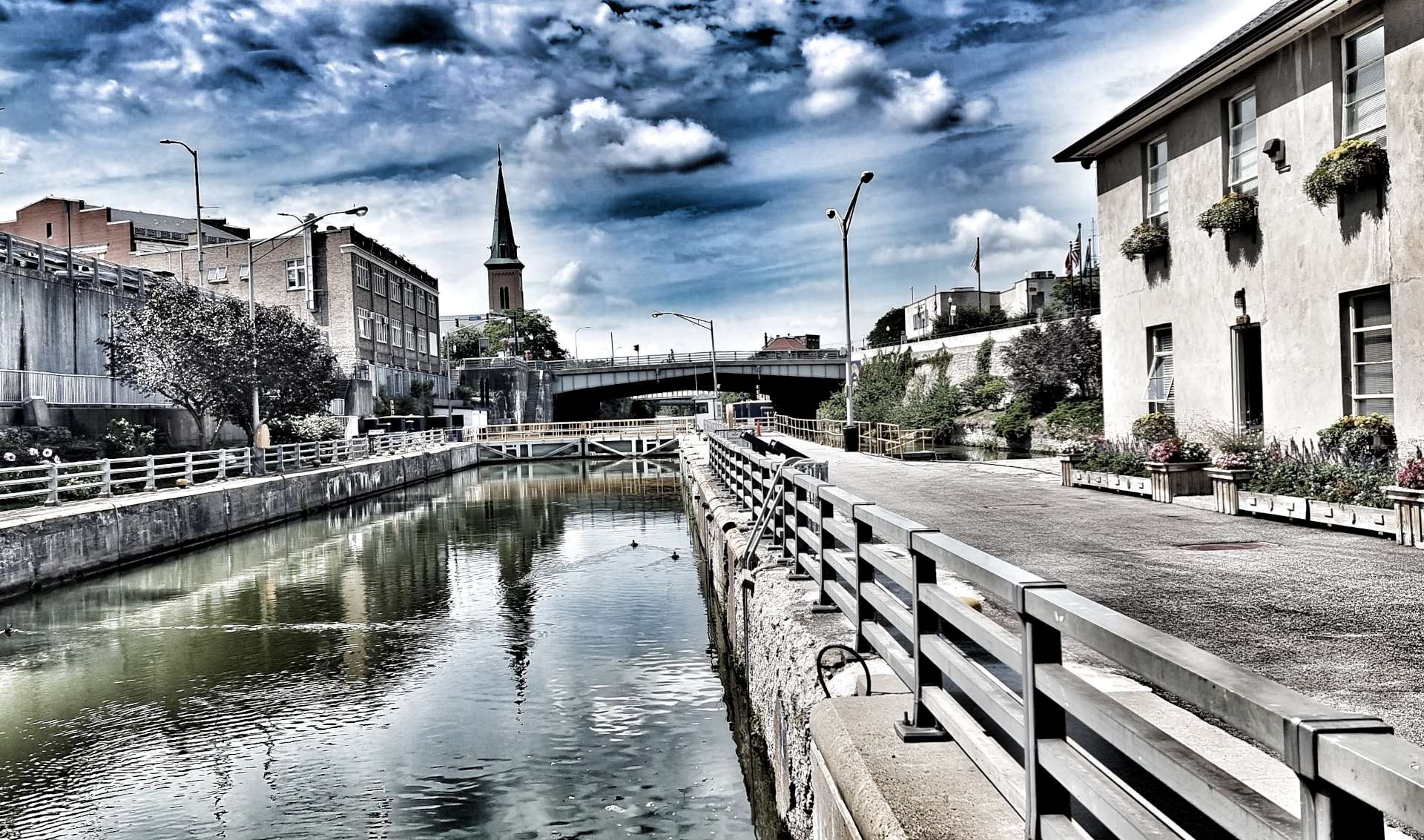
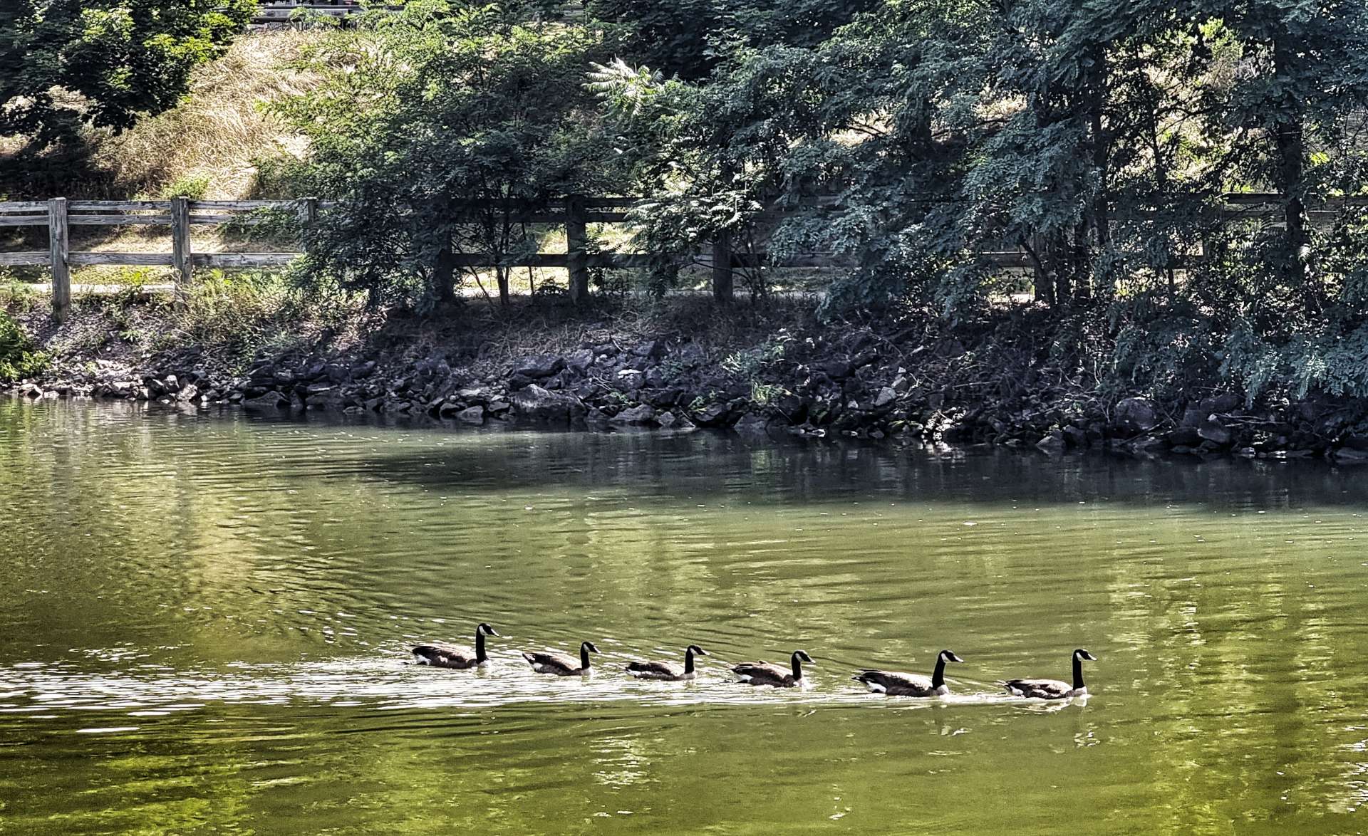
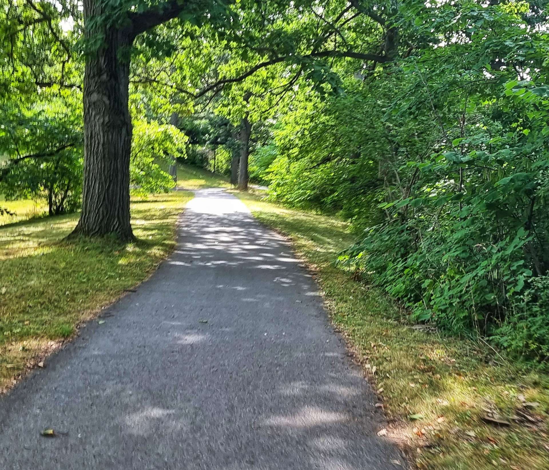
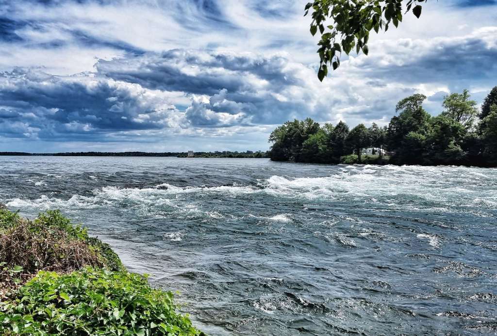
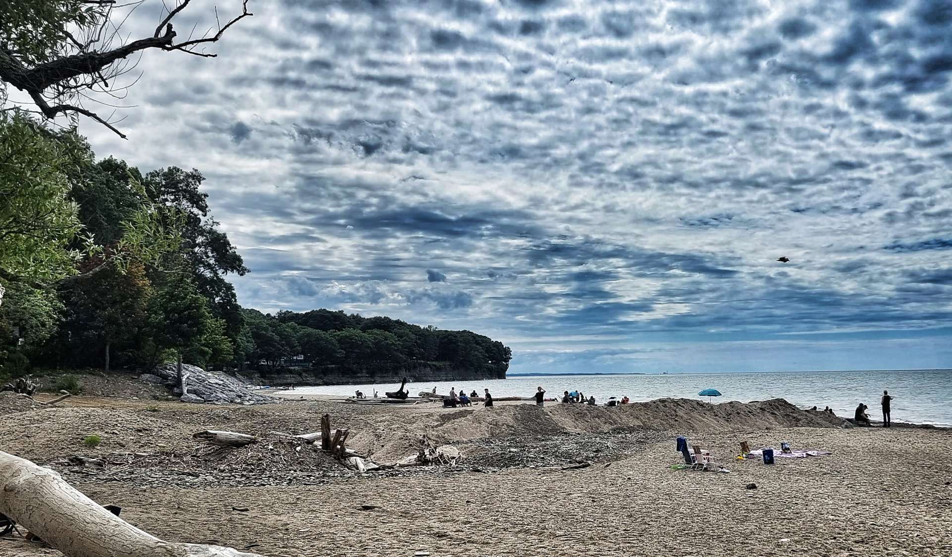
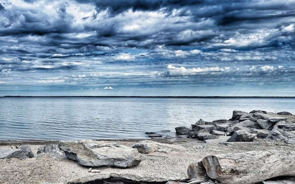
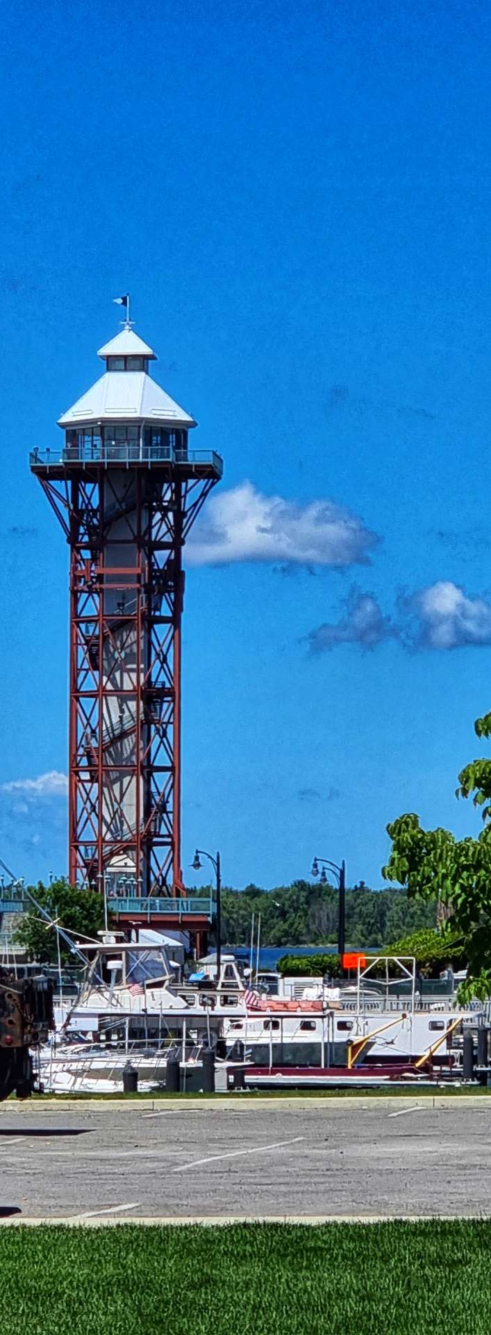
We decided to do our own thing for food & I succumbed to the Micky D’s across the road – sometimes only junk food will do & today was that time! I also decided to go for a bit of a walk to work off the calories & managed to catch a view of yesterday’s descent & got a better understanding of why we plummeted down it so quickly.

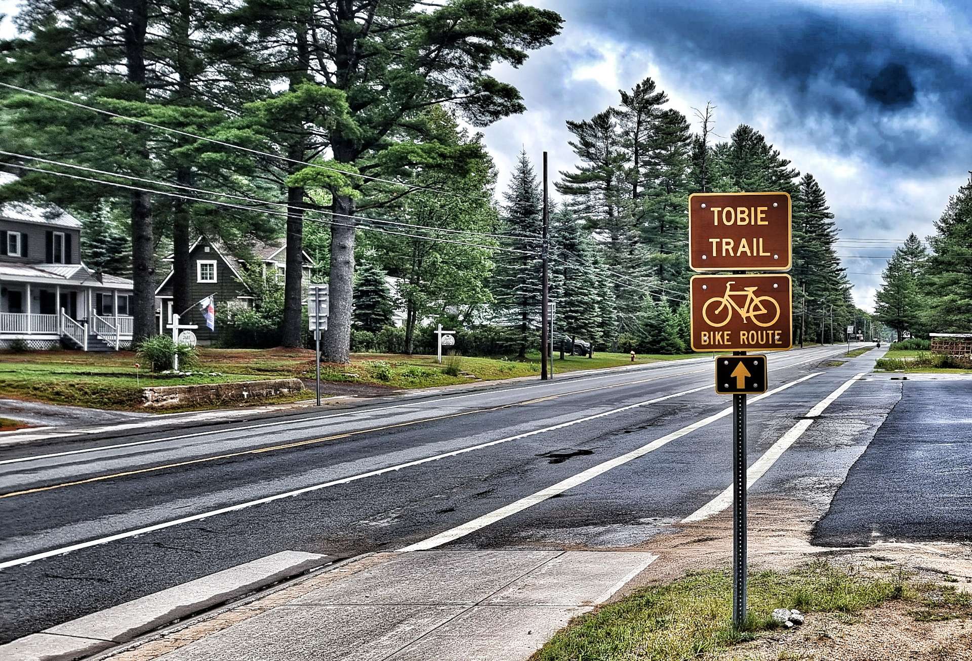
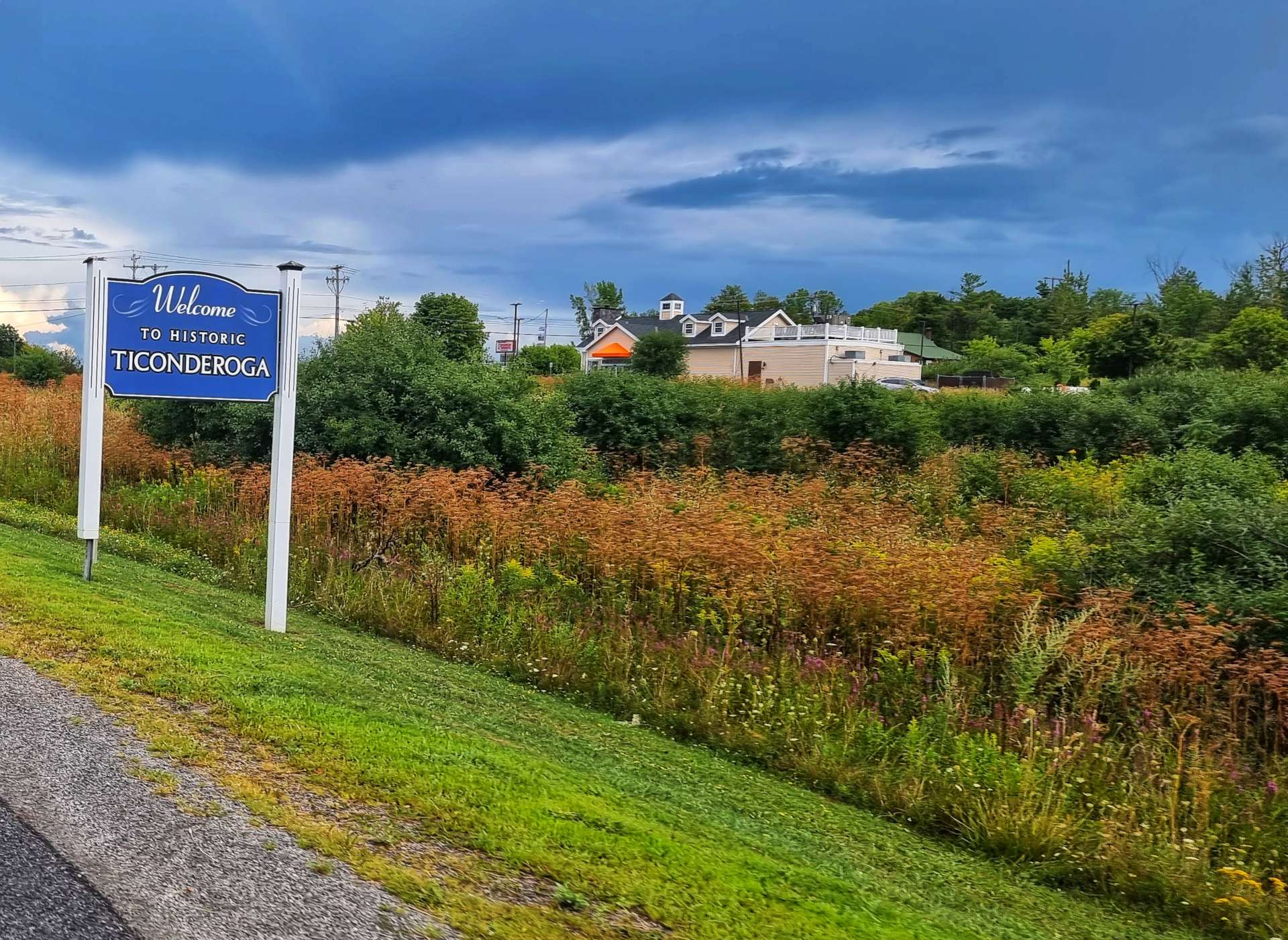
Thursday 25th August – Ticonderoga to Pittsfield (Stage 89).

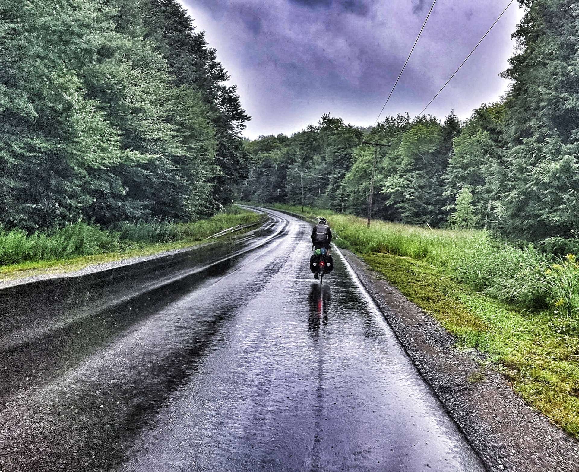
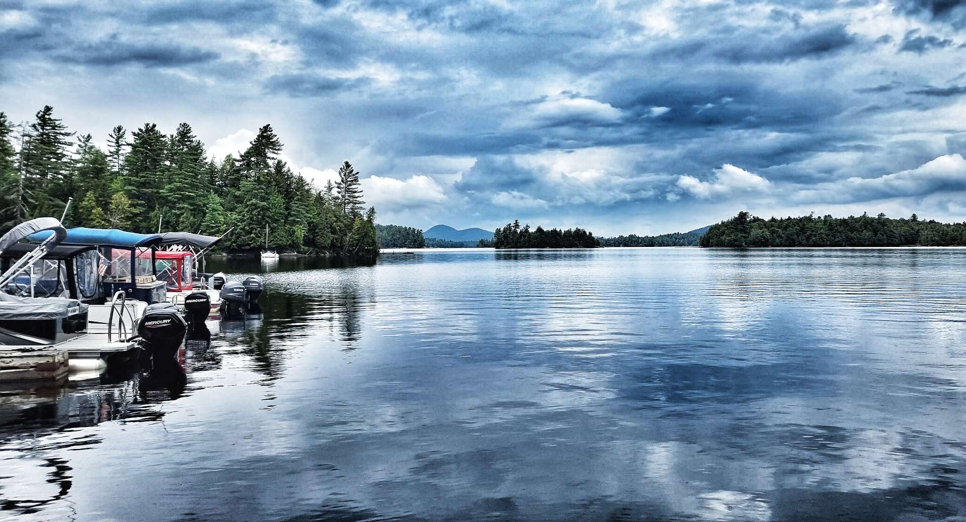
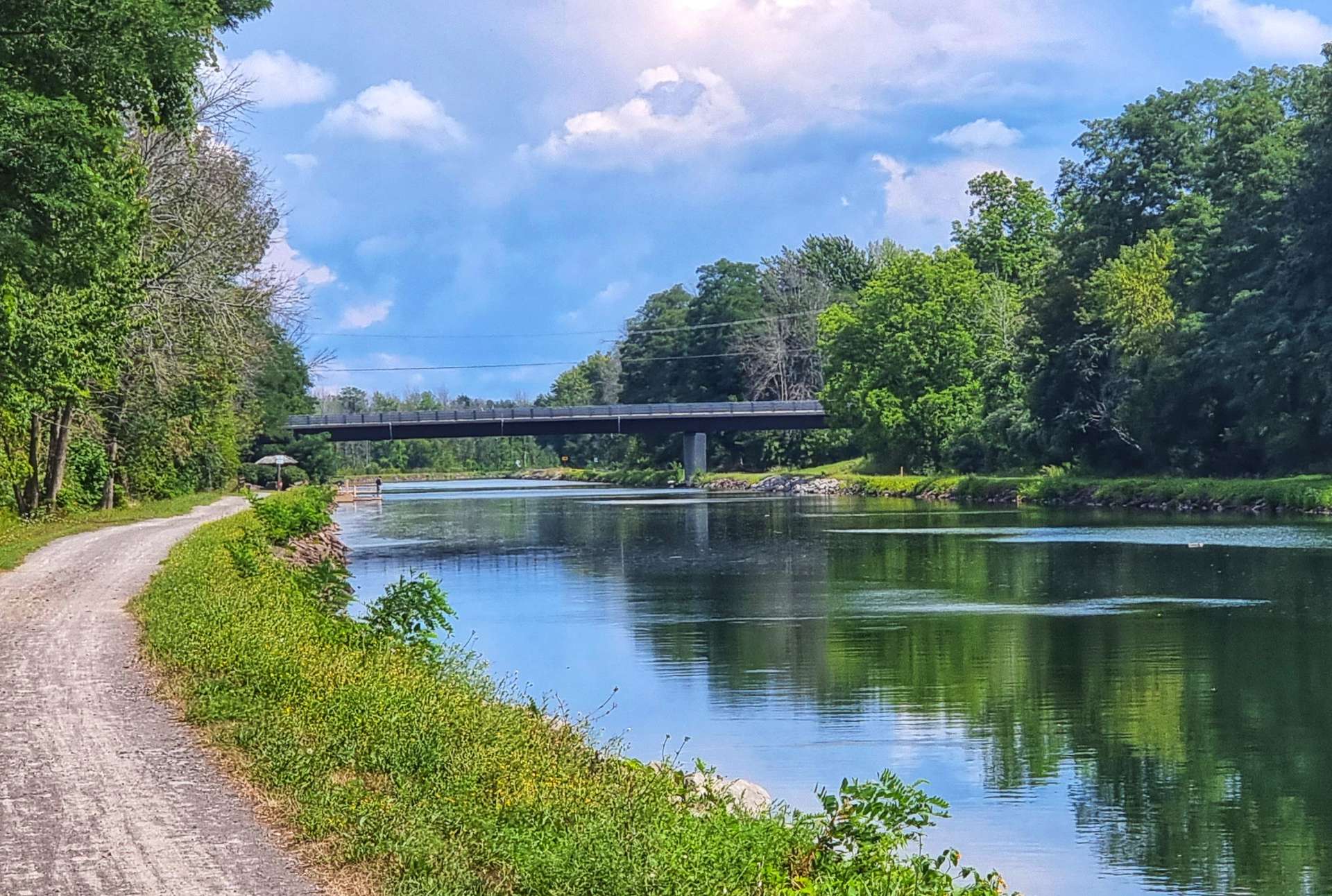
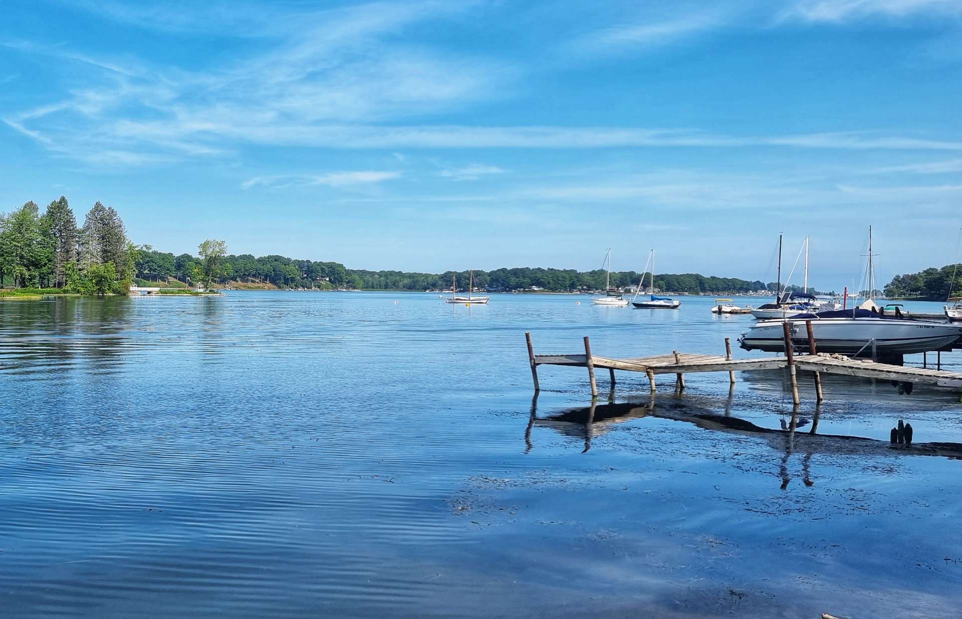
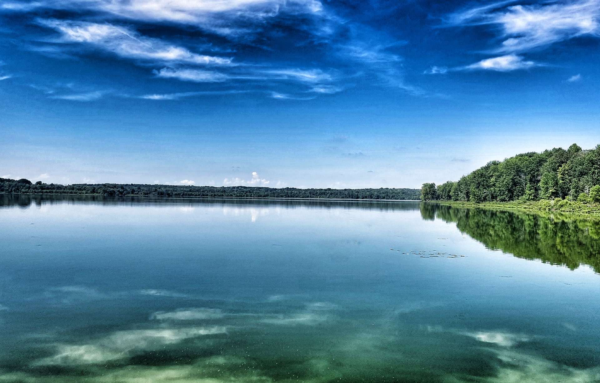
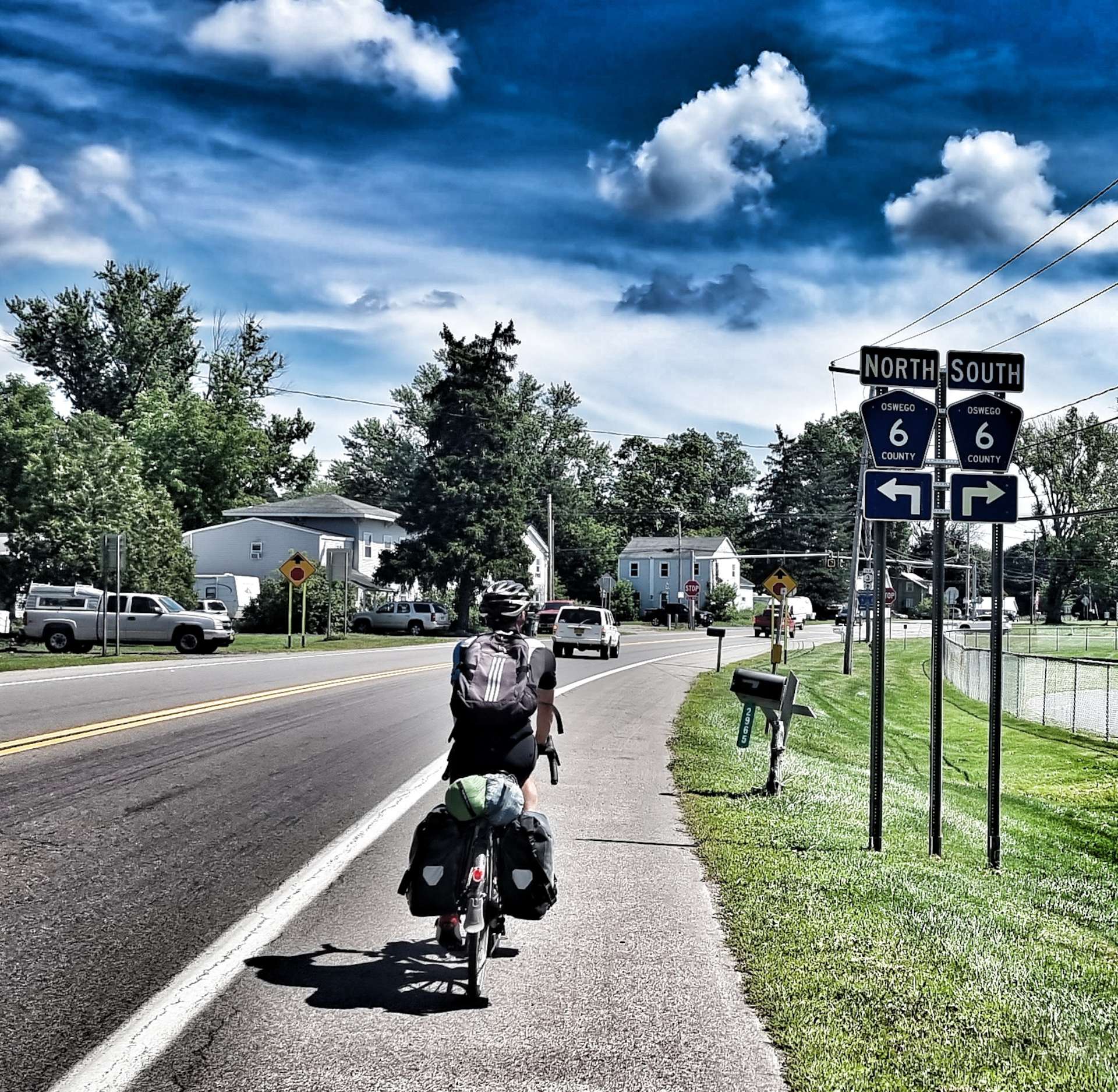
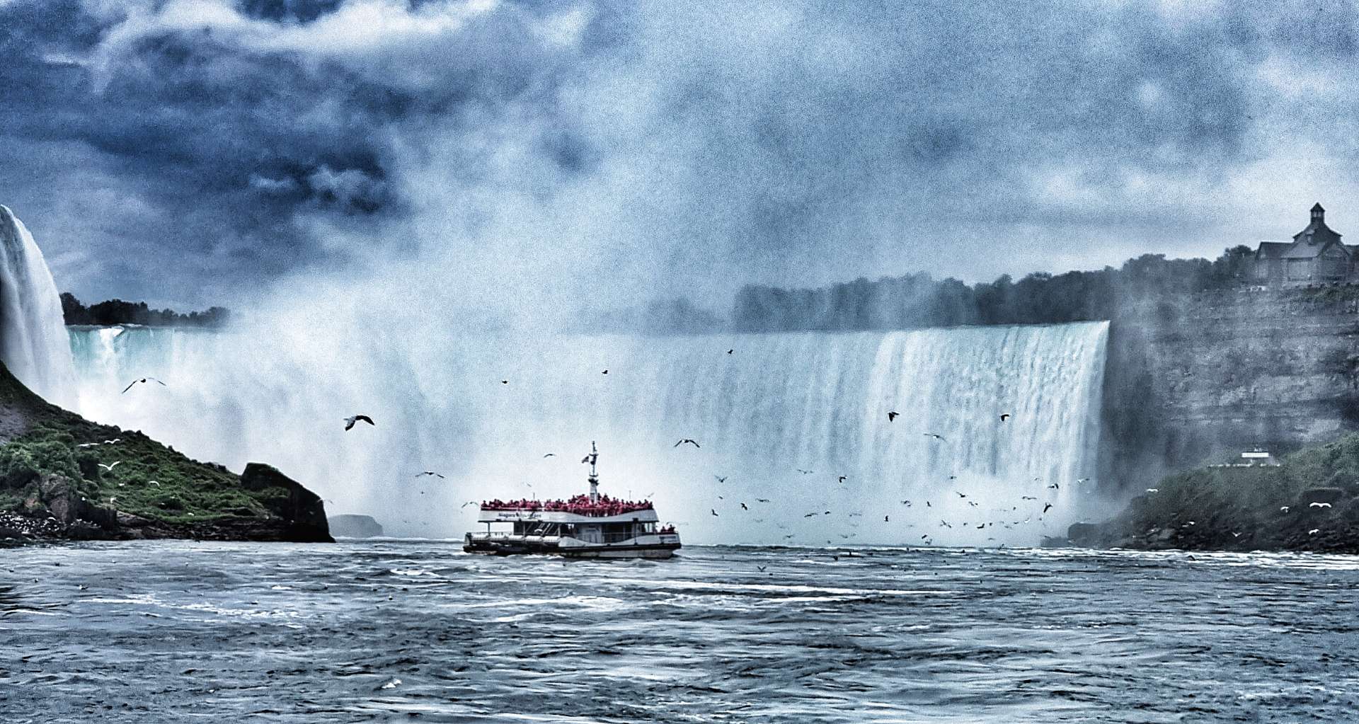
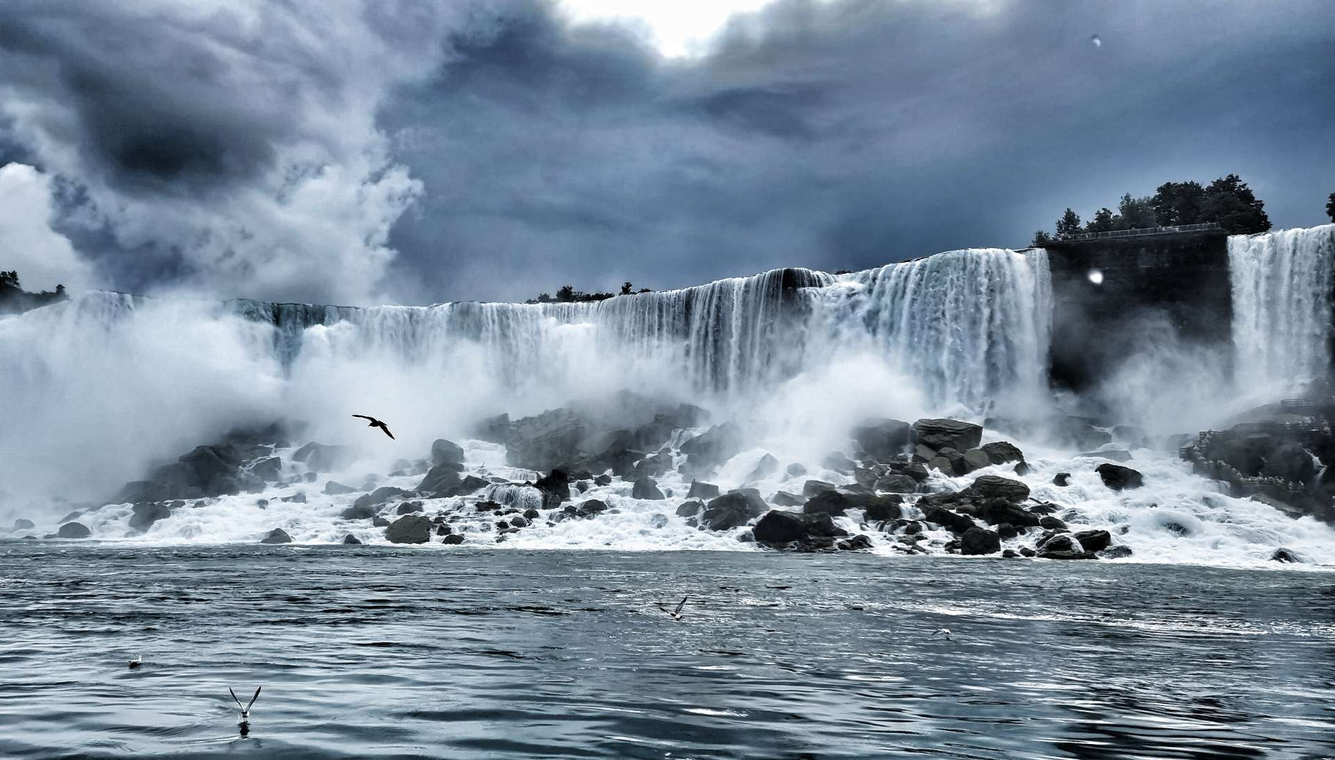
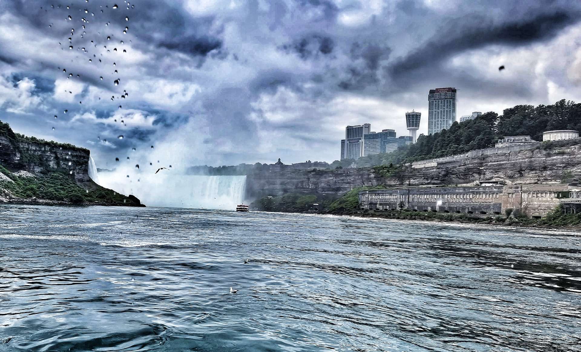
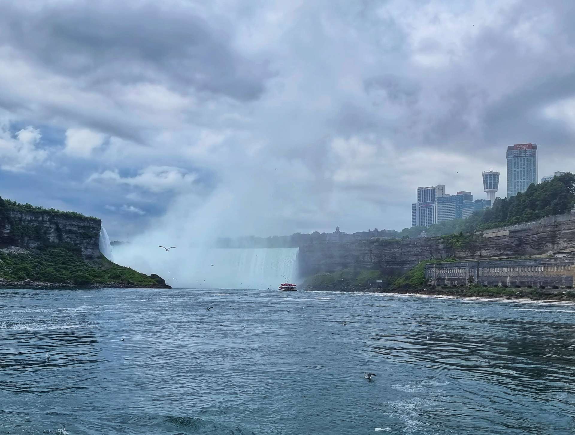
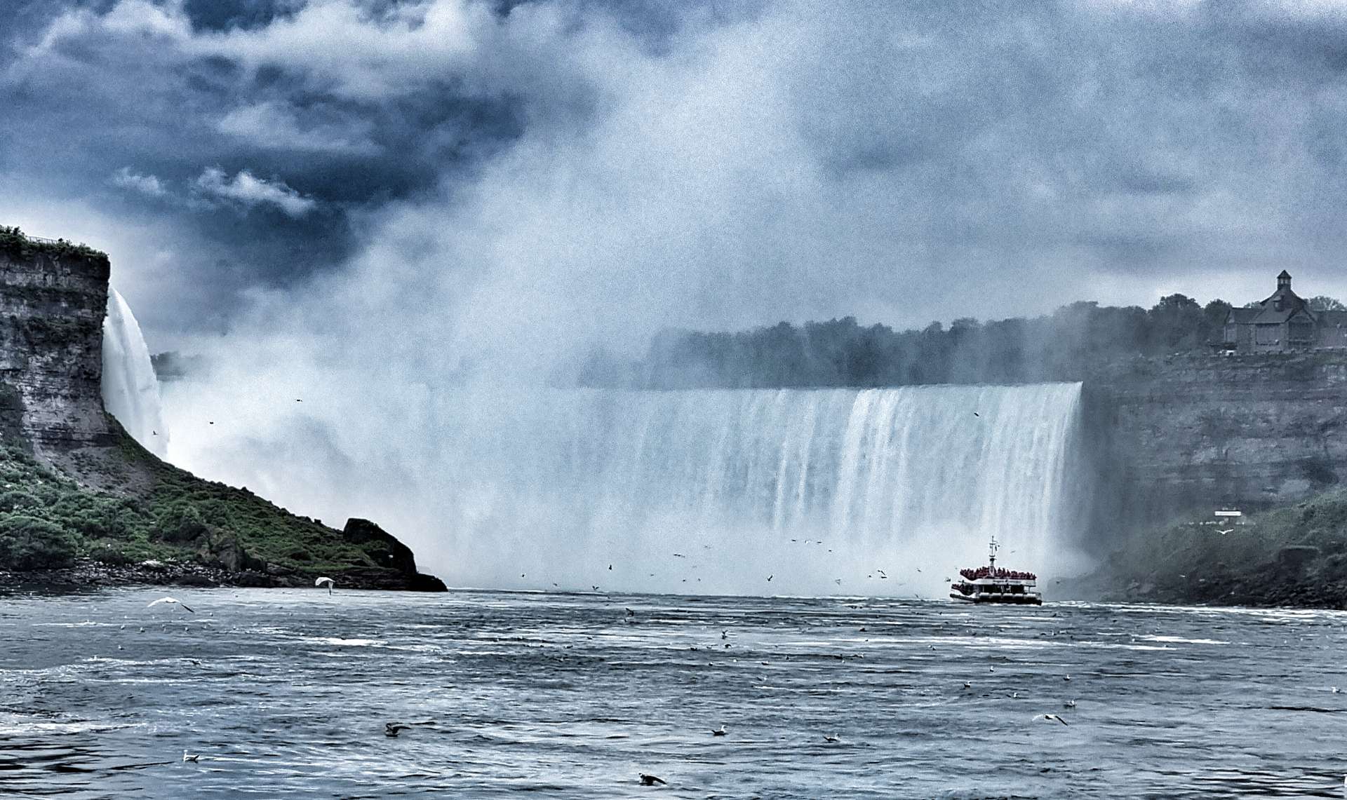
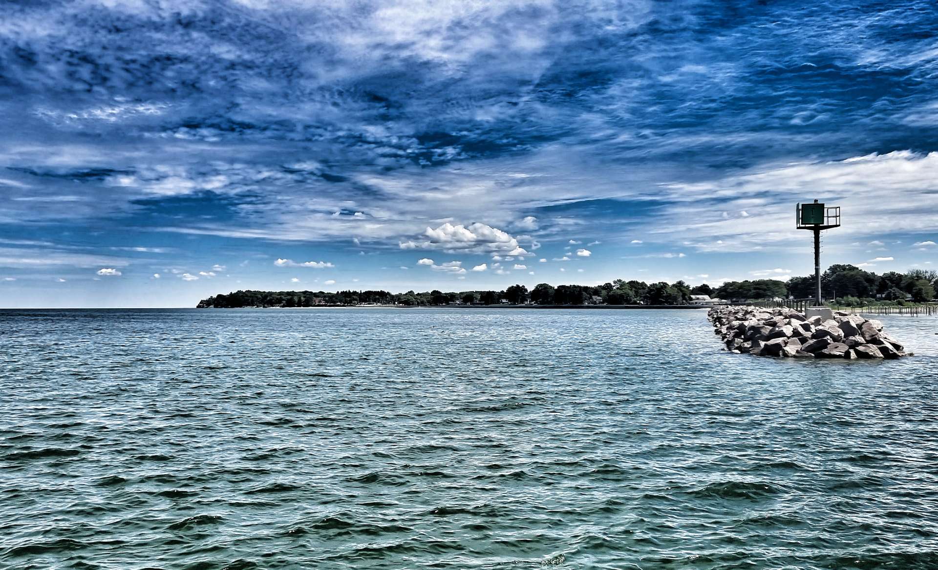
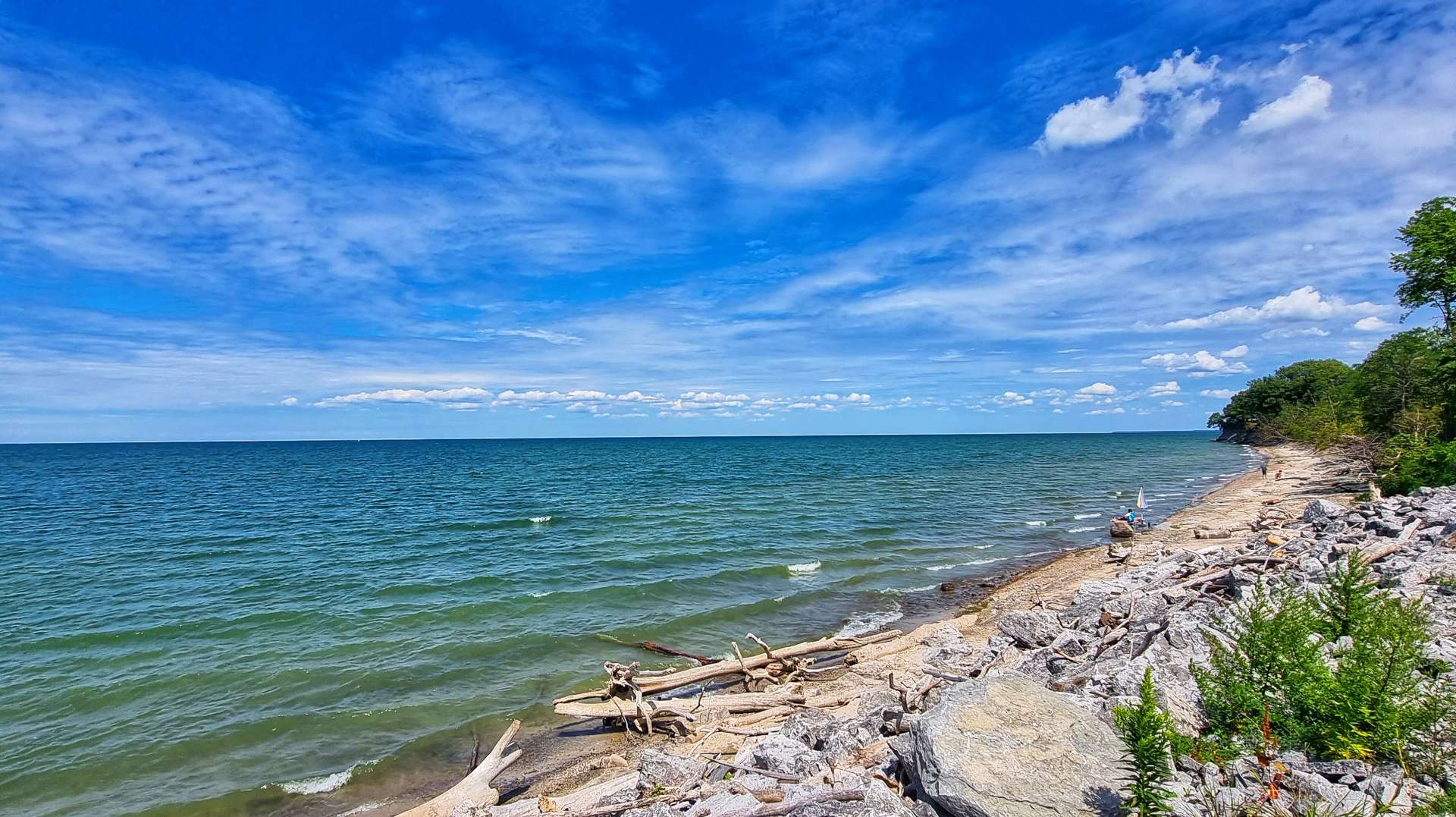
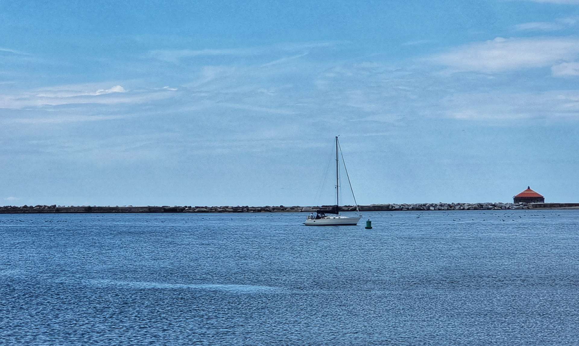
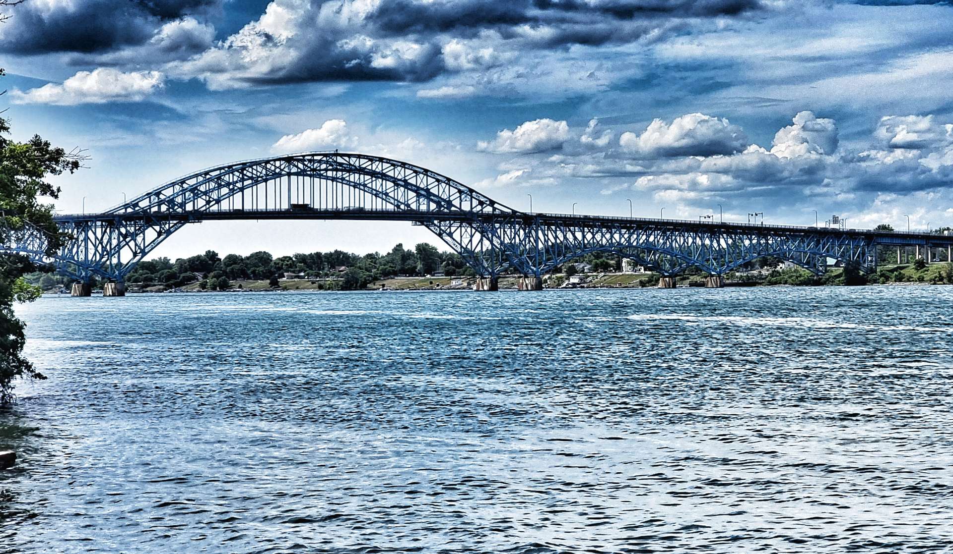
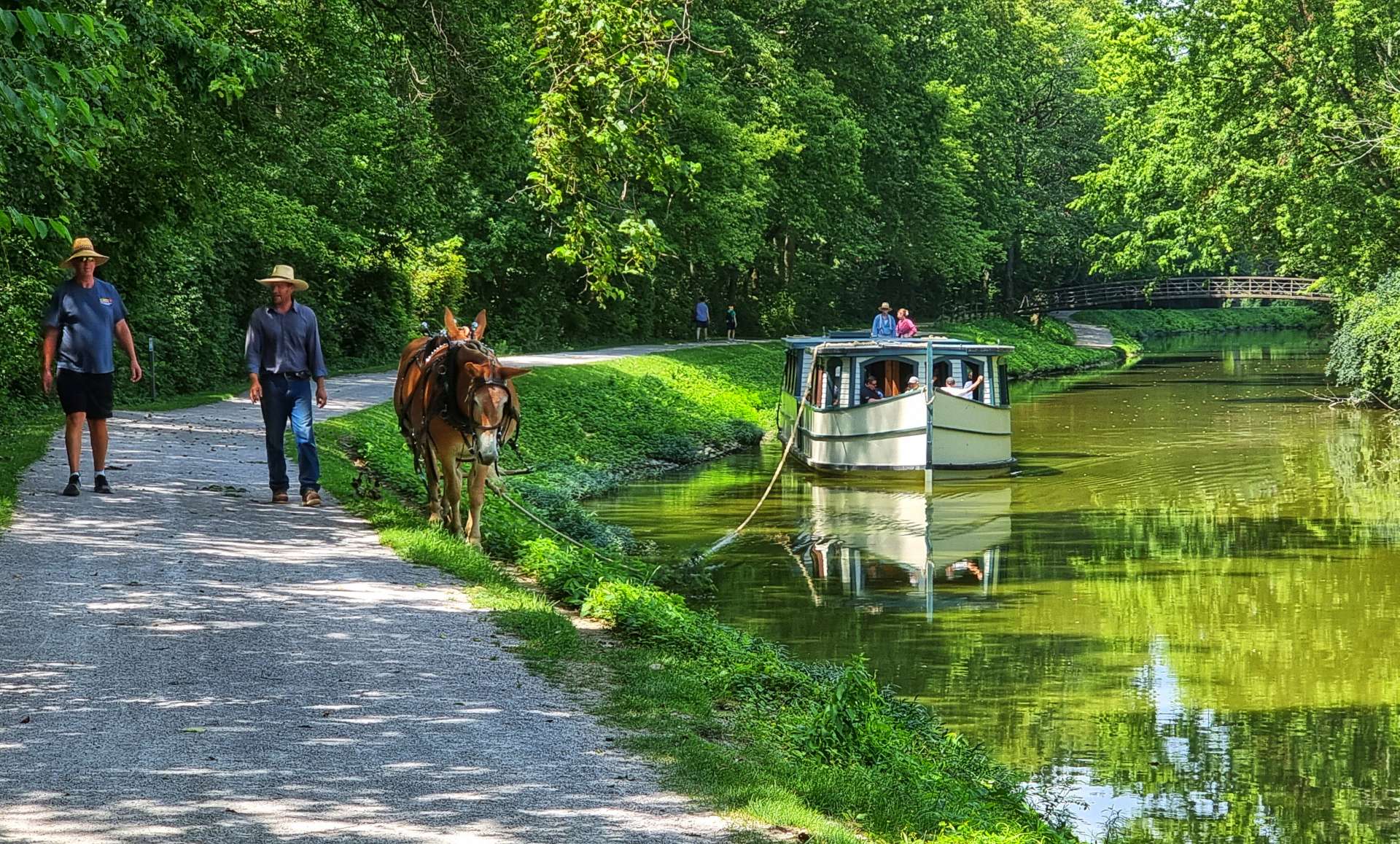
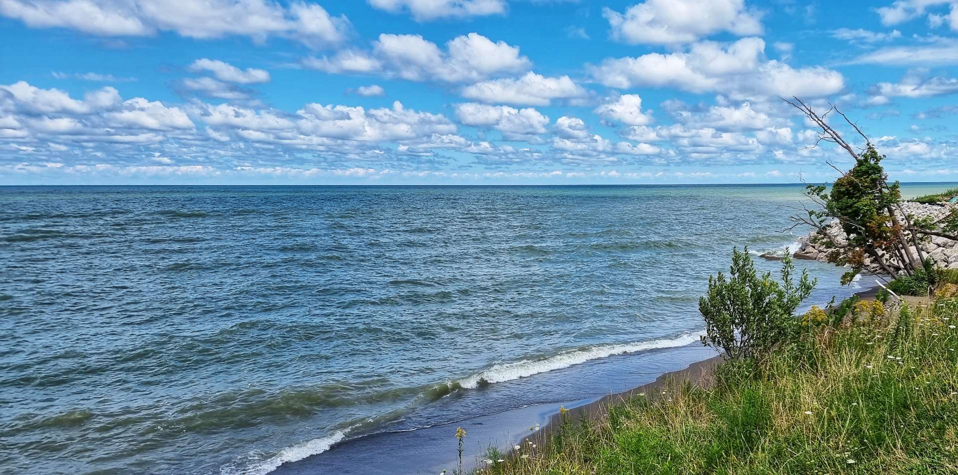
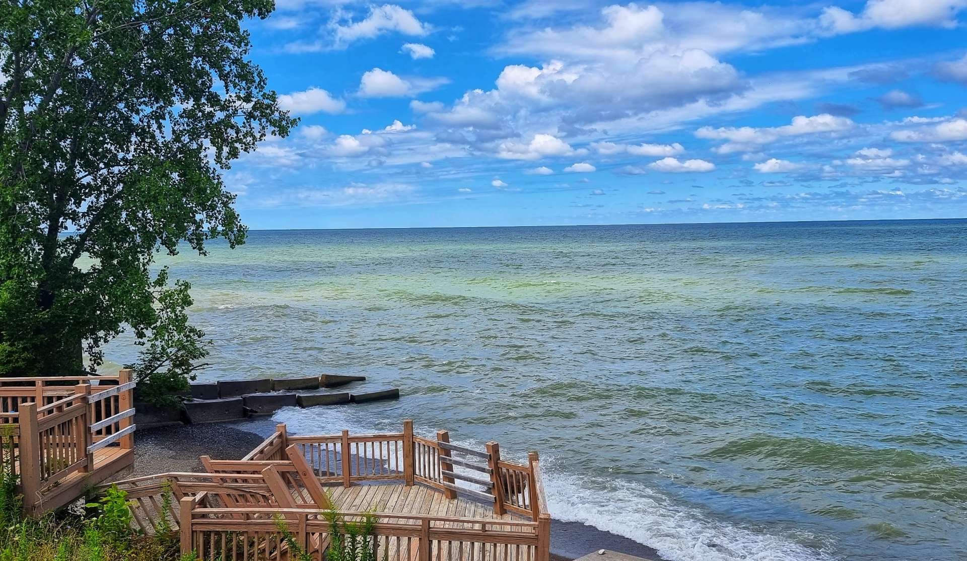
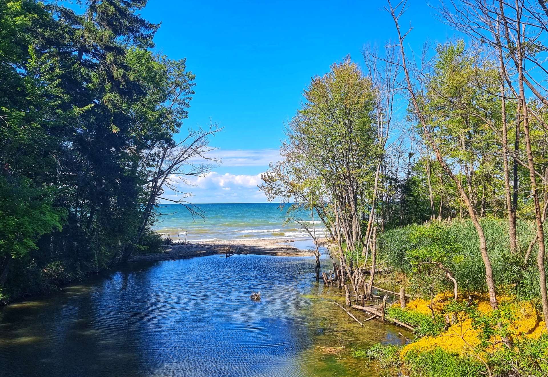
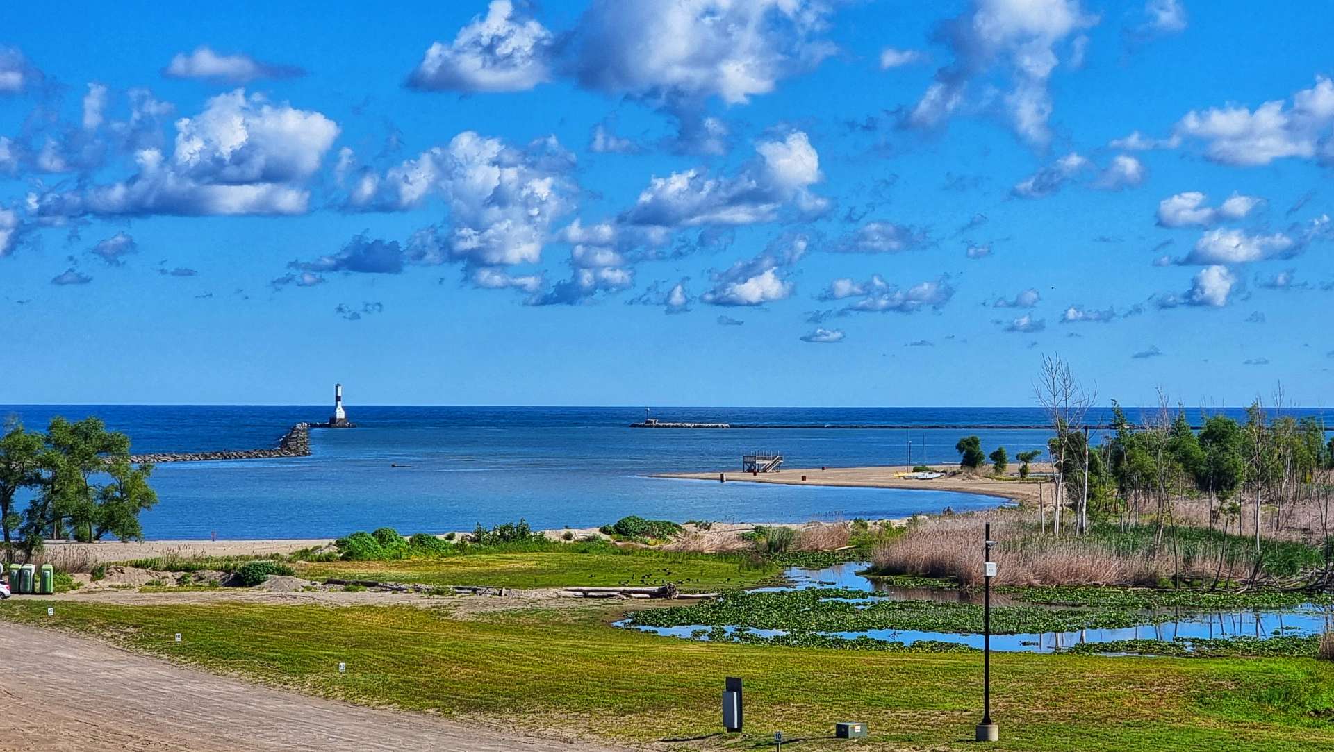
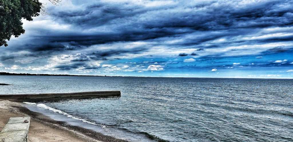
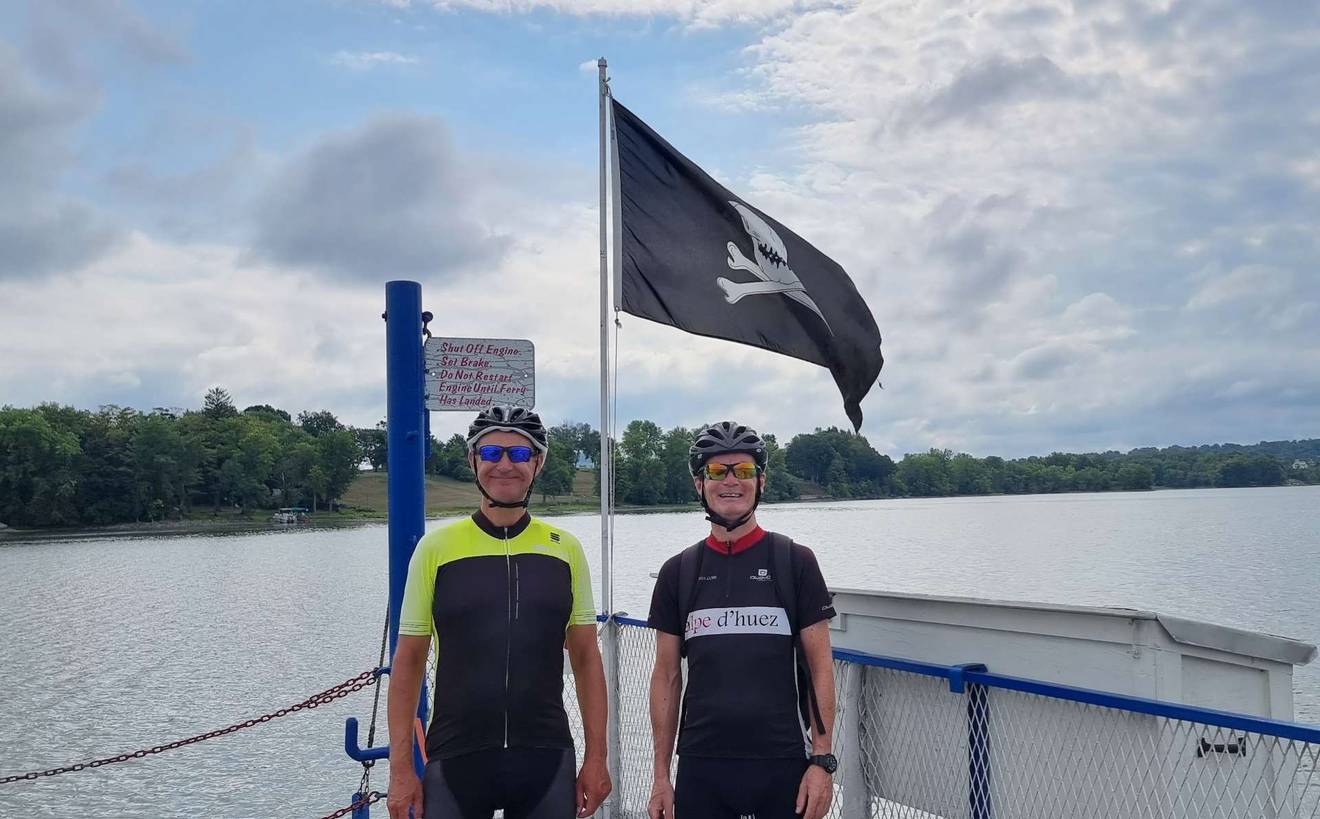
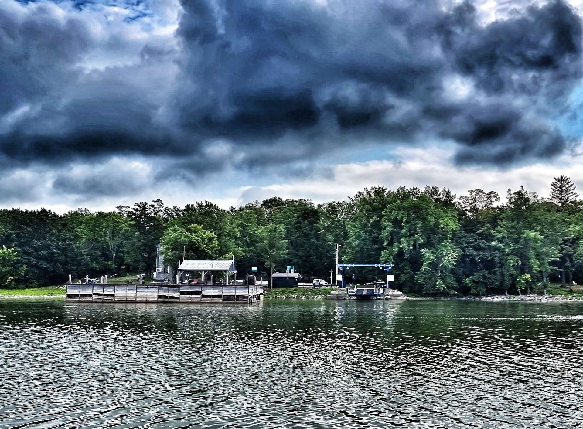
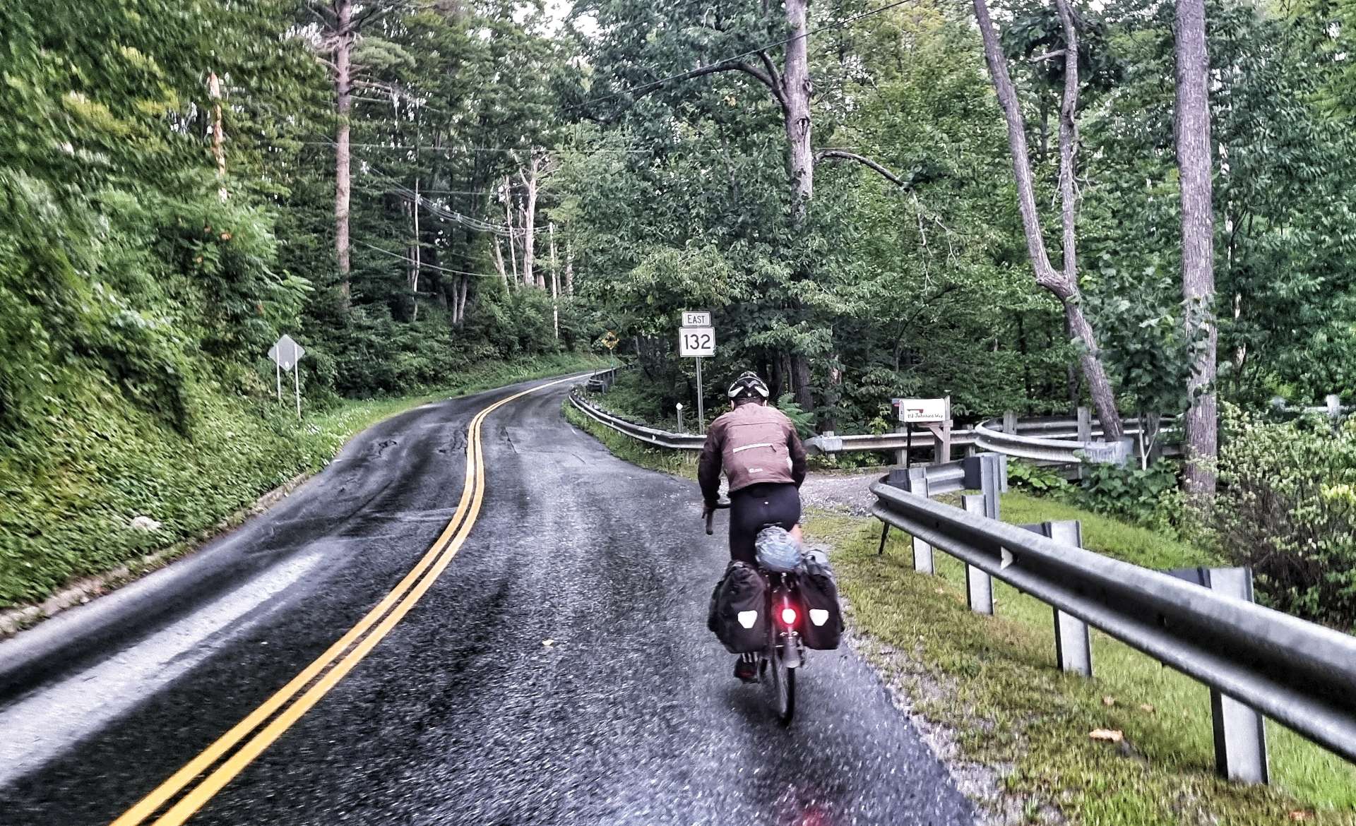
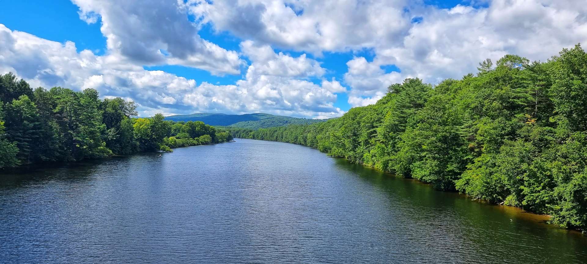
We set off at 9am & after just 3 miles we had a treat ready & waiting for us – a crossing of Lake Champlain by ferry (our 4th & final ferry crossing of the adventure). The crossing from Ticonderoga to Shoreham takes 7 minutes & costs $5 for a bicycle & rider & out of peak hours you use a flag system to hail the ferry.

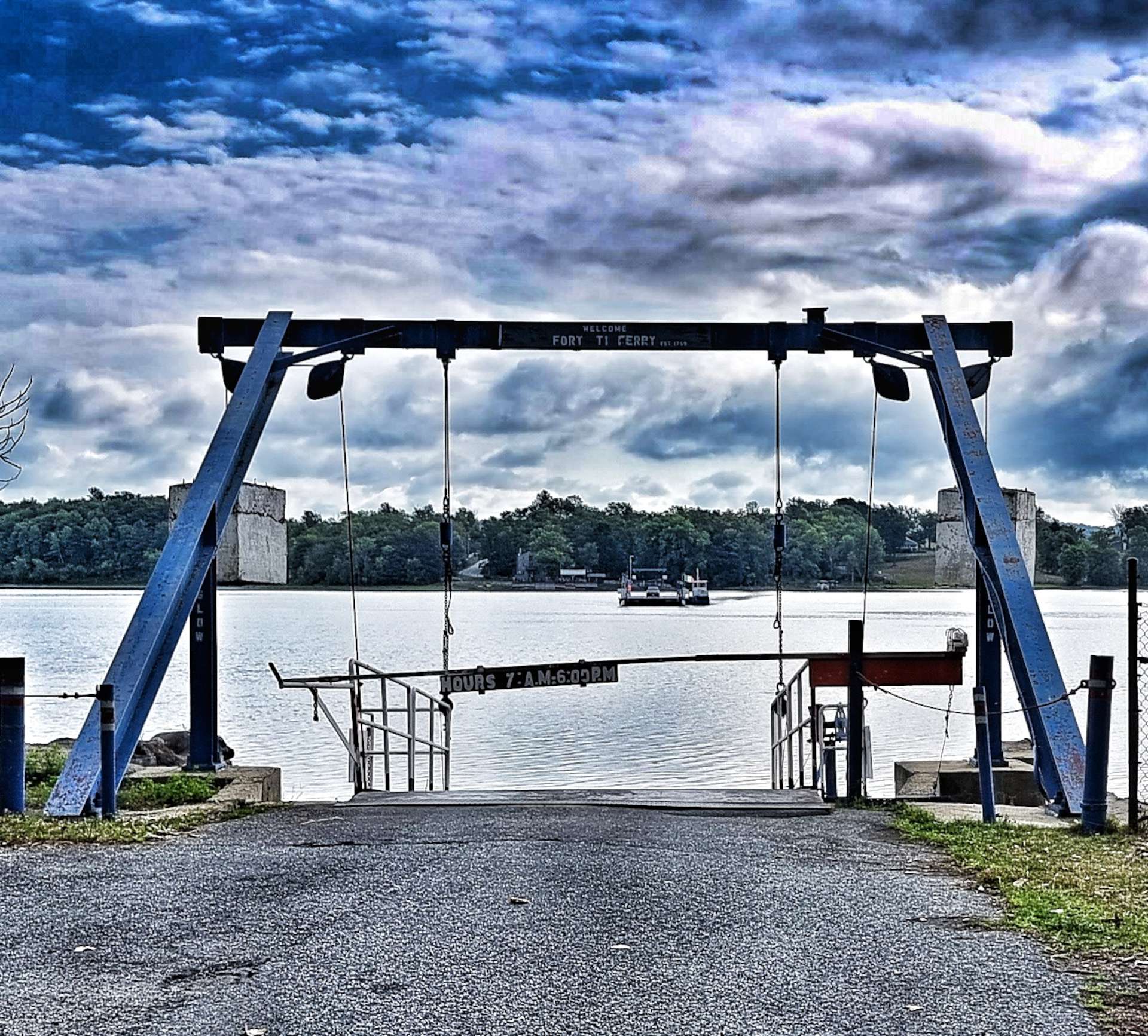
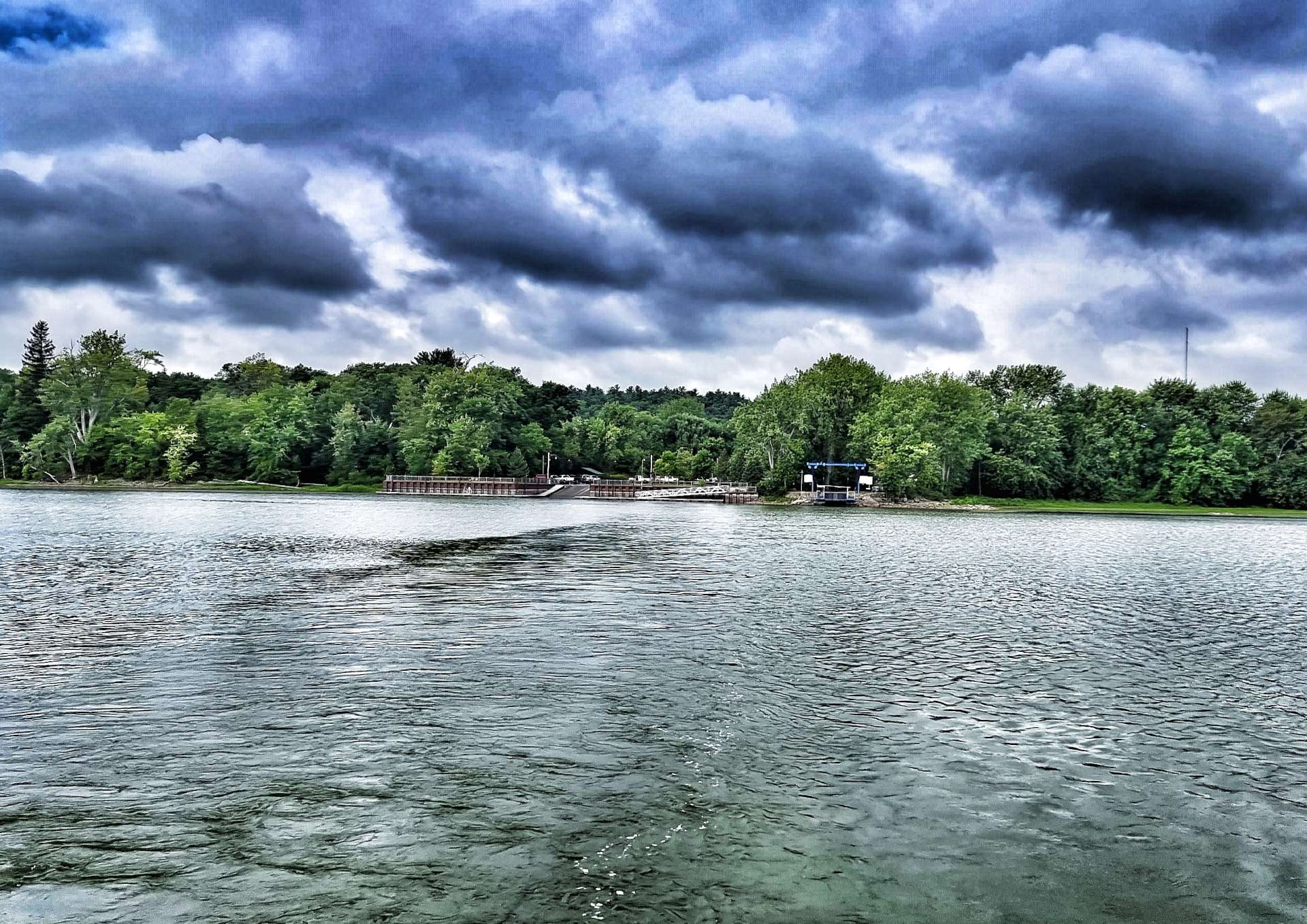
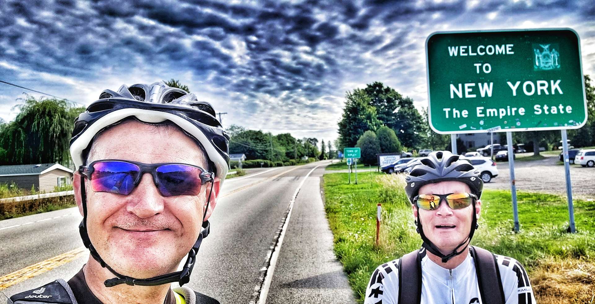
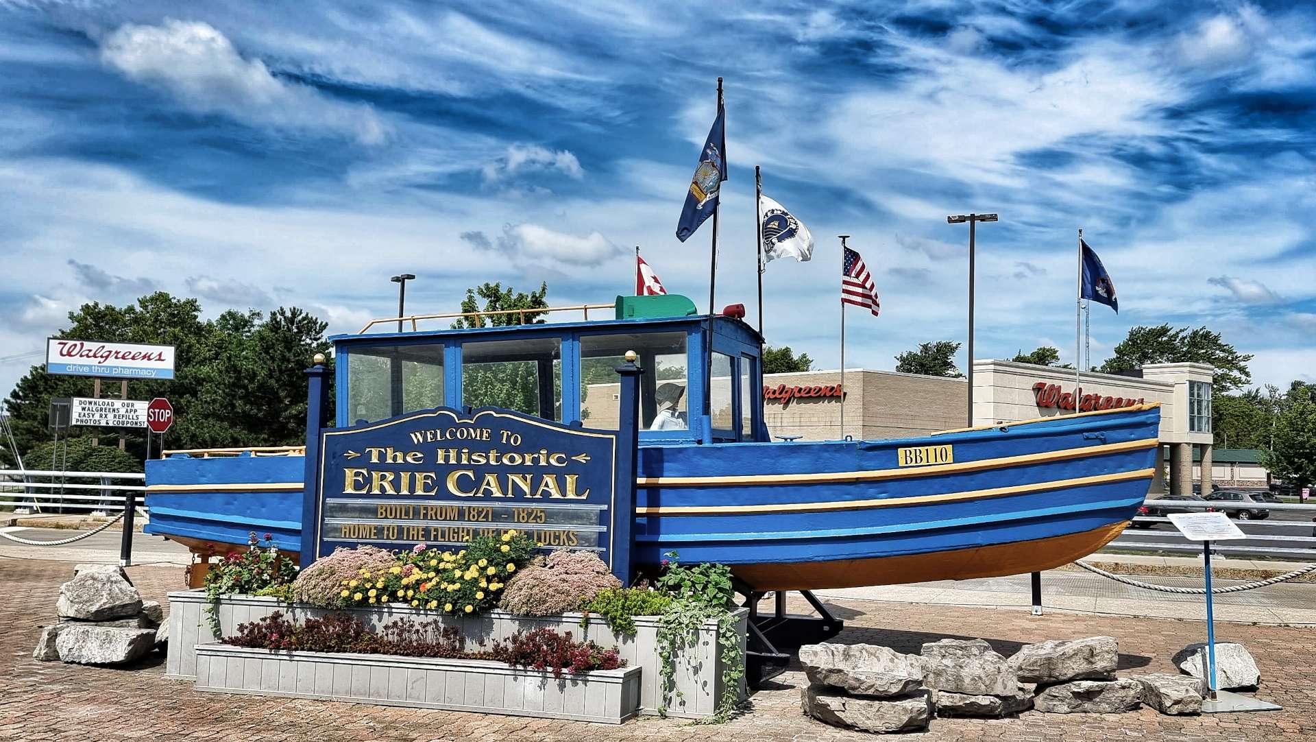
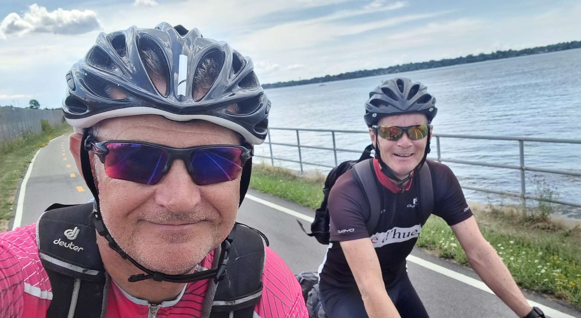
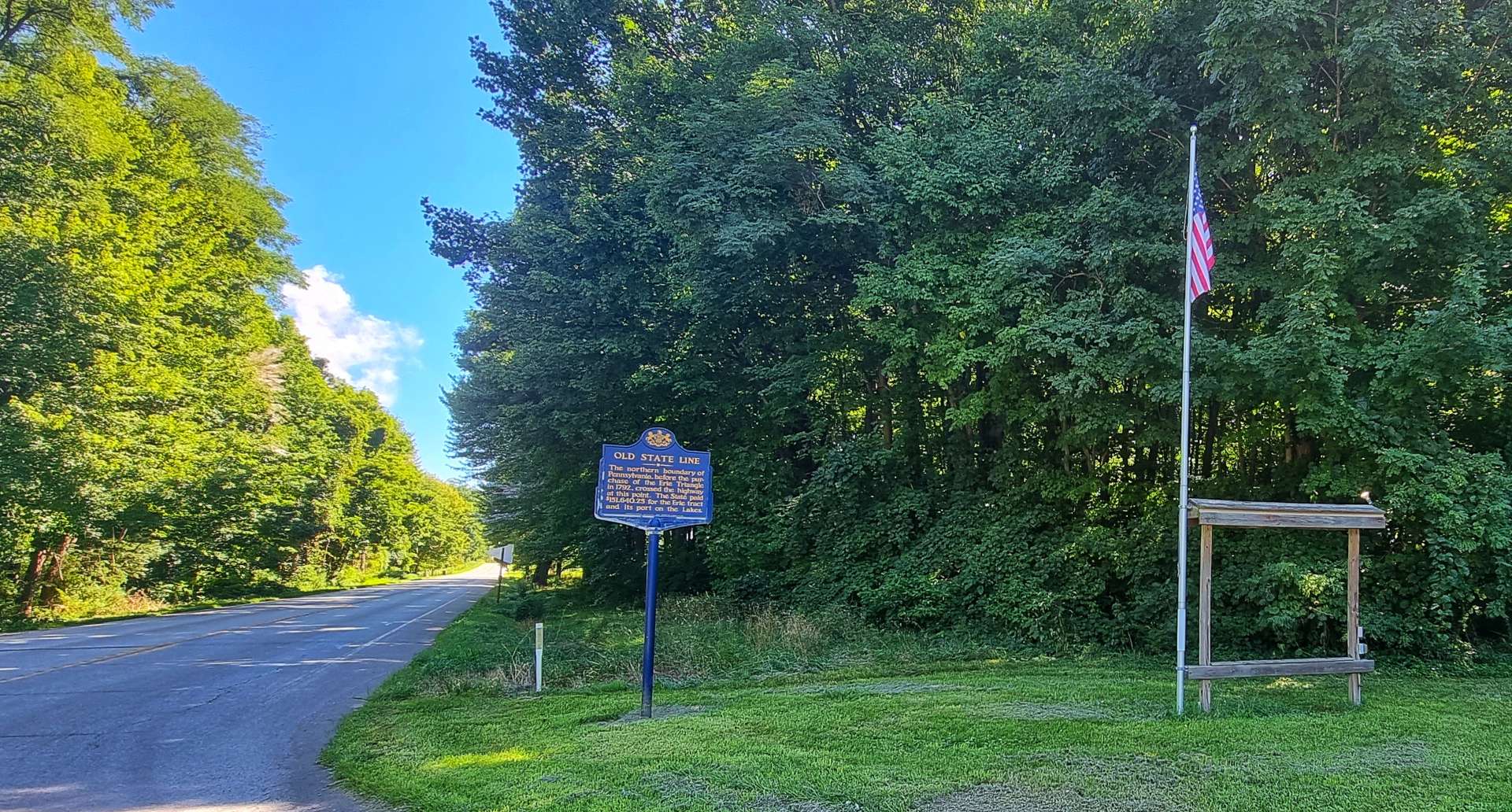
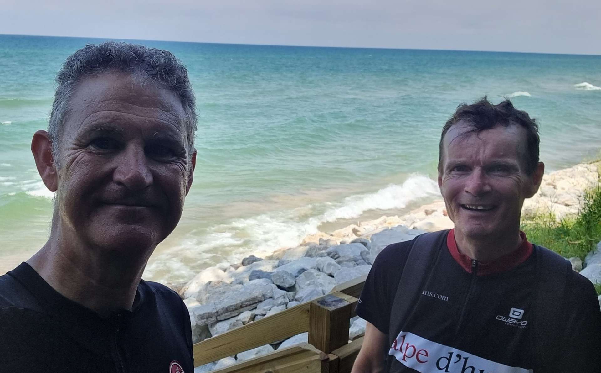
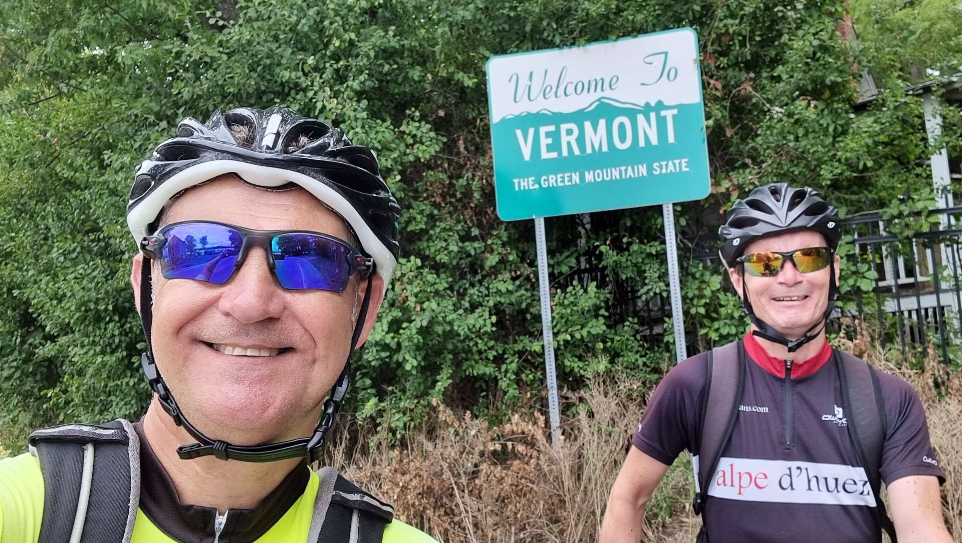
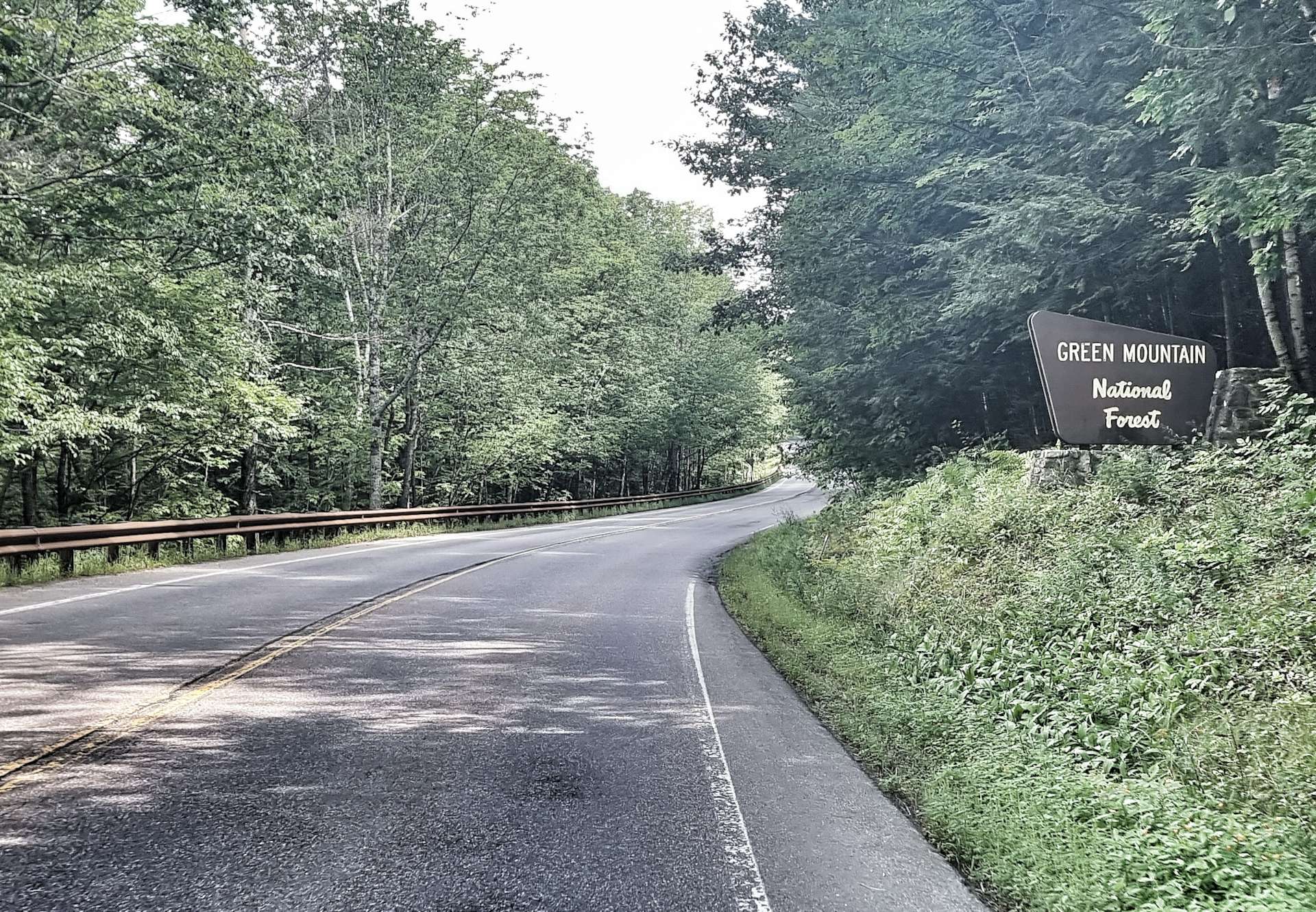
I took a few photos on the way across the lake to remind us of the ferry & the ticket lady kindly took a shot of Sean & myself with the pirate flag. We also moved from The Empire State of New York, into the Green Mountain State of Vermont during the crossing of the lake.

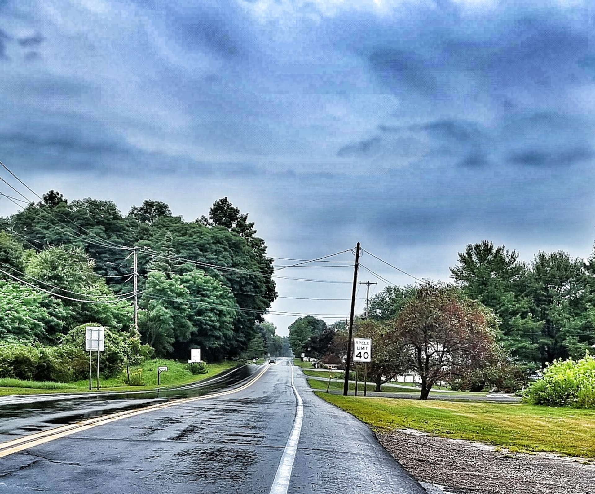
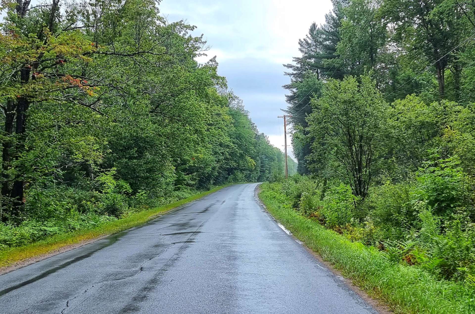
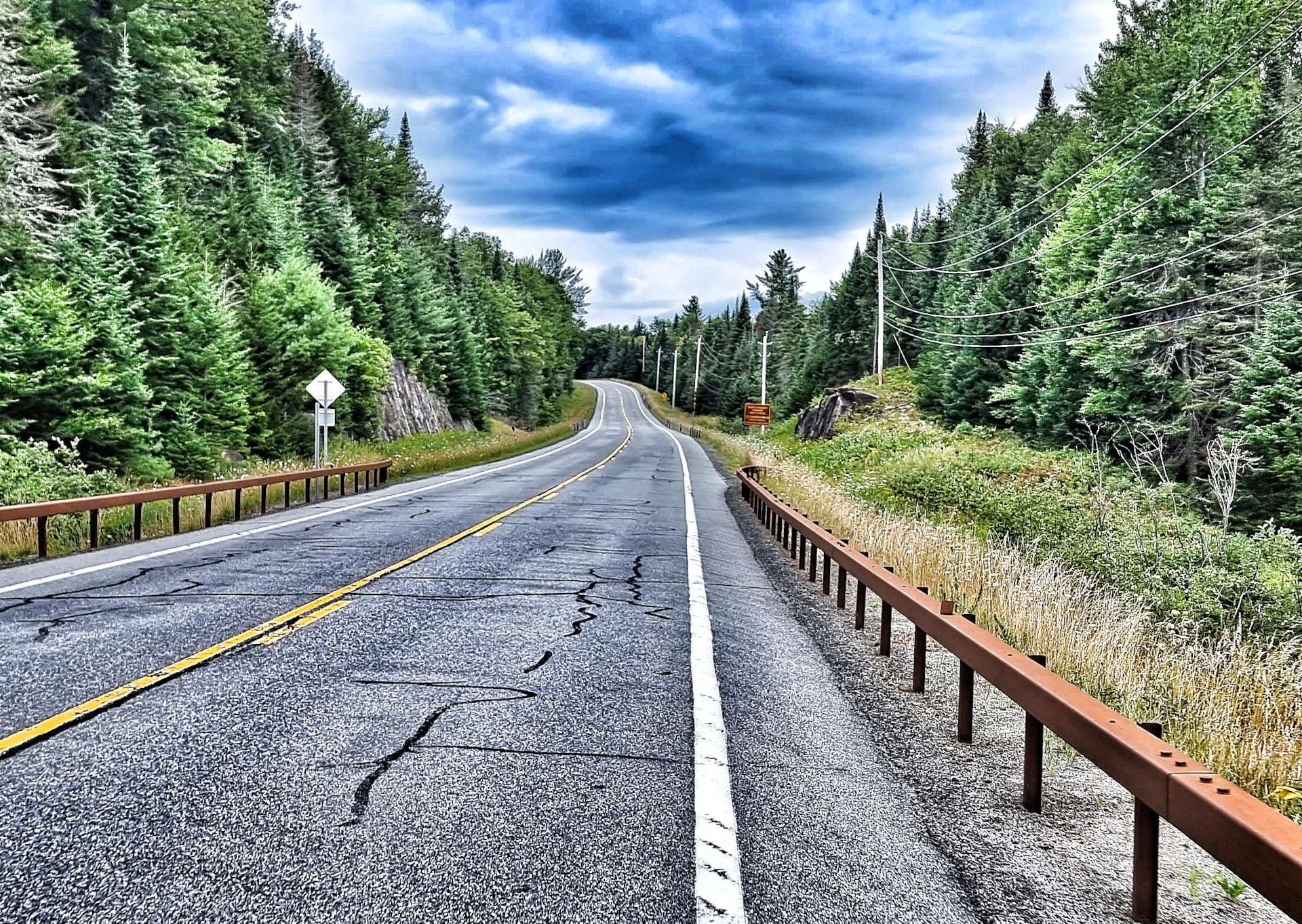
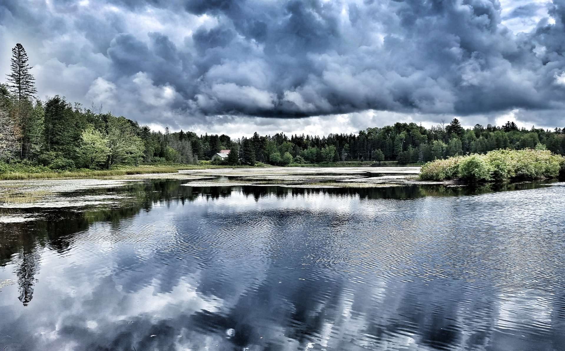
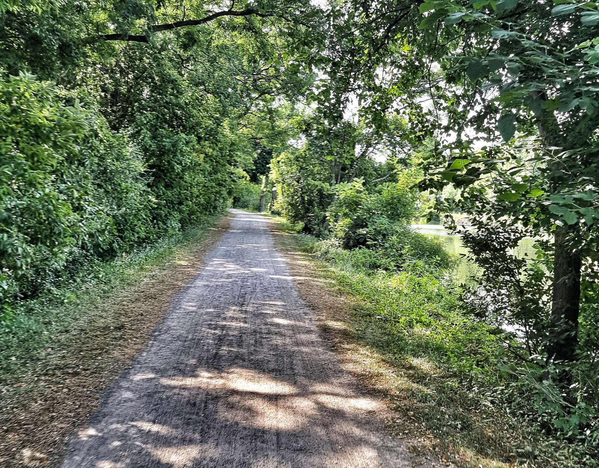
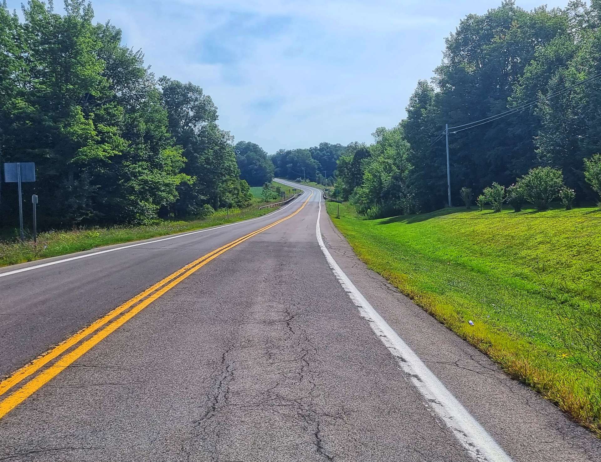
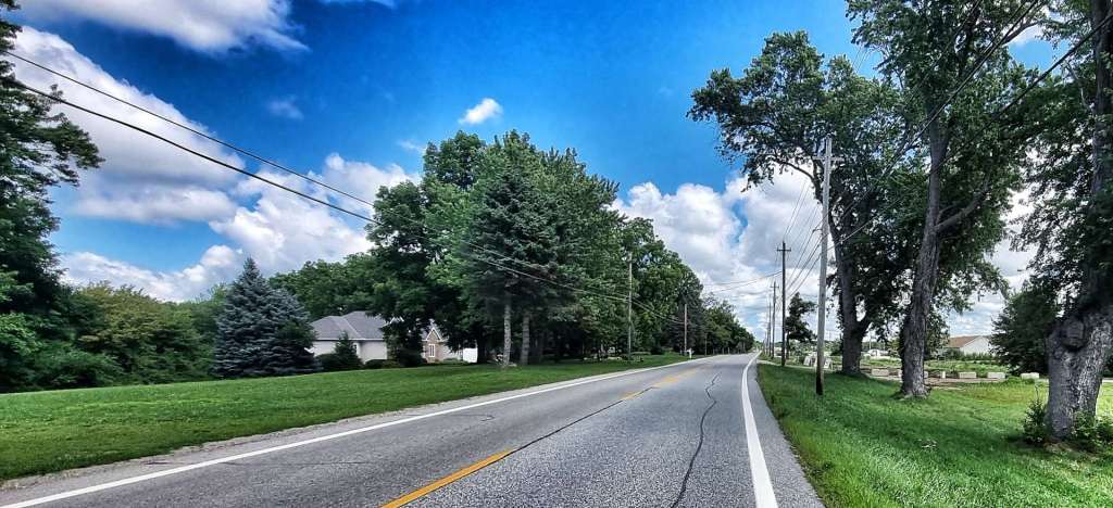
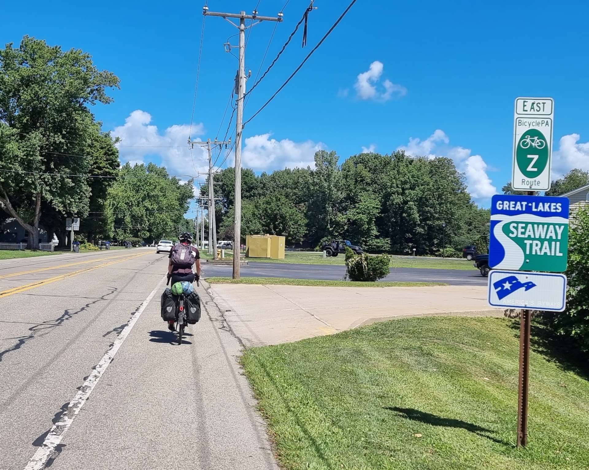
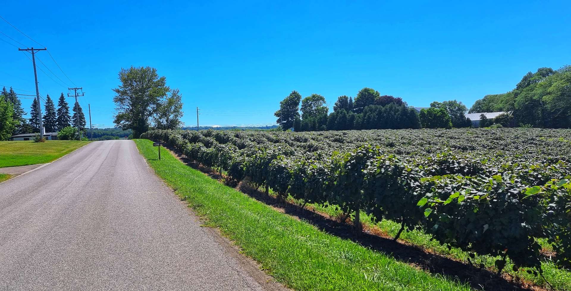
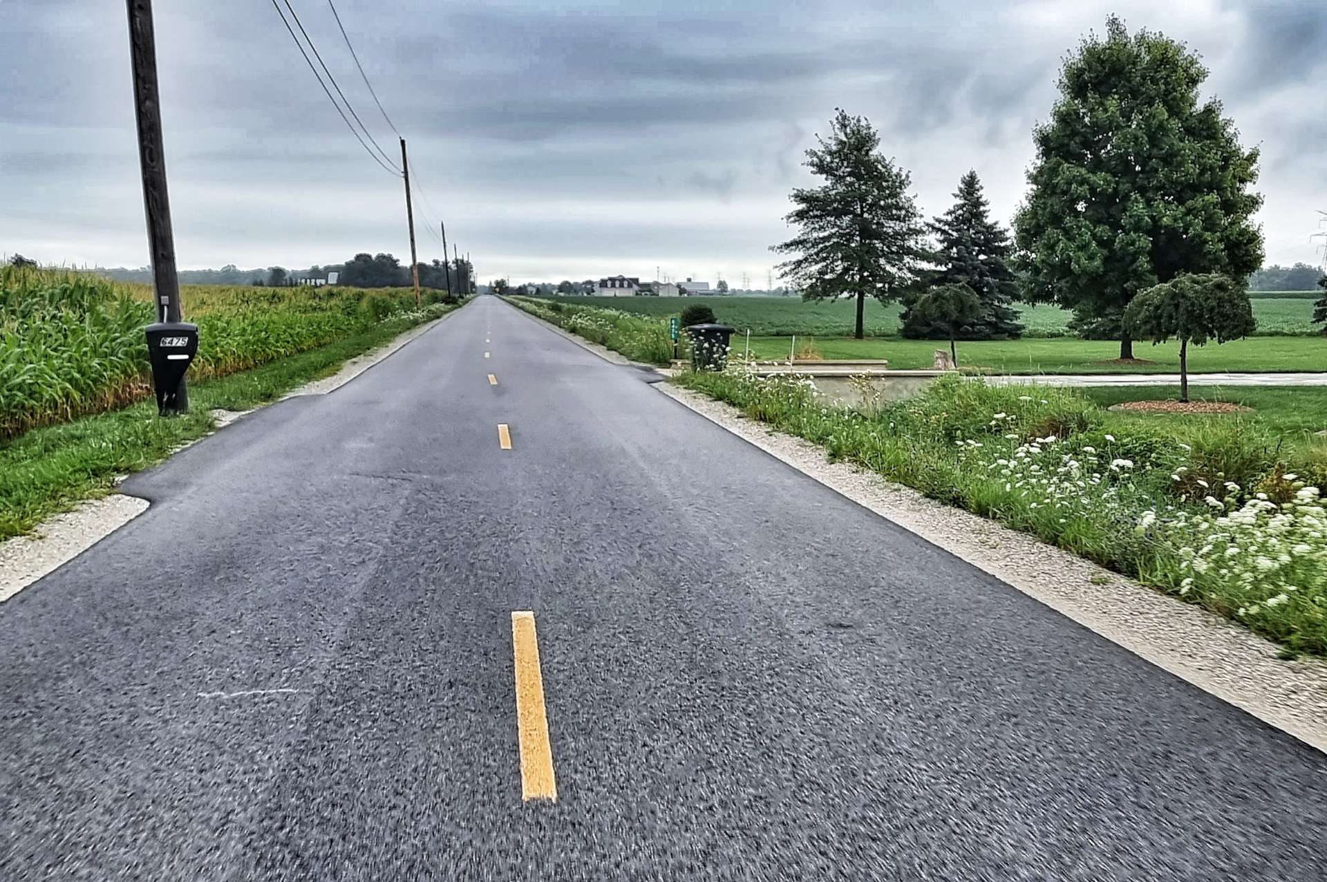
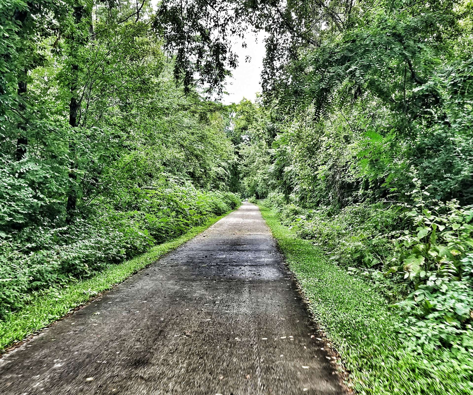
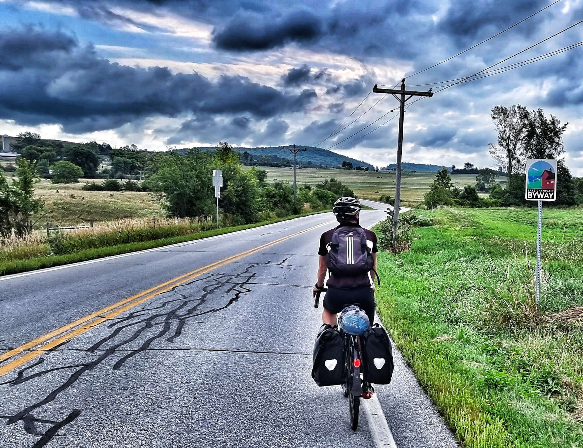
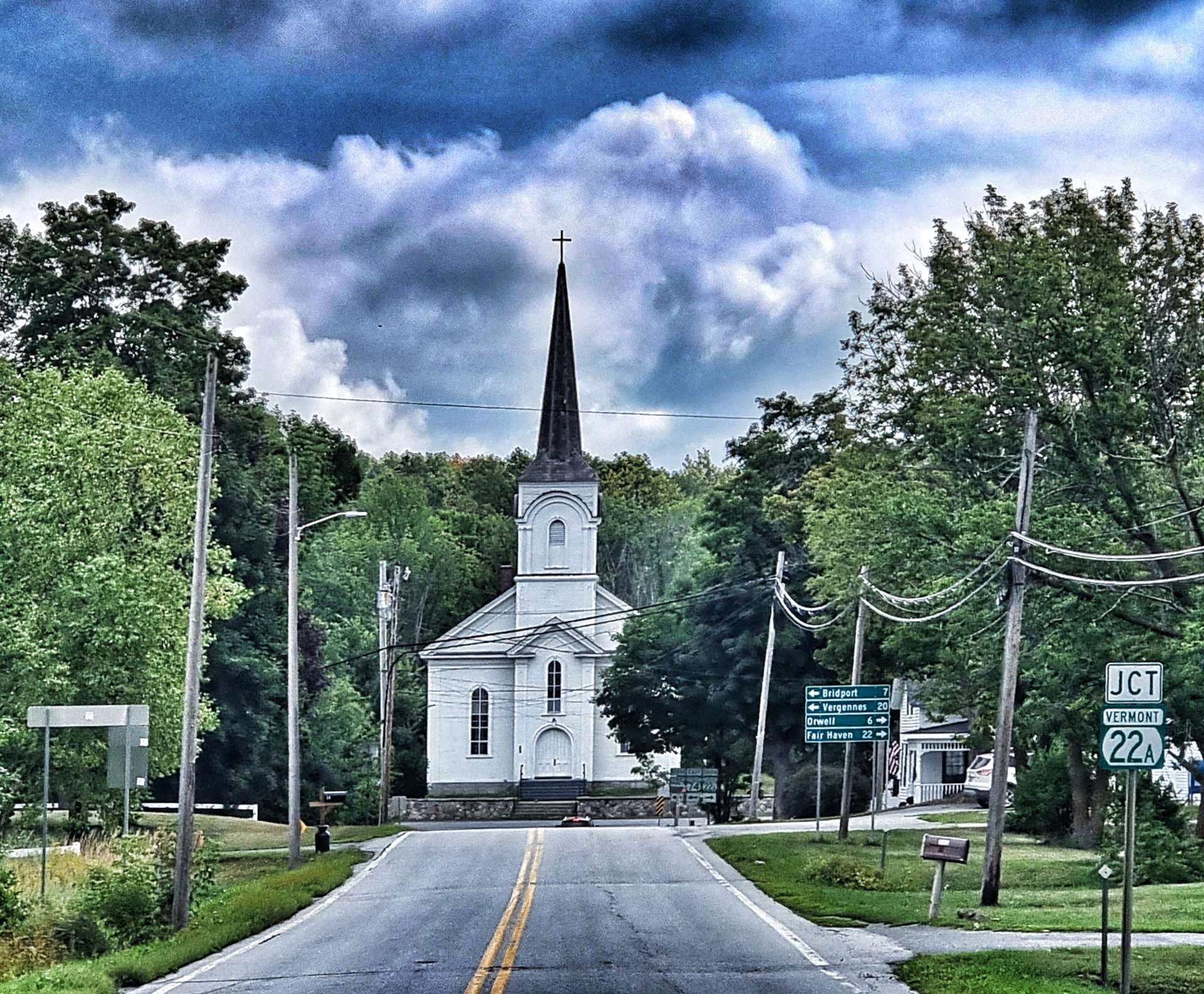
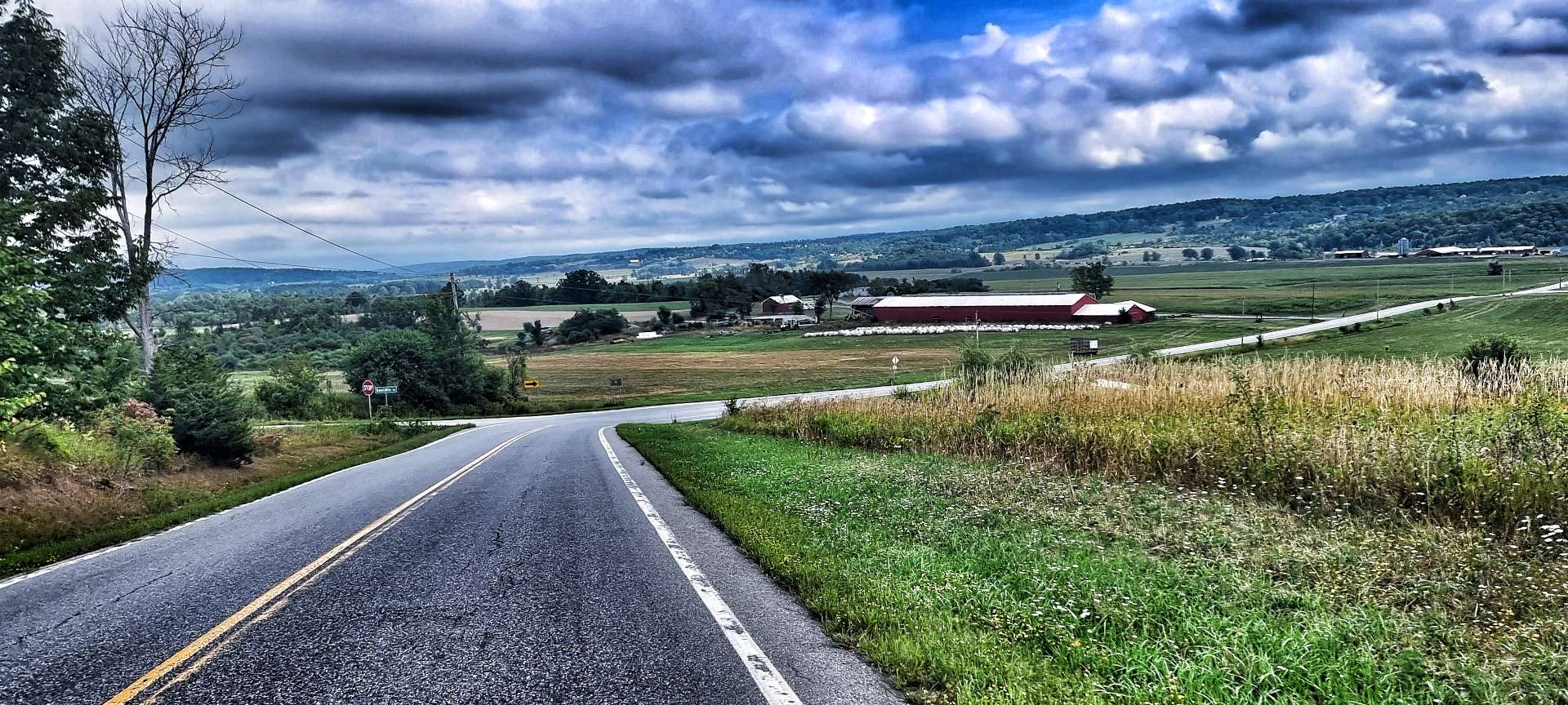
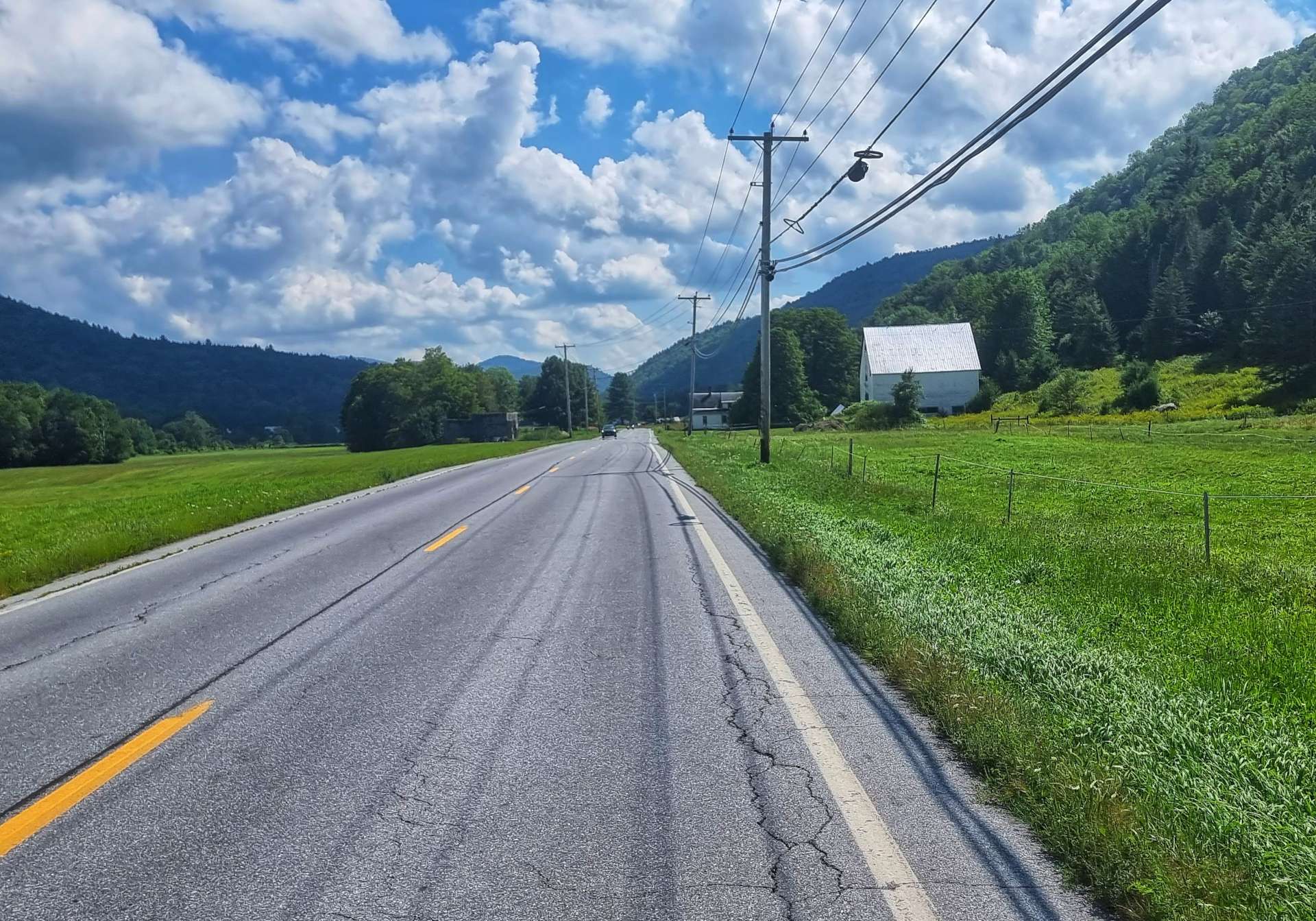
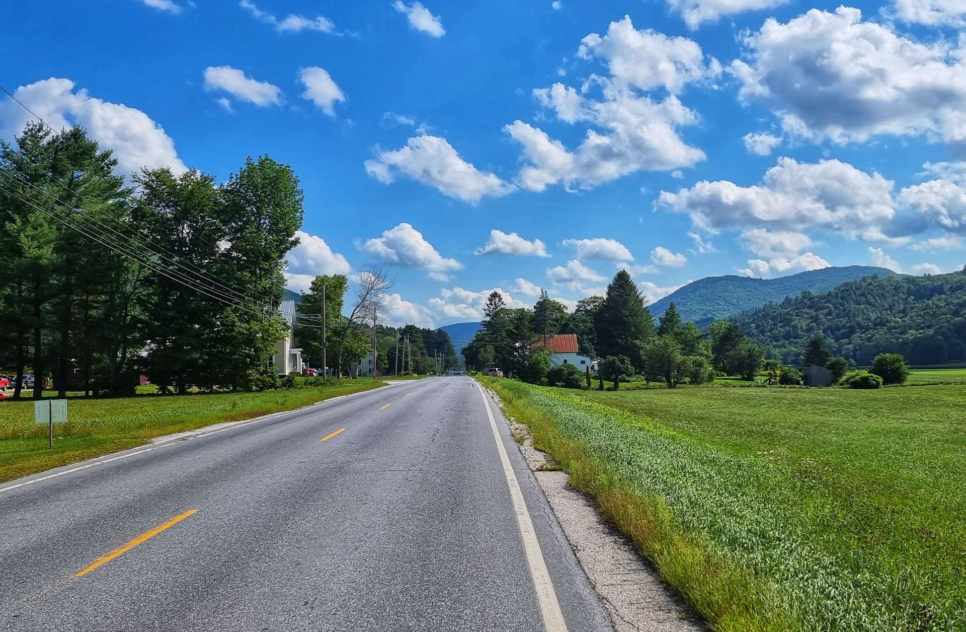
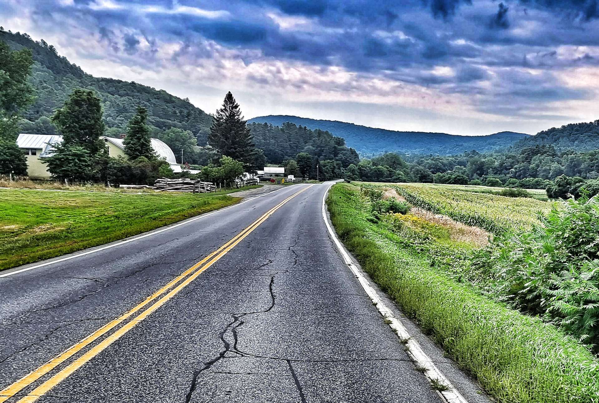
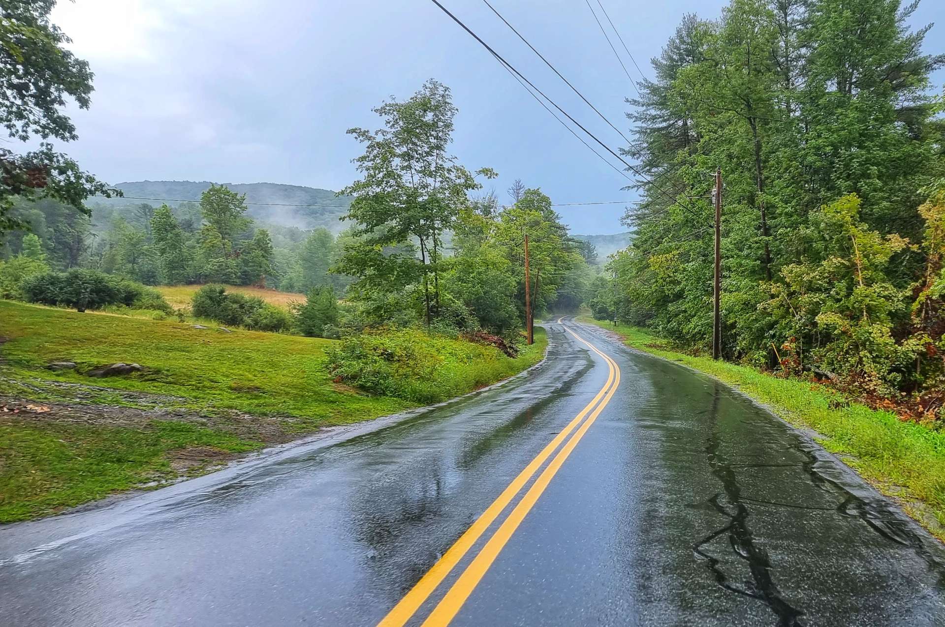
Our route profile told us it would be rolling the entire day, including a couple of serious climbs. We joined the Lake Champlain Scenic Byway as we left the ferry crossing & began climbing almost immediately as we briefly headed into a wooded area. As we reached the plateau, we rode through the small village of Shoreham, one of a number of English place names we’ve encountered since we entered the New England region.

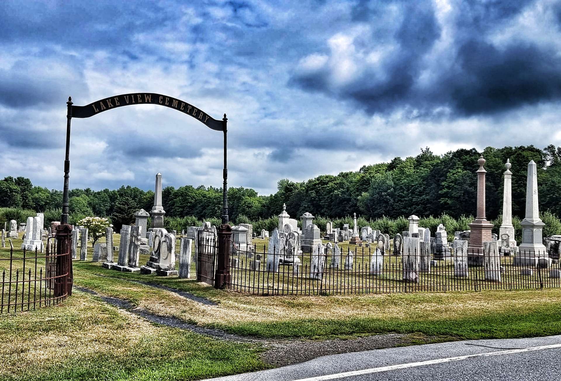
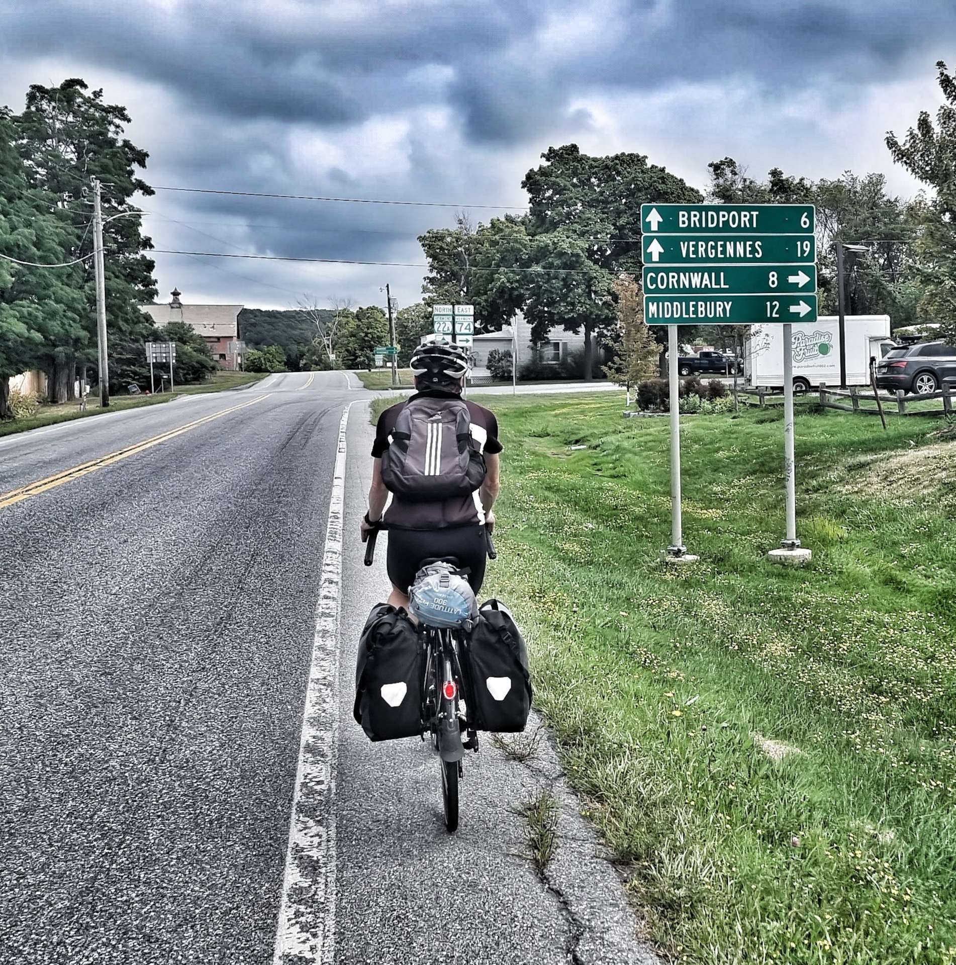
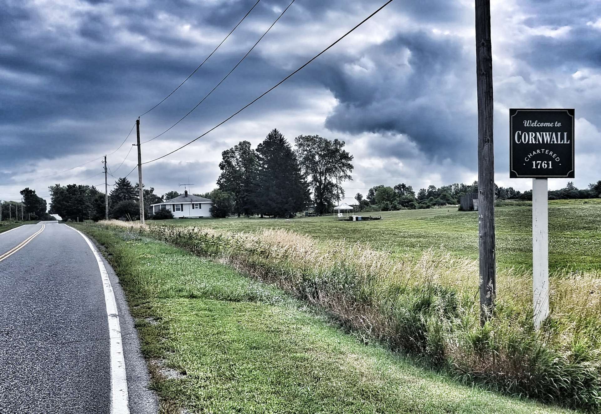
In spite of there not being a town for miles around, we passed Lakeview Cemetery. It then took us 20 minutes to cycle past the nearest church, so it was an unusual location for a graveyard. We briefly joined the road to Bridport, before taking a right towards Cornwall – as I mentioned previously, there are a few English place names around here!

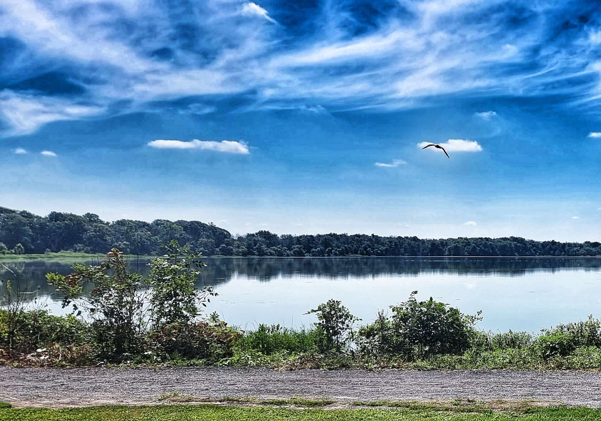
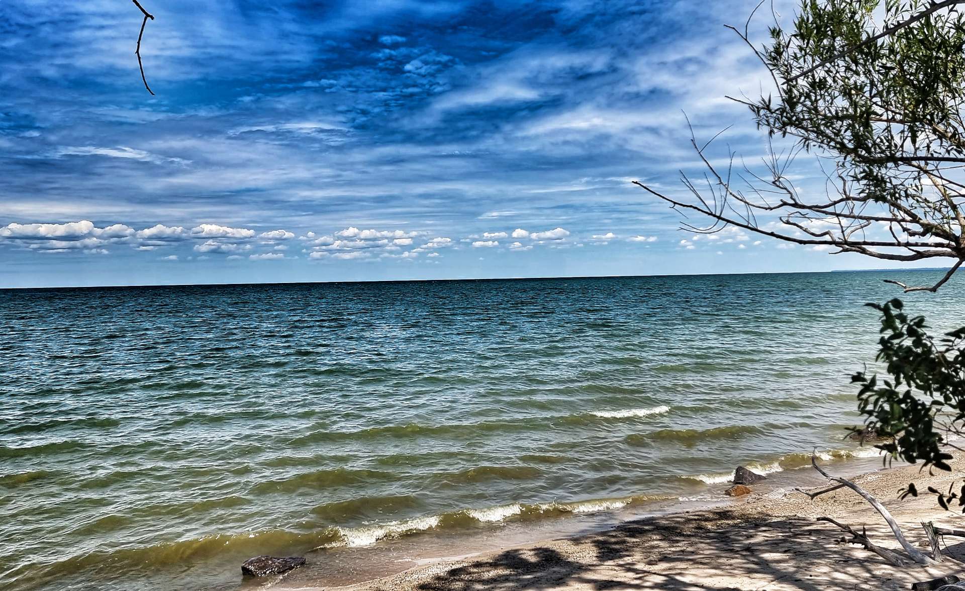
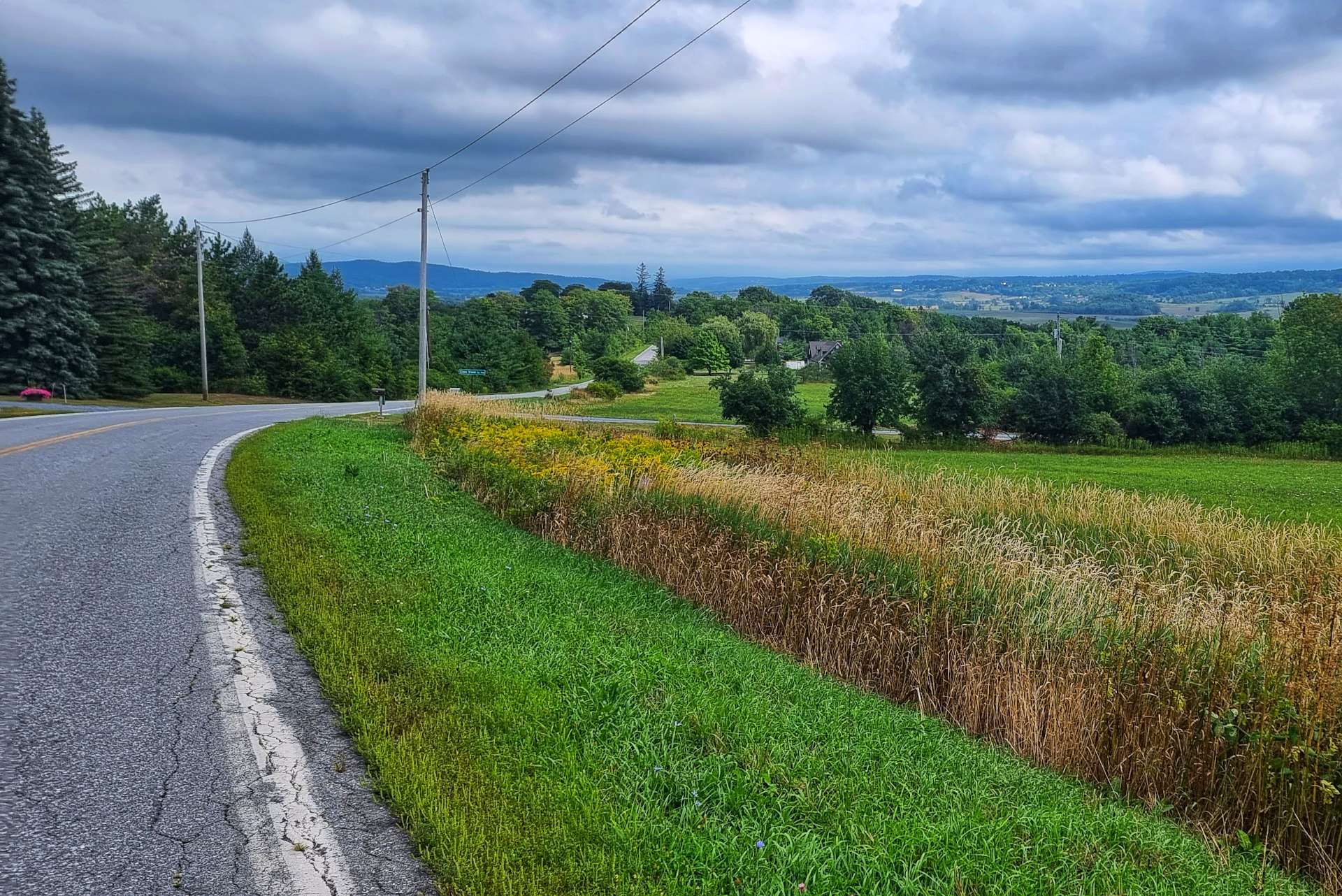
We stayed on a plateau for about 20 minutes with vast views laid out before us, but it became clear at some point soon we would be heading downhill, with the prospect of a climb up to the next plateau!

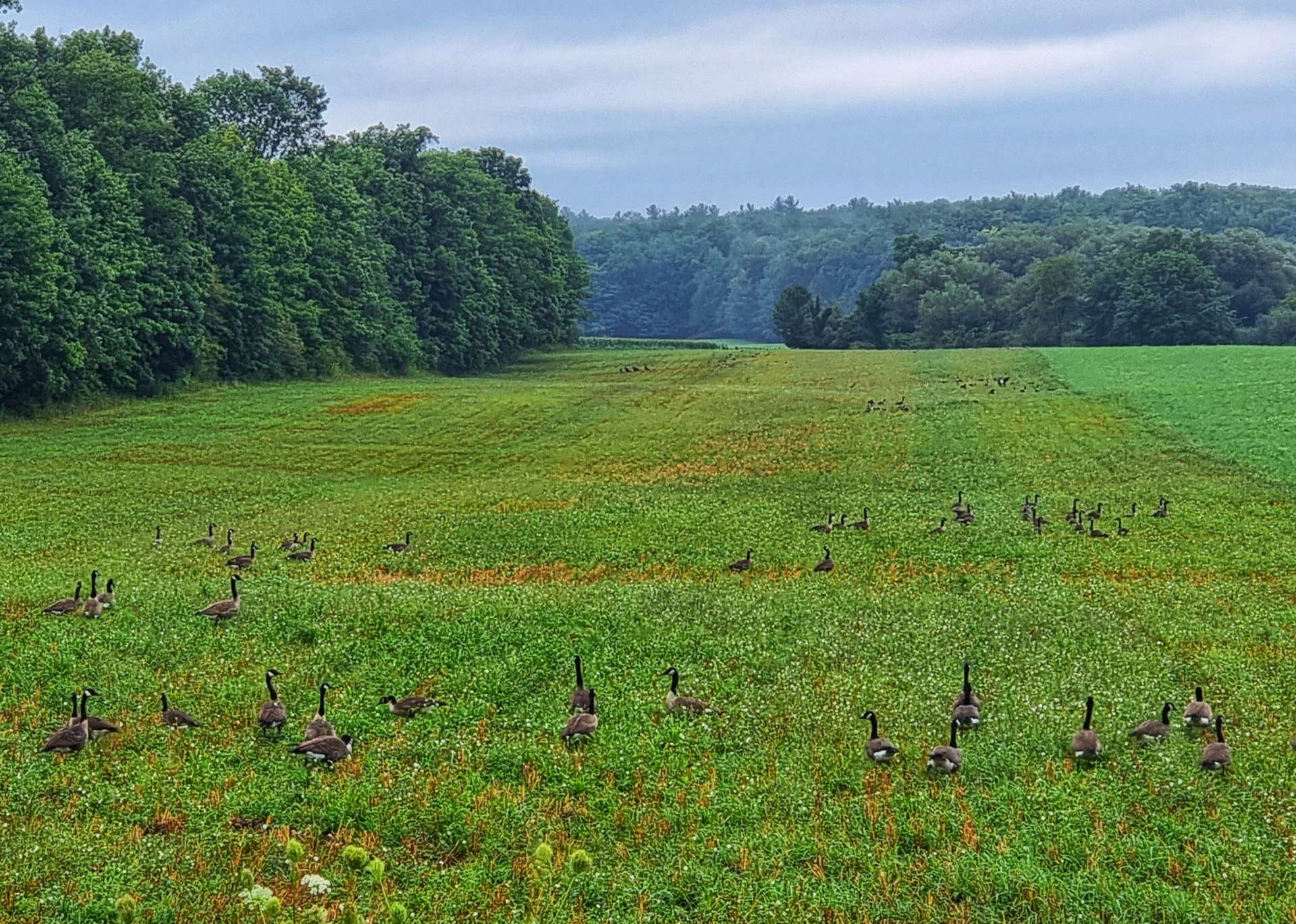
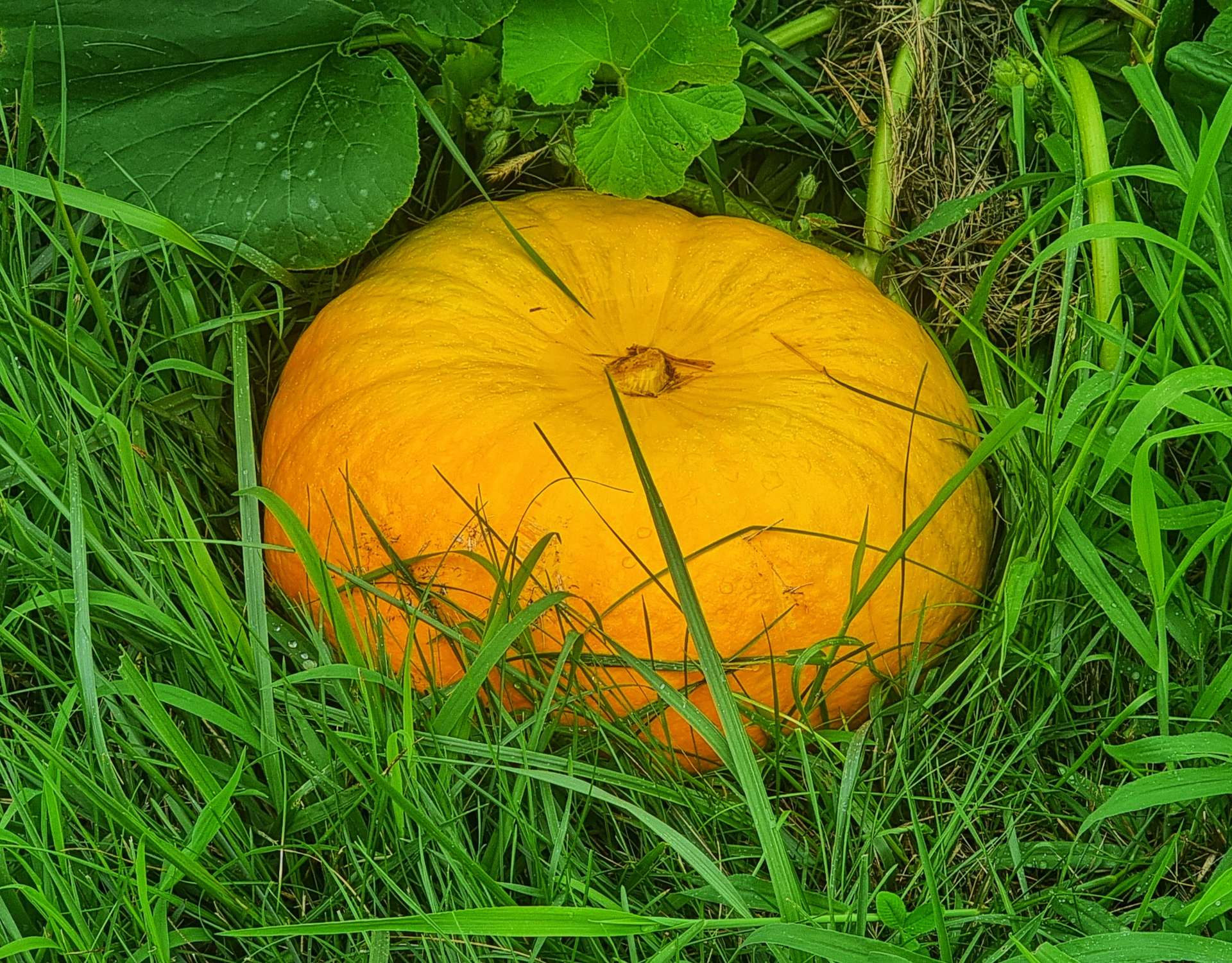
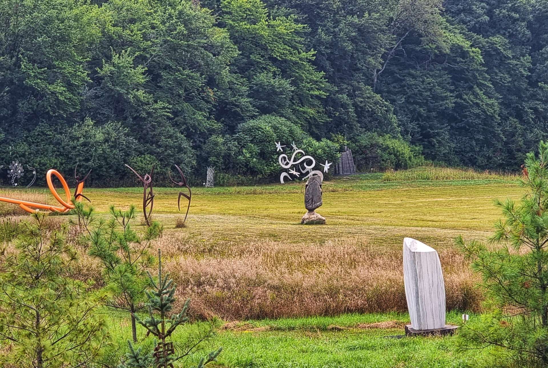
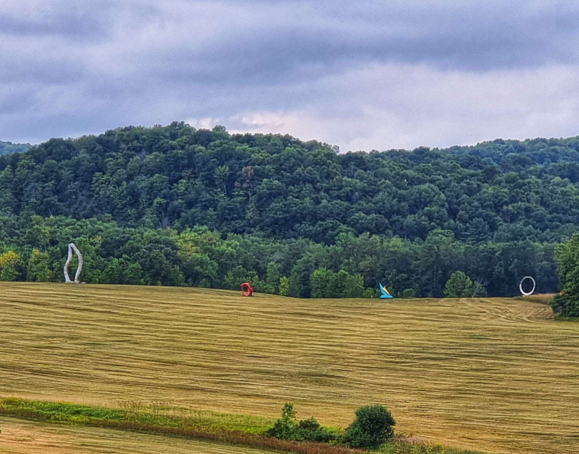
As we started climbing, we saw a sign for Lemon Fair Sculpture Garden. The sculptures were laid out in fields & stretched for as far as the eye could see. We spent about half an hour having a walk around some of the closer exhibits & enjoying the views.

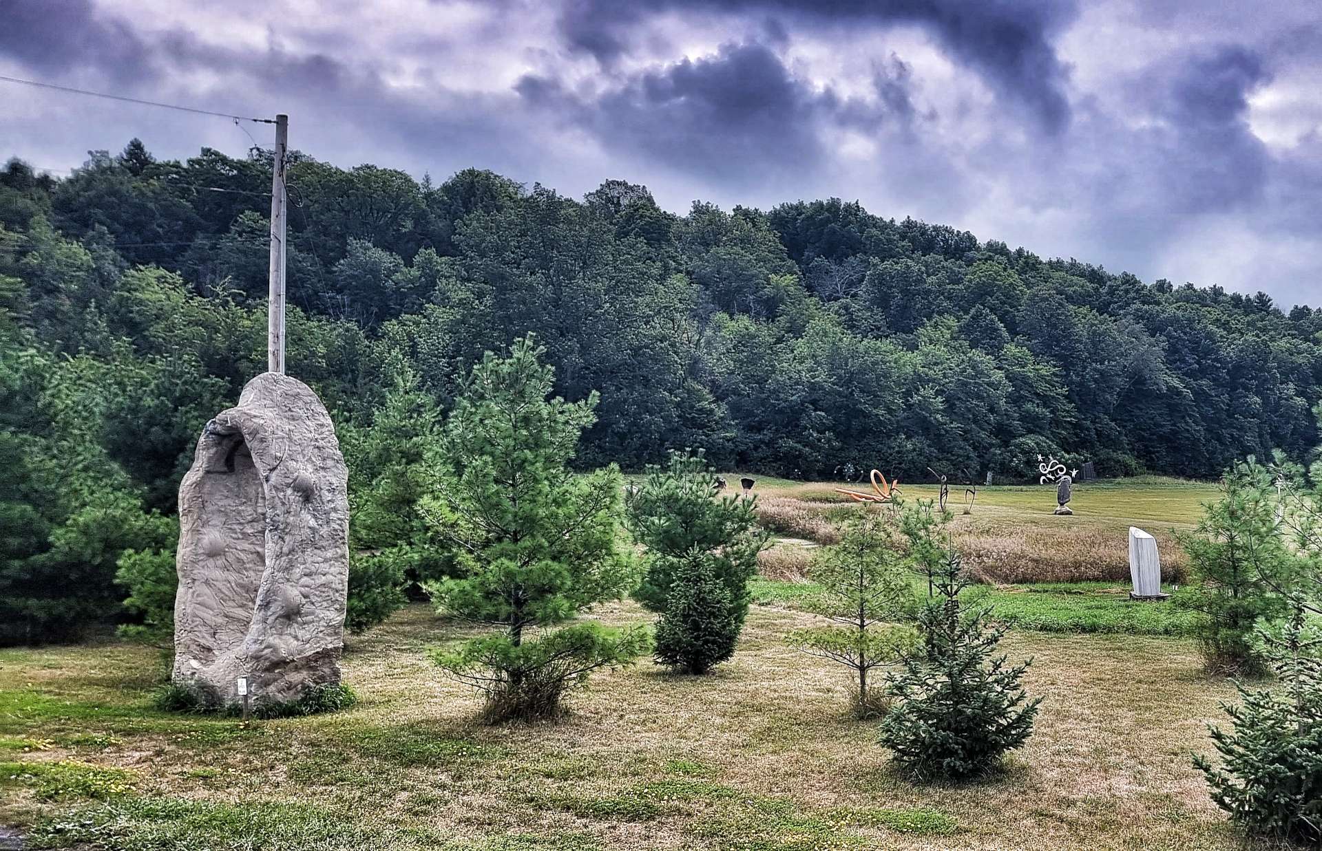
While we were taking in the art, a group of horse riders galloped across the field & then stopped, as if they were awaiting instructions on what to do or where to go next. Although there were dogs with the horse riders, they didn’t appear to be hunting.

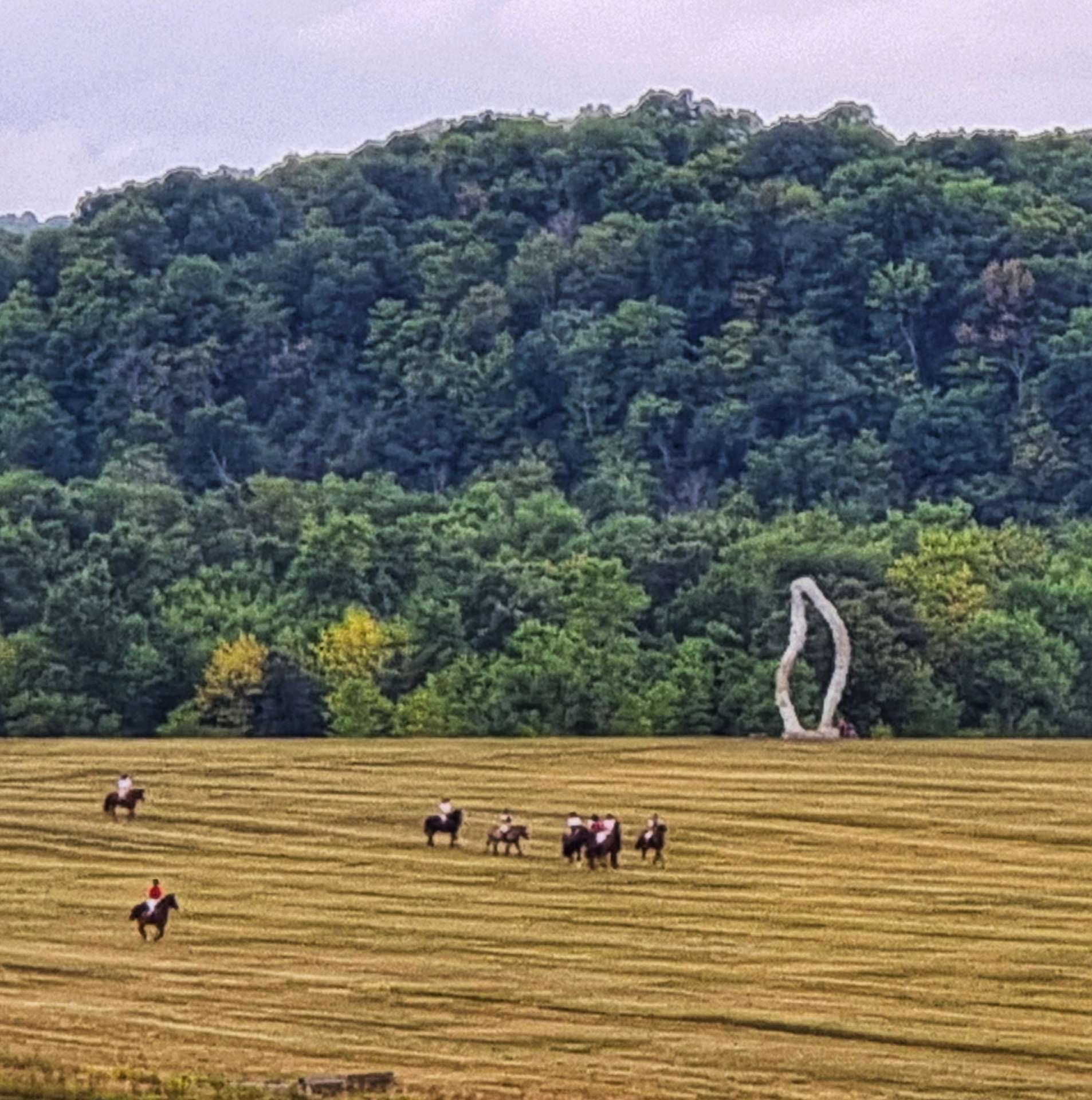
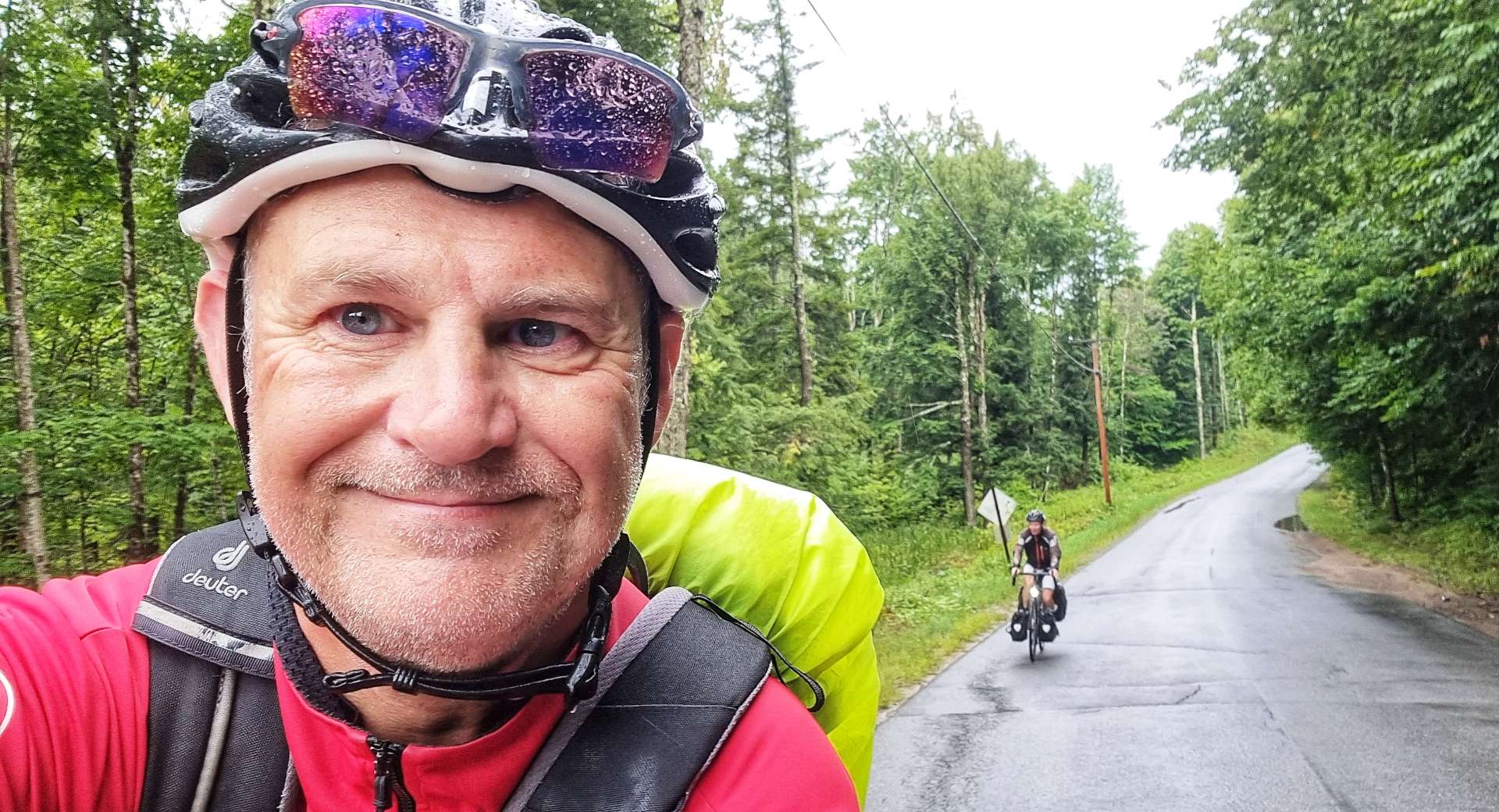
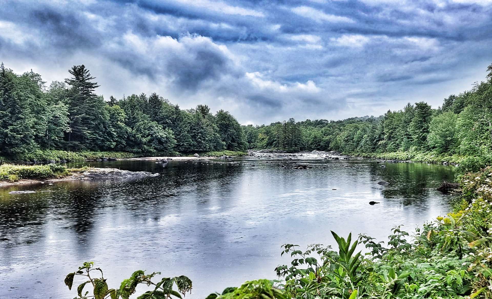
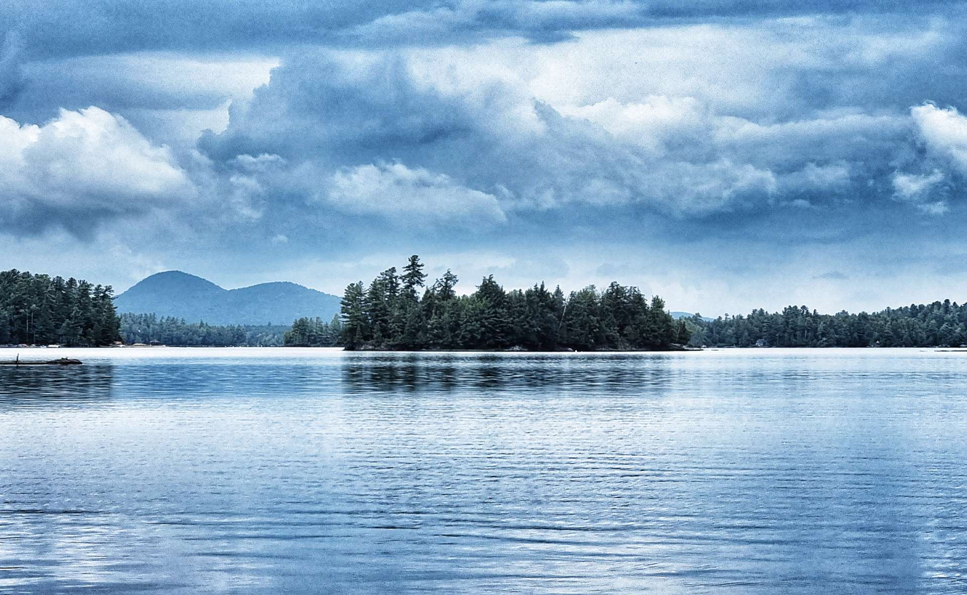
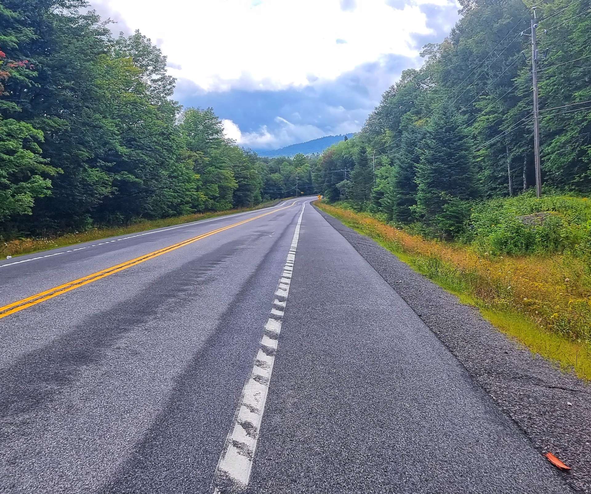
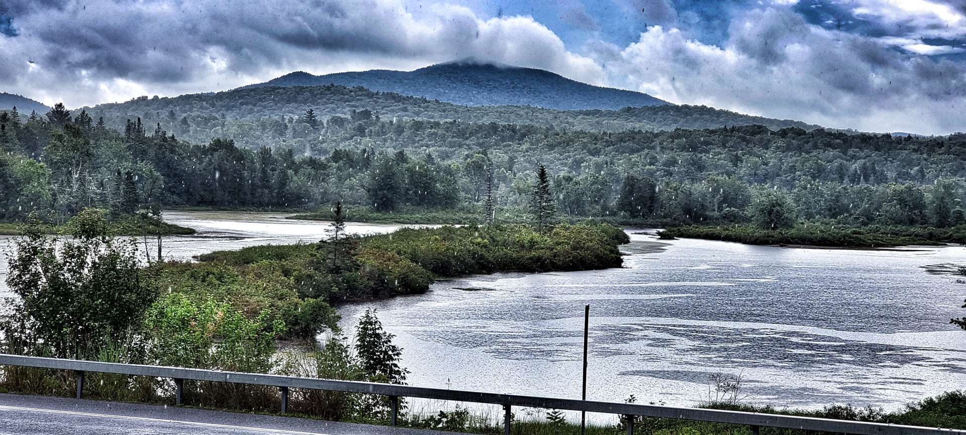
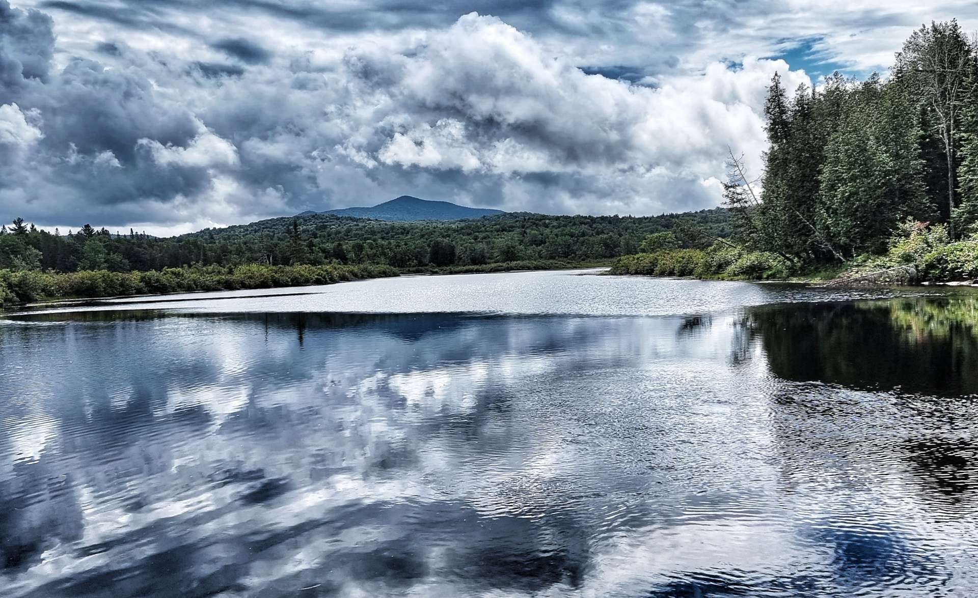
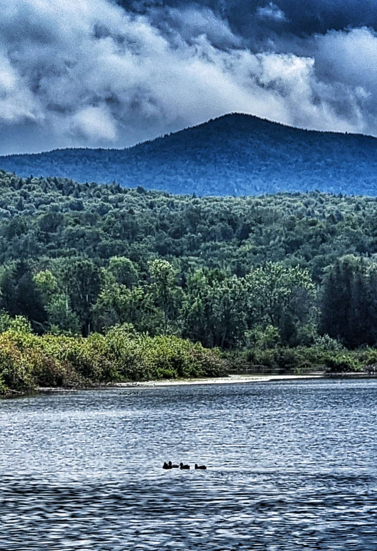
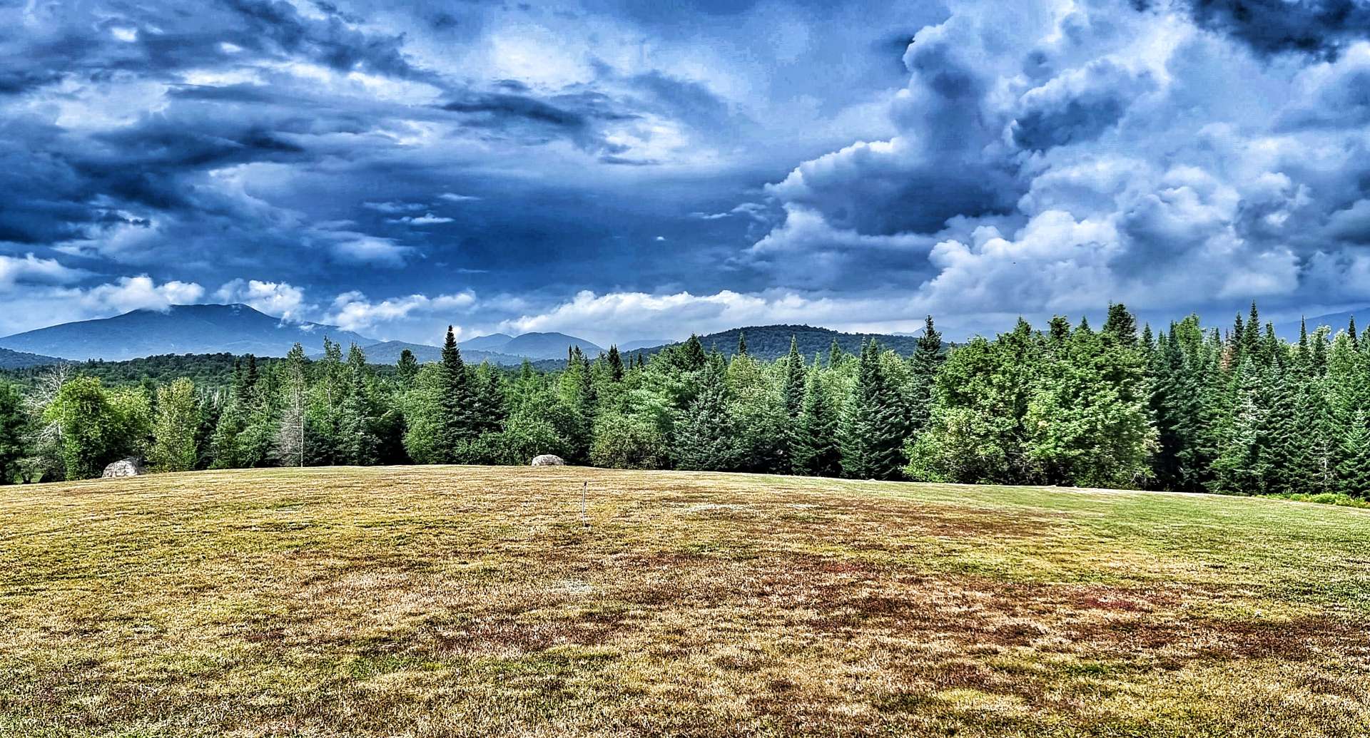
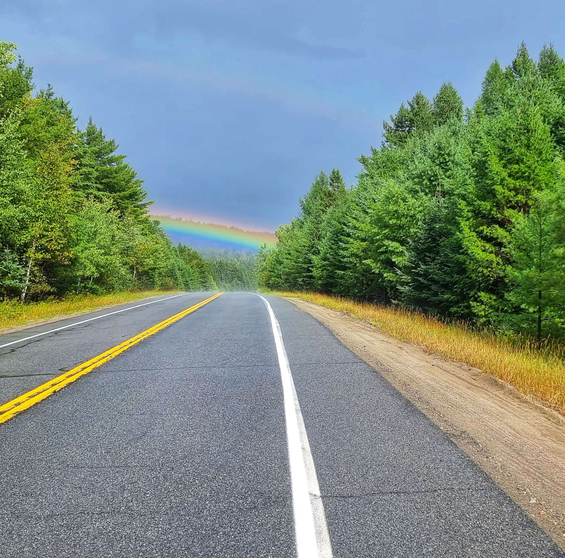
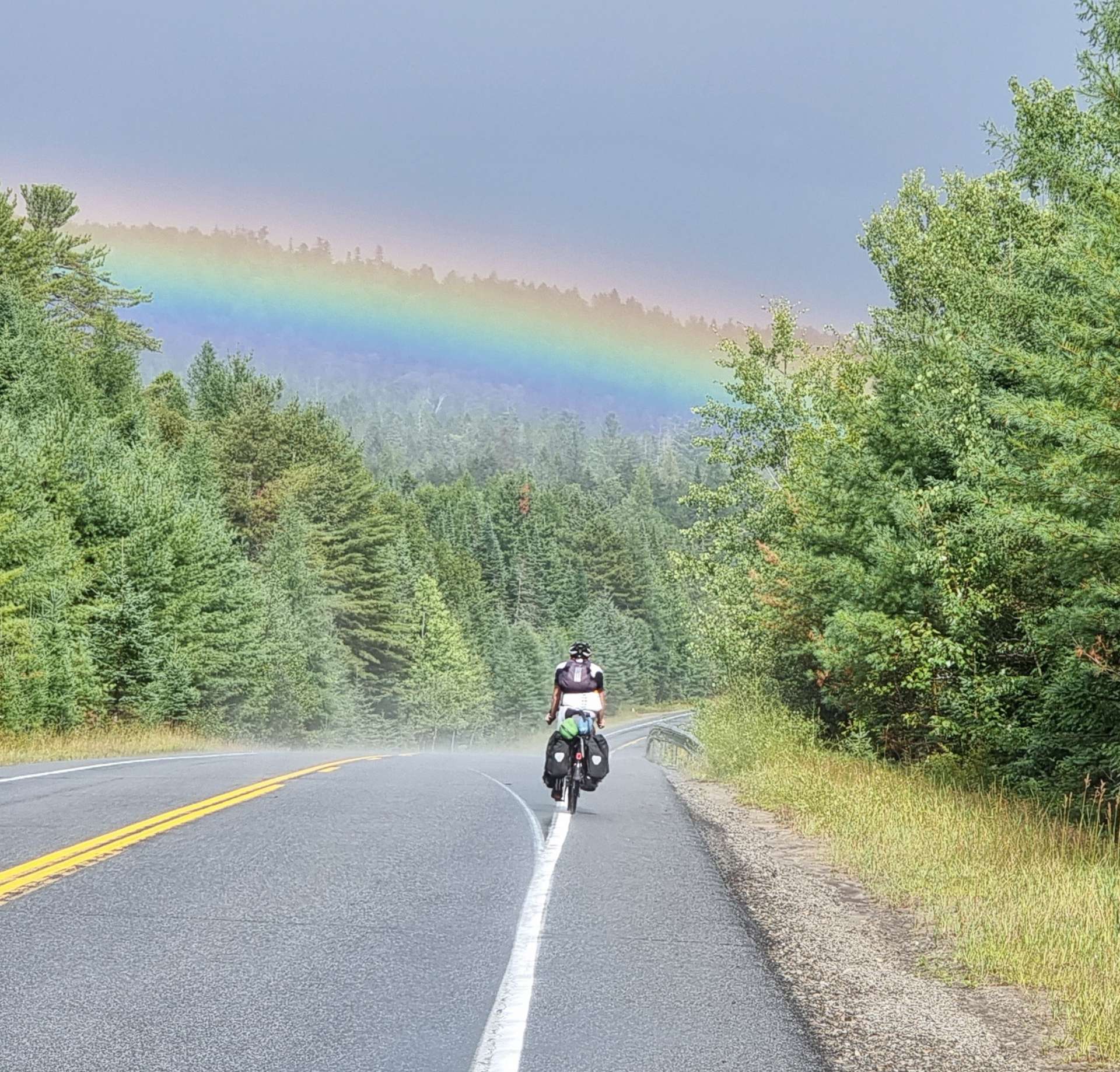
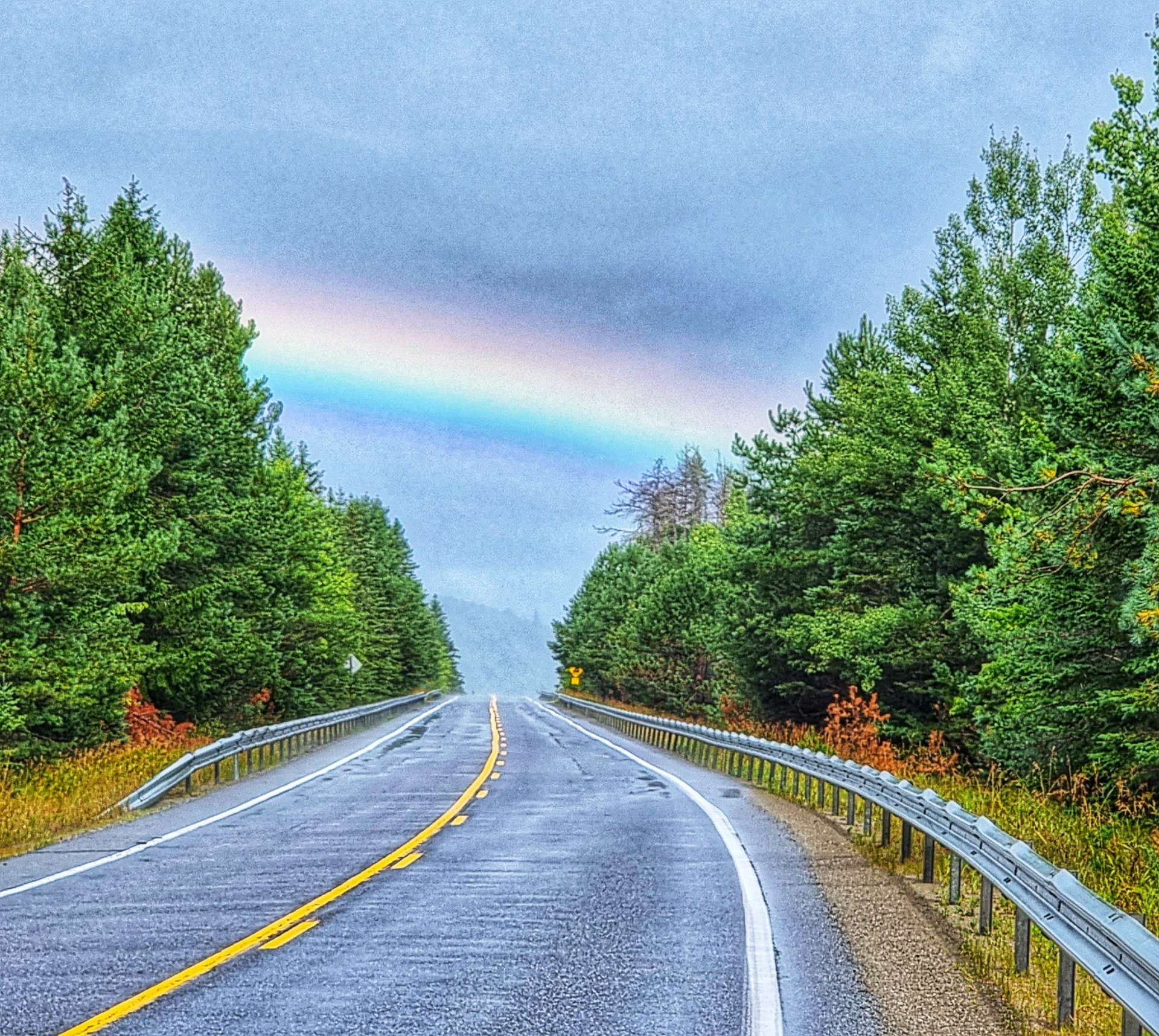
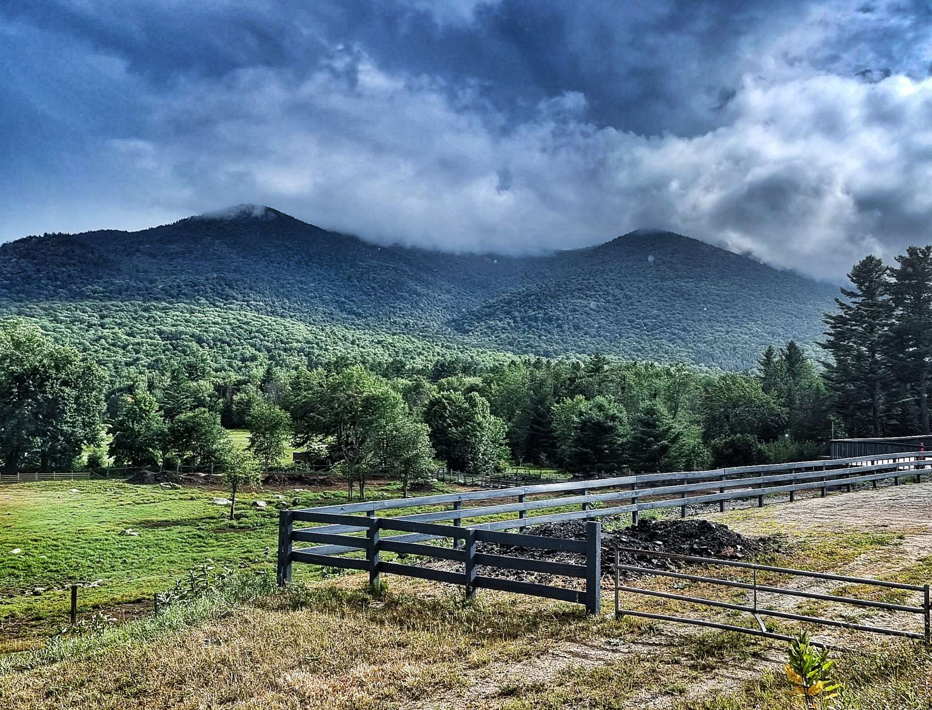
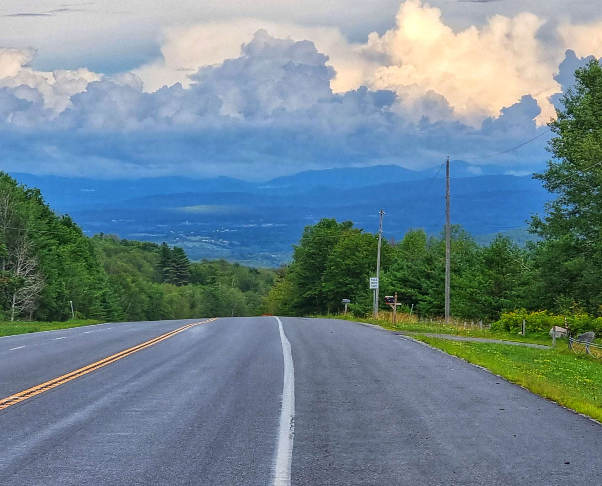
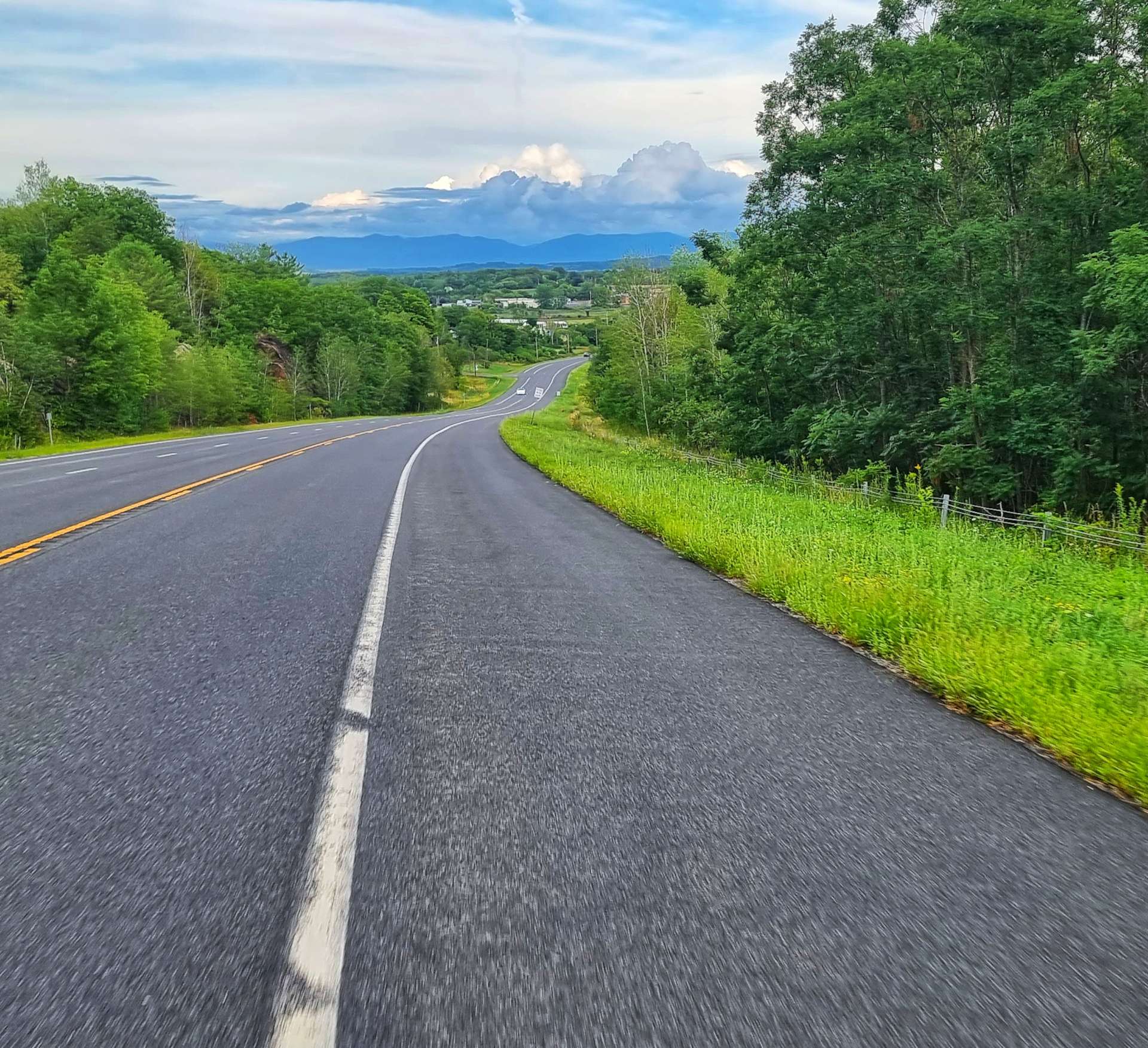
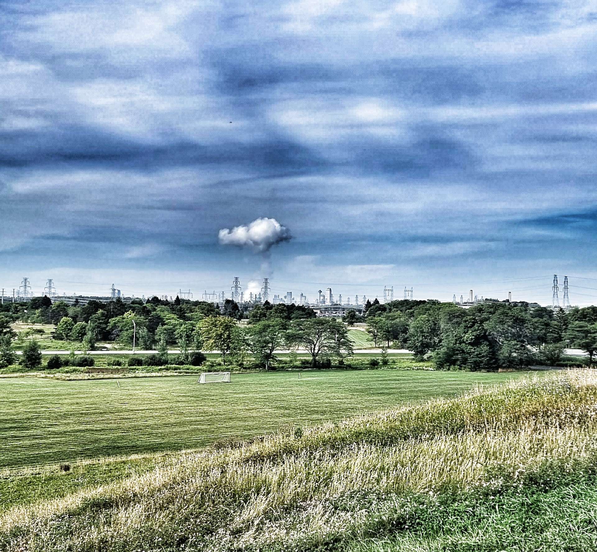
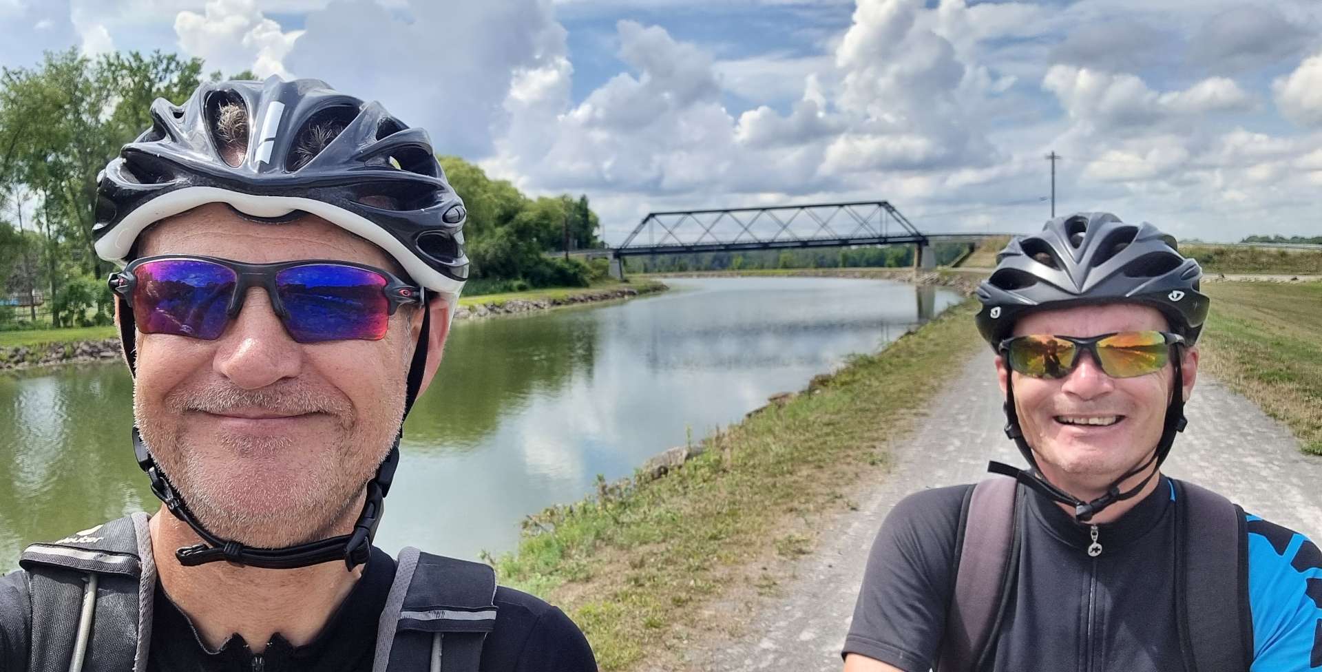
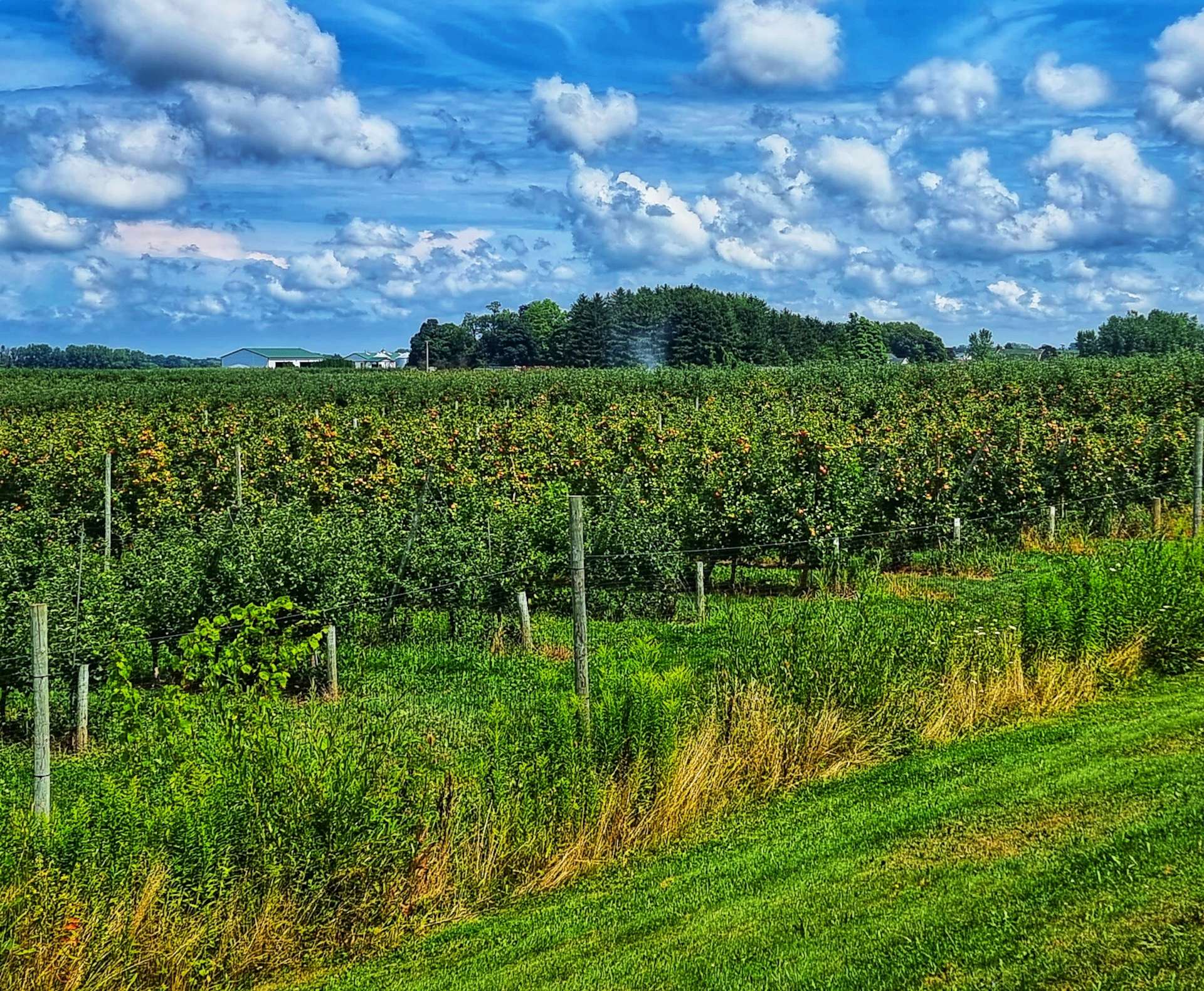
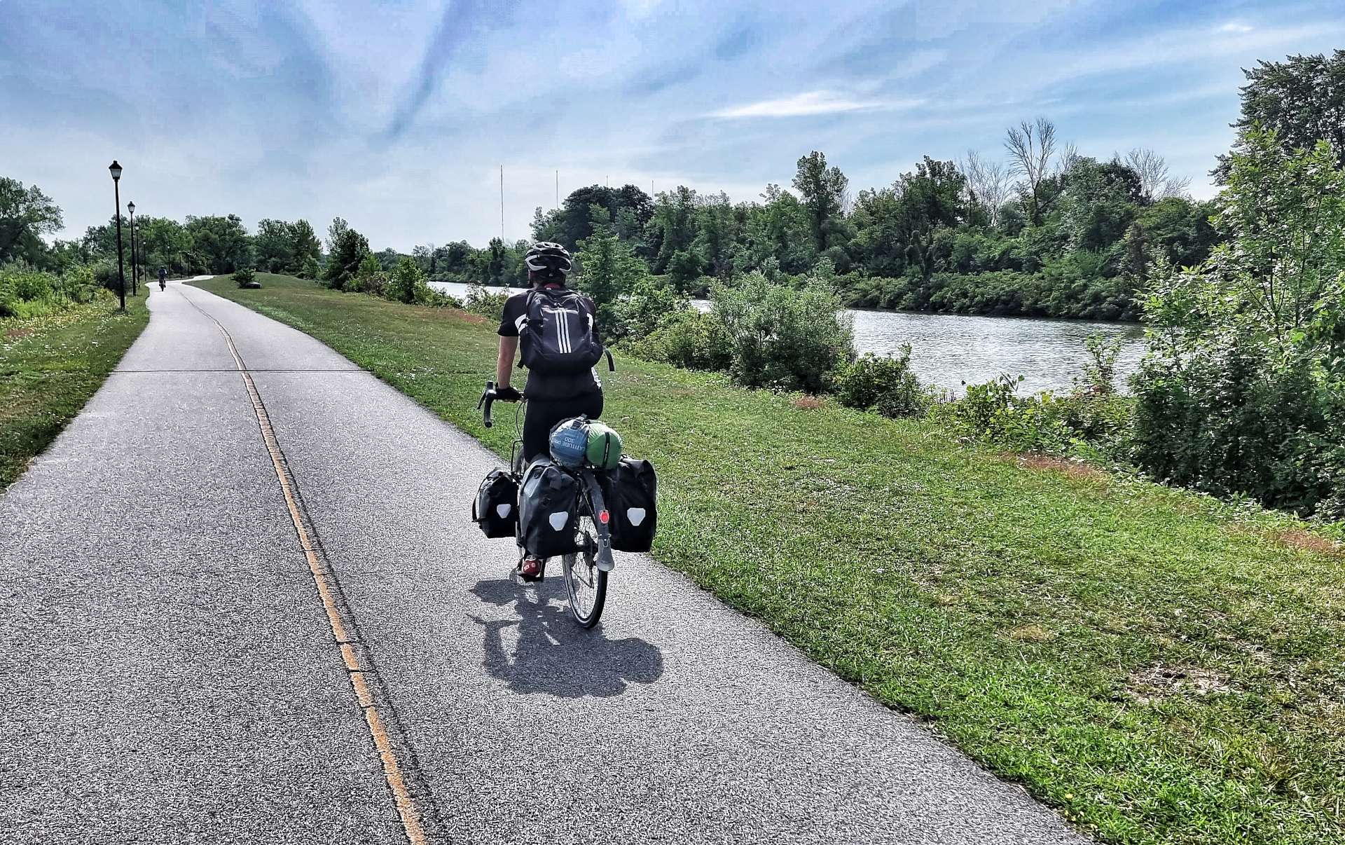
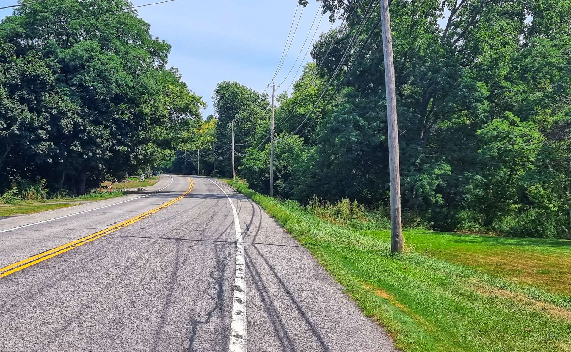
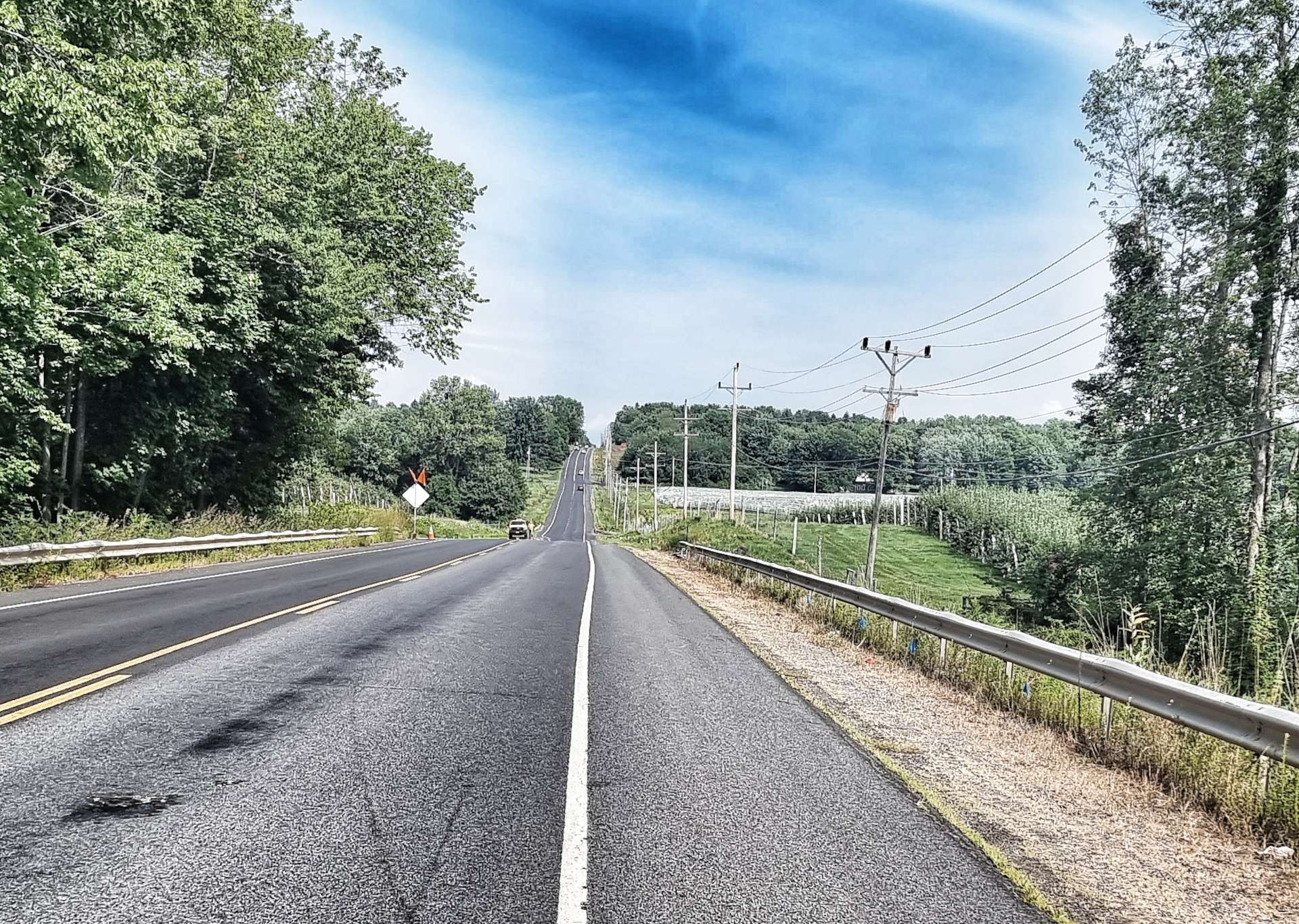
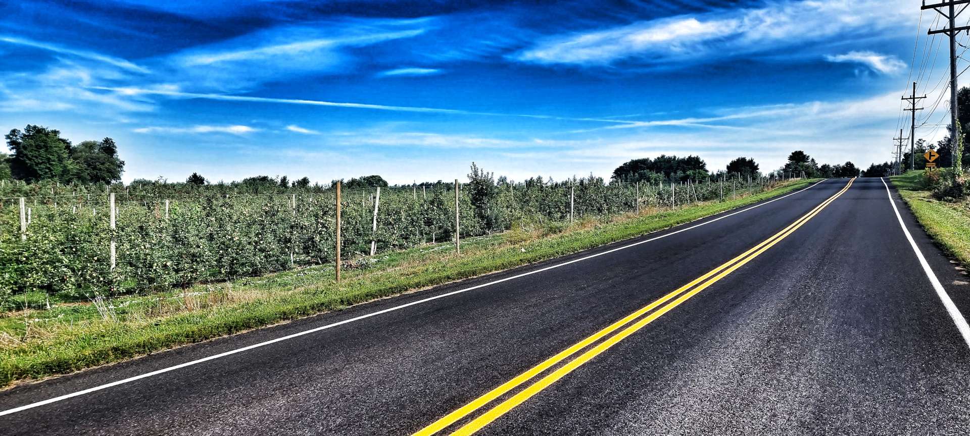
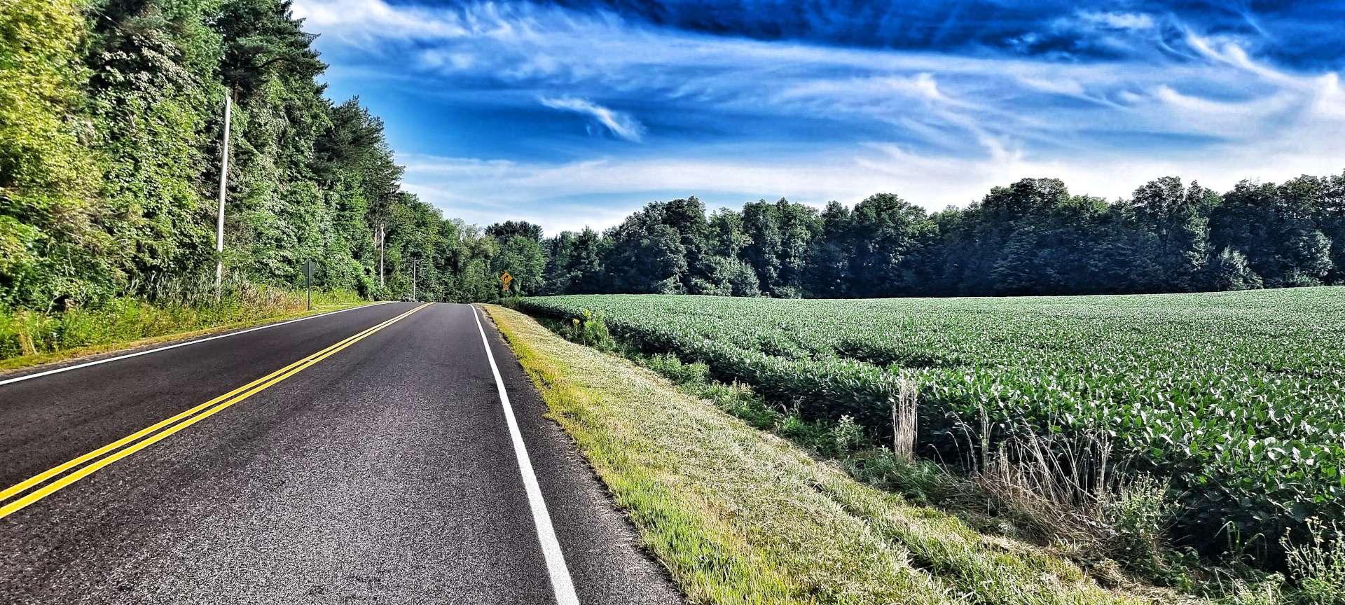
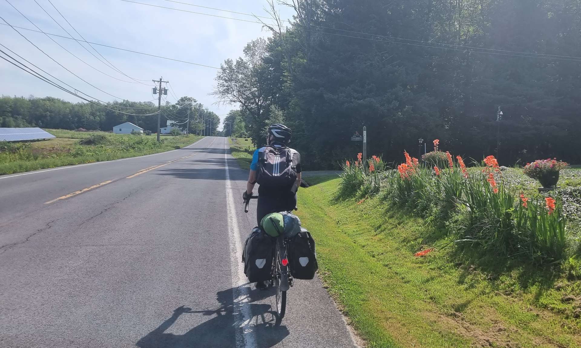
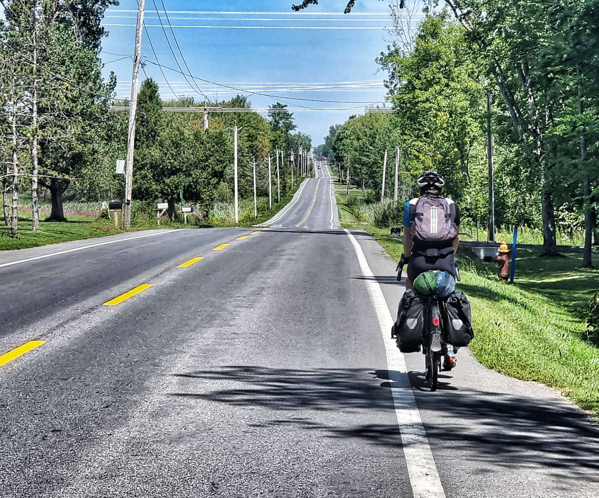
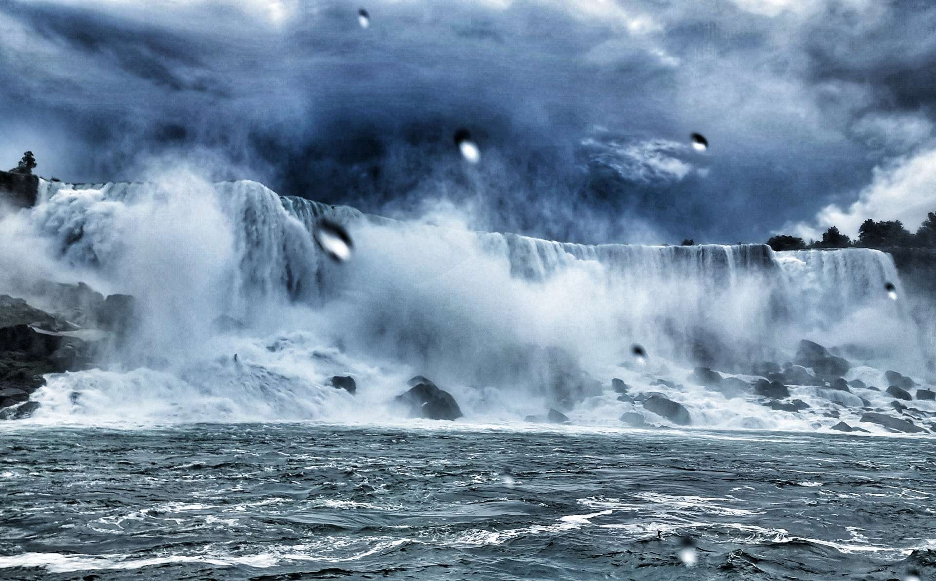
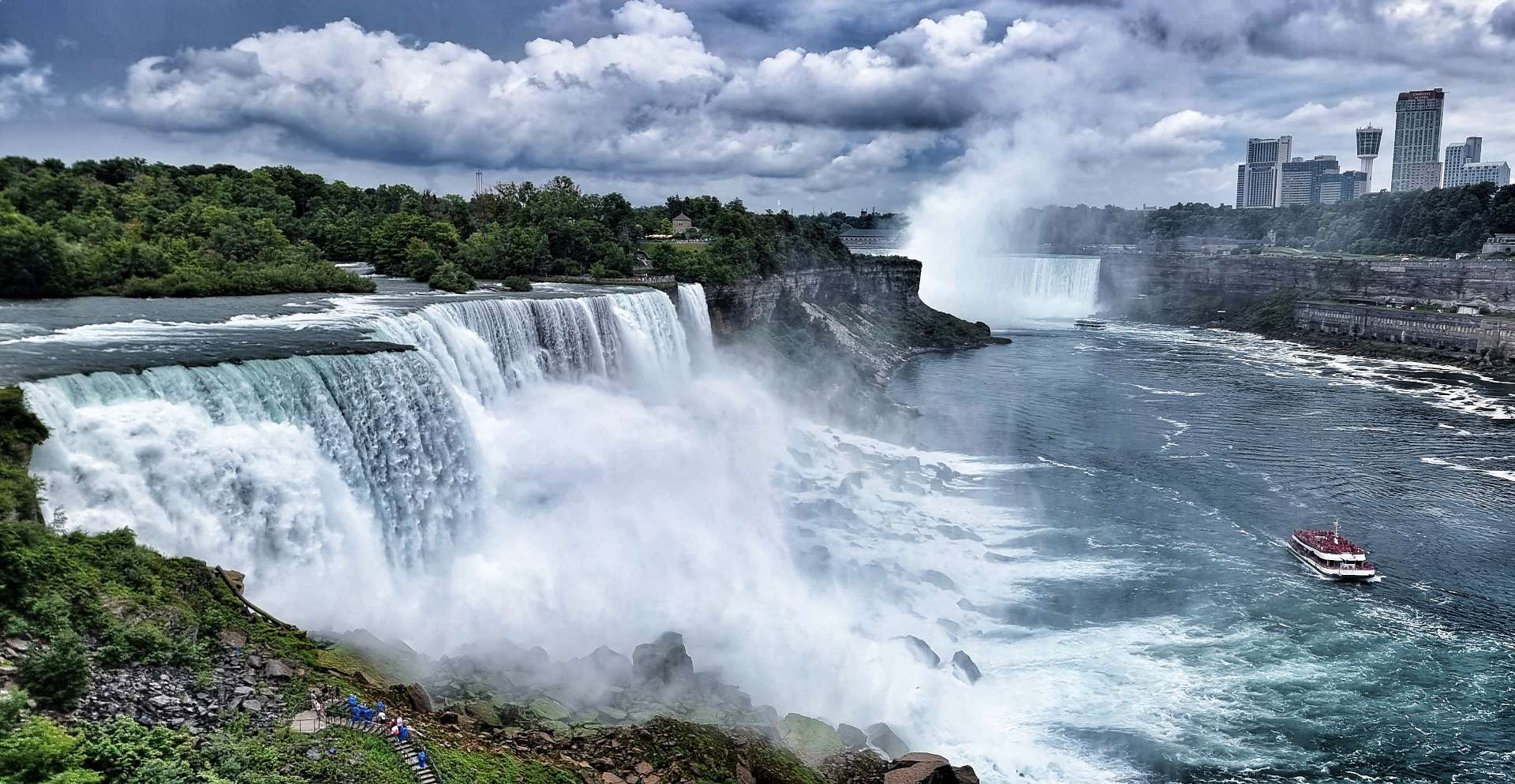
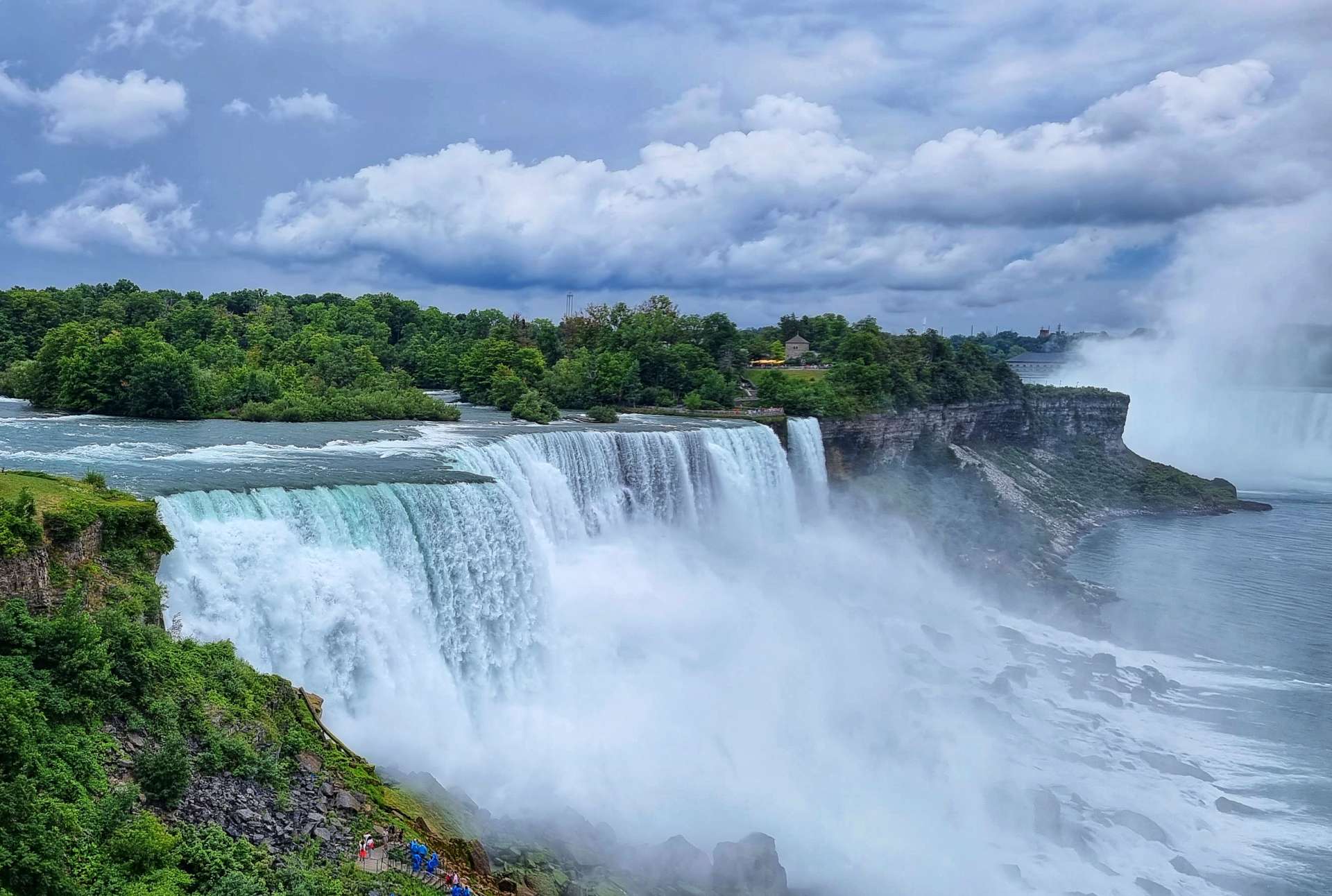
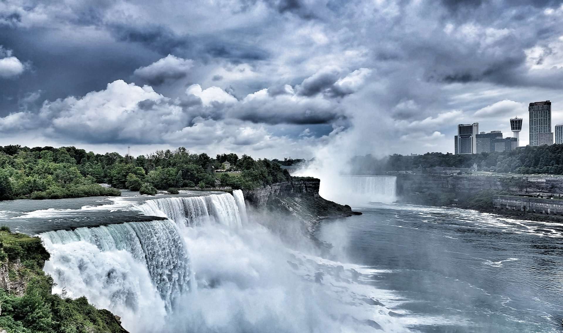
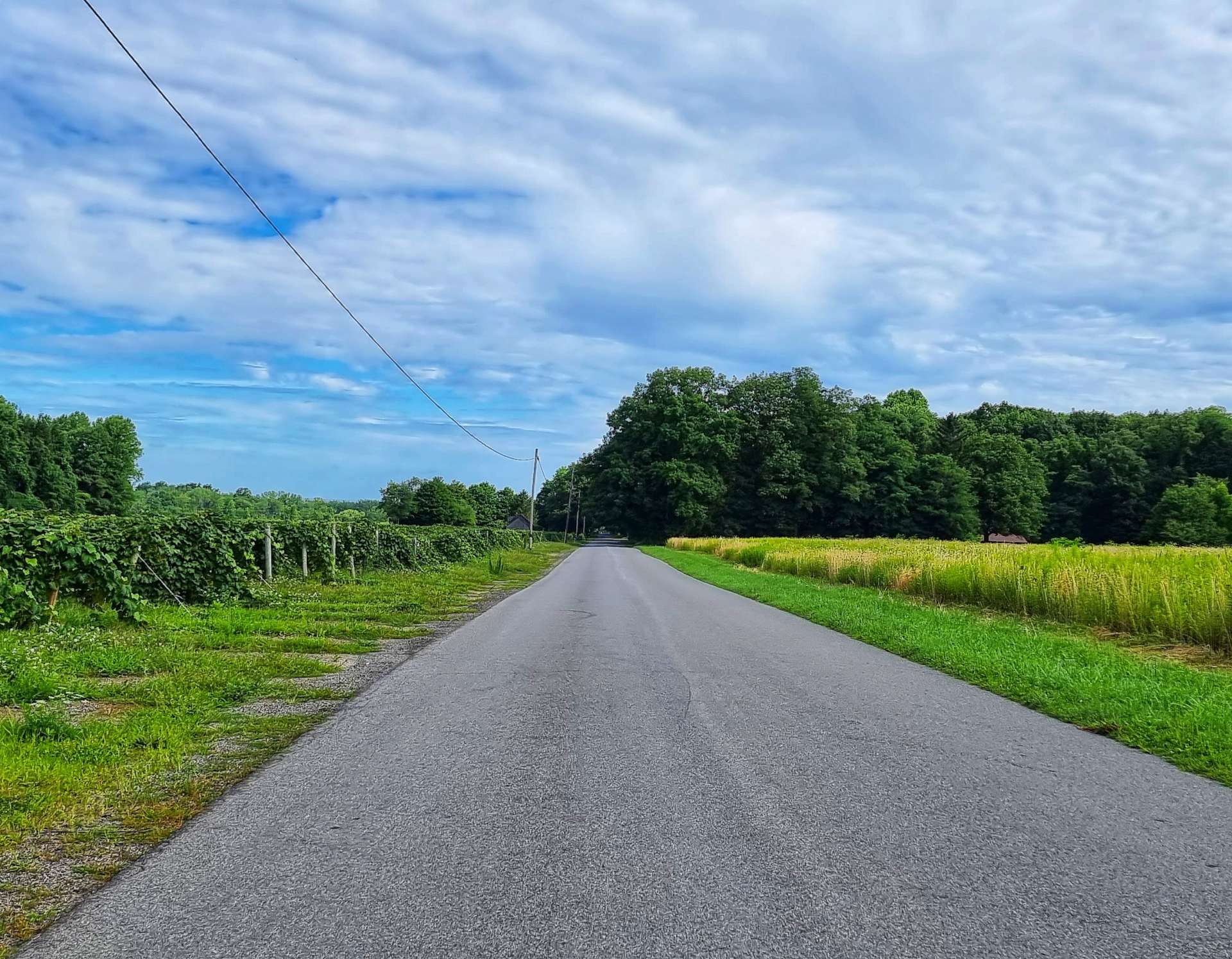
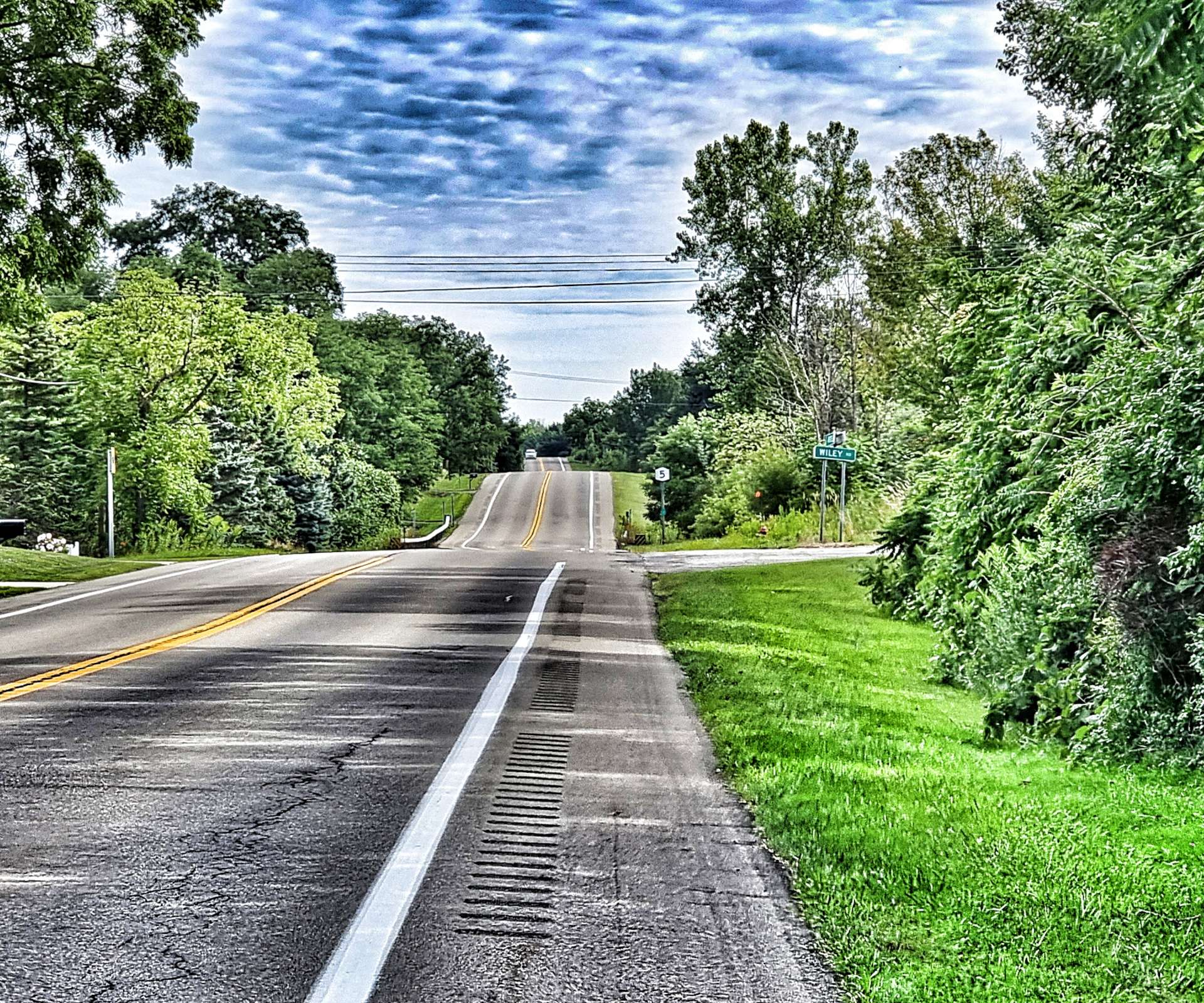
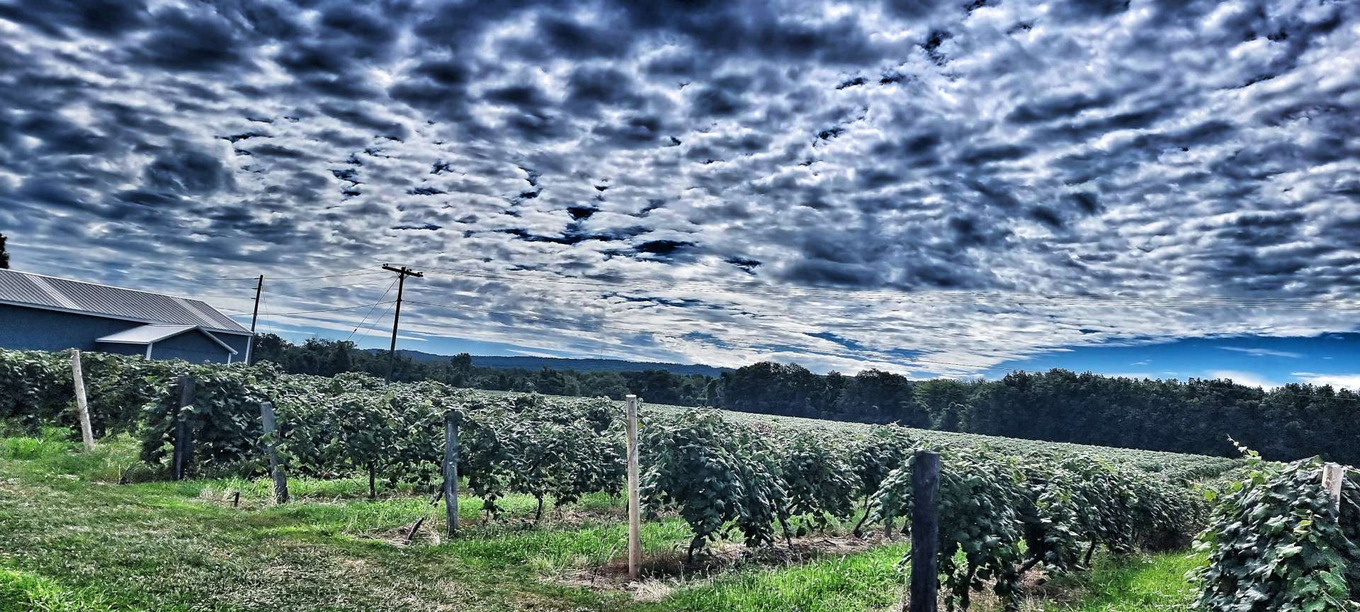
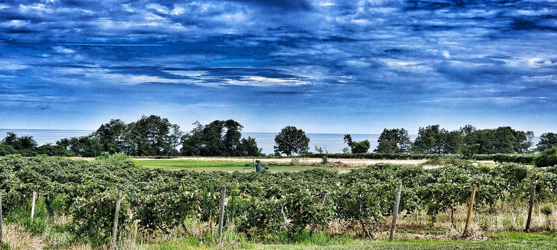
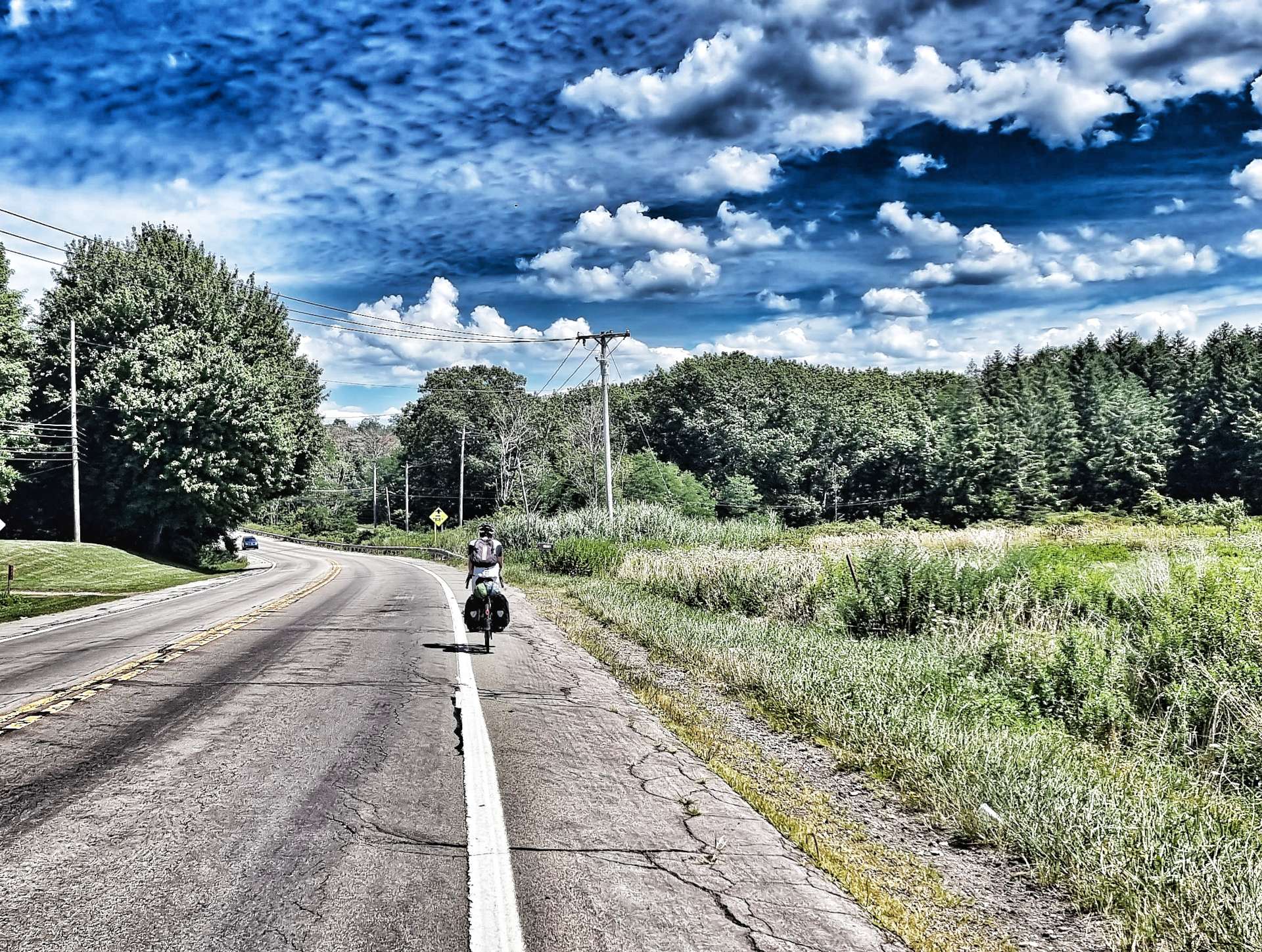
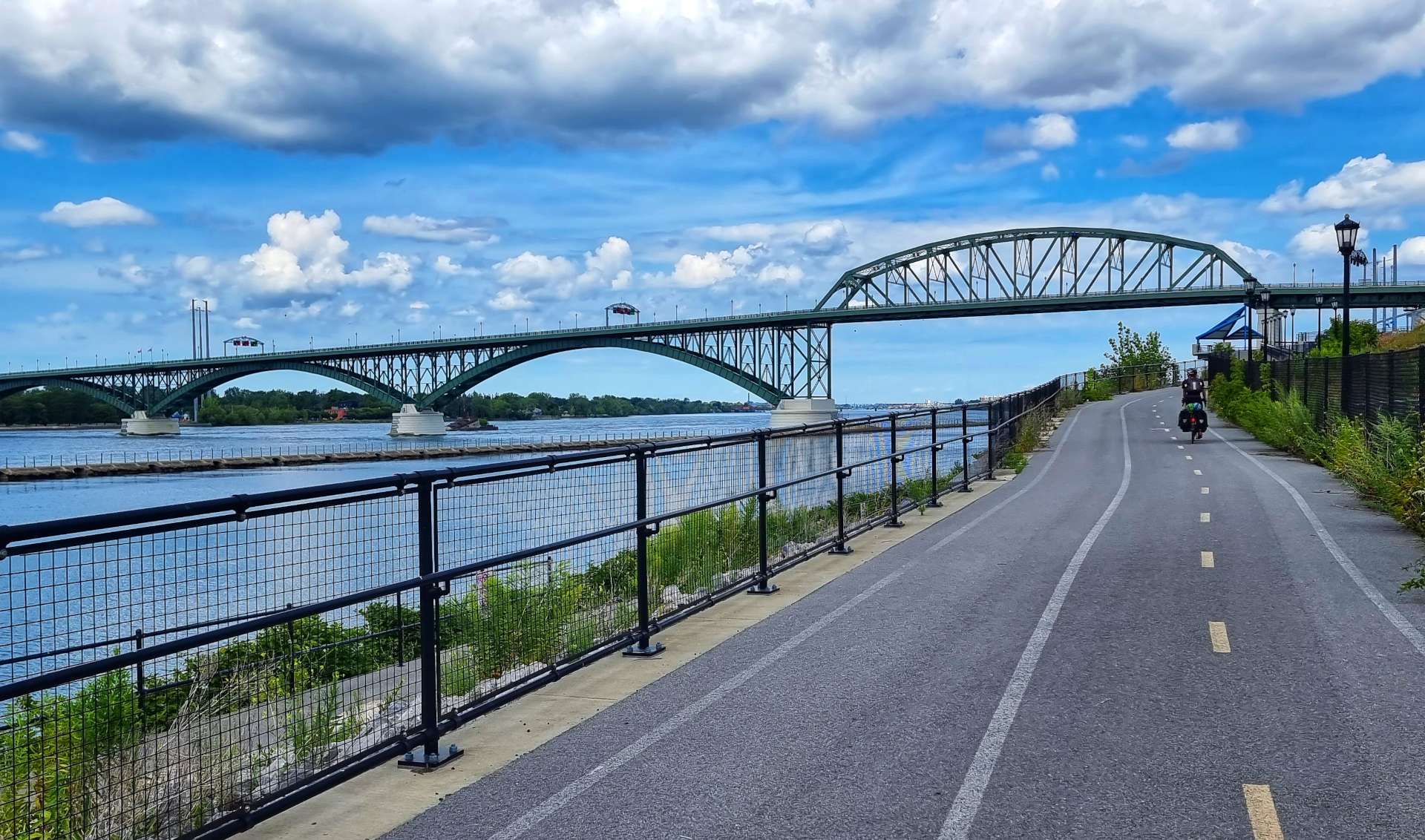
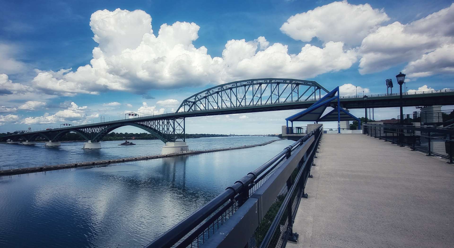
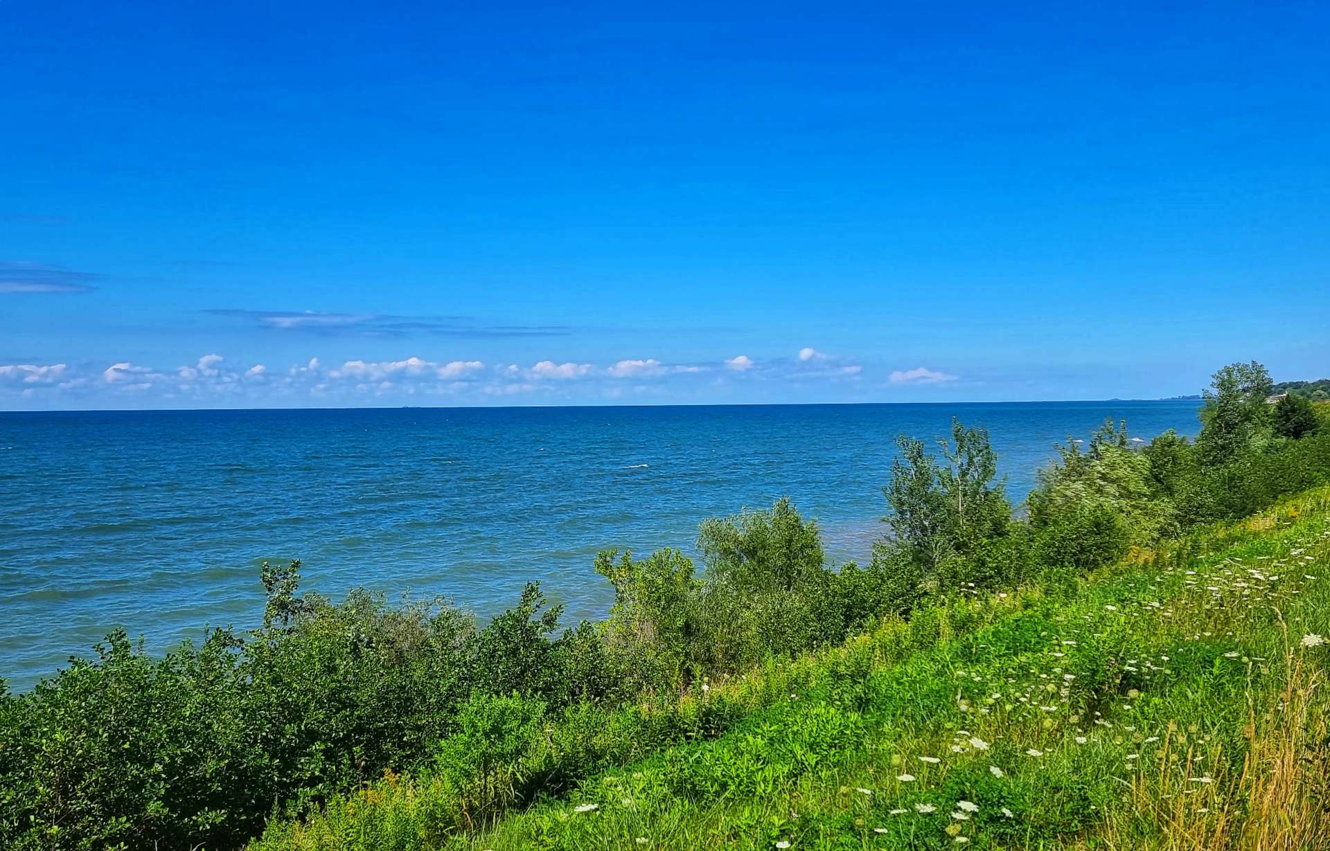
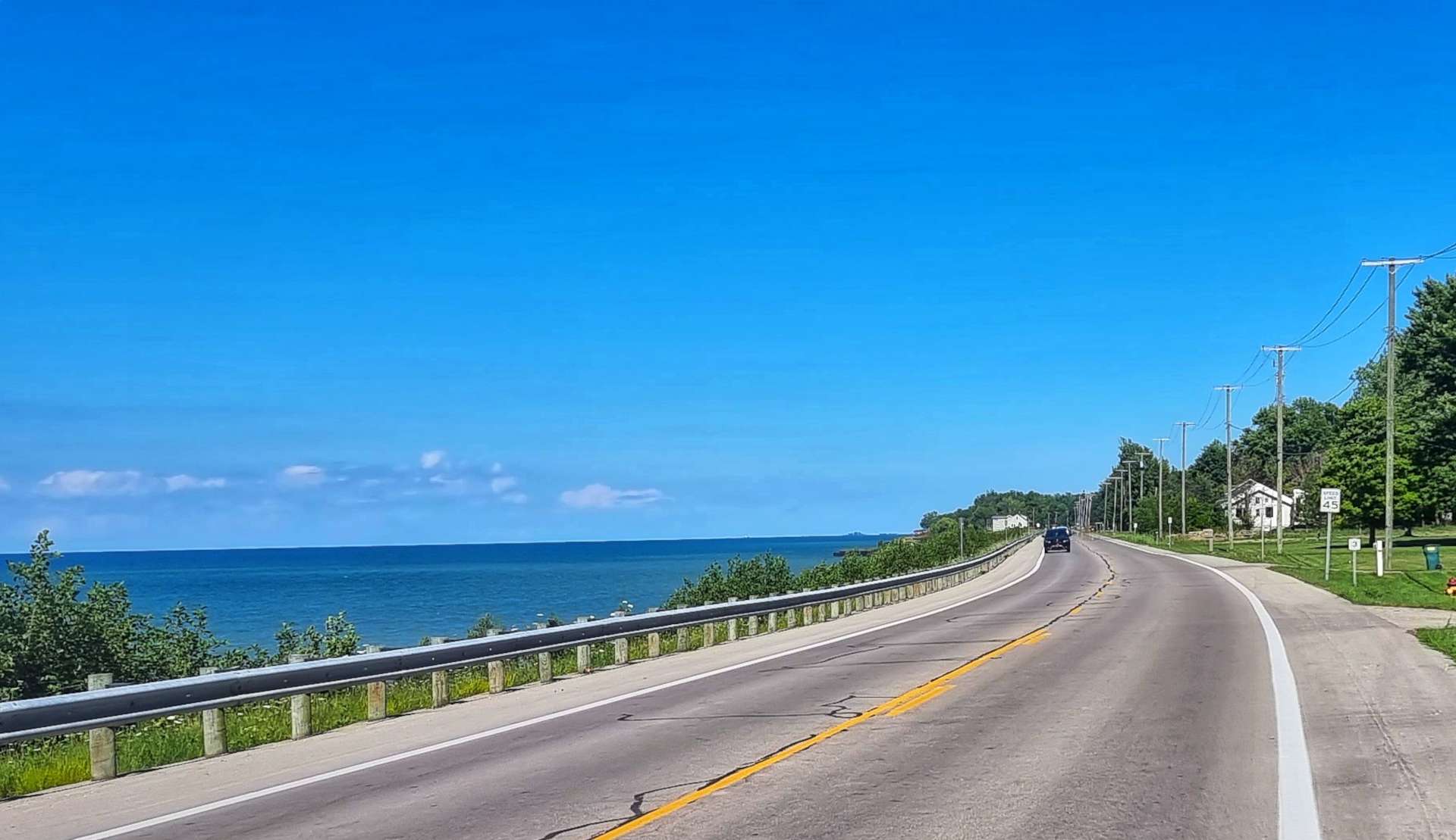
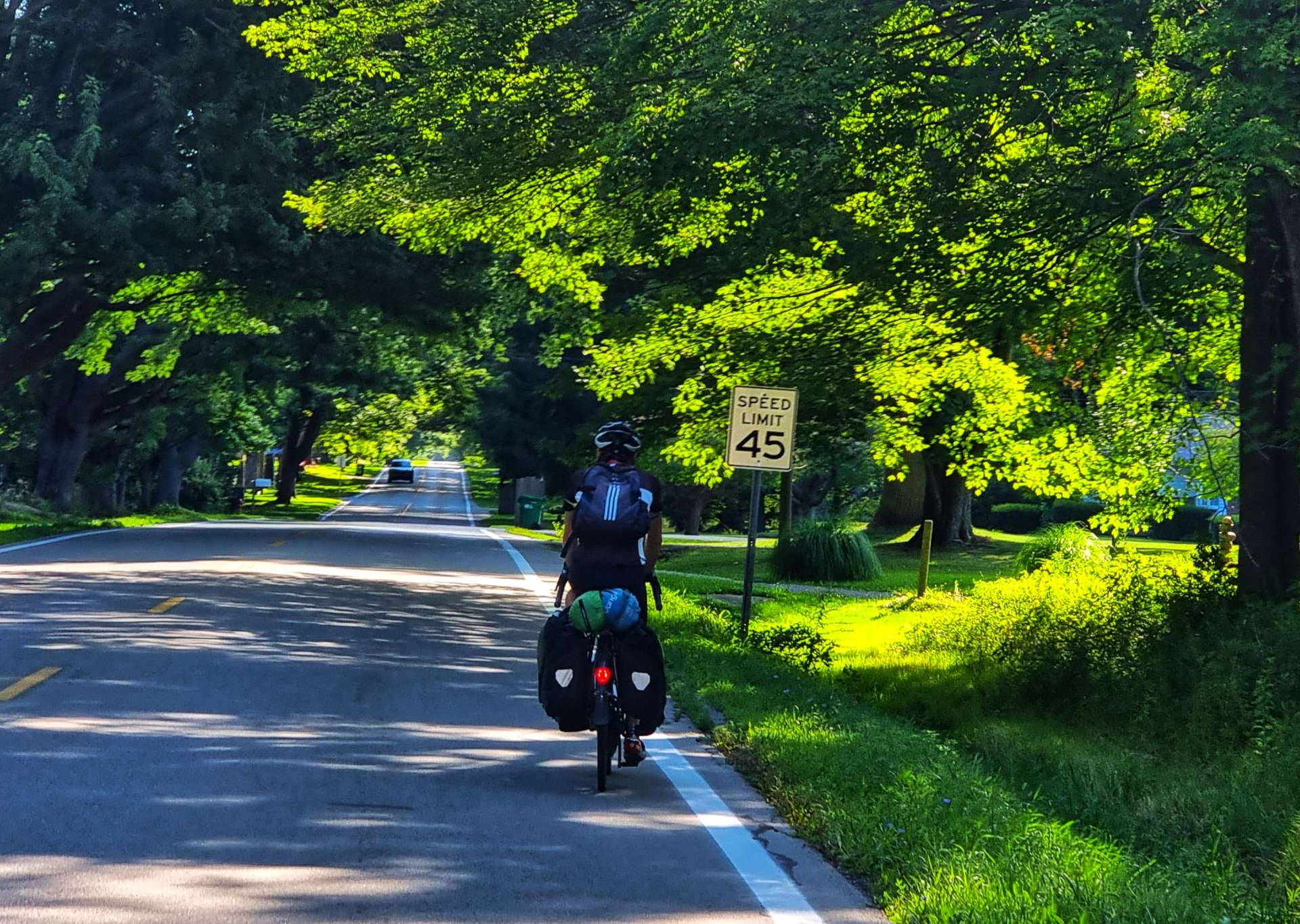
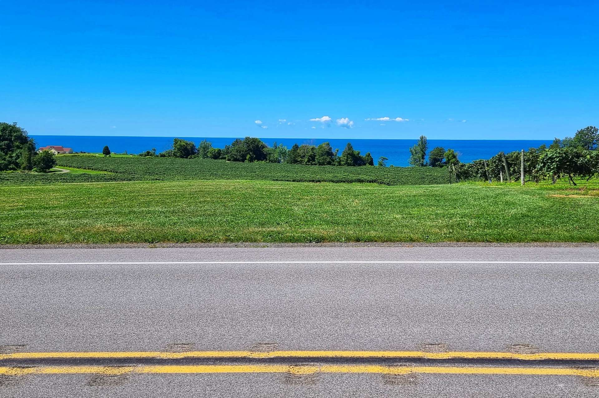
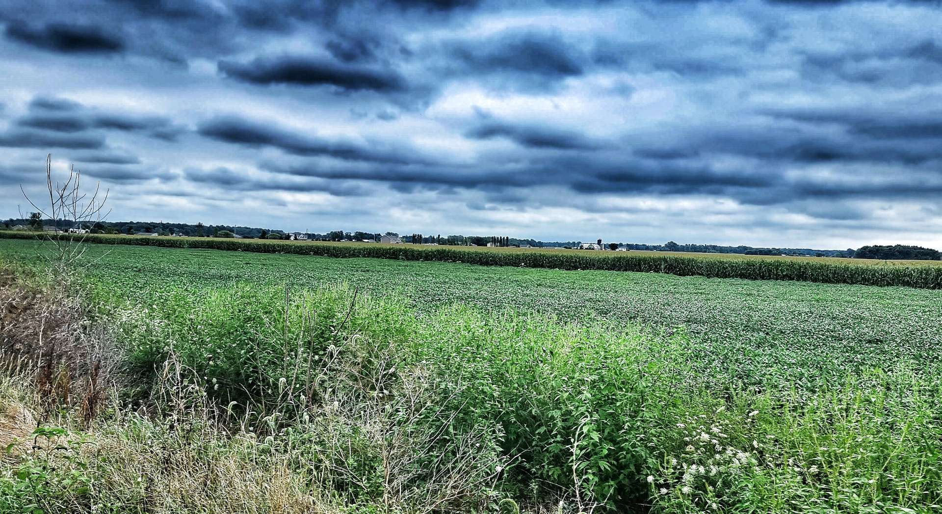
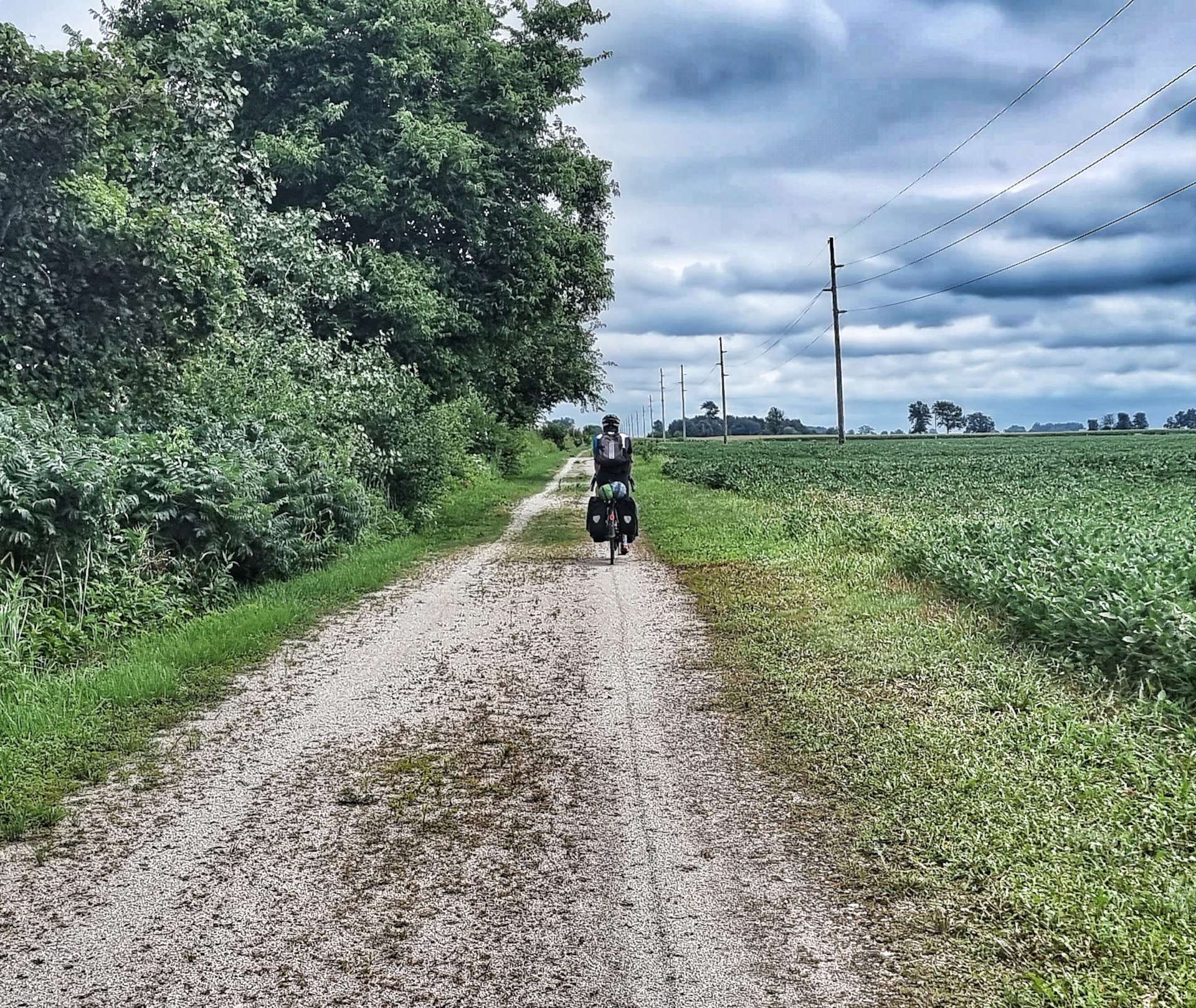
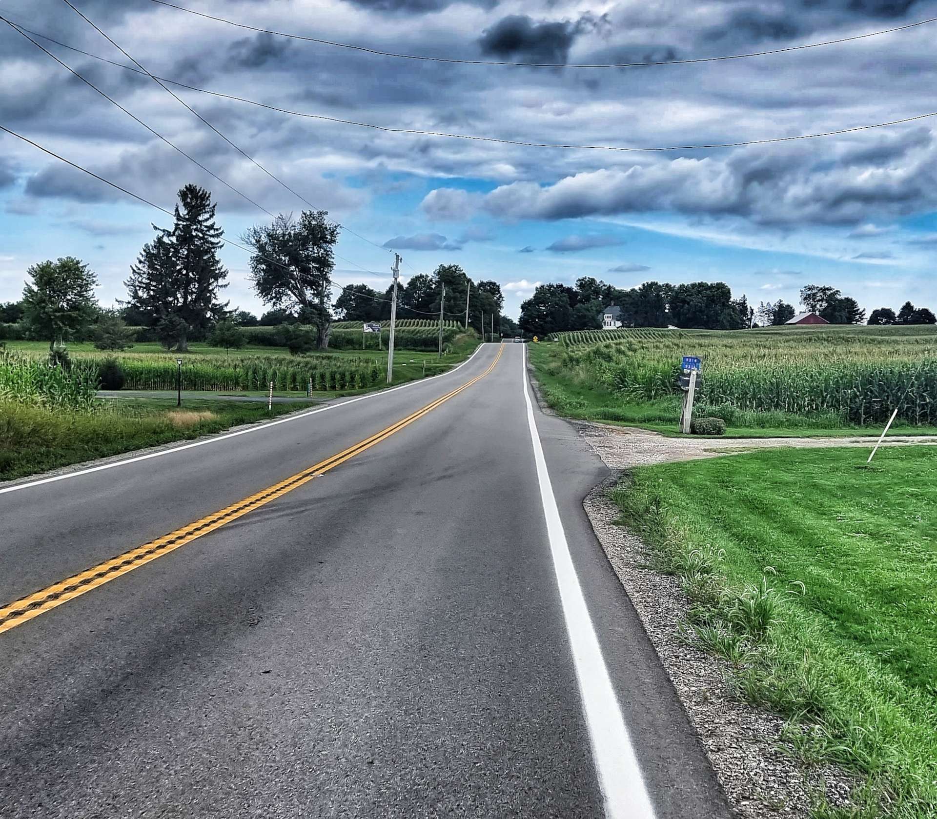
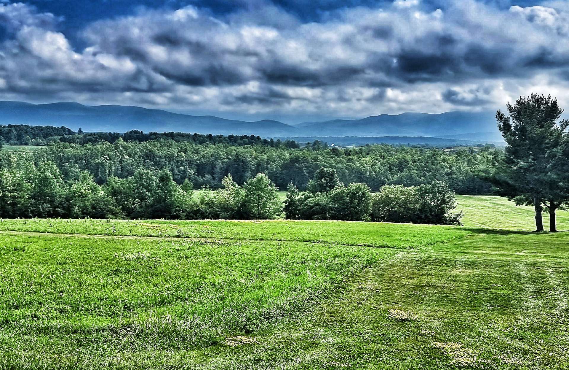
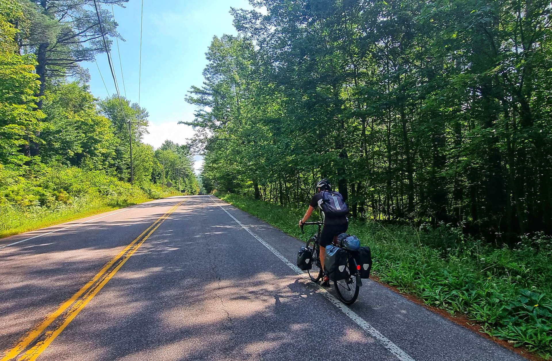
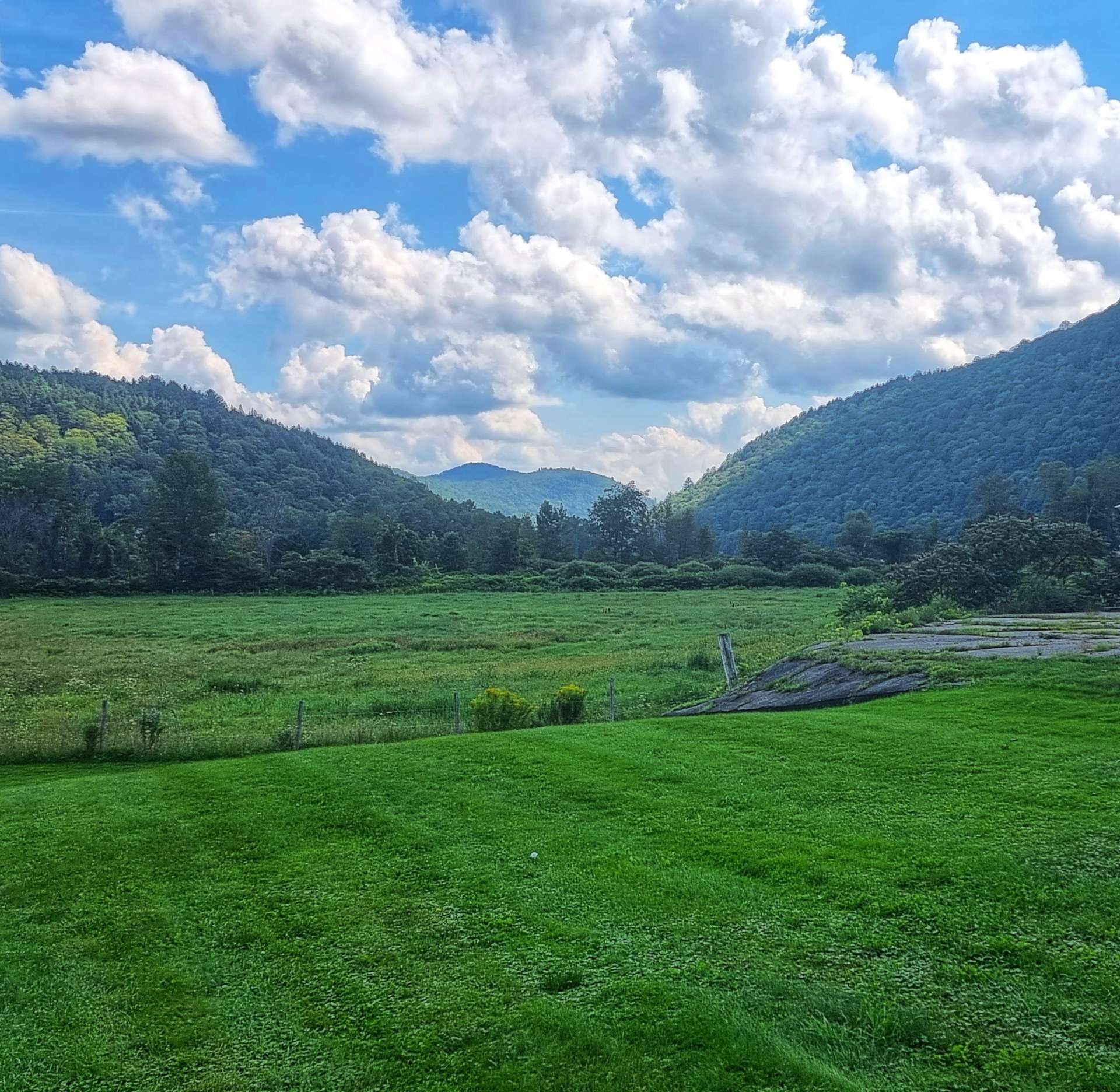
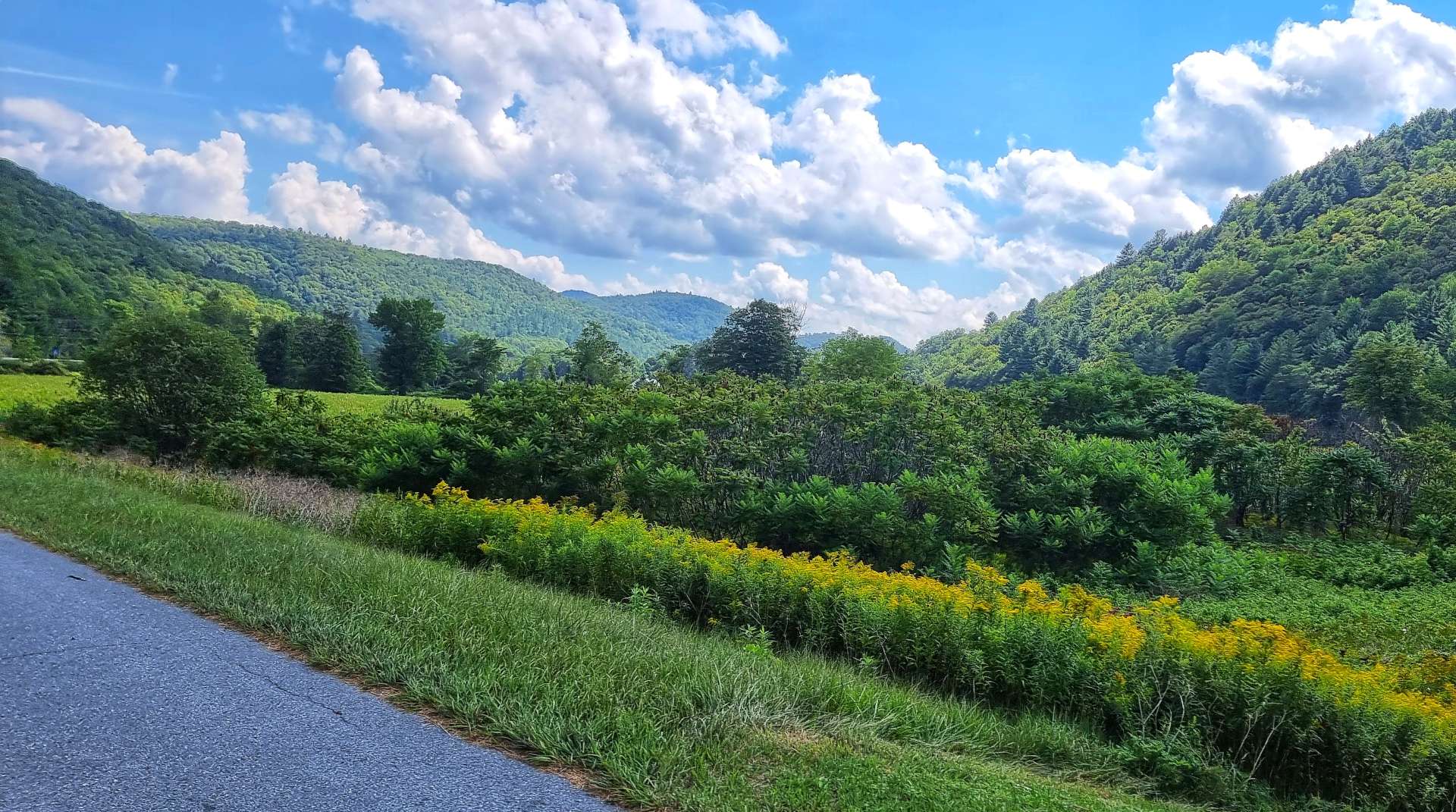
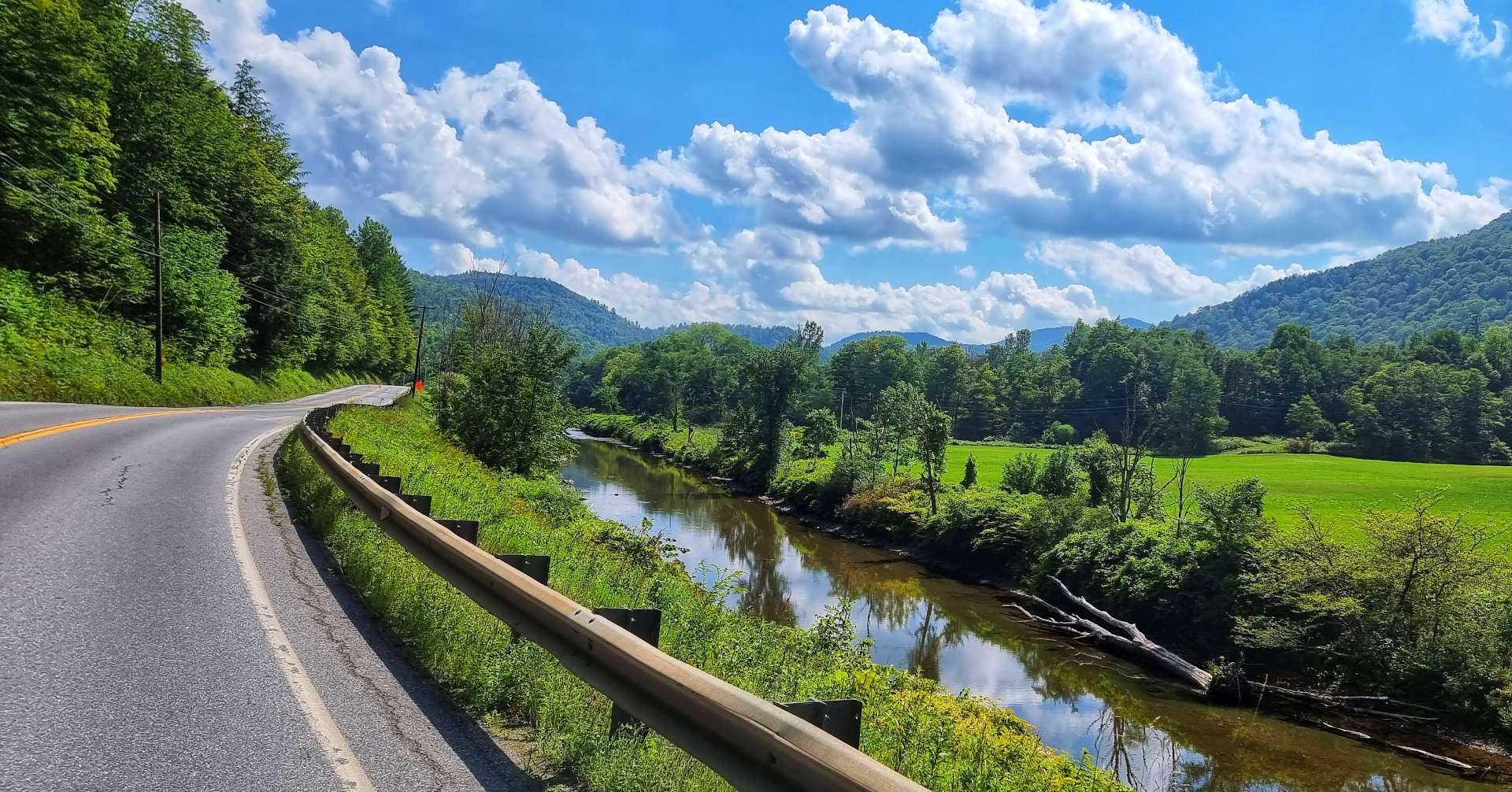
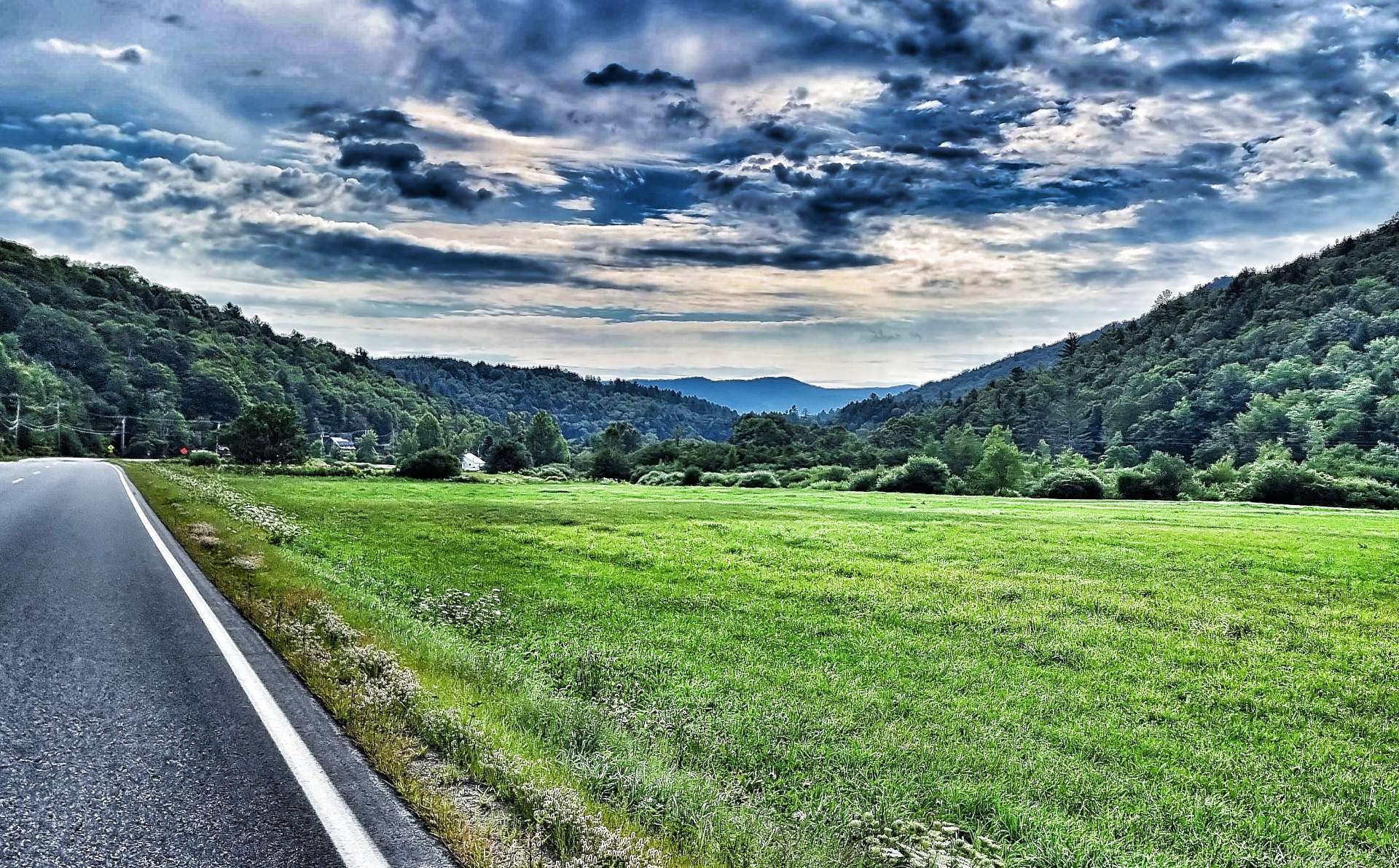
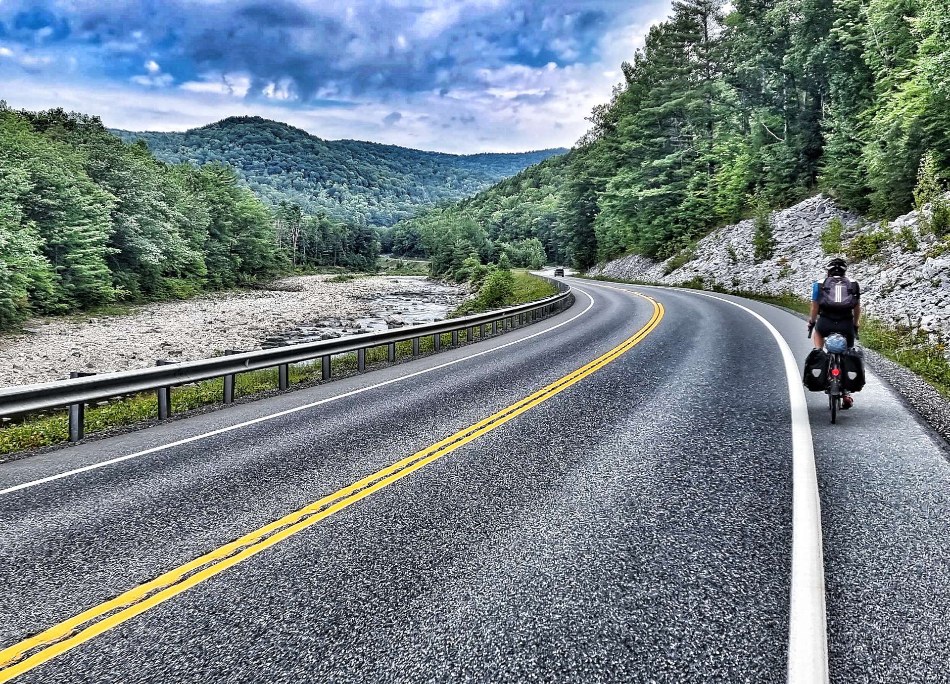
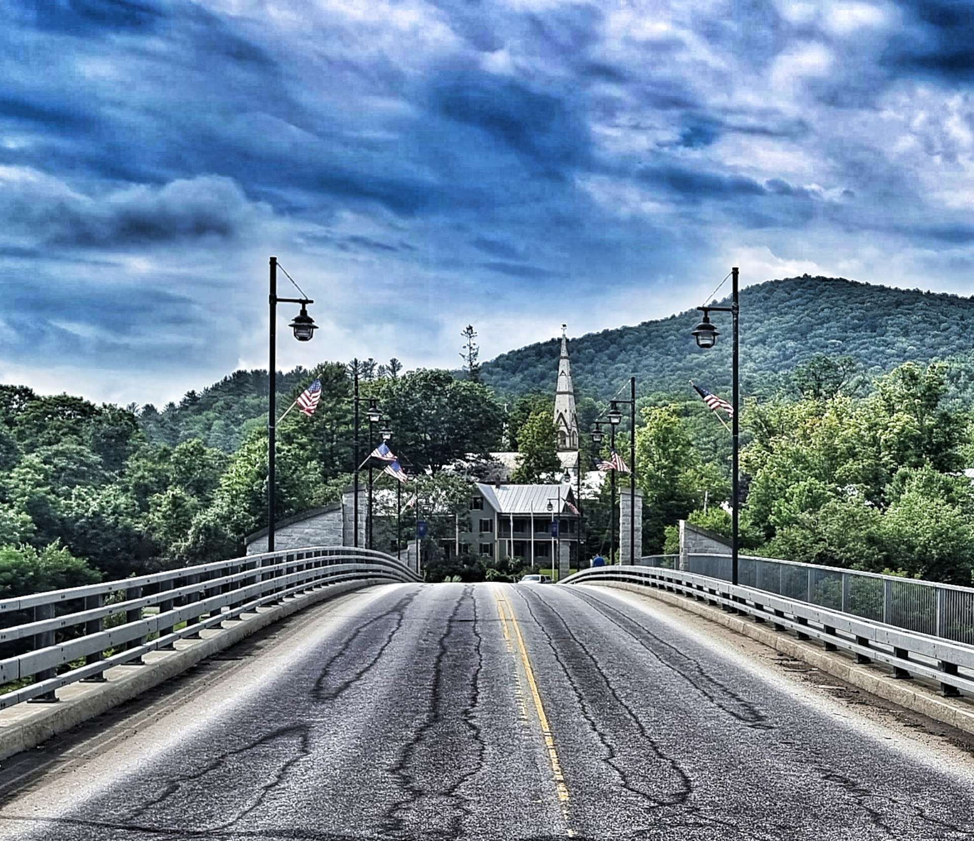
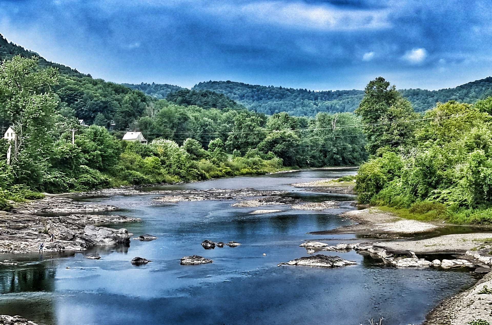
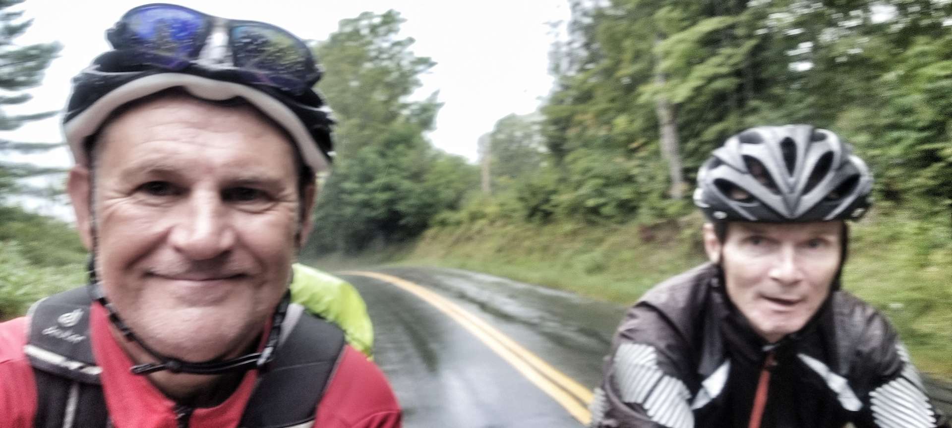
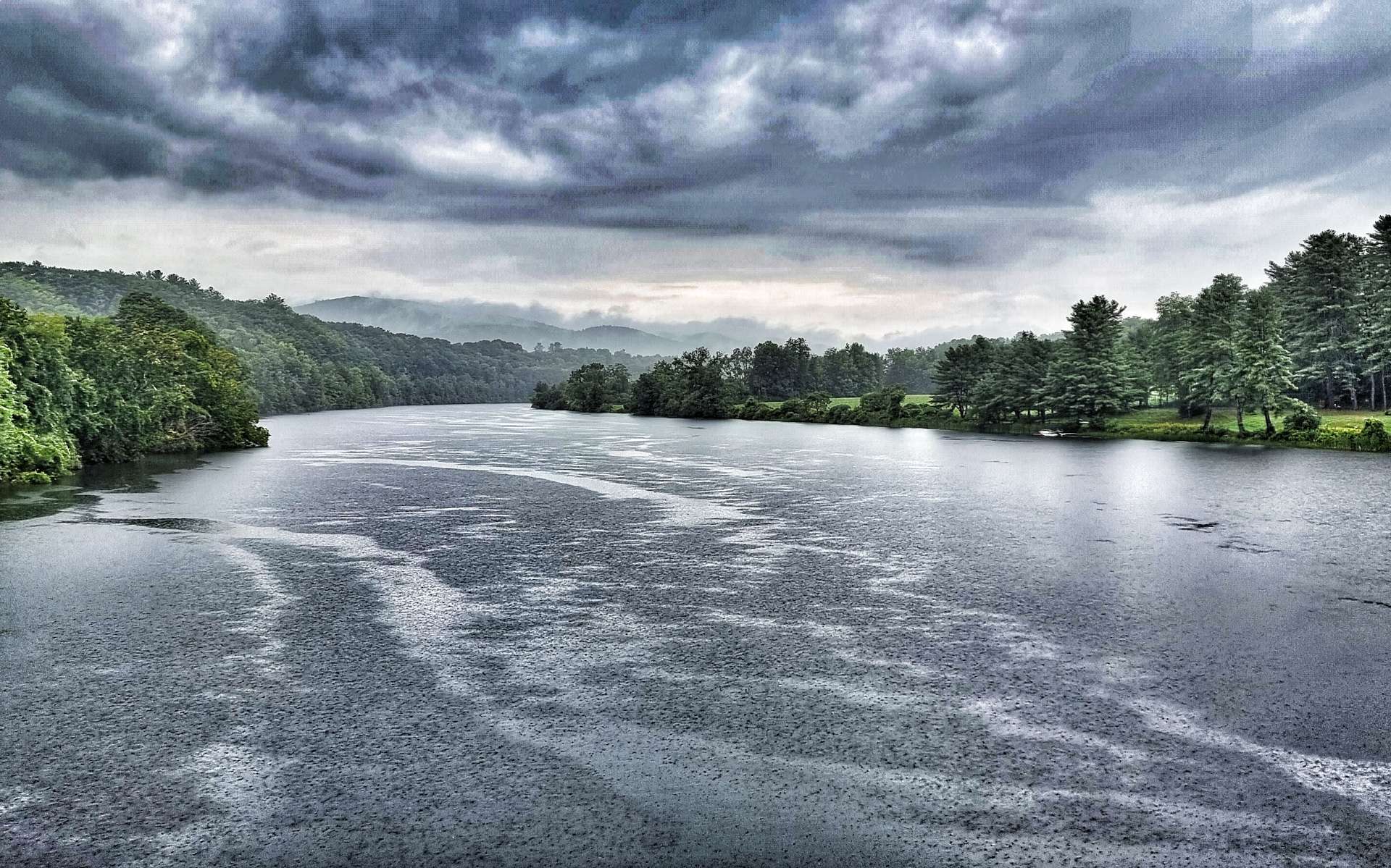
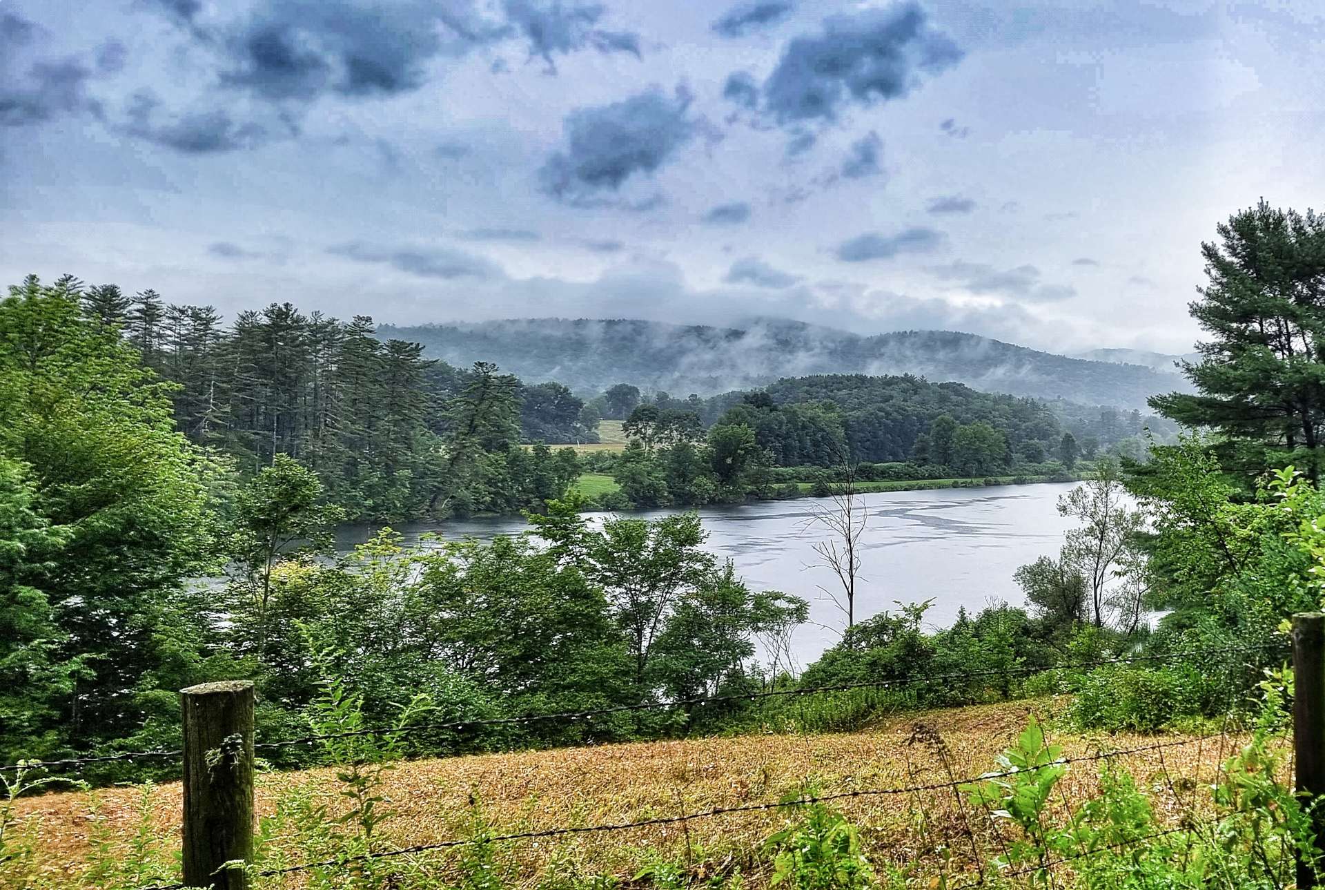
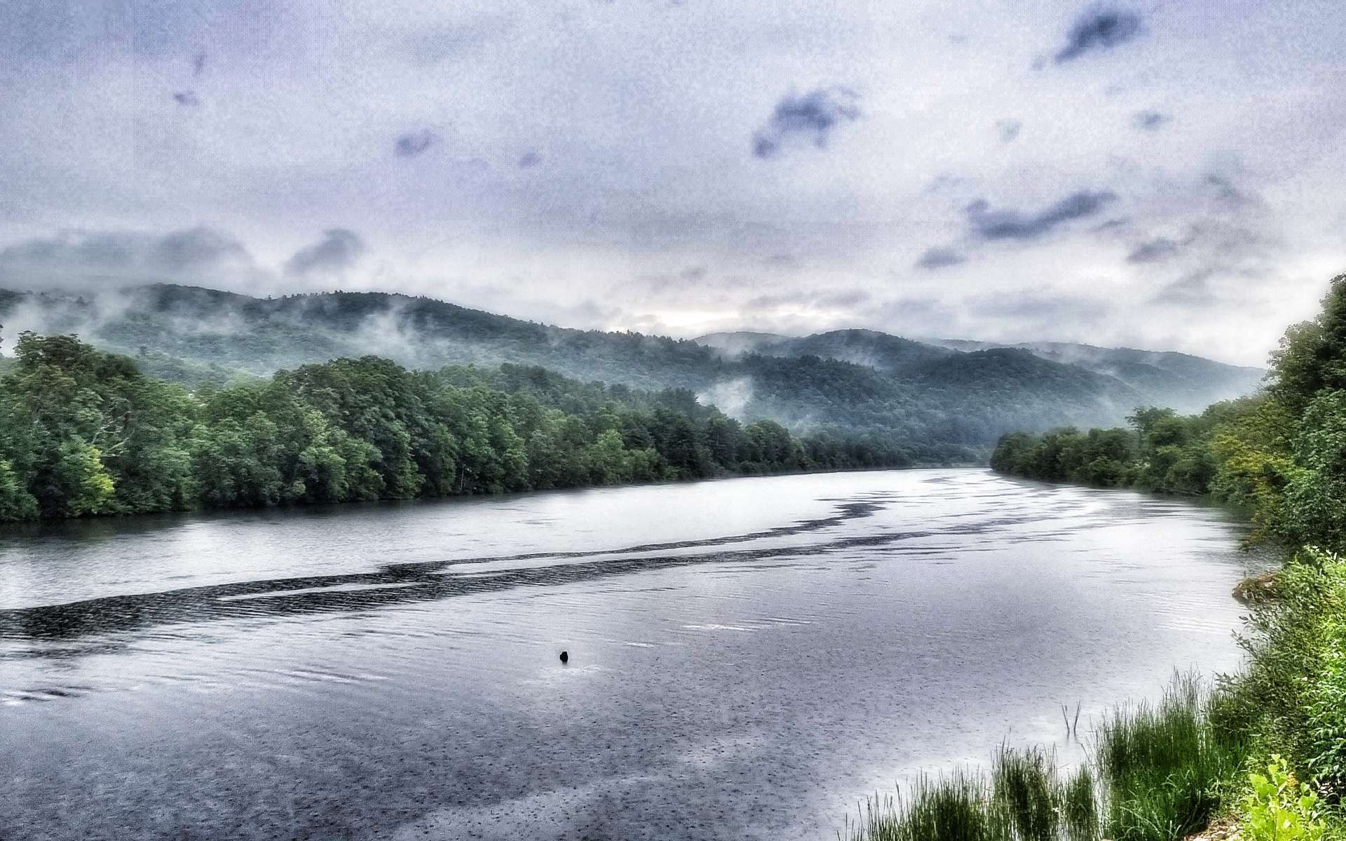
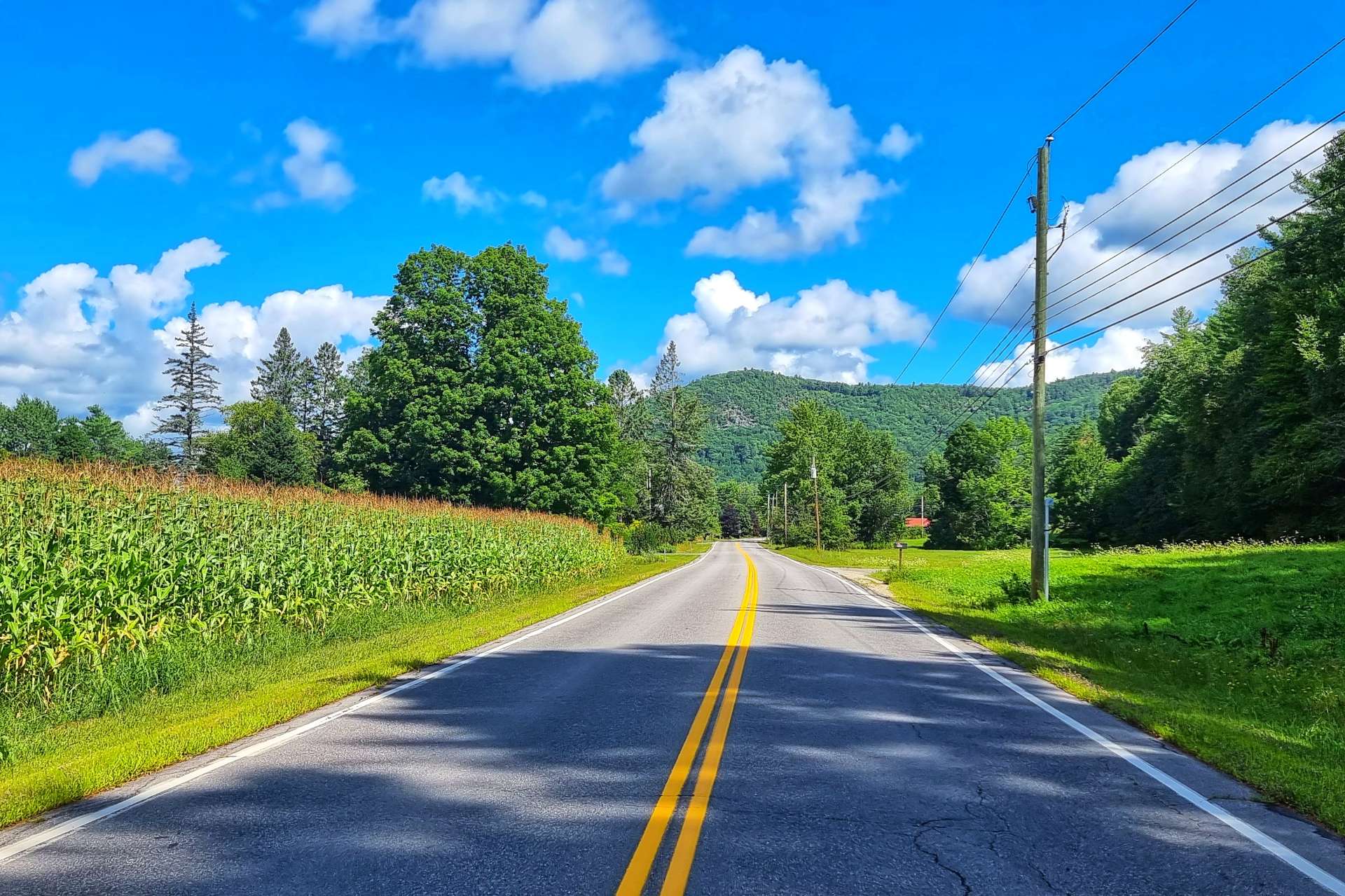
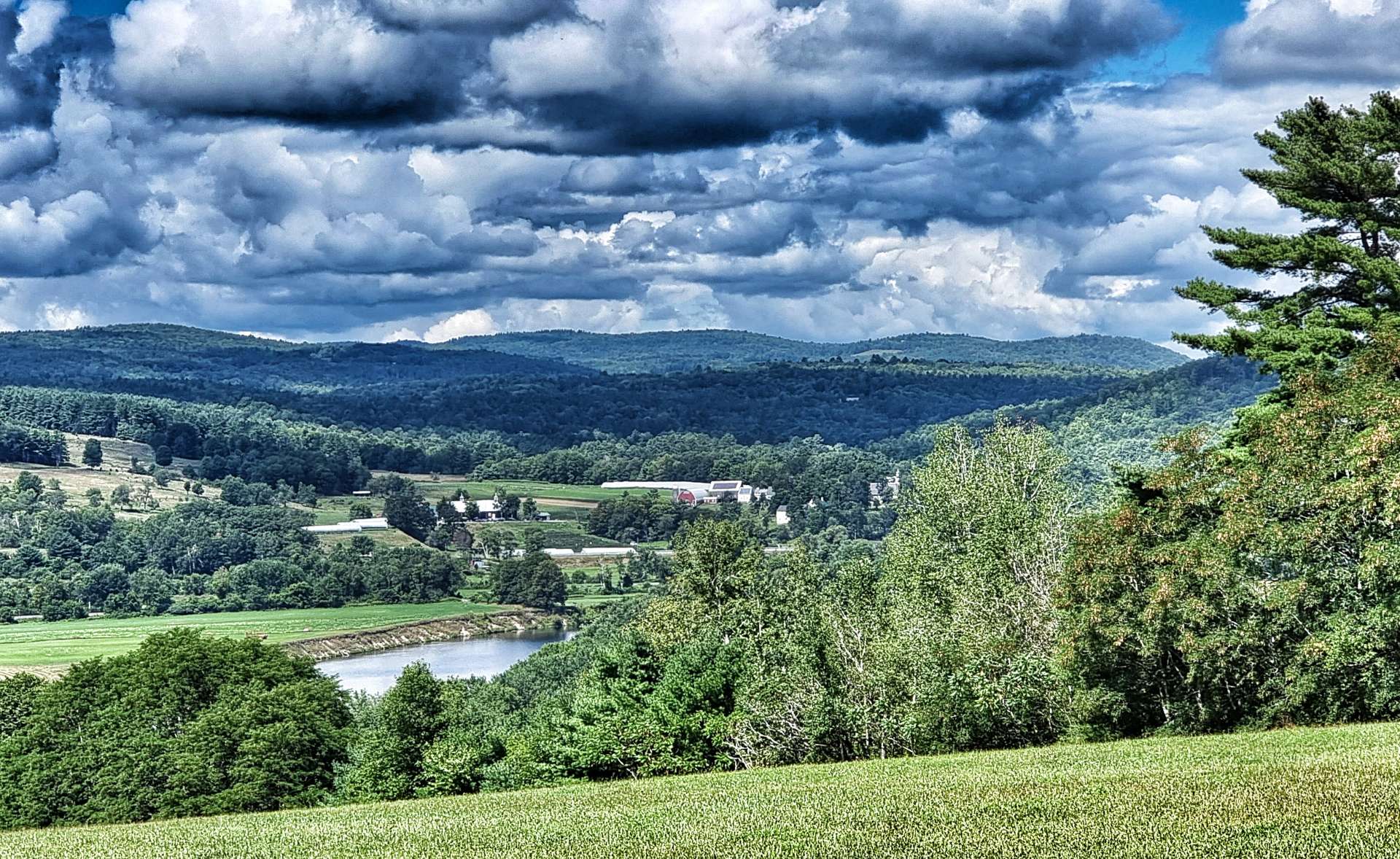
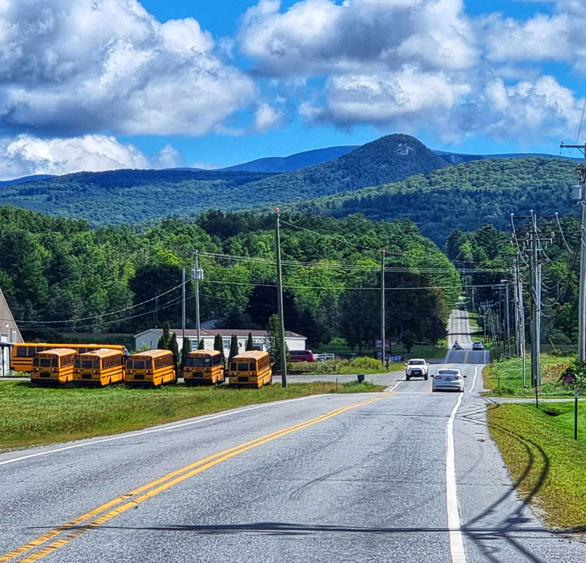
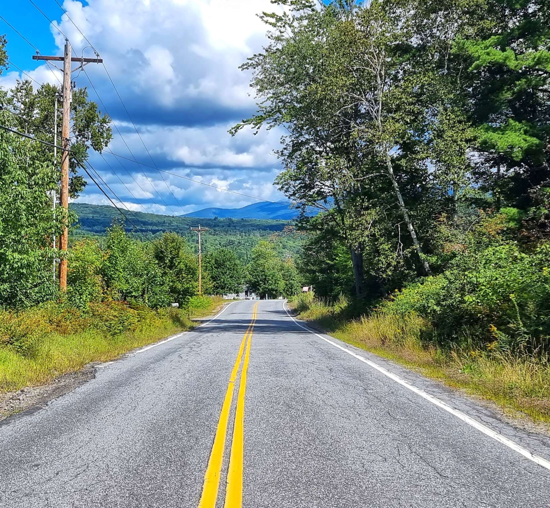
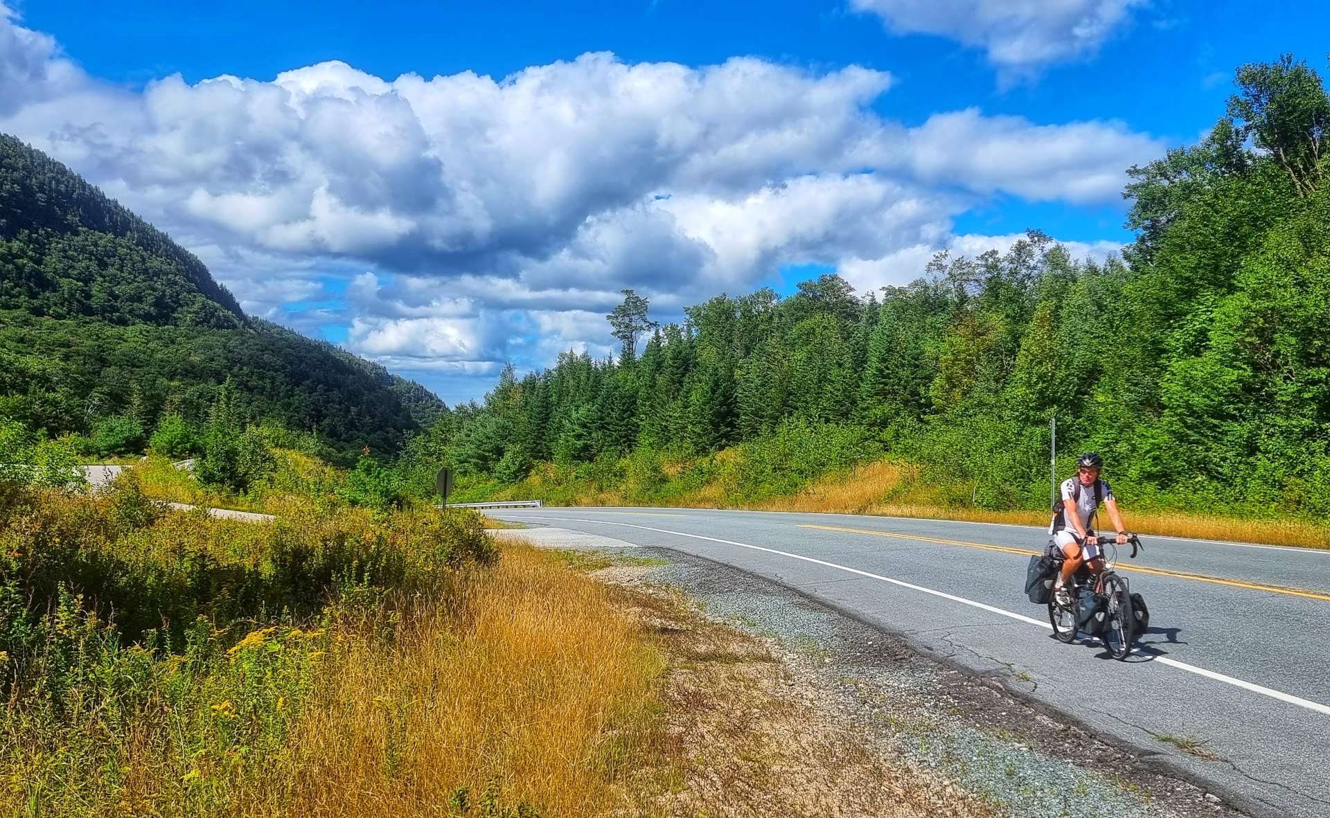
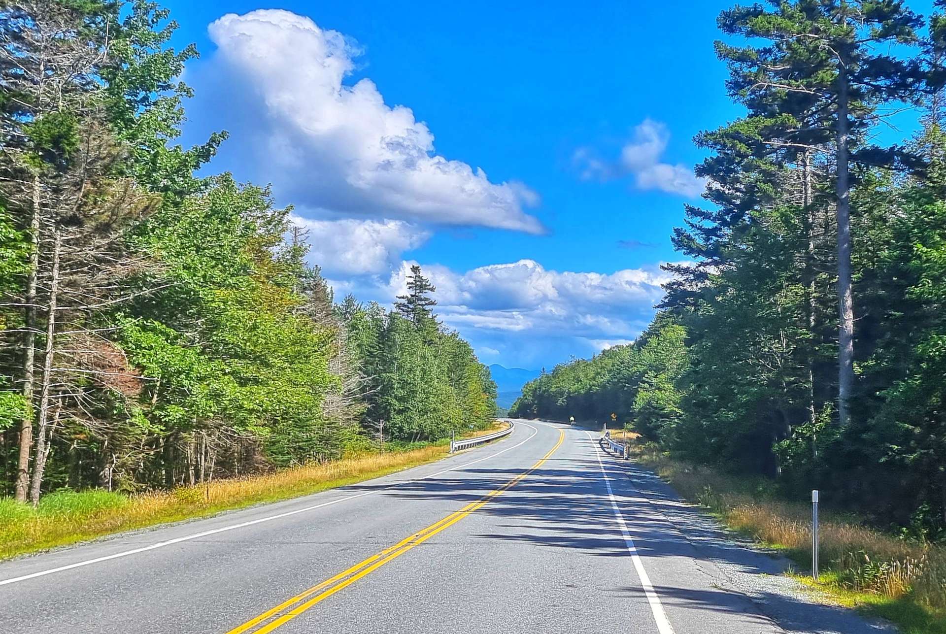
We left the horses & riders to carry on doing their thing & set off for Cornwall. We continued on quiet two lane roads with our first views of the Green Mountains – our big climb is one of the lumps in the third photo below. Passing through Middlebury, we saw our first cyclists few quite some time, they were out for the day & were attempting to navigate their way across town.

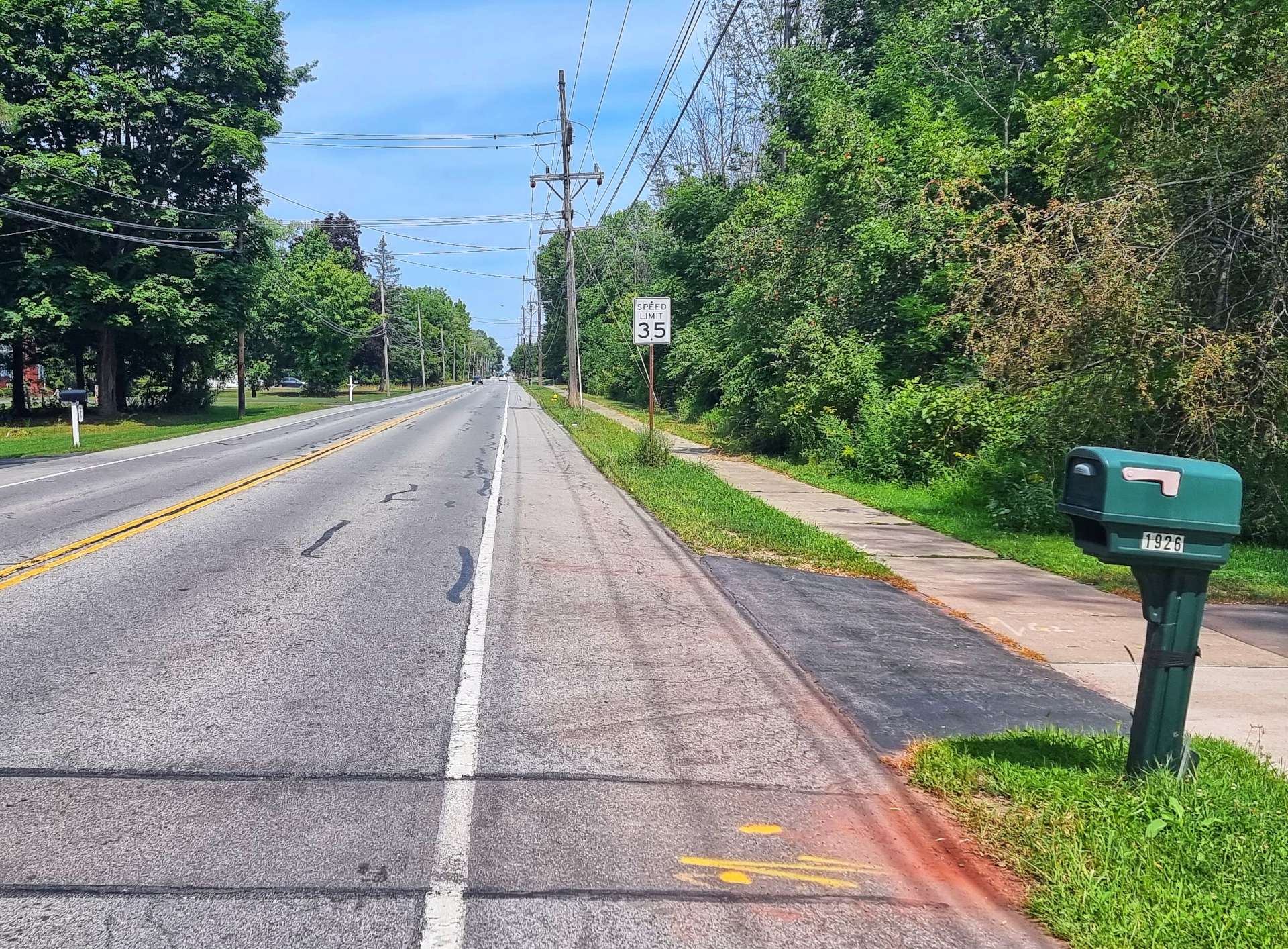
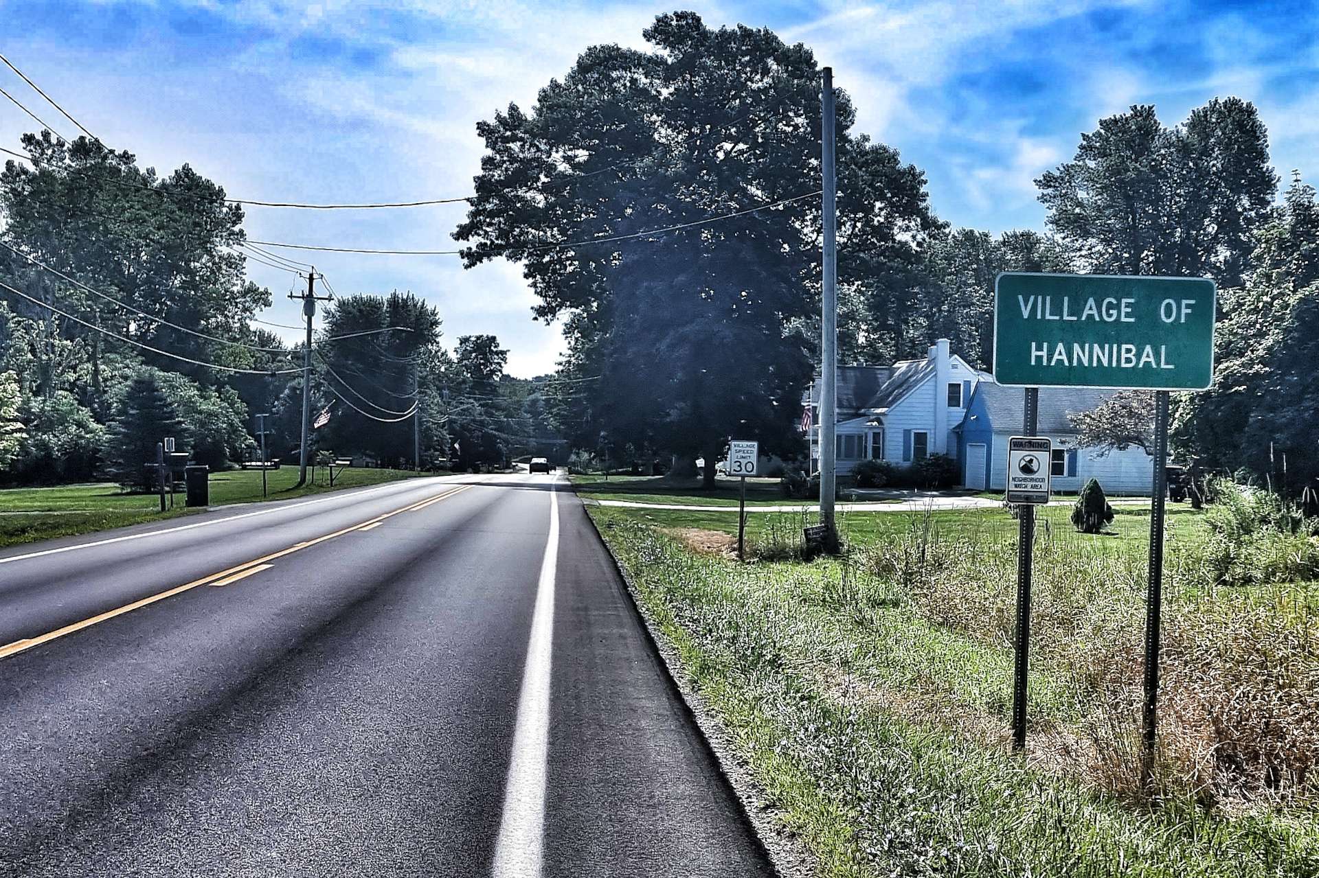
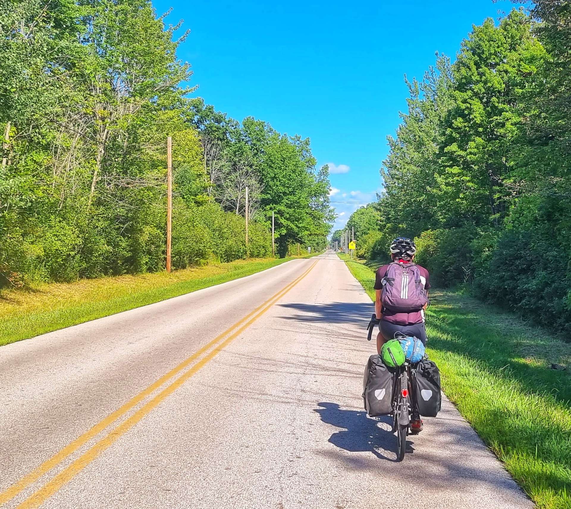
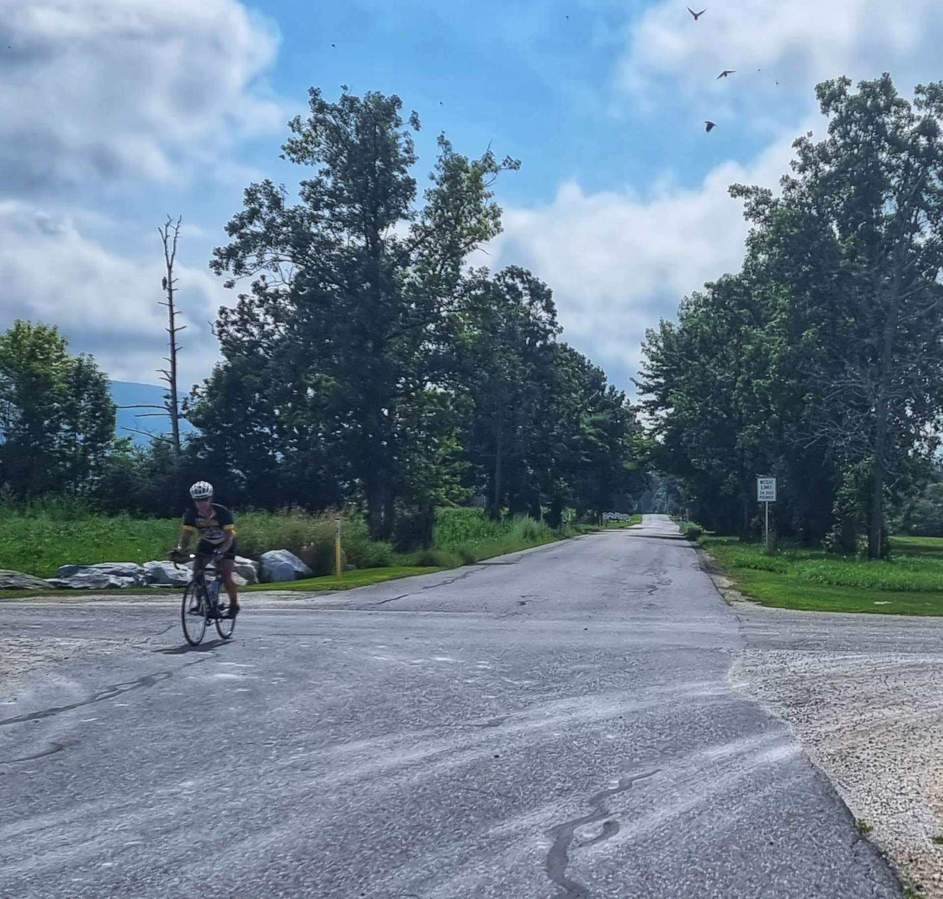
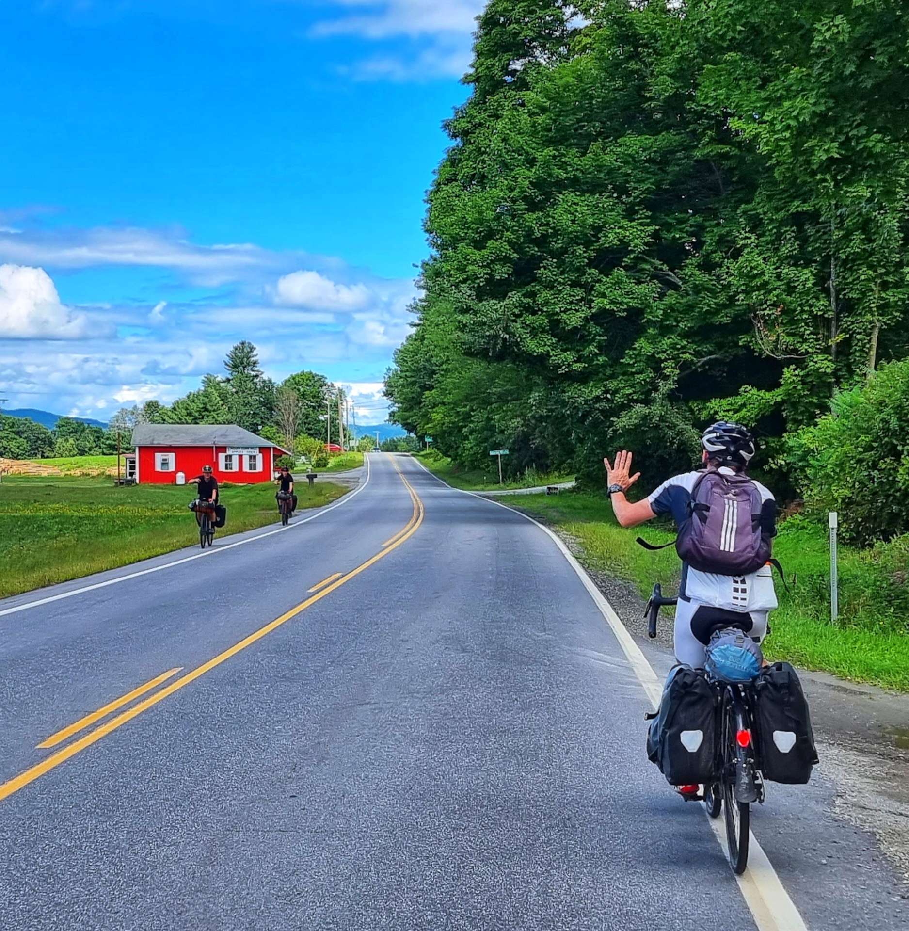
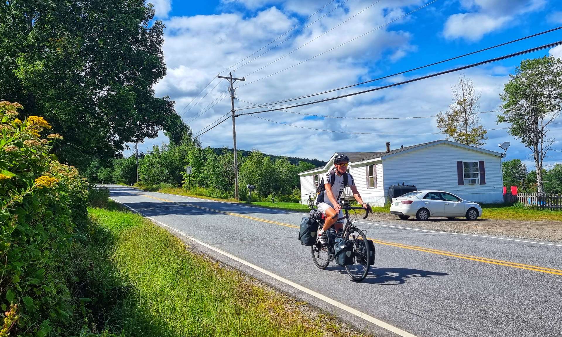
We took another quiet backroad out of town, where we saw another cyclist heading in the opposite direction, we exchanged waves as we passed each other. Just before our planned coffee stop I had to stop to take a photo of a sign to Bristol – over 5,500 miles cycled & finally I see a sign for my home town!

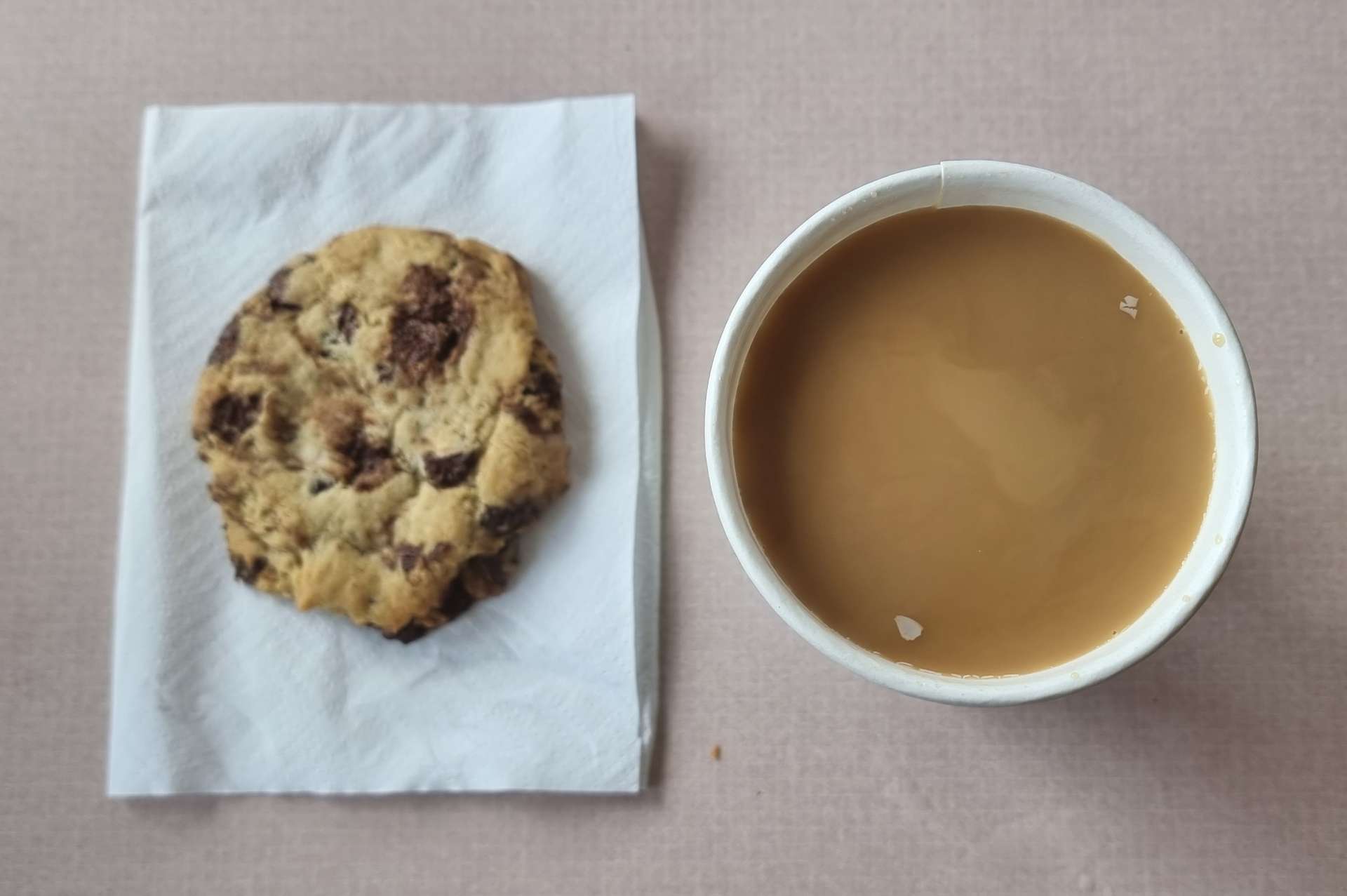
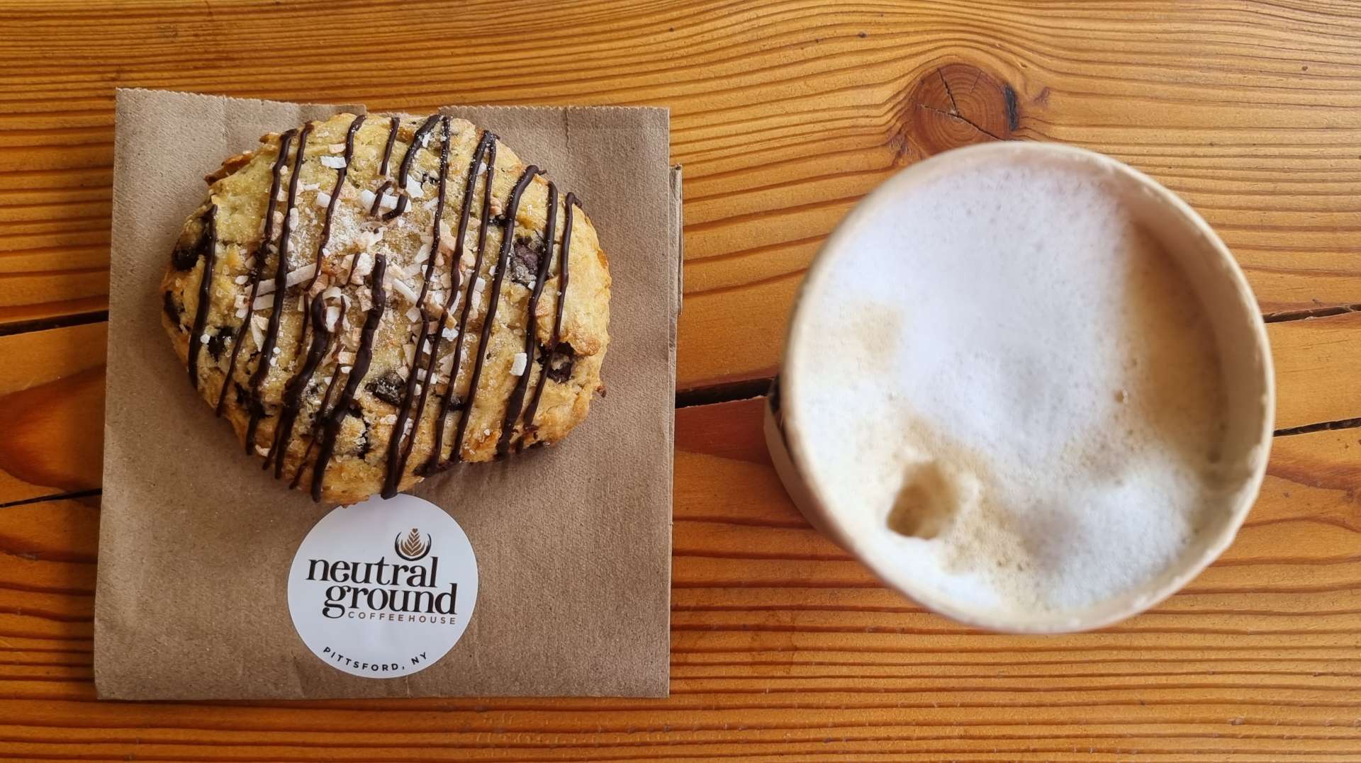
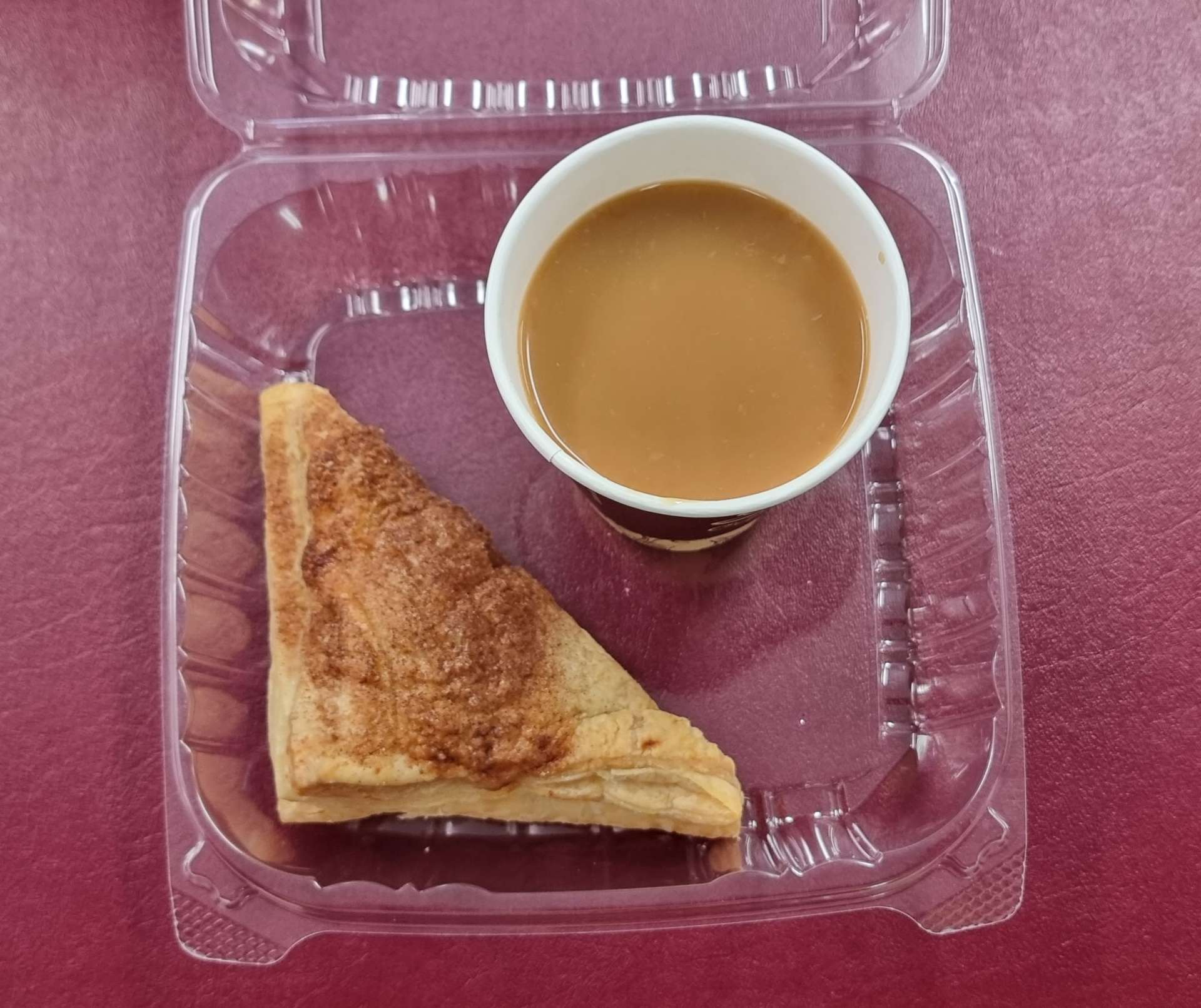
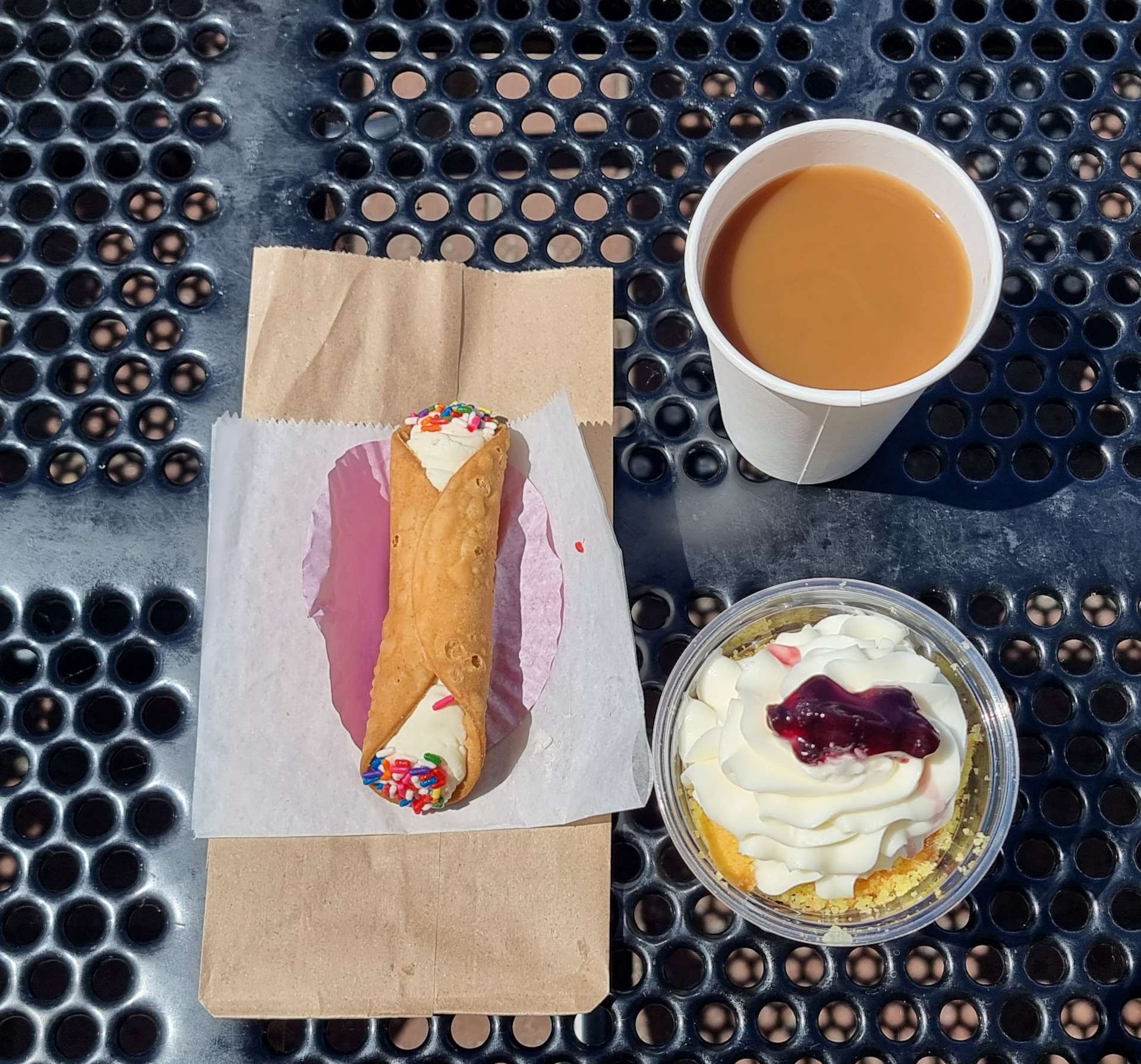
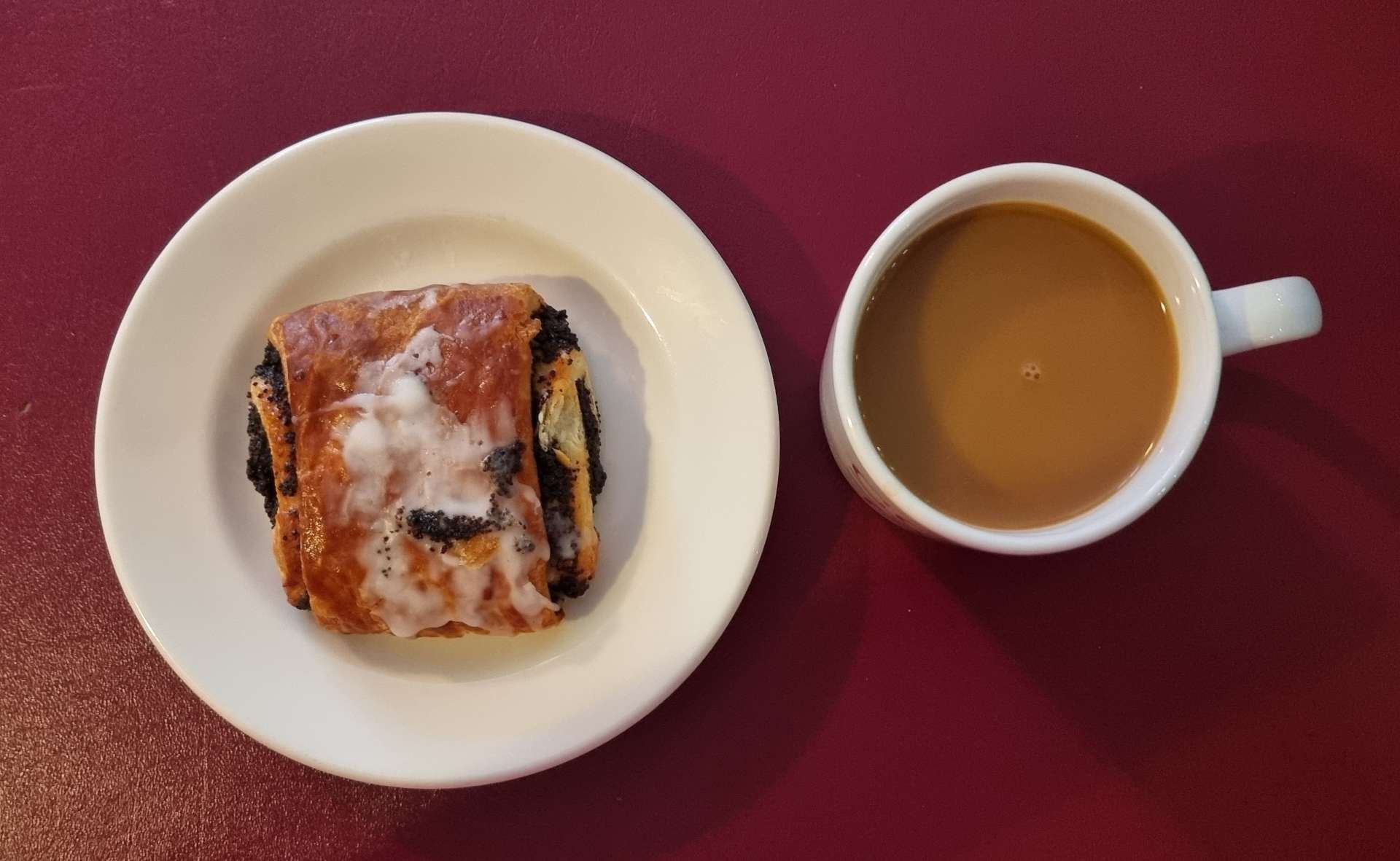
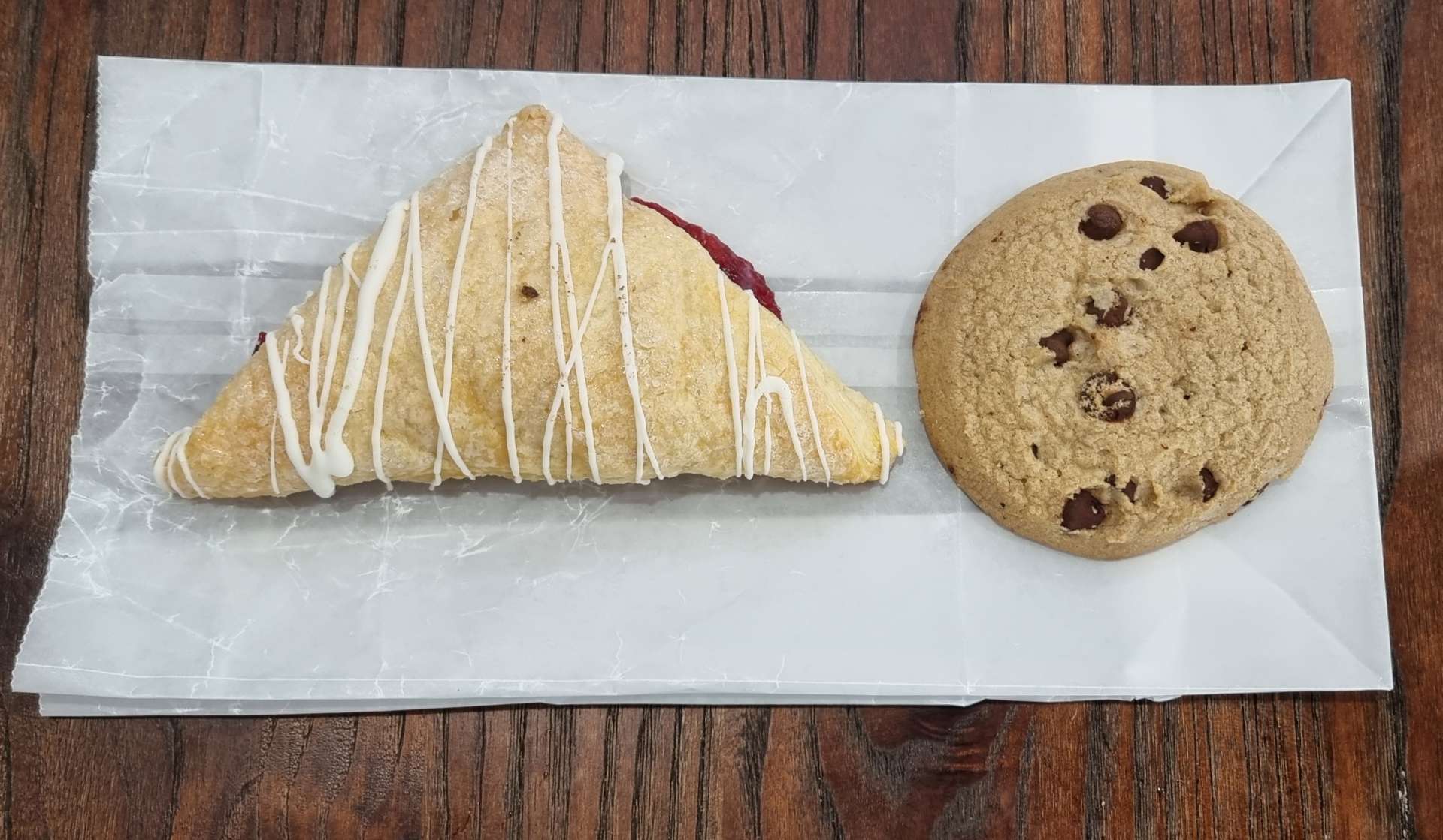
Otter East in East Middlebury was a great little coffee shop – I asked the assistant for advice on what one pastry I should try & quick as a flash she said her favourite was the lemon & poppy otter’s claw. I was sold & picked up a ginger cookie to go with my coffee – we had a big climb lined up after our stop & I didn’t want to be short of energy!! The pastry & the cookie were delicious.

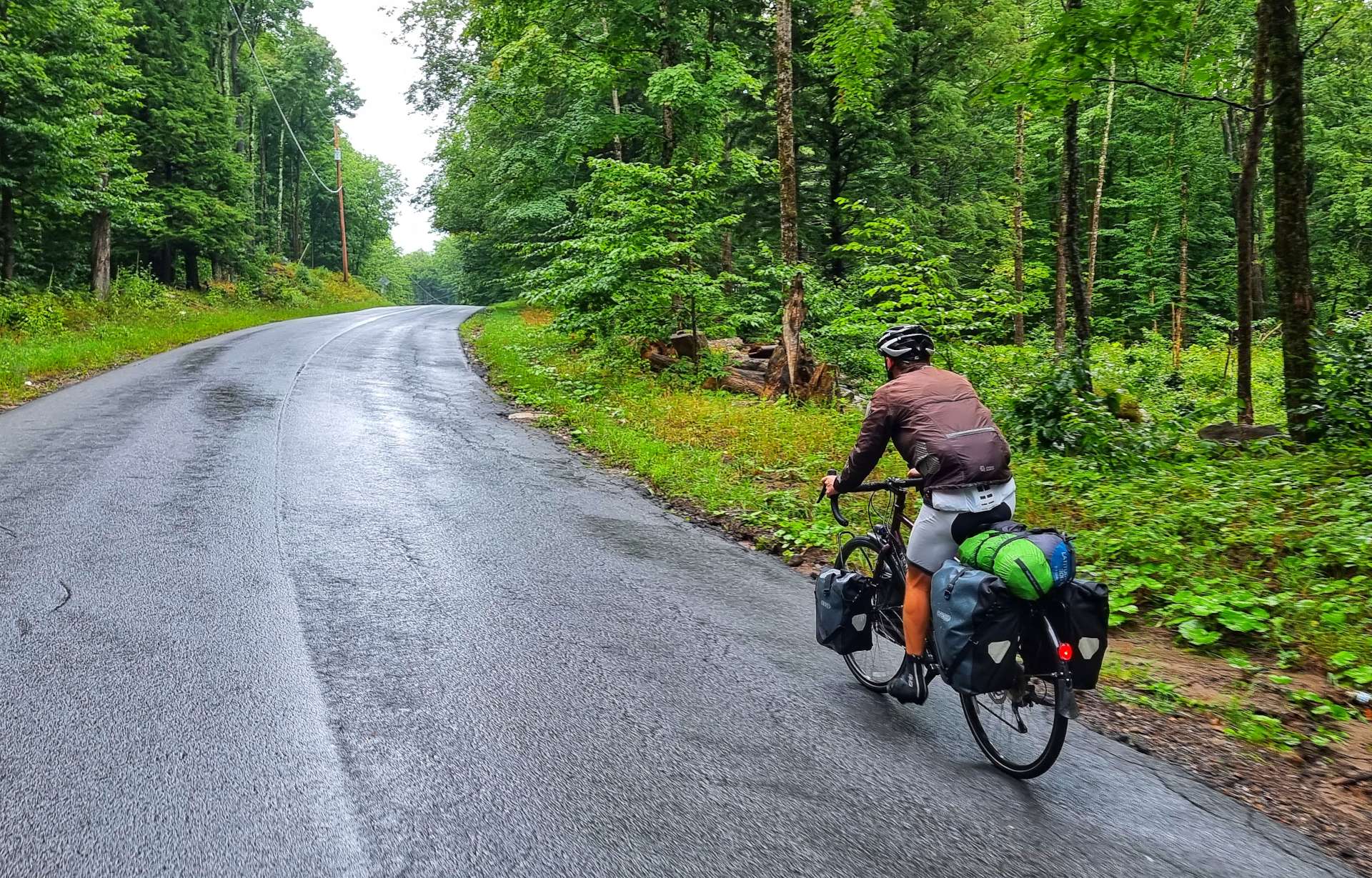
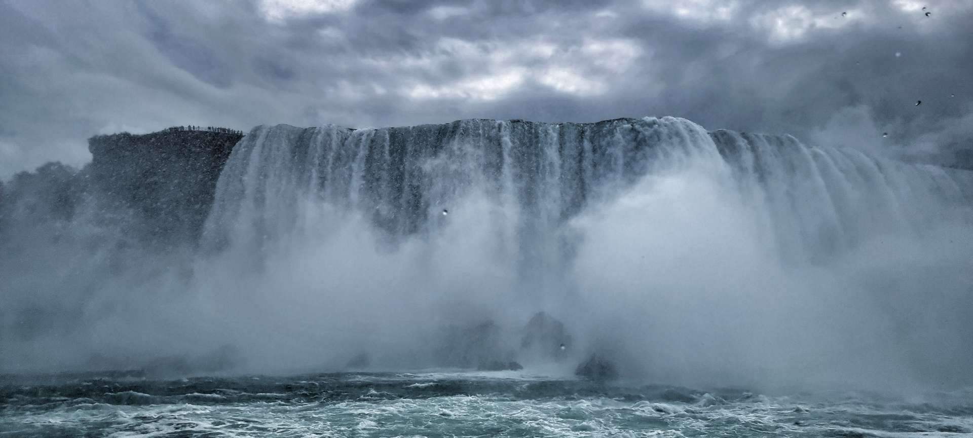
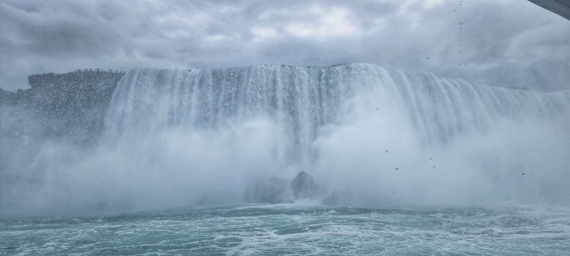
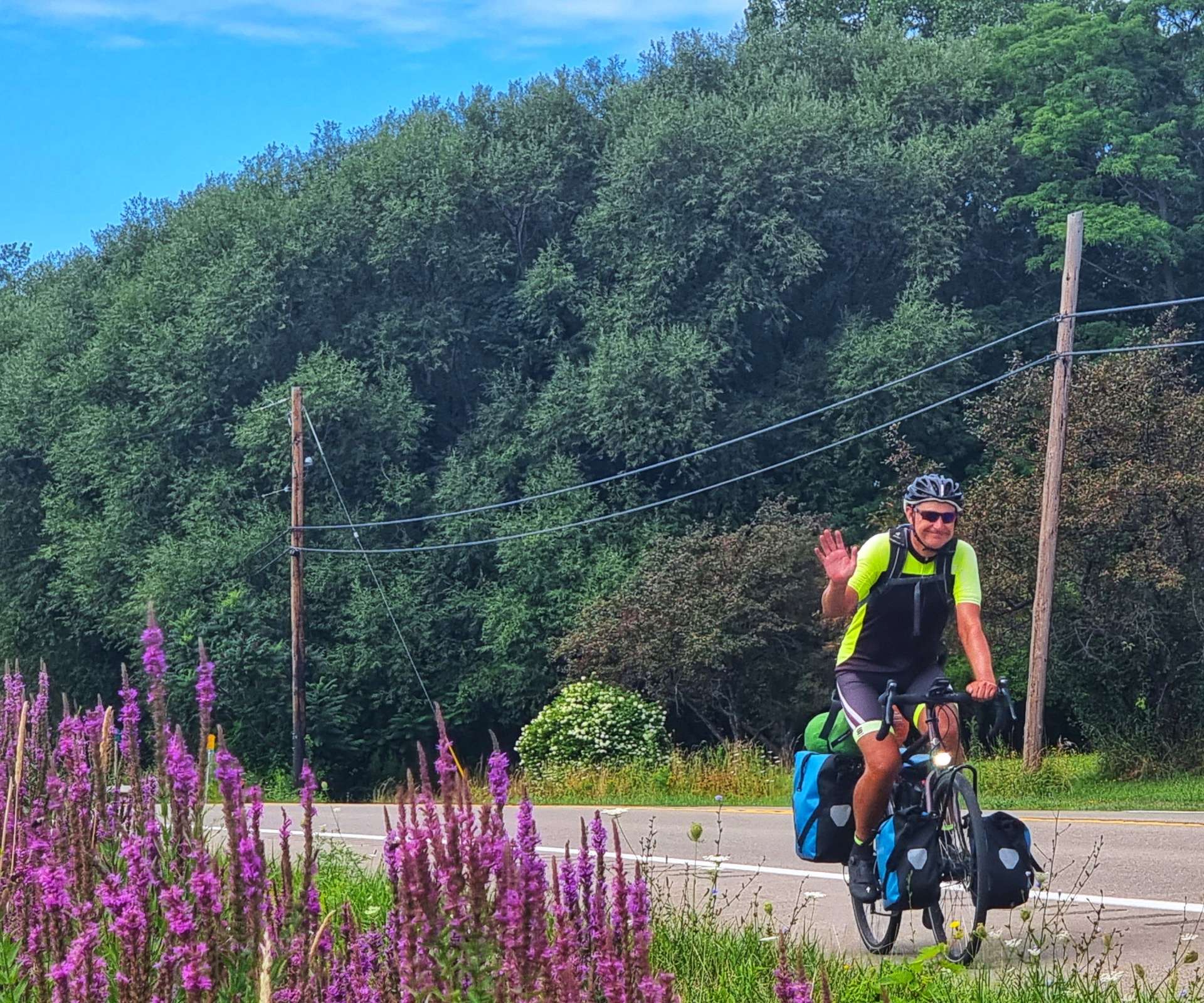
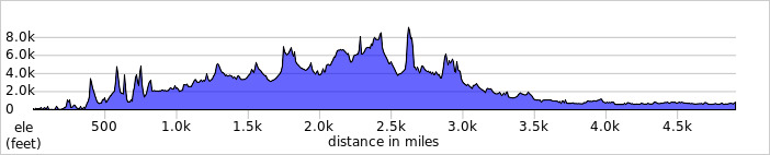
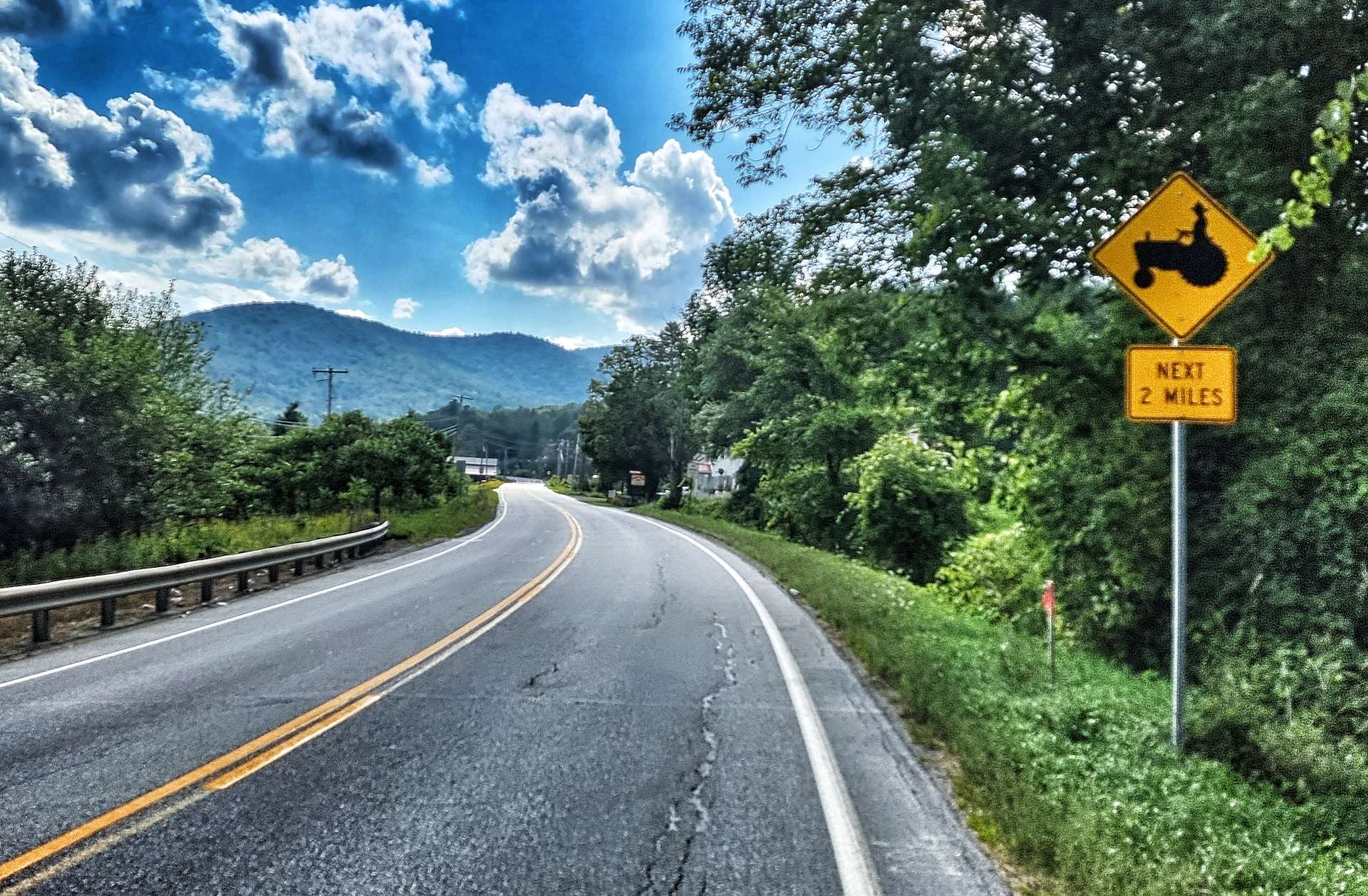
Our big climb today is Green Mountain & it measures 10 miles in length, climbs 1,600 feet & has ramps up to 13% – it qualifies as a mountain in anyone’s language! I was acutely aware that I may experience some pain up this little beast, as Sean had declared this morning he planned to give it full beans & he’s also ditched his tent before today’s ride (which weighed about 4 or 5 pounds) now that we had motels booked until we reach Brunswick.

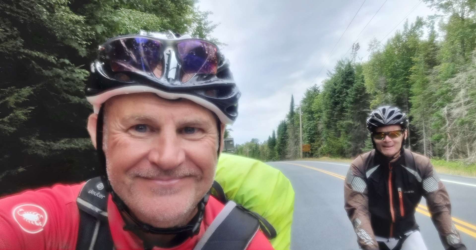
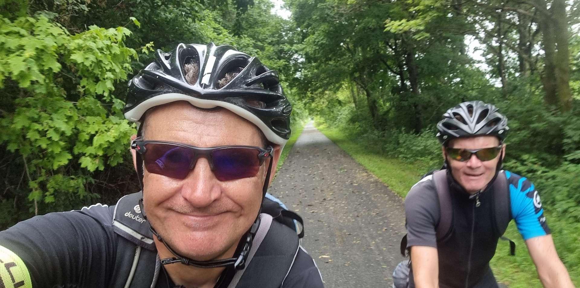
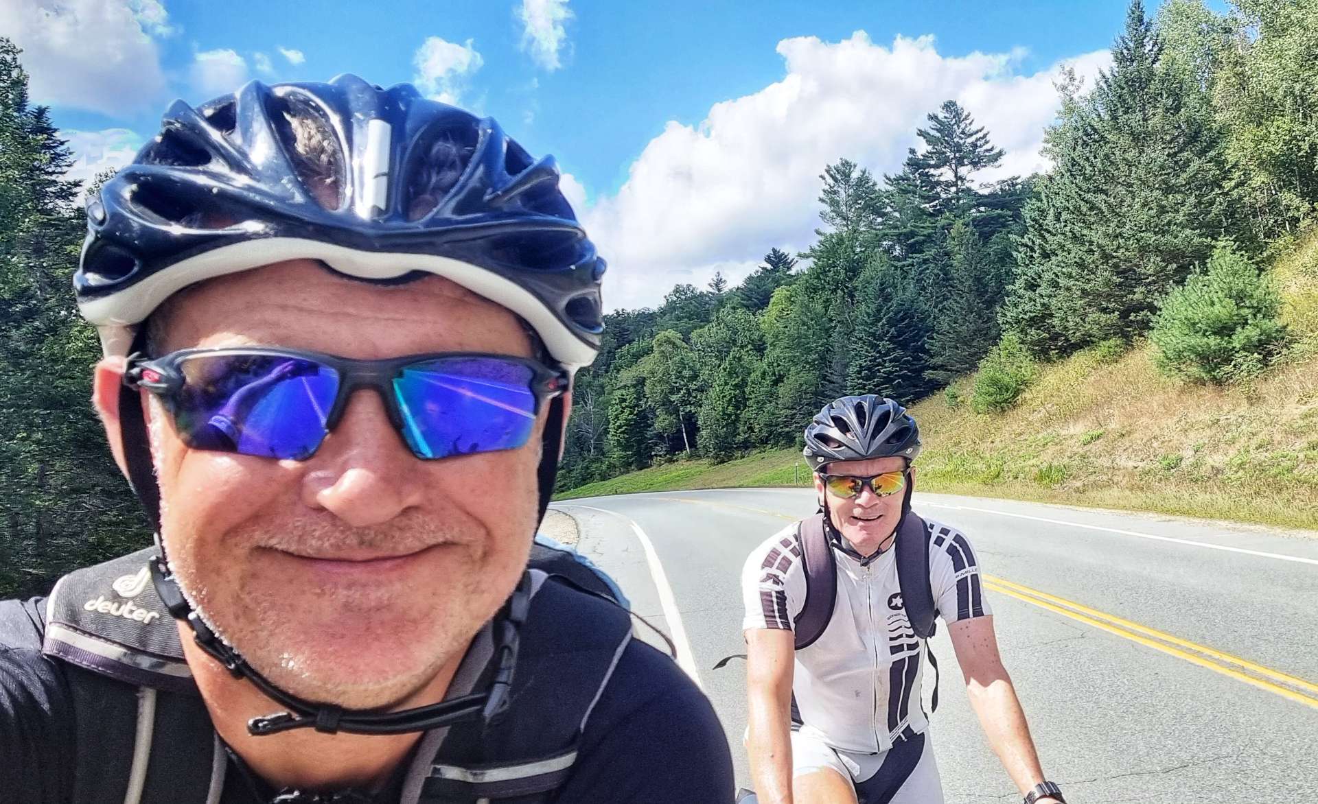
Since I lost 20 pounds or so, my riding has come on in leaps & bounds & I can now climb reasonably well – the thing is, Sean has always been a better climber than me, by a significant margin. I wanted to test myself, so decided I was also going to give it a full gas effort & deal with the consequences later! I made sure to take photos on the climb – this is an cycling adventure, not a race!

The two long, steep ramps were at the start & end of the climb. At the start, the road was being prepared for new tarmac, so we had to ride on a rough surface too. We both gave it all we had & finished together at the top in just under an hour, so I now know my climbing really has improved!

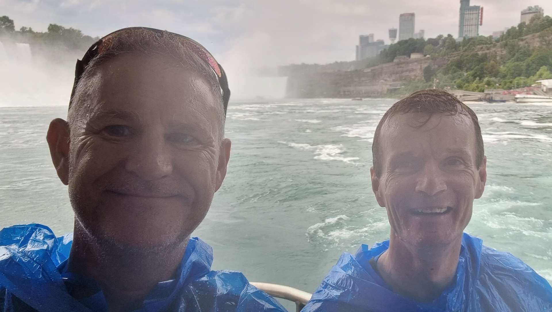
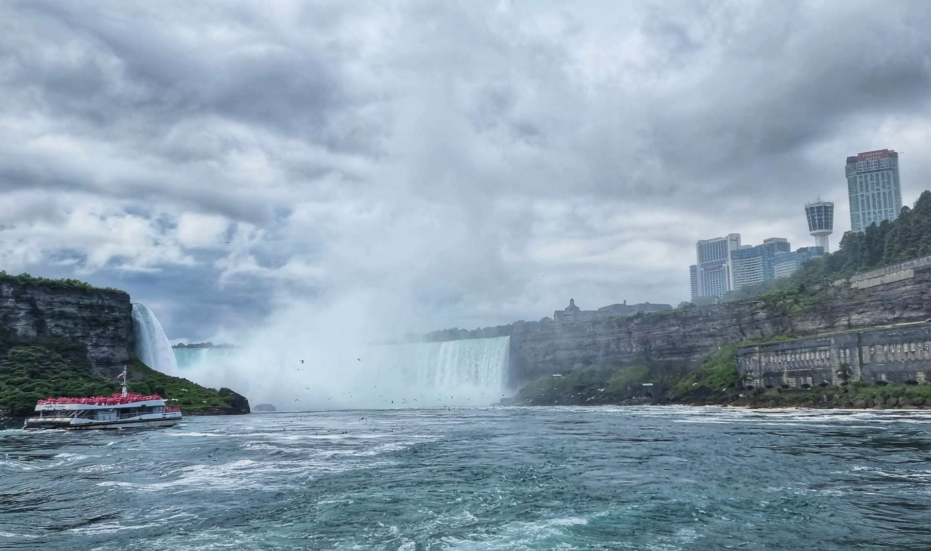
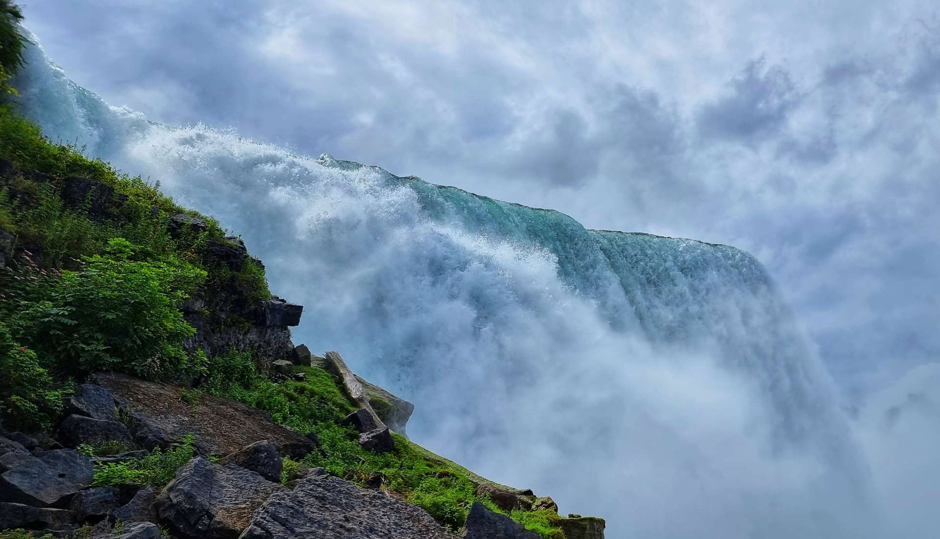
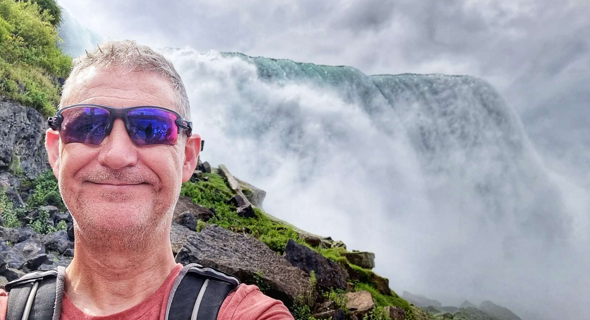
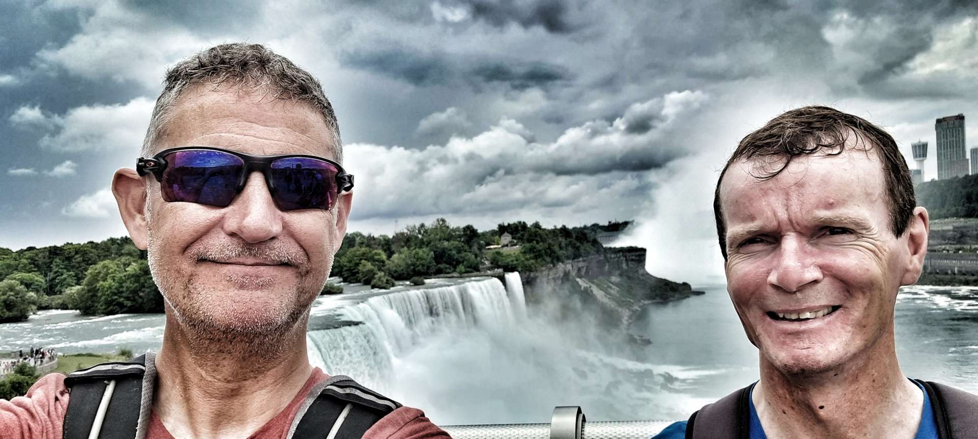
We stopped briefly at the summit to get our breath back & take a photo – although there wasn’t a proper summit sign, there was a Green Mountain sign of sorts. Now for my favourite part, the descent!

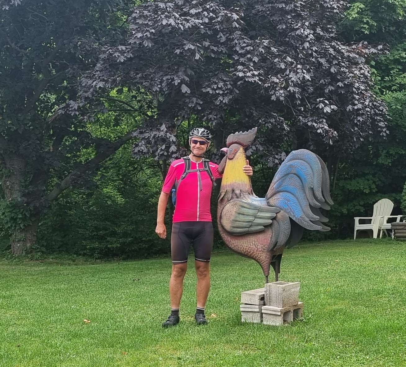
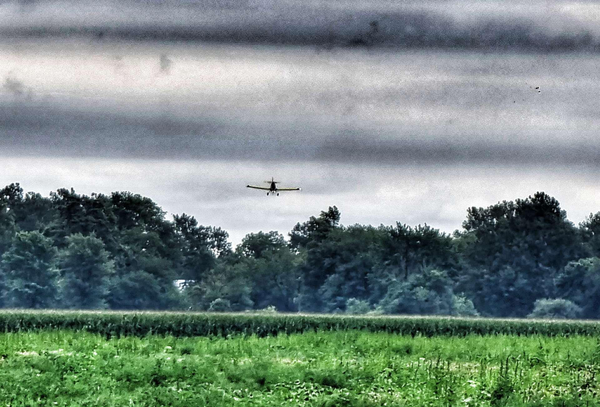
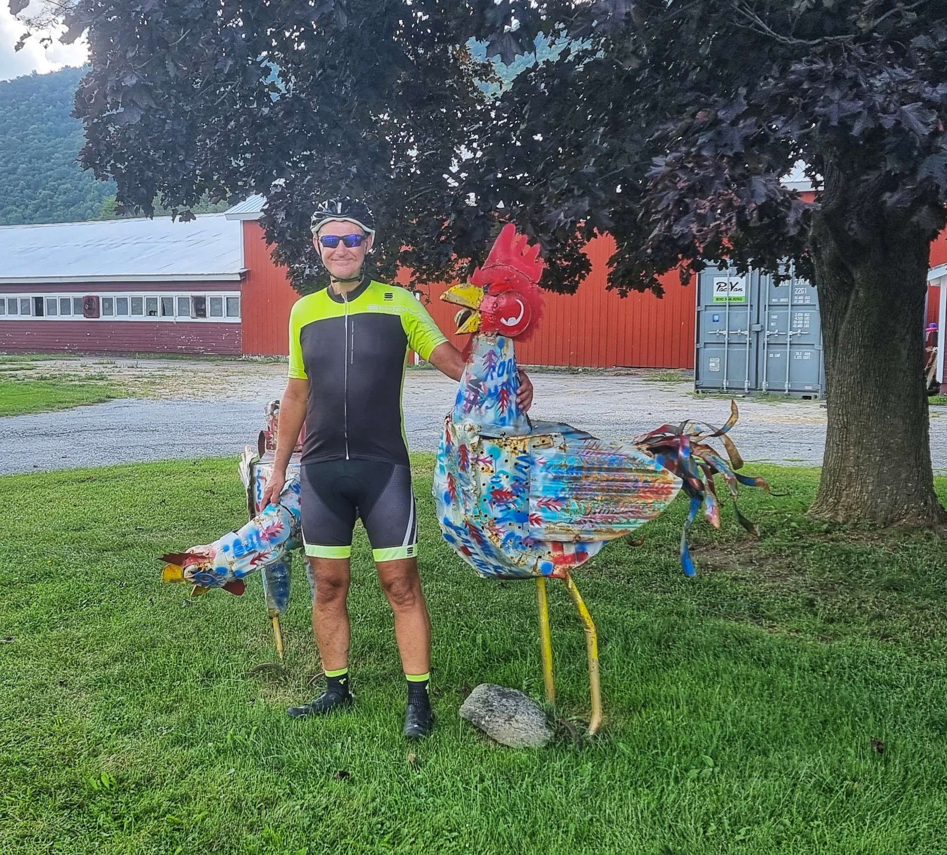
The first couple of miles of the descent were lightning quick & I hit 45mph at one point. A shout out to Chris Hancock, we passed through the town of your surname today – ironically it’s where I stopped for the man with big cockerel photo! Bob, fear not, a copy will be on its way to you as soon as I get back into phone coverage!!! 🙂

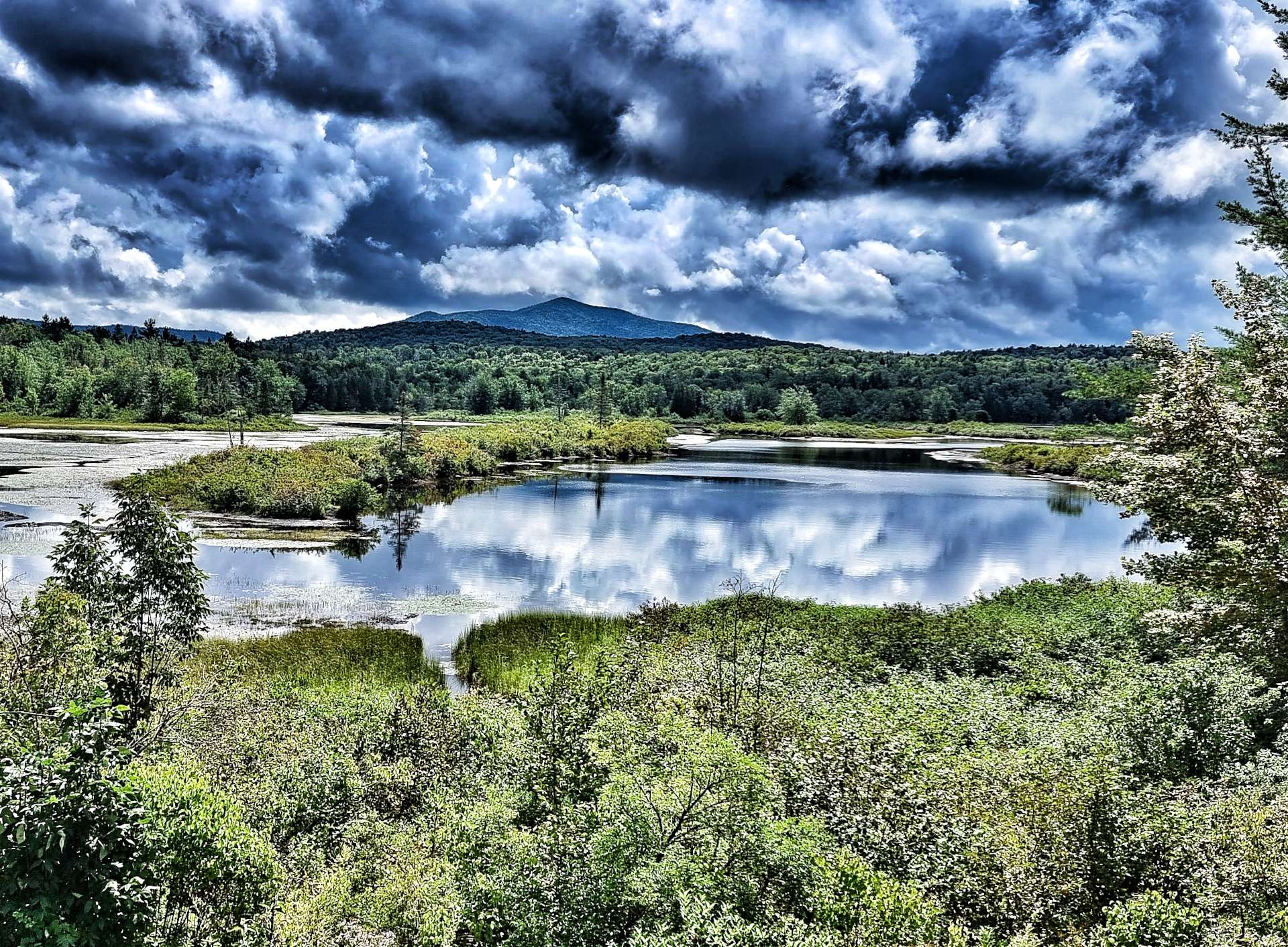
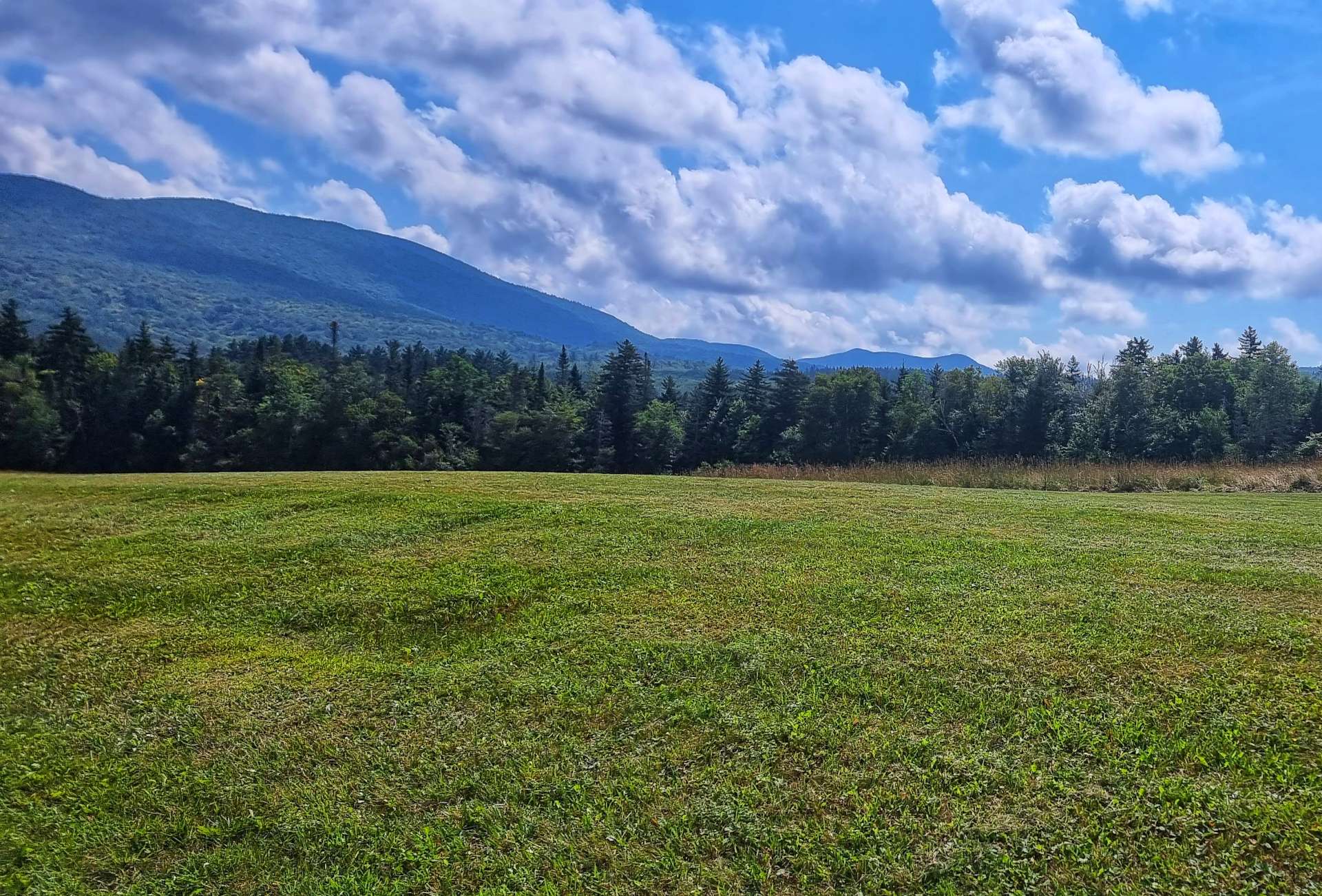
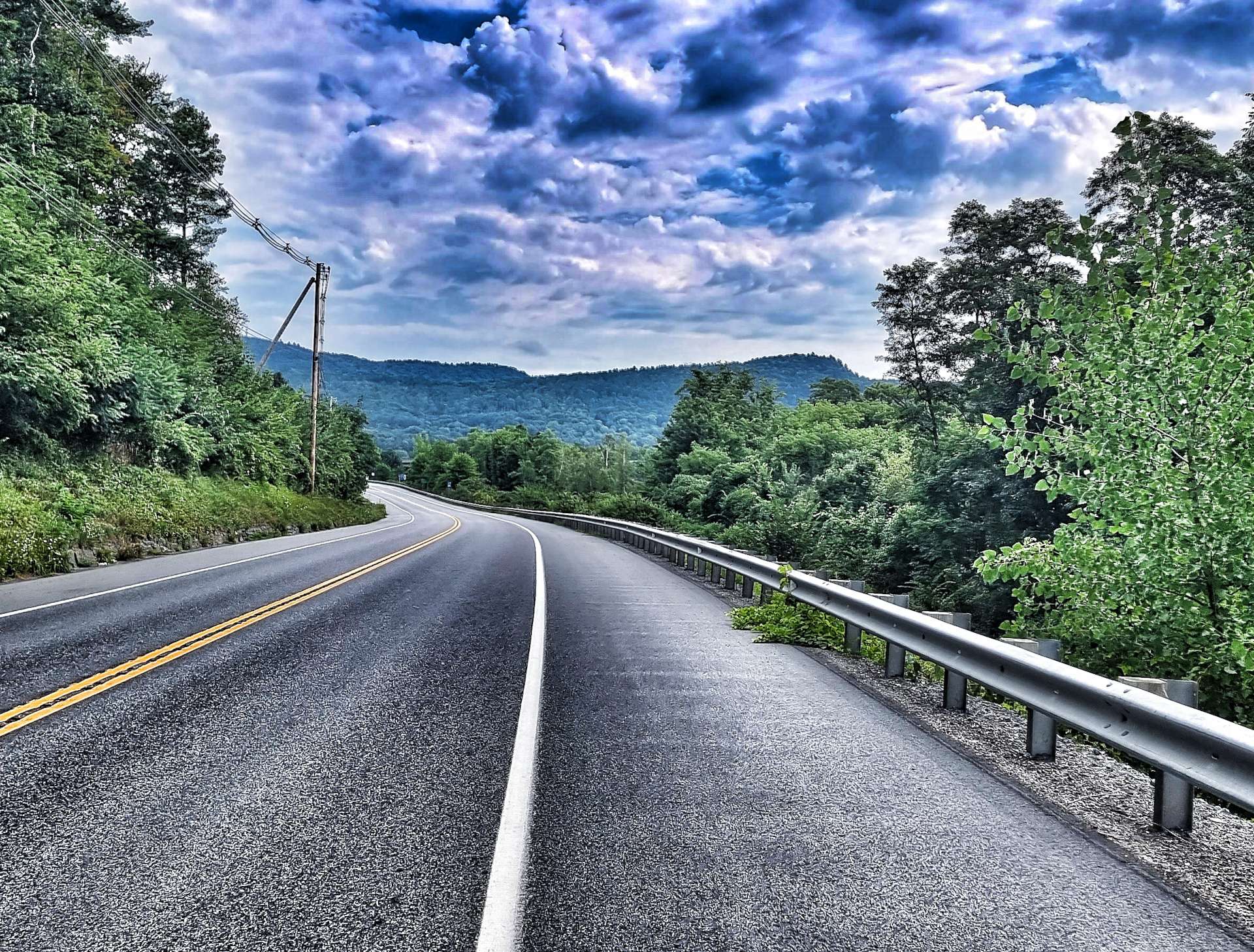
We have a number of mountains coming up in the last week – this is because we’re heading West to East & the glaciers that formed the valleys moved in a North to South direction. This is a repeat of what happened in Washington State, only the mountains here are at a lower altitude. I’ve come to like the mountains now I can climb them, as they provide some glorious backdrops.

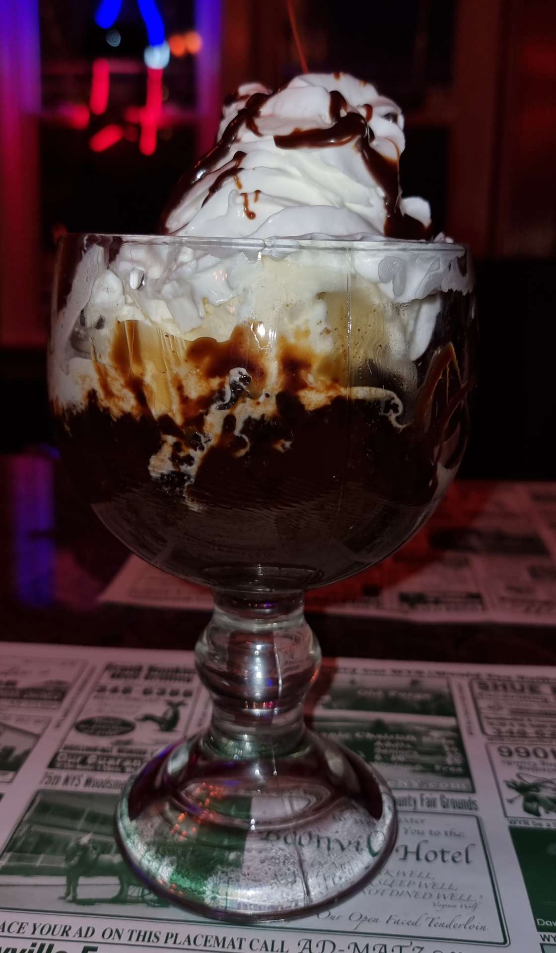
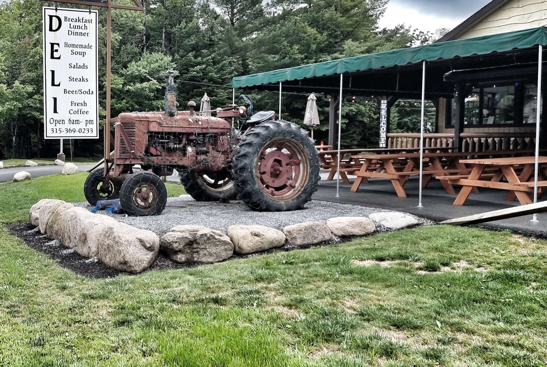
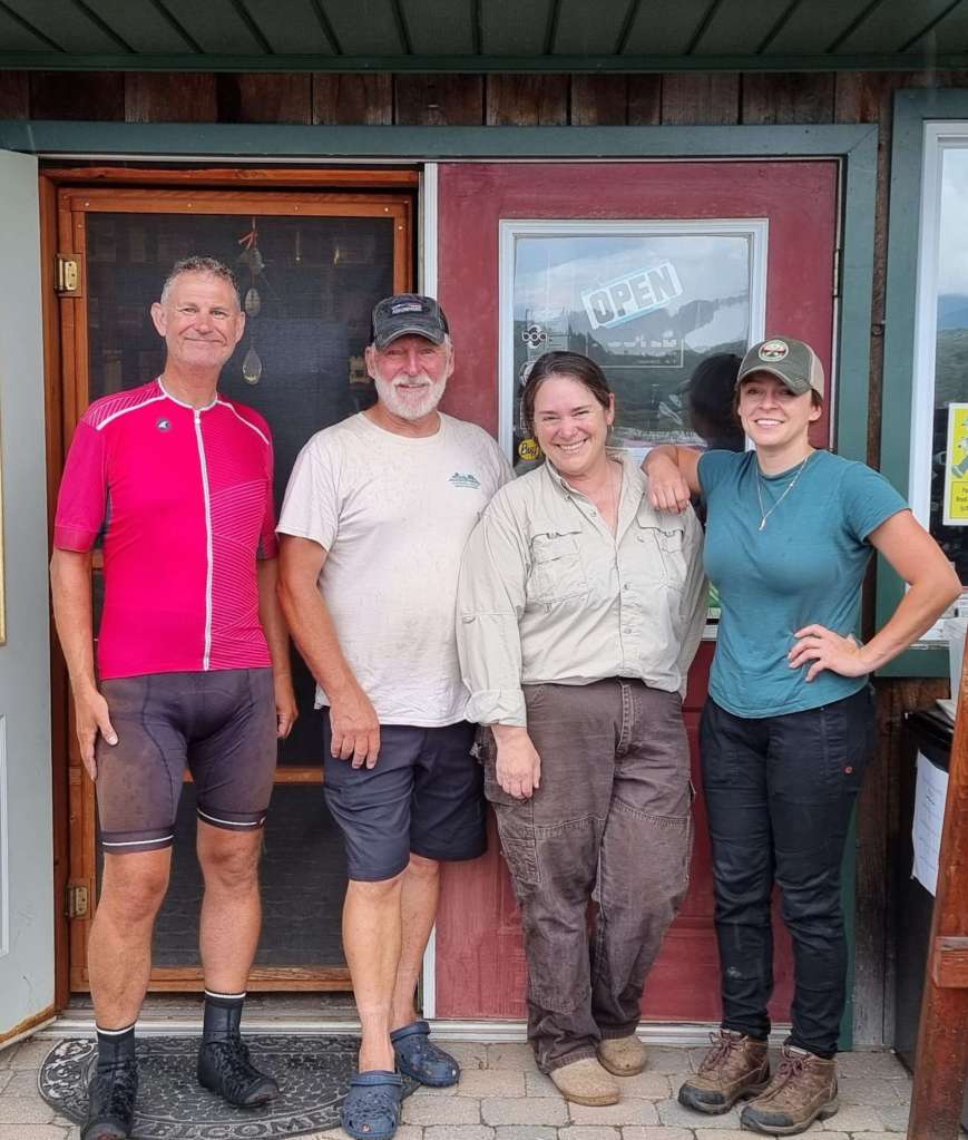
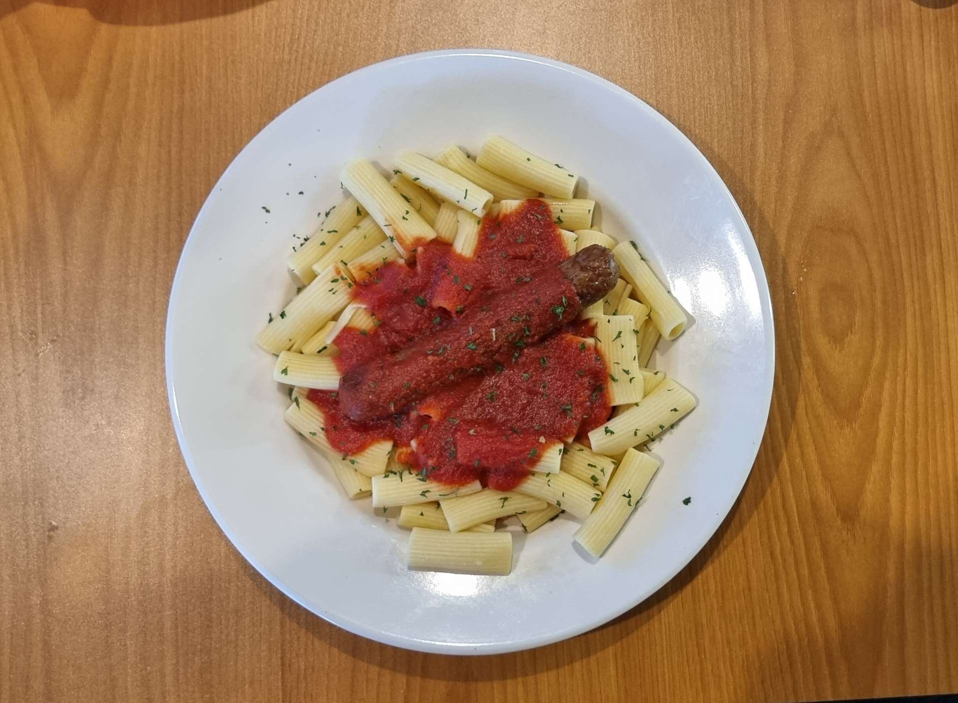
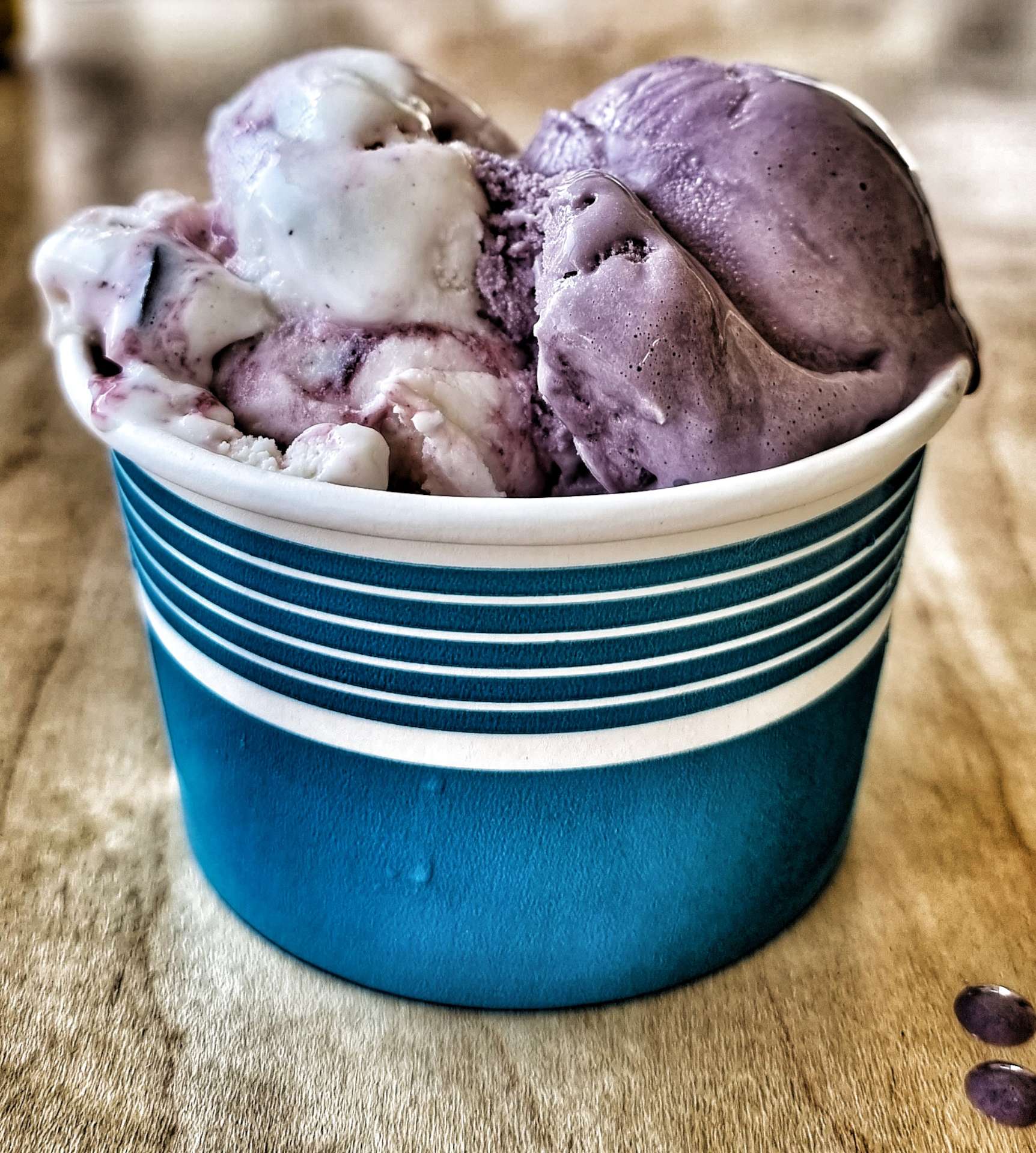
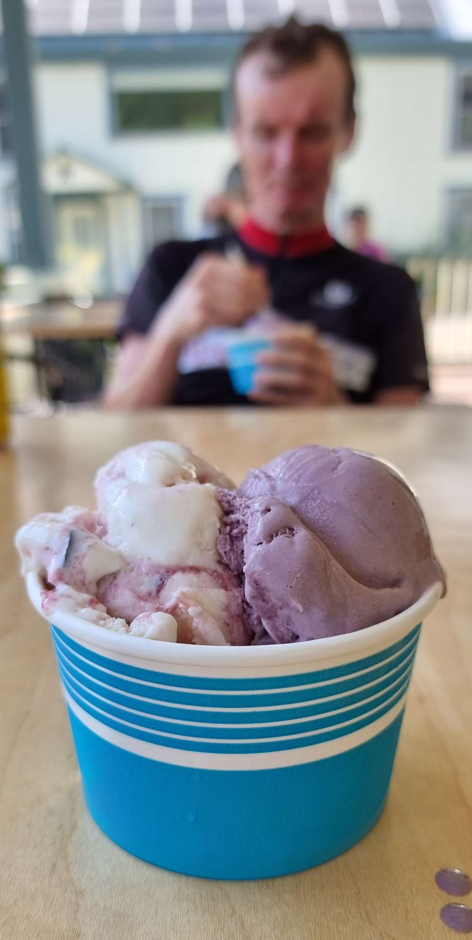
As we were riding through the 3rd Rochester of the adventure (others were in Indiana & New York, now New Hampshire) we stumbled across The Rochester Cafe & Country Store, so decided to stop & see what they had to offer. Delicious ice cream was the answer – I had a double scoop of Maine Black Bear (cherry & chocolate in vanilla) & Black Raspberry!!

We ended up chatting to a lady who was a retired nurse & had worked at the Bristol Royal Infirmary during a 2 year spell of living in the UK. She’s hoping to meet up with some of the people she used to work with on a trip to South Africa – I’m keeping fingers crossed that she & all her friends are able to travel.

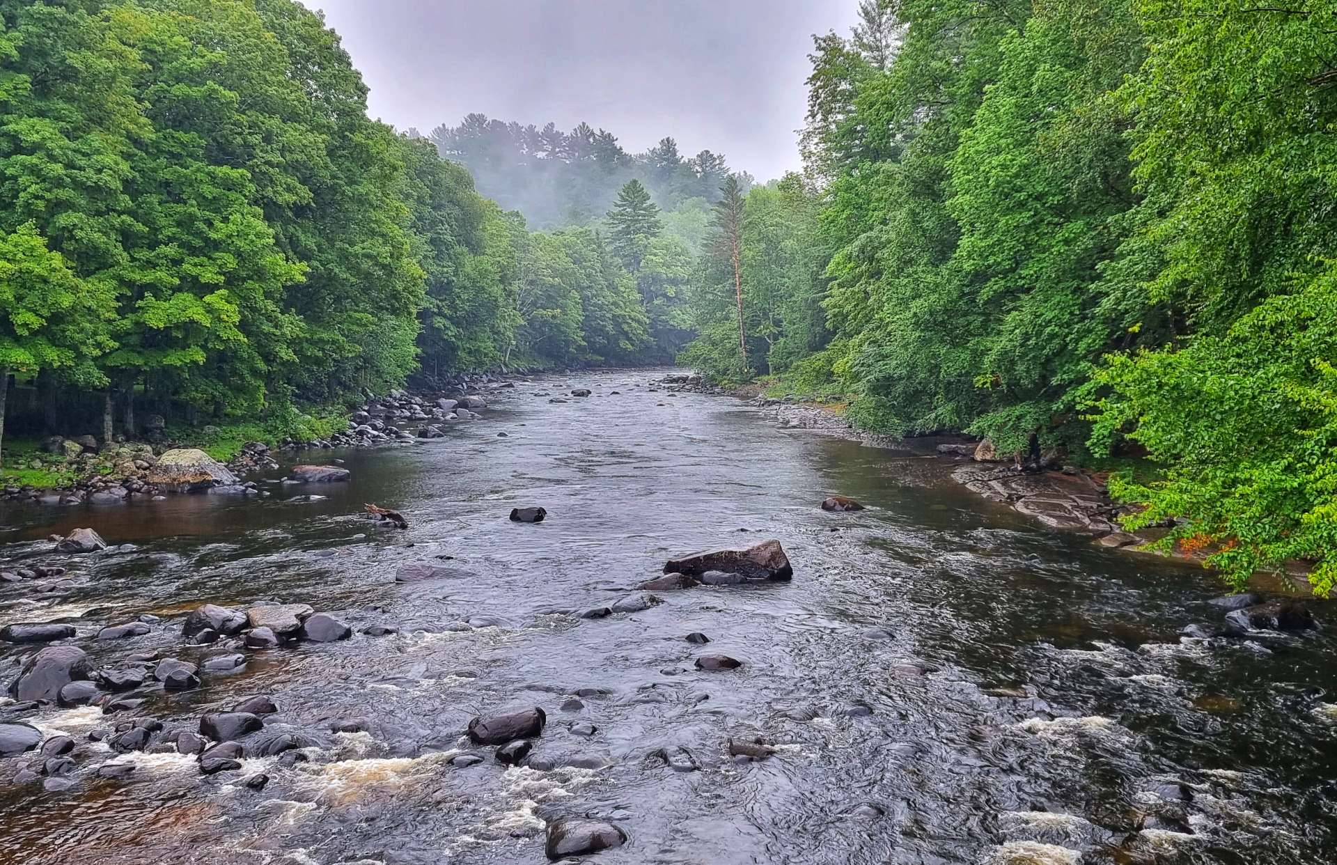
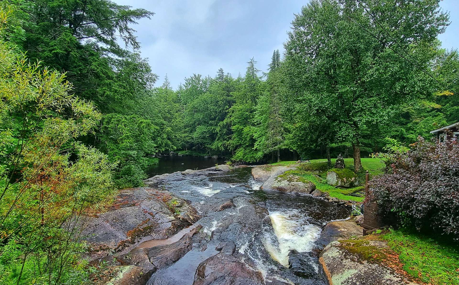
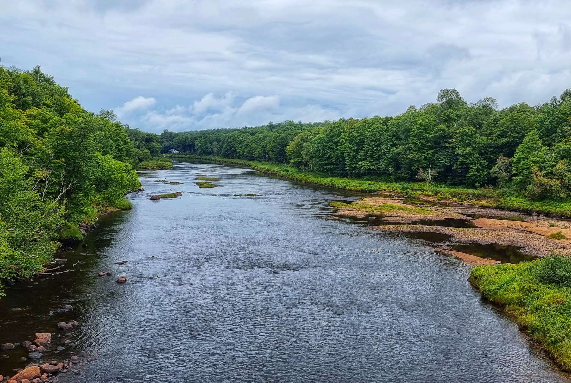
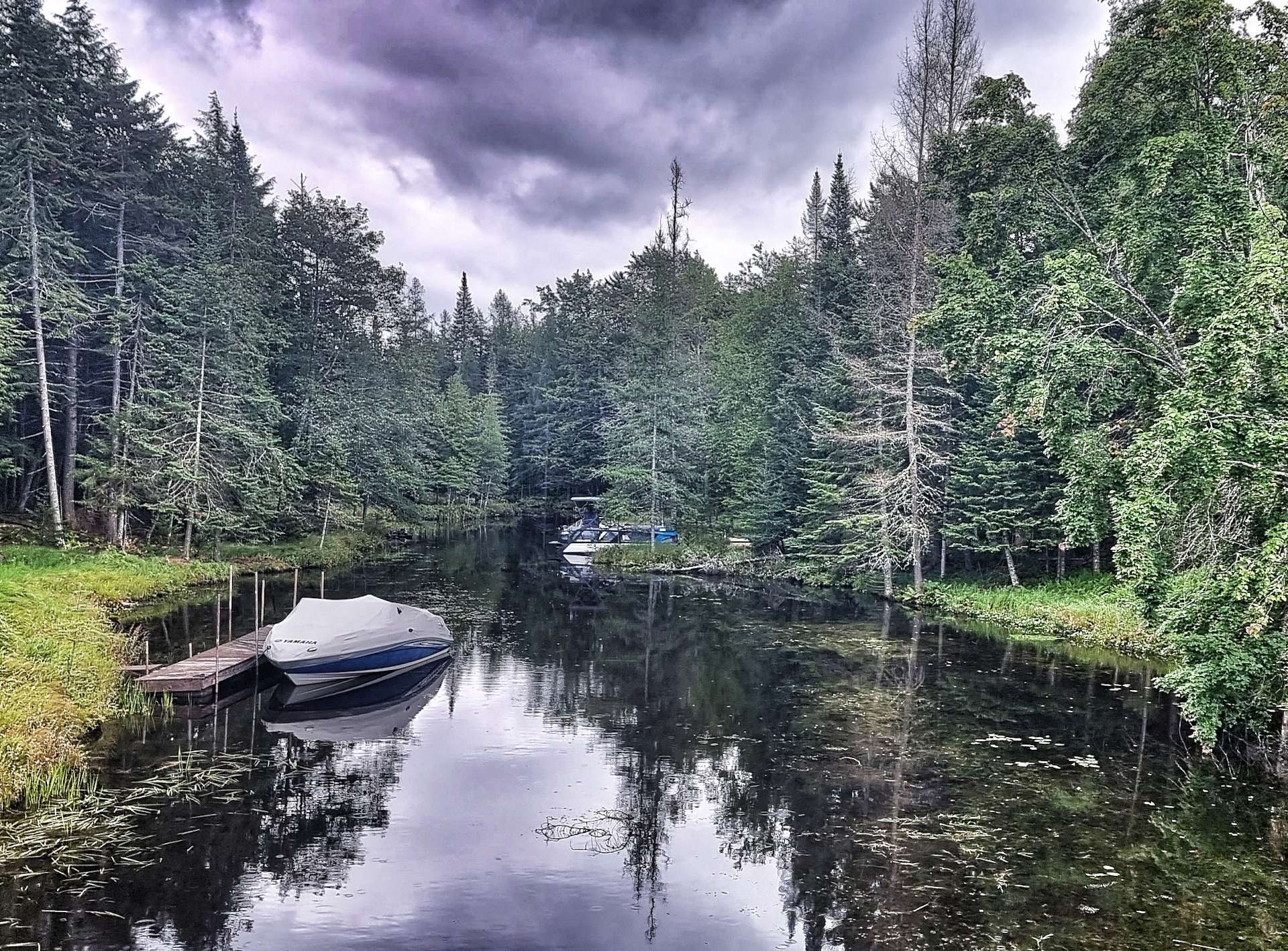
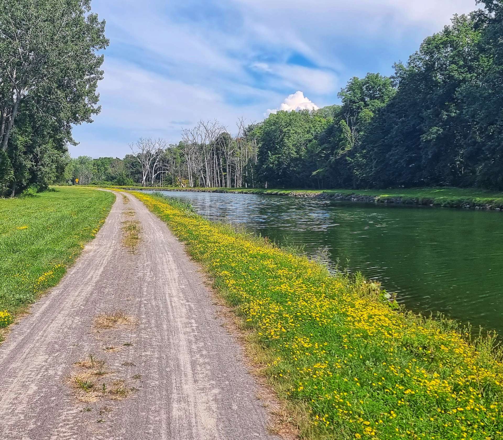
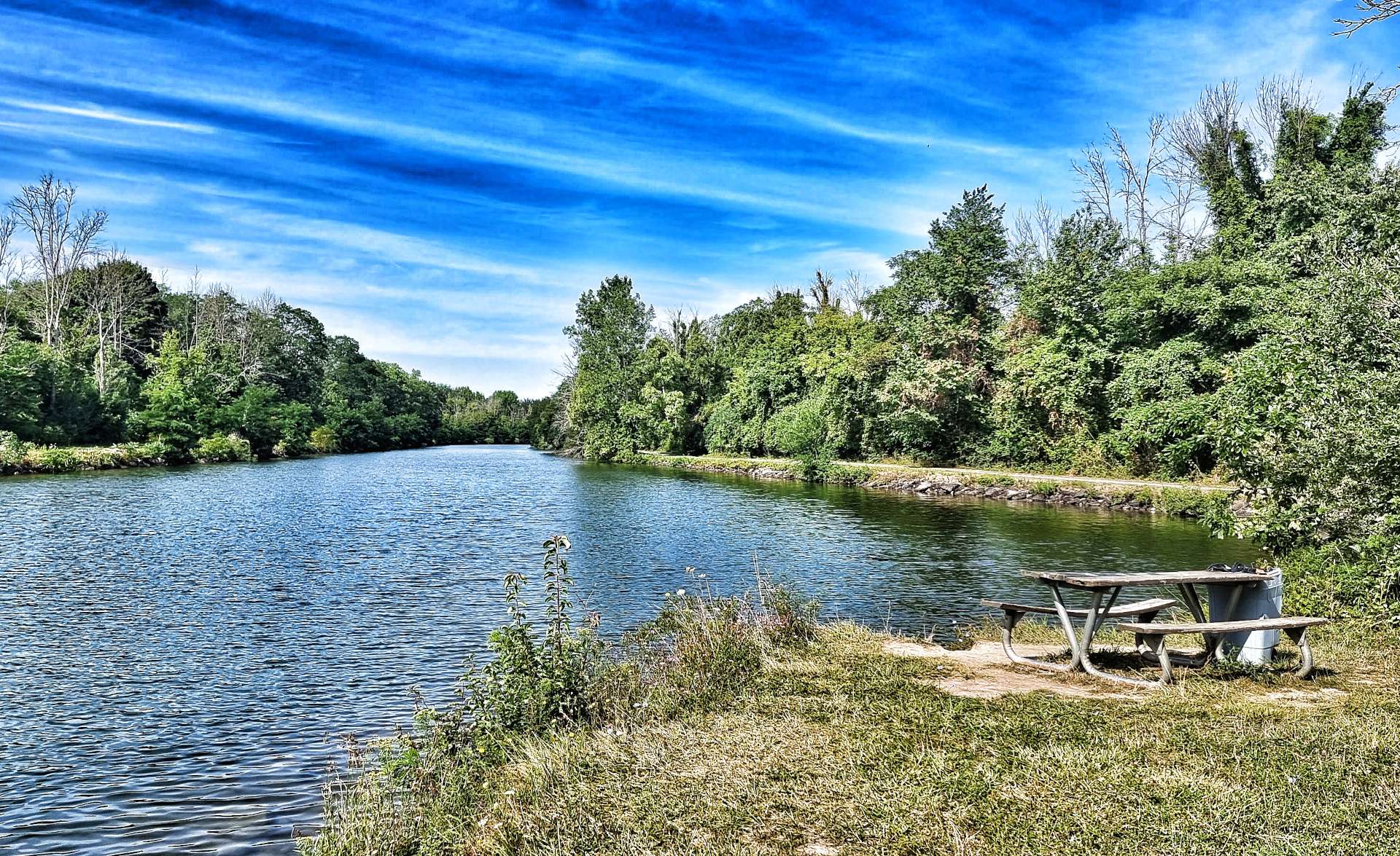
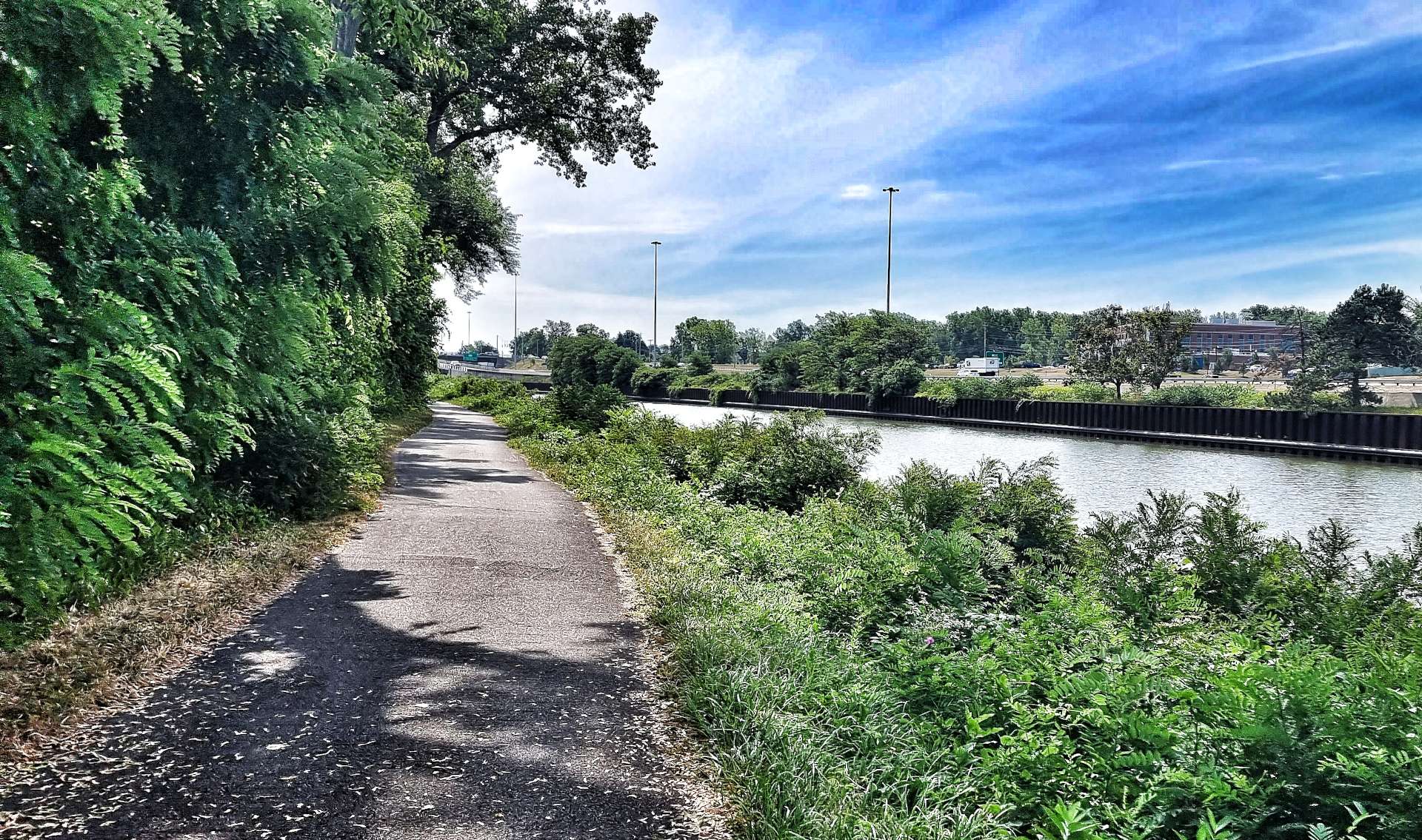
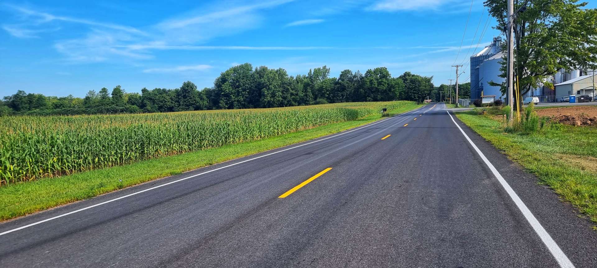
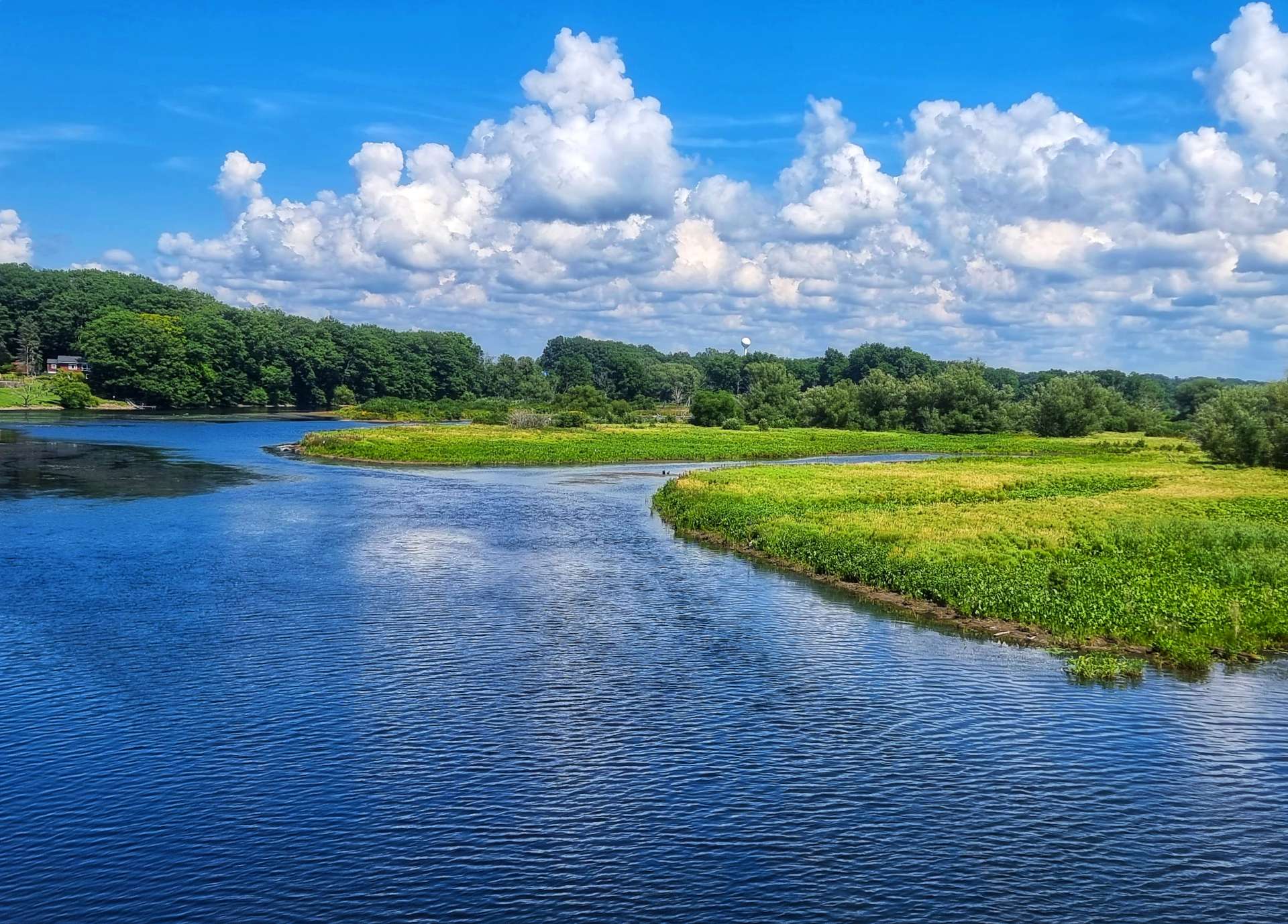
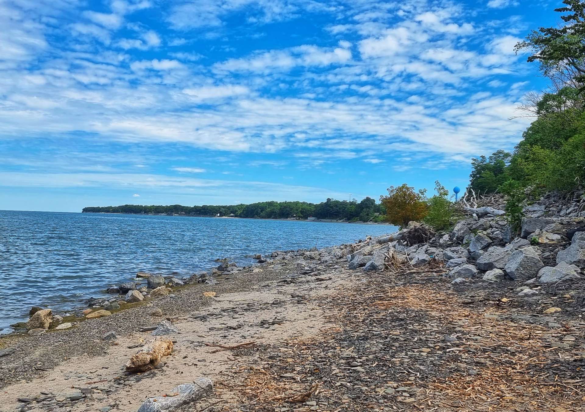
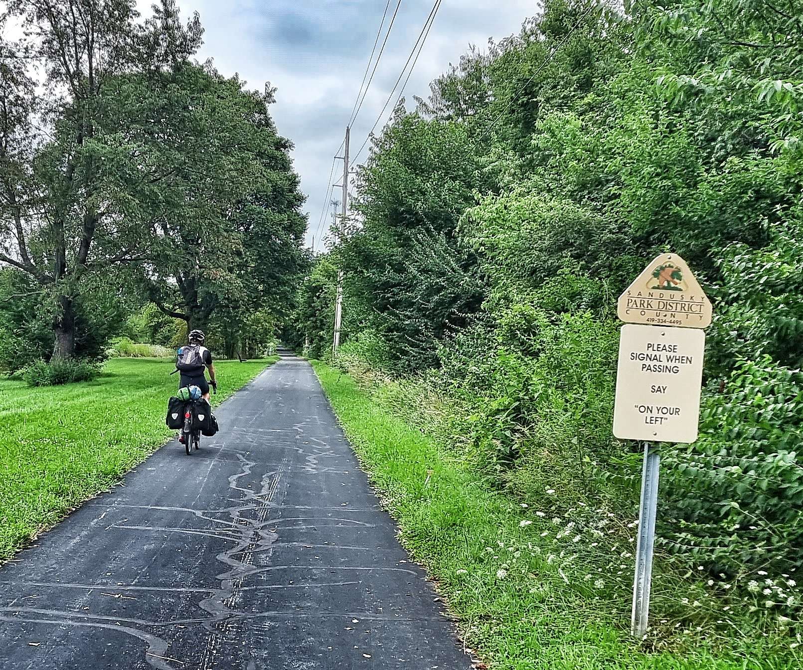
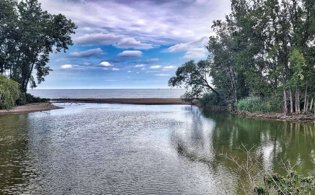
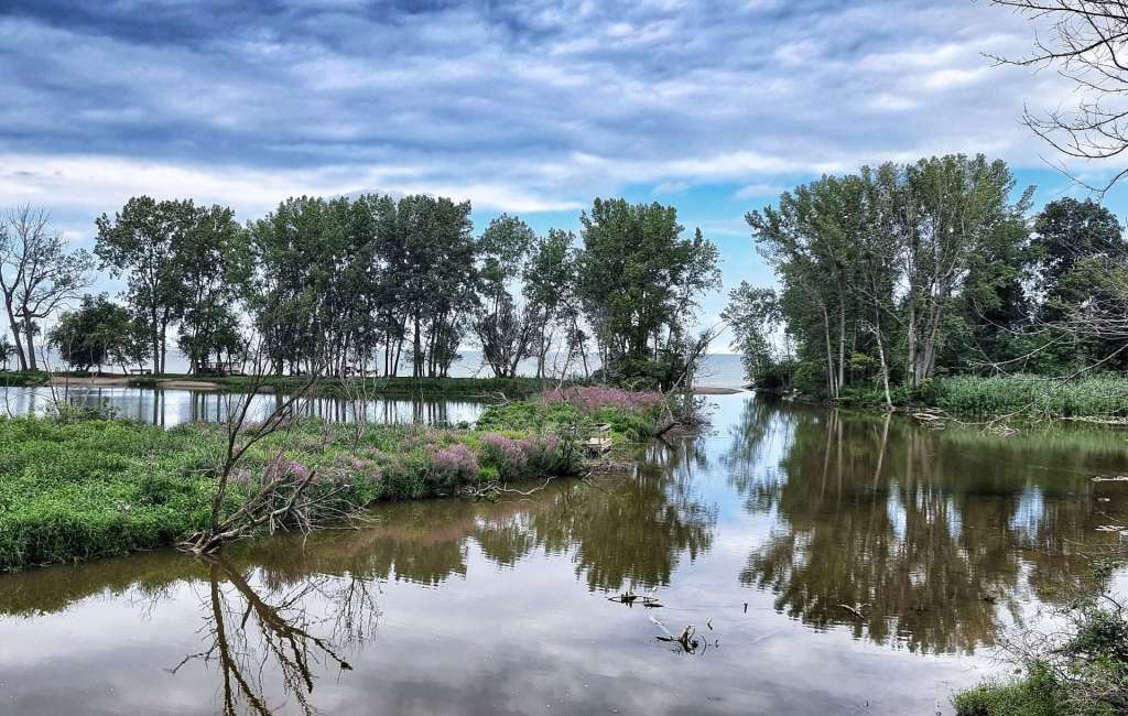
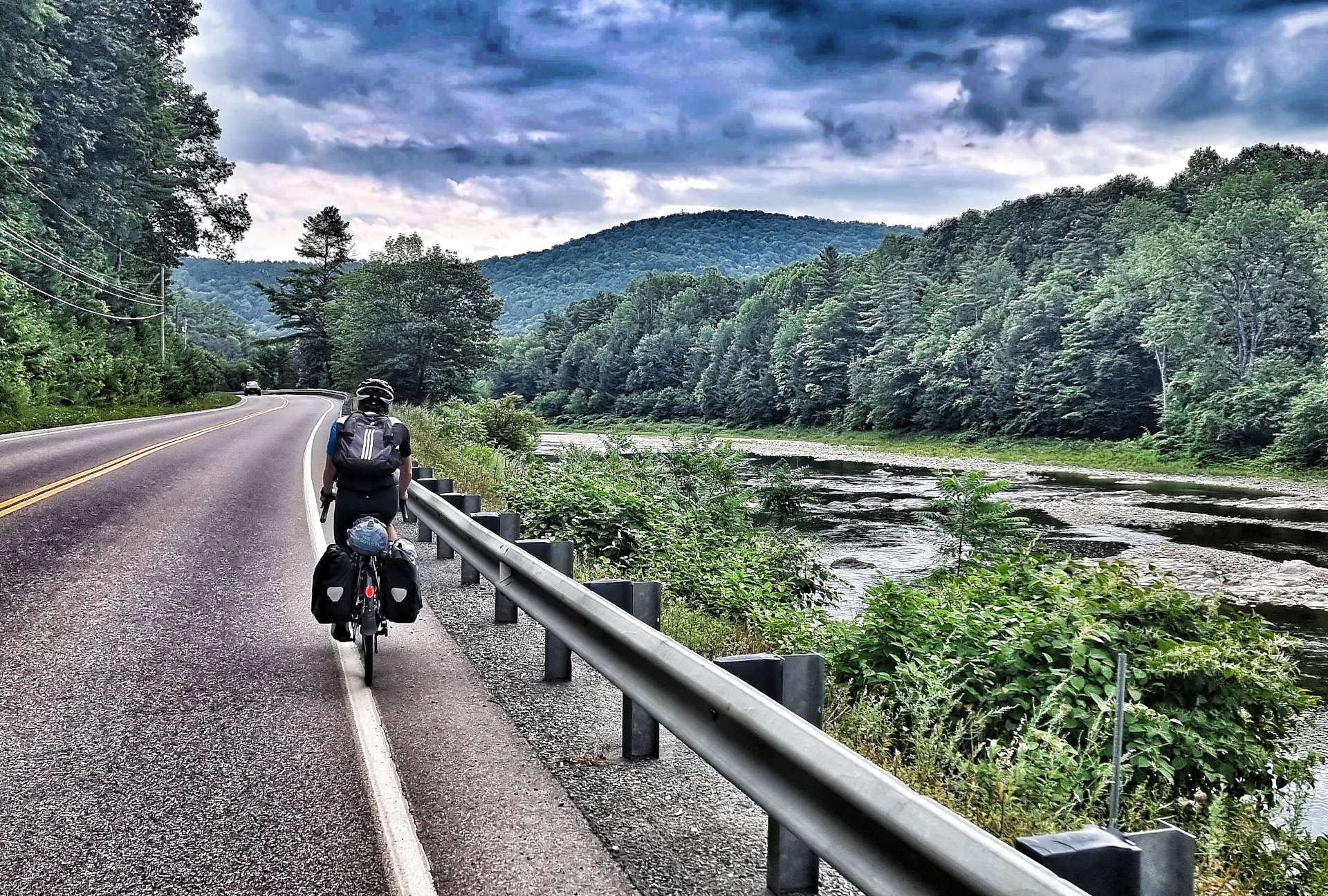
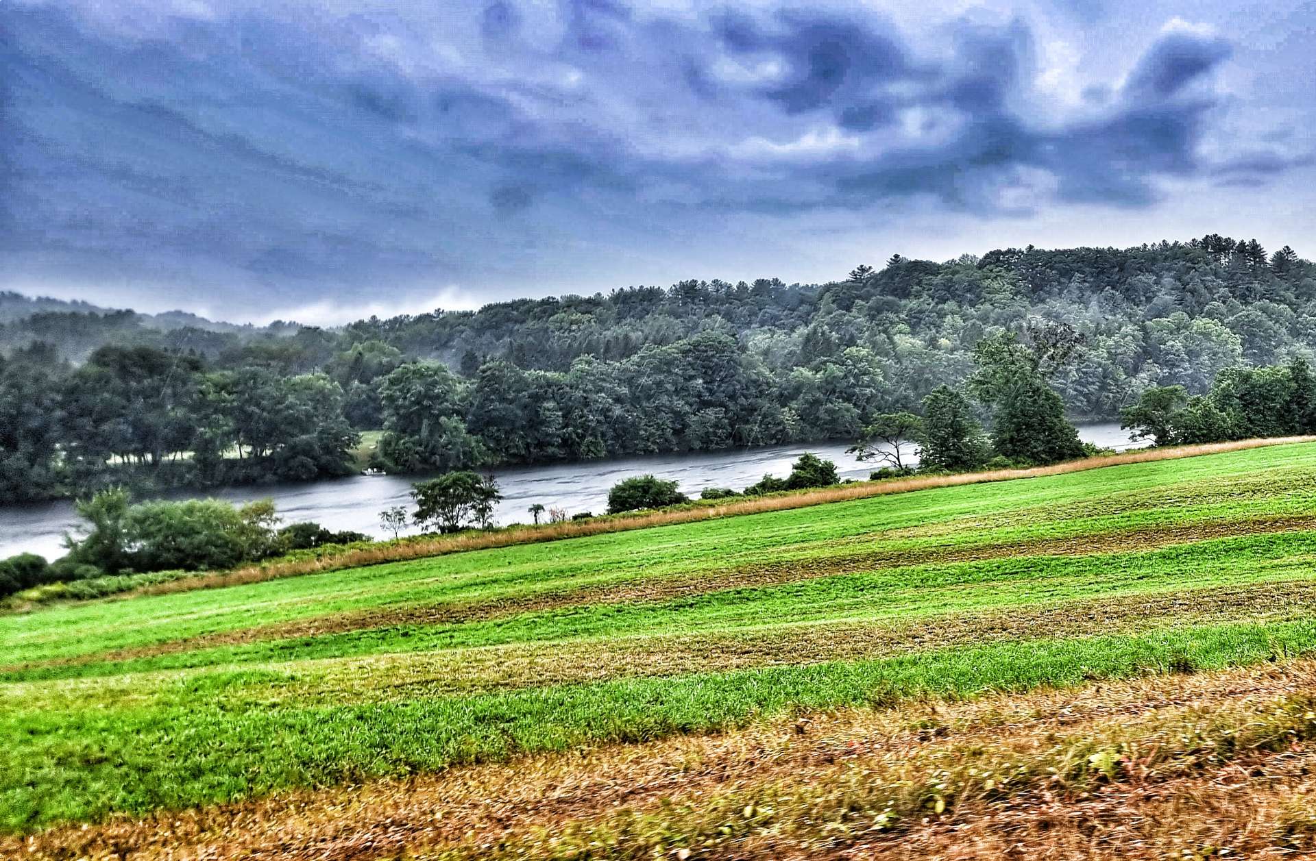
As we left town, we followed the White River downstream (we’re following it again tomorrow), which was great news as it meant the final 15 miles into Pittsfield were gravity assisted! It only took us about an hour to reach our hotel for the night.

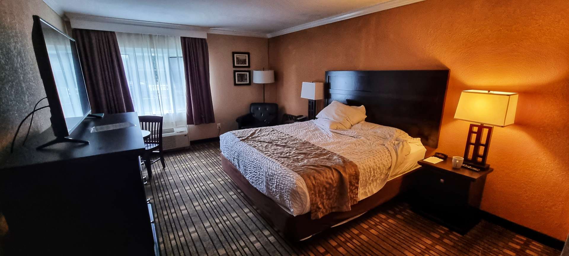
We’d landed on our feet once again, as the Clear River Inn & Tavern was perfect – we had a room each, that was spacious & everything looked & behaved as if it was new – we had codes to get into the rooms, rather than keys. Breakfast would be provided in the morning & there was a great bar & restaurant on-site.

We toasted a glorious day in the saddle under blue skies & our good fortune with the hotel. There are now only 4 riding days of our adventure left, so I’m beginning to try & work out how I feel about the trip coming to an end, but in the meantime, I’m making the most of the time we have remaining.

Stage Stats – 58 miles, 4,573 feet of climbing. Cycling in the sun with an alpine climb thrown in for good measure.

Friday 26th August – Pittsfield to Fairlee (Stage 90).

We made the most of the Clear River Inn’s breakfast nook, helping ourselves to cereal, fruit & protein bars, as well as enjoying the coffee & juice on offer. A great start to what should be another big climbing day.

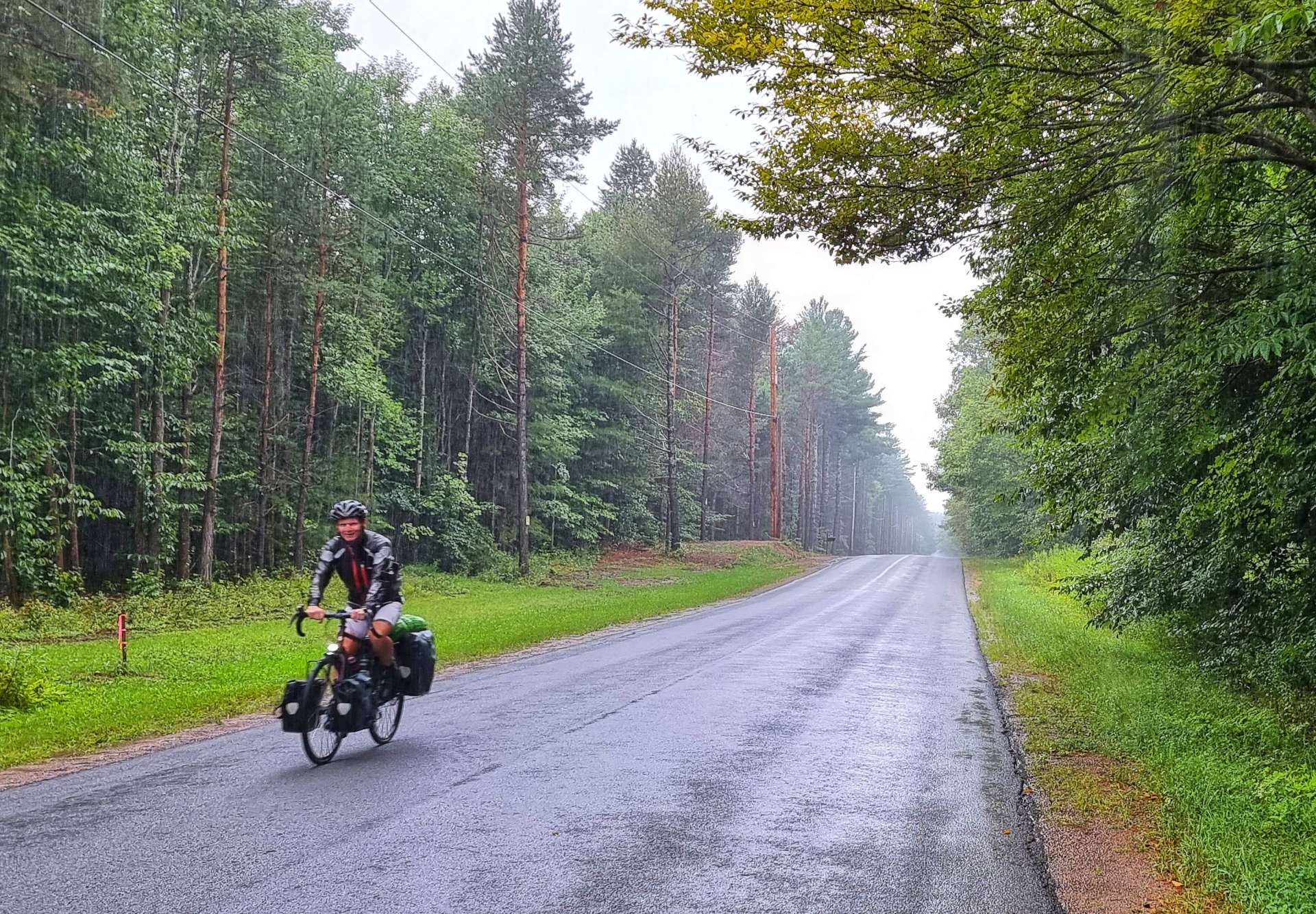
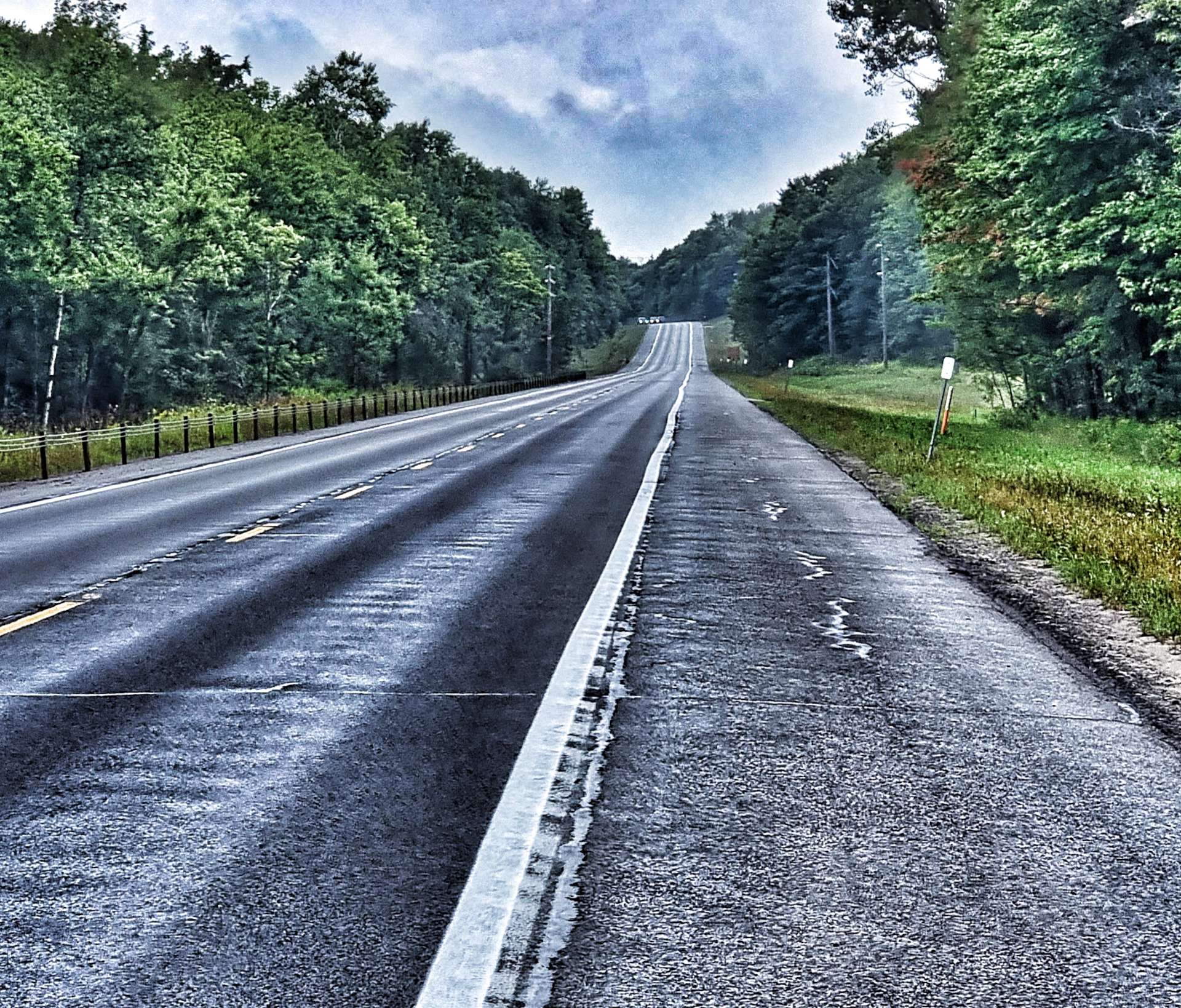
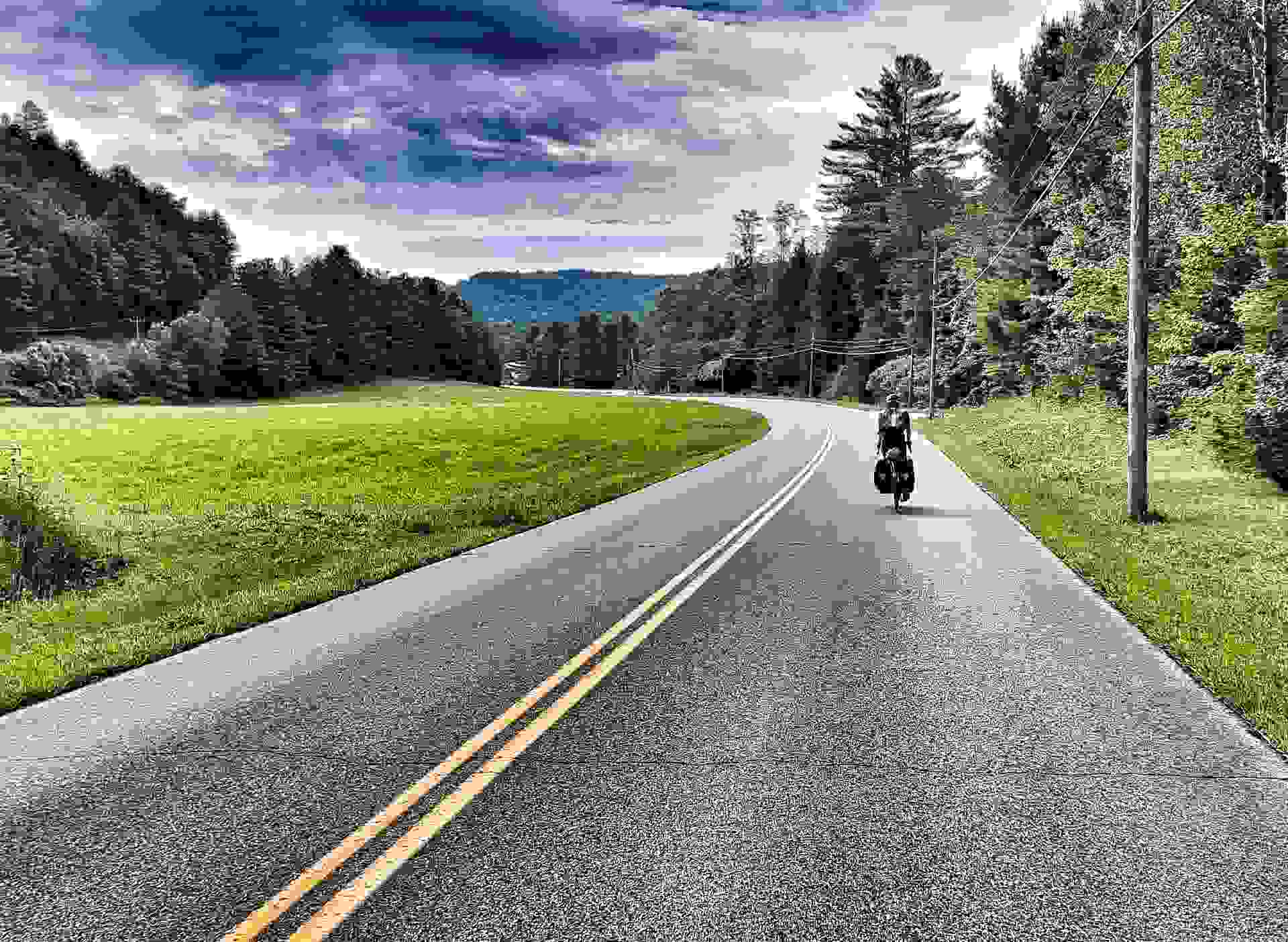
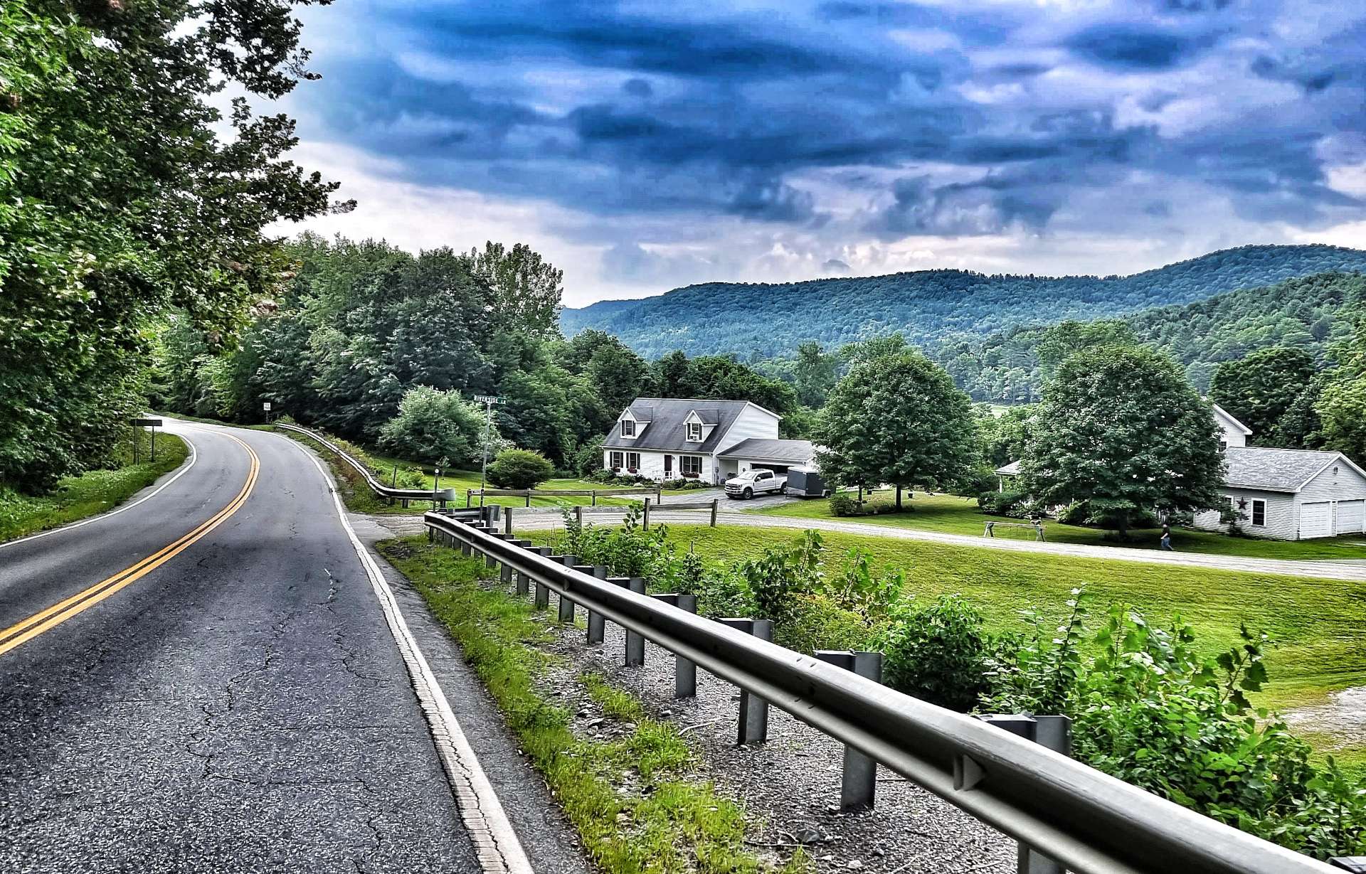
We were on our way by 9.30am (a slightly shorter ride today), under leaden grey skies – rain is forecast for late morning / early afternoon, so we’re expecting to get wet at some point today. We re-traced our tyre tracks the 5 miles back to Stockbridge, where we picked up the White River again & warmed up our legs on a couple of steep ramps that took us over some bluffs.

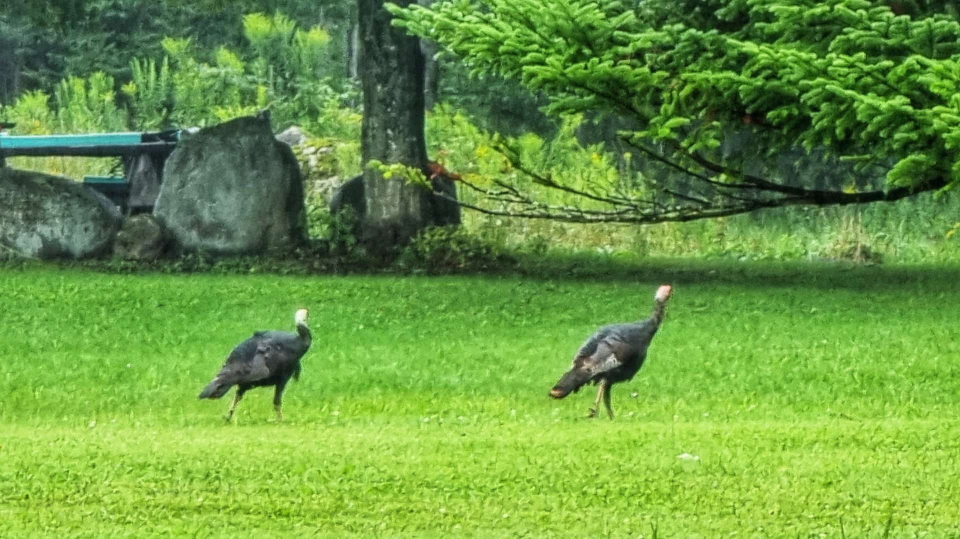
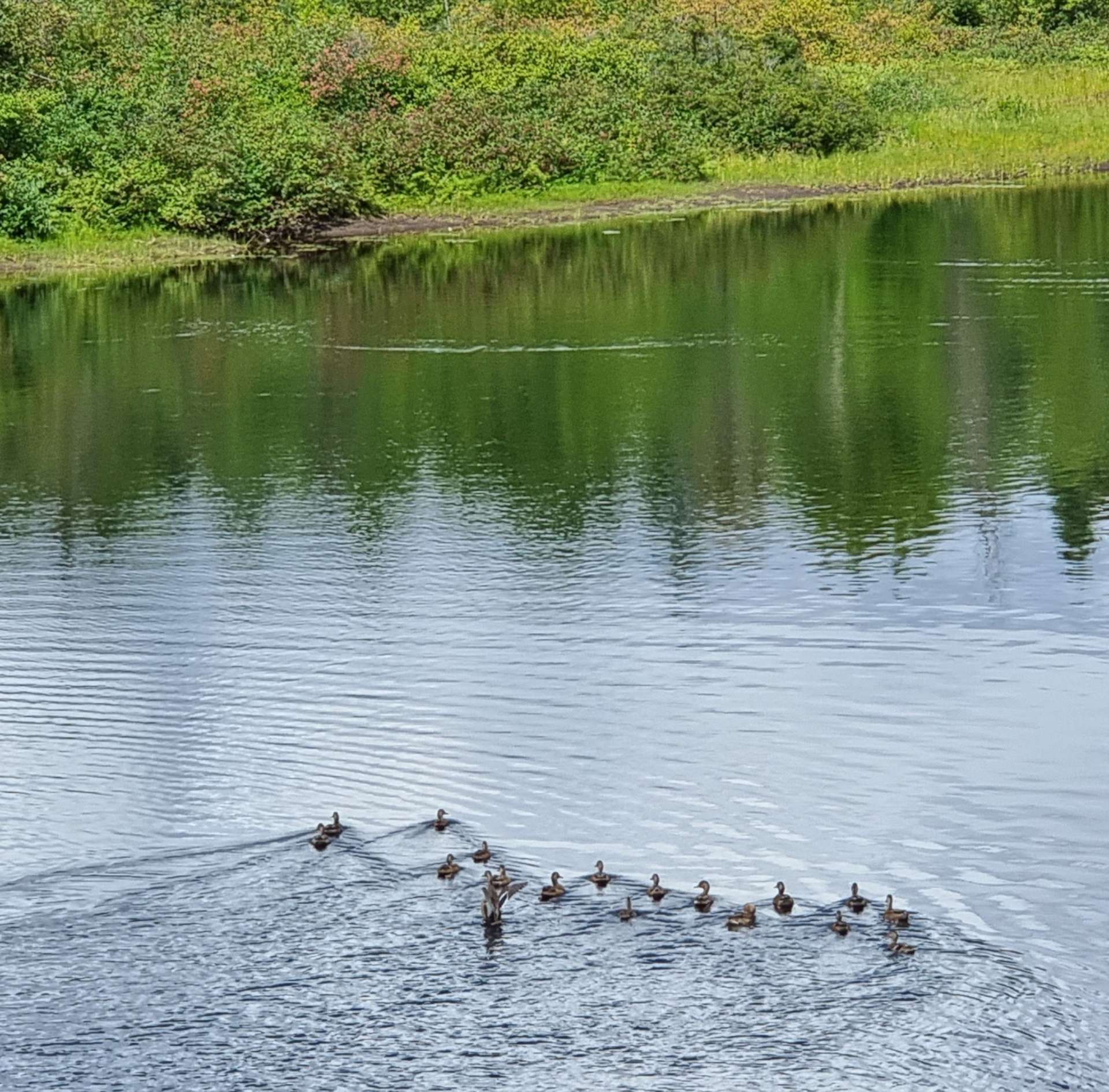
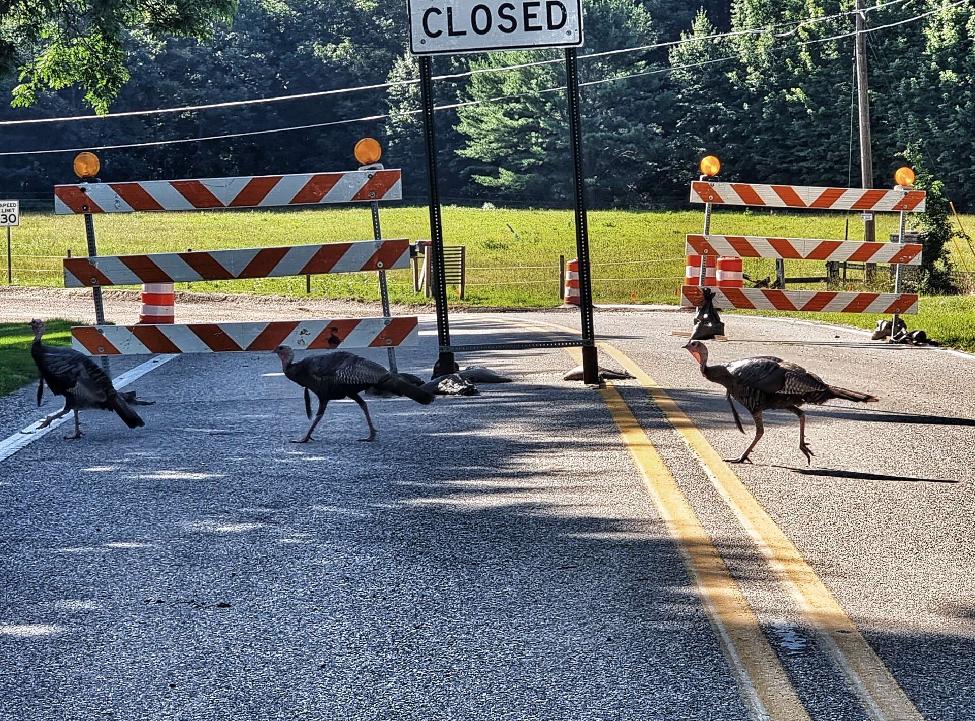
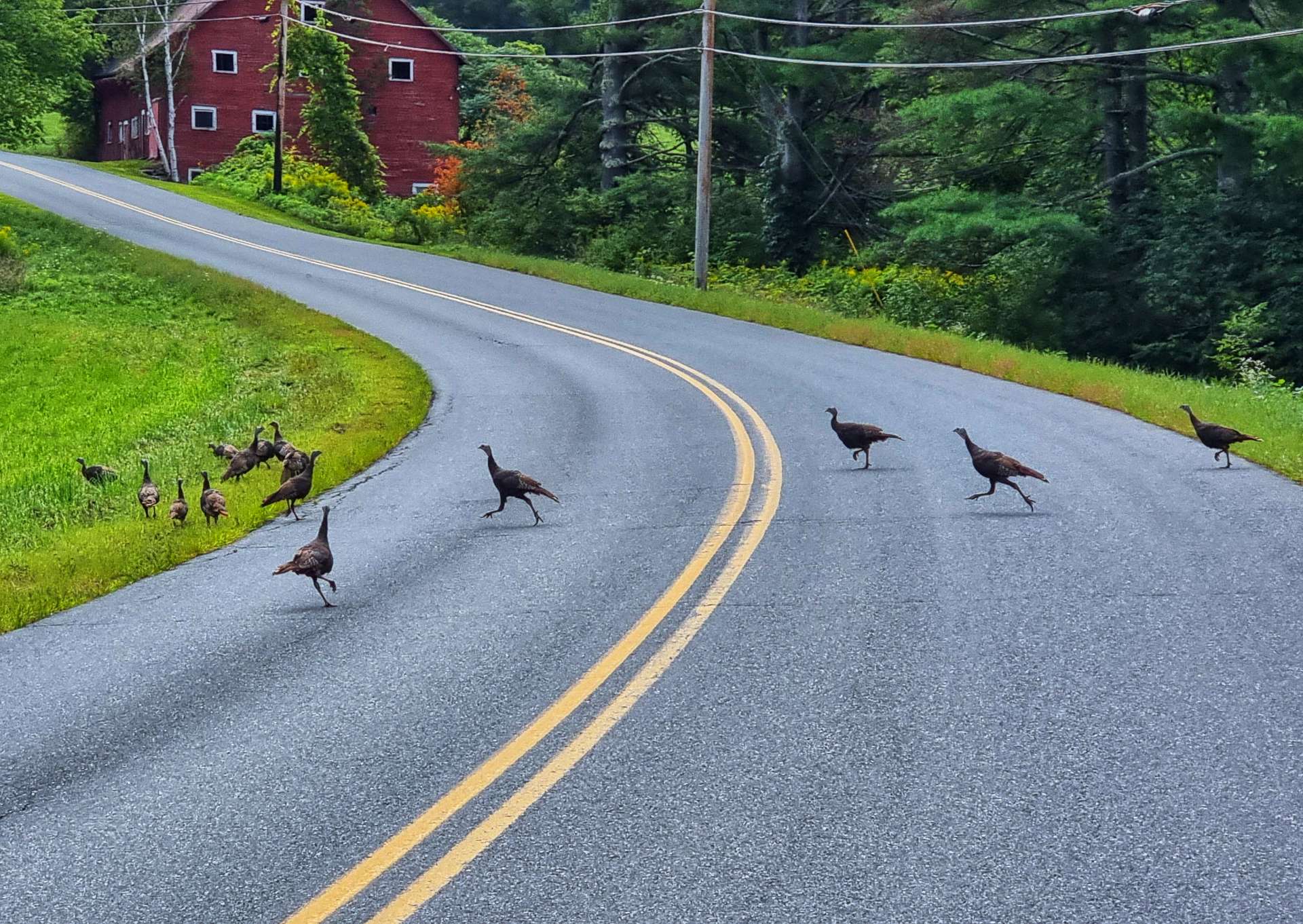
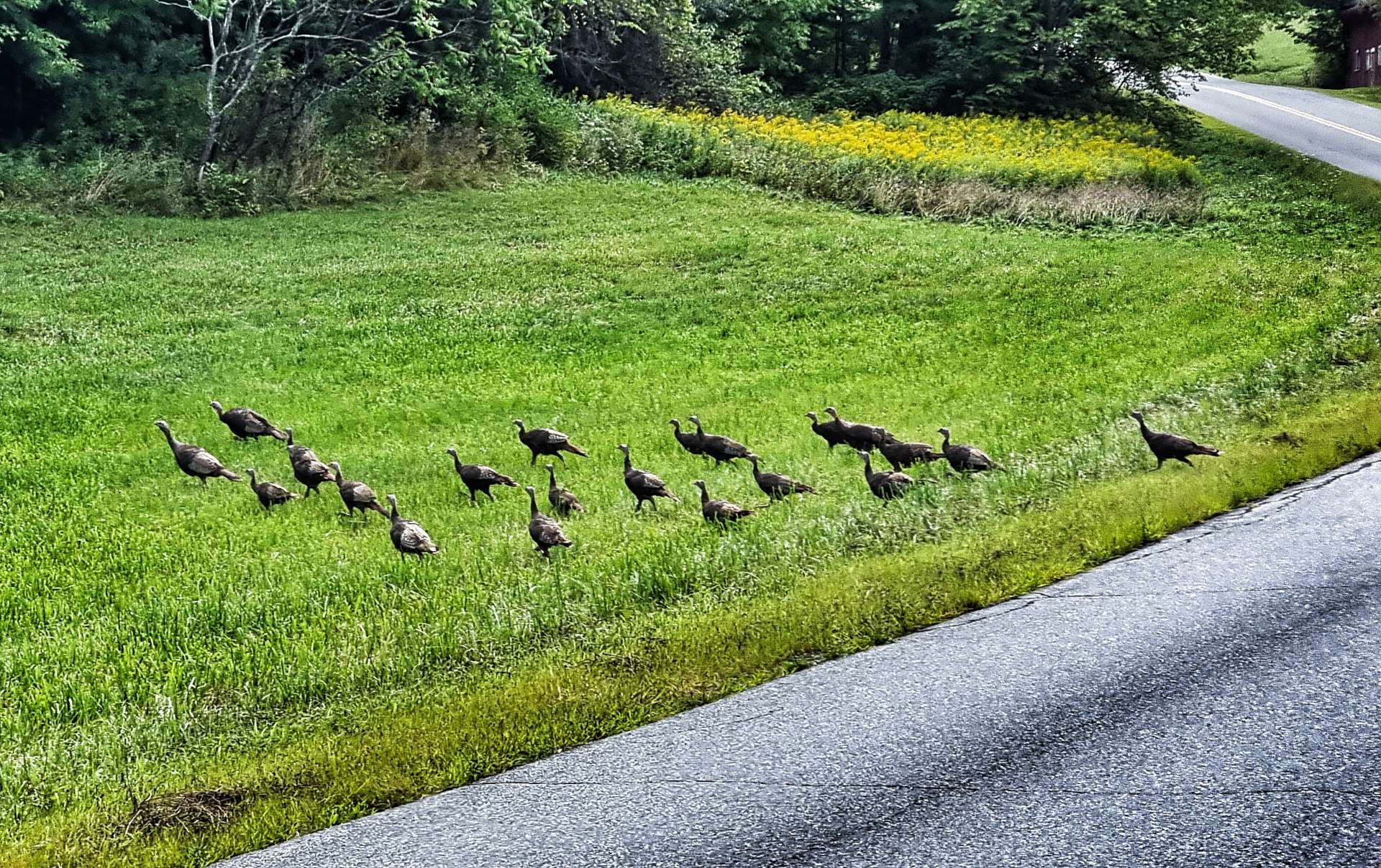
As we were descending one of the bluffs, we saw movement ahead of us, so slowed down – we approached a flock of game birds (partridge or grouse maybe?) that were teaching their chicks how to cross the road safely!!! It was quite a sight watching 20 to 25 birds running across the 2 lane road. They didn’t seem in any way phased by us riding past, they just looked on from the field.

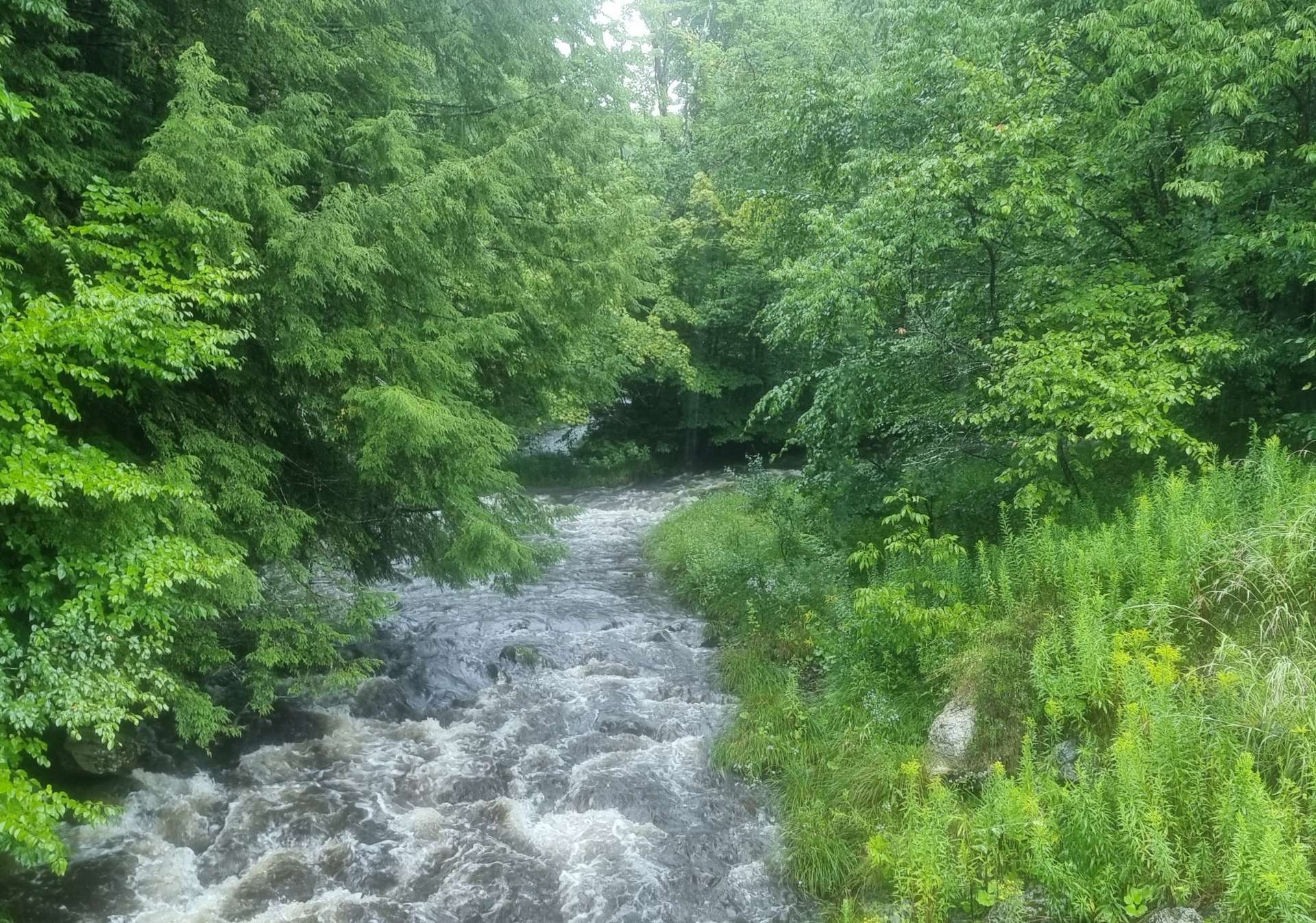
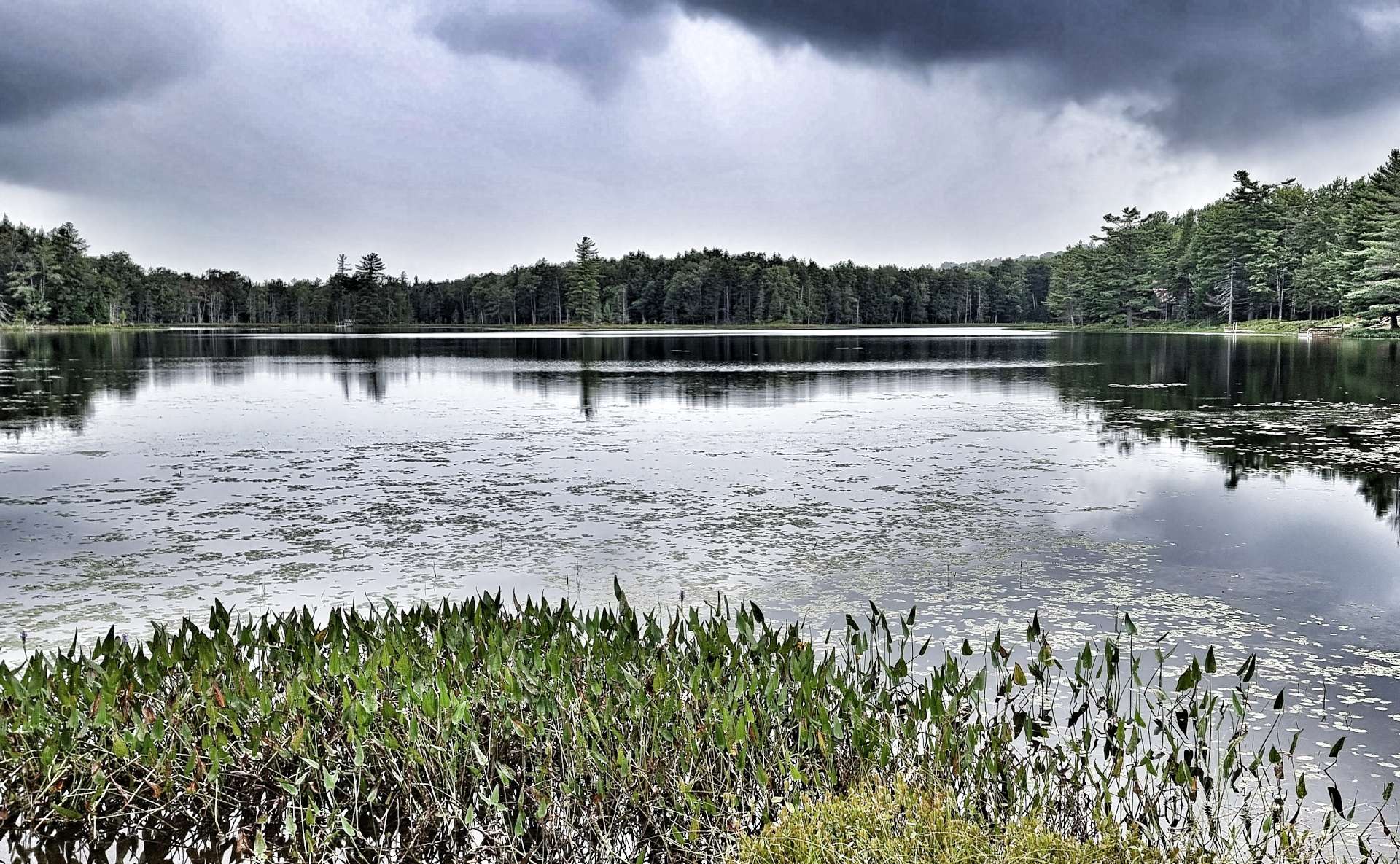
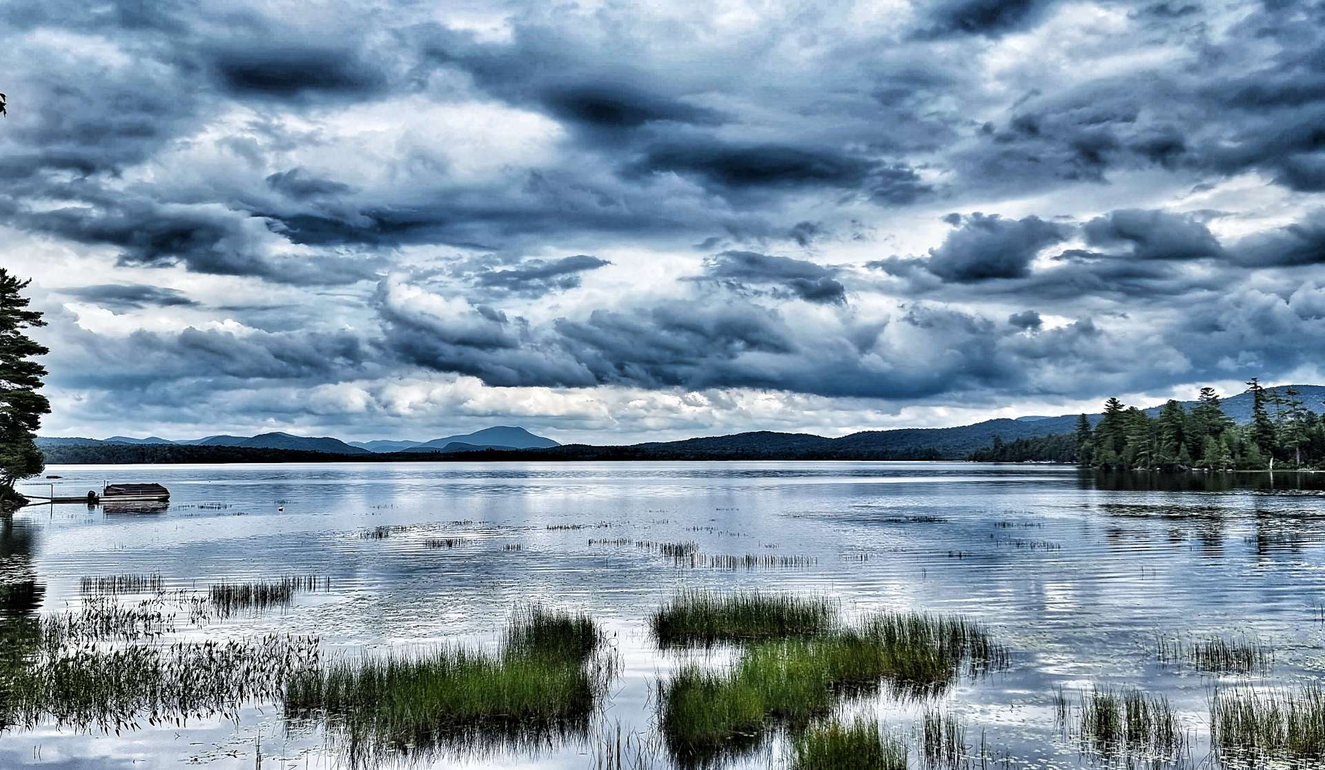
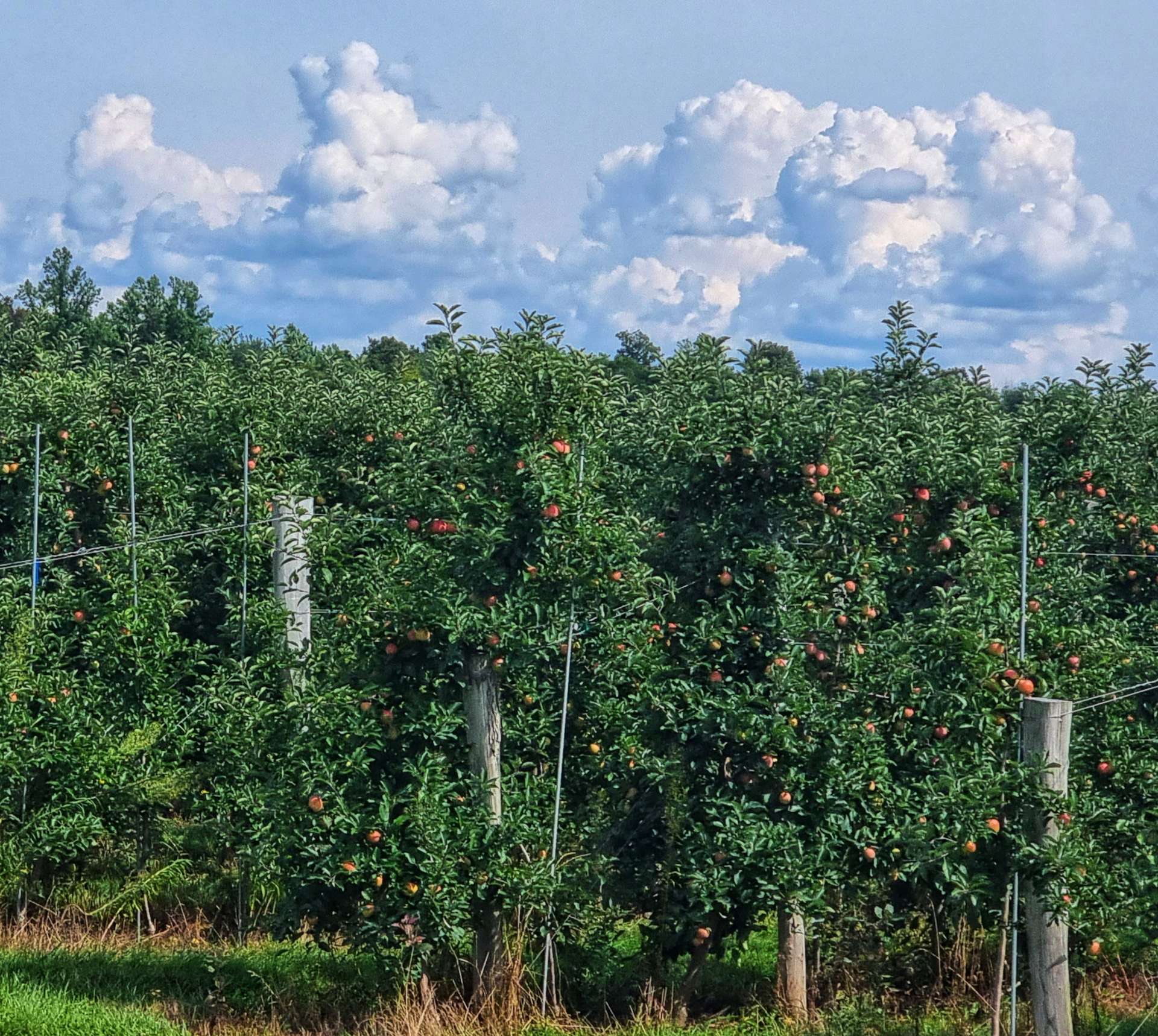
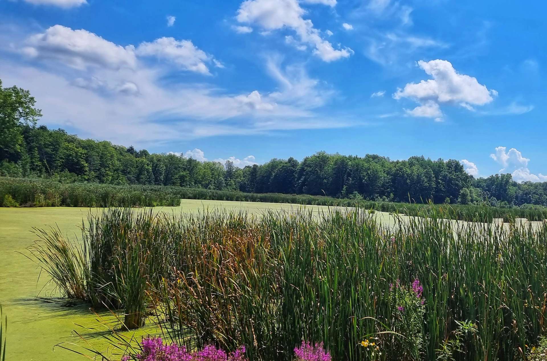
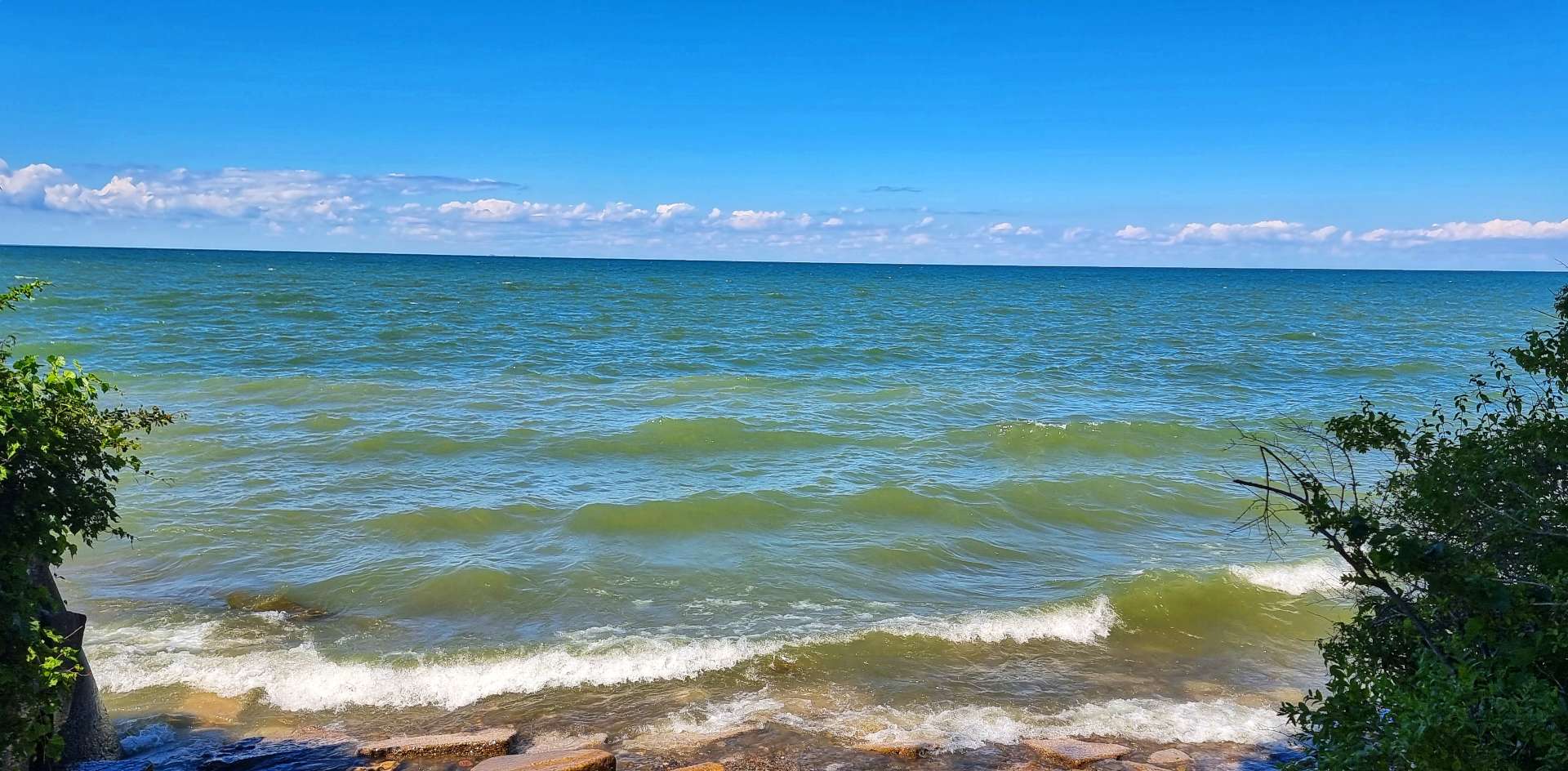
A few locals have been saying that they are need of rain, as the rivers are all running dry – we saw this at first hand today, as we followed the White River valley. Most of the bed was dry, with just a small channel down the middle. The other observation was that the mountains were looking bigger, the further down the river valley we went!

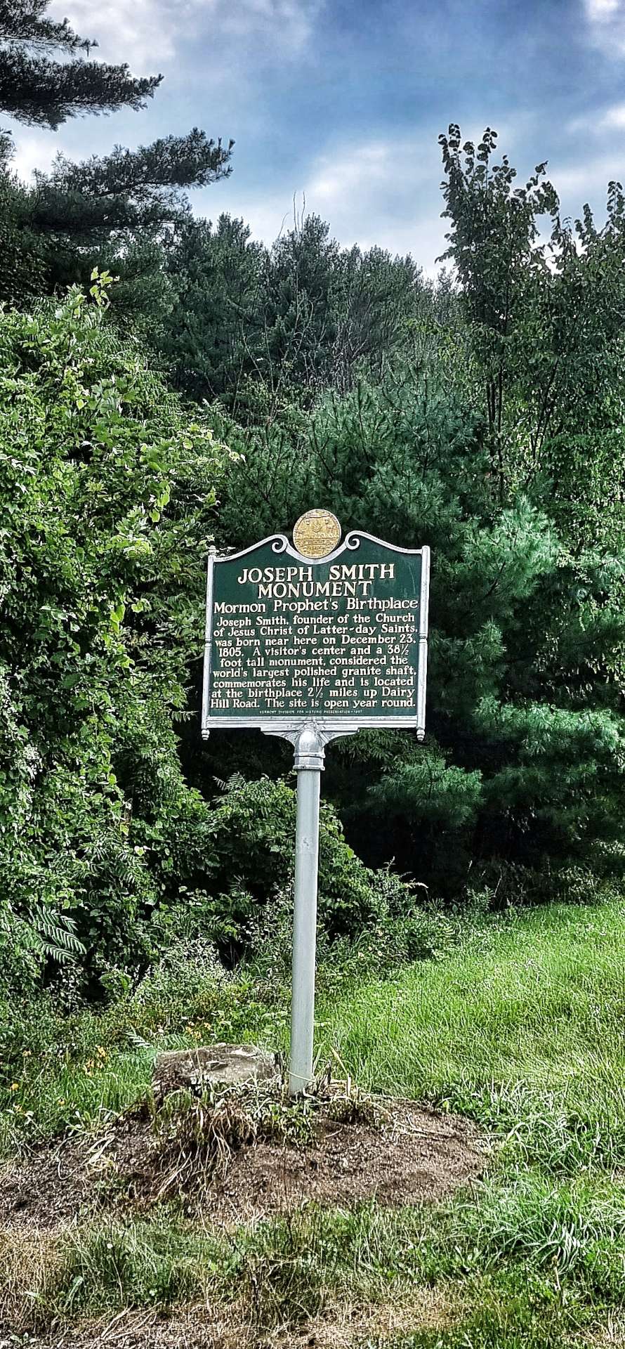
I’m always on the lookout for something interesting, historical or just different & today we passed the birthplace of Joseph Smith, founder of the Church of Jesus Christ of Latter Day Saints. Their missionaries travel around the world spreading the word of the Mormon Church. I knew a little about them, as when I worked for a bank in a previous life many years ago, a number of their US missionaries used to come into the bank to cash their cheques.

There’s a 38 1/2 foot granite monument commemorating his life, but it was 2 1/2 miles away up a hill, so I settled for just taking a photo of the historical marker!

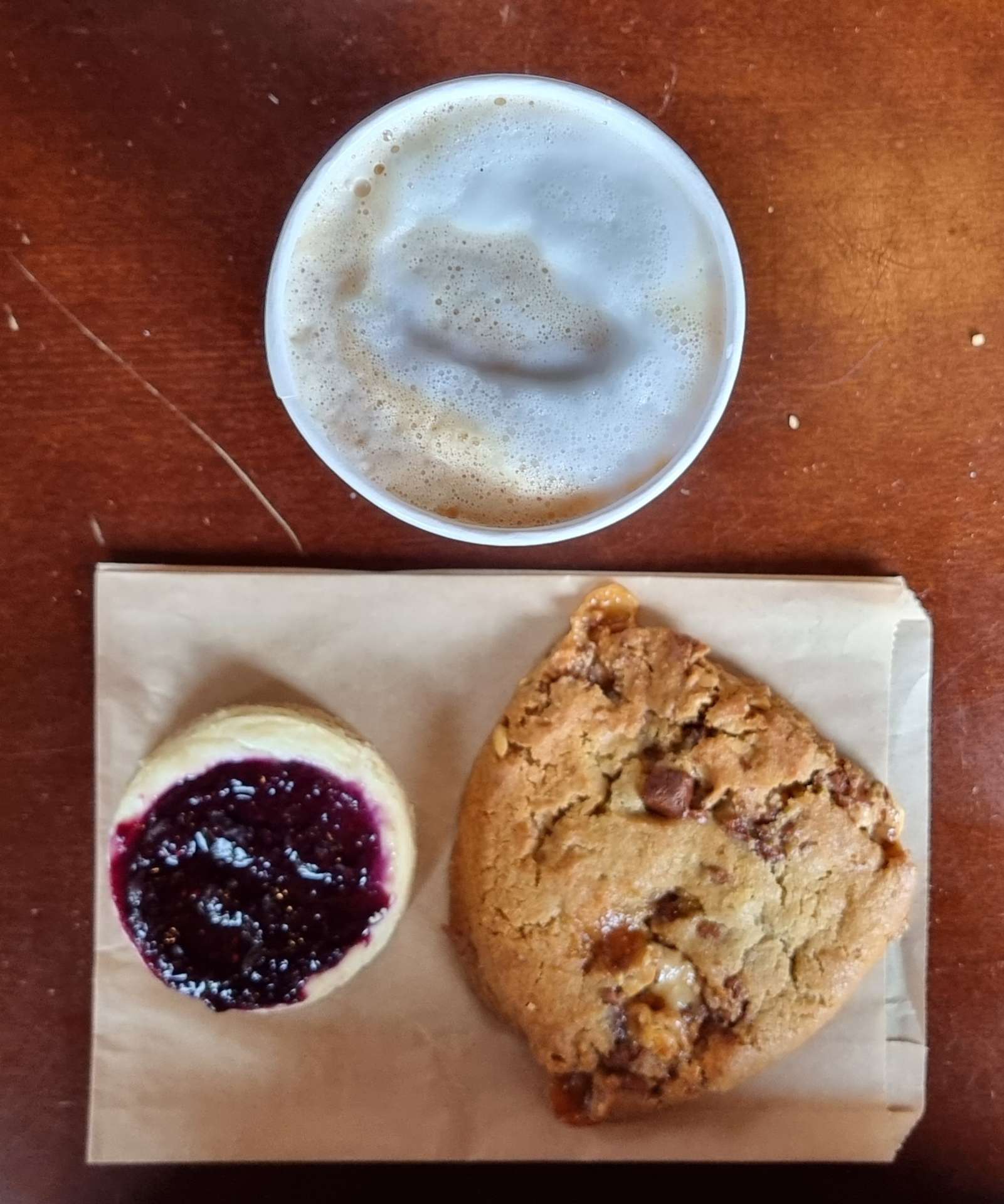
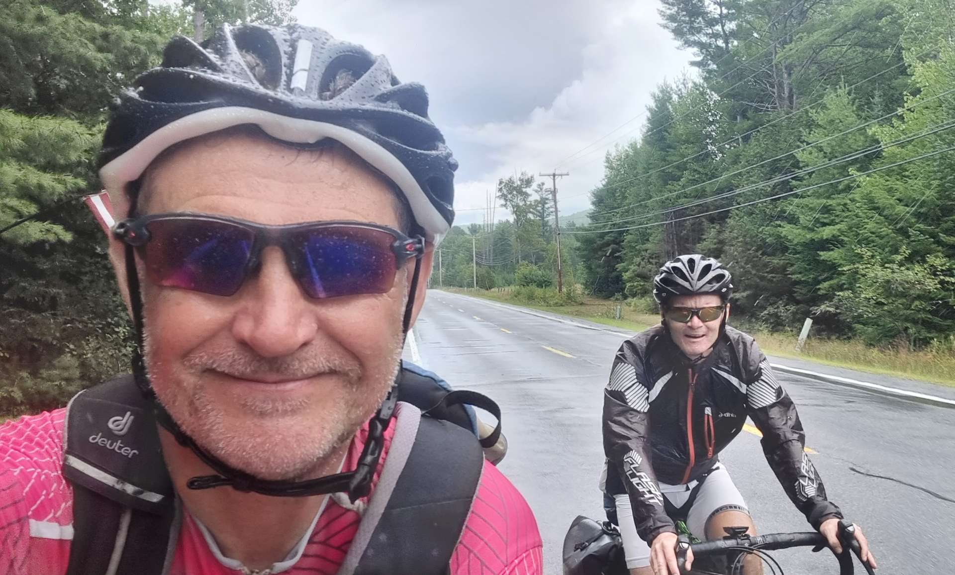
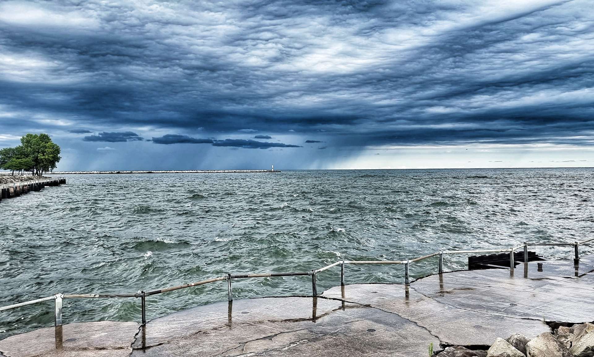
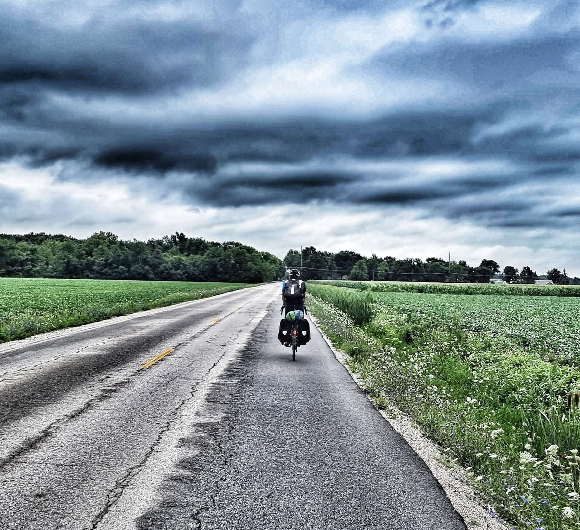
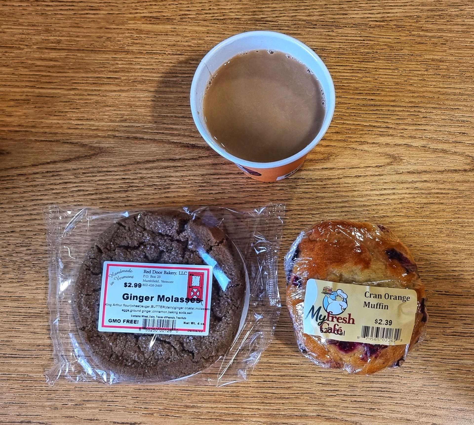
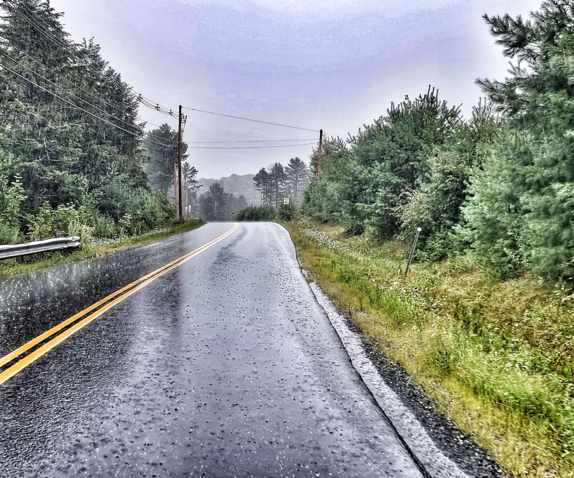
The sky was becoming darker & it clear that rain was on the way, so we picked up the pace a bit to try & reach Sharon before the rains arrived. We managed to make it the local gas station for coffee & processed cake just before the heavens opened, but only just!

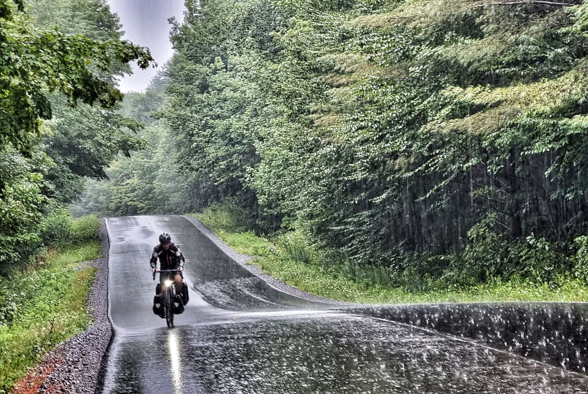
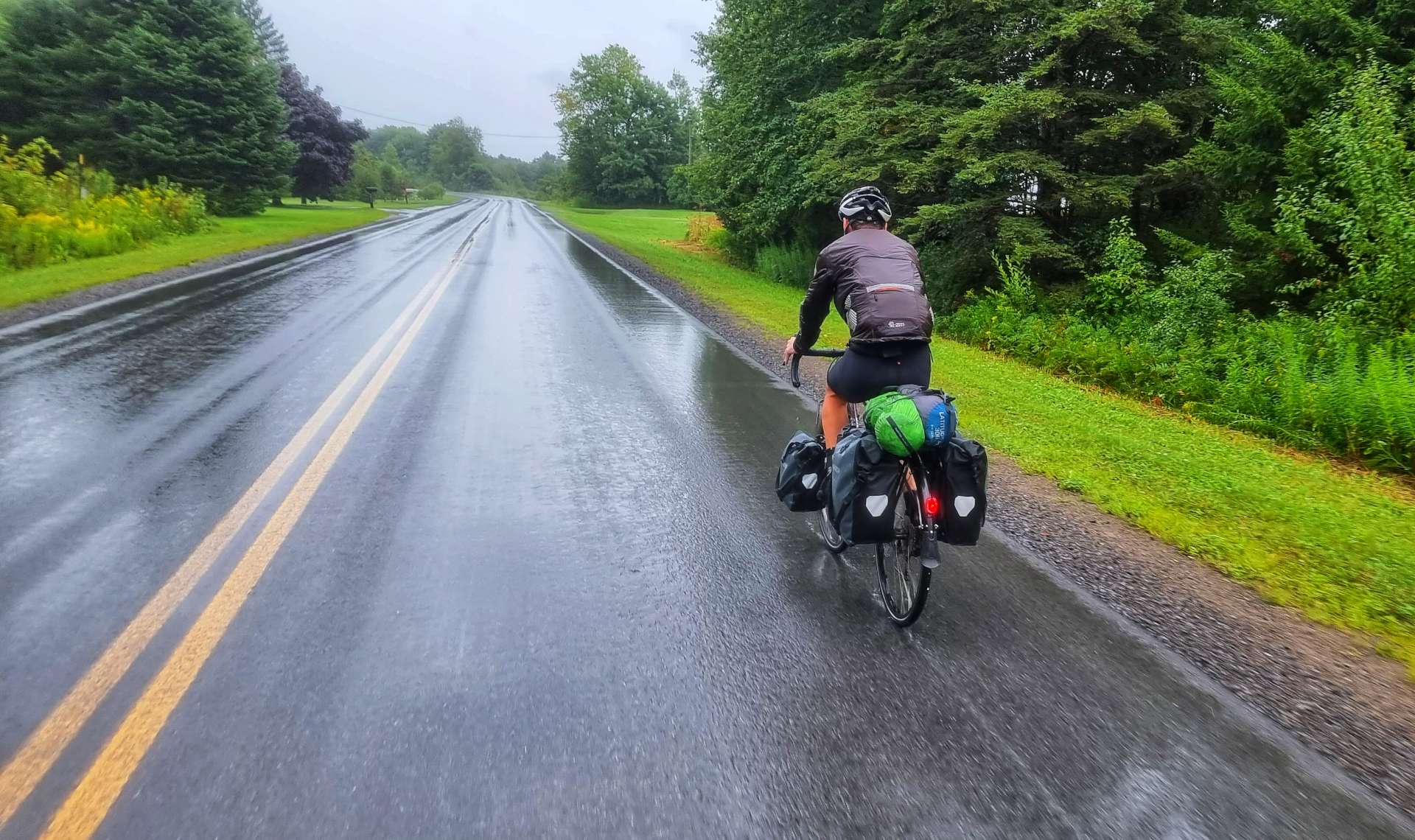
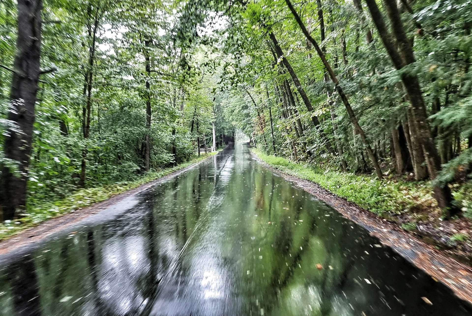
It was bucketing down when we set off after our coffee stop, with thunder & lightning thrown in for good measure. The climb itself began with a couple of 13% ramps which quickly warmed us both up, but then it settled into a steady 5% to 7% gradient for about 4 miles.

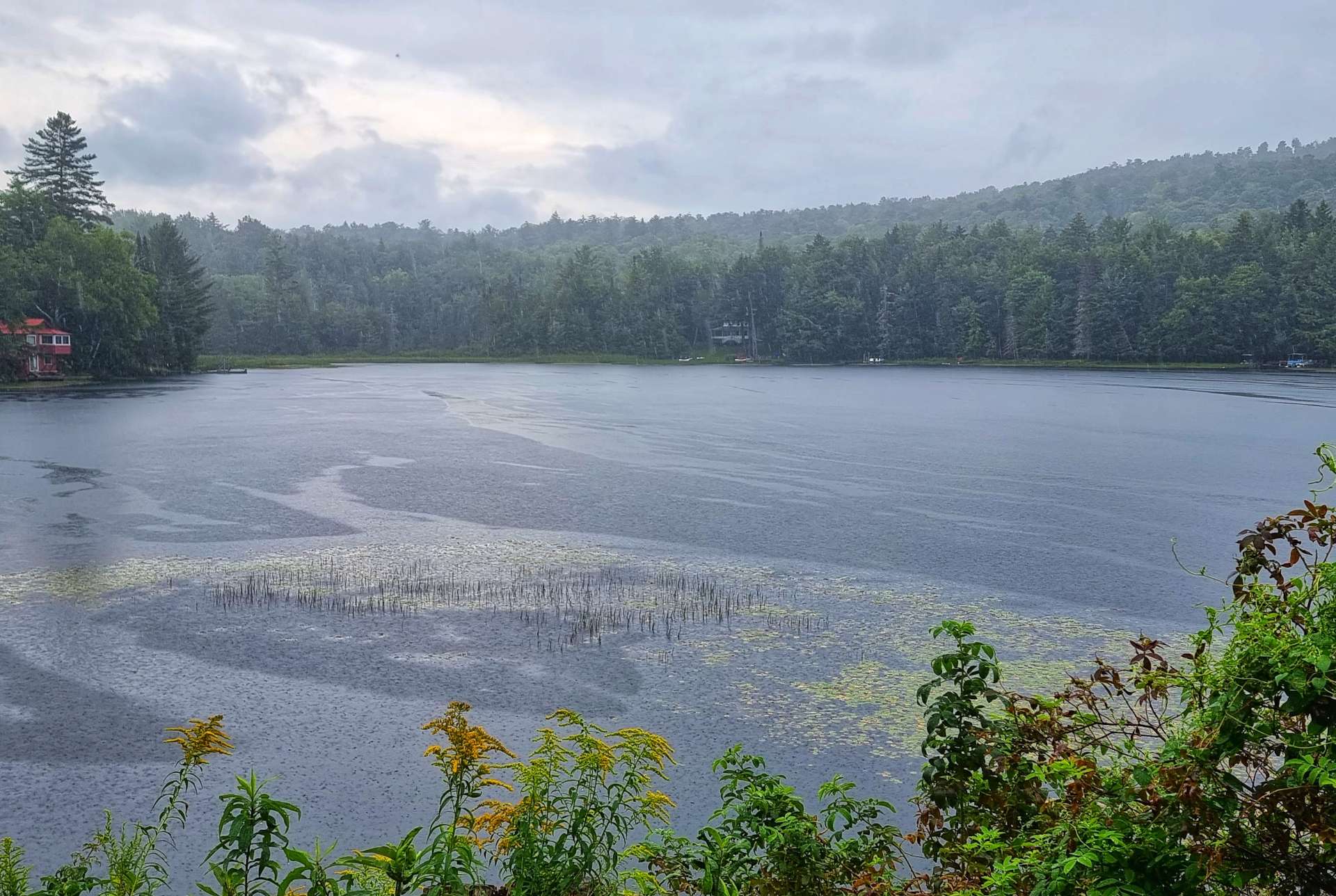
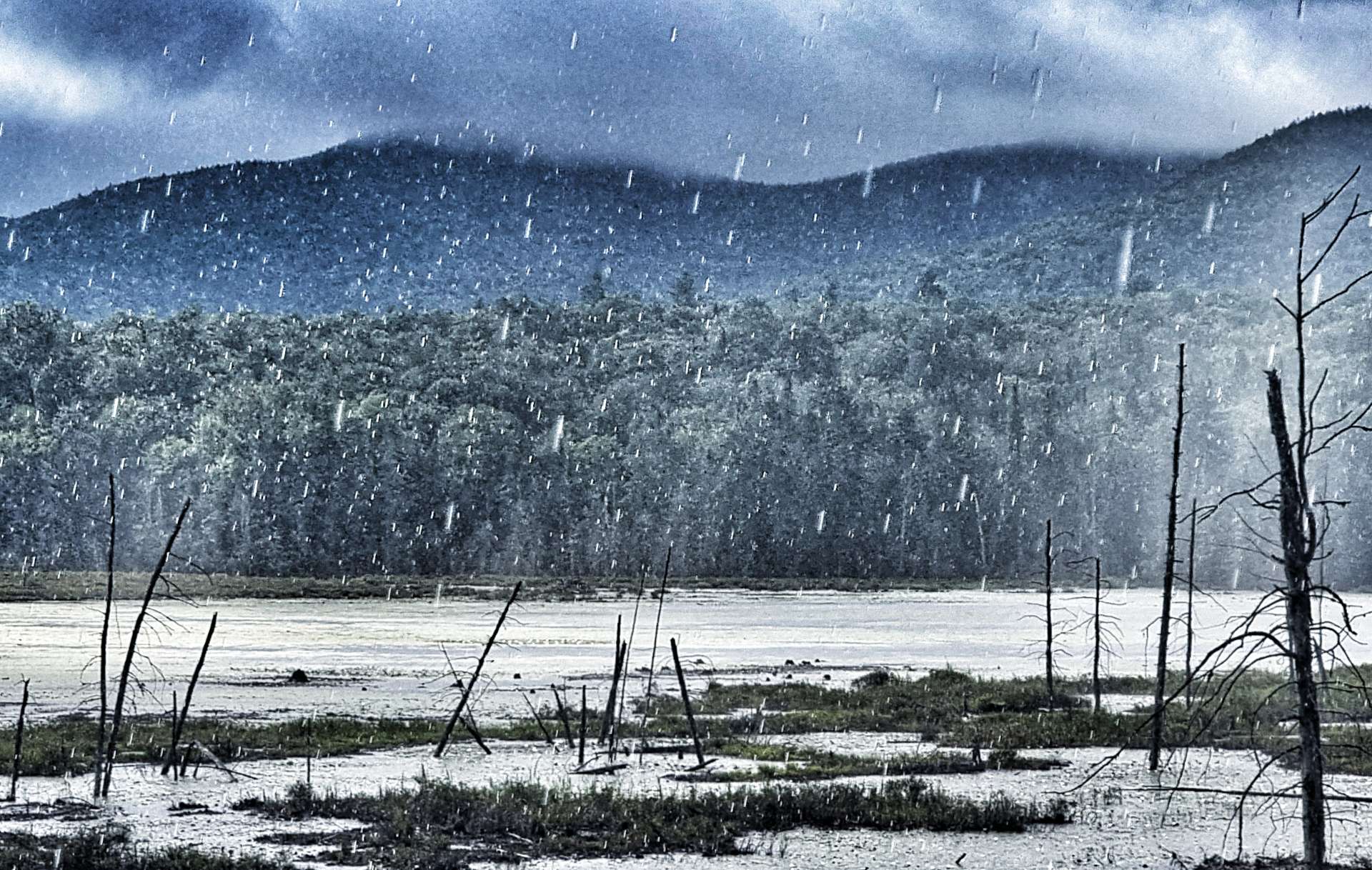
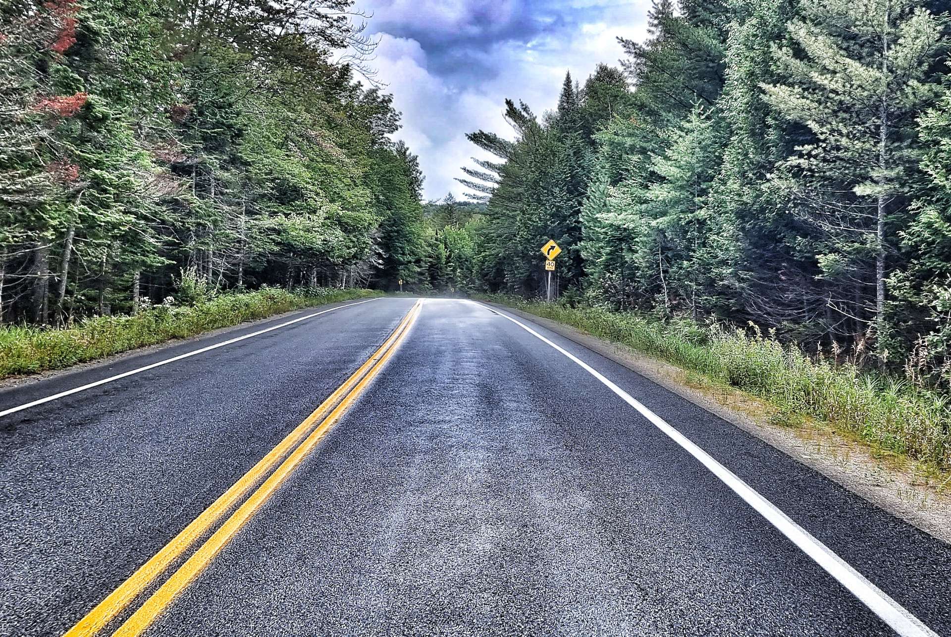
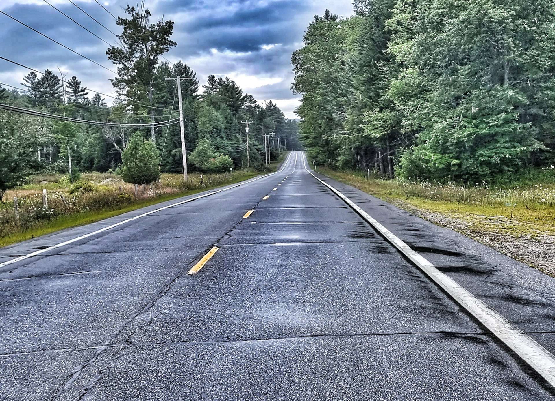
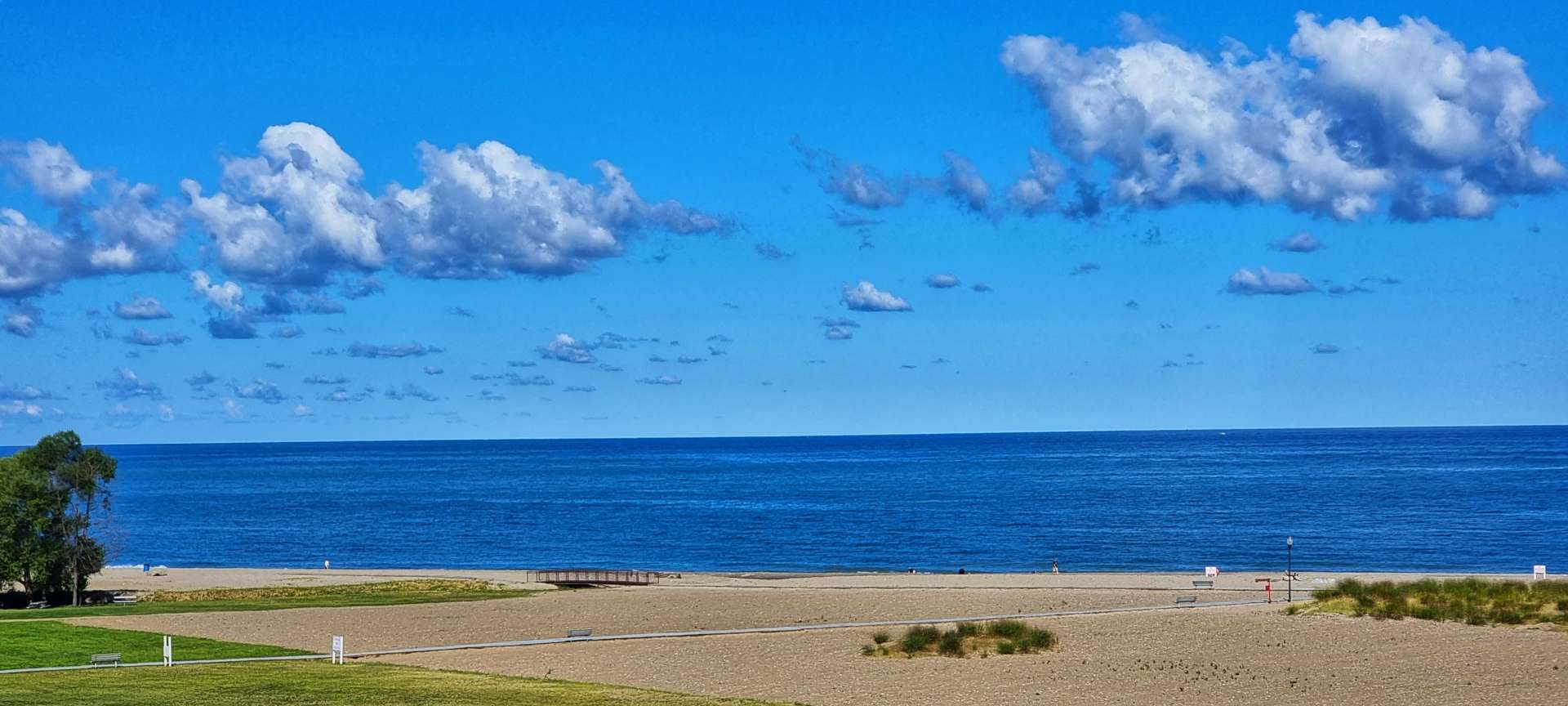
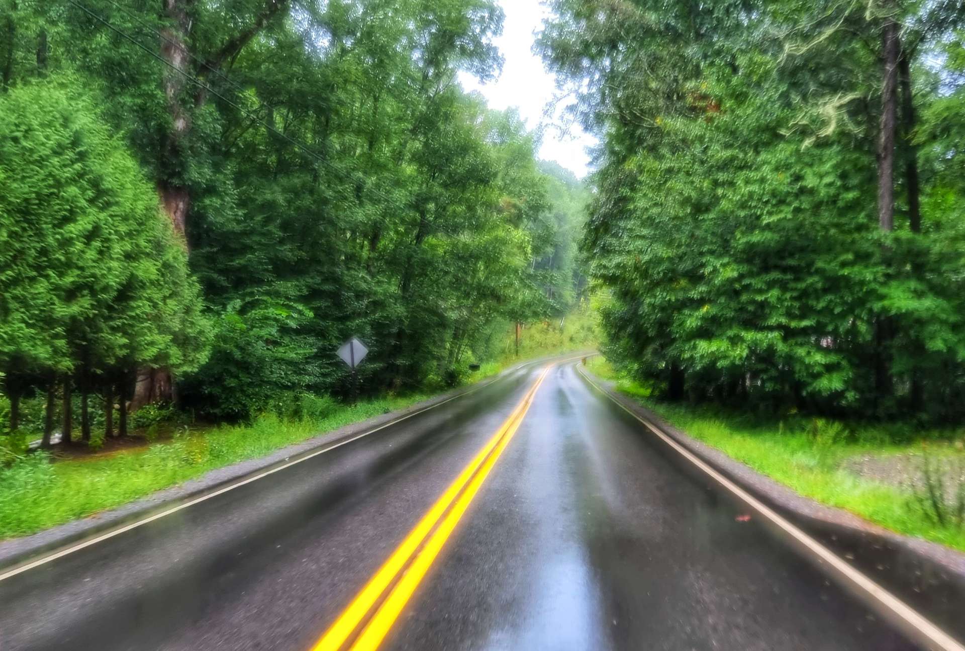
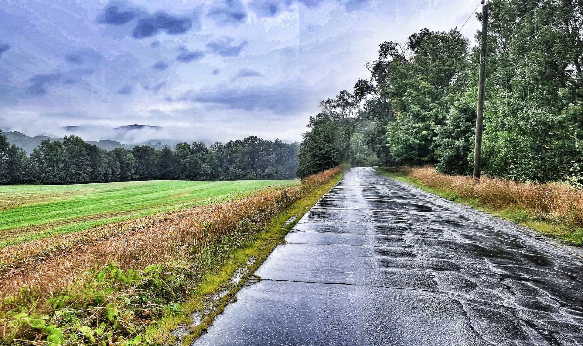
There wasn’t a sign at the summit, so we simply rolled over the top, before hitting a 12% descent for 2 miles. In no time I was descending at about 45 mph, so concentration levels were 100% switched on. After a few miles the gradient eased & I was able to get a couple of photos – we were only doing a little of 20 mph, so had plenty of time to enjoy the steam rising off the trees, as well as pay attention to the road.

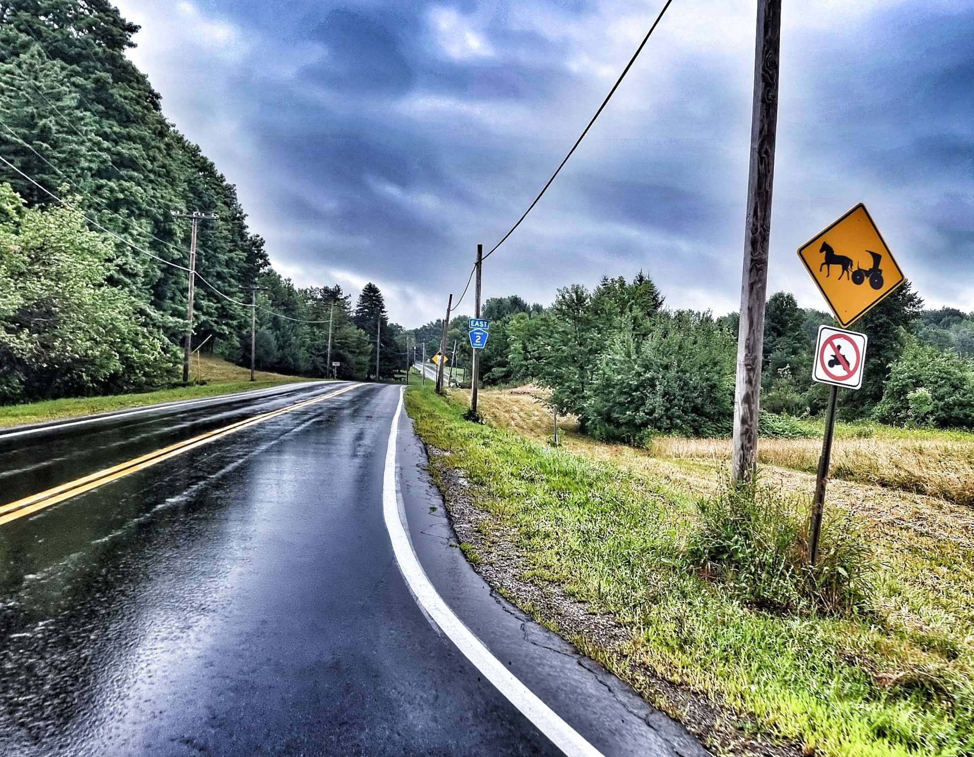
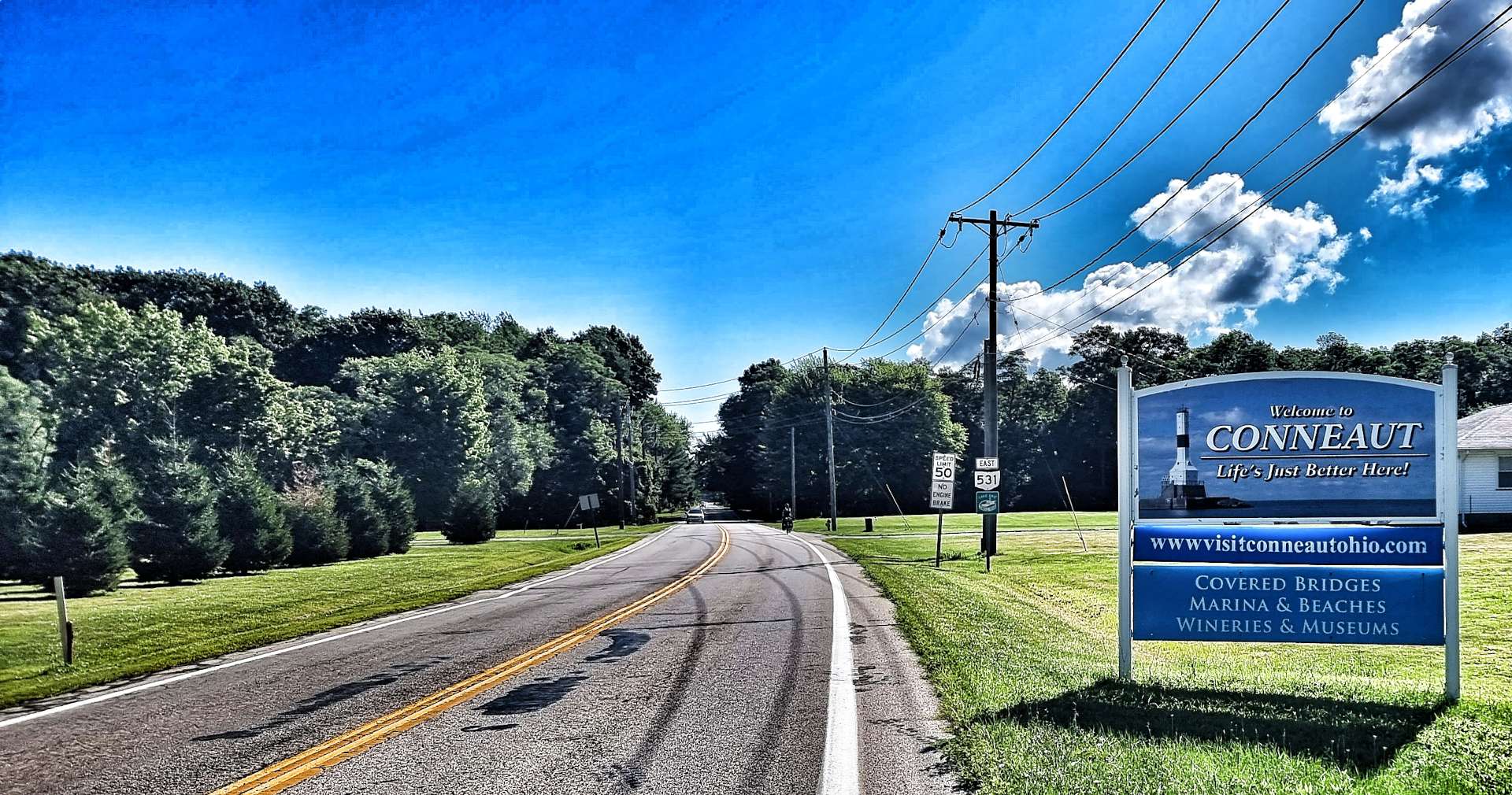
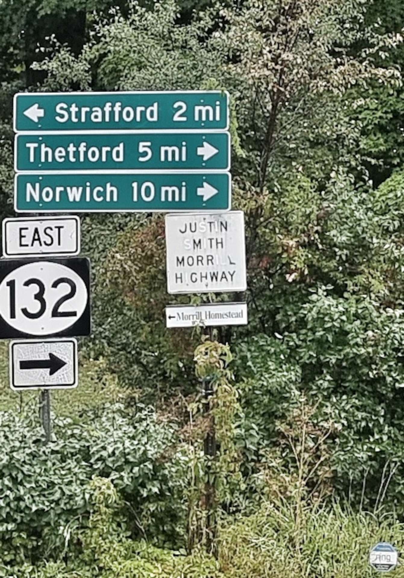
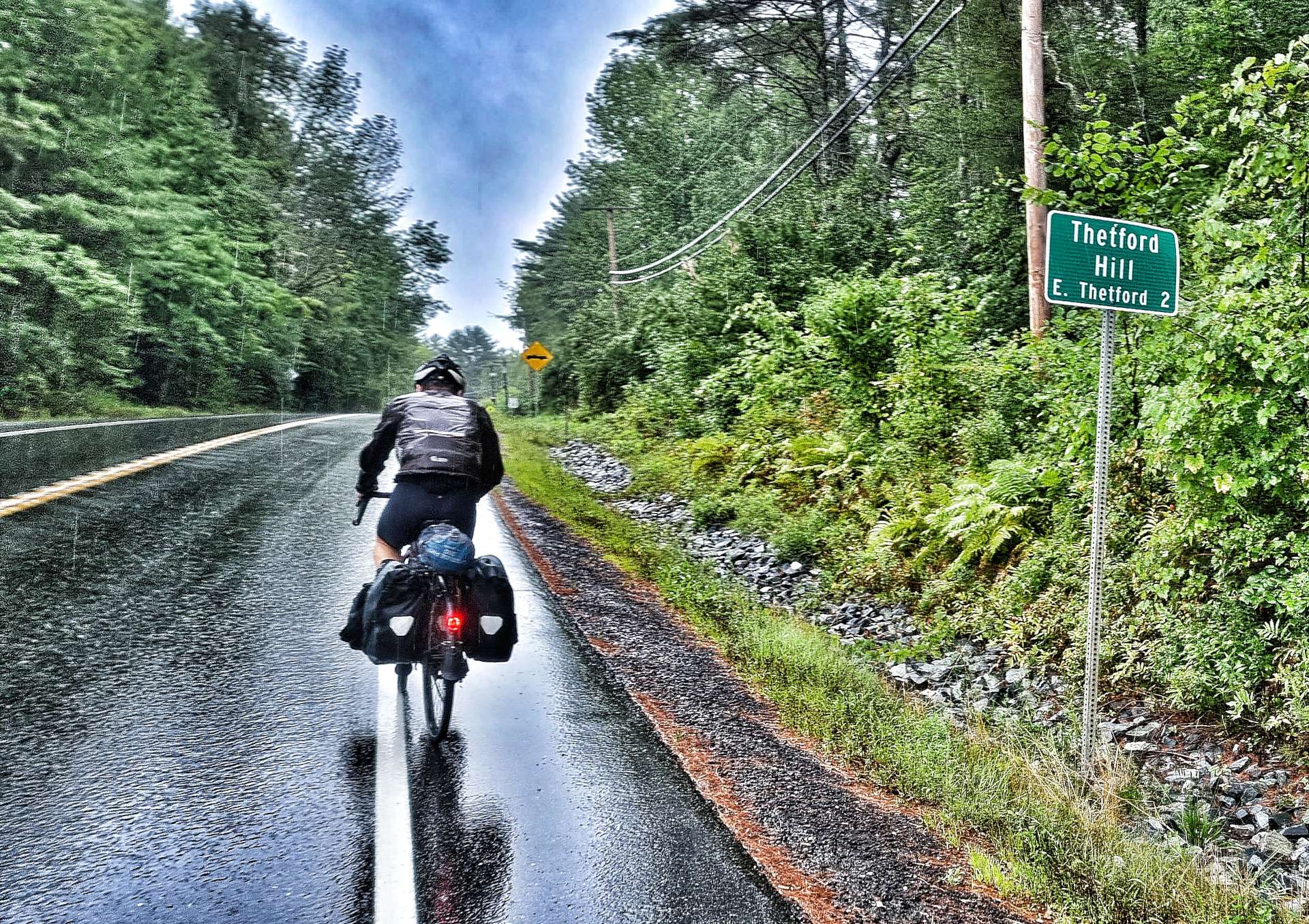
The British theme continued from yesterday, as we hit an East Anglian stretch today, as we headed through Thetford & close by Norwich.

We enjoyed a couple more short descents & were beginning to think the worst of the climbing was behind us, when Thetford delivered a cheeky little punch to the solar plexus – Thetford Hill had a name for a reason, it was a short, sharp & steep ramp that lasted for less than a mile, but hit 12% for a big chunk of it. We were relieved to reach the summit!

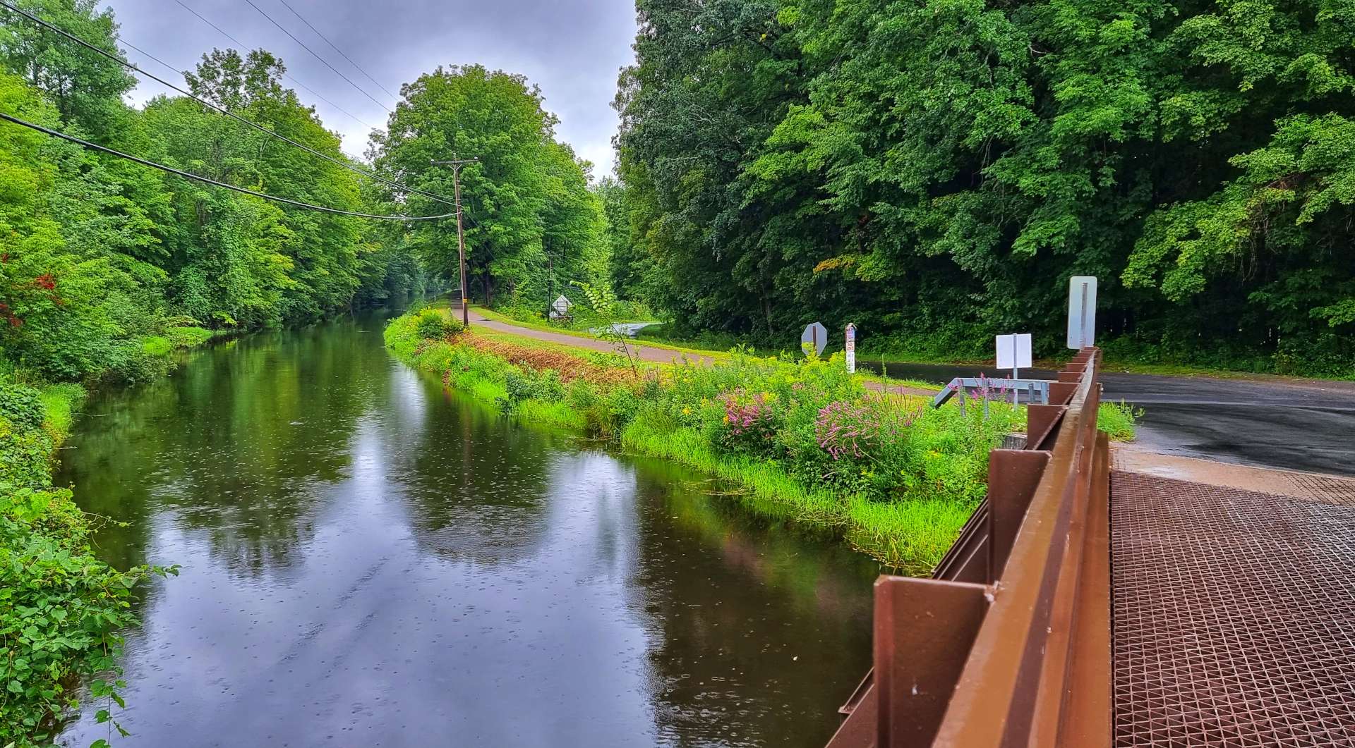
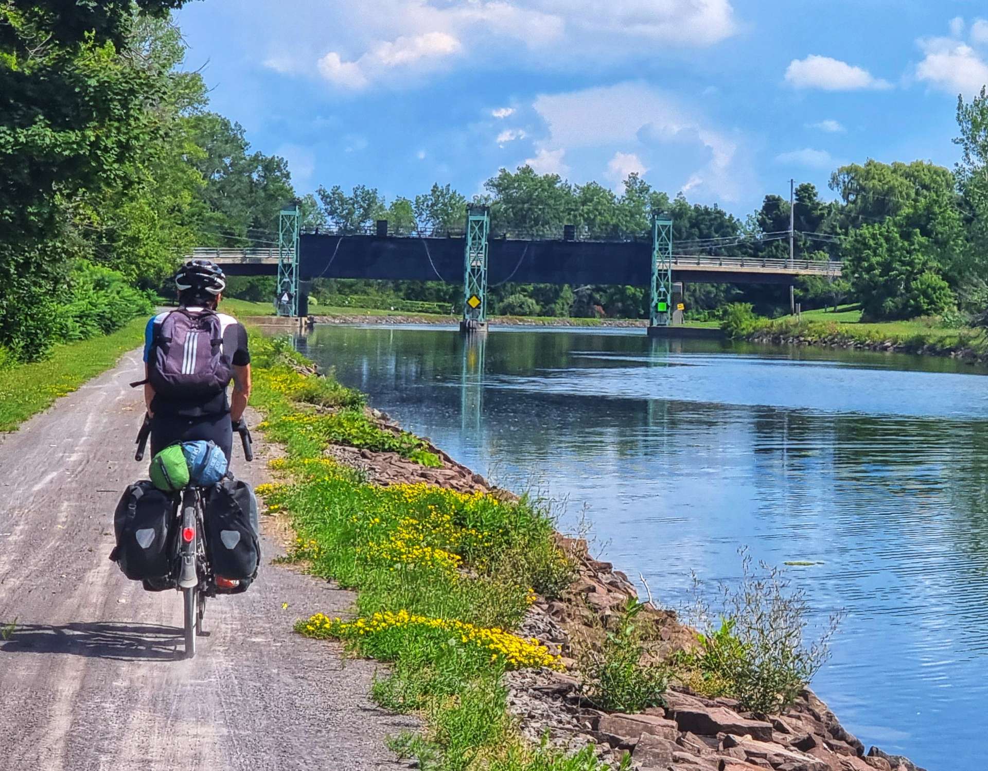
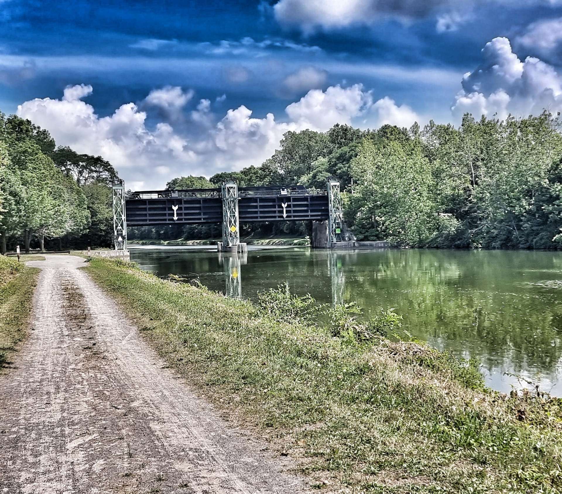
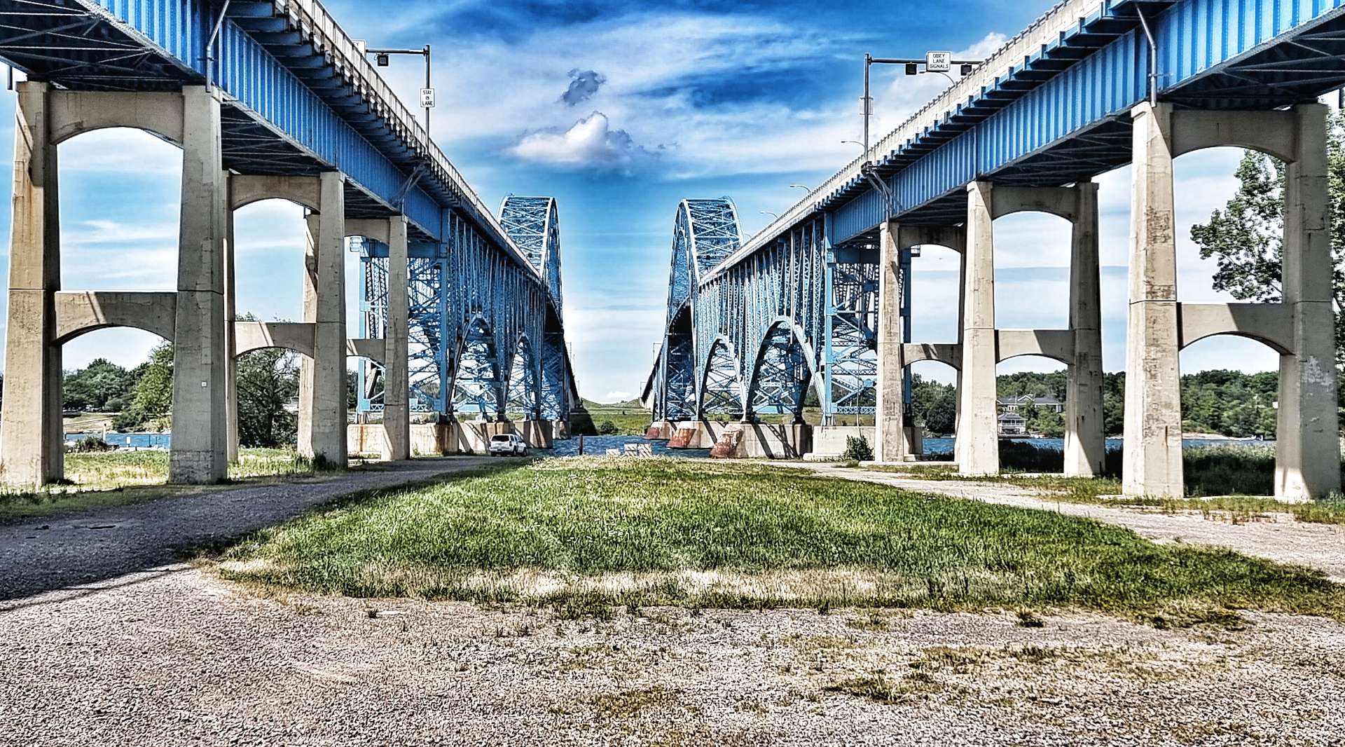
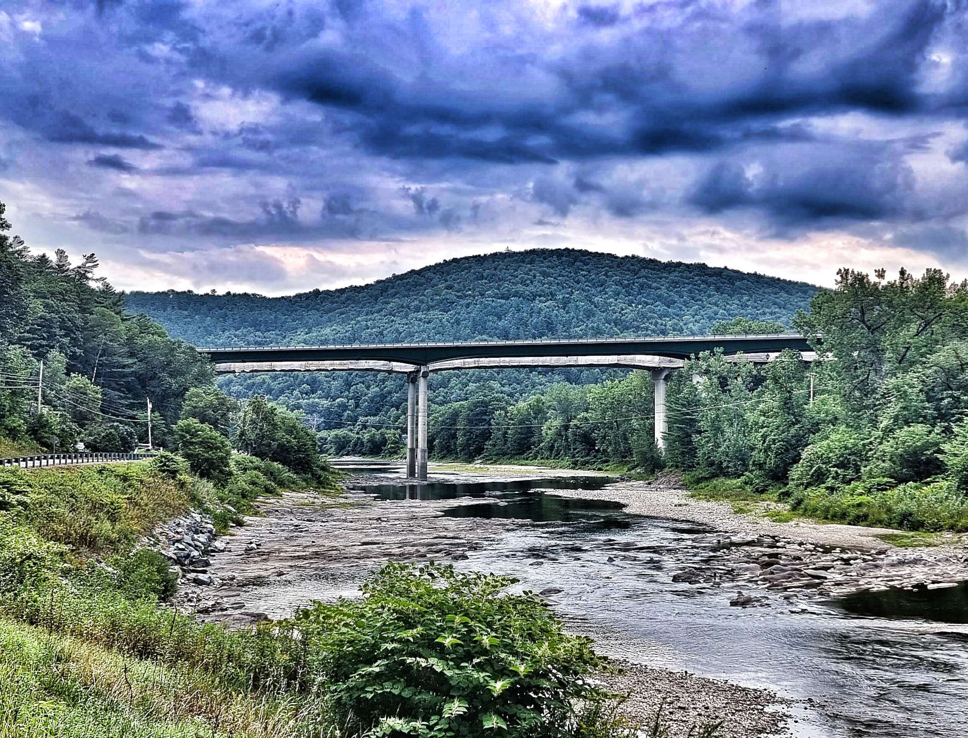
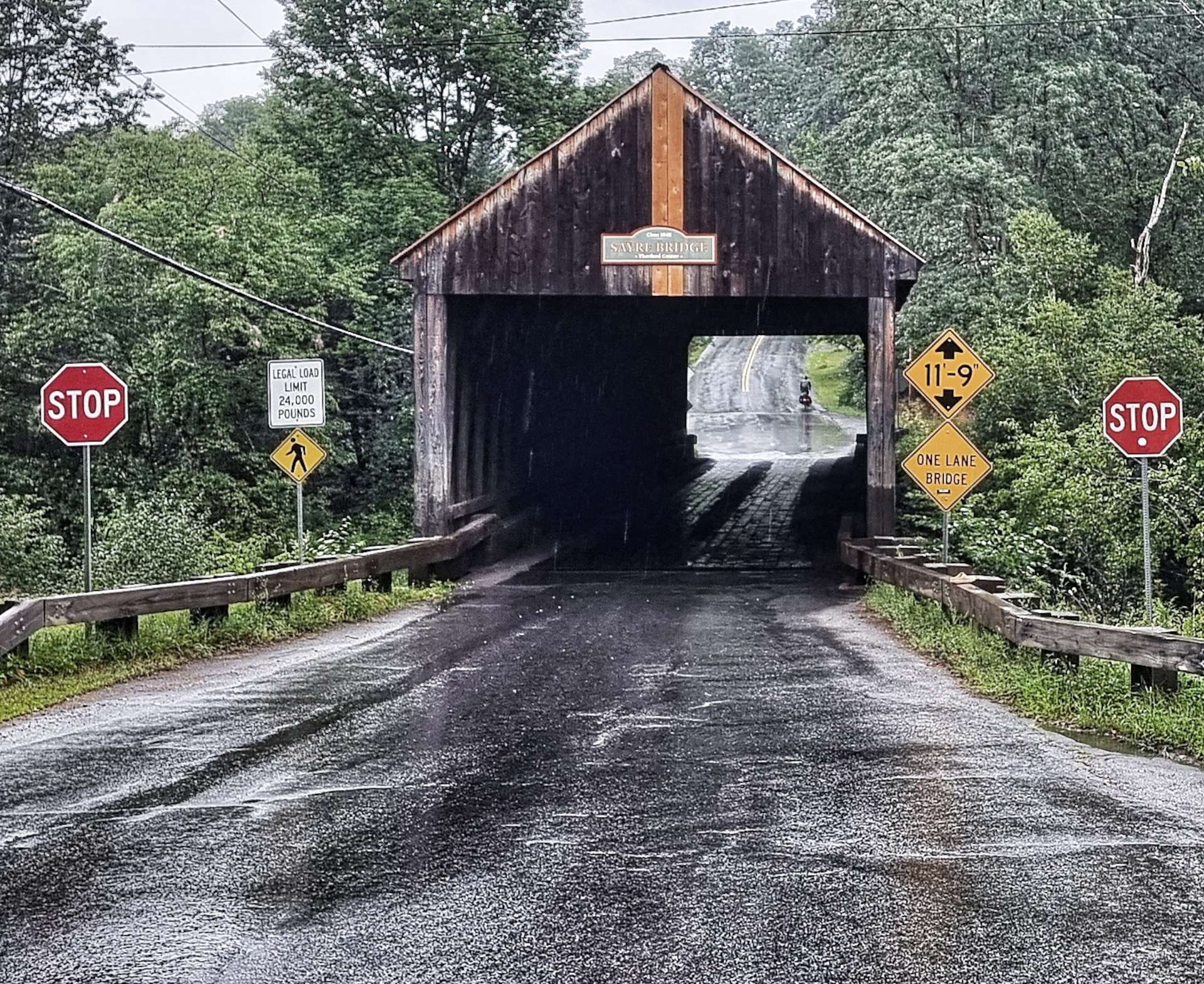
On the outskirts of Thetford we crossed the Ompompanoosuc River on the first Covered Bridge we’ve seen so far on our adventure. It was built in 1839 & measures 127 feet across. The road deck is wooden, although beneath the bridge there are now steel struts to give it some structural integrity.

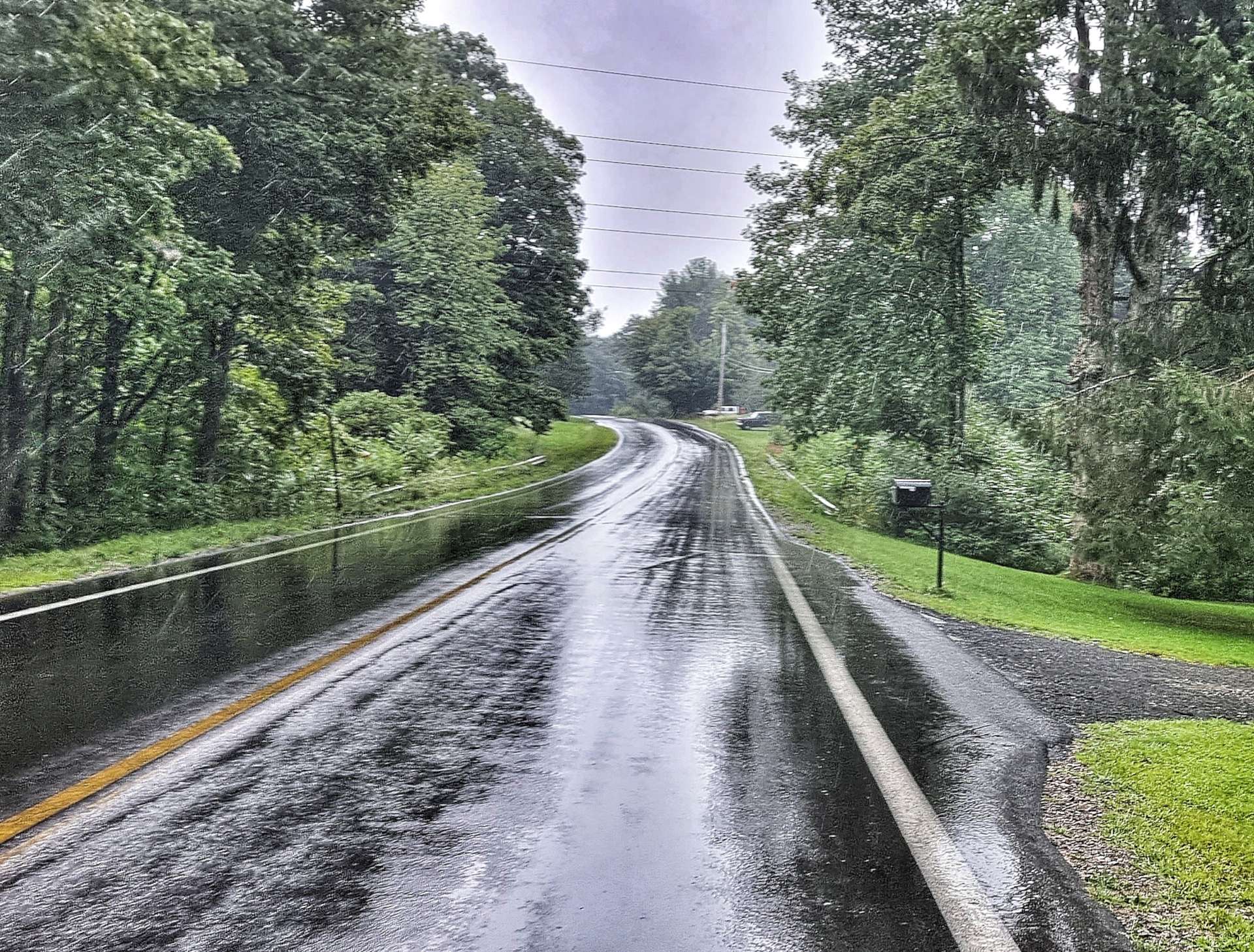
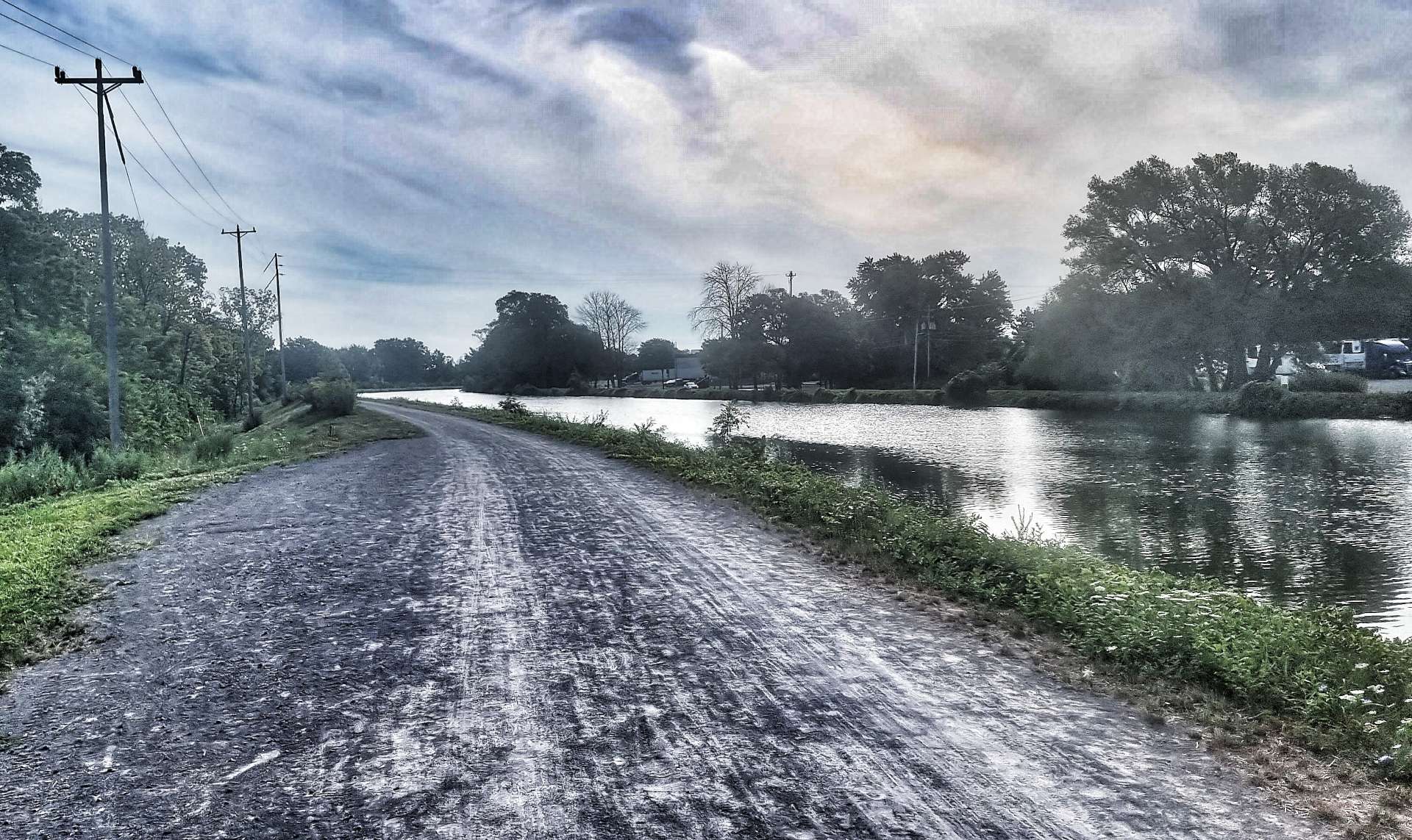
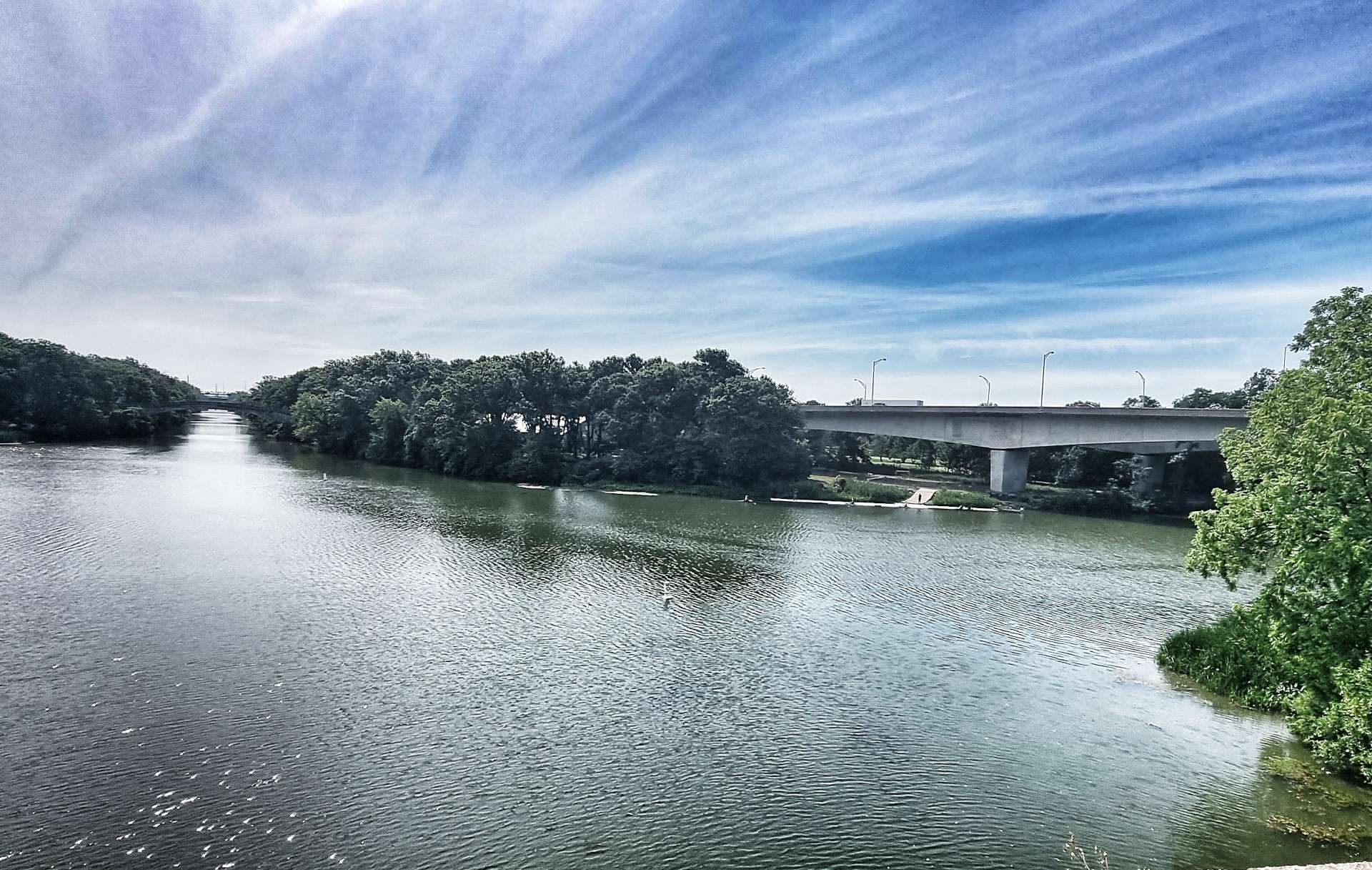
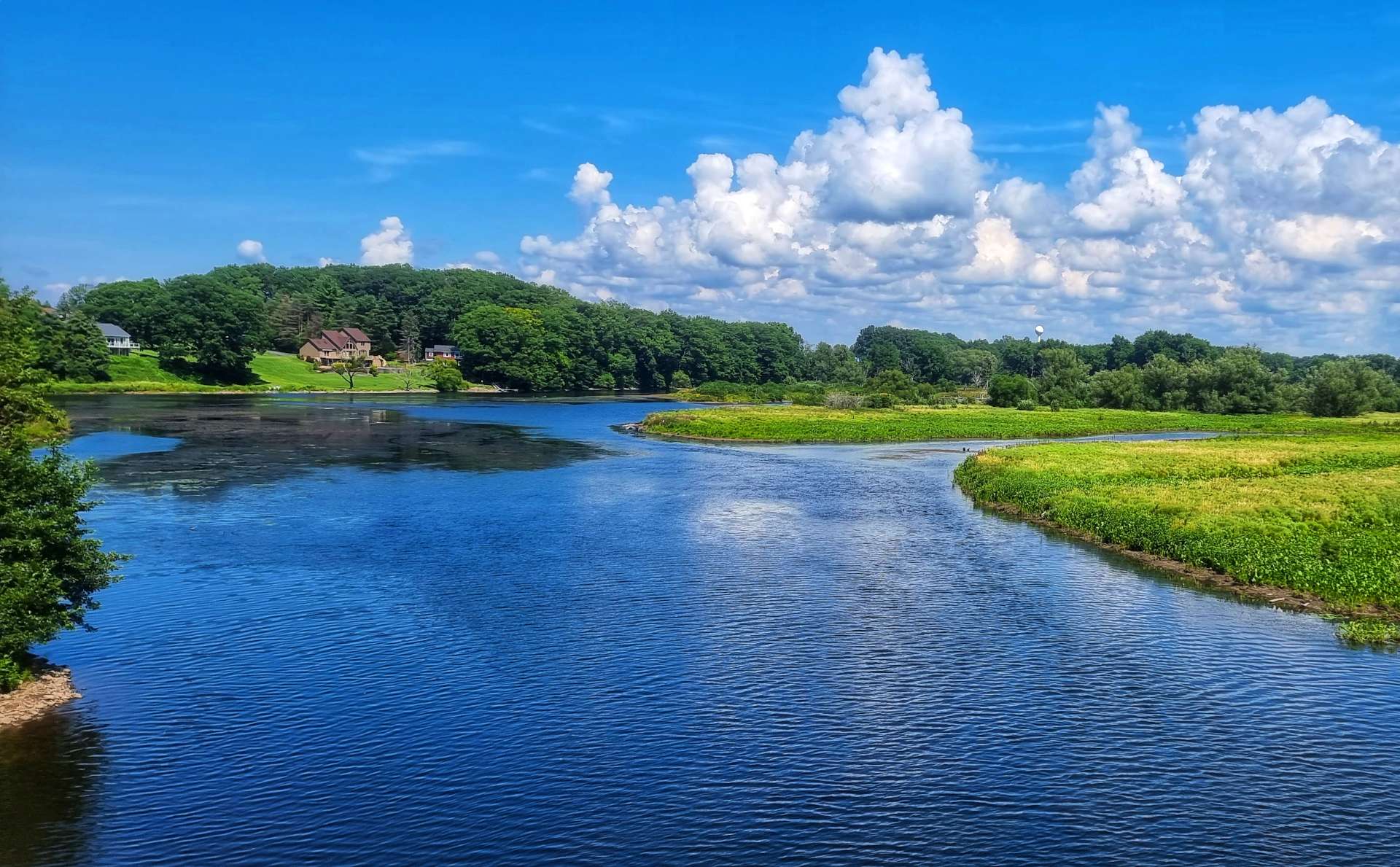
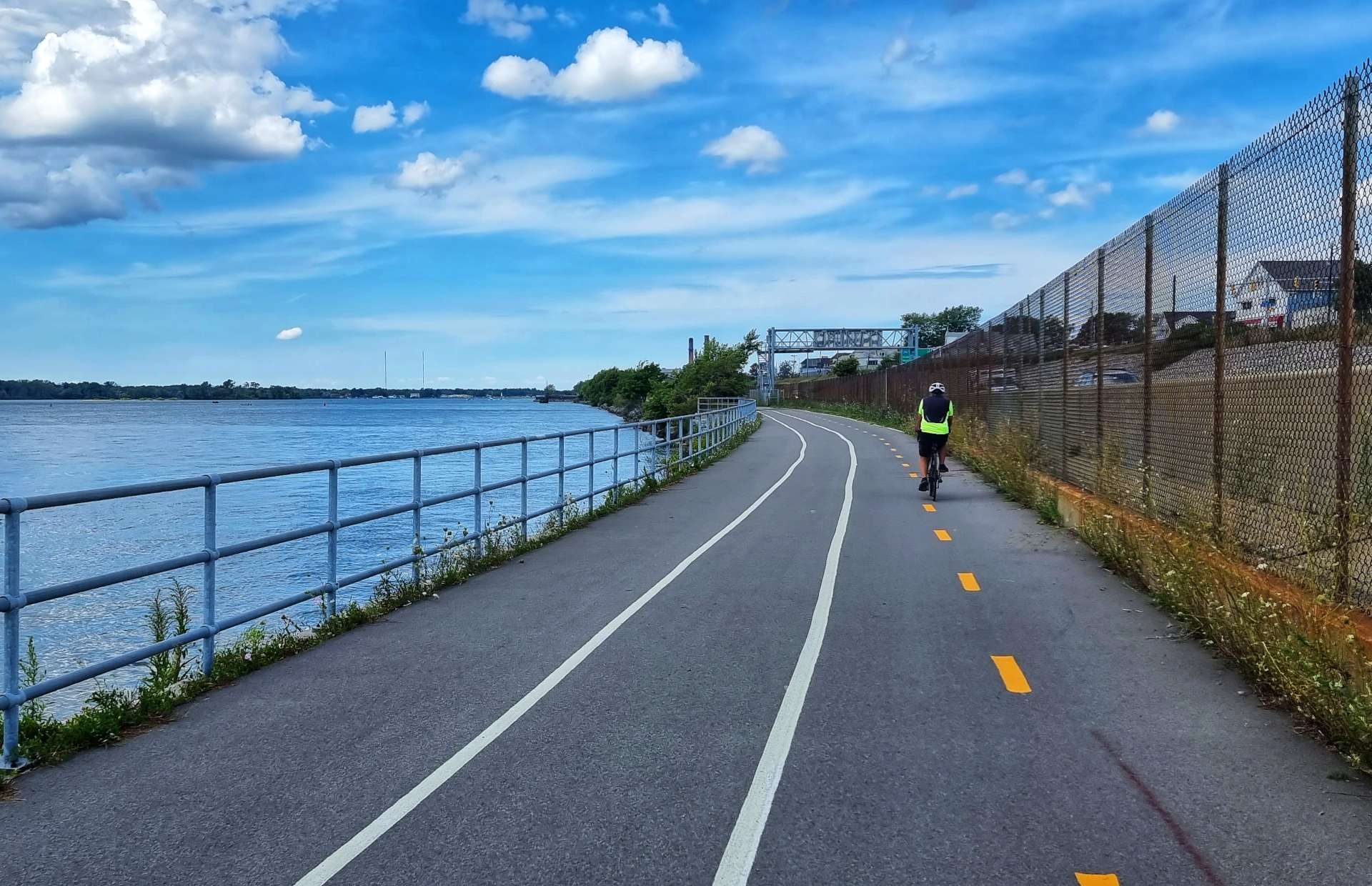
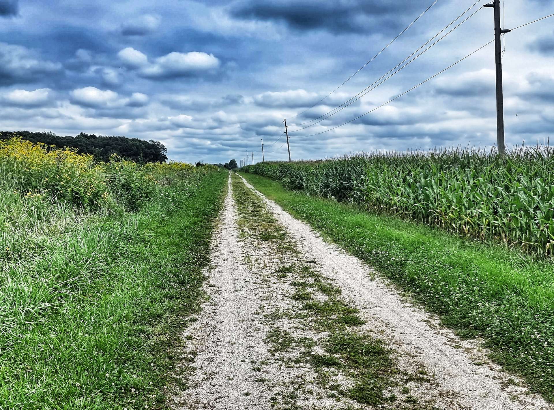
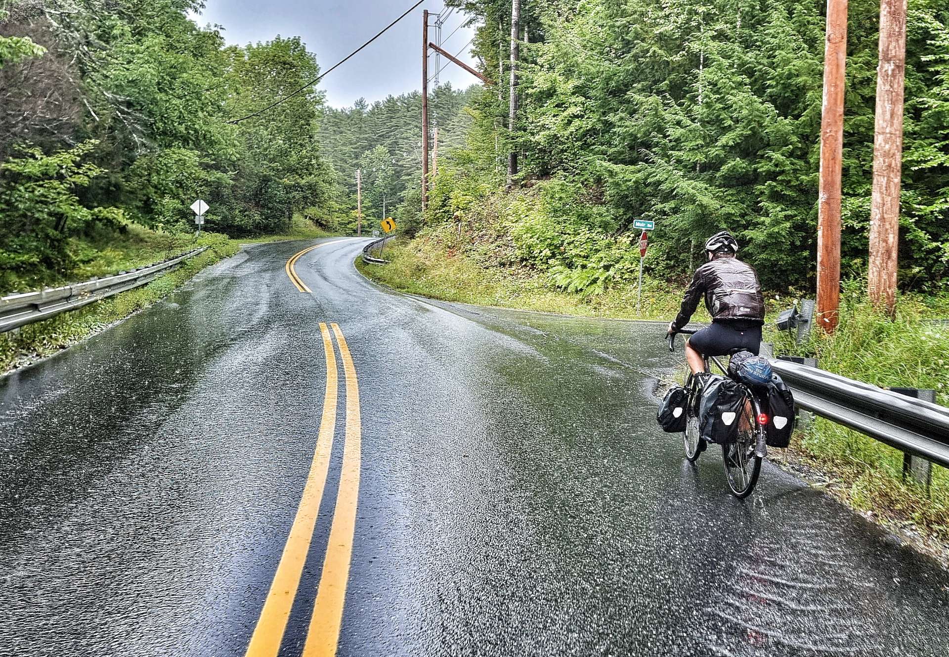
At East Thetford we crossed the Connecticut River, taking us briefly into New Hampshire, although neither of us spotted a Welcome to New Hampshire sign. We followed the deserted River View Road along the edge of the river, spending about a mile on a good quality gravel road.

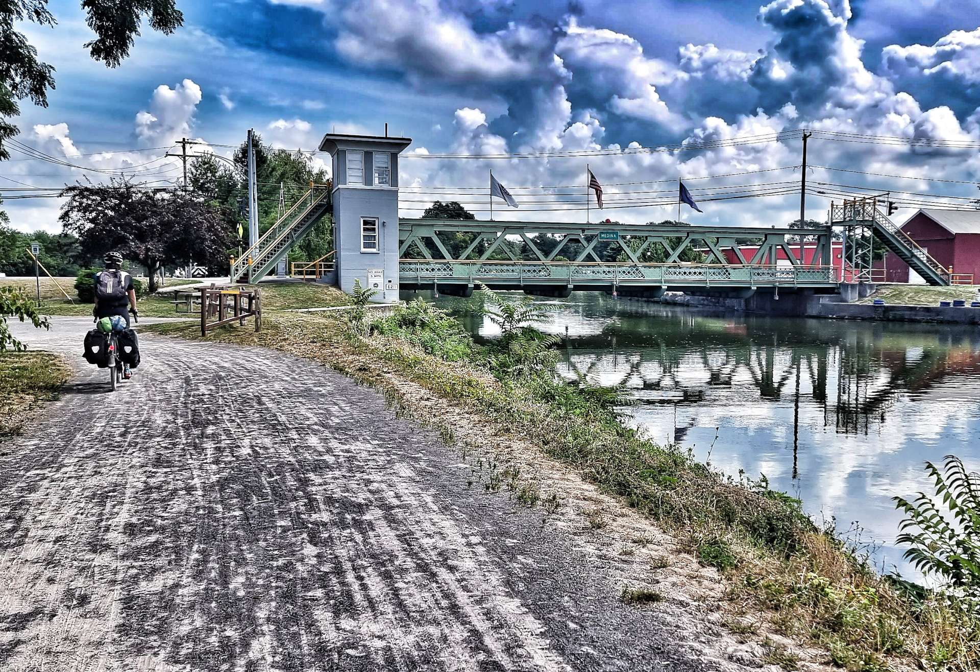
As we continued along the banks of the Connecticut towards Orford, we crossed our second covered bridge of the day & I stopped to get an action shot – yes, it was still raining & we were properly soaked through! As we reached Orford, we took a left turn, crossing the river back into Vermont & then making our way into Fairlee, where we’re staying at the Silver Maple Lodge this evening.

There was a laundry right next to the hotel, so we took the chance to do our last batch of washing before we reach the end of our cycling adventure. There was also a restaurant nearby too – for some reason I was starving this afternoon, so I went to dinner on my own at 5pm, about 2 hours earlier than normal.

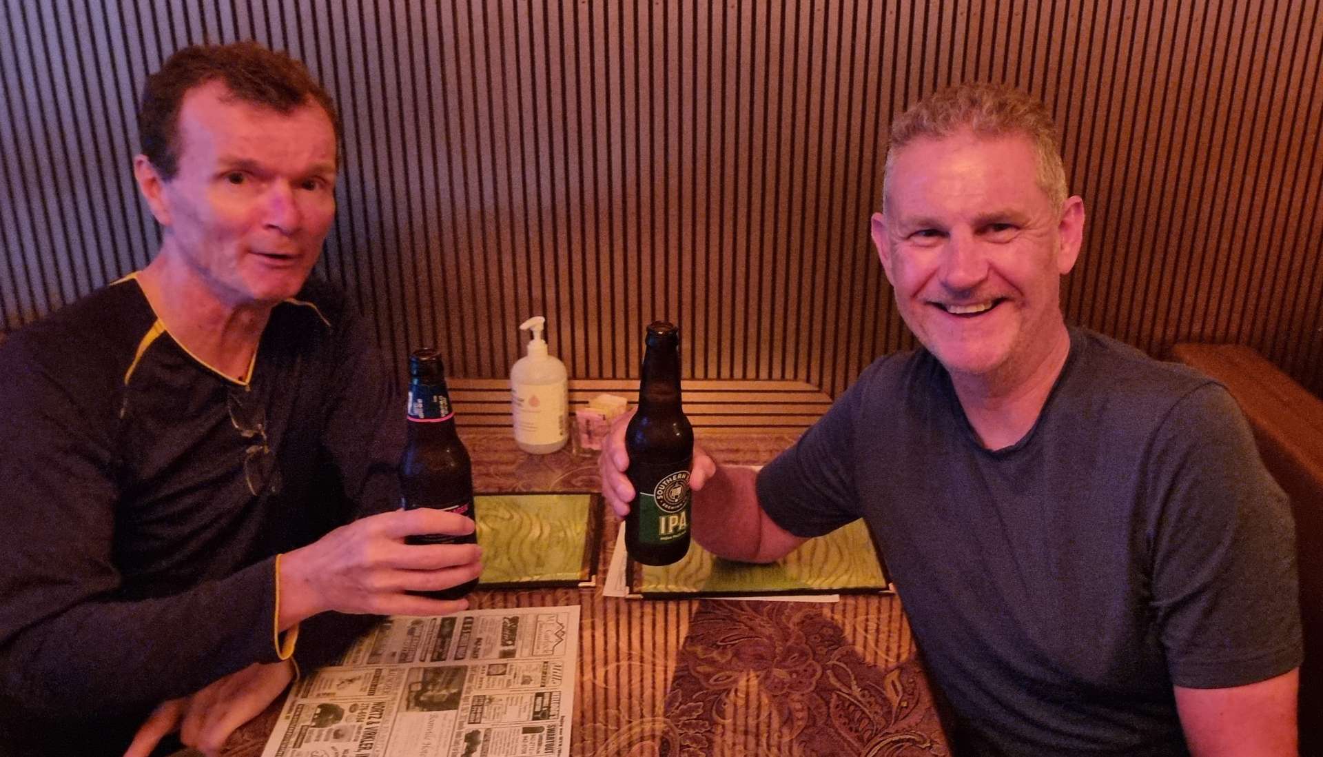
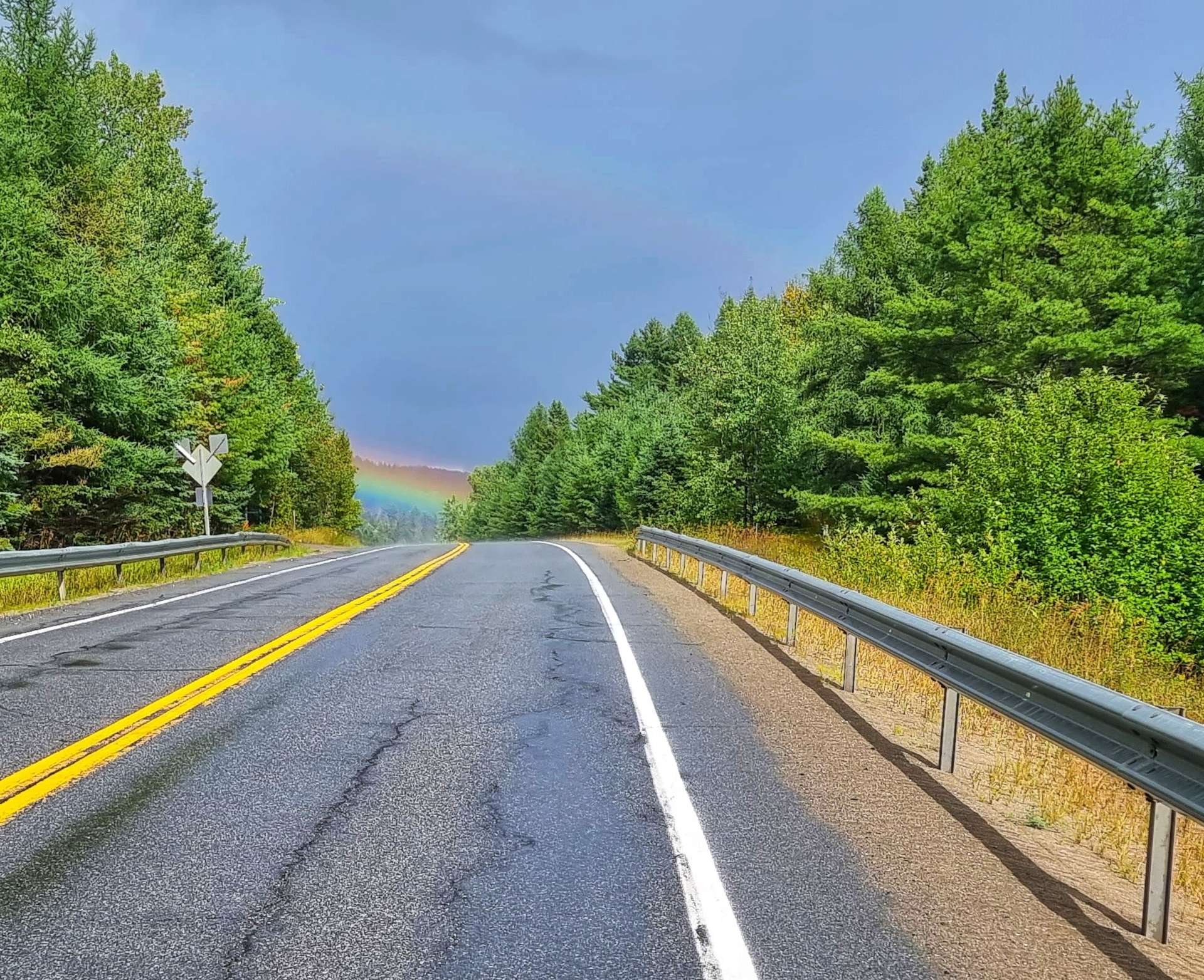
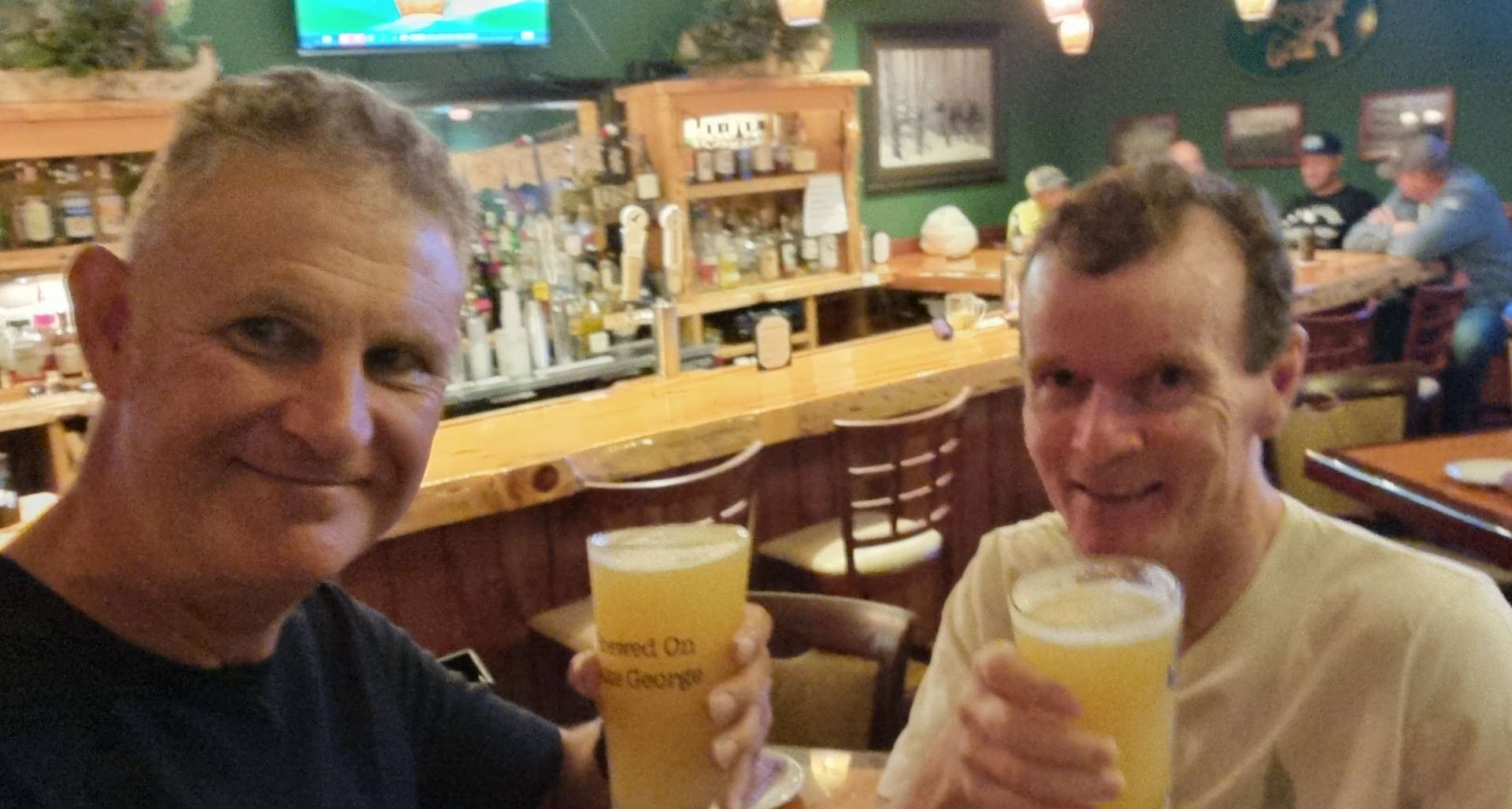
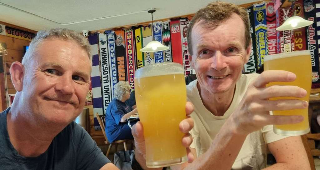
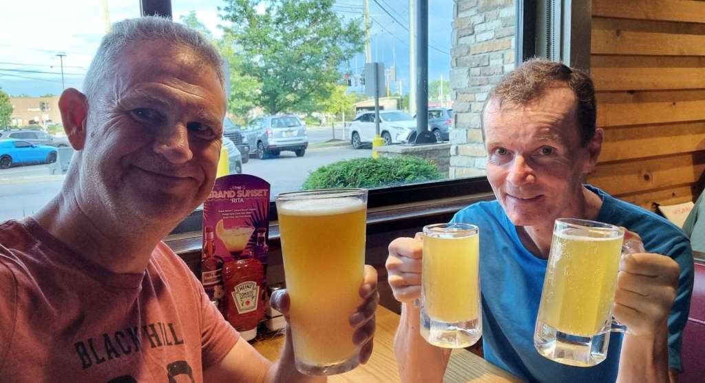
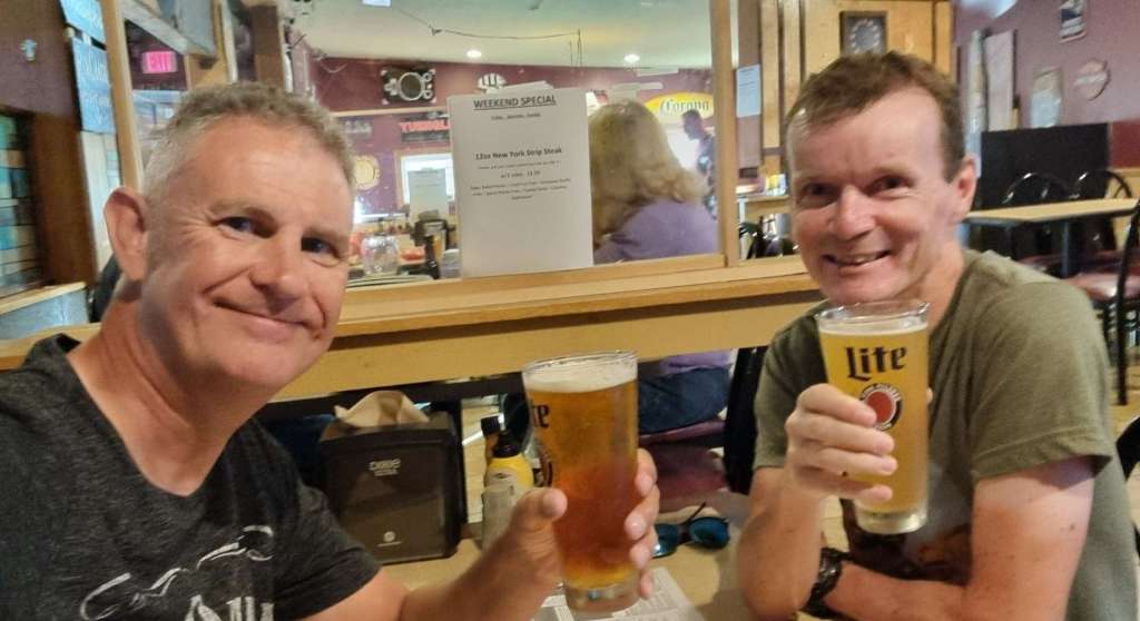
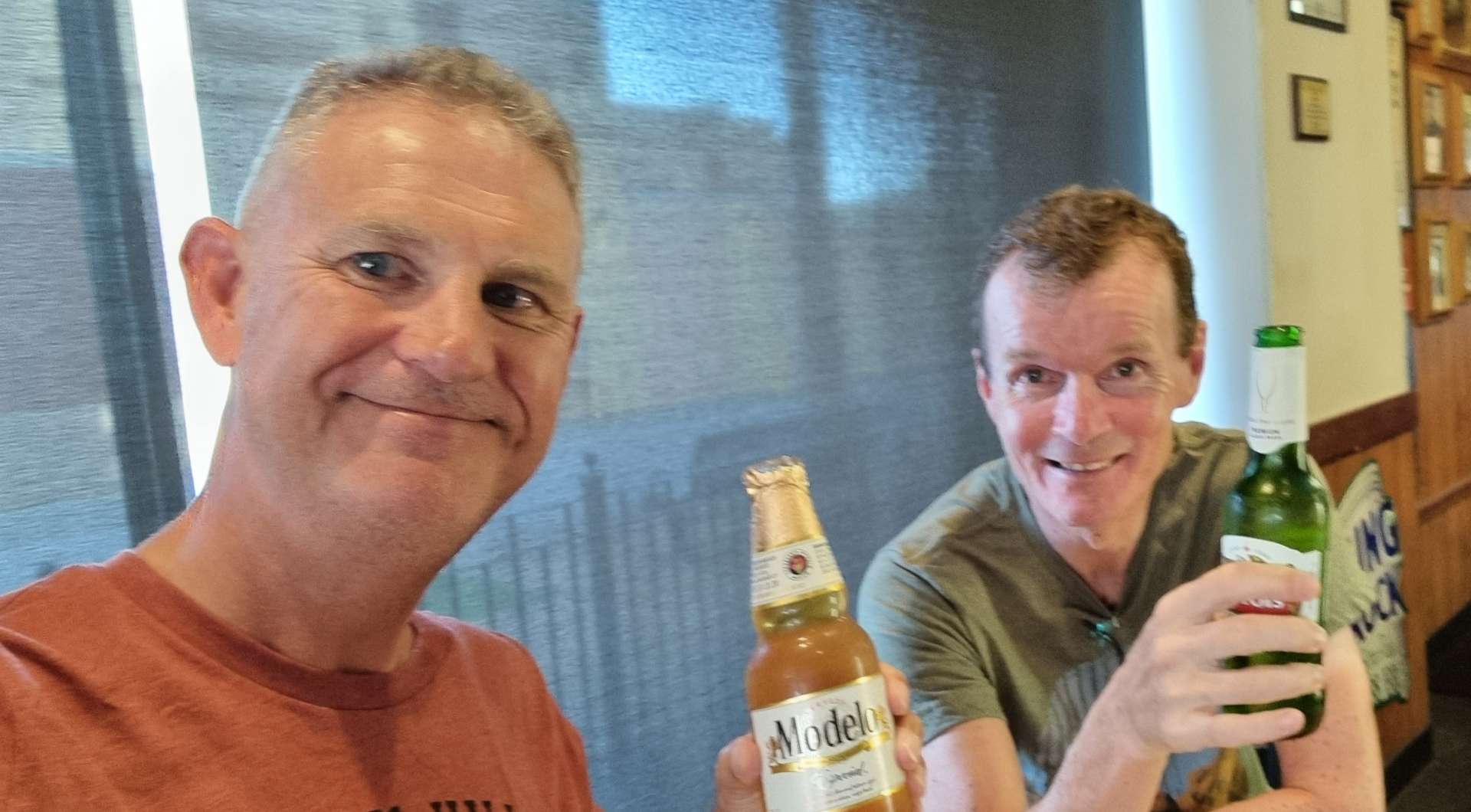
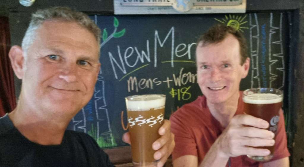
I still toasted another adventurous day in the saddle – it’s a Friday & Beer Club traditions need to be maintained!!! Tonight’s offering was a Little Devil IPA. Here’s to a drier day tomorrow.

Stage Stats – 54 miles, 3,261 feet of climbing. The rains return!

Saturday 27th August – Fairlee to North Woodstock (Stage 91).

We had a late start today, as we only had a 40 mile ride to North Woodstock planned. We met for a continental breakfast at 9am, having already chatted about heading into town if we needed a more substantial meal. We met Linda & Brian, who were in town to see family – they come from just outside Boston. They were both really interested in our adventure, how we came up with the idea & our stand-out moments.

Linda has family from Salisbury & they had both visited the UK pre-covid & had been to Bristol & Bath during their trip. Linda said if we find ourselves in Boston we should look them up & they’ll put us up – another example of the incredible generosity of the people we’ve met on our adventure.

As we were saying goodbye to Scott (who owns the motel) he told us that he’d ridden Coast to Coast 50 years ag0, as a 22 year old. He then got out a large scale map with the route he’d taken – it was a real privilege to hear about his adventure! We’ve used modern technology all the way round, whereas Scott picked up a paper map of each State as he crossed the State Line. I was in awe of what he did.

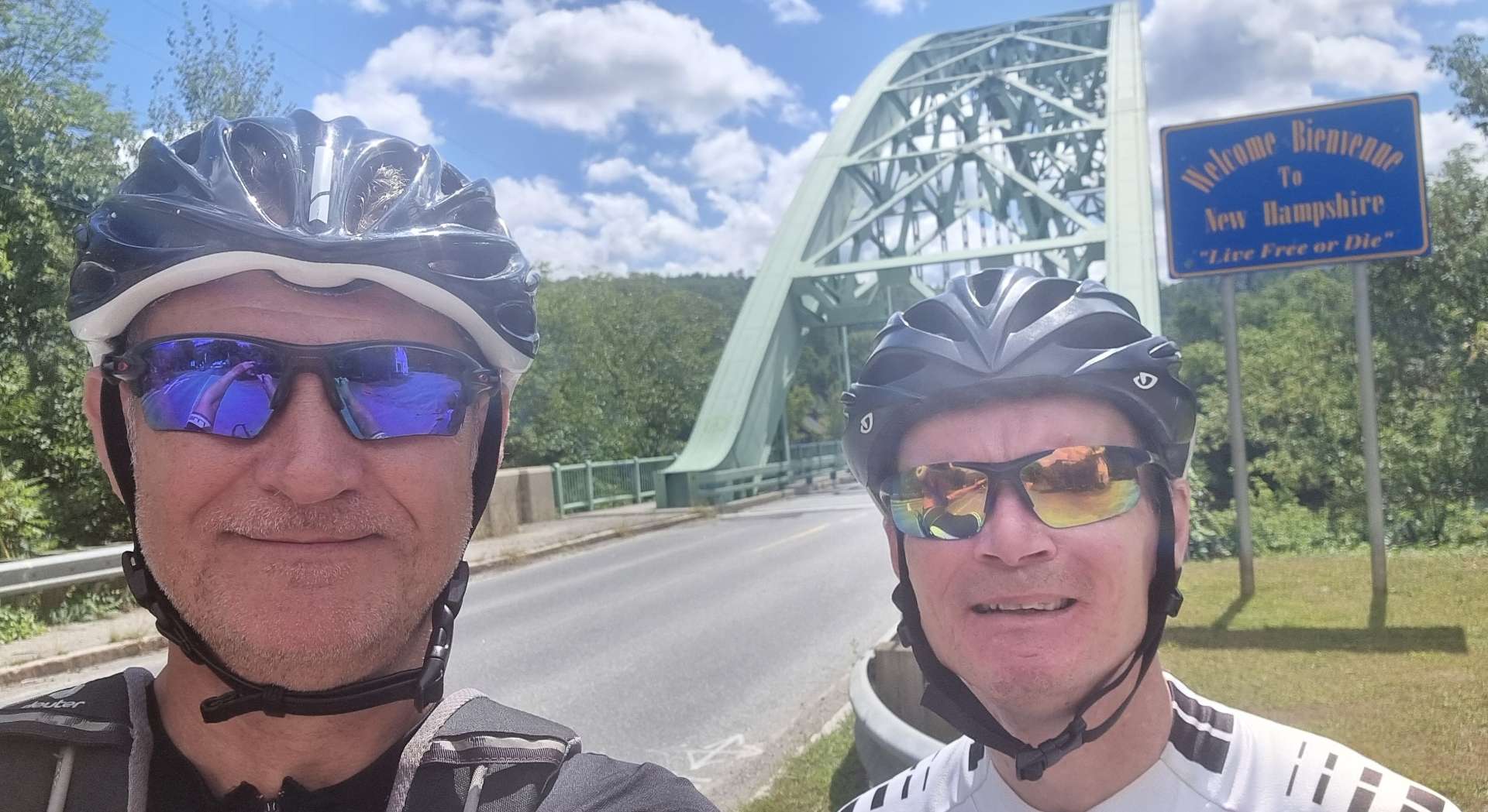
It was about 11am by the time we left Scott & the Silver Maple Lodge, & after stopping for a breakfast of eggs, sausage & toast we were on our way under sunny, blue skies. Our first task was to get a photo in front of the Welcome to New Hampshire sign which instructed us to Live Free or Die just before we crossed the Connecticut River!

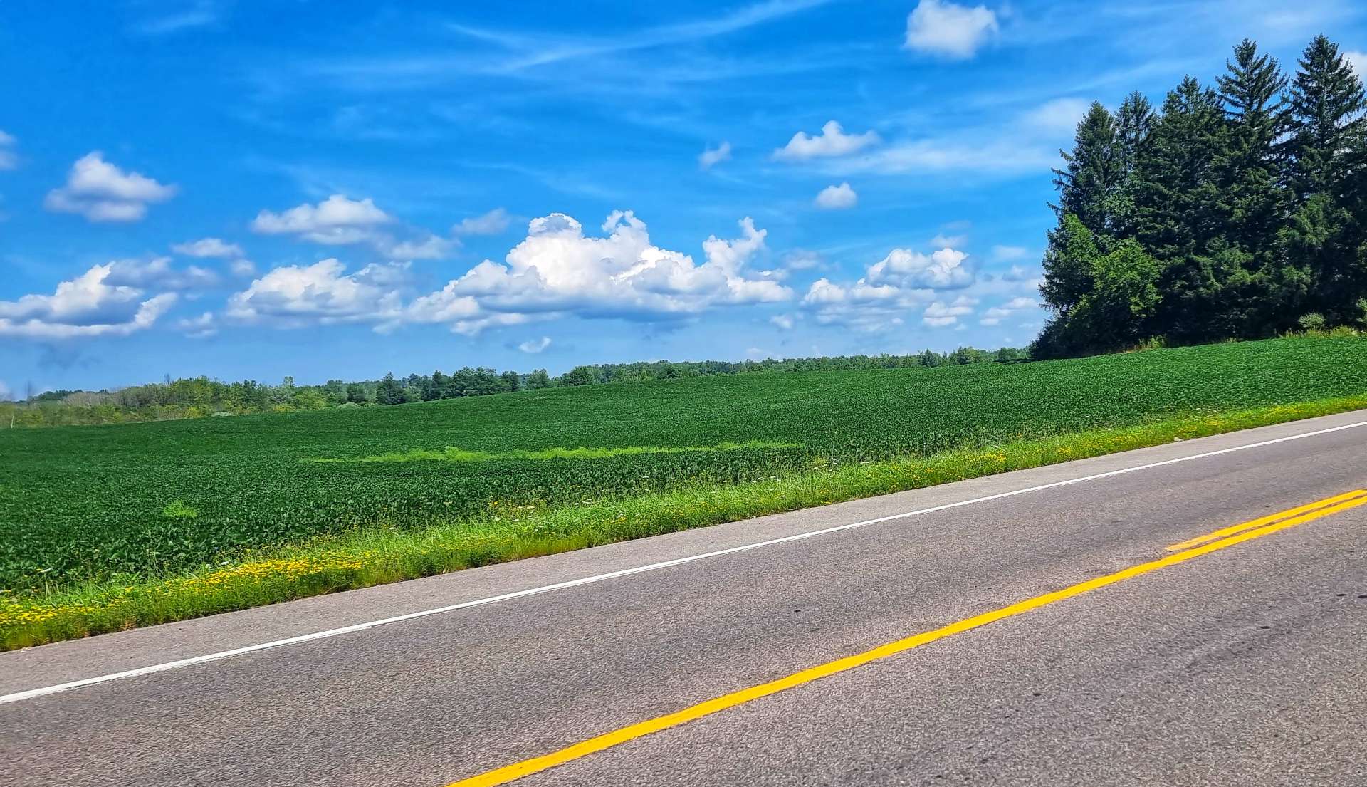
We rode close to the Connecticut River as we made our way along the side of the valley. Initially it was like being back in Wisconsin again, as we passed maize fields. Although the route didn’t show any climbing in the early stages, the reality was somewhat different, as we regularly found ourselves heading up & down undulations in the road.

Just before our final view of the river, I spotted a sign that reminded me of my friends Train Driver Jake & Helen Warren – it’s been fun looking out for signs that remind me of home

We were riding on Dartmouth College Highway – Dartmouth was chartered in 1769 & is one of only 9 colonial colleges which remain from before the American Revolution. It’s also the inspiration for the film National Lampoon’s Animal House, as one of the writers Chris Miller) was a member of Alpha Delta Phi fraternity house during his time there.

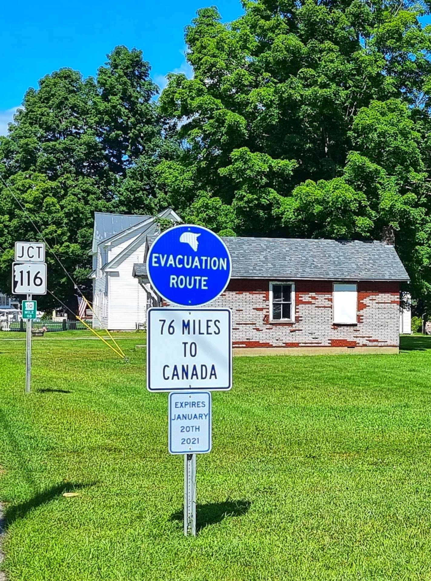
We saw a couple of touring cyclists as we reached Haverhill (which made me thing of The Proclaimers – I was havering myself at this point!). There was also what looked to be a Trump Evacuation Route towards Canada (zoom in on the image above the writing……).

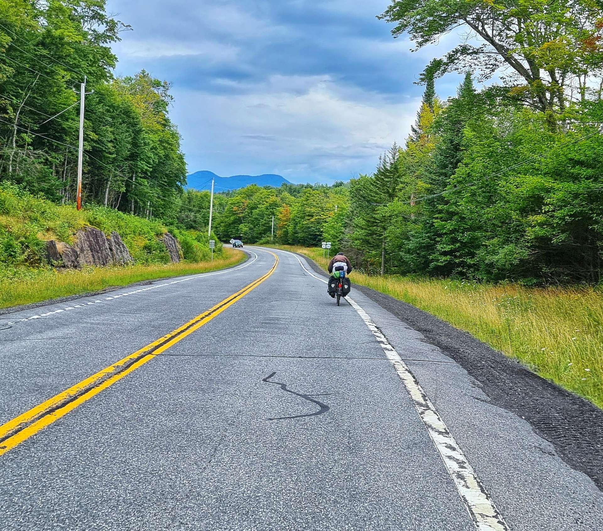
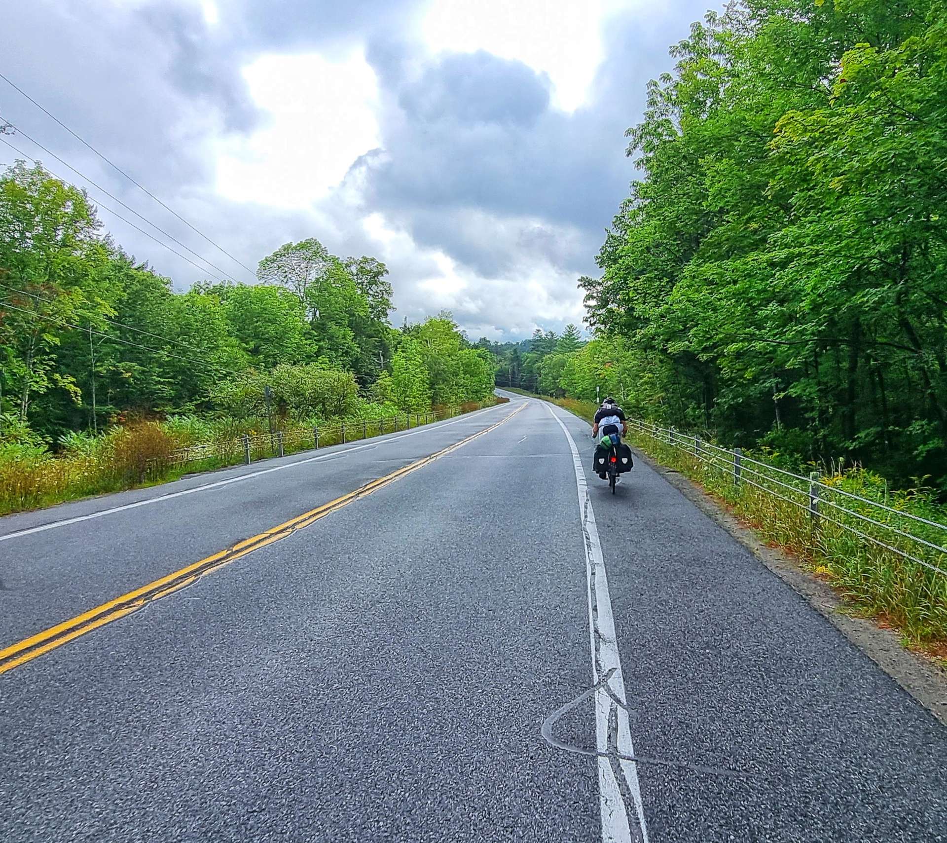
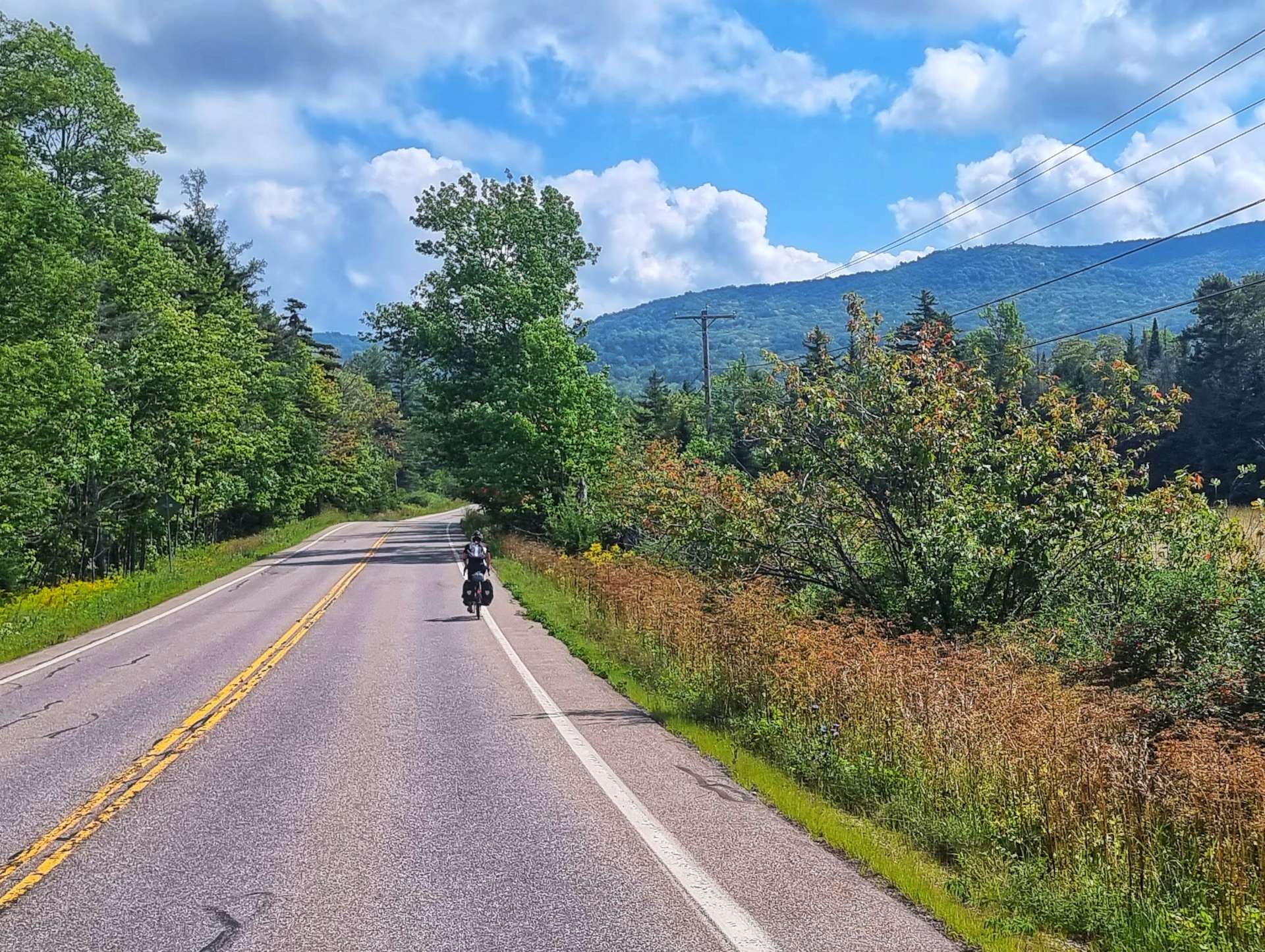
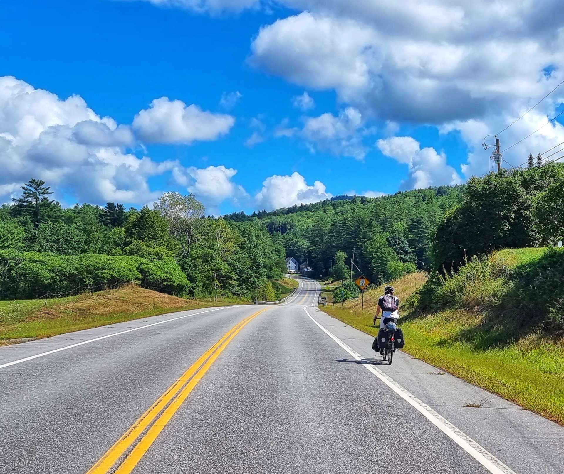
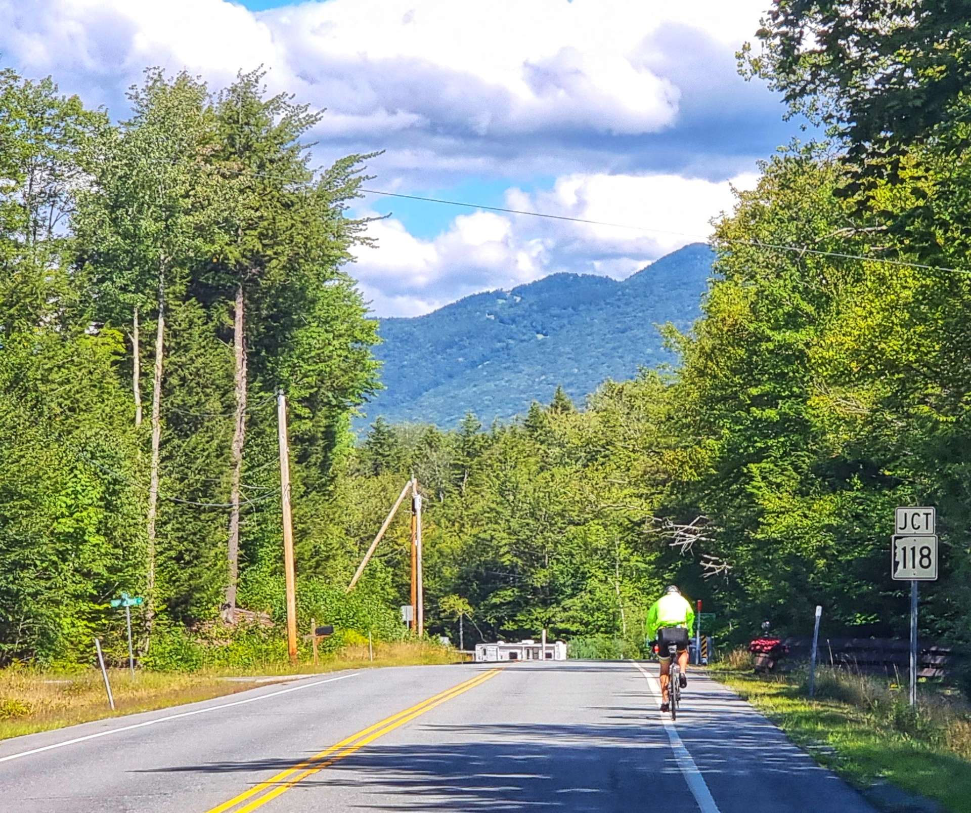
We took a right towards The White Mountains & the climbing started in earnest – there was a steep ramp at the start of the climb, then it settled into a steady 4% to 5% gradient for the remaining 8 miles, as we climbed up to 1,300 feet above sea level. I’d popped off the front, so managed to get an action shot of Sean, just as he summitted the first of our 2 proper climbs of the day.

After a brief descent, we crossed the Ammonoosuc River & started the final climb of the day. It was a 5 mile climb, but it would only gain 800 feet of altitude.

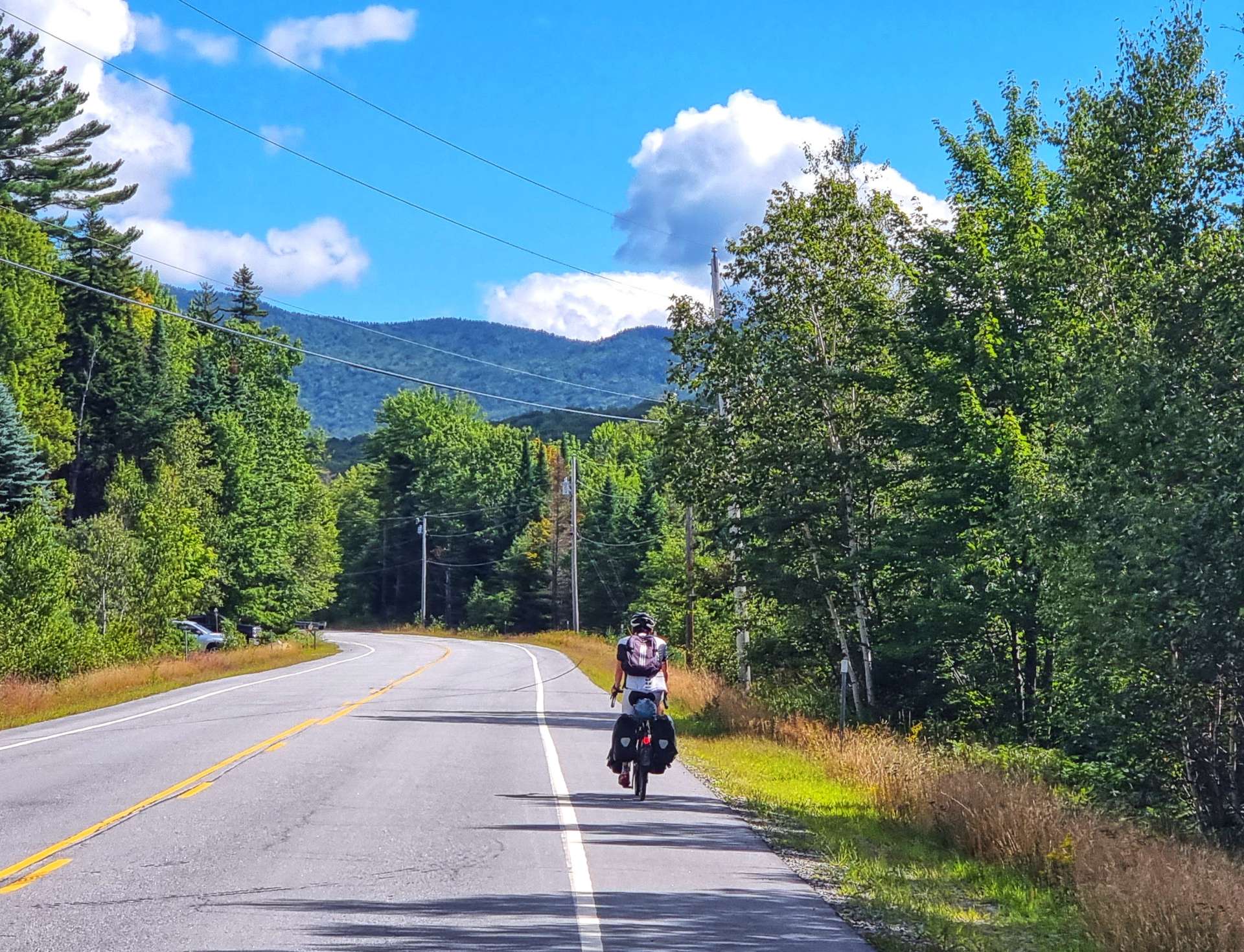
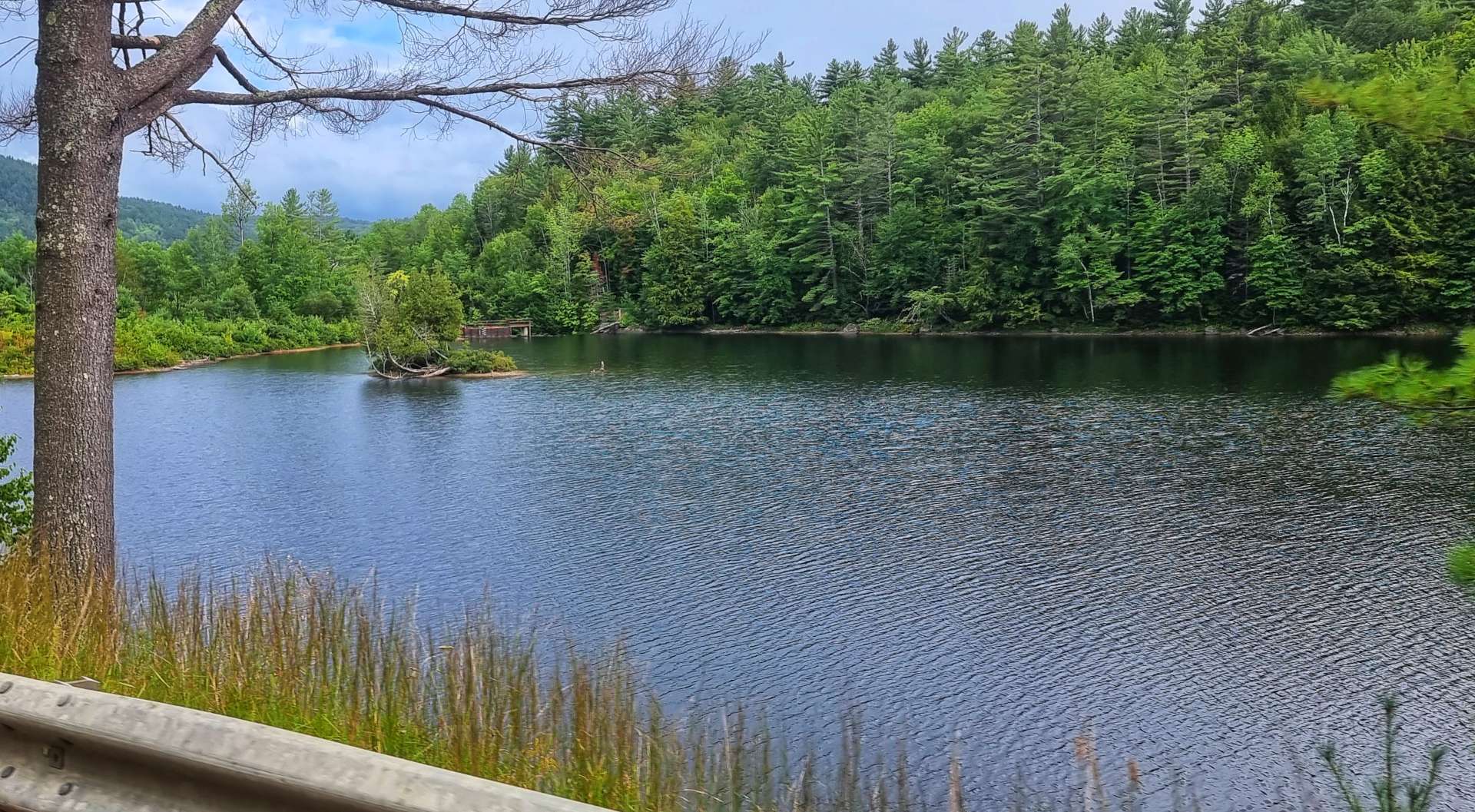
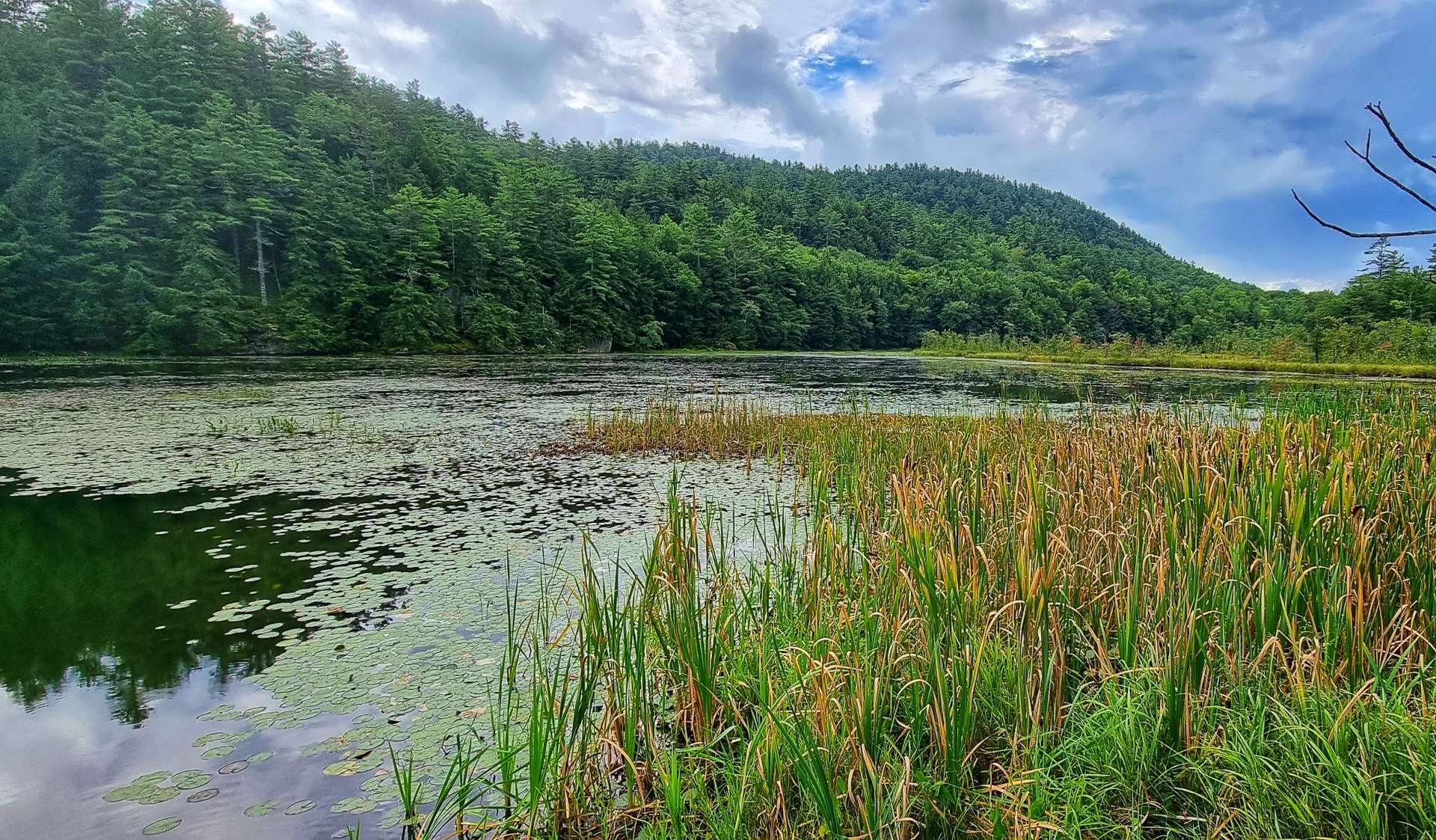
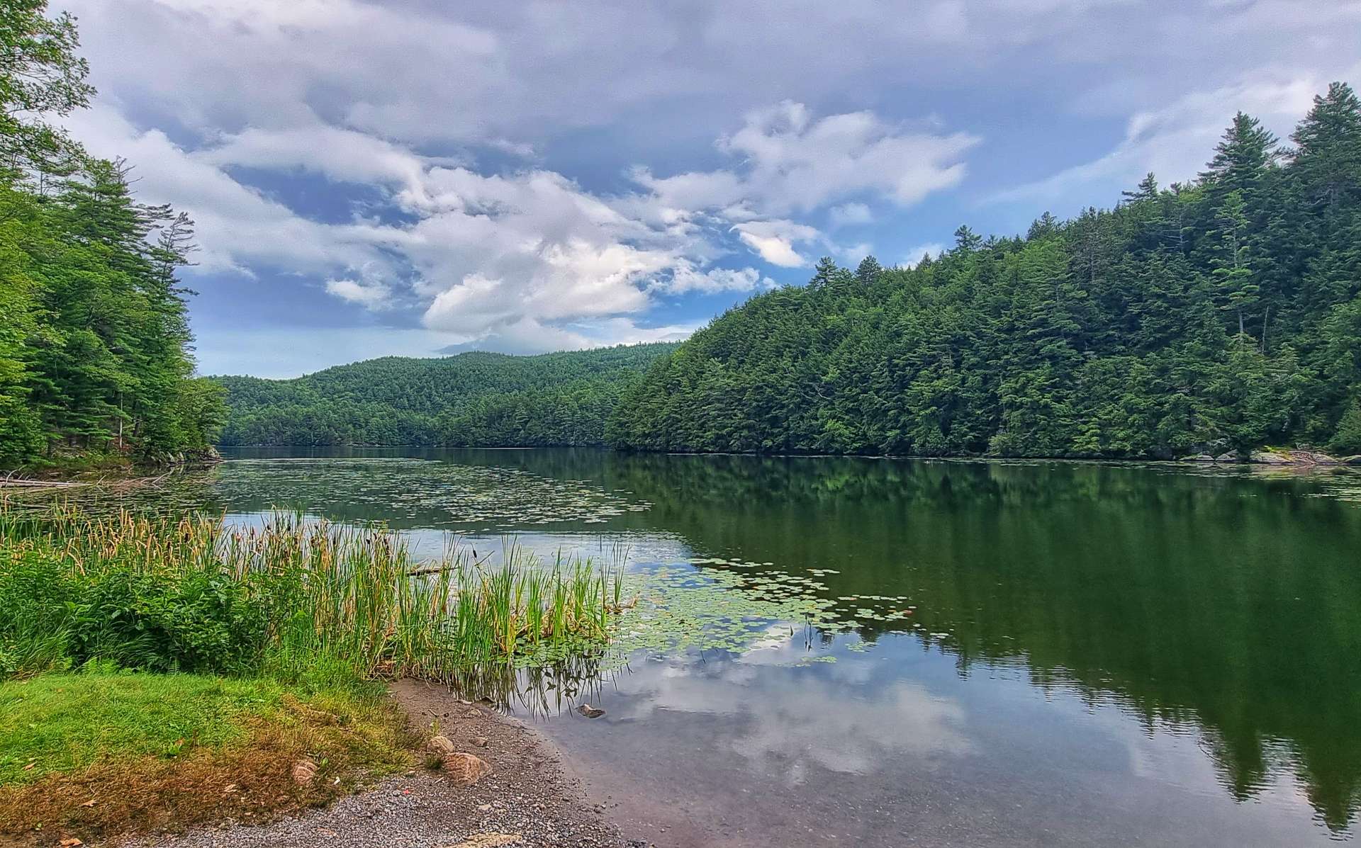
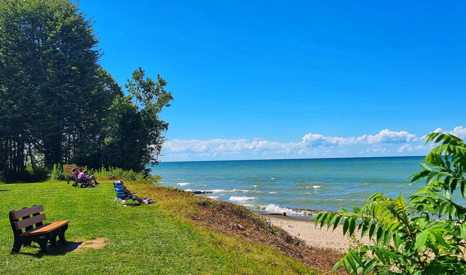
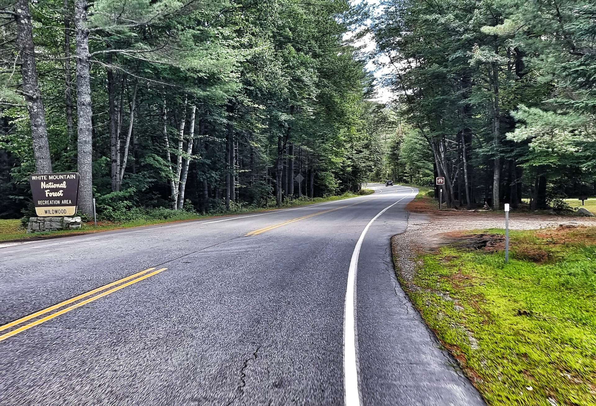
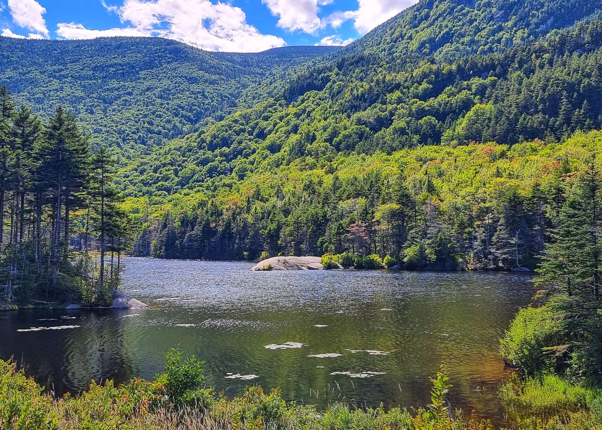
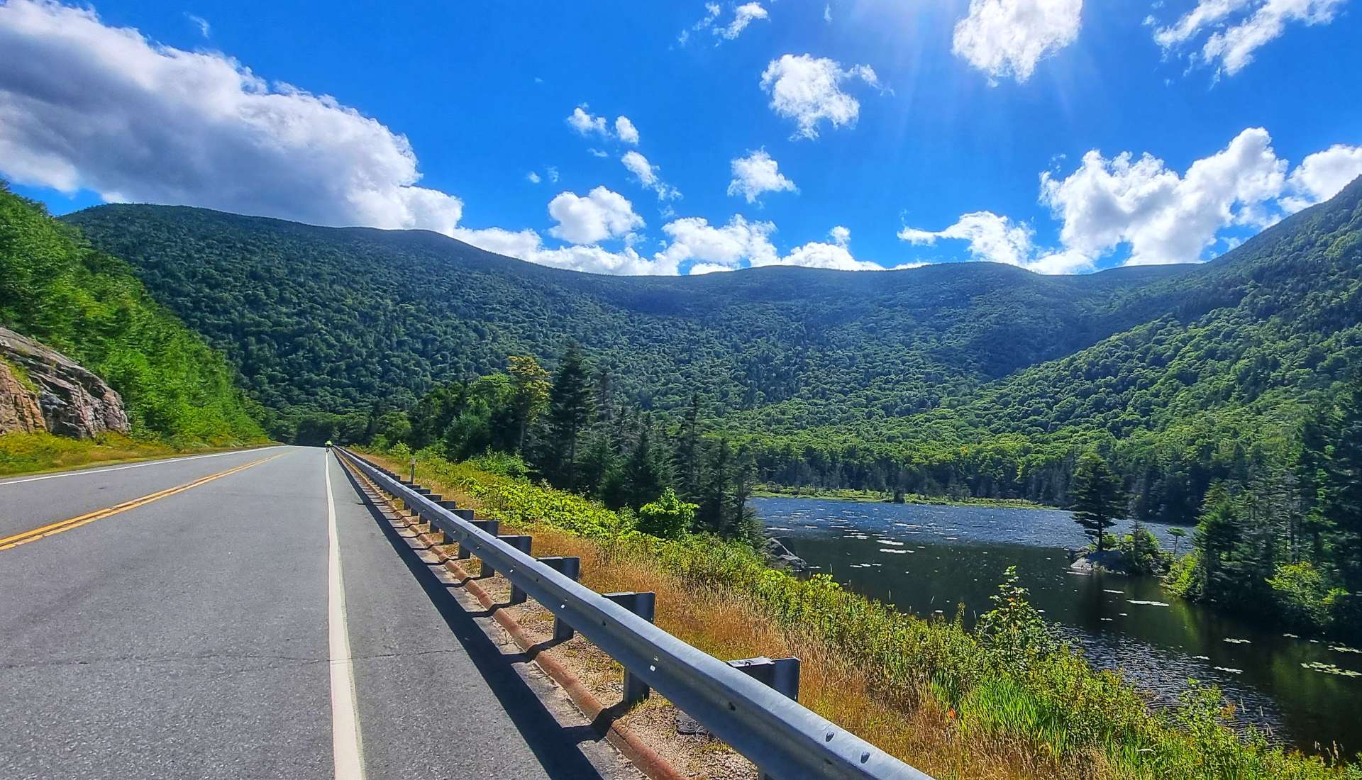
We entered the White Mountains National Forest on the lower slopes, so had some protection from the sun as we headed past Wildwood Campground & State Park. The final drag took us up to Beaver Pond, where we stopped briefly to enjoy the view across the lake to the even taller peaks.

The descent was awesome. The long, sweeping bends didn’t require any braking, as the road was wide open, always offering big views all around. In next to no time we were on the lower slopes, freewheeling towards the small town of North Woodstock.

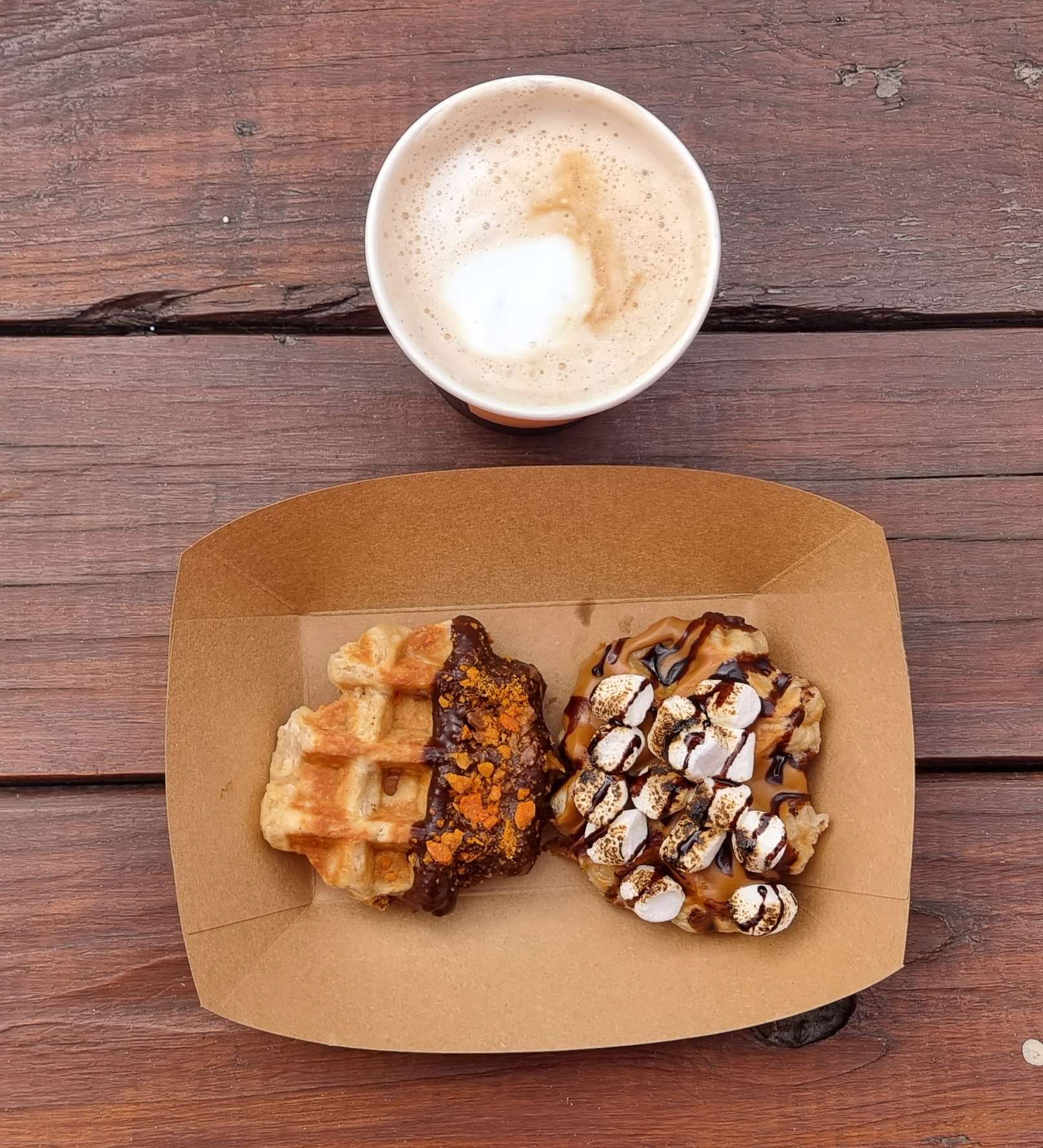
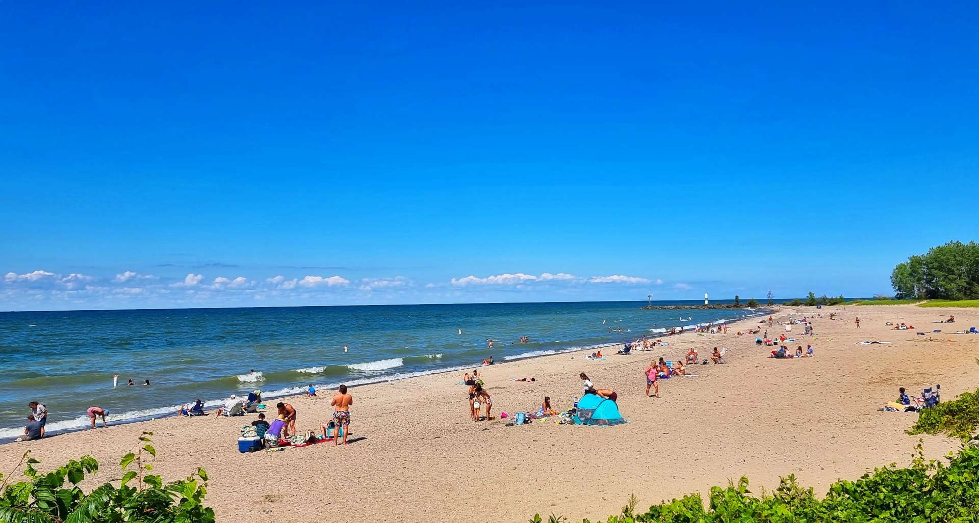
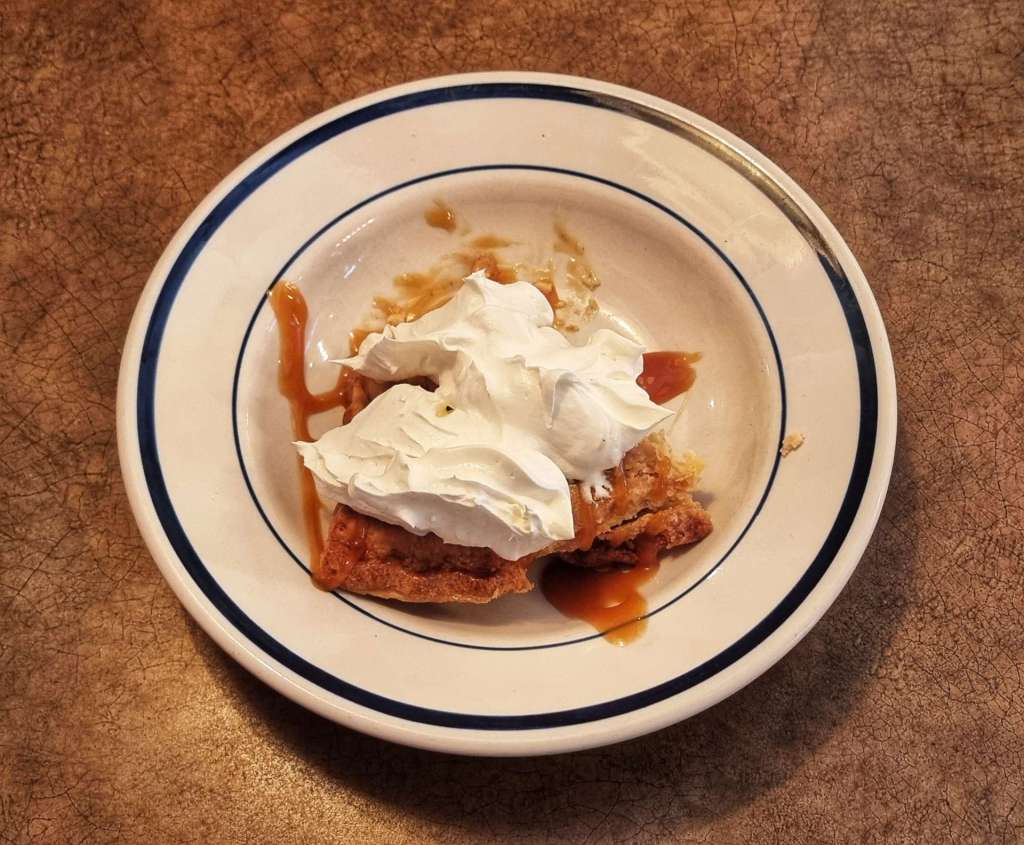
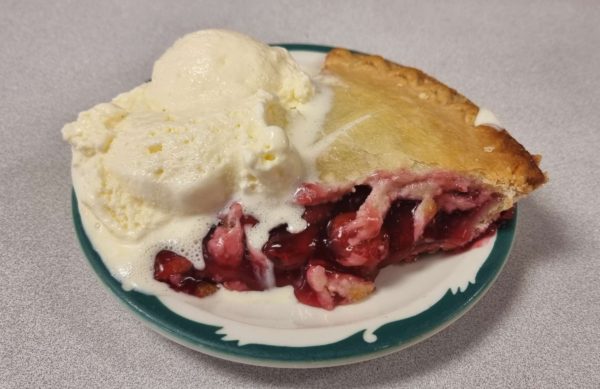
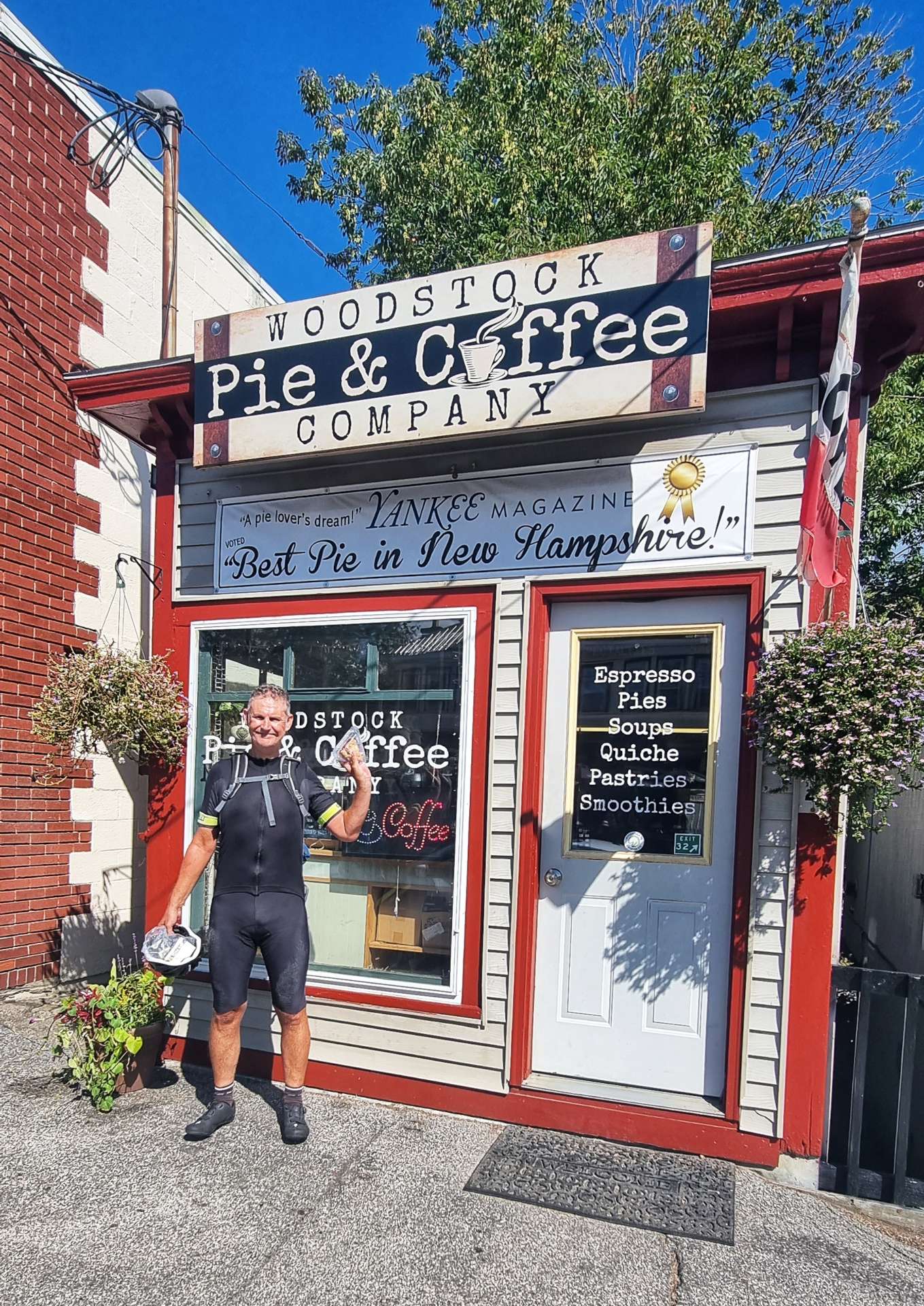
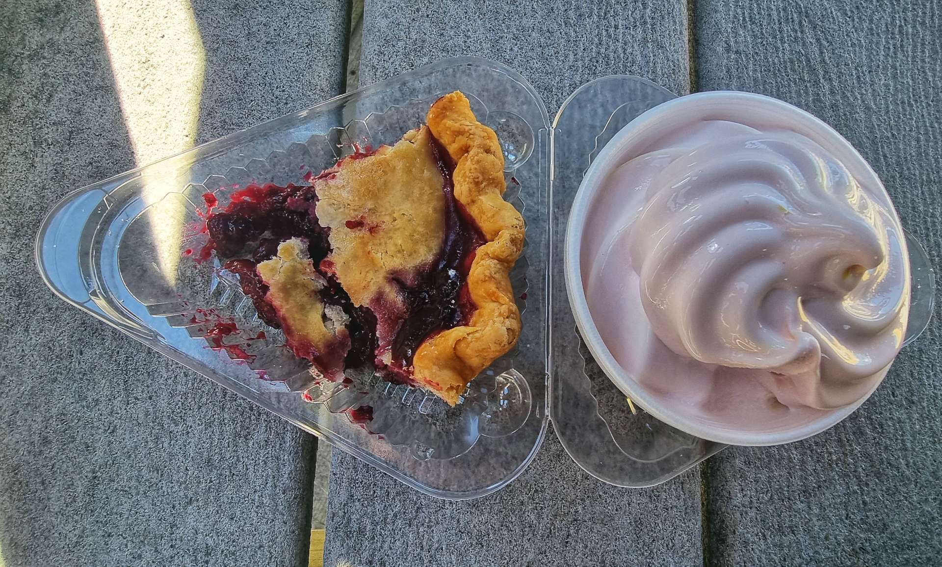
As we rolled into town we saw the Woodstock Pie & Coffee Company, which claimed the title of “Best Pie in New Hampshire”, so we had to try it out! I decided to go all in, so added some soft ice cream, to complete the taste test – it was a great piece of mixed berry pie & the ice cream was delicious too!

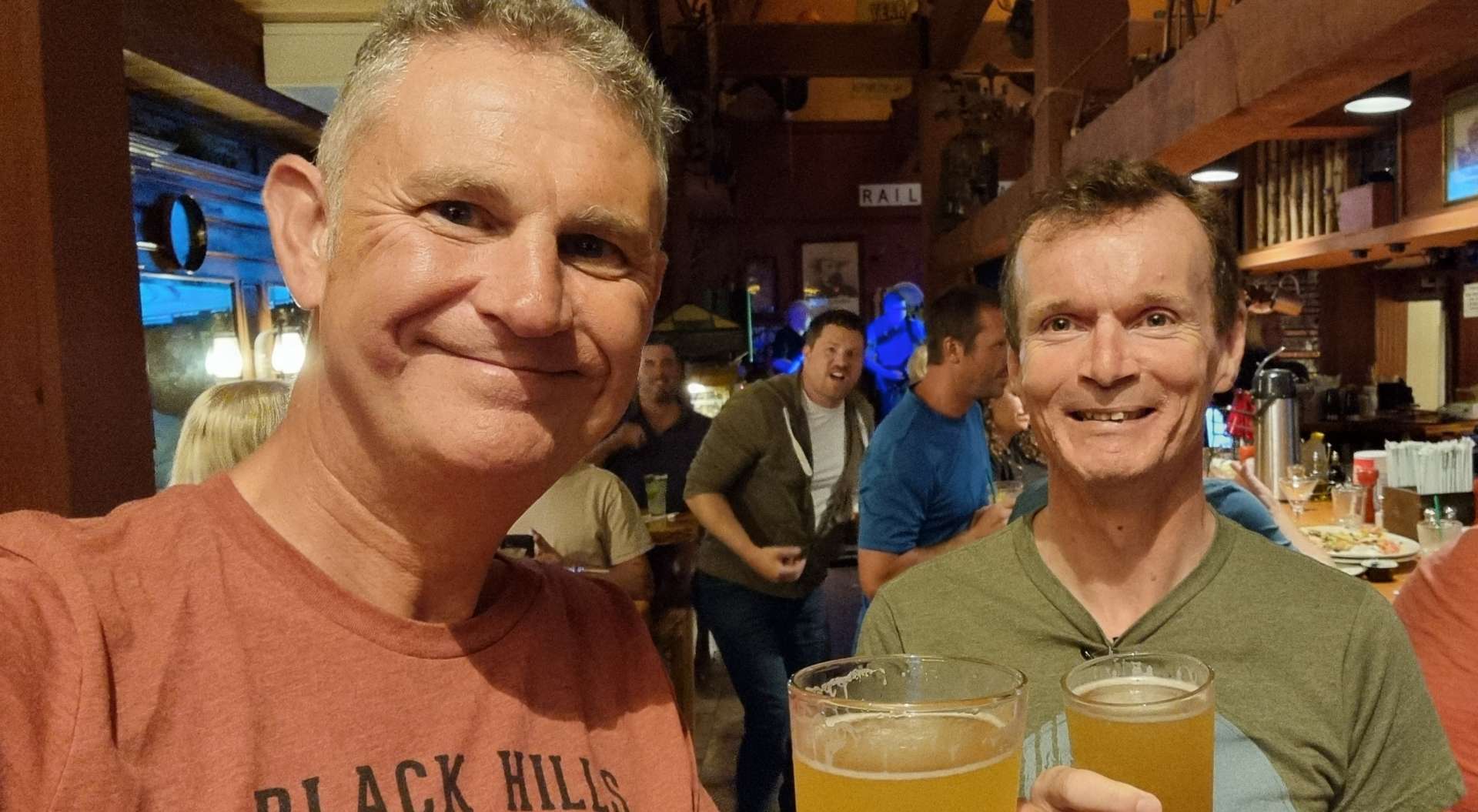
This is our last two night stop before we finish our big adventure, so we headed our for dinner, then stayed out a bit longer for a few beers too.

Stage Stats – 39 miles, 2,805 feet of climbing. Crossing into New Hampshire & finding some mighty fine pie!

Pulaski to Ticonderoga

Sunday 21st to Tuesday 23rd August – Stages 86 to 88.

Sunday 21st August – Pulaski to Boonville (Stage 86).

We made plans to set off this morning at 9am, however, the weather gods had a different idea! Thunder, lightning & a deluge of rain made the decision to delay our start for an hour, rather an easy one to make.

We eventually got underway at about 10am, at which point it had, at least temporarily, stopped raining. Leaving town, we passed the local airfield, where I stopped briefly to get a snap of the Canada Geese preparing for their own take-off in the field next door.

There is a growing Amish community around Pulaski & the road signs remind motorists of the possibility that horse & carriages may be on the road. The only horse & carriage we’ve seen on our travels was 3 weeks ago, when we on the way to Rochester, Indiana.

The reality of today was that only mad fish & Englishmen would be out in the mid-day storm!! The dry spell had lasted less than 20 minutes when the skies opened again – while the final photo below shows a still image of the rain, I’ve also included a video clip. You’ll need to forgive the poor quality of the audio, as water got in the microphone.

The Salmon River & Reservoir were both hidden behind the trees, so it took about an hour before we got our one & only look at the lake. Most Atlantic Salmon of Lake Ontario, although the same species as those salmon found on the Atlantic coast, spend their entire life in Lake Ontario & the Salmon River.

In 1860 salmon were so abundant that farmers used pitchforks to toss the fish onto the bank as they swam up-river in the Seneca River. Documents also claim that over 2,000 salmon were speared in a single night at Pulaski.

The New York State Department of Environmental Conservation (NYSDEC) are now responsible for managing the limited salmon stock in Lake Ontario & the surrounding rivers, including the Salmon River. Over time, NYSDEC aim to increase salmon numbers, but it’s very much a long term project.

Although it had been raining for most of the morning (& it continued to for another hour or two), it was warm enough that I was riding in overshoes, shorts & a short sleeved wet weather cycling top (A Castelli Perfetto for the cycling geeks among you – I have no hesitation recommended it for wet weather riding. For clarity I bought it, so no product placement here!).

Some of my friends will remember that I made a conscious decision to go out training last winter when it was raining – at the time I said I wanted to be mentally prepared to deal with days of rain if / when it happened on my adventure. I knew I wouldn’t be able to stop the rain when it happened, but I could choose my attitude.

As we left Salmon Lake behind, we started climbing & headed up to Osceola ski resort on Tug Hill. It’s only about 1,700 feet above sea level, but has 15 miles of cross-country ski trails & is popular in winter. We didn’t see a soul when we cycled past it!!

The final photo below gives an idea of how dark it was & how heavy the rain was as we continued on our way.

We stopped at a bar in Osceola for a quick coffee (no cake today), just to get out the rain for 15 minutes. The very kind landlady offered us a room for the night if we needed one – this has been typical of the many people we’ve met, always offering to help if they can. We had a hotel booked & paid for another 90 minutes away, so we declined, but said how much we appreciated her offer.

Back out into the rain we went! Creeks that had been barely flowing only a couple of days ago were already showing signs of how much rain had fallen in the last 12 hours.

I’d pulled over for a natural break when the heavens opened again – I was in just the right place to get Sean riding past & the rain bouncing off the road, with a State Forest sign in shot (we’d been passing them all morning).

Finally the rain relented & then eventually stopped! This was the first time we’d been rained on in a while (a thunder storm in Winona a month ago is the last time that springs to mind), so in spite of getting very wet today, we appreciate how lucky we’ve been recently.

We’re staying in a really comfortable hotel tonight. The Lodge At Headwaters is much more luxurious than our usual accommodation. I took a photo before I spread my wet kit all across the room, so it would dry for the morning!

The Boonville Hotel is an old opera house & looked like it might be just the place for a couple of restorative IPA’s & a slap up meal – they certainly delivered!!! The spaghetti & meatballs & HUGE chocolate brownie sundae (on a Sunday) were delicious. Tomorrow’s another day, but the weather forecast is saying we’re in for more of the same, so I’m off to choose my attitude for another day in the rain…..

Stage Stats – 49 miles, 3,018 feet of climbing. A day in the rain & a return to the mountains as the Adirondacks approach.

Monday 22nd August – Boonville to Long Lake (Stage 87).

Sadly the rain forecast was correct & we set off in light rain for the 2nd day on the trot – this is a first on our adventure. As a result I’ll be in the same jacket as yesterday, although underneath I have a clean cycling jersey on…..honest, I do!!

We left Boonville on a small, quiet & hilly road that took us up to the Black River feeder canal & a slippery (when wet) steel grated bridge – I was livin’ on a prayer when I crossed it!

We continued past a gaggle of 5 wild turkeys who were walking across someone’s back garden & then re-crossed the canal, before crossing the Black River itself. By now the light shower had moved on & been replaced by a downpour. Once again it was time to choose an attitude & I like to think I did a good job of selecting the right one, check the video & see what you think!

We occasionally found refuge from the deluge under the overhanging trees, but as you can see, we were drenched by this point – we were probably 6 or 7 miles into the ride, but it was warm again, so things could have been much more challenging for us. Mile Creek ran through the back garden of one property & although the weather wasn’t great, it looked like a lovely spot to sit on a warm, summer’s day.

The rain stopped at about 10.30, which lifted our spirits & encouraged us to take some action photos & also stop & take in some of the historic buildings – the Old Red Schoolhouse dates from 1870.

We had been riding along Moose River Road all morning, so we knew there was a river hiding behind the trees somewhere, we just didn’t know where! Then it revealed itself for the first time, away to our left. In between sightings of the river we found ourselves climbing, then descending the bluffs every time the river twisted & turned.

At McKeever we joined a larger County road, crossed the Moose River & headed towards Old Forge. We passed through Thendara on the way, which had a historic railroad museum, which included a restored station & a Scenic railroad. In front of the train are Railbikes (which run on the railroad track) – each railbike takes up to 4 people & you can hire them (from $85 for 2 hours) & explore the surrounding scenery on the railroad.

At Thendara we picked up the Thendara, Old Forge, Big Moose, Inlet, Eagle Bay (TOBIE) Trail – which provides a cyclist friendly route around the local lakes.

Old Forge was a lovely working town, with specialist shops offering cheese, statues carved from tree trunks by chainsaws & most interesting to us….Ozzie’s Cafe! Sean made this great little find yesterday when researching the fine detail of today’s ride. I chose a wild berry cheesecake & snickers cookie to go with my cappuccino & was very pleased with them all!

We left Old Forge on South Shore Road which took us past First Lake & a lakeside inlet. Although we were riding round a single lake, it had been separated into sections – First Lake & Fourth Lake were, in fact, the same lake!!!

We followed South Lakeshore Road as far as Inlet, at which point we took a right turn onto our last road of the day, although we still had 35 miles of riding left! The very good news was we’d left the rain behind for the day.

We passed Fifth & Sixth Lakes, then at Seventh Lake I saw a sign for Payne’s Seaplanes & Air Services – there were about half a dozen planes on the water, but none were due to take off any time soon, so I settled for taking a few photos of the planes then we set off on our way again.

We found a quiet spot to take a selfie action shot & continued our numeracy lessons on the lakes – they stopped at Eighth!

Although the numbers had run out, the lakes continued to come thick & fast – Raquette Lake was beautiful, with remote islands in the middle. Slightly further on, the shallows offered vistas of the Adirondack Mountains in the distance – more of them over the coming days.

Lake Utuwana & Eagle Lake were connected by a narrow neck & I stopped briefly at both to get a photo to remind me of them in future – 2 more lovely lakes in stunning scenery. In order to reach our motel for the night we had one last, steep climb up to Blue Mountain (no sign, so no photo). Although it was only about a mile in length, it topped out at 11%, which at the end of a long, wet day was testing enough!

For every Ying, there’s a Yang & we had a joyous descent down the other side.

As we rode into Long Lake, we could see The Shamrock Motel in the near distance. We checked-in, got ourselves settled, then put the laundry on while we cycled the mile into town to get some food from the gas station – a sub sandwich & 2 slices of pizza were this evening’s gourmet offering for dinner!

I then went & chilled out on the Shamrock’s private beach for a bit, taking in the views & enjoying the solitude. The perfect end to an epic day in the saddle.

Stage Stats – 74 miles, 4,823 feet of climbing. Another wet morning, then a lesson in lake counting in the afternoon.

Tuesday 23rd August – Long Lake to Ticonderoga (Stage 88).

We left Long Lake under brooding, grey skies & a gap in the early morning rain. However, within 10 minutes the skies had opened again, just as we summitted a small climb with a view over Shaw Pond. A lone heron was fishing for its breakfast, but it looked a very sorry figure with the rain falling like stair-rods.

This is the third day running that there’s been heavy rain, so we at least know what we’re in for! The worst of it rarely lasts more than 15 or 20 minutes (by which point everything we’re wearing is dripping wet), then it eases off for a while (sometimes stopping completely, like today).

We continued on drying roads that rolled up & down between small ponds & rivers. All seemed to be going swimmingly as we passed a sign that identified the primitive area of Essex Chain Lakes.

Just after the 15 mile point at Newcomb, our adventure was thrown into doubt when the chain on my bike broke as I stood up to climb a short incline. Before I came away I had a conversation with my friend Jimbo & he heavily recommended that I take a replacement quick link for an emergency such as this & learn how to replace one. I, of course, didn’t follow his advice & now found myself in a spot of bother!

While I was pondering my options, Tom stopped & asked Sean what the problem was. When I spoke to him & explained, he said there was an Outfitters up the road who rented out mountain bikes, so they may be able to help me. He gave me a lift the mile to Cloudsplitter Outfitters & introduced me to Dave & Ruth, the owners. I explained my predicament & Dave offered straight away to pick up my bike in his truck, bring it back to his workshop & then see what our options were.

10 minutes later we’d got my bike back to the shop – we confirmed that Dave’s Mountain Bike chains weren’t compatible, so we would need a replacement chain. To cut a long story short, I googled the serial number of the chain I needed & Dave phoned a bike shop in Glen’s Falls (60 miles away). They had the chain – now we just needed to get it back to us…..

Dave’s daughter Sienna was running her regular errands for the business, picking up supplies etc in, that’s right, Glen’s Falls. She agreed to pick up the chain & bring it back to Newcomb once she’d finished her appointments. I paid for the chain over the phone & now we just had to wait for Sienna to get back to Newcomb some time after 2.15pm.

Ruth let us use the Pilot’s House, their rental property above the shop & an outdoor space under an awning on the banks of the Hudson River. Sean set about catching up on his sleep with a few 20 minute naps, while I took some photos, had a stroll, did some work on my Blog & reminded myself how to fit a chain by watching some You Tube videos!

Having made the best of our situation & enjoyed our surroundings, I was eager to test my new found knowledge when Sienna arrived with my chain. With Dave’s guidance, we had the chain fitted in about 5 minutes & just like that we could restart our adventure on the road!

Dave, Ruth & Sienna – thank you so much for your help, generosity & kindness. We were in a real difficult position when we met you, but in the space of 4 hours we were able to continue our adventure. This wouldn’t have been possible without you, so a heartfelt thank you.

Dave, Ruth & Sienna – my latest saviours!

We were back on the road by 3pm, with about 45 miles still to ride. The weather was still unsettled, but we set off in the dry & kept our fingers crossed that it might stay that way. We started climbing the side of the Hudson River valley along Blue Ridge Road & rode through verdant, green forest up to the summit. Our enforced delay resulted in us arriving just in time to see a rainbow further up the road.

It was another example of everything appearing to happen for a reason – if my chain hadn’t have broken when & where it did, we’d not have met Dave, Ruth & Sienna, nor would we have seen the rainbow.

We had a tailwind along this stretch of road as we bounced along the ridge, so although there was heavy rain ahead, it was being blown away from us. We had a fun descent into North Hudson

The low cloud on the surrounding mountains made for some moody views, especially when the sun occasionally poked its head out. We continued through Severance & started climbing again after passing the town of Paradox & its lake.

We had the road to ourselves for large parts of today, which made the riding even more enjoyable, especially on the climbs, where we pootle along at anything between 5 & 10 mph. The deserted roads also enable us to ride abreast of each other, have a chat & take a few photos together – the 2nd photo was on a gentle descent, so these were ‘free’ miles!

We followed Eagle Lake for a couple of miles before arriving at our final climb of the day – a short, but steep ascent that took about 15 minutes to complete, however, there was a reward waiting at the top.

We had a 3 mile descent into Ticonderoga, where we’re staying for the next couple of nights! There were huge views all the way across to Lake Champlain in the distance.

In spite of the delay to replace my broken chain, we were checked in to the motel not long after 6pm – a later finish than usual, but with a significantly better outcome than I feared 8 hours previously.

We headed out to the restaurant where we had a great pasta dinner, where we selected the specific ingredients to go into our sauces & it was then cooked in an open galley – the chef had 4 pans going at any one time.

It was also a chance for us to toast Dave, Ruth & Sienna for their enormous help & kindness today. Your random acts of kindness today won’t be forgotten any time soon!

Stage Stats – 63 miles, 3,599 feet of climbing. A near disaster averted by Dave, Ruth & Sienna.

Tour of the USA – Week Sixteen

Well, How Did We Get Here? Miles, Feet Climbed, Maps & Profiles.

I’ve had some positive comments about the map & elevation profile that covers the complete route, so I’m going to include it again this week. As we rolled into Niagara Falls we tipped over 5,000 miles cycled so far – I can still remember getting on the ferry in Seattle at the start of the adventure like it was yesterday!

We’ve covered 5,219 miles & climbed 176,707 feet to reach Pulaski.

Previous updates described how we travelled from Seattle in Washington to North East, Pennsylvania in the first 15 weeks of our adventure. Now find out where we went & what we did in Week 16! Hopefully picking a single photo to represent each day will refresh my mind when it comes to looking back on my adventure!

Saturday was a rest day in North East, so I took the opportunity to plan out the next week of potential routes & we got accommodation booked. We crossed into The Empire State of New York on Sunday & skirted the shoreline of Lake Erie. Monday included a bit of sightseeing as we crossed Buffalo on the way to Niagara Falls. We visited Thundering Water on Tuesday, better know as Niagara Falls for a trip on the Maid of the Mist. On Wednesday we joined the Erie Canal Trail at Lockport & stayed on the crushed limestone trail for the final 40 miles of our ride. We picked up the Erie Canal Trail again on Thursday to navigate around Rochester, then joined a quiet backroad to Wolcott. Finally, on Friday we saw Lake Ontario (our third & final Great Lake) on the way to Pulaski.

Week Sixteen – North East (PA) to Pulaski (NY)

DateStart LocationEnd LocationMilesFeet Climbed
13/08/22North East – REST DAYNorth East – REST DAY00
14/08/22North EastAngola-on-the-Lake581,421
15/08/22Angola-on-the-LakeNiagara Falls581,040
16/08/22REST DAYREST DAY00
17/08/22Niagara FallsBrockport69469
18/08/22BrockportWolcott781,581
19/08/22WolcottPulaski562,831
Totals3187,342

Niagara Falls to Pulaski

Wednesday 17th to Friday 19th August – Stages 83 to 85.

Wednesday 17th August – Niagara Falls to Brockport (Stage 83).

After yesterday’s amazing morning at Niagara Falls, we were back on the road, cycling again by 9am this morning. We took the Military Road north, stopping briefly at Reservoir State Park. Although we were more than 5 miles from Niagara Falls, the mist was still very much visible in the background. The State Park is a favourite with locals because of its many uses – tennis, roller hockey & basketball courts, softball diamonds combine with kite flying, model aircraft clubs, football & golf. The reservoir also has excellent fishing if that’s your thing.

We took a right turn as we reached Upper Mountain Road & headed East towards the Tuscarora Indian Nation on gently rolling terrain. The route took us past a historical marker which identified the home of Martha & Thomas Root. They were abolitionists who helped many slaves escape to freedom, via the Underground Railroad.

The term “Underground Railroad” was first used in 1831 & was used to describe an escape network of secret routes & safe houses used by enslaved African Americans. The escape routes were likened to railroads & people used the same terminology – for example a conductor was someone who served as a guide to an escapee, while a station was a hiding place (most likely in a private house, church or school).

Many escapees journeyed all the way to Canada, as the USA’s own Fugitive Slave Laws meant fugitives needed to leave the USA to be safe. Canada had no slavery & didn’t allow slave catchers onto their land.

Lockport to Niagara remains one of the most difficult stretches of road I’ve ever ridden. We cycled into a headwind for about 20 miles in 2007 & I remember being in the easiest gear I had available & we struggled to maintain 8 miles per hour – it makes me shudder just thinking about it!! It remains my gauge for how strong a headwind really is & to this day I’ve not ridden in more challenging conditions. Funnily enough, Sean had similar memories!!

We arrived at Lockport after 24 miles & found Carson’s Deli & Bakery where we topped up our calories & water levels. I had mapped a route which would follow the small roads if necessary, but we agreed we would try the Erie Canal Trail first, as a few people had said it was better than the road option.

The Erie Canal is no longer used to transport freight, but it remains open for recreational boating, as well as cruises up & down the canal. We joined the Empire State Trail (which runs alongside the canal) in Lockport & stayed on it all the way to tonight’s stop at Brockport!

The trail is mostly crushed limestone with occasional stretches of gravel & tarmac. When we attempted to ride this surface back in 2007 (in the opposite direction), we decided it was too difficult for us. Fast forward to 2022 & we cycled on it for about 40 miles today, with more planned tomorrow!!

While we were on the trail we saw the canal being used by a large barge which was taking people on a cruise, a small boat with just a couple of people on board, a paddleboarder & a gaggle of geese who were practicing their synchronised swimming.

As we reached the outskirts of each town, they had defences in place (should they be needed), to ensure the town was protected from flooding. There were also different bridge designs & colours – the drawbridges in town were just above the river, but could be moved to enable boats to pass & each one had the town’s name on a sign. Pedestrian bridges were the same colour as the drawbridges, but you had to climb the steps to get over them. Roads outside of town were higher again & painted either grey or green, depending on the classification of the road.

We reached the northernmost point of the Erie Canal, which was good news, as the light wind was blowing from the North. We had the trail to ourselves by now & stopped to admire the view & take a couple of photos. The crops also switched from fields of maize & soya being harvested by big combine harvesters to orchards of apples

We stopped at The Coffee Joint in Albion, where the cake of choice today was an apple turnover & the drink was a salted caramel latte – the perfect pick-me-up for the final 20 miles into Brockport!

There were signs along the length of the trail, giving information on the canal & I’ve included one, so you can see the attention to detail that goes into them.

We left the trail on the edge of Brockport & made our way to our motel for the evening & once we’d checked in, it was time to do the laundry (again!). Laundry is a task to be endured, so it always feels like we’ve worked extra hard for our celebratory beer & today was no exception! We cycled down to The Custom House, where we enjoyed a couple of The Kind IPA’s each & had a delicious vegetable pasta.

Stage Stats – 69 miles, 469 feet of climbing (pan flat!). A glorious day exploring the Erie Canal Trail!

Thursday 18th August – Brockport to Wolcott (Stage 84).

We were on the road by 9am & back on the Erie Canal Trail by 9.10! You may be able to make out the Brockport sign below the 3 flags (New York State flag, United States flag & New York State Canal Corporation flag) that are on all the town bridges.

We headed East all morning (which made taking photos a challenge, looking into the sun) & remained on crushed limestone as we made our way towards Spencerport initially. When we cycled from Albany to Niagara Falls in 2007, we cycled on the road in the 3rd photo, but were heading in the opposite direction – the world sometimes feels very small!

Construction of the 363 mile long Erie Canal commenced in 1817 & was completed in 1825. It was 40 feet wide by 4 feet deep & each of its 83 locks were 90 feet in length. The canal cost $7,143,789 at the time & it took 10 years to make a return on that investment. The journey from Albany to Buffalo by stagecoach took 2 weeks, whereas the same journey took 5 days on the Erie Canal. It was also the first navigable water way to connect the Great Lakes to the Atlantic Ocean.

Today, the canal is 120 to 200 feet wide by 12 to 23 feet deep & it has 57 locks, each of which are 310 feet long. As we made our way past Adams Basin & Spencerport the variations in width were obvious to the naked eye. The bridges were always located at narrow crossing points.

We saw a couple of boats out this morning & the geese were again perfecting their synchronised swimming – they left their offspring in the shallows while the adults were on manoeuvres!

As we reached North Gates the woodland closed in on the cycle path & we were plunged into shadow. This was where we had to temporarily leave the trail for a couple of miles. This surprised both of us, but I managed to navigate us back to the canal & trail a few miles further on – this enabled us to avoid Rochester (a city with a population of 200,000 plus) & its busy roads .

The trail was now tarmac, which was smoother & as a consequence, faster. At times we headed into parkland, but the canal was never far away & at one point we saw a large barge with its dredging bucket on the front. We headed off in different directions, but bumped into each other again further along the canal (see the 4th photo) – we crossed the canal on the small, white arched bridge behind the boat, where it met the Genesee River.

We continued through quiet parkland & then popped back out onto the bank of the Erie Canal, with the main freeway on the opposite bank. The trail was almost deserted at this point, as we made our way towards Brighton & Lock 33, which is still in use.

There was a heron fishing for a late breakfast / early lunch on the edge of the canal – this was the last of the wildlife we saw on the canal, but we had more surprises waiting for us around the corner & under the bridge. A passenger carrying paddle steamer passed us, travelling in the opposite direction & a few miles after that treat it was time for cappuccino & a coconut scone!

Soon after coffee we joined the road network again & there wasn’t much new scenery to see in the final 40 miles of the ride. We had a thoroughly enjoyable afternoon riding on quiet roads, it’s just that they were all the same as each other! We had a few minutes of respite when we passed between orchards of apples.

We had our first look at Lake Ontario about 5 miles before the end of the ride & it wasn’t quite what I was expecting. Sodus Bay was covered in a combination of water plants & green algae! The final run into Wolcott included a few short, sharp climbs & they were always visible from some way away.

Wolcott is a small community & it had some neat graffiti welcoming us to town. We dropped off our kit, checked into our camping cabin & then headed back into town to get dinner – tonight we had take out pizza that we ate in the shop!!! We then cycled back to Orchard Creek & had a relaxing evening before beginning tomorrow’s next adventure.

Stage Stats – 78 miles, 1,581 feet of climbing. A morning spent discovering the Empire State Trail in all its guises & an afternoon following a long road!

Friday 19th August – Wolcott to Pulaski (Stage 85).

As we left Wolcott, we joined a small & quiet two-lane road that took us through woodland, then through a variety of different crops, from orchards, to maize & soya plants – it was like being back in Wisconsin or Indiana again!

As we reached Fairhaven I got the view of Lake Ontario I had been expecting yesterday! Calm, clear blue water in a picture postcard marina – we were lucky to see it with a clear blue sky, which added to the view.

Lake Ontario is surrounded by one US State (New York) & one Canadian Province (Ontario) & the border between the two countries passes through the middle of the lake. It’s the only Great Lake not to border the US State of Michigan.

At 193 miles long by 53 miles wide, it’s the smallest of the 5 Great Lakes when measured by surface area at 7,340 square miles (but still the 13th largest in the world) – for comparison, Lake Superior is the largest at 31,700 square miles! Lake Ontario is 243 feet above sea level & has a maximum depth of 802 feet, so the bottom of the lake is more than 550 feet below sea level!!

Lake Ontario is the final lake before the Great Lakes Chain empties into the Atlantic Ocean via the St Lawrence River. The river is 310 miles in length & passes through the Canadian cities of Montreal & Quebec City before releasing its water into the Atlantic.

The St Lawrence Seaway enables oceangoing vessels to travel from the Atlantic Ocean all the way across the 5 Great Lakes to Duluth, Minnesota, 1,500 miles west of the Atlantic.

The Great Lakes hold 21% of the worlds surface freshwater by volume (1 pint in every 5) & 84% of the surface freshwater in the USA!

We left Fair Haven behind as we continued on our way east. We remained on empty back roads, passing through the town of Hannibal on the way – there was no sign of the man himself, nor of his adversaries Will & Clarice. We remained hopeful he hadn’t captured a census taker & eaten them with fava beans, then washed them down with a nice chianti!!

As we reached the town of Fulton, we entered a National Heritage Corridor for the Erie Canalway. Our route took us over the canal itself, where I spotted some herons looking for an early lunch. Just beyond the drainage basin we passed over the lock that enables boats to navigate past the shallows of the Oswego River.

We had one final & unexpected treat before reaching Kathy’s Cakes & Big Dipper Ice Creams for our coffee stop in Volney. Neatahwanta translates from Iroquois as “The little lake by the big lake” & is a favoured hunting ground for osprey, although they were elsewhere today. The “imperfection” in the bottom left of the first photo is a toxic blue-green algae that can cause liver damage in humans & kill pets, although many fish thrive in the lake.

After coffee we returned to familiar scenery, as we again entered farming country. The quiet roads continued along Route 6, taking us past small ponds & onwards towards New Haven, where we joined a busier tourist route.

As we reached the village of Port Ontario we stopped to take our last look at Lake Ontario & say goodbye to the Great Lakes for the final time on this adventure. We were only a couple of miles from Pulaski, where we’re staying for the next couple of nights – someone had even painted a big Welcome to Pulaski sign to make us feel at home!!!

Somehow today was yet another laundry day, so we checked into our Super 8 motel, then found the nearest laundromat & got the washing out of the way, so we could relax. Once that was done, we went to Stefano’s for dinner & toasted another 3 days of glorious adventure riding!

Stage Stats – 56 miles, 2,831 feet of climbing. A couple of brief glimpses of Lake Ontario as we head into our next rest day.

Niagara Falls – Rest Day Adventure

Tuesday 16th August

A rare rest day & we have an off-bike adventure planned! We caught the Niagara Falls Transit Authority Trolley Bus from right outside our Super 8 motel, along with about 10 other people – masks are still compulsory on all public transport here, so we masked up.

There are many metrics for measuring the ‘biggest’ waterfall in the world – height, width, flow of water to name but 3. However, Niagara Falls is generally accepted as being the 2nd biggest waterfall in the world, behind Victoria Falls for flow of water.

Our adventure began with a brief sortie into Niagara Falls State Park – we became two of over 8 million people who visit the Park every year. In less than half a mile the calm Niagara River becomes a raging torrent as it prepares to plummet over one of the three waterfalls. Niagara translates from the Indian language as Thundering Waters – it was time to find out why.

I took a few snippets of video, as this gives a better feel for the speed & force of the water as it accelerates towards the Horseshoe, American & Bridal Veils falls.

We bought our tickets for the Maid of the Mist boat trip & headed to the Observation Deck where we stopped to take in the views of the Rainbow Bridge, gateway to Canada & the USA . The Rainbow Bridge was started in May 1940 & opened in November the following year. The roadway runs 950 feet from Canada to the USA & is 202 feet above the water level. It’s estimated that 6 billion pounds of water flow under the Rainbow Bridge every minute!

The water depth at this point is in excess of 175 feet & the current averages between 26 & 30 miles per hour.

To the West, we got our first views of the American & Horseshoe Falls – I confess I was genuinely excited, in spite of this being my third visit. I experienced the same sense of awe as when I first visited as a 26 year old in 1990.

The video footage starts by looking towards Rainbow Bridge, then pans across to Ontario on the Canadian side of the gorge & falls, then takes in the Canadian Falls themselves & finally the American Falls. Bridal Veil Falls are hidden at this point.

It was time to board Nikola Tesla, our fully electric, zero emissions boat. It takes about 7 minutes to charge the boat up to 80% capacity & this is carried out in the time passengers disembark & embark between sailings. On the way to the boat we put on our souvenir rain poncho – the first indication we were likely to get wet!

First up was the American Falls – it’s a 98 foot drop from the top of the falls to the top of the boulders below & it’s approximately 1,050 feet across. Only 10% of the water that flows over Niagara Falls does so via the American & Bridal Falls – this is exclusively water that has been extracted from the Niagara River for hydro-electric facilities.

The International Control Dam manages the flow of the water over the falls by way of movable gates. Another little known fact is that under an international treaty, the flow of water over Niagara Falls is reduced at night to allow more of the water to flow into intakes used for power generation.

Power generation facilities along the Niagara River supply more than one quarter of all power used in New York State & Ontario.

I only managed to get a few photos of the Bridal Veil Falls – it’s a mere 56 feet across & is separated from the American Falls by Luna Island & from Horseshoe Falls by Goat Island. The run-off from Bridal Veil is in the first photo & it’s on the far right in the second & third photos.

90% of the water from the Niagara River flows over the Horseshoe (Canadian) Falls. They are 187 feet high & 2,590 feet across. This is where Niagara Falls roars – the sound is deafening & the spray is more intense than any storm I’ve experienced.

During periods of peak flow in summer & autumn, more than 700,000 gallons of water per second flow over Niagara Falls! This is because 4 of the 5 great lakes drain into the Niagara River, as the water makes its way to Lake Ontario – the Fifth Great Lake.

On 29th March 1948, the Niagara River ceased flowing completely & Niagara Falls fell silent. A strong South Westerly wind had pushed the ice that was in Lake Erie across the mouth of the Niagara River. This blocked the channel completely for 30 hours, until the wind changed direction. A two mile boom is now installed each autumn to stop this phenomenon happening again.

The boat took us into the heart of the Horseshow Falls & it left me feeling very insignificant compared to the power of nature.

You may have noticed that Sean & myself are modelling rather fetching blue ponchos – this is specific to the American Maid of the Mist. There’s also a Canadian Maid of the Mist & they provide red ponchos!

I only noticed how many seagulls there were when I was preparing the photos for this post – there appear to have been hundreds, yet I don’t remember seeing any on the day!

We did a final pass of the American Falls & pirouetted through 360 degrees, giving everyone an opportunity to get a few last photos, before delivering us back to our jetty. In all, the boat trip lasted about 25 minutes & it was a truly memorable & exhilarating experience! I feel fortunate to have got a few decent pictures to help me remember my adventure on The Maid of the Mist.

We took a walk up to the Crows Nest, which lets you get quite close to the American Falls & get a photo of the falls in the background.

We left the same way we arrived – the elevator back to the Observation Deck. I stopped for yet more photos & then we made our way out via the rather disappointing gift shop. I collect fridge magnets as souvenirs of placed I’ve been & surprisingly, there was only one type available in the shop & it wasn’t my thing.

We had a little bit of time to kill before our scheduled Trolley Bus back to the motel, so we invested the time wisely & went in search of a souvenir. I’m delighted to report that I eventually found a magnet that I liked!

The bus was empty (other than the driver) on the way home, but we stuck to the rules & wore our face masks! Niagara Falls had lived up to our hopes & surpassed them – we both agreed that it was one of the top 3 experiences of the adventure so far. It was up there with Glacier & Grand Teton National Parks – even better than Yellowstone, Devil’s Tower & Mount Rushmore!

In short, if ever you get a chance to visit Niagara Falls, take up the opportunity & also sail on The Maid of the Mist – it was a snip at $25.50.

North East to Niagara Falls

Sunday 14th & Monday 15th August – Stages 81 & 82.

Sunday 15th August – North East to Angola-on-the-Lake (Stage 81).

Yesterday’s rest day was spent writing & publishing my latest post, as well as planning routes & accommodation for the coming week. This morning we were on our way by 9am as we left North East on a deserted back road that took us past more vineyards.

Almost as soon as we joined US 5, we were welcomed into The Empire State of New York – it would have been easy enough to ride through Pennsylvania on Friday if we’d have wanted to, but there’s something pleasing about spending a night sleeping in every State I’ve cycled in!

The early miles in New York were much like the last miles in Pennsylvania, as we climbed & descended the rolling hills, cycled between vineyards & had views across to the hills further South.

Our first view of Lake Erie in New York was when we were passing through Barcelona – it was the first lighthouse we’d seen along the shore of the lake & it also provided sweeping views of Barcelona Bay from the marina. This continued the European theme from Geneva yesterday.

Between Barcelona & Lake Erie State Park, Sean popped on ahead so he could get an action shot of me (he did himself proud by getting some purple in the photo too). The beach at the park was mainly gravel, although it did provide some good views of the bay.

The European theme continued a little longer as we entered Dunkirk. I made my way to the end of the marina to get a few photos of boats that were moored & a view further along the shore. The real highlight was finding Chai’s Chocolates & Gifts on the pier, where I tucked into a cannoli, as well as a blueberry & lemon cheesecake and a coffee!

When we first left Dunkirk, we headed slightly inland & passed through woodland & wild meadows. We were still going up & down the same 100 feet of elevation as we continued to head back towards the lake.

I found a couple of spots where I could park up the bike & go rummaging through the undergrowth (if you’re old enough, imagine David Bellamy or Lenny Henry saying it!) & look down on the sandy beaches below. I tend to take a bit of time when I do this, so Sean had gone on ahead at 60% effort so I could catch him up once I was done faffing.

We headed inland again as we approached Silver Creek & the volume of traffic picked up slightly – the first photo below would qualify as busy for the last 3 days, so everything is comparative. There was a short steep hill out of town & as we summitted the climb, we were confronted with the biggest waitress I’ve ever seen – she towered over the building behind her!!!

Approaching Irving, we entered into the Seneca Nation of Indians – “Onondowaga Honoeja de” translates as People of the Great Hill Place & is used by Seneca Indians to describe themselves.

We turned back into woodland briefly, then as the road turned left I saw a whole field of hay bales calling to me. Dad was ambidextrous & in a cruel twist of fate, it appears that all he passed on to me is an inability to Hay Bale Surf to the right or left!!! I think my form may be slightly less bad in the second photo…..

Sean said my surfing really was something to behold, although I don’t think he meant it as a compliment! I put his cruel barbs to one side & we set off for the next treat on today’s ride. Evangola State Park is located to the West of Farnham – I only mention this because there’s also a Farnham near where I was born in Surrey. It’s 733 acres in size & has a couple of top quality beaches & picnic facilities, as well as hiking & biking trails. It’s a little gem of a place & attracted over 140,000 visitors in 2019.

From Evangola we headed to Lake Erie Beach Park for our final view of the lake today. It was a buzzing little place, with a couple of beach bars & food joints which were doing a brisk trade. All that remained was an easy 3 mile ride to our motel in Angola-on-the-Lake, as we completed another great adventure along the shore of Lake Erie.

Stage Stats – 58 miles, 1,421 feet of climbing. Crossing the State Line into New York & making our way through more European towns!

Monday 16th August – Angola-on-the-Lake to Niagara Falls (Stage 82).

Setting off from our motel, we took a left towards the lake, but before we got there, we spotted a tank at the Veterans Park. War artefacts at the Memorials have become more prevalent as we’ve headed East.

I then added a cockerel photo to my collection & sent it on to my good friend Bob (well, he was a good friend before I kept sending him photos of Man with big cockerel texts!).

The road meandered through the woods, as the lake continued to hide away.

Below are three of the reasons we didn’t see the lake on this stretch of road! Massive mansions with waterfront gardens & CCTV protection above the gate pillars.

The route through Angola was an Adventure Cycling Association recommendation to keep us on quiet backroads. However, at some point we needed to head towards Buffalo & that required us to join the main road again. The upside was that this also enabled me to get some photos of Buffalo & a wind turbine farm, as well as views across the lake.

Our European theme continued as we passed through Hamburg – in a twist of fate, Hamburg (Germany) is the first place Sean & I ever went on an overseas cycling adventure, way back in 2006.

As we approached Buffalo, we passed a couple of reminders of Buffalo’s past as a major Great Lakes shipping centre & grain storage hub. It was also a major steel producer, automobile manufacturer & aircraft builder. All these industries have since departed, however, Buffalo is making a comeback.

We had to take a detour because the bridge we planned to use was closed for roadworks & as a result we found the Buffalo Riverworks space & Wonder Coffeehouse, where I tucked into a s’mores & a peanut butter waffle along with a latte. Another great little coffee stop!

The Buffalo Riverworks complex includes a brewery, restaurant, sports, leisure, adventure & entertainment on the waterfront & has become a popular place with locals & visitors alike. We were on a tight schedule, but it looks like a fun destination.

As we made our way across town, we passed a wall of stunning art on the walls – try to imagine all the separate pieces below in a long line, as that’s how they were set out. I’ve also included a shot of my favourite, which was obviously the cyclists!

As we joined the Shoreline Trail, we took one final look at at the lake, as the Niagara River began its 36 mile journey from Lake Erie to Lake Ontario. We immediately rode by the Peace Bridge which connects the USA & Canada.

The Shorefront Trail is paved all the way from Buffalo to Niagara Falls, 23 miles down river. We had great views of the river & across to Unity Island & Grand Island as we made our way ever nearer the mighty Falls.

I was keen to get a long shot of the Grand Island Bridge, to go with my symmetrical photo above & it took a few attempts to find somewhere where I could get most of the bridge in the picture.

Finally the cycle path gave us our first view of the mist rising from Niagara Falls – a genuinely exciting moment, as I’ve been looking forward to returning to Niagara Falls for a while.

Sean & I did a cycling trip to Niagara Falls way back in April 2008 – we got sunburned on our first afternoon in Central Park NYC, then a week later, on Sean’s birthday, we watched as huge chunks of ice tumbled down Niagara Falls.

Before we knew it, we’d arrived at Niagara Falls State Park. Designed by Frederick Law Olmsted (he also designed Central Park in NYC) & established in 1885, it’s the oldest State Park in the USA & marks the start of Niagara Falls.

Tomorrow we’re planning to spend the morning exploring Niagara Falls, so I’ll do a separate post once we’ve seen what it has to offer! We still had just over 5 miles to our motel for the next 2 nights, so we said Au Revoir until tomorrow.

Once we’d checked in, we headed out to toast another brilliant day in the saddle! The story behind Sean being double parked is that his Sammy Adams was 2 for the price of 1, so he had 2 small glasses, while I dived in on a big glass – that’s his excuse & he will stick to it!!

Stage Stats – 58 miles, 1,040 feet of climbing. We said goodbye to Lake Erie for the last time as we made our way to Niagara Falls.

Tour of the USA – Week Fifteen

Well, How Did We Get Here? Miles, Feet Climbed, Maps & Profiles.

In a departure from the usual format, I’m started this week’s update with a map & elevation profile that covers the first 15 weeks of our trip – it puts in perspective how far we’ve travelled, as well as some of the North / South travel that gets lost when you say you’re doing an East to West route!

We’ve covered 4,900 miles & climbed 169,365 feet to reach North East.

Previous updates described how we travelled from Seattle in Washington to Defiance, Ohio in the first 14 weeks of our adventure. Now find out where we went & what we did in Week 15! Hopefully picking a single photo to represent each day will refresh my mind when it comes to looking back on my adventure!

Saturday took us from Defiance to Independence & on to Gettysburg via the Maumee Towpath Trail. We spent Sunday working out when we expect to complete our Coast to Coast cycling adventure, then on Monday we booked our flights back to the UK (we’re flying home on 6th September). Tuesday included a great coffee stop at Ideal Bakery in Gibsonburg as we picked up the North Coastal Inland Trail to Norwood. We passed through the birthplace of Thomas A Edison on Wednesday as we got our first view of Lake Erie, while on Thursday we saw the sights of Cleveland before the rains caught up with us on the way to Ashtabula. On Friday we crossed into Pennsylvania on the way to the wine country of North East.

The biggest mileage week yet of our Coast to Coast adventure.

Week Fifteen – Defiance (OH) to North East (PA)

DateStart LocationEnd LocationMilesFeet Climbed
06/08/22Defiance (OH)Perrysburg57384
07/08/22REST DAYREST DAY00
08/08/22REST DAYREST DAY00
09/08/22PerrysburgNorwalk71384
10/08/22NorwalkLakewood56823
11/08/22LakewoodAshtabula771,142
12/08/22AshtabulaNorth East661,542
Totals3284,275

Lakewood to North East

Thursday 11th to Friday 12th August – Stages 79 & 80.

Lakewood to Ashtabula – Thursday 11th August (Stage 79).

We set off under grey, overcast skies with the threat of rain at some point in the morning. We expected the ride to have 3 distinct parts to it – first up we would be riding through the heart of Cleveland. We would then ride through built up commuter towns in rapid succession, before getting back to more remote roads & locations.

Within 5 minutes of setting off we entered Edgewater Park, a large recreational space with views to Downtown Cleveland below. I stopped at the iconic Cleveland Script Sign & traded photos with a couple who were also looking to get a memento of their visit.

Heading down to the beachfront past the volleyball courts, we watched the tractors raking the sand, so everything was in its place at the start of the day. Cleveland has done a wonderful job of making its beaches & Edgewater Park in particular, attractive & welcoming.

We left the cycle path behind as we made our way into town, but we were still on a cyclist designated road, with a lane marked out for us. The drivers were very patient & gave us plenty of space & time, which was very much appreciated.

The Key Tower dominates the skyline & is the tallest building in the State of Ohio, at 947 feet tall. Completed in 1991, it rises 57 stories until the spire on the summit of the building & it changed hands in 2017 for £267.5 million.

Less than 1/2 mile away on the lakefront, the First Energy Stadium is where the NFL’s Cleveland Browns play their home fixtures. It also hosts other major sporting & musical events – this weekend Avril Lavigne & Travis Barker were supporting Machine Gun Kelly.

Across the road from First Energy Stadium is the Fire Fighters Memorial honouring the 77 men who sacrificed their lives in the line of duty.

On the same block is the Rock & Roll Hall of Fame & 2 minutes further on is the International Women’s Air & Space Museum which had a Blue Angel McDonnell Douglas F/A-18 Hornet on display – they’re the equivalent of the Red Arrows & will be headlining the Cleveland Air Show in September.

As we left Downtown Cleveland behind us, we found ourselves on a cycle path that took us right along the shore, so we were fully exposed to the wind that was whistling in off Lake Erie. Looking North towards Canada, we could see the rain heading towards us – we were definitely going to get damp in the next 30 minutes!

It was quite an experience to see Lake Erie with big waves breaking on the shore, but it helped me understand why it is known as the world’s worst tempered lake! On one sand spit alone, more than 100 ships & 1,000 people have perished. Lake Erie is the only one of the five Great Lakes to be entirely above sea level, when considering their depth. Herein lies the reason for Lake Erie being so dangerous – its relatively shallow waters can be quickly whipped up into 18 foot waves that batter the shoreline.

The waves weren’t 18 feet today, but they were larger than I was expecting!

Not long after I shot the video, the rains caught up with us – the worst of it had been dumped over the lake. Luckily it also coincided with us travelling about 15 miles through one residential district after another. The suburb of Bratenahl was the exception, as it appeared to be where all the moneyed people chose to live – right on the lakeshore in gated communities.

I found one more view of the lake leading up to our coffee stop, where I had a warming americano & a poppy seed pastry. The good news is the rain stopped just before we found our coffee stop!

It’s difficult to believe that by the time we started riding after coffee, the grey had been replaced by blue & there were just cotton wool clouds to break up the skies. We also left the residential districts behind for a while as we found regular spots to stop & admire the lake & its coastline. In one park we stood for a couple of minutes watching the ducks crossing the road in single file.

The town of Painesville has retained much of its original look & feel & the main thoroughfare is recognised as a National Historic District. There was a job fair taking place in the city park & like most of the towns we’ve passed through, there are far more jobs on offer than people to fill them.

This also reminded me that I will need to start looking for work when I get home. In the event anyone knows of anything that might suit me, please do get in touch, as I do genuinely need to work on my return.

It wasn’t long before we were back on quiet roads, with opportunities to stop & enjoy the views from the sandy beaches. While the lake wasn’t millpond smooth, the gently lapping waves were barely recognisable from this morning’s monsters.

This stretch of the ride gave me ample opportunity to see the lake & I took advantage of pretty much every one that presented itself – Sean remained patient as I needed to stop regularly to take most of these photos – The Geneva State Park shot below is the exception. The beach at the State Park was beautiful & had a Mediterranean look & feel to it.

Leaving Geneva State Park behind, we arrived at Geneva-on-the-Lake. It’s a typical coastal holiday town, although it’s on an inland lake! If you wanted souvenirs, ice creams, food or drink, there was a shop to cater to your every need. This was also one of the only places I saw one of the freighters that ply their trade on Lake Erie.

Ohio’s coastline stretches for 300 miles along Lake Erie & its nine ports handle 40 million tons of inbound & outbound cargo each year. As recently as 2018, 33,000 people worked in the shipping industry on Lake Erie & it generated taxes of $838 million. It’s big business!

We were near the end of today’s adventure, we just had a few rolling hills to manage, then we turned inland towards our motel in Ashtabula. I have a good memory when it comes to recollected what we did & when, however, I had to check my journal to be reminded. All became clear when I read up on my evening – it involved hand washing today’s cycling kit in the shower so I could ride in it again tomorrow (same jersey both days!), as we arrived later than planned & we bought dinner from Subway. This probably won’t make my highlights reel!!!

Stage Stats – 77 miles, 1,142 feet of climbing. Sightseeing on the way across Cleveland, then riding quiet roads all afternoon as we had regular trips to the beach.

Ashtabula to North East – Friday 12th August (Stage 80).

Today is our 4th day of riding on the bounce, so we’re heading into a rest day tomorrow. This is always a nice feeling, as it gives us a chance to stop, relax & process our most recent adventures.

We picked up State Route 5 as we reached Lakeshore Park & got an early morning view of Lake Erie. Our rolling route resulted in quite a bit of climbing, but never for more than a few minutes, then immediately giving the feet back, before repeating again! The good news for me is that I could get quite a few nice shots from headlands, looking out across or along the lake.

The first 15 miles followed the coastline, but then we turned inland & headed towards Conneaut, which boasted covered bridges, a marina, beaches, wineries & museums.

Life’s Just Better Here was their strapline & to be fair, it did look a mighty fine place to live.

Conneaut was the last town we would see in Ohio, as we crossed the State Line into Pennsylvania. Founded in 1681 by William Penn, Pennsylvania is the birthplace of the Declaration of Independence & the Constitution of the United States. Pennsylvania purchased the Erie Triangle in 1792 for $151,640.25 & this extended the boundary further North, to where we took our picture.

This purchase was of huge value & significance for Pennsylvania, as it gave the State access to Lake Erie – the Erie Triangle comprised 202,187 acres of land & was paid for in interest-bearing continental certificates, money so severely devalued that the acquisition of the land was virtually free. If you think Junk Bonds are a new financial instrument, think again!

We had entered fertile wine growing territory & vineyards replaces corn & soya bean fields. Of more importance, after 38 miles we found a much needed pie & coffee stop. The morning had been hot & humid & we had been drinking the last of our warm (almost hot) water supplies when we stumbled upon Teresa’s Deli – it was a real oasis in the desert.

Setting off again, although we were still on the Great Lakes Seaway Trail, in Pennsylvania it also went by the State name of BicyclePA Z, one that just trips off the tongue! As we rode through Erie, there were a number of frogs that had been painted – Leap Frog! A Ribbitting Tale was launched on 1st January 2004 & a Hardcover book explaining more is available on Amazon for £30.89. It reminded us both of Bristol’s Wallace & Grommit & now I know why.

Erie marina was one of the largest we’ve seen so far along the lake & there must have been several hundred boats moored to the pontoons. There were also yachts & speed boats on the lake in the distance. The Erie Bicentennial Tower also caught my eye. It was completed in October 1996 to commemorate the 200 year anniversary of the founding of Erie. There are 210 steps to the top observation deck, which is 138 feet tall.

As we left Erie behind us, we headed back onto quiet 2 lane roads & at one point we passed 3 or 4 monasteries & nunneries in quick succession.

I was surprised to spot what looked like a reindeer in one field. When I think I’ve seen everything, along comes something else to prove me wrong – if only a moose would show itself! After one last look at Lake Erie for today, we headed inland slightly & immediately returned to vineyards again. We were now almost at our motel for the next two days just outside North East.

We checked in & the manager kindly agreed to wash our cycling kit for us (it was a 4 mile ride into town & he must have felt sorry for us!). It’s Friday night, so we headed to The Vine Bar & Grill, where we enrolled in Friday Beer Club with a couple of Darkfish IPA’s for me & a Sammy Adams’ for Sean – Cheers everyone!

Stage Stats – 66 miles, 1,542 feet of climbing. Crossing the State Line into Pennsylvania & toasting a well deserved rest day tomorrow!

Perrysburg to Lakewood

Tuesday 9th to Wednesday 10th August – Stages 77 & 78.

Tuesday 9th August – Perrysburg to Norwalk (Stage 77).

We decided on a 2 day stopover (rather than the usual single rest day) in Perrysburg because in addition to being a relatively cheap place to have a break, we needed to plot the remainder of our route to the East Coast. We made the most of the couple of days rest & for once didn’t do any sightseeing – it was a rare opportunity to rest the legs! We found an ideal little restaurant just across the road from our motel, where we ate a couple of nights & enjoyed a relaxing beer.

The big news is we now have a specific location to aim for & a date to arrive there by – we’ve chosen to finish in Brunswick, Maine & we have to be there no later than 1st September. We have an Amtrak train booked on 2nd September to take us to The Big Apple for some rest, relaxation & shopping therapy!!! Our return flight to the UK is now booked for Tuesday 6th September & I’ll be back in Bristol on the 7th.

In some ways it’s sad that the end is in sight, but our adventure has to finish at some point & most importantly, we’ll have seen everything (& a whole lot more) that we set out to see & experience. Sean & I couldn’t see any value in us riding to places for the sake of extending the trip. All good things must come to an end & Brunswick by 1st September looks like the best time & place for that to happen.

We’ve built in a couple of contingency days in our route, so we may well be in Brunswick between 30th August & 1st September. Now lets carry on enjoying our adventures on the bike!!

The weather forecast said to expect light showers today, but I watched Michael Fish say just before The Great Storm of 1987 “Earlier on today, apparently, a woman rang the BBC and said she heard there was a hurricane on the way. Well, if you’re watching, don’t worry, there isn’t!”. Anyway, here’s a couple of videos of what I watched from my balcony yesterday & why I’m a little nervous about today….

We left Perrysburg at 9am under overcast skies with everything crossed we wouldn’t experience anything worse than showers. Once we’d left town, we joined the familiar long straight roads with their intersections every mile. The first 38 miles of today’s ride only involved 90 degree turns – it’s out there now, I won’t mention it again in today’s post!

Our first treat of the day was watching what I now think is a crop duster doing his thing over a couple of fields directly in front of us. At the time I thought it was a pilot just enjoying himself, but we both think we saw the same plane later in the afternoon about 50 miles away & that one was definitely dusting crops.

Our second treat of the morning came when we stopped at Ideal Bakery in Gibsonburg, after about 26 miles. Tracy was running the shop & she was really friendly & interested in our trip. She also shared some of her travels to date, which is always good to hear. Recipes have been handed down for 100 years & the shop is now owned by the 4th generation of the Schell family.

The bakery also stars in the film Gibsonburg, which is based on a true story where a high school baseball team has a regular season record of 6 wins vs 17 losses (including a 13 game losing streak), yet wins 8 games on the bounce in the post-season to win the state championship – the first team to do so with a losing record.

I’ve included a couple of the newspaper articles that are framed in the shop – I could have sat there for a couple of hours reading them all & eating more of their cakes & pastries!!! In the end I stopped after the cherry turnover & chocolate chip cookie, both of which were delicious.

Kathi & John – if you read this, please could you also let Tracy know how much we appreciated her time & interest when we stopped by.

Gibsonburg also came up trumps with its water tower – a unique colour that appears to also attract the turkey vultures. In addition to the birds roosting on the water tower, we saw a solo bird on a telegraph pole & just across the road were 3 more (so a committee) perched on a barn roof.

3 treats in very rapid succession & there was more to follow. When I saw purple flowers calling out for an action shot I gave it all I had & managed not to fall off as I demonstrated my “look, no hands” skills! We also spotted our first non-ninety degree corner of the day & then soon after saw ospreys & egrets fishing as we rode into Fremont. This was our 2nd Fremont, as it’s also where we saw the water-skiers when we were in Wisconsin.

Fremont is also where we picked up the Northern Coastal Inland Trail (NCIT). It runs for 65 miles in total from Toledo to Elyria on the abandoned Toledo, Norwalk & Cleveland Railway. We rode the 13 mile paved section from Fremont to Bellevue & had the trail almost to ourselves as we passed through wooded areas & farmland.

As we neared the end of the paved section we came across a pumpkin field – a reminder that although we’re still in August, Fall is only just around the corner! I missed a turning in Bellevue, so it took us a bit longer than it should have to get across town. Once again, good came from this error, as we arrived at the railroad crossing just in time to watch the freight train pass through.

This was also where we picked up an unpaved section of the NCIT – the surface varied between crushed limestone, mud (which was a bit soft after yesterday’s storms) & gravel. I’ve come to really enjoy riding on the off-road trails, now that I’ve learned how to handle a fully loaded bike off-road. The 10 mile section took us all the way to Norwalk, where we were staying this evening.

It was another epic day in the saddle, where we stayed dry – the forecast rain never arrived! We had dinner at Bob Evans Family Restaurant & I had a really good portion of fish & chips, followed by a delicious slice of apple pie, topped with caramel sauce & whipped cream. The perfect end to the day.

Stage Stats – 71 miles, 384 feet of climbing. Highlights included a crop sprayer exhibition, plenty of different birdlife & the Ideal Bakery stop in Gibsonburg!

Wednesday 10th August – Norwalk to Lakewood (Stage 78).

It was another overcast start to the day as we set off from Norwalk. I saw signs for Berlin Heights, Birmingham, Peru & Brighton, so I shouldn’t have been surprised when I saw we were going to Milan. It’s the birthplace of Thomas A Edison, inventor of the incandescent lightbulb, motion picture camera & the phonograph. He’s also credited with improving the telegraph & telephone.

We continued North on relatively quiet roads as we headed towards Huron, which nestles on the South shore of Lake Erie. We’ll be tracking the lakeshore for the next 5 days as we make our way ever Eastwards – fingers crossed we find something interesting at the end of the lake!

We’re following the Lake Erie Circle Tour & Coastal Ohio Trail, both of which are road routes (with one or two sections of cycle paths). I’ll briefly mention that this section as far as our coffee stop included long sections of roadworks & relatively busy roads – never anything to be concerned by, but after 15 weeks of having the road to ourselves, we had to concentrate a bit more.

Having said that, we still found a few overlooks & turnouts where we could get good views of the lake. We also saw a group of birds perched in a tree – they had the shape of a heron or egret, but I have to confess I have no idea what they actually are. I just enjoyed stopping & watching them.

Our views varied every time we saw the lake. Sometimes it would be a sandy beach, then it would be a rocky outcrop, then next time it might be an outlet from a small river.

Lake Erie is the fourth largest of the five Great Lakes by surface area, but the smallest if measured by volume, with a maximum depth of 210 feet (62 feet average depth). However, it’s still the eleventh largest lake in the world by volume! It’s 241 miles long (East – West) & 57 miles wide, with a coastline of 872 miles.

While Lake Michigan takes 99 years for water to leave via the Mackinaw Straits, water only stays in Lake Erie for 6 years. Lake Erie has more consumable fish than the 4 other Great Lakes combined!!

Lake Erie also has its own monster – Bessie is her name. Legend has it that she’s a mutation of missing cows from the town of Lorain in 1894, or more likely she’s a large sturgeon, which can grow up to 20 feet & weigh 300 pounds. A bit like her Trans-Atlantic cousin Nessie, everyone loves a good Lake Monster story!

Where was I? Oh yes, heading along the shore past Beulah Beach, where I spotted an osprey flying over a park. By now, the grey skies were beginning to give way to sections of blue.

Arriving at Vermillion, which proudly declares itself to be Ohio’s Best Beach Town, we saw a few of the houses & boats which certainly suggest Vermillion has money, even if it’s lacking in humility! Roadworks were a theme along this stretch of road too, but at least there wasn’t much in the way of traffic.

We were heading to Lorain for coffee & cake, passing the city beach & crossing the river on the way! The shipyards closed in 1981, after the William J DeLauncey was launched. It was & remains the largest freighter on the Great Lakes at 1,014 feet in length. The fourth photo below also includes one of the first boats to be built at the shipyard in 1898, the 450 foot Superior City which was the largest steel ship built on freshwater.

The building itself has been renovated & is now an event centre, with a coffee shop – another gem of a find, I could decide between a cherry Danish & an apple & caramel slice, so had them both!

Throughout the day, views of the lake were quite rare, I’ve probably included a photo from most of the places I stopped. As with Lake Michigan, shorefront property is highly prized & sought after. I’ve included a couple of the smaller places that I could see, there were many others, hidden away behind gates & protective shrubbery.

I stopped at Bay Village as there was what appeared to be a lighthouse. It transpired that it was in fact a pump house from when the park was in private ownership. It enabled water to be taken from the lake for a swimming pool many years ago! It’s now a concession stand selling food & drink.

This was also the first beach to offer views of the city of Cleveland way off in the distance – hopefully I’ll get some decent photos tomorrow.

We cycled the final 5 miles to our motel, had a rest & got ready for dinner – a small little Italian pizza / pasta place that fitted the bill. When I ordered the rigatoni with sauce & Italian sausage, I was expecting it to be cut up! While some people (Andreas) would seriously mark down the food because of presentation, I’m guided solely by taste & it was a good 9 out of 10. We toasted another great day exploring a Great Lake!

Stage Stats – 56 miles, 823 feet of climbing. Our first view of our second Great Lake.

Tour of the USA – Week Fourteen

Well, How Did We Get Here? Miles, Feet Climbed, Maps & Profiles.

Previous updates described how we travelled from Seattle in Washington to Ludington, Michigan in the first 13 weeks of our adventure. Now find out where we went & what we did in Week 14! Hopefully picking a single photo to represent each day will refresh my mind when it comes to looking back on my adventure!

On Saturday we commenced our journey down Lake Michigan, via several Rails to Trail cycle paths. Turkeys offered a tribute to the album cover of Abbey Road by The Beatles on Sunday, as we continued our way south & on Monday we said goodbye to Lake Michigan for the last time, as we crossed into Indiana. We briefly dipped into Amish country on Tuesday, while Wednesday was a rest day, which gave me the opportunity to get my hair cut & get my Blog up to date. On Thursday it was all about the Turkey Eagles at Salamonie Lake & Dam, while Friday provided us with another all-American coffee stop at the Past Time Cafe as we entered Ohio.

The biggest mileage week yet of our Coast to Coast adventure.

Week Fourteen – Ludington (MI) to Defiance (OH) via Indiana

DateStart LocationEnd LocationMilesFeet Climbed
30/07/22Ludington (MI)Muskegon721,539
31/07/22MuskegonSouth Haven741,450
01/08/22South HavenLa Porte (IN)752,057
02/08/22La PorteRochester78689
03/08/22REST DAYREST DAY00
04/08/22RochesterHuntington721,365
05/08/22HuntingtonDefiance85587
Totals4577,687