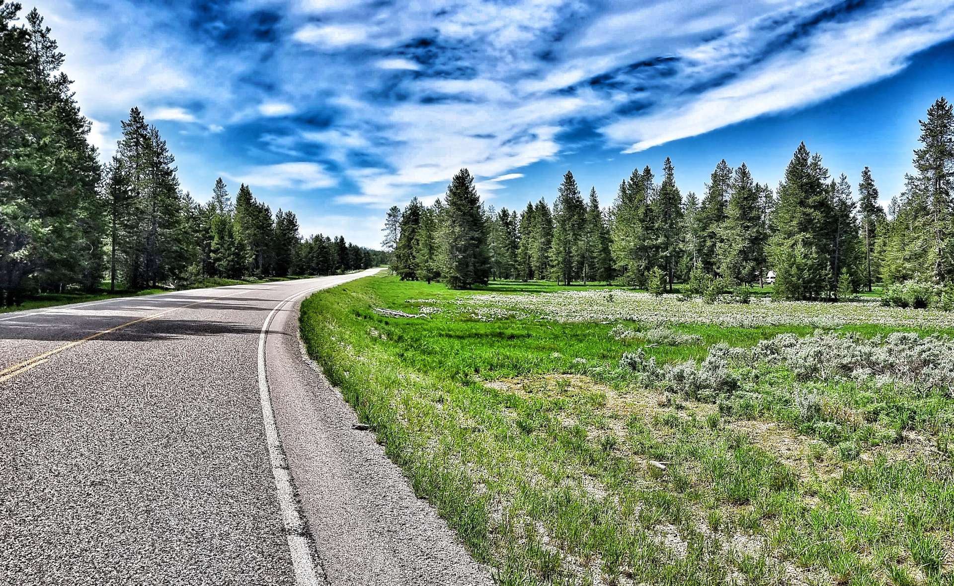
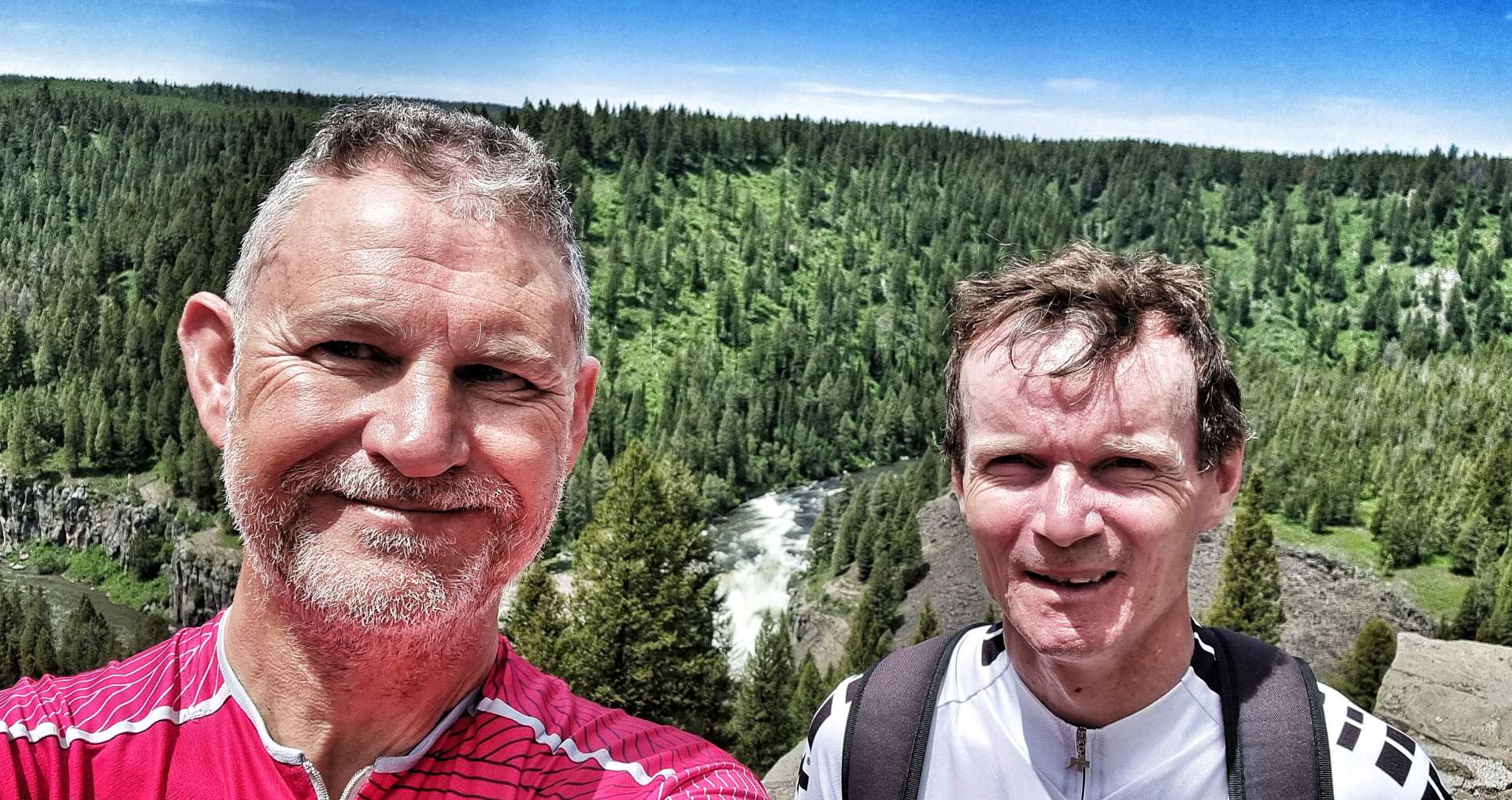
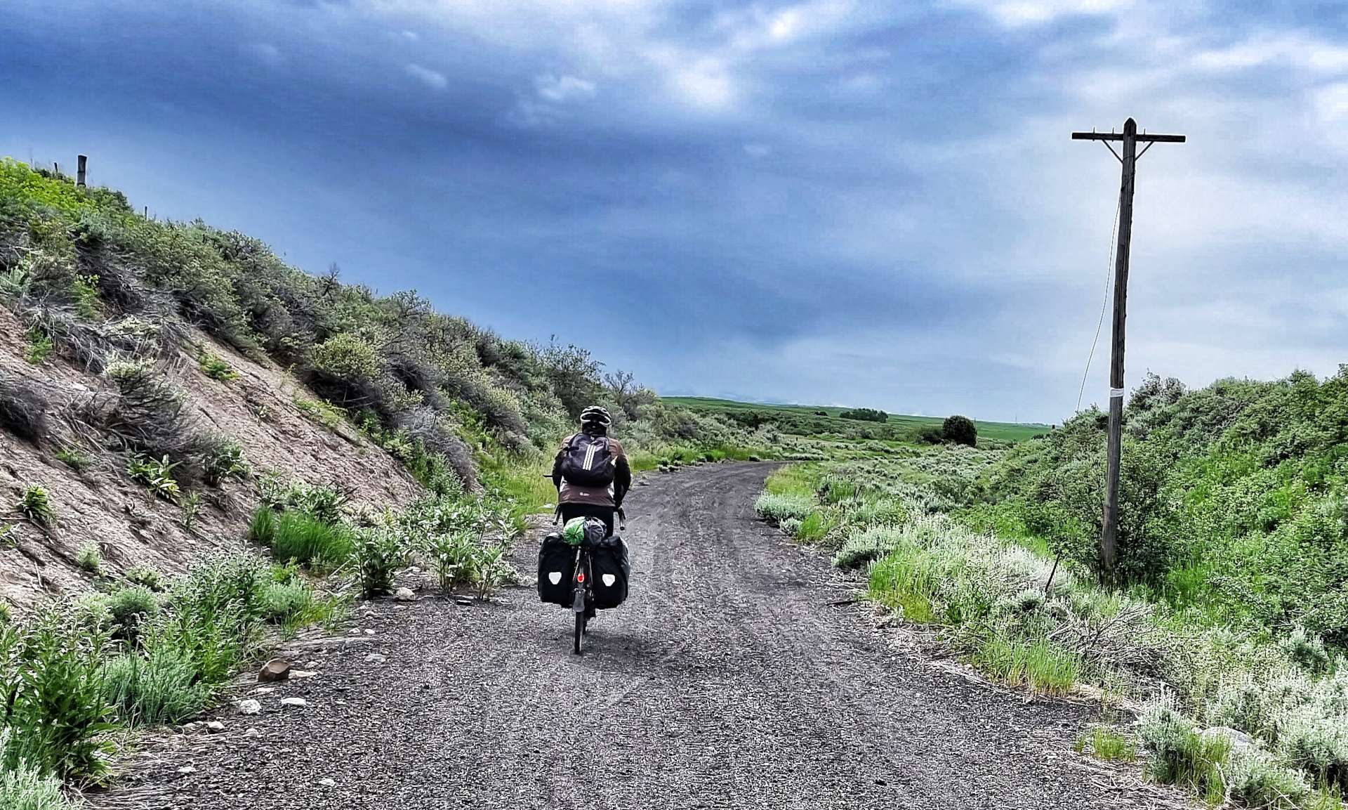
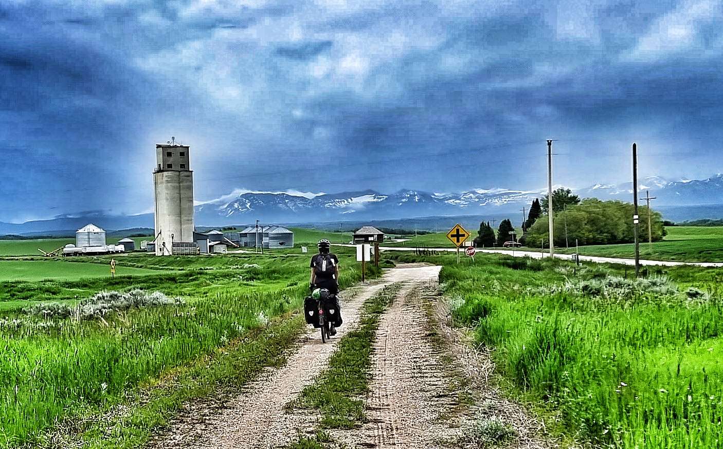
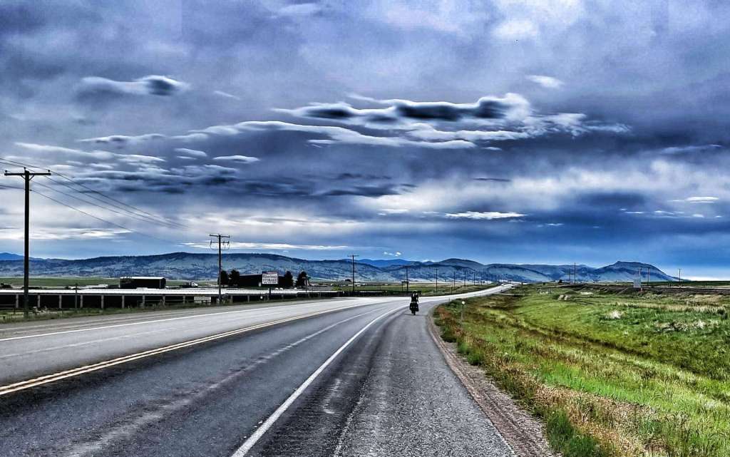
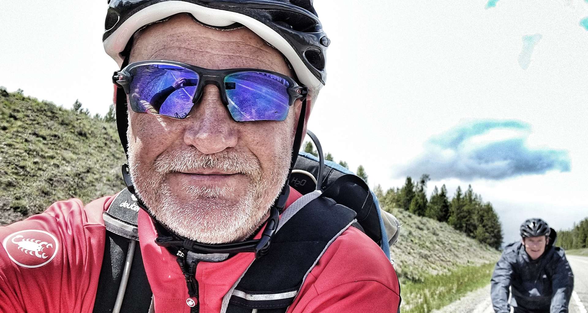
A few people have been in touch asking where we are, where we’ve been & how the whole adventure fits together.
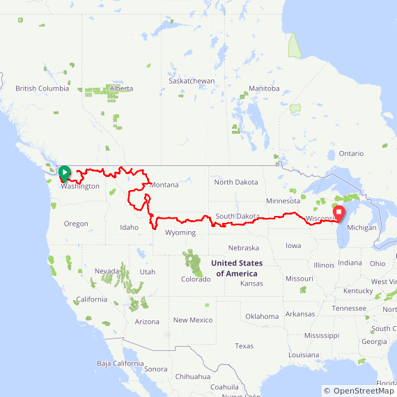
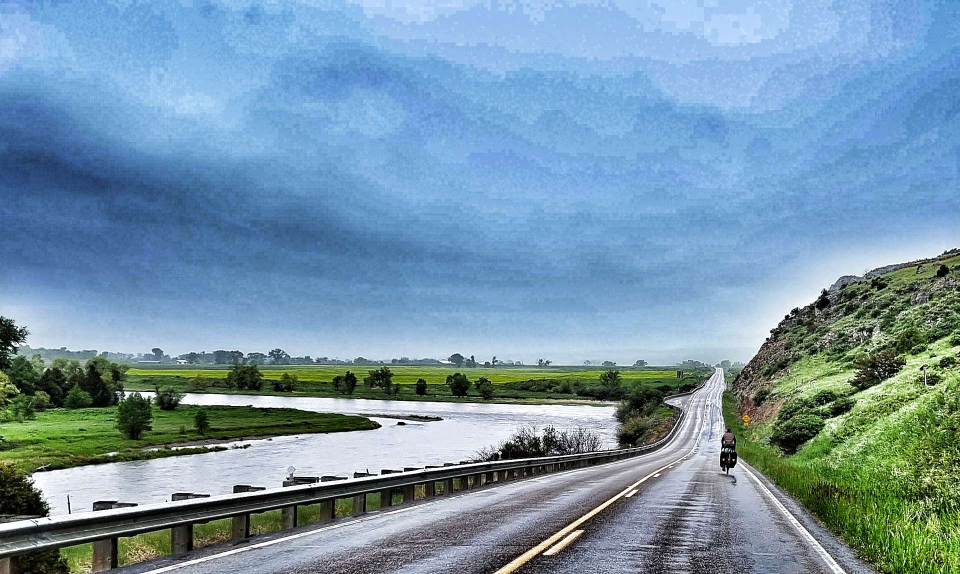
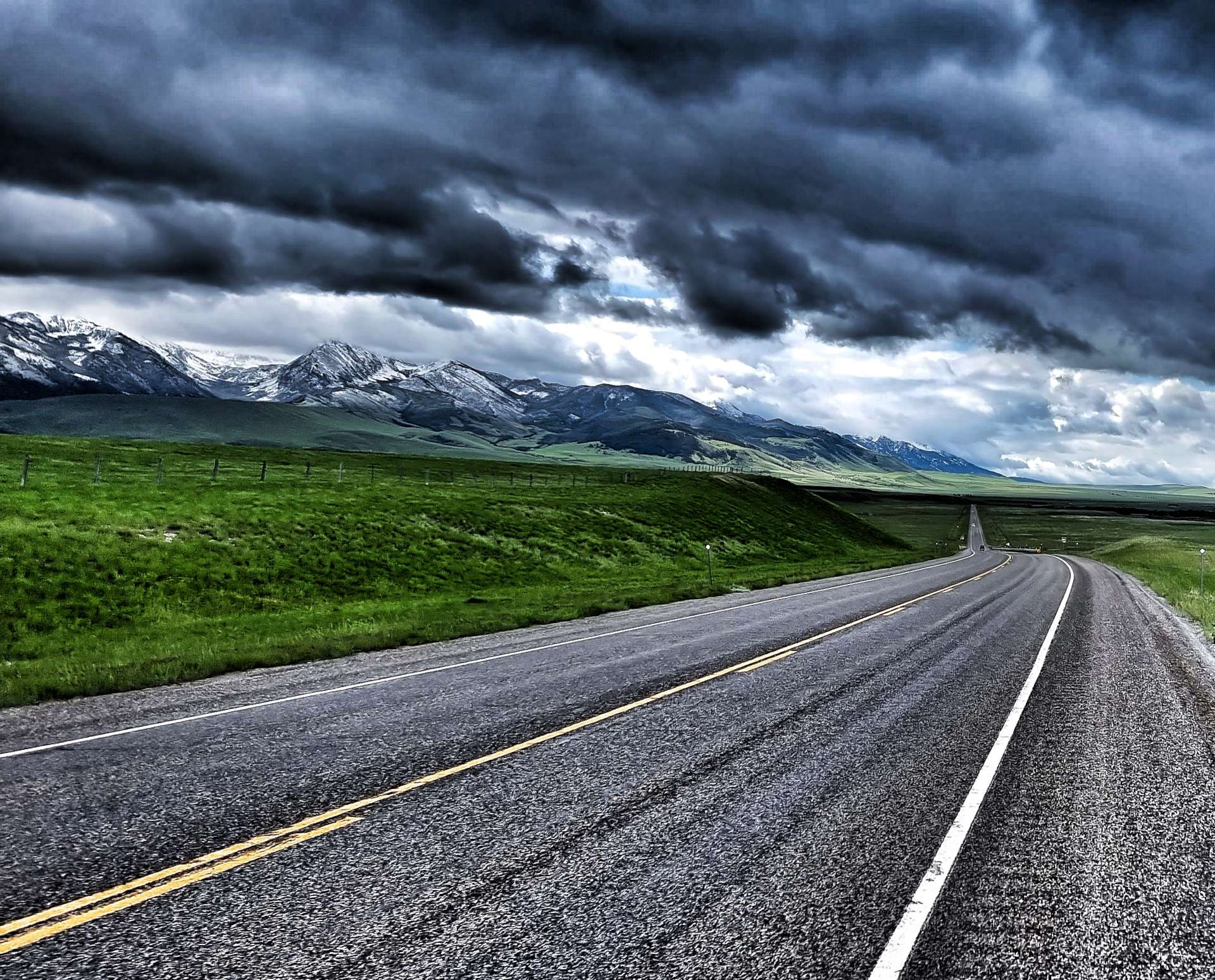
We started in Seattle, Washington on 30th April & the map at the bottom covers our journey up to & including our ferry trip across Lake Michigan on 29th July. We’ve already moved again since then!!
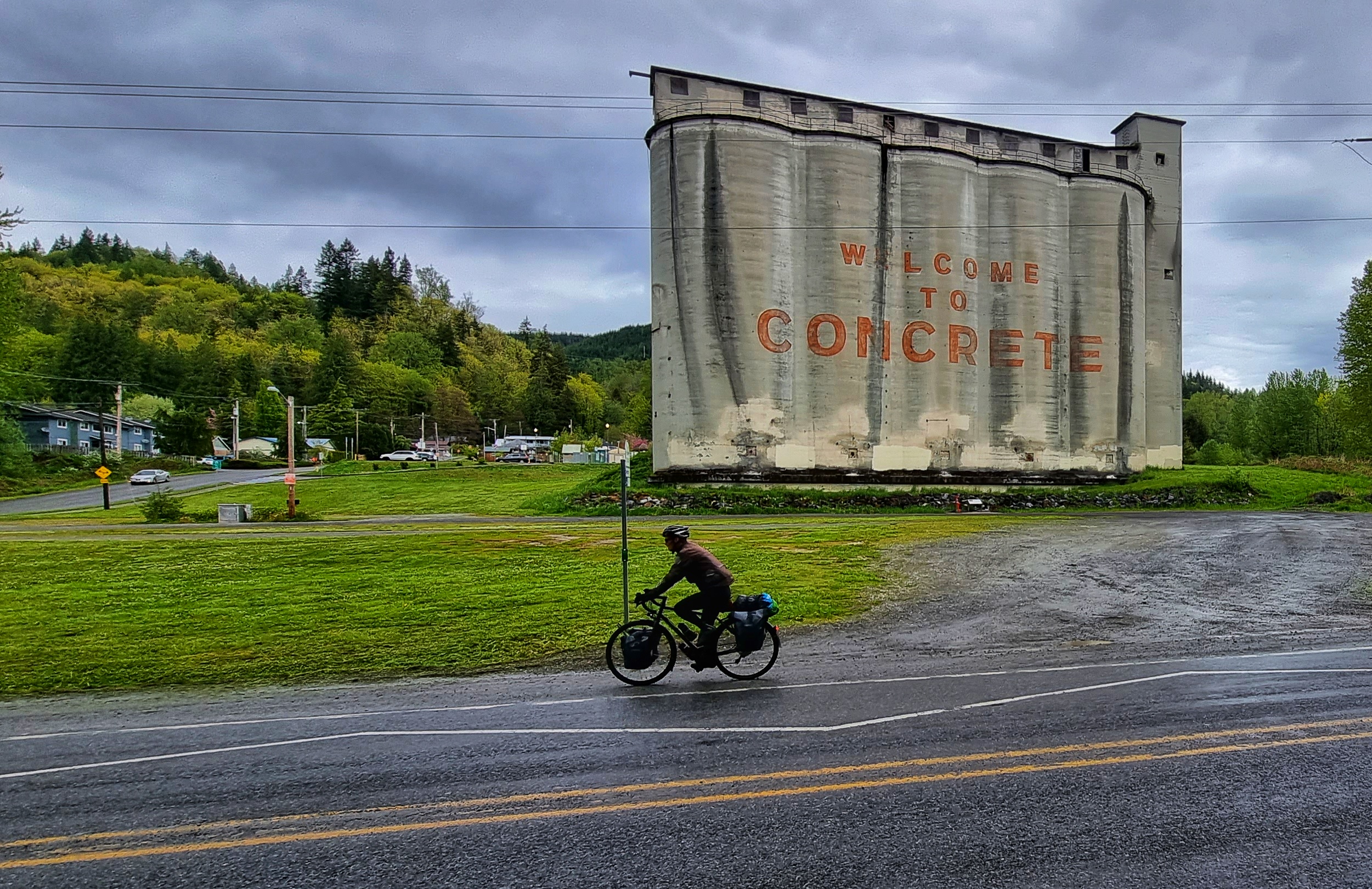
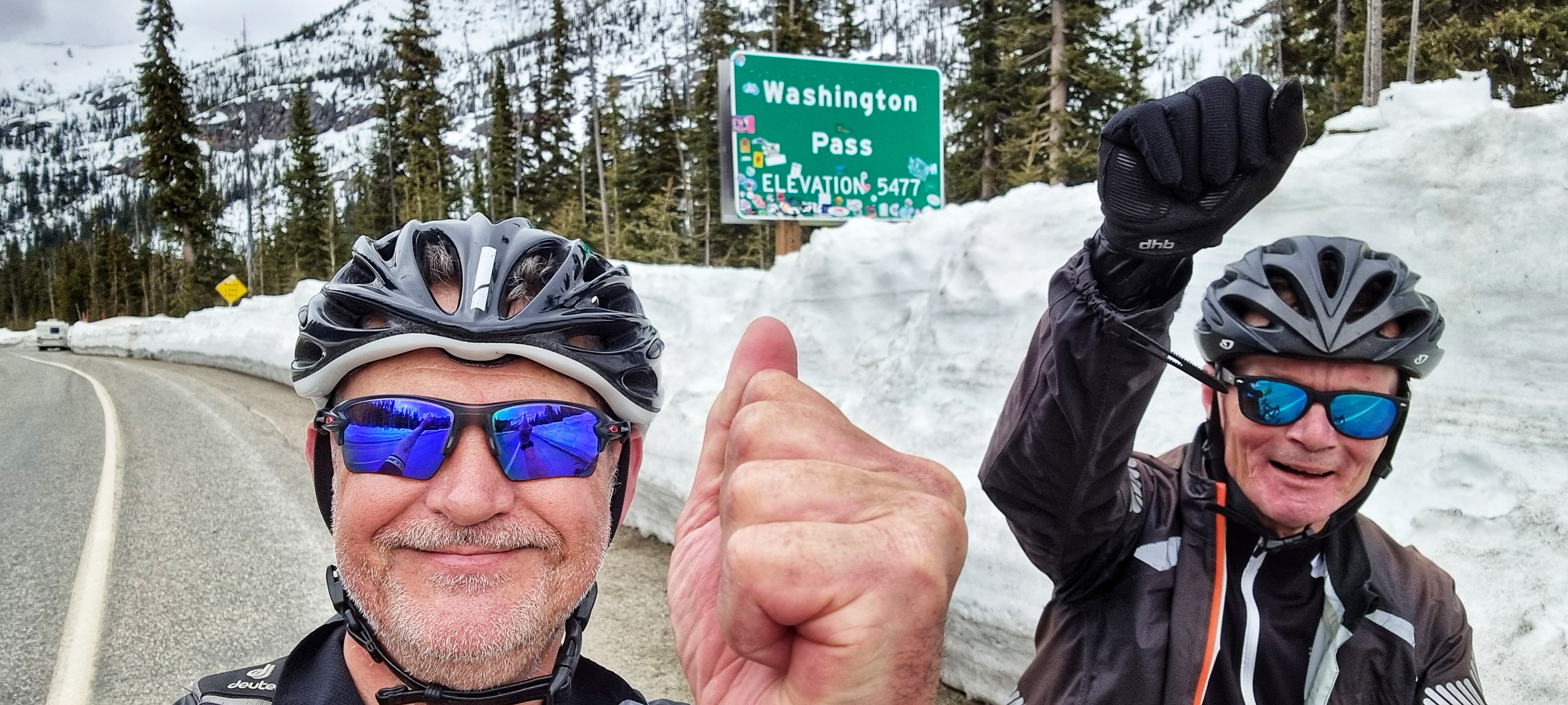
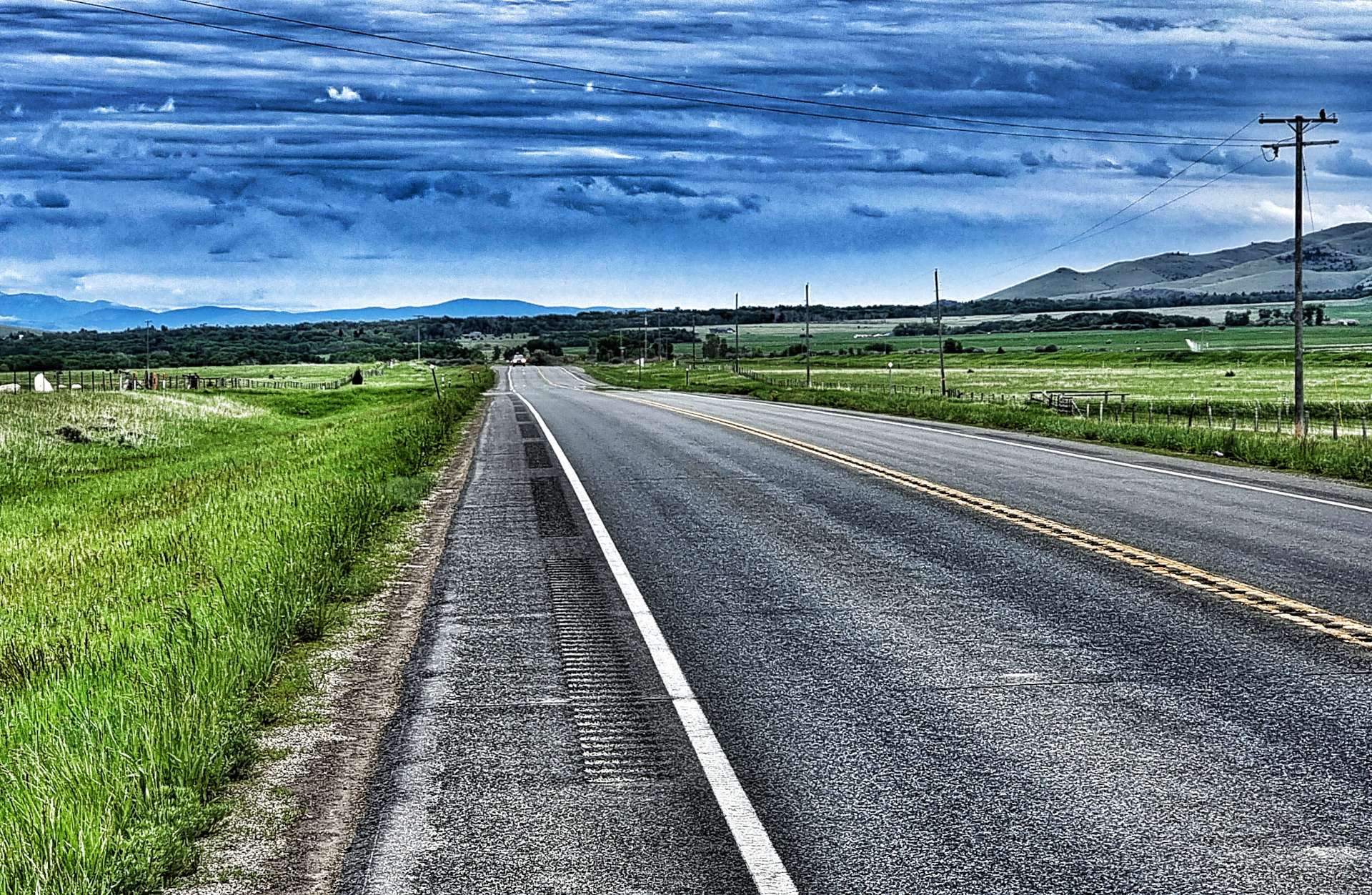
We’ve made a few changes to our original plan along the way – we originally planned to cross the Cascade Mountains via Washington Pass on US20. Concrete to Washington Pass is 80 miles on US20. However, because Washington Pass was still closed due to snow, we detoured via Stevens Pass on US2 – Concrete to Washington Pass was 325 miles!
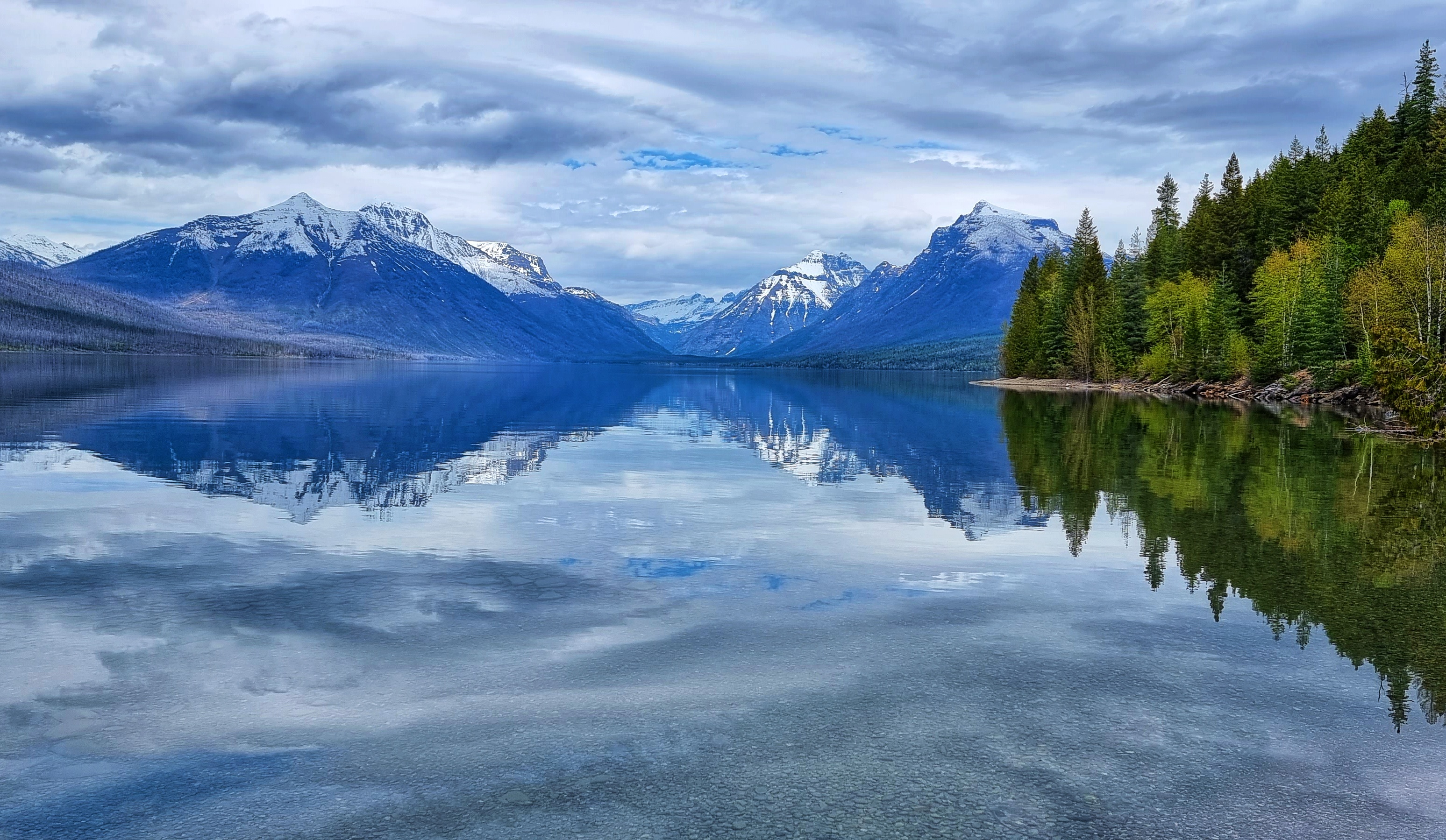
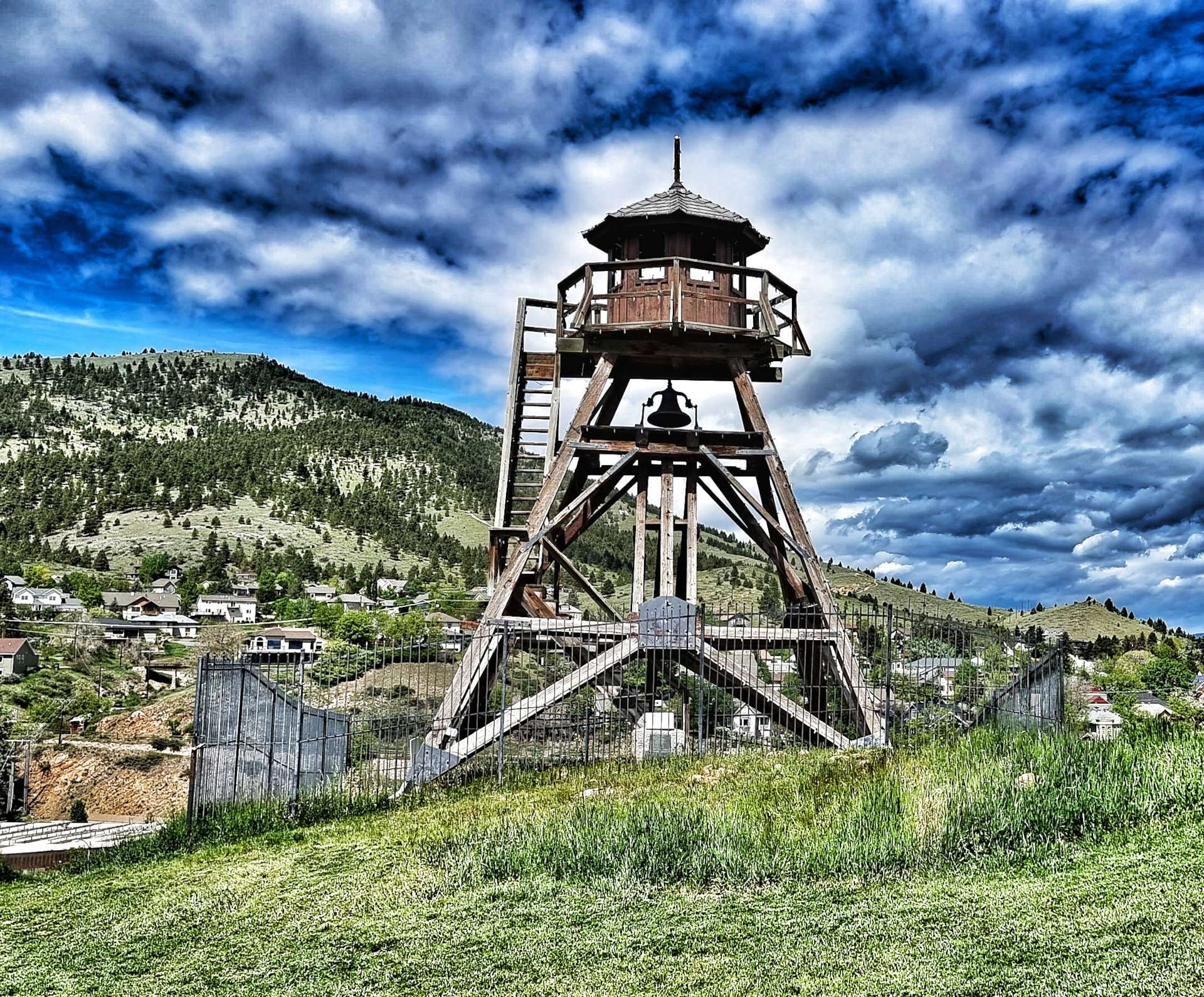
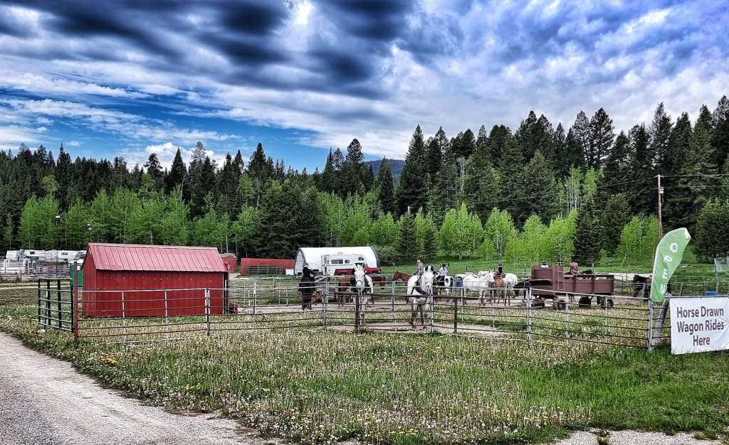
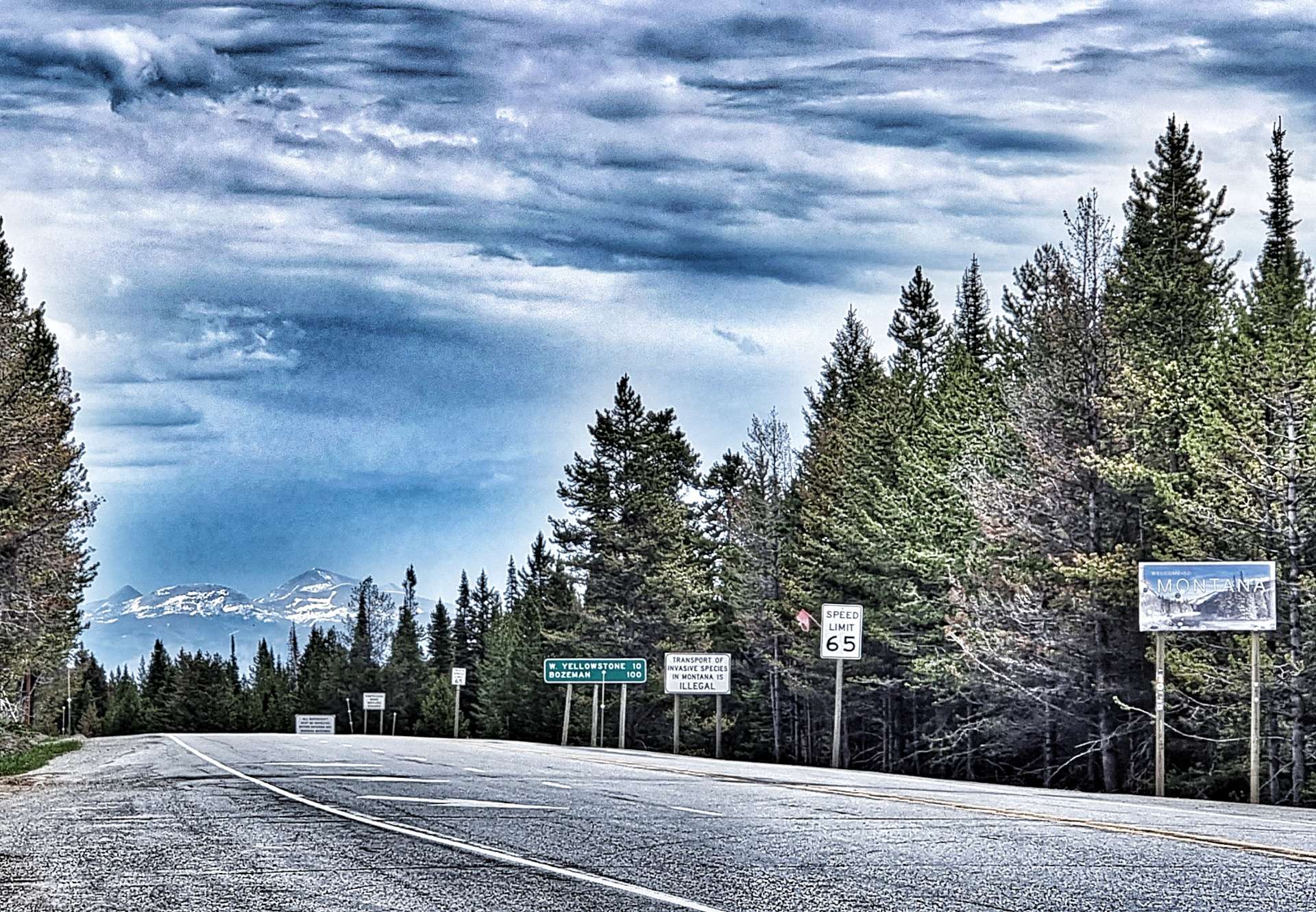
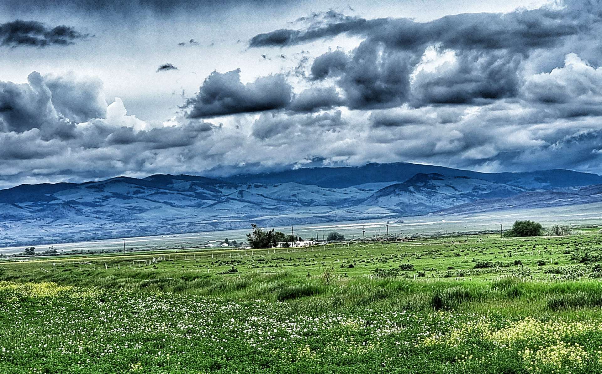
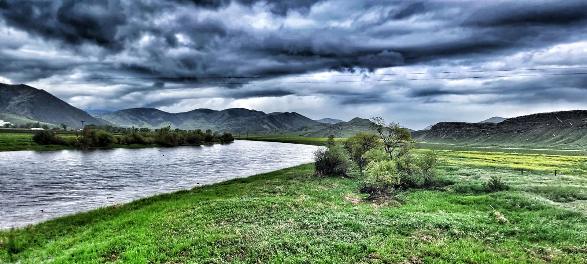
We’d planned to visit Canada, but a combination of Covid Rules at the time & being unable to get the necessary paperwork meant it didn’t happen. We went on a Tour of Montana instead & visited Glacier National Park, Lincoln & Helena.
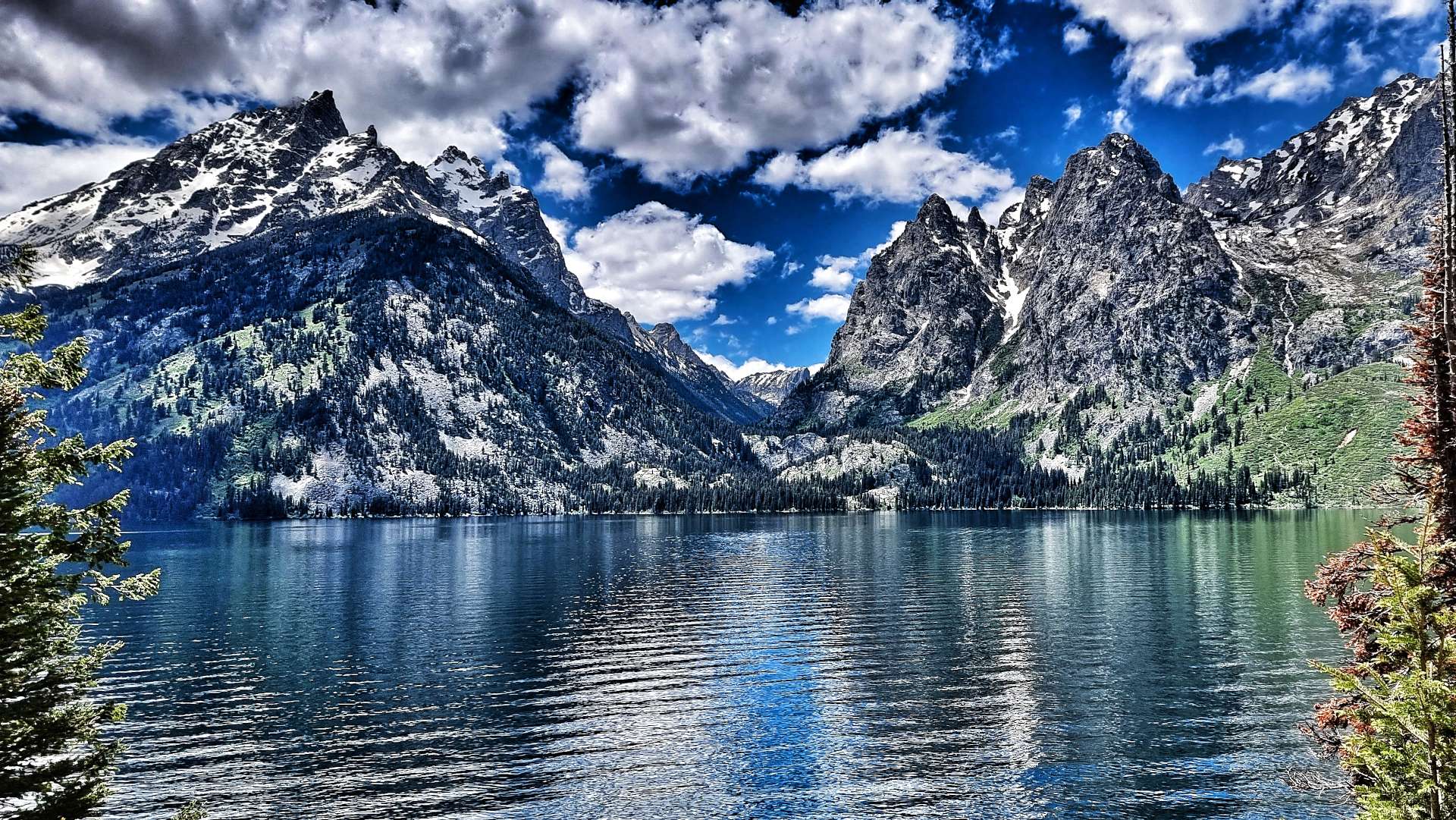
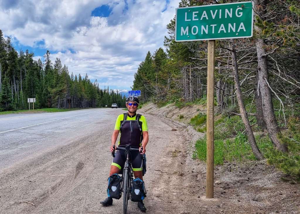
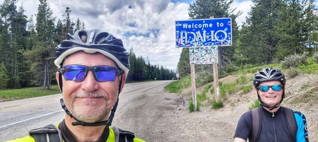
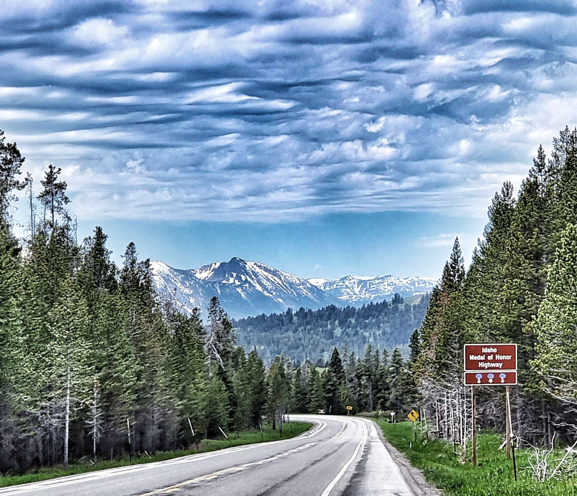
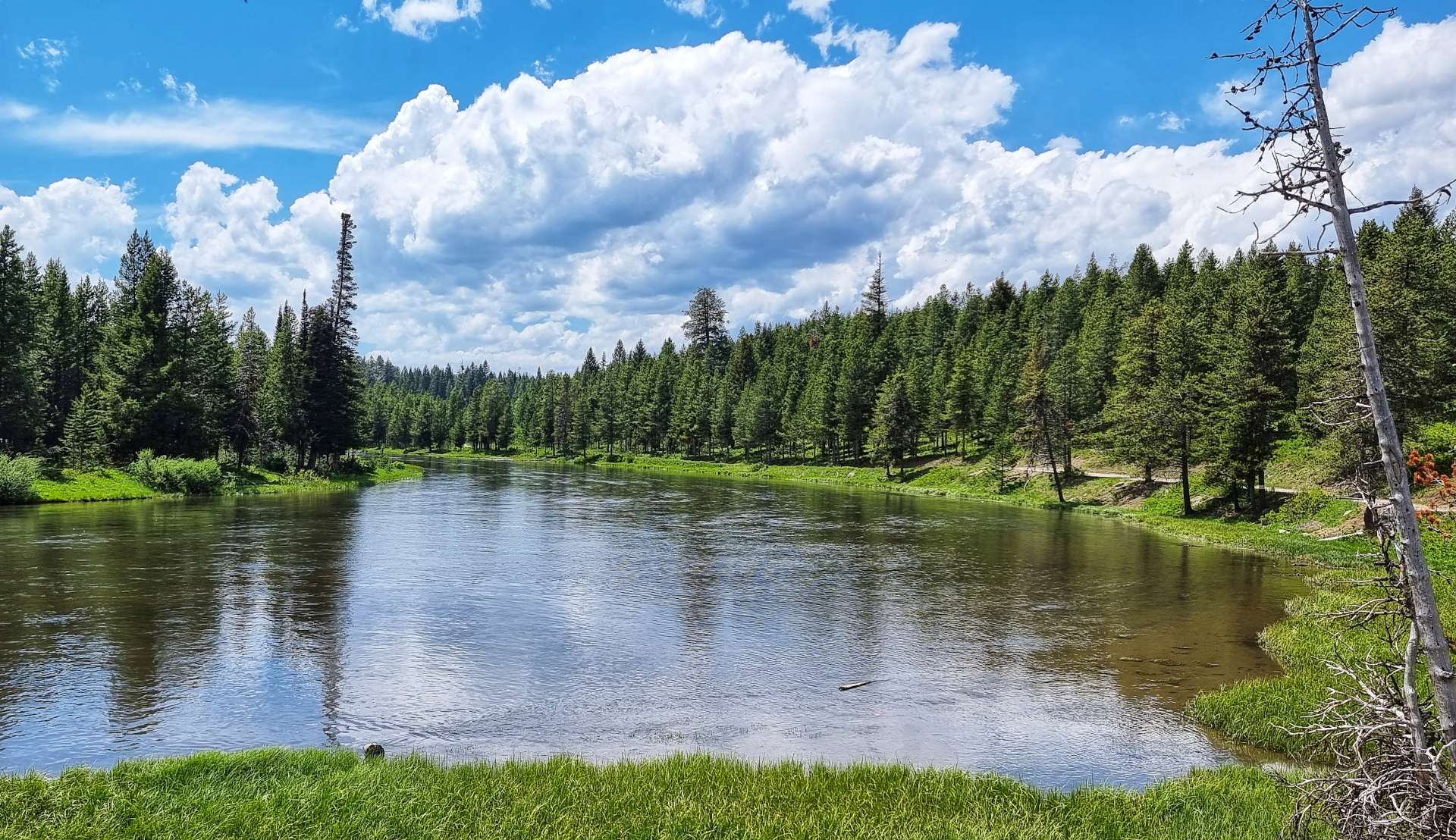
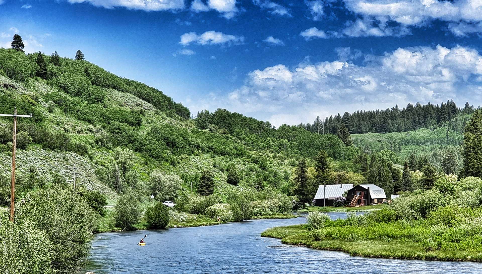
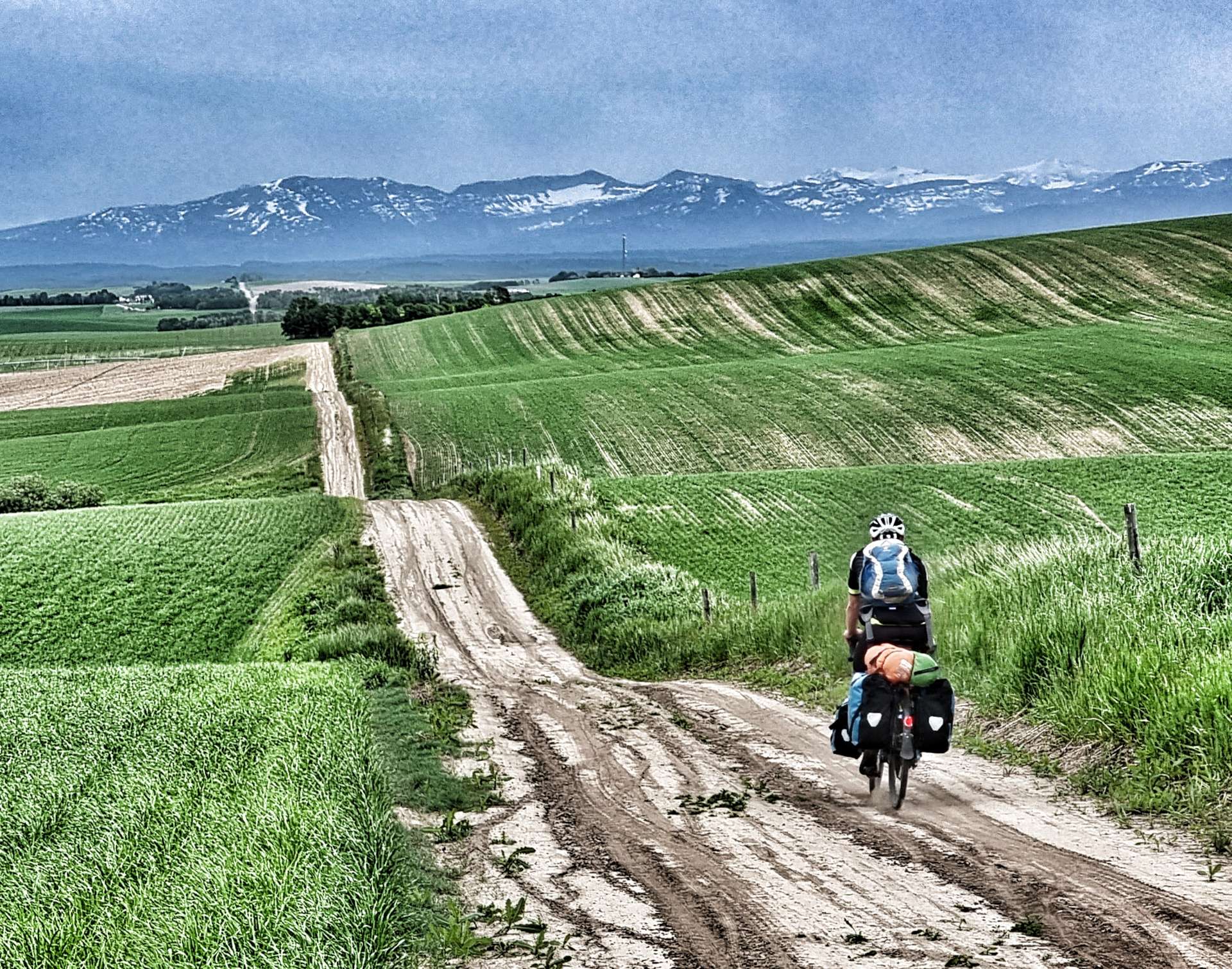
We arrived in West Yellowstone at least 2 weeks earlier than originally planned. This coincided with Yellowstone National Park being closed due to flooding. I took a rare photo of West Yellowstone Entrance with no-one in shot! Our revised plan took us back into Idaho, where we visited the Mesa Falls Scenic Byway & then into Wyoming where we experienced the jewel in the crown that is Grand Teton National Park.
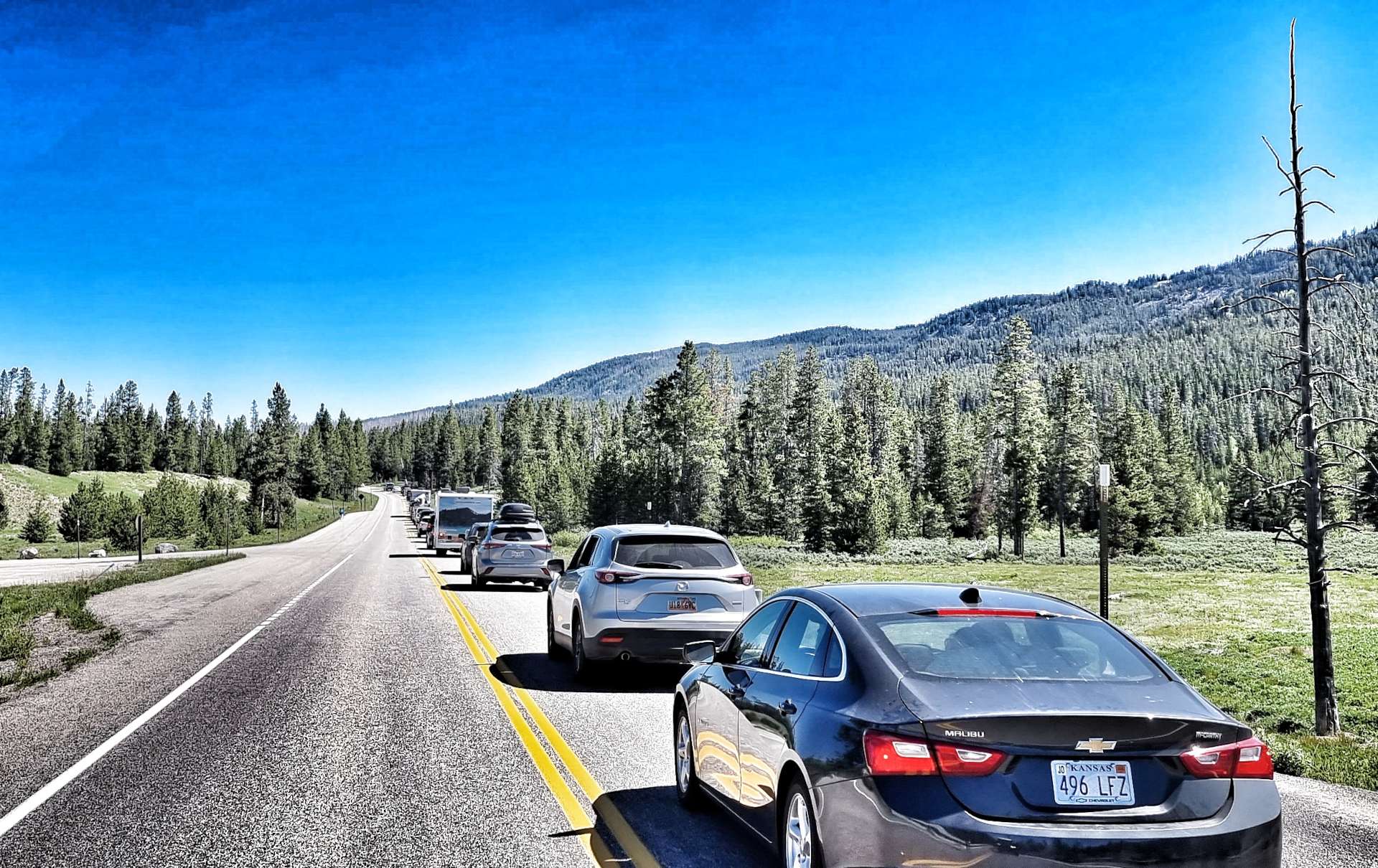
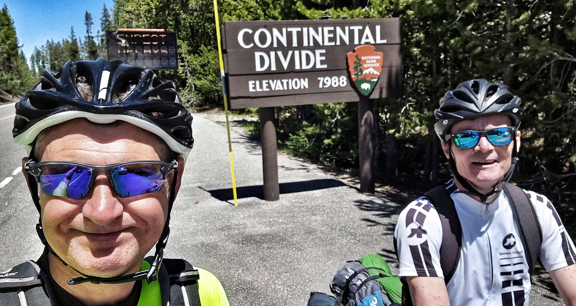
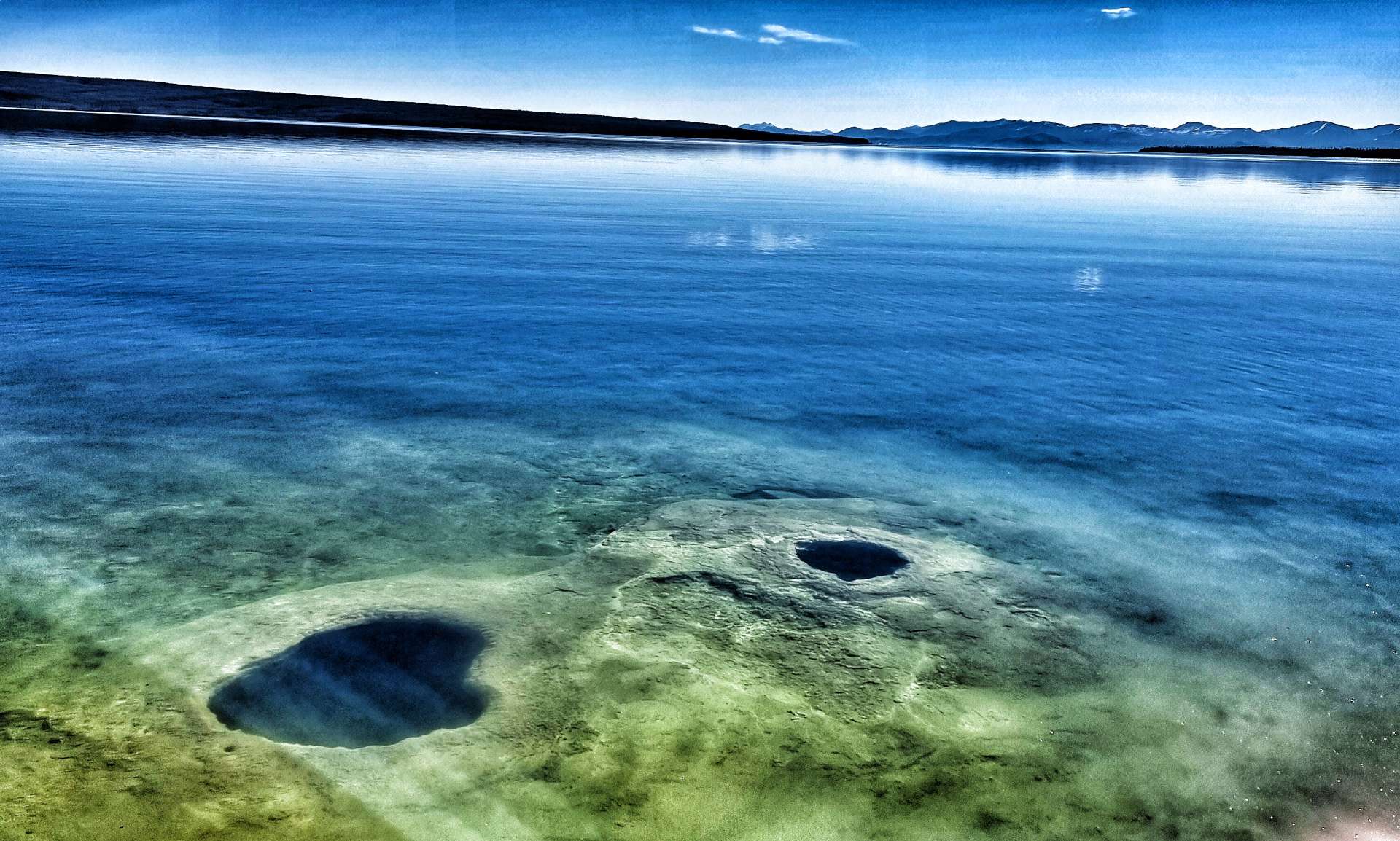
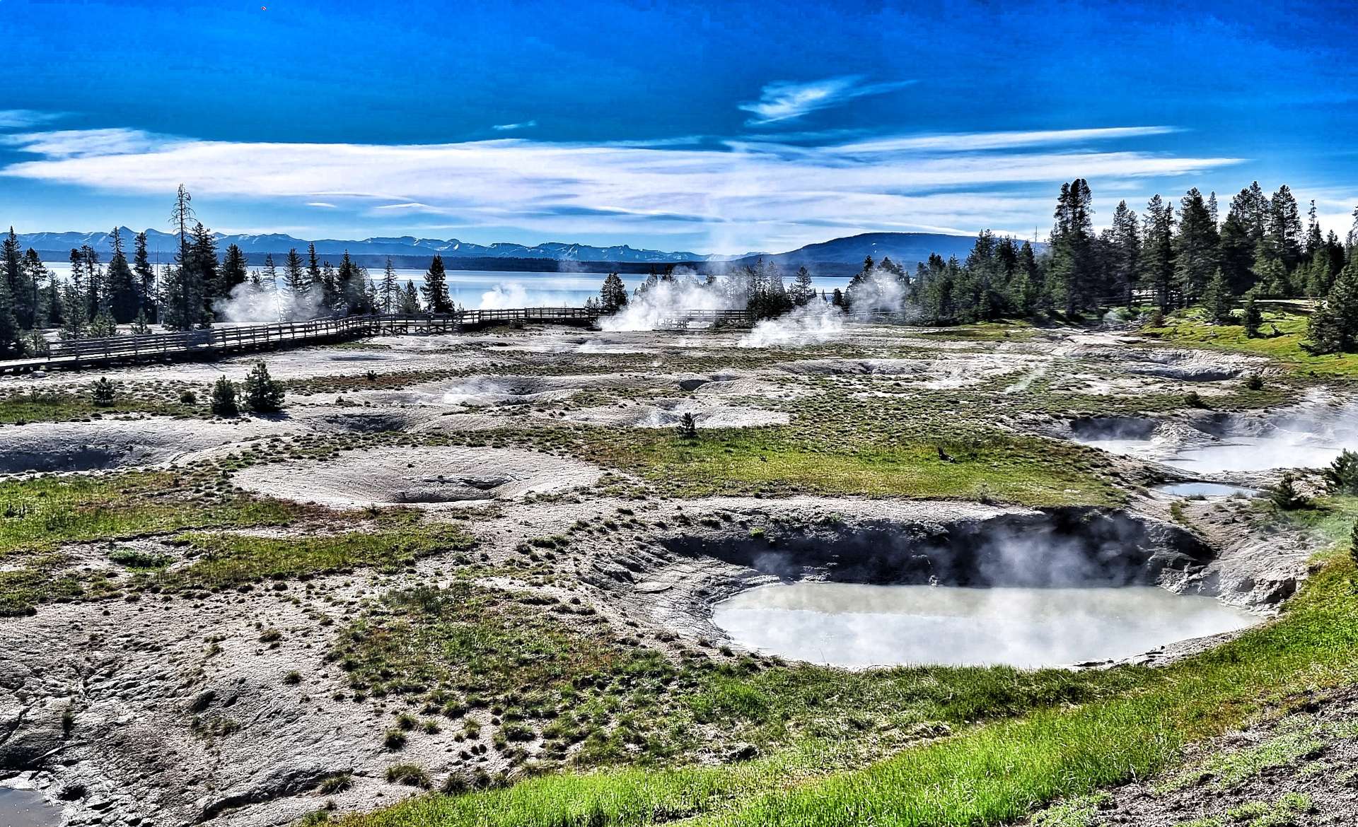
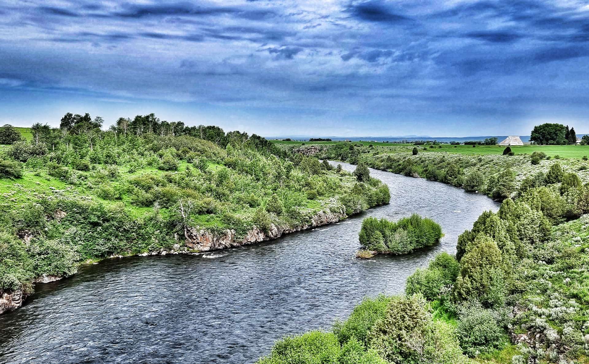
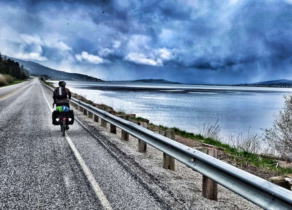
Our detour via Grand Teton National Park resulted in us arriving at Yellowstone National Park on the day it re-opened. There was a 4 mile queue of cars waiting to get in as we cycled past everyone on the hard should, until I got our first p*nct*re of the adventure! We crossed the continental divide in Yellowstone & visited the amazing thermals at West Thumb on our longest ride of the trip – just over 104 miles from Grant Village into Cody.
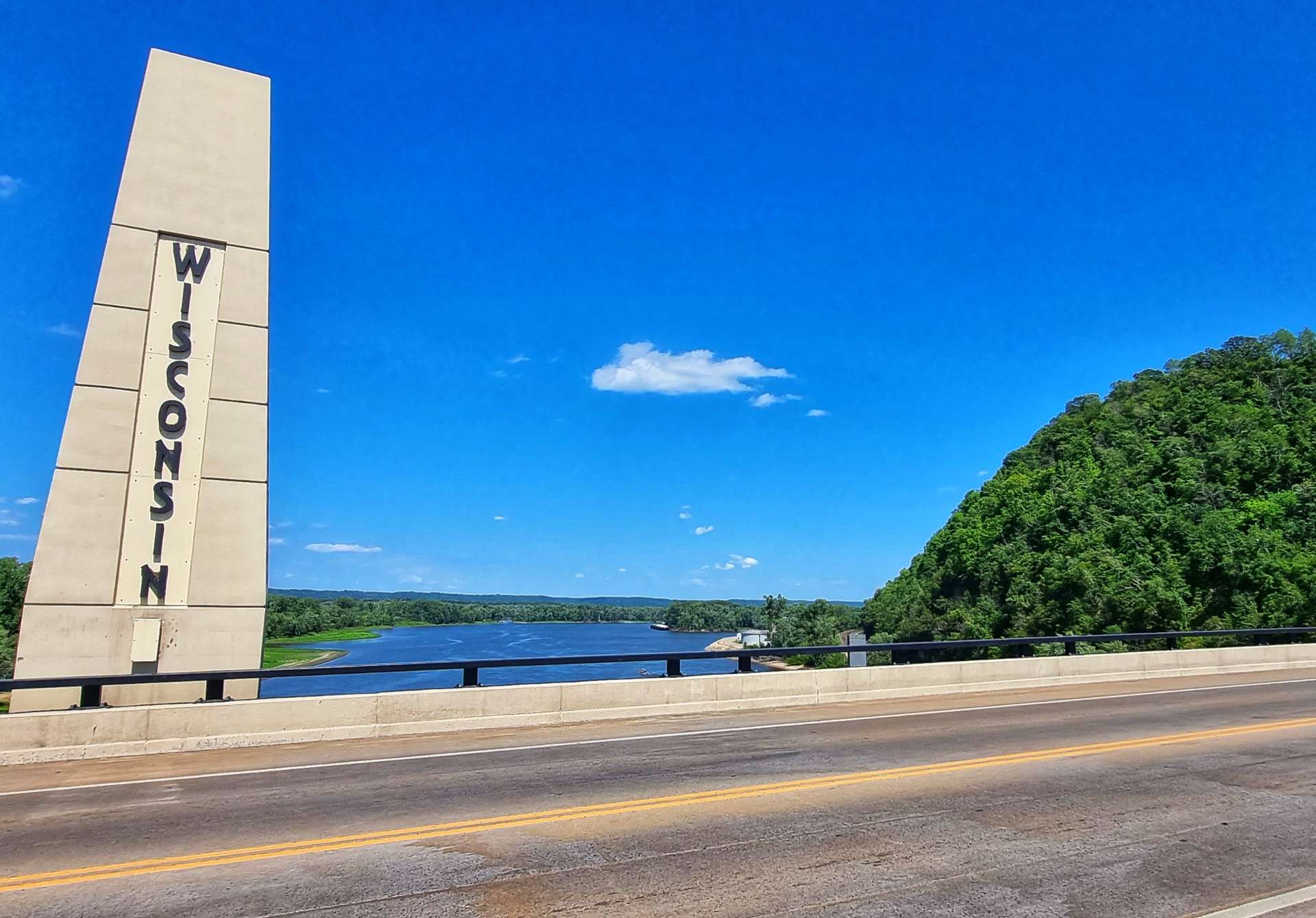
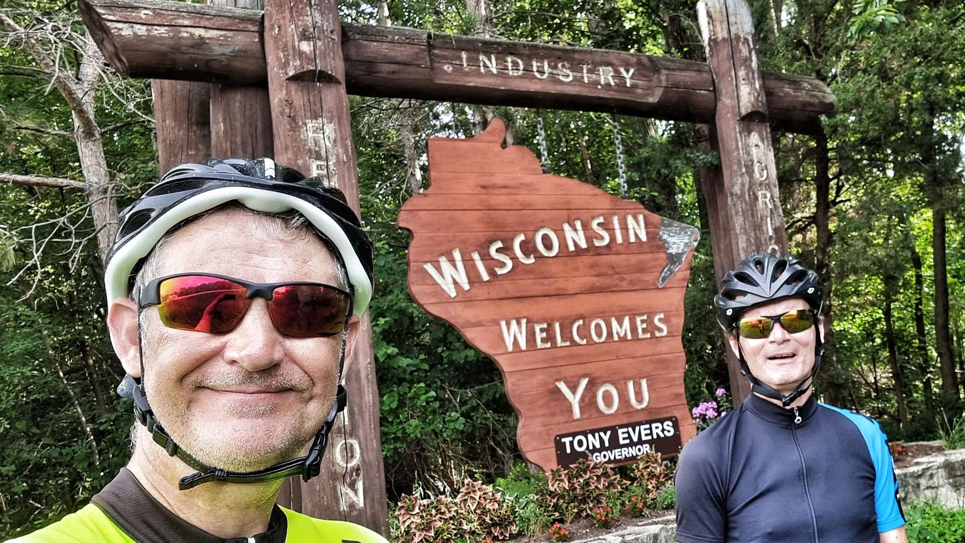
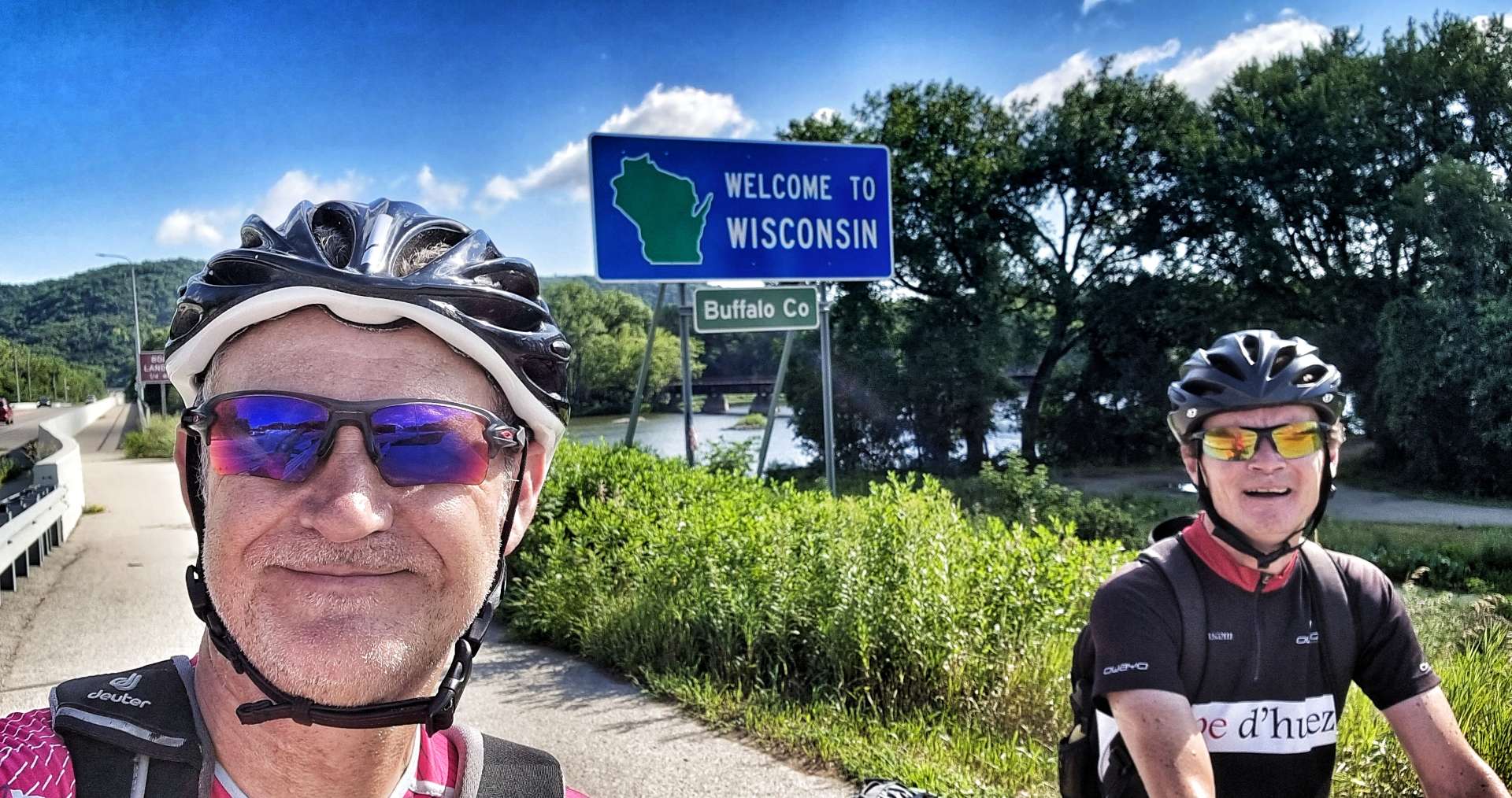
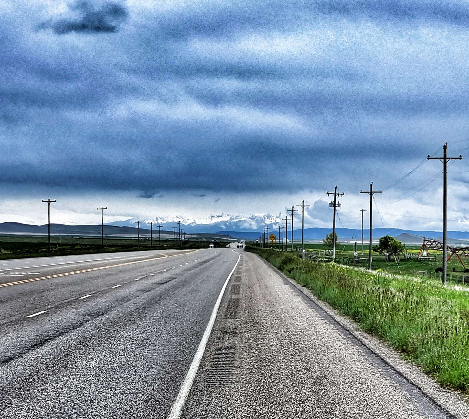
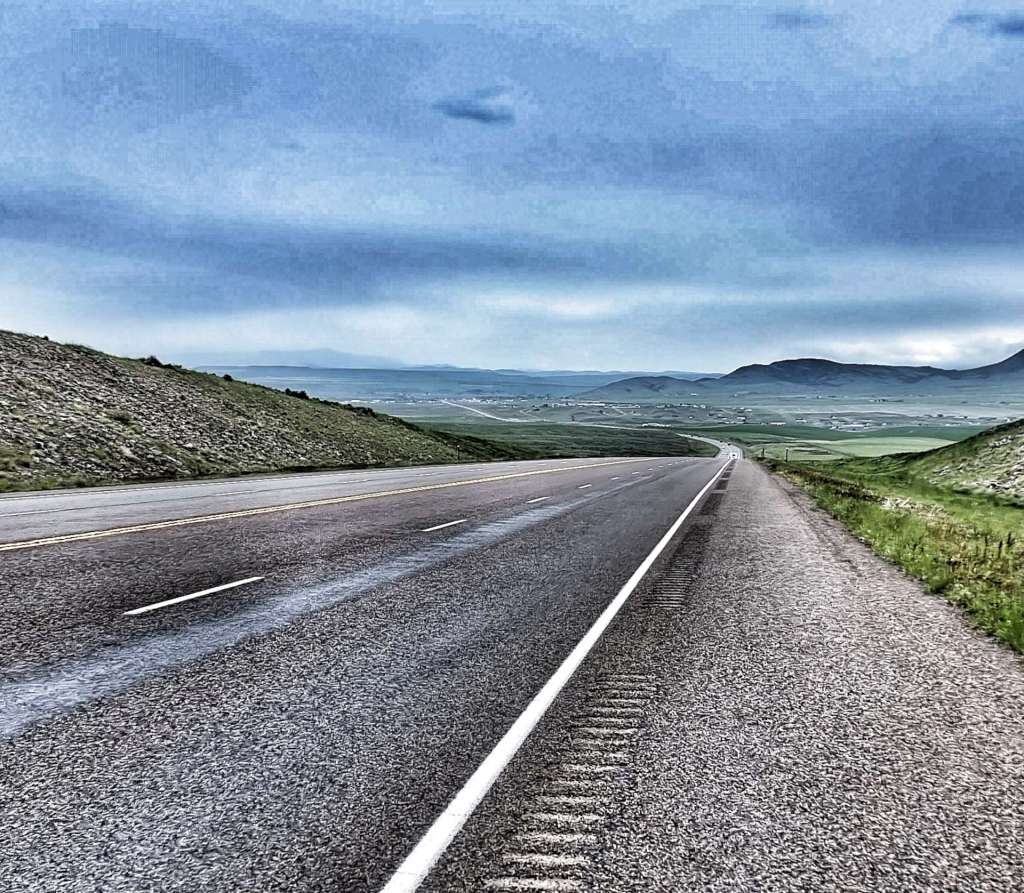
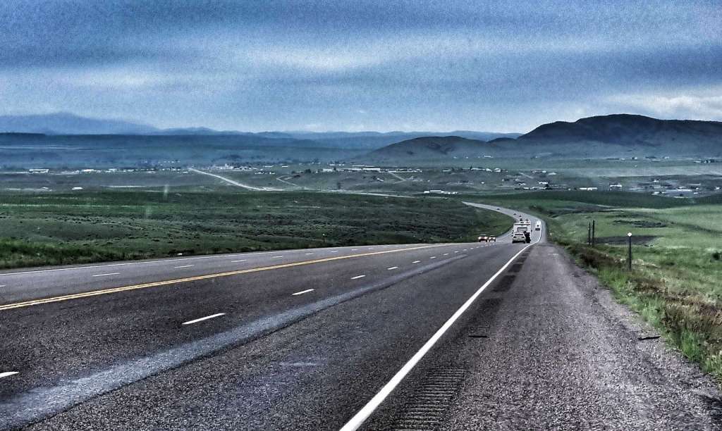
The remainder of the route from Cody to Minneapolis was as planned. However, a number of people we met as we headed East said we should ride in Wisconsin if at all possible. We’ve taken their advice & detoured across Wisconsin (instead of heading though Iowa & Illinois), but as I haven’t yet blogged about it, I’ll not give too much away!
We took the ferry across Lake Michigan & have spent the last 3 days following the shoreline South towards Indiana. Blogs on the ferry crossing & our journey South are also pending. I have a rest day on Wednesday, so hopefully I’ll catch up a bit then!
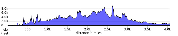
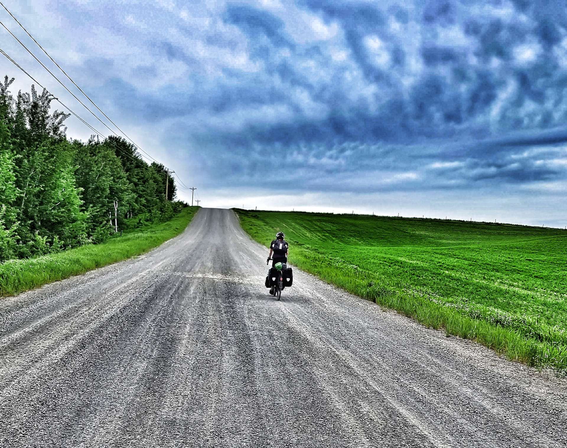
To date we’ve ridden on 69 days out of a possible 90 days & in that time we’ve travelled 4,116 miles & climbed 157,403 feet. The table below shows a bit more information about where we’ve been & for how long.
The numbers in the table are based on the actual routes we rode each day & include all the small detours we took for photo opportunities &/or coffee stops, slight mistakes in routing & general faffing about! The climbing figures in the table are based on what my Wahoo recorded on each ride (it slightly understates those numbers).
State
Time Spent (In Days)
Days Ridden
Miles Ridden
Feet Climbed
Washington
19
16
912
44,318
Idaho
5
4
157
6,775
Montana
28
20
1,238
46,512
Wyoming
11
9
581
25,397
South Dakota
15
11
653
23,654
Minnesota
6
4
240
5,328
Wisconsin
7
5
335
5,419
Totals
91
69
4,116
157,403
If there’s anything else you’d like me to include, just drop me a message – I’ve already been asked to do something about my favourite beers & cakes!!
The Long Way Round (Part One) – Friday 17th to Sunday 19th June
Friday 17th June – West Yellowstone to Island Park, Buffalo Campground
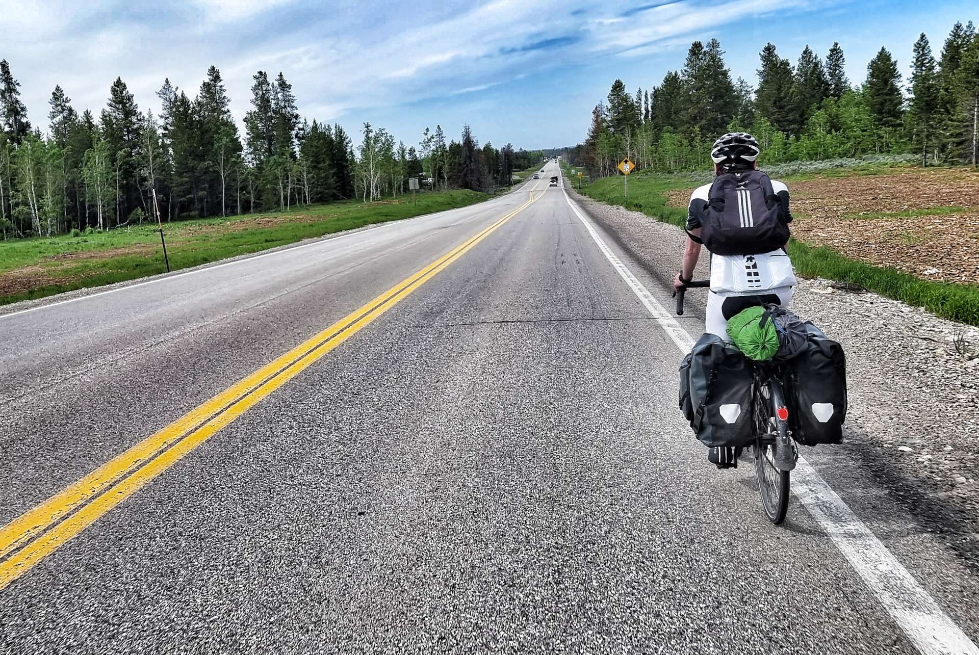
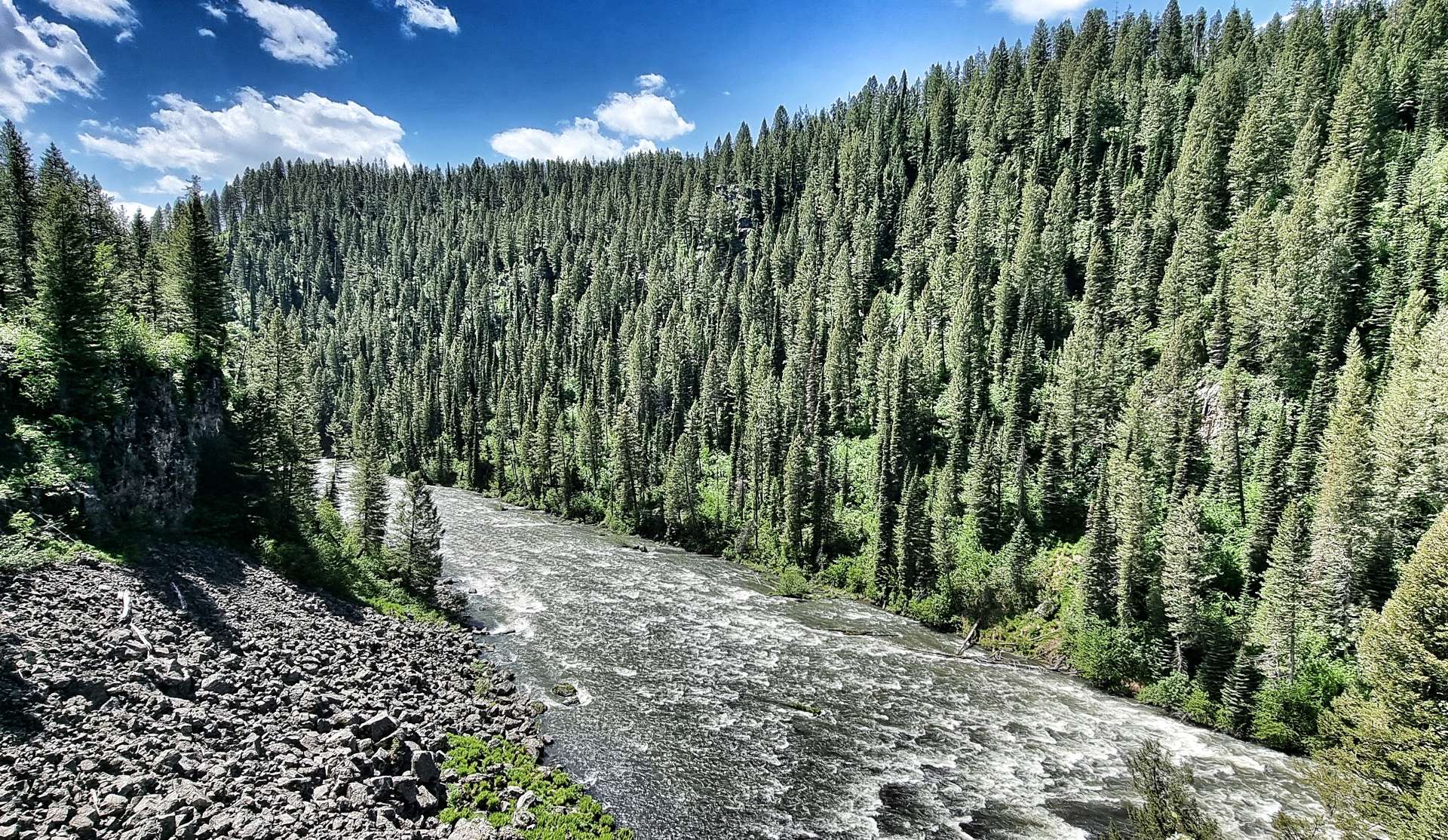
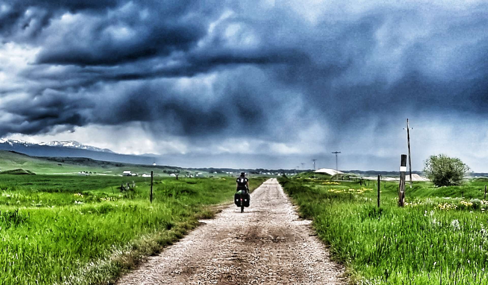
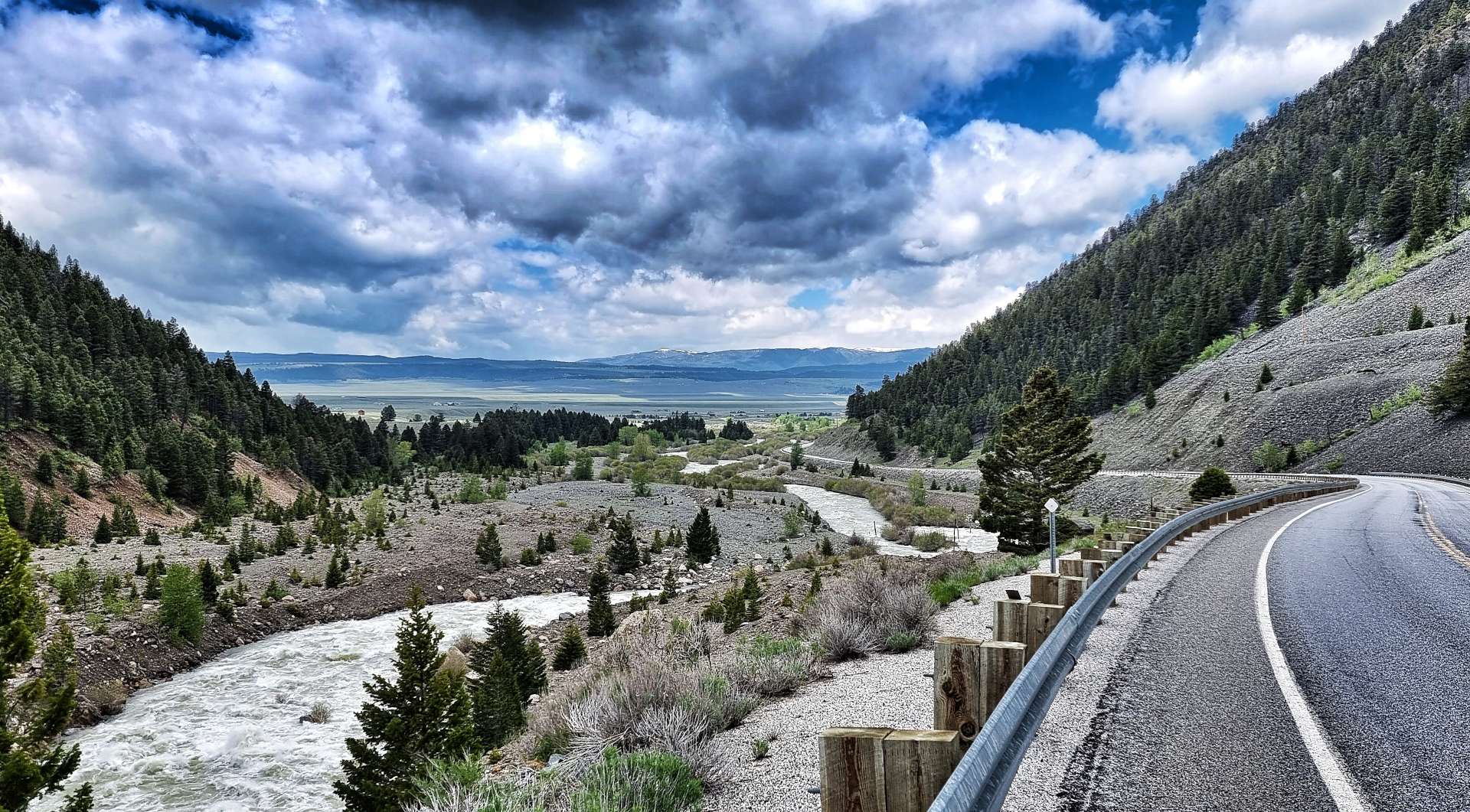
With Yellowstone National Park being closed, we decided to carry on with our adventure & take a different route to that previously planned (again!!) – West Yellowstone to Grant Village can be done in 51 miles, but we’re going the long way round, so join us as we explore some more of Idaho & Wyoming! This route also gave us the opportunity to have a few shorter days in the saddle & today that also included a lie-in!
As we left town at 10.30am, we passed one final reminder of bison, before picking up the main Highway 20. We initially headed west towards Bald Peak which dominated the vista for the next 20 minutes or so, as we gradually descended until we crossed Buttermilk Creek.
As we passed a ranch offering Rodeo training a very kind motorist pulled in ahead of us, ran to the back of his car & offered us a couple of ice cold cokes – as we’d only be going for about 1/2 hour, we decided to carry on. In the event this happens again, I think we’ll stop, as we missed a good chance to chat to very kind-hearted person & fellow cyclist (he had a bike on his roof).
Leaving civilisation behind us, we started climbing the Targhee Pass (not a long or difficult climb) which marks the border between Montana & Idaho at its summit. I was initially confused, as I knew Idaho was in a different time zone – my confusion was caused by Northern Idaho being on Pacific Time, while Southern Idaho (where we were) is on Mountain Time, the same as Montana!!!
Looking in all directions, we were surrounded by panoramic peaks. Descending into Idaho, we transitioned through a wetland marsh, where the “ribbit ribbit” of frogs could be heard above the noise of the wind in our ears. On the spur of the moment, we took a right turn towards Henry Lake – this wasn’t on our planned route, but that’s the point of having an adventure, to explore the unknown & see what’s around the corner!!
We were at the opposite end of Highway 87 to when we visited Earthquake Lake on Tuesday & we had the road almost to ourselves. We took a couple of action photos as we rode along the shoreline, then turned round as the lake ended at Jared’s Wild Rose Ranch Resort & Marina. Deer Mountain, Sawtell Peak, Mount Jefferson & Nemesis Mountain provided the backdrop to the lake.
As we re-joined Highway 20, we entered Island Park. We decided to stop for a coffee & packaged muffin from the Exxon Gas Station (not every day involves luxury cake!) before setting off to explore part of the longest main street in America…..
I was faintly amused by the longest Main Street claim as we started cycling across the prairie into a nagging headwind. However, for the next 17 miles we remained within the City Limits of Island Park!
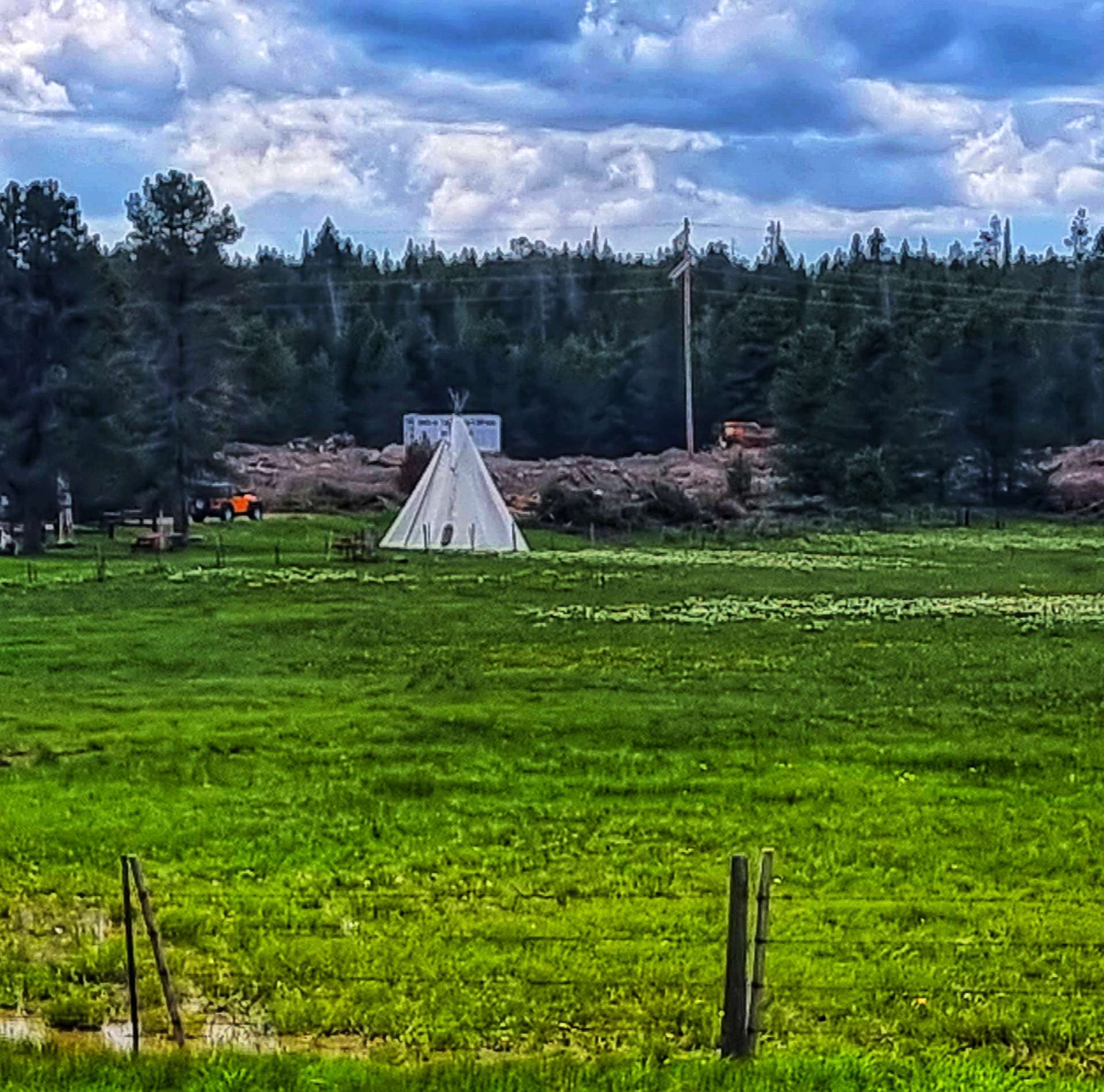
In that time, we passed a number of ranches & resorts offering wild west experiences, including overnight Teepee camping. We stopped at one of the river crossings to watch sea gulls diving into the water, trying to catch fish. I’d always been under the impression that gulls were scavengers (perhaps influenced by watching them bully tourists, then stealing their fish & chips in places like St Ives). This was a completely new behaviour to me.
My only disappointment with Highway 20 was the narrow shoulder in places – there were a few close passes which also included those same drivers Rolling Coal over us (a term used to describe when a driver blows a pile of thick smoke from their exhaust over cyclists). We generally cursed under our (polluted) breathes & simply carried on!
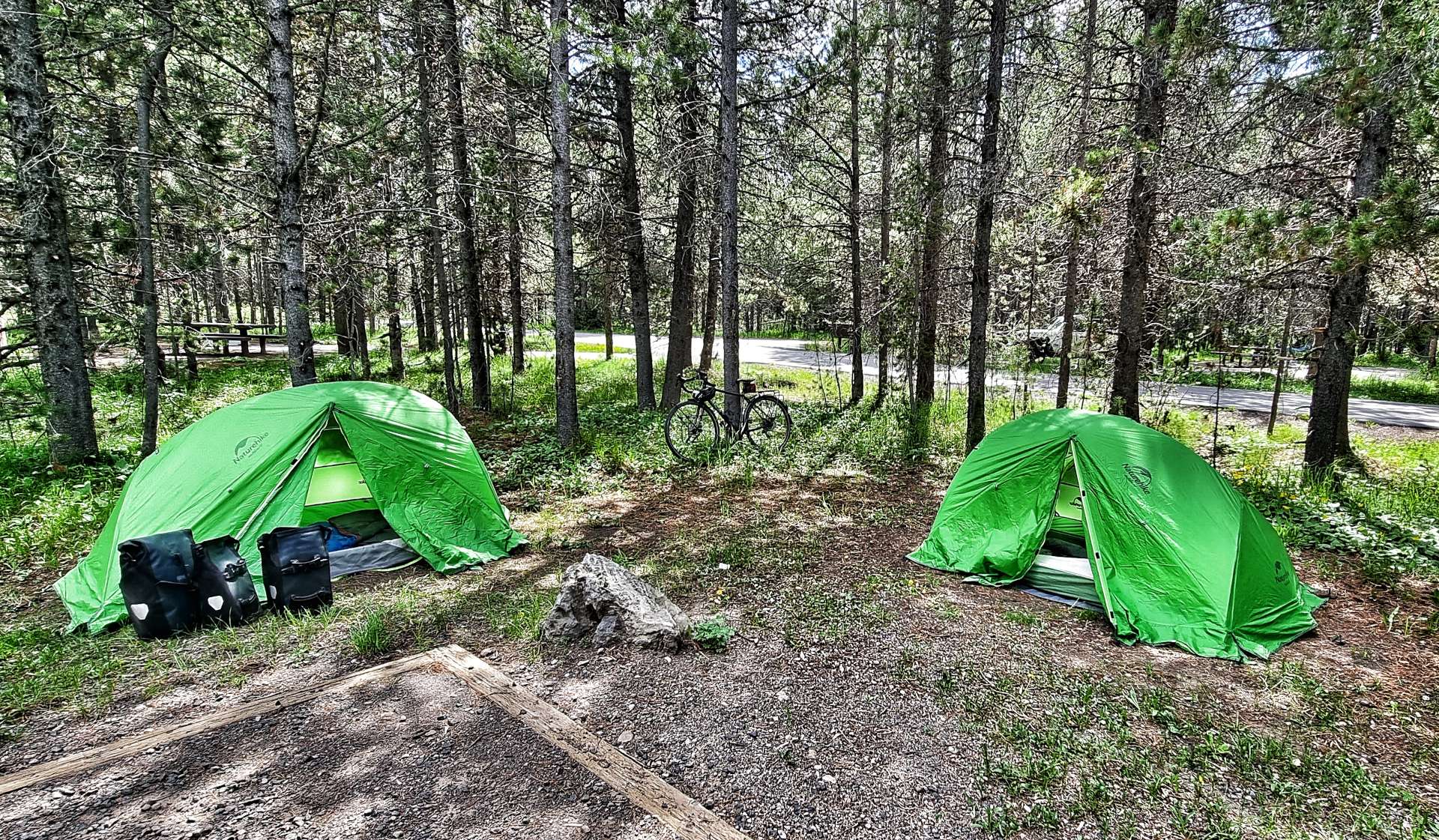
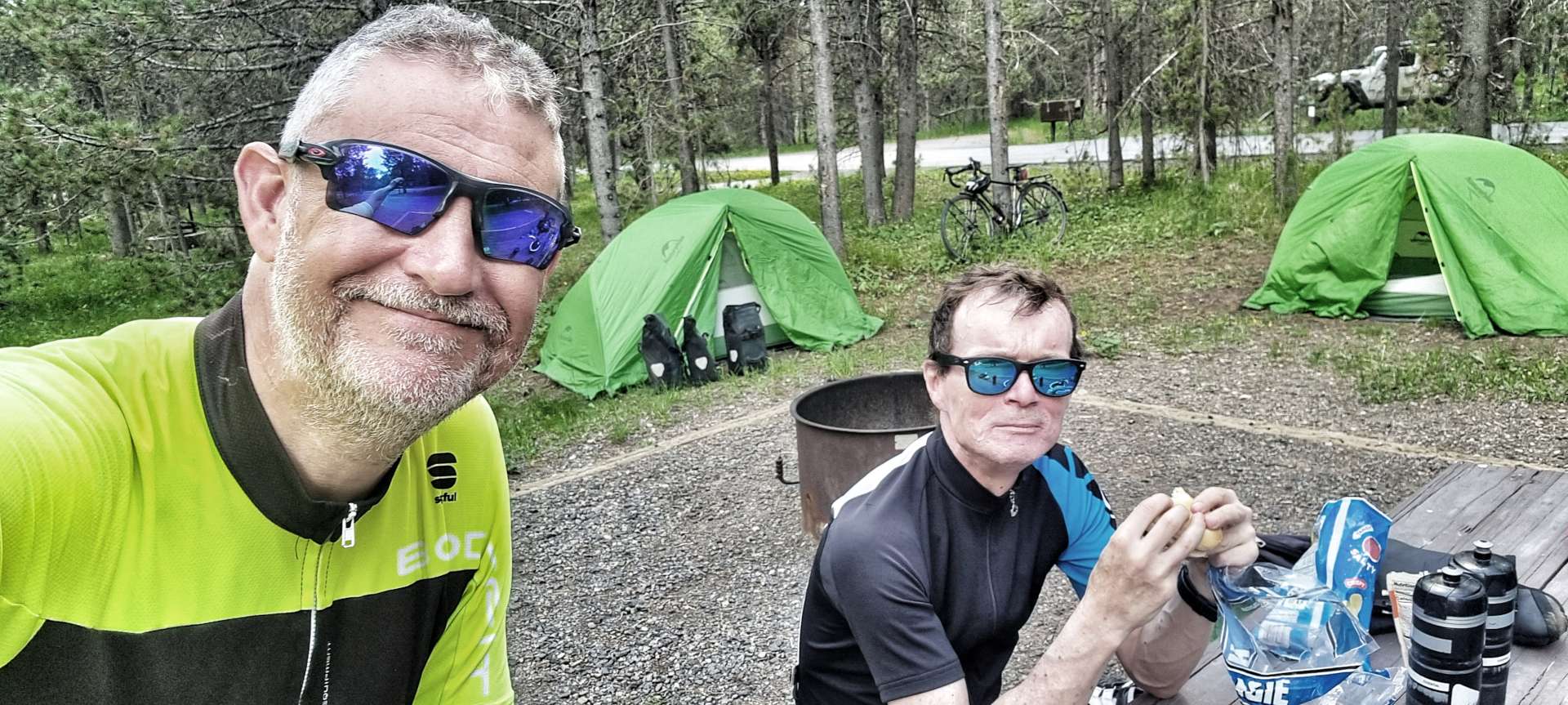
Arriving at Buffalo National Forest, we were welcomed by Helen the campground hostess, who gave us the happy news that our National Park Passes entitled us to a 50% discount on the cost of our campsite. We had our tents pitched in less that 20 minutes, had a snack & generally relaxed in our peaceful surroundings (although we both commented that we could hear the traffic). The campground shower block wasn’t yet open for the season, but even so, we were happy with our site, considering it was $10 between us!
We took a stroll around the campground & down to the nearby river, before walking over to Ponds Lodge for a lovely dinner of chicken pasta & a pint.
Upon our return to the campground, we had to put all our food & wash kit into the bearproof lockers for the night. As we sat chatting at our picnic table, I realised that the local mosquitoes had taken a liking to British meat & were feasting on me! It was time to turn in for the night & we learned that the traffic was indeed very close, as it kept us awake for large parts of the night.
Stage Stats – 40 miles, 2,024 feet of climbing. Cycling into a nagging headwind for the final 17 miles.
Saturday 18th June – Island Park, Buffalo Campground to Ashton
We were both up by 7.30am, so had all our kit packed away & were on the road by about 8.30am. The Gas Station & restaurant weren’t open when we cycled past, so we chose to carry on riding & make do with trail mix if we got hungry. The early start meant that the narrow shoulder wasn’t an issue today, so we could simply enjoy the huge views as we continued on through Island Park for another 8 miles (making 25 in total)!! A long Main Street after all.
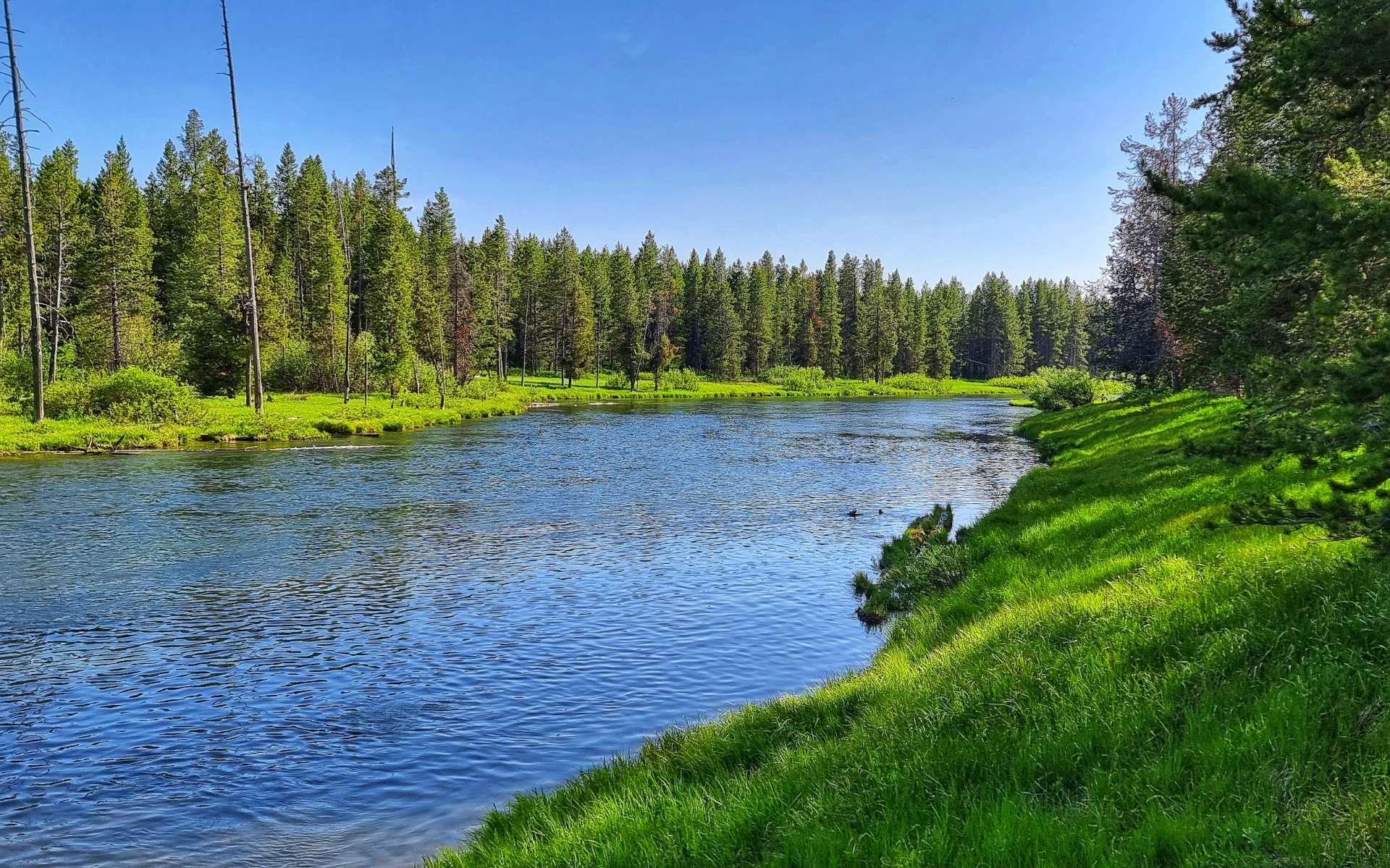
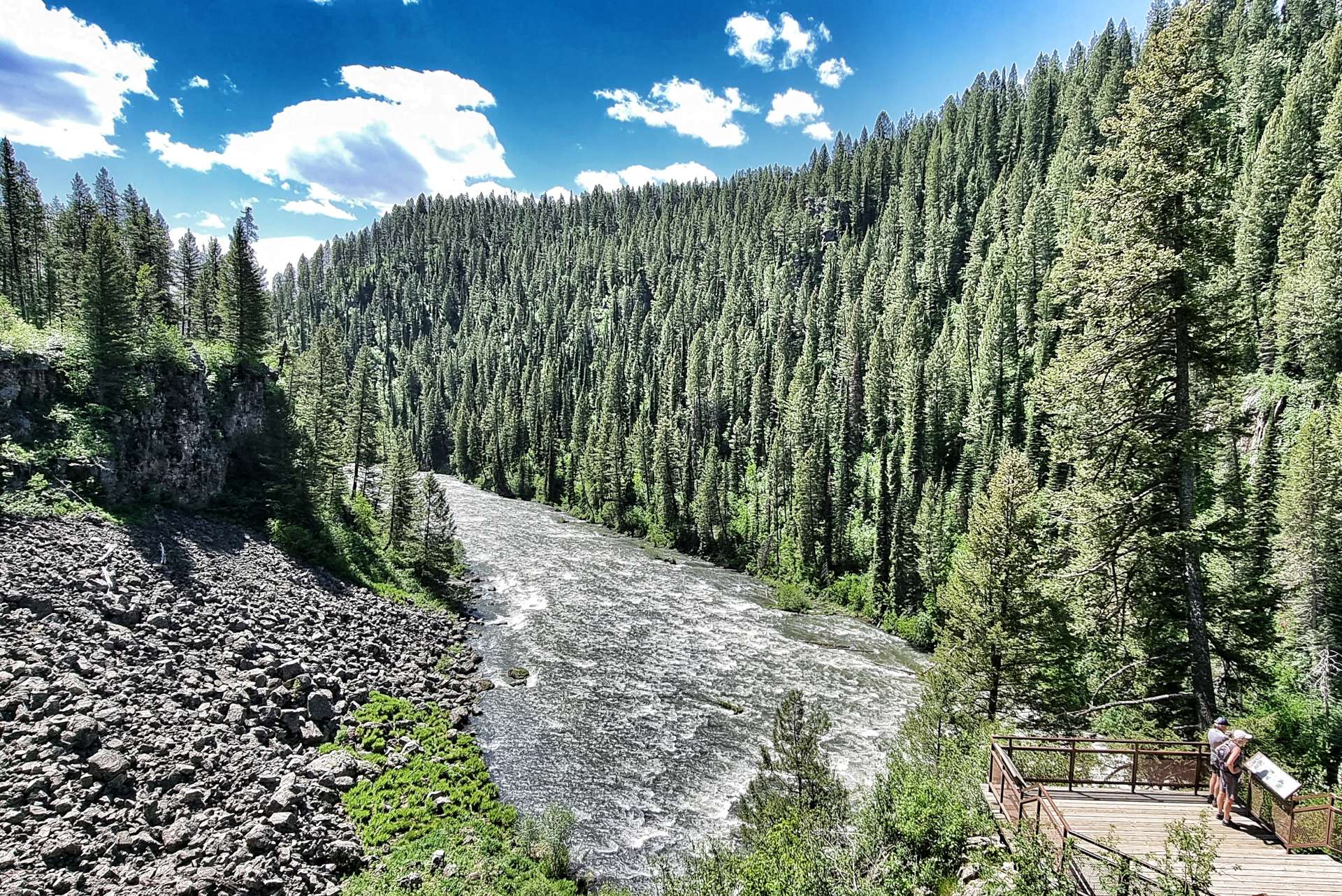
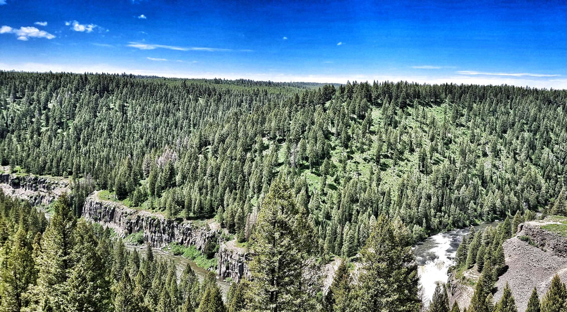
We stopped at Henry’s Fork river to learn about the steps that are being taken to restock the native cutthroat trout. It gives me hope that the stunning scenery & wonderful wildlife will remain for future generations. In the background of the 2nd photo below you can make out the rim of the Henry’s Fork Caldera, formed over 1.3 millions years ago. This is one of 3 calderas in the Greater Yellowstone Basin region & this eruption spewed 280 cubic kilometres of molten lava across Wyoming, Colorado, Kansas & Nebraska! Henry’s Fork Caldera measures 18 miles long by 23 miles wide – the power of nature is mind-blowing.
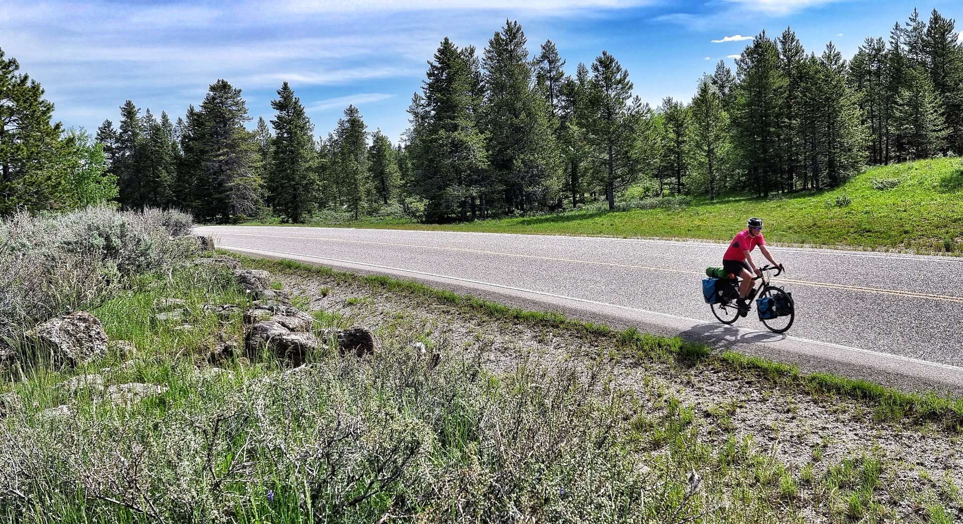
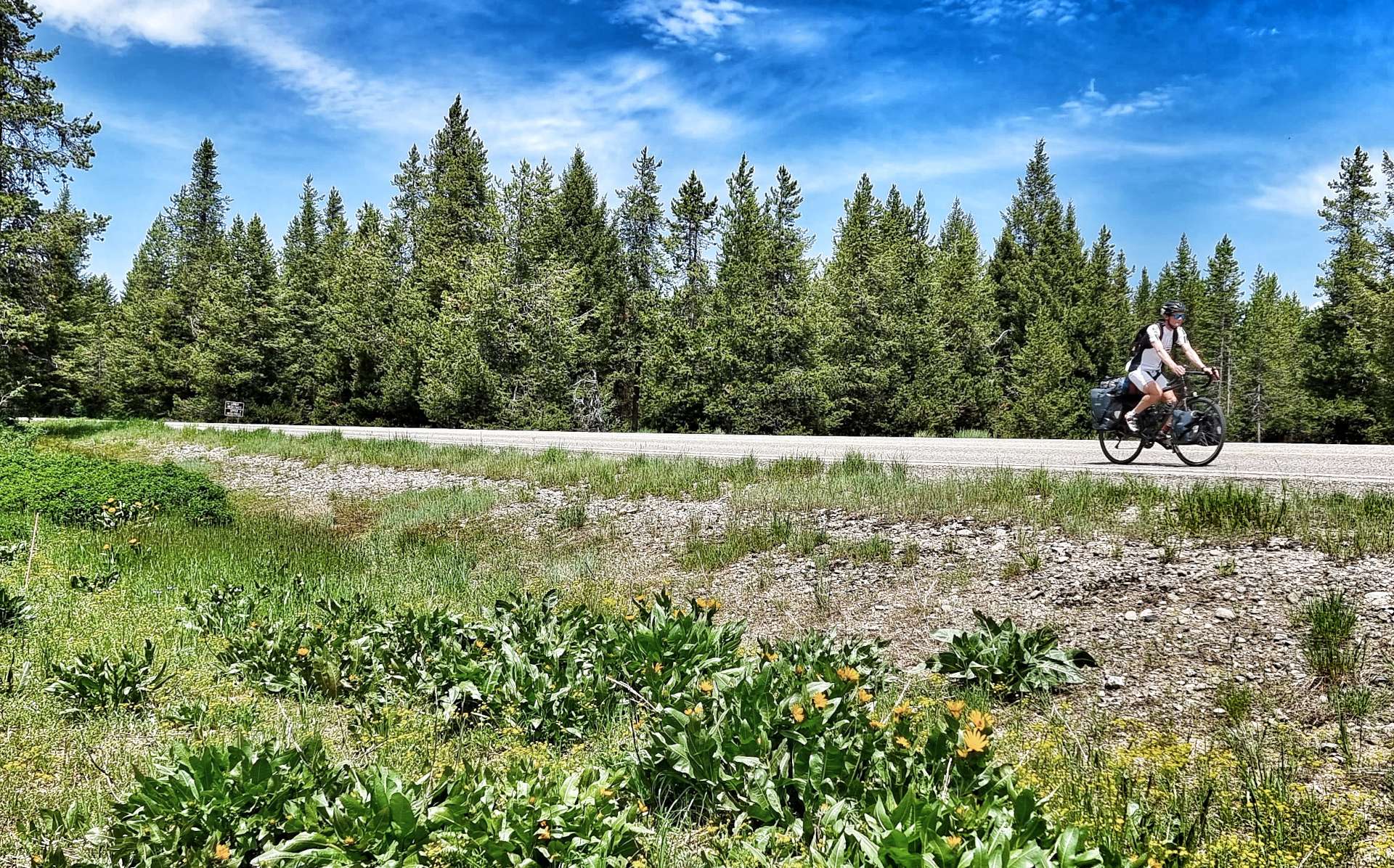
It was time to head into the wilderness, so we took the Mesa Falls Scenic Byway, one of Idaho’s hidden gems. If cycling in the USA over the years has taught me anything, it’s that you simply MUST take any road with Scenic Byway in the title! I know my fellow Cycling Escapes friends will agree.
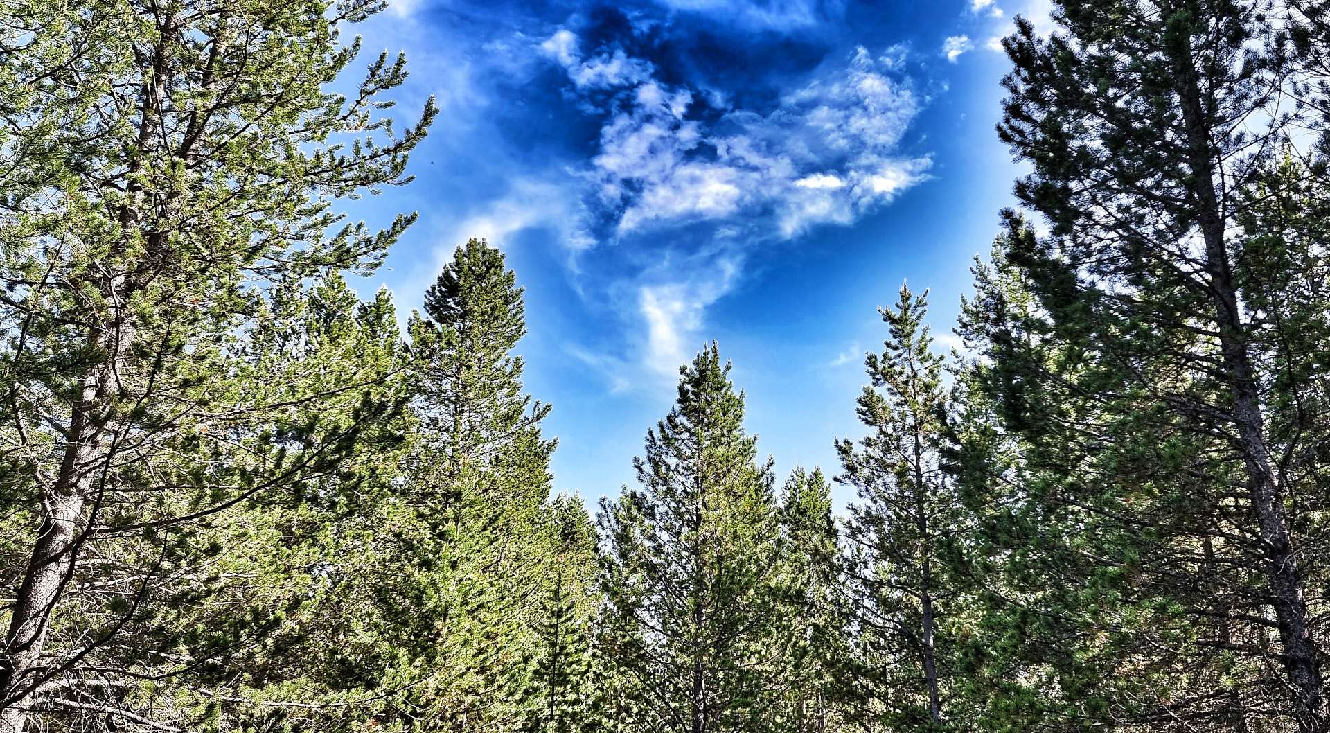
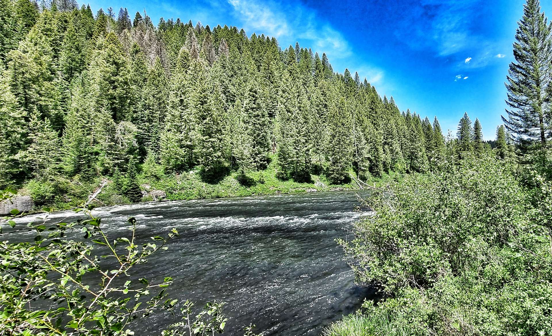
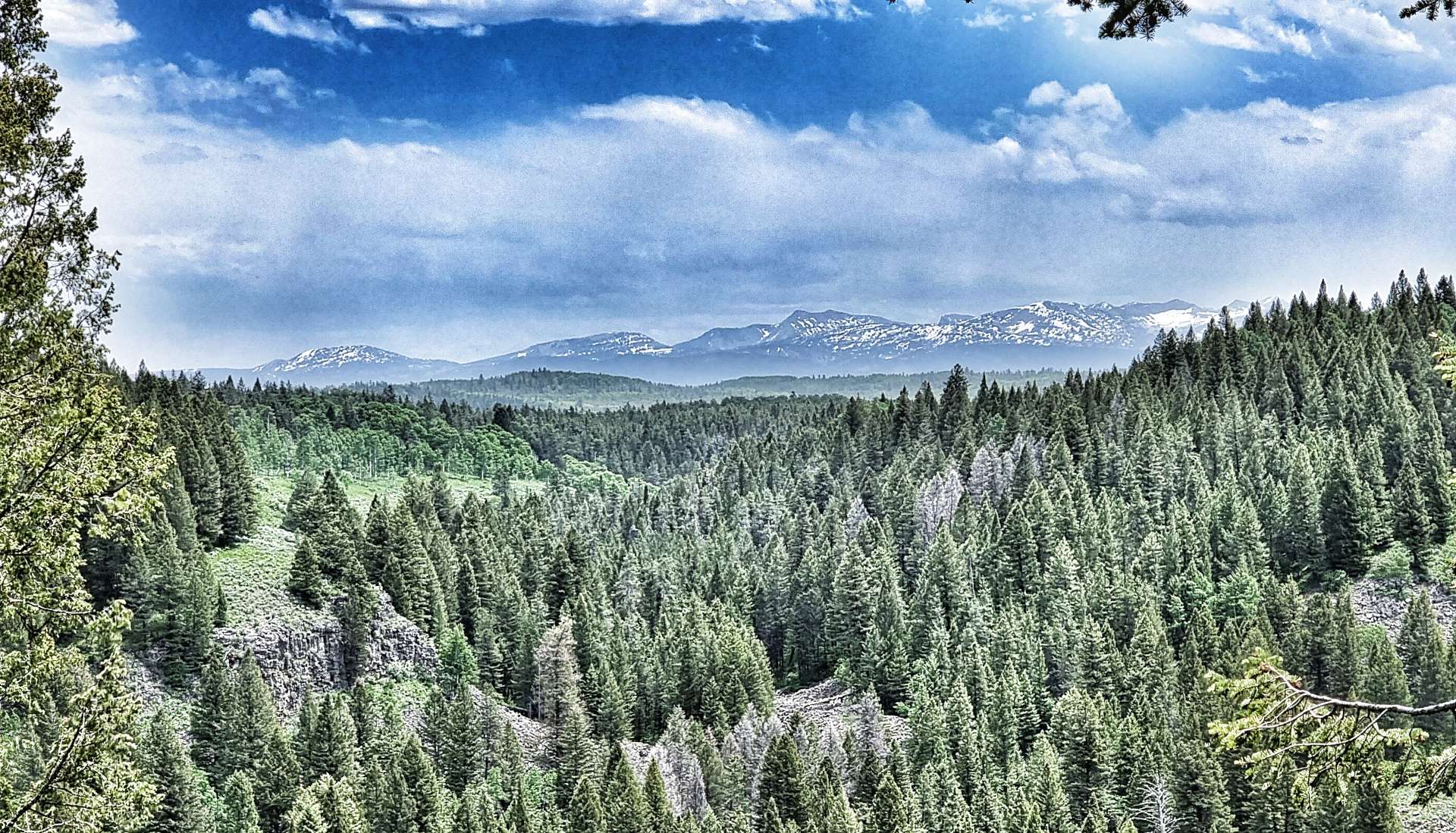
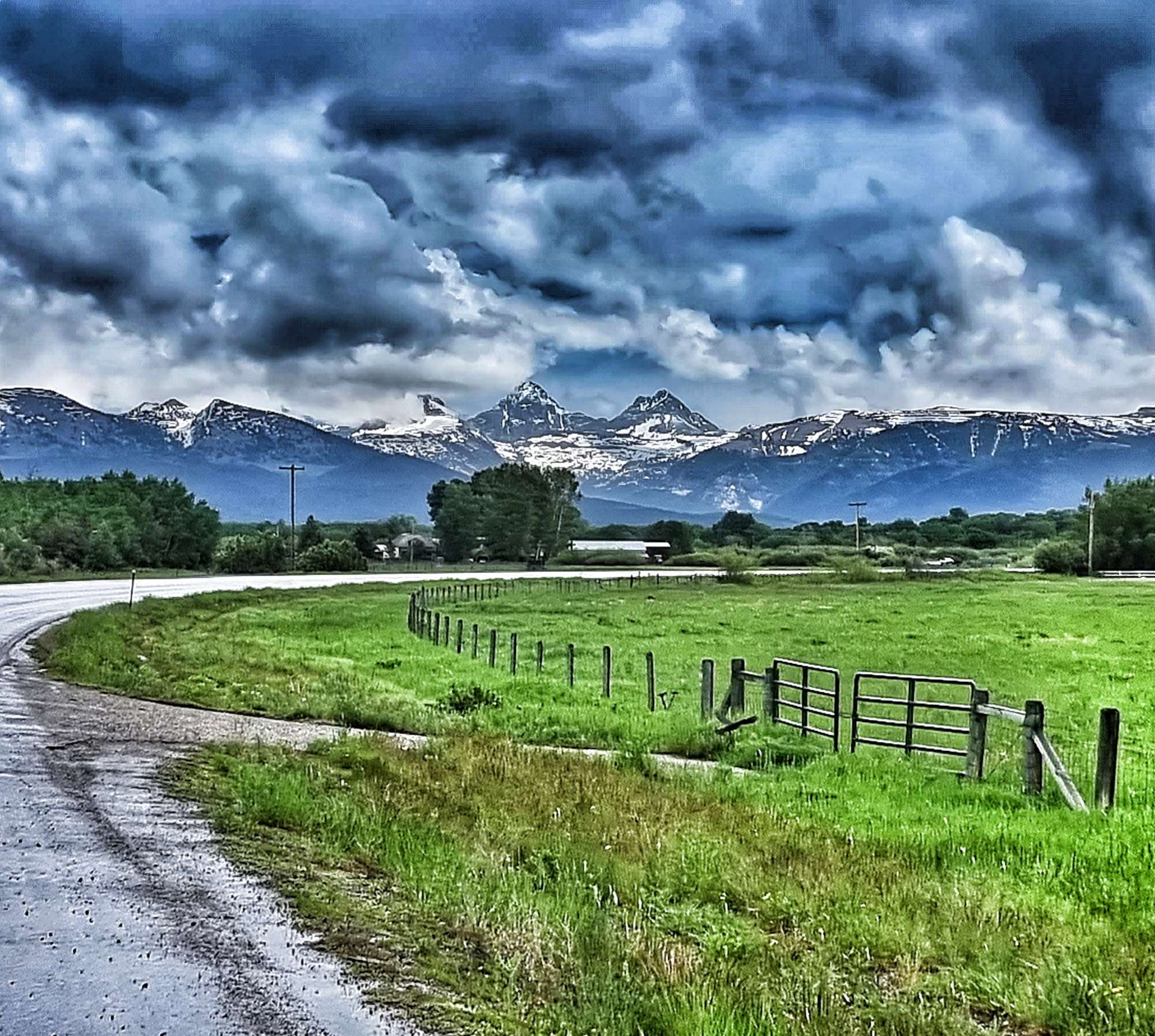
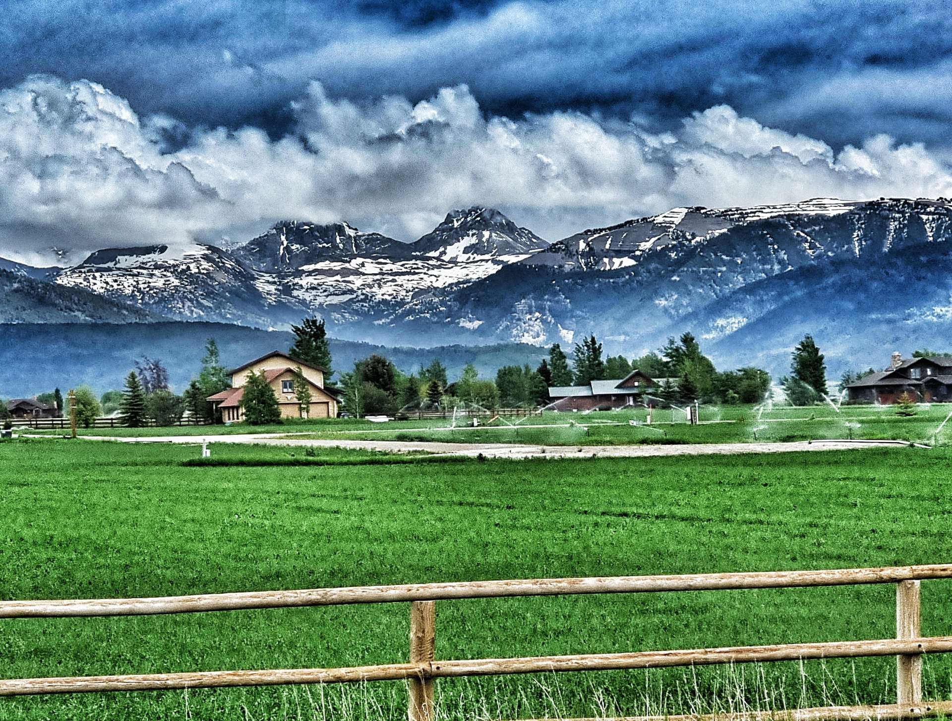
The temperature had warmed nicely & we were cycling under big blue skies – perfect riding weather. The Caribou-Targhee National Forest provided the backdrop of trees, while every now & then the immense Teton Mountain Range showed themselves, even though they were more than 40 miles in the distance. An amusing story is that French trappers in the 1800’s named the mountains “Les Trois Tetons” (the three teats, or breasts) & the name stuck.
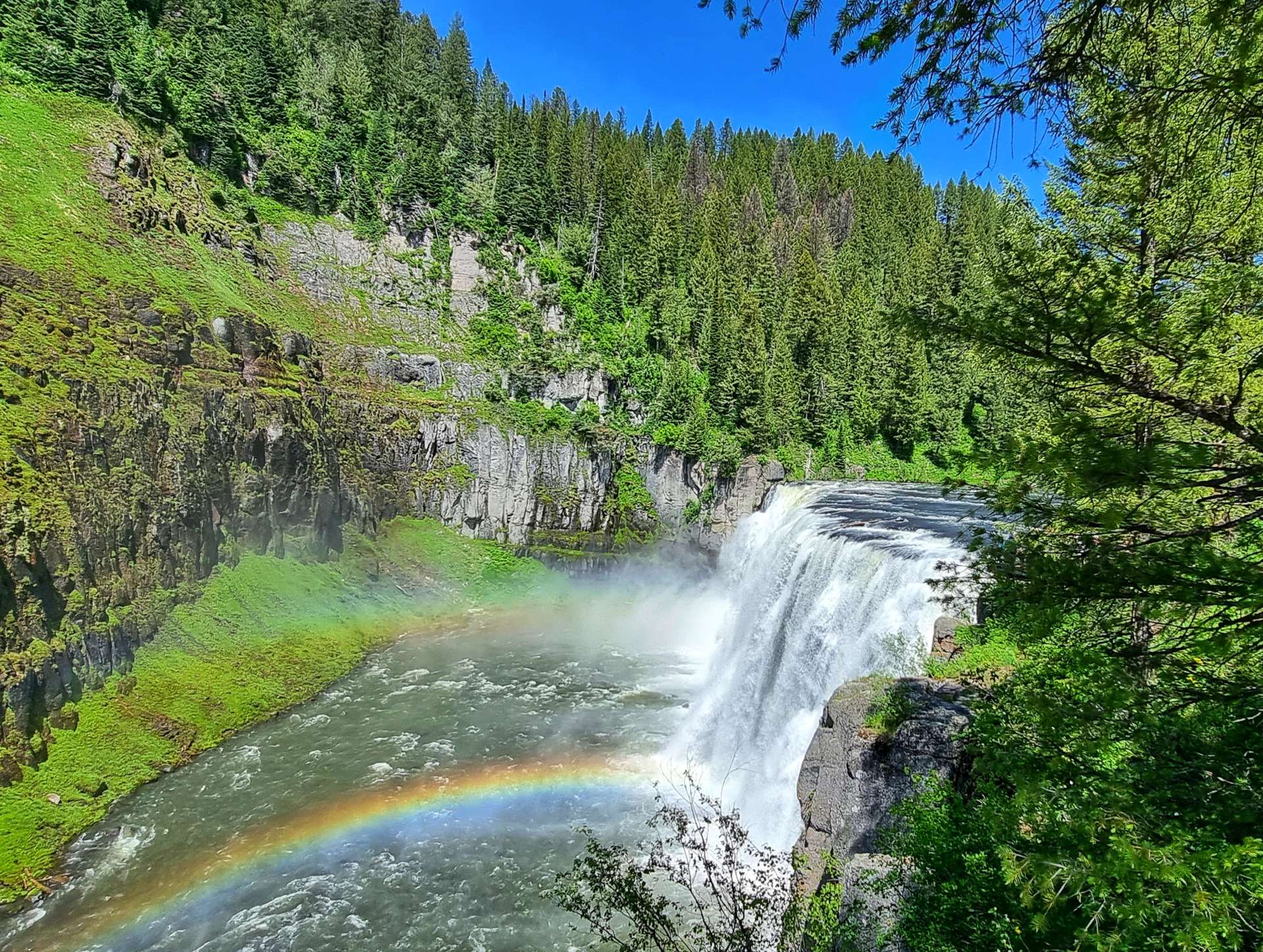
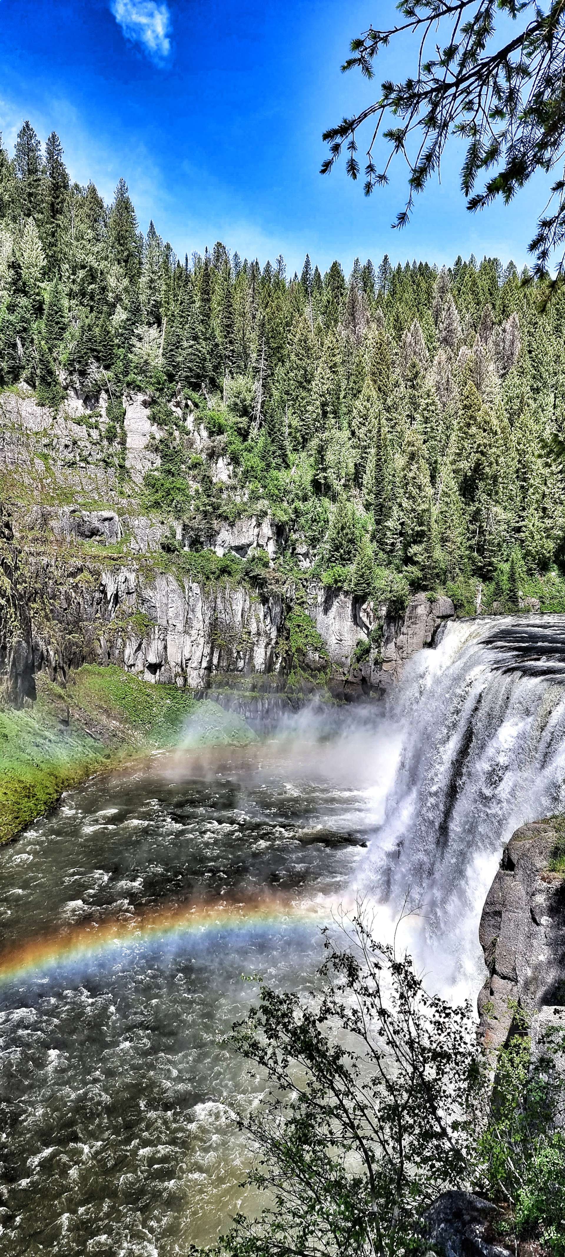
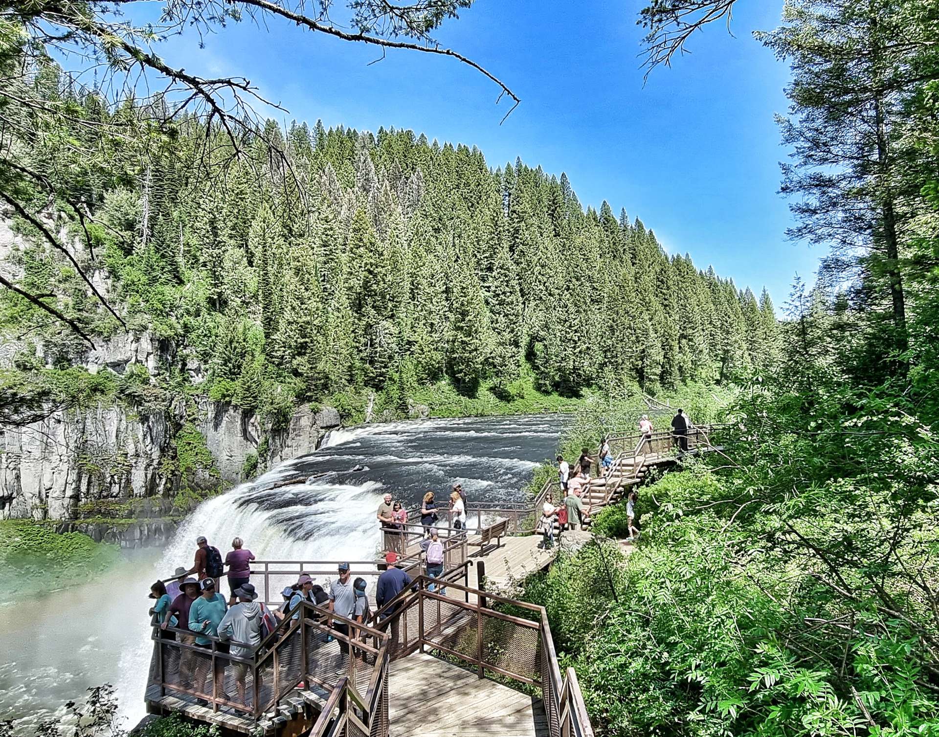
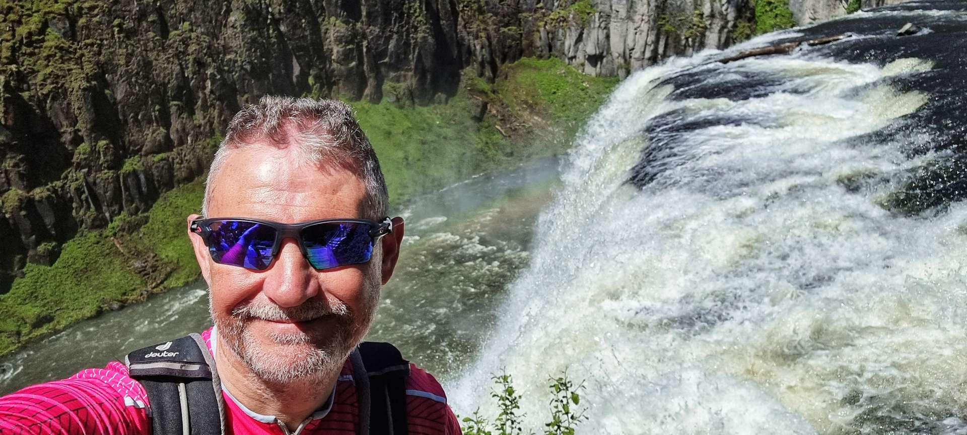
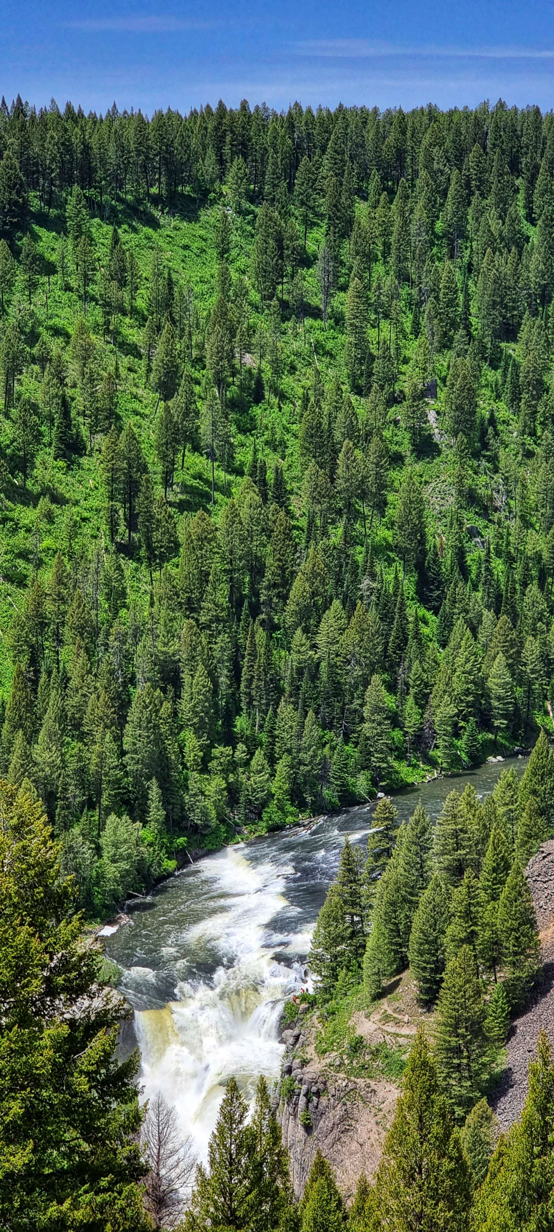
Enough schoolboy humour – the main reason for our detour was to see the Upper & Lower Mesa Falls. A few people I’d chatted to in West Yellowstone said it was a must see sight if we were anywhere near. The Mesa Falls were owned by Montana Light & Power until December 1986, when Targhee National Forest completed a Land Exchange agreement. The National Forest then worked hard to open up this natural gem to the public.
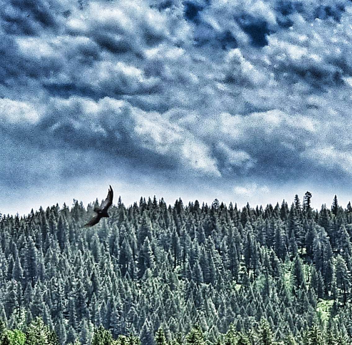
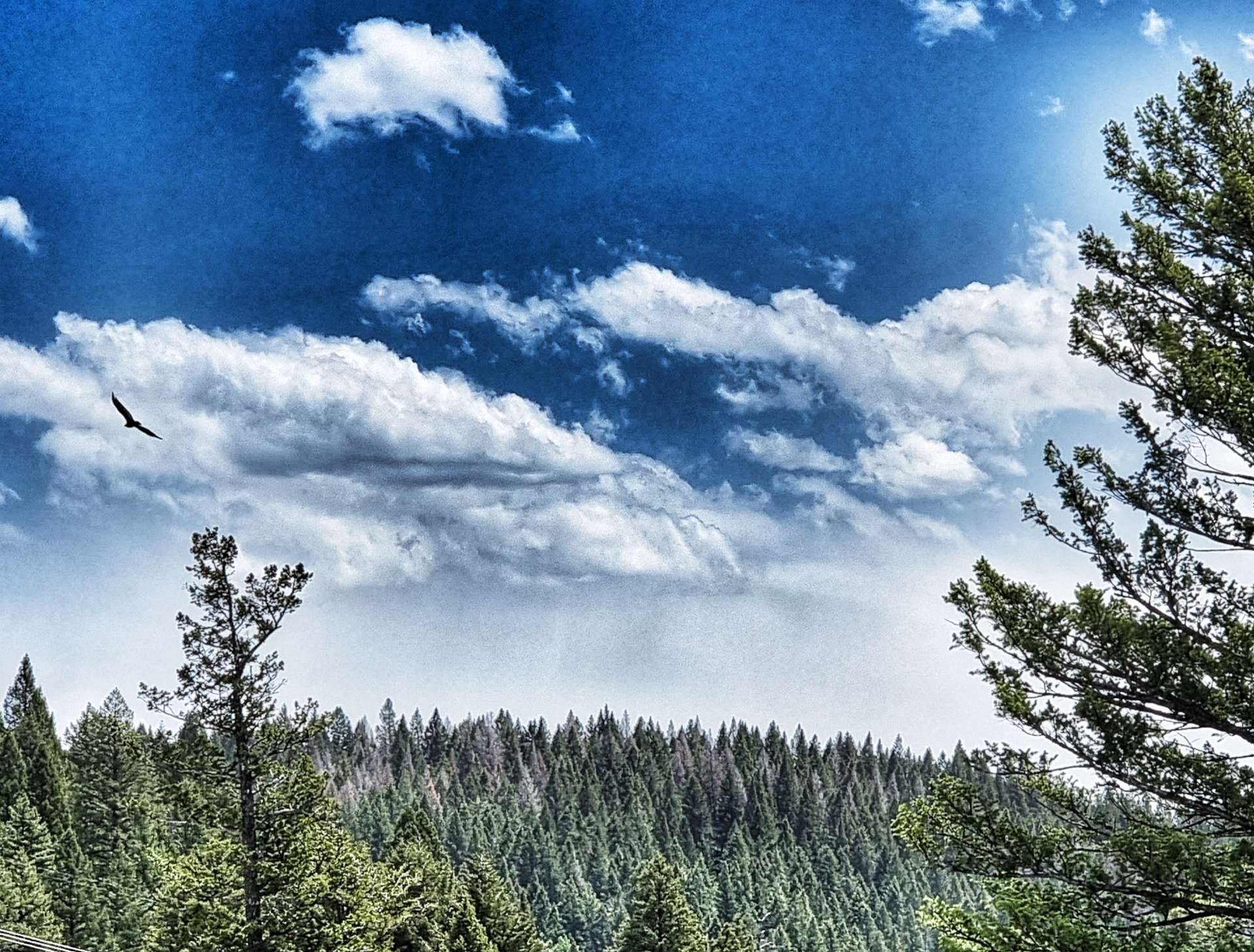
We took the 1 mile descent to the car park & changed into walking shoes – a walkway took us down further into the valley & the thunder of the water indicated there was some big white water ahead long before the Mesa Falls introduced themselves. Overhead there were eagles gliding on the thermals, while bears, deer & elk wandered the forest, always too shy to show themselves.
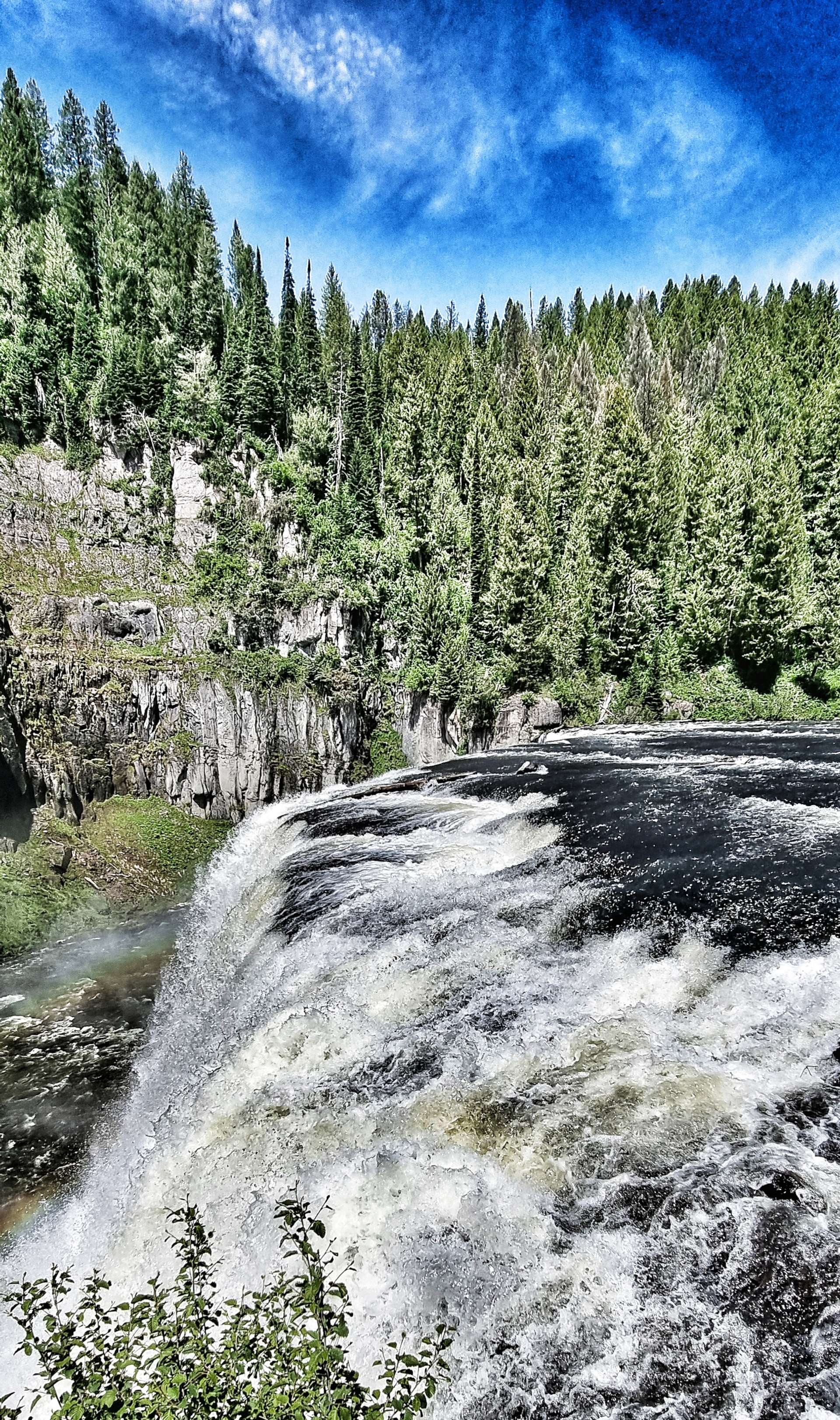
We reluctantly left Upper Mesa Falls behind (in part because of the steep climb ahead of us to get back to the Scenic Byway!) & made our way along to Grand Overlook where we took in the vast views of the Lower Mesa Falls – from here you could really see that although they were born of fire, they’ve been shaped by water.
We continued along the almost deserted road, giving us time to set up the odd action shot, as well as stop & poke around the small ponds seeking the eternally ribbiting frogs – we never did find one! All the while, the Tetons edged ever nearer.
In 1938, Bear Gulch was the second ski resort to be established in Idaho (after Sun Valley). Alf Engen, a world-class skier who had emigrated from Norway helped lay out the first runs of what later became Bear Cat, Dipper & Teddy Bear. It endured a troubled history as ownership regularly changed hands & ongoing development & running costs soared.
While we were reading about the history of Bear Gulch, an eagle glided overhead, keeping its beady eye on us! It’s a shame the resort didn’t flourish, as it’s in a glorious location with big views of the surrounding mountains.
In order to reach Ashton, we needed to cross the Warm River in the valley below. That involved a descent to the valley floor where we saw people fishing & canoeing on one side of the bridge, while on the other, children were throwing bread into the river & watching the feeding fish.
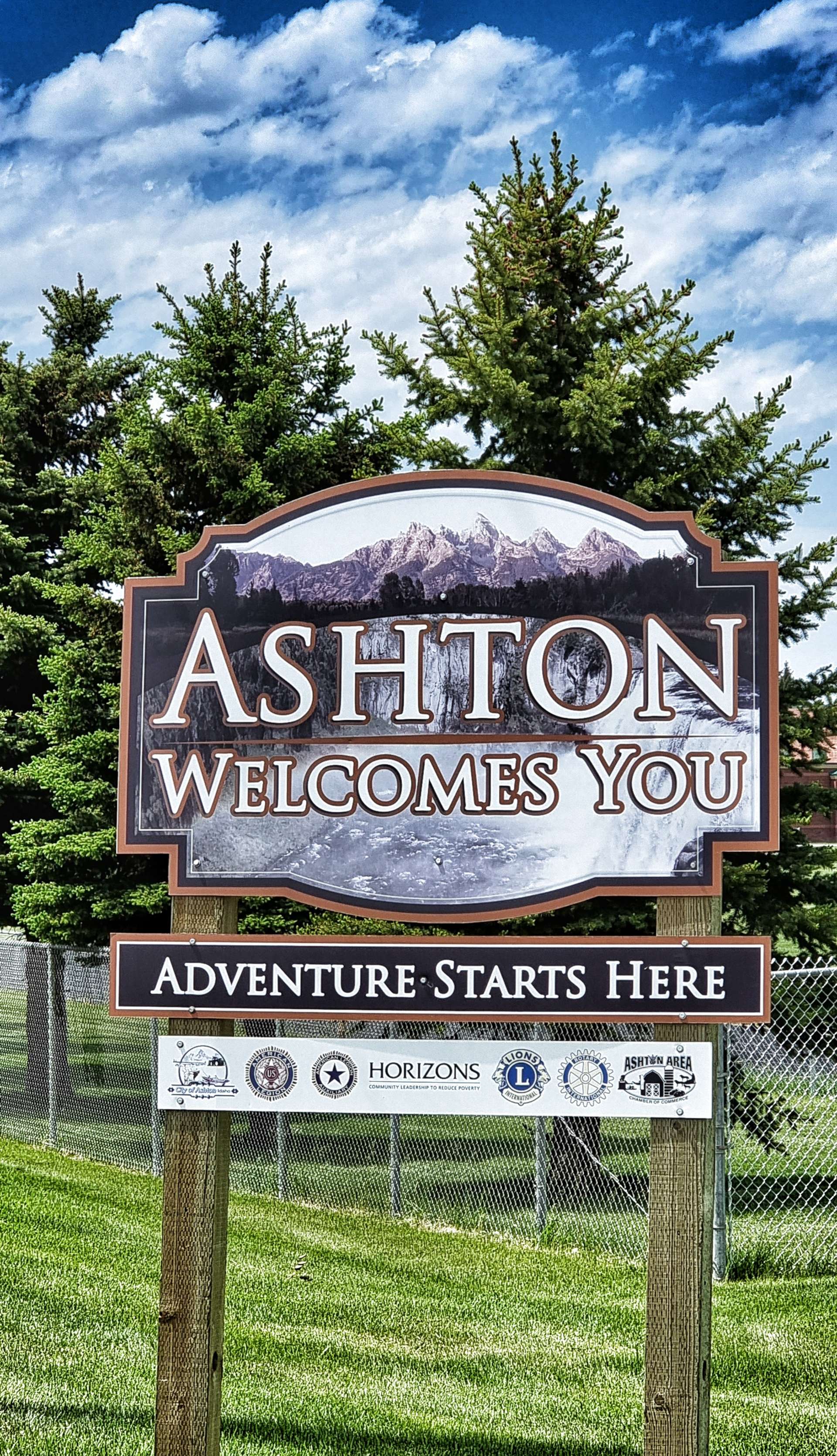
A two mile climb took us back up to a plateau on the opposite side of the valley & we were now in farming territory, as was obvious from the ploughed fields & irrigation systems. It was a short ride into Ashton, where we would be staying for the night.
Stage Stats – 40 miles, 1,345 feet of climbing. Stunning scenery on the Mesa Falls Scenic Highway.
Sunday 19th June – Ashton to Driggs
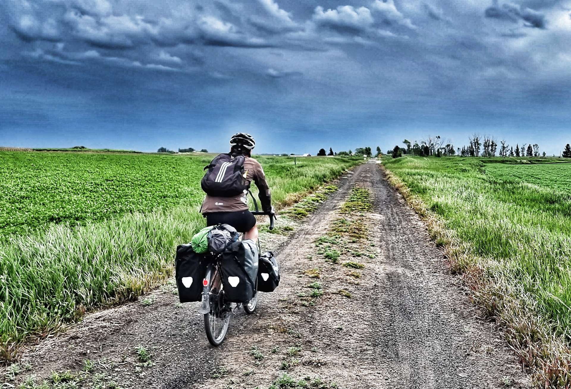
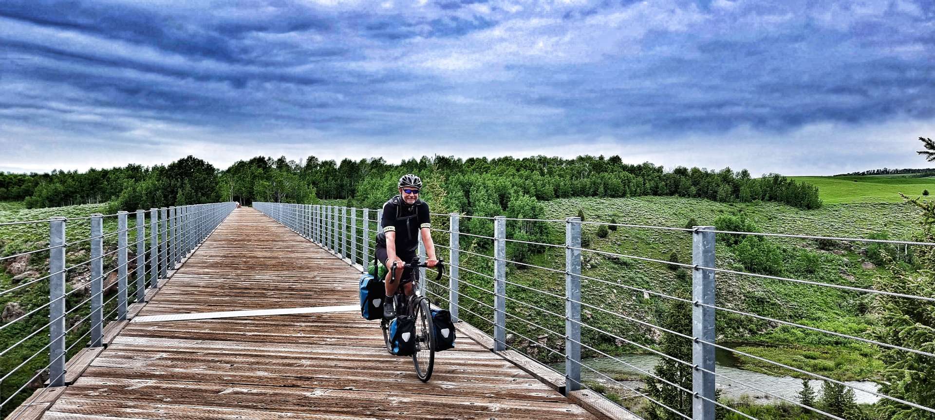
We woke to overcast skies, but decided to continue with our plans for the day. The Ashton to Tetonia Rail To Trail is a 29 mile of off-road track which was opened to the public in 2010 & follows the Teton Valley Branch of the old Union Pacific Railroad. It was originally used to move livestock, seed potatoes, peas & grain.
The surface was constantly changing as the trail crossed different terrain – in the early miles we encountered rough farm tracks, flint, grit & fine soil (on a brutally steep descent) that required me to ride with one foot out the cleats in case the bike slipped from under me – it didn’t, but it was tricky!!
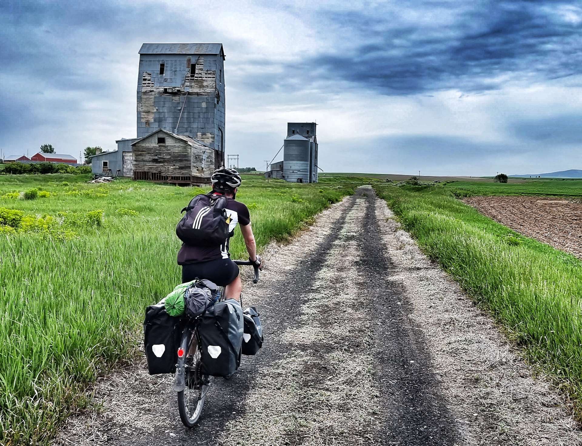
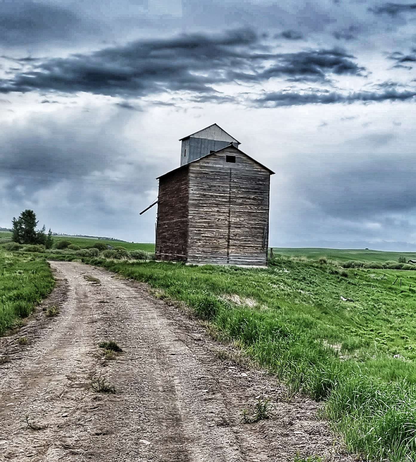
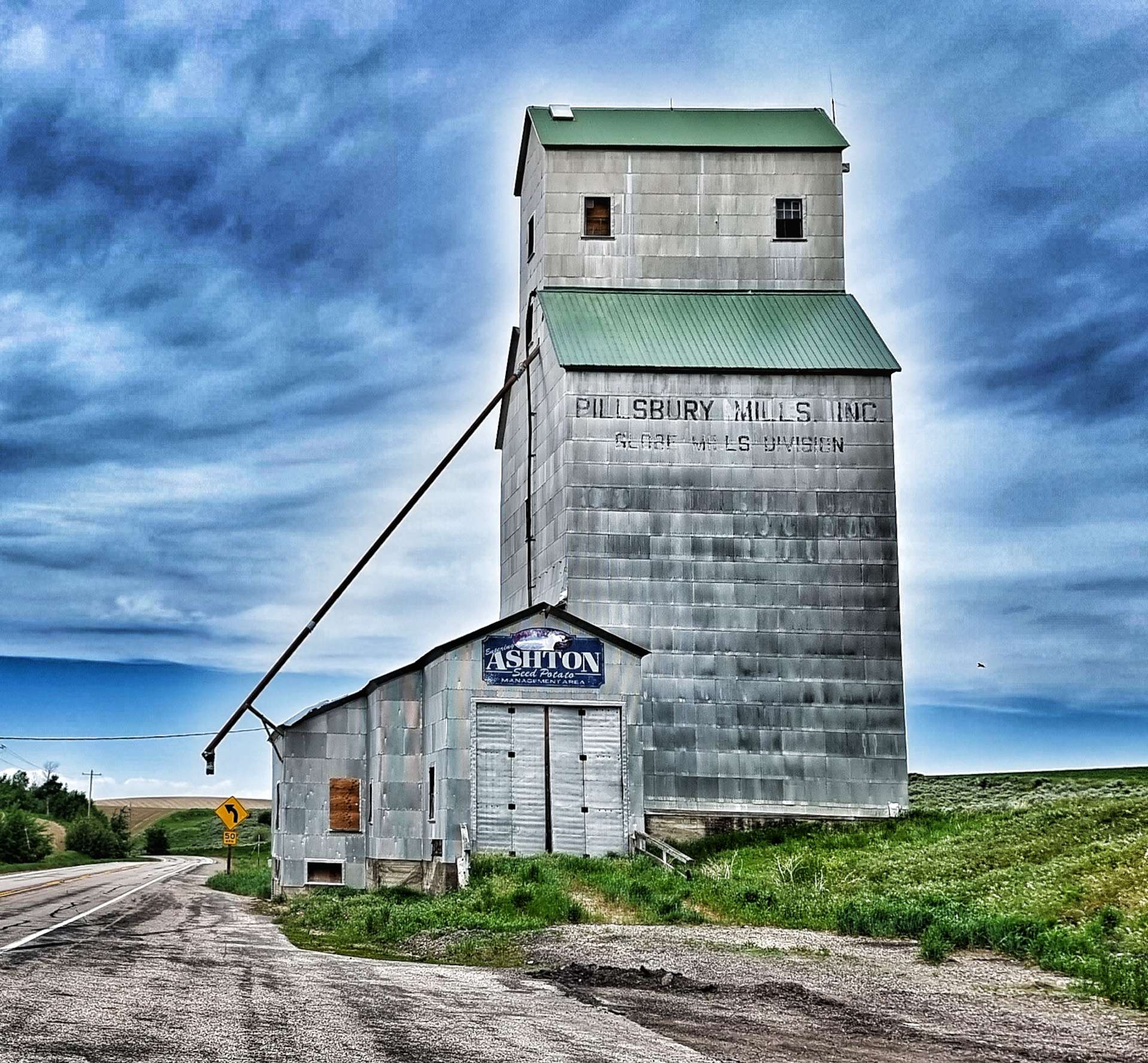
Along the way we passed a few historic Elevator buildings used to store & transfer wheat &/or grain. The most iconic is the Pillsbury Mills Elevator – does anyone else remember the Pillsbury Doughboy giggling when his stomach was poked? Google it if you’re wondering what I’m on about, it was an advertising gimmick from the 1960’s to earlier 2000’s!
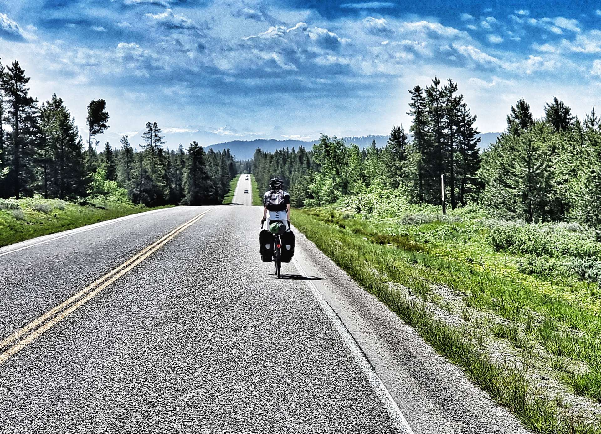
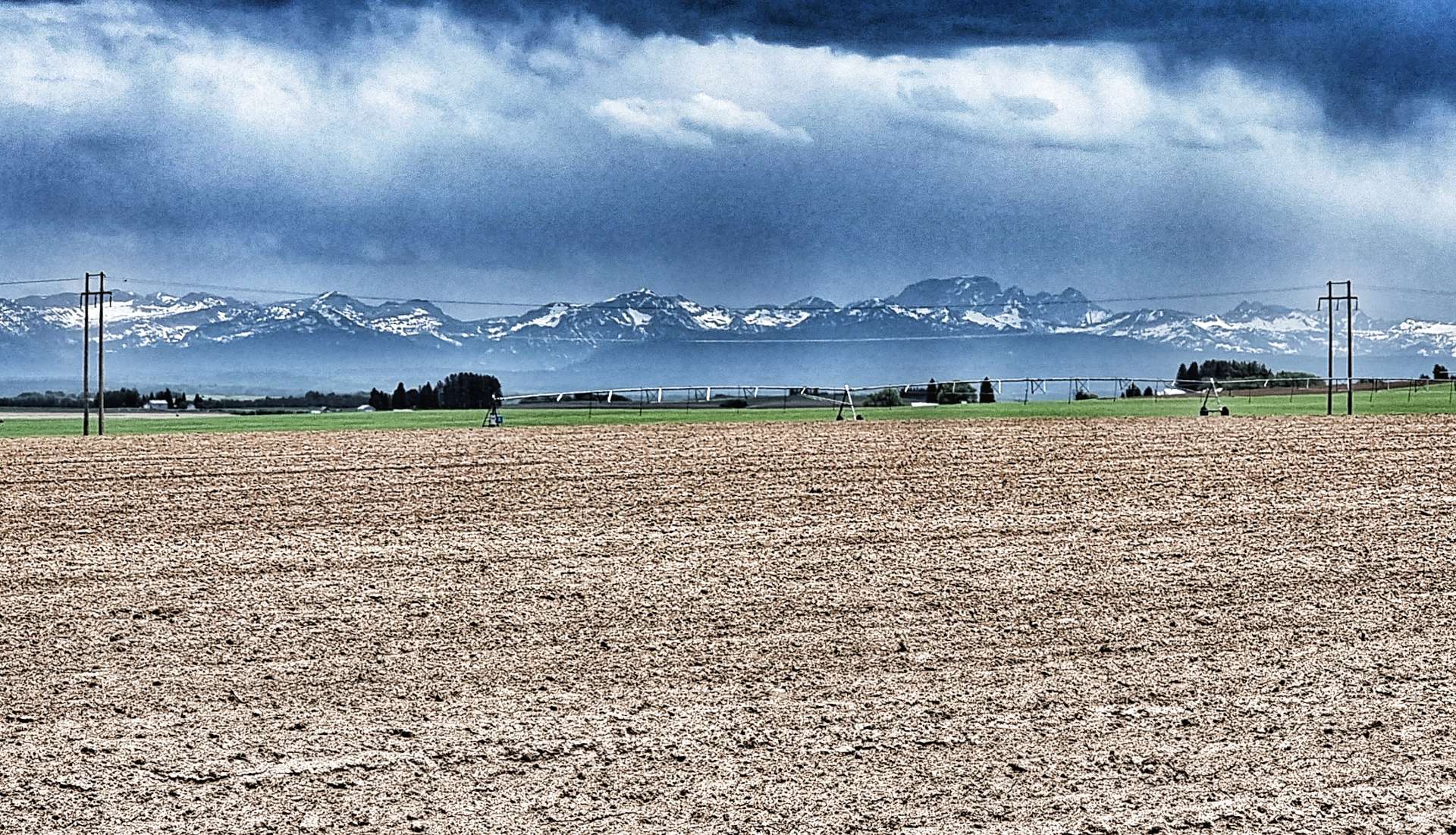
Every now & again the Grand Tetons reminded us of their presence. They now only appeared to be on the opposite side of the valley, but were still in the region of 20 to 25 miles away. The moody skies also indicated that rain would probably be on its way to meet us at some point, but in the meantime we had 3 final treats to look forward to…..
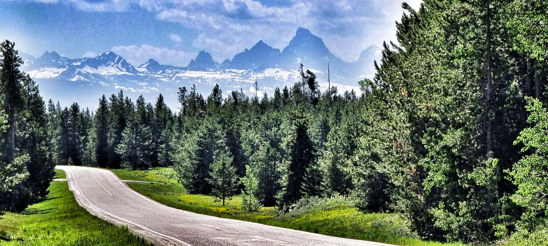
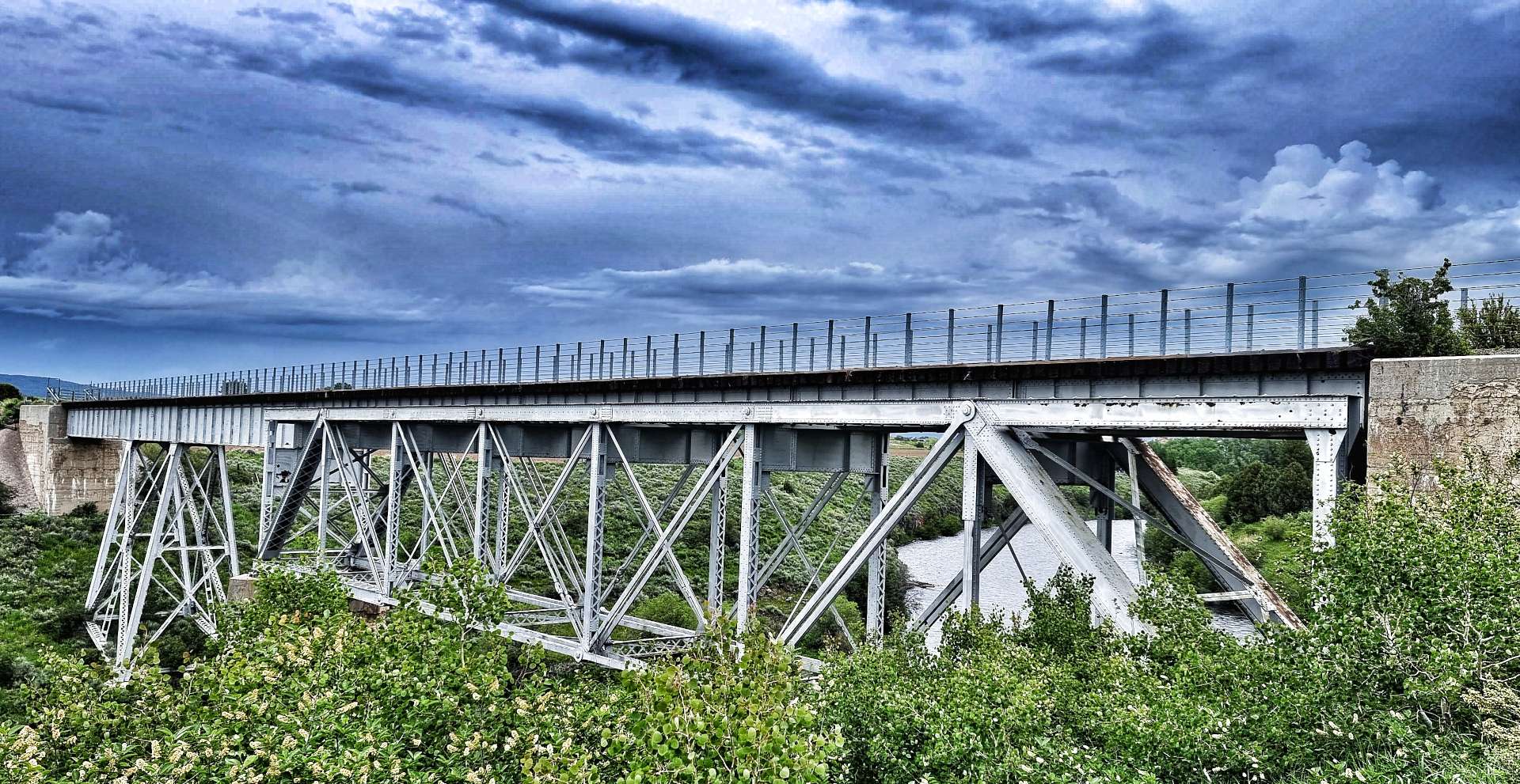
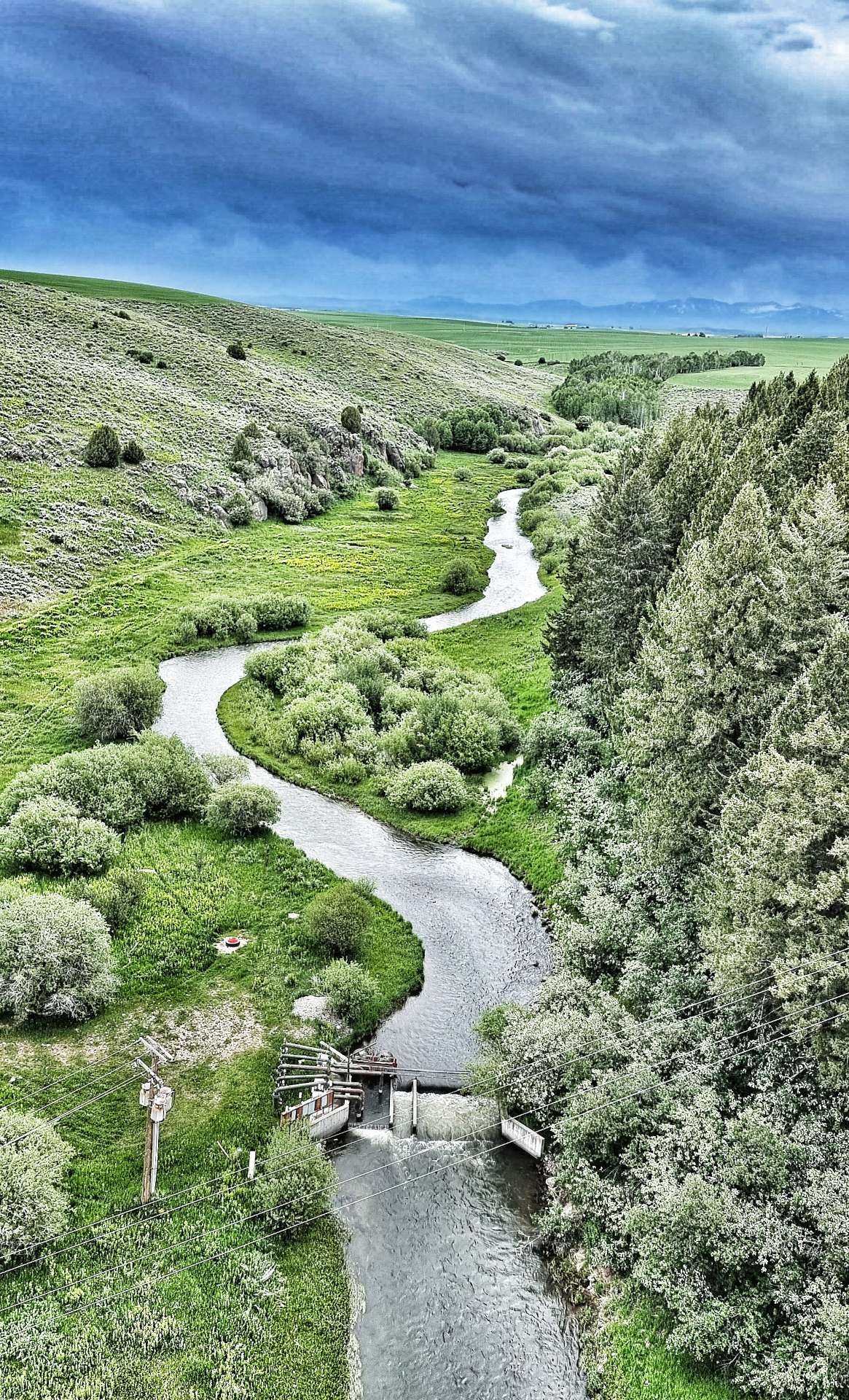
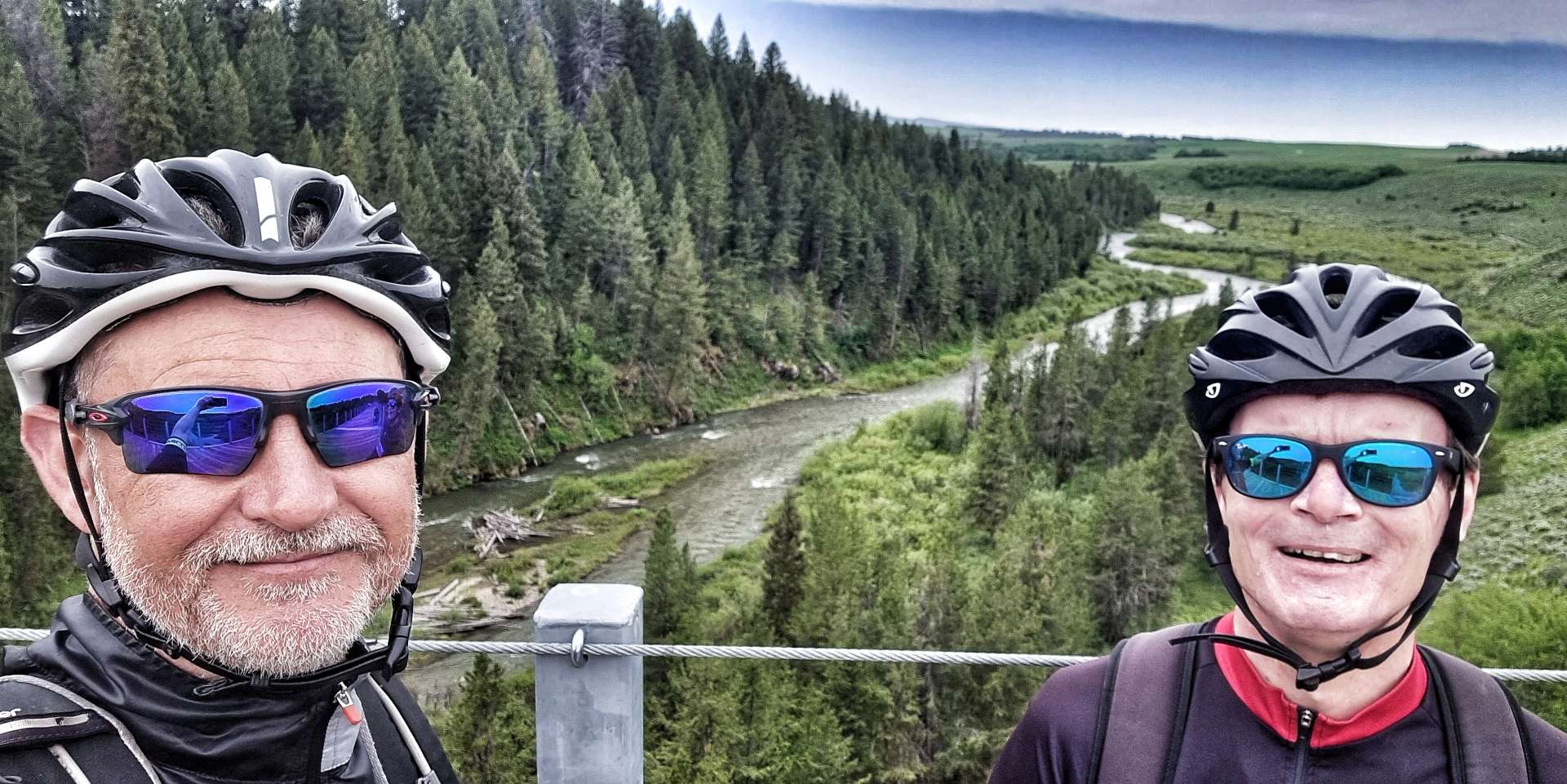
The trail includes three trestle bridges which cross Fall River, Conant Creek & Bitch Creek – they each span 600 feet in length & 130 feet in height. It was an instant step back in time to when I used to watch Casey Jones on tv at the throttle of the Cannonball Express. The Conant Creek Bridge (in the photo with the Tetons in the background) was constructed in 1911. It used a Truss section previously designed & built in 1894 to cross the Snake River at American Falls.
As we neared the end of the 29 mile trail we could see the rain directly in front of us – by some wonder of science, it had almost completely dispersed by the time we reached the road, where it had been raining but 5 minutes before! The skies were already starting to clear & they gave us one last peep at the perky Teton peaks – a size D up close!
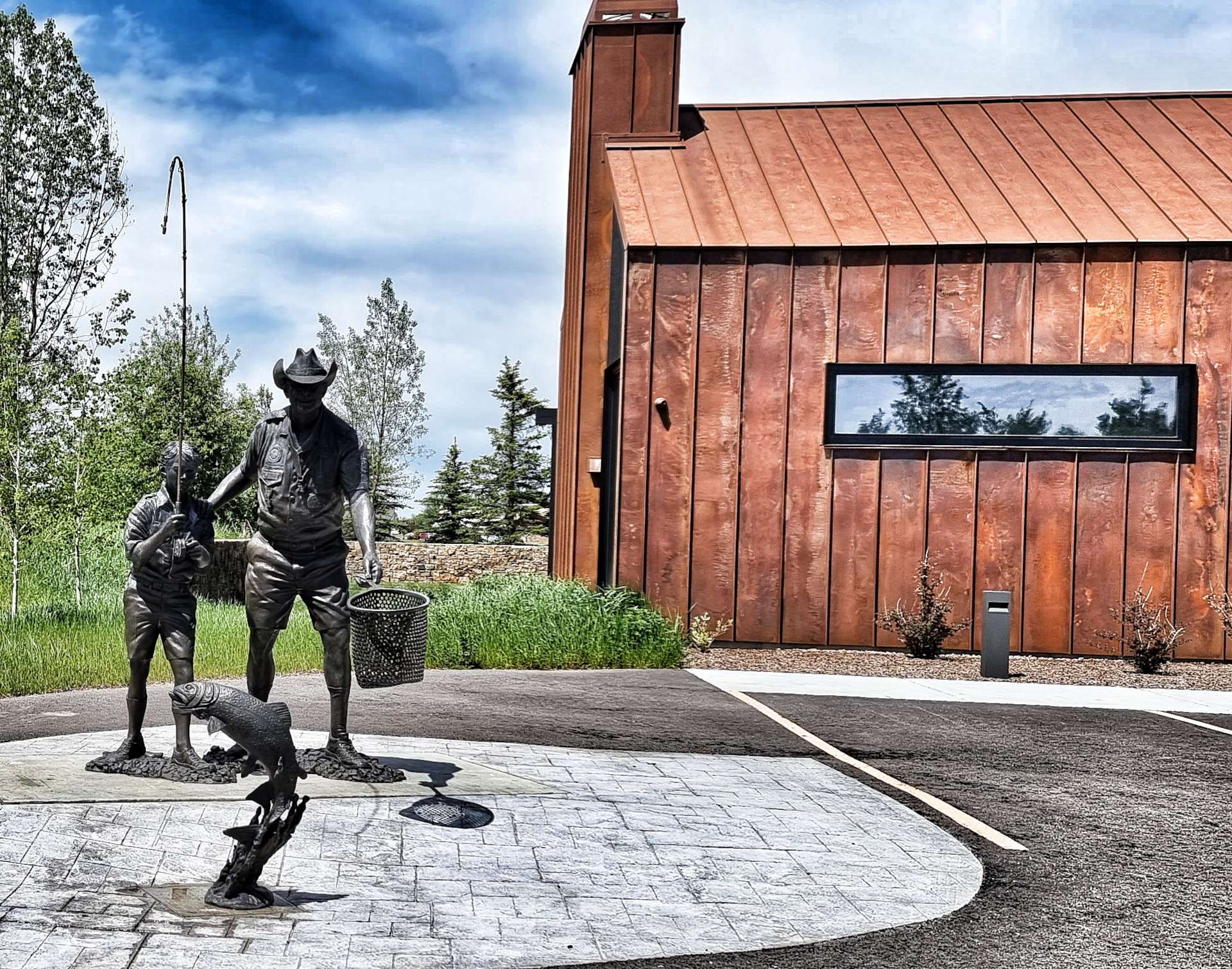
We had an 8 mile ride into a stiff headwind before we reached Driggs – another town that offered up a selection of unusual statues, the most striking of which was an adult teaching a young boy how to fish. As we rode up Main Street, a private jet was in the final stages of landing at the local airport.
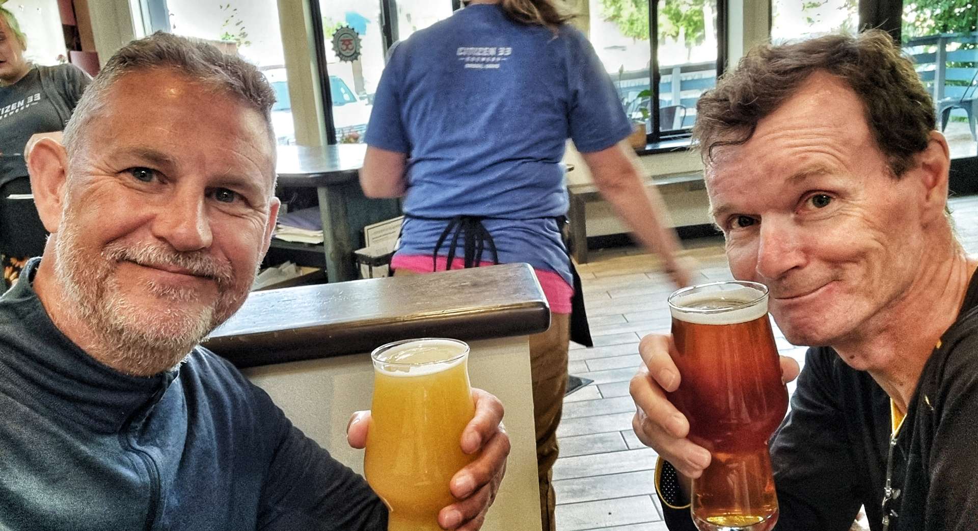
All that remained was to do get the laundry out the way, then head next door to Citizen 33, where we toasted yet another wild day of adventures. We have an unexpected task tomorrow, as Sean’s pannier didn’t survive the off-road adventure as well as us – we need to find an Ortlieb dealer or someone who can cobble together a repair for us!
Stage Stats – 40 miles, 1,365 feet of climbing. Exploring the Ashton-Tetonia Rail to Trail.
Yogi, Booboo & Ranger Smith shut up shop, but then take pity on us.
As you’ll know by now if you’ve read my last update, substantial flooding, rockslides & rockslides on roads caused Yellowstone National Park to temporarily close all 5 entrance gates on 13th June & they currently remain closed. I’m pleased to report that no-one was injured by this devastating natural disaster.
When we left Helena on 12th June, our plan was to reach West Yellowstone on 14th, then head into the National Park via the West Gate. We would then look to camp for up to a week as we explored the North Loop (via Gardner & Cooke City) & the South Loop (Old Faithful, West Thumb & Yellowstone Lake), then exit via the East Gate to Cody.
This is no longer possible, so we’ve taken the decision to enjoy a couple of days of rest & relaxation in West Yellowstone, while we come up with an alternative plan. Full details of our alternative plan will be at the bottom of the post (assuming we have a plan by then!!).
Due to the late decision to stay longer in West Yellowstone, we spent 13th & 15th June in Dude & The Round Up, while on 14th we stayed in The Travelers Lodge.
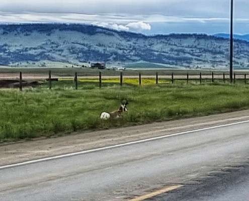
Yellowstone National Park preserves the most important bison herd in the United States. It’s the only place in the USA where bison have lived continuously since prehistoric times & they are the largest herd on public land. They are able to roam over the expanse of Yellowstone & some nearby areas of Montana.
As a result they continue to exhibit wild behaviour just like their ancestors, congregating during breeding season to compete for mates, as well as migration & exploration. Less than a century ago, the bison population was on the verge of extinction, but by the end of 2021 there were in the region of 5,450 in Yellowstone.
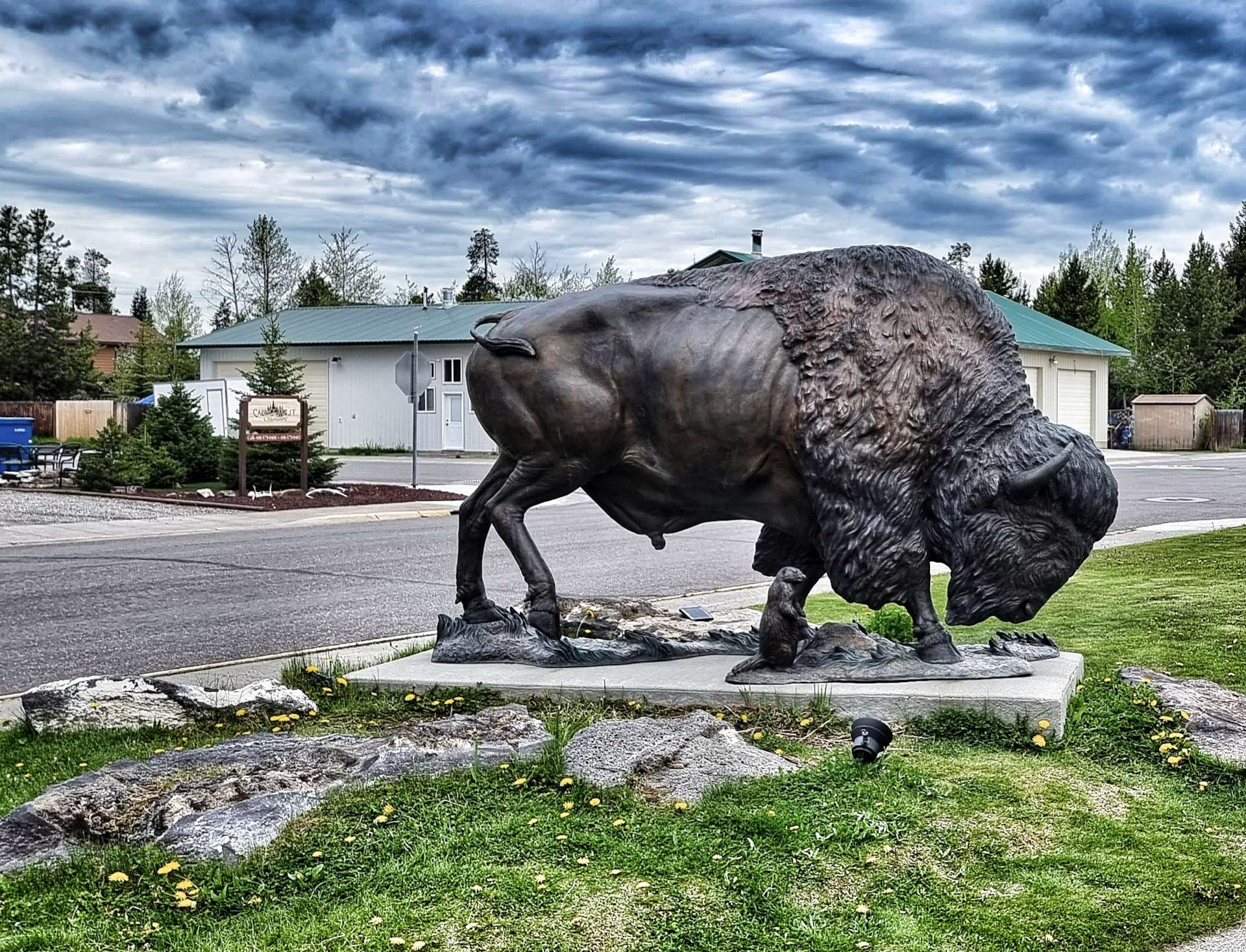
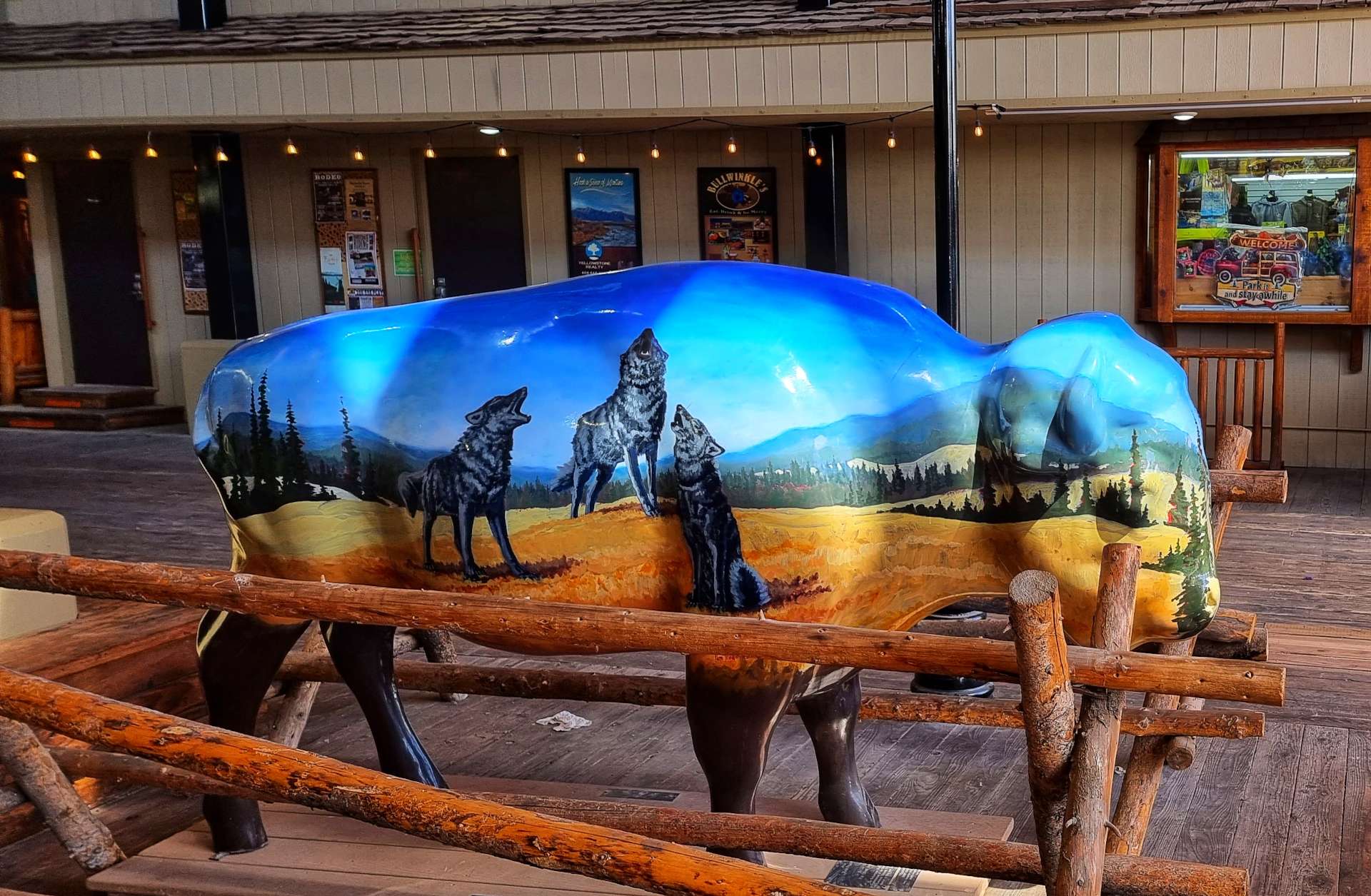
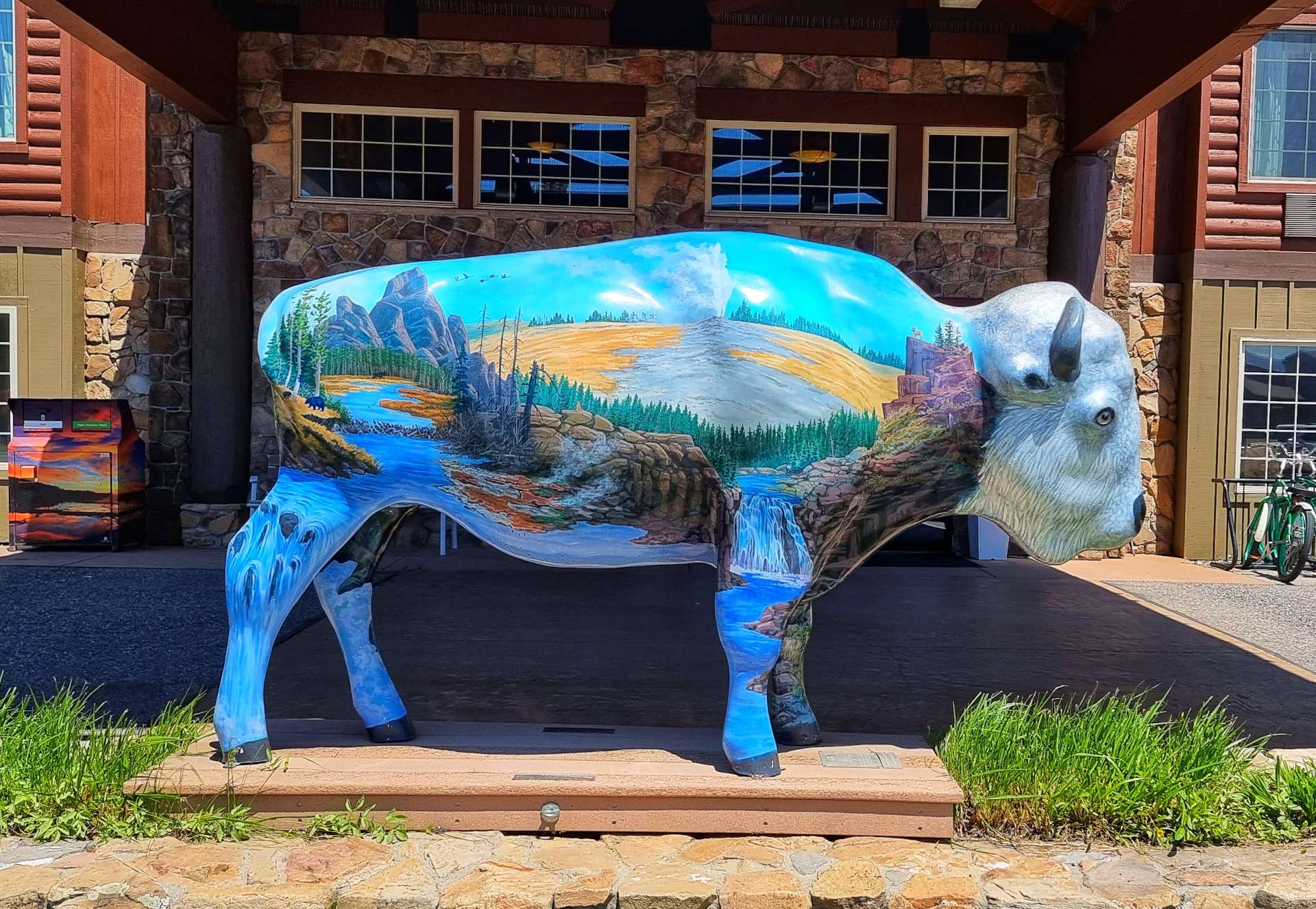
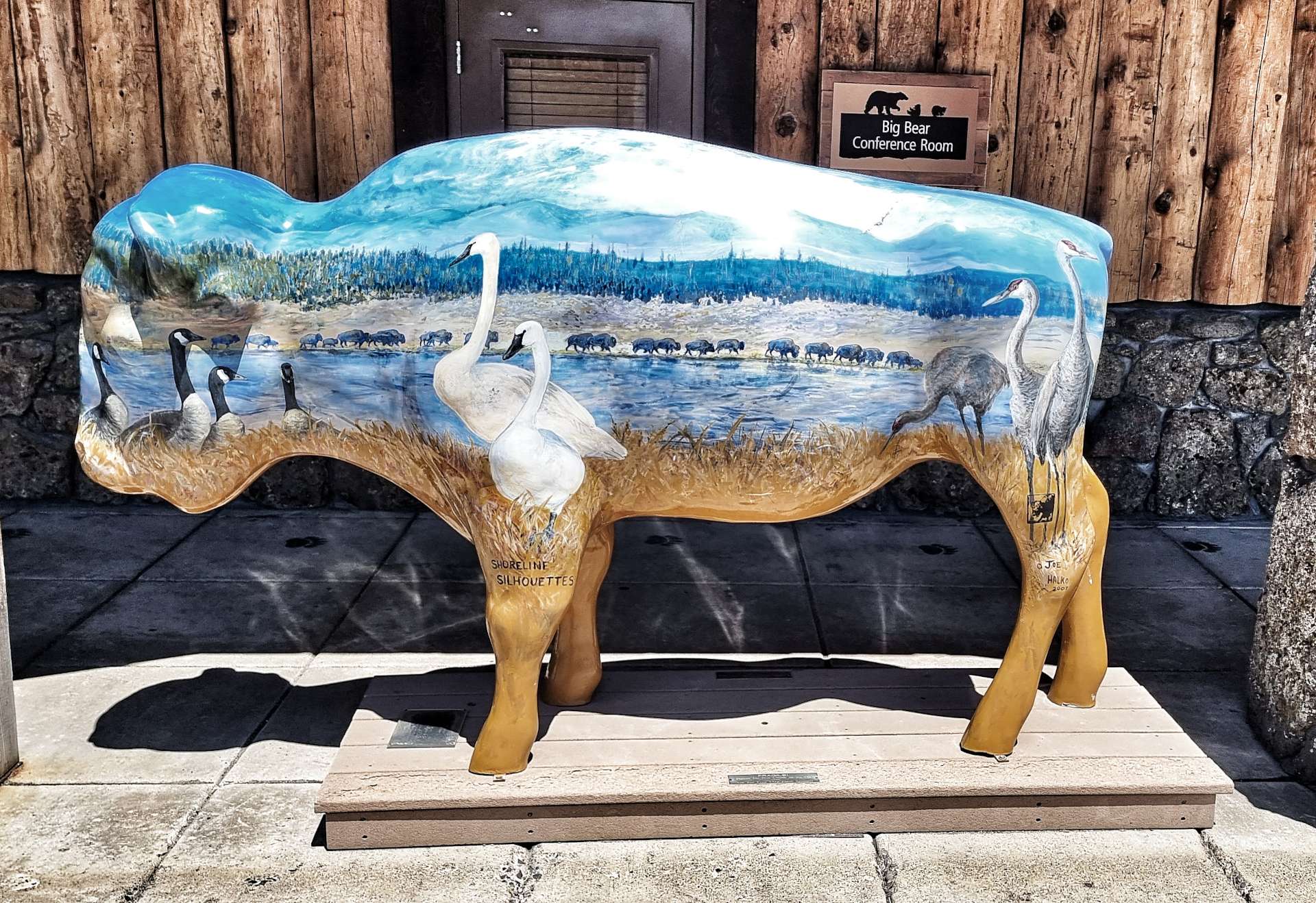
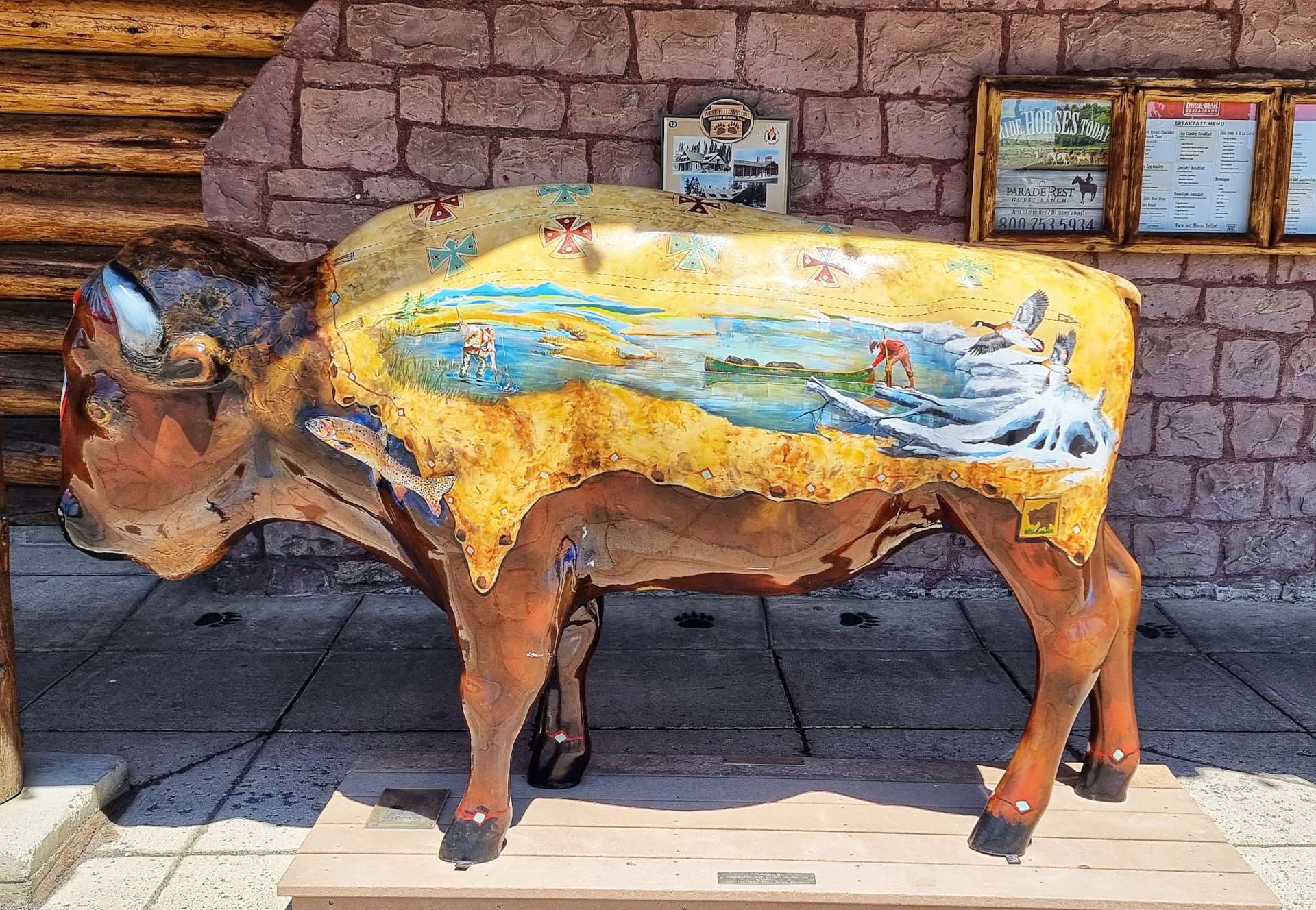
West Yellowstone has its own herd of bison sculptures – each individually painted.
West Yellowstone has had 5 names throughout its history. Before there was a town, stage coaches bringing passengers from Monida to Yellowstone National Park crossed the nearby park boundary. The location of that crossing & the surrounding area was known as Boundary.
Terminus applied to this location as the Union Pacific Railroad progressed to the soon-to-be town site. Riverside was the official name for the town’s first Post Office, opened in 1908. Many locals considered the name misleading, as the town was 2 miles away from the Madison river.
Early in 1910, the town’s name was officially changed to Yellowstone. This caused concern for the other 4 towns located at the entrances to the National Park (Gardner to the North, Cooke City to the North East, Cody to the East & Jackson / Teton to the South). It was felt that the name suggested this was the only entrance to the National Park.
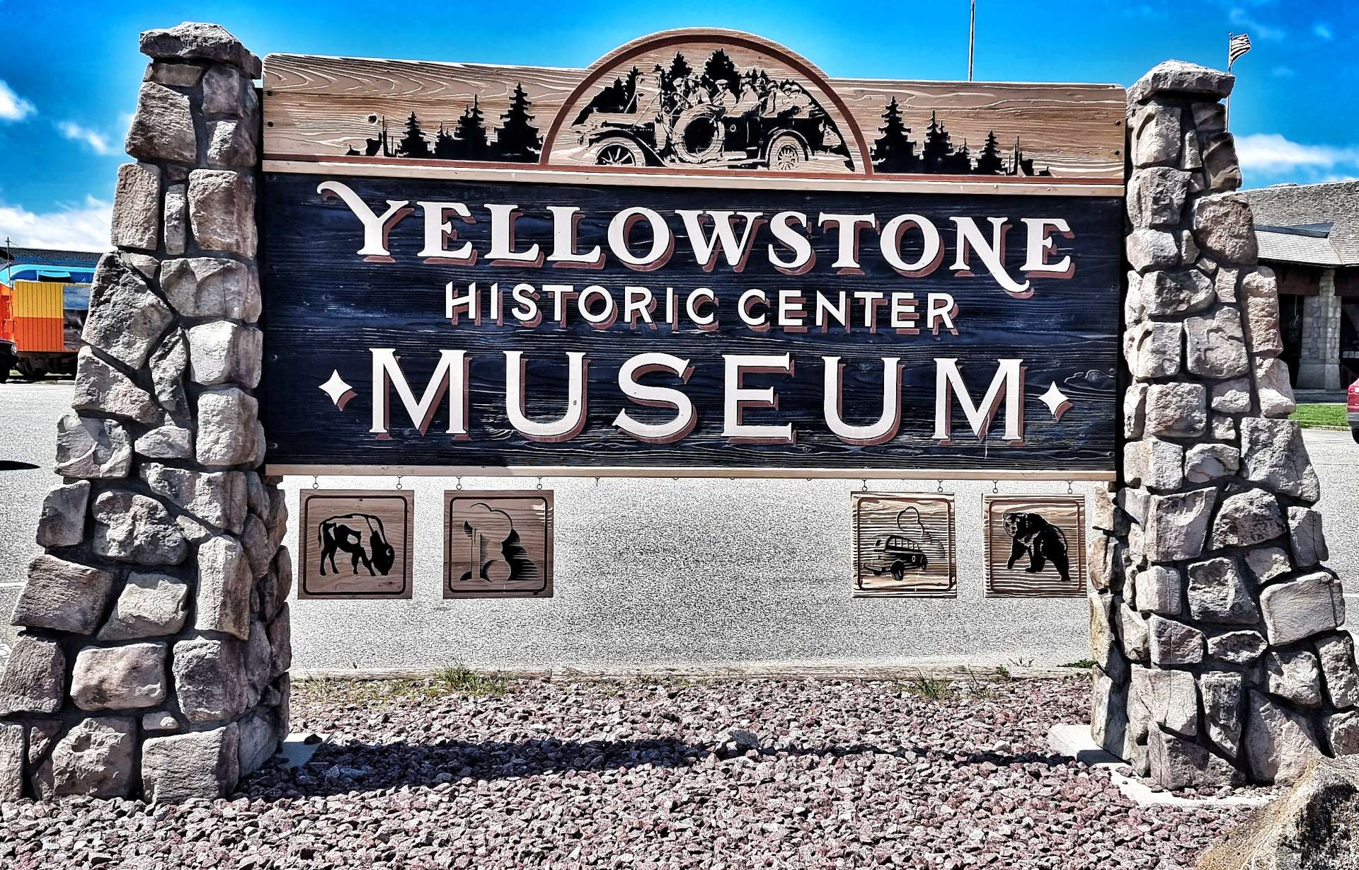
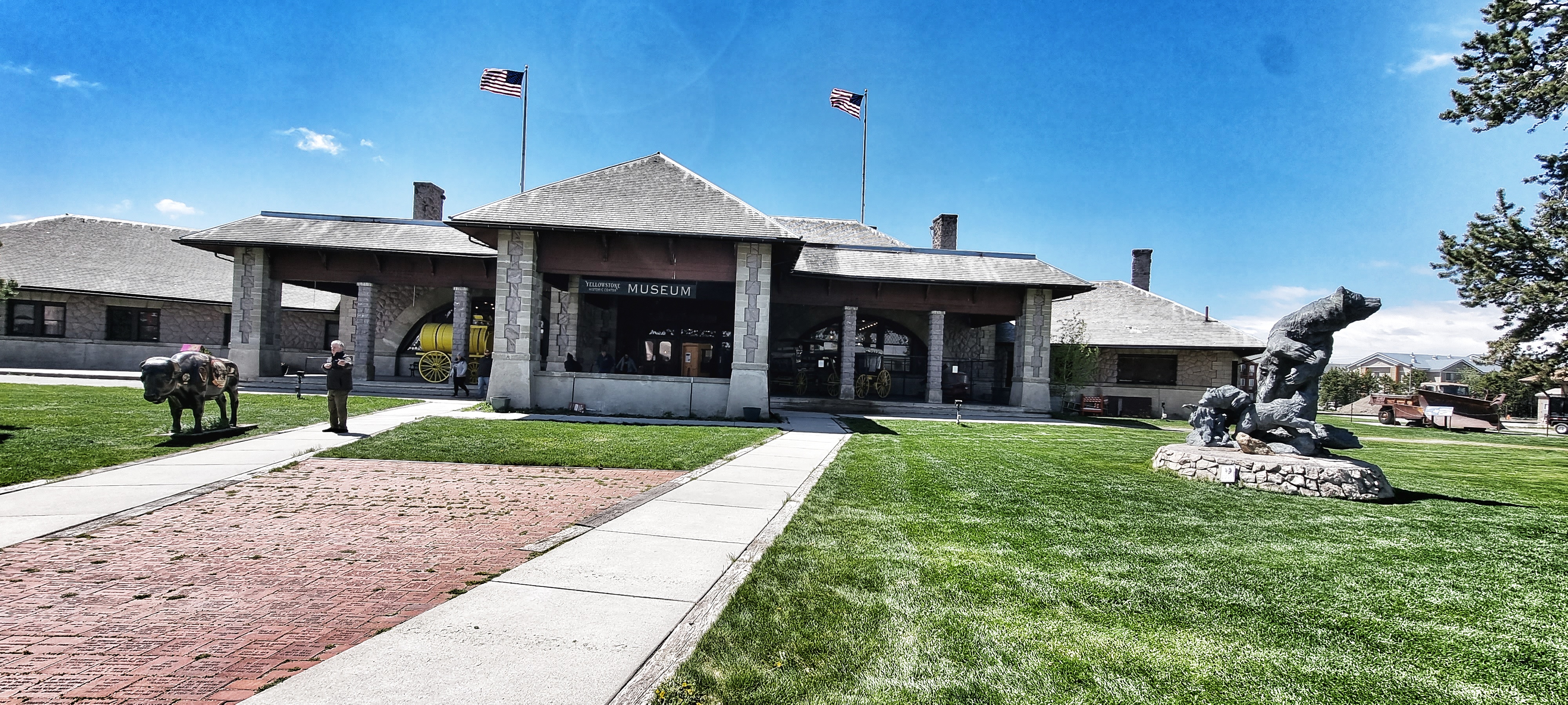
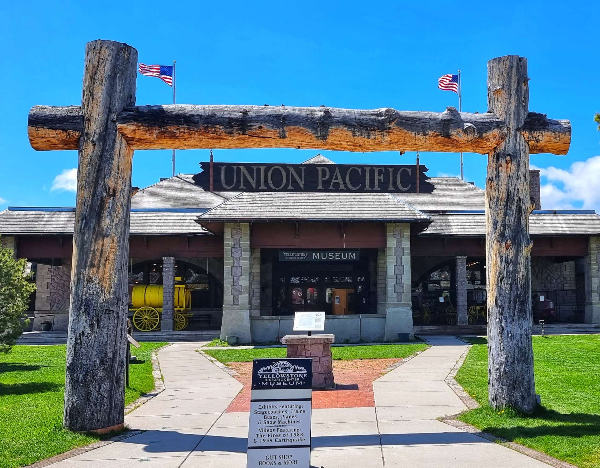
The descriptive name of West Yellowstone was given to the town in 1920 & it was formally incorporated in 1966. It has been the most popular entrance to the National Park since 1913 & regularly welcomes in excess of 4 million visitors per year. All this & more is described & explained in the Museum.
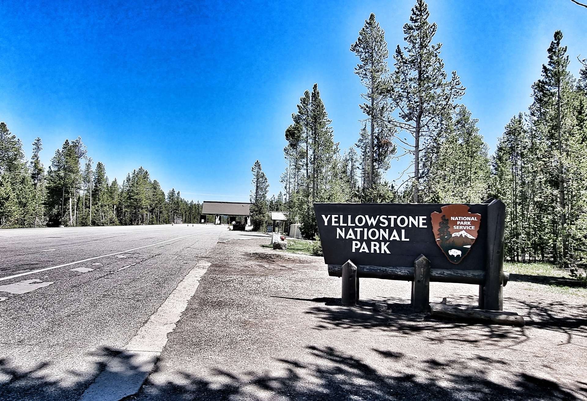
The IMAX cinema is another ‘must do’ activity – we watched an enthralling 45 minute film on the relationship between the animals & man. It was an uplifting story that encouraged us to take the 1 mile trip to the National Park gate & take a couple of photos. Normally this deserted stretch of road would be packed with cars trying to get into the National Park. After such an exciting afternoon, I needed an ice cream to cool myself down!
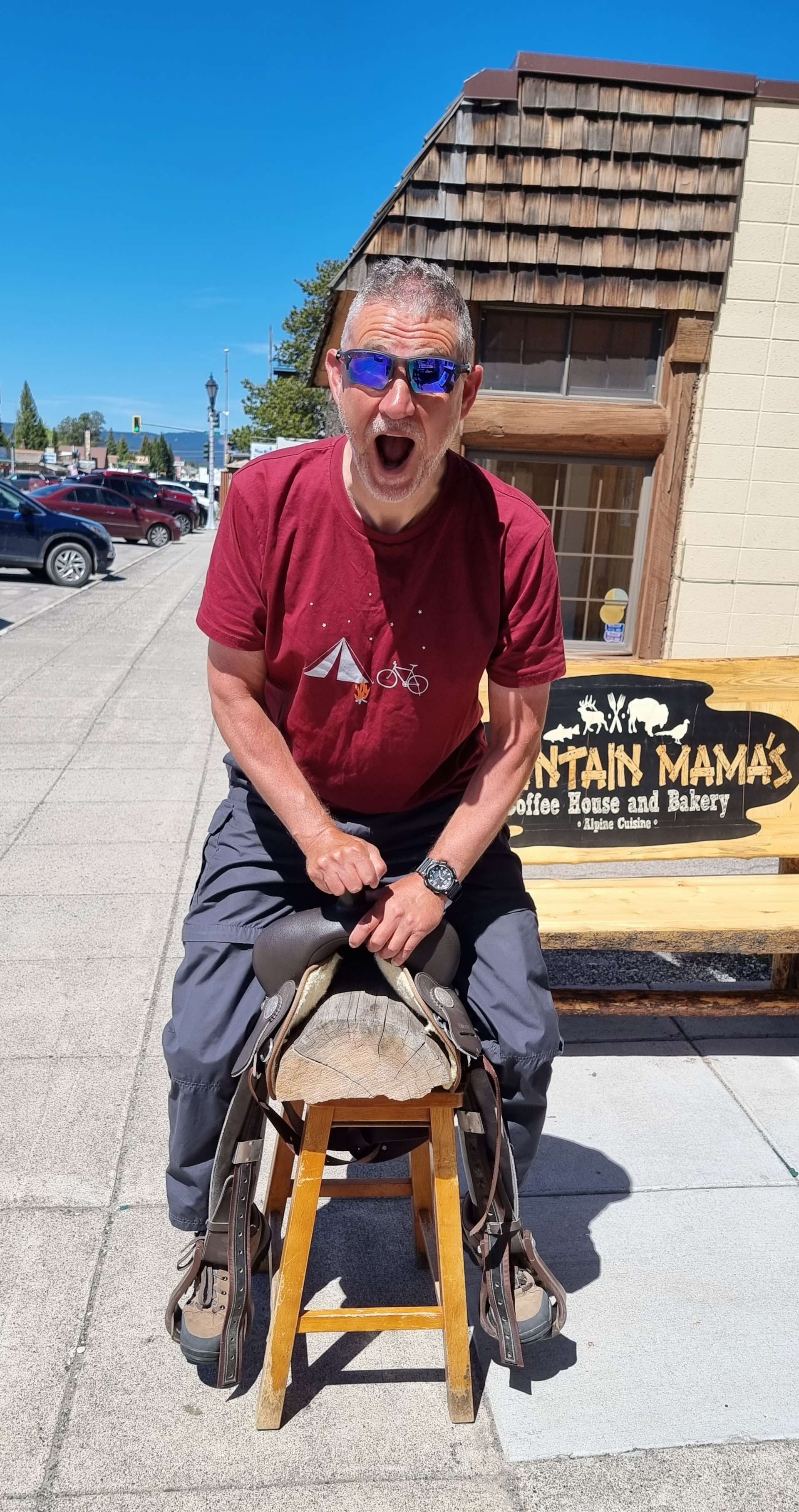
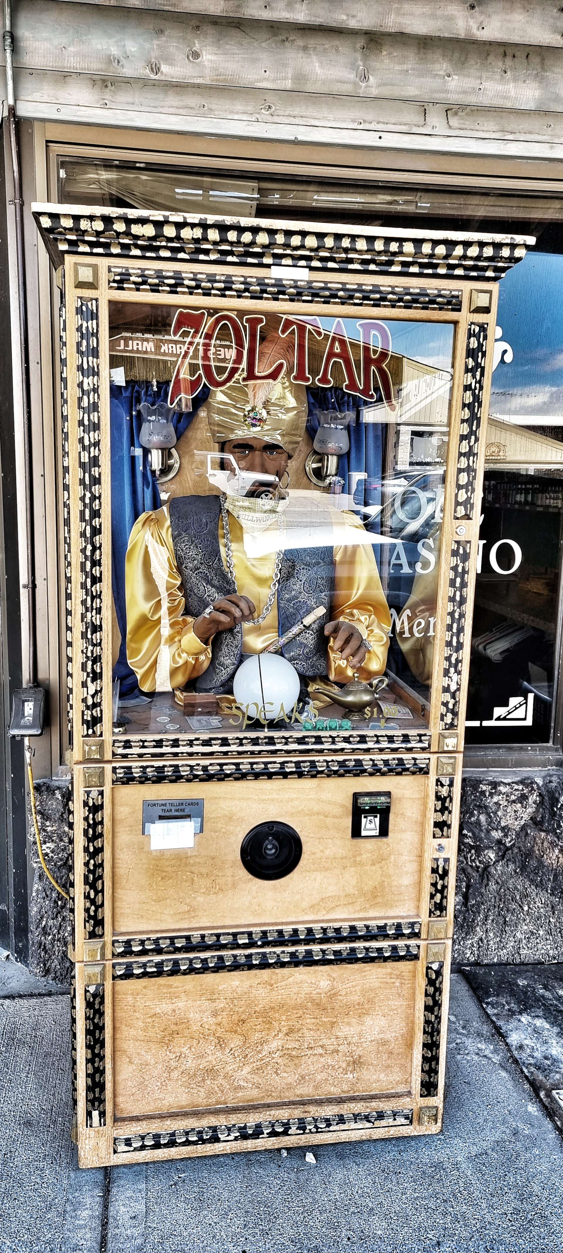
I visited West Yellowstone on a cycling tour in 2010, so had an idea of what to expect – I also wanted to revisit the Best Western to rekindle old memories – it isn’t a good photo, but it triggered some great memories. I also took the chance to catch up with Yogi Bear & Booboo, as well as practice riding another type of steed! I also asked Zoltar if he could predict whether Yellowstone would be open if we headed to a different Gate.
Although Zoltar didn’t provide an answer, we agreed that our best chance of seeing Yellowstone National Park would be to approach it from the South. We eventually worked out 4 short days that would get us to Jackson Hole for Monday 20th June. We could then take in Teton National Park on Tuesday 21st & then be reliant on the National Park opening by 22nd June. Alternatively, we would have to move on & pick up our original route further East.
As it’s now the 21st June, we know the National Park will open at 8am on 23rd. We have a campsite booked in Teton National Park on 22nd & have booked over-priced accommodation at Grant Village in Yellowstone on 23rd, but at least we’re now going to see the National Park!! I’ll post later in the week about what we did & how we got to Jackson – we had plenty of fun & a few adventures along the way!
Hey, Hey, Hey, we’re off to see Yogi at Yellowstone. Oh, no we’re not! Sunday 12th to Tuesday 14th June
Sunday 12th June – Helena to Three Forks
After a couple of rest days, we were looking forward to a 3 day block of riding which would take us to Yellowstone National Park to see Yogi Bear, Booboo & Ranger Smith. We were up & on the road under overcast skies by 9.15am, for what on paper looked to be a straightforward day – gradual climbing most of the day with a couple of small downhills.
Before we’d even left town we passed a docile deer nibbling on a boundary hedge of a house – it can’t have been 5 yards away from us & to begin with I thought Sean was joking when he said “Deer Alert!” & as a result I missed my opportunity for another deer close-up. We soon picked up Highway 287, which was going to be our road for the next 3 days. We were surrounded by big mountains, with the railroad off to our right & big, cloudy skies overhead. There was also a wind that was beginning to pick up some momentum & it was blowing across us & into our faces!
A combination of cross-headwind & a small incline results in slow progress for me – I realised this when I deliberately let Sean ride off the front so I could get a photo, then had to work really hard to get back in his wheel! The road was quite busy with RV’s making their way towards Yellowstone & one poor deer found himself on the wrong side of the road. We watched vehicles speeding past until the deer spotted a gap & sprinted across the road, fleeing into the wide open spaces.
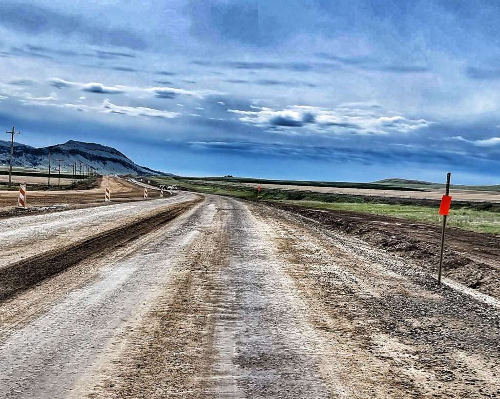
After about 10 miles we hit a 4 mile patch of rough gravel laid on mud, as the main carriageway was being resurfaced – we bumped & rattled along, making progress as fast we could, with cars & RV’s impatiently passing us.
We were still very much in ranching & cattle country, as the long, straight road stretched into the distance. For about an hour the scenery hardly seemed to change at all (good practice for when we hit Mid-USA), until we stopped at a Historic Marker to learn about the town of Winston. It now has a population of less than 100, but in the 1860’s & 70’s it was big enough to have its own newspaper, as well as 7 saloons – this was at the height of the gold rush. Having topped up my knowledge banks, I grabbed a photo of the moose statue made of metal & wood!
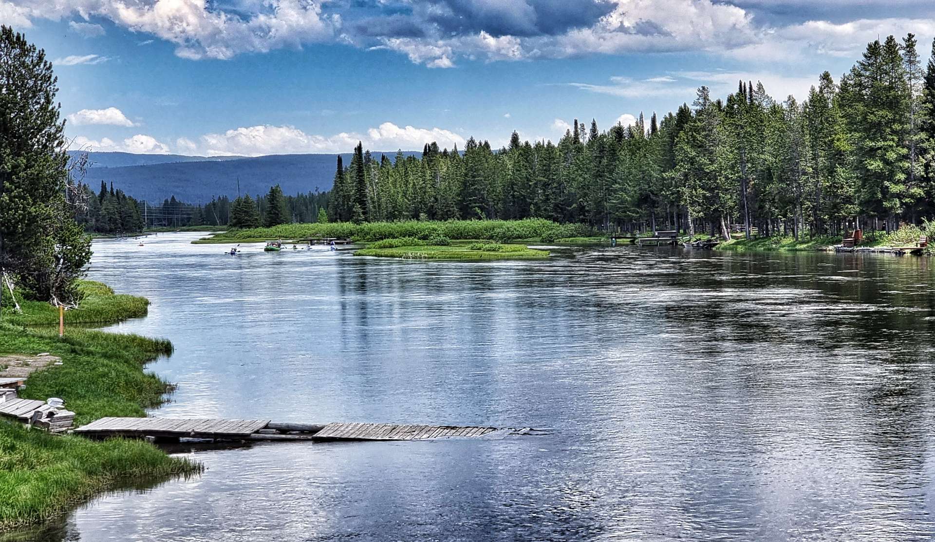
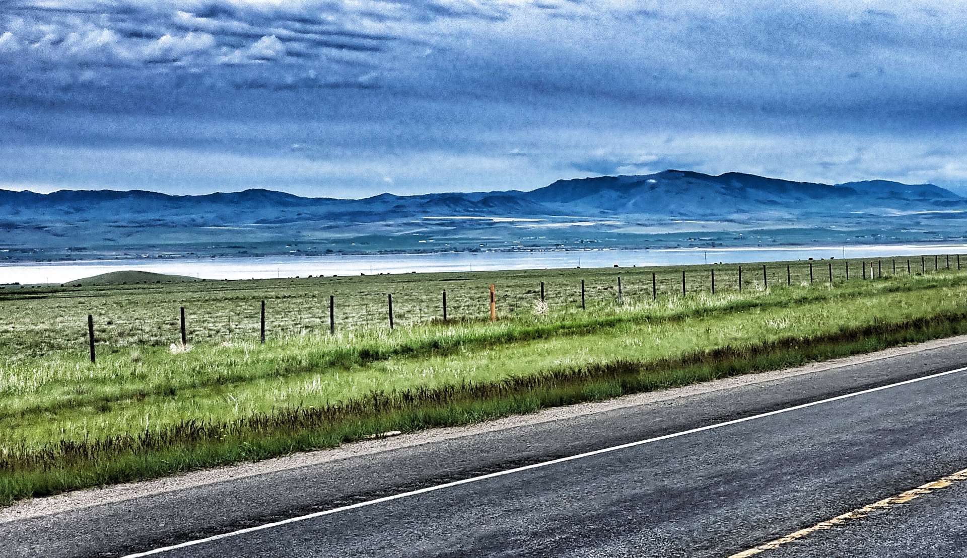
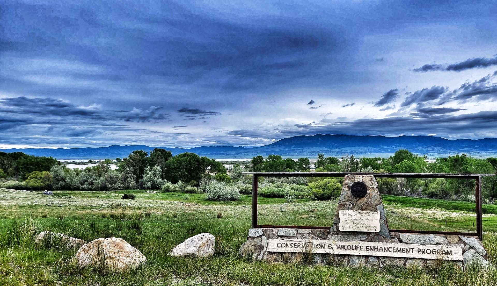
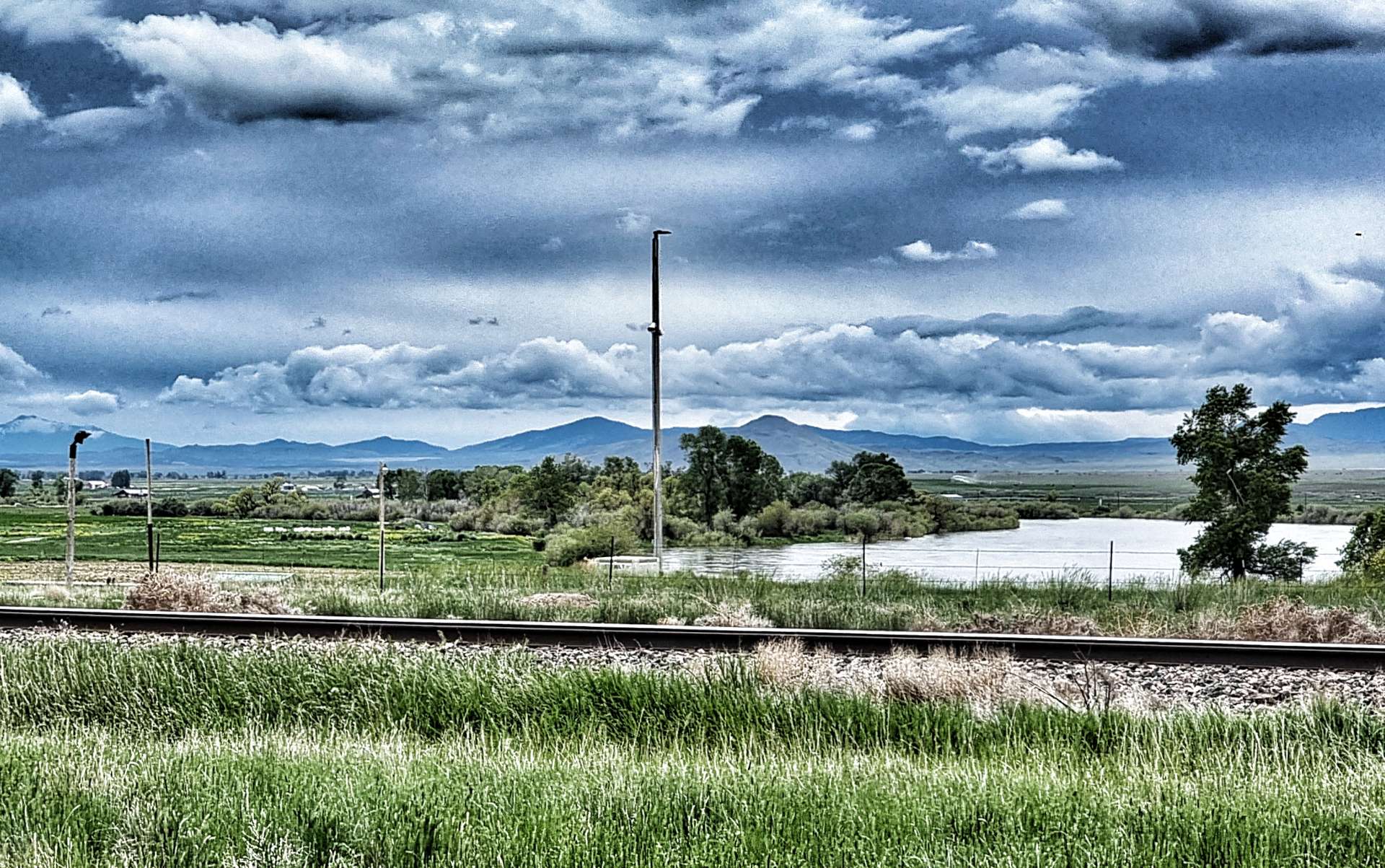
We started a long, shallow descent & had to pedal, so we knew for certain that the wind was picking up & that we were going to be working hard for the remainder of the ride. As we descended, we could see Canyon Ferry Lake getting even nearer. The lake is the third largest body of water in Montana, with 76 miles of shoreline & was created when a hydro-electric dam was built between 1949 & 1954. It’s a popular recreation site, offering fishing, boating, hiking, camping & swimming opportunities as well as having a wetland & wildlife conservation area.
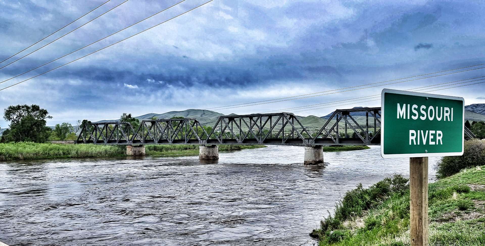
The Missouri river is the longest in the USA at 2,341 miles & the source of water for Canyon Ferry Lake. It’s considered the main artery for the Great Plains, supporting exploration, growing of food, trade & transportation – we hope to pass 2 of its 3 tributaries later in the week.
About 3 miles after crossing the Missouri, we spotted a Historical Site sign that took us about a mile down a gravel track & took us right to the riverbank. York was a black slave to William Clark & was integral to the success of the Corp of Discovery – we were looking across to York Islands, one of two places in Montana which were named after him. Clark spent 5 years trying to negotiate York’s freedom from slavery, but he remained a black man living in a world of segregation.
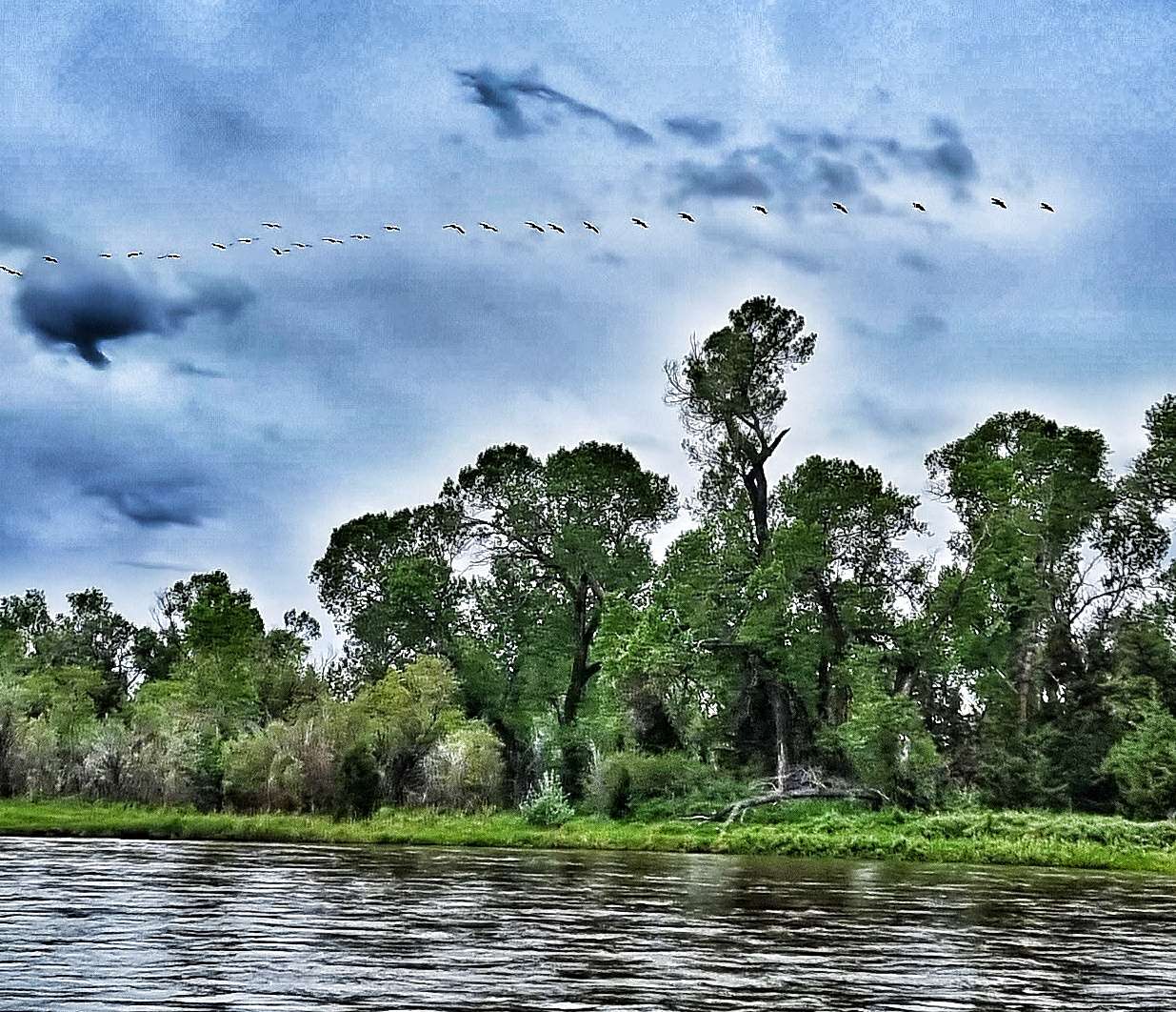
As we looked over to York Islands, above us a chevron of Canada Geese were practicing their aerobatic manoeuvres – they kept splitting into small strings, then re-forming into a long line again. After heavy rains & late snow melts in the Rocky Mountains, the Missouri was looking full to overflowing.
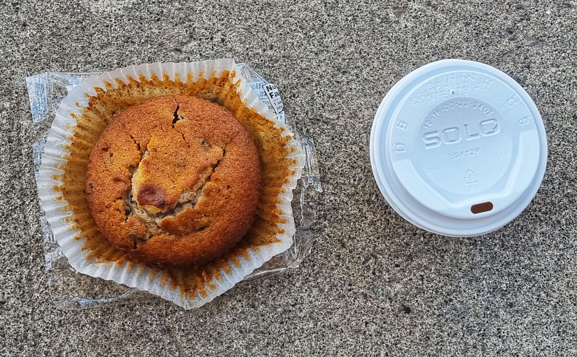
As we continued towards Townsend, we passed a small resort complex on our right, which offered wedding, christening & elopement ceremonies! Their post box at the end of their drive was an exact replica of their chapel. Our coffee stop today didn’t warrant a photo – lukewarm, stewed coffee & a processed muffin – not every day is gourmet cake day!!
Leaving Townsend behind, we continued on an arrow straight road with a gusting cross-headwind from the right – this wasn’t good news, because as we reached Toston it became a full on headwind. We struggled to maintain 10 mph on the flat & when the road gradually rose, our speed dropped correspondingly!!! I foolishly stopped to take a photo of Sean against a mountain backdrop & a combination of the headwind, gradual climb & tiredness meant it took me 3 miles to get onto his back wheel again!
As we crested the long drag, we could make out Three Forks way off in the distance, but at least it was downhill! You may be able to make out the headlights of the cars coming up the hill towards us – it was only about 4pm, but it was already getting murky & that’s when we both realised that although the headwind was tough, rain would have been way worse! This was the closest we could get to saying “What an epic day out!”. Tomorrow’s another day & hopefully the wind will have calmed down & it will still be dry.
Stage Stats – 66 miles, 1,667 feet of climbing. Gradually climbing all day into a character building headwind!
Monday 13th June – Three Forks to Ennis
We woke up to overcast skies & trees bending in all directions – another headwind had been delivered, but at least it wasn’t raining…….it waited until we’d had a Frosties breakfast & tasteless motel coffee before it turned up! If you’ve been taking part in my adventure for a while, my last sentence yesterday set up today’s weather!!!
Almost immediately we passed the turn-off for the town of Three Forks (we’d stayed at the Travelodge on the I-90 junction) & picked up the Jefferson river for a short while (one of the 3 tributaries to the Missouri). The early miles were rolling in nature, which combined with a headwind made getting into a rhythm more of a challenge than usual. However, it wasn’t all bad news, as we could see slightly less dark clouds in the distance & after 10 miles the rain stopped.
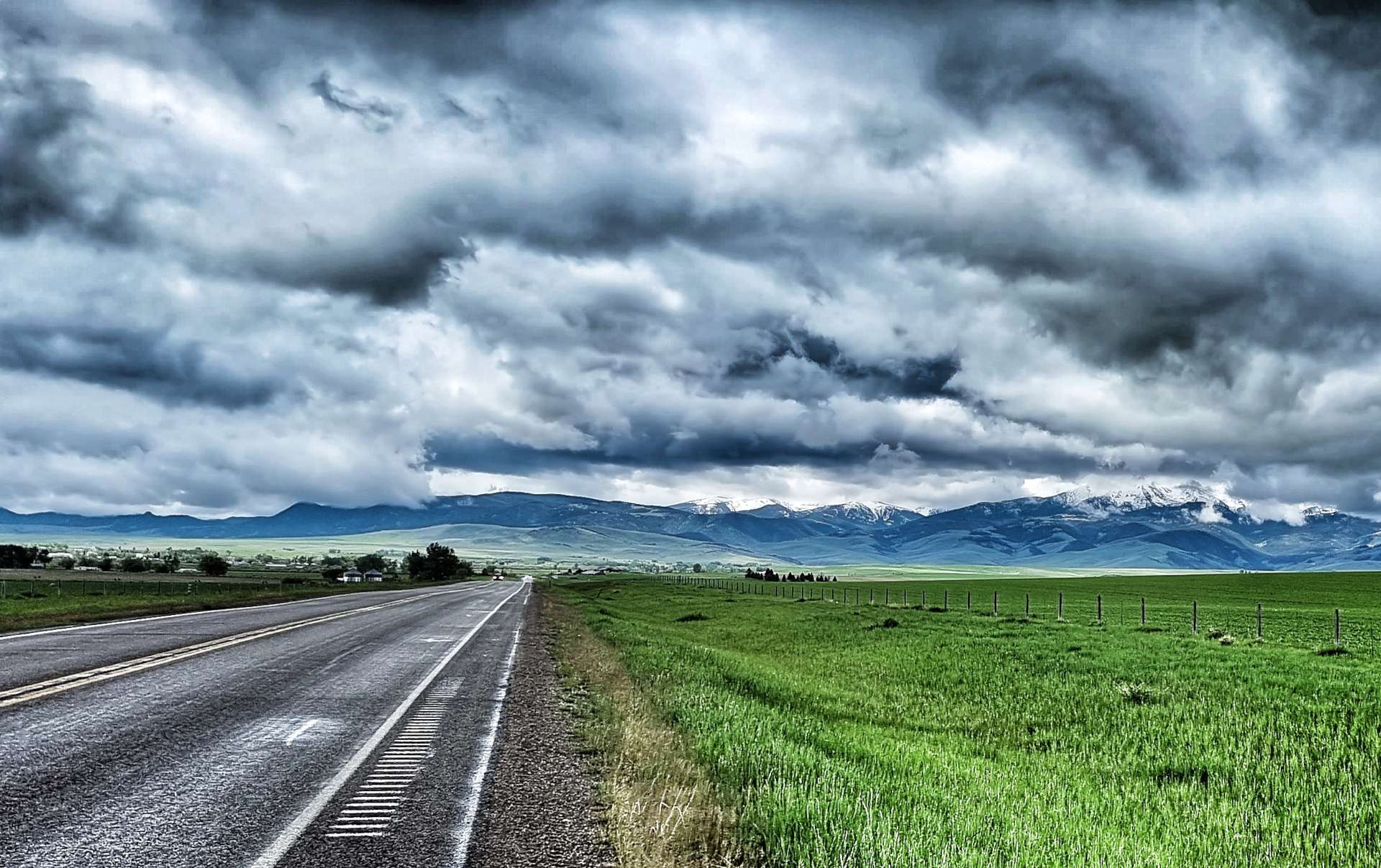
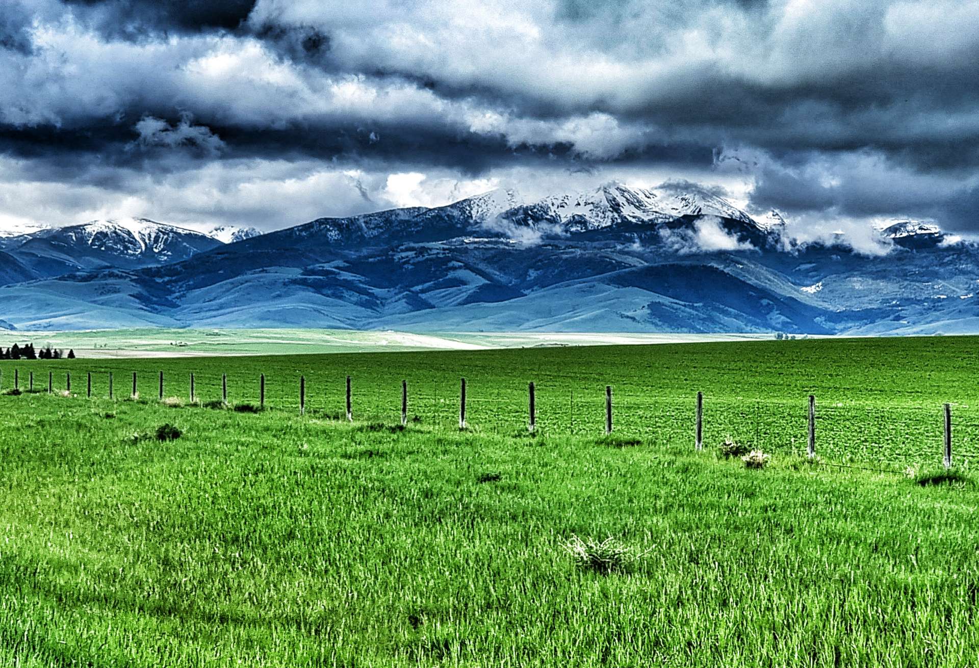
Within 5 minutes, mountains that had been hiding in the clouds suddenly started to show themselves. At the time we were riding, it felt like the wind was always in our faces, but looking back at a few of the photos, the road wasn’t ruler straight, although the general direction was always North to South into a Southerly wind. If I’m honest, I enjoy these days, I weigh enough to be able to push through the wind & the moody skies always look dramatic on photos – it’s the wet I dislike!
As we reached Sappington, we passed signs for the Lewis & Clark Caverns National Park, but unfortunately they were too far off our route to make a detour. We crossed the Jefferson river, which I now know begins at the confluence of the Beaverhead & Big Hole rivers near Twin Bridges (all of which we passed last week). This marked the start of the first climb of the day, a 4 mile ascent to a plateau with snow-covered peaks in all directions.
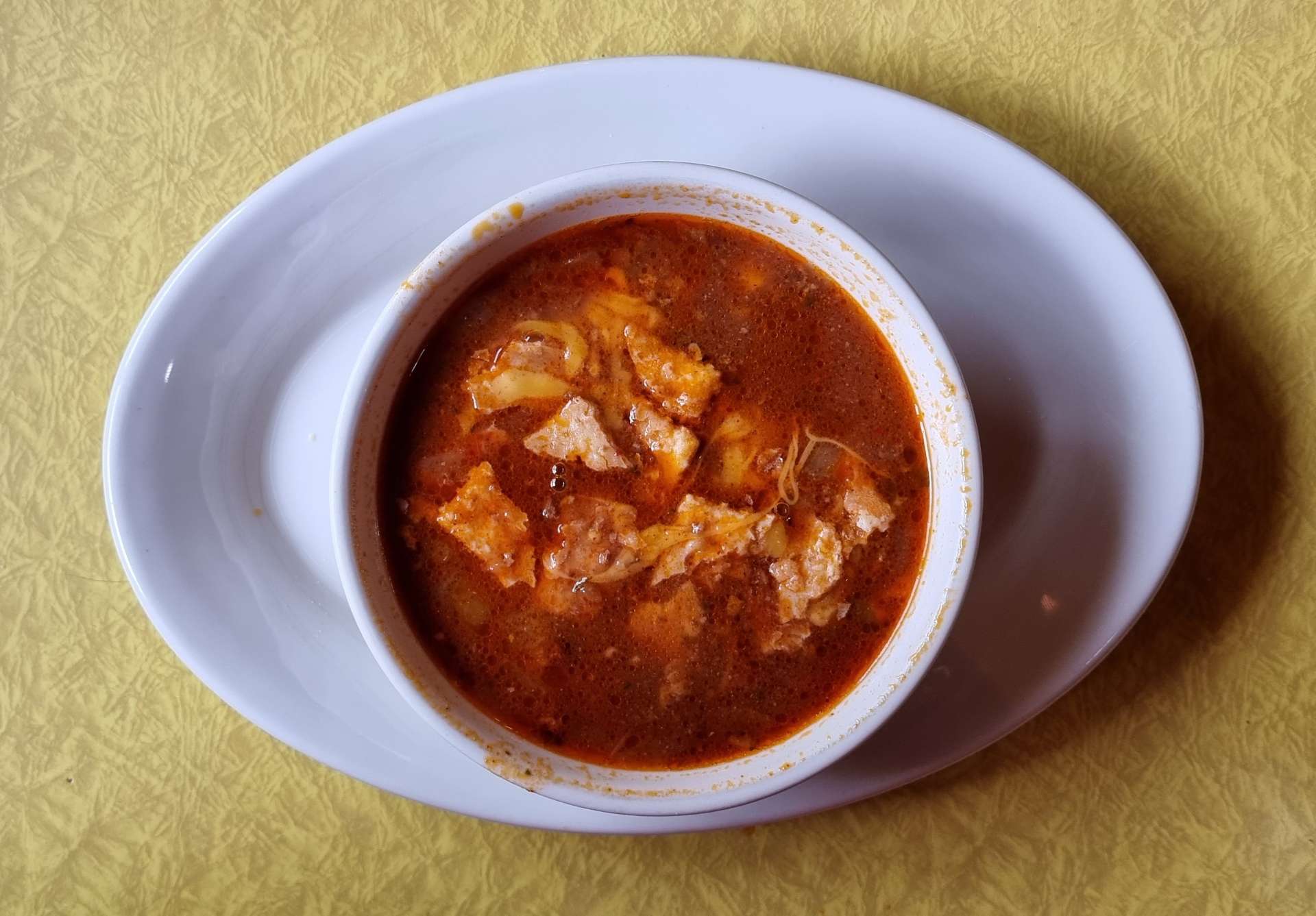
There was no protection from the wind, so we were both grateful when we reached the small town of Harrison (population, 137) & spotted the Town Haul Diner, where we stopped for soup & coffee – rain & headwind makes for a cold day in the saddle!! Within its Town Limits, Harrison only has buildings east of Highway 287, as a fire in the 1920’s destroyed everything to the west of the road.
We spoke briefly to a mountain biker who was 4 months into a 6 month adventure riding the Great Divide Mountain Bike route – he was leaving just as we arrived. We would see him again later, as he was on thick tyres, a heavy bike & carrying more kit than us. As we left town, I took one final look back to the Tobacco Root mountains behind us.
The next 10 miles were among the toughest of our adventure so far, making yesterday’s headwind feel like a minor inconvenience! We took it in turns to ride on the front for no more than 2 minutes & covering about 1/4 of a mile), then tucked in to recover (we would usually be happy doing 5 minutes each & covering about a mile in that time). As fellow cyclists know, headwinds start getting into your head in a bad way – I’ve had to learn how to accept anything & everything that comes our way on this adventure & my resilience has probably improved as a result. Anyway, enough psycho-analysis for now!!
As we dropped into Norris Hot Springs our second & final climb of the day was laid out in front of us.
At 5 miles long & 900 feet it took me about an hour to complete the climb of Norris Hill – we both set our own pace on these long climbs & as you can see, Sean was some way ahead of me! The road already existed in 1864, when it was used as an extension to the Bozeman Trail, which was a short cut to the Montana gold fields from Casper, Wyoming. We’re retracing history on a daily basis & as a result of the numerous Historic Point markers, we get to see what that history is.
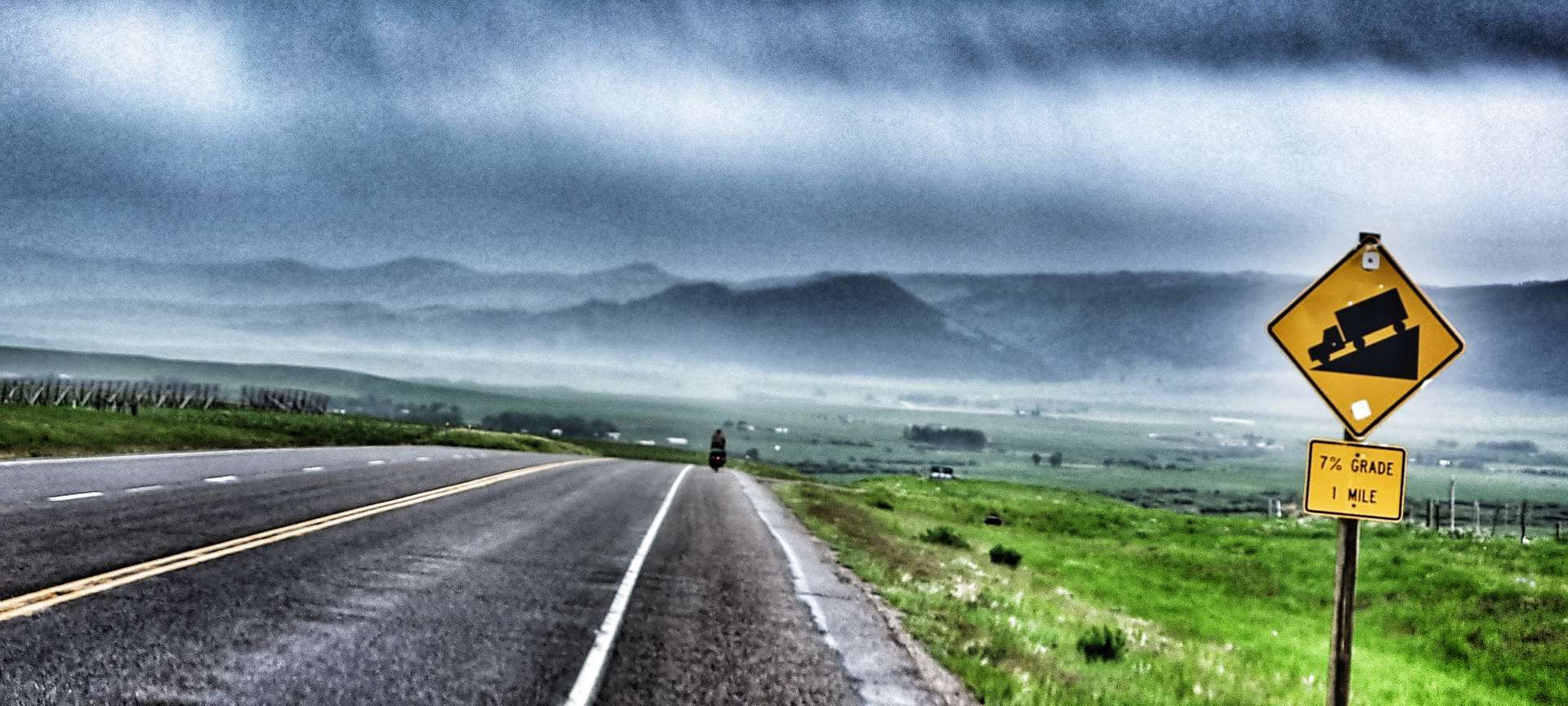
The view from the summit of Norris Hill was awe-inspiring (big views in all directions), exciting (a 7% descent for a mile) & disappointing (sheets of rain rolling in) all at the same time.
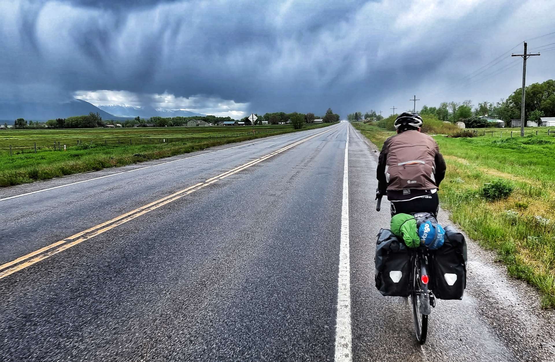
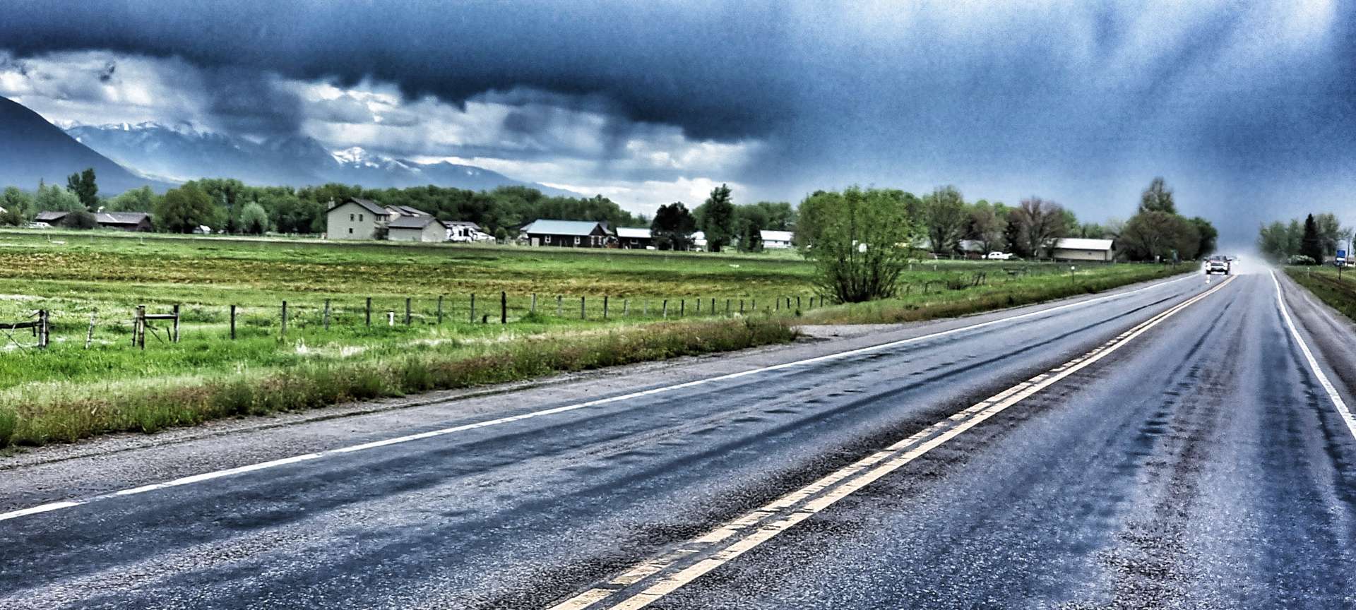
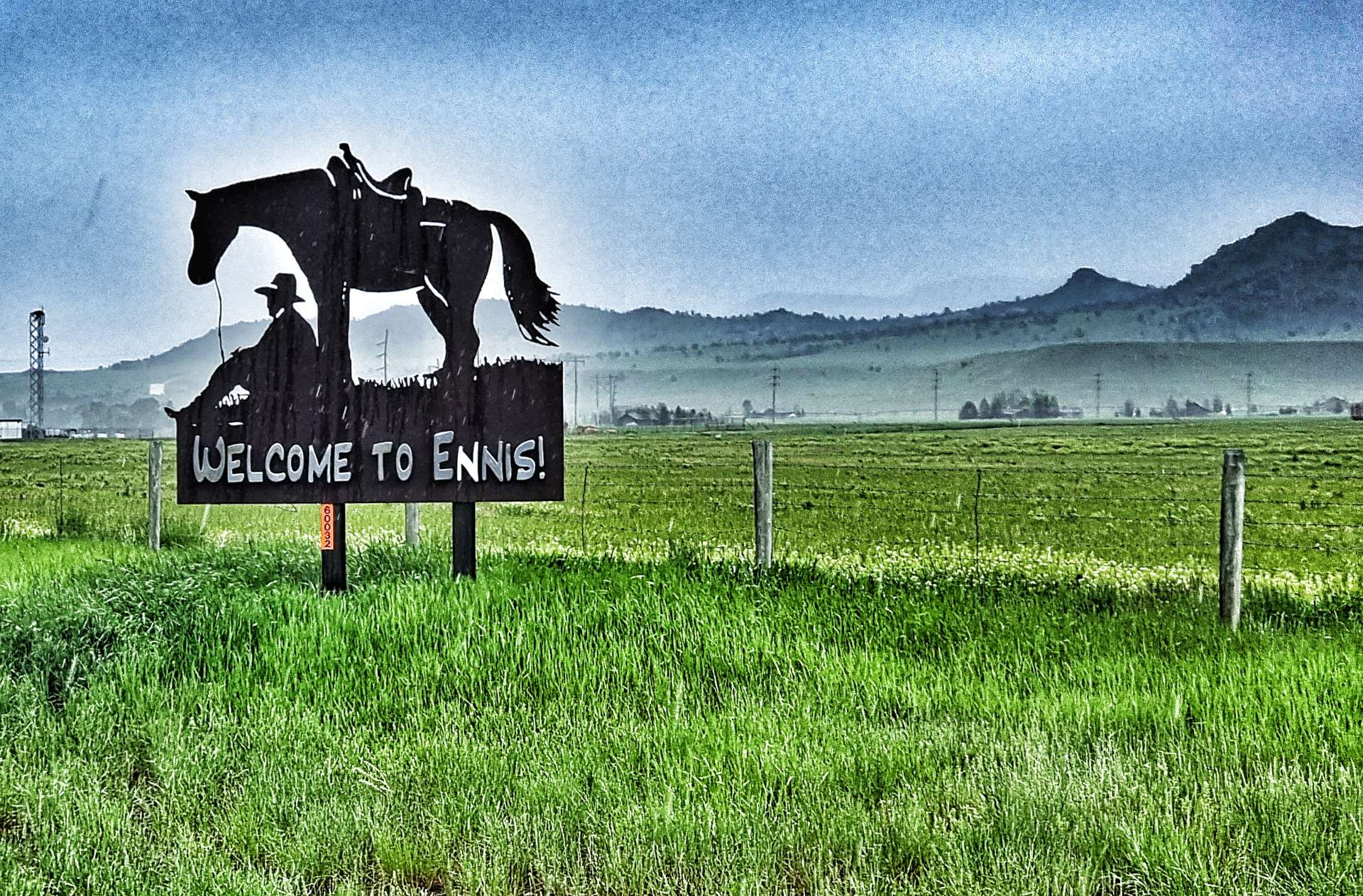
As we reached the valley floor, we got hit with the rain & it was heavy! Although we were only about 5 miles from Ennis Town Limits (pronounced EEEE-Niss), we got totally drenched & cold!
In spite of the rain I stopped to get a photo of the Ennis sign – this was an expensive mistake, as there were another 5 miles from here to our motel & I’d be riding them on my own. I hadn’t told Sean I was stopping & he’d carried on riding – a valuable lesson on the importance of communication, as it made the end of the ride more difficult for both of us.
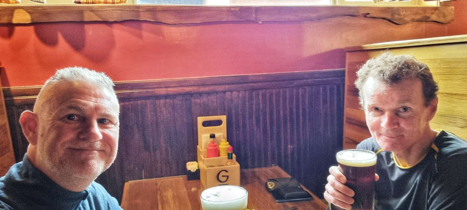
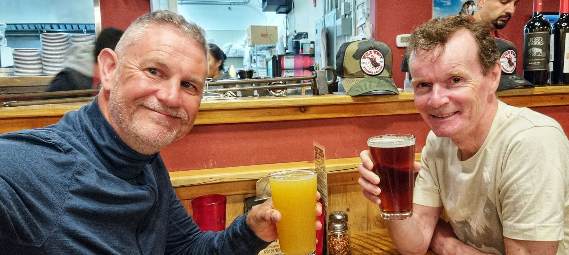
Our motel turned out to be more of a cabin & we had our own room each, which enabled us to dry all of our kit overnight. However, of a shorter term priority was having some warm food (we both had a chicken focaccia sandwich & fries washed down with a Midas Crush IPA for me & a Devil’s Hump for Sean. Cheers everyone!
On a serious note, when we got back to out motel, we found out about the terrible flooding of the Northern Loop in Yellowstone National Park – I’m pleased to report there were no casualties, but there was huge damage to the roads. The National Park will be closed for the foreseeable future, so we will likely need a new plan for where we go when we get to West Yellowstone tomorrow evening.
Stage Stats – 47 miles, 3,825 feet of climbing. Going uphill most of the day with 2 proper climbs & a powerful, gusting headwind all day.
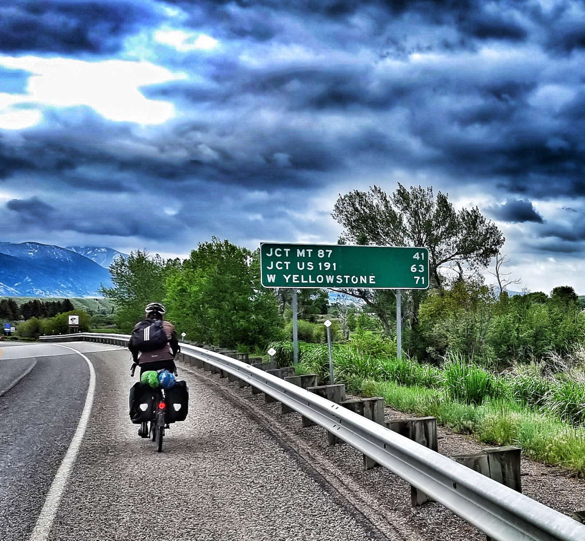
Tuesday 14th June – Ennis to West Yellowstone
We awoke to new footage of the chaos in Yellowstone National Park – large sections of the Northern Loop road have been washed away, a house tumbled into the river & the town of Gardner is under threat of flooding. I hope everyone stays safe – it’s a brutal reminder of how fast conditions can change in The Rockies.
As we had a long day ahead of us, we were on the road by 8.15am. Leaving town there was still a headwind, but it was less powerful than yesterday’s battering & although overcast, it was dry. We immediately crossed the Madison river (the second of the Missouri river’s tributaries) & ahead of us could see rain showers on both sides of the valley, as well as how far we had to ride. We would need to be lucky to stay dry!
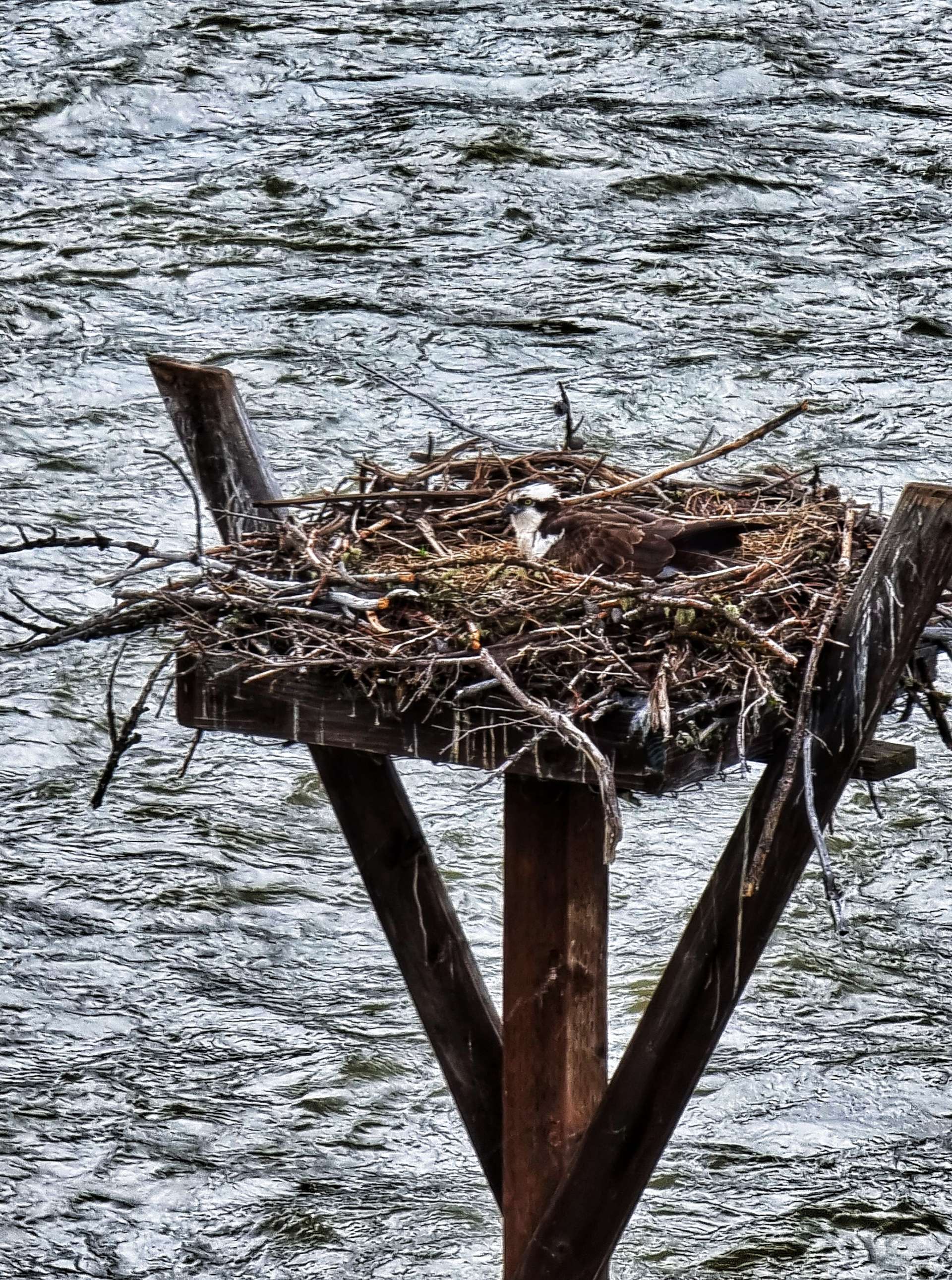
There were imposing mountains all around us as we continued up the Madison valley & after about 15 miles the river re-appeared from a gulch below us & with it an opportunity to look down on an eagle in its eyrie – the first time I’d actually seen the inside. We were taking it in turns to ride on the front, which resulted in the morning passing quickly as the miles ticked down.
Over the next 10 miles we saw 4 long distance cyclists heading in the opposite direction (presumably previous Yellowstone plans had been scrapped). As we approached a fork in the road we could see heavy rain ahead of us, yet miraculously by the time we eventually reached the turning we were in glorious sunshine! The weather gods were clearly looking down on us!
Taking the left fork towards West Yellowstone, we were entering the Yellowstone Basin, one of the most active geological regions on the planet. In 1959 there was a huge earthquake that registered 7.5 on the Richter scale. At the time the quake was the 2nd largest in the continental USA.
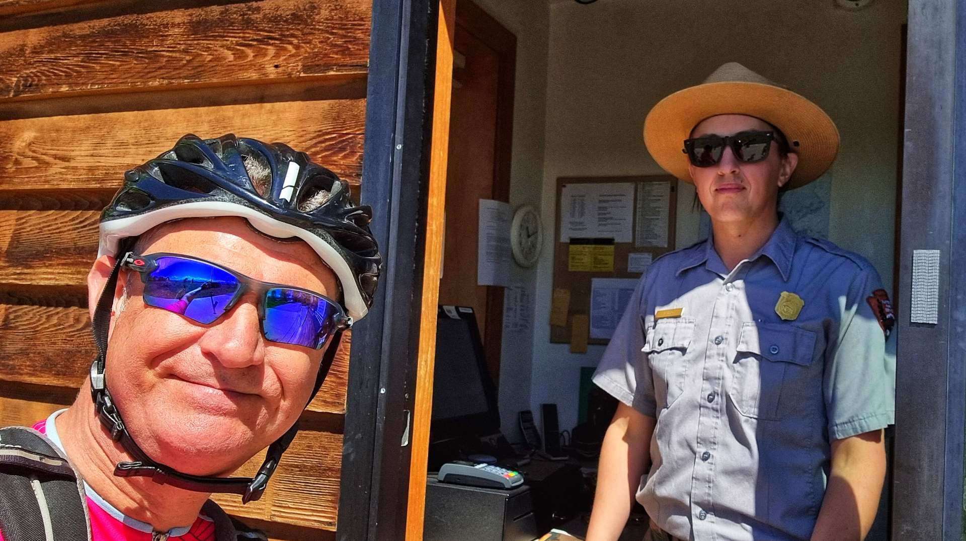
We stopped at the Visitor Centre to learn more, but first a Park Ranger insisted on making us a cup of coffee, although the Visitor Centre is food & liquid free. We must have looked like a couple of very cold waifs & strays!
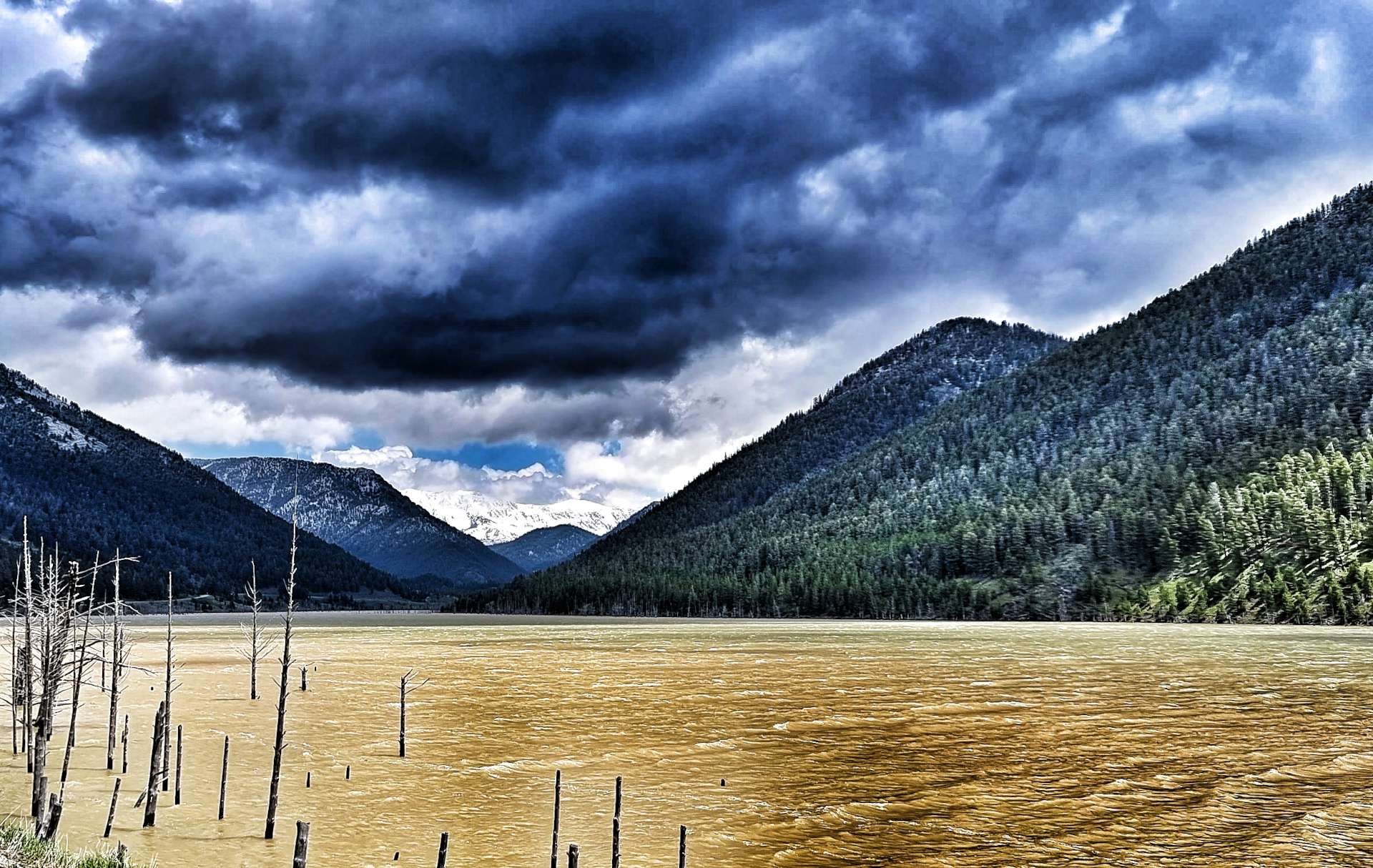
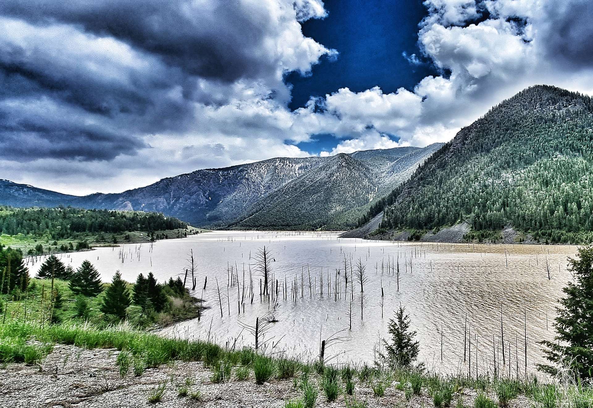
The quake caused an 80 million ton landslide, which formed a dam across the Madison river as it travelled down the side of Sheep Mountain at 100 miles an hour. The landslide killed 28 people who were camping along the shores of Hebgen Lake & further down the valley on the Madison river.
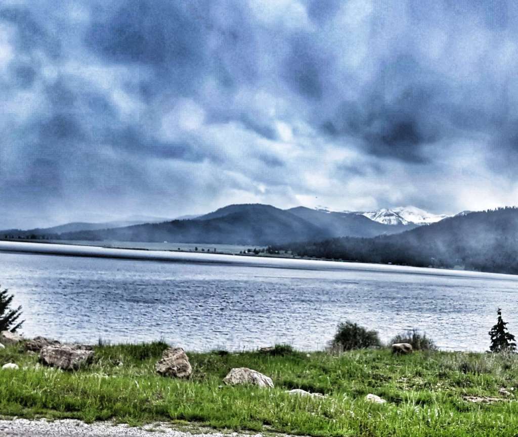
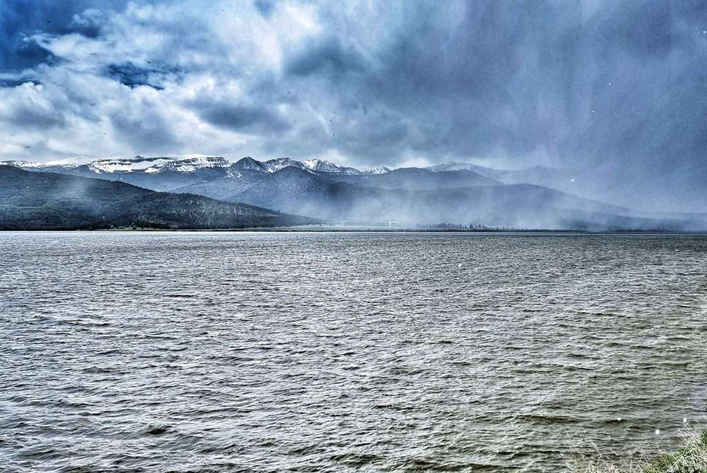
The earthquake caused the ground to subside by 20 feet & the fault line is visible to this day. We could see the tops of trees that had been submerged in Quake Lake more than 60 years ago. Prior to the 1959 earthquake the Madison river was cutting through the valley just like the 2 photos above – less than a month after the initial earthquake, Quake Lake extended 6 miles & had a maximum depth of 125 feet.
Upstream, the faulting caused by the earthquake forced the waters of Hebgen Lake to shift so violently that a wave crested over the dam, causing cracks & erosion. 32,000 acres of land around Hebgen Lake subsided by 10 feet – the impact of the earthquake was truly earth shattering & aftershocks of up to 6.5 on the Richter Scale were felt for several months afterwards.
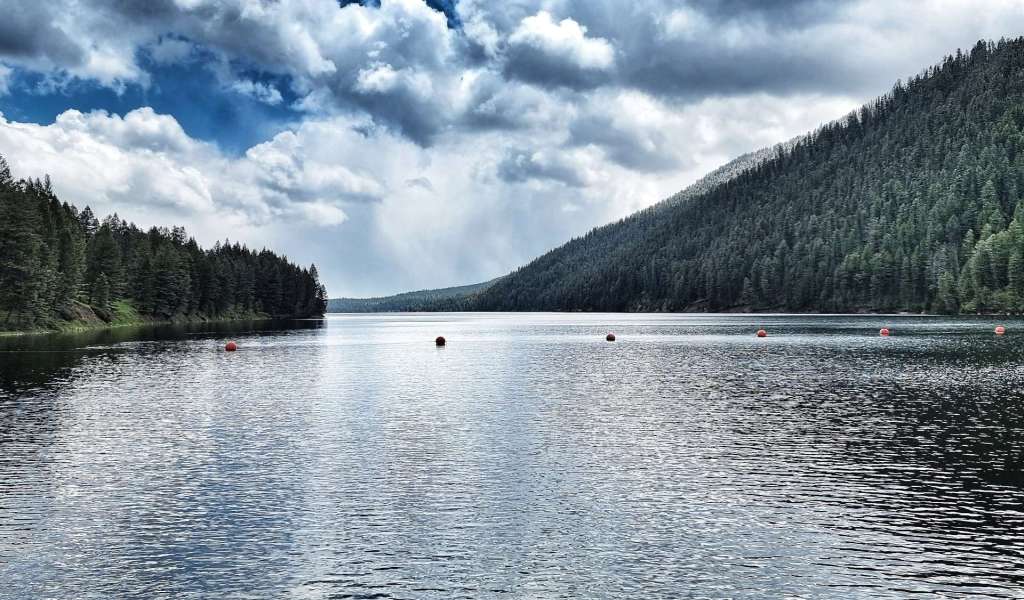
The Hebgen Lake was created in 1917 by building a dam 85 feet tall & 721 feet in length across the Madison river. It stores & regulates water supplies for reservoirs further downstream, as well as generate hydro-electric power. The lake is a popular recreation destination, with fishing, boating, swimming, hiking & camping all taking place.
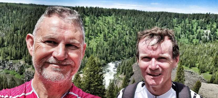
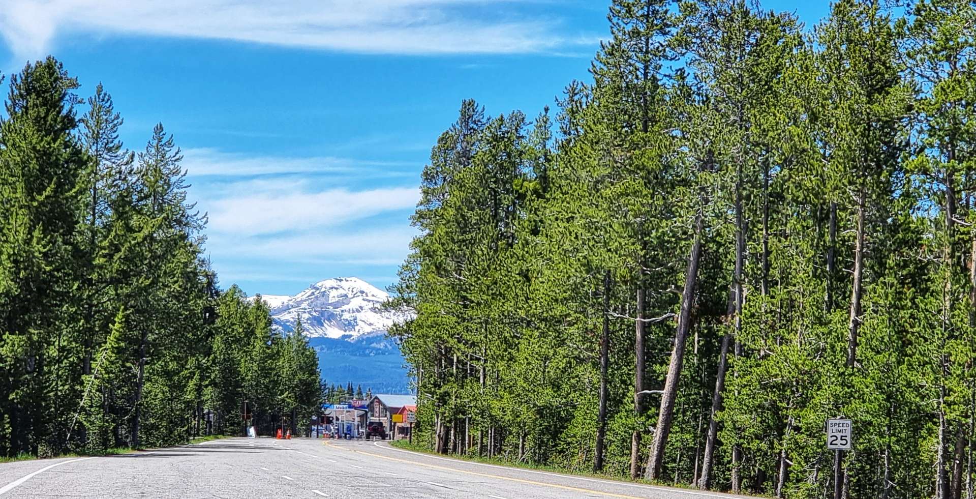
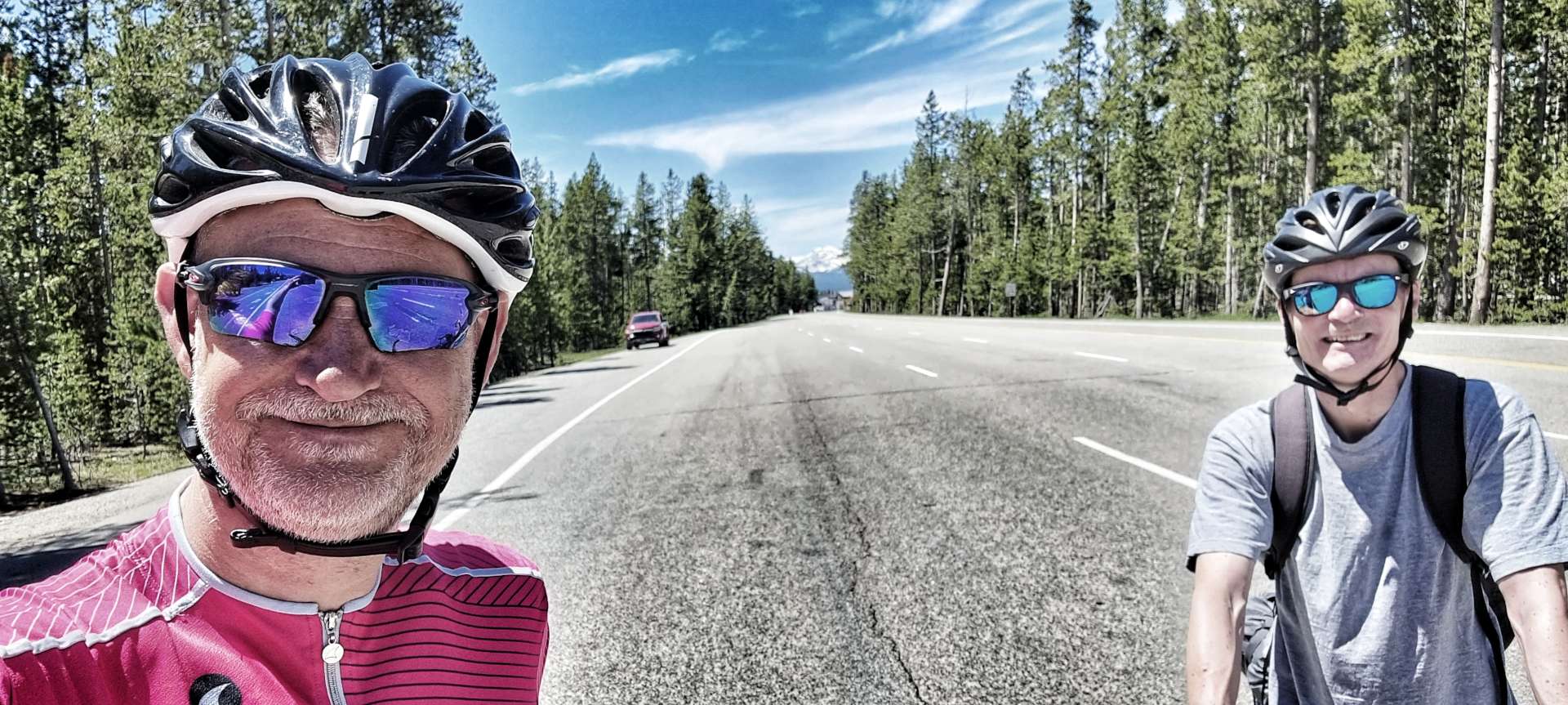
As Lake Hebgen receded behind us, we had almost reached our destination – just a right turn onto Highway 191 & the final 7 miles to go. You can almost see the excitement on our faces! We’d stayed dry all day – we later admitted that we’d been dreading the ride this morning as we were both convinced we were going to get soaked & then have to ride for 6 or 7 hours in the rain!
We checked-in to our room at the Dude & Round Up, then headed across the road to enjoy a huge portion of spaghetti marinara, washed down with a Hazy IPA. Tomorrow’s a rest day as we plan what to do next & where to go.
Stage Stats – 72 miles, 3,107 feet of climbing. Going uphill most of the day with 1 climb.