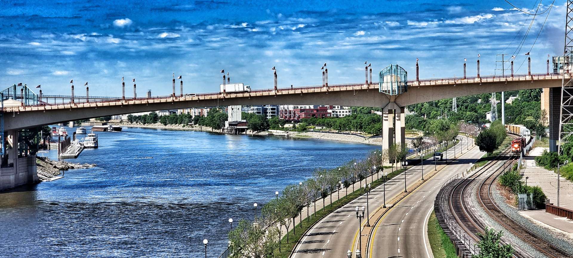
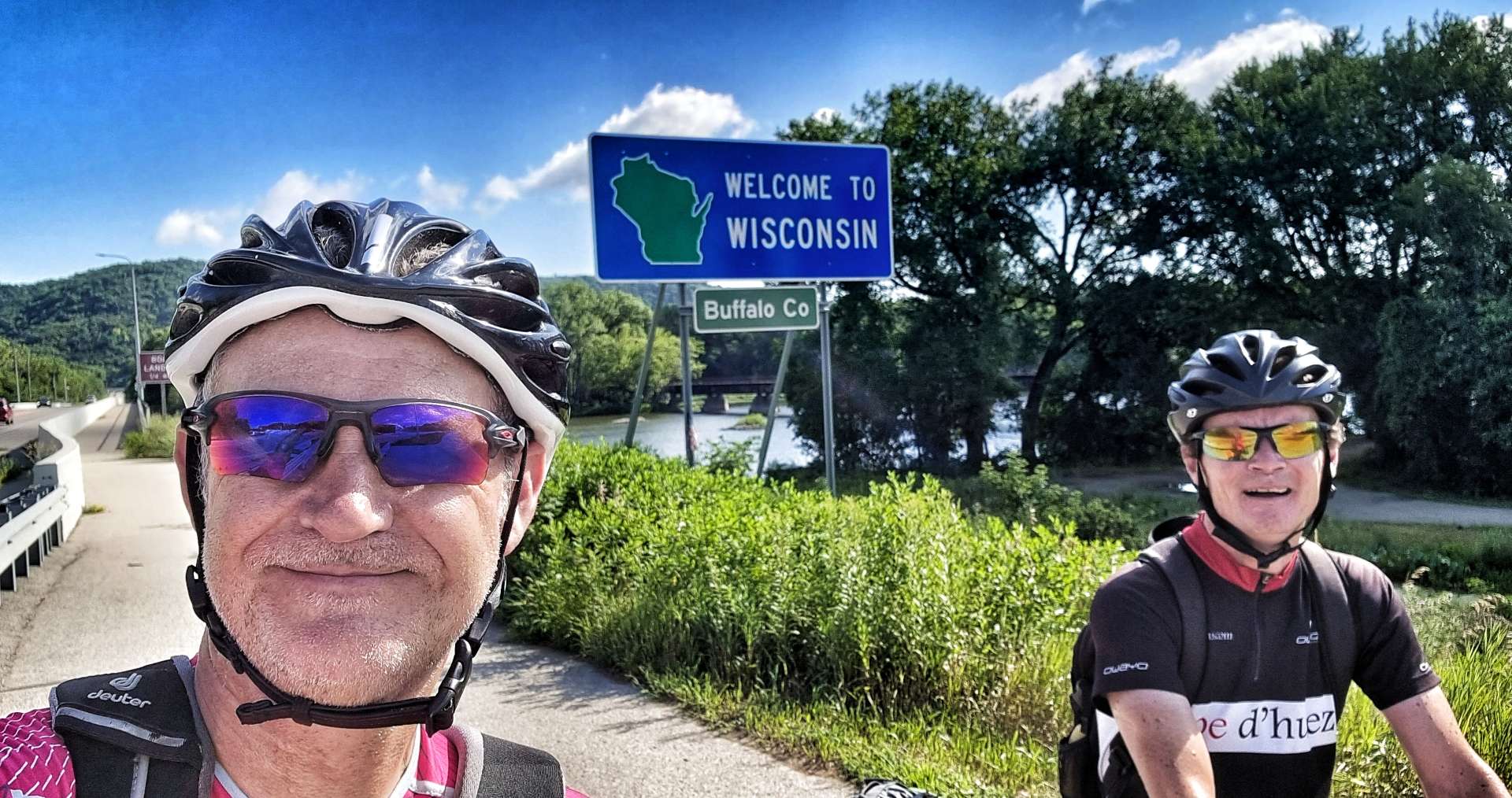
Tuesday 26th July to Thursday 28th July – Stages 67 to 69.
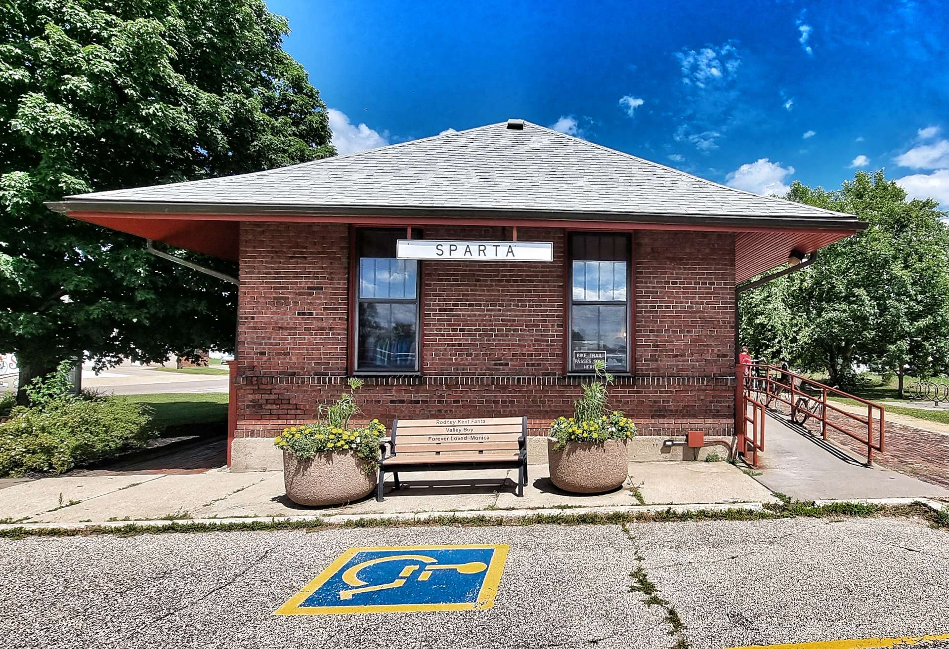
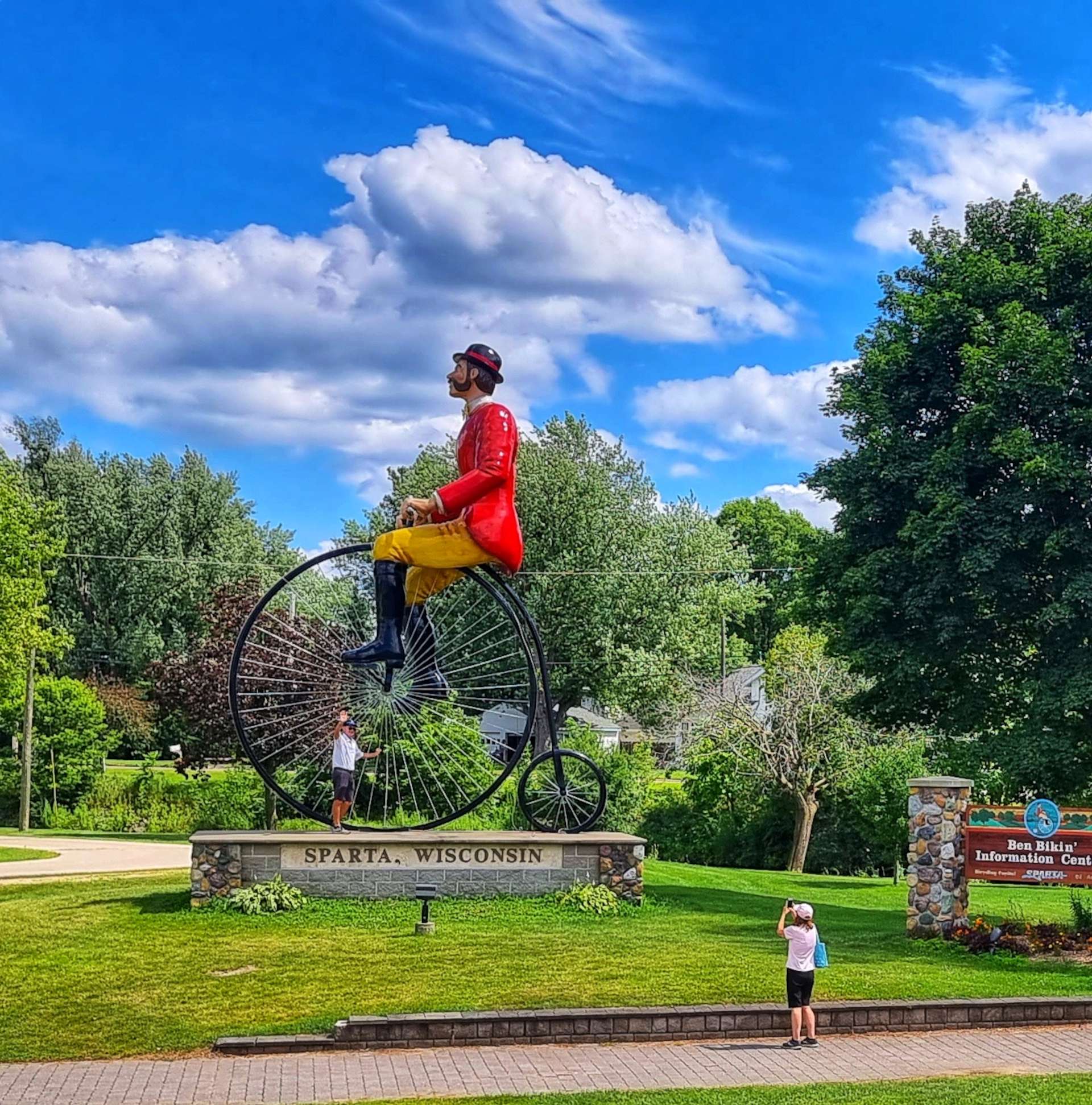
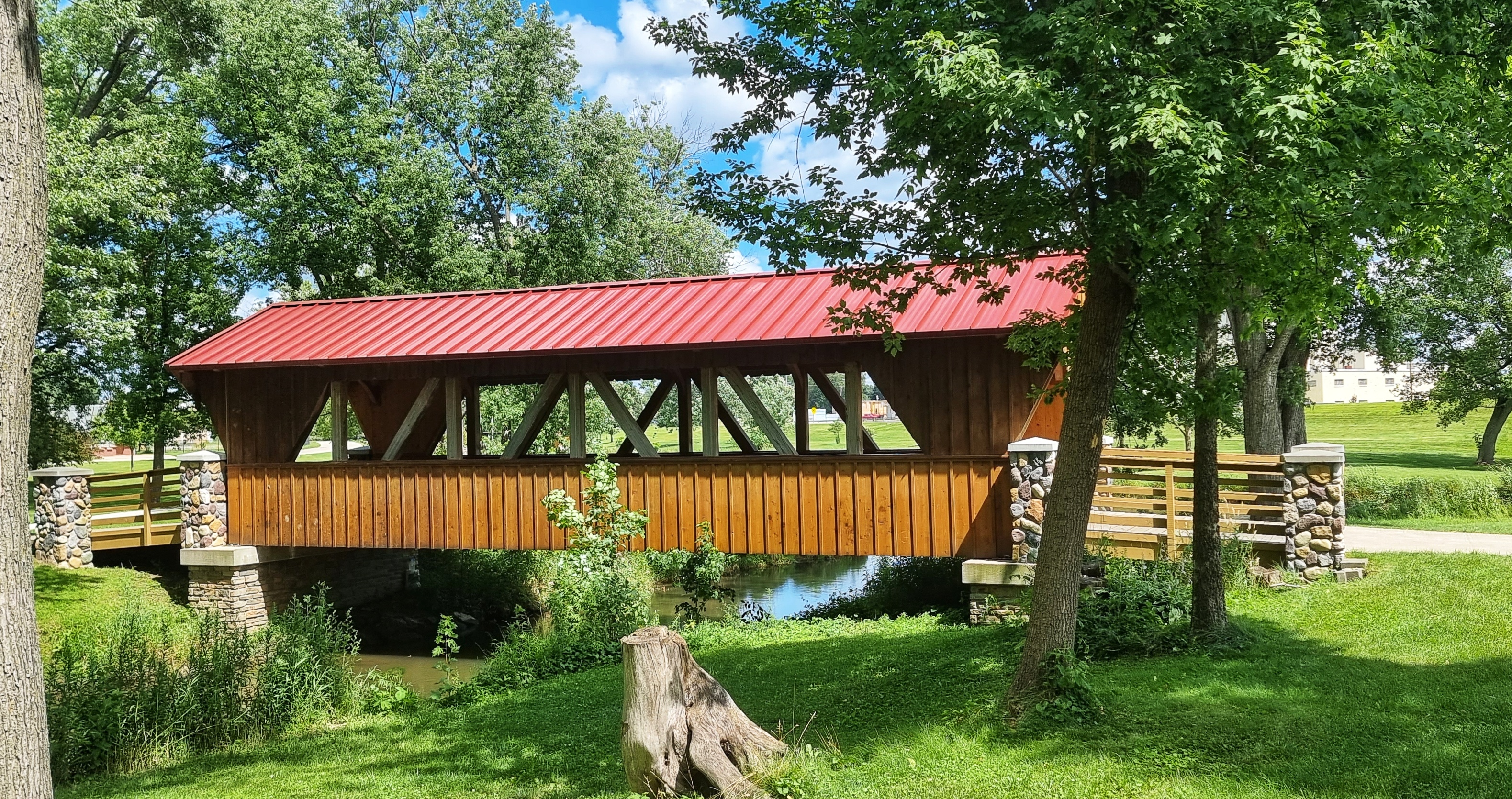
Tuesday 26th July – Tomah to Plainfield (Stage 67)
Yesterday’s Rest & Relaxation Day involved just that! The furthest I walked was over the road to get breakfast & it was well worth the 2 minutes it took to get there.
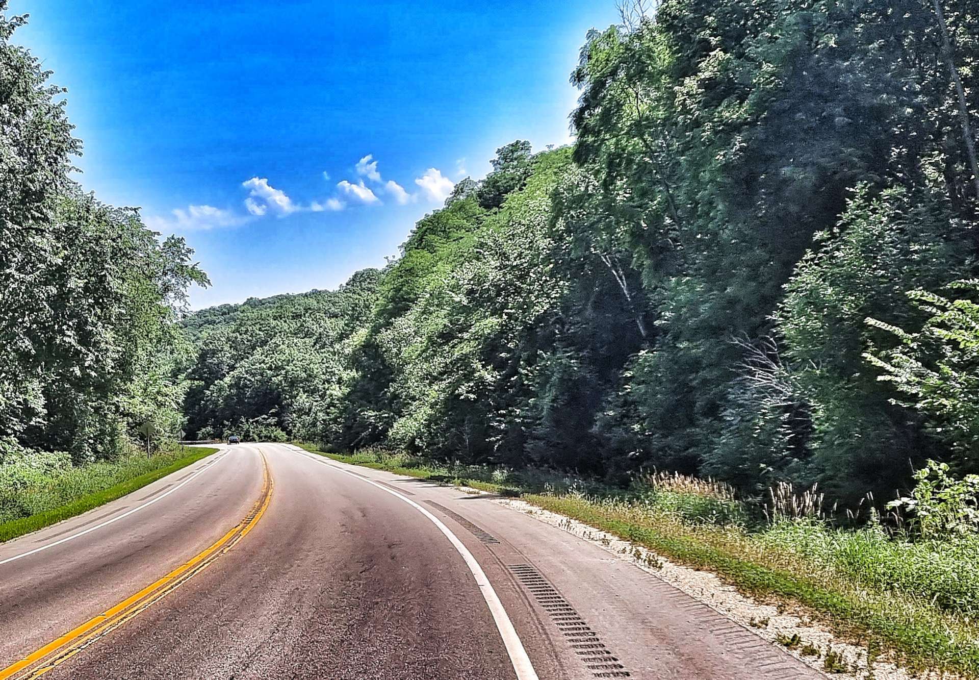
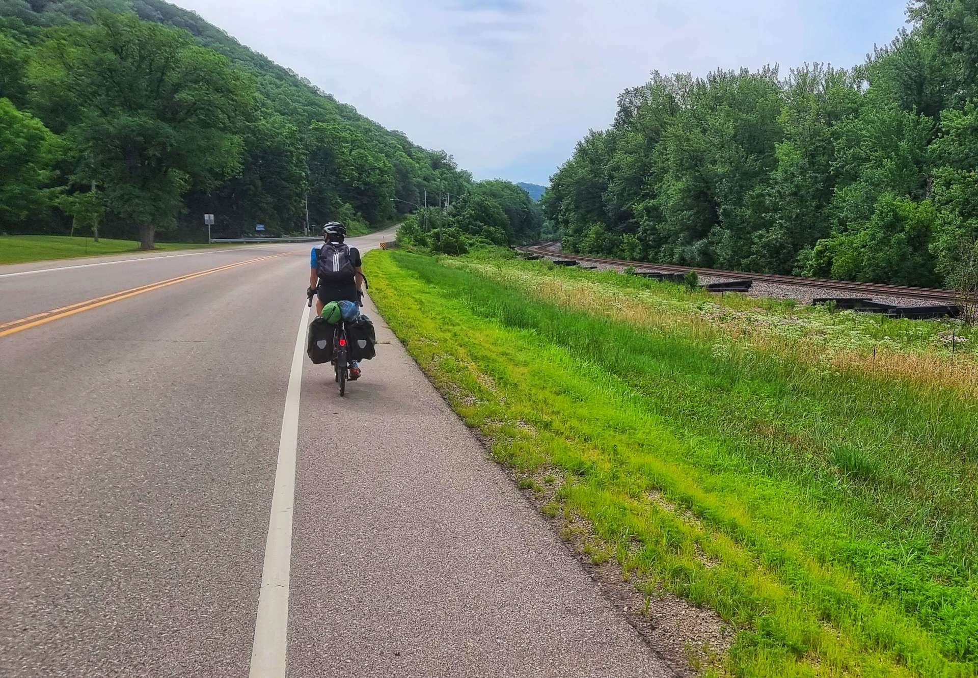
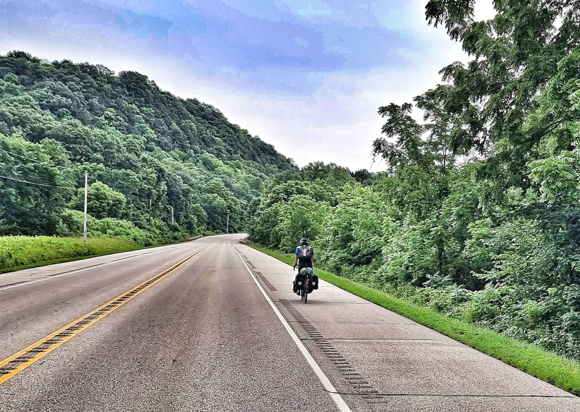
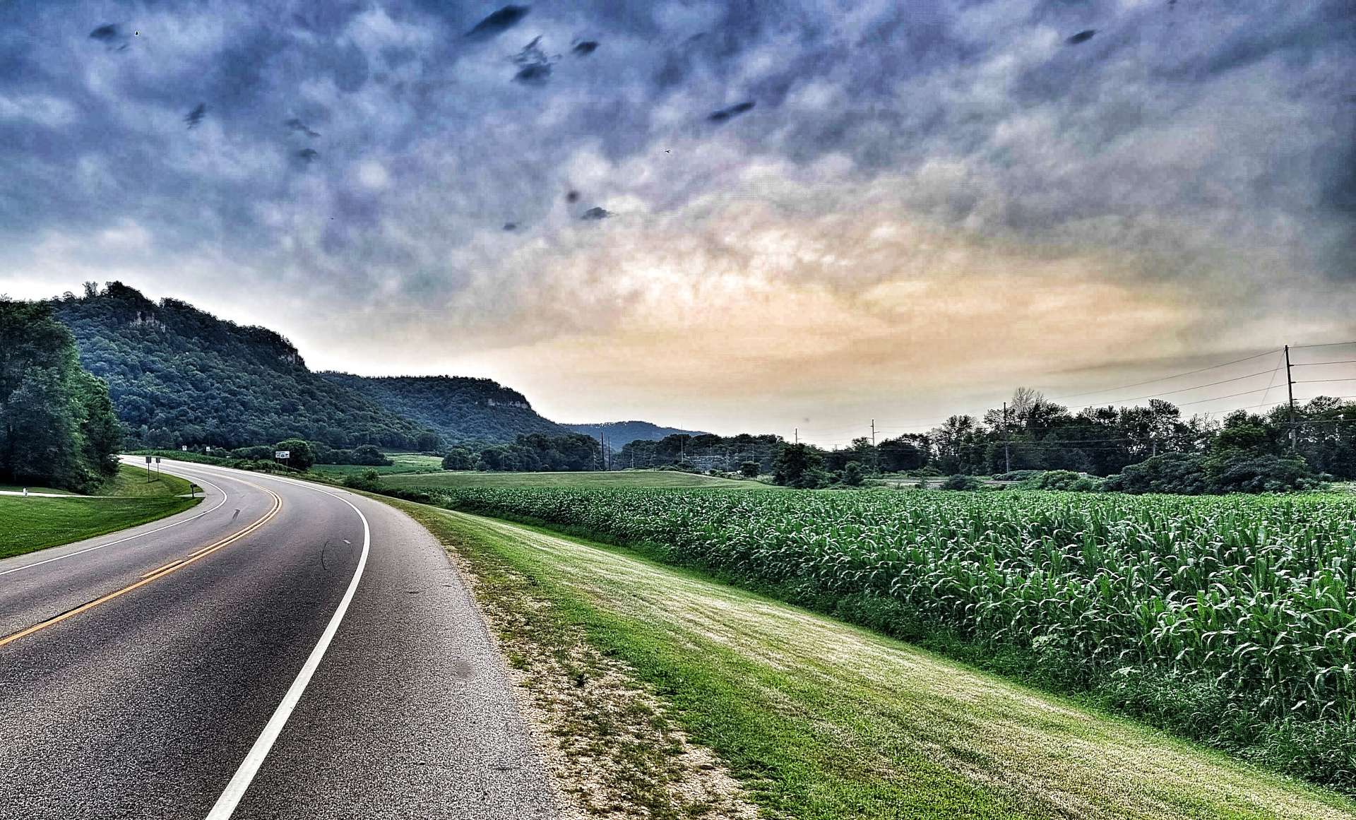
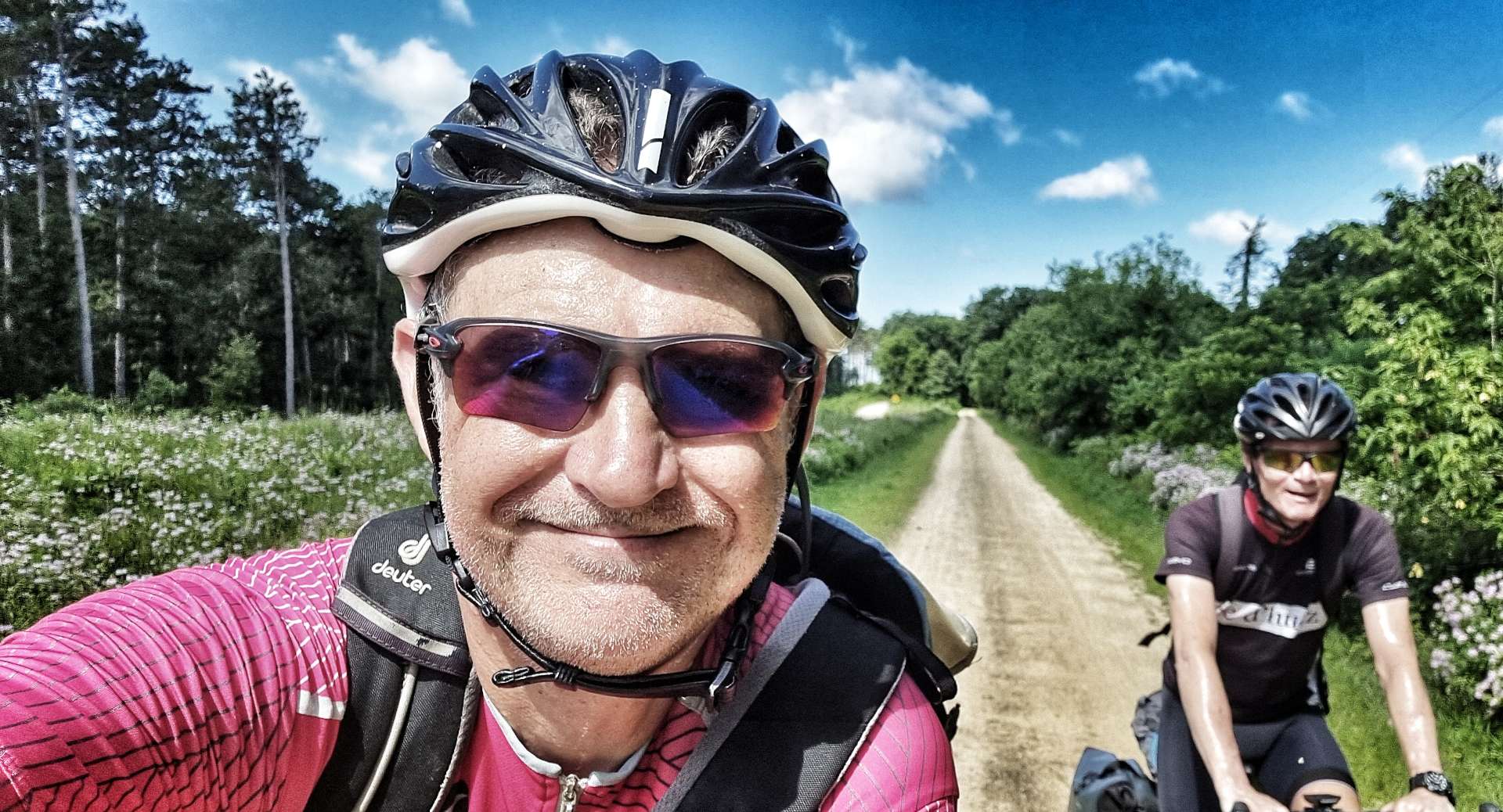
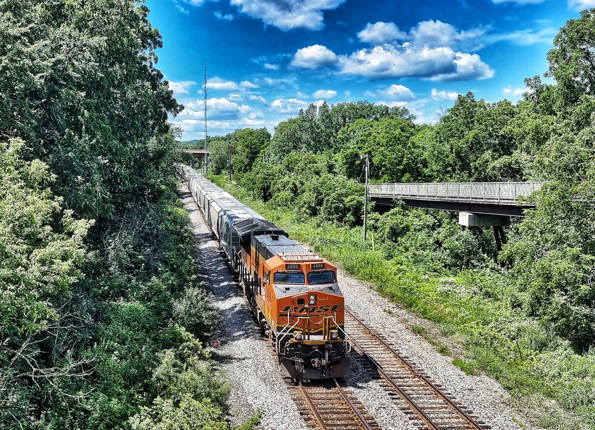
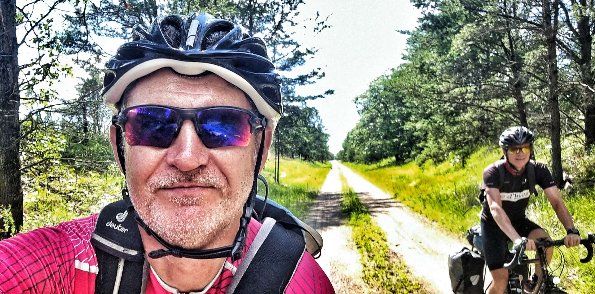
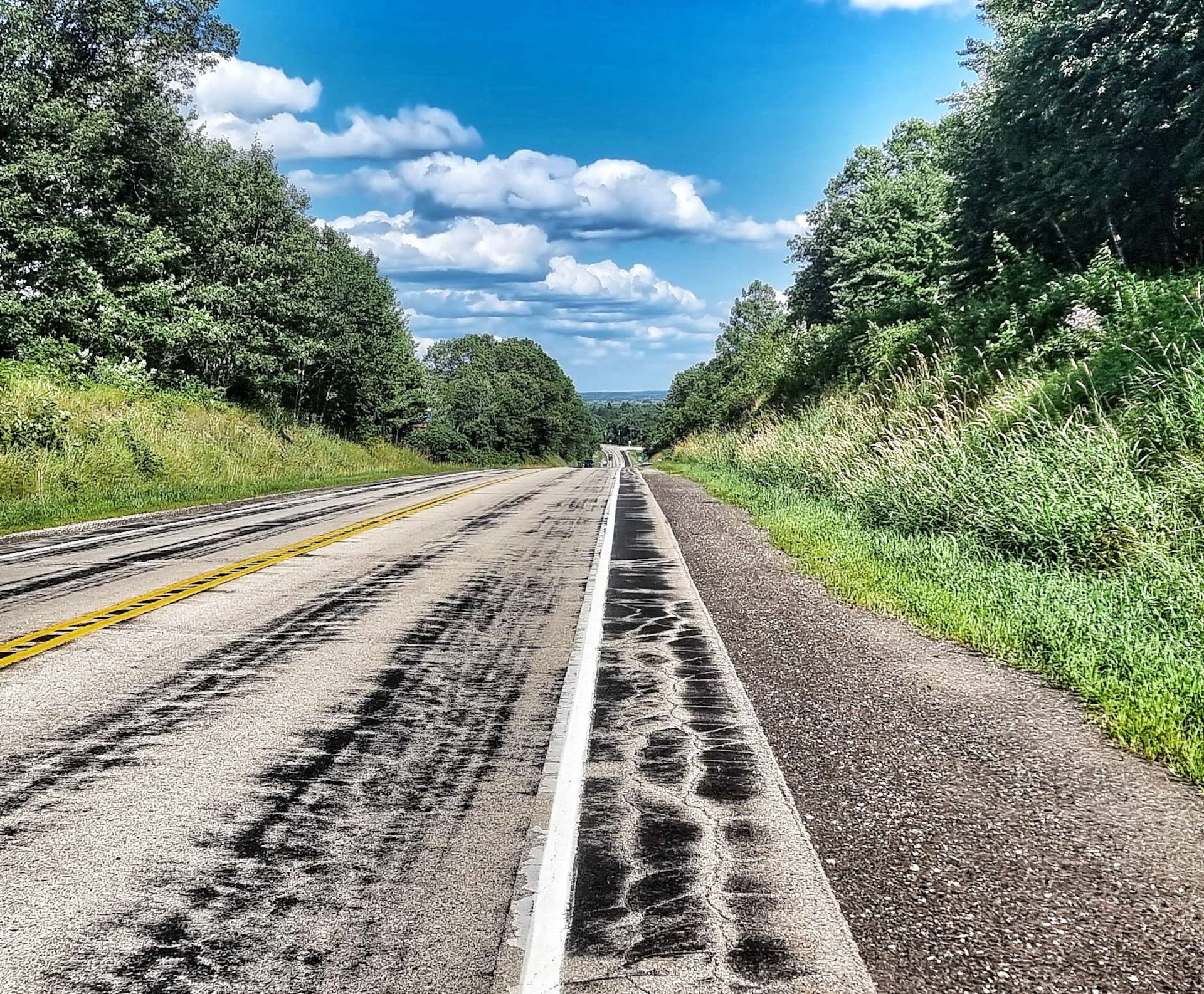
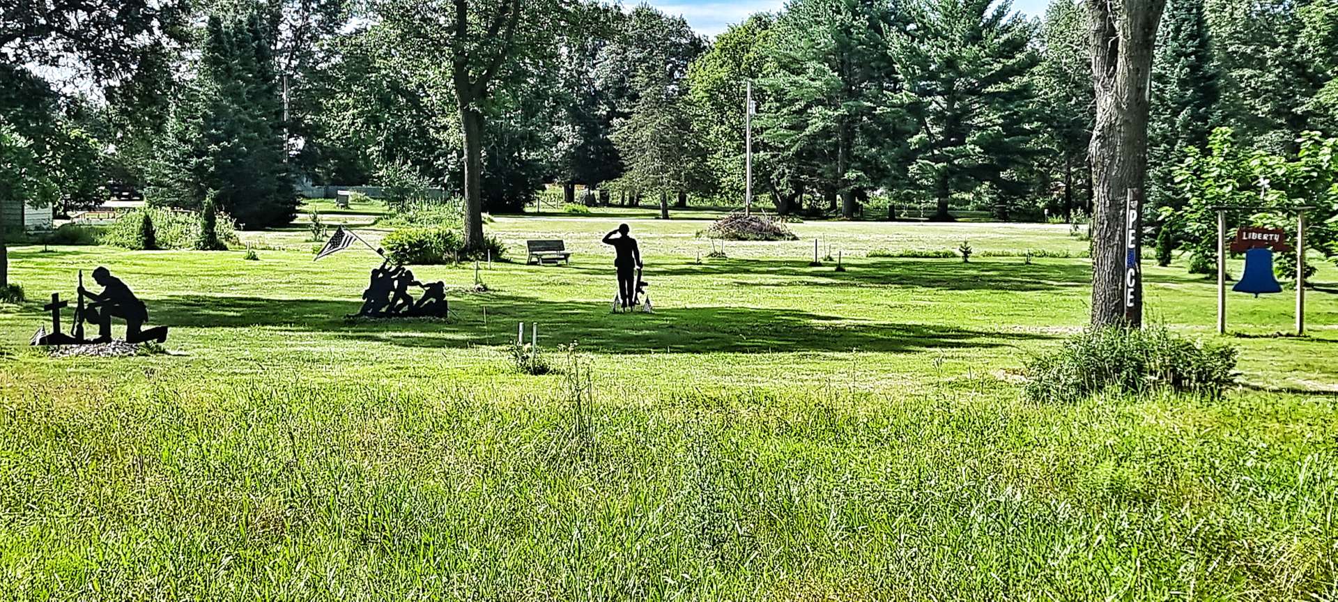
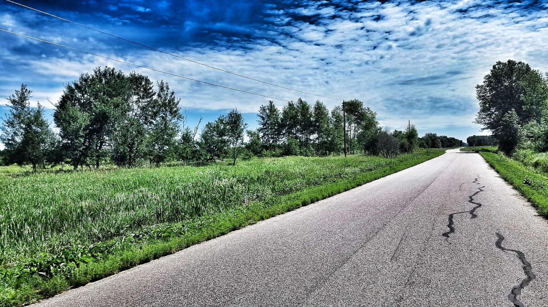
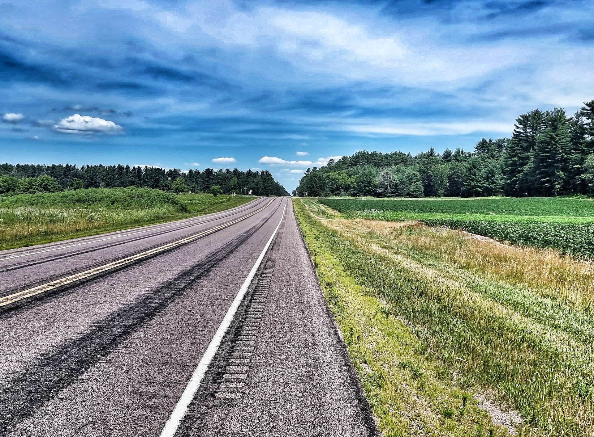
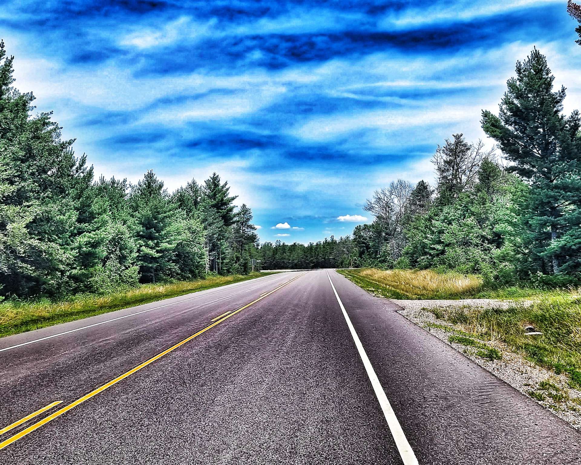
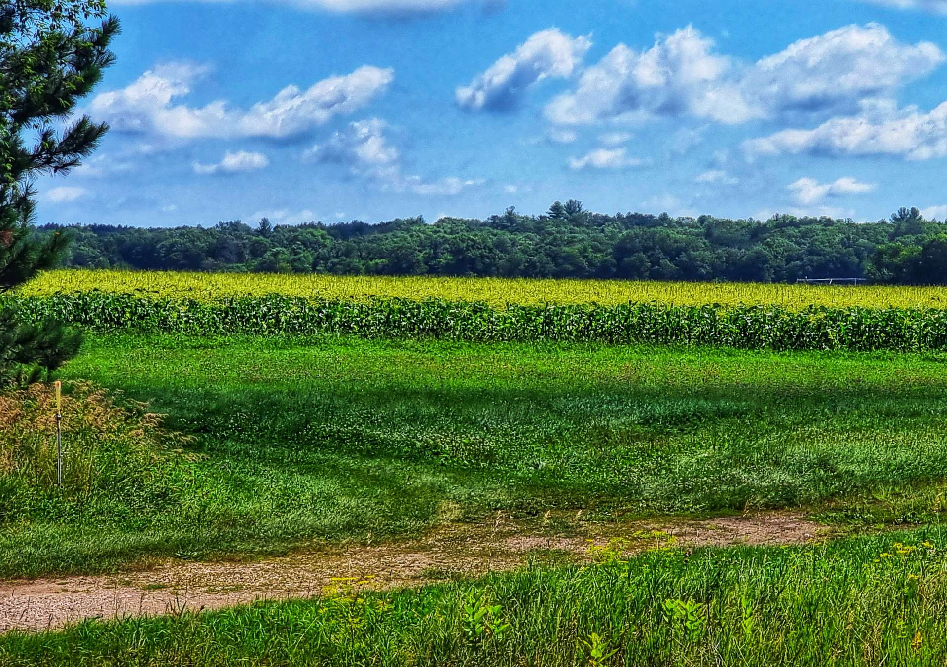
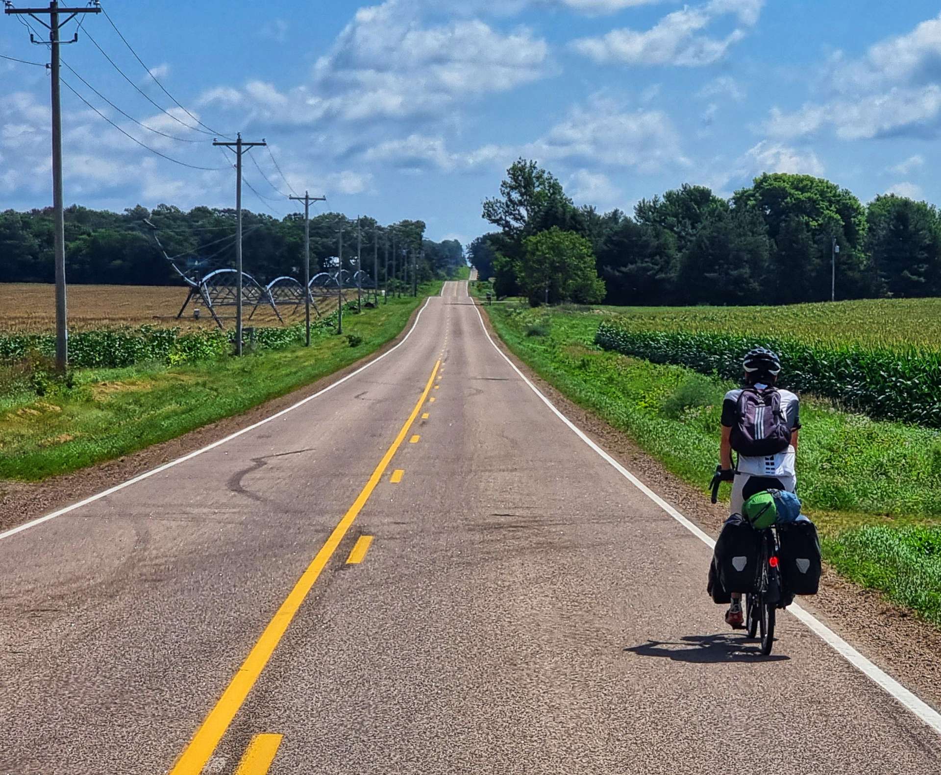
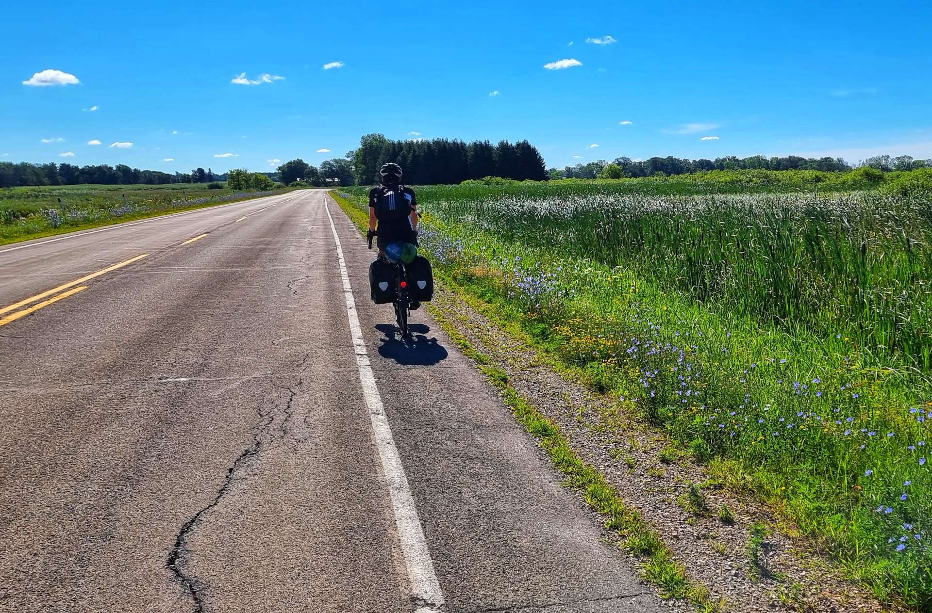
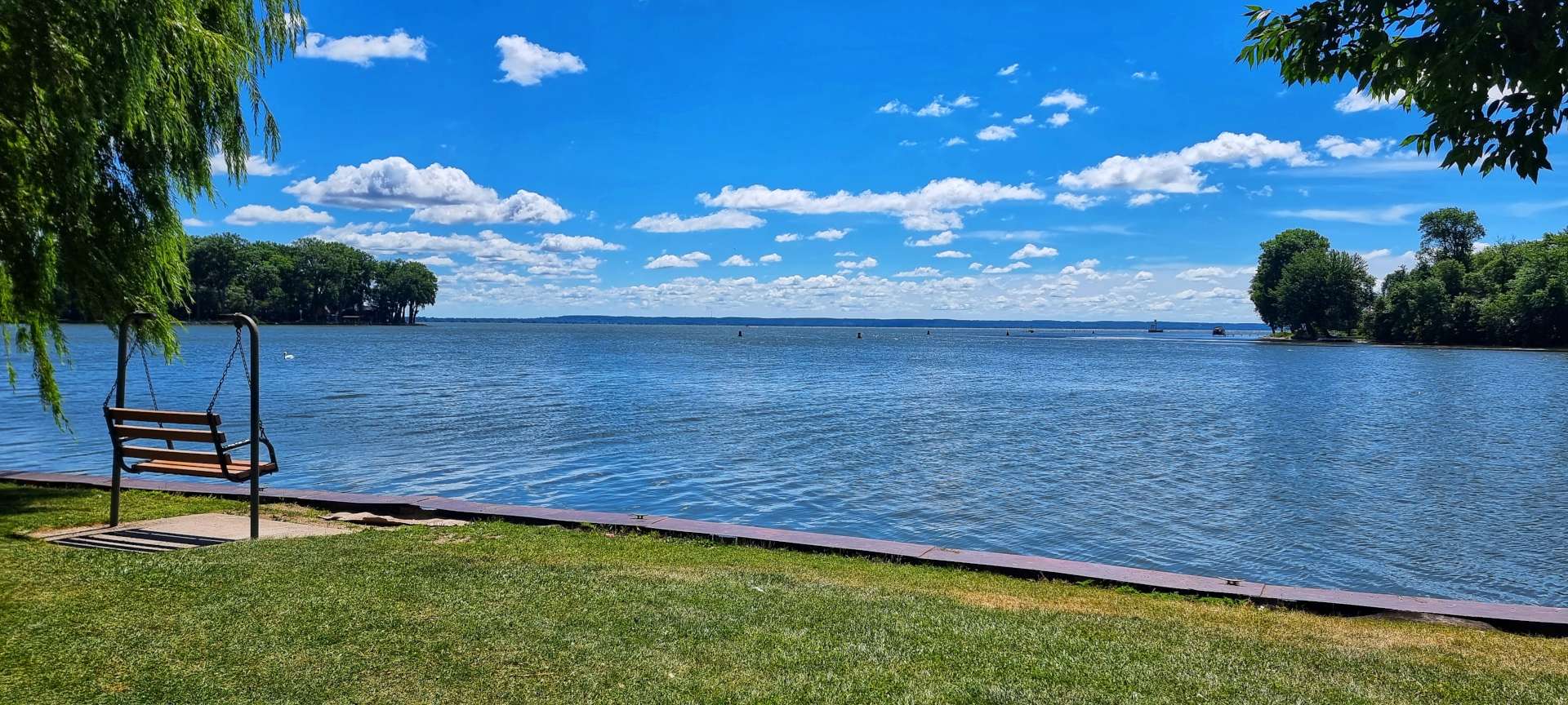
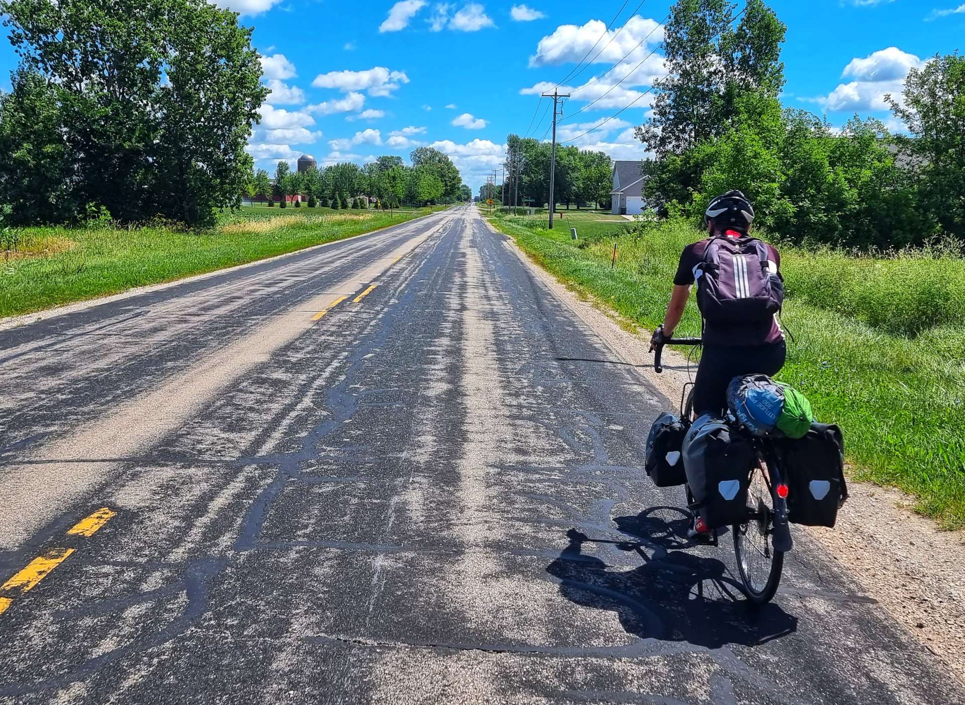
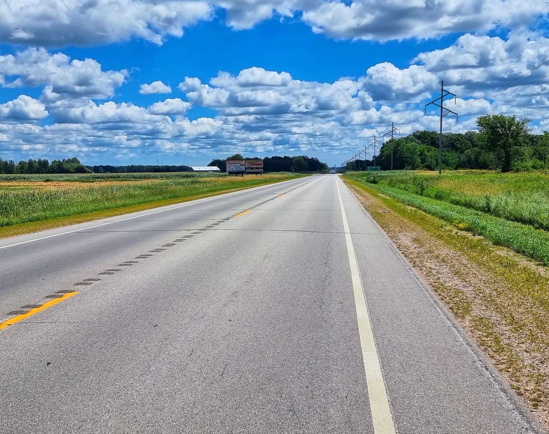
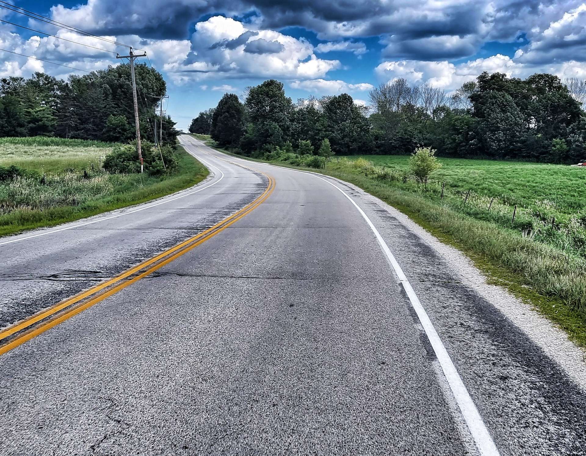
I’d mapped Tomah to Plainfield as a very flat 61 mile ride, so we had a slightly later than usual start & we were on the road for 9.45am. Highway 21 was busier than the roads we’d been riding the last few days, but still much quieter than most roads we ride in the UK. Leaving Tomah took us past a lake on our right hand side & the town’s Memorial Park soon afterwards. Almost every town has a memorial of some sort to remember those who gave their lives to protect the USA – it’s also very common to hear people thanking soldiers in uniform for their service.
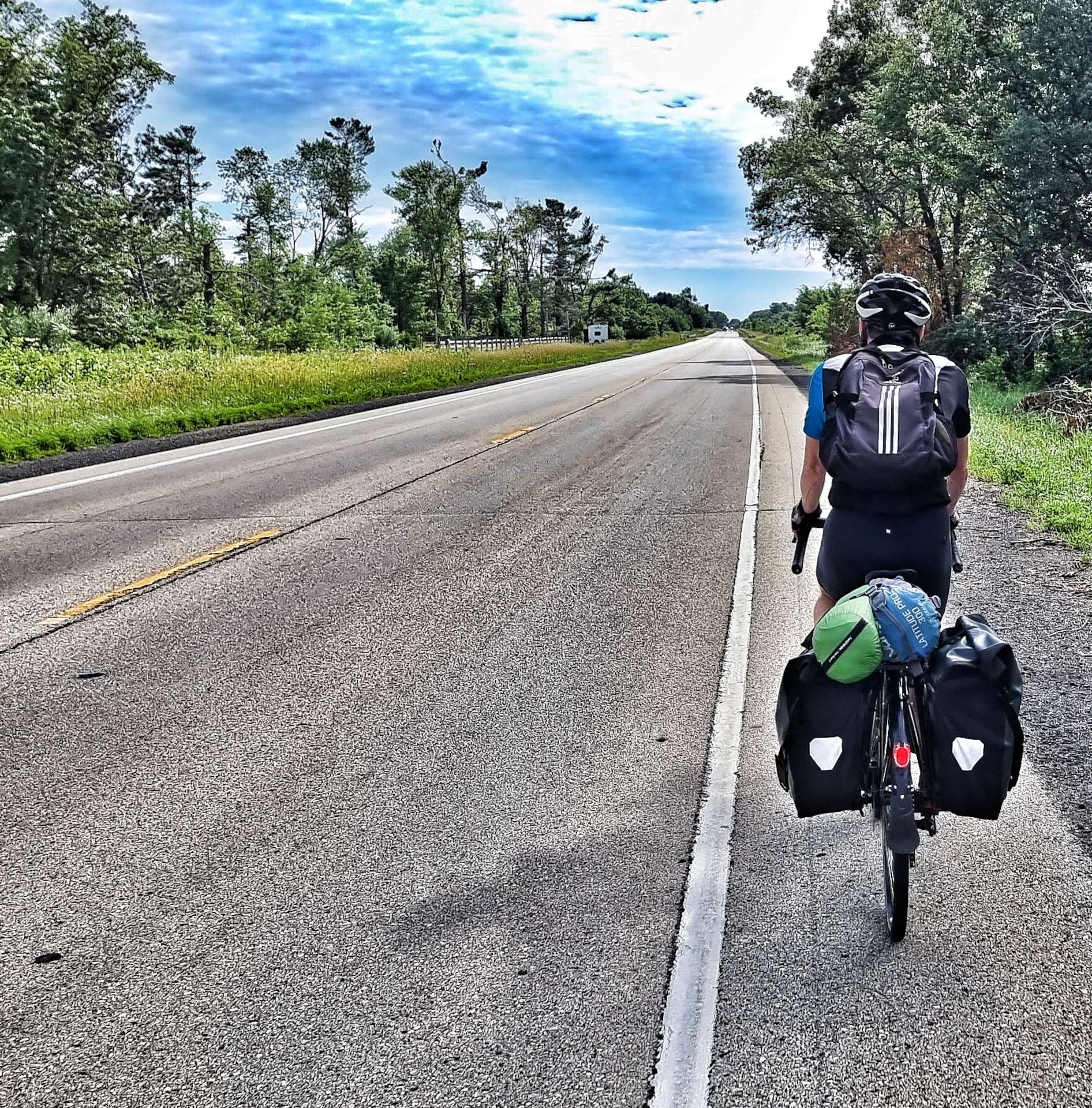

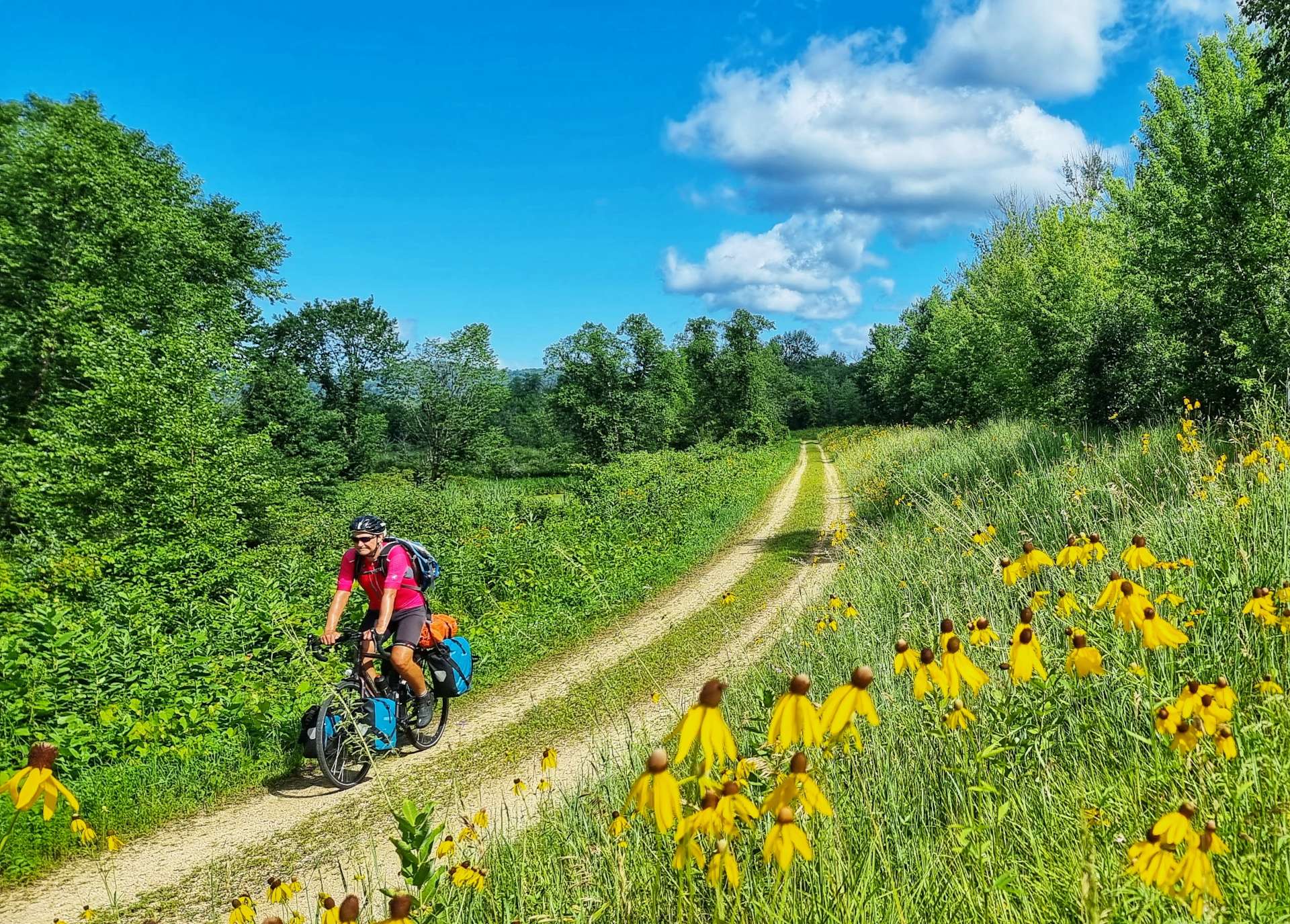
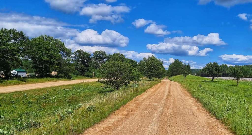
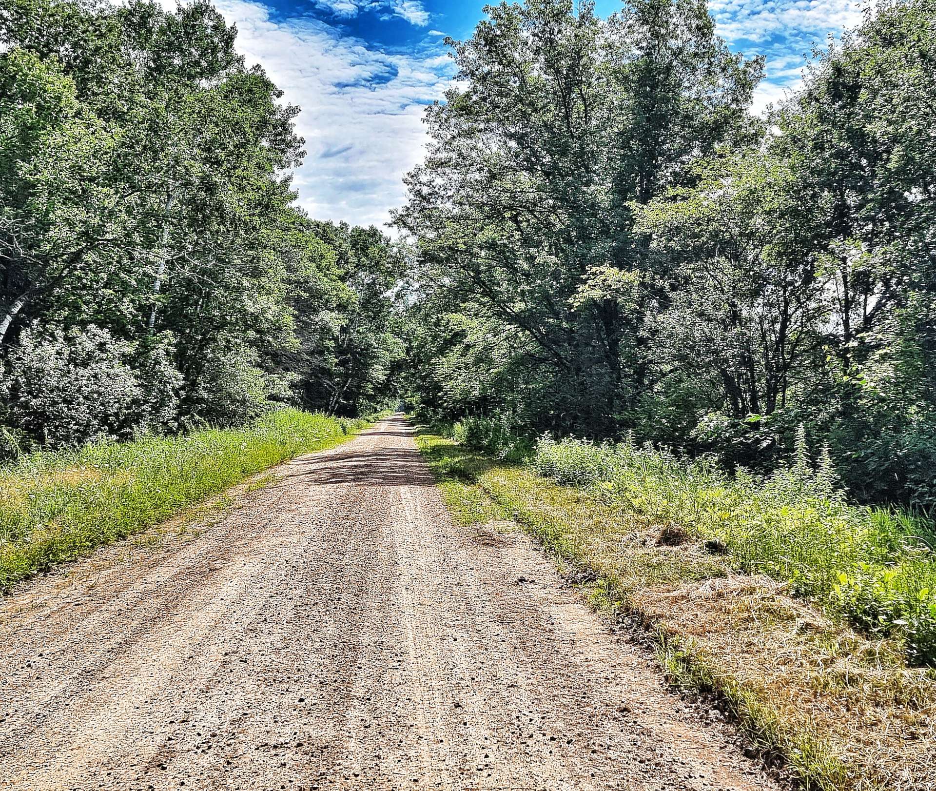
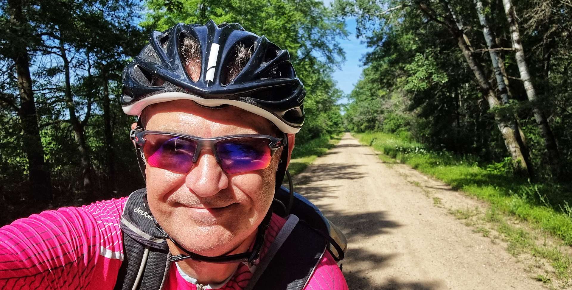
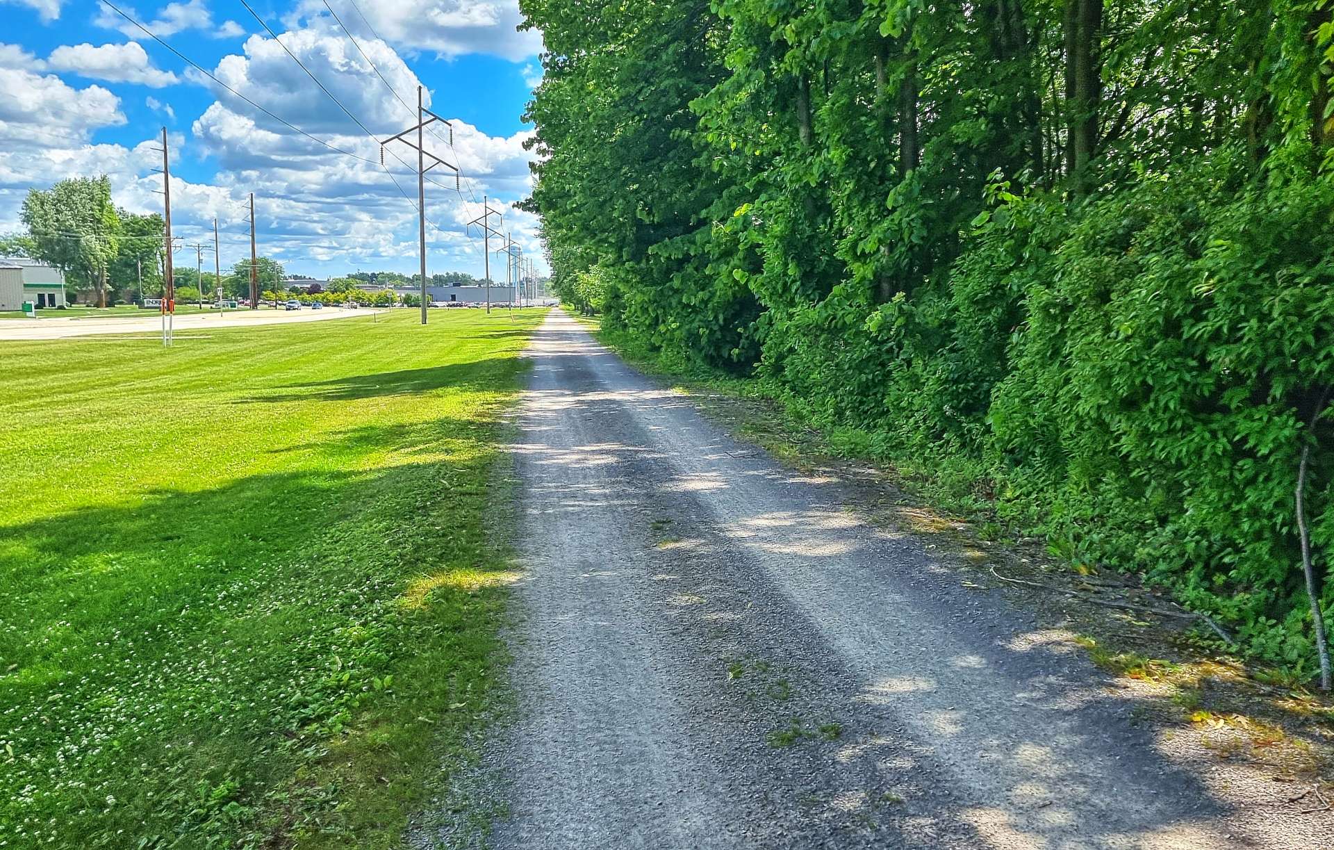
After 9 miles, I chose to ride a quiet gravel road, while Sean preferred to remain on the tarmac – we would meet up for coffee about 12 miles later. In the meantime I continued on the gravel for a mile, before it unexpectedly turned into a paved road.

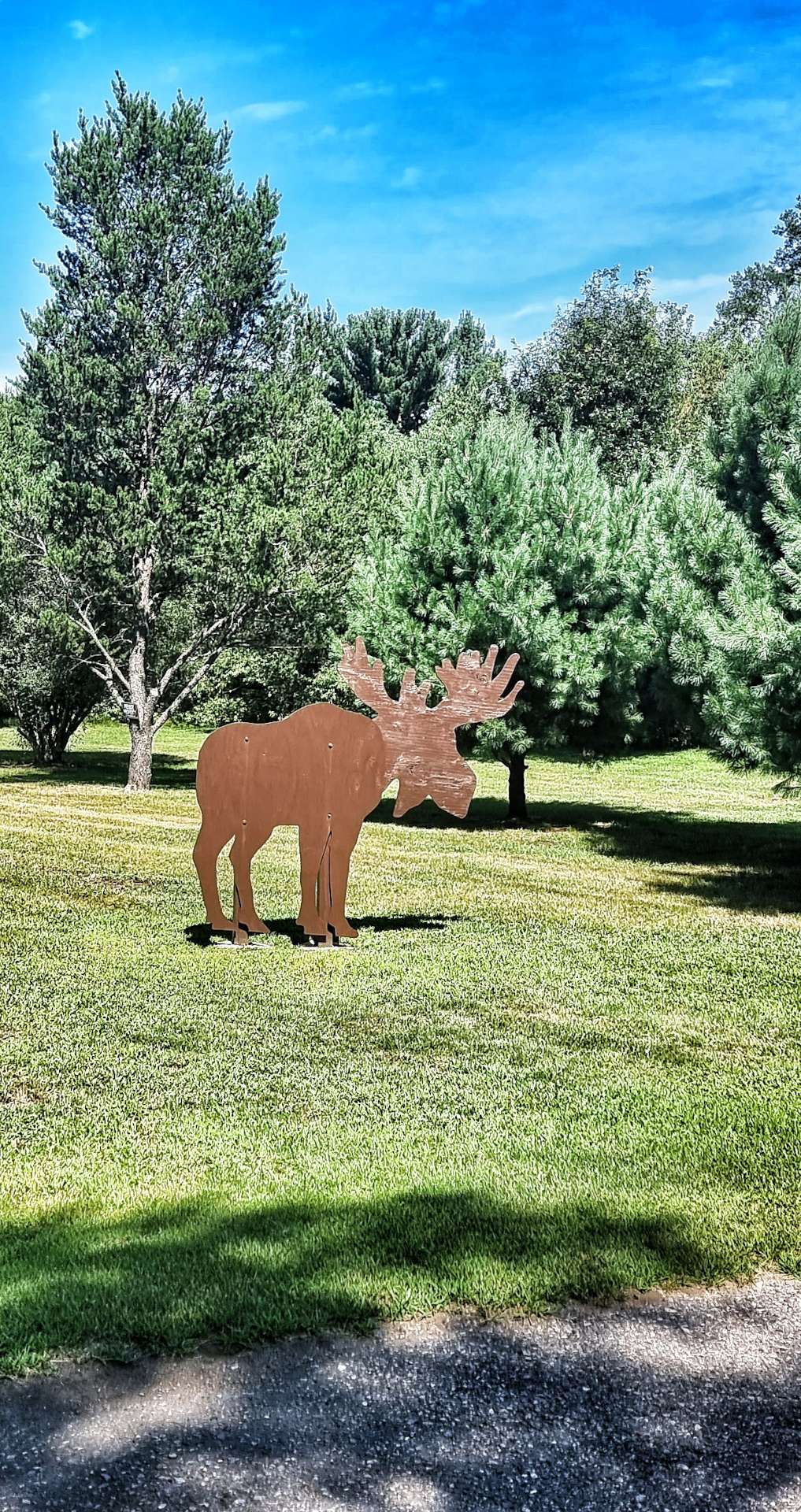
I didn’t see a single car on the 5 miles I was on the road! Along the way I spotted lots of bee hive boxes by the side of the road & could make out the bees flying to & from their hives. There were also some random examples of silhouette art – this is a bit of a theme in Wisconsin, as we’ve seen a few others in the last week.


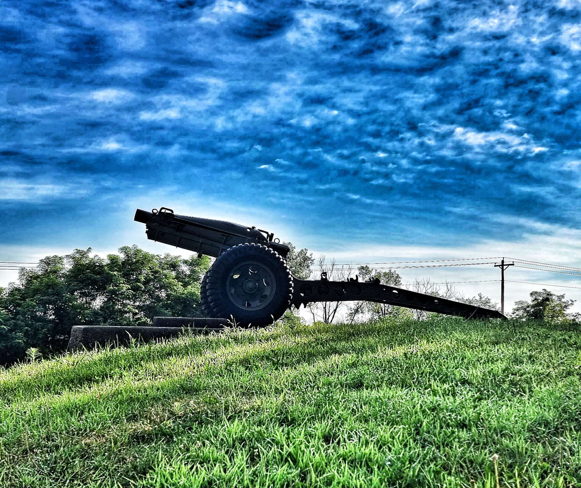
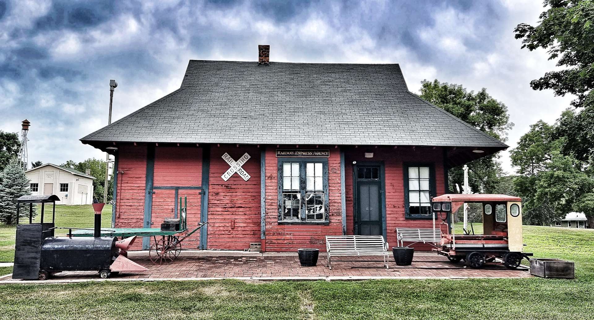
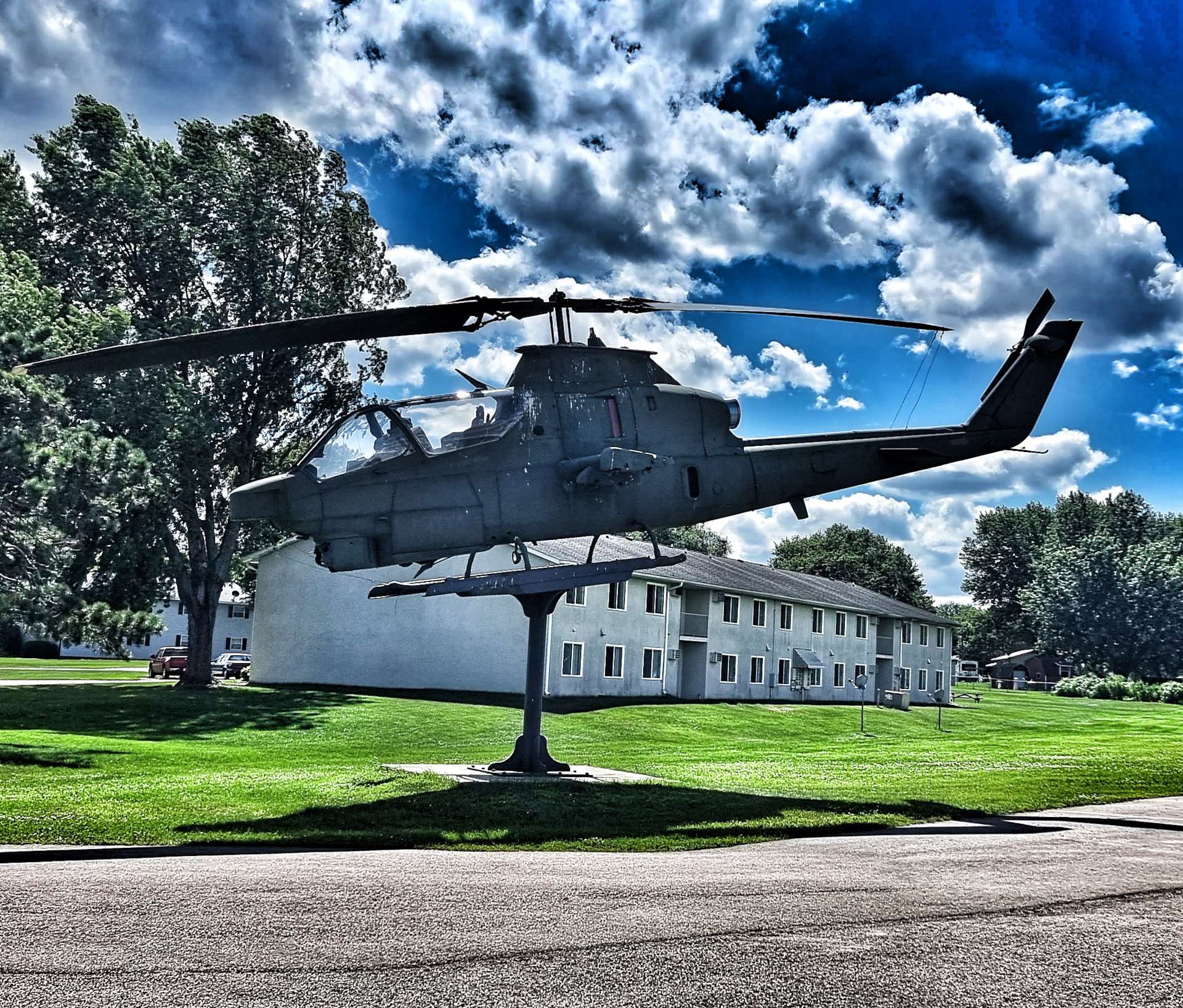
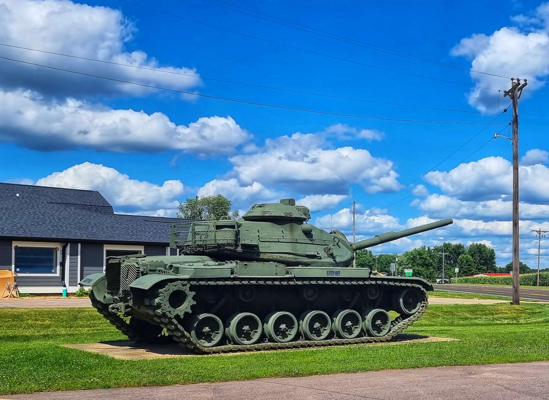
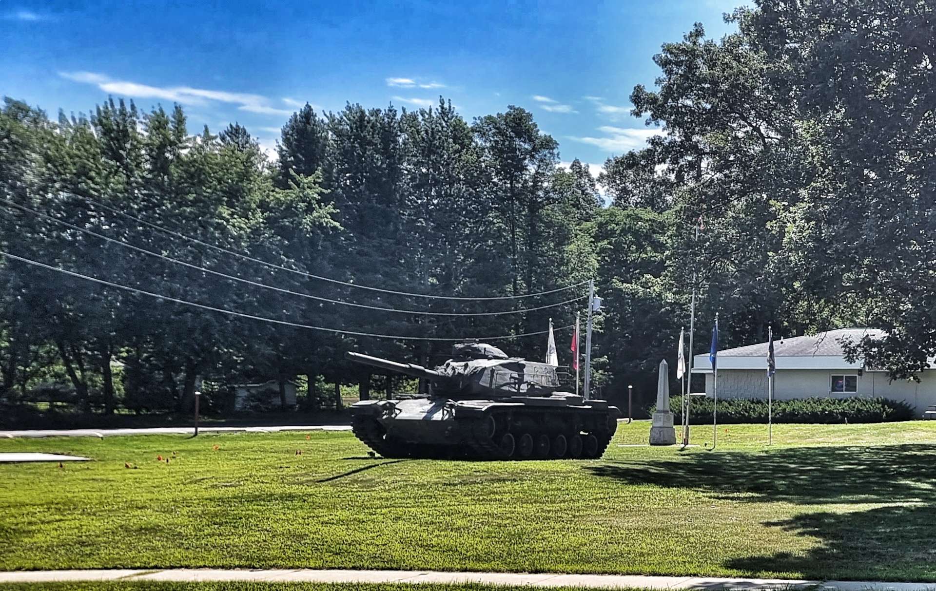
I re-joined Highway 21 just before entering Necedah & almost immediately, I passed a decommissioned tank on the site of the town’s Memorial Park. I also met up with Sean for a disappointing coffee & pastry – today our two choices were a Kwik Trip gas station or to go without! We needed to top up our water & knew there wasn’t anywhere else on our planned route. Life isn’t always glamourous on this adventure!
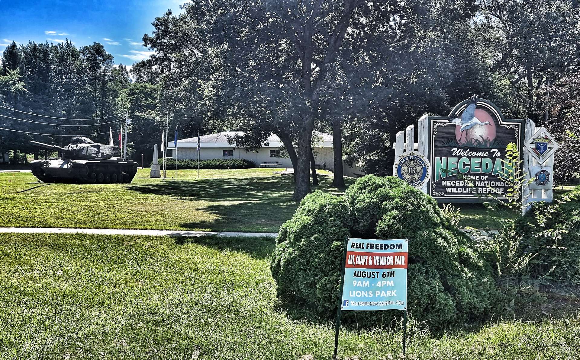

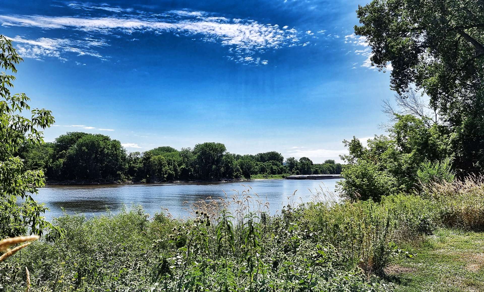
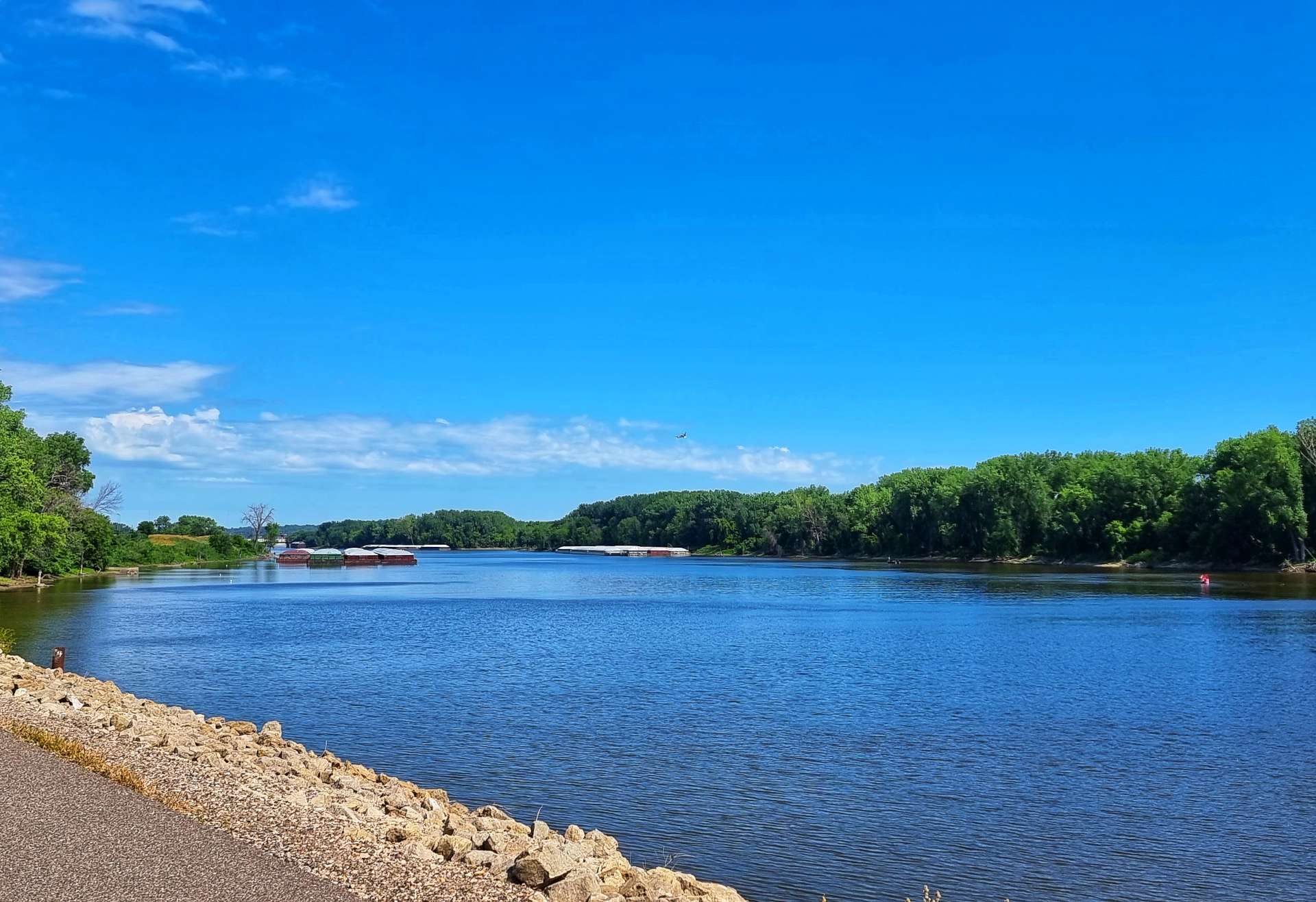
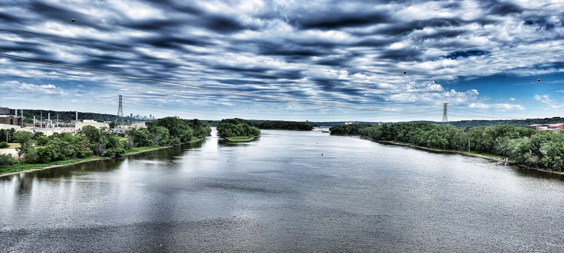
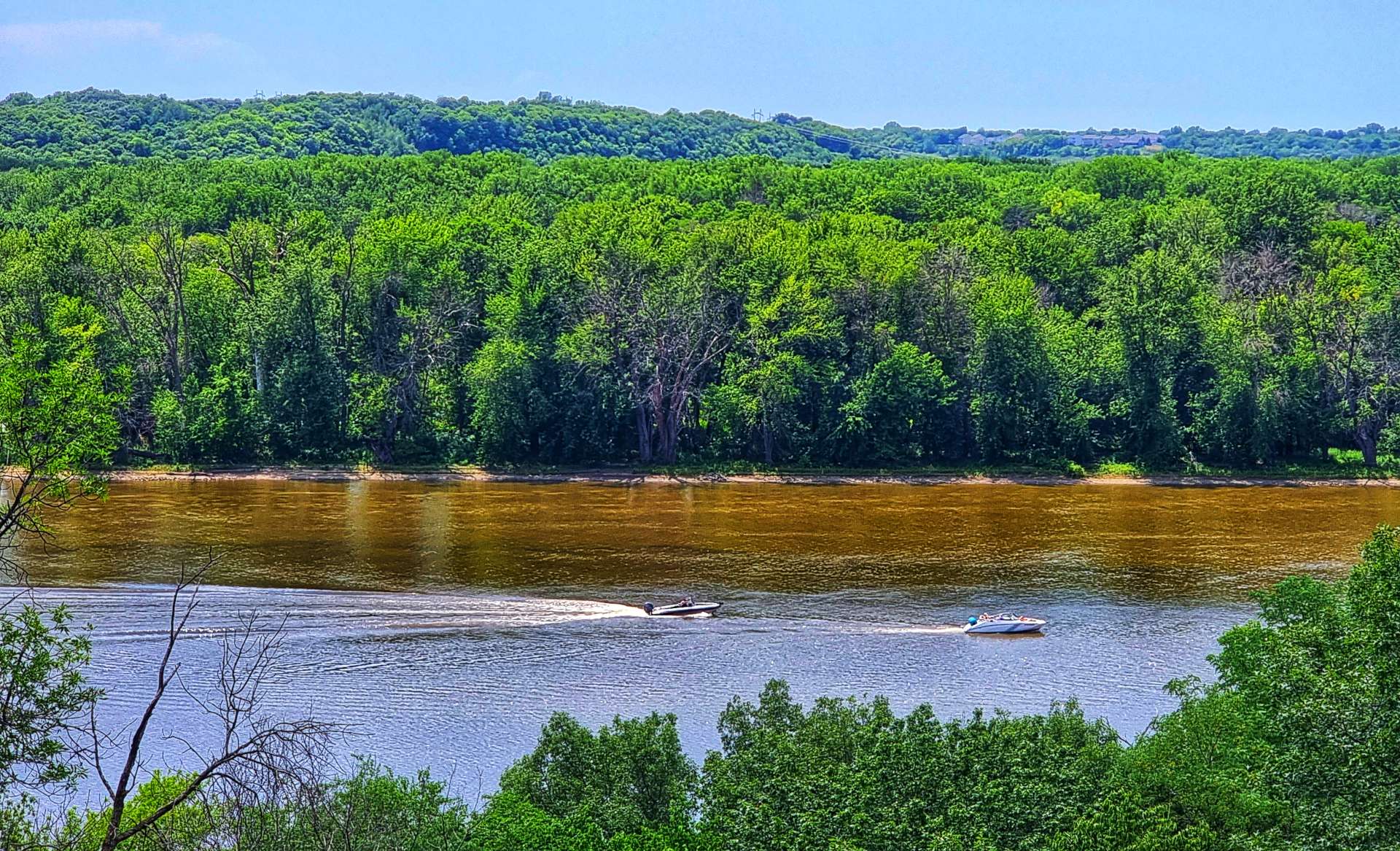
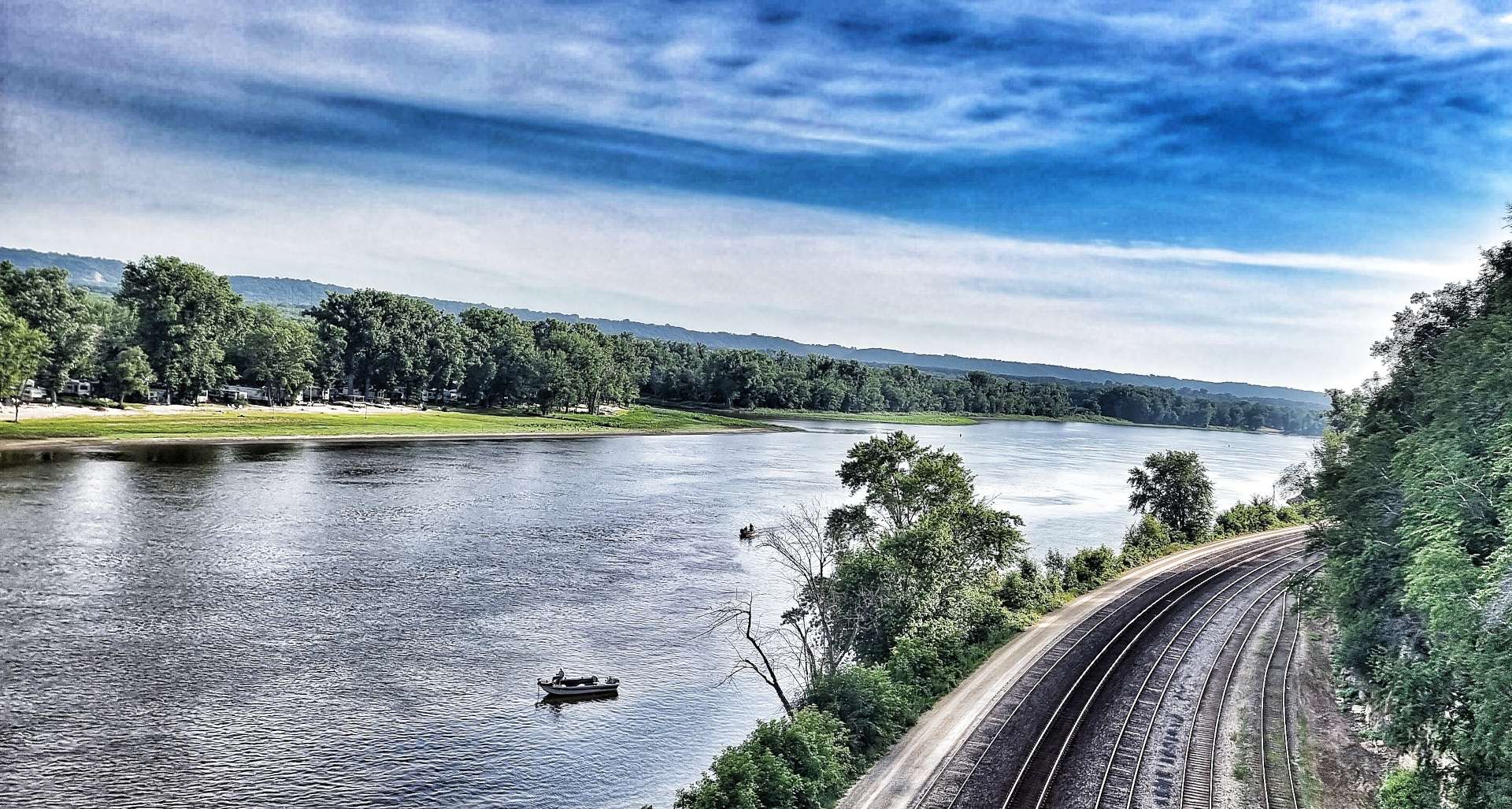
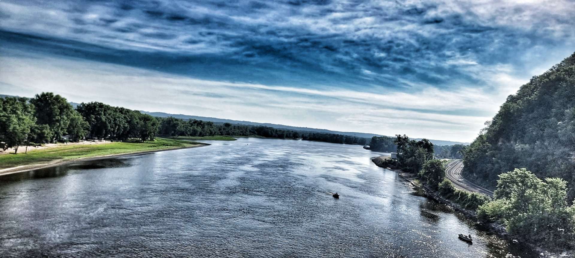
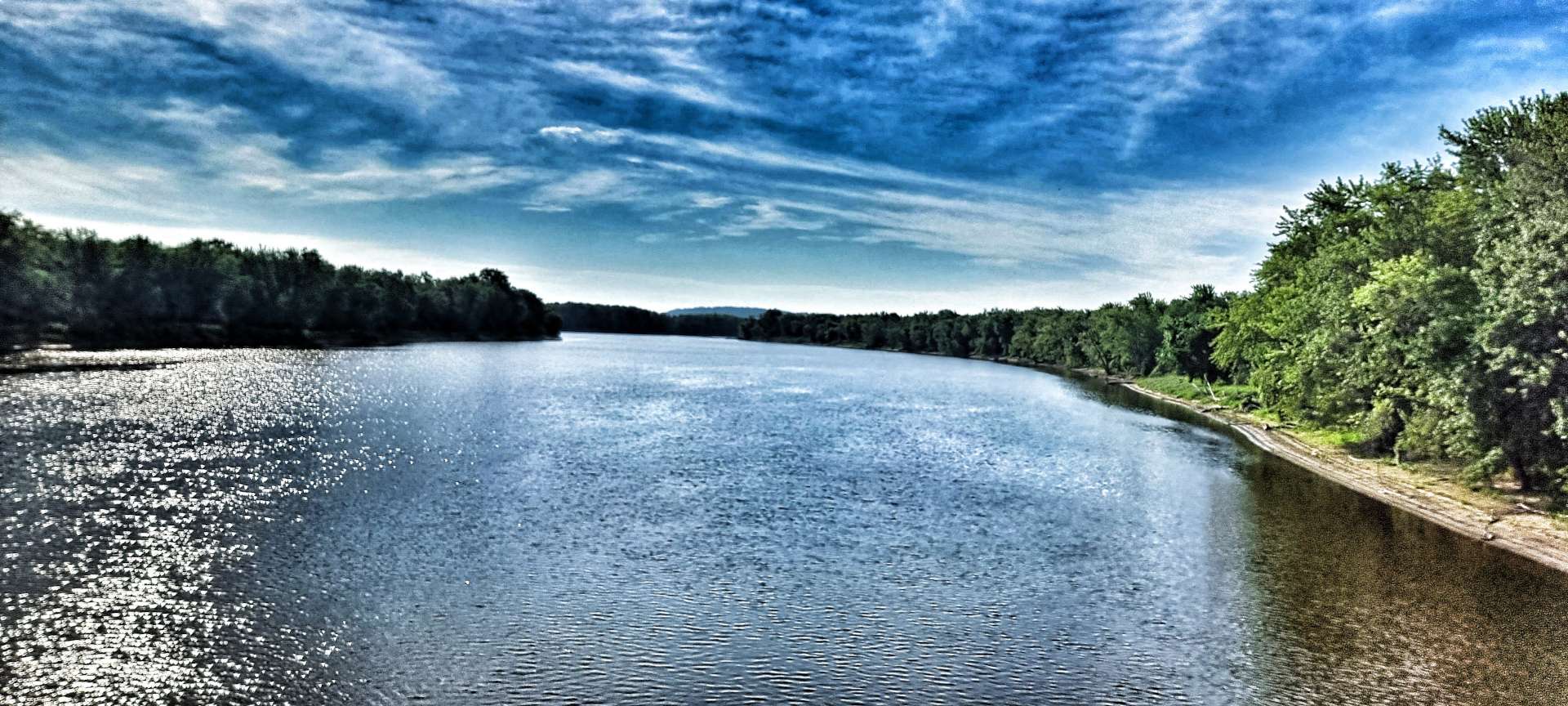
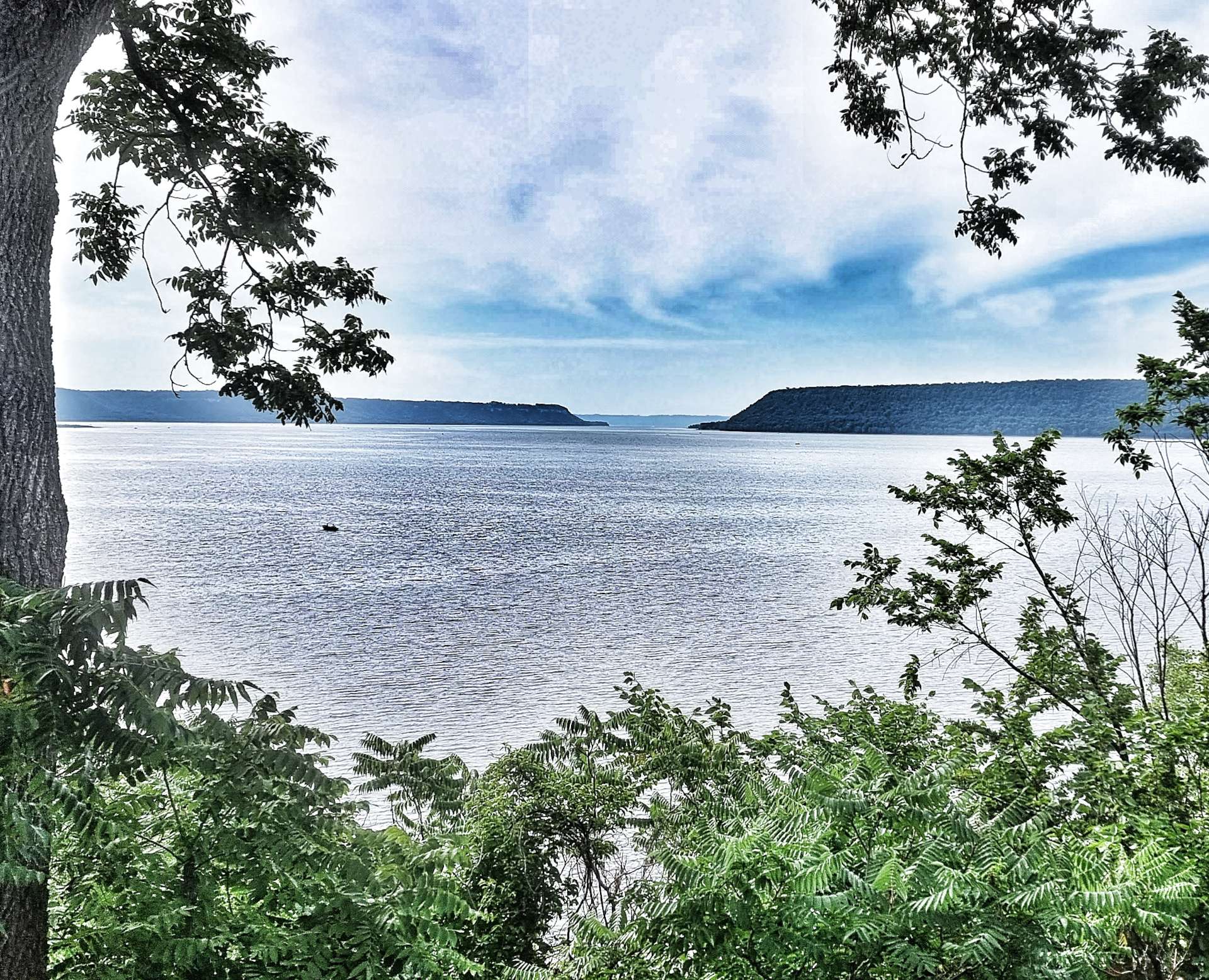
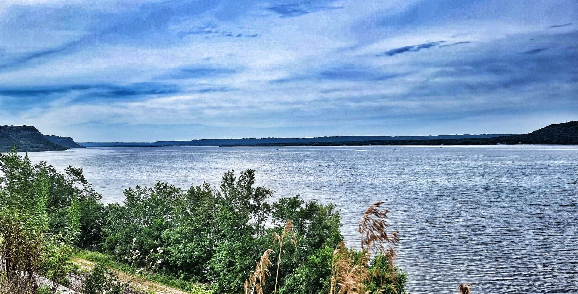
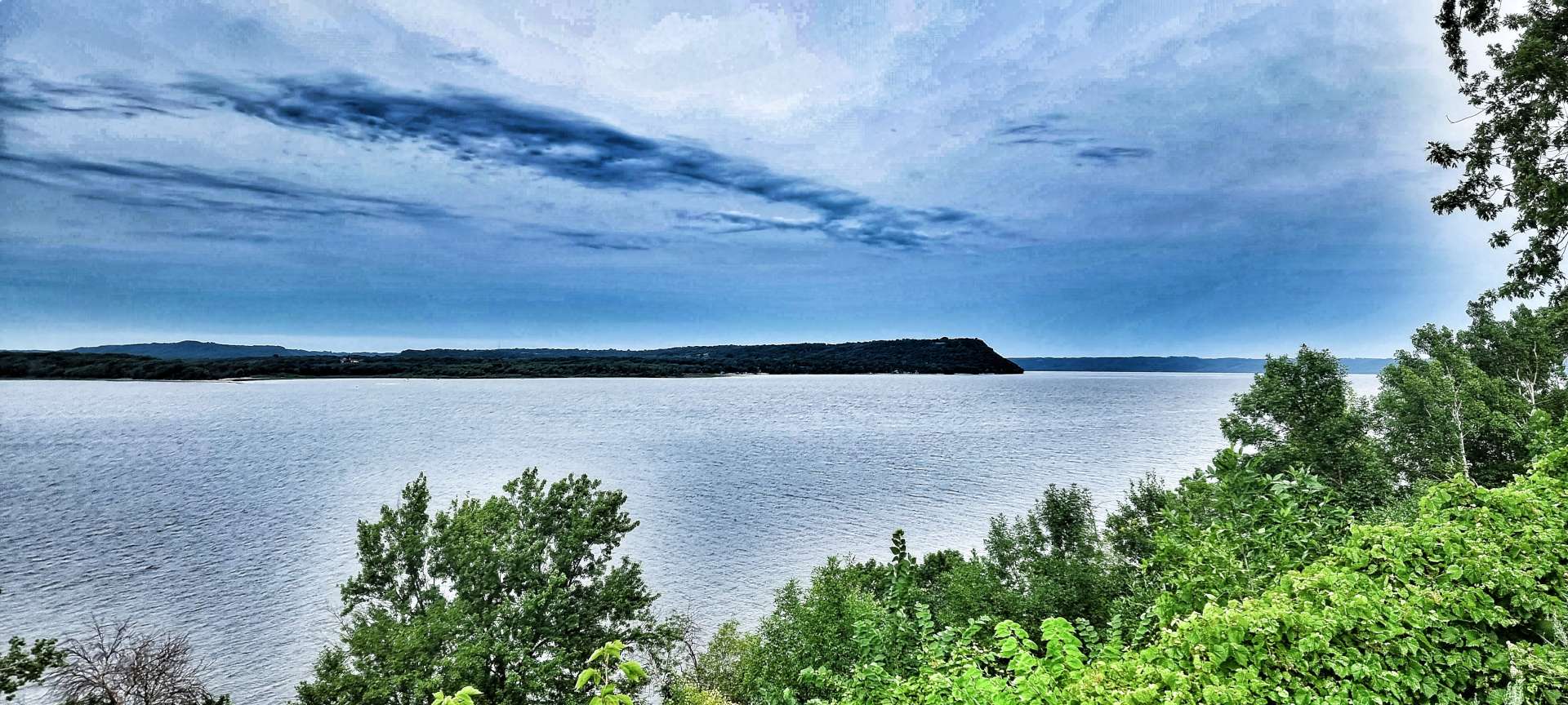
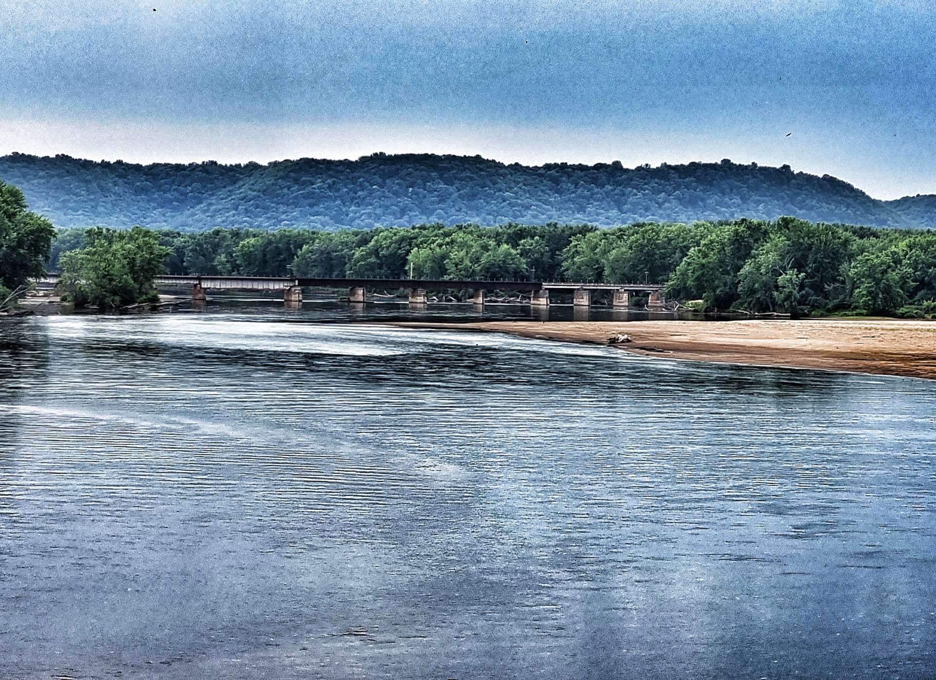
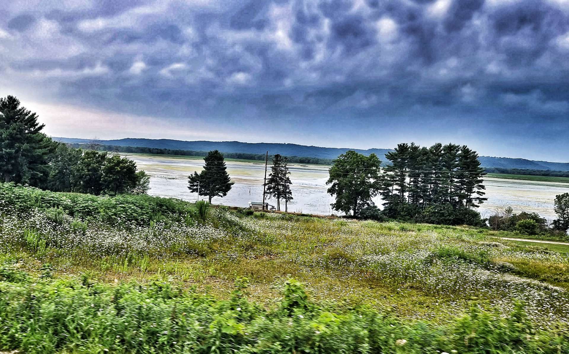
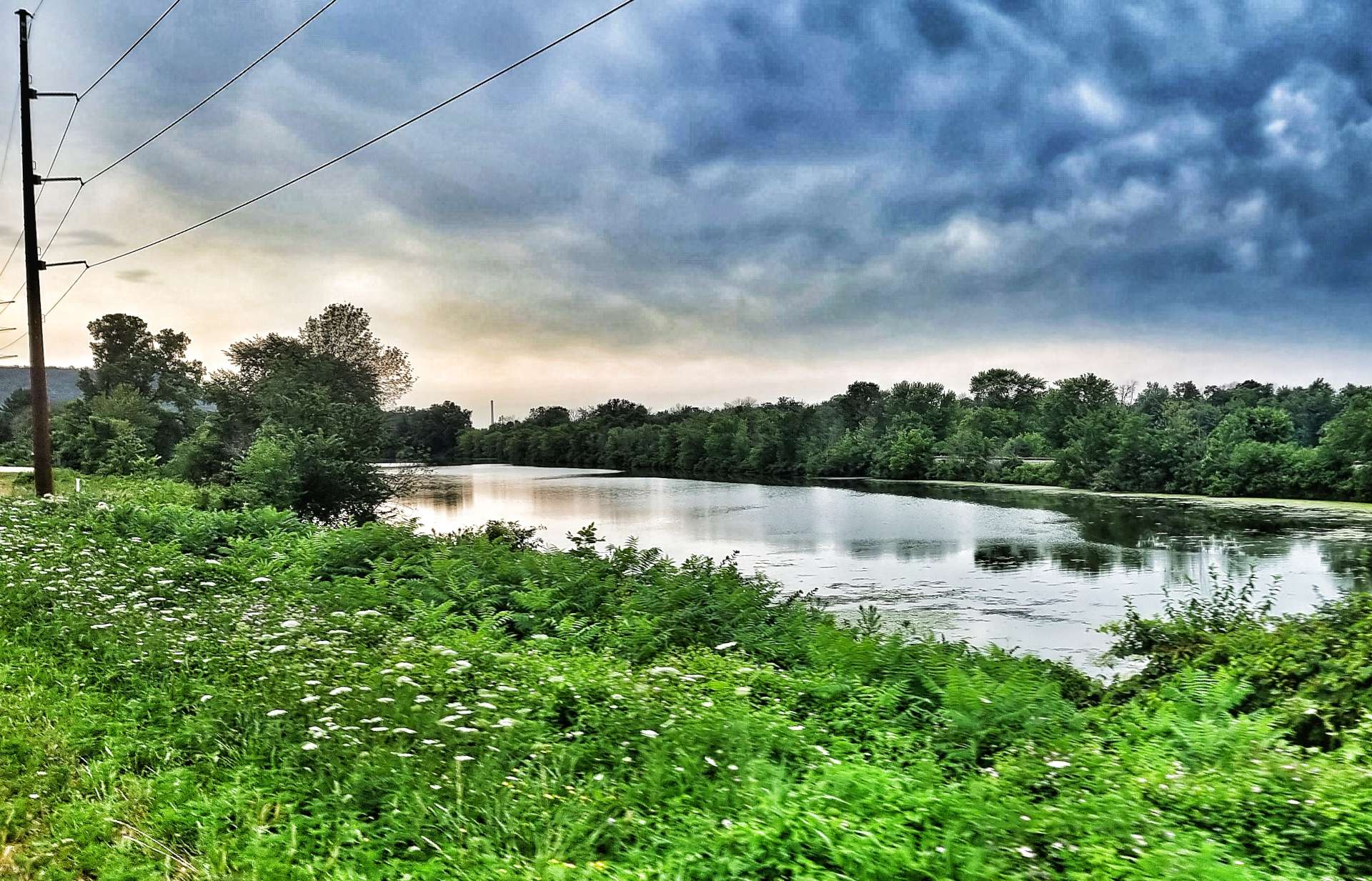
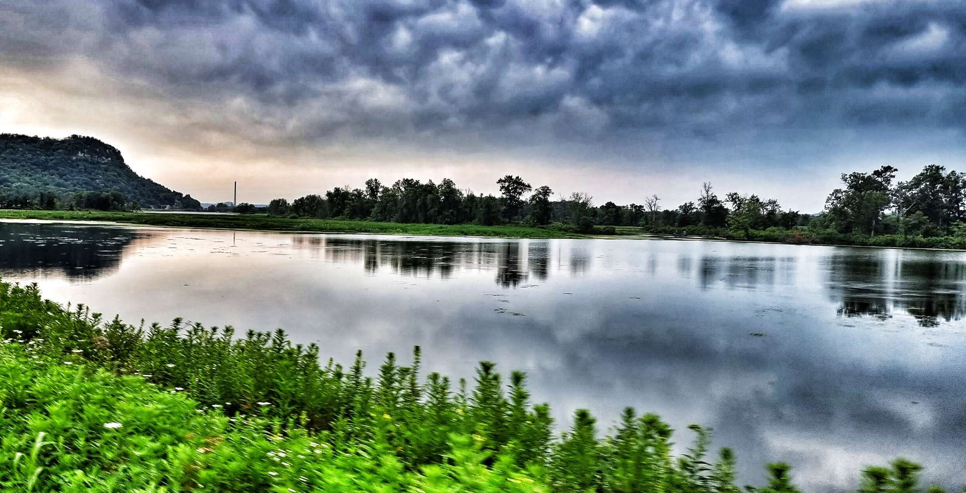
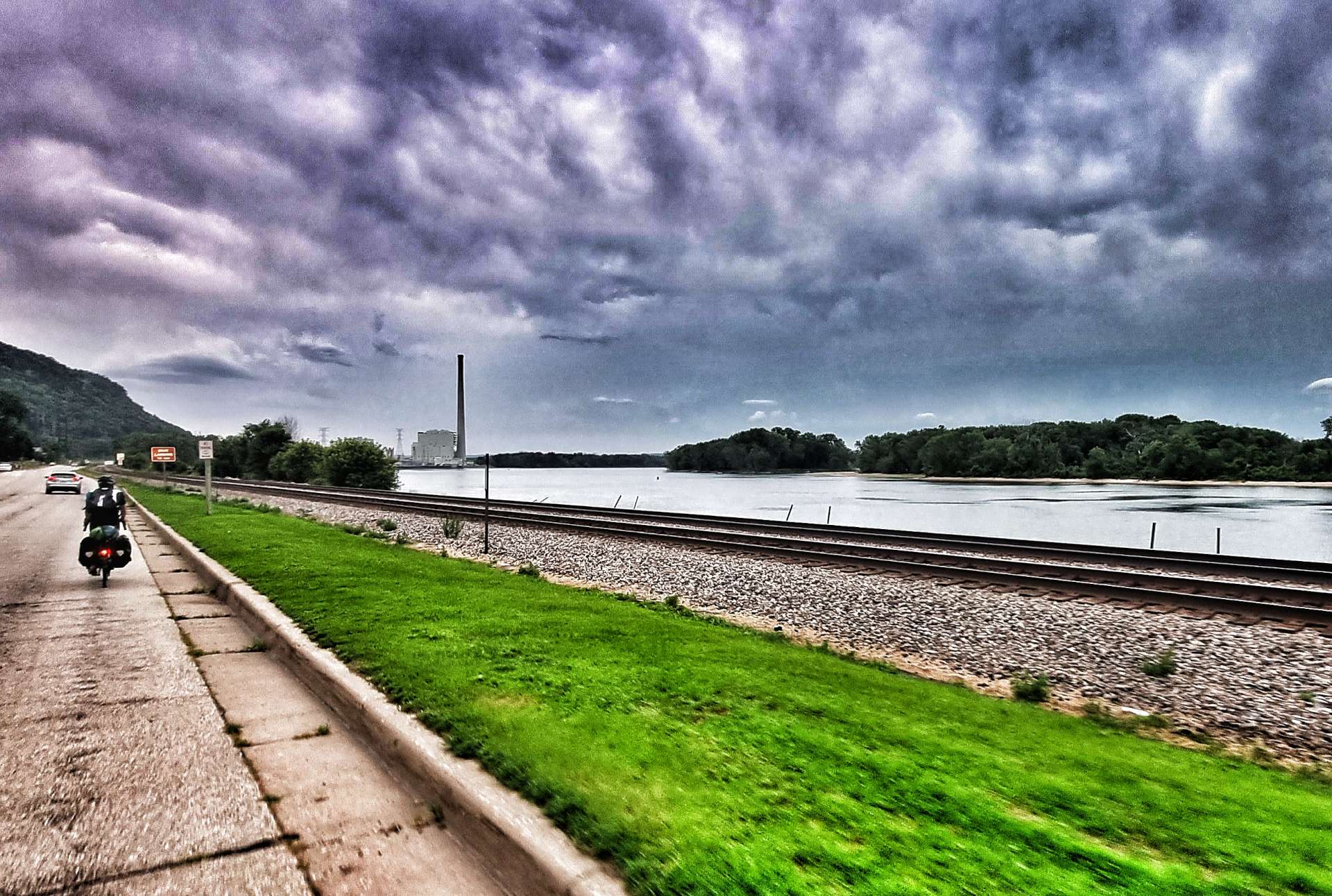
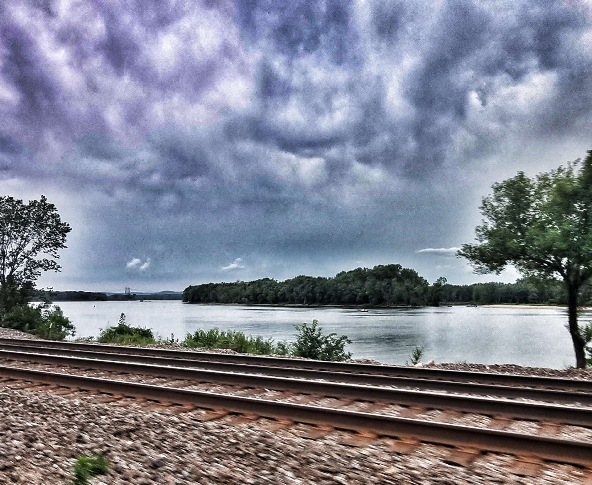
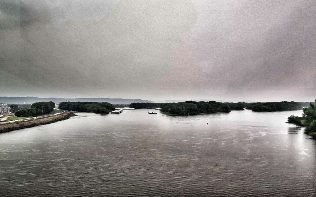
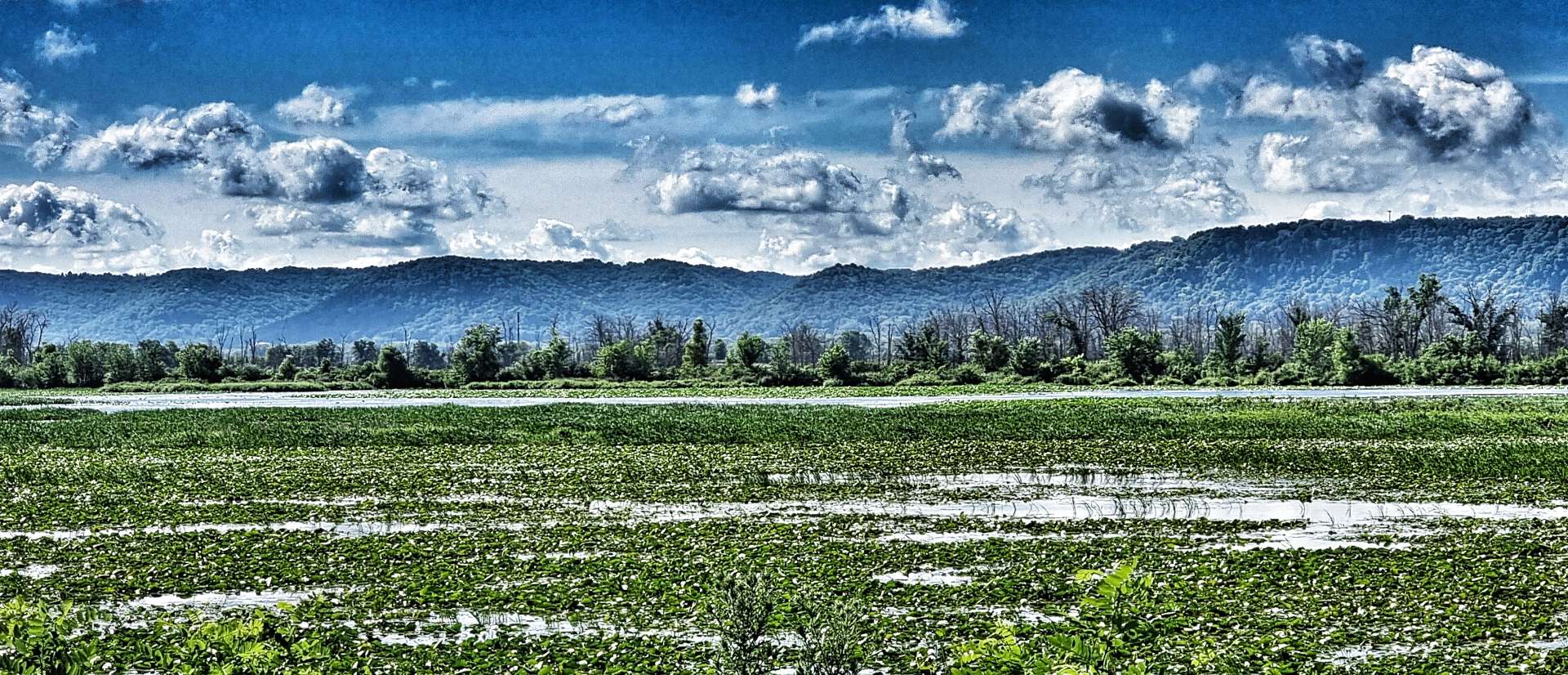
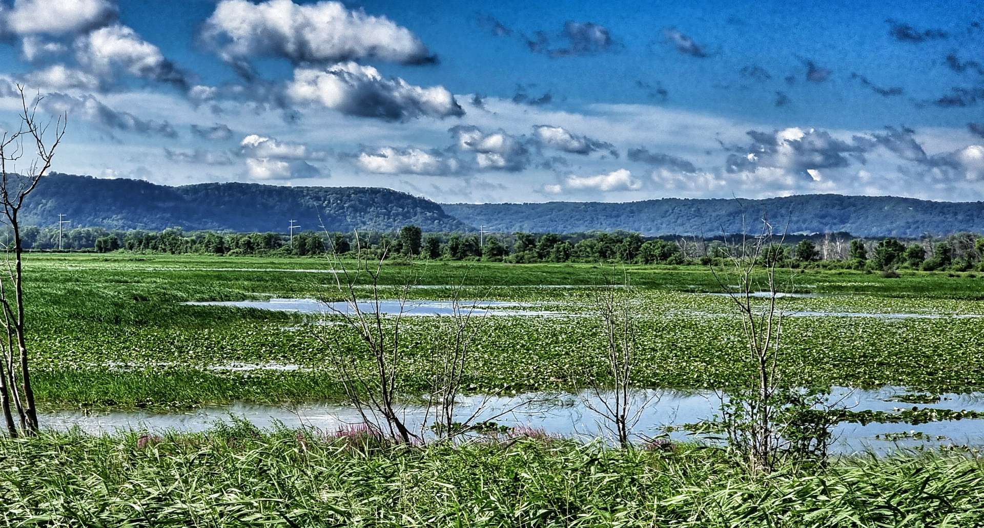
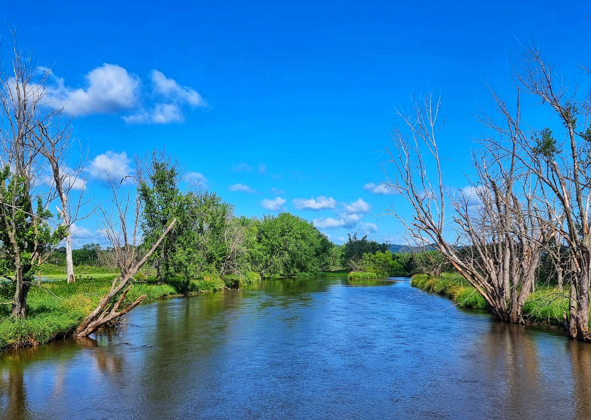
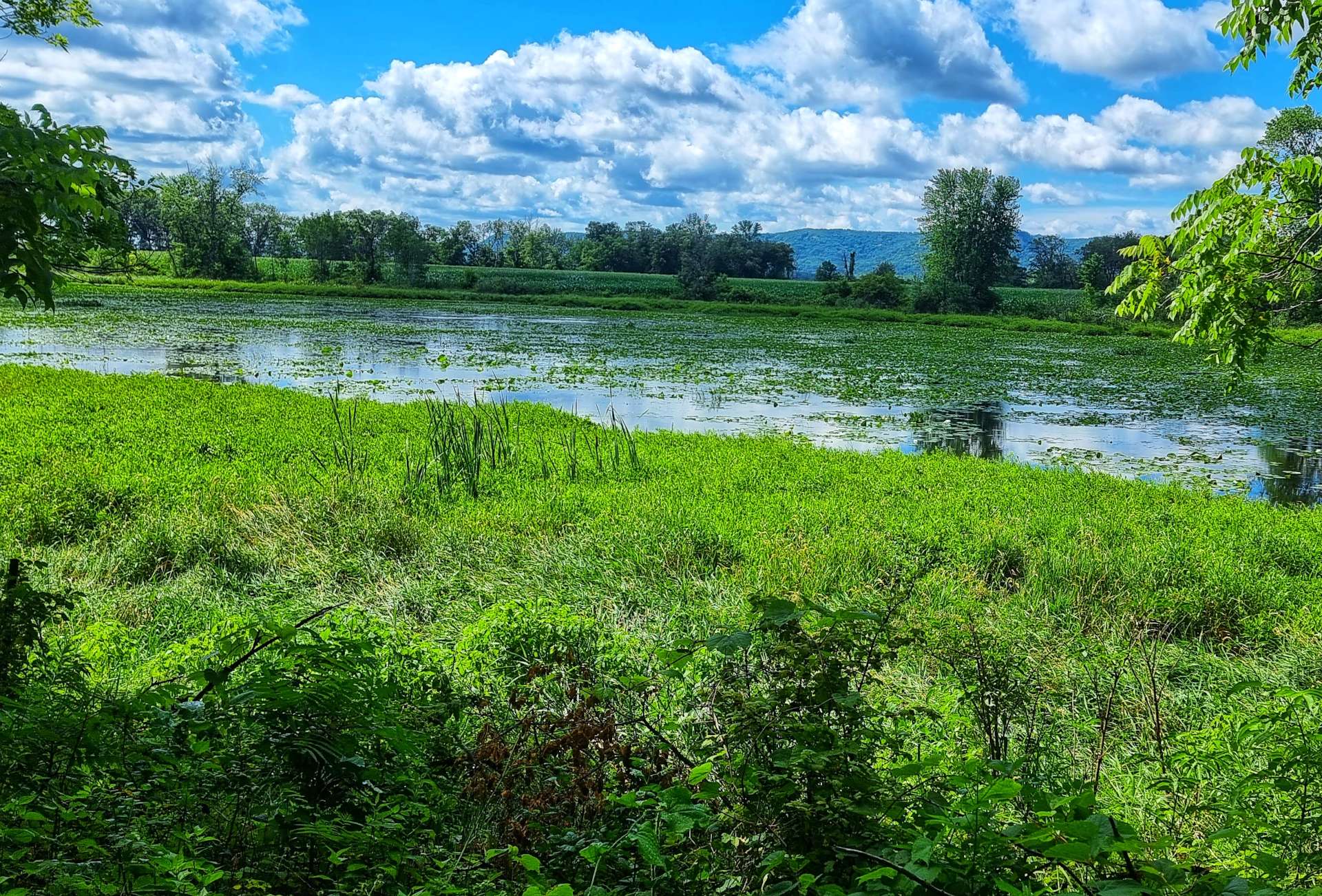
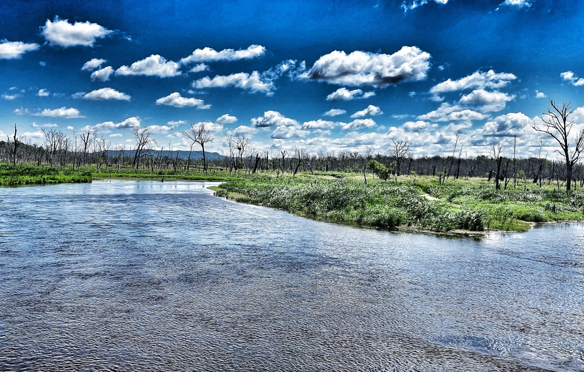
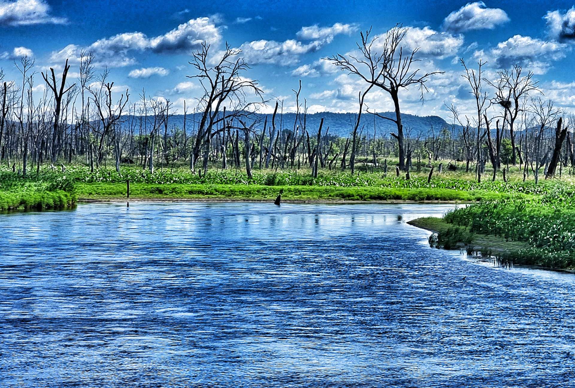
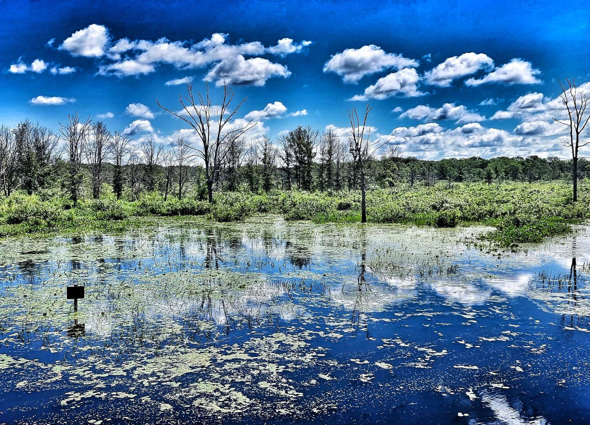
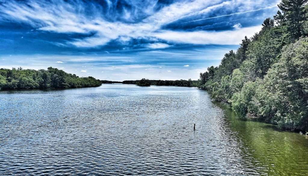
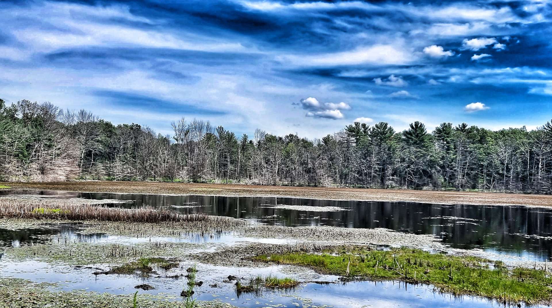
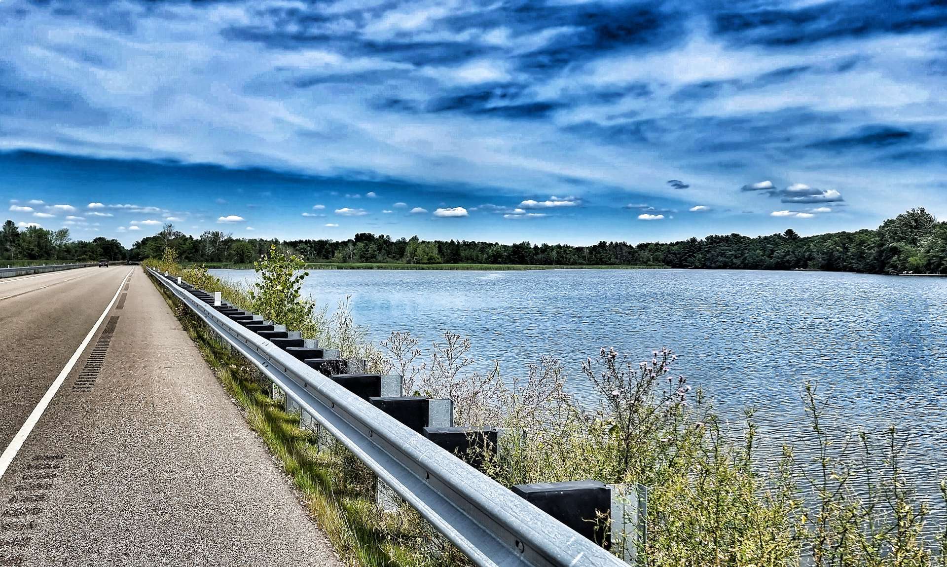
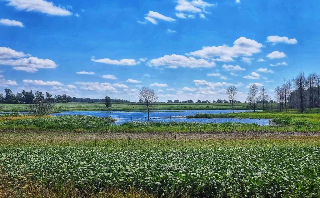
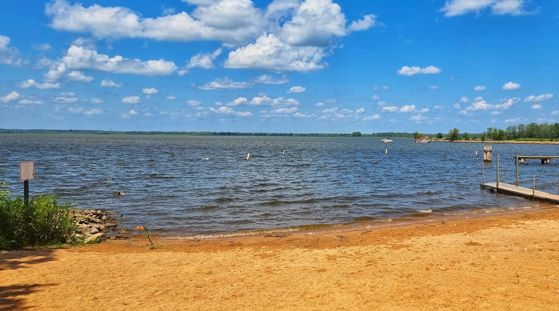
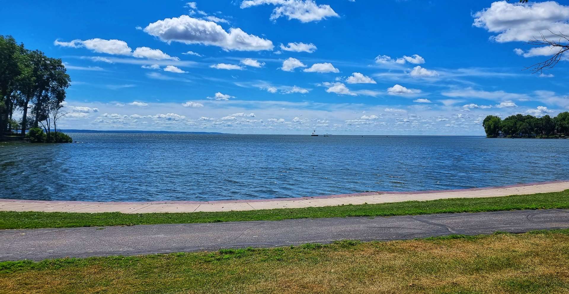
Setting off again, we passed the edge of the Necedah National Wildlife Refuge, which is a wetland area around the Wisconsin River as it meanders between Petenwell & Castle Rock Lakes, the 5th & 6th largest lakes in Wisconsin.

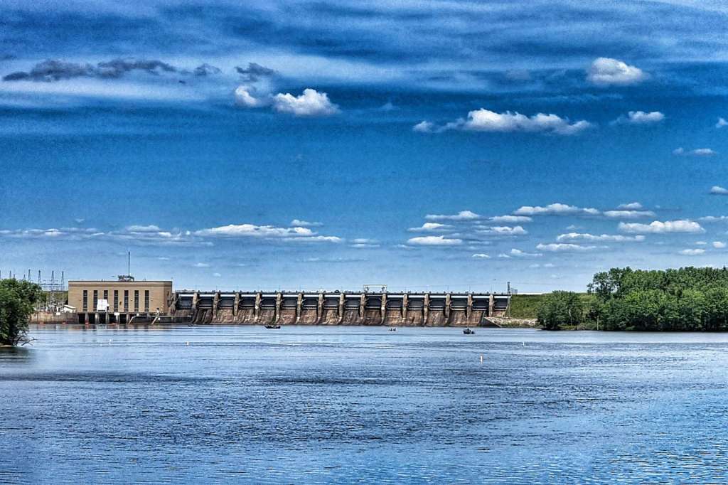
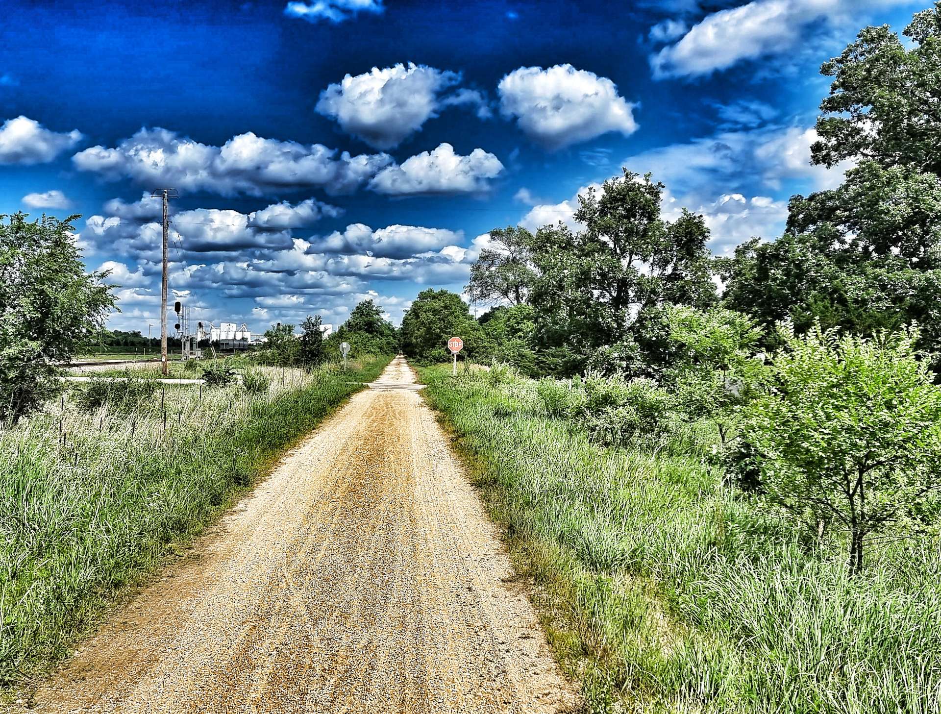
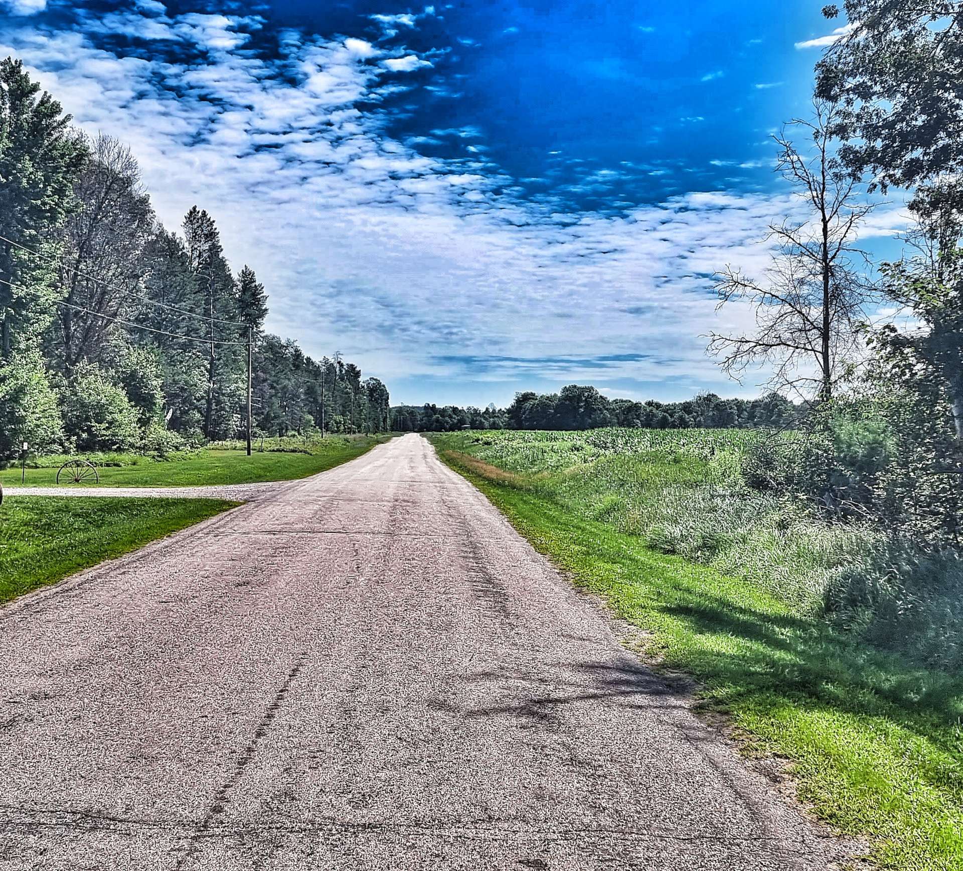
Shortly after we passed the dam, we took a left turn onto a small side road, then took another left onto the even smaller County Road Z. Wisconsin roads, like much of the mid-west is set out on a grid pattern & this is by design. When the original Homesteaders were settling in the 1800’s, they were allocated their 40 acres of land, but no thought had been given to the creation of roads. This happened later & it was agreed that they should follow property boundaries.
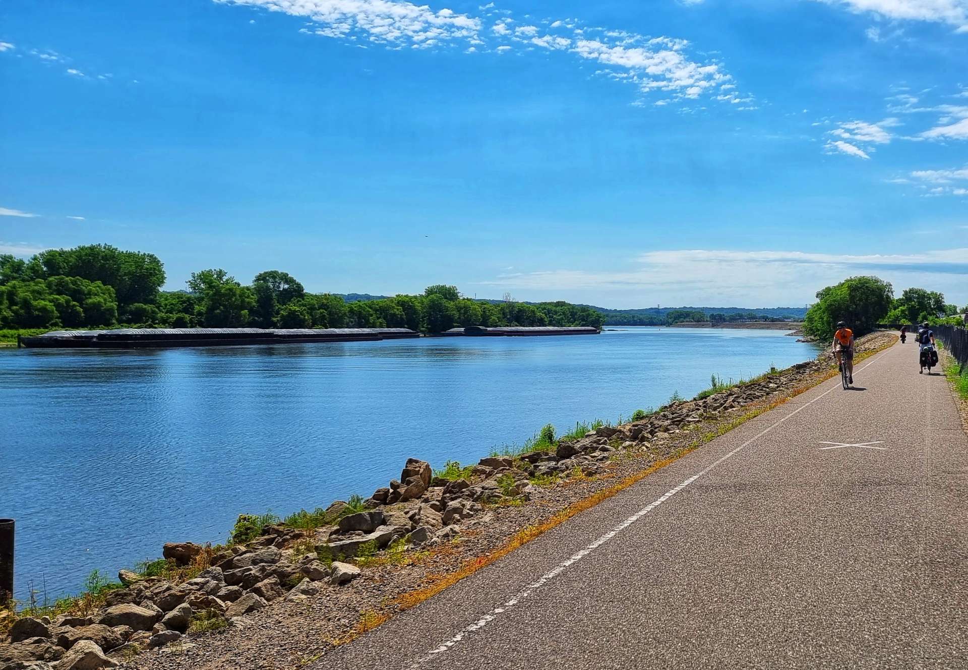
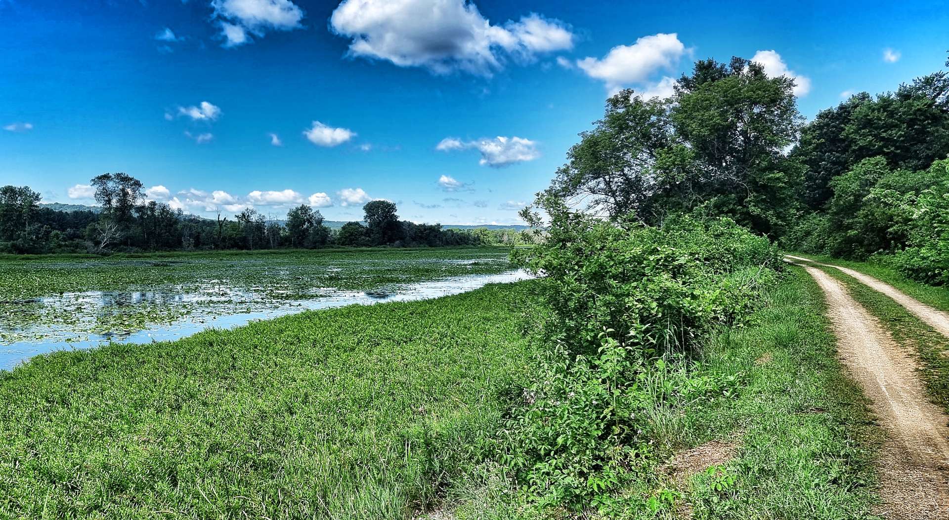
Townships were created as 6 mile by 6 mile squares & surveyors split the township into 36 sectors, each a mile square. The roads were built along these boundaries. You may be wondering why I’m sharing this information – it will become clear soon! We carried on tracking the edge of Petenwell Lake until we reached our right hand turn at Bighorn Avenue.
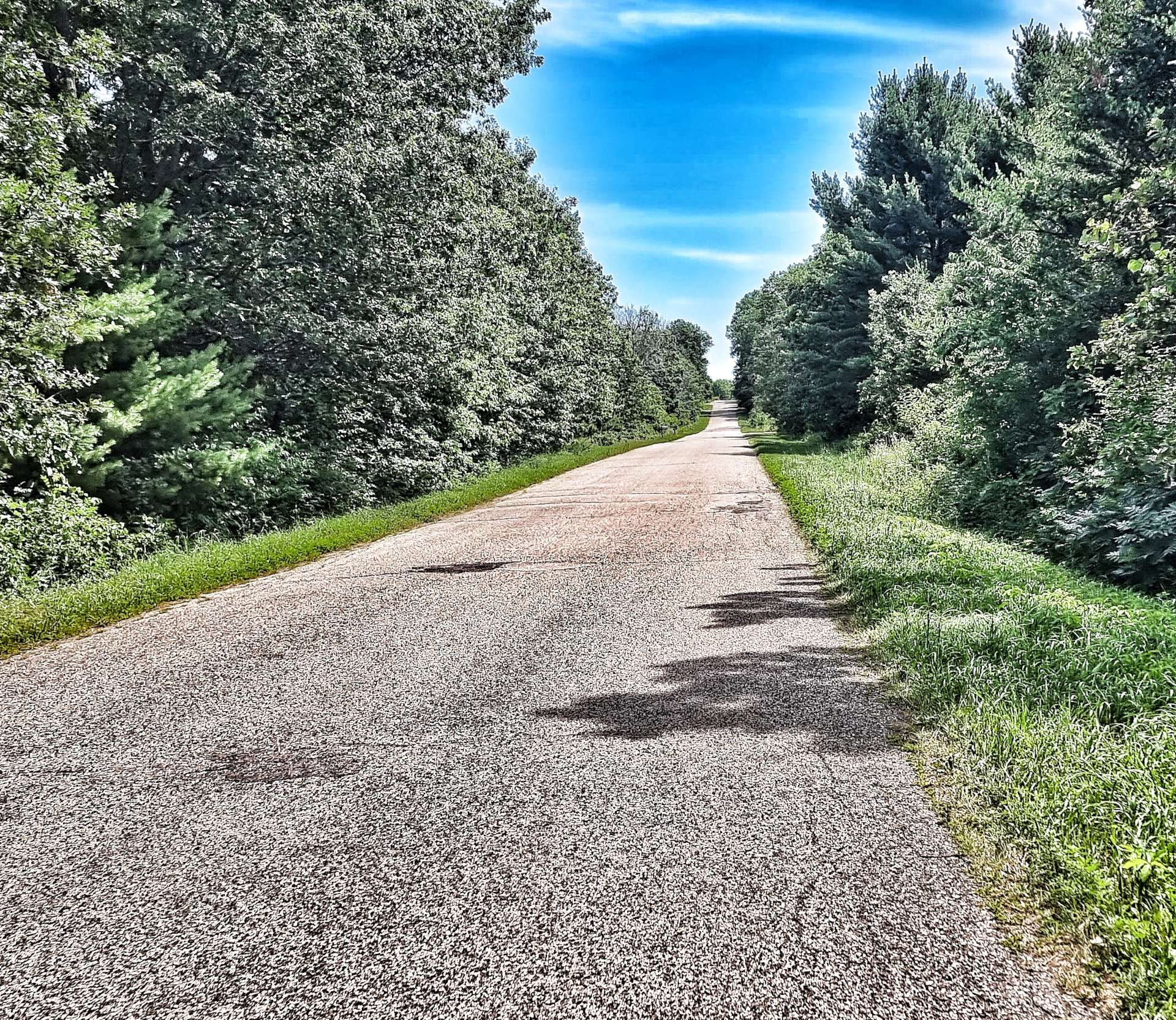
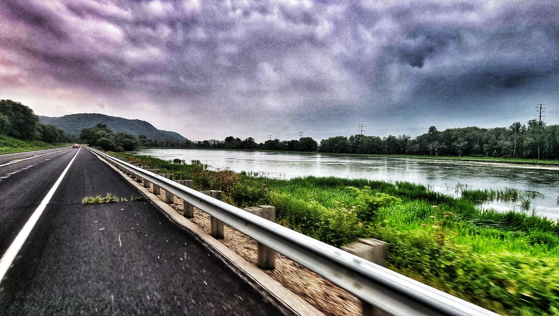
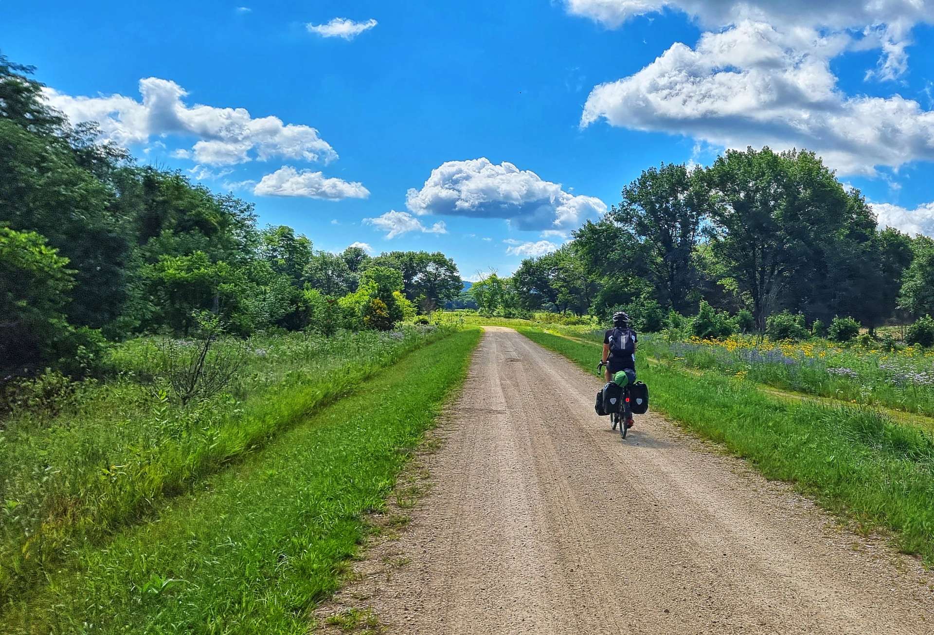
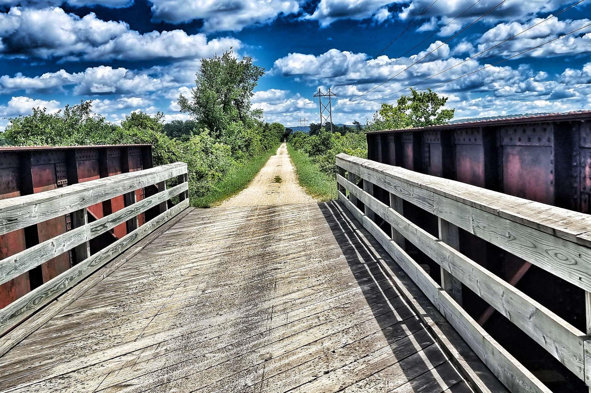
All was good at this point, as the road was tarmac, however, at the 1 mile crossroads it changed to gravel – not ideal, but still rideable. 2 miles on the gravel became sand that came over our cycling shoes. We lack the skill to ride on this surface, in fact it would be a big challenge for anyone to ride a steel bike on 35 millimetre tyres, loaded with 40 pounds of kit!
We had to retrace our steps back to County Road Z, but it also raised another question – how many other roads would turn to sand? More than 50% of Wisconsin’s roads are either gravel or sand, so the chances are quite a few! This was the first time my navigation planning had let us down in almost 4,000 miles, but it was still hugely frustrating, as there wasn’t any cell phone coverage, so Google Maps was of limited help!
In the end we took a big detour, but it was the safest way of getting to Plainfield. We followed County Z all the way up to the town of Nekoosa (14 miles).
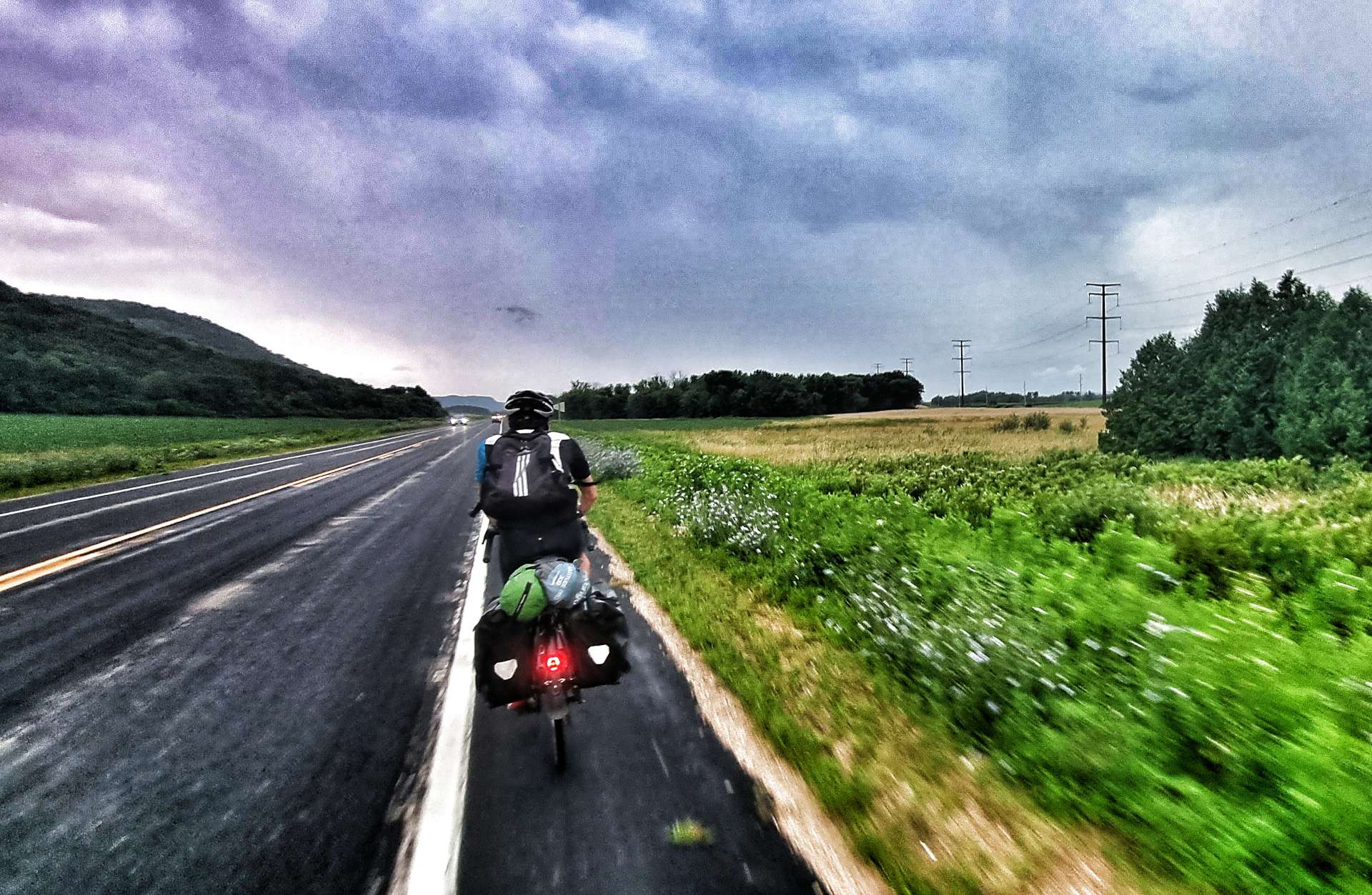
I was so angry with myself, even though deep down I couldn’t have known the original road would turn to sand! I’d also failed to find the alternate road that would have been a smaller detour. As a result, I punished myself by riding as hard as I could for the final 15 miles – we averaged about 17mph (without any wind assistance) & Sean said afterwards that he’d struggled to stay in my wheel at points, let alone consider coming past to do a turn on the front! My legs were stinging by the end.
At least the “Full Gas” effort got rid of all my frustrations during the ride! It was also a real indicator of how much my cycling fitness has improved over the last 3 months. I couldn’t have considered doing a sustained effort like that back in May.
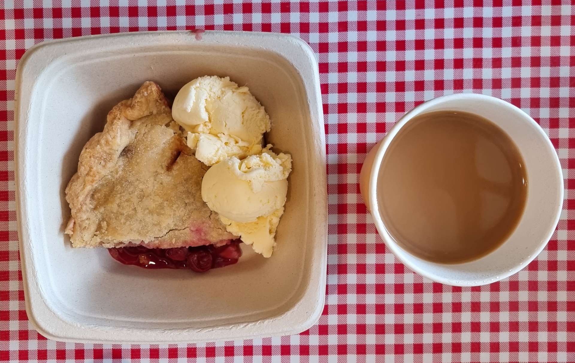
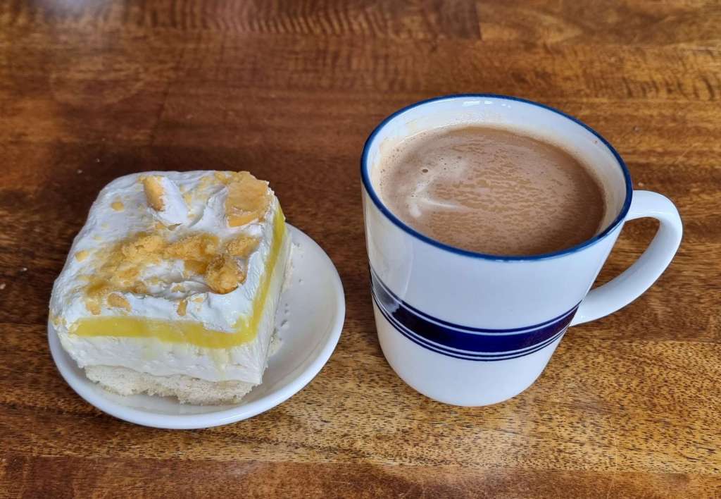
The motel we’re staying at in Plainfield is remote, but close to the Interstate, so this evening’s dinner consisted of a Subway foot long sandwich (from the gas station at the services), with a packet of crisps, a bar of chocolate & a few of our stash of M&M’s.
Since we left Seattle I don’t think either of us has been without a supply of chocolate M&M’s for more than a day – they are a combination of a good luck charm & an energy booster at the end of a day’s ride. Checking the fridge before we leave a motel is now a ritual as we don’t want to leave our M&M’s behind!

Stage Stats – 78 miles, 486 feet of climbing. Our first serious navigational challenge of the adventure, but we arrived safe & sound.
Wednesday 27th July – Plainfield to Fremont (Stage 68)
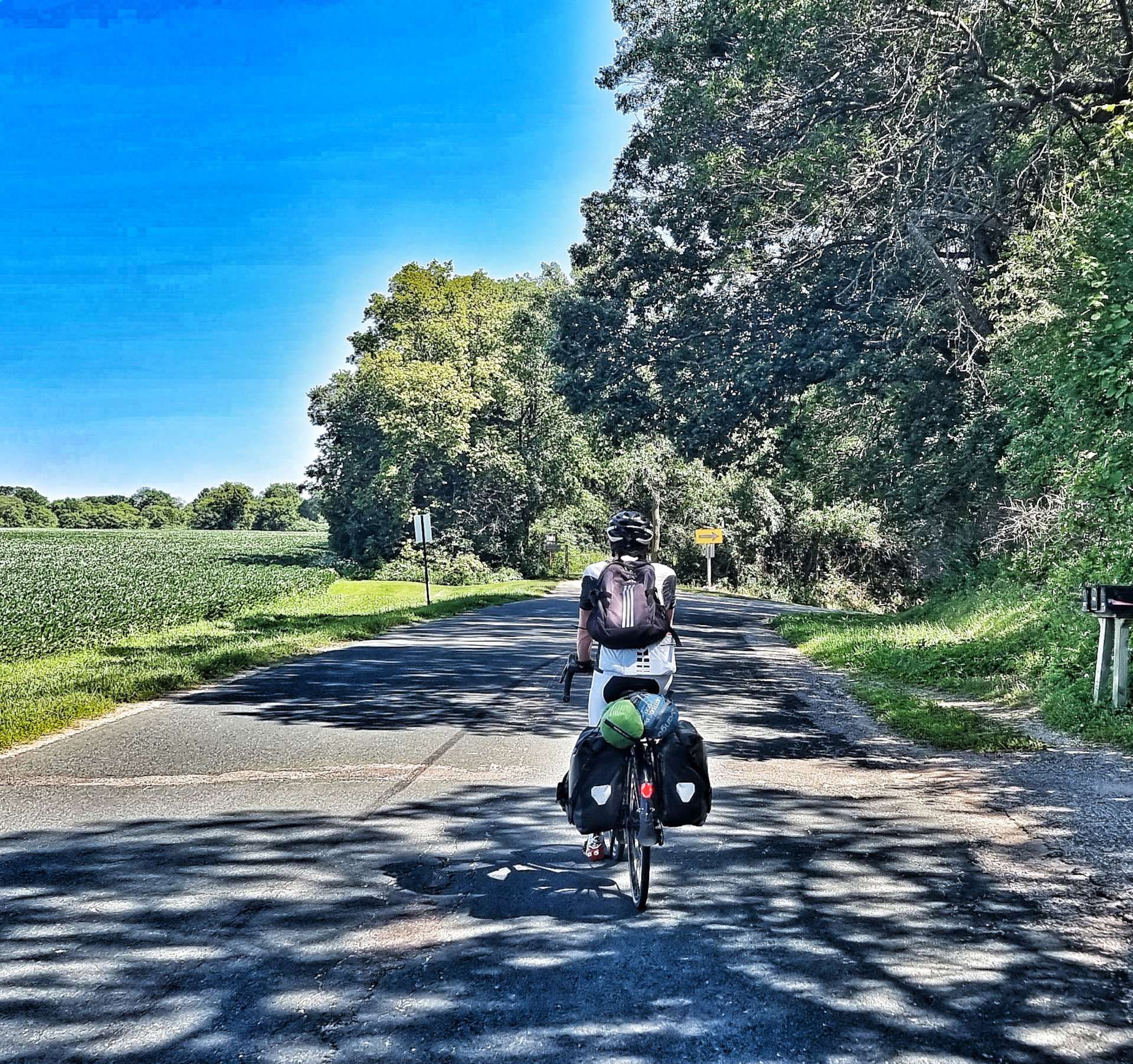
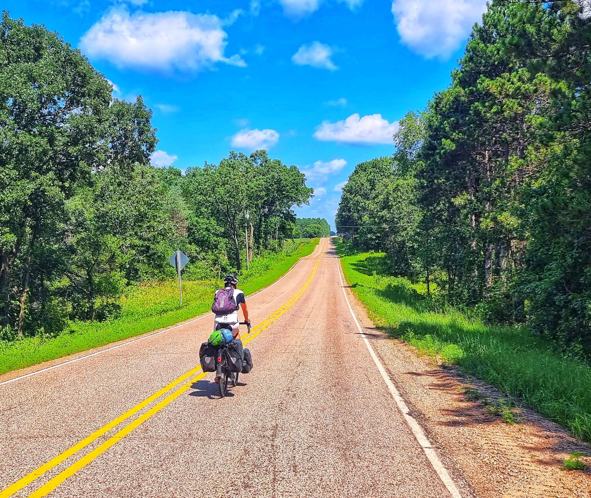
After yesterday’s prolonged stage, today was a shorter transition to Fremont. We had a lie-in, had a leisurely breakfast of cereal & left the hotel by 10.45am.
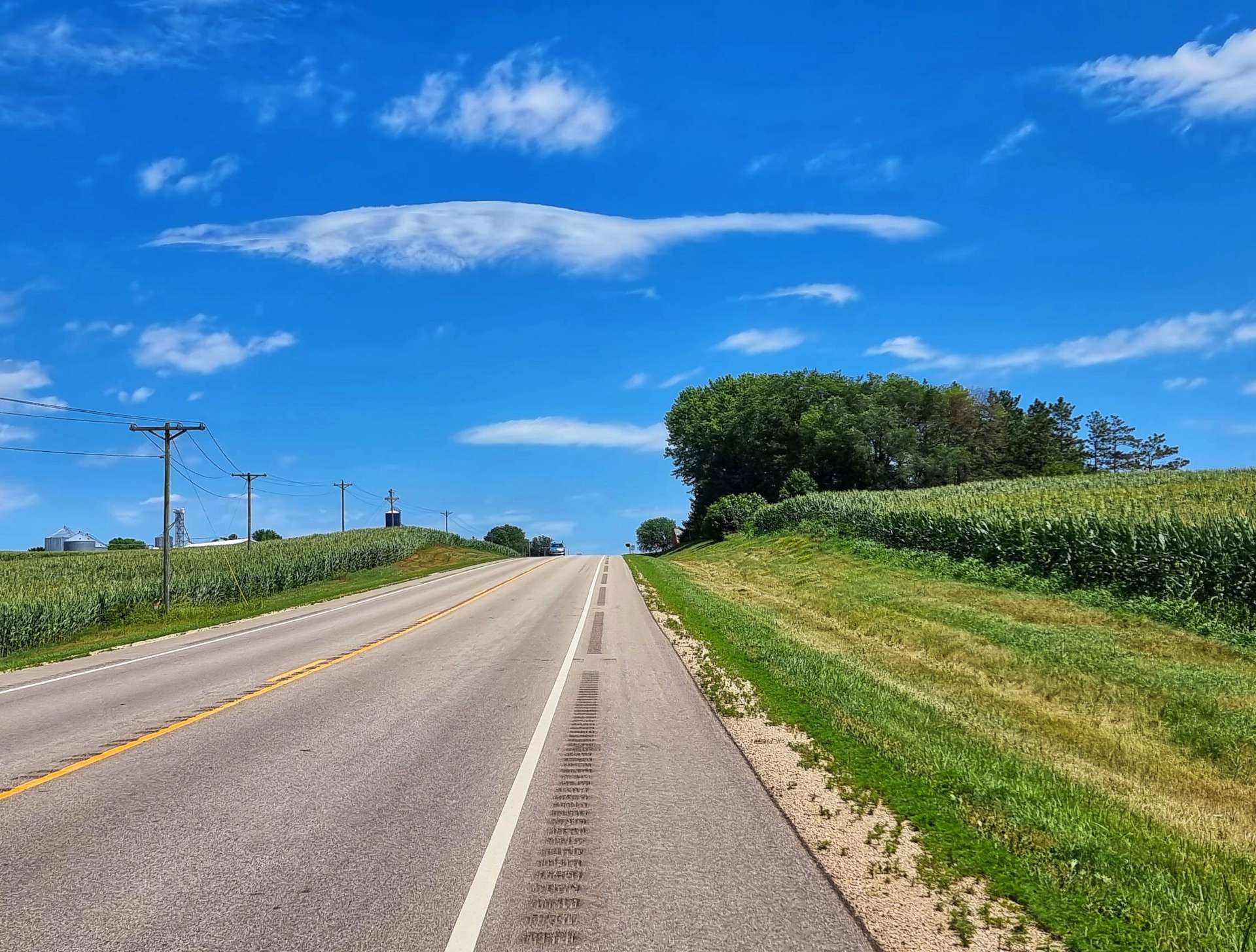
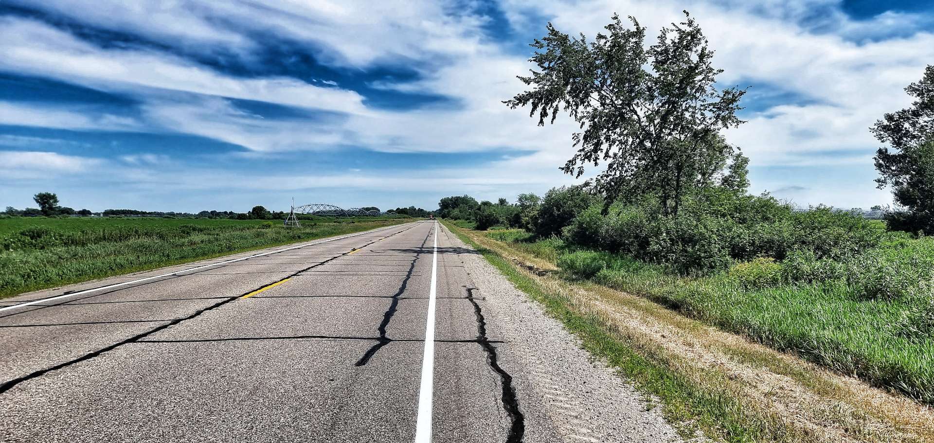
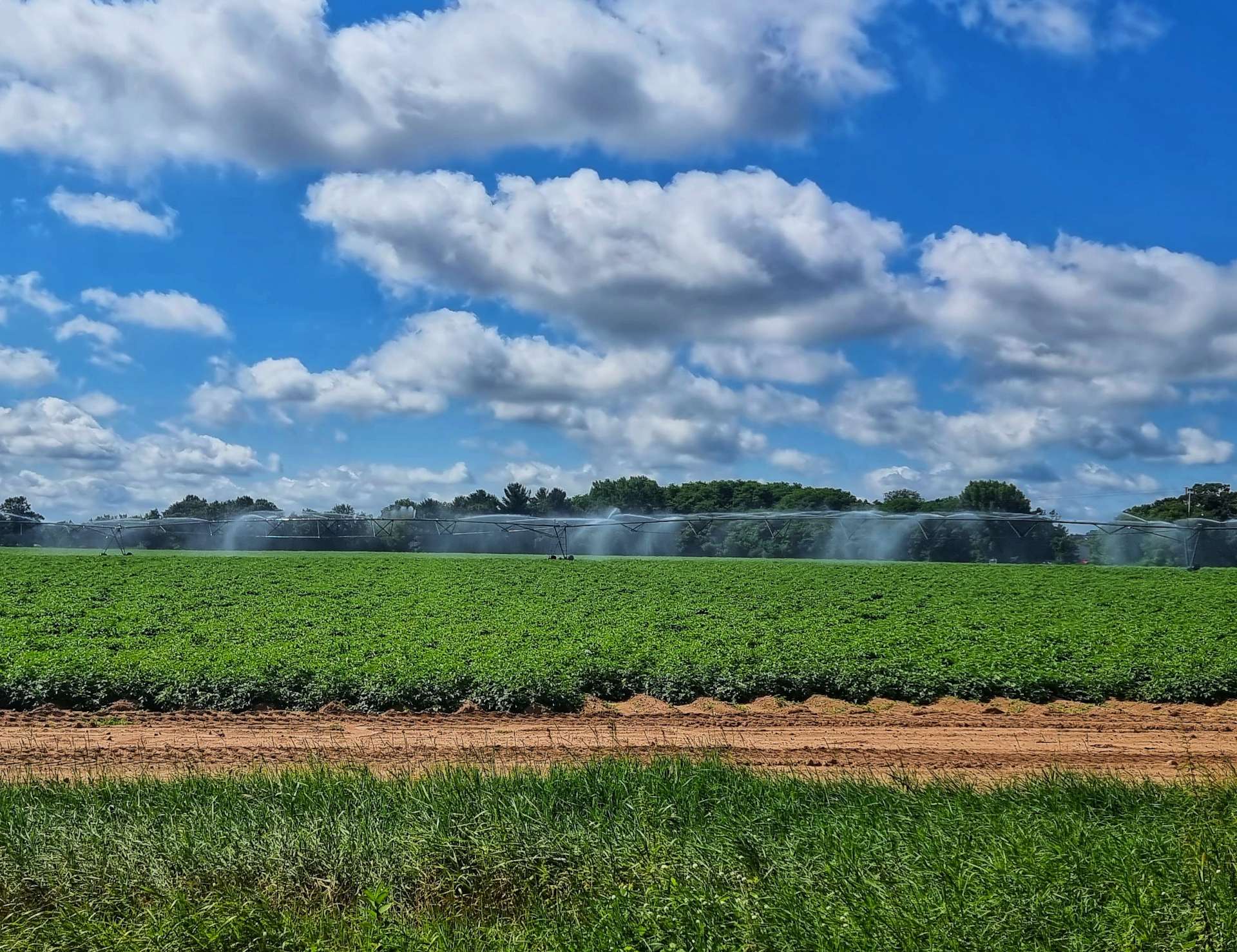
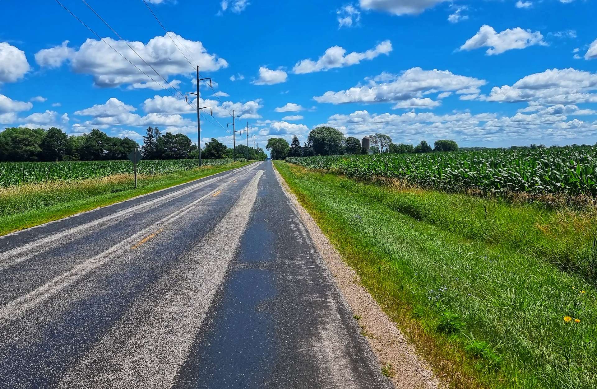
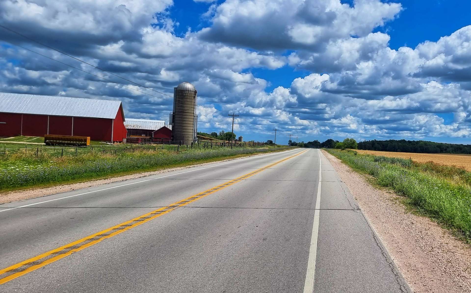
We started the ride by criss-crossing fields of maize, wheat & potatoes as the huge irrigation systems provided water to keep the crops growing.
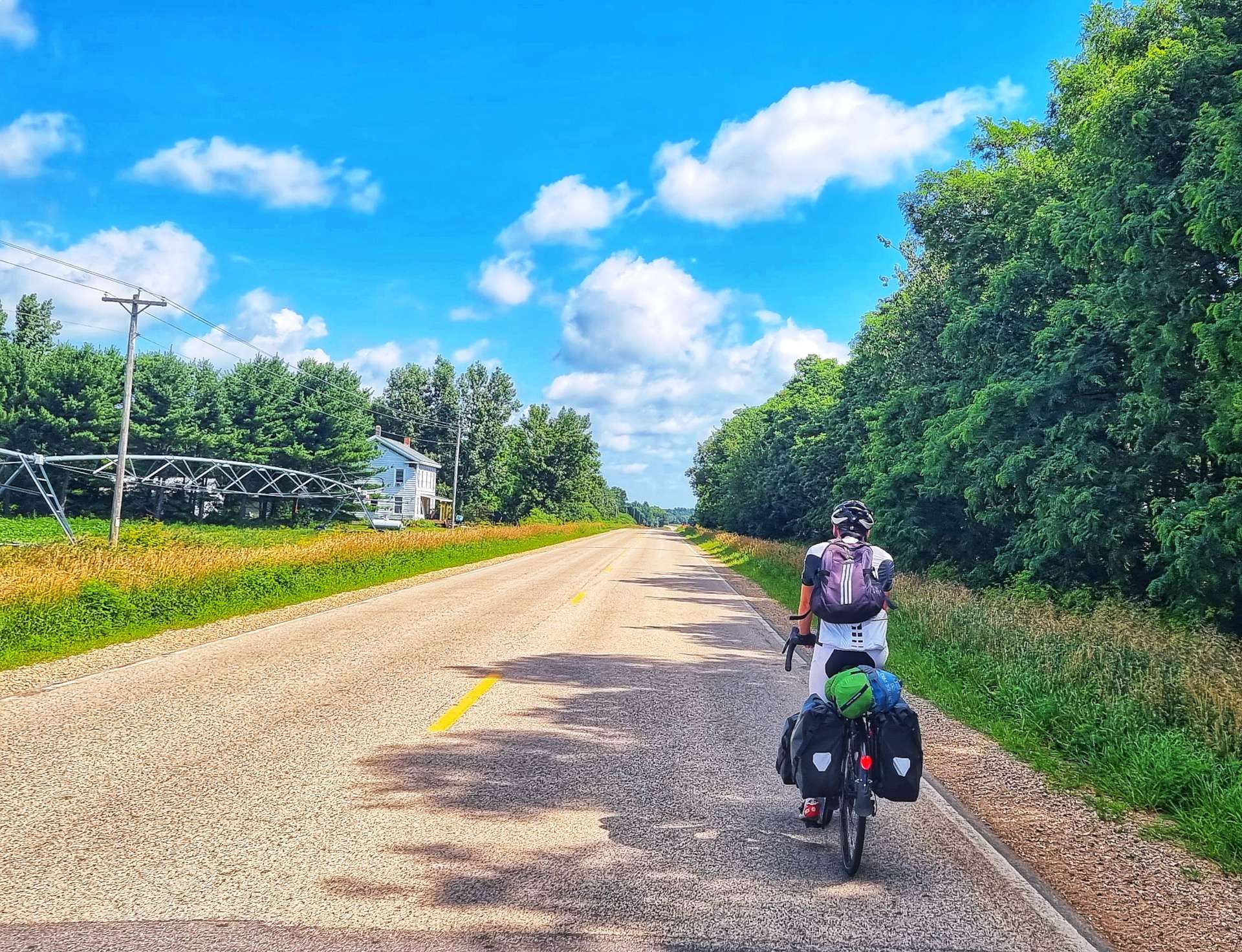
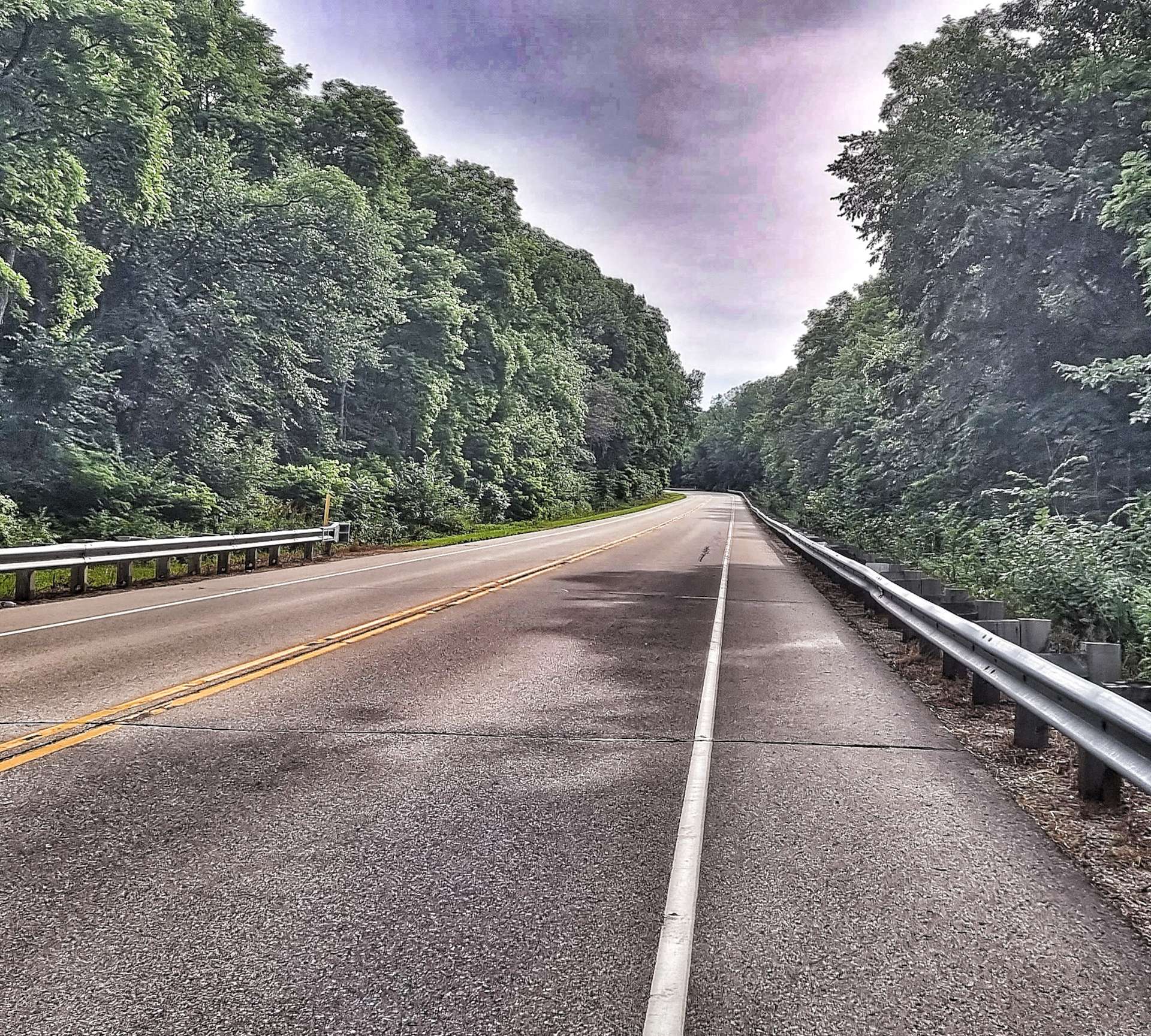
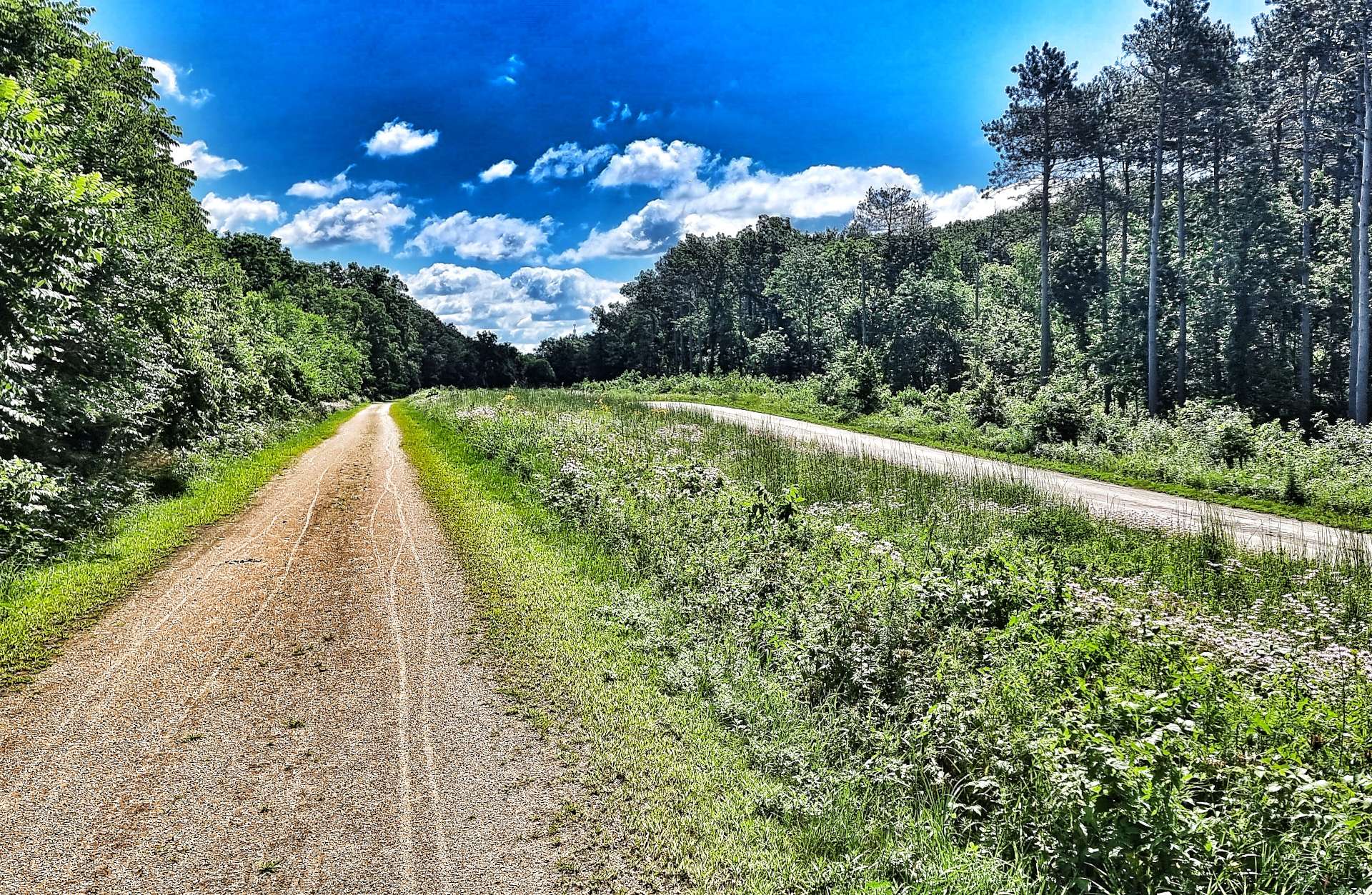
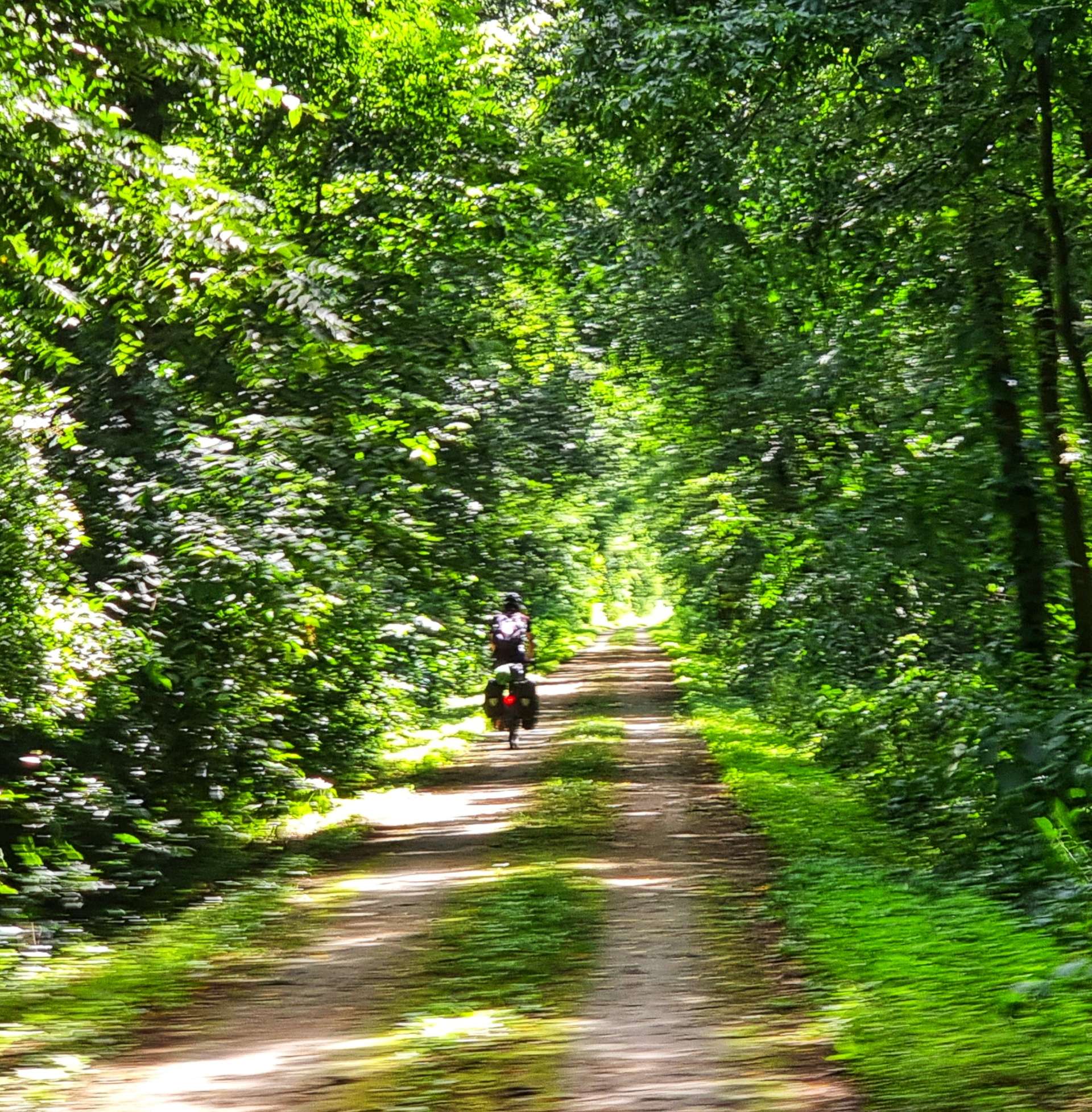
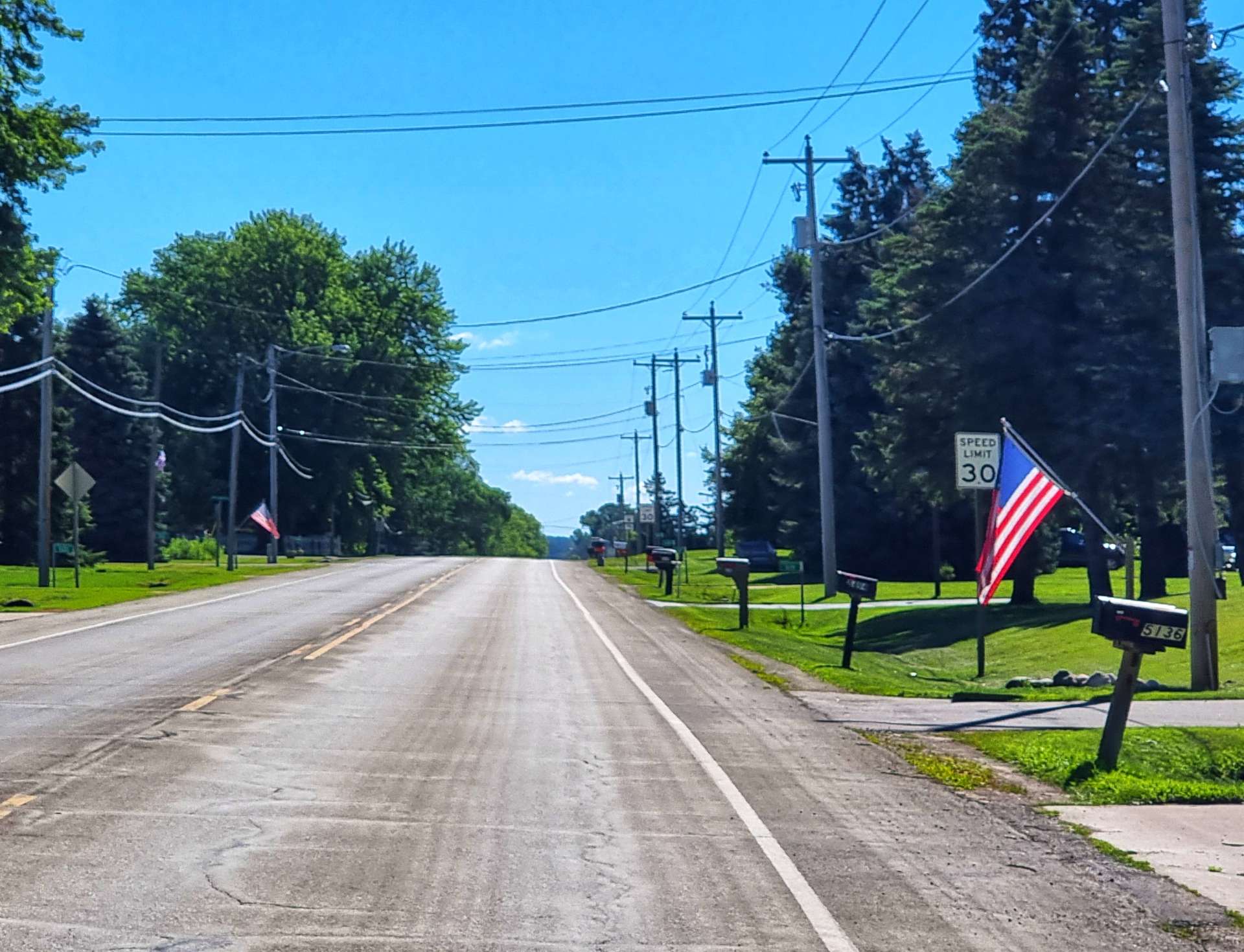
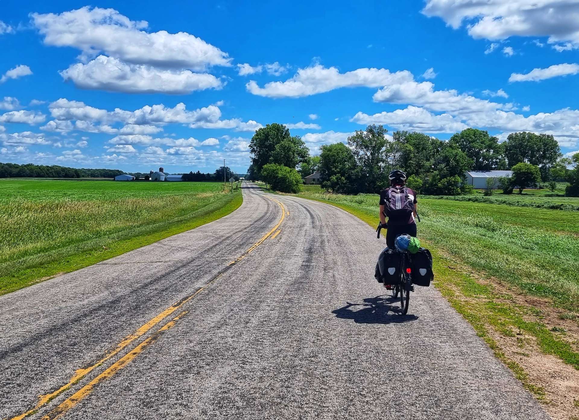
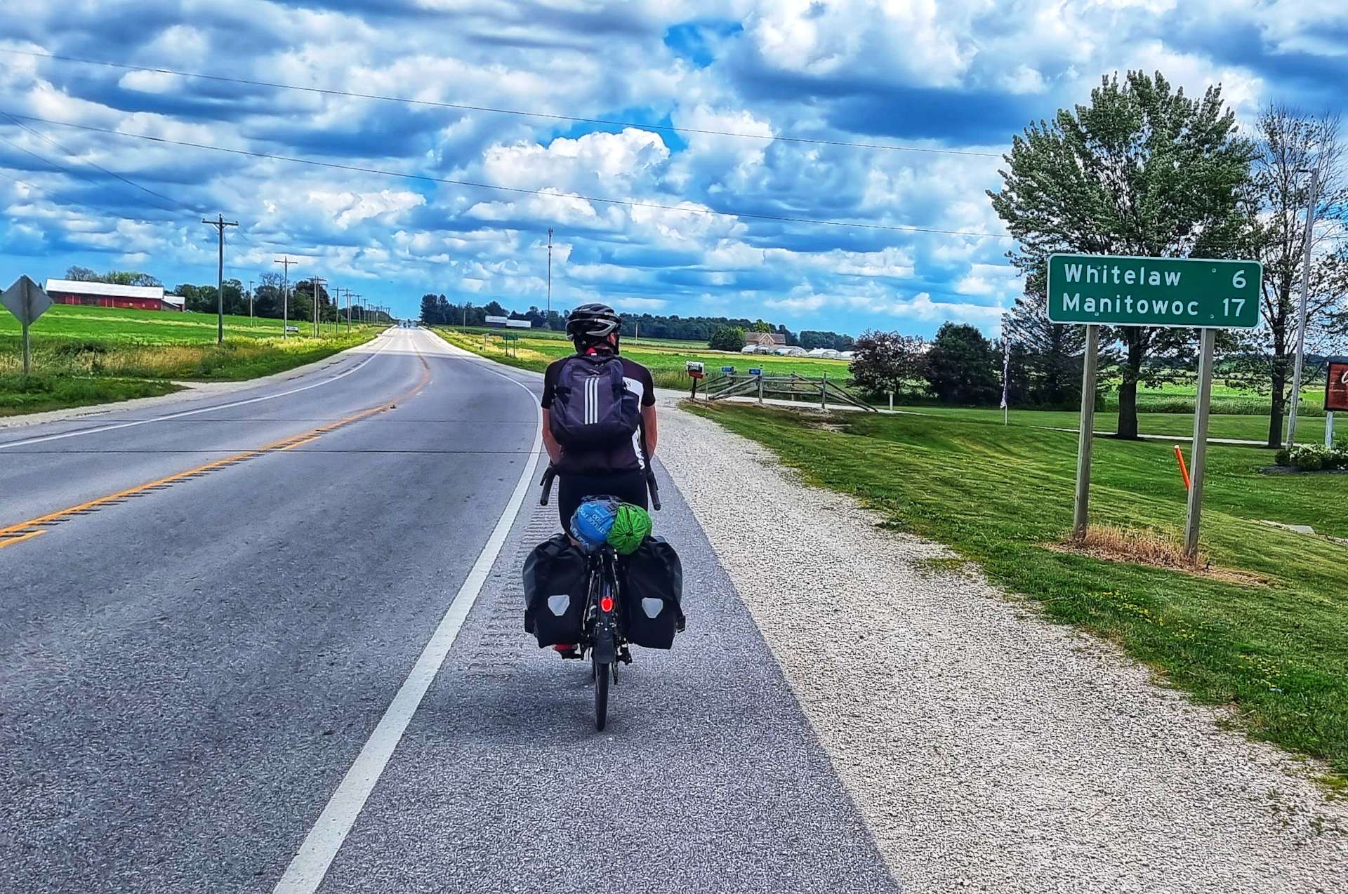
All the early miles were on ruler straight roads & when we turned, it was always at a right angle! We left the agriculture behind briefly, as we became hemmed in by woodland. The 2nd photo shows a red sign in the lower left side – every property in Wisconsin has one of these & it includes the property number, the road (if there is more than one road) & the town. In this case it’s 6612 Town of Almond (this is a one road town!).
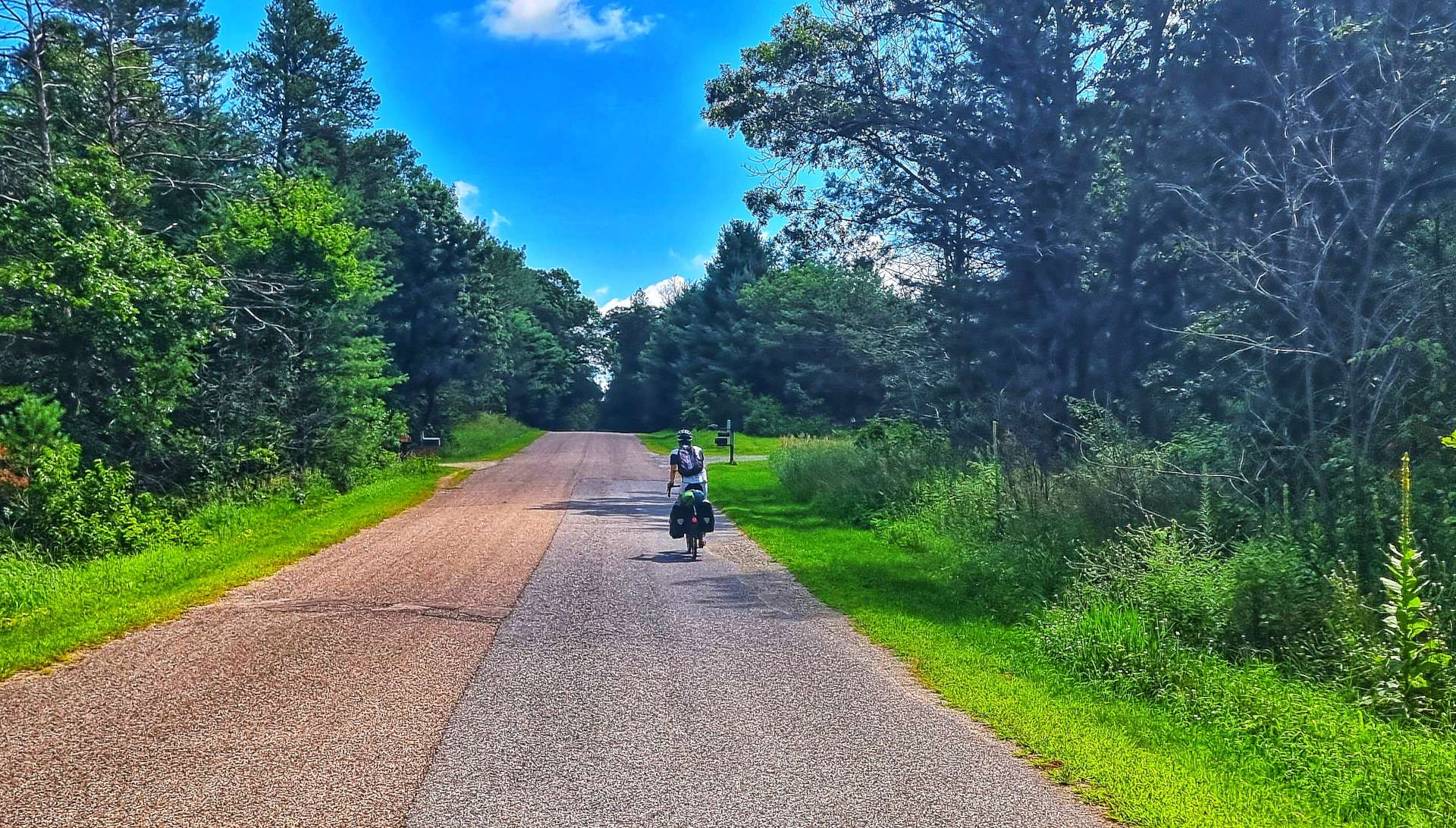

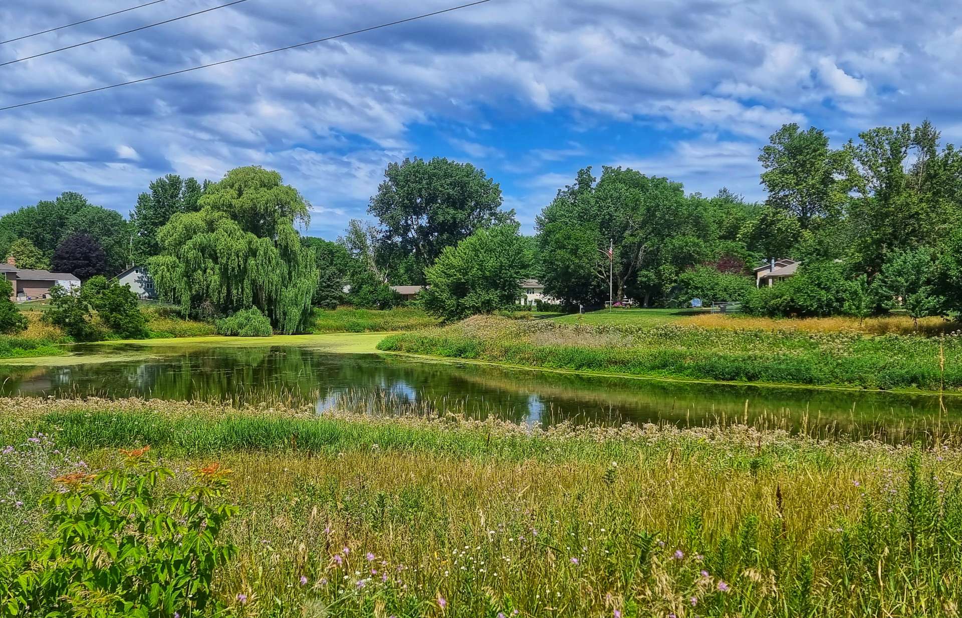
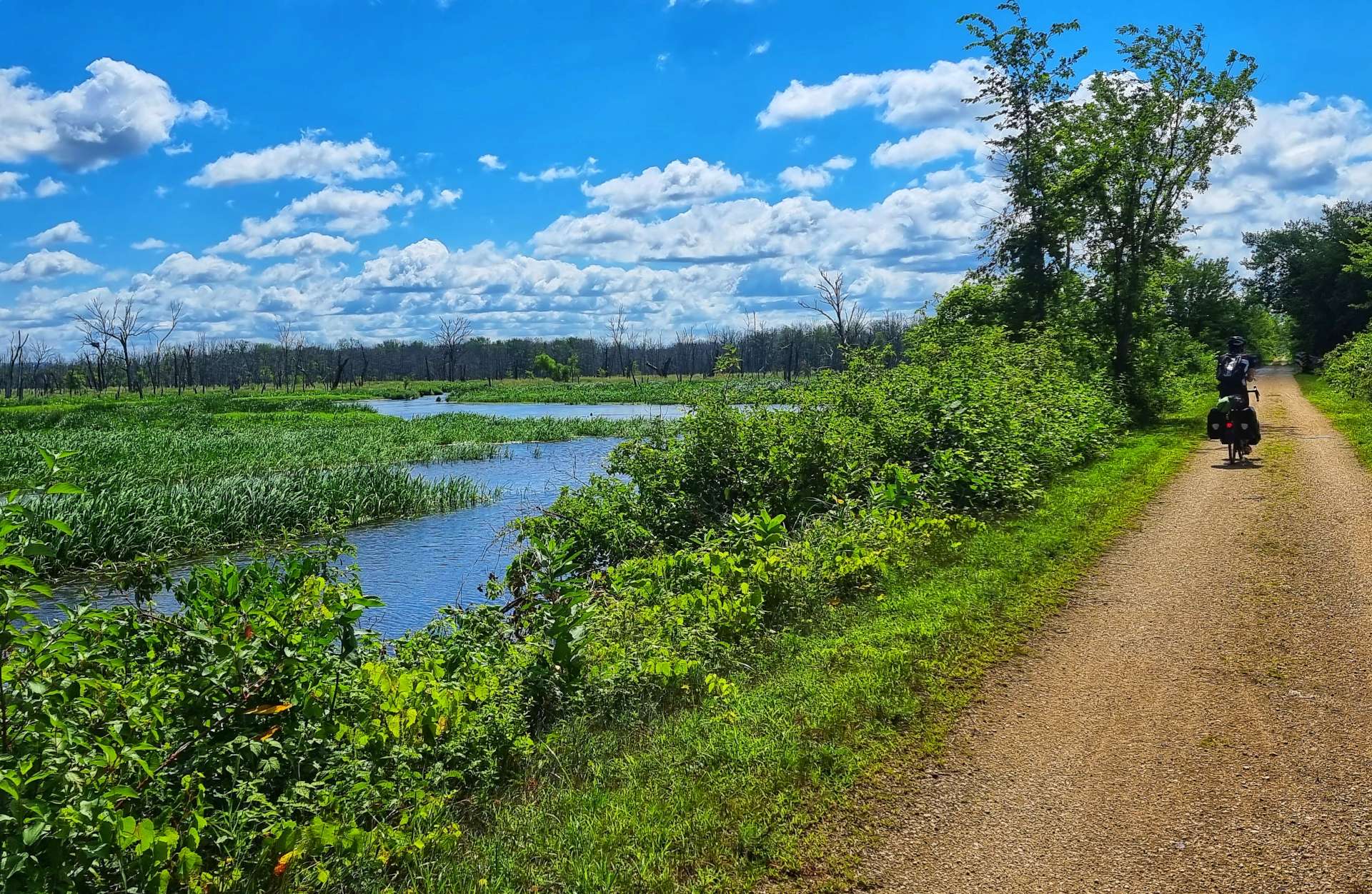
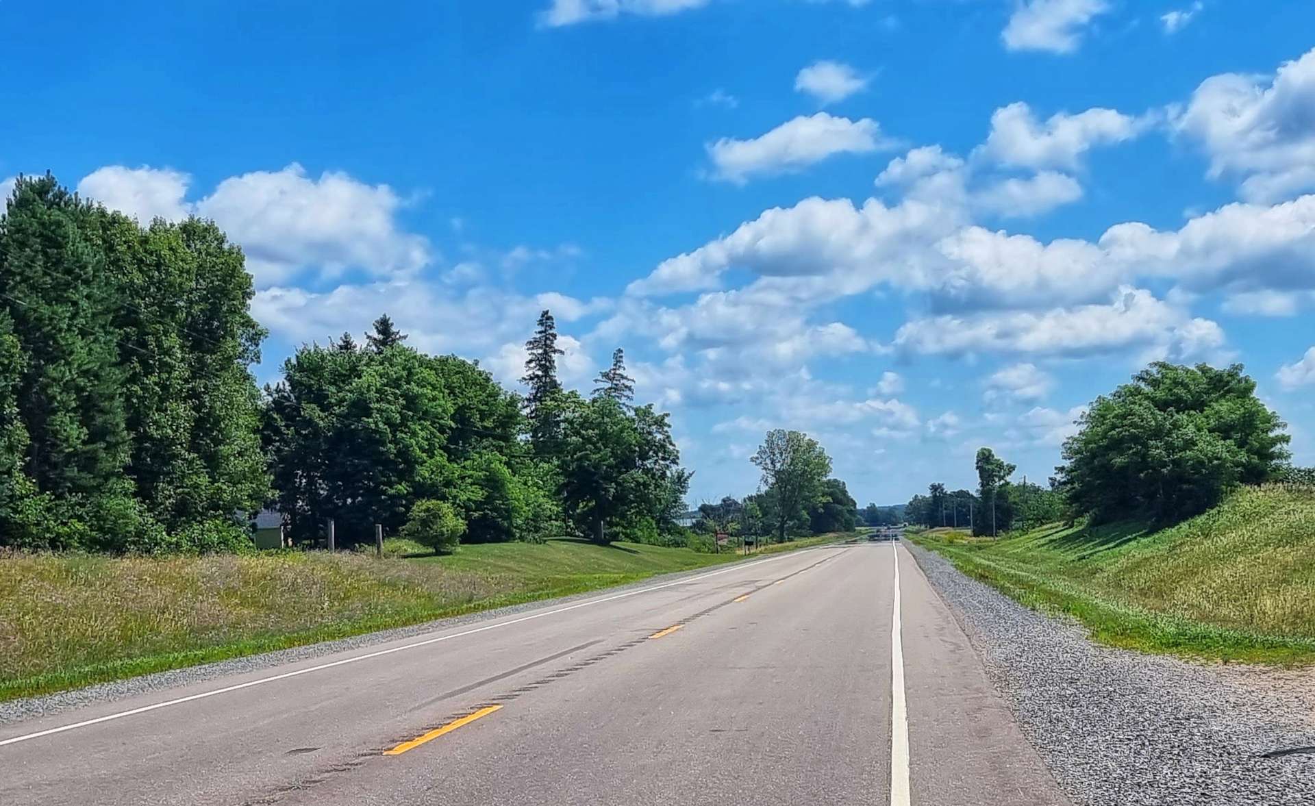
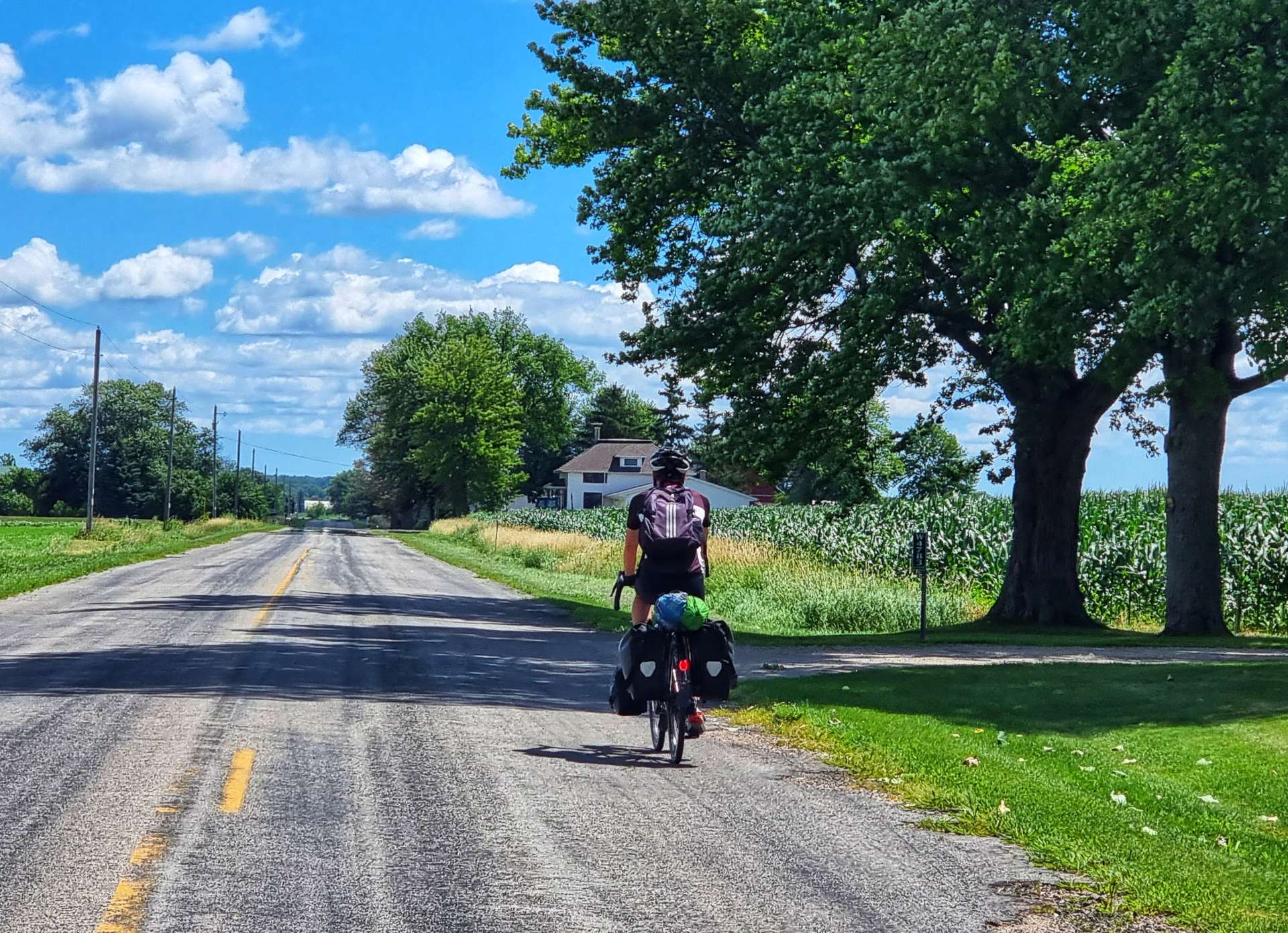
As you can probably make out already from the photos, we were on really remote backroads. It made for truly relaxing riding, as we hardly saw any traffic in the first 20 miles. When we finally saw a house (most of them were hidden behind the screen of trees) I stopped & took a photo – this was after more than 15 miles of riding.

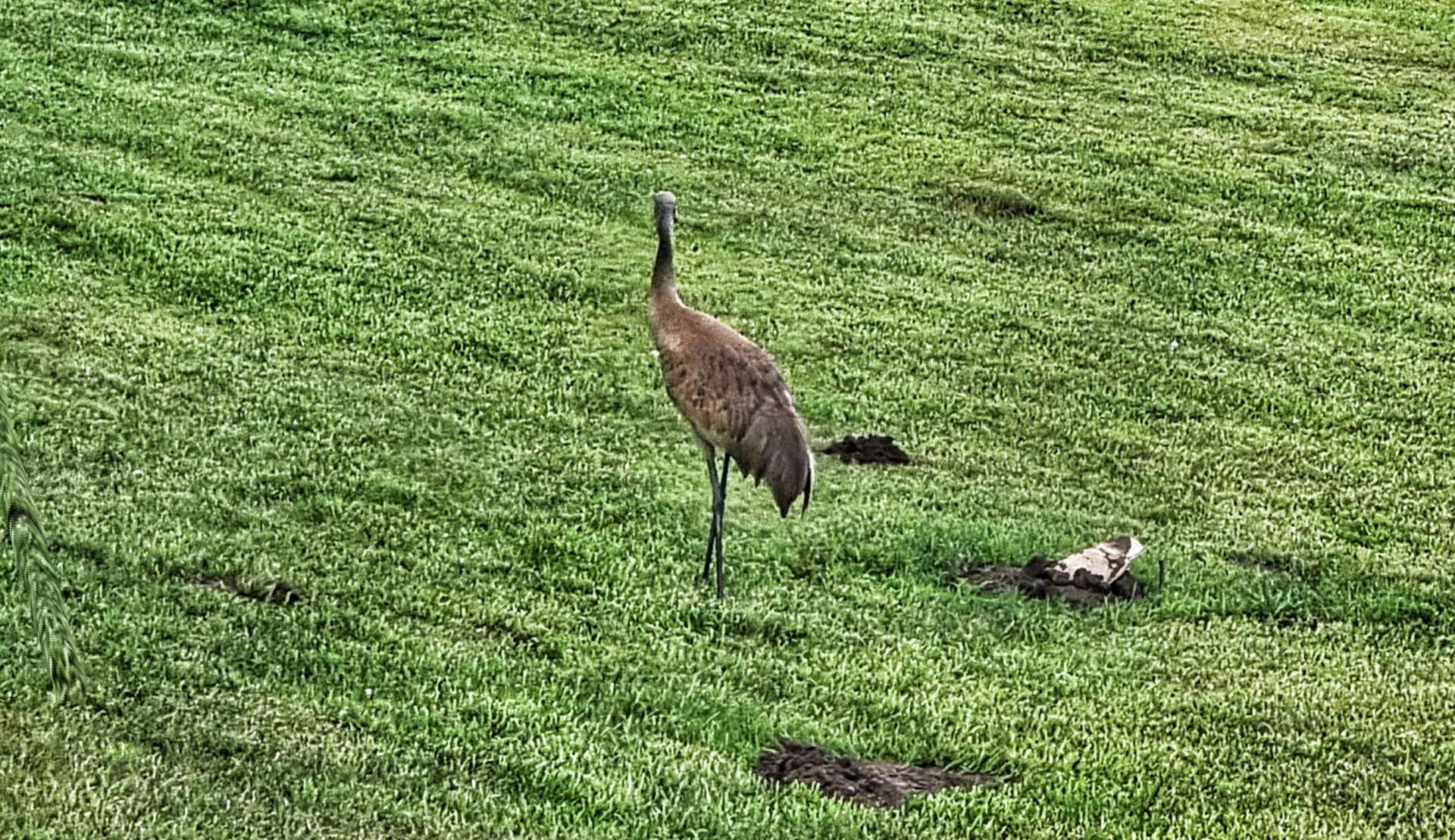
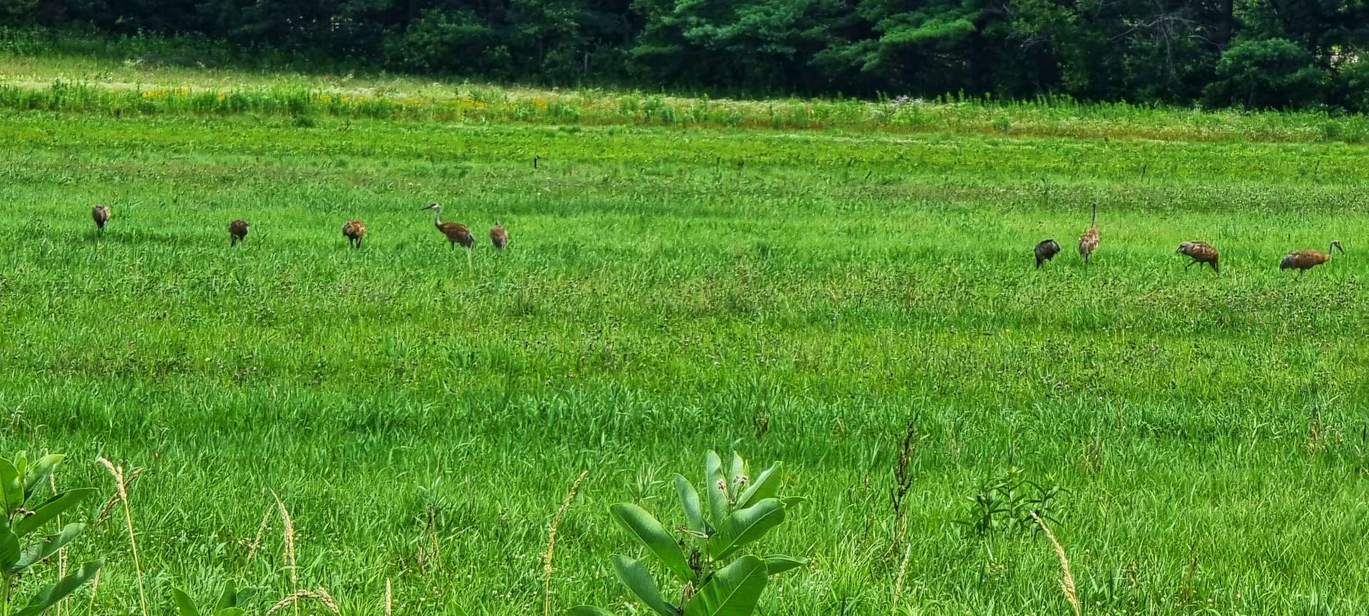
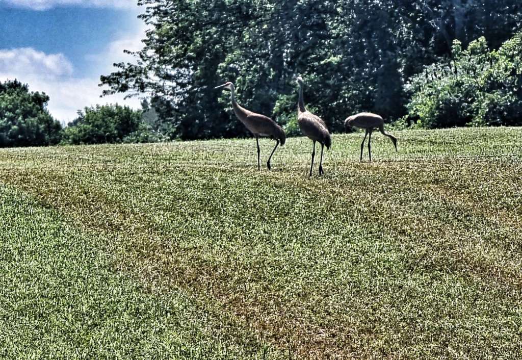
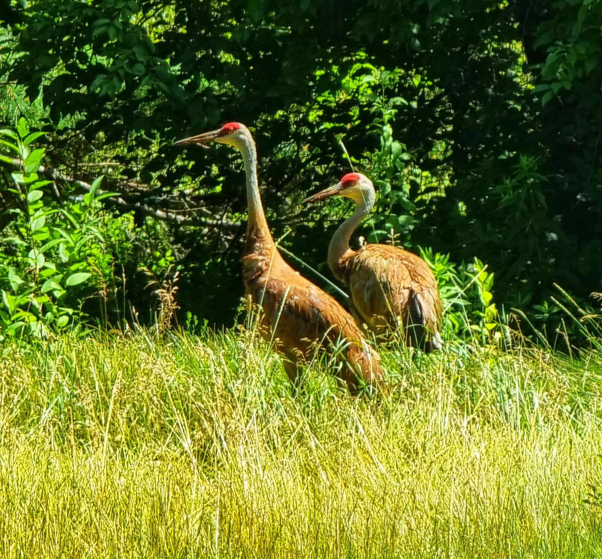
Passing a small lake, we were chatting about how enjoyable the ride was, but that we were disappointed not to have seen any wildlife. That was the cue for 3 herons (I now know them to be sandhill cranes!) to show themselves in the far distance. Like the birds we’d seen previously, they were on the ground & appeared to be feeding.
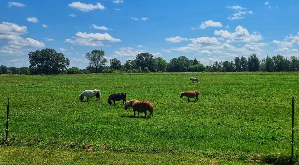
We remained on deserted roads for the remainder of today’s short stage to Fremont. Our 2nd (& final) animal surprise came when we passed a field a pygmy ponies!

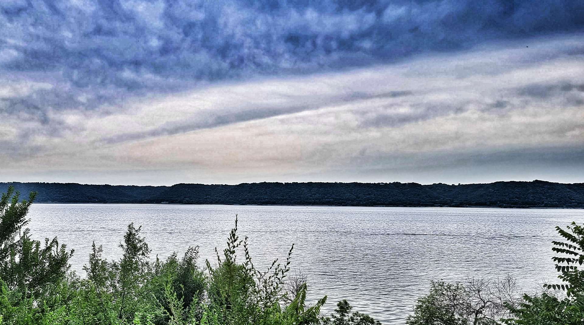
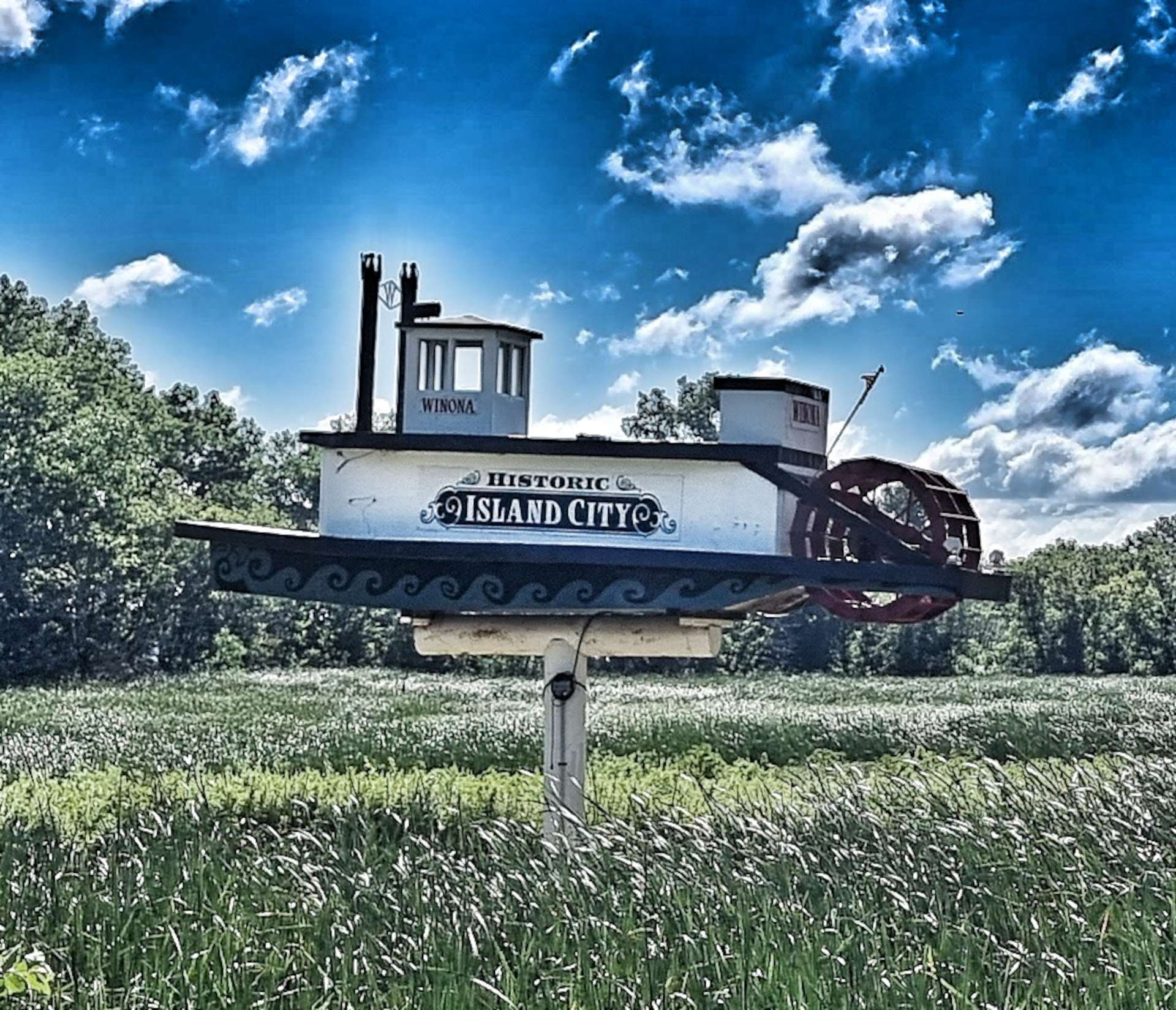
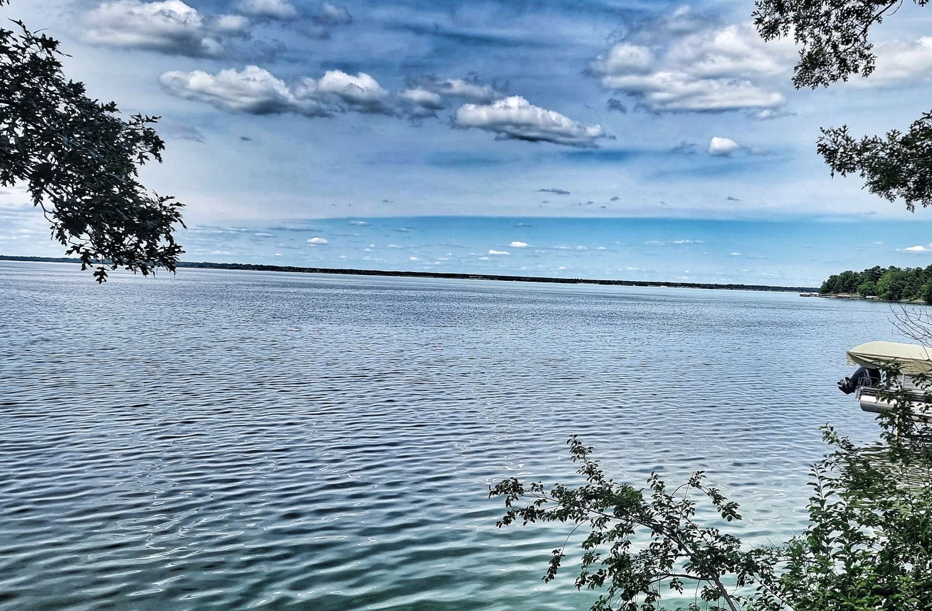
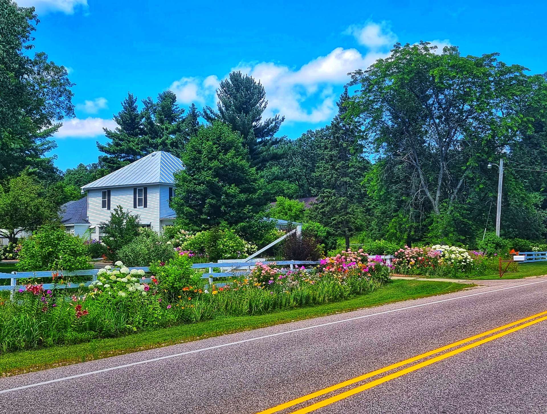
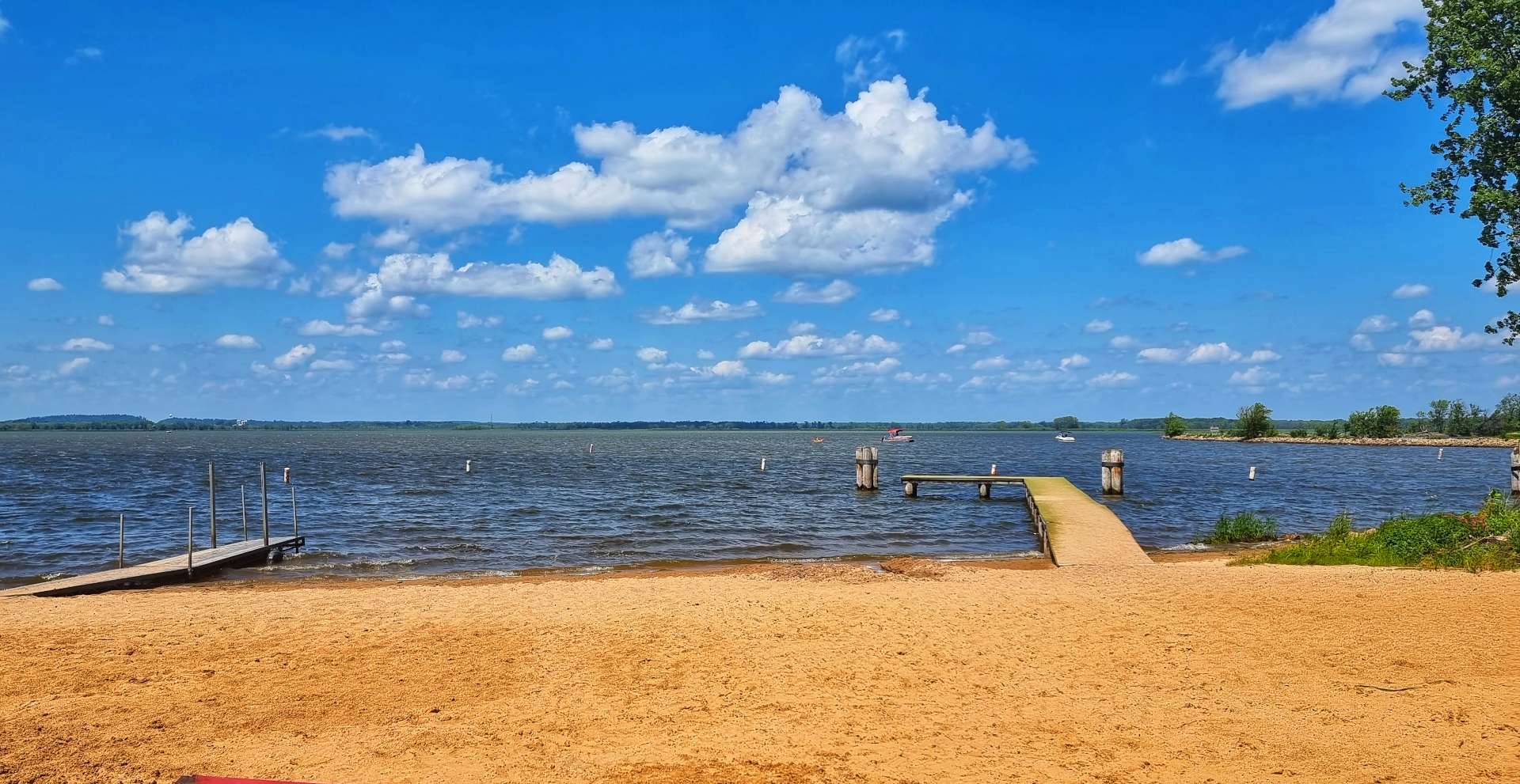
Heading into the small town of Fremont, we stopped briefly at the beach on Partridge Lake – there were a few families relaxing & enjoying the perfect conditions.
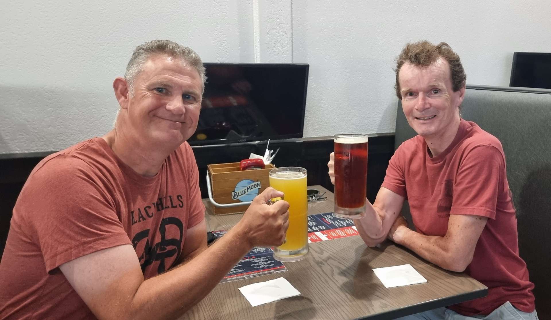
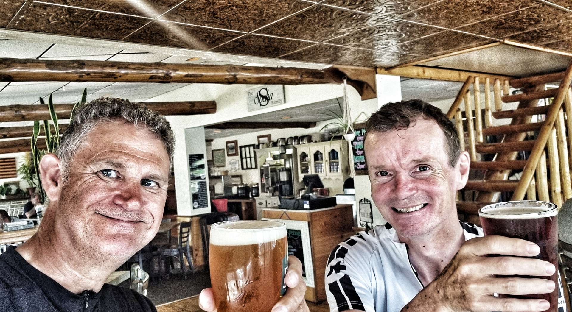
Tonight we’re staying at the Fremont Hotel. It’s a small hotel, with shared bathrooms & no tv’s. But don’t let that put you off, as the staff are brilliant – they’re friendly & professional & instantly made us feel welcome. After locking up our bikes & moving our kit to our room, we popped to the bar for a quick pint, as it was only just after 2pm.
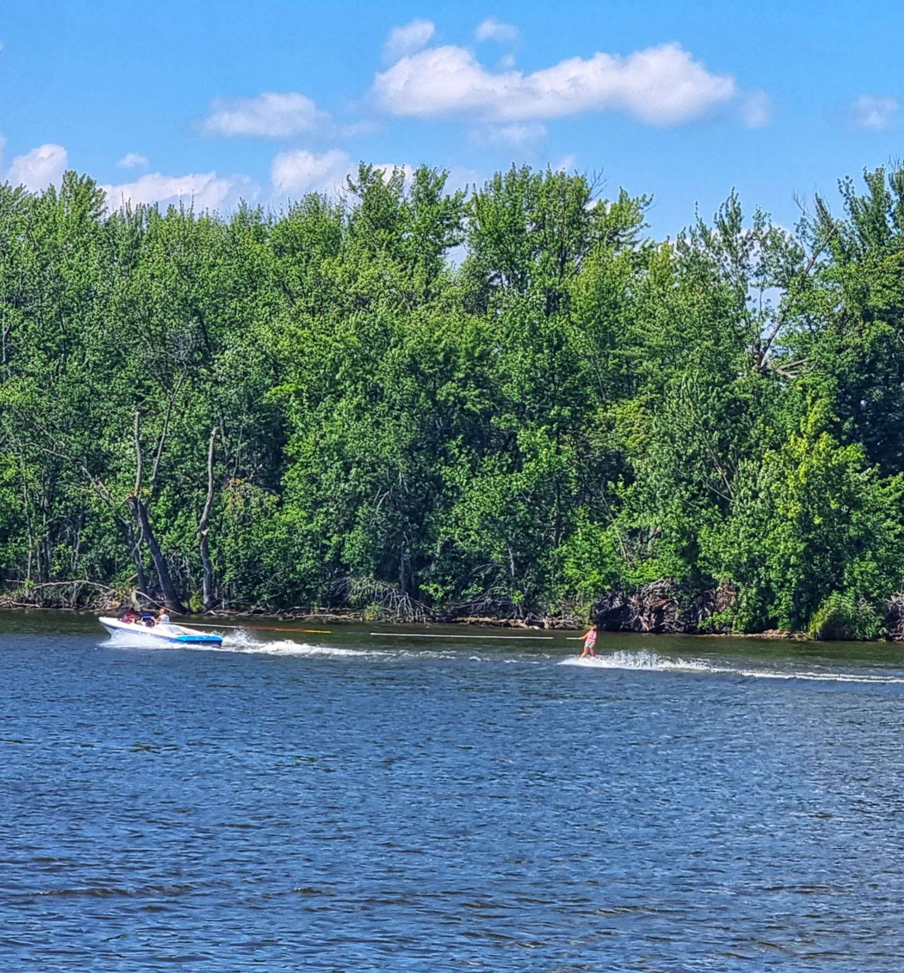
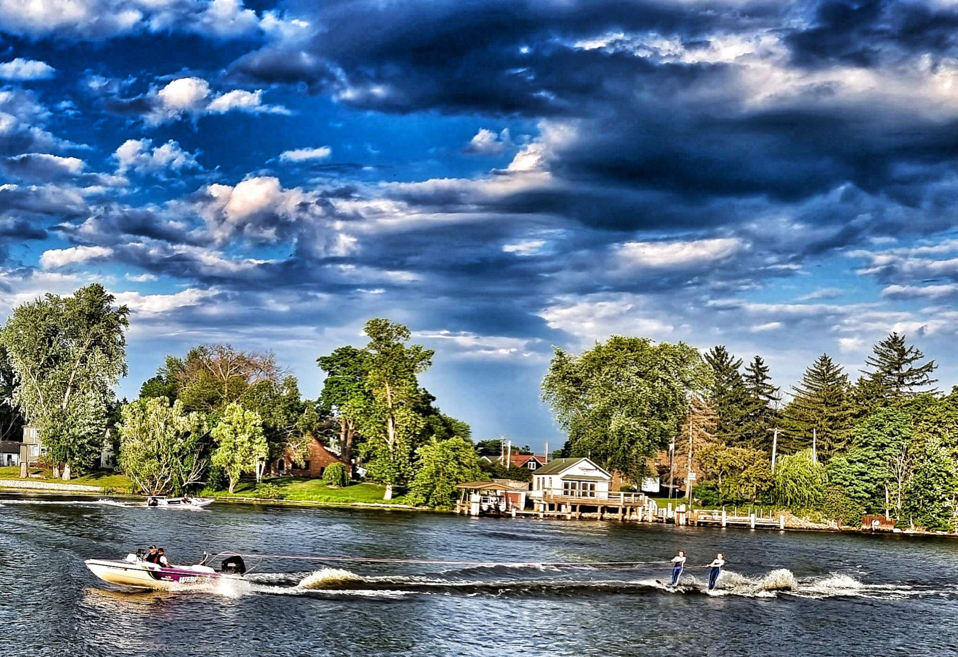
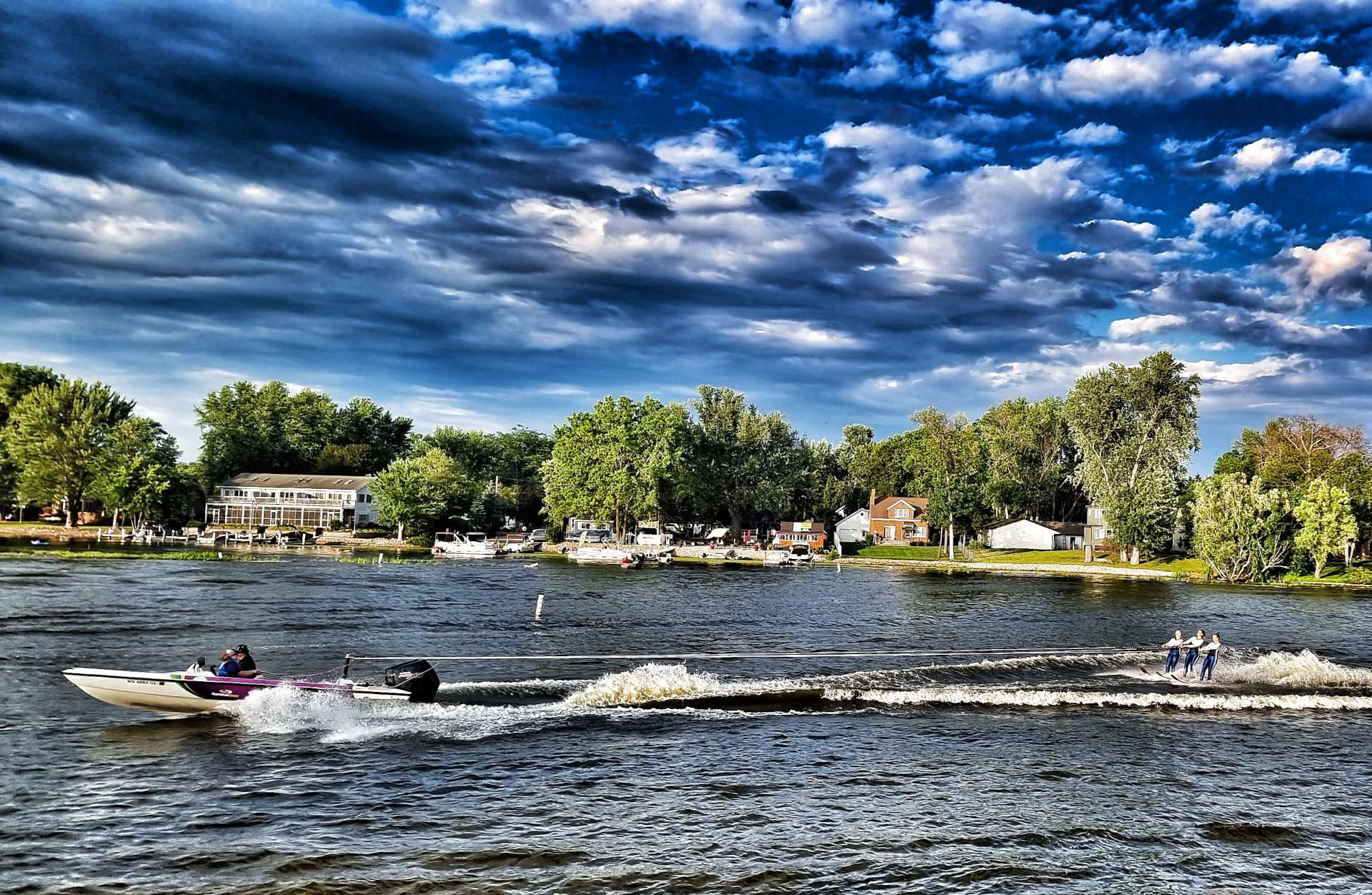
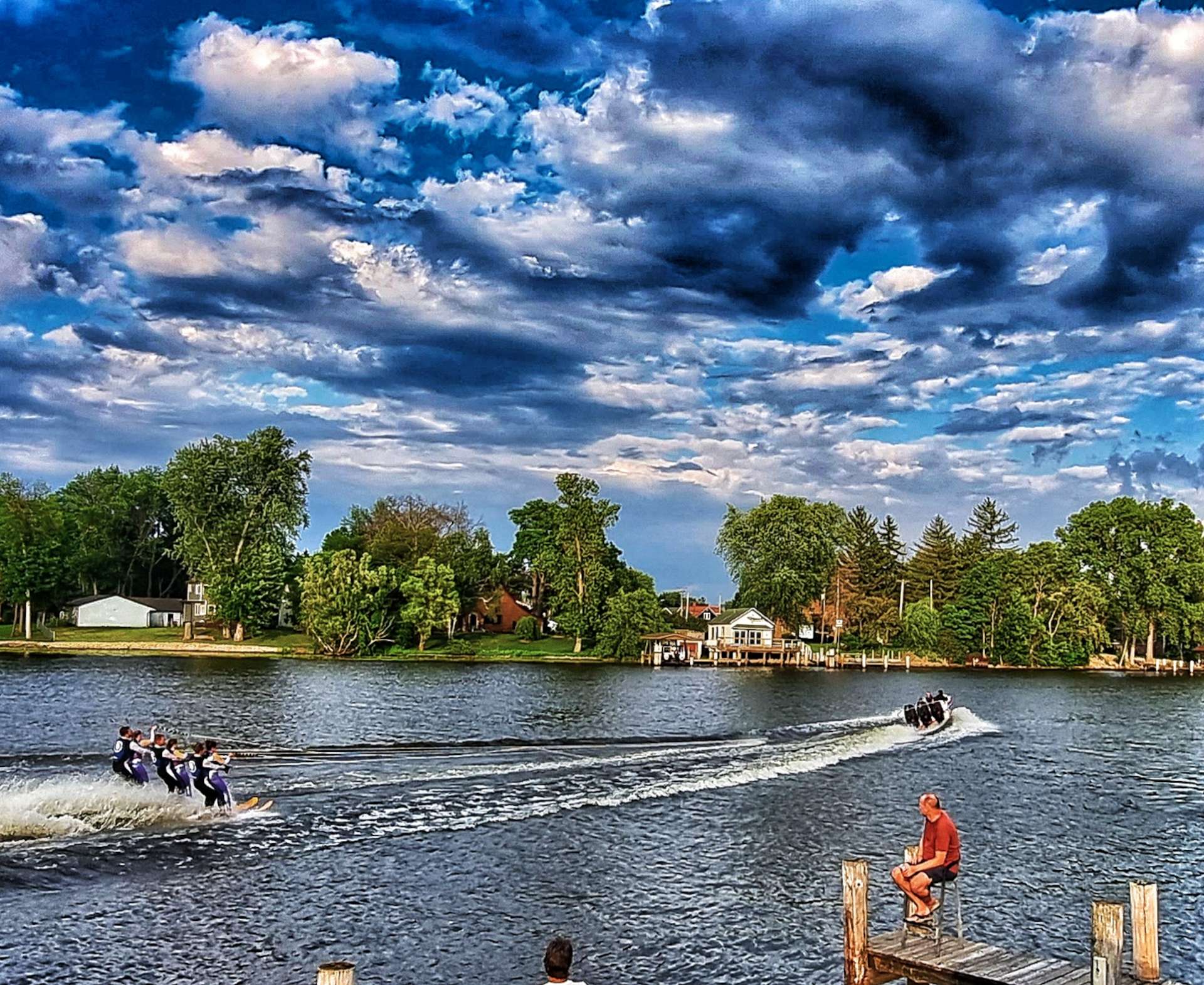
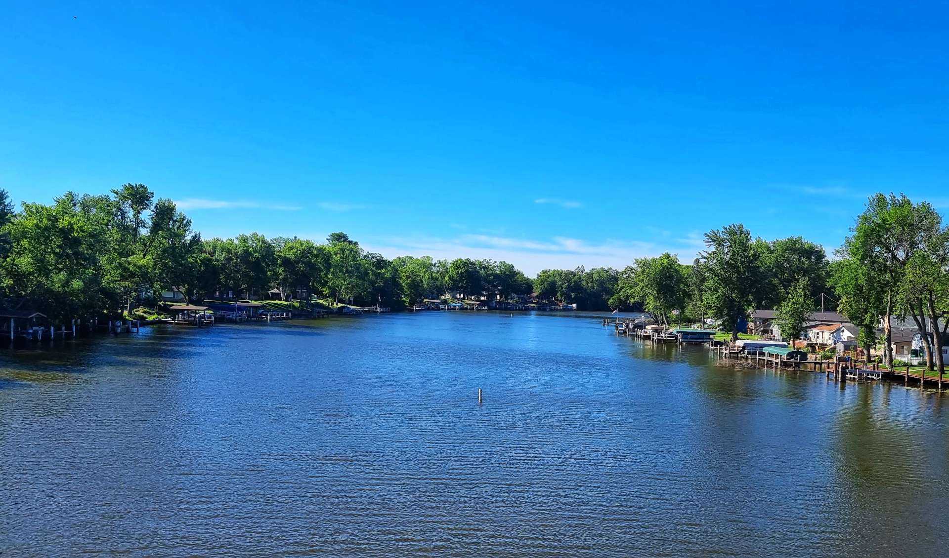
There was a better view of the river outside, so we found a table on the balcony & watched the motorboats going up & down the channel, sometimes pulling kids along in rubber rings & sometimes pulling water skiers. Watching all this activity was thirsty work, so we had another pint to rehydrate!!!
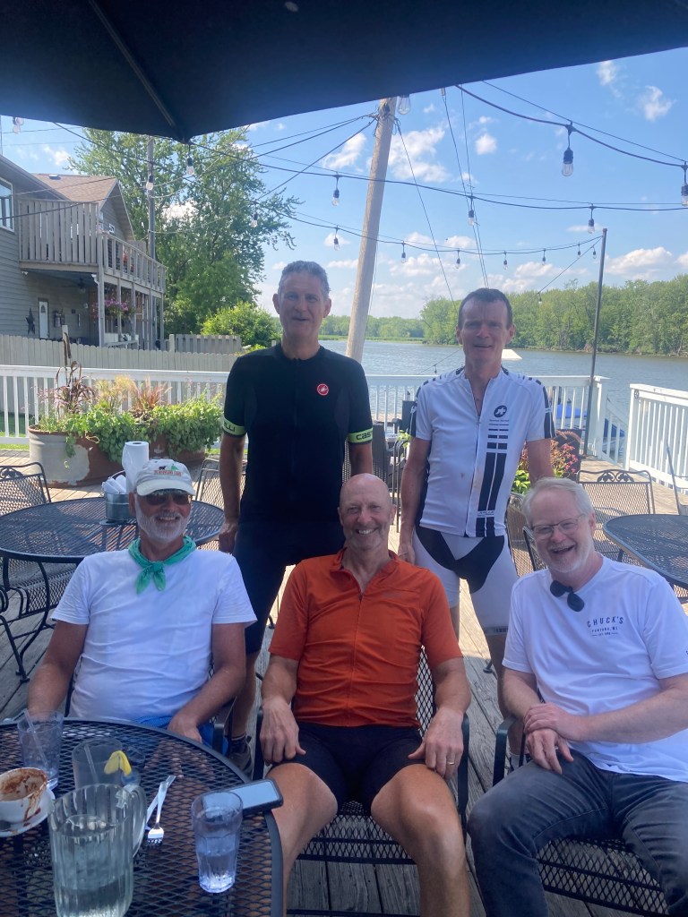
We also met Lin & Pat, 2 retired brothers who are riding from Oregon to Delaware. They started in late May & hope to finish in late August, raising money for 4 charities along the way. Their friend Mike had joined them for a couple of days to provide moral support & company. We chatted a bit about our experiences so far & made vague arrangements to maybe meet up later.
Our waitress Grace then told us that there is a water ski show on the river at 6pm every Sunday & Wednesday! We realised we’d best stop drinking if we wanted to watch the show, so we headed to our room & had a revitalising 40 winks.

We headed back downstairs at about 5.45pm, with the intention of grabbing a table on the balcony & watching the water skiing – every table was taken & there was a queue of people waiting for a table to become free. We bought ourselves a drink & went to stand in a quiet corner with a limited view when Lin called out to us – they’d saved us seats at their table, which had the best view in the house!
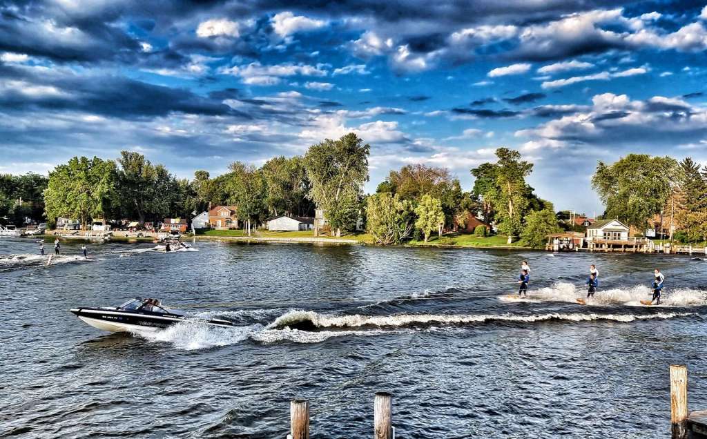
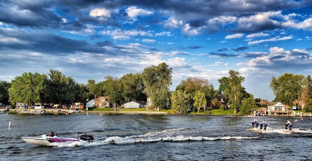
The show started slowly with skiers being towed one at a time, sometimes stood up, sometimes kneeling down on the skis. The boats then started pulling pairs of skiers & then long lines of skiers.

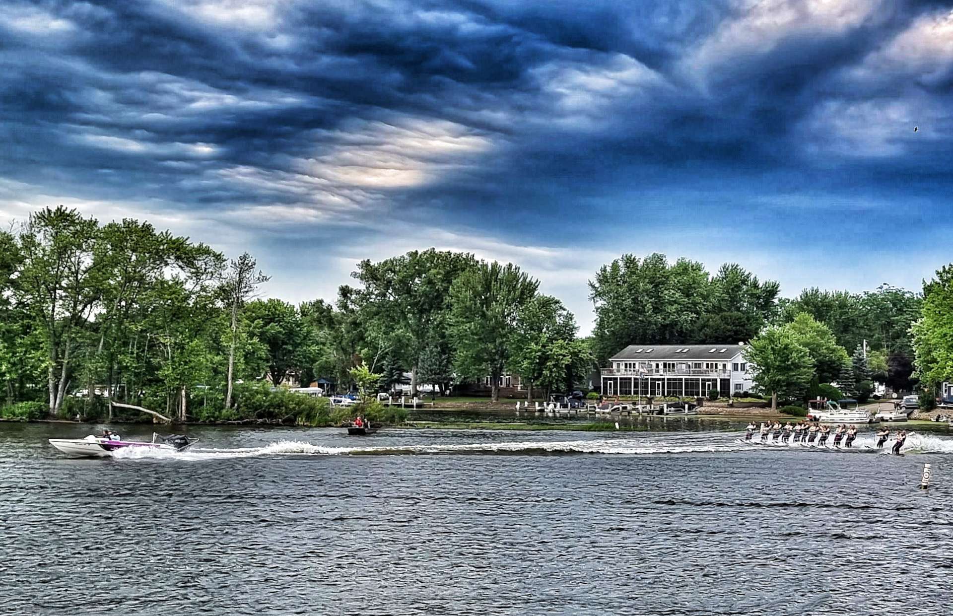

The next set of skiers had two people on each set of skis. Then the excitement ramped up further as the small groups of skiers began travelling faster & faster, finally using the ski jump.
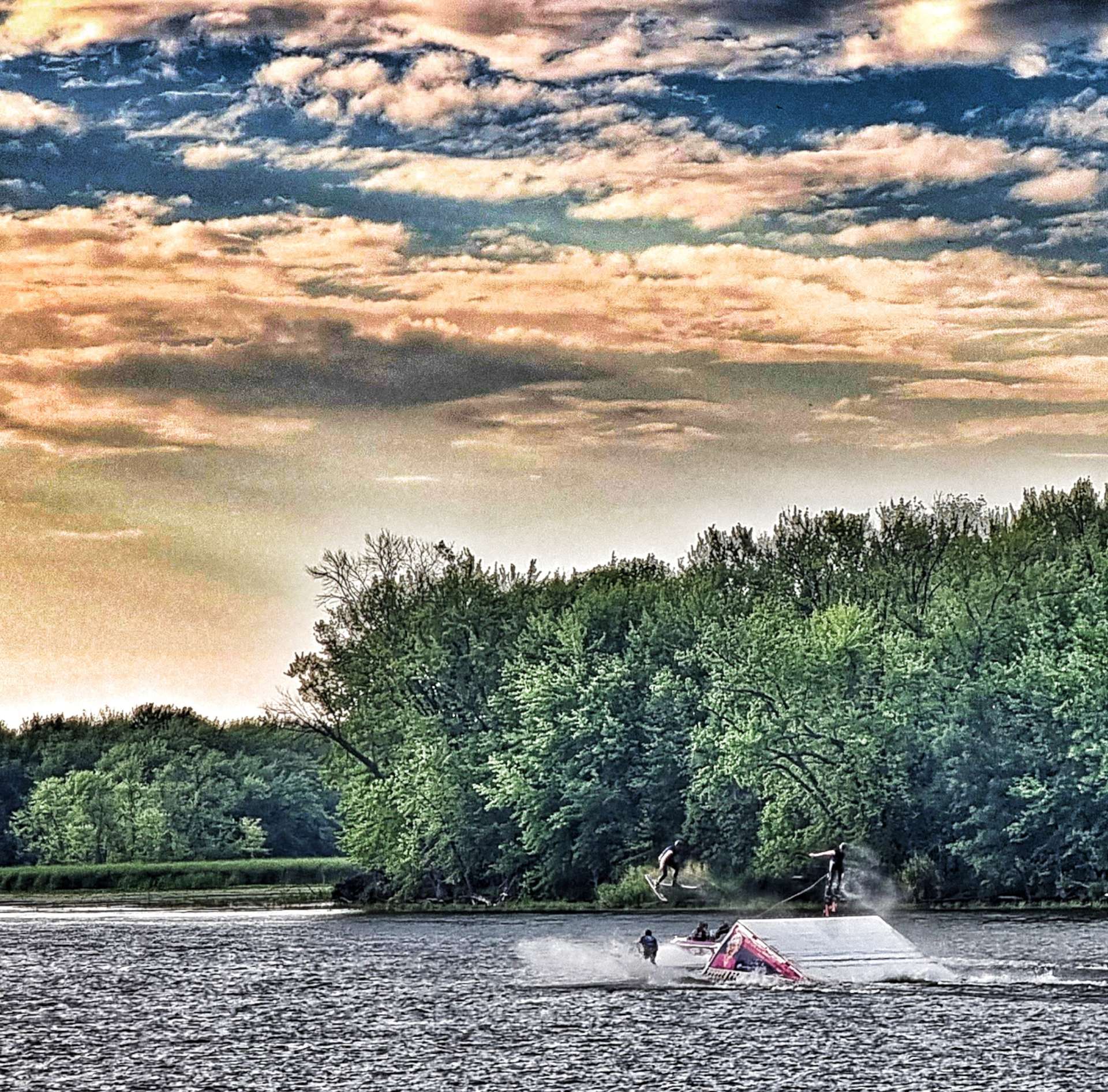
Things were building to a crescendo – next up girls were sat on the shoulders of the boy skiers. Finally the party trick – a pyramid of 4 skiers, with 3 people stood on their shoulders, 2 on their shoulders & 1 person on the top!
Members of the Webfooters Water Ski Show Team were involved in 2 successful Guinness World Record attempts in 2018 – one attempt was an 80 person pyramid & the other was 59 ladies skiing in a synchronised ballet line behind one boat. The Show Team has been running since 1976 & is still going strong. If you’re interested in finding out more, a link to their website is below.
https://www.webfooters.org/breaking-records
All the way through the show Sean & myself had been chatting to Lin, Pat & Mike. It was inspirational hearing Lin & Pat’s story of their journey across the country. They were both teachers before retiring & the biggest complement I can pay them, is to say I wish all my school teachers were like them. We all had a really enjoyable few hours & I plan to follow their adventure via Lin’s blog site.
Lin & Pat – if you’re reading this, I hope you’re enjoying your week of R&R with the family & good luck when you get under way again next week.
Sean & I stayed up a bit later & met a few locals at the bar – a really nice couple who got married last year chatted to us for a bit & introduced us to a local concoction – I remember it had brandy, bitters & mushrooms, but not much more!!
I also met Meghan who was in town for the EAA Airshow which takes place in nearby Oshkosh. She’s been volunteering with a team of people who restored an Air North Yukon Sourdough DC-3. Because of Dad’s work in the aviation industry (he was involved in the Special Projects Group who worked on plans to develop a supersonic passenger plane that eventually became known as Concorde), I have an interest in historic jet aircraft.
Stage Stats – 38 miles, 869 feet of climbing. Lots of new friends made & a water ski exhibition.
Thursday 28th July – Fremont to Manitowoc (Stage 69)
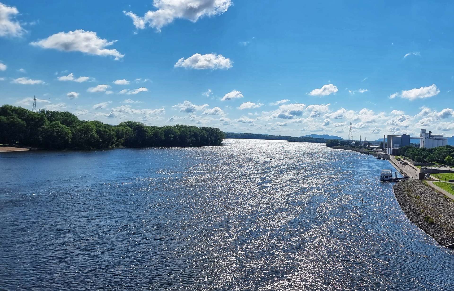
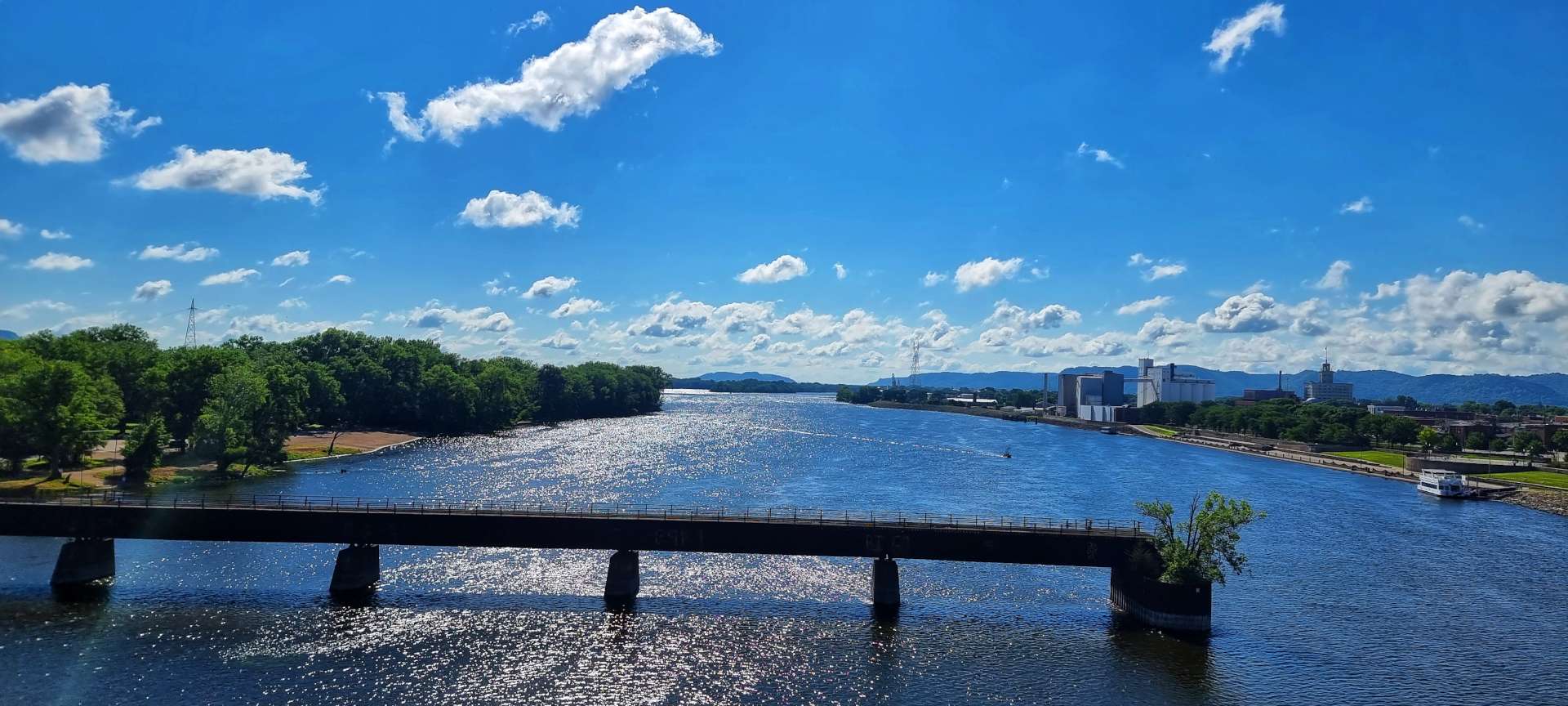
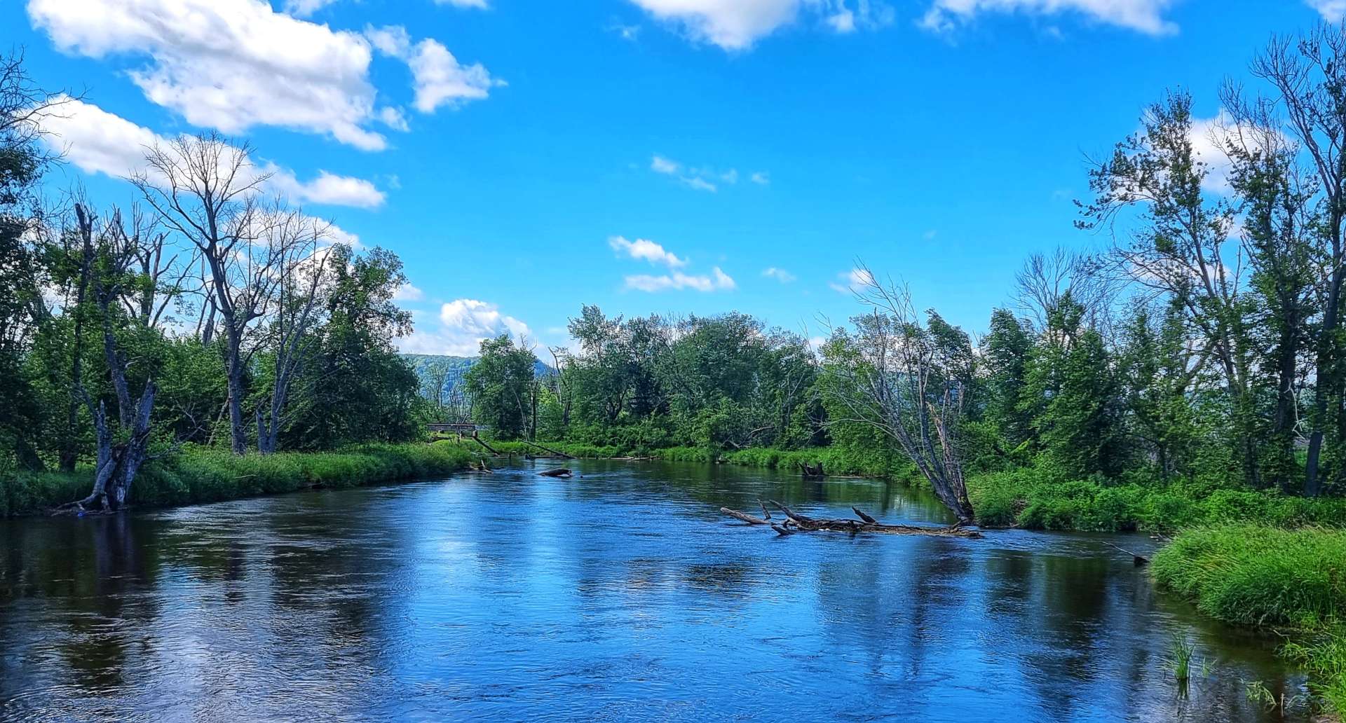
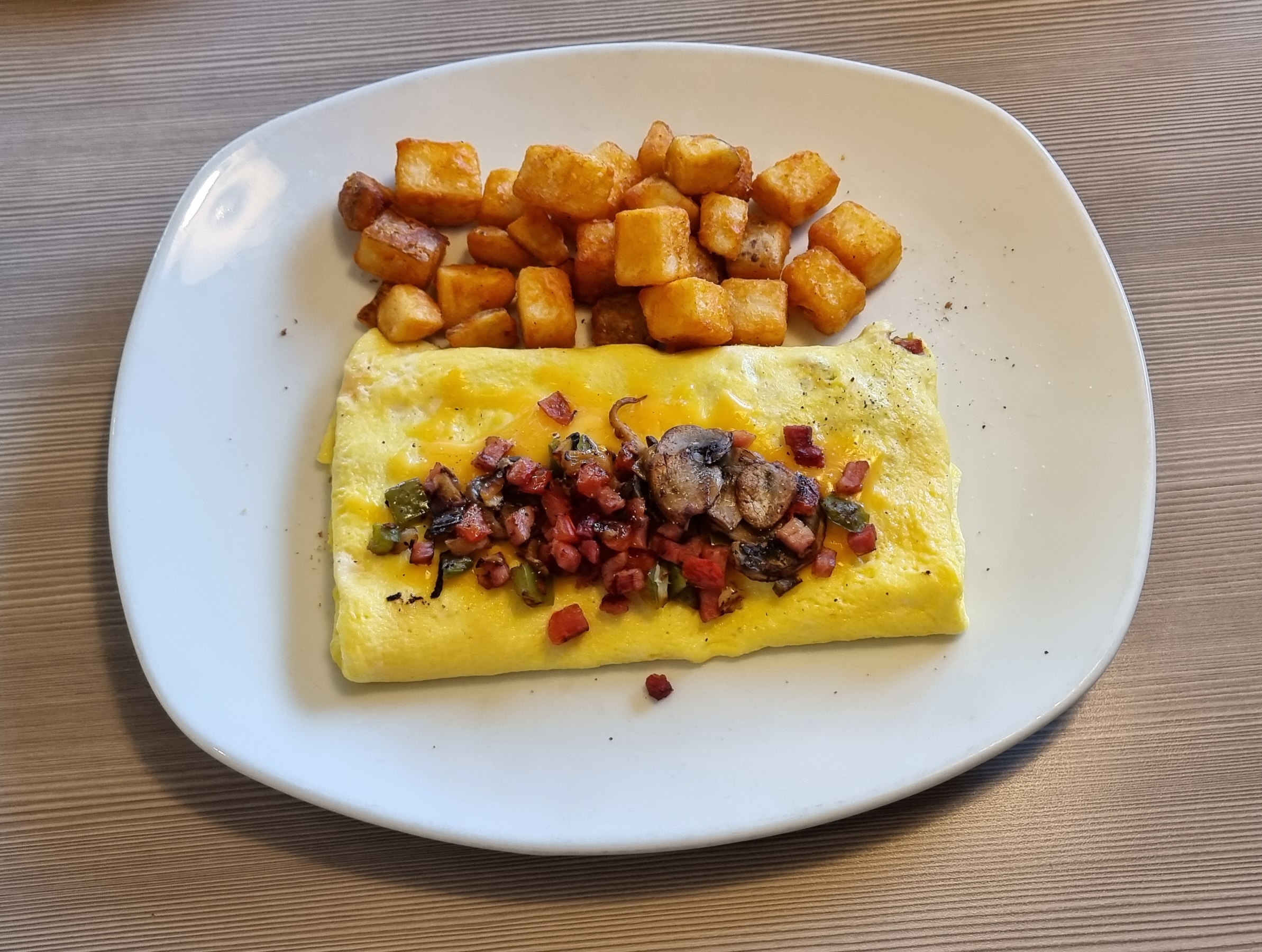
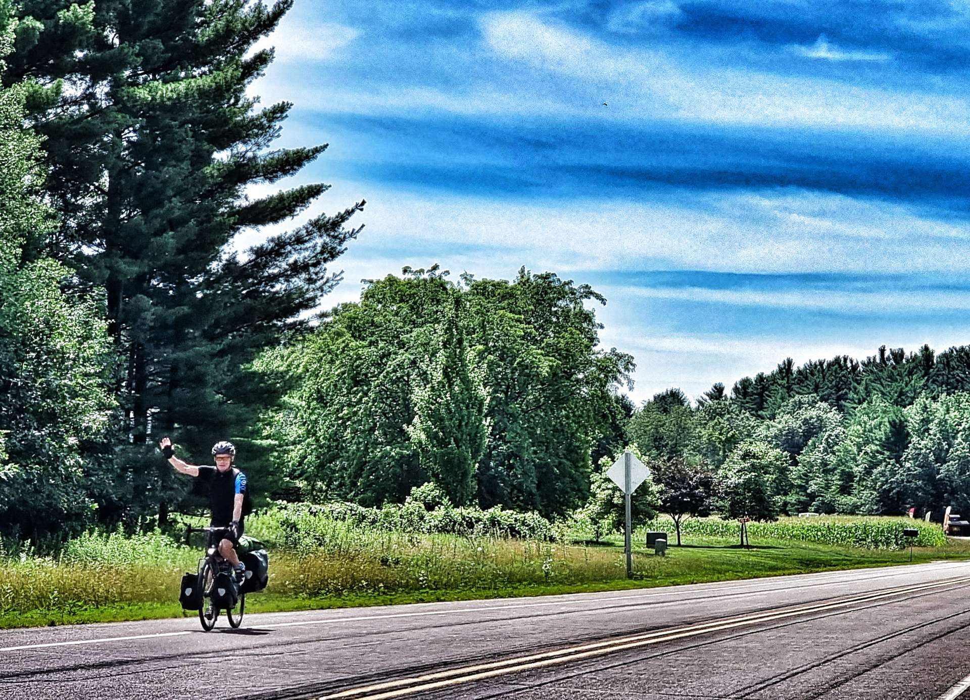
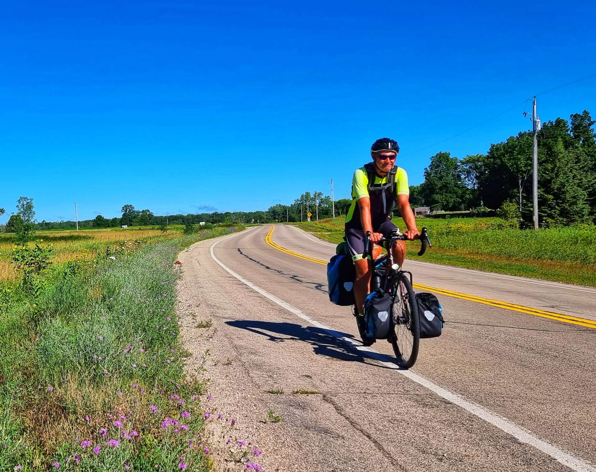
We woke up at 7am with a hangover each!! We headed downstairs & had a breakfast of omelette, toast, coffee & juice, then loaded our steel steeds & set off for Manitowoc. As we crossed the Wolf River (home of the Webfooters), we couldn’t believe our luck – we would be picking up a West to East tailwind for a large part of today’s ride!!! You can almost see the joy on my face, although it may still be hidden by the last vestiges of a headache!
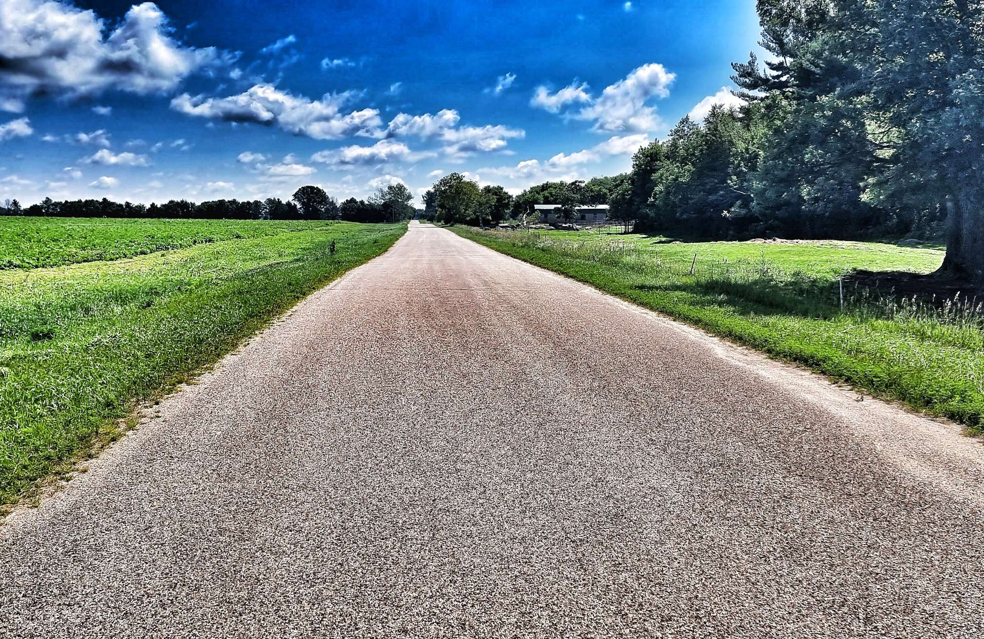
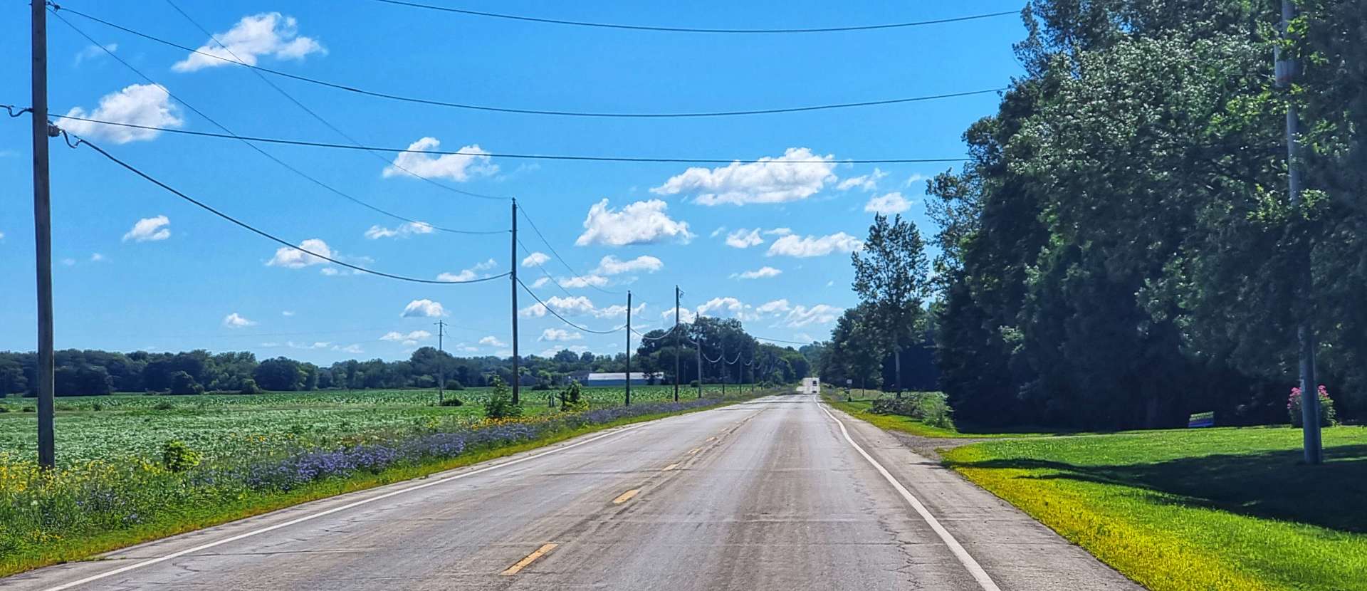
Picking up County Road II (think of a small B road if you’re from the UK), it was over 10 minutes before we saw our first vehicle. The scenery switched between fields of maize & potatoes (wheat has disappeared for now) & small Unincorporated towns.
An unincorporated town isn’t governed by a local municipality & typically doesn’t have any elected officials (so exists “by tradition”). It also won’t require residents to pay city taxes (similar to council tax in the UK), however, the town won’t maintain its own emergency services & it won’t maintain or provide water or sewage services.
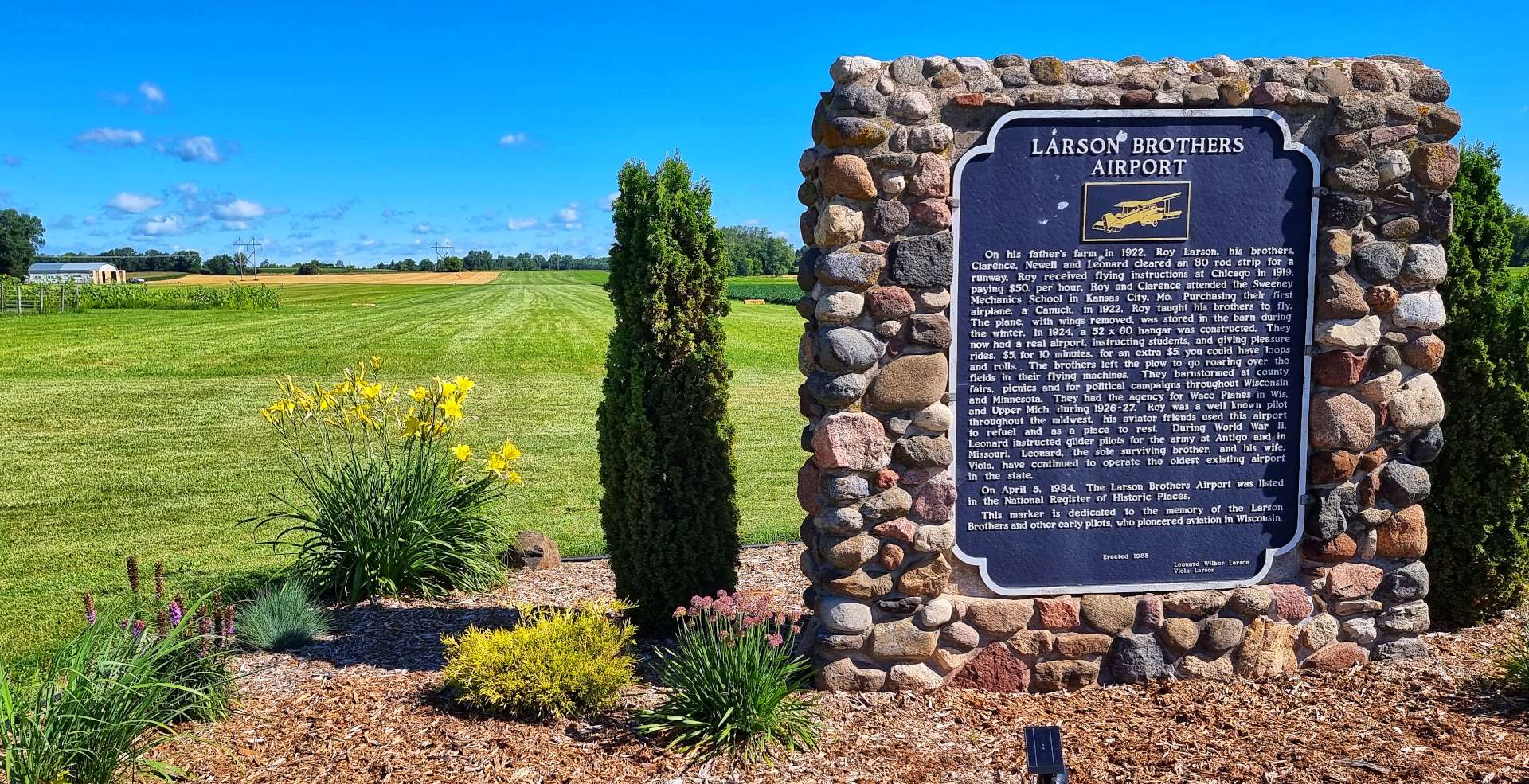
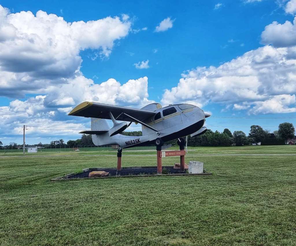
Oshlosh was off to our right & we occasionally saw some historic bombers heading to the EAA air show. It was fitting that as one plane flew overhead we passed a historical marker for Larson Brothers Airport (the grass runway & the hanger are visible in the 3rd photo), the oldest existing airport in Wisconsin.
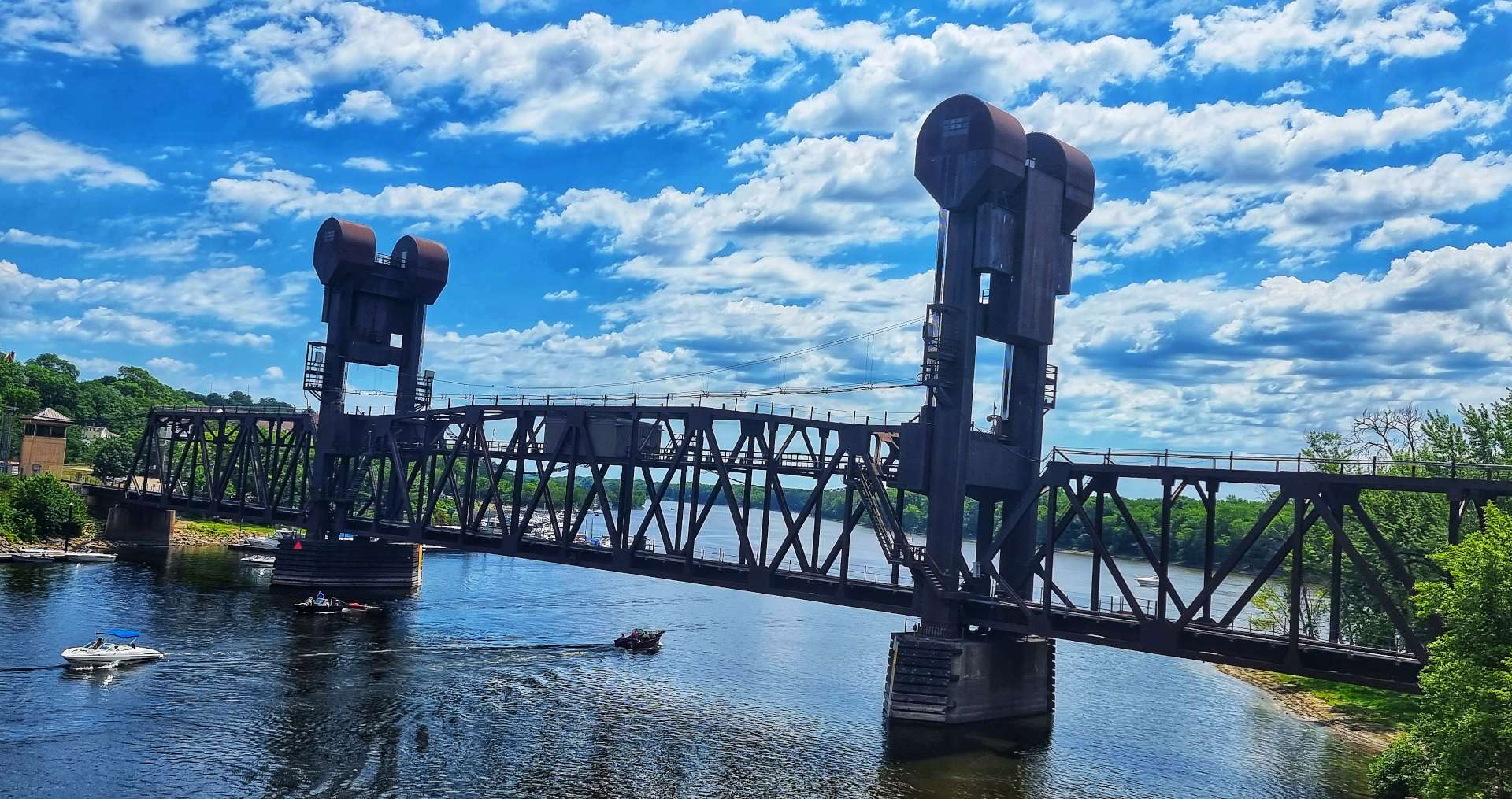
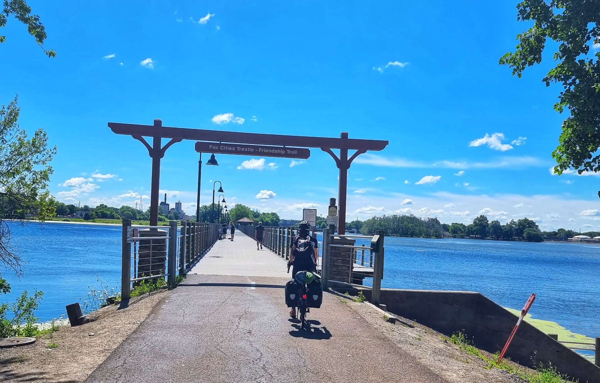
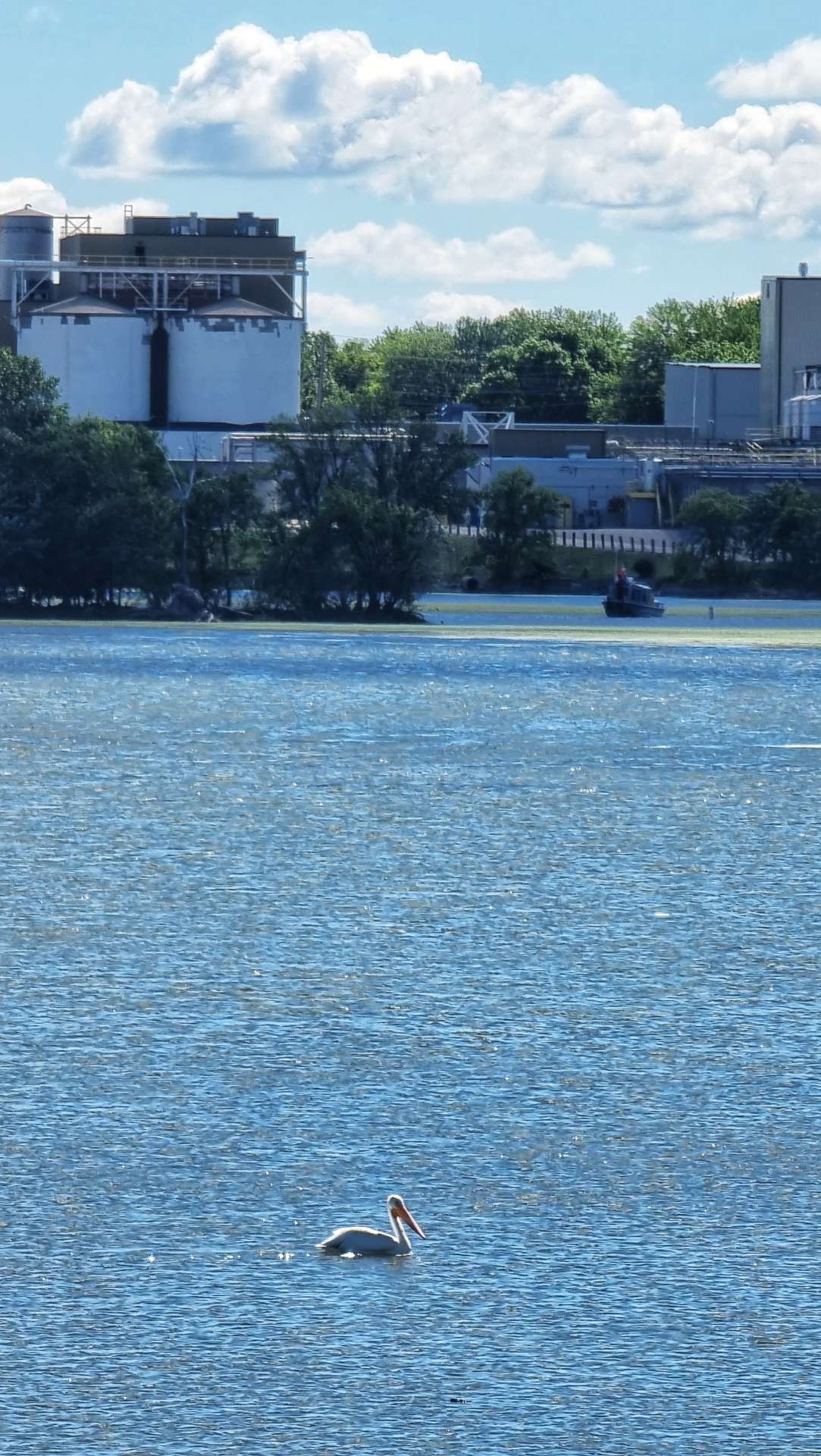
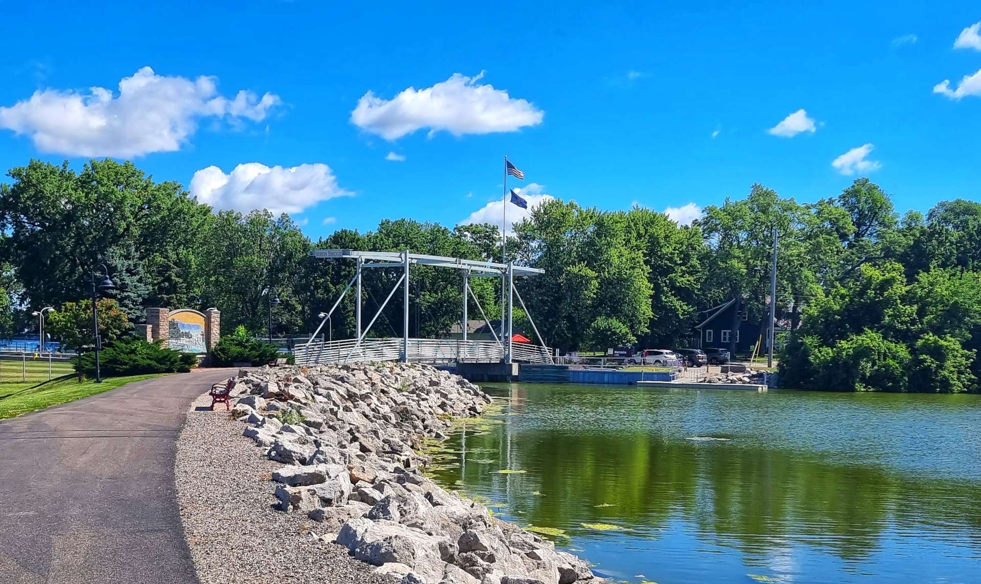
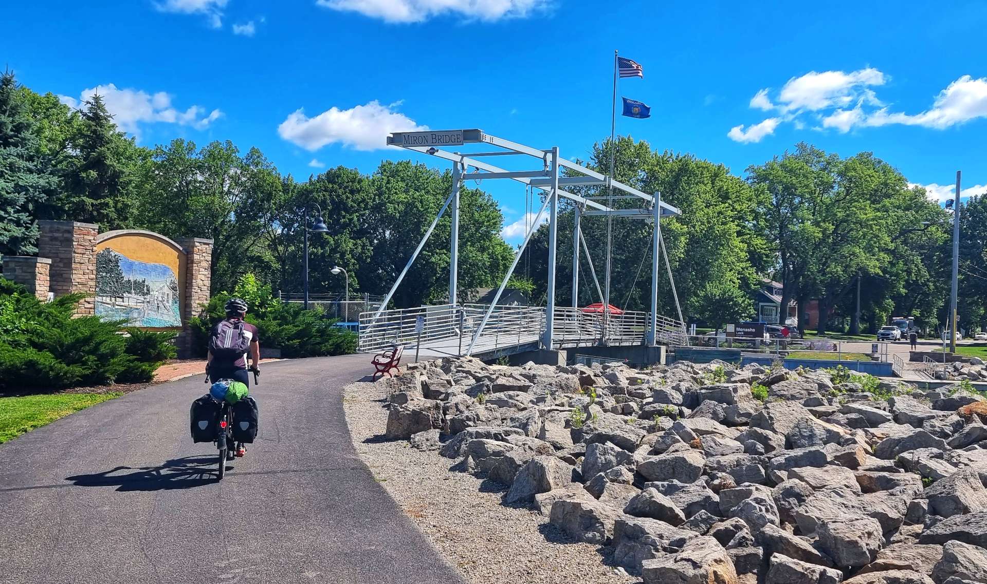
County Road II stretched out ahead of us, as we headed towards Menasha, where we briefly picked up the Friendship Trail that took us over a couple of lakes with pelicans on the lookout for a snack. We were on the lookout for a coffee & cake stop ourselves!
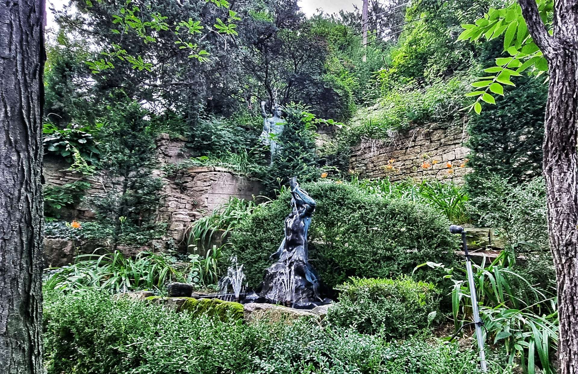
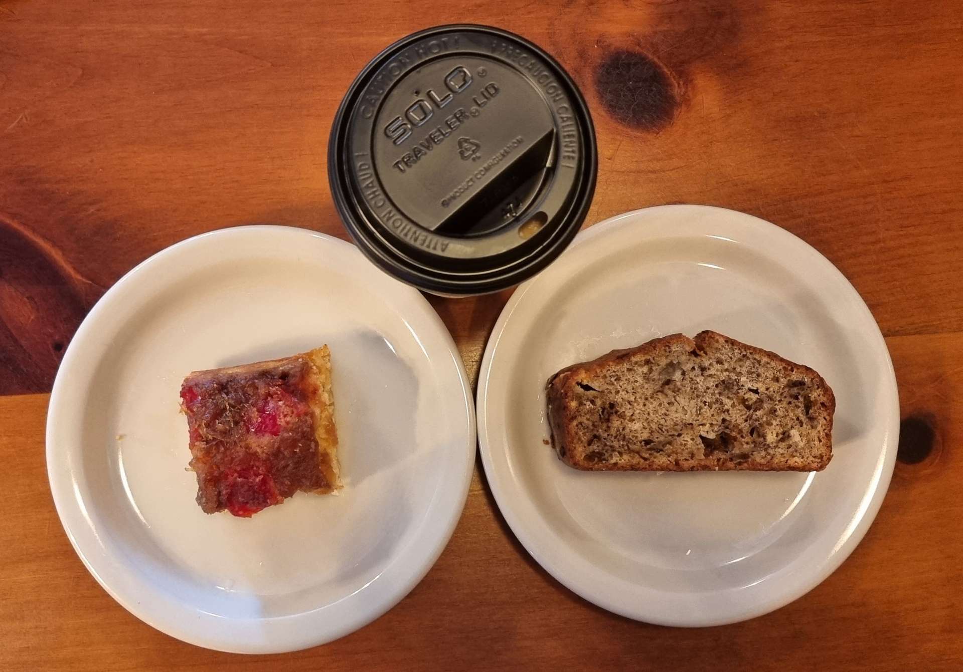
As we crossed a lock at the end of the Friendship Trail we took a small detour into town & found The Sweet Lair, where we enjoyed a cake (2 in my case as I couldn’t decide between banana bread & pineapple upside down cake!) & coffee. Opposite there was a statue depicting an American Indian Chief of the 1870’s, which the sculptor said “was an effort to capture the pride & dignity of the Native American People” – it was a beautiful piece of art.

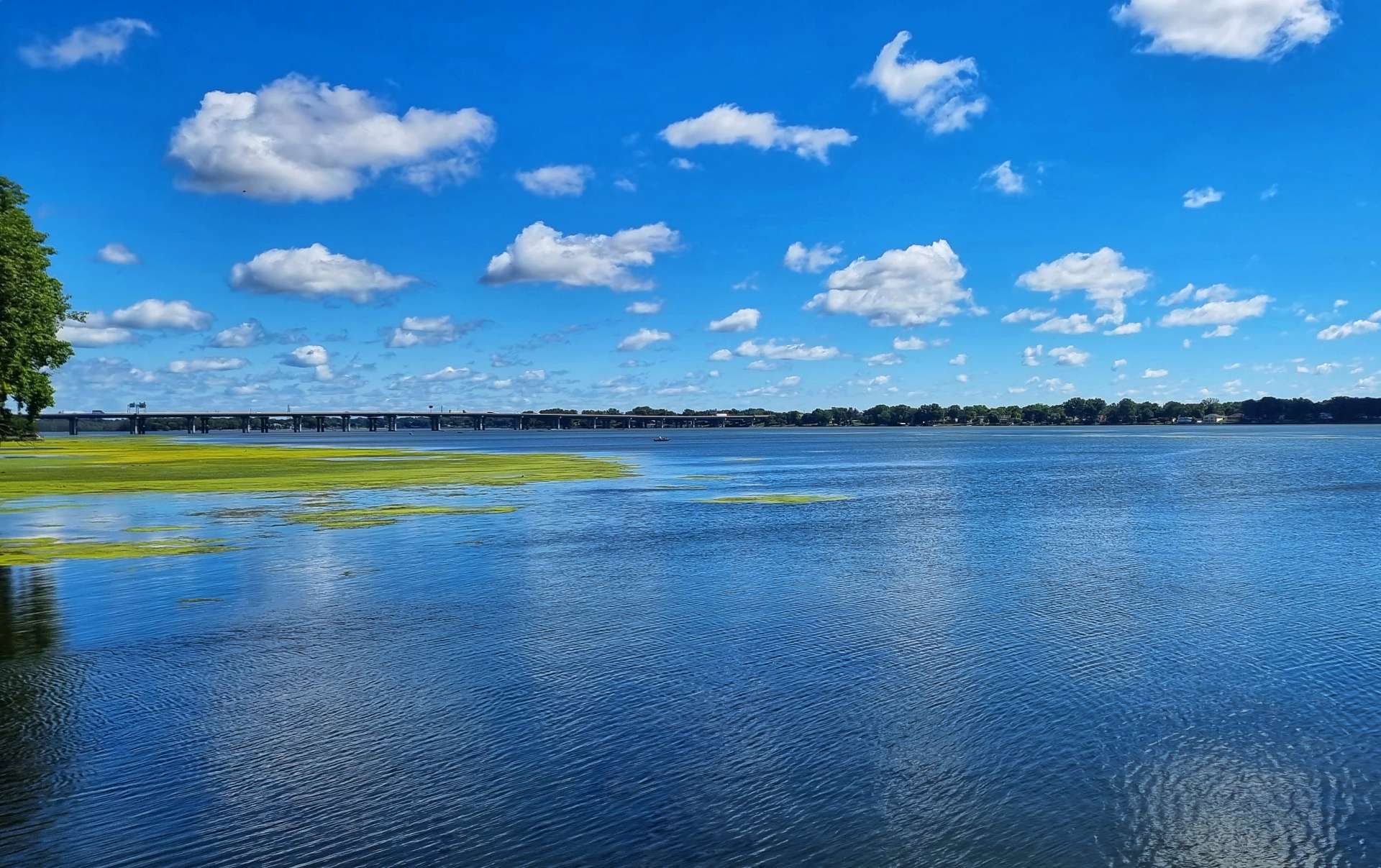
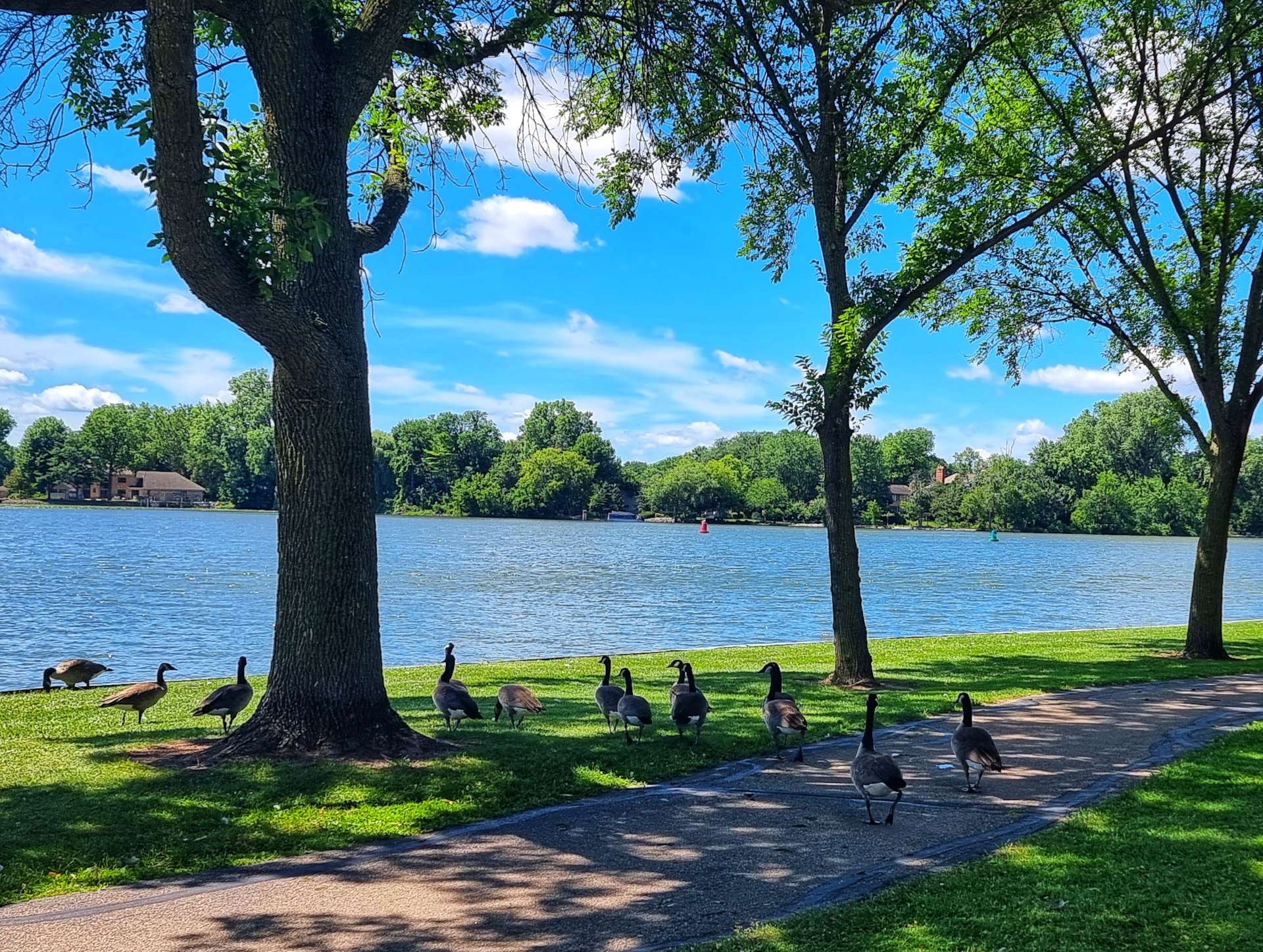
Leaving town, our route took us around a small part of Lake Winnebago on a bike trail. Along the way we saw the local duck population out for its lunchtime stroll, as well as stunning views across the bay to the lake itself.

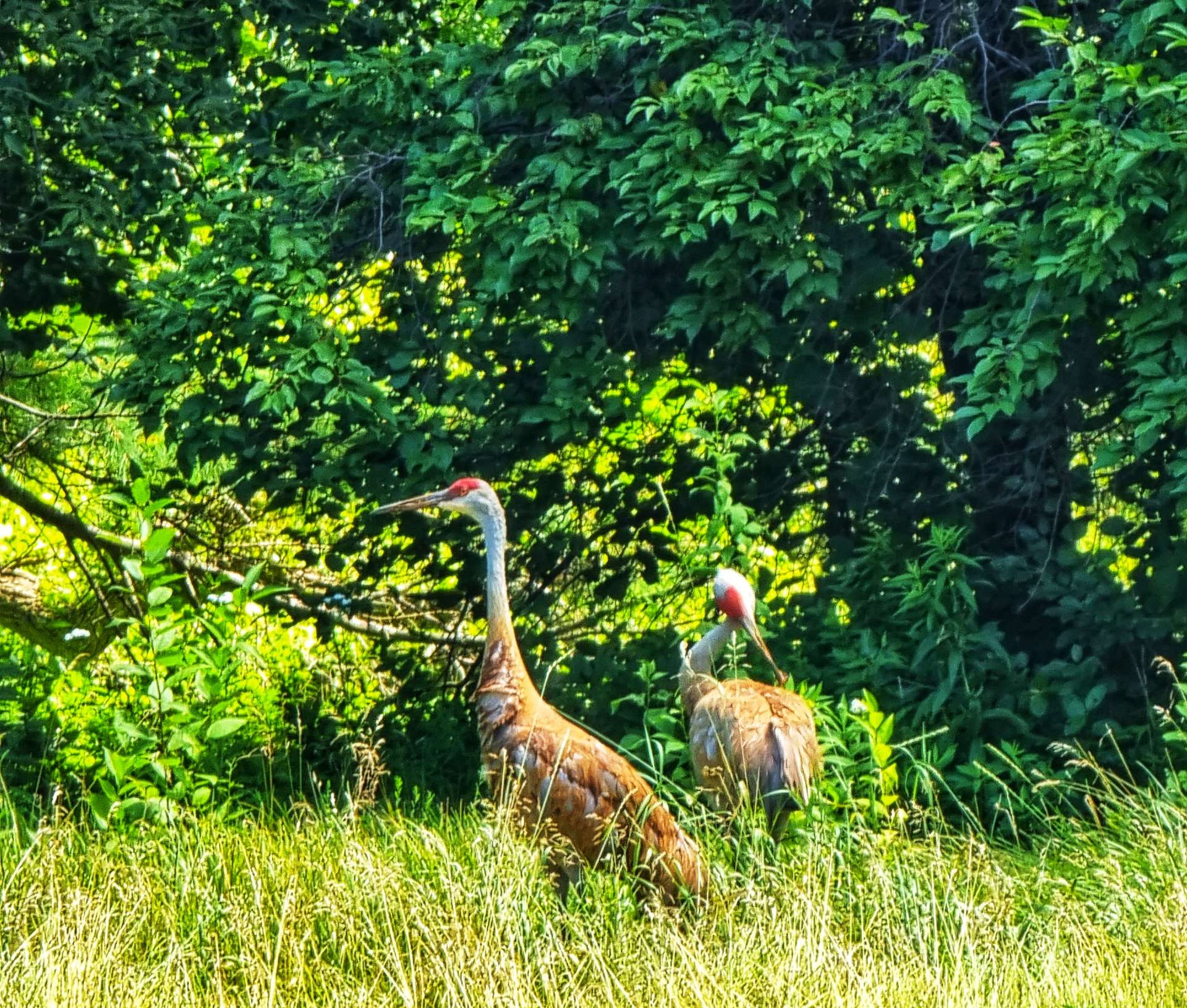
As we crossed the Heckrodt Wetland Reserve we saw what I’ve been describing recently as herons – it appears they may actually be sandhill cranes, which do frequent grasslands as well as shallow lakes. The bright red patch on the crest of their head is much more clear in these photos.
From here on in, we picked up a tremendous tailwind that propelled us along the arrow straight backroads – for fun I picked up the pace to 30mph on the flat. I know that’s only possible when you’re being pushed along by the wind!!
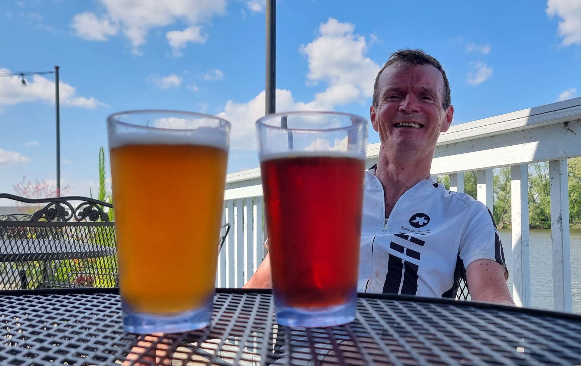
Approaching Brillion we found a couple of small cycle trails to take us off the roads into town. We also found a gas station where we could have a sugar hit of coke & top off our bottles with iced water from the soda machine. We still had another 20 miles to go & were aware that last night’s hydration training at the bar may, in fact, have dehydrated us!!!

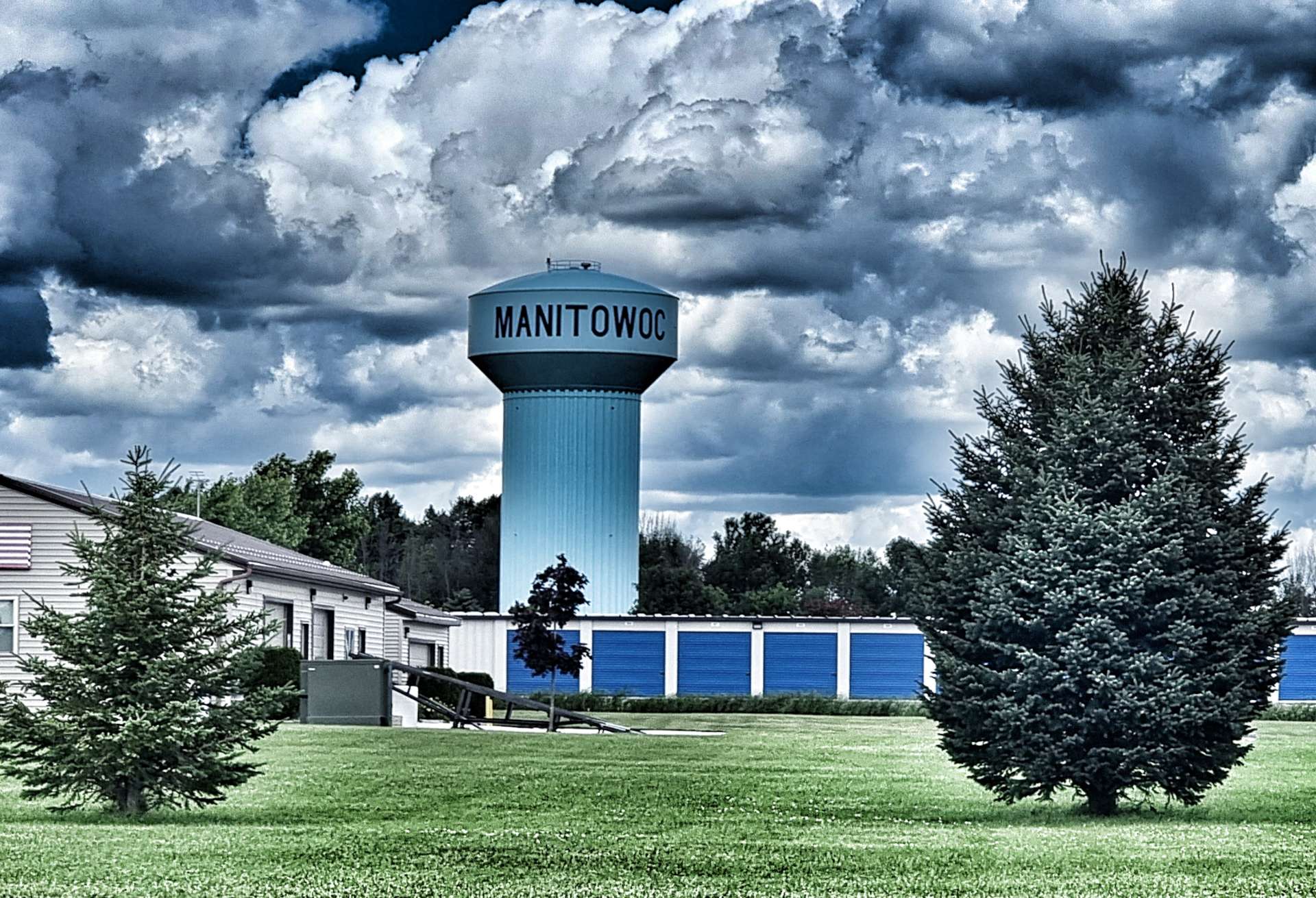
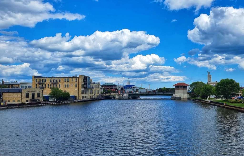
After Brillion, we were back in farmland & our friends the pepper pots returned for one last time in Wisconsin. With just over 17 miles to go to Manitiwoc, I jumped on the front & less than an hour later we’d passed the city limits & water tower on quiet roads. Our trek across Wisconsin was almost over.
As is obvious from the video clip, very little of the effort was being put in by either of us as we sped our way Eastwards!
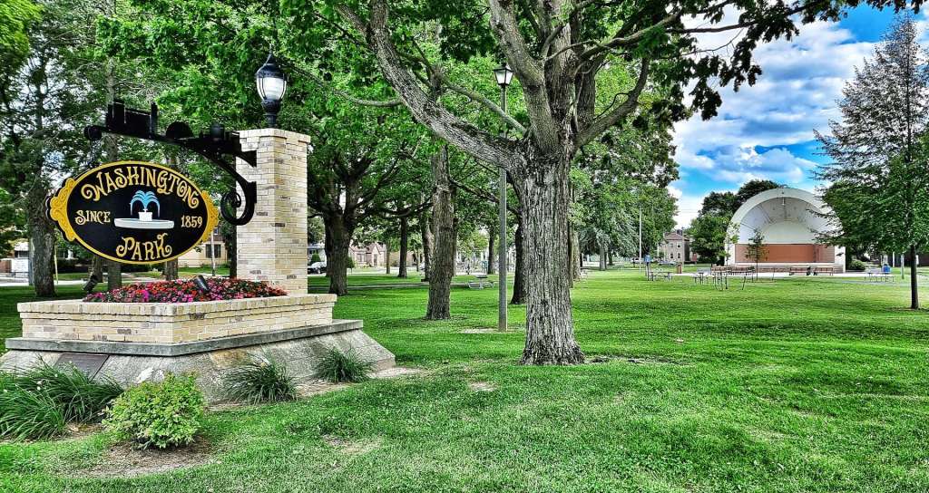
We passed the regional airport & crossed the Manitowoc river on our way to our motel in the centre of town. Somehow today was laundry day again, so while our kit was washing & drying, we found Jenn’s Java where we had another portion of cake as we admired the city park just across the road. Another great day in the saddle was over, but another adventure awaits tomorrow.
Stage Stats – 69 miles, 1,158 feet of climbing. A glorious tailwind for most of the day.