Niagara Falls to Pulaski

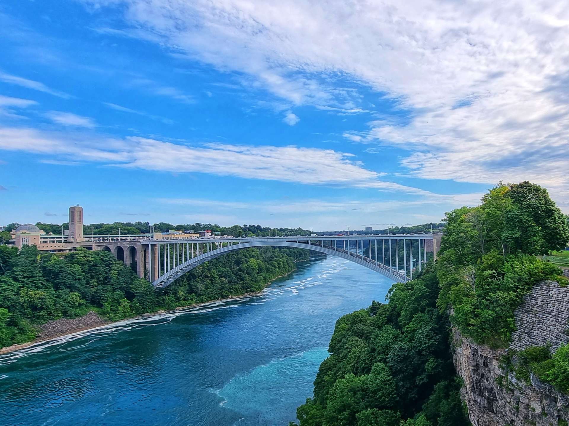
Wednesday 17th to Friday 19th August – Stages 83 to 85.

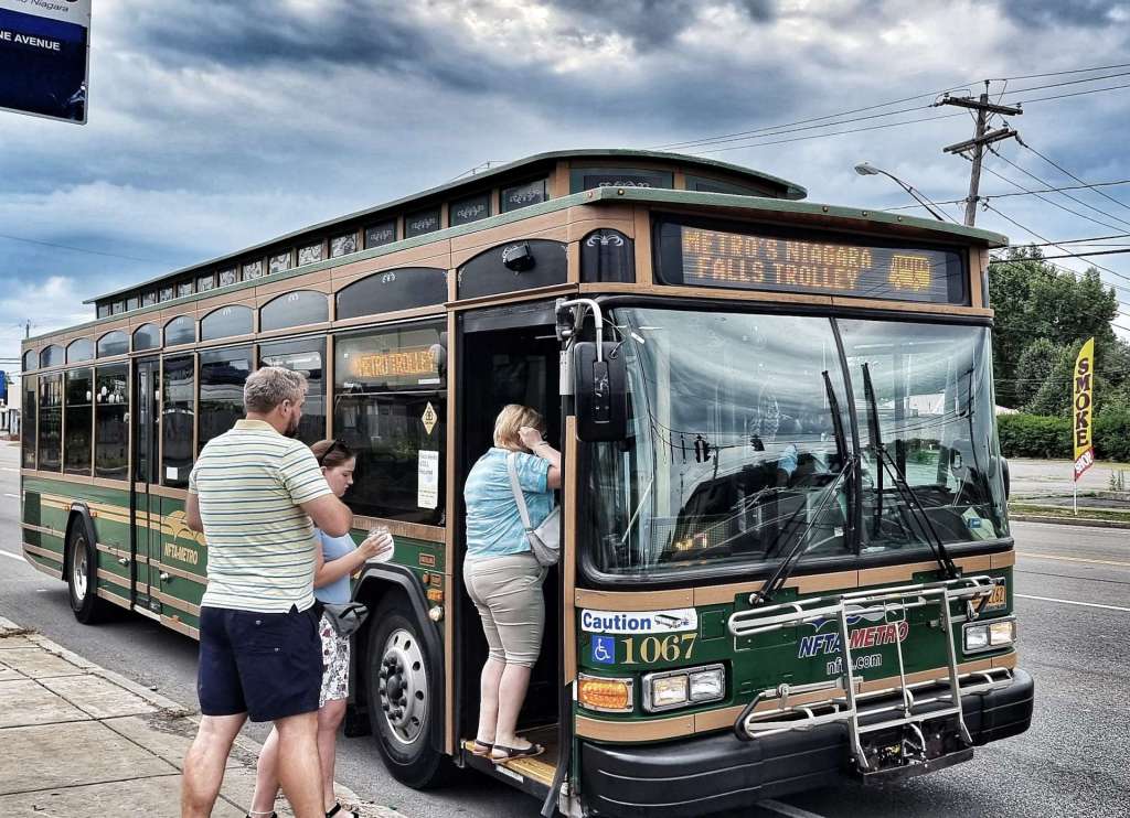
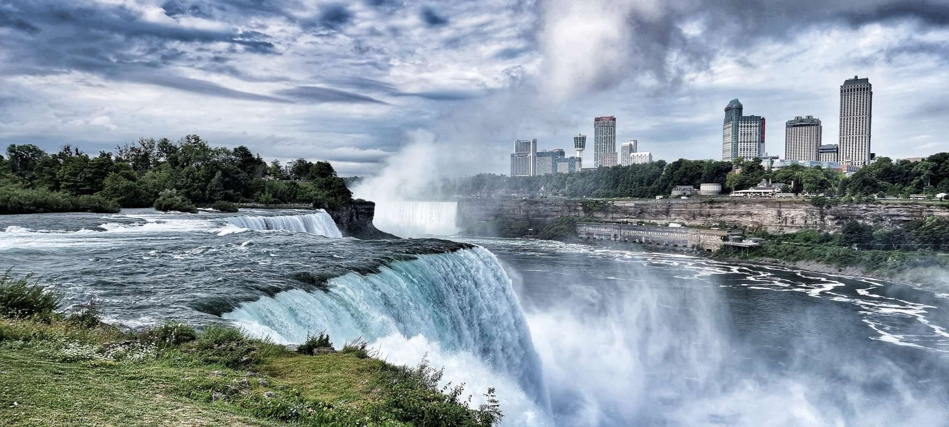
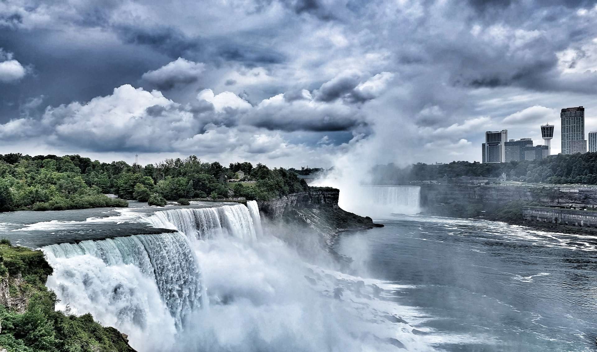
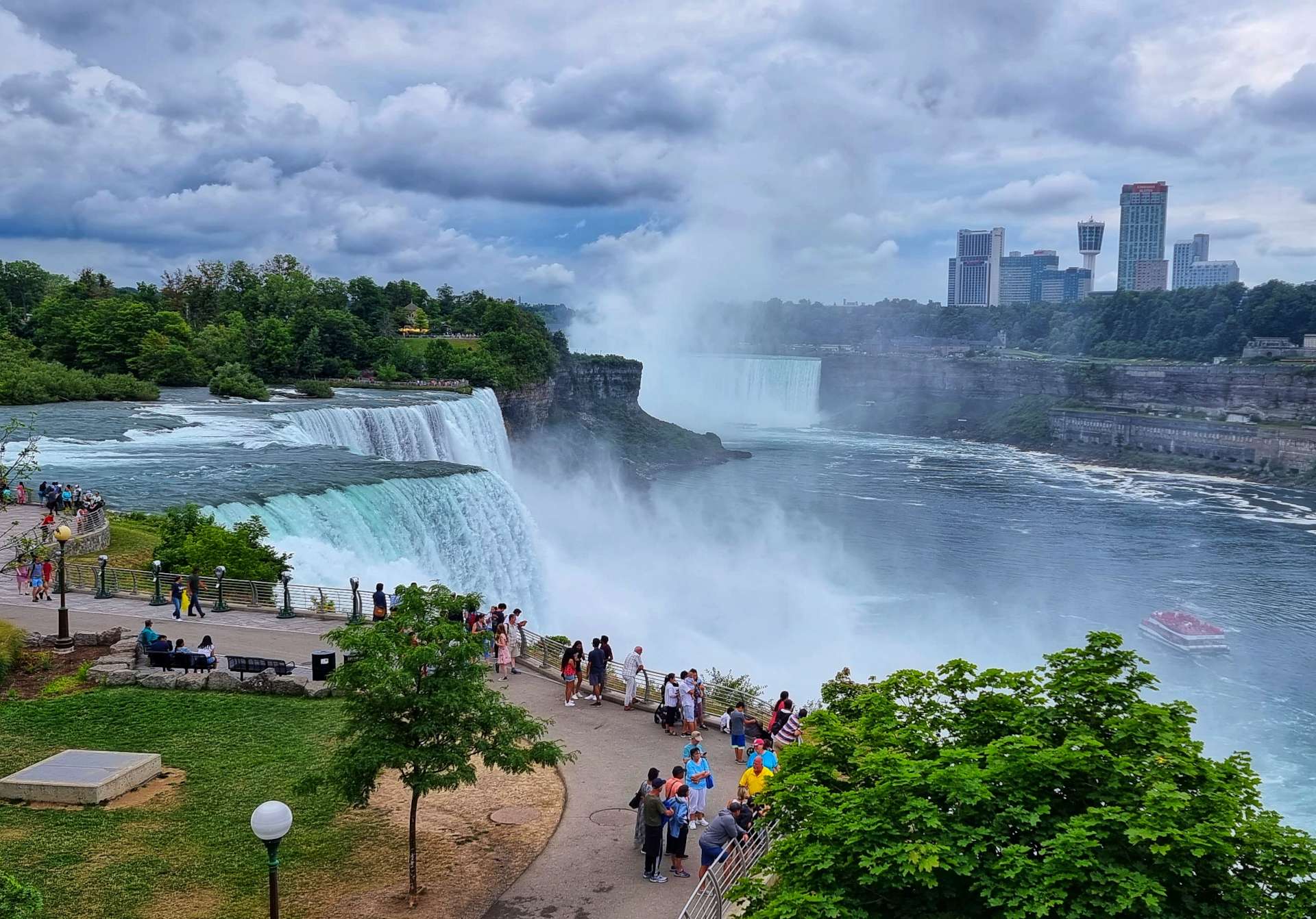
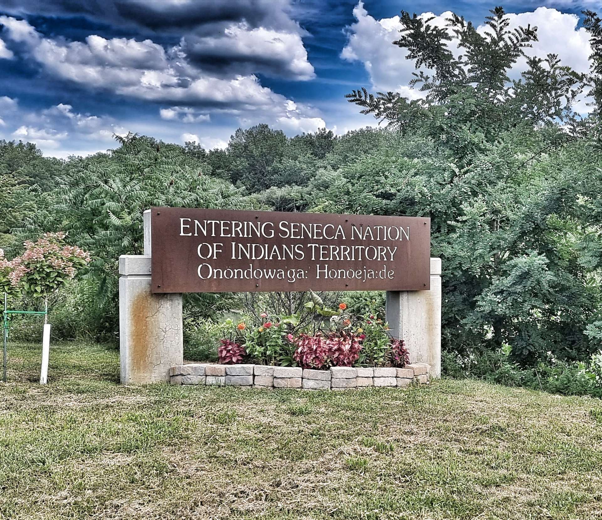
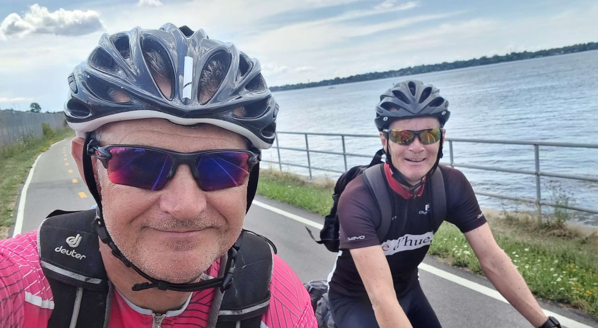
Wednesday 17th August – Niagara Falls to Brockport (Stage 83).

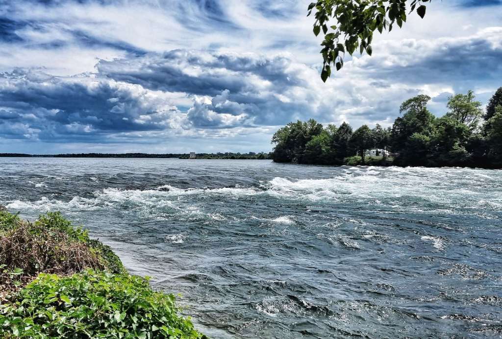
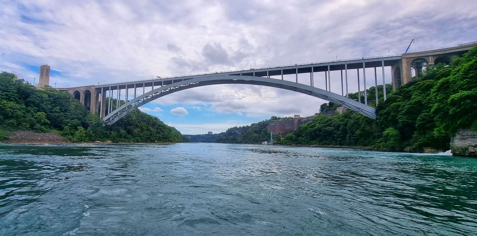
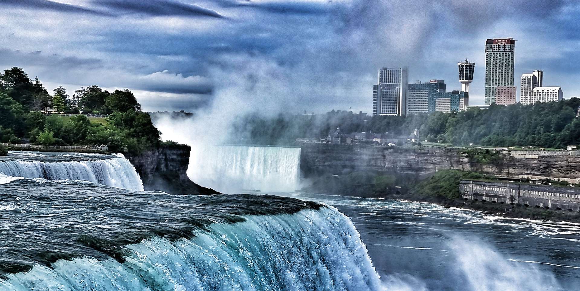
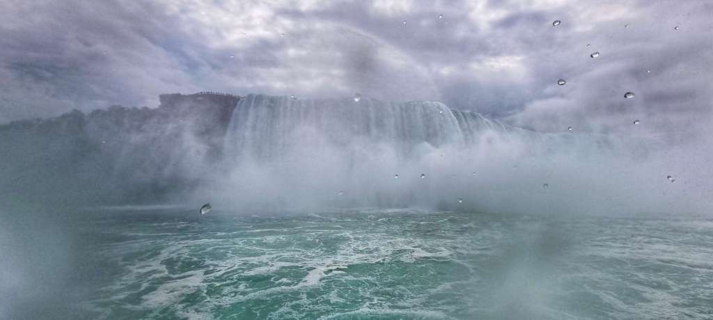
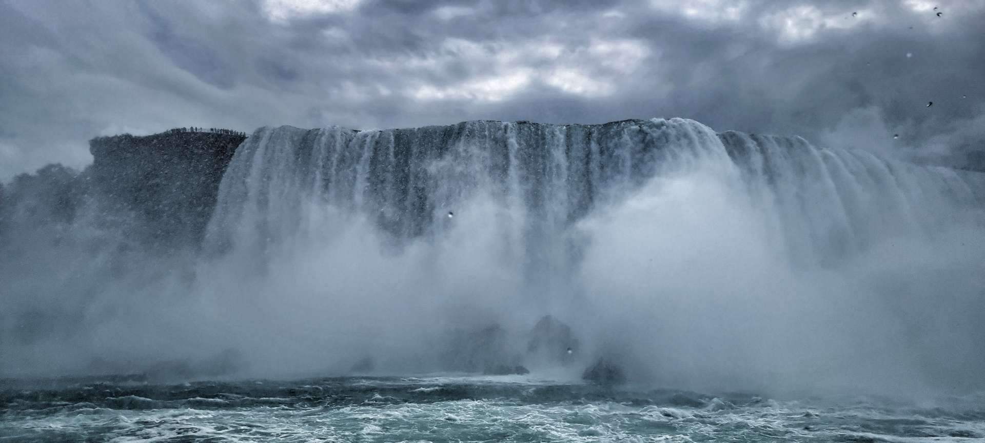
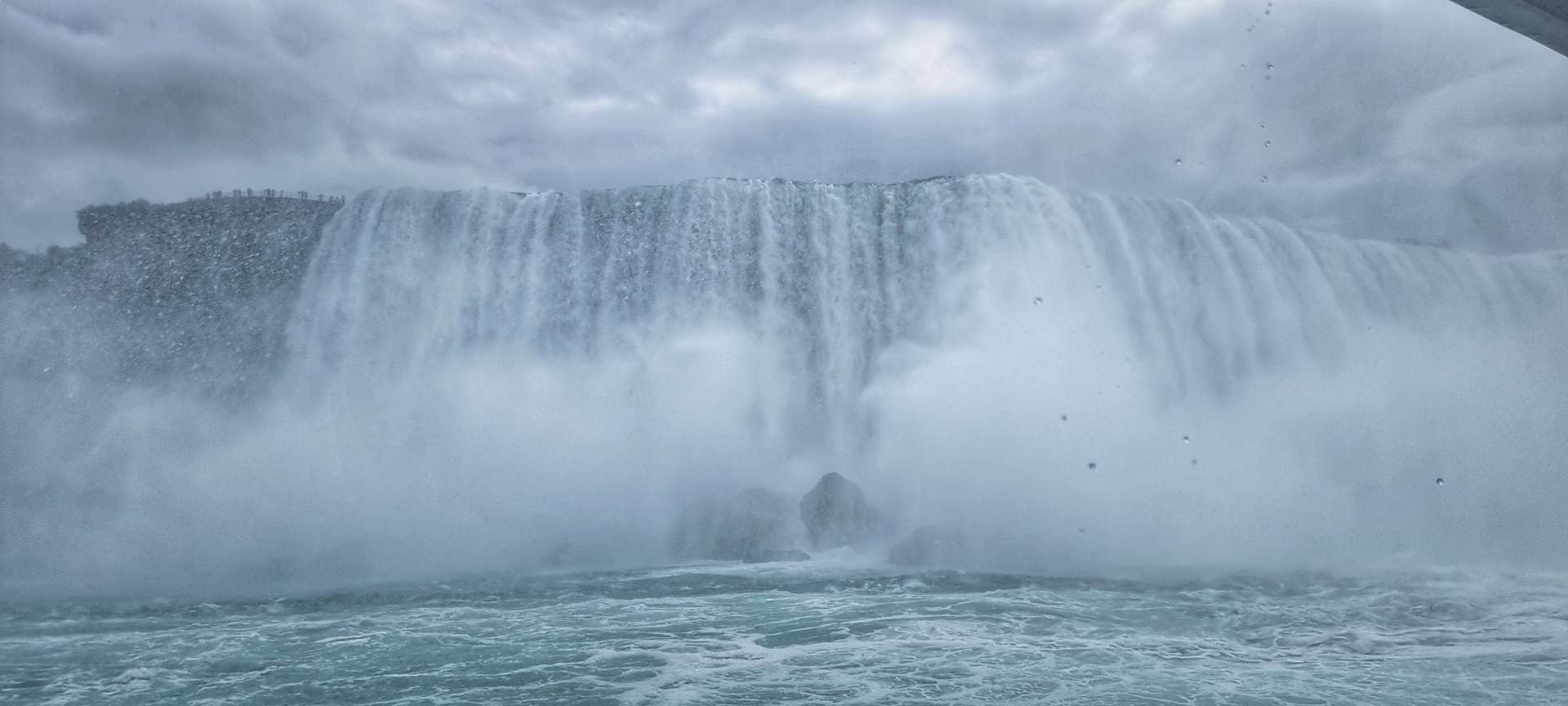
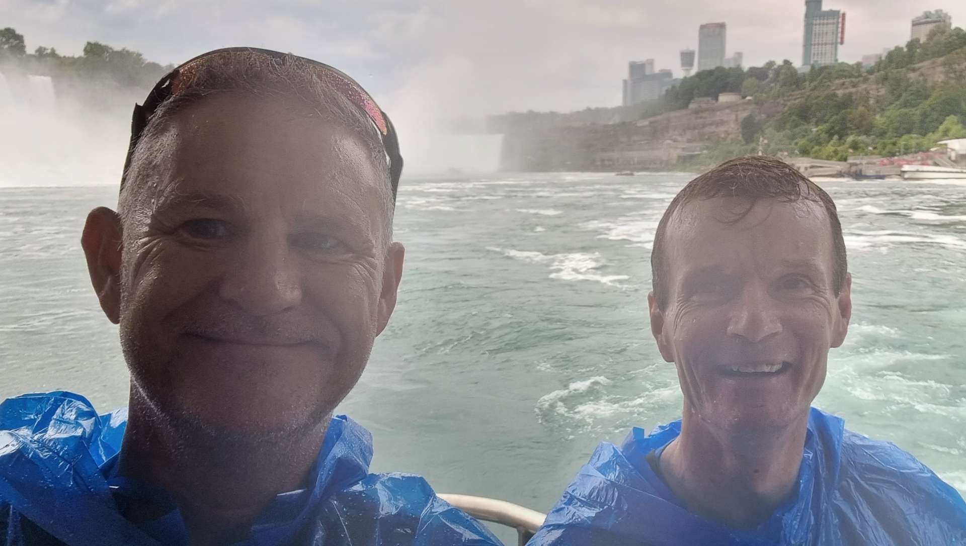
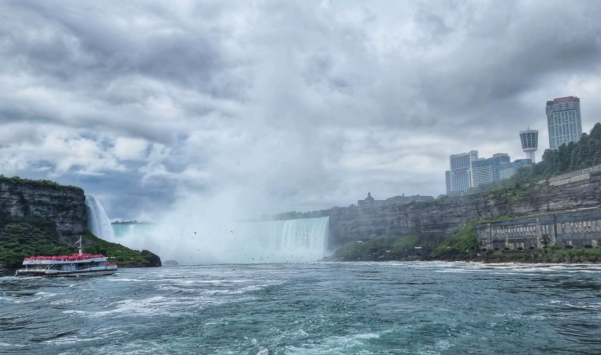
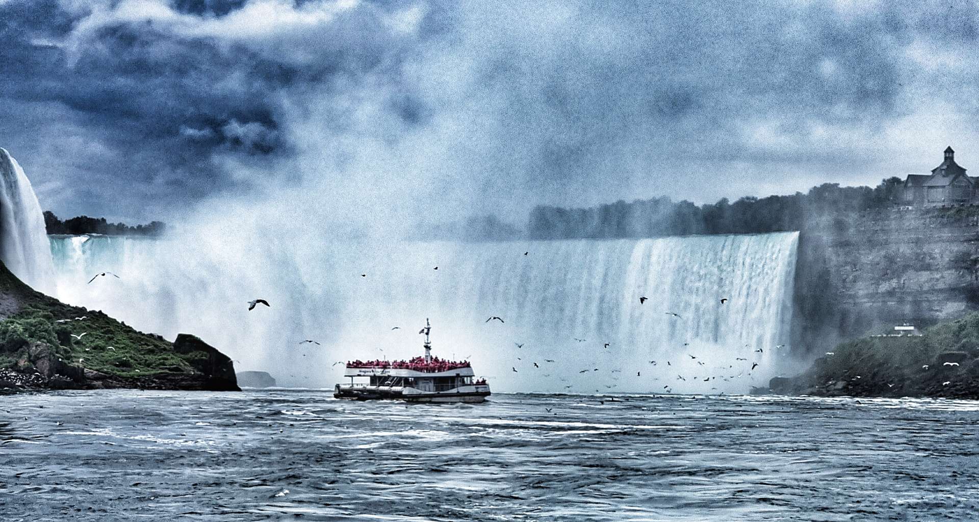
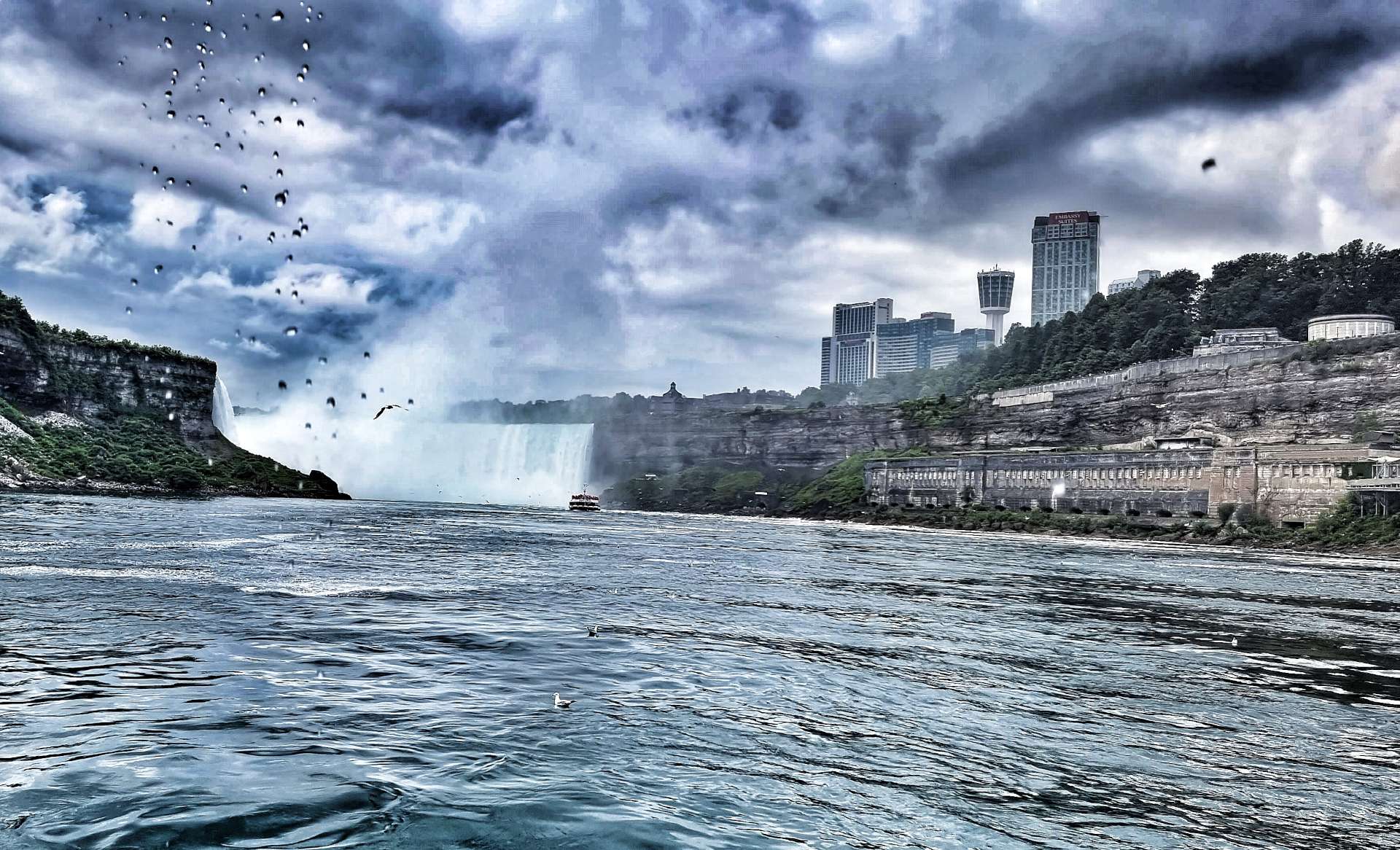
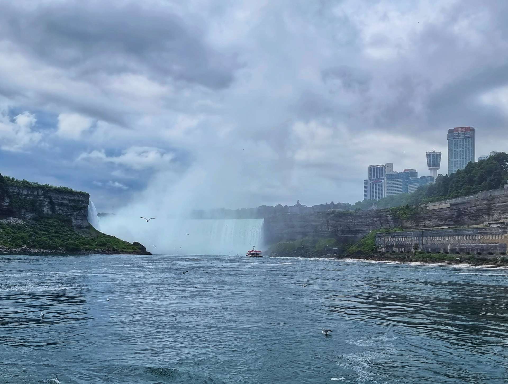
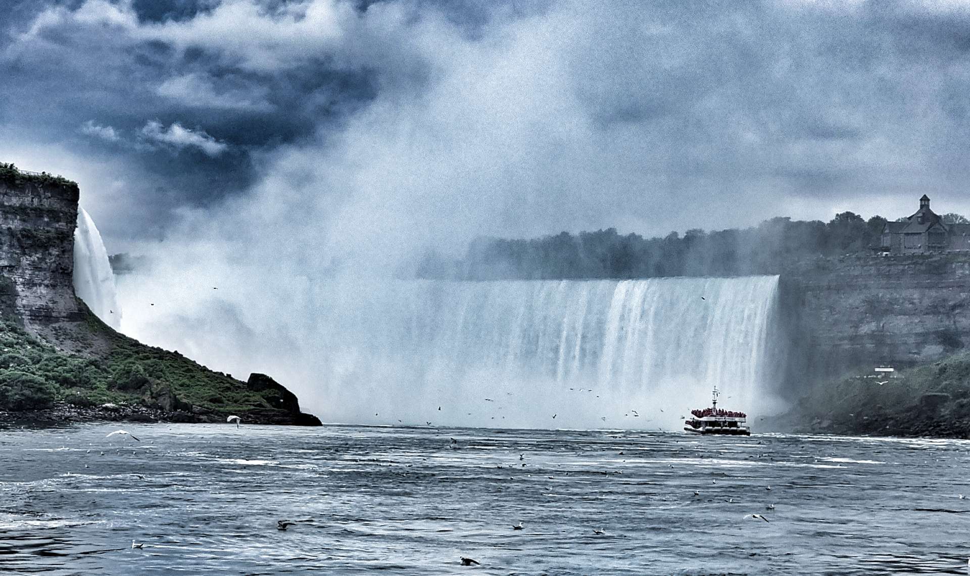
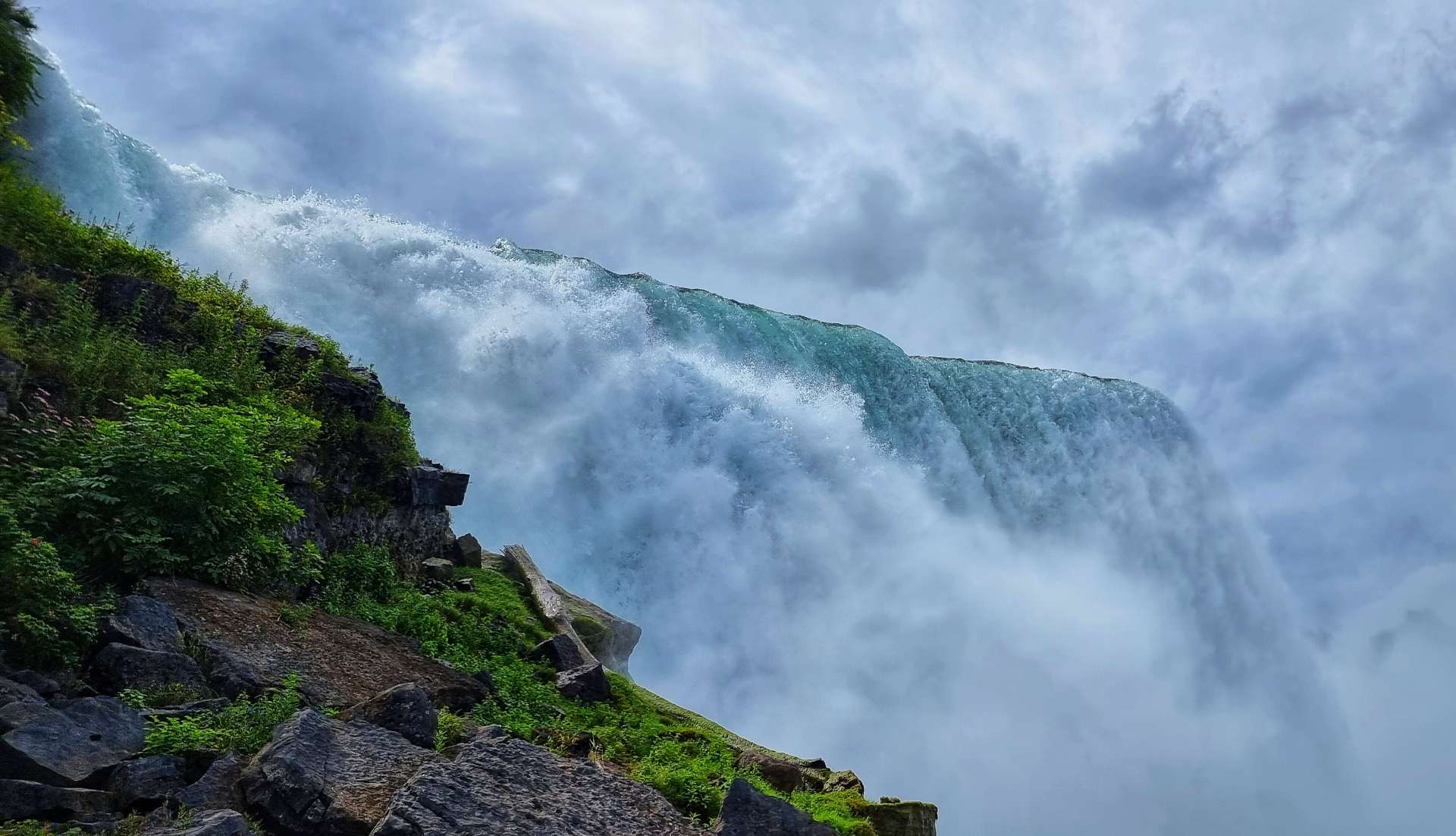
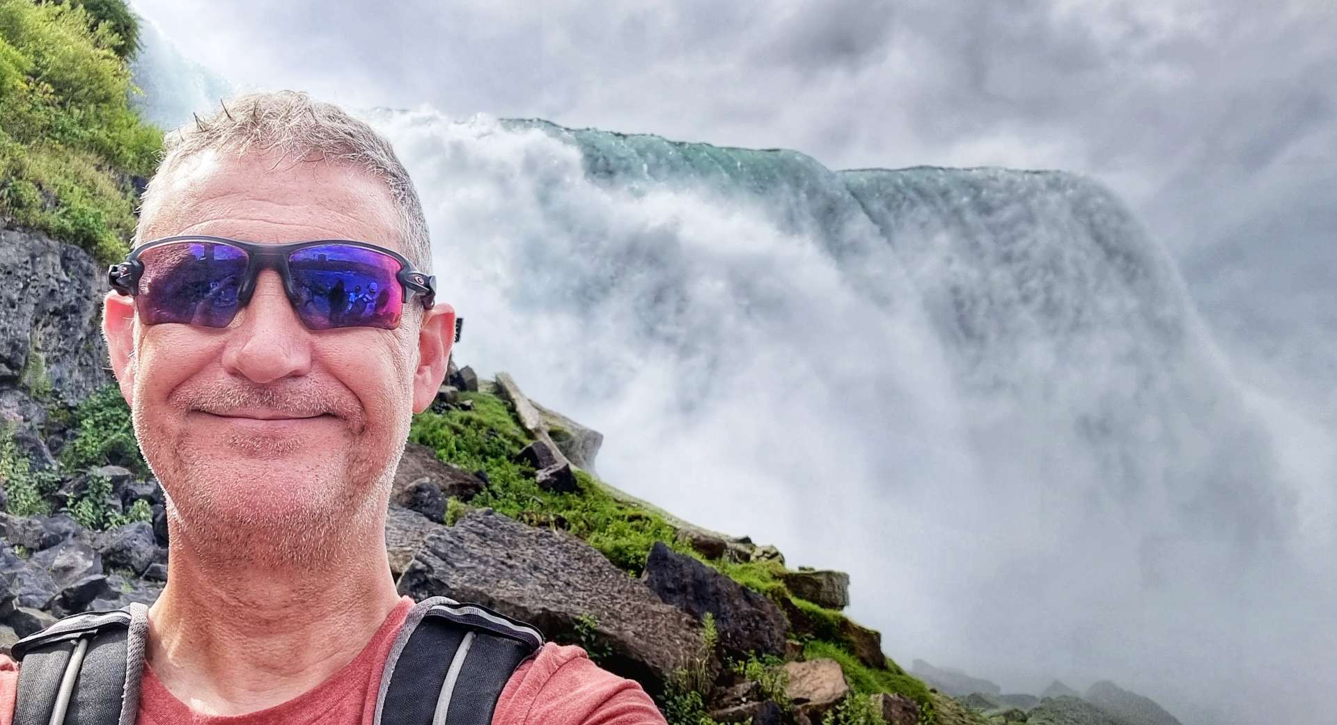
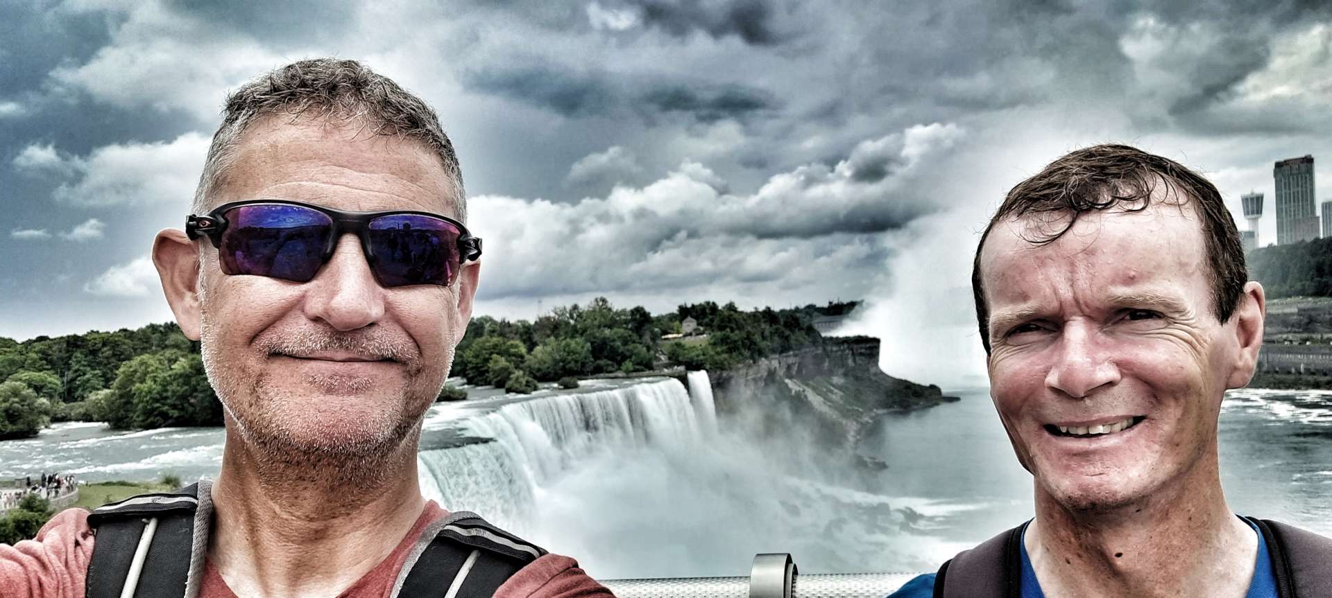
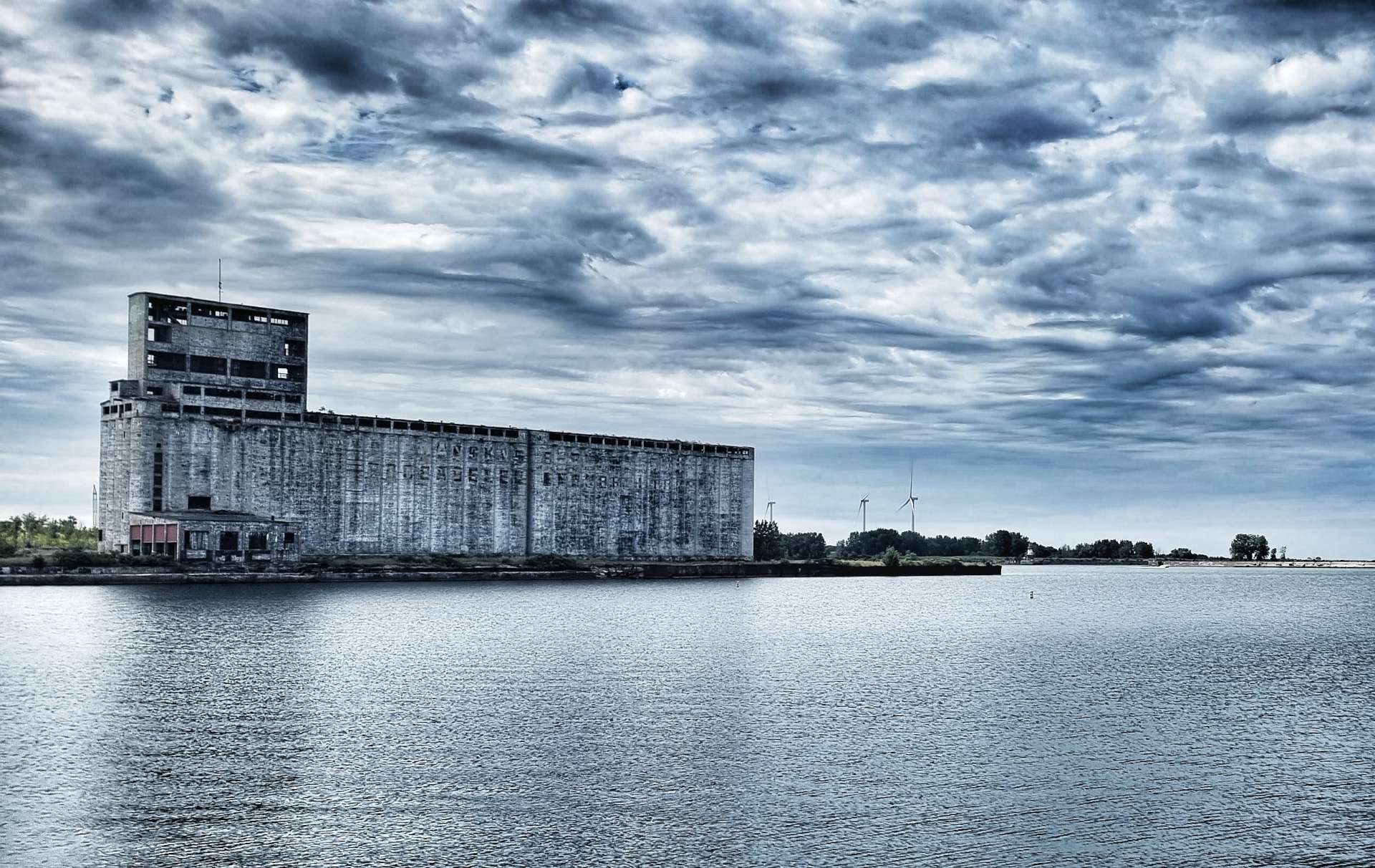
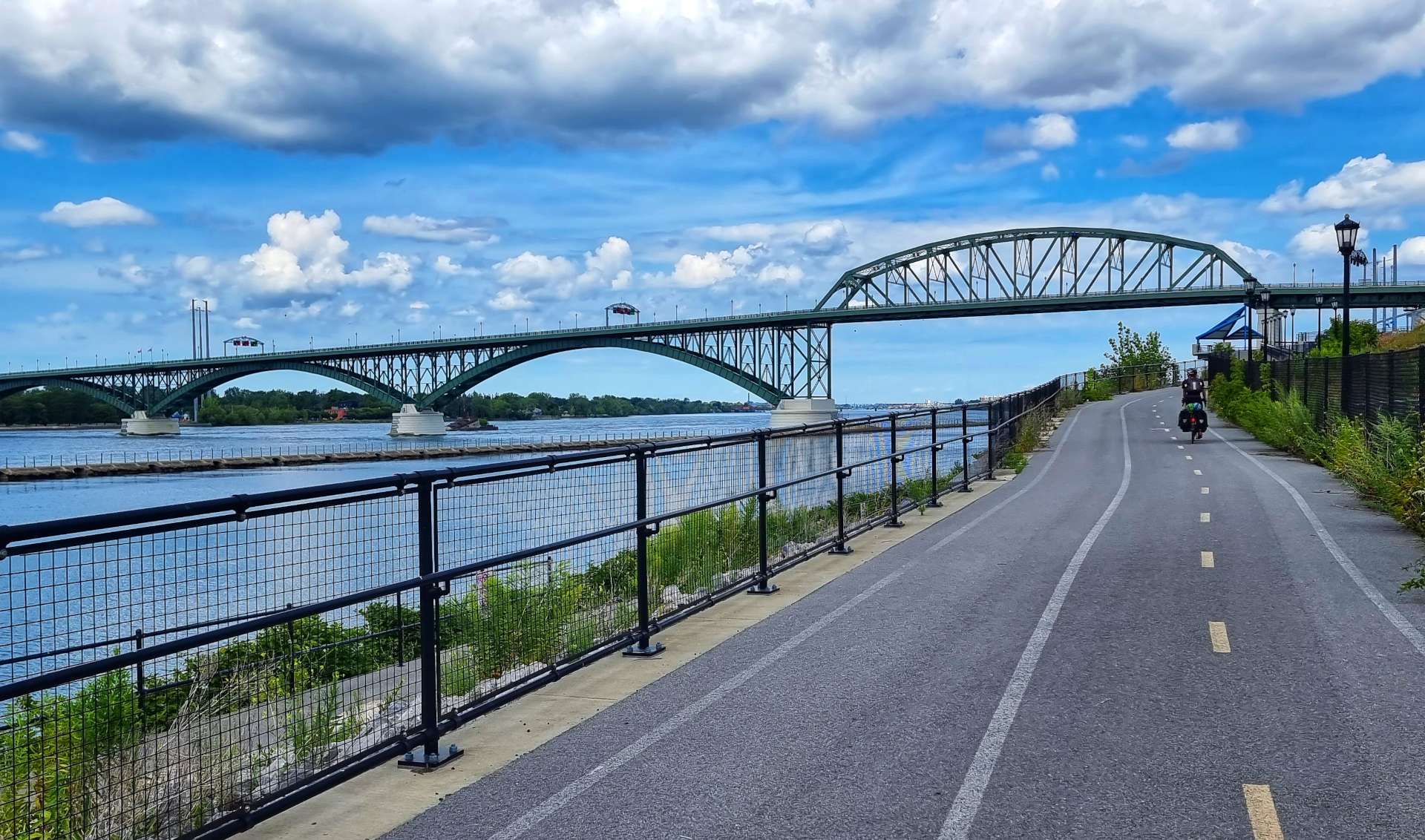
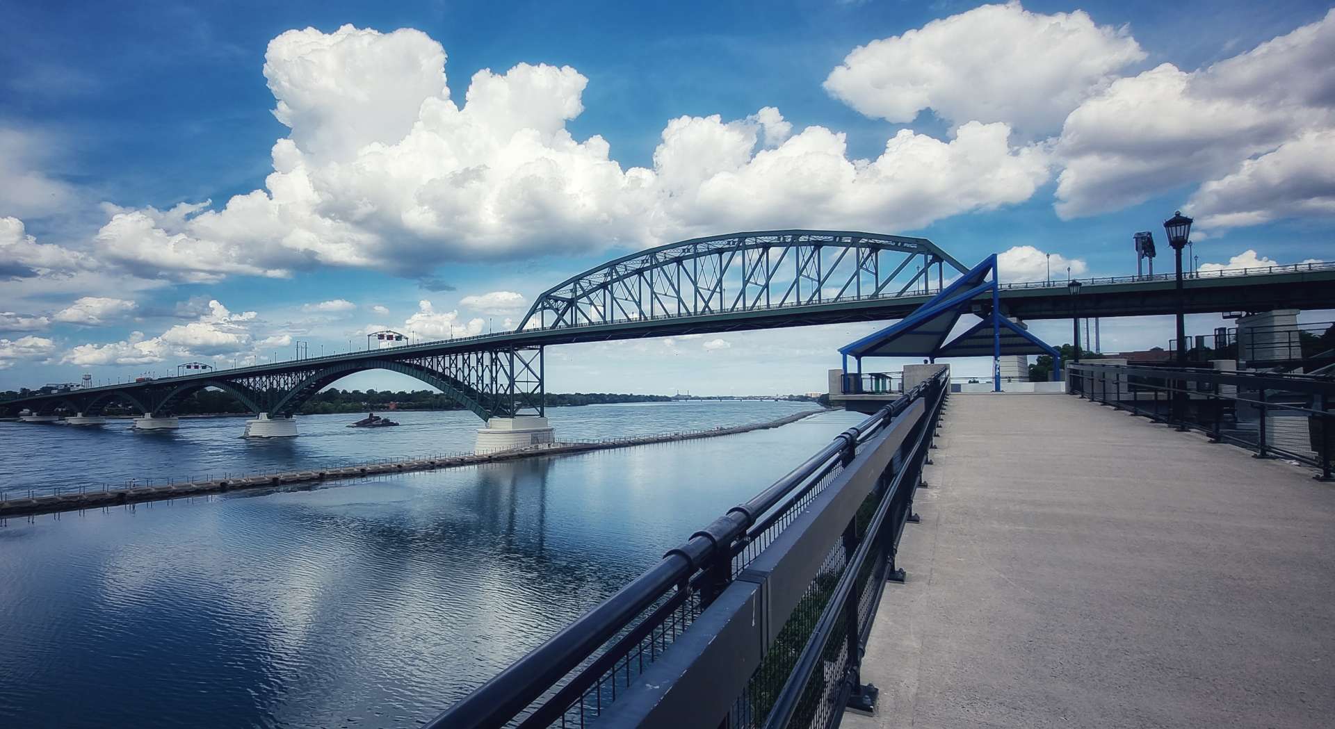
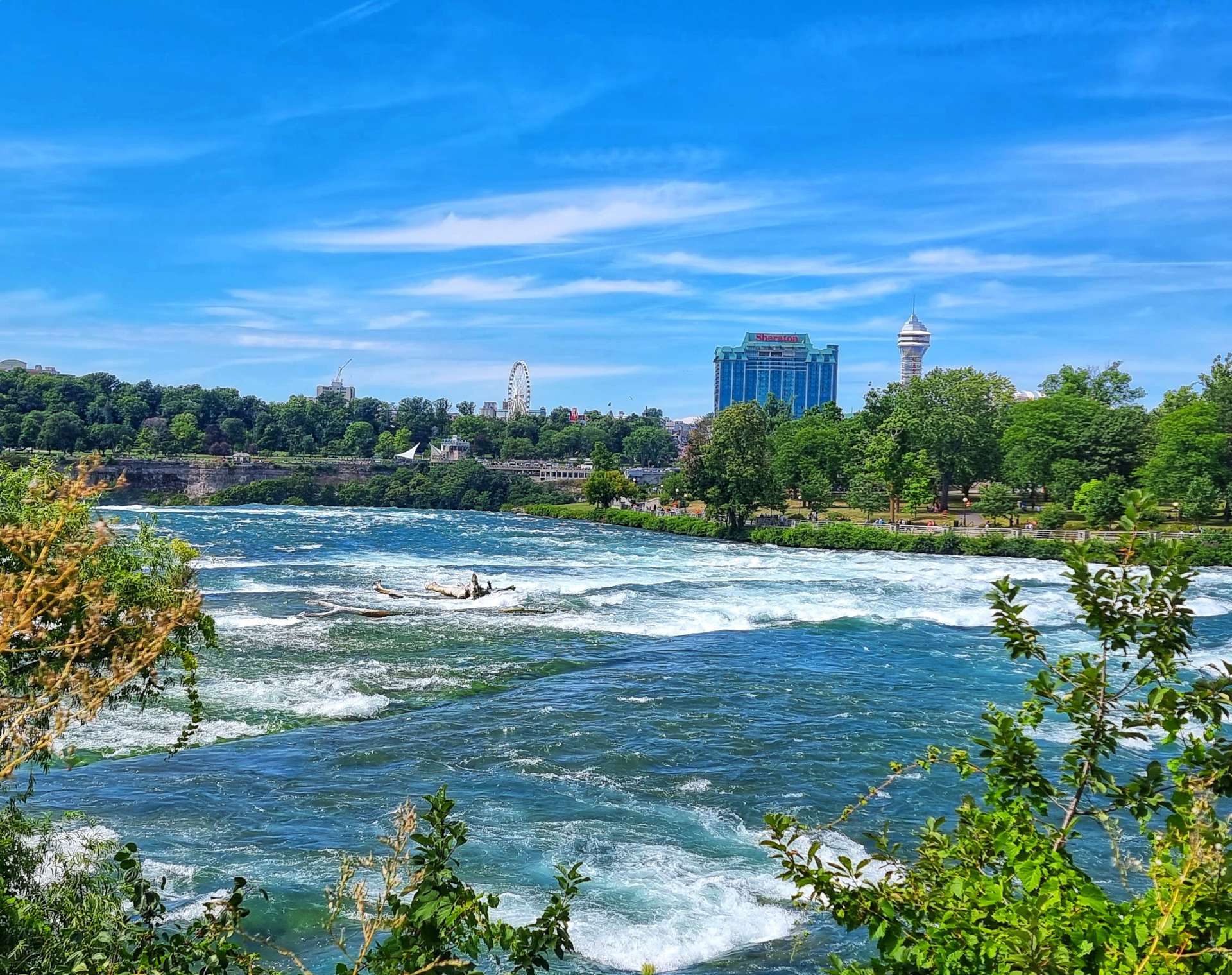
After yesterday’s amazing morning at Niagara Falls, we were back on the road, cycling again by 9am this morning. We took the Military Road north, stopping briefly at Reservoir State Park. Although we were more than 5 miles from Niagara Falls, the mist was still very much visible in the background. The State Park is a favourite with locals because of its many uses – tennis, roller hockey & basketball courts, softball diamonds combine with kite flying, model aircraft clubs, football & golf. The reservoir also has excellent fishing if that’s your thing.

We took a right turn as we reached Upper Mountain Road & headed East towards the Tuscarora Indian Nation on gently rolling terrain. The route took us past a historical marker which identified the home of Martha & Thomas Root. They were abolitionists who helped many slaves escape to freedom, via the Underground Railroad.

The term “Underground Railroad” was first used in 1831 & was used to describe an escape network of secret routes & safe houses used by enslaved African Americans. The escape routes were likened to railroads & people used the same terminology – for example a conductor was someone who served as a guide to an escapee, while a station was a hiding place (most likely in a private house, church or school).

Many escapees journeyed all the way to Canada, as the USA’s own Fugitive Slave Laws meant fugitives needed to leave the USA to be safe. Canada had no slavery & didn’t allow slave catchers onto their land.

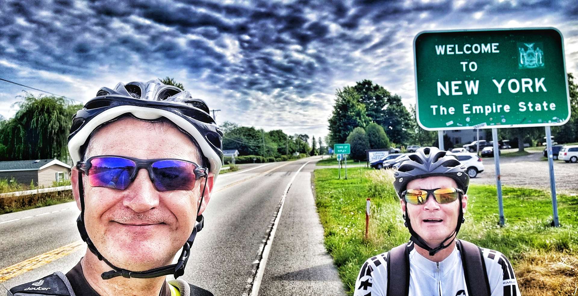
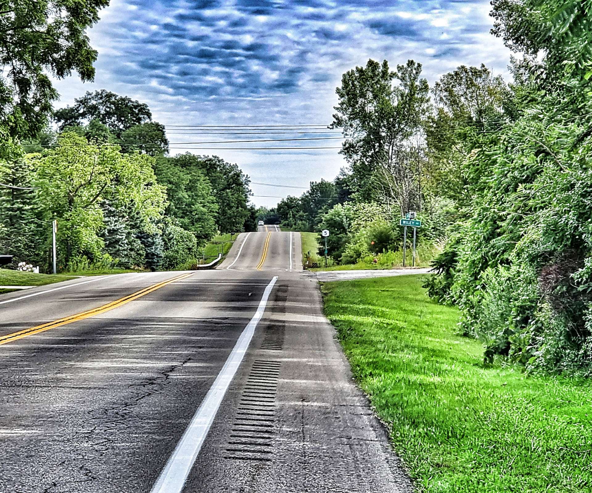
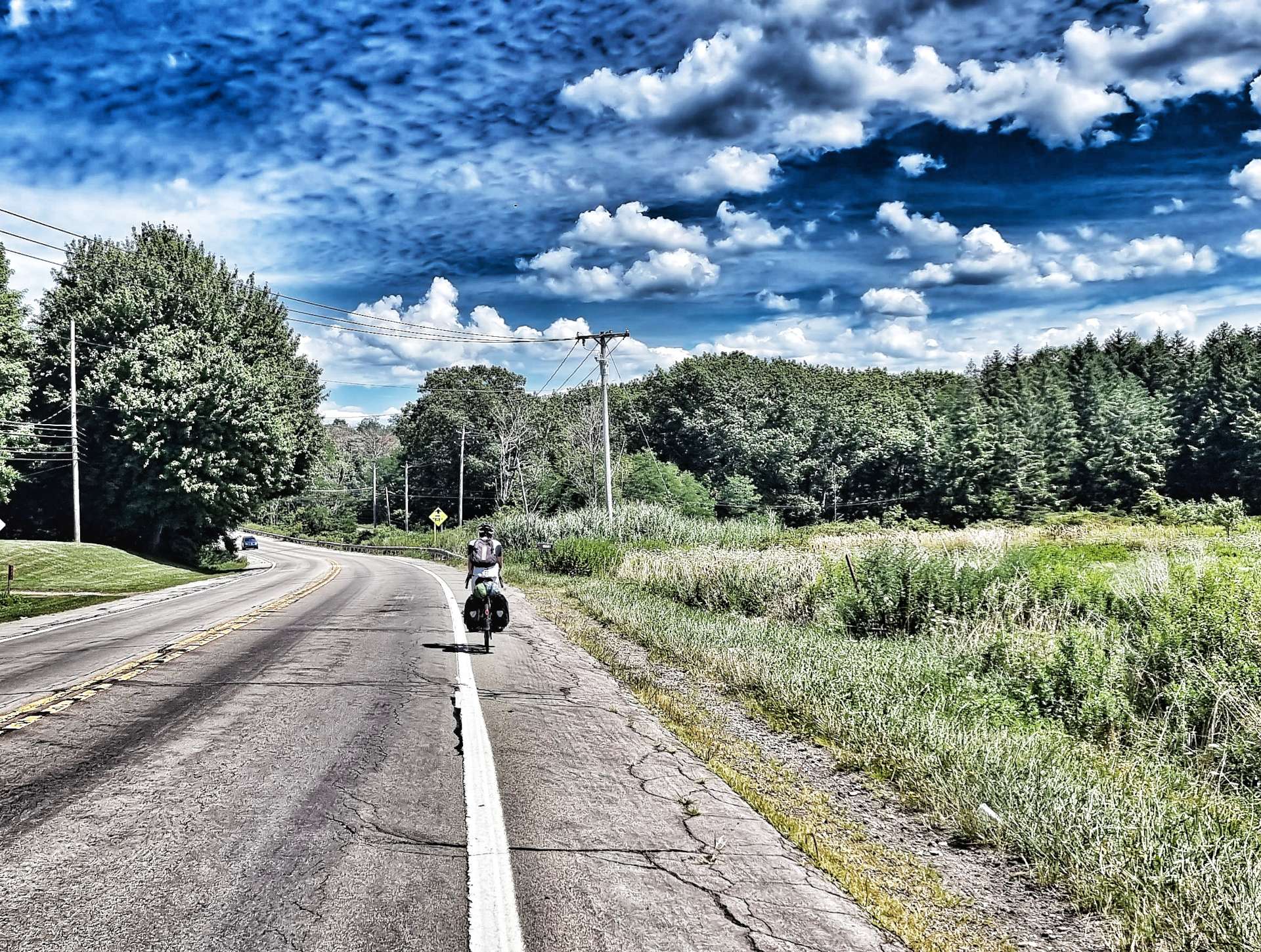
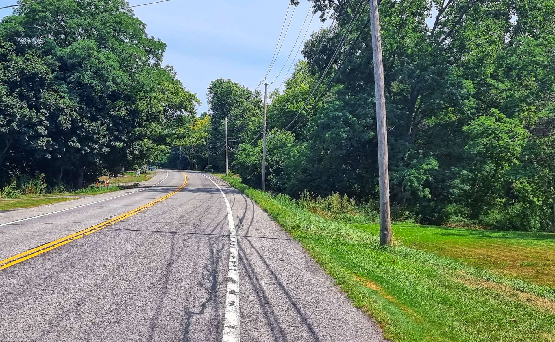
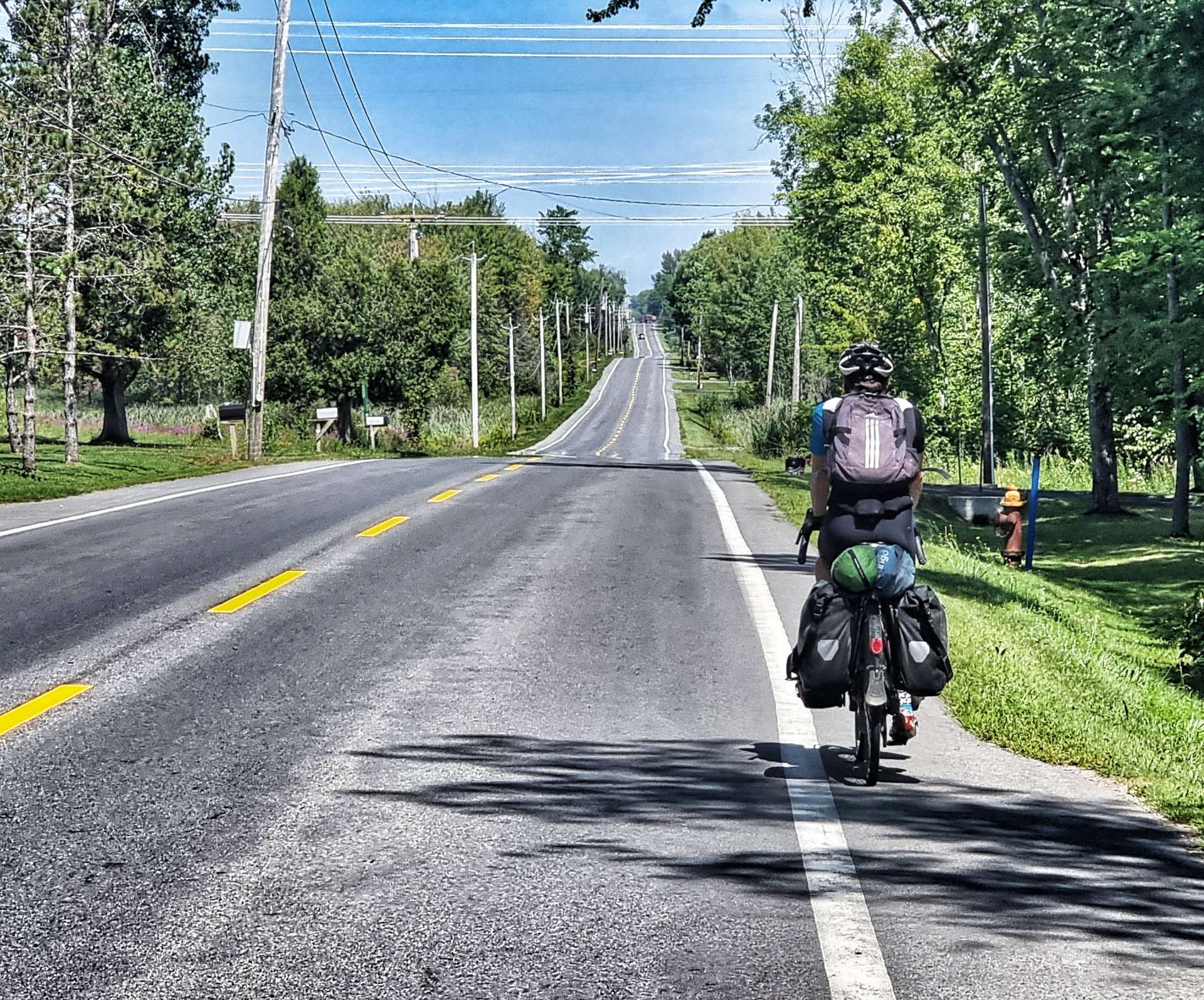
Lockport to Niagara remains one of the most difficult stretches of road I’ve ever ridden. We cycled into a headwind for about 20 miles in 2007 & I remember being in the easiest gear I had available & we struggled to maintain 8 miles per hour – it makes me shudder just thinking about it!! It remains my gauge for how strong a headwind really is & to this day I’ve not ridden in more challenging conditions. Funnily enough, Sean had similar memories!!

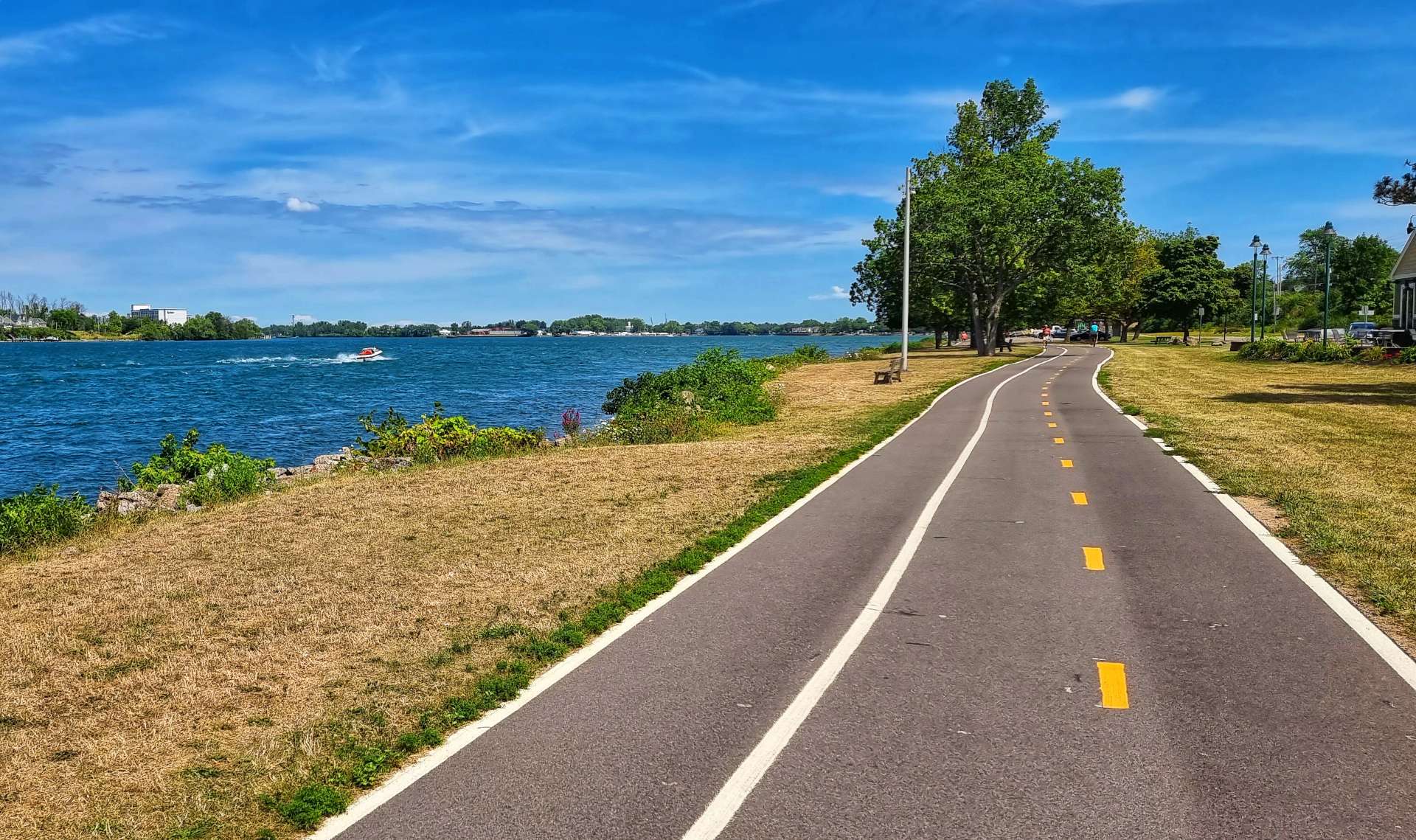
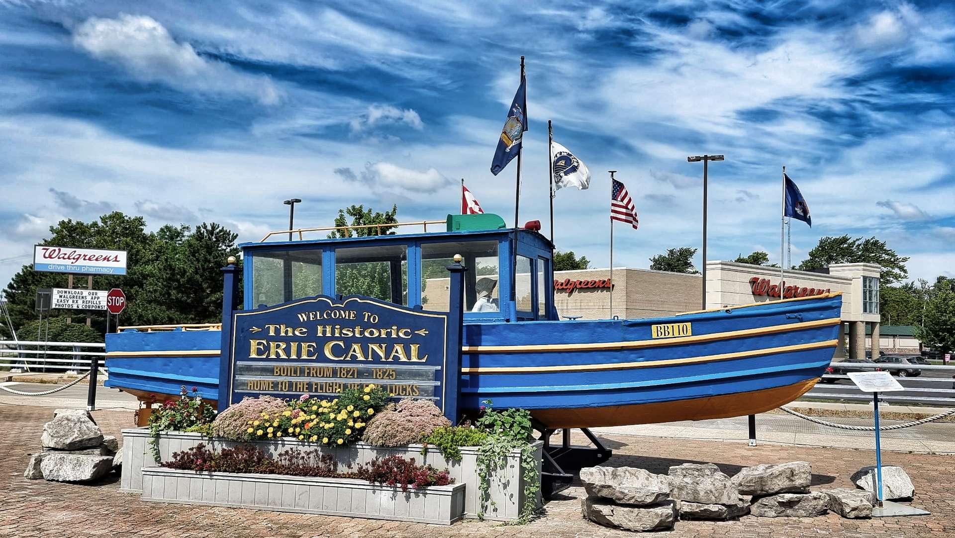
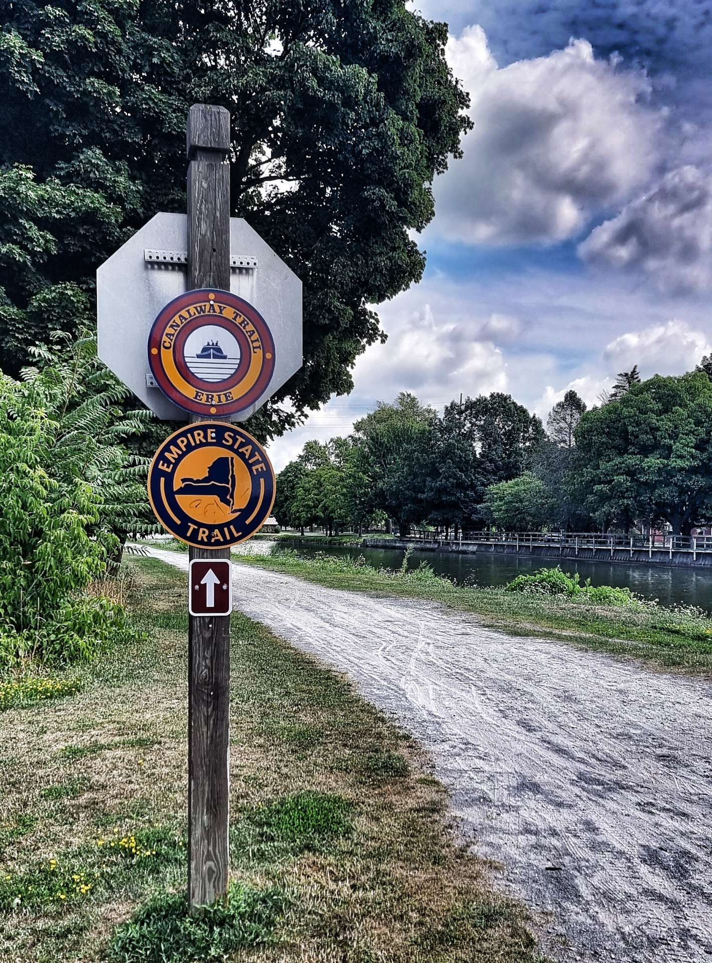
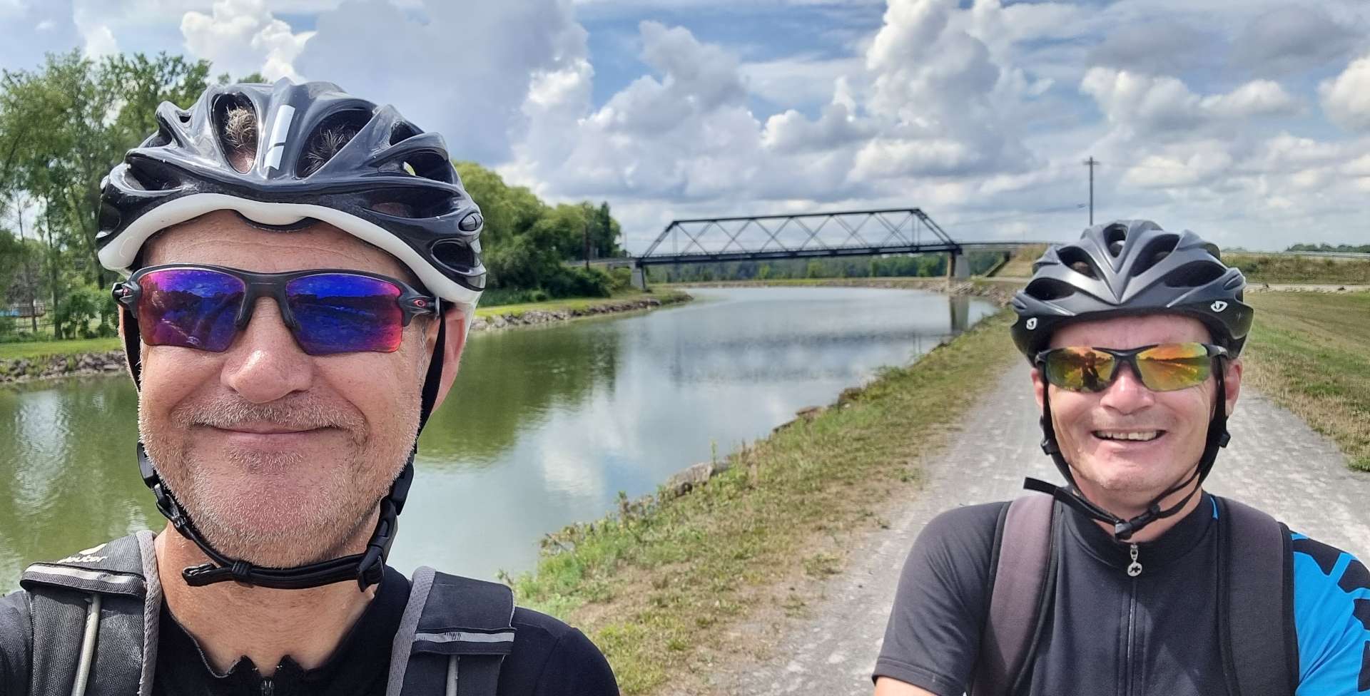
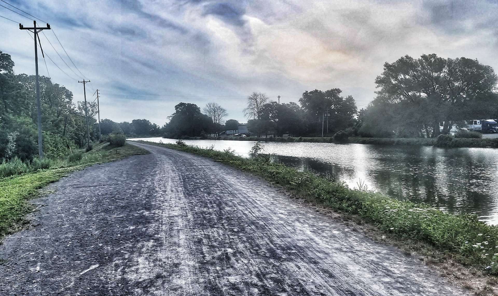
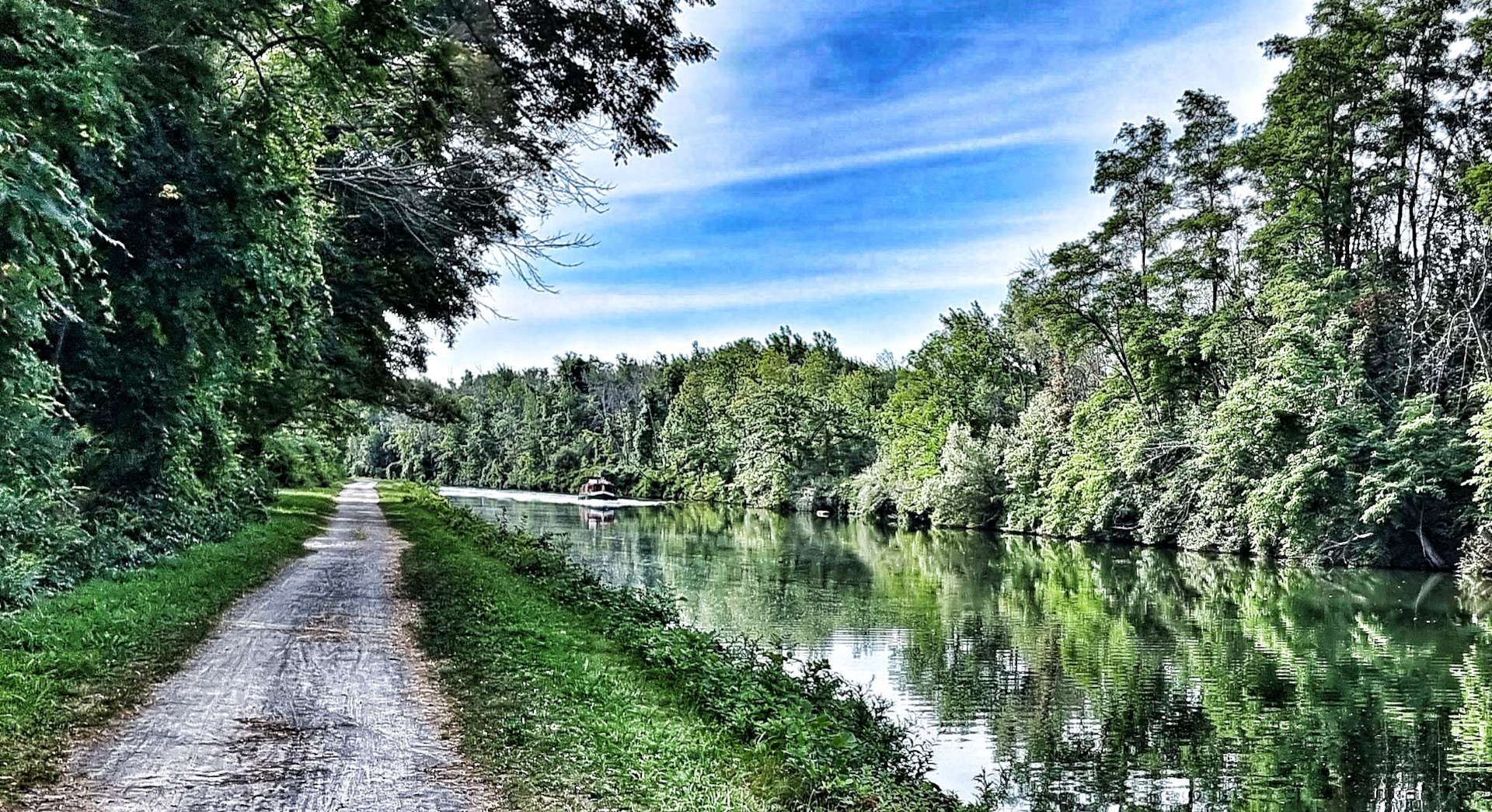
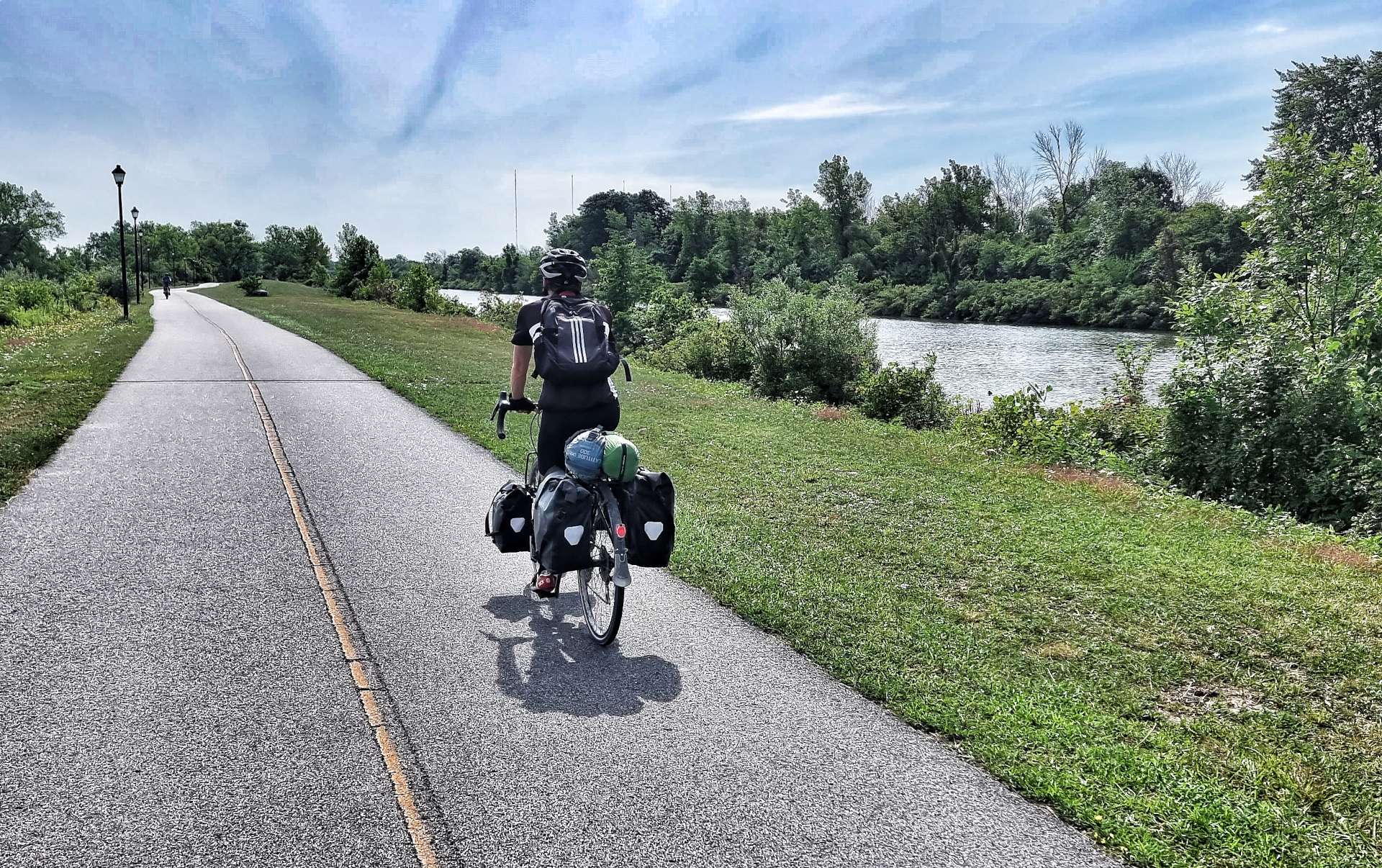
We arrived at Lockport after 24 miles & found Carson’s Deli & Bakery where we topped up our calories & water levels. I had mapped a route which would follow the small roads if necessary, but we agreed we would try the Erie Canal Trail first, as a few people had said it was better than the road option.

The Erie Canal is no longer used to transport freight, but it remains open for recreational boating, as well as cruises up & down the canal. We joined the Empire State Trail (which runs alongside the canal) in Lockport & stayed on it all the way to tonight’s stop at Brockport!

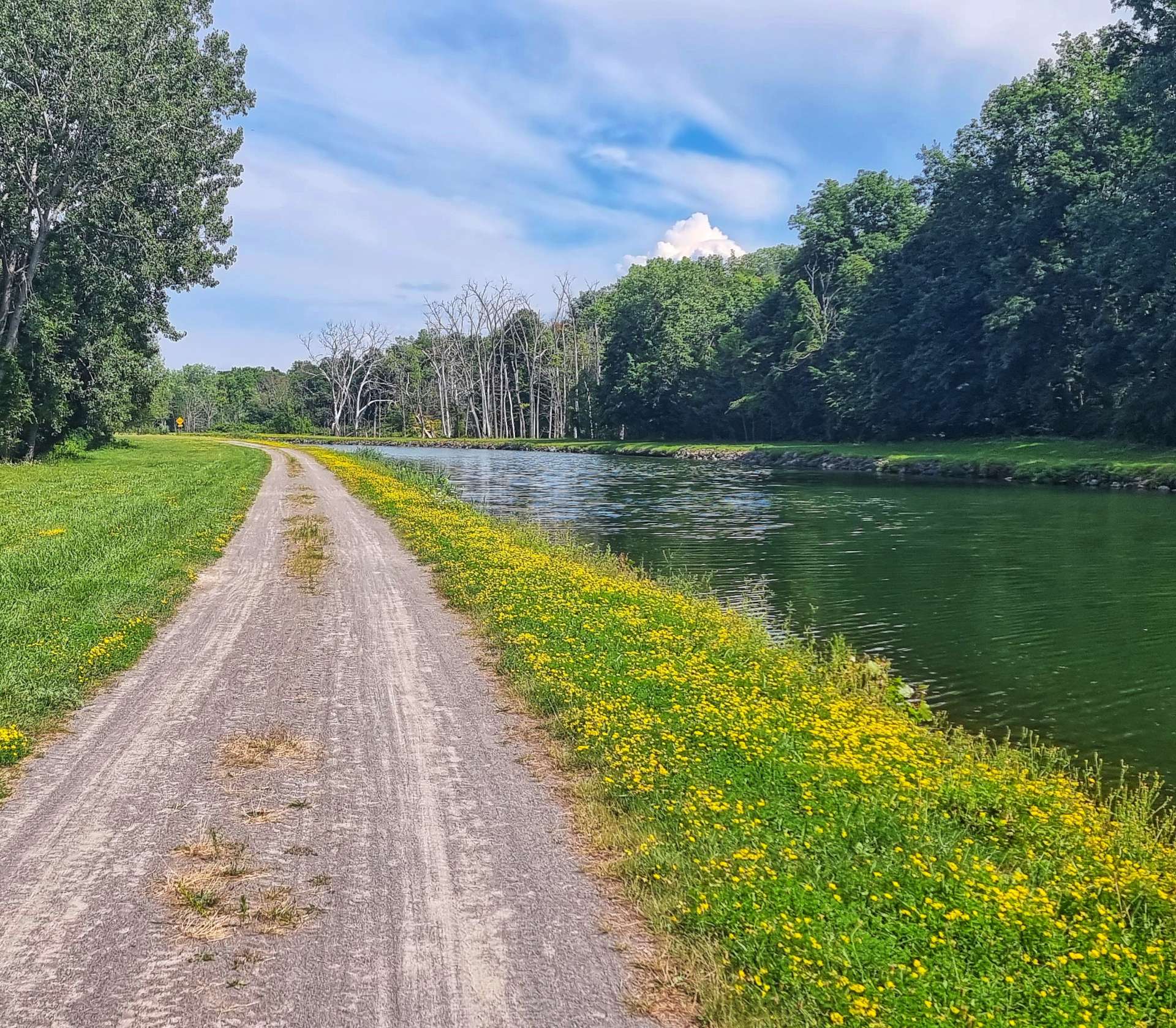
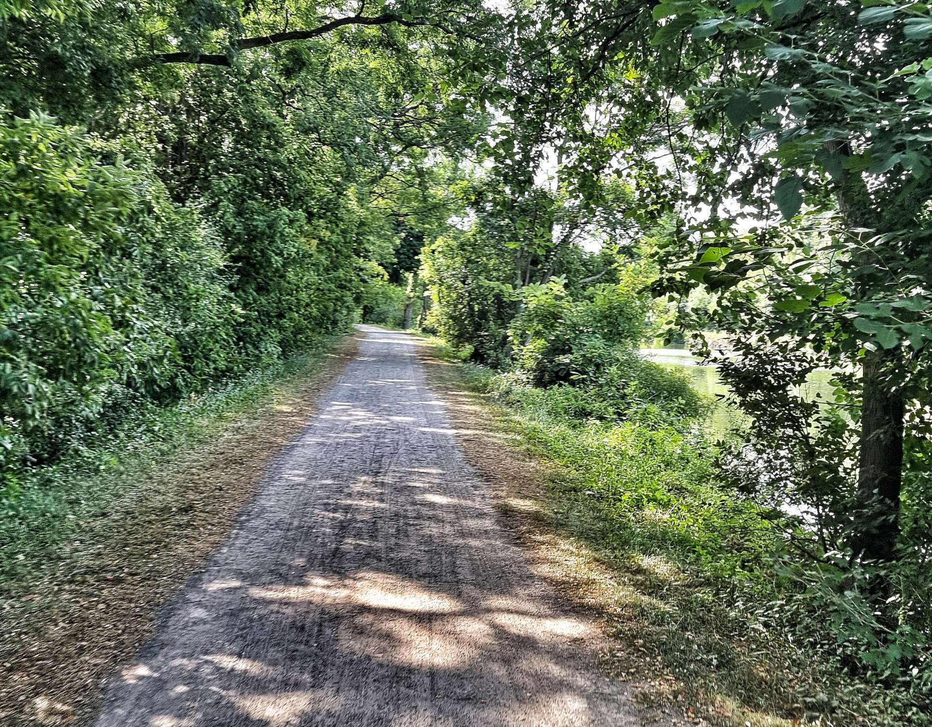
The trail is mostly crushed limestone with occasional stretches of gravel & tarmac. When we attempted to ride this surface back in 2007 (in the opposite direction), we decided it was too difficult for us. Fast forward to 2022 & we cycled on it for about 40 miles today, with more planned tomorrow!!

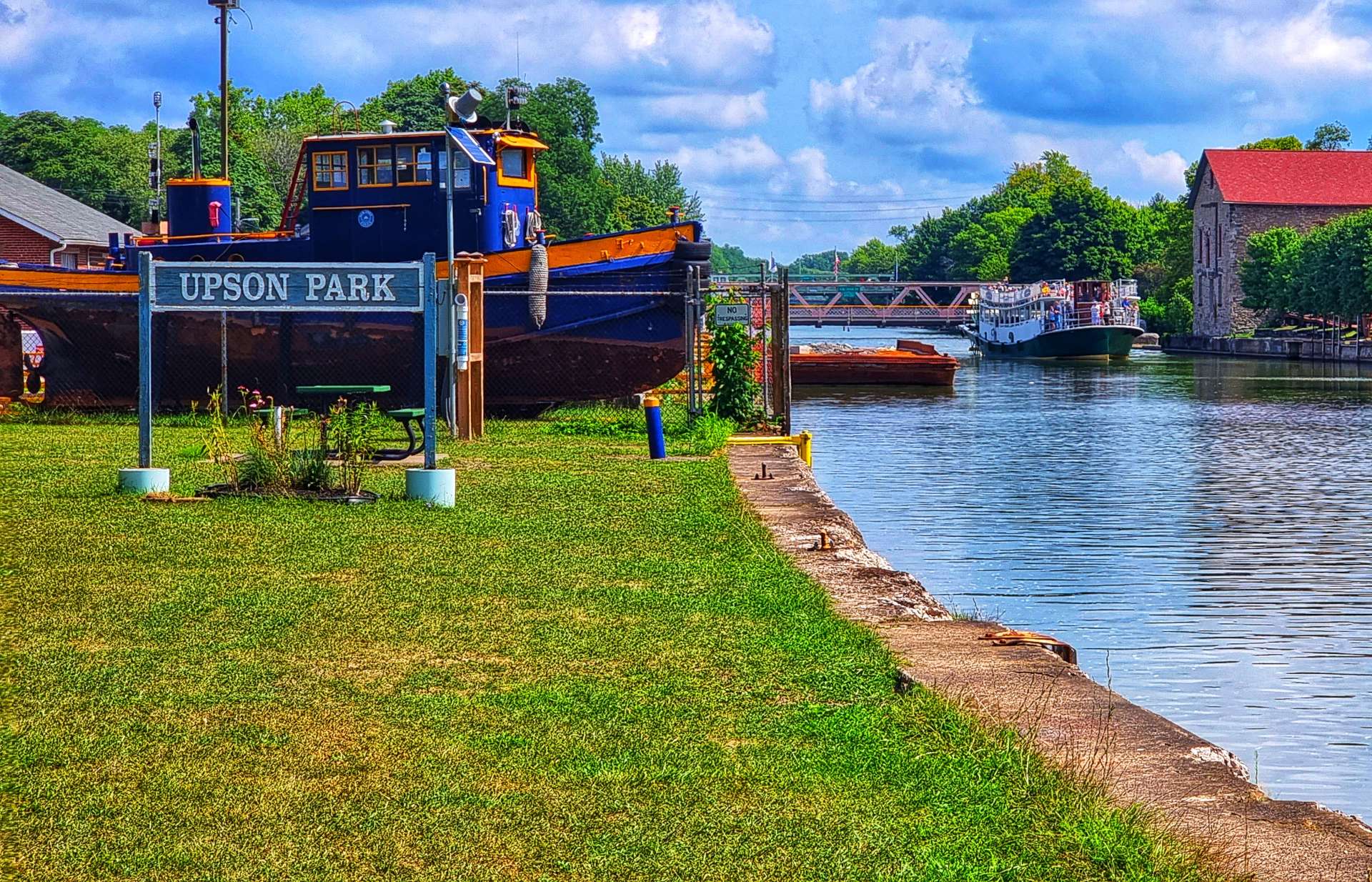
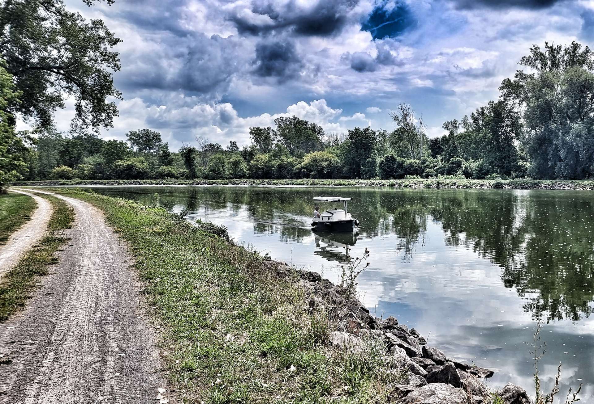
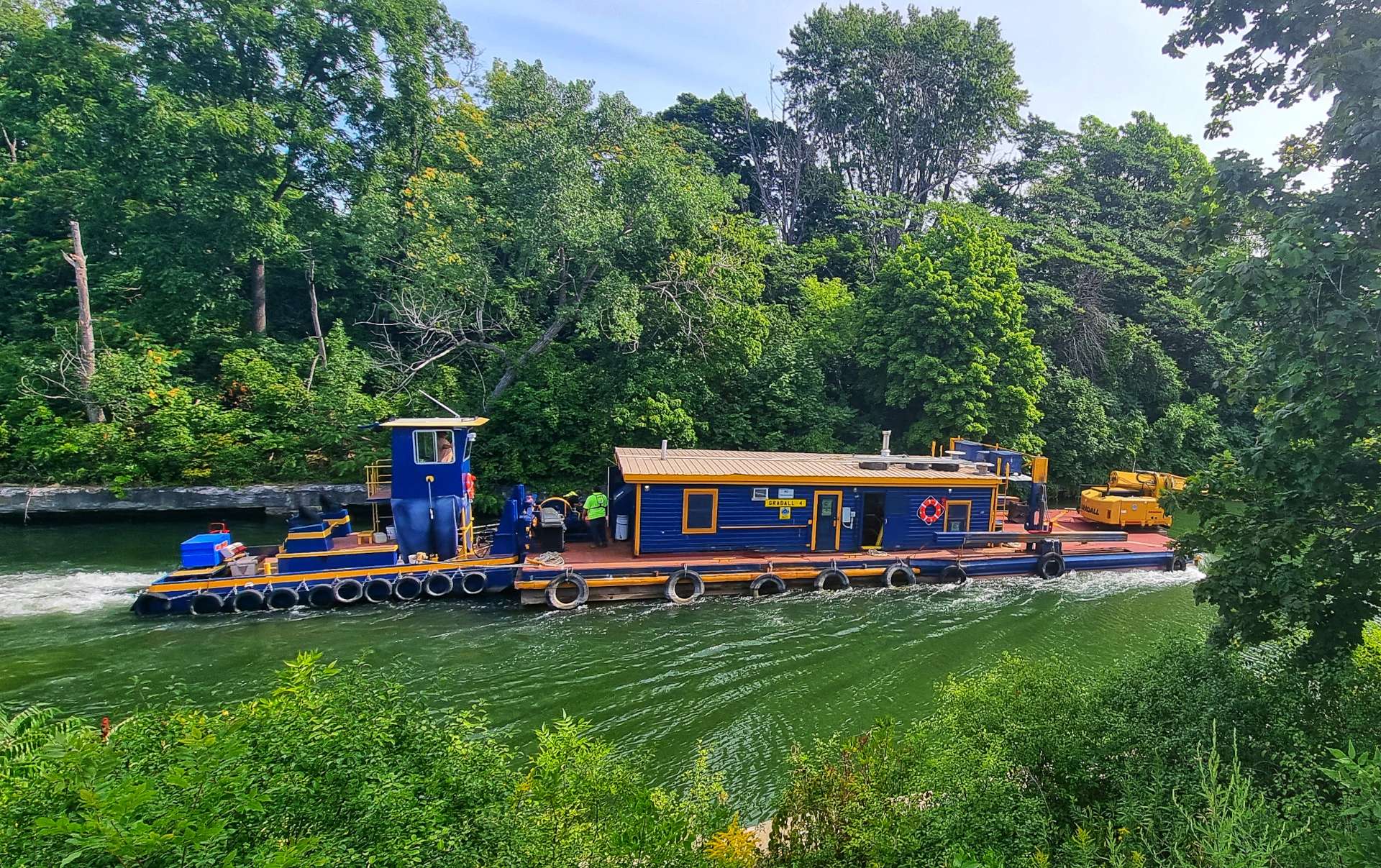
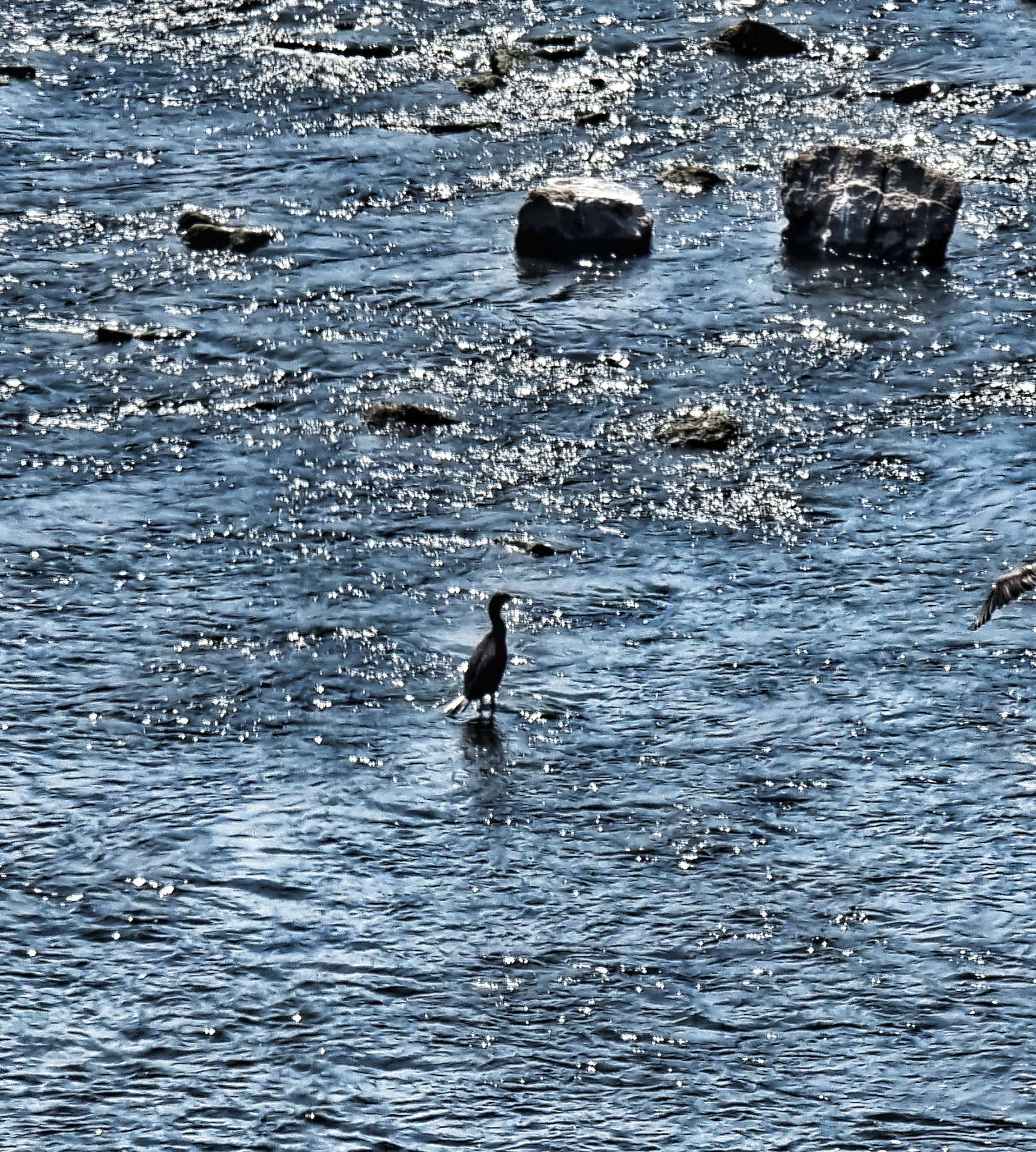
While we were on the trail we saw the canal being used by a large barge which was taking people on a cruise, a small boat with just a couple of people on board, a paddleboarder & a gaggle of geese who were practicing their synchronised swimming.

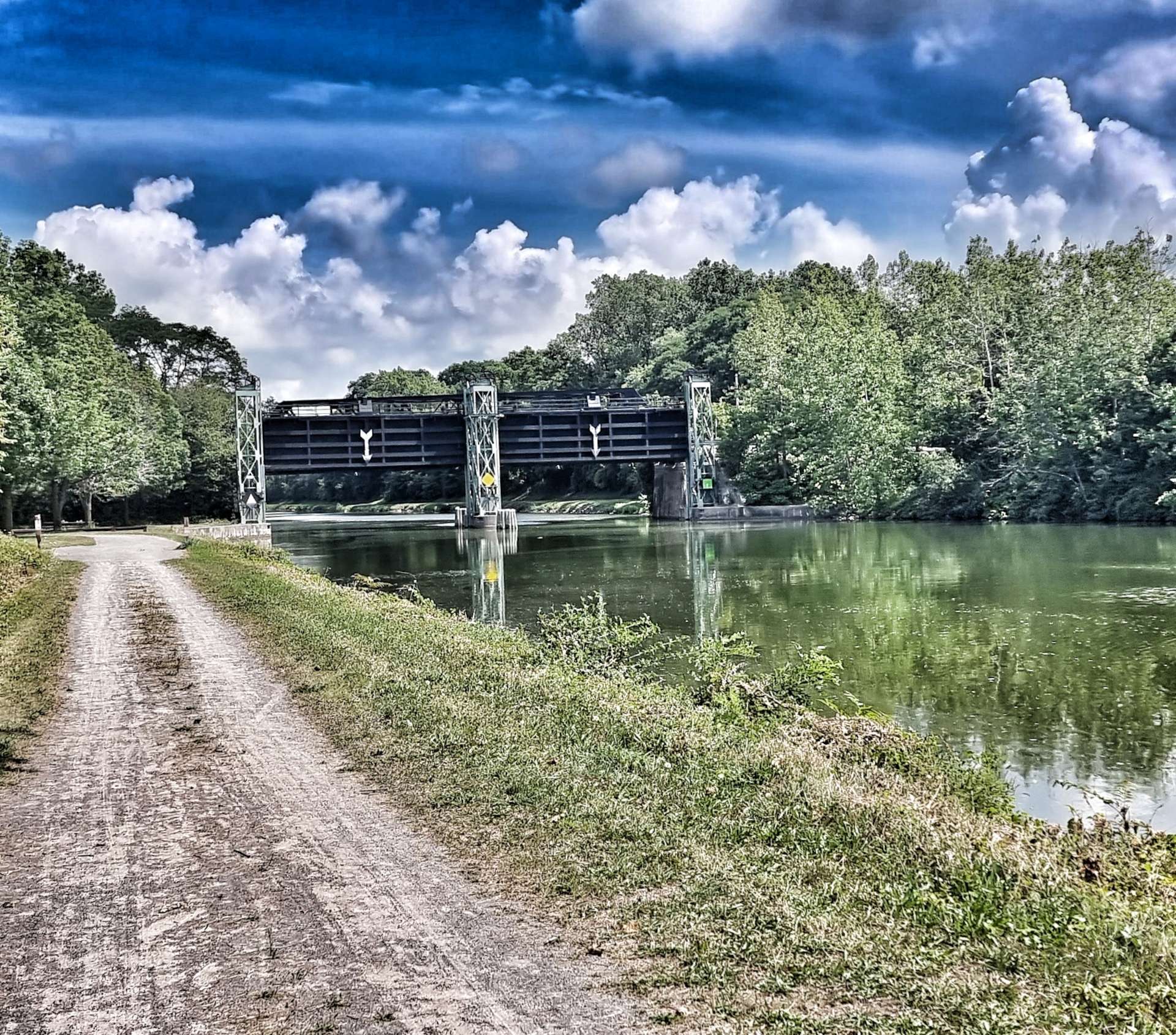
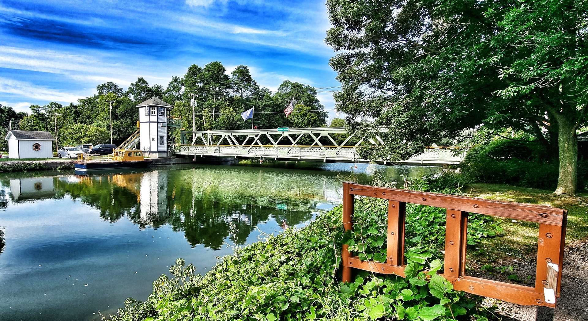
As we reached the outskirts of each town, they had defences in place (should they be needed), to ensure the town was protected from flooding. There were also different bridge designs & colours – the drawbridges in town were just above the river, but could be moved to enable boats to pass & each one had the town’s name on a sign. Pedestrian bridges were the same colour as the drawbridges, but you had to climb the steps to get over them. Roads outside of town were higher again & painted either grey or green, depending on the classification of the road.

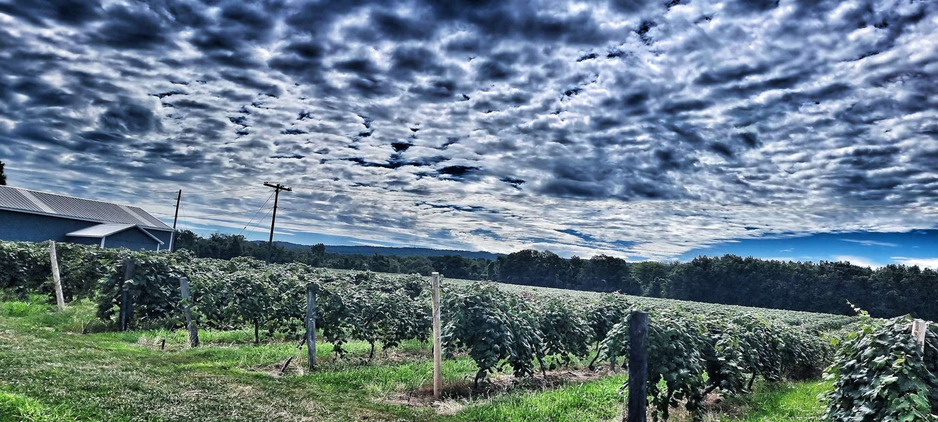
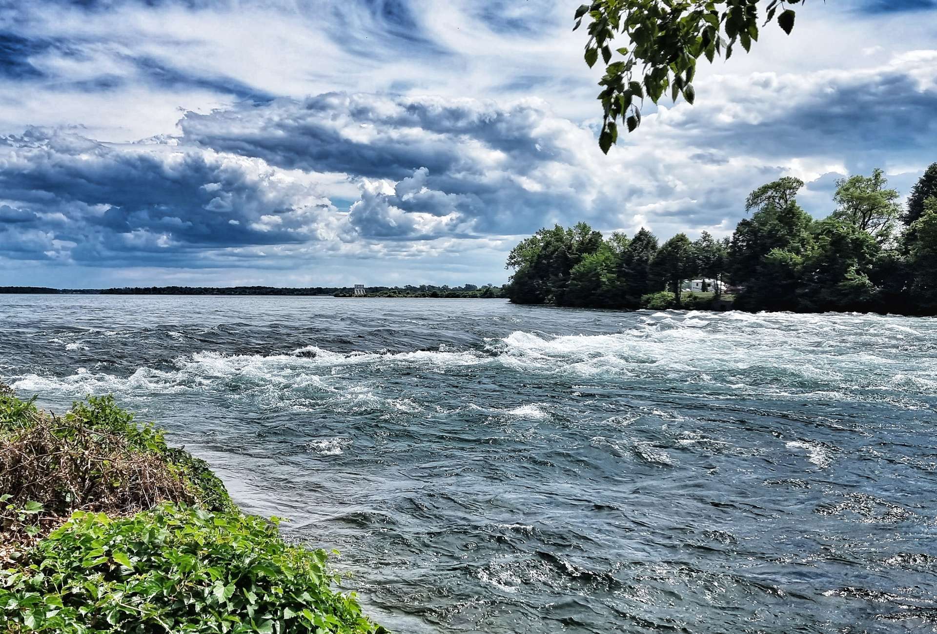
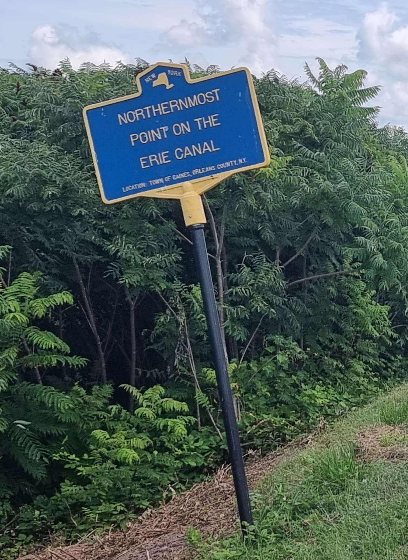
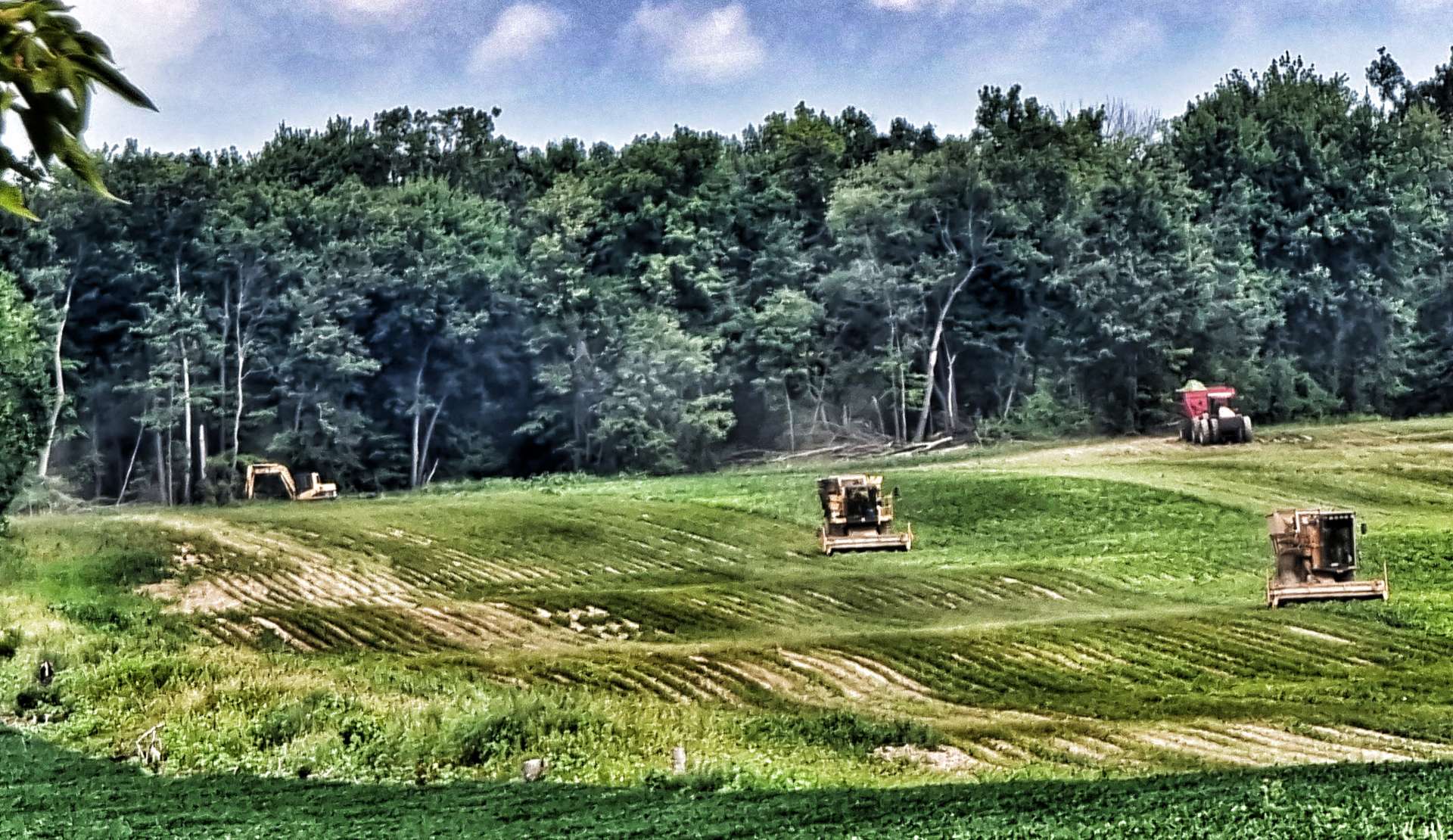
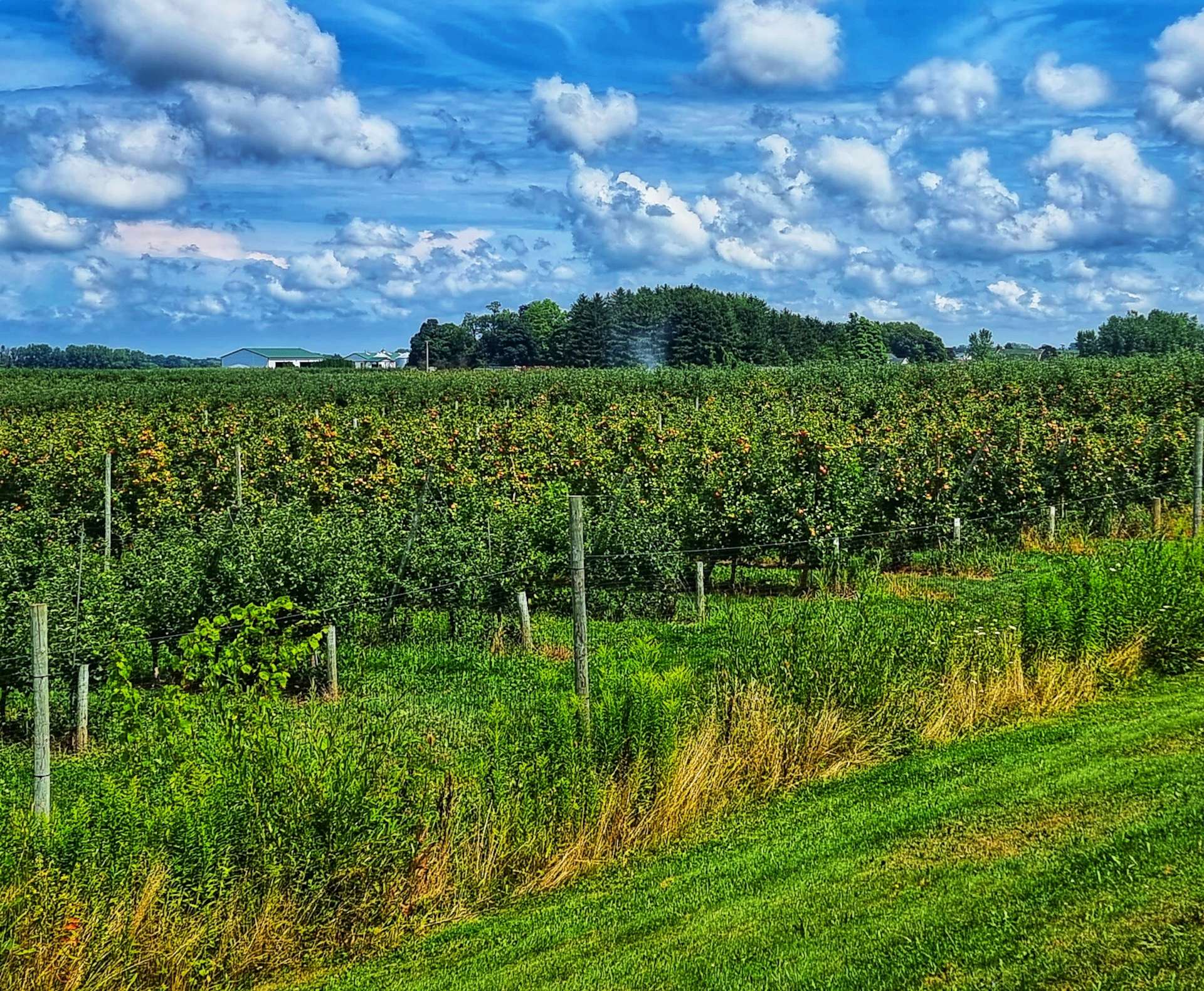
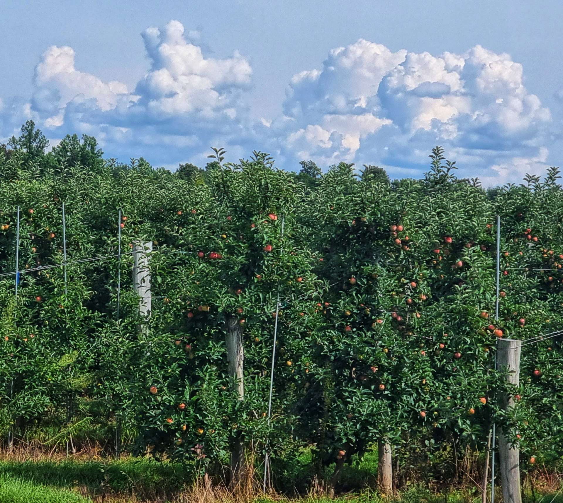
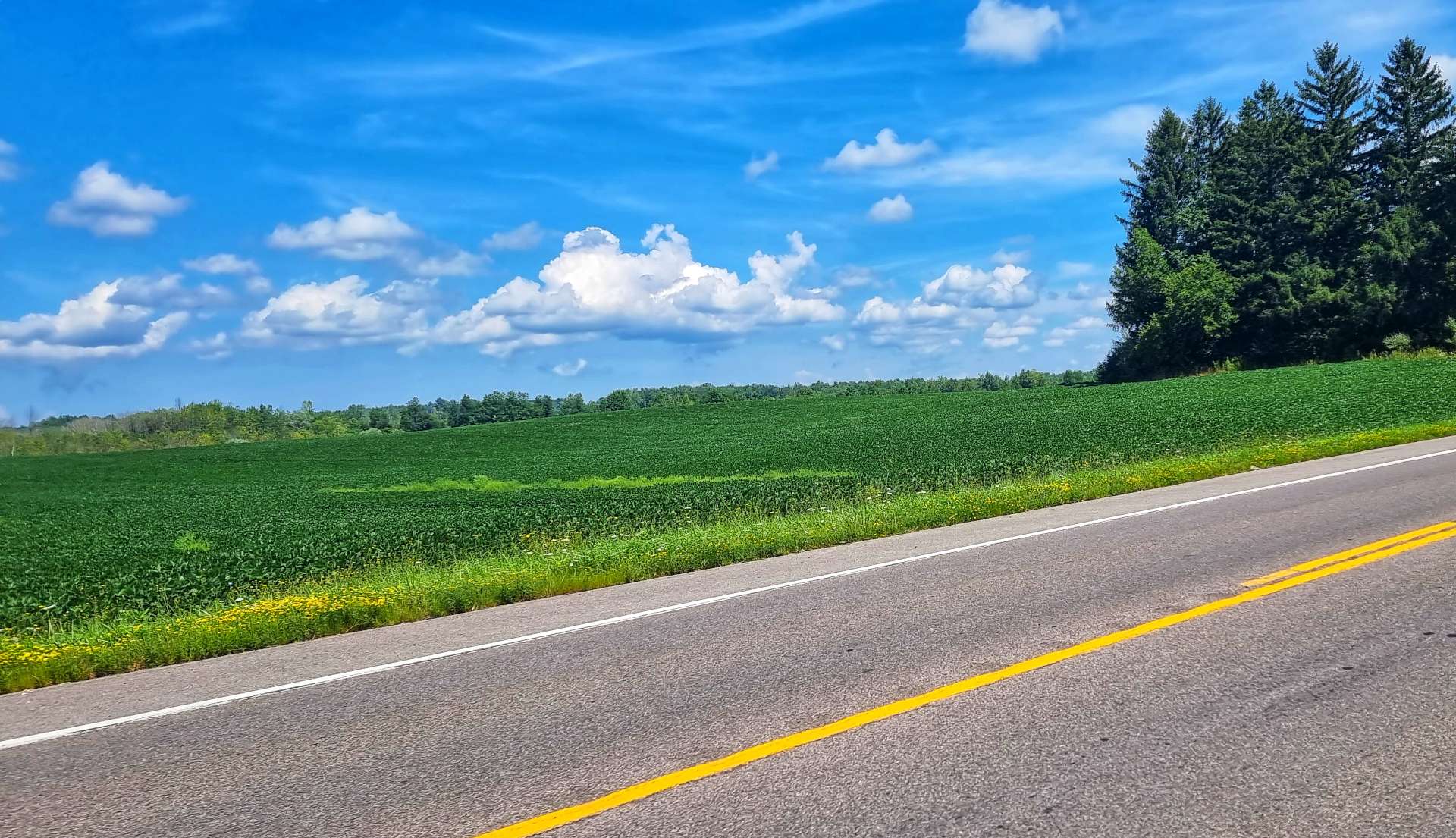
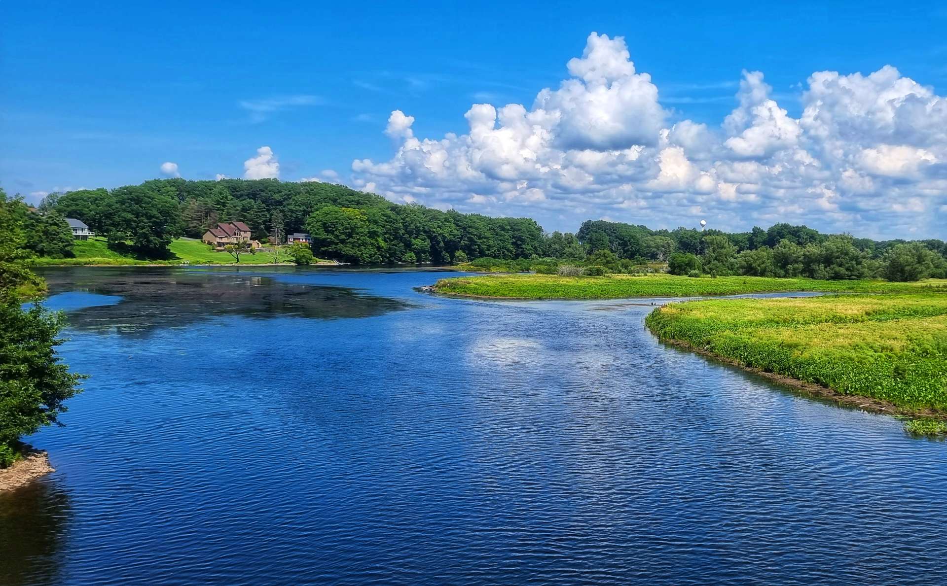
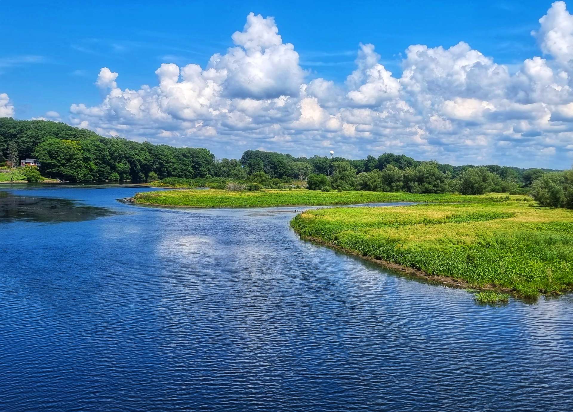
We reached the northernmost point of the Erie Canal, which was good news, as the light wind was blowing from the North. We had the trail to ourselves by now & stopped to admire the view & take a couple of photos. The crops also switched from fields of maize & soya being harvested by big combine harvesters to orchards of apples

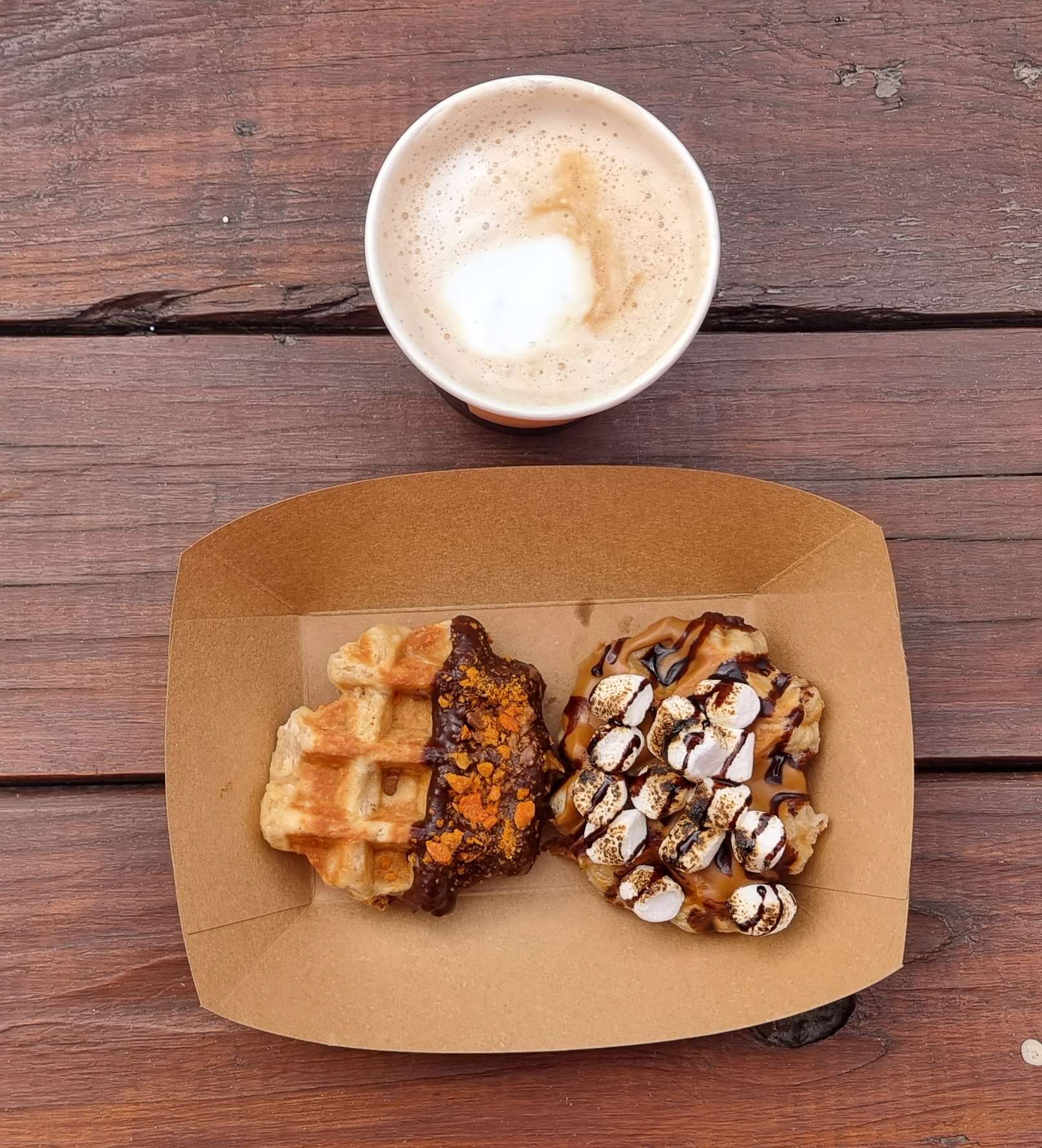
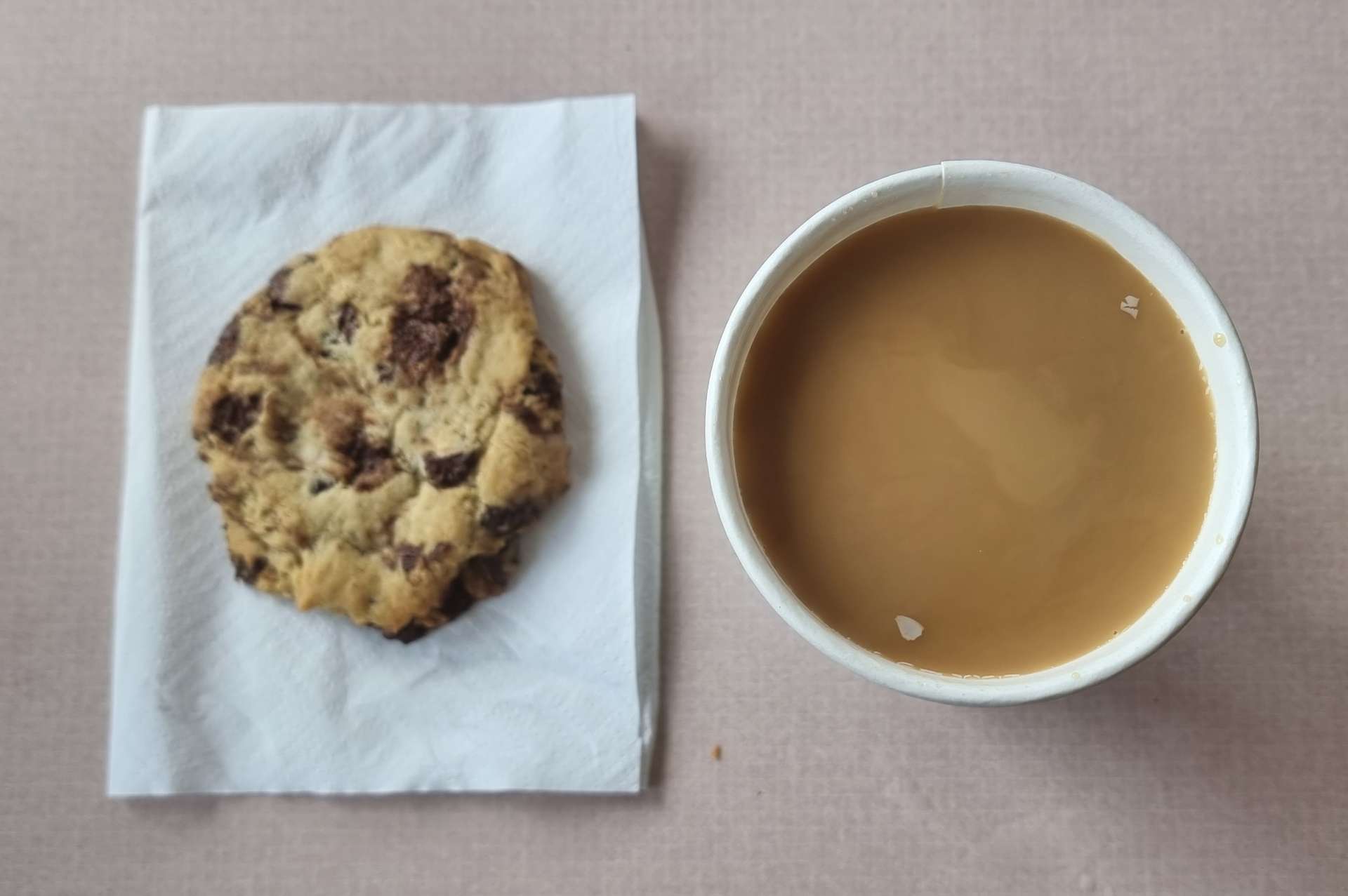
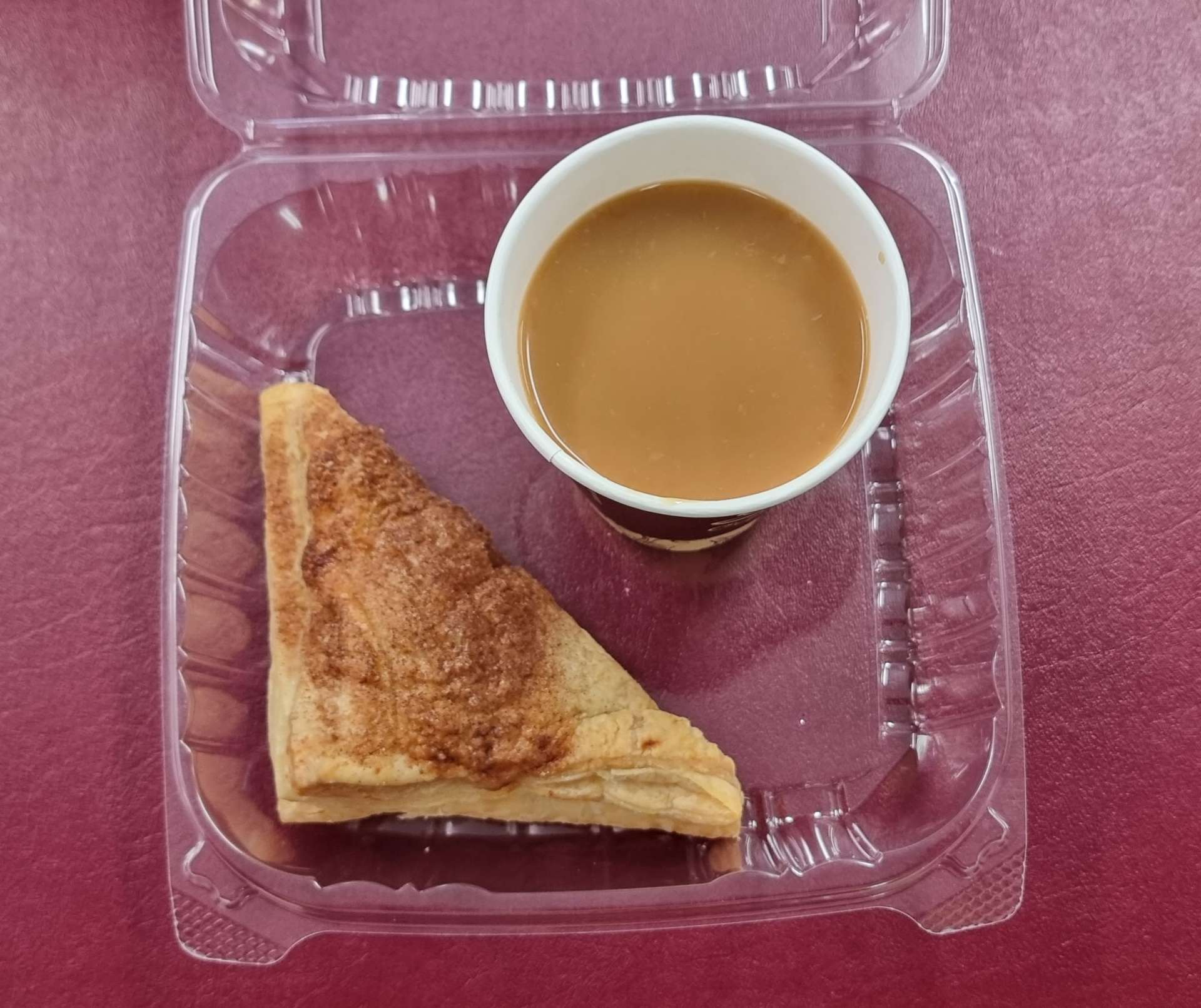
We stopped at The Coffee Joint in Albion, where the cake of choice today was an apple turnover & the drink was a salted caramel latte – the perfect pick-me-up for the final 20 miles into Brockport!

There were signs along the length of the trail, giving information on the canal & I’ve included one, so you can see the attention to detail that goes into them.

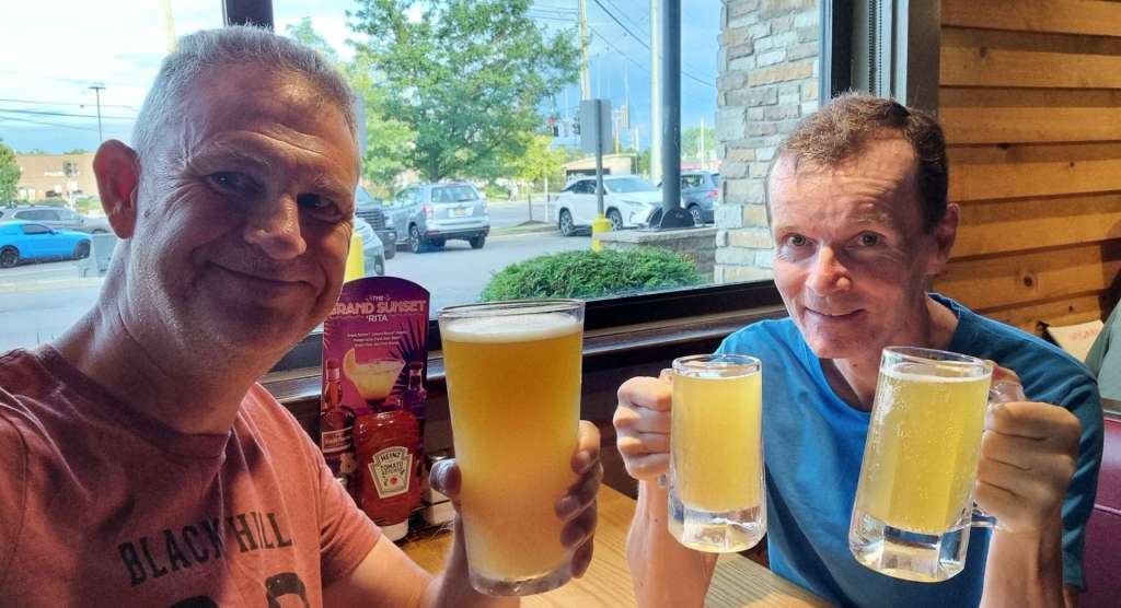
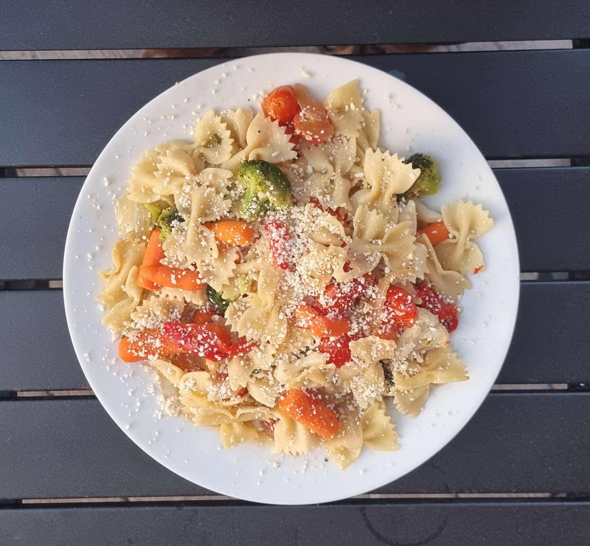
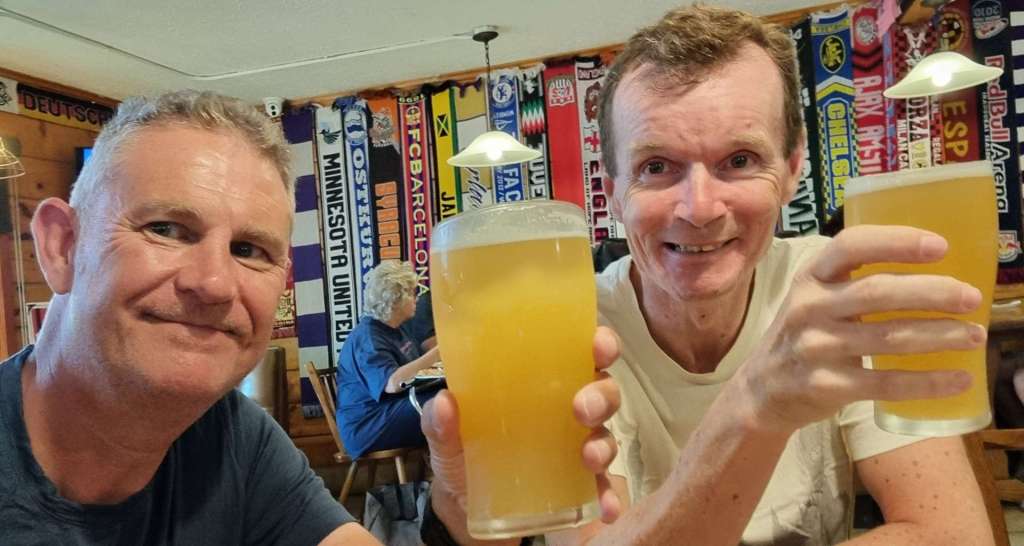
We left the trail on the edge of Brockport & made our way to our motel for the evening & once we’d checked in, it was time to do the laundry (again!). Laundry is a task to be endured, so it always feels like we’ve worked extra hard for our celebratory beer & today was no exception! We cycled down to The Custom House, where we enjoyed a couple of The Kind IPA’s each & had a delicious vegetable pasta.

Stage Stats – 69 miles, 469 feet of climbing (pan flat!). A glorious day exploring the Erie Canal Trail!

Thursday 18th August – Brockport to Wolcott (Stage 84).

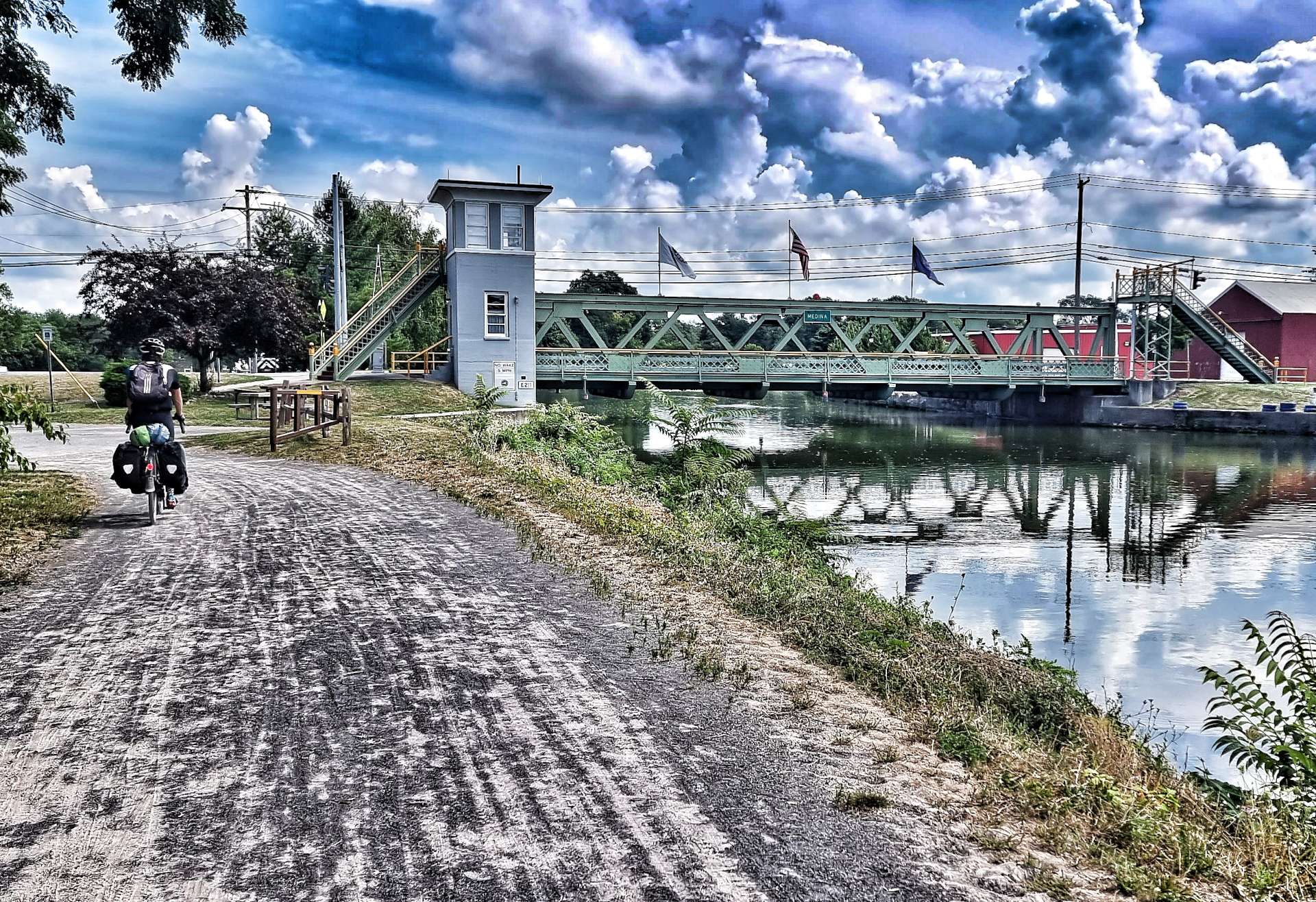
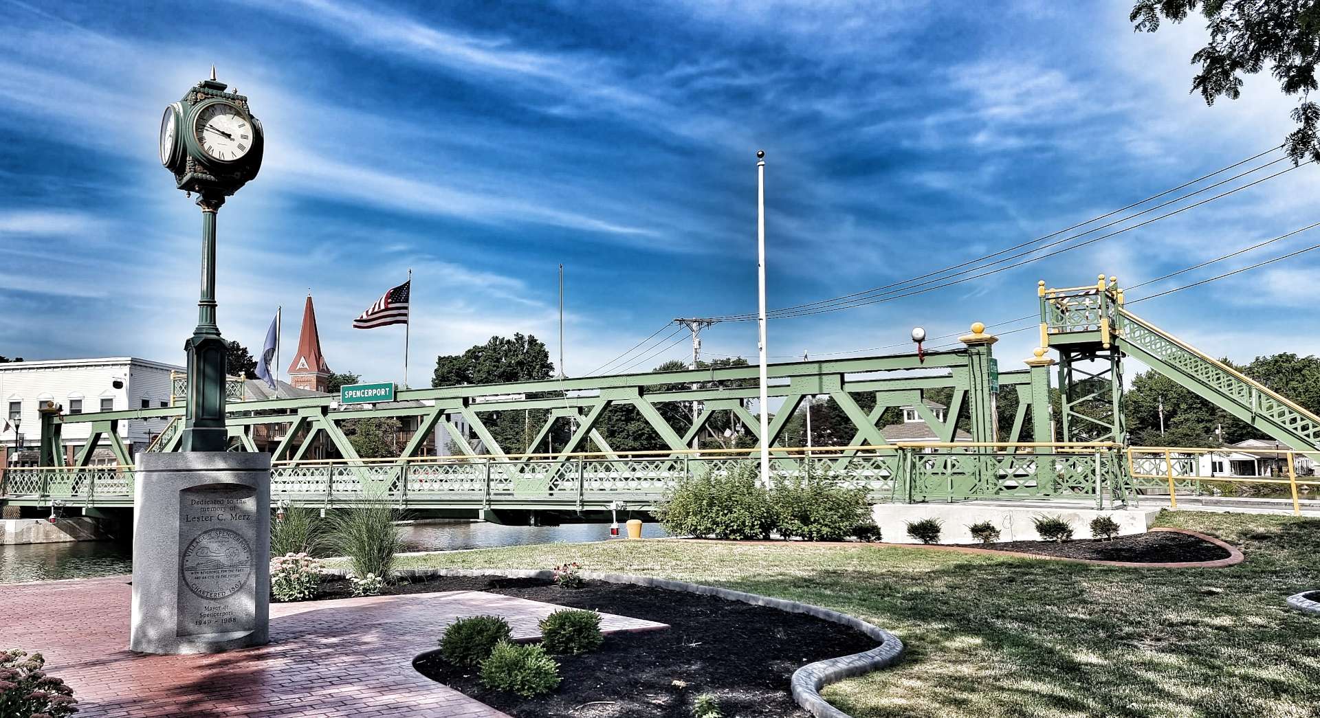
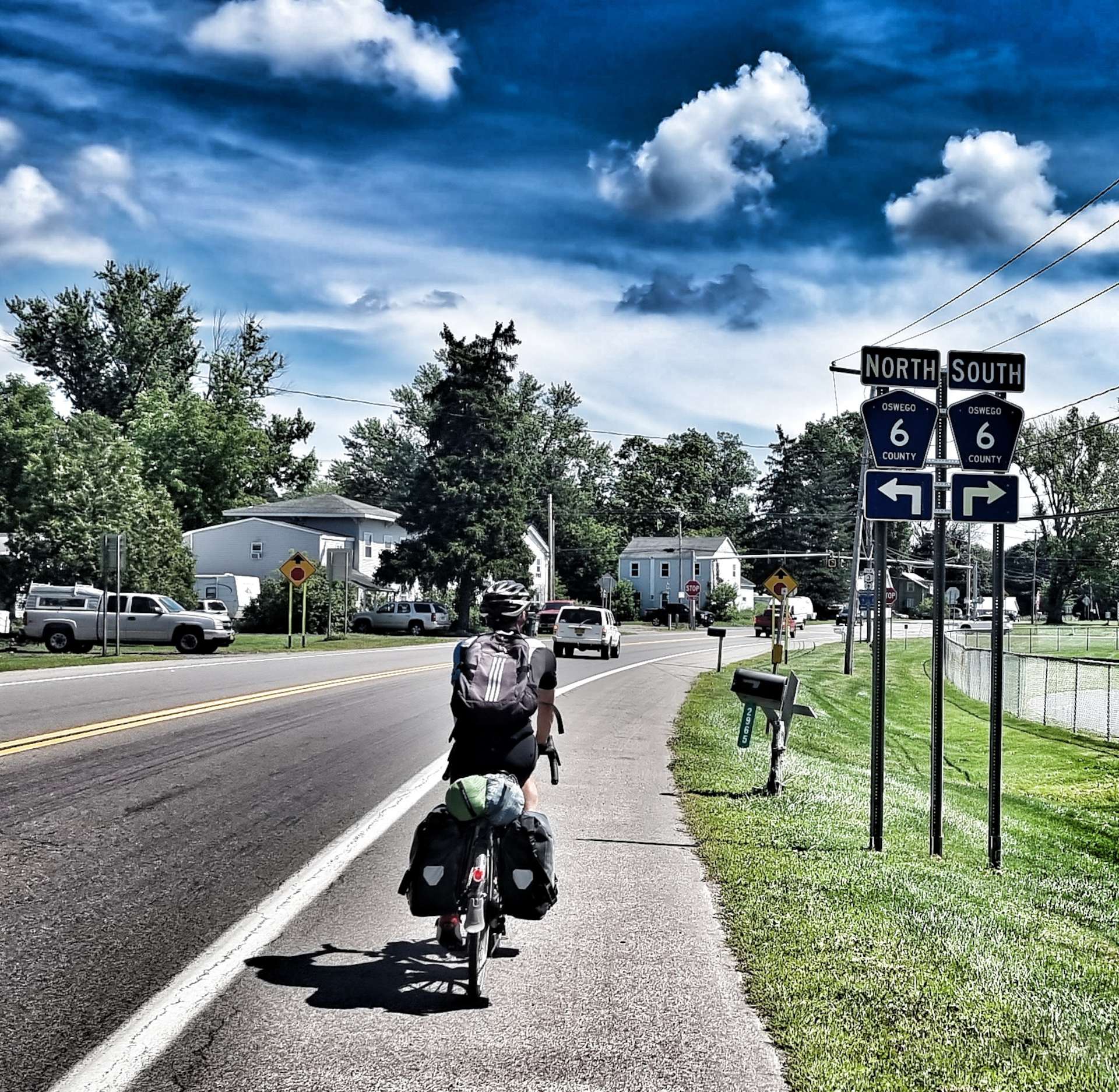
We were on the road by 9am & back on the Erie Canal Trail by 9.10! You may be able to make out the Brockport sign below the 3 flags (New York State flag, United States flag & New York State Canal Corporation flag) that are on all the town bridges.

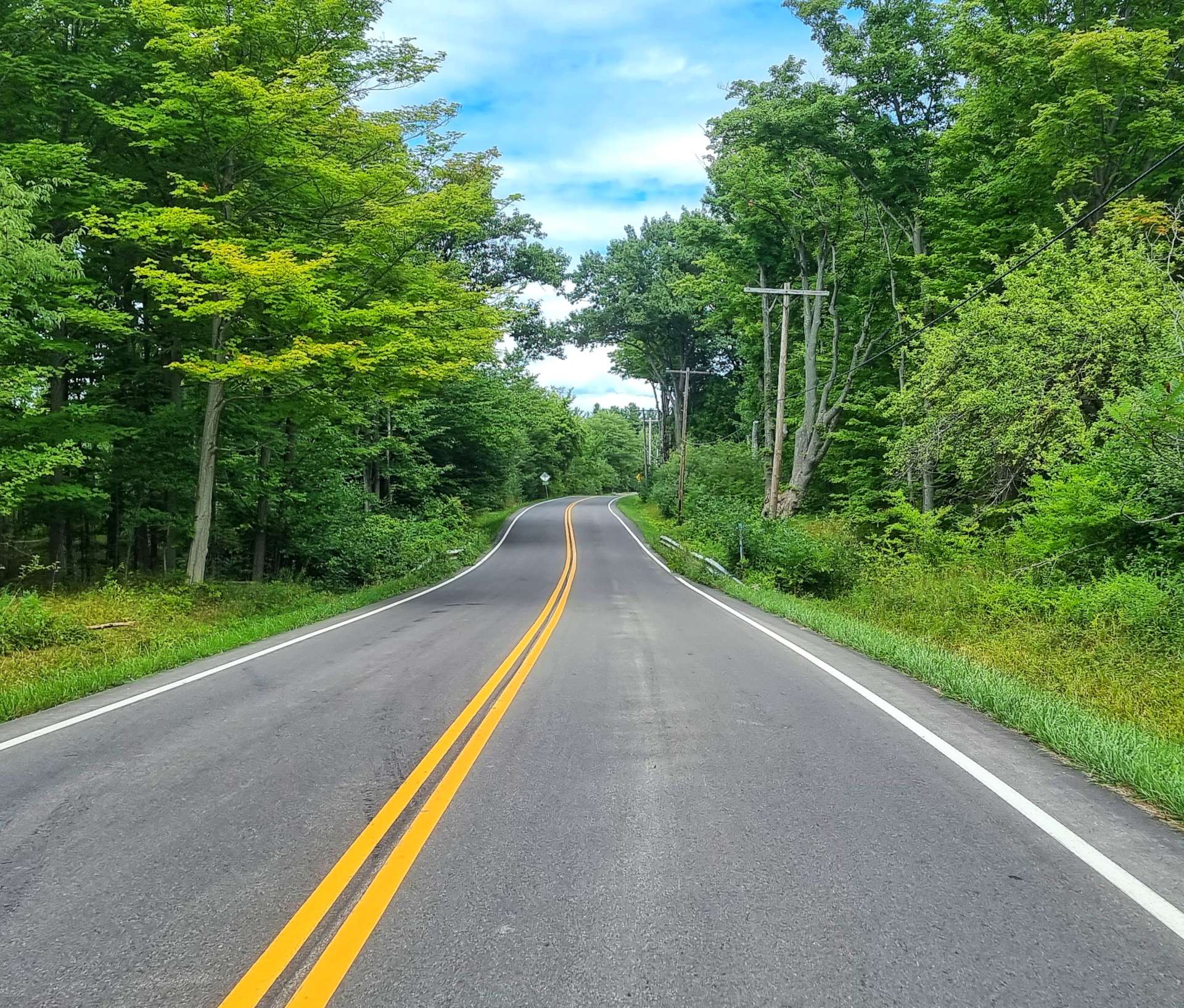
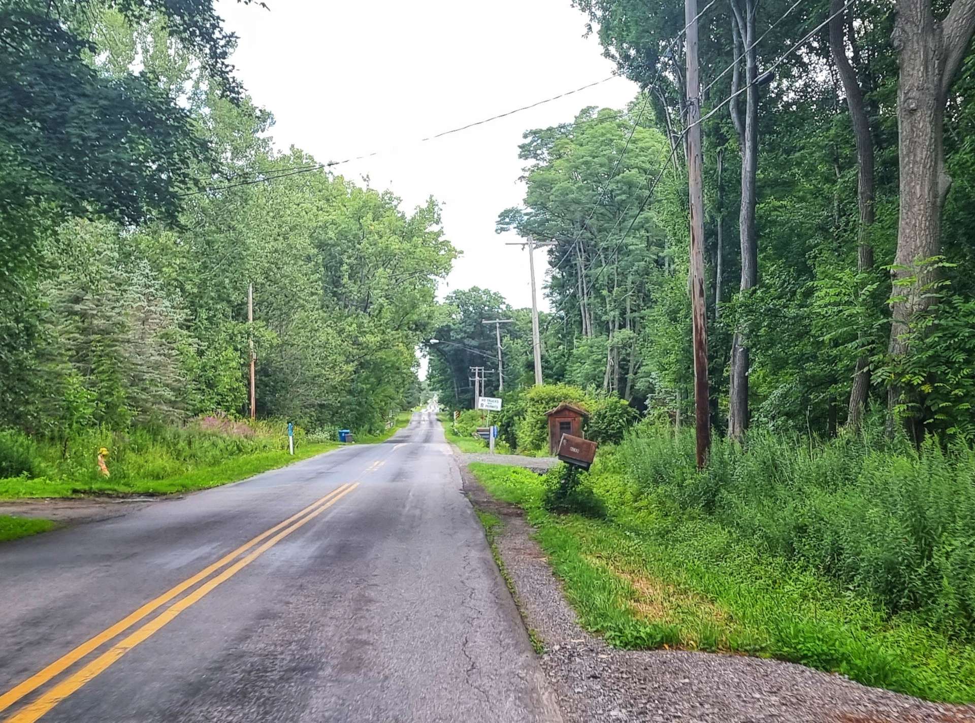
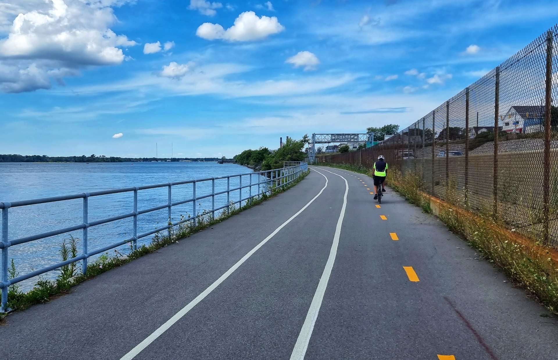
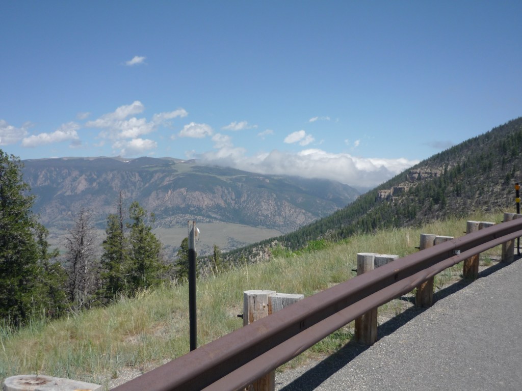
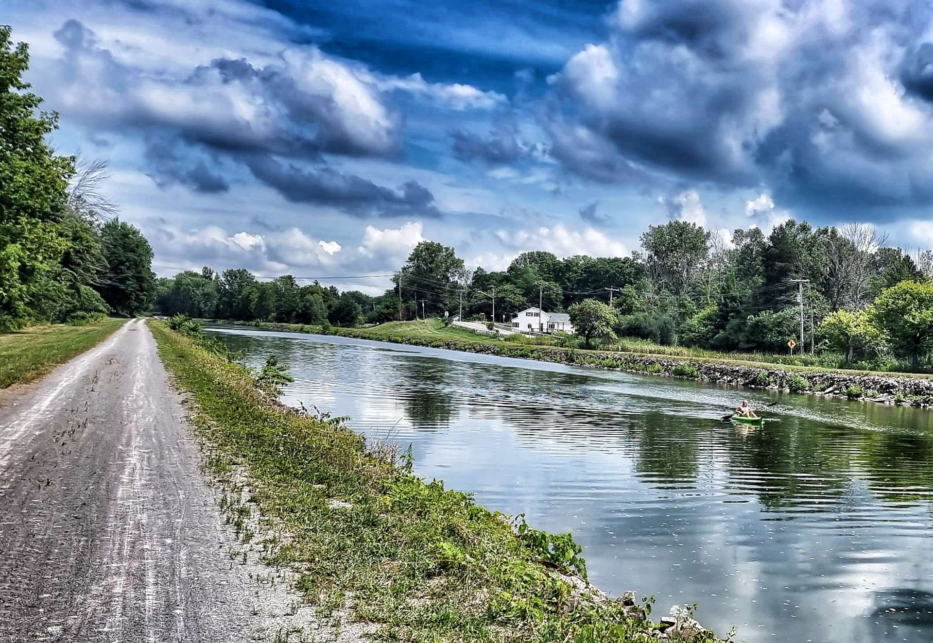
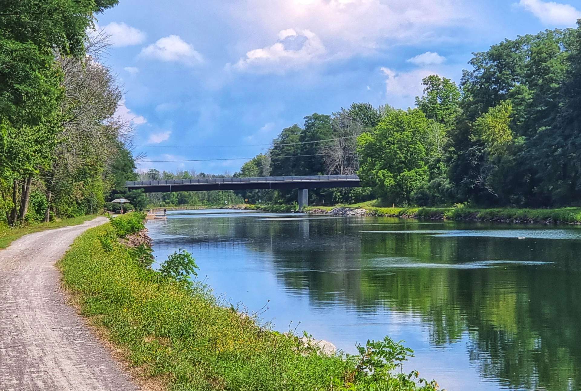
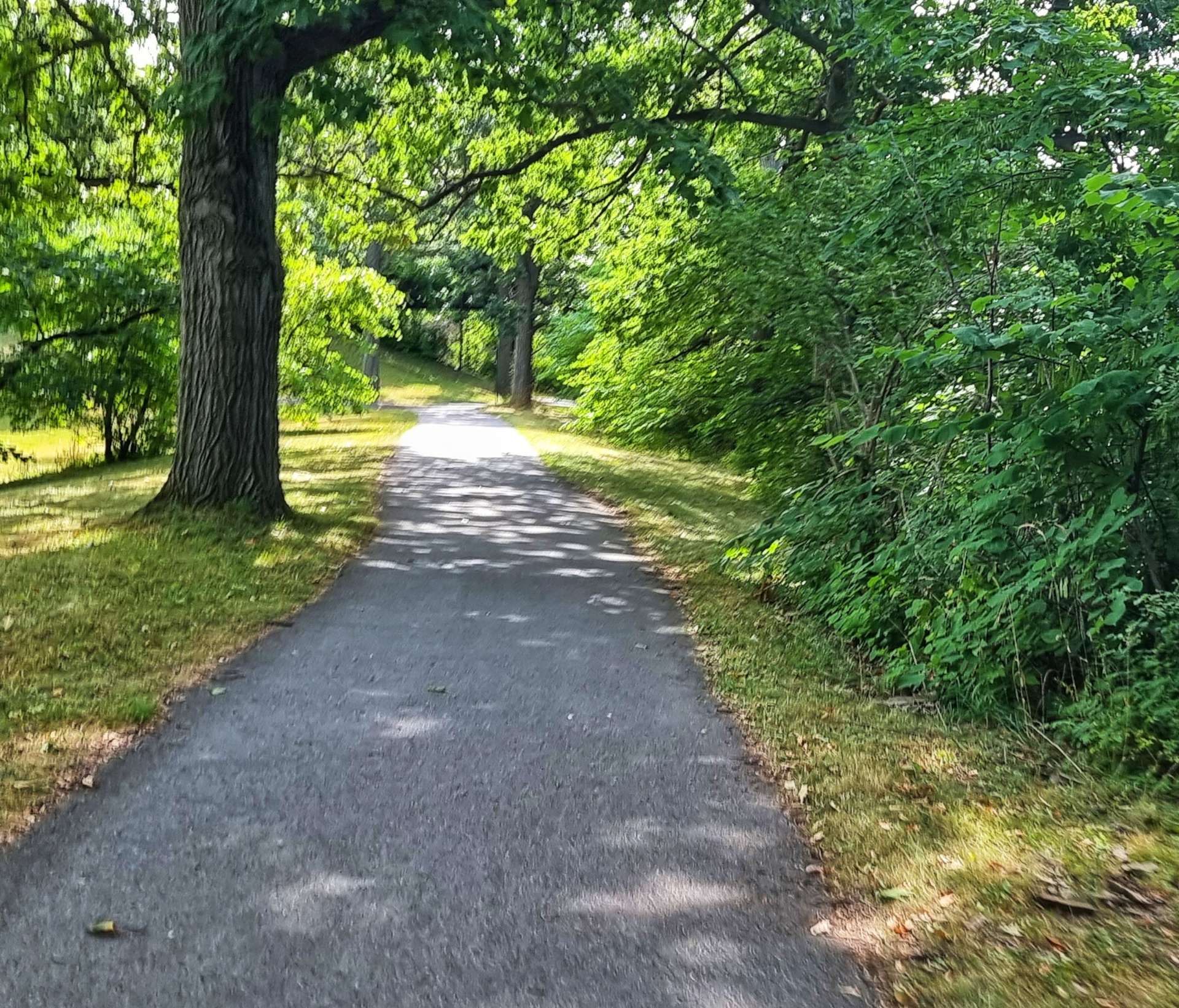
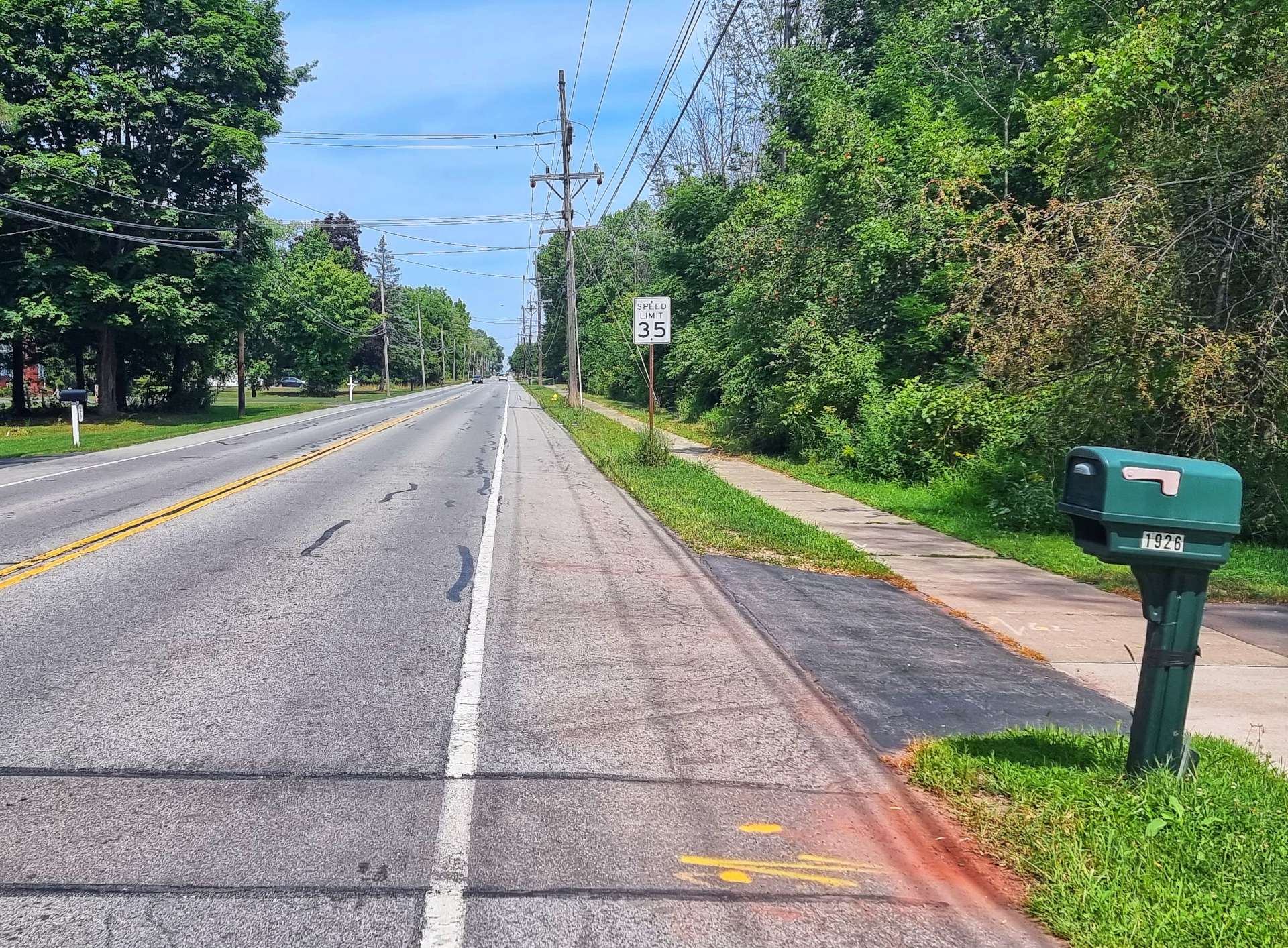
We headed East all morning (which made taking photos a challenge, looking into the sun) & remained on crushed limestone as we made our way towards Spencerport initially. When we cycled from Albany to Niagara Falls in 2007, we cycled on the road in the 3rd photo, but were heading in the opposite direction – the world sometimes feels very small!

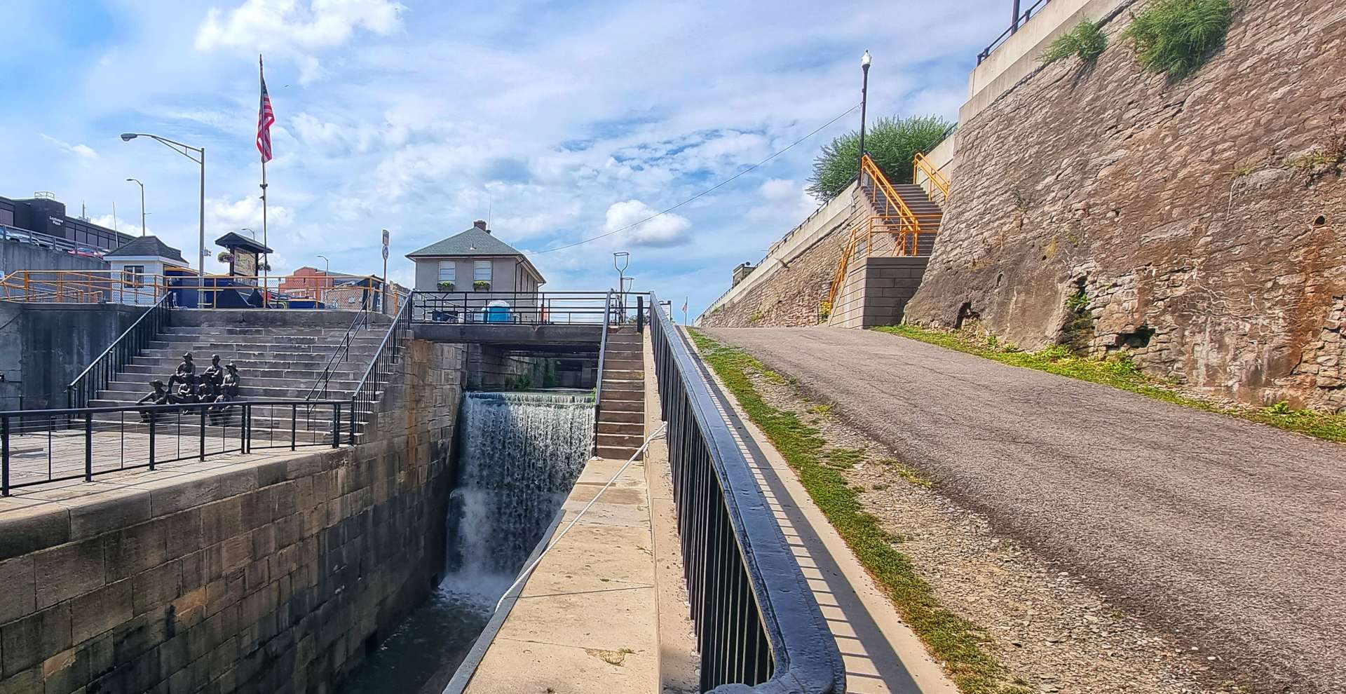
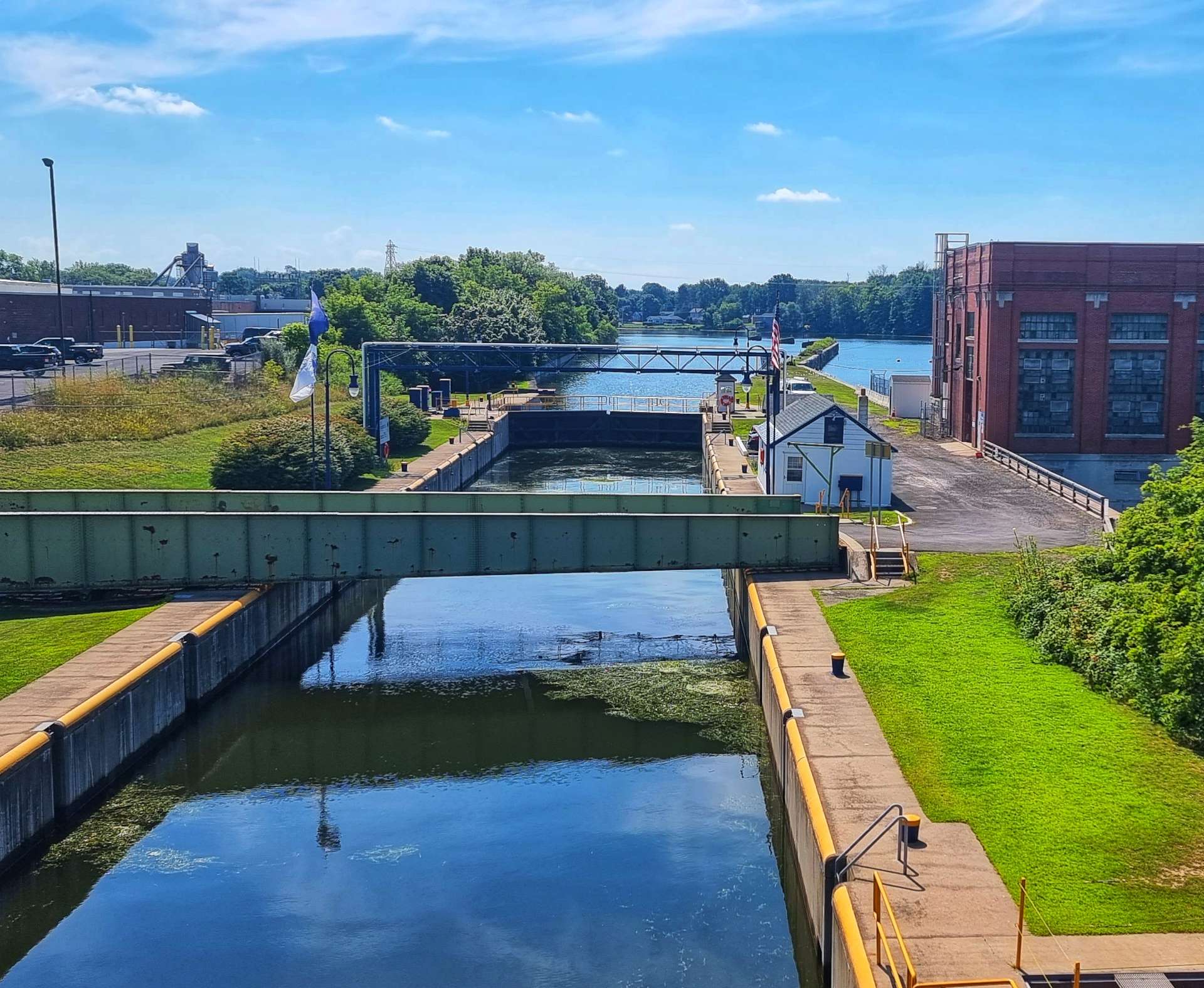
Construction of the 363 mile long Erie Canal commenced in 1817 & was completed in 1825. It was 40 feet wide by 4 feet deep & each of its 83 locks were 90 feet in length. The canal cost $7,143,789 at the time & it took 10 years to make a return on that investment. The journey from Albany to Buffalo by stagecoach took 2 weeks, whereas the same journey took 5 days on the Erie Canal. It was also the first navigable water way to connect the Great Lakes to the Atlantic Ocean.

Today, the canal is 120 to 200 feet wide by 12 to 23 feet deep & it has 57 locks, each of which are 310 feet long. As we made our way past Adams Basin & Spencerport the variations in width were obvious to the naked eye. The bridges were always located at narrow crossing points.

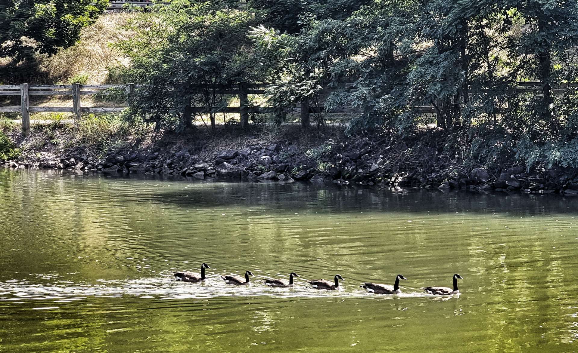
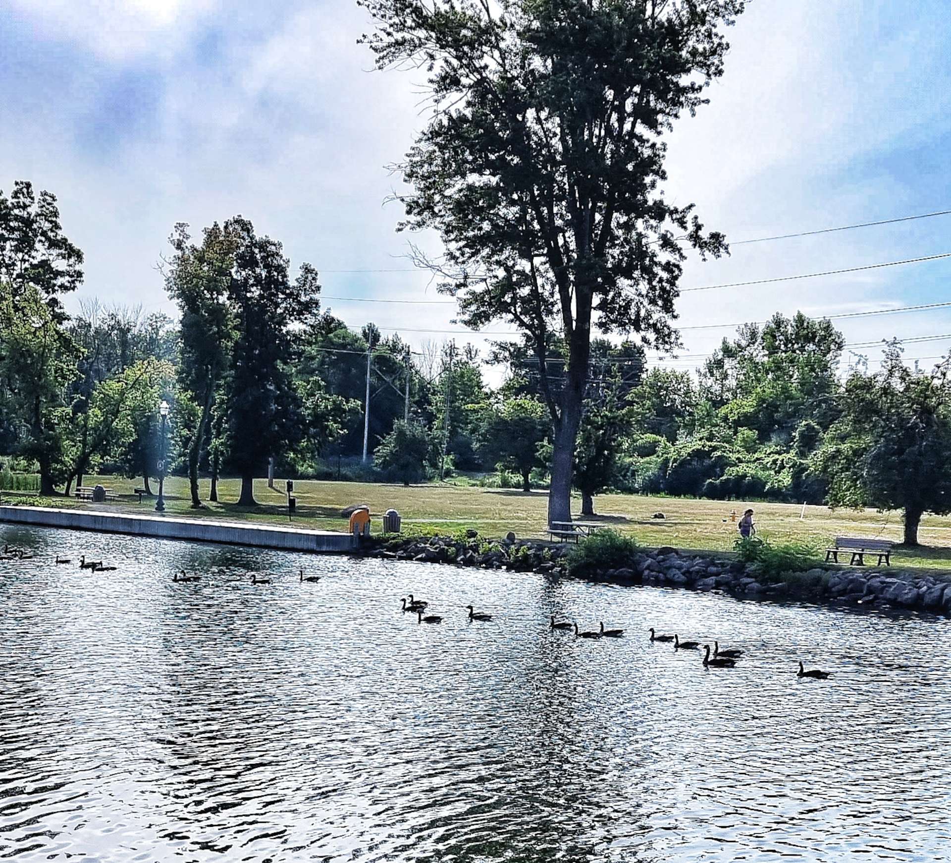
We saw a couple of boats out this morning & the geese were again perfecting their synchronised swimming – they left their offspring in the shallows while the adults were on manoeuvres!

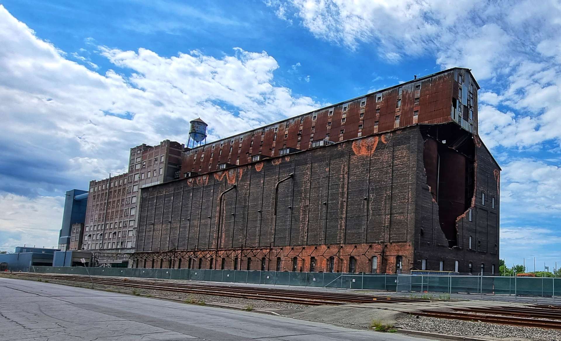
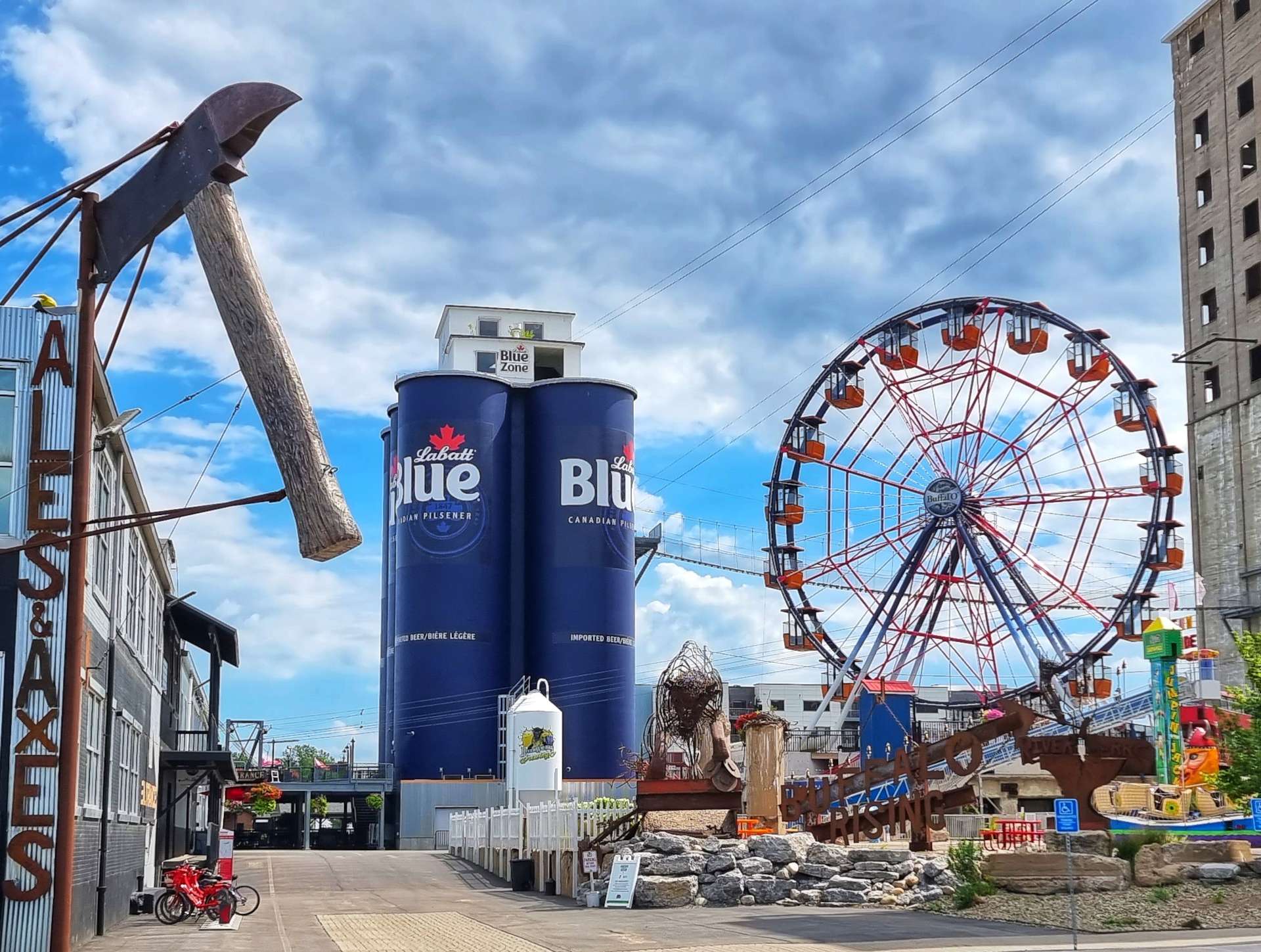
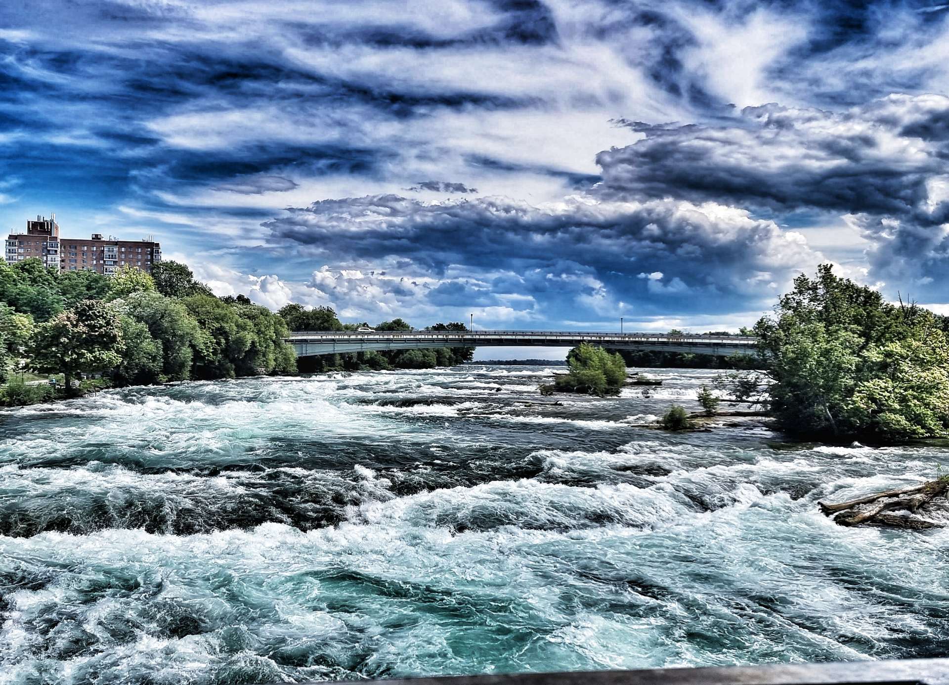
As we reached North Gates the woodland closed in on the cycle path & we were plunged into shadow. This was where we had to temporarily leave the trail for a couple of miles. This surprised both of us, but I managed to navigate us back to the canal & trail a few miles further on – this enabled us to avoid Rochester (a city with a population of 200,000 plus) & its busy roads .

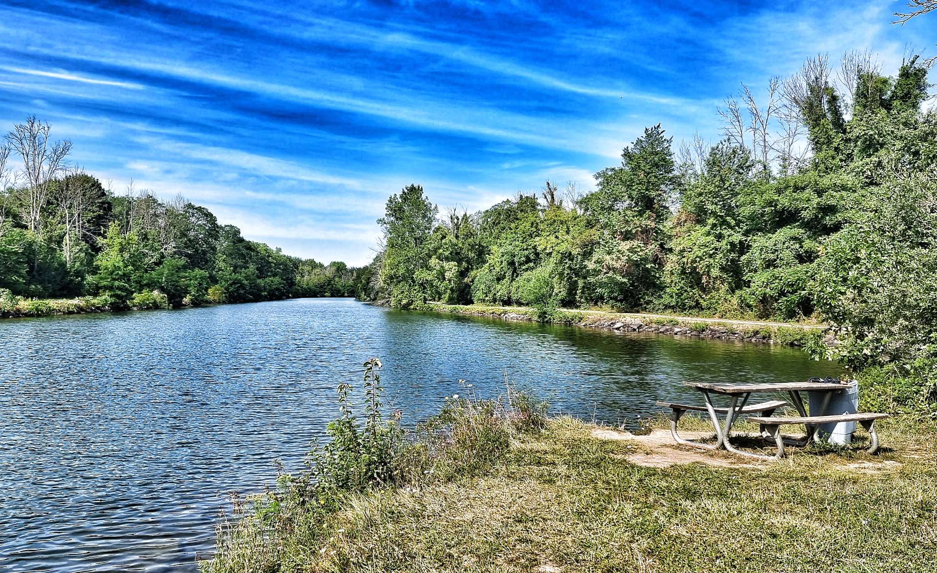
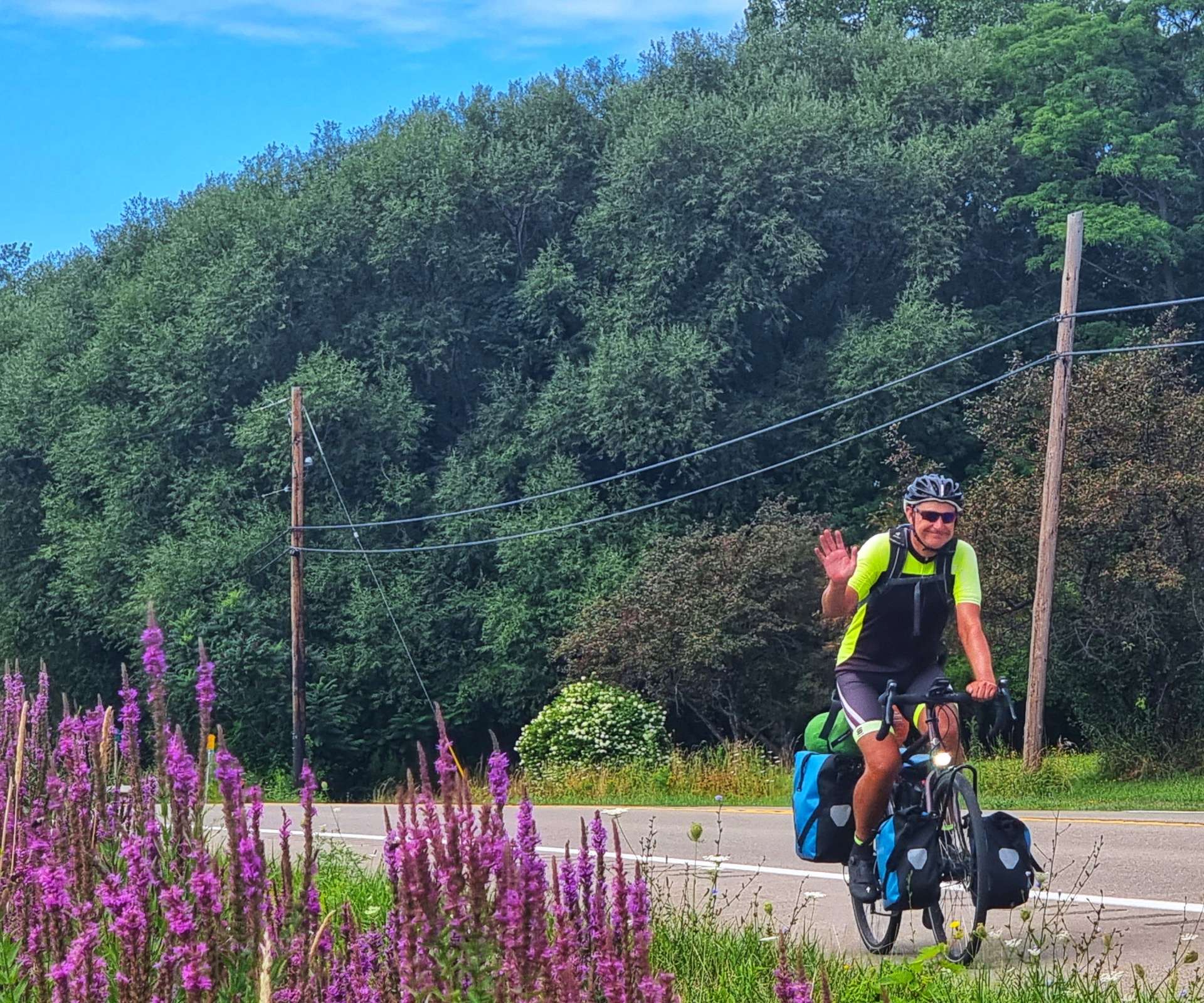
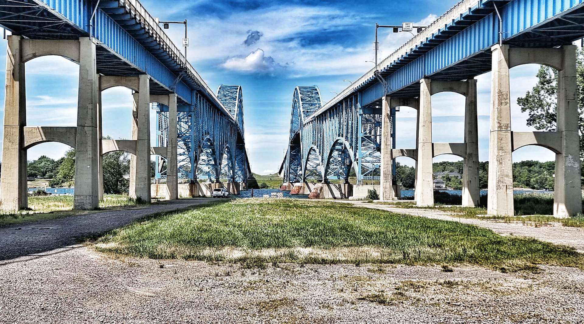
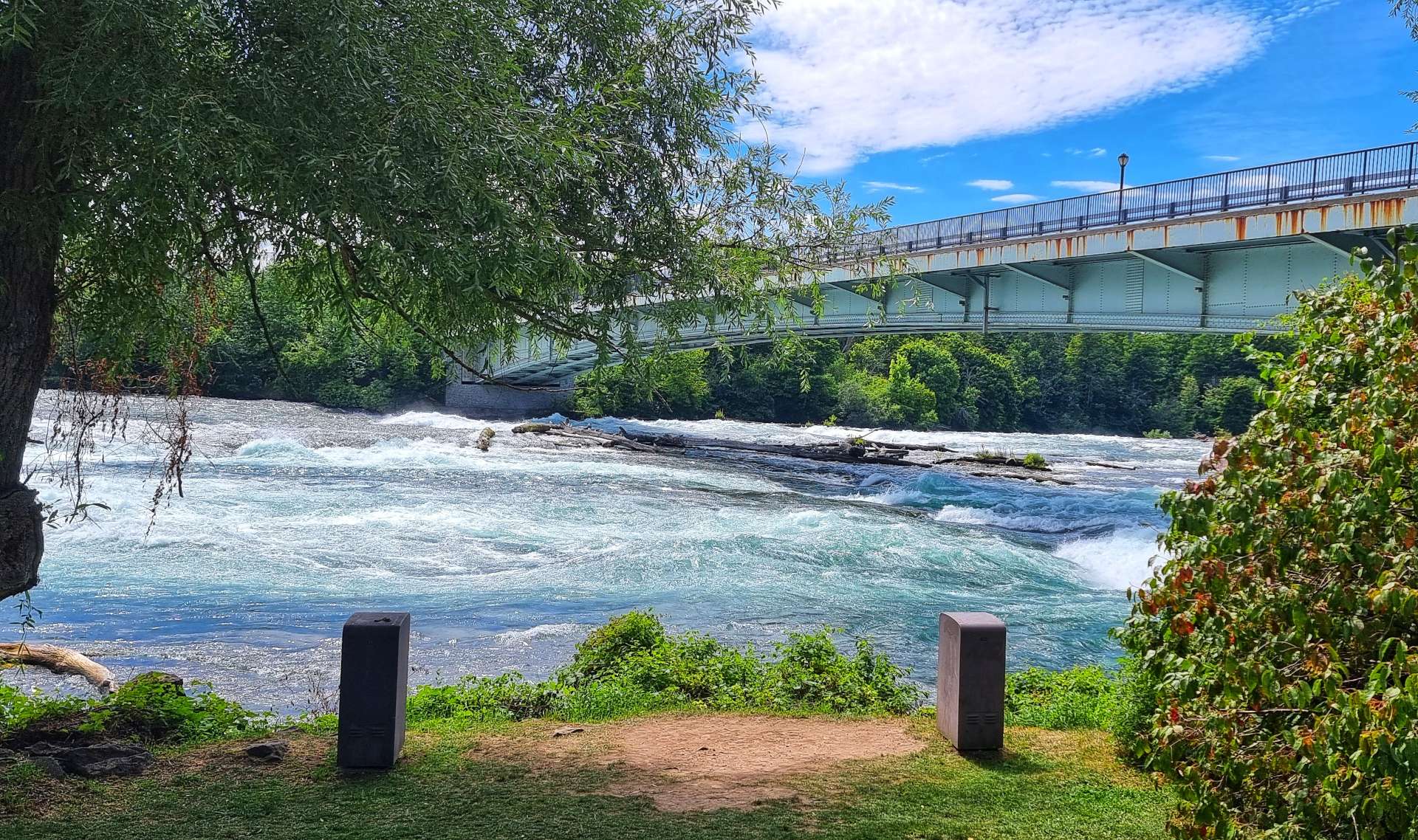
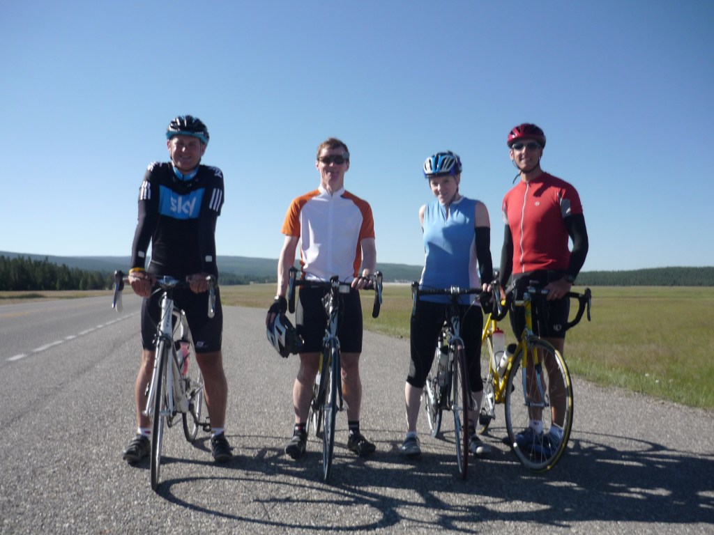
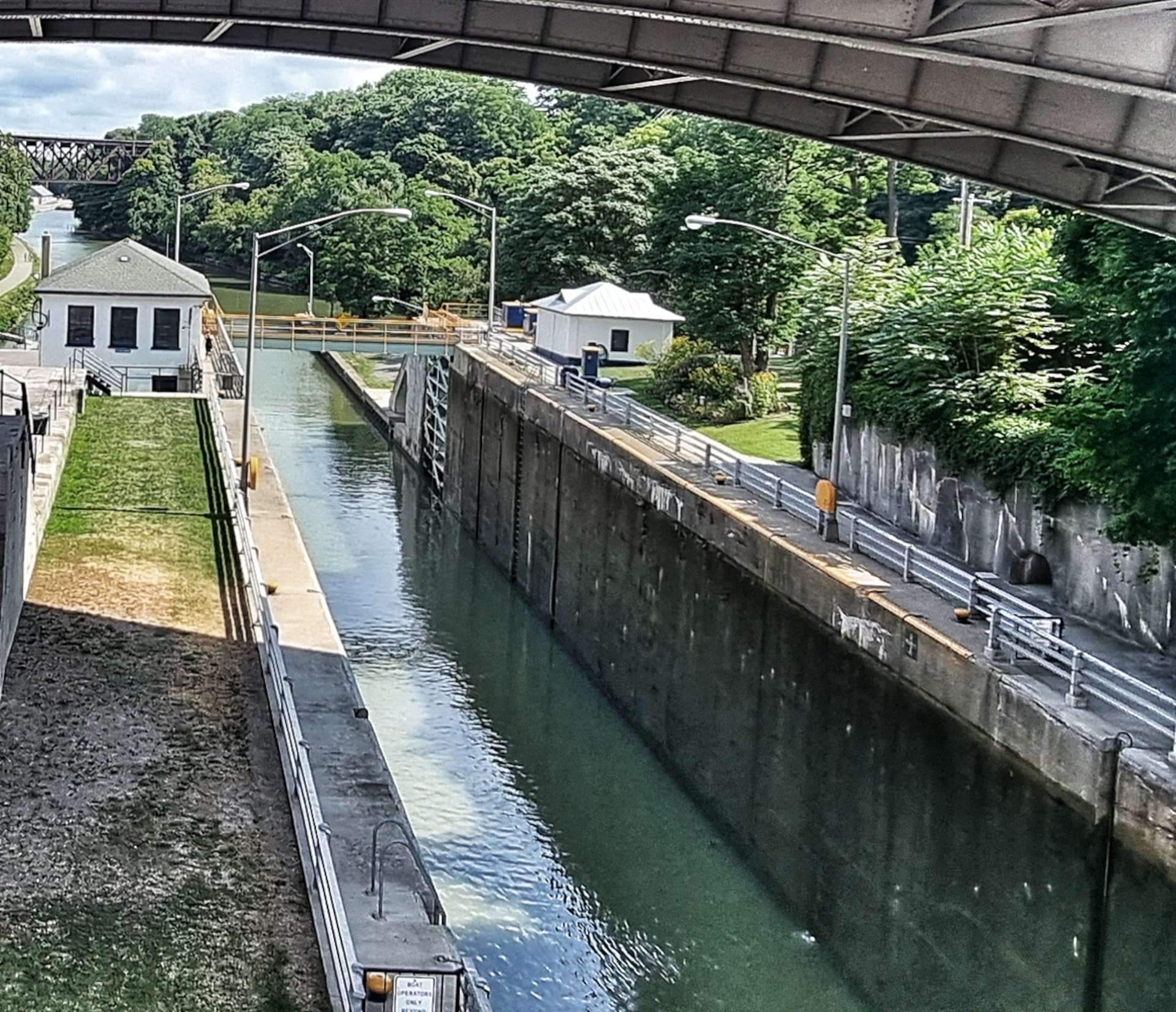
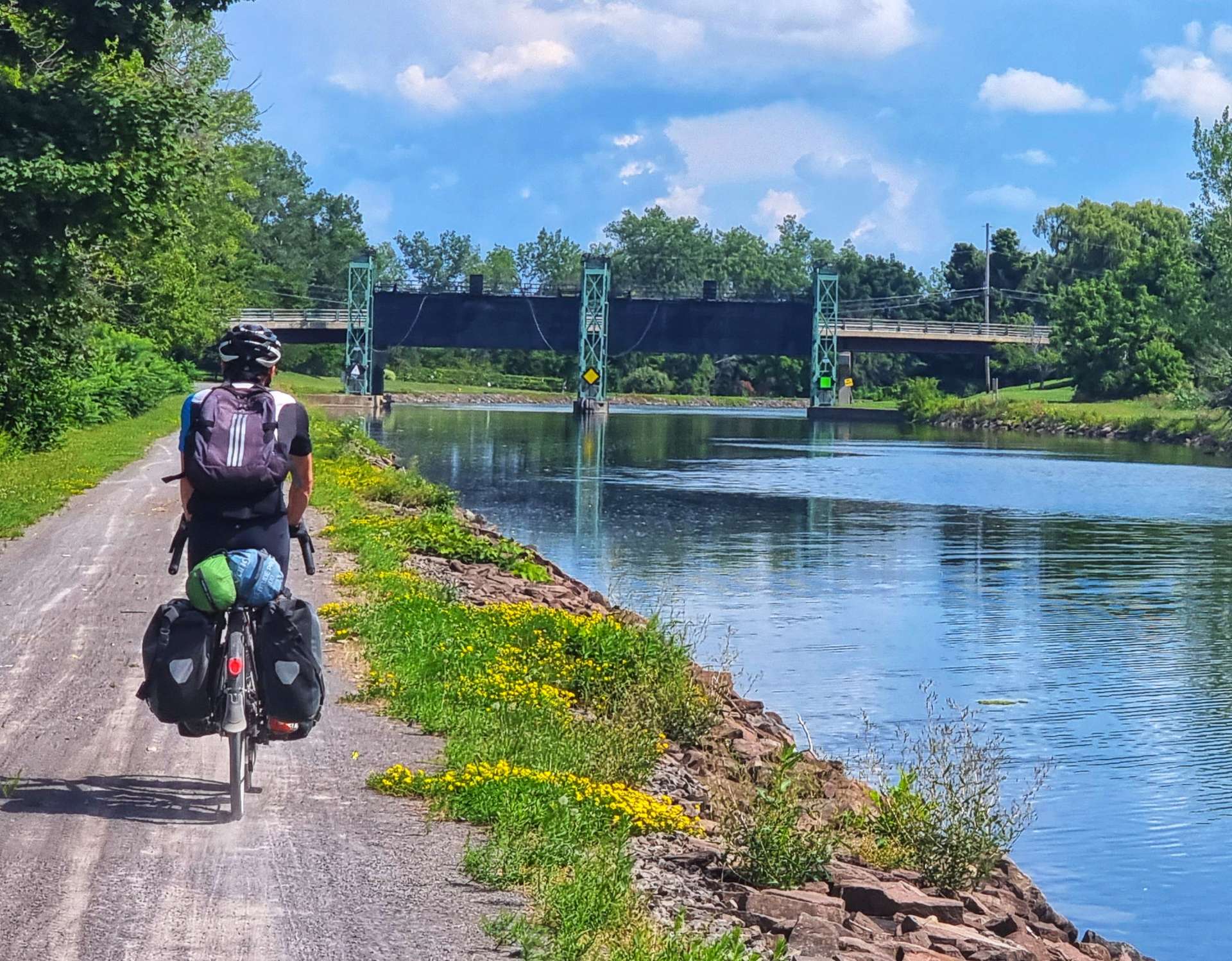
The trail was now tarmac, which was smoother & as a consequence, faster. At times we headed into parkland, but the canal was never far away & at one point we saw a large barge with its dredging bucket on the front. We headed off in different directions, but bumped into each other again further along the canal (see the 4th photo) – we crossed the canal on the small, white arched bridge behind the boat, where it met the Genesee River.

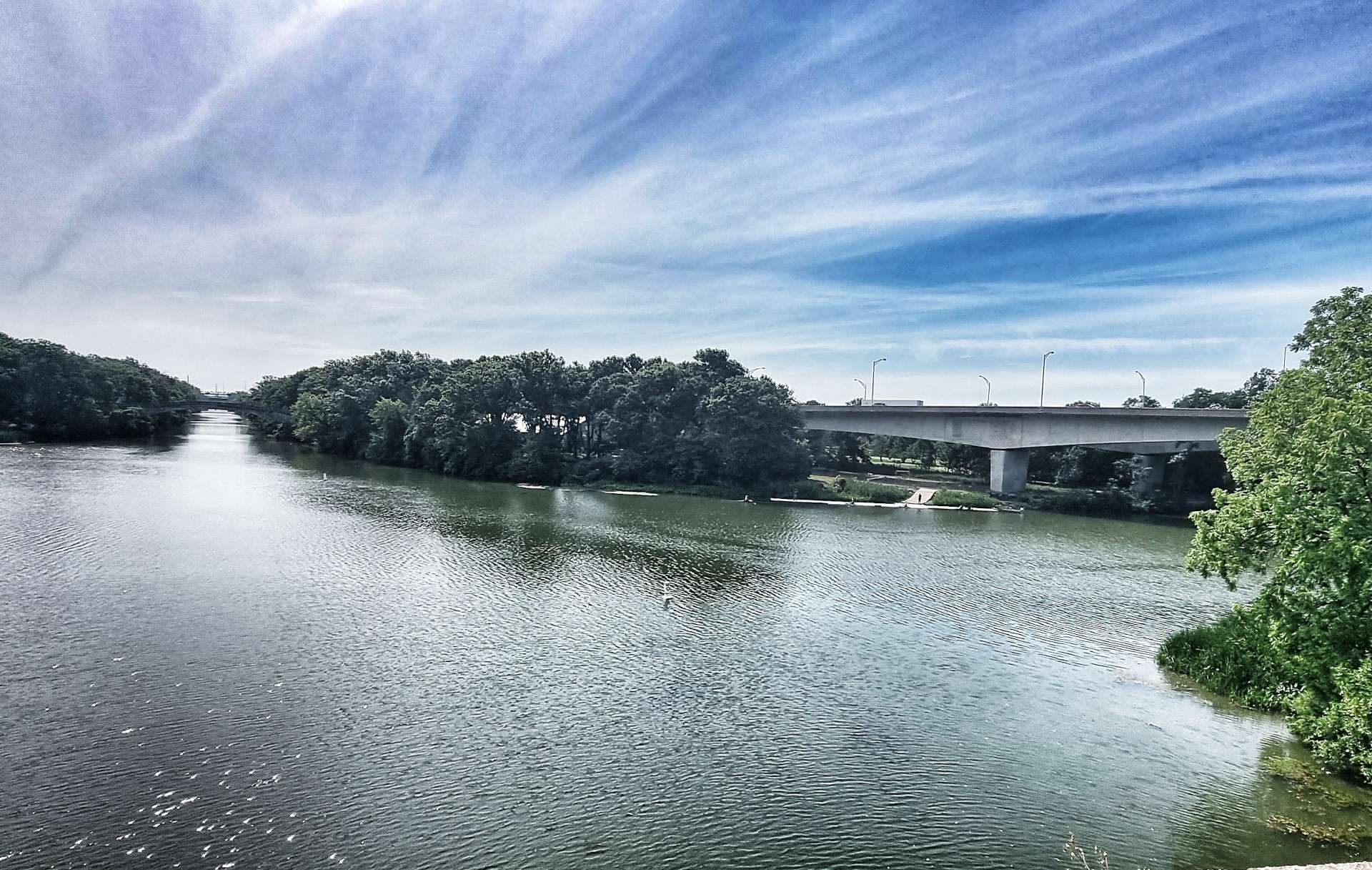
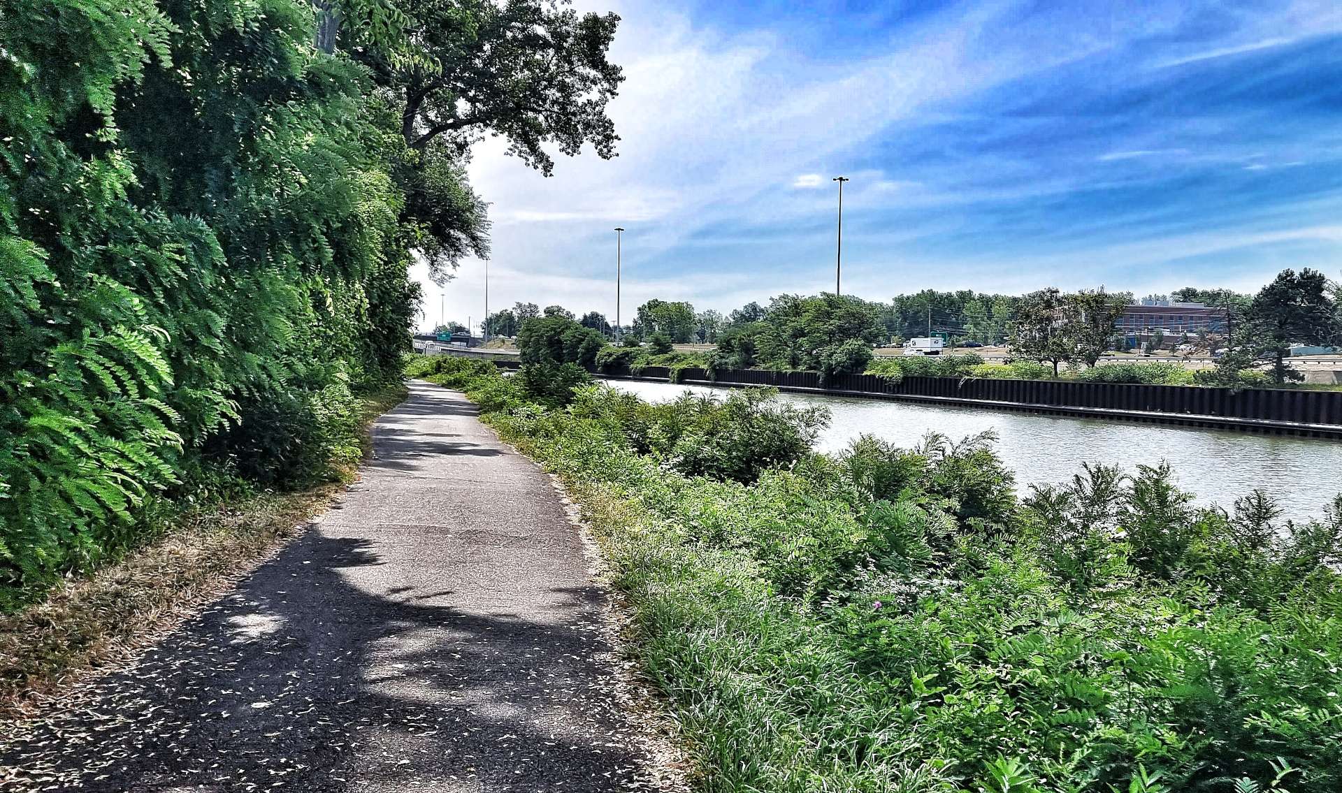
We continued through quiet parkland & then popped back out onto the bank of the Erie Canal, with the main freeway on the opposite bank. The trail was almost deserted at this point, as we made our way towards Brighton & Lock 33, which is still in use.

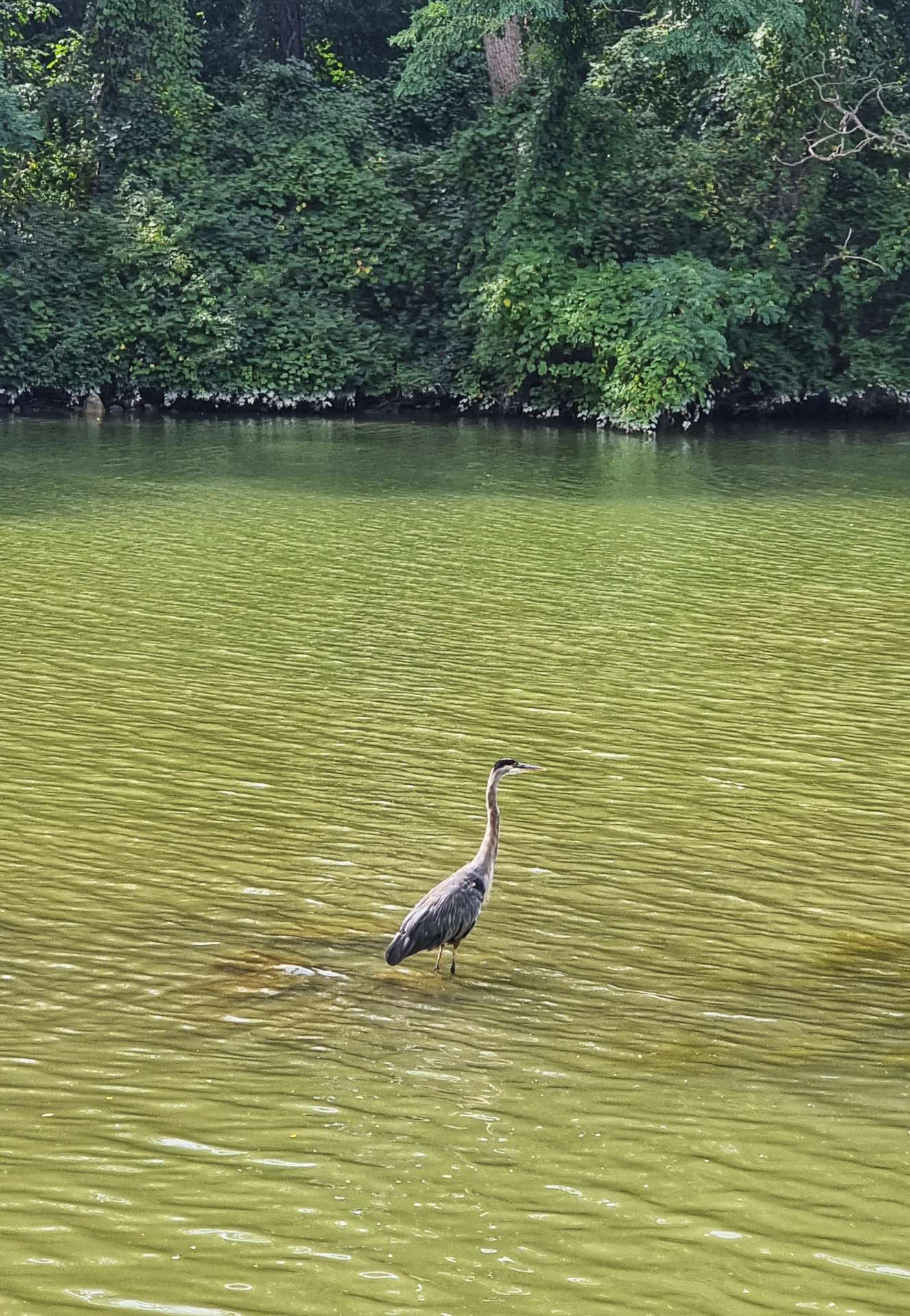
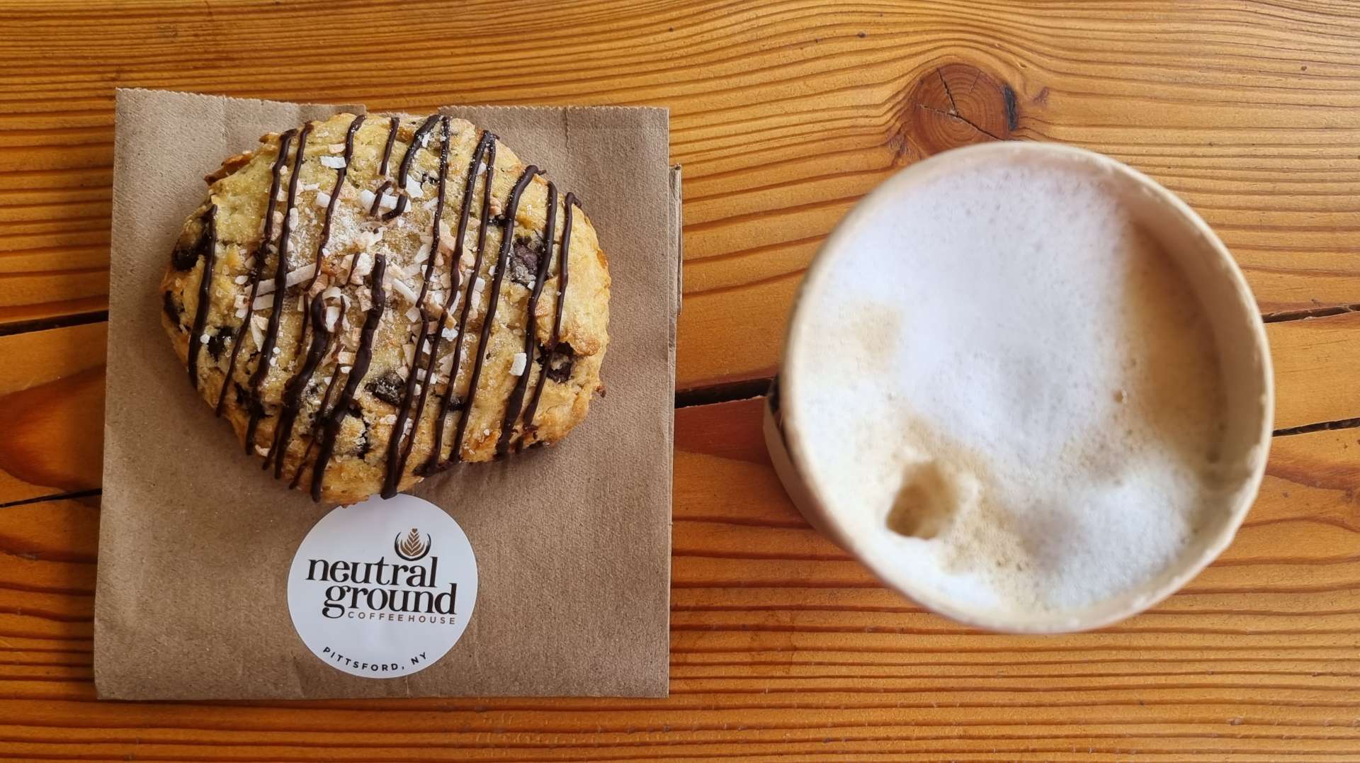
There was a heron fishing for a late breakfast / early lunch on the edge of the canal – this was the last of the wildlife we saw on the canal, but we had more surprises waiting for us around the corner & under the bridge. A passenger carrying paddle steamer passed us, travelling in the opposite direction & a few miles after that treat it was time for cappuccino & a coconut scone!

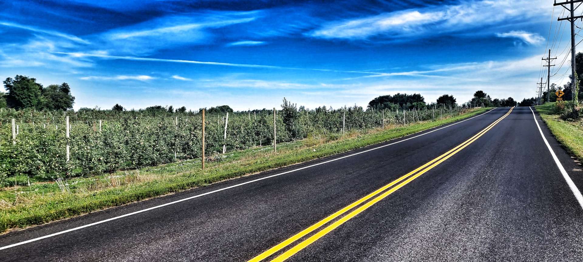
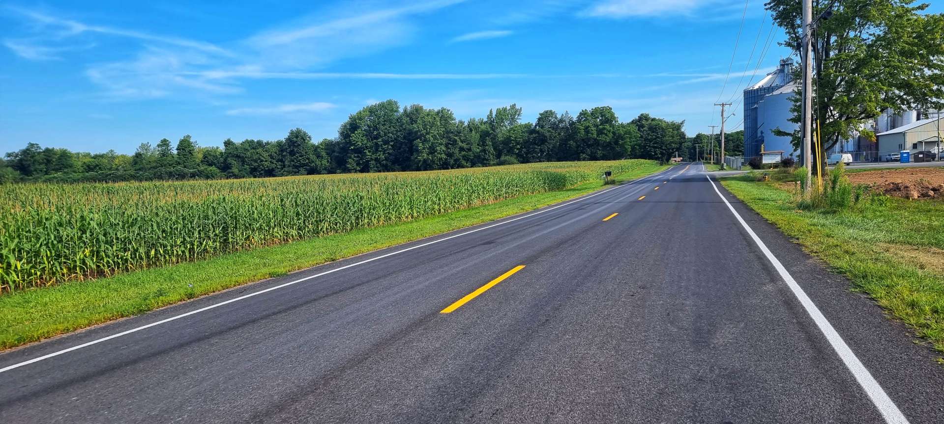
Soon after coffee we joined the road network again & there wasn’t much new scenery to see in the final 40 miles of the ride. We had a thoroughly enjoyable afternoon riding on quiet roads, it’s just that they were all the same as each other! We had a few minutes of respite when we passed between orchards of apples.

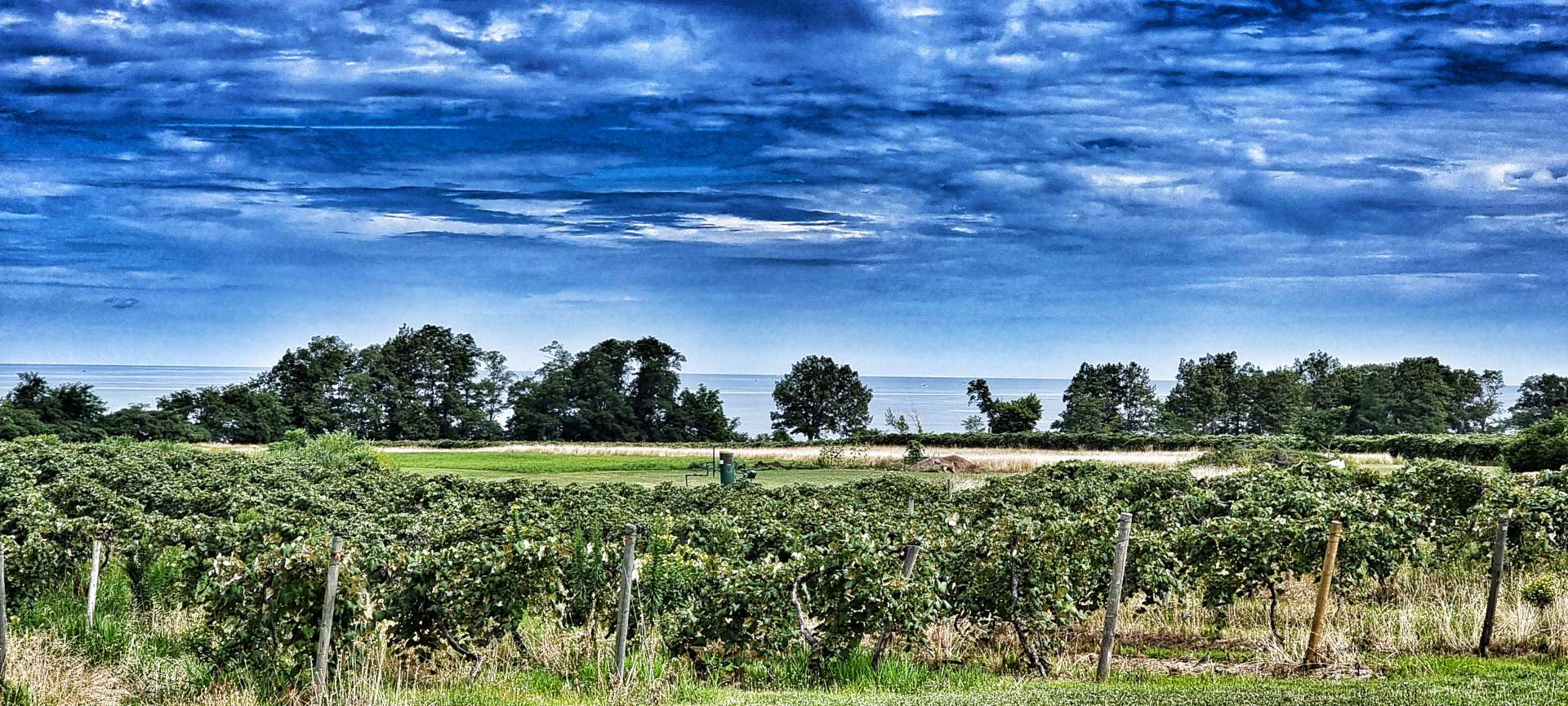
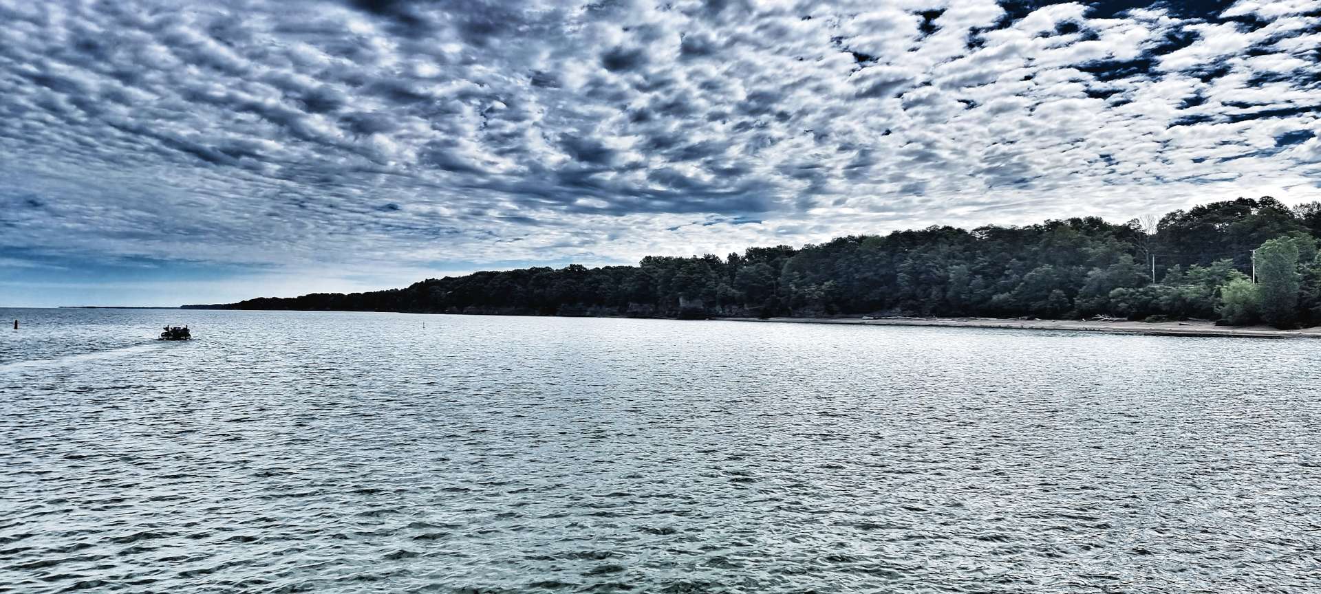
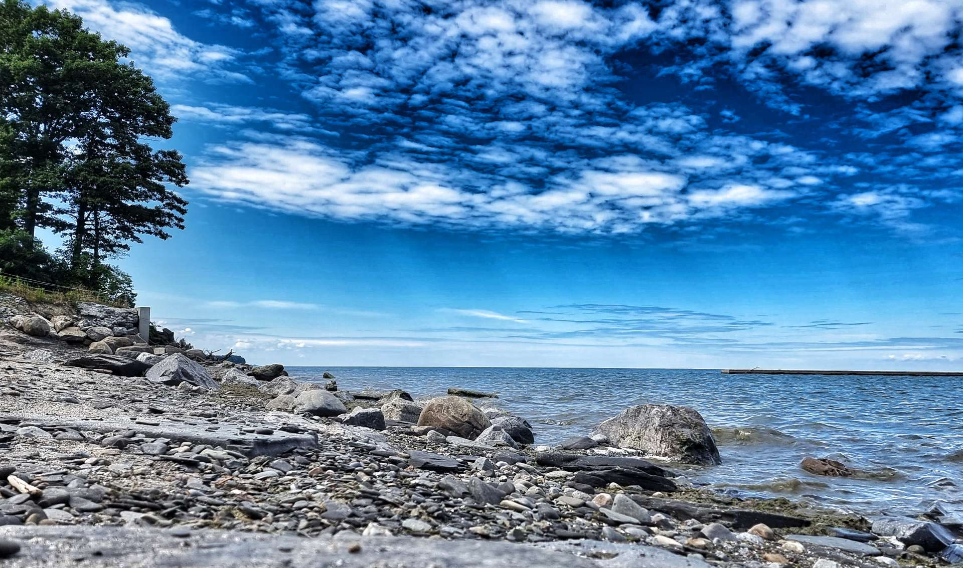
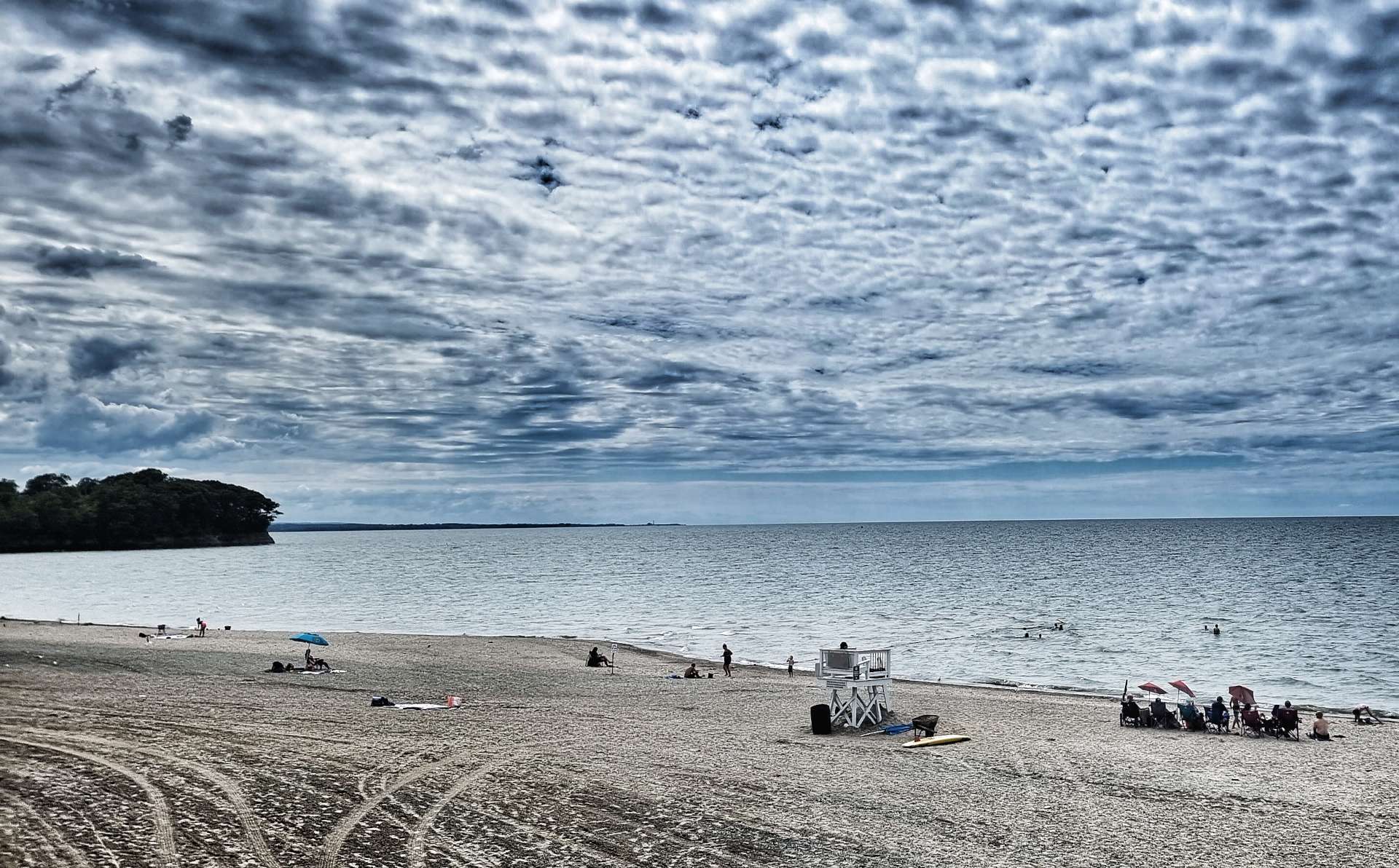
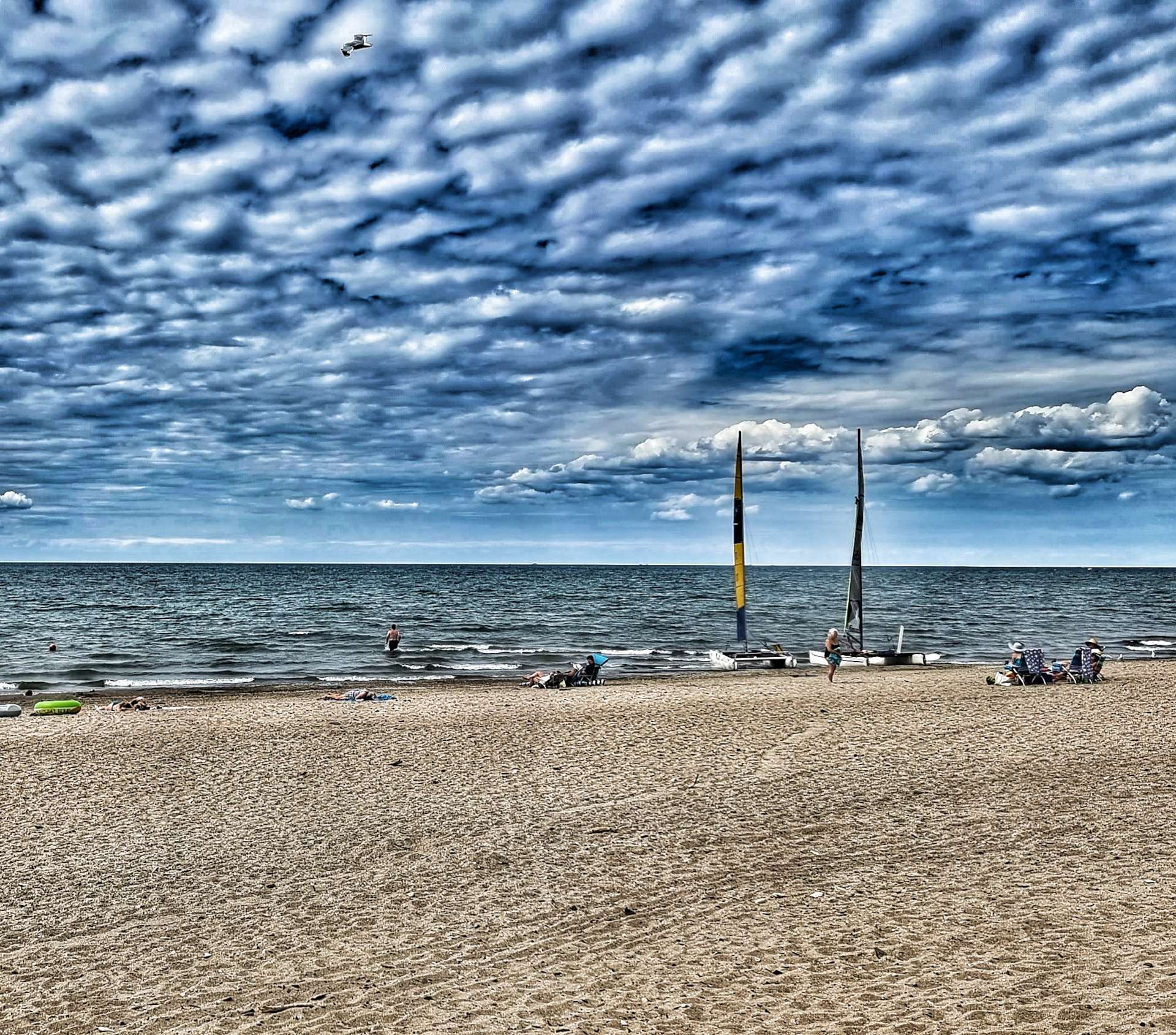
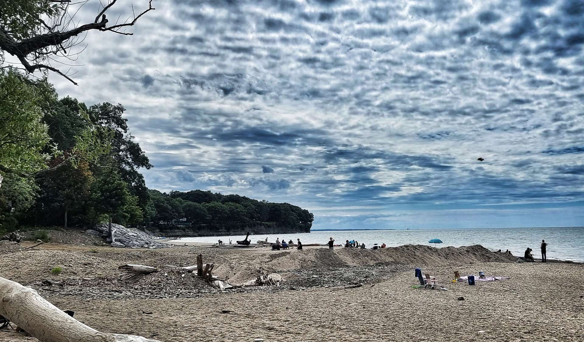
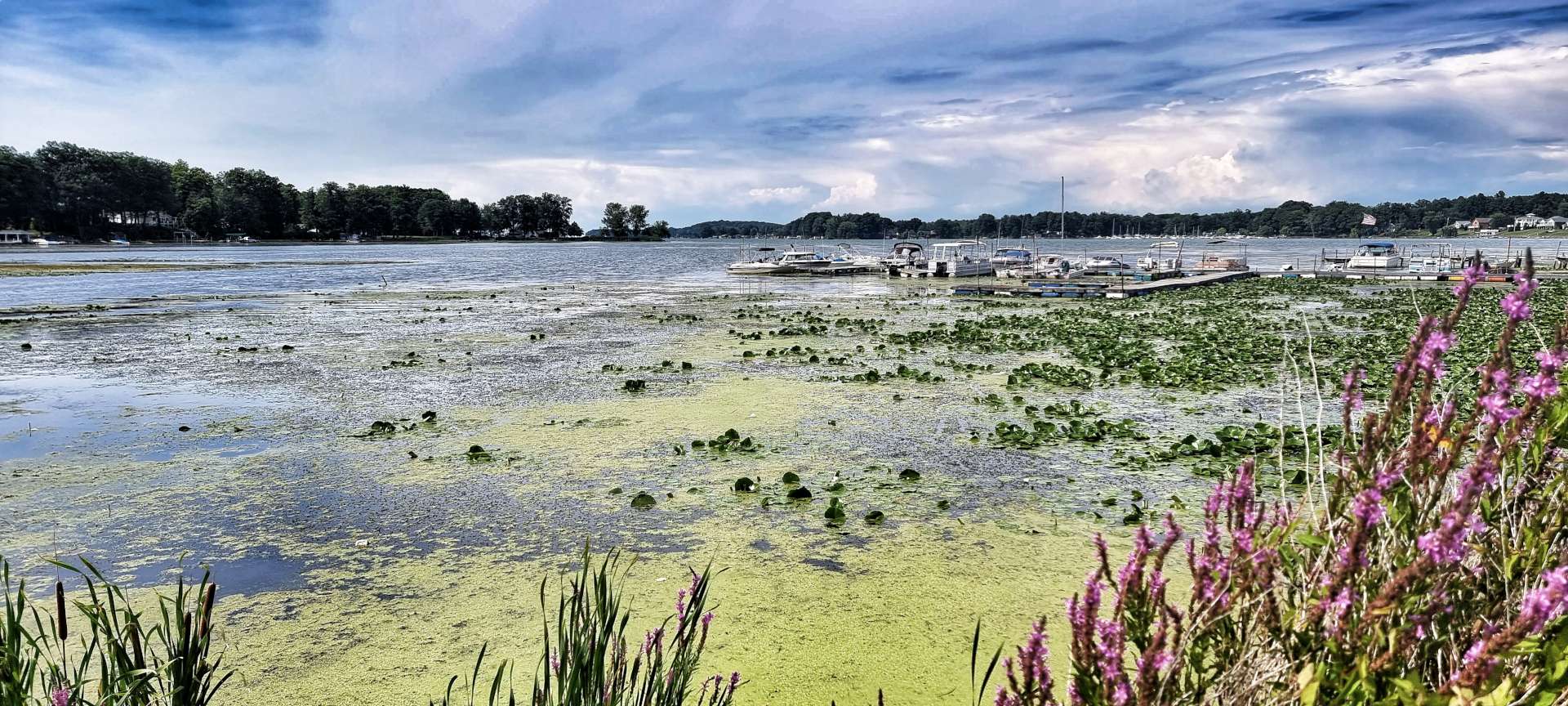
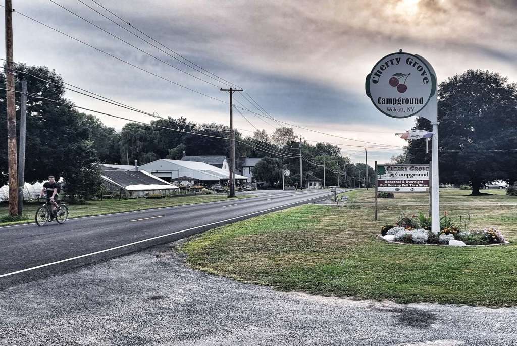
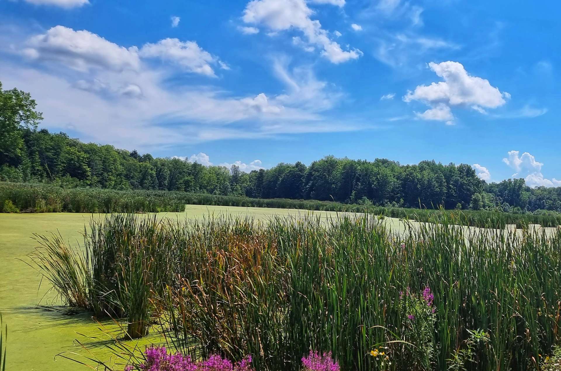
We had our first look at Lake Ontario about 5 miles before the end of the ride & it wasn’t quite what I was expecting. Sodus Bay was covered in a combination of water plants & green algae! The final run into Wolcott included a few short, sharp climbs & they were always visible from some way away.

Wolcott is a small community & it had some neat graffiti welcoming us to town. We dropped off our kit, checked into our camping cabin & then headed back into town to get dinner – tonight we had take out pizza that we ate in the shop!!! We then cycled back to Orchard Creek & had a relaxing evening before beginning tomorrow’s next adventure.

Stage Stats – 78 miles, 1,581 feet of climbing. A morning spent discovering the Empire State Trail in all its guises & an afternoon following a long road!

Friday 19th August – Wolcott to Pulaski (Stage 85).

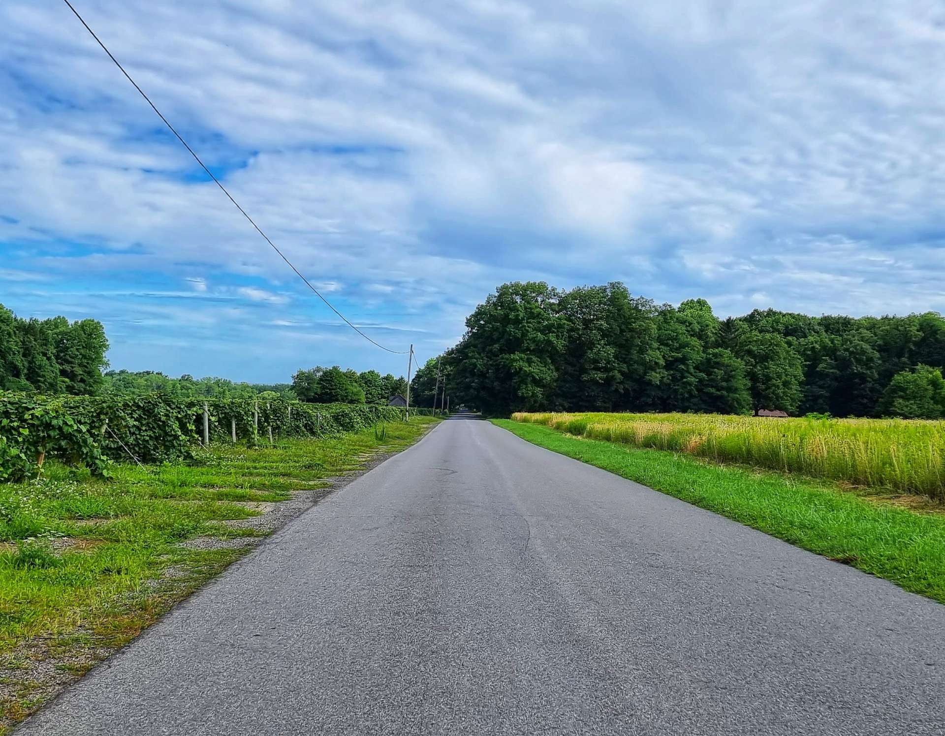
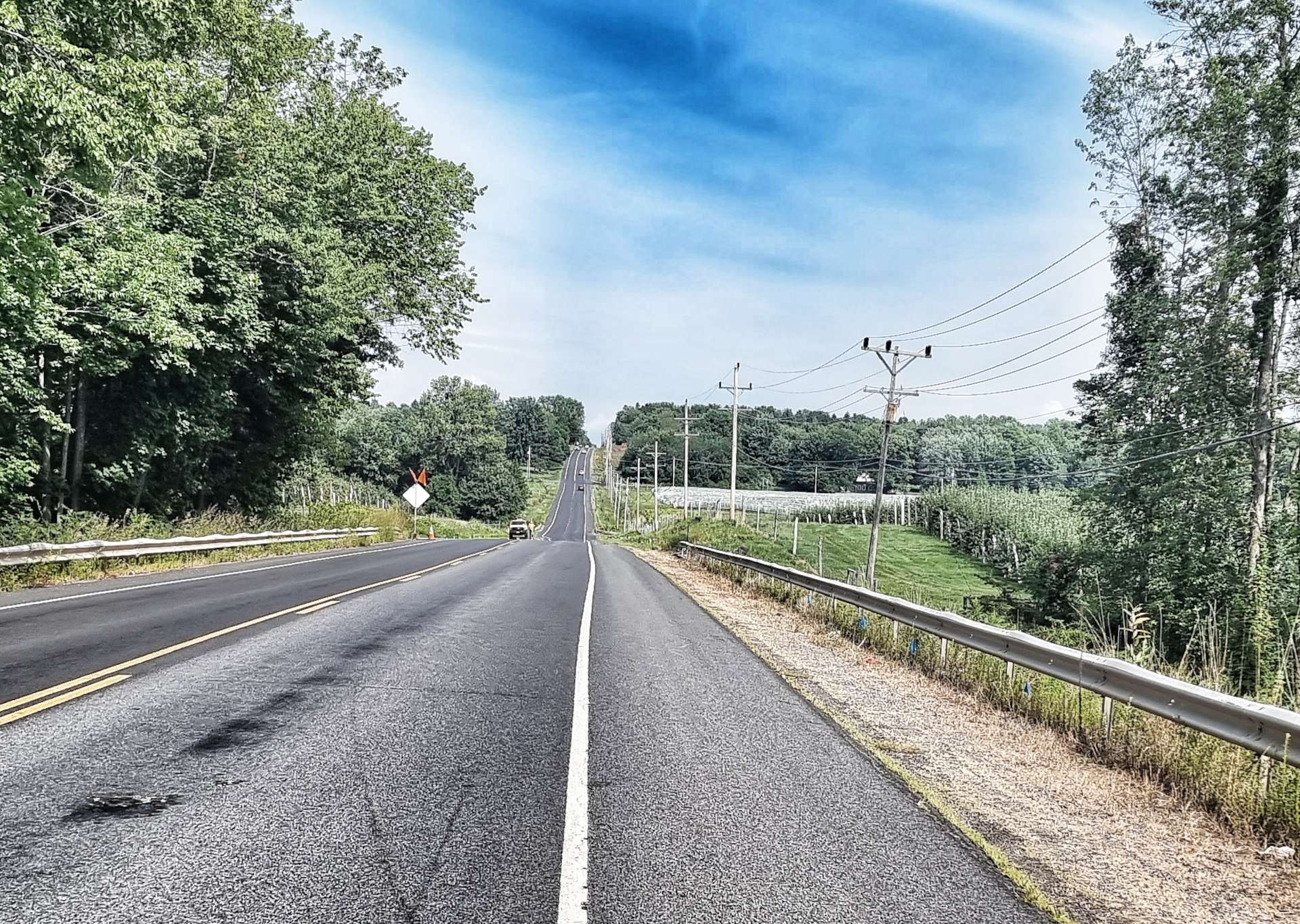
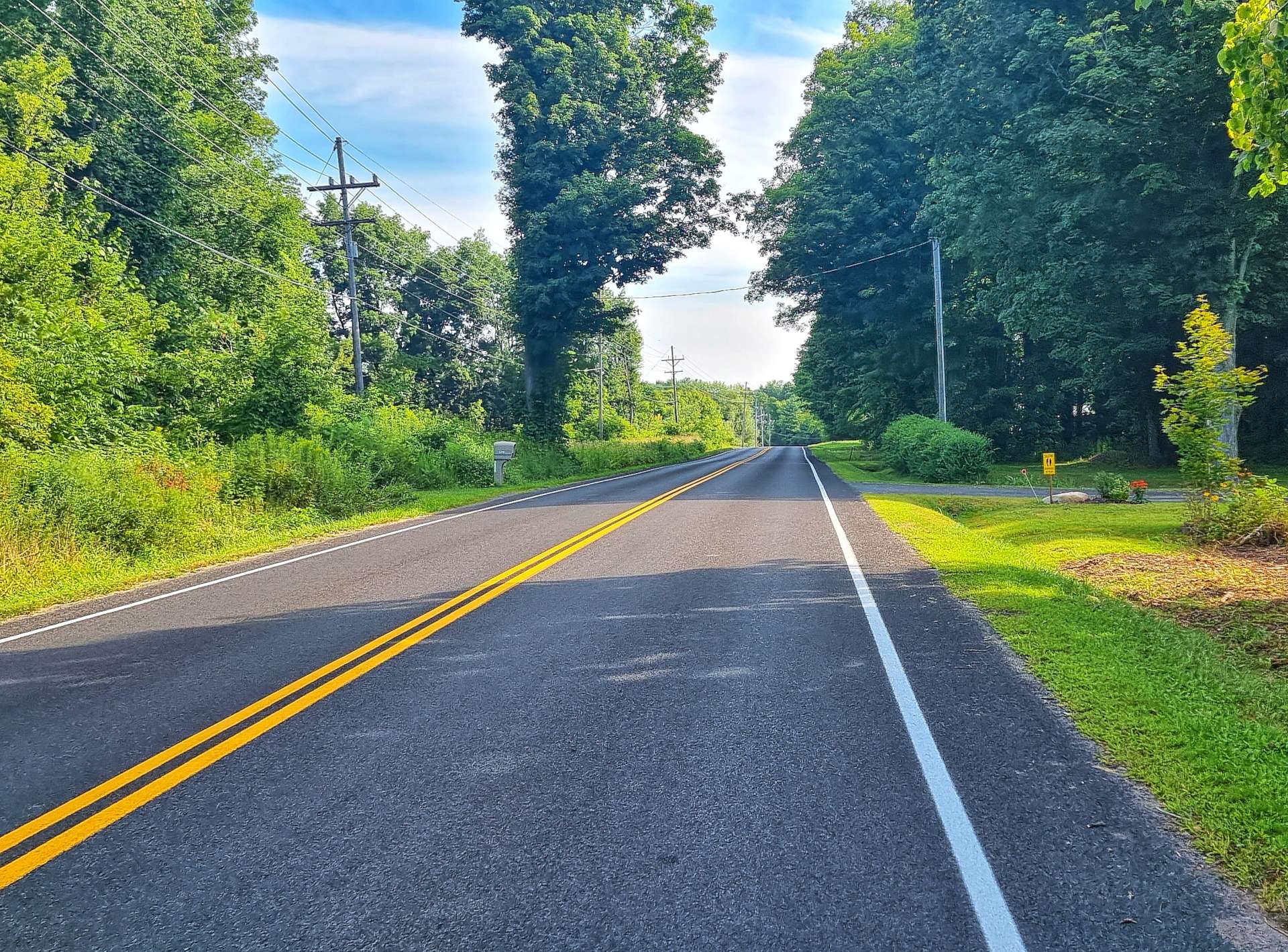
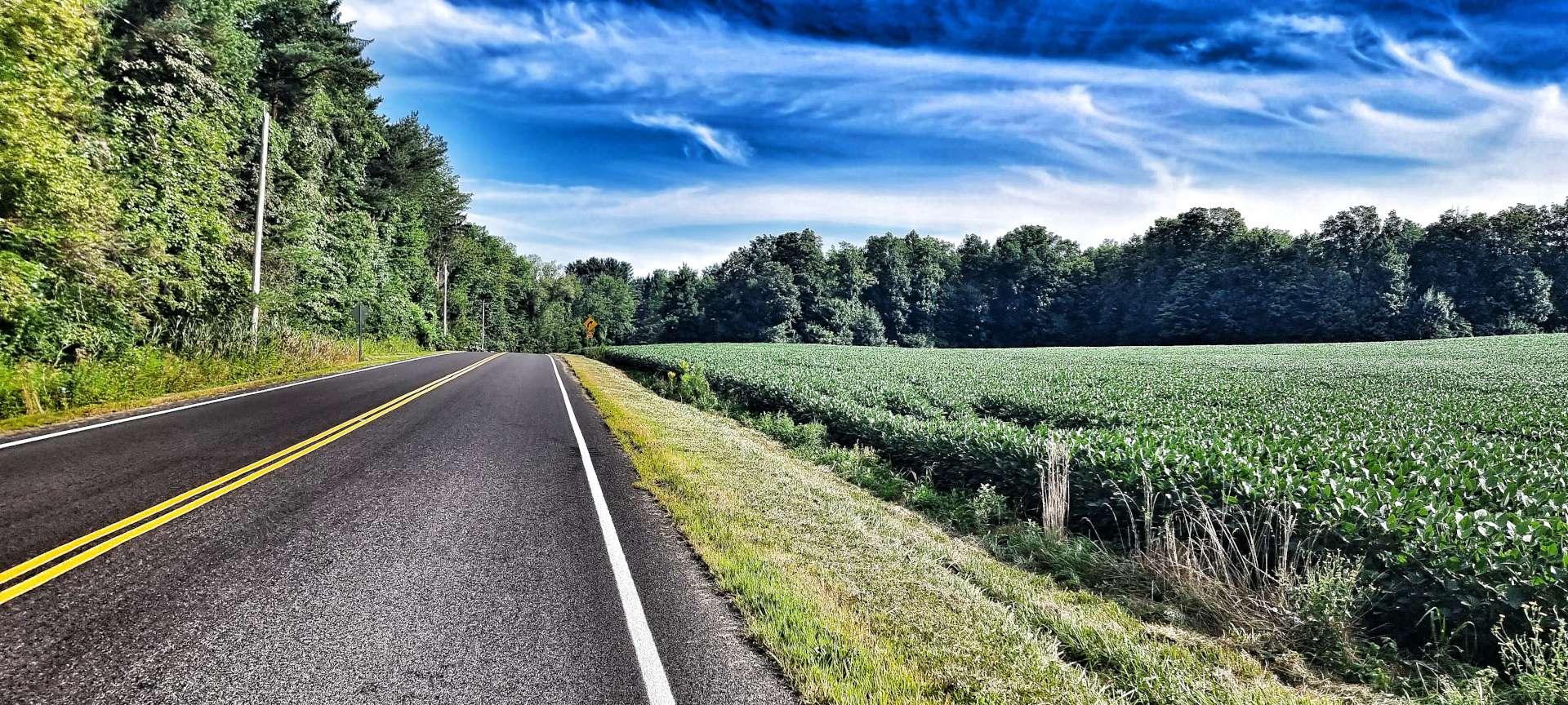
As we left Wolcott, we joined a small & quiet two-lane road that took us through woodland, then through a variety of different crops, from orchards, to maize & soya plants – it was like being back in Wisconsin or Indiana again!

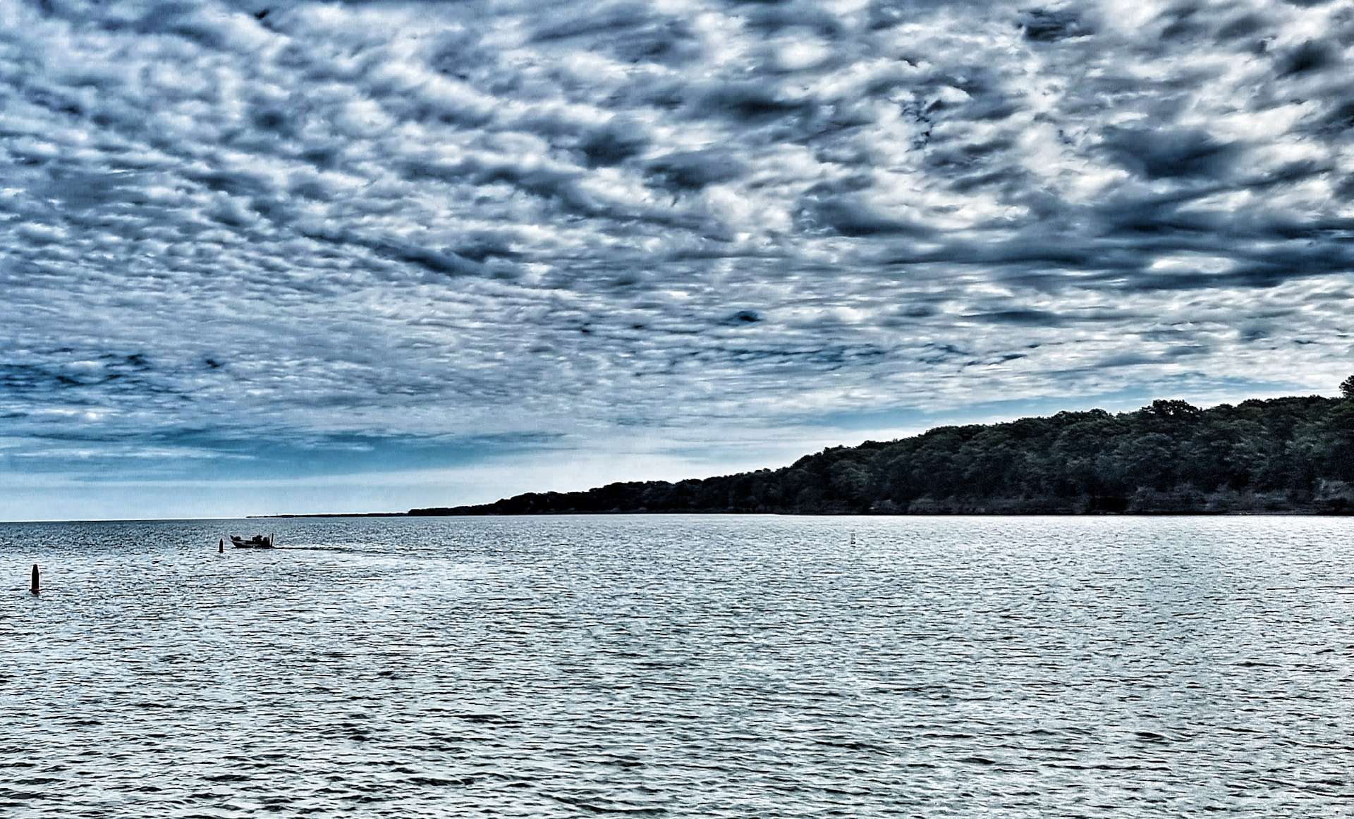
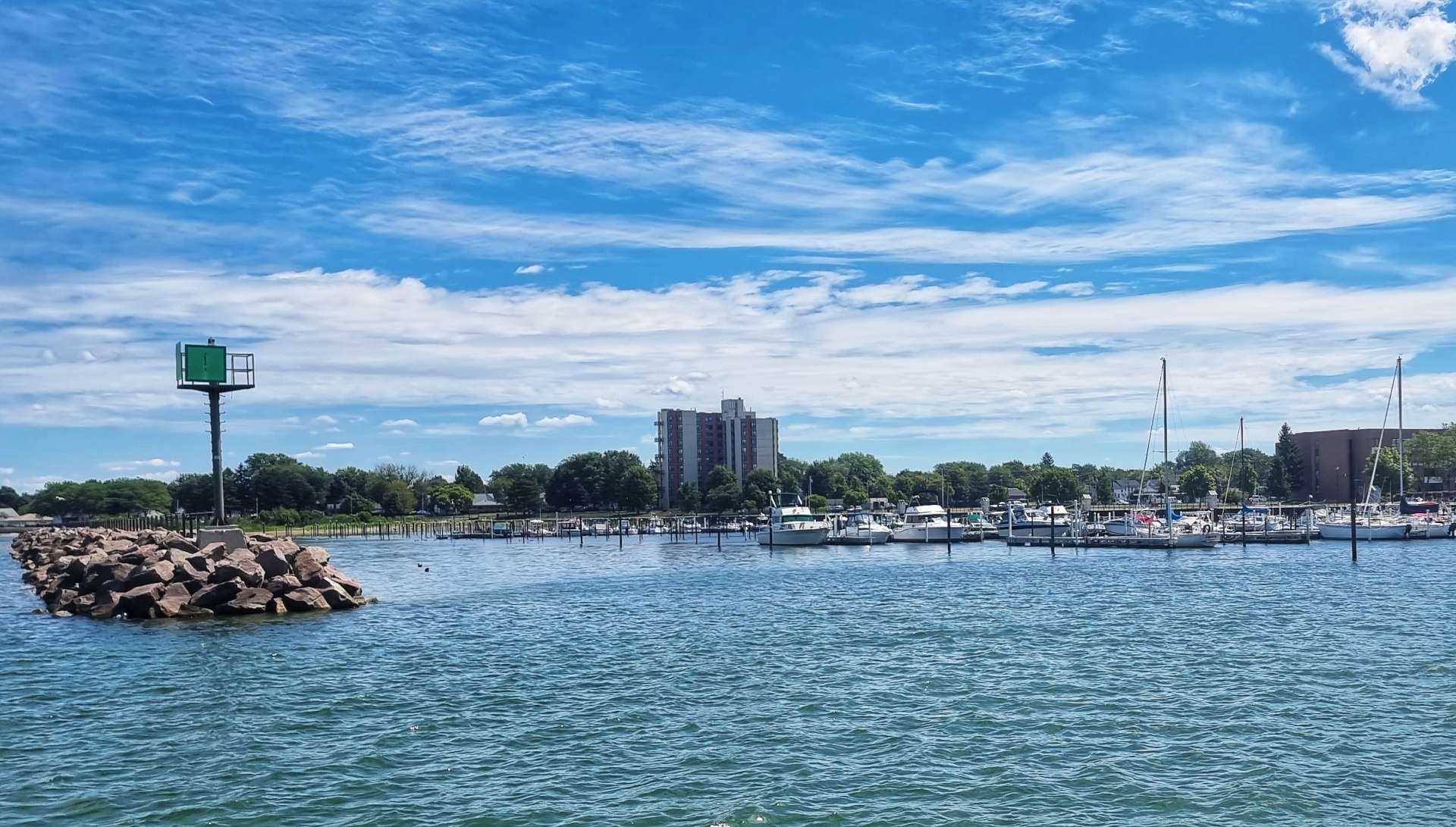
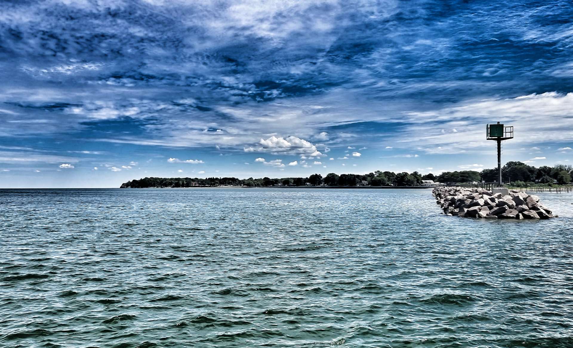
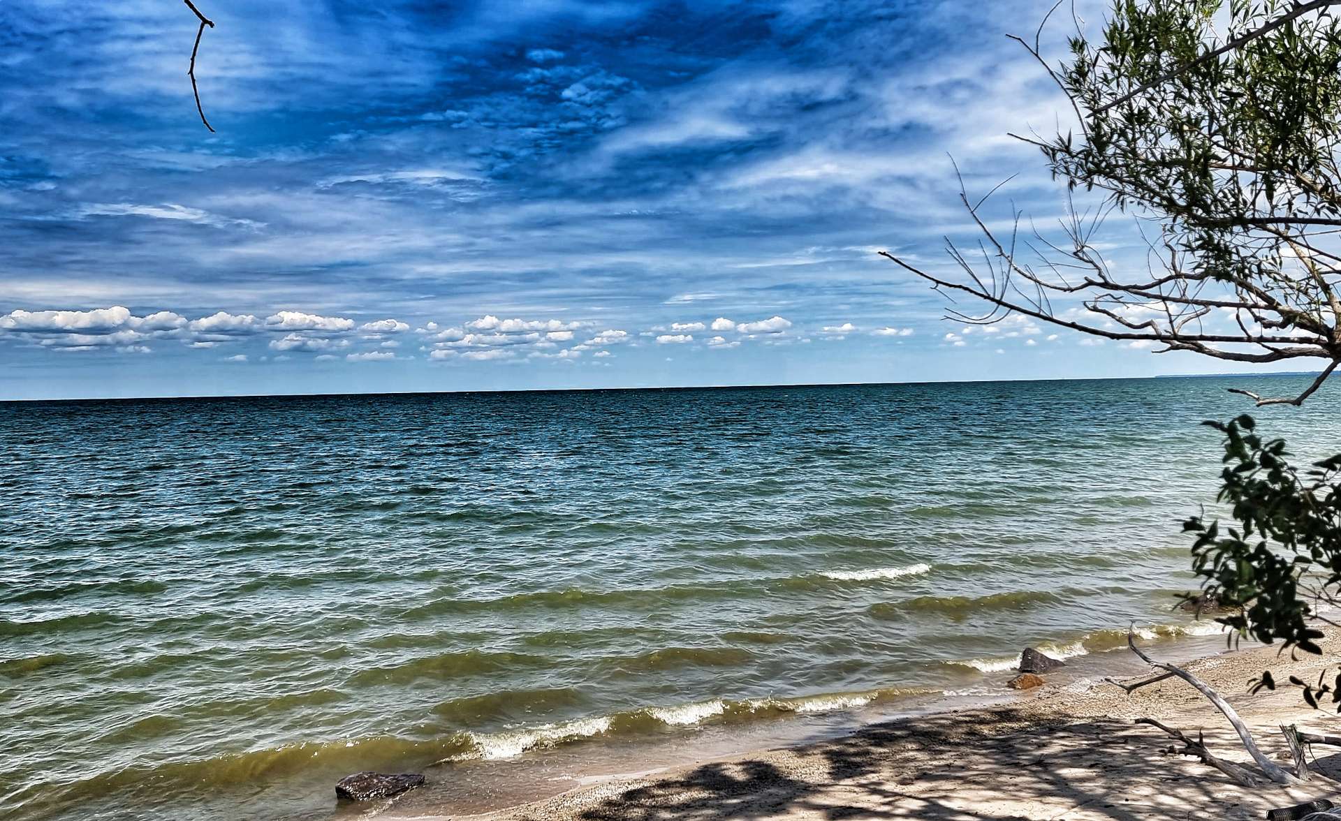
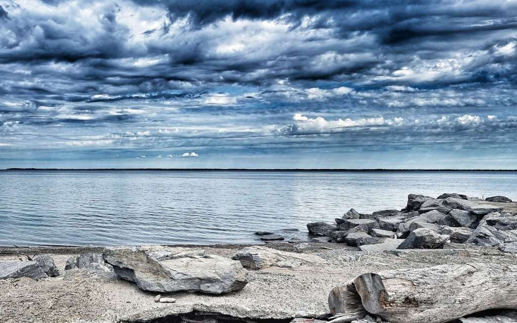
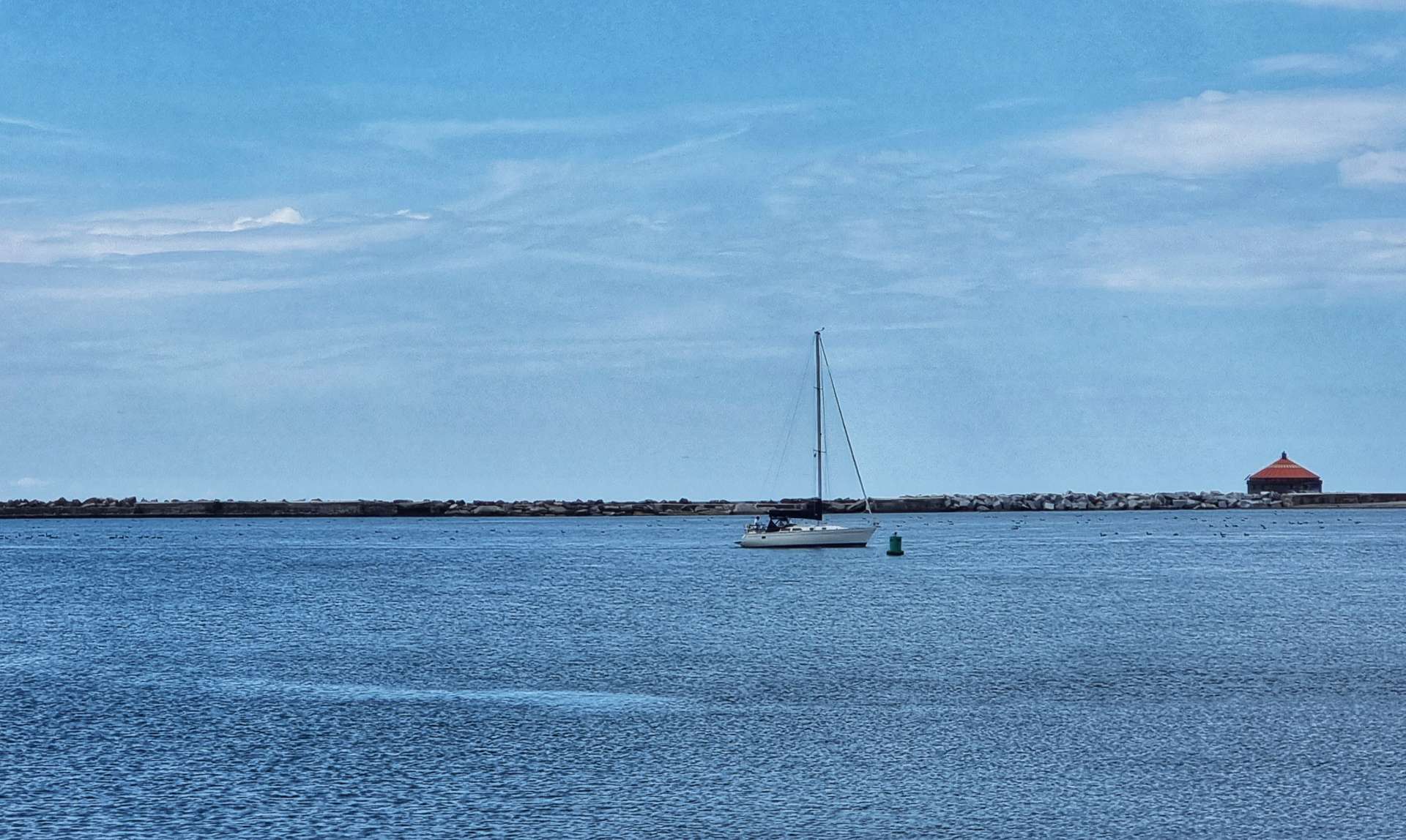
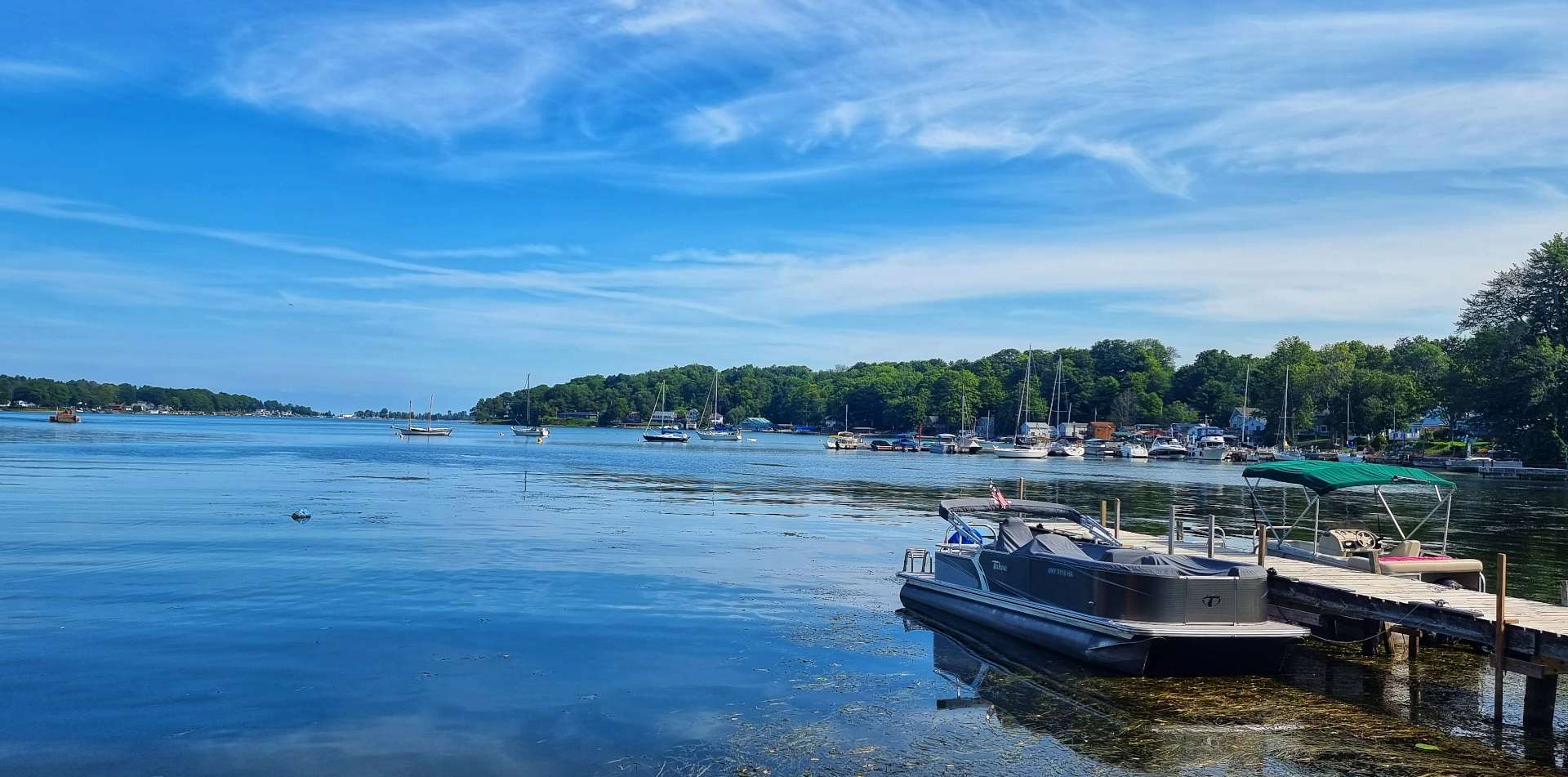
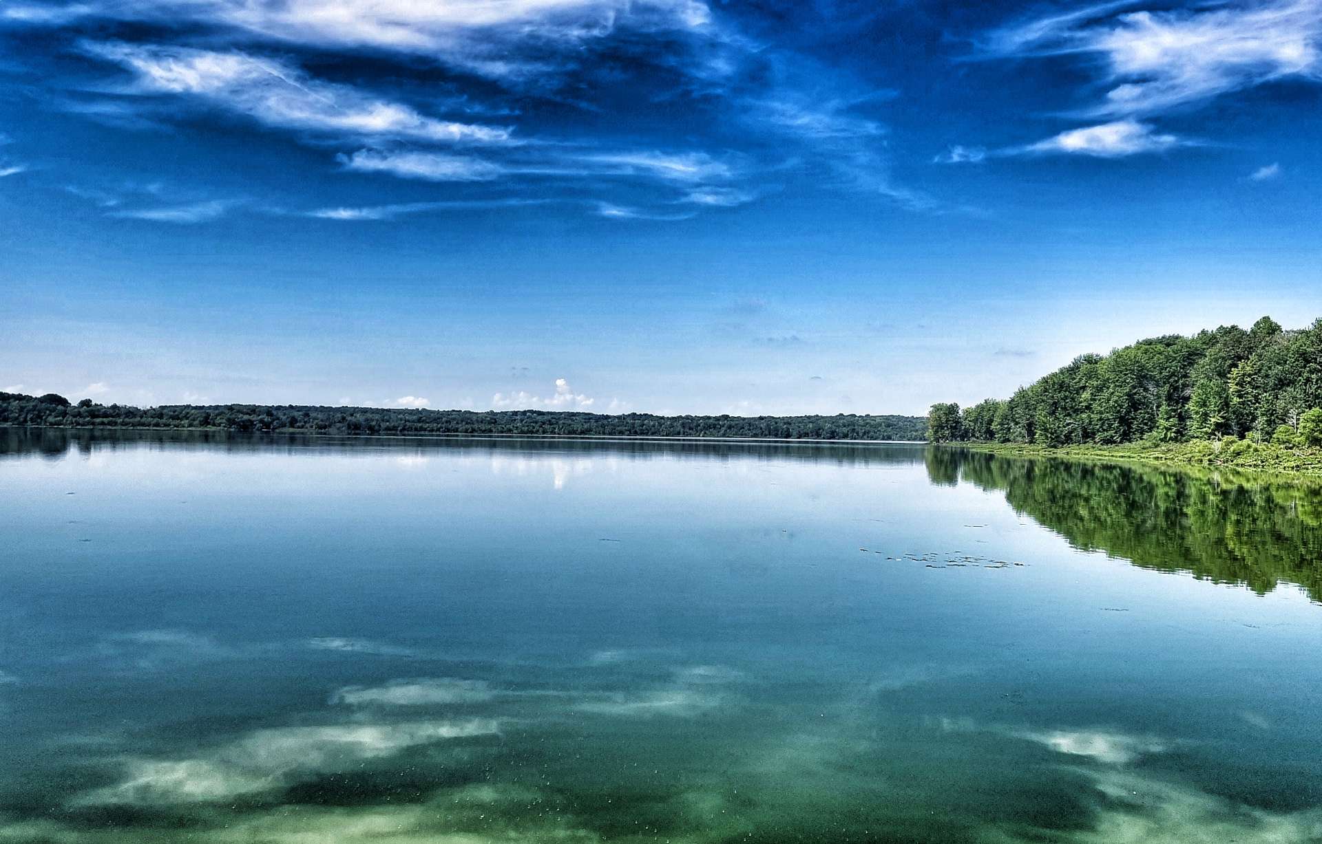
As we reached Fairhaven I got the view of Lake Ontario I had been expecting yesterday! Calm, clear blue water in a picture postcard marina – we were lucky to see it with a clear blue sky, which added to the view.

Lake Ontario is surrounded by one US State (New York) & one Canadian Province (Ontario) & the border between the two countries passes through the middle of the lake. It’s the only Great Lake not to border the US State of Michigan.

At 193 miles long by 53 miles wide, it’s the smallest of the 5 Great Lakes when measured by surface area at 7,340 square miles (but still the 13th largest in the world) – for comparison, Lake Superior is the largest at 31,700 square miles! Lake Ontario is 243 feet above sea level & has a maximum depth of 802 feet, so the bottom of the lake is more than 550 feet below sea level!!

Lake Ontario is the final lake before the Great Lakes Chain empties into the Atlantic Ocean via the St Lawrence River. The river is 310 miles in length & passes through the Canadian cities of Montreal & Quebec City before releasing its water into the Atlantic.

The St Lawrence Seaway enables oceangoing vessels to travel from the Atlantic Ocean all the way across the 5 Great Lakes to Duluth, Minnesota, 1,500 miles west of the Atlantic.

The Great Lakes hold 21% of the worlds surface freshwater by volume (1 pint in every 5) & 84% of the surface freshwater in the USA!

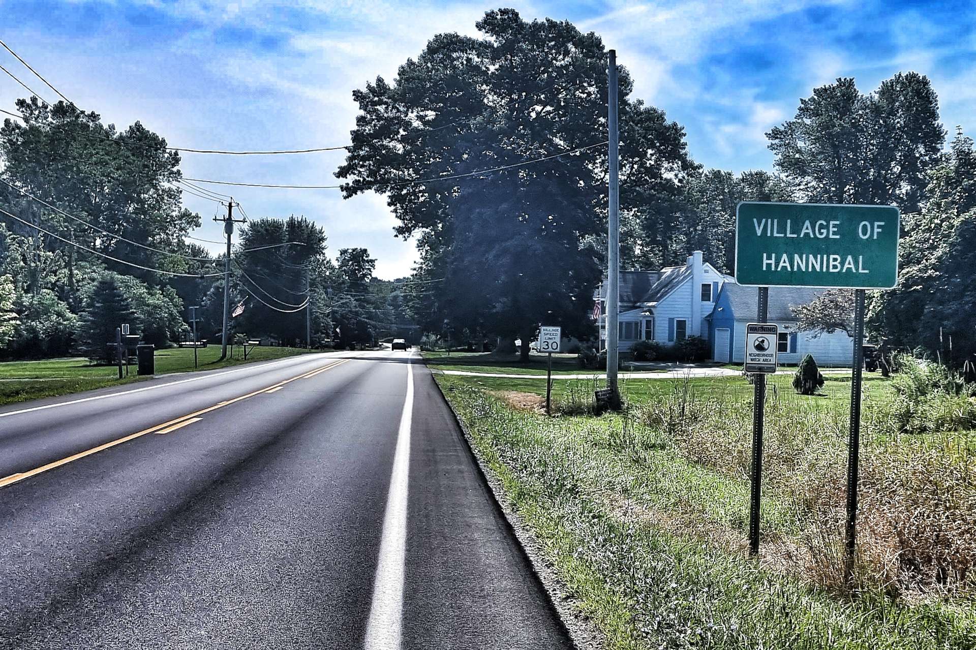
We left Fair Haven behind as we continued on our way east. We remained on empty back roads, passing through the town of Hannibal on the way – there was no sign of the man himself, nor of his adversaries Will & Clarice. We remained hopeful he hadn’t captured a census taker & eaten them with fava beans, then washed them down with a nice chianti!!

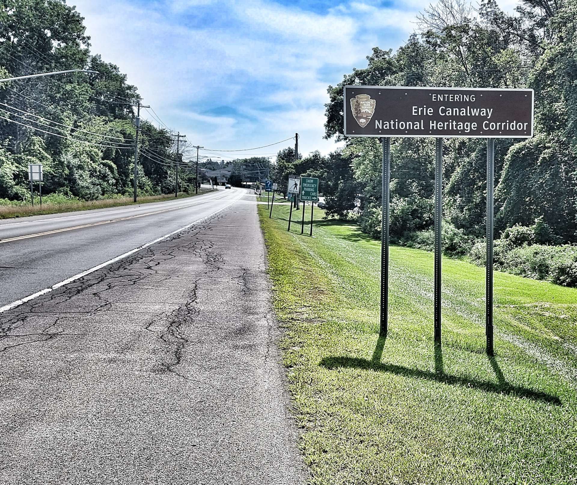
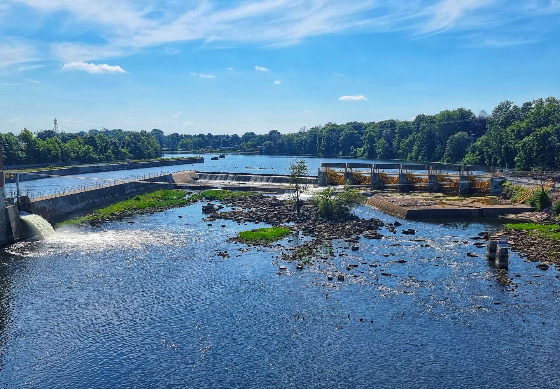
As we reached the town of Fulton, we entered a National Heritage Corridor for the Erie Canalway. Our route took us over the canal itself, where I spotted some herons looking for an early lunch. Just beyond the drainage basin we passed over the lock that enables boats to navigate past the shallows of the Oswego River.

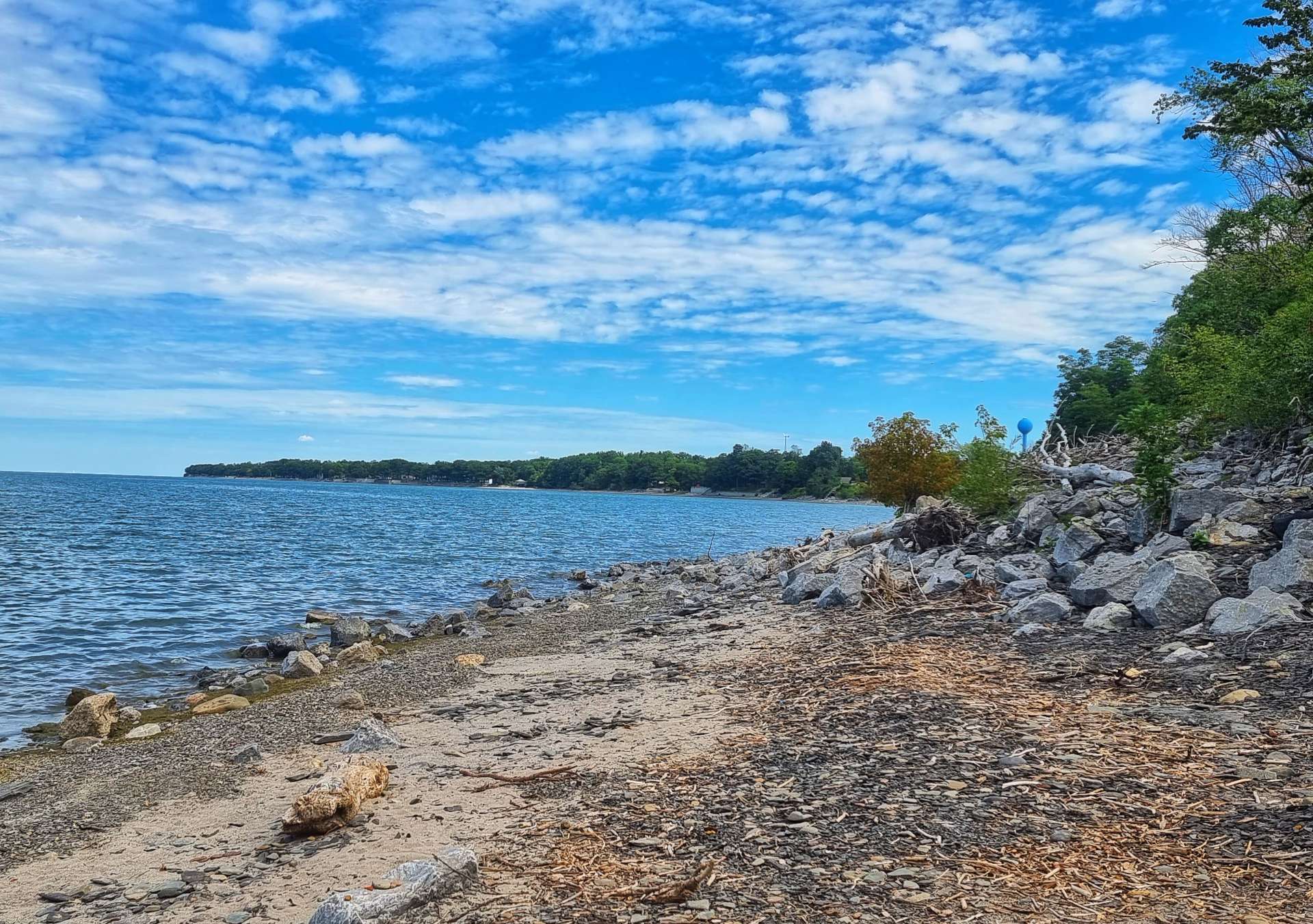
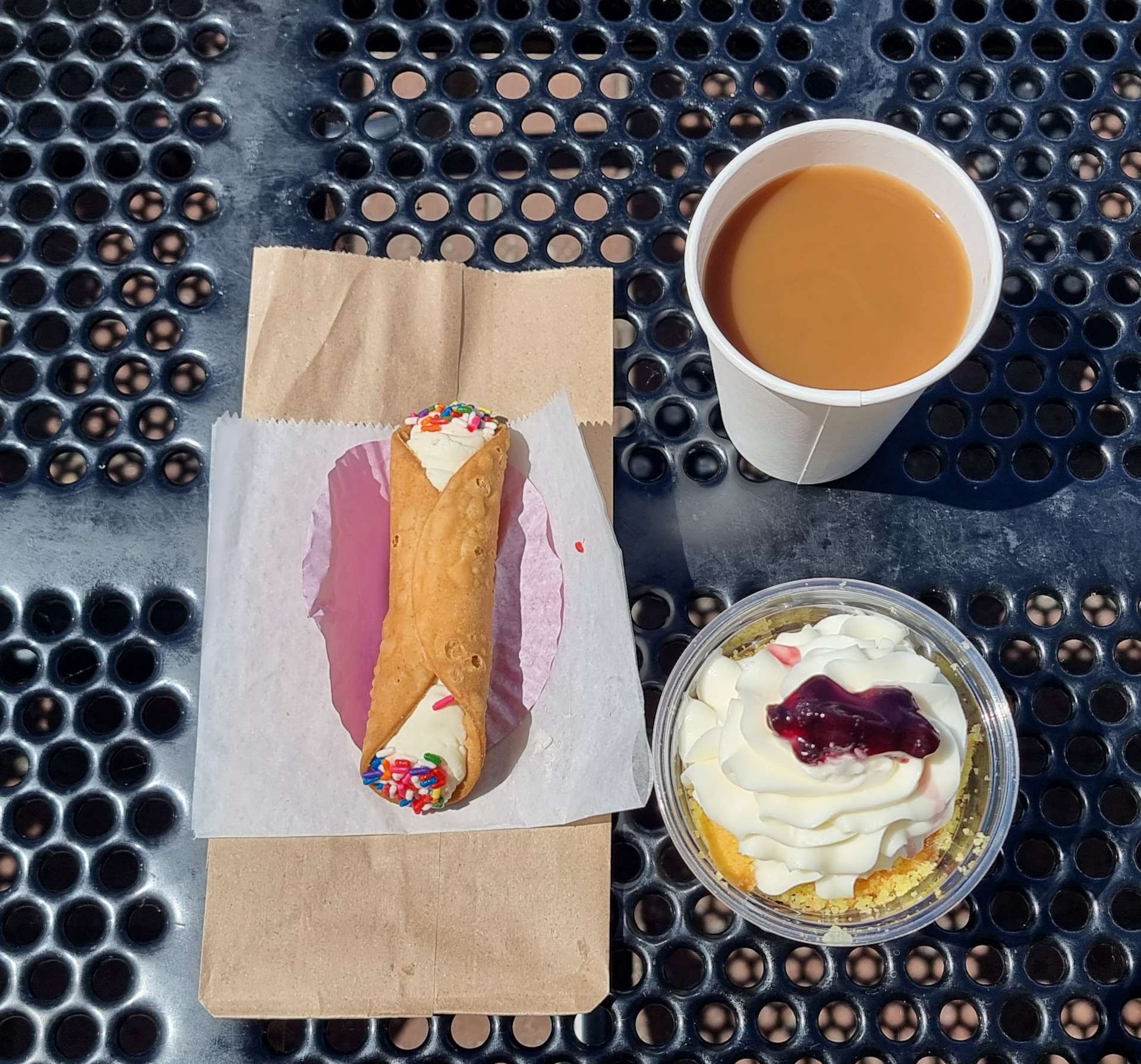
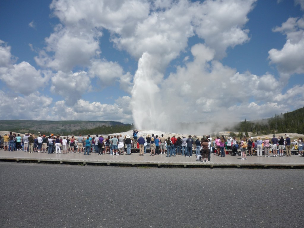
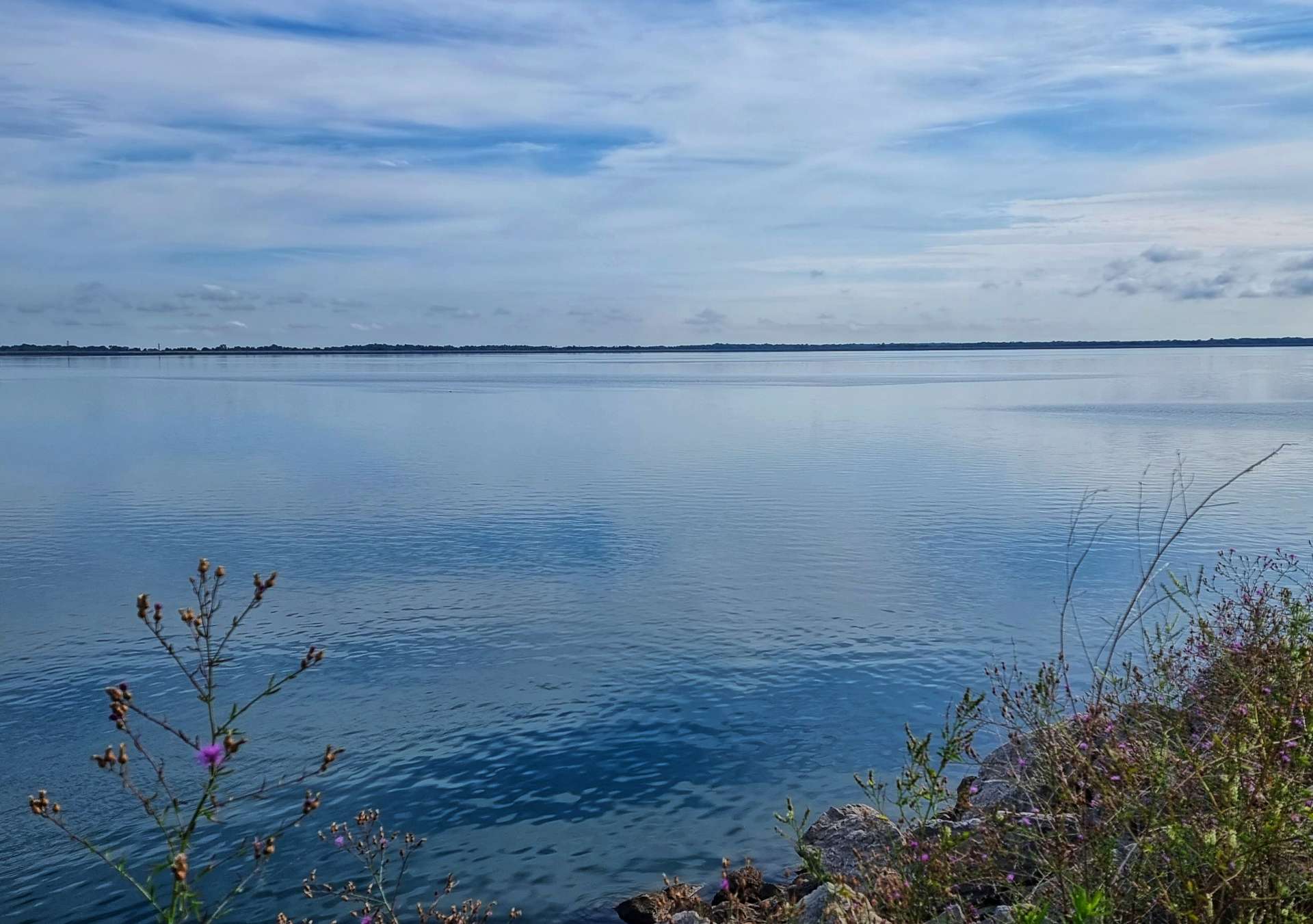
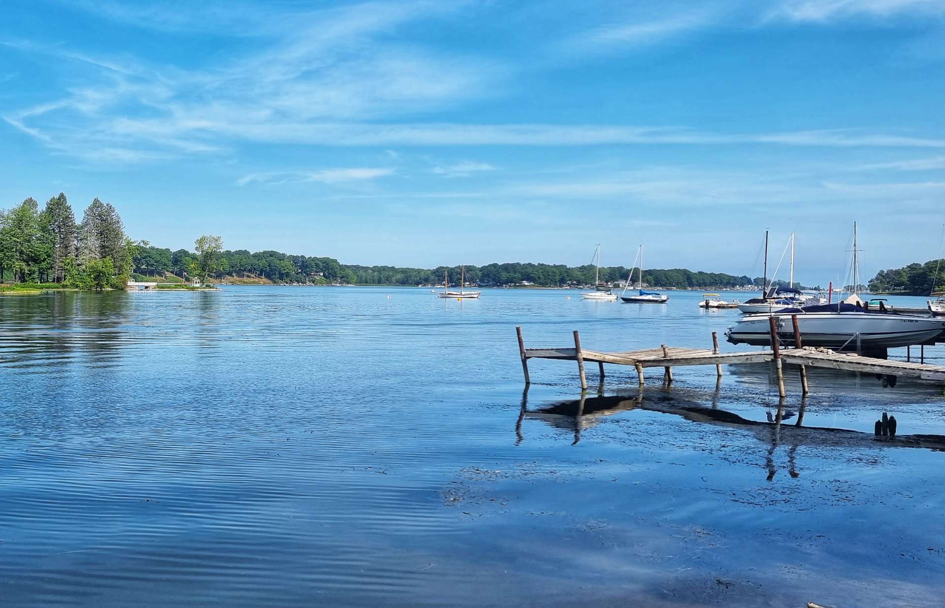
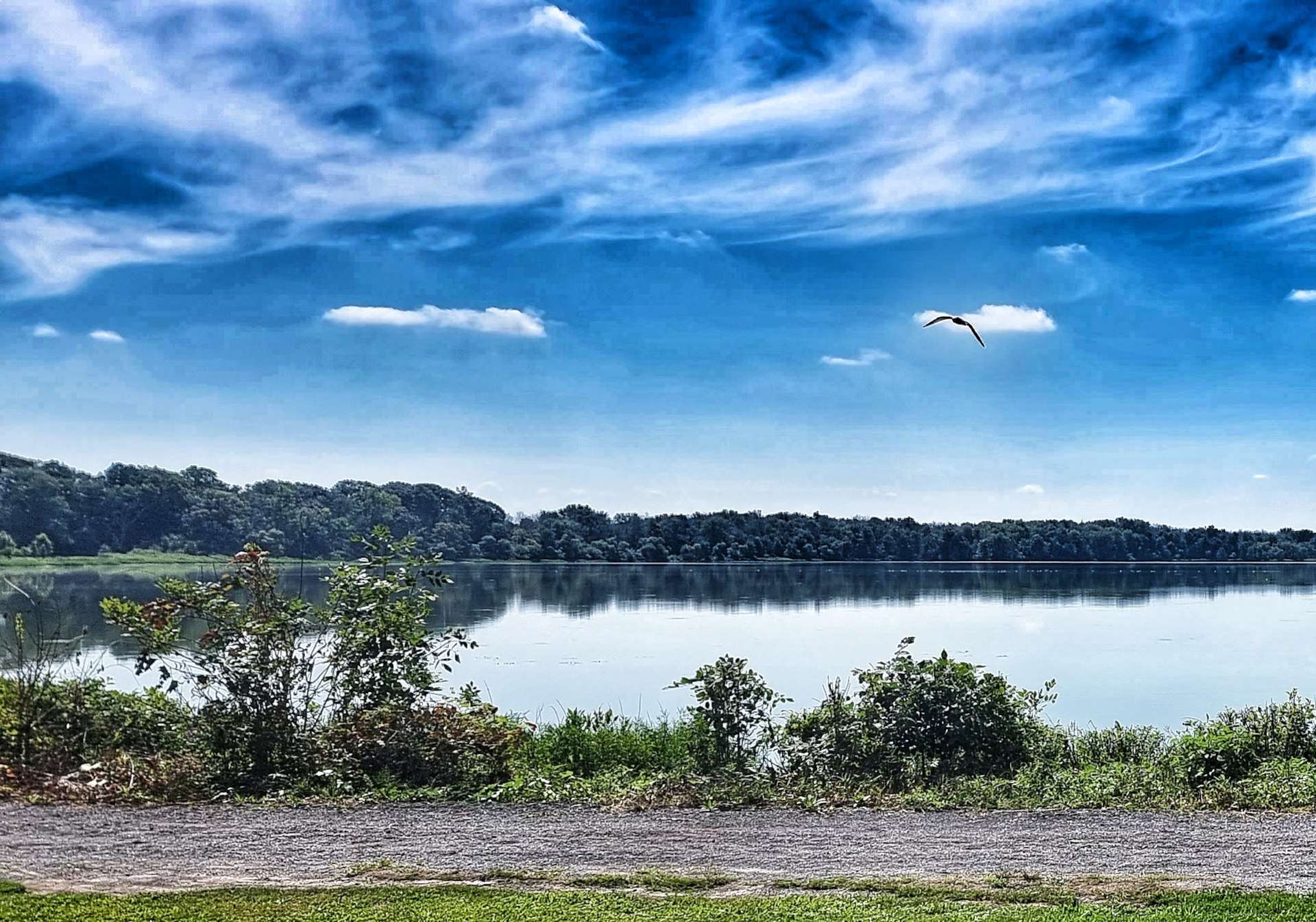
We had one final & unexpected treat before reaching Kathy’s Cakes & Big Dipper Ice Creams for our coffee stop in Volney. Neatahwanta translates from Iroquois as “The little lake by the big lake” & is a favoured hunting ground for osprey, although they were elsewhere today. The “imperfection” in the bottom left of the first photo is a toxic blue-green algae that can cause liver damage in humans & kill pets, although many fish thrive in the lake.

After coffee we returned to familiar scenery, as we again entered farming country. The quiet roads continued along Route 6, taking us past small ponds & onwards towards New Haven, where we joined a busier tourist route.

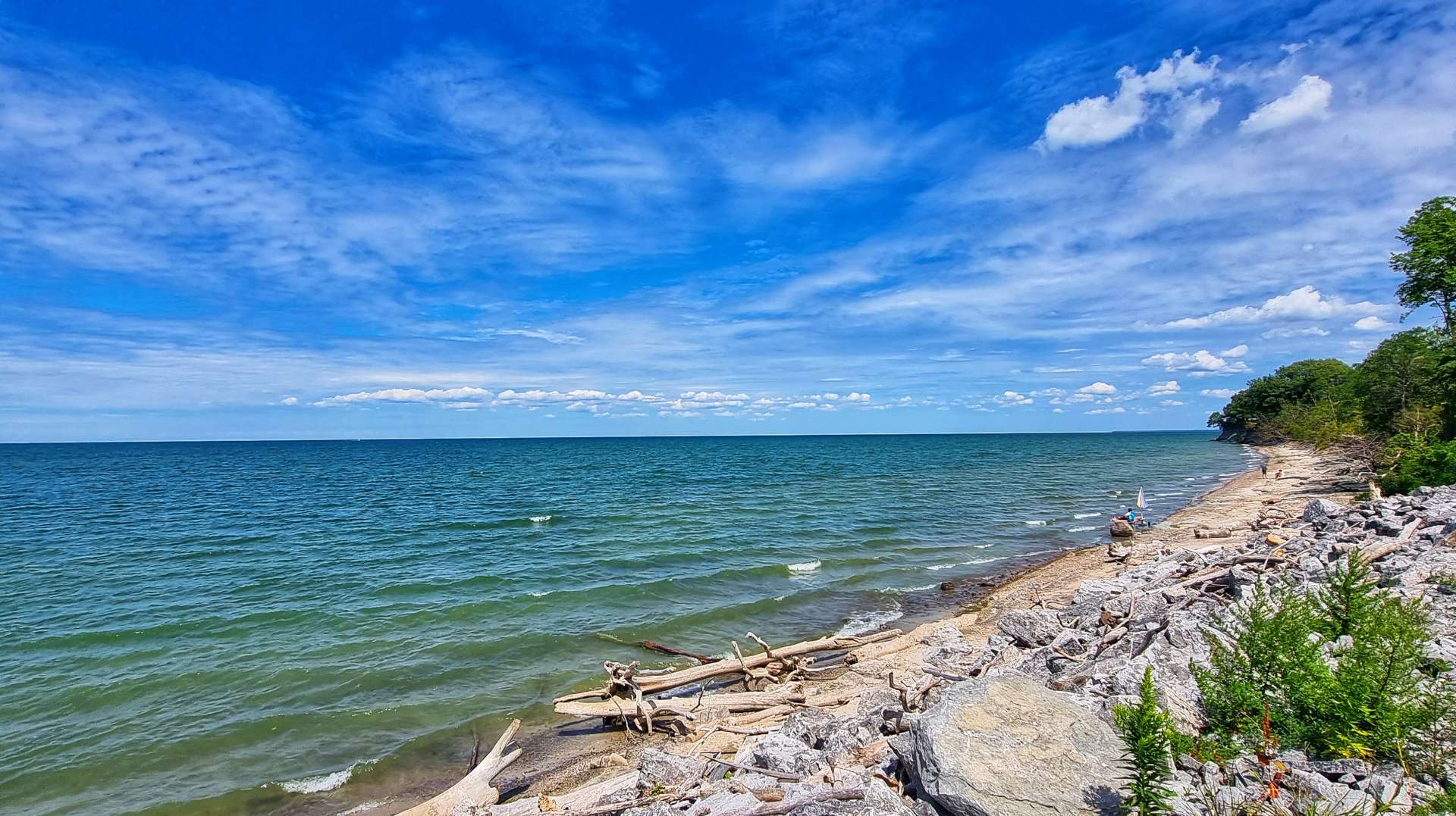
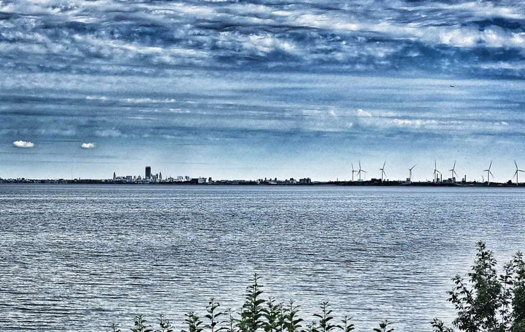
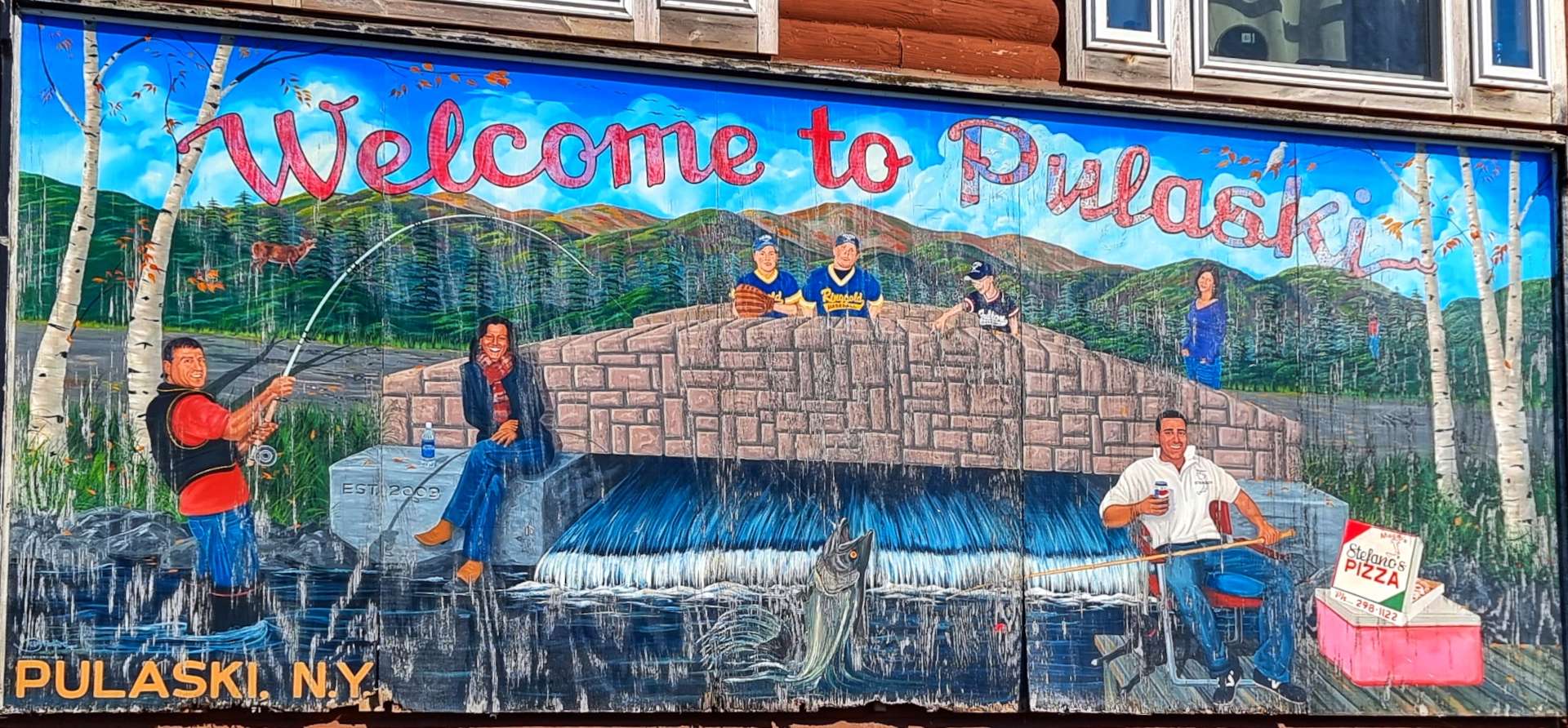
As we reached the village of Port Ontario we stopped to take our last look at Lake Ontario & say goodbye to the Great Lakes for the final time on this adventure. We were only a couple of miles from Pulaski, where we’re staying for the next couple of nights – someone had even painted a big Welcome to Pulaski sign to make us feel at home!!!

Somehow today was yet another laundry day, so we checked into our Super 8 motel, then found the nearest laundromat & got the washing out of the way, so we could relax. Once that was done, we went to Stefano’s for dinner & toasted another 3 days of glorious adventure riding!

Stage Stats – 56 miles, 2,831 feet of climbing. A couple of brief glimpses of Lake Ontario as we head into our next rest day.

Niagara Falls – Rest Day Adventure

Tuesday 16th August

A rare rest day & we have an off-bike adventure planned! We caught the Niagara Falls Transit Authority Trolley Bus from right outside our Super 8 motel, along with about 10 other people – masks are still compulsory on all public transport here, so we masked up.

There are many metrics for measuring the ‘biggest’ waterfall in the world – height, width, flow of water to name but 3. However, Niagara Falls is generally accepted as being the 2nd biggest waterfall in the world, behind Victoria Falls for flow of water.

Our adventure began with a brief sortie into Niagara Falls State Park – we became two of over 8 million people who visit the Park every year. In less than half a mile the calm Niagara River becomes a raging torrent as it prepares to plummet over one of the three waterfalls. Niagara translates from the Indian language as Thundering Waters – it was time to find out why.

I took a few snippets of video, as this gives a better feel for the speed & force of the water as it accelerates towards the Horseshoe, American & Bridal Veils falls.

We bought our tickets for the Maid of the Mist boat trip & headed to the Observation Deck where we stopped to take in the views of the Rainbow Bridge, gateway to Canada & the USA . The Rainbow Bridge was started in May 1940 & opened in November the following year. The roadway runs 950 feet from Canada to the USA & is 202 feet above the water level. It’s estimated that 6 billion pounds of water flow under the Rainbow Bridge every minute!

The water depth at this point is in excess of 175 feet & the current averages between 26 & 30 miles per hour.

To the West, we got our first views of the American & Horseshoe Falls – I confess I was genuinely excited, in spite of this being my third visit. I experienced the same sense of awe as when I first visited as a 26 year old in 1990.

The video footage starts by looking towards Rainbow Bridge, then pans across to Ontario on the Canadian side of the gorge & falls, then takes in the Canadian Falls themselves & finally the American Falls. Bridal Veil Falls are hidden at this point.

It was time to board Nikola Tesla, our fully electric, zero emissions boat. It takes about 7 minutes to charge the boat up to 80% capacity & this is carried out in the time passengers disembark & embark between sailings. On the way to the boat we put on our souvenir rain poncho – the first indication we were likely to get wet!

First up was the American Falls – it’s a 98 foot drop from the top of the falls to the top of the boulders below & it’s approximately 1,050 feet across. Only 10% of the water that flows over Niagara Falls does so via the American & Bridal Falls – this is exclusively water that has been extracted from the Niagara River for hydro-electric facilities.

The International Control Dam manages the flow of the water over the falls by way of movable gates. Another little known fact is that under an international treaty, the flow of water over Niagara Falls is reduced at night to allow more of the water to flow into intakes used for power generation.

Power generation facilities along the Niagara River supply more than one quarter of all power used in New York State & Ontario.

I only managed to get a few photos of the Bridal Veil Falls – it’s a mere 56 feet across & is separated from the American Falls by Luna Island & from Horseshoe Falls by Goat Island. The run-off from Bridal Veil is in the first photo & it’s on the far right in the second & third photos.

90% of the water from the Niagara River flows over the Horseshoe (Canadian) Falls. They are 187 feet high & 2,590 feet across. This is where Niagara Falls roars – the sound is deafening & the spray is more intense than any storm I’ve experienced.

During periods of peak flow in summer & autumn, more than 700,000 gallons of water per second flow over Niagara Falls! This is because 4 of the 5 great lakes drain into the Niagara River, as the water makes its way to Lake Ontario – the Fifth Great Lake.

On 29th March 1948, the Niagara River ceased flowing completely & Niagara Falls fell silent. A strong South Westerly wind had pushed the ice that was in Lake Erie across the mouth of the Niagara River. This blocked the channel completely for 30 hours, until the wind changed direction. A two mile boom is now installed each autumn to stop this phenomenon happening again.

The boat took us into the heart of the Horseshow Falls & it left me feeling very insignificant compared to the power of nature.

You may have noticed that Sean & myself are modelling rather fetching blue ponchos – this is specific to the American Maid of the Mist. There’s also a Canadian Maid of the Mist & they provide red ponchos!

I only noticed how many seagulls there were when I was preparing the photos for this post – there appear to have been hundreds, yet I don’t remember seeing any on the day!

We did a final pass of the American Falls & pirouetted through 360 degrees, giving everyone an opportunity to get a few last photos, before delivering us back to our jetty. In all, the boat trip lasted about 25 minutes & it was a truly memorable & exhilarating experience! I feel fortunate to have got a few decent pictures to help me remember my adventure on The Maid of the Mist.

We took a walk up to the Crows Nest, which lets you get quite close to the American Falls & get a photo of the falls in the background.

We left the same way we arrived – the elevator back to the Observation Deck. I stopped for yet more photos & then we made our way out via the rather disappointing gift shop. I collect fridge magnets as souvenirs of placed I’ve been & surprisingly, there was only one type available in the shop & it wasn’t my thing.

We had a little bit of time to kill before our scheduled Trolley Bus back to the motel, so we invested the time wisely & went in search of a souvenir. I’m delighted to report that I eventually found a magnet that I liked!

The bus was empty (other than the driver) on the way home, but we stuck to the rules & wore our face masks! Niagara Falls had lived up to our hopes & surpassed them – we both agreed that it was one of the top 3 experiences of the adventure so far. It was up there with Glacier & Grand Teton National Parks – even better than Yellowstone, Devil’s Tower & Mount Rushmore!

In short, if ever you get a chance to visit Niagara Falls, take up the opportunity & also sail on The Maid of the Mist – it was a snip at $25.50.

North East to Niagara Falls

Sunday 14th & Monday 15th August – Stages 81 & 82.

Sunday 15th August – North East to Angola-on-the-Lake (Stage 81).

Yesterday’s rest day was spent writing & publishing my latest post, as well as planning routes & accommodation for the coming week. This morning we were on our way by 9am as we left North East on a deserted back road that took us past more vineyards.

Almost as soon as we joined US 5, we were welcomed into The Empire State of New York – it would have been easy enough to ride through Pennsylvania on Friday if we’d have wanted to, but there’s something pleasing about spending a night sleeping in every State I’ve cycled in!

The early miles in New York were much like the last miles in Pennsylvania, as we climbed & descended the rolling hills, cycled between vineyards & had views across to the hills further South.

Our first view of Lake Erie in New York was when we were passing through Barcelona – it was the first lighthouse we’d seen along the shore of the lake & it also provided sweeping views of Barcelona Bay from the marina. This continued the European theme from Geneva yesterday.

Between Barcelona & Lake Erie State Park, Sean popped on ahead so he could get an action shot of me (he did himself proud by getting some purple in the photo too). The beach at the park was mainly gravel, although it did provide some good views of the bay.

The European theme continued a little longer as we entered Dunkirk. I made my way to the end of the marina to get a few photos of boats that were moored & a view further along the shore. The real highlight was finding Chai’s Chocolates & Gifts on the pier, where I tucked into a cannoli, as well as a blueberry & lemon cheesecake and a coffee!

When we first left Dunkirk, we headed slightly inland & passed through woodland & wild meadows. We were still going up & down the same 100 feet of elevation as we continued to head back towards the lake.

I found a couple of spots where I could park up the bike & go rummaging through the undergrowth (if you’re old enough, imagine David Bellamy or Lenny Henry saying it!) & look down on the sandy beaches below. I tend to take a bit of time when I do this, so Sean had gone on ahead at 60% effort so I could catch him up once I was done faffing.

We headed inland again as we approached Silver Creek & the volume of traffic picked up slightly – the first photo below would qualify as busy for the last 3 days, so everything is comparative. There was a short steep hill out of town & as we summitted the climb, we were confronted with the biggest waitress I’ve ever seen – she towered over the building behind her!!!

Approaching Irving, we entered into the Seneca Nation of Indians – “Onondowaga Honoeja de” translates as People of the Great Hill Place & is used by Seneca Indians to describe themselves.

We turned back into woodland briefly, then as the road turned left I saw a whole field of hay bales calling to me. Dad was ambidextrous & in a cruel twist of fate, it appears that all he passed on to me is an inability to Hay Bale Surf to the right or left!!! I think my form may be slightly less bad in the second photo…..

Sean said my surfing really was something to behold, although I don’t think he meant it as a compliment! I put his cruel barbs to one side & we set off for the next treat on today’s ride. Evangola State Park is located to the West of Farnham – I only mention this because there’s also a Farnham near where I was born in Surrey. It’s 733 acres in size & has a couple of top quality beaches & picnic facilities, as well as hiking & biking trails. It’s a little gem of a place & attracted over 140,000 visitors in 2019.

From Evangola we headed to Lake Erie Beach Park for our final view of the lake today. It was a buzzing little place, with a couple of beach bars & food joints which were doing a brisk trade. All that remained was an easy 3 mile ride to our motel in Angola-on-the-Lake, as we completed another great adventure along the shore of Lake Erie.

Stage Stats – 58 miles, 1,421 feet of climbing. Crossing the State Line into New York & making our way through more European towns!

Monday 16th August – Angola-on-the-Lake to Niagara Falls (Stage 82).

Setting off from our motel, we took a left towards the lake, but before we got there, we spotted a tank at the Veterans Park. War artefacts at the Memorials have become more prevalent as we’ve headed East.

I then added a cockerel photo to my collection & sent it on to my good friend Bob (well, he was a good friend before I kept sending him photos of Man with big cockerel texts!).

The road meandered through the woods, as the lake continued to hide away.

Below are three of the reasons we didn’t see the lake on this stretch of road! Massive mansions with waterfront gardens & CCTV protection above the gate pillars.

The route through Angola was an Adventure Cycling Association recommendation to keep us on quiet backroads. However, at some point we needed to head towards Buffalo & that required us to join the main road again. The upside was that this also enabled me to get some photos of Buffalo & a wind turbine farm, as well as views across the lake.

Our European theme continued as we passed through Hamburg – in a twist of fate, Hamburg (Germany) is the first place Sean & I ever went on an overseas cycling adventure, way back in 2006.

As we approached Buffalo, we passed a couple of reminders of Buffalo’s past as a major Great Lakes shipping centre & grain storage hub. It was also a major steel producer, automobile manufacturer & aircraft builder. All these industries have since departed, however, Buffalo is making a comeback.

We had to take a detour because the bridge we planned to use was closed for roadworks & as a result we found the Buffalo Riverworks space & Wonder Coffeehouse, where I tucked into a s’mores & a peanut butter waffle along with a latte. Another great little coffee stop!

The Buffalo Riverworks complex includes a brewery, restaurant, sports, leisure, adventure & entertainment on the waterfront & has become a popular place with locals & visitors alike. We were on a tight schedule, but it looks like a fun destination.

As we made our way across town, we passed a wall of stunning art on the walls – try to imagine all the separate pieces below in a long line, as that’s how they were set out. I’ve also included a shot of my favourite, which was obviously the cyclists!

As we joined the Shoreline Trail, we took one final look at at the lake, as the Niagara River began its 36 mile journey from Lake Erie to Lake Ontario. We immediately rode by the Peace Bridge which connects the USA & Canada.

The Shorefront Trail is paved all the way from Buffalo to Niagara Falls, 23 miles down river. We had great views of the river & across to Unity Island & Grand Island as we made our way ever nearer the mighty Falls.

I was keen to get a long shot of the Grand Island Bridge, to go with my symmetrical photo above & it took a few attempts to find somewhere where I could get most of the bridge in the picture.

Finally the cycle path gave us our first view of the mist rising from Niagara Falls – a genuinely exciting moment, as I’ve been looking forward to returning to Niagara Falls for a while.

Sean & I did a cycling trip to Niagara Falls way back in April 2008 – we got sunburned on our first afternoon in Central Park NYC, then a week later, on Sean’s birthday, we watched as huge chunks of ice tumbled down Niagara Falls.

Before we knew it, we’d arrived at Niagara Falls State Park. Designed by Frederick Law Olmsted (he also designed Central Park in NYC) & established in 1885, it’s the oldest State Park in the USA & marks the start of Niagara Falls.

Tomorrow we’re planning to spend the morning exploring Niagara Falls, so I’ll do a separate post once we’ve seen what it has to offer! We still had just over 5 miles to our motel for the next 2 nights, so we said Au Revoir until tomorrow.

Once we’d checked in, we headed out to toast another brilliant day in the saddle! The story behind Sean being double parked is that his Sammy Adams was 2 for the price of 1, so he had 2 small glasses, while I dived in on a big glass – that’s his excuse & he will stick to it!!

Stage Stats – 58 miles, 1,040 feet of climbing. We said goodbye to Lake Erie for the last time as we made our way to Niagara Falls.

From Sardinia to the USA (Part One)

Once In A Lifetime – To steal a line from the Talking Heads’ song, “Well, how did I get here?”

My USA cycling adventure has been almost 16 years in the making – Part One of my journey covers my introduction to cycling & a few of my first adventures.

Back in June 2006 I went on a group holiday to Sardinia with some great friends & on a whim hired a bike for a ½ day, 30 mile pootle out to Capo Caccia & back with Sean.

Never in my wildest dreams did I imagine that I’d catch the cycling bug & that I’d now be preparing to embark on a 6,000 mile, 6 month, once in a lifetime adventure. So, how did I get here?

After returning from Sardinia, Sean & I came up with the stupid idea of going on a one week cycling trip around Hamburg in October 2006 – in those days I didn’t even take photos of my cycling adventures, as my mobile phone didn’t even have a camera. We arrived on the Friday night & spent the evening checking out the local brew – my hazy memory says it was “one (or perhaps two) too many” pints of Einstein, in the bar of the same name. It’s worth pointing out that at this point we didn’t have any bikes to complete our tour, so we had a panicked morning desperately searching for a hire shop – in the end we had to buy a bike each so we could complete our trip!!! We learned a huge amount on that trip, the main lesson being that we needed to each buy a bike!

By 2007 I’d bought a blue, aluminium framed Giant Defy & we headed to the USA, doing a self-supported trip to New York State (including a visit to Niagara Falls). By now I’d realised that I needed to be able to take photos, so we bought a couple of Kodak Single Use cameras – we then had to get the film developed in a camera shop to see what the photos actually looked like! Having found the photos this evening, they were truly rubbish!!!

In 2008 we visited Washington & Oregon cycling the Pacific Coast Highway, hiring bikes once again. We still had much to learn about how to plan a trip abroad! At least by now we’d realised the importance of training, although I weighed more in 2008 than I do in 2022.

We became more adventurous in 2009, joining a guided tour in early May, organised by Cycling Escapes, that included Zion & Bryce Canyon – this was our first experience of cycling with proper cyclists.

I was totally unprepared (I’d broken my collar bone on Valentine’s Day & couldn’t get back on the bike until the end of March) & I met the most kind & generous group of people. They were so supportive of two total novices & shared many great pieces of advice, including to always look behind you & see where you’ve come from, as well as where you’re headed. For our 2nd week we did a self-supported trip to Moab & tried to practice what we’d been taught!

2010 was a breakout year, as in addition to buying my first carbon bike (still the fastest bike I’ve ever owned), we started training & returned to the USA for a 5 days of cycling huge Colorado mountains – again with Cycling Escapes. Rich & Benny ran the trip even though there were only Sean, myself & Rich on the tour.

This was followed by 5 days of cycling in Montana & Idaho (including a couple of days in Yellowstone) – we were still with Cycling Escapes. What made it even more special was meeting up with some of our friends we’d made the previous year, as well as making new friends.

We also paid our first visit to the big mountains of Europe – driving from Bristol to Bourg d’Oisans for a 3 day adventure taking in Alp d’Huez, Col de la Croix de Fer & Col du Galibier on consecutive days. I can still remember the feeling of complete awe I felt when we drove up Alp d’Huez in the car & both of us realising that we were in completely uncharted territory!

This feels like a good place to draw Part One to a conclusion as it marks the transition from our long haul travels to short haul destinations. Part Two will focus on our early experiences of exploring the mountains of Europe!