Murdo to Huron

Monday 11th July to Thursday 14th July – Stages 56 to 58

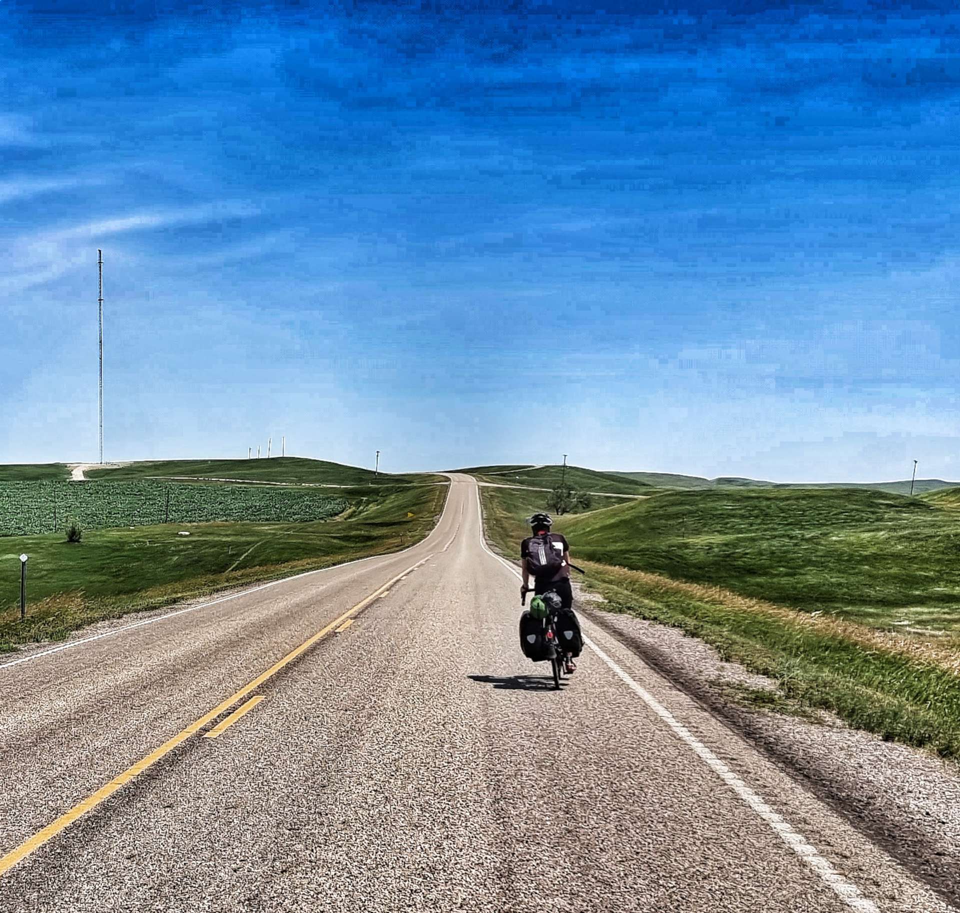
Monday 11th July – Murdo to Kennebec (Stage 56).

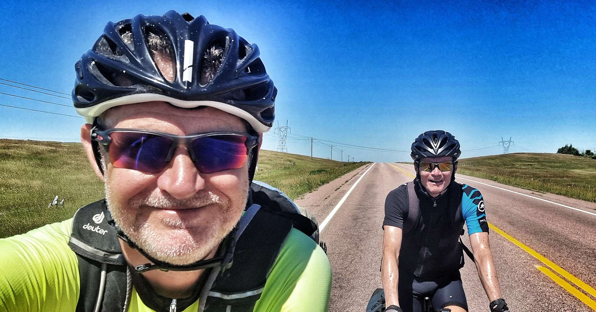
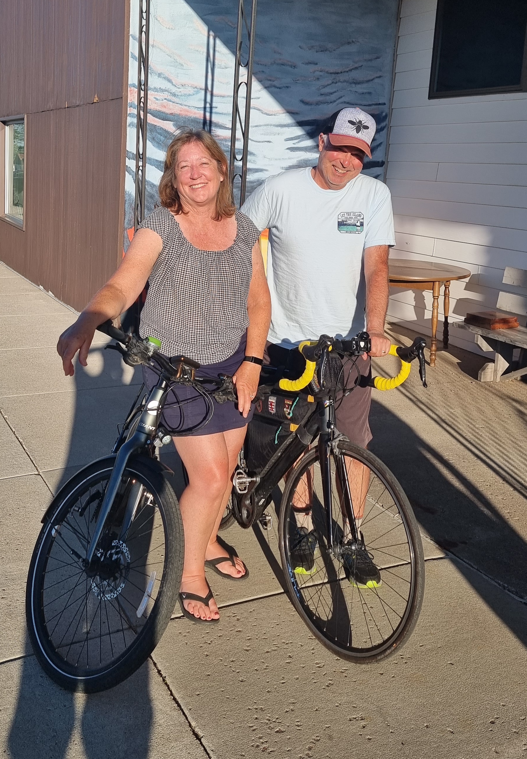
We had a late start planned for today, as it was a short & fairly flat stage into Kennebec. I went to Star Restaurant for breakfast & feasted on Spanish Omelette, toast & coffee, while Sean preferred cereal in his room. We’re becoming more comfortable doing our own thing when we feel like it, although we still prefer doing things together the vast majority of the time.

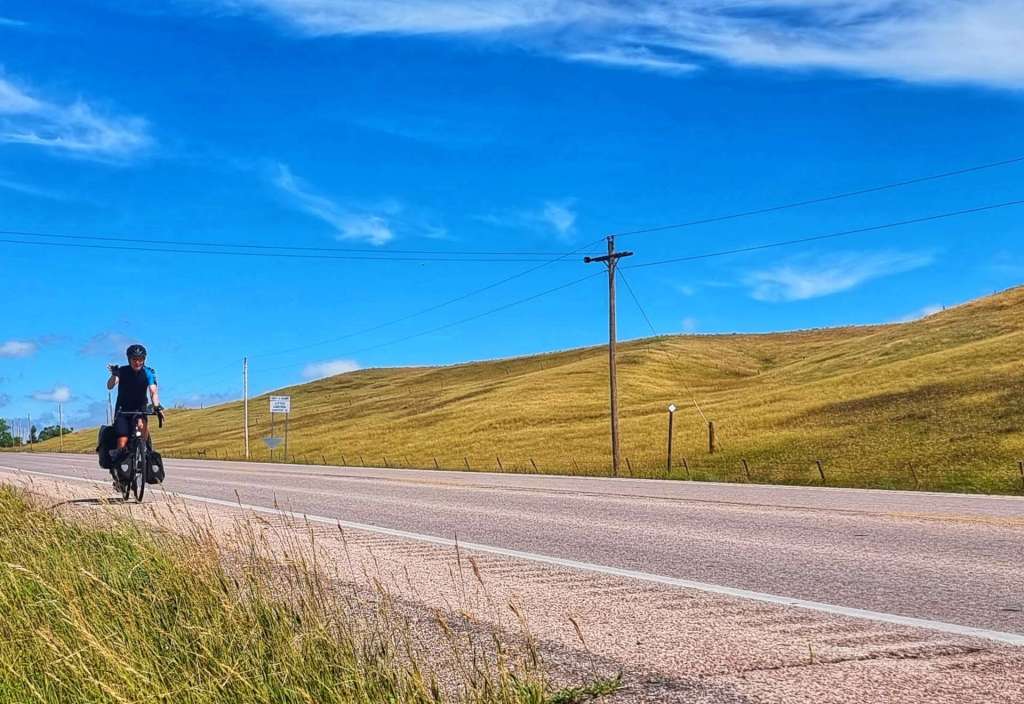
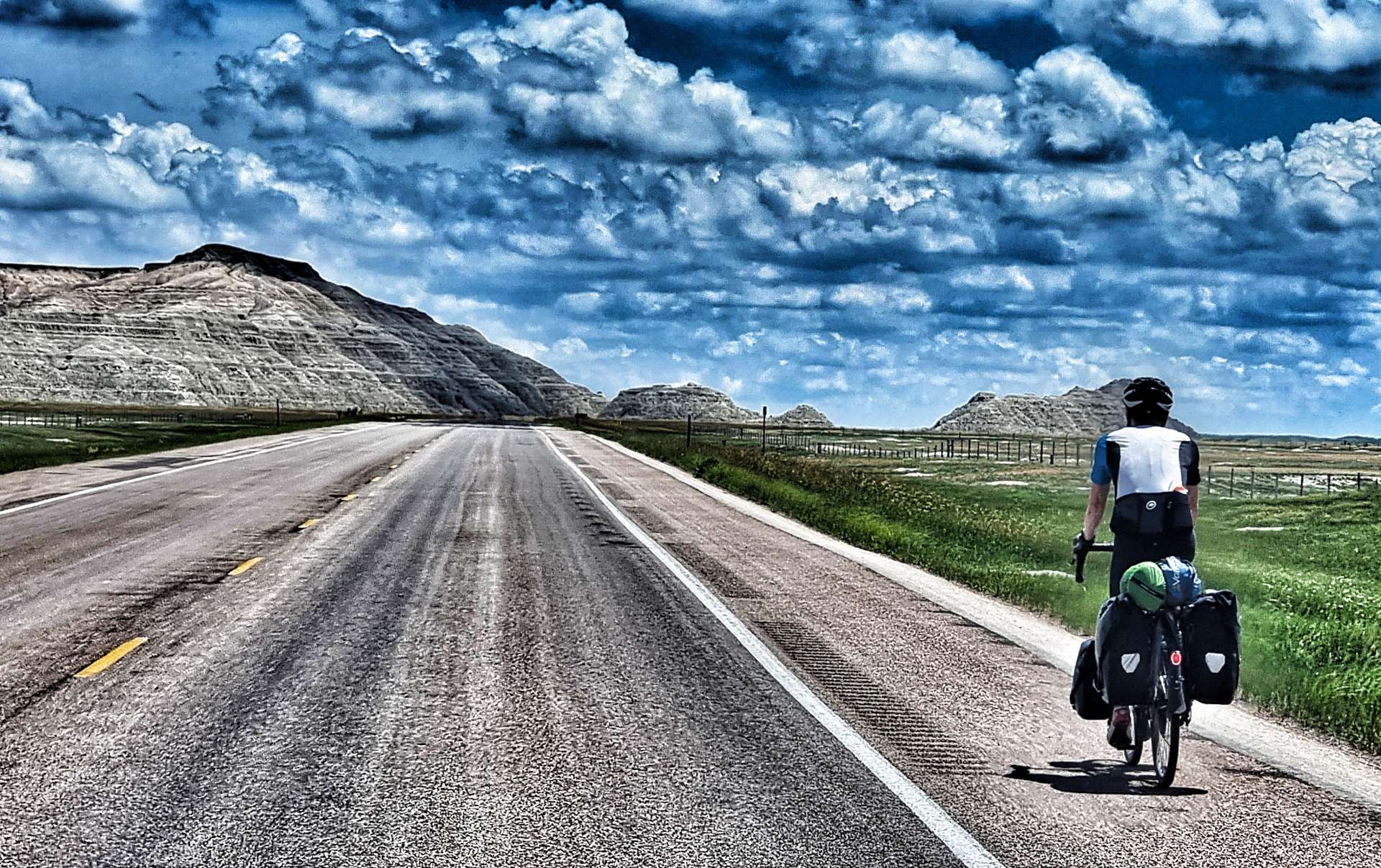
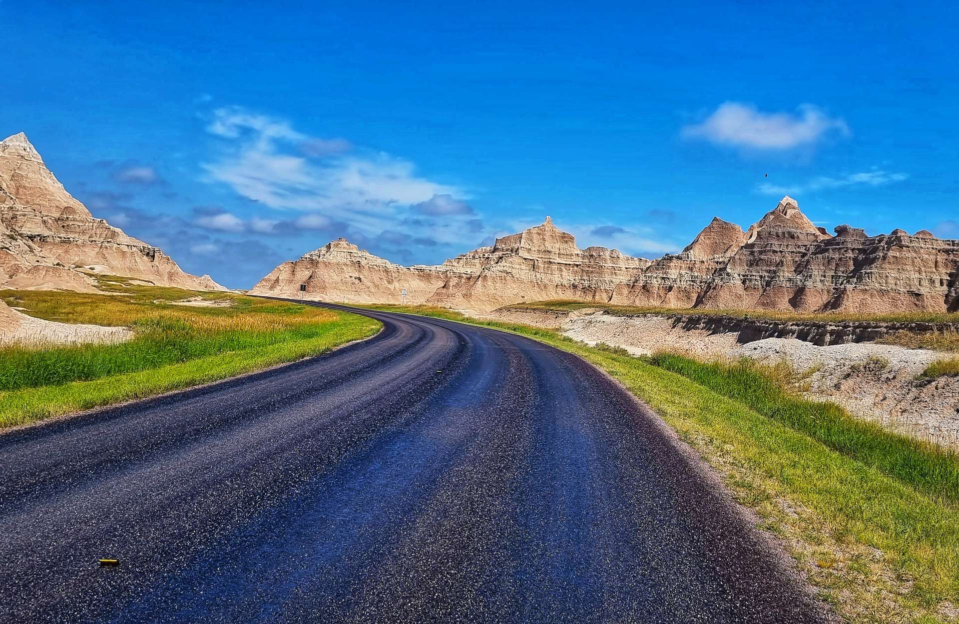
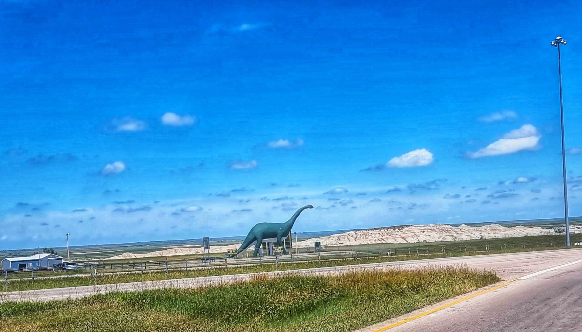
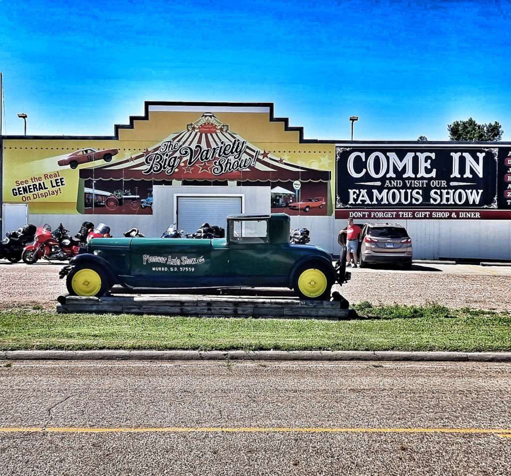
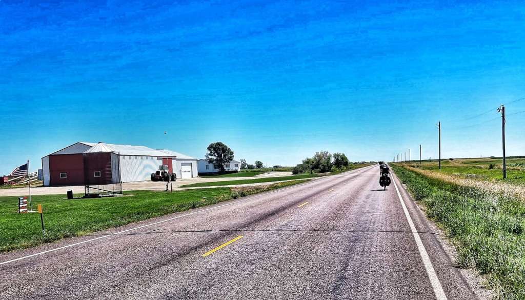
There had been rain overnight, but the roads & pavement were dry by the time we met up at 10.45. It was already in the mid-80’s & there was a slight tailwind when we met – happy days! Leaving town we passed the Pioneer Auto Museum – it has over 275 classic cars, tractors & motorbikes, with one of its star exhibits being the General Lee from the original Dukes Of Hazzard TV show.

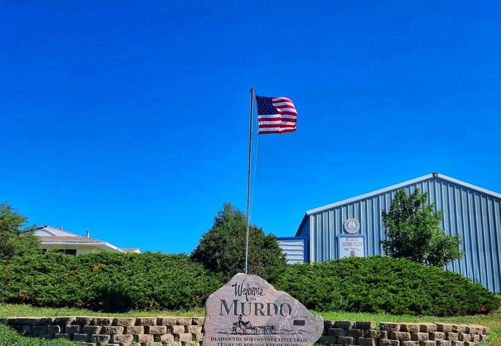
Murdo is named after Murdo MacKenzie, who led the first drive of the Northwest Cattle Trail in 1880 – there’s a memorial opposite the Auto Museum.

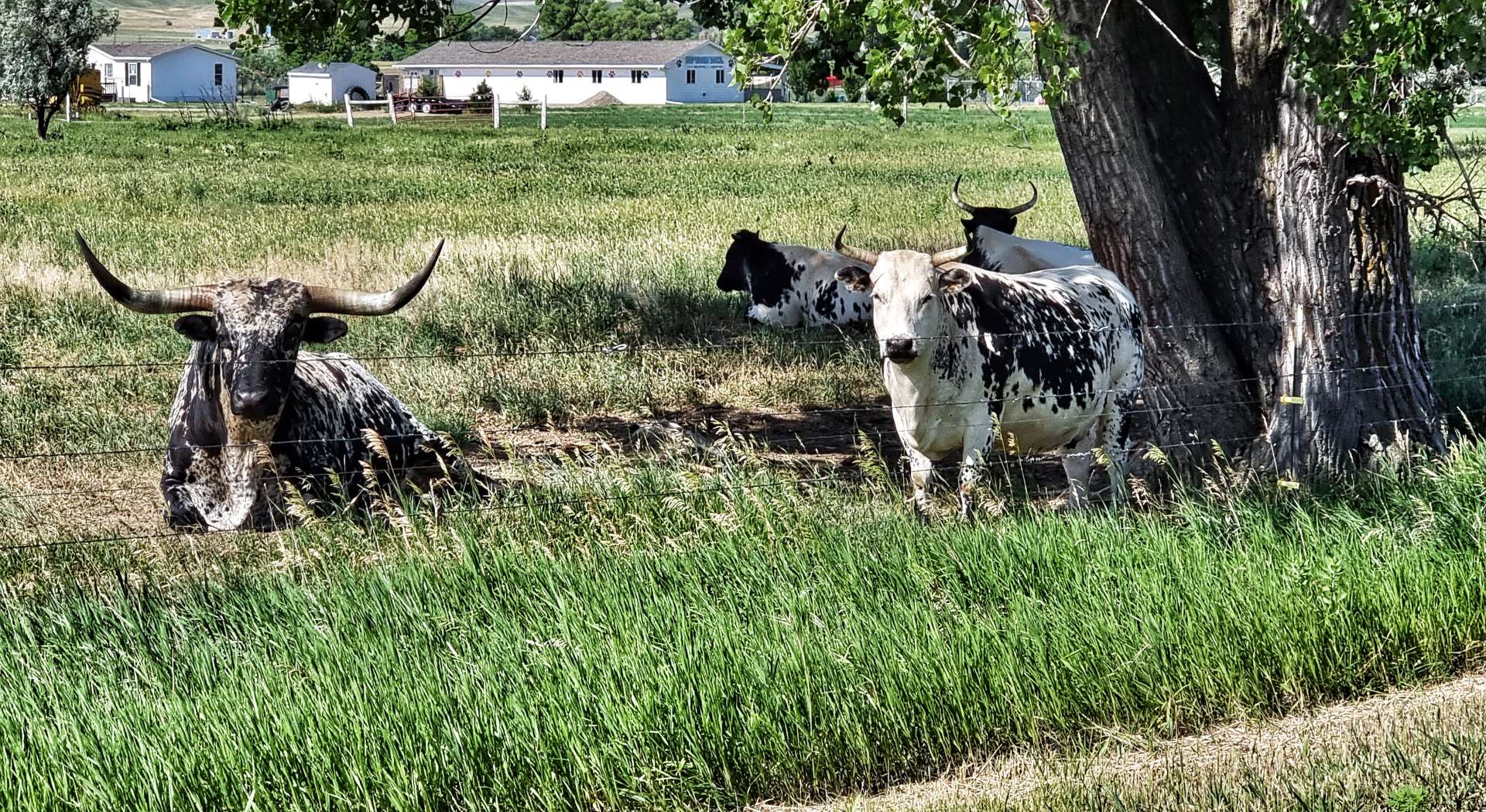
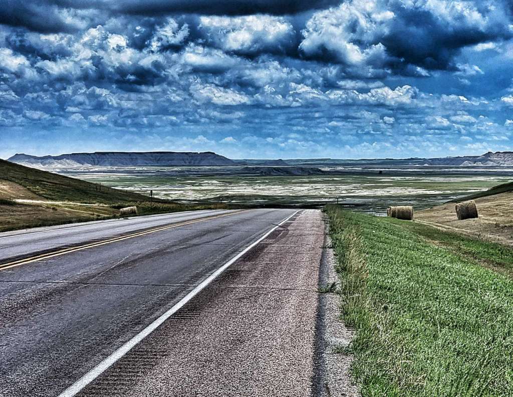
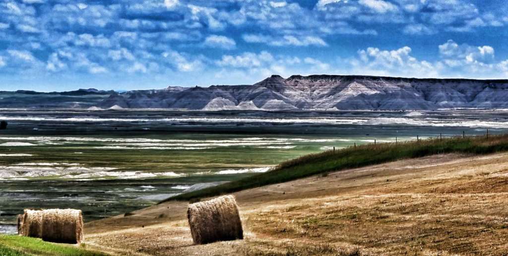
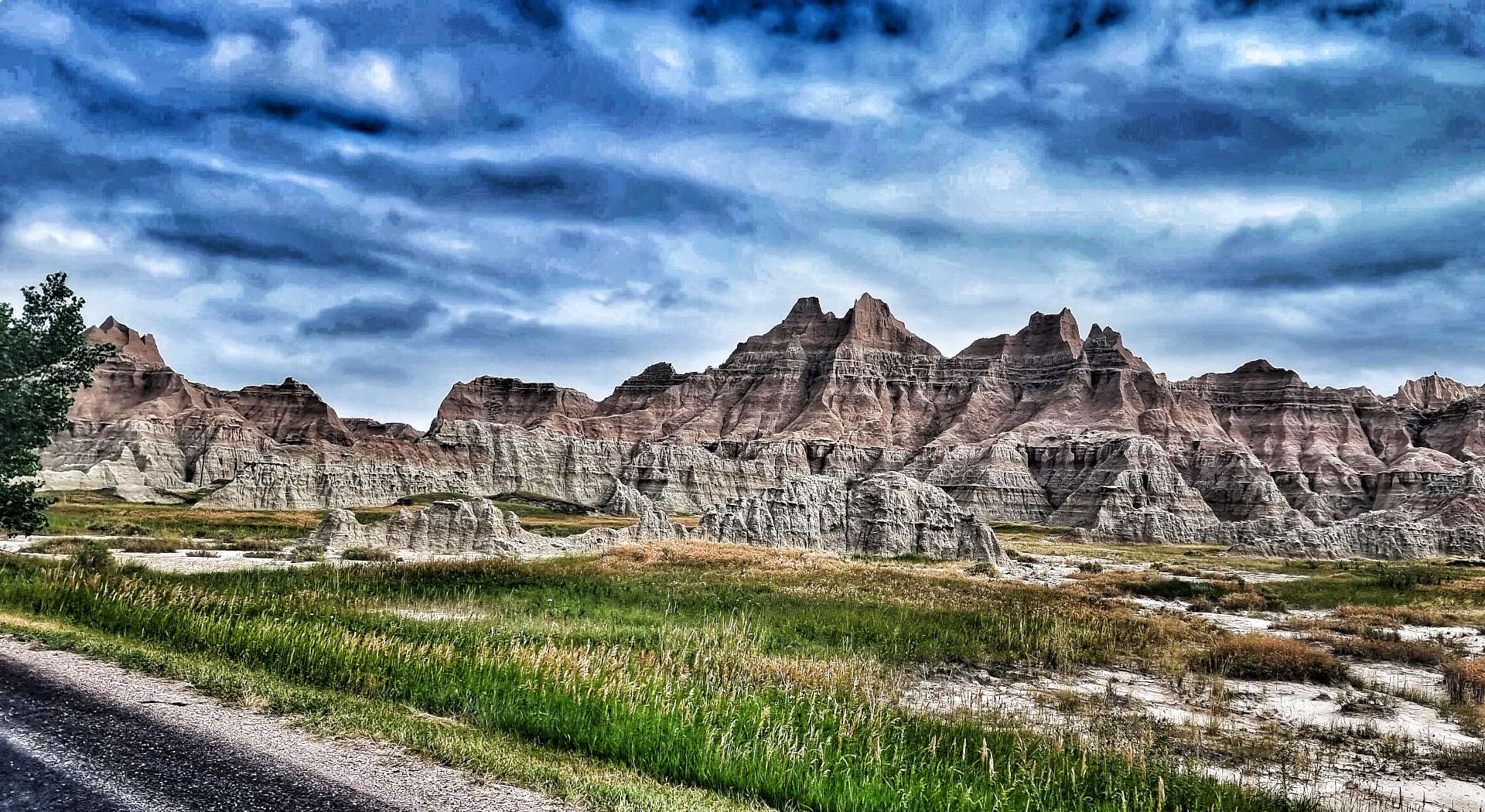
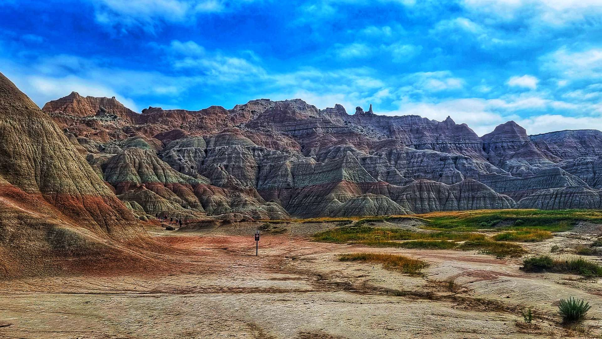
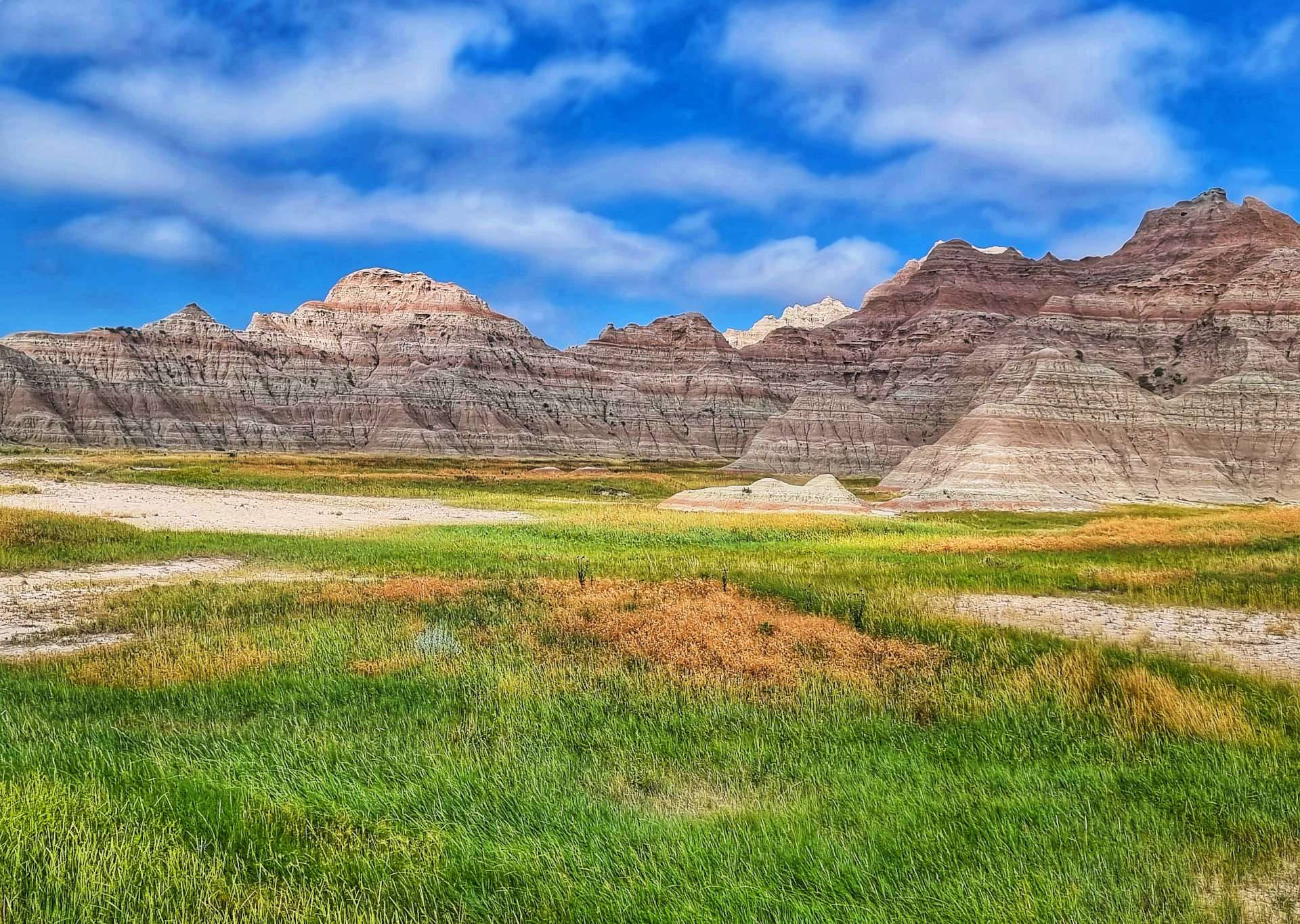
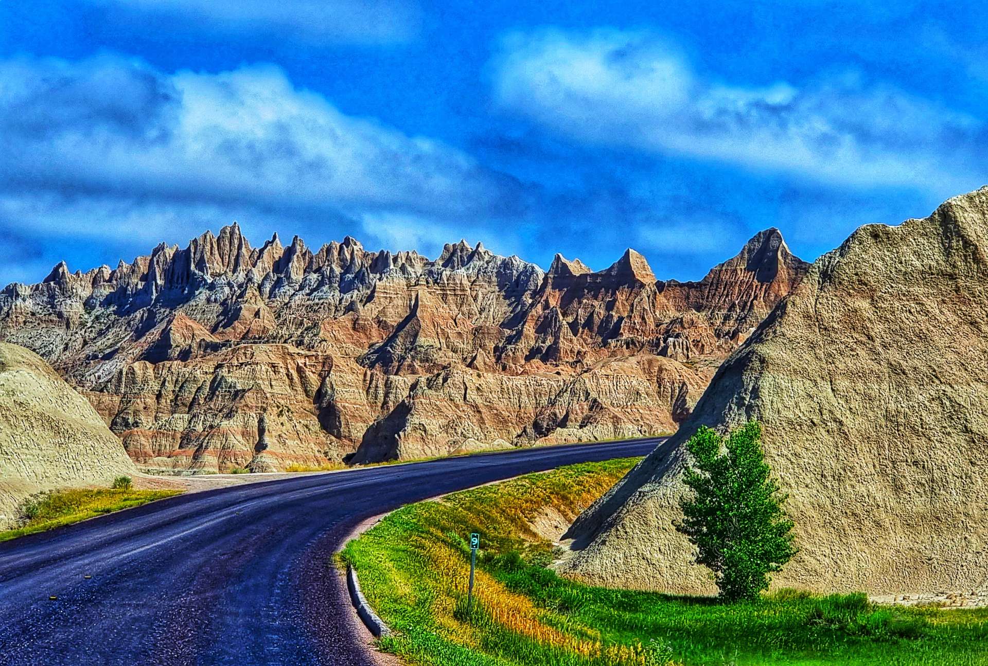
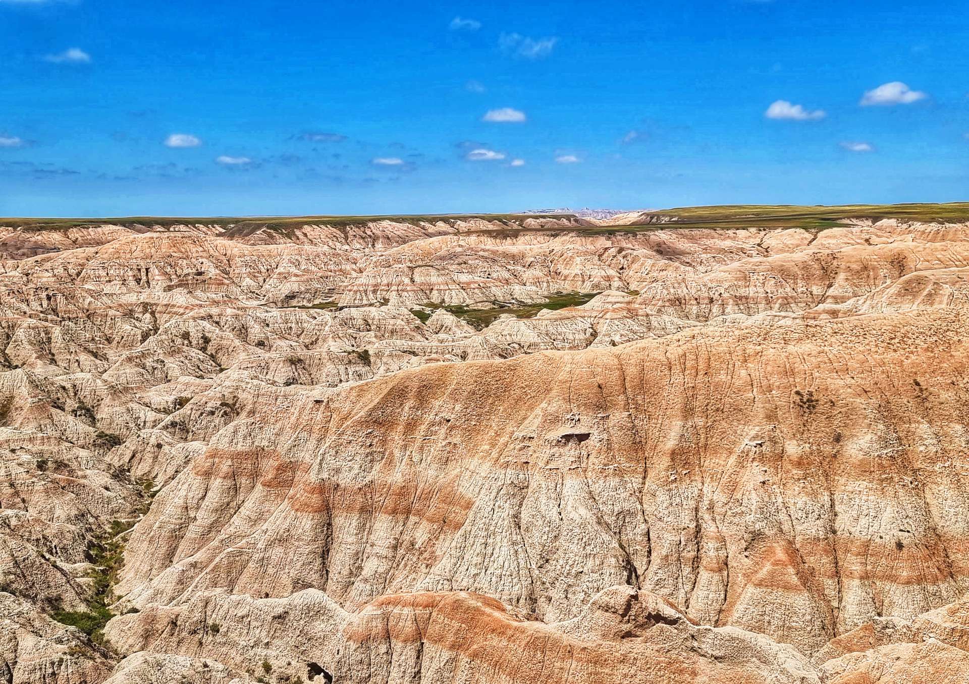
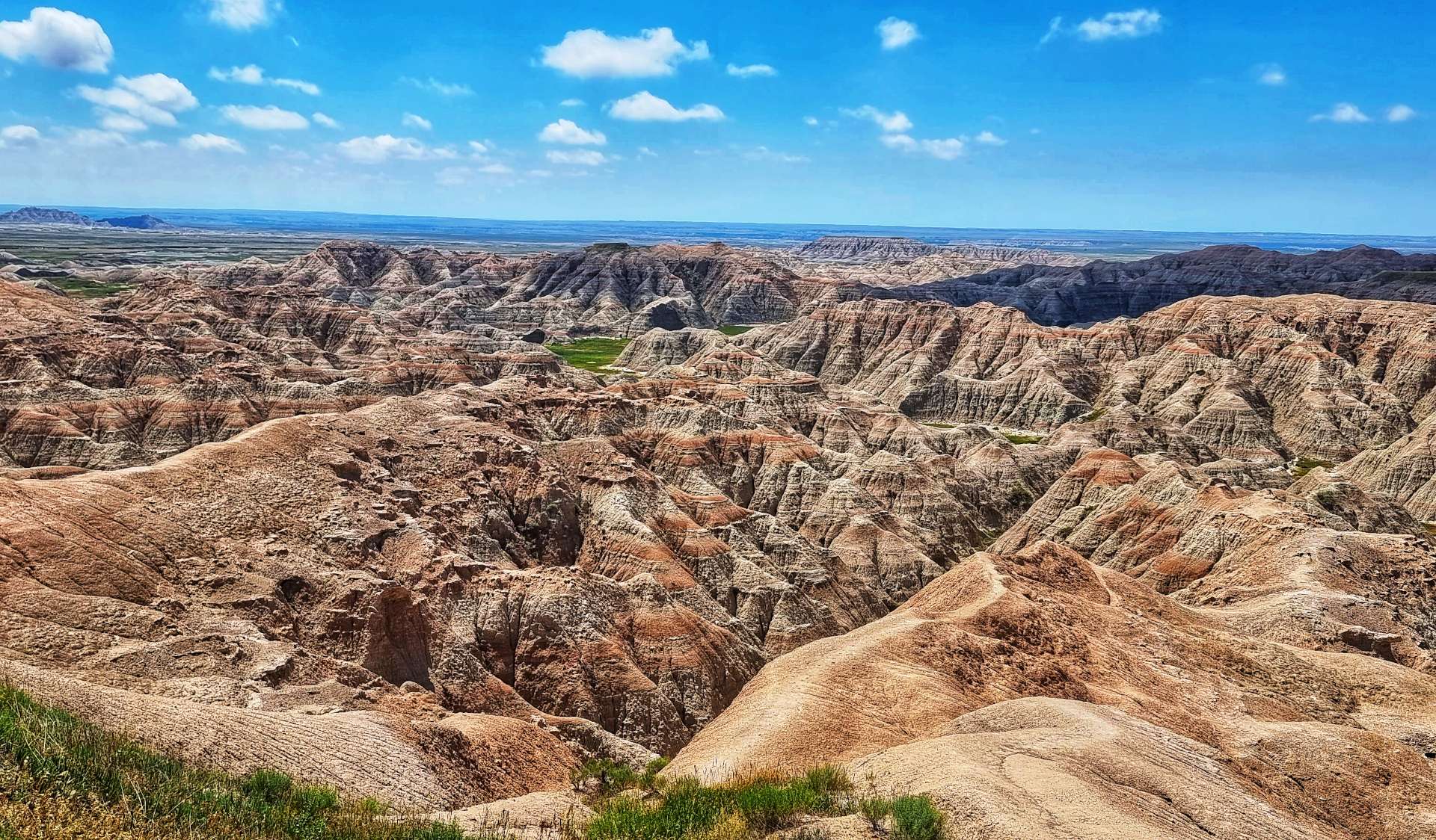
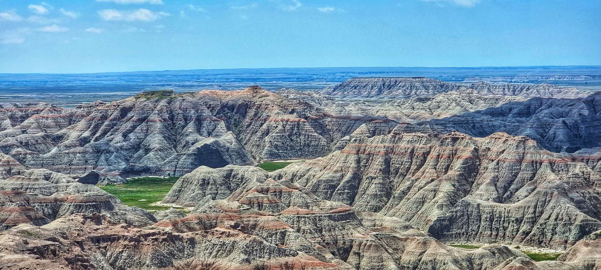
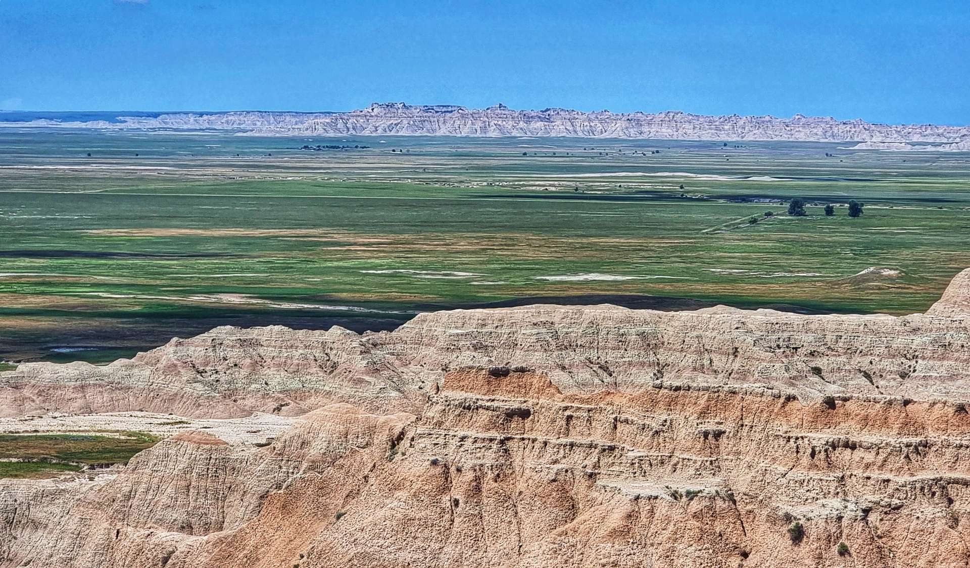
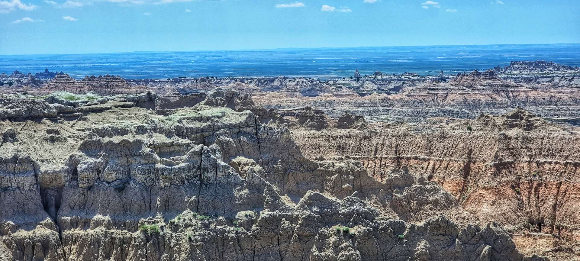
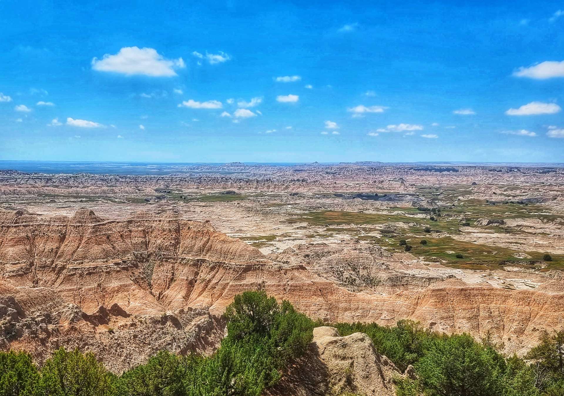
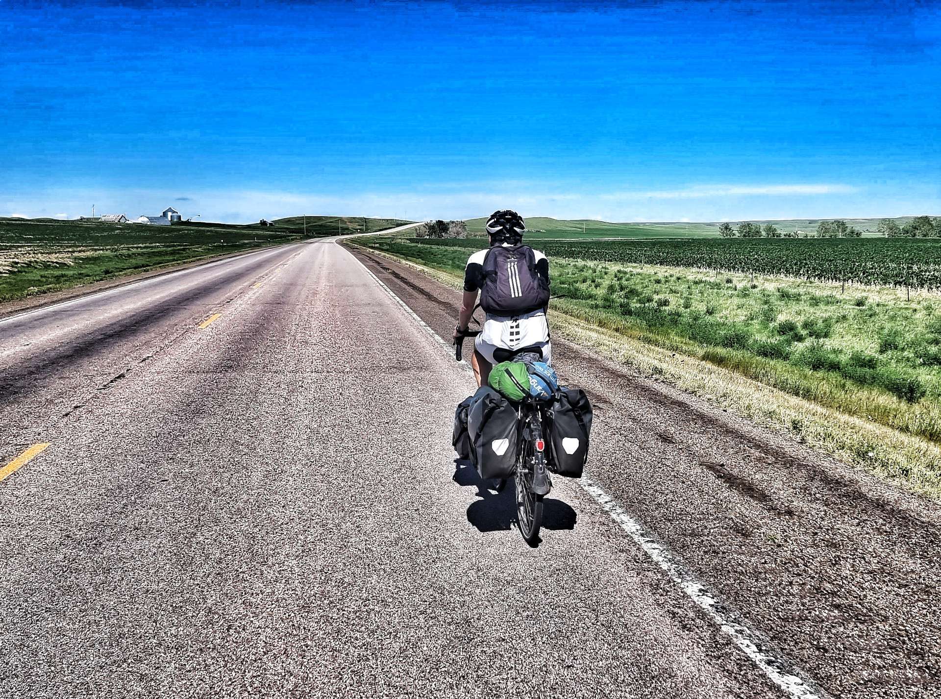
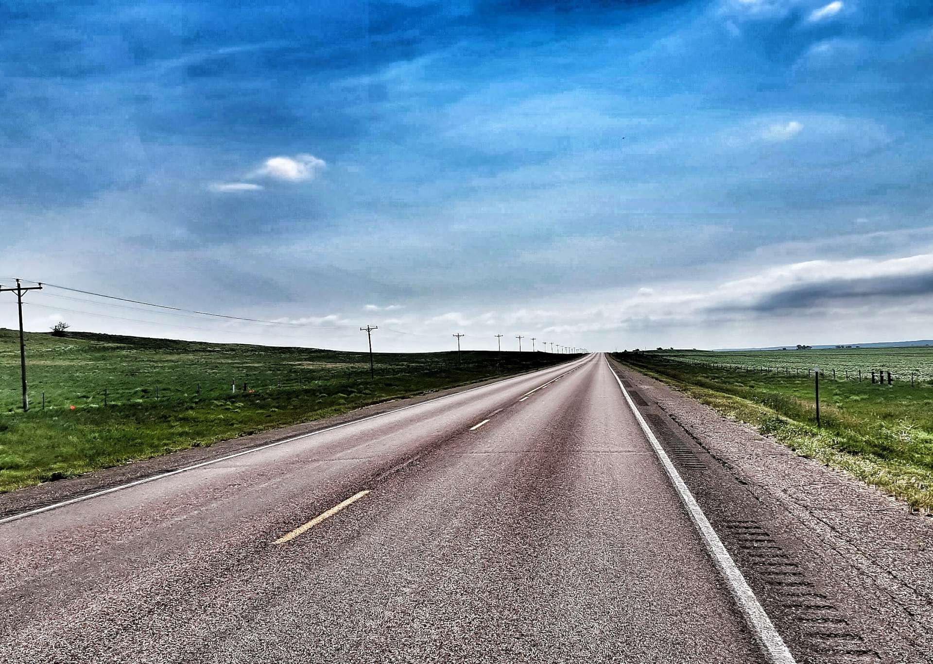
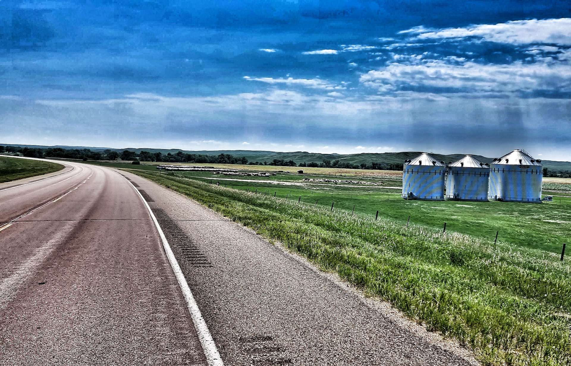
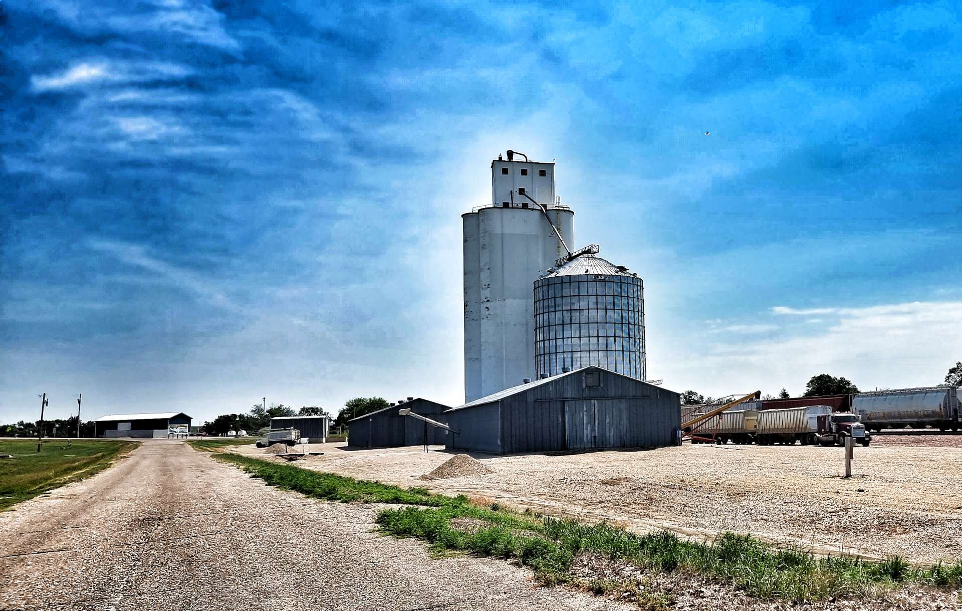
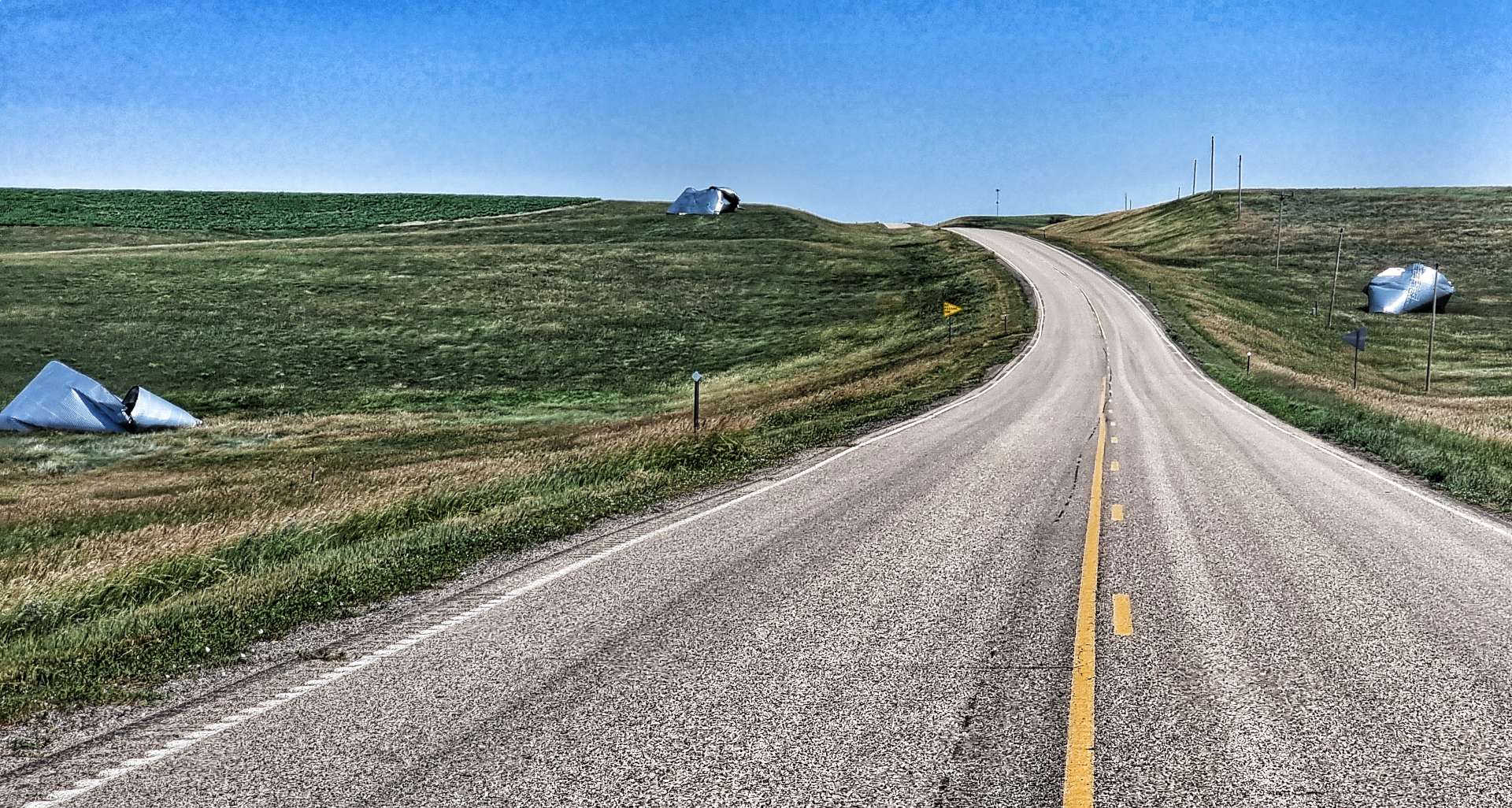
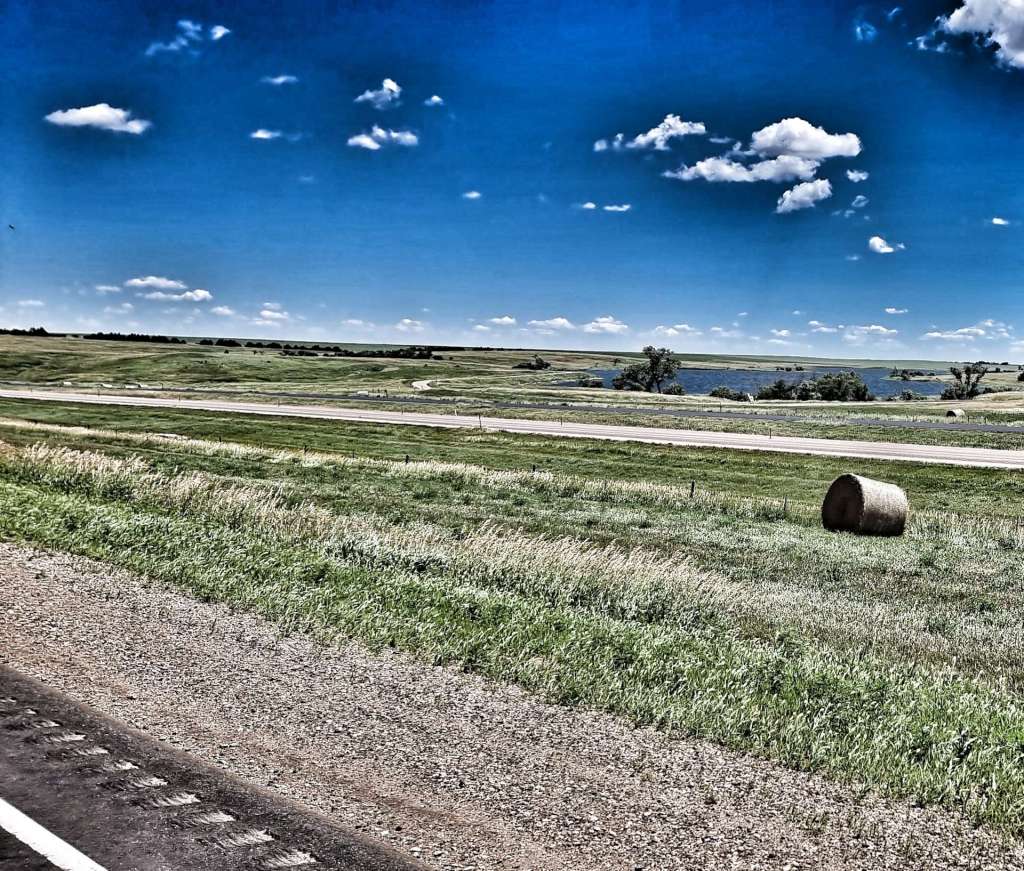
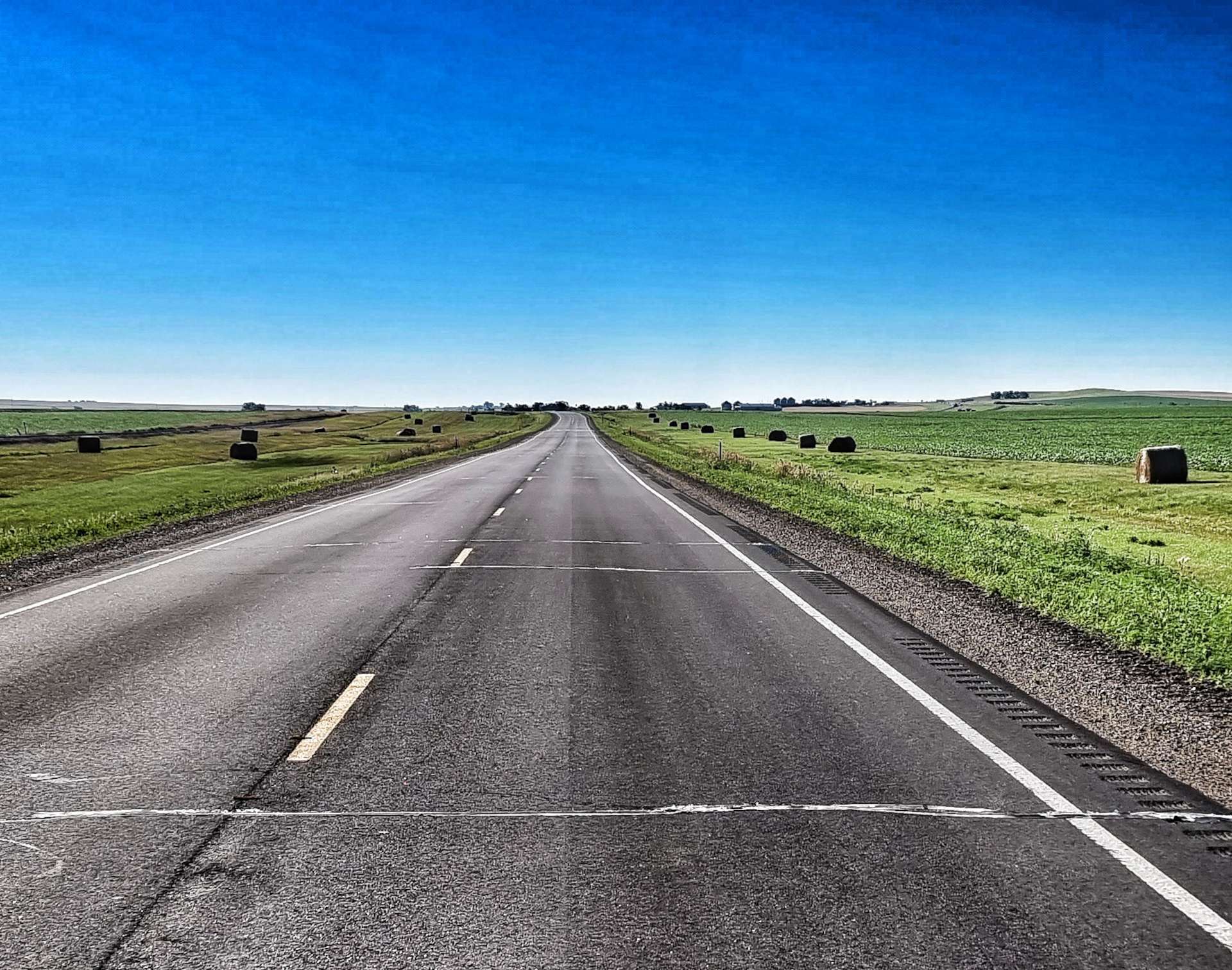
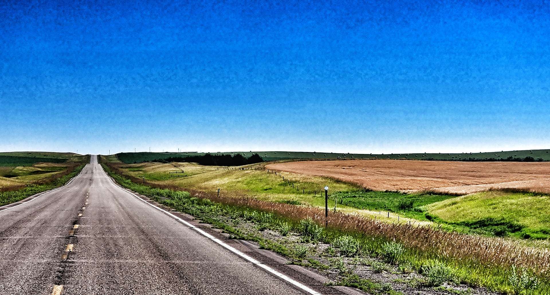
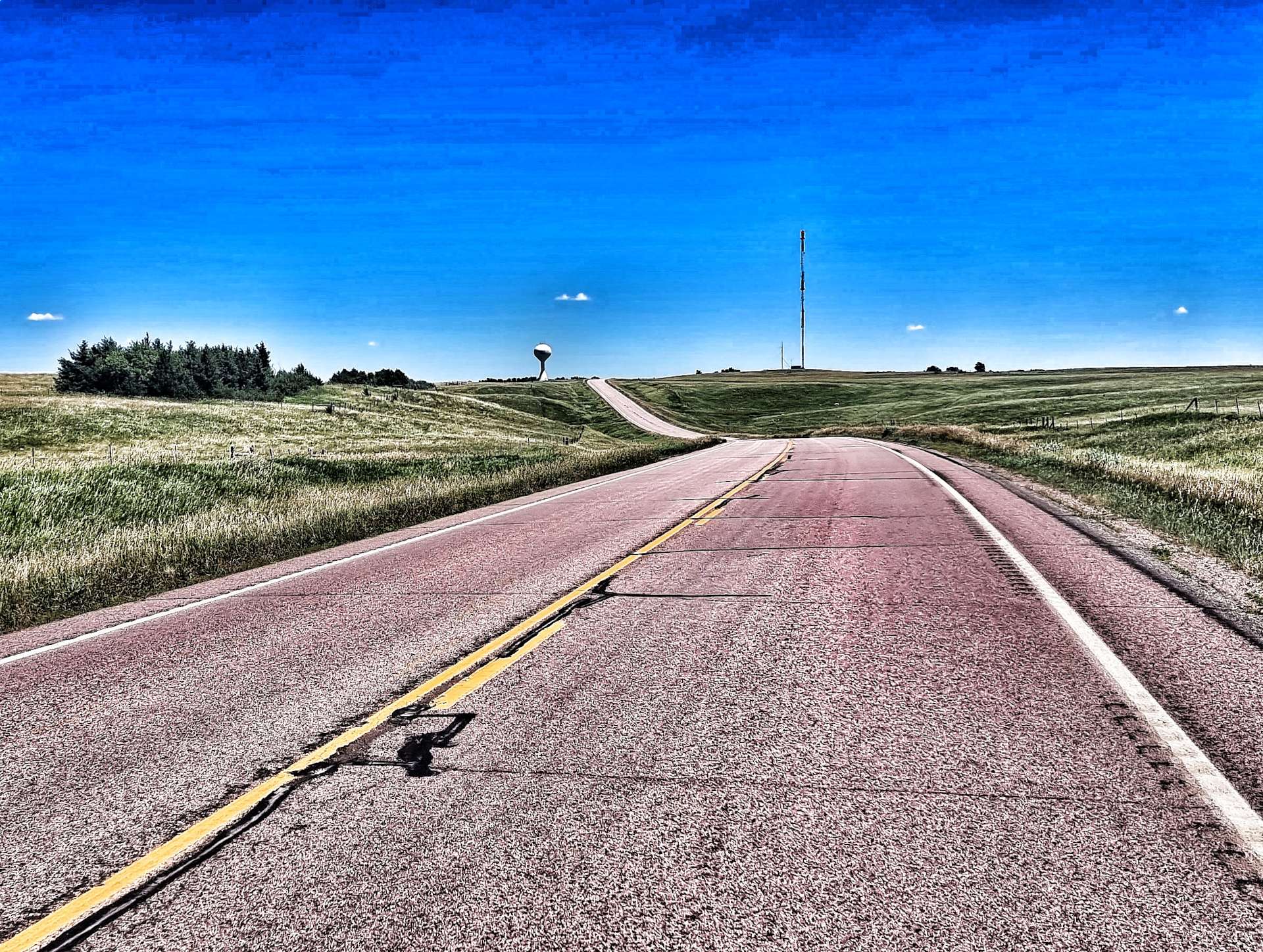
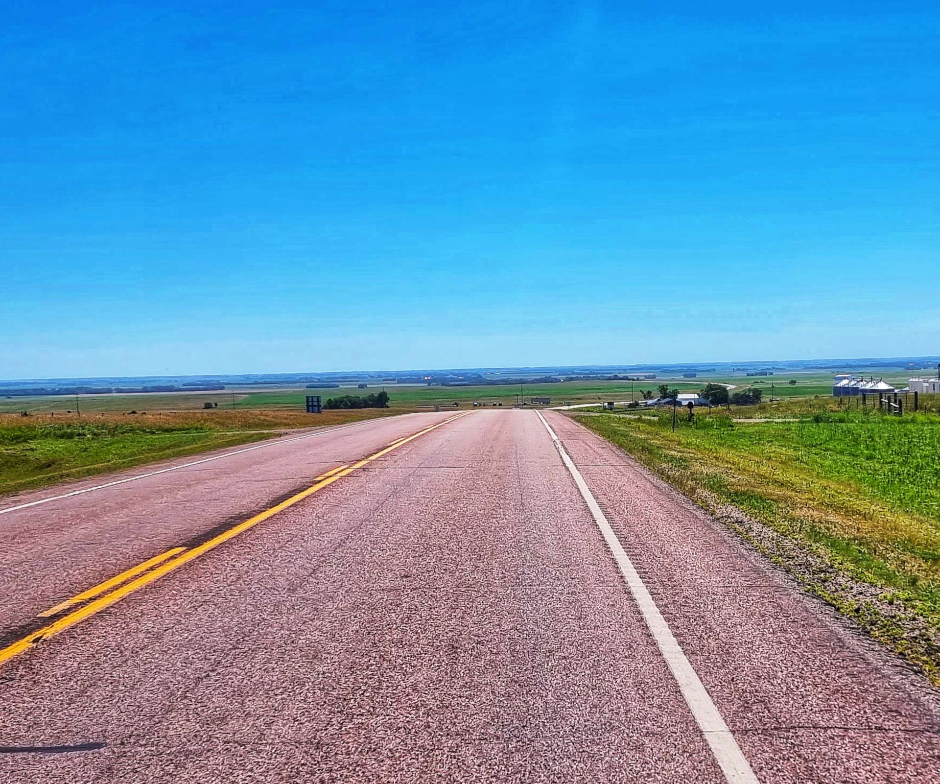
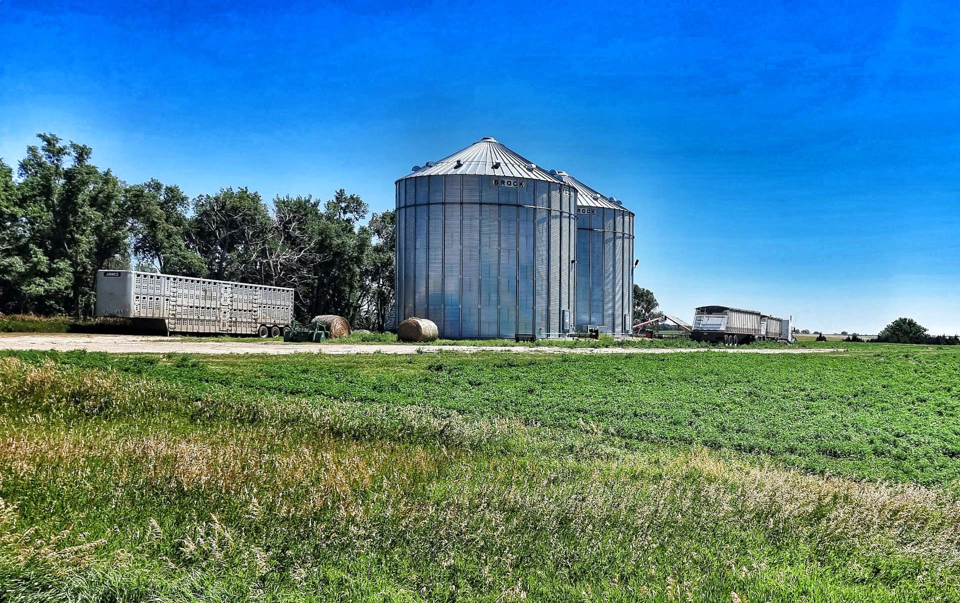
One of the recurring views today was Pepper Pots & Grain Elevator Buildings, as we’re now firmly in America’s Breadbasket where much of the wheat is grown.

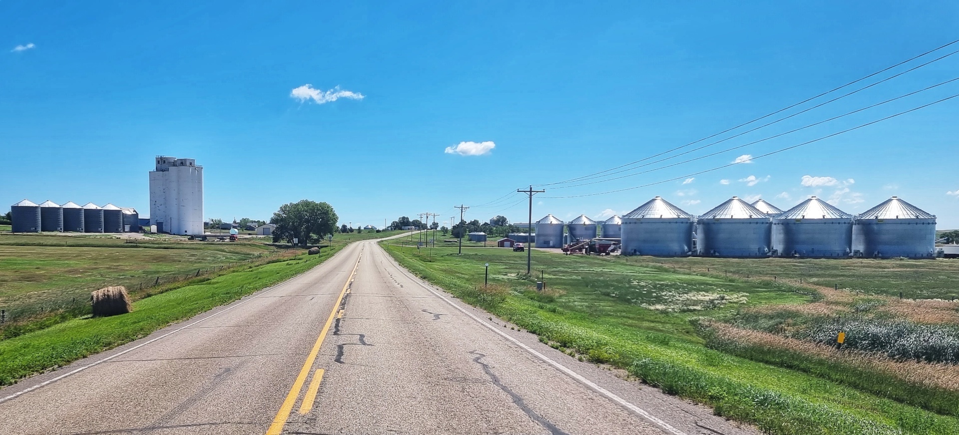
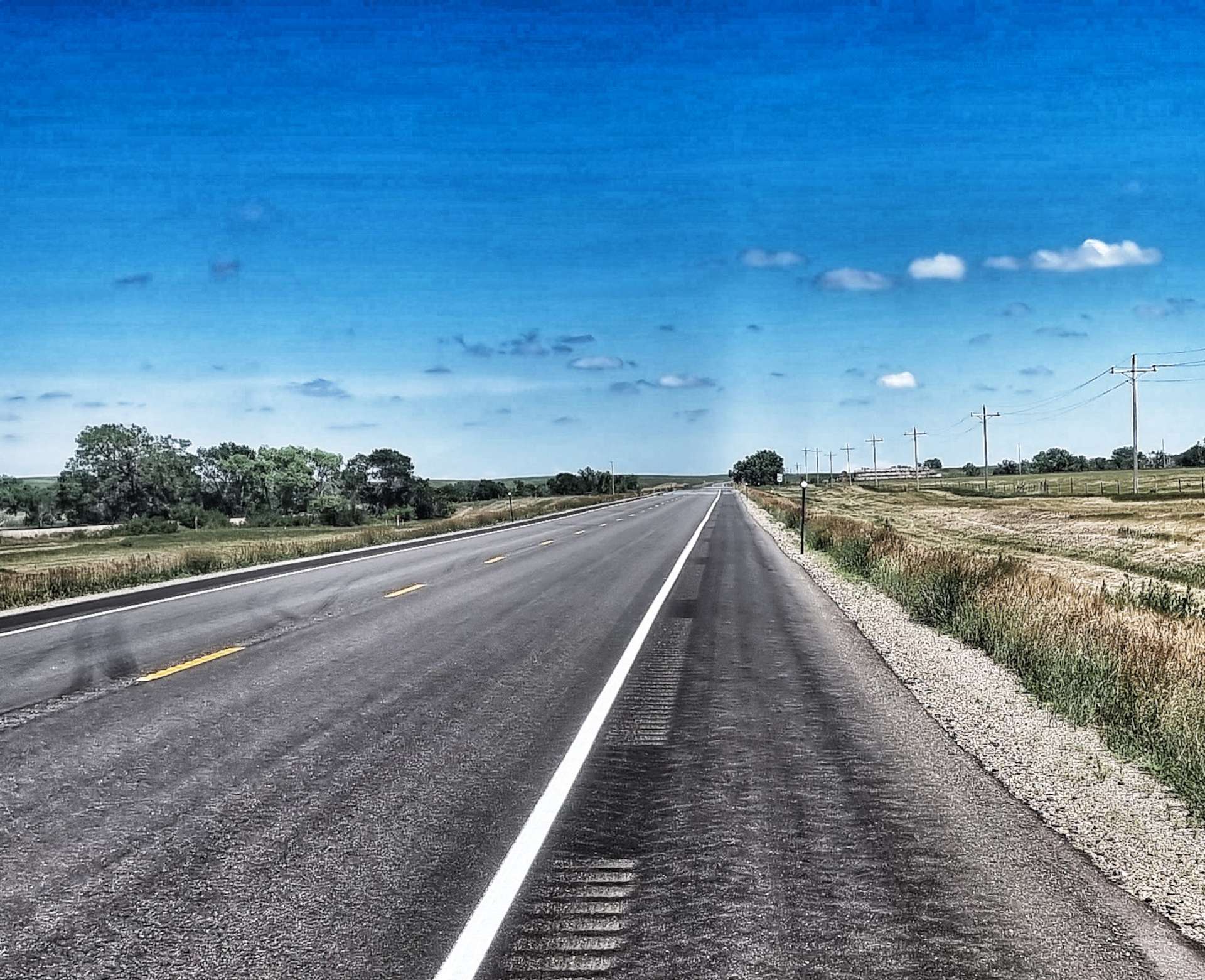
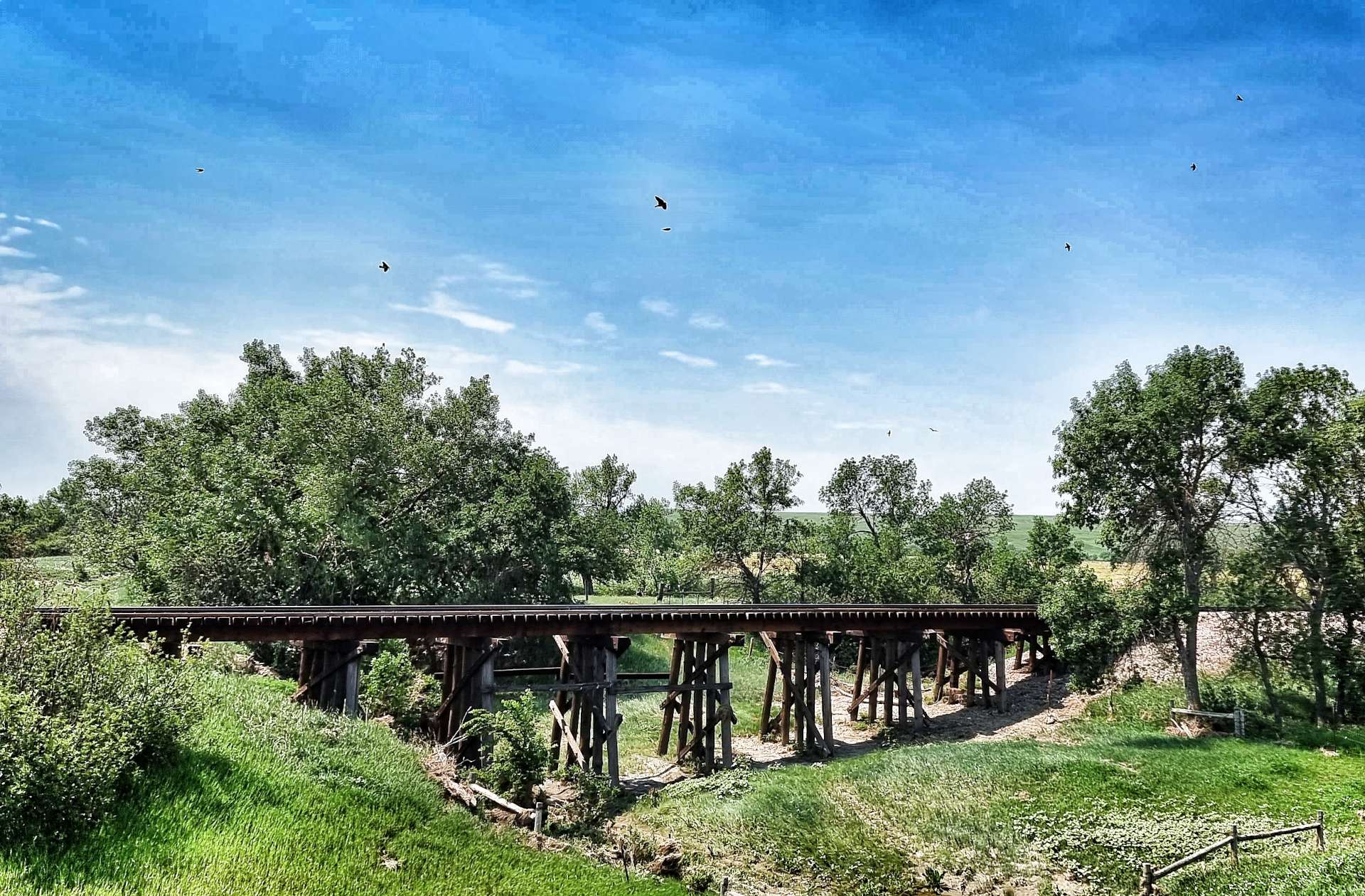
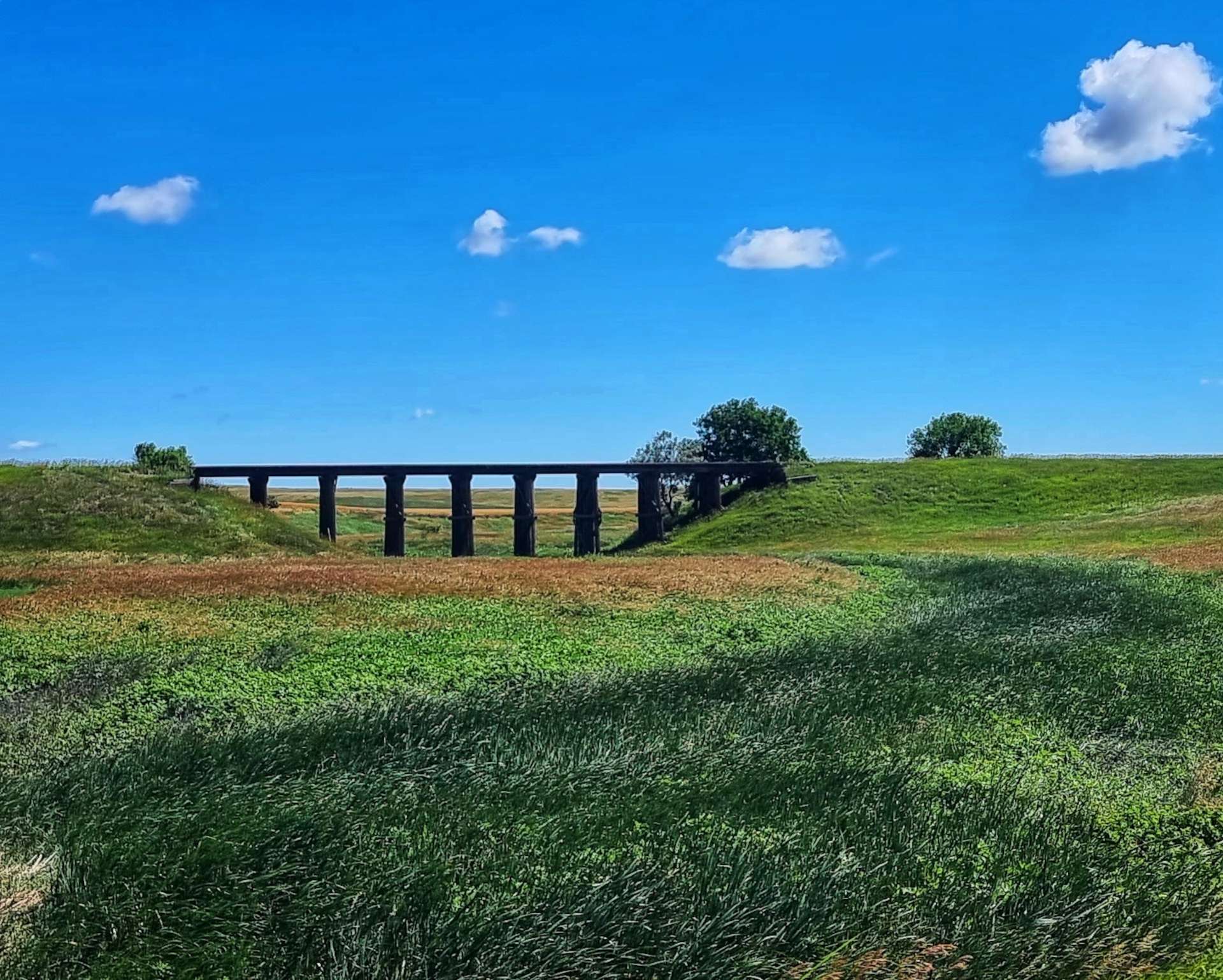
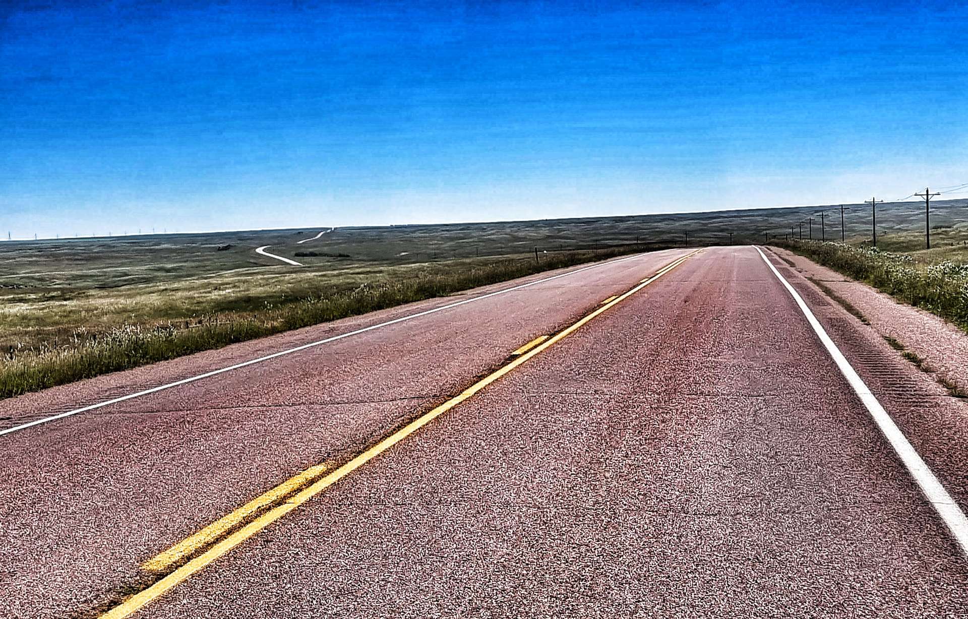
In order to transport the vast quantities of wheat, the Pepper Pots are always next to the railroad – this is great news for us, as the railroad generally follows the flattest route available & we were shadowing the railroad! Wooden Trestle Bridges are used to get the railroad over the numerous small creeks & minimise changes to its elevation. Meanwhile, the road was taking us up & down these same rollers – they were never very steep or very long, so it provided an interesting change in landscape for us.

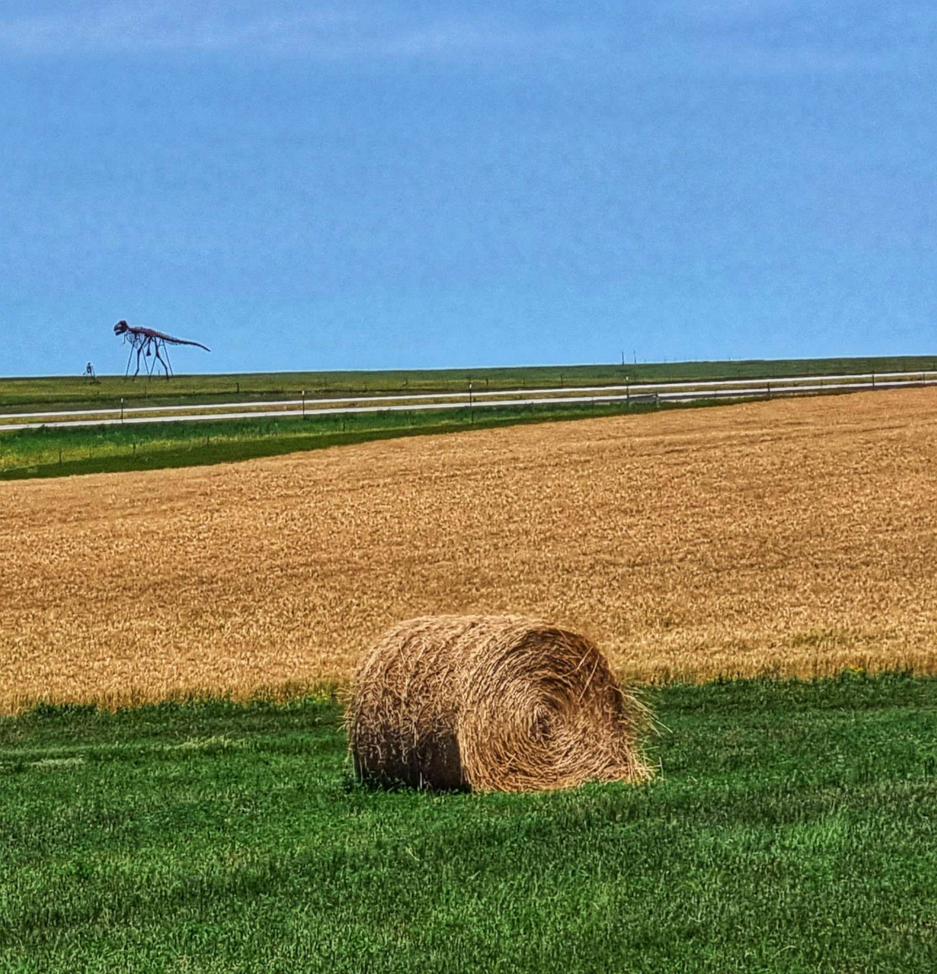
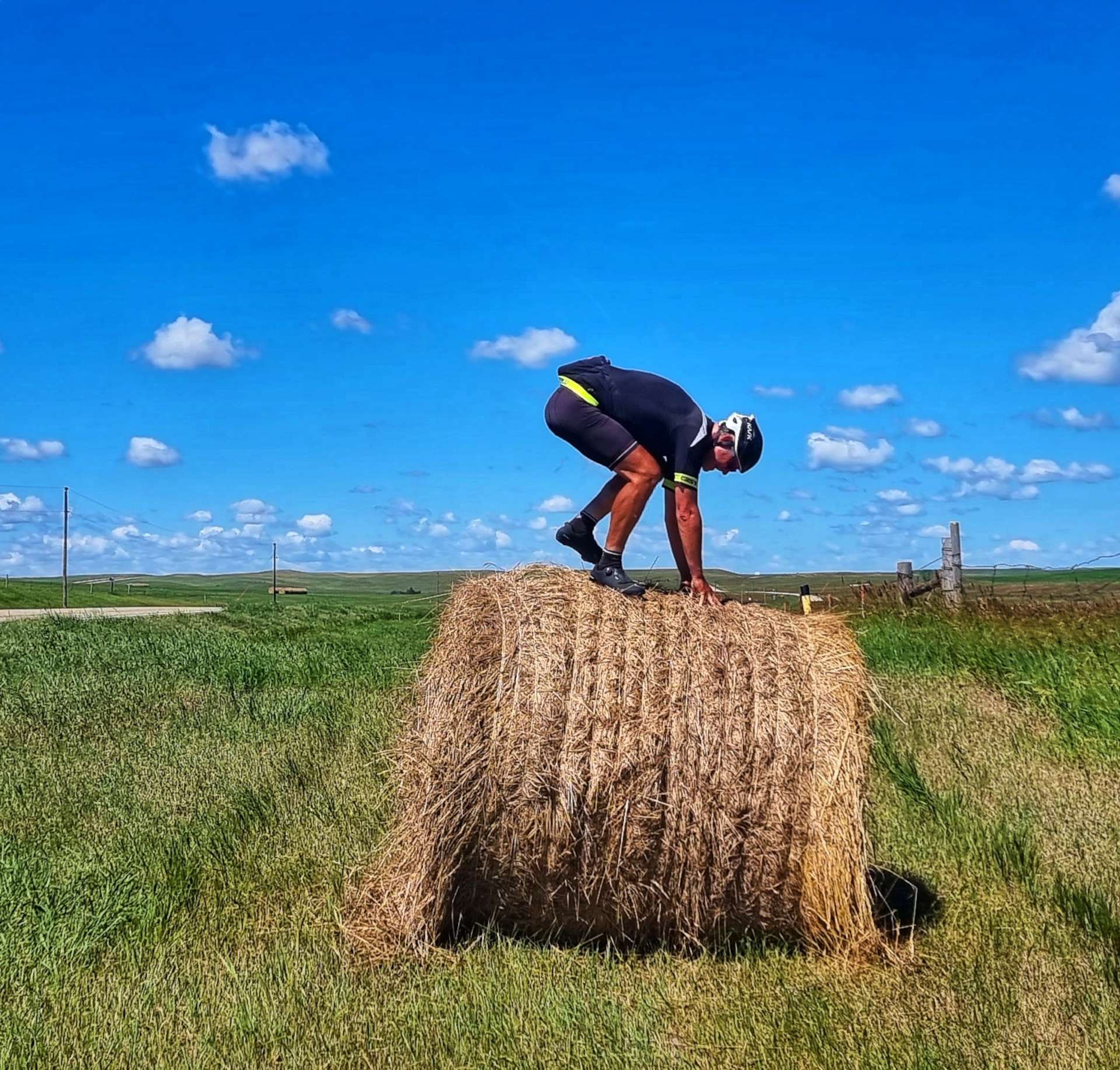
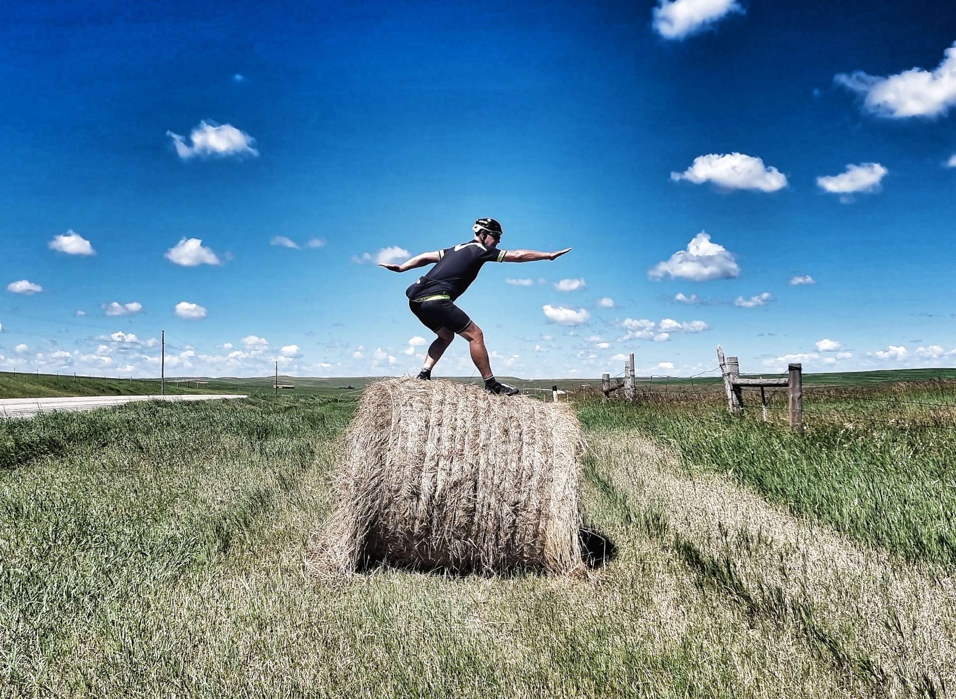
I also took the opportunity to get in some more Hay Bale Surfing training – My mount & dismount needs significantly more work, but I’ve gradually improved my flexibility!

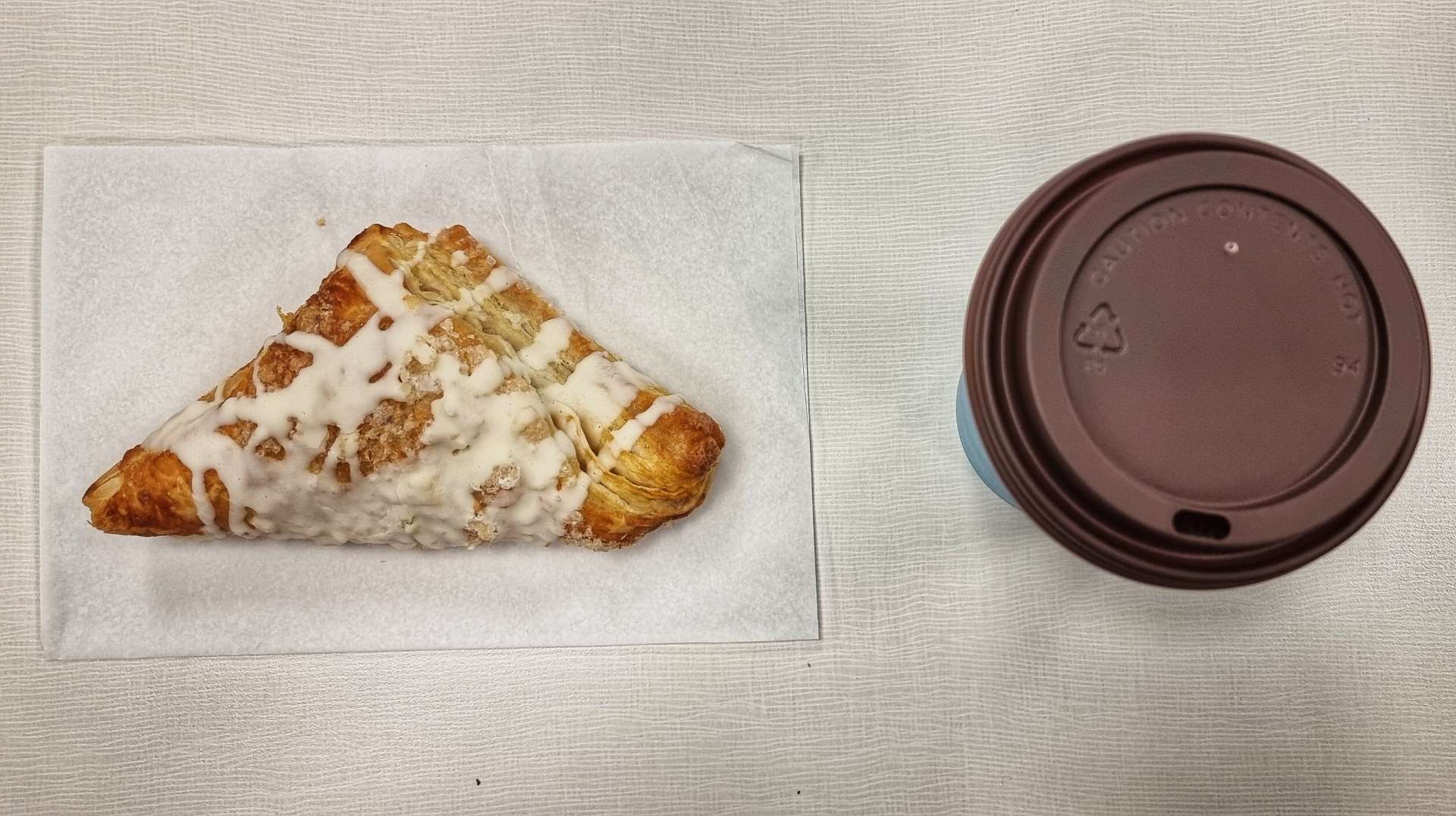
After about 10 miles we passed through Draper (population 66) & continued on towards Vivian (population 87) – while the town wouldn’t have anything in the way of a coffee stop, it has an Entry/Exit ramp to the I-90 freeway & that did have services, it was also at the halfway point of today’s ride (22 miles). Research is everything on days like these! We took a 1/2 mile detour where we found coffee & an apple danish – for freeway services it tasted good.

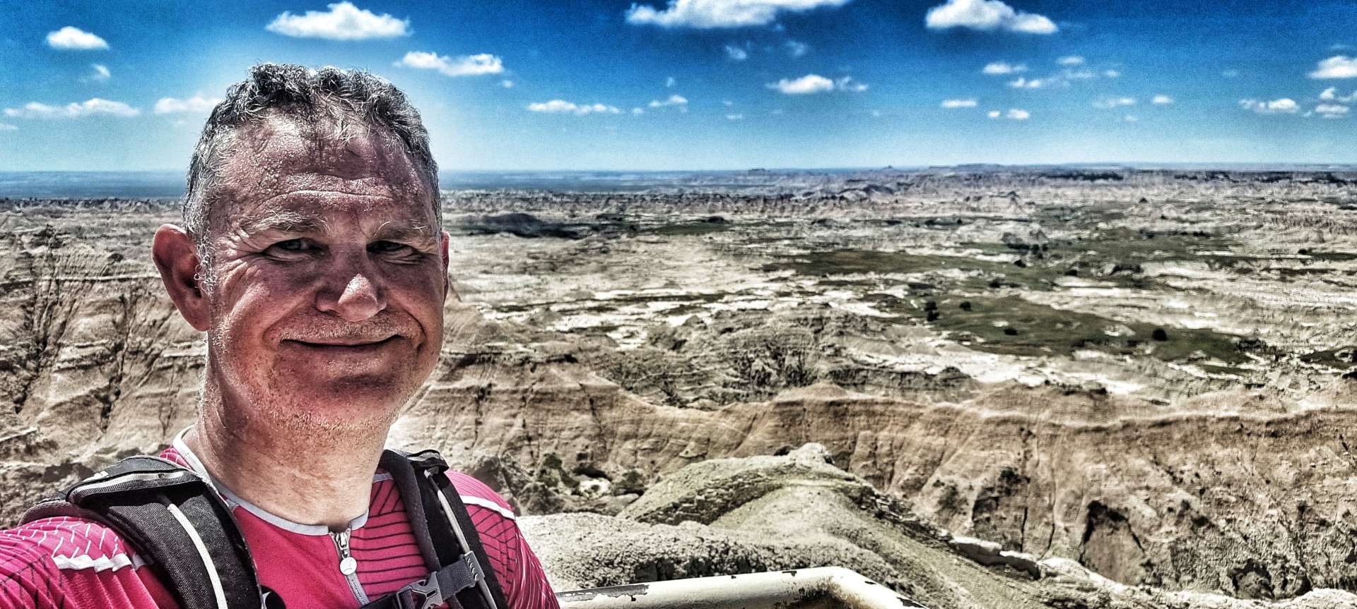
Temperatures for the last week have been in the high 70’s (24 celsius) when we set off & have risen to the high 80’s / low 90’s (30 to 33 celsius), so staying hydrated during the day is really important & quite a challenge on the remote roads of South Dakota. We used the stop to top up our water bottles before setting off again.

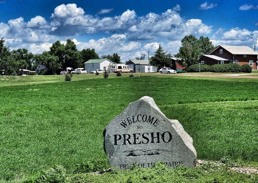
For the next 22 miles we shadowed the I-90, passing through Presho (poulation 411), the self-proclaimed Pride of the Prairie!

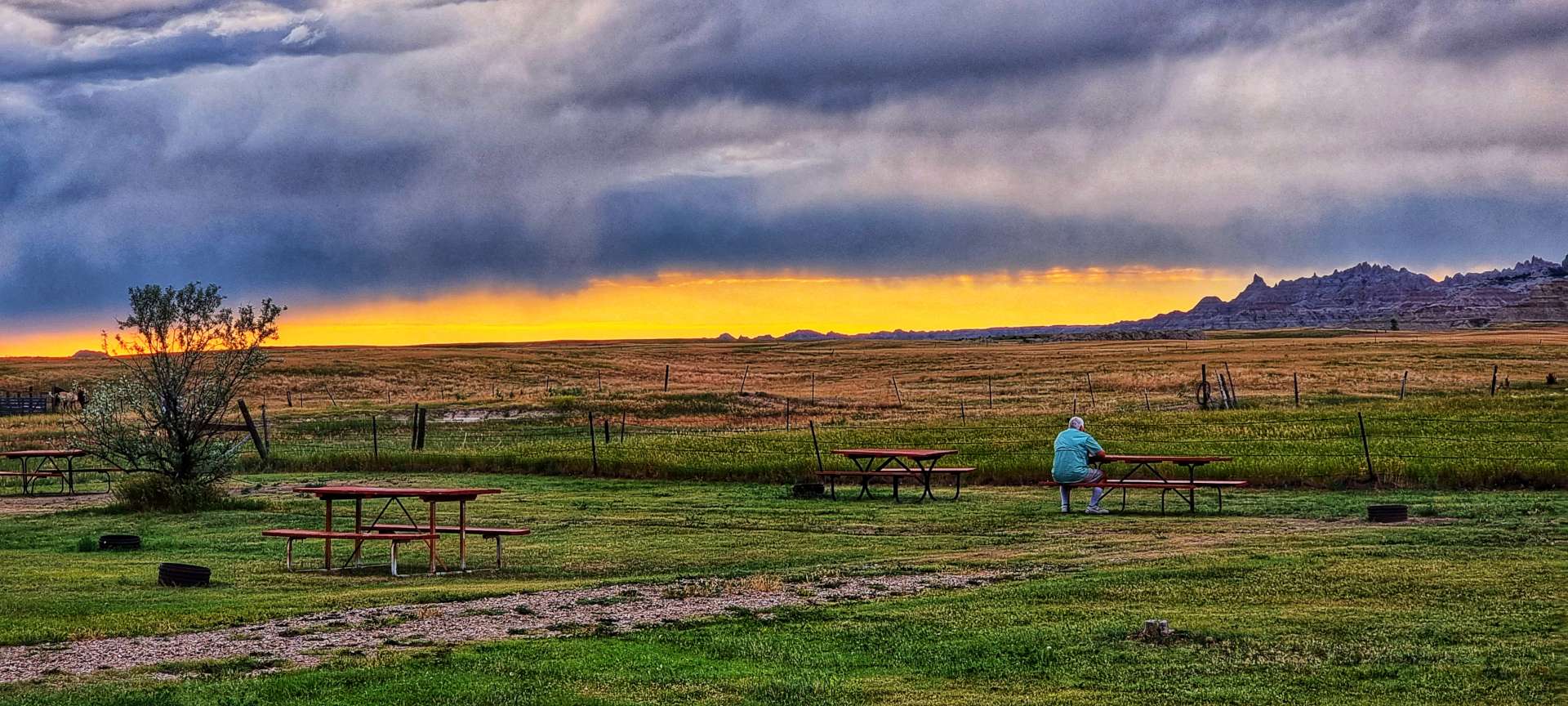
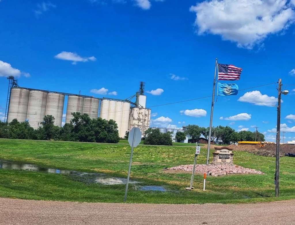
Today’s ride was very uneventful – I’ve used pretty much every photo I took! When we arrived at Kennenbec, we’d been riding for 2 hours 50 minutes, so we were quite early checking in to our motel. We made good use of the extra time at our disposal by popping over to the gas station opposite & buying ourselves an ice cream!

On our trip to the small grocery store I also stopped to add the Welcome to Kennebec sign to my collection.

Stage Stats – 45 miles, 1,056 feet of climbing. A tailwind & a gradually descending profile.

Tuesday 12th July – Kennebec to Wessington Springs (Stage 57).

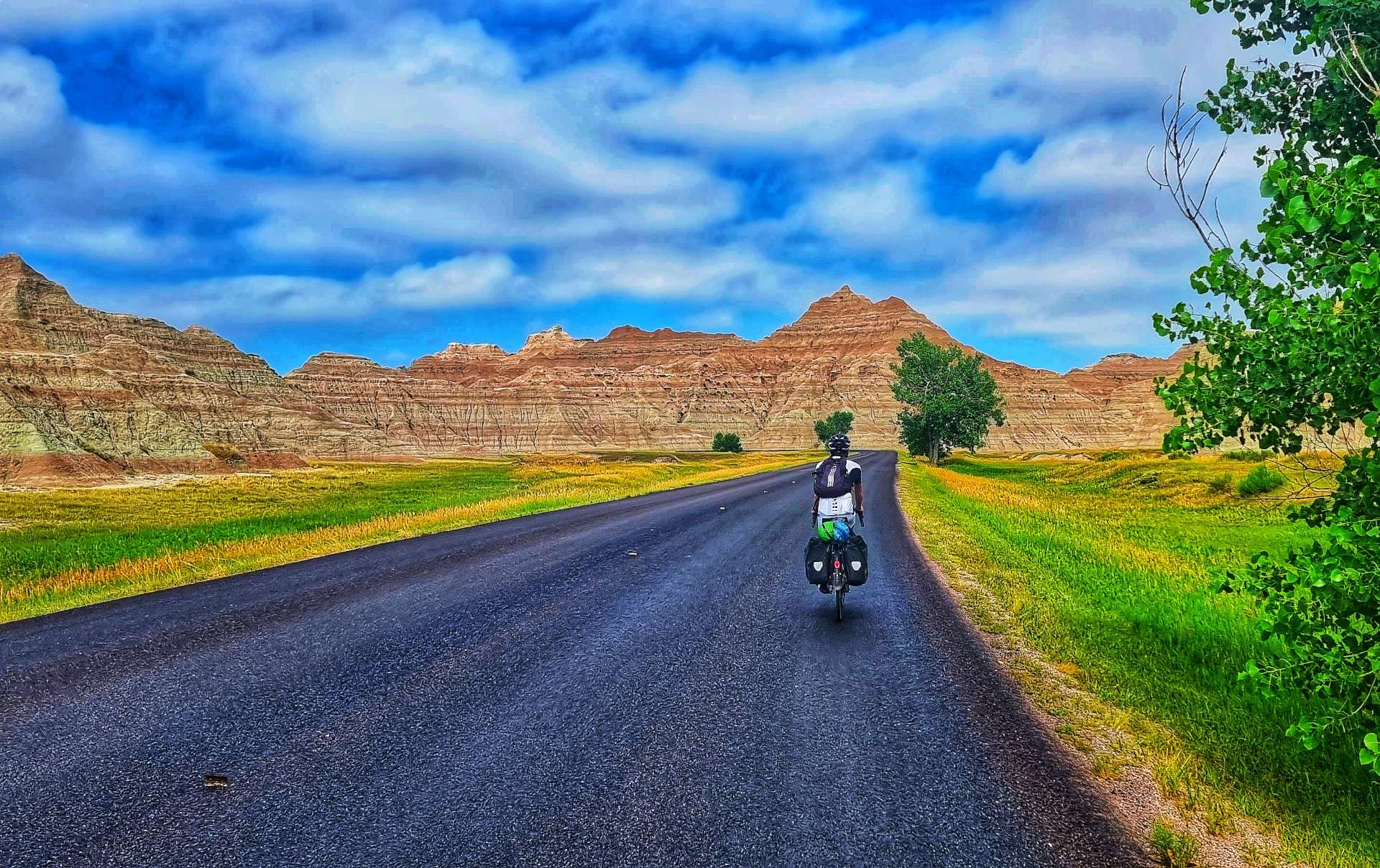
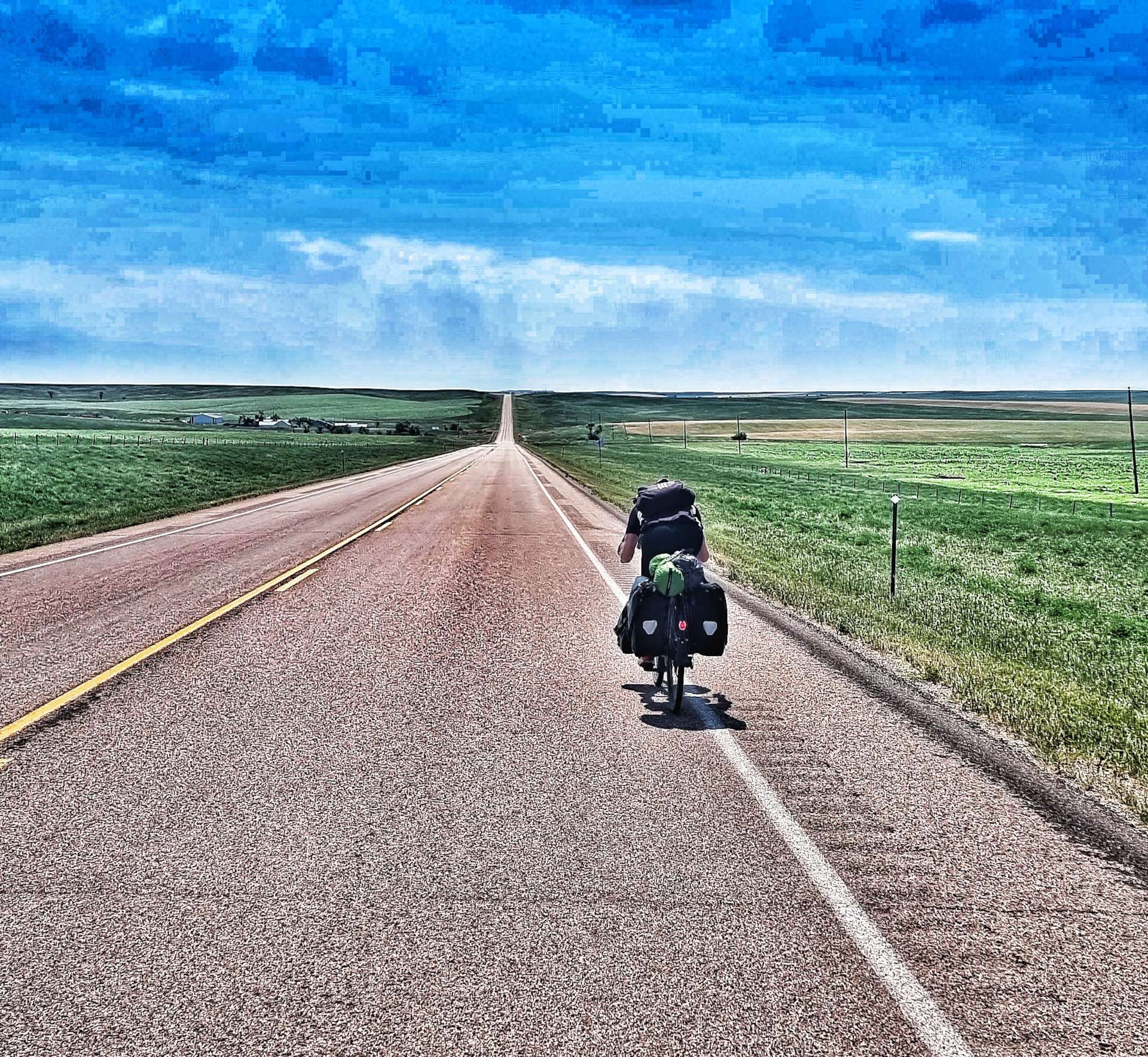
When we were planning our 4 day adventure from Philip to Huron, our intention was to break the stages up into 4 similar length rides. However, towns with accommodation (or campgrounds) are few & far between. As a result, yesterday’s ride was 44 miles & today’s is 77, so we made an early start. As is the pattern now, we woke to clear, blue skies & the temperature when we set off at 8.15 was already in the high 70’s (24 degrees celsius) & rising. The really good news is that we had a tailwind!

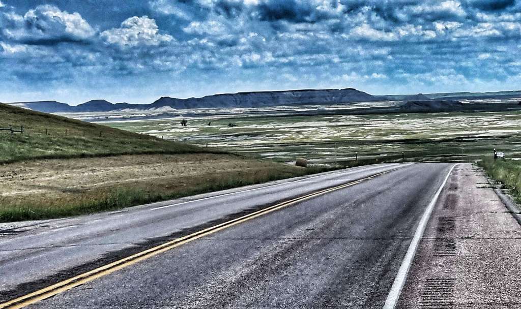
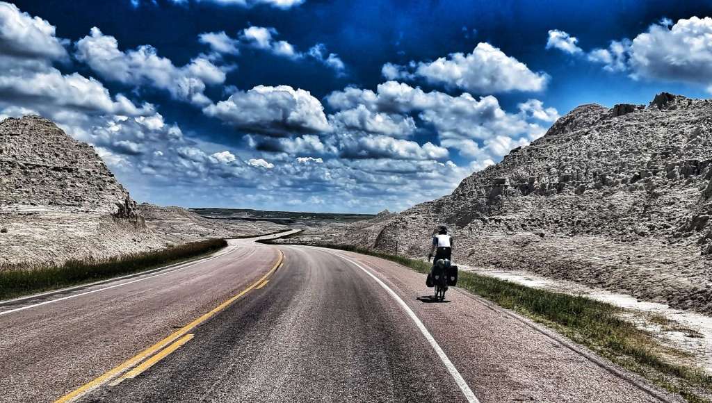
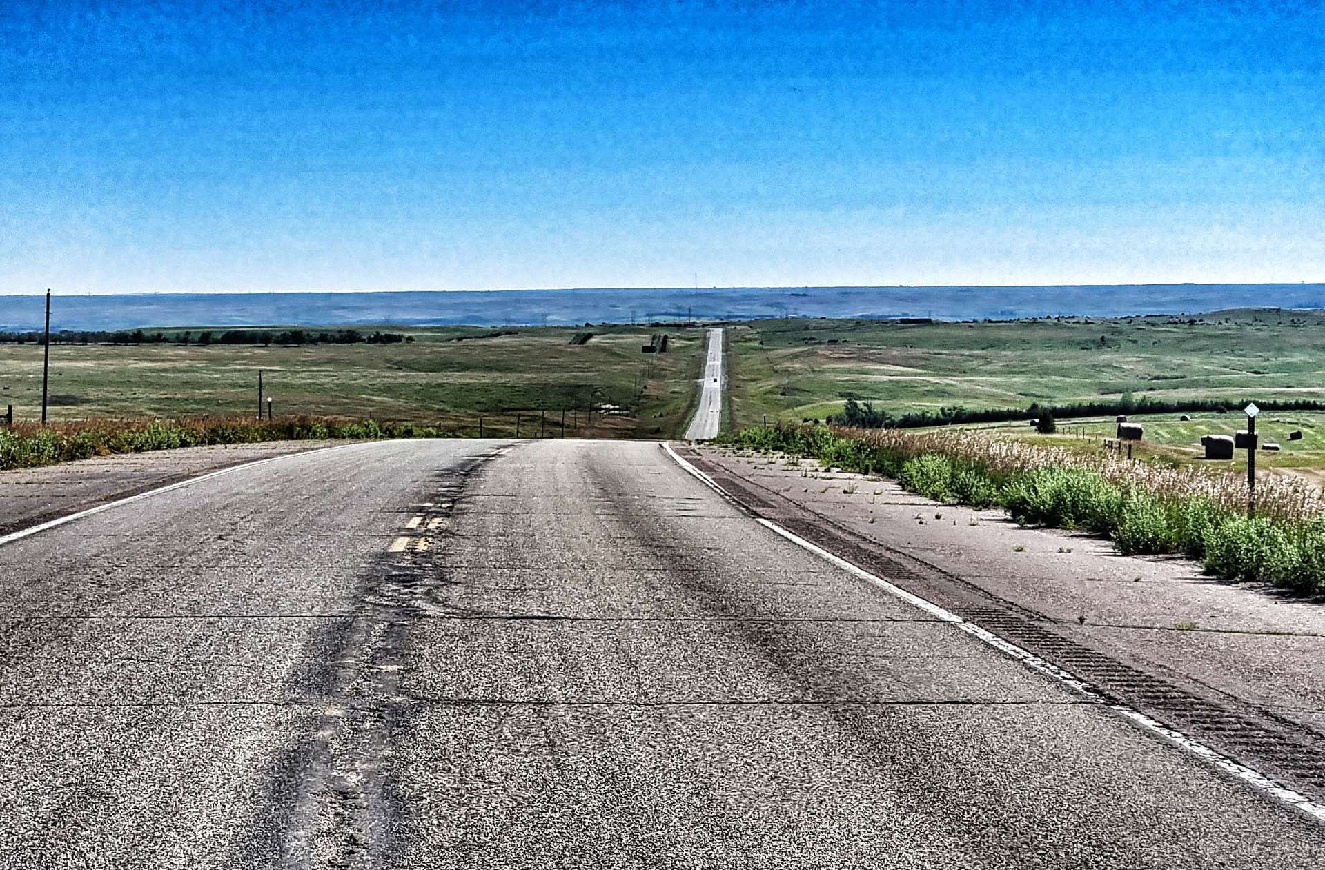
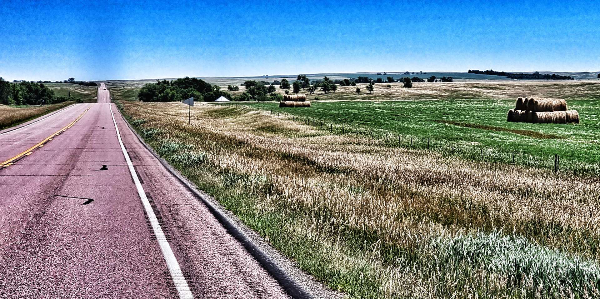
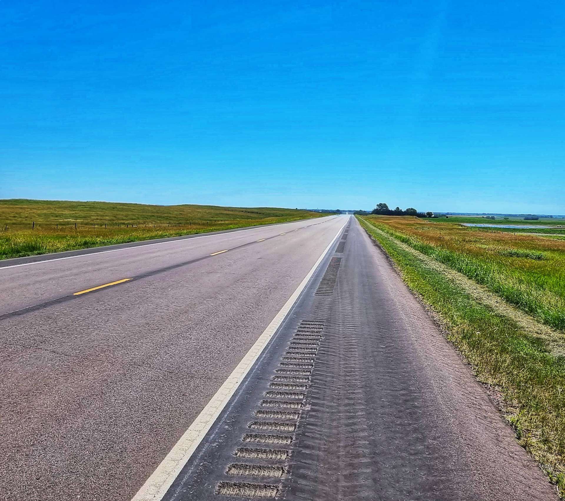
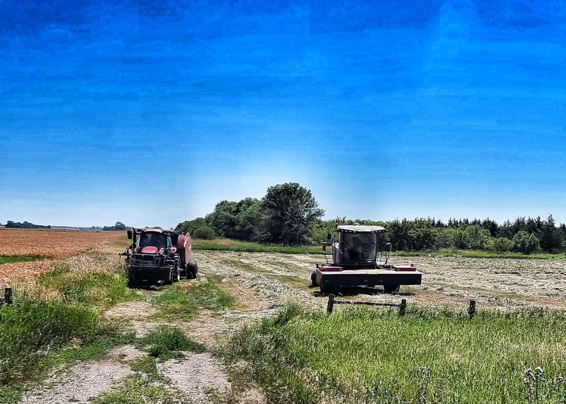
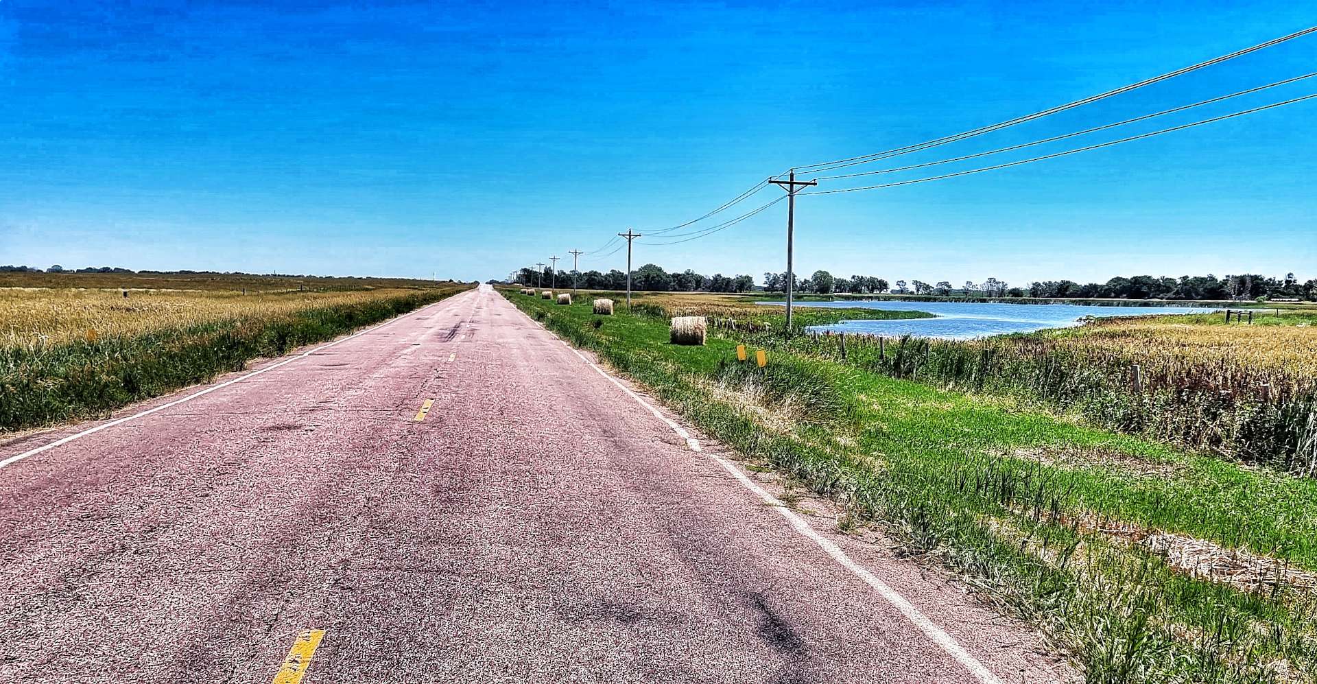
The white tape across the road at regular intervals in the first photo was done last night by a group of very hard working roadmenders – they passed our motel at about 5pm & before dark they managed to seal & protect about 6 miles of road. The scenery started out much the same as yesterday, with haybales at the side of the road, Pepper Pots & long, straight, rolling roads.

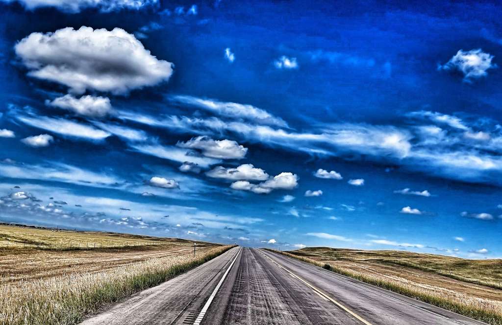
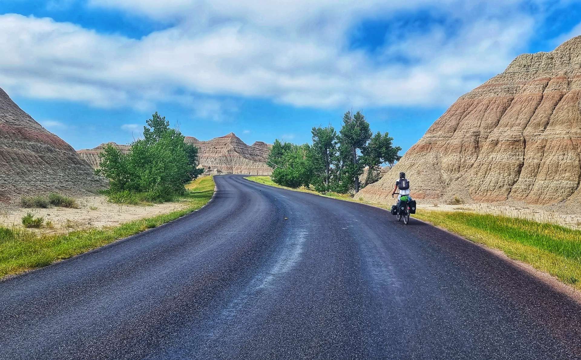
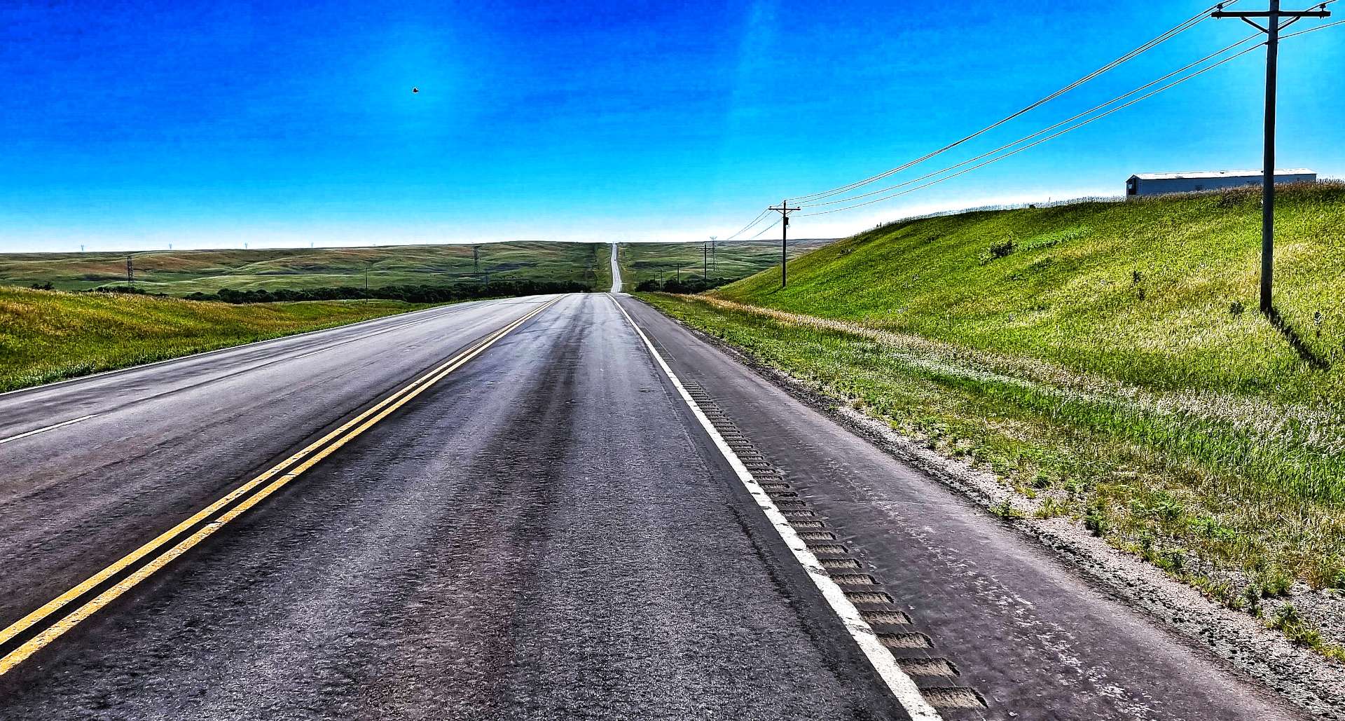
After 12 miles we reached Reliance (population 109) & took a left turn on Highway 47 towards Fort Thompson. The road was deserted for the next 18 miles as we rolled up & down along a ruler straight road. While we were still in prairie country, we didn’t see very many fields with crops growing.

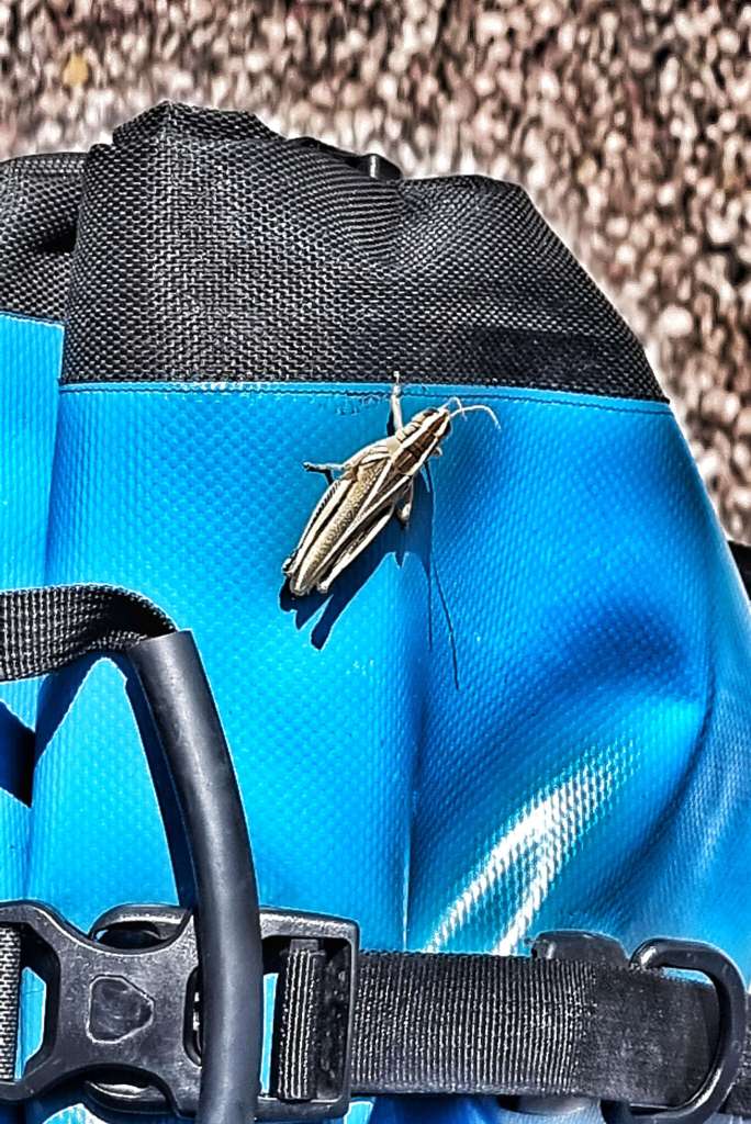
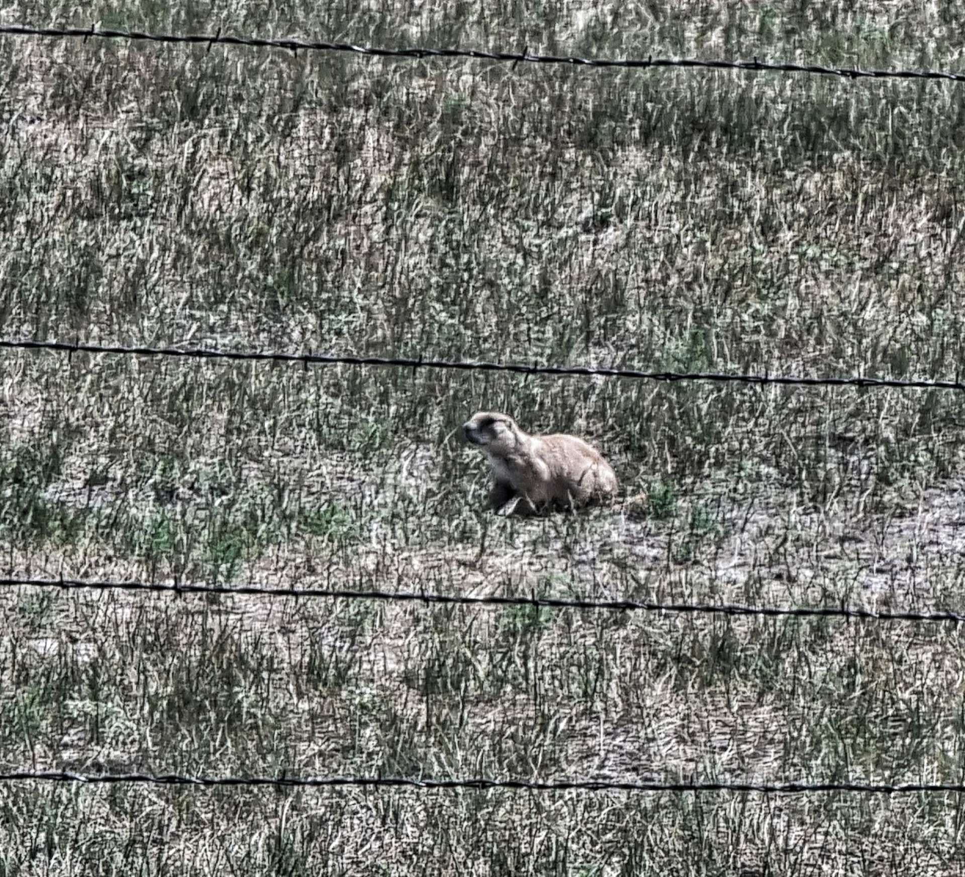
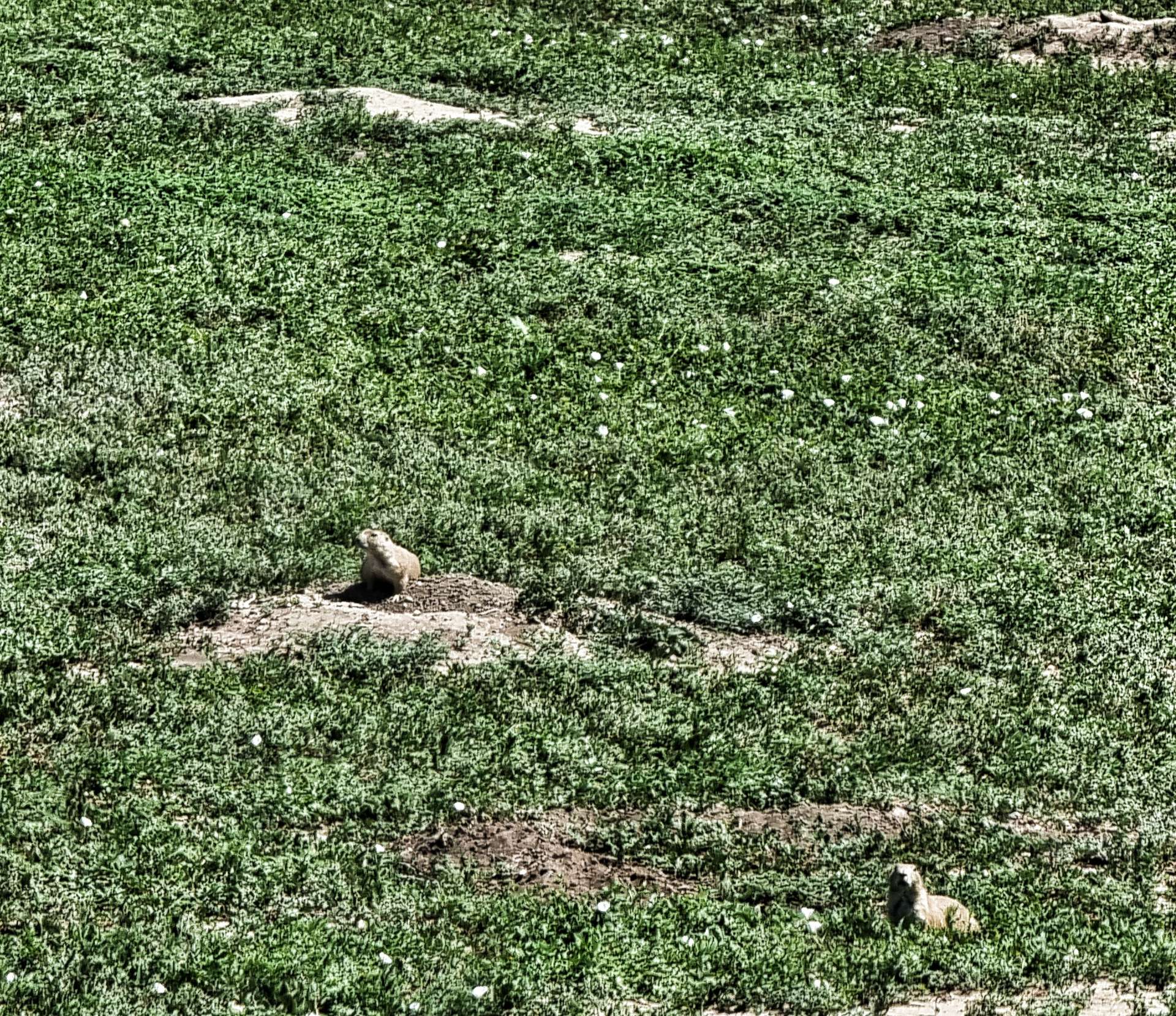
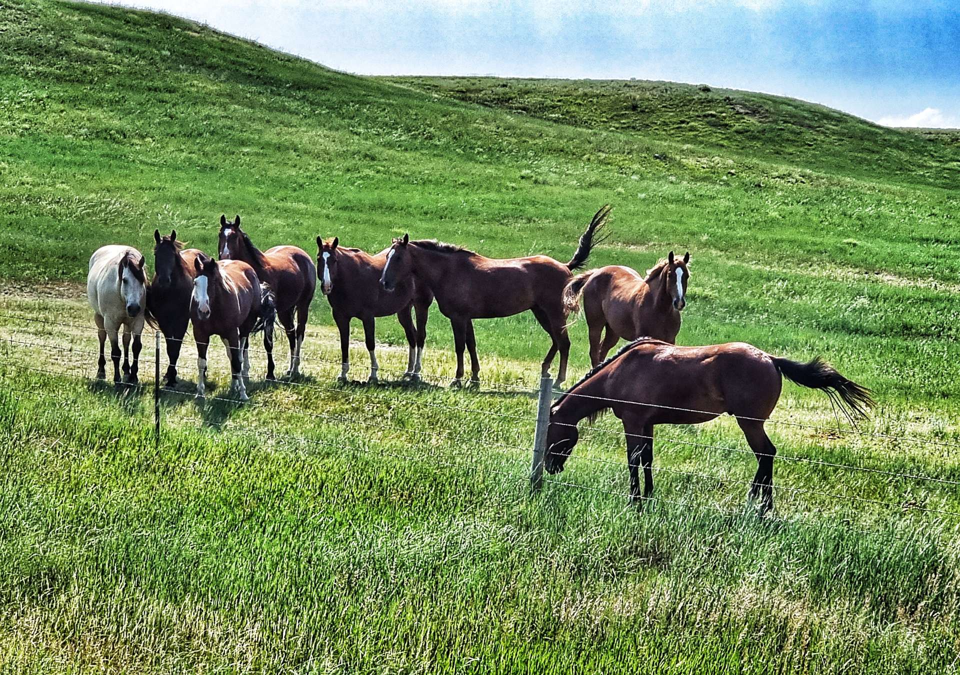
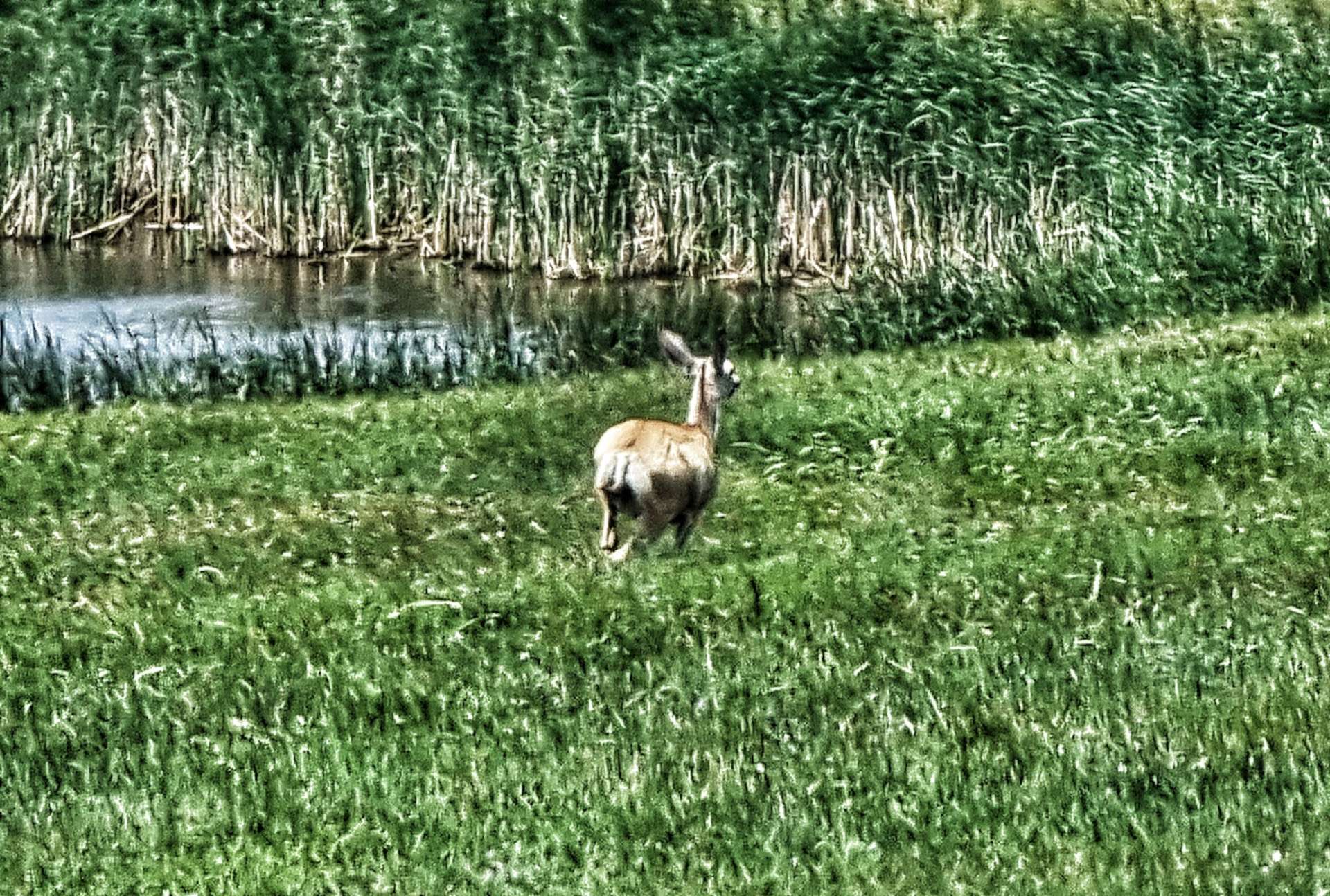
The last couple of days have been lacking in wildlife & today wasn’t much different- I saw one deer in the very far distance & it bounded off just as I lined up my shot on maximum zoom setting (sorry for the blurry photo!).

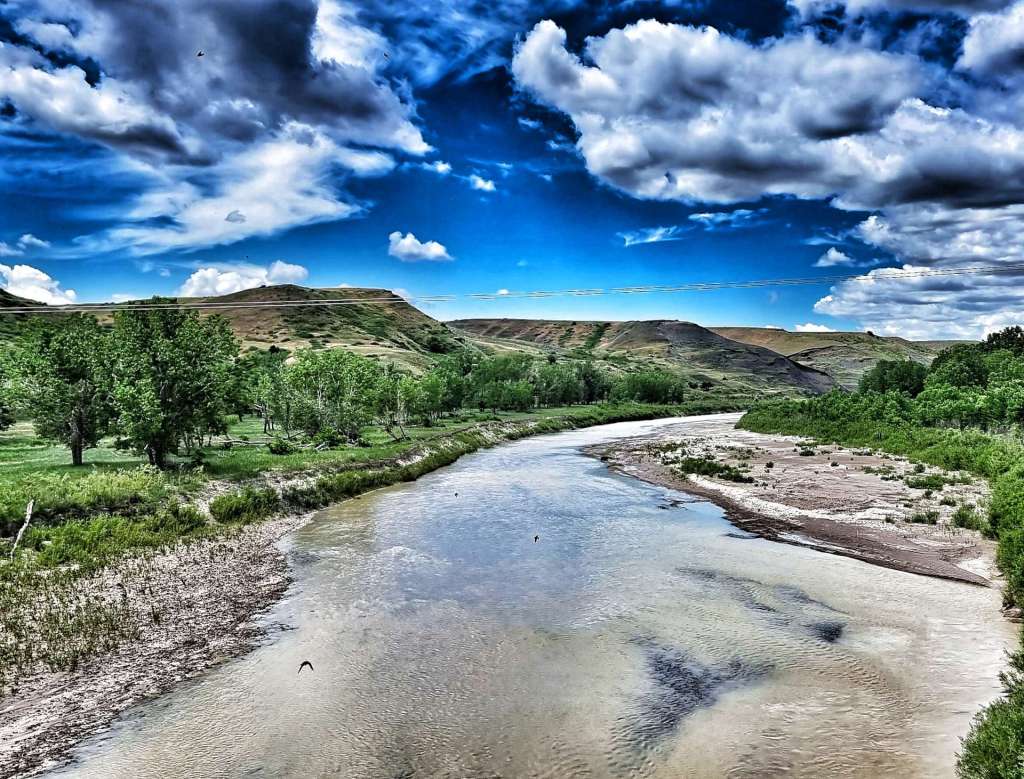
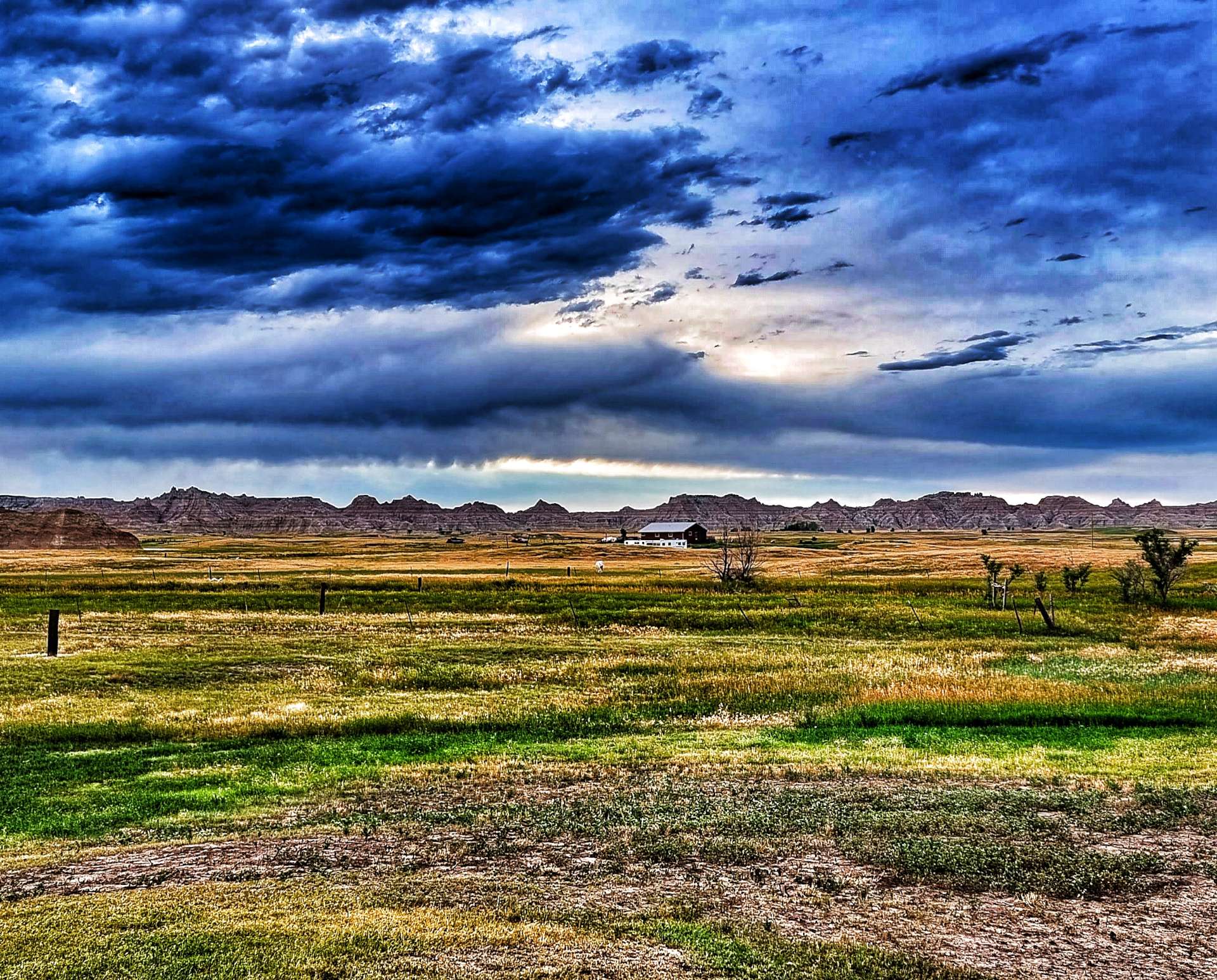
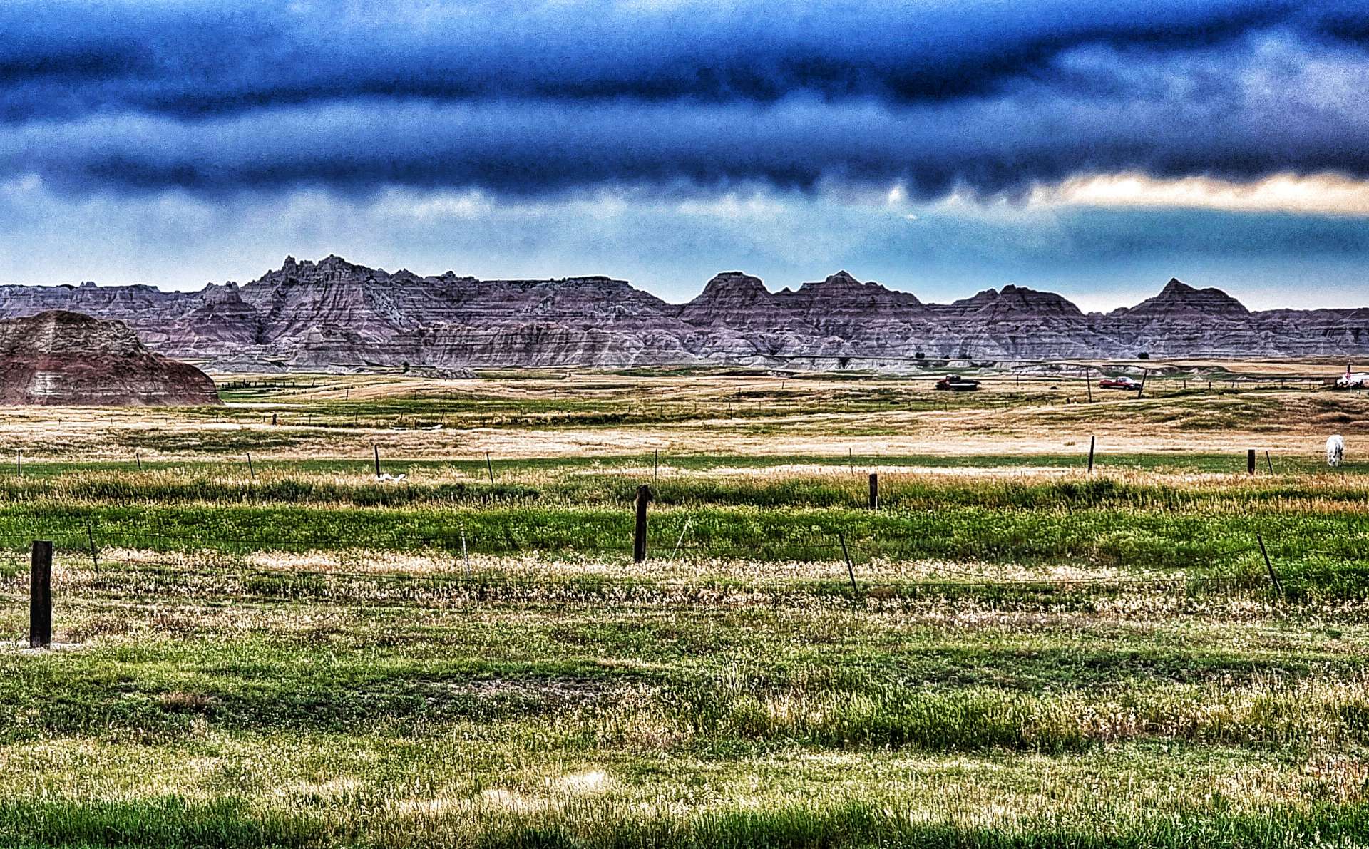
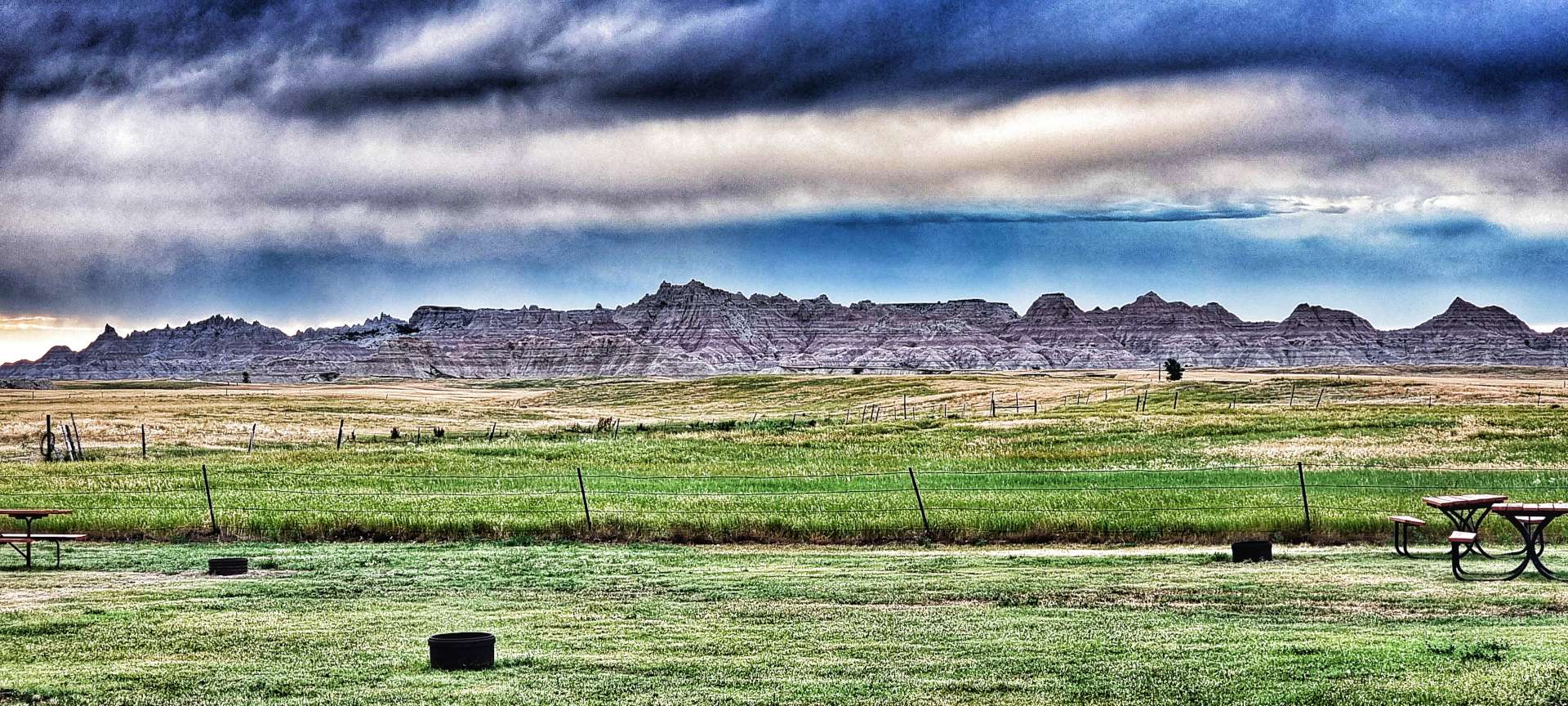
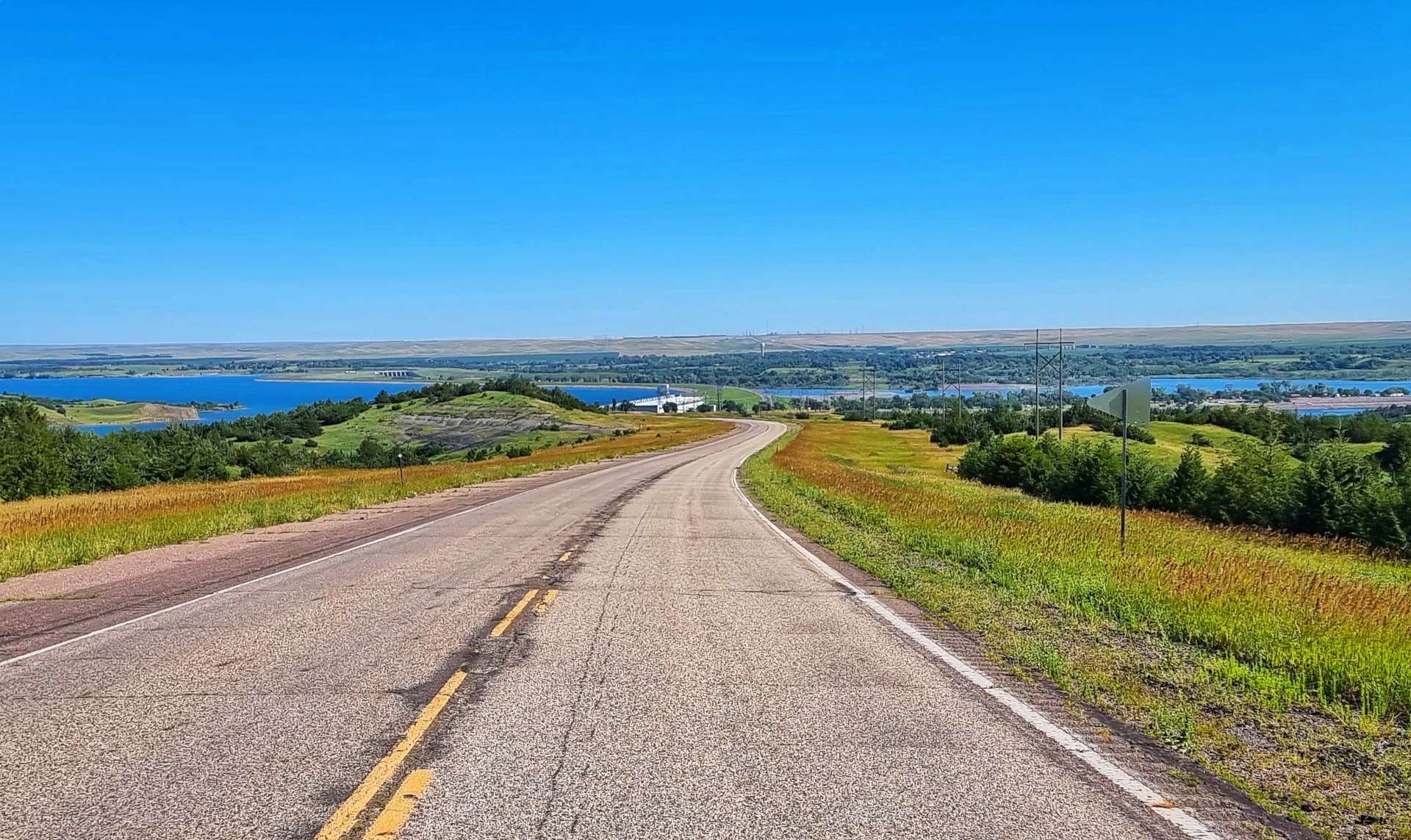
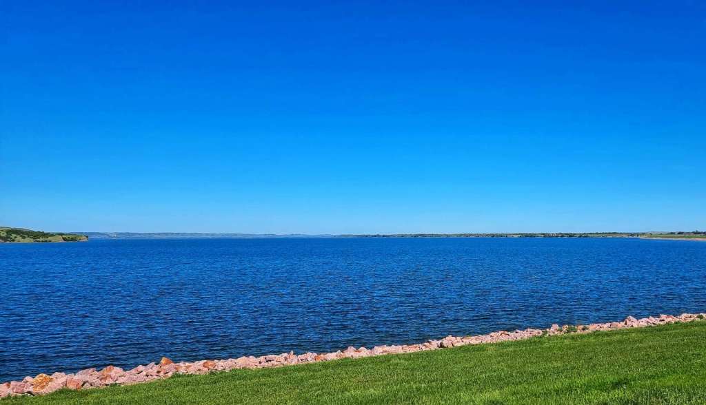
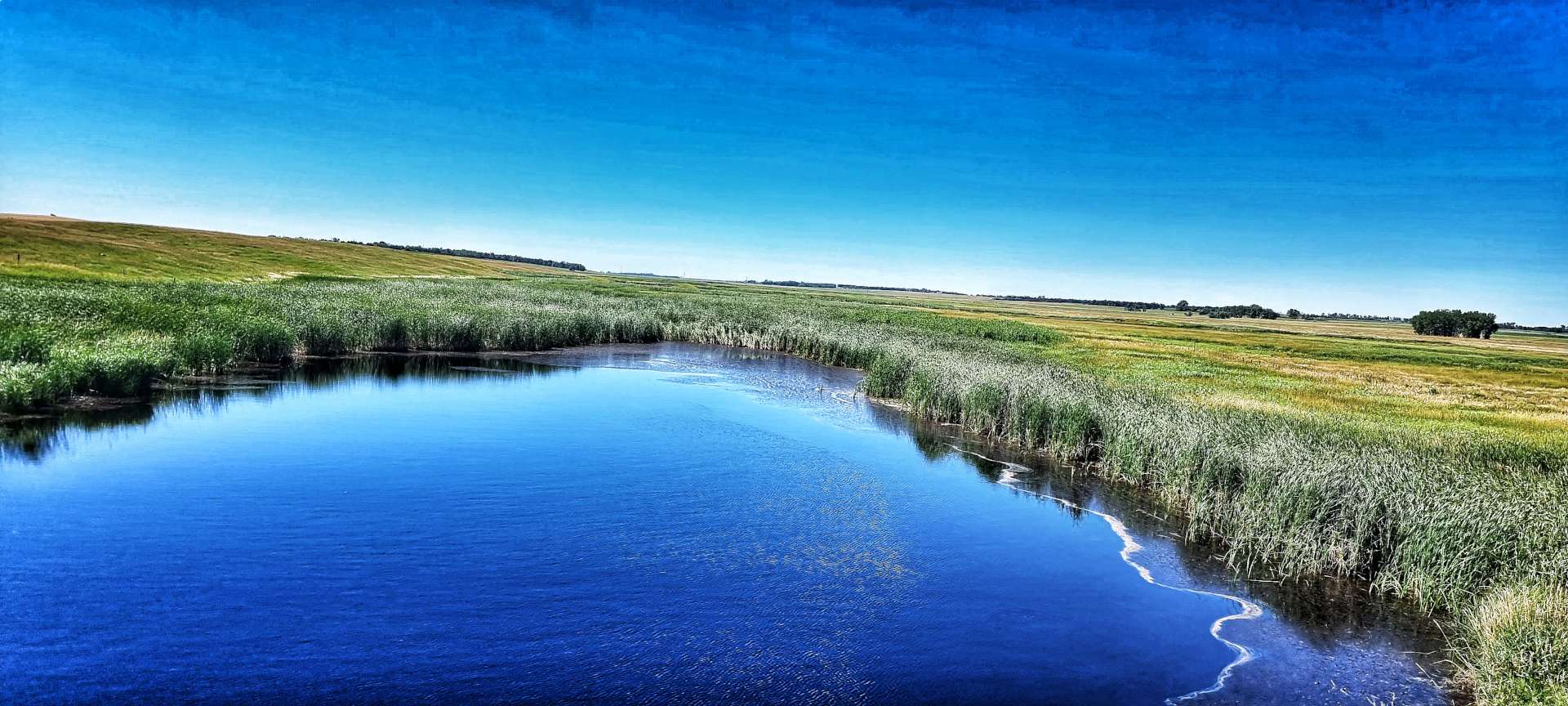
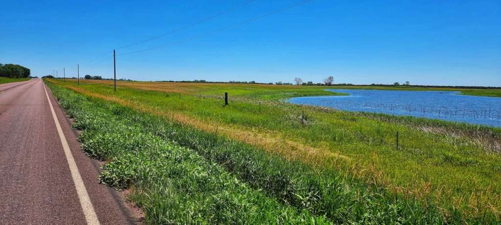
As we reached the top of one roller, we could see there was a break in the horizon & that meant we must be close to Lake Sharpe which was created by a man-made dam across the Missouri river. The Big Bend Dam is maintained & managed by the US Army Corps (this is the same set up as we saw at Lake Koocanusa way back on 22nd May).

There were a couple of boats on the downstream side of the dam when we crossed it.

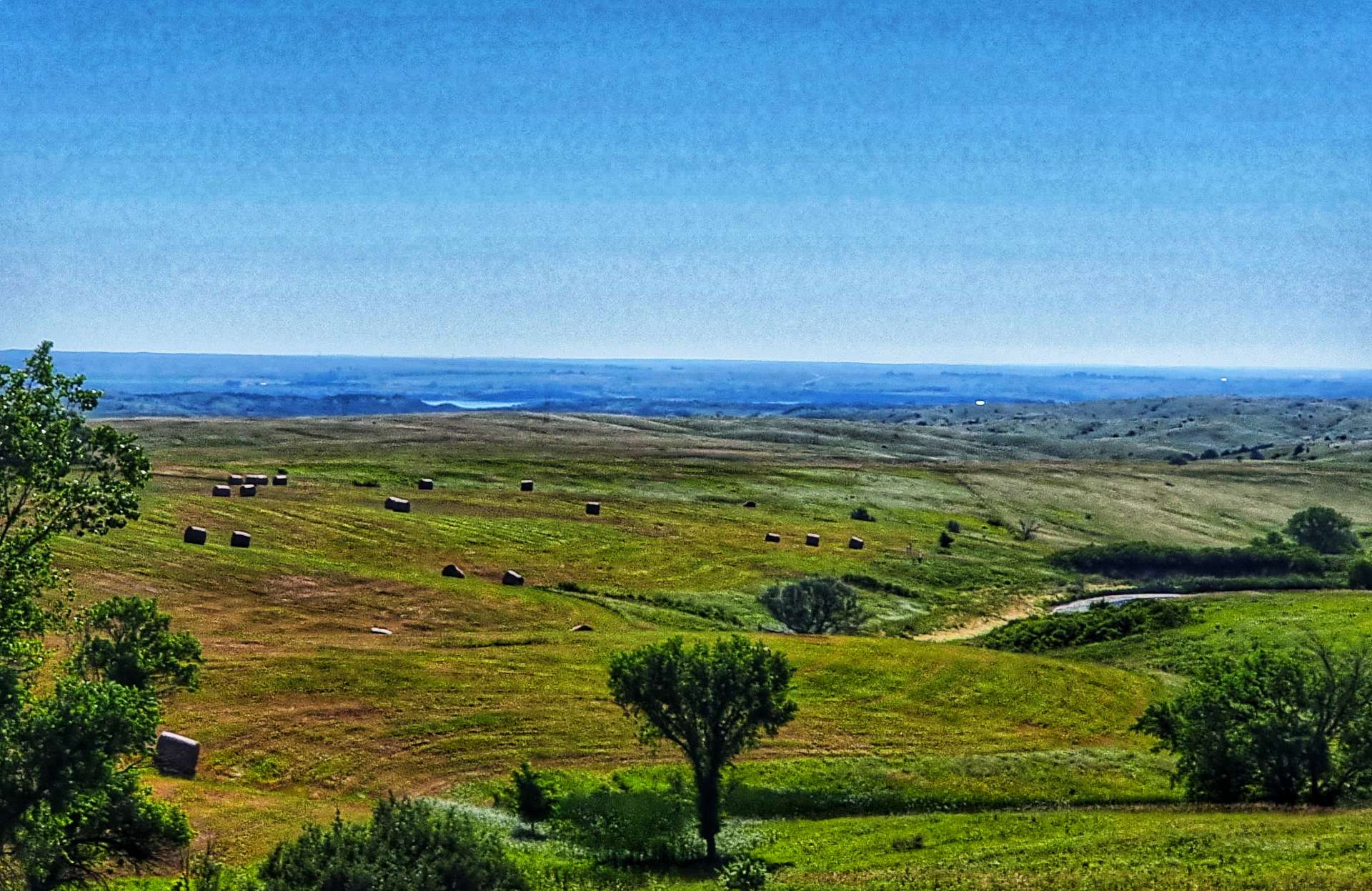
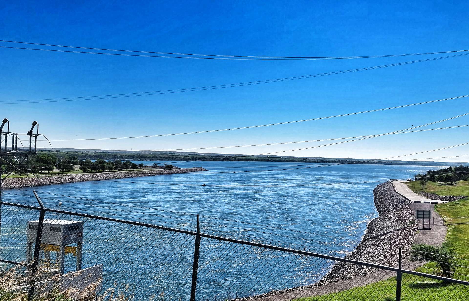
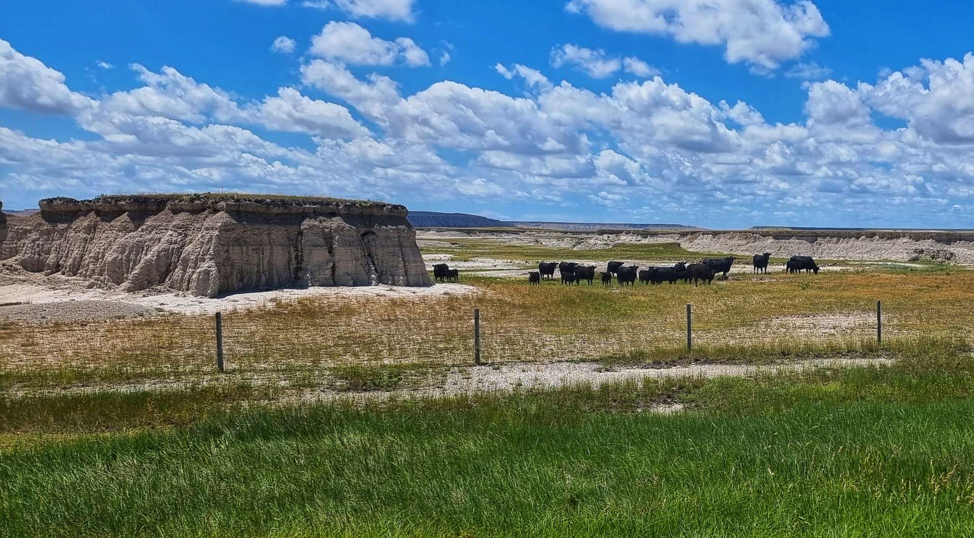
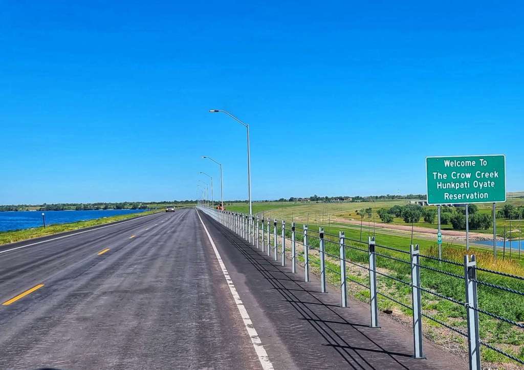
We were now entering the Crow Creek Hunkpati Oyate Reservation – Fort Thompson is the largest town on the Reservation with a population of 1,282.

We stopped at Lynn’s Dakotamart as our water supplies were low & we wanted a 10 minute break in the shade. About 4 or 5 people came over & spoke to us, they were interested in where we were going & where we were from. Without exception, they wished us safe travels & said we’d enjoy the ride as the scenery is beautiful.

An interesting observation is if you ask someone how far away in distance a place is, you are likely to get a reply back in time, rather than miles – when you travel everywhere by car, time has more significance than distance! If you’re interested, Wessington Springs is 43 minutes away from Fort Thompson in the car, or 3 hours by bicycle – in both instances the correct answer would have been 44 miles!!!

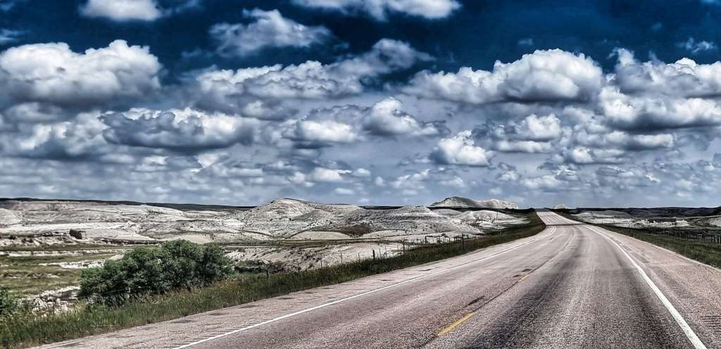
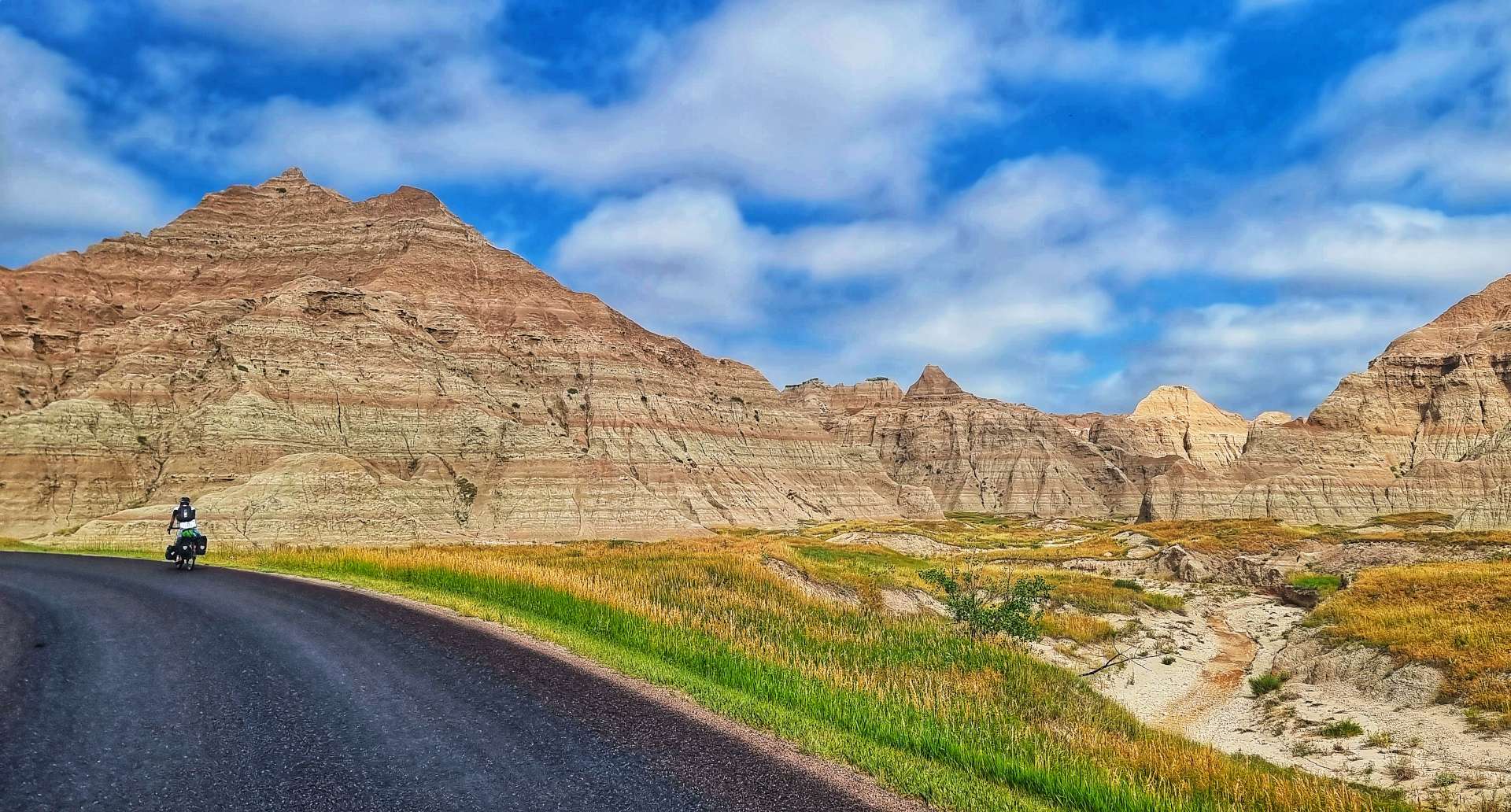
We continued on a road that would be pretty much straight for the next 40 miles (with a few small twists & turns), as it continued to roll up & down some slightly larger hills. Out of the blue & 7 miles from Fort Thompson, the nearest town, we saw a Gentlemen’s Club – one of the more unusual finds on our adventure!

We continued on our way on the empty road, enjoying the big views of the upcoming descents & groaning when we saw the next big dipper heading uphill.

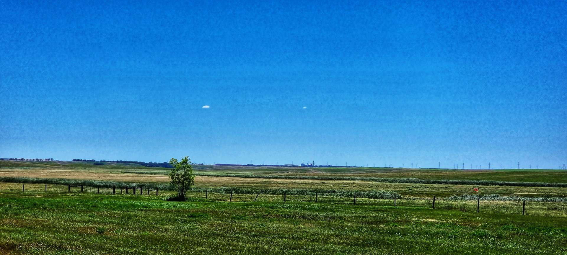
Just after Sean had reached the bottom of a shallow, but long descent, we spotted our first cloud of the day – just the one, all on its own! Up until that point it had been blue sky all day. We were making good progress with the aid of a tailwind, it certainly helped us up a few of the rollers. The scenery was also gradually changing, as slowly, but surely there was more agriculture – maize & wheat fields were appearing again.

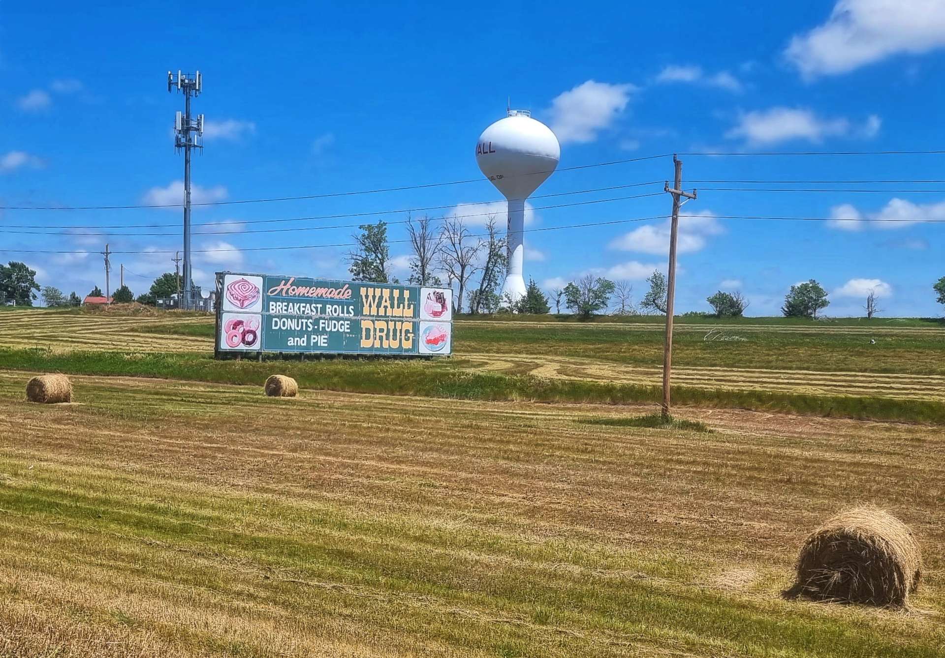
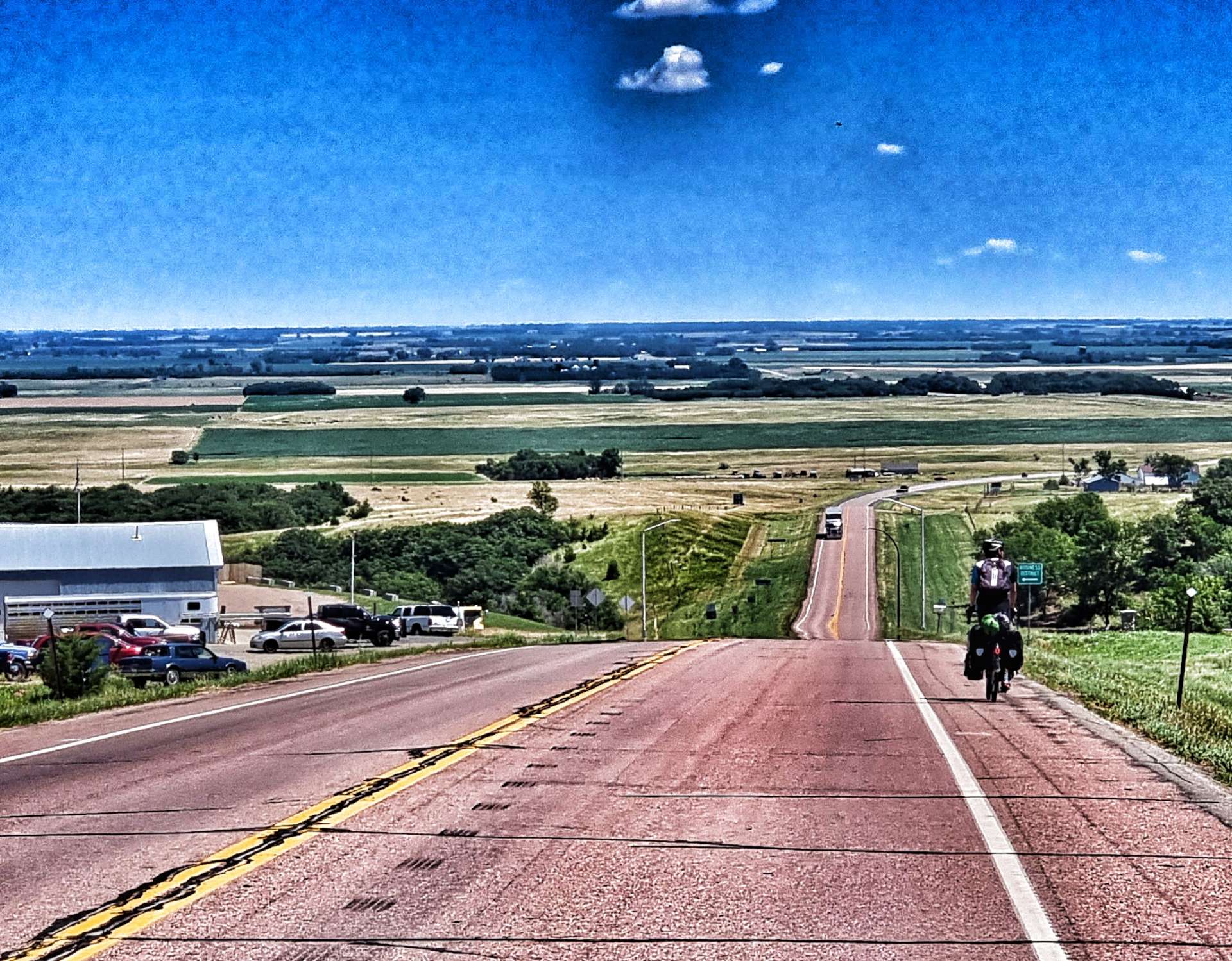
In the far distance we could make out Wessington Springs water tower – all the towns seem to have one in the mid-West. We guessed it was a couple of miles away & yet 5 miles later it was still ahead of us! Eventually we reached the edge of town, took a left turn into the commercial district & went to our motel. The tailwind had blown us into town about 45 minutes quicker than expected & there was no-one around.

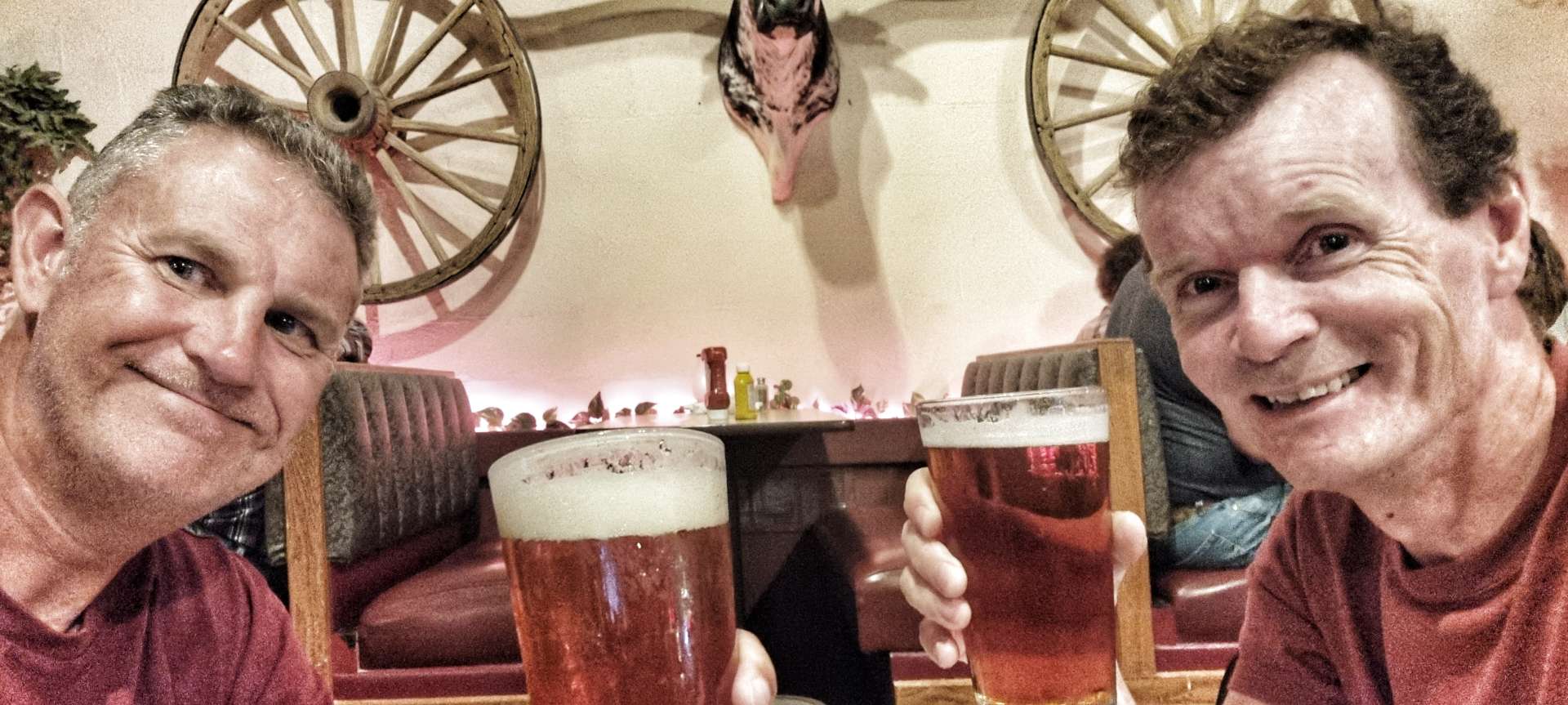
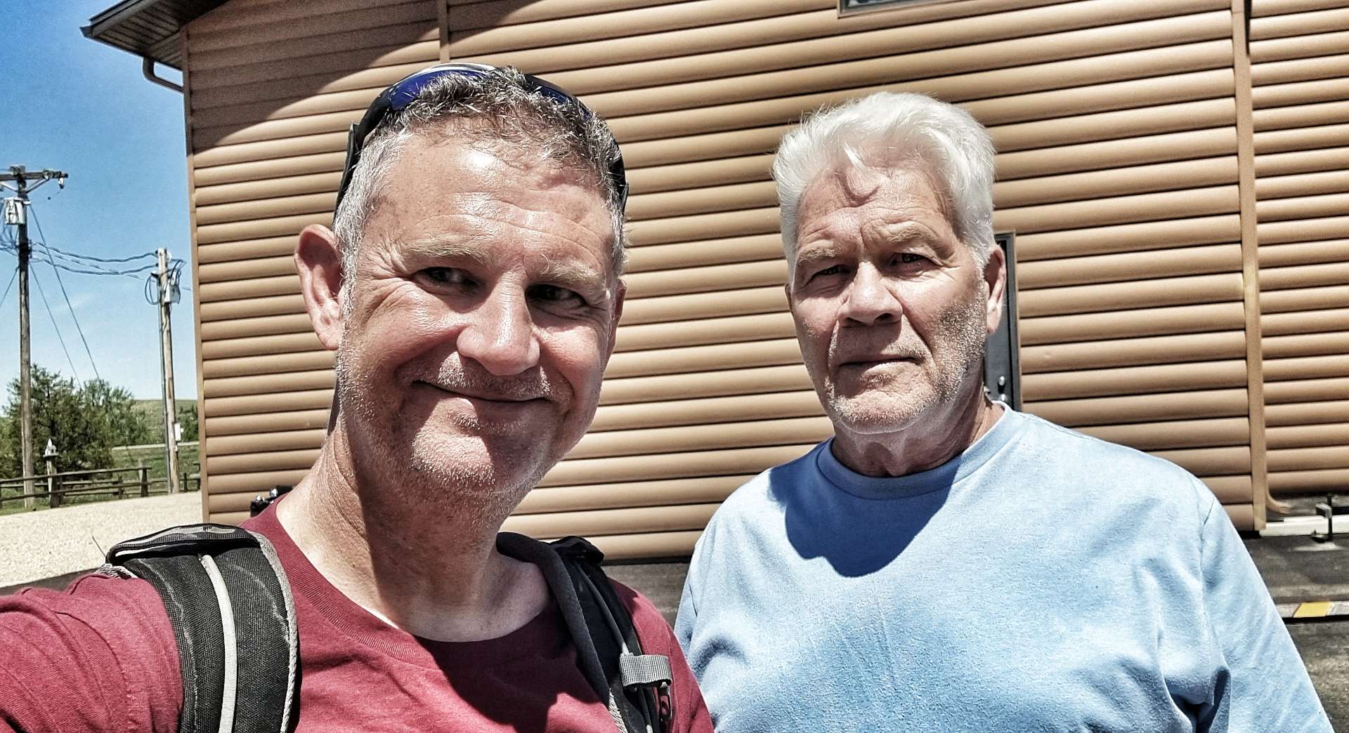
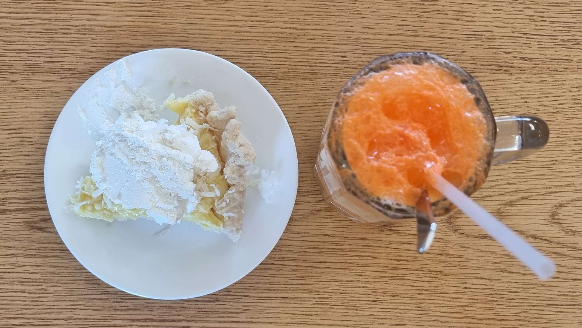
We headed over the road to Springs Inn Cafe, where I treated myself to a slice of lemon & coconut pie & an orange fanta float – delicious! We also went back for dinner that evening, where we had a very tasty cod & chips. We also met Don & Susan – he’s cycling across the USA from East to West with support from Susan.

We had a really enjoyable 30 minutes or so comparing notes & sharing stories – we swapped details & now have each other’s blog details. Meeting up unexpectedly with fellow cyclists is good for the morale, as well as having the chance to find out about the route ahead. Pedal strong Don & safe travels – Susan, don’t help him too much 🙂 It was great to meet you both & enjoy your journey back to Lopez Island.

Stage Stats – 77 miles, 2,231 feet of climbing. A tailwind again with rolling hills.

Wednesday 12th July – Wessington Springs to Huron (Stage 58).

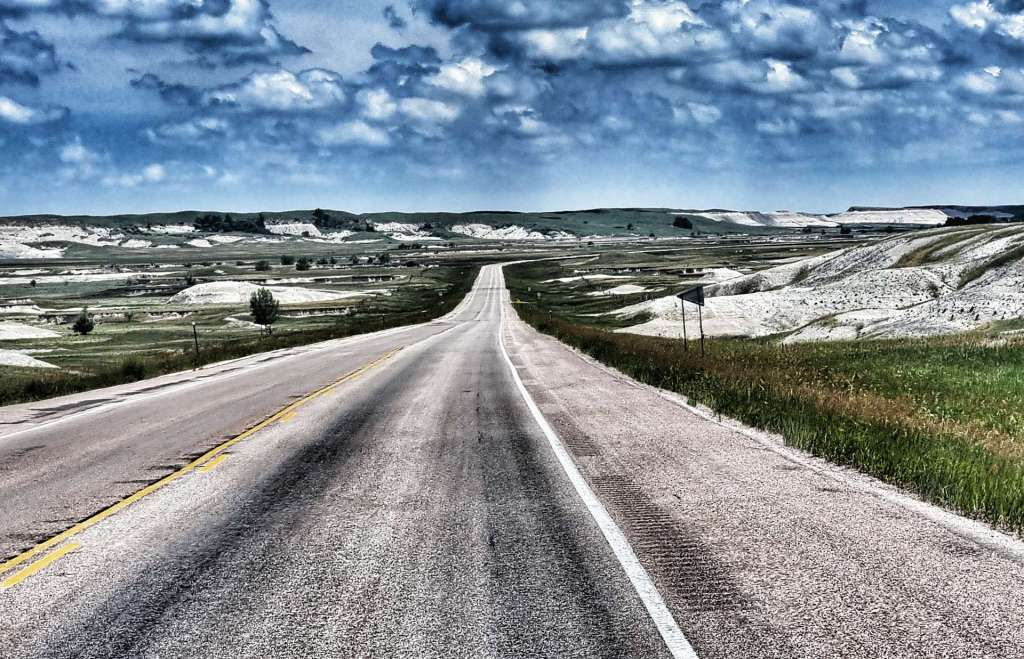
Today was another short day, so we enjoyed a lie-in & set off at 11am. There were 6 turns on the ride & every one of them was a right angle! The first turn took us out of Wessington Springs onto Highway 34, descending onto the prairie below. This section of road (like most of today) was long, straight & flat, with one pond to break up the scenery of wheat & maize as we headed to Lane.

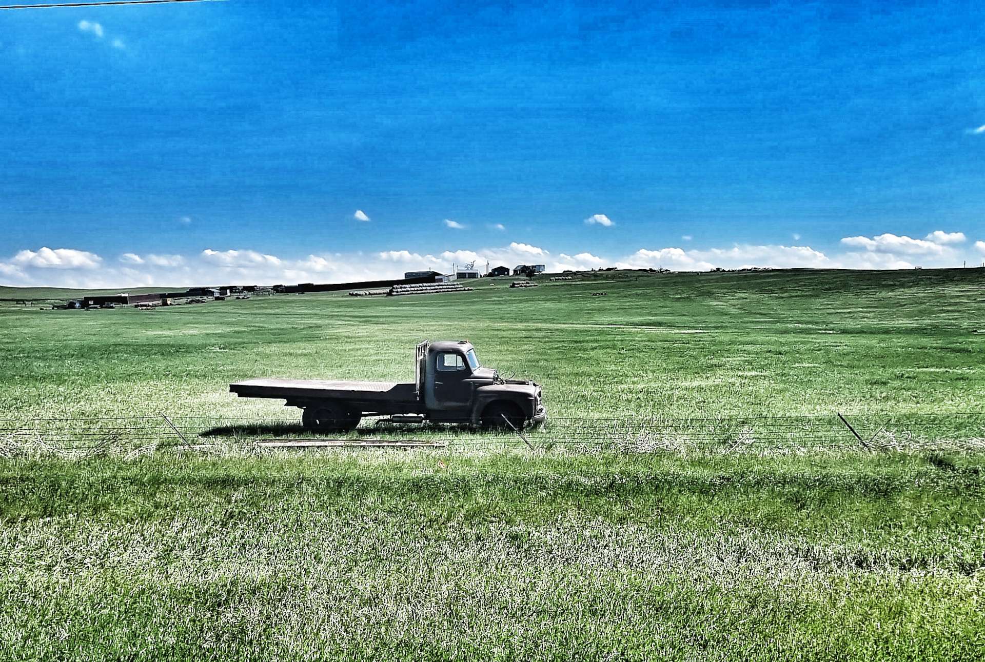
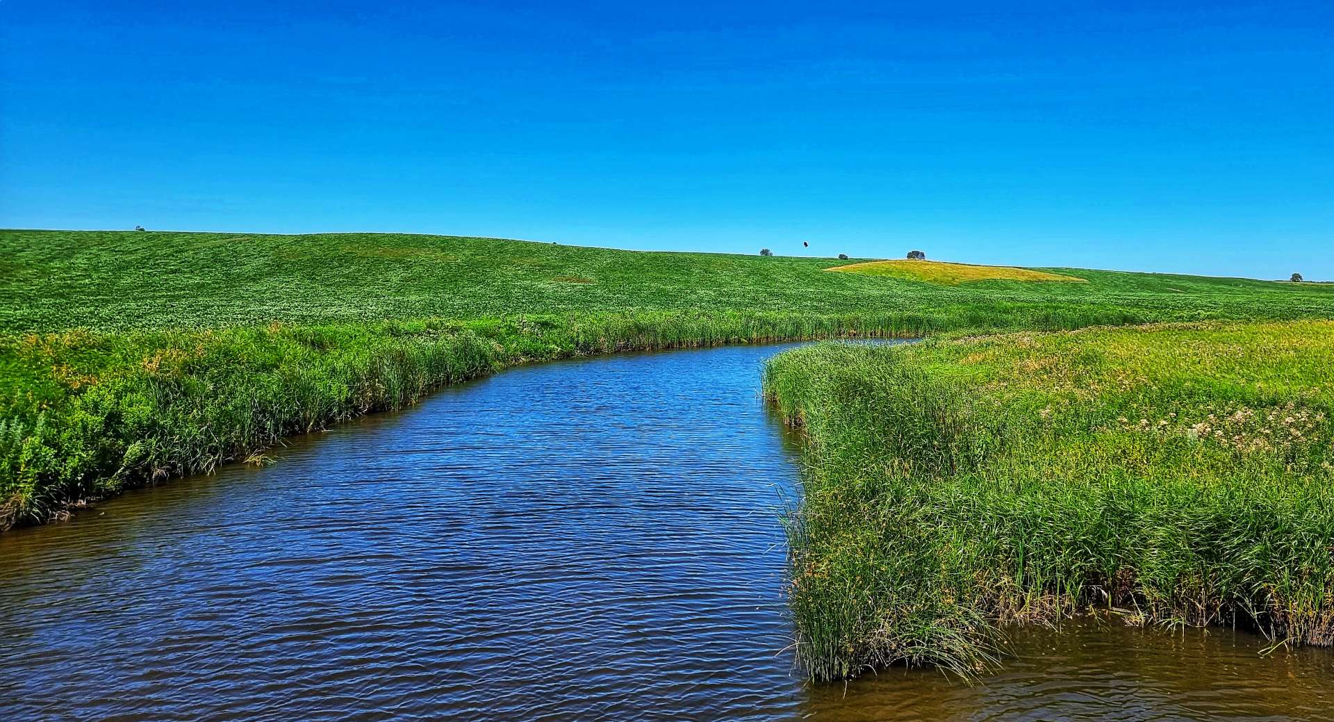
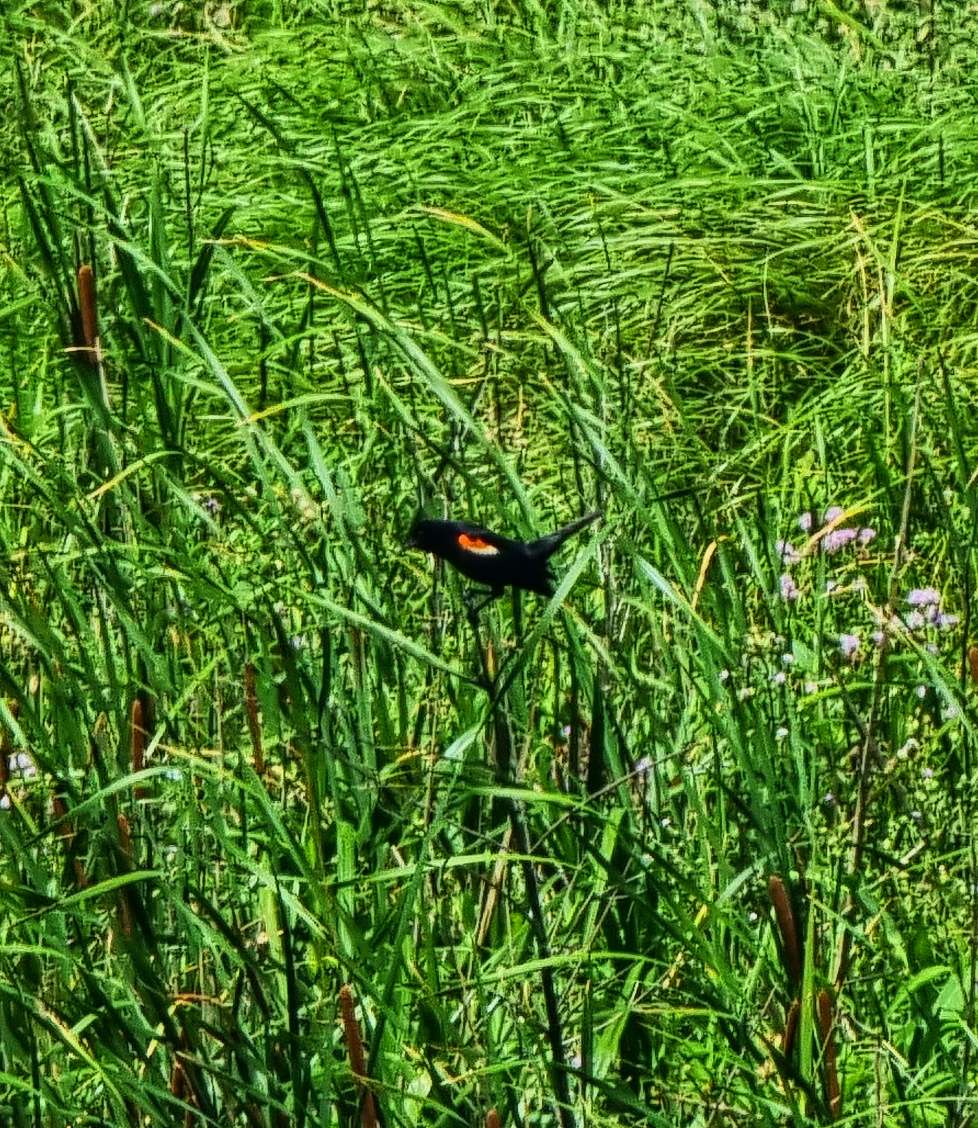
At Lane we took a left onto Highway 281, which stretched way into the distance! There were a couple of farm vehicles which looked like they’d been abandoned, although I’m sure it was more likely they’d just taken a lunch break. As we crossed a river, I stopped to get a snap & finally managed to get a photo of one of the warblers that has been chirping at us for the last 2,000 plus miles!

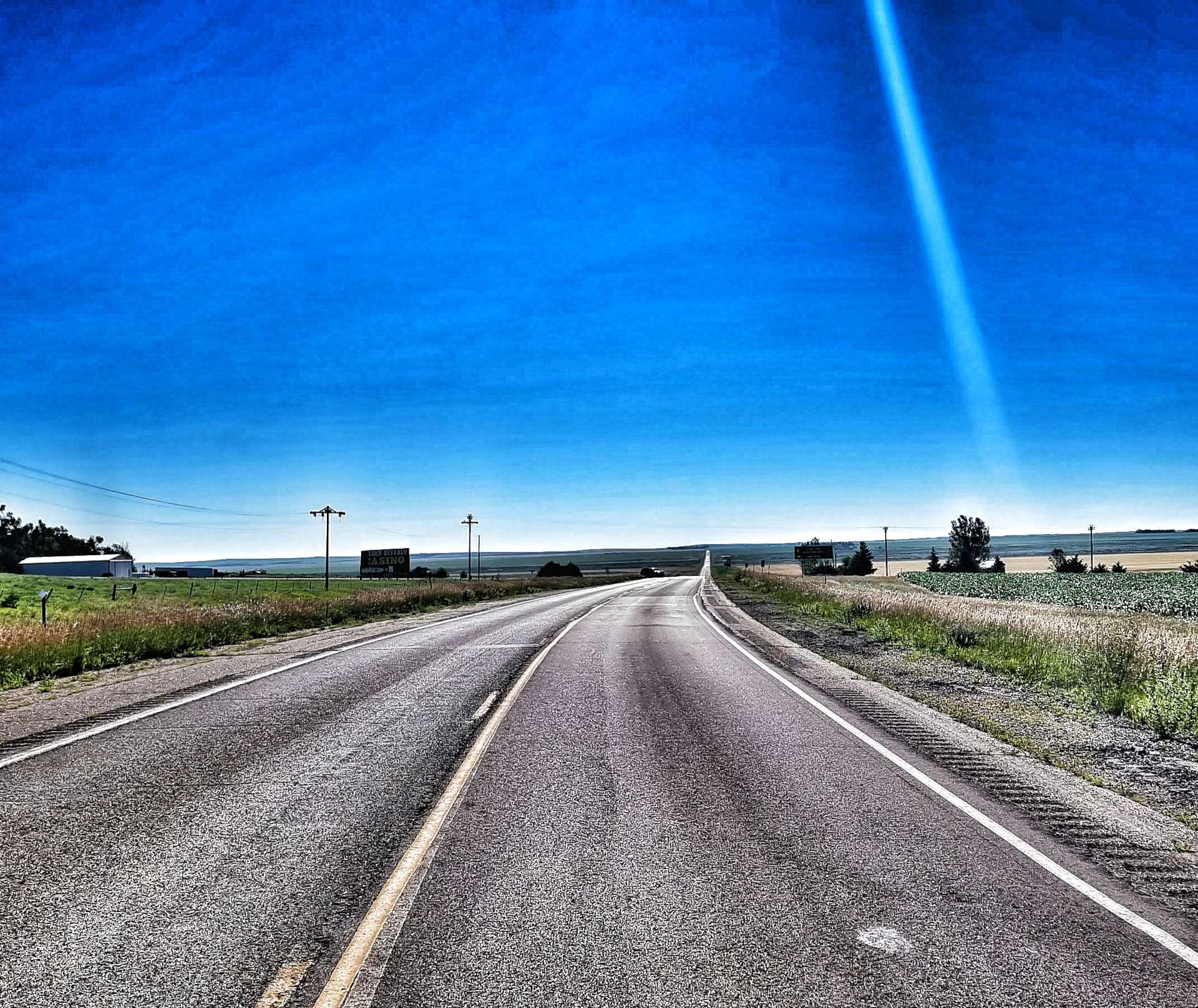
We took a right turn onto Highway 224 which took us past Pepper Pots galore & another small lake. Don had mentioned last night that the small town of Alpena (population 400) had a bar called the Red Hog Saloon that should be open & it was at the halfway point of our ride. We stopped for a twix & coffee, while topping up our bottles with ice & cold water.

There was also a huge factory called Jacks Links in Alpena – I looked it up when we arrived in Huron. It’s where Jacks beef jerky, beef sticks, steak strips & smoked sausages are made. Since I’ve looked them up, I’ve seen their products in many of the gas stations we’ve stopped at. I haven’t yet been hungry enough to buy any!!!

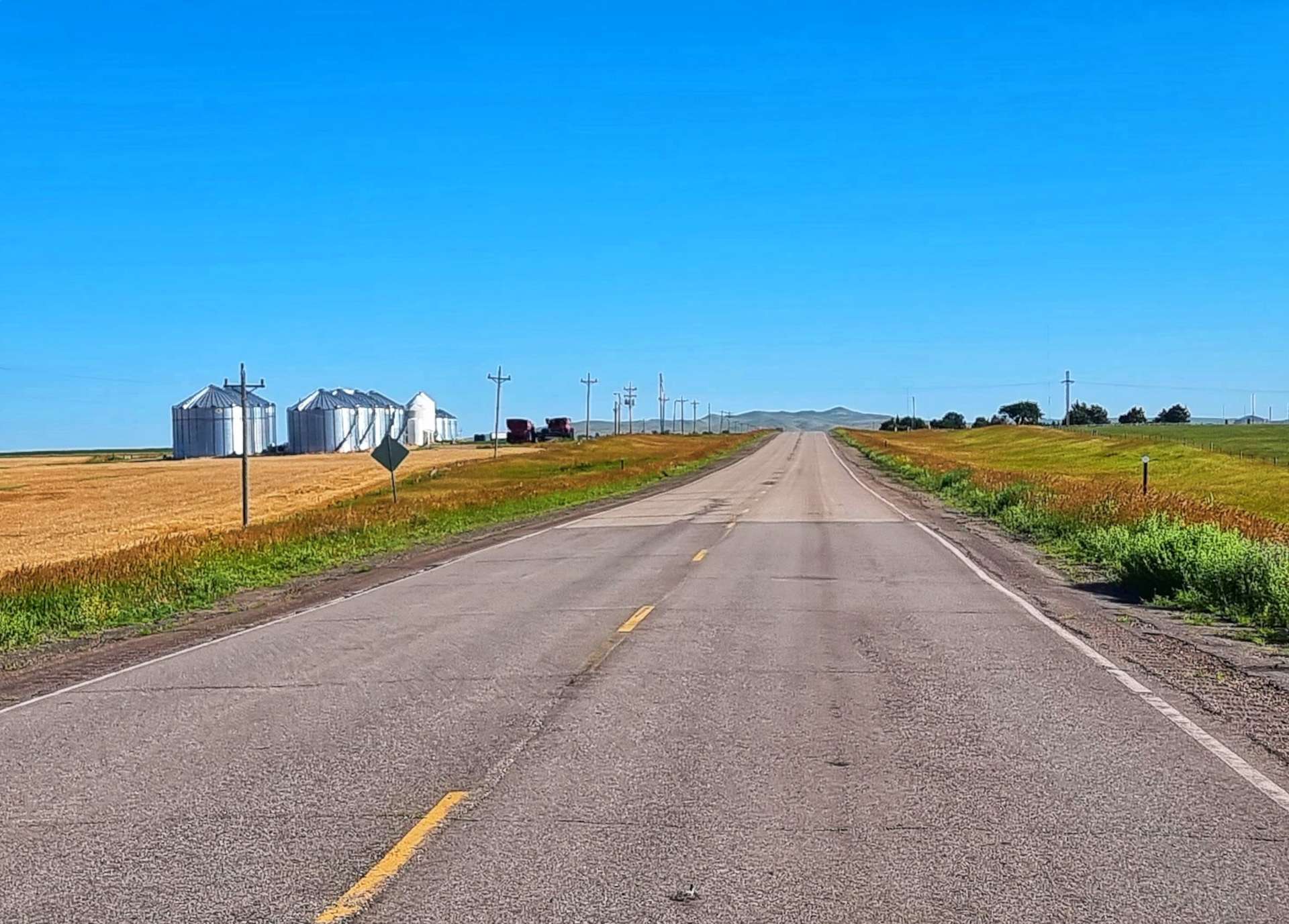
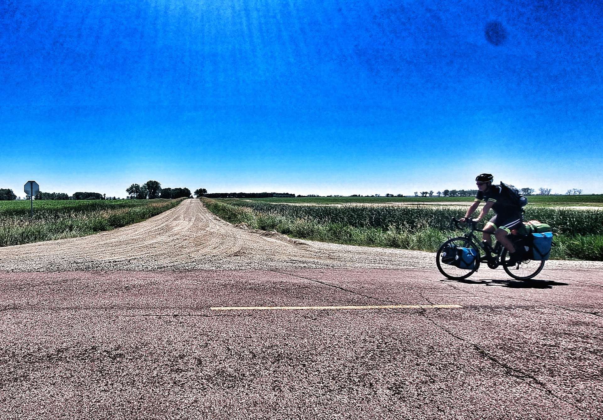
We turned left at Alpena & spotted that an enterprising farmer had harvested the grass by the side of the road & baled it up. While South Dakota doesn’t need the haybales, they are sold to farmers in Minnesota who use it for cattle feed. Although we were on paved roads, we also saw that there were gravel roads every mile that headed off into the distance at right angles. This part of South Dakota is set out on a huge grid formation, but only some of the roads are paved – food for thought when planning the route for the coming days!

We took a left turn on Highway 37 which took us the final 5 miles into Huron. This completed our block of 4 days riding & we spent the afternoon doing out laundry & taking advantage of the hot tub to ease the aching muscles!

I also had a phone signal for the first time since Saturday, so gave Mum a call & wished her a belated Happy Birthday. It sounds like she had a great couple of days celebrating with a surprise lunch with some of her best friends on the Monday. A big Thank You to my Sis-In-Law Nikki, Sarah & Cherry for organising a brilliant spread, Mum really appreciated your hard work!

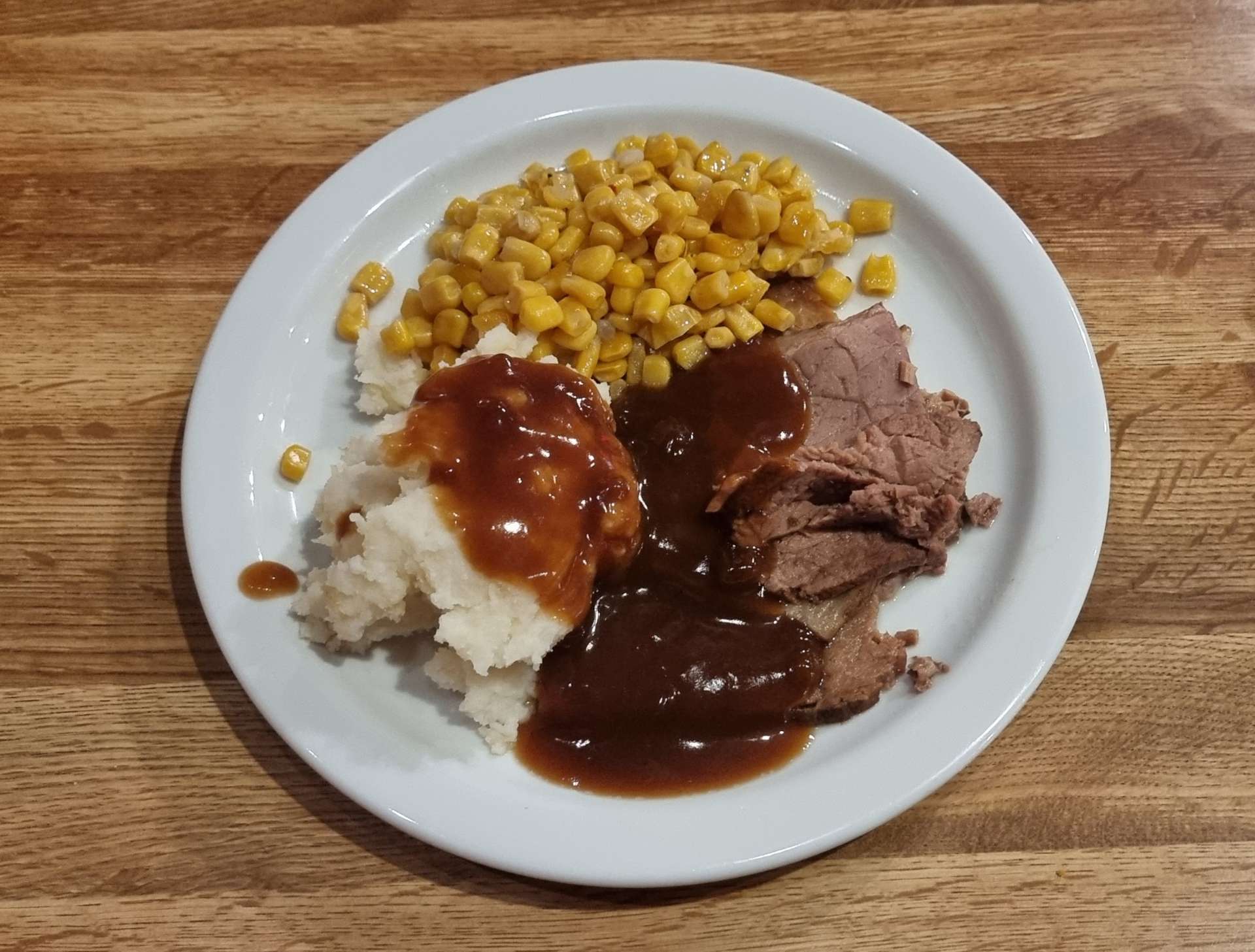
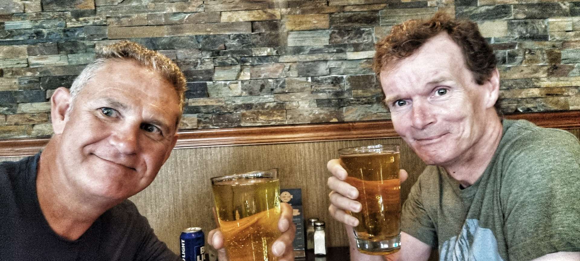
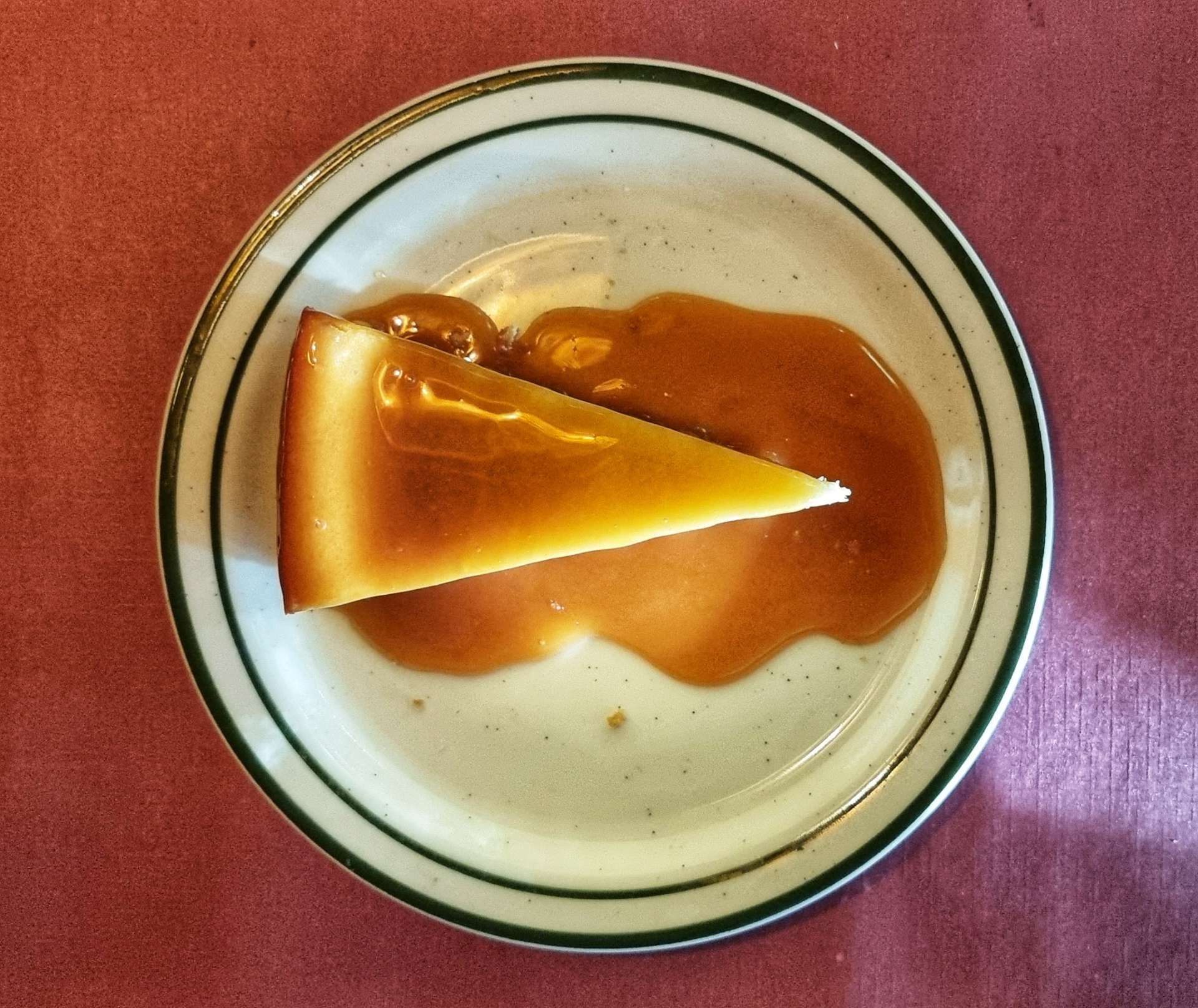
Prime Time Tavern had a small menu, but what it did, it did well. We had our first steak after 11 weeks of being in the USA – a delicious fillet mignon, finished off with a tasty slice of New York cheesecake. The one disappointment was having to drink a Bud Light, only my 2nd beer fiasco of the adventure!!!

Stage Stats – 38 miles, 305 feet of climbing into a cross / headwind.

Thursday 13th July – Rest Day.

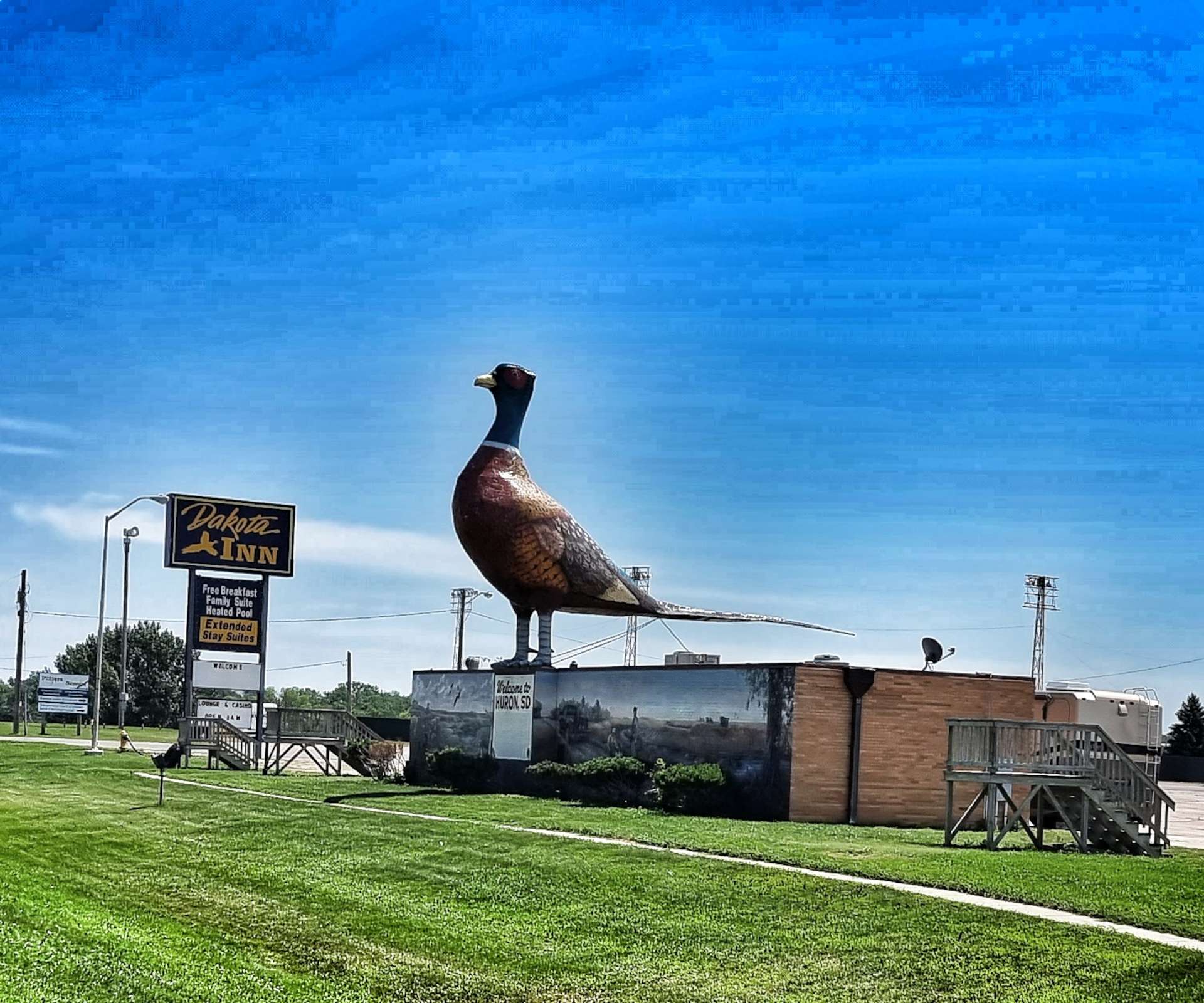
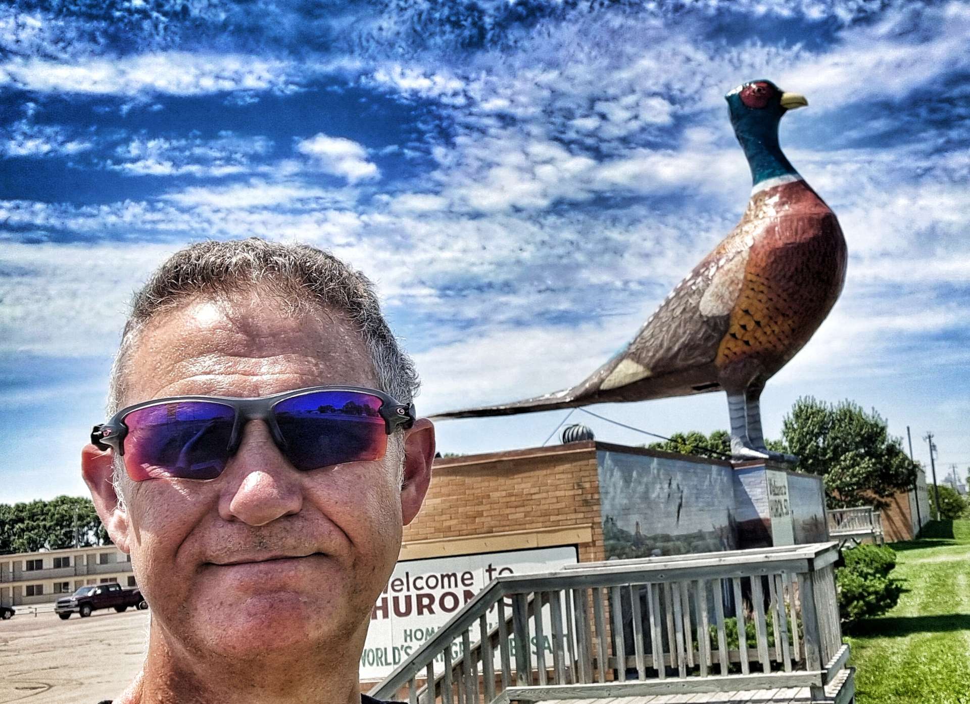
I cycled into downtown at lunchtime, as it was 2 miles from the hotel & the temperature was in the high 90’s. I was looking for the largest pheasant in the world, but on the way I spotted a couple of amazing murals on building walls.

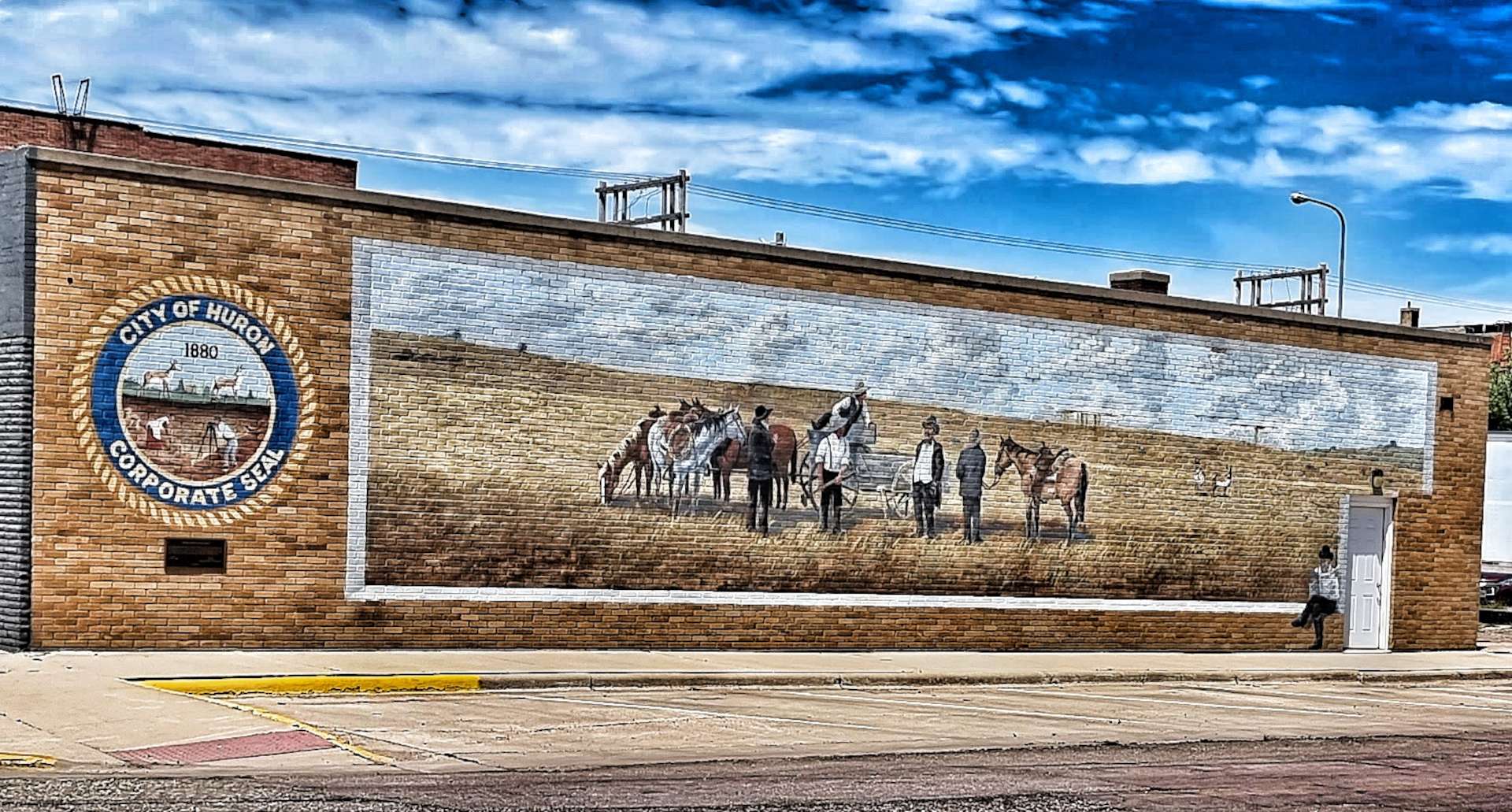
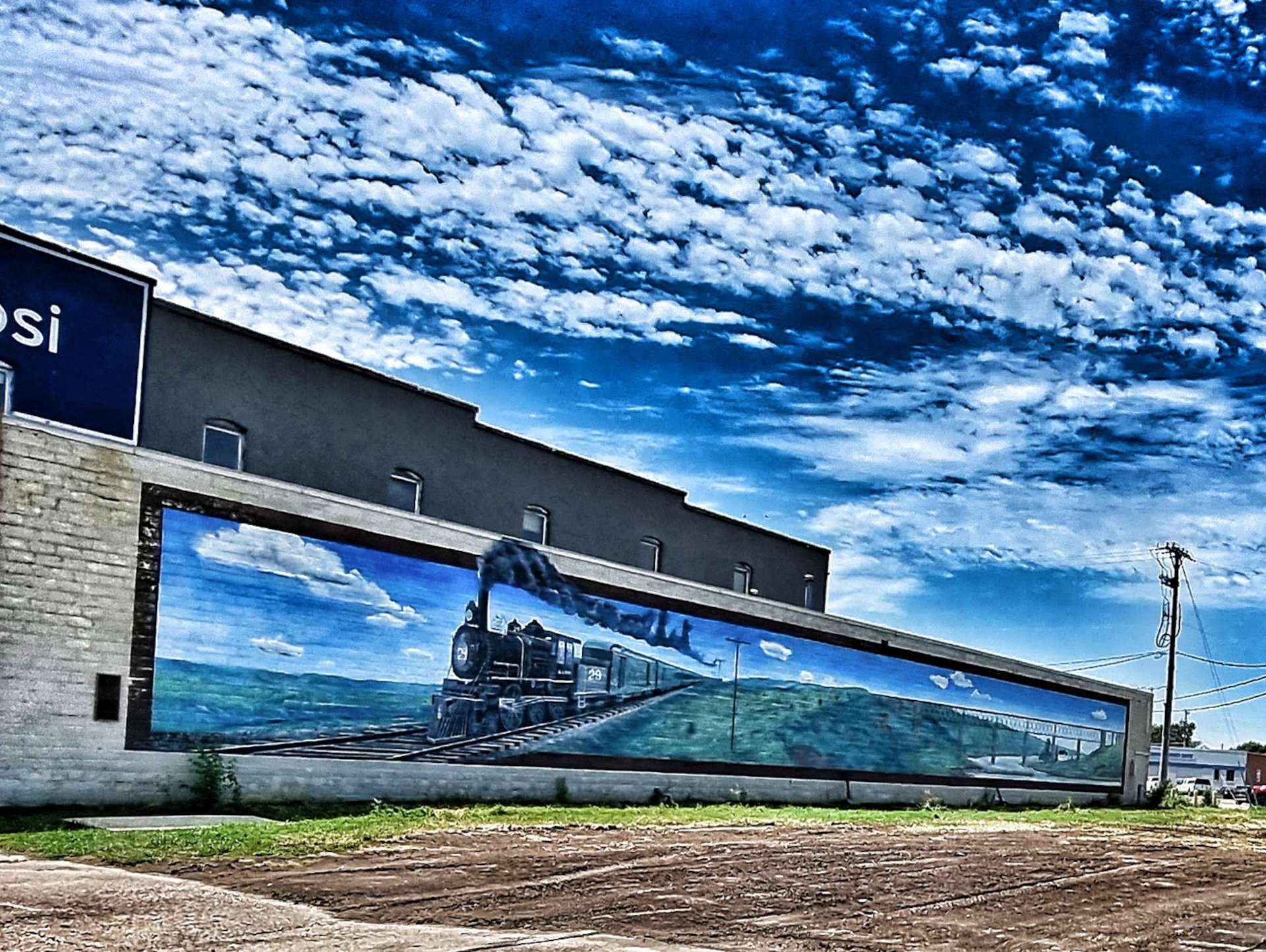
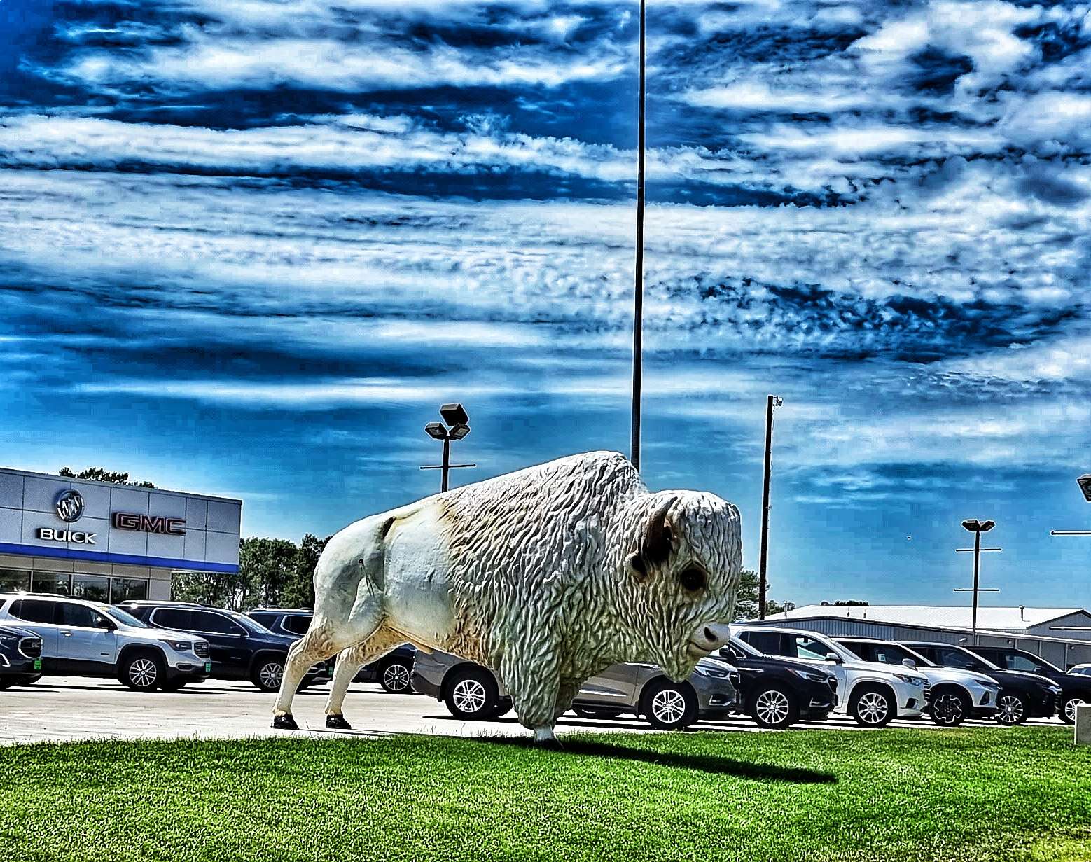
Pheasant hunting is a popular pastime in & around Huron, so the town decided to celebrate & advertise the fact. The local car dealer had decided to get in on the action & was advertising with a huge bison!

I spent the remainder of the Rest Day relaxing, watching Tour de France highlights of Tom Pidcock winning on Alpe d’Huez (the first Alpine climb I ever did in September 2010), catching up on my blog & preparing the route for our next block of riding. We ride again in the morning!

Rapid City to Murdo – The Long Way Round!

Thursday 7th July to Sunday 10th July – Stages 53 to 55.

Thursday 7th July – Rapid City to Interior (Stage 53).

After a rest & recovery day in Rapid City, we were back on the road just after 9am. We headed across town & picked up Highway 44, which we would be riding for the rest of the day. We passed a few herds of longhorn cattle (they always stop grazing & watch us as we pass them) & old farm equipment near farm entrances, still with Stars & Stripes on display from 4th July.

We stopped briefly at a gas station after about 20 miles to top up on cold water & enjoy a coke & cookie. At this point we’d covered 17 miles in the first hour & were both looking forward to the tailwind blowing us all the way to Interior. The temperature was in the high 80’s fahrenheit & staying hydrated was a challenge, as there were only 2 places to replenish our bottles on today’s route.

The road stretched far into the distance as the fields slowly switched from pasture to grassland, as we were nearing the Buffalo Gap National Grasslands – the second largest of 20 National Grasslands sites, it’s encompasses about 600,000 acres in various tracts across South Dakota. The characteristics of Buffalo Gap are mixed prairie & chalky badlands. The Buffalo Gap also results in localised winds & unfortunately for us, today’s localised wind was into our faces – from mile 30 until we finished we battled a 10 to 15 mph headwind the whole way.

I stopped for one last look back to the Black Hills – we’ll be slowly descending for the next 2,500 miles until we hit some small hills in New York State & Vermont. That also means there aren’t any more big descents either, which is a bit more of a disappointment!!! Meanwhile, on today’s stage, the road stretched ahead into the distance, taking us ever closer to Scenic, gateway to our next iconic landmark.

Before that we crossed Rapid Creek & took on one final drag up to the plateau – on the way up, I picked up a passenger. I originally thought it was Jiminy The Cricket, but it’s since been suggested that I may have introduced the first of a plague of locusts into Scenic!

The little fellow stayed on my front pannier for more than 45 minutes, until eventually he got blown off on a small descent when we saw The Badlands for the first time. After seeing fields for the last 3 hours, the outcrops of red, white, yellow & black rock laid out before us seemed even more grand & impressive.

As we reached Scenic, one of 3 ways into Badlands National Park (the others being Wall & Interior), we found what was once a thriving community to be no more than a ghost town with Tatanka (Lakota for Buffalo) Trading Post the only building still in use – we were able to top up our bottles & relax in the shade for 10 minutes with a can of sprite.

We could now see the rugged beauty of Badlands up close. Although we entered Badlands National Park today, it was only a fleeting visit.

Although we were only cycling through Badlands National Park for about 3 or 4 miles, the scenery was stunning & gave us an idea of what tomorrow might offer up. As we left Badlands, we returned to Buffalo Gap Grasslands – a simple way to tell the difference is whether the photo has a fence (Buffalo Gap Grasslands) or not (Badlands).

Returning to the carefully managed National Grasslands, we saw the only wildlife of the day (other than cattle) – prairie dogs thrive in Buffalo Gap National Grasslands & Badlands National Park, with very few natural predators. Every now & then the Badlands drew closer to us, giving us a tantalising view.

After over 5 1/2 hours in the saddle we were beginning to feel the heat & our water although plentiful (we still had a bottle each), was tepid like warm bath water – hardly appetising! We could see Interior in the distance & our camping cabins, but our first priority was to raid the town’s gas station for a 28 ounce bottle of gatorade & a 35 ounce bottle of water – we sat in the air conditioned seating area for 10 minutes & demolished the lot!!! It had been a challenging day cycling into a headwind in temperatures of 85 degrees plus.

Sean decided he was going to grab dinner from the shop on the campground, while I fancied some hot food. I visited the Wagon Wheel Bar, where I tucked into a buffalo burger & a bottle of Goose Island IPA as I reflected on a great day in the saddle.

On my way back to the campground I stopped to take a few photos as the sun set over Badlands in the distance – enjoy, I did!

Stage Stats – 74 miles, 1,421 feet of climbing. A fast first hour, followed by 4 1/2 hours battling a headwind. A tantalising taster of what Badlands may offer us tomorrow.

Friday 8th July – Interior to Philip (Stage 54).

The camping cabin was fairly basic (we had a bed, a light, air conditioning & patchy Wifi) – the toilet & showers were in a separate block about 50 yards away & we had to supply our own sleeping bag & pillow. We decided on reflection it was just better than camping, as we didn’t have to put up & take down the tent, but a poor 2nd to a motel!

We were both looking forward to cycling through Badlands National Park, so we were on our way by 9am again. I’ve enhanced the colours in the photos in this post, but the views were stunning enough I probably didn’t need to bother, however, old habits die hard! The video later is exactly as we saw the scenery – yes, it does look like a ride through a film set!!!

Badlands National Park has one of the richest fossil beds in the world & is spread out over 244,000 acres, which bison, longhorn sheep, prairie dogs & black footed ferrets all call home. The first set of photos were taken just after we’d passed through the entrance gate to the National Park.

We took a left onto Highway 240 by the Cedar Pass Lodge & the stunning views opened up before us – 5 minutes before, we had been riding through grassland & here we were in scenery that looked like it belonged on Mars.

Badlands National Park pays homage to the people who inhabited the area before it became a National Park. For hundreds of years the Lakota people have called the area mako sica which literally translates as “bad lands”. This refers to the challenges of travelling across the land, as when it rains the wet clay becomes slick & sticky, making it difficult to traverse. The jagged canyons & buttes that cover the landscape also make it hard to navigate. The winters are cold & windy, the summers are hot & dry, while the few water sources that exist are normally muddy & unsafe.

A fun fact for you – when Badlands was first proposed as a National Park in 1922, the suggested name was Wonderland National Park!

The stunning views continued after a brief stop at Cedar Pass trailhead. We turned up just too late to see a snake, but we saw the photos some other visitors took – we can’t complain, we saw our snake at Devils Tower!

The road starting climbing as we rode between the various rock formations & within 10 minutes we’d crested Norbeck Pass & we were now on a plateau.

We stopped at Fossil Exhibit trailhead where birds had made small houses under the eaves of the picnic shelter – they took it in turns to occupy the nests. The trailhead featured fossil replicas & exhibits of creatures that once lived in the area.

The White River Overlook provided big views across to the dark rocky outcrops on the far side of the plateau. Then we were delivered to Bigfoot Pass Overlook where the valley was laid out in all its glory – the views were immense.

We descended one side of the valley, then climbed the opposite side as we made our way up to the next plateau & passed the Big Foote gravel road – we would pass the opposite end of the road later in the afternoon!

Prairie Wind (first 2 photos) & Burns Basin (final photo) Overlooks offer totally different vistas of the surrounding rock formations & lowlands – the colours, geological structures & panoramic views don’t look anything like the same, yet the viewpoints are less than 800 yards apart.

On the way to Homestead Overlook we passed a prairie dog city – there must have been 50 or more prairie dogs on the lookout for potential predators. There was a constant high pitched squeaking as they communicated with each other.

Homestead Overlook offers views over Badlands & the surrounding prairie. In 1862 Abraham Lincoln signed the first Homesteading Act into Law – a US citizen could claim a 160 acre plot of land in the West by filling in an application, living on & improving the land for a minimum of 5 years & filing for a deed within 7 years.

It was said that back in the 1860’s you could look out from Homestead Overlook & all the surrounding prairie was neatly quartered off into 160 acre plots where people had migrated West to claim their homestead. While the Homesteading Acts offered free land to settlers, this “free” land came at great cost to Native Americans. Much of the land offered as homesteading plots was seized from the Native Americans who previously inhabited the Great Plains.

Yellow Mounds Overlook was the final viewing point before we had to descend & quickly tackle a steep ascent up to the final plateau. We were rewarded at Ancient Hunters Overlook with huge views East. This is one of the few spots where it’s wet enough for trees to grow in Badlands. Bison bones & arrowheads have been found in the vicinity & its believed this may be an ancient butchering site.

The final stop on my tour of Badlands National Park was at Pinnacles Overlook. These views reminded me of Bryce Canyon in Utah – the hoodoos, formations & rock colours are all similar. It was the perfect way to end a 3 hour cycling tour of another of the great natural wonders of the USA.

We stopped briefly to get a photo at the exit gate to Badlands National Park, then cycled the 10 miles or so to Wall.

I first visited Wall in 1990 & next to nothing has changed in the intervening 32 years. It’s a place that is famous for being famous – when you approach Wall on the I-90 from the West, there are roadside billboards advertising “Wall Drug – 5 cent coffee since 1930” or “Free iced water at Wall Drug” from 394 miles away – that particular billboard is in Greybull, Wyoming & we stopped there for a night 2 weeks ago!

We stopped at the Badlands Saloon & Grill in Wall (Wall Drug’s advertising didn’t work on me!!) for a lunch of chicken salad & x3 refills of Dr Peppers, while also topping up our water bottles. We still had another 32 miles before we could stop for the day!

Wall is also famous (at least locally) for having an 80 foot dinosaur on display by the I-90 freeway. I know if I don’t share the photos you’ll think I’m joking!

South Dakota was the home for many of the USA’s Minuteman Nuclear Missiles & there is a silo & Visitor Centre a few miles from Wall. Sadly it was in the wrong direction for us to visit, but I did read about it anyway.

The peaceful prairie of South Dakota around Badlands once had the power to destroy the world. There were 3 strands to the US nuclear policy – Land, Sea & Air. Land & Air were both based out of nearby Ellsworth Air Force Base. An art installation based on a Domino’s Pizza Box design declares “Worldwide Delivery In 30 Minutes Or Less“. In 1945 there were 6 nuclear bombs, all owned by the USA, in 1986 at the peak of the nuclear arms race there were 65,000 bombs mostly split between USA & Russia & in 2009 the number had reduced to 20,000.

After the majestic scenery of this morning, the afternoon ride was tame in comparison. The road to Philip was long, straight, slightly uphill & into a headwind, so was slightly more effort that we were expecting. I also started to experience some issues with my rear gears in the last 10 miles of the ride. As my friends know only too well, I have a very limited ability to do bicycle repairs, but I have at least learned to recognise a terminal problem when I see one!! I was 90% sure the cable was fraying & if so, I would need to get it fixed sooner rather than later.

While I considered my options (there were very few in truth) we went out for dinner & enjoyed a pint as we toasted a special day exploring Badlands National Park. We found an all you can eat buffet for $15 & quite literally ate them out of salad before starting on the prime rib, mashed potato & corn – I was so hungry I went up for a 2nd plate!!

My options tomorrow are to find a way of either getting to Rapid City (89 miles away) or Pierre (89 miles away) – it’s likely to be a long & expensive day as I’ll need to hire transport. I think my best bet is to return to Rapid City, but I’ll sleep on it & speak to Doug, the owner of the motel, in the morning.

Stage Stats – 65 miles, 2,165 feet of climbing. Marvelling at the stunning scenery in Badlands National Park. Battling a headwind into Philip & the first indications of rear gear cable issues.

Saturday 9th July – Unplanned Rest Day.

I spoke to Joanne & Doug (the hotel owners) this morning at 8.35am & told them all about my bike woes – I’m more sure than ever that it’s a cable problem. Doug agreed my best chance of getting Gene Genie fixed is in Rapid City. Although Pierre (pronounced Pier) is the State capital, it’s more of a hunting, shooting & fishing place.

This is where Doug stepped up to the plate. He said Prairie Transport may be able to pick me up & shuttle me to Rapid City & back today. He phoned them up for me at 8.45am & by 9.05am Tom was outside the motel door with his van, ready to take me to Rapid City. I was so grateful I could have cried & that was before I heard the price – it would be $40 for the round trip! Rapid City is 90 miles in each direction & the driving on its own would be almost 3 hours. It appears this is the standard fare to Rapid City, as the service receives State or Federal support.

Tom & I chatted all the way to Rapid City about anything & everything – so much so that the time flew by. I had identified a couple of bike shops that might be able to help me, so I called Black Hills Bicycles & spoke to Dan. I told him we were 20 minutes away from Rapid City & I was a hopeless Brit who needed his help, as my Coast to Coast adventure across the USA was about to unravel – I think I may have worded it differently, but that was how I was feeling!!

Dan agreed to look at the bike if we brought it in – I said we were on our way! 15 minutes later, I was talking to Dan & with a big smile, he said “you must have been speeding, I thought you were 20 minutes away”. We hit it off instantly & I explained what the problem was. He immediately put Gene Genie up on a stand & started work.

Within 30 minutes he’d stripped the old cable, confirmed it was frayed, identified a couple of other very small issues with the cable set up, fitted a new cable & checked the front cable as well. In the same 30 minutes I’d identified a Black Hills Bicycles tee shirt I liked & tried it on! Whatever my final bill was, it was going to increase by $20 for the tee shirt.

We spent 5 or 10 minutes talking about my adventure so far, then Dan was ready to work out the bill – 30 minutes (minimum) labour, a new cable, a couple of other small tweaks & a $20 tee shirt. Somehow the total bill was $34.05! I was totally gobsmacked as I’d been fearing upwards of $100 for the repairs (including labour). I asked if he was sure, to which he said definitely. In the end I made a donation to the boys club that the bike shop supported – the Coast to Coast adventure could continue after all.

I’ll be forever grateful to Doug (for sorting out transport in the first place), Tom (for driving me to Rapid City & back, as well as being great company) & Dan (for getting me back on the road). They each demonstrated a level of kindness & generosity of spirit that significantly exceeded anything I could have hoped for. I hope you get to read this & see what an impact you had. Thank you guys!

Tom is in the first photo & Dan is in the second photo – you’re both heroes, thank you so much!!!

Sunday 10th July – Philip to Murdo (Stage 55).

When I arrived back at the motel yesterday at 12.30 & it was 105 degrees outside, so we were fortunate not to be riding in the end! Doug was able to extend our stay for another night, so Sean & I decided to ride today on what should have been a rest day. We were up & on our way by 9am, picking up a tailwind as we continued along Highway 14.

The early miles were a series of ongoing rollers, but we had a tailwind to we made good progress. Whenever the road gets close to horses, they stop whatever they were doing & come over to the fence to have a look at us. It’s as if they know we’re crazy! Following on from Thursday, I picked up another passenger today, this time he had a free ride for about 15 minutes.

We’re beginning to recognise themes emerging in South Dakota (just as we prepare to move States again!) – residents take great pride in the entrances to their property, there are lots of pepper pots & the railroad still uses classic trestle bridges to cross creeks & water.

We stopped briefly in Midland for a cold drink & cookie, as well as to fill our water bottles. As we rode through the small town we passed a Grain Elevator Building & a customised Welcome To Midland sign. After the stunning scenery of the first 10 weeks, today feels like it’s a more run-of-the-mill day.

At Midland we turned right onto the 63 & we were immediately hit by a cross / headwind, just as the road started rising. The next 10 miles were a series of rollers as we bounced along the top of a ridge. We also saw our only real wildlife of the day in the form of a deer.

As we closed in on the I-90 junction, we realised that the services were also a historic stopping off point. It was advertised as Original 1880 Town & the shop had been decorated in an 1880’s style. Oddly, there were also other items from the past, like the diesel locomotive, that clearly weren’t from the 1880’s. We had a quick stroll around, then did the important business of throwing away the warm water from our bottles & replacing it with some fresh, ice cold water from the fridge!

The remainder of the ride was on rolling hills, as we took the frontage road that shadowed the I-90. Along the way we saw a huge skeleton of a dinosaur, as well as recent damage to one of the many pepper pots that were destroyed by a recent storm. In Philip (where we stayed last night), they had been without power for 4 days after the storm passed through. Seeing a large radio tower gave me hope that I might have a phone signal – today is Mum’s Birthday & I planned to call her. Alas, no signal today, so I made a short video & used the hotel Wifi to send it later in the afternoon.

The final few miles were gently downhill until a nasty, steep drag up to the town – all the cows in a nearby field came over to watch us as we battled our way to the top!!!

Stage Stats – 63 miles, 2,500 feet of climbing. Hot & riding into a headwind for large parts of the ride.