Sunday 26th to Wednesday 29th June (Stages 45 to 47).
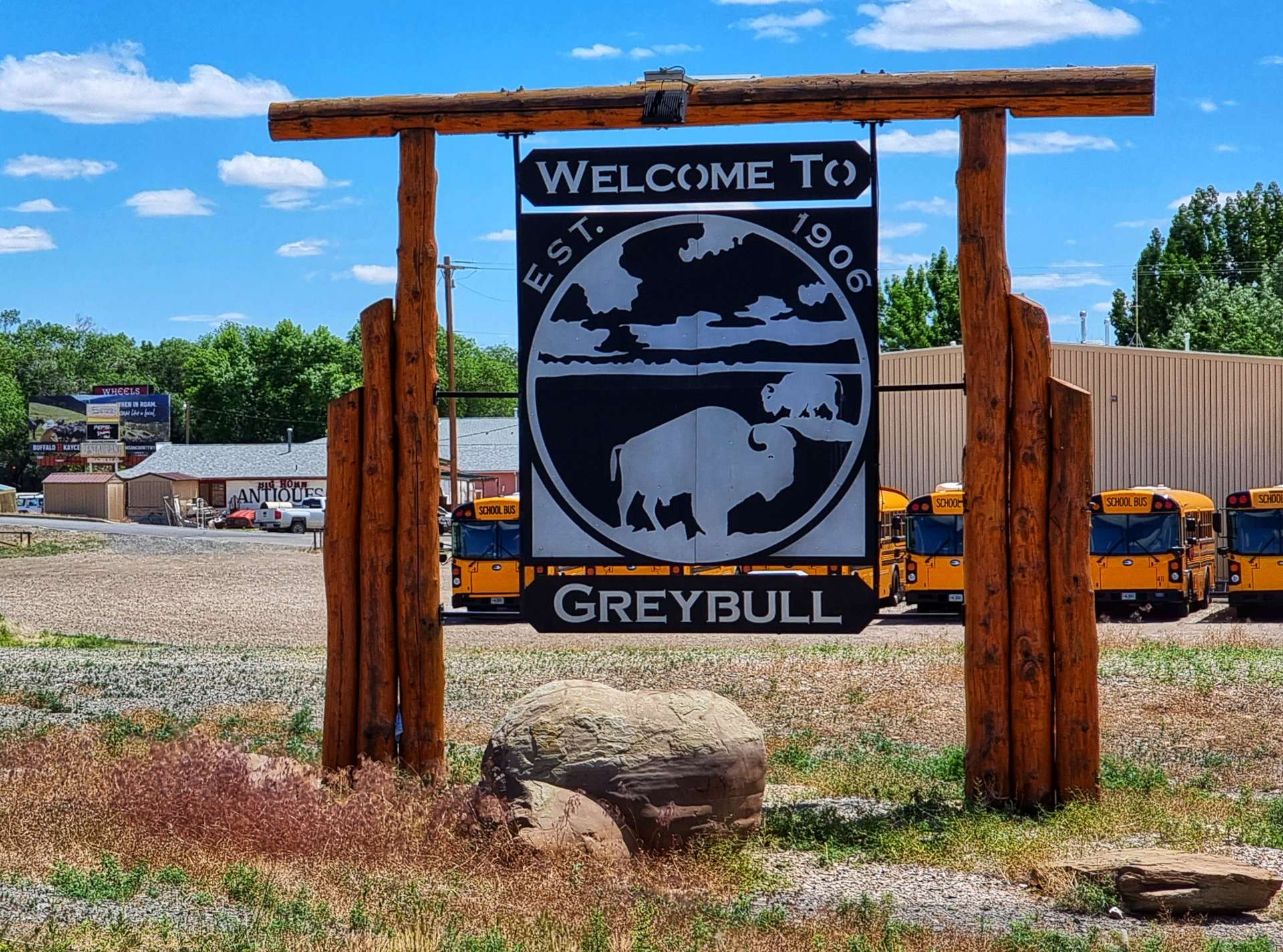
Sunday 26th June – Greybull to Tensleep, Leigh Creek Campground.
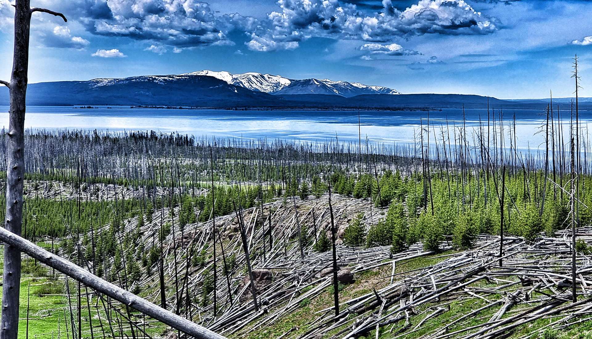
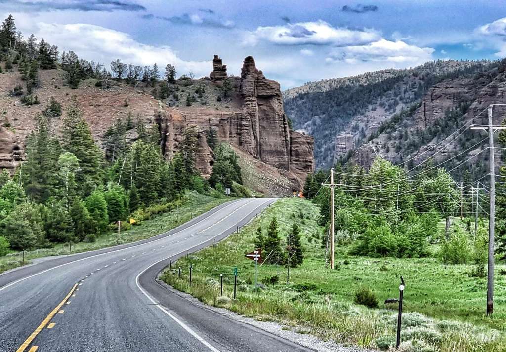
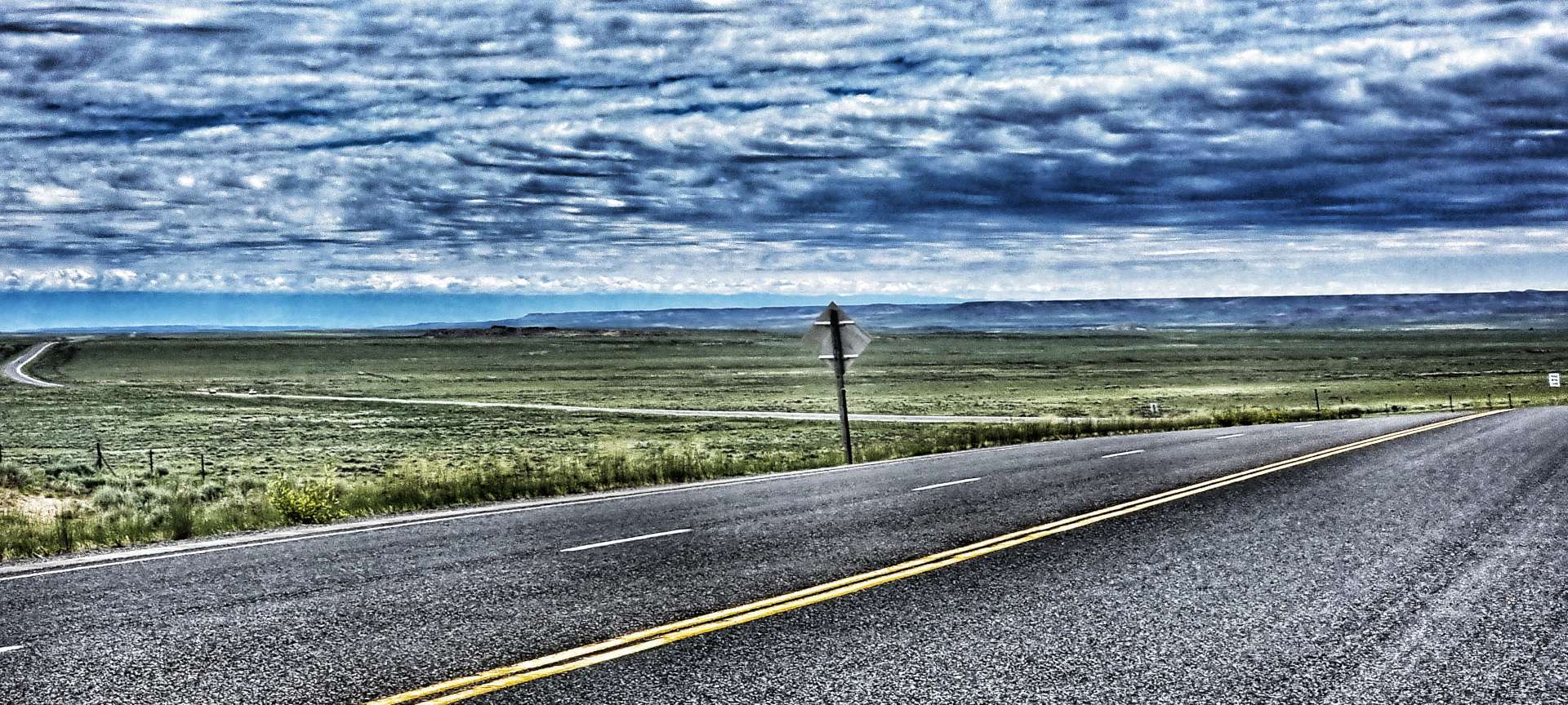
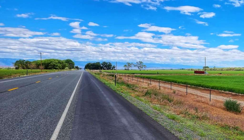
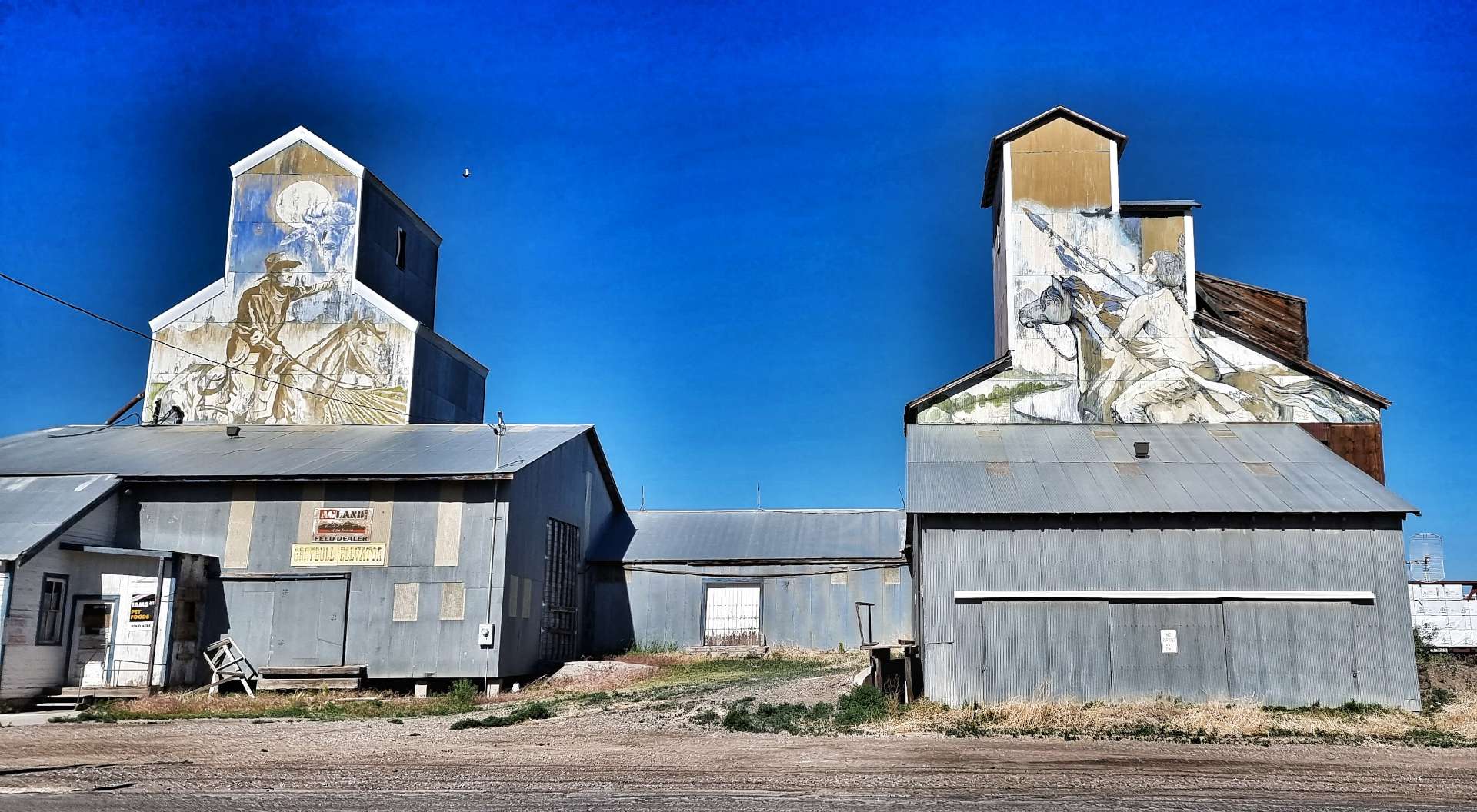
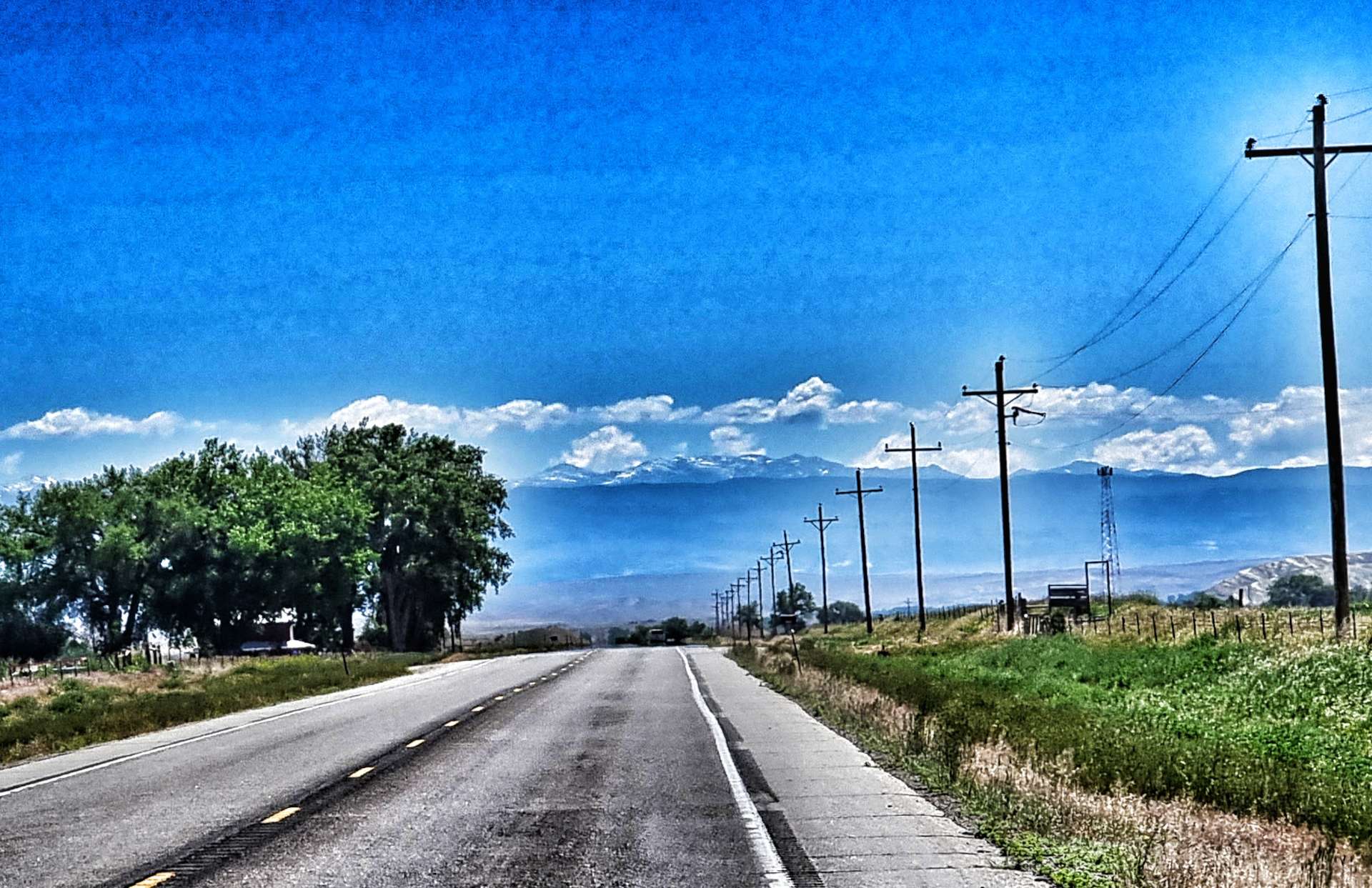
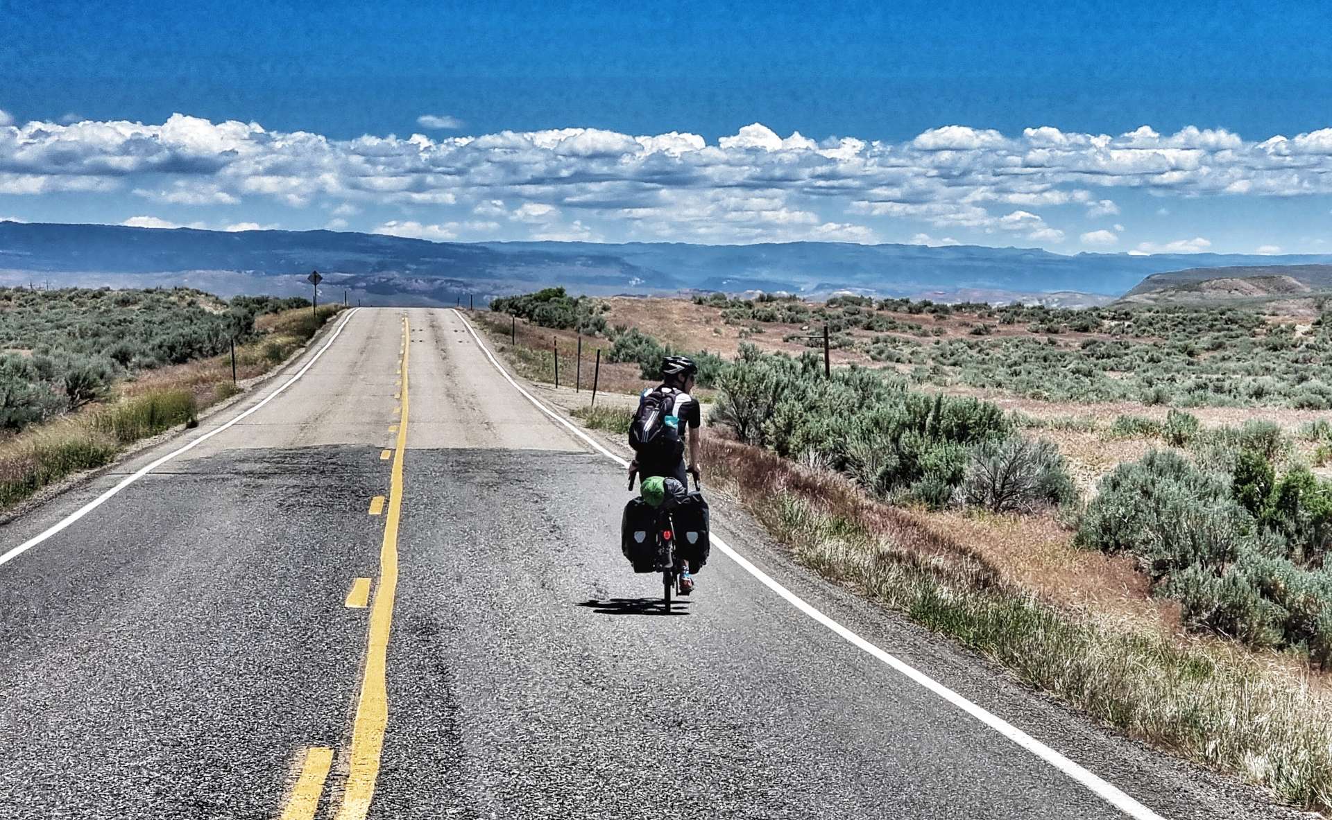
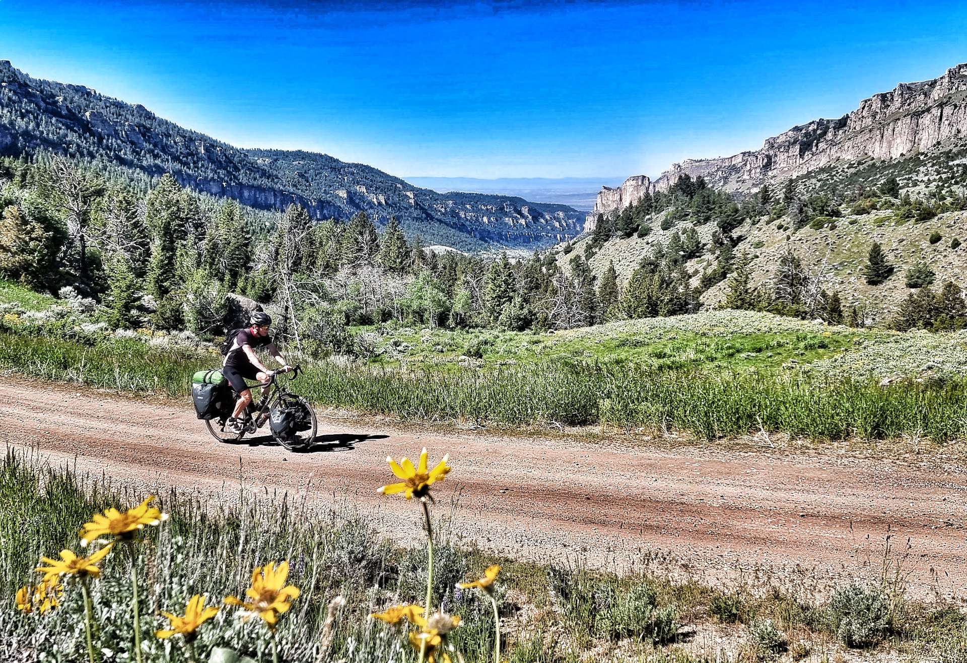
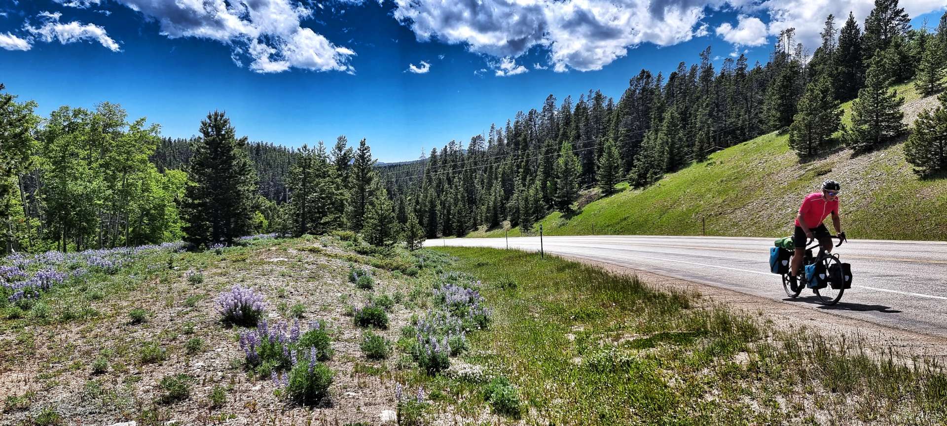
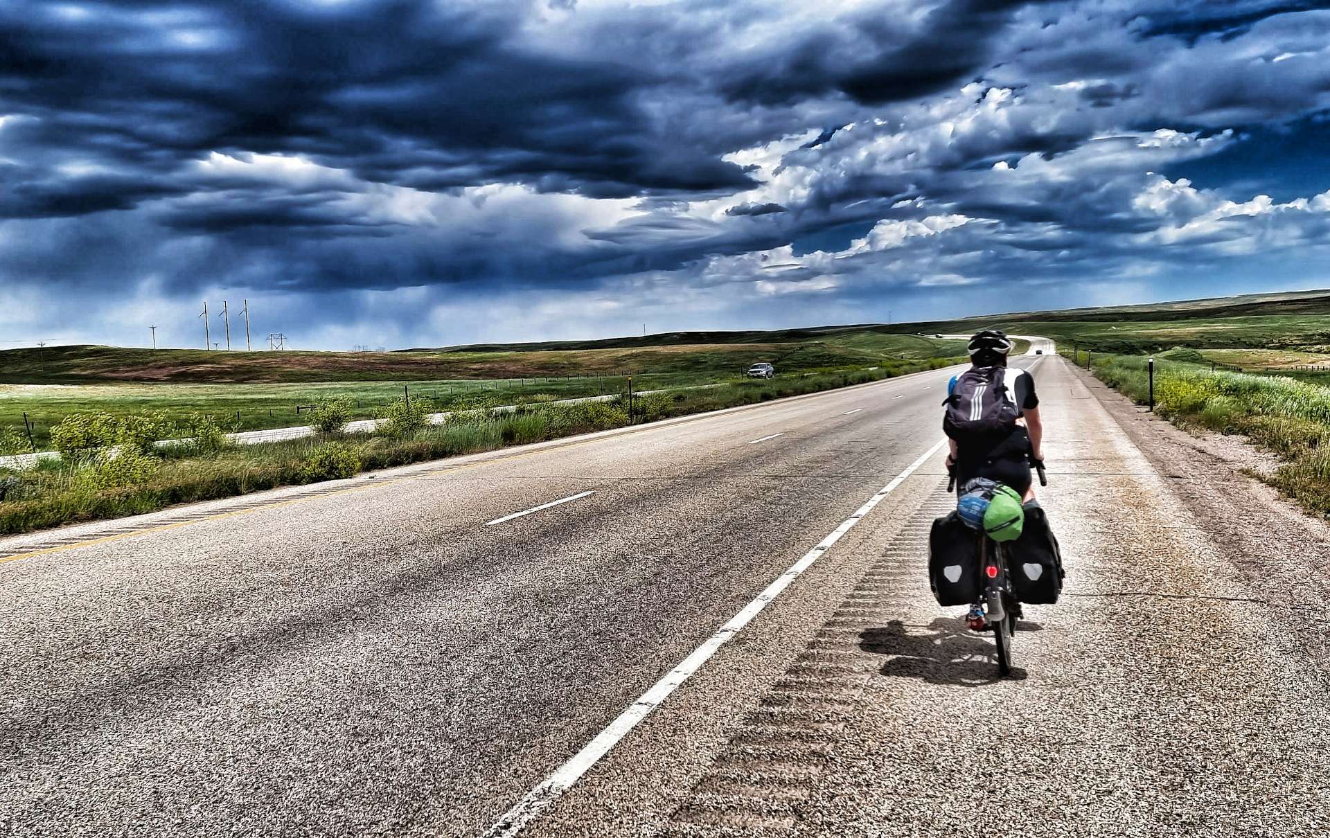
After a continental style breakfast at the motel, we were on the road by just after 9.30 – this was the first morning it felt hot from the moment we set off. Right outside our motel some top quality murals had been painted on the Elevator Buildings. Leaving town on Highway 20, we crossed the Greybull river before heading in the direction of Basin. The surrounding landscape was fairly barren, with the snowy peaks of the high mountains just visible in the far distance.

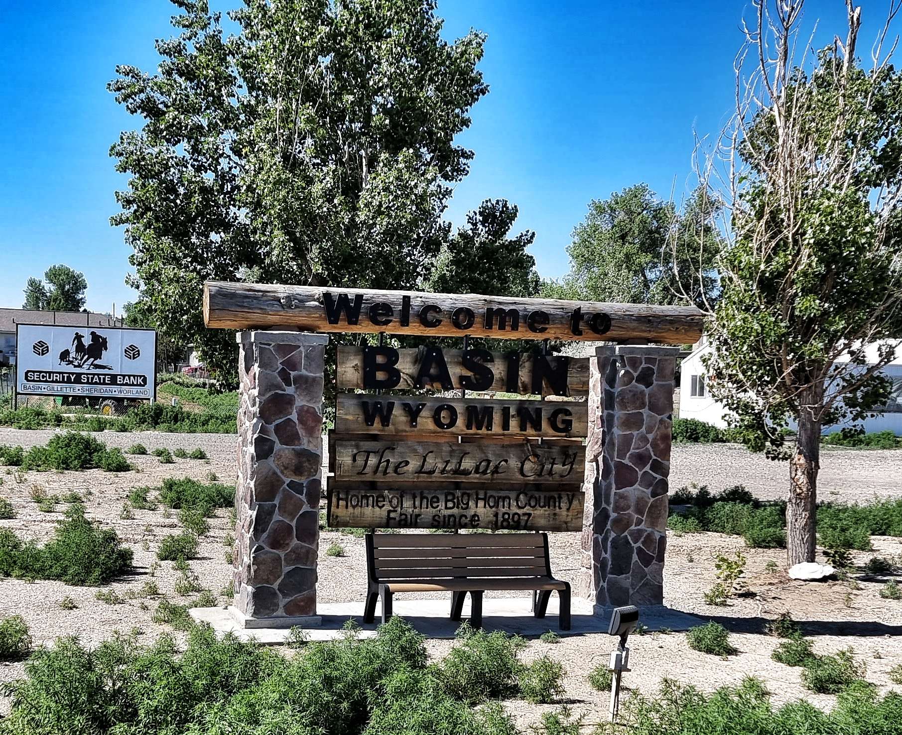

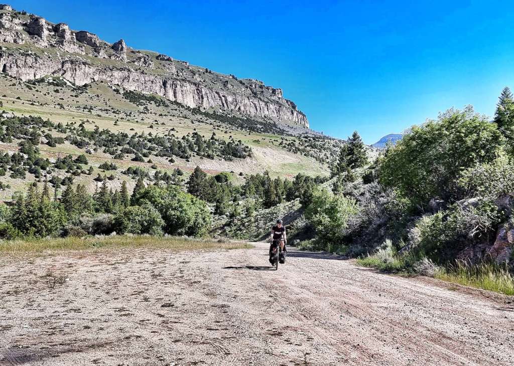
As we exited Basin we took a left turn onto a small two lane road – this was another Adventure Cycling Association recommendation that would ensure we saw no roadworthy cars for the next 45 minutes, although we did see a classic car at Lewis’s Place!!! It also gave me an opportunity to get in some Hay Bale Surfing practice & looking at the photo I still need quite a bit more training!!! Eight weeks of cycling has certainly reduced my flexibility in my lower back & hamstrings.


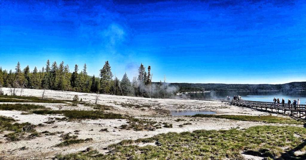
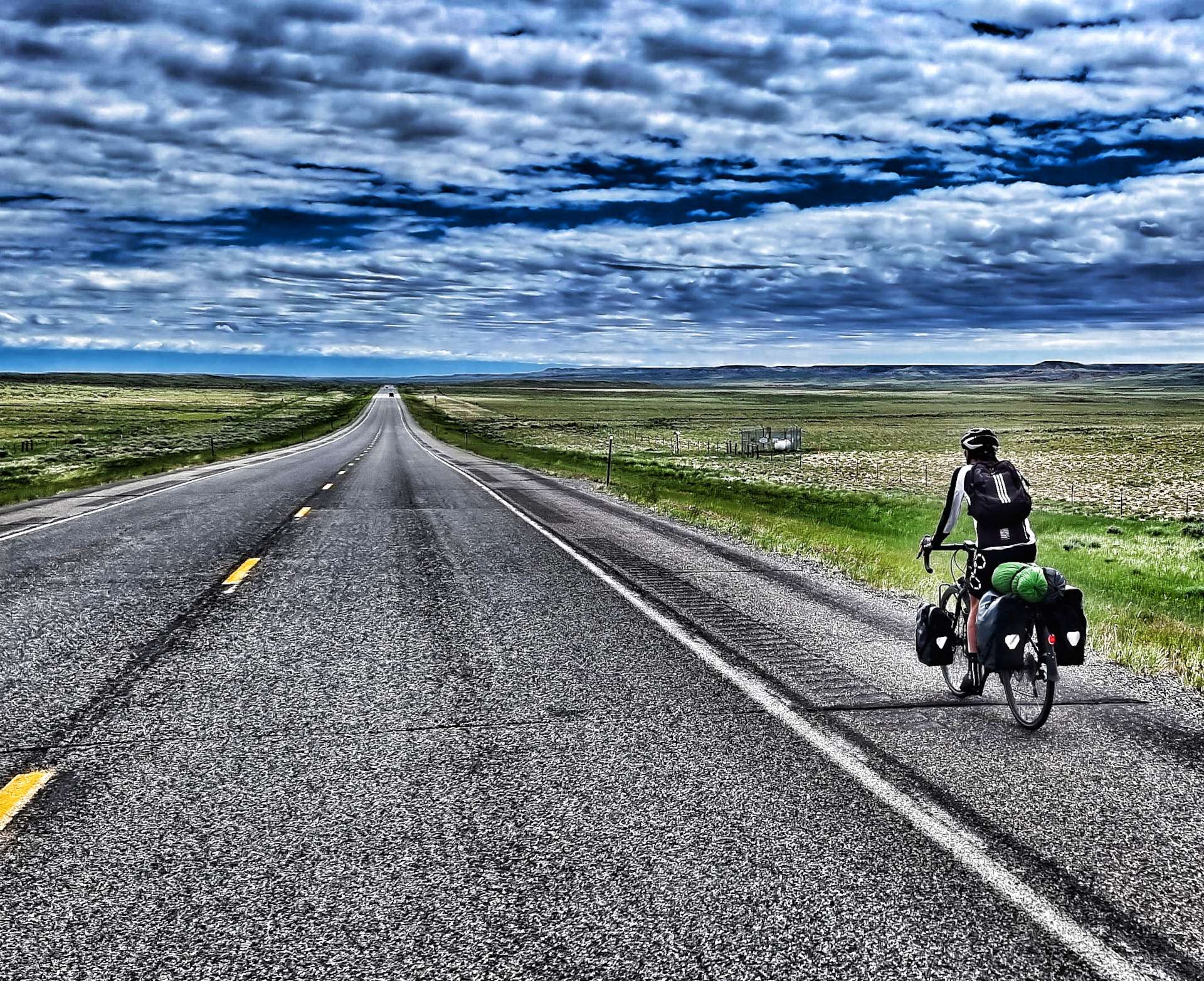
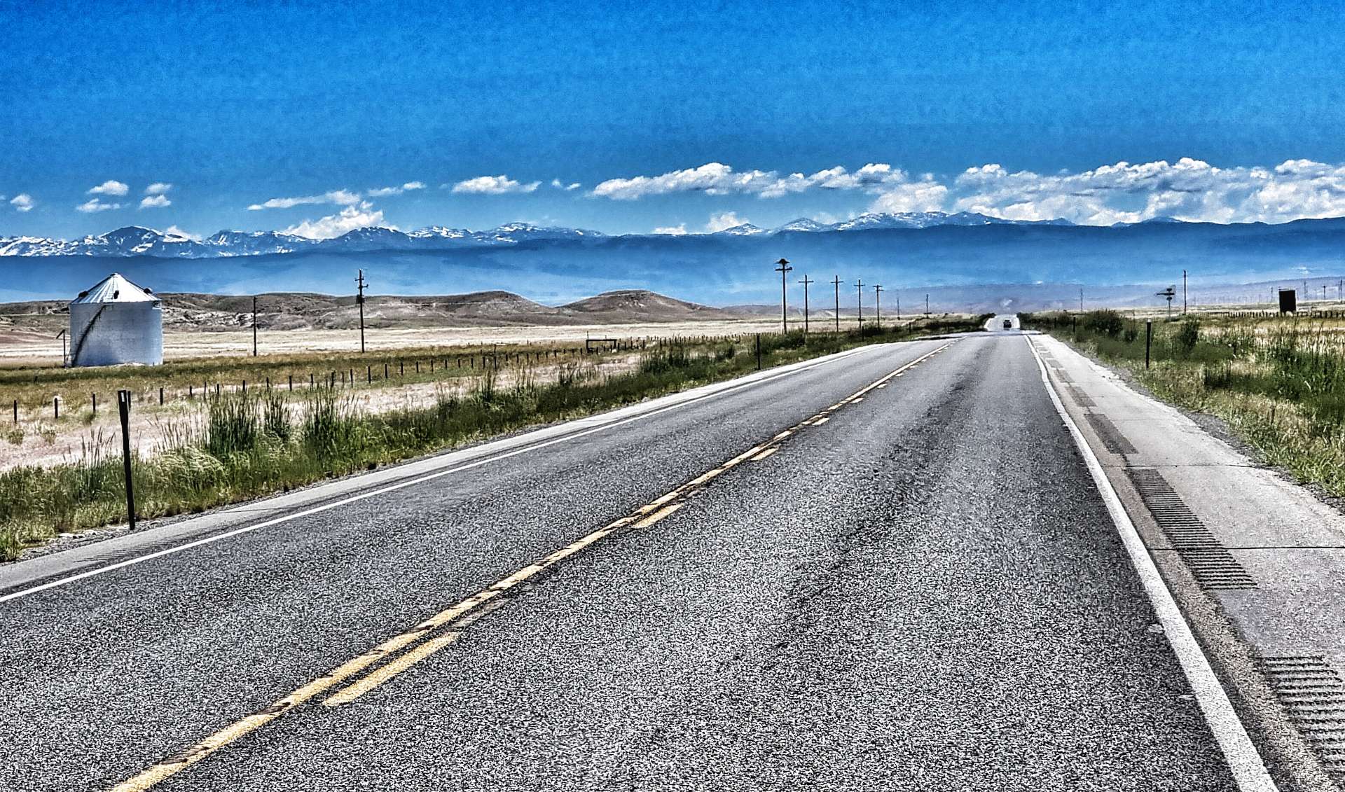
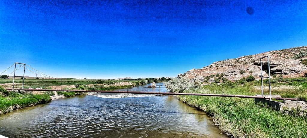
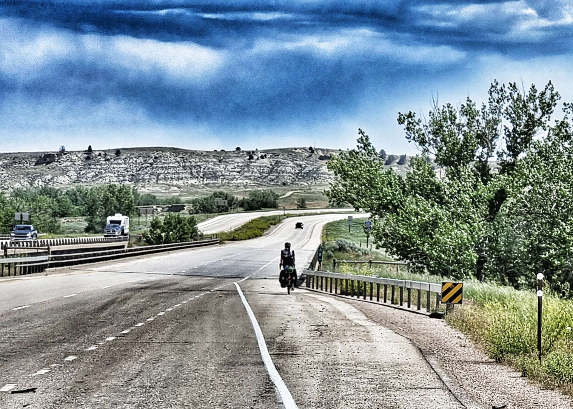
As we reached Manderson & crossed the Bighorn river, we watched a boat heading upstream & pull in by the boat launch point. They’d spent an hour or so fishing further downriver – it didn’t look like they’d caught anything. Within 5 minutes we were in the wild wilderness, with nodding donkeys off to the left & right of us, while directly ahead was a shimmering heat-haze.
There was no protection from the sun & we were also getting slightly concerned about our water supplies, as we hadn’t seen anywhere to top up ou 3 bottles & the water was starting to get warm & a bit unpleasant to drink.


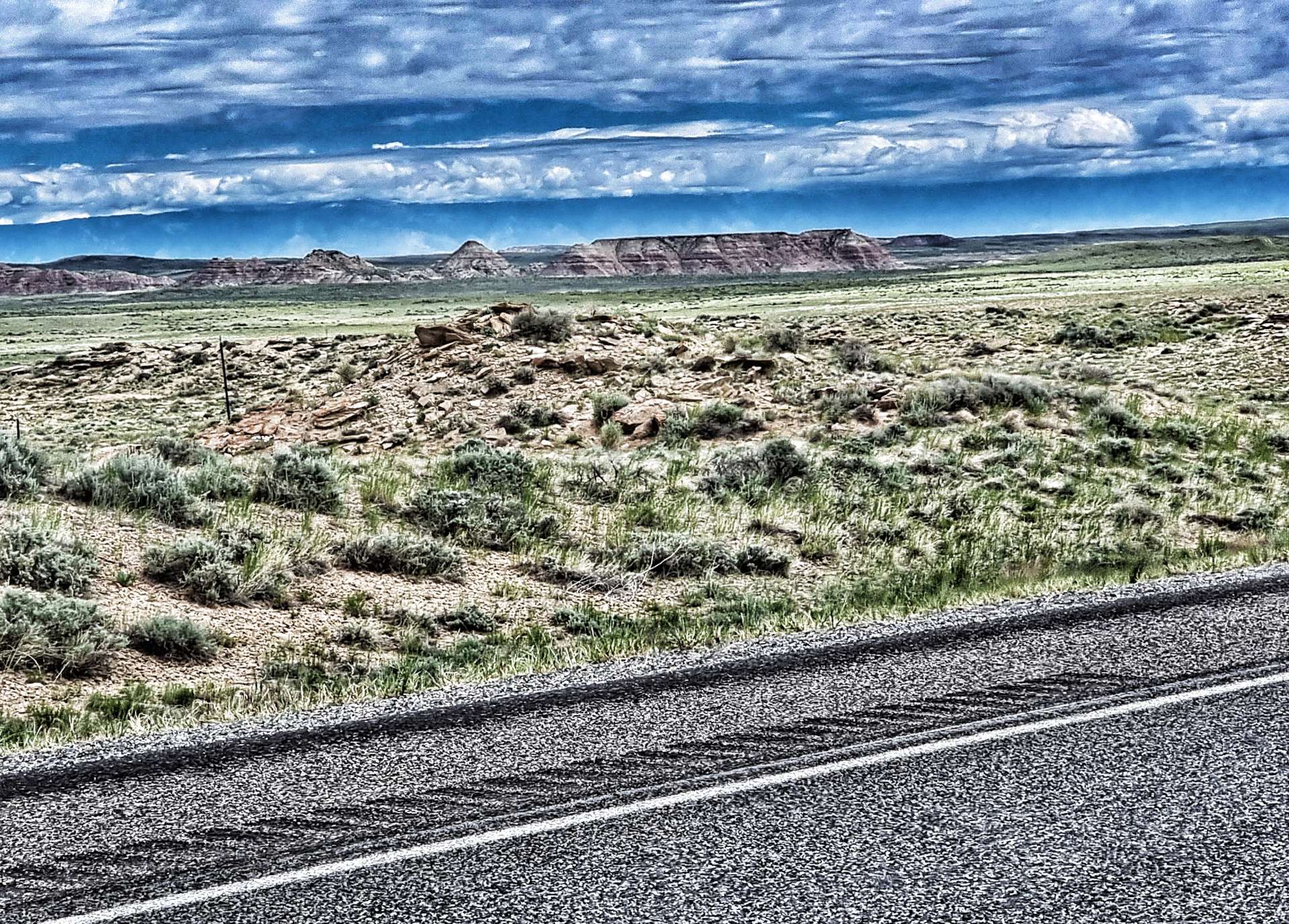
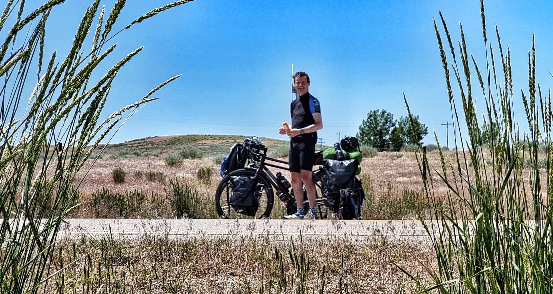
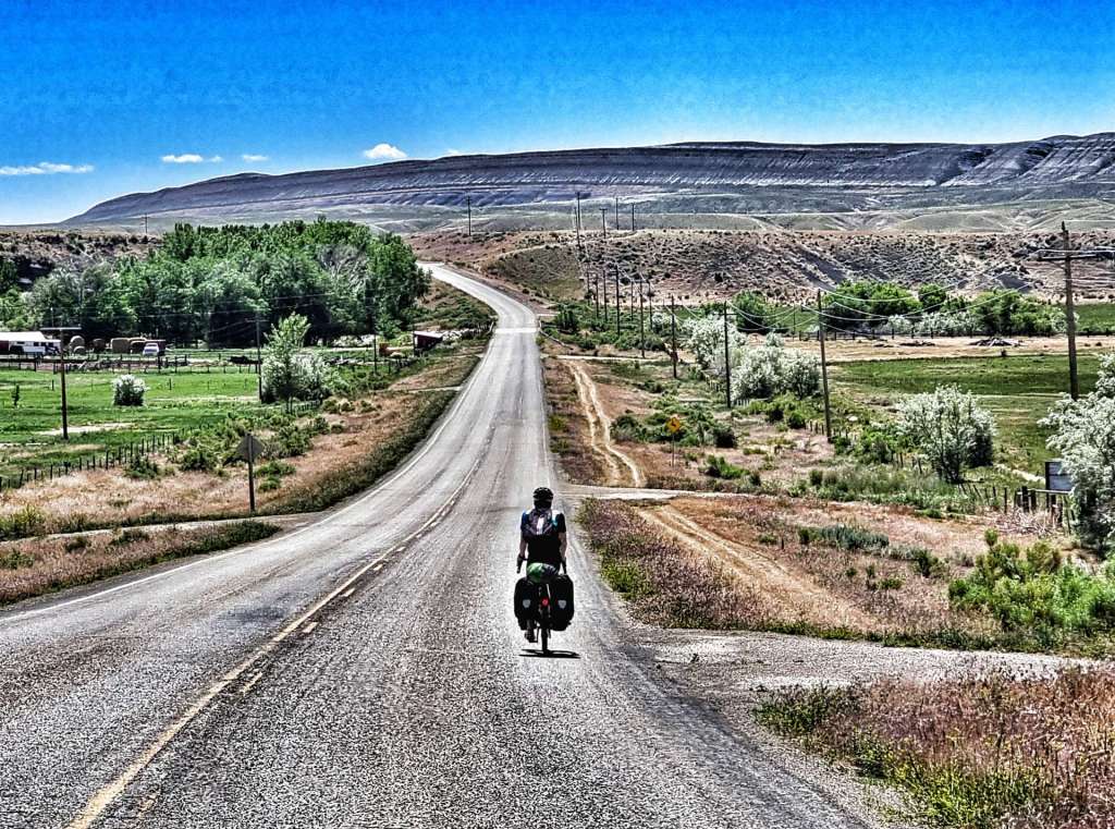
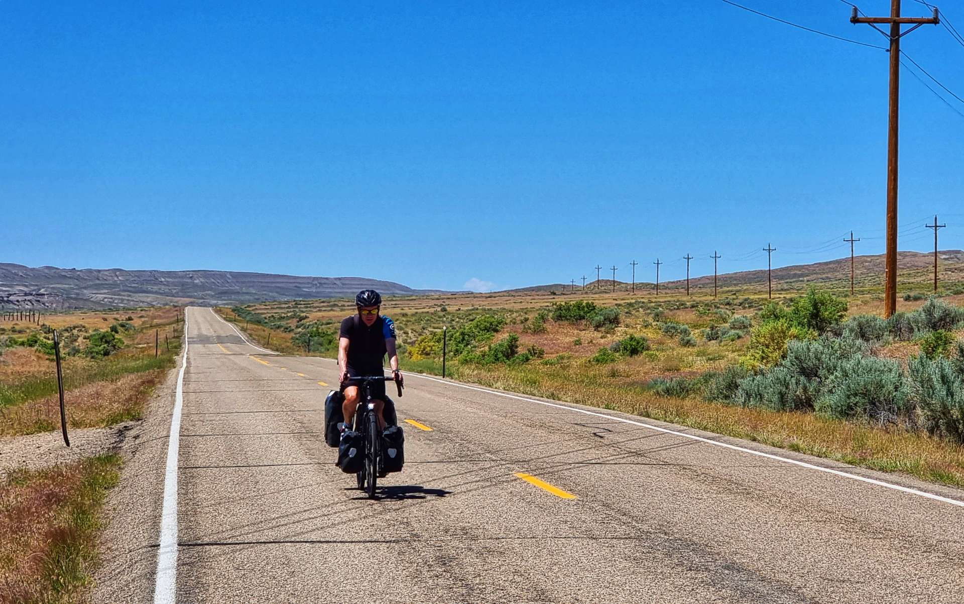
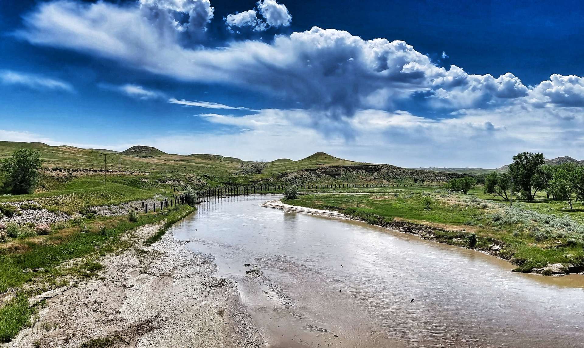
The Nowood river snaked its way across the valley floor, resulting in pockets of green verdant pastures every now & again, before we were plunged back into prairie & brush. It was hot enough that regular applications of suntan lotion were required – on one stop I managed to find a slightly arty photo opportunity.


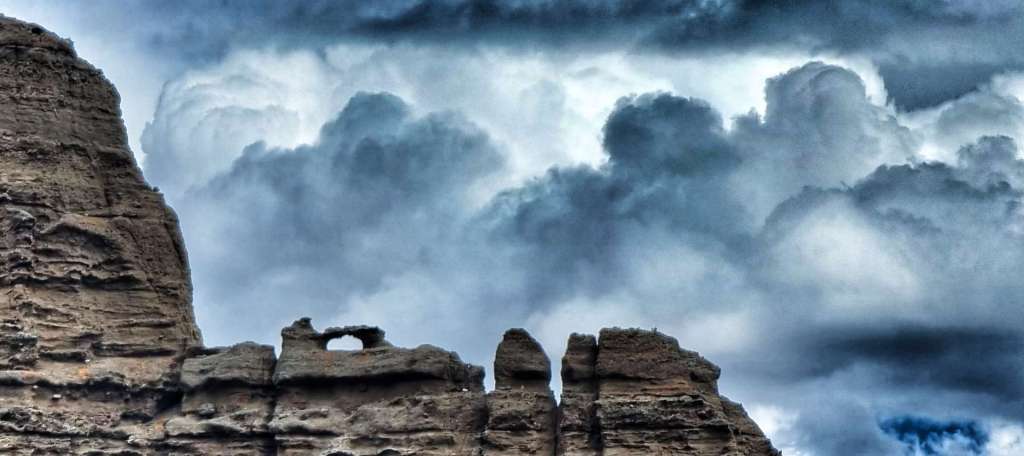
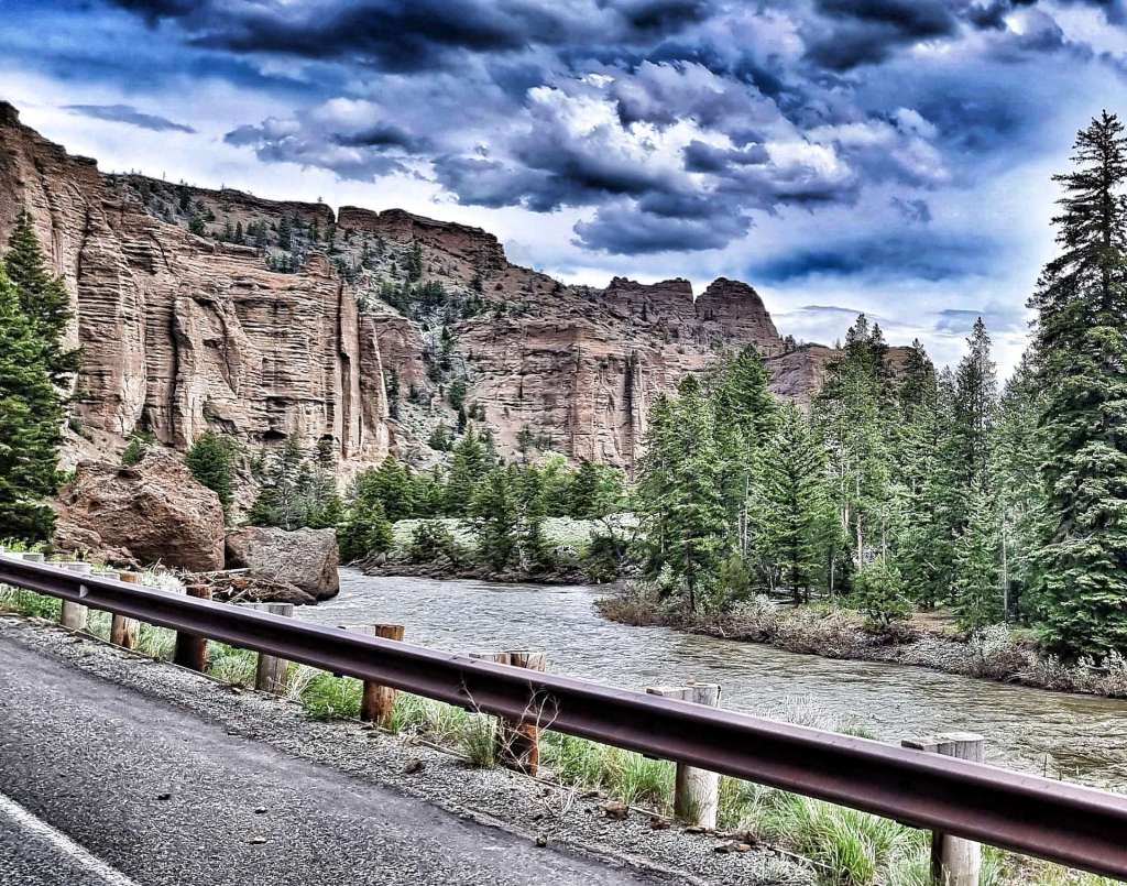
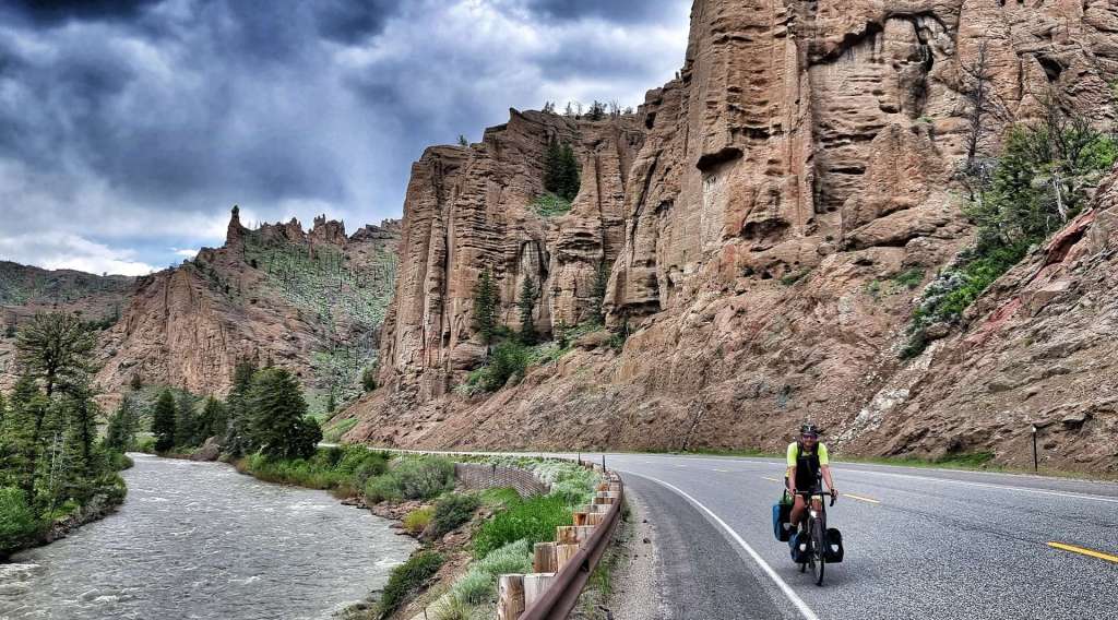
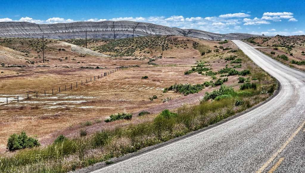
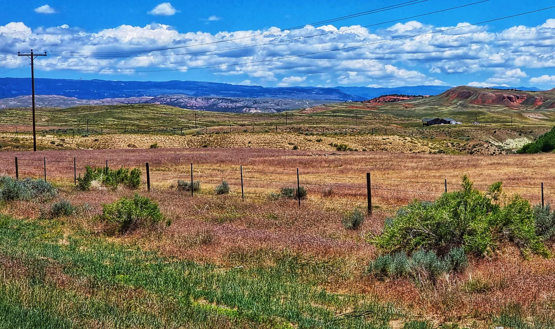
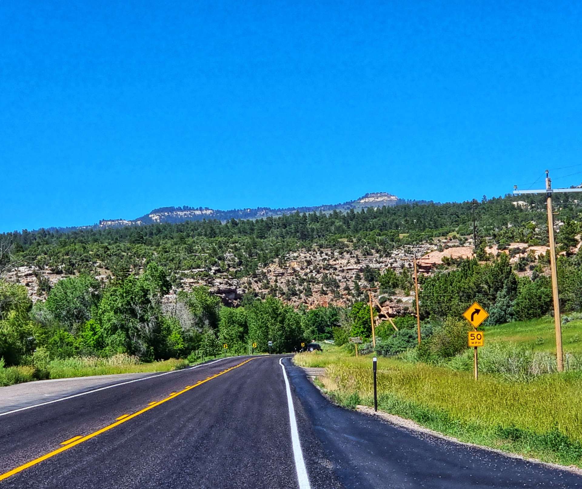
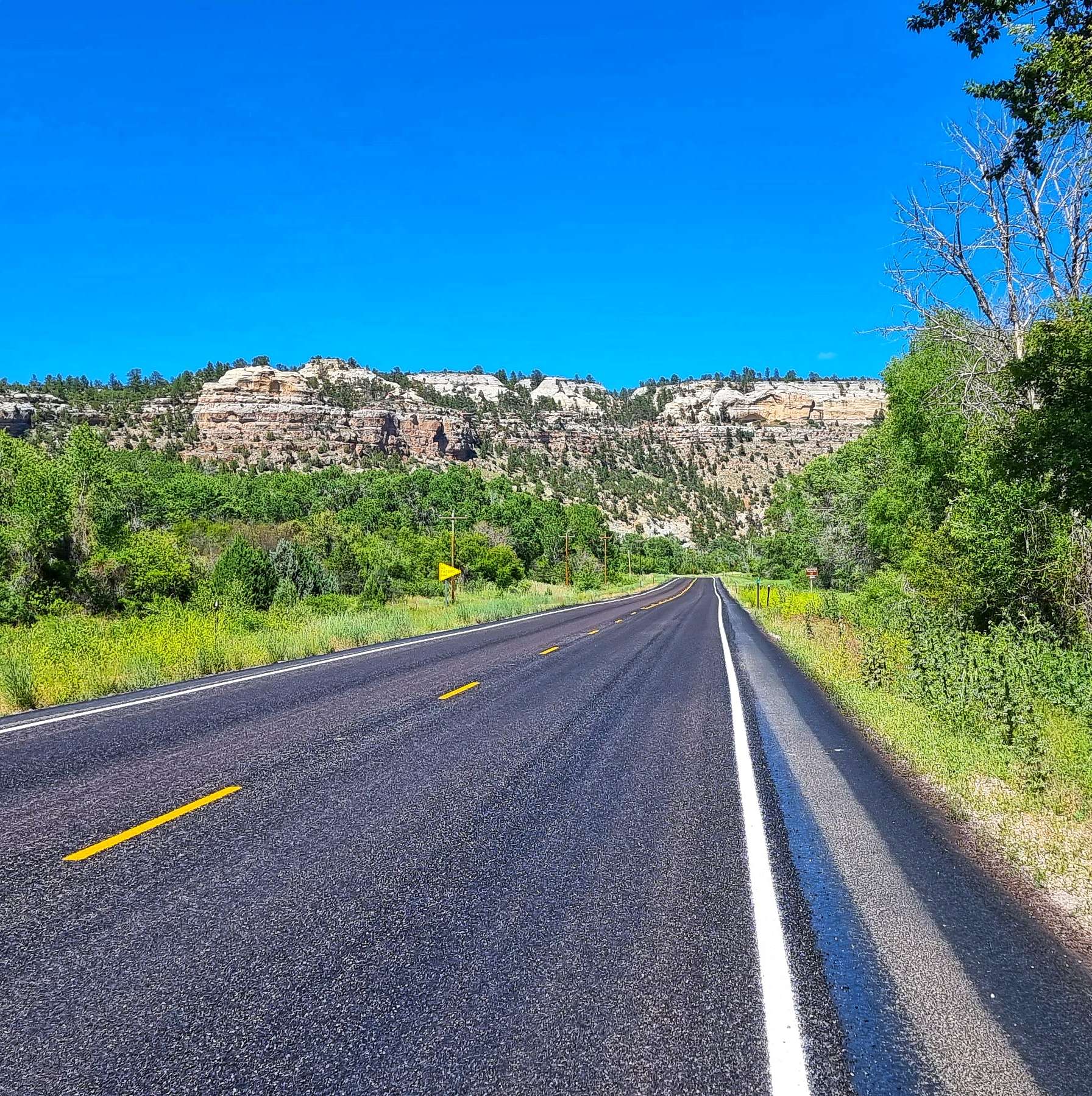
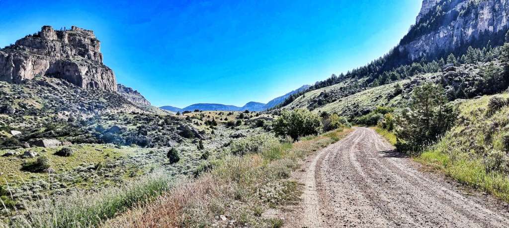
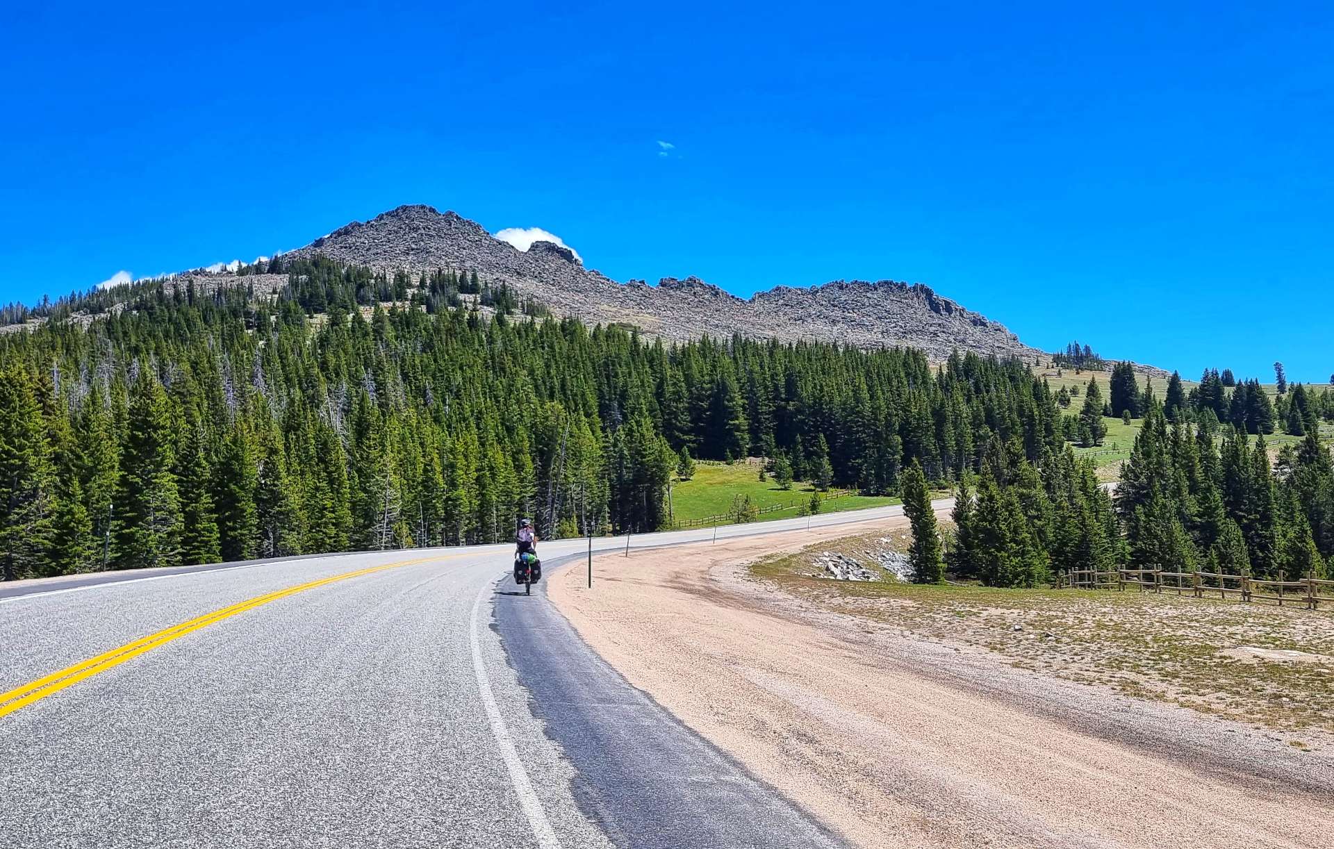
Eventually the Nowood river joined the larger Bighorn just before we took a right turn along County Road 43 1/2 – the roads were becoming ever more remote & the views were beginning to grow larger, with the red, yellow, purple & grey bachdrops.
Remember me mentioning it being hot & us not finding anywhere to re-fill our bottles? Well, we were now carefully rationing our drinking to ensure we could make it to Tensleep, the next place we knew there would be supplies. This also required us to ride slightly slower, so we could manage how much we sweated – we weren’t in any danger, just facing a minor inconvenience! In the end it wasn’t a problem, as Nathan from Bicycle Adventures was providing support to a private cycle tour & he pulled in as he passed us.
We chatted for about 20 minutes & he kindly topped us up with water, as well as giving us an ice cold coke – a real treat on a baking hot day! We shared a few cycling adventure stories & he told us about some of his European trips. Once again we’ve been introduced to the generosity of the people we’ve met. I dropped him & his tour company a thank you email a couple of days later, when we got back to civilisation.
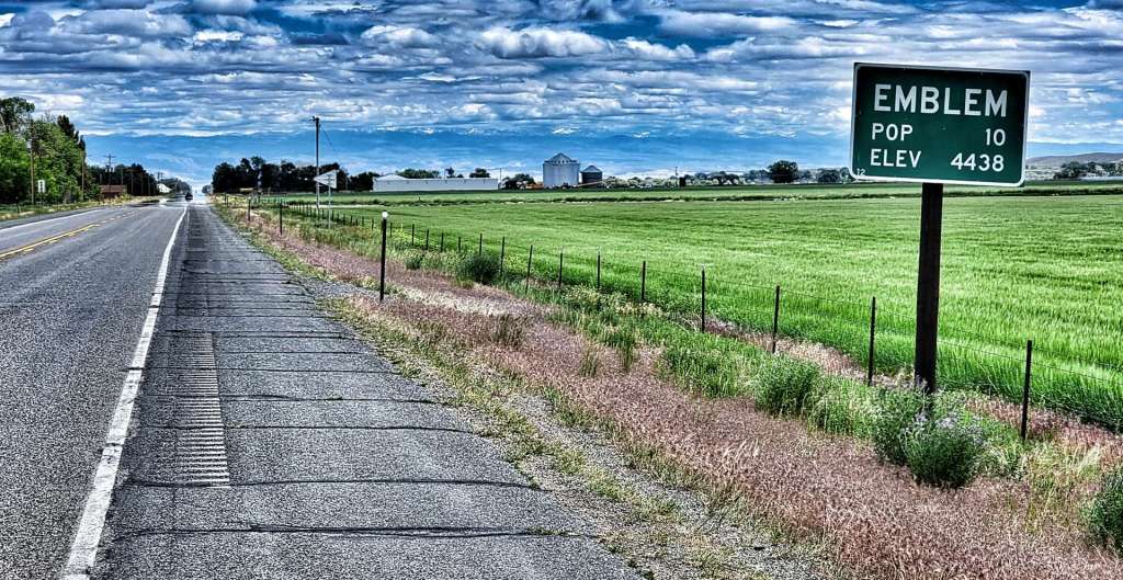
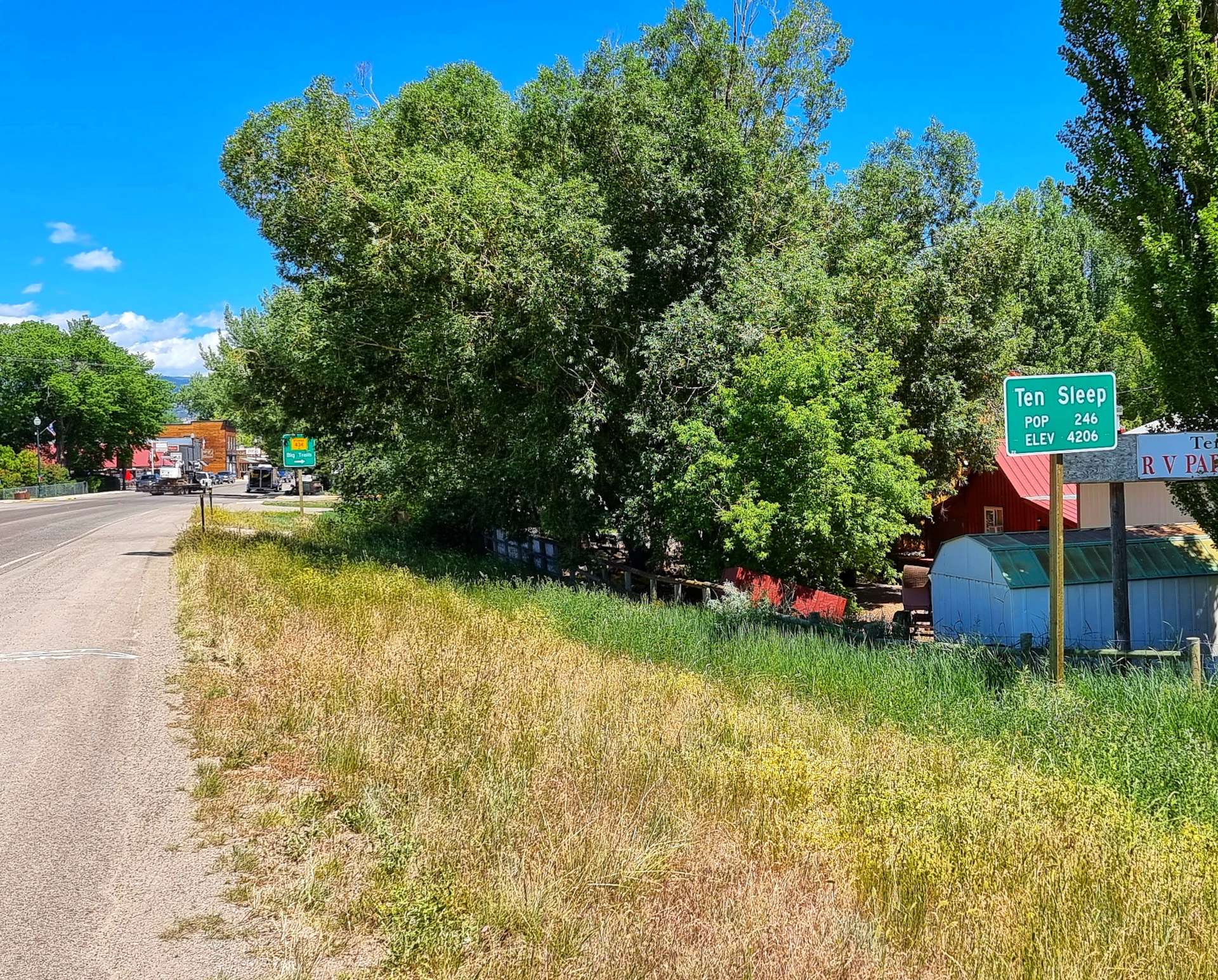
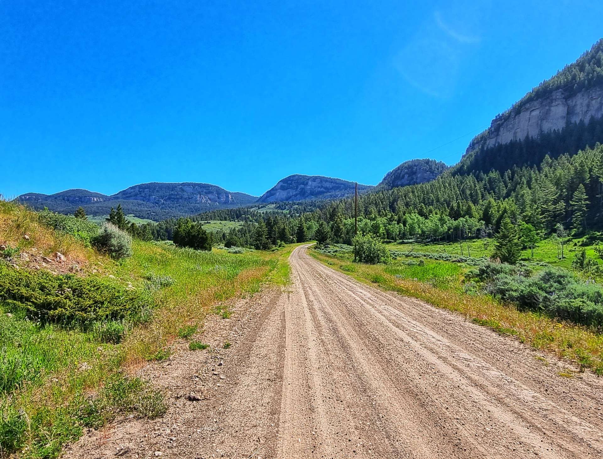
As we set off again, our spirits were lifted, in part by Nathan’s generosity & in part by the coca cola! The 5 miles into Tensleep (population 246), passed in a flash & we stopped to stock up on supplies for our camping dinner this evening. Tensleep was an American Indian rest stop & is so named because it was ten sleeps from Fort Laramie in one direction & Yellowstone in the other.
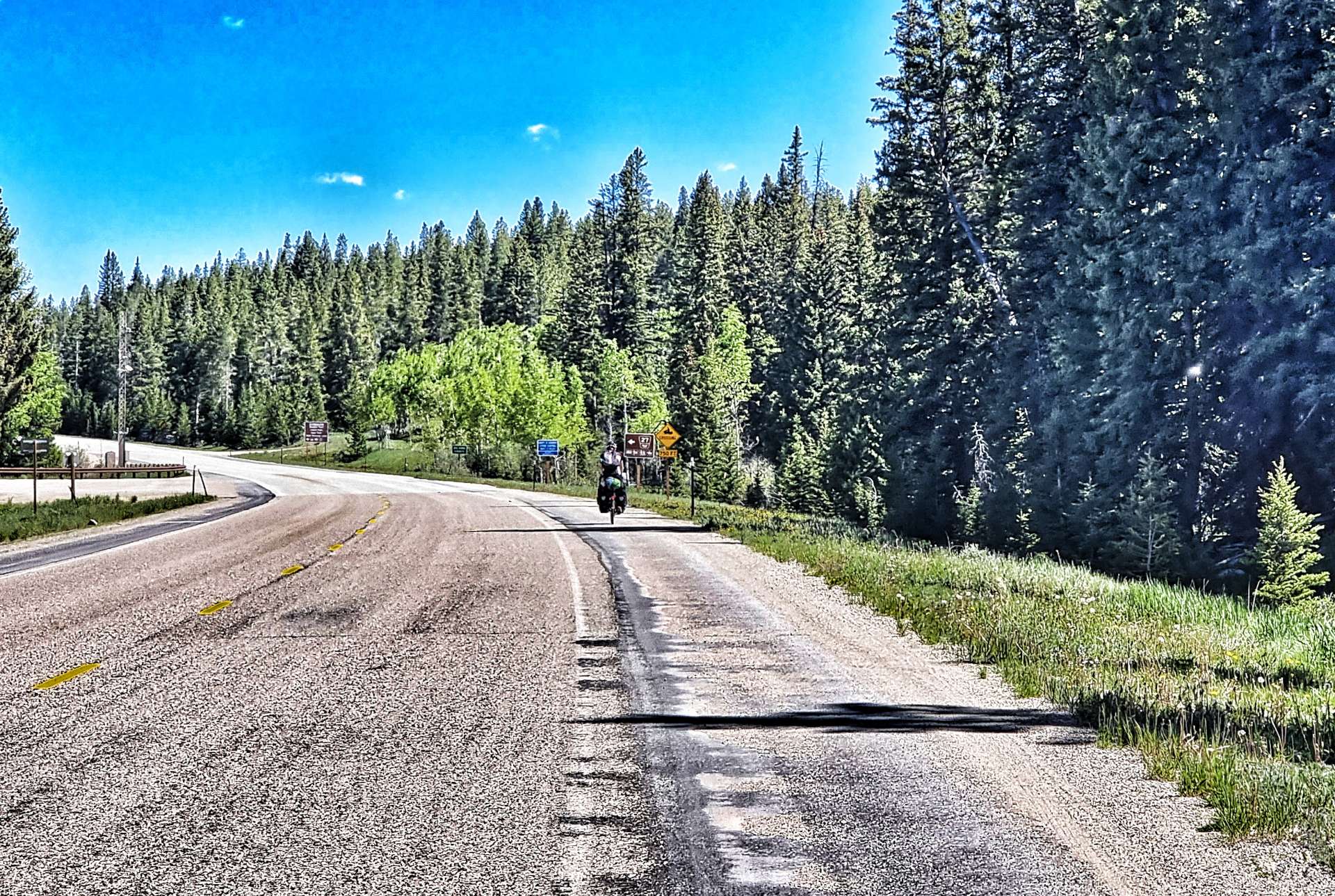
Leaving town we picked up new tarmac as we joined Scenic Byway 16. We continued for about 8 miles, as we climbed the shallow, lower slopes of the Powder River Pass – the big climb is tomorrow!

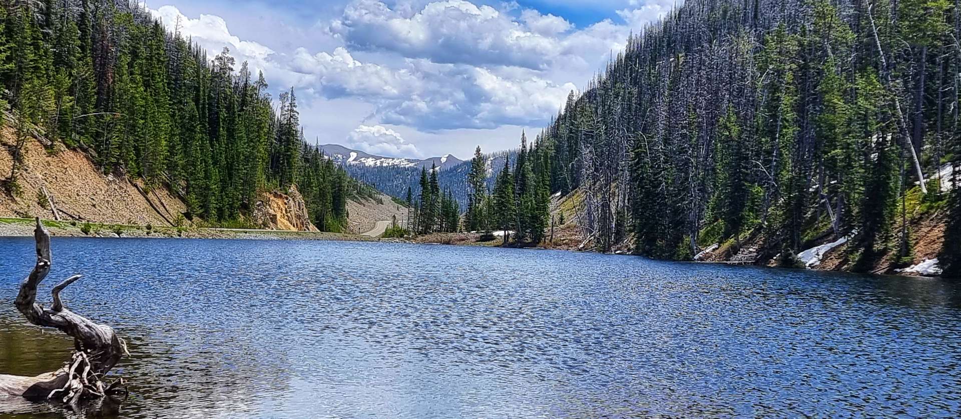
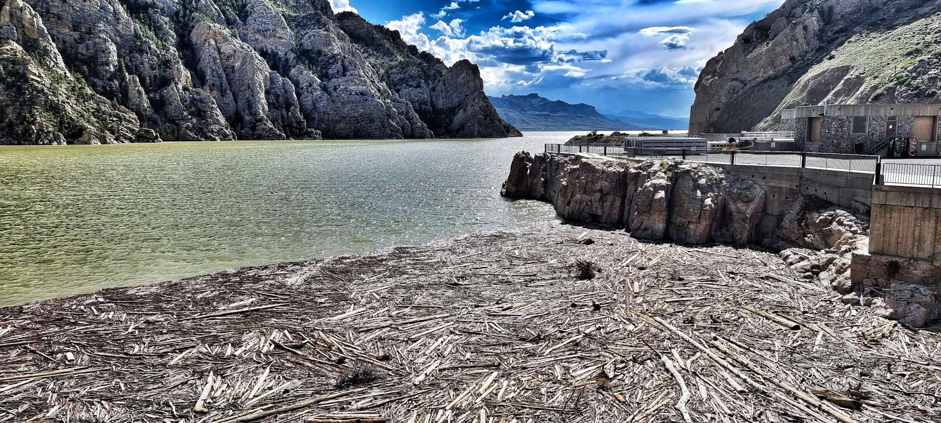
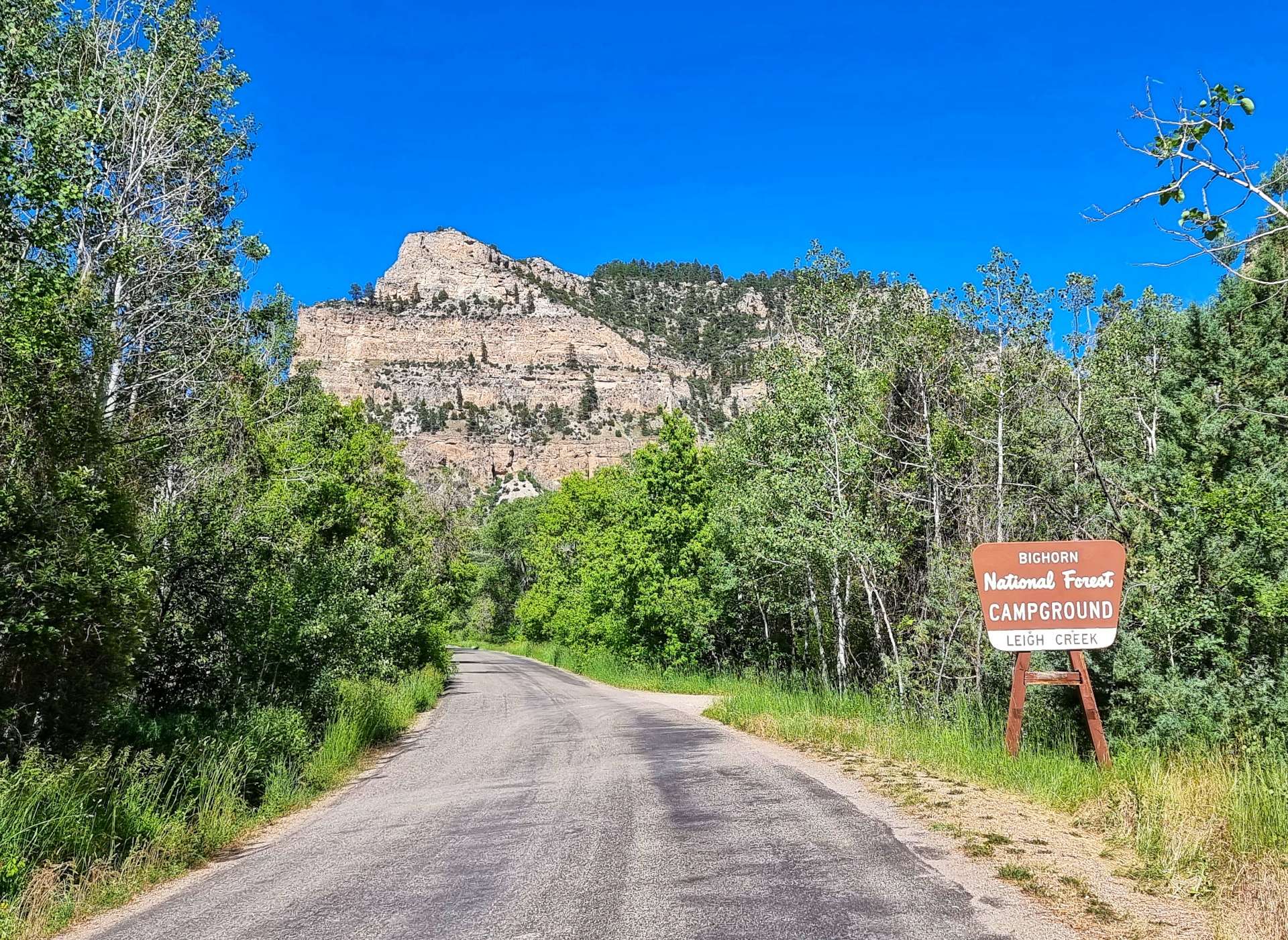
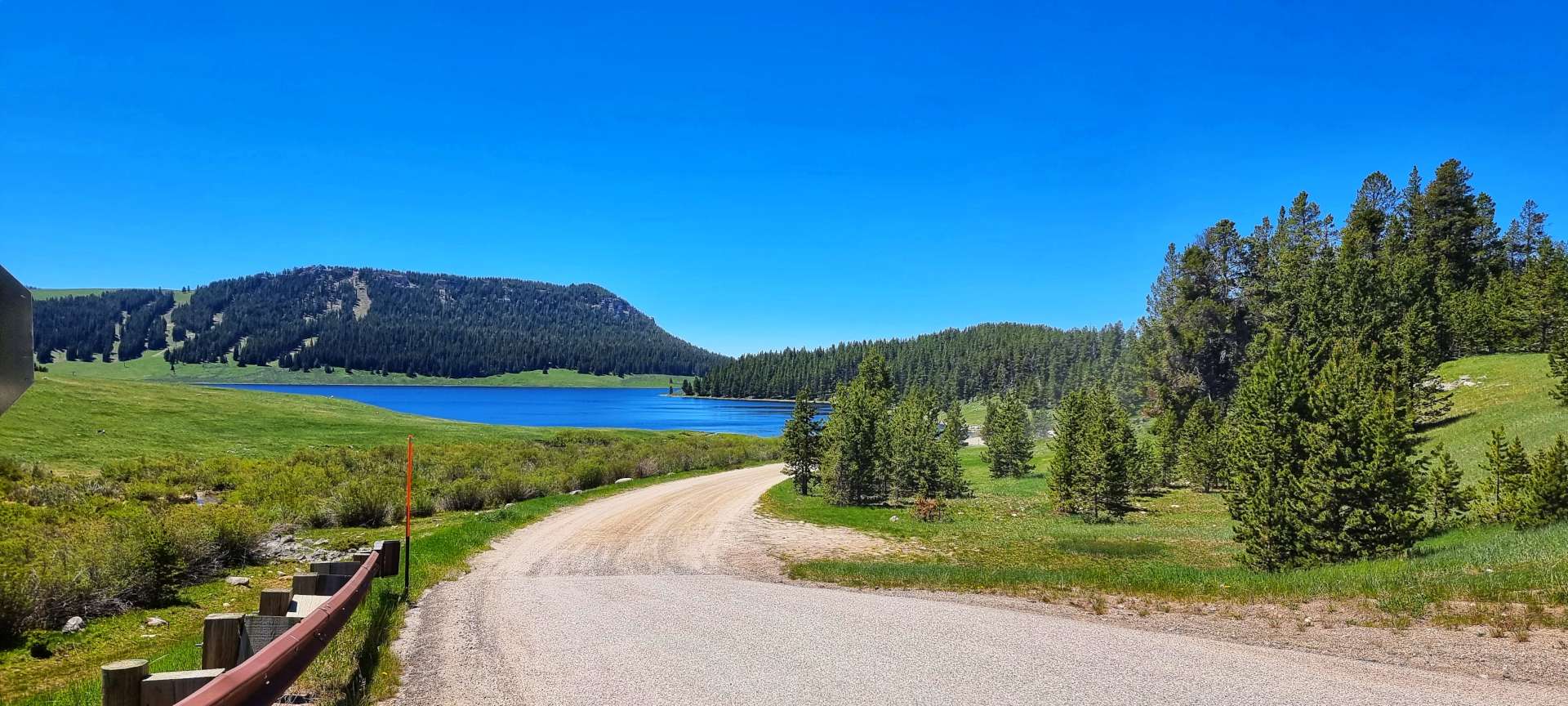
Leigh Creek Campground is a National Forest site on the old road. We were hemmed in on all sides by the imposing ancient rocks & valley walls. We quickly set to work on getting our tents pitched, so we could relax & enjoy the late afternoon sunshine.

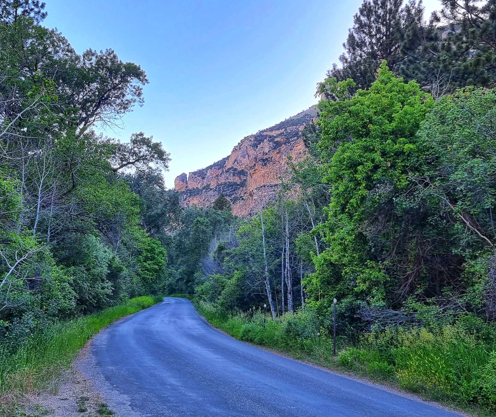
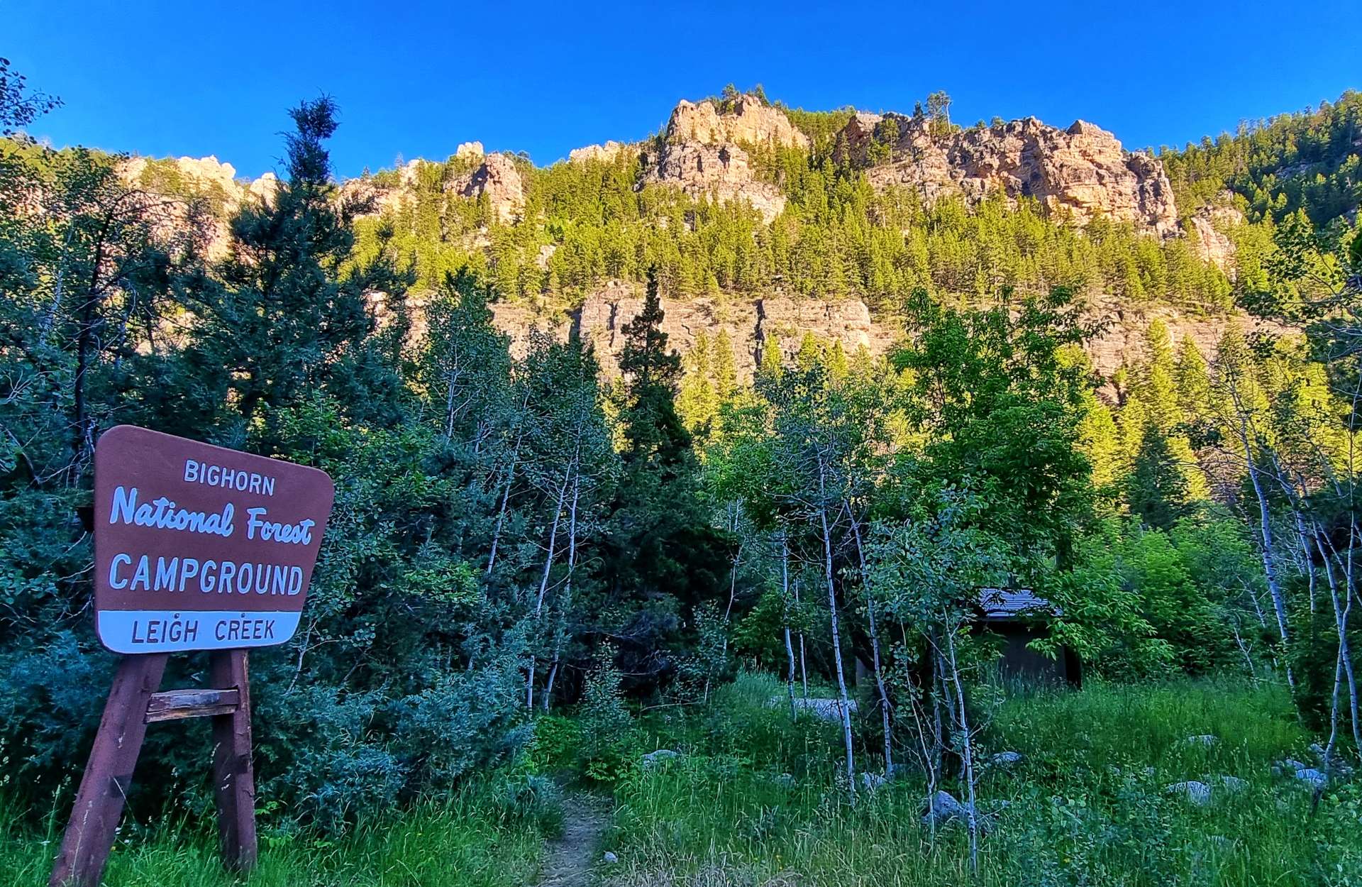
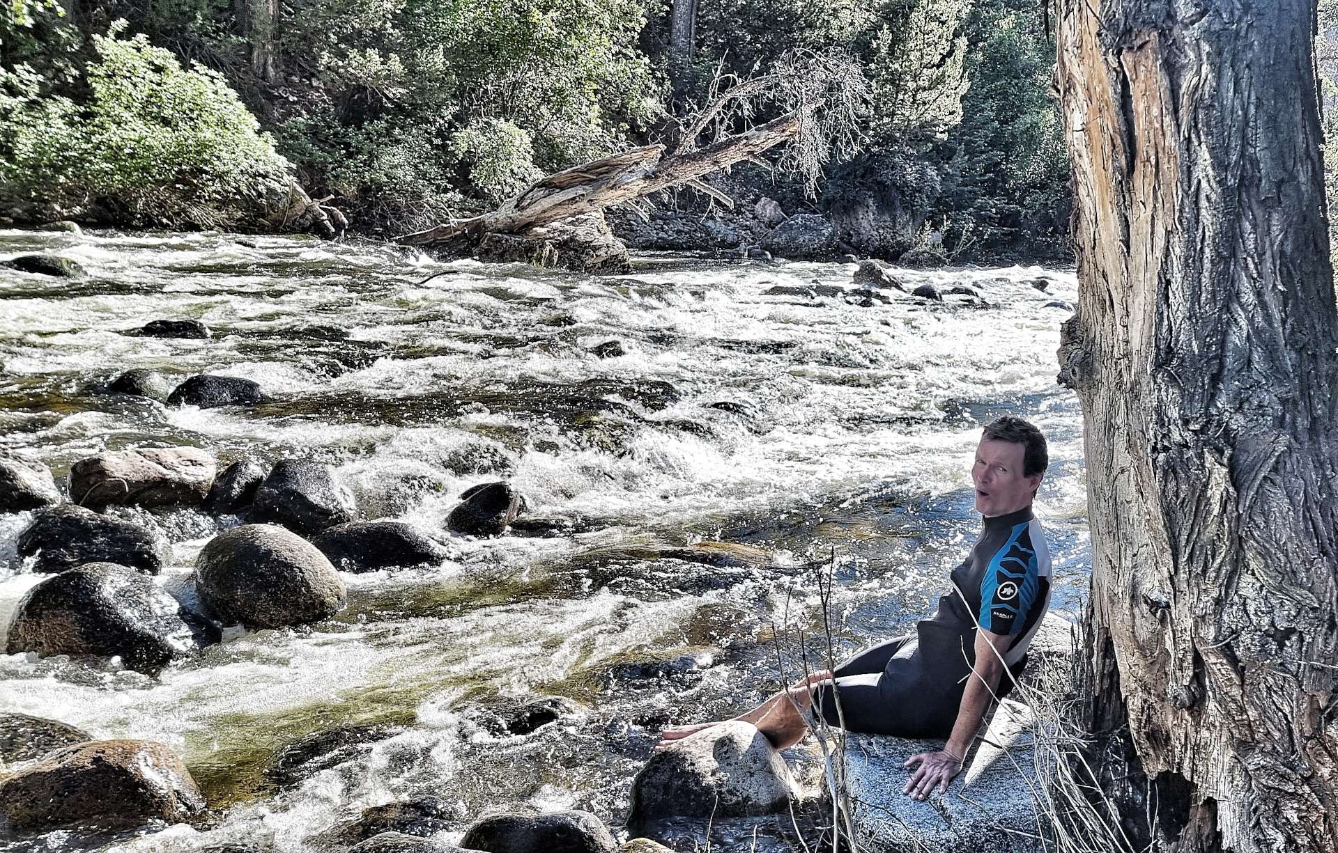
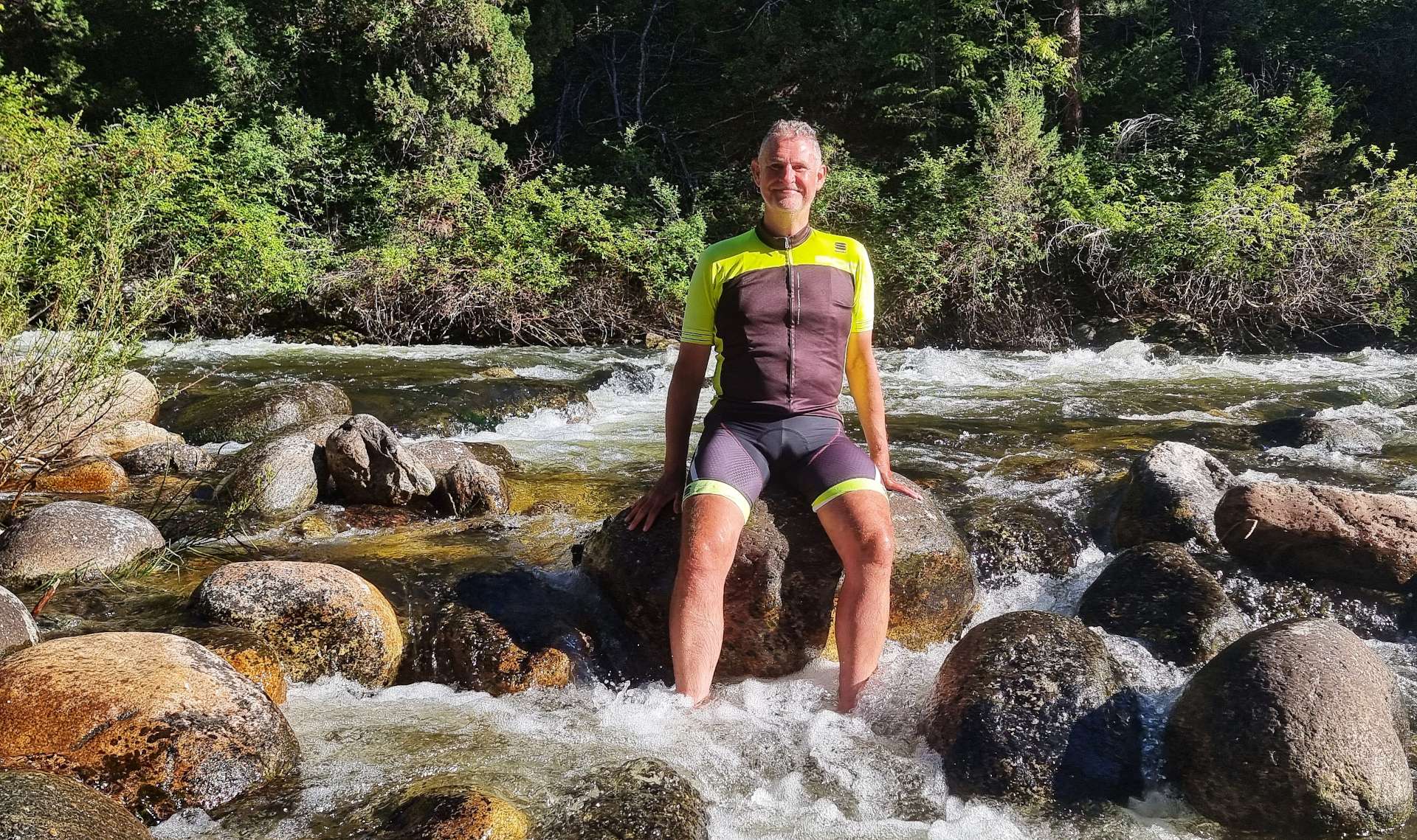
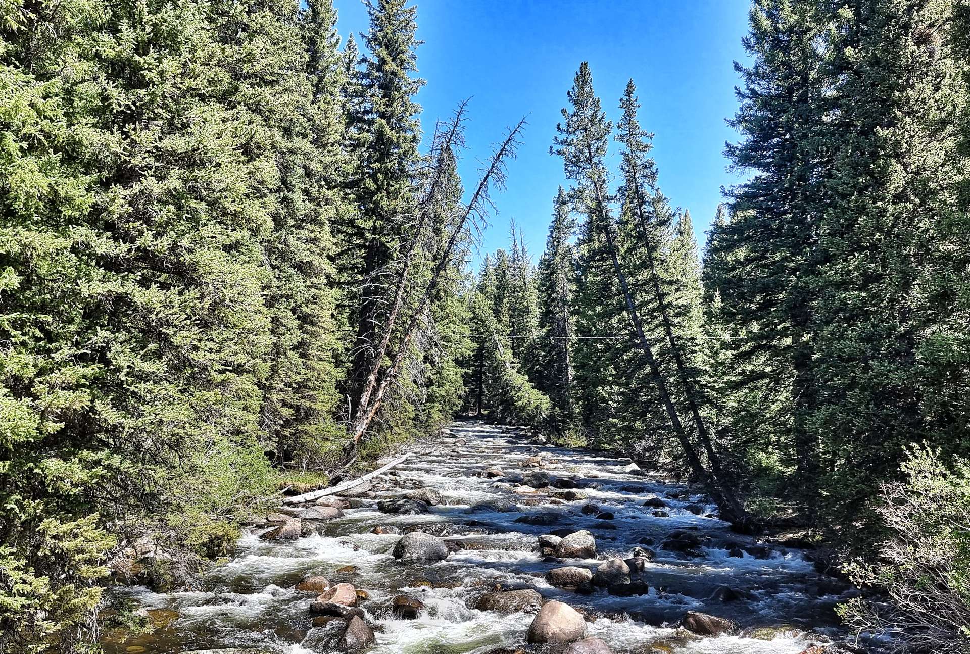
The creek is filled with run-off from the snow some 5,000 feet above us – we had our very own ice bath on site!!! We tucked in to a dinner of very average shop bought sandwiches, breakfast bars & a bag of crisps. We don’t always eat like kings!!!! Tomorrow is due to be another long day in the saddle, so we retired to our tents early to recover.

Stage Stats – 62 miles, 2,411 feet of climbing. A hot day in the saddle, rounded off with an ice bath for our feet.
Monday 27th June – Tensleep, Leigh Creek Campground to Buffalo via Powder River Pass.
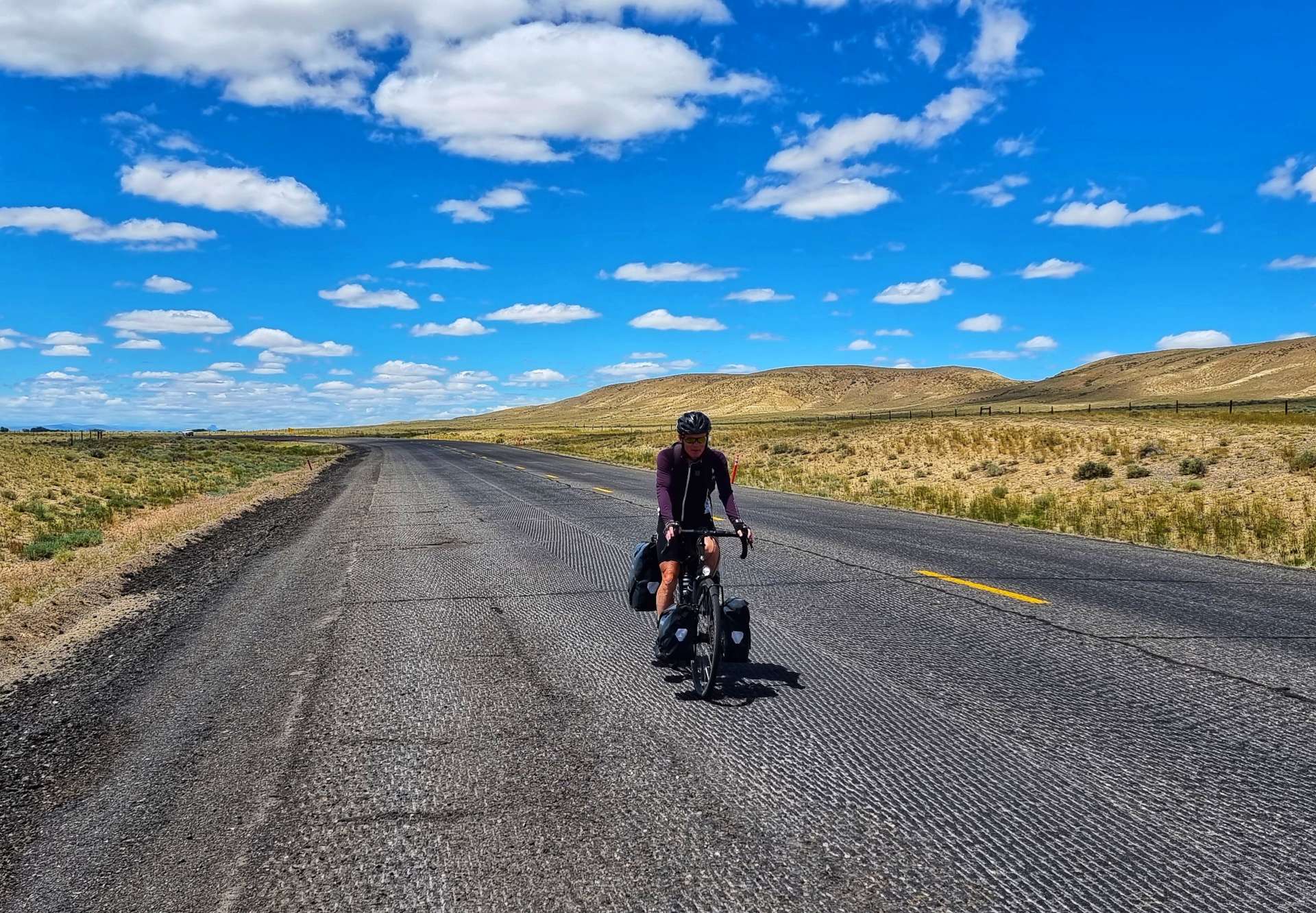
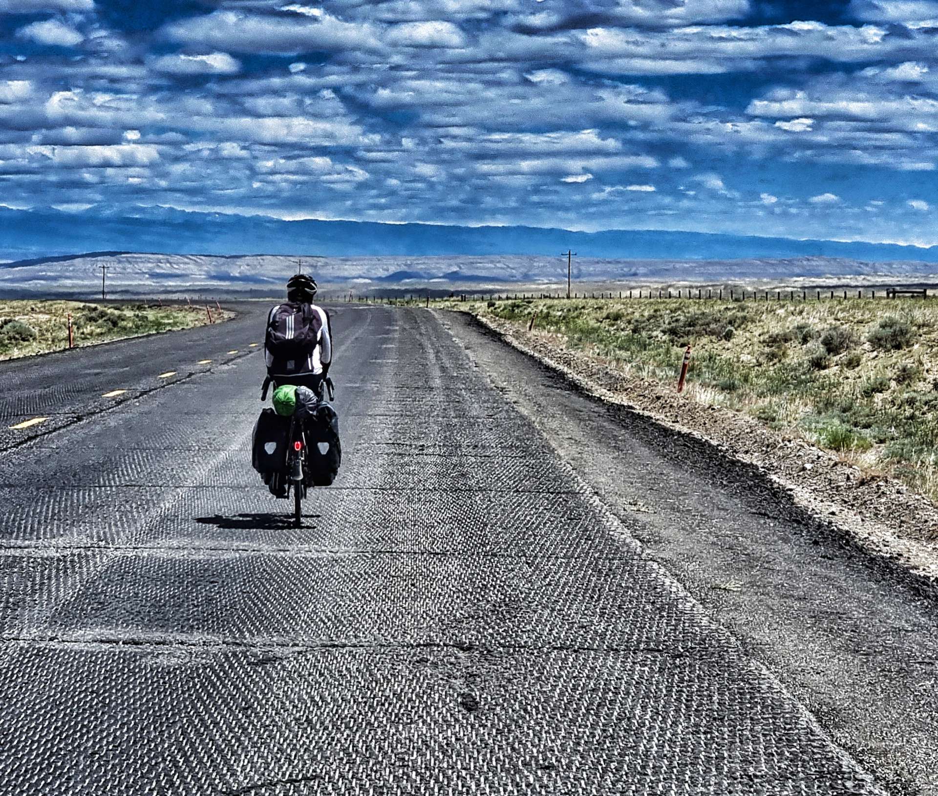
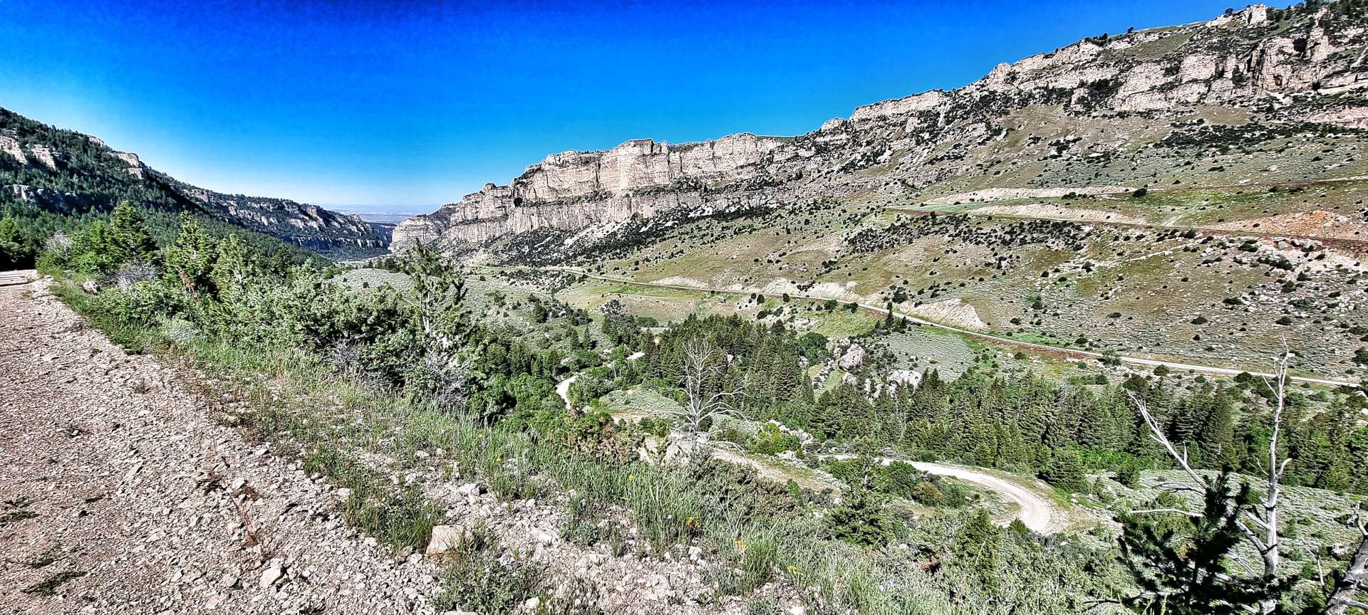
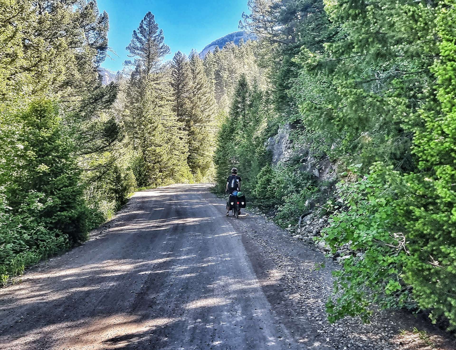
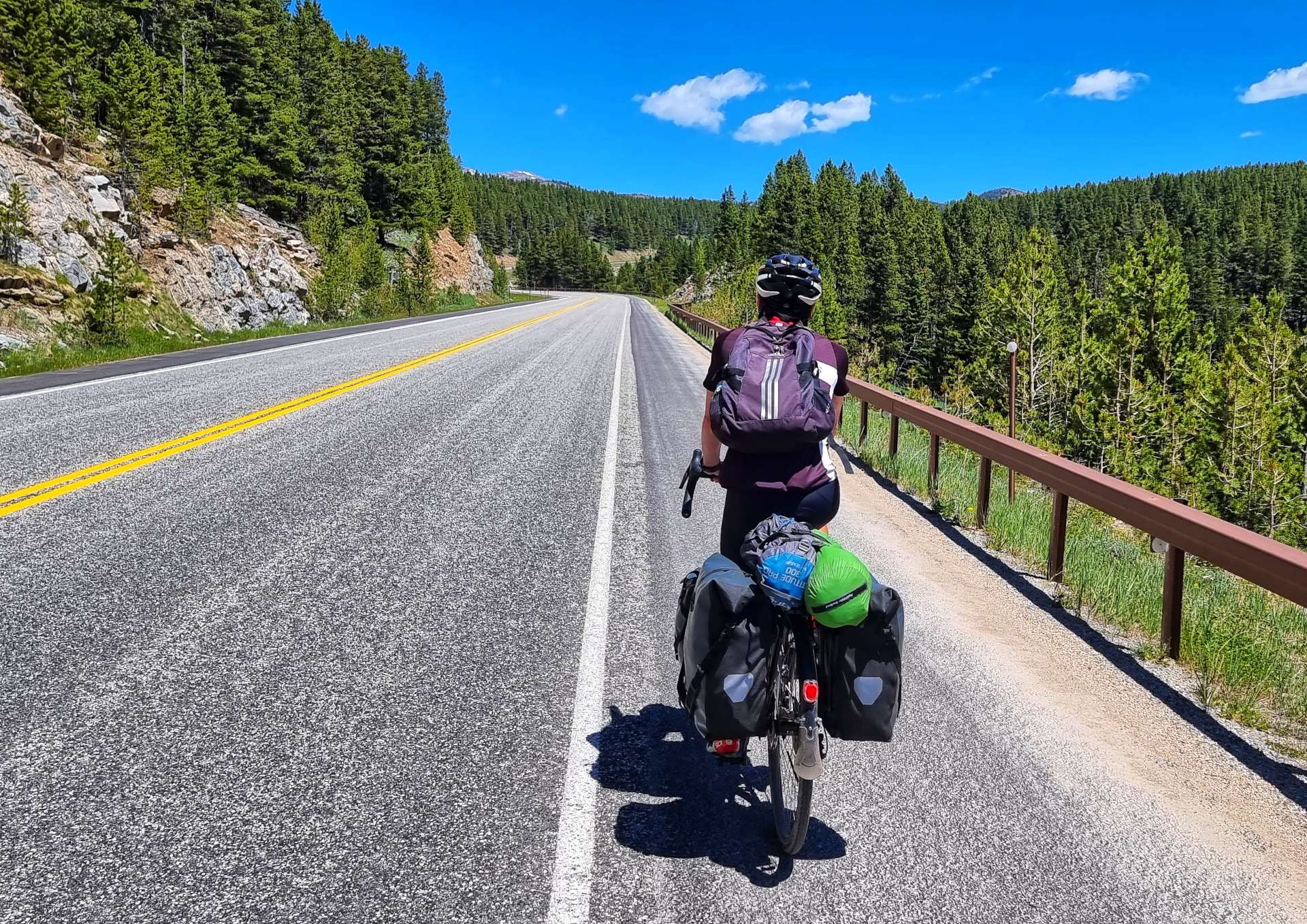
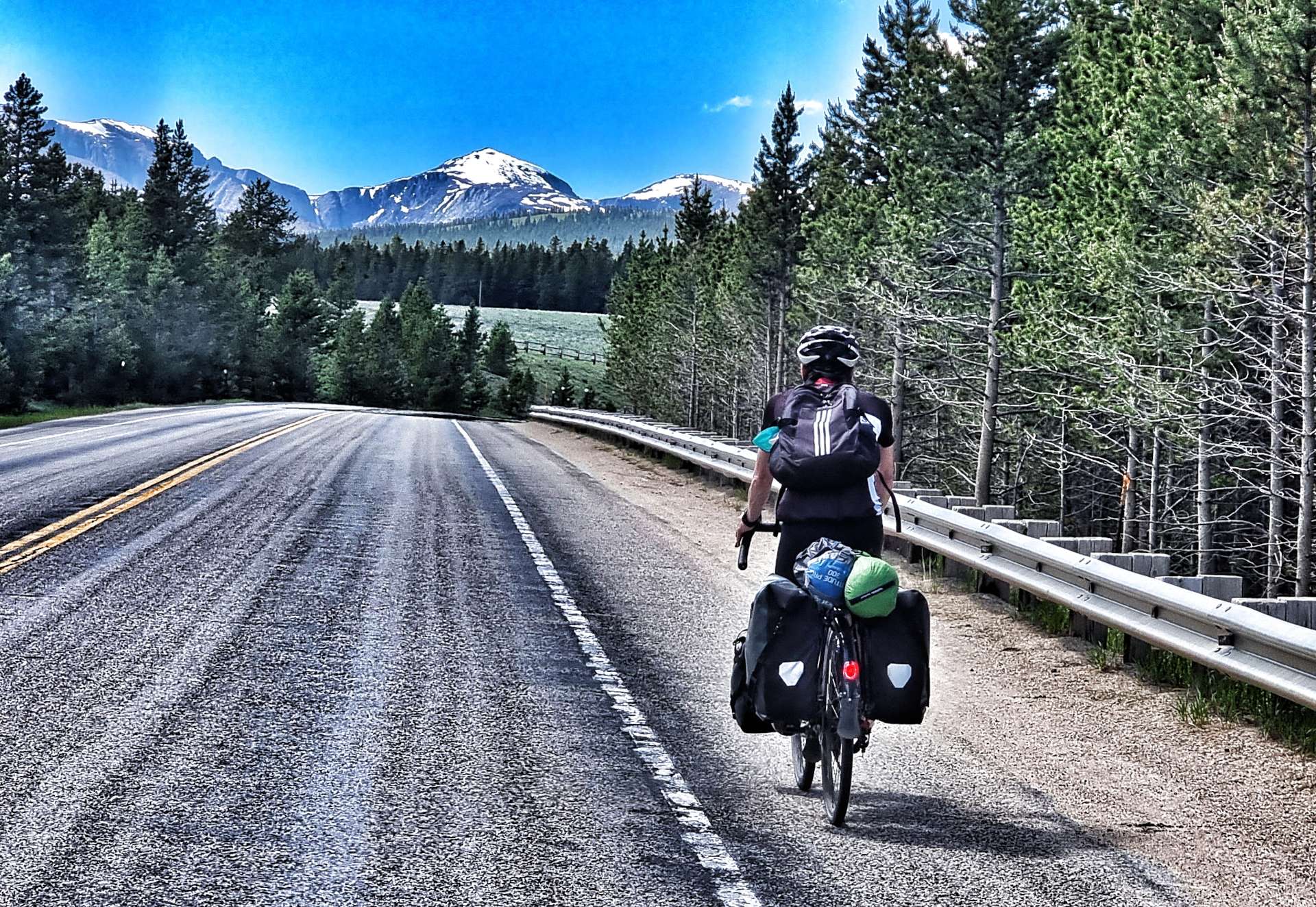
We were up bright & early with the aim of being on the tarmac by 8am. A couple of different events impacted that plan, when first of all I found my tyre had gone flat overnight. Pumping it up appeared to resolve the issue, although as I found out later it hadn’t!! Secondly, after only 1 mile of tarmac, the old road turned to rough gravel & stayed that way for the next 7 miles!!!

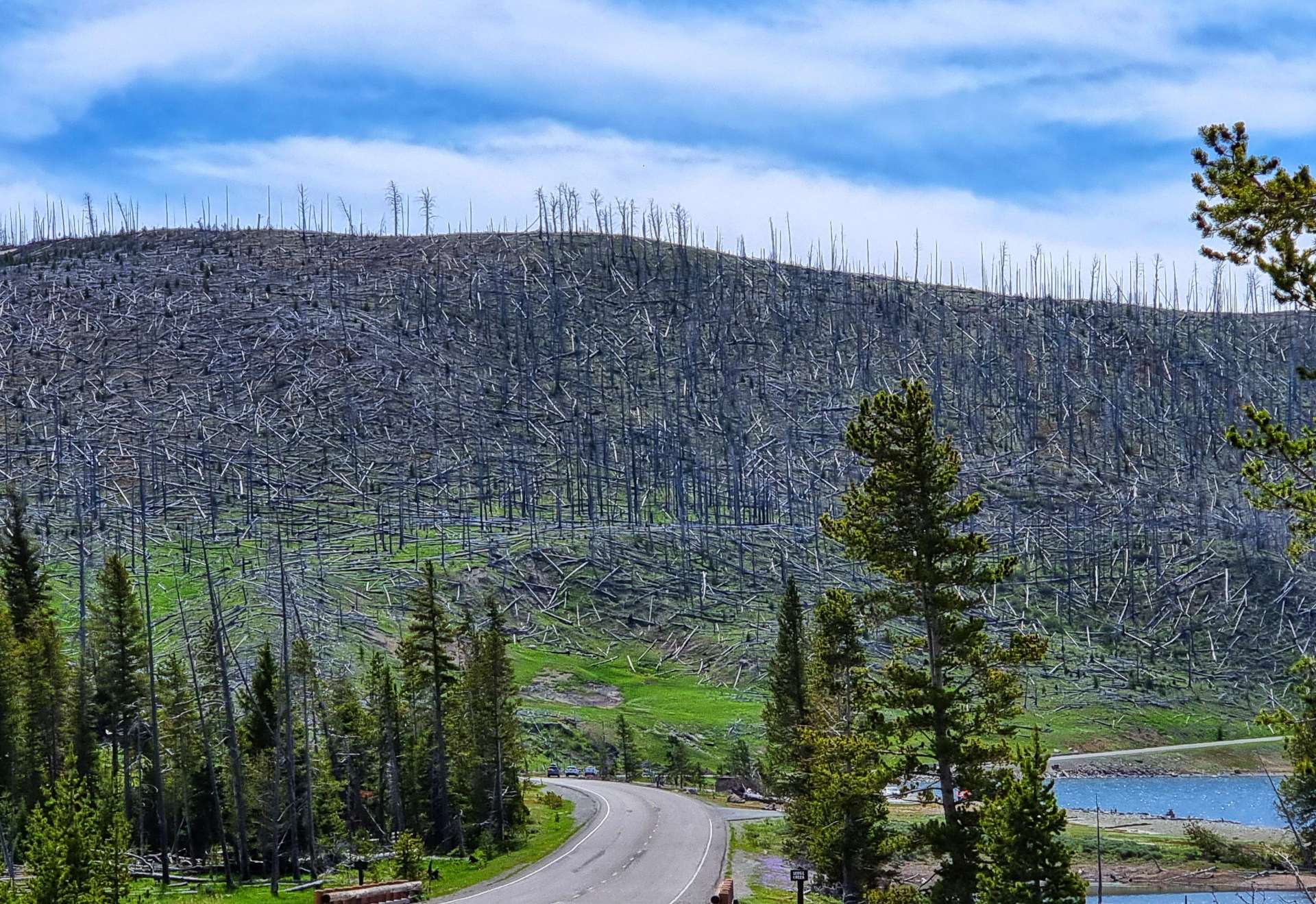
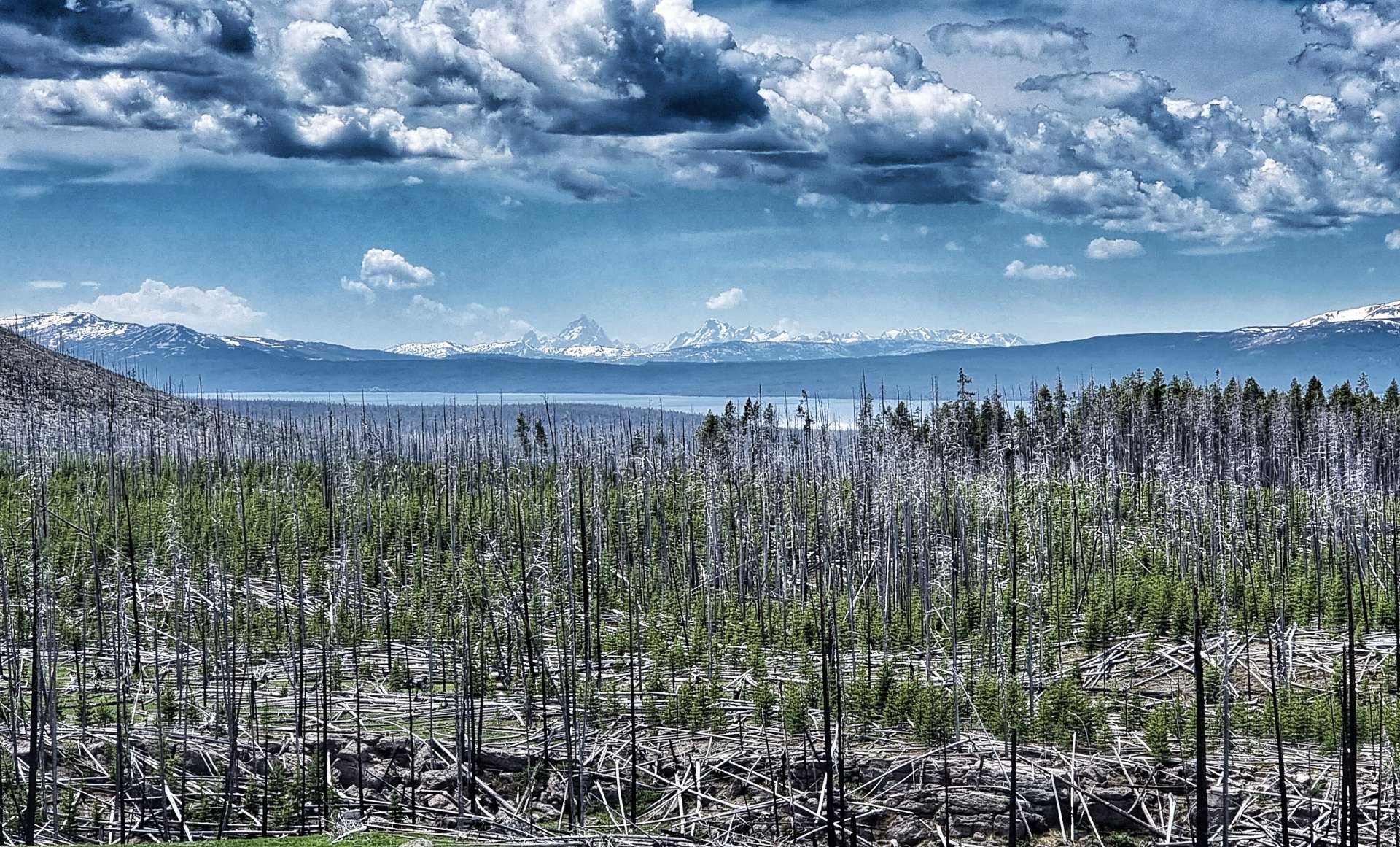
As you might have noticed, in addition to the road being on gravel, it also rose at a steep gradient (7% plus for most of the 7 miles) – it took us 1 hour 45 minutes to complete the 7 mile stretch on gravel!!! At times we could see across the valley to the new road as it hair-pinned its way ever higher. The stunning views helped to take our minds off the slow progress, but it couldn’t take away the feeling of the power being sapped from our legs.

I’d been able to better cope with the gravel, but the roles were instantly reversed when we finally joined the new road & its pristine tarmac. We’d researched where we might be able to stop to replenish our water bottles & we stopped for the first time at Boulder Creek Campground to fill all 3 bottles – we’d run out in less than 2 hours of riding!!!
This was also where I had my only moment of self-doubt on the adventure to date – we were 9 miles into a 21 mile climb, all of it over 5% & the sheer scale of what remained hit me hard. After 2 minutes of feeling sorry for myself I stood up & said to Sean “I need to get going now, otherwise I may not get started again”.
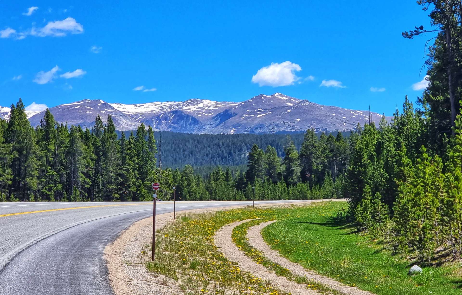
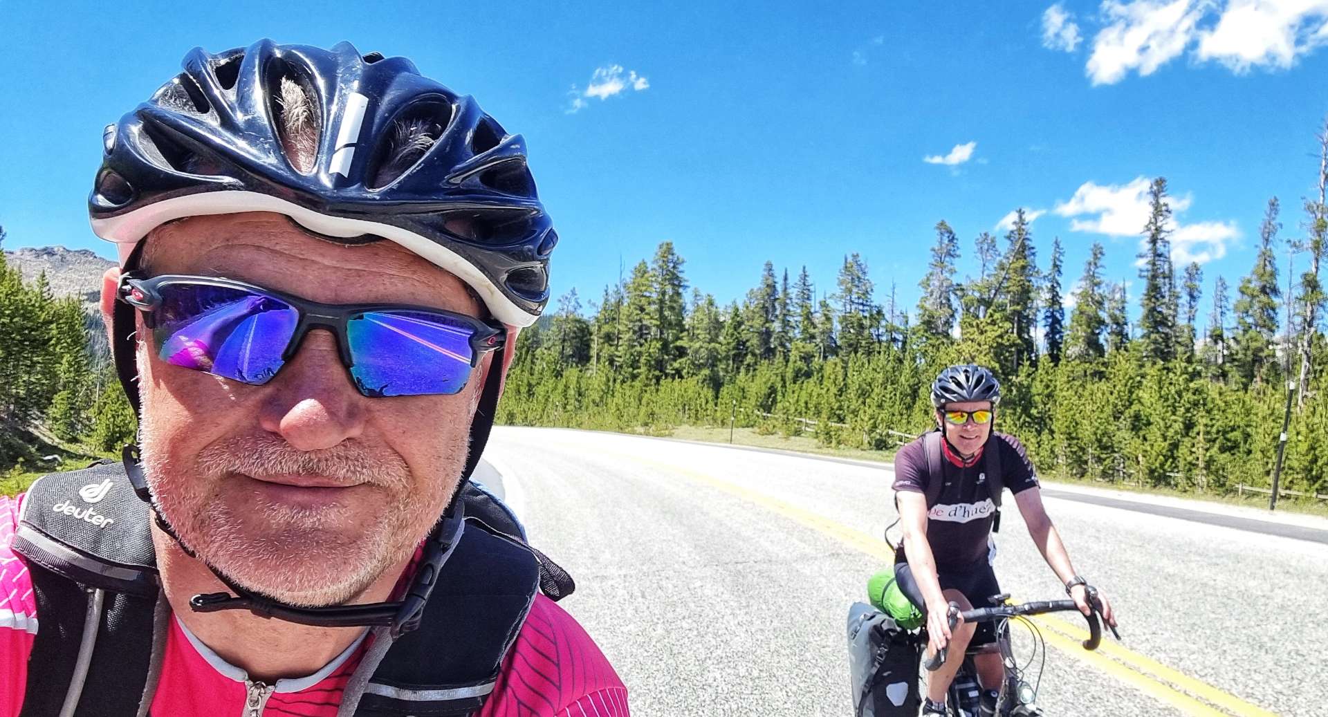
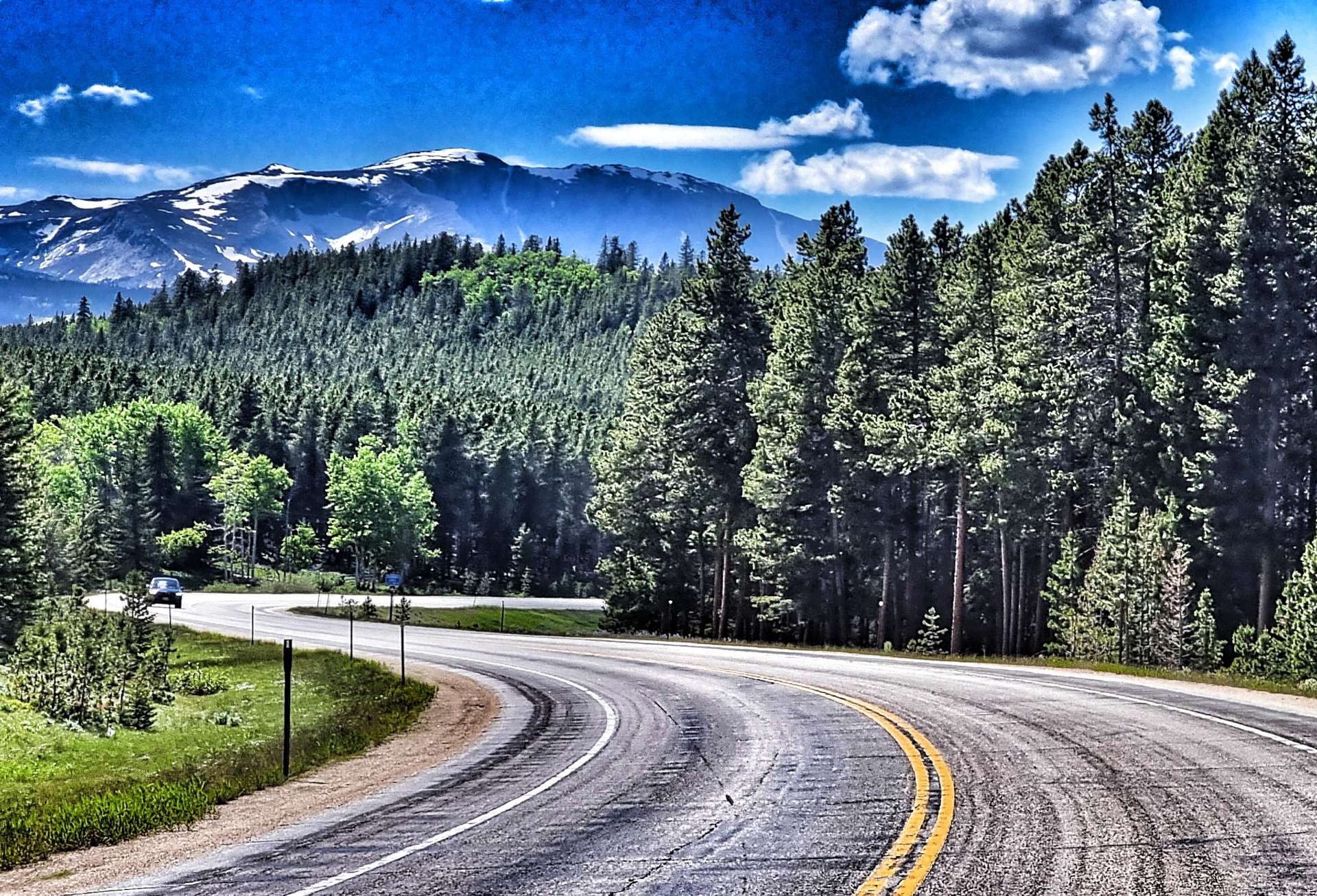
The views were stunning as we continued through the forest & passed Meadowlark Lake, but the gradient didn’t get any easier!
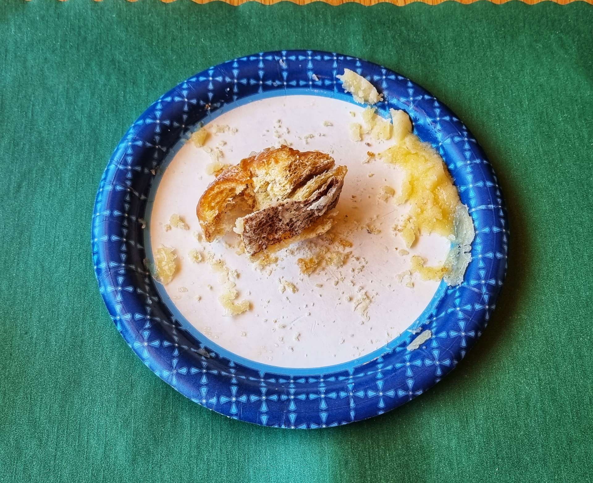
After another 1 or so of riding we saw what we knew would be the only coffee & cake stop opportunity of the day. We had a coke, coffee & cake – I made the mistake of asking for my cinnamon bun to be gently heated up…… it came out looking like it had been nuked!!! It was so bad I wasn’t able to finish it & that’s never happened before!!! On a more positive note, the coffee was nice & we managed to fill up our 3 water bottles again for the final push to the summit.

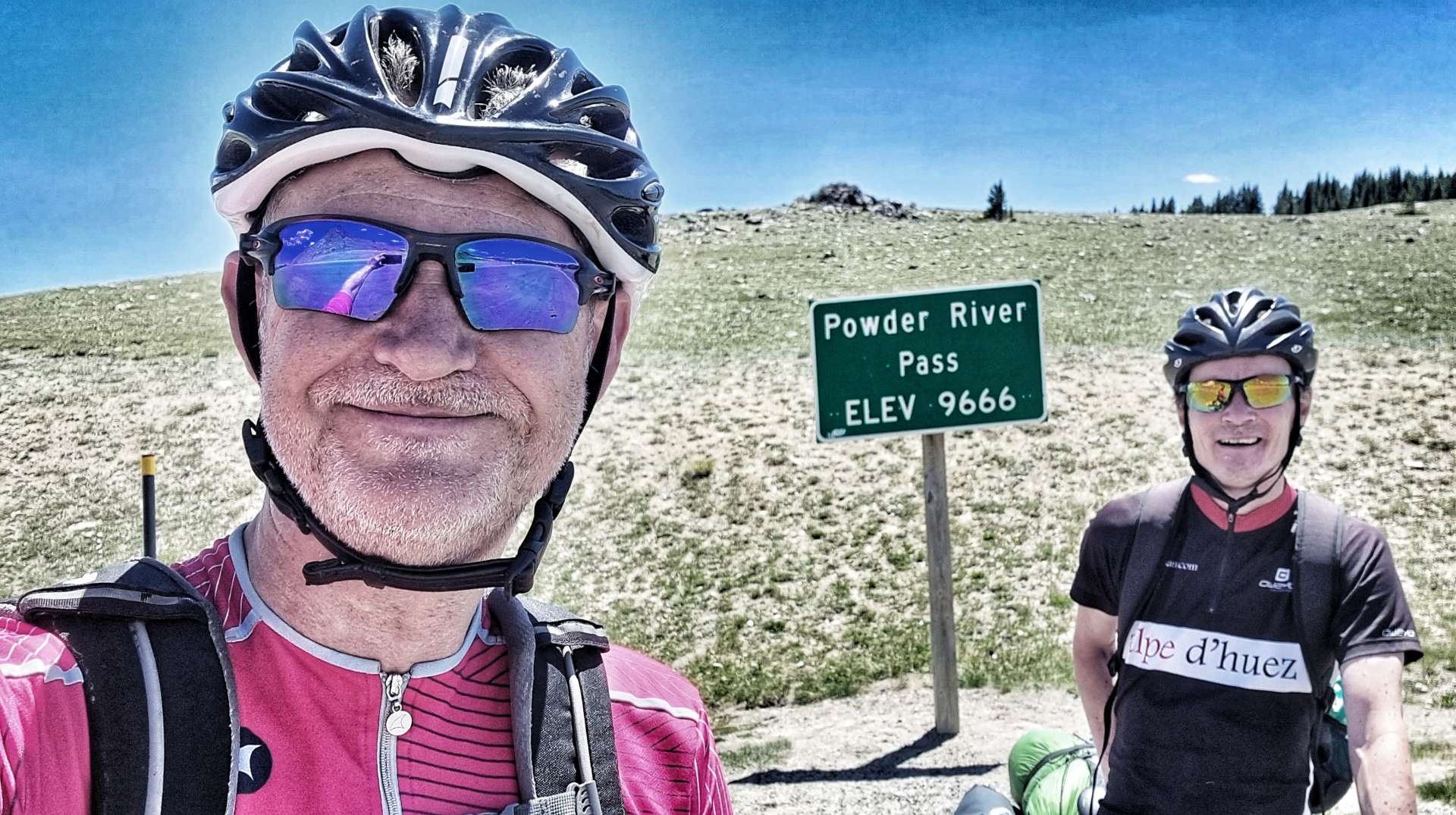
The summit was still another hour away – when we finally made it to Powder River Pass at 9,666 feet above sea level, it had taken us 4 hours of climbing to cover the 21 miles. When we rode through Tensleep at the bottom of the climb yesterday, we were at 4,205 feet above sea level – it really is a monster of a mountain!
At least it would all be downhill from here, so we had that to look forward to – although, I was slightly troubled that Sean could ride in my slipstream without any difficulty!
All became clear a few minutes later as my rear tyre became spongy! That instant remedy this morning was no such thing, I had a puncture & it needed to be fixed now. After my practice in Yellowstone, I had the tyre off, a piece of debris removed & the innertube replaced in 15 minutes & was feeling good about myself.
Until 10 minutes later, when I got a 2nd puncture on the same back tyre! I eventually found another nick in the tyre & scratched out a really small piece of glass. I was out of inner tubes, so had to borrow one from Sean (& a gas cannister). While all this was going on, a Department of Transport lorry started honking its horn at us as it descended the mountain – it was painting the white lines at the side of the road & had no intention of stopping!!!
Although we moved my stuff as far out of the way as we could, the lorry kept on coming & sprayed small amounts of paint over my bike, helmet, rucksack & panniers as it continued on its way. I can’t repeat my comments, but they were Anglo-Saxon in origin!
We also found out that there were 5 short, sharp, steep climbs to be endured on the way down too!
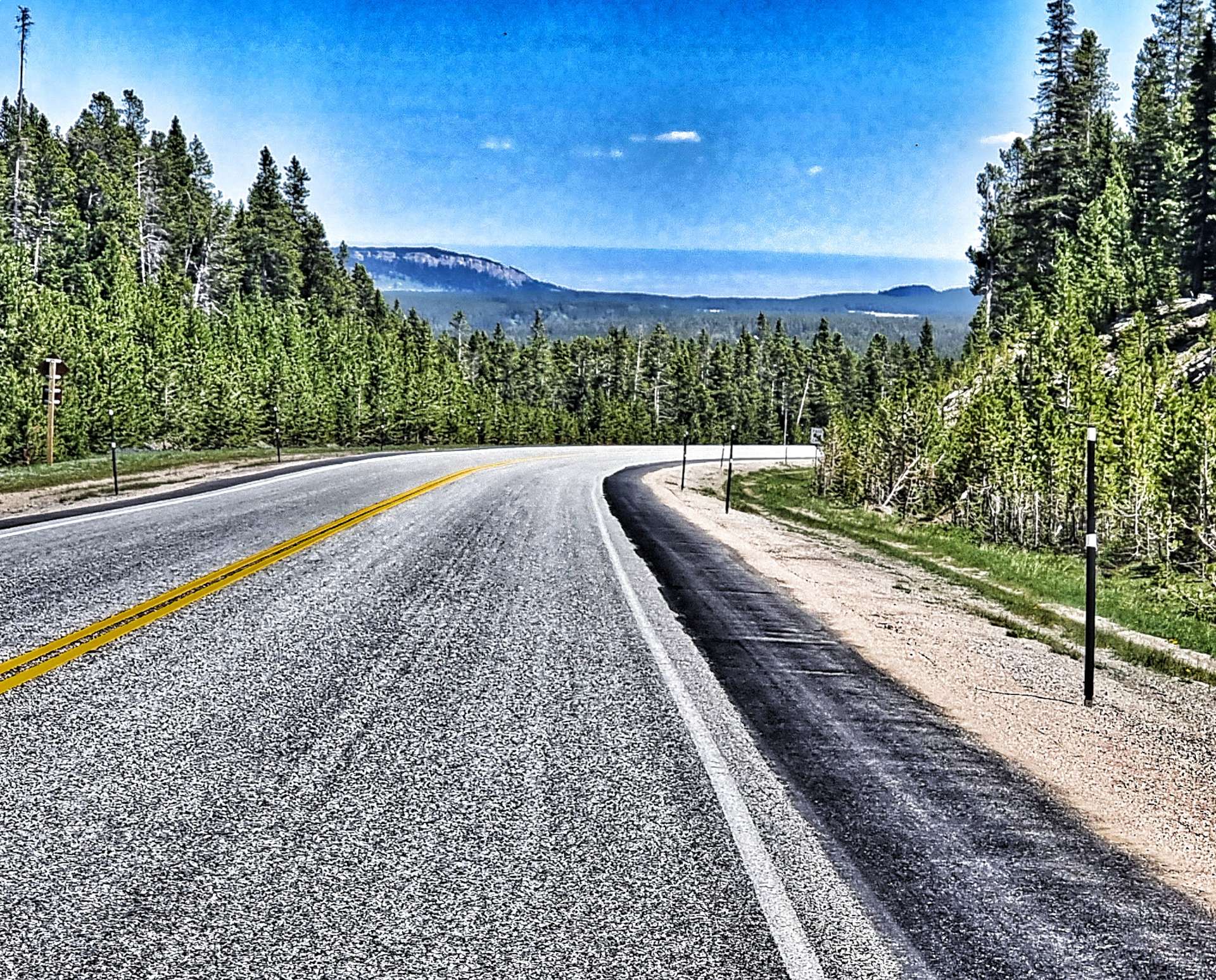
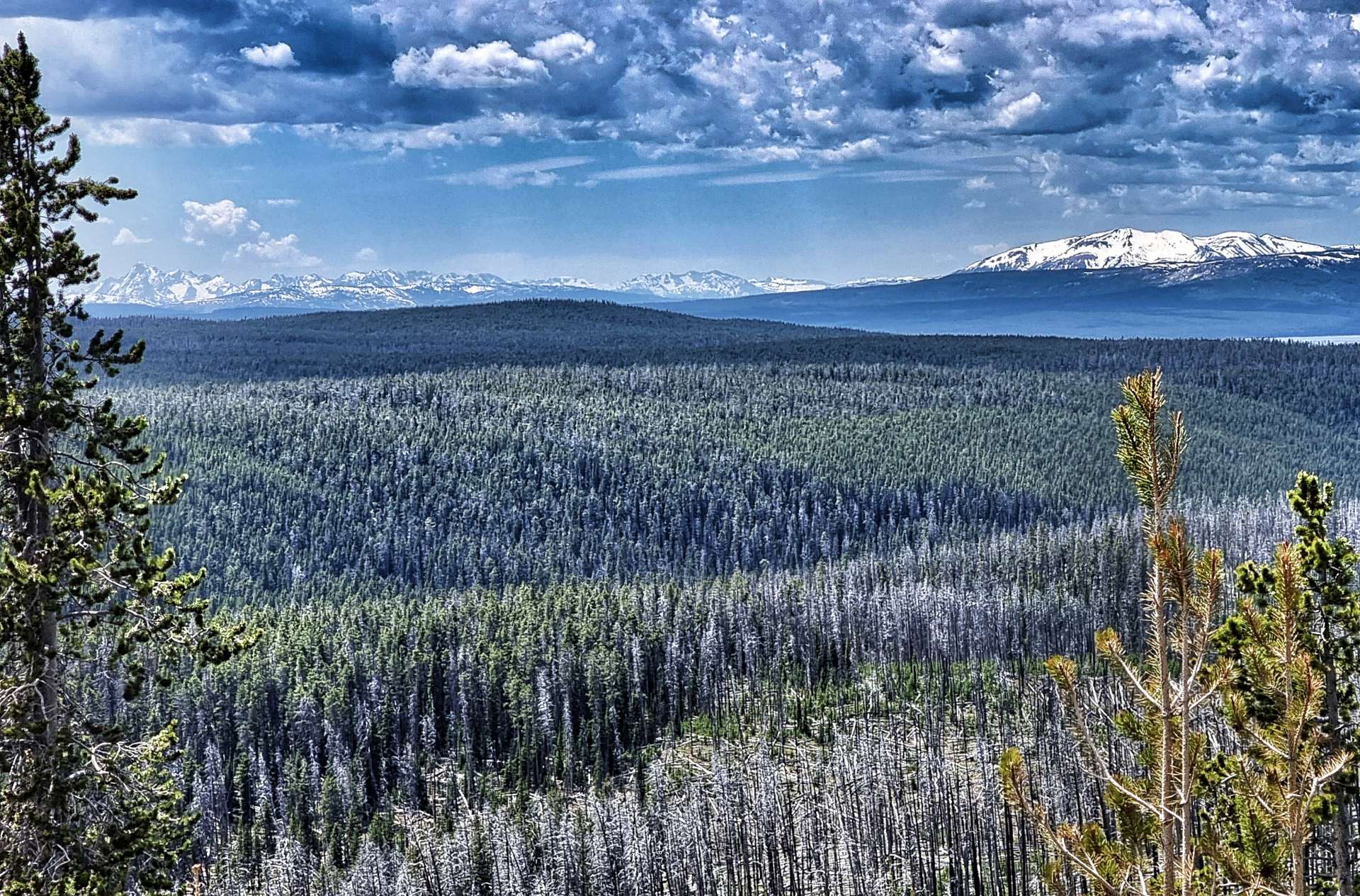
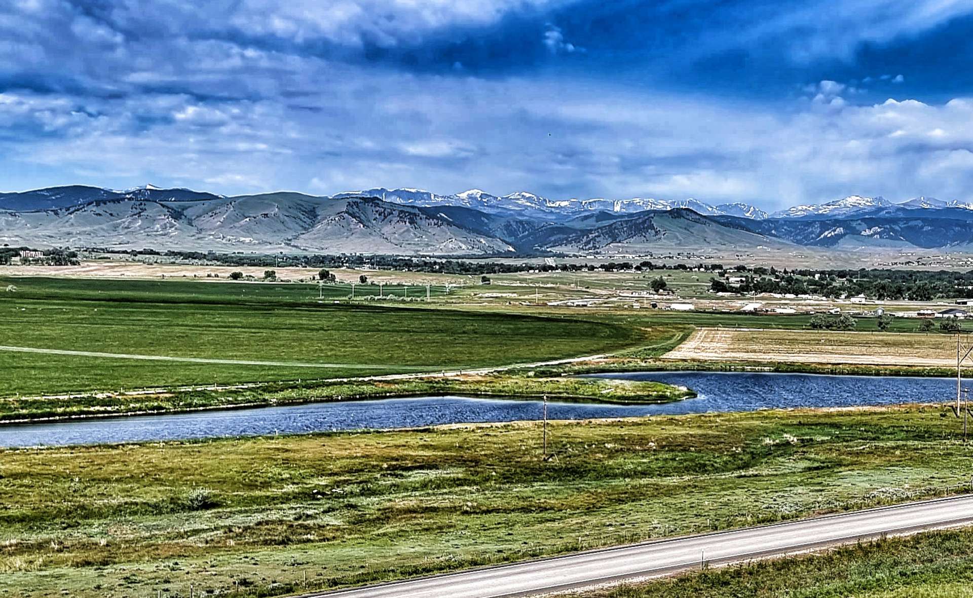
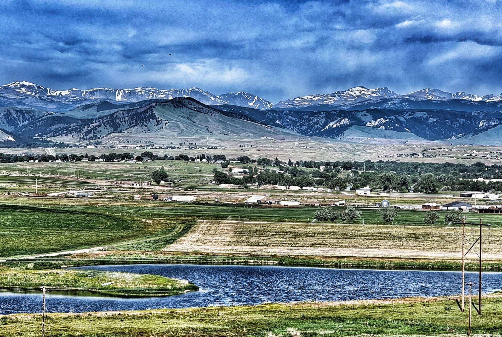
Suddenly the road opened up in front of us with enormous views across to Loaf Mountain, Bighorn Peak & Darton Peak. They tower over the valley below. Finally, after just over 6,000 feet of climbing & 6 hours of tough cycling, we could make out the town of Buffalo below us. It would take us less than 30 minutes to cover the final 10 miles, in sharp contrast to the 2 hours 30 minutes it took to climb 10 miles!
Today was a truly epic day out & was what I was hoping to experience when I originally planned our Coast to Coast Adventure – sometimes though you need a little bit of time to really appreciate what a great day it really was! Today was one of those days & my moment of self-doubt is now far behind me.
Stage Stats – 58 miles, 6,070 feet of climbing. Our biggest day of climbing to date as we crested the monstrous Powder River Pass!
Tuesday 27th June – Rest Day.
Our Rest Days now have a familiar pattern to them – enjoy a bit of a lie-in & then have breakfast, before heading out to get the laundry done. We only have 3 sets of cycling kit, so every 3rd day is laundry day! We’ve also had to be frugal with the amount of off the bike clothing we brought – 2 pairs of lightweight trousers, a pair of shorts, 3 tee-shirts, 2 long sleeved tops, 3 pairs of socks & boxers. Not much for a 6 month adventure!
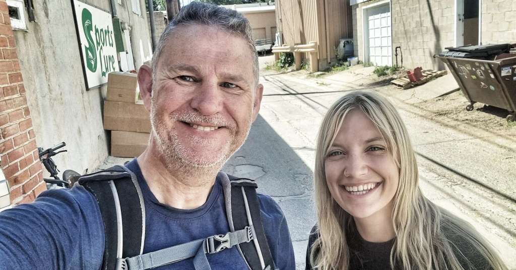
I needed to get a new tyre, innertubes & gas cannisters. A quick look at Mr Google told me that I needed to visit The Sports Lure, as it eas my best chance of getting what I needed – my tyre had done 7,500 miles, so I’d got my money’s worth from it. I was directed to the workshop where I met Helene – she found a similar tyre & fitted it for me, as well as sorting me out with innertubes & gas cannisters.
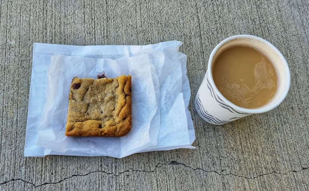
While Helene was doing all the work, I got out the way & found a coffee shop & tucked in to a peanut butter & chock chip slice! When I returned, Helene had replaced the tyre & I was good to go. Once again I’d met a kind & generous soul who had taken pity on me & helped me out of a tight spot.
Helene – Thank You so much for your kindness.
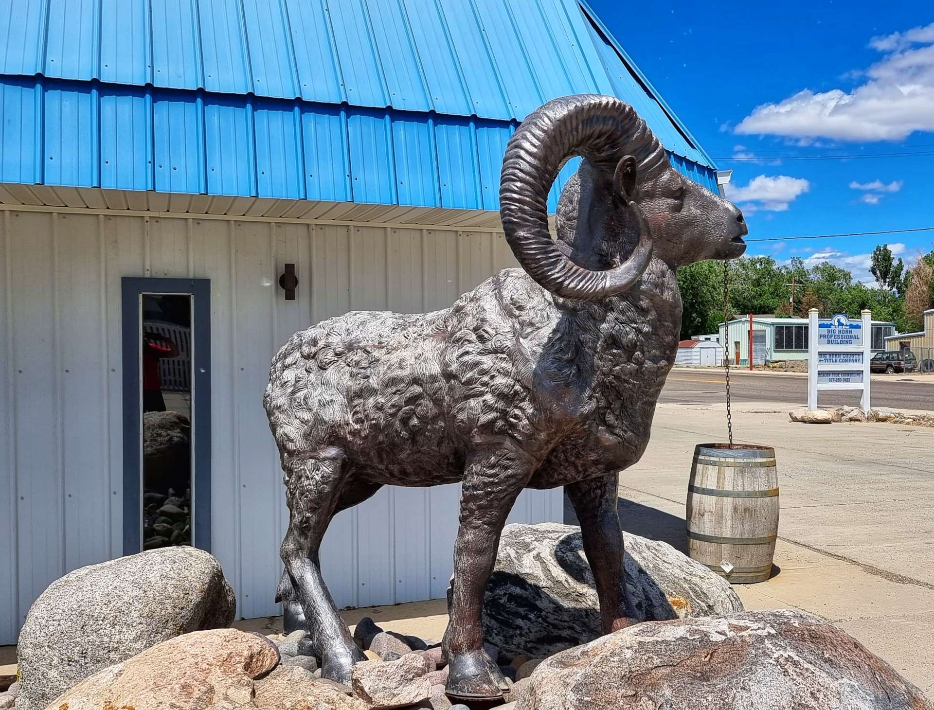
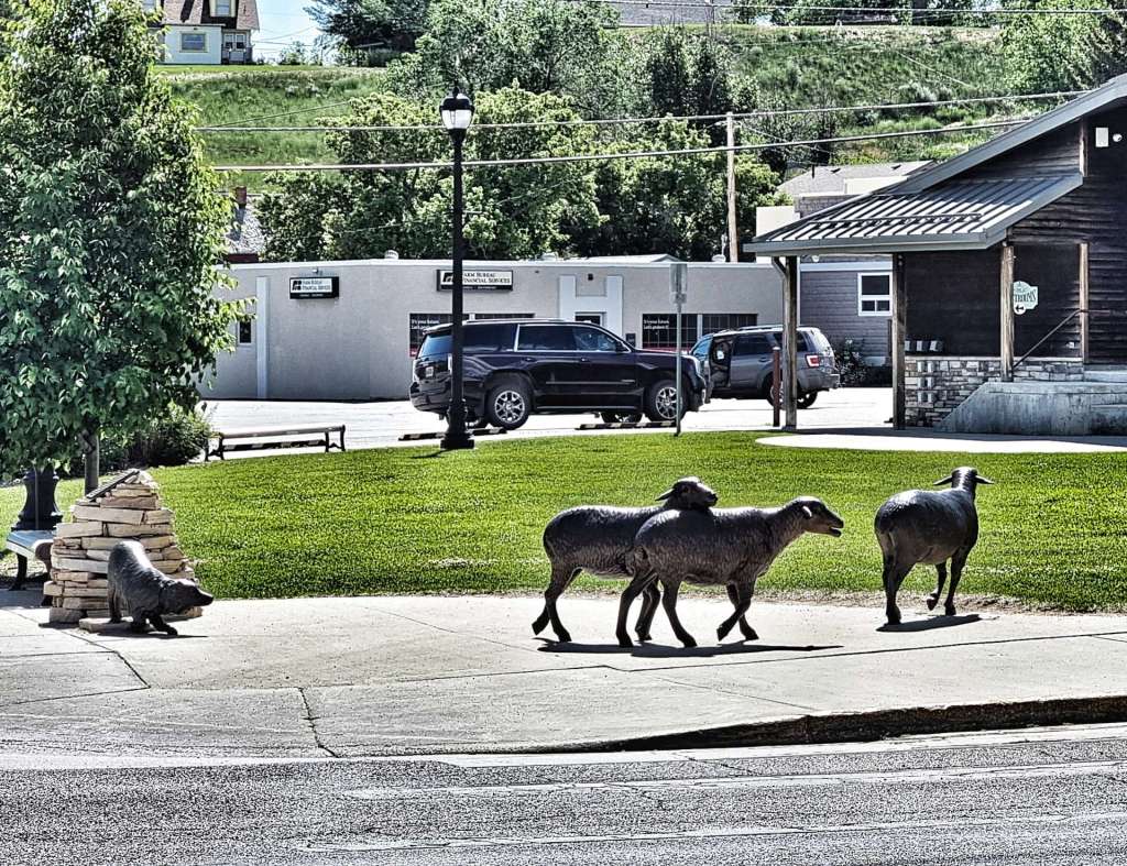
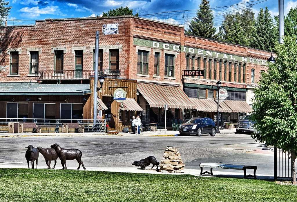
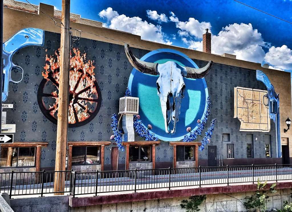
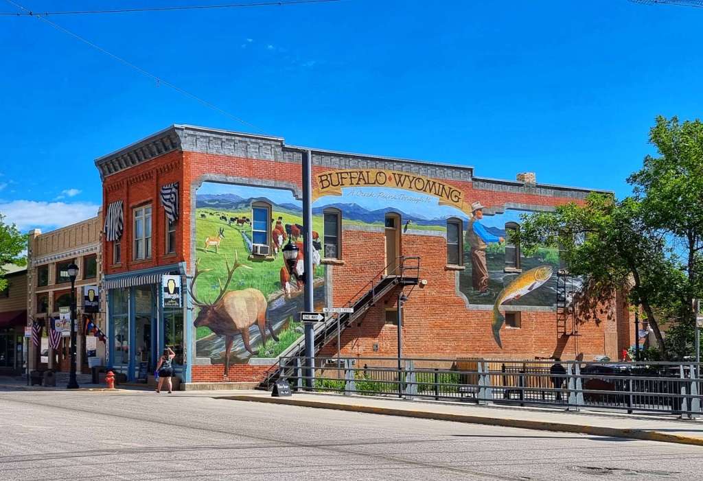
While I was in town I took the opportunity to have a stroll round & see the murals & sculptures in the historic district. The remainder of the day was spent planning the upcoming routes & also writing my next instalment of our adventure.
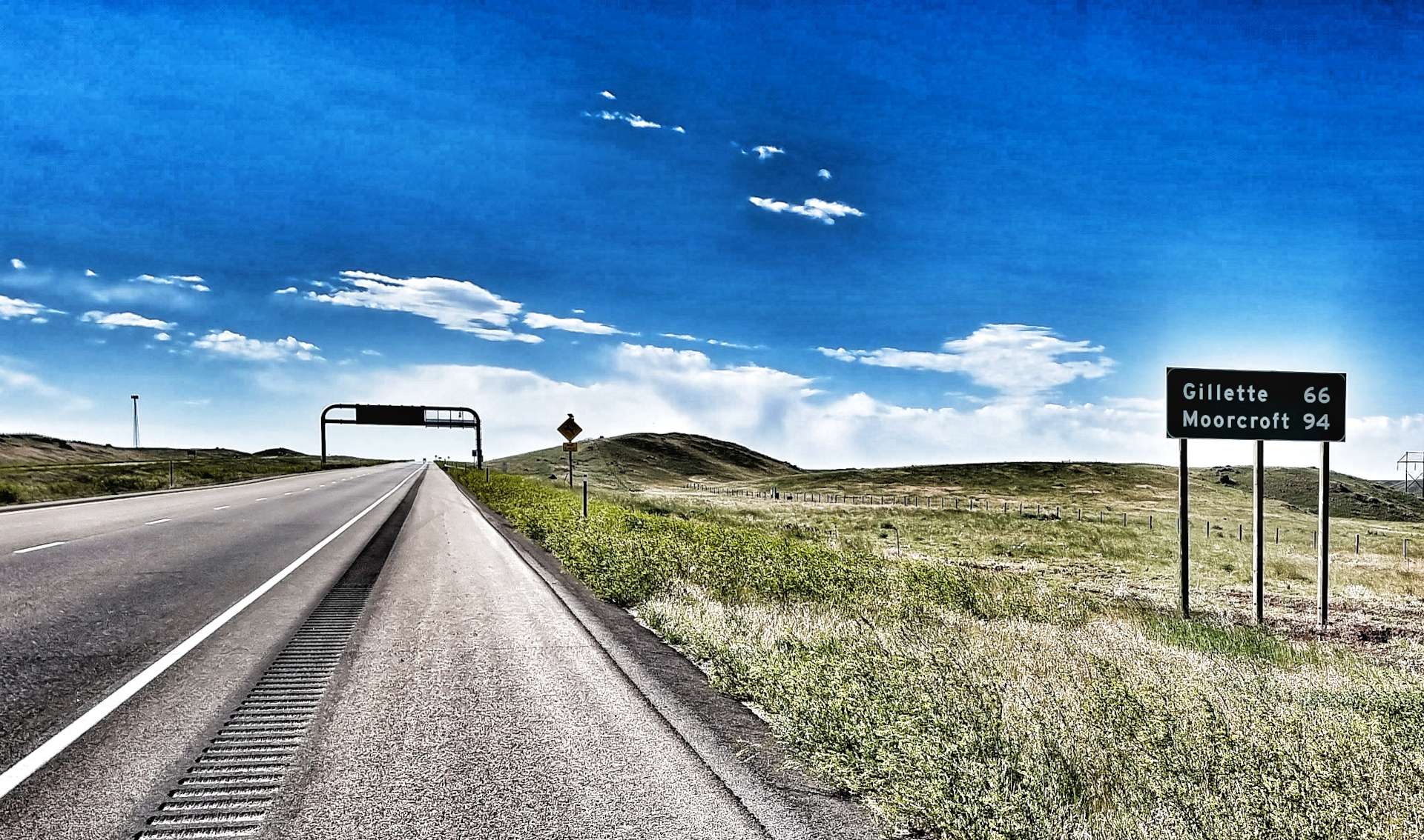
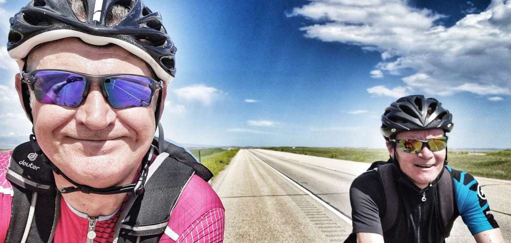
Wednesday 29th June – Buffalo to Gillette (Stage 47).
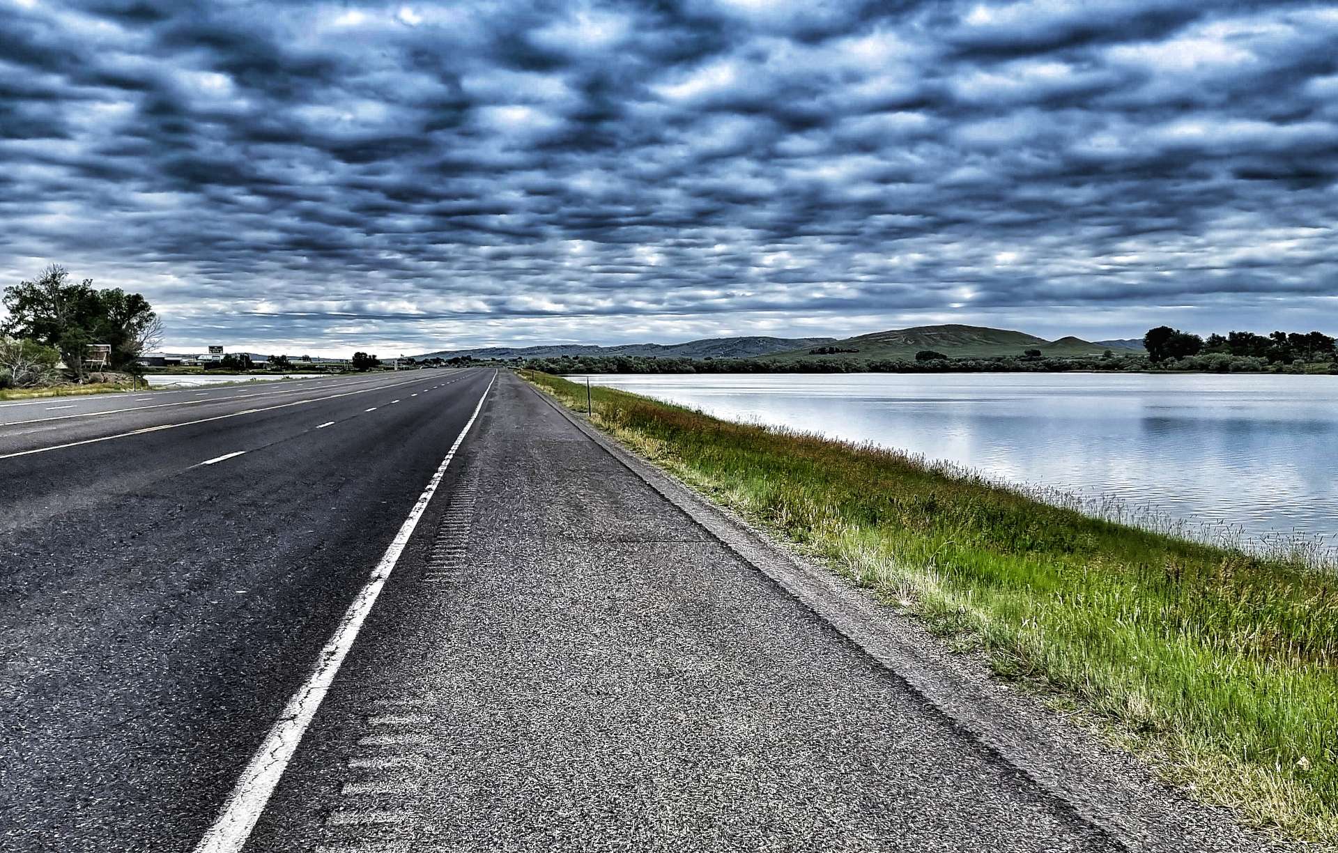
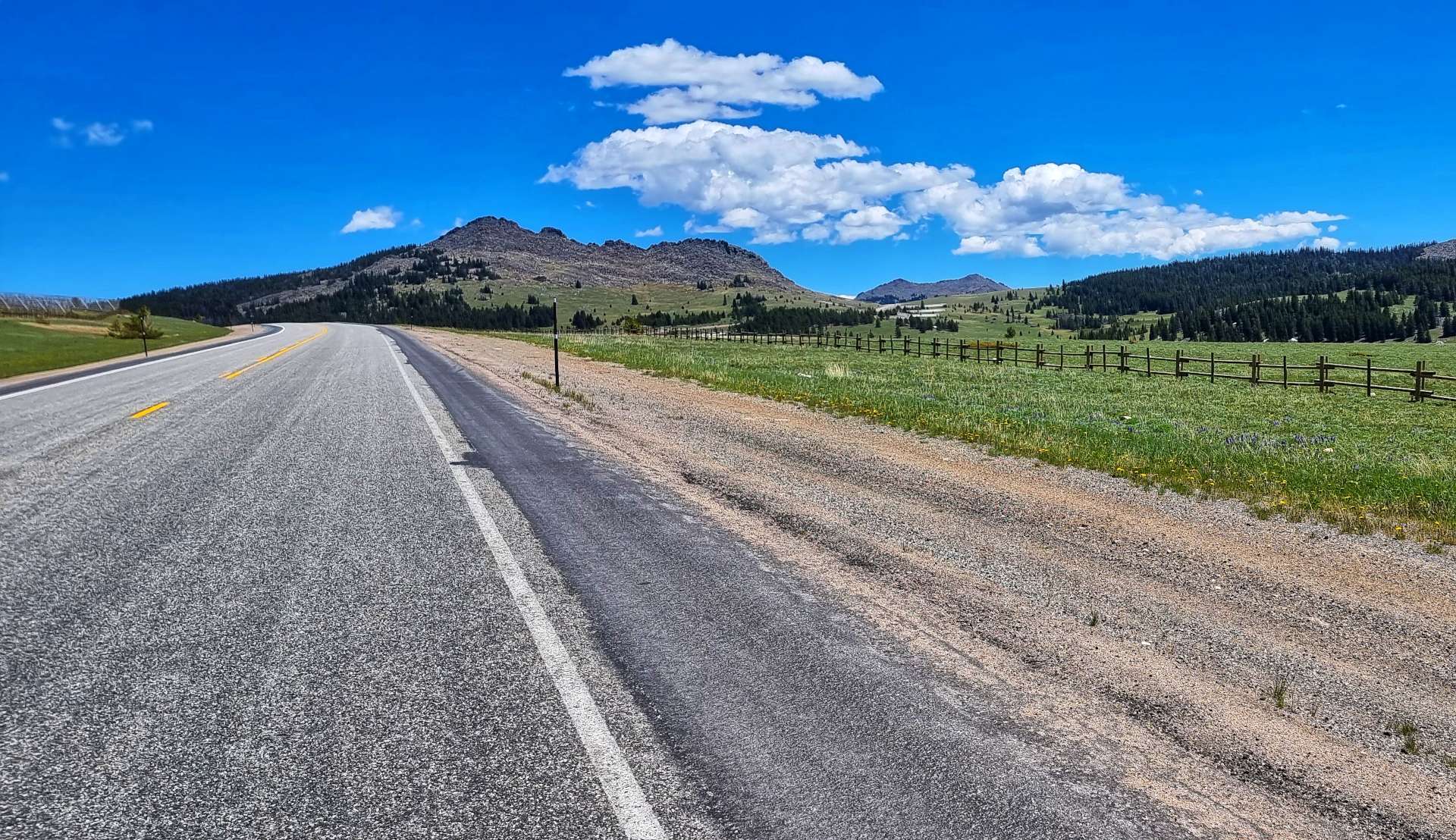
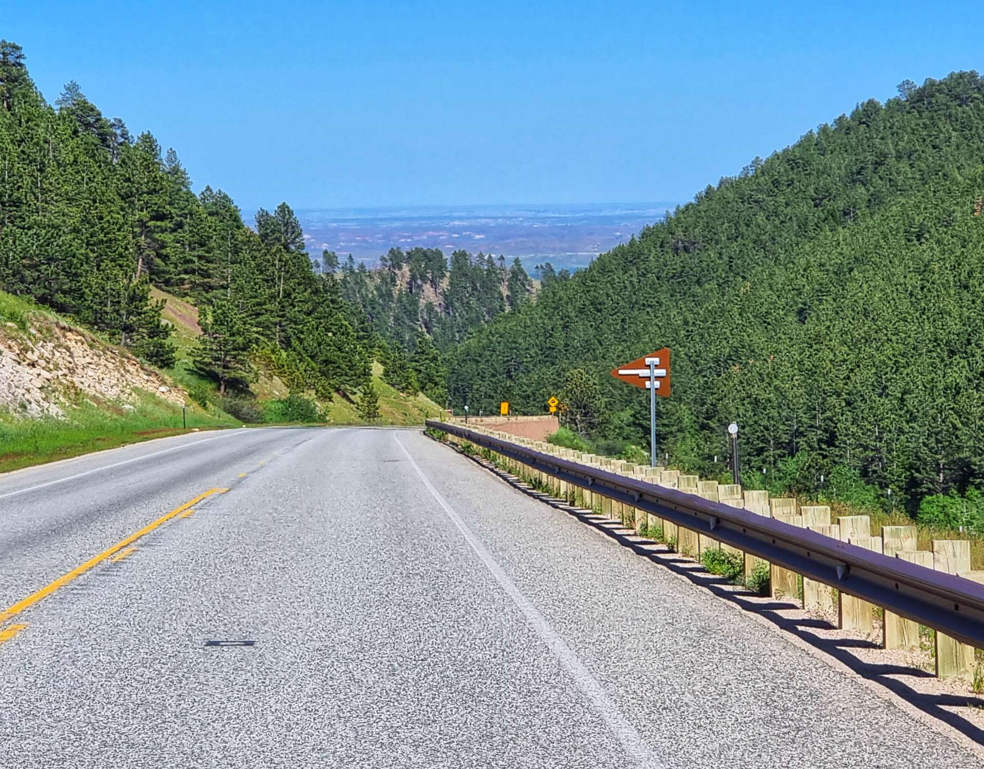
We were on the road for 9am, after a breakfast of cereal, yoghurt & toast from the hotel. Today is all about getting to Gillette in the shortest distance possible. We had two possible routes, one was over 90 miles long, through remote & deserted backroads. The second option was to cycle on I-90 from Buffalo to Gillette, which is 70 miles with a single stop for water.
There will be no services other than this single rest area. We would prefer a 3rd option, but of the two we have, cycling on the Interstate is the least bad & is allowed as far as I’ve been able to establish. We took a final look behind us to Powder River Summit, before setting off for a 66 mile ride on the Freeway.
We chose to enjoy today regardless of the somewhat limited opportunities to take photos – there were still great views on offer, the road was very quiet & we were in good spirits!


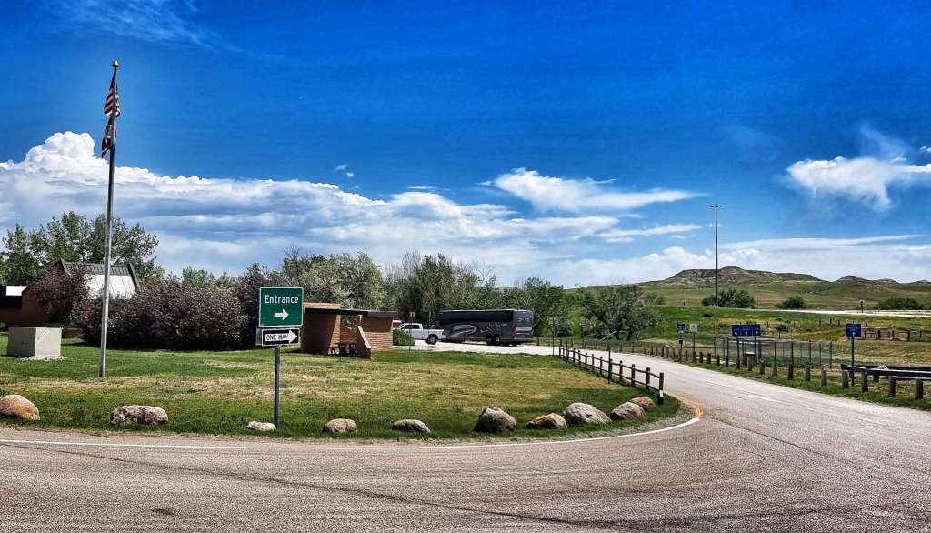
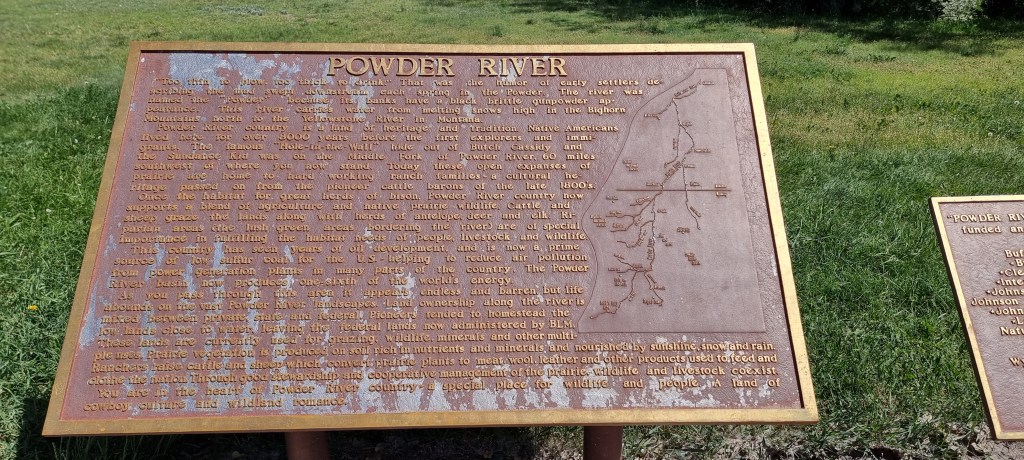
At the 30 mile marker we reached the rest area – we took the opportunity to top up all 3 of our water bottles, as we learned about the history of the Powder River Basin. For example, it produces 1/6 of the world’s power, due to it’s low sulphur coal reserves which are shipped around the world.
We also learned that the Hole In The Wall hide out of Butch Cassidy & The Sundance Kid was on the Middle Fork of the Powder River. This is in addition to the lesson we learned yesterday – Powder River Pass is a high mountain pass!!
Someone spotted our touring bikes & came over to talk to us – he only stayed 5 minutes, didn’t give us his name, but did seem excited when we explained we’d been in Jackson a few days ago, as that’s where he’s from & he used to train on Teton Pass when he was younger.
We crossed the Powder River almost as soon as we re-joined I-90. The only potential cloud on the horizon was the real cloud on the horizon – rain looked imminent! We chose to ignore it & enjoy the downhill parts of the ride instead.

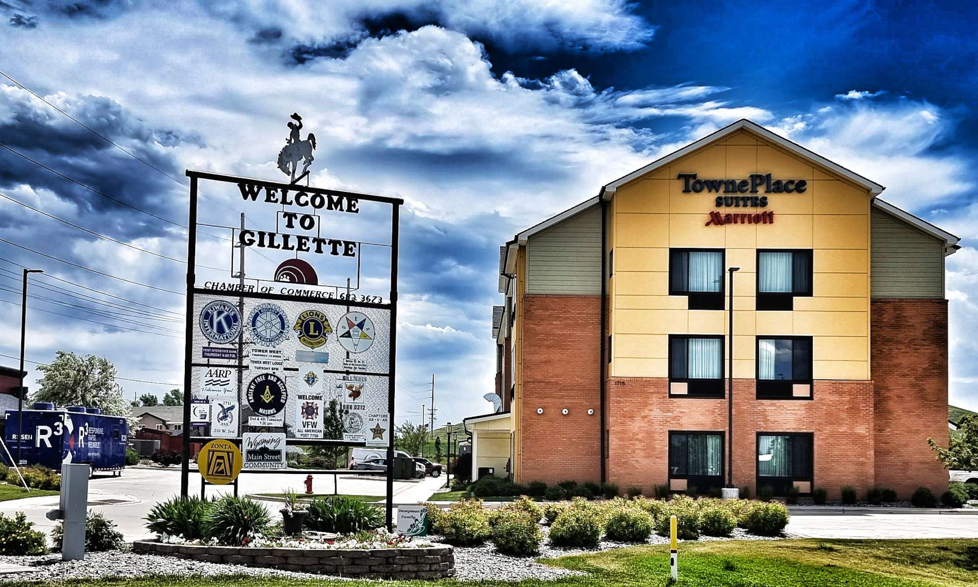
At least the cloud resulted in temperatures falling by a few degrees, which ensured we had enough water to comfortably complete the riding on the Freeway. We’d had a tailwind for most of today’s ride & it was also relatively flat – we were checked in to our motel by about 2pm. We only realised how lucky we were 30 minutes later, when large hailstones were bouncing off the car park floor. If we’d had headwind or crosswind today, we’d probably have still been riding when the storm struck.
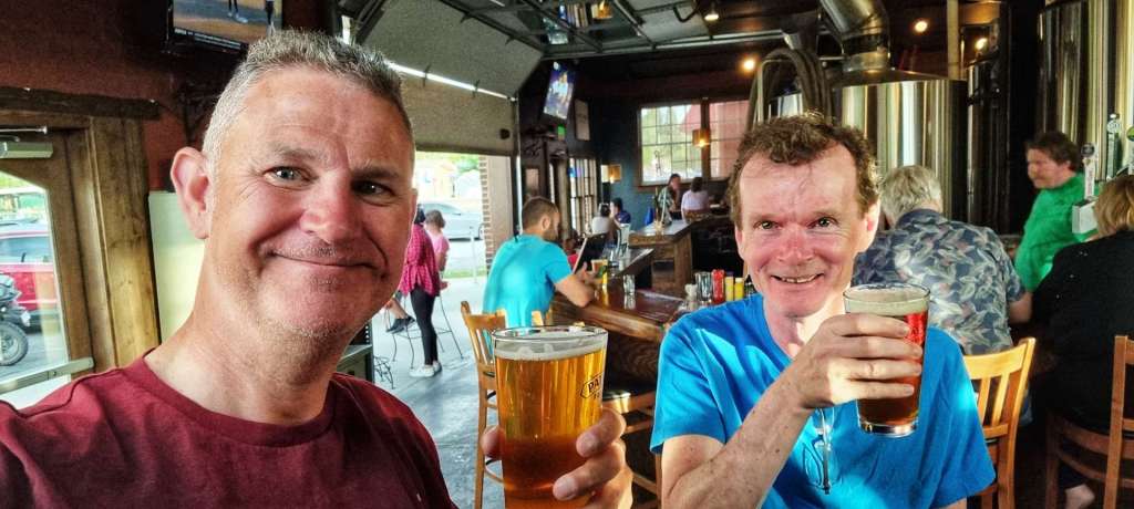
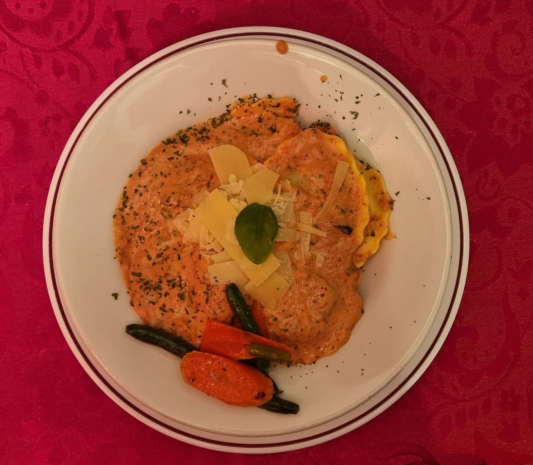
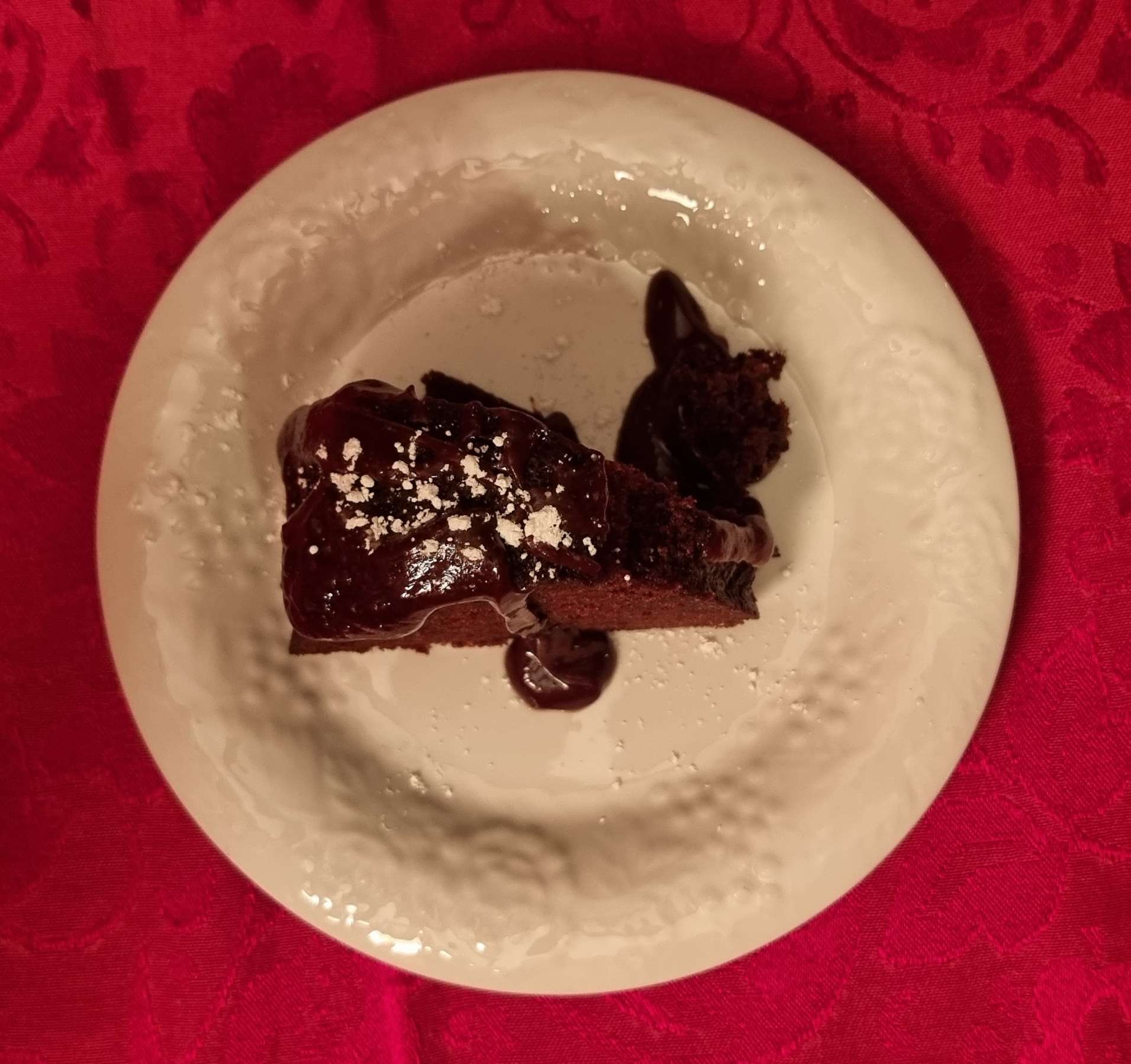
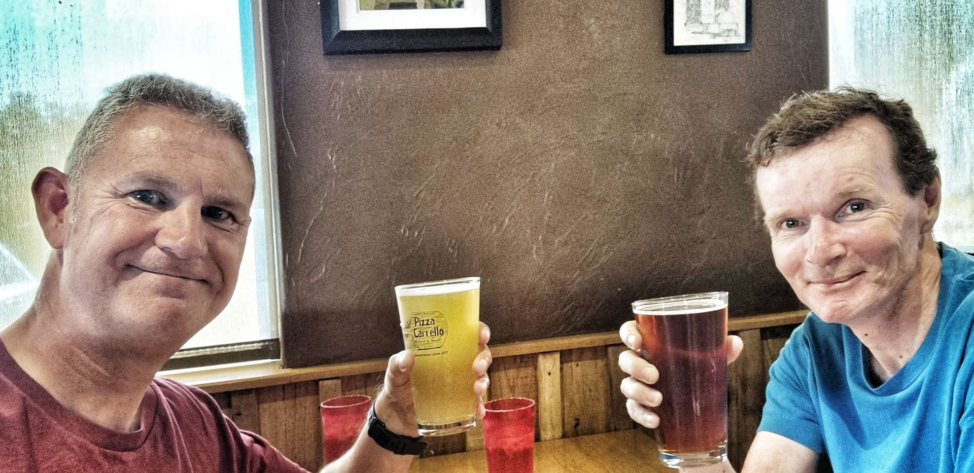
We decided to pop out to a local Italian restaurant to toast our good fortune today & to ask for more interesting views tomorrow!

Stage Stats – 70 miles, 2,306 feet of climbing. Our first experience of riding the Freeway – neither of us are in a rush for a repeat performance!!!