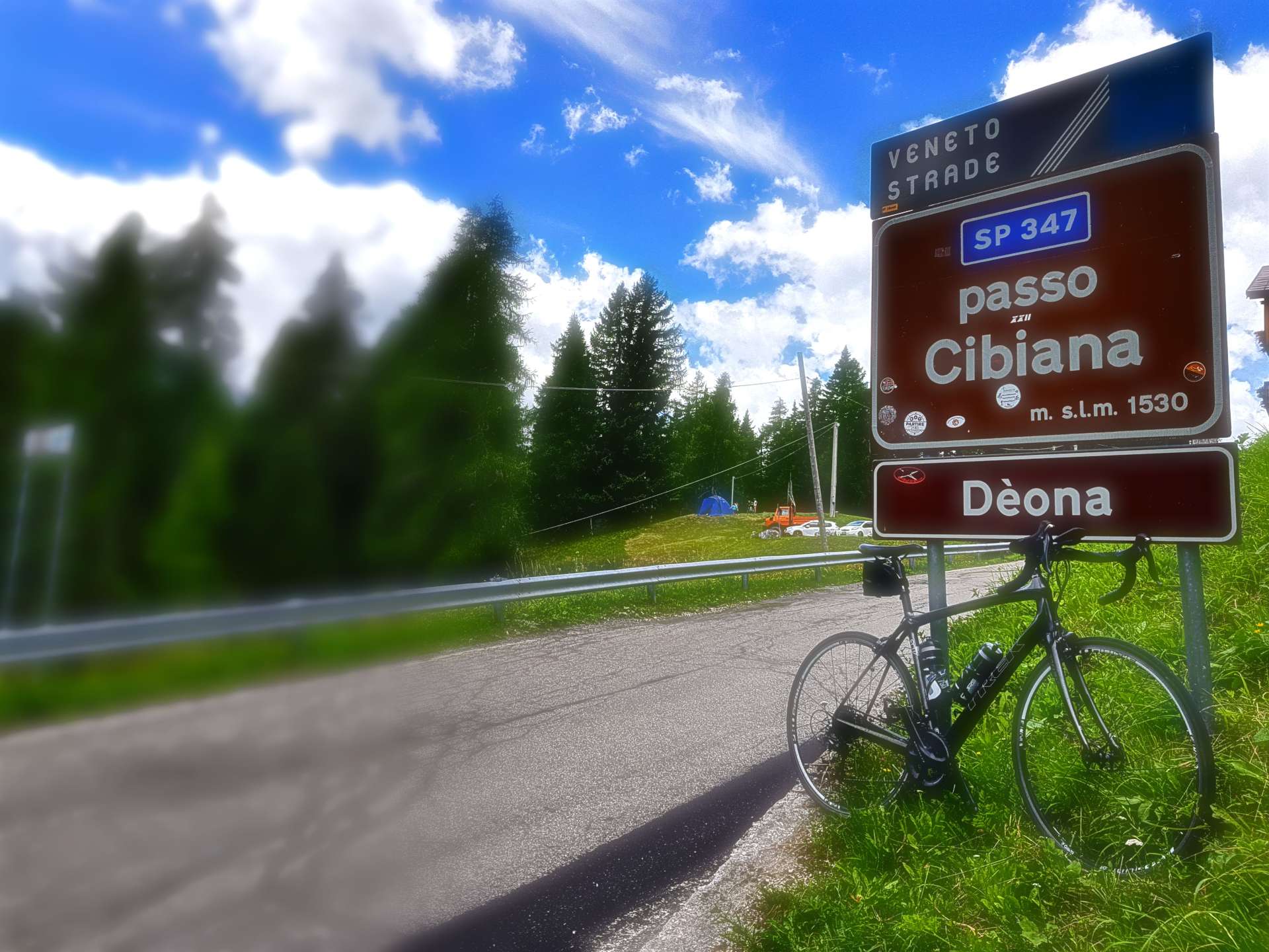
Oliva Loop via Puerto de Sorell
You may remember I mentioned that I had gearing issues yesterday. Once I got back to the hotel it was clear the cable was frayed & very close to snapping, so my immediate priority today was to get the cable replaced. This became more complicated than I hoped, as my preferred bike repair shop (5* rated for workmanship) won’t be able to fit a new cable until Wednesday afternoon. Although they hire bikes, they are all currently rented out.
I’m a project manager, so solving problems is my day job – I left the bike to be repaired & set off to find a rental bike – luckily, I found 1 in my size that was available for the next 3 days. It cost an additional €4 to increase the booking from 2 days to 3, so I now have some contingency if my bike repair is delayed.
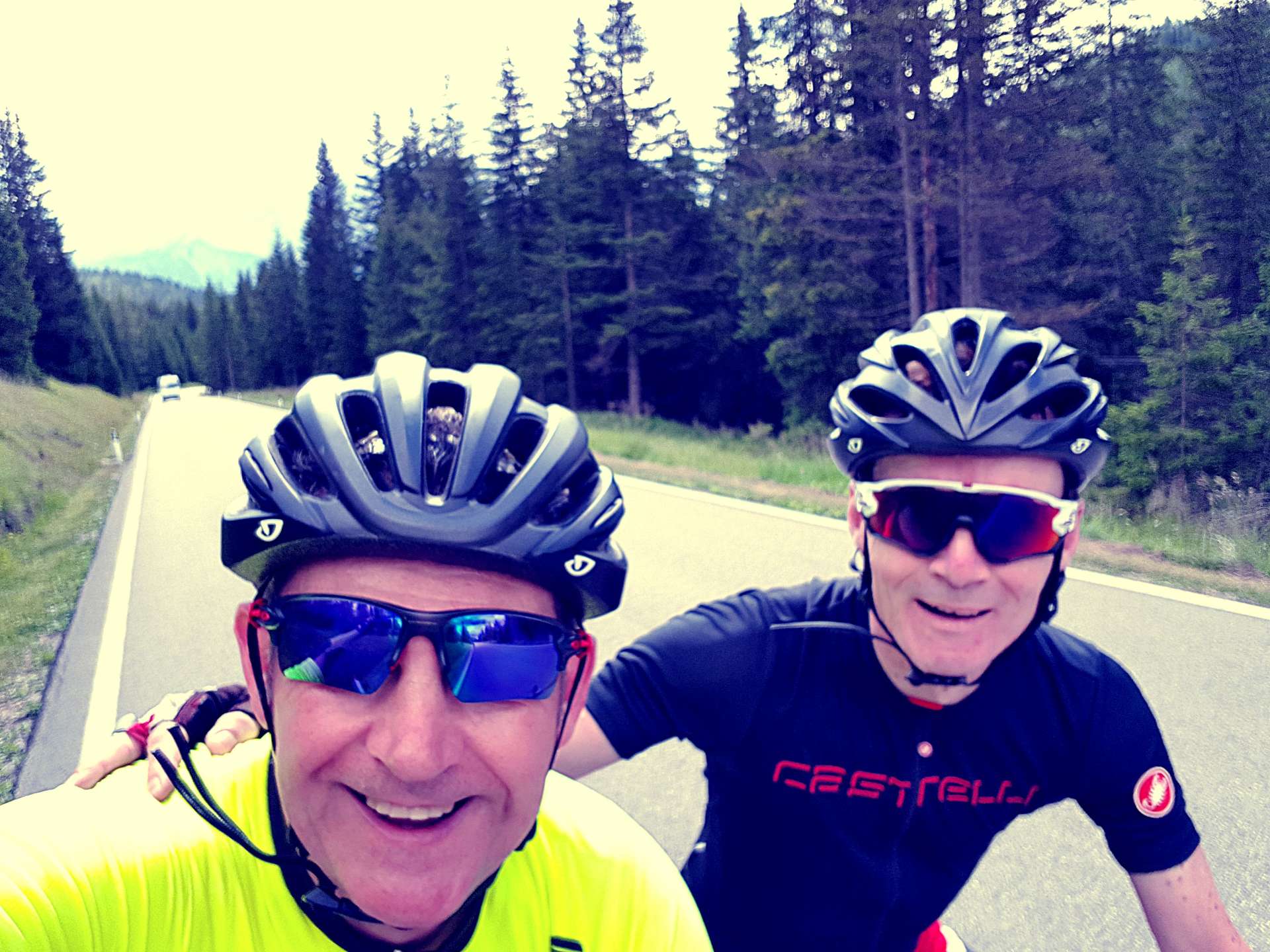
By 11am I’d got the bike fitted with a saddle bag, pedals & Wahoo mount. We’d chatted last night & agreed that we should both do our own thing today, so Sean had set off at about 9am to do a gentle 40-mile ride along the coast.
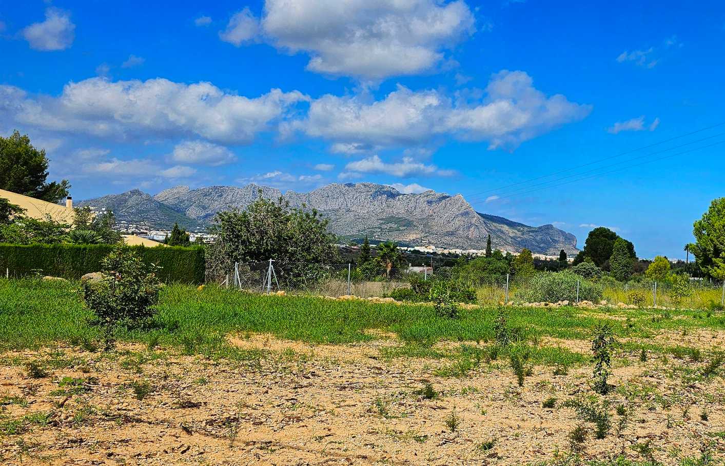

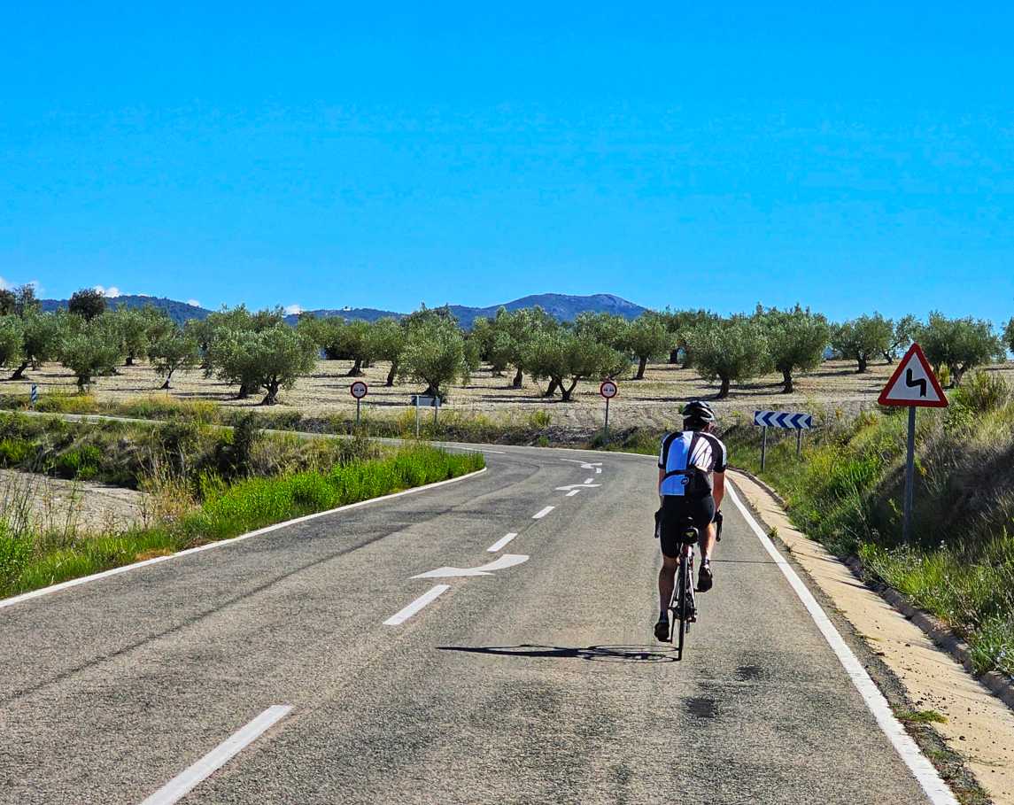
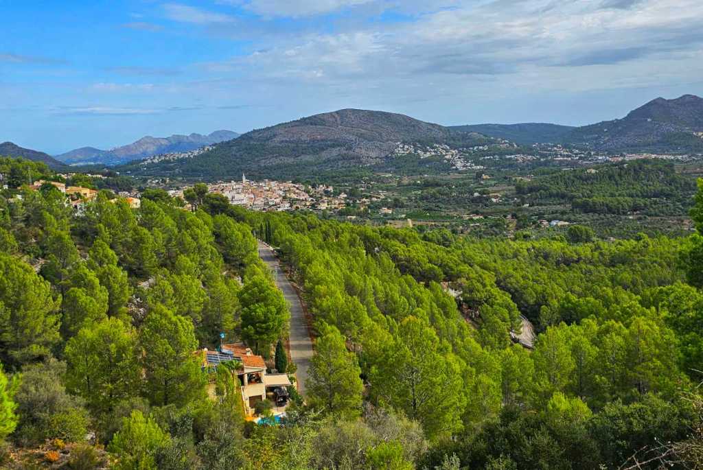
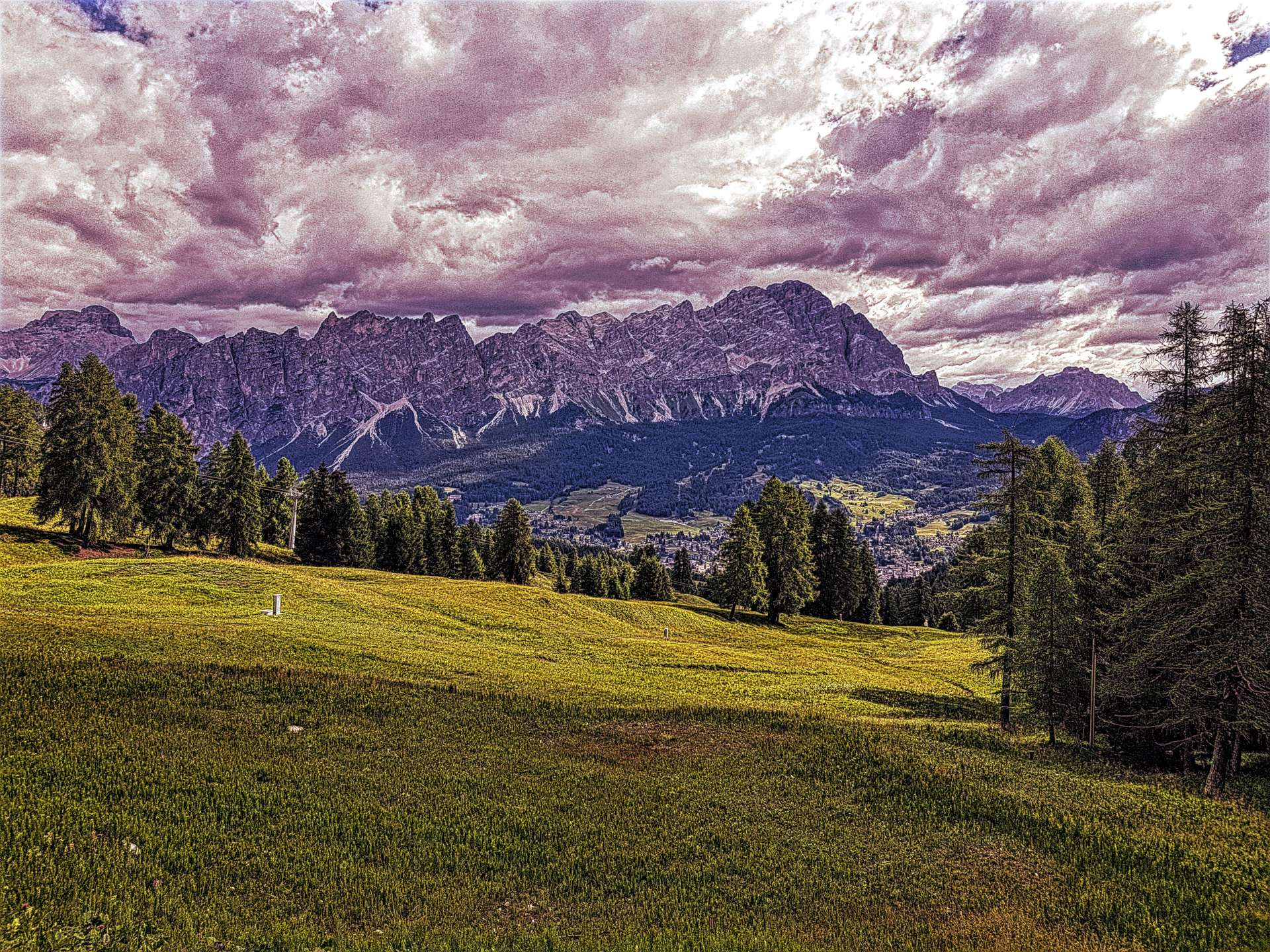
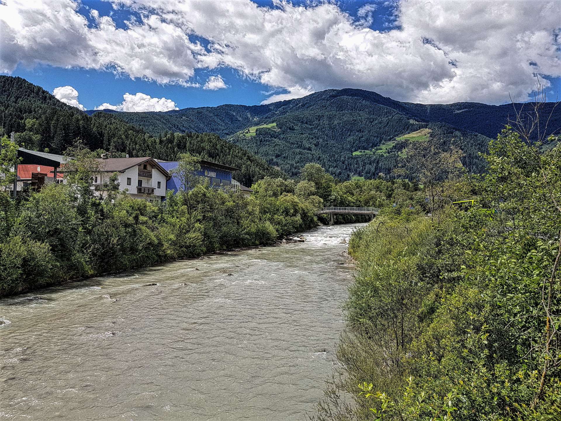
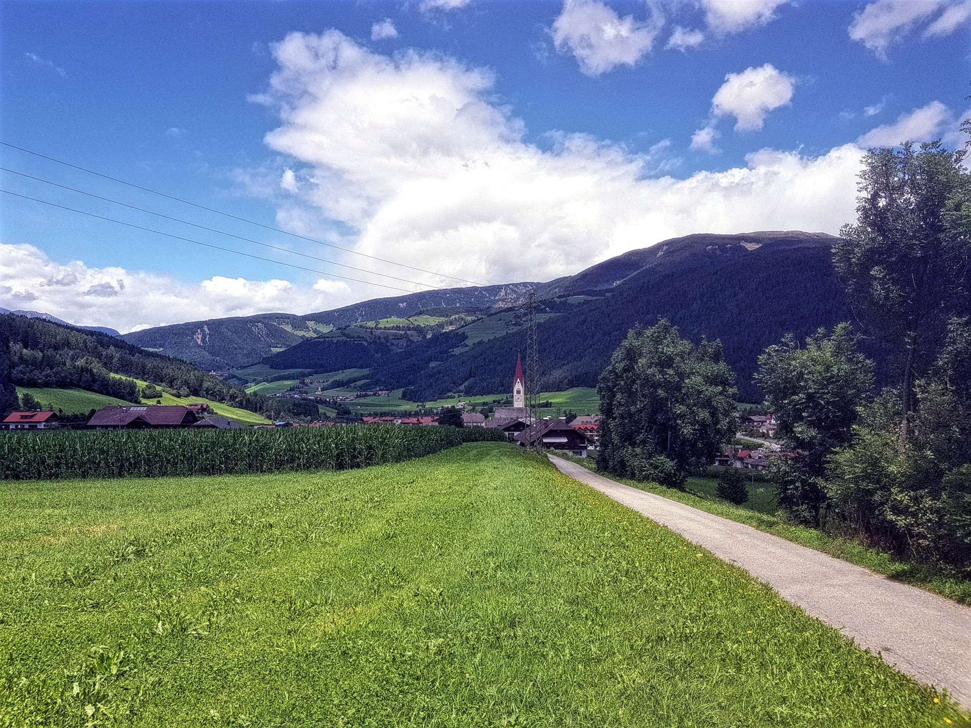
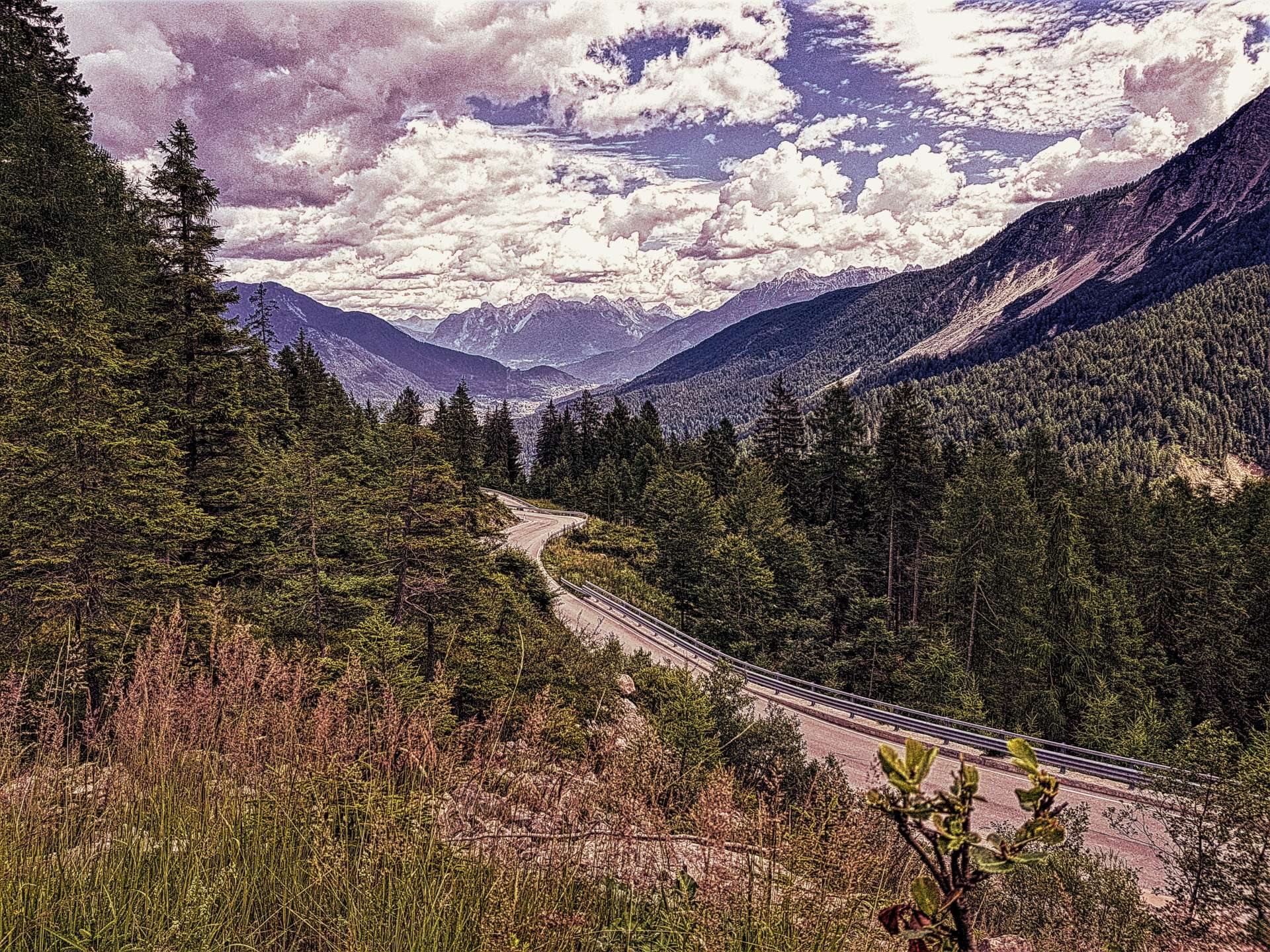
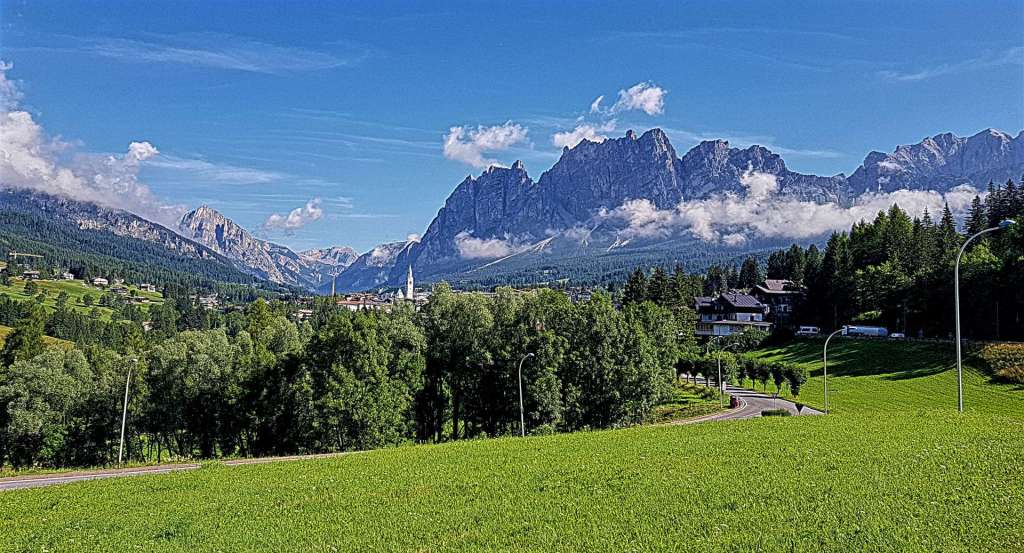
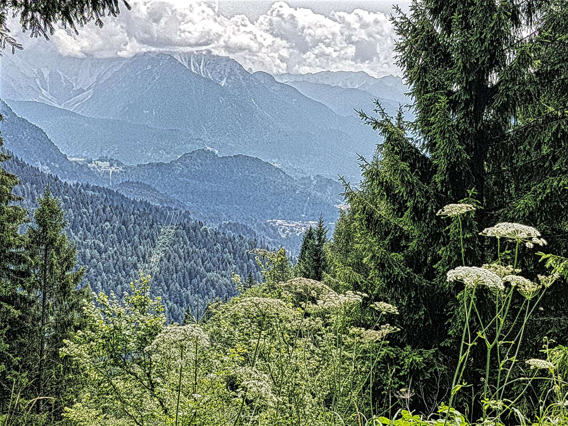
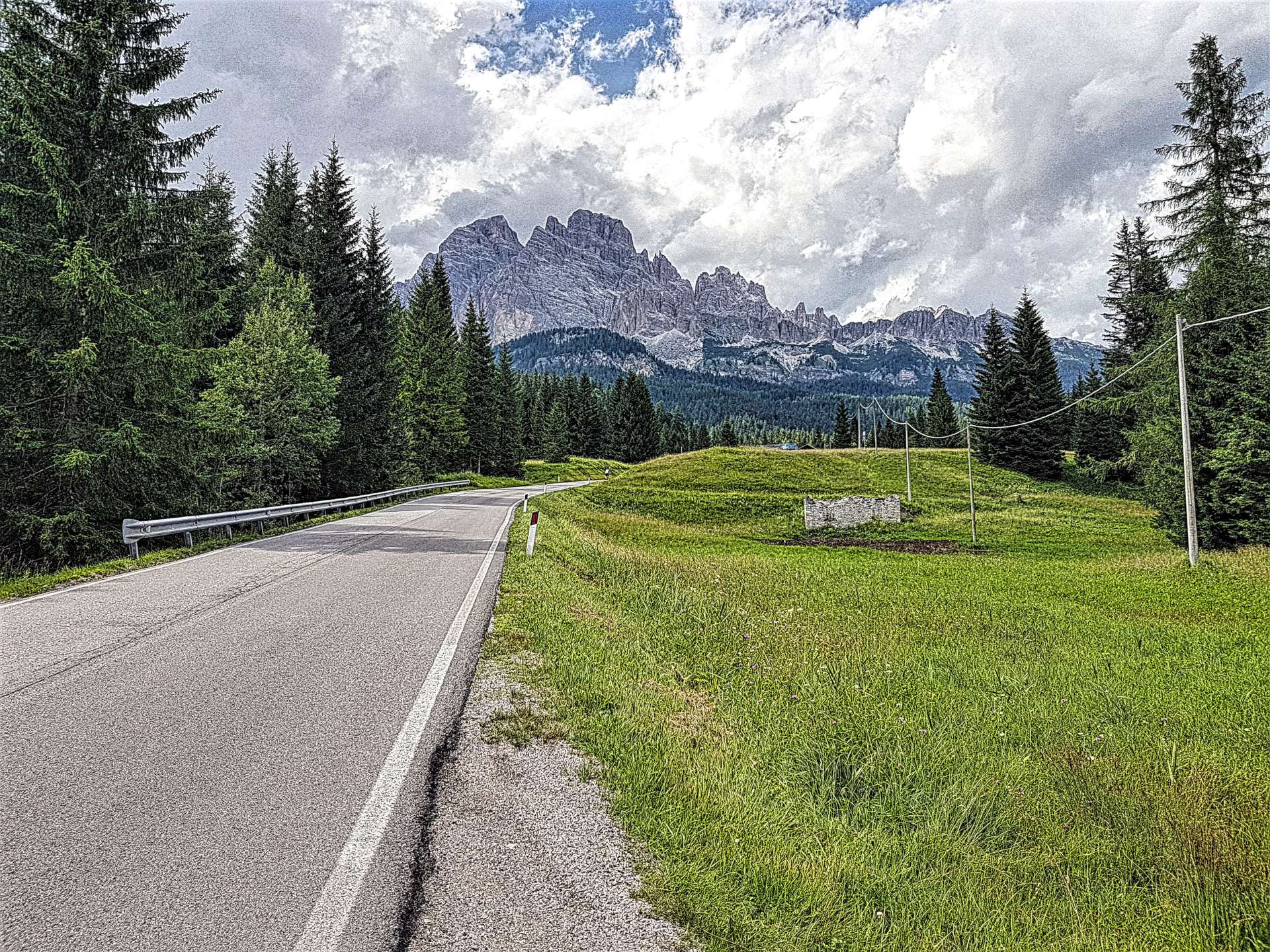
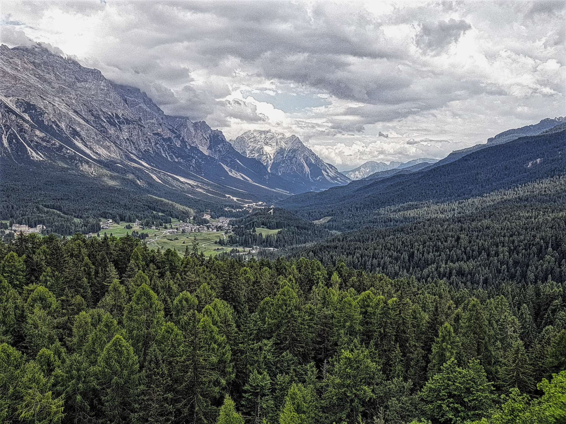
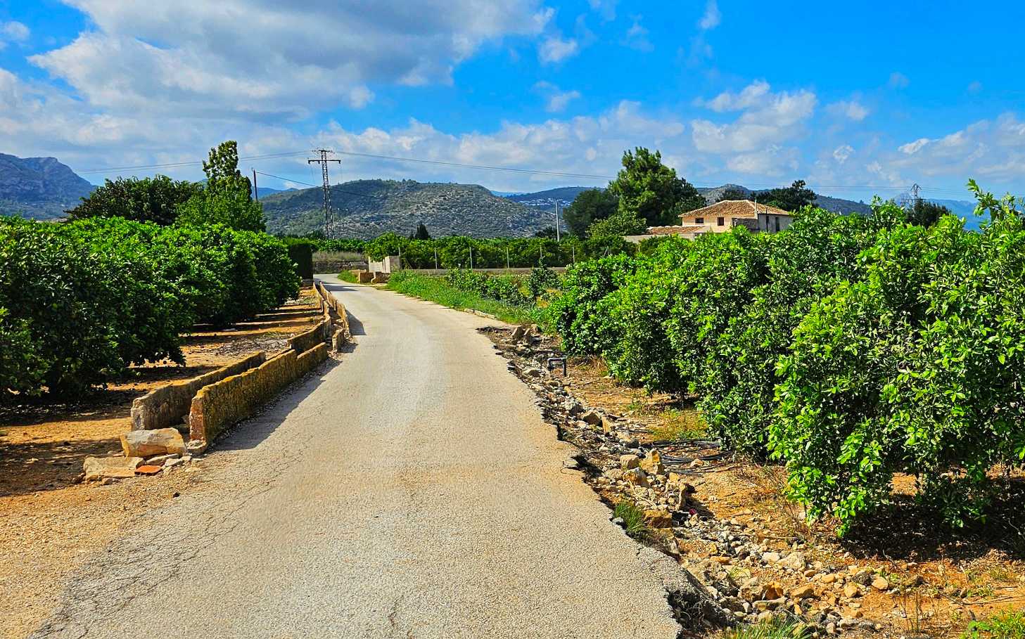
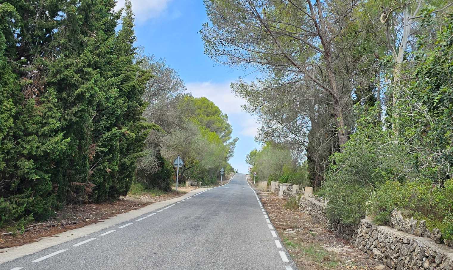
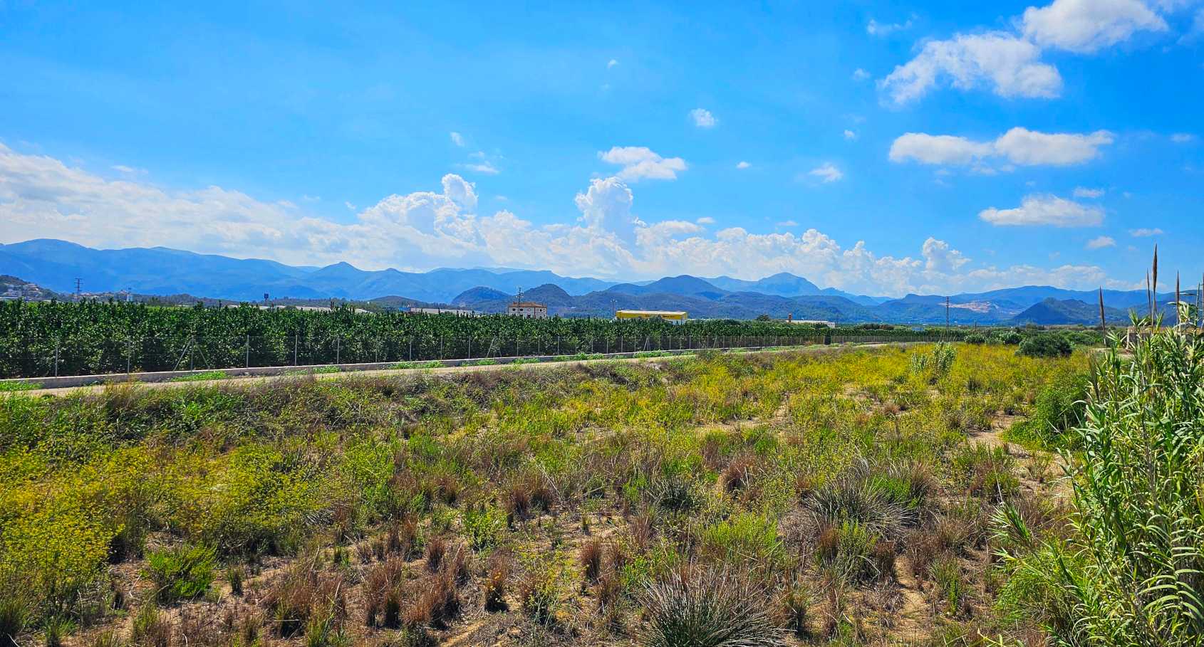
I set off towards La Xara on deserted lanes that offered occasional views of the mountains in the distance, then carried on to outskirts of Pedreguer, where I picked up a small service road that ran next to the Autopista de la Mediterrania for a couple of miles. Huge reeds separated me from the traffic on the motorway – it felt as if I was in the middle of nowhere.
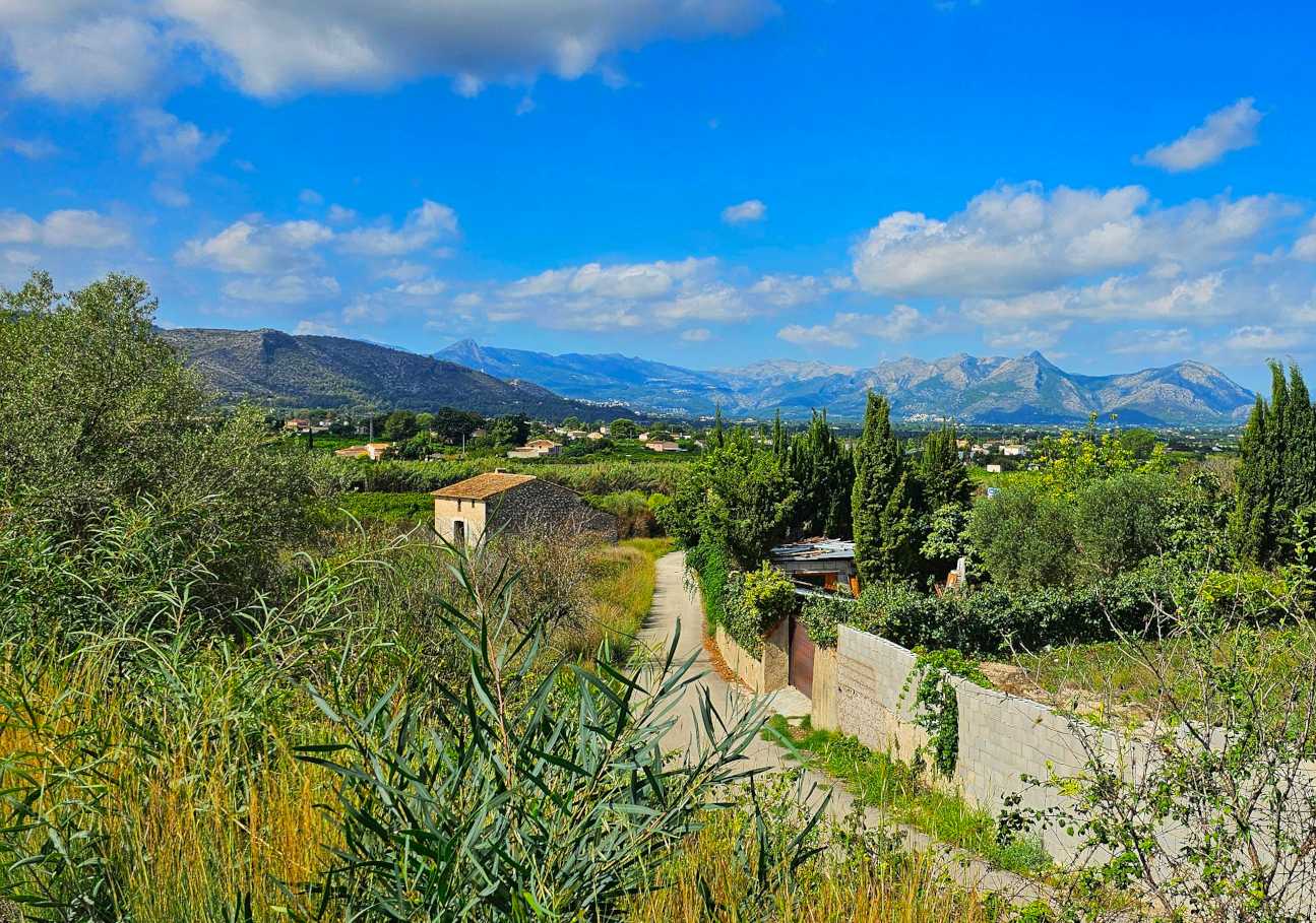
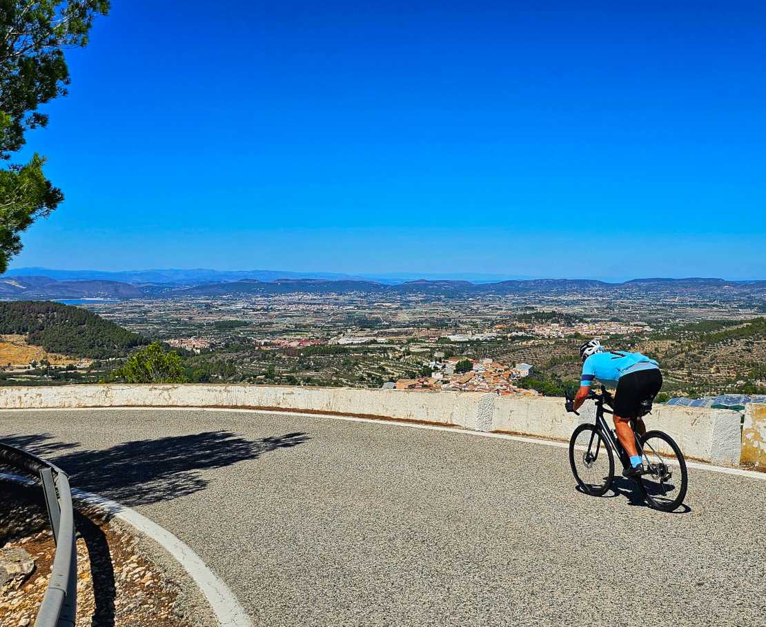
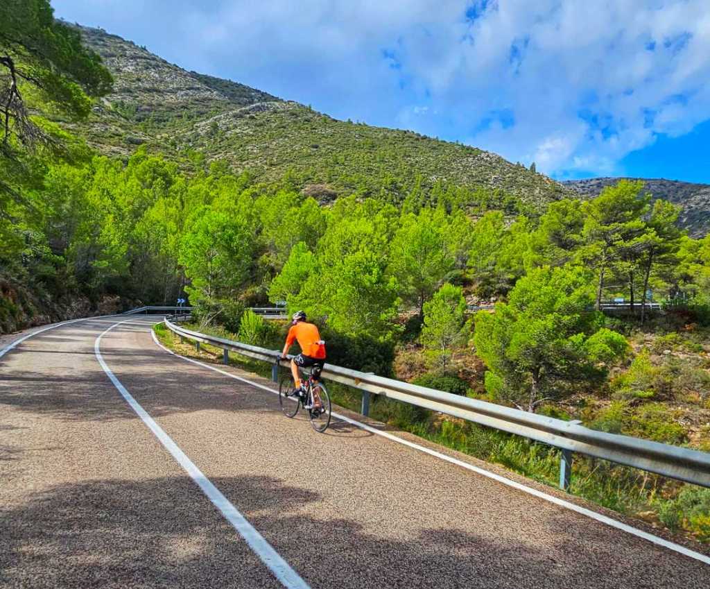
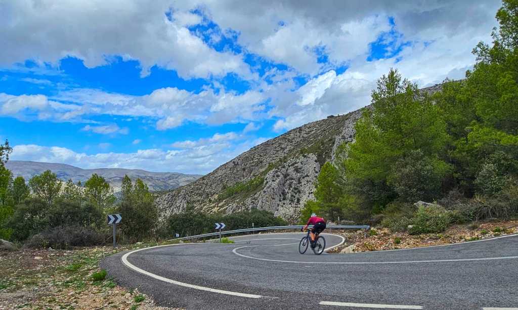
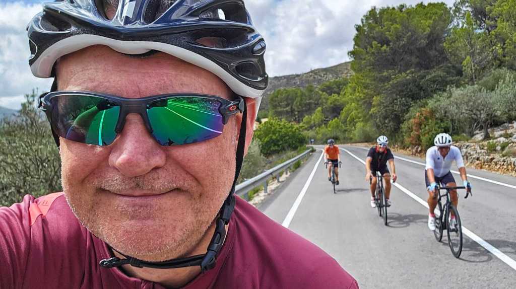
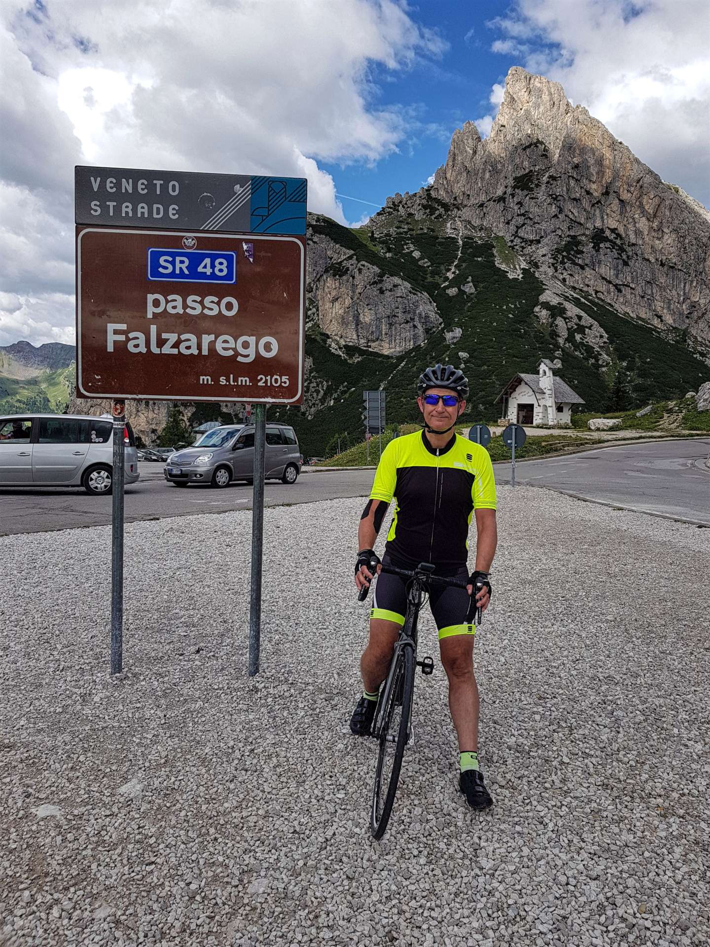
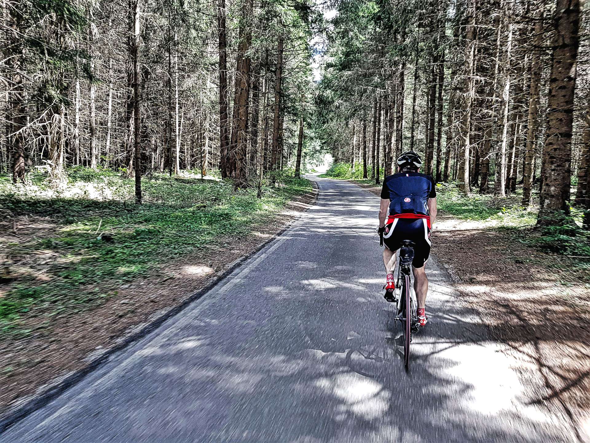
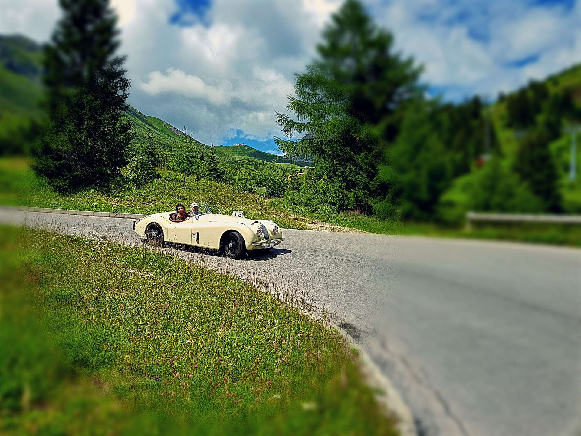
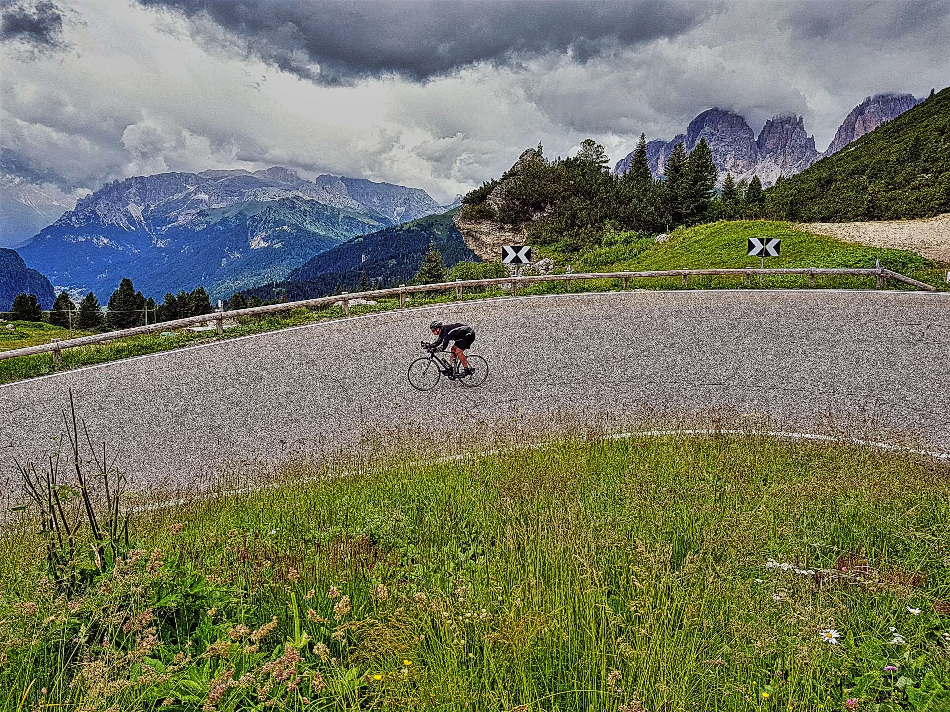
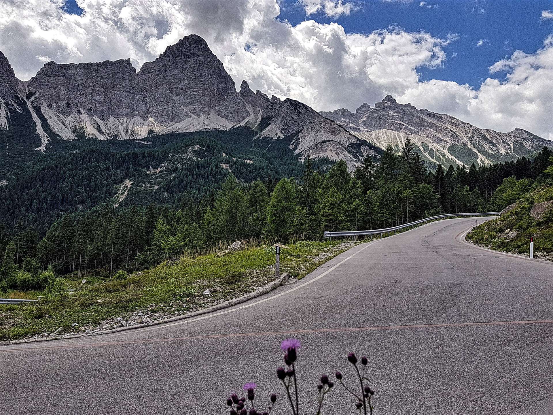
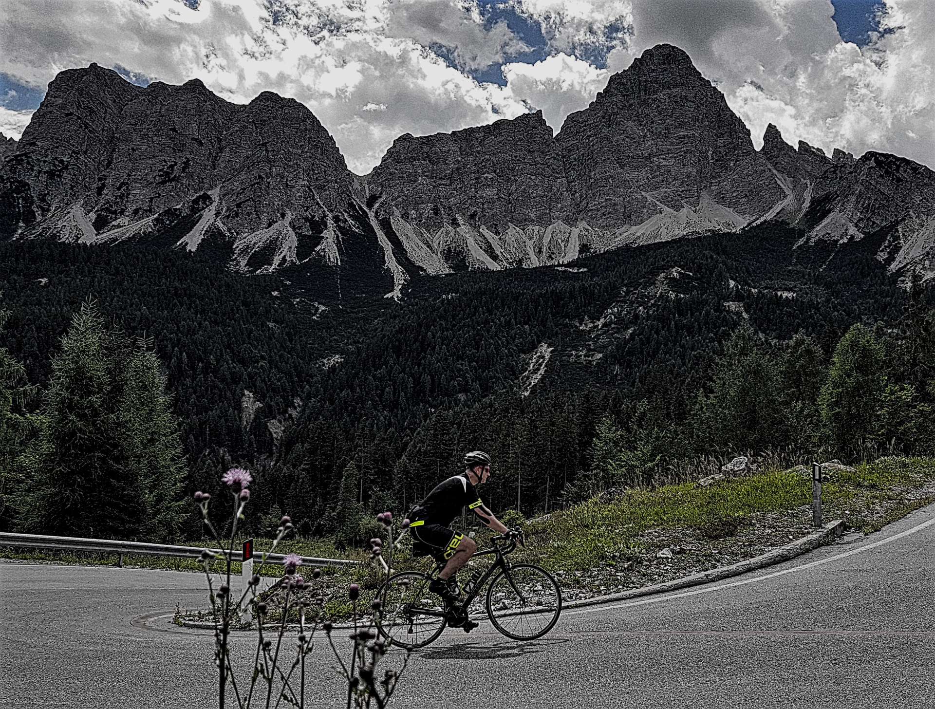
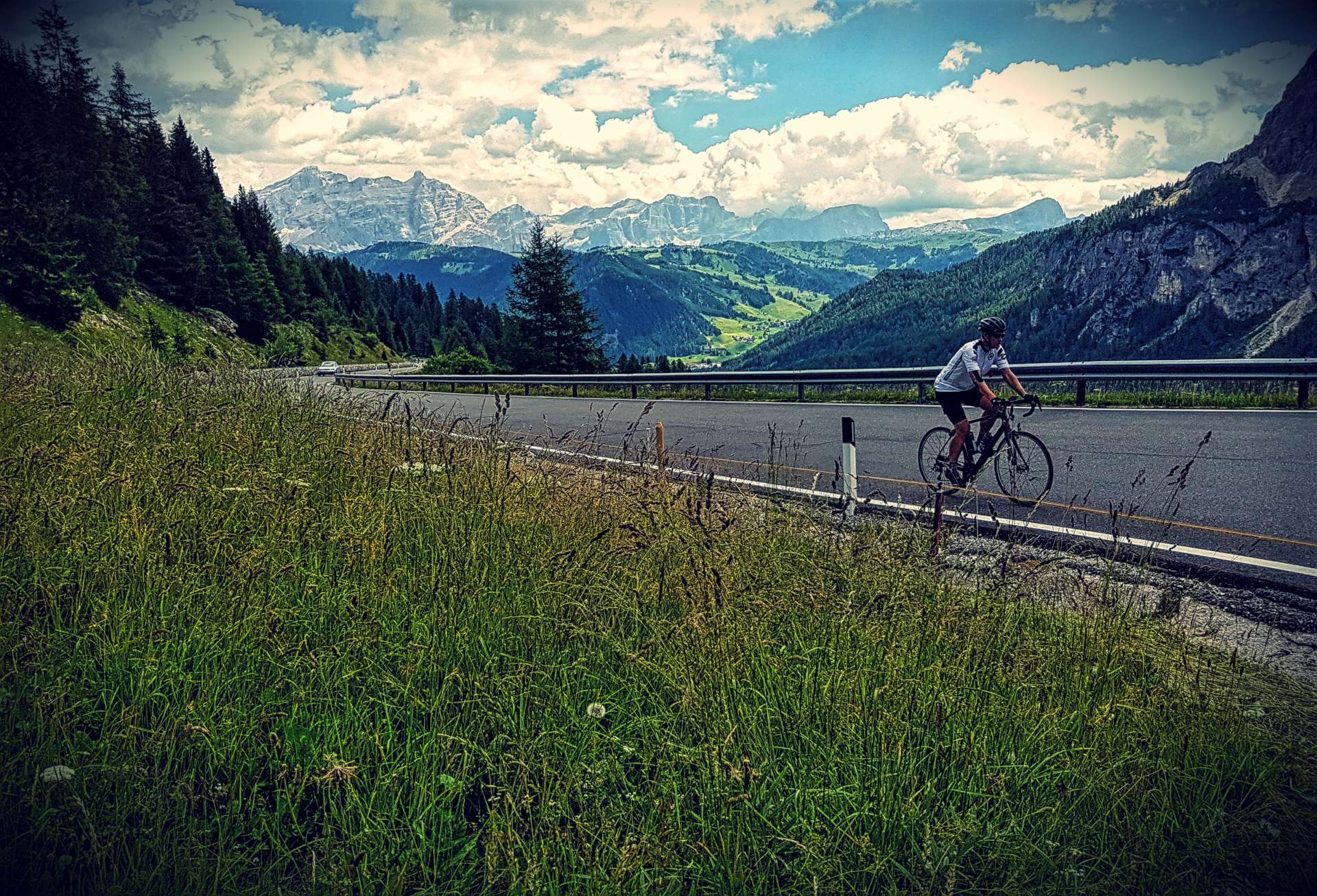
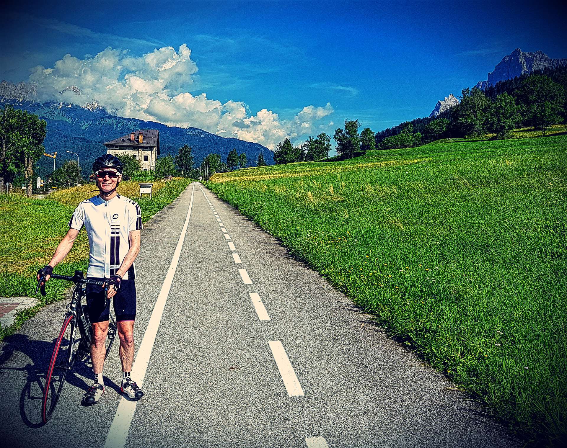
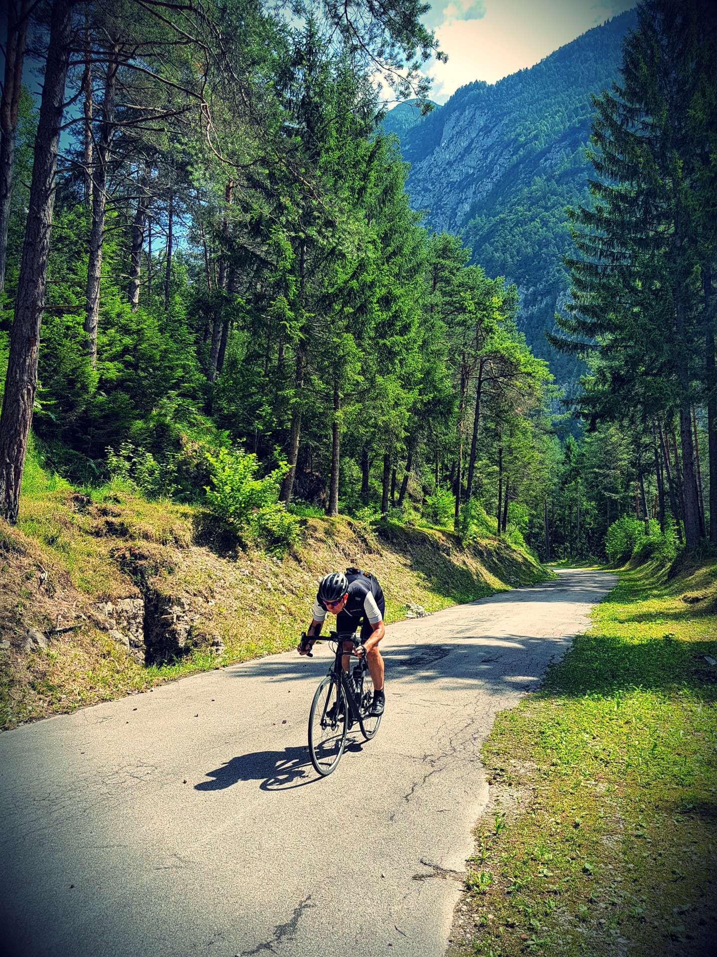
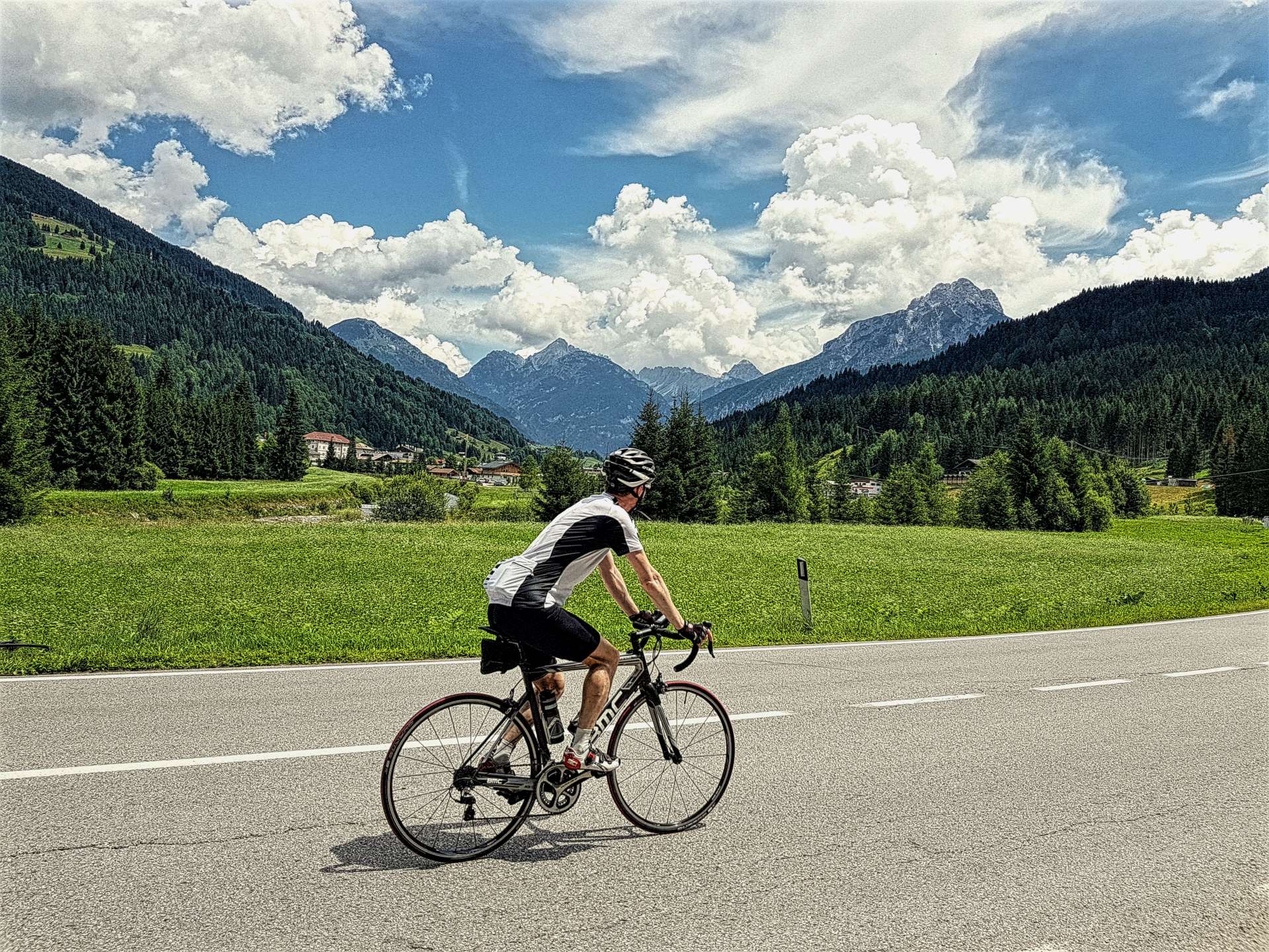
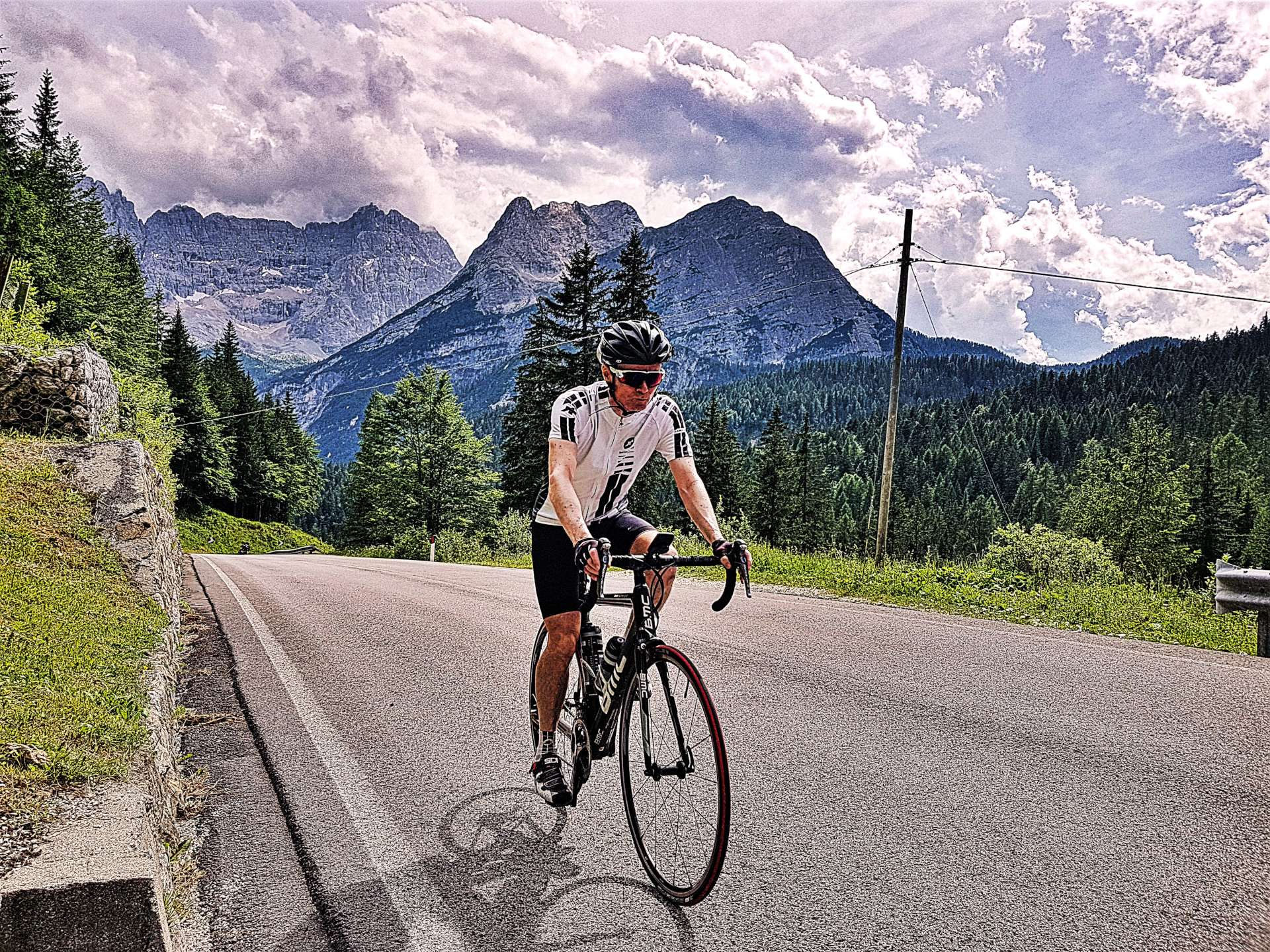
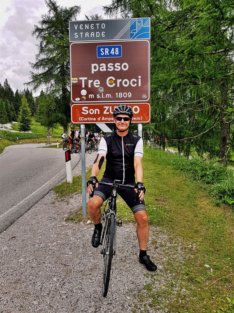
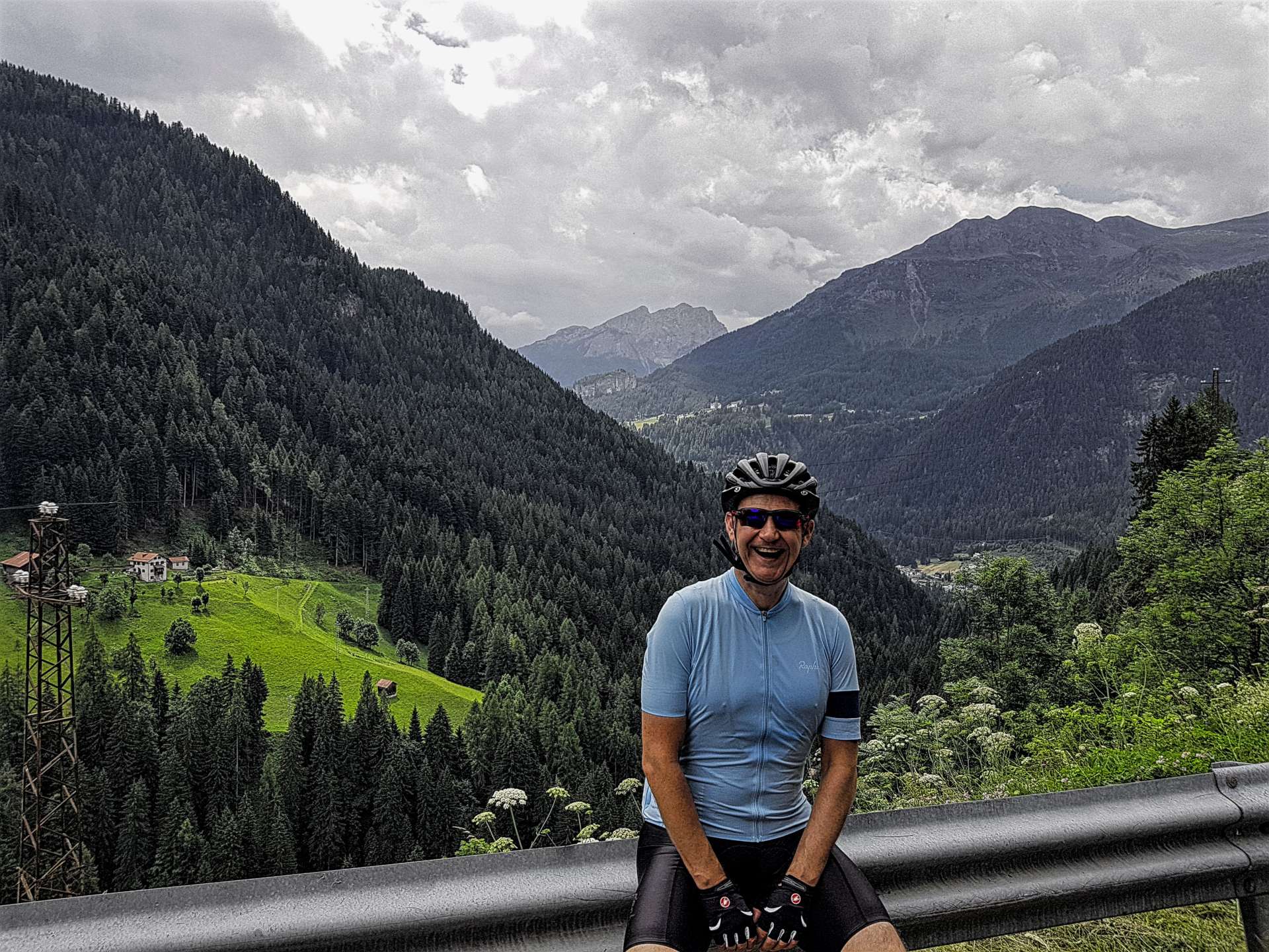
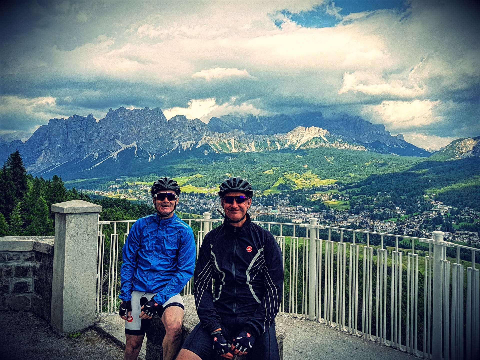
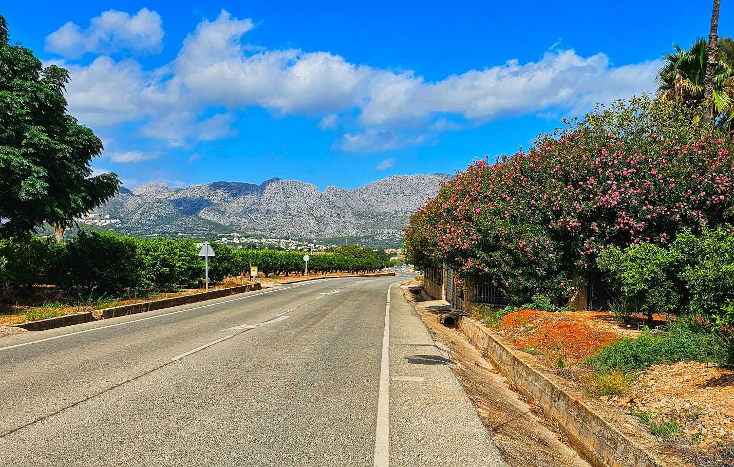
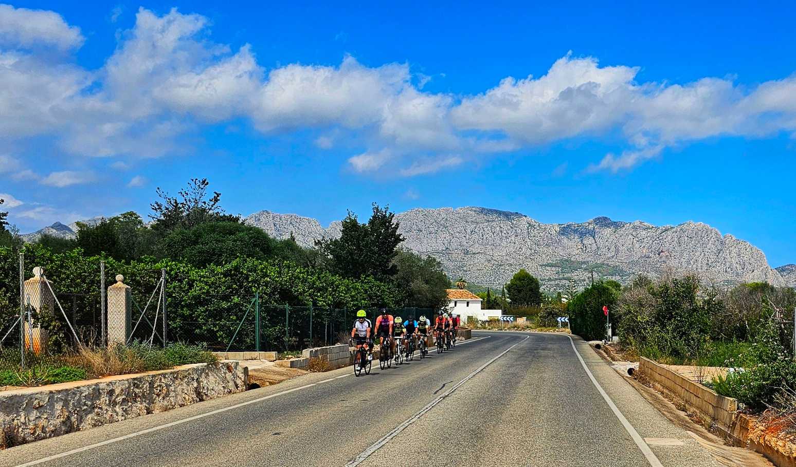
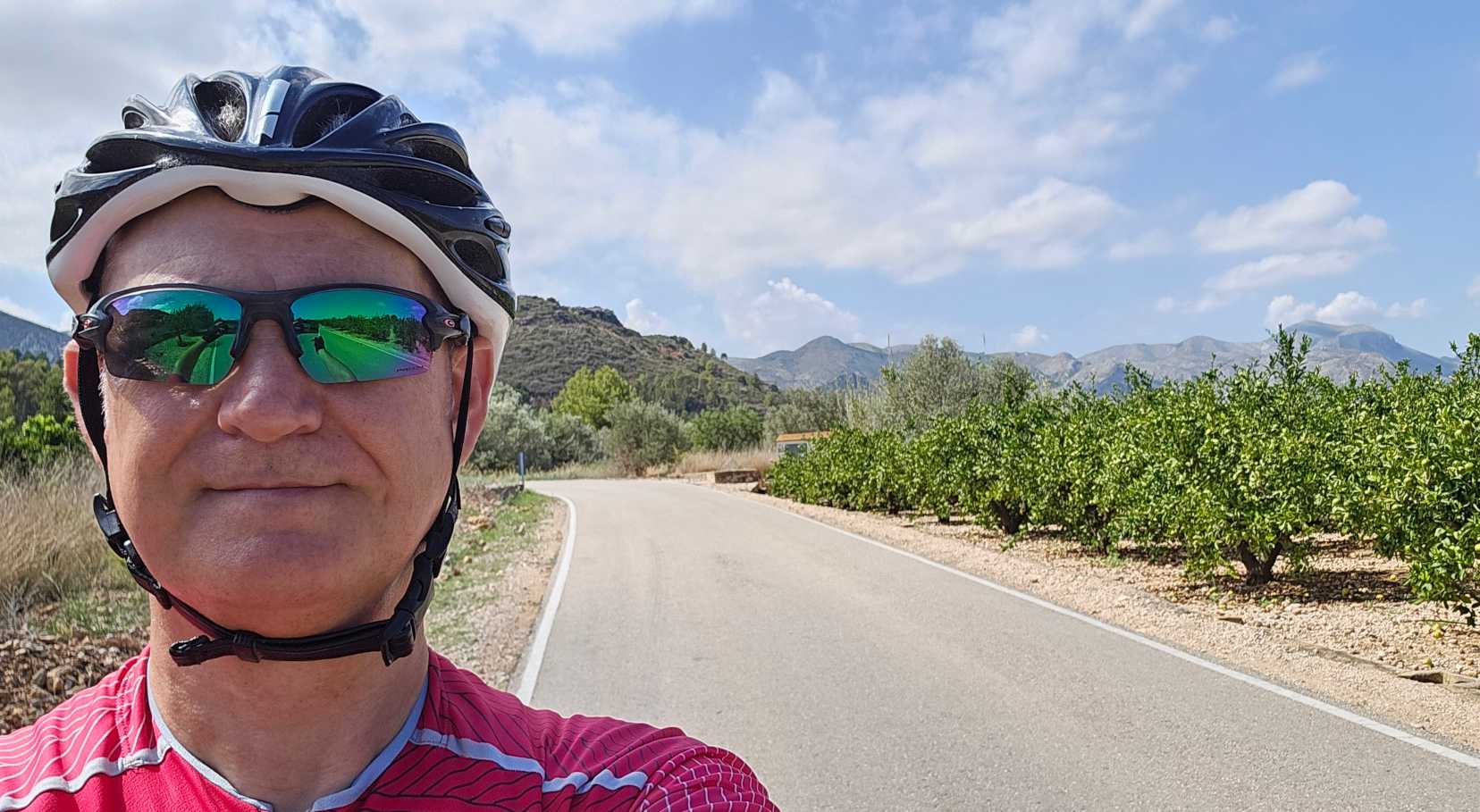
I was edging ever closer to the mountains but was happy in the knowledge that I wasn’t going to be tackling any big climbs today. I stopped briefly to capture a photo of the Scott Addict which will be my ride for the next 3 days. It has a bit of bling in the paintjob & it rides well – any issues are due to the rider’s limitations! I had a tailwind during this section & I flew along without needed to expend much energy. I had a small degree of sympathy for the peloton of riders that were battling the headwind as they headed towards me!


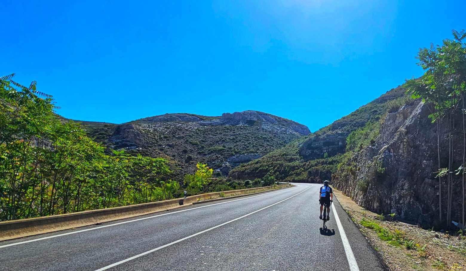
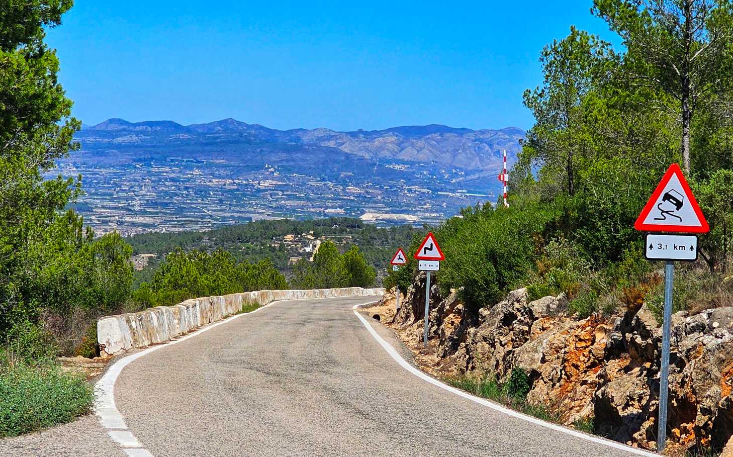
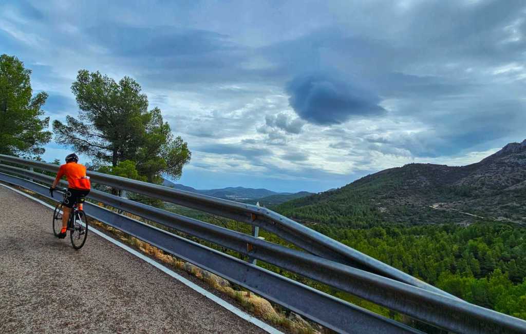
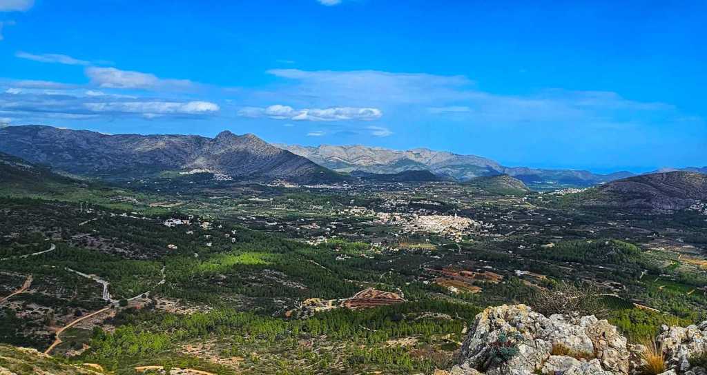
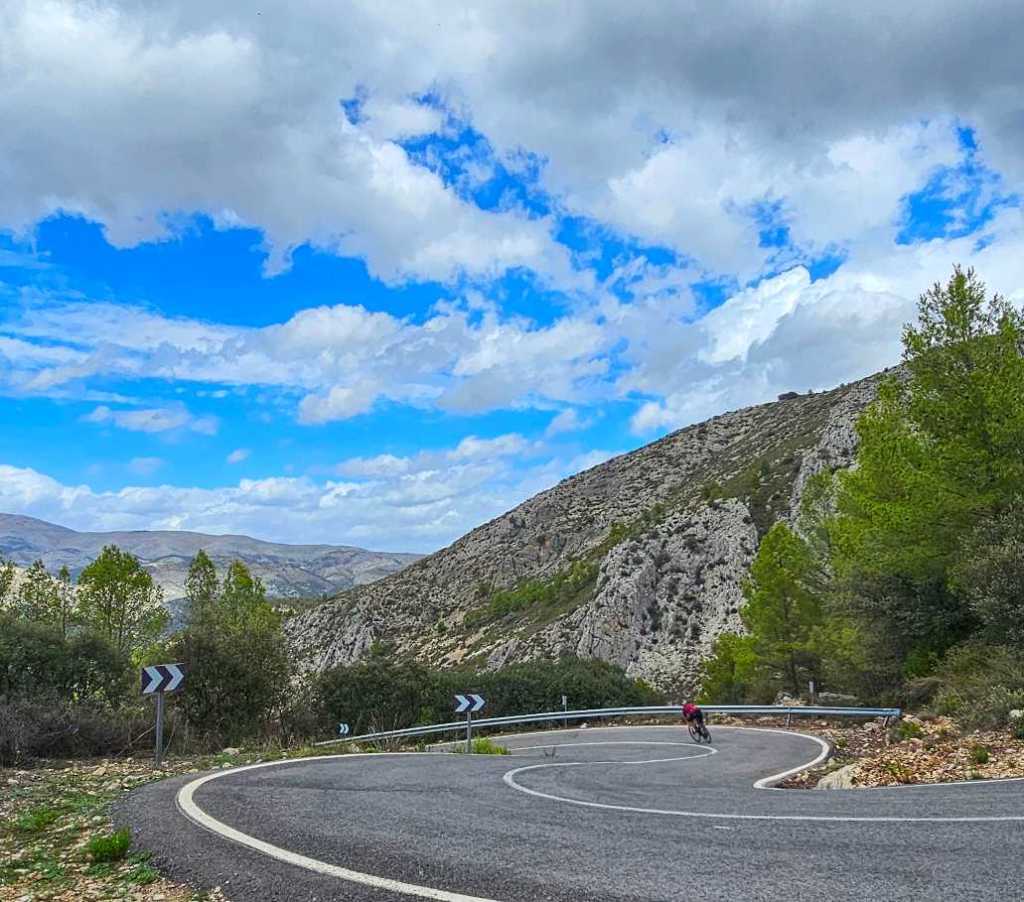
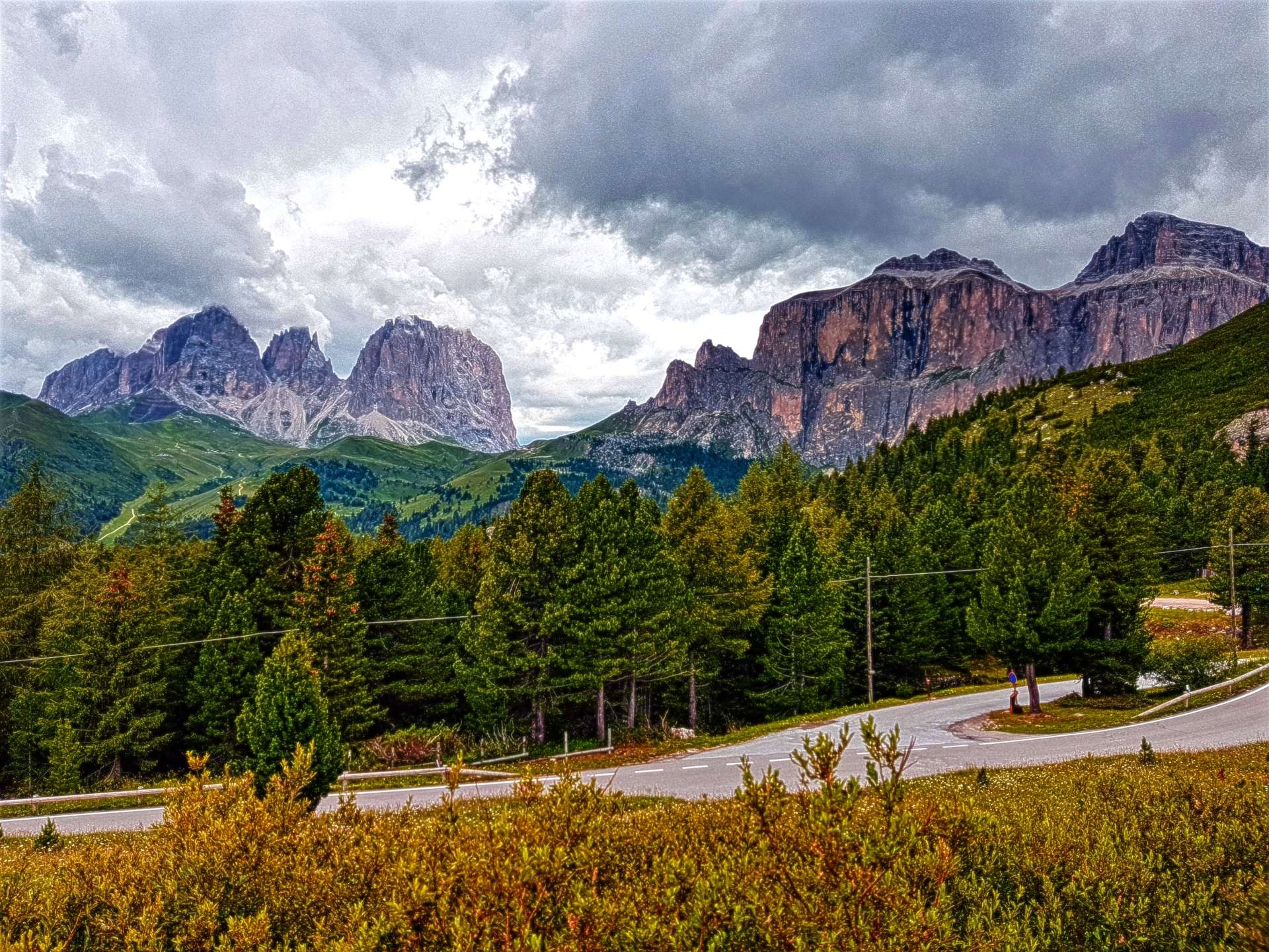
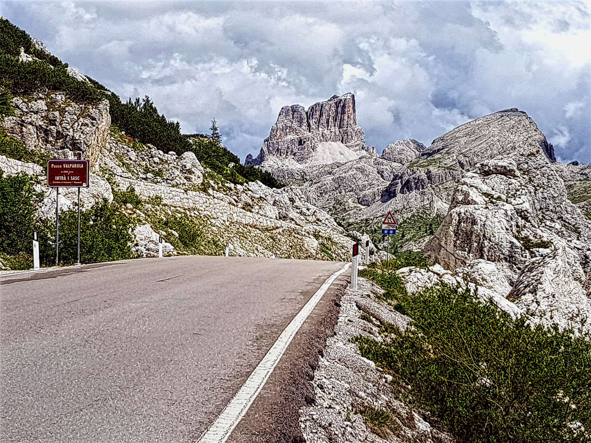
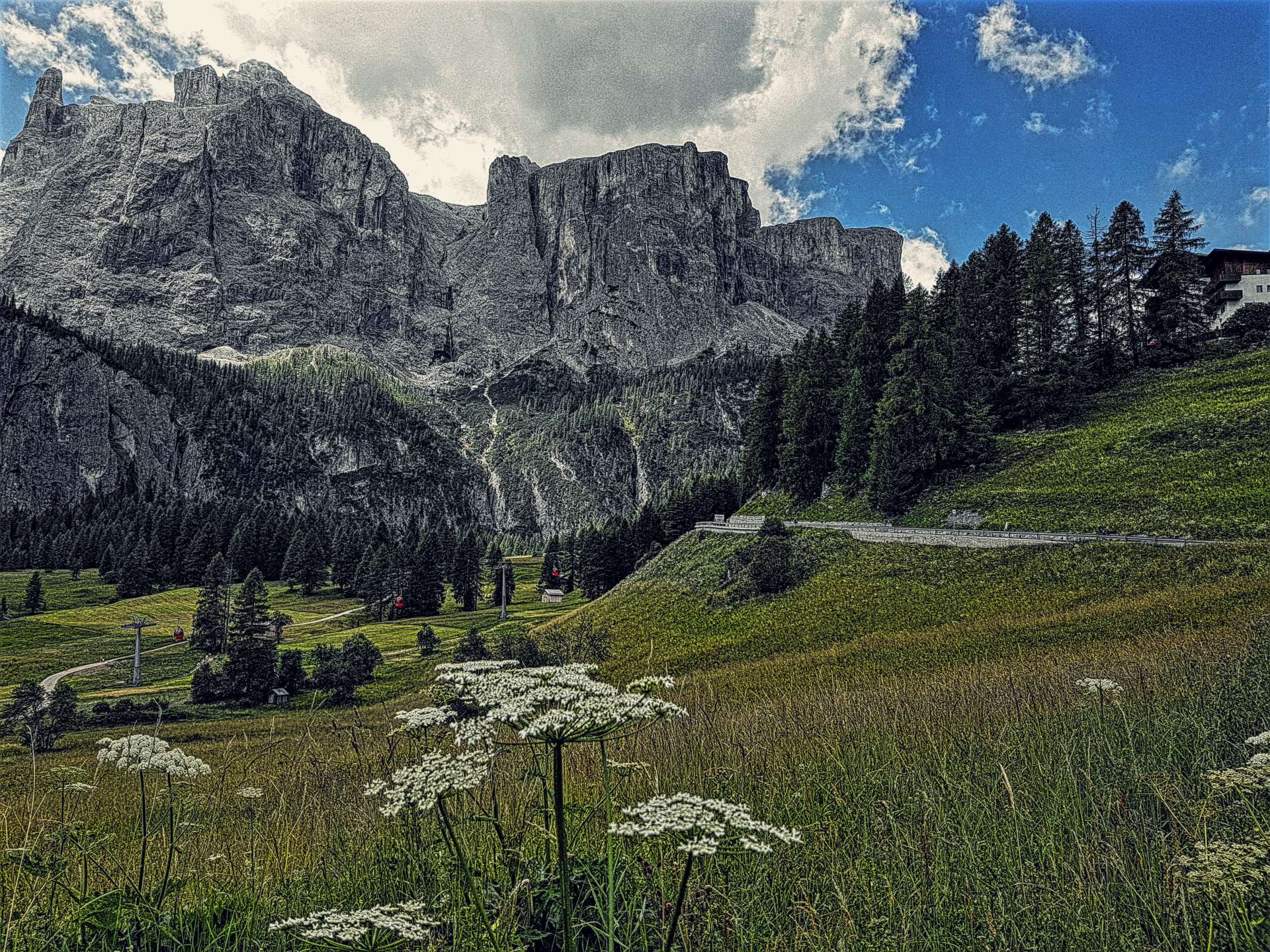
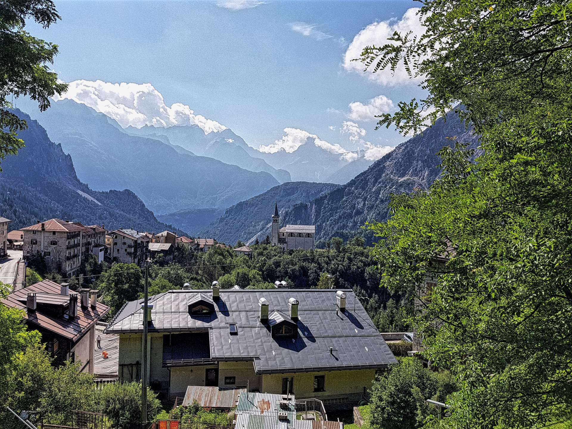
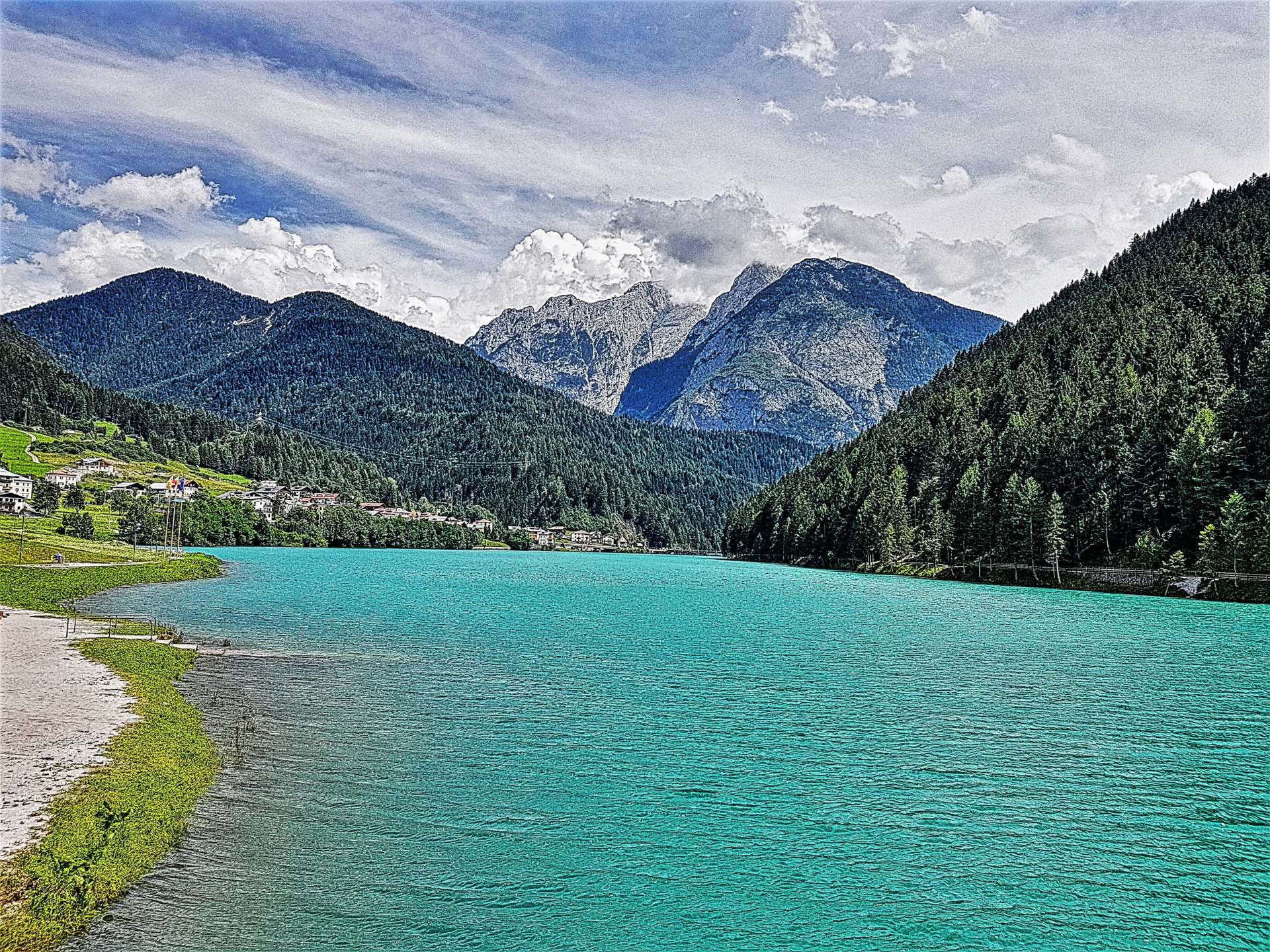
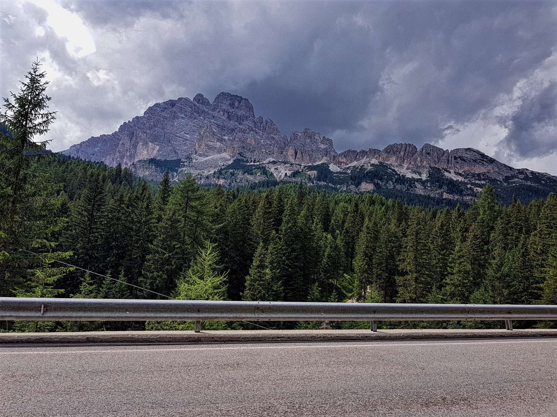
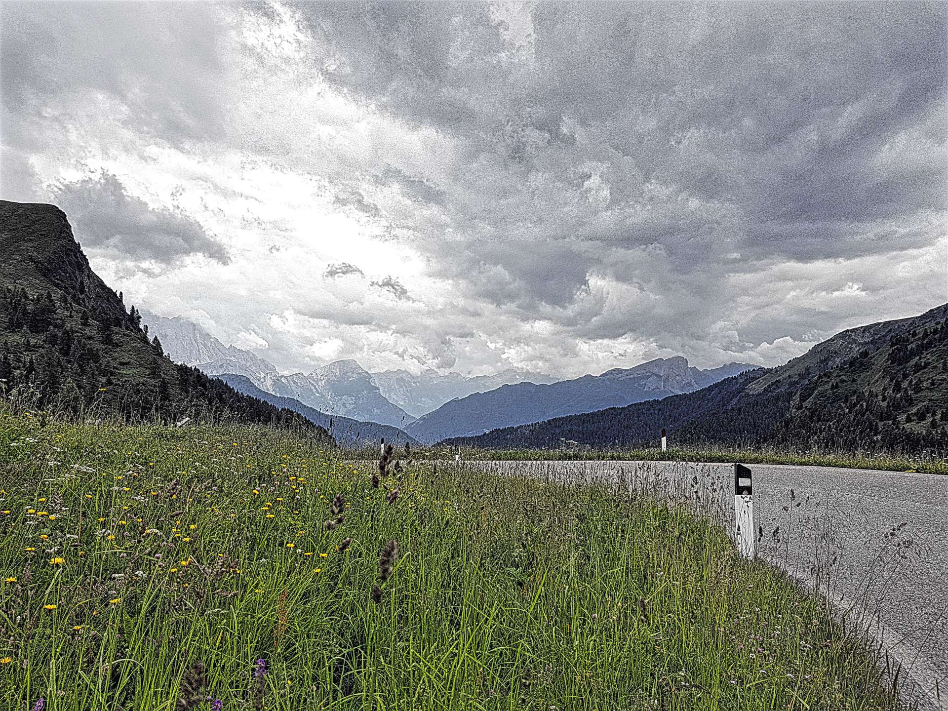
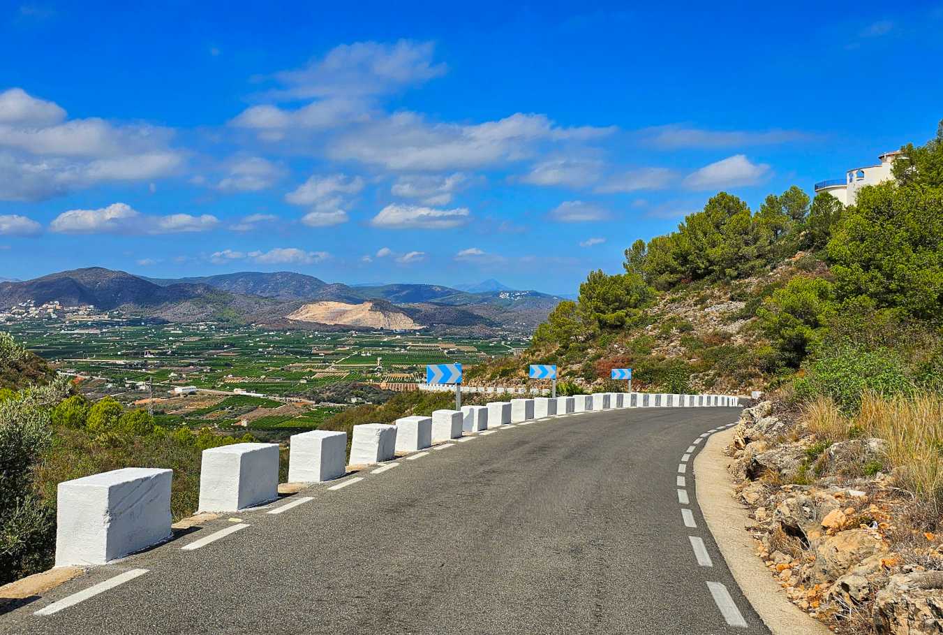
The only climb of any note today was to the Puerto de Sorell, a 500-foot ascent in a little over 2 miles, so nothing compared to some of yesterday’s beasts.

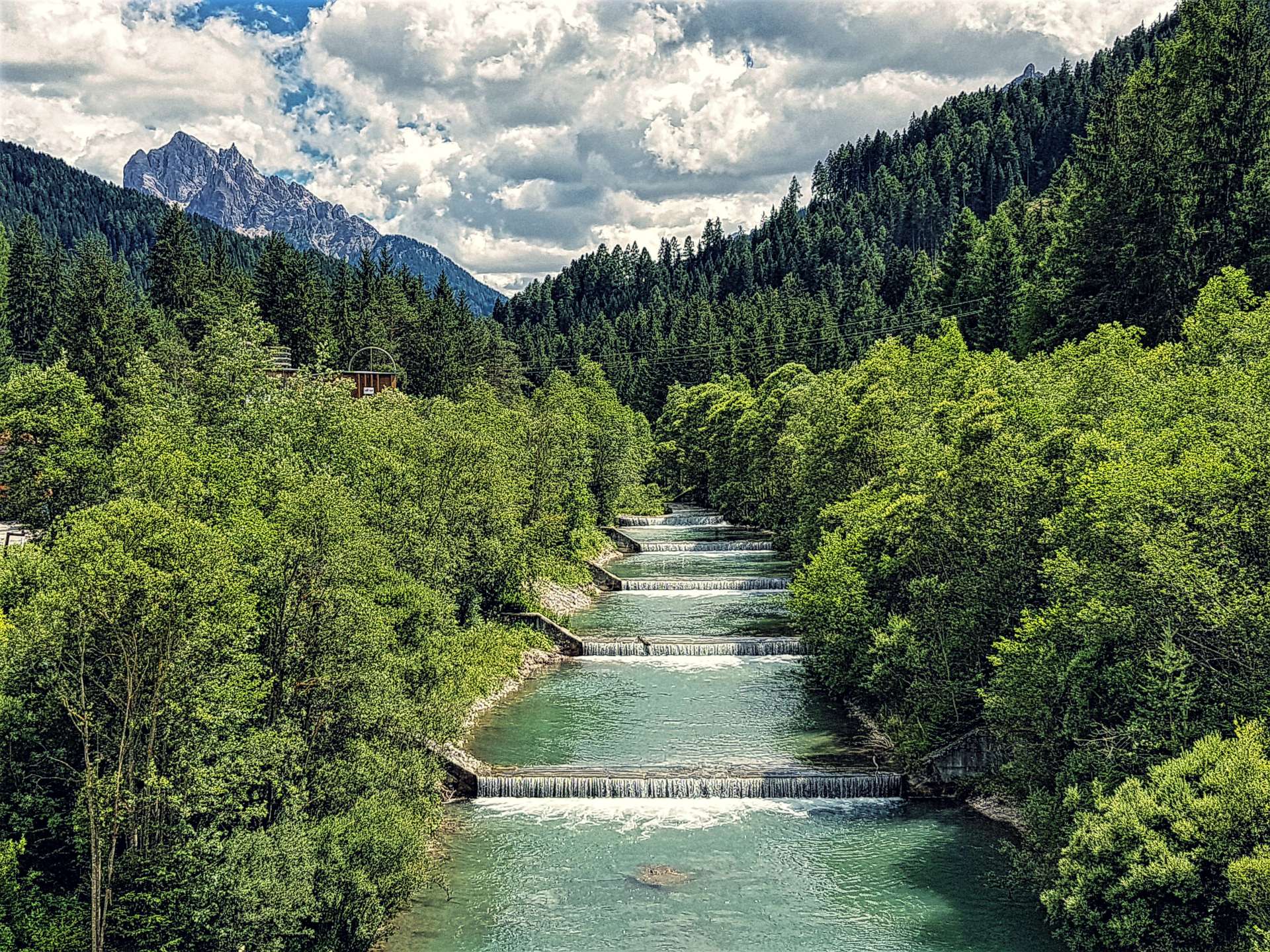
The view from the summit was glorious, with the Mediterranean Sea glistening in the far distance. The descent was over in the blink of an eye & I was back on flat lanes that headed towards the town of Oliva.


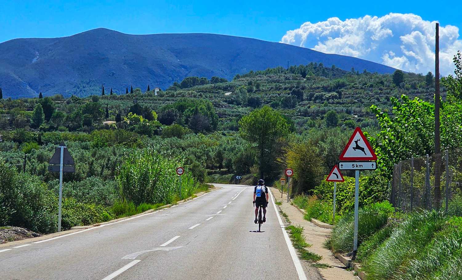
This was the turnaround point of my ride, which meant I turned into a headwind for the next 20 miles.
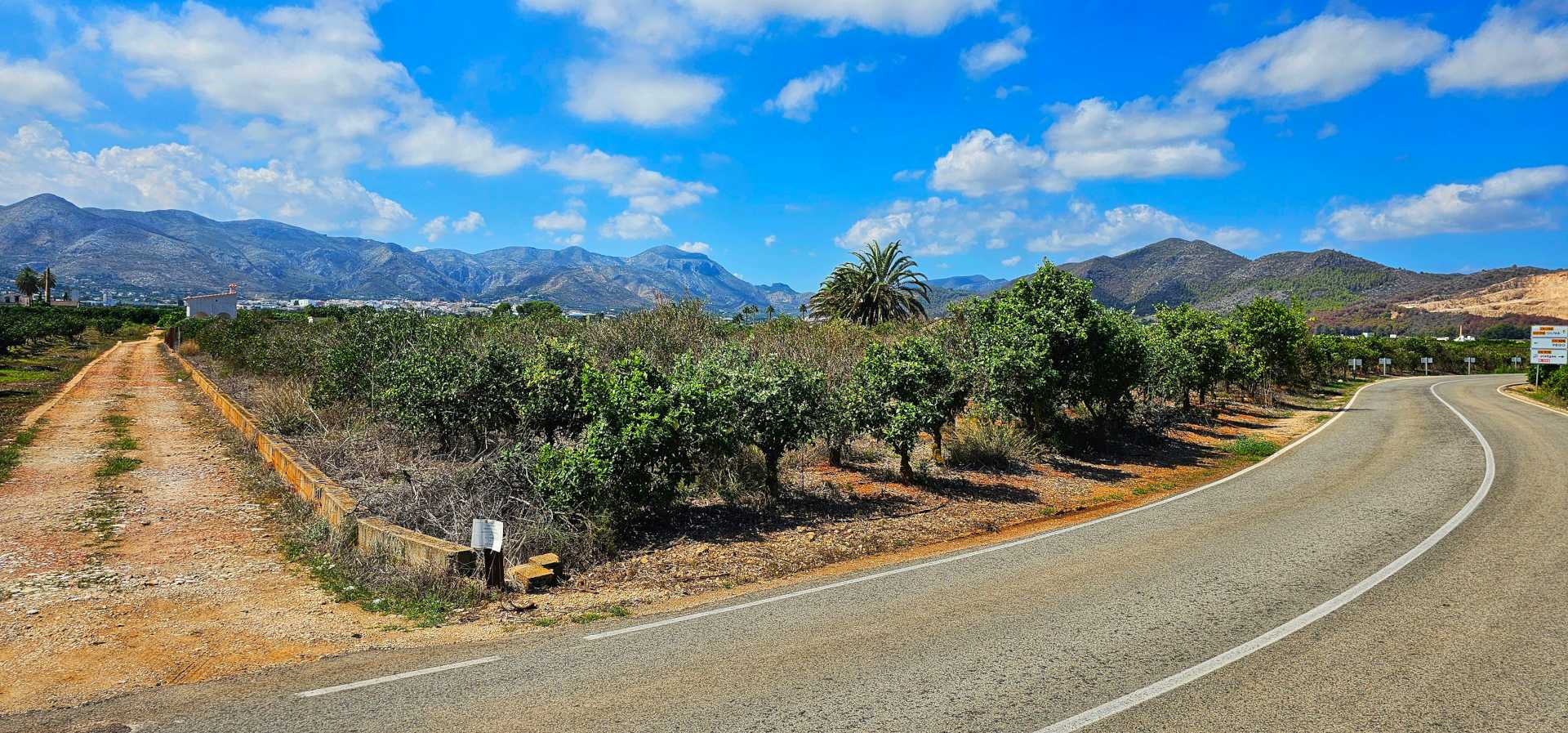
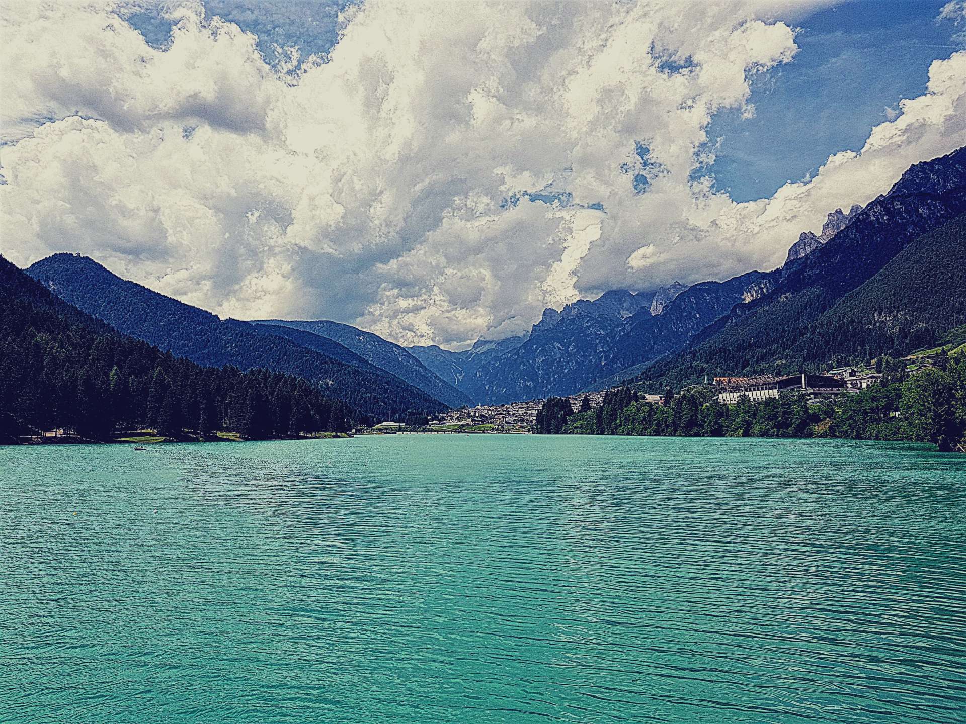
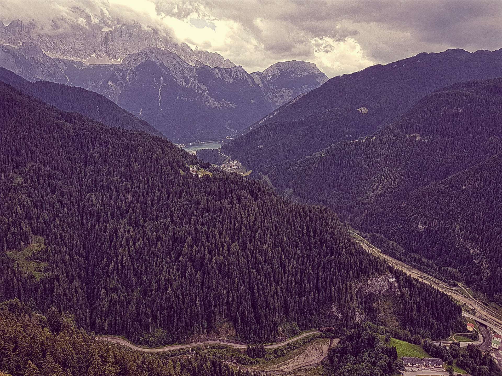
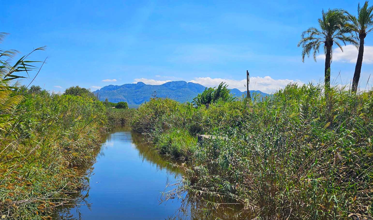
The reward was that I was cycling through the Parc Natural de la Marjal de Pego-Olive, which is an area where the natural wetland has been preserved.
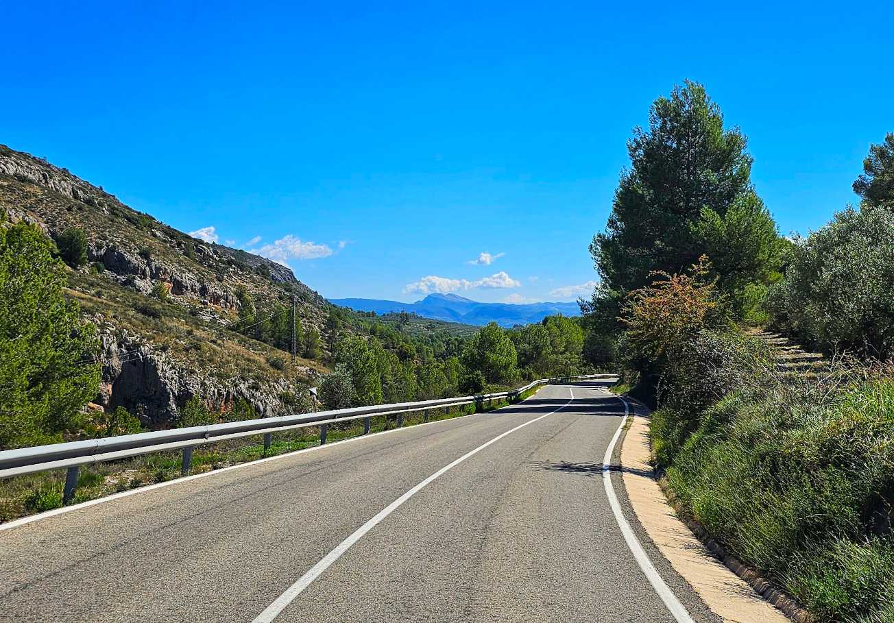
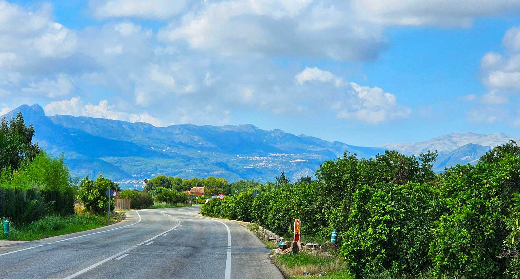
The last 10 miles were on a slightly larger road that was slightly set back from the coast. This was by far the most populated part of today’s ride & while there wasn’t anything of note worth photographing, it was pleasant enough (except for the nagging headwind!).
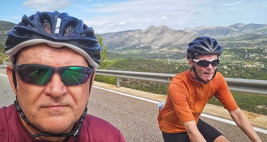
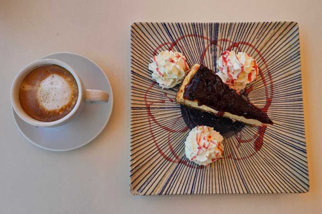
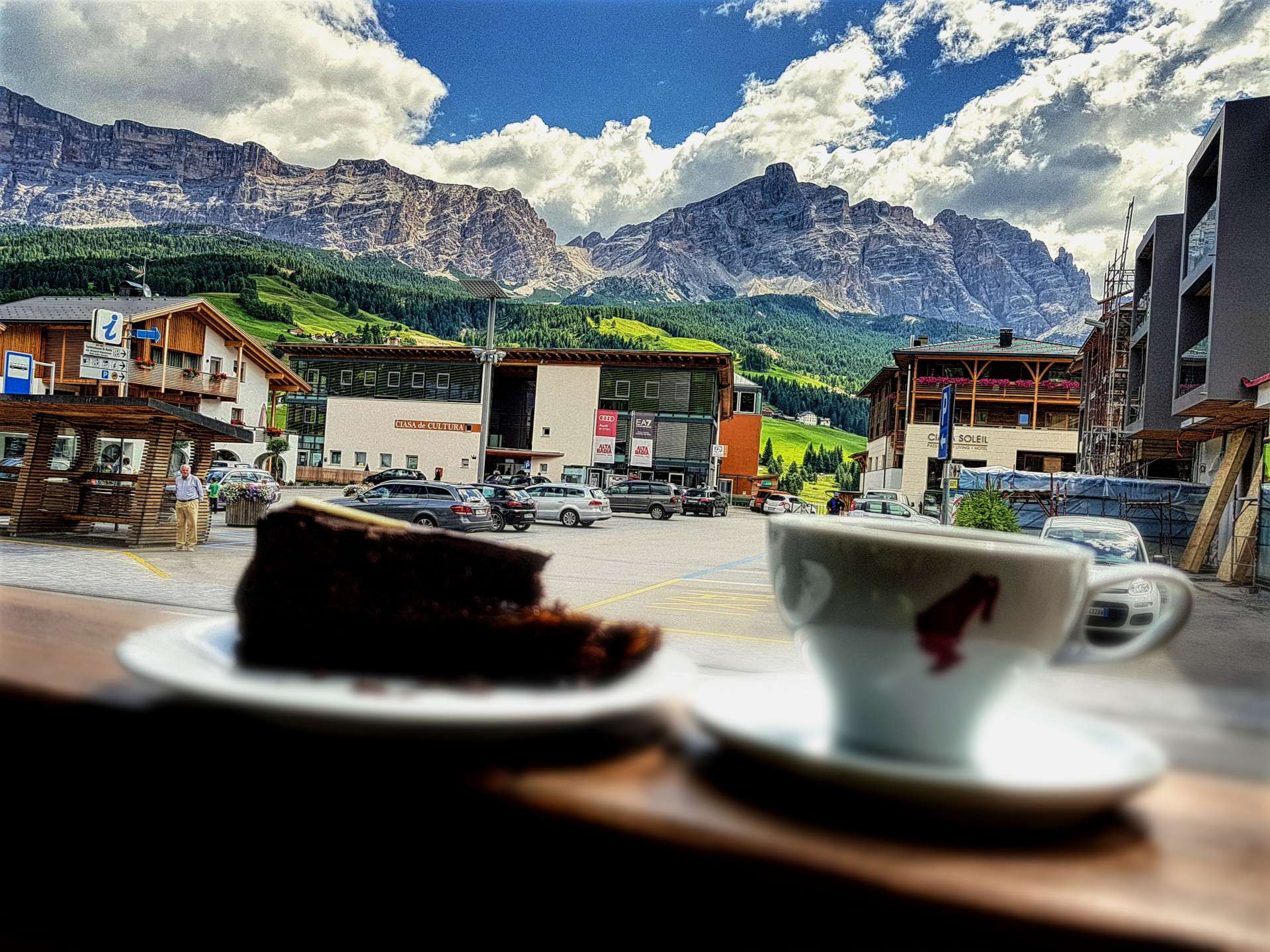
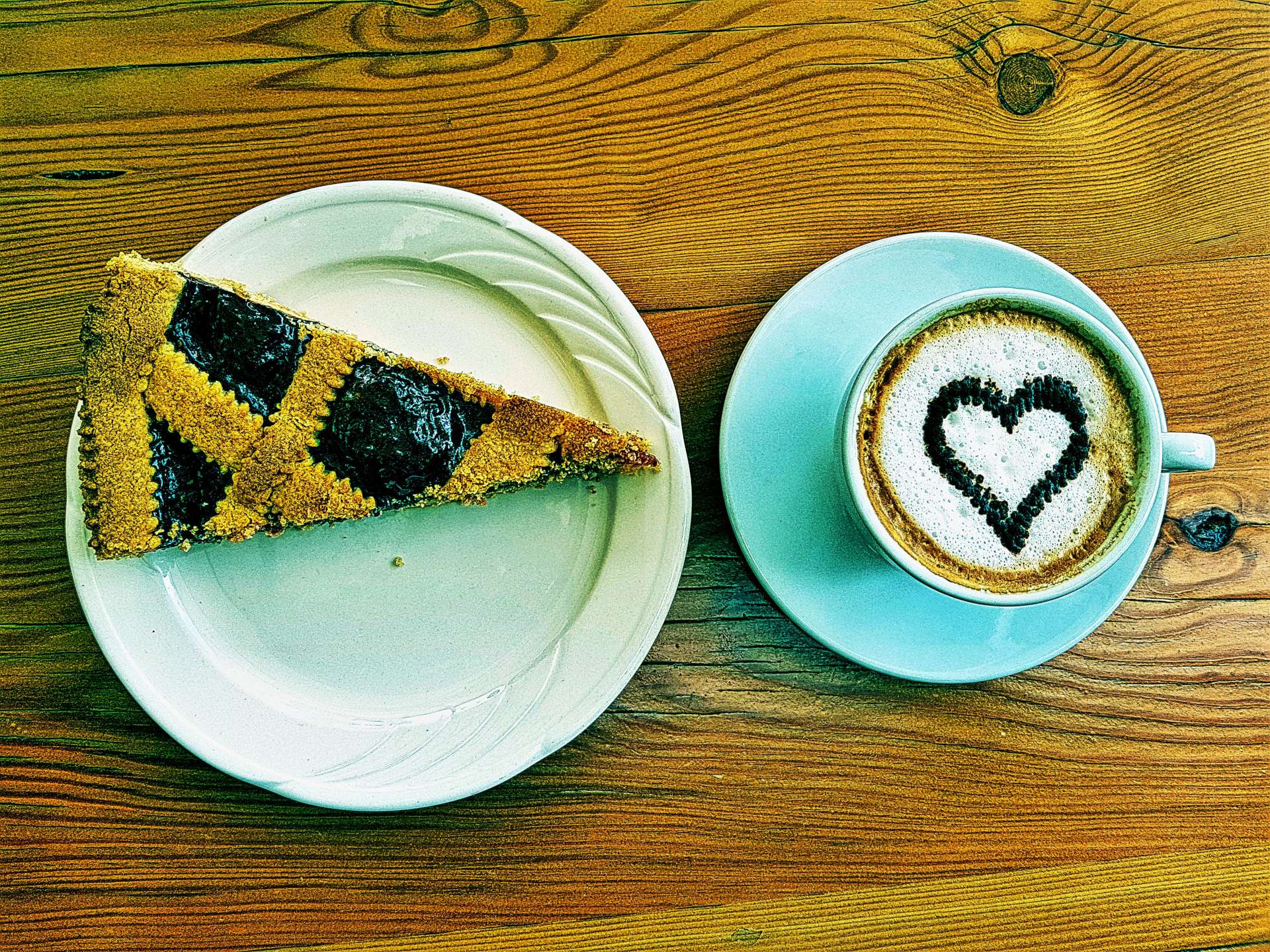
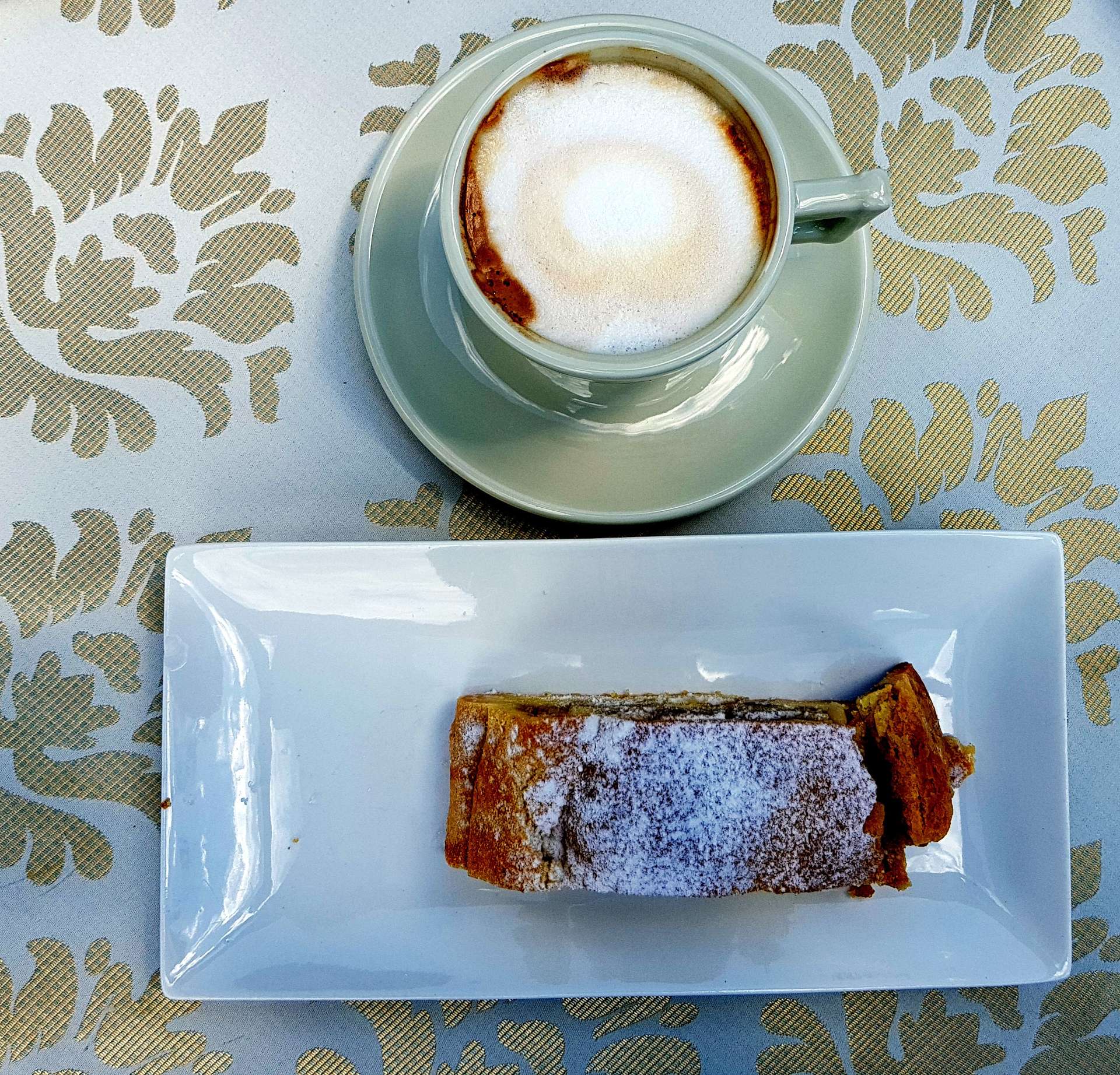
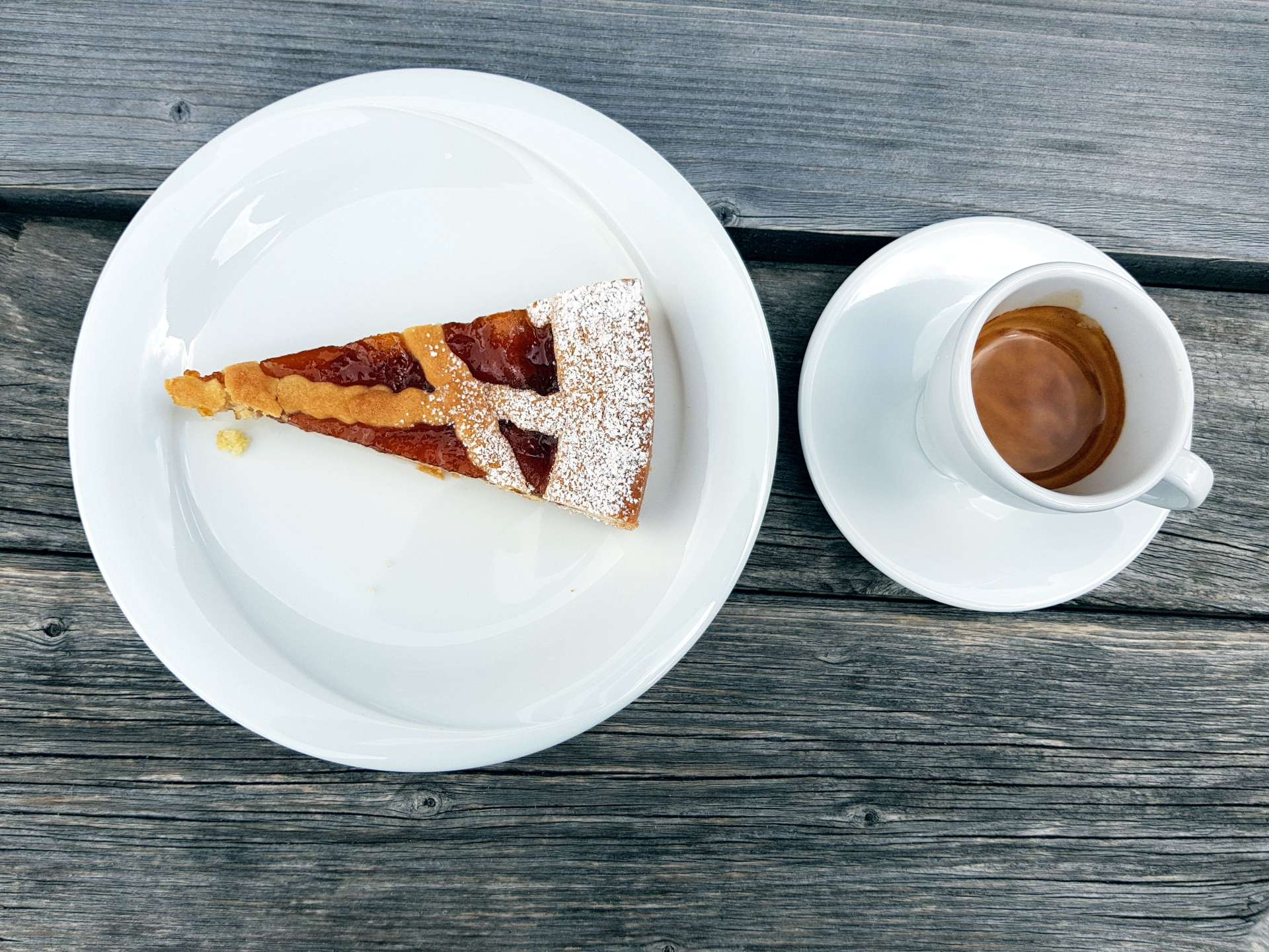
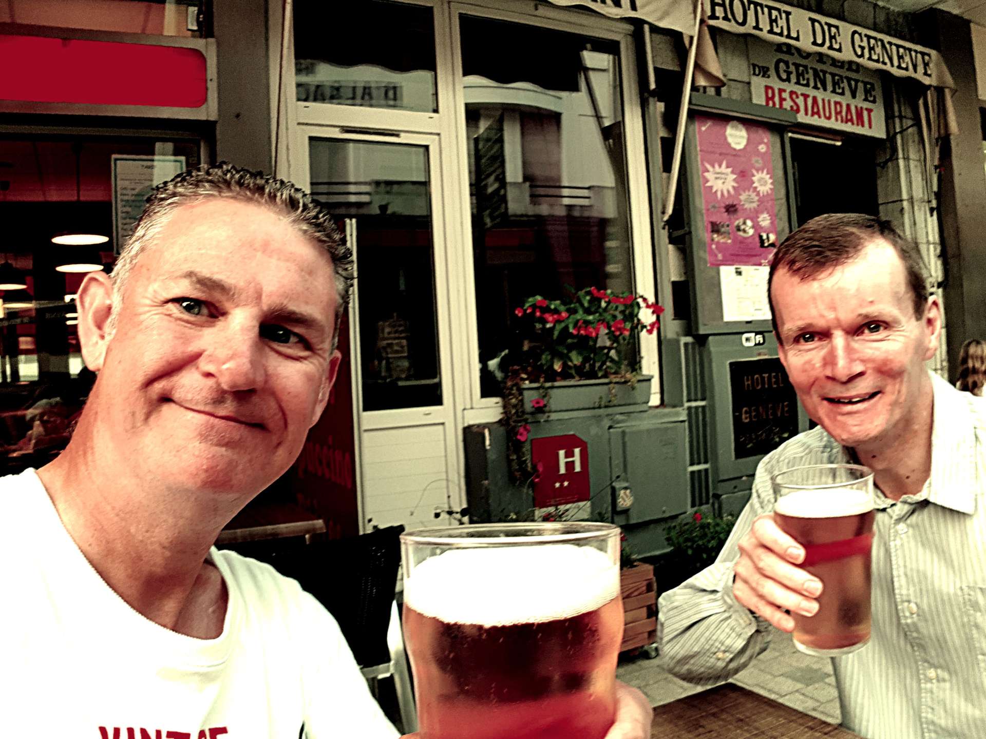
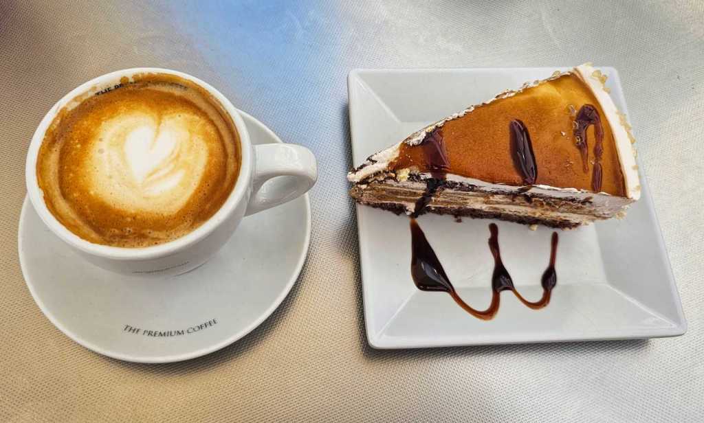
Sean & I met up this afternoon over a café con leche & delicious slice of chocolate & caramel cake to chat about our different days.
After a very slow start to the day for me, I ended up getting out on a bike to explore a bit more of Denia’s beautiful countryside.