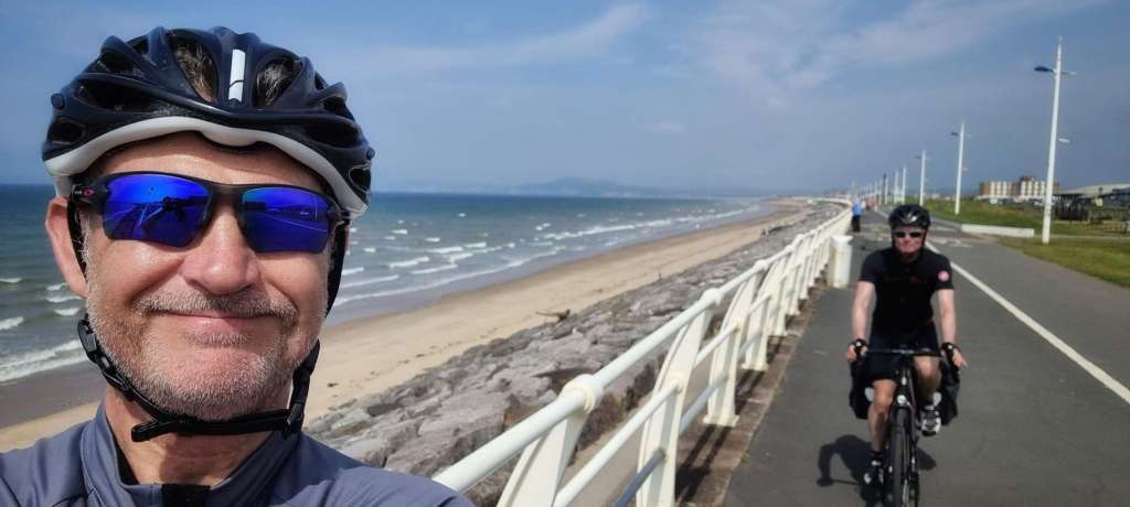
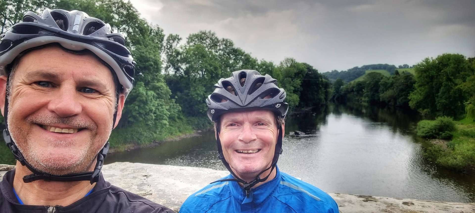
Barcelonnette to Guillestre & back via Col de Vars – Day One
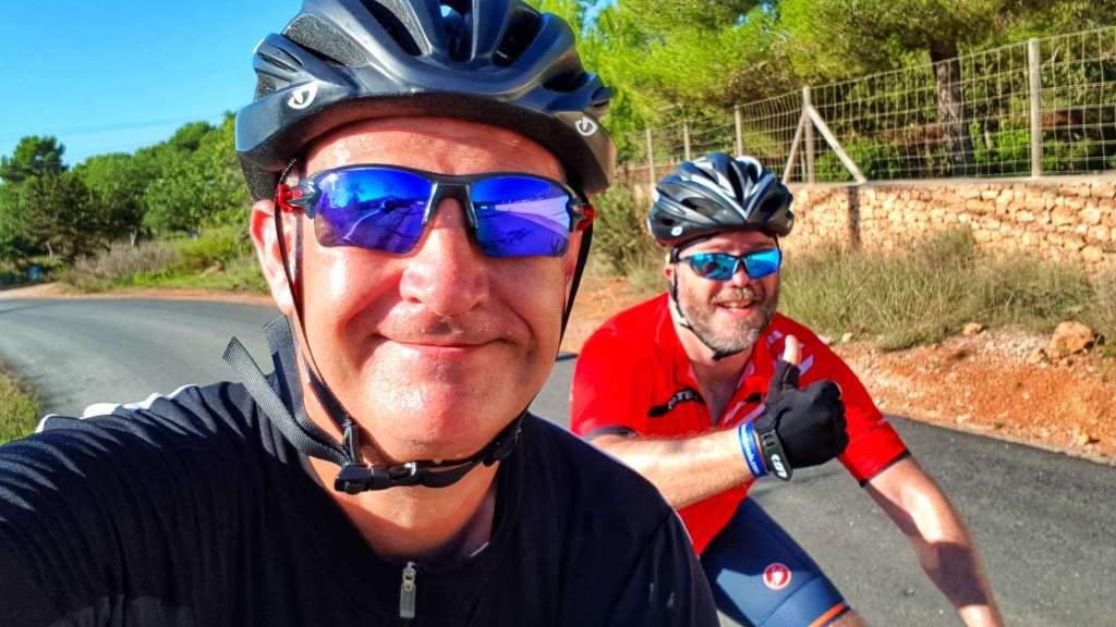
My second (& final) Alpine Adventure of 2019 was based around the small town of Barcelonnette, in the Maritime Alps of Southern France, about 90 miles north of Nice. Yesterday’s travel day was longer than planned, due to my inability to queue in the right car rental queue – I spent 45 minutes in the Europcar queue, before realising I’d booked the hire car through Hertz!
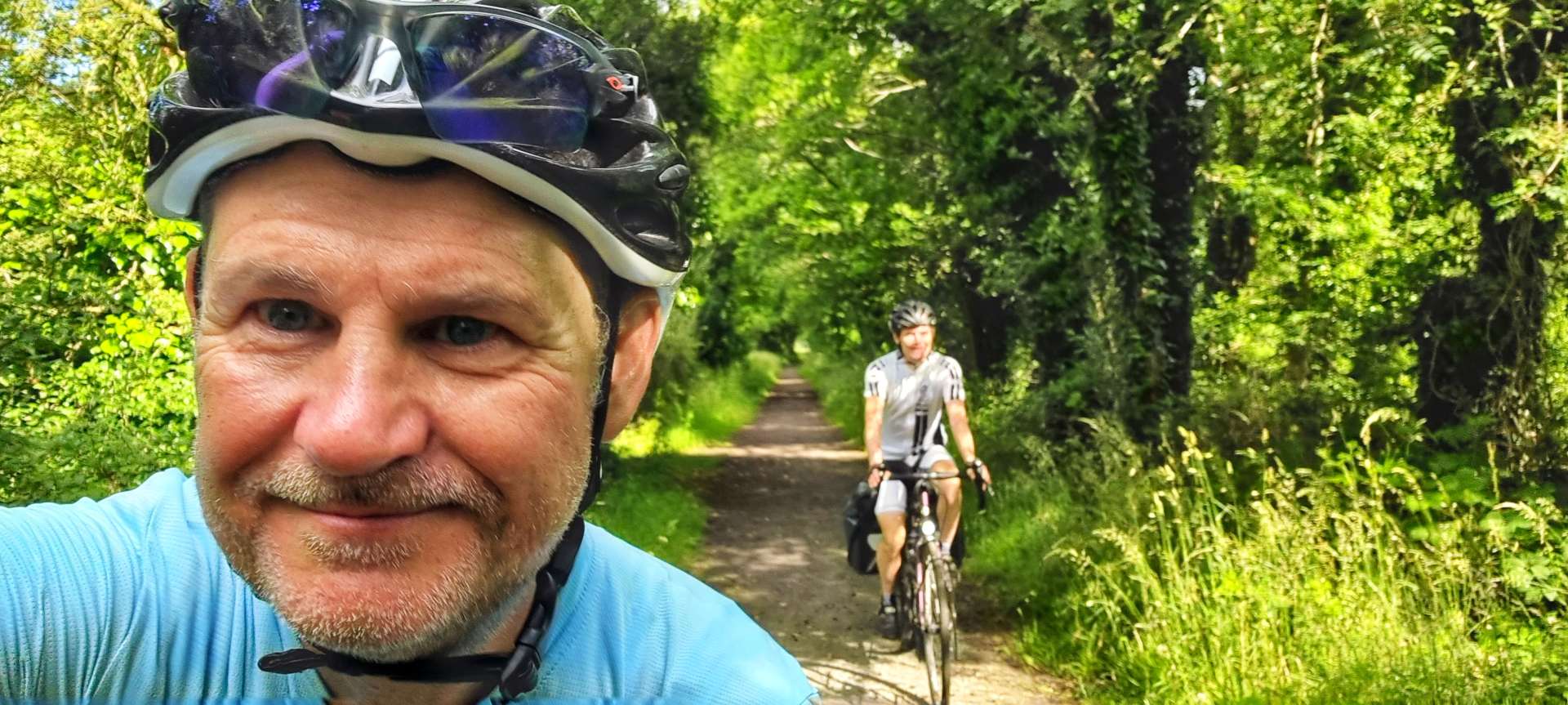
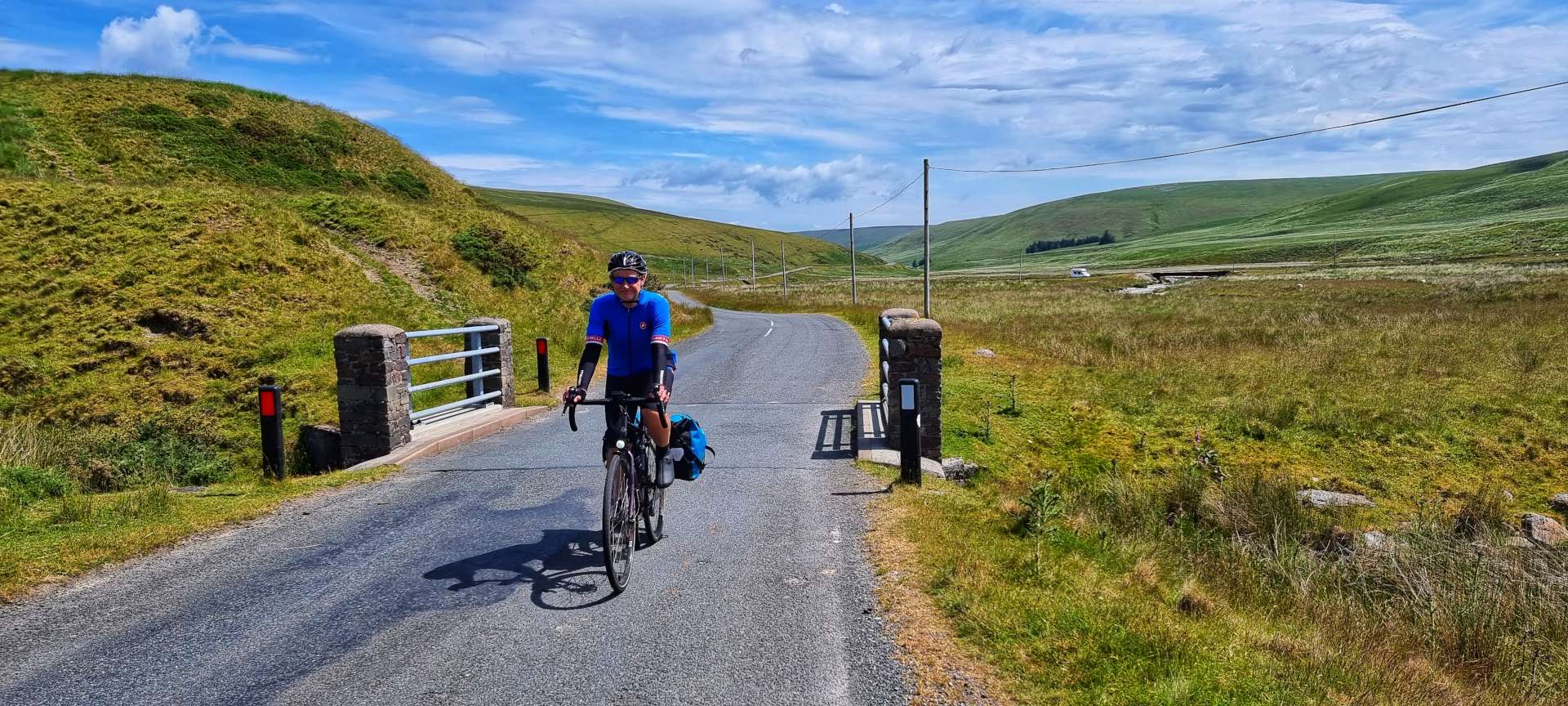
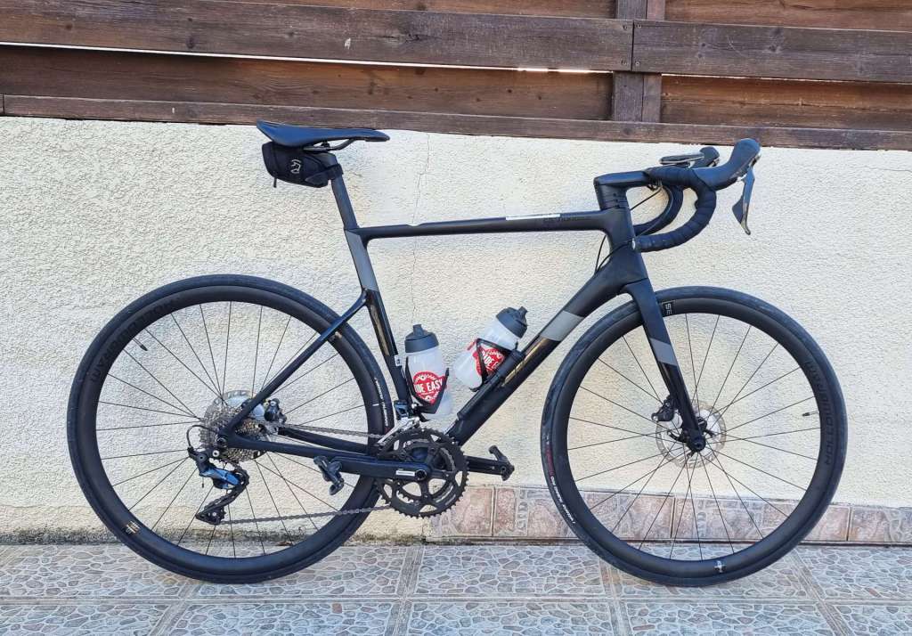
In the rush to put our bikes together before heading out for something to eat, Sean’s collar on his seatpost failed, which meant his saddle wouldn’t stay in the right place. All the bike shops were already shut, so it meant we had to adjust plans for this morning’s ride – in the end I found a bike shop in Jausiers (about 5 miles down the road) that opened at 10.30am, so today’s ride was a 64 mile ‘out & back’ to Guillestre, over both sides of the Col de Vars.
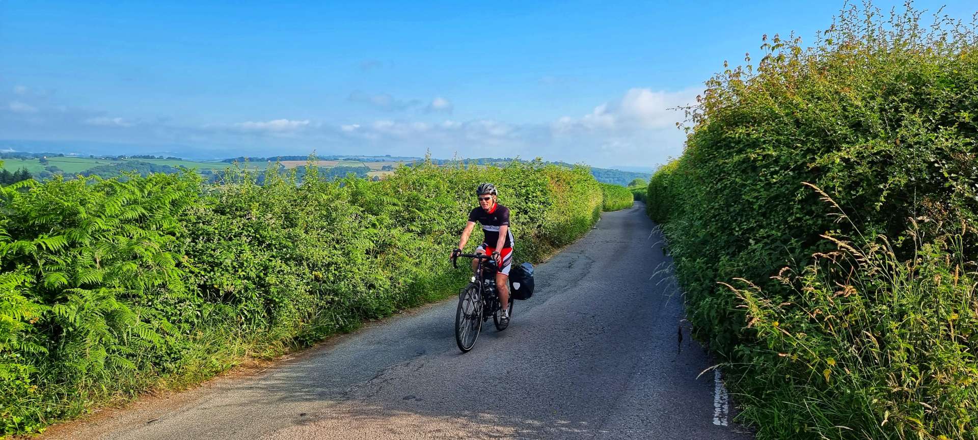
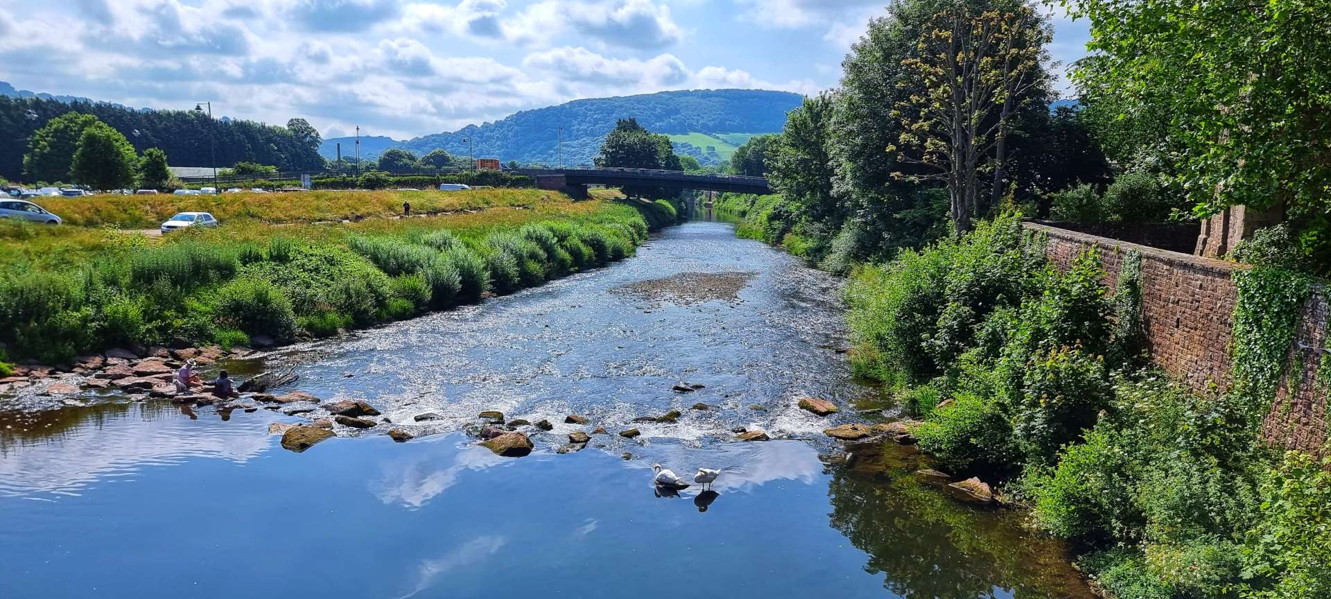
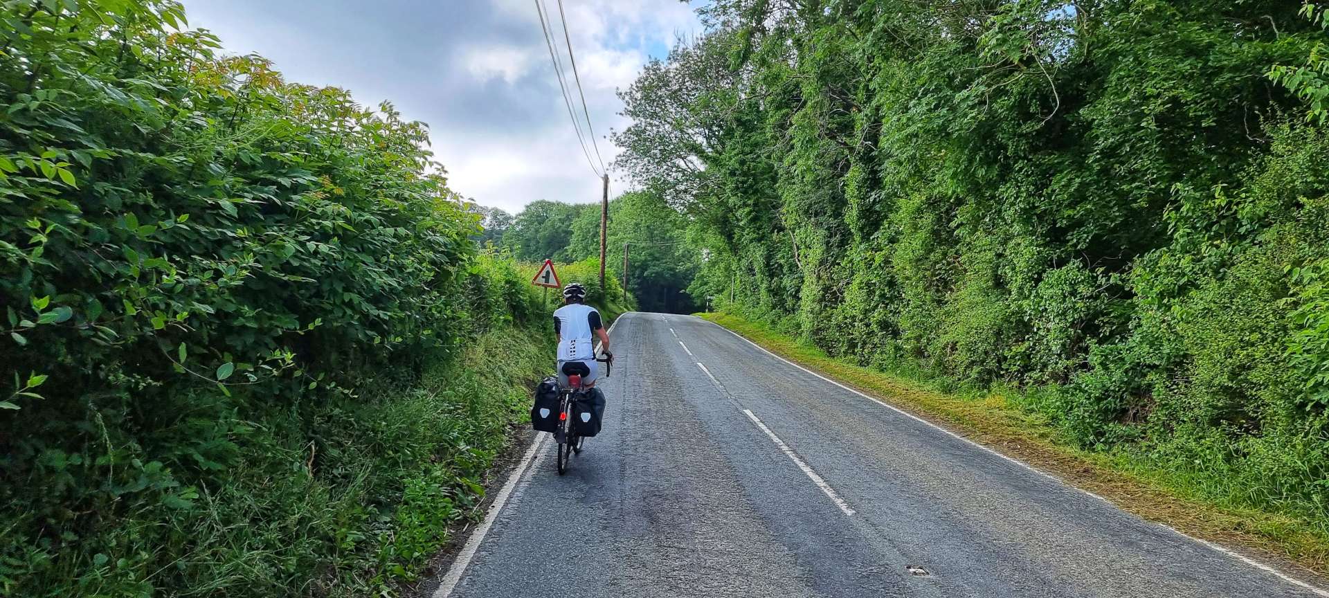
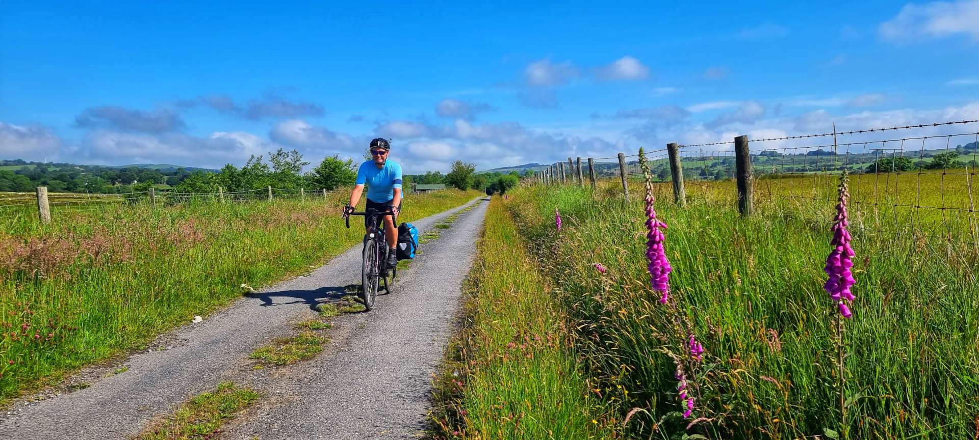
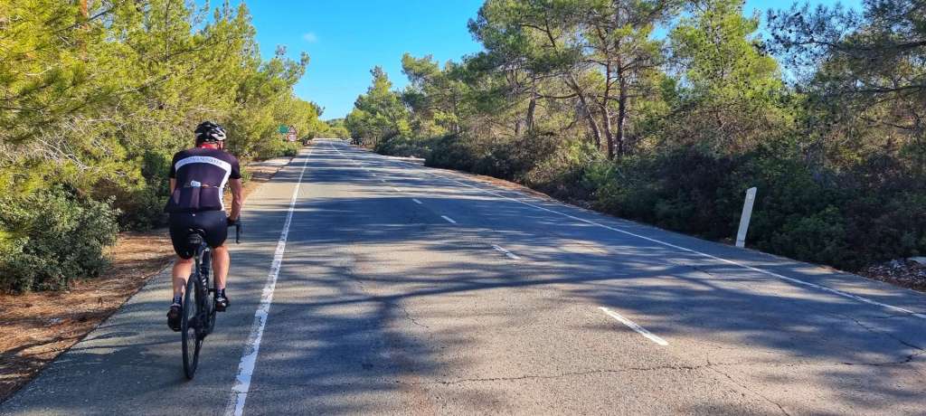
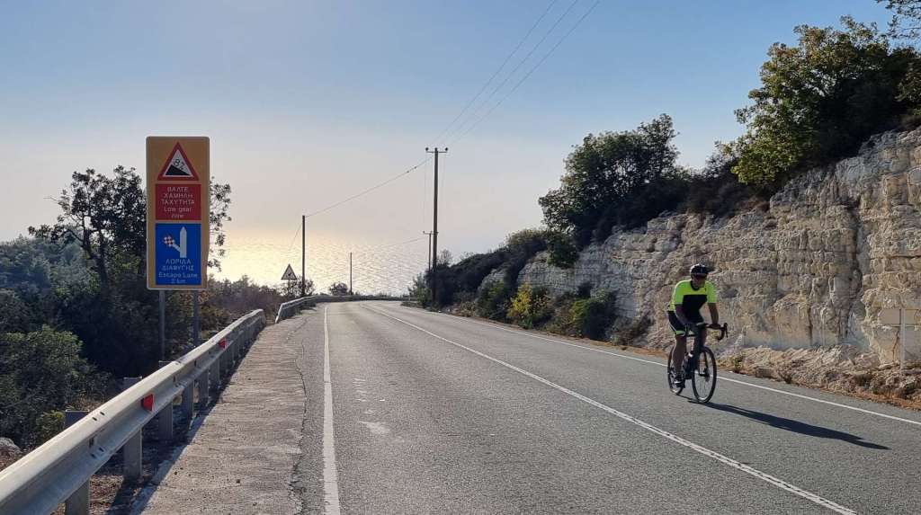
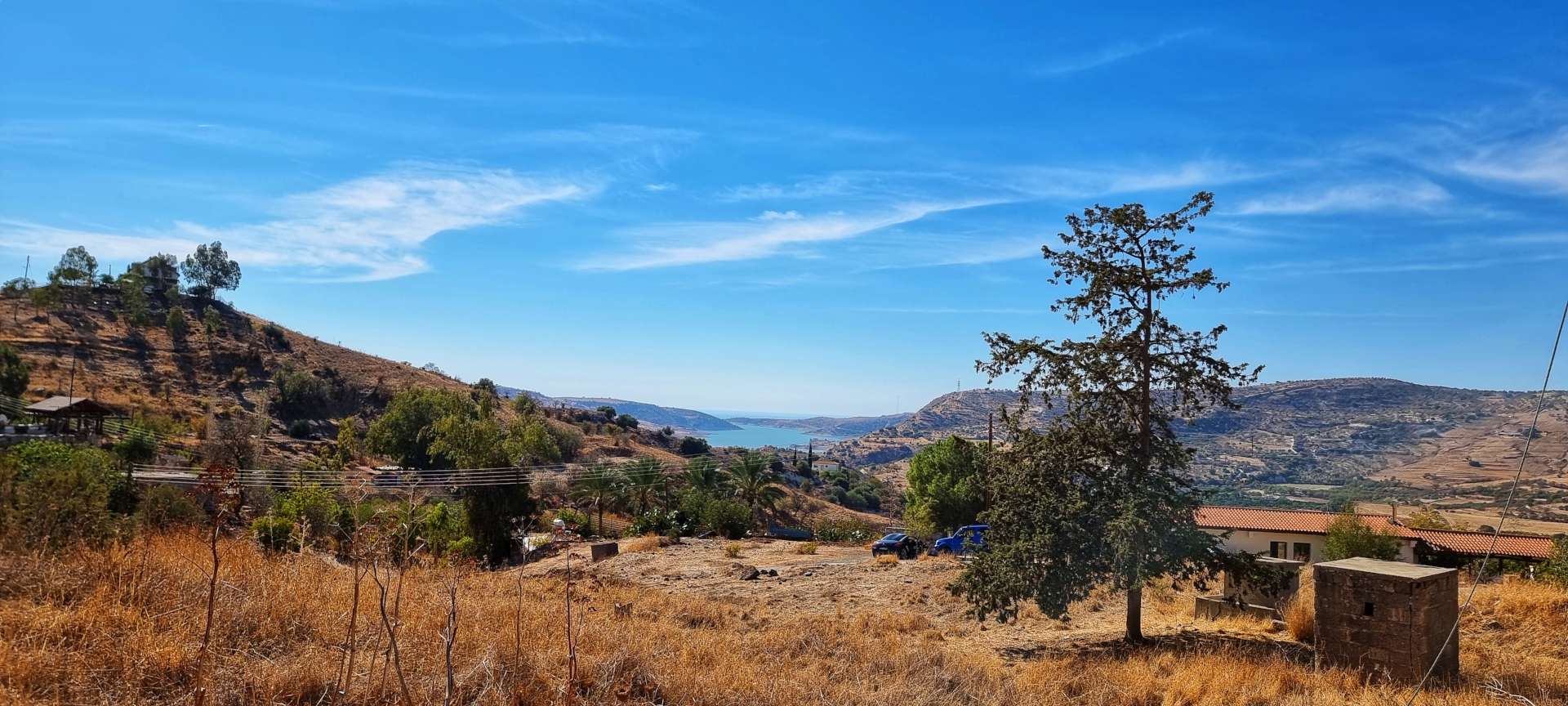
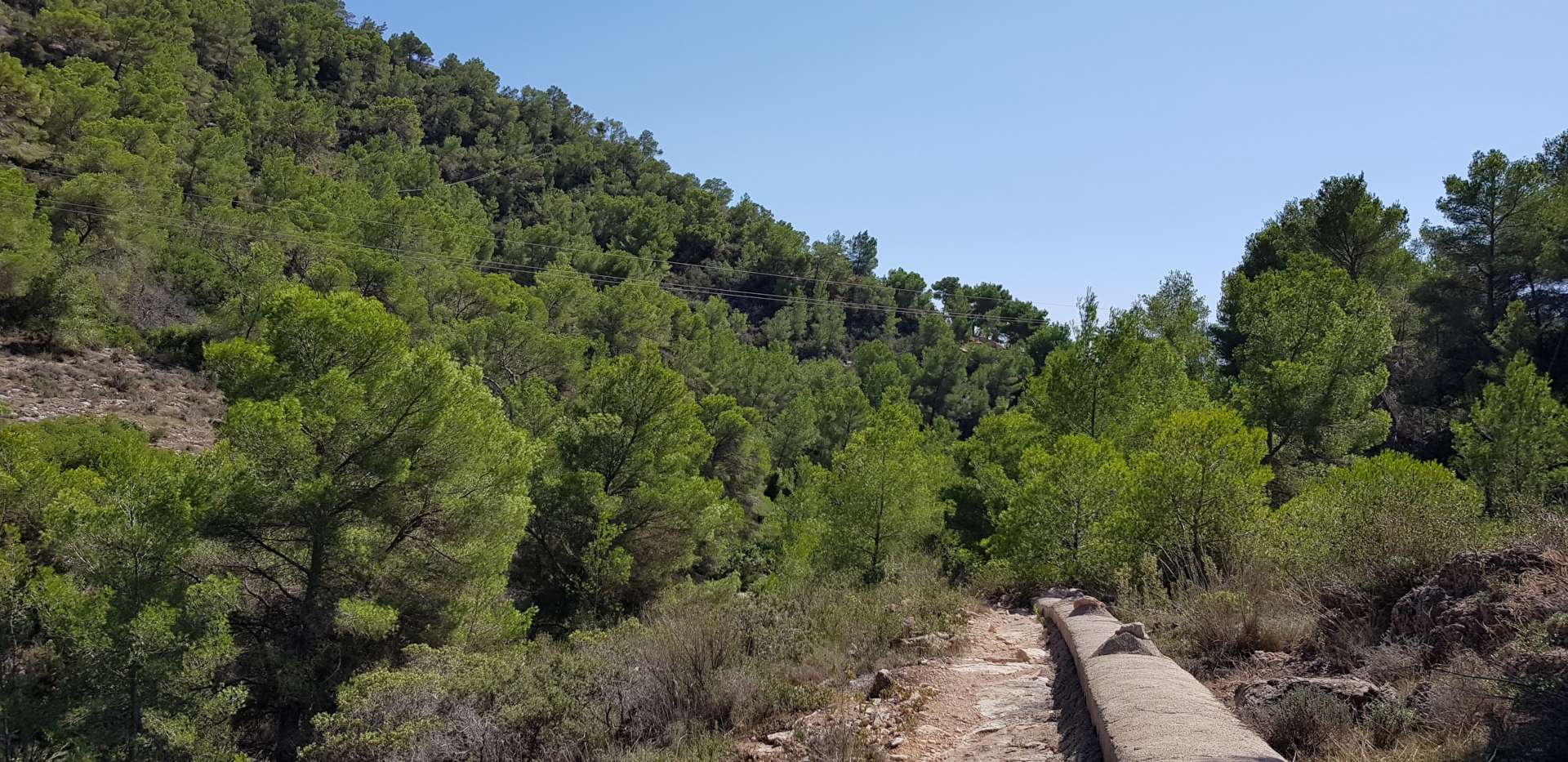
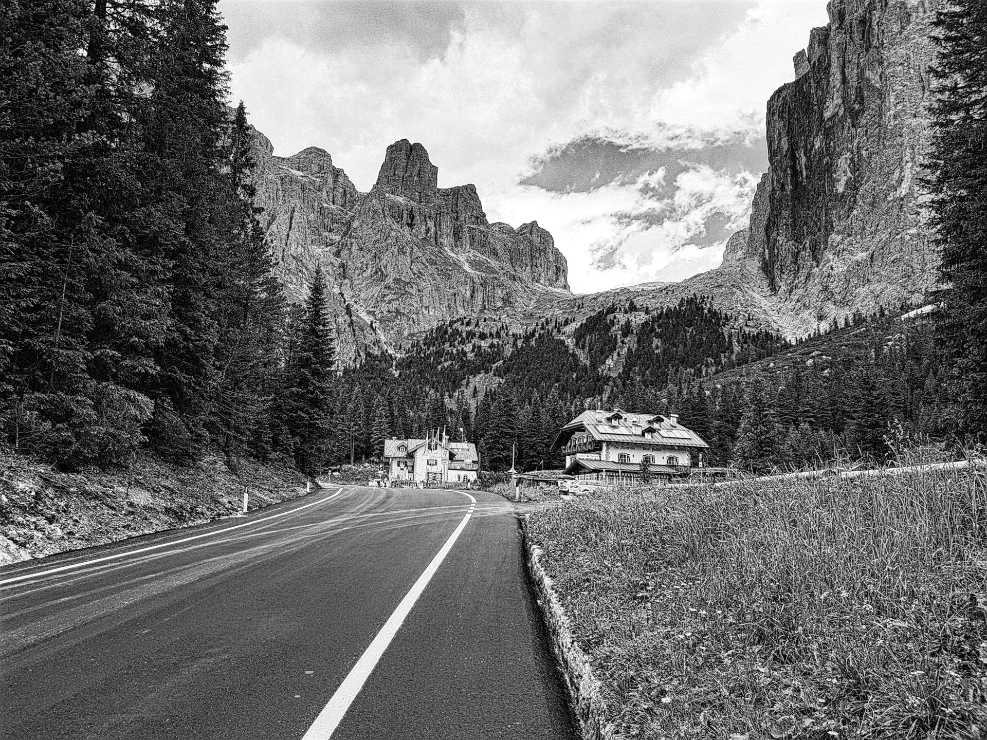
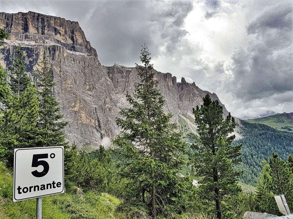
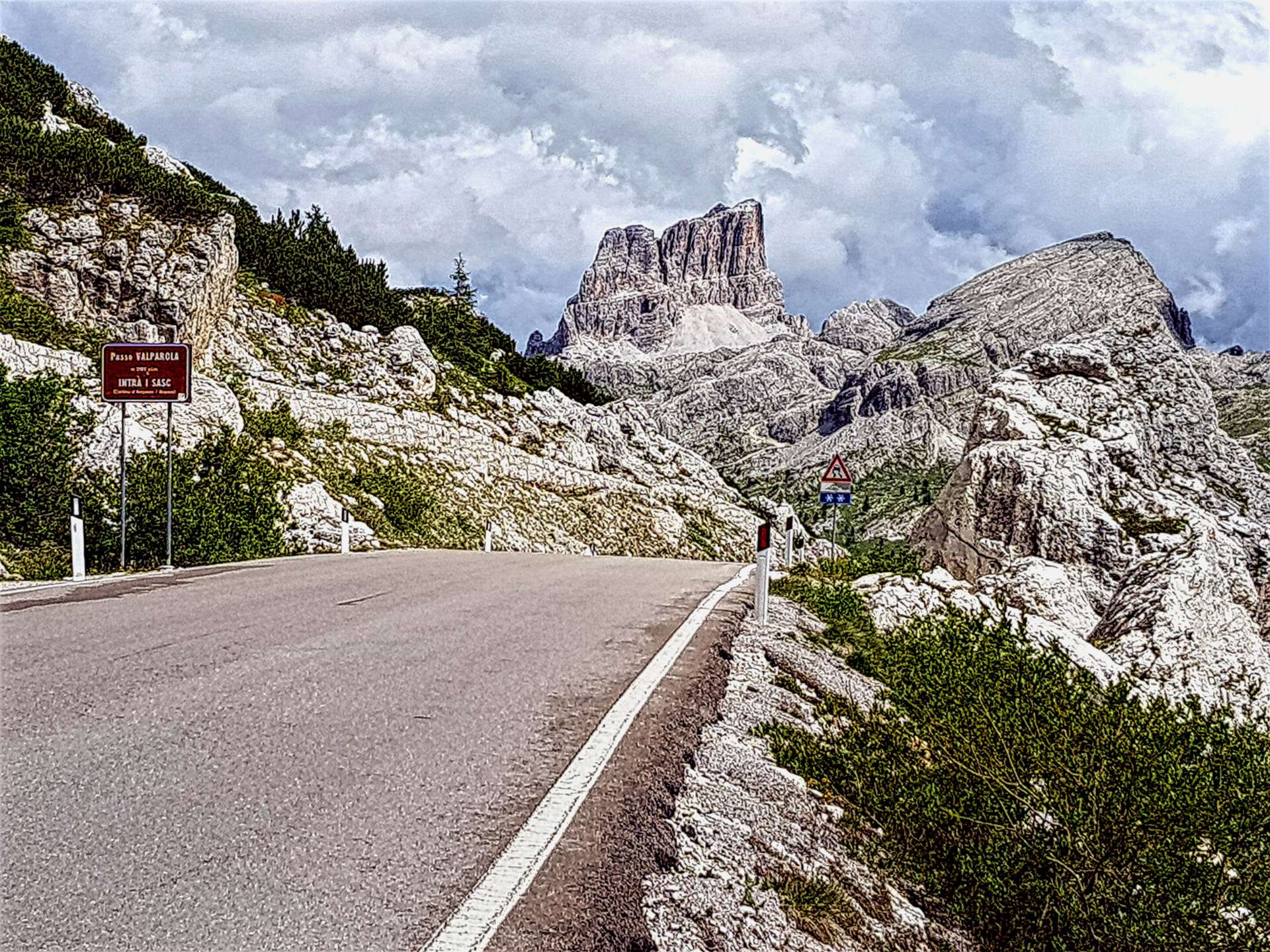
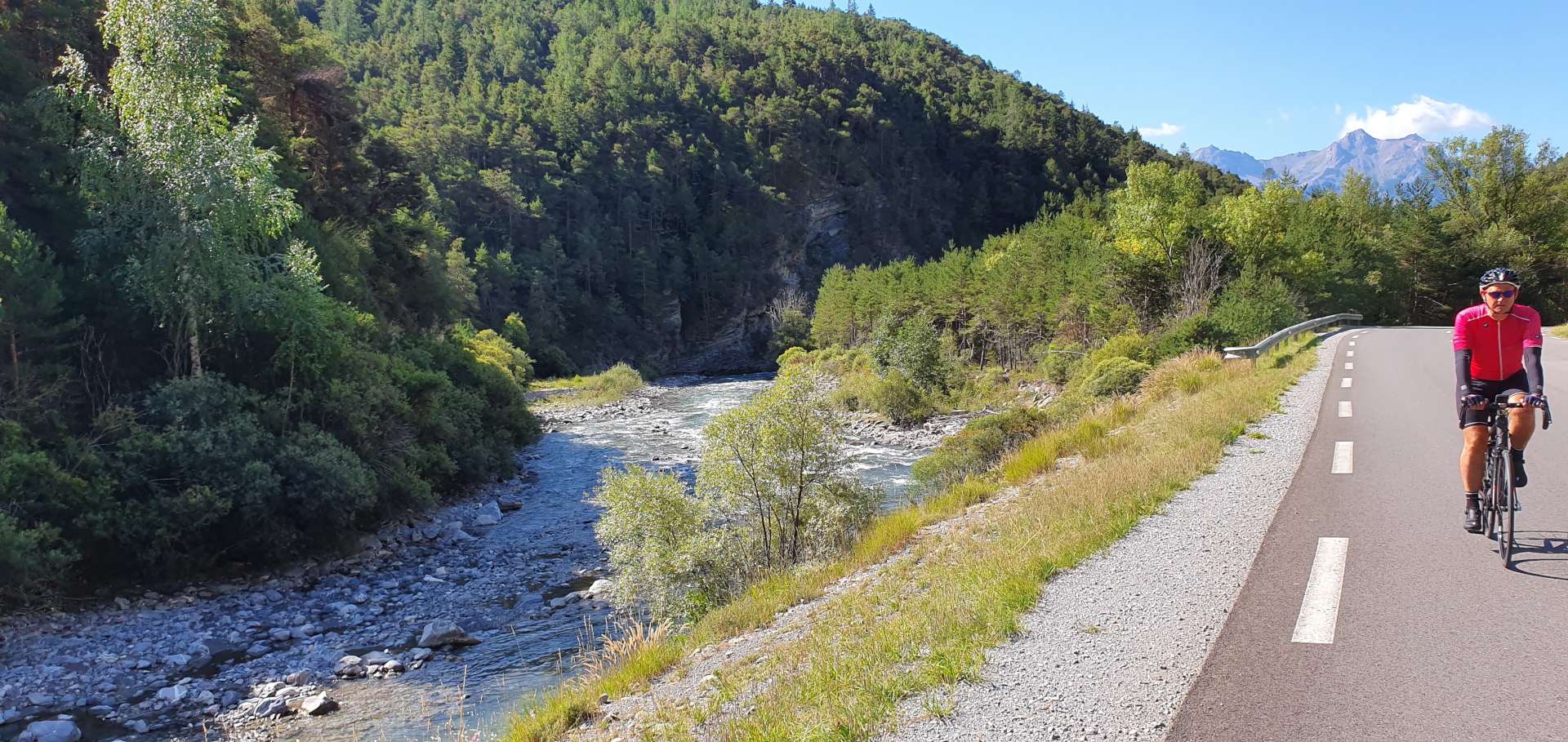
We started out following the River Ubaye upstream to Jausiers & within 15 minutes, the friendly mechanic at Technicien du Sport had found a replacement part & fitted it for the bargain price of €7 & we were on our way. After 10 miles of gently climbing alongside the babbling Ubaye, we turned left off the D900 & joined the smaller & quieter D902 – this is a legendary road in Tour de France history. In the space of less than 100 miles, this road goes over the epic Tour de France climbs of Col d’Izoard, Col du Galibier & Col du Telegraphe in addition to the Col du Vars, our climb(s) of the day.

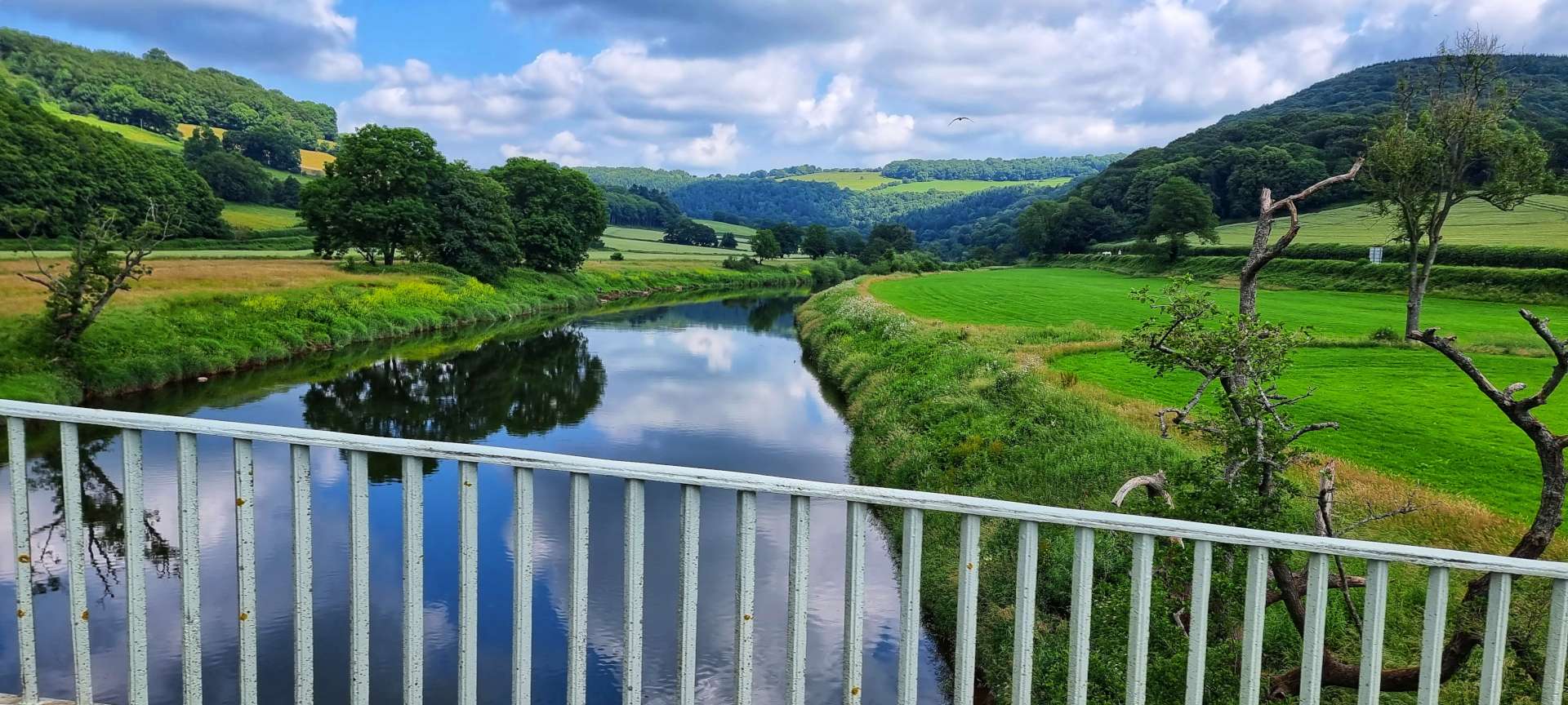
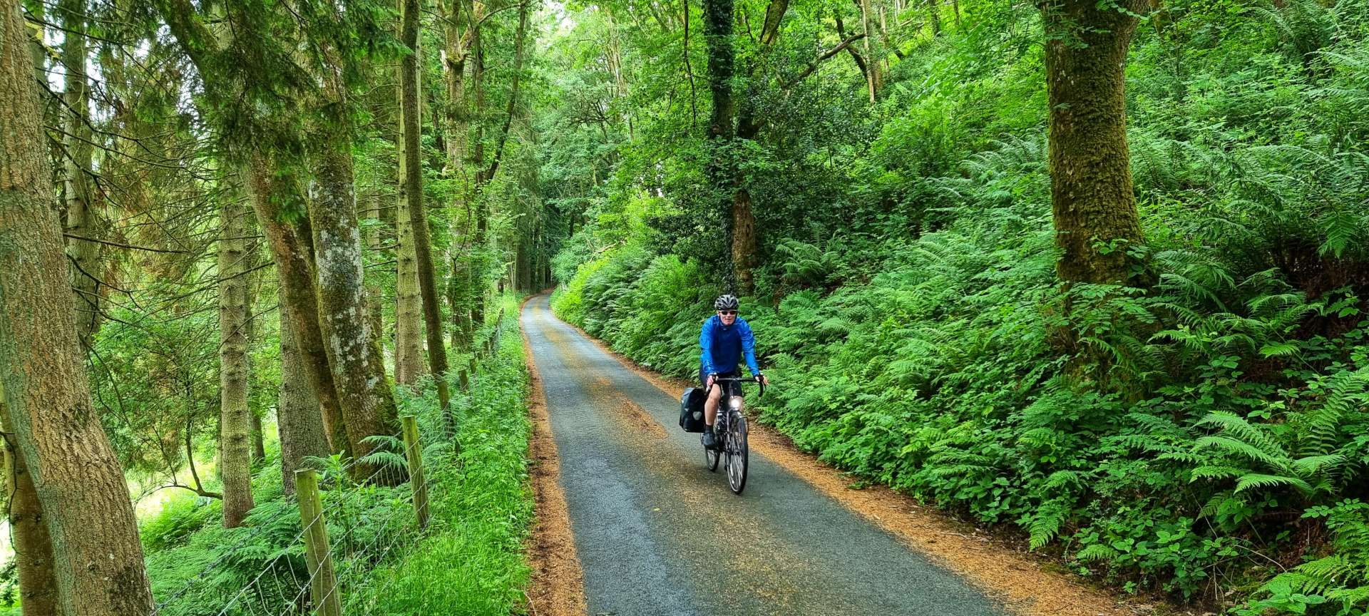
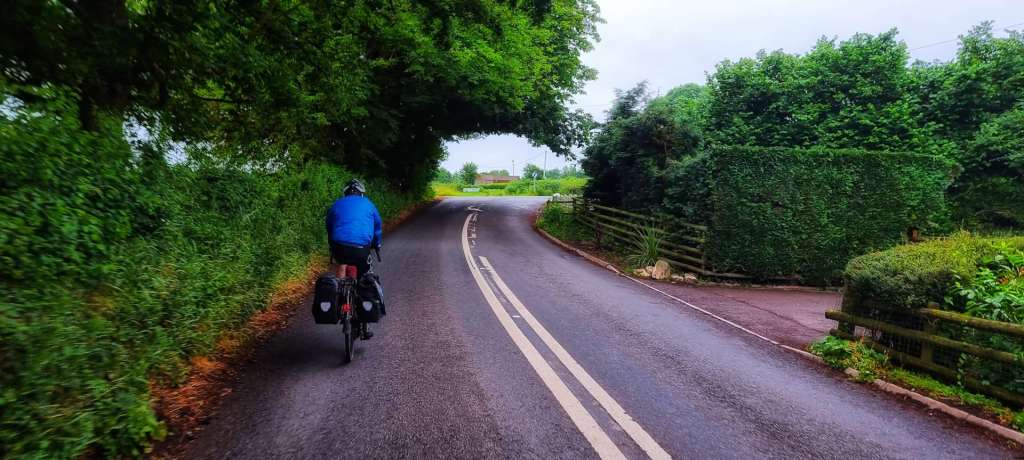
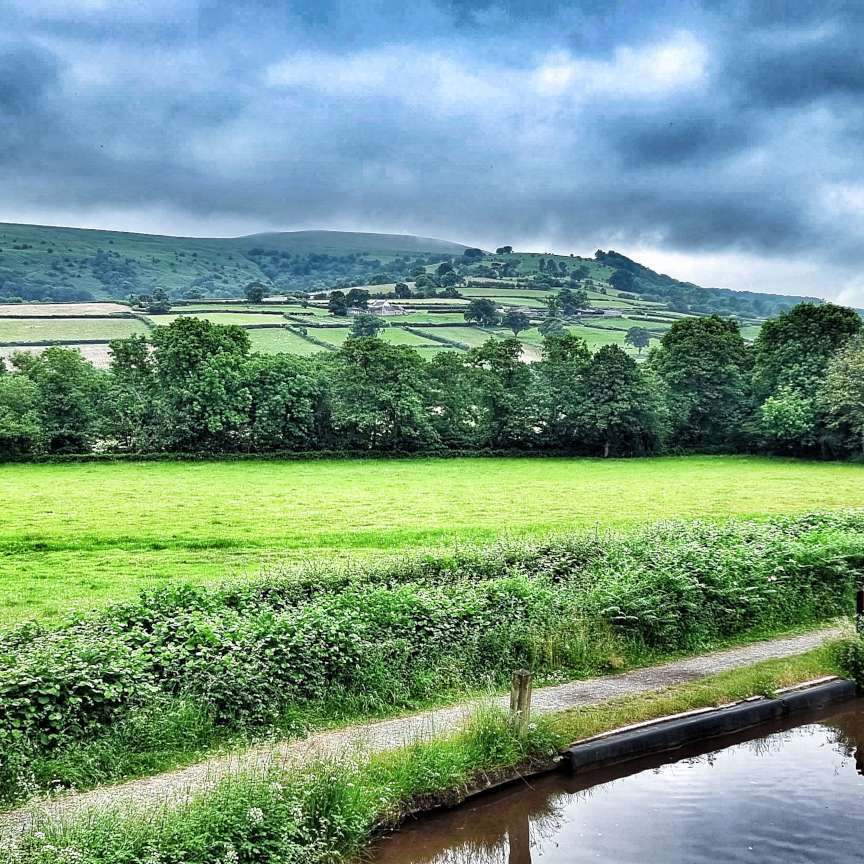
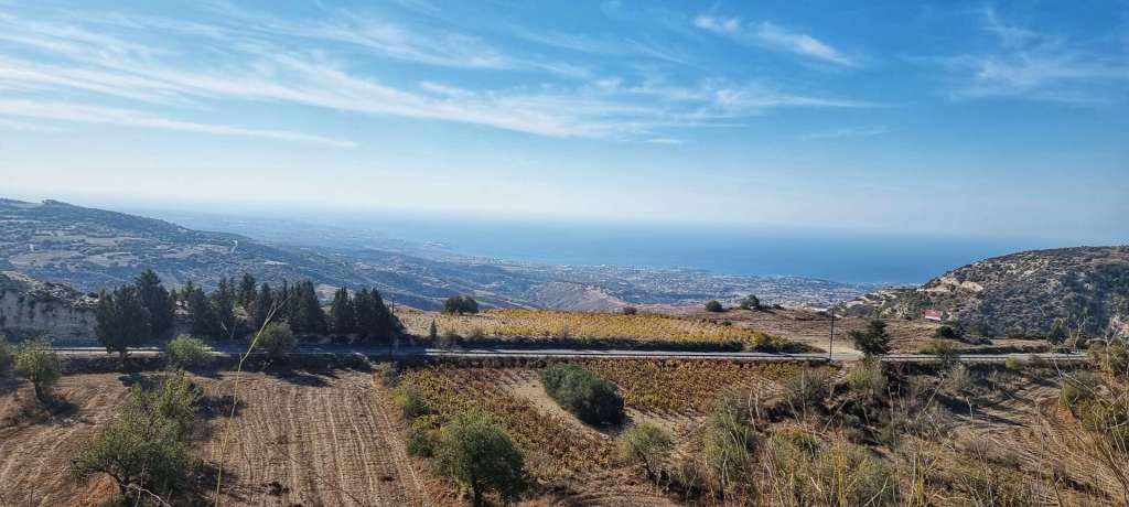
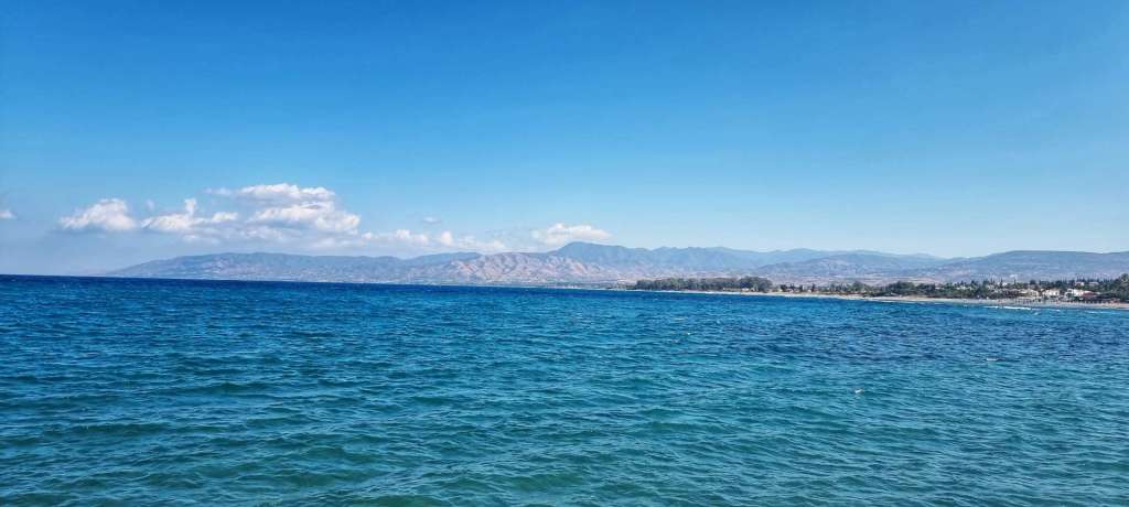
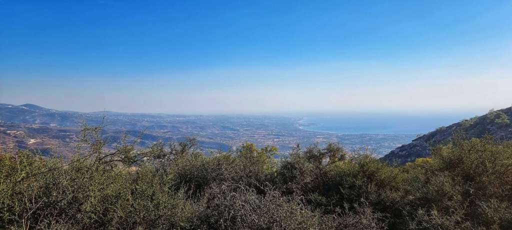
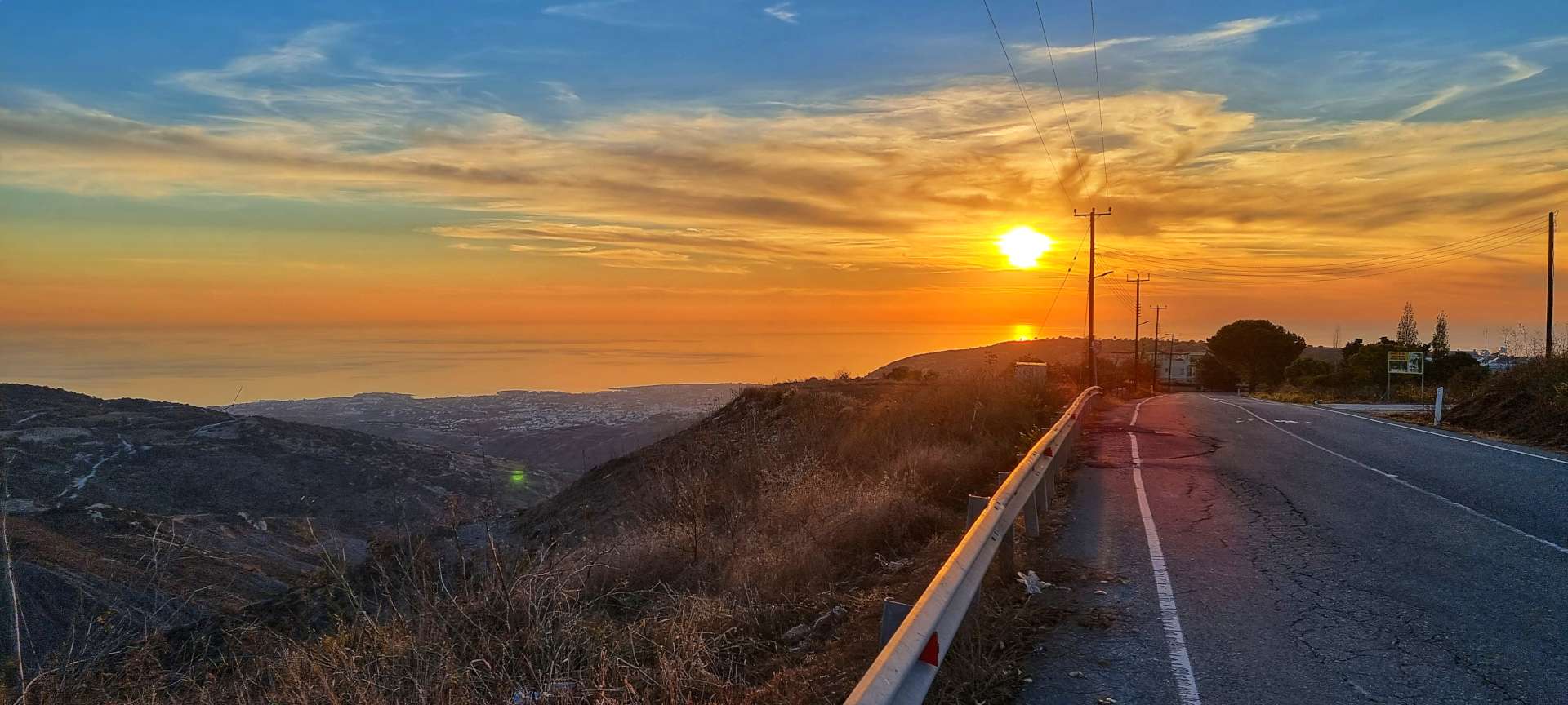
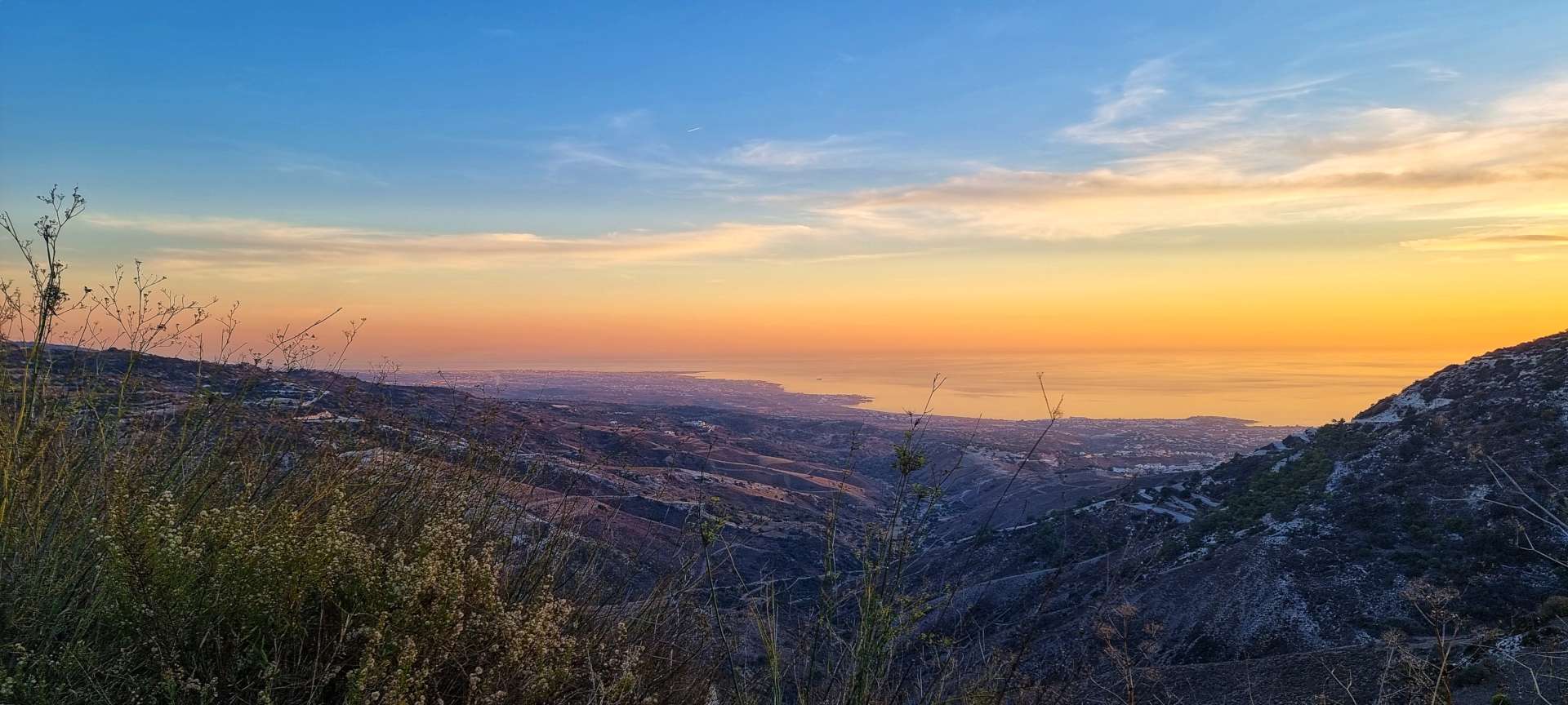
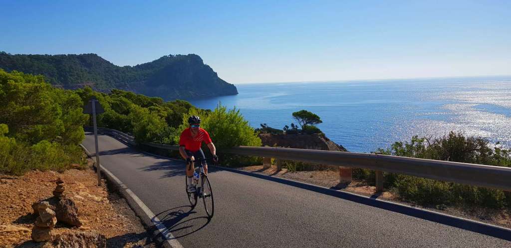
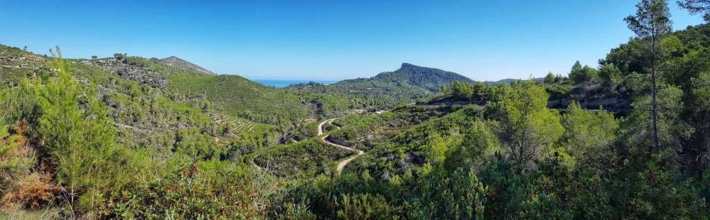
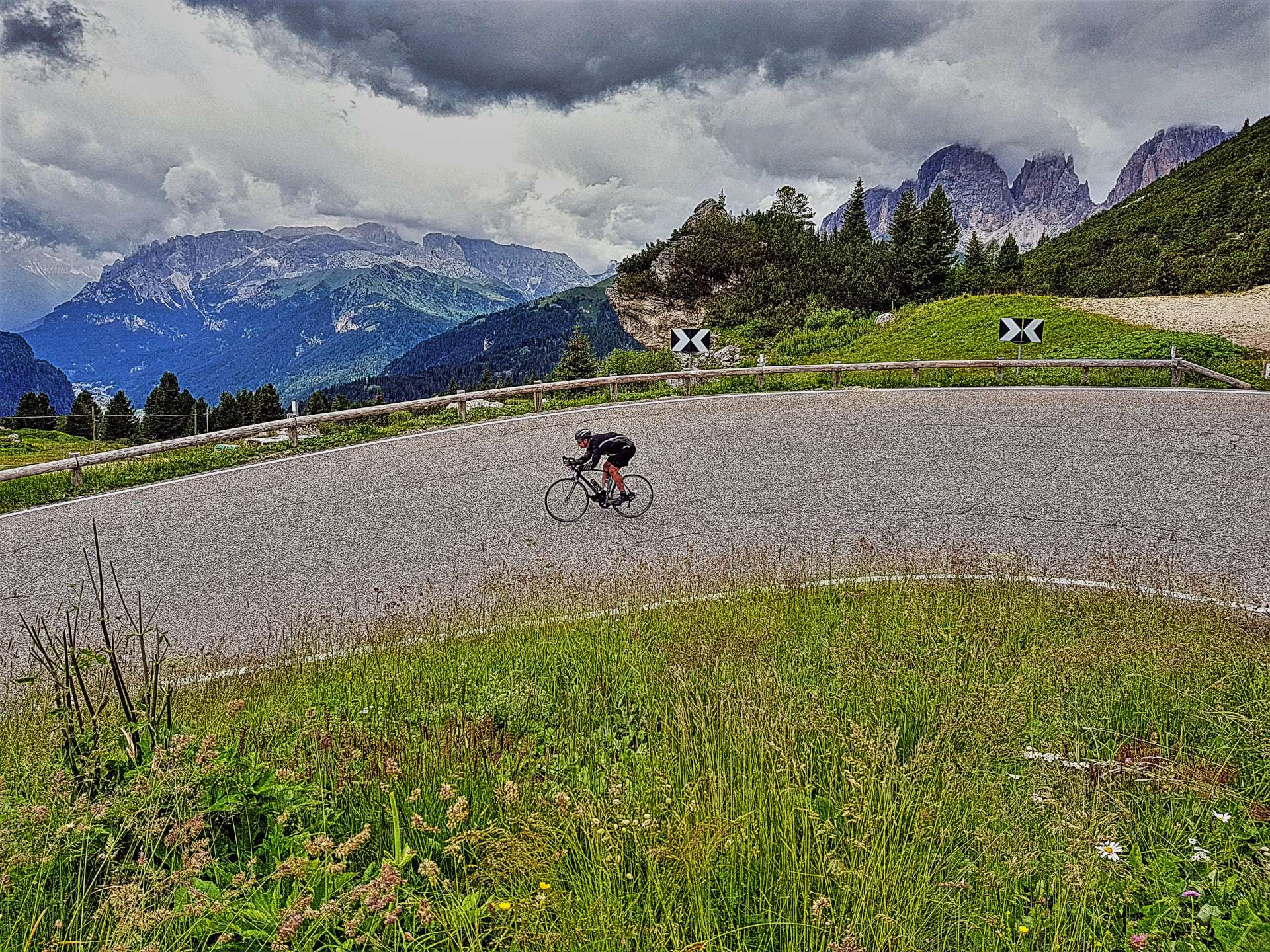
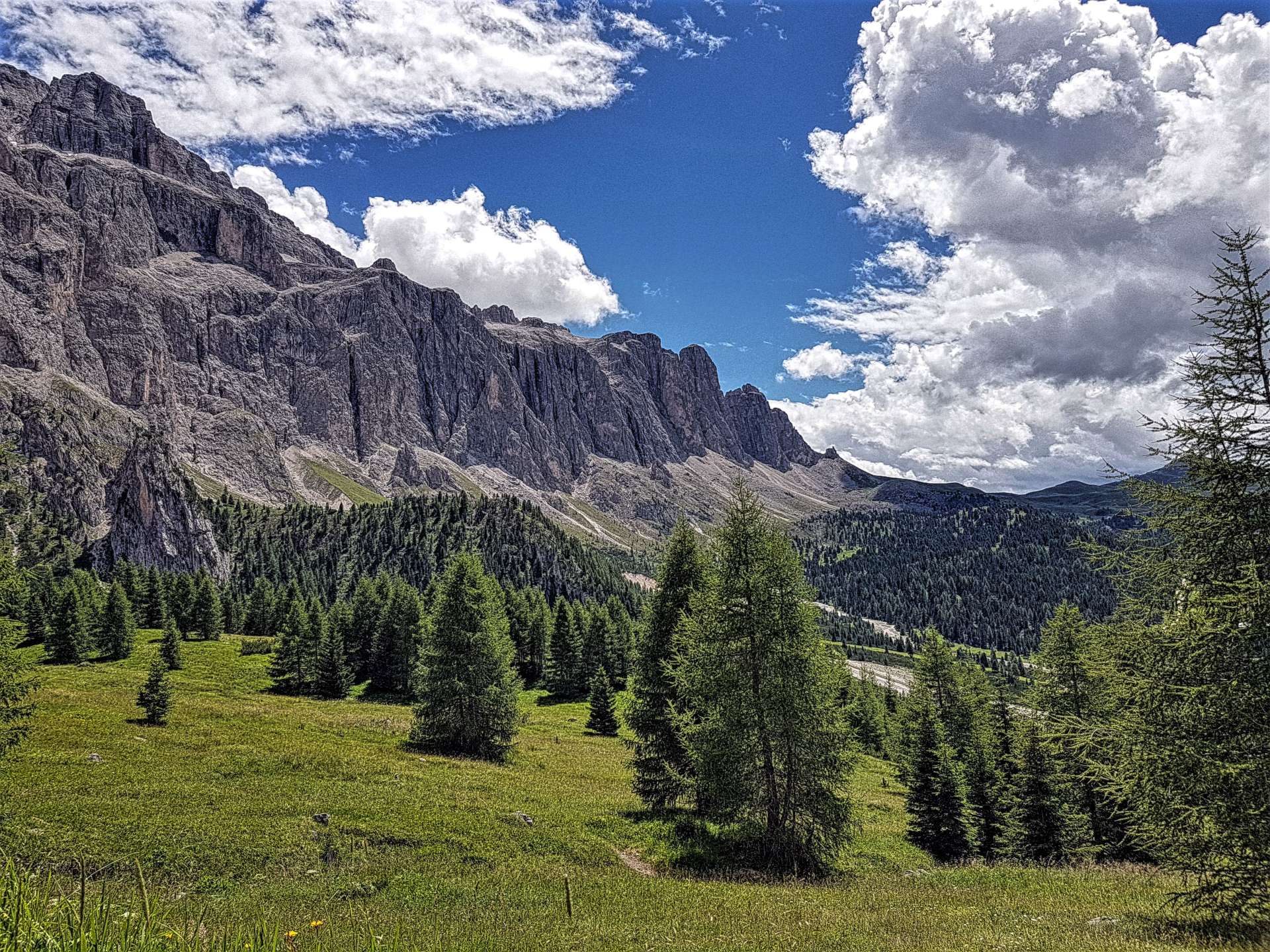
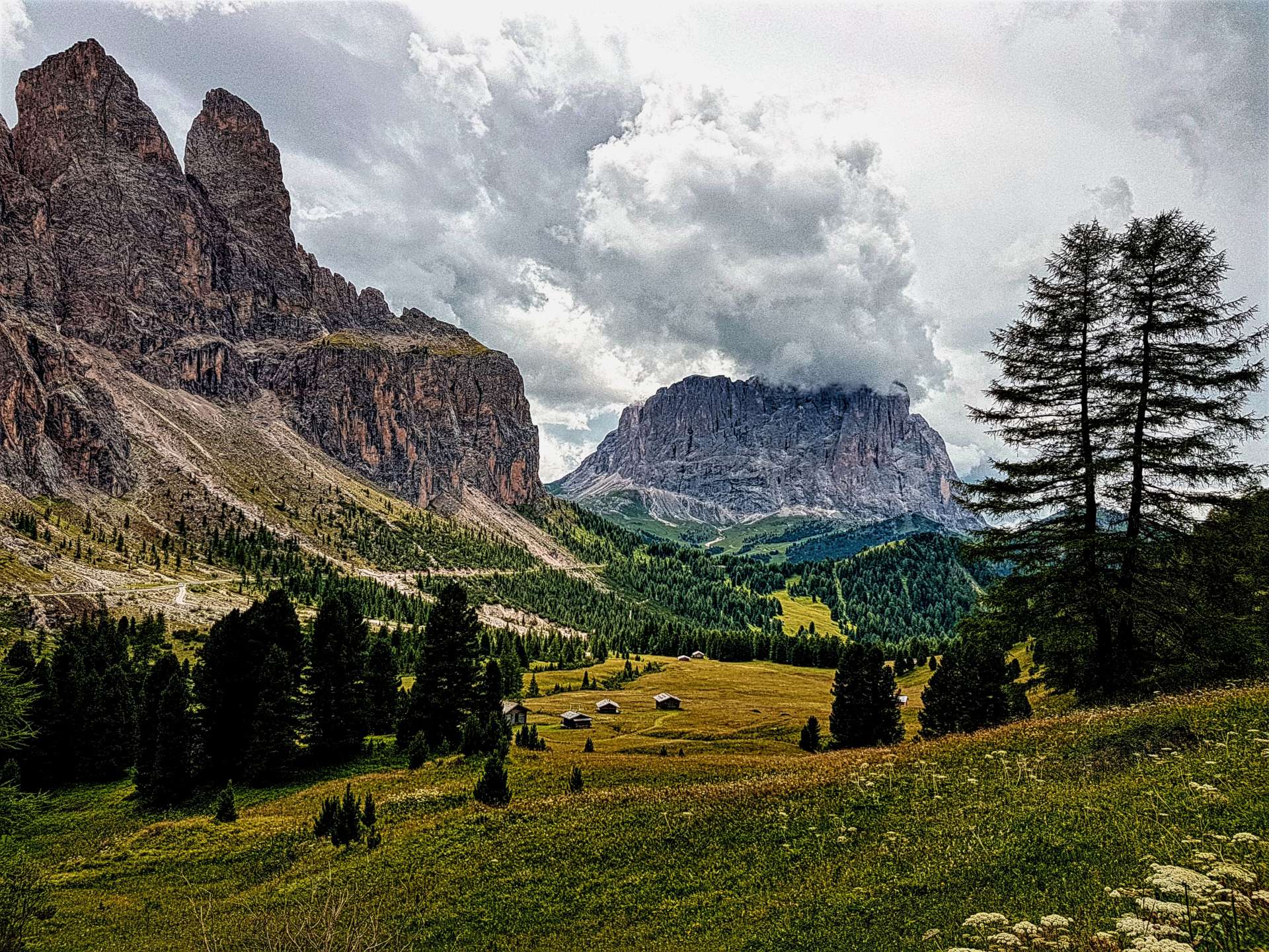
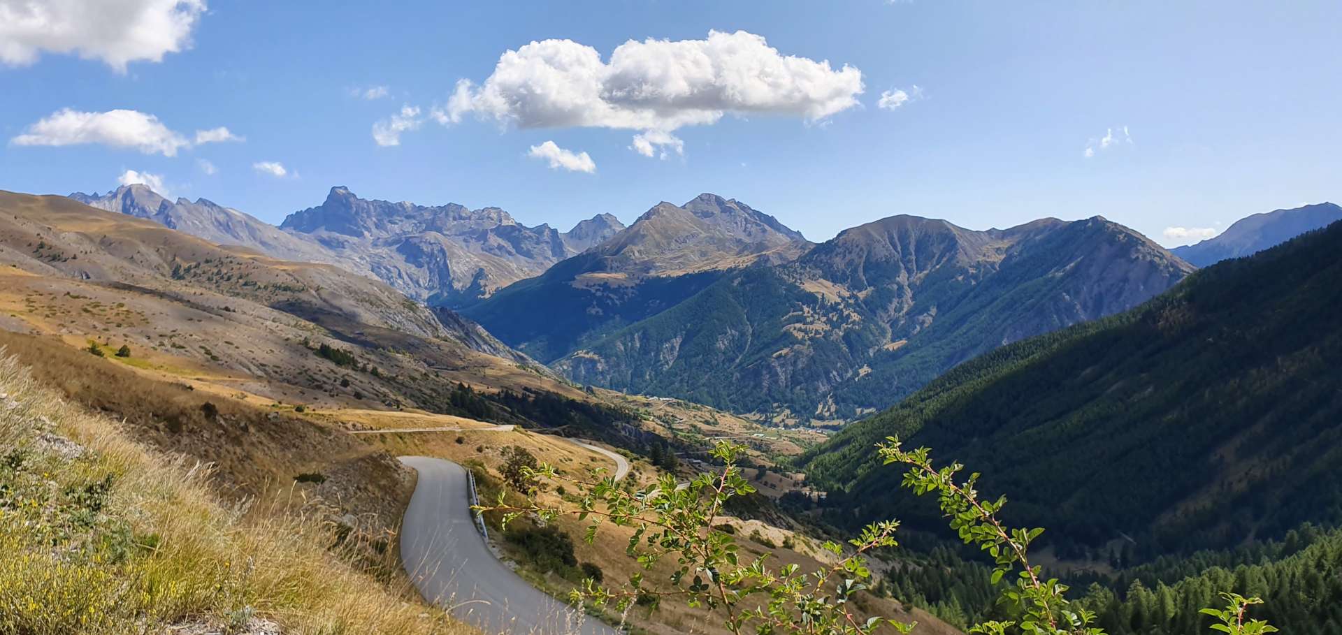
For the next 5 miles, the road climbed steeply as it twisted & turned up the side of the valley, passing through quiet villages along the way. Whilst the climb wasn’t long, the gradient was consistently over 9% & I found it a challenge to keep up with Sean, although he was riding well within himself – I’m a few pounds heavier than my usual touring weight & I felt it today. The views across to the surrounding mountain peaks were amazing, with white clouds providing great contrast to the blue skies & they took my mind off the difficulty of the climb.

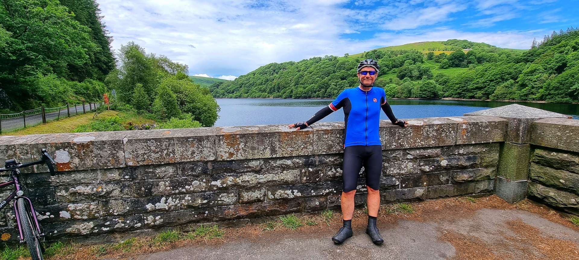
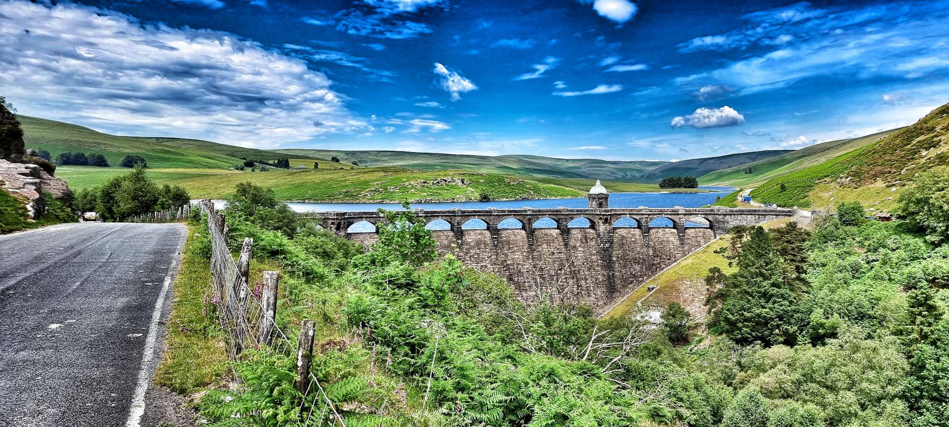
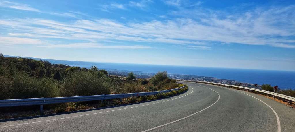
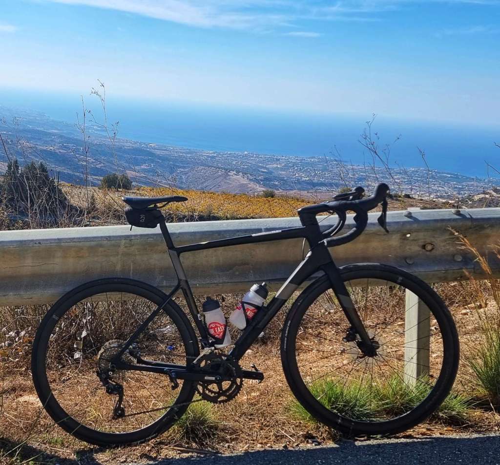
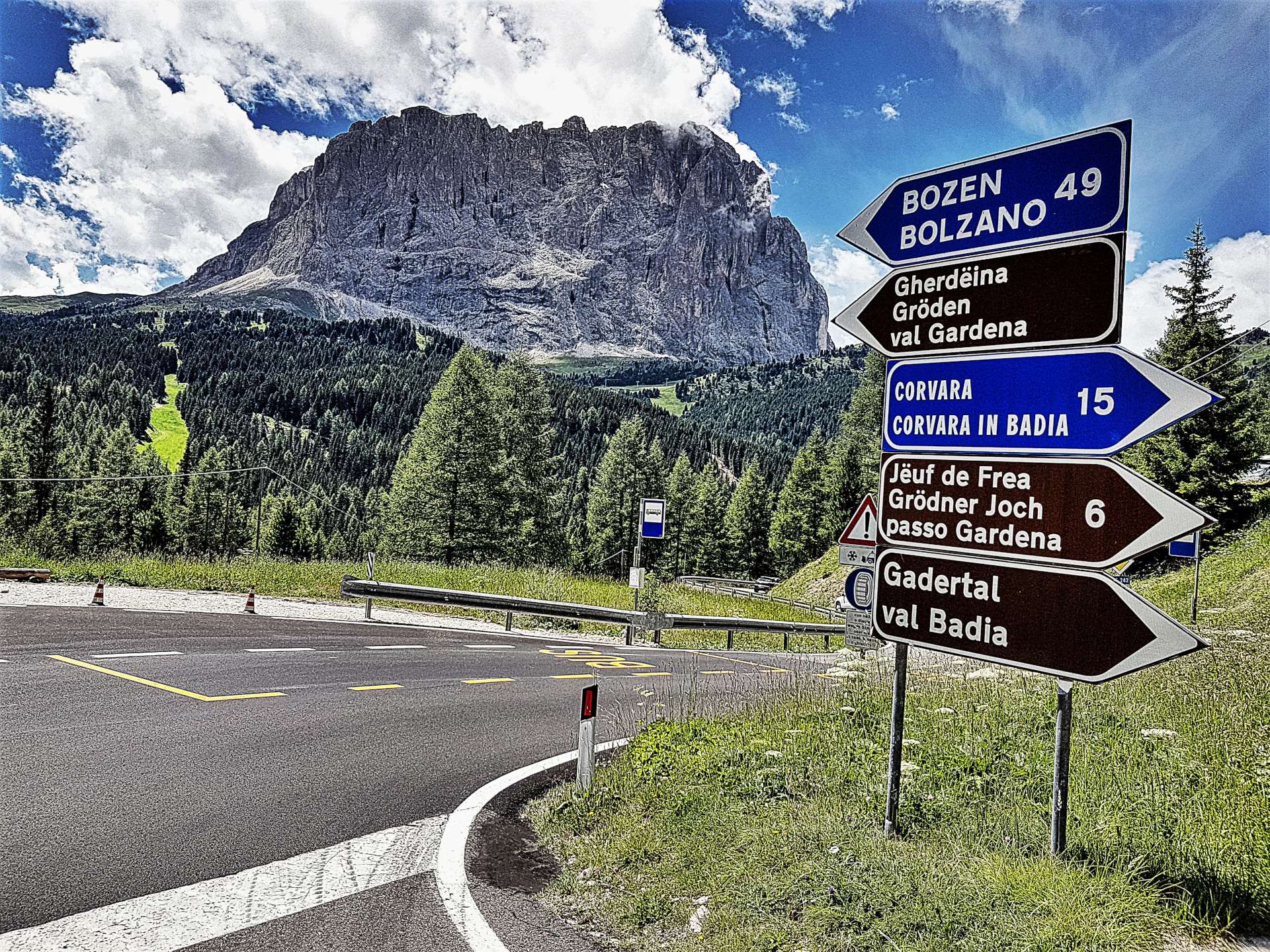
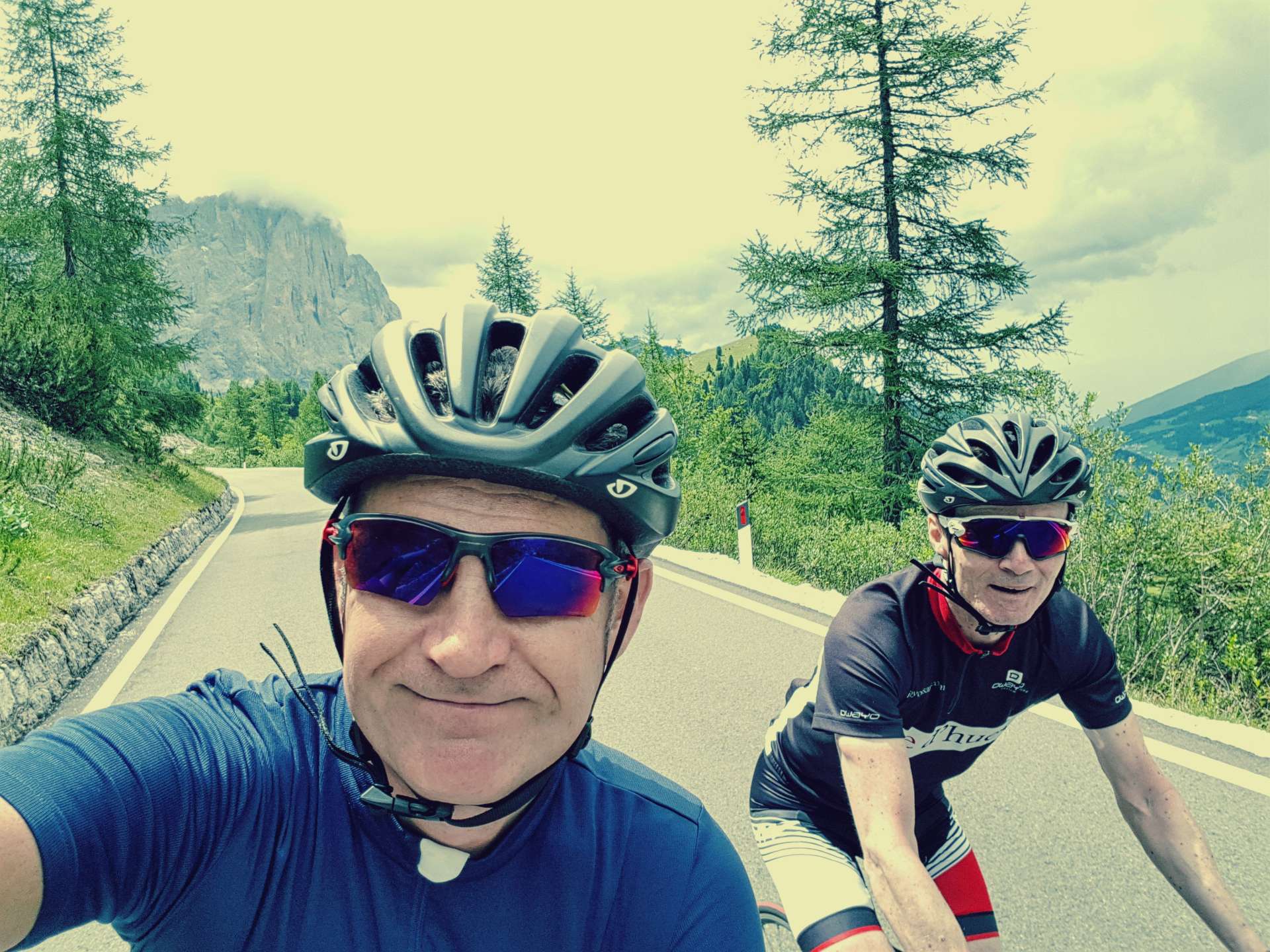
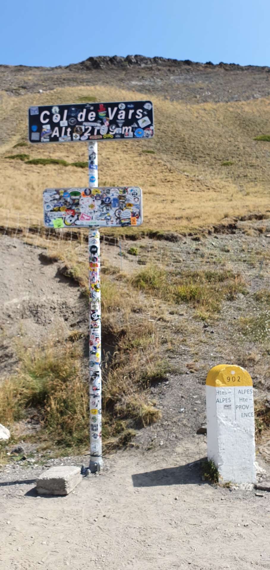
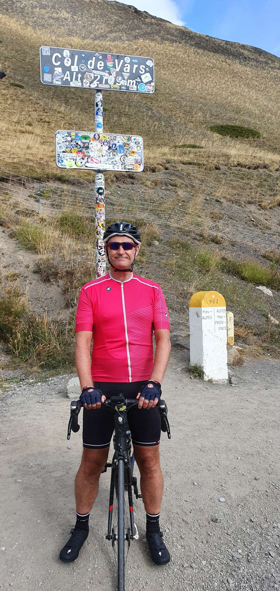
At the summit there’s a couple of signs, a café & a large car park. We stopped long enough to take a few photos, put on a wind proof jacket & then we were descending the longer, but shallower side of the col, heading towards Guillestre. Along the way, we rode through the ski resort of Vars – this is where the world record was set for skiing, some 254 kilometres per hour….on skis!!!!
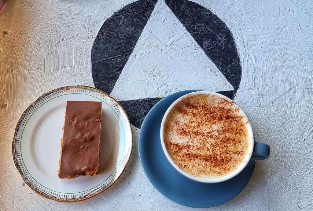
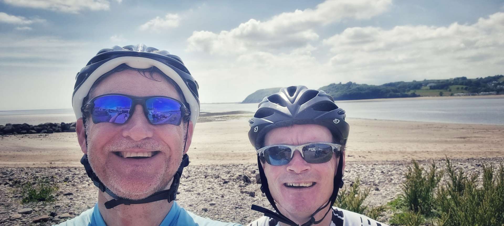
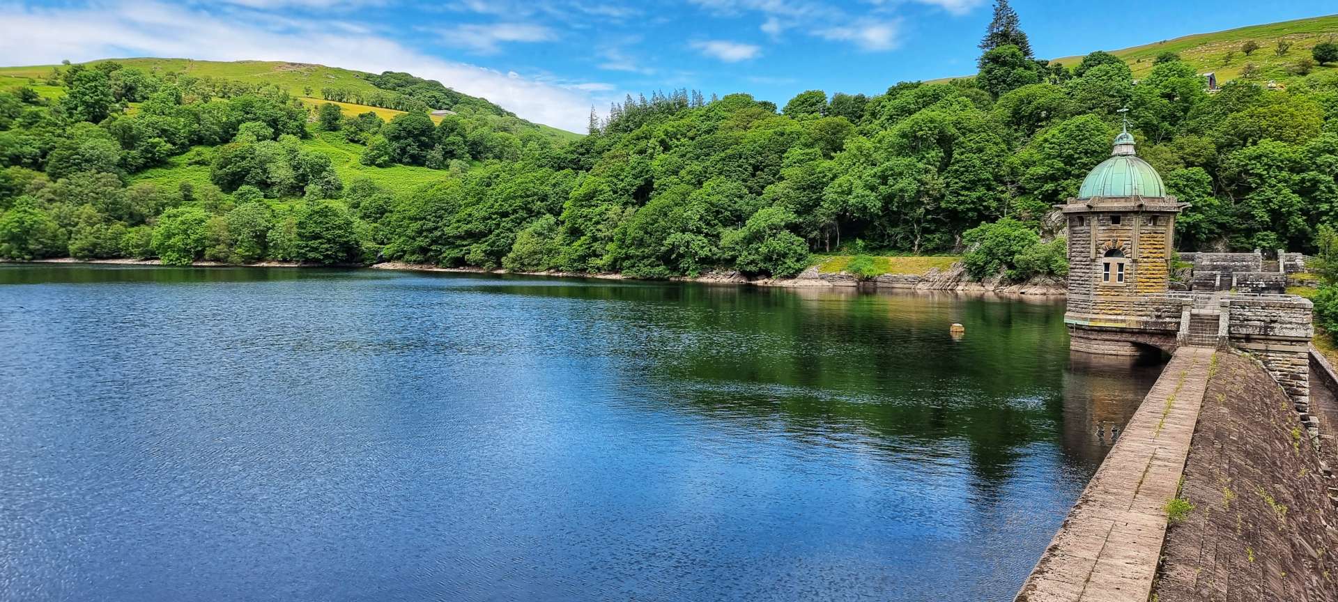
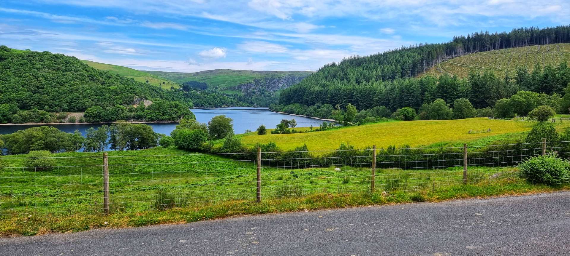
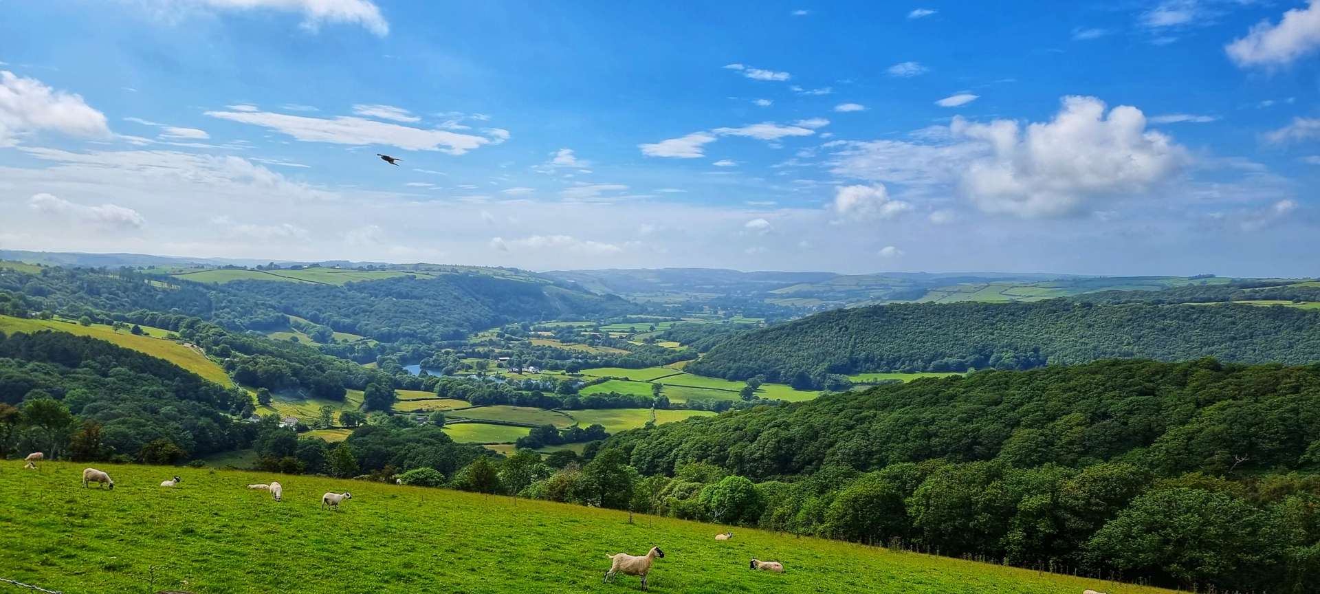
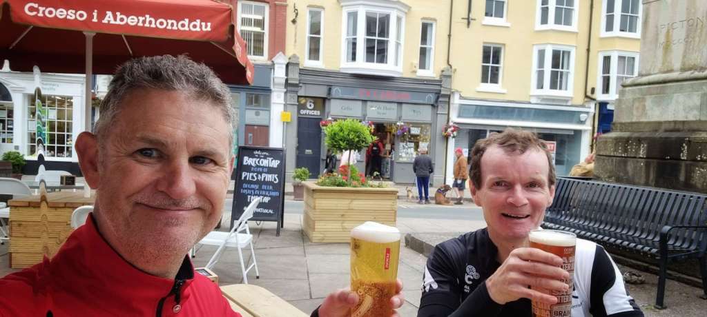
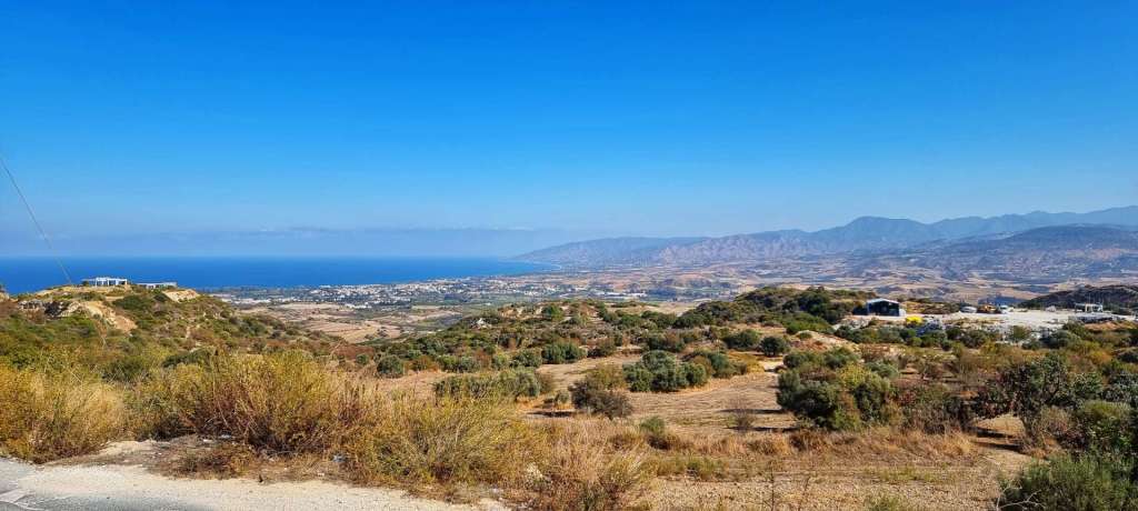
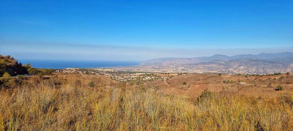
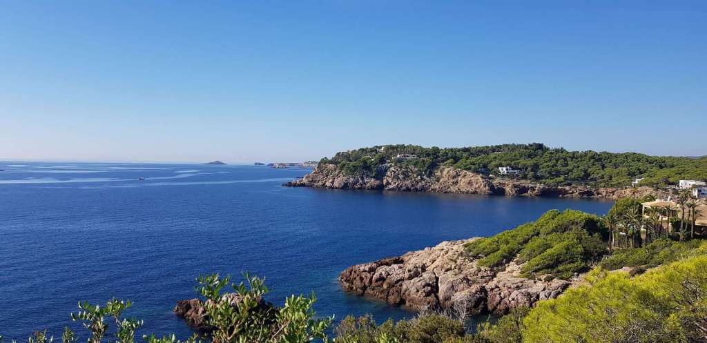
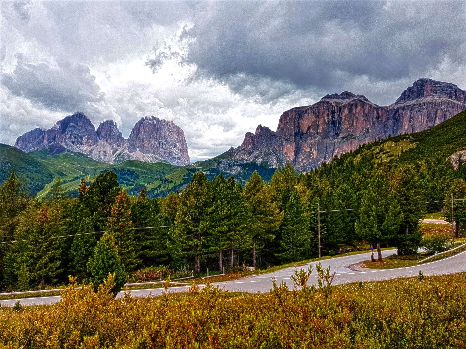
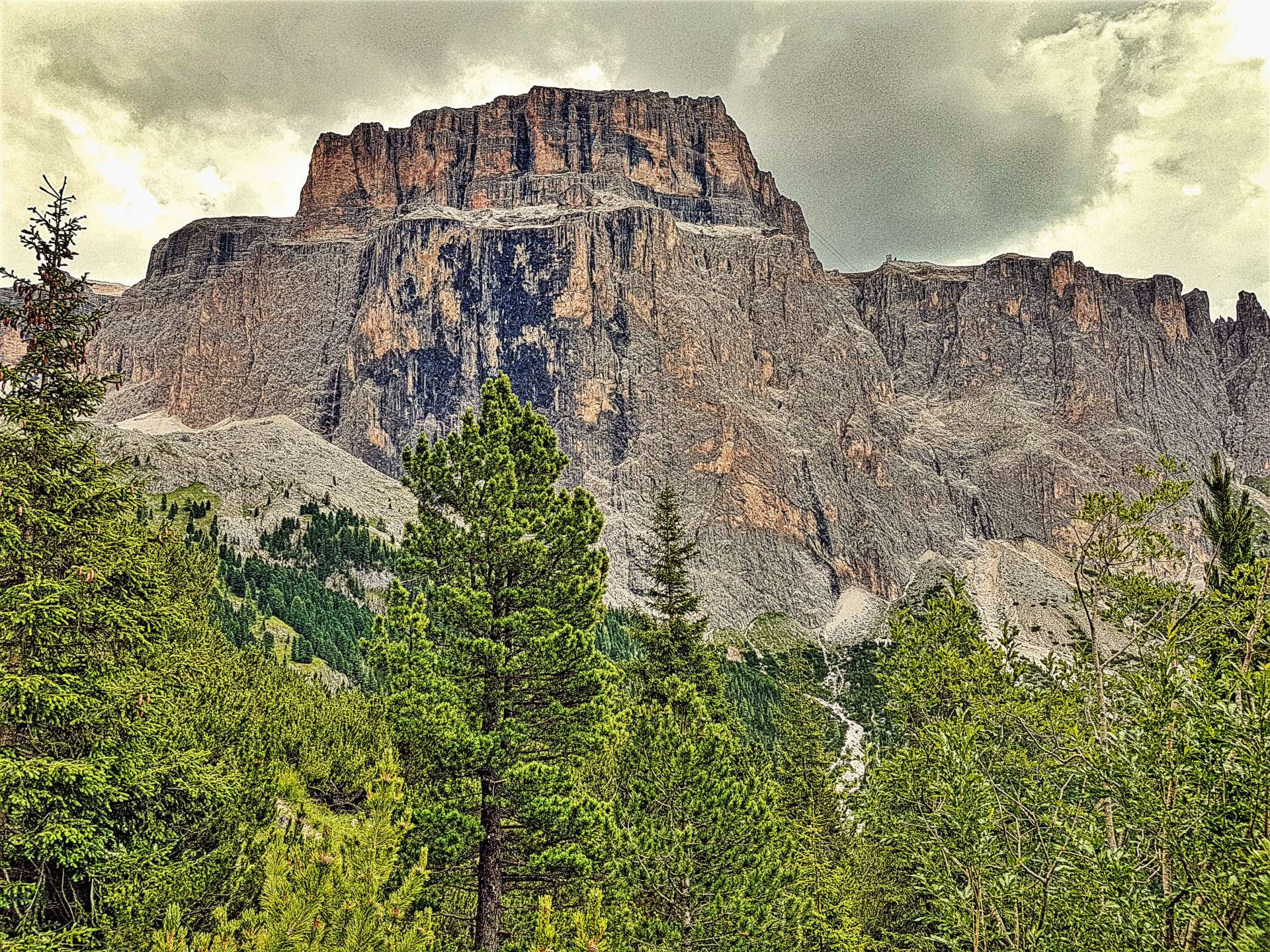
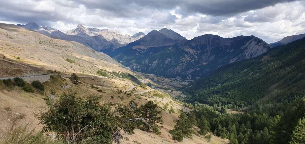
Descending into Guillestre was fun, the road was wide (so coaches can get the ski resorts in winter), the corners were easy to navigate & the surface was good quality. After about 8 miles of the 12 mile descent, huge views down to Guillestre & across to the Izoard came into view. In less than 25 minutes we’d reached our lunch stop in town – we hoped to grab a panini somewhere, but all the restaurants in the main square were proper sit down affairs, so we settled in for an extended lunch & set about demolishing some pasta.

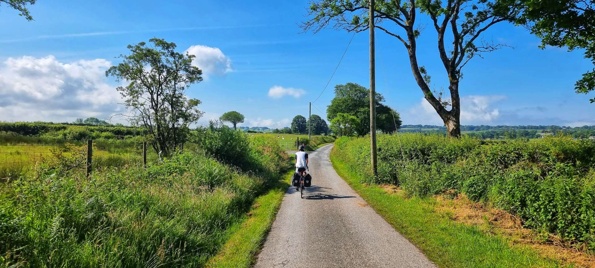
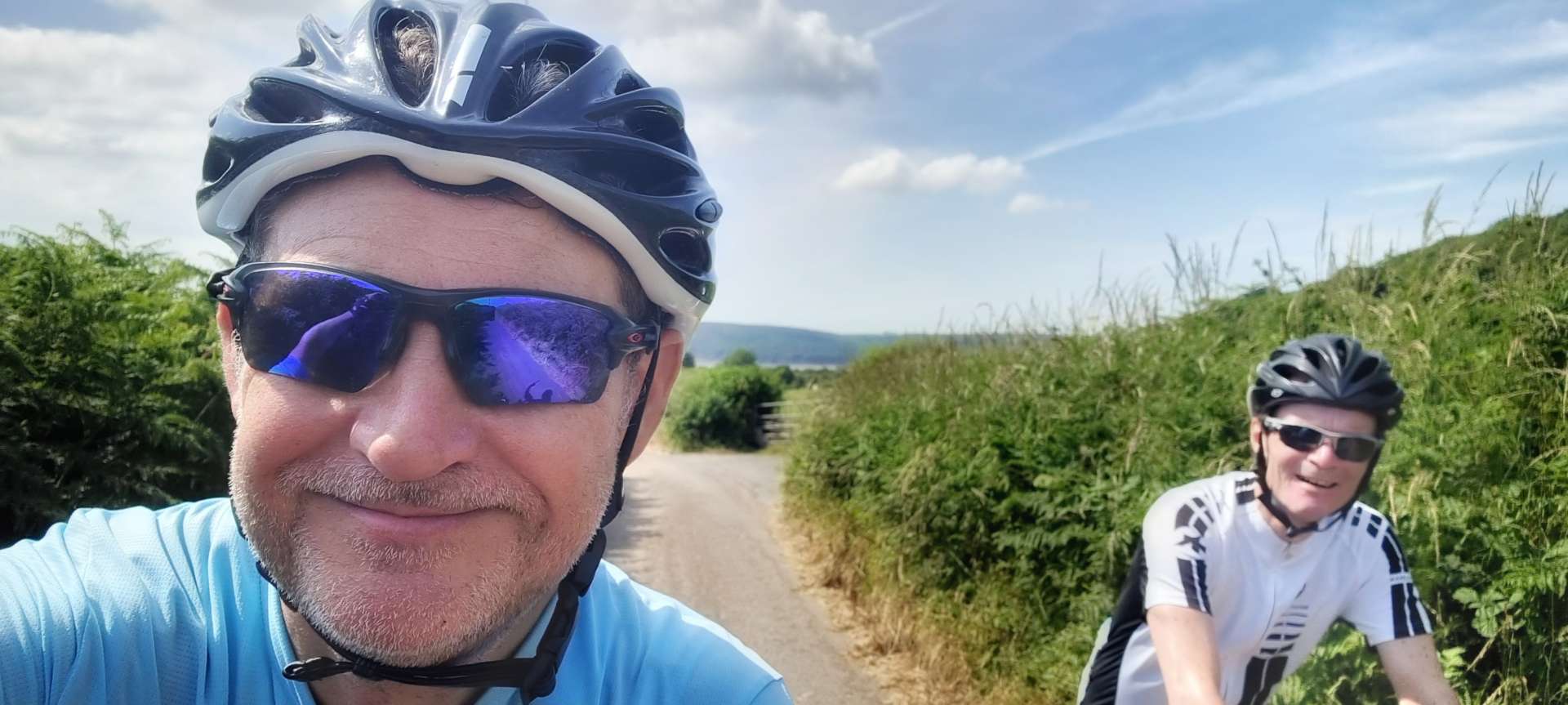
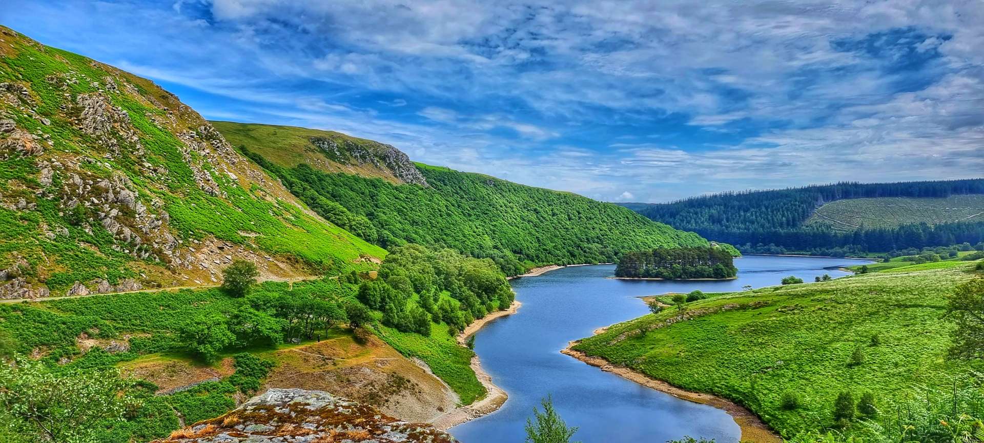
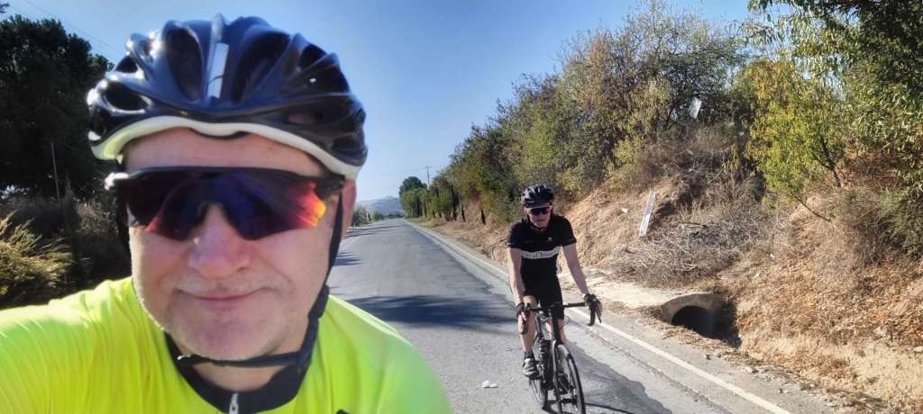
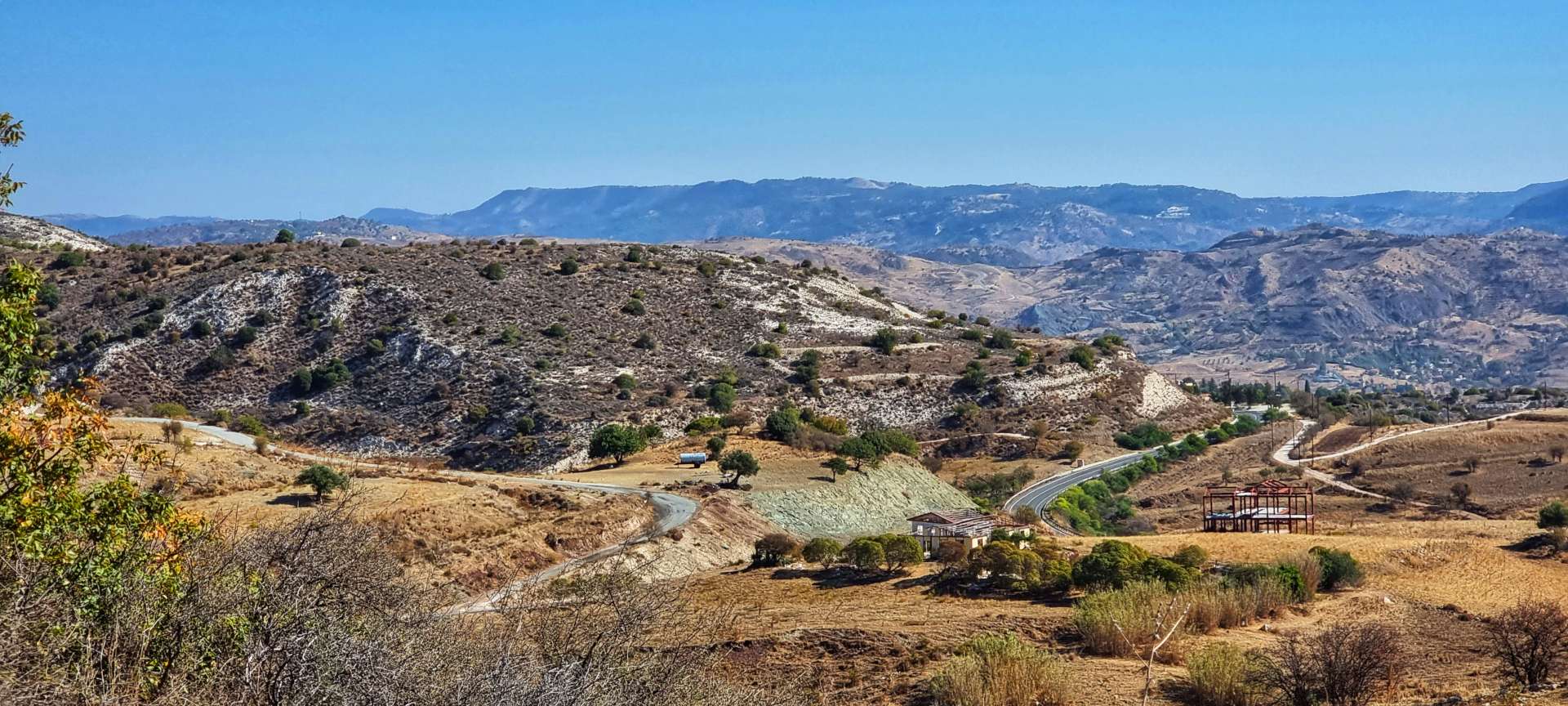
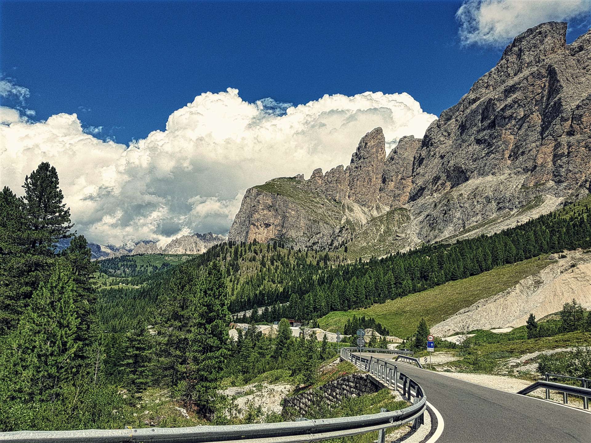
We were on our way again by about 2.50pm (at least a couple of hours later than we would have expected), now all we had to do was conquer the 12 mile climb back to the summit of the Col de Vars. We estimated that this would probably take us in the region of 2½ hours, on the basis we would climb at about 5 mph. The first 3 miles were a consistent 7 to 8% & this meant we could settle into a good rhythm. As the road hair-pinned its way ever upwards, we could see the climb spread out before us.
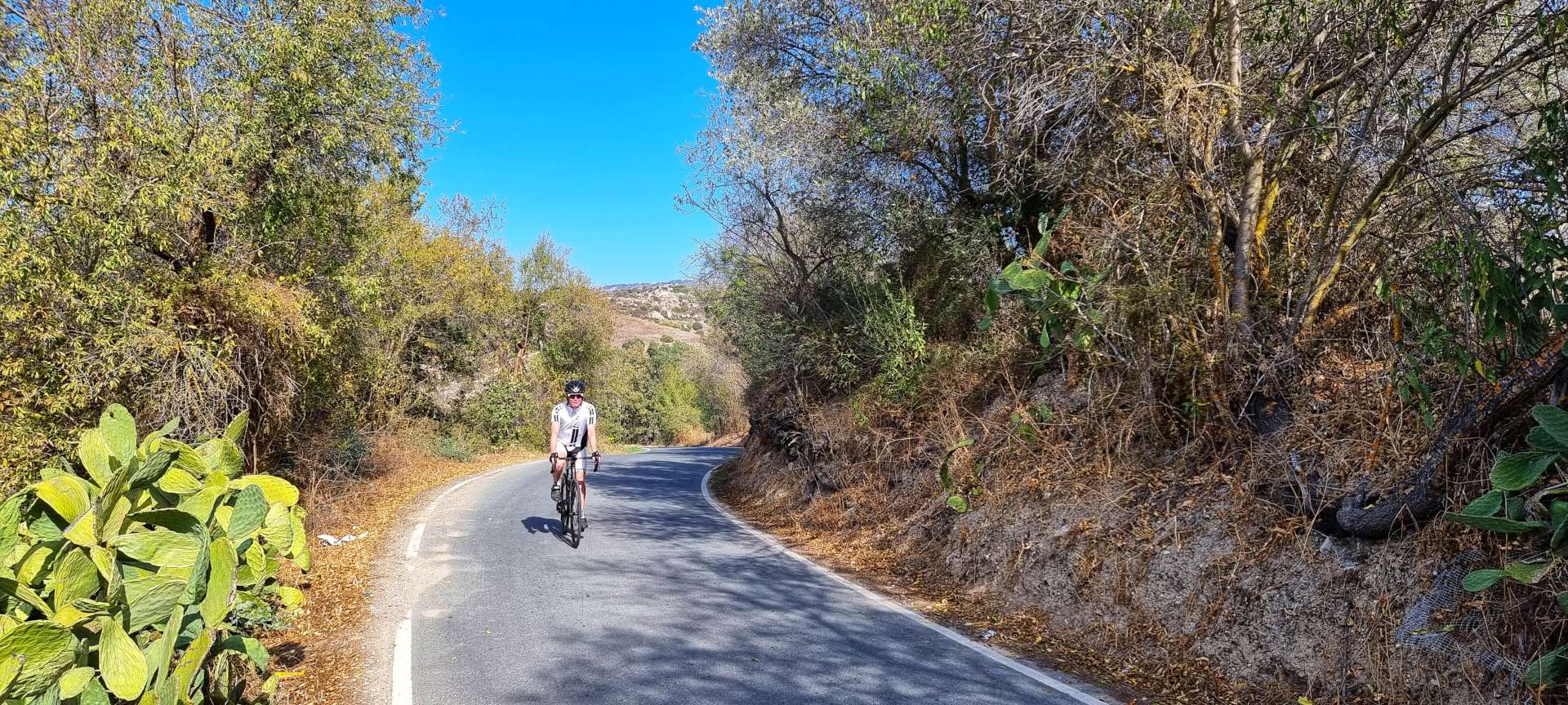
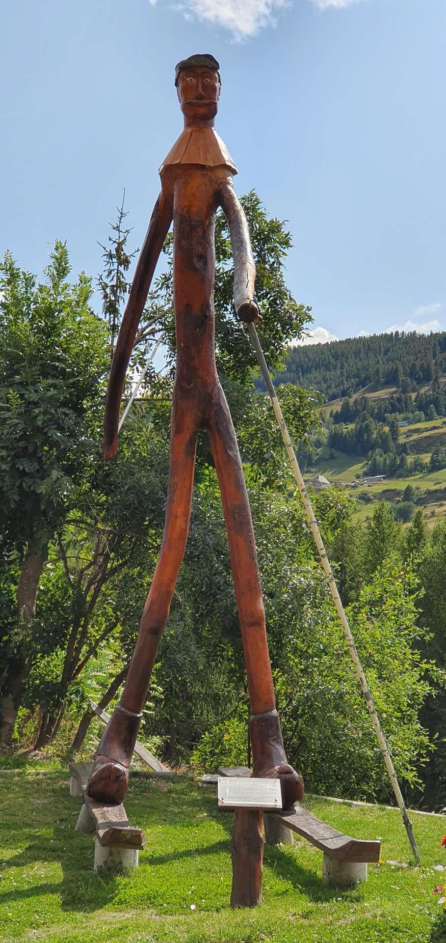
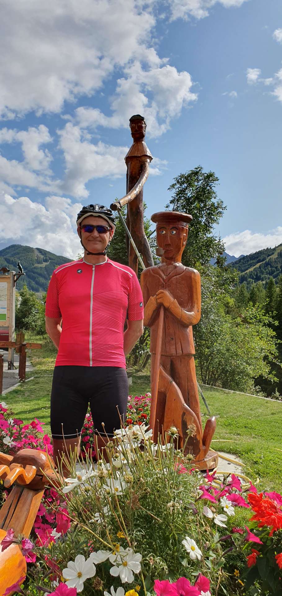
As we rode through Saint-Marcellin there were loads of wood carvings of winter sports characters, including a huge man on skis. After a brief stop to admire the artwork & take a couple of snaps, we were on our way again on what was my favourite part of the climb – it had a 1 mile descent at this point! The entire climb was less steep than this morning & as a result I was better able to enjoy the views & chat as we rode – this morning all I could do was huff & puff!

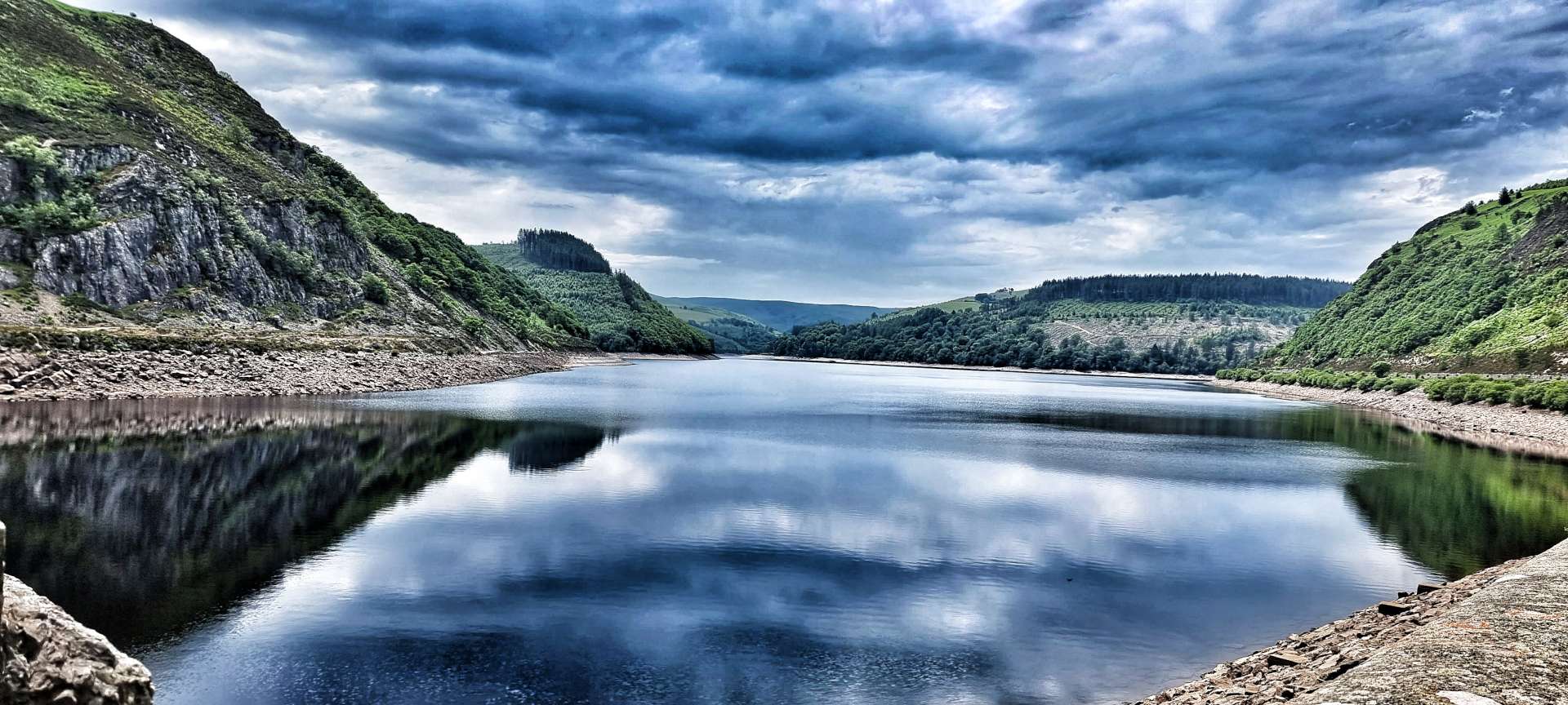
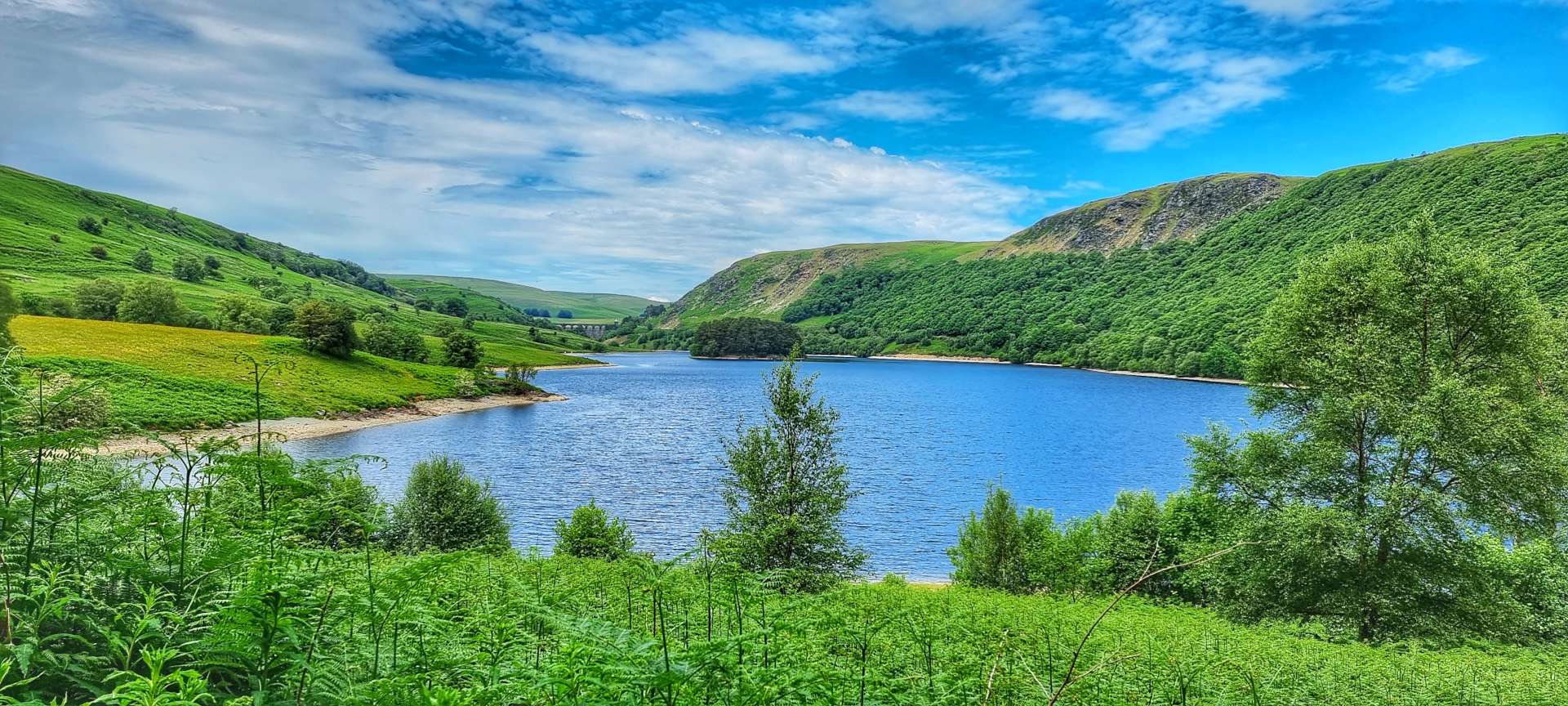
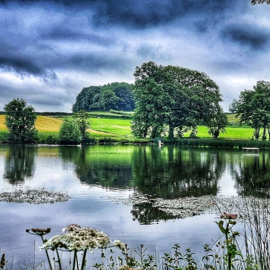
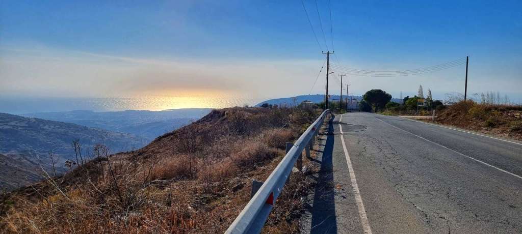
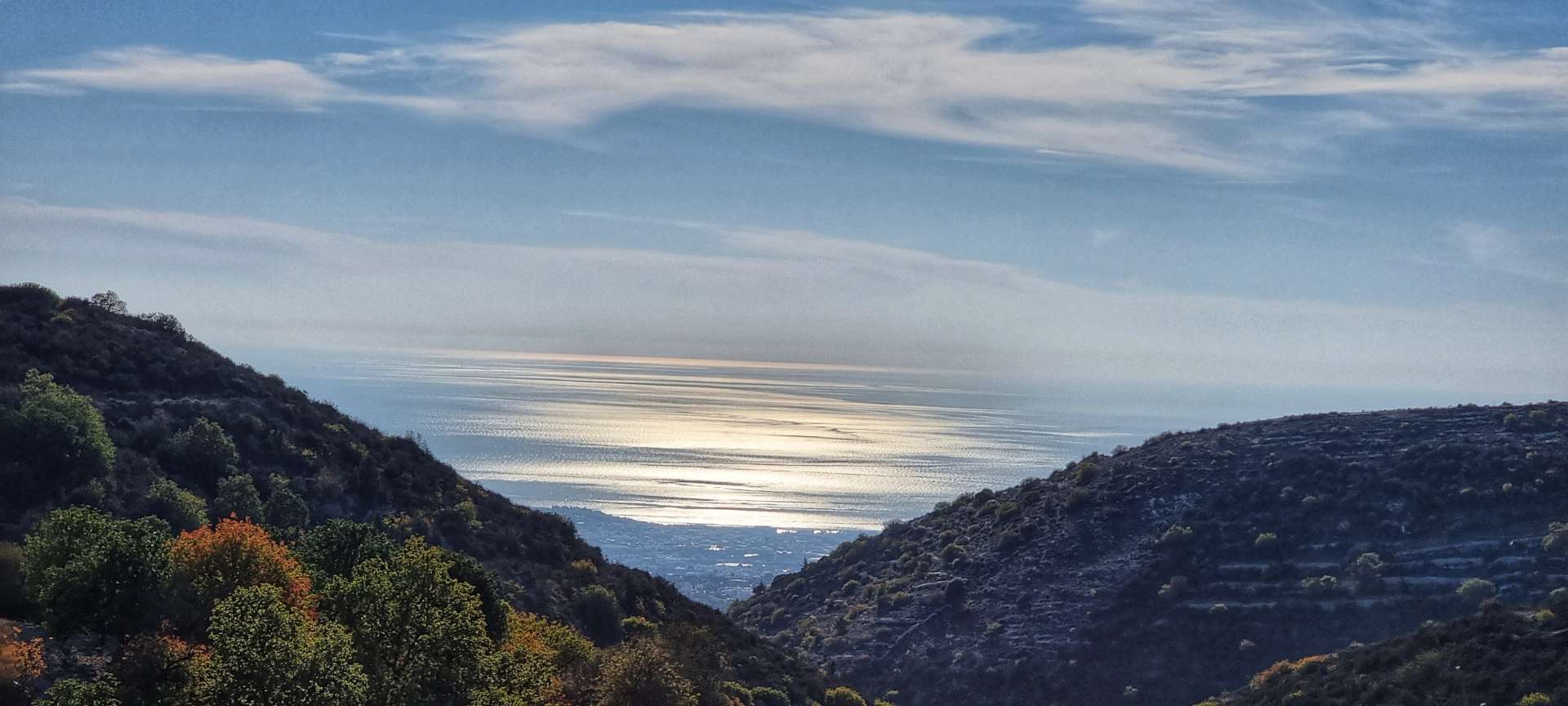
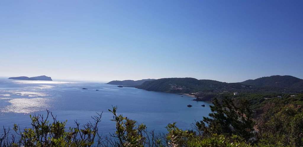
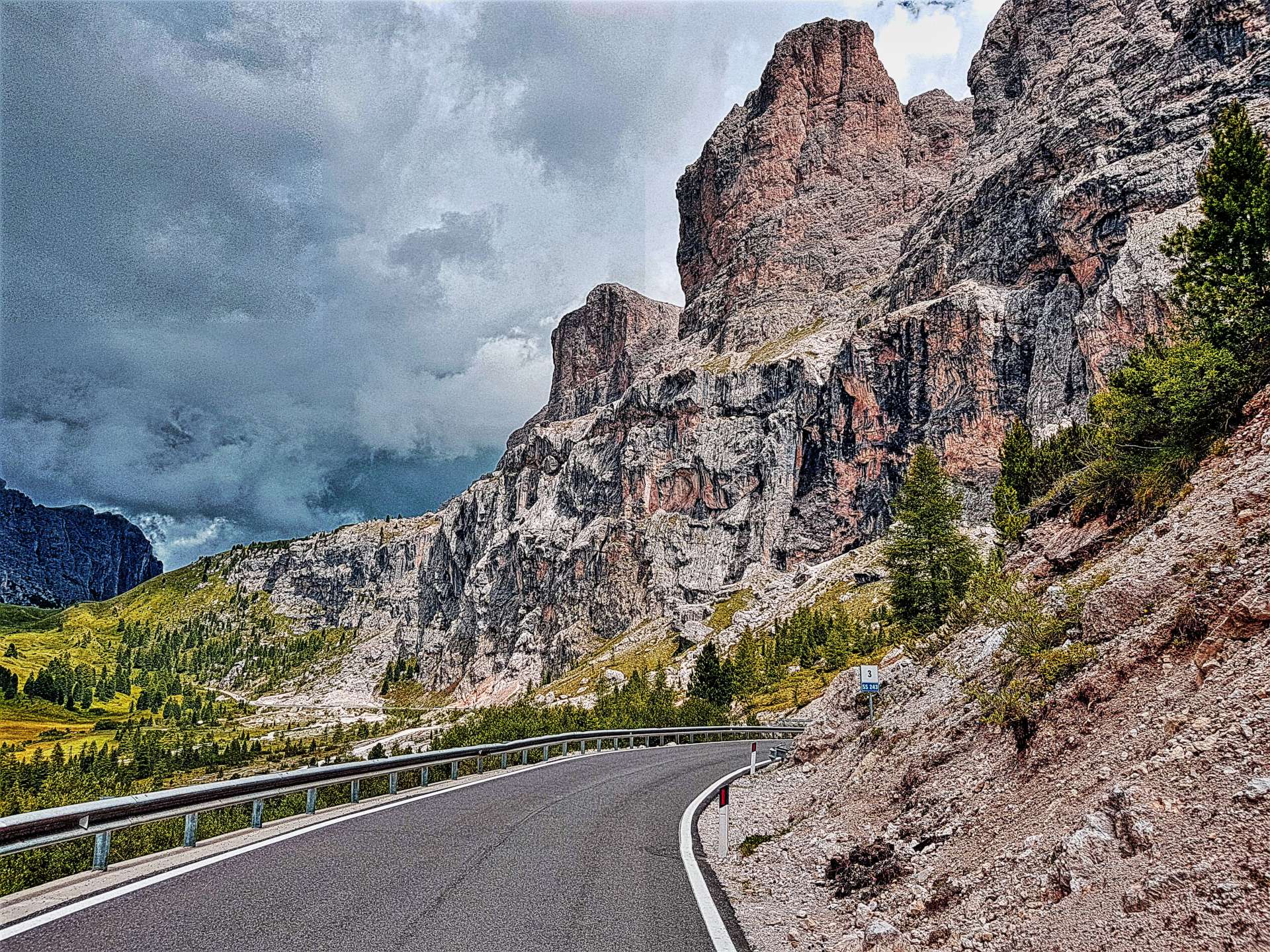
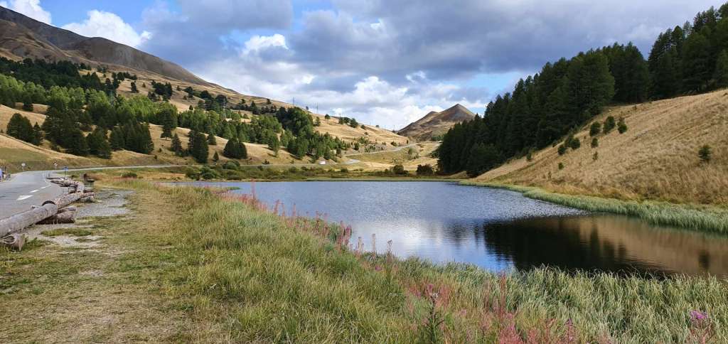
The final couple of miles of the climb took us past a moody looking lake, with big rain clouds beginning to gather in the distance. This was the direction we were heading, so the appearance of potential rain clouds was of interest to us.
After just over 2 hours of climbing we were back at the summit, once again it was time to wrap up warm for the descent (10% for the first mile) & then enjoy the ride!
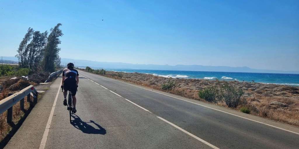
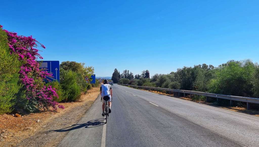
It took just over 13 minutes to descend the 6 miles back to the main road – it was incredible how quickly I gathered speed when I released the brakes. Luckily there were plenty of twists & turns to ensure that we both took the descent sensibly. The road back to Barcelonnette via Jausiers was slightly downhill all the way, but any thoughts of free miles were scuppered when we picked up a full-on headwind! Oddly, the downhill section into the headwind took longer than when we rode it in the opposite direction as an uphill this morning.
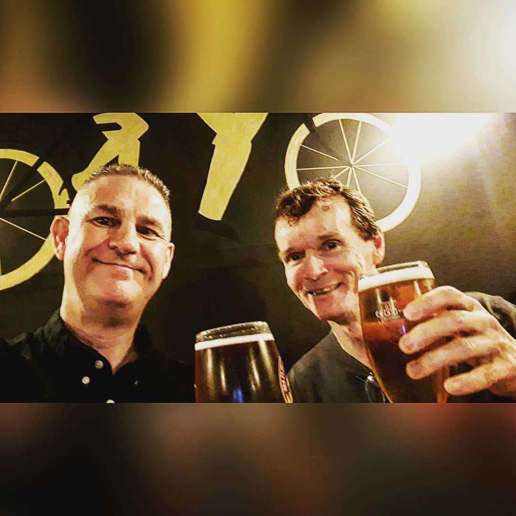
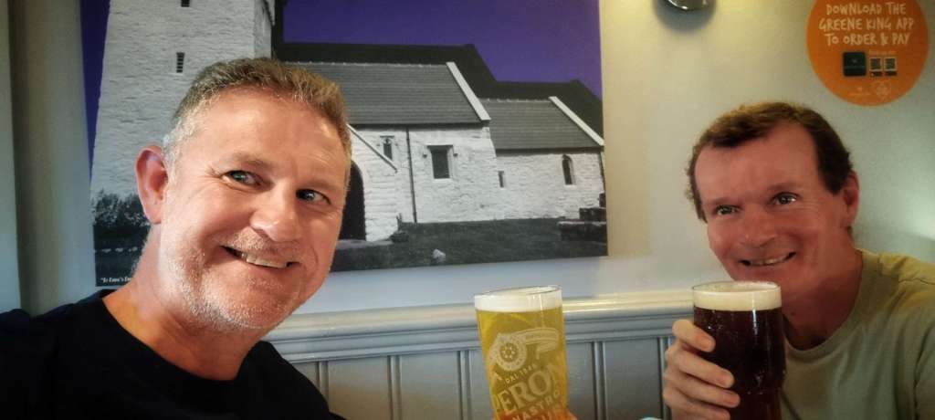
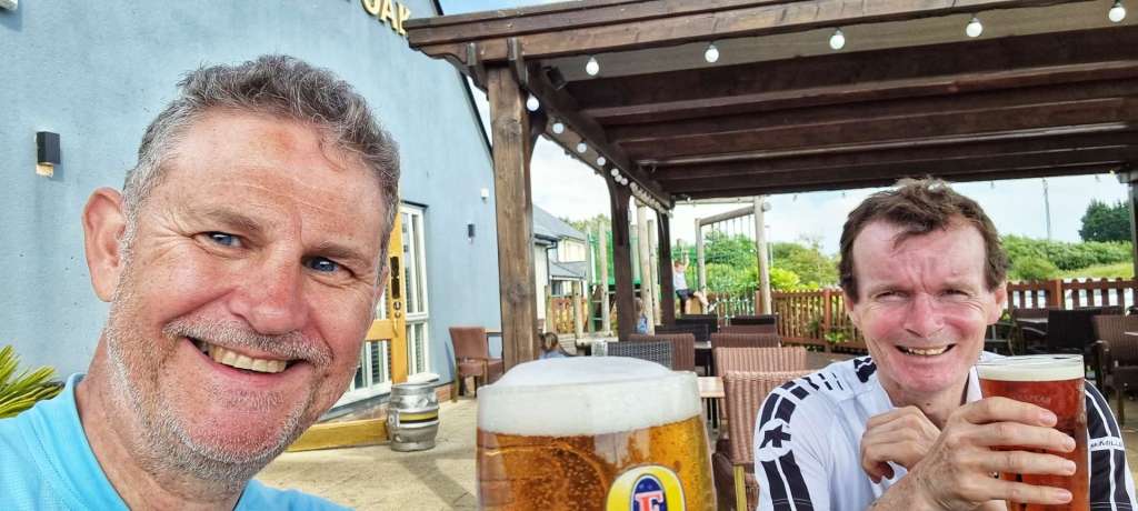
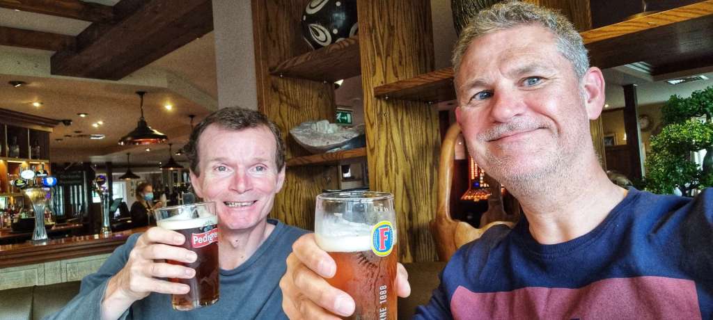
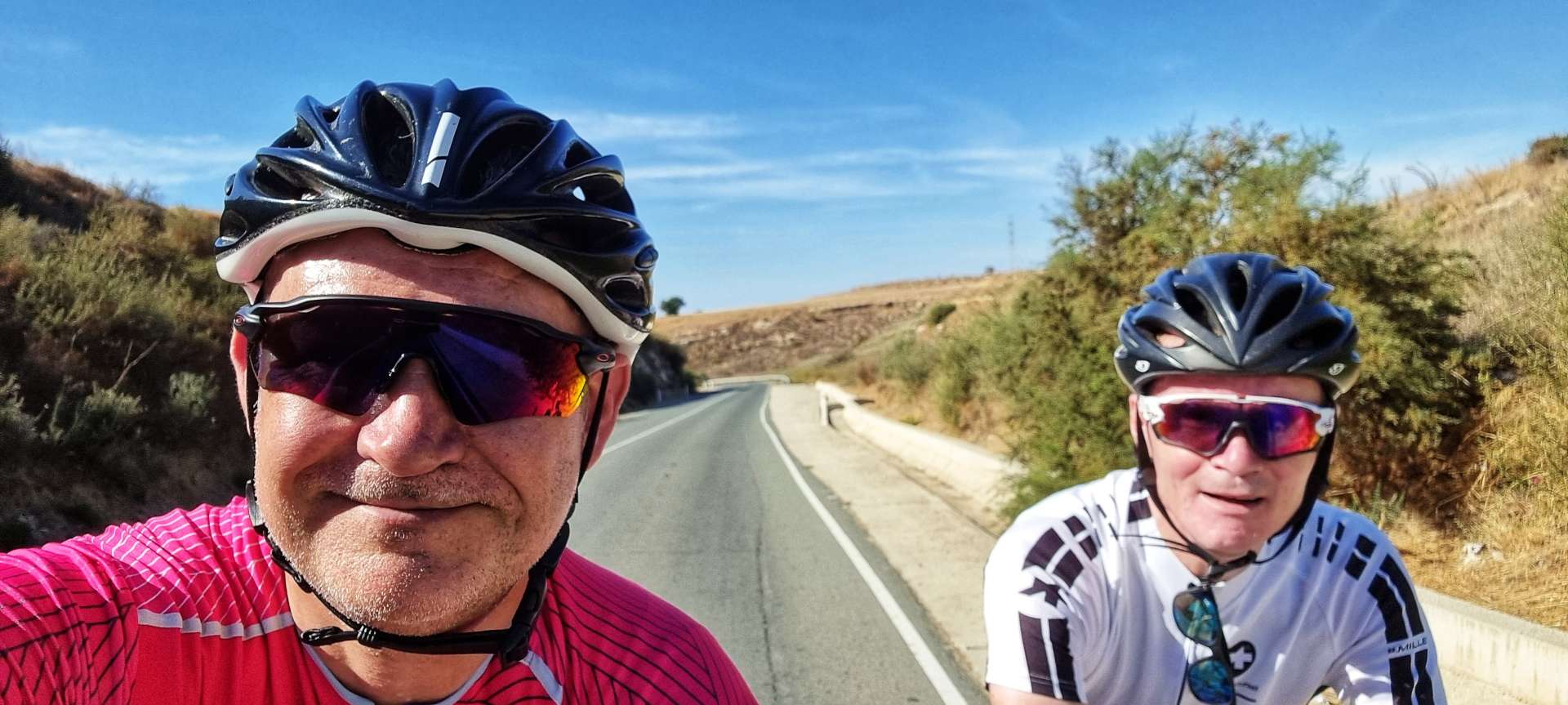
After a slow start, the day turned into a truly great expedition into the high mountains of the Maritime Alps. I’m looking forward to finding out what tomorrow will bring, but in the meantime it’s time to toast today’s great adventure in Bar Tandem!