
Pyrenees Peaks – Day Two, Lourdes (4th September 2017).
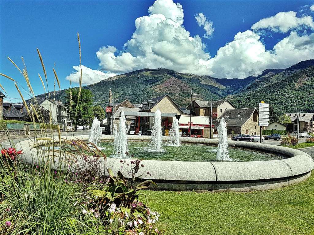
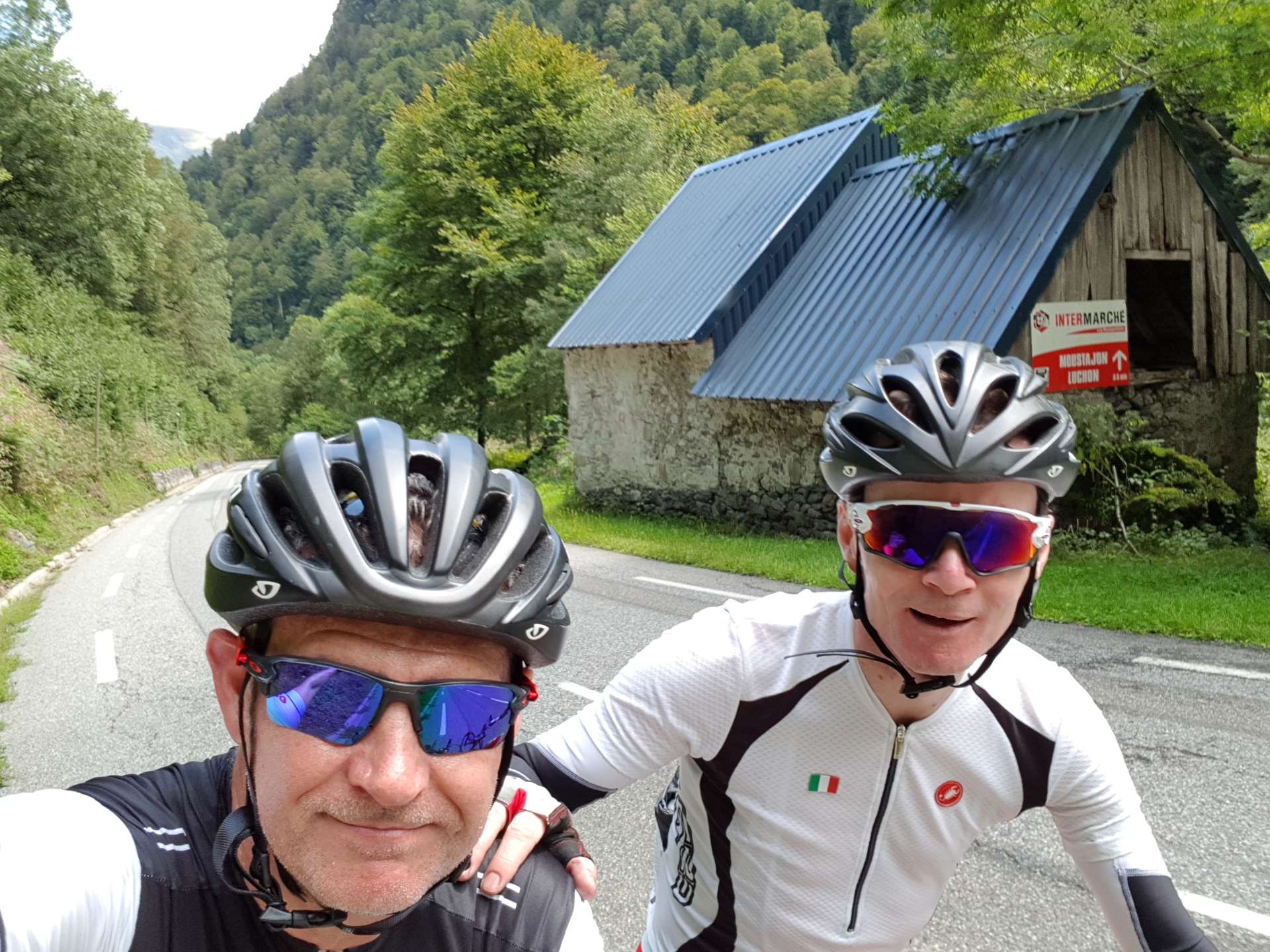
The plan is to explore all the major Tour de France climbs within a reasonable distance of our base in Lourdes – the weather forecast was changeable, so we decided to commute to Bagneres-du-Luchon, some 80 miles away & hope for the best. By the time we’d parked & got ourselves sorted out it was about 10.45am, so we knew we were in for a late finish too, as we had big plans for the day. The great news was that our gamble had paid off, as the sun was shining when we arrived in the town that’s twinned with Harrogate.
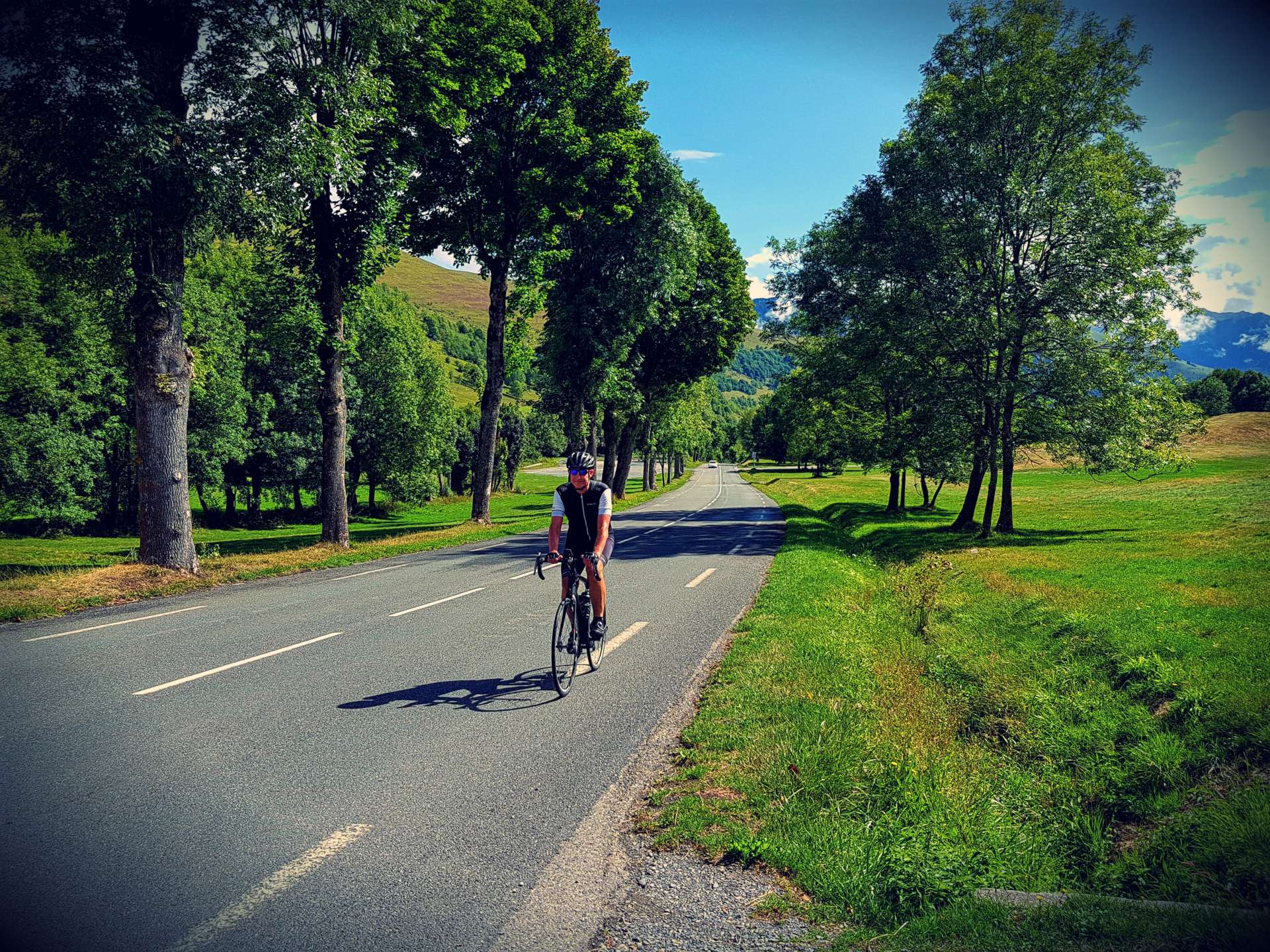
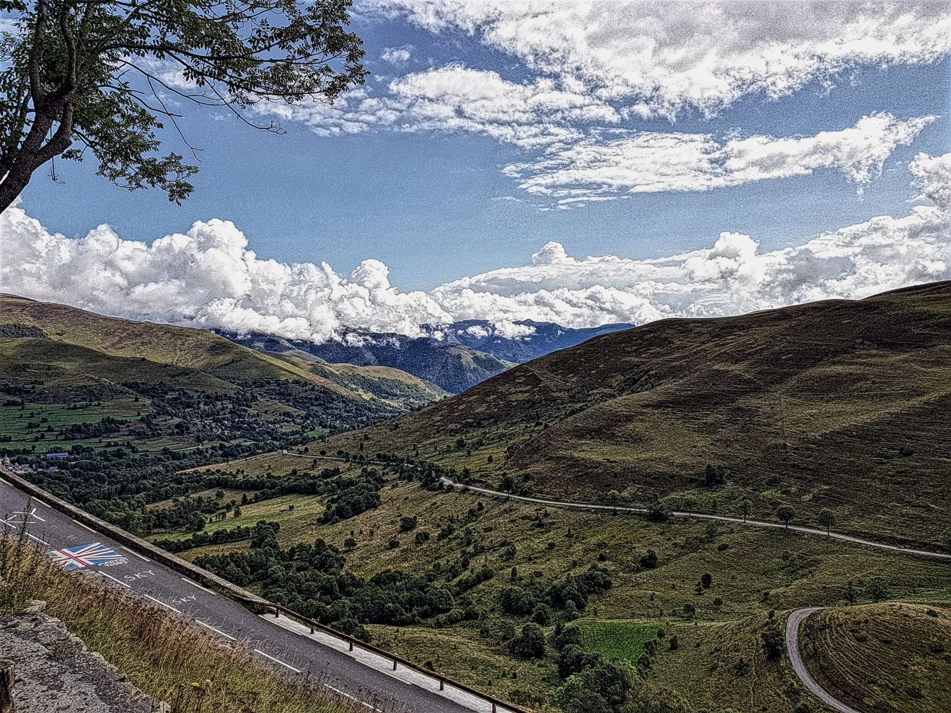
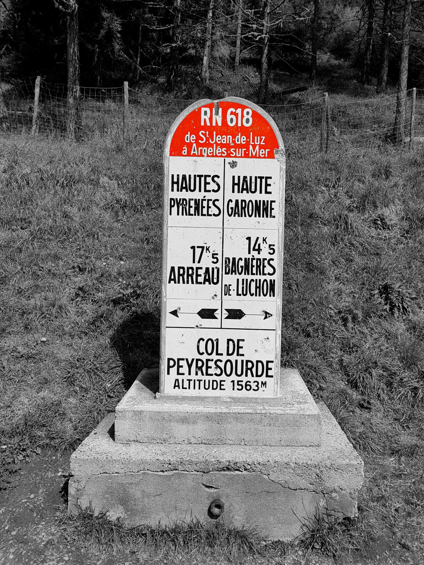
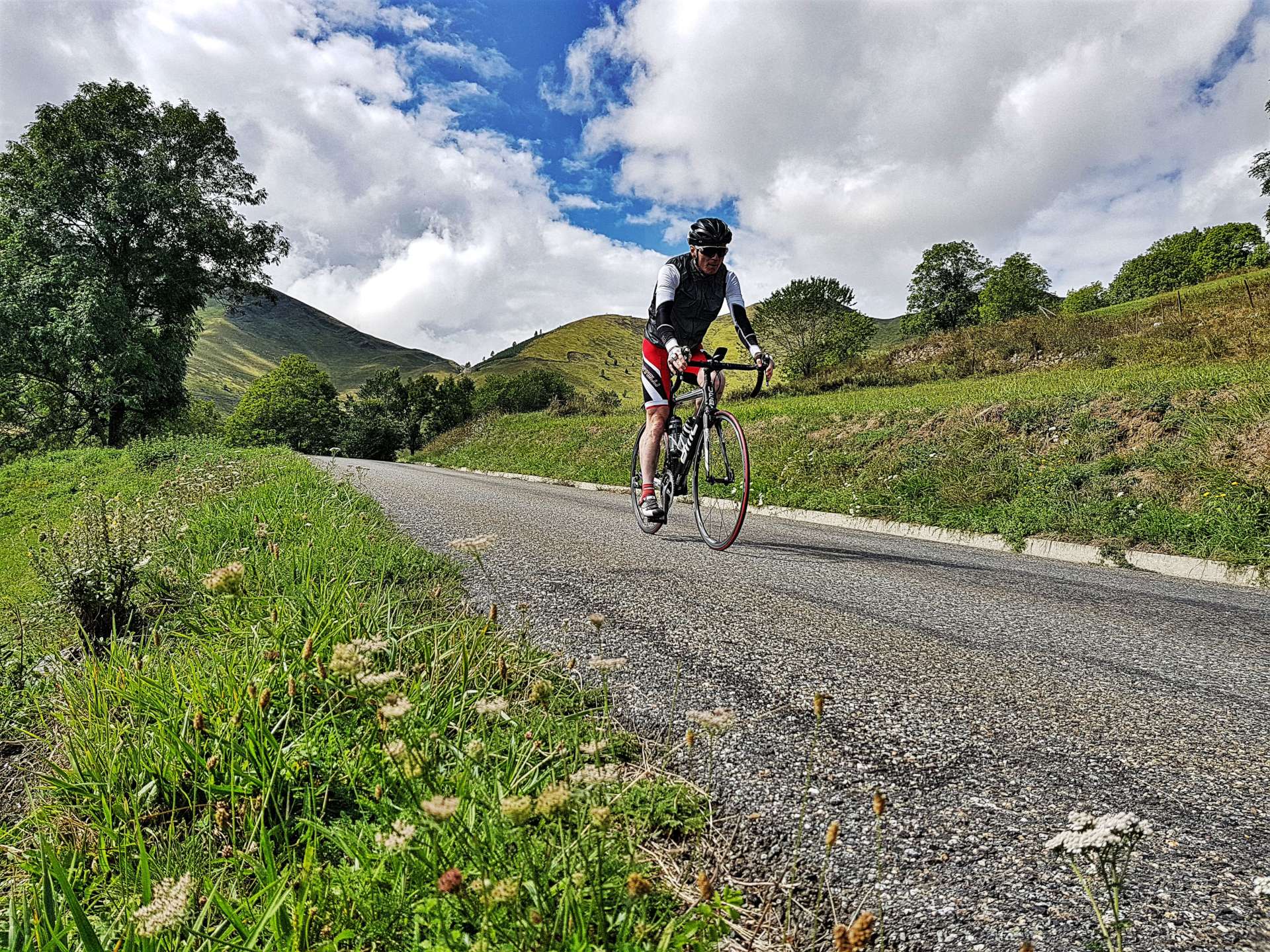
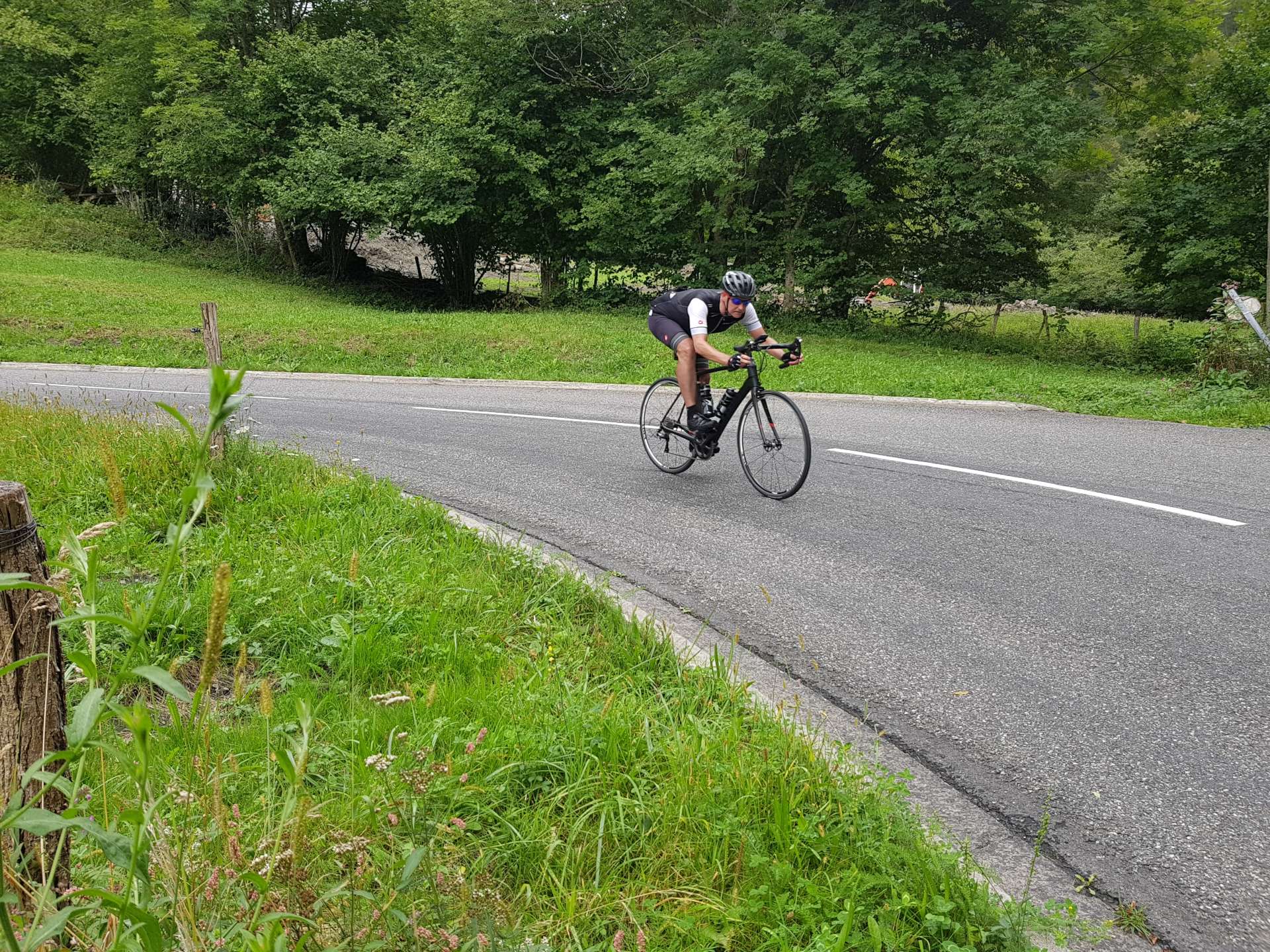
Bagneres-du-Luchon is an outdoor adventurer’s paradise – during the course of the day we saw parapenters, gliders, mountain bikers, hikers & rafters in addition to road cyclists. We were aiming to ascend 3 different mountains, all of which have featured in the Tour de France. First up was Col du Peyresourde (used in the Tour on 64 occasions since its debut in 1910), at 9.5 miles in length & a height gain of 3,081 feet, the gradient averages 6.1%. The climb is fairly constant, with views of the huge Pyrenean peaks all around. Although the road is a main road, traffic was minimal, so there were plenty of opportunities to stop & admire the architecture as we rode through small villages. We found a public water fountain at the halfway point, where I needed to fill my empty bottles – it was a humid day & I pretty much leaked sweat all day!!! Sorry, too much detail….


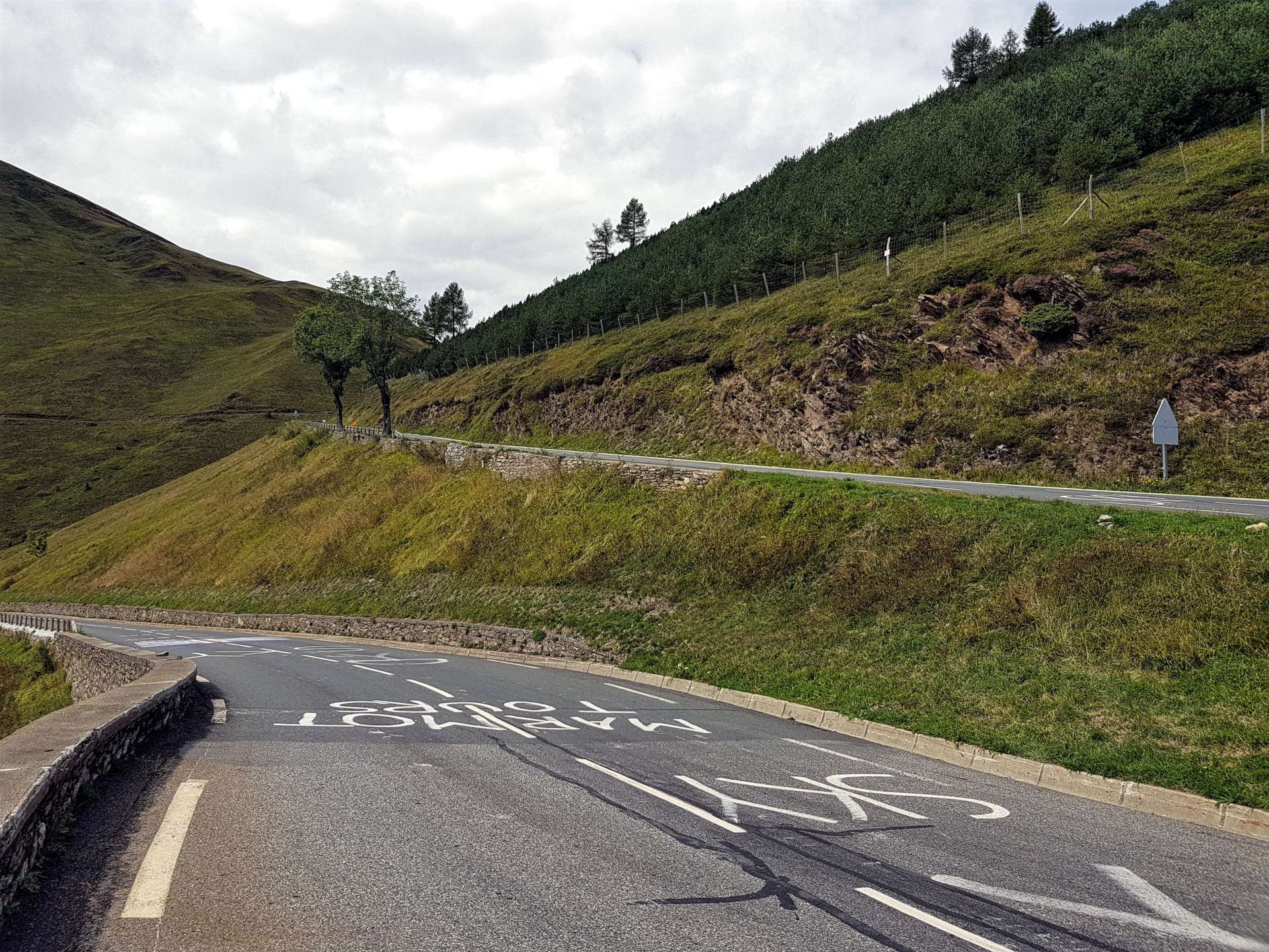
As we neared the summit, the famous Peyresourde hairpins came into sight – there was still graffiti on the road from 2016, which is when Chris Froome attacked over the summit in 2016 & won the stage as he pedalled whilst sat on his top-tube.

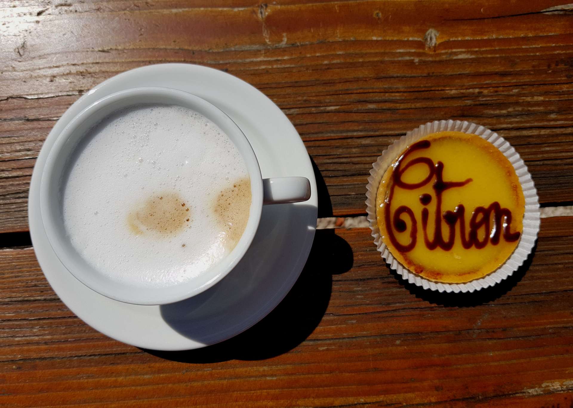
We stopped briefly at the summit to enjoy the views & take a few photos – sadly the Crepe stall didn’t open on a Monday, so we were soon descending back to B-d-L for a quick lunch of baguette & patisserie. The café owners kindly filled our bottles for the afternoon’s first challenge.

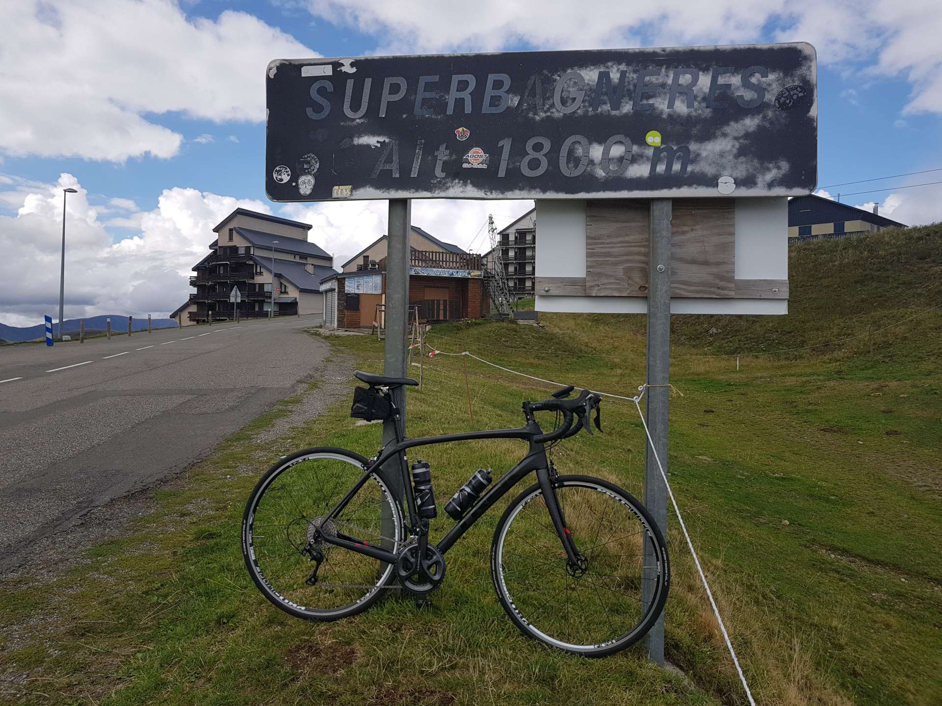
Our next challenge was Superbagneres, which is a ski station high up above Bagneres-du-Luchon. The climb is 12 miles in length, with a height gain of 4,000 feet, so the gradient averages 6.3%. It doesn’t sound much, but there are some flatter stretches, so this also means there are stretches of +10% to test the legs! It’s been used in the Tour de France on 6 occasions, most recently in 1989, when Scotland’s Robert Millar (now known as Philippa York) won the stage.

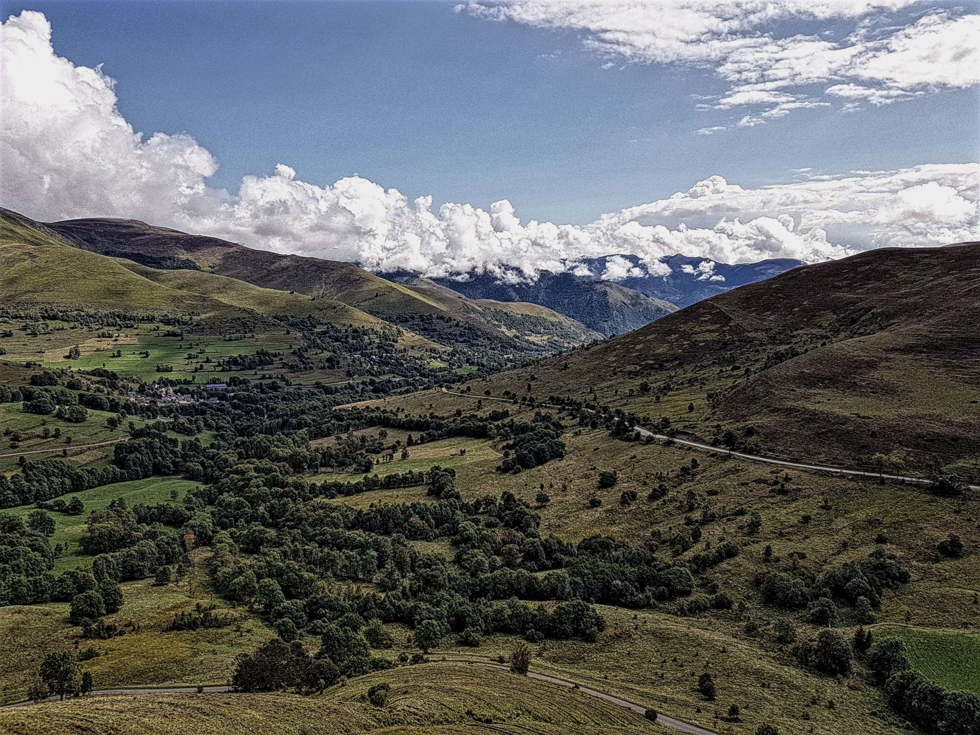
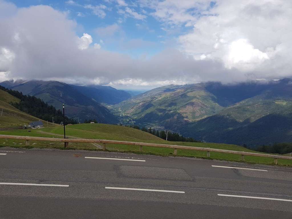
The first 4 miles were next to a river & there was the constant babble of water, which was a real distraction from the hard work of climbing! The next 4 miles were through thick forest, so there were only sporadic views down to the valley floor below. As it’s a ski resort & it’s September, we hardly saw any traffic – bikes definitely outnumbers cars! All of a sudden the forest ended & we had huge views across the valley – we were even able to look all the way down to B-d-L, thousands of feet below! By now we were also exposed to a blustering headwind as we continued to wend our way ever higher towards a massive hotel in the resort of Superbagneres itself. As we reached the summit, my fears were realised – a ski resort in September doesn’t get many visitors, so the café’s were all shut!!!


The upside of a really long, steep climb, is a lightning quick descent on a near deserted road. At one point I saw my speedo top 45 mph, before I had to start braking for the next hairpin – it was a fast, fun, but straightforward blast back to B-d-L. Having taken 1 hour 45 to climb to the summit, it took less than 25 minutes to descend!
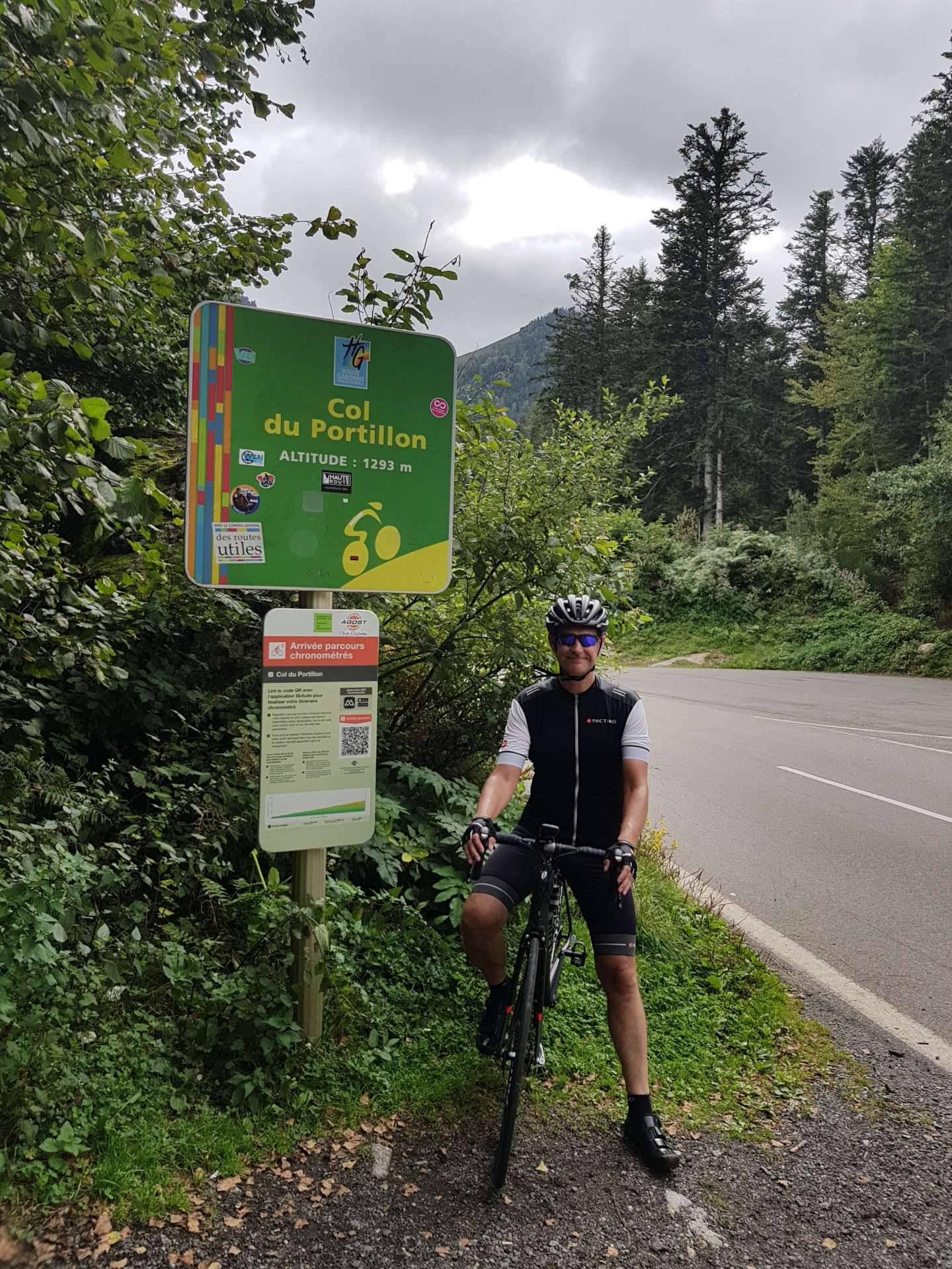
After a quick espresso (& another recharging of my water bottles – I drank x8 bottles of 0.75 litres on today’s ride) we set off for the day’s final challenge. The Col du Portillon has featured in the Tour de France on 18 occasions, most recently in 2014, The Col marks the geographic boundary between France & Spain, so I took the opportunity to snap a photo of a Spanish summit as well as French one!

The climb itself is 6.3 miles long, climbs 2,178 feet & has an average gradient of 6.5% – it sounds easy, but again the lower slopes are very shallow, resulting in the final 5 miles averaging 8.4% (& a nasty stretch of 13%!). As we looked up & across the valley, we could just make out Superbagneres, in the distance. We were in forest for the entire climb, so it was almost impossible to get a scenic photo, although I managed to get a few album fillers. I’d love to come back here again & explore the Spanish side of the mountain, as the climb is supposed to be amazing. The descent was another non-technical one on quiet roads (fast in other words!) & we were back in town before we knew it.

This was a special day in the saddle, we rode for 5½ hours & climbed 8,800 feet in 57 miles – 3 epic Tour de France mountain summits in a road cyclist’s paradise. The original plan was to have a meal in B-d-L, then drive back to Lourdes & head straight to bed. We finished riding about 6pm & nowhere was serving food until 7pm, so in the end we jumped in the car & drove the 90 minutes back to Lourdes & have just returned from devouring a cracking pizza.
