Twisp Again or The Only Way Is Up – Friday 13th & Saturday 14th May
Friday 13th May – Twisp to Omak (Stage 12)
We’re now back on the original route I planned some 6 months ago, which simplifies things slightly from a logistics perspective. Today the plan is to do a relatively short ride which will make things just a bit easier again, as Omak was a previously identified overnight stop – no more tweaking of routes & having to research towns for accommodation for a little while at least!
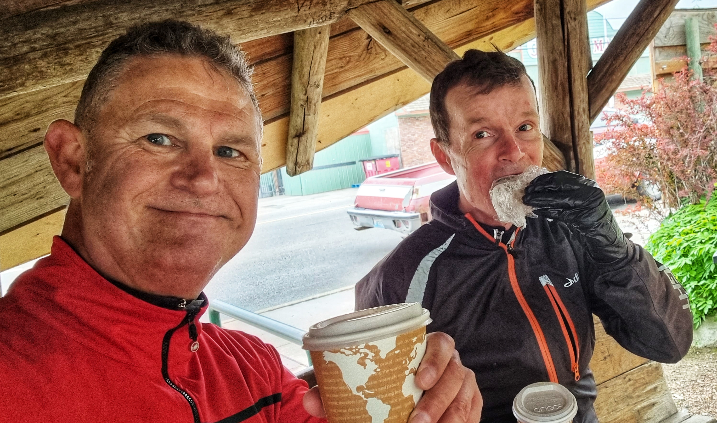
Breakfast was a variation on a bacon roll & a coffee which we picked up from Glover Street Market. We were packed & on our way by about 10.15, as we were only anticipating a 4 hour ride & check-in at Omak was any time from 3pm. It was another day for suntan lotion as there were blue skies overhead & there was little wind to speak of.
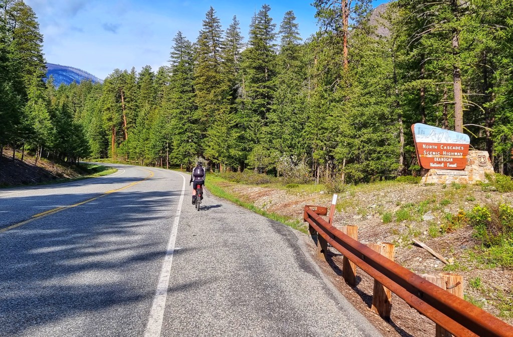
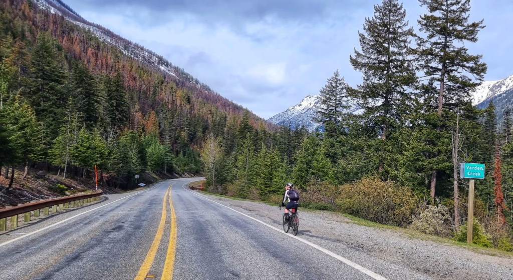
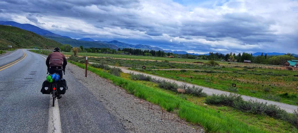
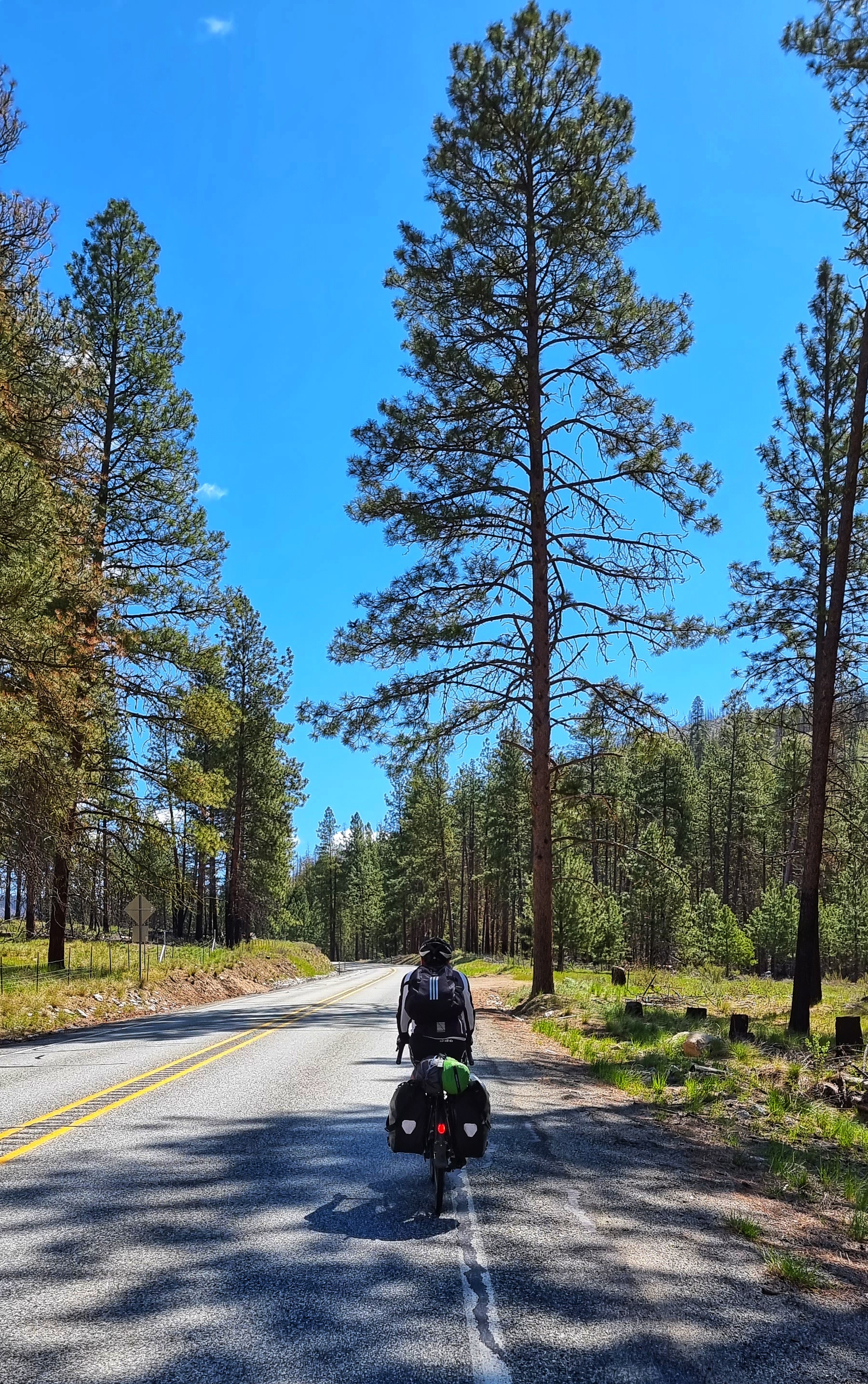
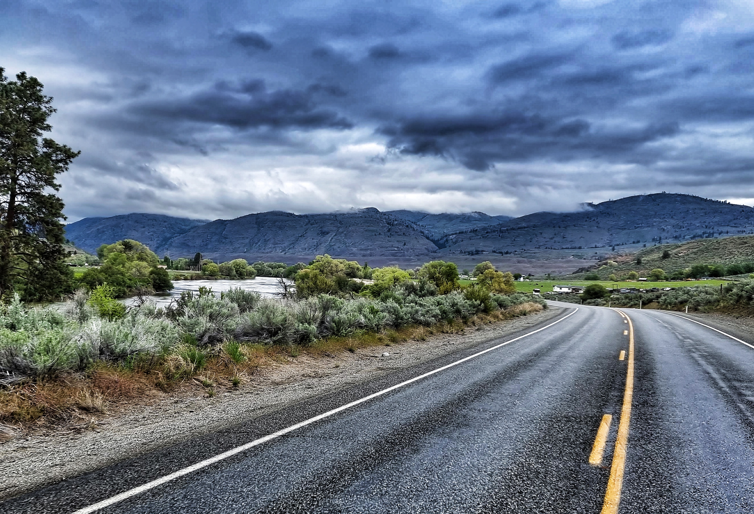
Leaving Twisp behind us, within a couple of miles we took a left turn which signalled the start of the day’s categorised climb, the Loup Loup Pass. We’re going to be riding a mountain pass a day for the next 3 or 4 days, as we continue to make our way east across Washington State – the rivers mainly run north to south, so if you picture a row of shark’s teeth, that’s the profile we’re crossing.
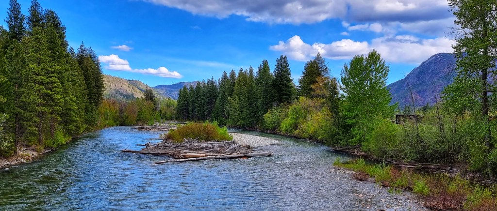
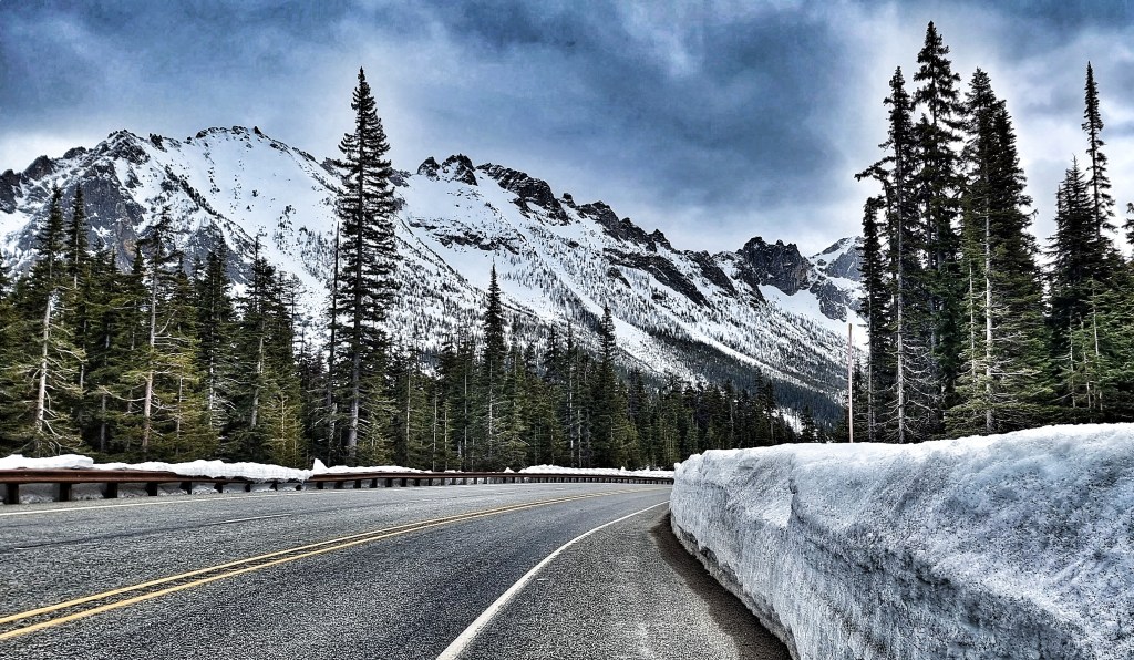
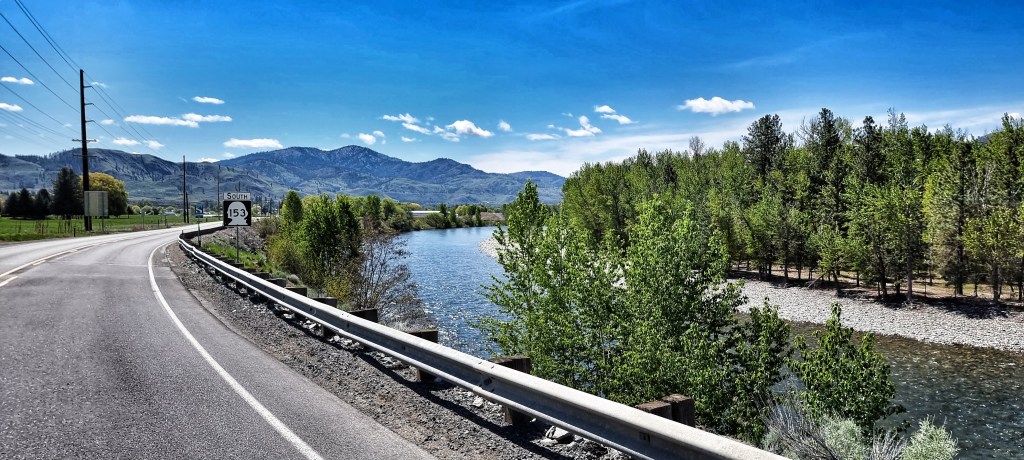
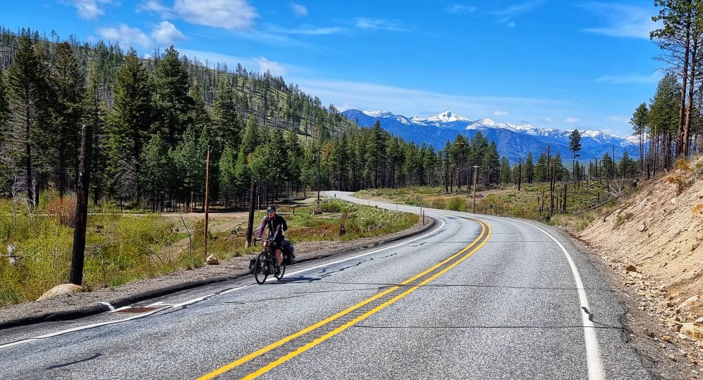
Loup Loup started steeply with a 7% kicker, but fortunately after about 1/2 mile it settled into a more friendly 4% – 5% gradient. Over our right shoulder we had great views of the Methow river & all the way across the valley to the mountains in the background, as we were riding through grassland with small bushes on either side of us.

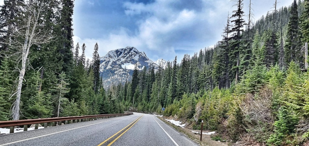
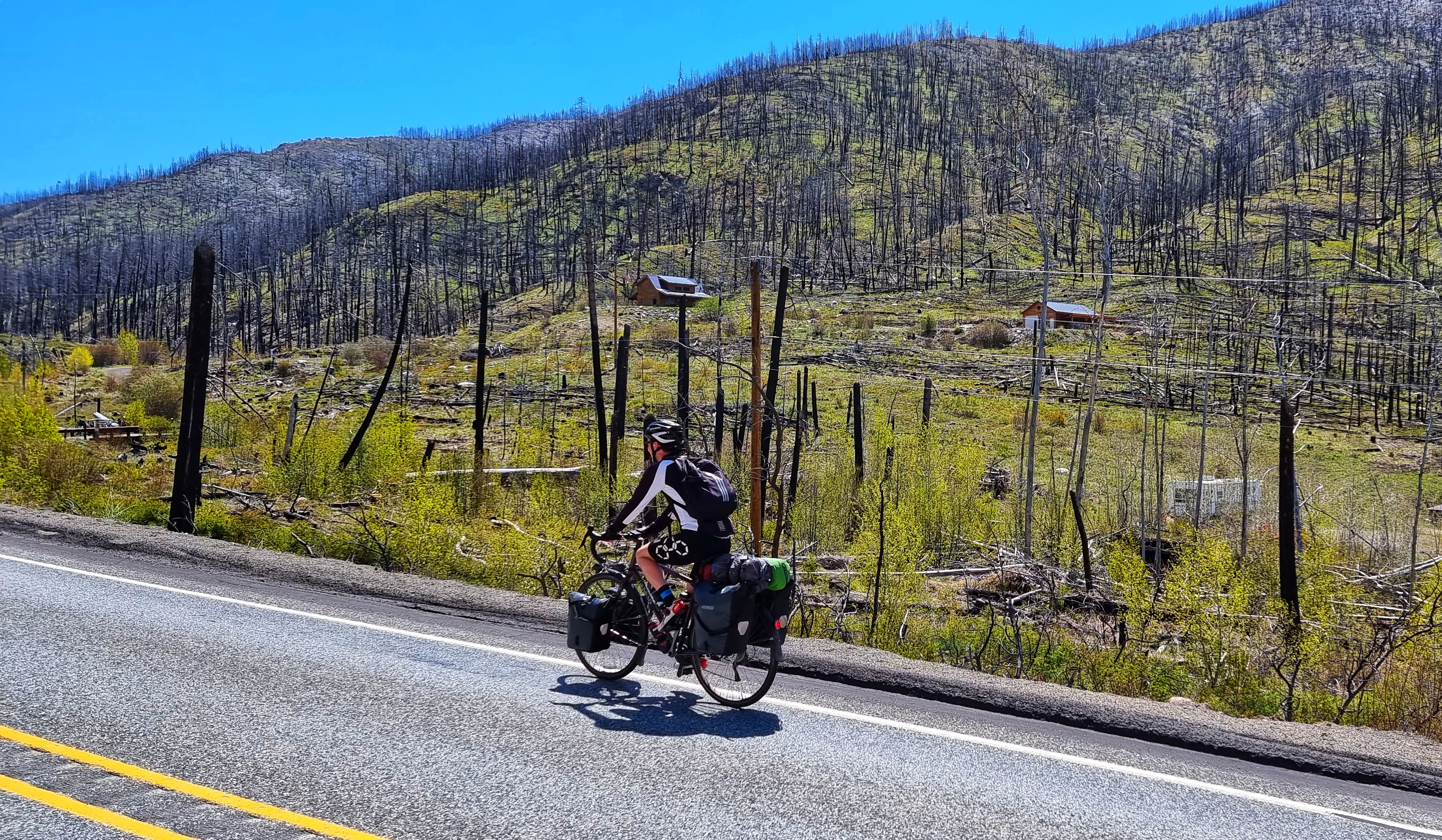
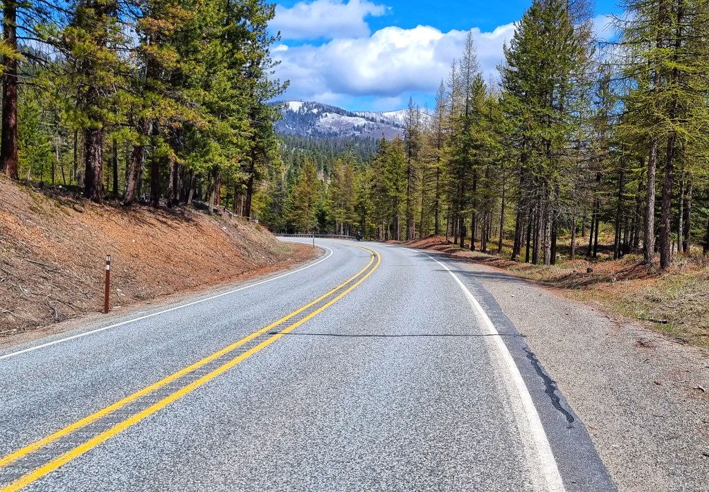
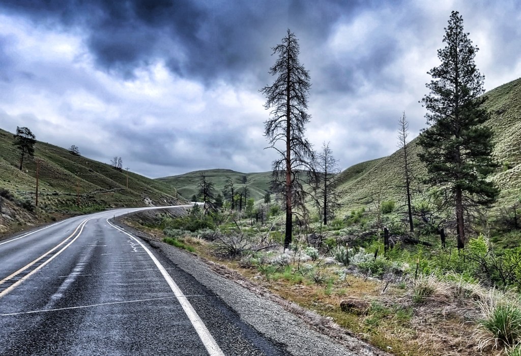
We entered the Okanogan National Forest & the views of the river were replaced with big pine trees on both sides of the road. There were a couple of places where it appeared that there had been fires in the recent past. It’s a common practice to control the forest with prescribed burns, where fire experts are able to restore the health of the surrounding ecosystems that depend on fire to flourish.
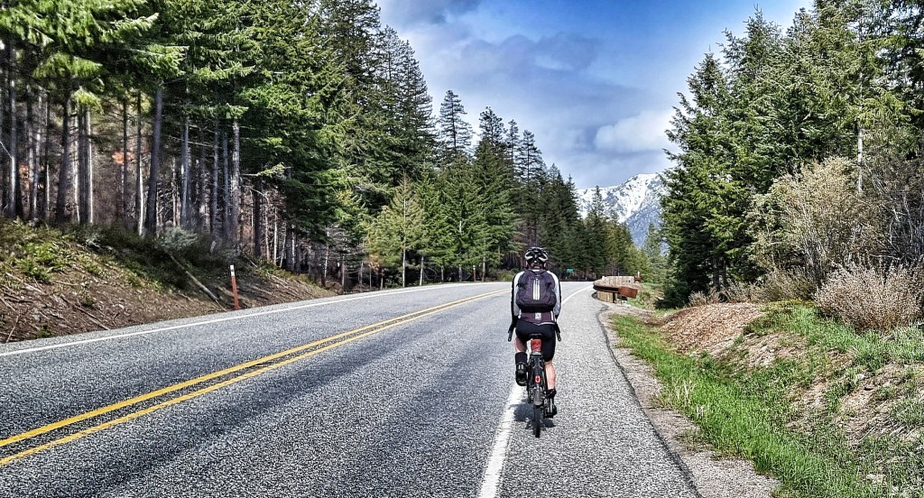
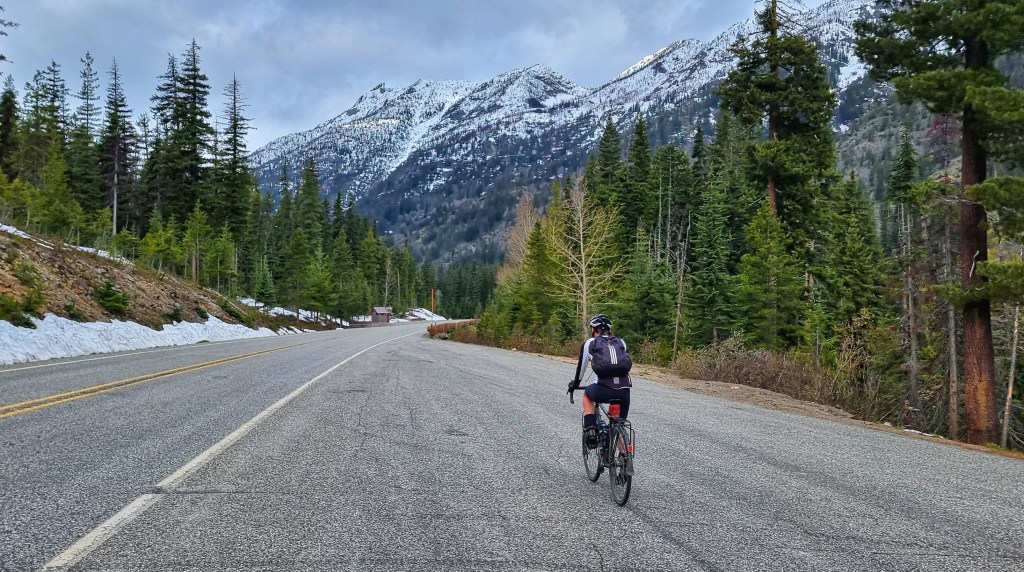
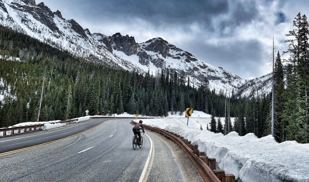
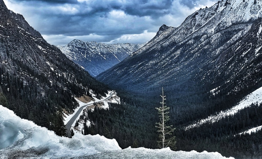
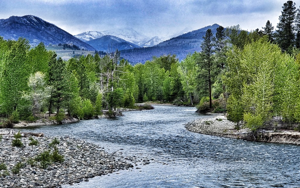
As the road changed direction, we were treated to one final view of the huge snowy peaks behind us – this had been our playground for the last couple of days & it’s due to be the last time we see snow in Washington (although who knows whether that will prove to be the case!).

We had the road almost to ourselves, with the occasional car passing us in either direction & a couple of logging trucks lumbering past us as we continued climbing through the forest. As if this wasn’t good enough, we also had a tailwind blowing us up the majority of the ascent! Nearing the summit, we heard what we initially thought were chainsaws, but the rhythm of the buzz didn’t quite seem right until we realised this was also off-road motorbike territory & it was more likely to be a couple of scramblers enjoying themselves.
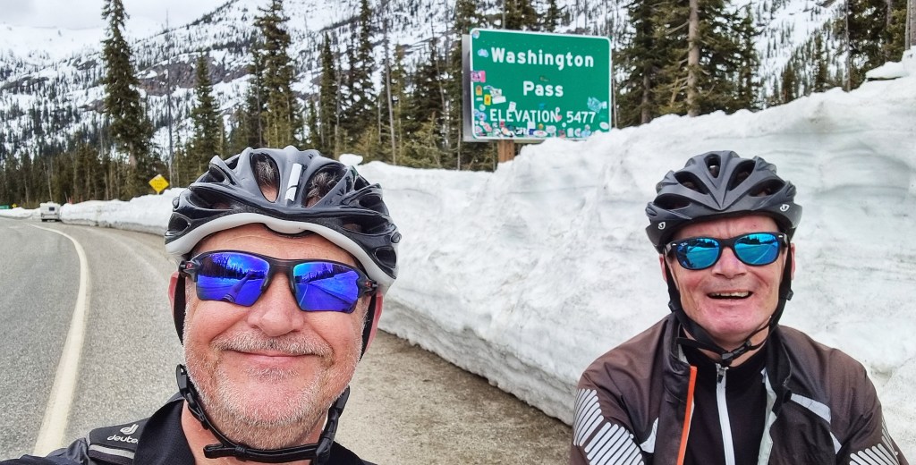
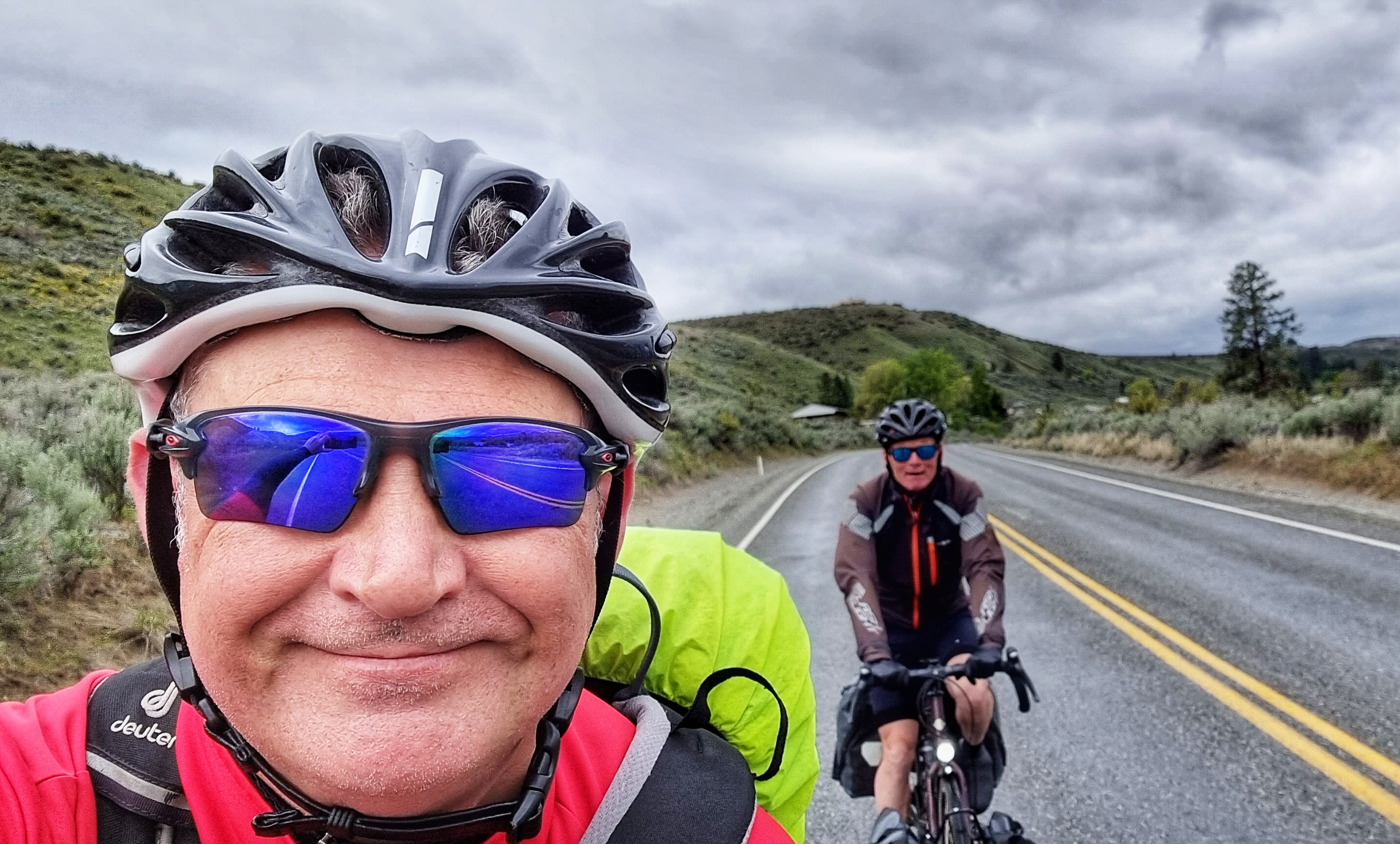
It took 1 hour 40 minutes to reach the summit from the start of the climb where we turned away from the Methow river. The gradient was always kind & I enjoyed the varying views & scenery on the way up. We stopped briefly to get a photo at the summit sign & to put on some warmer kit for the descent.


I’m continuing to persevere with my videoing & the details of the climb & the start of the descent are captured in this quick snippet;
The gradient quickly ramped up to 6% – 8% & I was in my element descending, as the road was wide with really good lines of sight regarding any upcoming twists & turns. I couldn’t resist the urge to get some action footage of me overtaking Sean – smug grin alert!
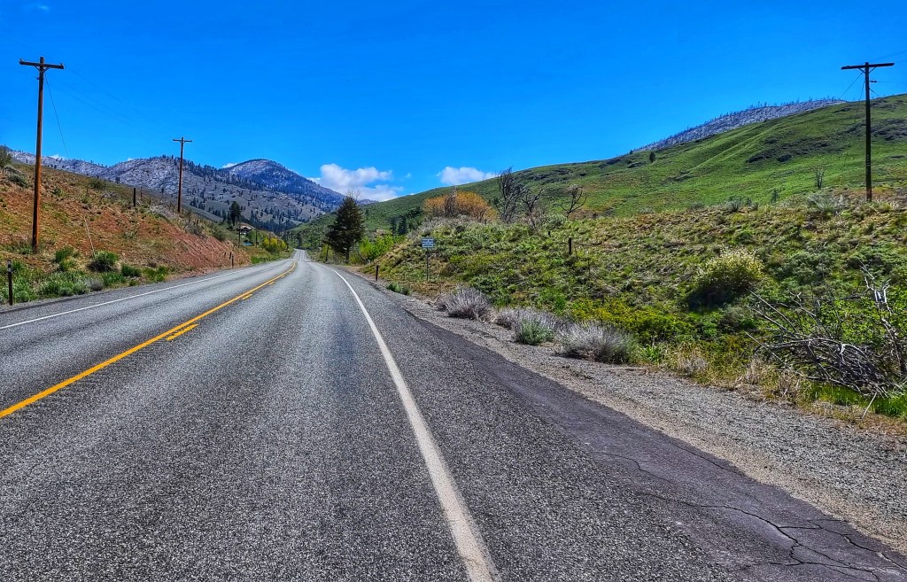
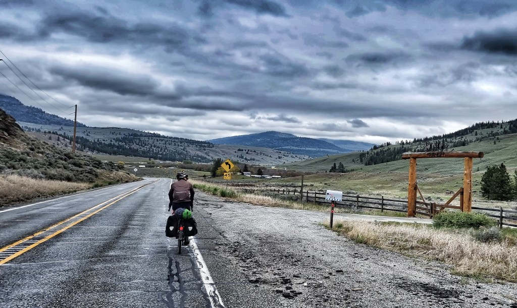
We had a 17 mile descent with just one minor pimple where the road briefly ramped uphill. We remained on deserted roads as we passed from forest into farmland, passing huge orchards of apples, pears & cherries, each with their own sign so tourists like me would know what was growing.

During our travels across the state, we’ve occasionally seen Historical Marker signs on the side of the road, giving some interesting fact or another about an important event that happened nearby. Today we passed one giving details of the Curtis Sheep Slaughter of 1903 – hostilities between cattlemen & sheepmen reached a climax when several hundred sheep were slaughtered with clubs. It seems the cattlemen took badly to sheep grazing on what they perceived as their land, so burned some of the sheepmen’s haystacks & things quickly escalated into the Curtis Sheep Slaughter.
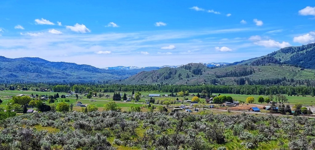
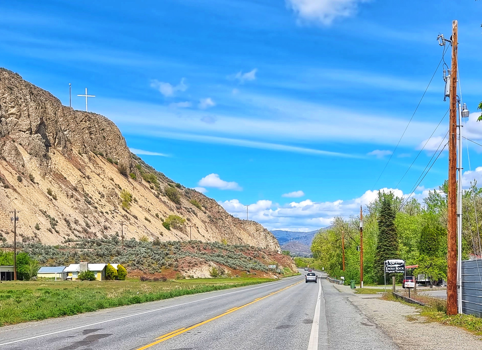
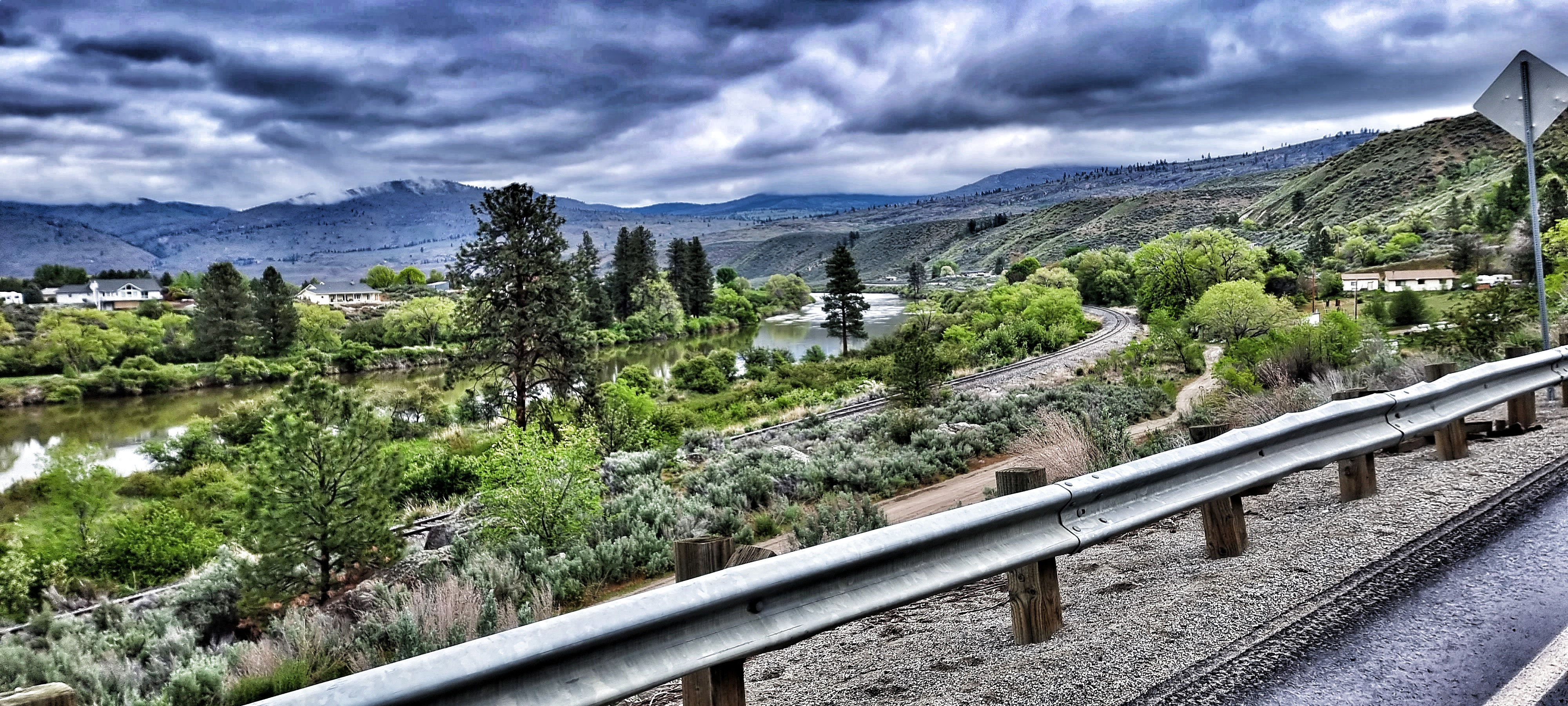
As we neared Okanogan, we spotted a couple of ospreys, confirming that we’d given back most of the height we gained on the day’s earlier climb. We were tracking the Okanogan river into the town of the same name & as we were only 7 miles from our overnight lodgings & we had time on our hands, we decided to pull in to Free Bird Espresso drive through coffee hut. The coffee was tasty & we sat in the sun, watching a couple of squirrels honing their gymnastics skills. Leaving town we passed a large white cross on a hill, reminding us of our trips to Spain & Italy where we’ve previously seen religious buildings on the highest point possible.

The final 7 miles were on the SR20 & it seemed that people were starting the weekend early, as the roads felt busy, in part because we’d hardly seen a car all day. We rolled into our motel at just gone 3.15, so had a bit of down-time to relax before heading out to Safeway to buy salad, potato chips & Twix for dinner. Another glorious day in the saddle under perfect blue skies!
Stage Stats – 38 miles, 3,572 feet of climbing. Another day with a Hors Category climb straight out the door, followed by a glorious descent.
Saturday 14th May – Omak to Republic (Stage 13)
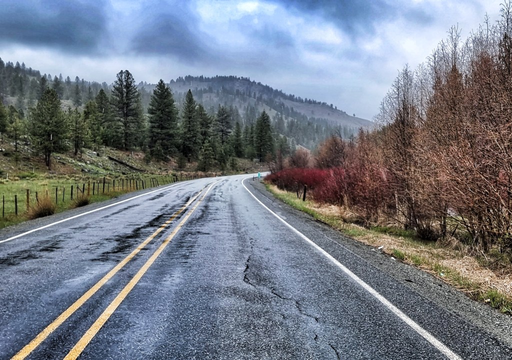
We woke to dark grey skies, with clouds that looked ready to dump their rain at any minute. On a more positive note, this was the best continental breakfast we’ve had so far! A variety of cereal, bread, pastries, fruit, yoghurt, boiled eggs, juice & coffee were all on offer – Sean was up early & was so impressed by his first breakfast that he joined me & had a second sitting too!!!
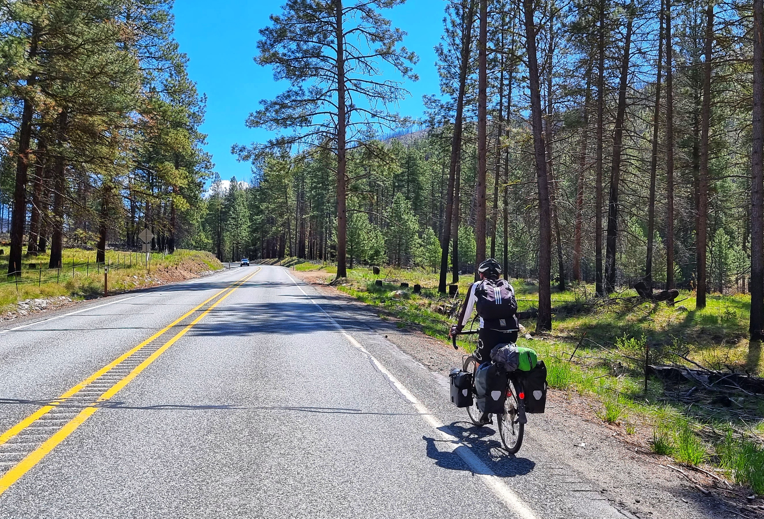
We were saddled up & ready to leave by 9am – we had a big day ahead of us with an absolutely monumental 28 mile climb up Wauconda Pass to complete. A quick trip across town enabled us to pick up a backroad linking Omak to Riverside via the Colville Indian Reservation.
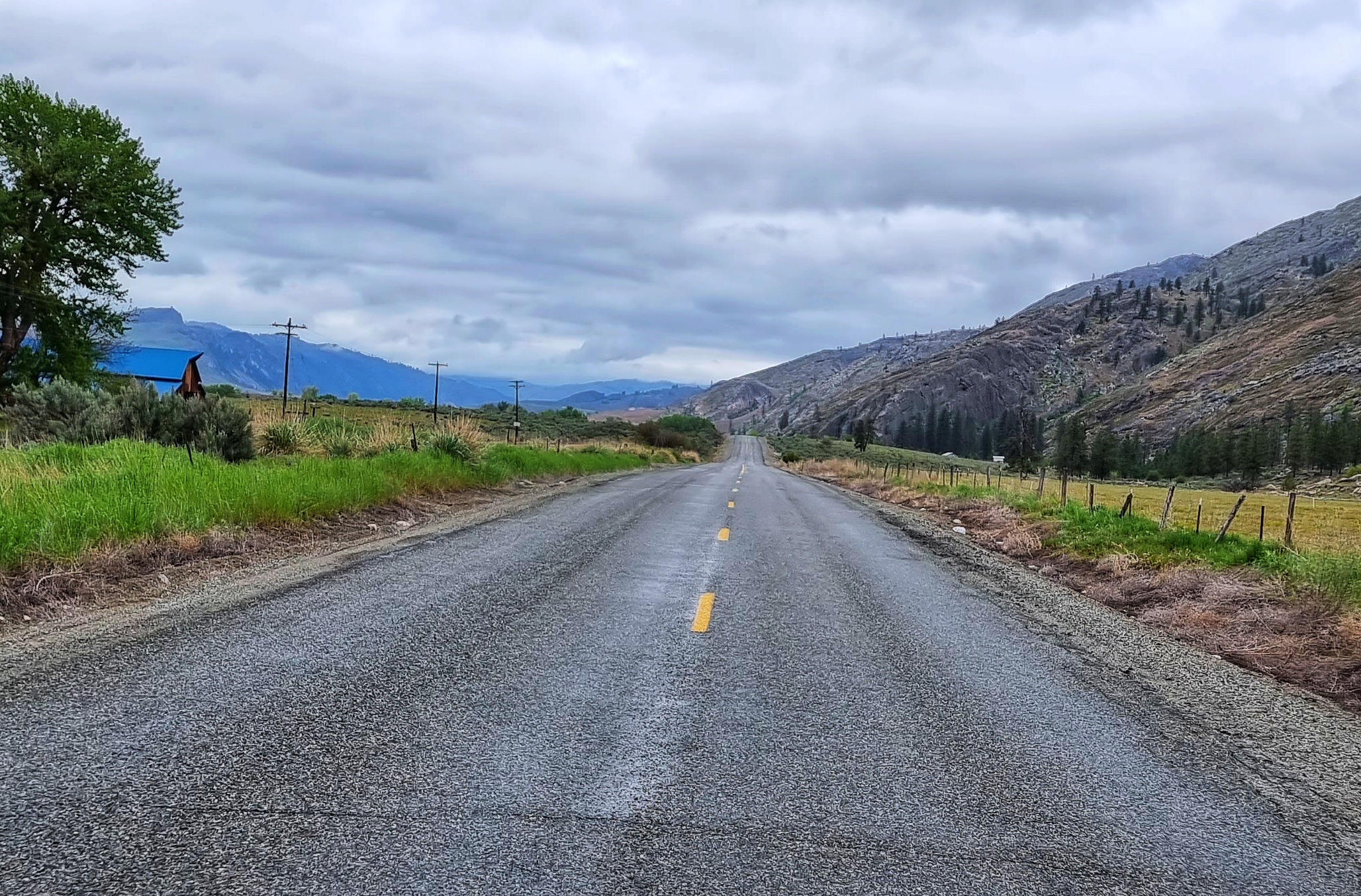
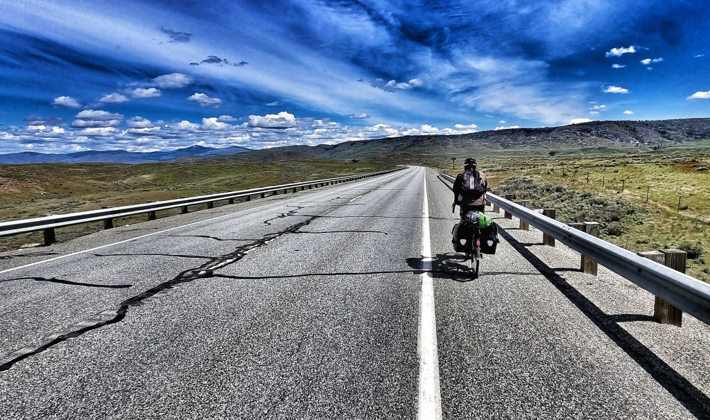
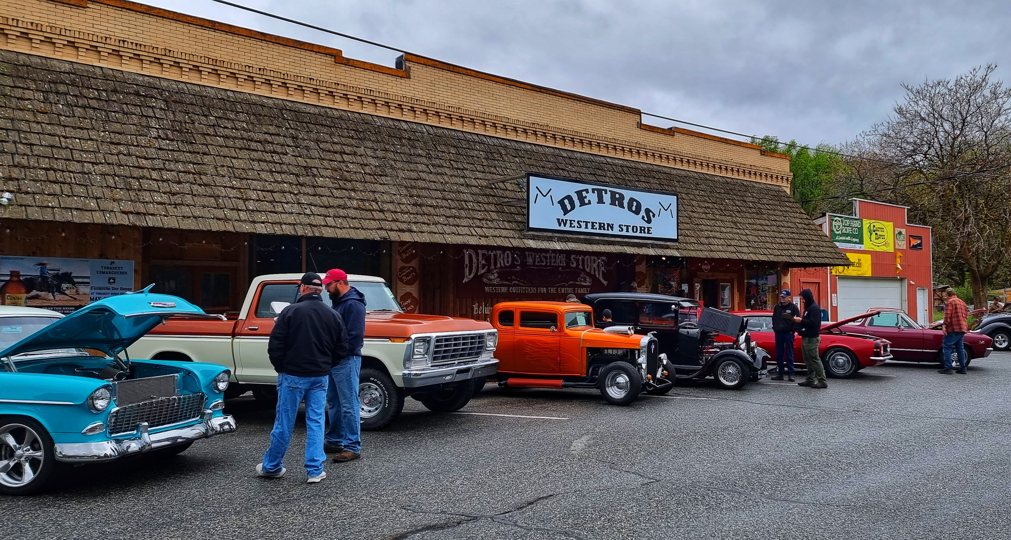
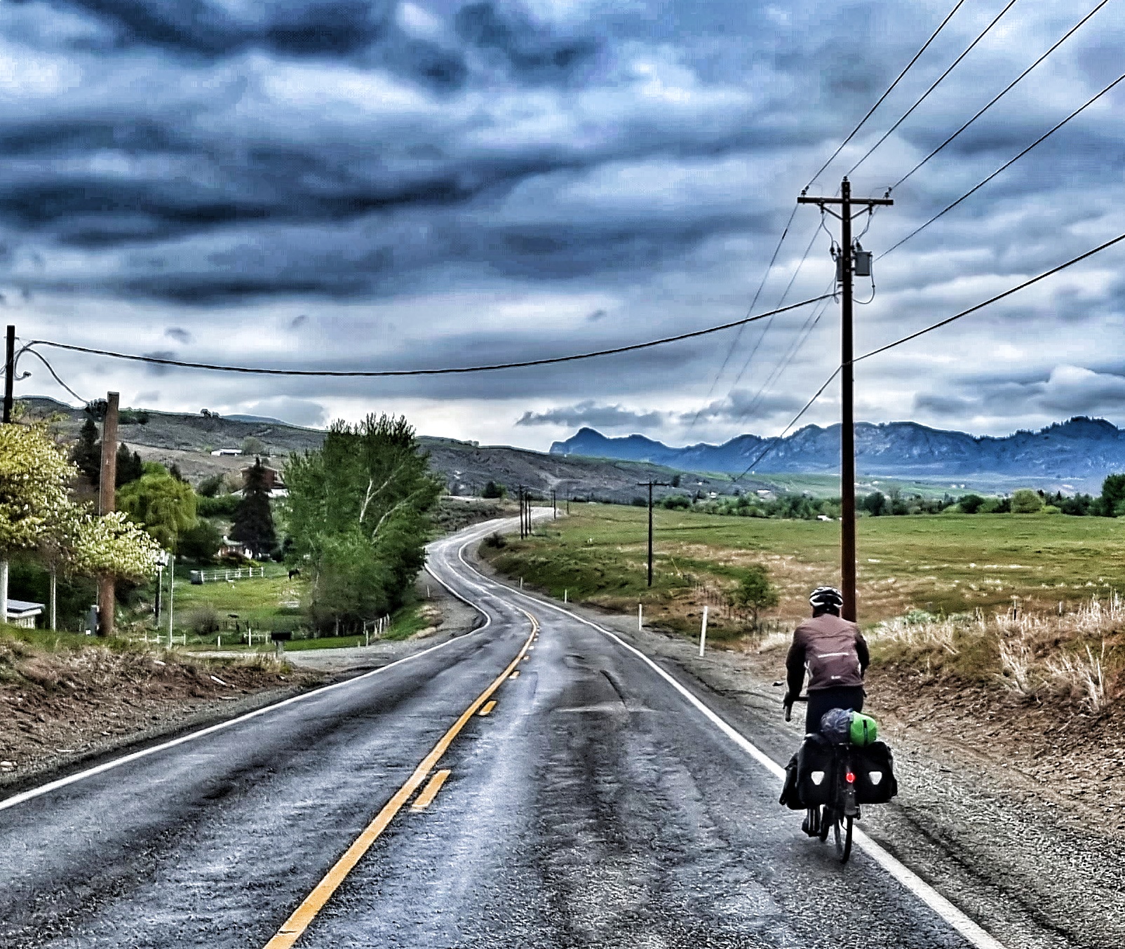
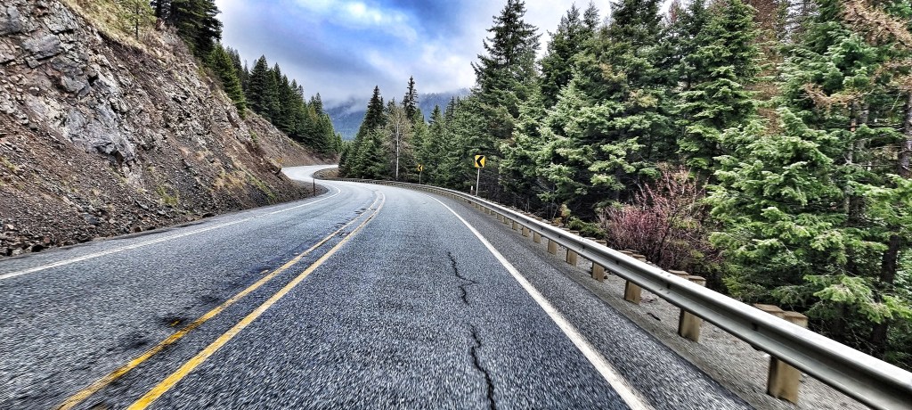
The first 13 miles traced the Okanogan river towards its source, before depositing us on the SR20 at Riverside. It looked like there was a Saturday Market & car show taking place as we passed through. At times the road seems to stretch into infinity, with occasional ramps & dips as it followed the contours of the land.

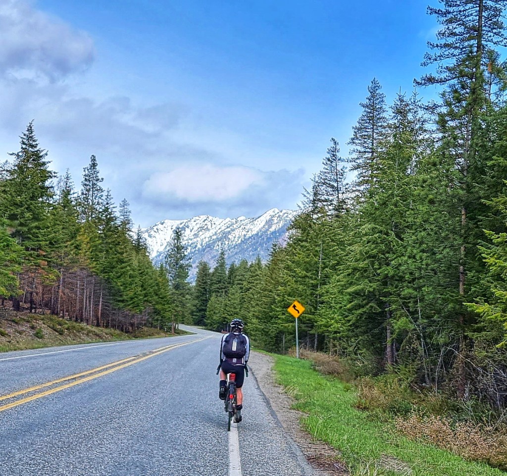
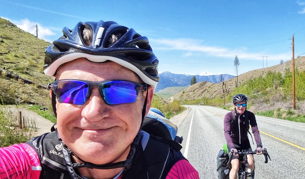
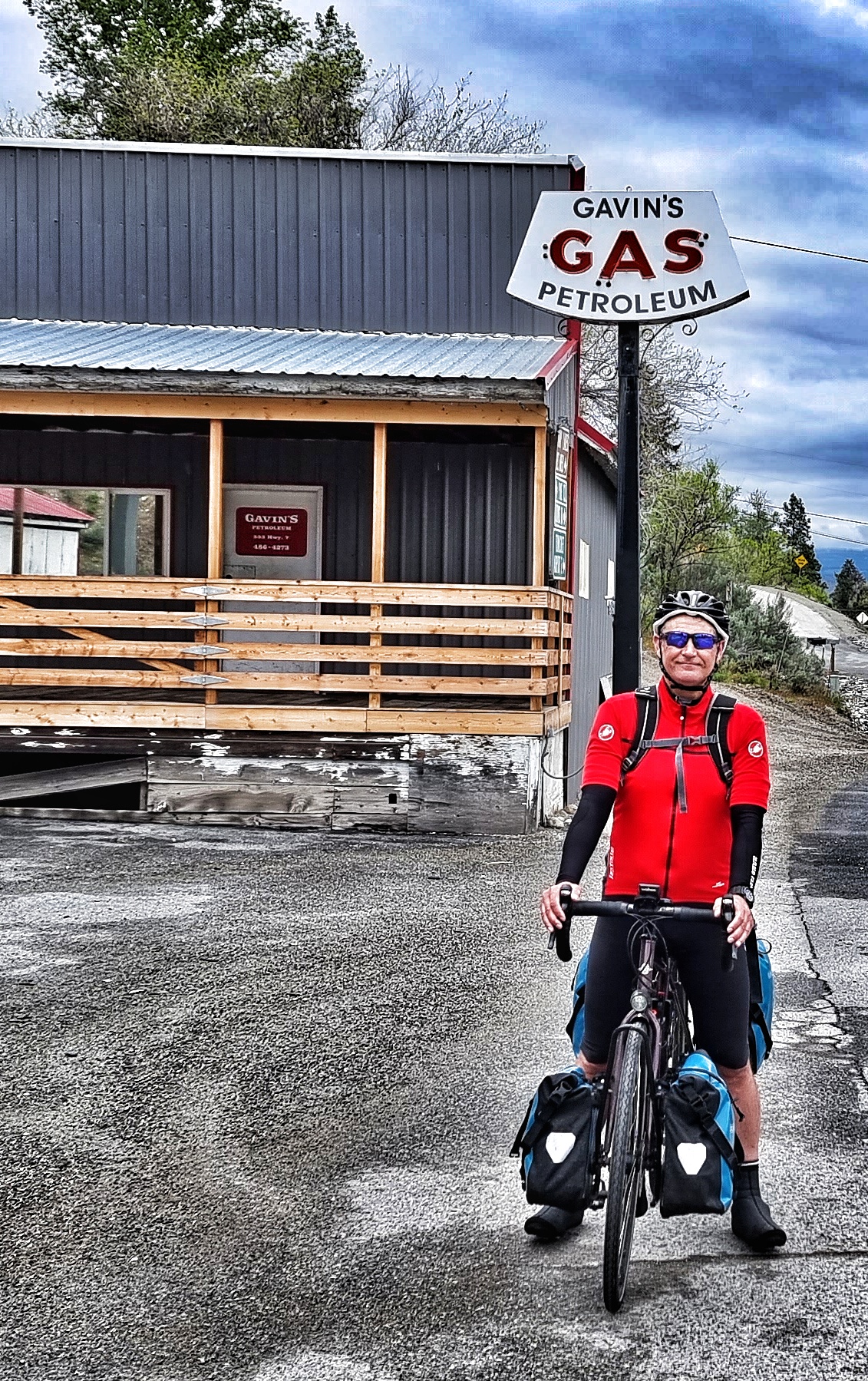
We were only on the SR20 for about 10 miles before we took a left onto the much smaller & quieter Highway 7, which took us into Tonasket. Riding into town we passed Gavin’s Gas & Petroleum, so stopped for a photo, then went in search of coffee & cookies before the BIG climb of the day. The Wauconda Pass rises almost 3,500 feet in the space of 28 miles – it isn’t a steep climb, but it is brutally long.
The first mile was the steepest of the entire climb as the road twisted & turned to find a way up to a small plateau. For most of the next 8 miles, we were in scrubland, with occasional fields of horses & the odd ranch.

I recorded this clip when I thought the climb was only 20 miles long, you can tell I was still feeling good & under the impression I was almost at the halfway point – it was a surprise later when I realised that I’d miscalculated & we’d be heading uphill for 28 miles!
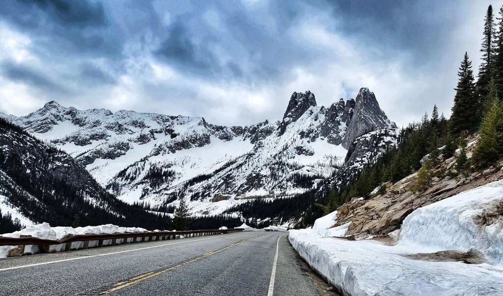
As we reached the Okanogan National Forest, the weather took a turn for the worse.
There will be way worse setbacks than a bit of rain on this adventure, so I put on my ‘big boy pants’ (I only brought the one pair as they take up too much room & weight!) & remembered how fortunate I’ve been already.

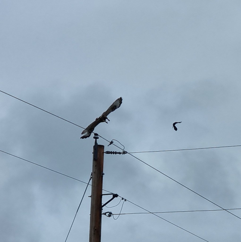
As if by magic, as we passed through the small settlement of Wauconda, we spotted another bird of prey sat on a telegraph pole – from what I’ve been able to research, it may have been a Swainson’s Hawk. If anyone can say for certain what it is from these 2 photos, please let me know. The two birds in the 2nd photo flew off together calling to each other, so perhaps it was a parent & an offspring.

In total, it took 3 hours 5 minutes to complete the 28 mile climb from Tonasket to Wauconda Pass – we only got rained on for about 45 minutes of that & considering the state of the sky when we set out, I would have been more than happy to accept that! After a couple of snaps at the summit, we were on our way for the 13 mile descent into Republic.

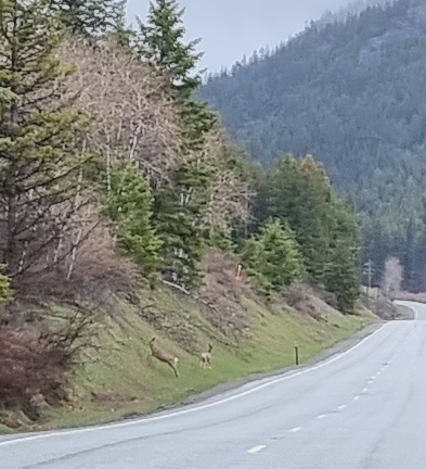
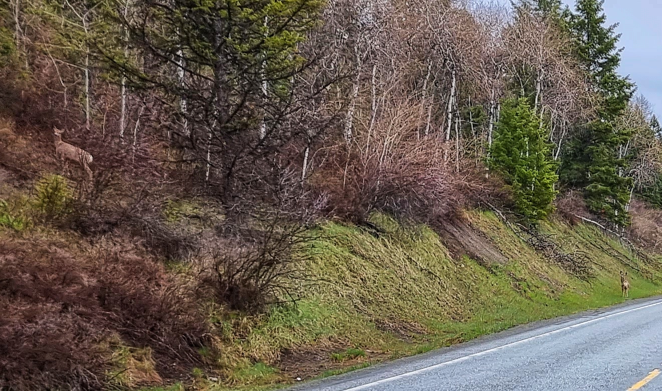
The excitement wasn’t yet over, however, as I spotted a couple of deer at the side of the road as I was descending. I fully expected them to run for cover as we approached, but they just stood there looking at us – almost as if they knew we were crazy Brits on a mad adventure! I managed to get my phone out in time to shoot about 20 photos & luckily a couple of them are decent enough to share.
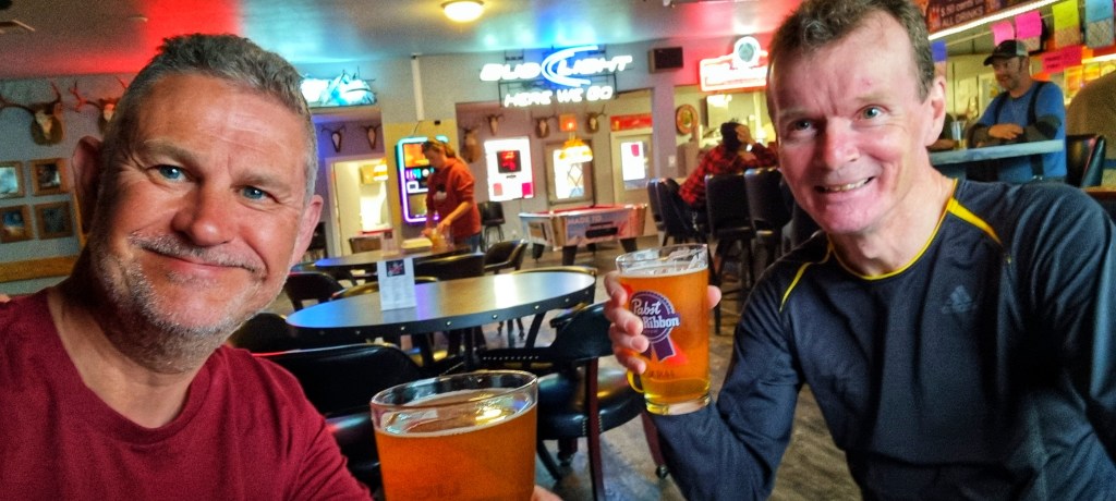
Our descent finished at Republic, where we’re staying at The Prospector’s Inn for the next couple of nights – tomorrow’s an all important rest & recovery day. Update – we enjoyed dinner & a bottle of Torpedo IPA in The Knotty Pine, the adjourned next door to The Miner Saloon & Grill for a couple of Mac & Jacks, followed by a few more!

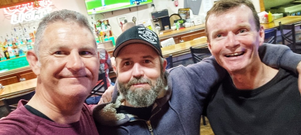
We met Alex towards the end of the evening & he shared his knowledge of the local wildlife, as well as a couple of suggestions regarding possible detours if we wanted some off-road action. It was a great hour or so & we experienced another example of the generosity of the people we’ve met – Alex had paid off a chunk of our bar bill. Thank you for your kind gesture, I hope you enjoyed yourself as much as we did! It felt like the perfect end to another incredible day in the saddle.
Stage Stats – 69 miles, 5,038 feet of climbing. The longest Hors Category climb so far at 28 miles, followed by a short (in comparison) descent.