One More Mountain To Climb – Sunday 15th to Tuesday 17th May
Sunday 15th May – Rest Day
After a night on the tiles (we got back to our hotel about 1am), we were both grateful for a rest & recovery day. As I poked my head outside to test the temperature, the Fire Service were testing their equipment & hosing down the streets.

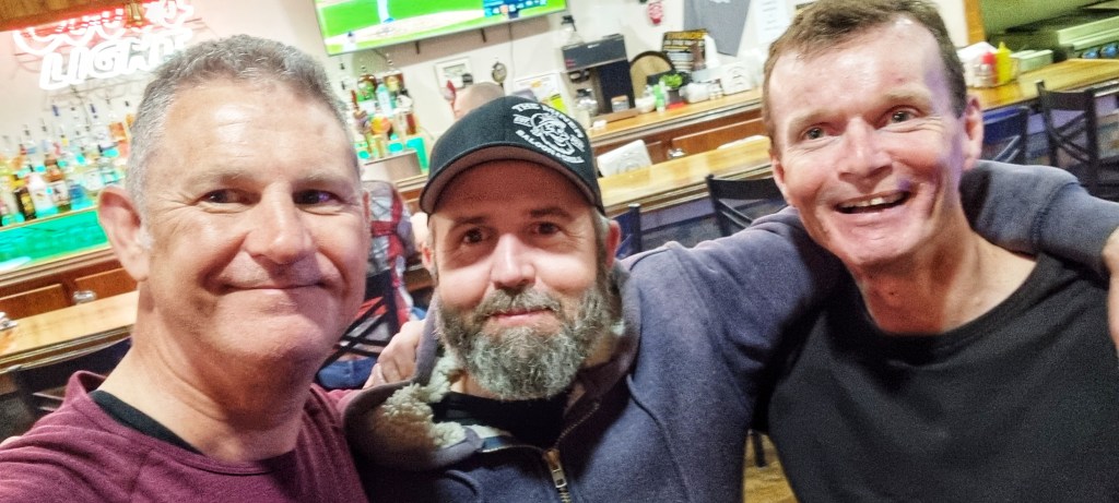
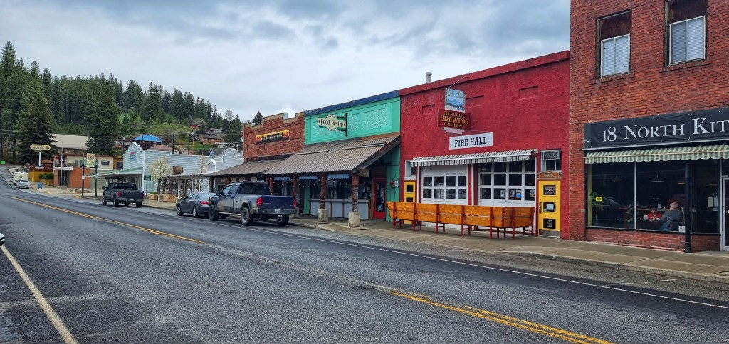
We met at about 9.45am & headed for brunch at 18 North Kitchen, enjoying a variation on scrambled eggs that looked & tasted delicious. On the way into town yesterday, we’d spotted a fossil museum, so we decided to pop in for a nose around. Gabby (who by her own admission was aptly named) talked to us for about 10 minutes about her role in both the museum & the historical society of Republic – it’s always a pleasure to meet someone who’s passionate about their hobbies.
Our next task was laundry – not one of my favourite jobs, but one that is essential when you only have 3 sets of cycling equipment & infection is your enemy. I updated my daily journal while waiting for our kit to run through the wash & dry cycles. The excitement of a long distance adventurer!
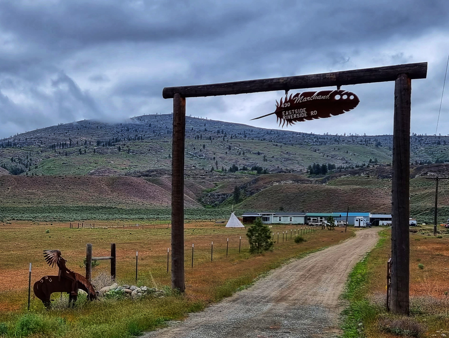
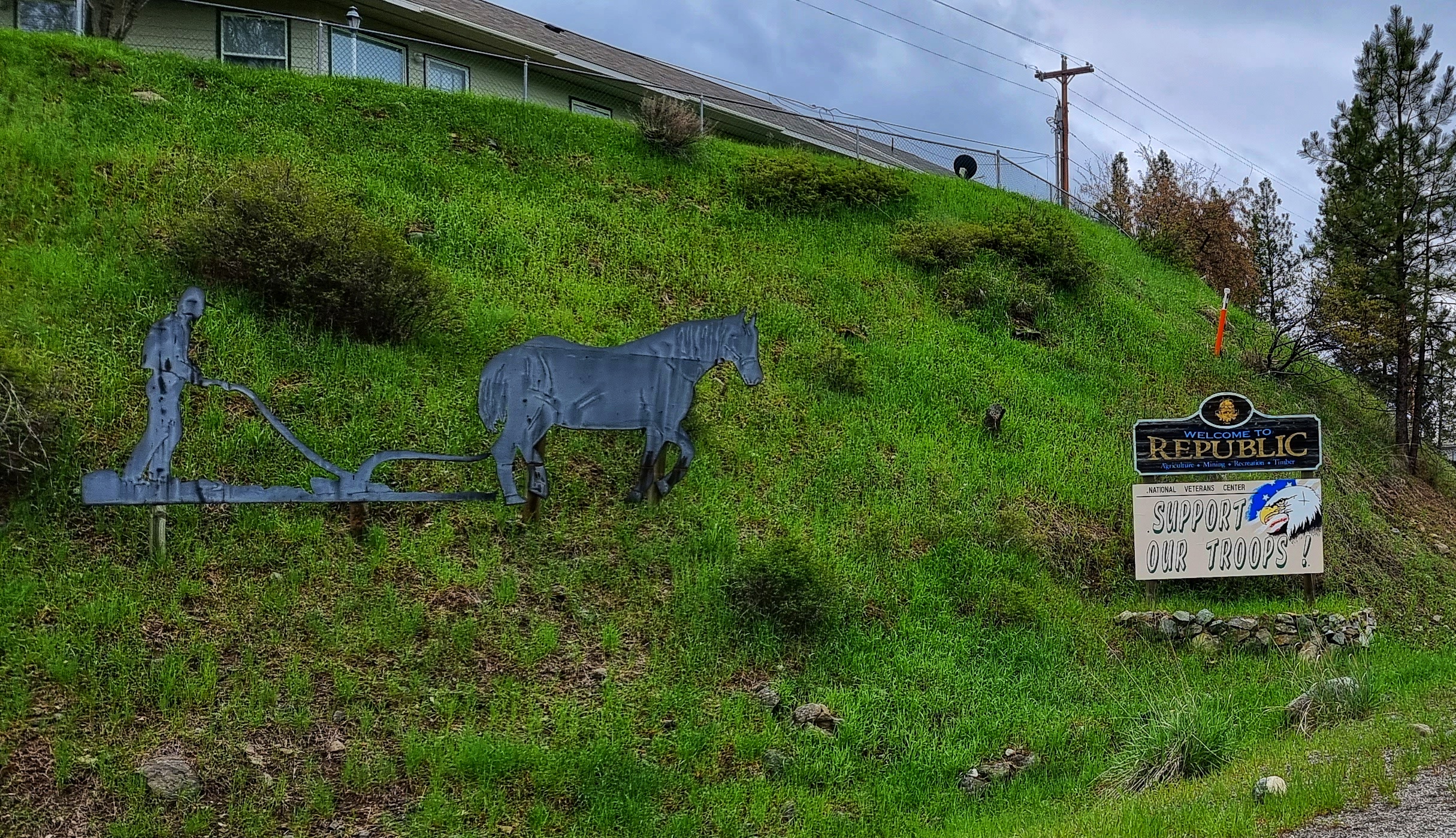
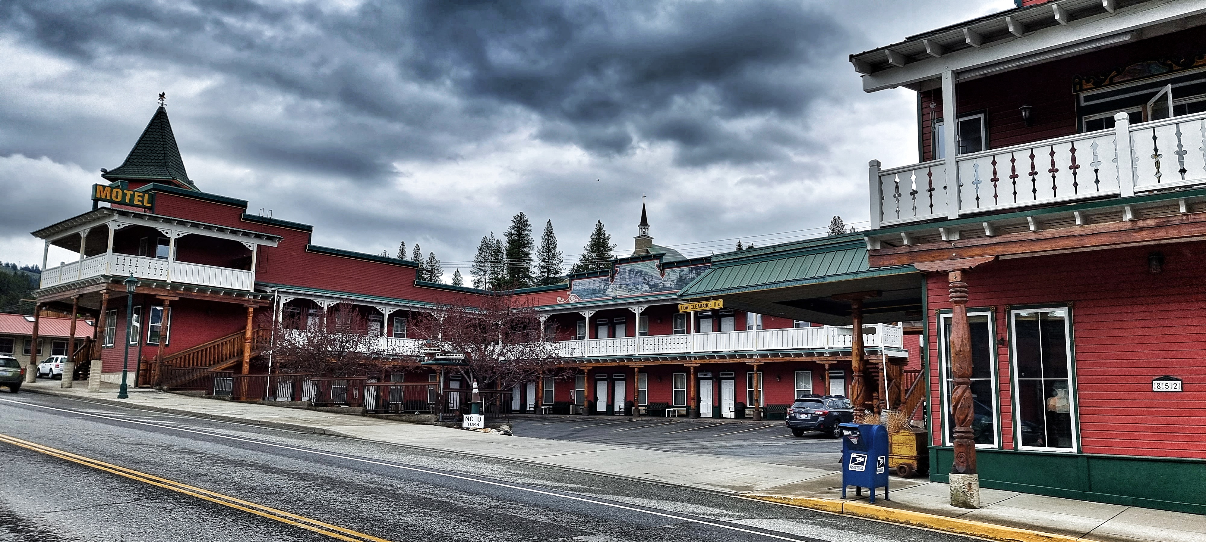
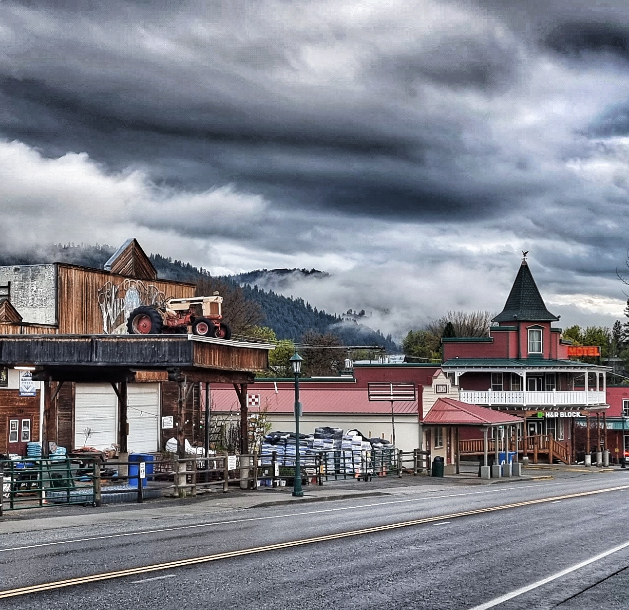
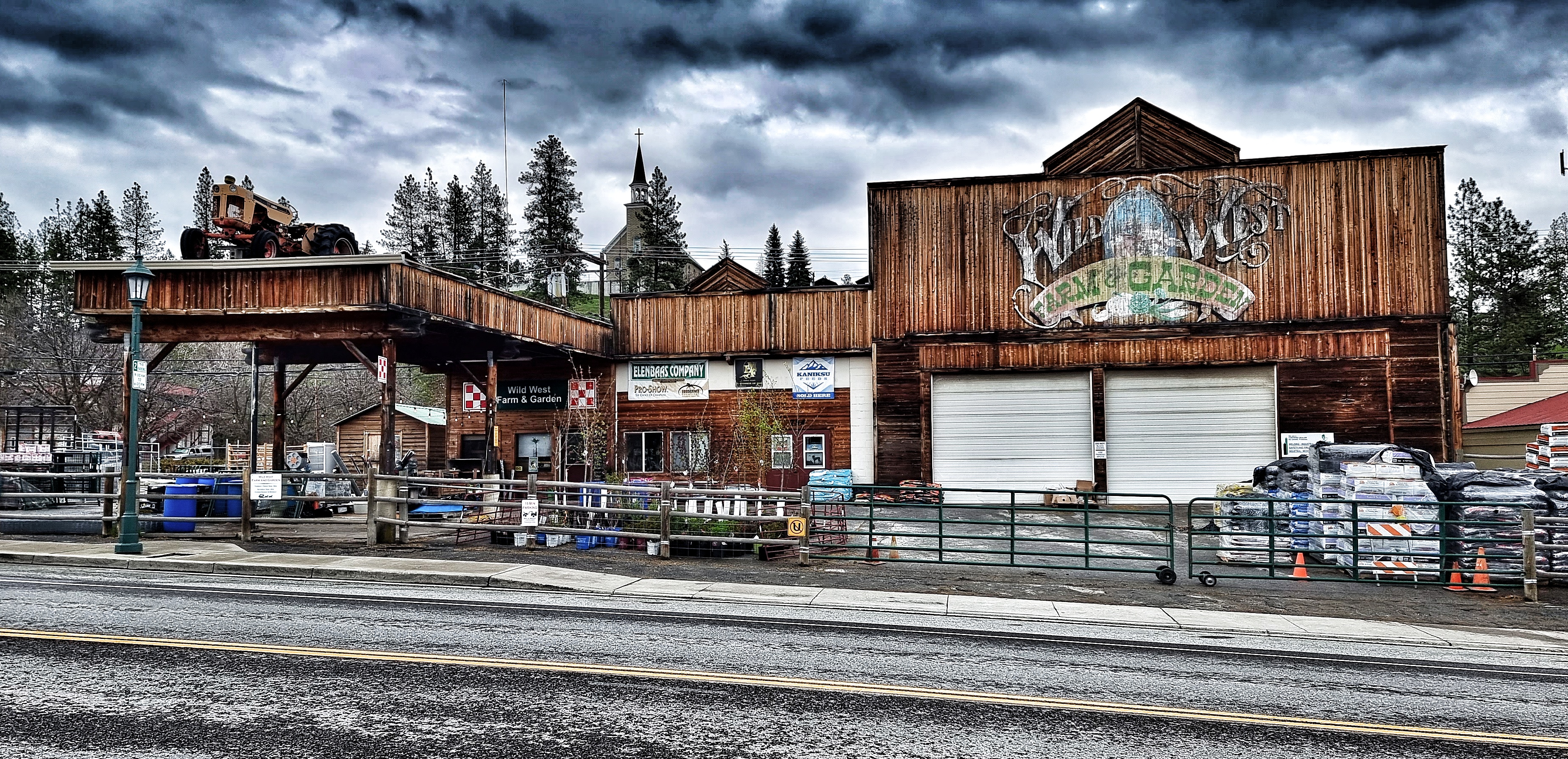
I went for a look around town in the afternoon to learn a bit about how Republic came into existence – it’s a late 1890’s gold prospecting town (our Motel is called the Prospectors Inn & has a replica wagon outside) that became a hub for all the services needed to run the gold mines.

With the exception of cars replacing horses & wagons, the town has retained its original look & feel. The Northern Inn is one such example. Built in 1903 to house the workers of The Northern Railway & Stagecoach company & to all intents & purposes looks the same as it did over 100 years ago, although the materials have been updated. The Wild West Farm & Garden Centre has taken a similar approach – it was easy to imagine the town as it must have been in those early years.
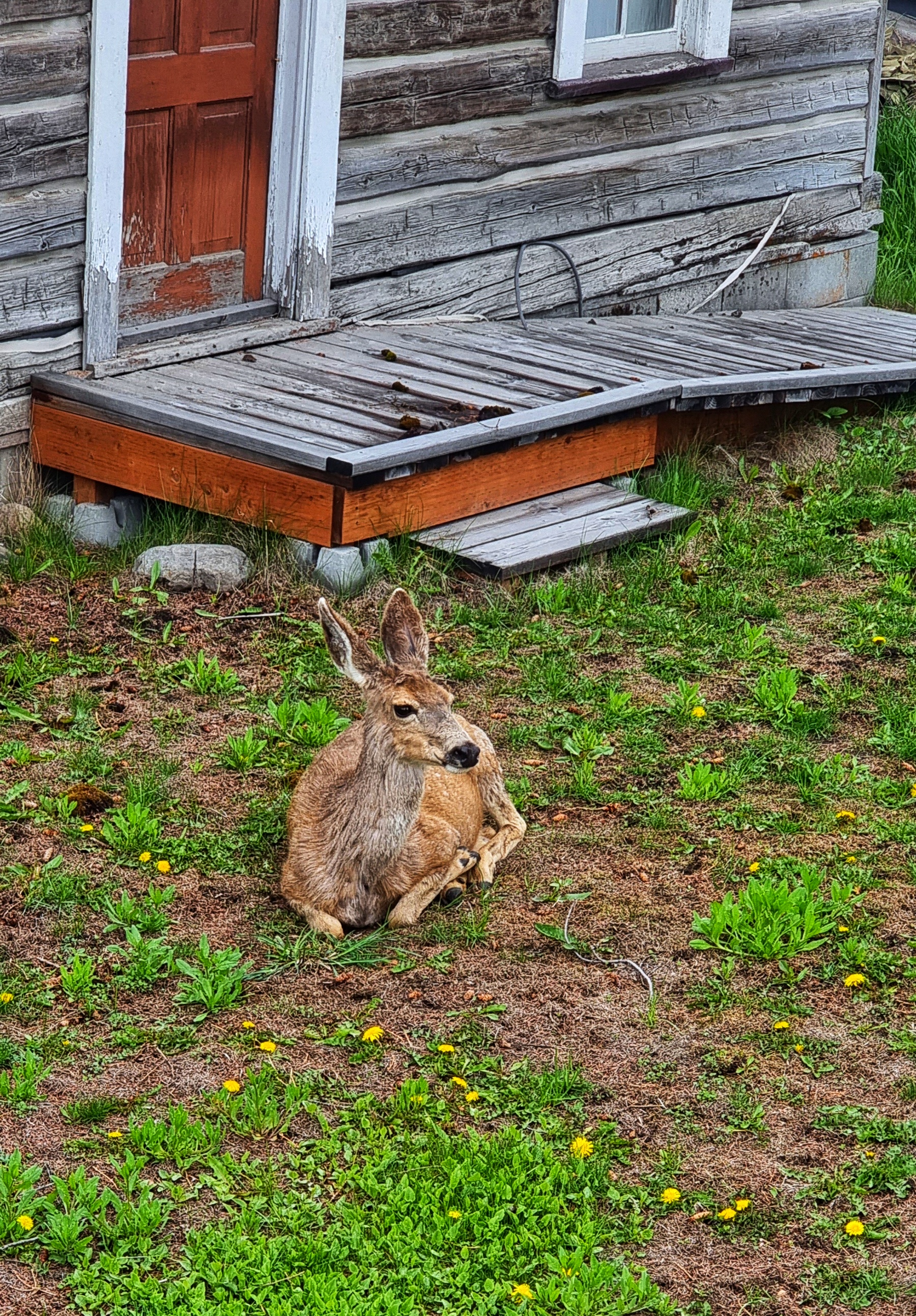
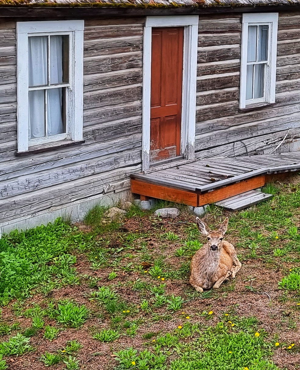
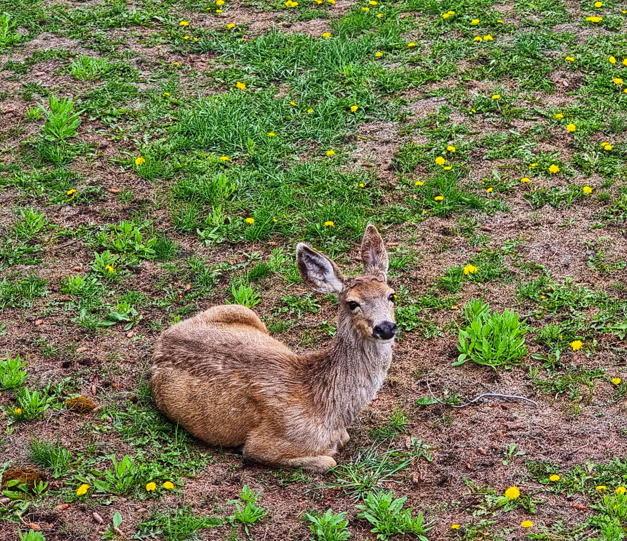
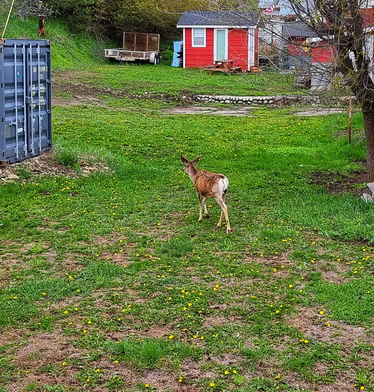
At the edge of town I was wandering along minding my own business when I spotted a deer sat in a garden, not 15 feet away. It sat there looking at me as if it didn’t have a care in the world, before calmly standing up & walking away – not the first time that’s happened to me!!!
Sean & I met up later to do some essential admin & planning – the end result was a plan for the next 3 days of riding which will take us from Republic to Sandpoint. We also researched accommodation options & phoned up a couple to book rooms – hopefully we’ve made some good choices!
We bought dinner in the local supermarket & sat in my room eating it, while watching more deer wander around the lawns at the end of the hotel property. After 5 back to back days of challenging riding, this R&R day was very much needed to recharge the batteries. It also gave us a chance to meet a few people & learn a bit about the town.
Monday 16th May – Republic to Colville (Stage 14)
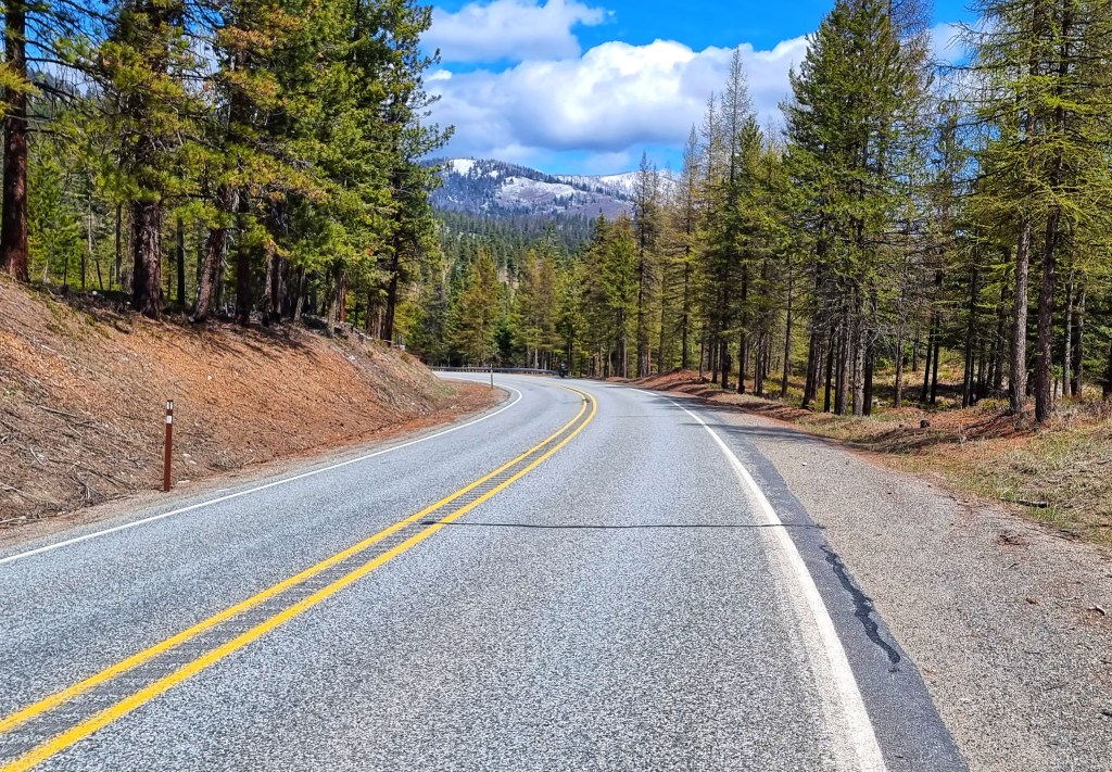
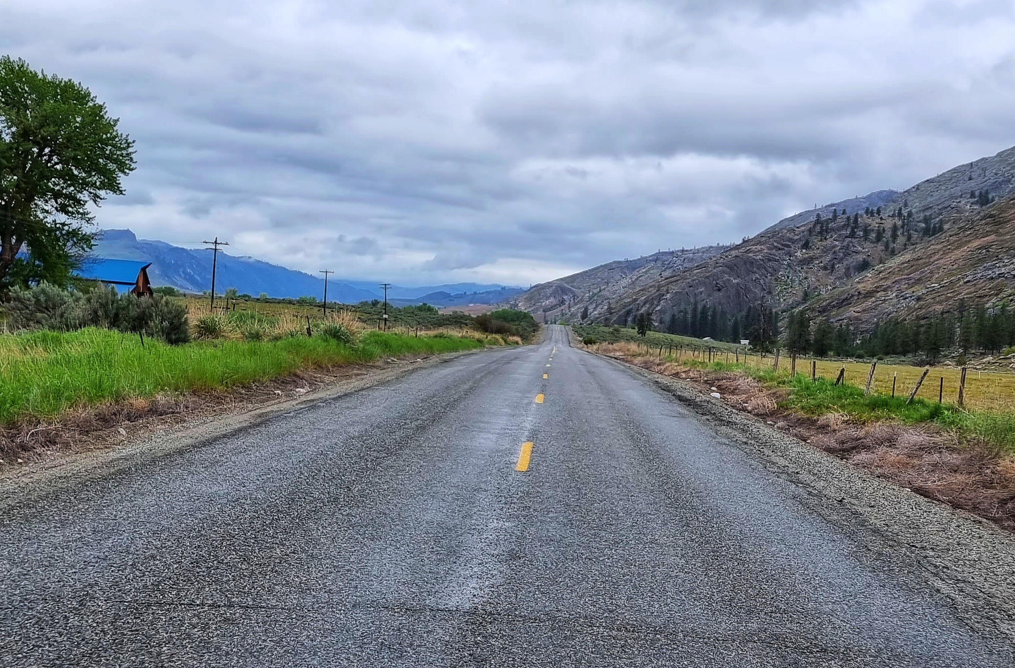
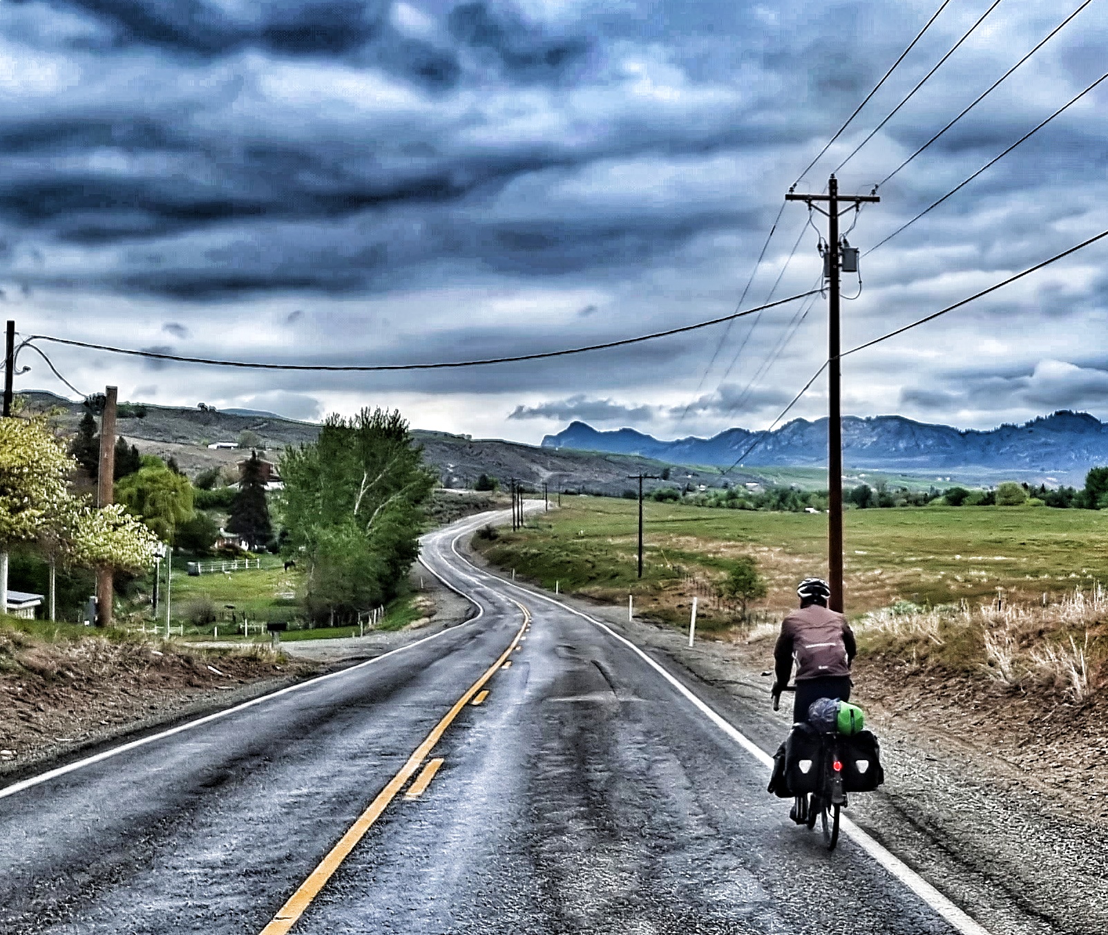
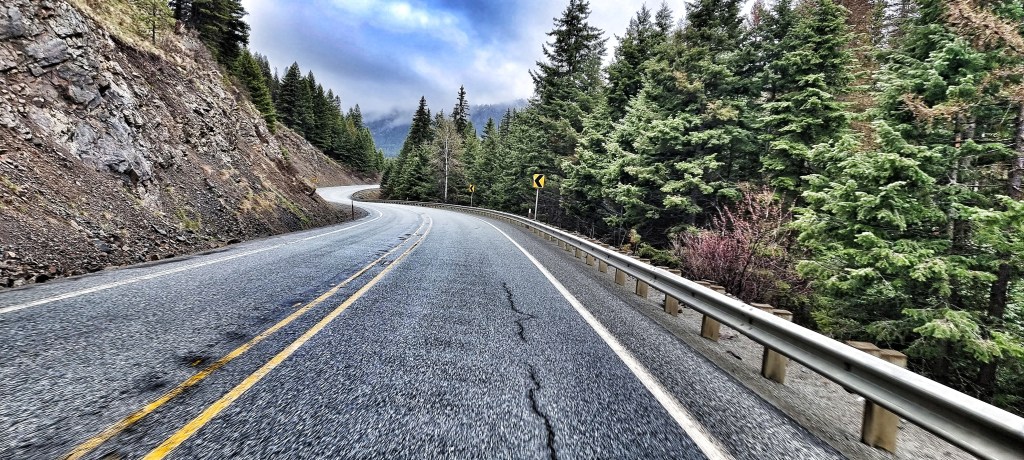
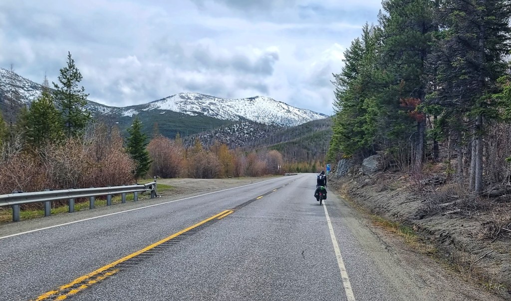
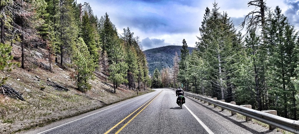
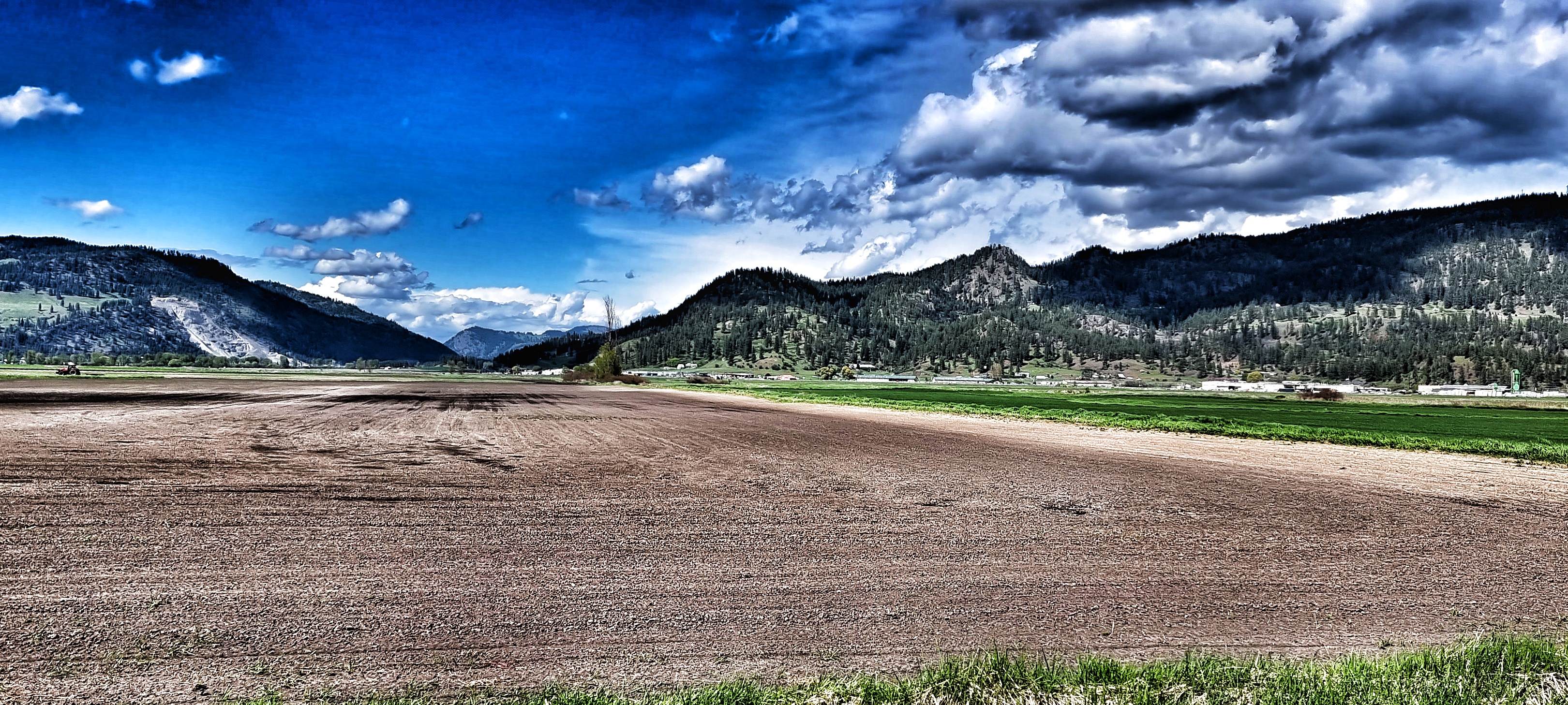
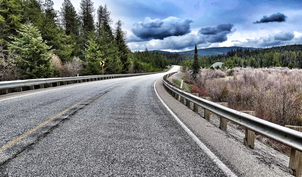
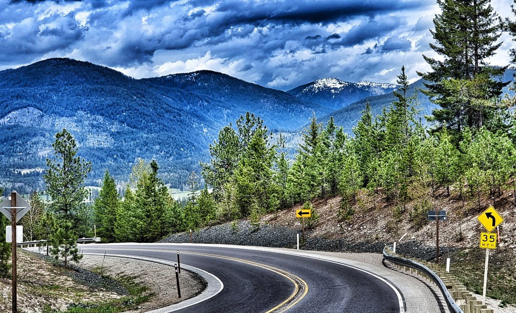
We were up bright & early, knowing our office today was going to be the mighty Sherman Pass, the highest Pass in Washington to remain open all year. Setting off beneath overcast skies, we’d again beaten the weather forecast which had predicted rain until lunch time. Leaving town at the 303 Mile Marker, we took a left onto a cycle path (also used by roller skaters, skiers, walkers & All Terrain Vehicles) which kept us high above the road below, giving beautiful views across the valley to the mountains beyond.

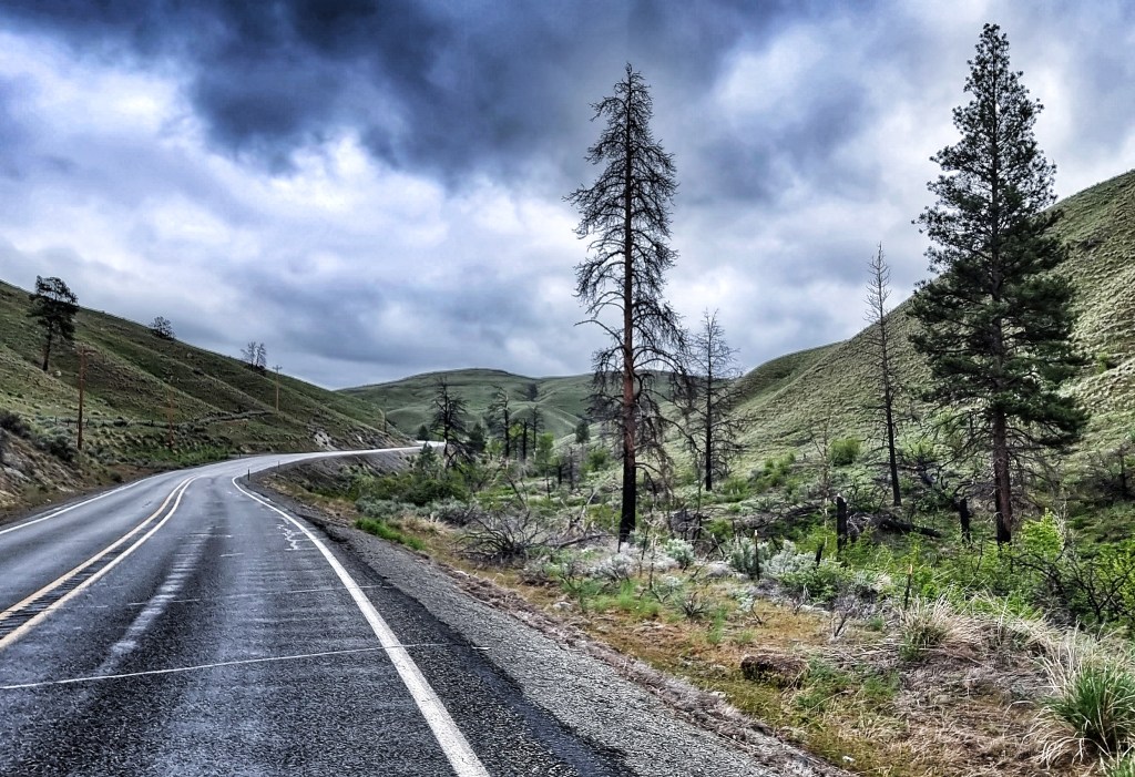
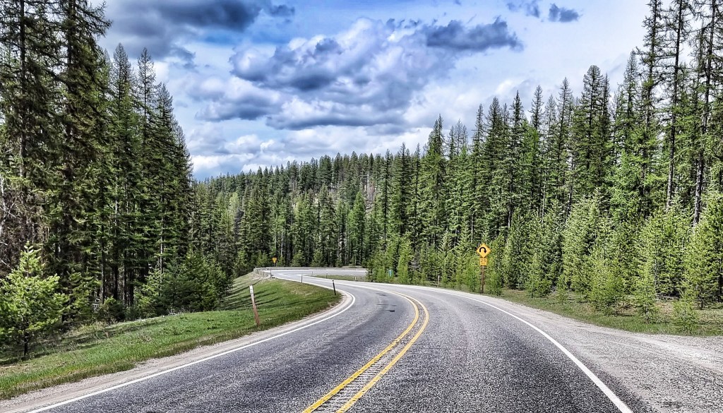
We re-joined the SR20 after about 5 miles & the climbing started immediately at a fairly consistent 5%. Very early on I established that I had heavy legs, in spite of the rest day – this is a bit of an occupational hazard, sometimes a day off fixes sore legs, sometimes it doesn’t! We were still in the Colville National Forest, as the tarmac weaved through the giant pine trees. Every now & again we’d emerge from the forest & see the big mountains were getting ever closer.
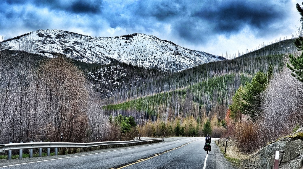
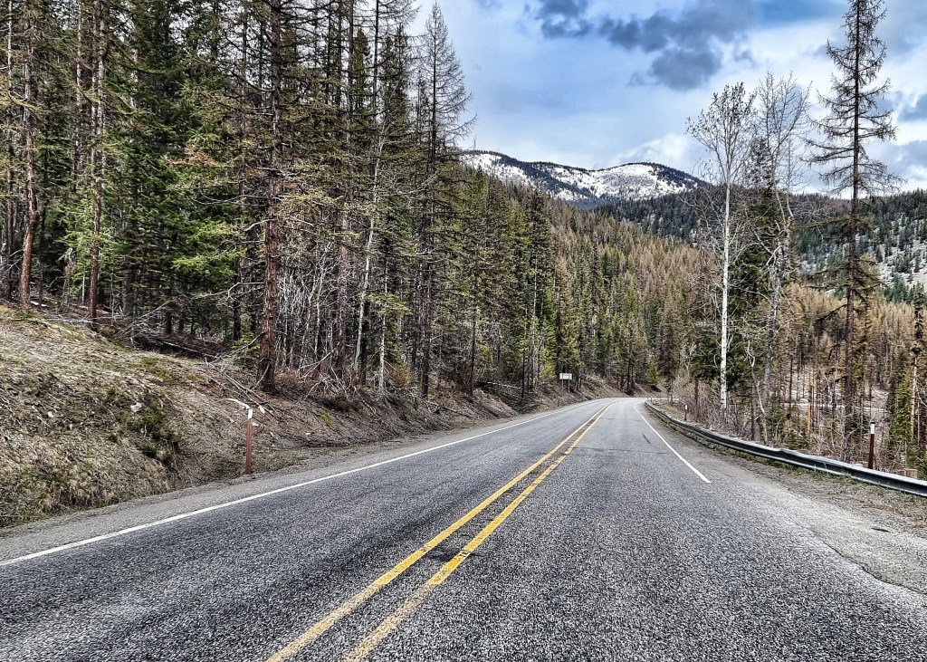
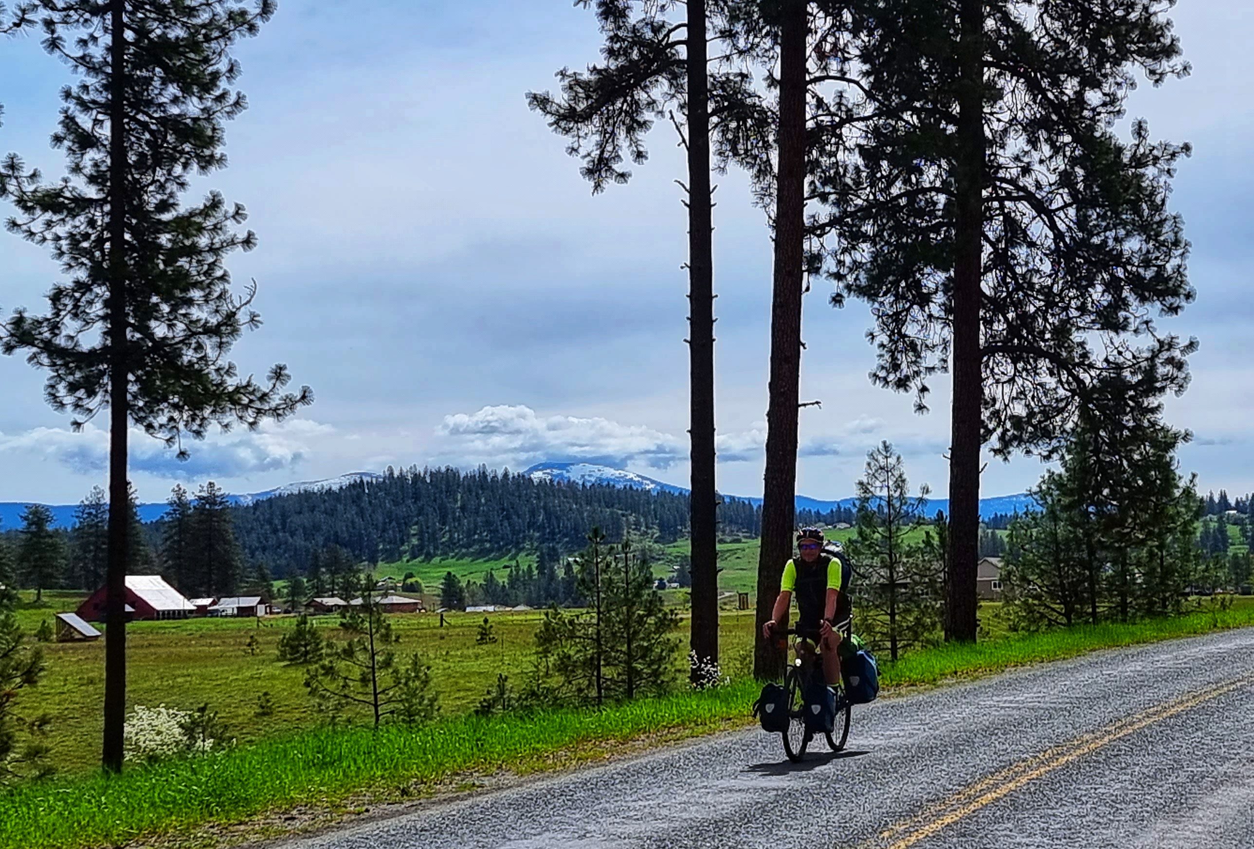
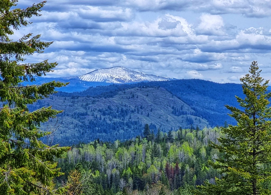
As we reached White Mountain Fire overlook the road opened up, offering views straight up to the snow peaked mountains – these look so much more impressive than their snowless cousins. We also saw the first signs that we were approaching the snowline. At times I was in awe of the natural majesty of the surrounding scenery.
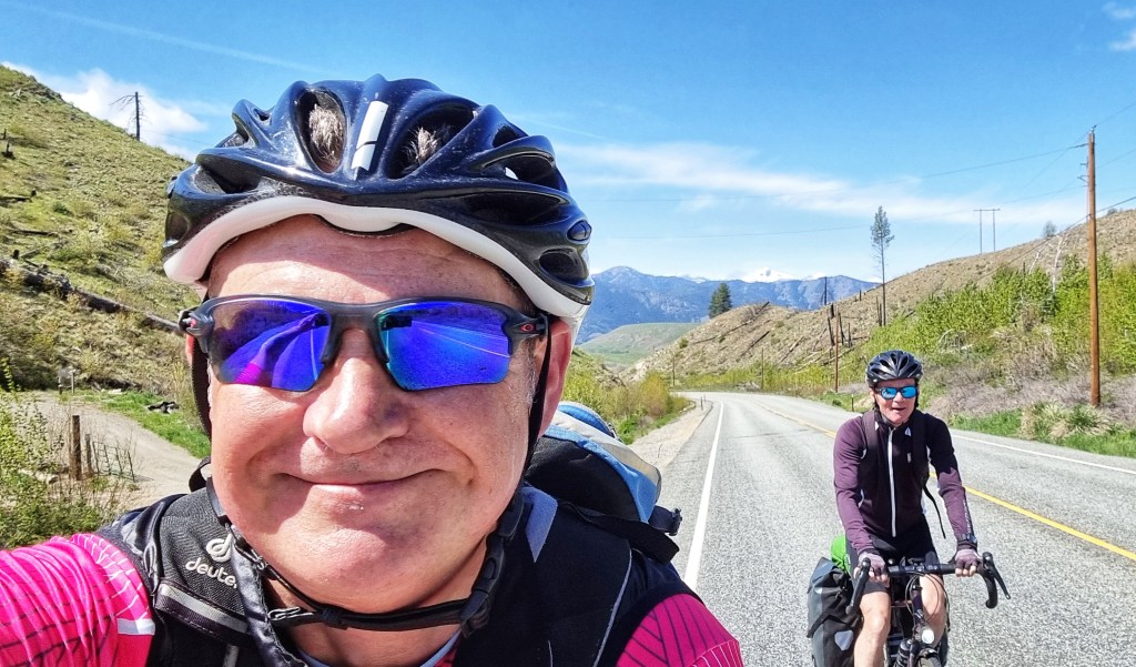
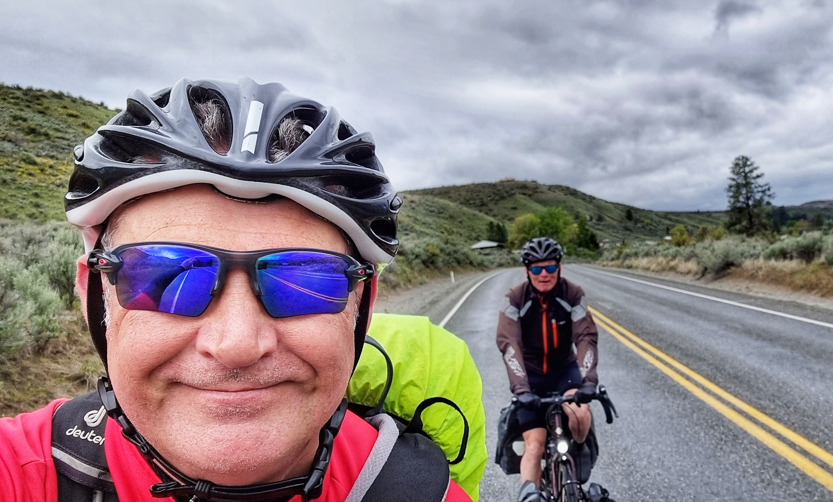
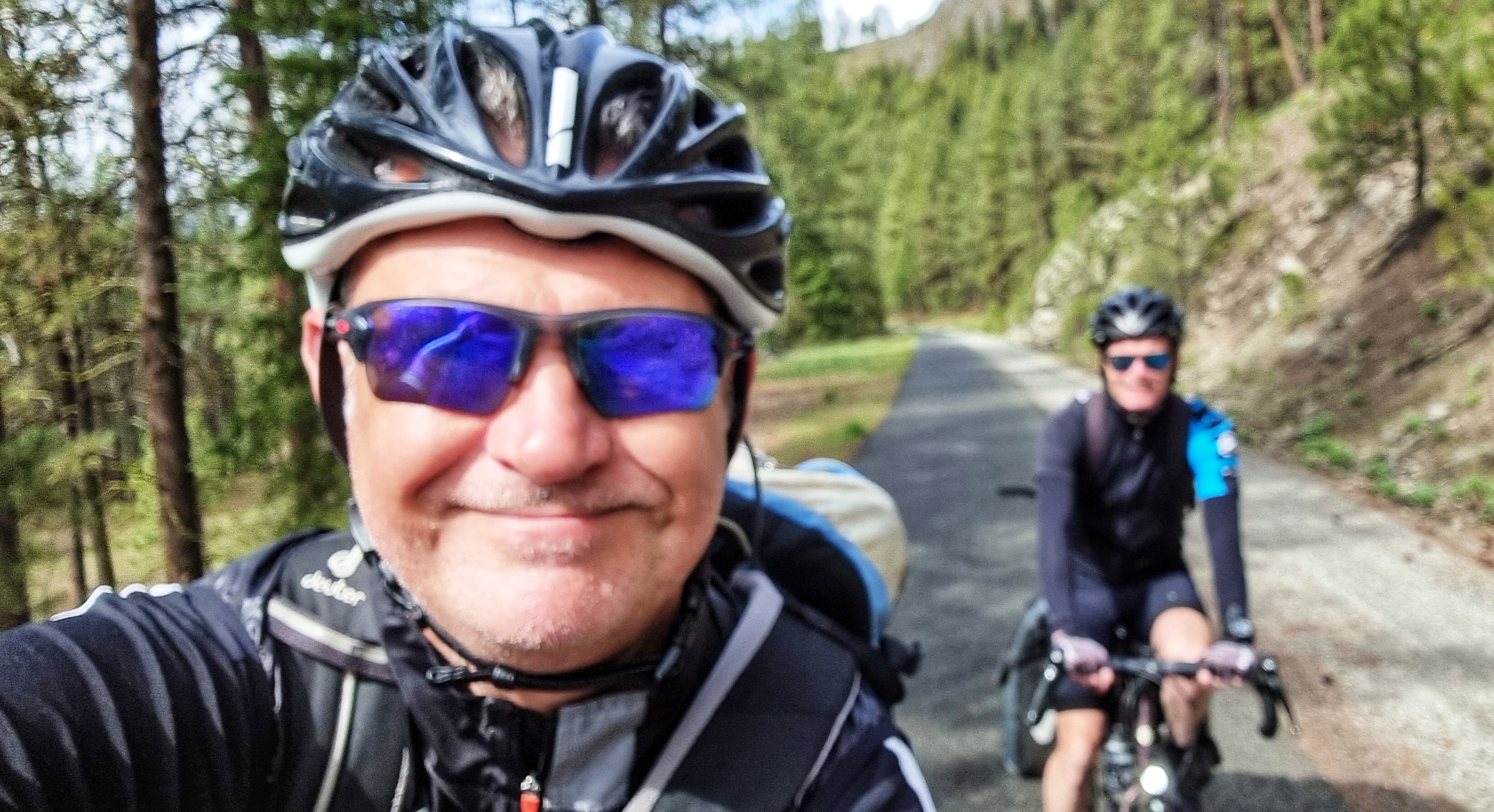
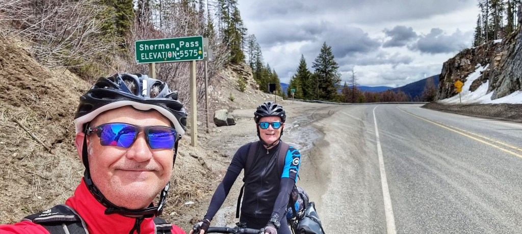
It took 2 hours 50 minutes to cover the 20 miles from our hotel to the summit of Sherman Pass, where we stopped for a customary photo of the sign. This is the highest Pass we’ve conquered so far at over a mile above sea level, but there will be bigger beasts to wrestle later in the adventure!
While Sean was getting himself ready for the descent, I took a few moments to capture my thoughts on the climb & the downhill yet to come.
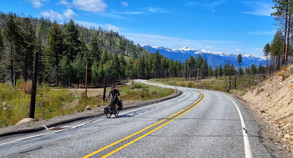
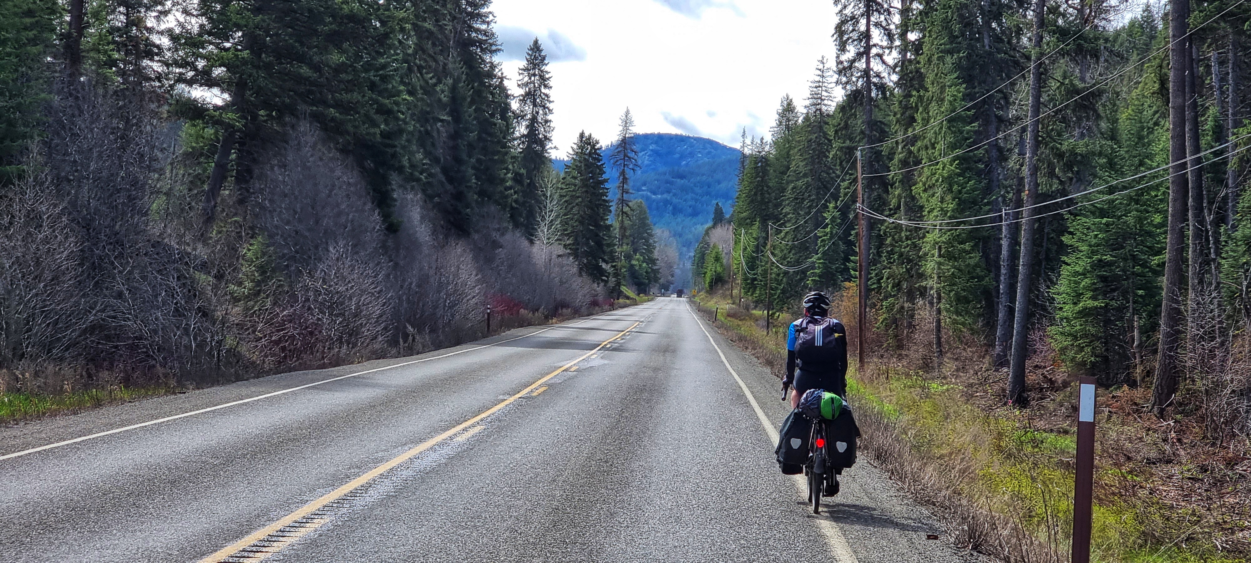
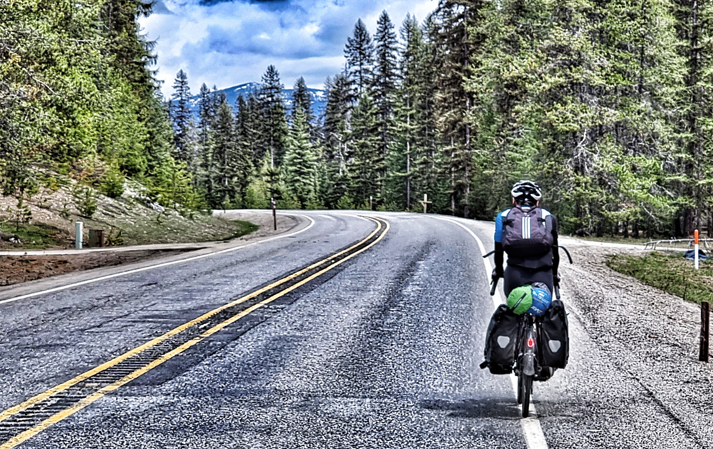
Sean set off first which gave me the opportunity to follow & get an action shot as he approached one of the many gentle curves – this was a cracking descent, as the road regularly opened up to show the surrounding views. A combination of the shallow gradient & gradual bends ensured that there wasn’t any need to brake on the entire descent.

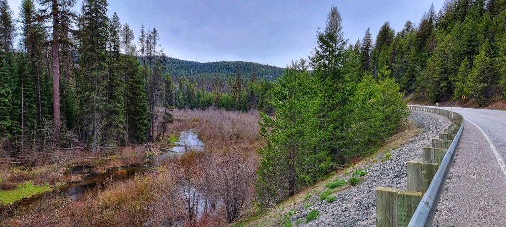
As we plummeted downhill, we started to follow the course of a creek & as it tumbled down the mountain it created small waterfalls along the way. At times it felt as if the road was never going to end & after one of my many photo stops I found that Sean was completely out of view as he’d carried on riding!


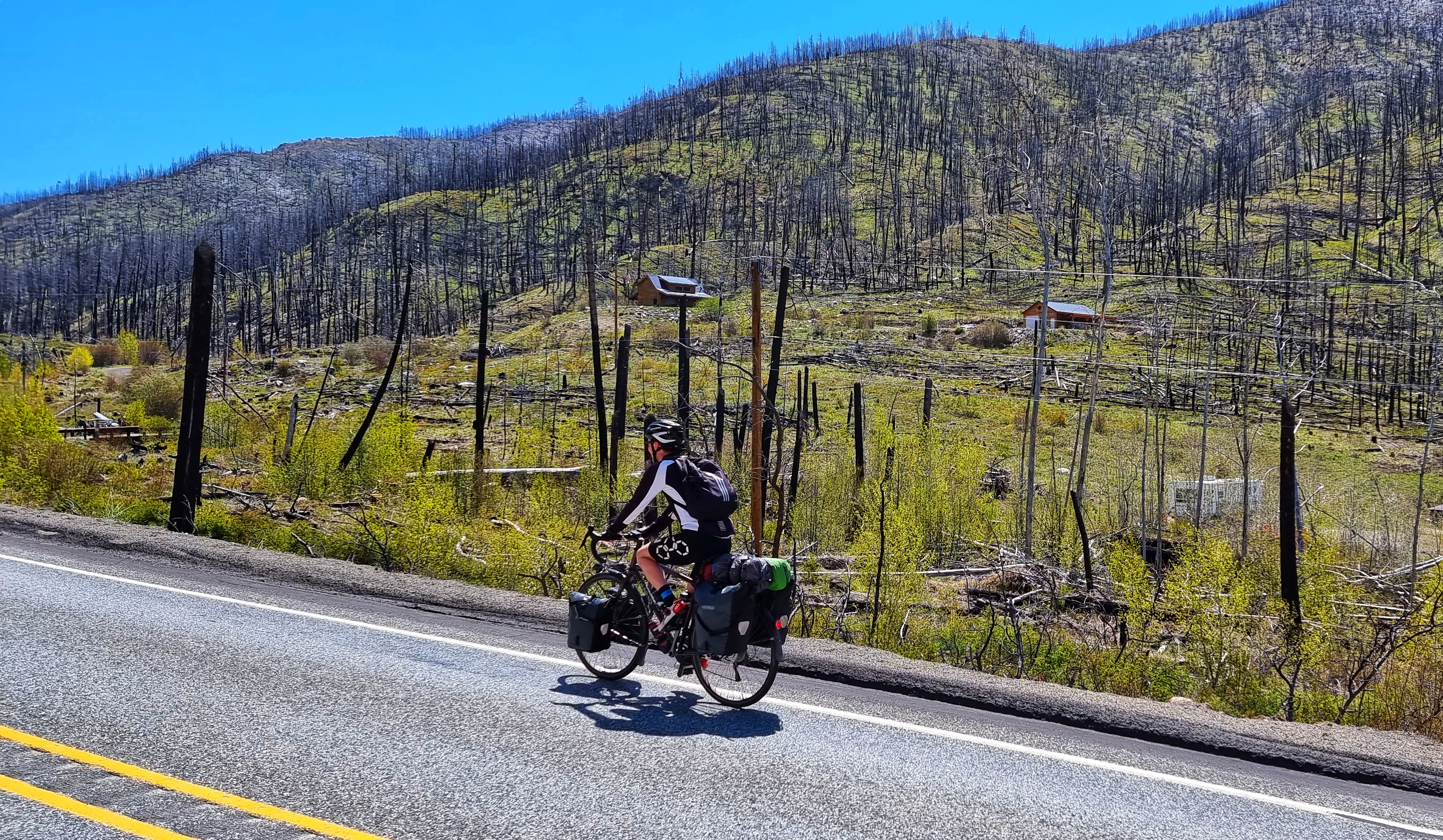
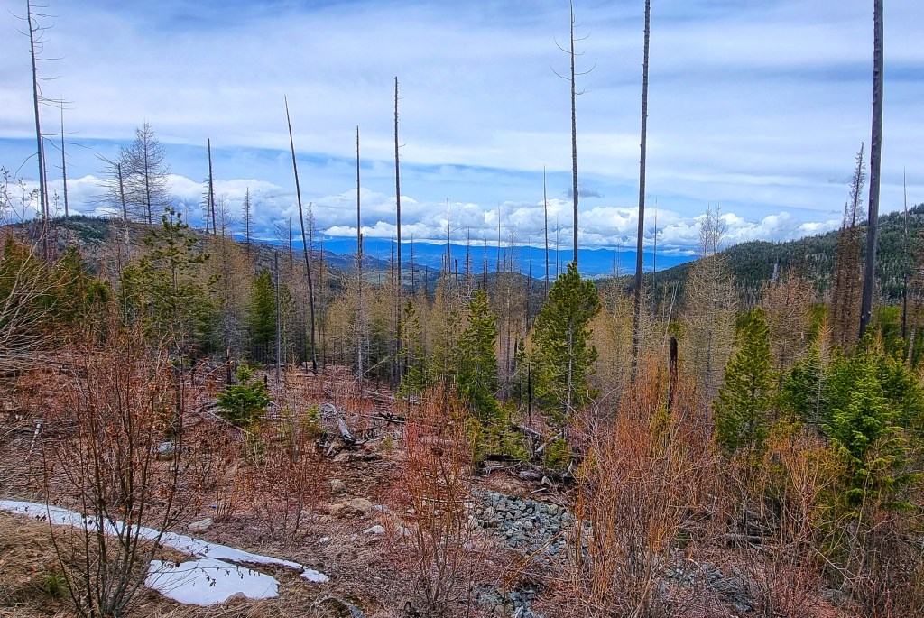
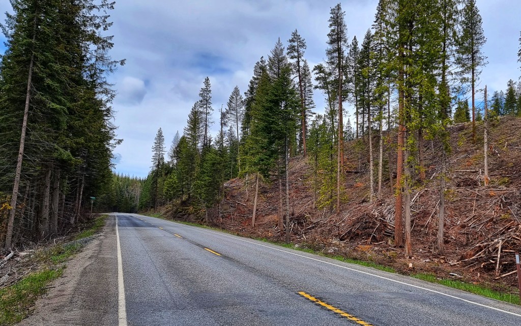
Sean doesn’t know this (until he reads it here), but I ended up chasing him down the mountain for almost 15 minutes as I gave it a ‘full gas’ effort to catch him up!!! I’d originally stopped to take a photo of the forest after it had been harvested by the loggers & in the 3 minutes or so I was stopped, Sean was well over a mile down the road.


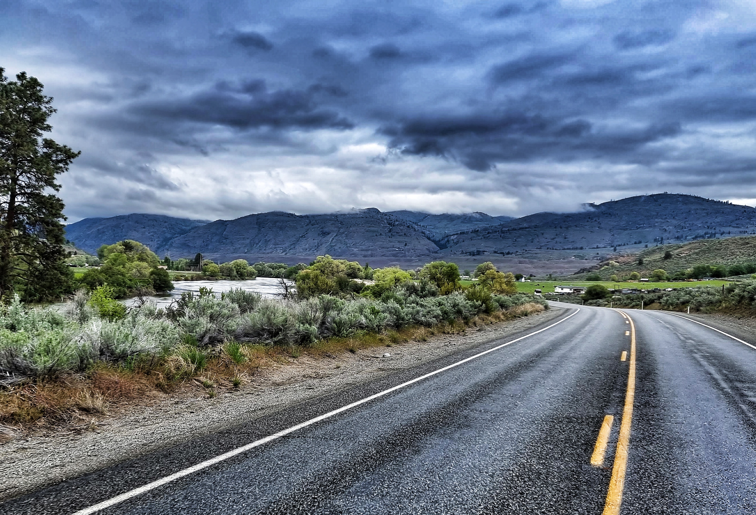
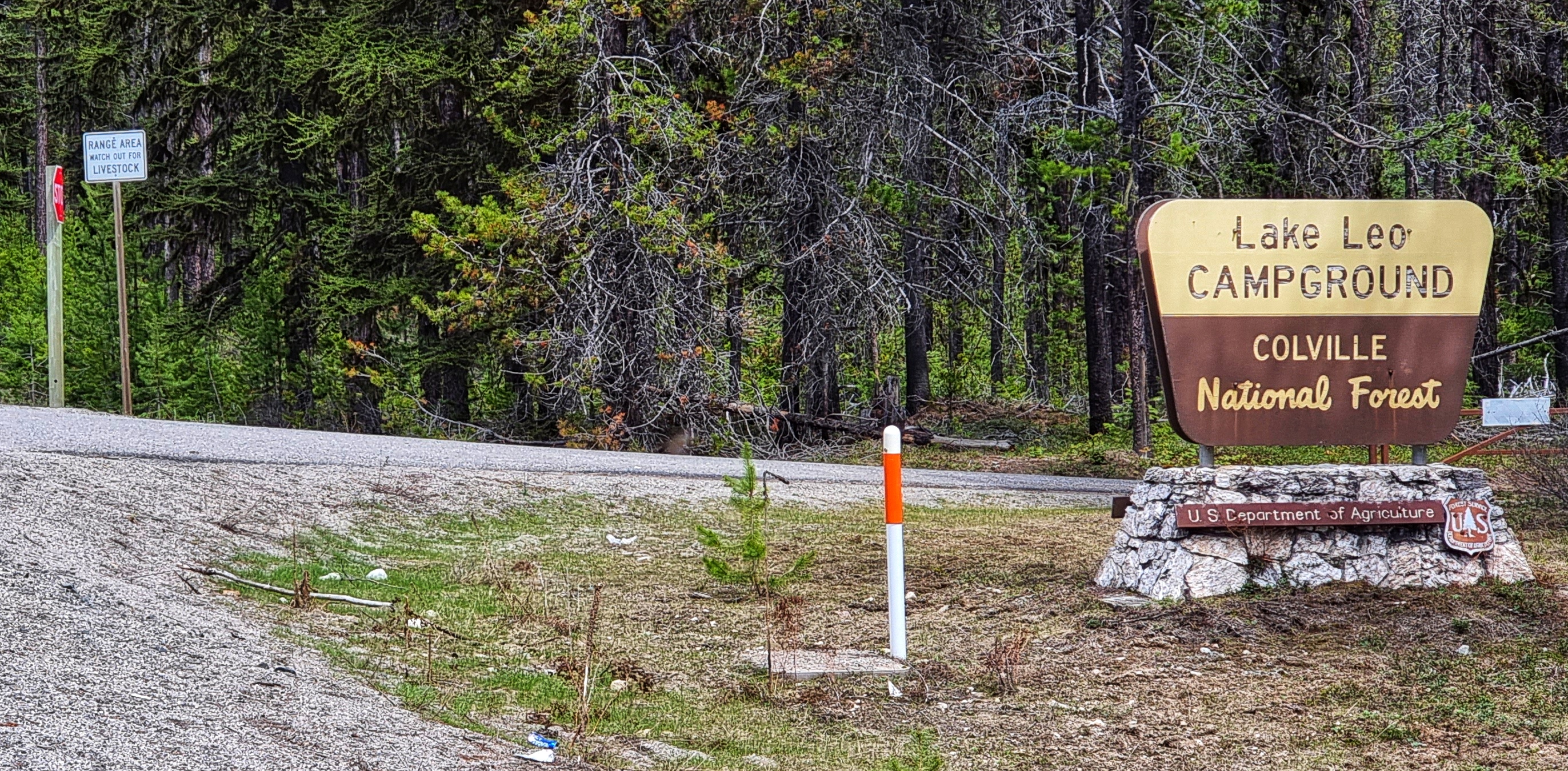
As we reached the lower slopes, we started seeing signs to various trailheads & campgrounds – this would be a superb place to spend the night once the temperatures pick up a bit. By now the creek had grown in size & we soon went in different directions, as it headed through a steep gorge on it’s way to the larger rivers below.

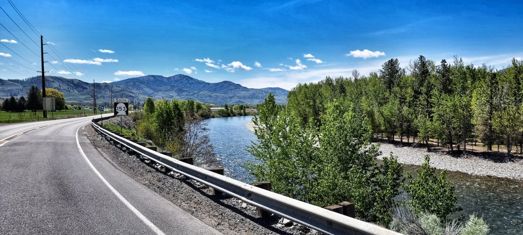
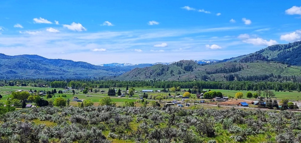
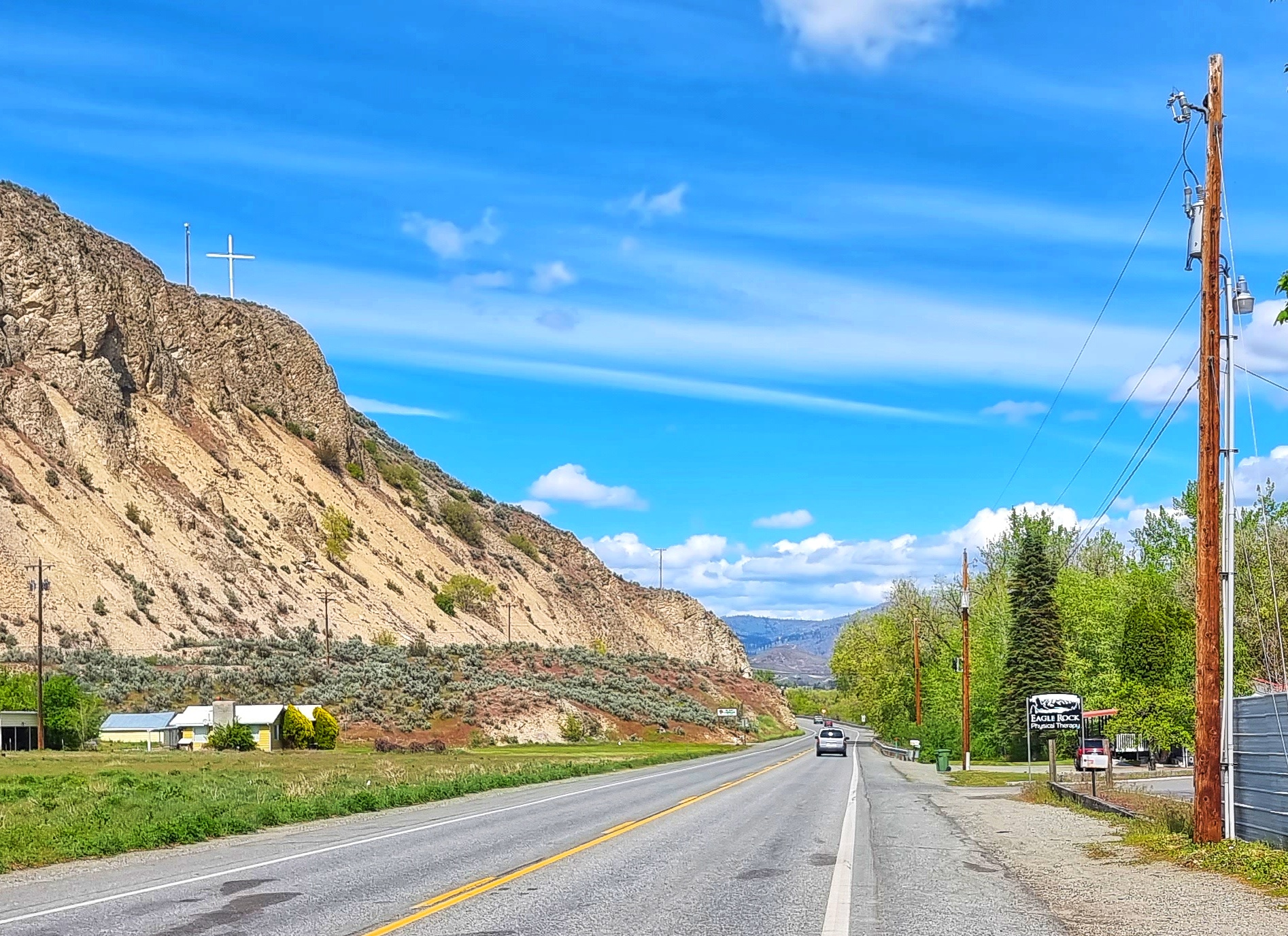
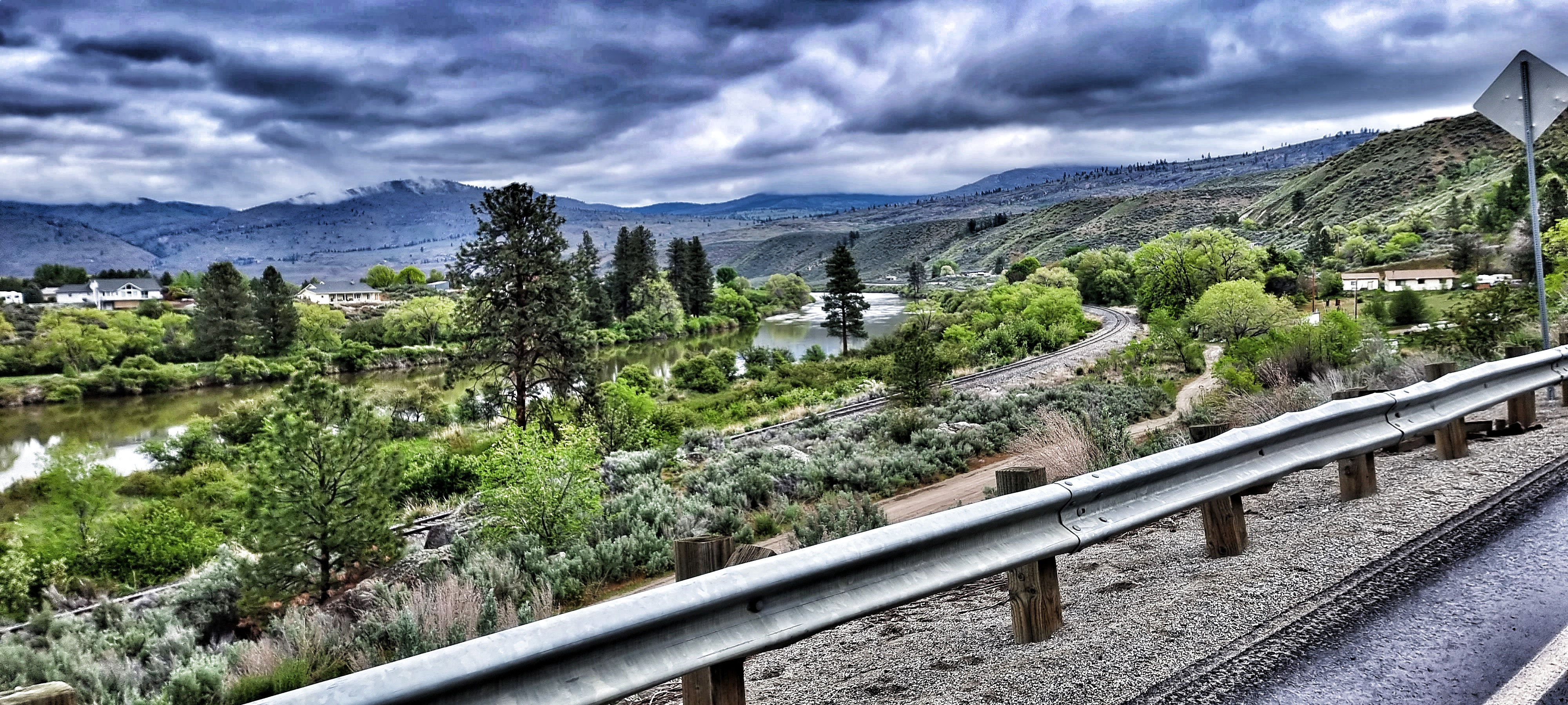
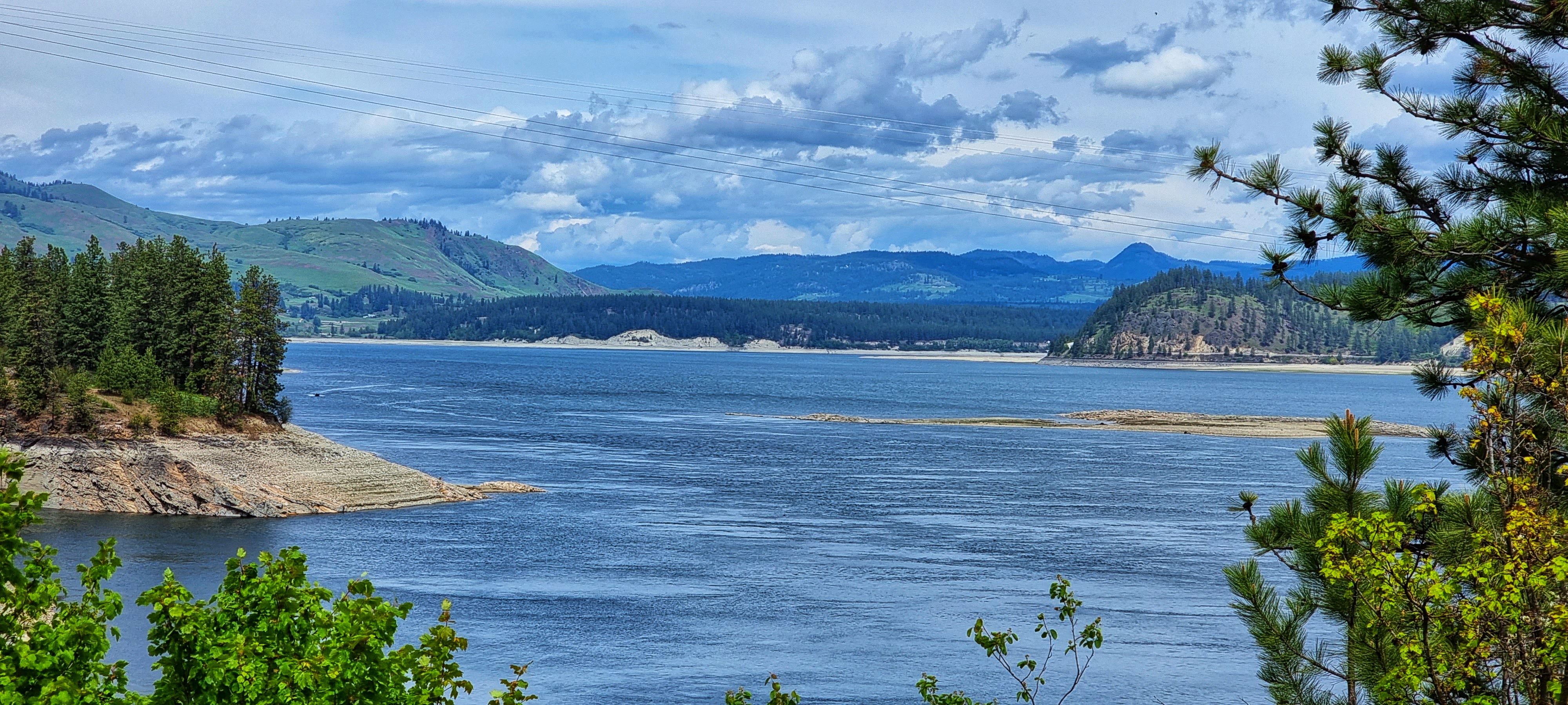
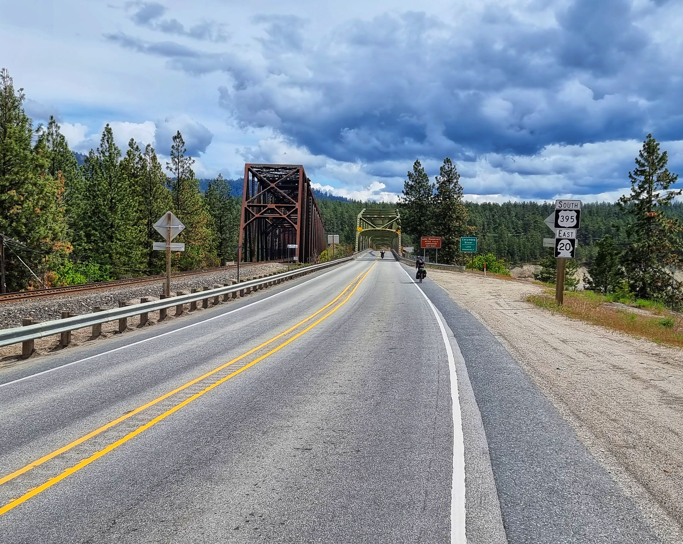
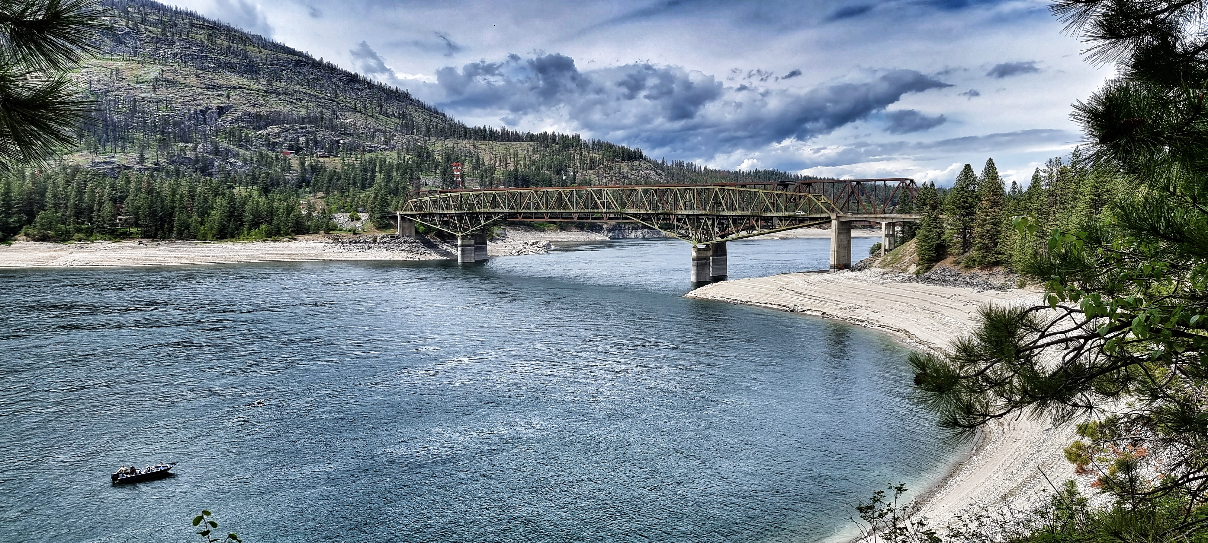
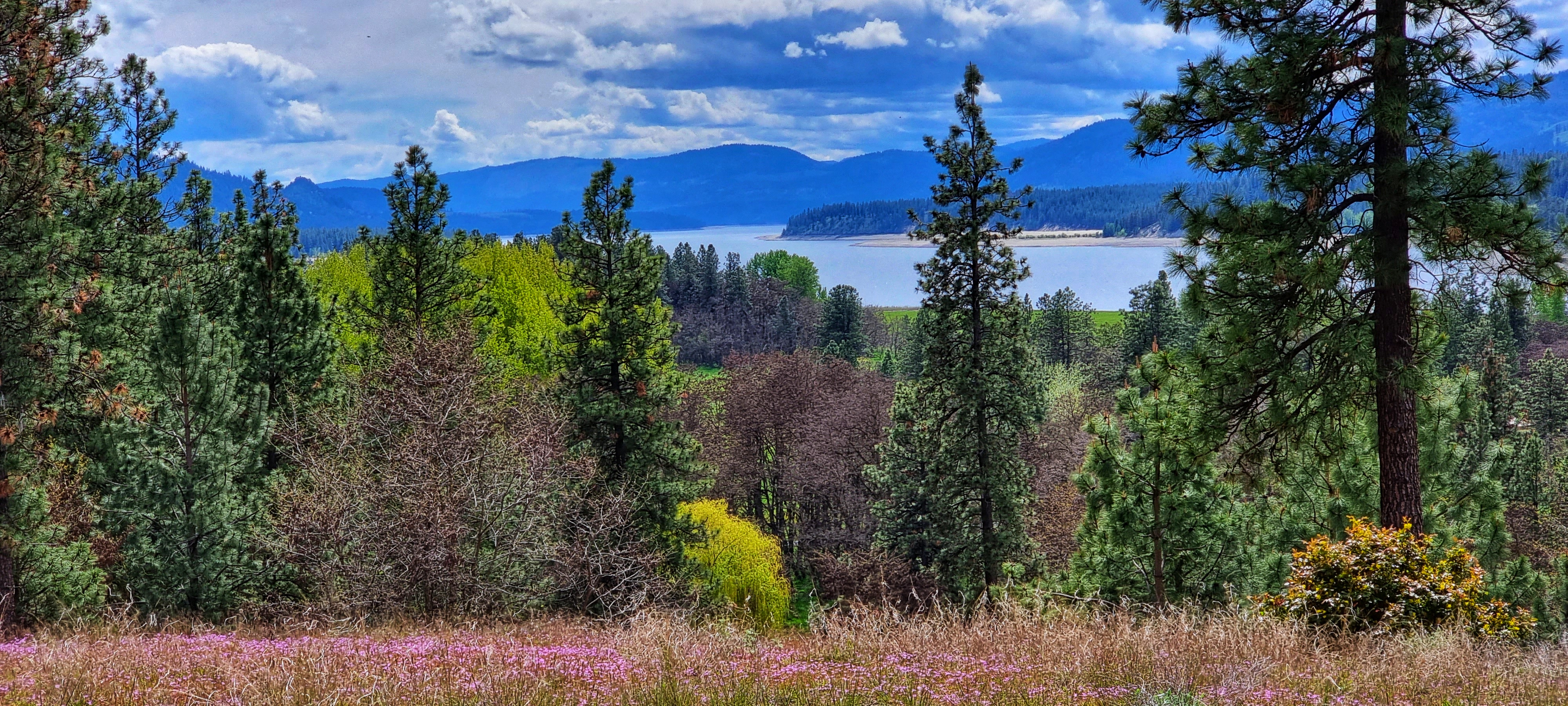
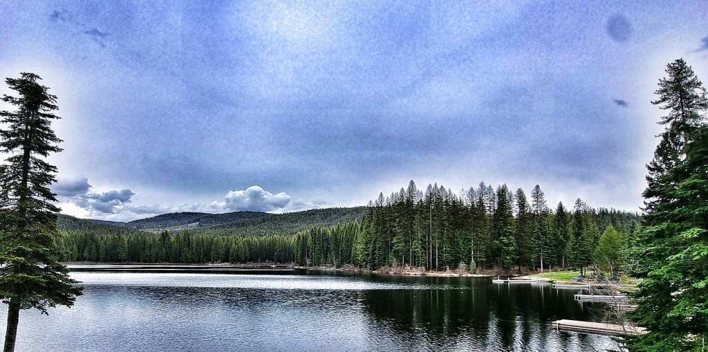
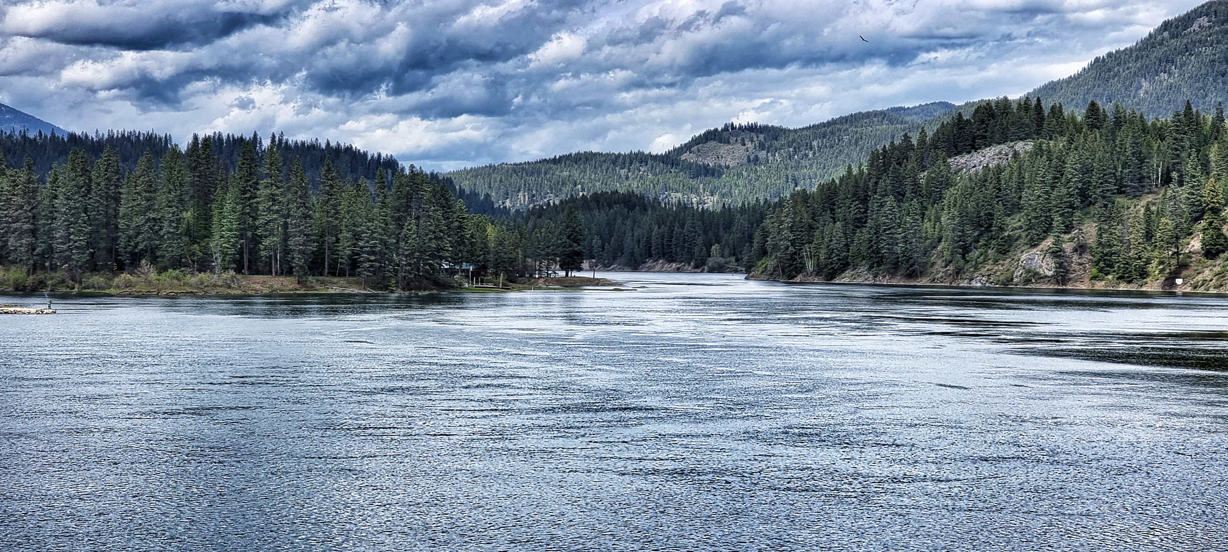
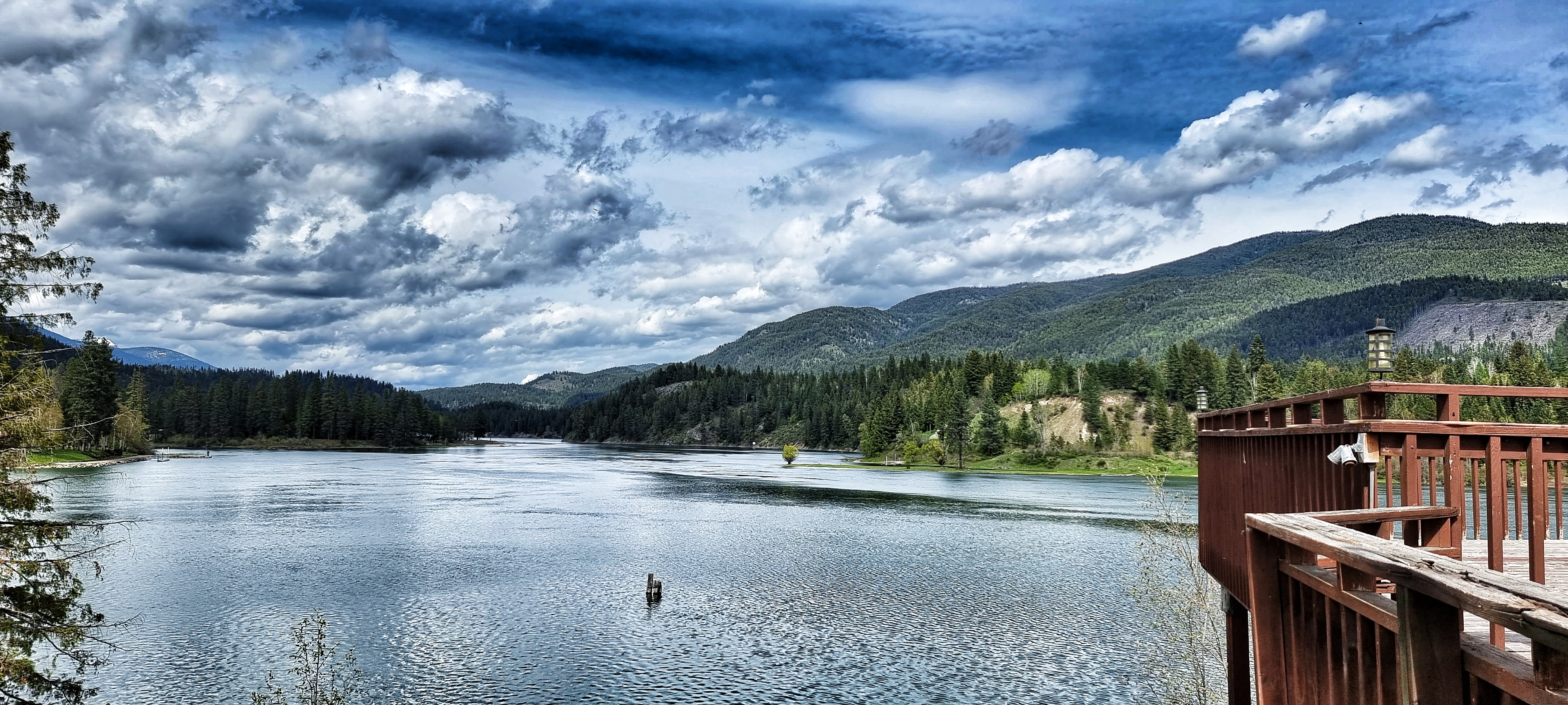
As the road flattened out, we turned a corner & Lake Roosevelt was laid out in front of us. It was created when the Grand Coulee Dam was built across the Columbia River in 1941 & was named after Franklin D Roosevelt who was President at the time. The lake extends 150 miles up the valley from Grand Coulee Dam & has created over 600 miles of coastline. We crossed at one of the few bridging points across the lake at Kettle Falls, took an immediate right turn & then had a fabulous view back to the road & railroad bridge behind us.
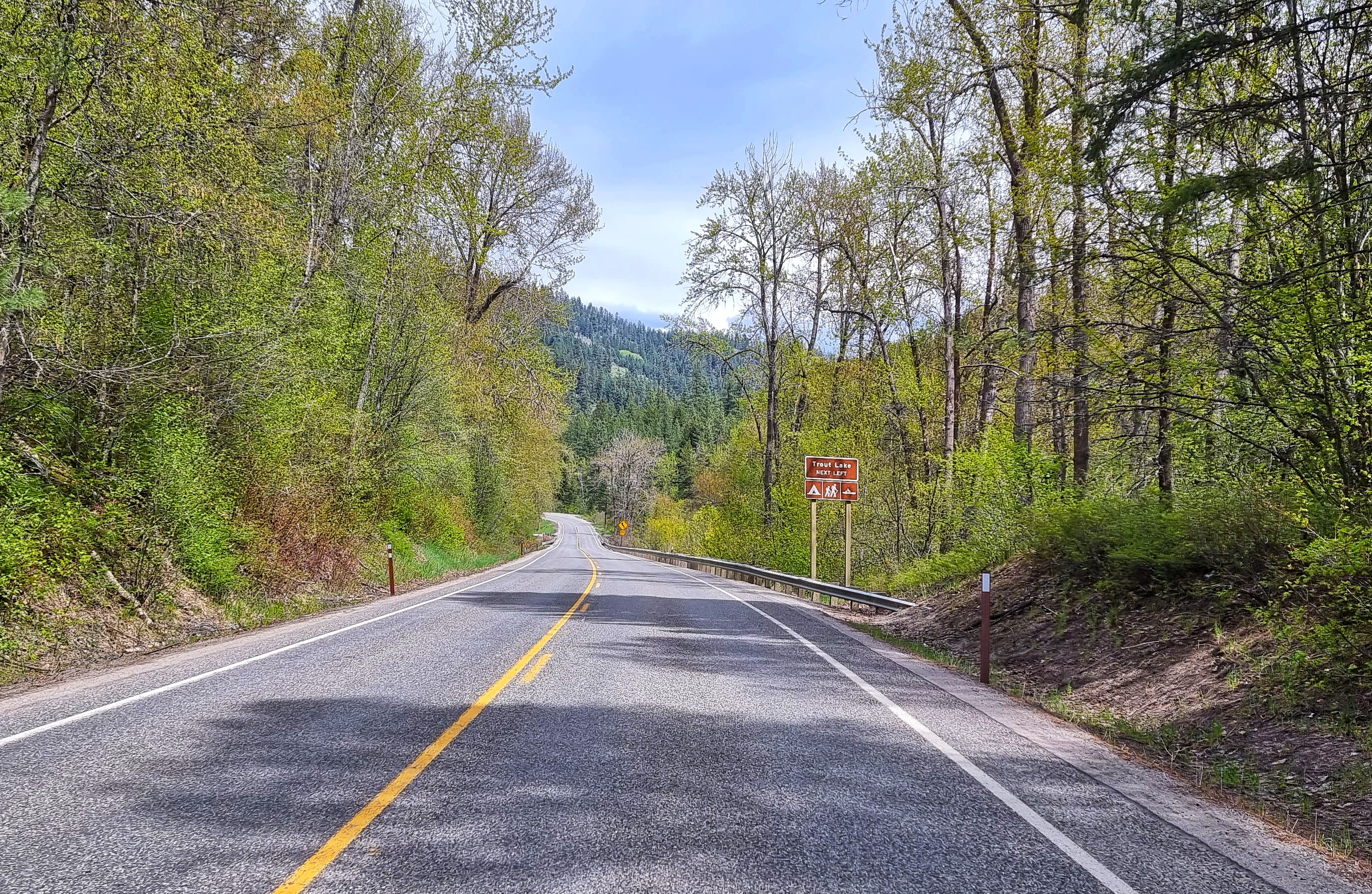
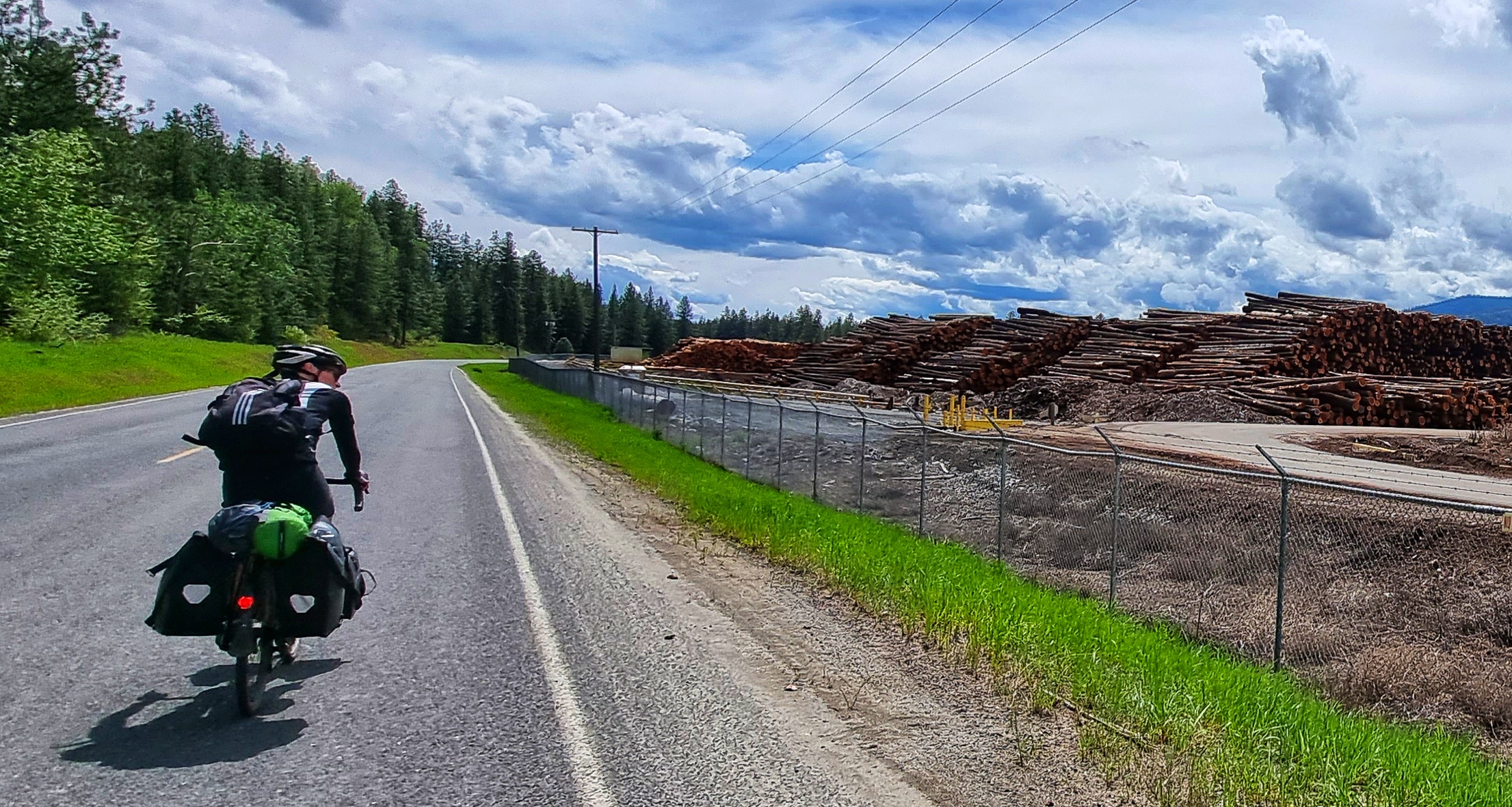
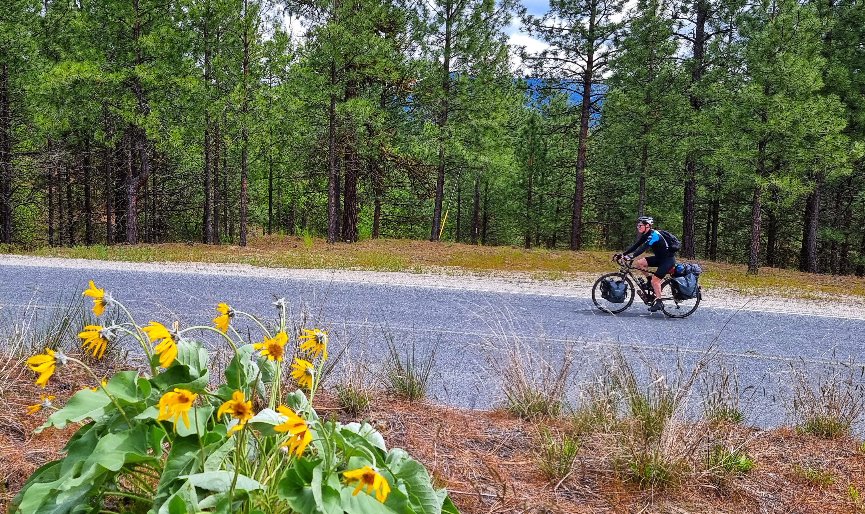
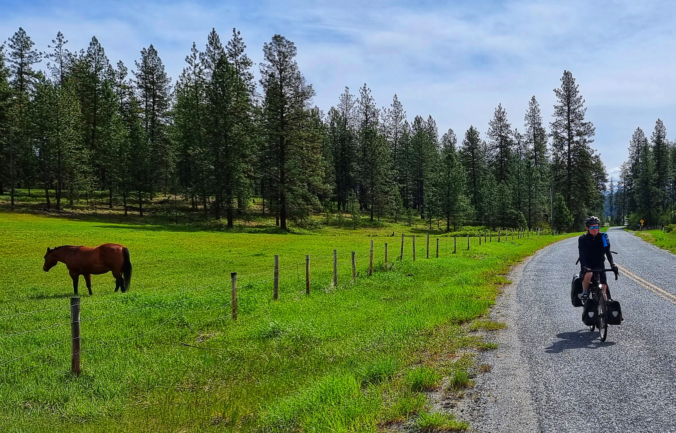
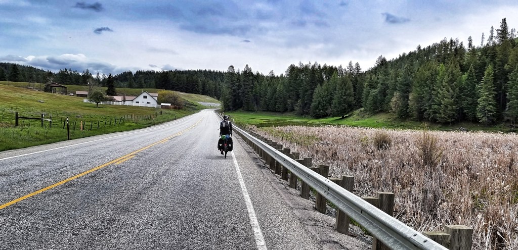
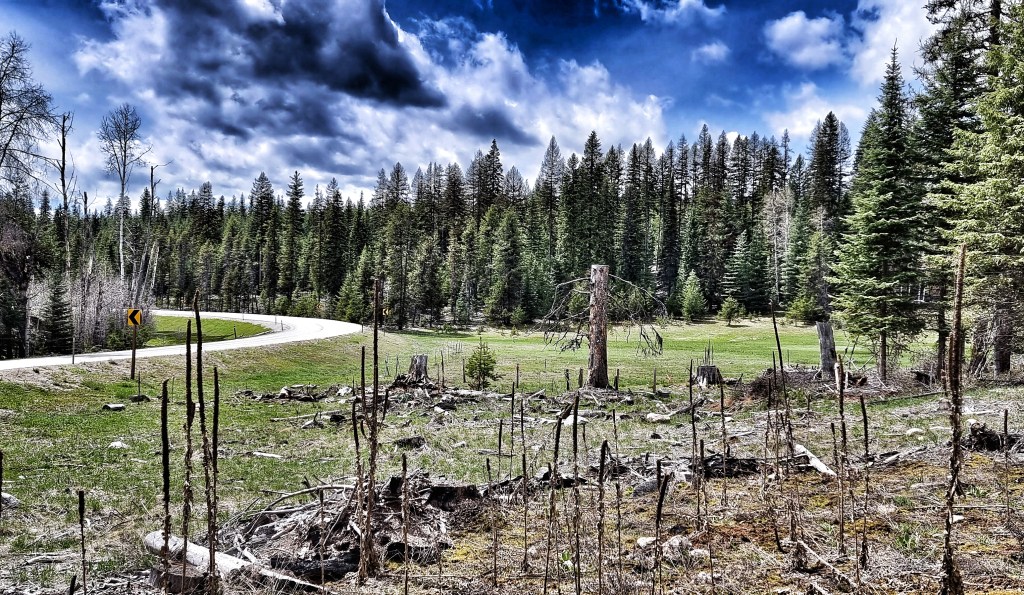
We were on a quiet backroad, so were surprised to see a few logging trucks pass us until we saw the humongous timber & wood processing site in front of us – it’s stretched for over 1/2 mile & was stacked with what must have been millions of tree trunks. As the road bore left, we had our last fleeting views of Roosevelt Lake & headed inland though a pine forest with lots of colourful vegetation – perfect for staging an action photo!

We’ve really enjoyed the backroad options (more about how we found them tomorrow), as we’ve had the roads to ourselves & have got to see more nature, scenery & how small-town USA lives & is set out than if we’d stayed on the more busy State & US numbered roads. Heading through the quiet streets of Kettle Falls, we passed a small hydro-electric facility that looked like it was specifically for the local community.
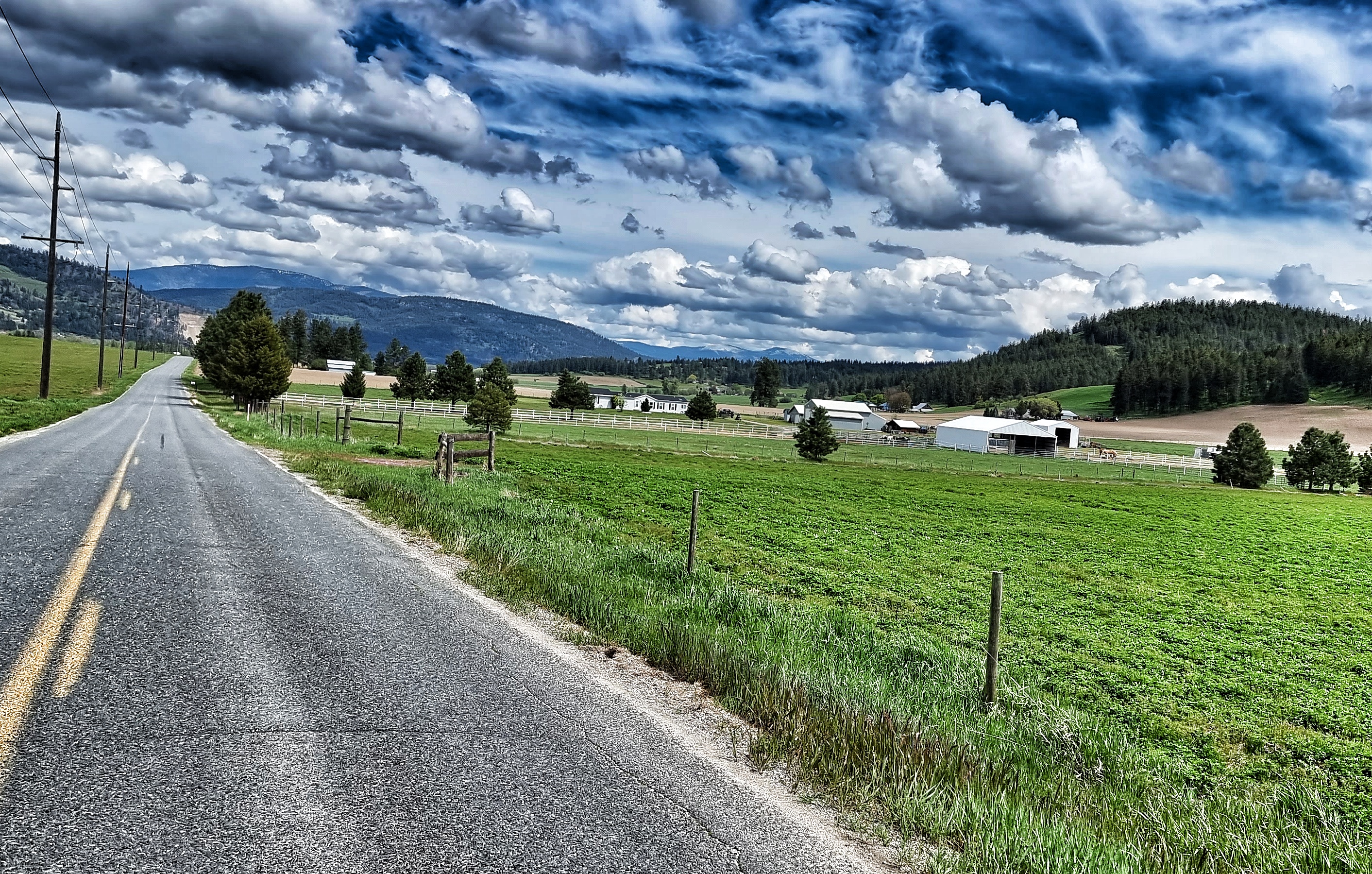
By now we were only about 10 miles or so from our stop for the evening, at which point our nemesis “The Headwind of Hurt” blew into town & tested our physical & mental fitness! What should have been enjoyable & relaxing roll into town became just that bit more difficult as we were on roads that were exposed to the elements. The views to the mountains in the background gave us something to focus on, rather than our sore legs!
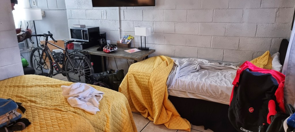
It was another wonderful day in the saddle & as we reached our motel we were ready to chill out & relax. Where we were staying in Colville was a big disappointment (our only one to date), the room was tiny, the floor was concrete, the walls were cinderblock – Sean summed it up best when he said “Gav, we’re staying in a bloody prison cell for the night!”.
I don’t think it’s fair to name where we stayed, as the people themselves were really friendly, nice & tried their best to help us – we’d simply chosen somewhere that didn’t fit our requirements.

Stage Stats – 57 miles, 4,354 feet of climbing. A Hors Category climb (the highest point so far). A rapid descent followed by a rolling finish to the stage.
Tuesday 17th May – Colville to Ione (Stage 15)
We were up early to the dulcet tones of Mr MacKay shouting “Fletcher, Godber, up & out your cell NOW!!!” – I jest! We headed up the road for a coffee at 9am – today is the first anniversary of Dad passing away, so I phoned Mum for the first time since I’ve been in the USA. It was lovely to catch up & find out Mum had a phone call from Ally (my brother in Cambridge) earlier in the day & had also gone out to the Forest of Dean with Greg & Nikki (my brother & sister-in-law in Bristol) for the day. We used to go there as kids & we all have great memories of the times we spent there.
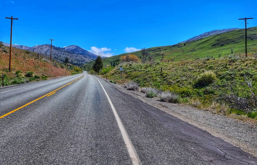
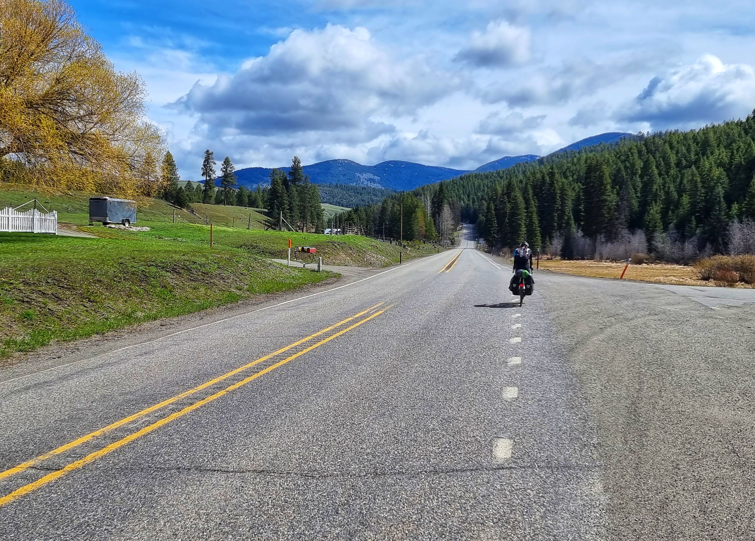
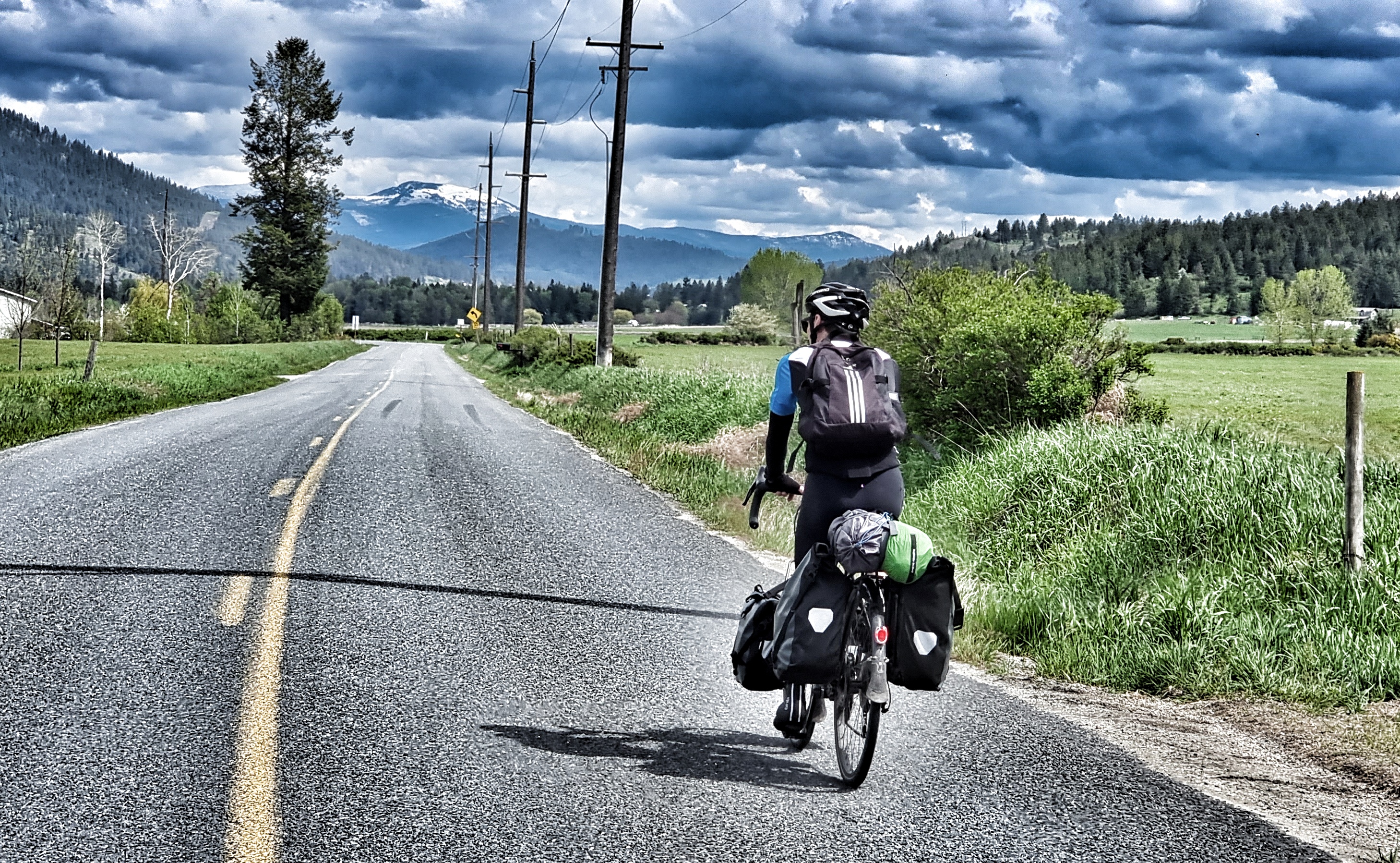
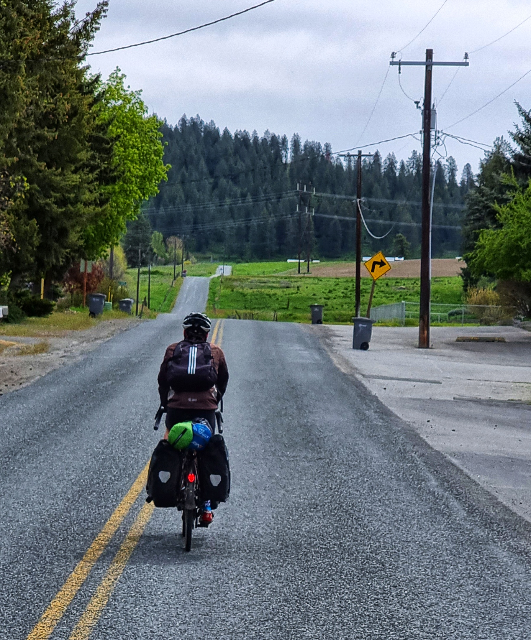
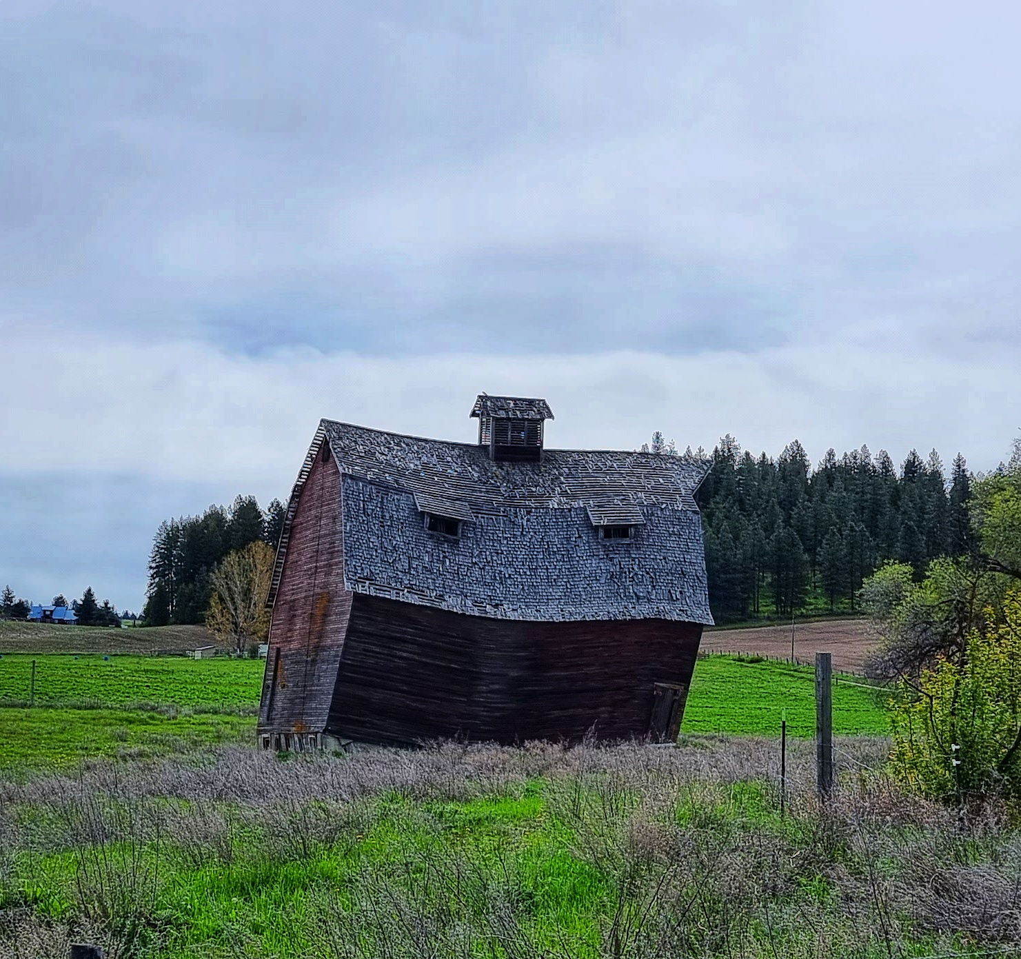
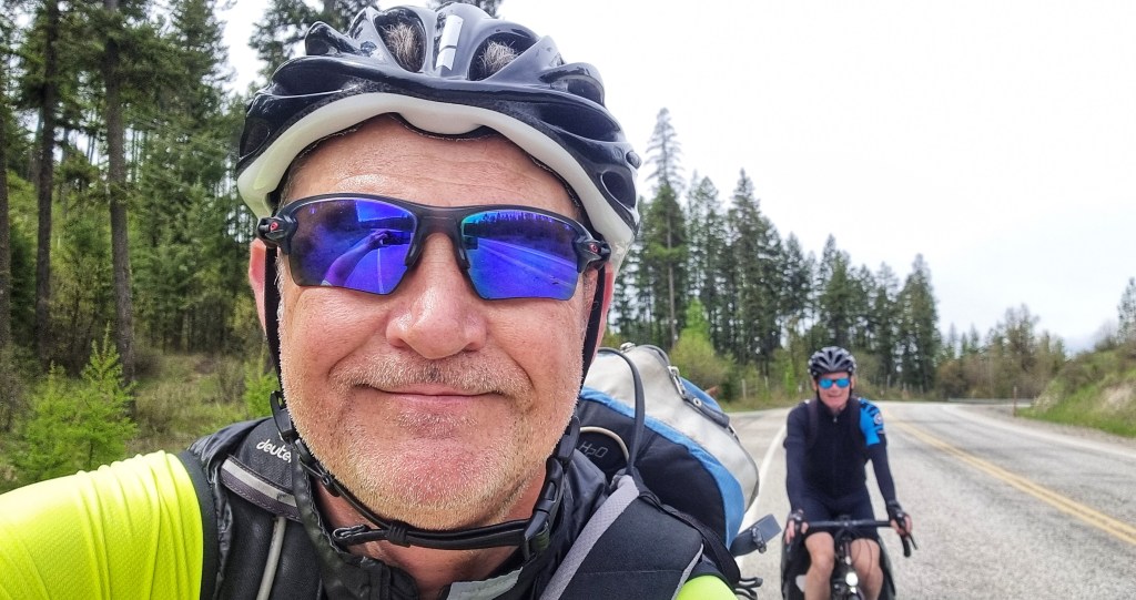
We were riding by about 9.30am & headed through small residential streets as we climbed uphill right from the off. The road went up in steps – a steep ramp followed by a flat section – for a mile or two, before we left town behind & set off through farmland. At one point we passed an old barn that looked like it had a smiley face on it!
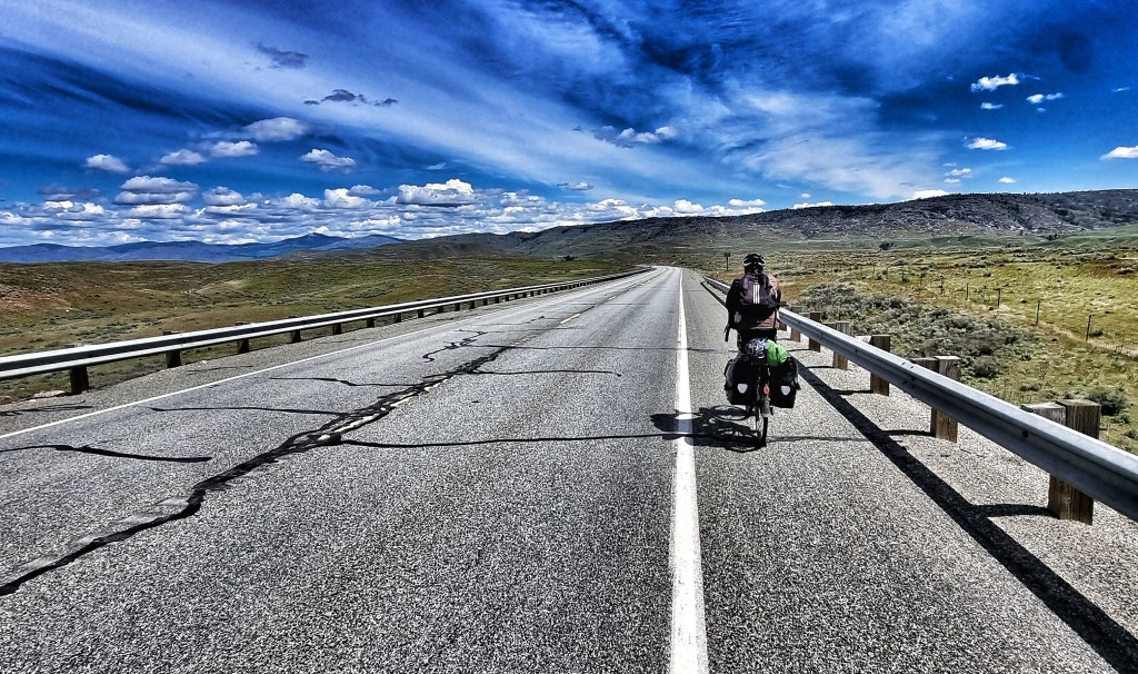
I mentioned yesterday that we’d been taking quiet backroads wherever possible & this feels like a good chance to explain how we found them. I joined the Adventure Cycling Association back in January, while I was planning our route. I bought about 15 cycling specific maps from them – at the moment we’re on Map 1 of the Northern Tier & without exception, their directions & deviations to get us off busy roads have been first rate.
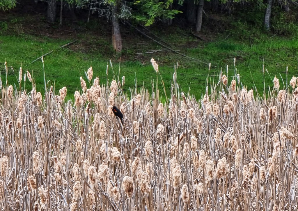
We were gradually making our way across country to join the SR20 – along the way we passed a few lakes & as we passed one we could hear some birds warbling so stopped to see if we could see what was making the noise. As our eyes adjusted we could make out a number of predominantly black birds with flashes of orange on their fronts perched on the bulrushes. Research suggests they may be American Redstart Warblers, but if you know different, please let me know!

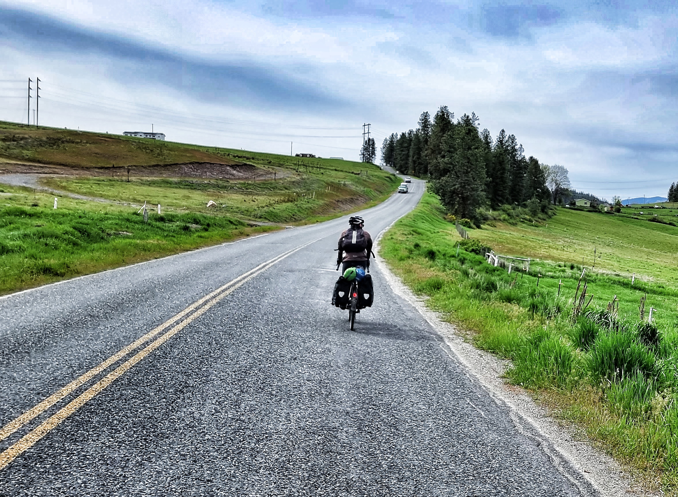
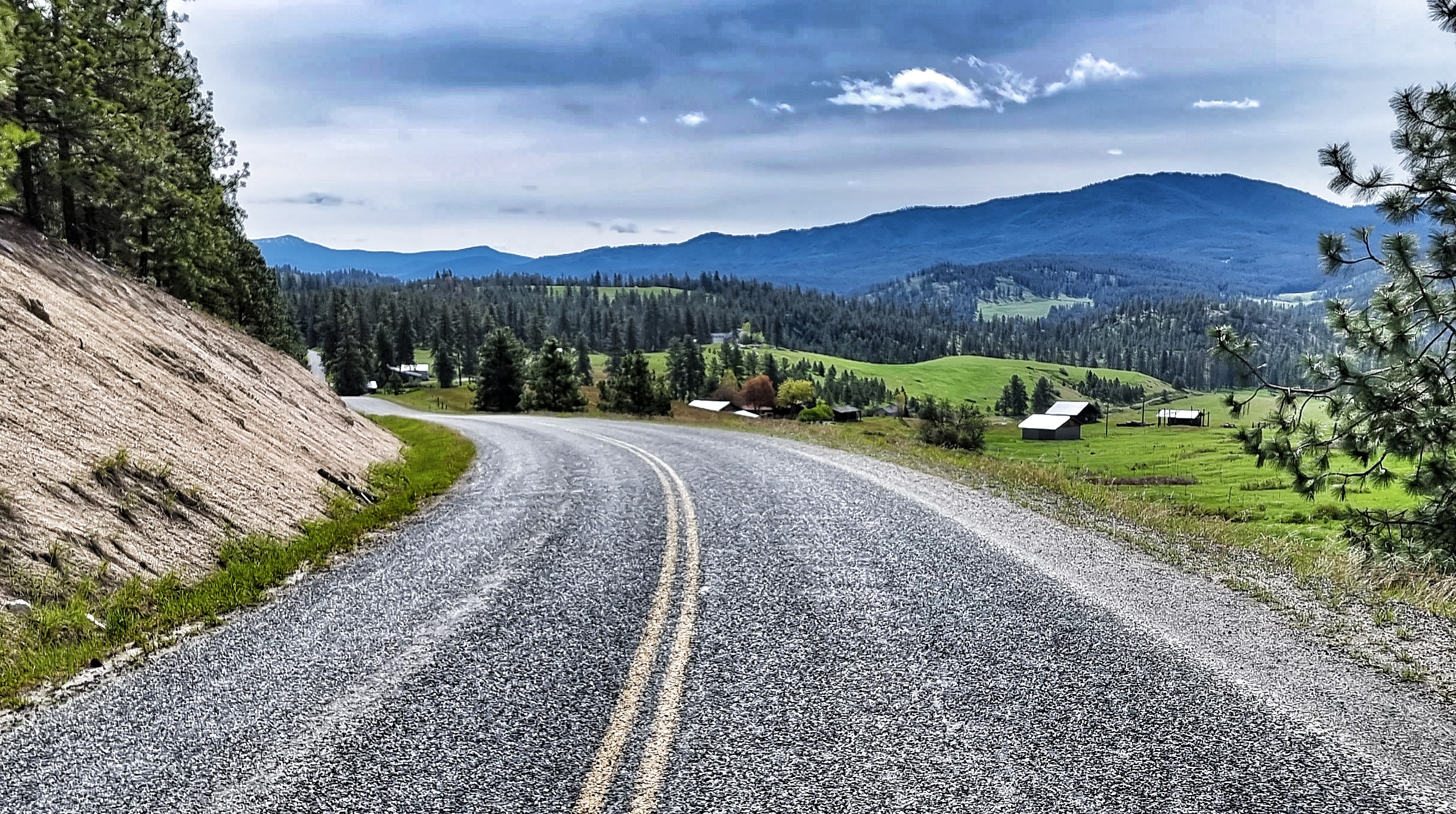
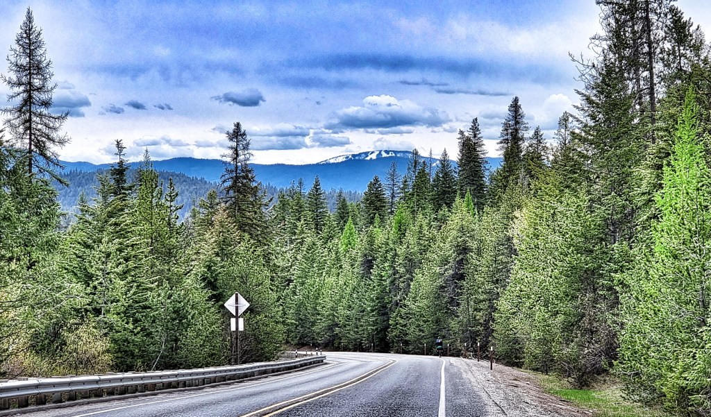
The road continued to gradually rise as we re-joined our old friend the SR20 (we’ve been following it on & off since Port Townsend on Stage 1). Over the past couple of weeks it’s delivered a number of scenic treats & today was no different.
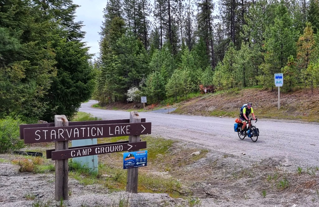
We had the road to ourselves as we passed Starvation Lake (no coffee & cake stop here!) & climbed the ridge with great views of the mountains as they extended into Canada.
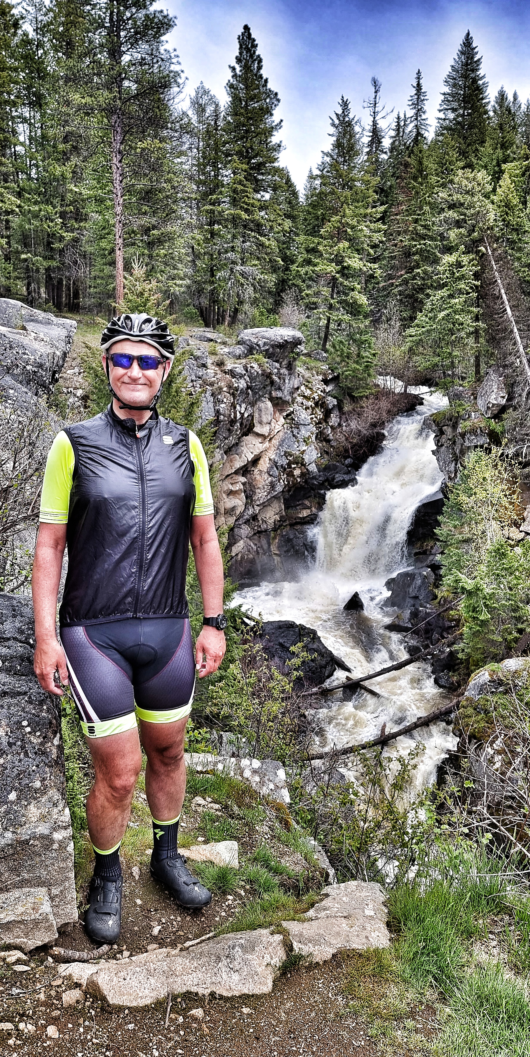
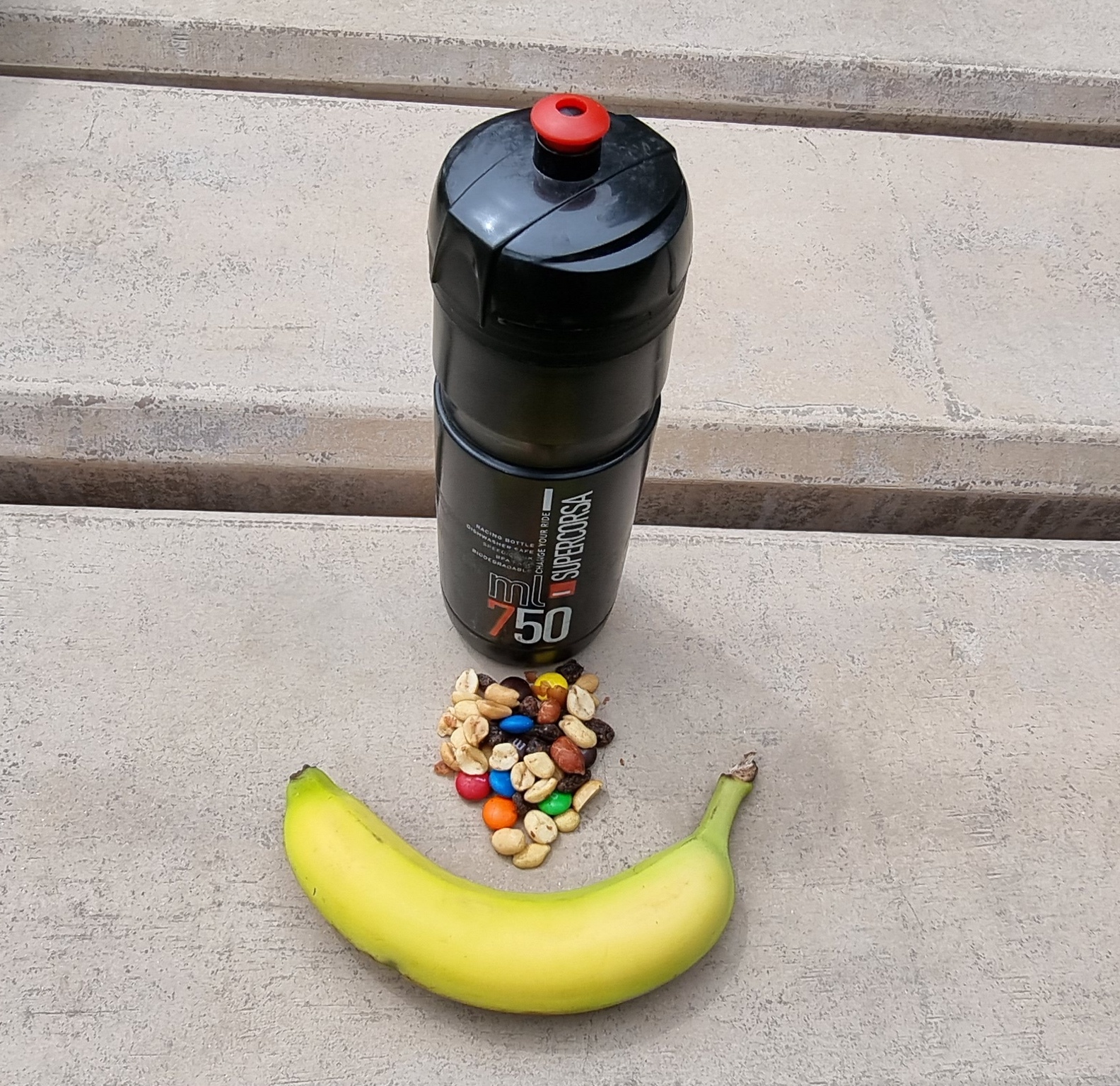
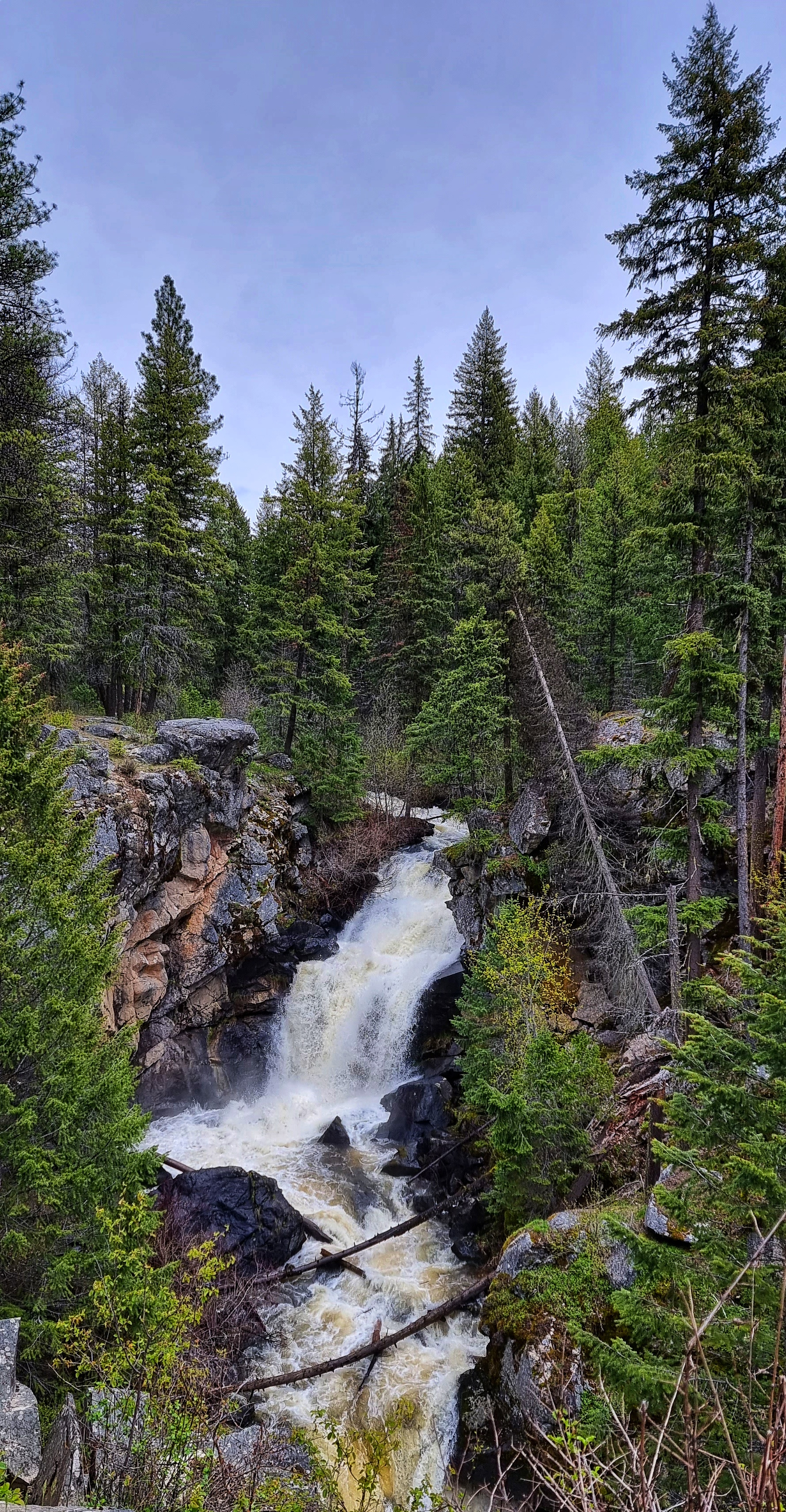
We knew it was unlikely to find anywhere for coffee today, but we were on the lookout for somewhere to stop & take a brief break. We saw a sign for a scenic viewpoint up ahead, so decided to give it a try. Crystal Falls was an absolute gem of a find & we enjoyed a few minutes absorbing the view & sound of rushing water, as well as enjoying a trail mix boost!
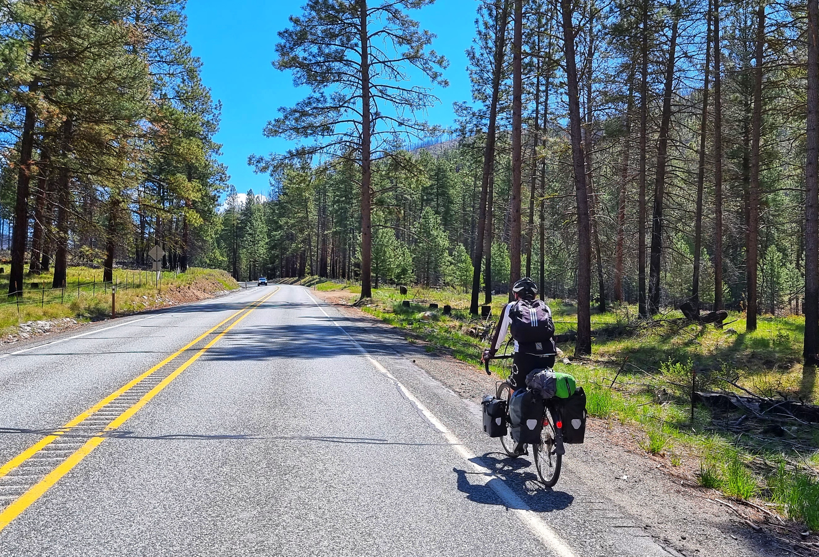
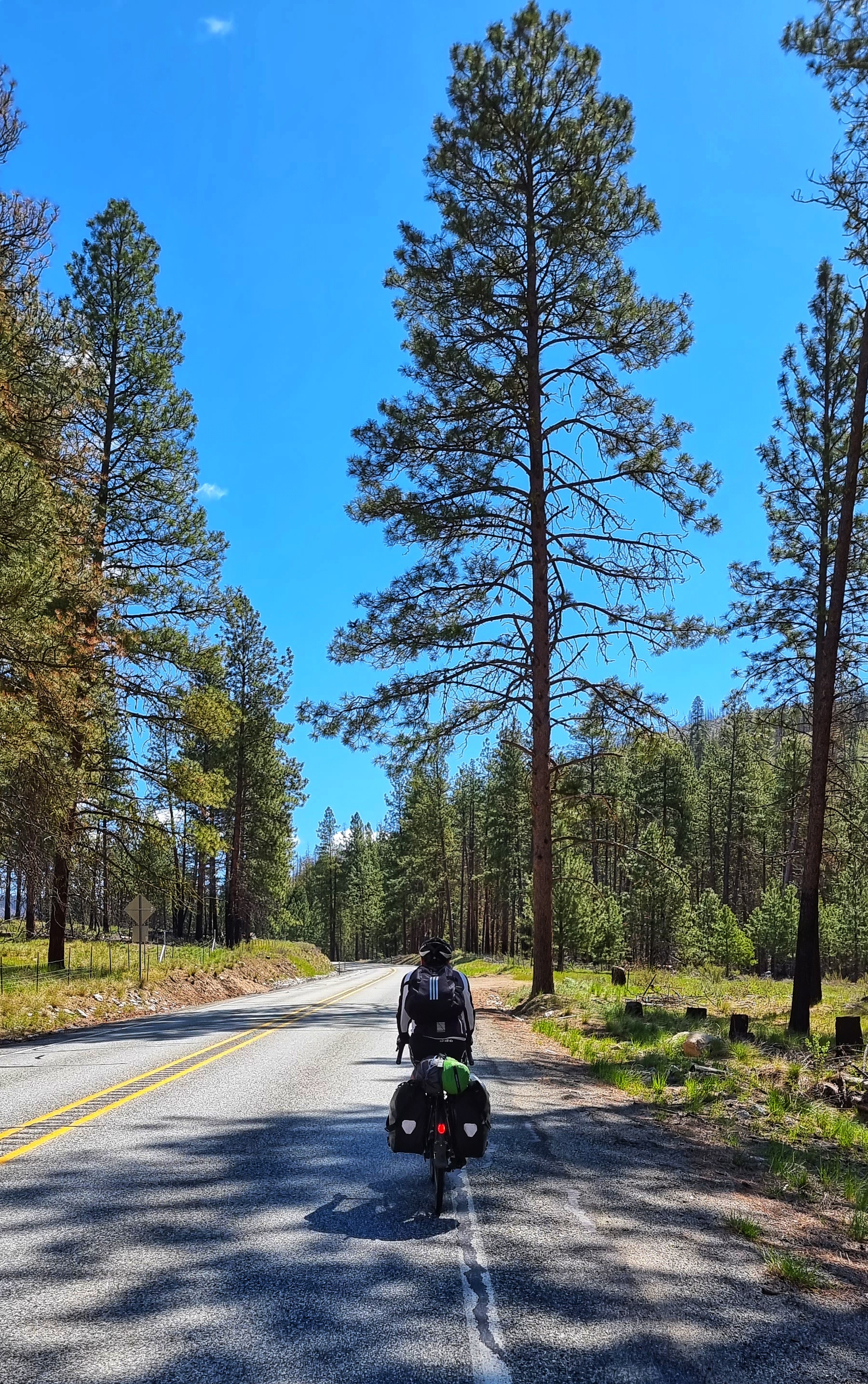
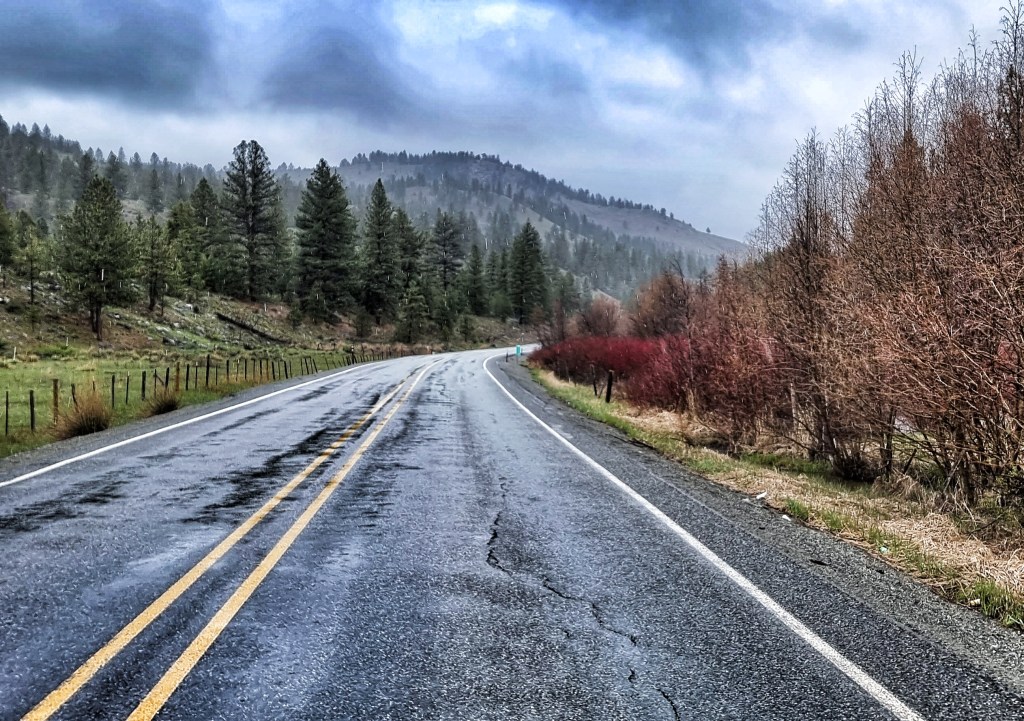
We continued on our way through the Colville National Forest, with large pine trees on either side of us. On rare occasions we’d get more views of the mountains ahead of us. There were trails, creeks,lakes & campsites in all directions & then out of the blue we saw a coffee stop!!!
Beaver Falls Lodge is set around Gillette Lake & the staff were stocktaking & getting ready to open for the upcoming Memorial Day bank holiday. They very kindly put on a pot of coffee for us & opened up the terrace so we could see the views for ourselves – yet more very generous locals. On the off-chance that they see this, A BIG THANK YOU from the two Brits who passed through!
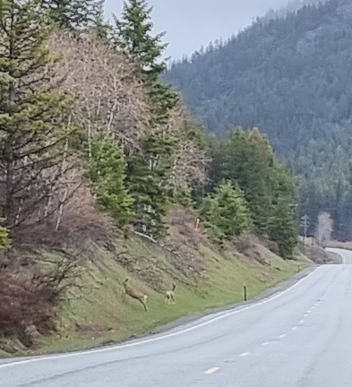
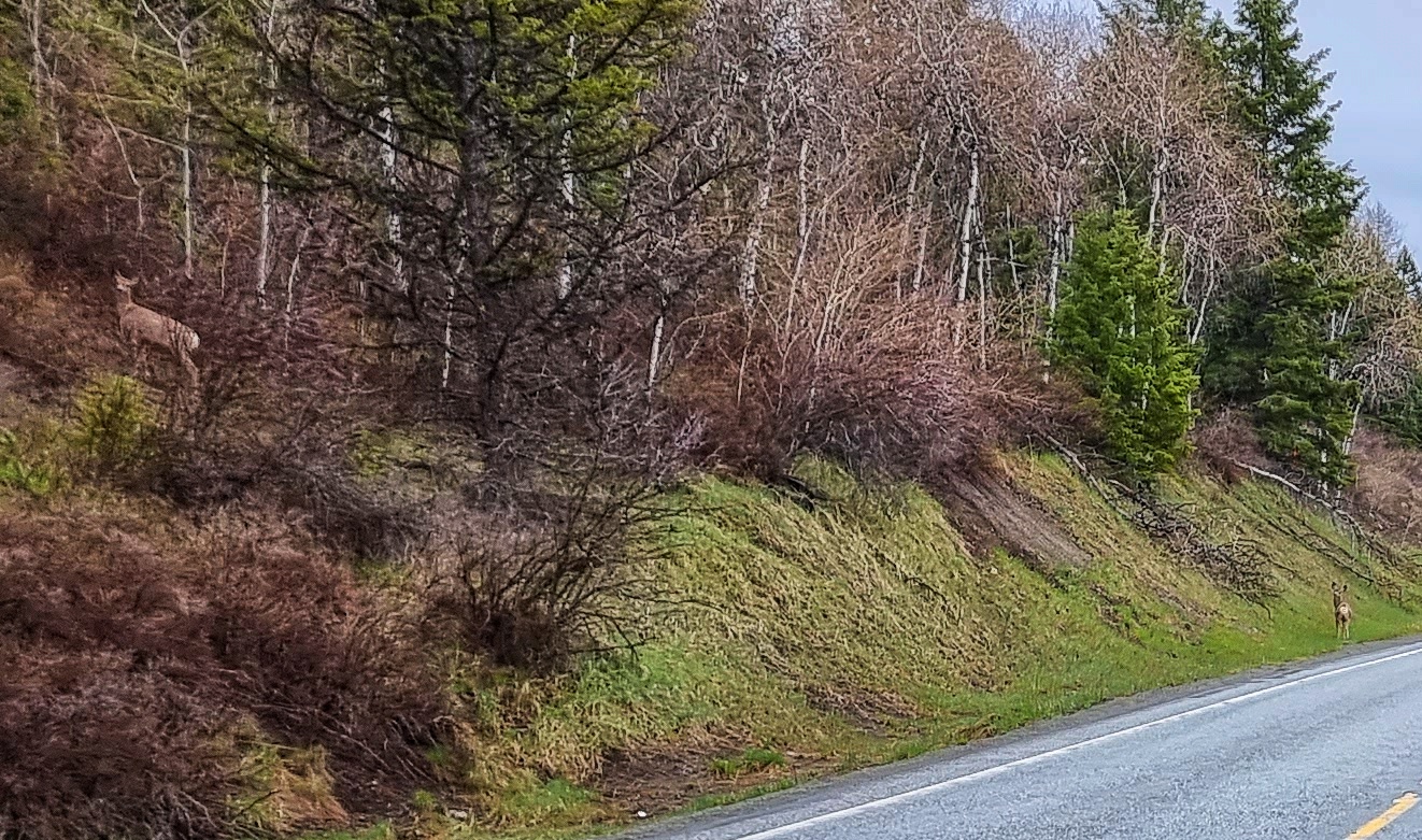
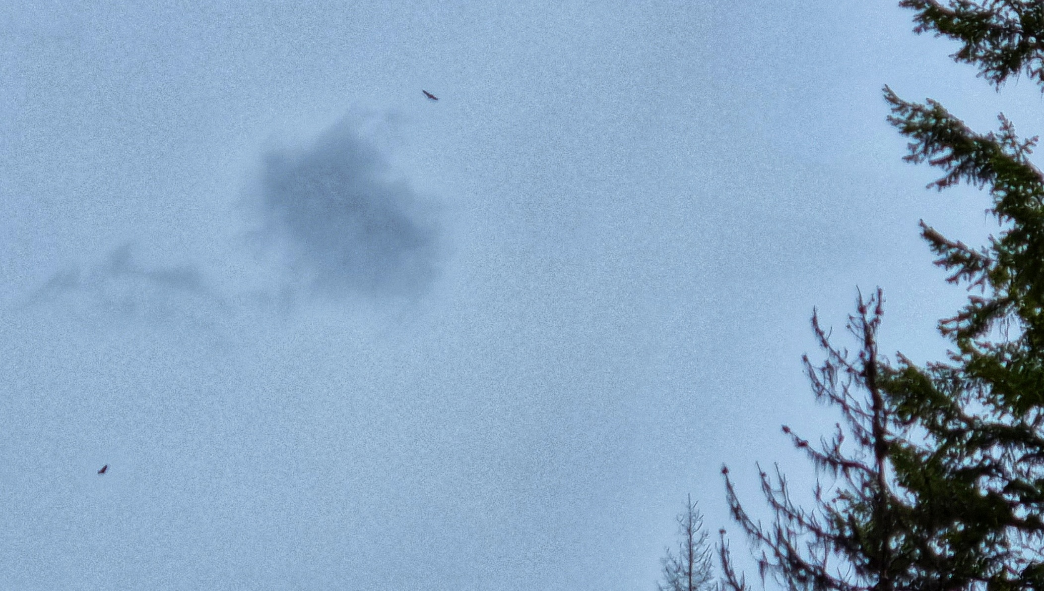
In what we decided to dub ‘The Golden 15 Minutes’, we saw a convocation of eagles (there were 7 in today’s show), as well as 3 separate sightings of deer. This is nature heaven & we were in our element as the mountains continued to get closer. As if that wasn’t enough, I found a way of including my Worky Wife in today’s blog – Kate I hope Leo likes his sign when you read him tonight’s story. I’m still on the lookout for something Jacob related!
We finally reached the summit of the ridge & I saw a sign to make my heart soar – a 6 mile descent at 6%!!! Perhaps the mountains might finally show themselves…..I’ve fallen in love with snowy peaked mountains & they delivered again today!
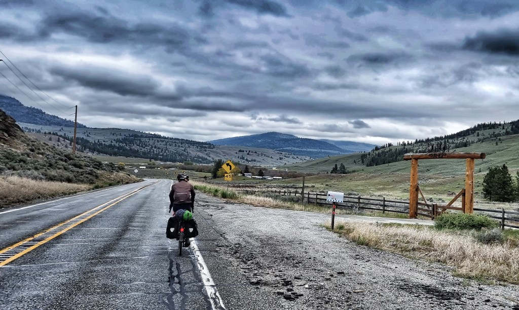
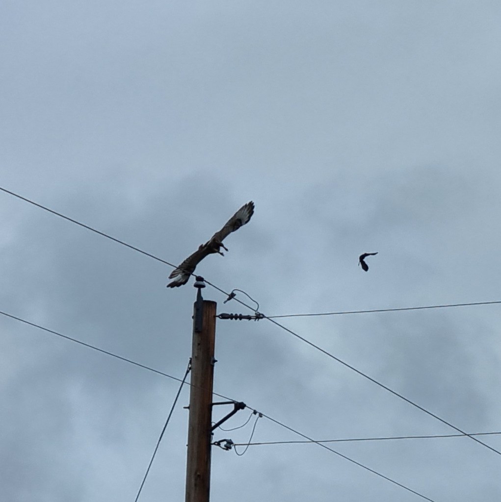
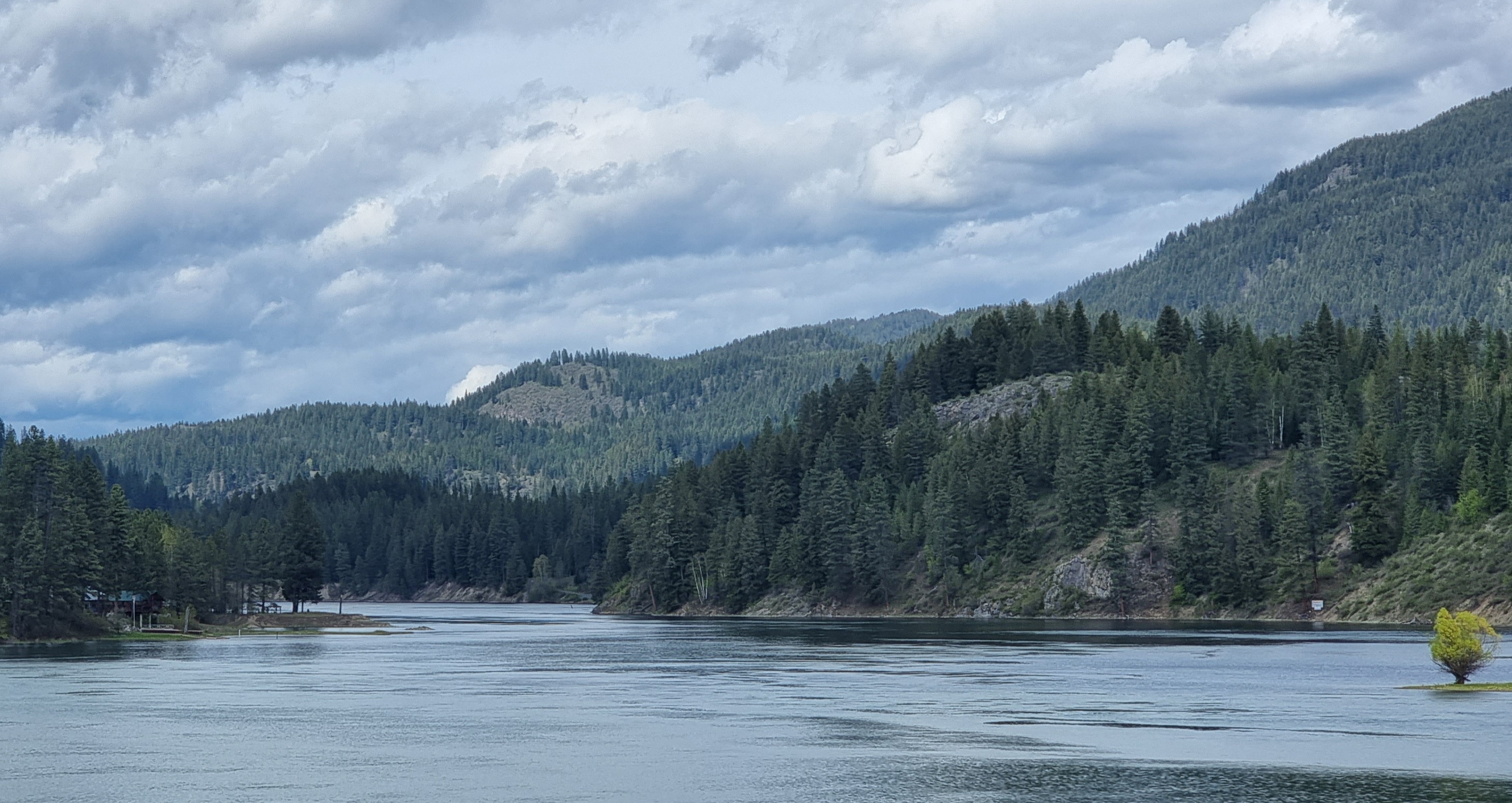
We reached the small town of Tiger & turning North, saw a sign saying we were only 25 miles from the Canadian border. Our destination for tonight was now only 5 miles away – the small town of Ione (pronounced I-Own) is set on the Pend-Oreille river. You might just spot the osprey in the first photo below if you look carefully.
A military veteran owns a block in town & we visited the gas station to check-in & pick up our key. Once again, the people we met were incredibly friendly & genuinely interested in our adventure. We were just getting ourselves organised to head to our room for the night, when someone ran out of the gas station. Emmet came & introduced himself & asked our names, then said that we were the first people from the UK he’d ever met. It was a truly heart-warming moment.
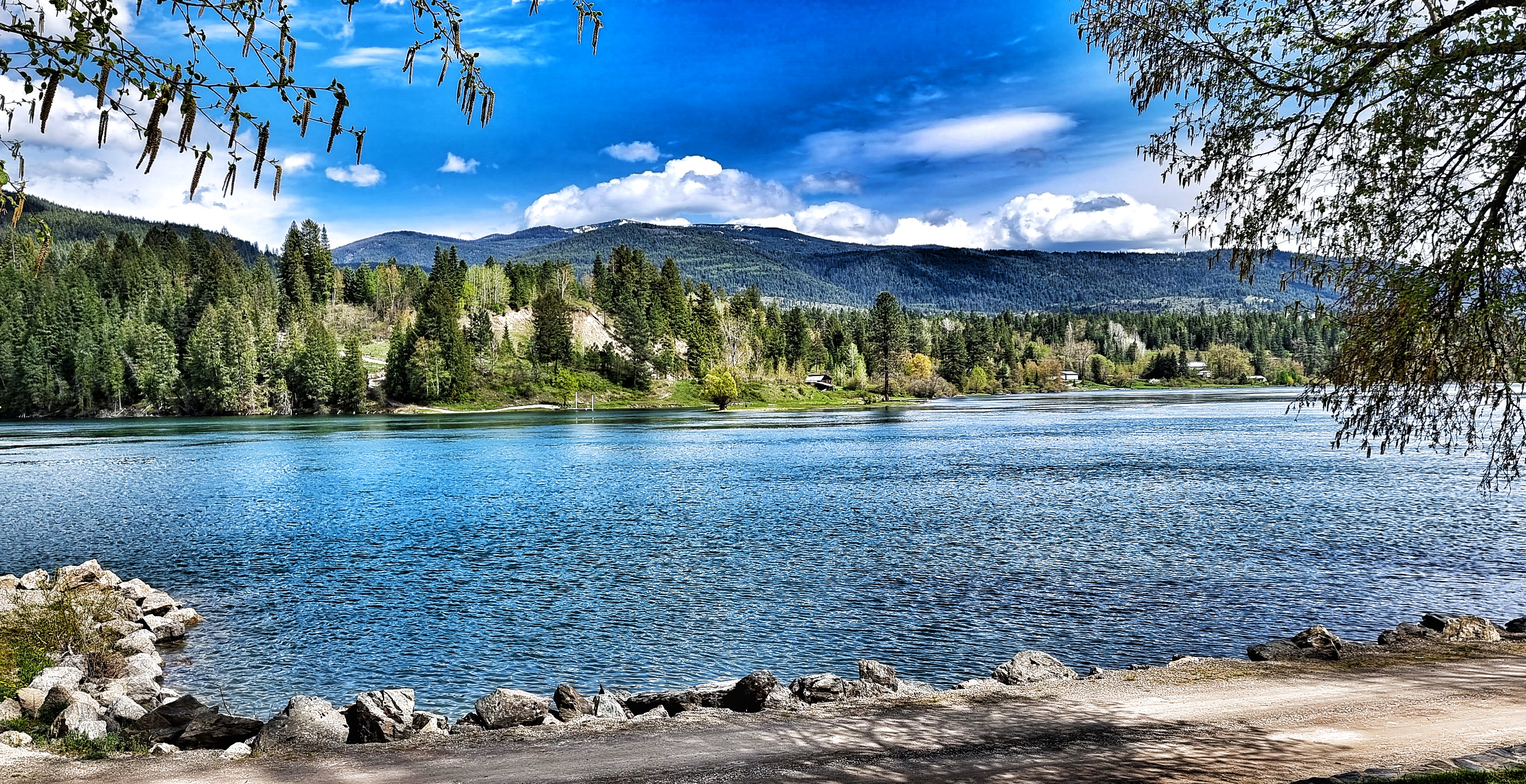
Emmet suggested we take a few minutes to visit the local park which was only a short way from our hotel room – I’m so glad we took his advice, it was such a peaceful spot that provided the perfect end to the day’s ride.

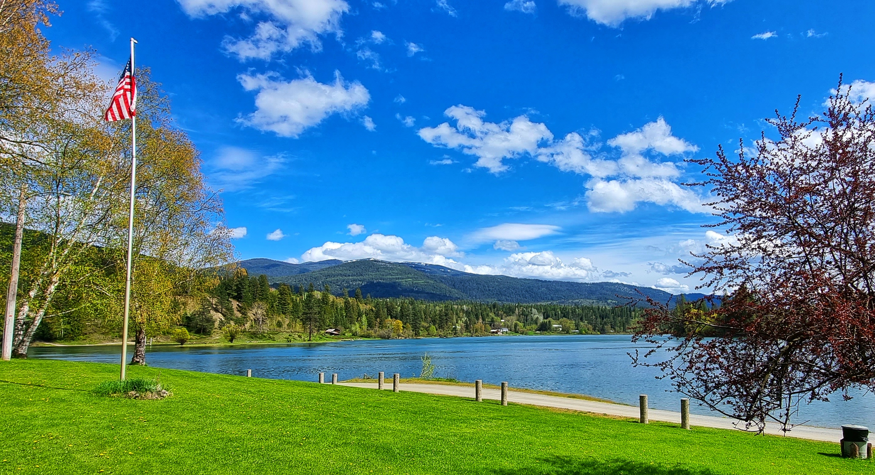
Our room in Porter’s Plaza Motel was exactly what we needed after last night’s Cell Block H shenanigans! There was lots of room for us, our kit & our bikes, while the supermarket was right across the road for dinner & breakfast supplies. We sat on the balcony watching the sun go down as we enjoyed homemade cheese & turkey sandwiches!
Stage Stats – 43 miles, 2.618 feet of climbing. A rolling stage with a big descent to end the day.