Redwood Falls to Minneapolis

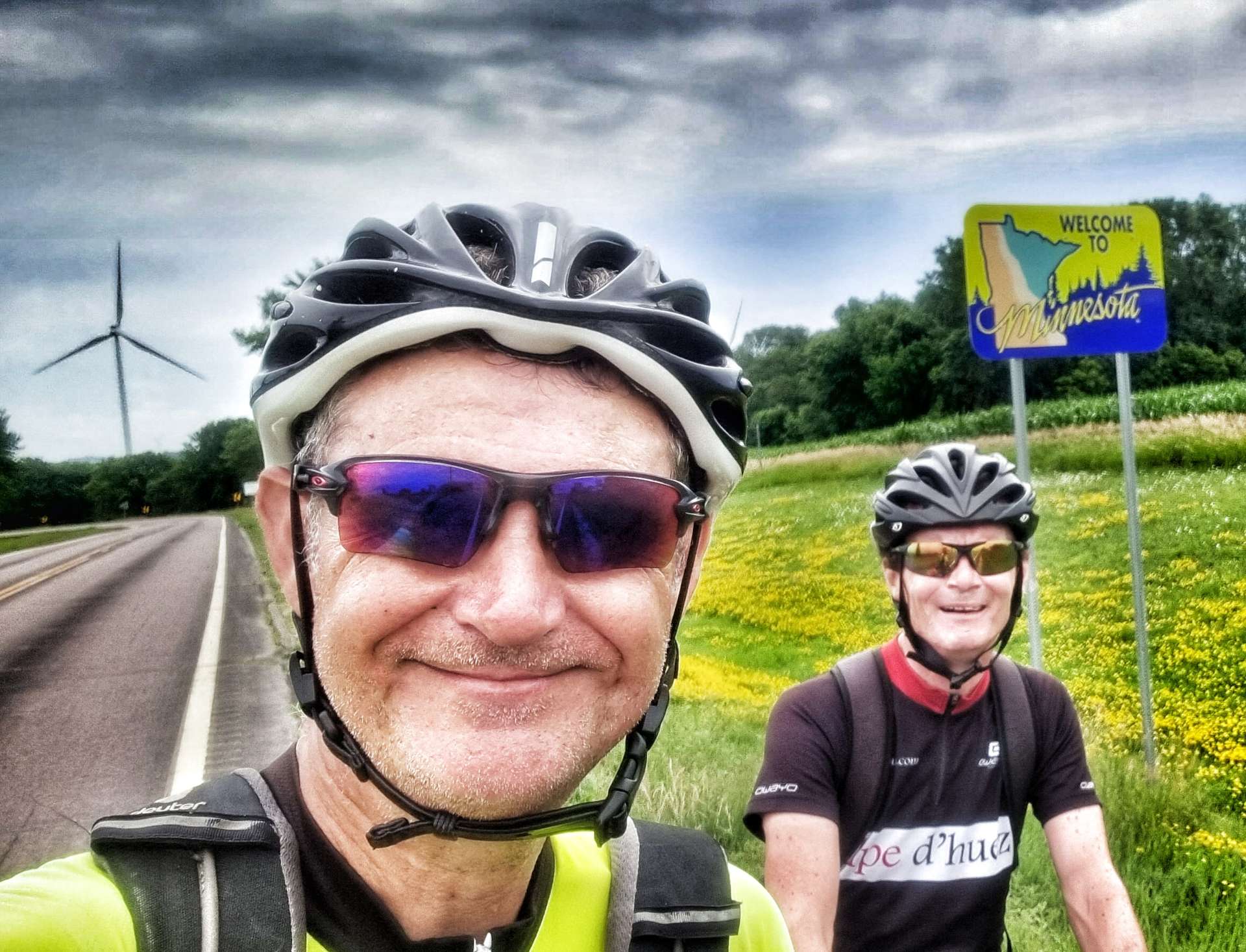
Monday 18th July to Tuesday 19th July – Stages 62 & 63.

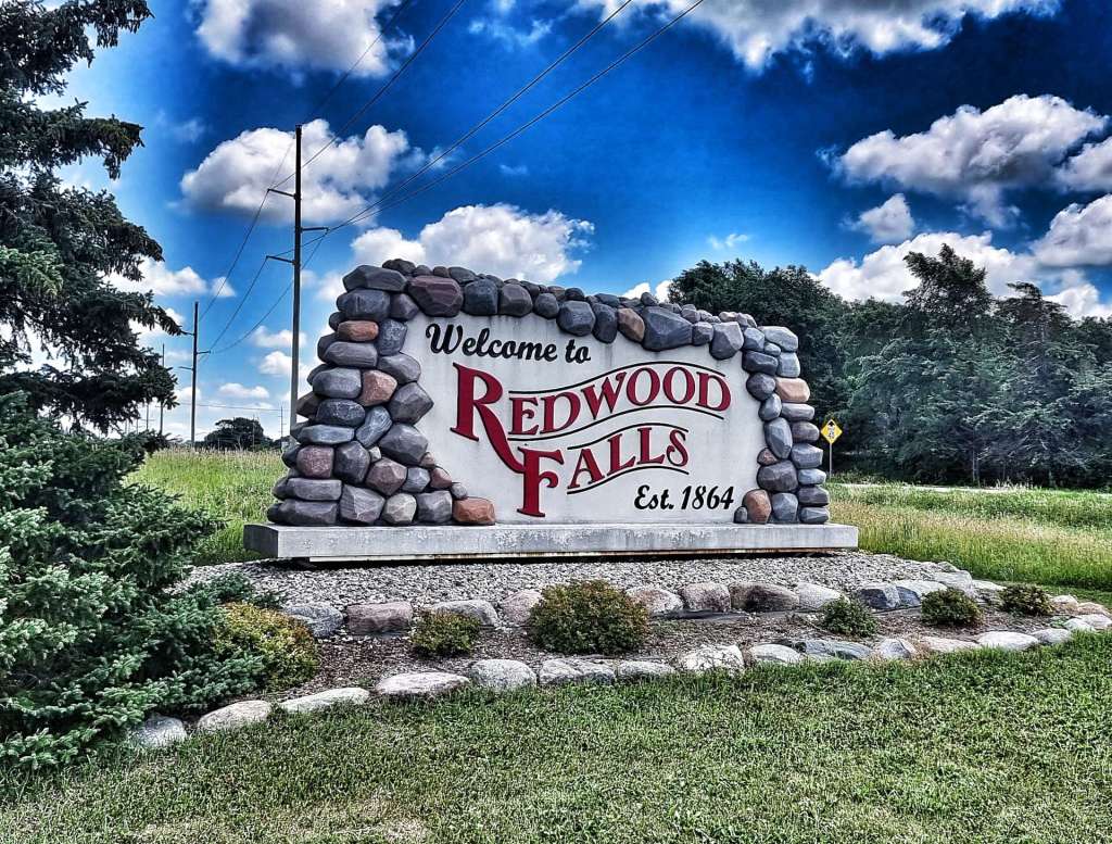
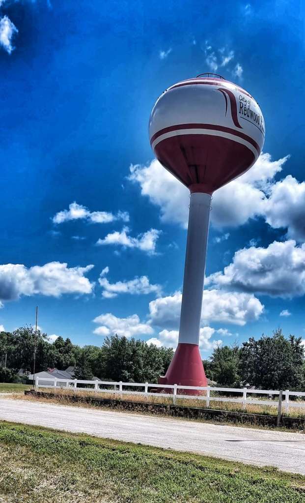
Monday 18th July – Redwood Falls to Hutchinson (Stage 62)

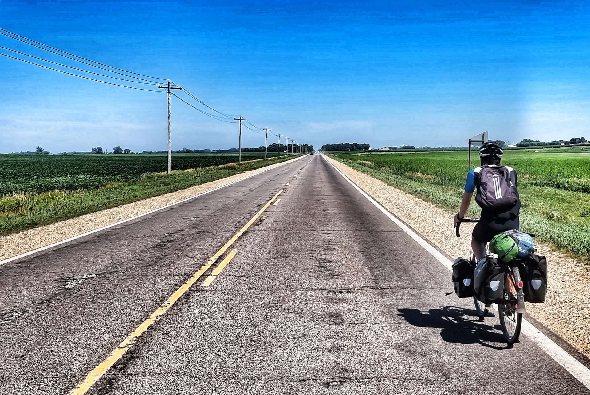
We were on our way by 9am, so we could complete today’s ride before the stifling heat that was forecast for mid-afternoon. As we left town, we passed Memorial Park, which displayed a decommissioned Sherman M4A3 tank in memory of World War 2.

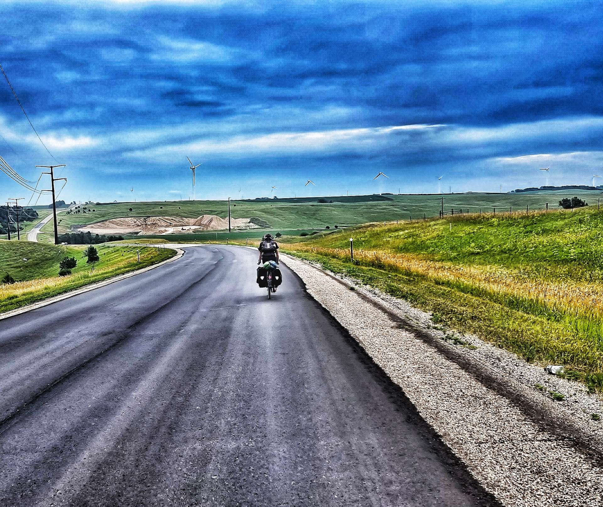
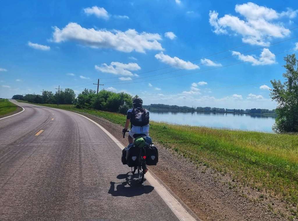
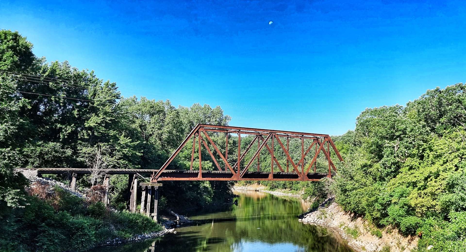
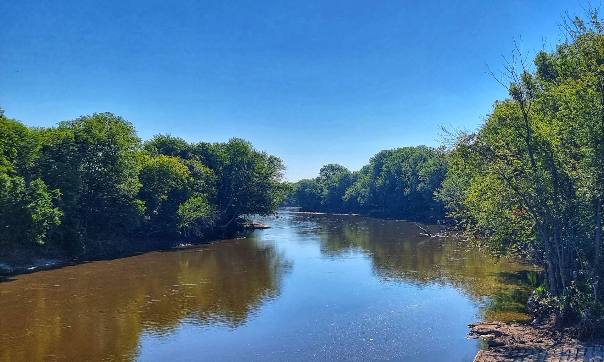
There was a steep descent in the first few miles as we had to cross the Minnesota River. We then had a short, but fairly steep climb up the opposite side of the valley.

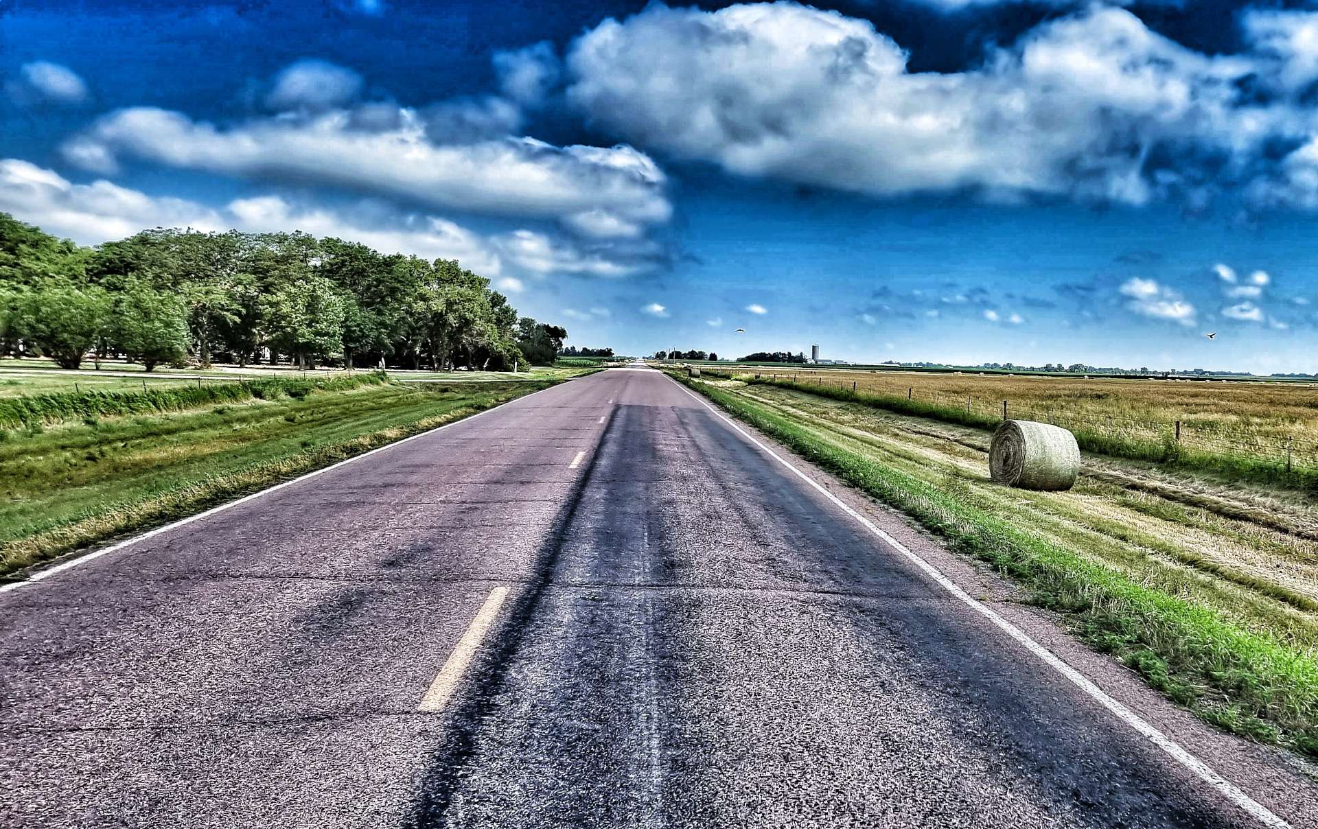
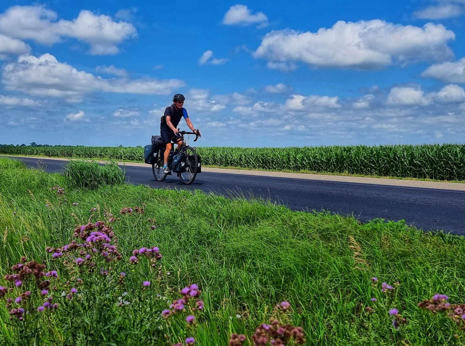
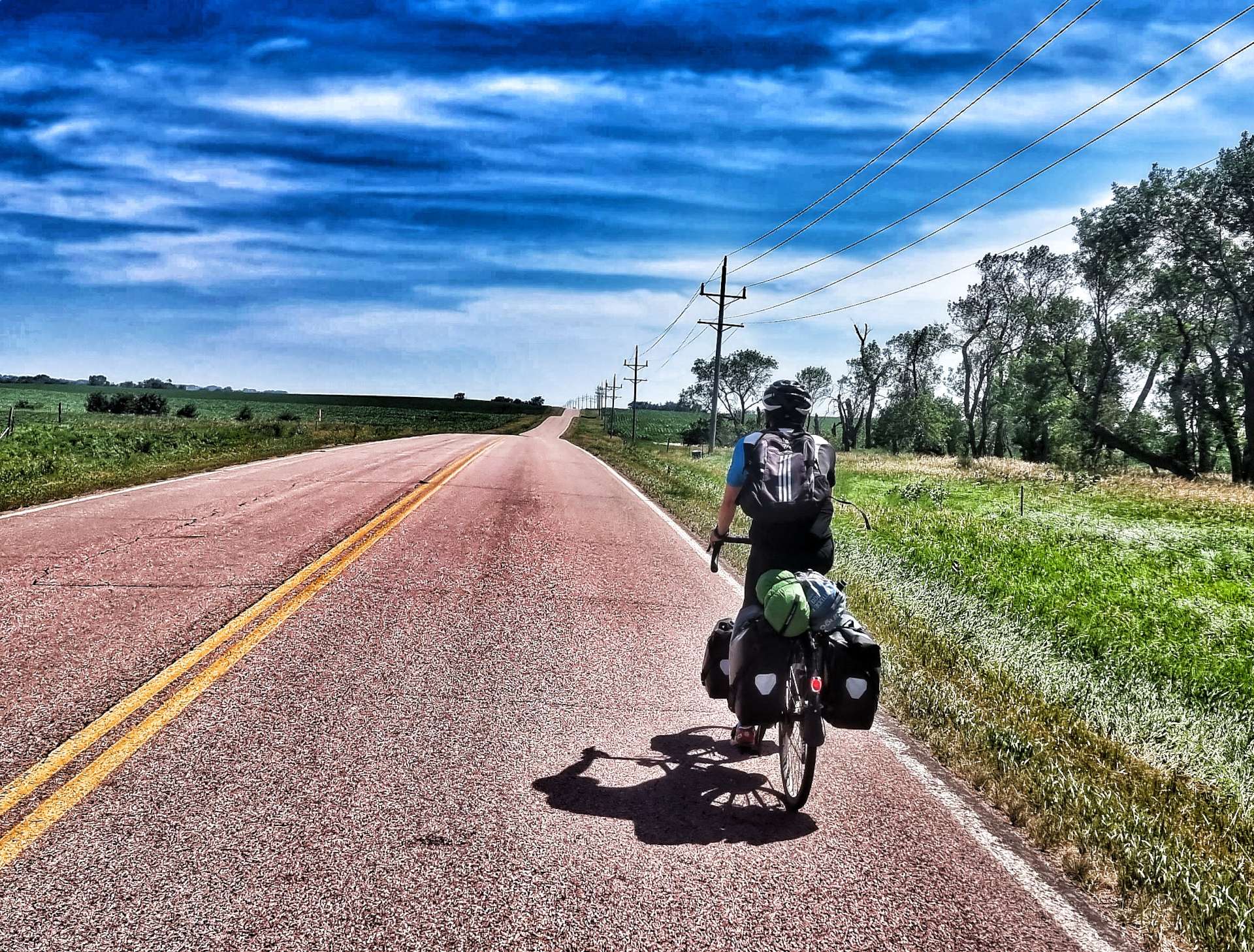
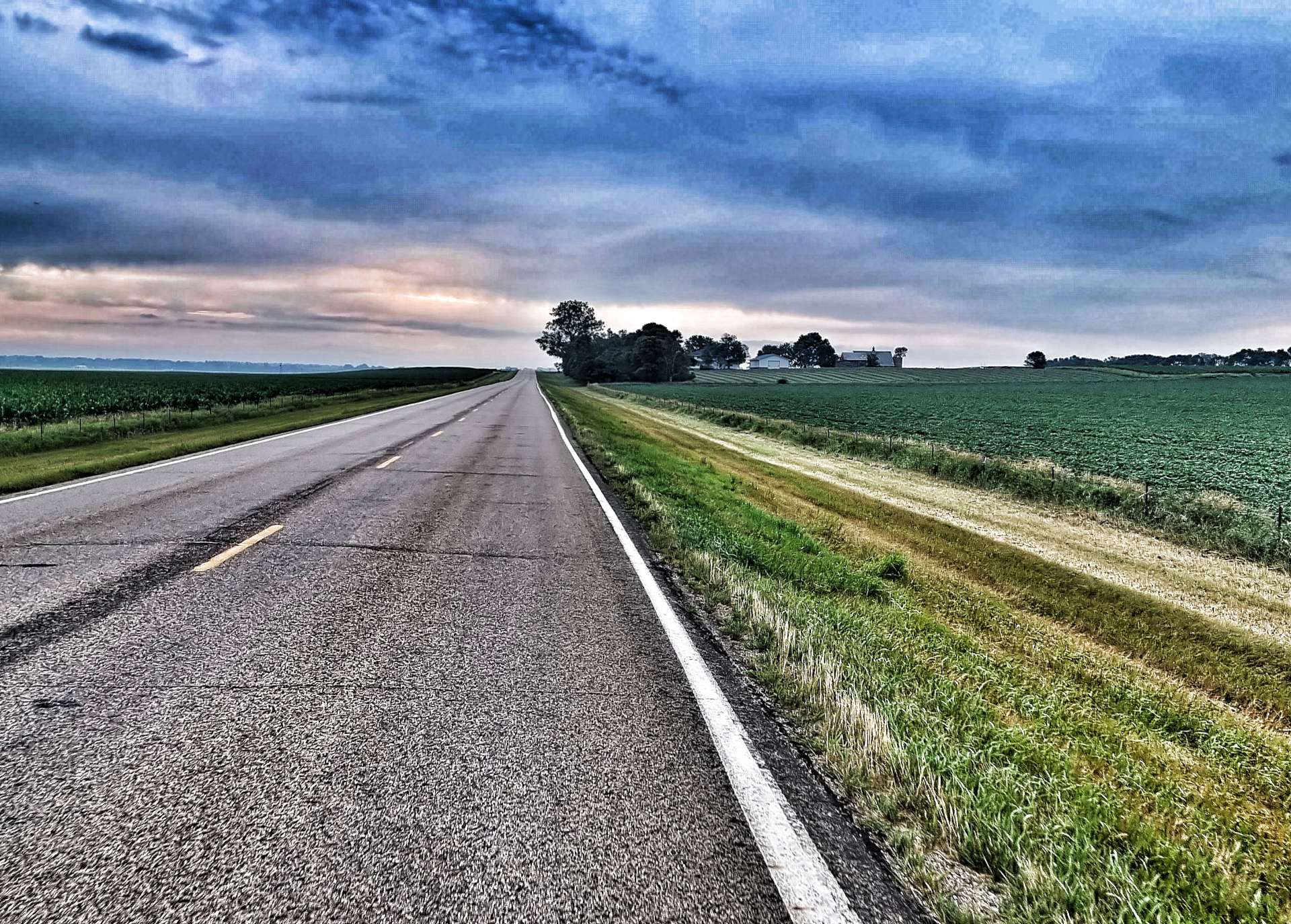
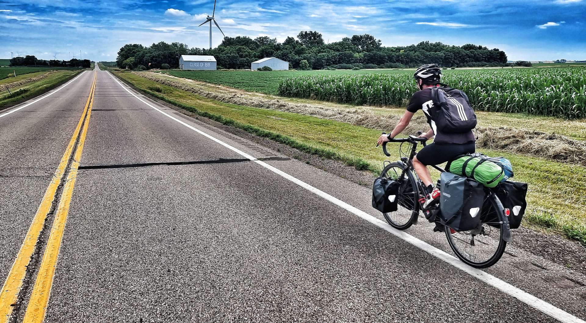
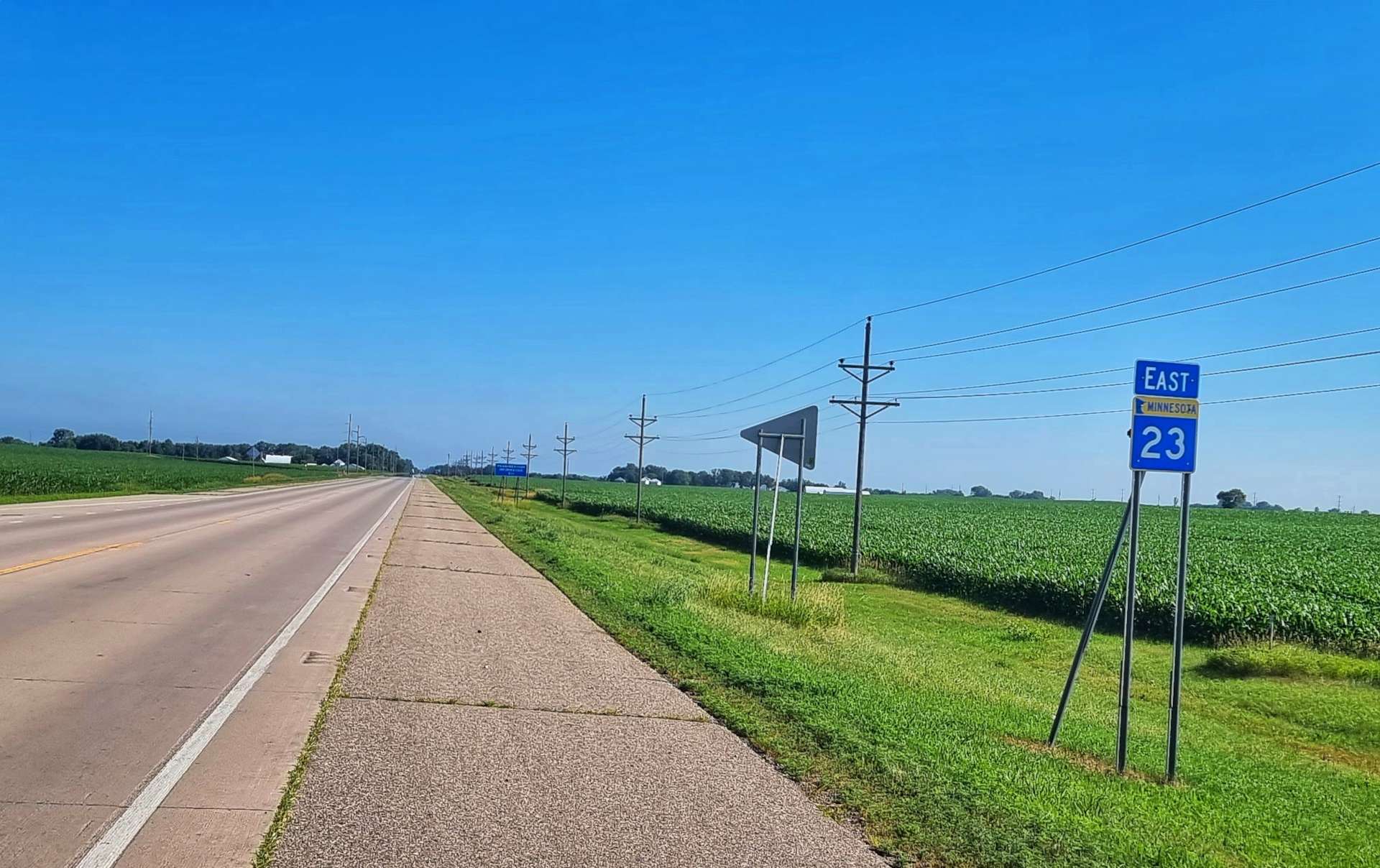
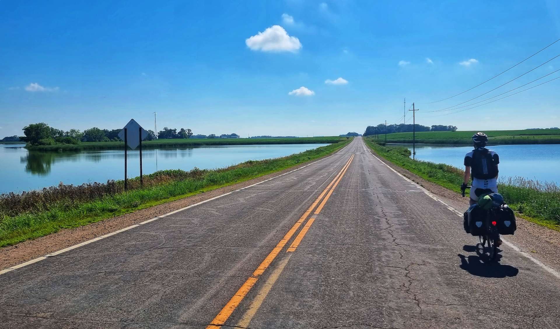
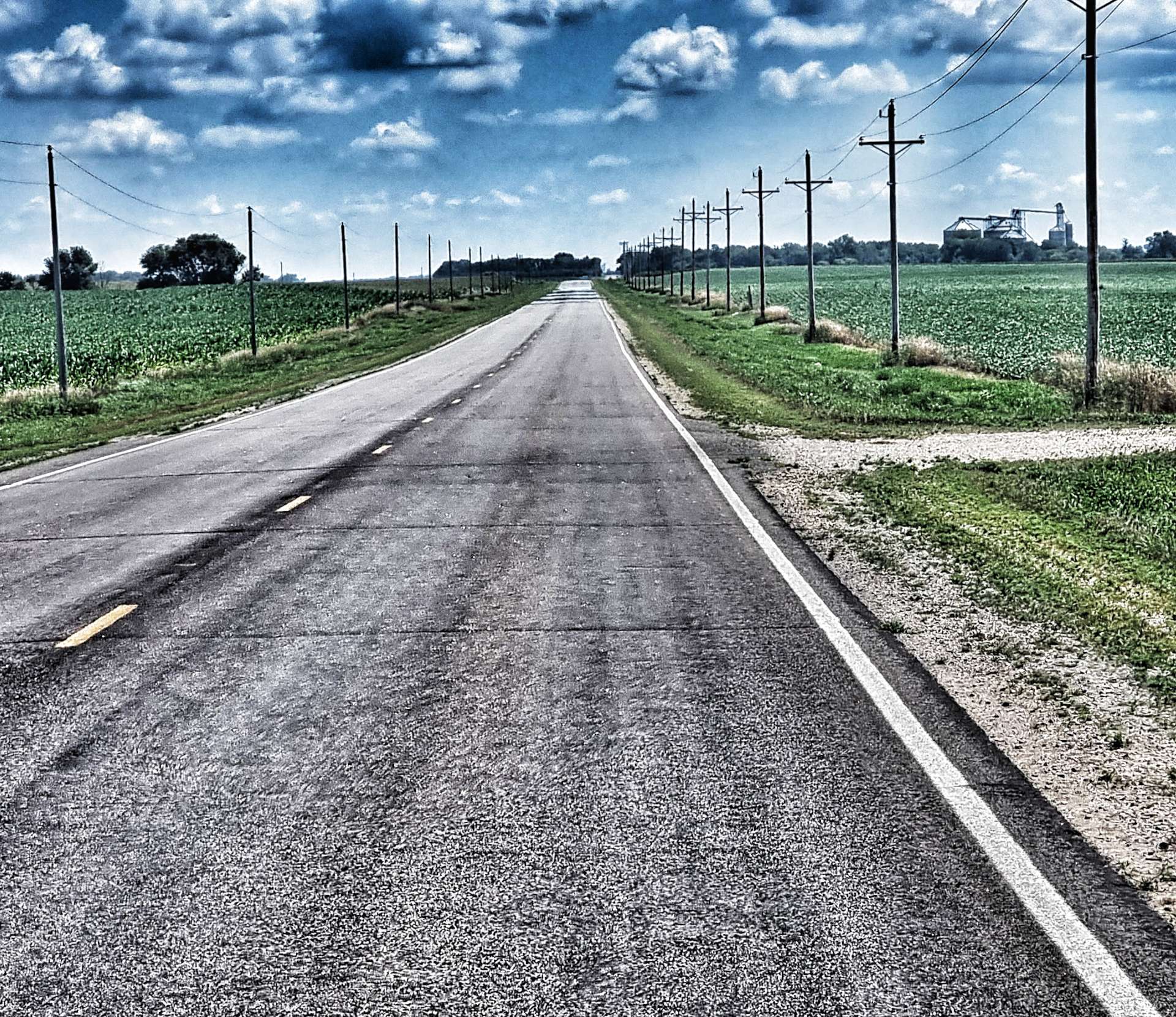
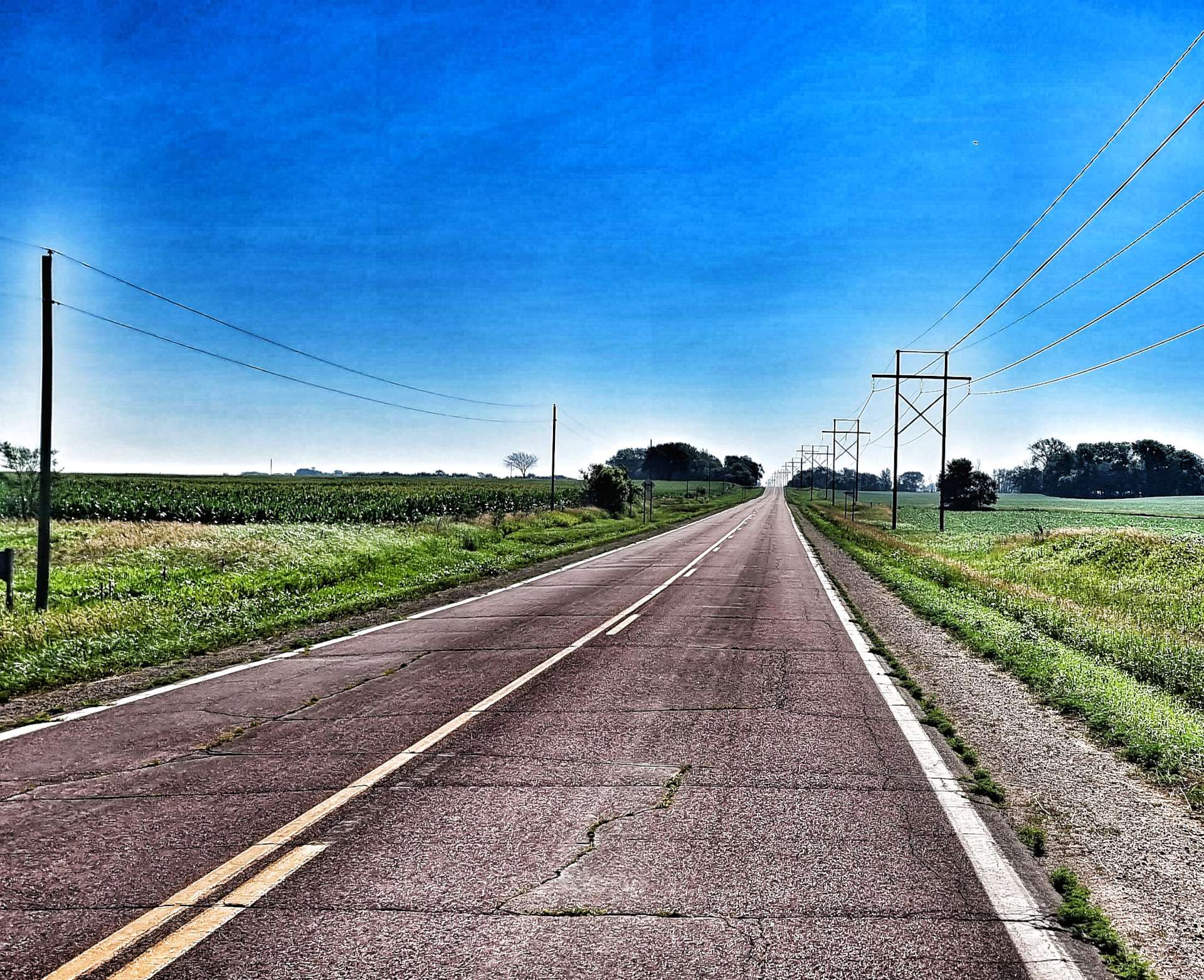
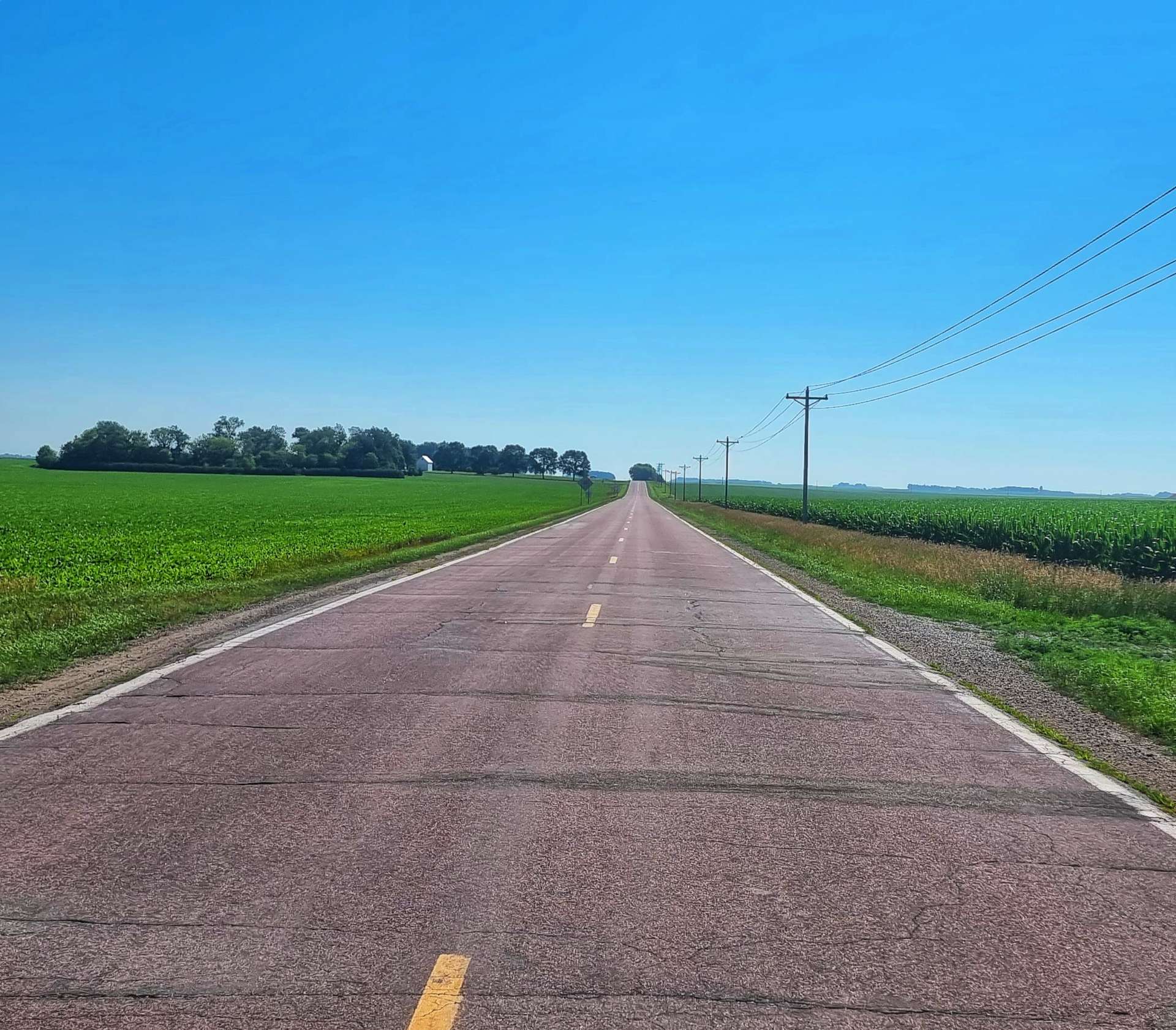
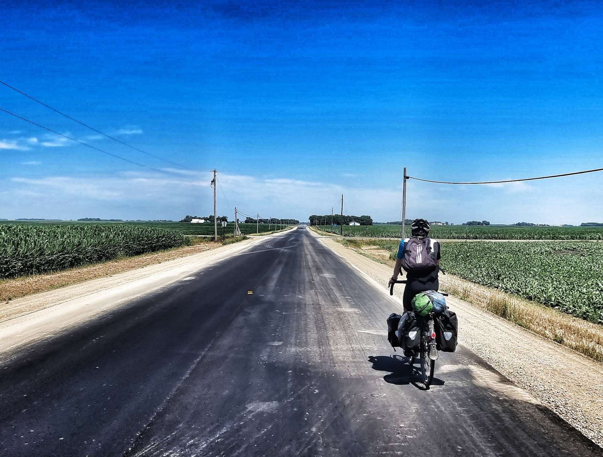
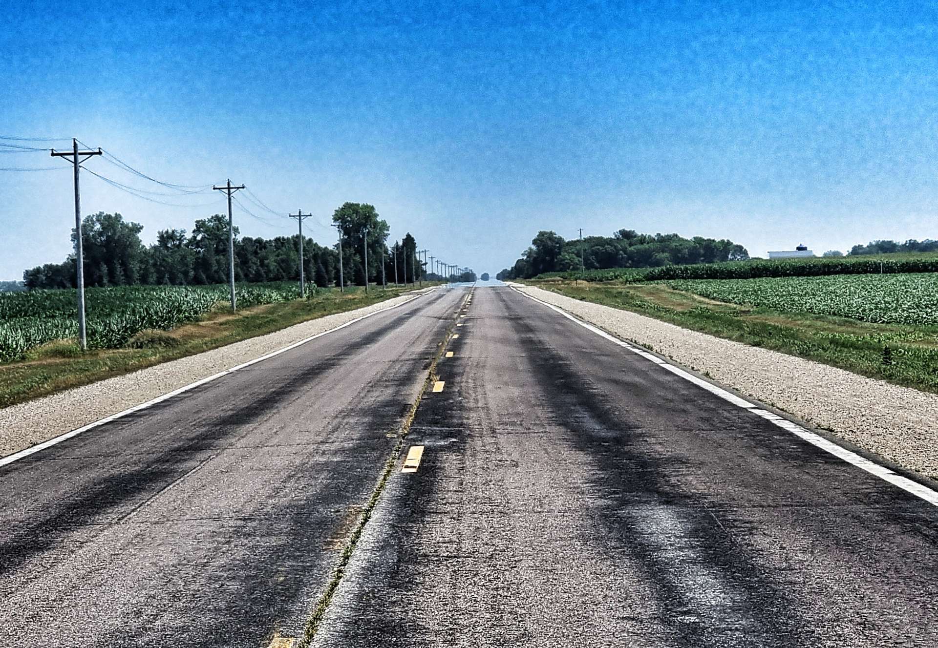
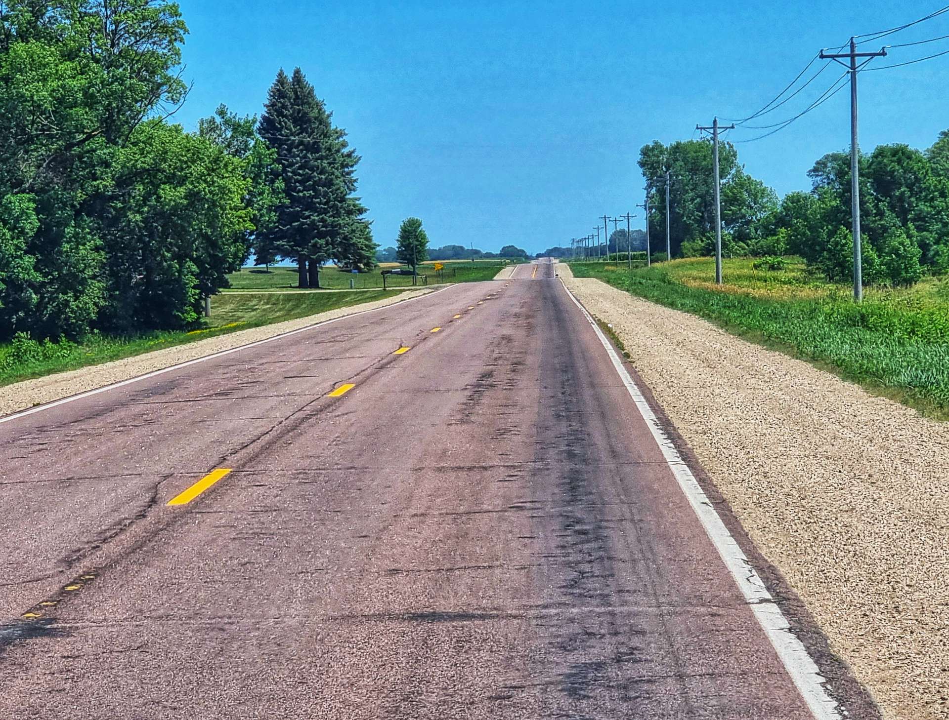
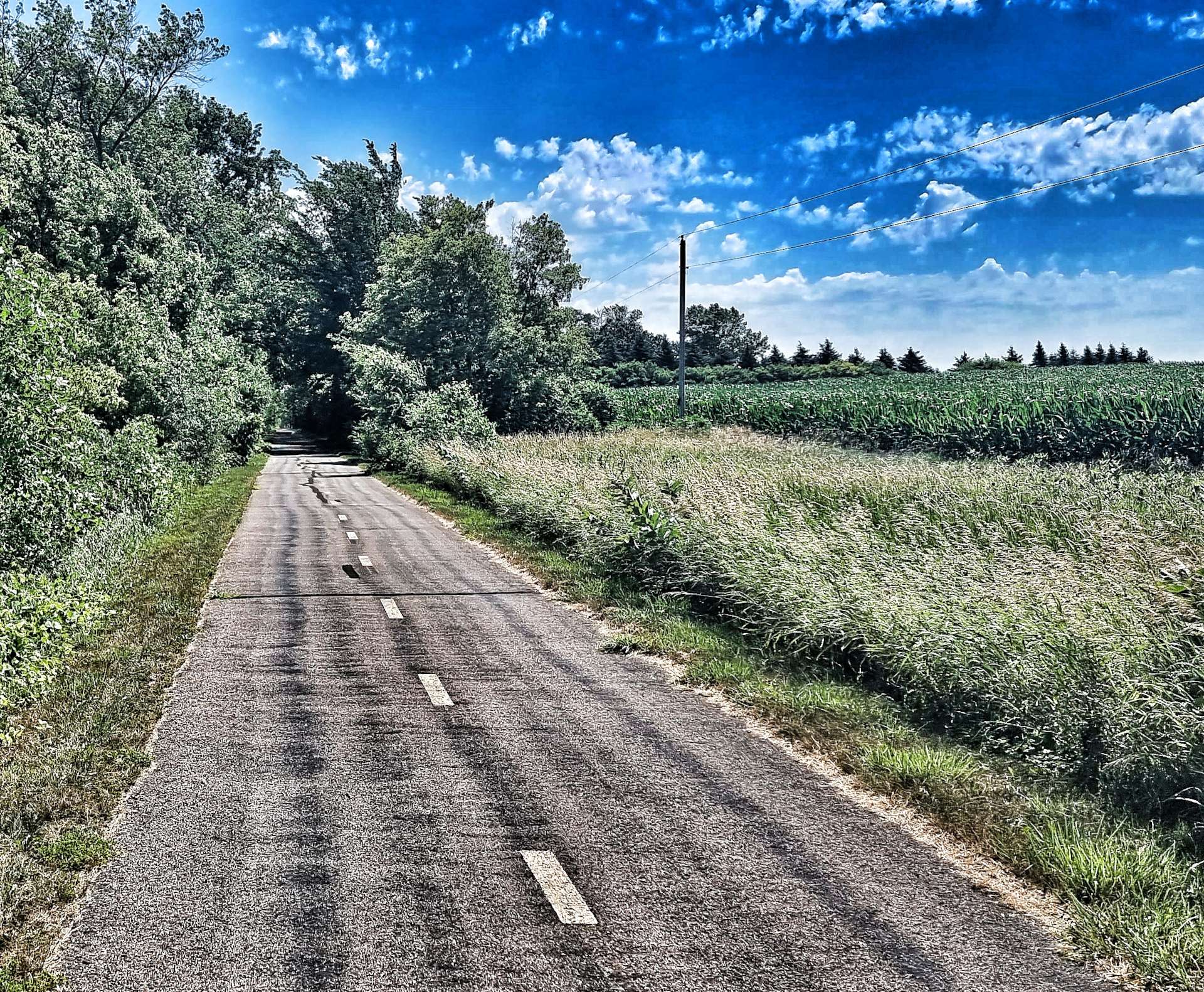
Having conquered the climb, we returned to a familiar landscape of a long, straight road, penned in by maize & wheat fields.

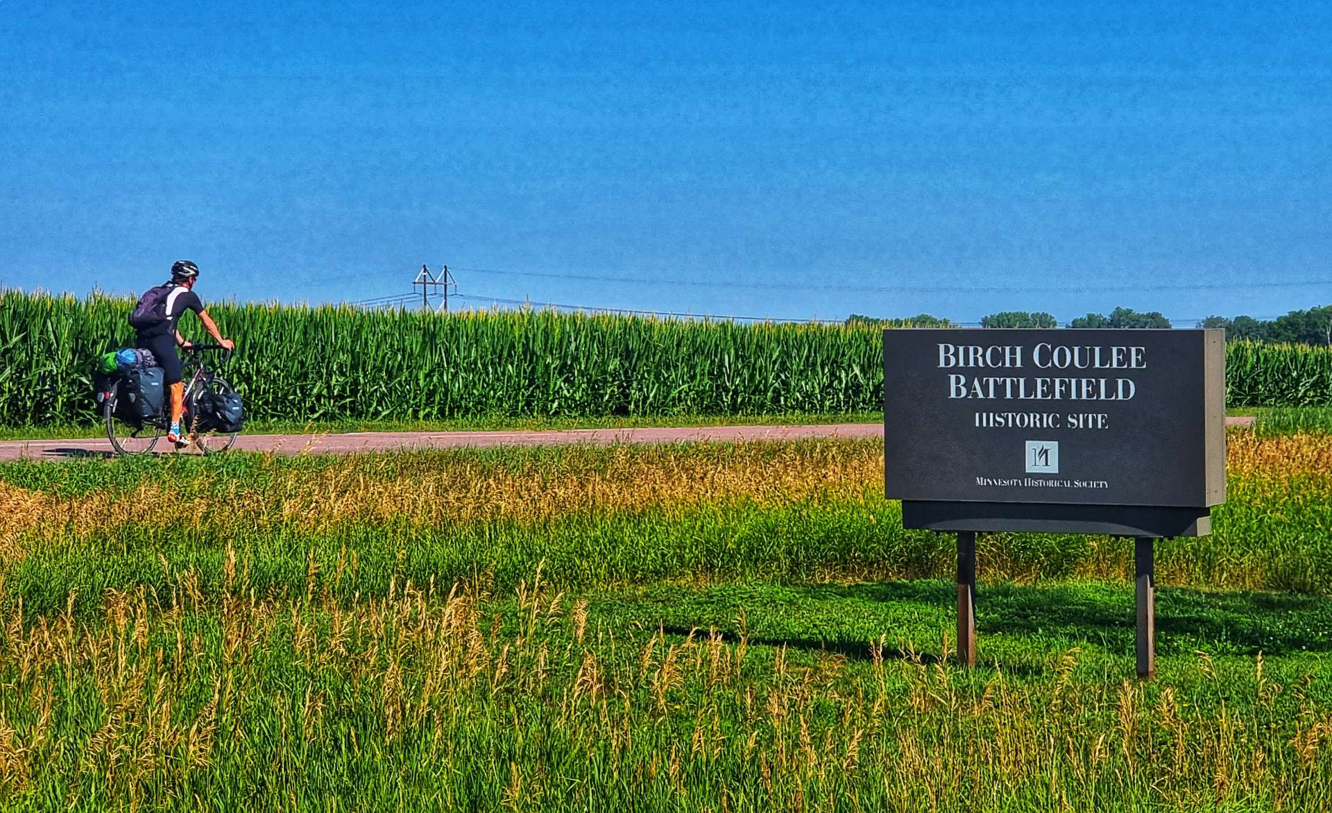
Out of the blue we stumbled across the Birch Coulee Battlefield Historical Site. It was listed in the National Register of Historic Places in 1973 & commemorates the costliest military engagement for US forces during the Dakota War of 1862.

Overnight on 1st September 1862, 200 Dakota Warriors surrounded 170 US Troops & civilian support staff. Within the first hour of the siege, the Dakota had killed most of the horses, prevented the US Troops from escaping. The siege lasted a total of 31 hours & at the end of it, the US forces had lost 13 Soldiers, 50 were wounded & 90 horses had been killed in the battle. More horses & men died from their wounds afterwards. The Dakota lost 2 of their Warriors.

The historic site has self-guided trails & markers interpreting the battle from both sides.

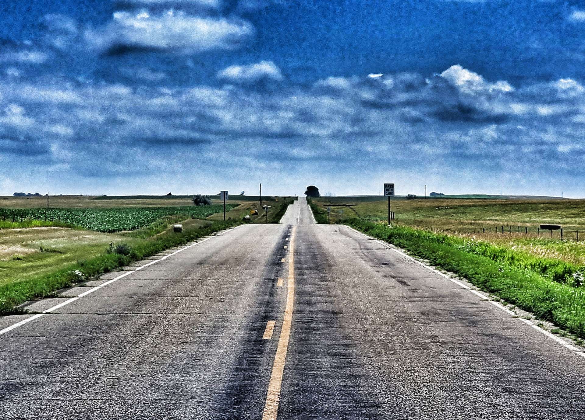
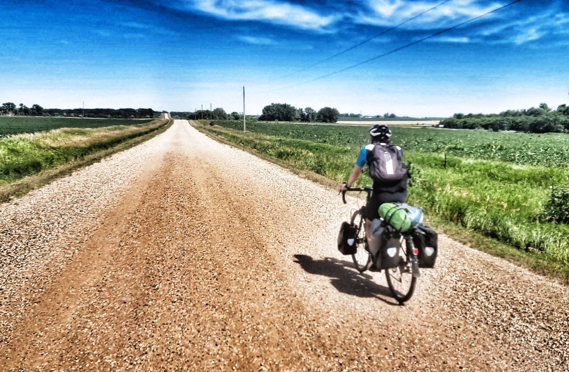
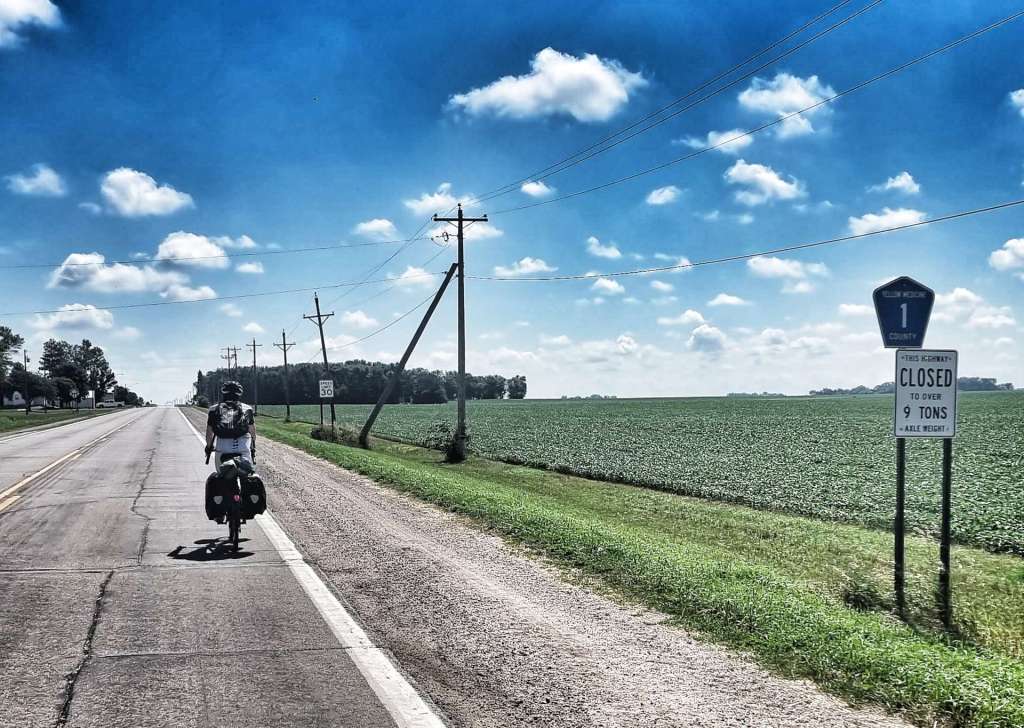
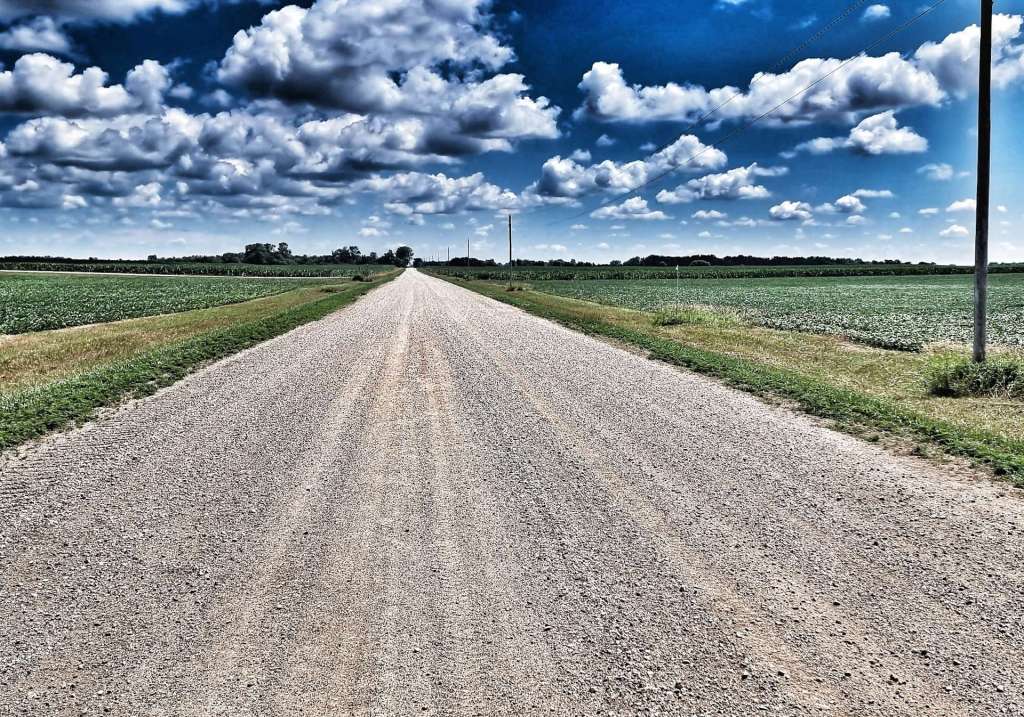
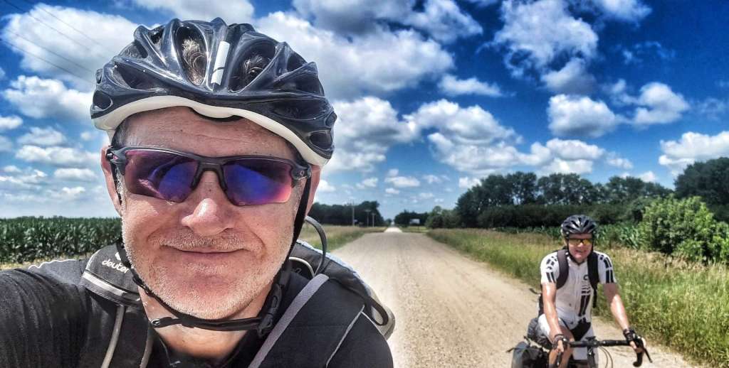
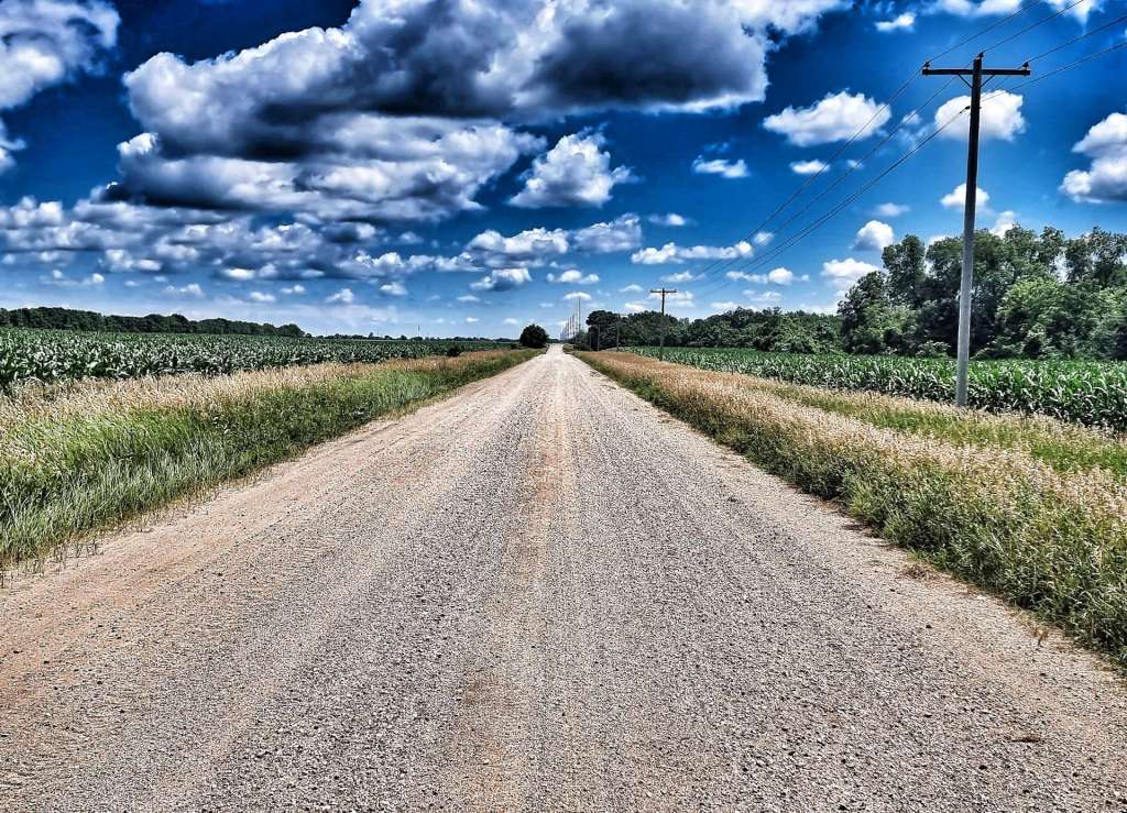
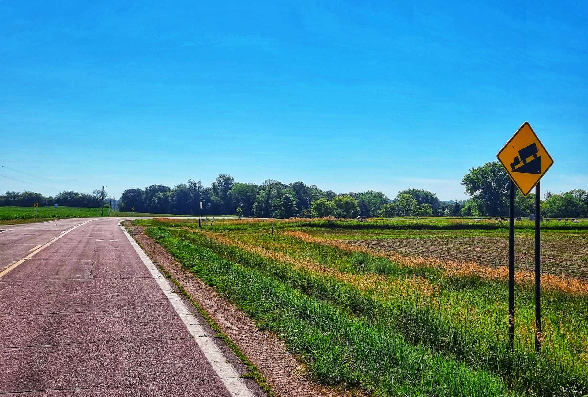
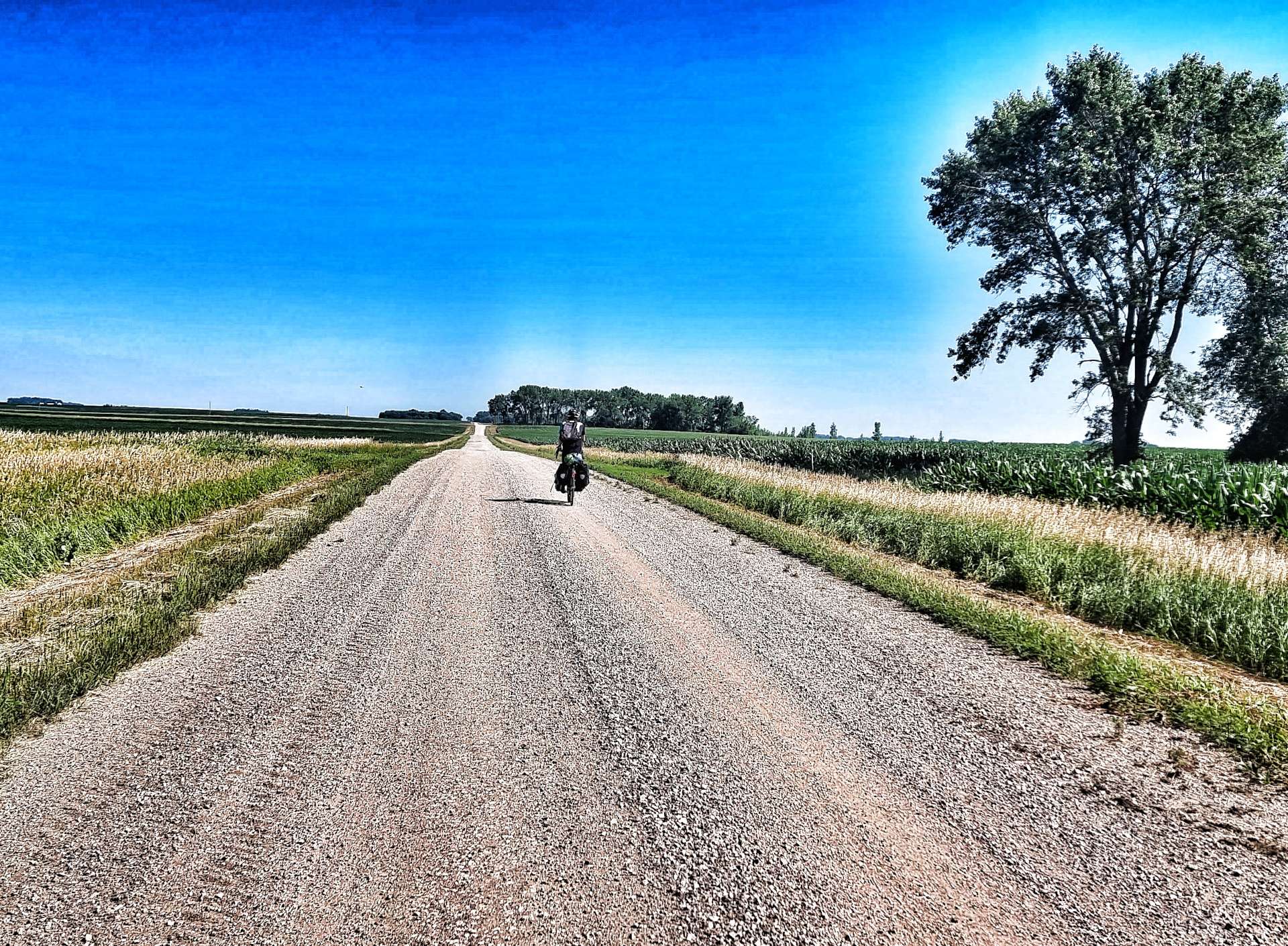
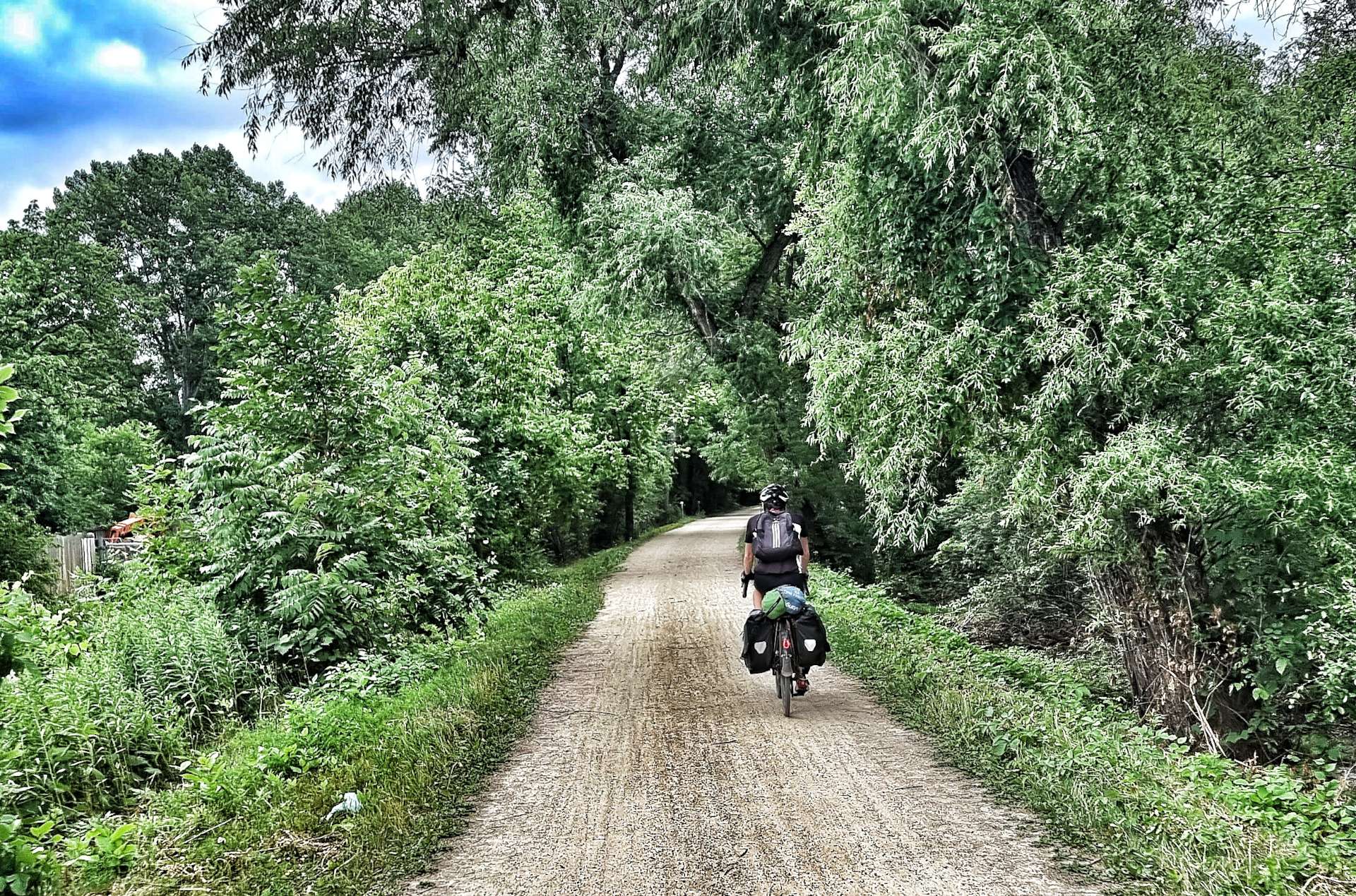
Our next surprise was a section where the tarmac had been removed (as it was in a bad state of disrepair) & replaced with gravel. The Minnesota Department of Transport estimates that almost 50% of all its public roads are gravel, so I guess we shouldn’t have been surprised! We briefly returned to paved tarmac, but it didn’t last long as the road had been dug up to lay drainage pipes & we had to take a detour…..on more gravel!

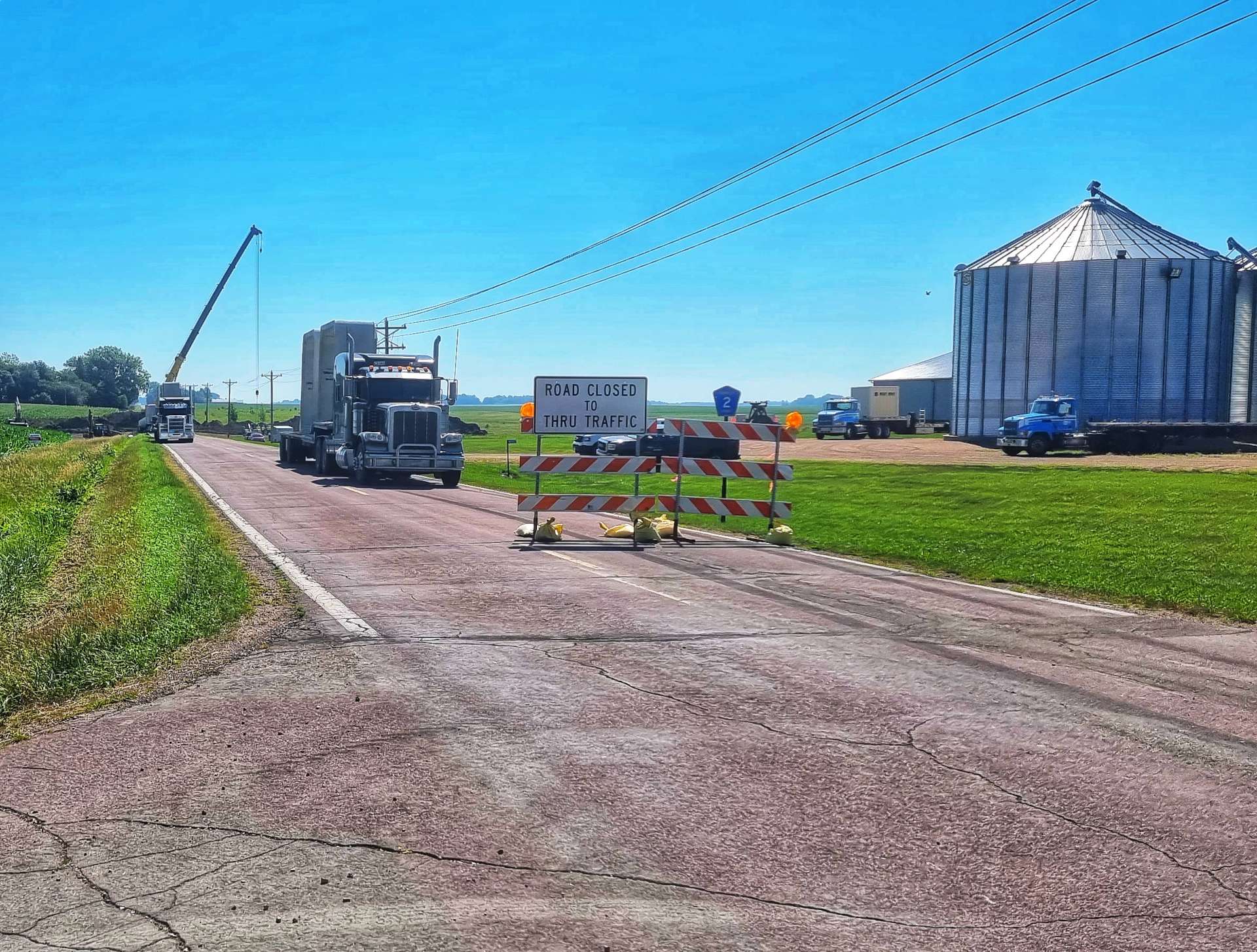
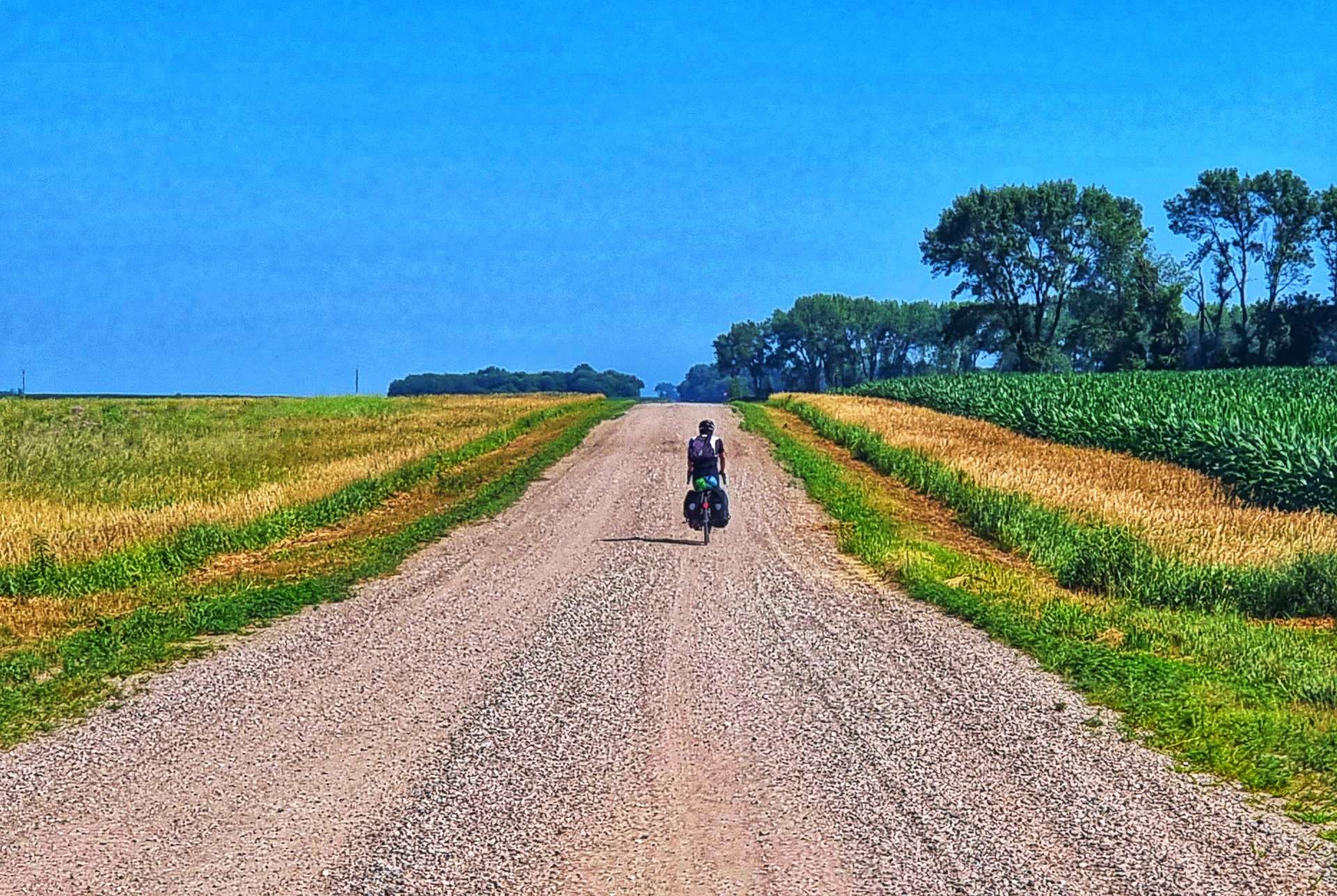
I carefully map every stage, so we know what to expect & I’d managed Sean’s expectations at the start of the day with the statement “Good news, we’re on tarmac all day!”. As you can see below, we weren’t. However, we’re on an adventure & we don’t let a bit of gravel ruin our day – plus, I’m beginning to enjoy riding gravel now I feel a bit more confident riding on it!!!

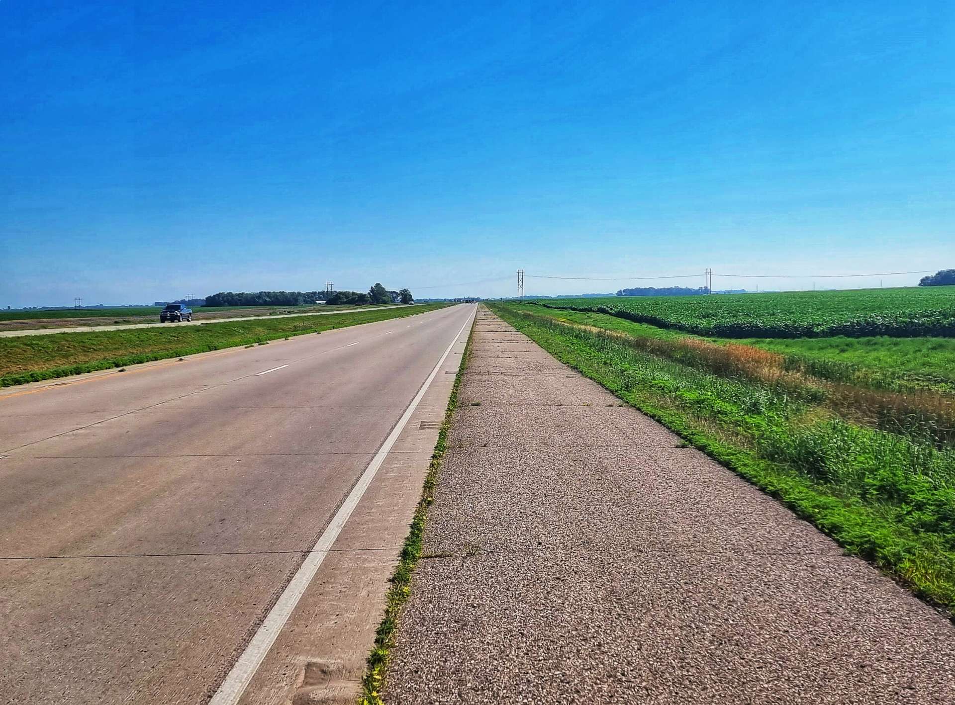
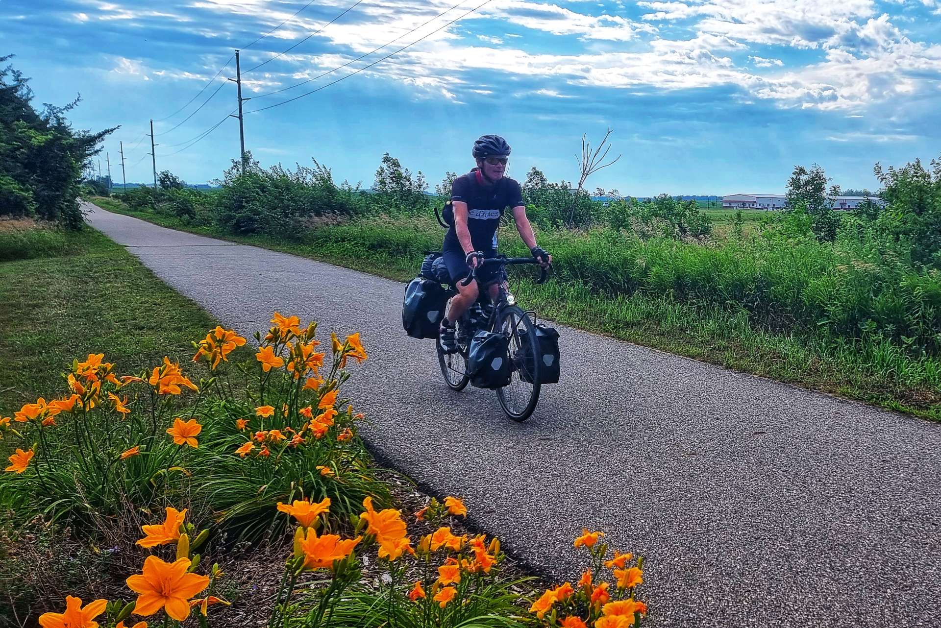
After about 7 or 8 miles we returned to tarmac & picked up a slight tailwind as we headed North towards Buffalo Lake – this was our one & only hope for a coffee stop. Sadly the gas station only sold fuel & the local grocery store didn’t serve coffee. We settled for an ice cream each from the freezer & a can of coke, plus the obligatory refill of our water bottles.

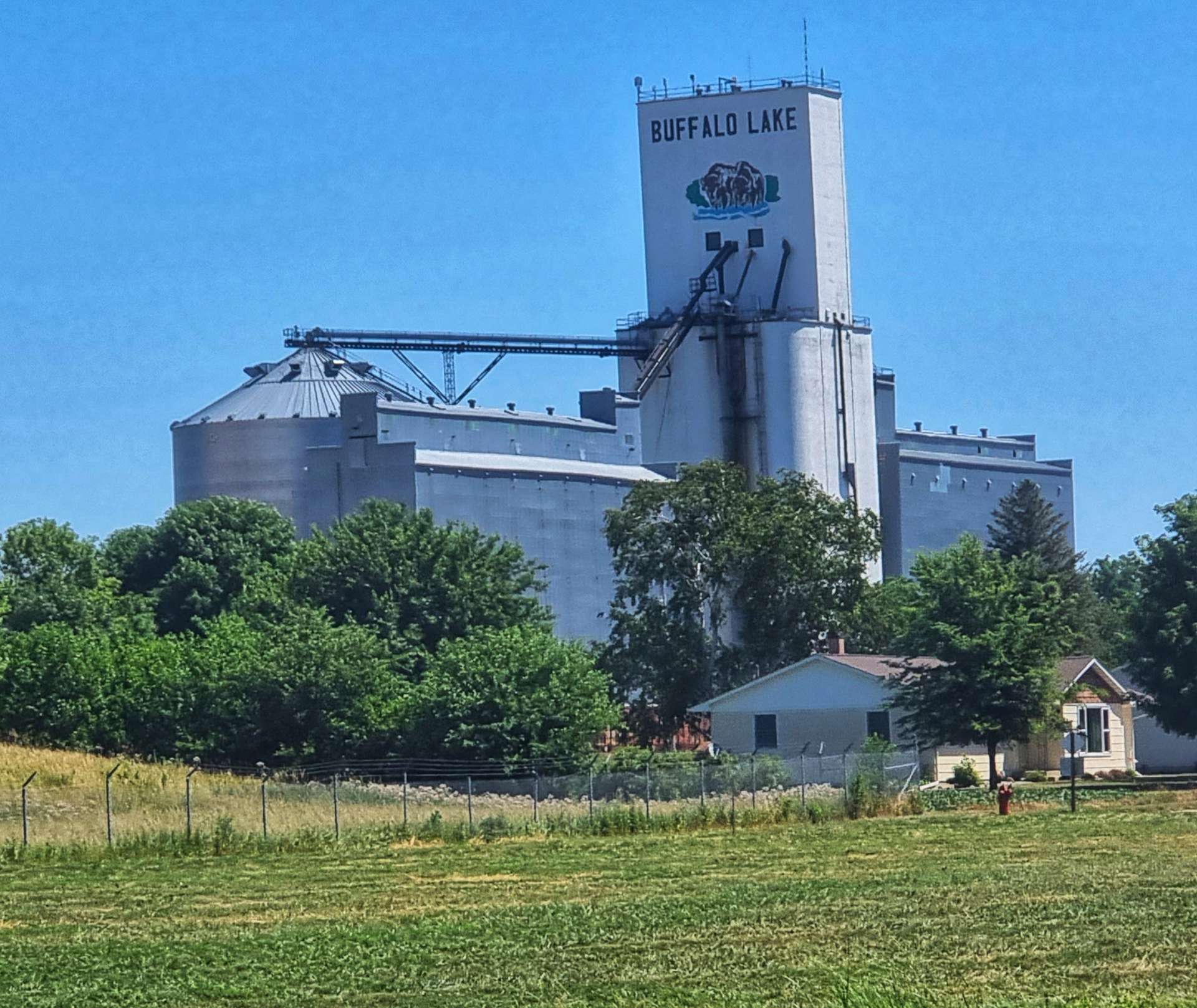
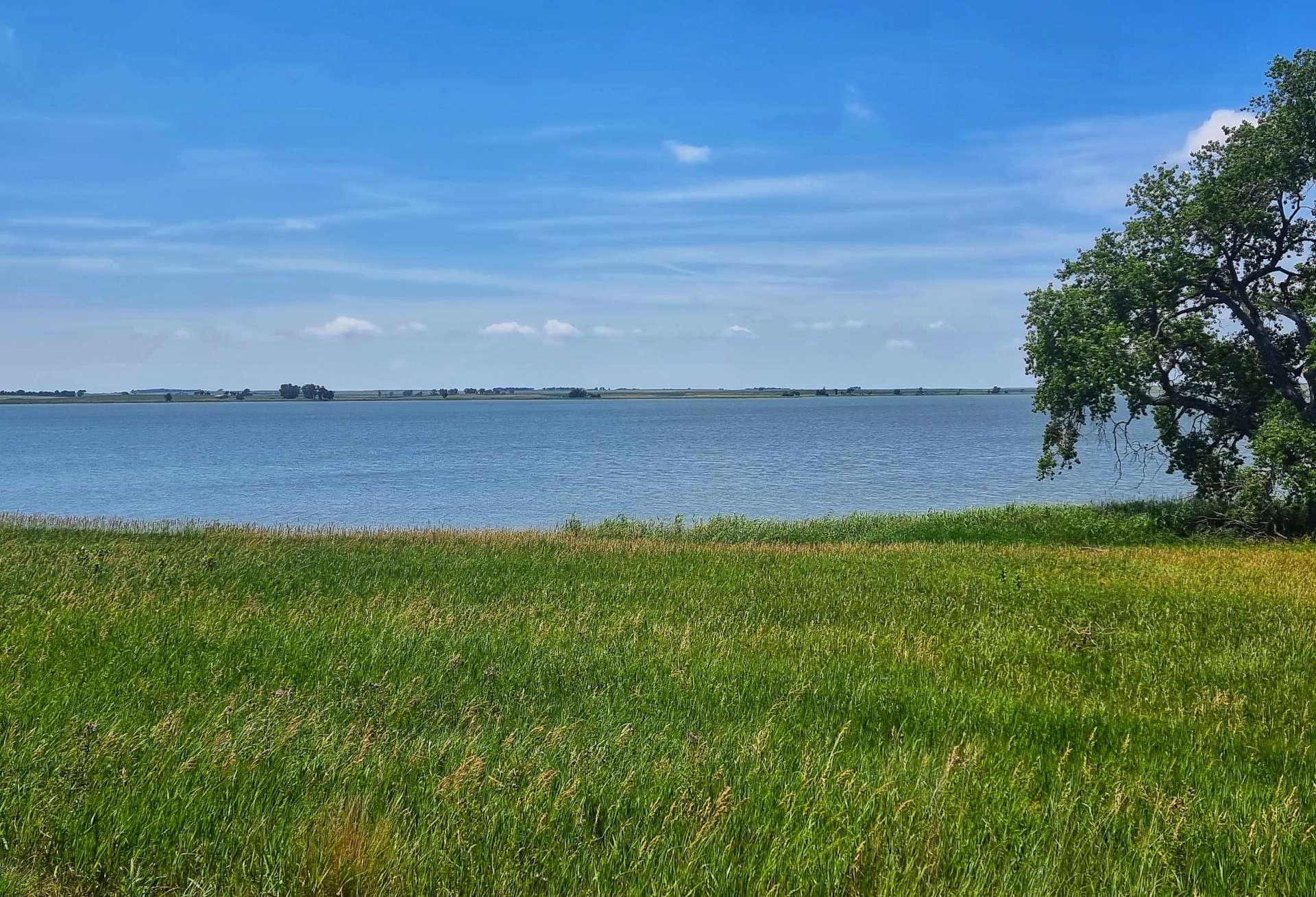
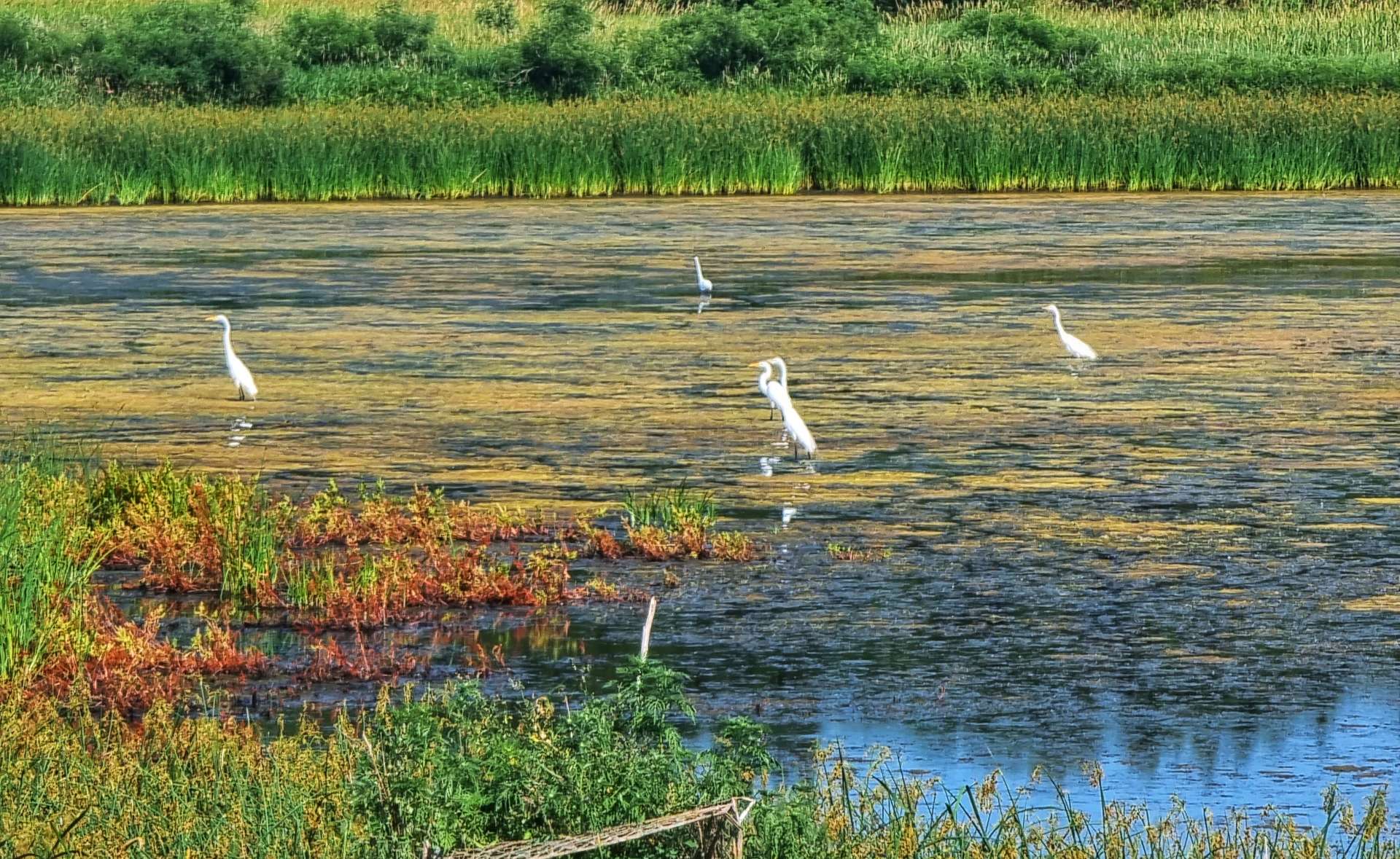
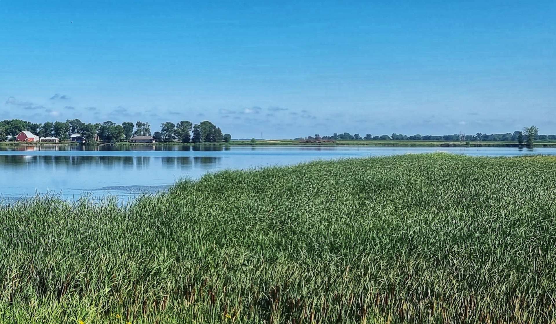
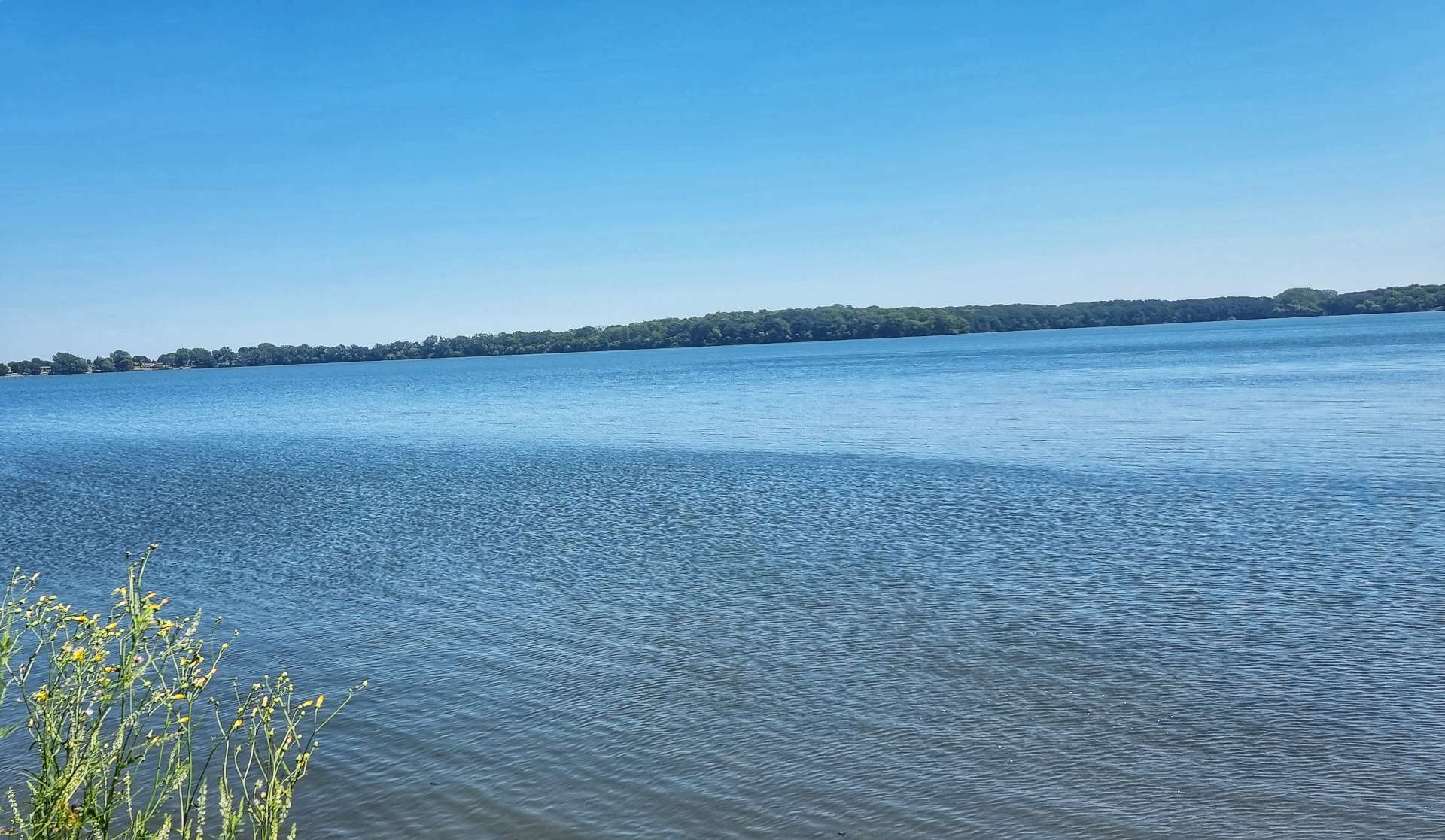
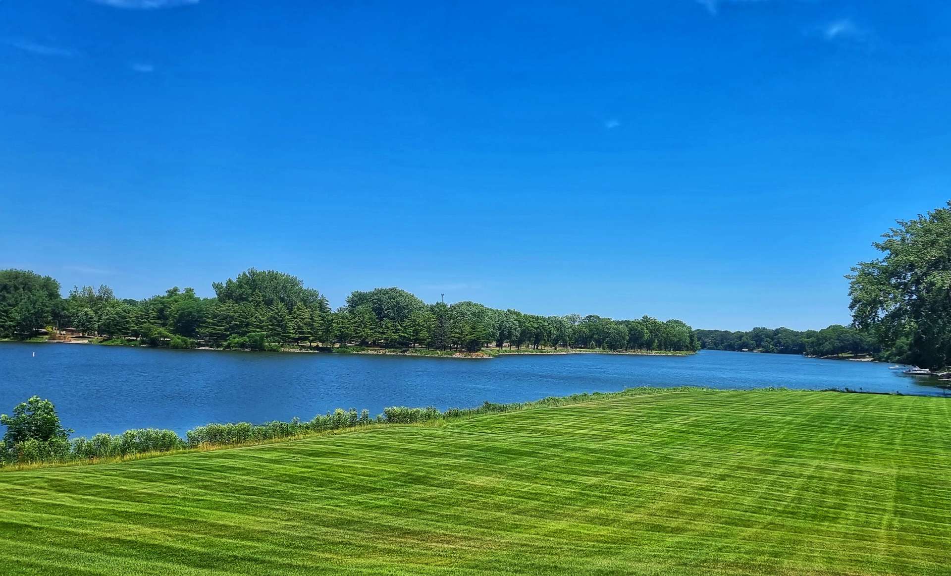
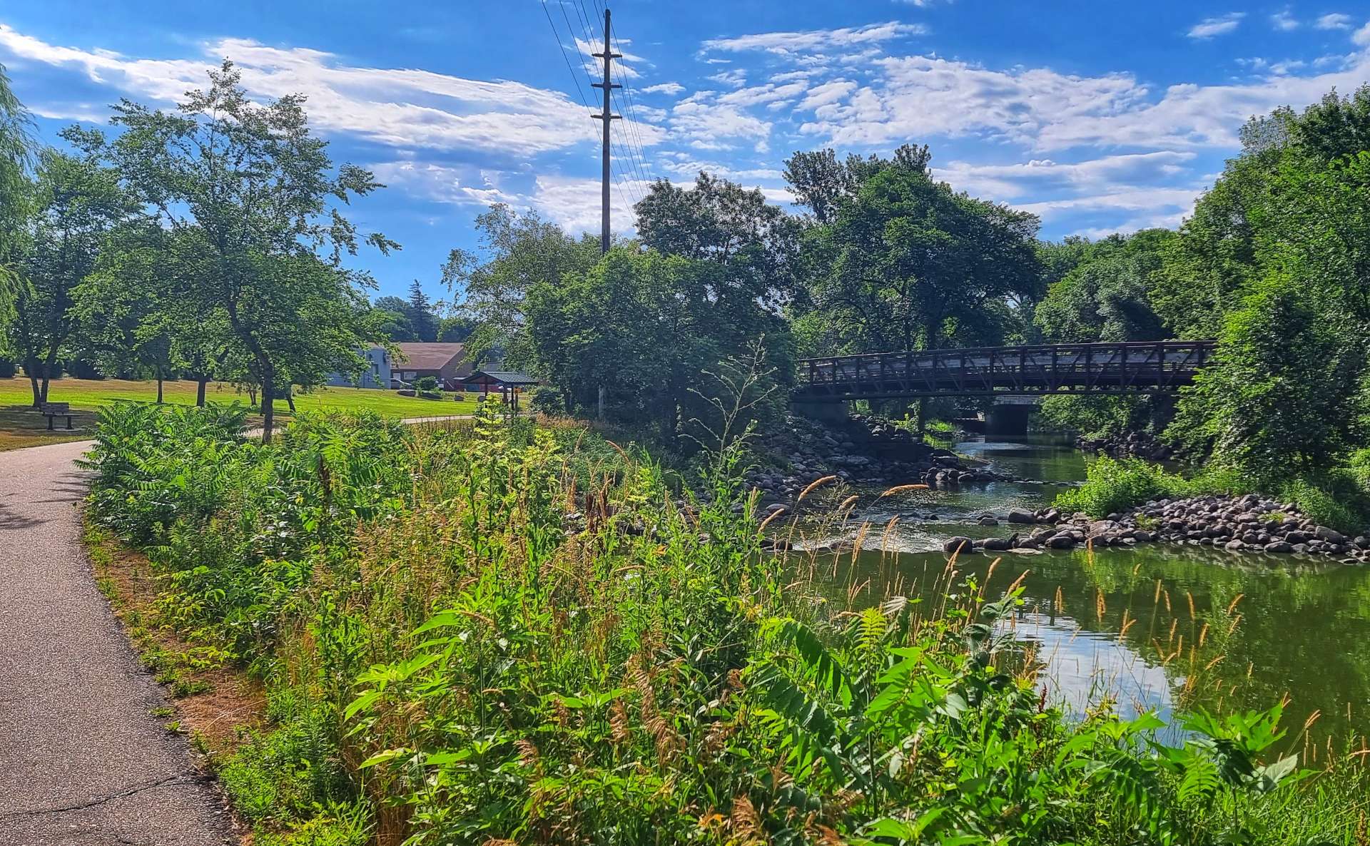
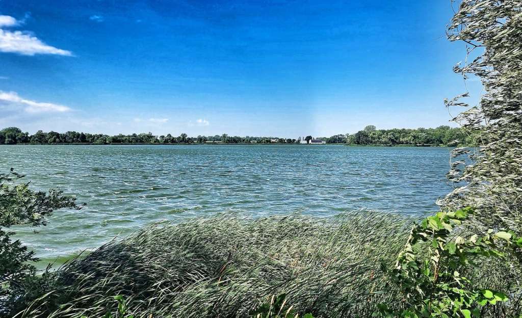
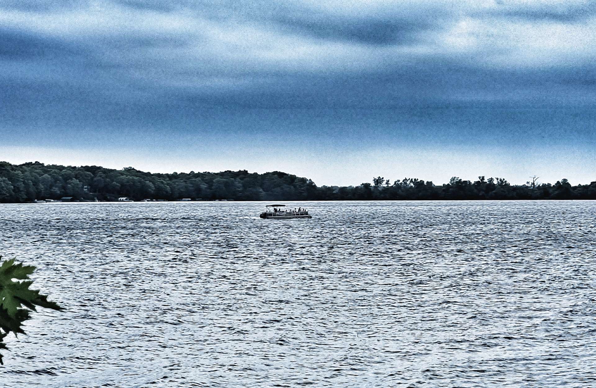
We had 22 miles remaining when we left Buffalo Lake (no buffalo & no lake, in case you’re interested!). County Highway 8 had recently had its tarmac re-laid & we flew along the deserted road. We stopped briefly at Lake Allie County Park to admire the blue water & watch the dragon flies skimming across the surface.

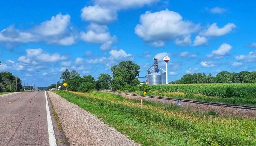
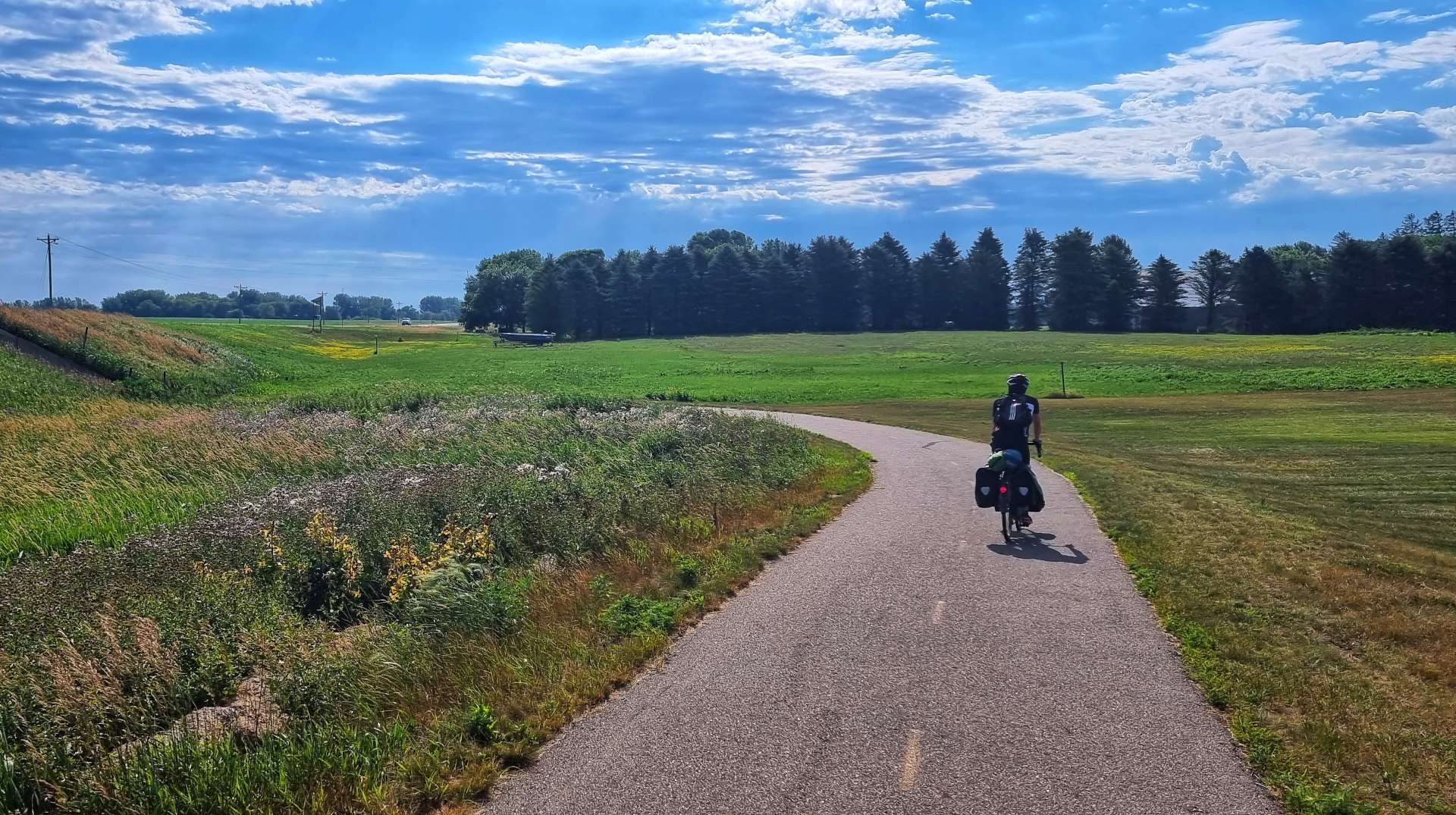
The final 10 miles were on a variety of different roads, but the only difference in the views was the colour of the tarmac – the surrounding countryside remained constant. We arrived at our motel in Hutchinson by about 2.30pm, so we’d made really good time & treated ourselves to 20 minutes in the pool to ease our aching limbs & cool down from the ride.

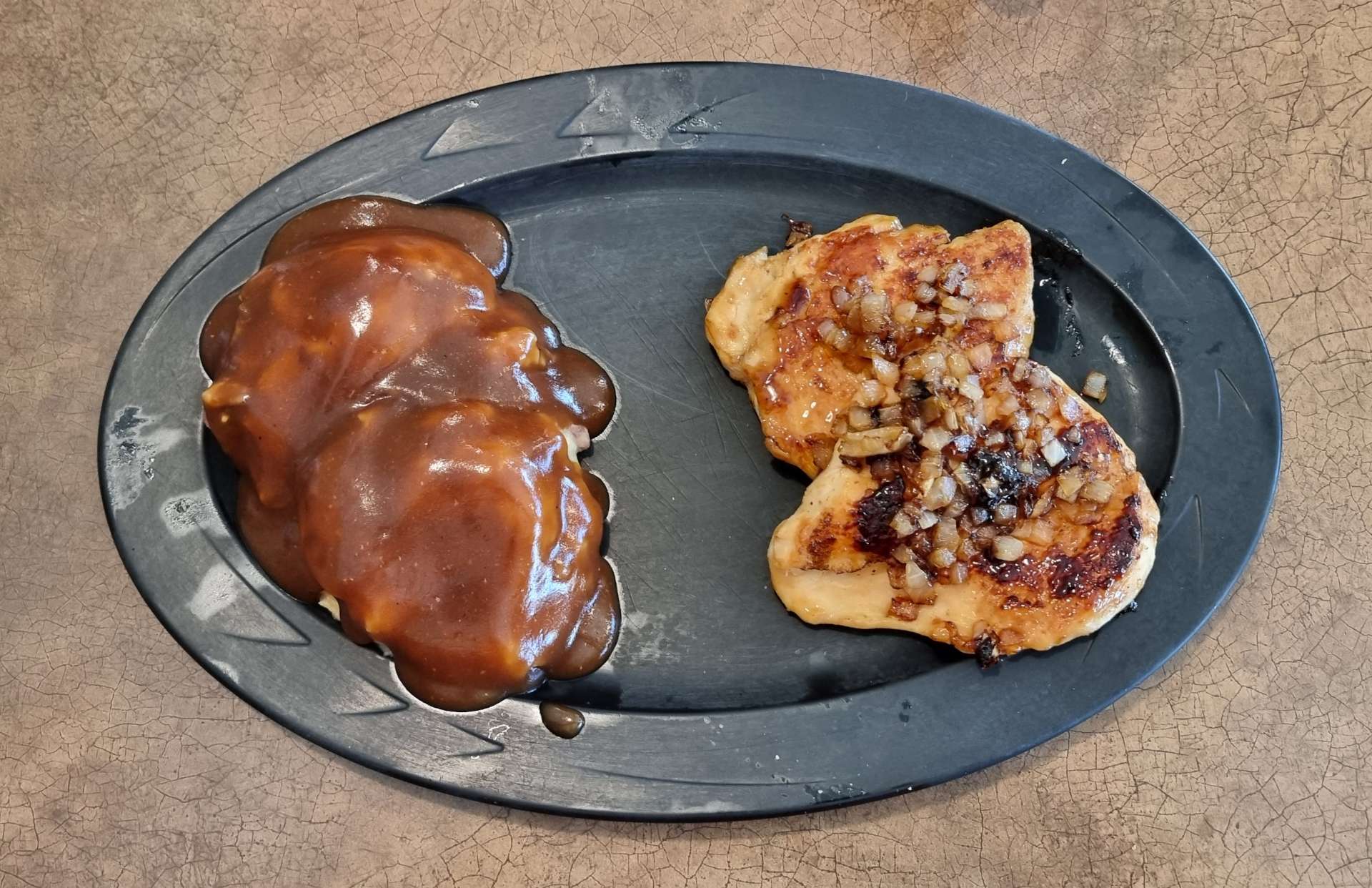
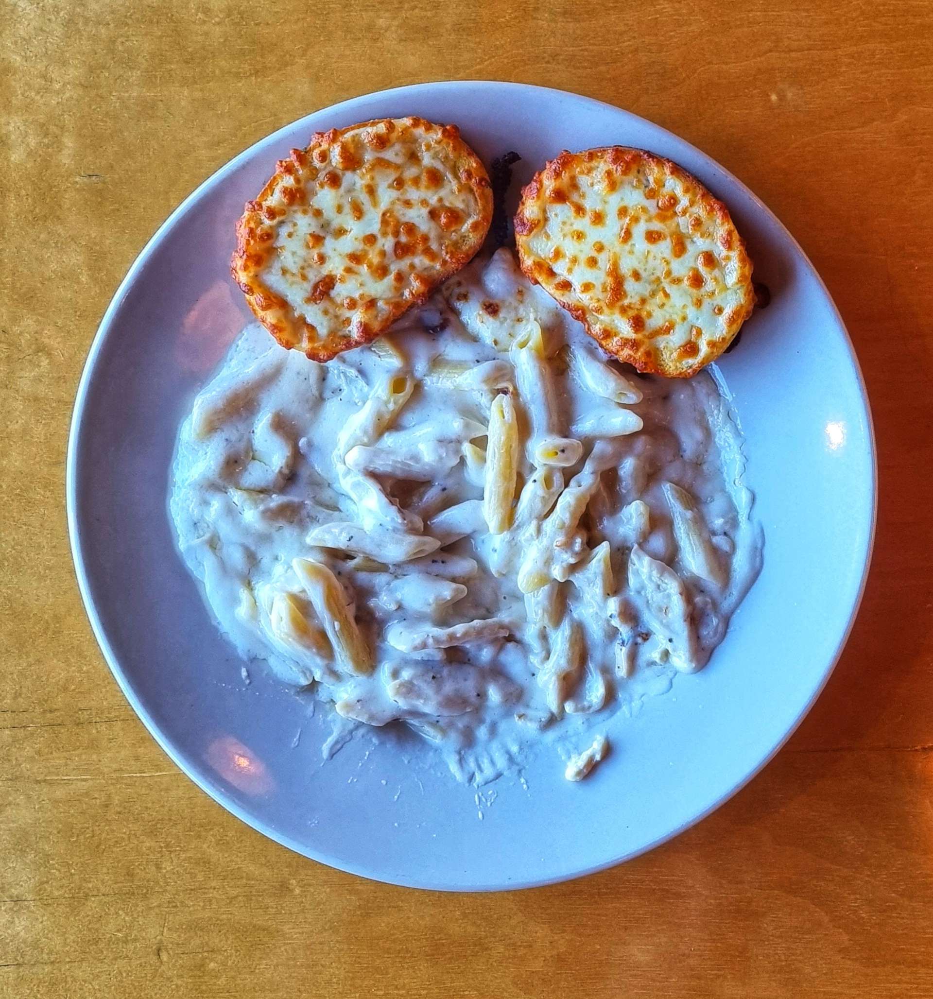
This evening’s dinner was chicken pasta alfredo (that’s garlic bread, not toast!), washed down with coke – we’re hoping Minneapolis provides us with beer options tomorrow.

Stage Stats – 63 miles, 1,027 feet of climbing. Road closures resulted in about 10 miles of unexpected gravel riding.

Tuesday 19th July – Hutchinson to Minneapolis (Stage 63)

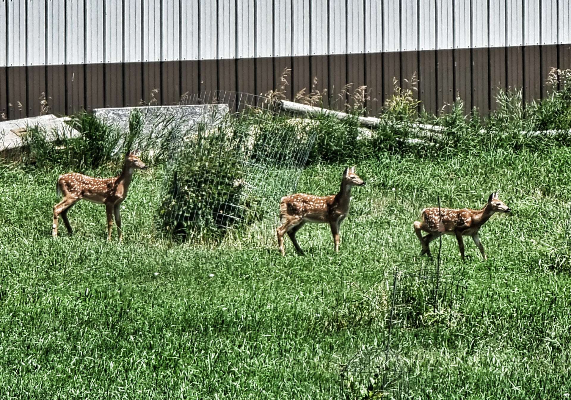
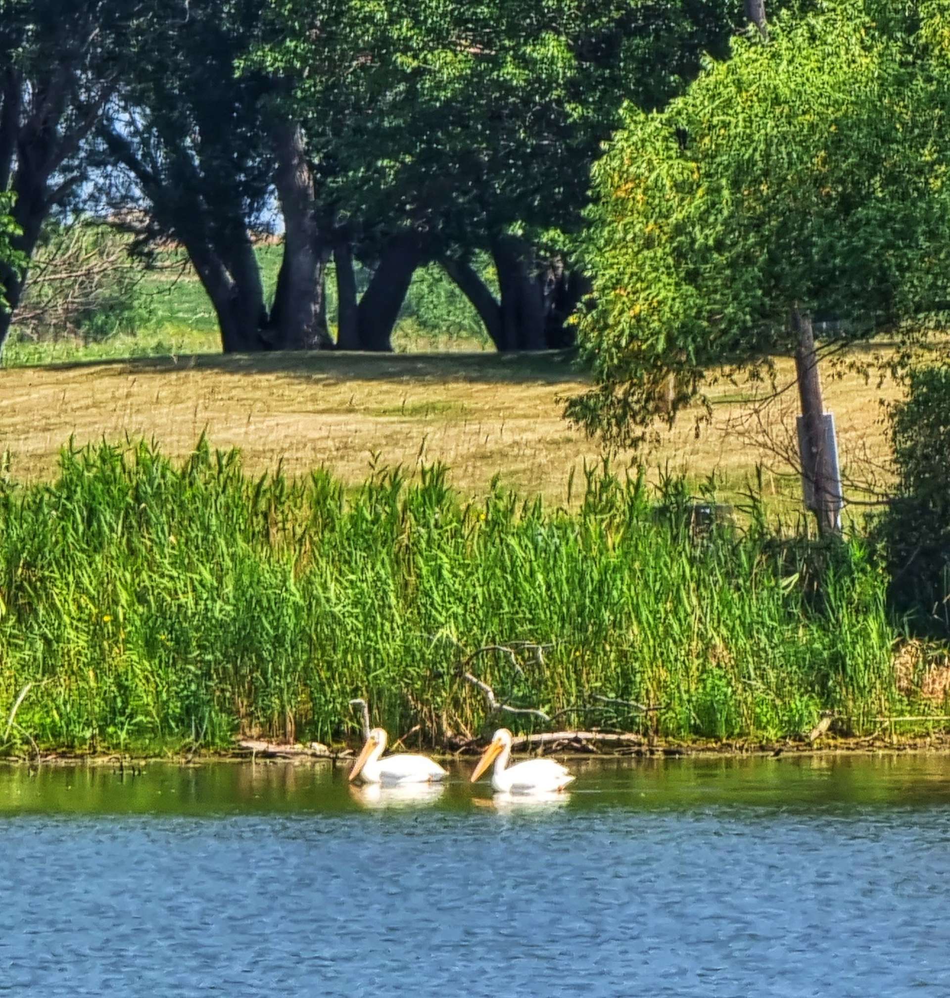
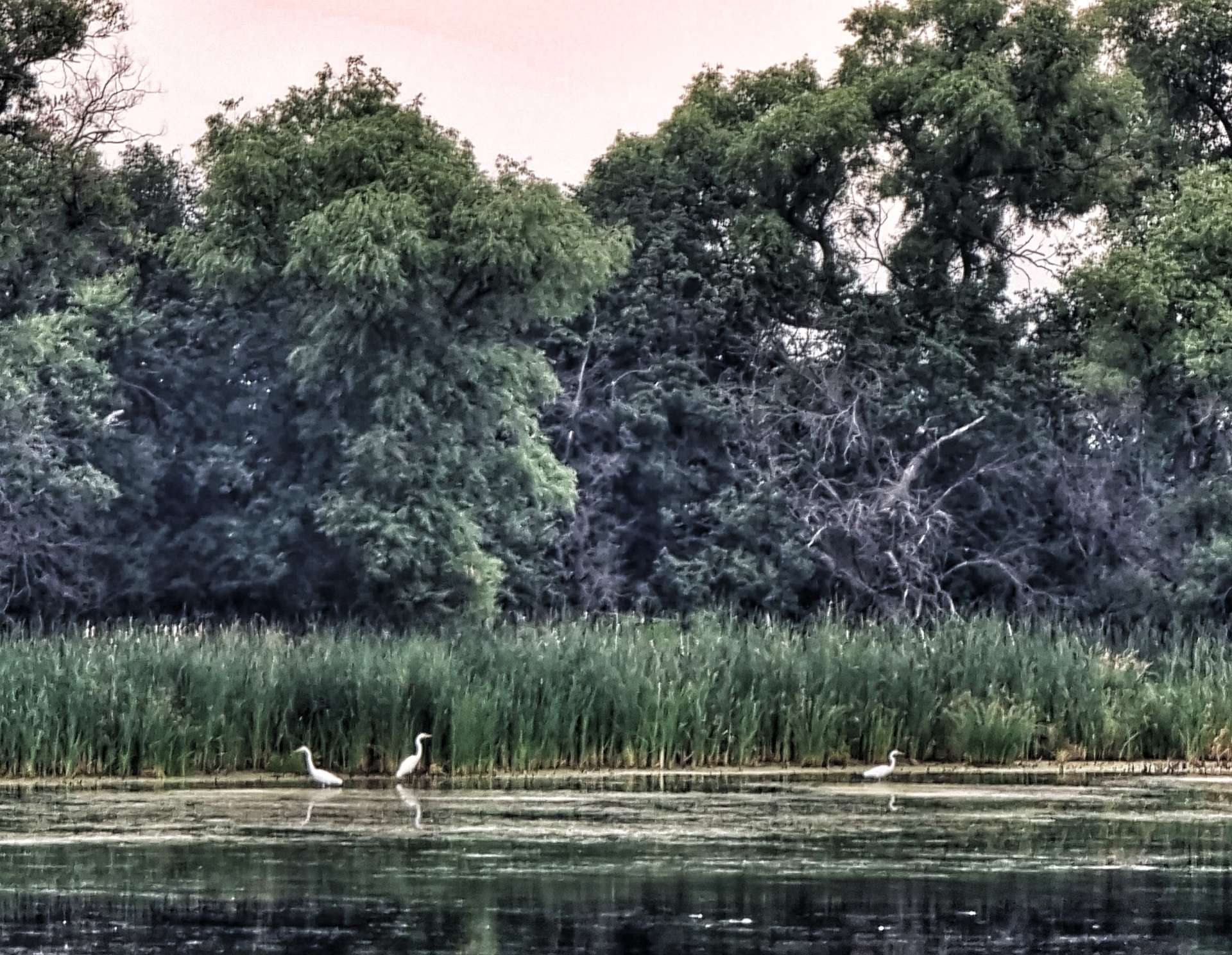
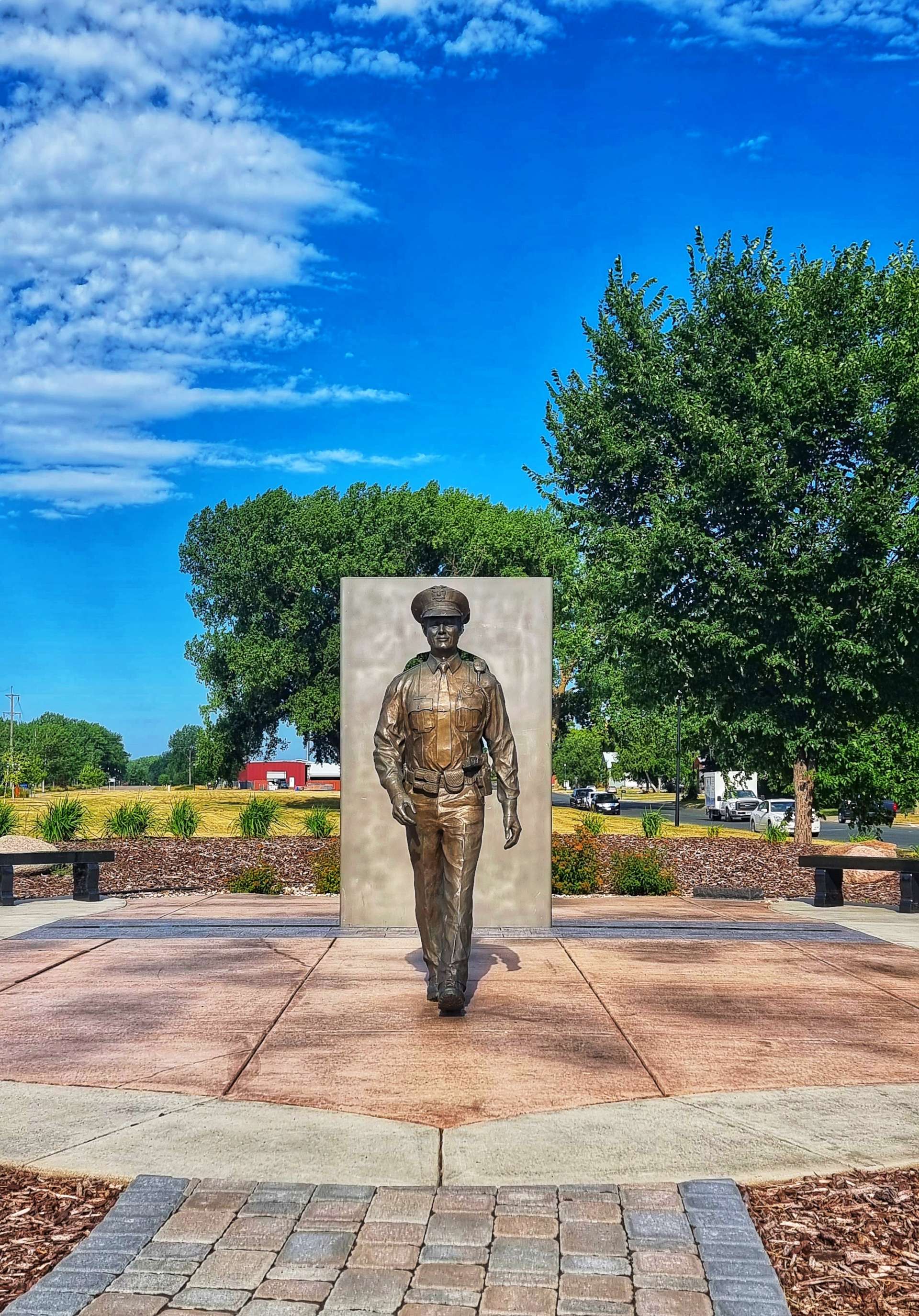
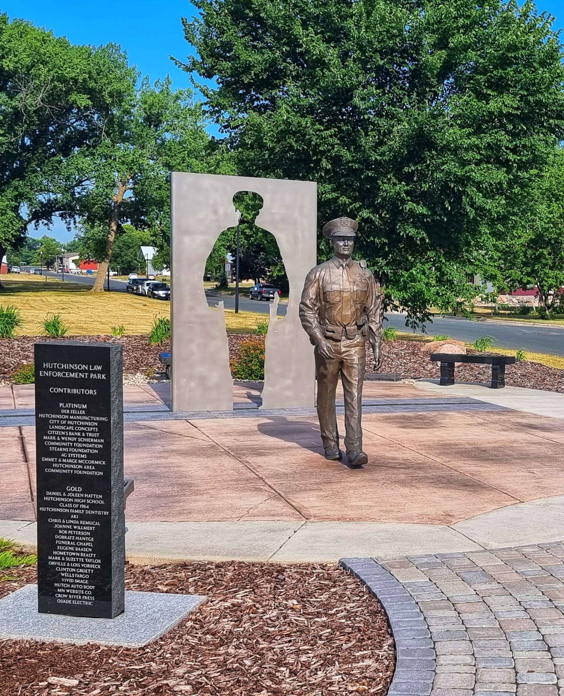
3 bowls of Frosties, yoghurt, toast (with peanut butter) & coffee to start the day – you can’t beat a big breakfast before a big adventure on the steel steed! We were on our way by 9am & picked up the Luce Line State Trail straight away that took us past a wildlife refuge (with deer, swans & geese), through Hutchinson Law Enforcement Park & past a pretty lake as we navigated across town.

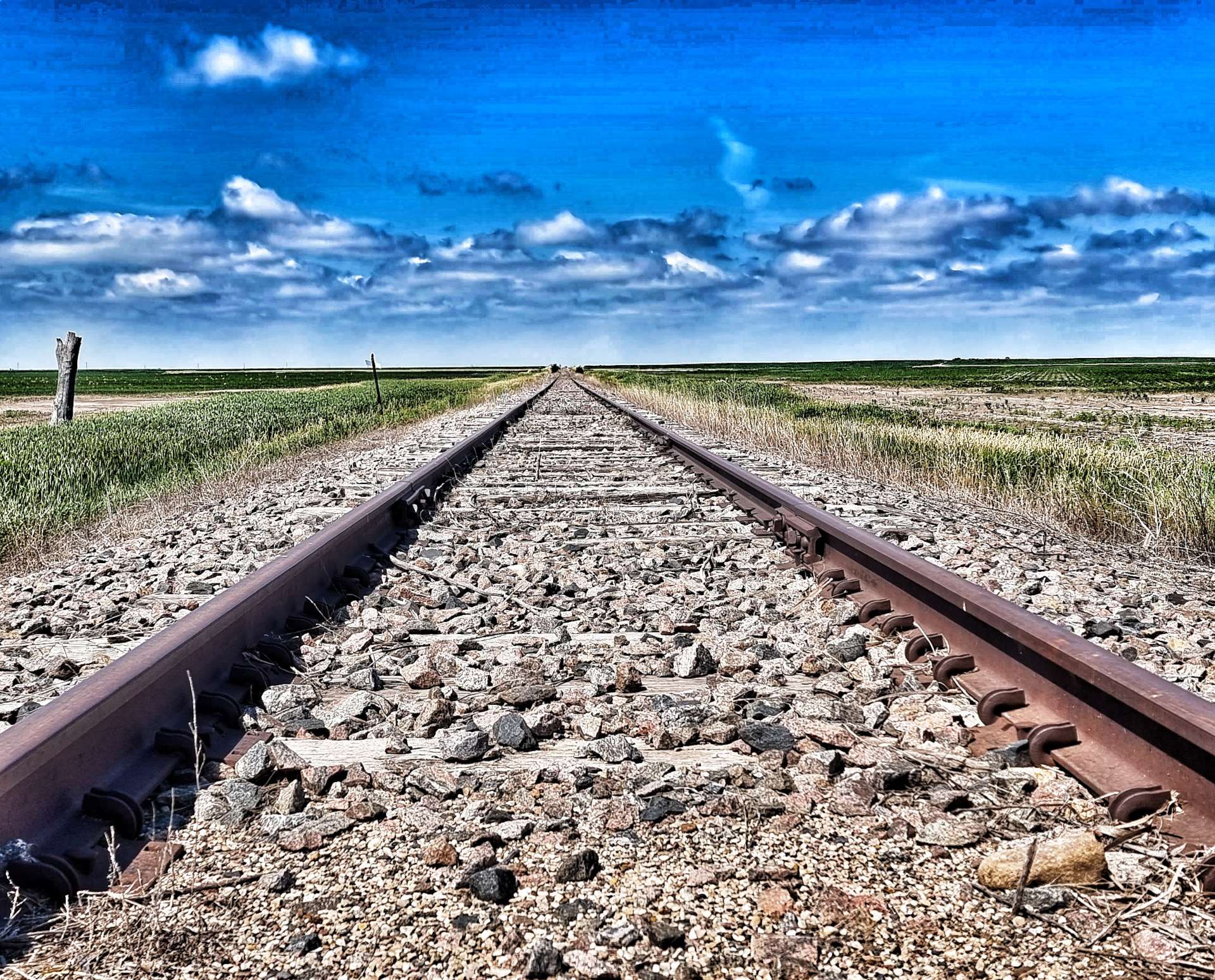
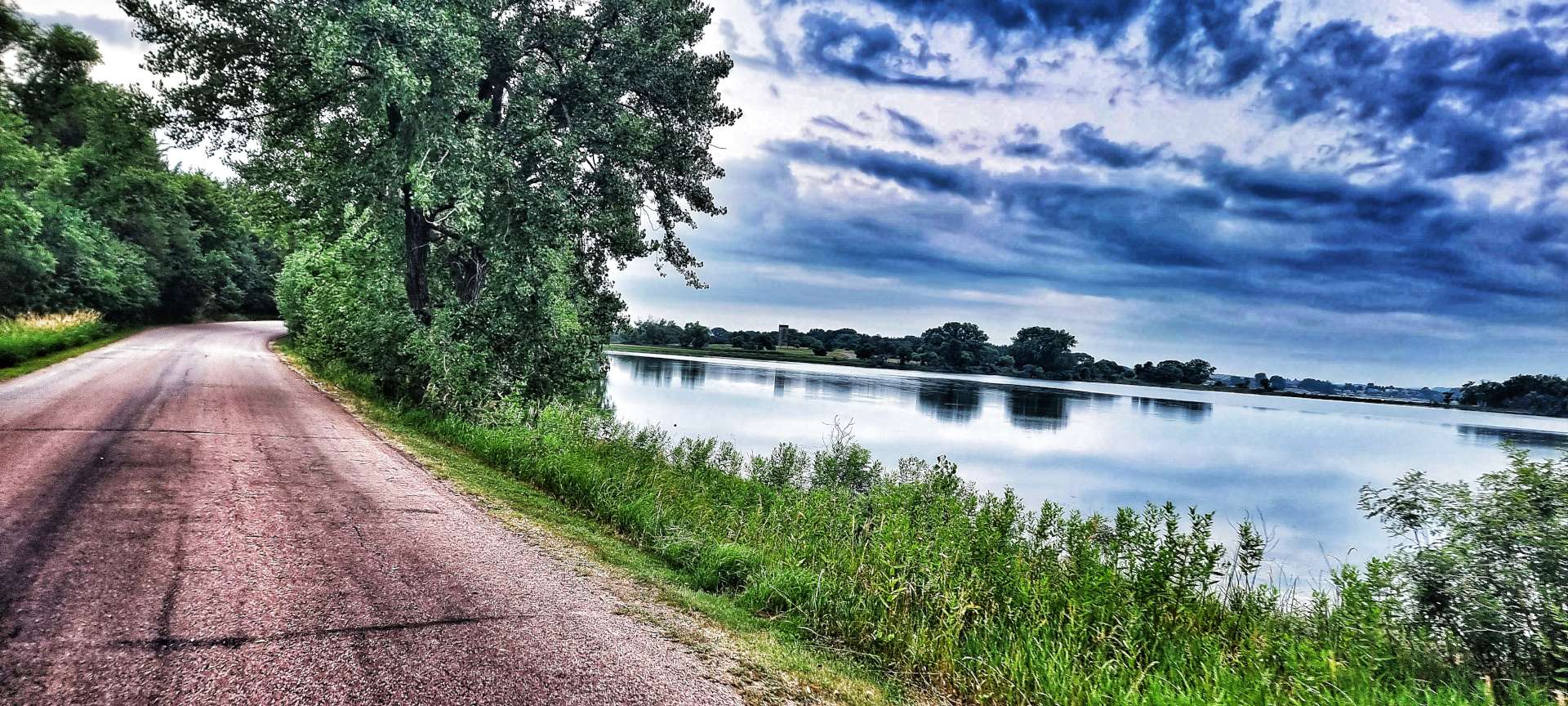
The Luce Line State Trail is 63 miles long in total, following the old railroad – we only rode the 10 miles to Silver Lake (all paved), but in that short time we experienced a wide variety of landscapes as we passed small lakes & ponds, heathland, fields & wooded areas.

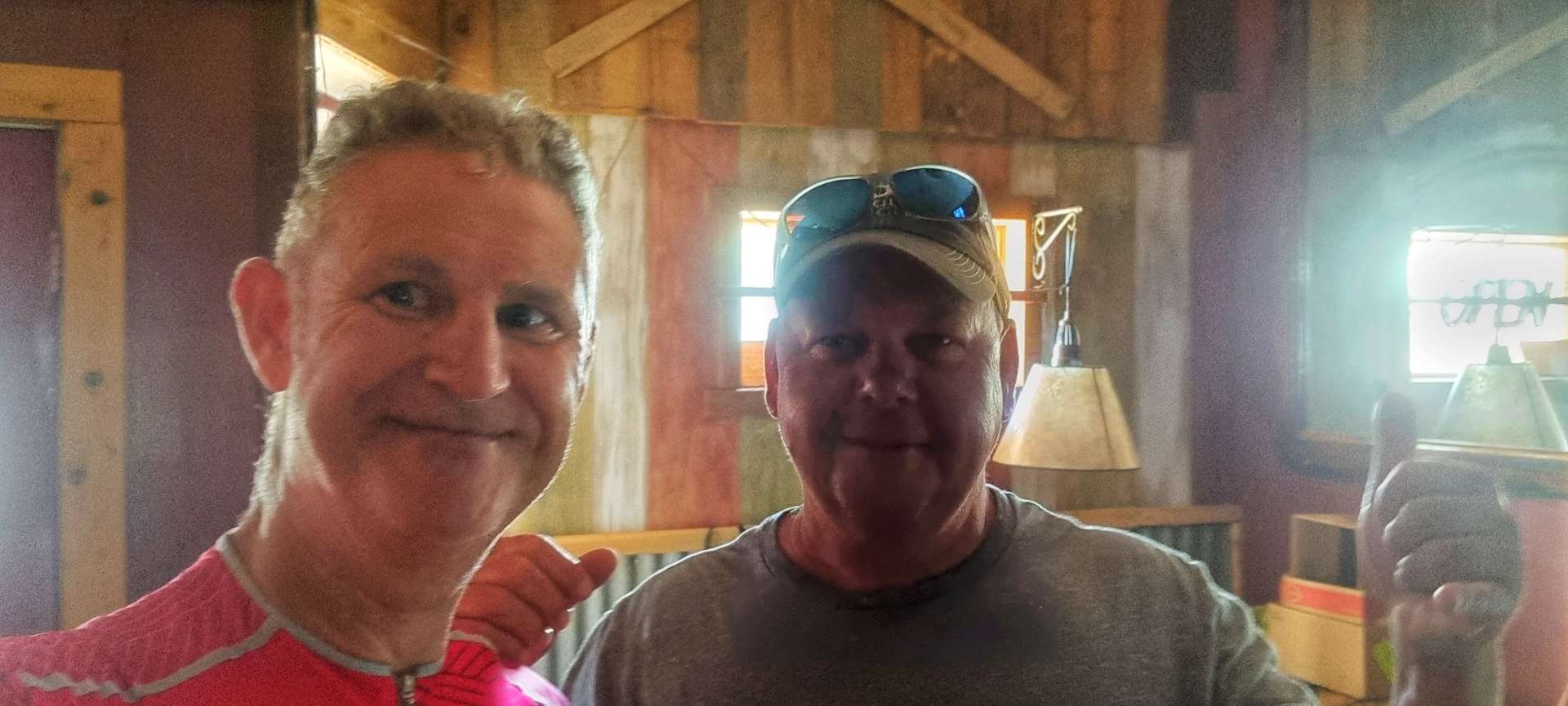
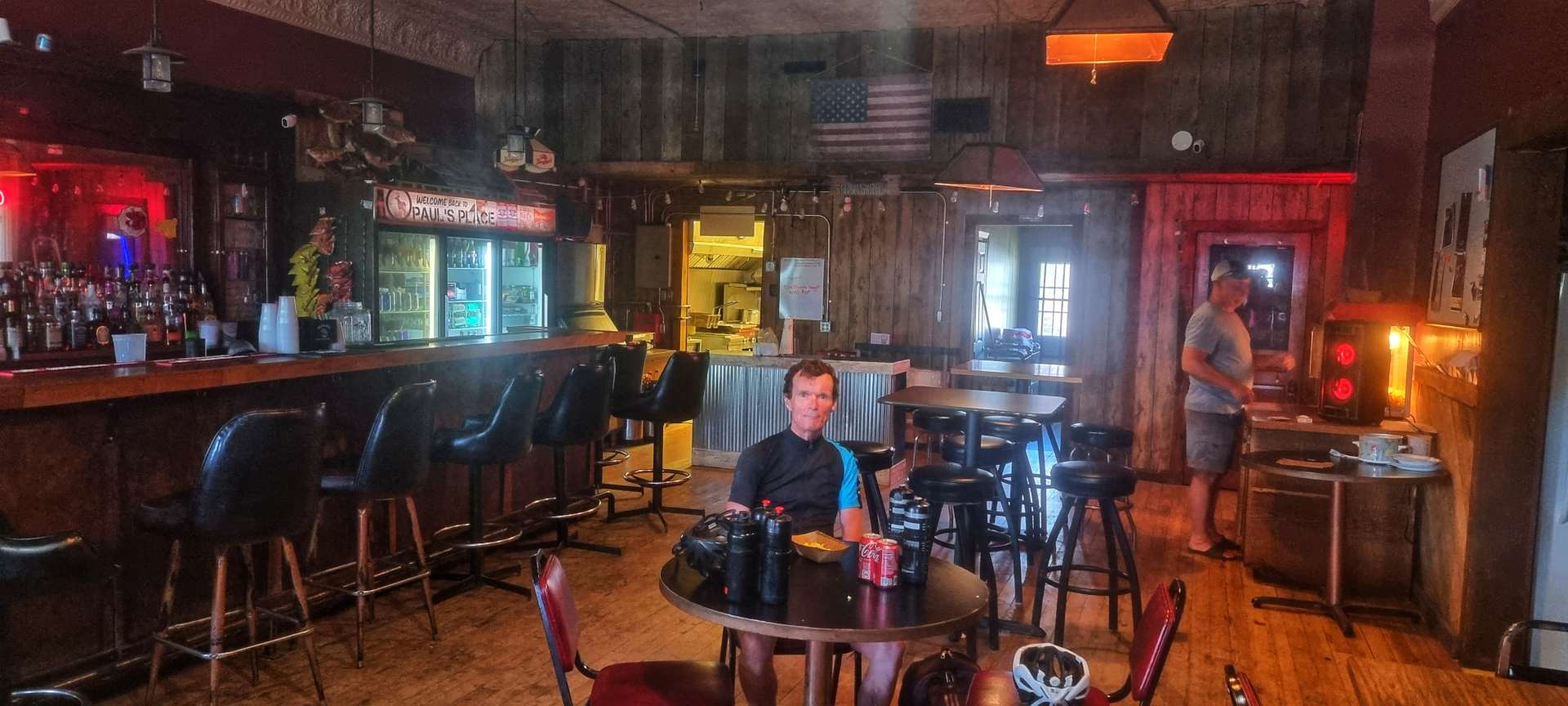
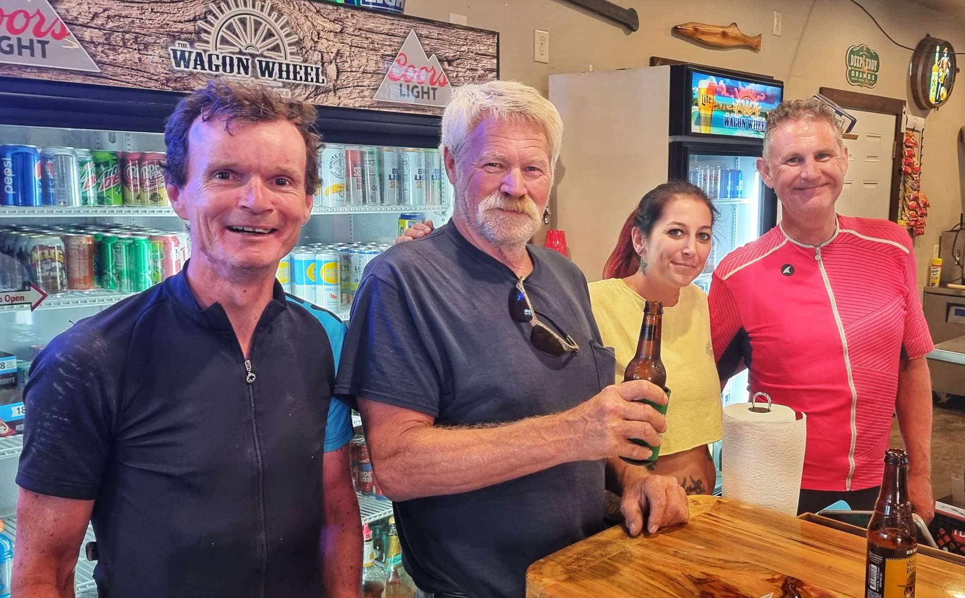
The 10 miles from Silver Lake to Lester Prairie was either into a strong headwind or crosswind (there was no protection from the wind), so we made slower progress than expected & as a result we chose to look for a coffee stop. We stumbled across the Central Cafe, run by Mary Kay with help from Shelby. We had an enjoyable 30 minutes talking travel, music & growing up in the 60’s / 70’s with Mary Kay – these random encounters with kind spirited people adds so much to the adventure.

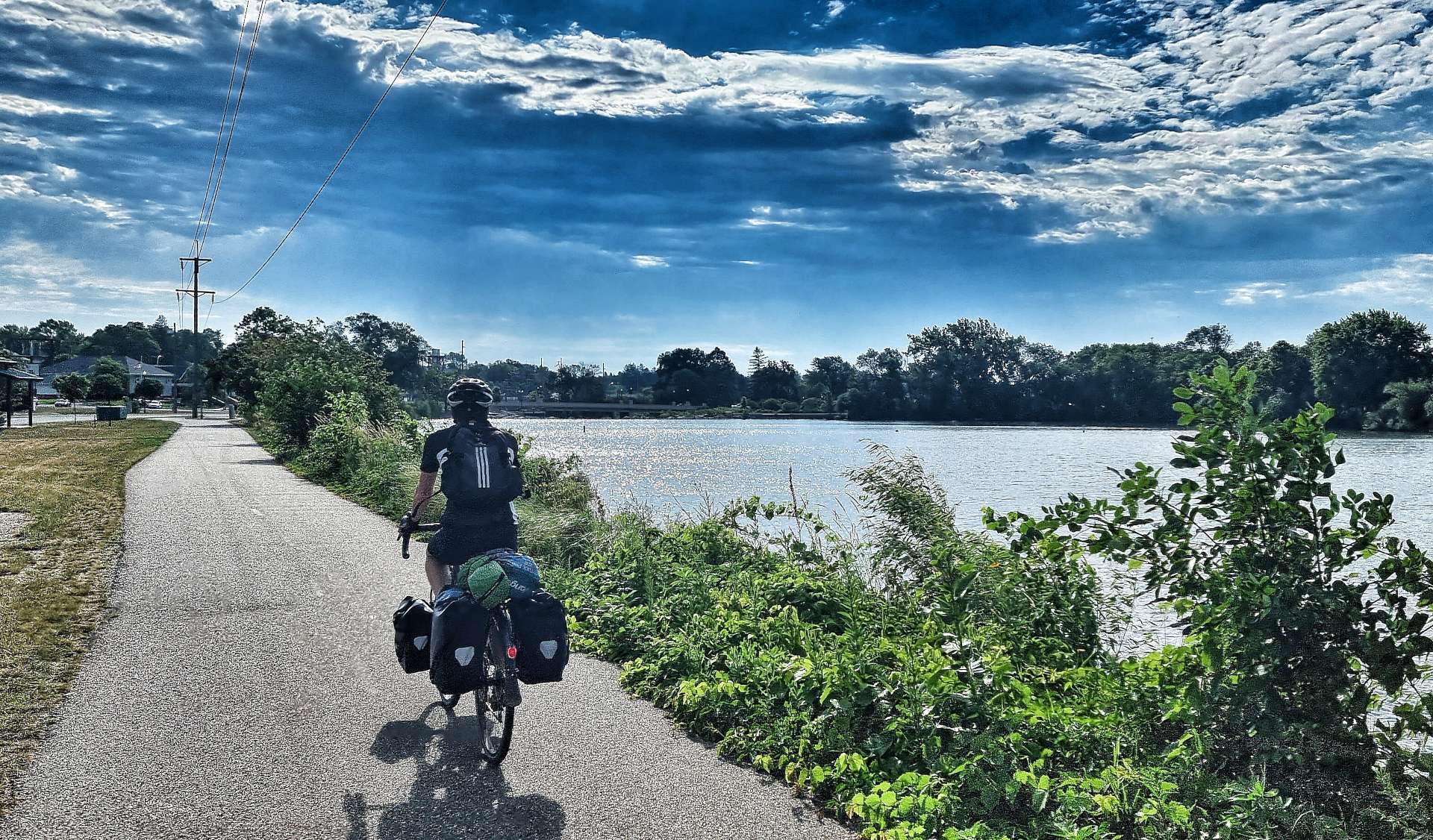
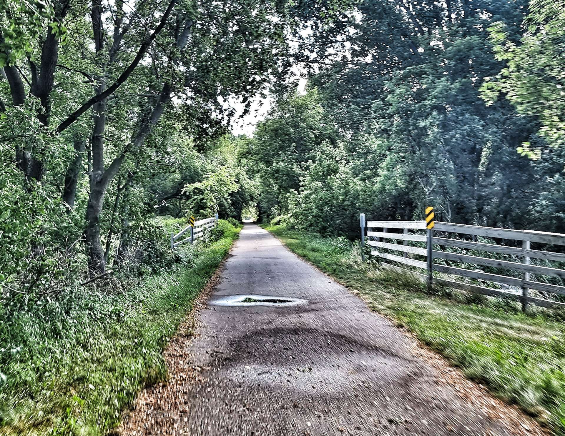
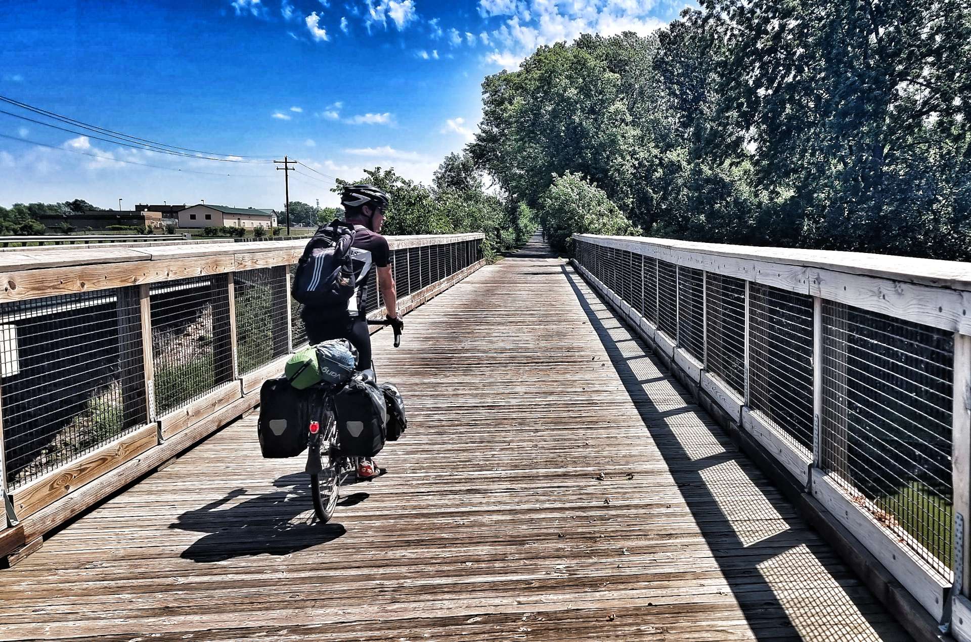
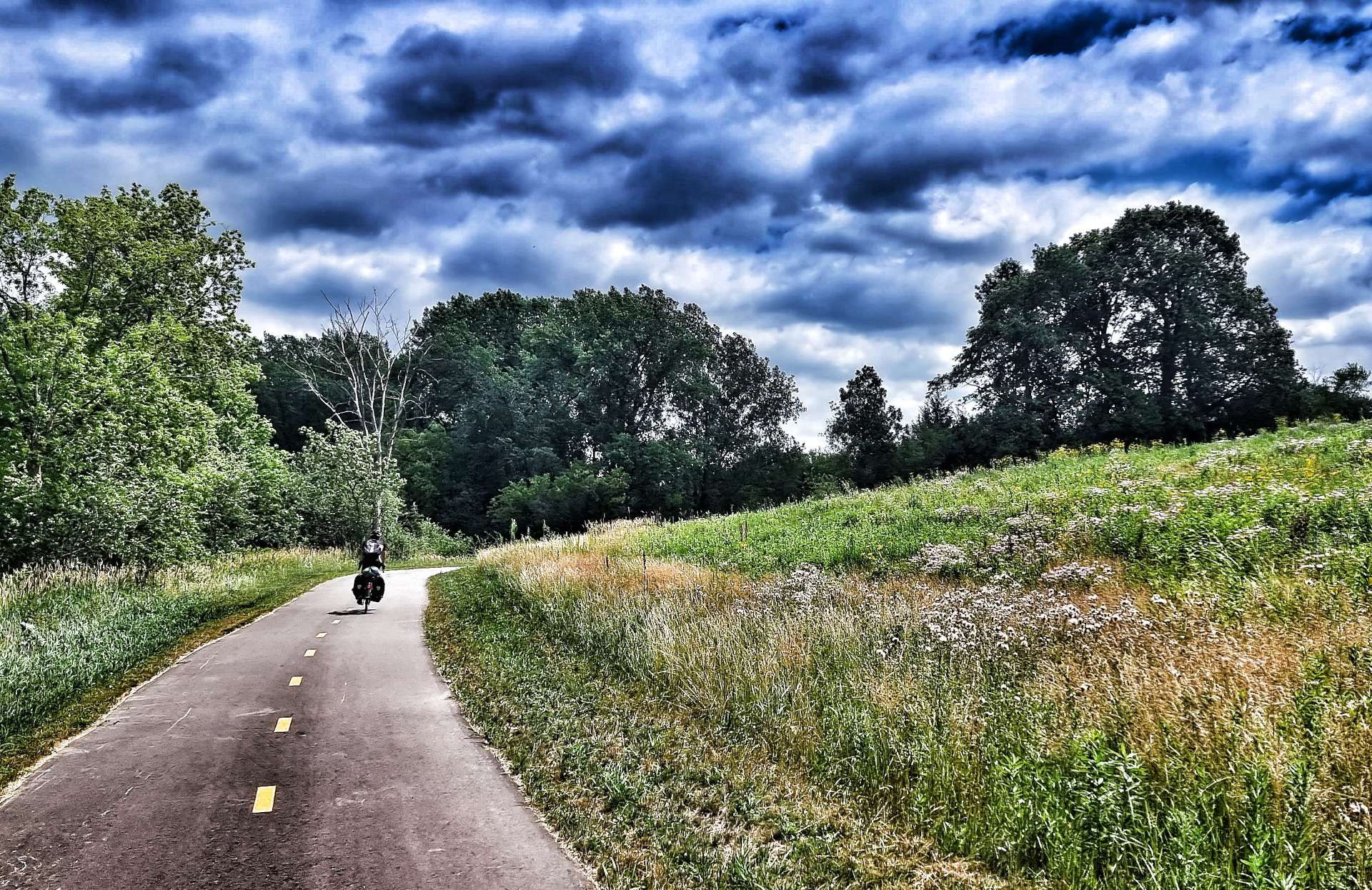
We joined the Dakota Rail Trail as we left town – we would be on the paved trail for the next 15 miles to St Bonifacius. The early part of the path was through a wooded area, before returning us to maize fields. At times we shadowed the main road, as we made our way East via New Germany.

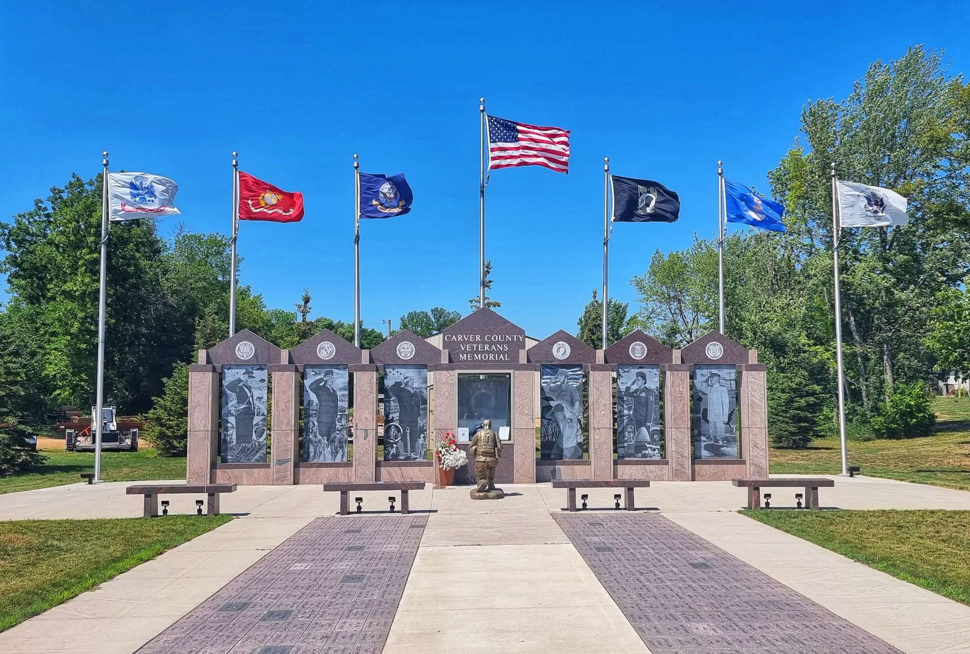
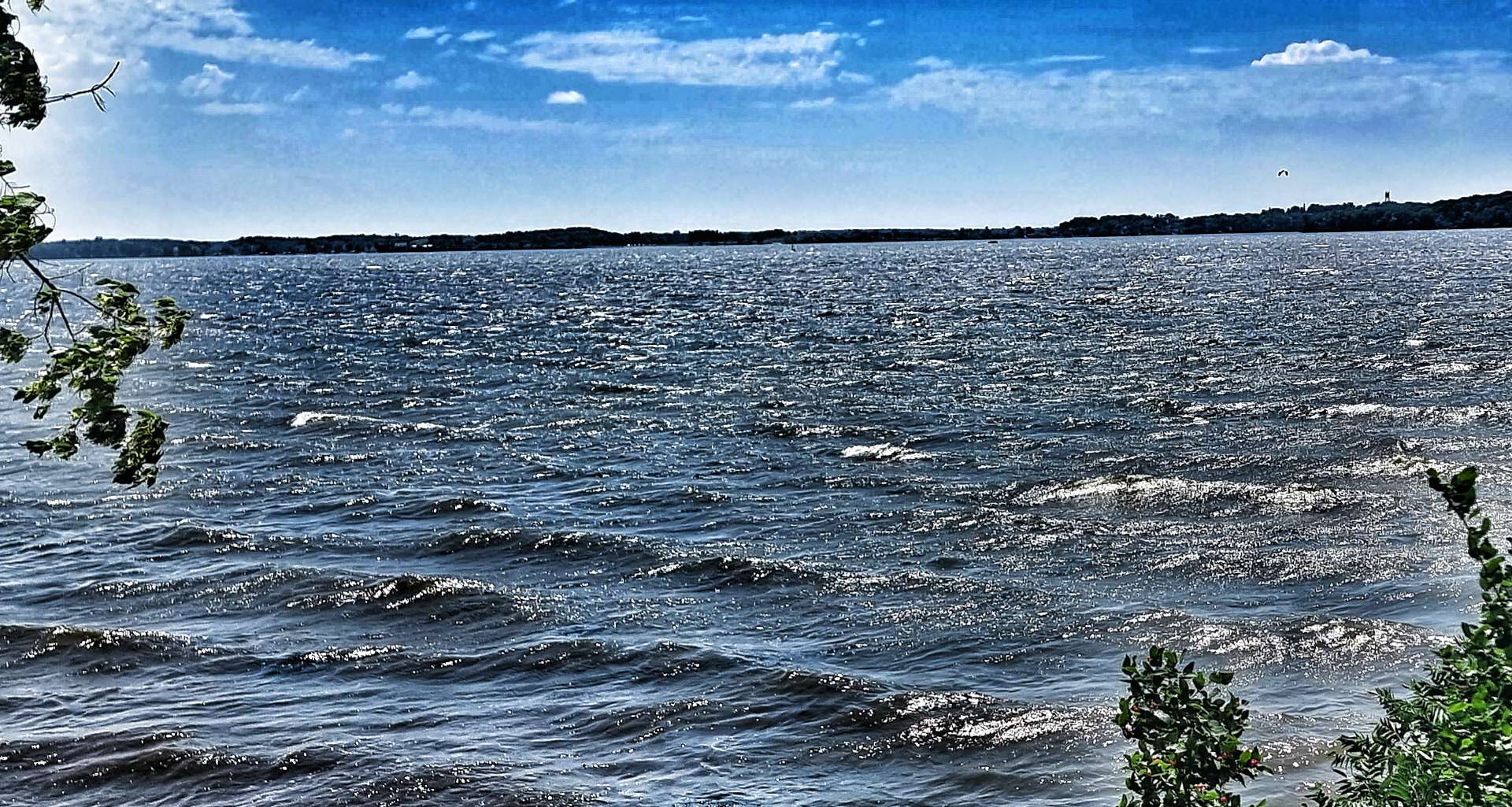
Passing through Mayer I stopped at the Carver County Veterans Memorial – almost every town has a memorial to remember those who fought & lost their lives on behalf of their homeland. The strong wind was whipping up white-topped waves on Lake Waconia & there were even a couple of brave soles wind surfing.

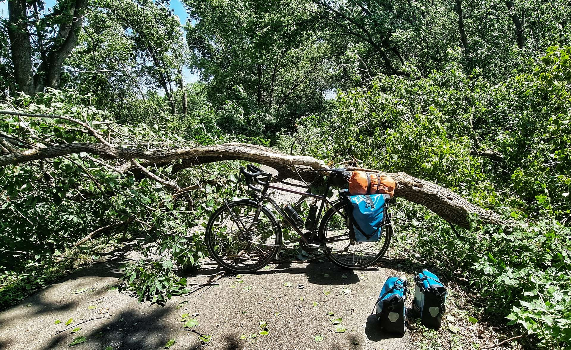
A cyclist passing the other way shouted “Watch out for the tree up ahead!” – an odd conversation opener, until we realised he meant a tree had been blown down across the trail!!! While we were taking the kit off our bikes so we could portage it over the fallen tree, a couple of other cyclists joined us & said the trail was clear only an hour ago when they were travelling in the other direction.

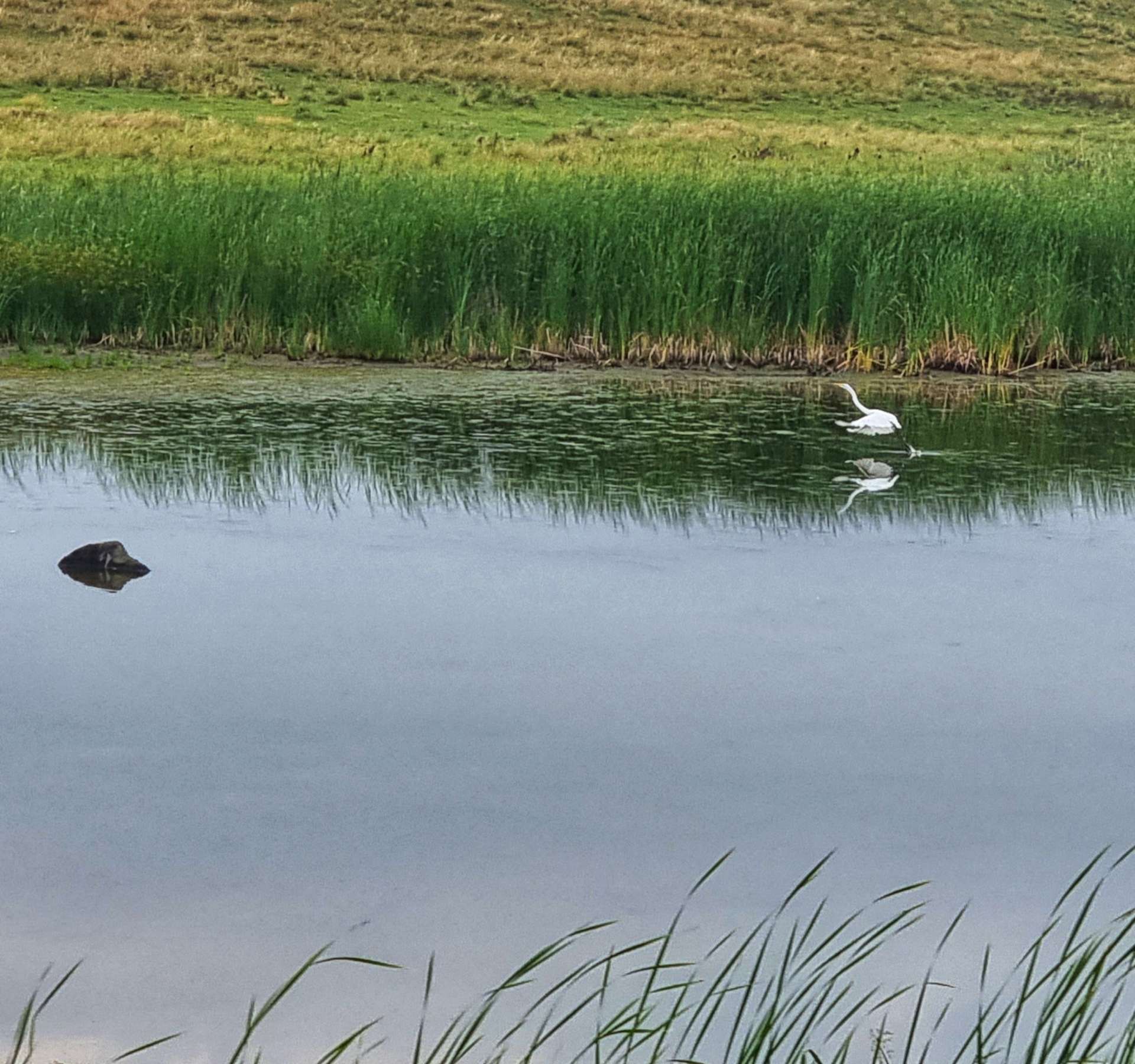
At St Bonifacius we stopped to top up our water, then followed the road for a couple of miles as we made our way to the next element of bike trail at Carver Park Reserve, home of the Lowry Nature Centre. Back in 1984, 6 young osprey were placed in Carver Park, with the aim of establishing a viable nesting population – it’s been a complete success & I was delighted to see a nest being used! This was the first osprey we’ve seen since Mount Rushmore almost 3 weeks ago – welcome back my friend.

The Lake Minnetonka Light Railway Trail follows the route of the old Minneapolis & St Louis Railway & we would be following it as far as the outskirts of Minneapolis. For the first few miles we were surrounded by mature woodland, but slowly the landscape changed as we passed through Tonka Bay & Shorewood.

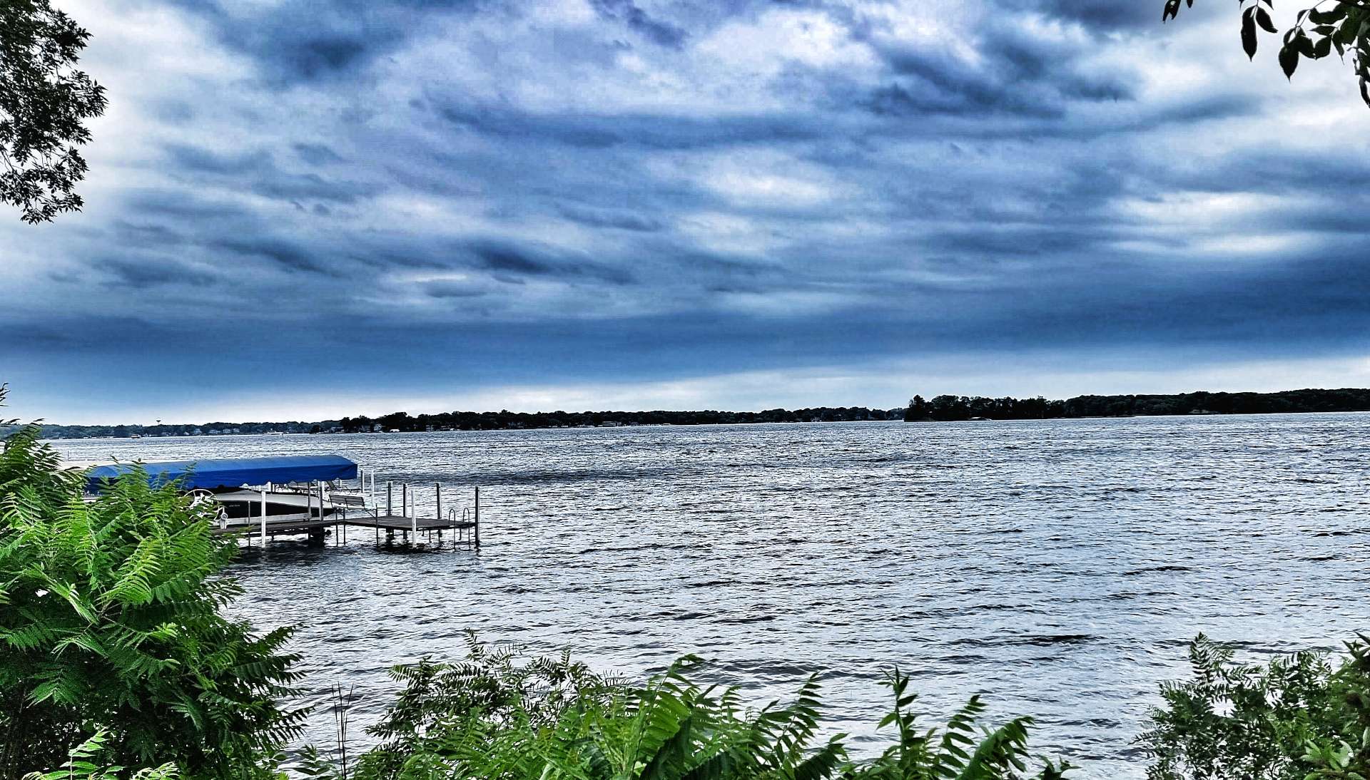
The trail hugged the shore of Lake Minnetonka as we passed through Excelsior & Greenwood – we could see across the lake to the mansions on the far shore.

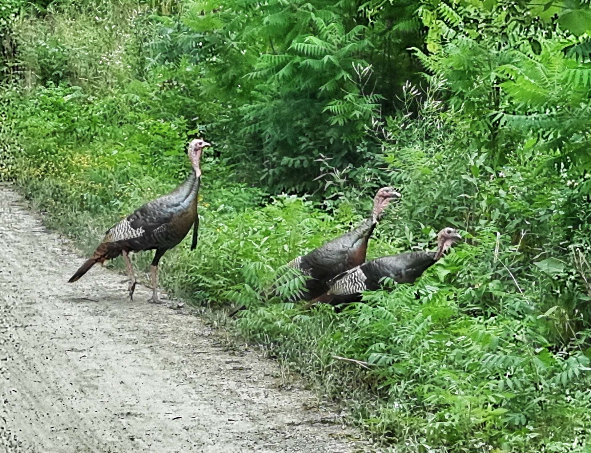
We were surprised when a gang of 3 turkeys crossed the trail in front of us (I prefer the term gobble, but apparently that’s not the correct collective noun!). I took the photo as I cycled past, so you can see they weren’t phased by two people on bicycles.

By now the trail was tracking Minnetonka Boulevard & our adventure on remote cycle trails was almost at an end. For me, the challenge of the day was starting in earnest, as I now had to get us across Minneapolis to our motel. My task wasn’t helped when the cycle path we needed was closed for repairs & I had to navigate by landmarks alone for a while.

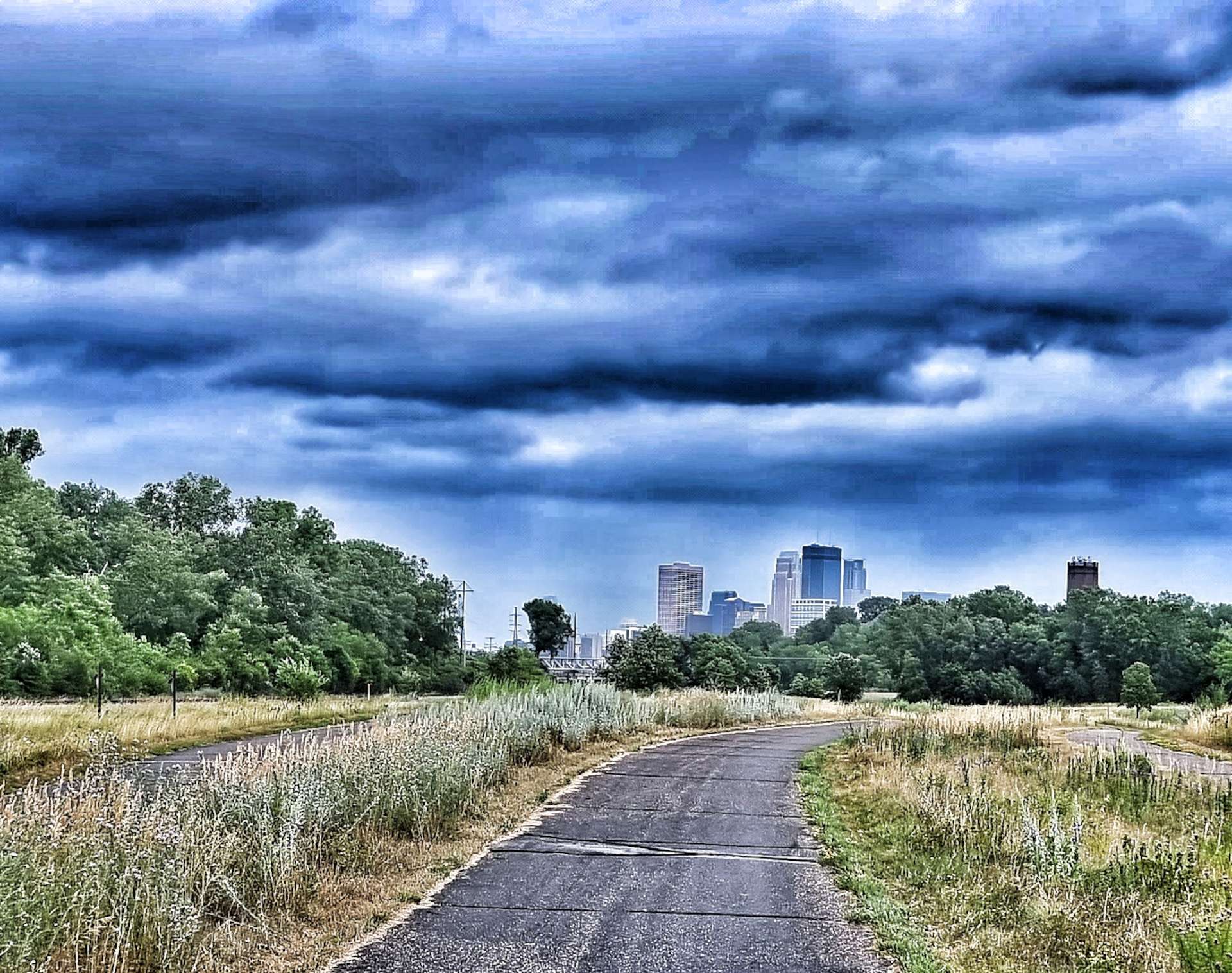
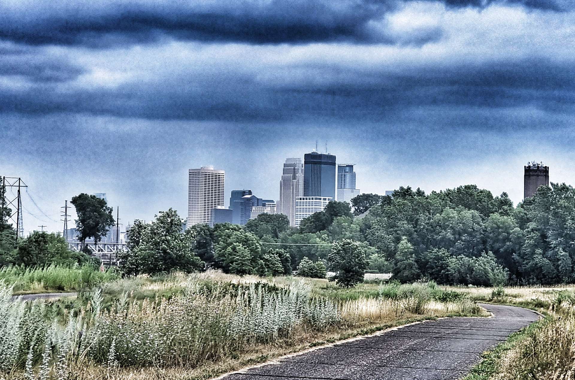
I managed to navigate the couple of miles of detours & got us back on the cycle path into Minneapolis. No sooner had we re-joined the path, than we got our first views of the Minneapolis skyline! A train also arrived right on cue to welcome us to The Twin Cities of Minneapolis & St Paul.

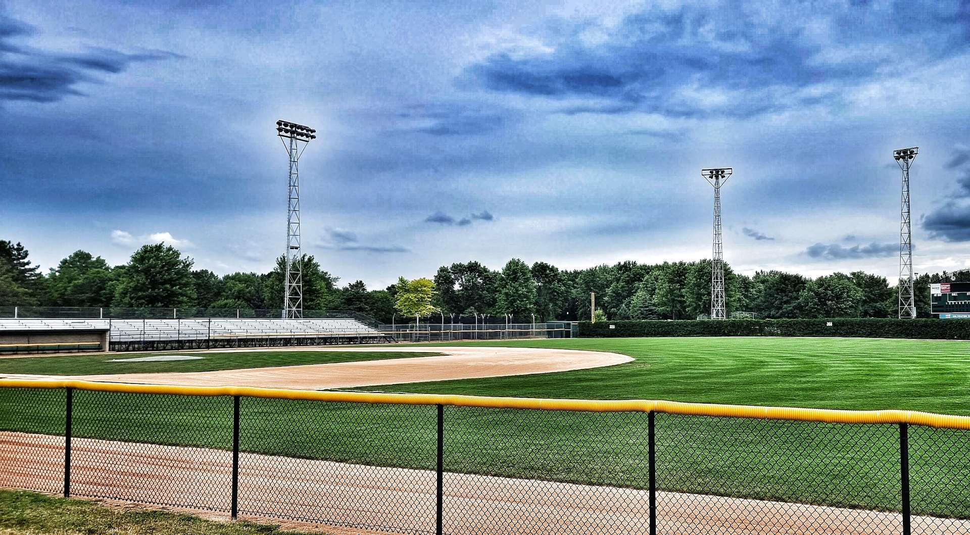
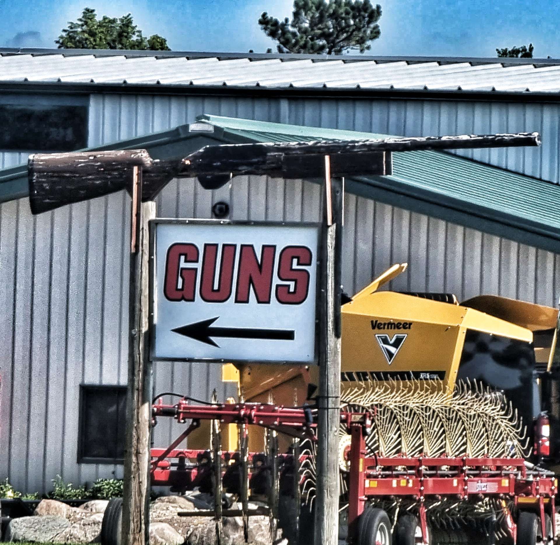
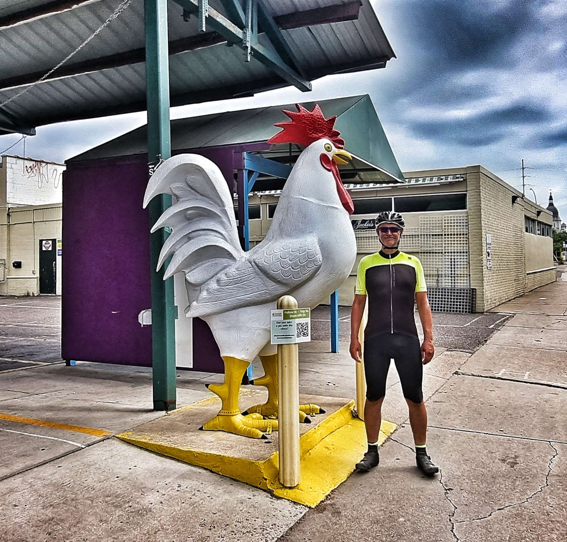
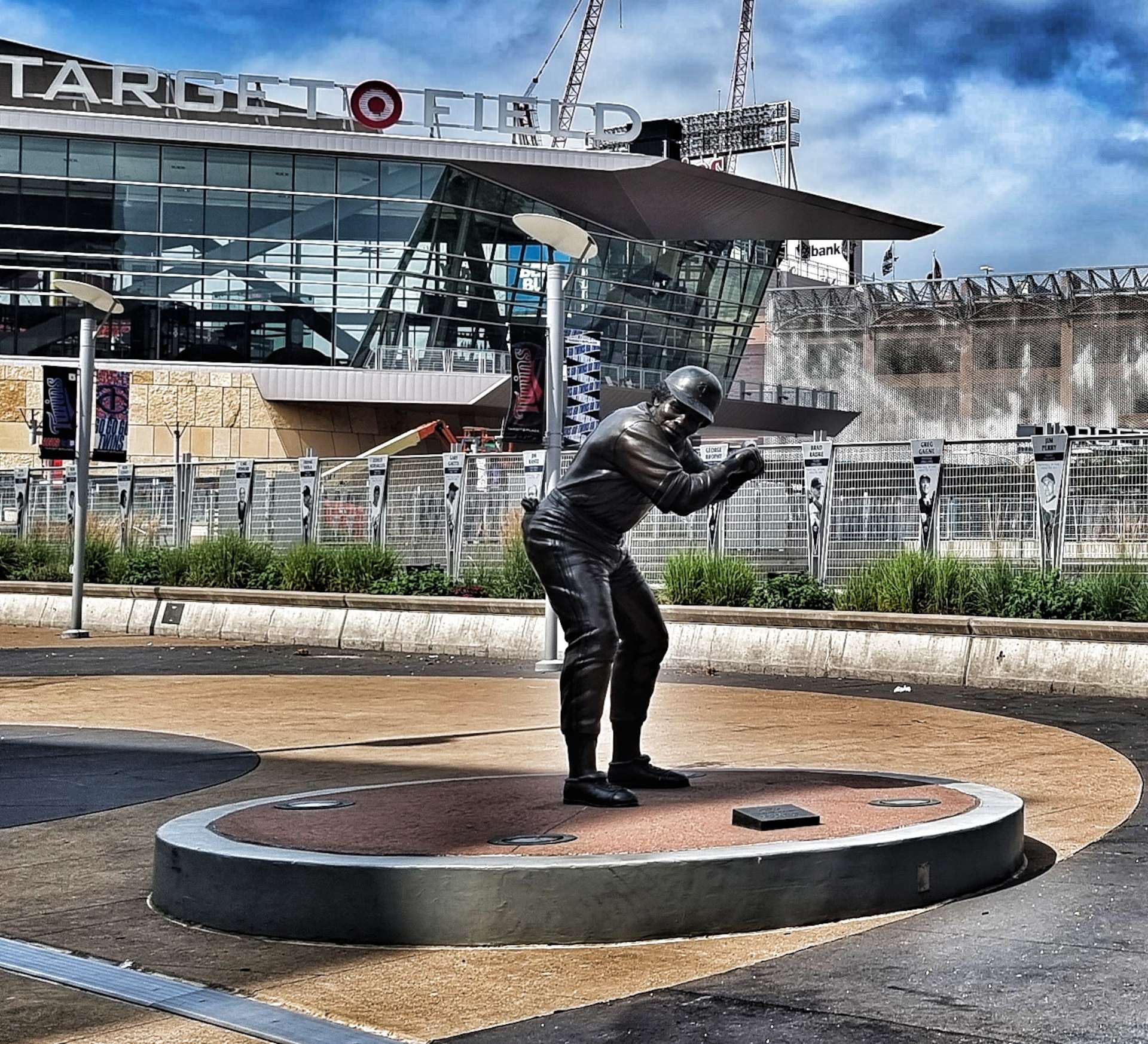
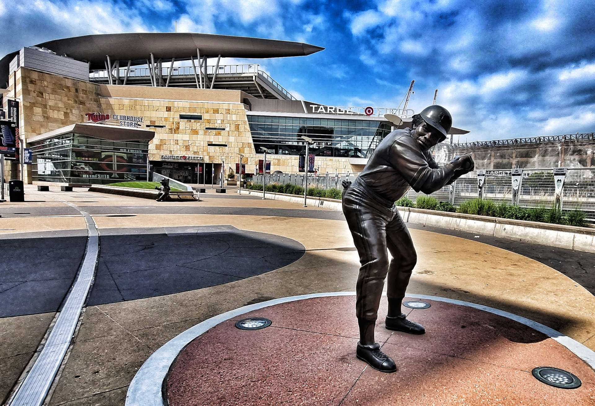
I thought the complicated navigation was out of the way, but as we reached Downtown & Central Minneapolis many of the roads we should be taking were closed for construction projects. I’ll let you insert your own comment for the first photo -it’s a word I used a few times trying to navigate in Minneapolis! I was genuinely pleased to be able to stop at Target Field, home of the Minnesota Twins baseball team.

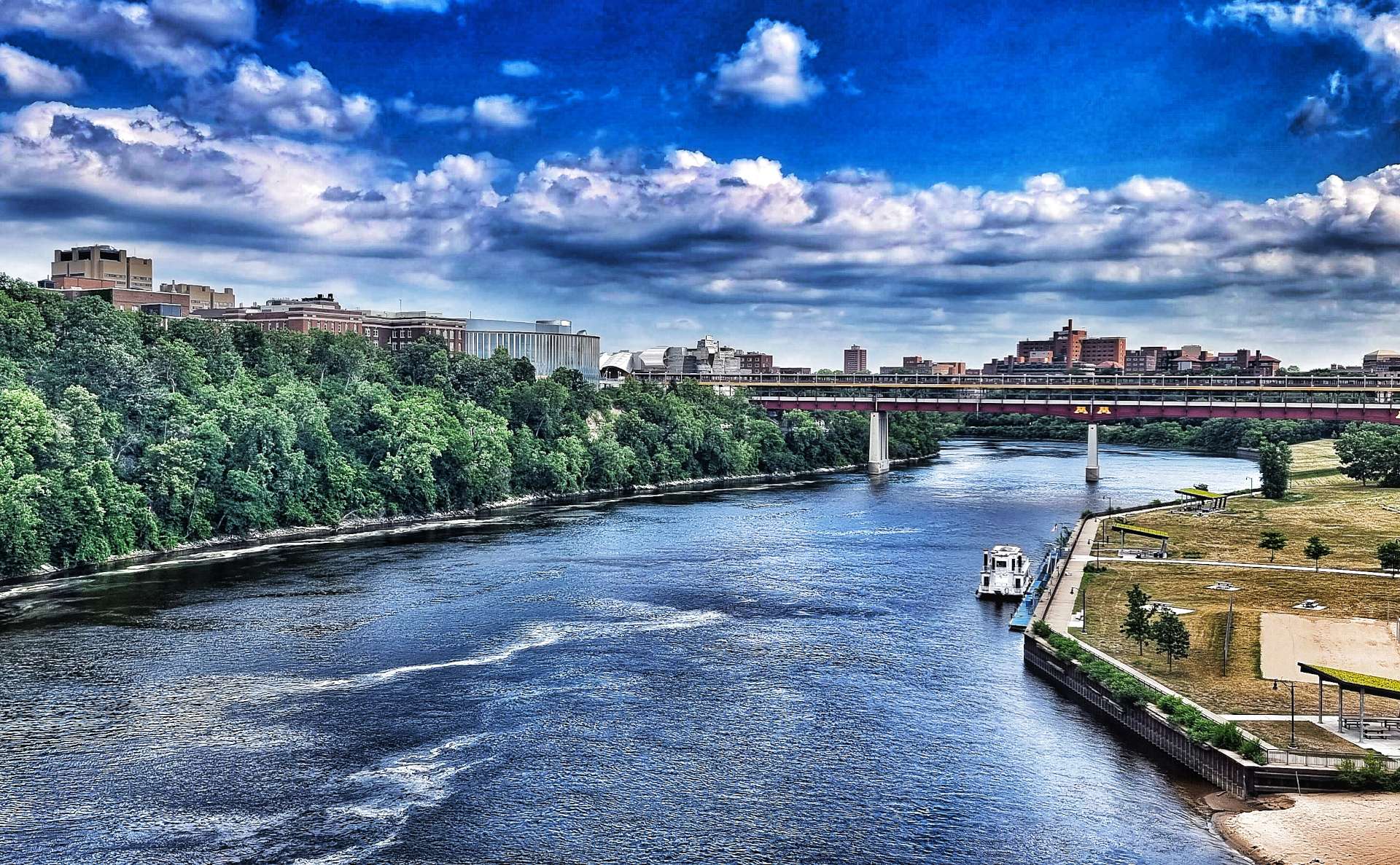
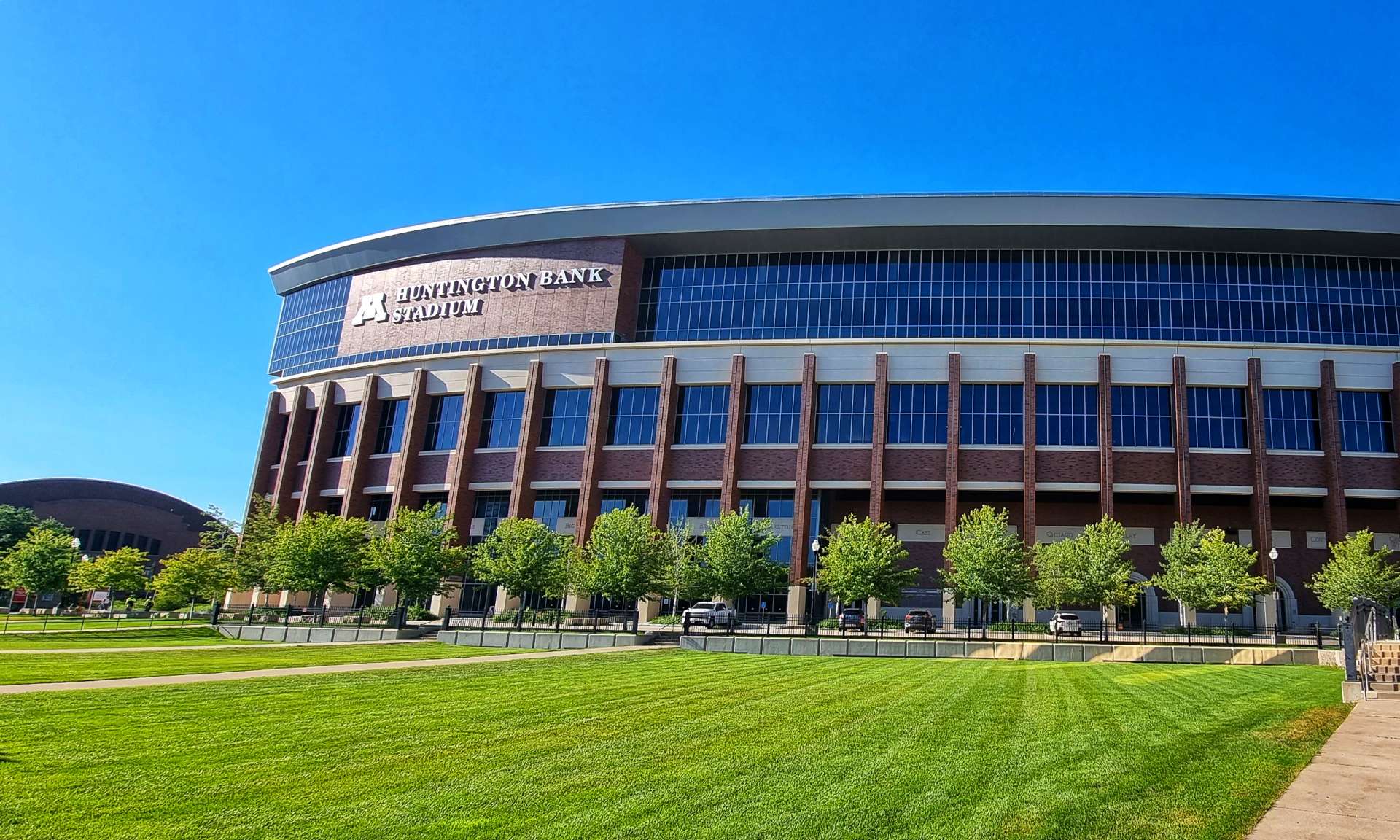
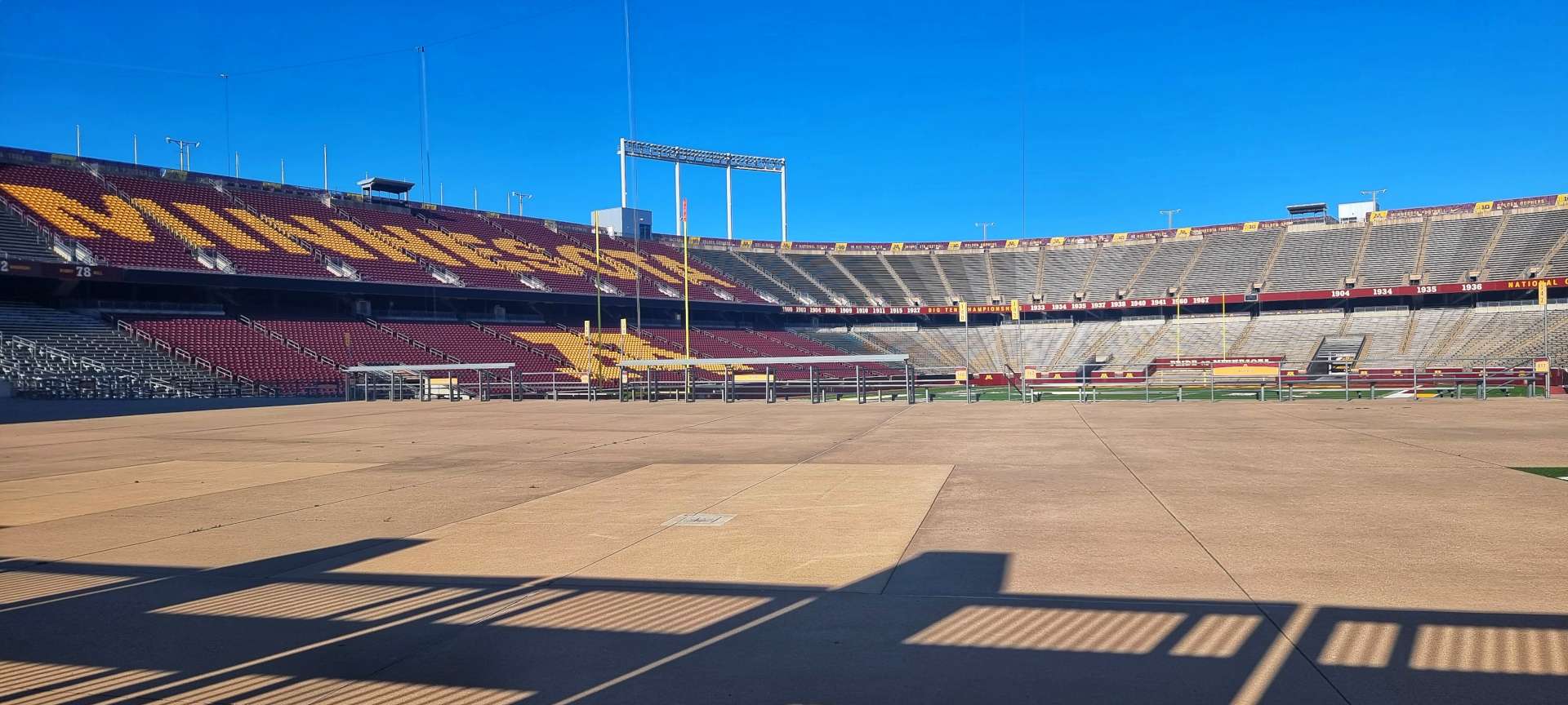
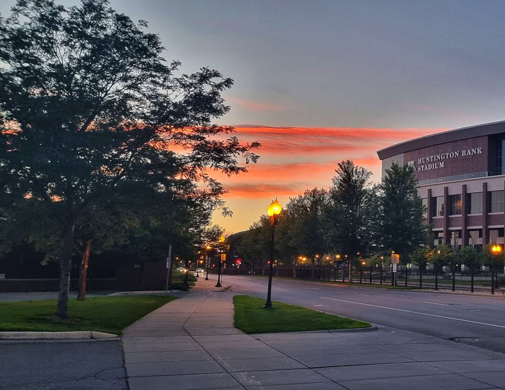
After just over five & a half hours we finally made it to the Mighty Mississippi, 2nd longest river in the USA (we crossed the longest a few weeks ago- the Missouri). Within 10 minutes of crossing the river we were at our home for the next 4 nights next to the massive Minnesota University complex. The 3rd & 4th photos below show where their American Football team play their home matches…..it cost $303 million to build when it was completed in 2009 & can hold 54,000 fans currently & is designed to increase the capacity to 80,000 in future!!

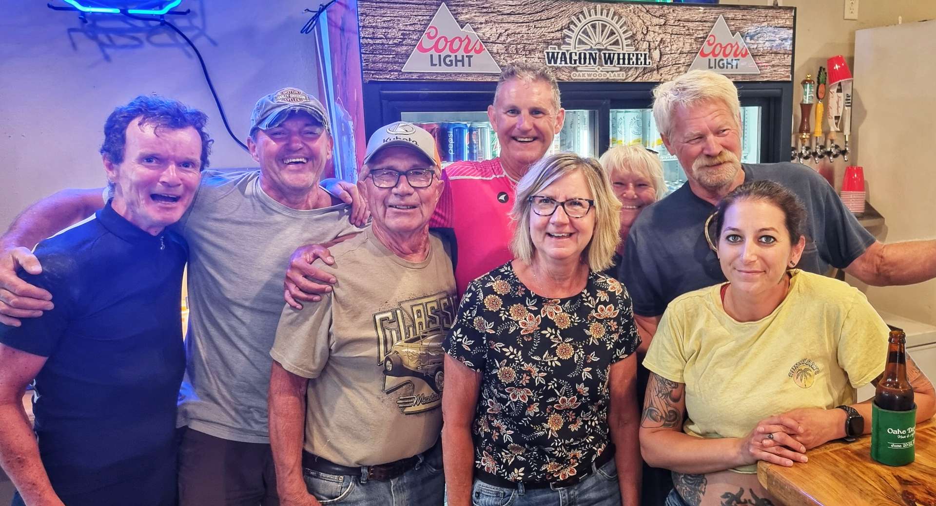
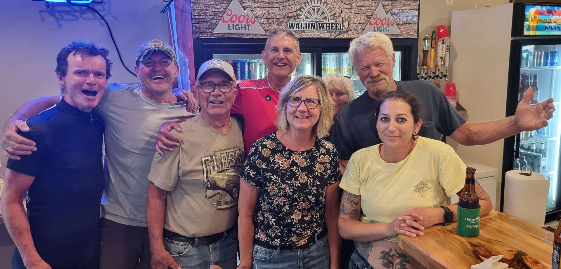
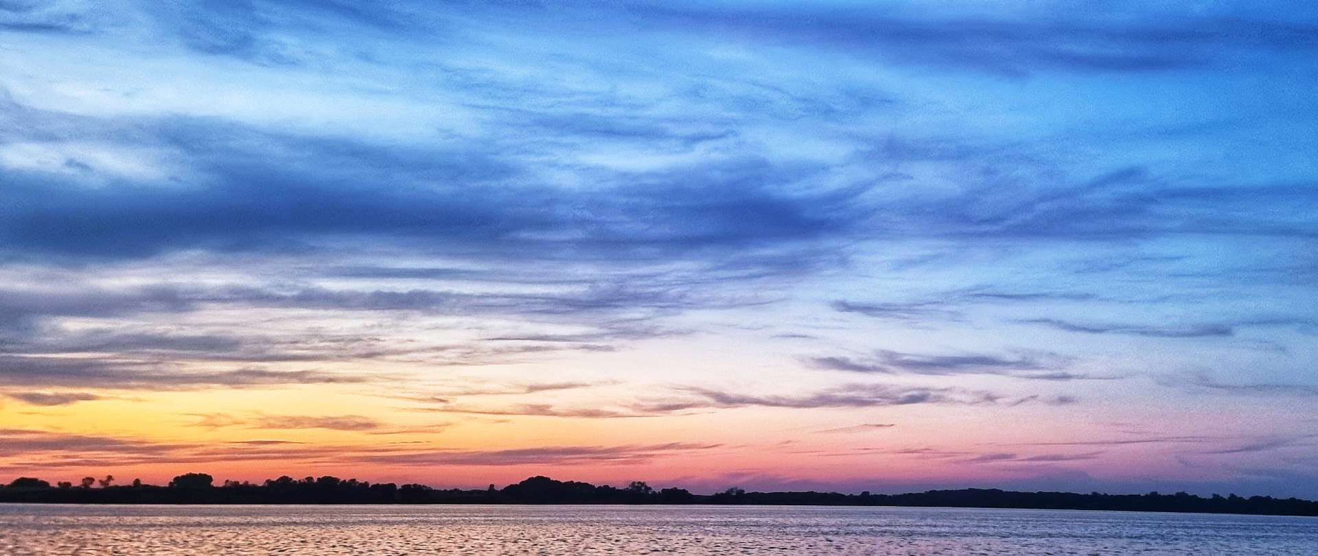
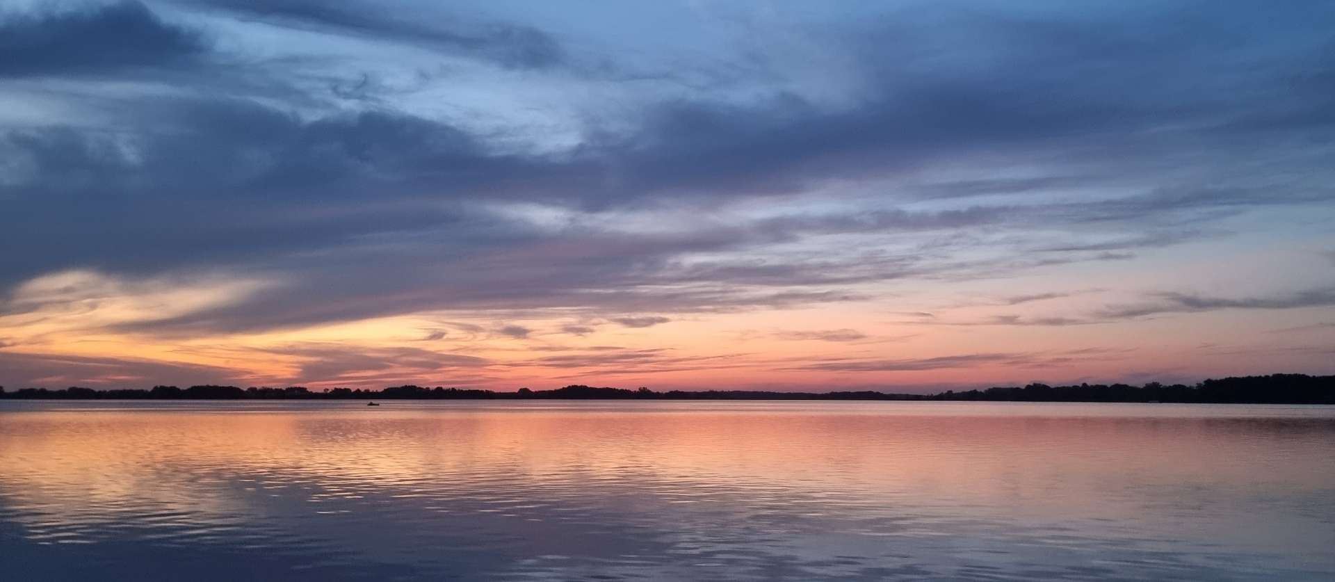
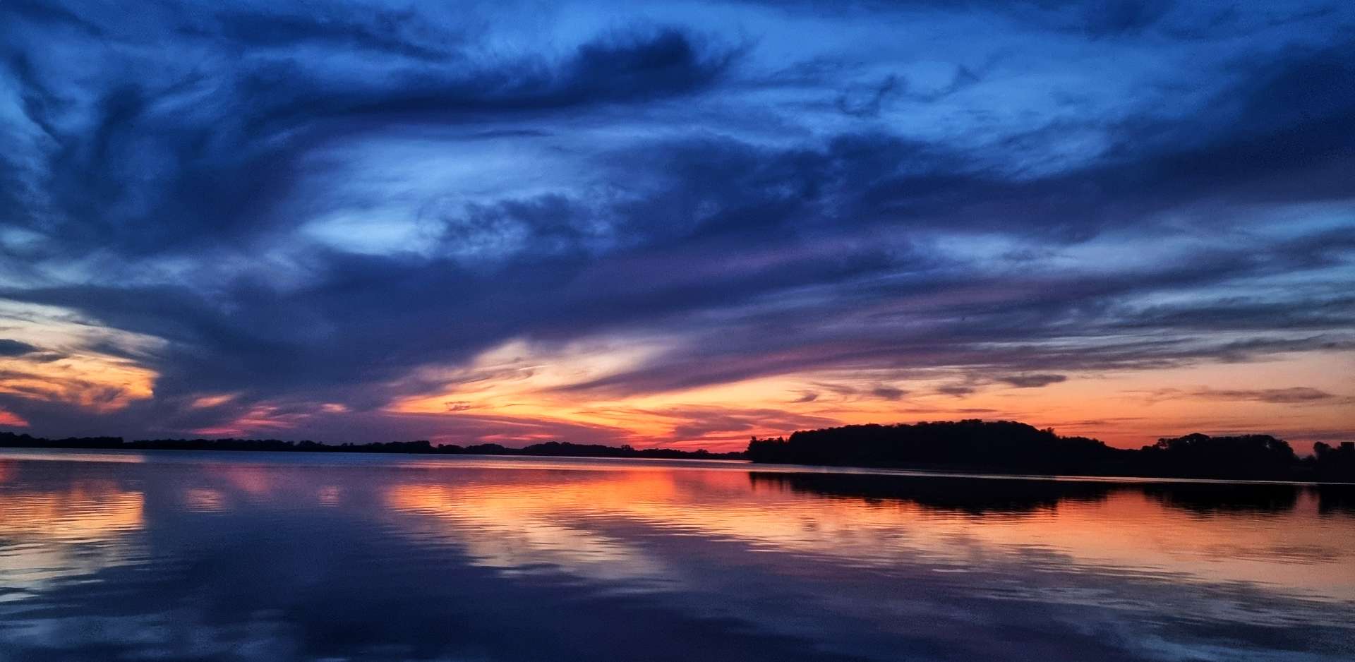
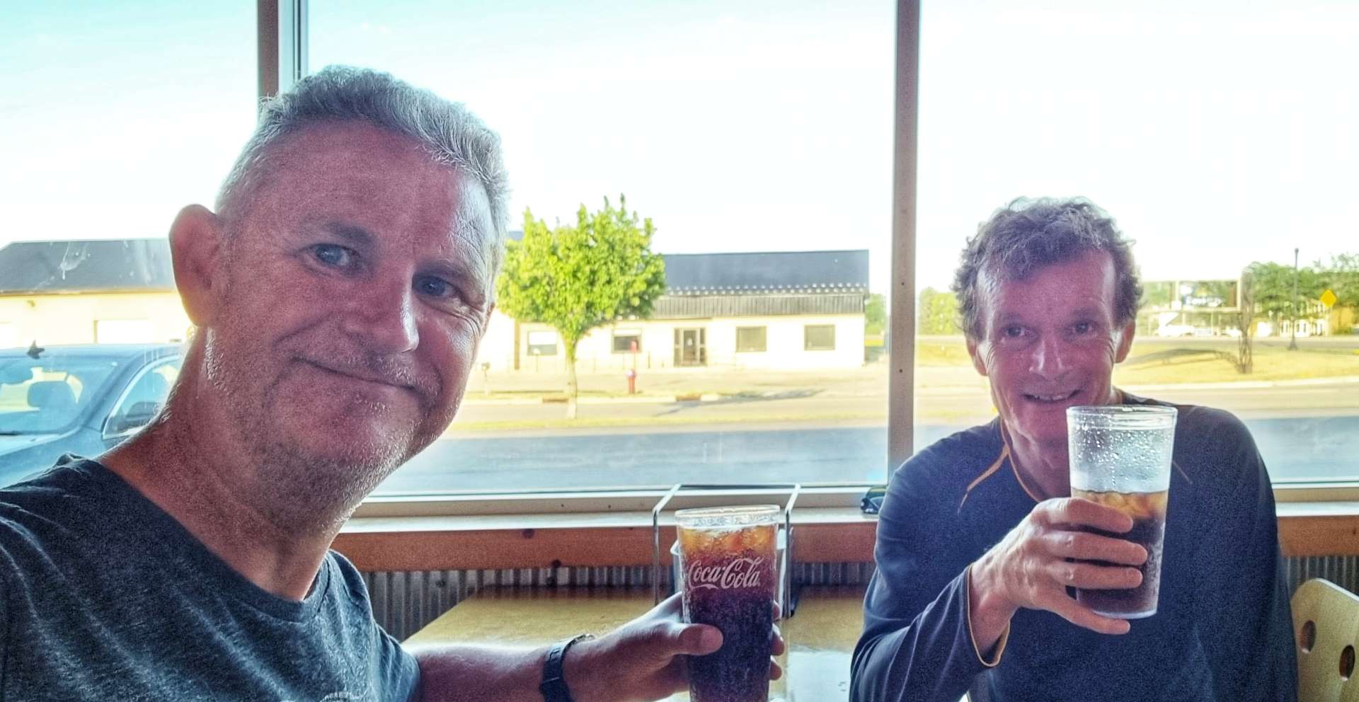
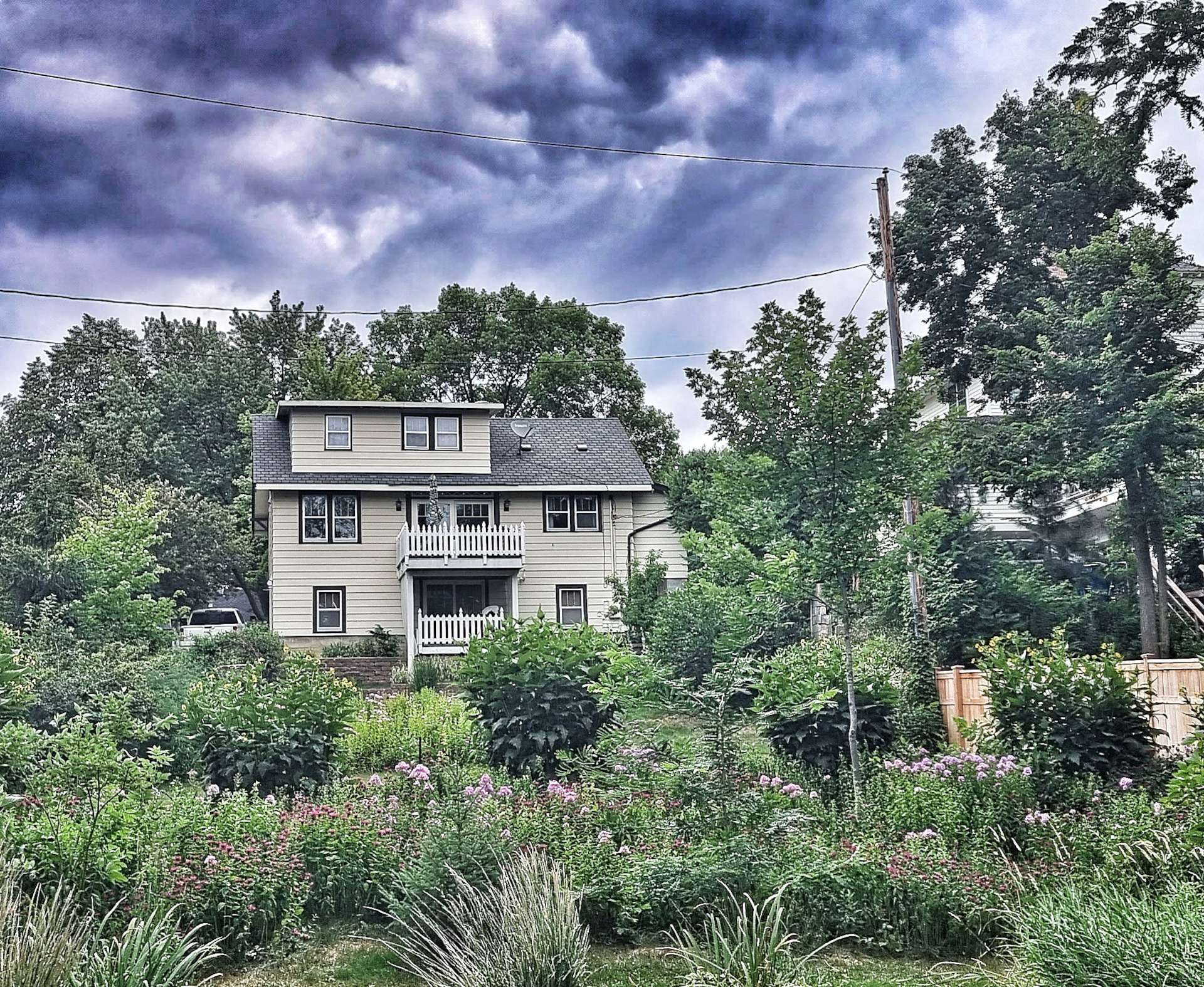
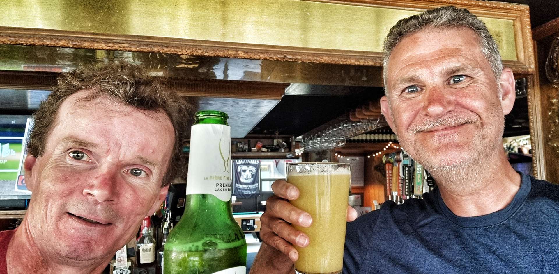
After a block of riding for 5 days, it was time to relax & toast our safe arrival in Minneapolis – we found Stub & Herbs for a burger & couple of beers. The perfect end to a great day & it looks like it will be another one tomorrow if Red Sky At Night can be trusted!

If you’re wondering why so many of the places in Minnesota have Minne at the front – (Minnehaha, Minneapolis, Minnetonka for example) it means water in the Dakota language.

Stage Stats – 73 miles, 1,732 feet of climbing. 3 different rail trails taking us through remote countryside before depositing us safely in Minneapolis for 2 days Rest & Relaxation.

Huron to Redwood Falls

Friday 15th July to Sunday 17th July – Stages 59 to 61.

Friday 15th July – Huron to Oakwood Lakes State Park (Stage 59)

Today marks the beginning of a 5 day block of riding with the aim of reaching Minneapolis next Tuesday. The plan is to then enjoy 2 of days of Rest & Relaxation off the bike for the second time on the adventure (the previous occasion was Helena on 15th & 16th June – just before we set off for Yellowstone National Park).

We woke up to blue skies, with cotton wool clouds & from our rooms it looked like perfect riding conditions. When we stepped outside at 9am we realised it was over 80 degrees fahrenheit already (at 9am) & for large parts of the day we’d be riding into the Easterly headwind, plus it was humid. I hadn’t slept well overnight, but you simply have to get your head in the right place & enjoy the day – I could be at home working, instead of having the adventure of a lifetime!

Leaving town, we took the same route as the railroad, crossing the James river along the way. The route missed the World’s Largest Pheasant, so I was glad I got my photo opportunity in yesterday!!! The first 20 miles on Highway 14 were Easterly into the wind on a long, straight road, taking us past the big Grain Elevator Building at Cavour.

Reaching Iroquois (population 266), we took the chance to stop at a gas station to top up our water bottles, enjoy a cold sprite & wolf down a Hostess Cherry Pie (not worth a photo, it’s a mass produced, processed pie). Iroquois has even come up with its own motto – Small Town, Big Dreams.

After our brief stop, we took Highway 39 North for 8 miles, giving us some respite from the Easterly headwind. Occasionally there were stands of trees to break up the fields of wheat & maize – there were quite a few farmers out on the road, move their equipment around. The majority continues to be John Deere, always easily recognisable by the green & yellow paintjob. We also crossed the railroad, although I’m still unclear which is the right & wrong side of the tracks when we’re this far from civilisation!

At the 28 mile point we turned right for what I knew would be a 32 mile stretch of road that would be straight into the headwind – I chose not to tell Sean how long the road was, as I didn’t think it would help to know that the next 2 1/2 to 3 hours were likely to be seriously draining.

We both remarked on the huge grain silos in the far distance – they were enormous! I’m stood on the bottom of the ladder in the second photo, you may just be able to make out my pink jersey.

The road was perfectly straight & we could see every undulation in the road laid out in front of us. In that time, we saw one house of note & I managed to find a few roadside flowers to get a photo. Other than that the view was constant for the hour it took us to cover the 11 miles.

As we reached Spirit Lake, the road took a couple of small twists & turns – as if that wasn’t enough excitement, we also spotted 3 mule deer in the field outside a house & then saw 2 pelicans on the lake. Suddenly our wildlife cup was overflowing!

It was a brief interlude & normal service was restored as we continued eastwards into the wind. We were getting very low on water, to the point that we were getting more than a bit concerned, as we hadn’t seen a town of any sort since Iroquois, almost 40 miles previously. I knew there was a bar in Badger, but I didn’t know if it would be open at 2.30pm on a Friday afternooon – there was only one way to find out……

James gave us a friendly welcome when we pushed through the door of Paul’s Place. He topped up the 3 water bottles we were both carrying – there was a couple of sips of warm water left in my final bottle! In addition, we had a refreshing coke & Paul brought over some freshly made, warm popcorn. It may sound like a small thing sat at home, but these are the sort of things that can restore your morale in a heartbeat when you’ve been battling a headwind for the last 32 miles. James also asked where we were headed, when we said Oakwood Lakes, he said to look out for Charly at the local bar.

We thanked James for his generous hospitality & set off for the final push to Oakwood Lakes, 18 miles away. Our spirits were lifted by James’ kindness, the sugar in the coke & the right turn that meant we would be heading South for 4 miles! As we reached the left turn to head East again, we were also hit by the realisation the next 4 miles were going to roads be on gravel – a reminder of how fragile our morale really was!!! A gravel road into a headwind after 64 miles was draining physically & mentally, but we made it & re-joined the paved highway for the final 10 miles to Oakwood Lakes State Park. As we made our way to the Visitor Centre, we passed a lake where 5 egrets were perched, hunting for their dinner.

We set up our tents & then had a horrible realisation that we would have to cycle 3 miles back to The Wagon Wheel, to get some food – our only other option was to not eat & as you’ll already know, we’ve both lost a lot of weight already & can’t afford to lose much more. The first photo was taken on 26th April & the second one on 14th July.

Still in our cycling kit (we swapped shoes), we set off to The Wagon Wheel – what a great decision we made! We were clearly exhausted as we walked into the bar & sat down. “Excuse me, what IPA’s do you have?” It’s my icebreaker question, as it immediately signals I’m not from round these parts & generally gets a conversation of some sort started.

It wasn’t needed this evening as we were clearly smelly cyclists – Don, Joel, Vicki & Sharon wanted to know where we’d started (we have a stock answer which was Huron today & Seattle back on 30th April) – they all belly laughed & said that’s a long ride in the this weather! We’d made friends within 5 minutes when we said we’d stopped in Paul’s Place in Badger – Charly & James are buddies.

Let me introduce to our new friends – Charly (the owner) & Karie (our barmaid) are with Sean & me in these two photos.

From left to right – Sean, Joel, Don, me, Vicki, Sharon, Charly & Karie. A big thanks to Allen for taking the photo of us all. We’d known everyone for less than 90 minutes at this point!!

We had a great evening chatting & making friends with everyone. We also found out what a Wagon Wheel Token is used for (thanks for demonstrating Joel, Don & Sharon) – it entitles the holder to a free drink & we seemed to be permanently in possession of one each – we still have them as souvenirs! Thank you Vicki for buying our pizzas – Sean & I so much appreciated everyone’s kindness & generosity. I made sure to buy a round too, I didn’t forget my manners!

This had been the best night of our adventure so far & then it got even better – Joel & Vicki invited Don, Sharon, Sean & me on a boat ride on the lake as the sun set. We had to say yes & we had a wonderful time watching the sun go down with superb company. Here are a few of the photos I took.

My evening in The Wagon Wheel is imprinted in my memory & I won’t forget it in a hurry – we were at a very low ebb when we walked in the door, yet we’d made new friends by the time we wobbled back to our tents on our bikes less that 5 hours later! Thank you xxx

Stage Stats – 78 miles, 2,011 feet of climbing. A naughty headwind for the majority of the day. A sunset cruise & new friends made.

Saturday 16th July – Oakwood Lakes State Park to Marshall (Stage 60)

We were up bright & early, with our camping gear packed away by 9am. Today we’d be on the hunt for breakfast, as there wasn’t a shop open when we left. As we left Oakwood Lakes, we took one last look at the egrets fishing for their breakfast & one flying away to try another pond.

For the early part of today’s ride it was overcast, but the humidity was high – it made finding stops on the ride even more important. Our first hope of a stop required a small detour into Bruce after 8 miles, but everywhere was shut. Back to the long, straight road we went & passed some cows having an early morning dip.

Our next hope was the small town of White on County Road 6, but again we were out of luck for breakfast. We did find a small gas station where we could top up our water, but they didn’t even serve coffee – there were slim pickings this morning. I did manage to find a packaged blueberry muffin, but the processing stage removed the flavour!!!

As we left White, we knew our final hope for food was now 21 miles away, so we were hoping for some distractions to take our minds off food. There was an unexpected change in scenery, as we entered a 30 mile corridor of wind turbines – they were in every direction & there must have been a few thousand of them in total.

We did have one other moment to savour, as we crossed from South Dakota into our 6th State – Minnesota. The North Star State & Home of 10,000 Lakes are just 2 of its nicknames. We’re looking forward to seeing what it has to offer over the next week or so. Early indications were that maize & wheat will be regular riding companions for us.

After 42 miles of riding & surviving on a muffin, we finally found a gas station that was open & had a sandwich counter – Ivanhoe had come to the rescue & I was going to enjoy a 6 inch chicken salad sandwich for lunch! The lack of food up to this point had made the cycling hard work, so it was time to regroup & prepare ourselves for the final 28 miles.

Our luck had changed for the better, as we picked up a slight cross/tailwind & the road very gently tilted downhill. I was able to sit on the front & churn away at 16 miles an hour, which meant we made significantly better progress that we expected on the way into Marshall.

The road in took us past the town baseball pitch & also the Veterans Memorial. The earlier than expected arrival at the Travelers Lodge gave us a chance to wash & dry our kit this evening, while we tucked in to Bourbon Chicken & Mashed Potatoes.

Stage Stats –70 miles, 1,499 feet of climbing.

Sunday 17th July – Marshall to Redwood Falls (Stage 61)

We were up & on our way by 9am, as we wanted to do as much of today’s ride as possible before the temperatures got too hot – it was already 85 degrees when we started & forecast to hit the mid-90’s later. There didn’t appear to be many water stop opportunities either!

Leaving town on Highway 23, we had the road pretty much to ourselves for 14 miles as we headed North towards Cottonwood – it was fields of maize, wheat & potatoes all the way until I spotted a lake off to the left, with some impressive houses on the far shore. I also saw an understated sign advertising guns – we’re already weighed down with kit, so I didn’t stop!!!

Turning right onto Highway 9, the road stretched ahead of us as far as the eye could see – for 6 miles it didn’t deviate from due East. There was one photo opportunity where some yellow flowers gave me a chance to set up a colourful interlude!

The road twisted around Tyson Lake, where a couple of Pelicans were fishing for breakfast. Then we were back on an arrow straight road through Echo (the name reminded me of the Jack Reacher book Echo Burning) – this was one of two potential water stops, so it was disappointing when the only gas station in town was self service, with no shop. By the time we made a right turn, we’d been on Highway 9 for 16 miles & it had offered up just the one slight change of direction!

Turning right onto Highway 7, we reached the small town of Belview – again the gas station was self service, with no shop. However, the Belview Bar & Grill was open, so we popped in to see if we could get a drink. The barmaid was really friendly & chatted to us as she took our order for a soda & some iced water. We had a refill of the soda & topped off our water bottles & as Sean went to pay, the barmaid said there was no charge.

The generosity of people in American small towns continues to take us by surprise – almost without exception, whenever we stop in a proper bar or restaurant, we’ve been looked after & made to feel so welcome. We didn’t exchange names, but we did make sure that she knew how much we appreciated her kindness.

We continued through town on the 7 & took a left turn…….

…..onto gravel!! This was a surprise to us both, as my mapping software hadn’t shown any off-road riding today. We ended up riding 4 different gravel roads over about 8 miles – they were all slightly different; the first road was thick, loose gravel which was sketchy, there was some dry gravel with occasional piles of loose chippings, a fast section of hardpacked limestone (see the happy faces) & some soft dirt with gravel thrown over it – slow going!

We eventually made our way back to tarmac & within 3 miles we’d made our way into Redwood Falls & found our motel for the evening. We’d made really good time, so were at least 2 hours early, however the owner of the motel managed to find us a couple of rooms that had already been cleaned. He then sorted us out with a microwave meal, protein bar, yoghurt, juice, an apple & some water – we must have looked very hungry & to be fair, we ate everything he gave us!!

Stage Stats –47 miles, 184 feet of climbing. 8 miles of bonus gravel riding!