Sunday 21st to Tuesday 23rd August – Stages 86 to 88.
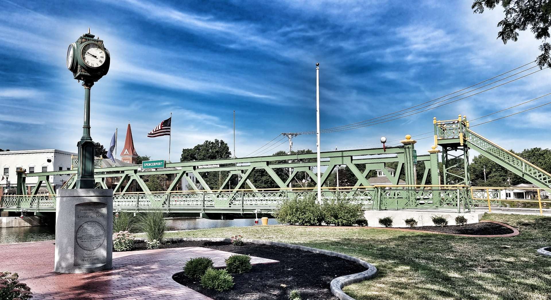
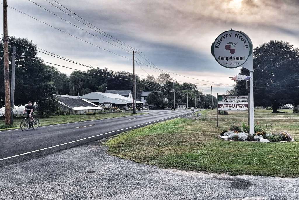
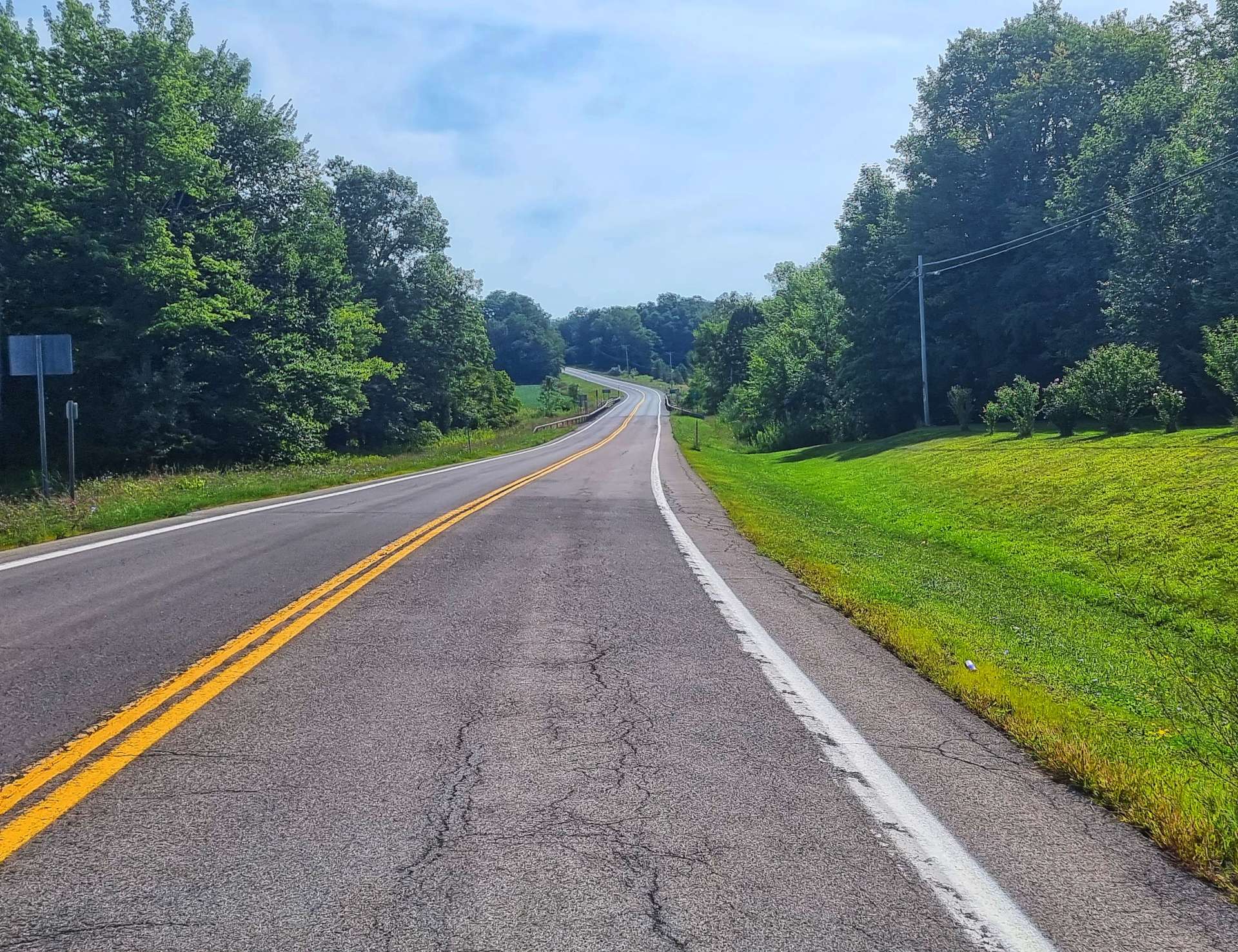
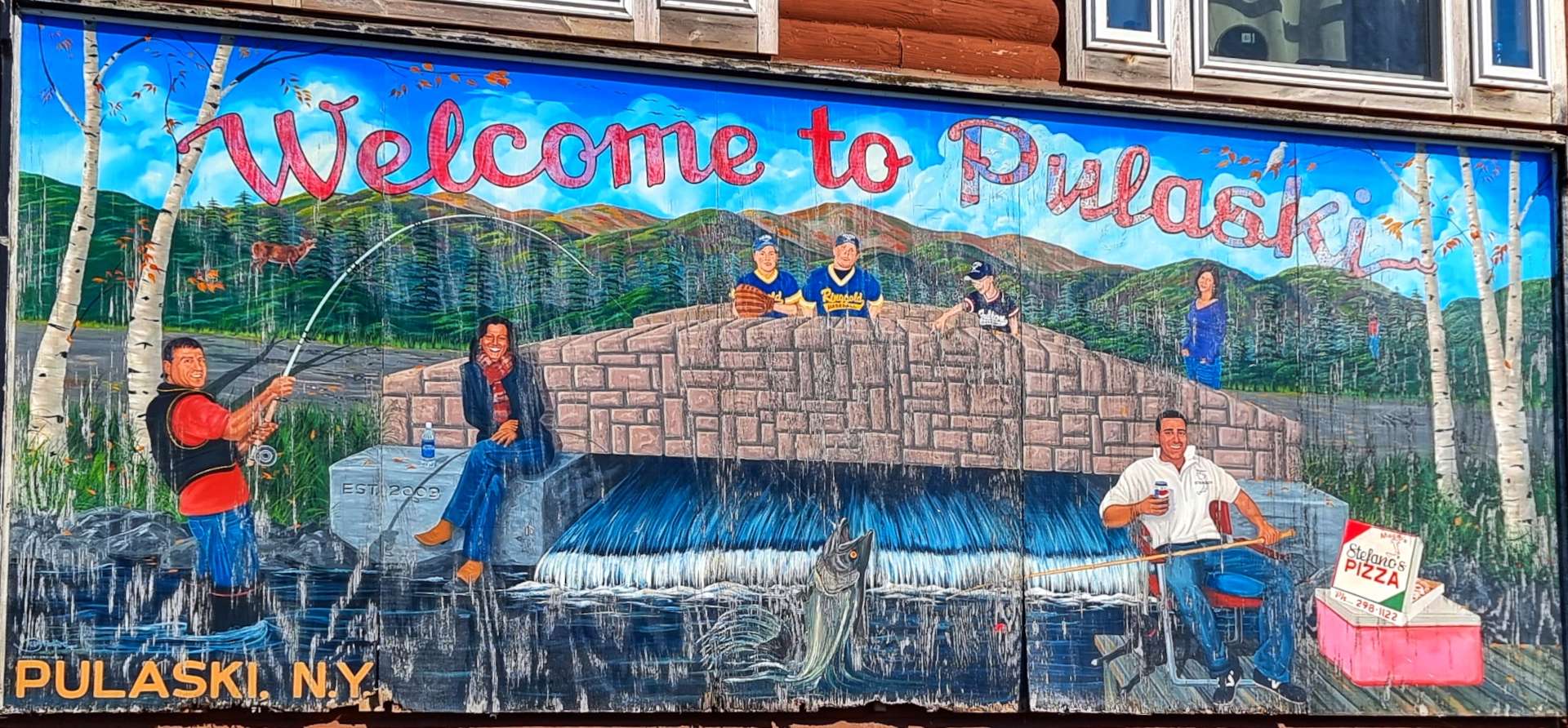
Sunday 21st August – Pulaski to Boonville (Stage 86).
We made plans to set off this morning at 9am, however, the weather gods had a different idea! Thunder, lightning & a deluge of rain made the decision to delay our start for an hour, rather an easy one to make.
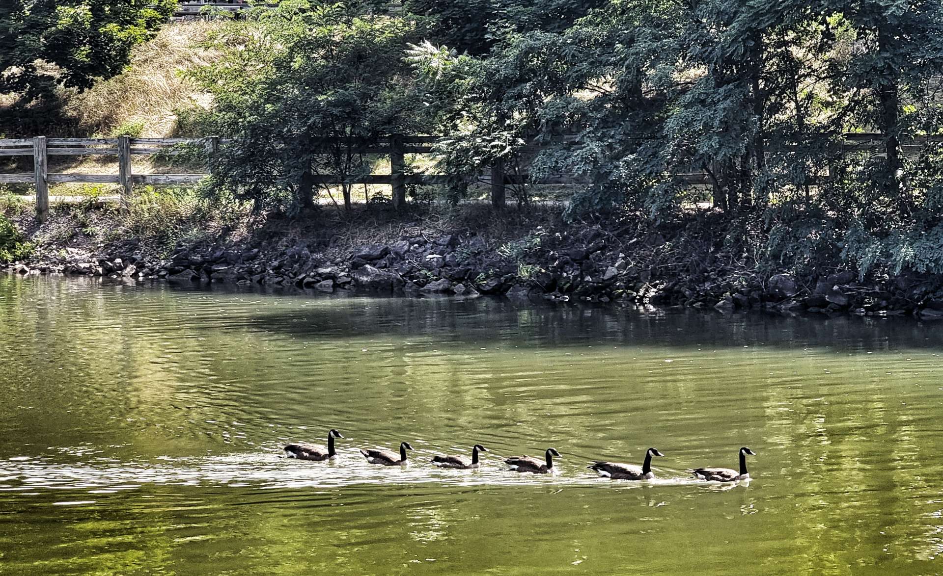
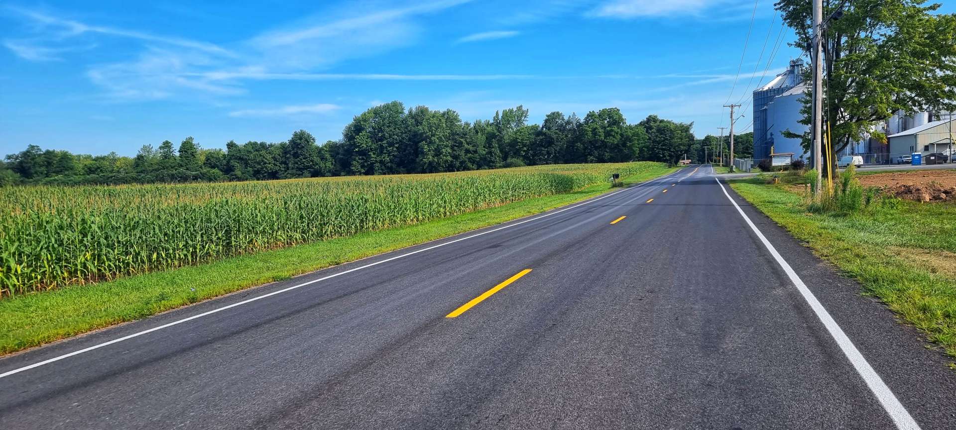
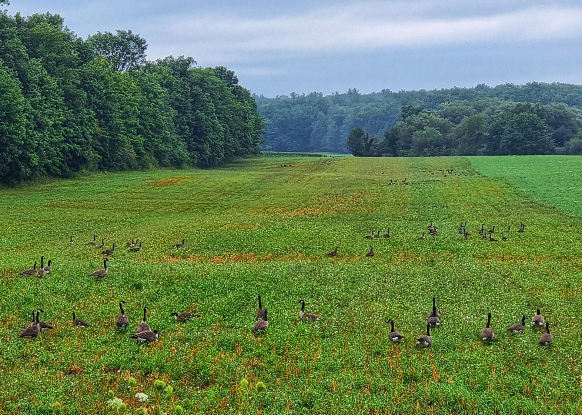
We eventually got underway at about 10am, at which point it had, at least temporarily, stopped raining. Leaving town, we passed the local airfield, where I stopped briefly to get a snap of the Canada Geese preparing for their own take-off in the field next door.


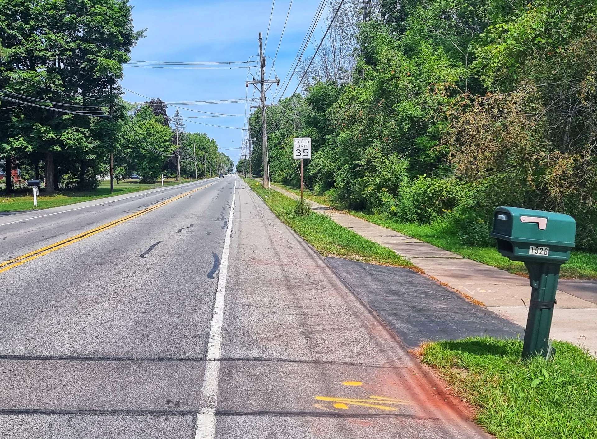
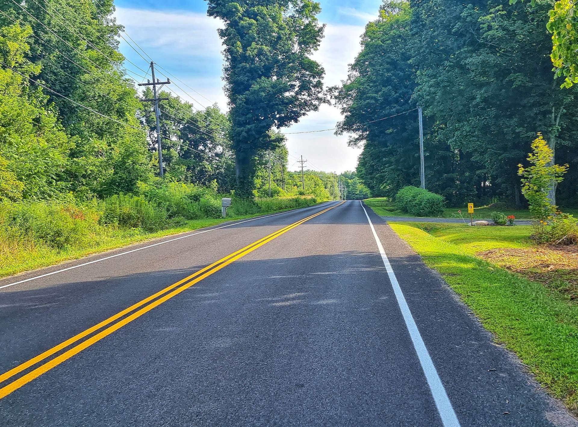
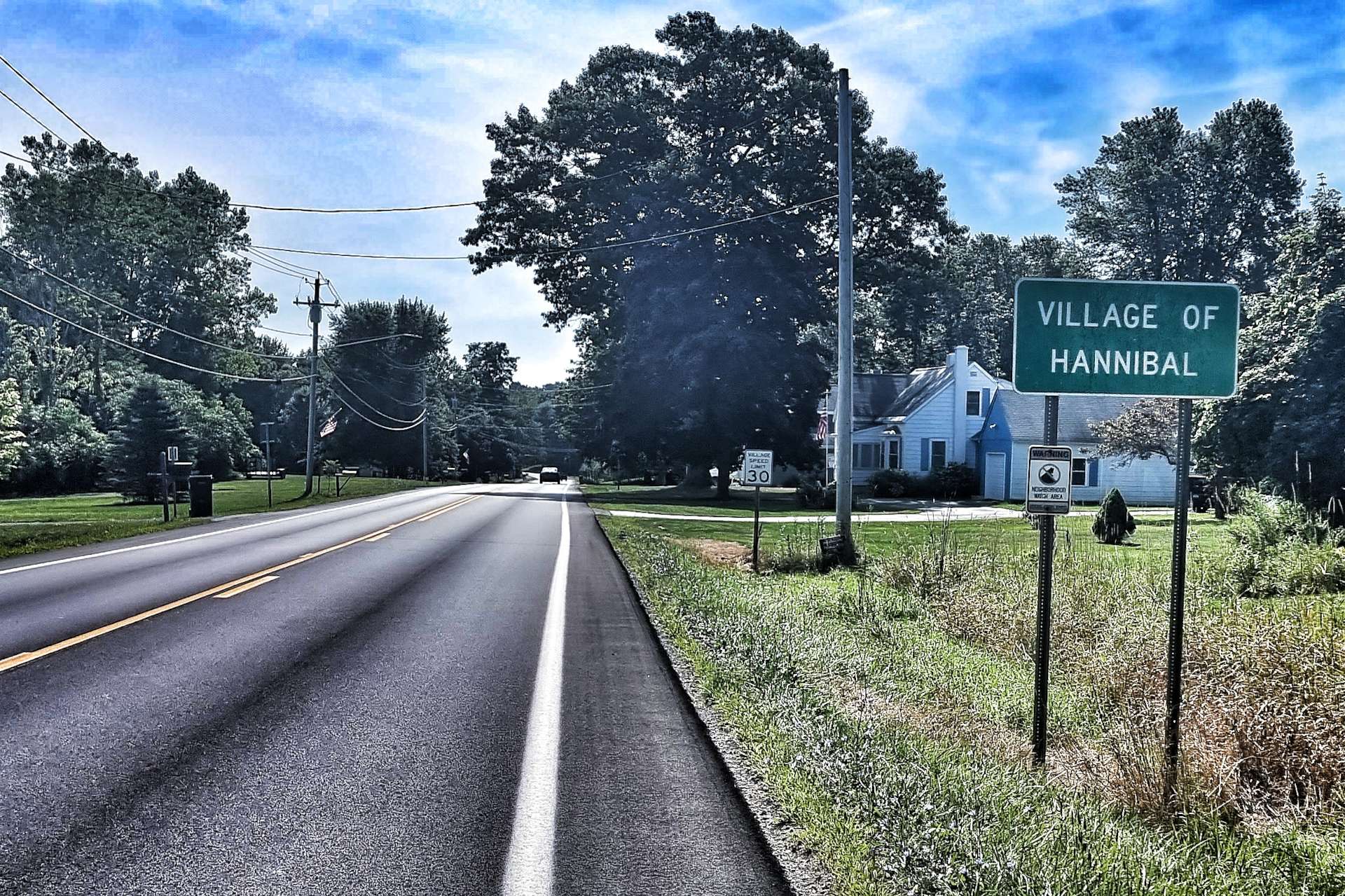
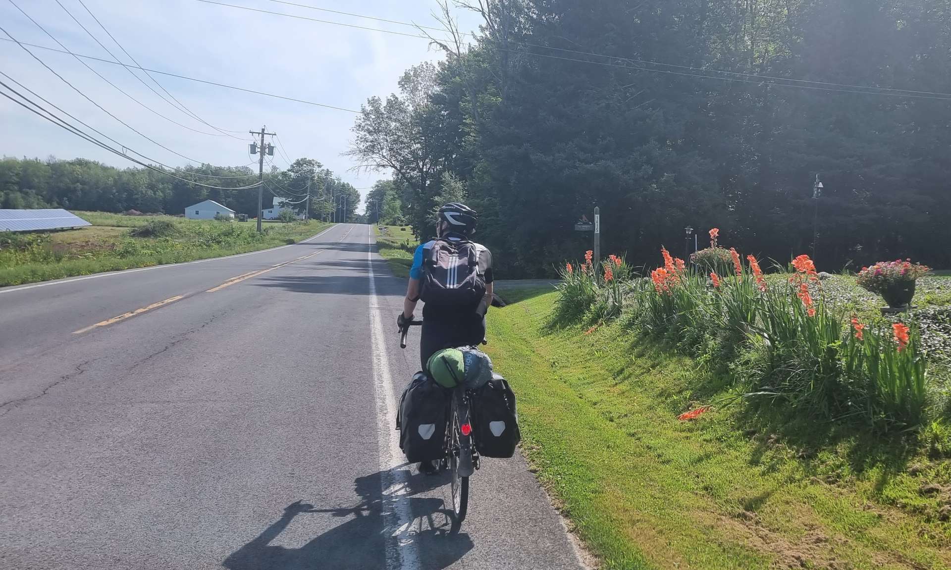
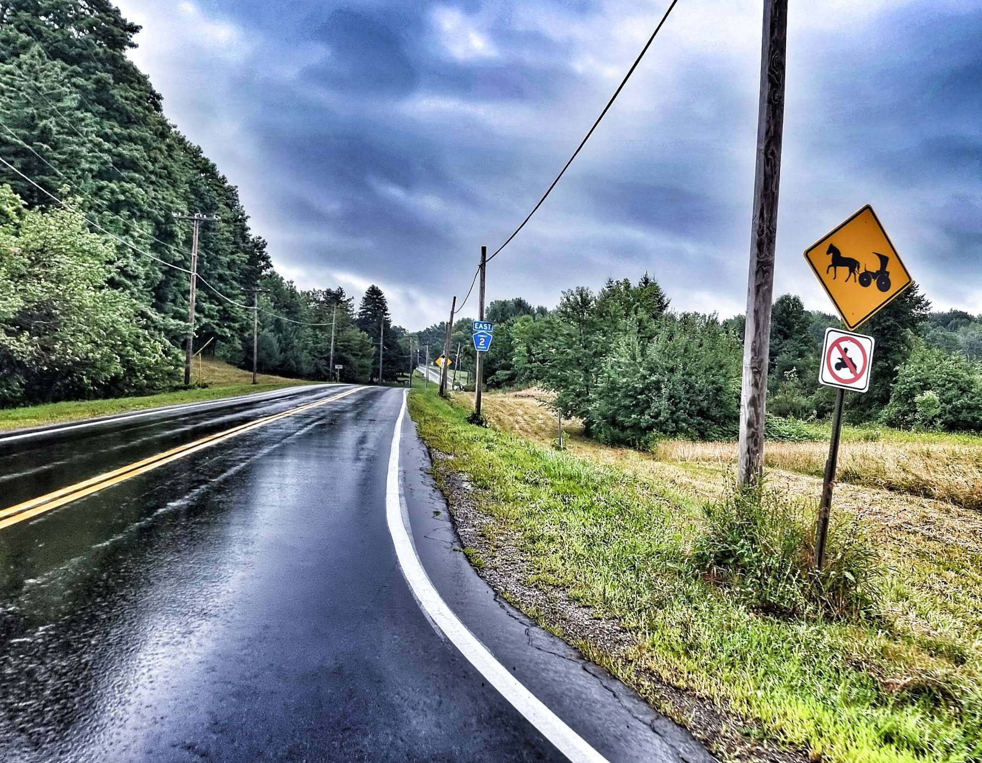
There is a growing Amish community around Pulaski & the road signs remind motorists of the possibility that horse & carriages may be on the road. The only horse & carriage we’ve seen on our travels was 3 weeks ago, when we on the way to Rochester, Indiana.
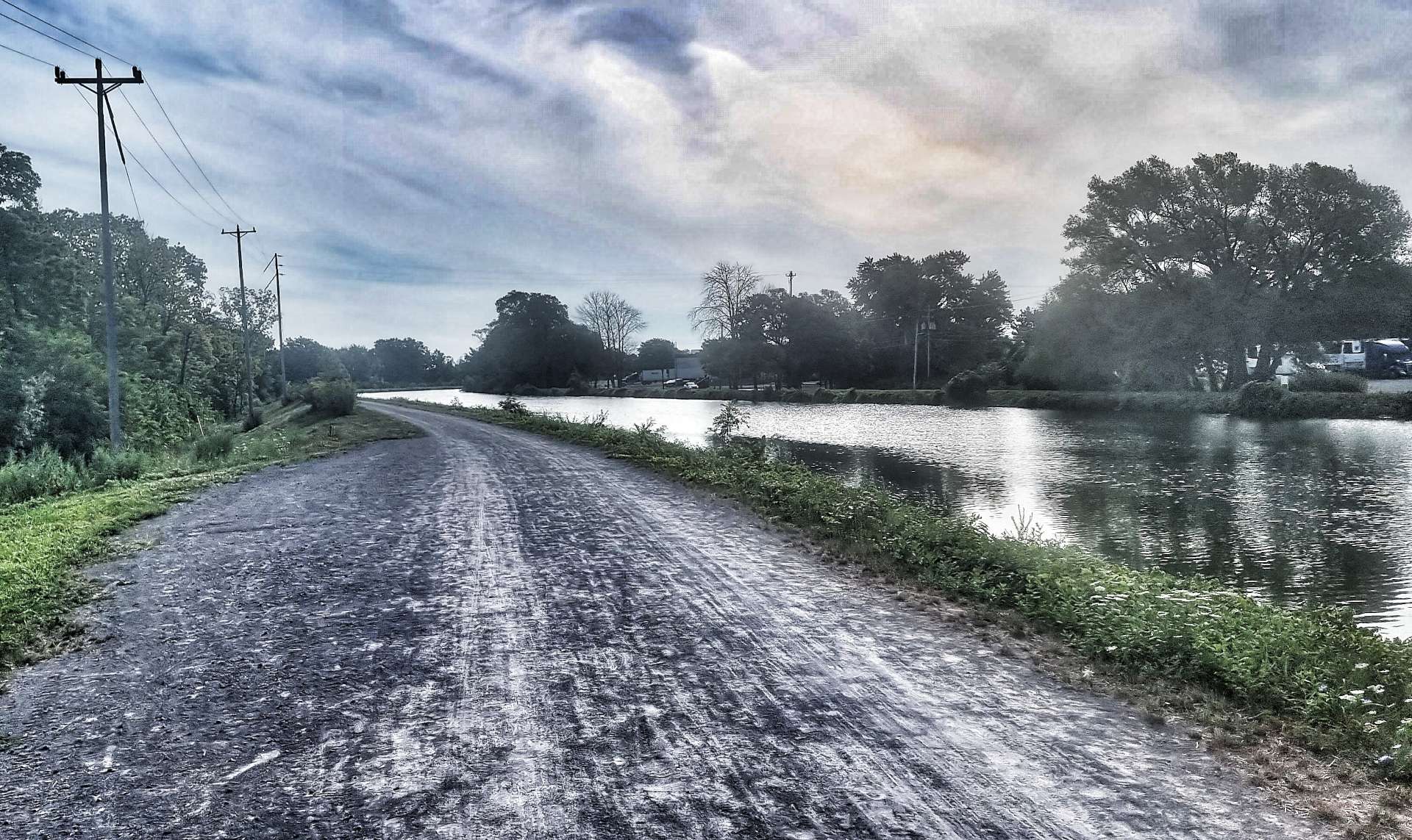
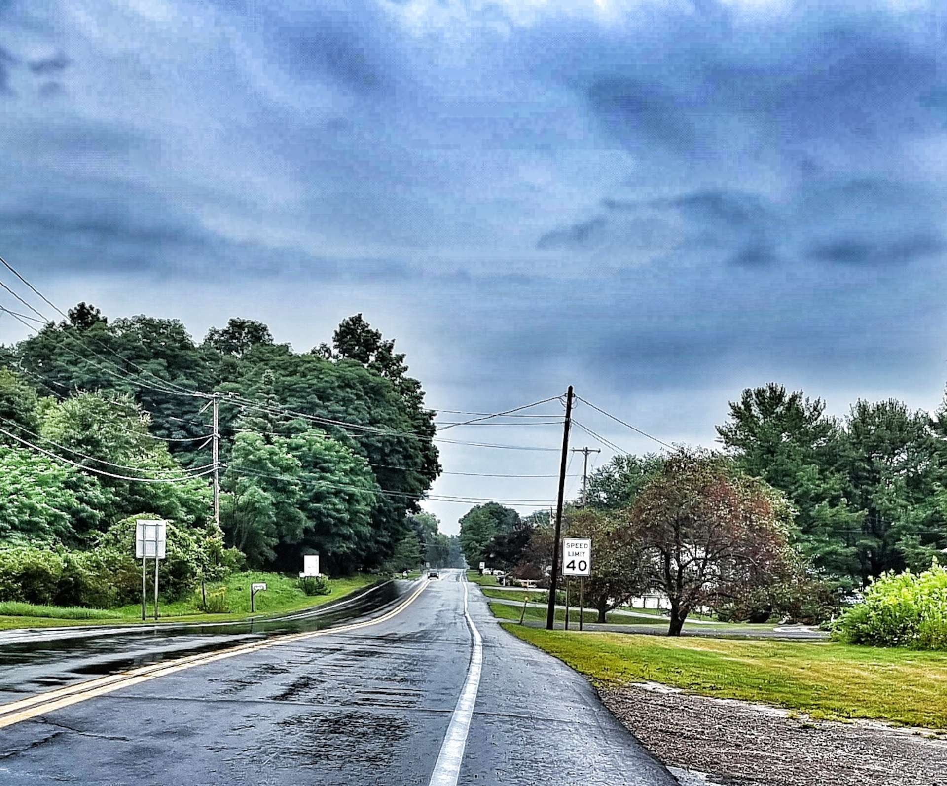
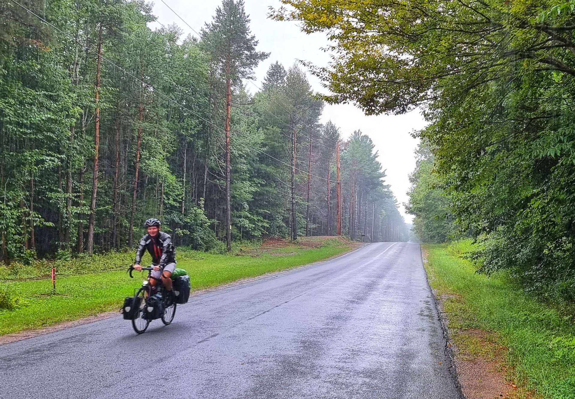
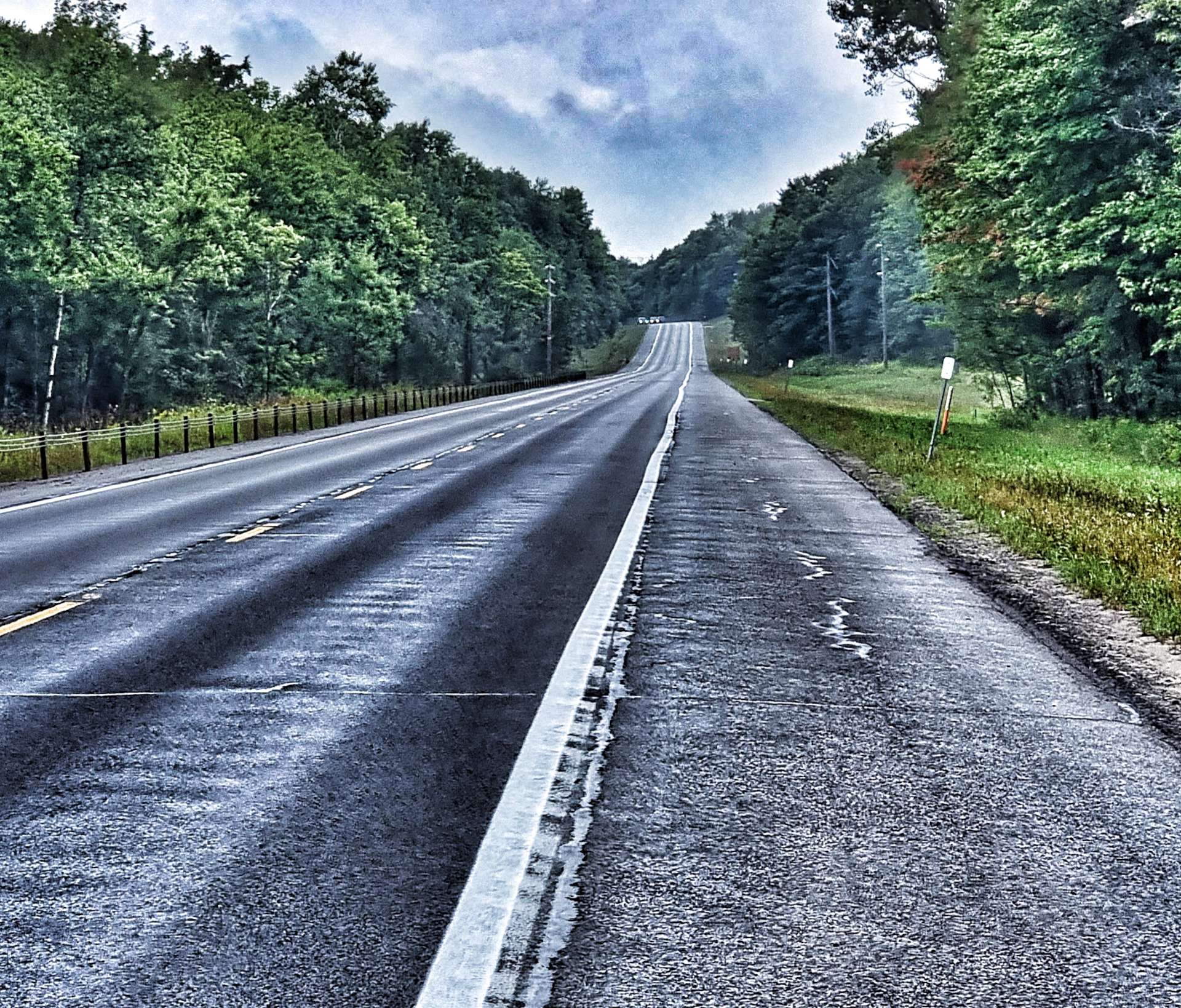
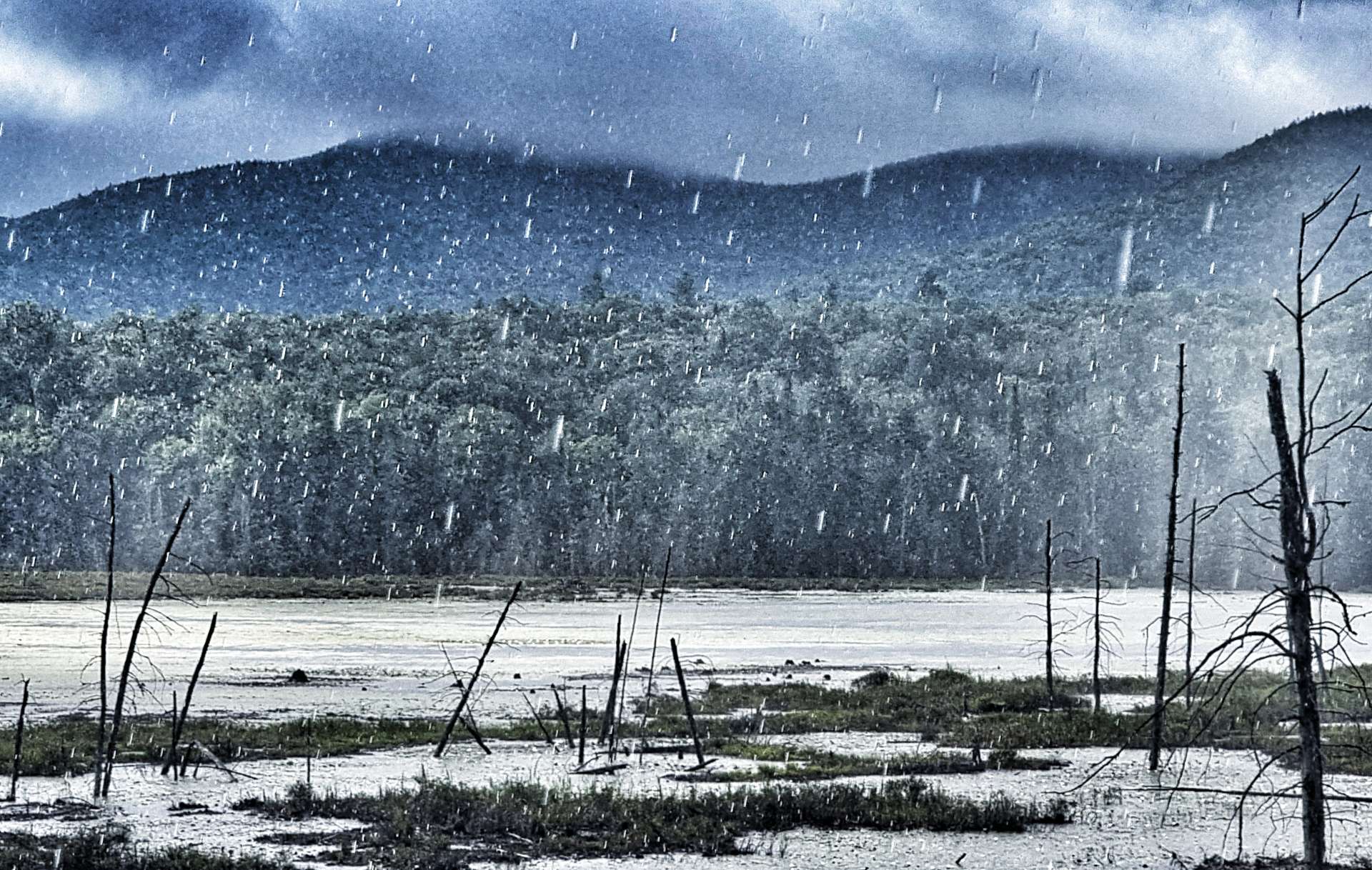
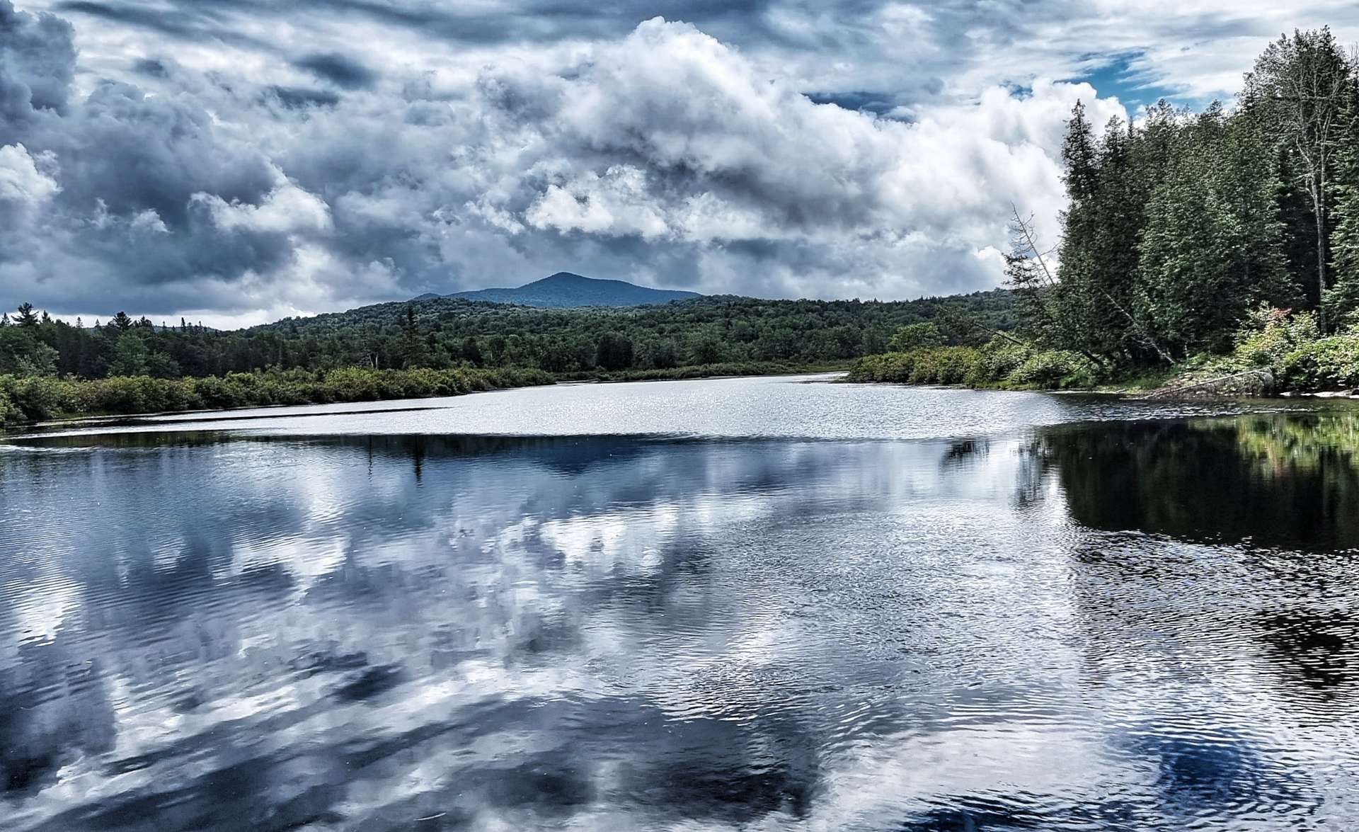
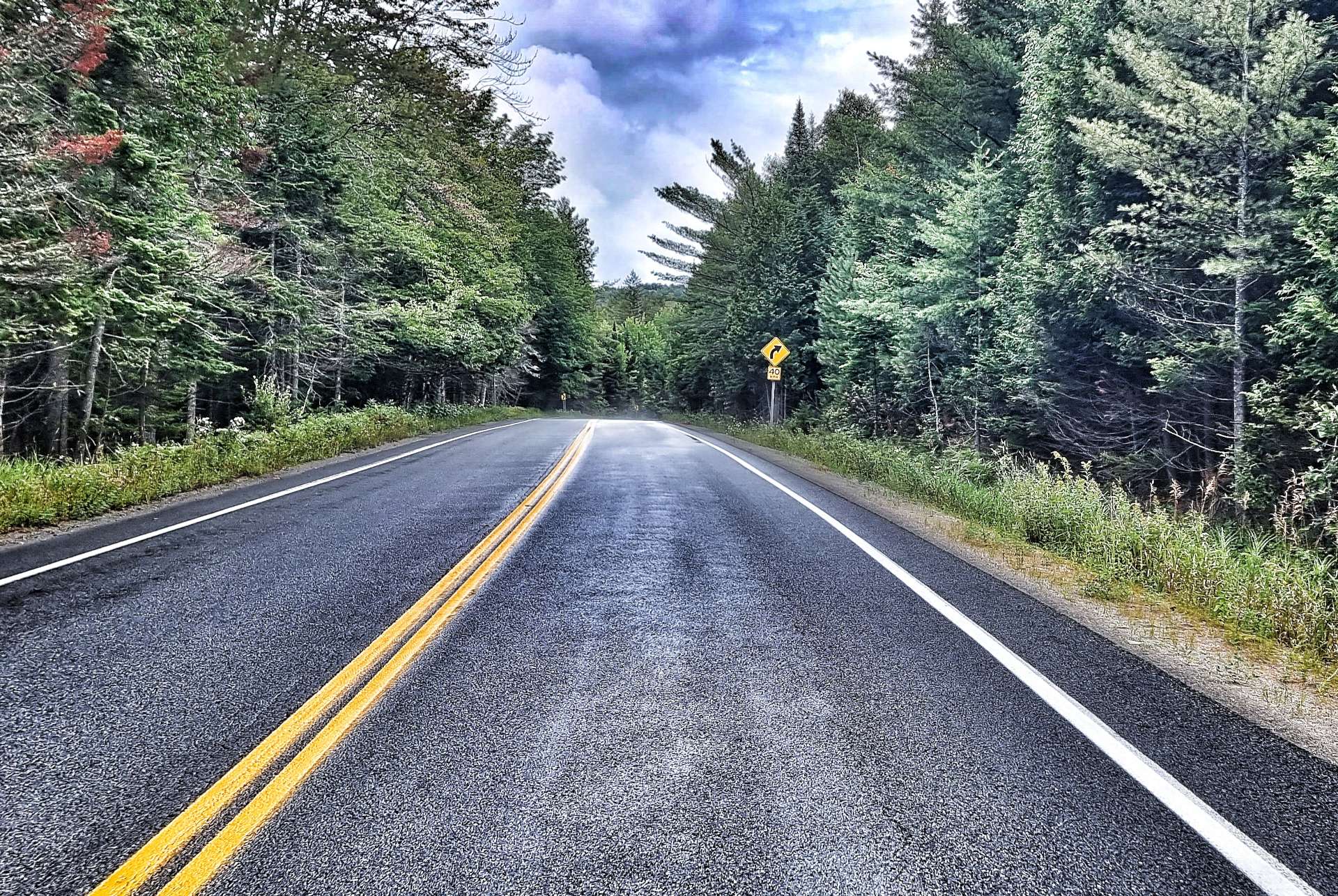
The reality of today was that only mad fish & Englishmen would be out in the mid-day storm!! The dry spell had lasted less than 20 minutes when the skies opened again – while the final photo below shows a still image of the rain, I’ve also included a video clip. You’ll need to forgive the poor quality of the audio, as water got in the microphone.

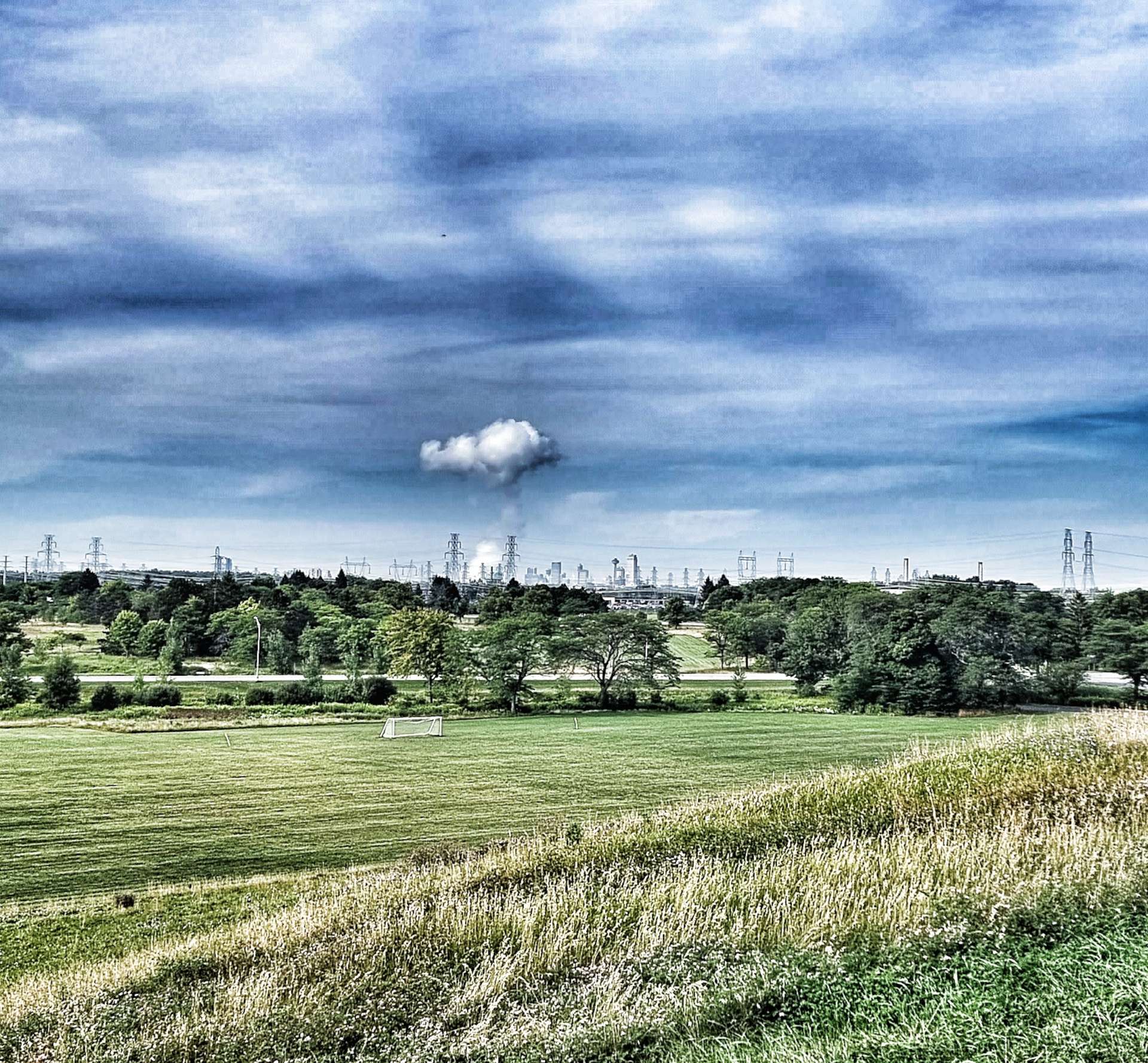
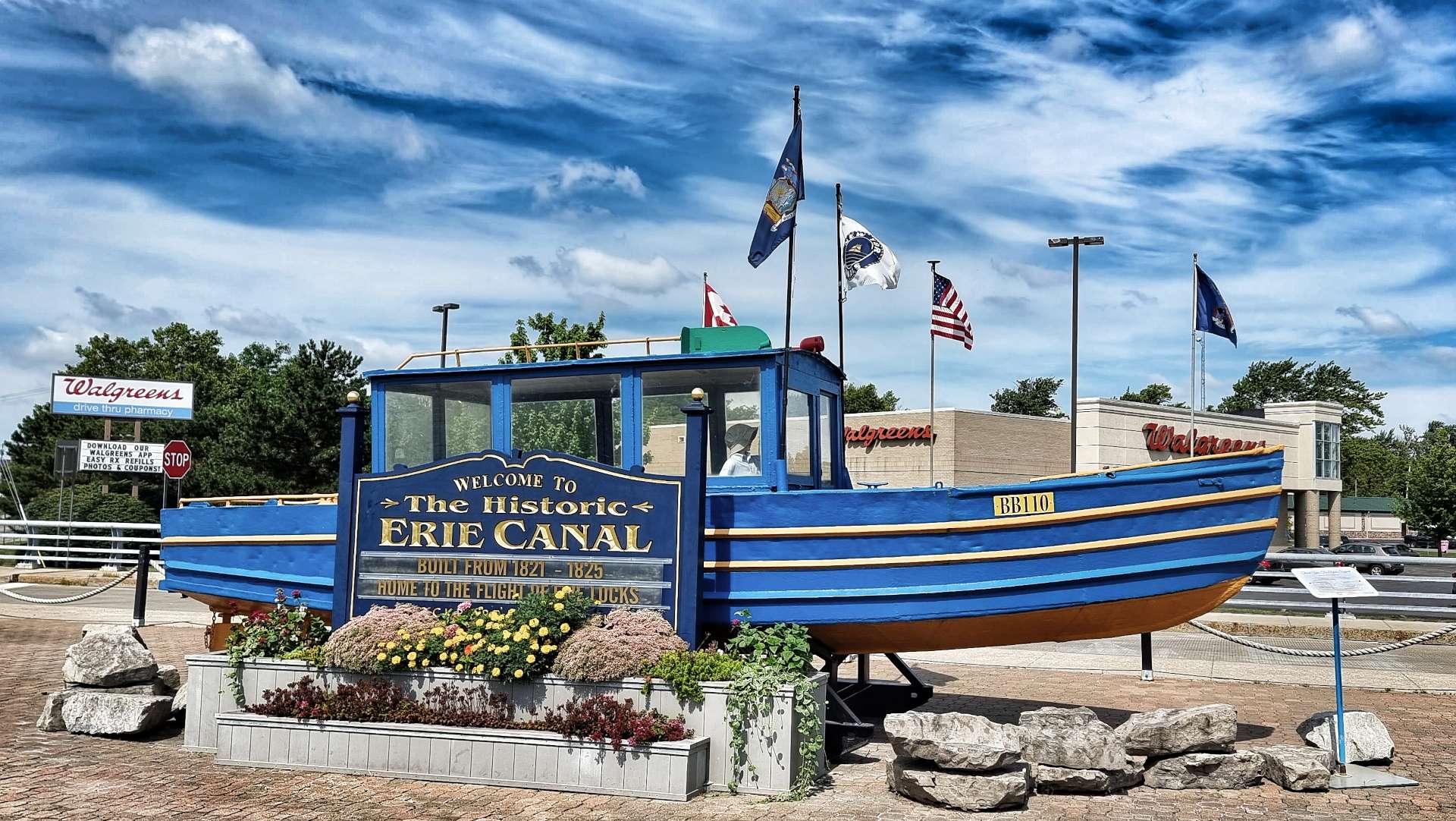
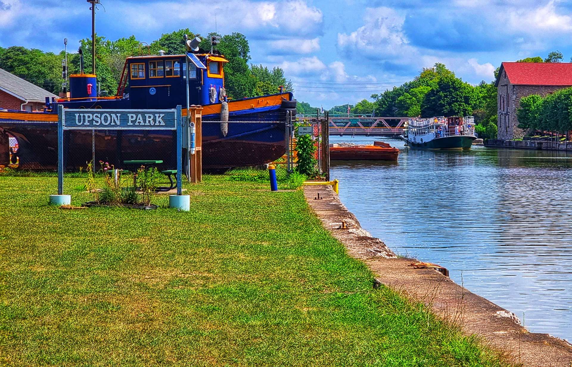
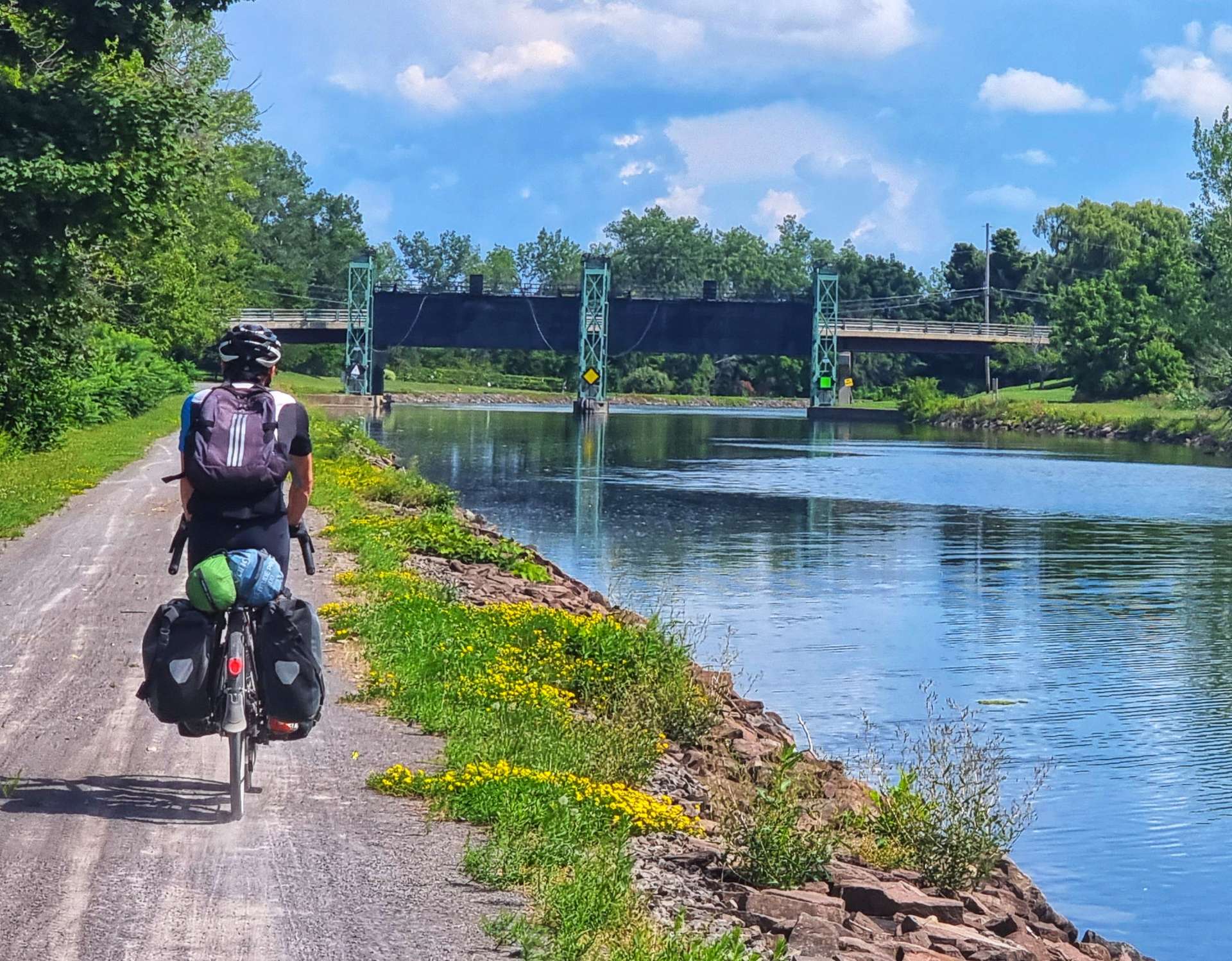
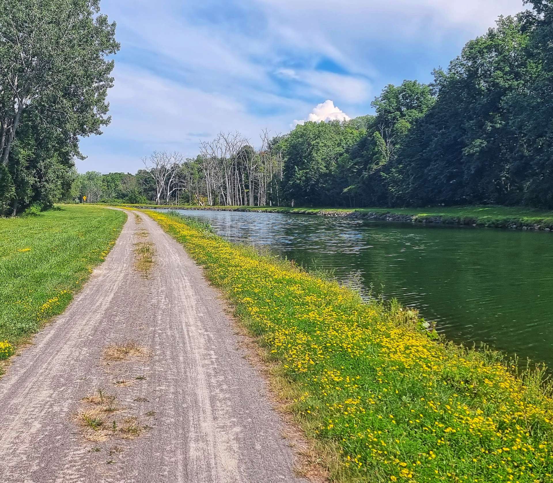
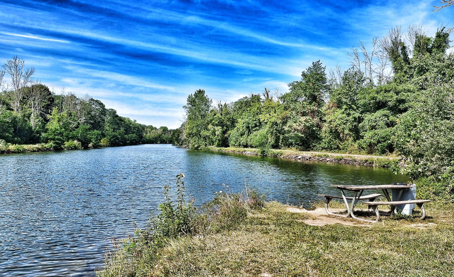
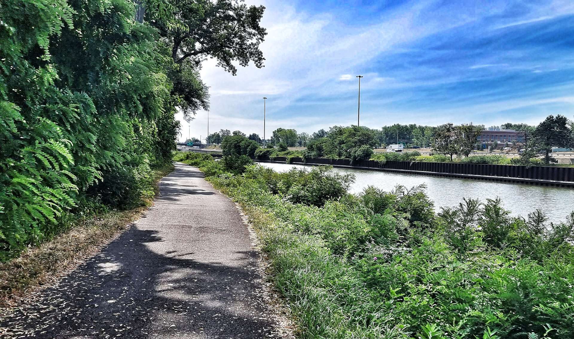
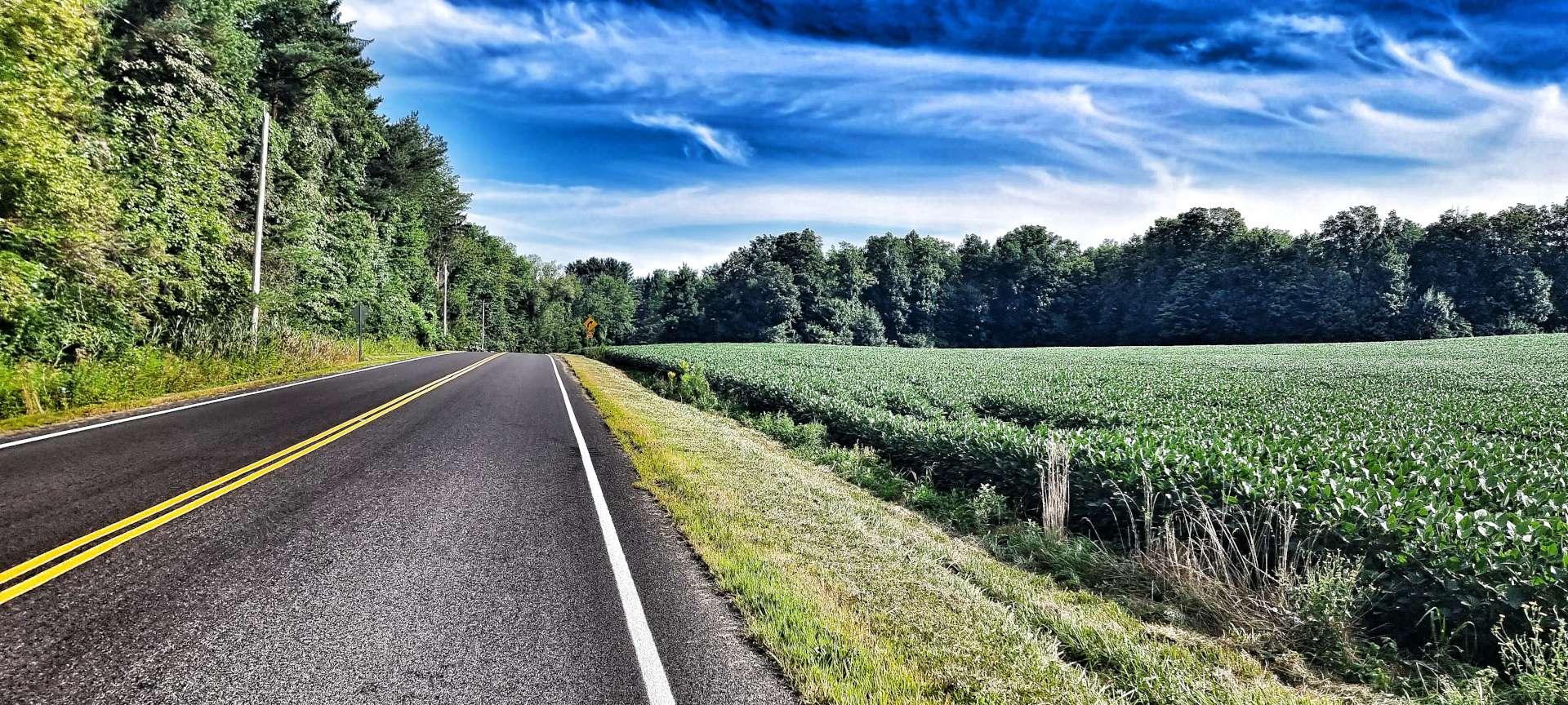
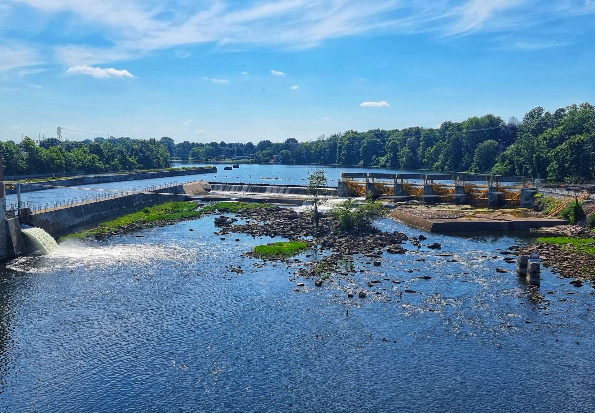
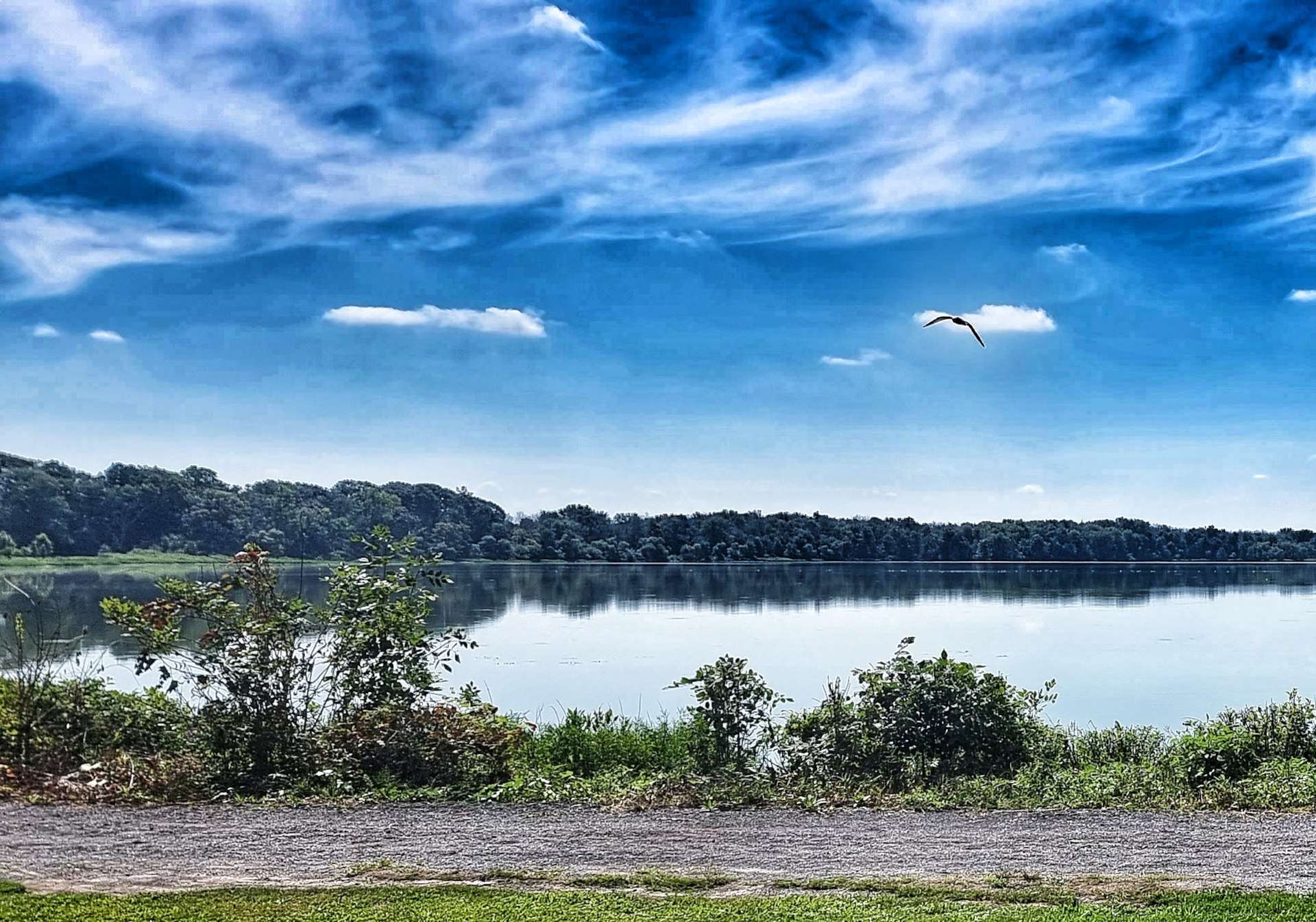
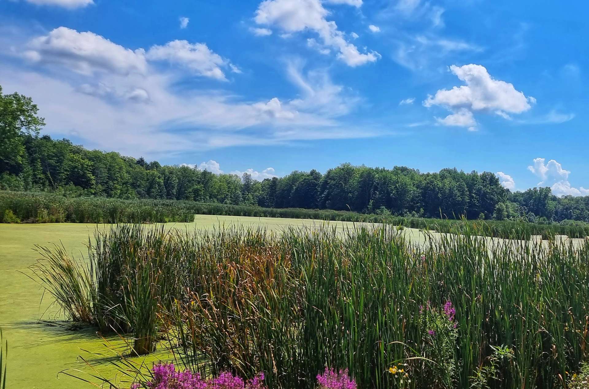
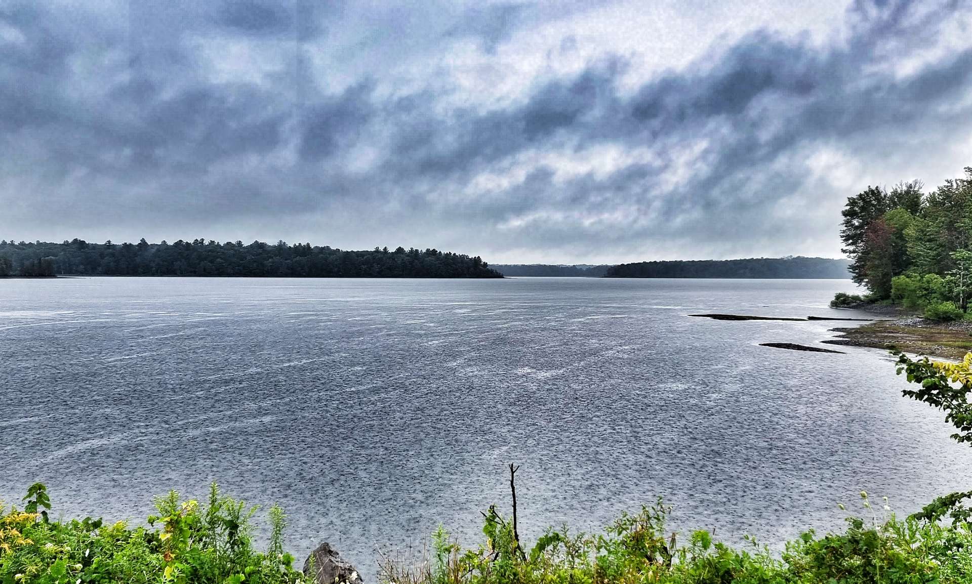
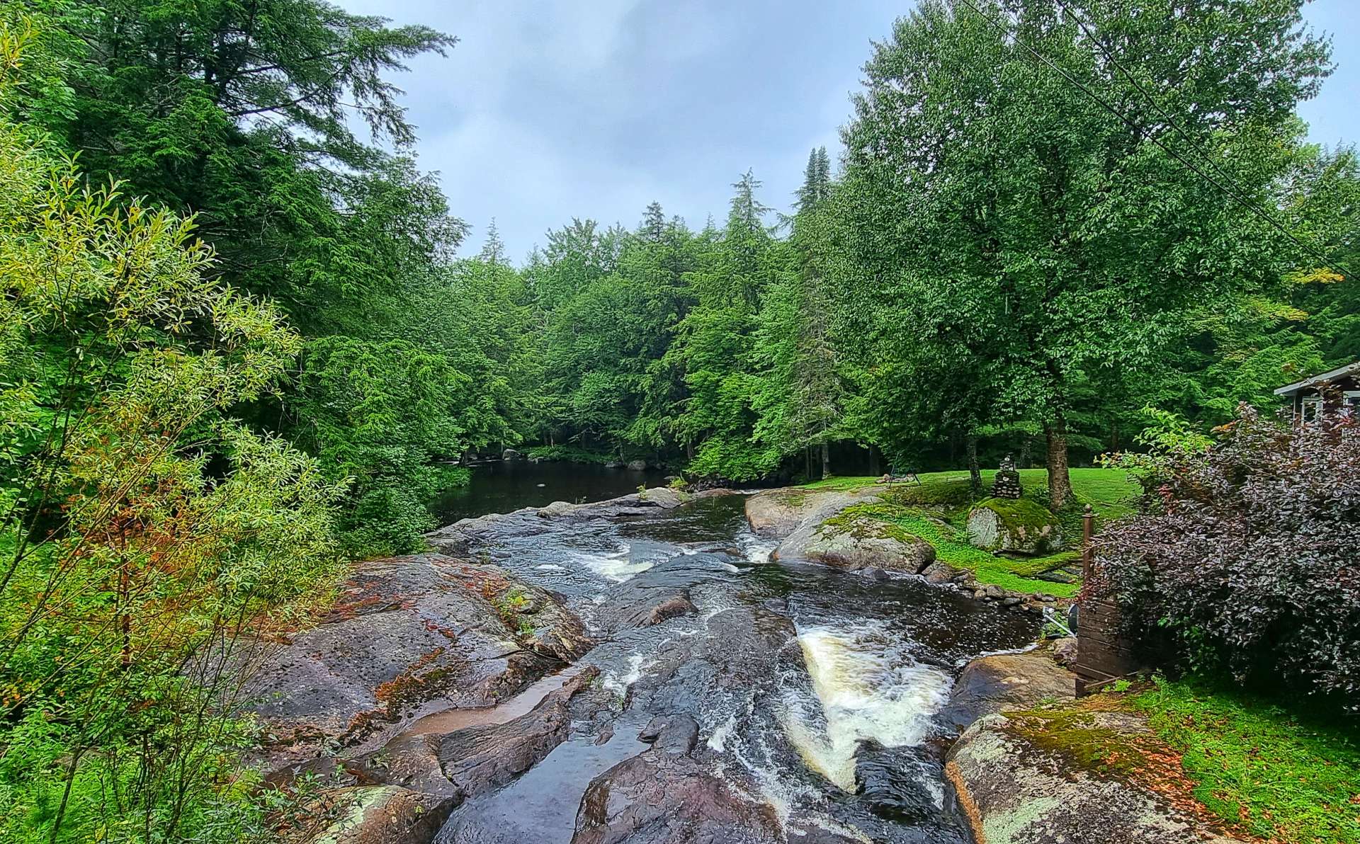
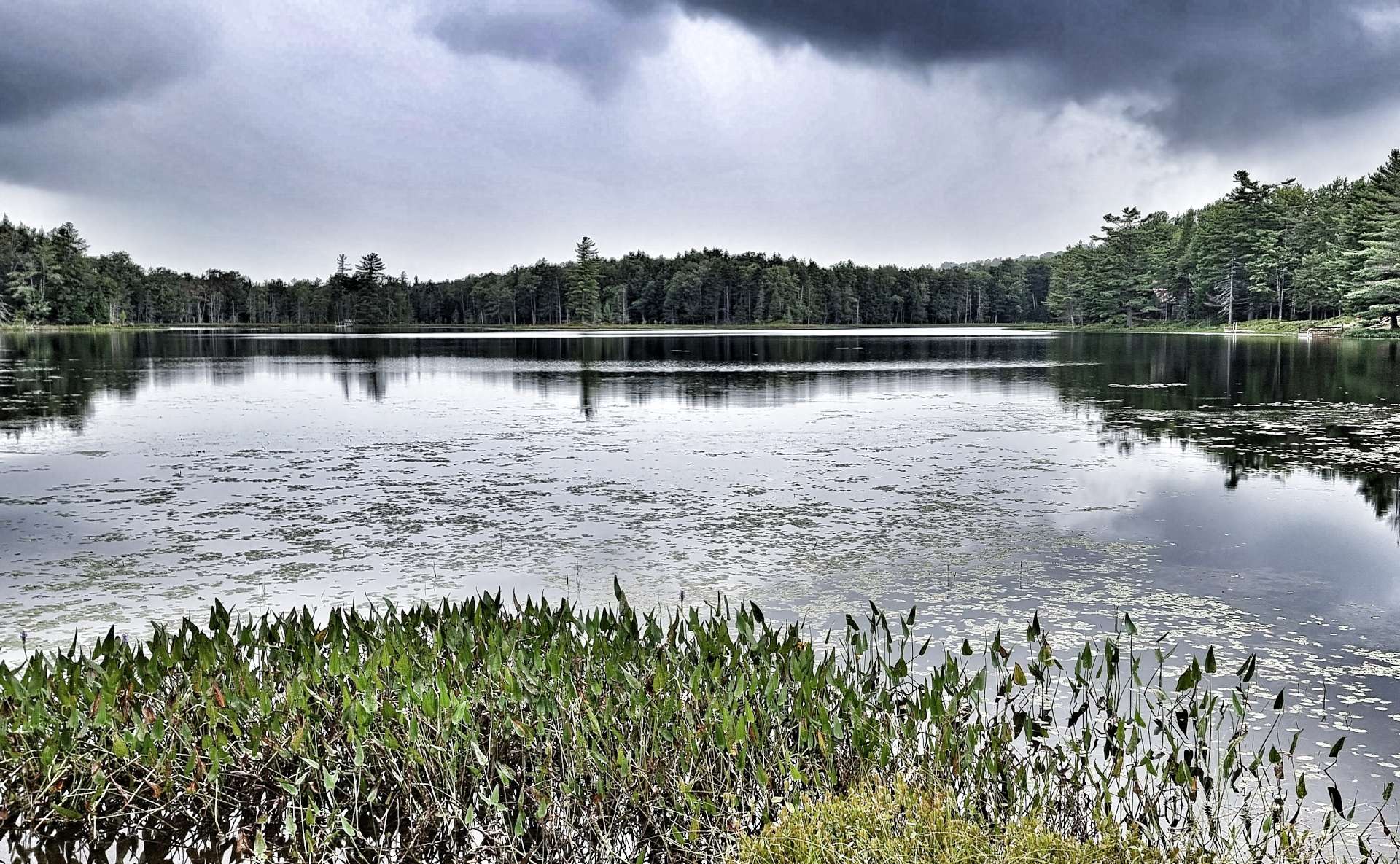
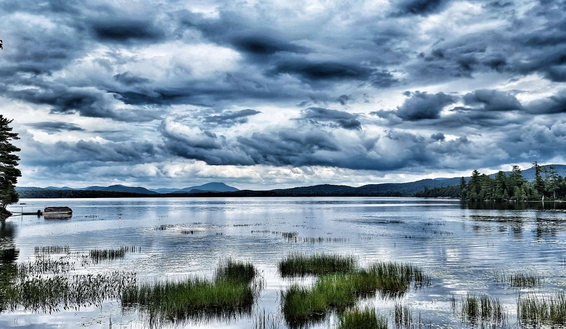
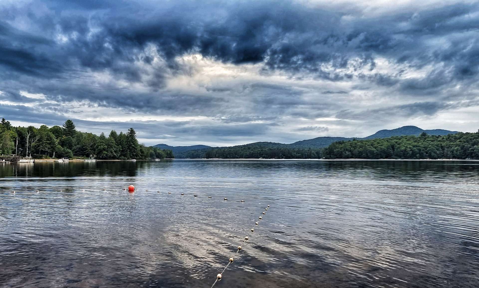
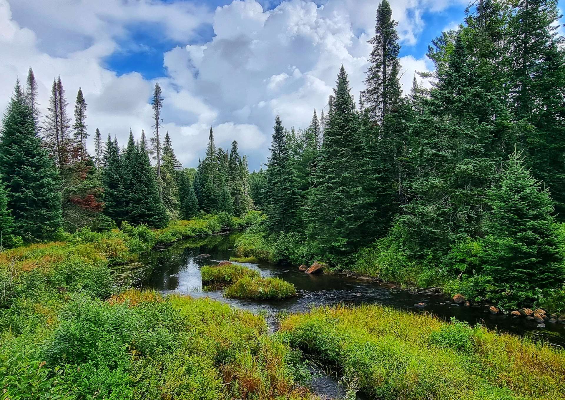
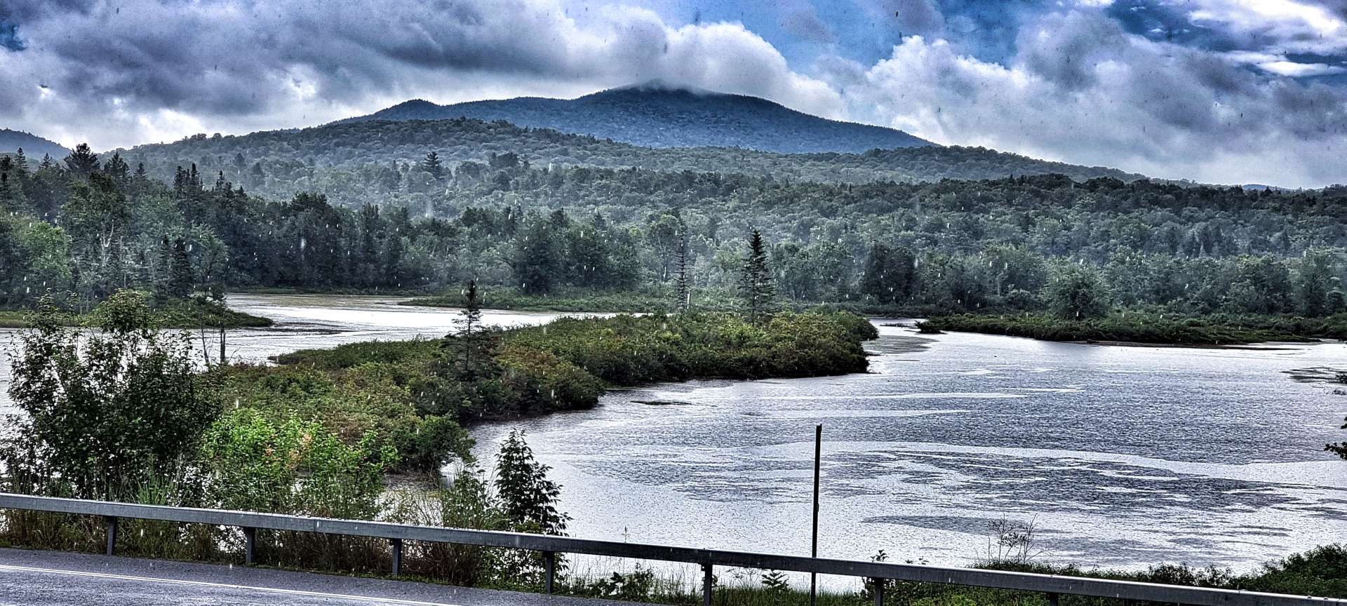
The Salmon River & Reservoir were both hidden behind the trees, so it took about an hour before we got our one & only look at the lake. Most Atlantic Salmon of Lake Ontario, although the same species as those salmon found on the Atlantic coast, spend their entire life in Lake Ontario & the Salmon River.
In 1860 salmon were so abundant that farmers used pitchforks to toss the fish onto the bank as they swam up-river in the Seneca River. Documents also claim that over 2,000 salmon were speared in a single night at Pulaski.
The New York State Department of Environmental Conservation (NYSDEC) are now responsible for managing the limited salmon stock in Lake Ontario & the surrounding rivers, including the Salmon River. Over time, NYSDEC aim to increase salmon numbers, but it’s very much a long term project.

Although it had been raining for most of the morning (& it continued to for another hour or two), it was warm enough that I was riding in overshoes, shorts & a short sleeved wet weather cycling top (A Castelli Perfetto for the cycling geeks among you – I have no hesitation recommended it for wet weather riding. For clarity I bought it, so no product placement here!).
Some of my friends will remember that I made a conscious decision to go out training last winter when it was raining – at the time I said I wanted to be mentally prepared to deal with days of rain if / when it happened on my adventure. I knew I wouldn’t be able to stop the rain when it happened, but I could choose my attitude.
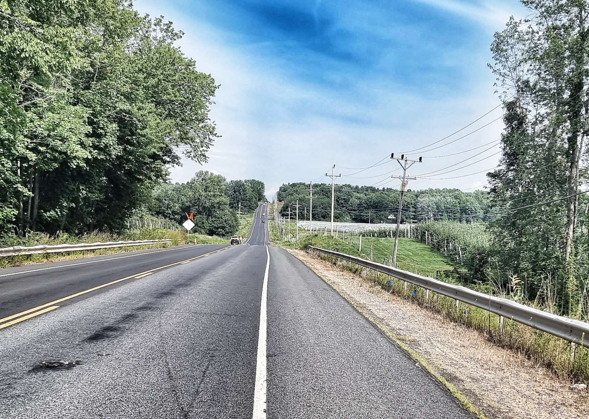
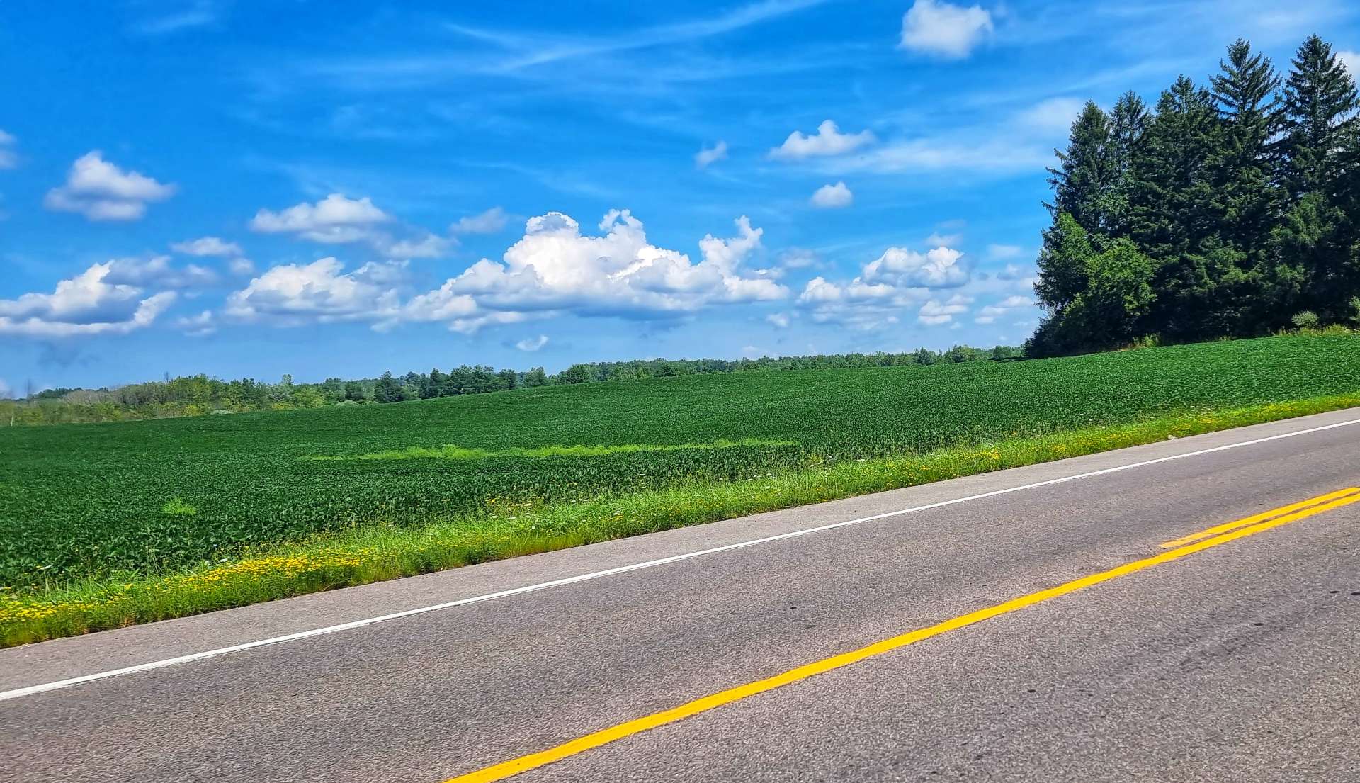
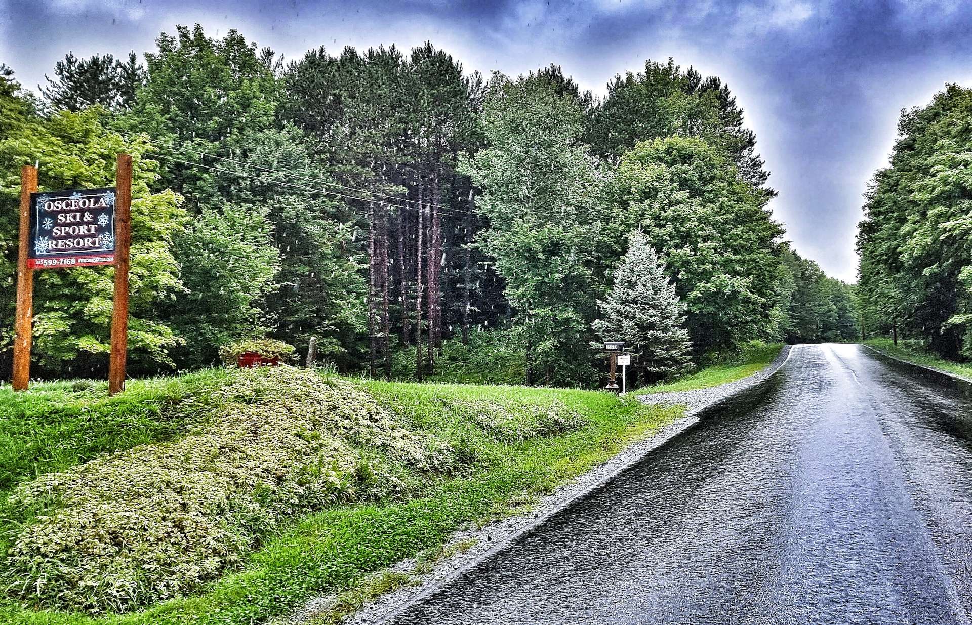
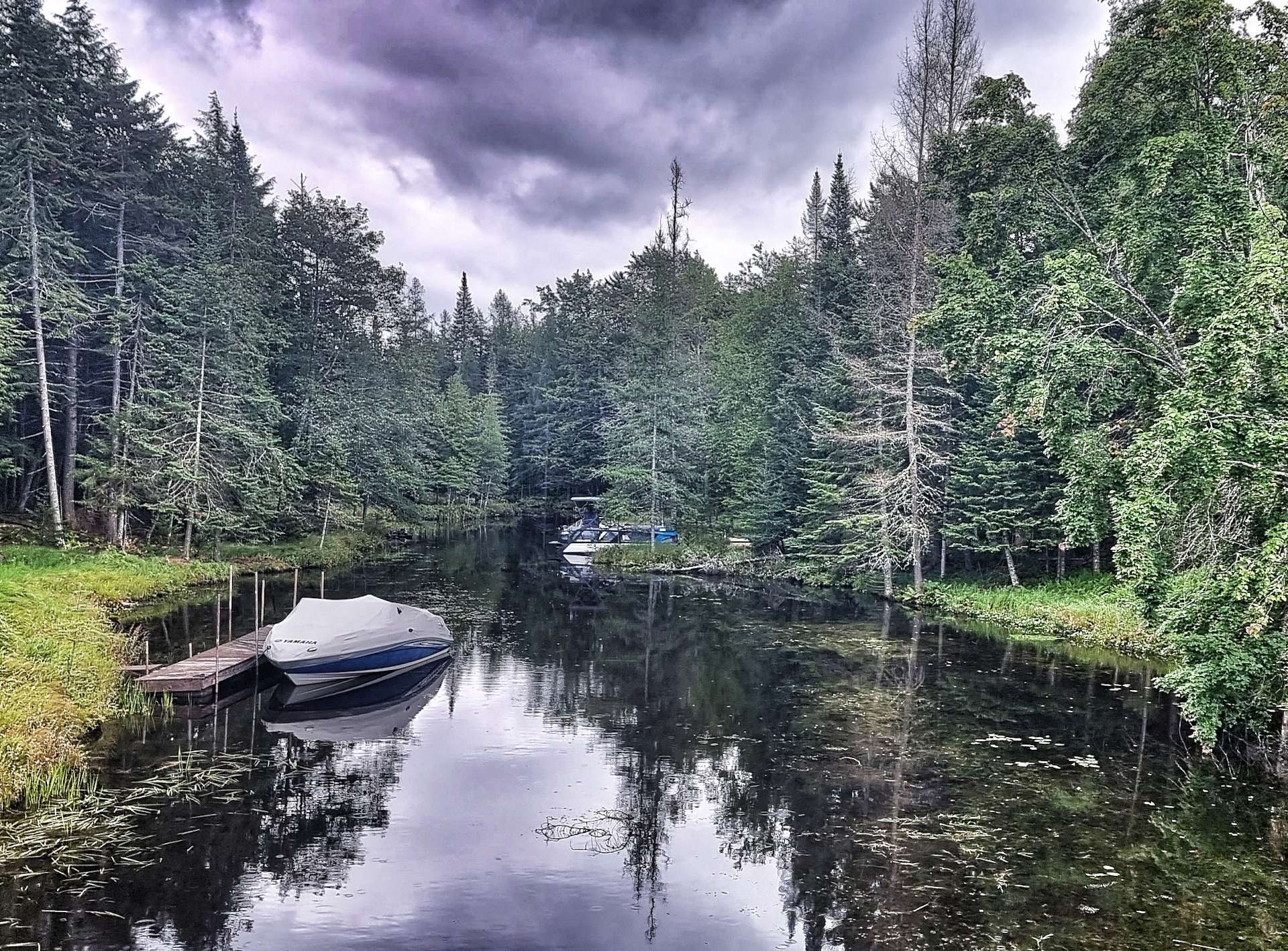
As we left Salmon Lake behind, we started climbing & headed up to Osceola ski resort on Tug Hill. It’s only about 1,700 feet above sea level, but has 15 miles of cross-country ski trails & is popular in winter. We didn’t see a soul when we cycled past it!!
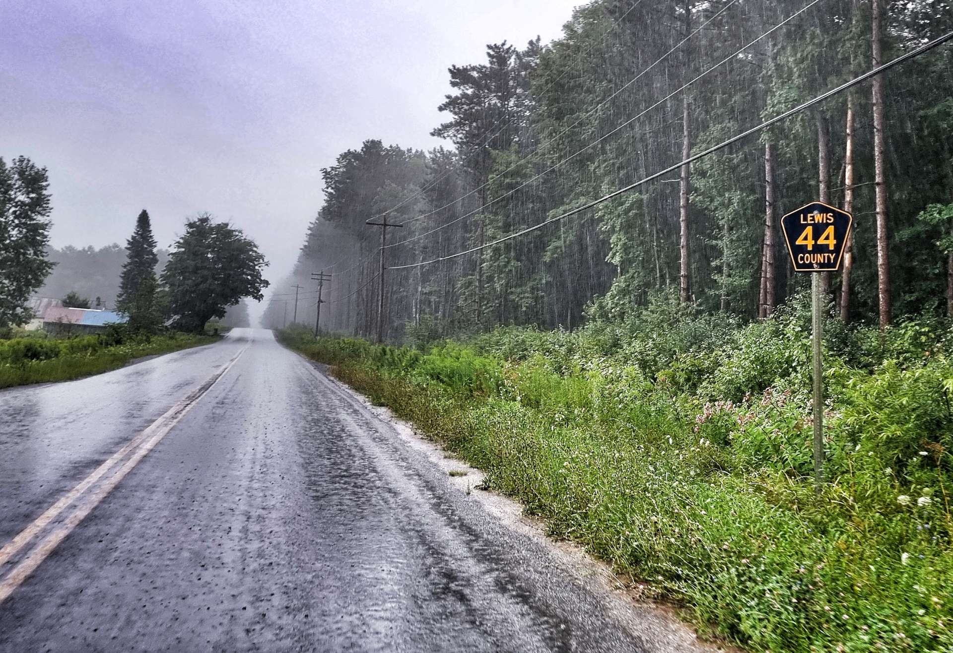
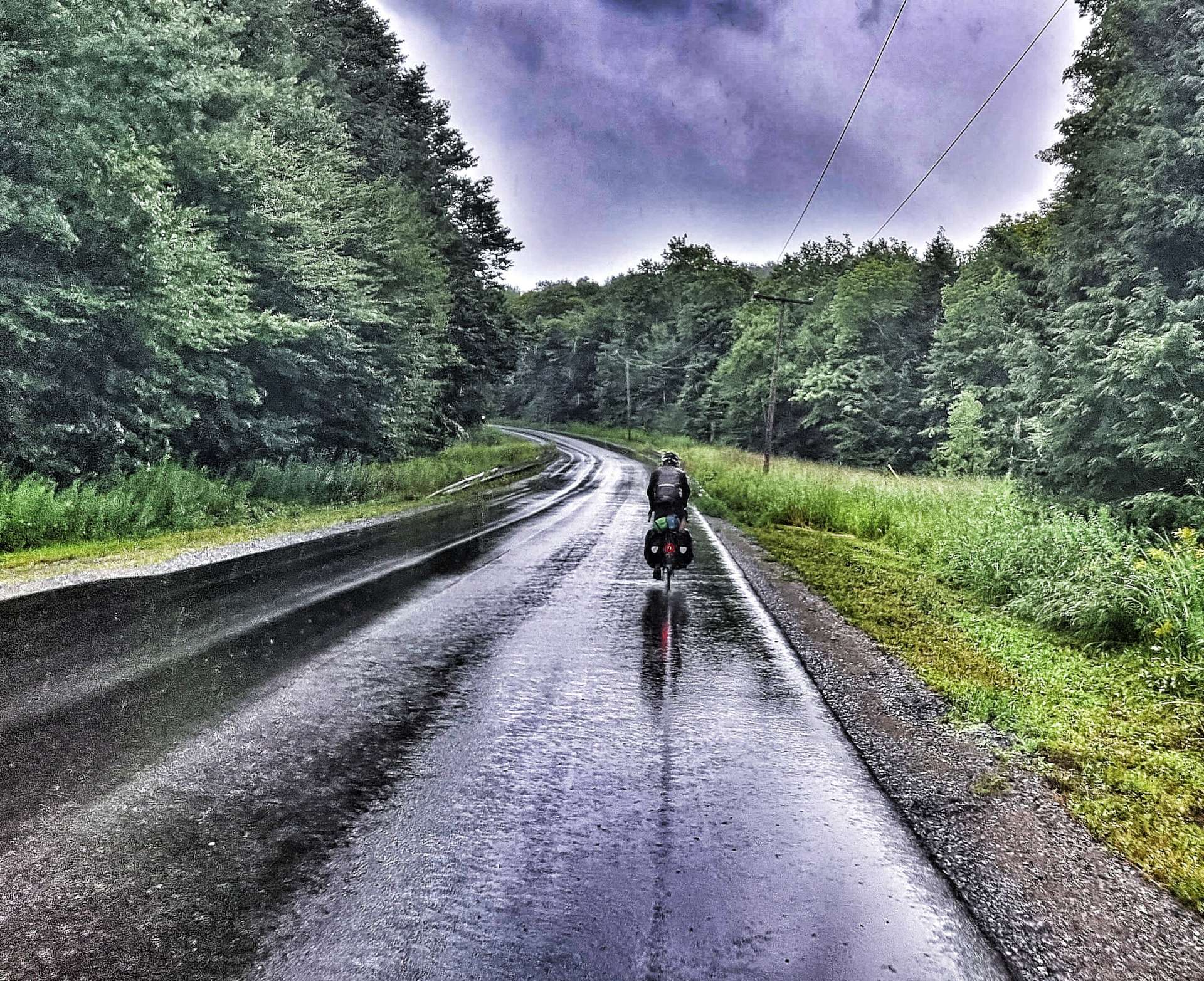
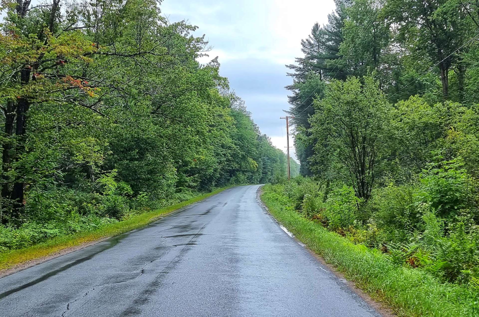
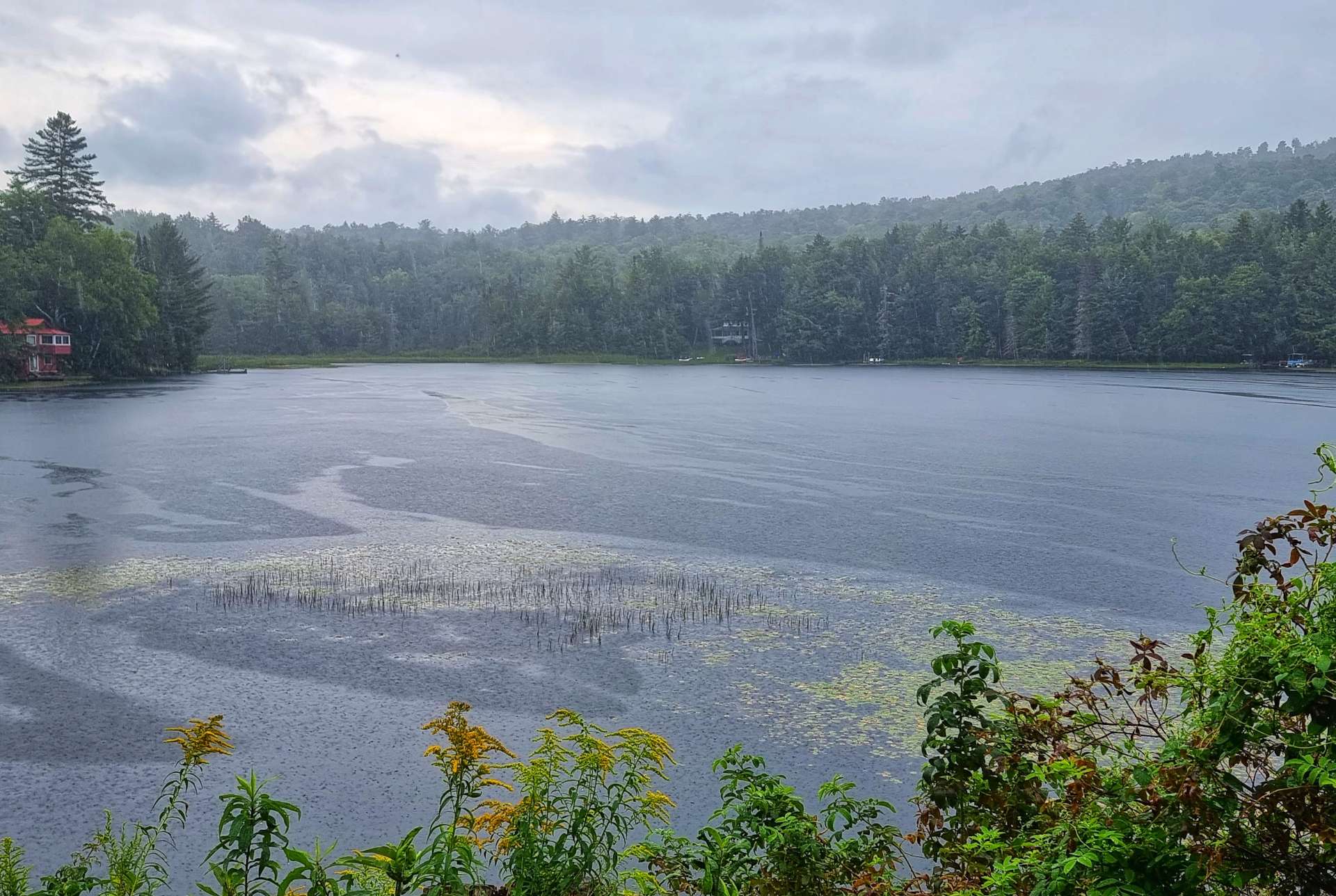
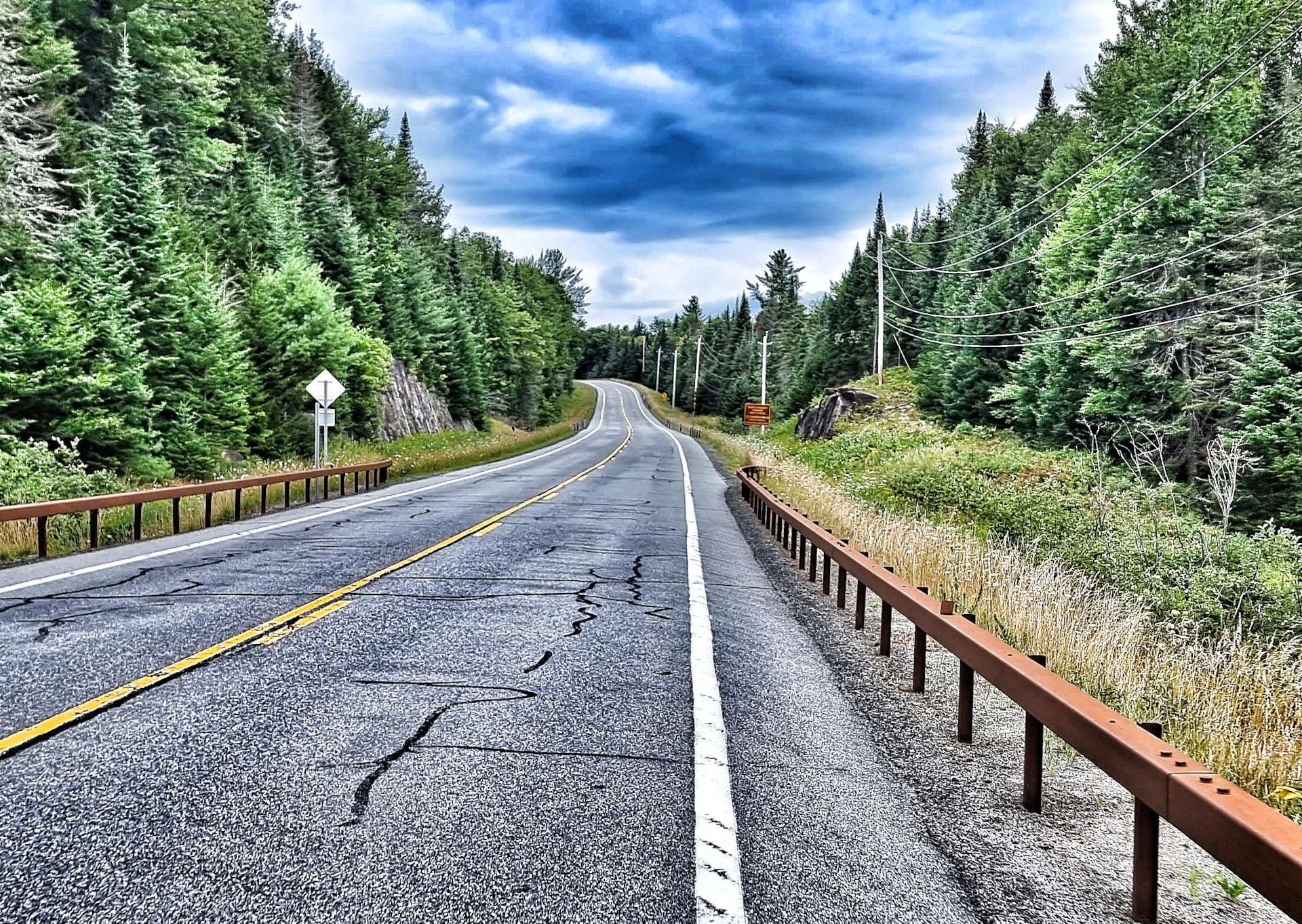
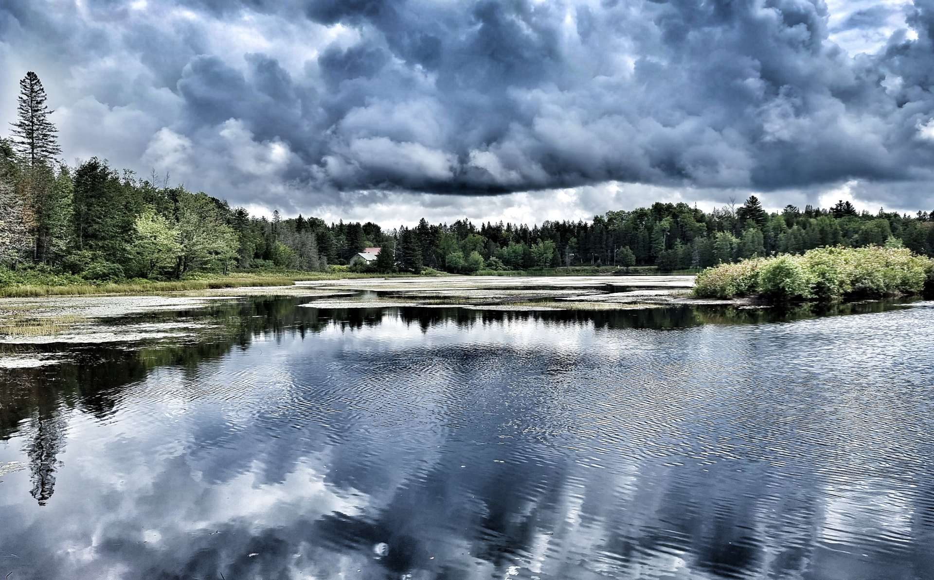
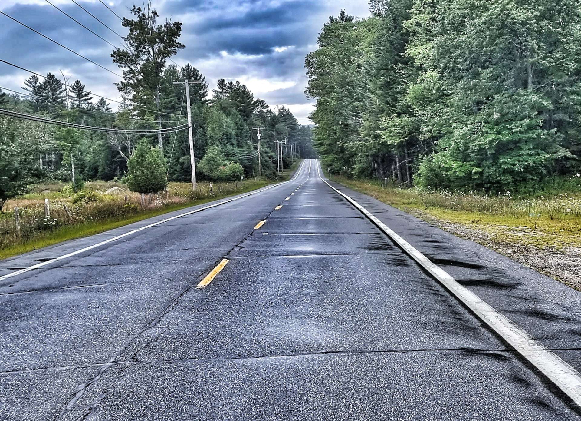
The final photo below gives an idea of how dark it was & how heavy the rain was as we continued on our way.
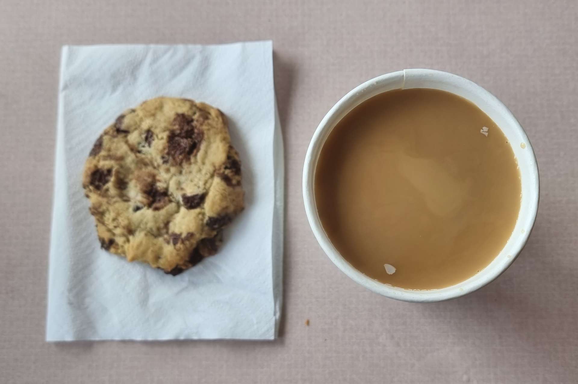
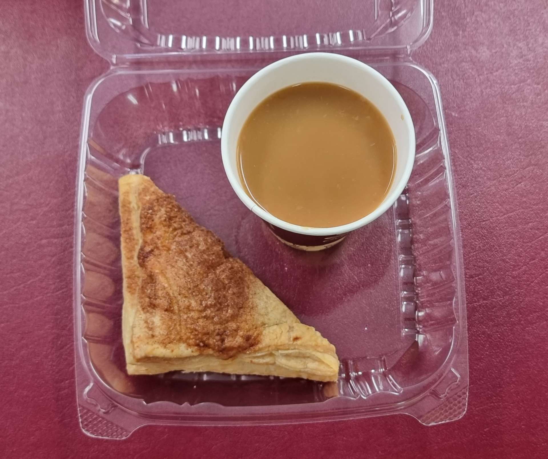
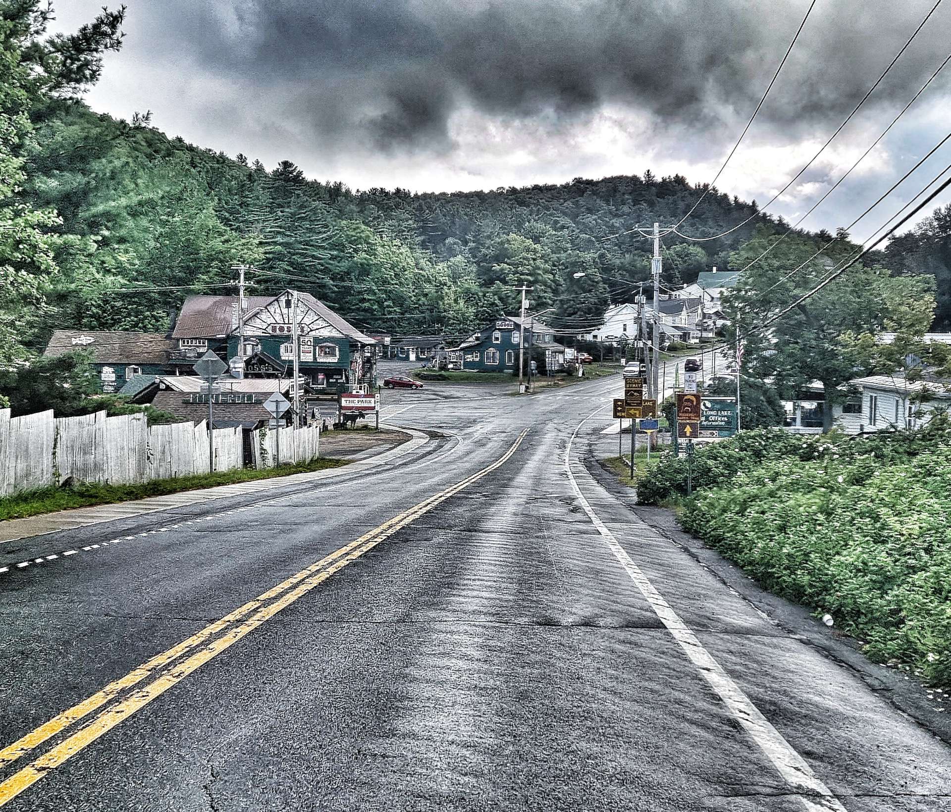
We stopped at a bar in Osceola for a quick coffee (no cake today), just to get out the rain for 15 minutes. The very kind landlady offered us a room for the night if we needed one – this has been typical of the many people we’ve met, always offering to help if they can. We had a hotel booked & paid for another 90 minutes away, so we declined, but said how much we appreciated her offer.
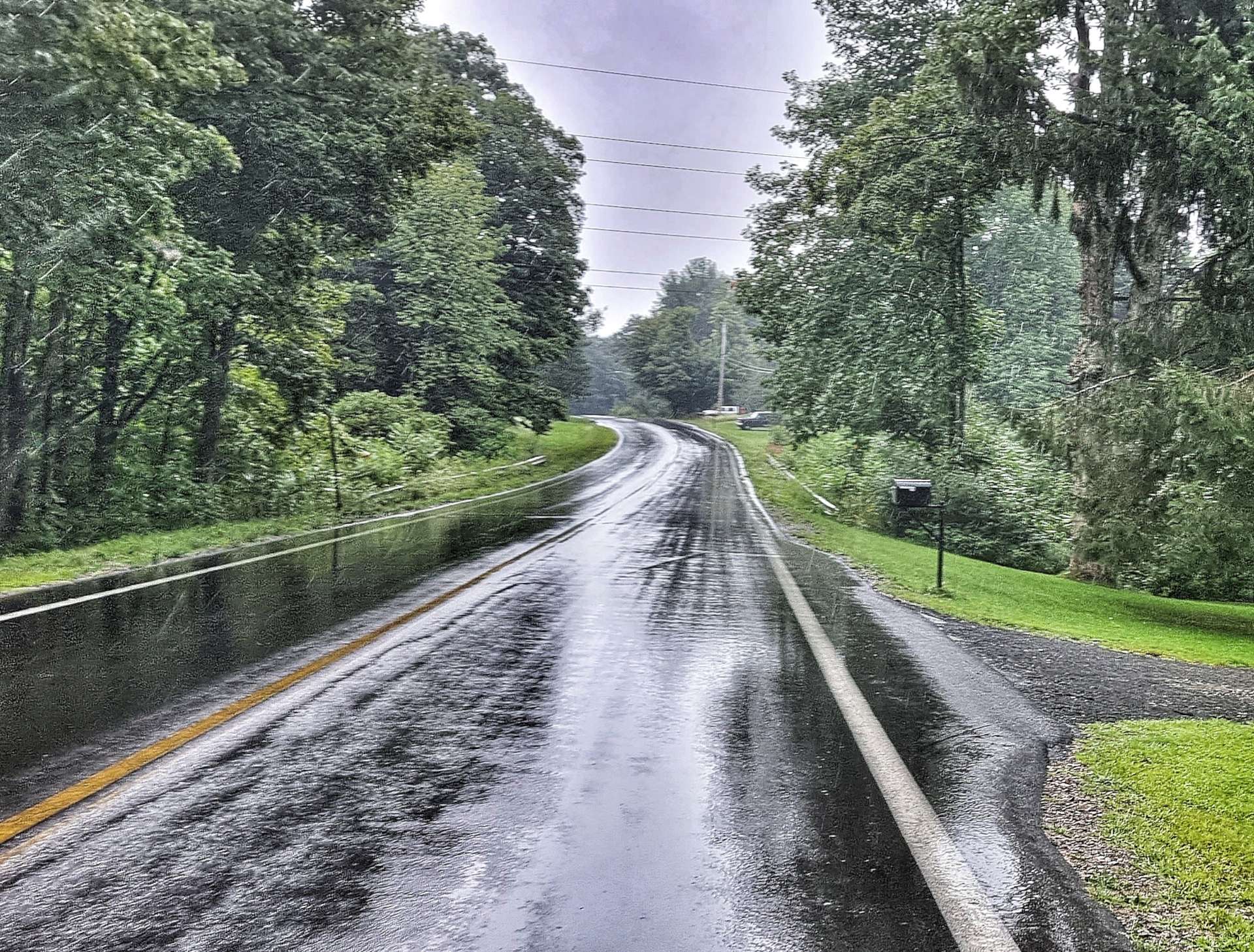
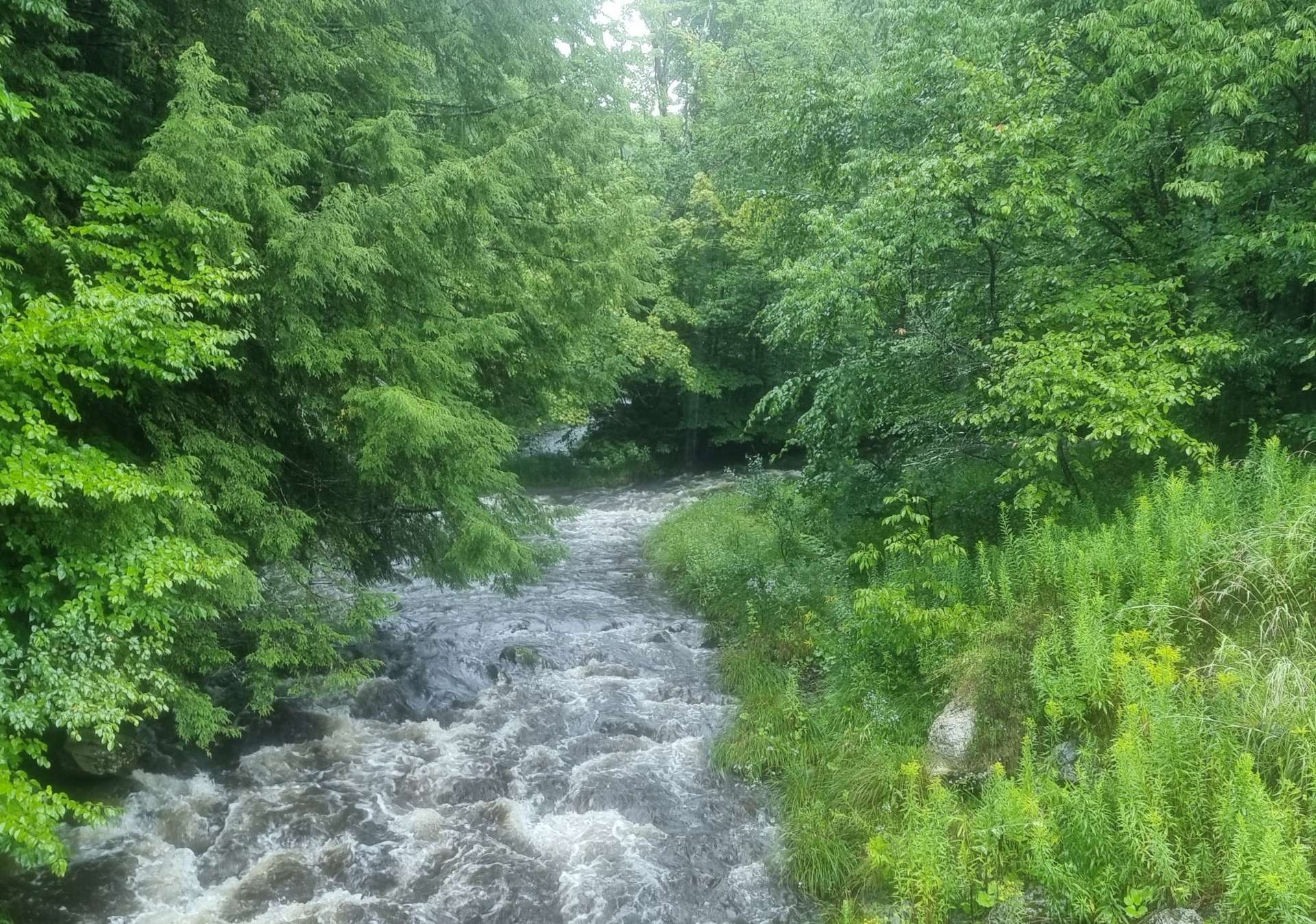
Back out into the rain we went! Creeks that had been barely flowing only a couple of days ago were already showing signs of how much rain had fallen in the last 12 hours.
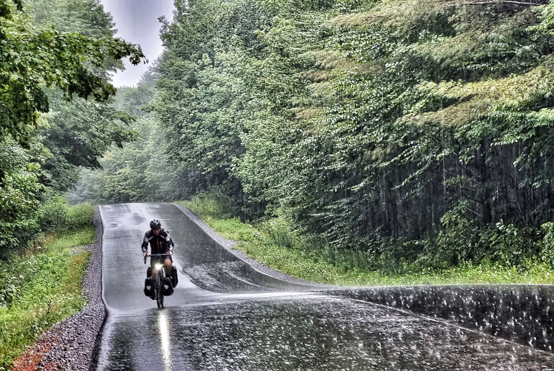
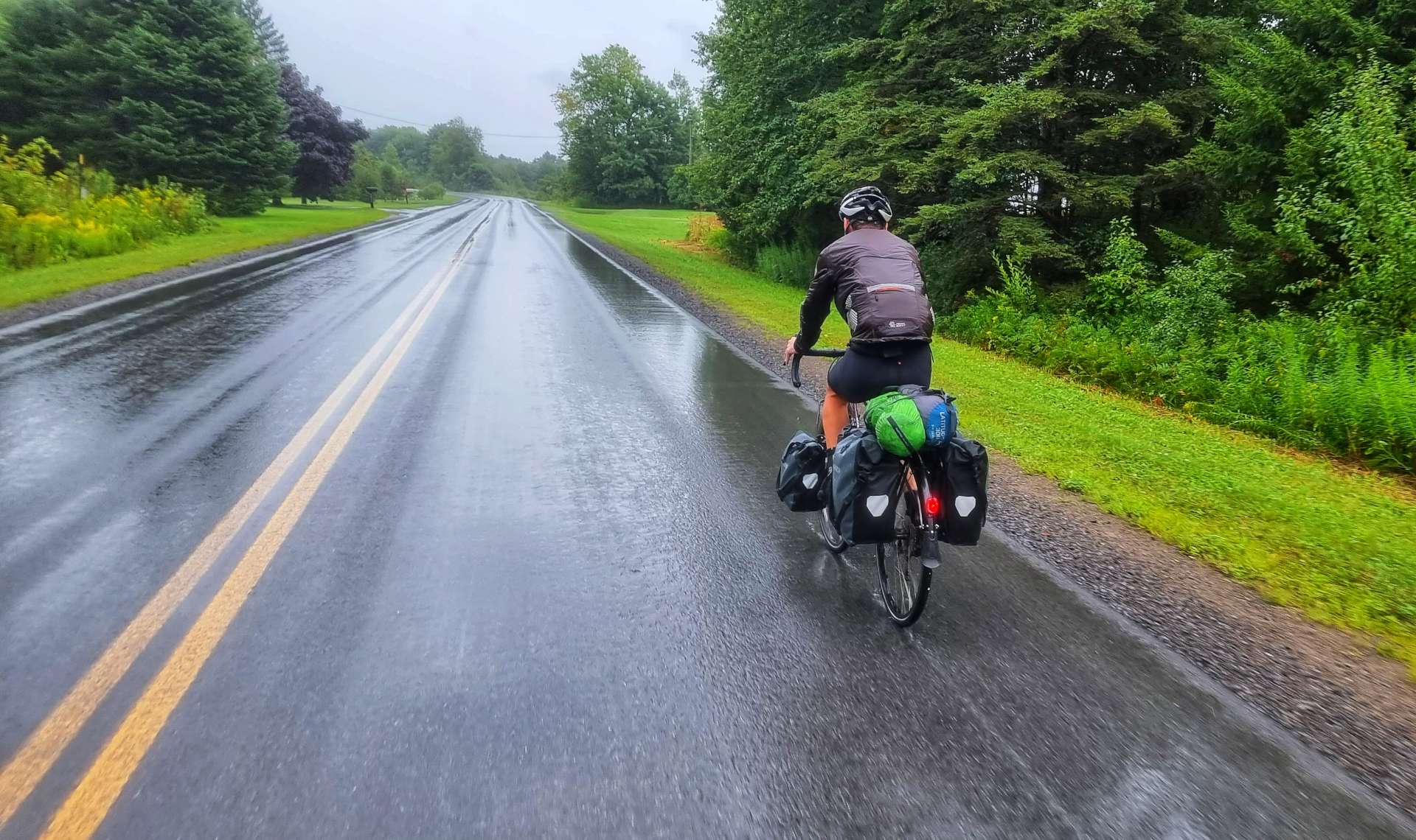
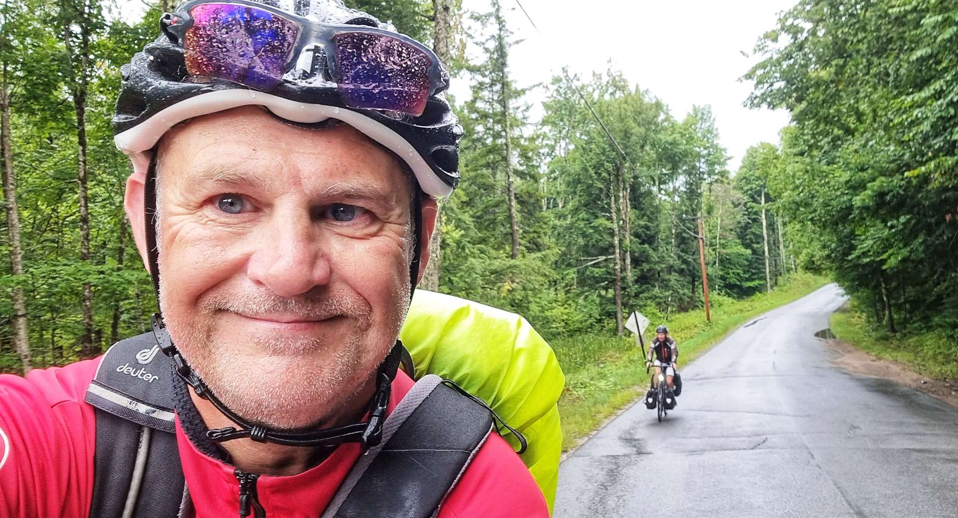
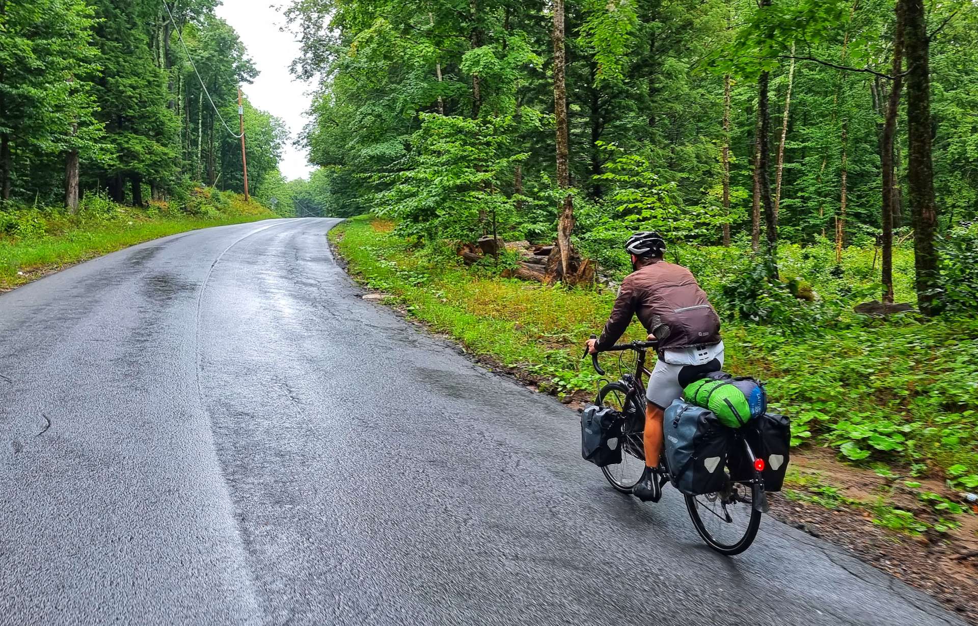
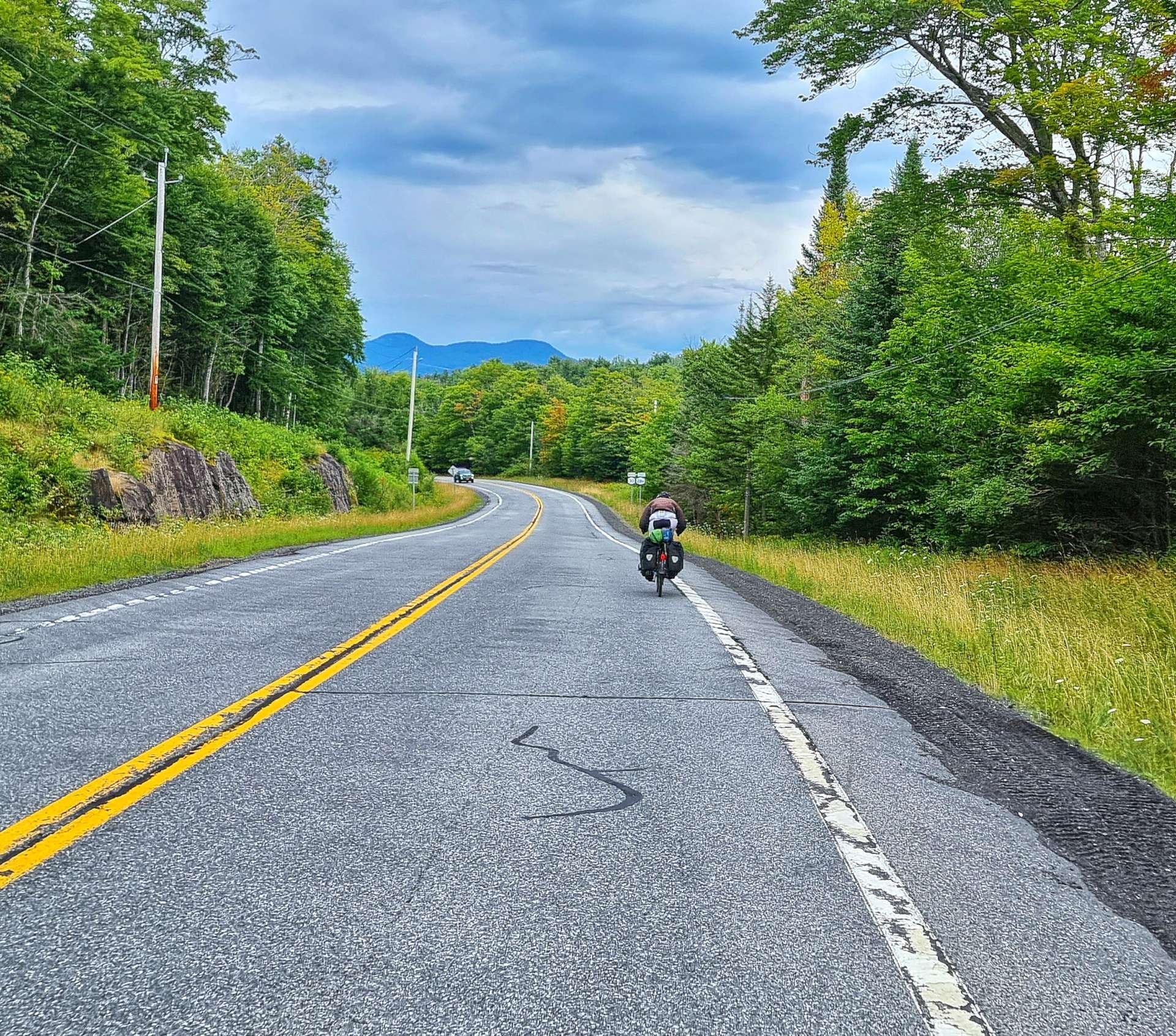
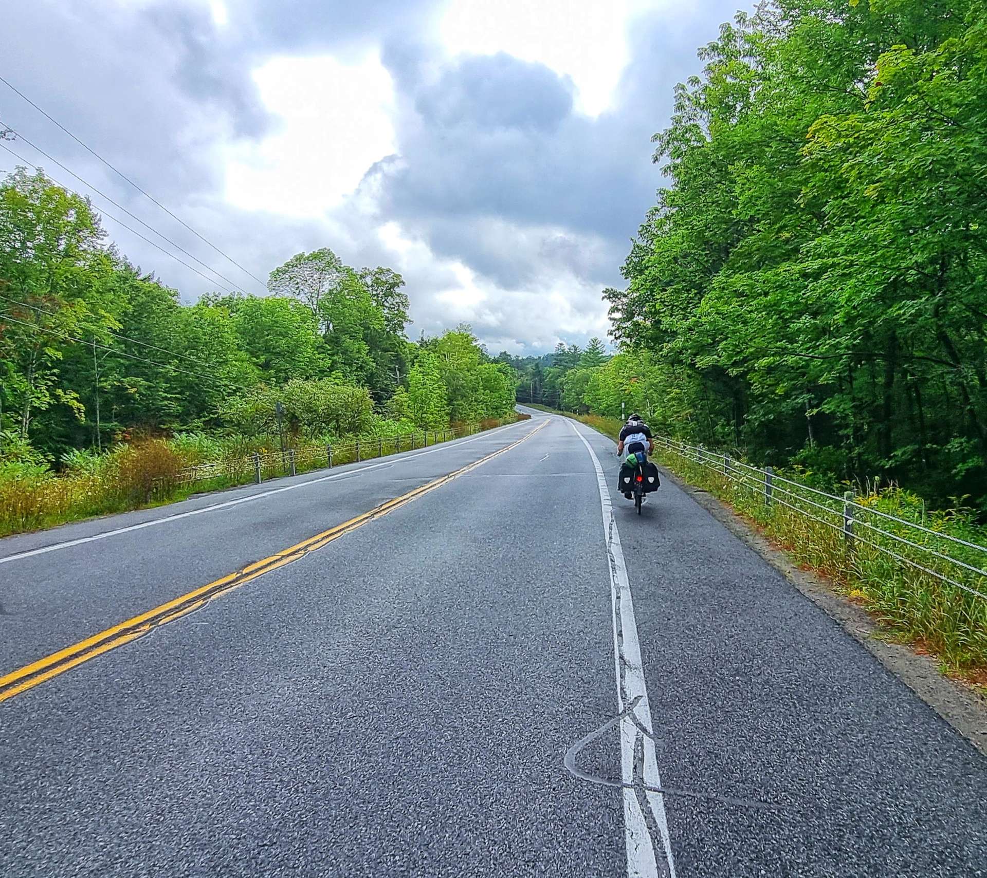
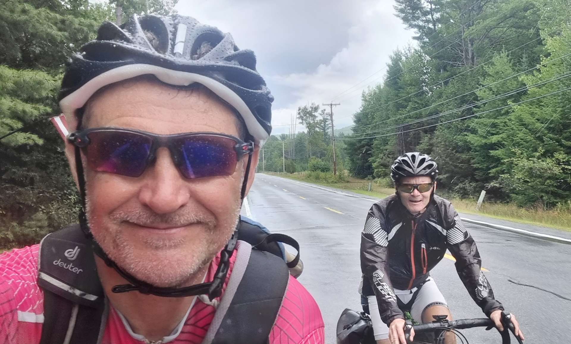
I’d pulled over for a natural break when the heavens opened again – I was in just the right place to get Sean riding past & the rain bouncing off the road, with a State Forest sign in shot (we’d been passing them all morning).


Finally the rain relented & then eventually stopped! This was the first time we’d been rained on in a while (a thunder storm in Winona a month ago is the last time that springs to mind), so in spite of getting very wet today, we appreciate how lucky we’ve been recently.


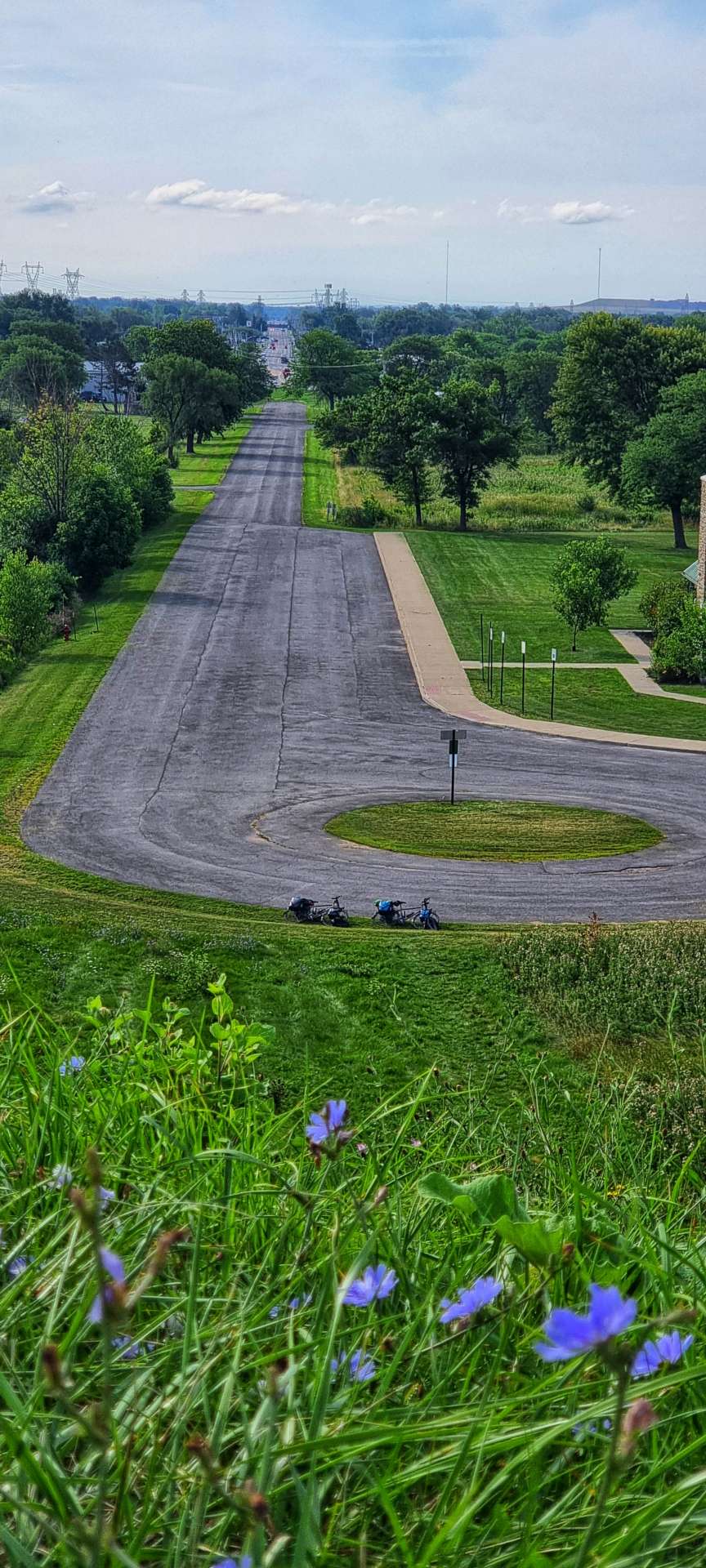
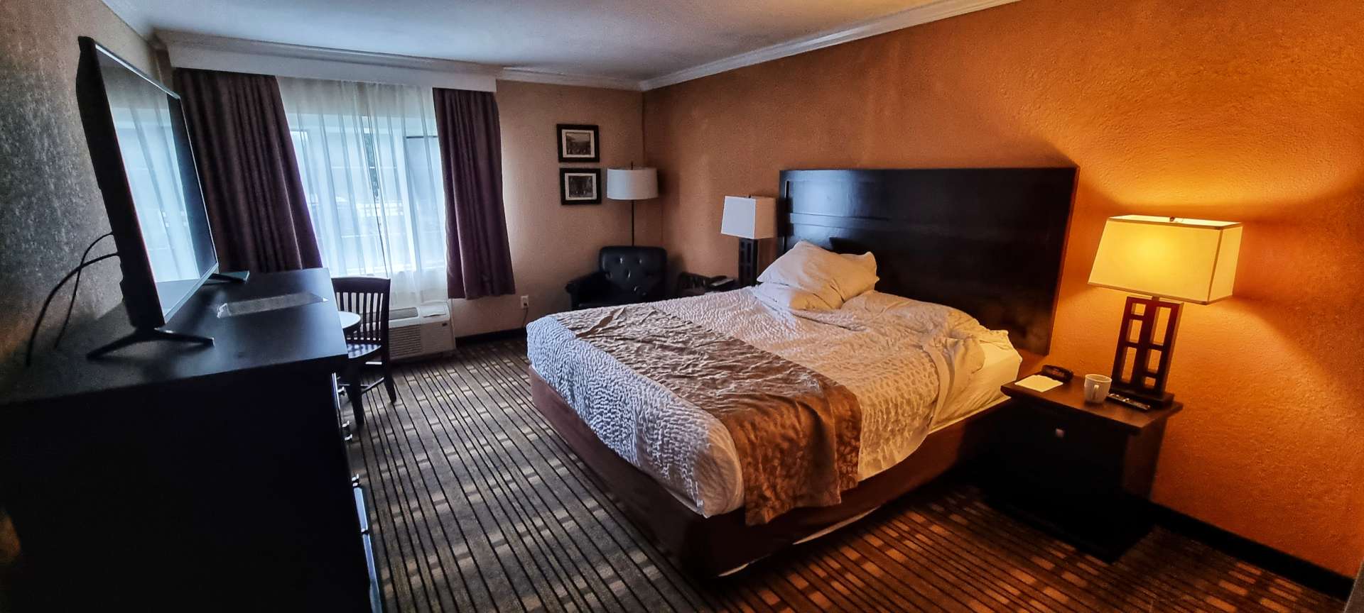
We’re staying in a really comfortable hotel tonight. The Lodge At Headwaters is much more luxurious than our usual accommodation. I took a photo before I spread my wet kit all across the room, so it would dry for the morning!
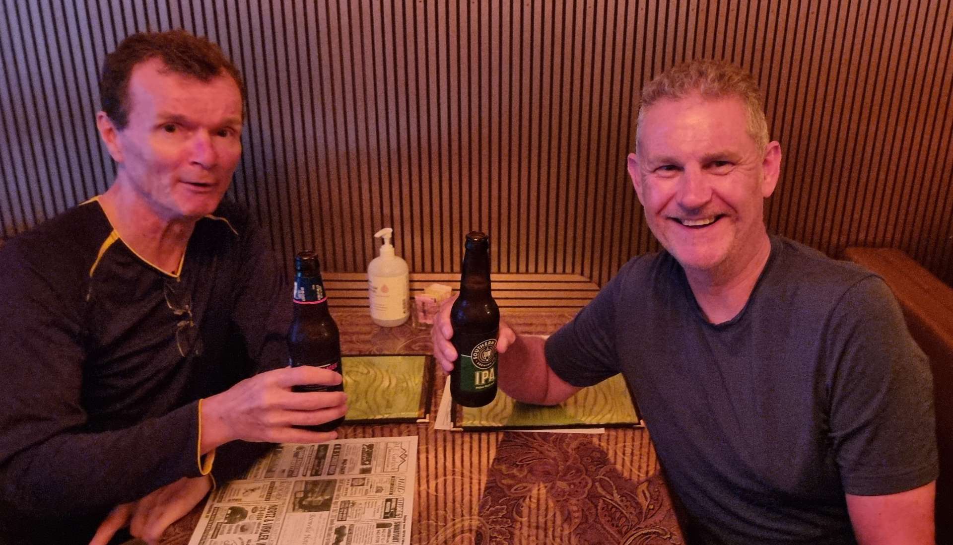
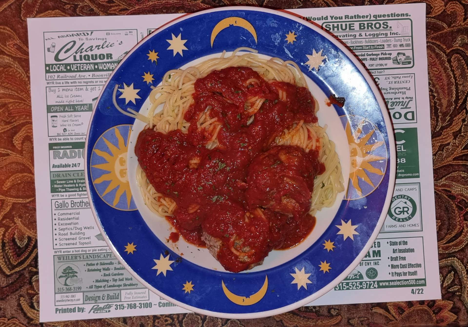
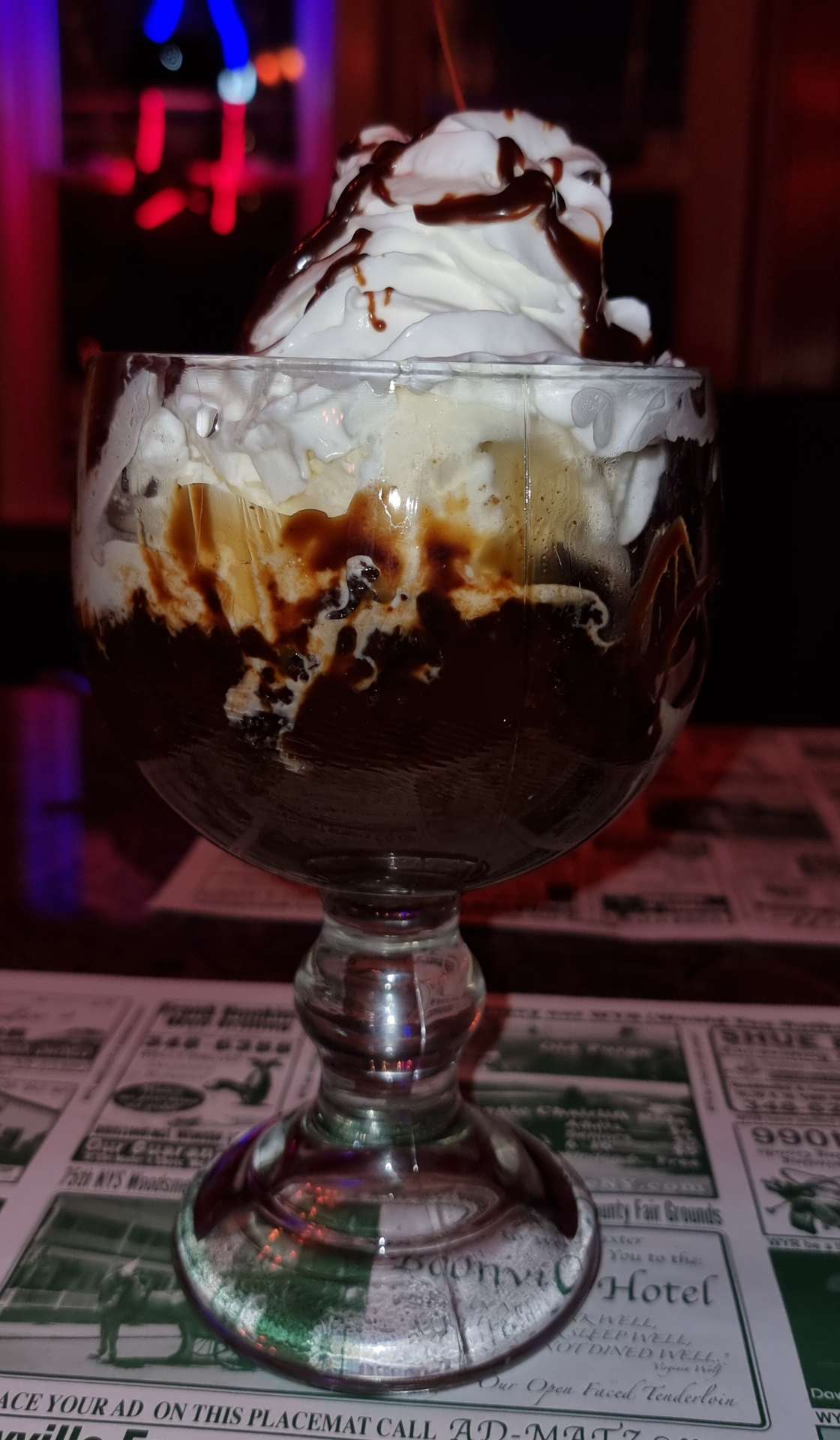
The Boonville Hotel is an old opera house & looked like it might be just the place for a couple of restorative IPA’s & a slap up meal – they certainly delivered!!! The spaghetti & meatballs & HUGE chocolate brownie sundae (on a Sunday) were delicious. Tomorrow’s another day, but the weather forecast is saying we’re in for more of the same, so I’m off to choose my attitude for another day in the rain…..
Stage Stats – 49 miles, 3,018 feet of climbing. A day in the rain & a return to the mountains as the Adirondacks approach.
Monday 22nd August – Boonville to Long Lake (Stage 87).
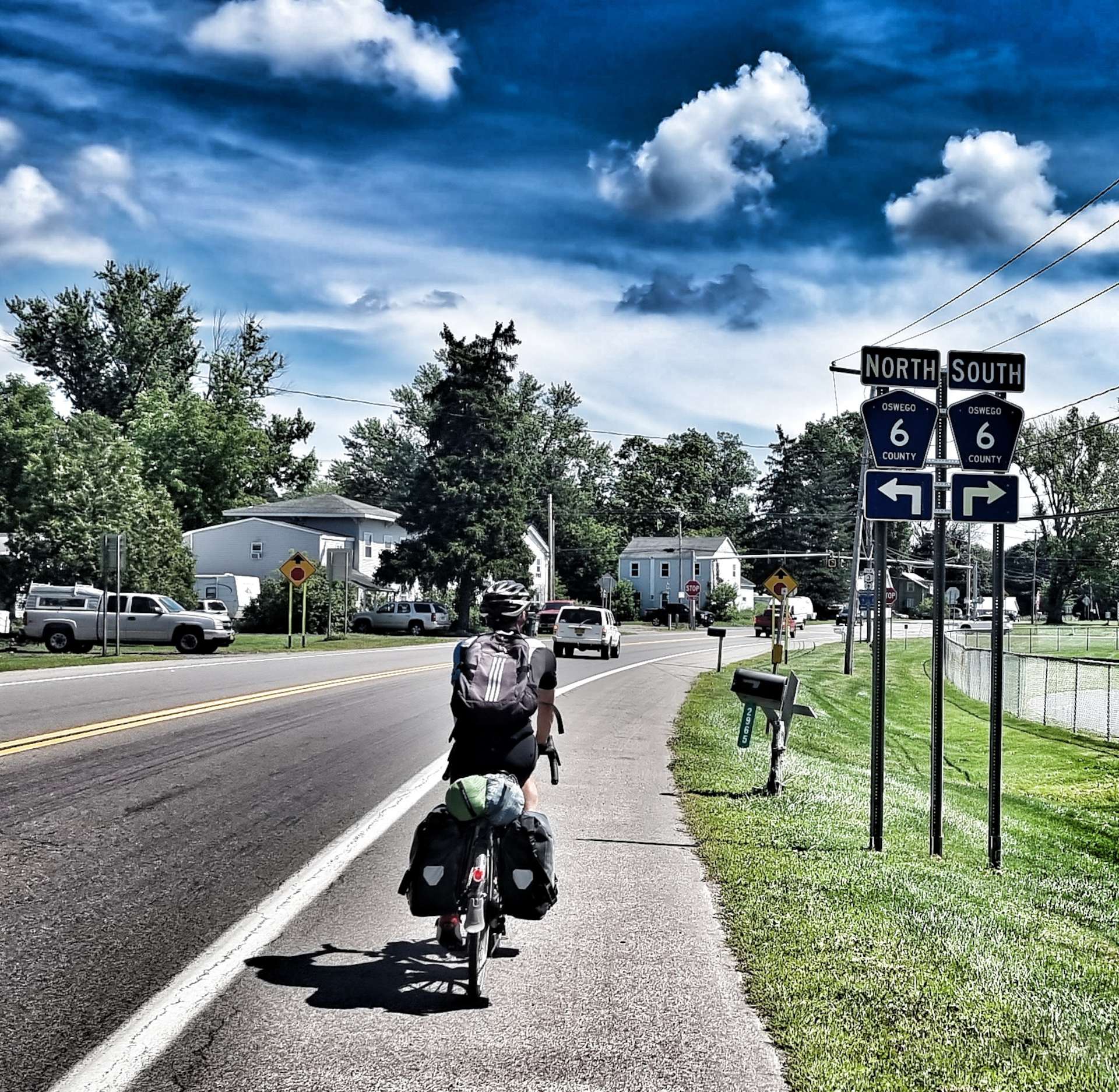
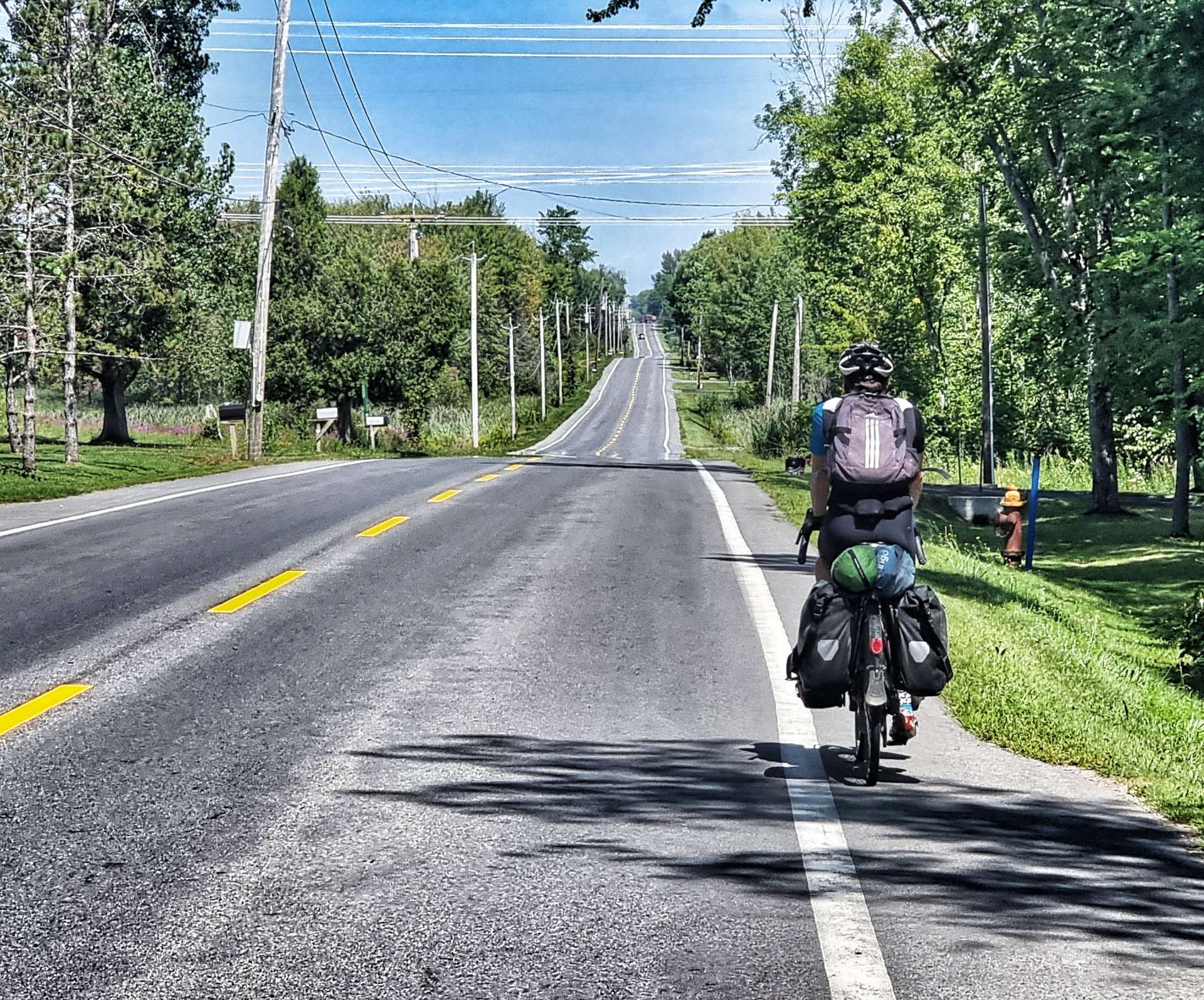
Sadly the rain forecast was correct & we set off in light rain for the 2nd day on the trot – this is a first on our adventure. As a result I’ll be in the same jacket as yesterday, although underneath I have a clean cycling jersey on…..honest, I do!!
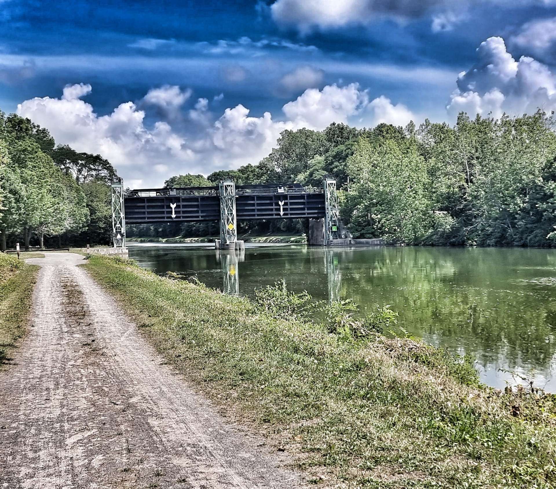
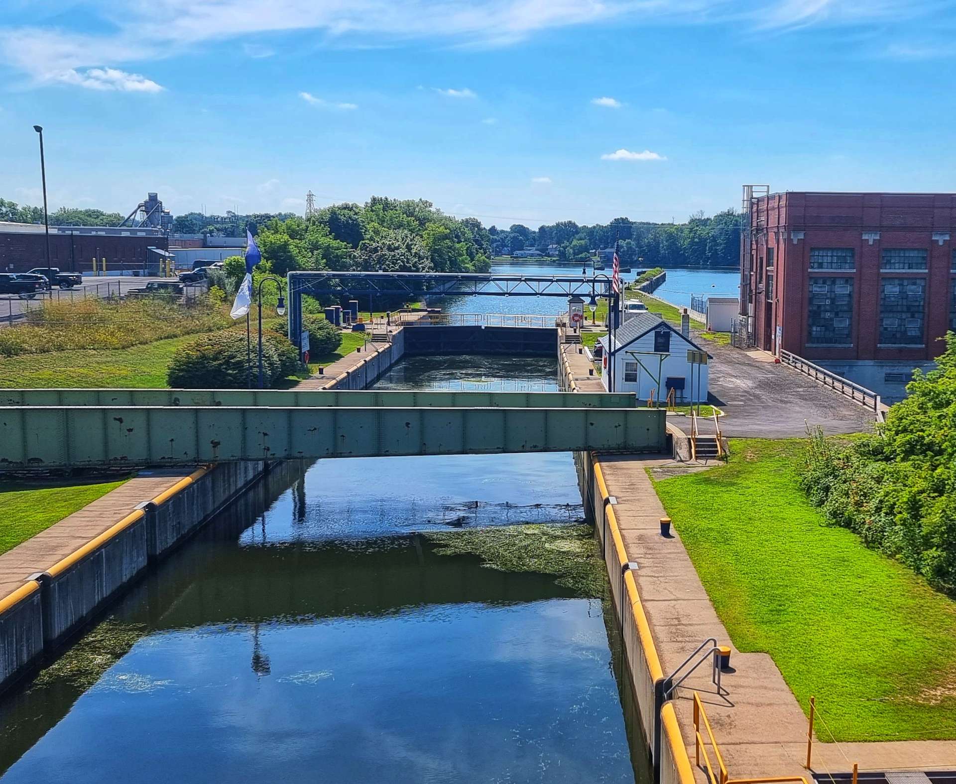
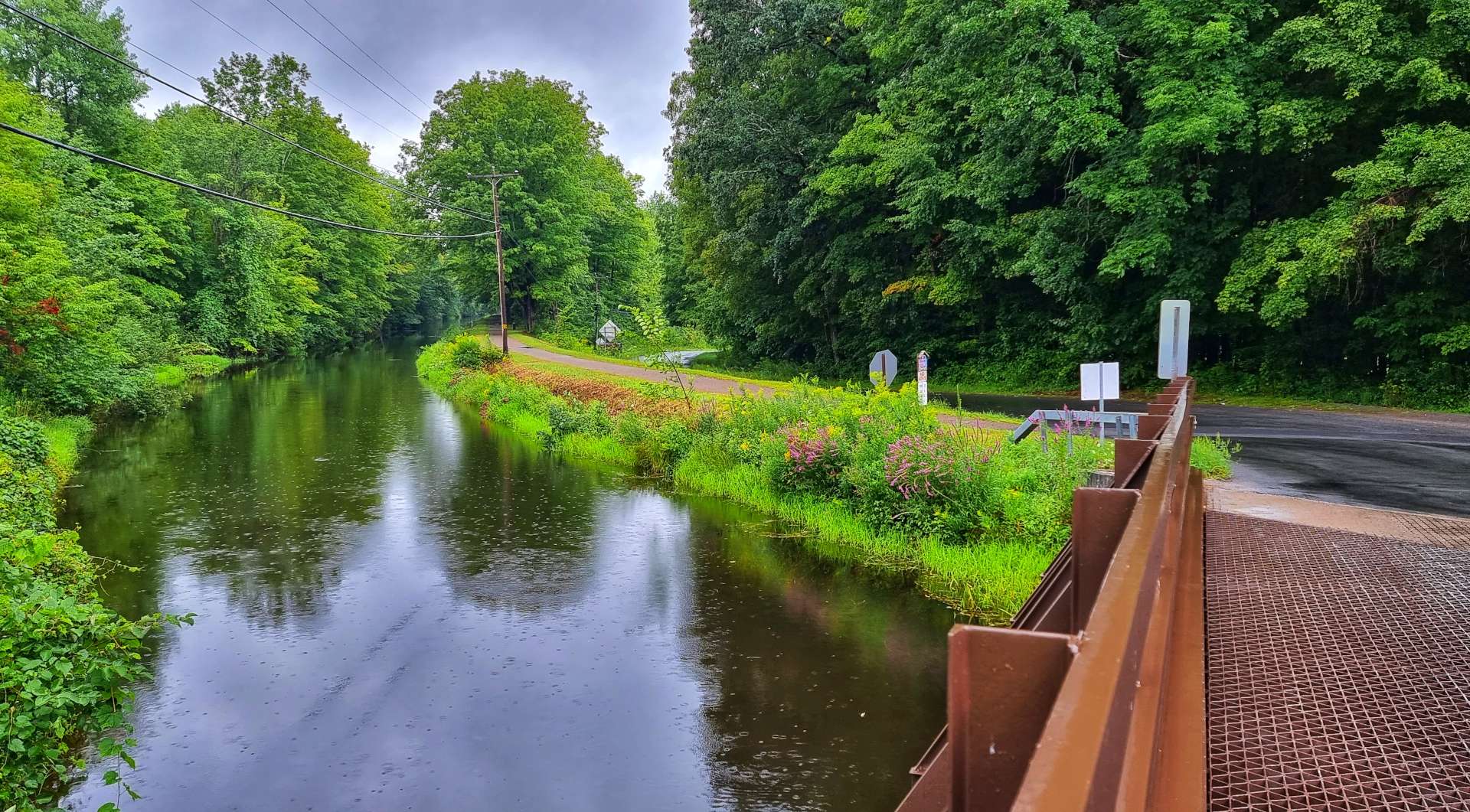
We left Boonville on a small, quiet & hilly road that took us up to the Black River feeder canal & a slippery (when wet) steel grated bridge – I was livin’ on a prayer when I crossed it!
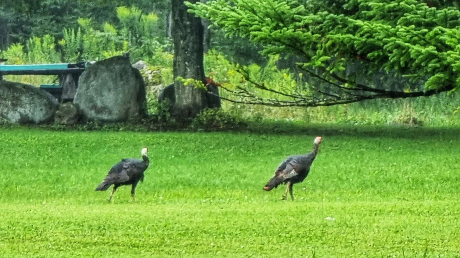
We continued past a gaggle of 5 wild turkeys who were walking across someone’s back garden & then re-crossed the canal, before crossing the Black River itself. By now the light shower had moved on & been replaced by a downpour. Once again it was time to choose an attitude & I like to think I did a good job of selecting the right one, check the video & see what you think!

We occasionally found refuge from the deluge under the overhanging trees, but as you can see, we were drenched by this point – we were probably 6 or 7 miles into the ride, but it was warm again, so things could have been much more challenging for us. Mile Creek ran through the back garden of one property & although the weather wasn’t great, it looked like a lovely spot to sit on a warm, summer’s day.

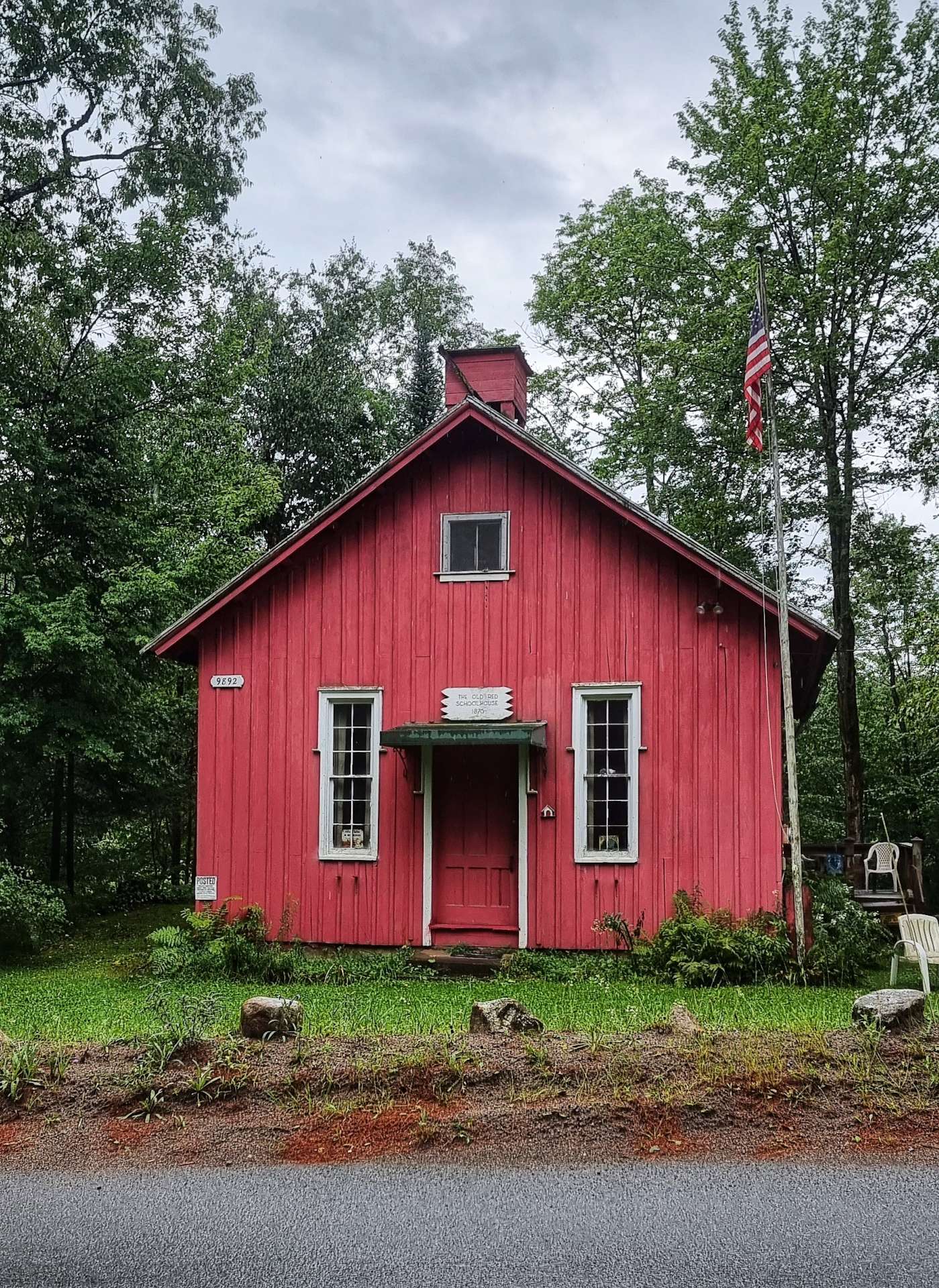
The rain stopped at about 10.30, which lifted our spirits & encouraged us to take some action photos & also stop & take in some of the historic buildings – the Old Red Schoolhouse dates from 1870.
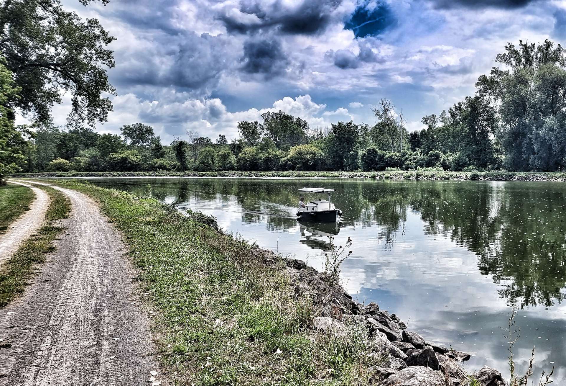
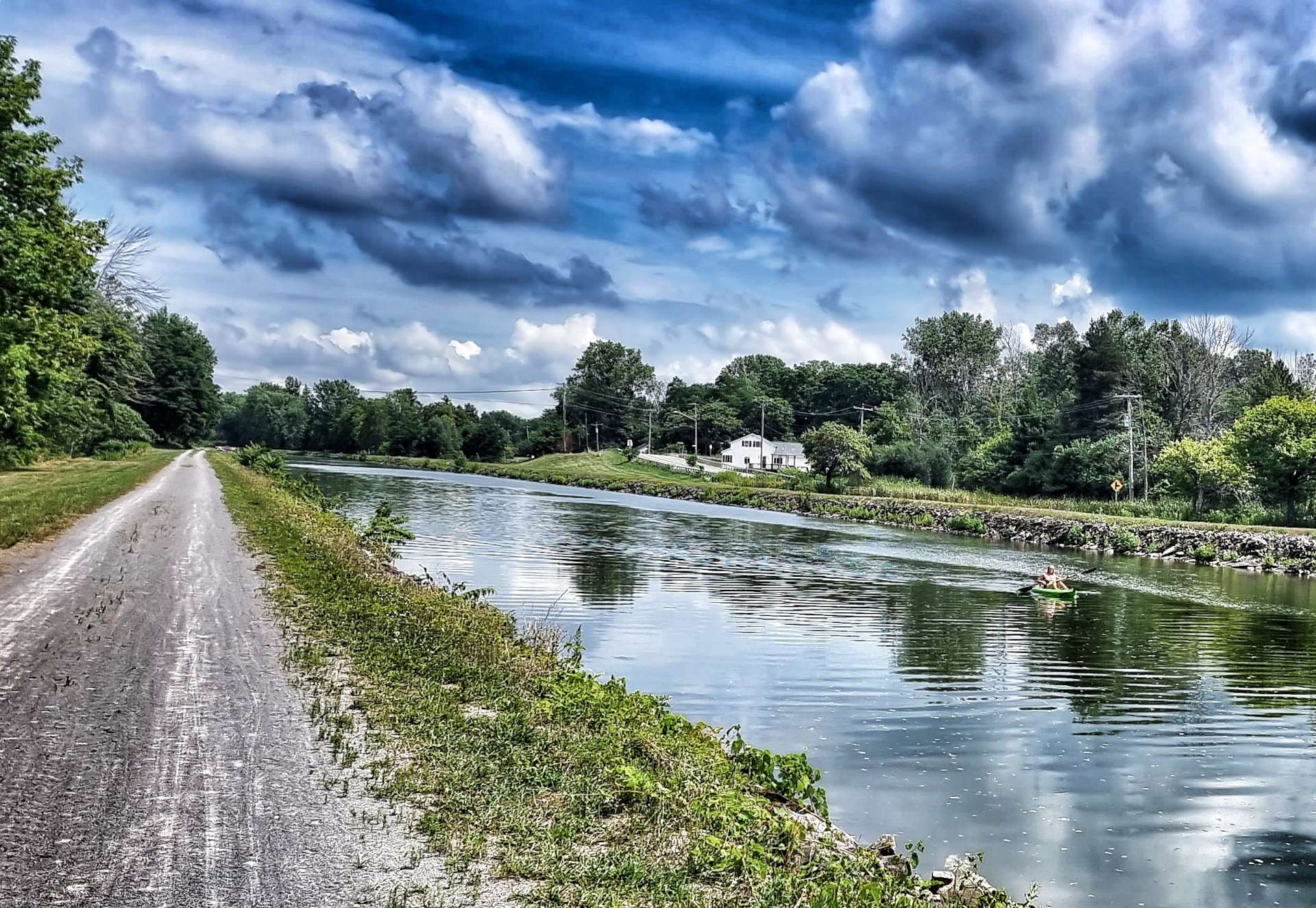
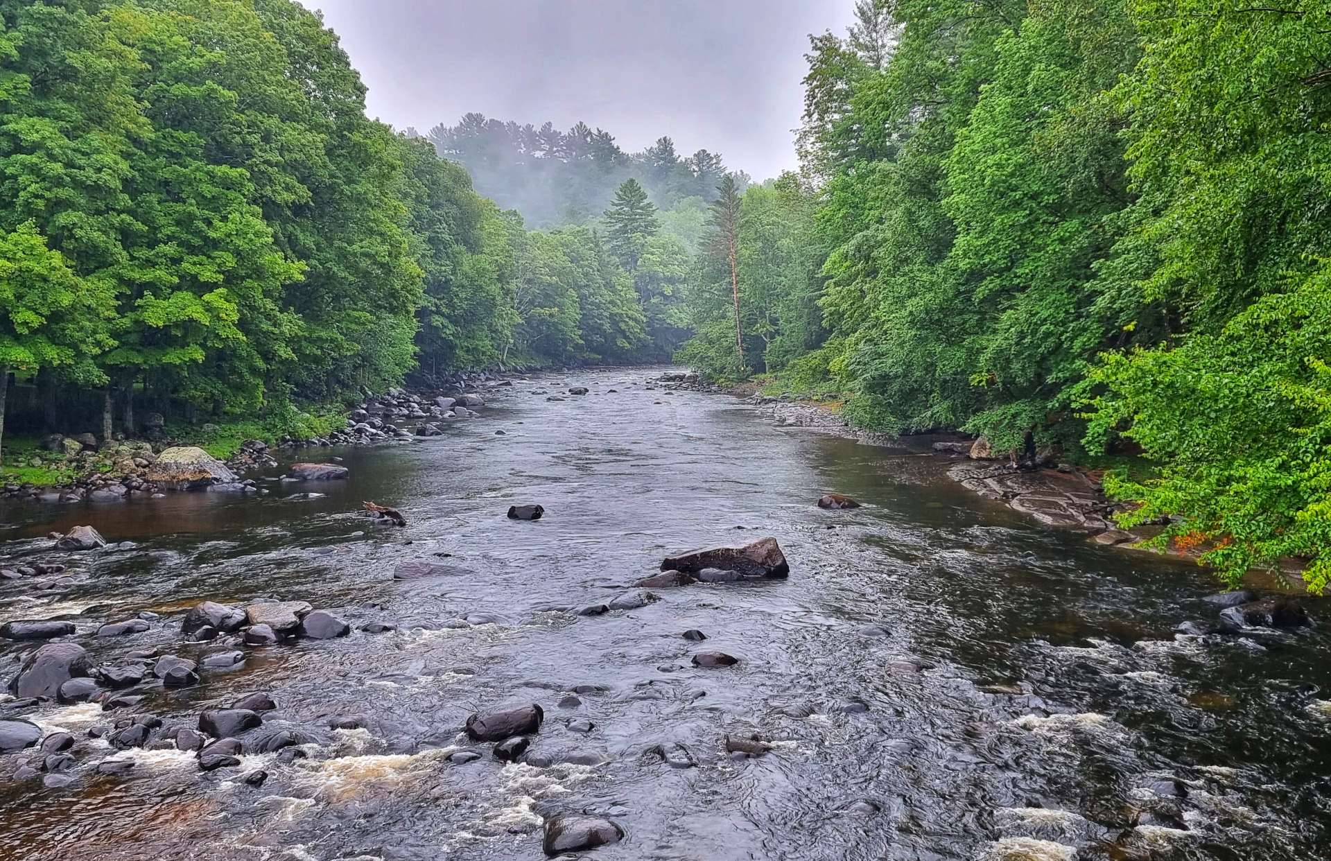
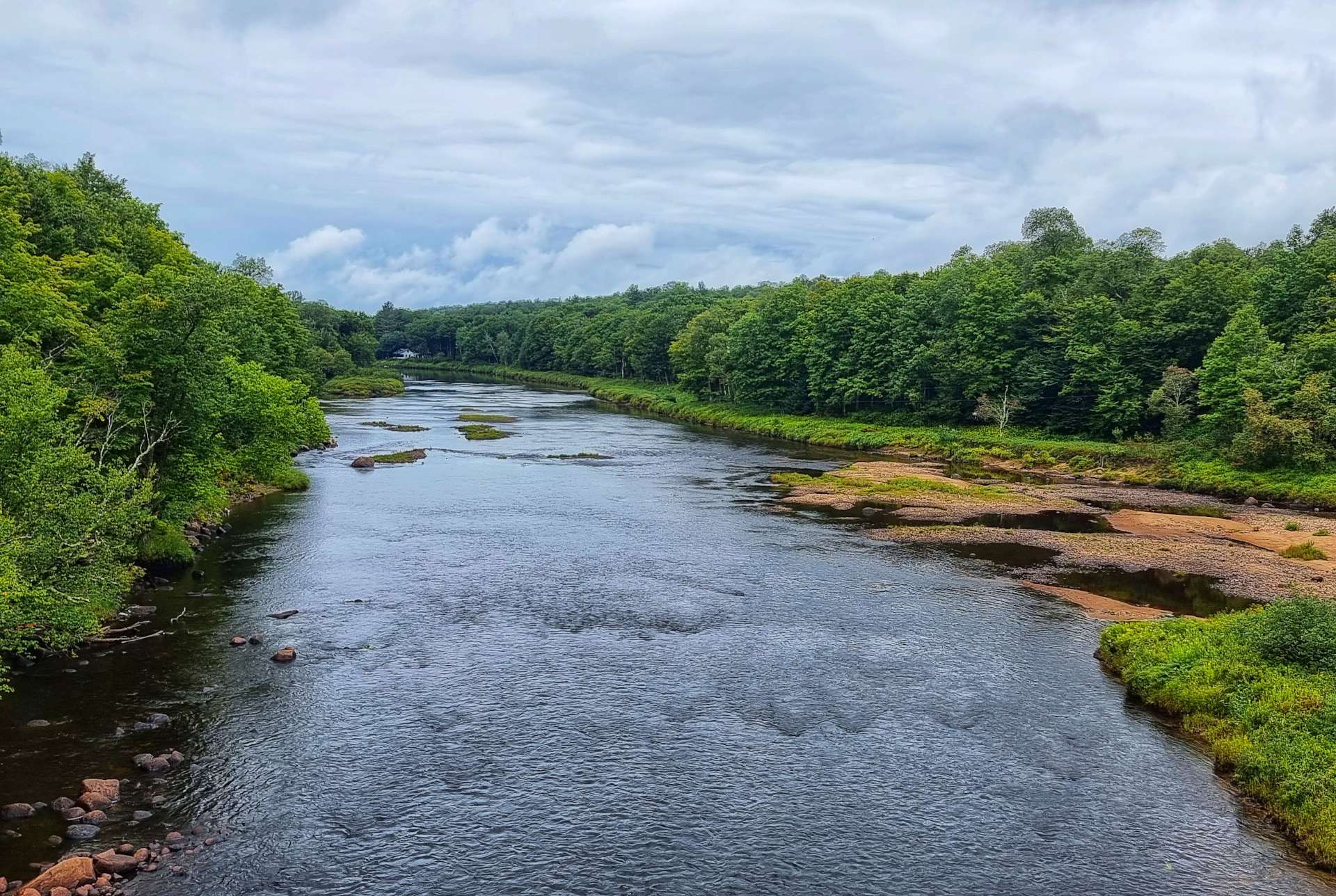
We had been riding along Moose River Road all morning, so we knew there was a river hiding behind the trees somewhere, we just didn’t know where! Then it revealed itself for the first time, away to our left. In between sightings of the river we found ourselves climbing, then descending the bluffs every time the river twisted & turned.


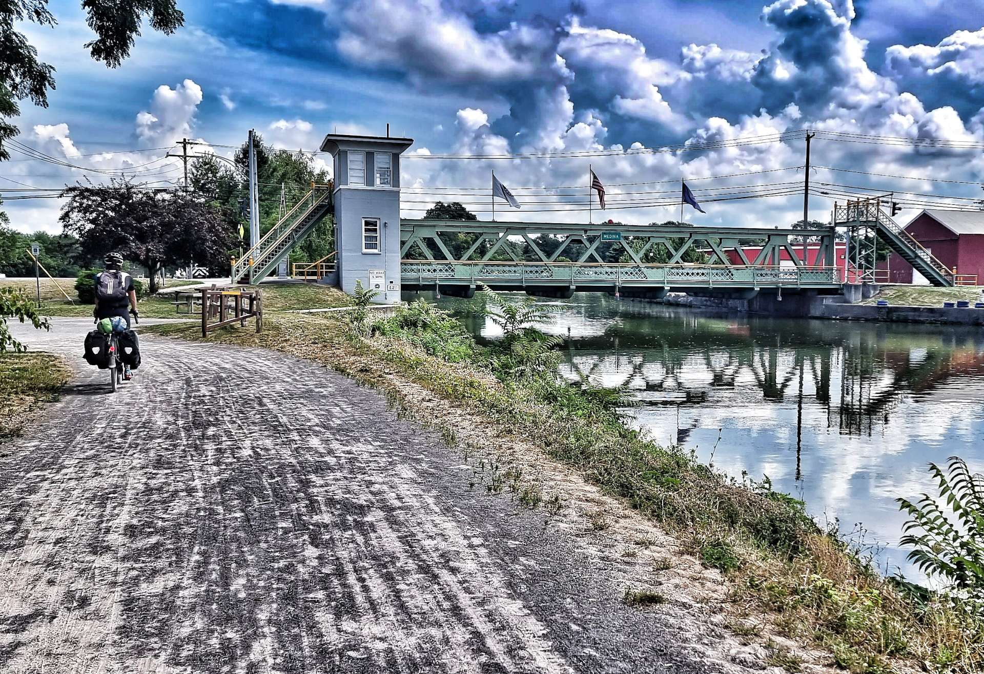
At McKeever we joined a larger County road, crossed the Moose River & headed towards Old Forge. We passed through Thendara on the way, which had a historic railroad museum, which included a restored station & a Scenic railroad. In front of the train are Railbikes (which run on the railroad track) – each railbike takes up to 4 people & you can hire them (from $85 for 2 hours) & explore the surrounding scenery on the railroad.

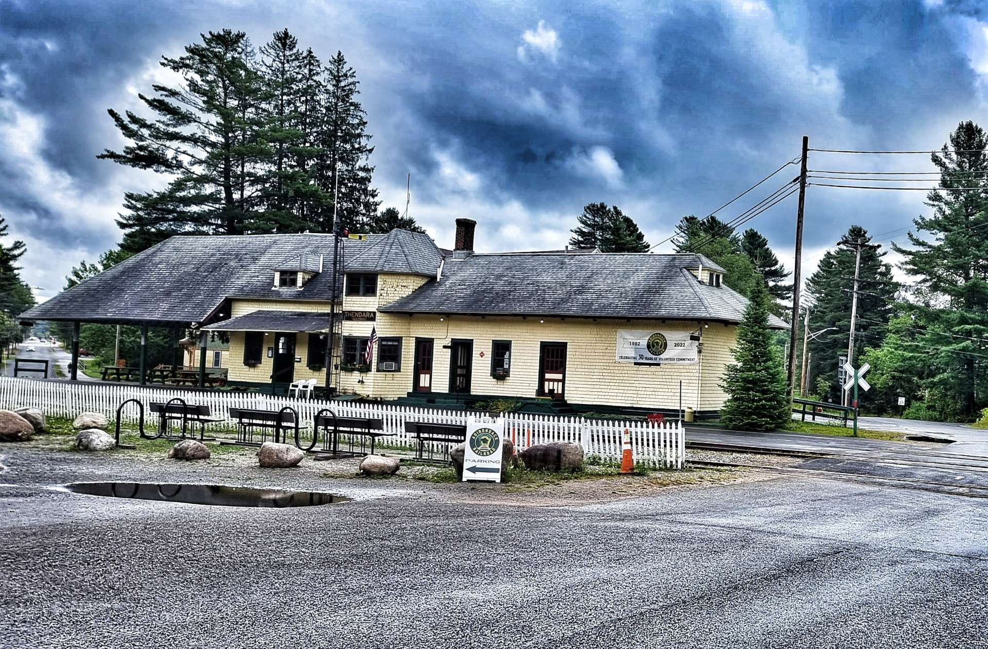

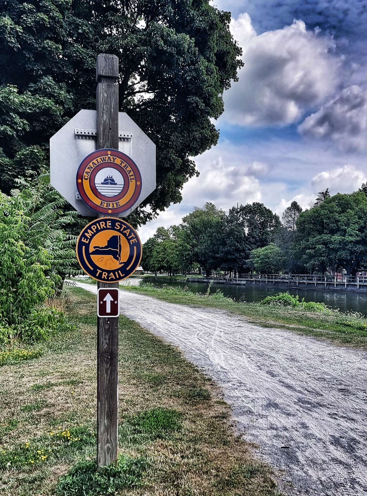
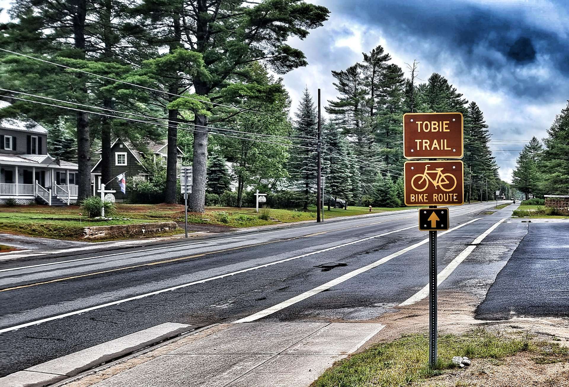
At Thendara we picked up the Thendara, Old Forge, Big Moose, Inlet, Eagle Bay (TOBIE) Trail – which provides a cyclist friendly route around the local lakes.
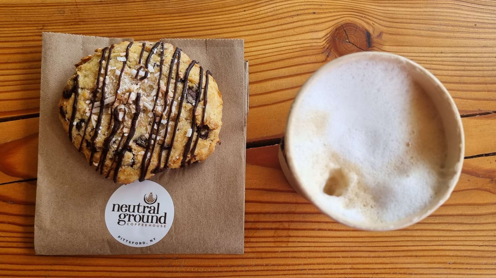
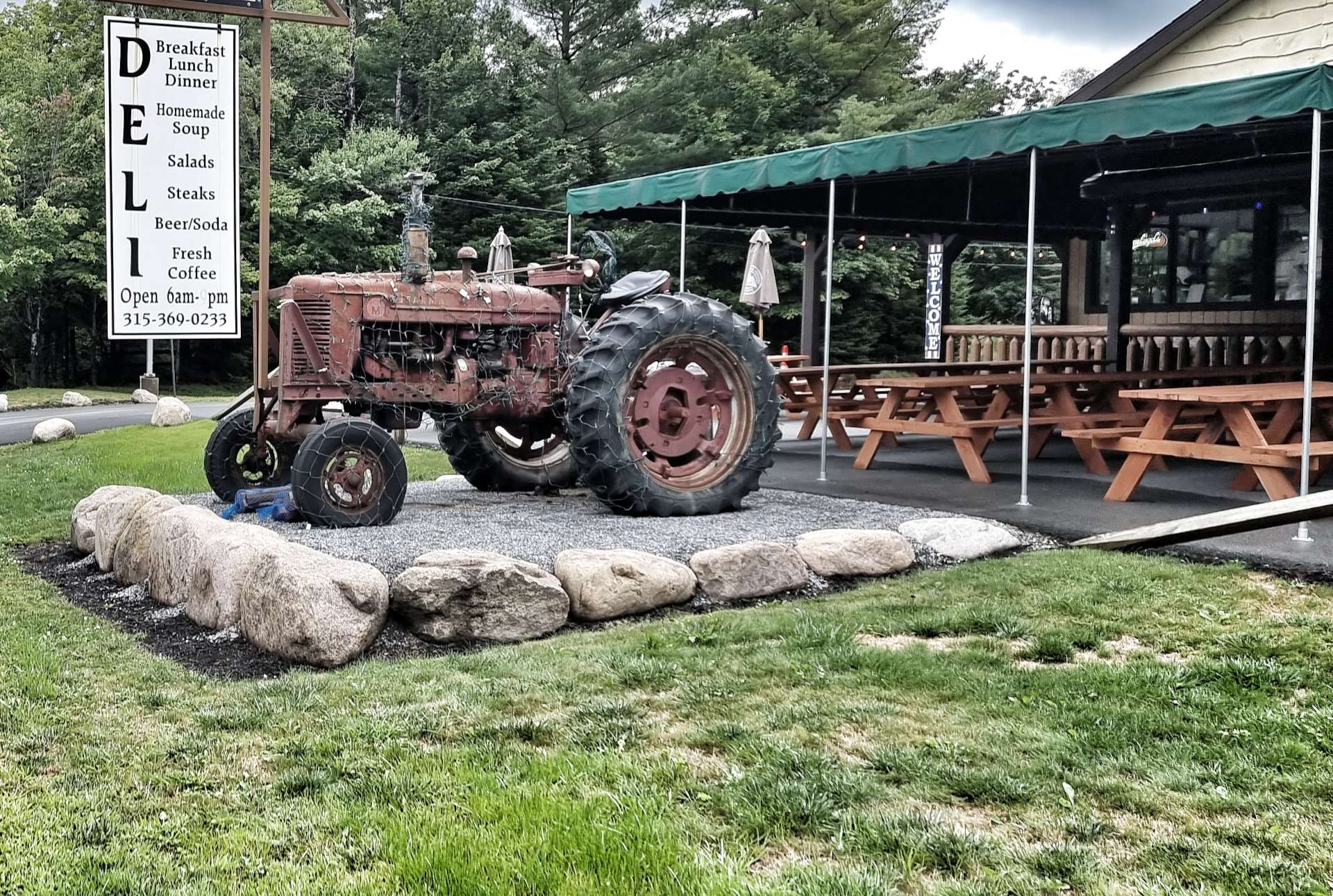
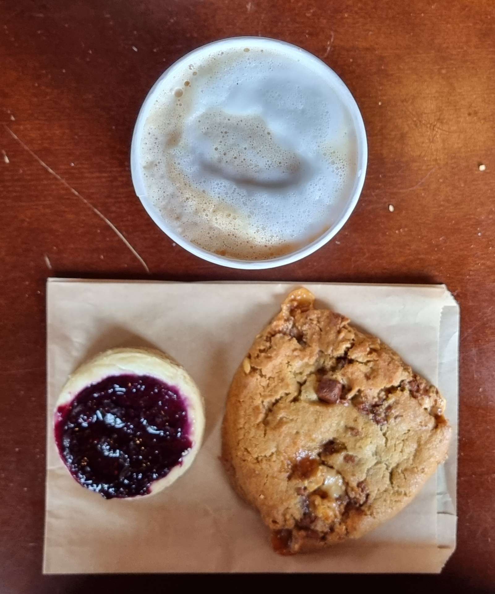
Old Forge was a lovely working town, with specialist shops offering cheese, statues carved from tree trunks by chainsaws & most interesting to us….Ozzie’s Cafe! Sean made this great little find yesterday when researching the fine detail of today’s ride. I chose a wild berry cheesecake & snickers cookie to go with my cappuccino & was very pleased with them all!
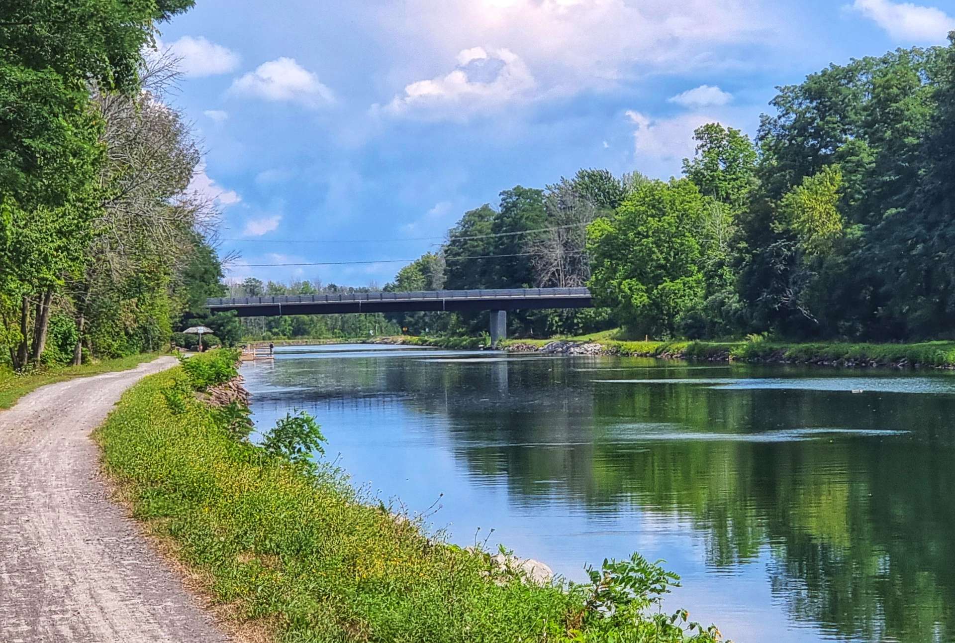
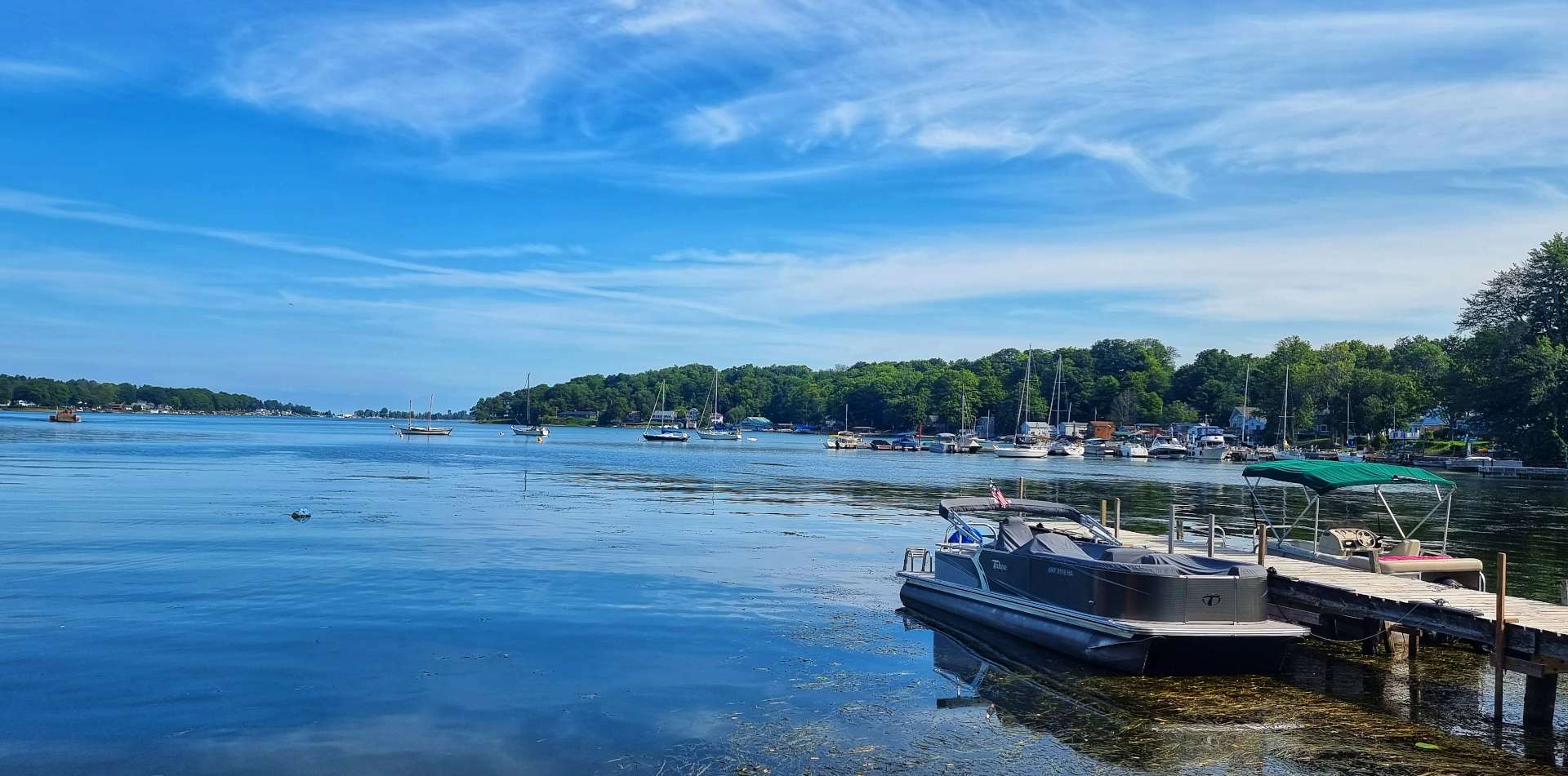
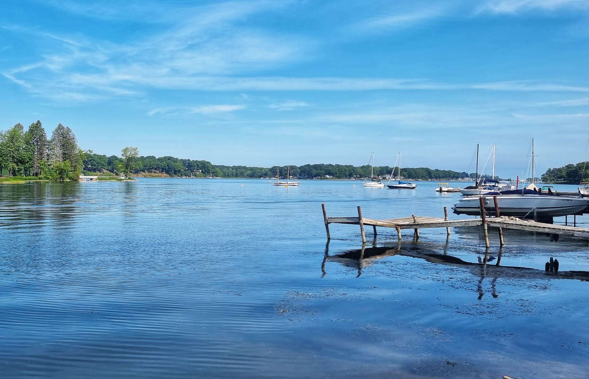
We left Old Forge on South Shore Road which took us past First Lake & a lakeside inlet. Although we were riding round a single lake, it had been separated into sections – First Lake & Fourth Lake were, in fact, the same lake!!!


We followed South Lakeshore Road as far as Inlet, at which point we took a right turn onto our last road of the day, although we still had 35 miles of riding left! The very good news was we’d left the rain behind for the day.
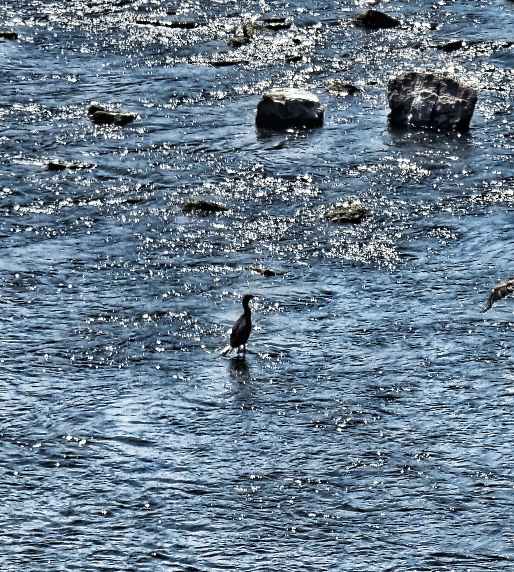
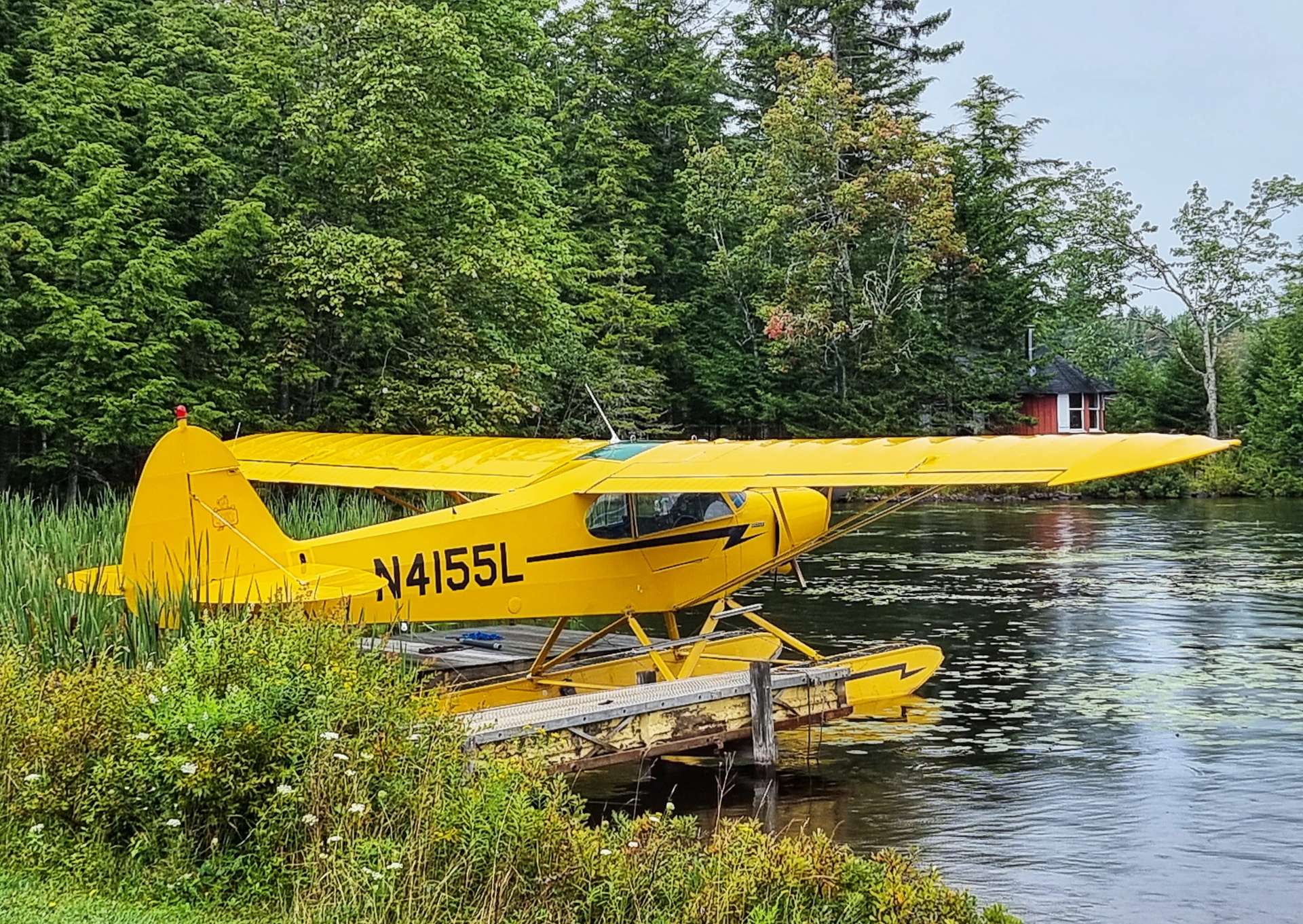
We passed Fifth & Sixth Lakes, then at Seventh Lake I saw a sign for Payne’s Seaplanes & Air Services – there were about half a dozen planes on the water, but none were due to take off any time soon, so I settled for taking a few photos of the planes then we set off on our way again.
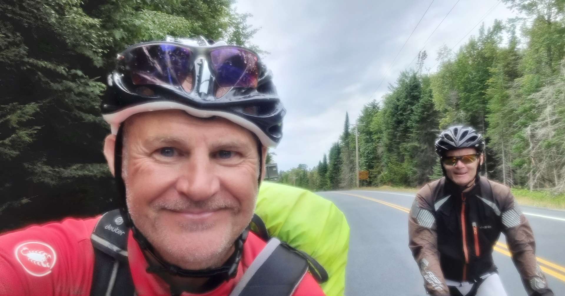
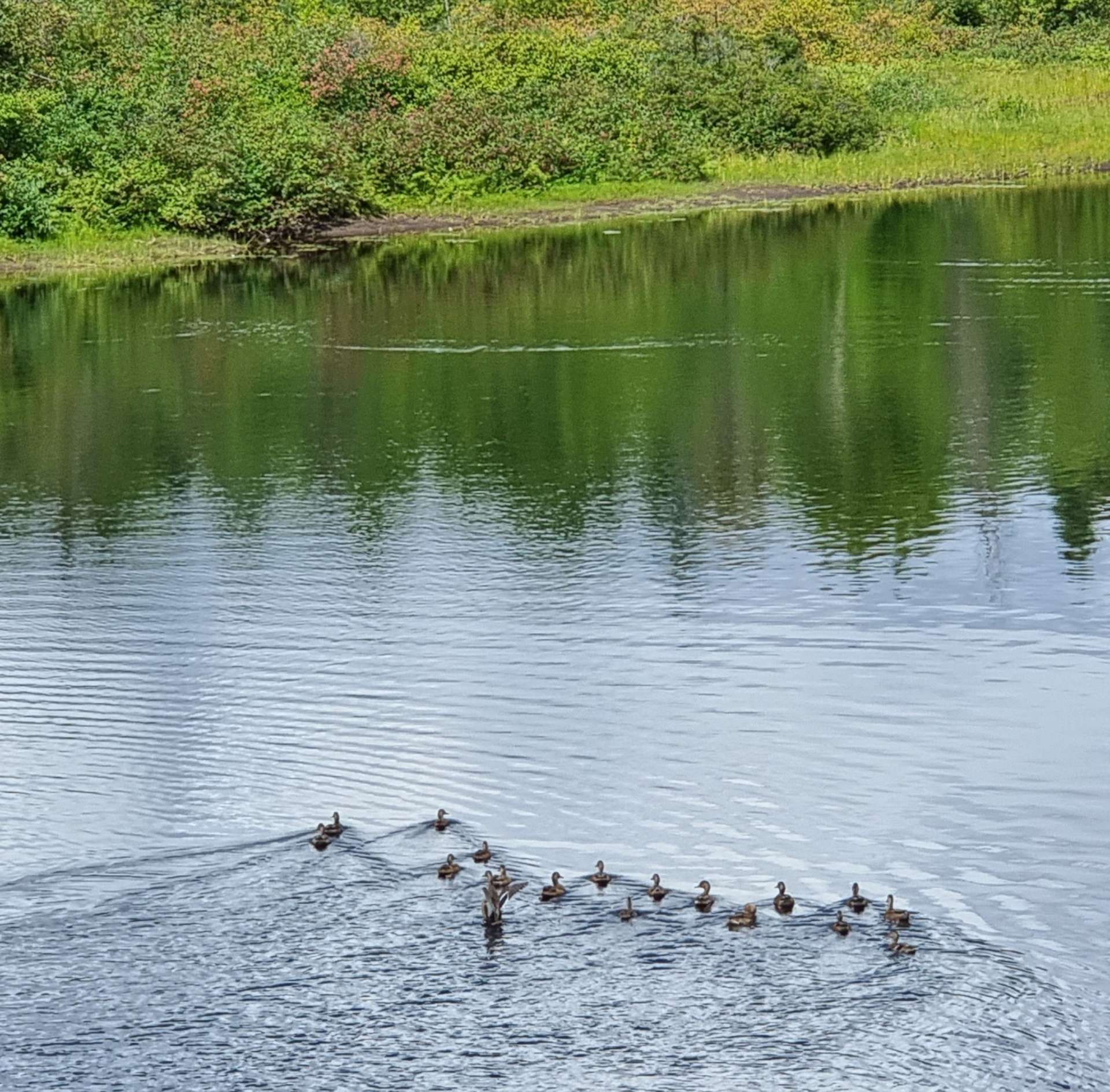
We found a quiet spot to take a selfie action shot & continued our numeracy lessons on the lakes – they stopped at Eighth!


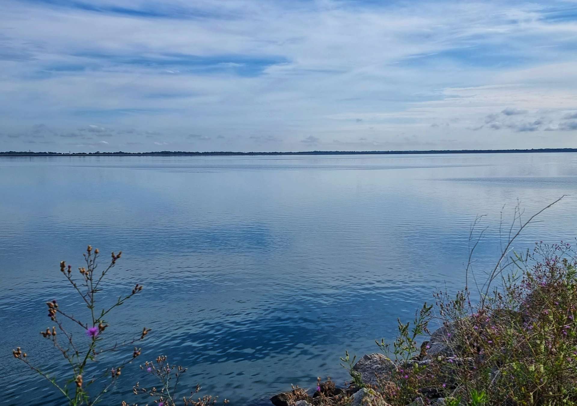
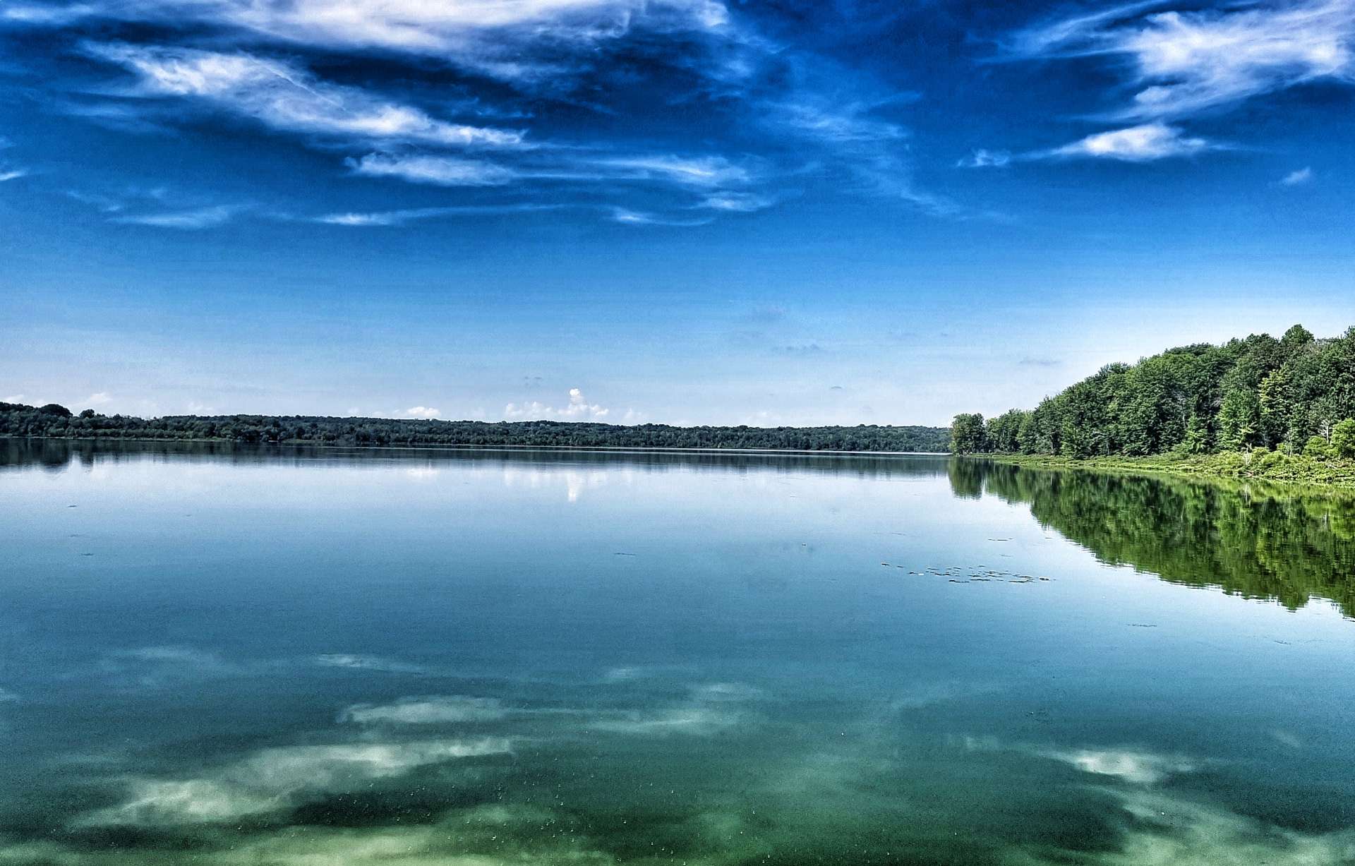
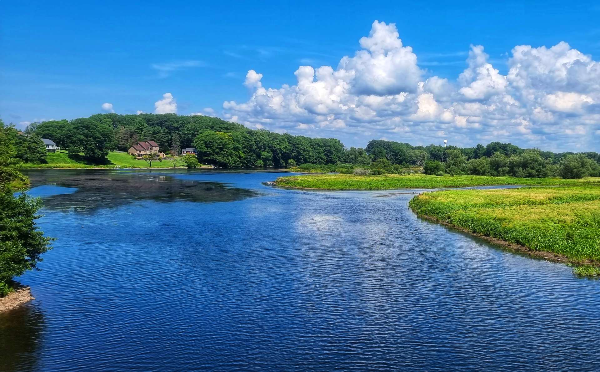
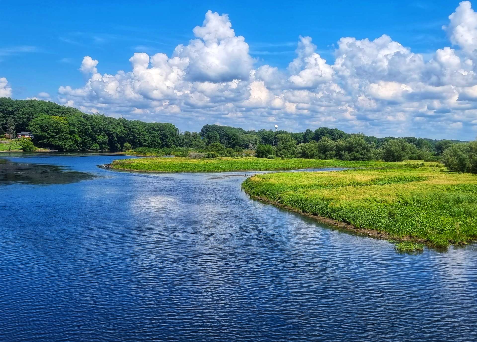
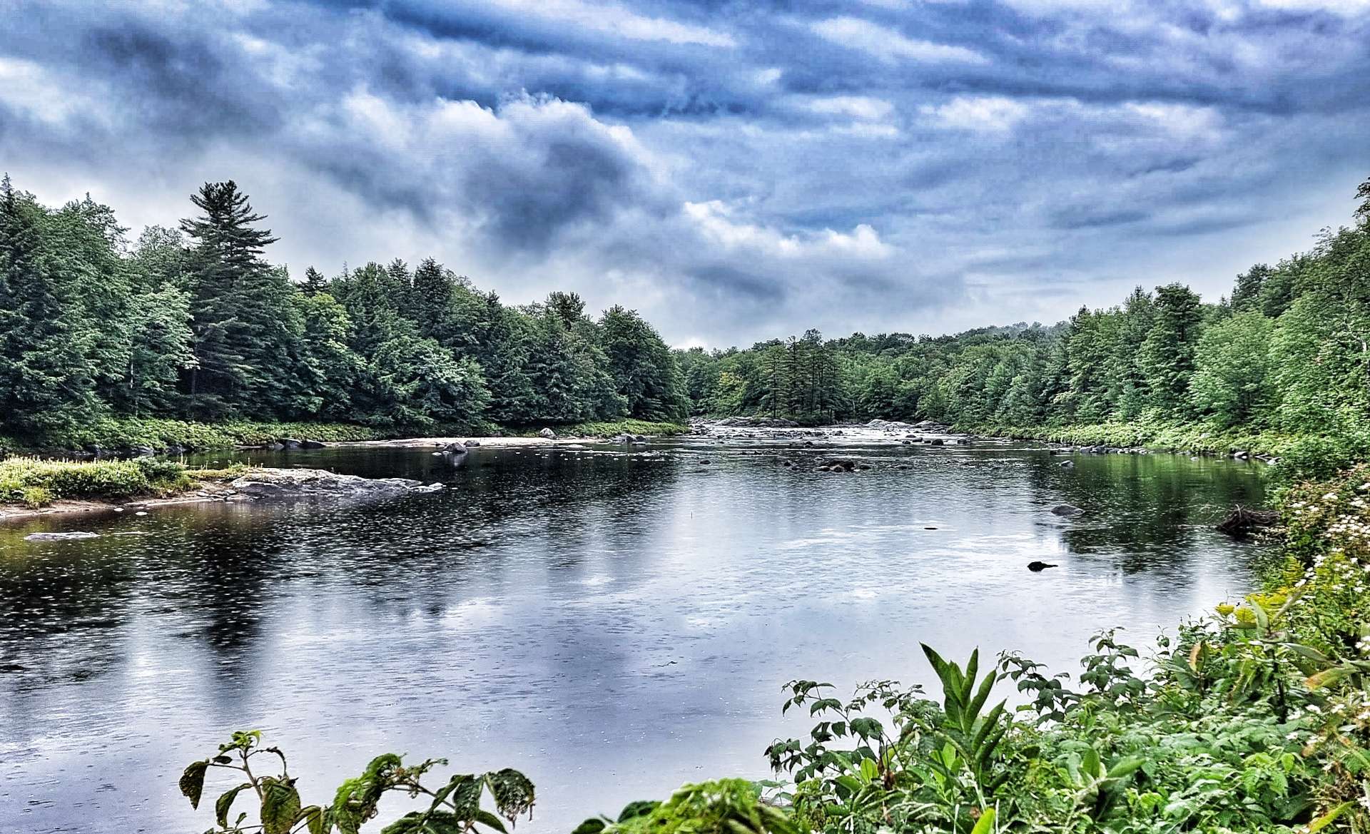
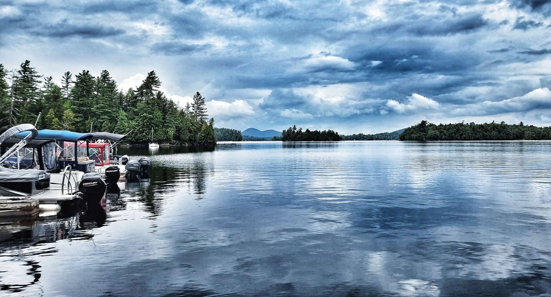
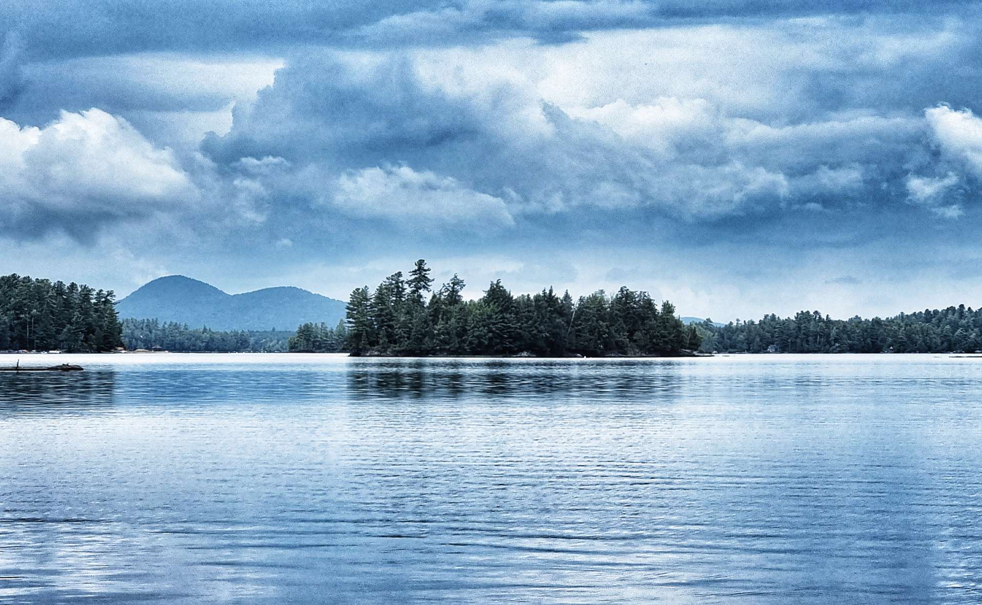
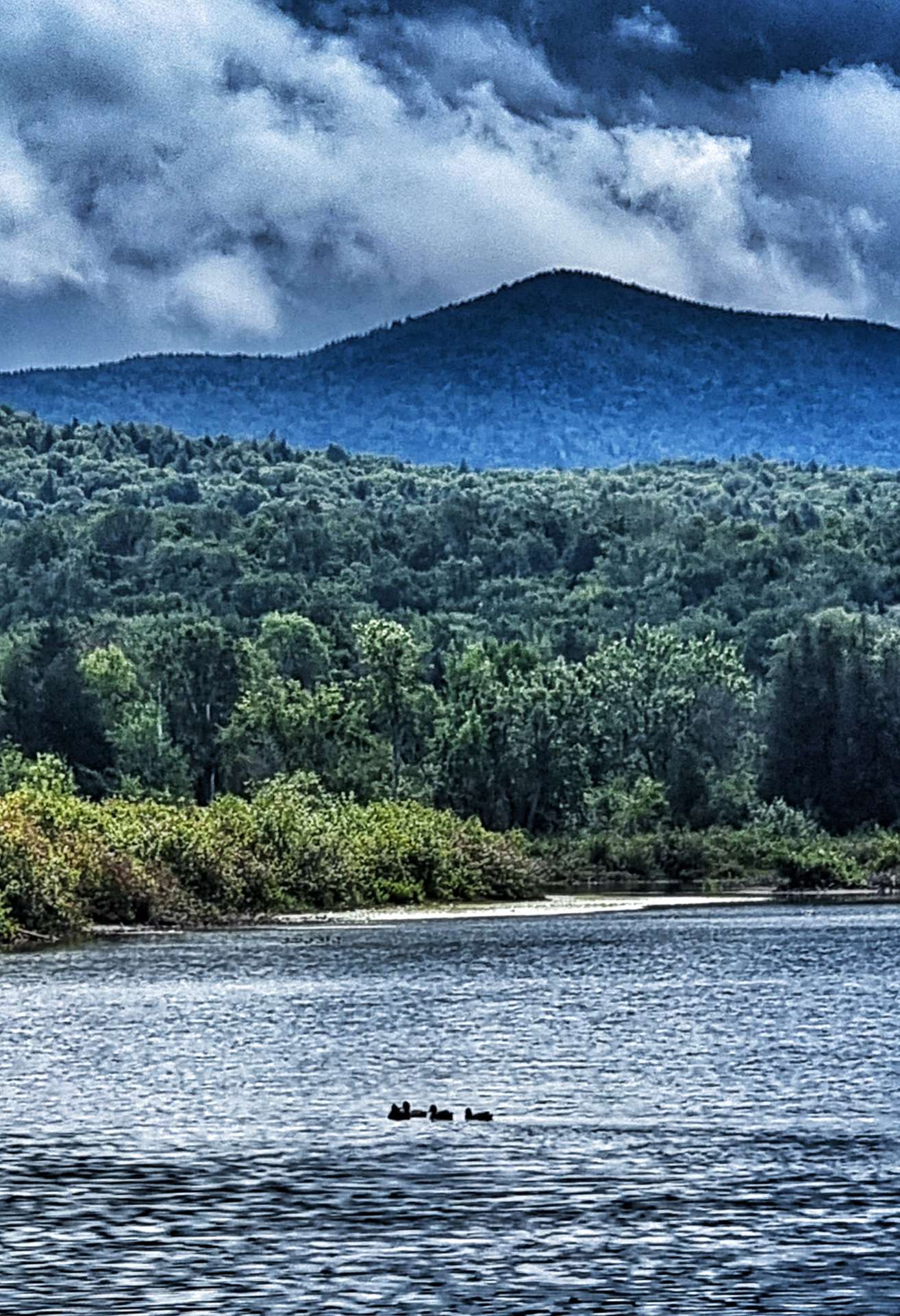
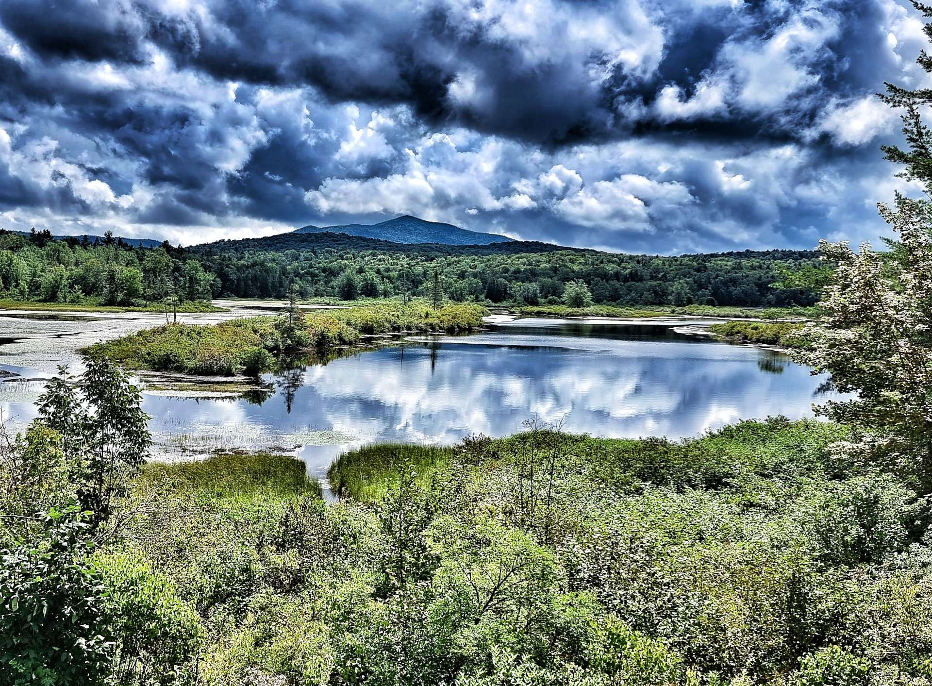
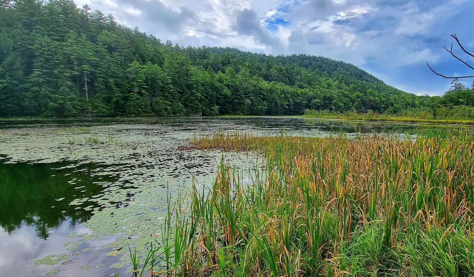
Although the numbers had run out, the lakes continued to come thick & fast – Raquette Lake was beautiful, with remote islands in the middle. Slightly further on, the shallows offered vistas of the Adirondack Mountains in the distance – more of them over the coming days.

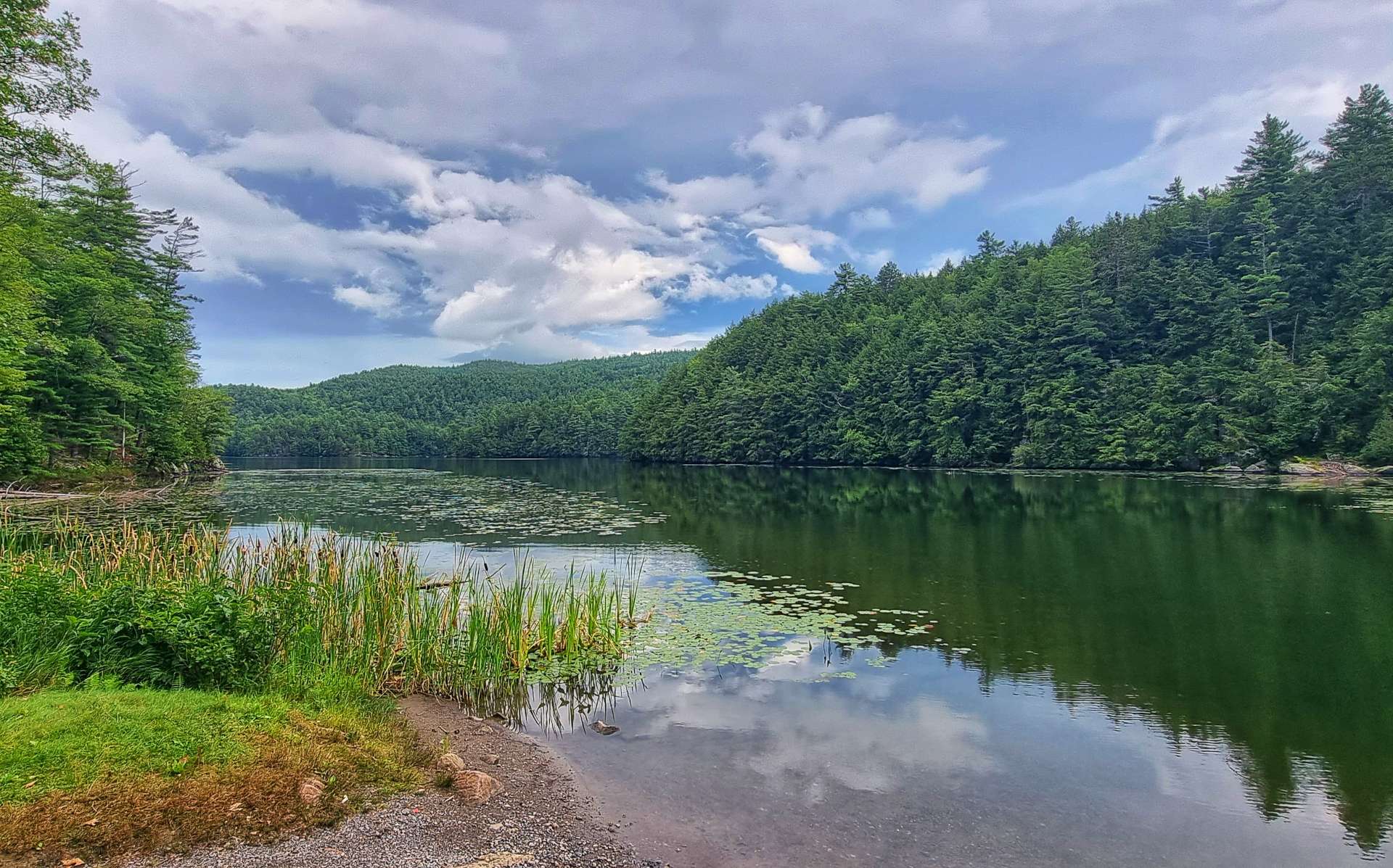
Lake Utuwana & Eagle Lake were connected by a narrow neck & I stopped briefly at both to get a photo to remind me of them in future – 2 more lovely lakes in stunning scenery. In order to reach our motel for the night we had one last, steep climb up to Blue Mountain (no sign, so no photo). Although it was only about a mile in length, it topped out at 11%, which at the end of a long, wet day was testing enough!
For every Ying, there’s a Yang & we had a joyous descent down the other side.


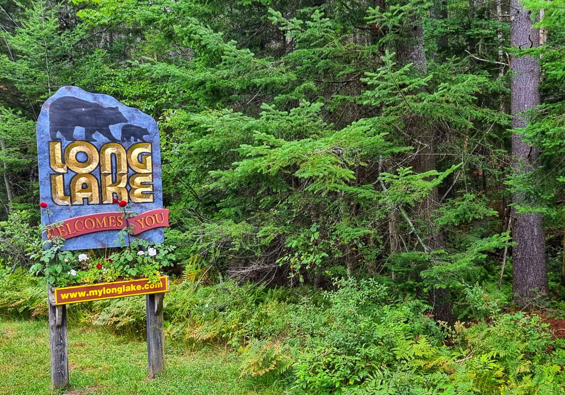
As we rode into Long Lake, we could see The Shamrock Motel in the near distance. We checked-in, got ourselves settled, then put the laundry on while we cycled the mile into town to get some food from the gas station – a sub sandwich & 2 slices of pizza were this evening’s gourmet offering for dinner!
I then went & chilled out on the Shamrock’s private beach for a bit, taking in the views & enjoying the solitude. The perfect end to an epic day in the saddle.

Stage Stats – 74 miles, 4,823 feet of climbing. Another wet morning, then a lesson in lake counting in the afternoon.
Tuesday 23rd August – Long Lake to Ticonderoga (Stage 88).
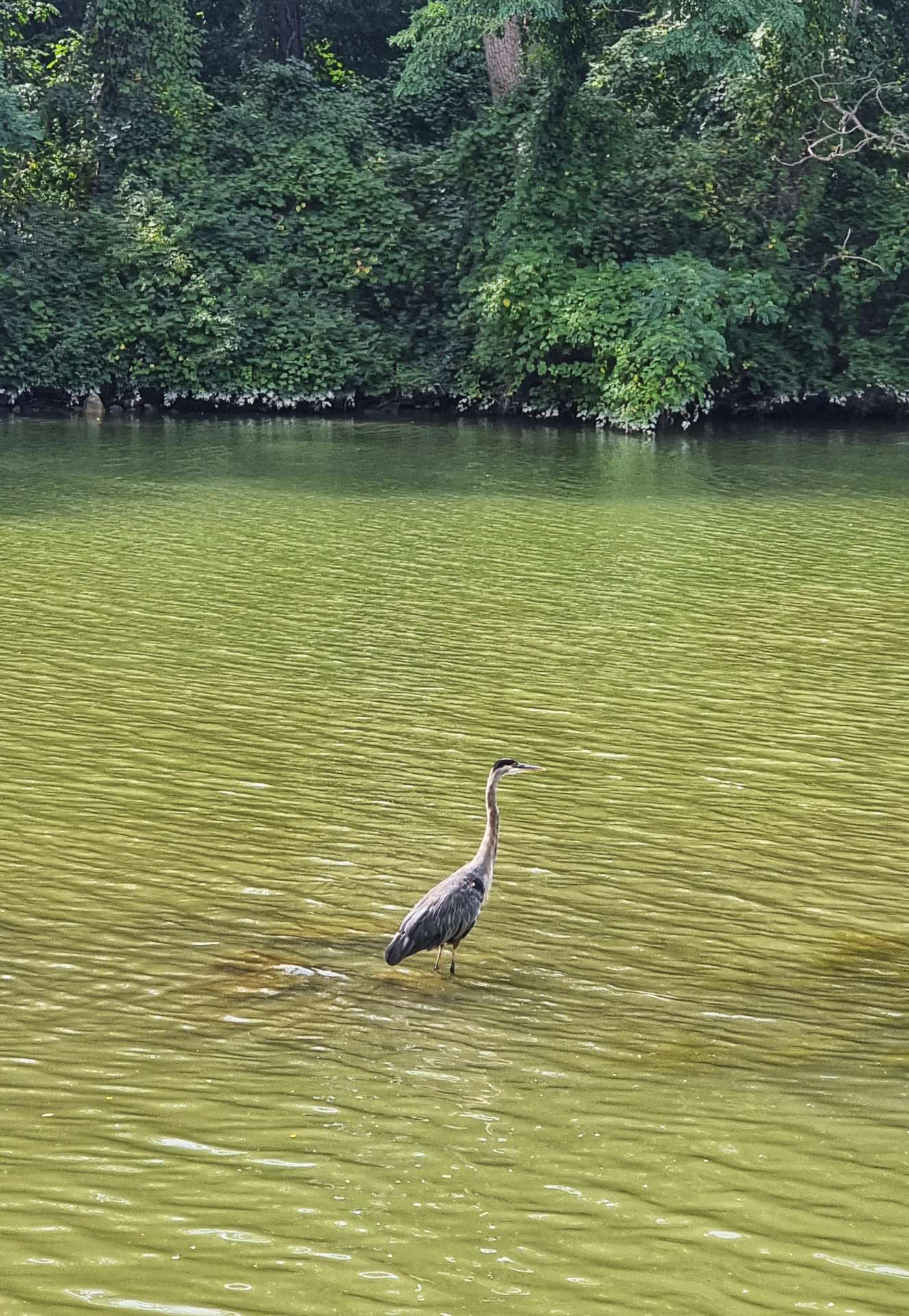
We left Long Lake under brooding, grey skies & a gap in the early morning rain. However, within 10 minutes the skies had opened again, just as we summitted a small climb with a view over Shaw Pond. A lone heron was fishing for its breakfast, but it looked a very sorry figure with the rain falling like stair-rods.


This is the third day running that there’s been heavy rain, so we at least know what we’re in for! The worst of it rarely lasts more than 15 or 20 minutes (by which point everything we’re wearing is dripping wet), then it eases off for a while (sometimes stopping completely, like today).
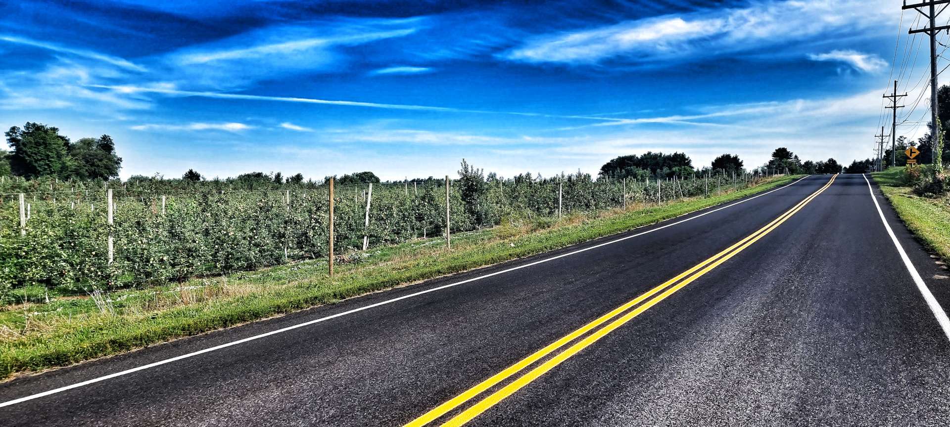
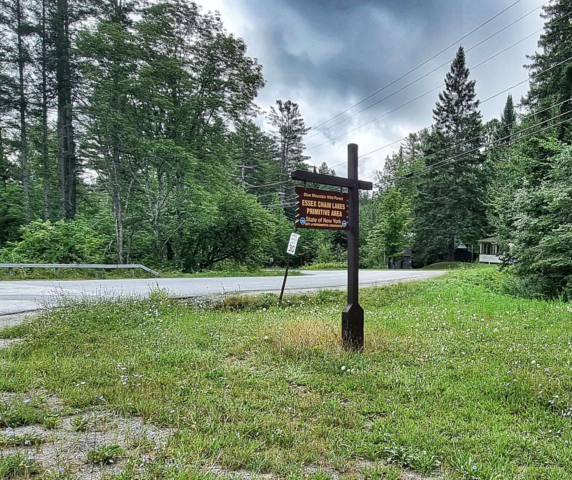
We continued on drying roads that rolled up & down between small ponds & rivers. All seemed to be going swimmingly as we passed a sign that identified the primitive area of Essex Chain Lakes.
Just after the 15 mile point at Newcomb, our adventure was thrown into doubt when the chain on my bike broke as I stood up to climb a short incline. Before I came away I had a conversation with my friend Jimbo & he heavily recommended that I take a replacement quick link for an emergency such as this & learn how to replace one. I, of course, didn’t follow his advice & now found myself in a spot of bother!
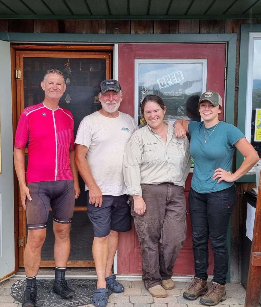
While I was pondering my options, Tom stopped & asked Sean what the problem was. When I spoke to him & explained, he said there was an Outfitters up the road who rented out mountain bikes, so they may be able to help me. He gave me a lift the mile to Cloudsplitter Outfitters & introduced me to Dave & Ruth, the owners. I explained my predicament & Dave offered straight away to pick up my bike in his truck, bring it back to his workshop & then see what our options were.
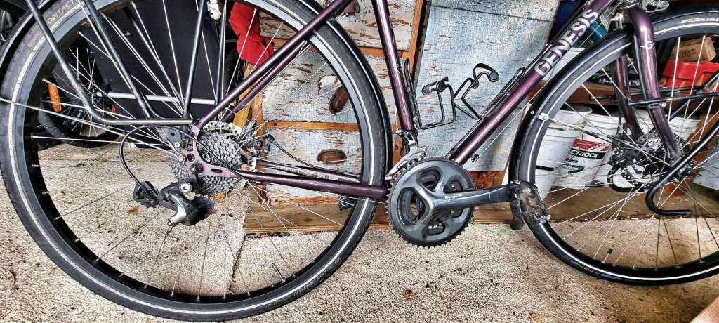
10 minutes later we’d got my bike back to the shop – we confirmed that Dave’s Mountain Bike chains weren’t compatible, so we would need a replacement chain. To cut a long story short, I googled the serial number of the chain I needed & Dave phoned a bike shop in Glen’s Falls (60 miles away). They had the chain – now we just needed to get it back to us…..
Dave’s daughter Sienna was running her regular errands for the business, picking up supplies etc in, that’s right, Glen’s Falls. She agreed to pick up the chain & bring it back to Newcomb once she’d finished her appointments. I paid for the chain over the phone & now we just had to wait for Sienna to get back to Newcomb some time after 2.15pm.
Ruth let us use the Pilot’s House, their rental property above the shop & an outdoor space under an awning on the banks of the Hudson River. Sean set about catching up on his sleep with a few 20 minute naps, while I took some photos, had a stroll, did some work on my Blog & reminded myself how to fit a chain by watching some You Tube videos!
Having made the best of our situation & enjoyed our surroundings, I was eager to test my new found knowledge when Sienna arrived with my chain. With Dave’s guidance, we had the chain fitted in about 5 minutes & just like that we could restart our adventure on the road!
Dave, Ruth & Sienna – thank you so much for your help, generosity & kindness. We were in a real difficult position when we met you, but in the space of 4 hours we were able to continue our adventure. This wouldn’t have been possible without you, so a heartfelt thank you.
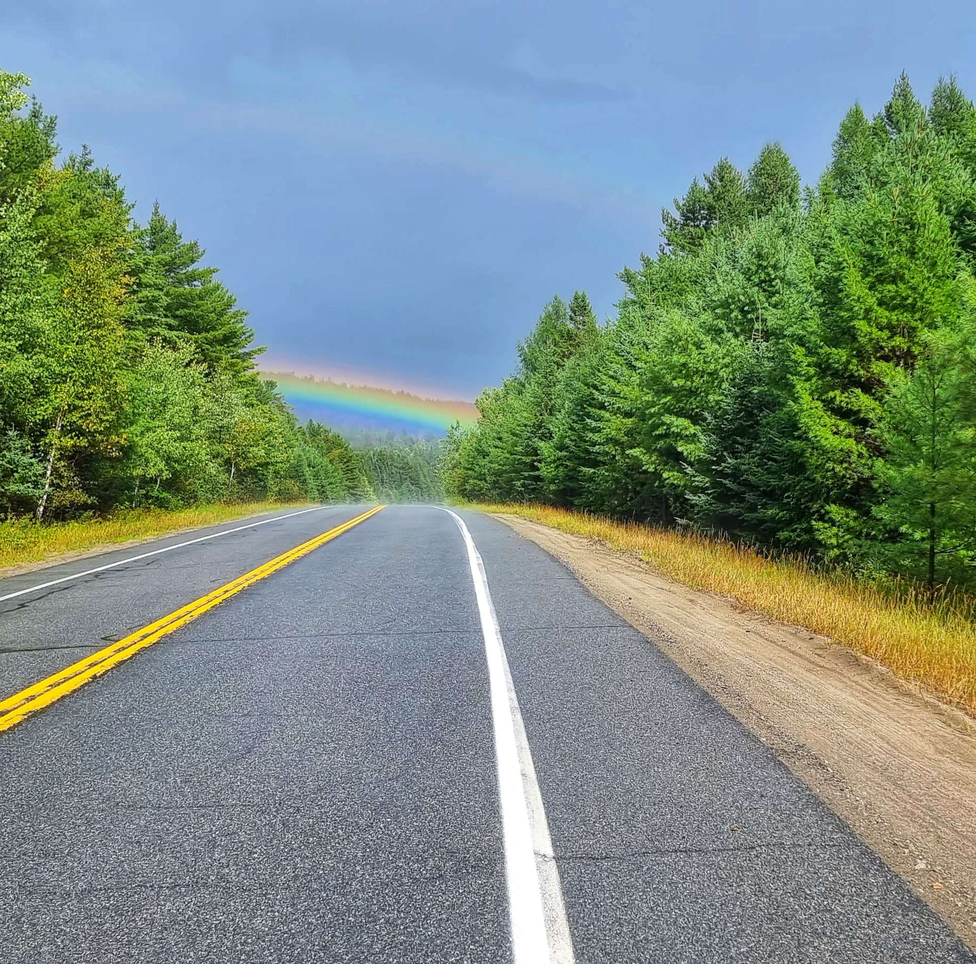
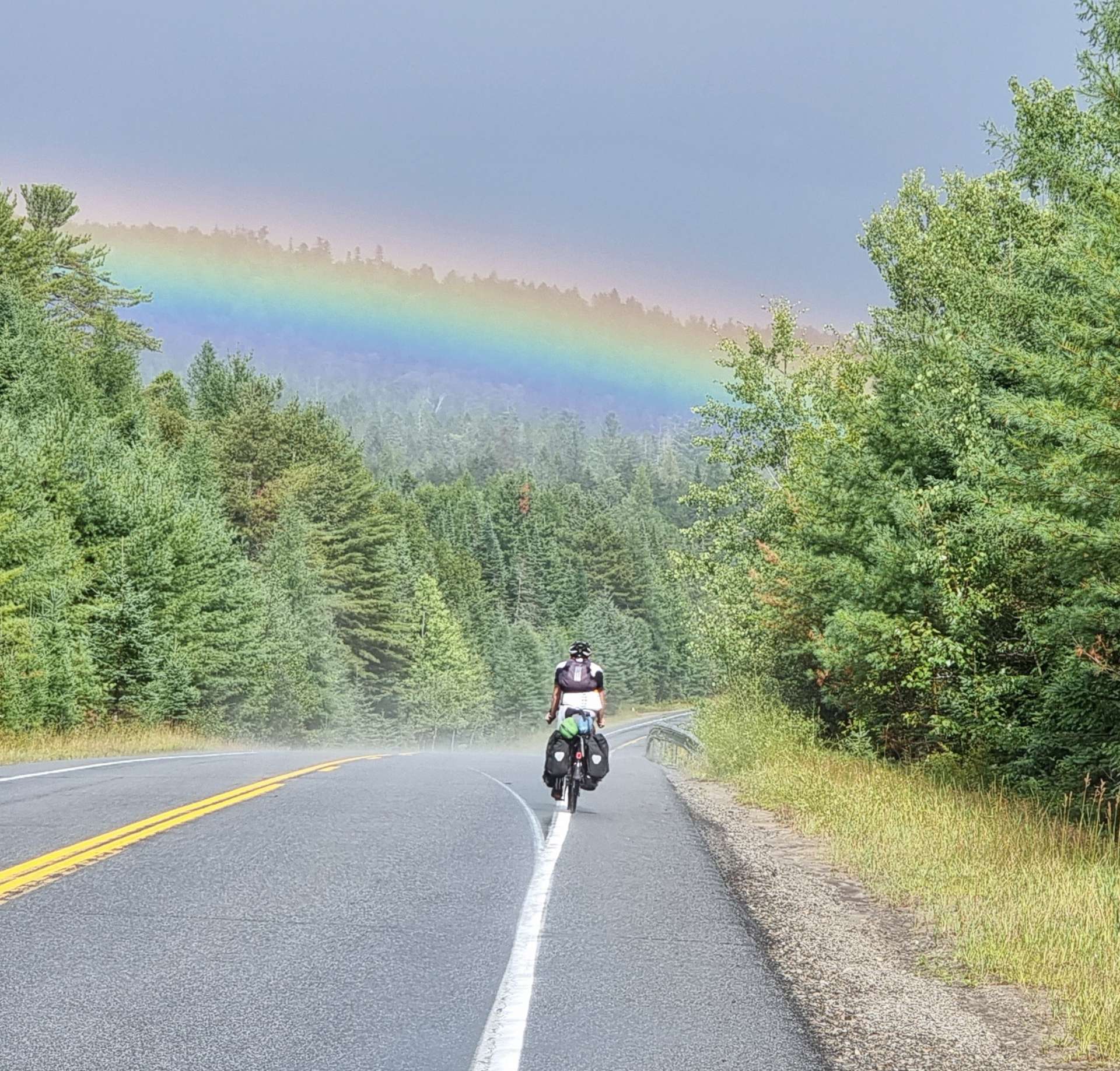
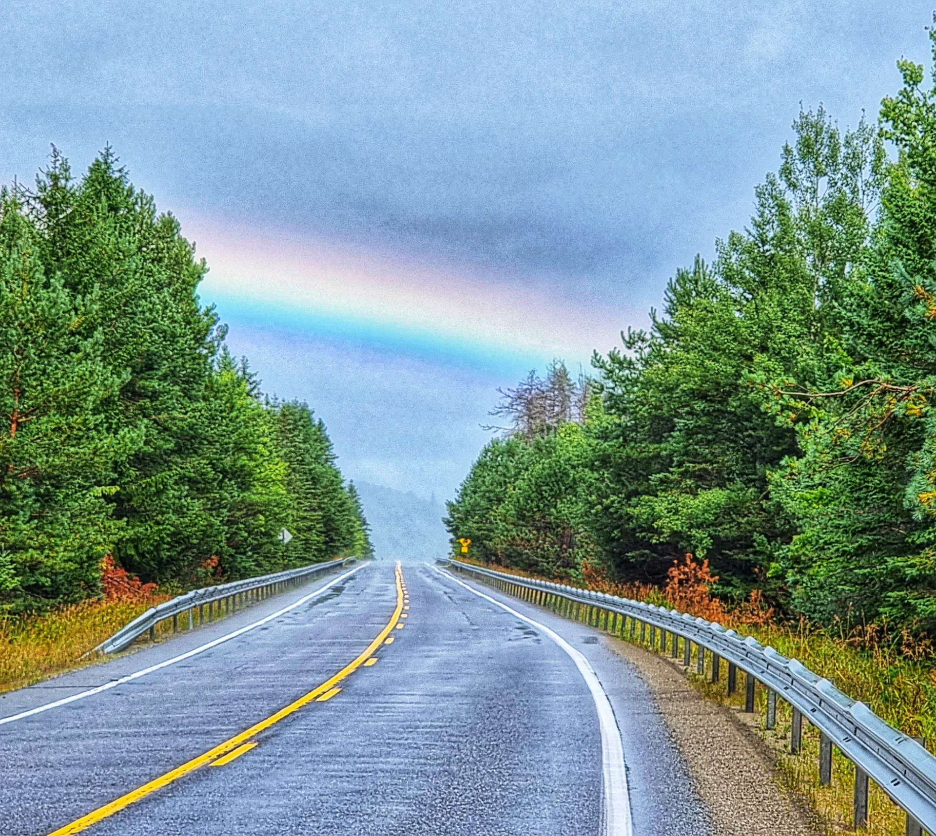
We were back on the road by 3pm, with about 45 miles still to ride. The weather was still unsettled, but we set off in the dry & kept our fingers crossed that it might stay that way. We started climbing the side of the Hudson River valley along Blue Ridge Road & rode through verdant, green forest up to the summit. Our enforced delay resulted in us arriving just in time to see a rainbow further up the road.
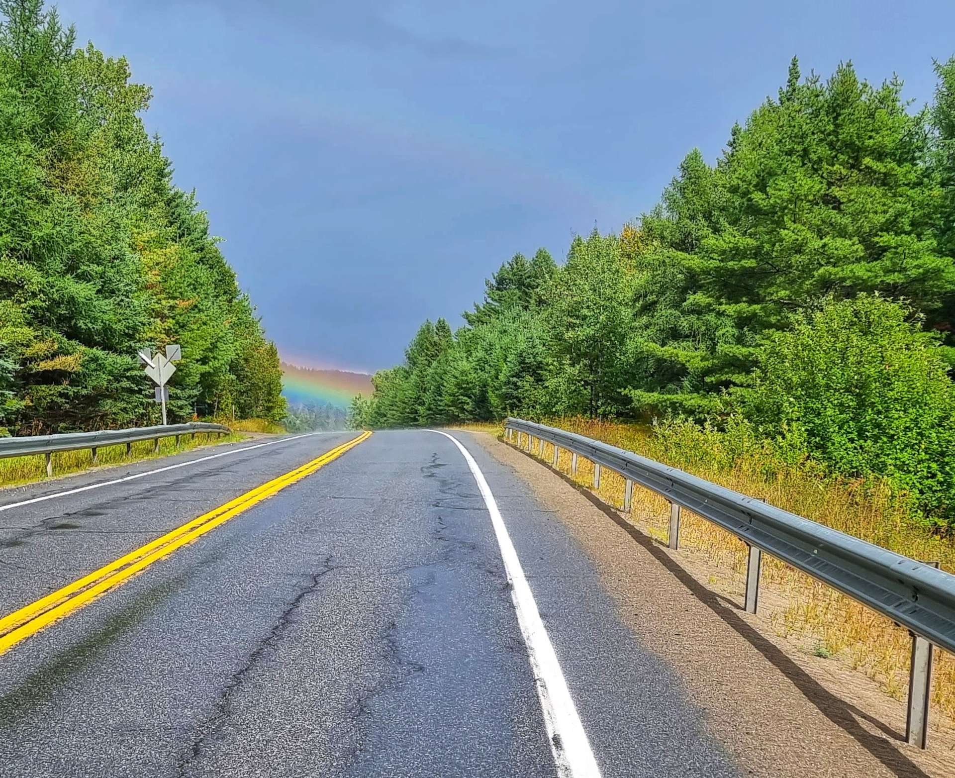
It was another example of everything appearing to happen for a reason – if my chain hadn’t have broken when & where it did, we’d not have met Dave, Ruth & Sienna, nor would we have seen the rainbow.
We had a tailwind along this stretch of road as we bounced along the ridge, so although there was heavy rain ahead, it was being blown away from us. We had a fun descent into North Hudson

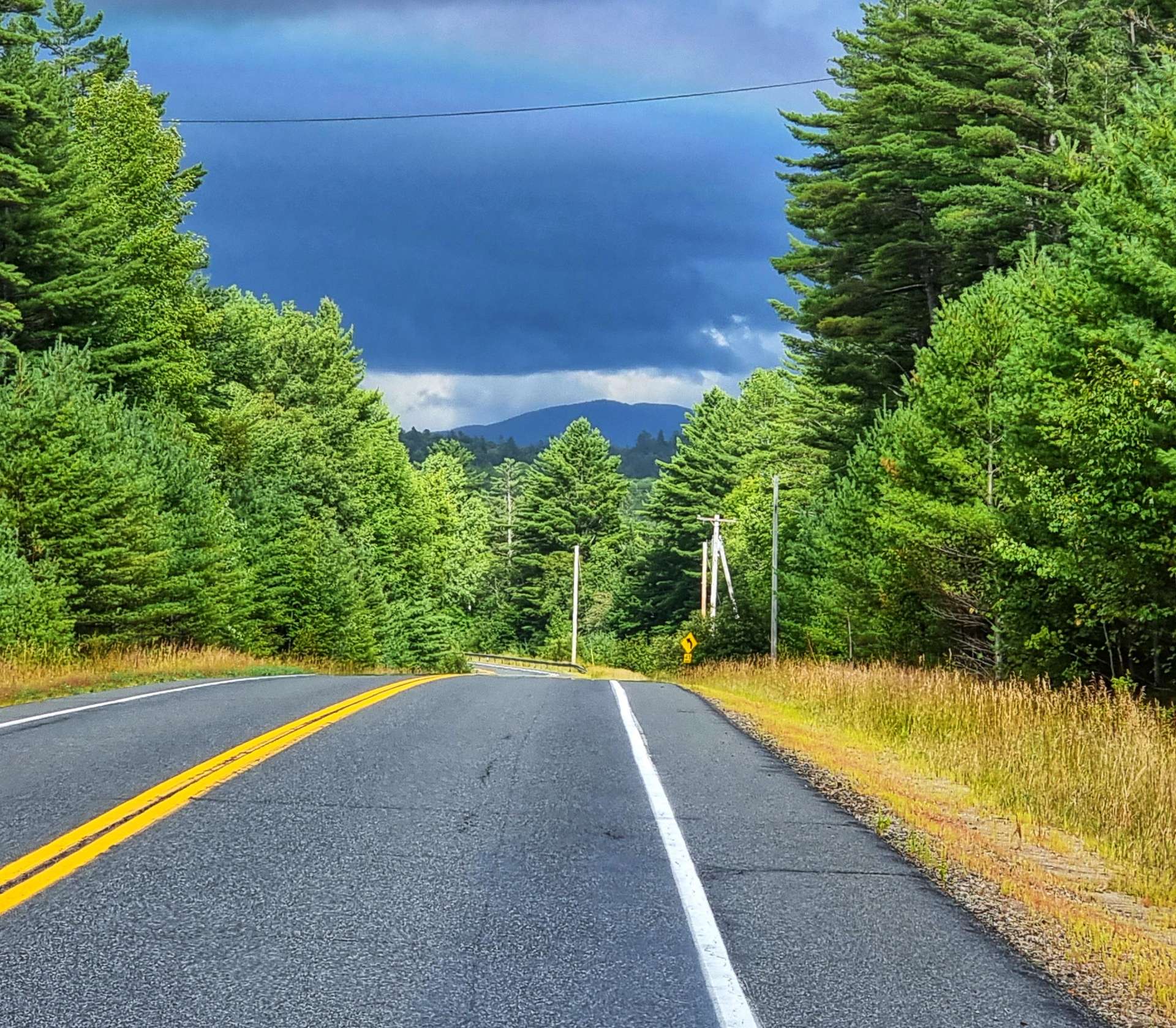
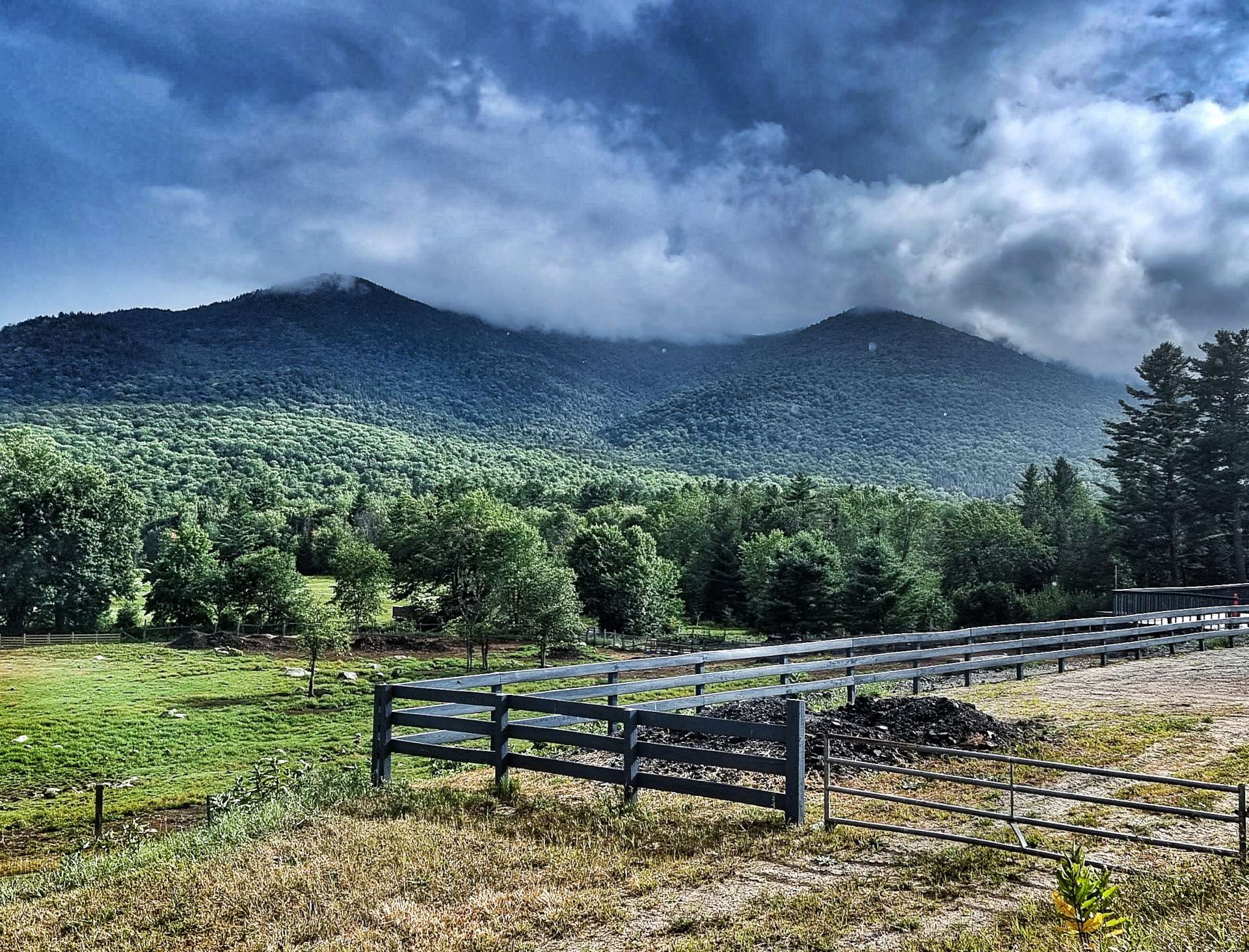
The low cloud on the surrounding mountains made for some moody views, especially when the sun occasionally poked its head out. We continued through Severance & started climbing again after passing the town of Paradox & its lake.

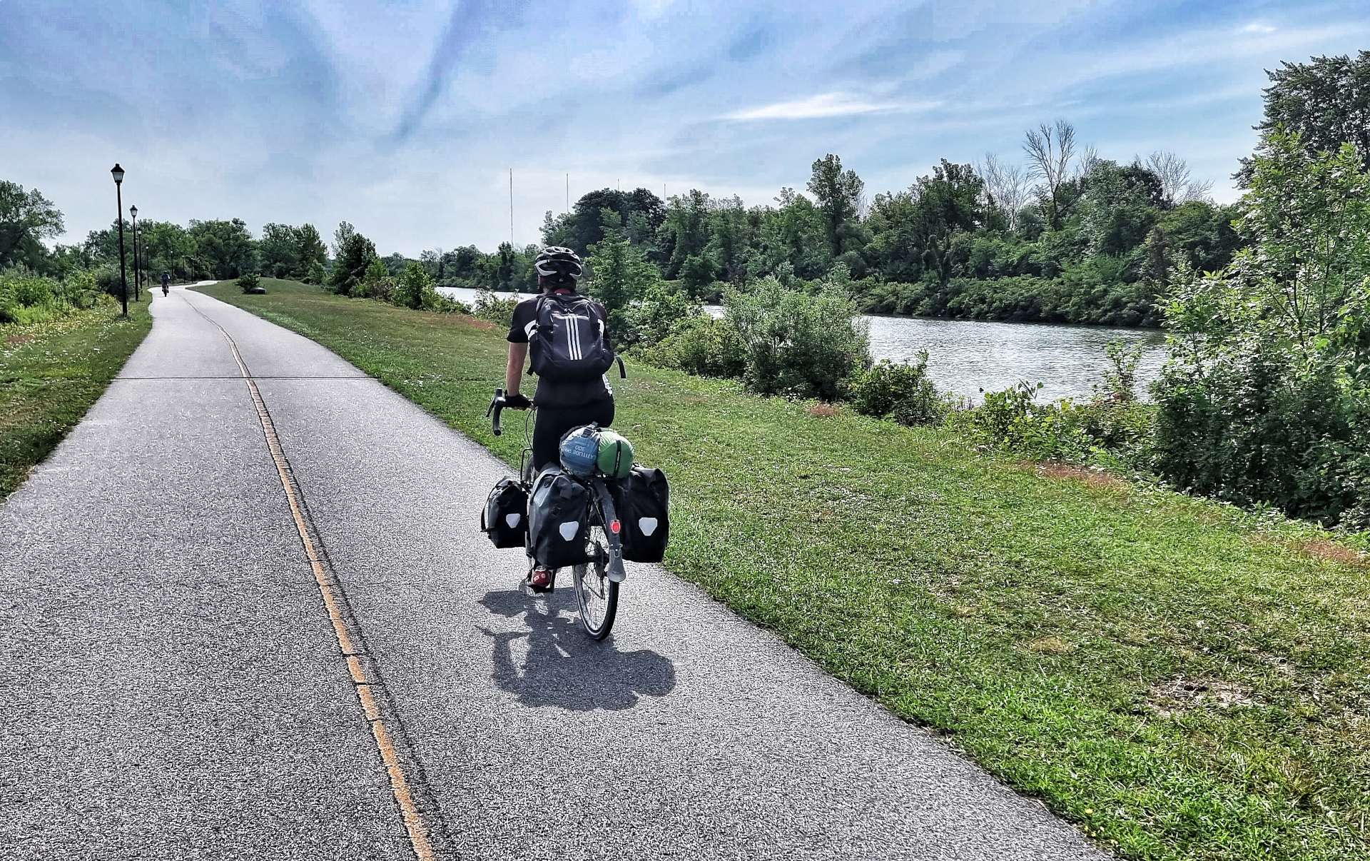
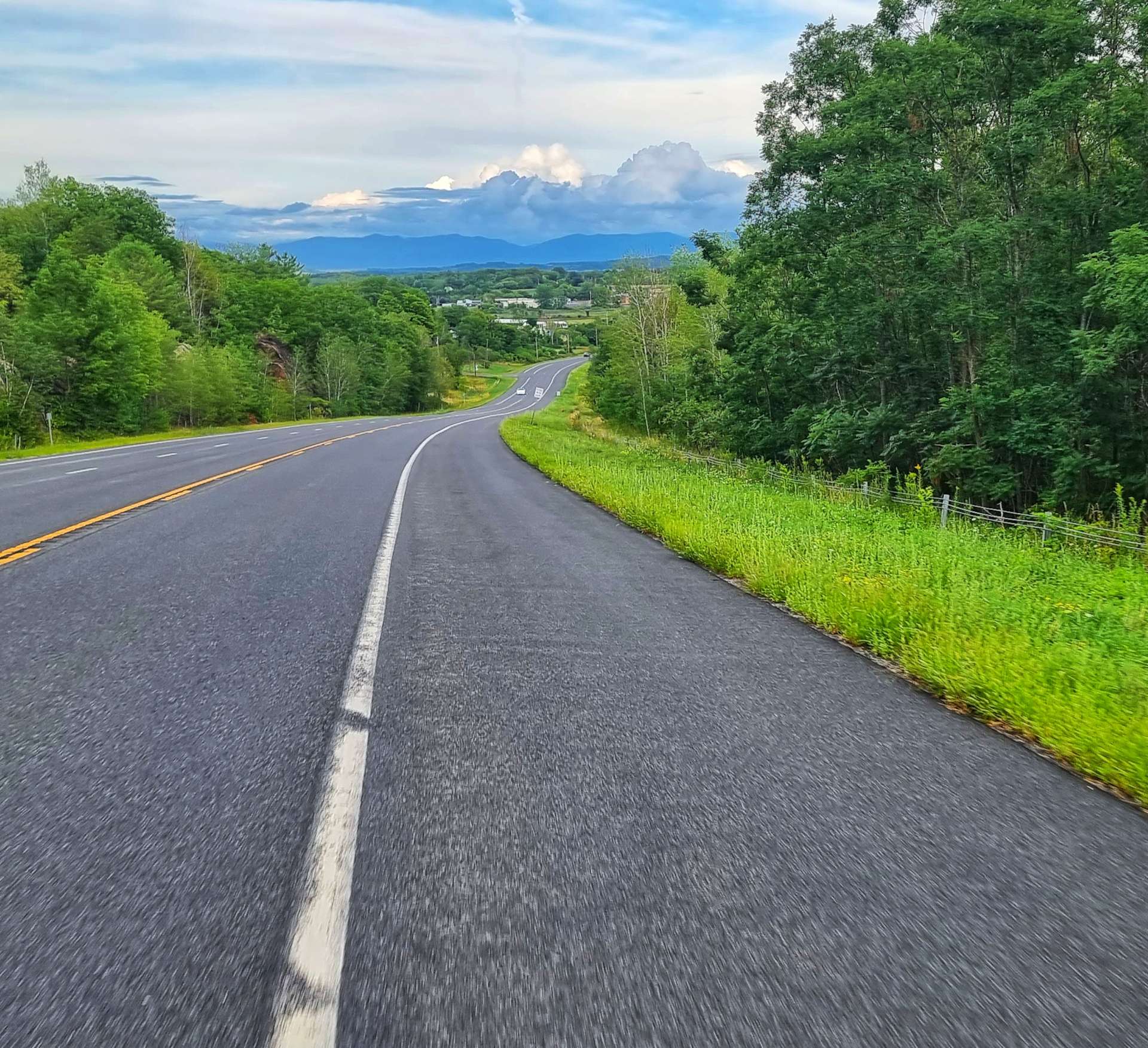
We had the road to ourselves for large parts of today, which made the riding even more enjoyable, especially on the climbs, where we pootle along at anything between 5 & 10 mph. The deserted roads also enable us to ride abreast of each other, have a chat & take a few photos together – the 2nd photo was on a gentle descent, so these were ‘free’ miles!

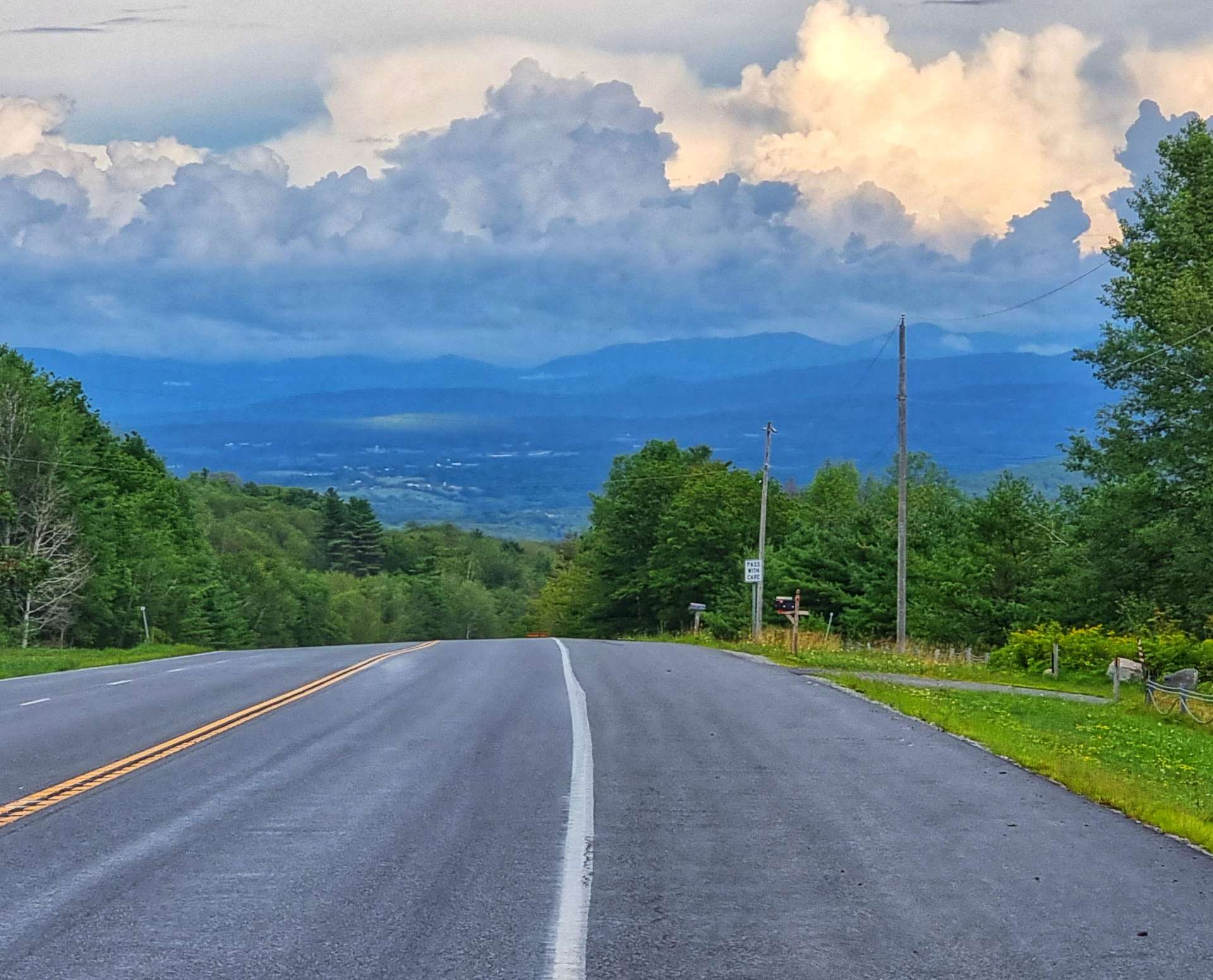
We followed Eagle Lake for a couple of miles before arriving at our final climb of the day – a short, but steep ascent that took about 15 minutes to complete, however, there was a reward waiting at the top.

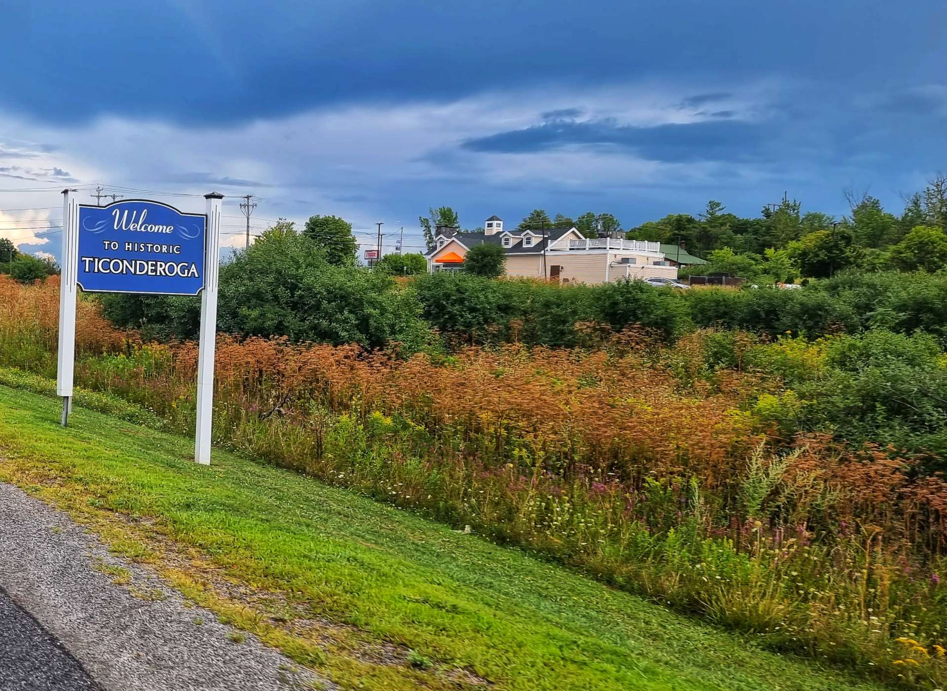
We had a 3 mile descent into Ticonderoga, where we’re staying for the next couple of nights! There were huge views all the way across to Lake Champlain in the distance.
In spite of the delay to replace my broken chain, we were checked in to the motel not long after 6pm – a later finish than usual, but with a significantly better outcome than I feared 8 hours previously.
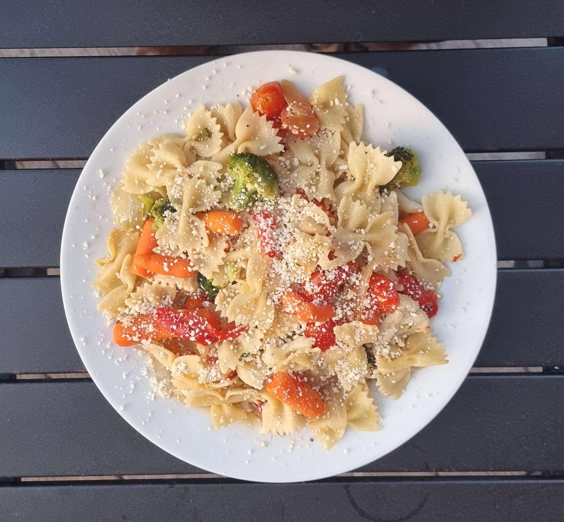
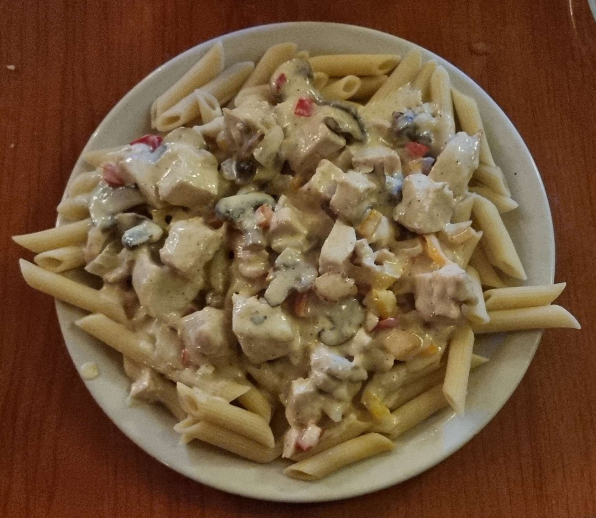
We headed out to the restaurant where we had a great pasta dinner, where we selected the specific ingredients to go into our sauces & it was then cooked in an open galley – the chef had 4 pans going at any one time.
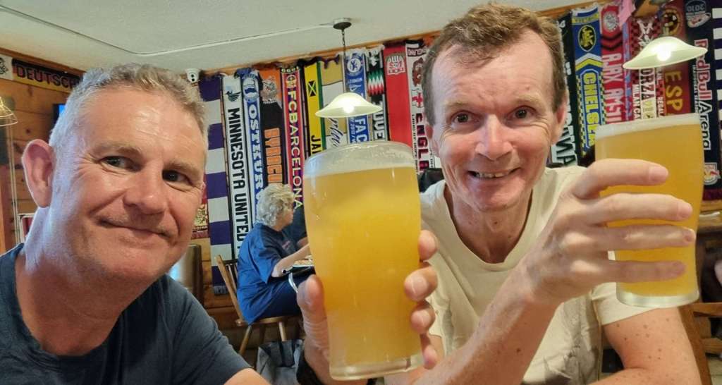
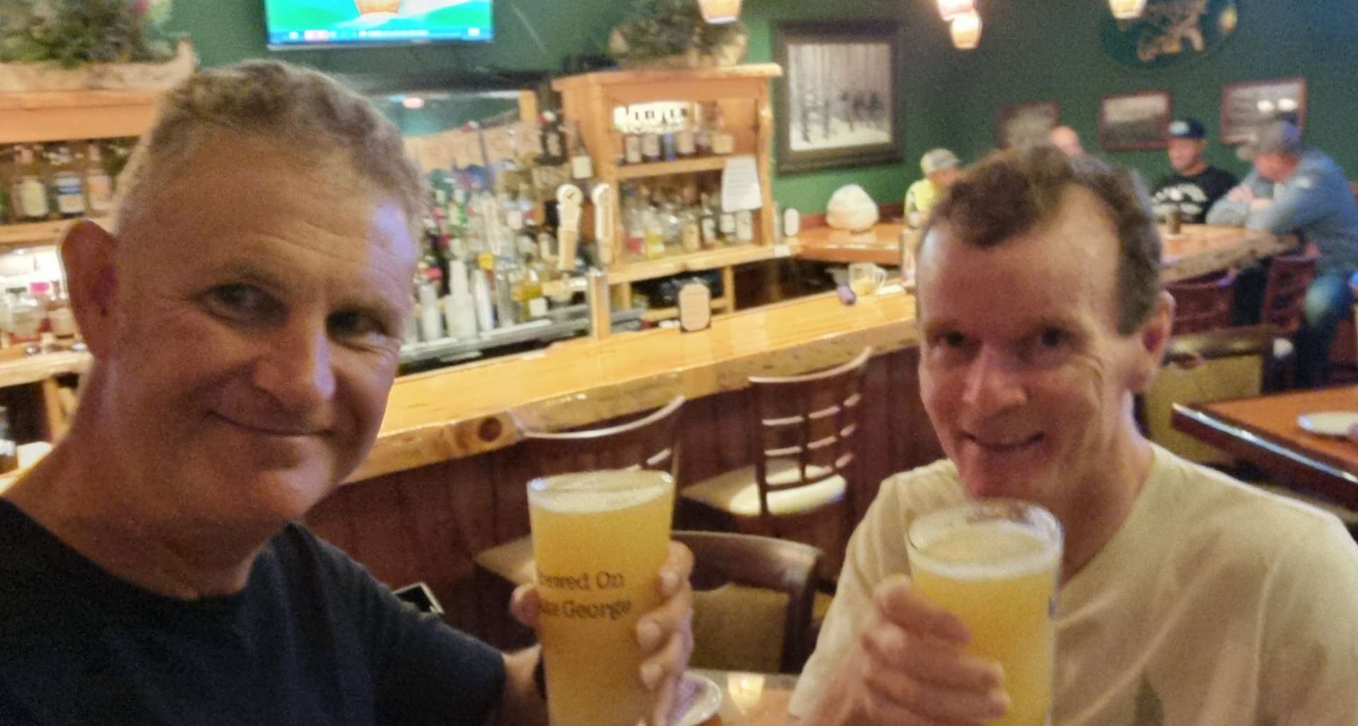
It was also a chance for us to toast Dave, Ruth & Sienna for their enormous help & kindness today. Your random acts of kindness today won’t be forgotten any time soon!
Stage Stats – 63 miles, 3,599 feet of climbing. A near disaster averted by Dave, Ruth & Sienna.