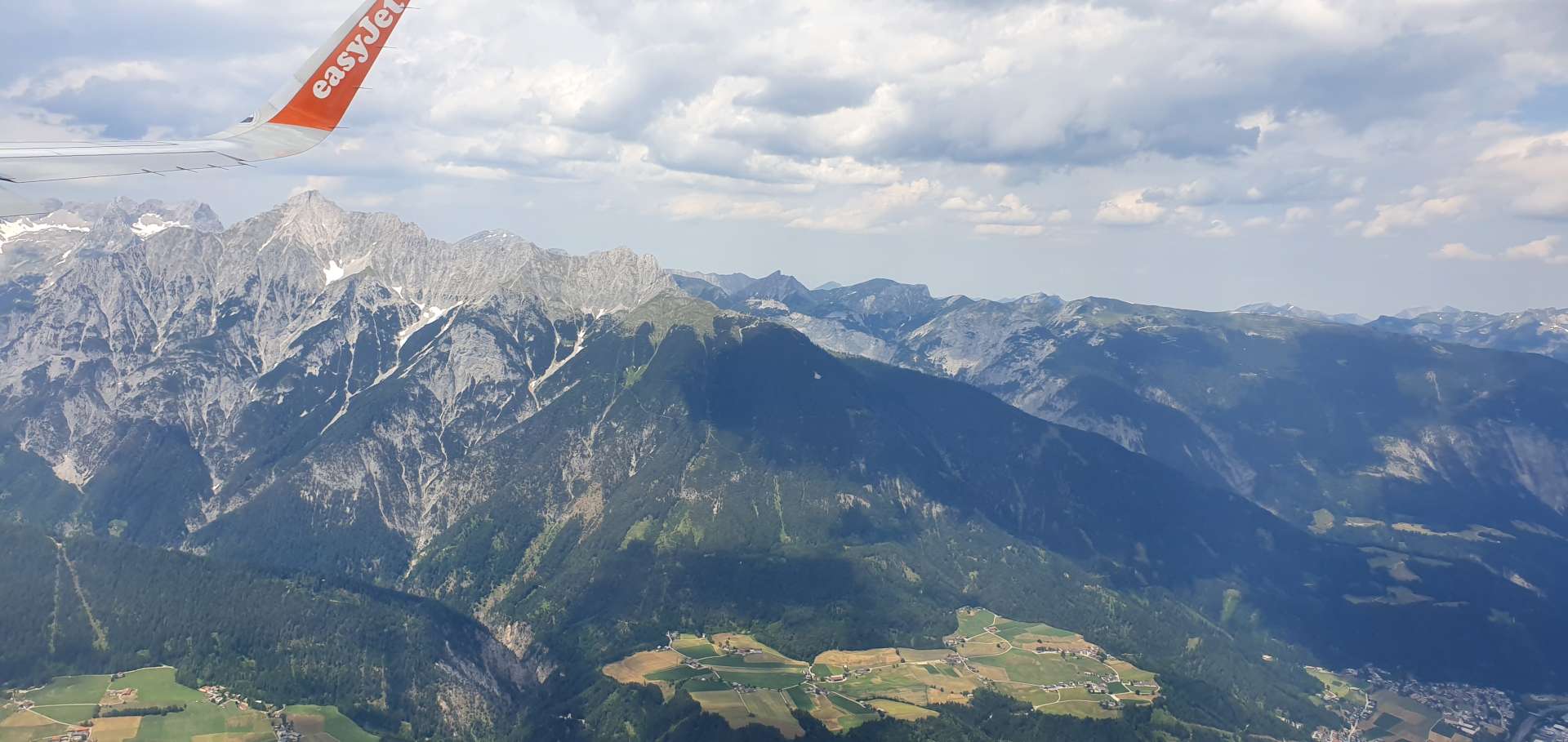
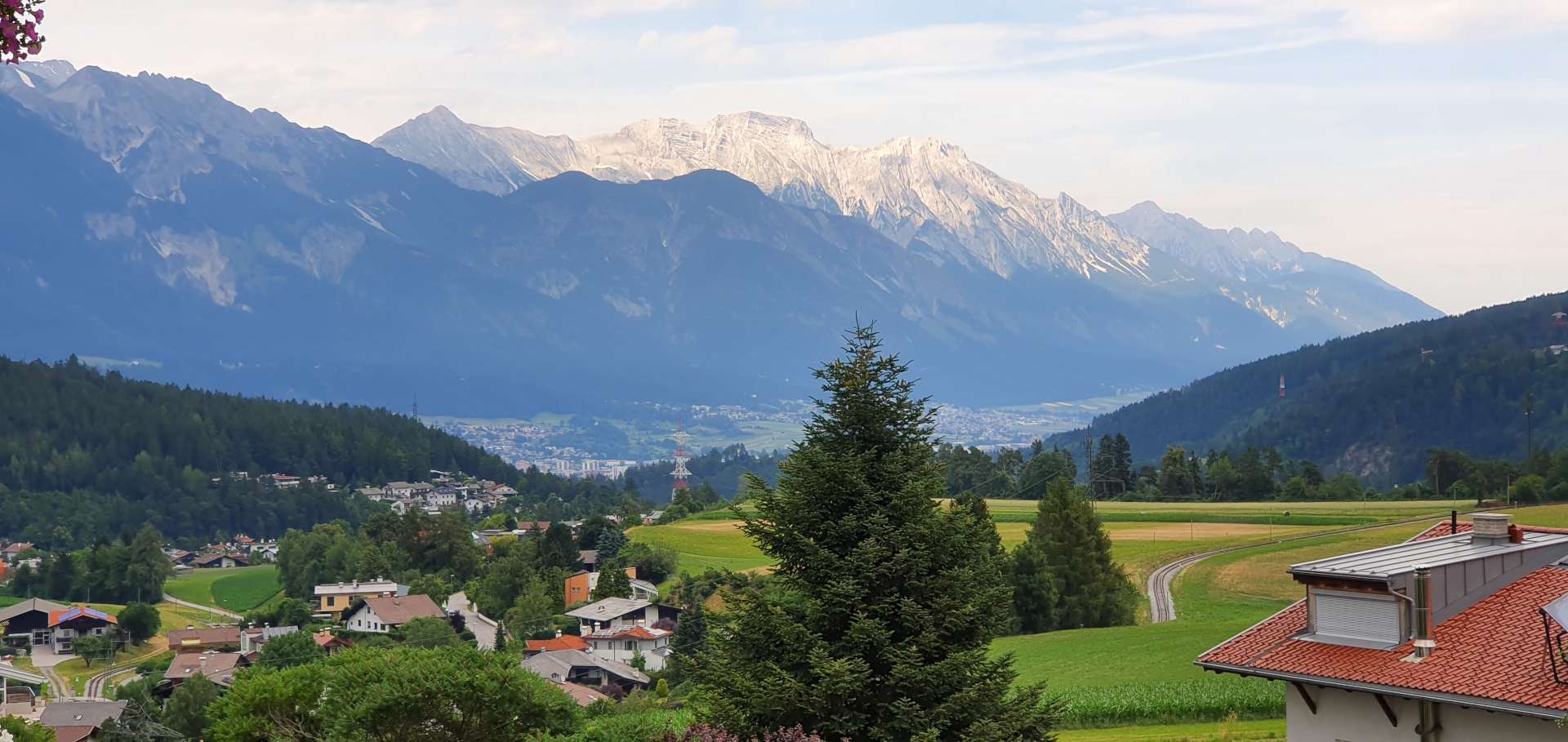
Austrian Alps – Day Two, 2019
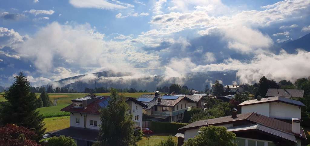
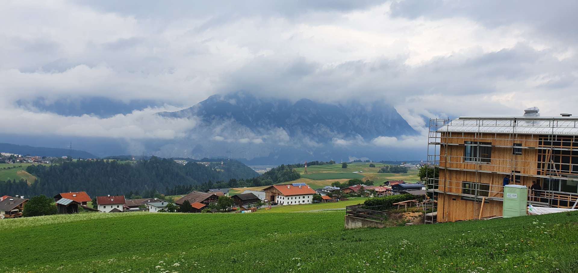
Day two carried on where Day One left off. I woke to the sound of rain on the window panes, but by the time we’d had breakfast & prepared the bikes, the precipitation had moved further along the valley. The cloud base was still really low & all the mountains were hidden from view as we set off. As bad weather had again been forecast, I planned a route along the valley floor, before looping round to take in the day’s only climb of significance (at least on paper!) in the latter half of the day.
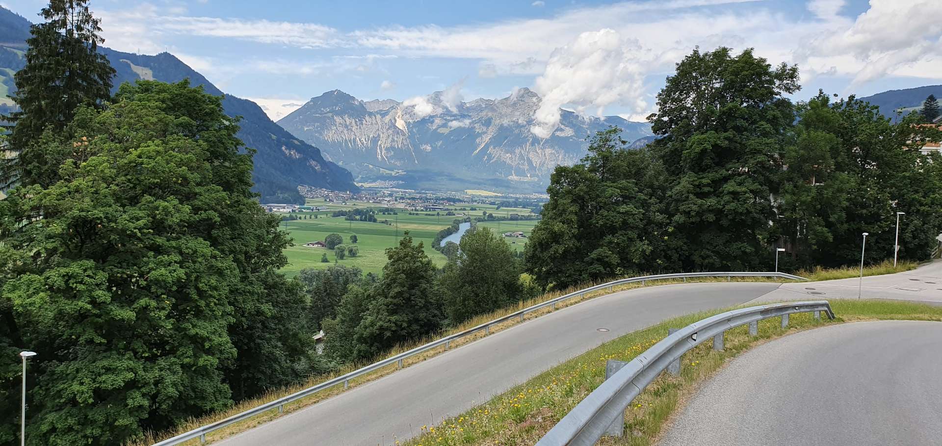
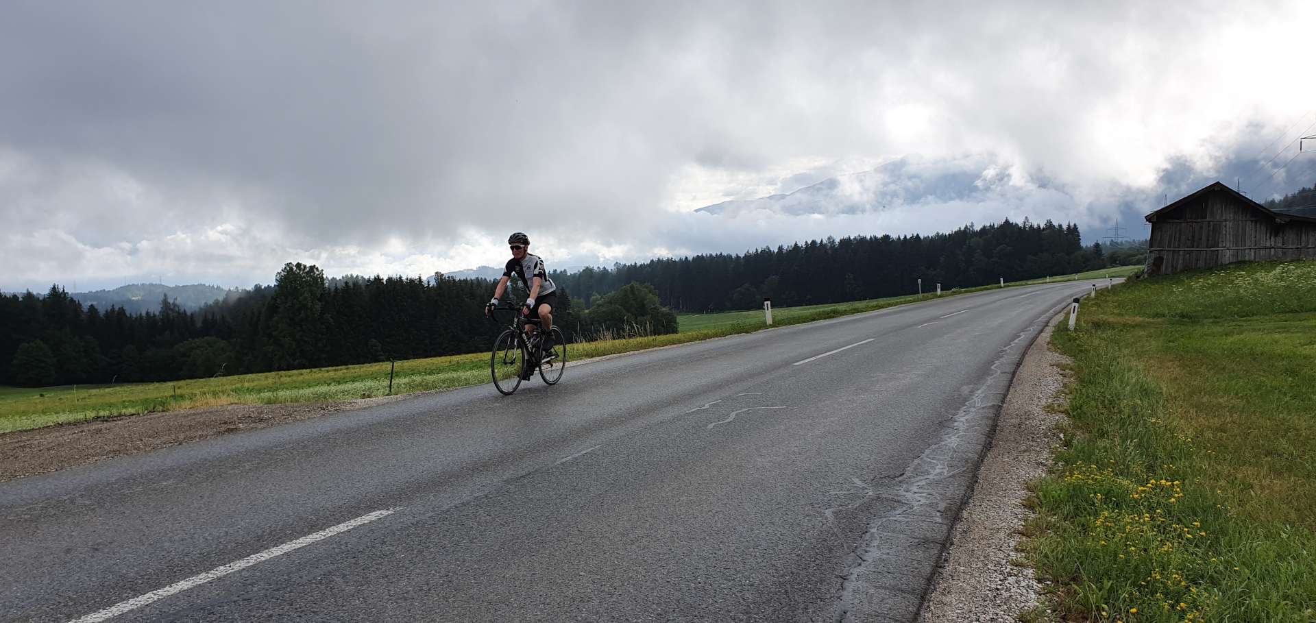
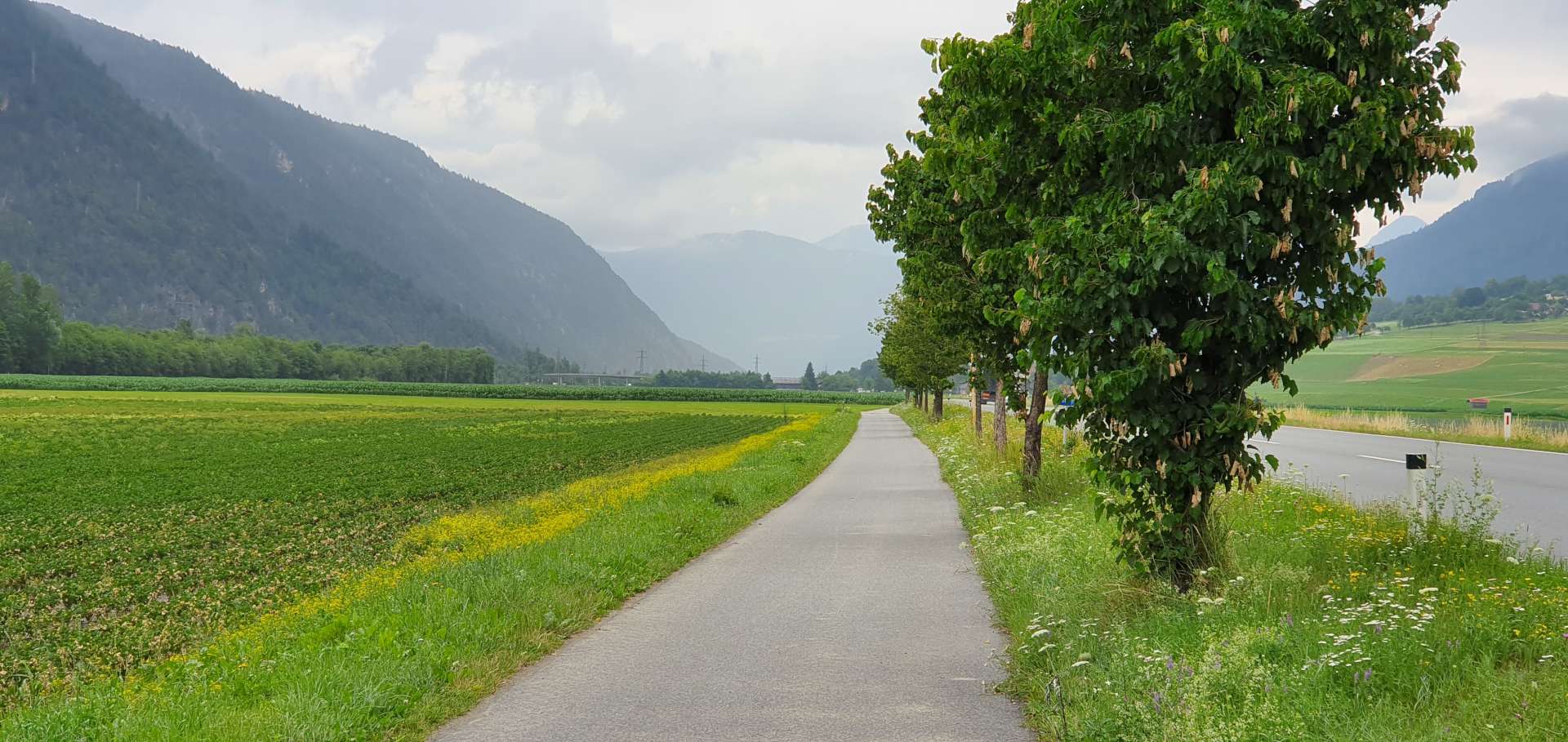
We started with a gradual climb out of Mutters towards Axems, before a fast, fun descent towards the River Inn, some 1,000 feet below. As we hit the valley floor, the sun came out, although the big mountains were still shielded from view by the low lying cloud. We followed a busy main road for about 5 miles, before detouring on to a quiet cycle path for the next 10 miles or so.


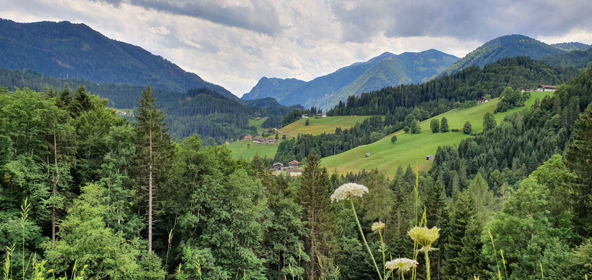
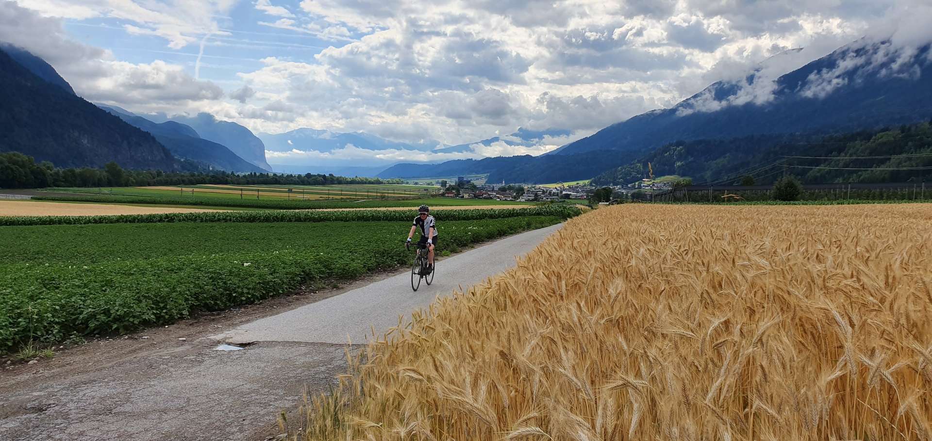
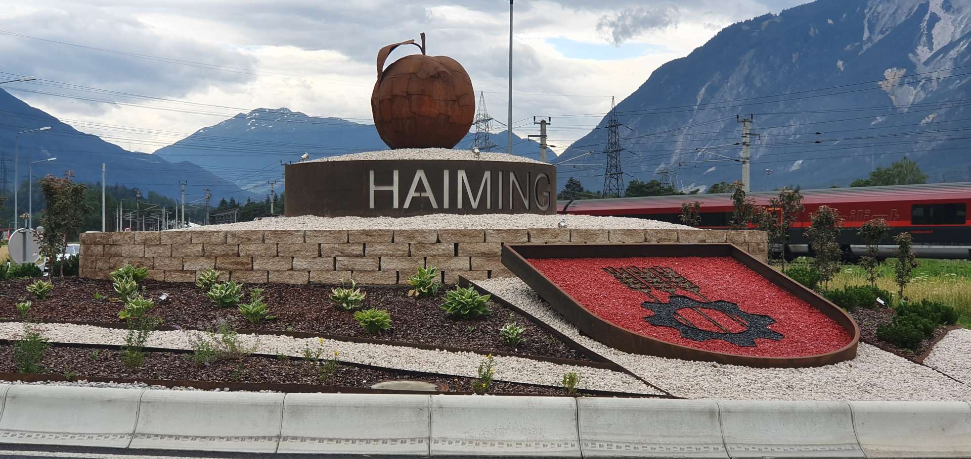
We were in prime agricultural farming country, as we passed fields of potatoes, lettuces & wheat, as well as orchards of apples, pears & cherries.

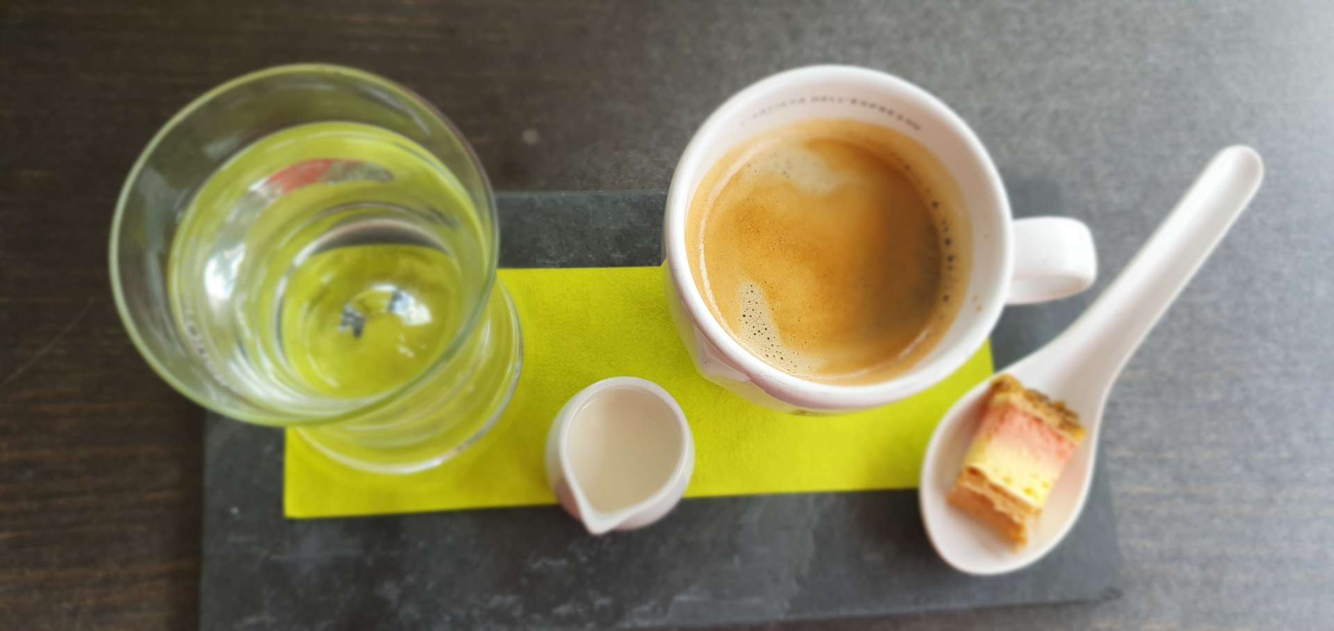
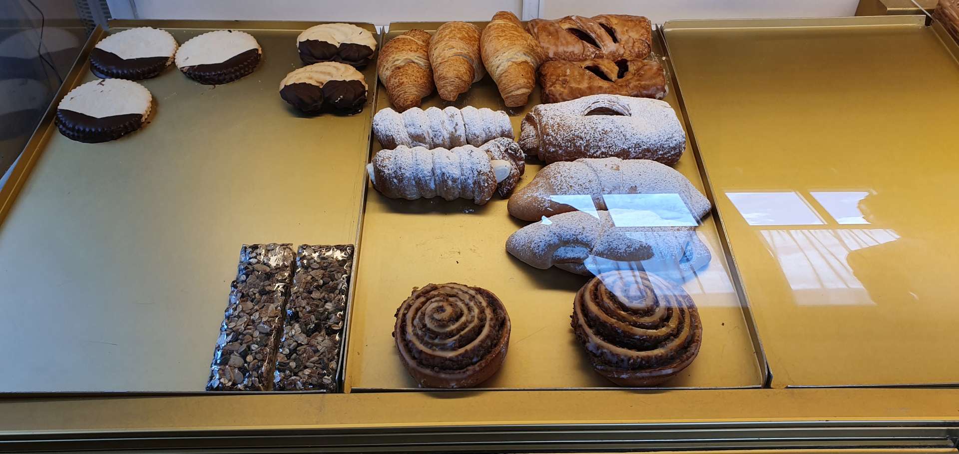
As we hit the 25 mile mark, we found a small bakery which had a great array of pastries. The only challenge was picking just one to eat with our coffees! In the end I chose a cherry pastry & wasn’t disappointed!

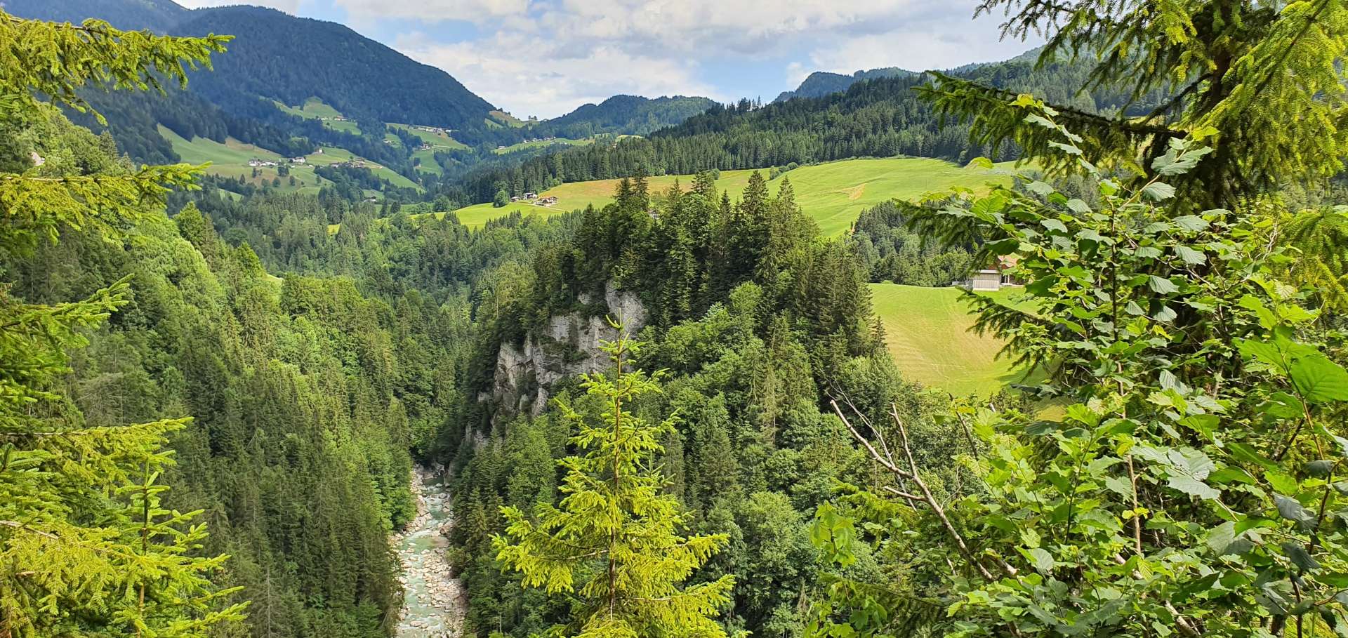
Having recharged our batteries, we re-joined the cycle path as it wound through a quiet forest – in the middle of nowhere we spotted a small chapel that had been built to remember all those who lost their lives in the First World War.

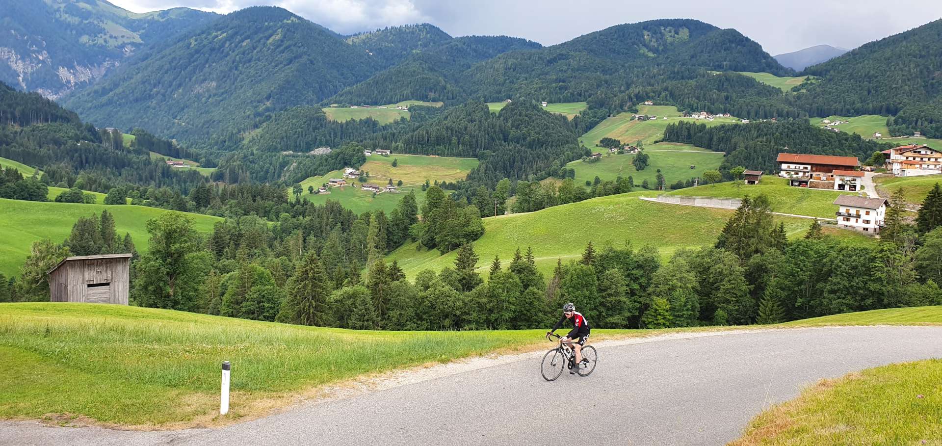
After hugging the valley floor for the best part of 20 miles, it was time to take a left turn & follow a tributary of the River Inn as it gradually wound up the side of the valley. For the next 20 miles, the road would be heading ever higher – the first 8 miles until we reached Otztal were a gentle warm up for the main event (Kuhtai is about 11 miles long & climbs about 4,500 feet), so we decided to stock up on energy with a quick lunch of ham salad roll & a cappuccino.

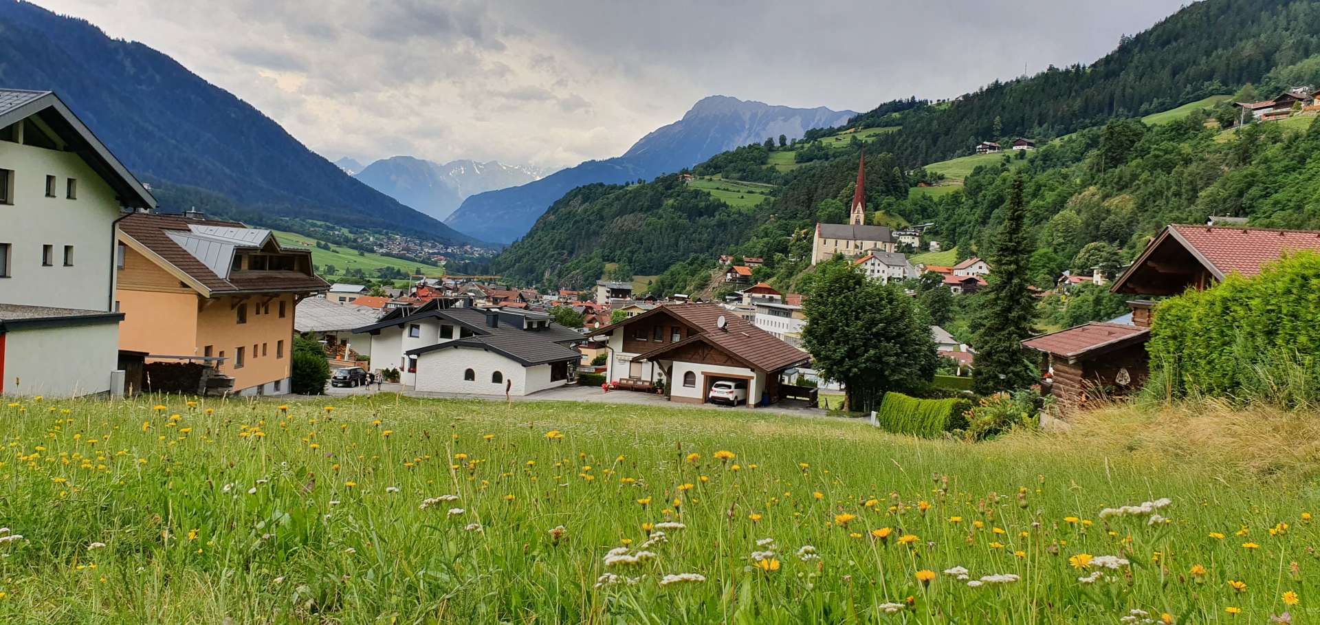
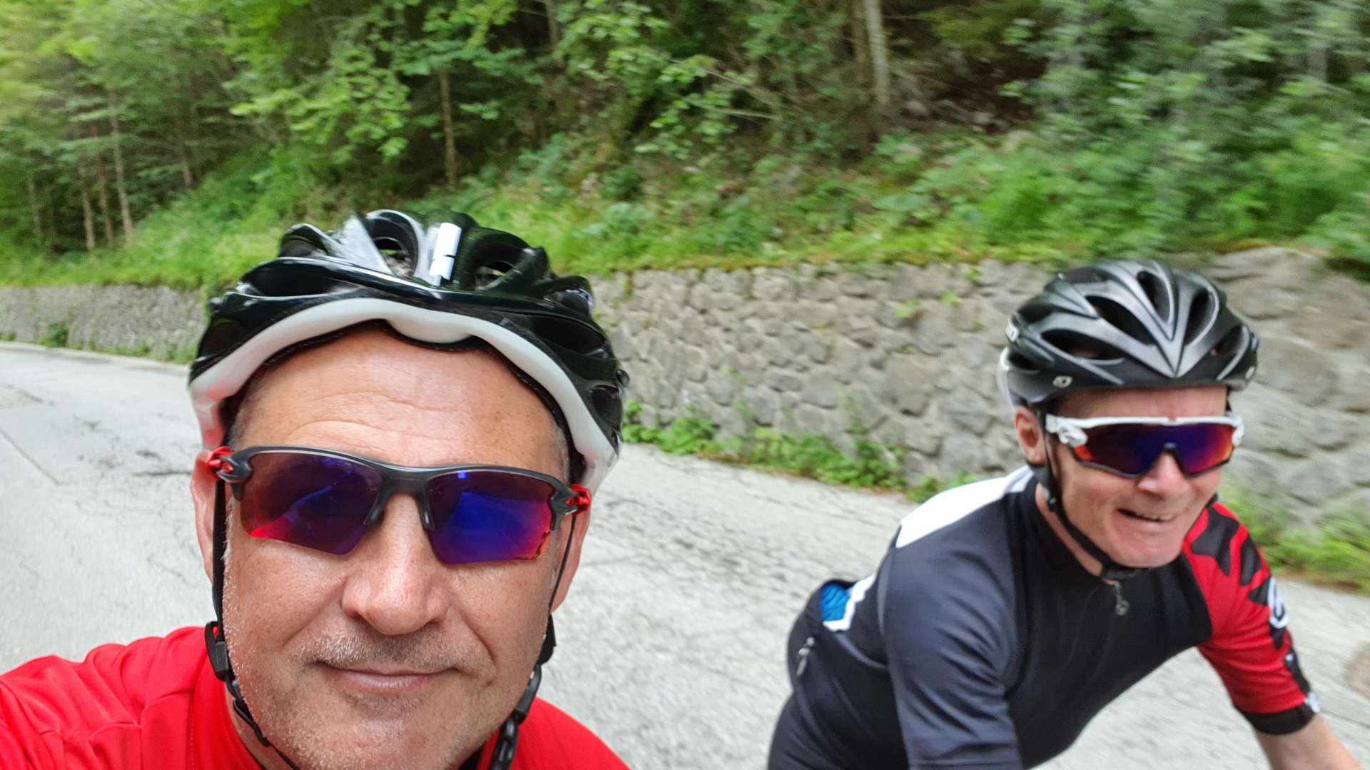
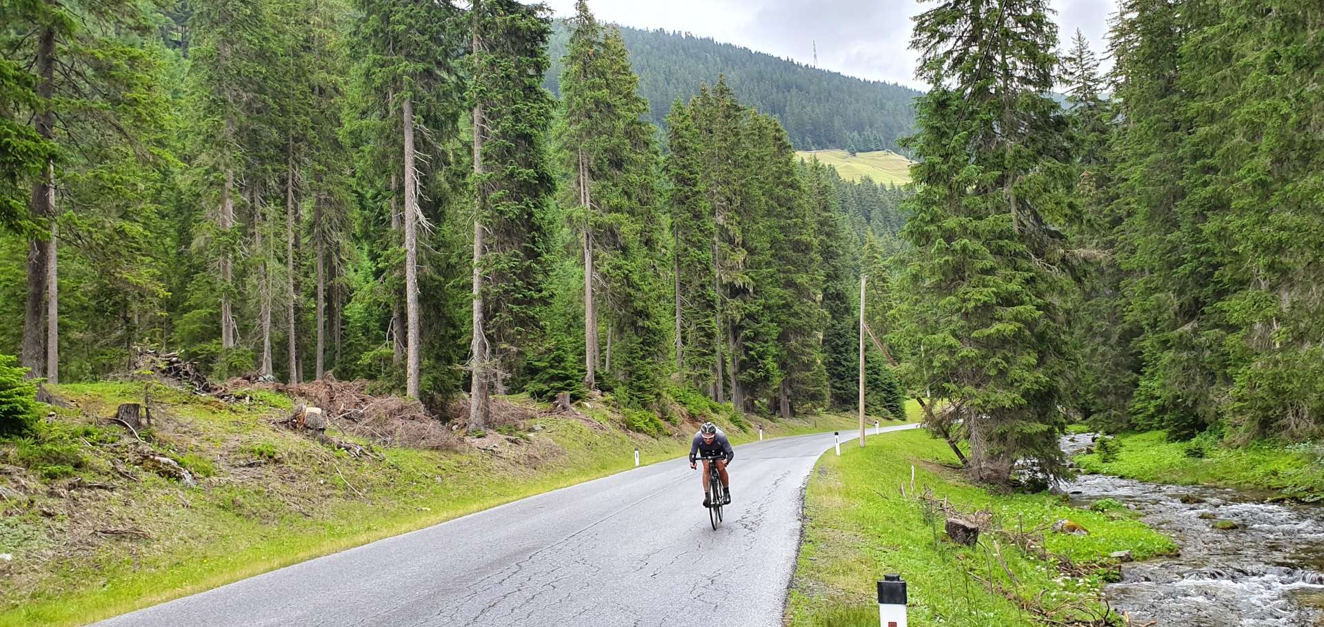
As we rolled out of town, we took a left & the road immediately started climbing, with the first couple of miles averaging 8%, with a few stretches in the 10% to 12% range. The road continued to snake its way up the side of the mountain, as we passed through tiny villages (some of them were less than 200 yards in length). As the road took us round the back of the mountain, we left civilisation behind & entered a pine forest as we twisted & turned up hairpin bend after hairpin bend for about 15 minutes.


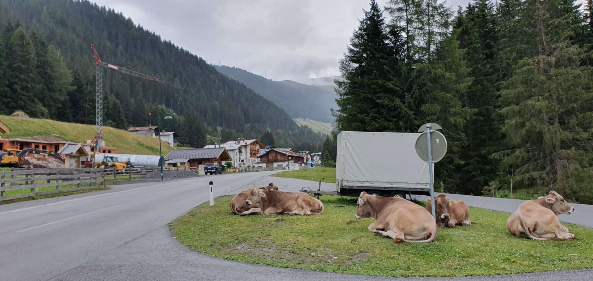
As we continued to climb higher, the temperature began to drop & we felt the first drops of rain – by now it was about 2.30pm & the forecast had been for rain all day, so we were still thinking we’d been lucky with the weather. We continued to ride with arm warmers, as we were generating plenty of heat as we climbed. With about 5 miles of the climb remaining, the forest abruptly ended & we were entered an alpine meadow, with occasional herds of cattle roaming freely. With less than 2 miles to the summit, we had to stop to put on rain jackets, as it was now properly raining & would continue to do so for the remainder of the climb.
All of a sudden, the road flattened out as a lake & hydro-electric dam appeared on our right – this was great news, as I knew this was close to the top of the climb! We stop for a couple of quick photos, before pushing on for the summit. Before we knew it, we’d reached the Kuhtai sign & we relaxed as we took some snaps – we jumped back on our bikes, ready for the descent, only to realise we still had another couple of hundred feet of climbing to reach the town itself!


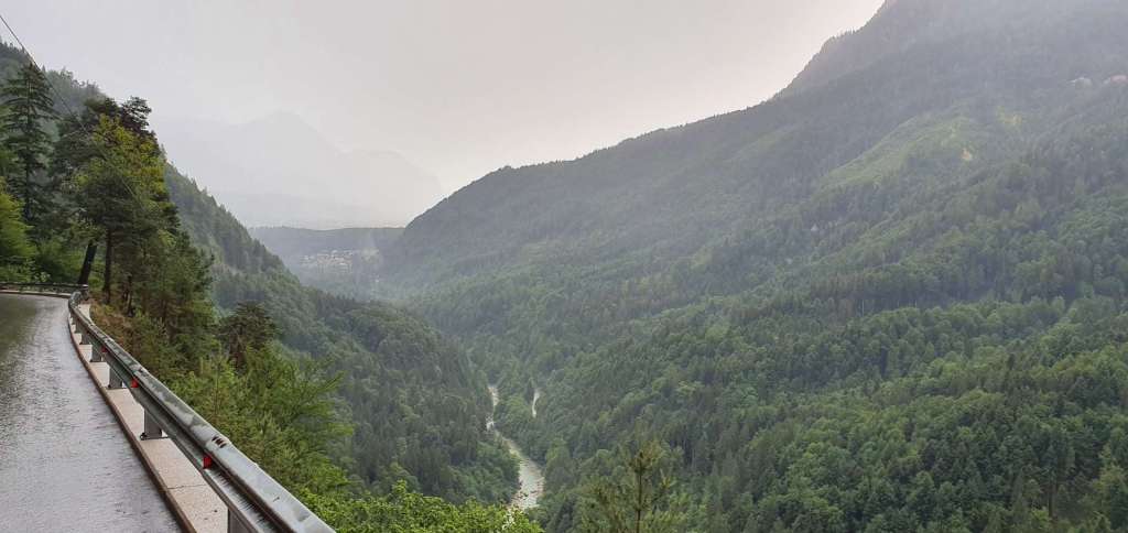
As we crested the summit, we commenced what would normally be a fast descent on a wide road, with great views. However, we were on wet roads & visibility was limited, so we adapted to the conditions. One of the unexpected hazards of our descent was a herd of longhorn cattle loose on the road – they looked like they were itching for a fight, so there was a bit of a Mexican Standoff while Sean plucked up the courage to pass them! As we began to lose some altitude, the air warmed up & as quickly as it started, the rain stopped.


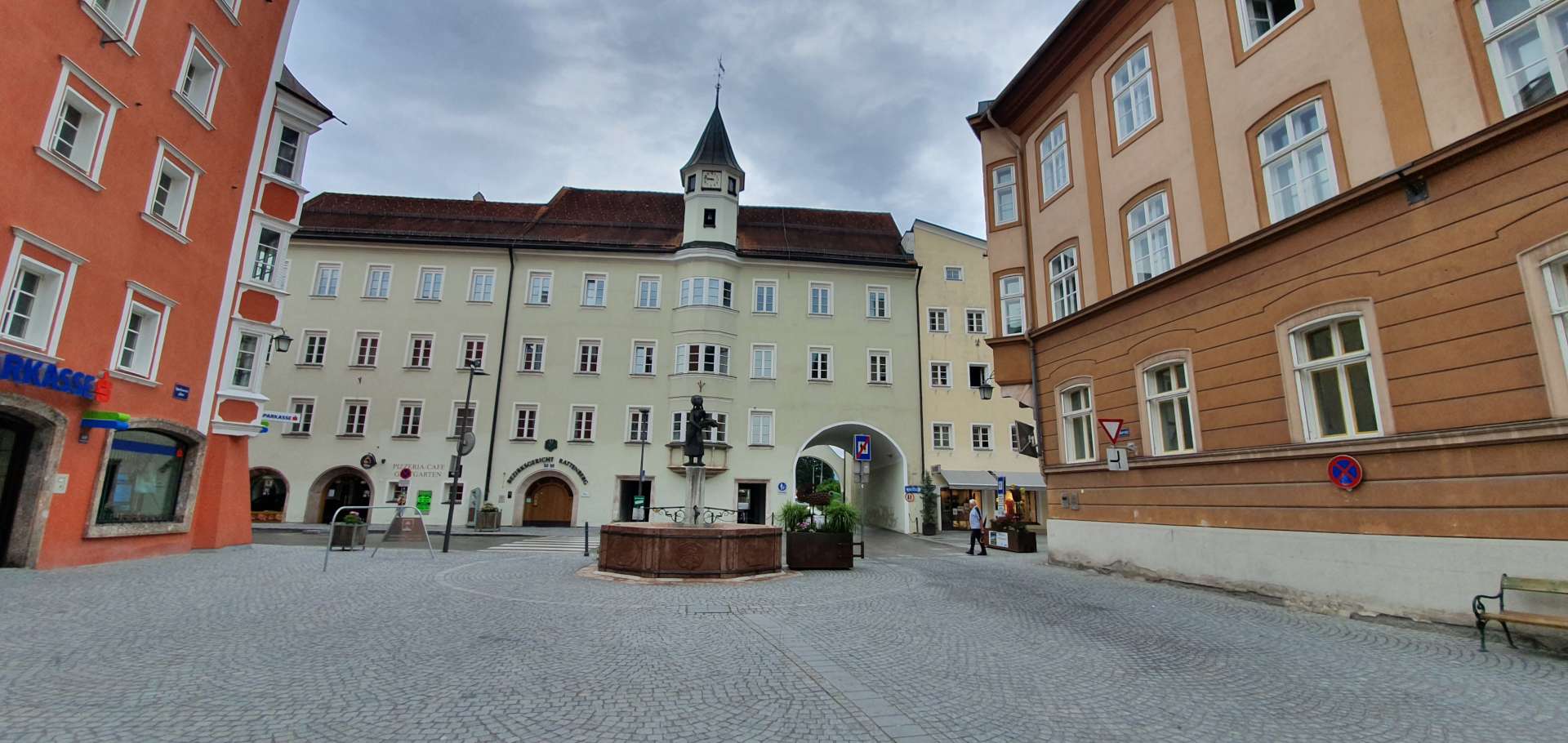
After 10 miles of descending, we took a sharp right & were both surprised to see we had more climbing to do. The route profile had such a big lump for Kuhtai, that the rest of the route looked flat! It only lasted for 15 minutes or so & before we knew it, we were in Axams, so we’d circled the loop – all that remained was a relatively flat 5 mile ride back to Mutters & just as we walked into the hotel, the skies opened again! We had been so fortunate all day – the actual weather was way better than what we were expecting & the ride itself had been a real adventure.

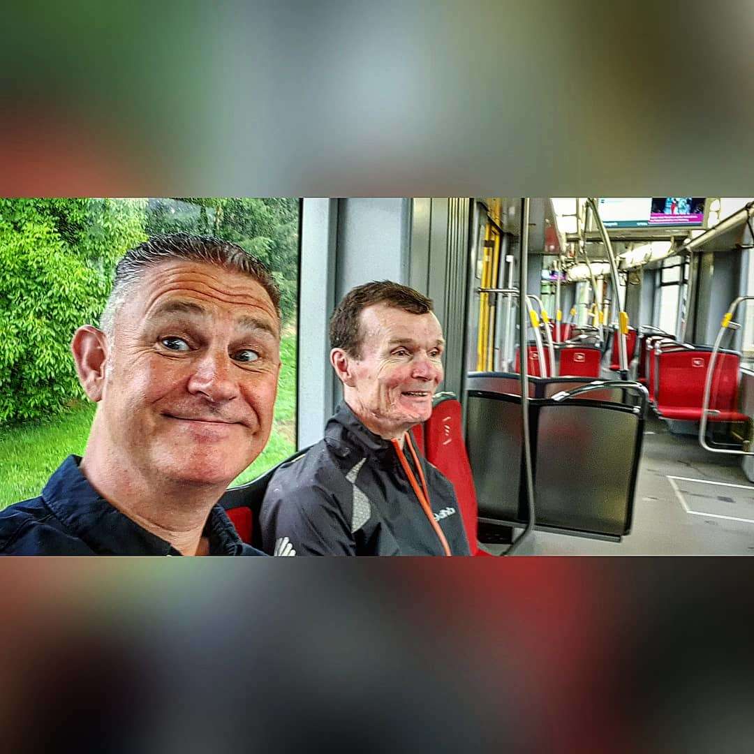
We decided to celebrate our good fortune, by catching the mountain railway into Innsbruck, enjoy a couple of beers with dinner & then catch the train back too – I’m sure we were mistaken for locals, especially when I thanked our driver in true Bristolian fashion, with a “Cheers Drive!!!”.