Ione to Heron

From The Evergreen State to The Big Sky State – Wednesday 18th to Friday 20th May

Wednesday 18th May – Ione to Sandpoint (Stage 16)

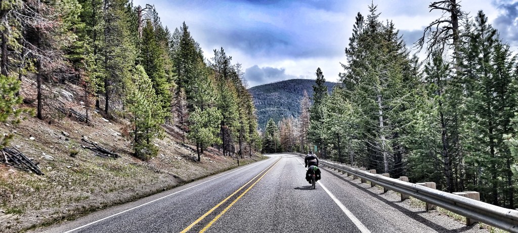
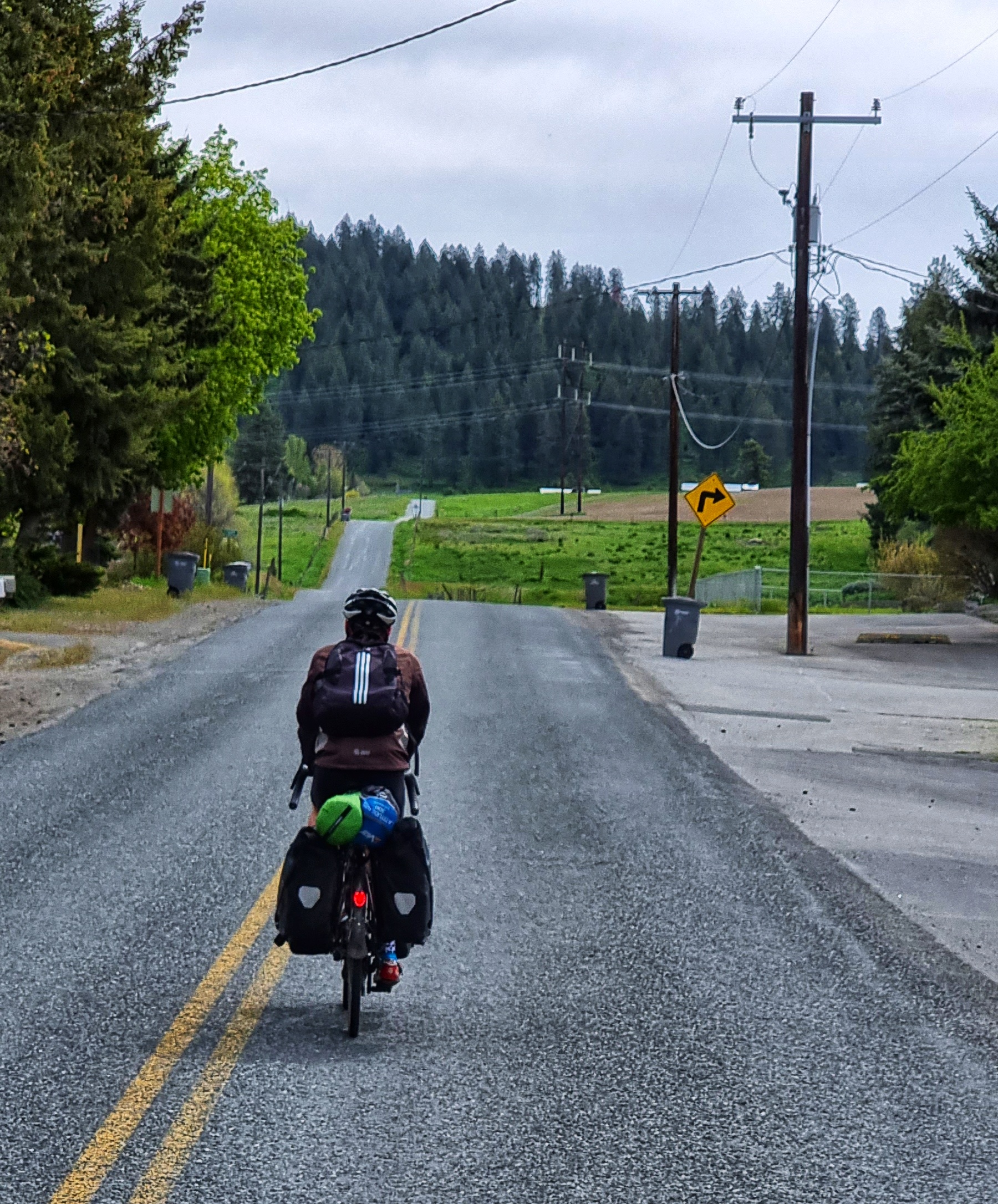
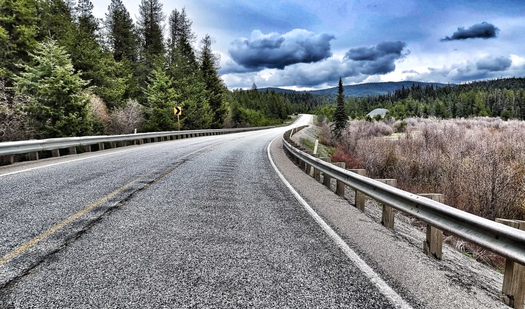
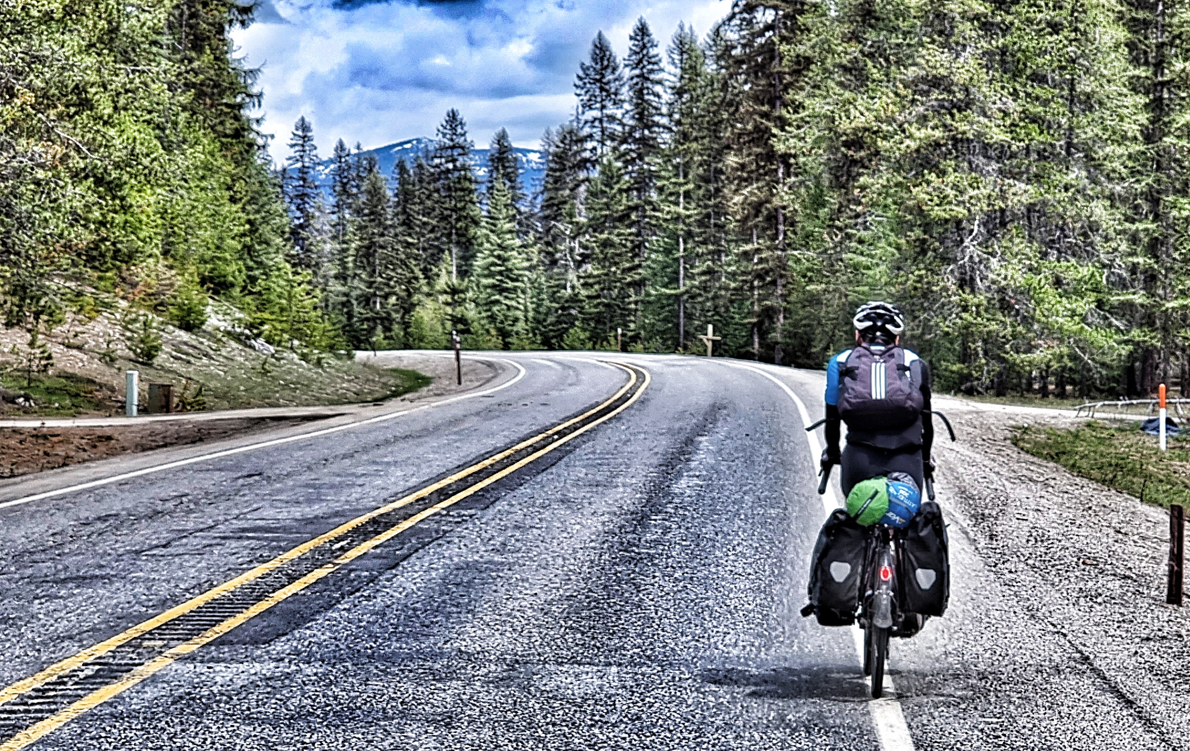
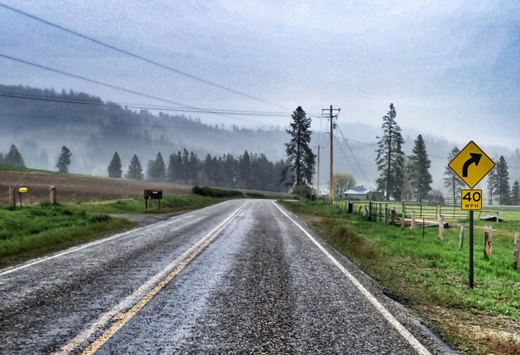
The alarms were set for 7am, so we could have breakfast in our room & be on our way by 8am. Today was the longest stage of our adventure so far – Sandpoint was 86 miles away! As we set off under overcast skies, we crossed the Pend-Oreille river with beautiful views back towards town. We joined the LeClerc Road, which we would be following for the next 50 miles!

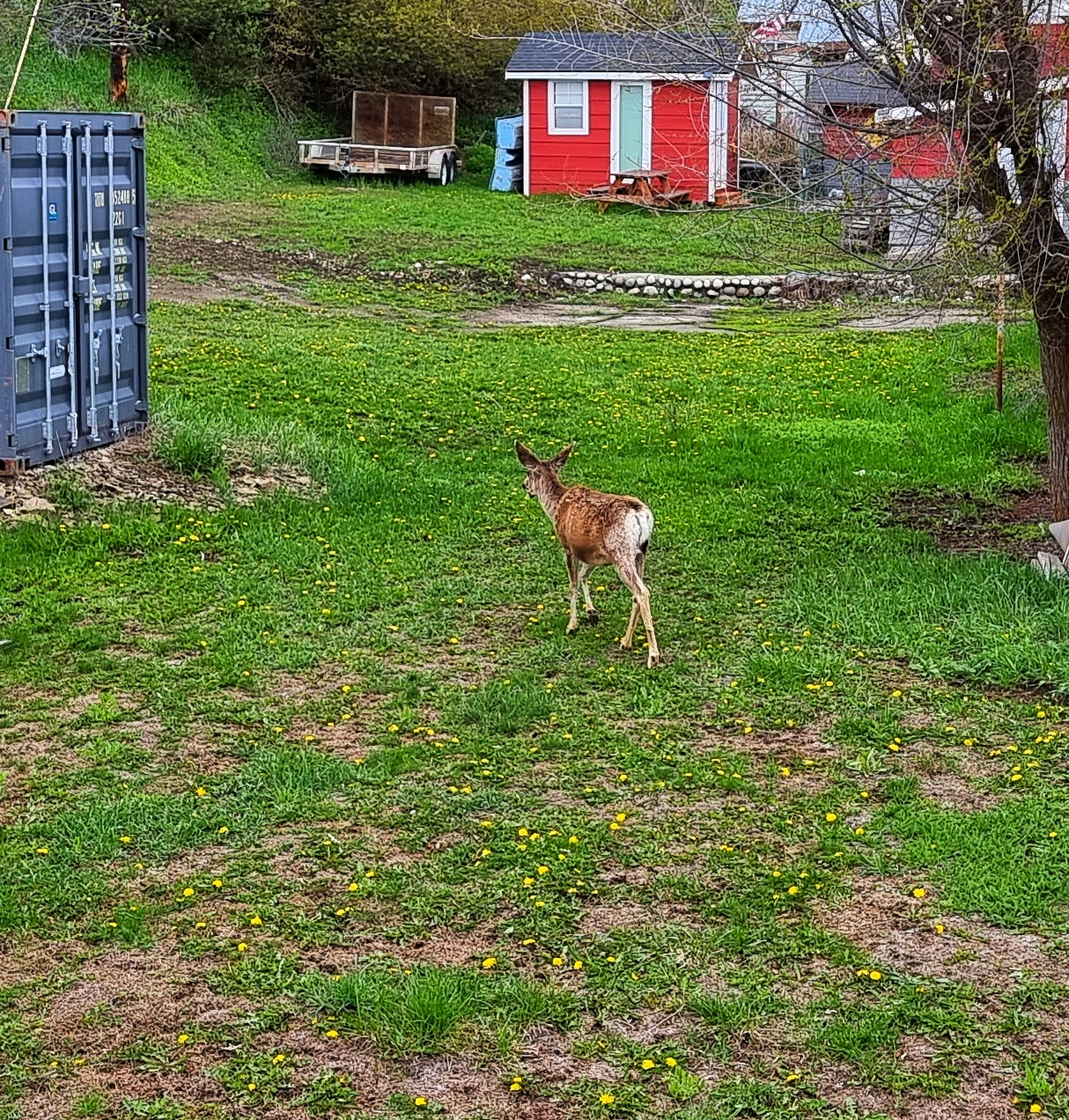
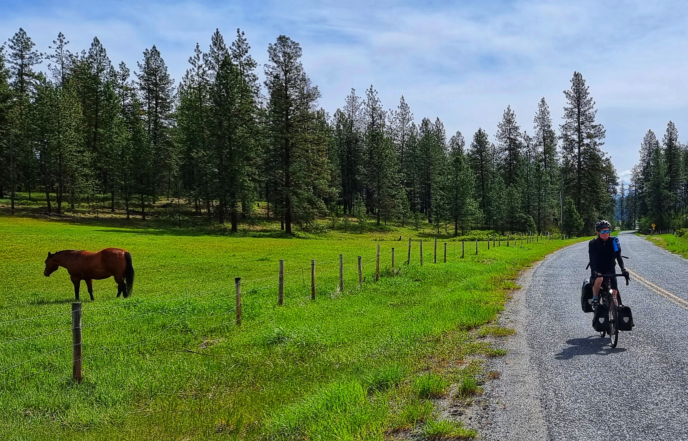
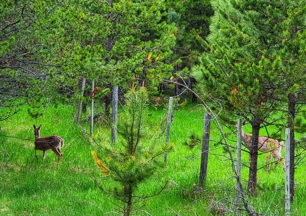
As we continued along the banks of the river, we saw two Canada Geese fly from the opposite verge as they were frightened by a passing car, one of the few we saw in the first hour. The 2nd bird glanced off the windshield as he set off & miraculously carried on flying, having suffered no obvious injuries. Not long after, a couple of deer crossed the road – one in front of us & the other sneaking behind us!! They were kind enough to wait for me to get a photo of them!

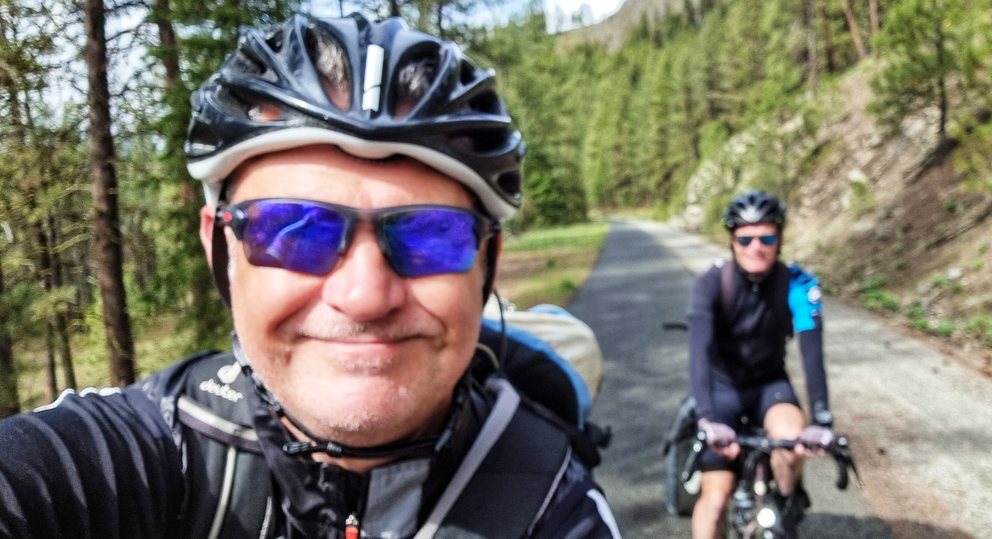
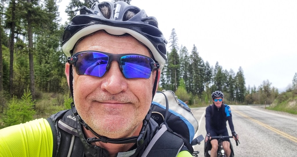
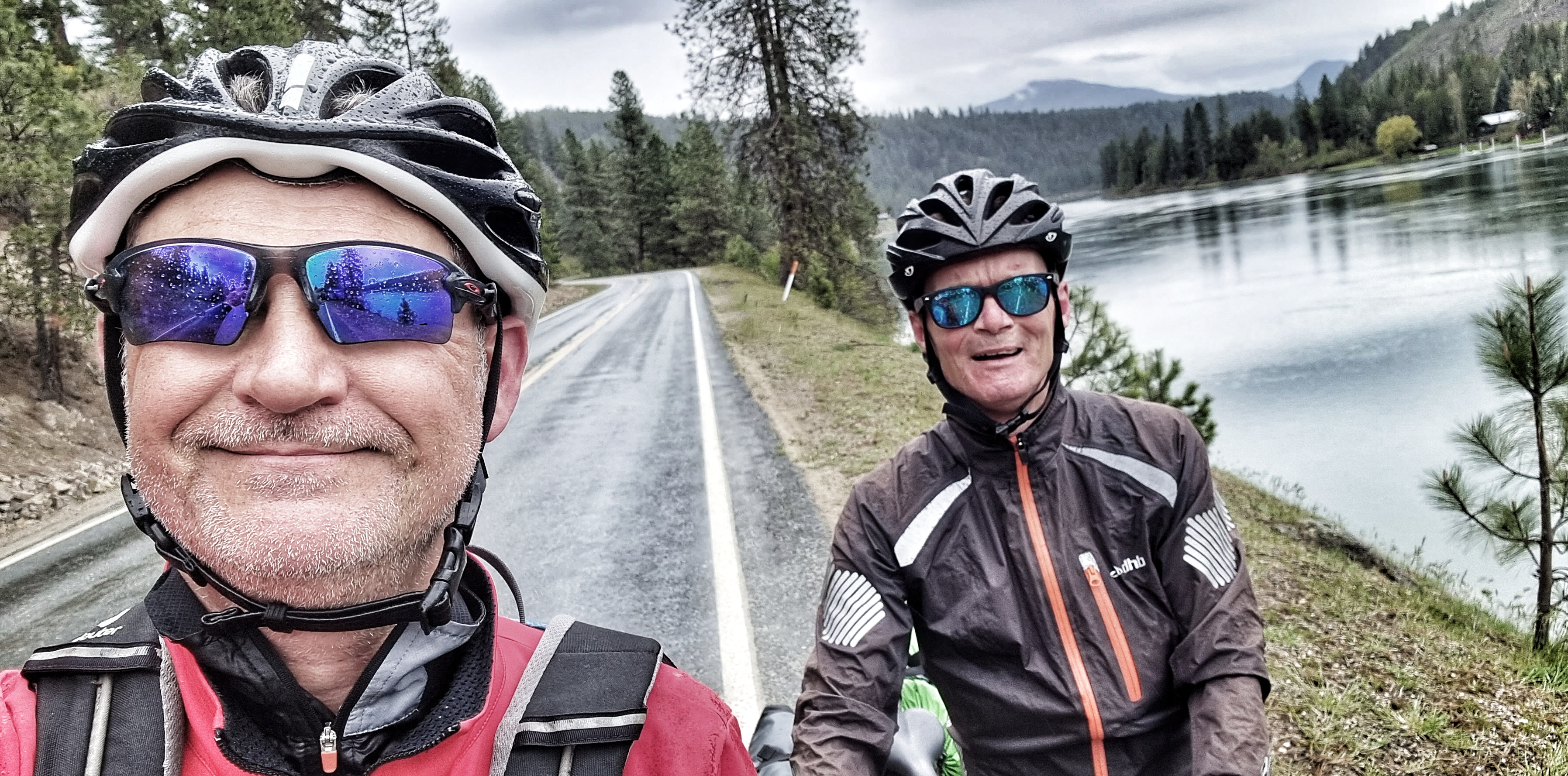
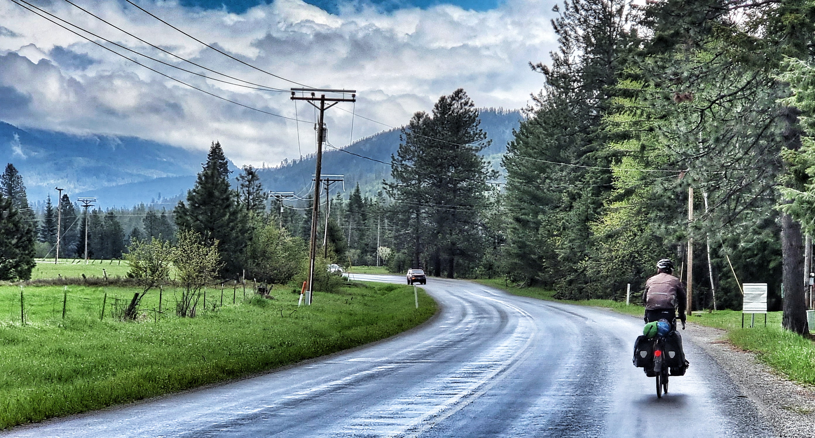
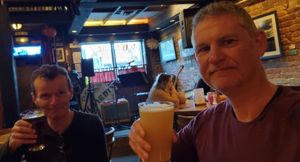
The profile of today’s stage was rolling, so no long climbs to speak of. As a result we made good time along the deserted road – we were in wet weather gear, as the forecast was for rain to roll in from about 10am. I just managed to get a selfie of us with the river in the background before the promised rains arrived.

As we reached the 25 mile point of our ride, we reached the small town of Usk (some of my friends will recognise this is one of my regular coffee haunts when I visit South Wales. Like its South Wales counterpart, Usk in Washington also had a gorgeous bridge across its river.

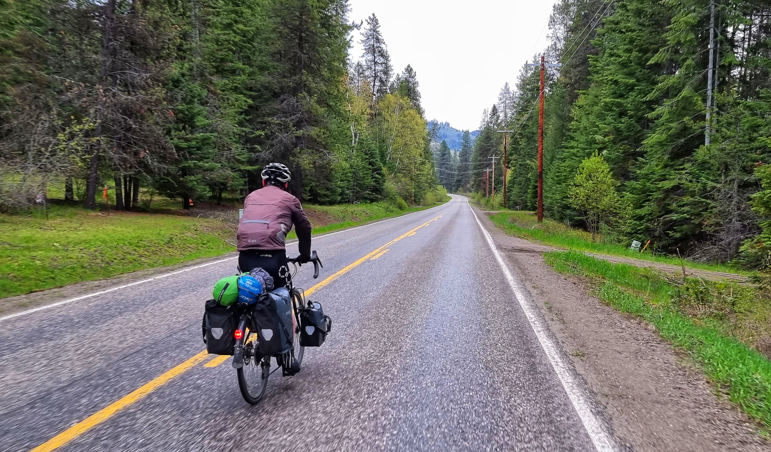
For the first hour we’d had a tailwind, but this became a headwind as the rain arrived. This was going to make the day a bit more of a challenge, but at least we had learned from our last soaking in Gold Bar. My friend Jimbo had been in touch to remind me of the waterproof qualities of latex gloves – we’d packed a couple of pairs of these for bike repairs. They kept my hands dry, even if the rest of my body was drenched to the bone!

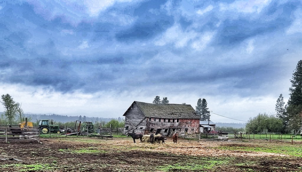
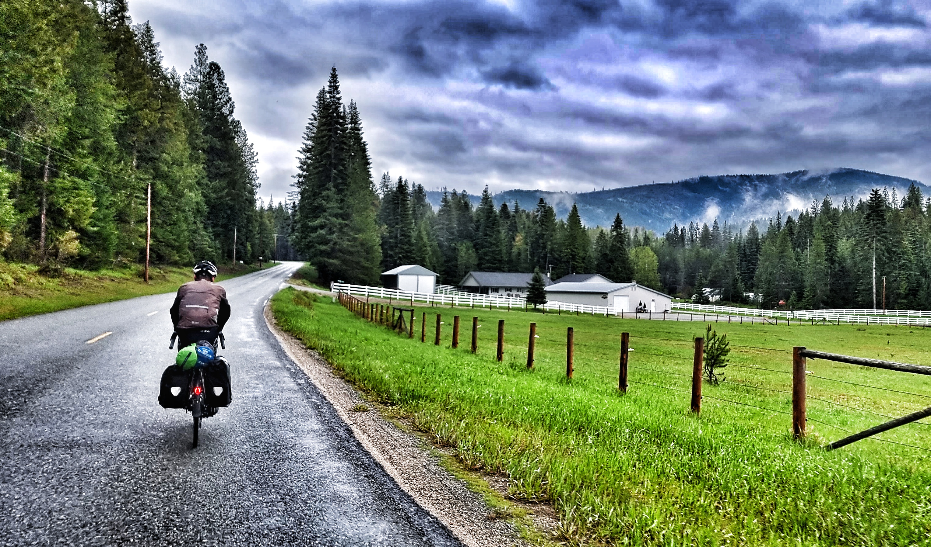
As we left Usk behind, we entered the Kalispel Indian Reservation, passing their Headquarters as we headed beyond their fish hatchery complex. Before long, we were back in farming country – some houses were palatial, while others looked like a bit of TLC was required.

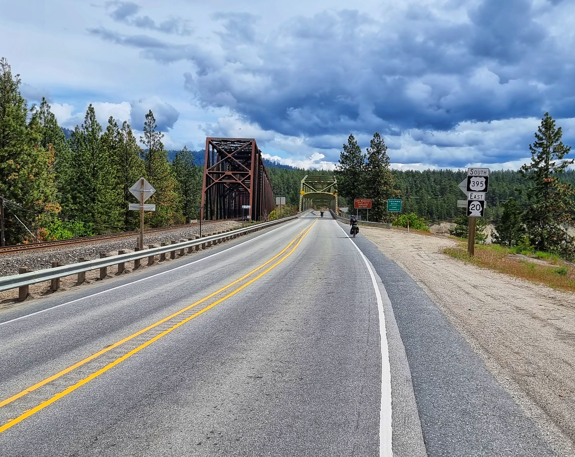
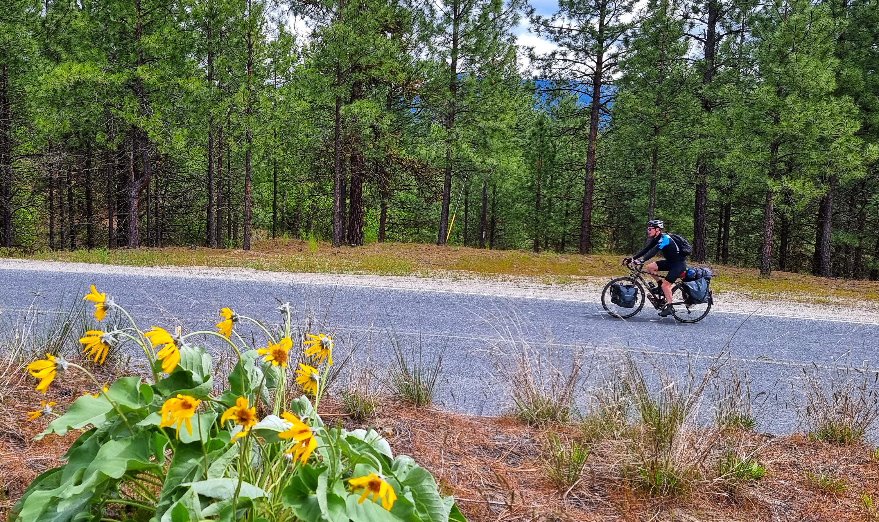
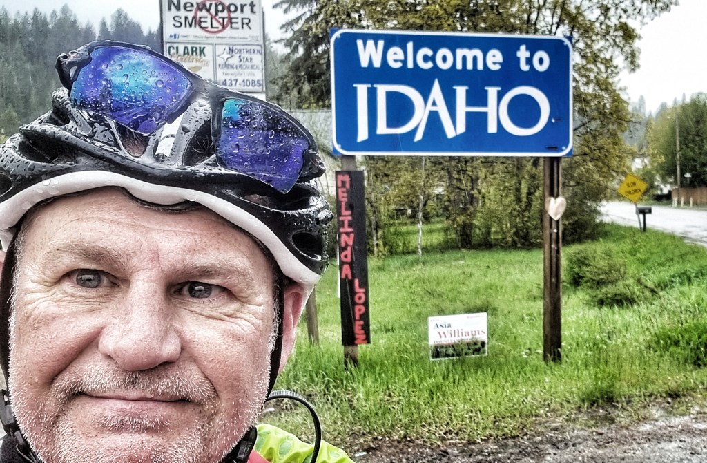
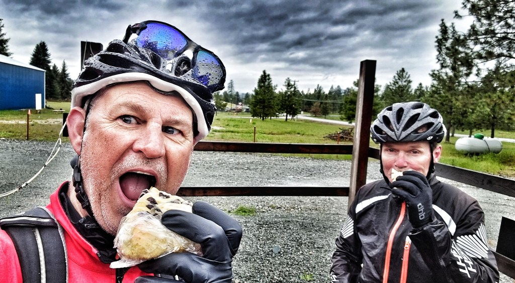
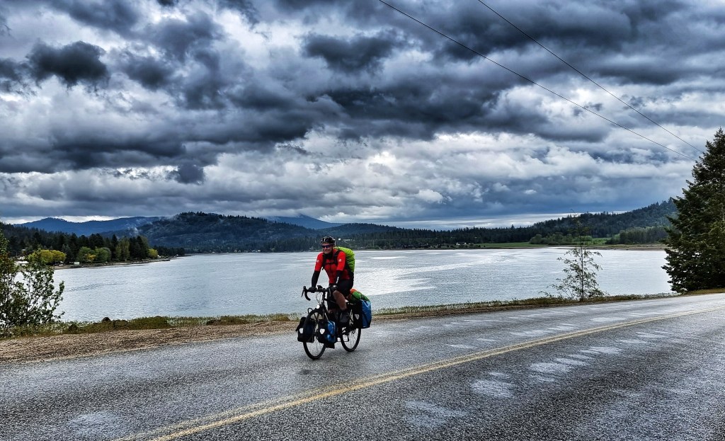
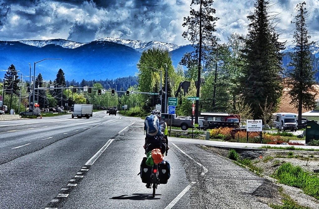
After 25 miles of riding into a cold headwind with rain being blown into our faces, we reached our 2nd Welsh connection, the town of Newport. This was a momentous occasion, although you may not know it from my photo! This was where we crossed from the Evergreen State of Washington into The Potato State of Idaho – our first state boundary crossed after 16 days of riding. Leaving Newport behind, the rain stopped just as we reached the top of a climb – right on cue we saw Station 41 Espresso, a small ‘drive-through’ espresso hut, so we stopped & tried to warm ourselves up with an americano & choc chip scone!

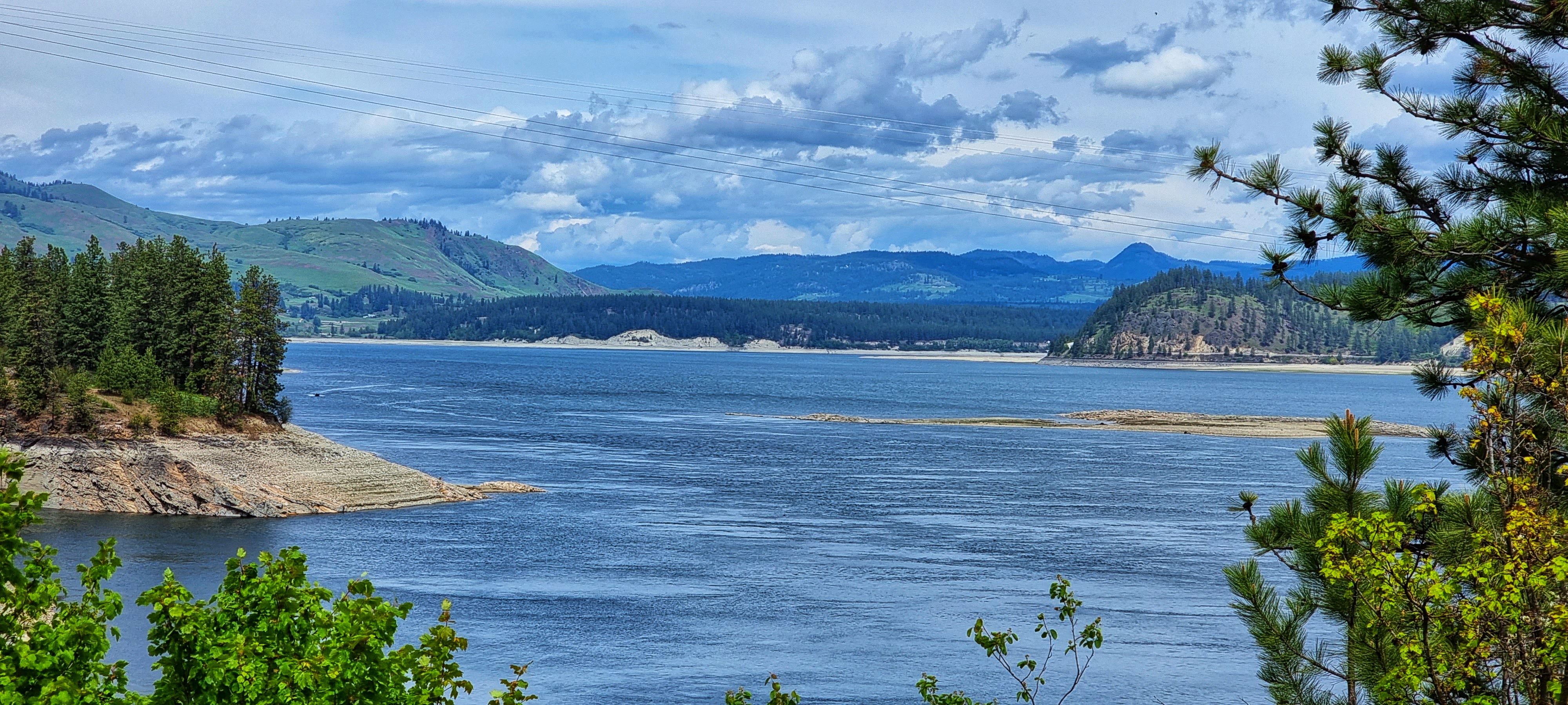
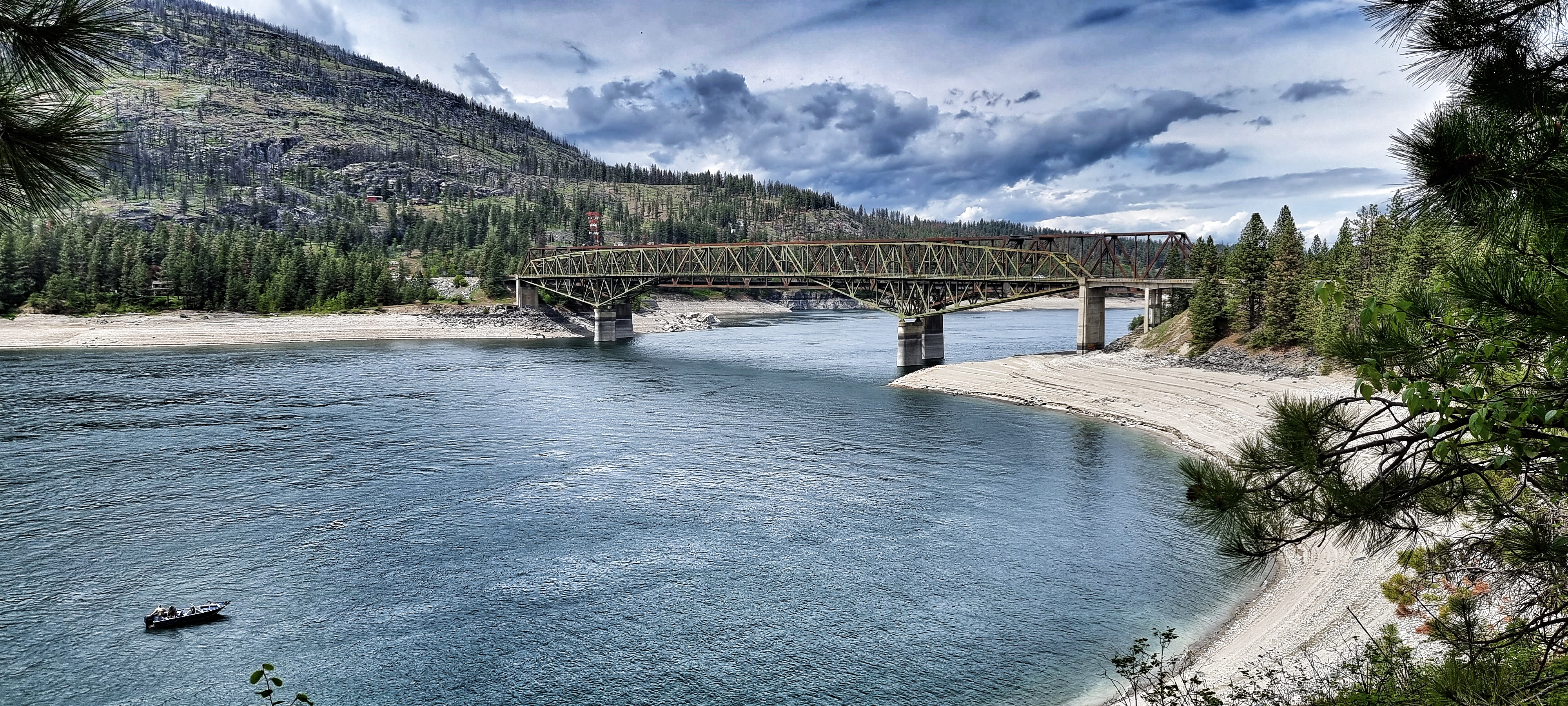
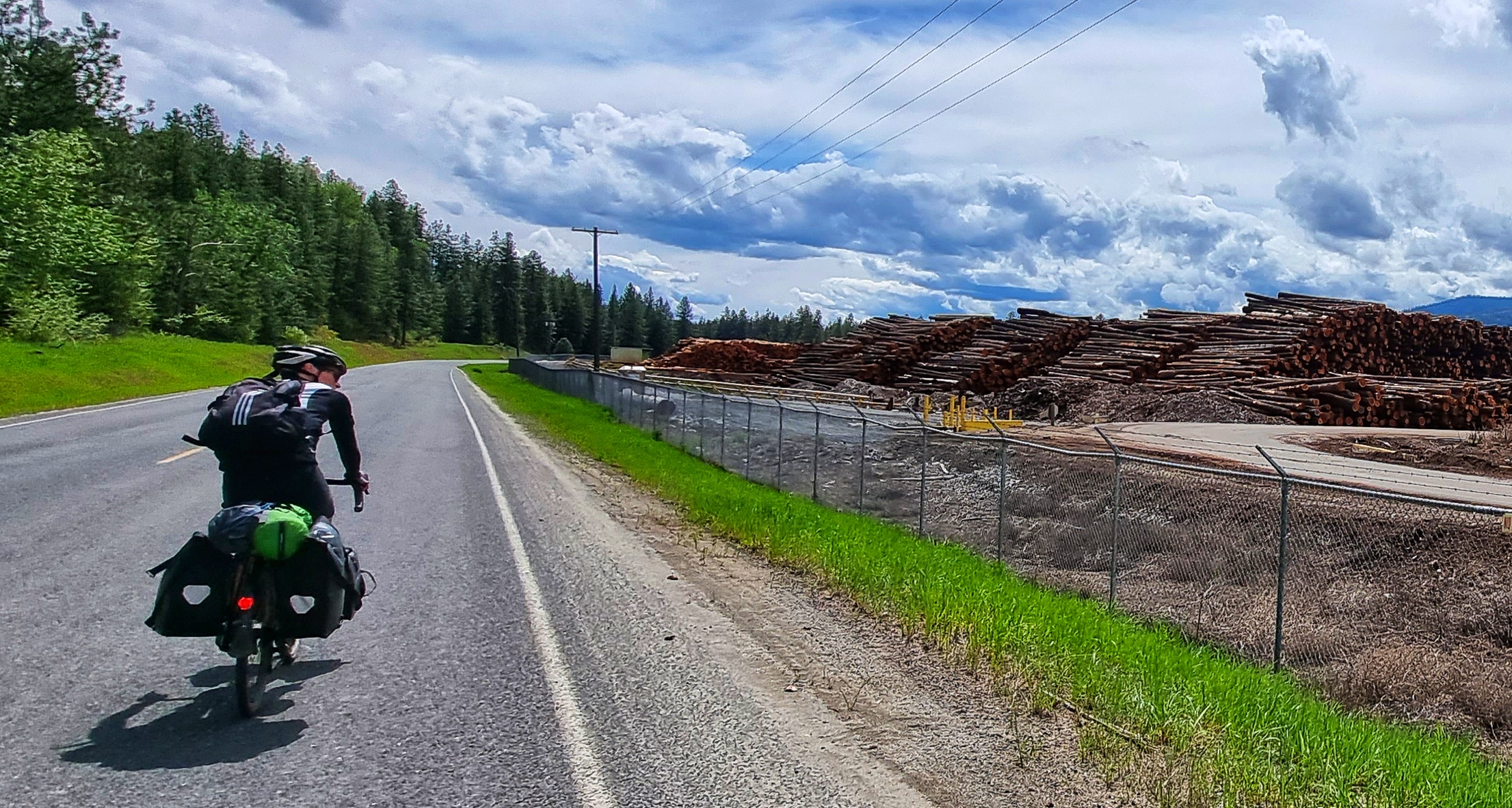
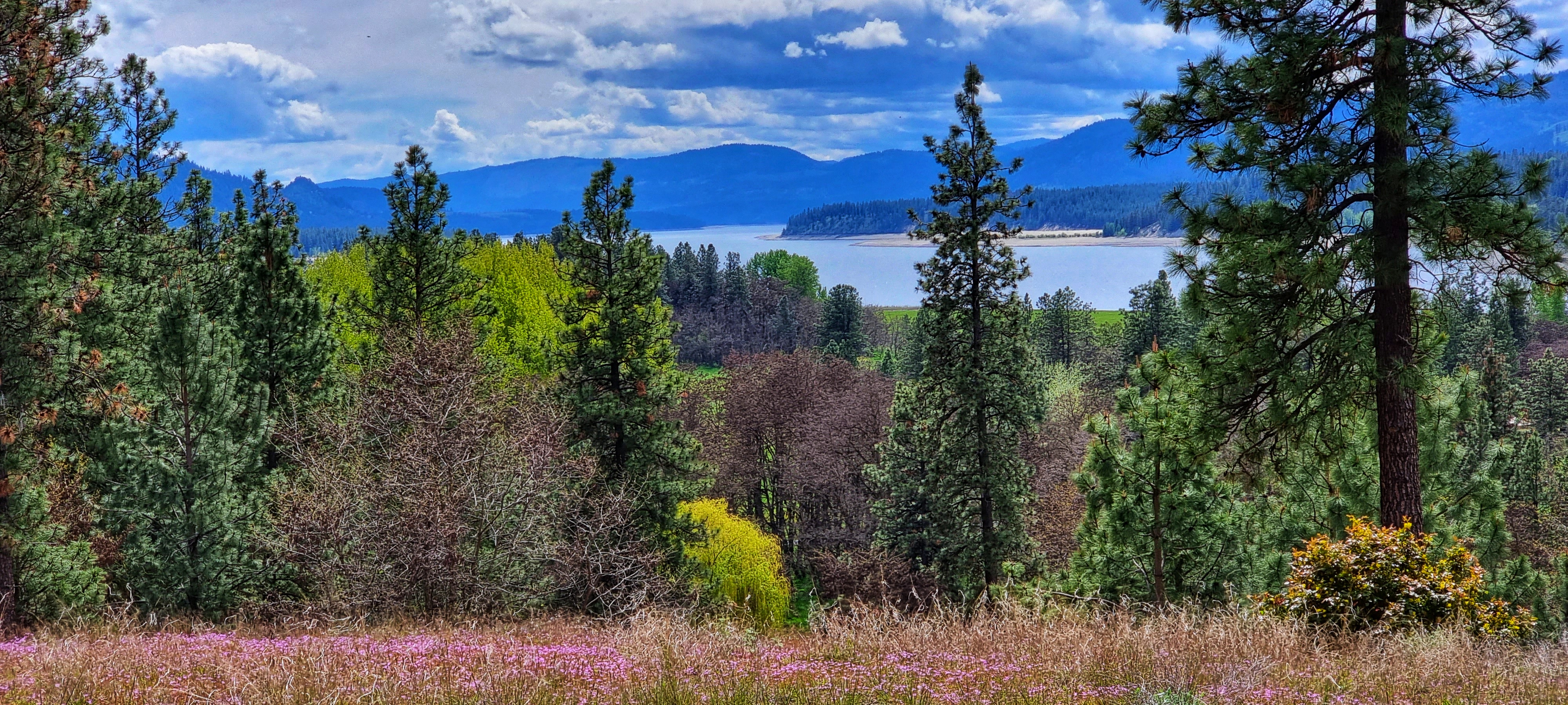
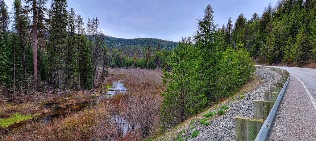
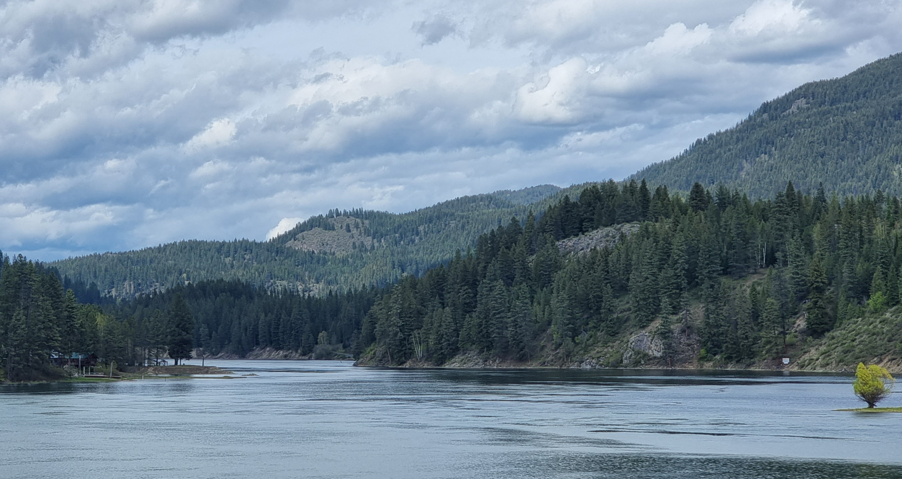
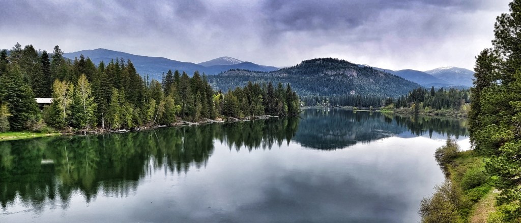
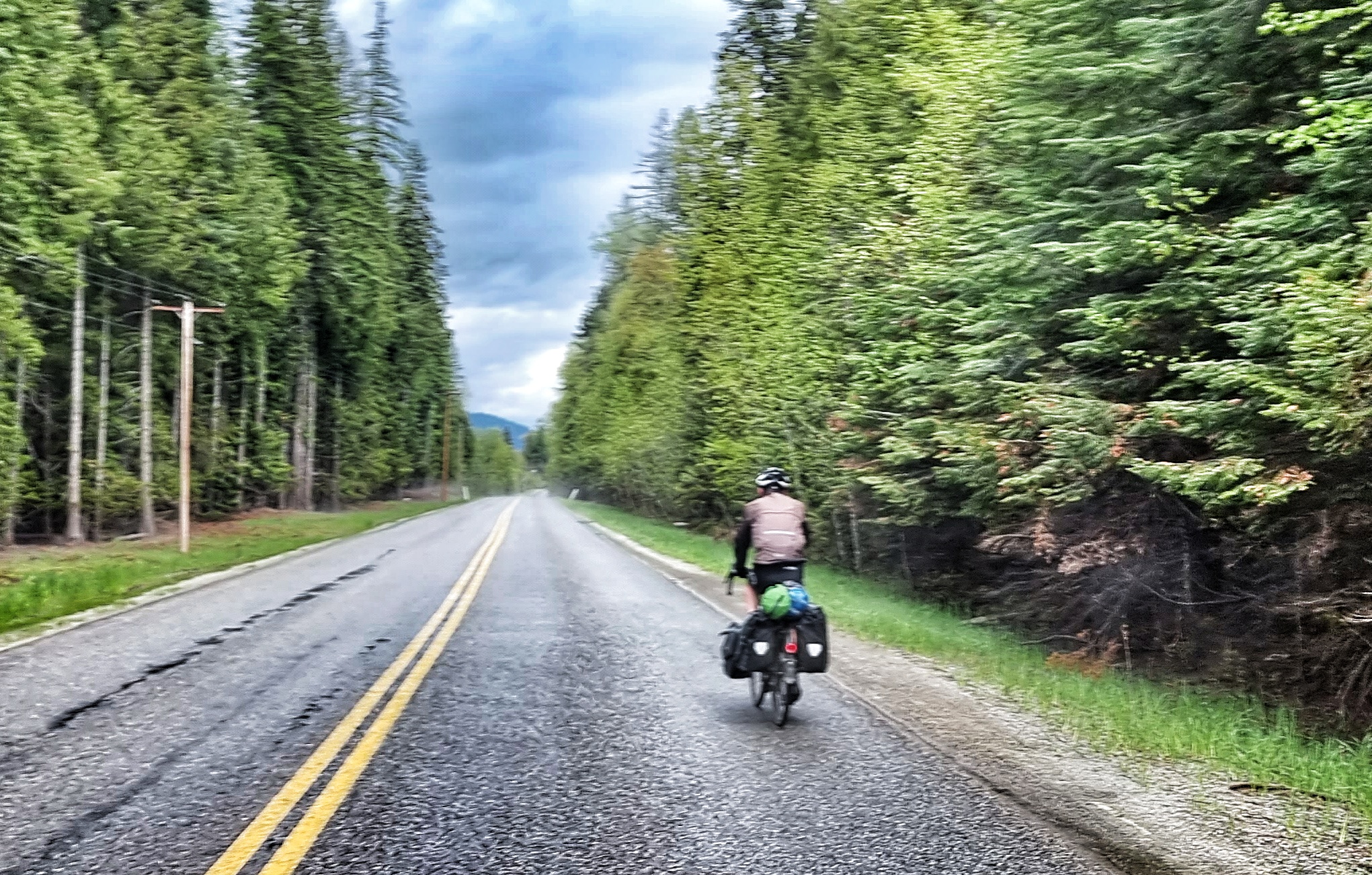
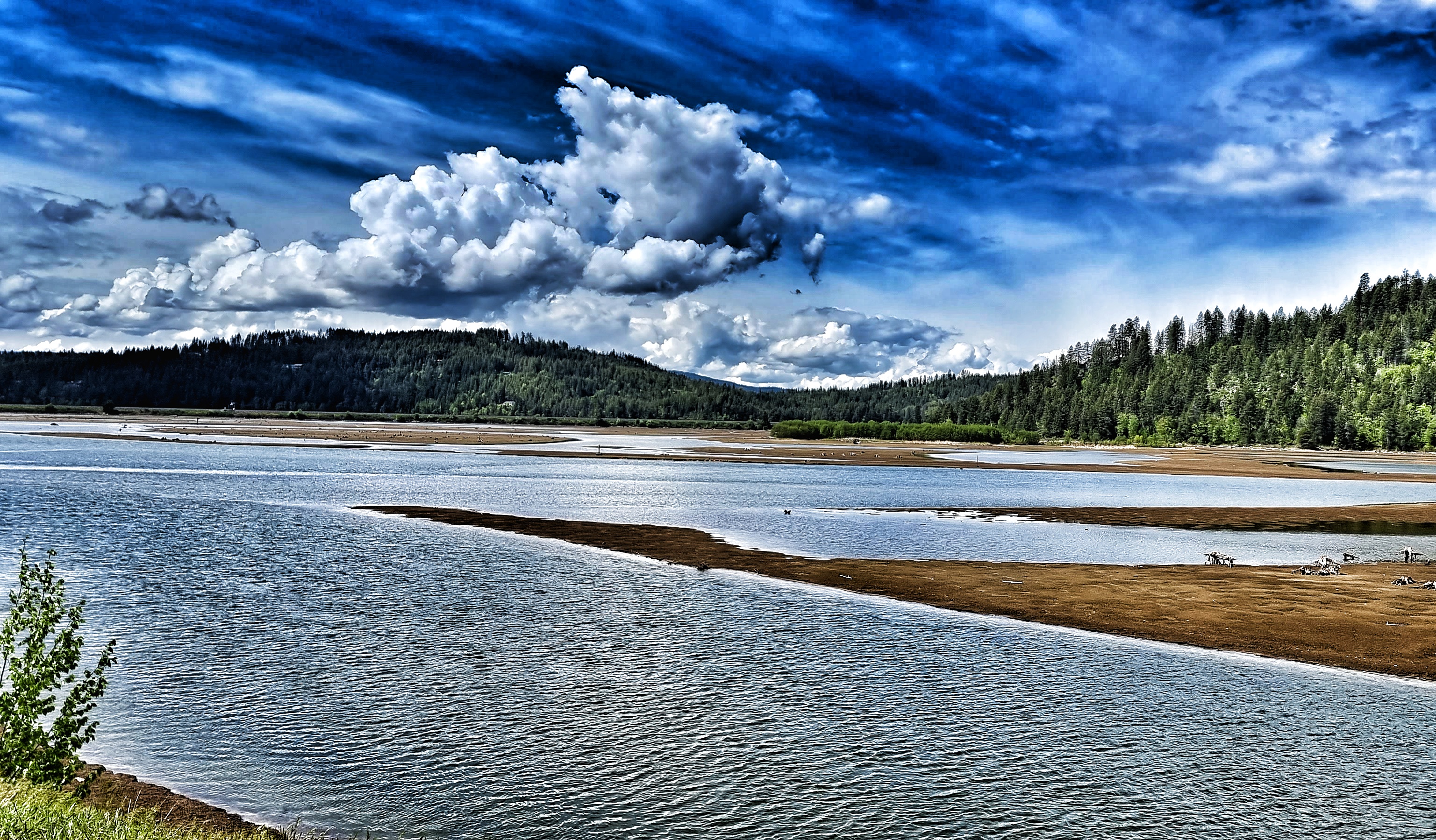
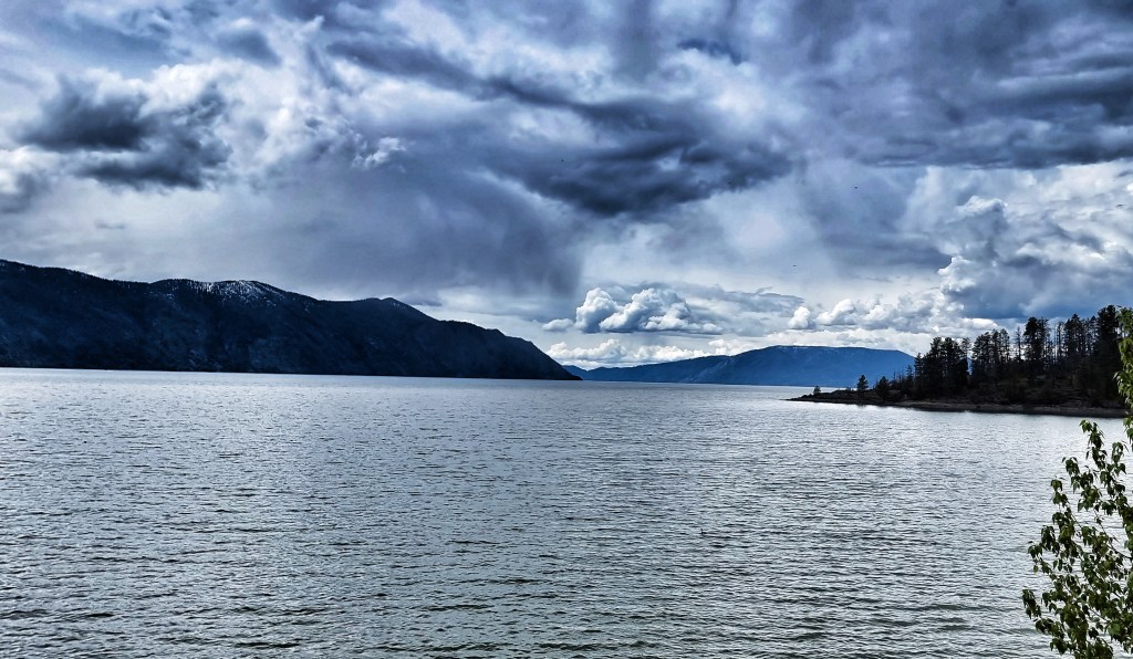
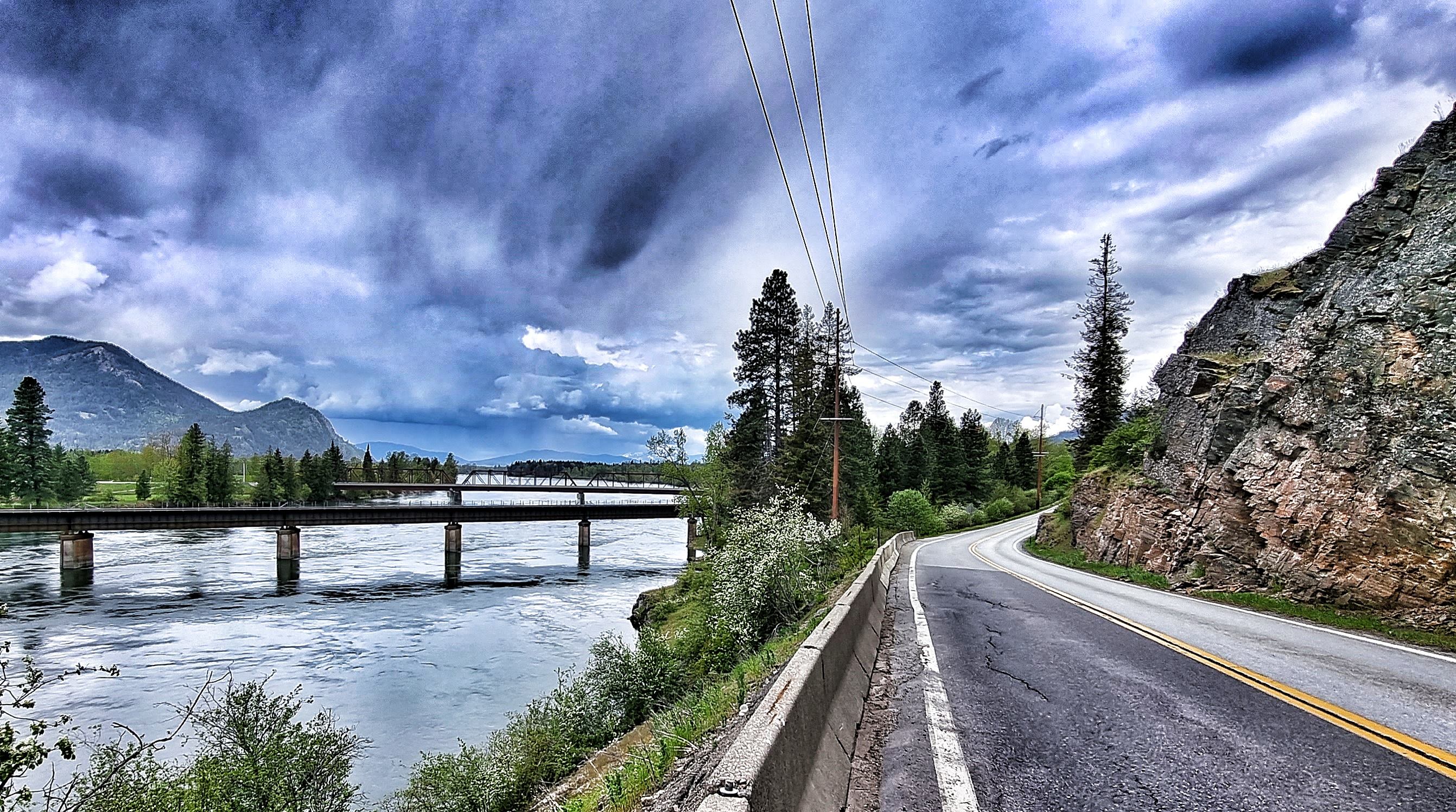
We took what we expected to be a quiet backroad, but were regularly overtaken by logging trucks – today we guessed that we’d be passing a timber processing complex of some sort & sure enough we soon reached a plywood making facility. A short, sharp descent took us down to the Pend-Oreille river, but this time we were on the opposite bank. A pretty bridge linked the pine forest with the plywood plant. As we continued along the shoreline, we were treated to a stunning view across the water.

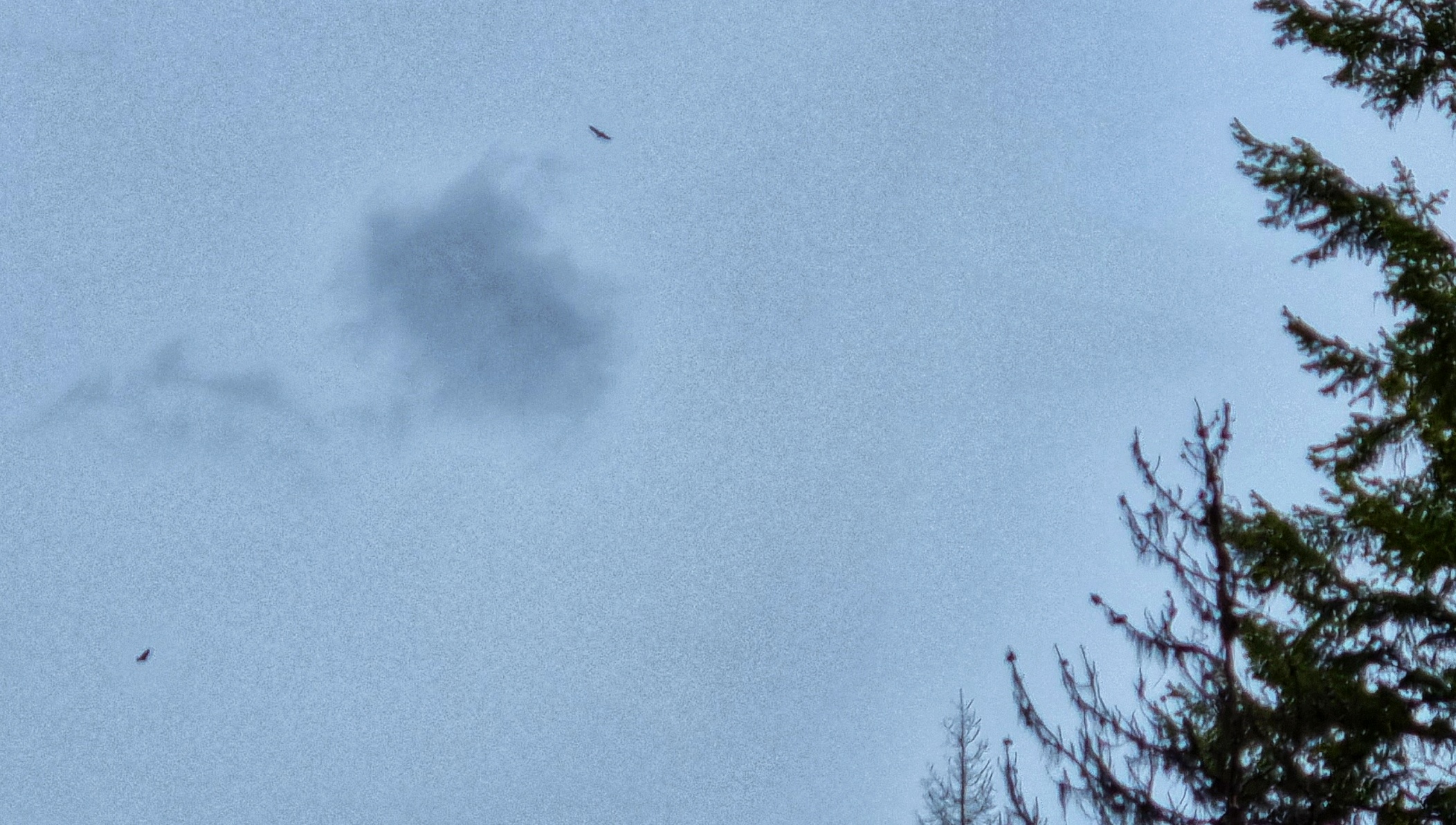
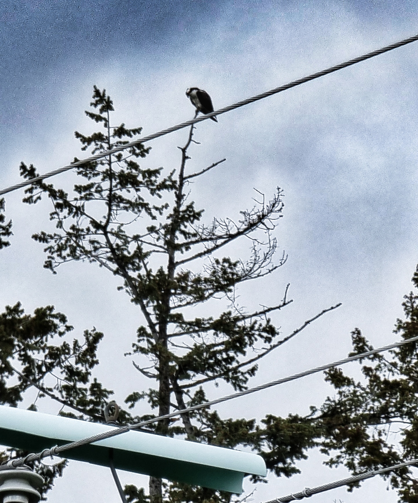
Things continued to improve, as our kit dried out & we found ourselves back in Eagle Country, with wooden pallets placed on telegraph poles for the eagles to use as nesting sites. All the owners were out collecting supplies as we saw lots of eagles soaring about us, but none came close enough to be photographed…….until one of a pair perched itself in a nearby tree!!

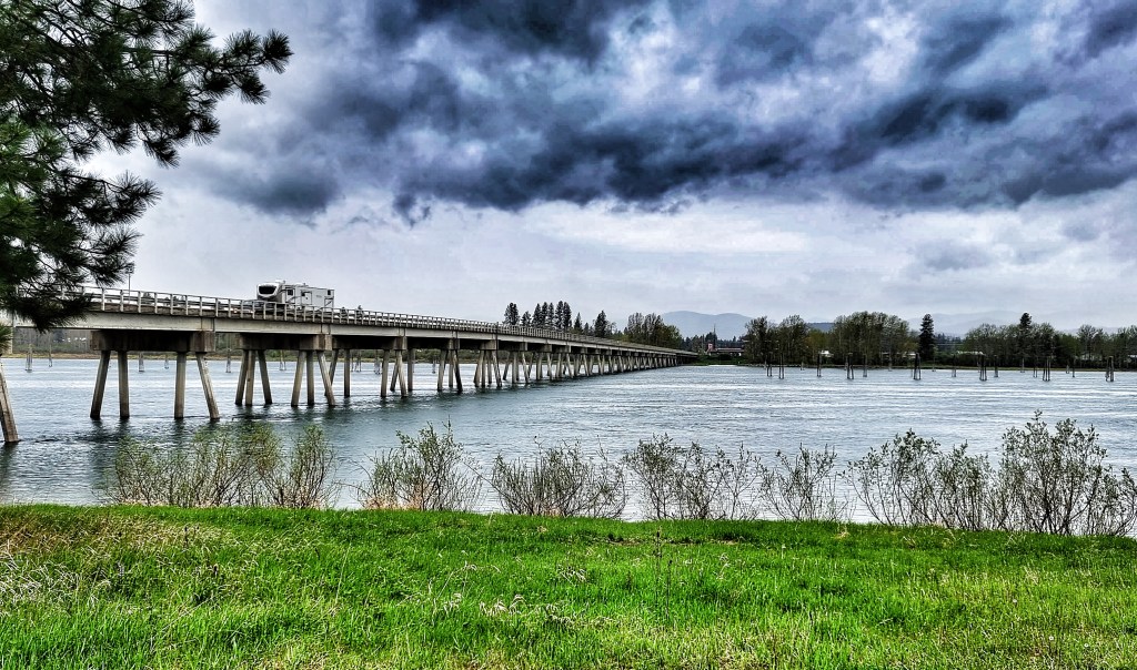
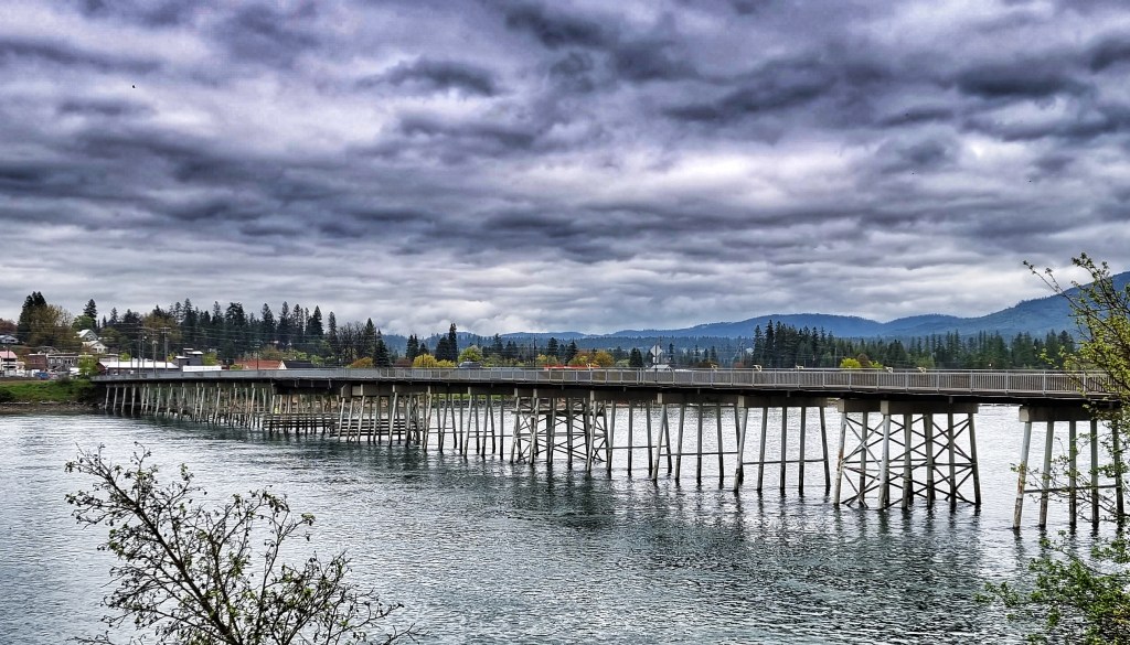
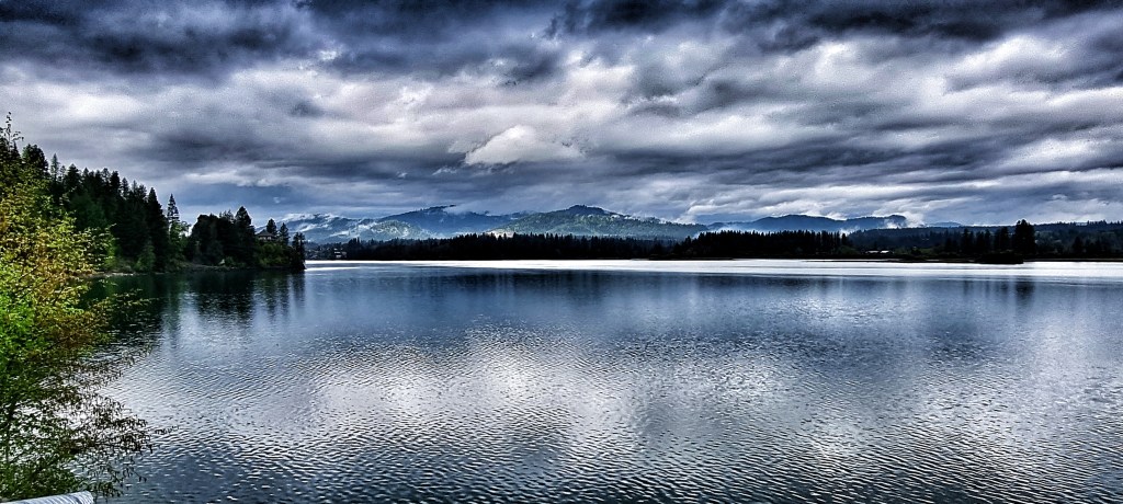
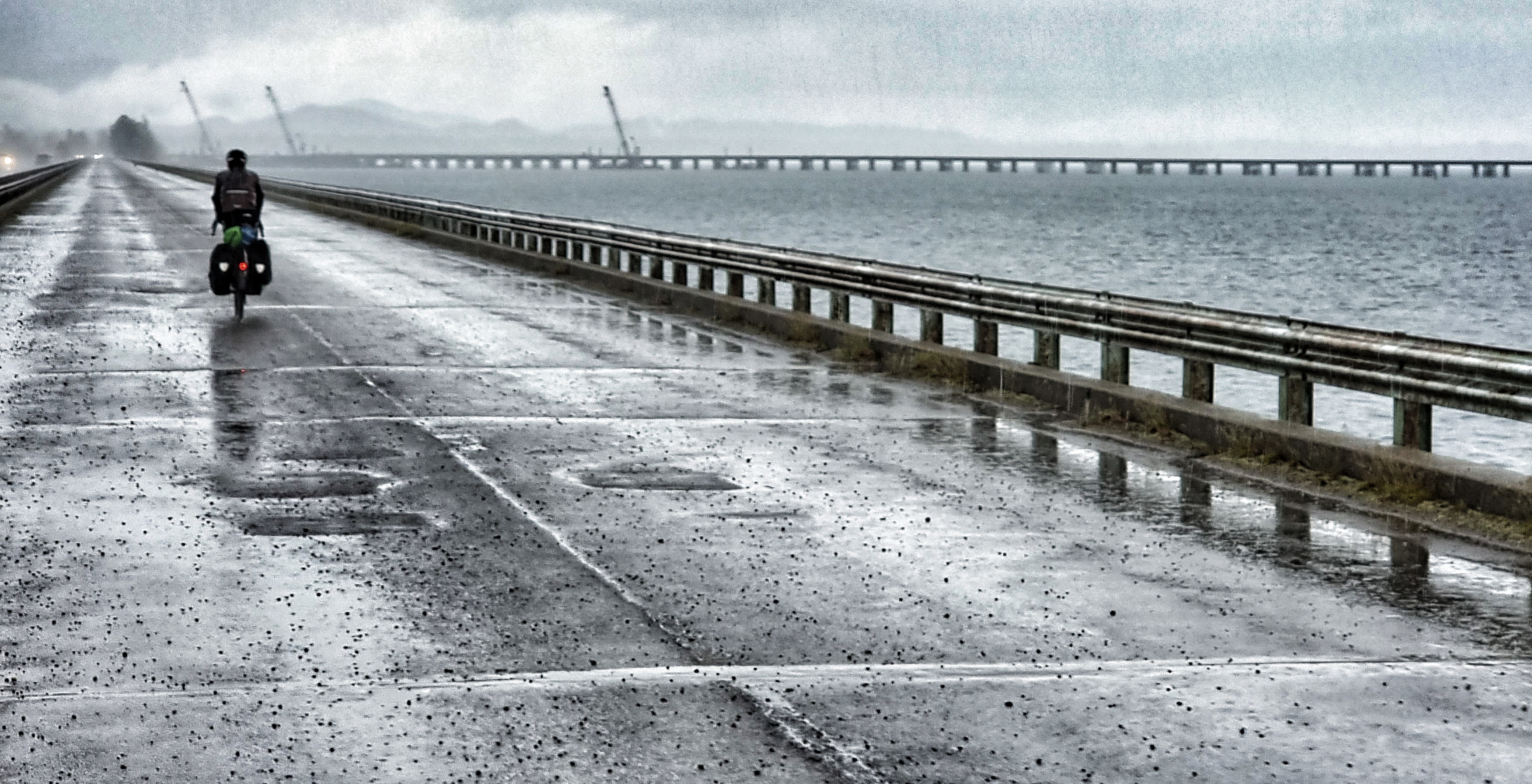
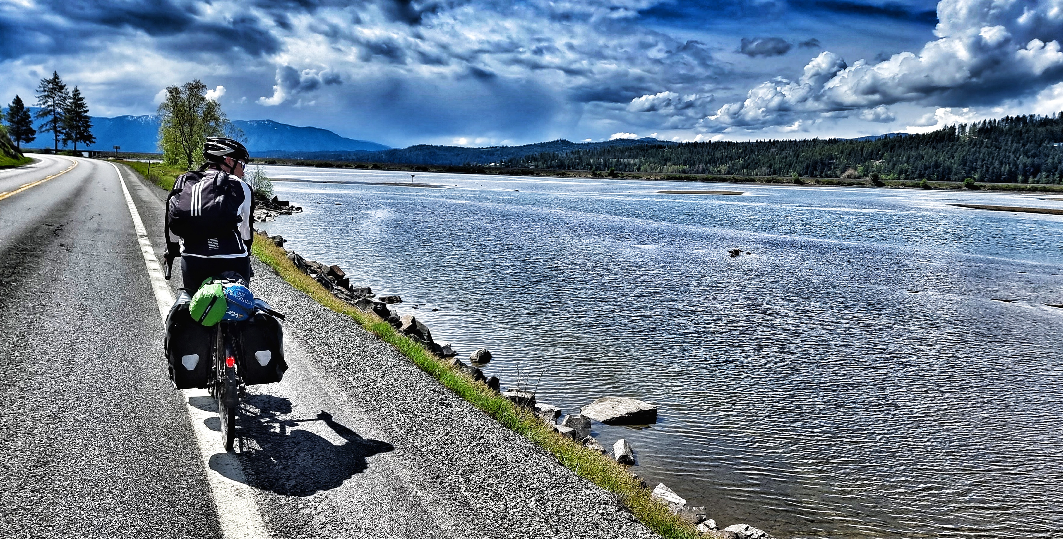
We even picked up a slight tailwind. All was good with the world again until the skies opened again 45 minutes from Sandpoint! That was long enough for us to get chilled to the bone as we crossed what was now the Pend-Oreille Lake on a cyclist only bridge. I managed to capture a shot of it, but I would certainly have appreciated it more on a dry day!

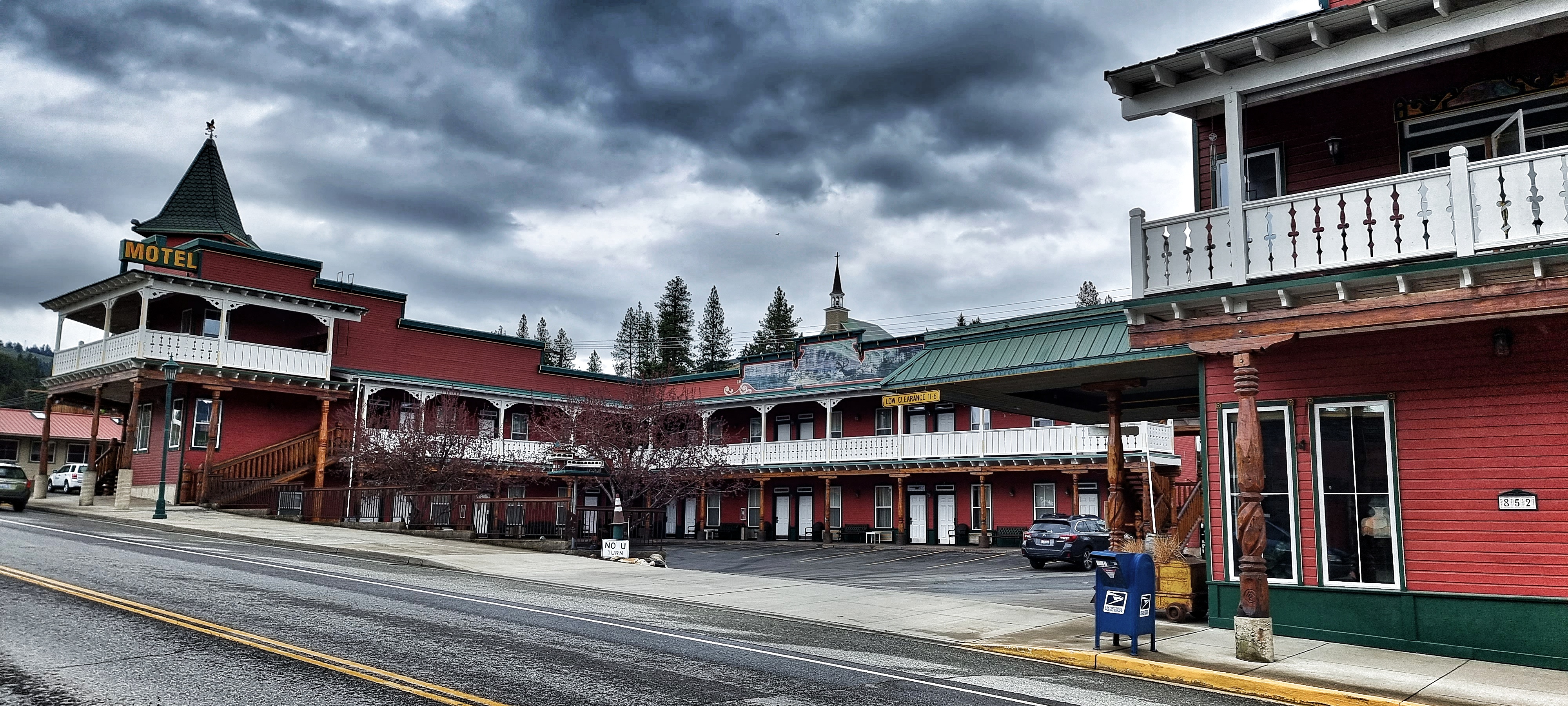
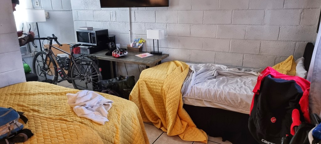
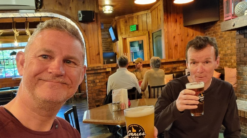
We made our way across town on quiet, cycling friendly roads & checked into separate rooms at the Cedar Street Motel & Suites – I had to say sorry for the puddle of rainwater I left as I checked in! Tomorrow’s a rest day, so we nipped into a couple of different bars to relax & celebrate crossing our first state line! We even got to listen to a local musician doing his stuff.

Stage Stats – 86 miles, 2,552 feet of climbing. A rolling day into a headwind & driving rain for most of the day. First state line crossed.

Thursday 19th May – Rest Day

Rest days now have a familiar feel to them – a bit of a lie-in, sorting out laundry, finalising routes & booking accommodation. As we’ve headed east, we’re reaching more remote regions & we’re beginning to adapt our routes to fit where we can get places to stay. At the moment we’re continuing to use motels, as the weather remains on the cold side of chilly & is very changeable.

It looks like we may be camping for the first time soon, as our next block of riding from Sandpoint to Whitefish has a big gap where we couldn’t find any accommodation. We also did a bit of shopping – Sean’s rain jacket has a temperamental zipper, so he’s bought a replacement just in case & he’s also got himself some new shades. Bearing in mind our upcoming camping debut, I’ve invested in a beanie & also splashed out on new shades too. I even left the label on for their first photo!

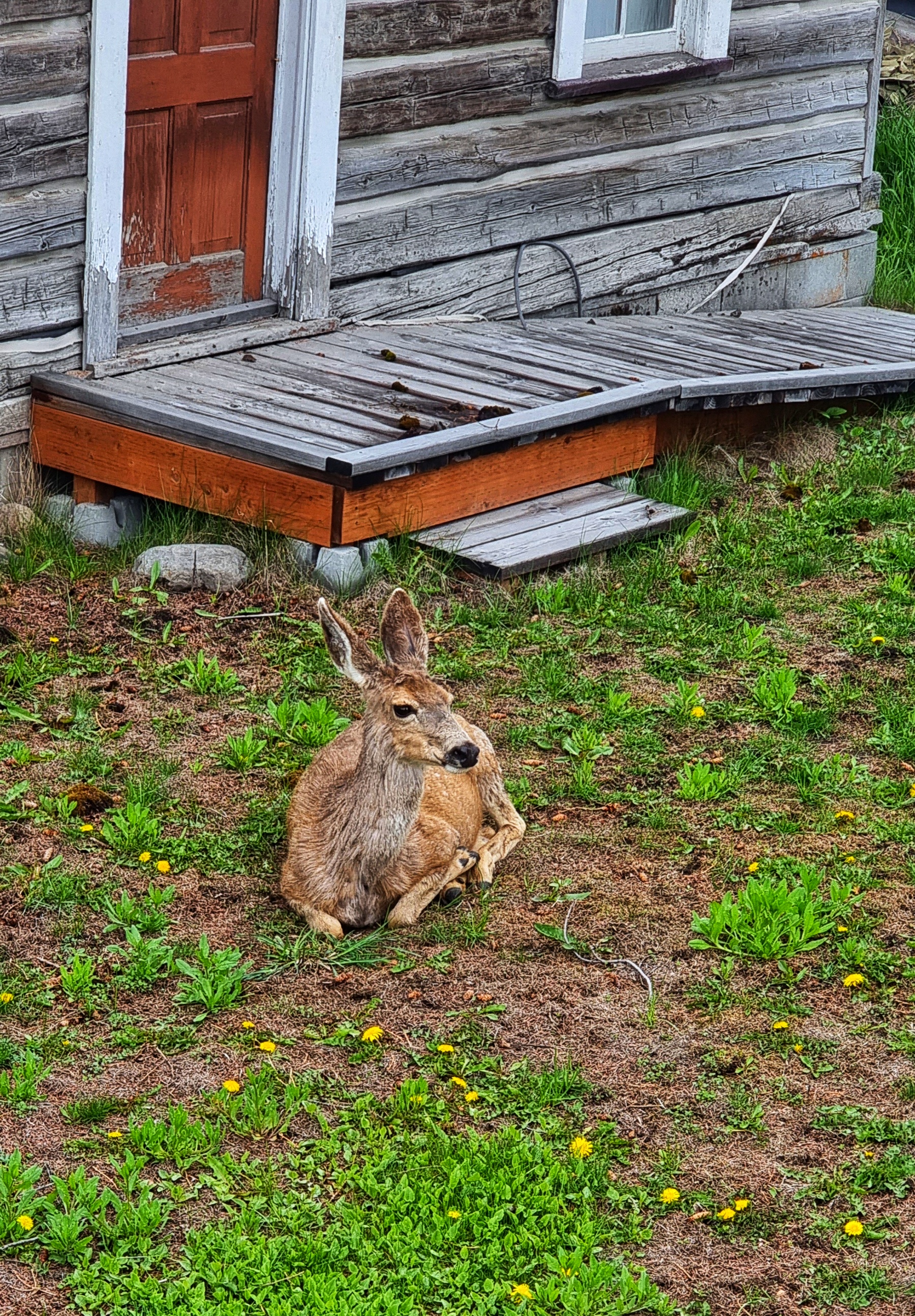
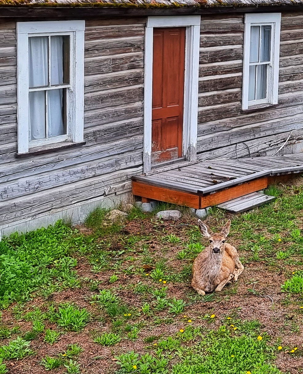
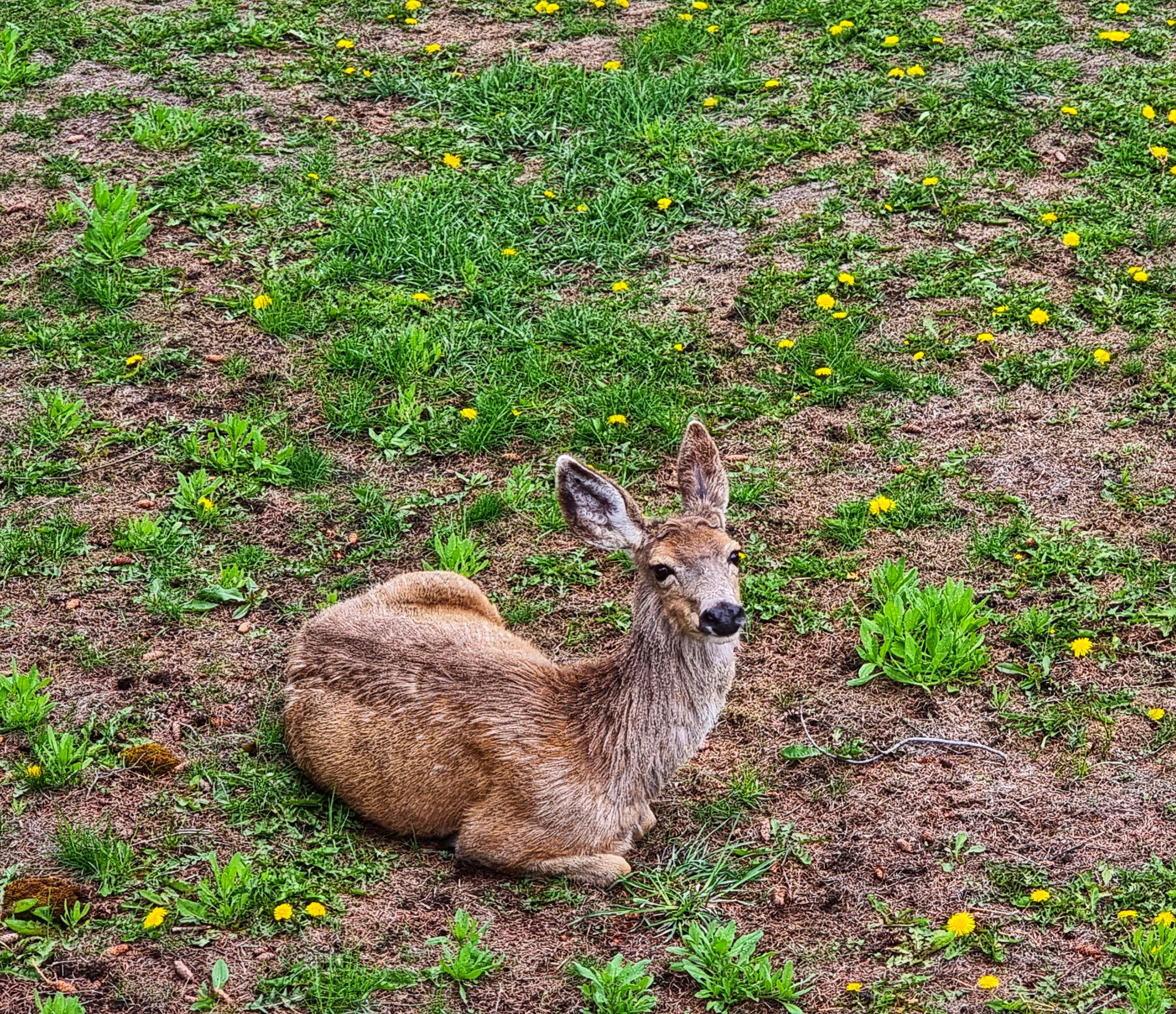
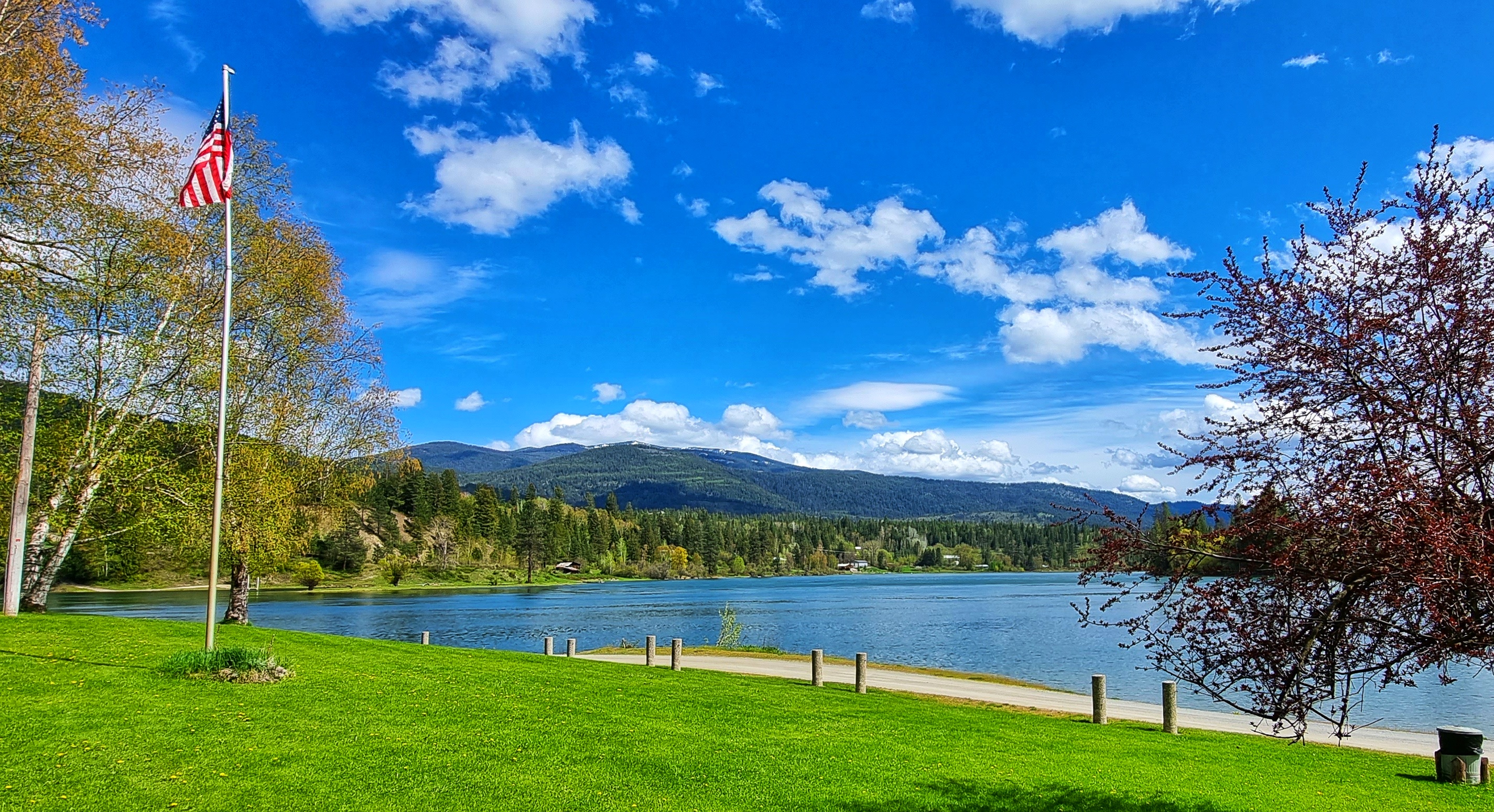
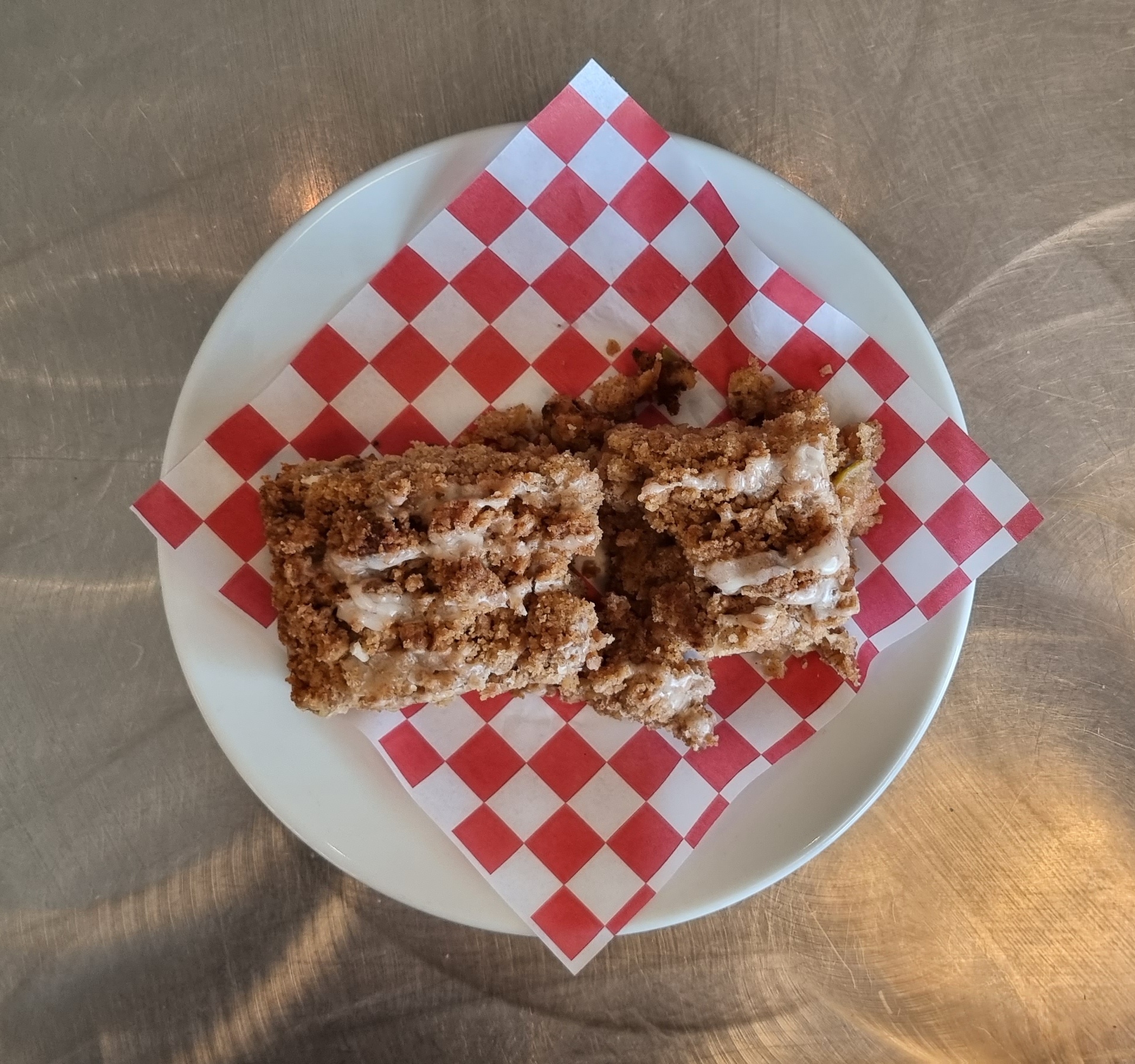
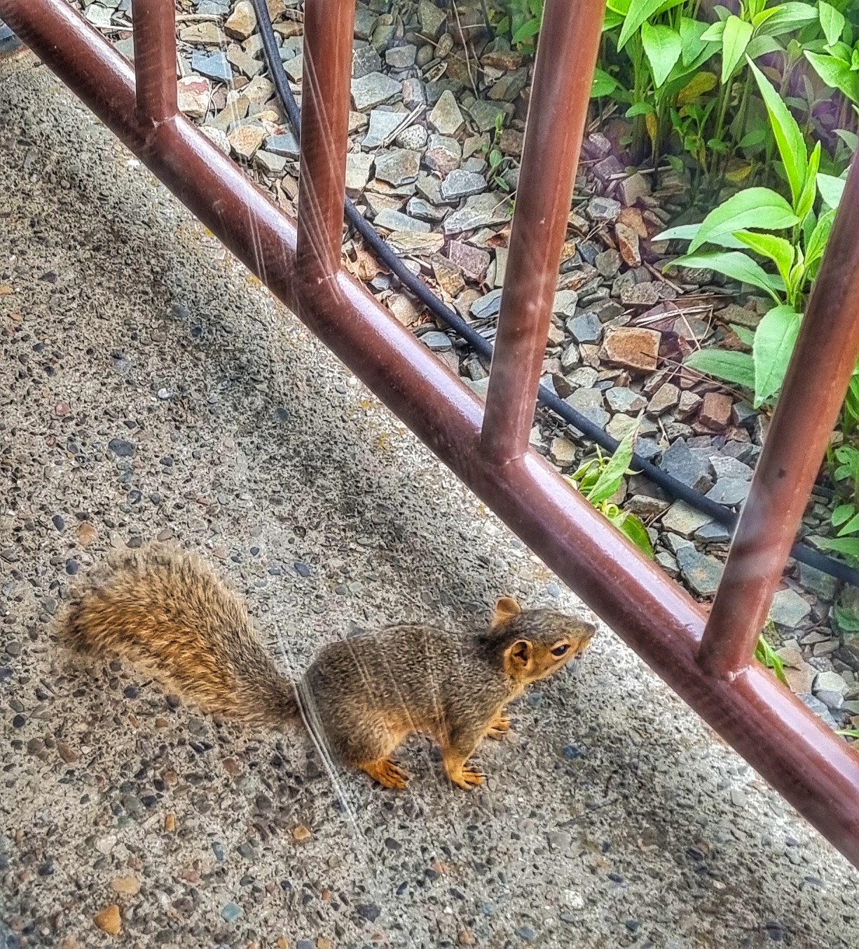
We celebrated our purchases with coffee & an apple fritter slice – tasty! Although we’re in the middle of a town, there’s a greenspace just across the way & when I returned from our shopping expedition, one of the residents came over to say hello.

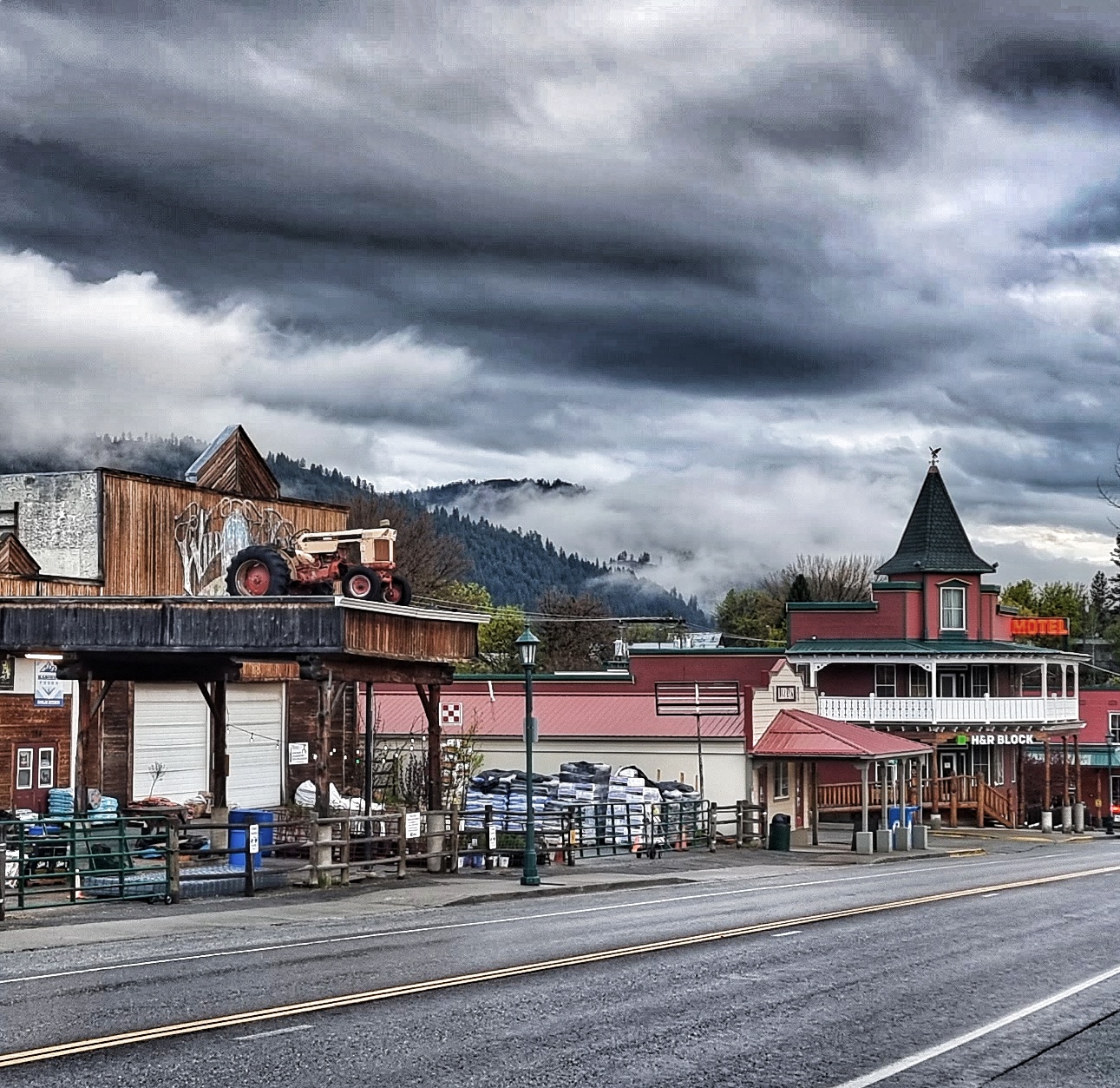
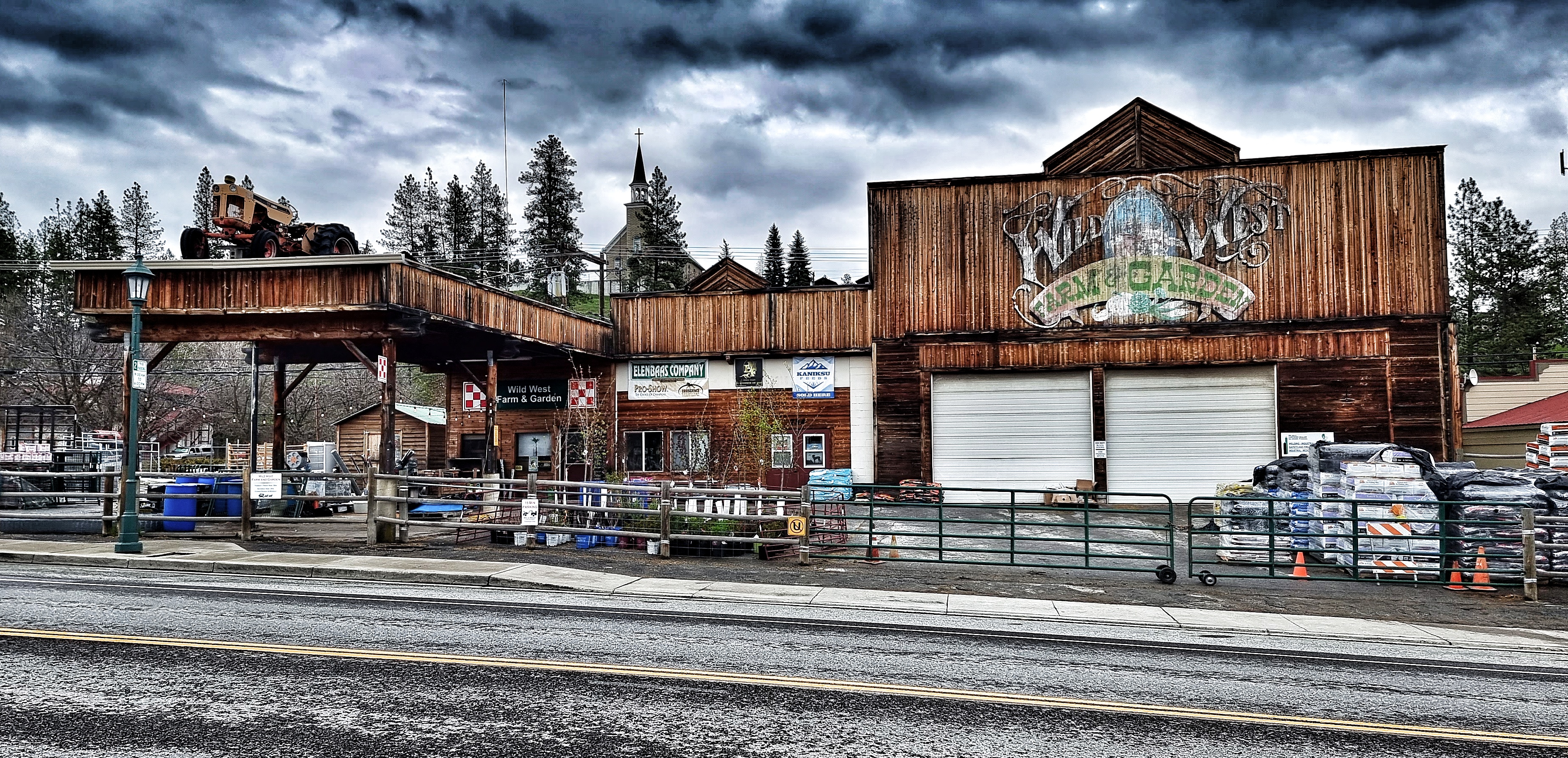
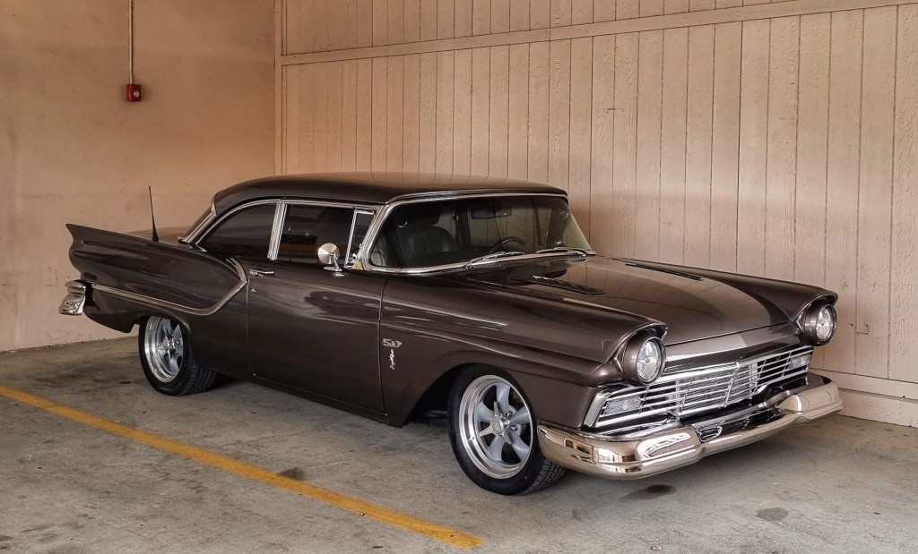
Sandpoint holds an annual ‘Lost In The 50’s’ event & this year marks the 35th anniversary. Covid caused the cancellation of events planned for 2020 & 2021, so everyone is gearing up for tomorrow’s big show. There are a wide selection of classic 50’s cars in town, which add to the atmosphere. That’s enough excitement for today – the next stage of our adventure gets underway tomorrow.

Friday 20th May – Sandpoint to Heron (Stage 17)

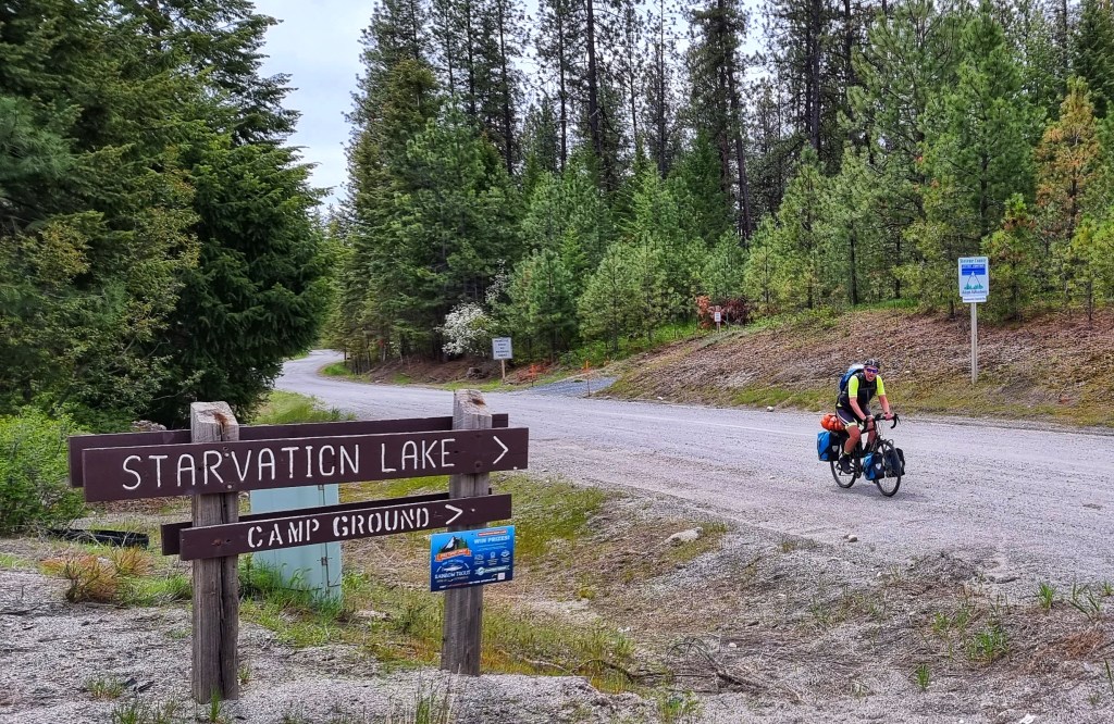
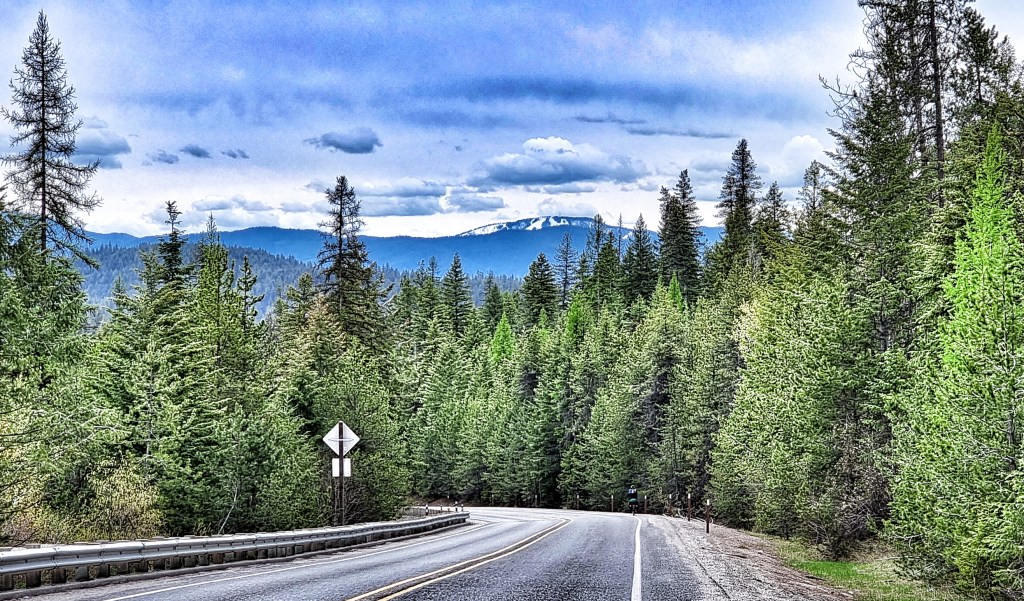
We woke up to blue skies overhead & after a quick breakfast of cereal & coffee we were packed up & on our way by 10am. There was no need for an early start today, as The Amber Bear Inn in Heron was only 43 miles away on rolling terrain.

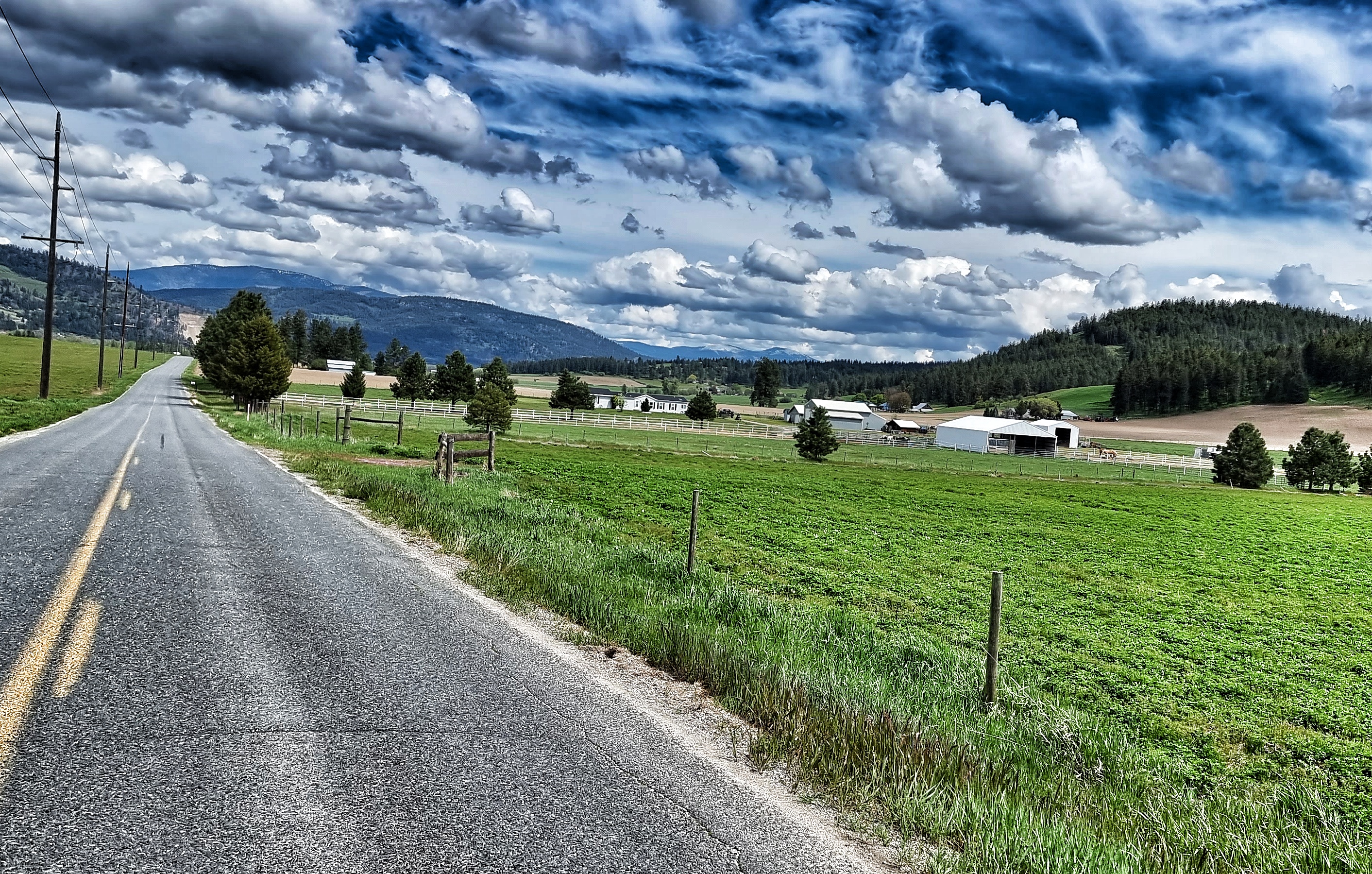
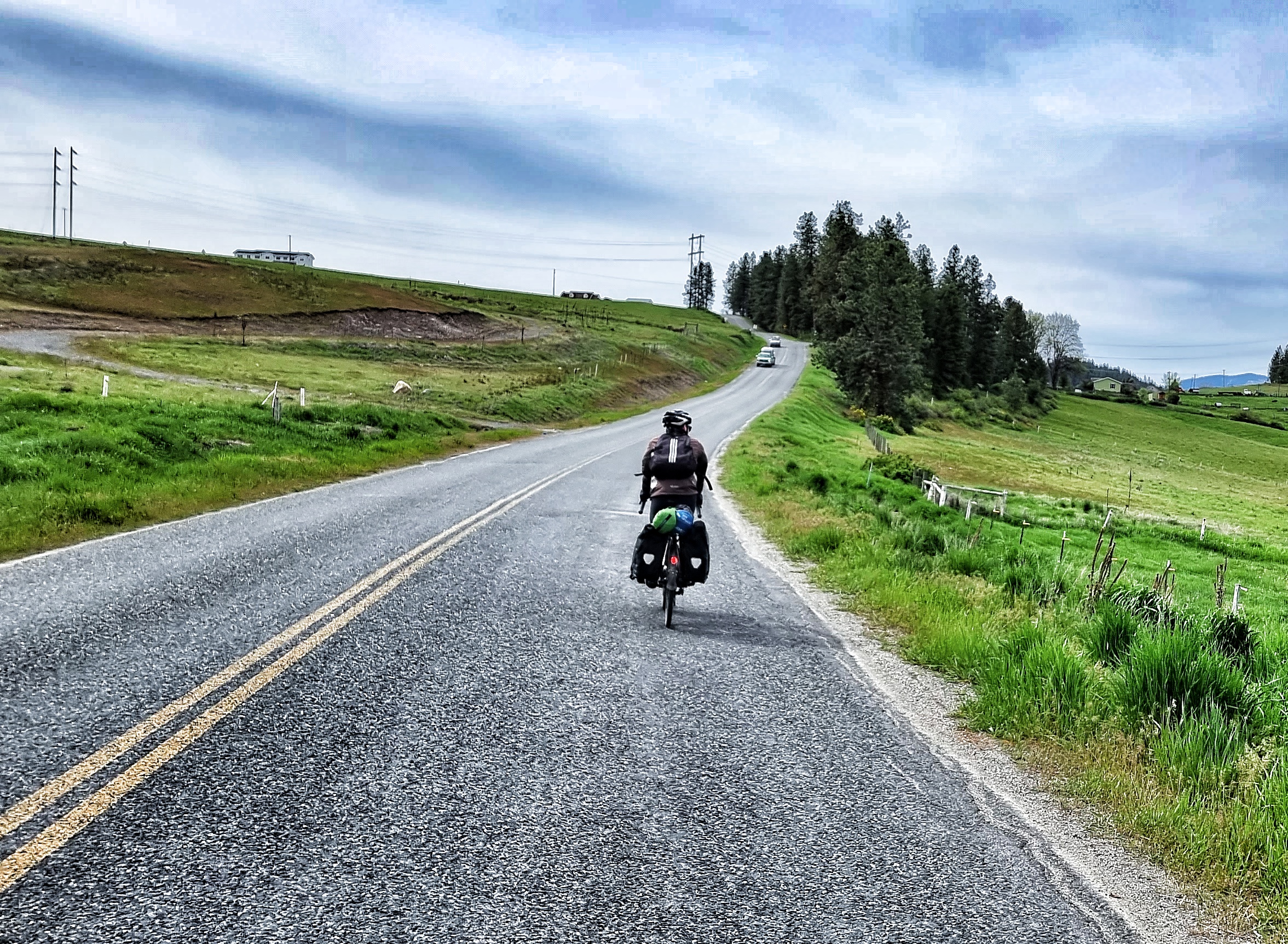
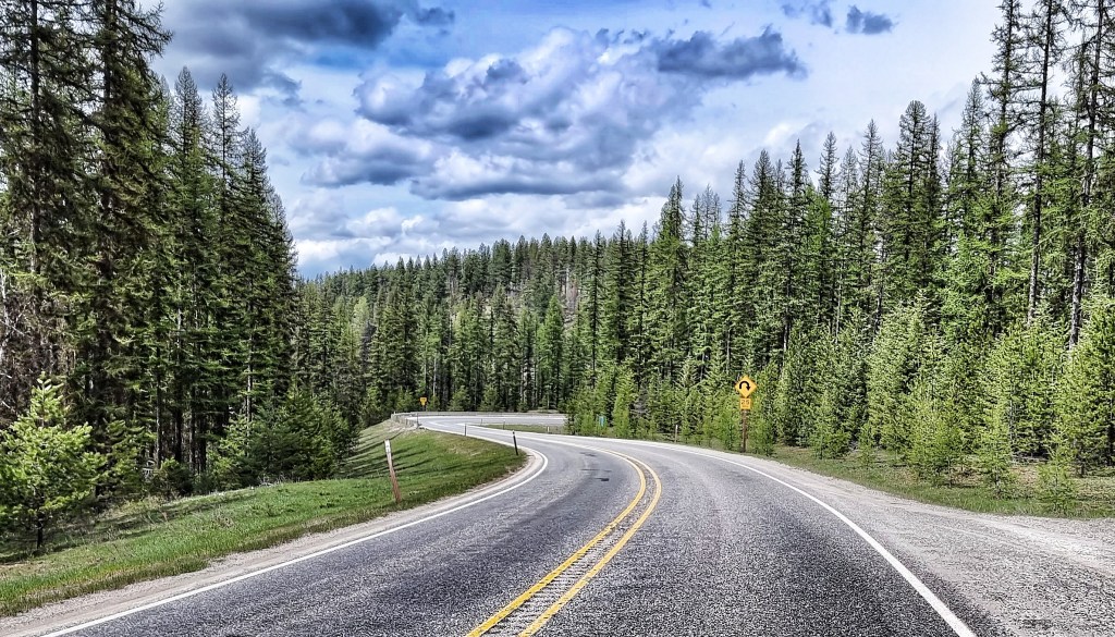
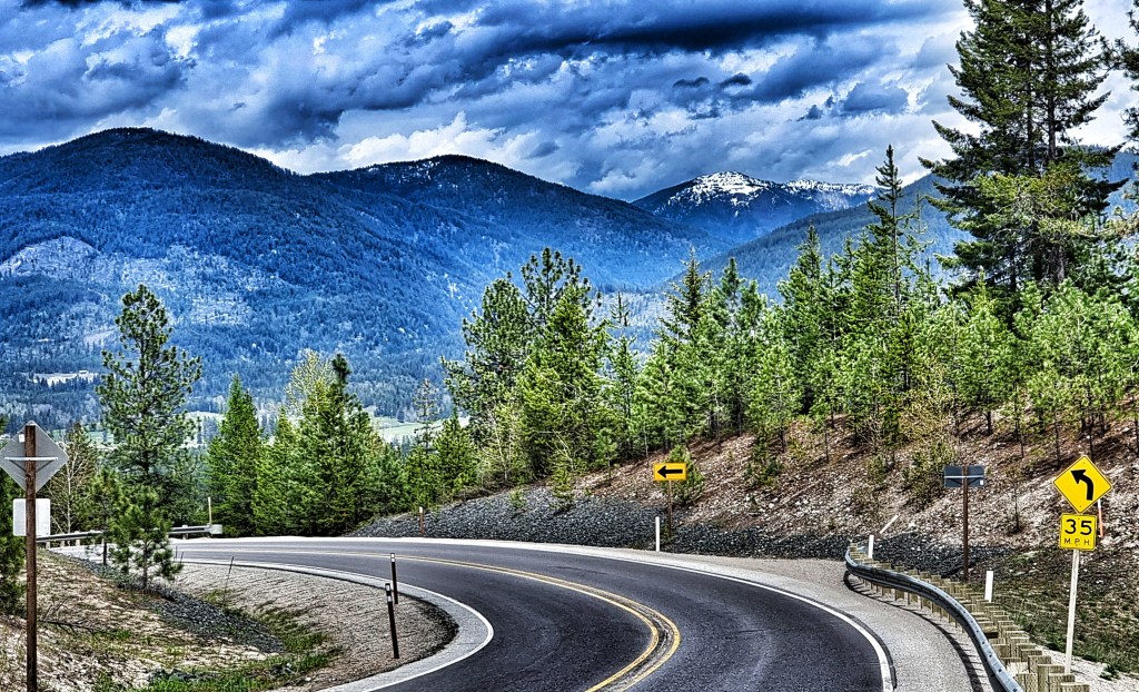
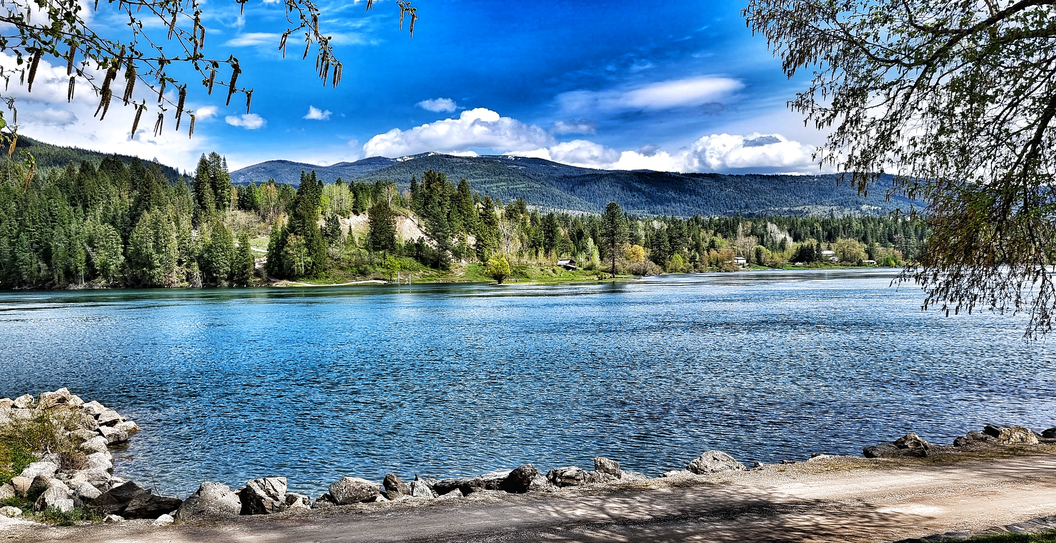
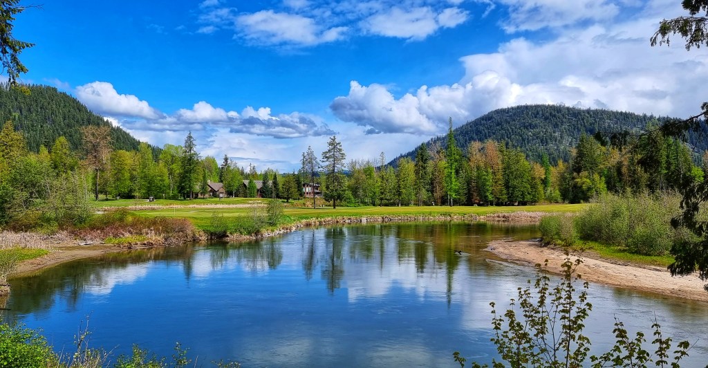
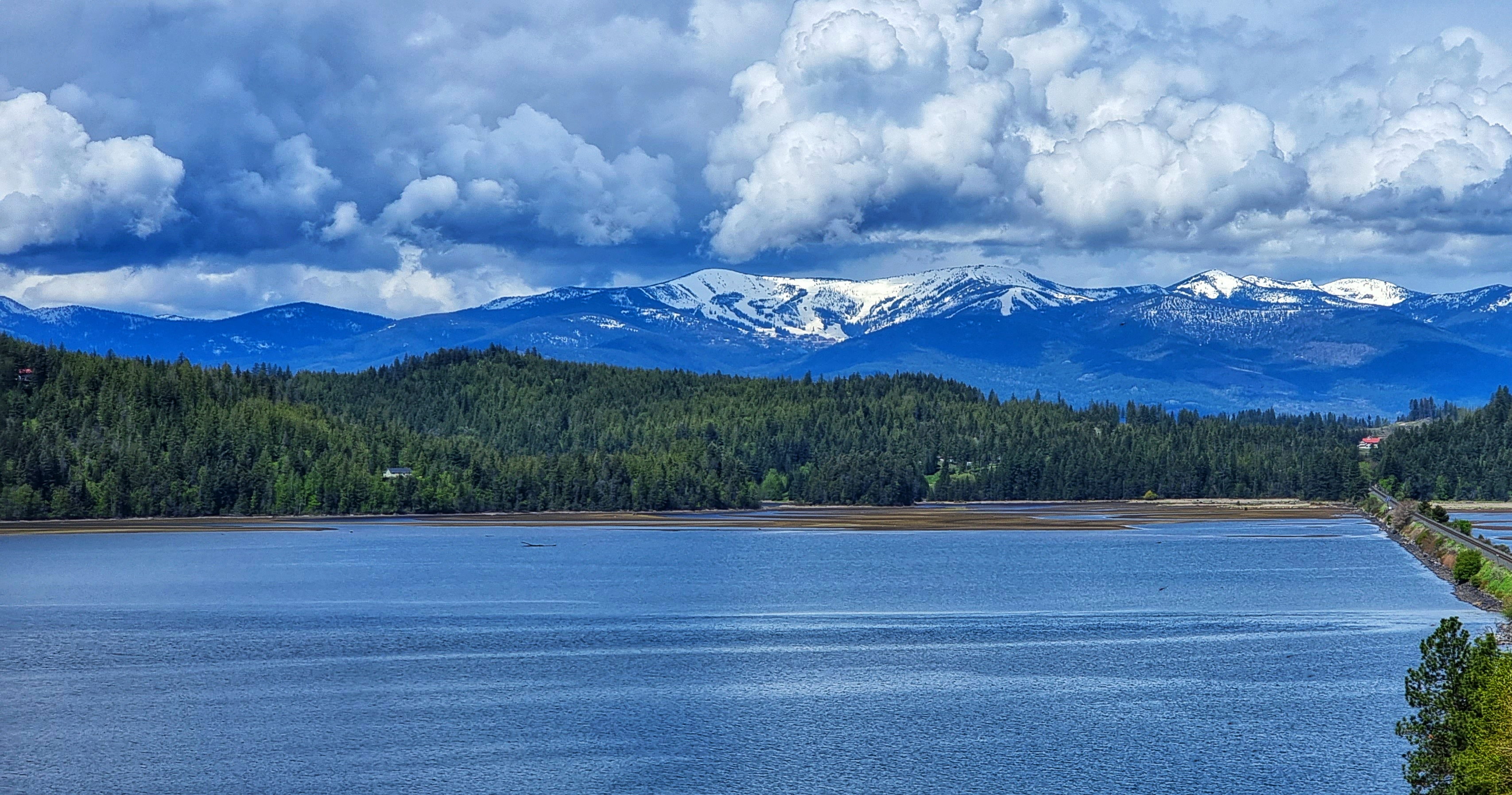
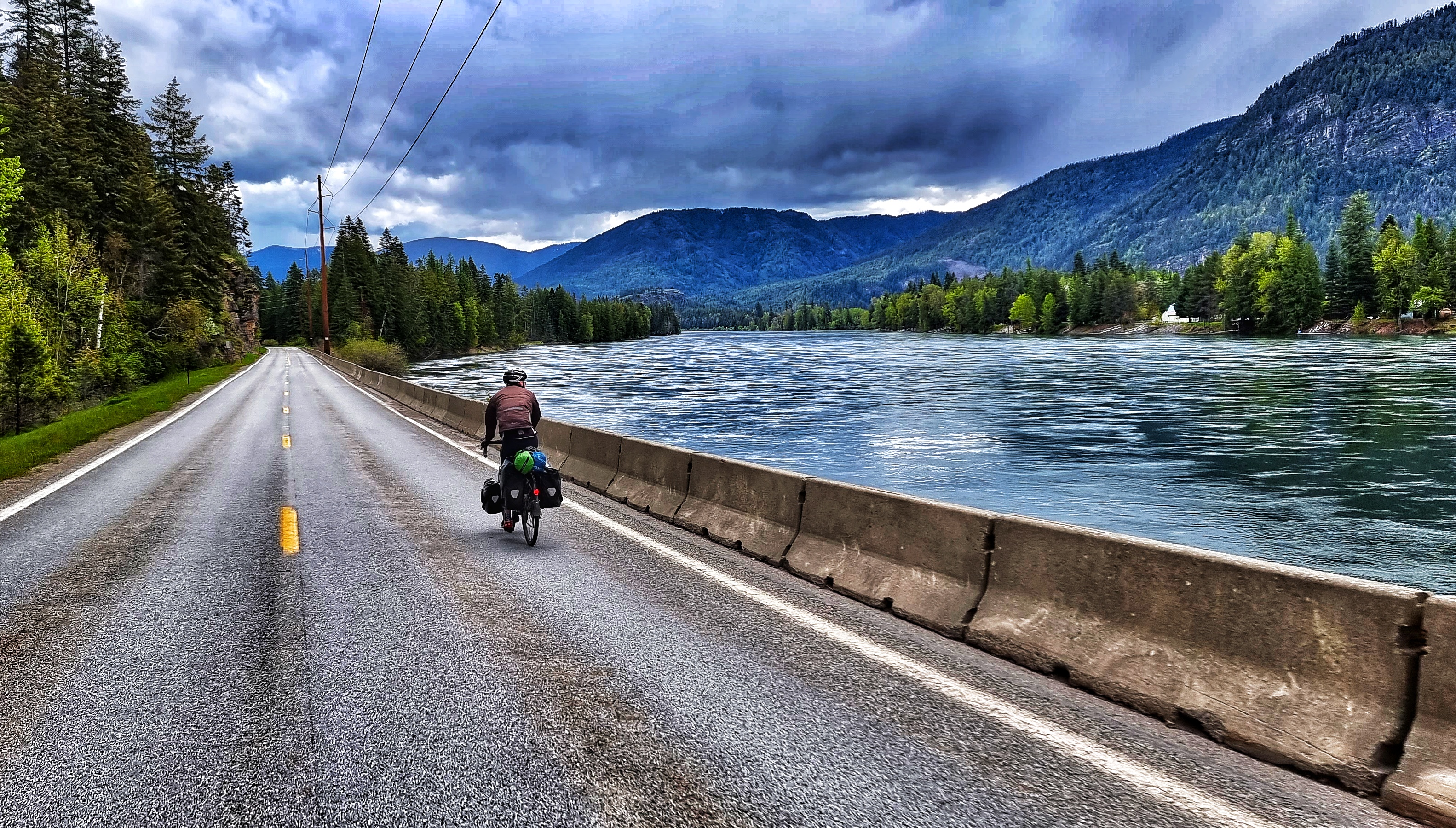
Leaving town, we immediately picked up a cycle track which took us along the edge of the Pend-Oreille lake. As we joined the ID200 we passed through Ponderay (the little city with the big future), which was busy with local traffic going about their daily chores. Within 5 miles the road was significantly quieter, as we continued on through Kootenai & past a couple of golf courses with glorious views of the mountains ahead.

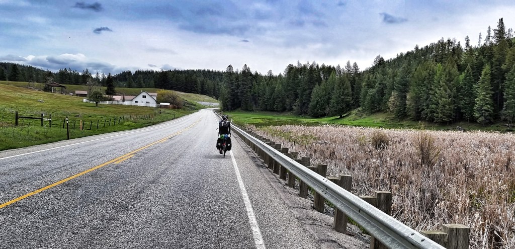
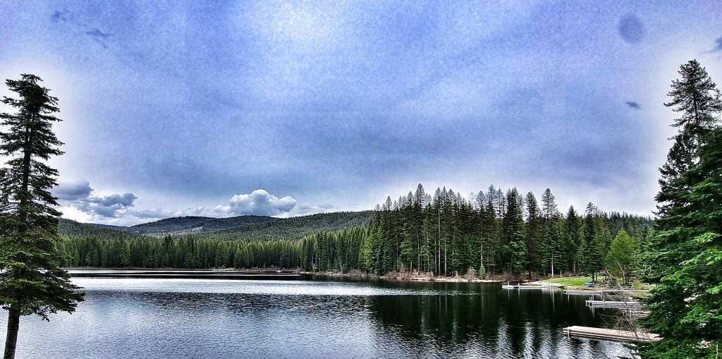
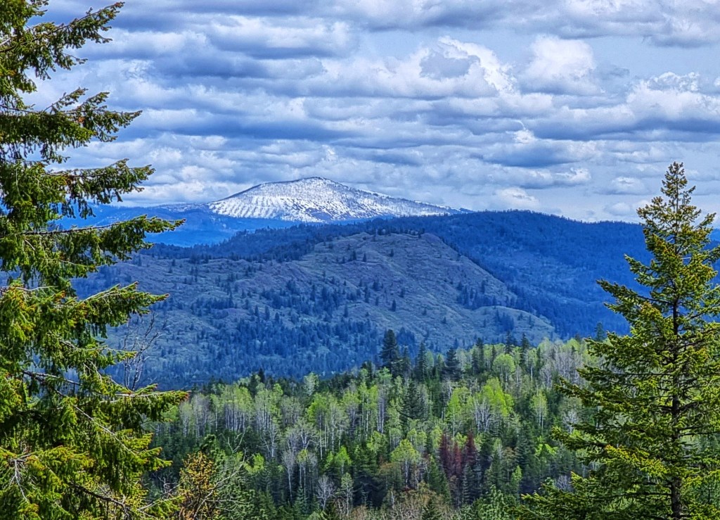
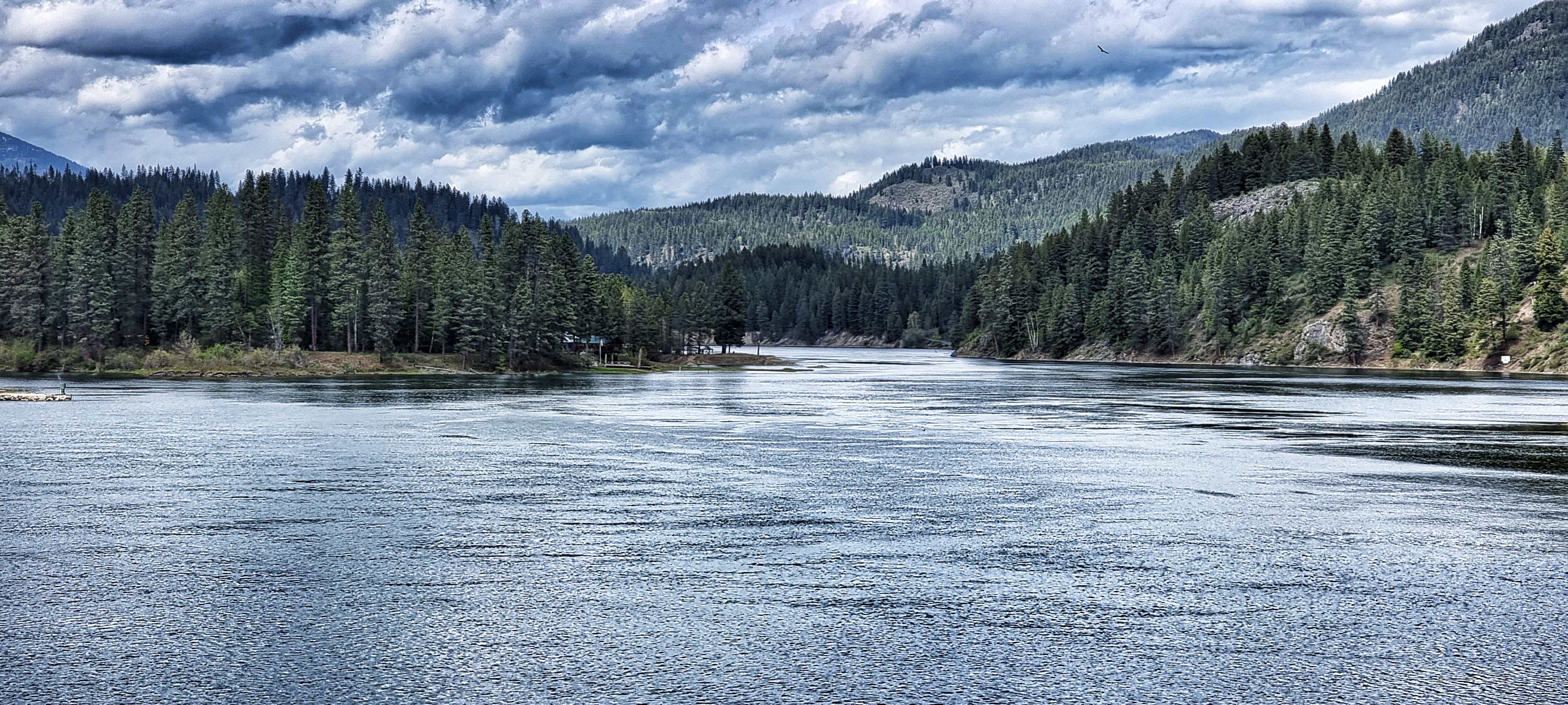
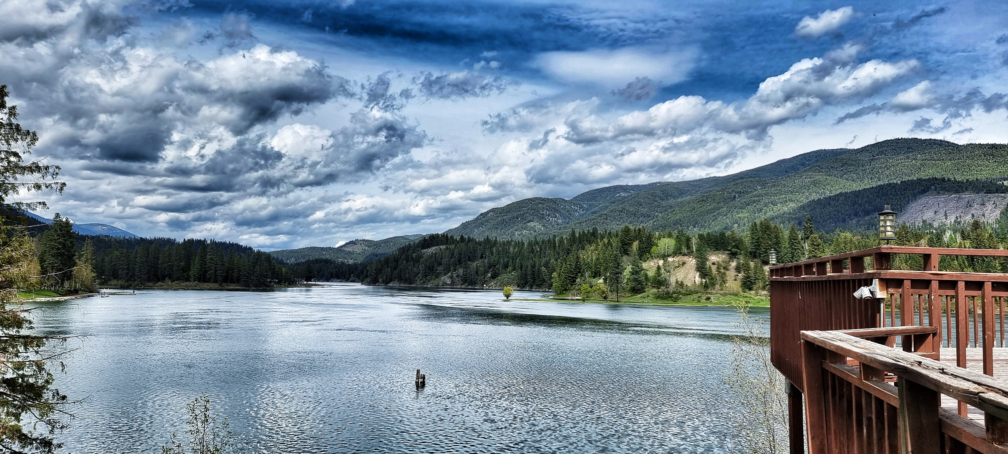
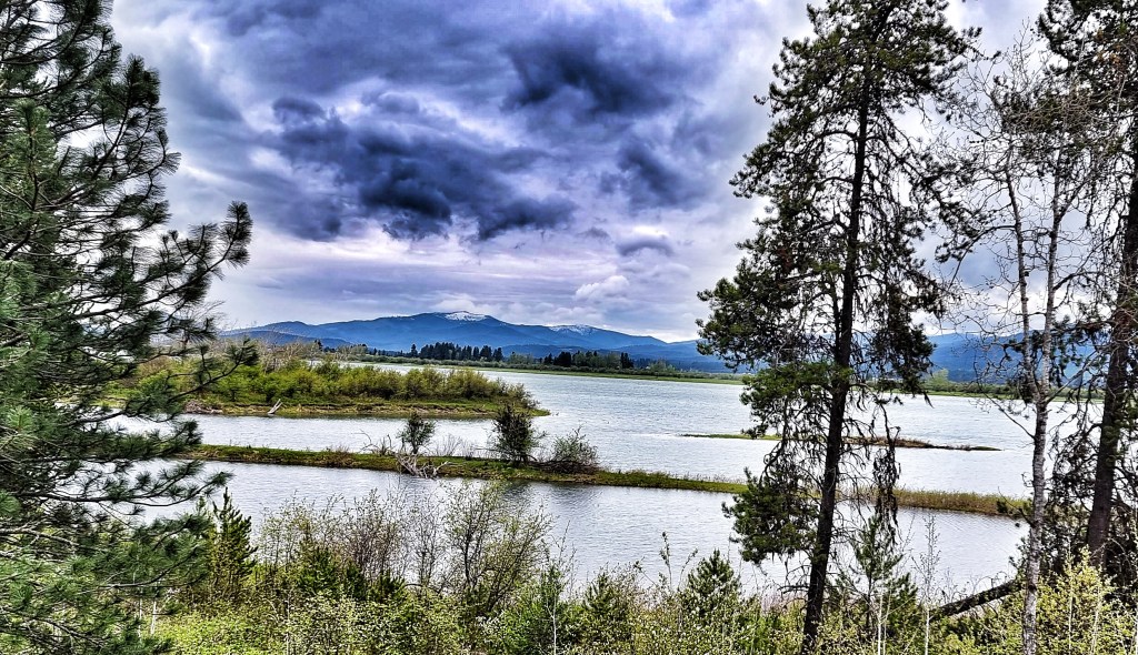
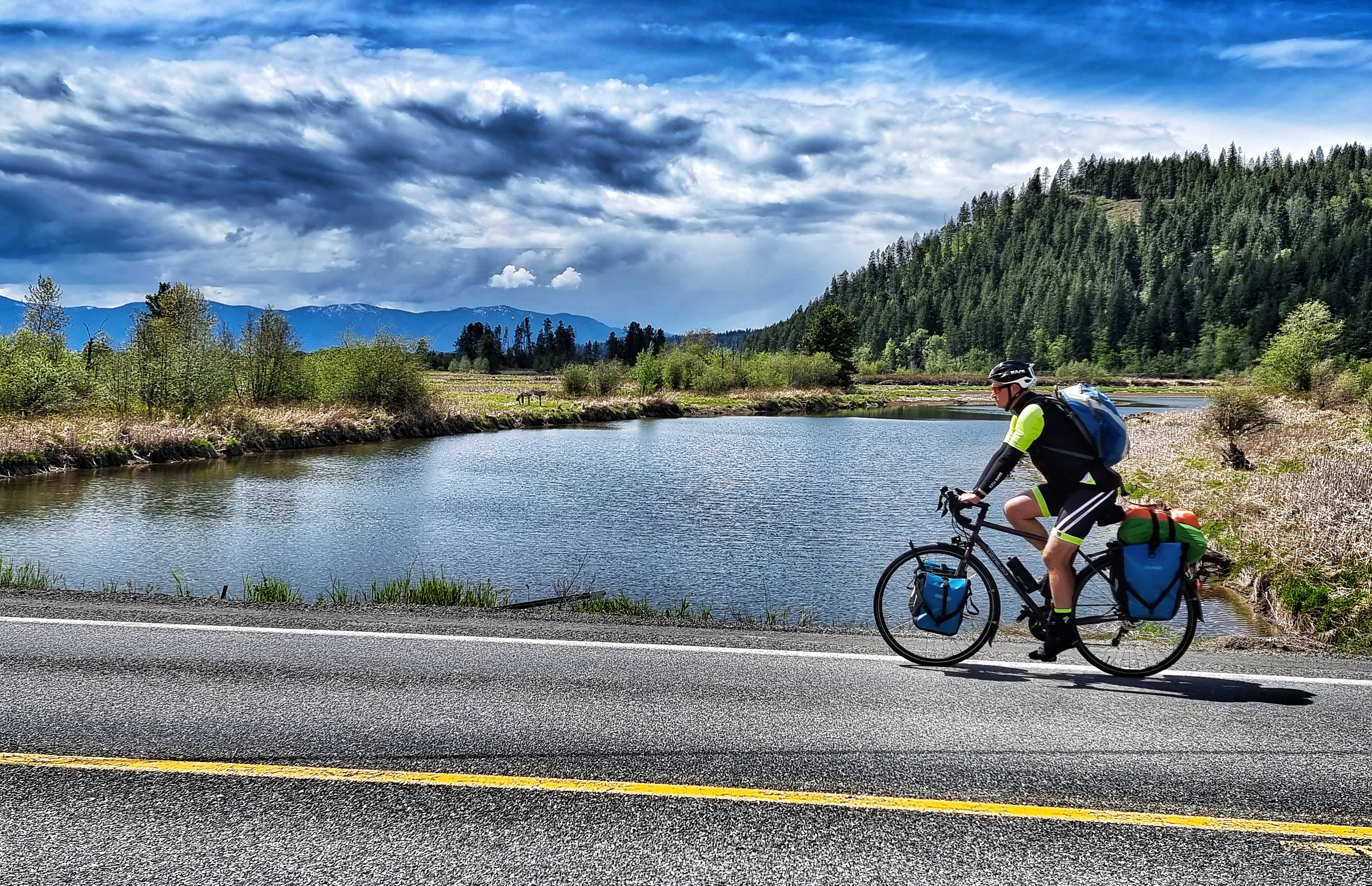
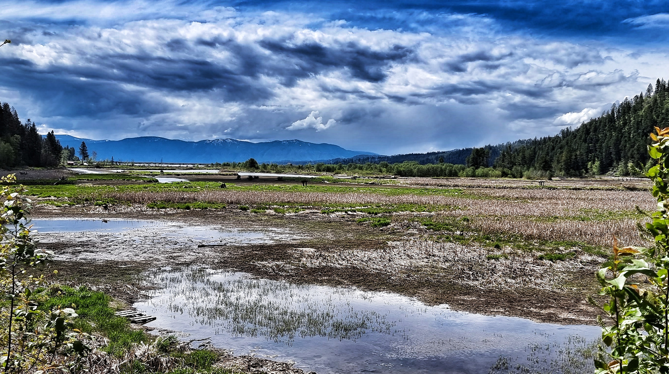
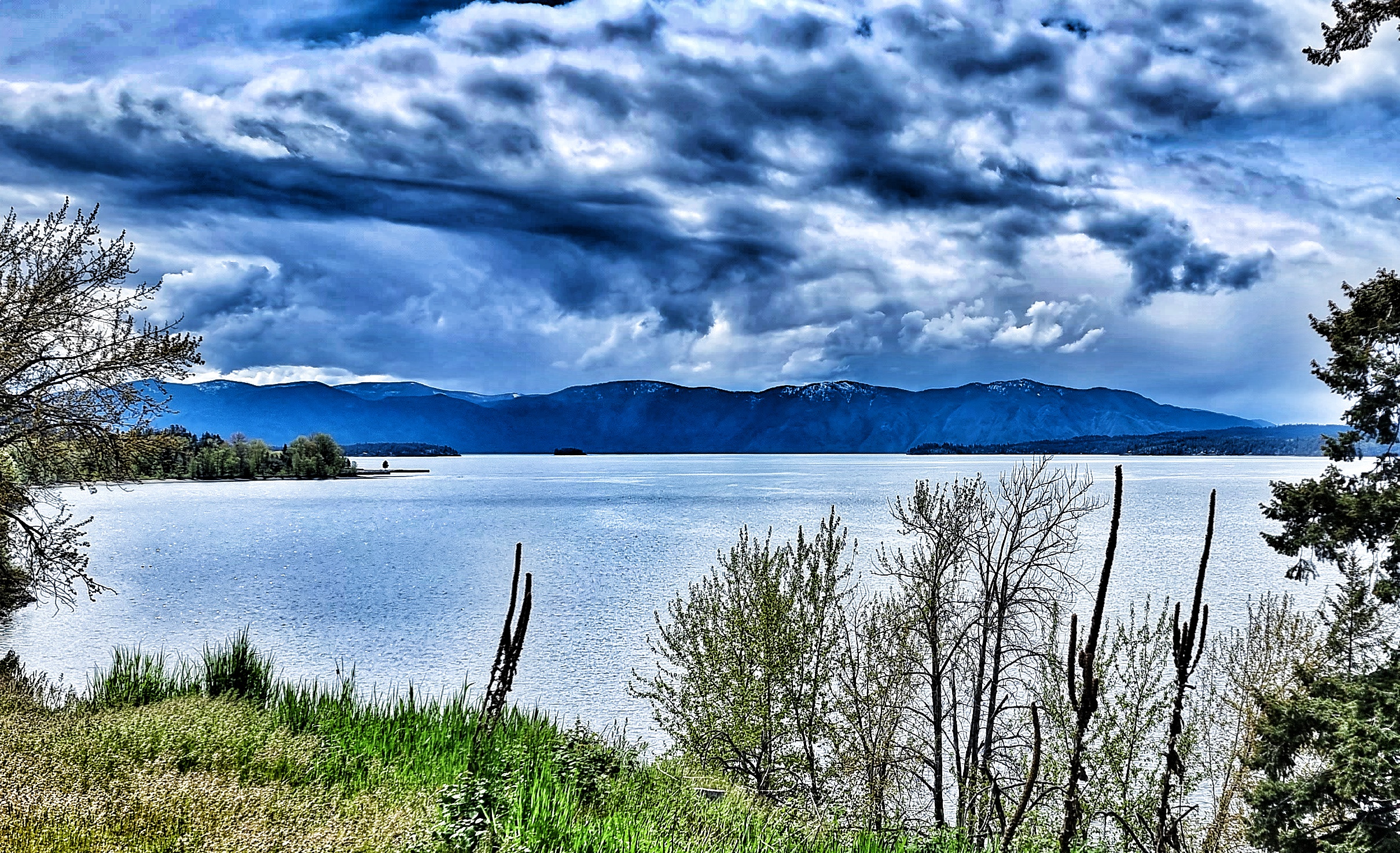
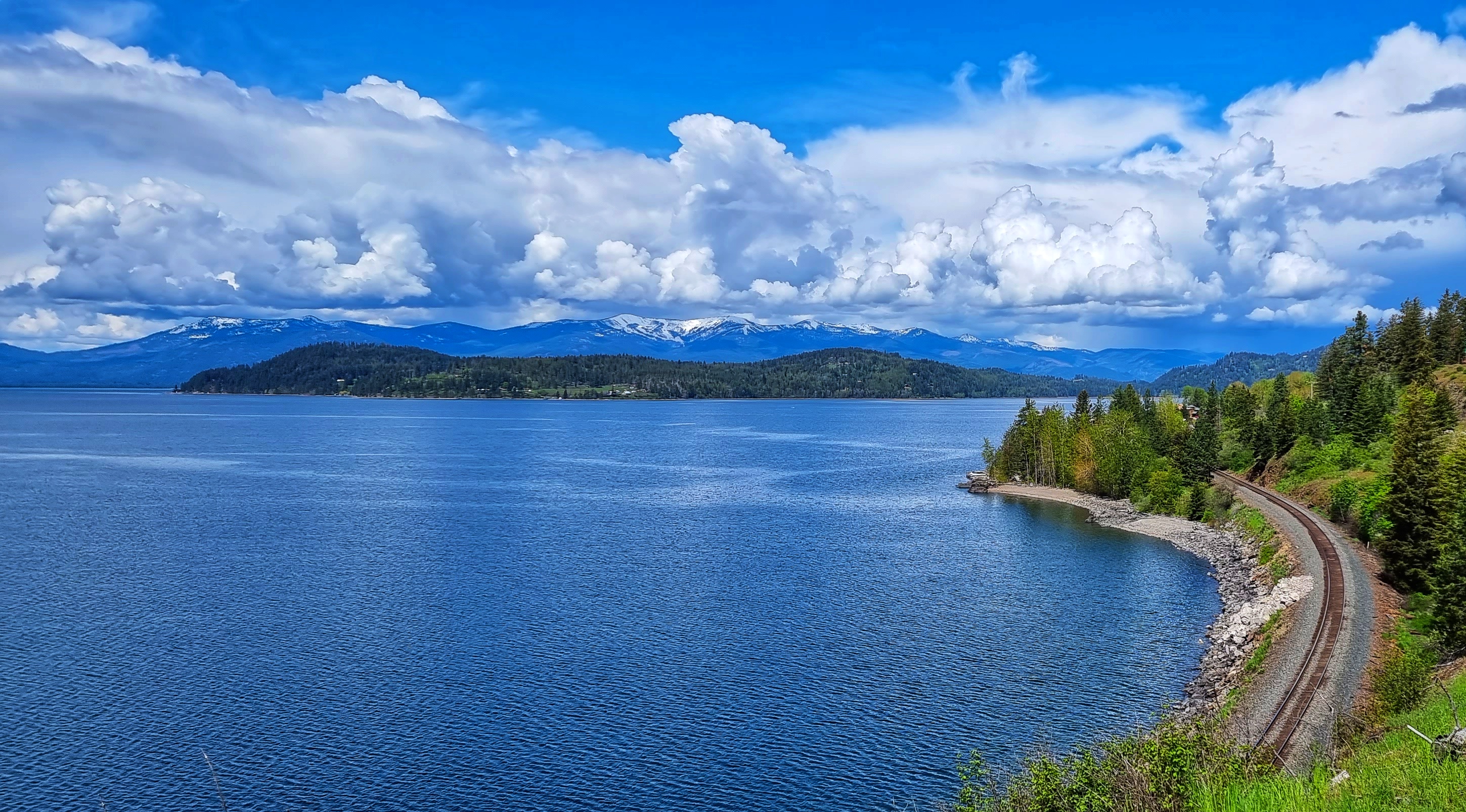
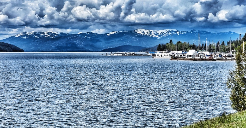
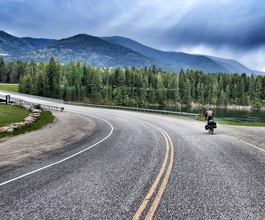
As we continued along ID200, we skirted the edge of the Pend Oreille Wetland Wildlife Management Area, where we passed over Trout Creek – it looked like a saline estuary seen in Cornwall, but we were 2,000 feet above sea level! Within a couple of miles it had become part of Pend Oreille Lake again – this is an enormous expanse of water, with a surface area of 148 square miles which makes it the 38th largest in continental USA. The lake is 1,148 feet at its deepest point & we have been following its coastline for 2 complete days!!!

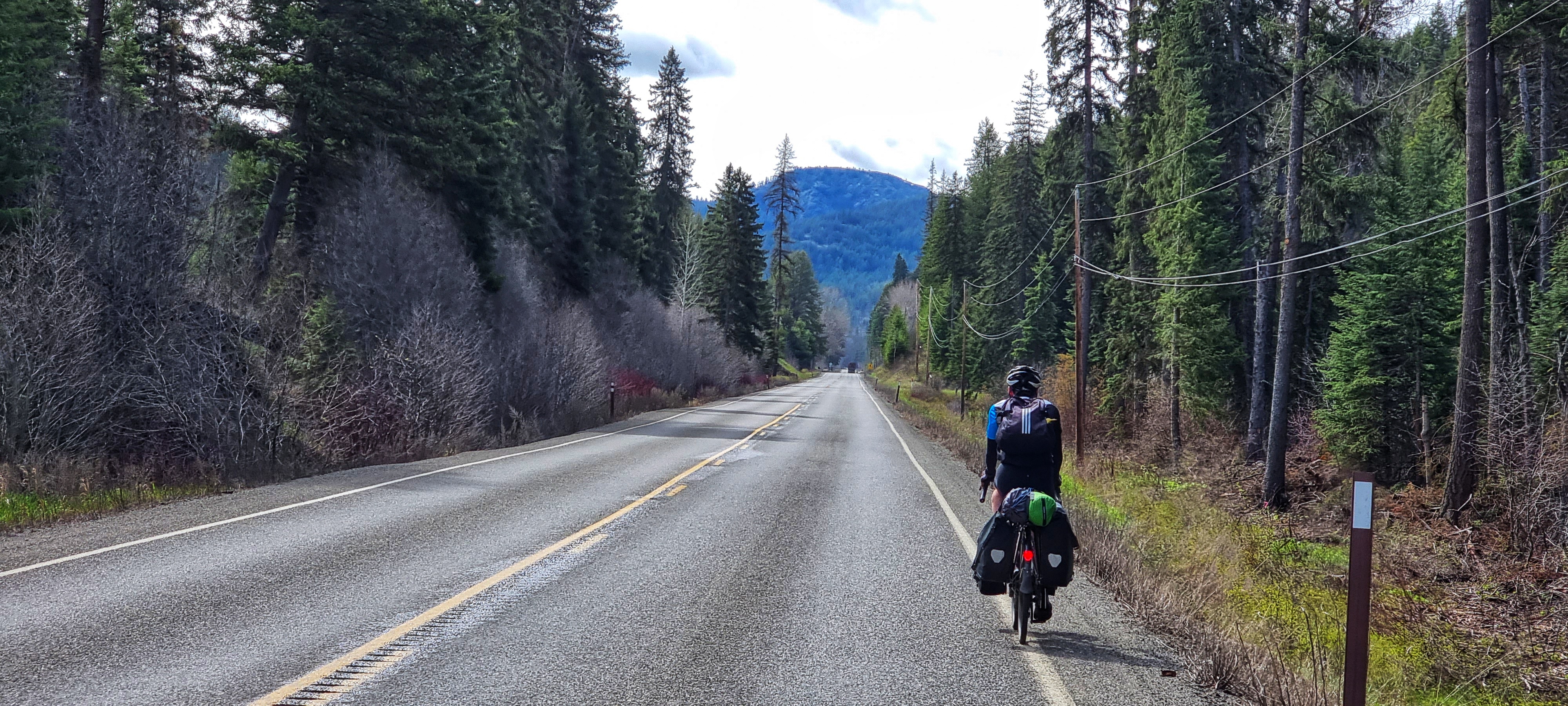
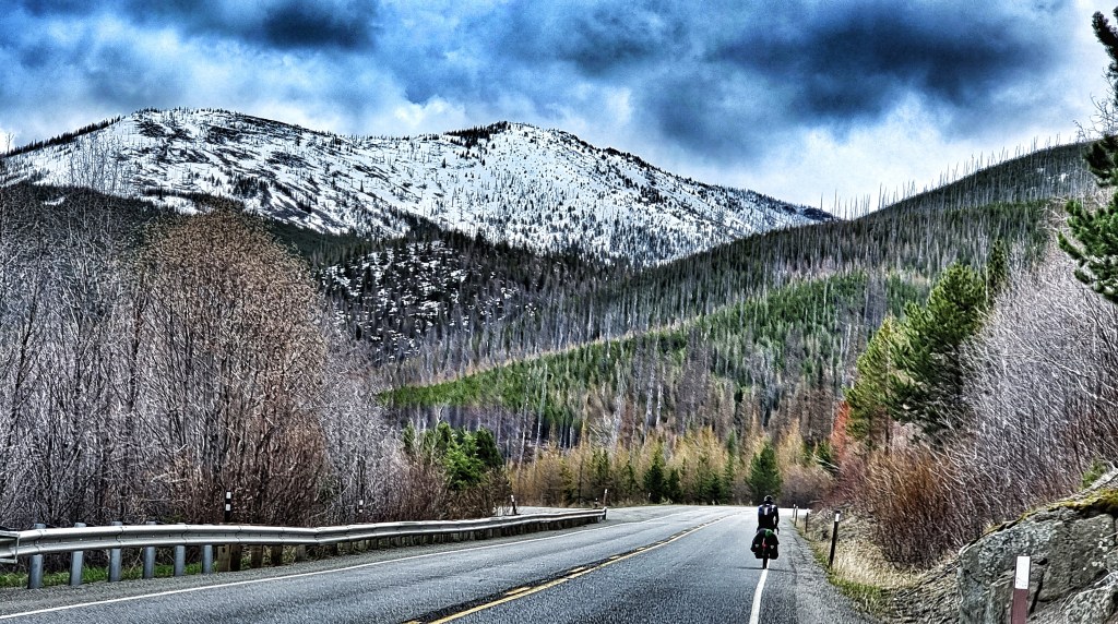
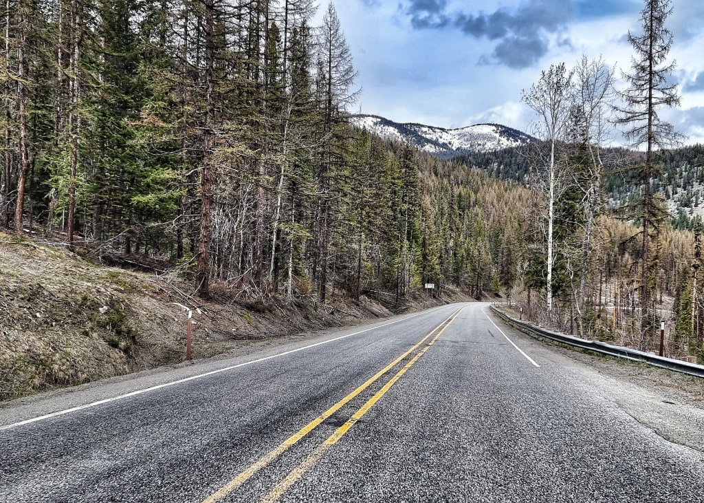
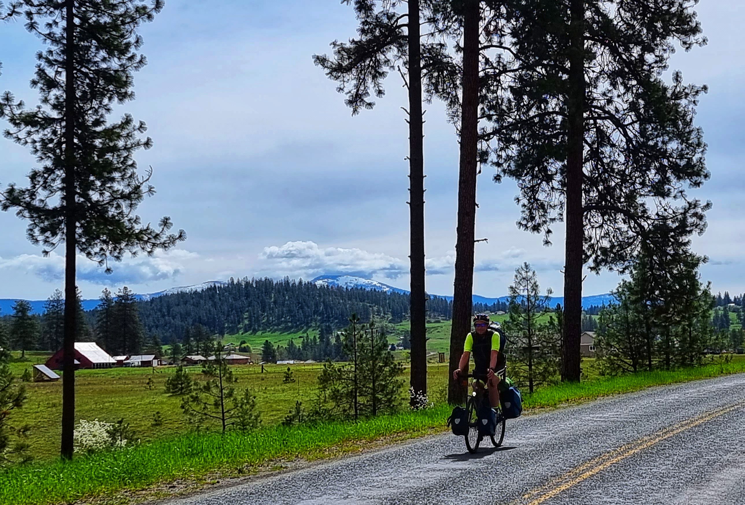
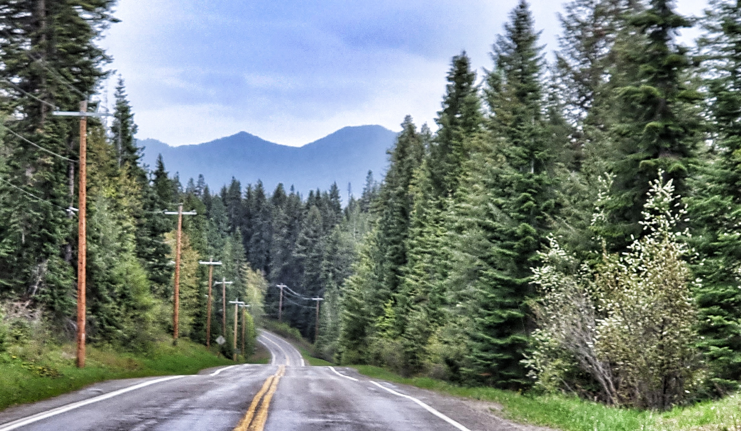
We continued to be surrounded by mountains on all sides as once again our route started following the railroad track. Good news, as it guarantees the road will be fairly flat!! I was once given sage advice to stop & take a look behind you every so often & see where you’ve come from – this applies equally to life & cycling & I made sure I took in the huge views behind us.

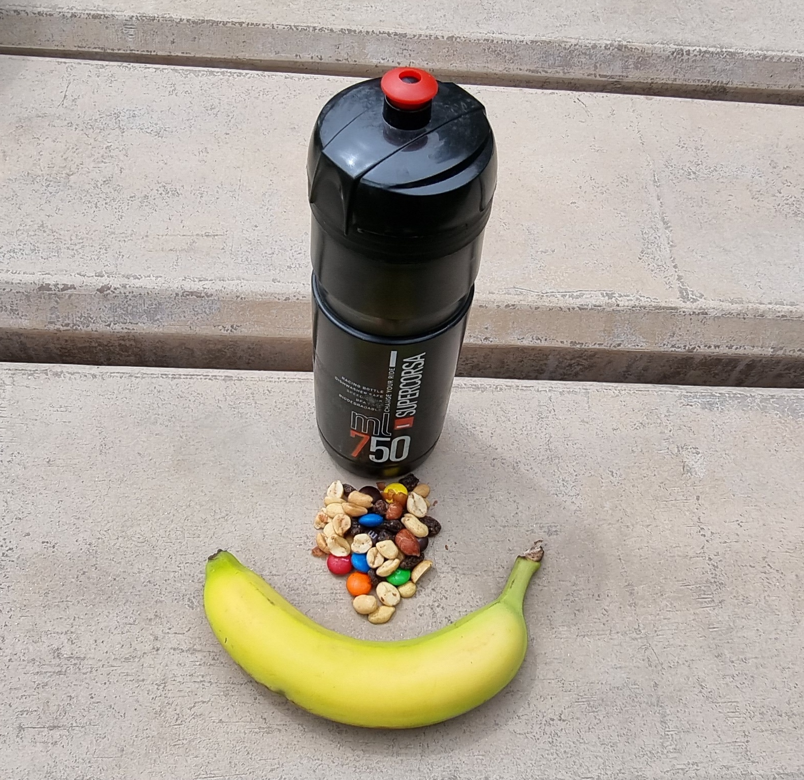
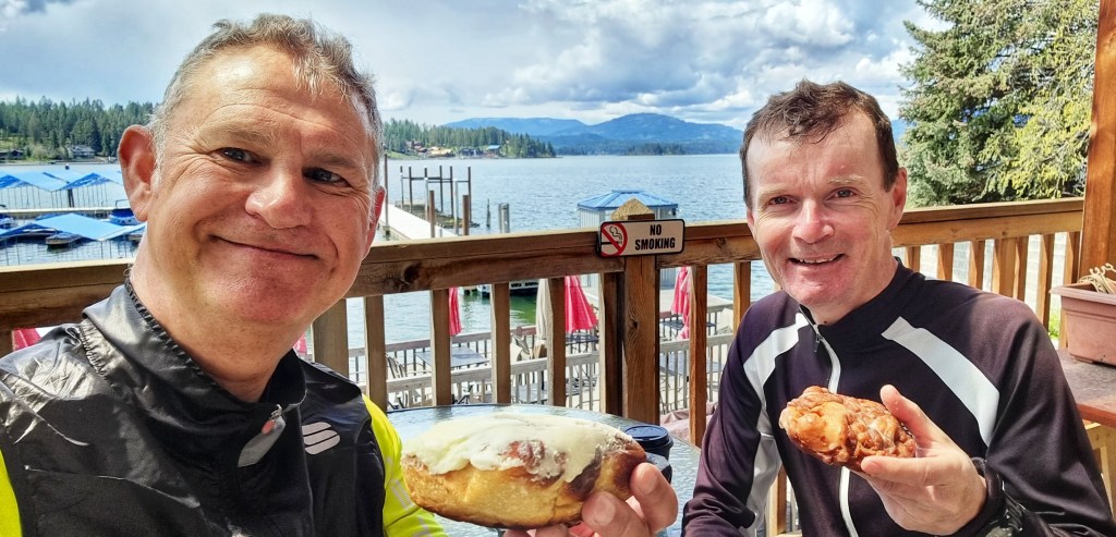
Taking in the big views & cycling is hungry work – we’re always on the lookout for coffee &/or cake stops, although now we’re in more remote locations they’re becoming as rare as hen’s teeth. I’m delighted to report I managed to sniff one out at Hope Marina, where we picked up some mementos for our bike boxes as well as coffee & cream cheese topped cinnamon rolls. I see this as essential refuelling, although some of my friends might just say I’m a cake fiend!! If we hadn’t found food here, I would quite literally have been beyond Hope – you’re welcome!!!

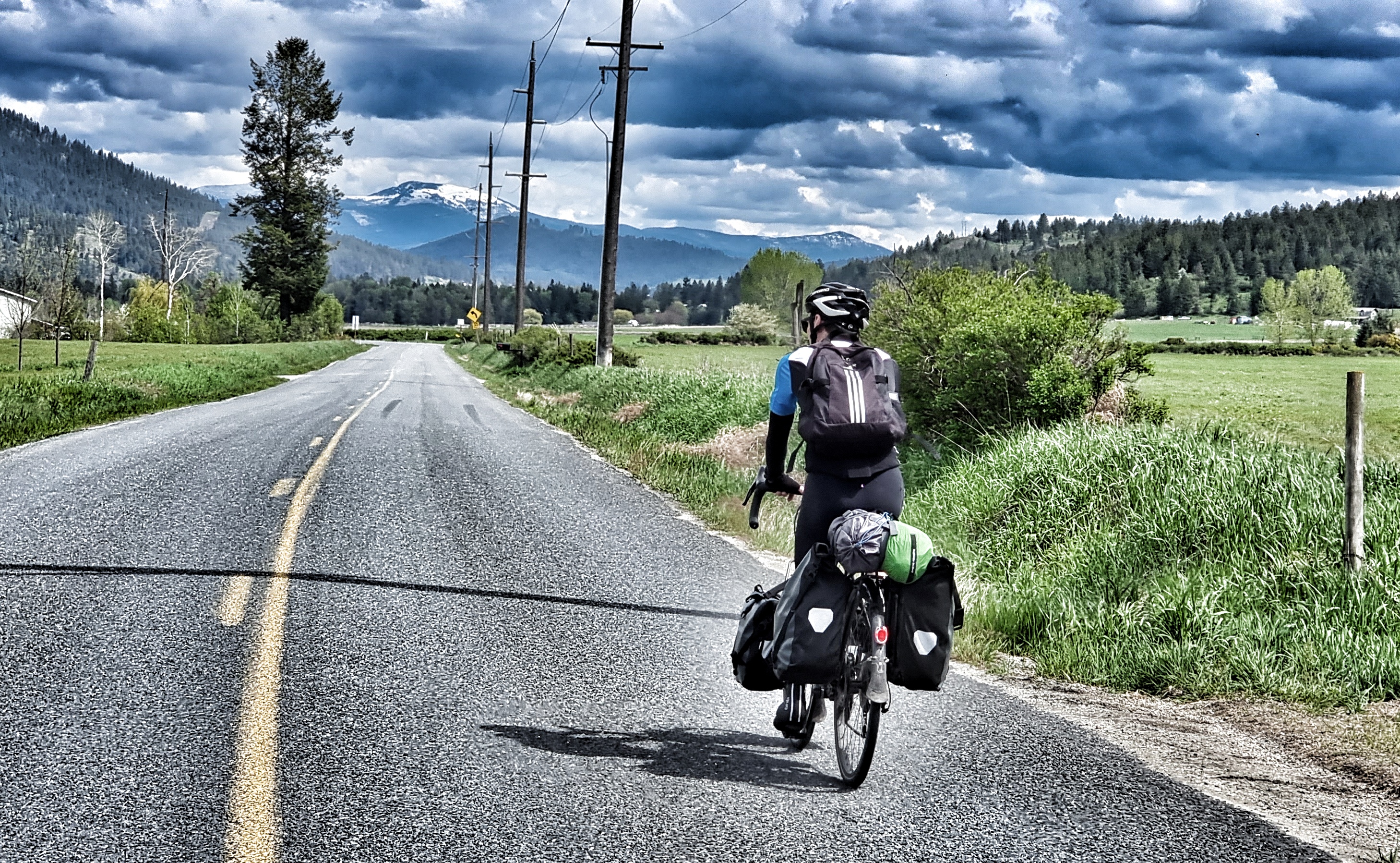
As we set off again, there were dark & angry clouds ahead of us. It very much looked like we might be racing the rain to reach our accommodation for the evening.

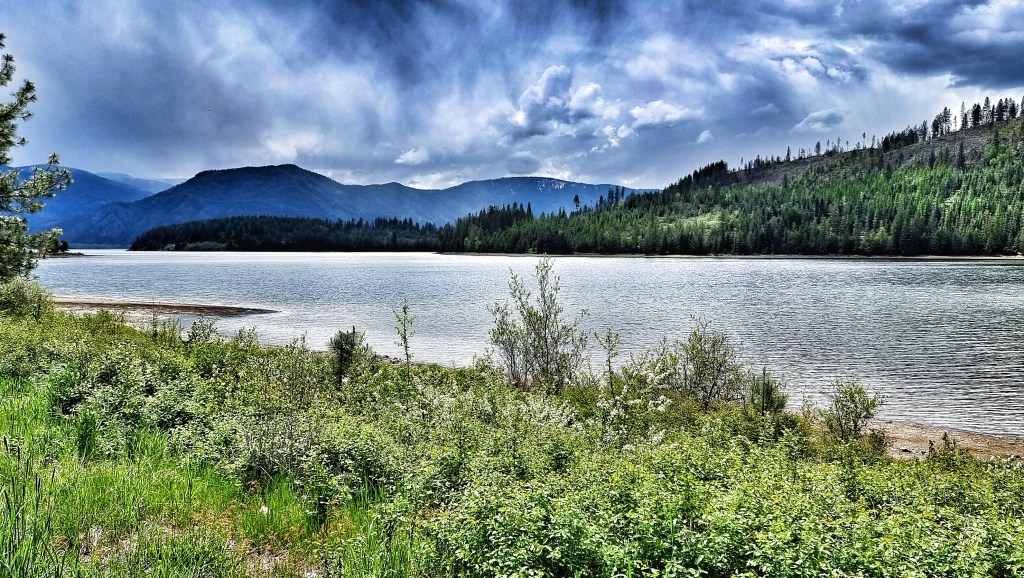
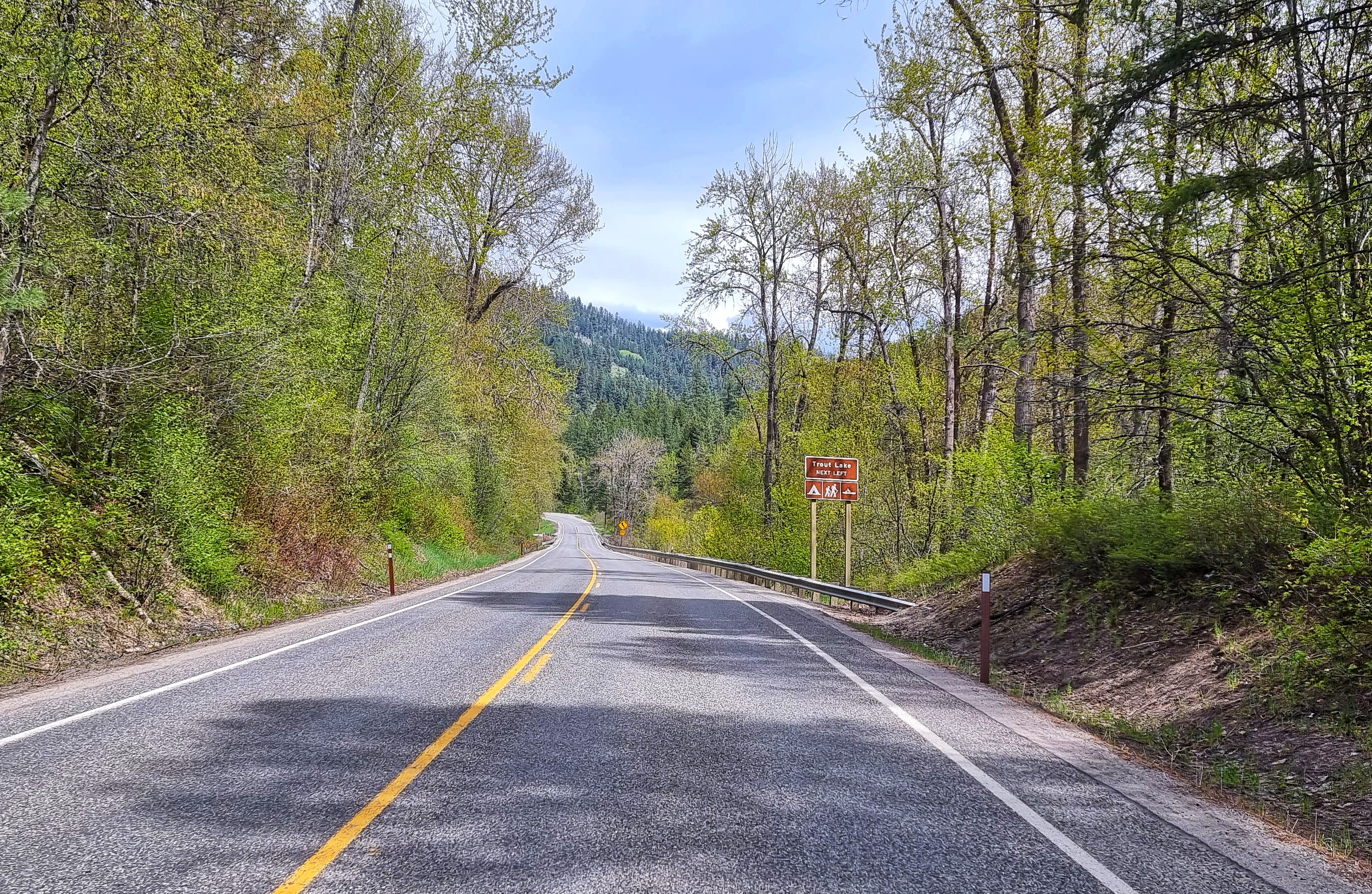
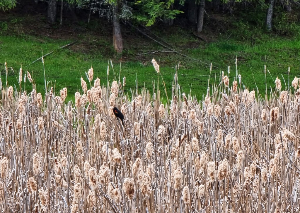
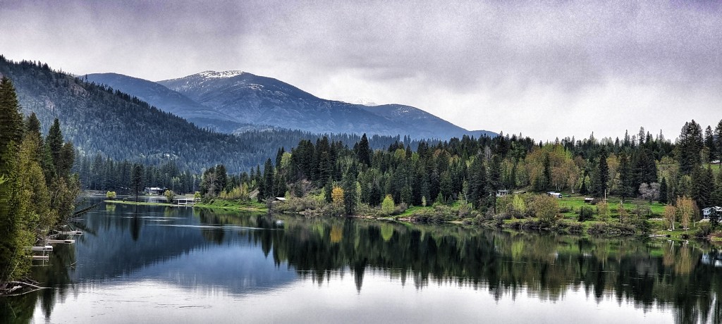
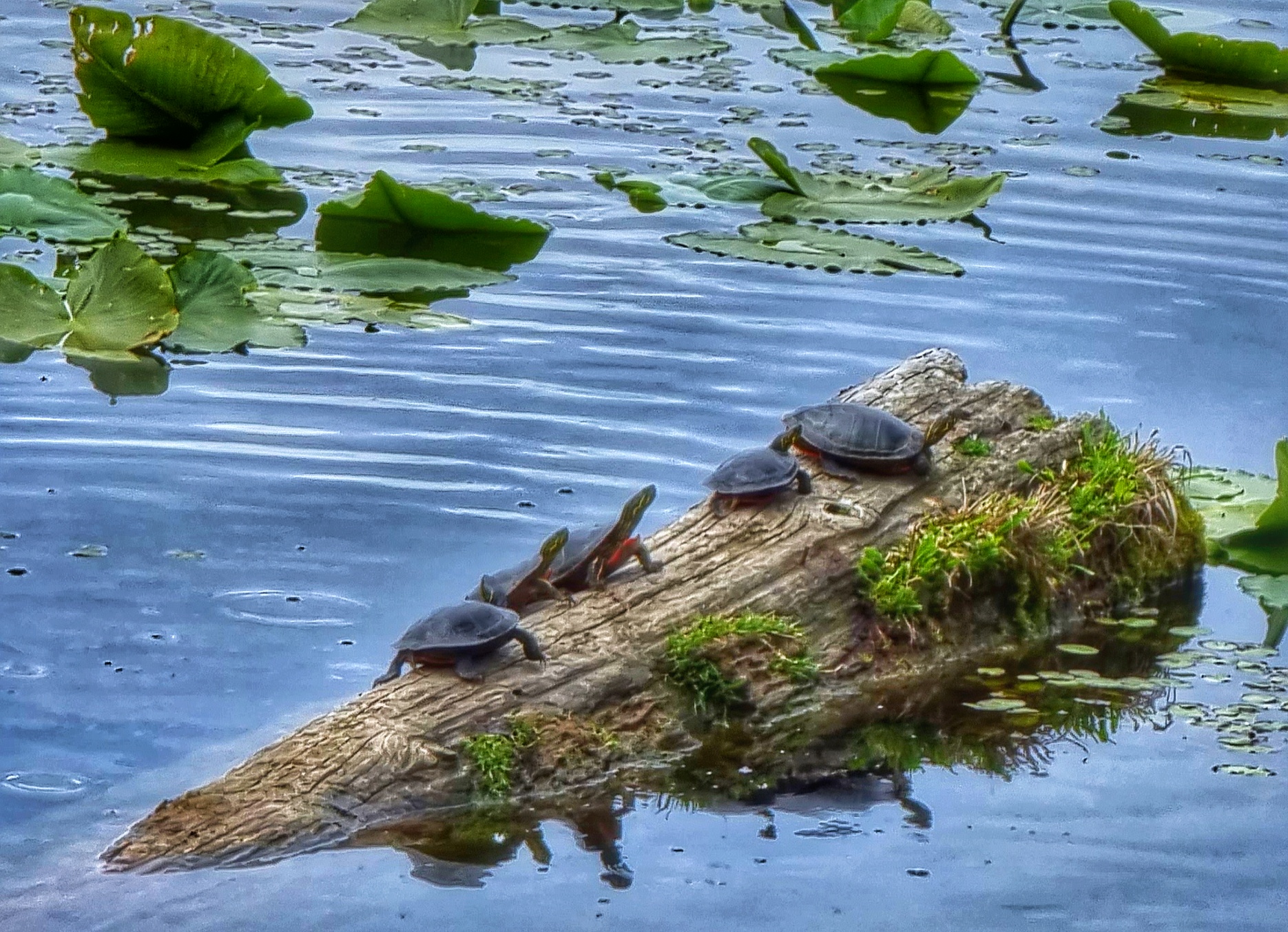
Turning inland, we left the lake behind for the last time & headed up the valley of one its tributaries, the Clark Fork Creek. Passing another wildlife wetland protection area, we saw a bale of turtles (a dole or nest is also ok!) sunning themselves on a log. As we passed there were 10 of them, by the time I’d clip-clopped back in my cleats there were only 5. We were also back in eagle territory as they soared on the thermals way above us.

The town of Clark Fork marked the start of another long section of tarmac that rose at a very friendly gradient, as it followed the course of the river. Although we didn’t realise at the time, this was one of only 2 places to cross the Clark Fork.

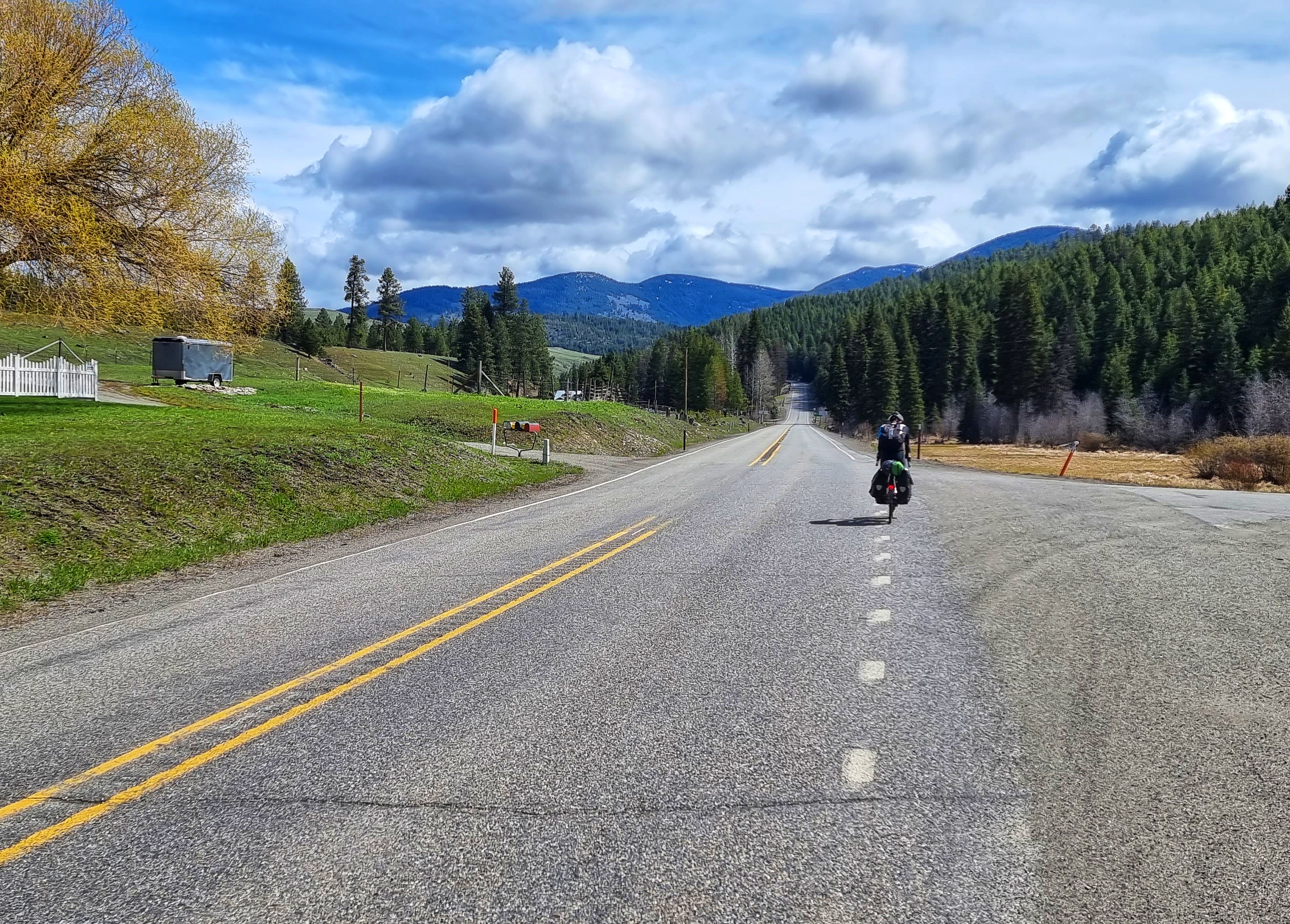
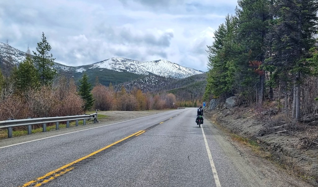
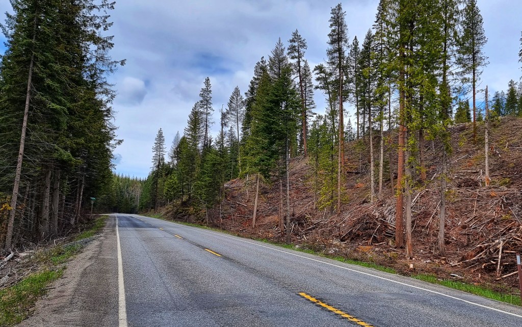
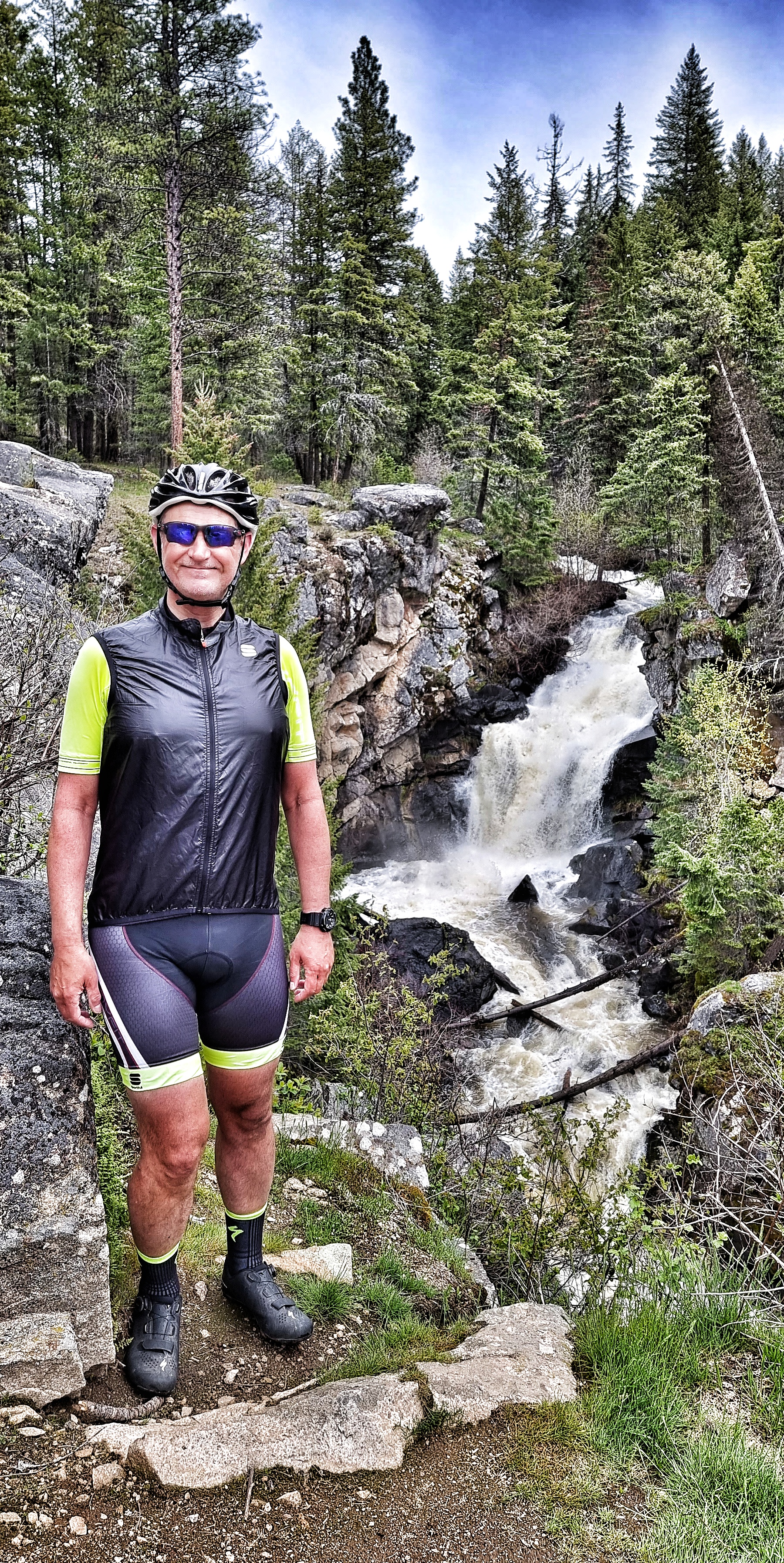
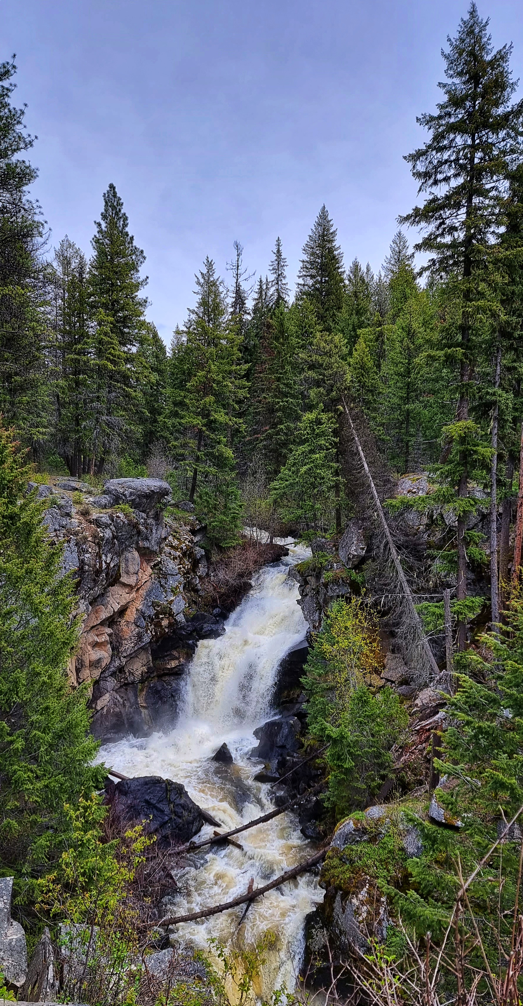
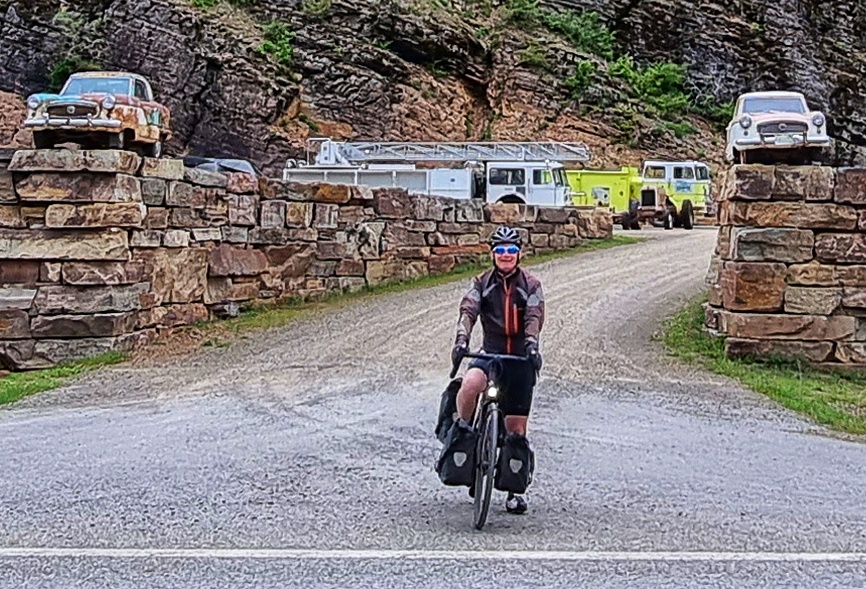
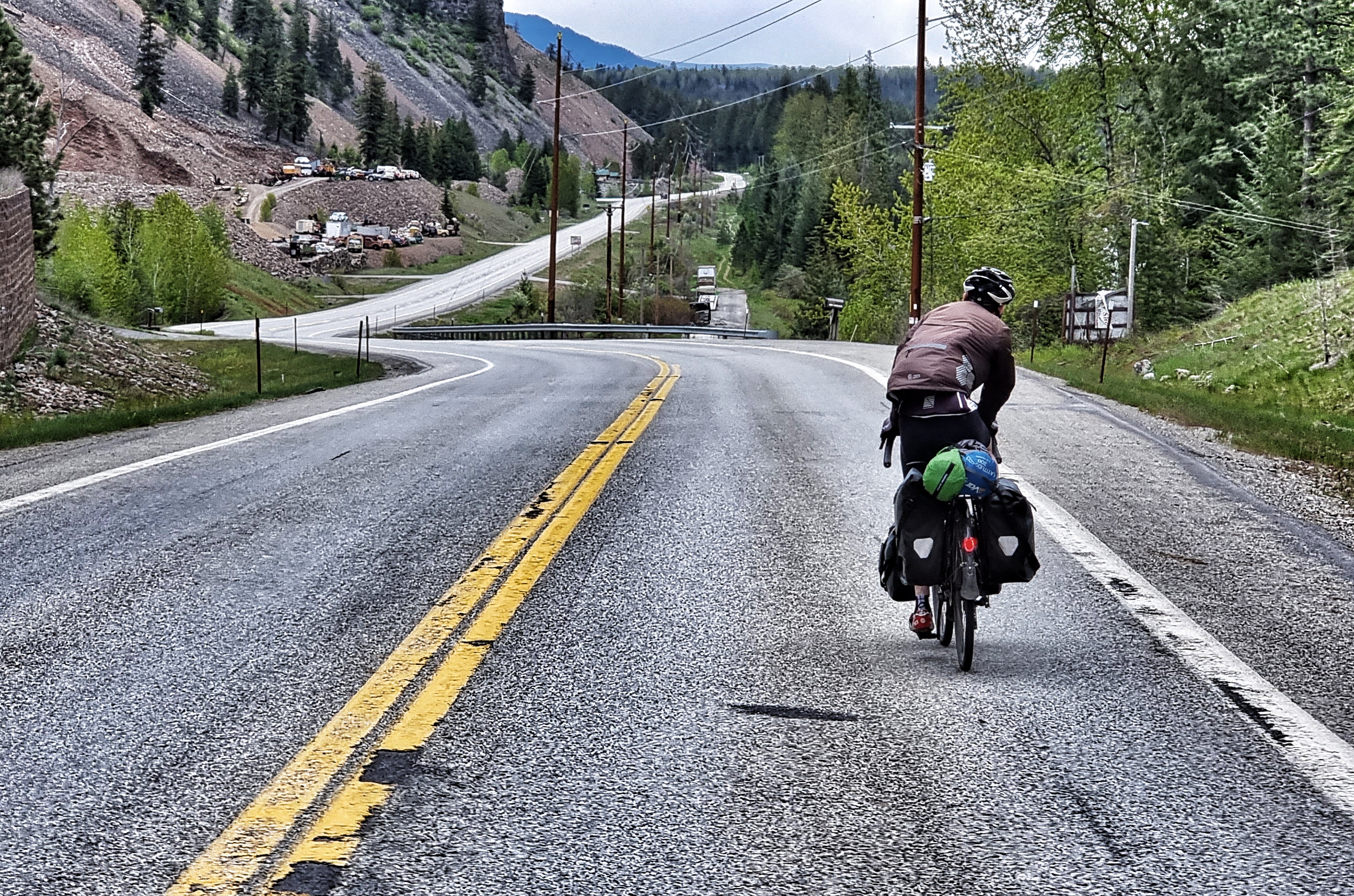
Continuing up the valley we encountered a few slate quarries & they all shared a common theme other than slate – they had collections of upwards of 100 ancient cars/trucks. As the road was climbing, it was compulsory that Sean sit on the front & set the pace as the road disappeared into the distance.

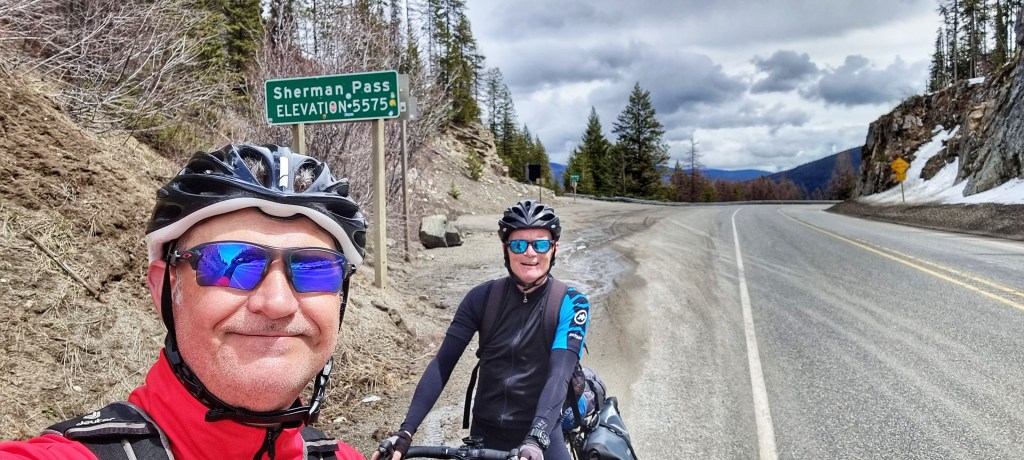
Today was a landmark as not only were we crossing our second State Line from The Potato State of Idaho into The Big Sky State of Montana, we were also crossing our first Time Zone as we passed from Pacific Time to Mountain Time & pedalled forward an hour in time.

At last we reached the turn-off to Heron – all that remained was to cross the Clark Fork, climb the early slopes of the valley on paved roads & then take a left turn up a gravel road to Amber Bear Inn, our home for the evening. The rain was chasing us & no sooner did we pull up than the skies opened & didn’t stop for the remainder of the day!

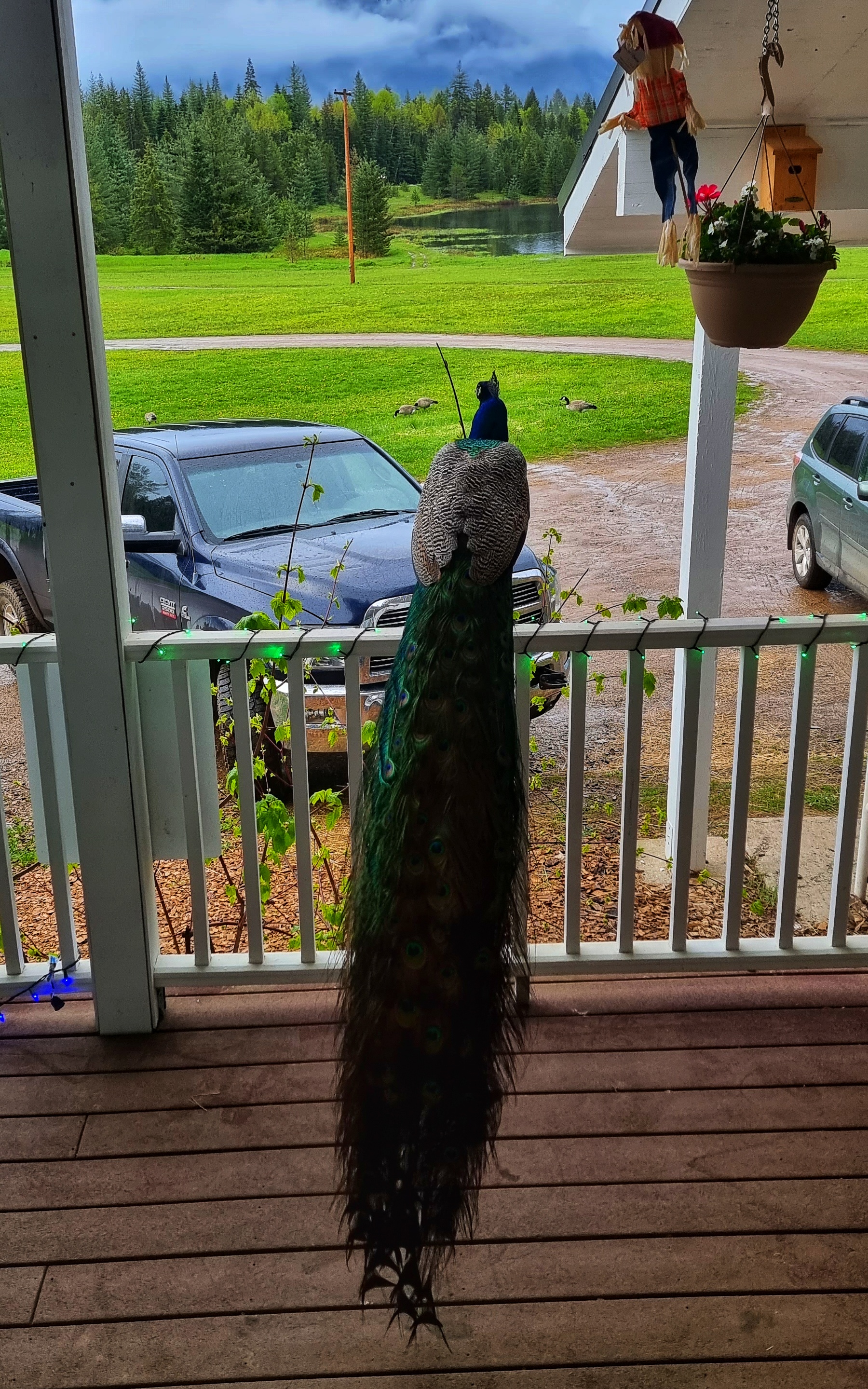
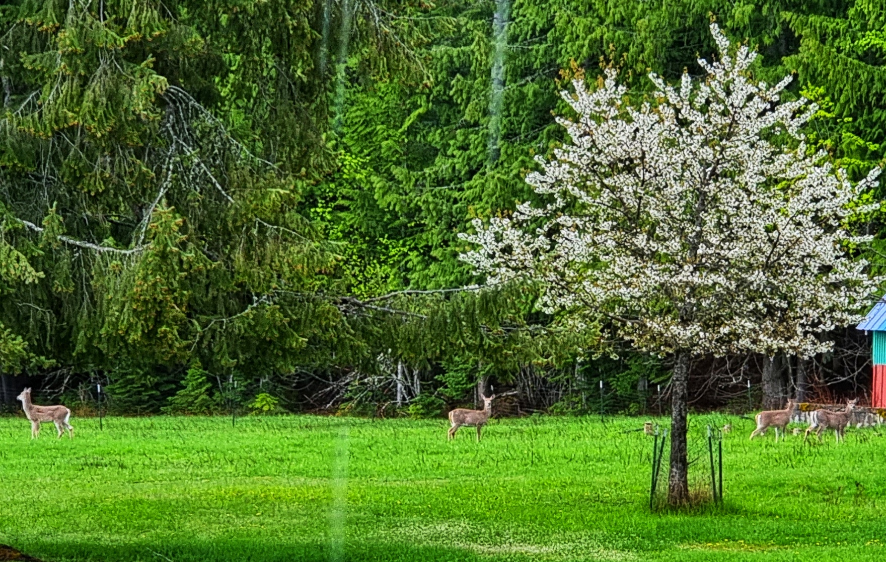
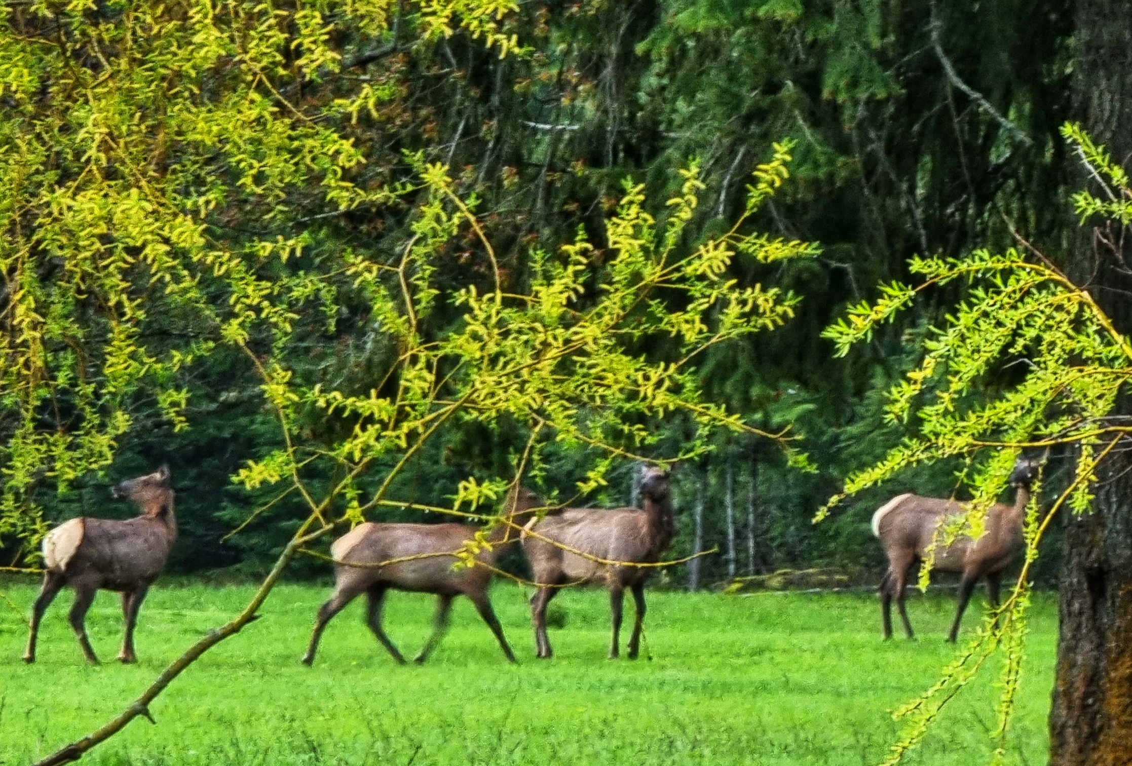
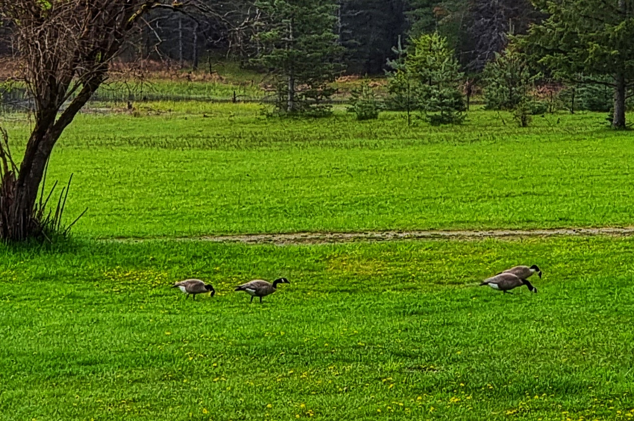
The Amber Bear Inn was an out of this world experience – when we arrived there was a pride (or ostentation) of 9 peacocks & peahens on the terrace. In the far distance we could just make out 5 deer grazing on the grass & a heron flying overhead. As if that wasn’t enough, later in the afternoon a gang of elk joined the party! Canada Geese also patrolled the lawn out front.

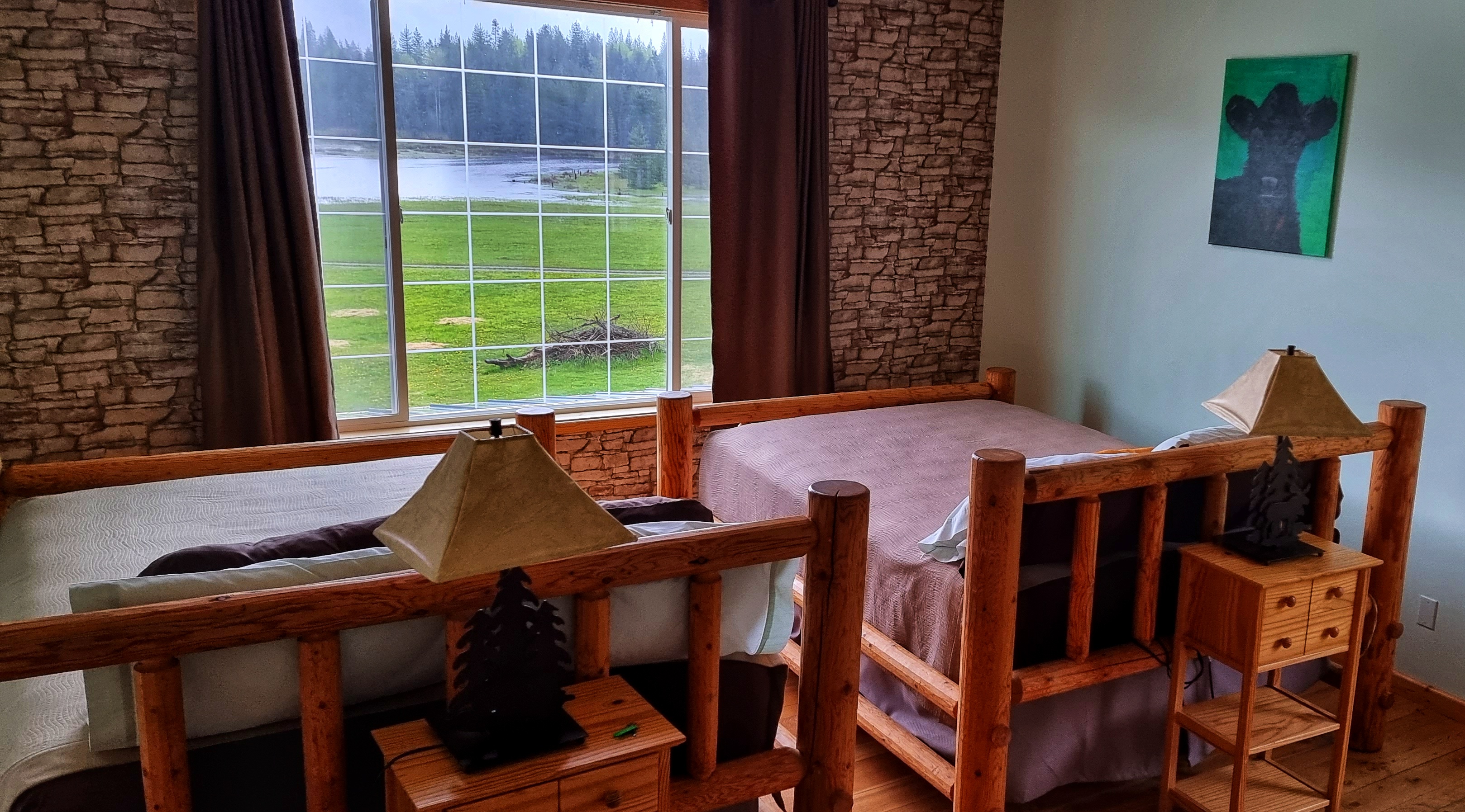
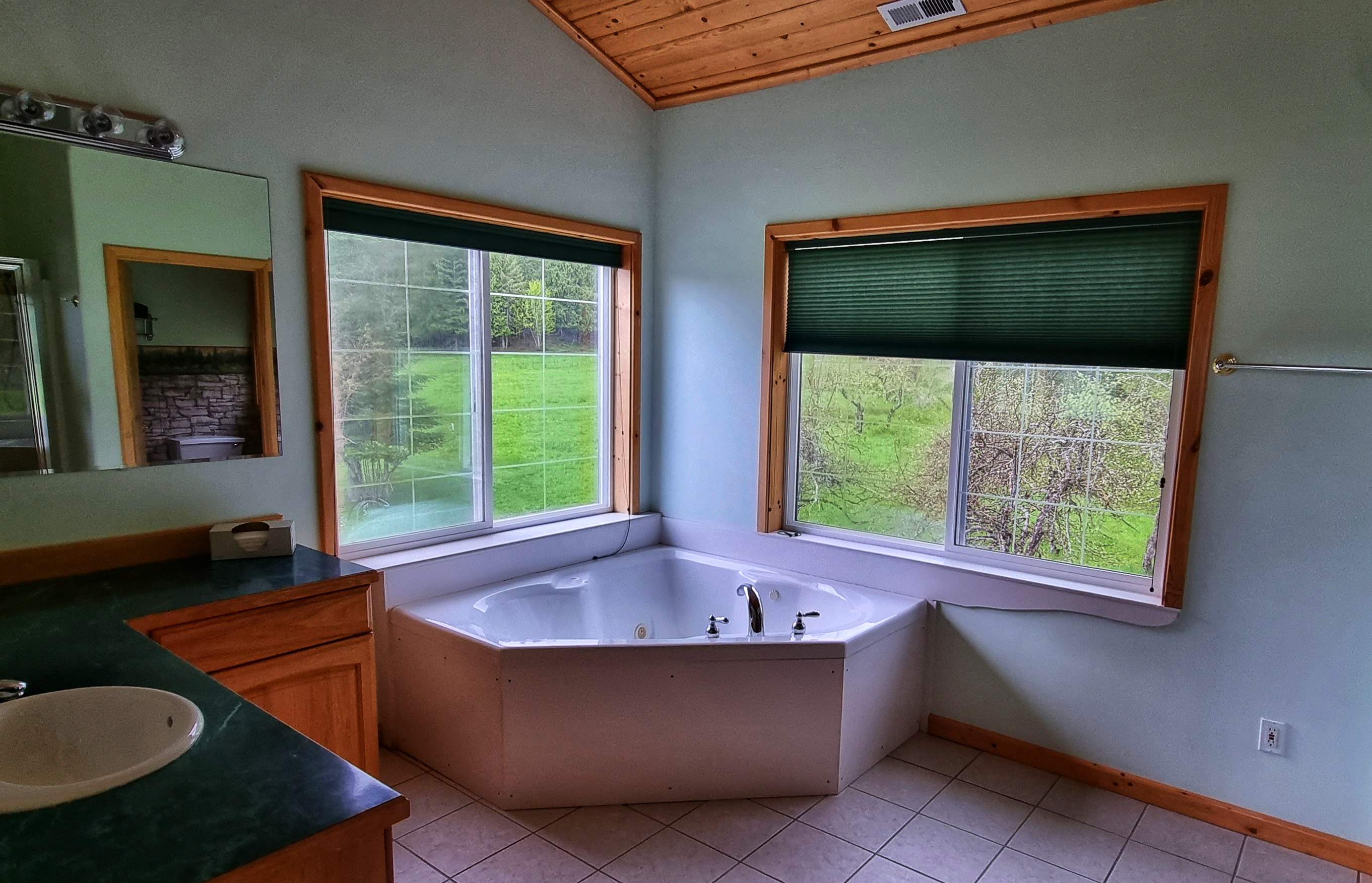
Mike & Cookie were superb hosts from the moment we walked in – our upstairs room matched the image of what a lodge in the African Serengeti would look like, it included enormous picture windows on two of the elevations, 2 huge king-size beds, a separate jacuzzi room & plenty of living space.

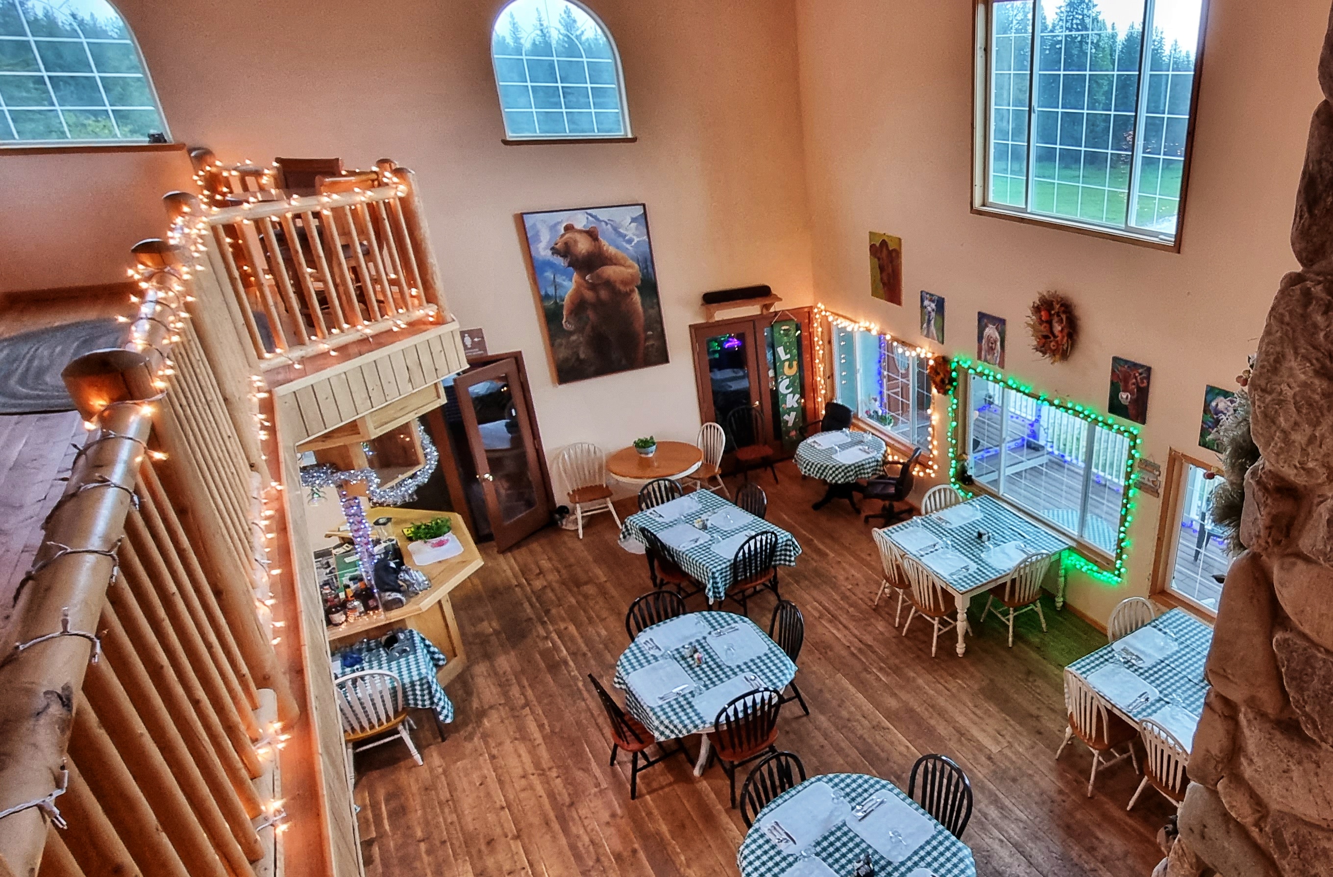
At dinner Jennifer ensured we enjoyed our evening meal of salad, ravioli & tomato sauce & my first ever portion of huckleberry ice cream – it won’t be the last!! We then sat with Mike for upwards of an hour as we learned about his life, including when the US Military took over the whole of the Amber Bear Inn to tackle an out of control forest fire – at one point there were 300 military field tents of various sizes on his grounds & they served in excess of 16,000 meals in a 2 week period!!

We also learned survival techniques in case we meet an elk, moose, mountain lion or bear – we’re now a bit less keen to have an up close & personal experience with any of them!! Mike, Cookie & Jennifer – thank you for making this an experience I’ll treasure for many years to come!

Stage Stats – 44 miles, 1,634 feet of climbing. A rolling day that began under blue skies that became overcast as the day progressed. Second state line & first time-zone crossed.

Republic to Ione

One More Mountain To Climb – Sunday 15th to Tuesday 17th May

Sunday 15th May – Rest Day

After a night on the tiles (we got back to our hotel about 1am), we were both grateful for a rest & recovery day. As I poked my head outside to test the temperature, the Fire Service were testing their equipment & hosing down the streets.

We met at about 9.45am & headed for brunch at 18 North Kitchen, enjoying a variation on scrambled eggs that looked & tasted delicious. On the way into town yesterday, we’d spotted a fossil museum, so we decided to pop in for a nose around. Gabby (who by her own admission was aptly named) talked to us for about 10 minutes about her role in both the museum & the historical society of Republic – it’s always a pleasure to meet someone who’s passionate about their hobbies.

Our next task was laundry – not one of my favourite jobs, but one that is essential when you only have 3 sets of cycling equipment & infection is your enemy. I updated my daily journal while waiting for our kit to run through the wash & dry cycles. The excitement of a long distance adventurer!

I went for a look around town in the afternoon to learn a bit about how Republic came into existence – it’s a late 1890’s gold prospecting town (our Motel is called the Prospectors Inn & has a replica wagon outside) that became a hub for all the services needed to run the gold mines.

With the exception of cars replacing horses & wagons, the town has retained its original look & feel. The Northern Inn is one such example. Built in 1903 to house the workers of The Northern Railway & Stagecoach company & to all intents & purposes looks the same as it did over 100 years ago, although the materials have been updated. The Wild West Farm & Garden Centre has taken a similar approach – it was easy to imagine the town as it must have been in those early years.

At the edge of town I was wandering along minding my own business when I spotted a deer sat in a garden, not 15 feet away. It sat there looking at me as if it didn’t have a care in the world, before calmly standing up & walking away – not the first time that’s happened to me!!!

Sean & I met up later to do some essential admin & planning – the end result was a plan for the next 3 days of riding which will take us from Republic to Sandpoint. We also researched accommodation options & phoned up a couple to book rooms – hopefully we’ve made some good choices!

We bought dinner in the local supermarket & sat in my room eating it, while watching more deer wander around the lawns at the end of the hotel property. After 5 back to back days of challenging riding, this R&R day was very much needed to recharge the batteries. It also gave us a chance to meet a few people & learn a bit about the town.

Monday 16th May – Republic to Colville (Stage 14)

We were up bright & early, knowing our office today was going to be the mighty Sherman Pass, the highest Pass in Washington to remain open all year. Setting off beneath overcast skies, we’d again beaten the weather forecast which had predicted rain until lunch time. Leaving town at the 303 Mile Marker, we took a left onto a cycle path (also used by roller skaters, skiers, walkers & All Terrain Vehicles) which kept us high above the road below, giving beautiful views across the valley to the mountains beyond.

We re-joined the SR20 after about 5 miles & the climbing started immediately at a fairly consistent 5%. Very early on I established that I had heavy legs, in spite of the rest day – this is a bit of an occupational hazard, sometimes a day off fixes sore legs, sometimes it doesn’t! We were still in the Colville National Forest, as the tarmac weaved through the giant pine trees. Every now & again we’d emerge from the forest & see the big mountains were getting ever closer.

As we reached White Mountain Fire overlook the road opened up, offering views straight up to the snow peaked mountains – these look so much more impressive than their snowless cousins. We also saw the first signs that we were approaching the snowline. At times I was in awe of the natural majesty of the surrounding scenery.

It took 2 hours 50 minutes to cover the 20 miles from our hotel to the summit of Sherman Pass, where we stopped for a customary photo of the sign. This is the highest Pass we’ve conquered so far at over a mile above sea level, but there will be bigger beasts to wrestle later in the adventure!

While Sean was getting himself ready for the descent, I took a few moments to capture my thoughts on the climb & the downhill yet to come.

Sean set off first which gave me the opportunity to follow & get an action shot as he approached one of the many gentle curves – this was a cracking descent, as the road regularly opened up to show the surrounding views. A combination of the shallow gradient & gradual bends ensured that there wasn’t any need to brake on the entire descent.

As we plummeted downhill, we started to follow the course of a creek & as it tumbled down the mountain it created small waterfalls along the way. At times it felt as if the road was never going to end & after one of my many photo stops I found that Sean was completely out of view as he’d carried on riding!

Sean doesn’t know this (until he reads it here), but I ended up chasing him down the mountain for almost 15 minutes as I gave it a ‘full gas’ effort to catch him up!!! I’d originally stopped to take a photo of the forest after it had been harvested by the loggers & in the 3 minutes or so I was stopped, Sean was well over a mile down the road.

As we reached the lower slopes, we started seeing signs to various trailheads & campgrounds – this would be a superb place to spend the night once the temperatures pick up a bit. By now the creek had grown in size & we soon went in different directions, as it headed through a steep gorge on it’s way to the larger rivers below.

As the road flattened out, we turned a corner & Lake Roosevelt was laid out in front of us. It was created when the Grand Coulee Dam was built across the Columbia River in 1941 & was named after Franklin D Roosevelt who was President at the time. The lake extends 150 miles up the valley from Grand Coulee Dam & has created over 600 miles of coastline. We crossed at one of the few bridging points across the lake at Kettle Falls, took an immediate right turn & then had a fabulous view back to the road & railroad bridge behind us.

We were on a quiet backroad, so were surprised to see a few logging trucks pass us until we saw the humongous timber & wood processing site in front of us – it’s stretched for over 1/2 mile & was stacked with what must have been millions of tree trunks. As the road bore left, we had our last fleeting views of Roosevelt Lake & headed inland though a pine forest with lots of colourful vegetation – perfect for staging an action photo!

We’ve really enjoyed the backroad options (more about how we found them tomorrow), as we’ve had the roads to ourselves & have got to see more nature, scenery & how small-town USA lives & is set out than if we’d stayed on the more busy State & US numbered roads. Heading through the quiet streets of Kettle Falls, we passed a small hydro-electric facility that looked like it was specifically for the local community.

By now we were only about 10 miles or so from our stop for the evening, at which point our nemesis “The Headwind of Hurt” blew into town & tested our physical & mental fitness! What should have been enjoyable & relaxing roll into town became just that bit more difficult as we were on roads that were exposed to the elements. The views to the mountains in the background gave us something to focus on, rather than our sore legs!

It was another wonderful day in the saddle & as we reached our motel we were ready to chill out & relax. Where we were staying in Colville was a big disappointment (our only one to date), the room was tiny, the floor was concrete, the walls were cinderblock – Sean summed it up best when he said “Gav, we’re staying in a bloody prison cell for the night!”.

I don’t think it’s fair to name where we stayed, as the people themselves were really friendly, nice & tried their best to help us – we’d simply chosen somewhere that didn’t fit our requirements.

Stage Stats – 57 miles, 4,354 feet of climbing. A Hors Category climb (the highest point so far). A rapid descent followed by a rolling finish to the stage.

Tuesday 17th May – Colville to Ione (Stage 15)

We were up early to the dulcet tones of Mr MacKay shouting “Fletcher, Godber, up & out your cell NOW!!!” – I jest! We headed up the road for a coffee at 9am – today is the first anniversary of Dad passing away, so I phoned Mum for the first time since I’ve been in the USA. It was lovely to catch up & find out Mum had a phone call from Ally (my brother in Cambridge) earlier in the day & had also gone out to the Forest of Dean with Greg & Nikki (my brother & sister-in-law in Bristol) for the day. We used to go there as kids & we all have great memories of the times we spent there.

We were riding by about 9.30am & headed through small residential streets as we climbed uphill right from the off. The road went up in steps – a steep ramp followed by a flat section – for a mile or two, before we left town behind & set off through farmland. At one point we passed an old barn that looked like it had a smiley face on it!

I mentioned yesterday that we’d been taking quiet backroads wherever possible & this feels like a good chance to explain how we found them. I joined the Adventure Cycling Association back in January, while I was planning our route. I bought about 15 cycling specific maps from them – at the moment we’re on Map 1 of the Northern Tier & without exception, their directions & deviations to get us off busy roads have been first rate.

We were gradually making our way across country to join the SR20 – along the way we passed a few lakes & as we passed one we could hear some birds warbling so stopped to see if we could see what was making the noise. As our eyes adjusted we could make out a number of predominantly black birds with flashes of orange on their fronts perched on the bulrushes. Research suggests they may be American Redstart Warblers, but if you know different, please let me know!

The road continued to gradually rise as we re-joined our old friend the SR20 (we’ve been following it on & off since Port Townsend on Stage 1). Over the past couple of weeks it’s delivered a number of scenic treats & today was no different.

We had the road to ourselves as we passed Starvation Lake (no coffee & cake stop here!) & climbed the ridge with great views of the mountains as they extended into Canada.

We knew it was unlikely to find anywhere for coffee today, but we were on the lookout for somewhere to stop & take a brief break. We saw a sign for a scenic viewpoint up ahead, so decided to give it a try. Crystal Falls was an absolute gem of a find & we enjoyed a few minutes absorbing the view & sound of rushing water, as well as enjoying a trail mix boost!

We continued on our way through the Colville National Forest, with large pine trees on either side of us. On rare occasions we’d get more views of the mountains ahead of us. There were trails, creeks,lakes & campsites in all directions & then out of the blue we saw a coffee stop!!!

Beaver Falls Lodge is set around Gillette Lake & the staff were stocktaking & getting ready to open for the upcoming Memorial Day bank holiday. They very kindly put on a pot of coffee for us & opened up the terrace so we could see the views for ourselves – yet more very generous locals. On the off-chance that they see this, A BIG THANK YOU from the two Brits who passed through!

In what we decided to dub ‘The Golden 15 Minutes’, we saw a convocation of eagles (there were 7 in today’s show), as well as 3 separate sightings of deer. This is nature heaven & we were in our element as the mountains continued to get closer. As if that wasn’t enough, I found a way of including my Worky Wife in today’s blog – Kate I hope Leo likes his sign when you read him tonight’s story. I’m still on the lookout for something Jacob related!

We finally reached the summit of the ridge & I saw a sign to make my heart soar – a 6 mile descent at 6%!!! Perhaps the mountains might finally show themselves…..I’ve fallen in love with snowy peaked mountains & they delivered again today!

We reached the small town of Tiger & turning North, saw a sign saying we were only 25 miles from the Canadian border. Our destination for tonight was now only 5 miles away – the small town of Ione (pronounced I-Own) is set on the Pend-Oreille river. You might just spot the osprey in the first photo below if you look carefully.

A military veteran owns a block in town & we visited the gas station to check-in & pick up our key. Once again, the people we met were incredibly friendly & genuinely interested in our adventure. We were just getting ourselves organised to head to our room for the night, when someone ran out of the gas station. Emmet came & introduced himself & asked our names, then said that we were the first people from the UK he’d ever met. It was a truly heart-warming moment.

Emmet suggested we take a few minutes to visit the local park which was only a short way from our hotel room – I’m so glad we took his advice, it was such a peaceful spot that provided the perfect end to the day’s ride.

Our room in Porter’s Plaza Motel was exactly what we needed after last night’s Cell Block H shenanigans! There was lots of room for us, our kit & our bikes, while the supermarket was right across the road for dinner & breakfast supplies. We sat on the balcony watching the sun go down as we enjoyed homemade cheese & turkey sandwiches!

Stage Stats – 43 miles, 2.618 feet of climbing. A rolling stage with a big descent to end the day.