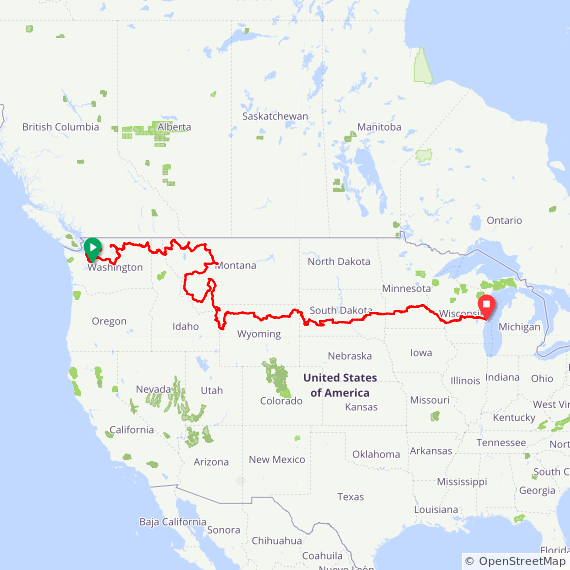
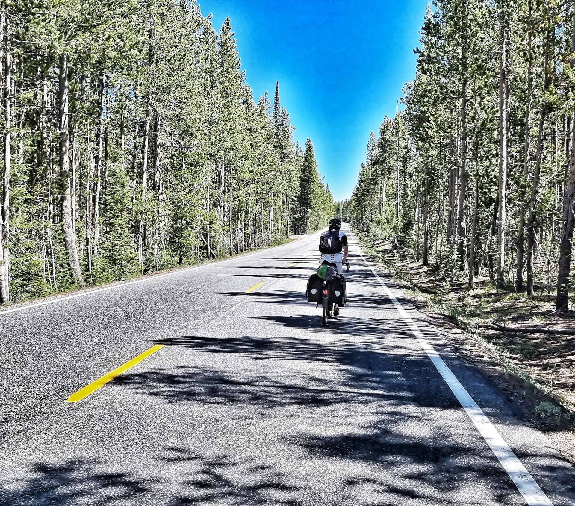
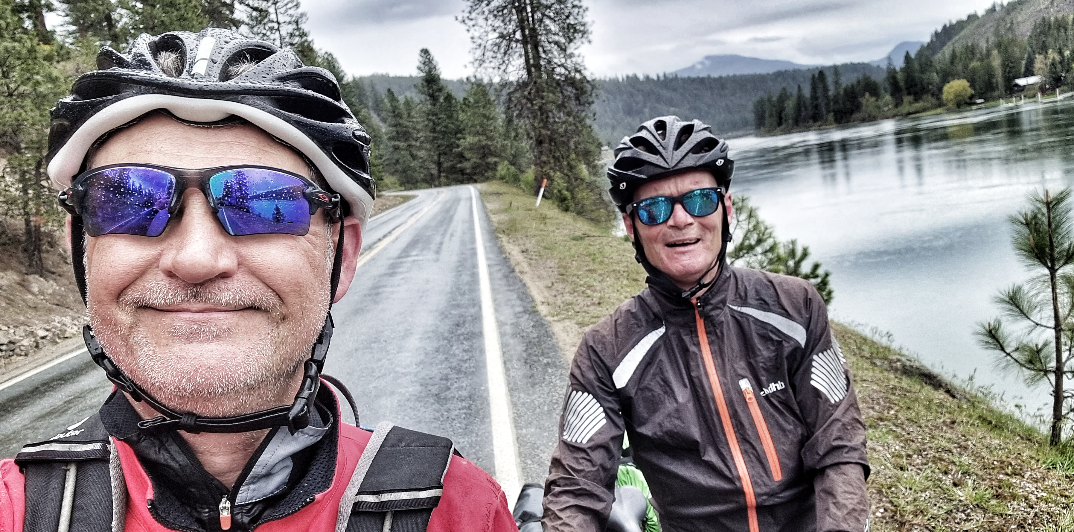
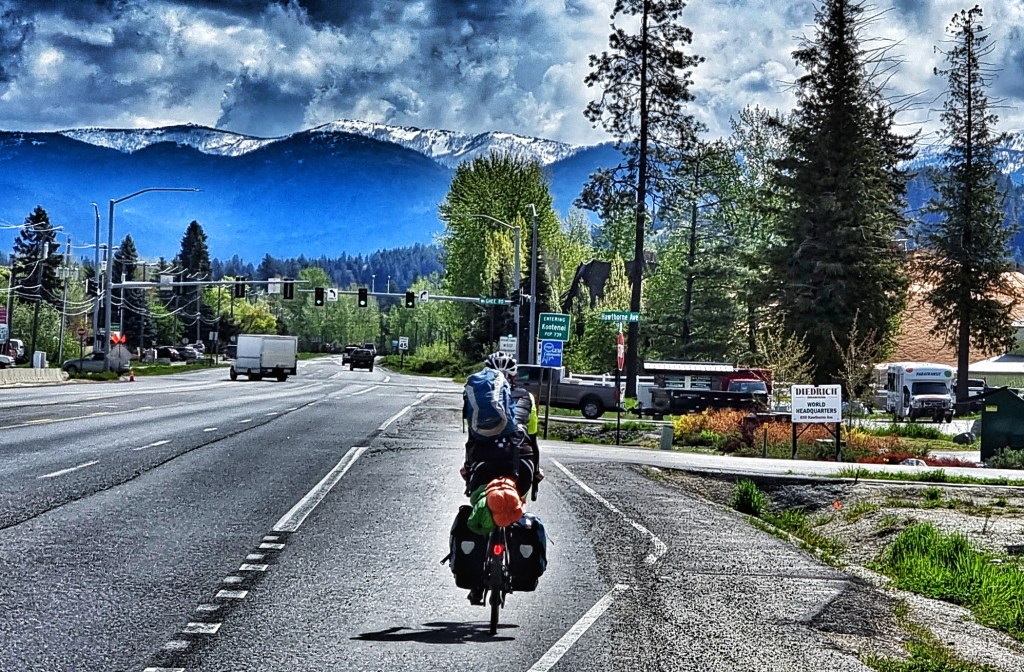
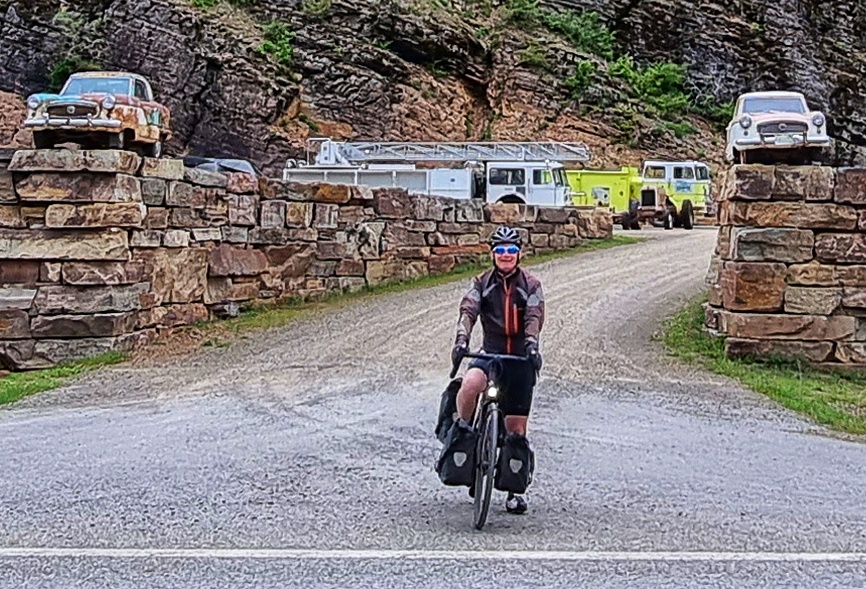
A few people have been in touch asking where we are, where we’ve been & how the whole adventure fits together.
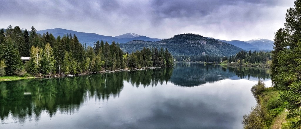
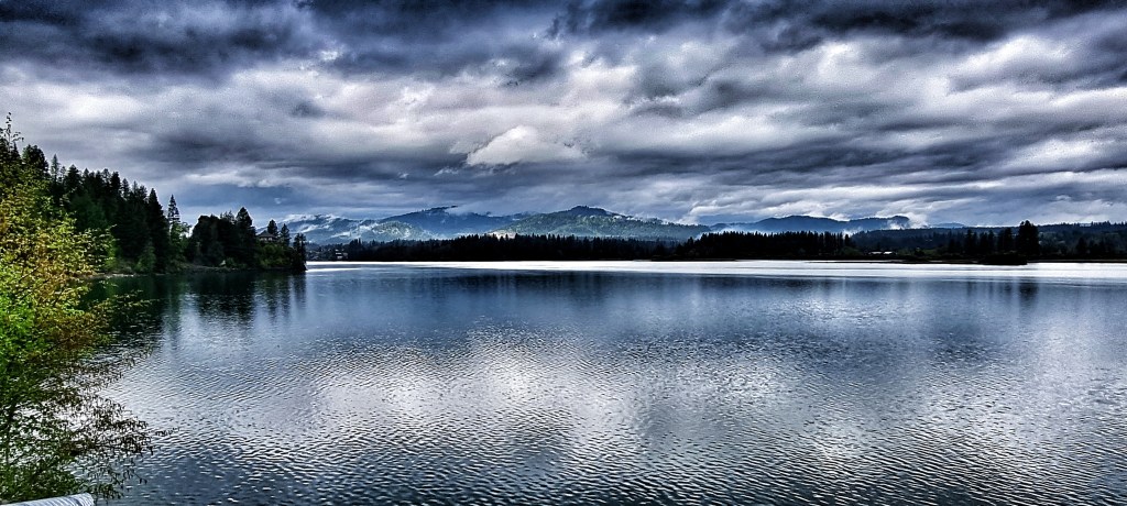
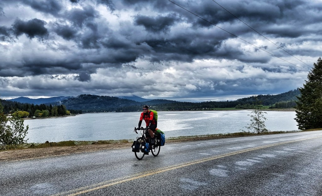
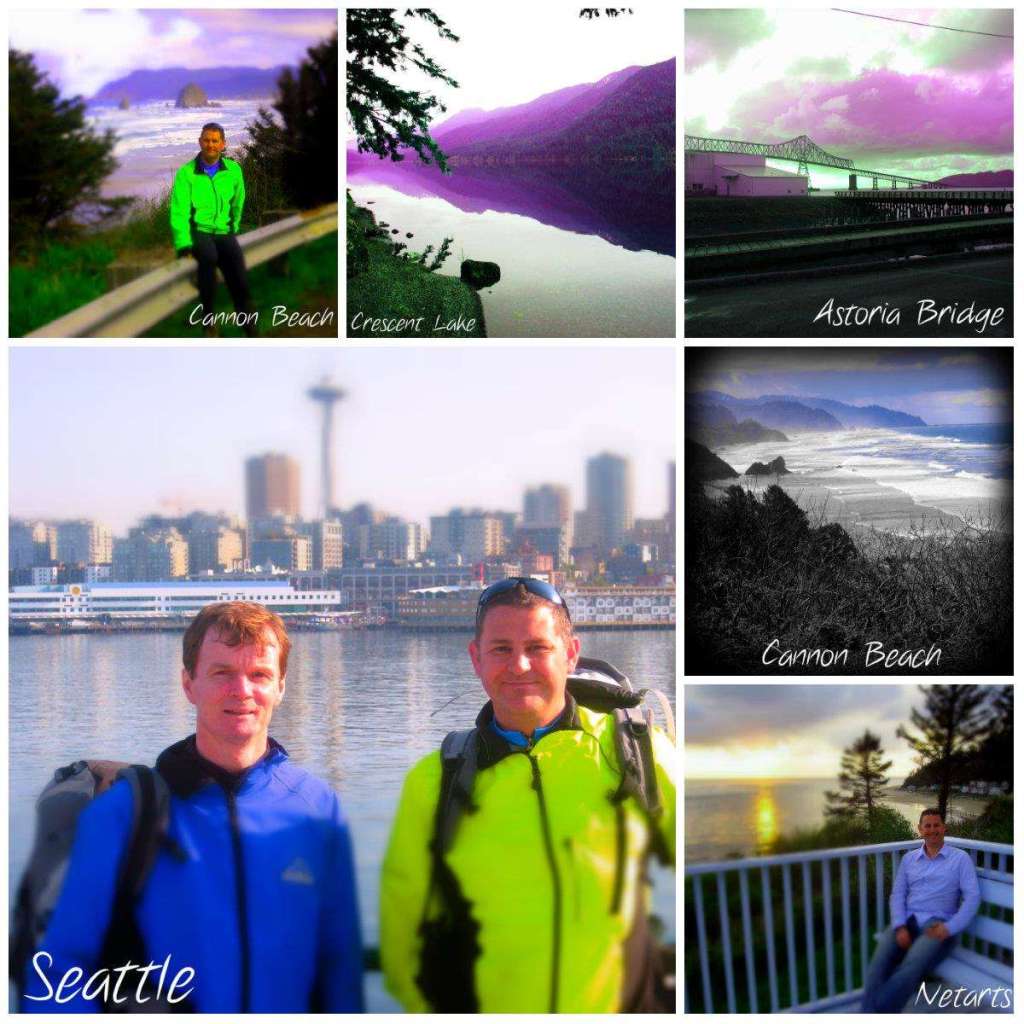
We started in Seattle, Washington on 30th April & the map at the bottom covers our journey up to & including our ferry trip across Lake Michigan on 29th July. We’ve already moved again since then!!
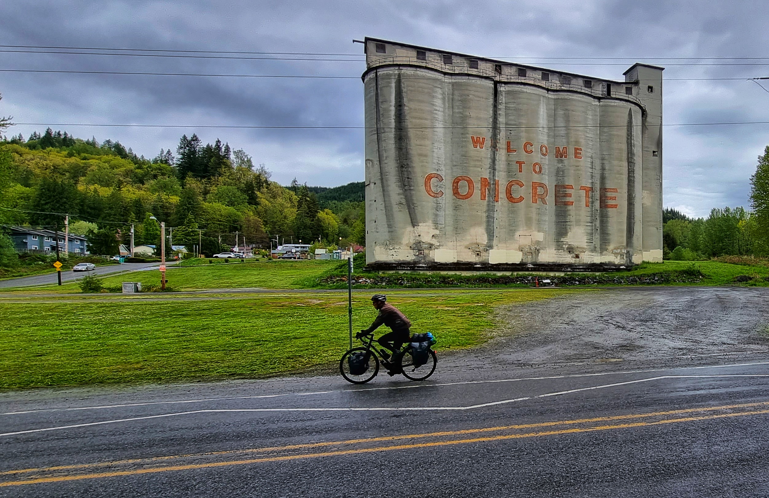
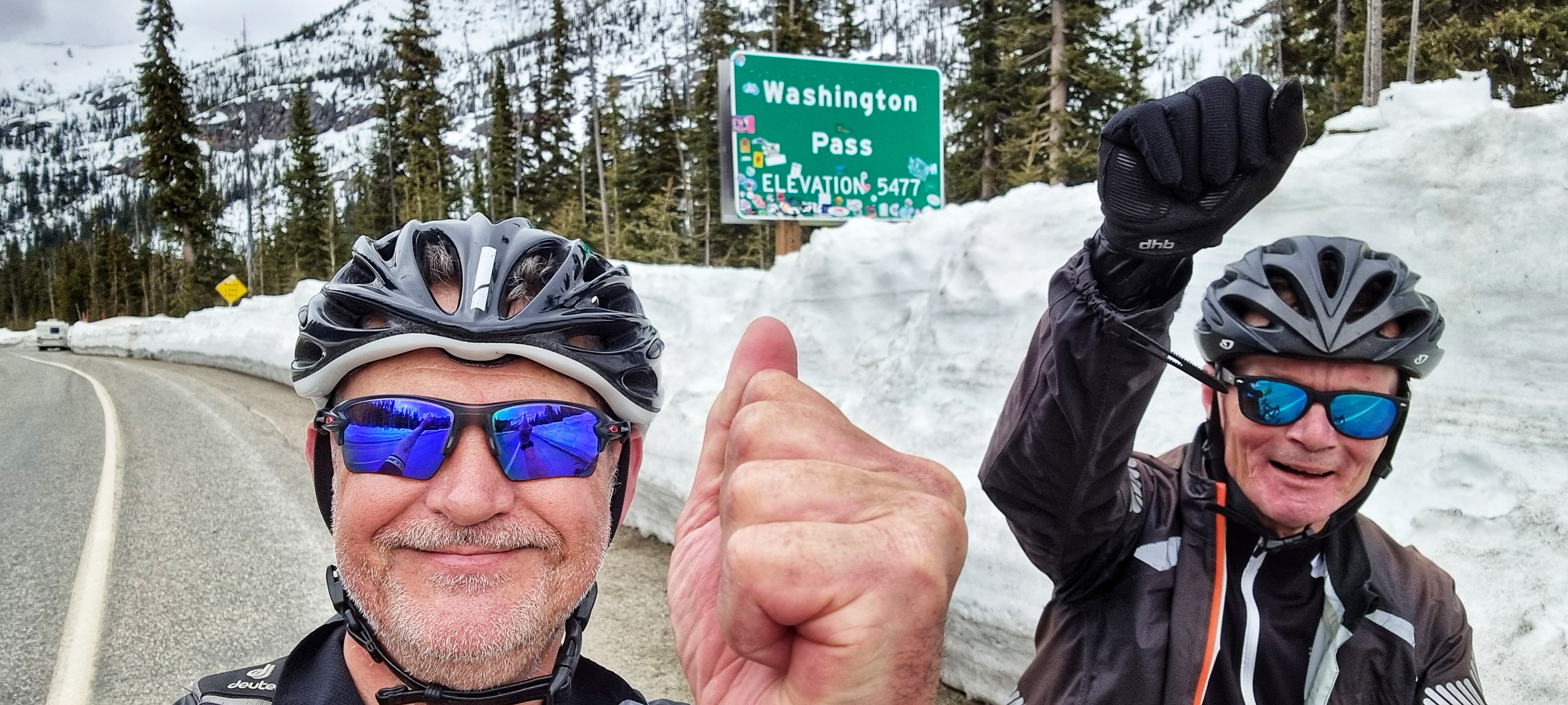
We’ve made a few changes to our original plan along the way – we originally planned to cross the Cascade Mountains via Washington Pass on US20. Concrete to Washington Pass is 80 miles on US20. However, because Washington Pass was still closed due to snow, we detoured via Stevens Pass on US2 – Concrete to Washington Pass was 325 miles!
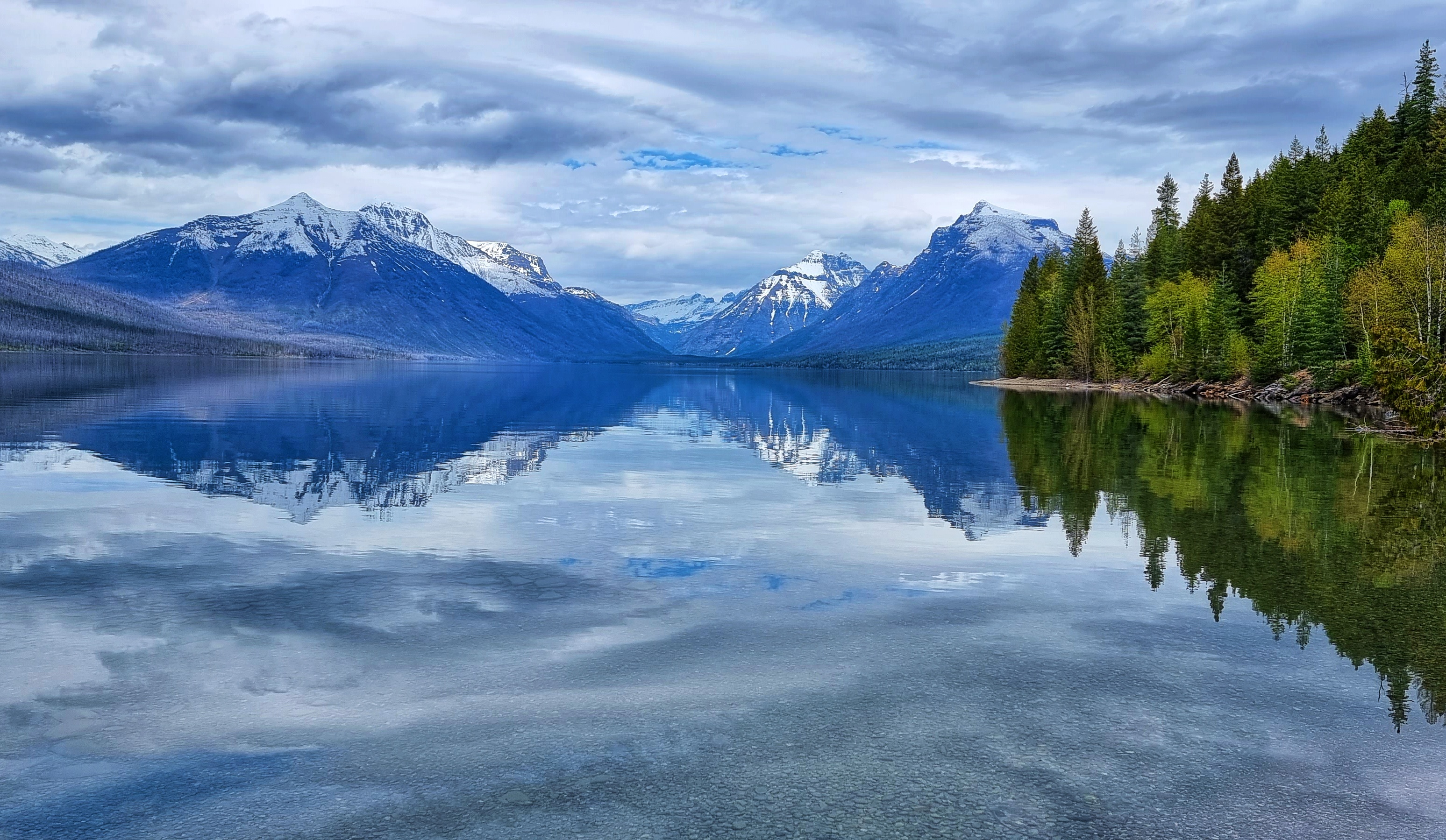
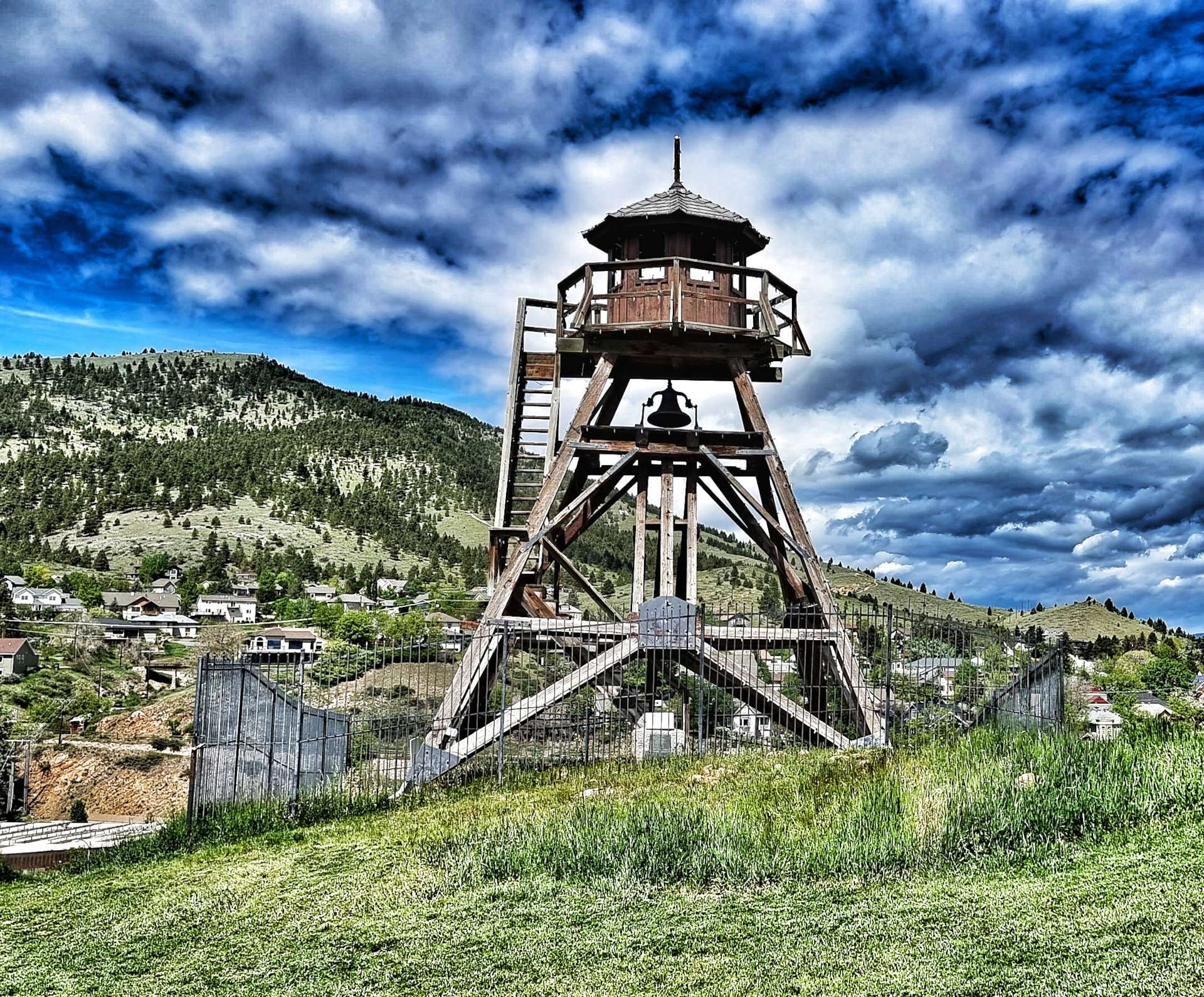
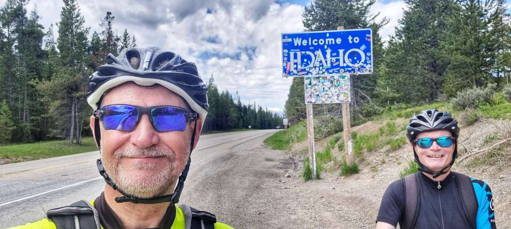
We’d planned to visit Canada, but a combination of Covid Rules at the time & being unable to get the necessary paperwork meant it didn’t happen. We went on a Tour of Montana instead & visited Glacier National Park, Lincoln & Helena.
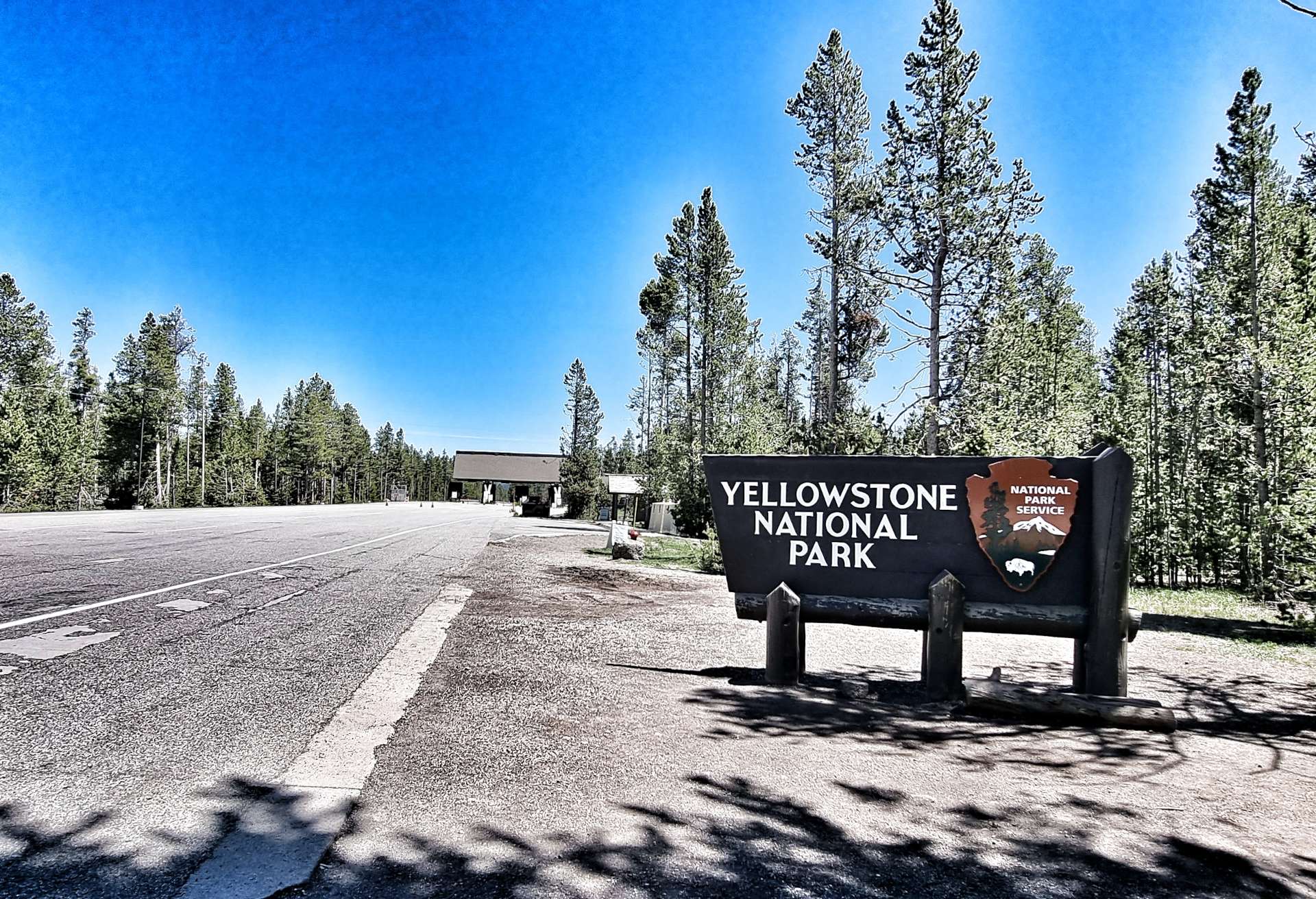
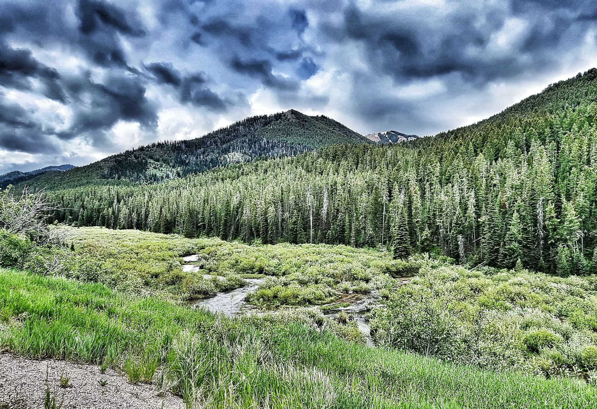
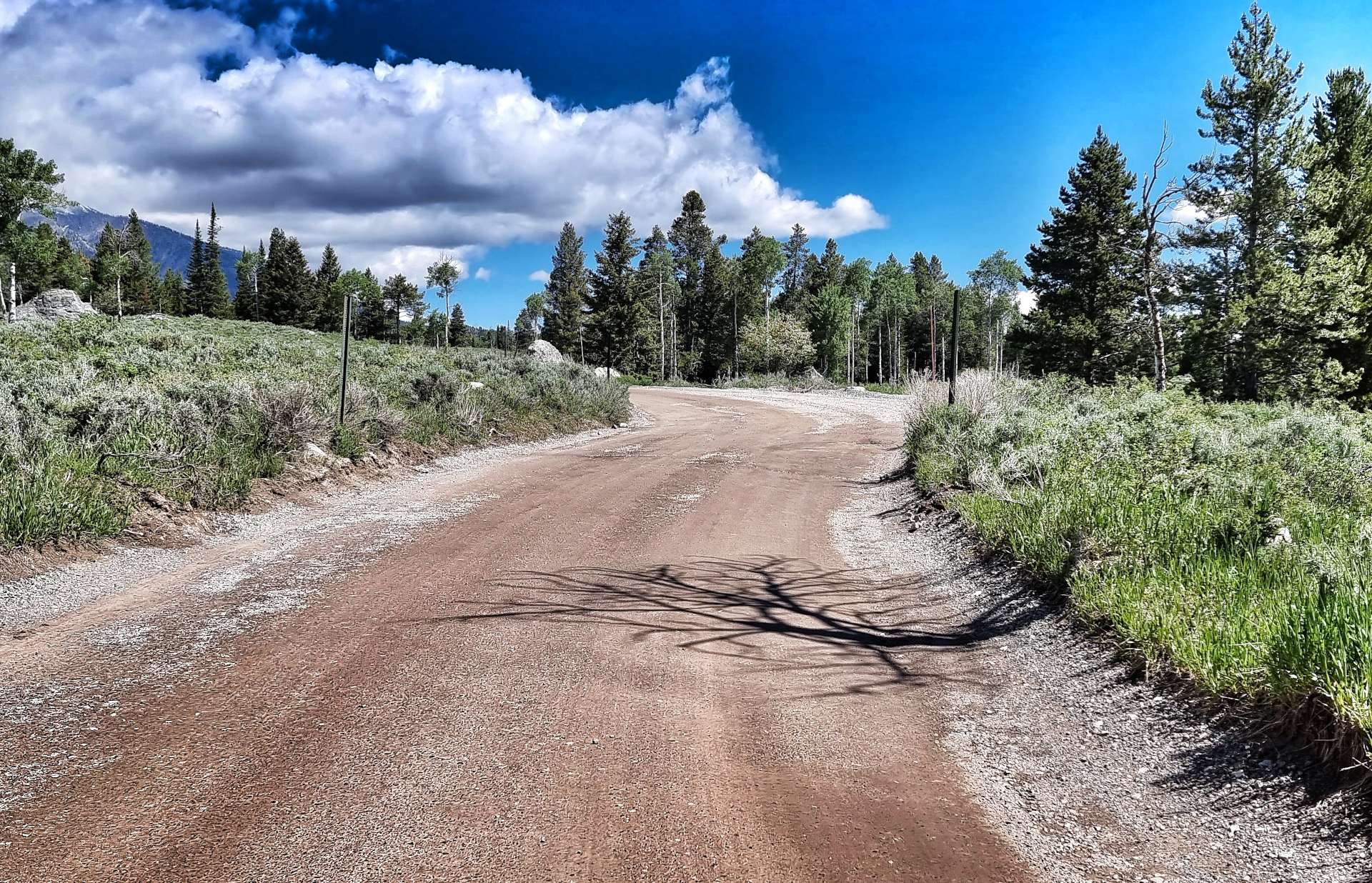
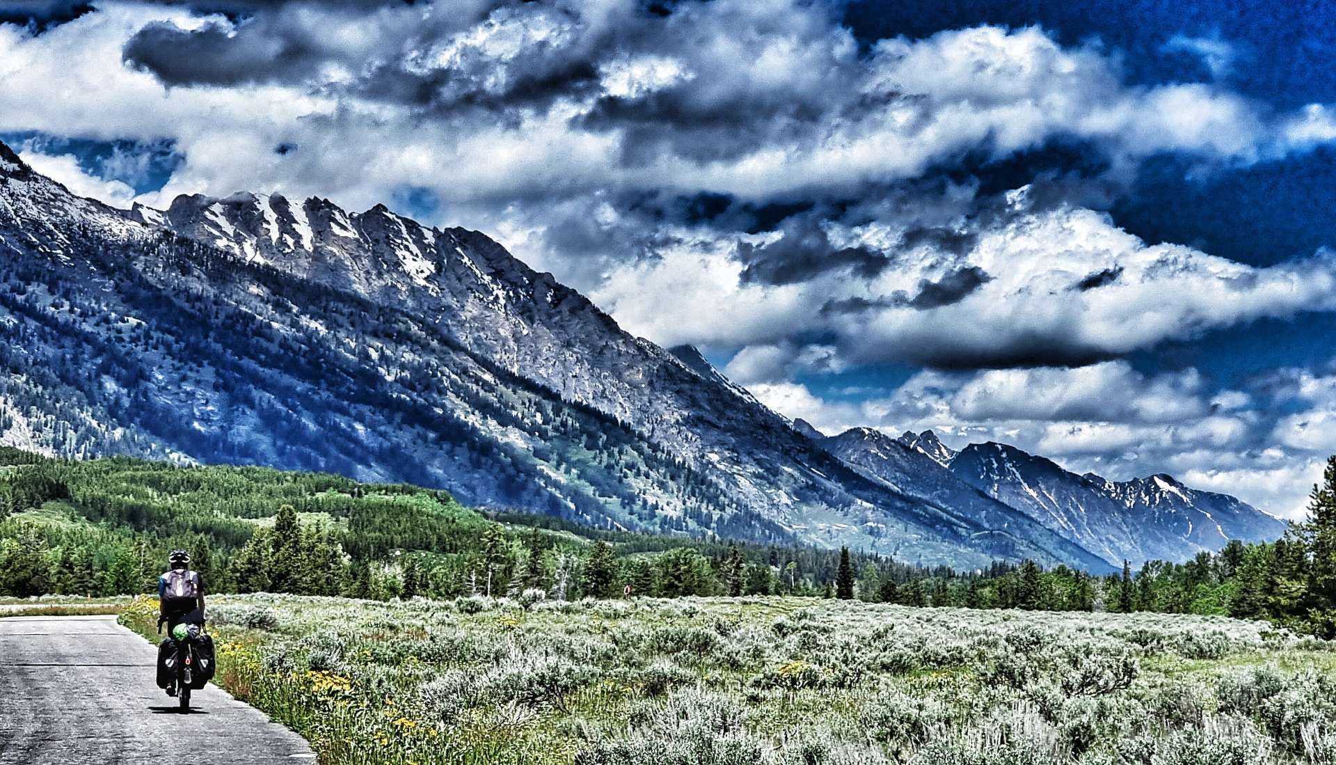
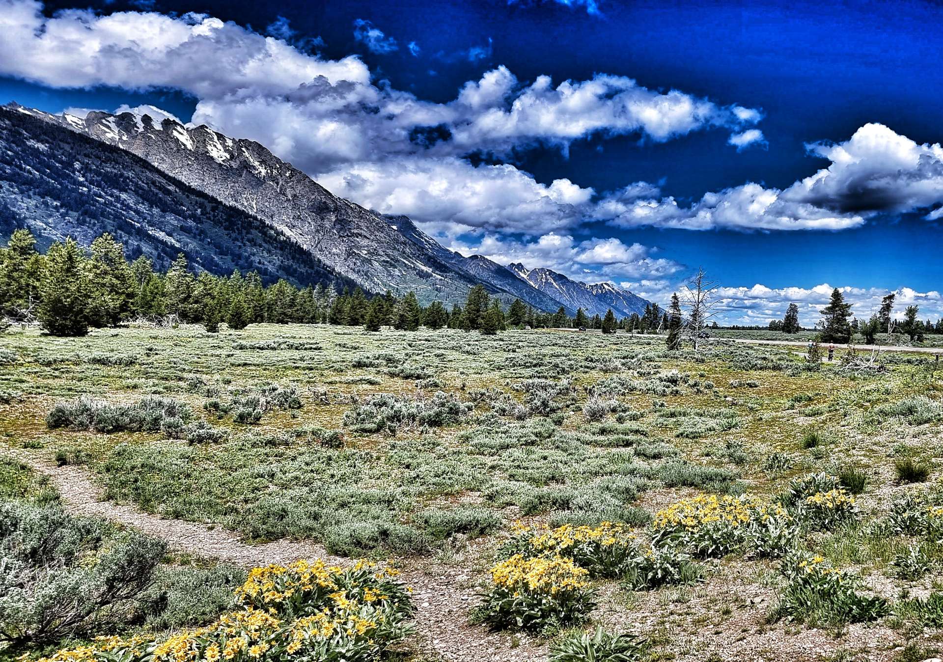
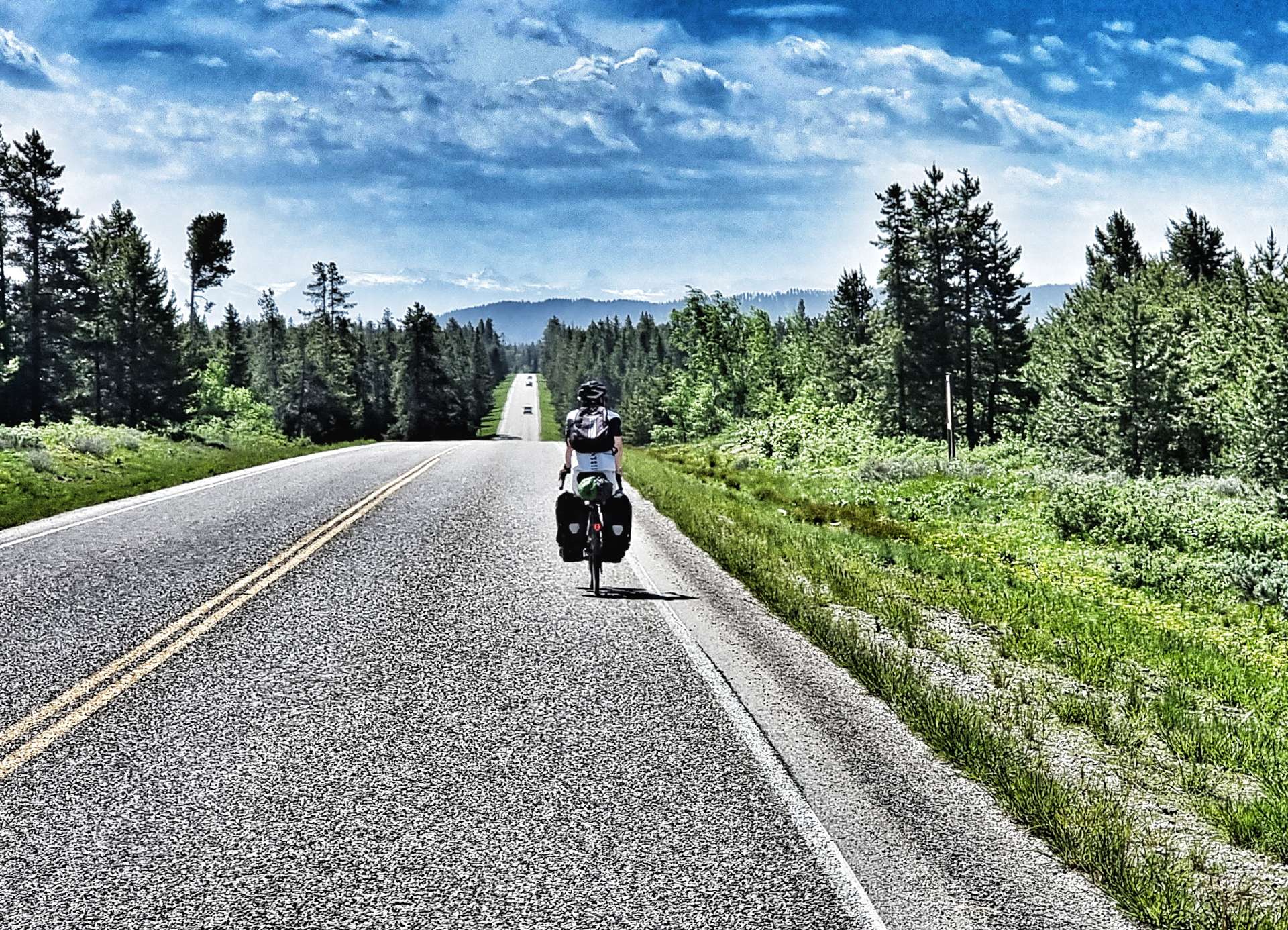
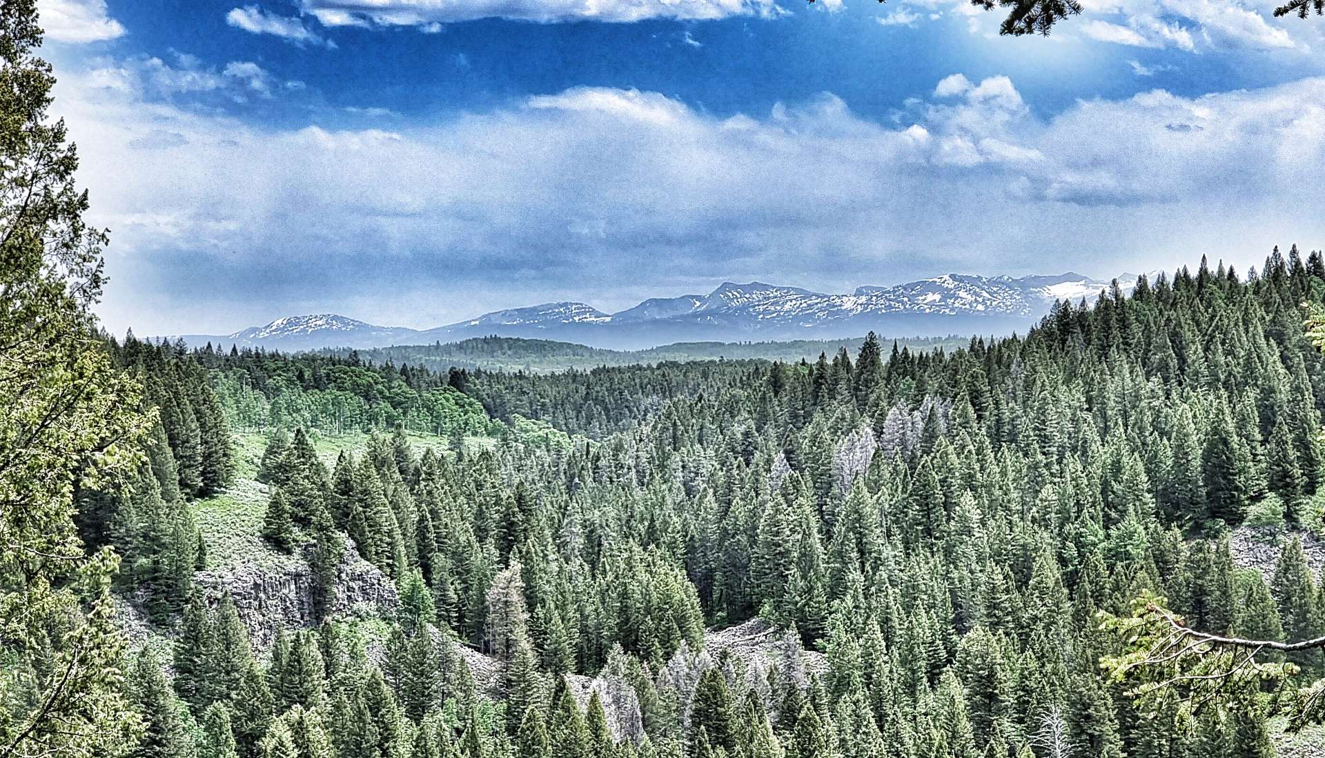
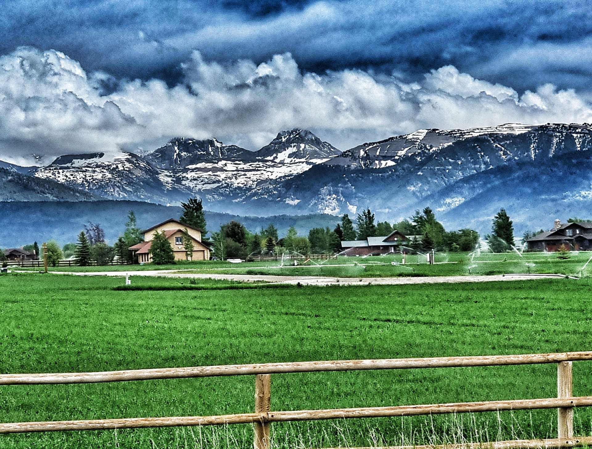
We arrived in West Yellowstone at least 2 weeks earlier than originally planned. This coincided with Yellowstone National Park being closed due to flooding. I took a rare photo of West Yellowstone Entrance with no-one in shot! Our revised plan took us back into Idaho, where we visited the Mesa Falls Scenic Byway & then into Wyoming where we experienced the jewel in the crown that is Grand Teton National Park.
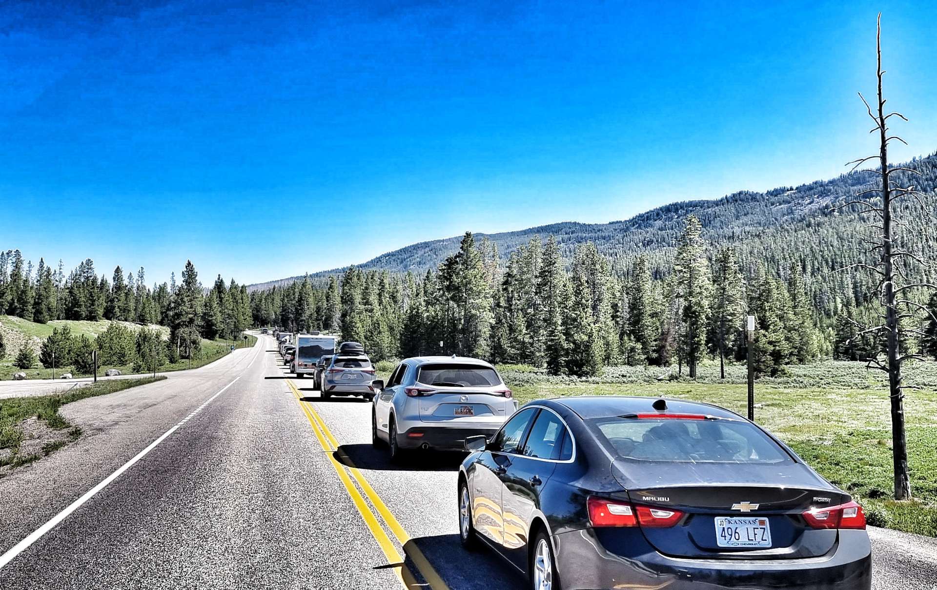
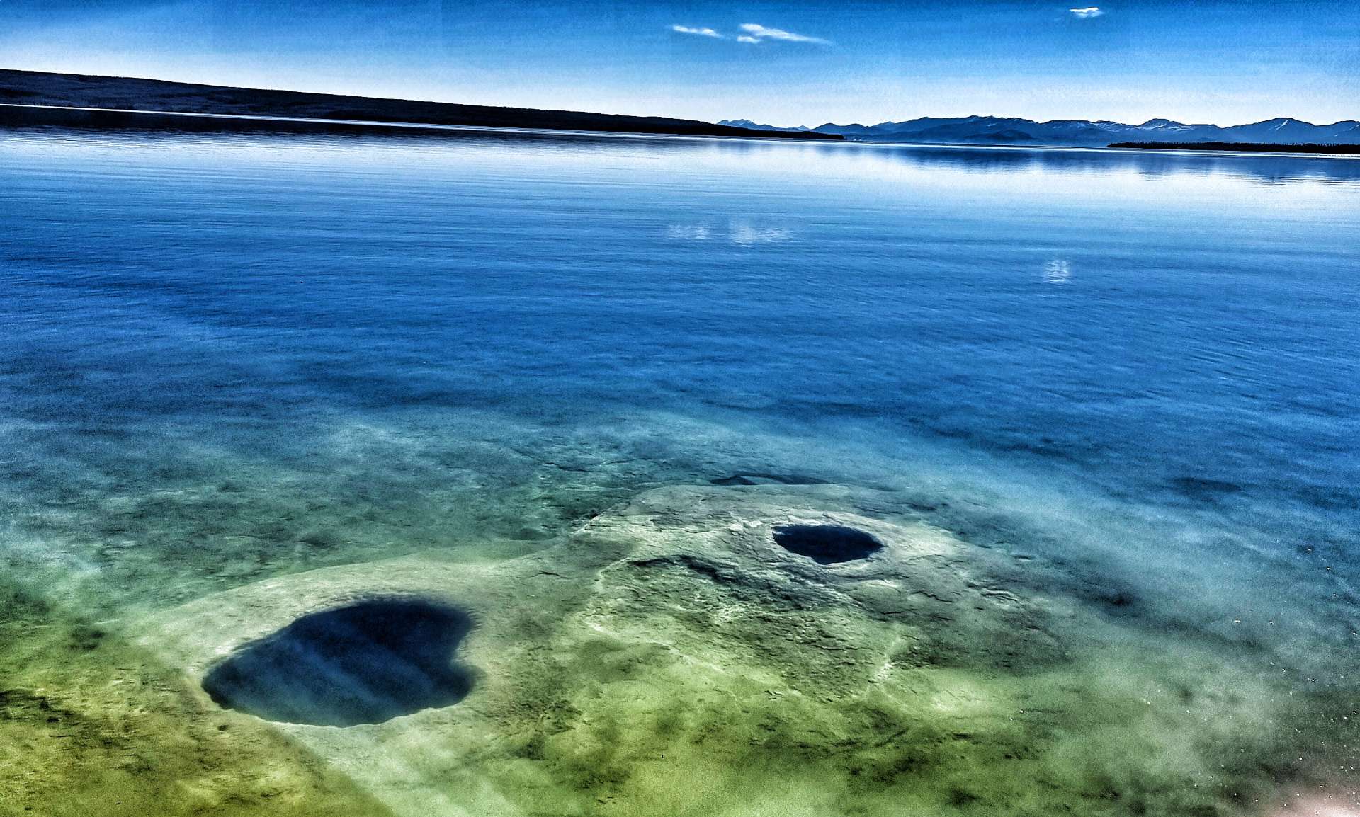
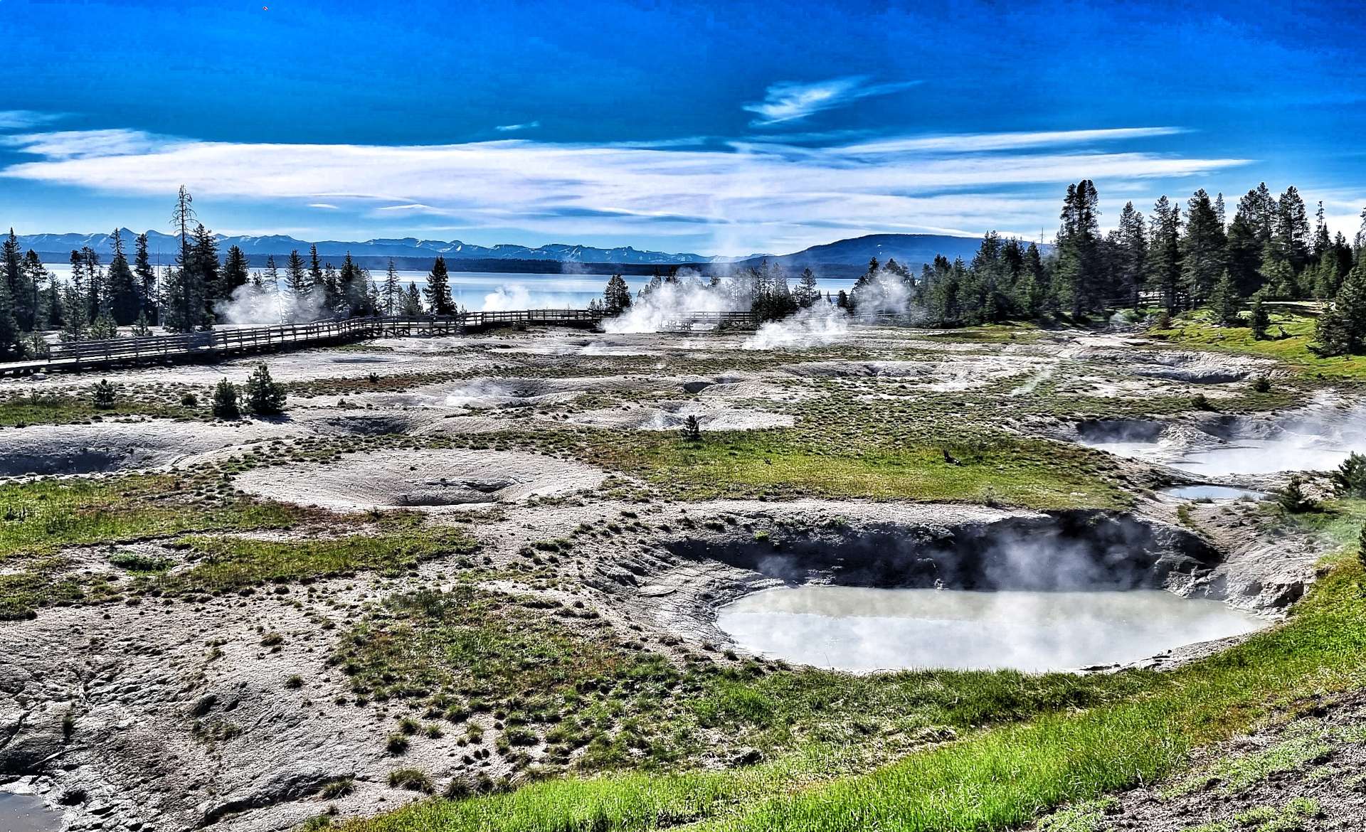
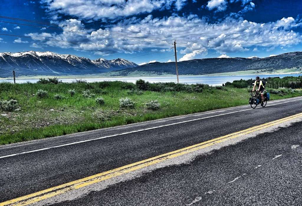
Our detour via Grand Teton National Park resulted in us arriving at Yellowstone National Park on the day it re-opened. There was a 4 mile queue of cars waiting to get in as we cycled past everyone on the hard should, until I got our first p*nct*re of the adventure! We crossed the continental divide in Yellowstone & visited the amazing thermals at West Thumb on our longest ride of the trip – just over 104 miles from Grant Village into Cody.
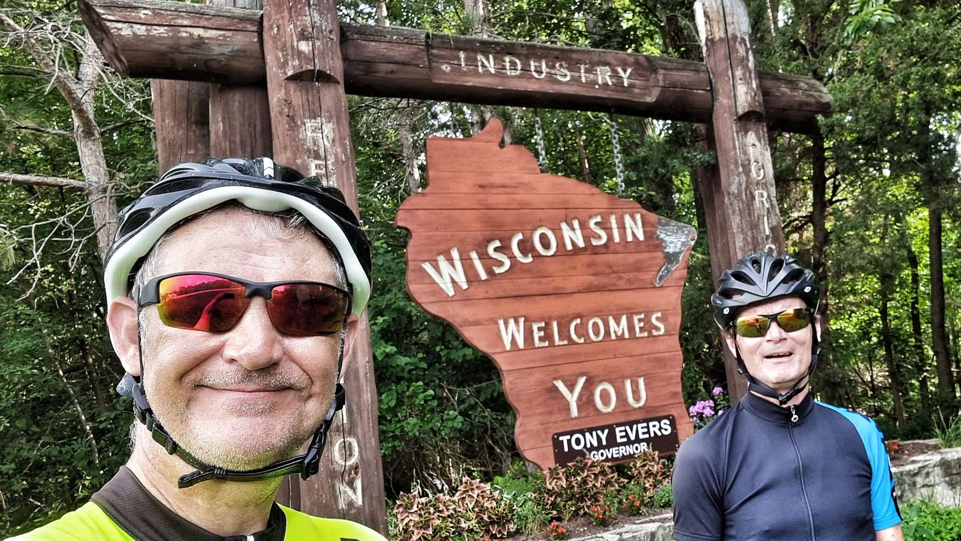
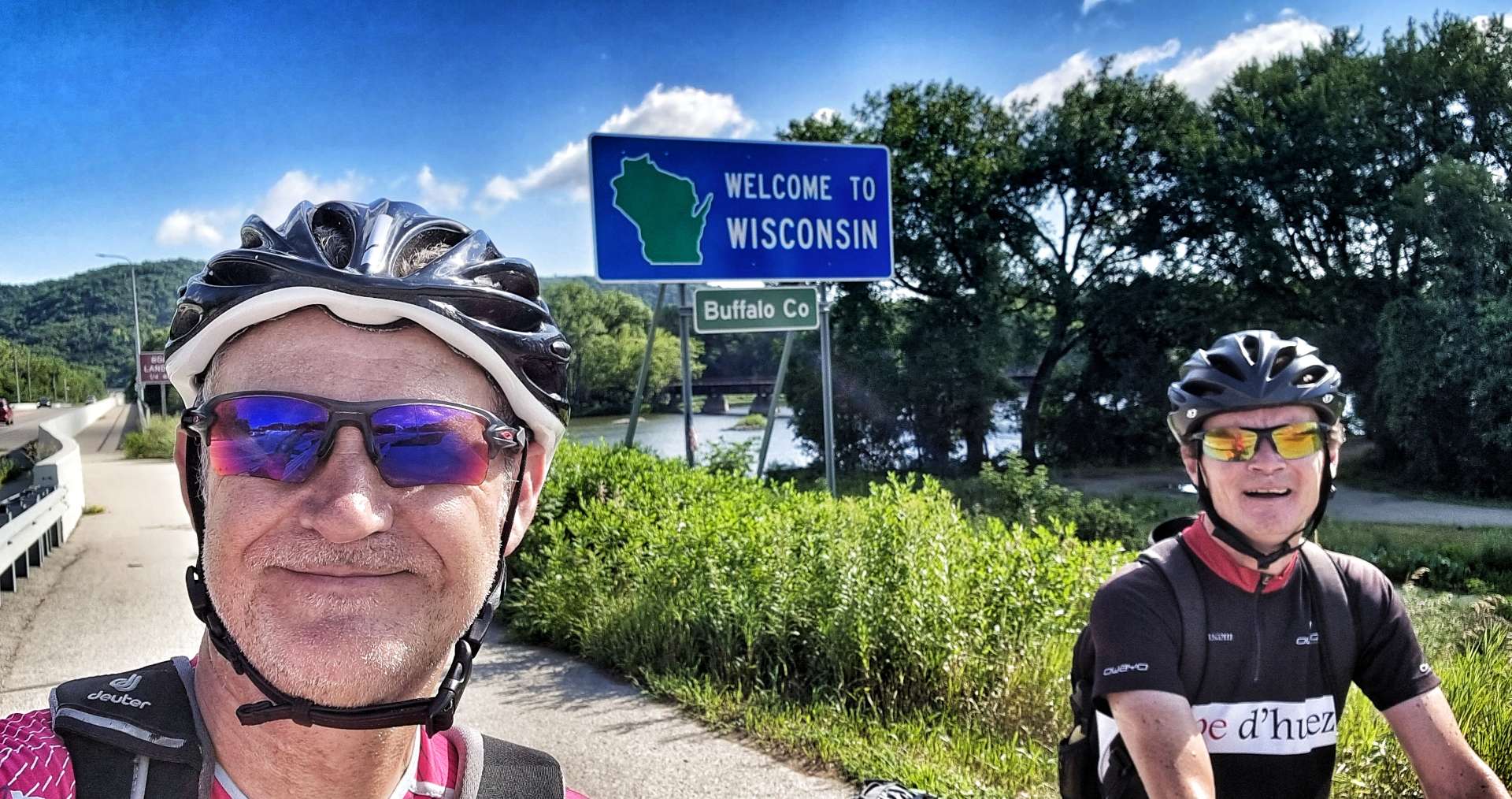
The remainder of the route from Cody to Minneapolis was as planned. However, a number of people we met as we headed East said we should ride in Wisconsin if at all possible. We’ve taken their advice & detoured across Wisconsin (instead of heading though Iowa & Illinois), but as I haven’t yet blogged about it, I’ll not give too much away!
We took the ferry across Lake Michigan & have spent the last 3 days following the shoreline South towards Indiana. Blogs on the ferry crossing & our journey South are also pending. I have a rest day on Wednesday, so hopefully I’ll catch up a bit then!
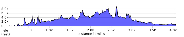
To date we’ve ridden on 69 days out of a possible 90 days & in that time we’ve travelled 4,116 miles & climbed 157,403 feet. The table below shows a bit more information about where we’ve been & for how long.
The numbers in the table are based on the actual routes we rode each day & include all the small detours we took for photo opportunities &/or coffee stops, slight mistakes in routing & general faffing about! The climbing figures in the table are based on what my Wahoo recorded on each ride (it slightly understates those numbers).
State
Time Spent (In Days)
Days Ridden
Miles Ridden
Feet Climbed
Washington
19
16
912
44,318
Idaho
5
4
157
6,775
Montana
28
20
1,238
46,512
Wyoming
11
9
581
25,397
South Dakota
15
11
653
23,654
Minnesota
6
4
240
5,328
Wisconsin
7
5
335
5,419
Totals
91
69
4,116
157,403
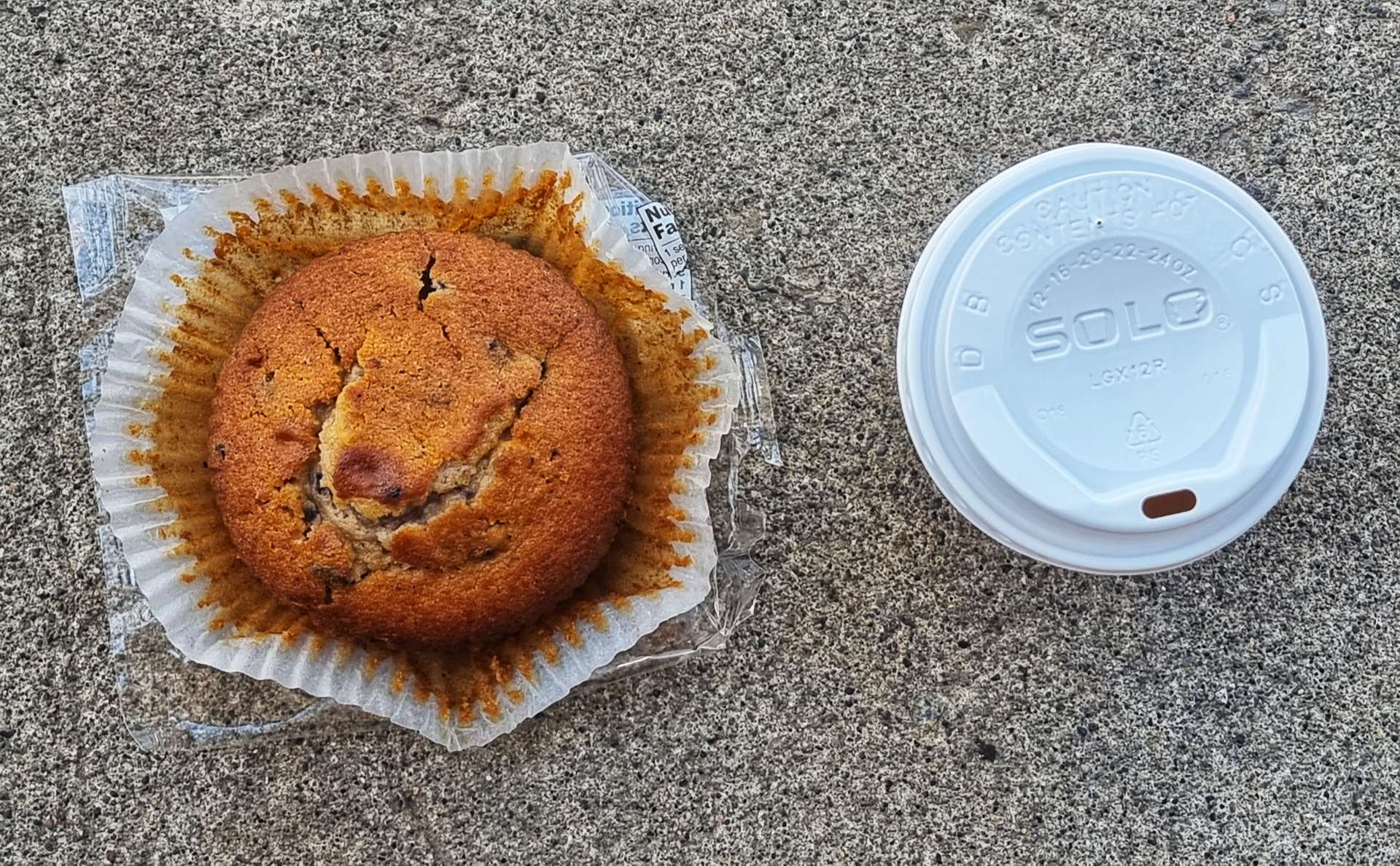
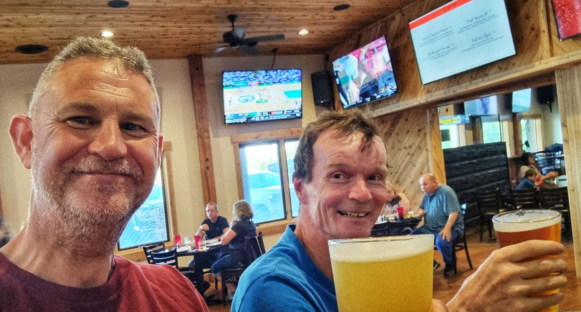
If there’s anything else you’d like me to include, just drop me a message – I’ve already been asked to do something about my favourite beers & cakes!!
The Long Way Round (Part Two) – Monday 20th to Wednesday 22nd June.
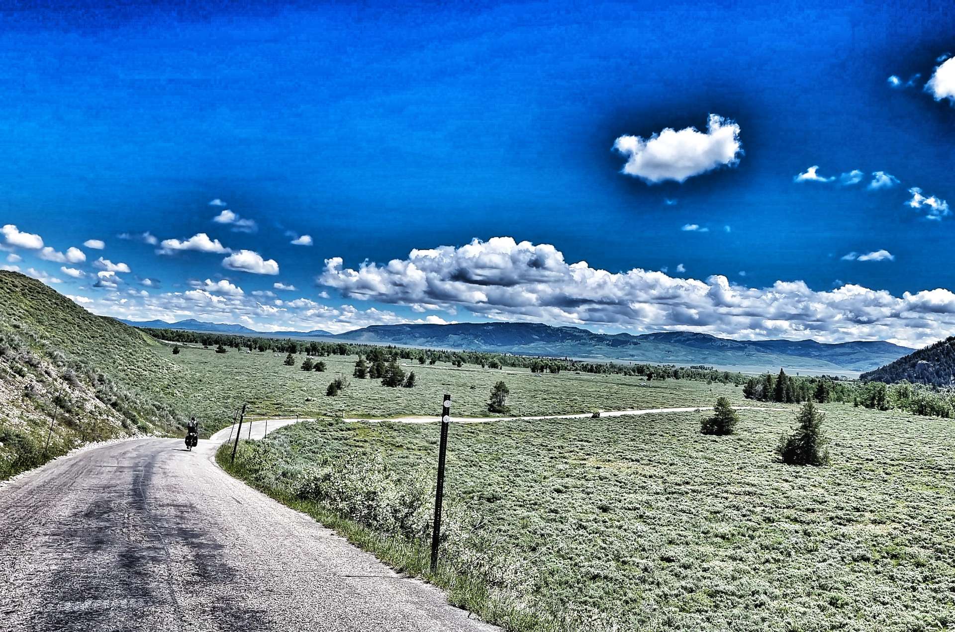
Monday 20th June – Driggs to Jackson (Stage 40).
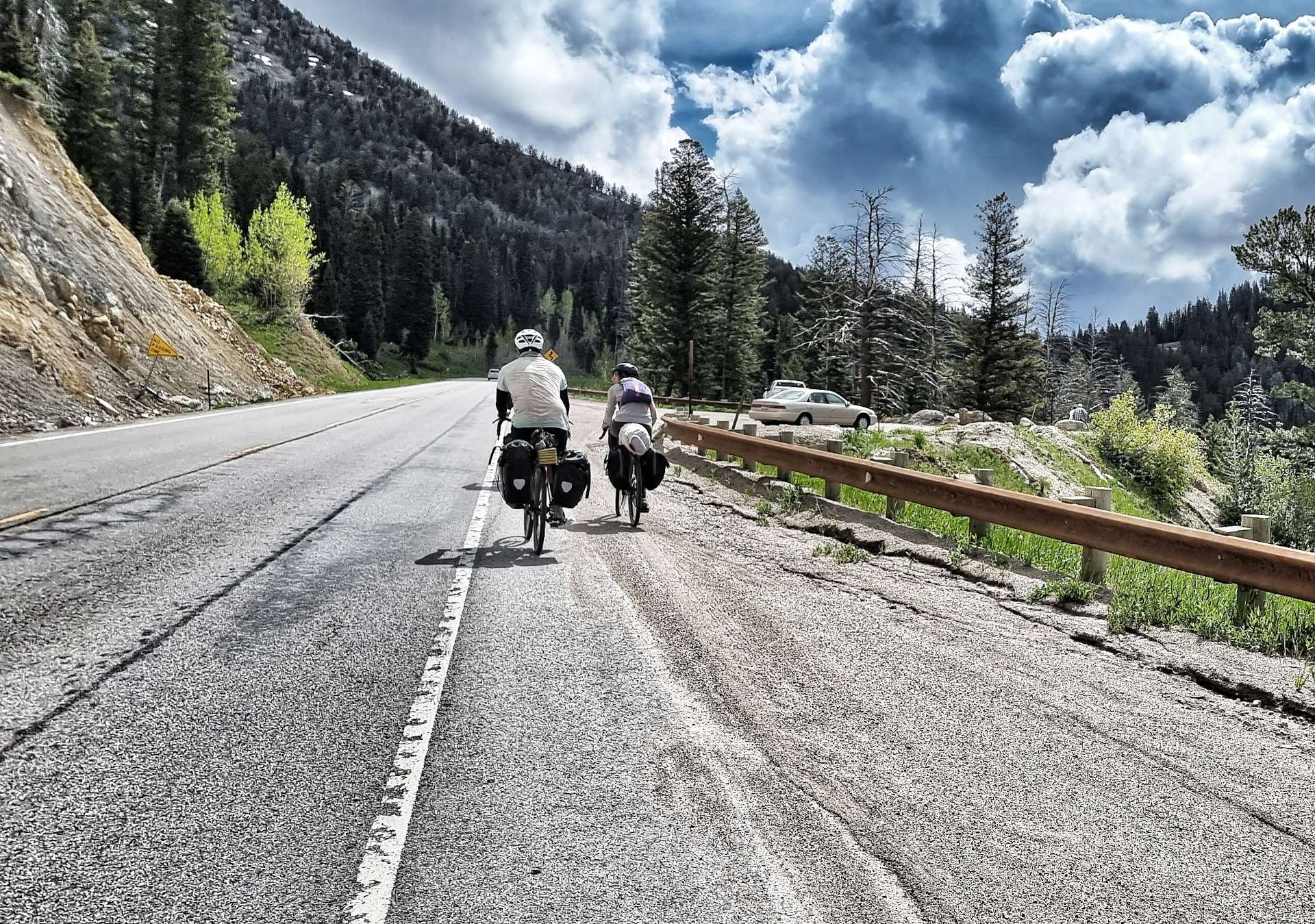
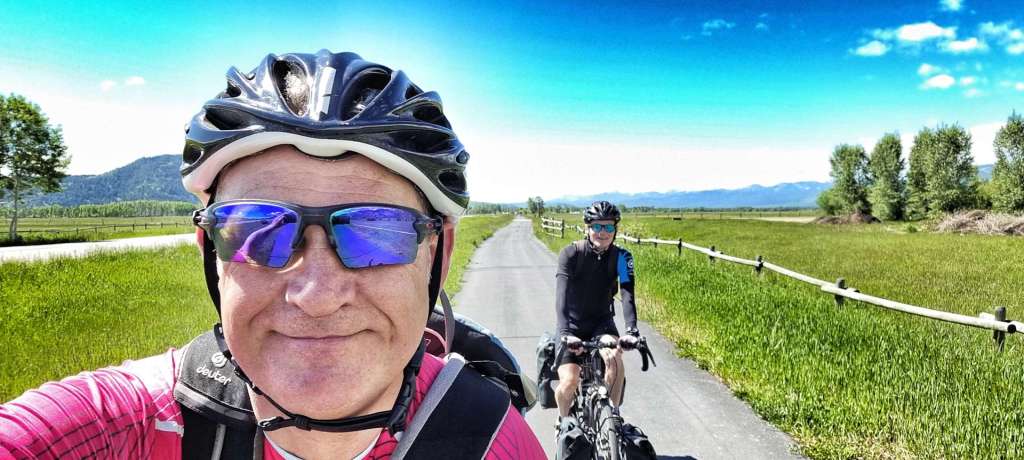
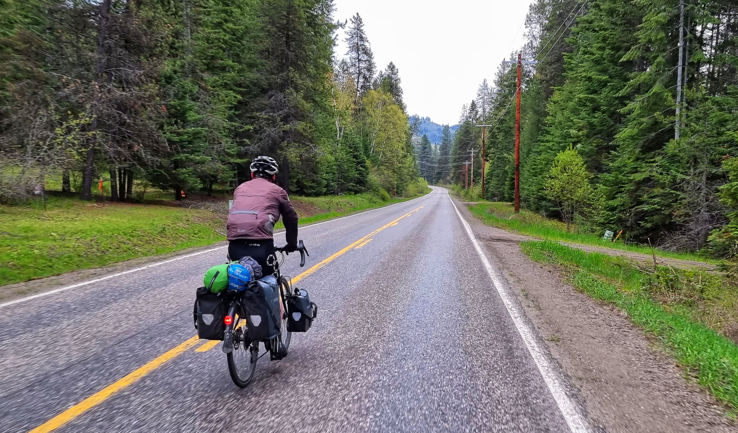
Rain was forecast from 10am in both Driggs & Jackson, so we took the decision to get up a bit earlier & be ready to leave by 9am, so at least we would start riding in the dry. There was another long distance cyclist from the UK staying in our motel & we set off almost together, however, he was soon a long way up the road!
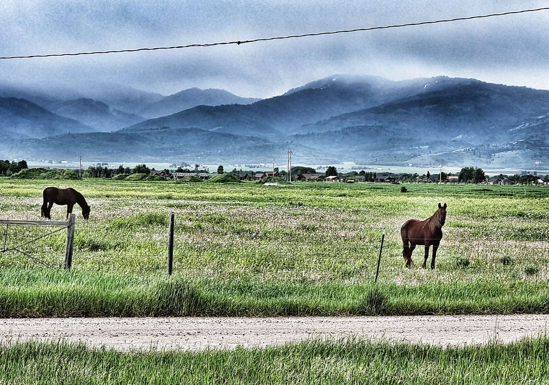
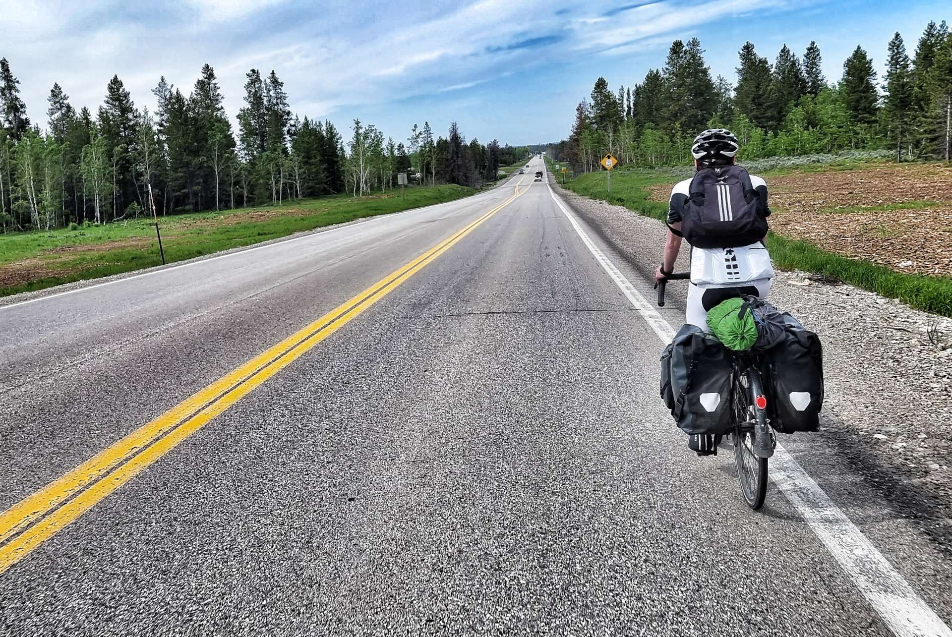
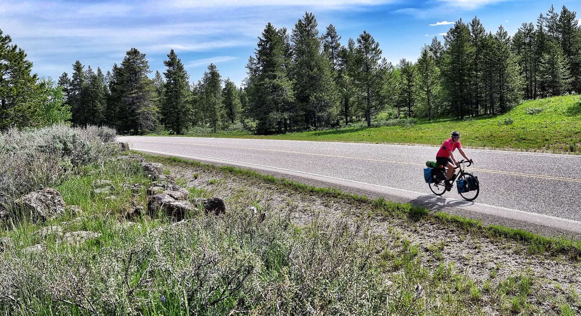
Leaving Driggs, we picked up a cycle track almost immediately that we’d be able to use for the first 9 miles until we reached Victor. We could see rain showers falling to either side of us, but somehow we remained dry – even one of the horses looked on in surprise! You may be able to see in the 2nd photo that Sean had taken most of his kit out of his rear left pannier, we were hoping that the reduced weight would increase the chance of the pannier surviving until Jackson.
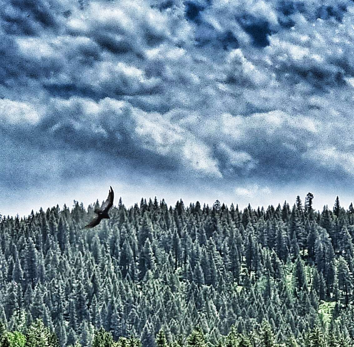
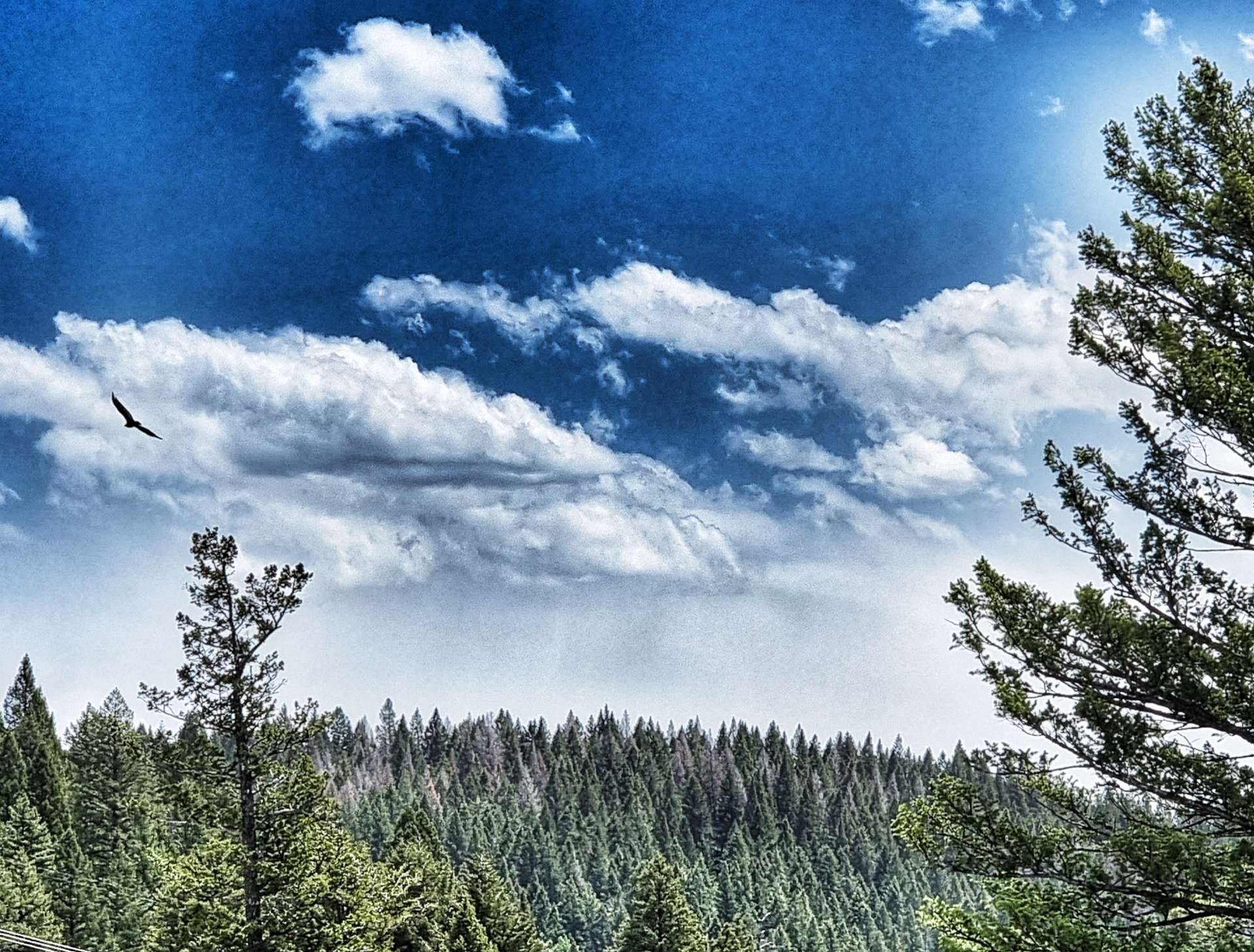
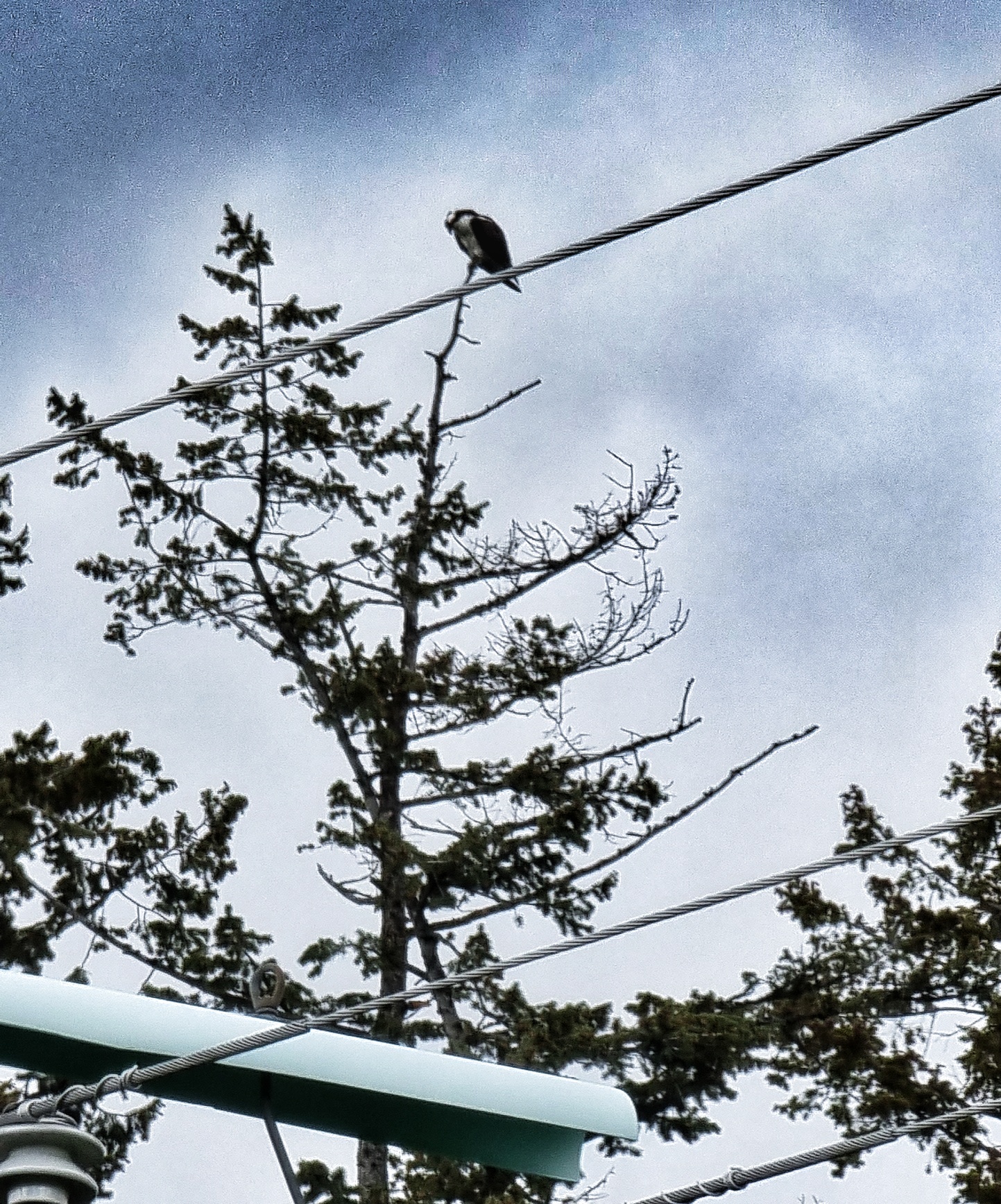
When we reached Victor, two things happened; firstly, the cycle track ended so we were back on Highway 33. Secondly, the road started to gradually head uphill, as we joined the very early & easy slopes of the Teton Pass. As we passed Trail Creek Pond we spotted an eagle who had a fish dangling from its talons as it flew by – sadly it all happened too quickly to get a photo, but it was a great moment & the first time I’d ever seen this happen in real life!
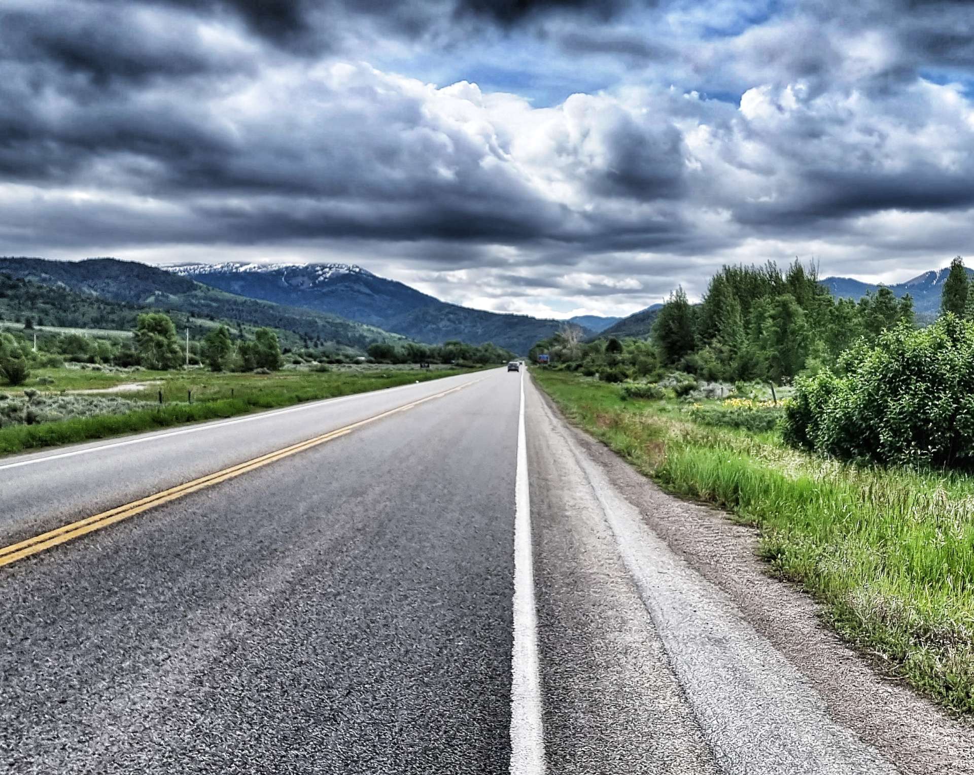
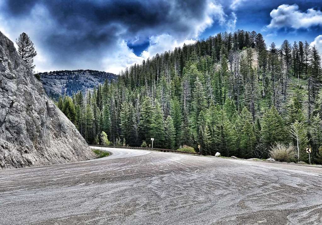
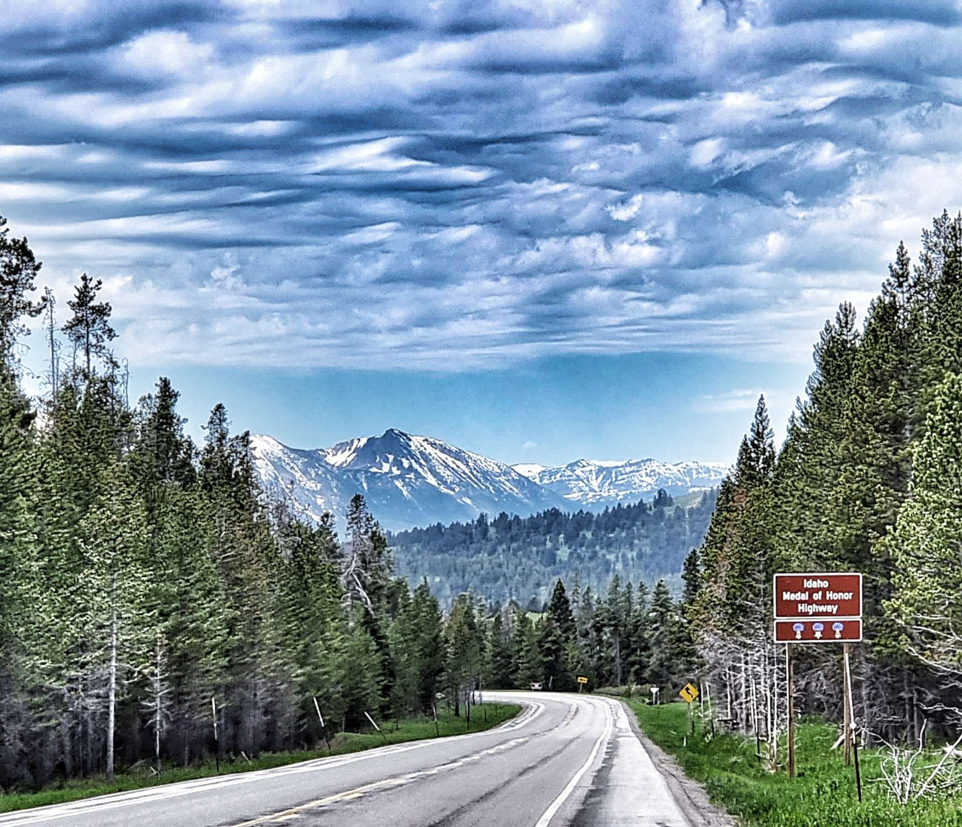
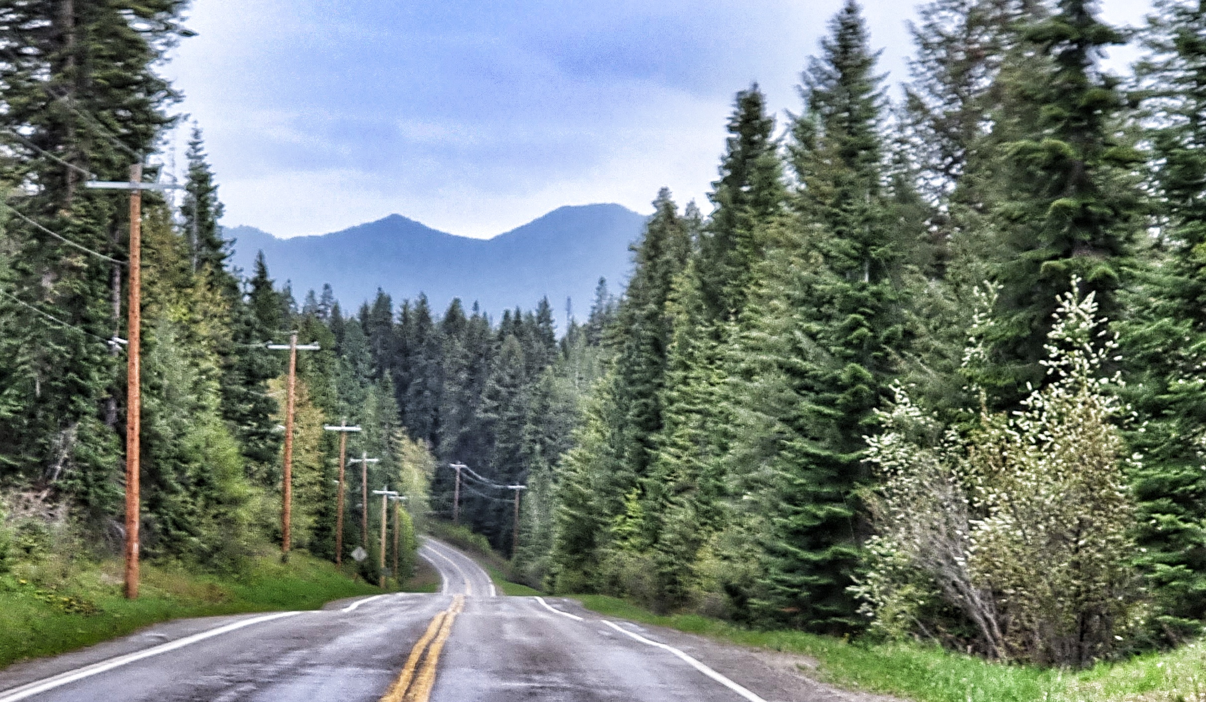
We followed the Trail Creek as it climbed the valley & after a couple of miles we reached the State Line crossing from Idaho into Wyoming (the Highway changed from ID 33 to WY 22). This also marked the point at which the gradient increased from about 2% to 4 – 5%, still very manageable, it just made for slower going.
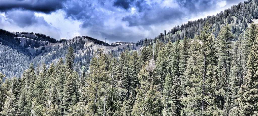
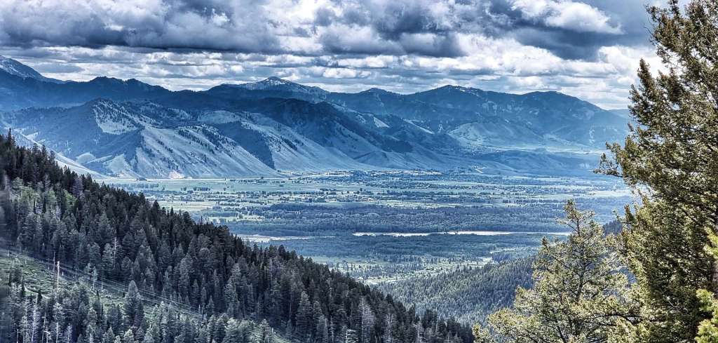
Because the summit of Teton Pass was over 8,000 feet above sea level, I’d researched the climb. This isn’t always a happy place to be, as I knew that from the next corner to the top (about 4 miles in total), the gradient wouldn’t dip below 9% & would max out at 13% – in the first photo you may be able to make out a thin line just to the left & above the treeline, this is the road. The second photo is taken from that spot looking back down the valley into Idaho.
In the video below I tried to downplay the steepness of the climb for my own confidence – as you’ll see, I was struggling to keep pedalling, breathing & talking at the same time!
As we climbed higher, we saw two more cyclists daft enough to be climbing the brutal Teton Pass & as we passed them very slowly, we gave them encouragement to keep at it & focus on the vast vistas around a few more corners. As we continued on our way, we could see the first indications that blue skies were coming our way! We’d avoided the rain all morning & couldn’t believe our luck – perhaps the price was having to tackle the steep slopes!!
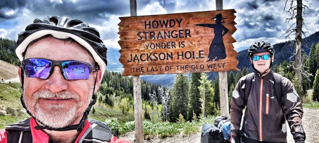
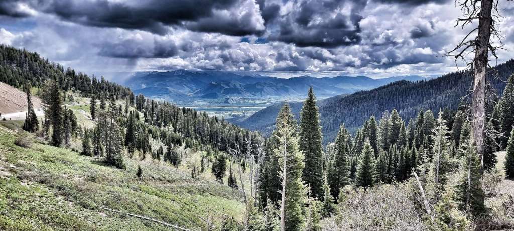
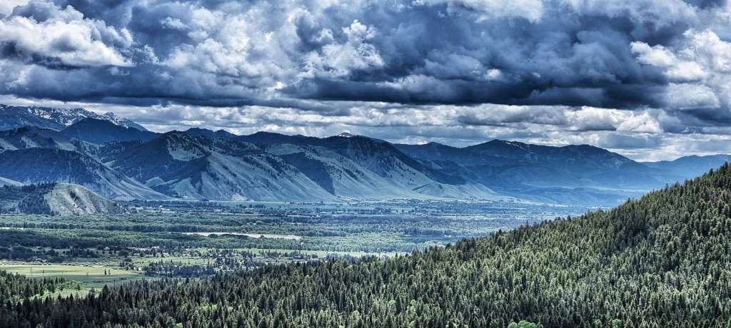
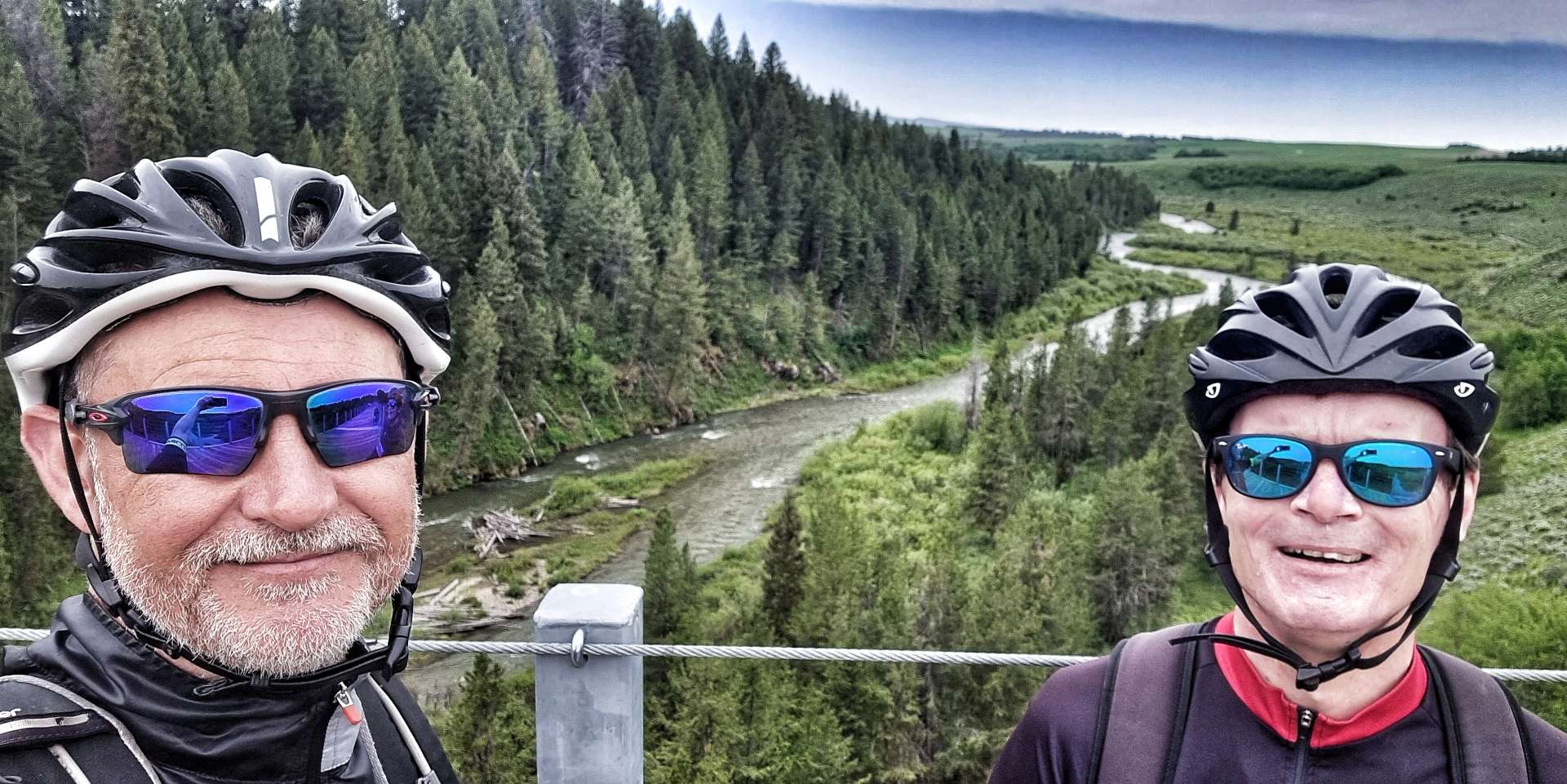
We finally made it to the summit at 8,432 feet (2,570 metres) above sea level & after taking a few moments to gather ourselves, we took a photo & then admired the spectacular views into the Jackson Hole valley from the lookout point.
I took a video of the first 30 seconds or so of the descent, but I picked up speed so quickly I had to put the camera away – LOOK AWAY NOW MUM!!! I hit 53mph in next to no time & decided that was fast enough for me. I’ve not been that fast on my carbon bike!!! I won’t lie, it was exhilarating, but I knew not to push my luck.
There are a couple of great turnout spots (layby to the Brits). At the first one I could see back to the lookout point a couple of miles away, while the second & third viewing spots gave huge views of the valley as it spread out below.
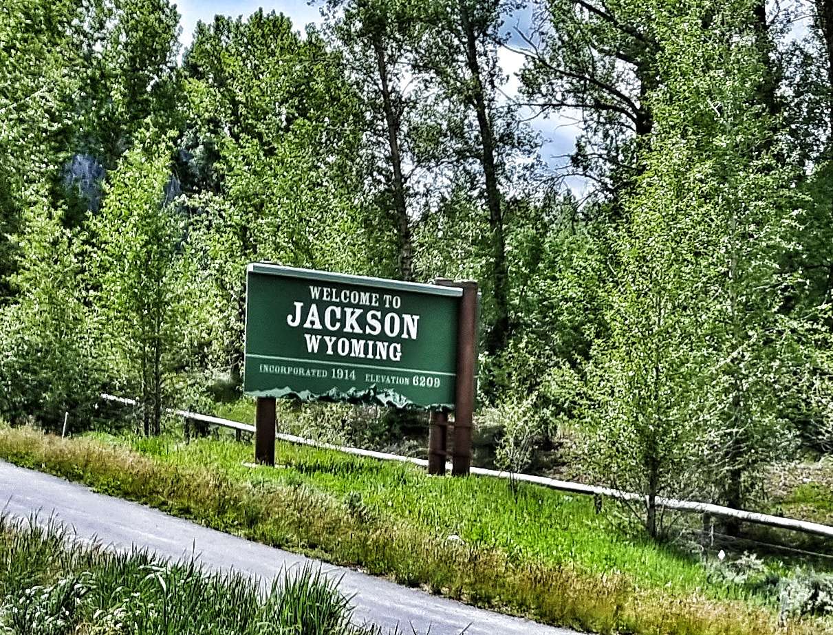
We regrouped at Wilson & agreed that we should continue on to Jackson, so Sean could try & get his pannier fixed. It was a short 5 mile ride along the valley floor – I’d done some research the night before, so knew that there was a bicycle shop next to our hotel that may be able to help. Within 15 minutes The Hub Bicycles had been able to repair Sean’s pannier – they were absolute legends & wouldn’t even accept any money for doing the work! On an adventure like our we’re totally reliant on the kindness & generosity of others to keep us on the road – The Hub Bicycles helped us out big time. Thanks guys! I’ve dropped them an email, so I’m hoping they may see how much it meant to us.
While we were waiting to check in to our motel, we met Owen & Cat, a couple of Brits who were also doing a long distance adventure. They’d started in Eugene & were following the Trans America route towards Virginia (via Colorado, Kansas, Missouri & Kentucky). We shared a really enjoyable 1/2 hour trading stories of our adventures so far.
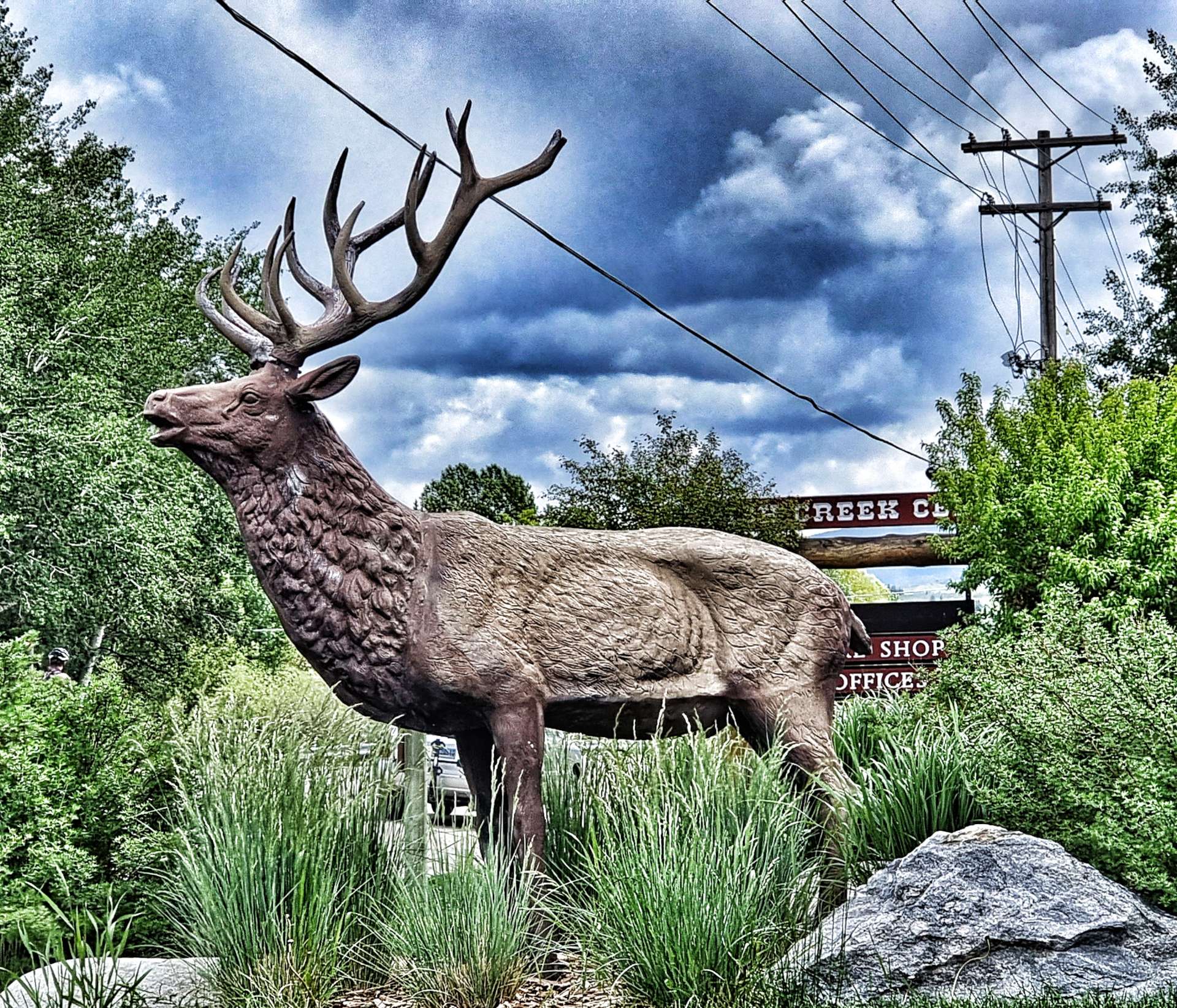
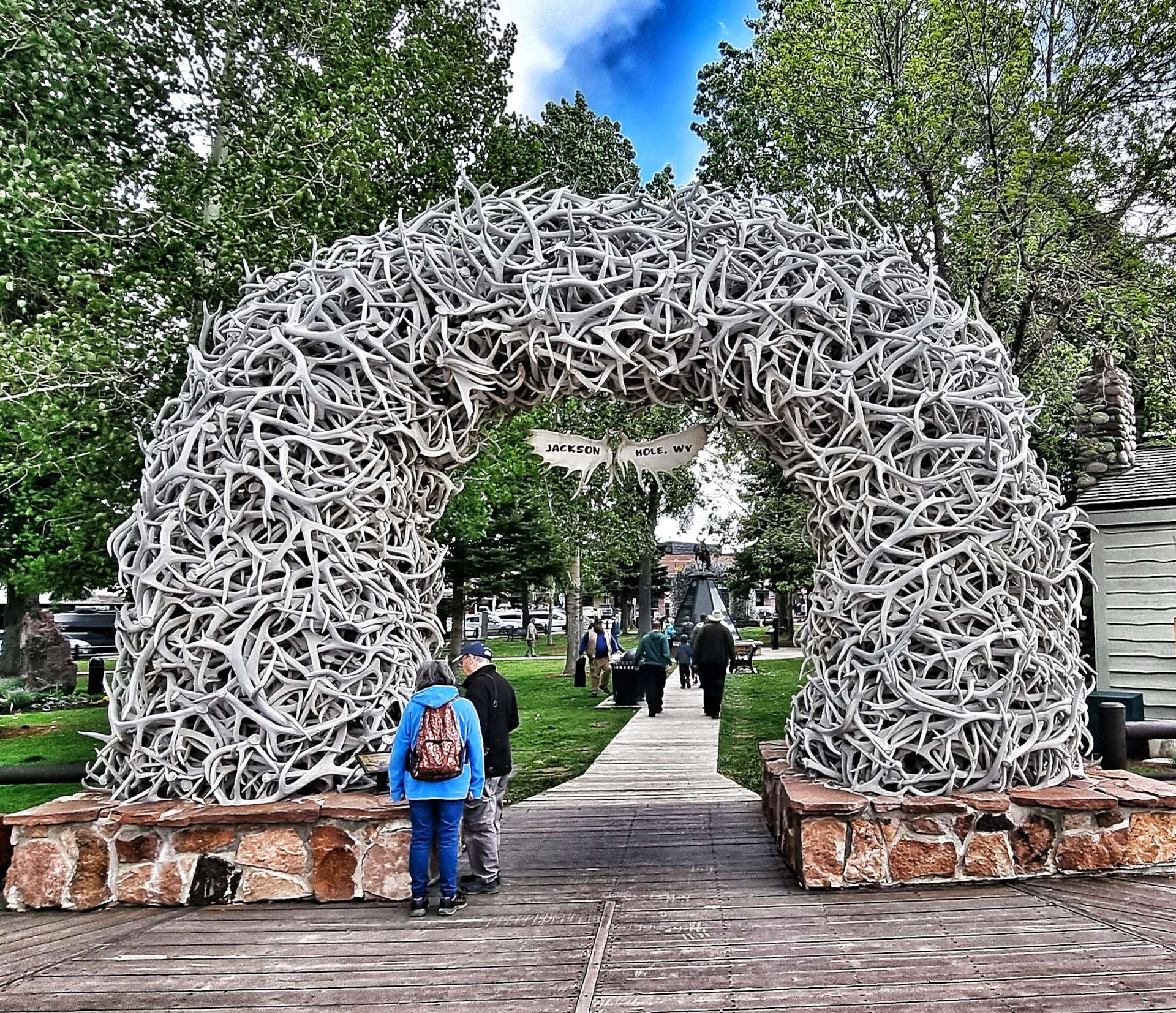
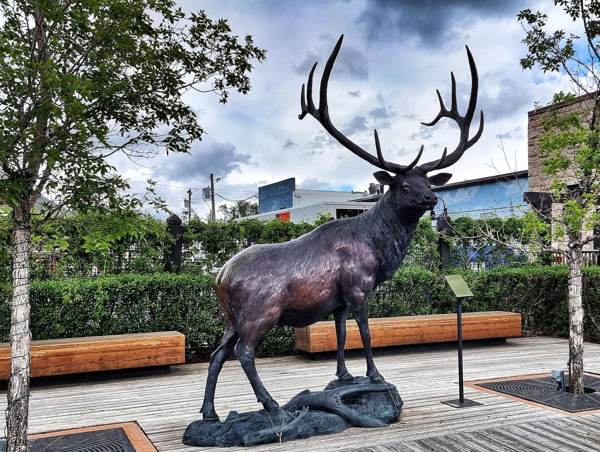
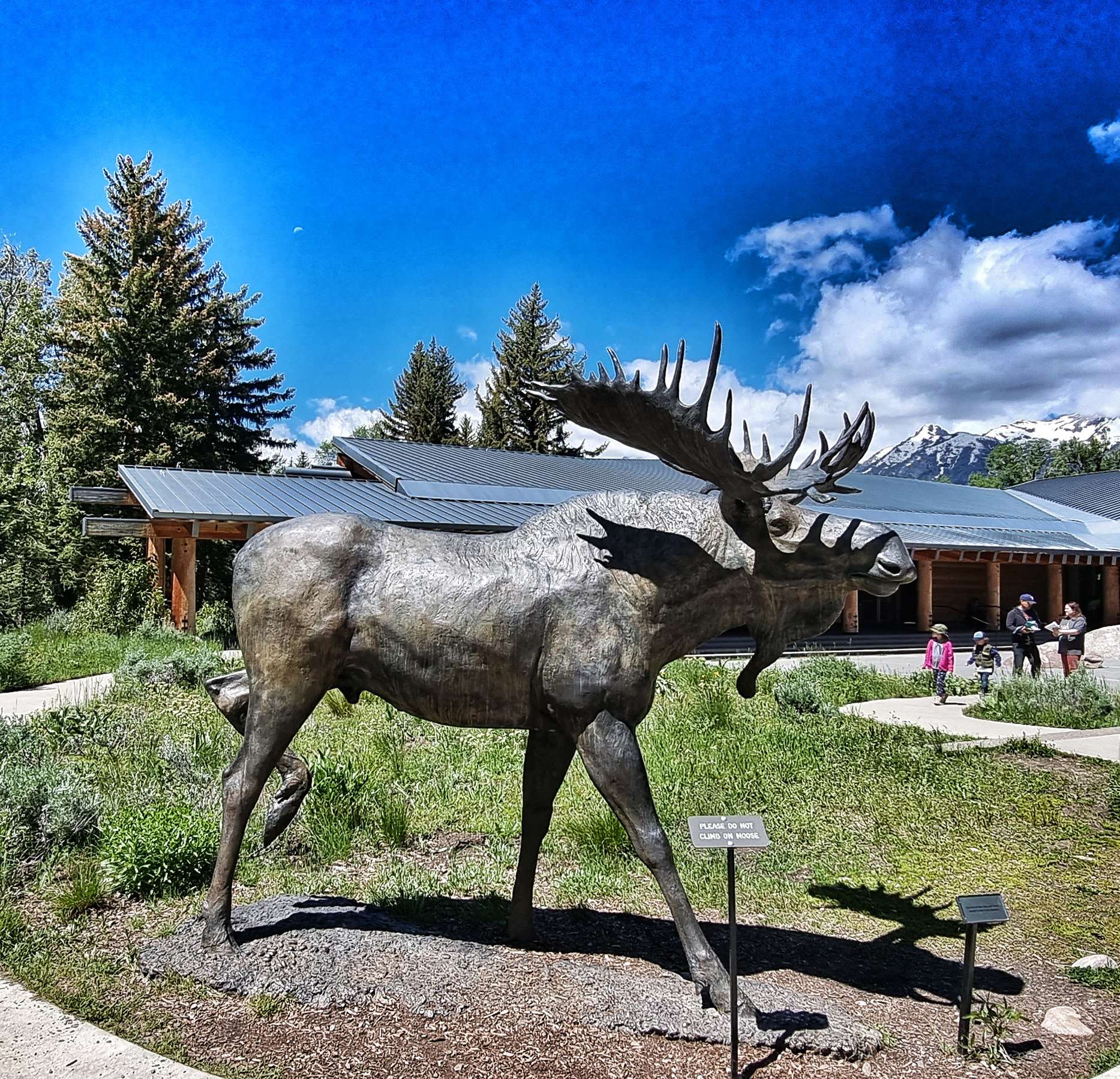
We also went for a quick stroll around the historic part of town. Jackson is famous for its iconic Elk Antler Arches at the four corners of the park. The first arch was erected by the Rotary Club in 1953. Additional arches were added to the other 3 corners of the park between 1966 & 1969.
Elk Antlers have a life span & they begin to decompose after 30 to 40 years, so the oldest arch was rebuilt in 2007, followed by the other 3 arches in 2009, 2011 & 2013. Each arch is in the region of 10,000 to 12,000 pounds in weight (a single antler weighs about 5 to 10 pounds ) & the antlers are are individually weaved into a steel frame.
Final fact – the local boy scouts go out in the Spring when the arches are due to be replaced & pick up the antlers that Bull Elk have shed following the winter.
Stage Stats – 33 miles, 2,431 feet of climbing. One big hors categorie climb taking us over 8,400 feet above sea level.
Tuesday 21st June – Jackson to Lizard Creek Campground, Teton National Park (Stage 41).
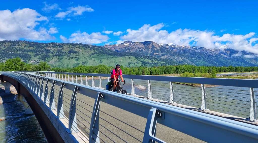
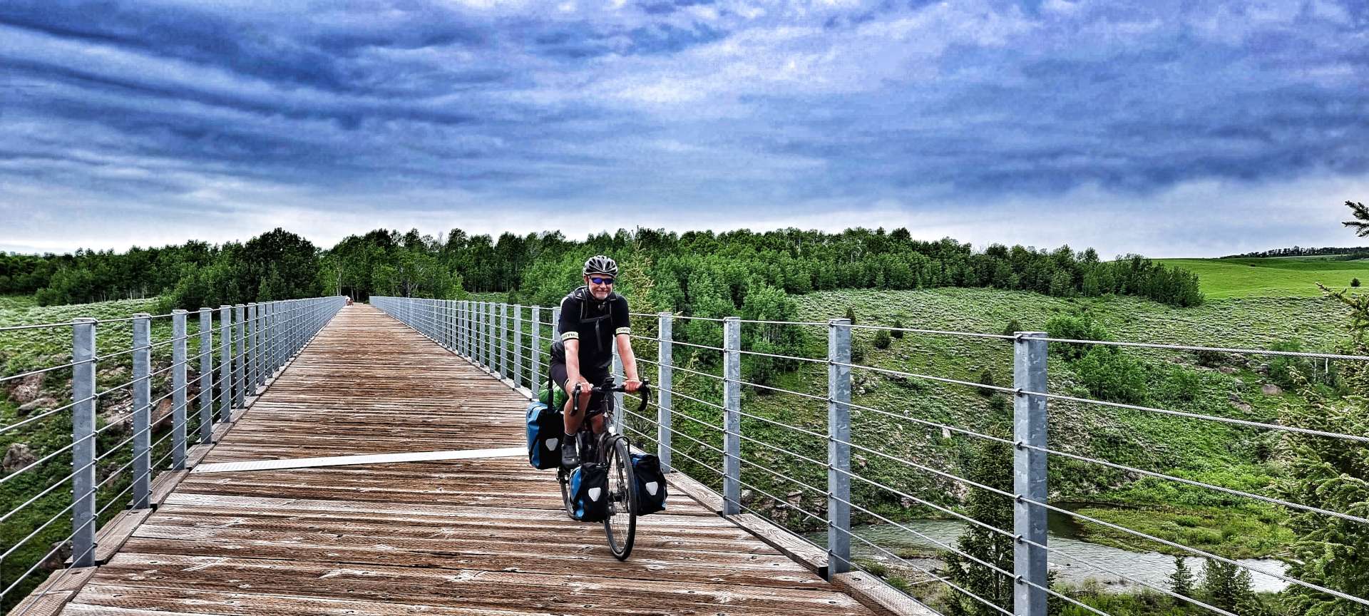
We were on the road for 9.45am & retraced the 5 miles back to Wilson, using the car-free bridge to cross the Snake river & ride through Rendezvous Park (spot the Giant in the 3rd photo!).
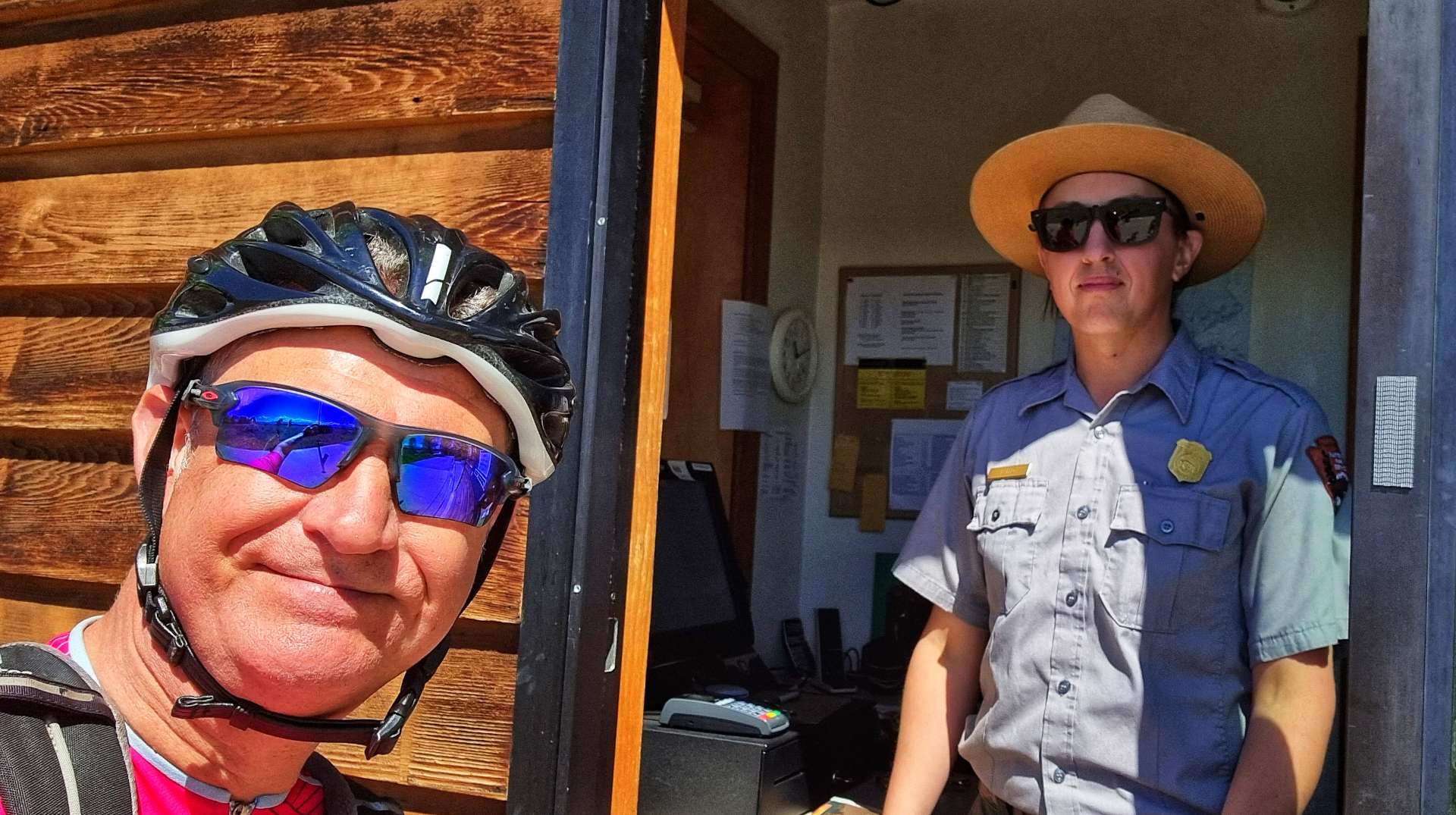
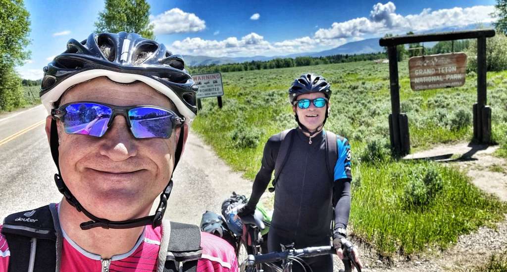
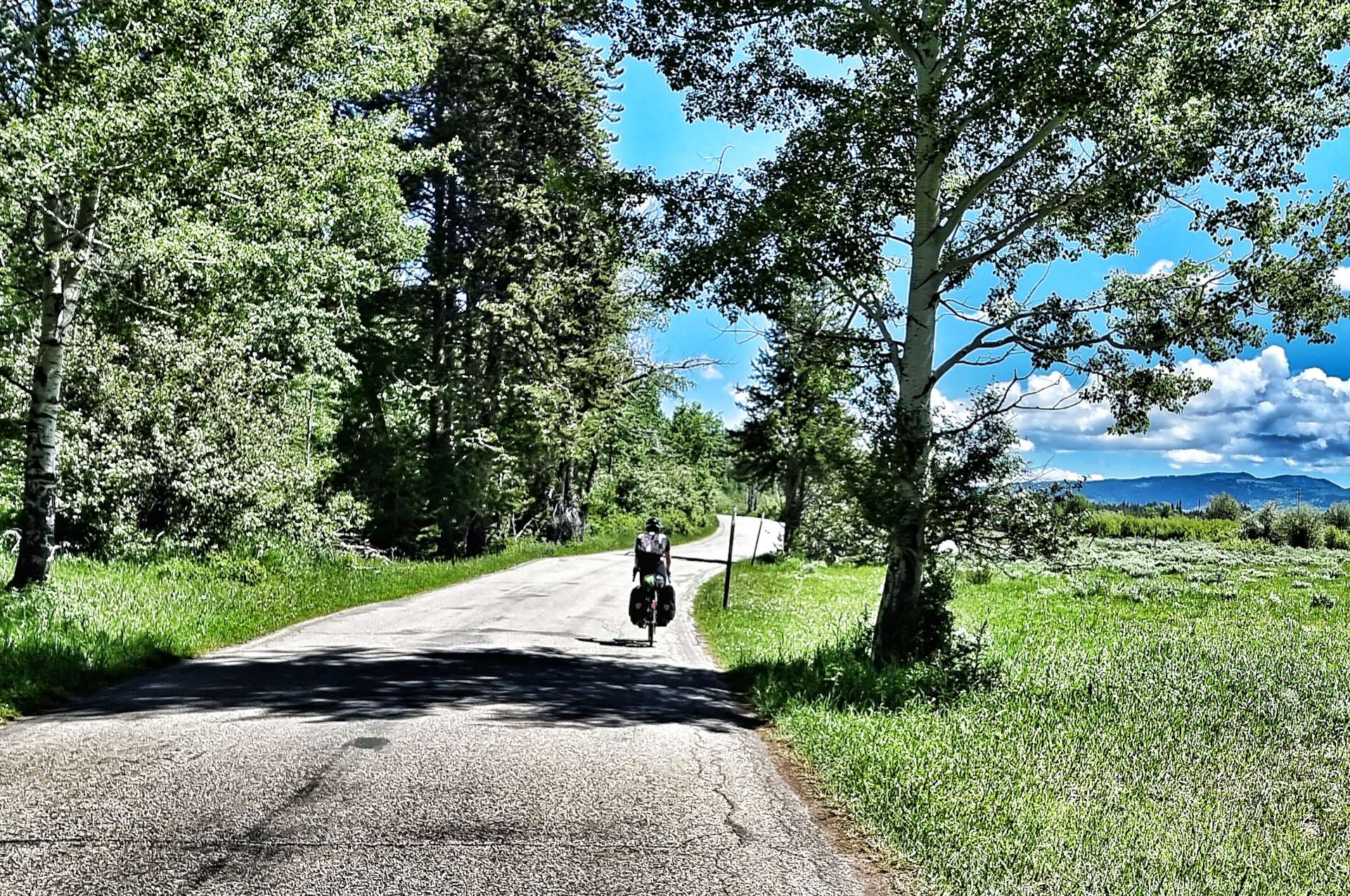
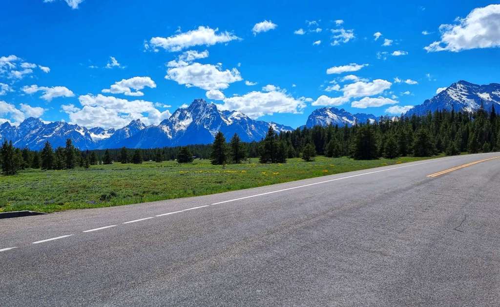
For the next 10 miles we had our own cycle path which ran close to the road, but made for very relaxing & enjoyable riding. We saw a couple of runners & 3 cyclists, so we could take in the mountain views all around us. Before we knew it, we’d passed Teton Village & arrived at the entrance to Grand Teton National Park – thank you to the Ranger on the gate who humoured me when I asked for a selfie!
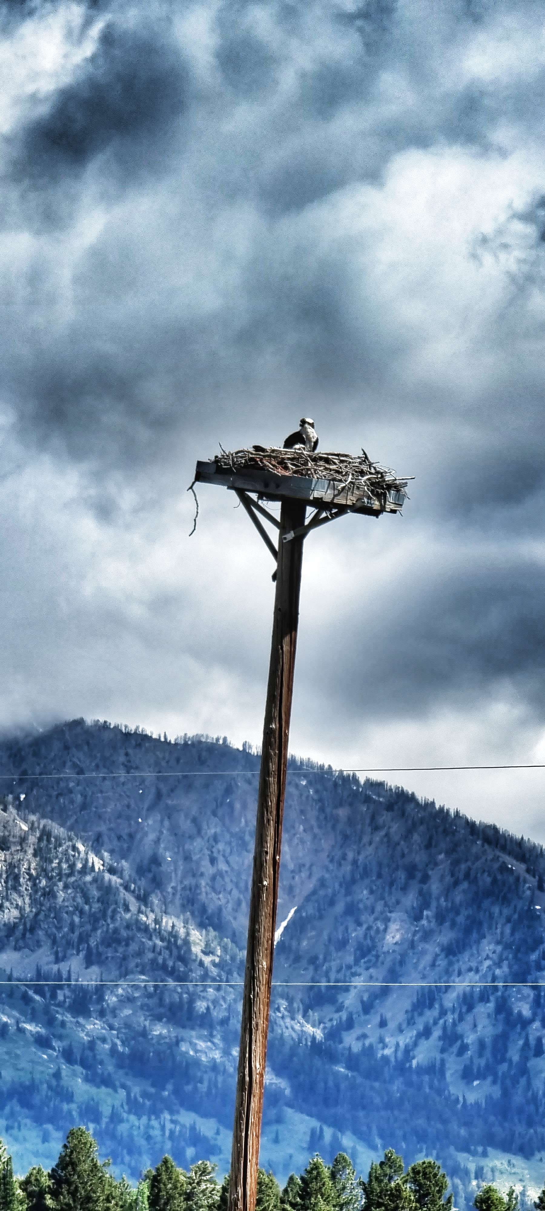
This isn’t a very popular entrance for cars, as the road quickly turns to rough gravel. The quieter roads increase the possibility of seeing wildlife & within 1/2 mile we’d spotted an eagle surveying the world from its eyrie. Tackling the 4 mile off-road section, it felt like we had the park to ourselves as we cycled through the forest. I’m writing this on 28th June & it’s a year ago to the day that I first went off-road on my touring bike – we were on Day One of a 5 day cycling trip to Wales & we did a mile or two of gravel on the Monmouth & Brecon canal towpath – how my adventures have grown!!!
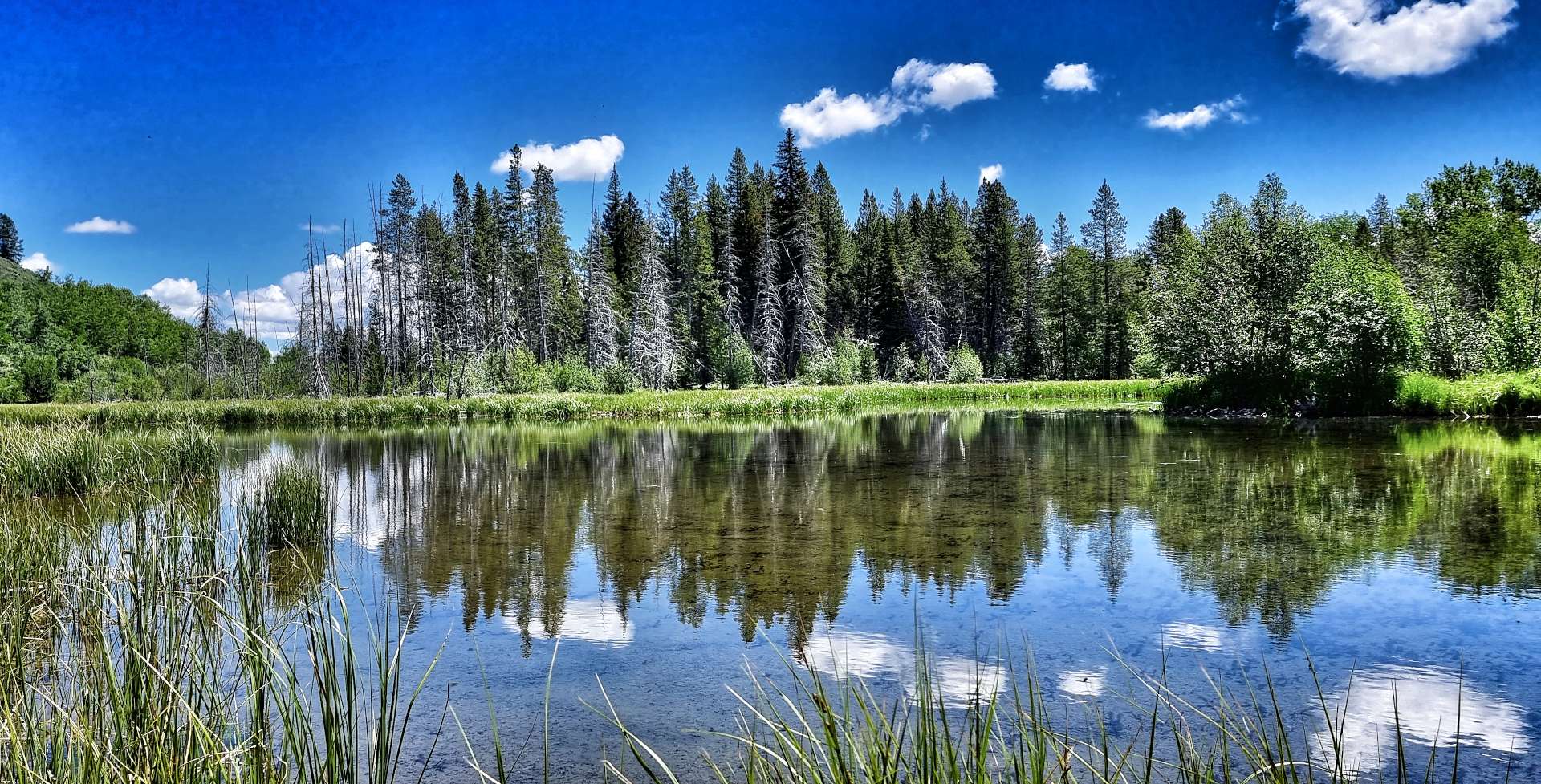
The quiet backroad took us past babbling brooks & creeks which led into or out of the many small lakes & ponds. Then as we turned a corner the forest was replaced by plains & prairie as far as the eye could see. This signalled that we were nearing the end of our remote riding on Moose Wilson Road, but there was plenty more stunning scenery ahead of us.
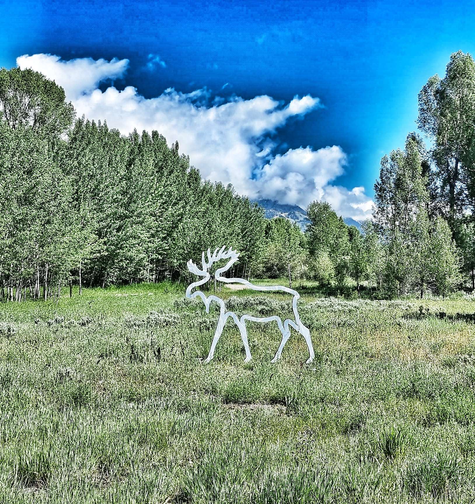
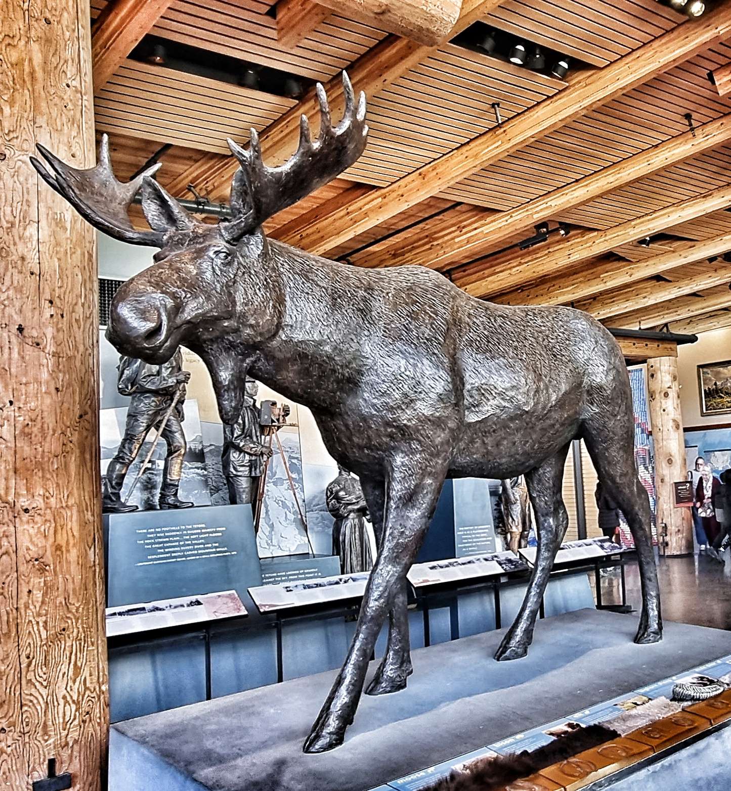
We joined Teton Park Road at Moose, stopping to see the Visitor Centre along the way – I have a few friends (Jo & Tazzer – this is for you both!!) who will appreciate this next set of photos as they’re into Moose. I’ve added my favourite mousse photo!!!
Grand Teton National Park has gone to great lengths to be cyclist & pedestrian friendly. From Moose to Jenny Lake (about 10 miles) we were once more on a separate cycle path. Over billions of years, natural forces including earthquakes, glaciers & erosion have shaped the Teton mountains. The gneiss that makes up much of the range was formed 2.7 billion years ago when the sea floor sediments & volcanic debris were buried up to 18 miles deep as two tectonic plates collided – similar to what is happening to the Himalayas today.
The Tetons are young in geological terms, the uplifting which created them only commenced 10 million years ago. The range continues to uplift one earthquake at a time along the 40 mile Teton fault, a north-south crack in the earth’s crust. As the region is stretched in an east-west direction, this causes stress which is released in the form of an earthquake, lifting the mountain block skywards, while dropping the valley floor.
On average, the fault moves 10 feet with each earthquake – the mountain block rises 2 to 4 feet up, as the valley floor drops 4 to 6 feet. Over 10 million years it’s estimated that the total offset is about 25,000 feet – the flathead sandstone on Mount Moran (to the west of the fault) is at 6,000 feet above the valley, while the same layer is buried 20,000 feet below the valley floor on the east side of the fault. Enough with the geology lesson, here’s some more jaw-dropping scenery!
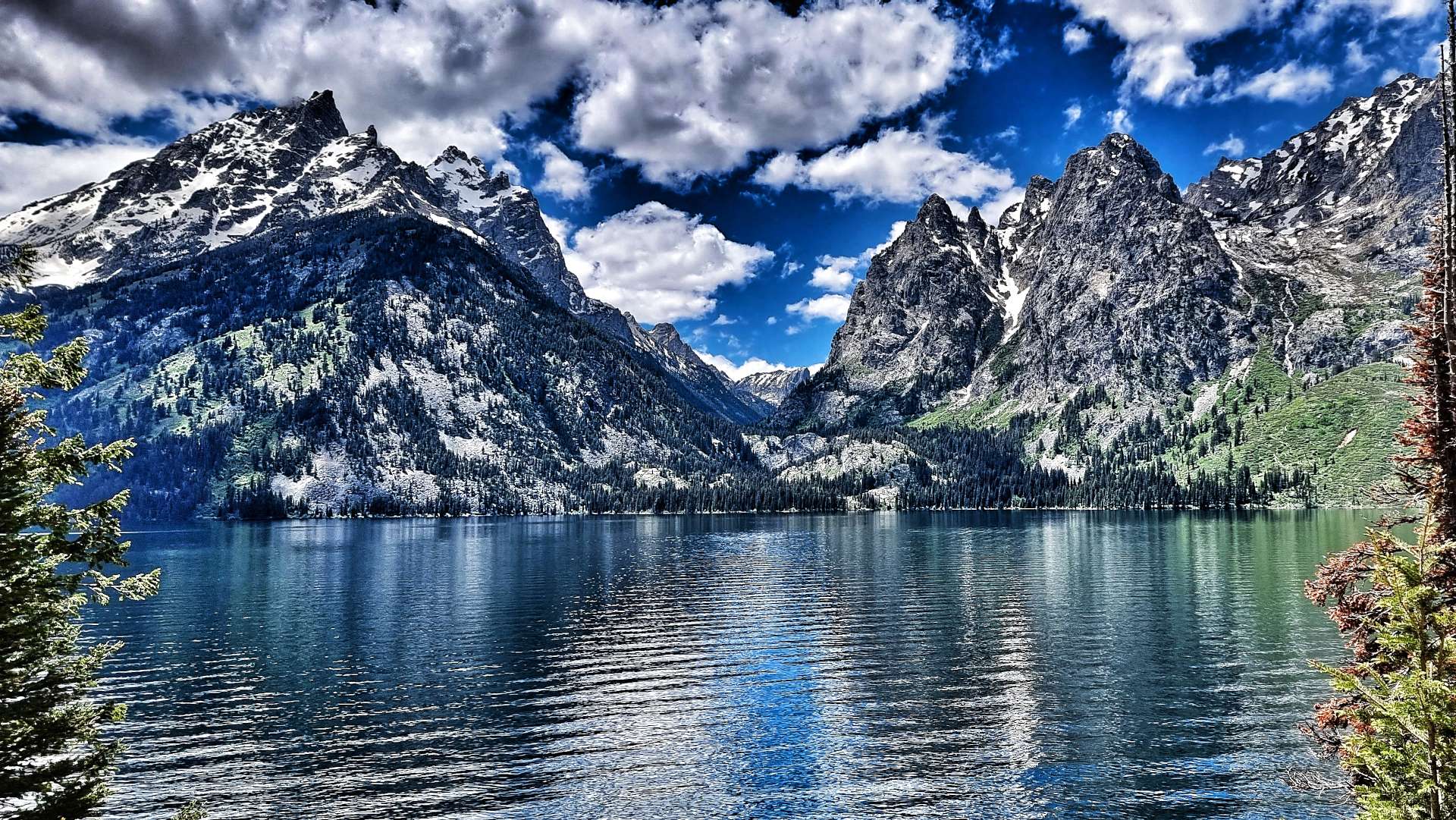
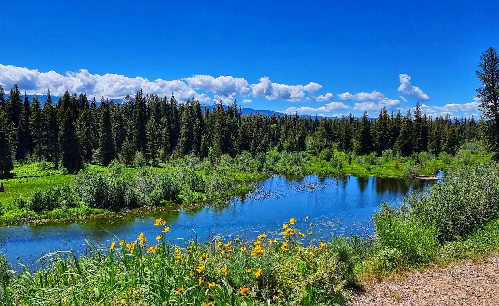
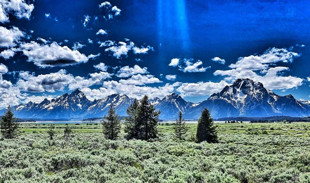
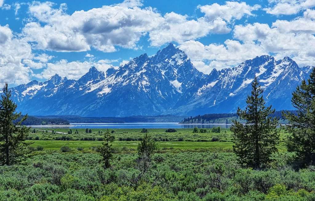
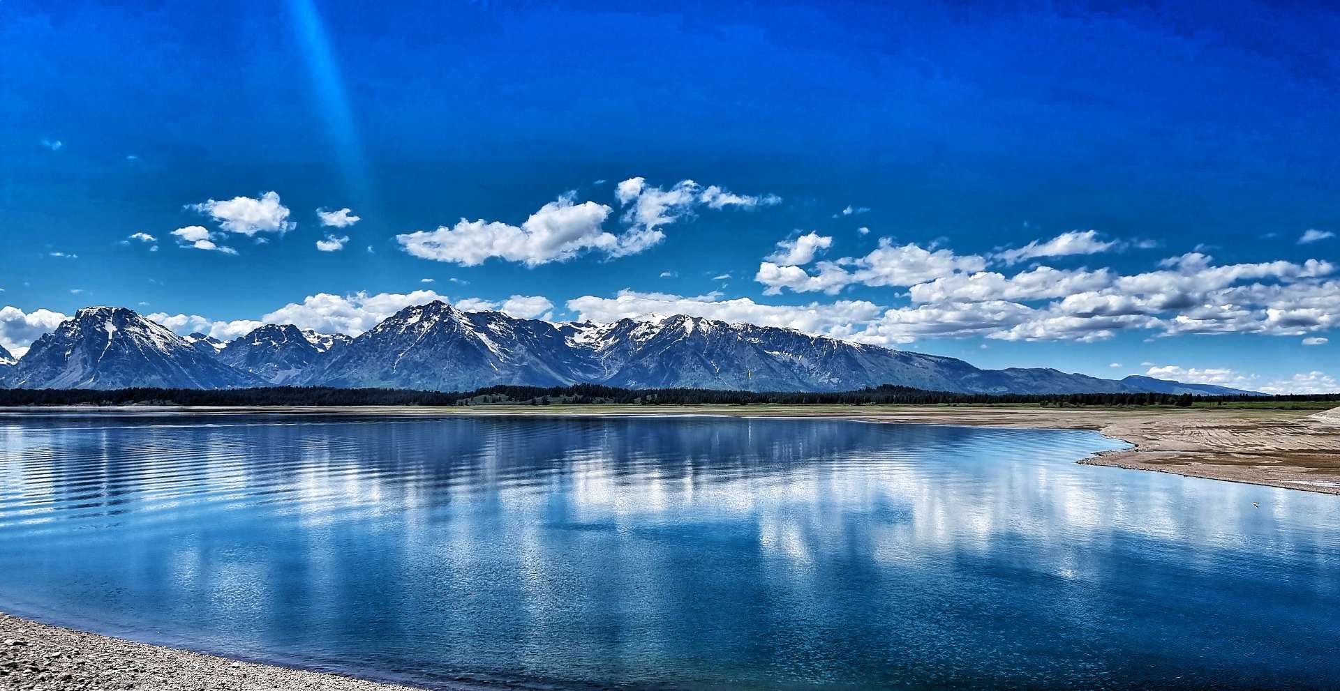
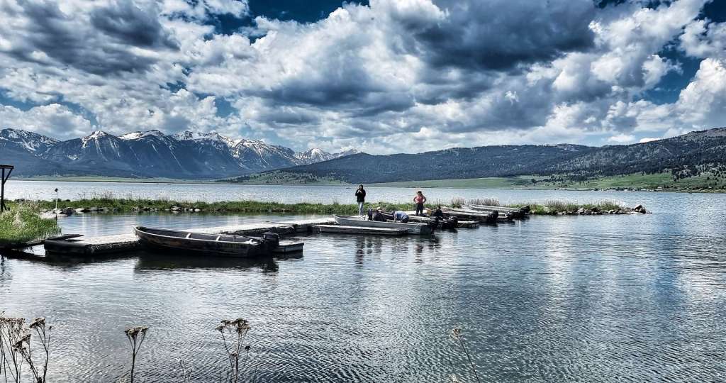
The Grand Teton National Park also has a number of alpine lakes, some natural & others man-made to manage water levels & to create hydro-electric power. When combined with the majestic backdrop of the mountains, the views are out of this world. Jenny Lake is the centre piece of the park, with views of Teewinot Mountain, Mount St John & Cascade Canyon (directly between Tweddle Dumb & Tweedle Dumber!) – you may be able to make out a rowing boat behind us too.
Further up the valley is Jackson Lake – it’s a 400 foot deep natural lake, that was modified in 1916 by the Bureau of Reclamation when they added a 39 foot dam to the lake & rebuilt it in 1989. The lake is a remnant of glacial gouging from the Teton mountain range to the west & the Yellowstone basin to the north. It extends 15 miles up & 7 miles across the valley & is one of the largest high altitude lakes in the USA.
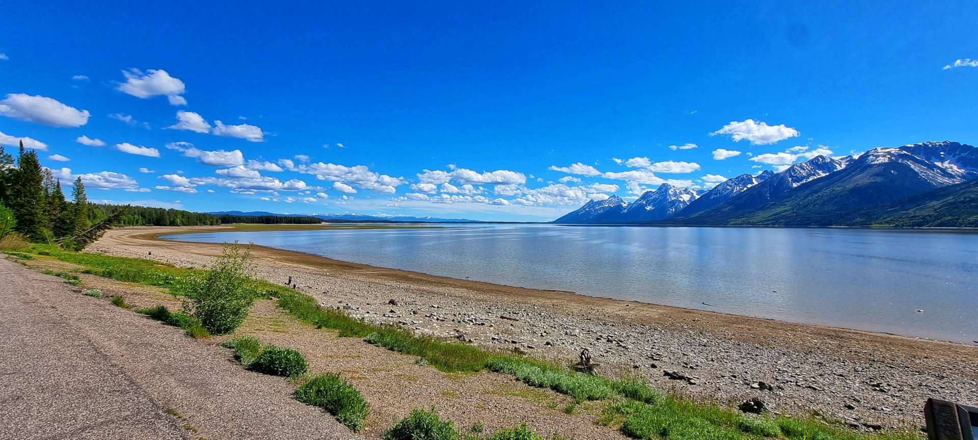
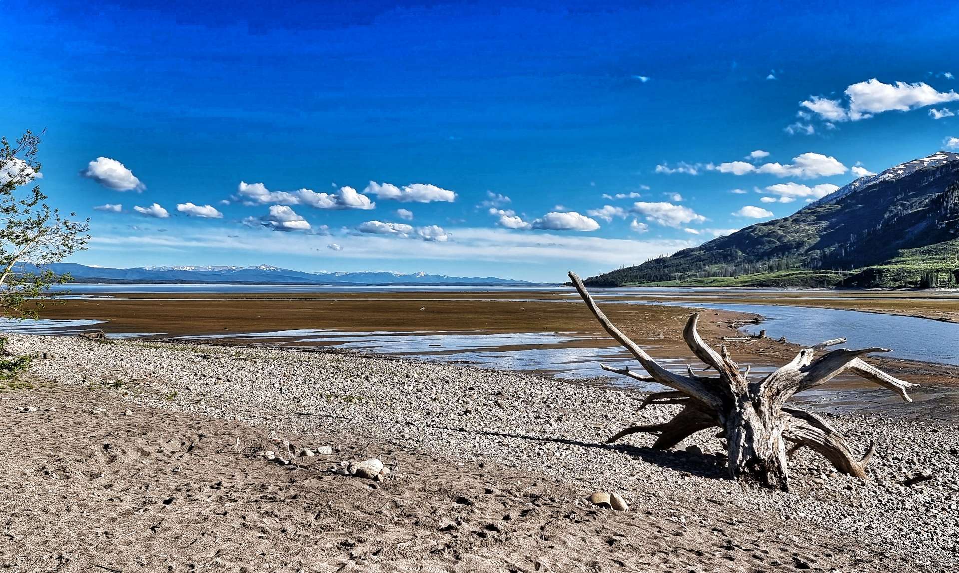
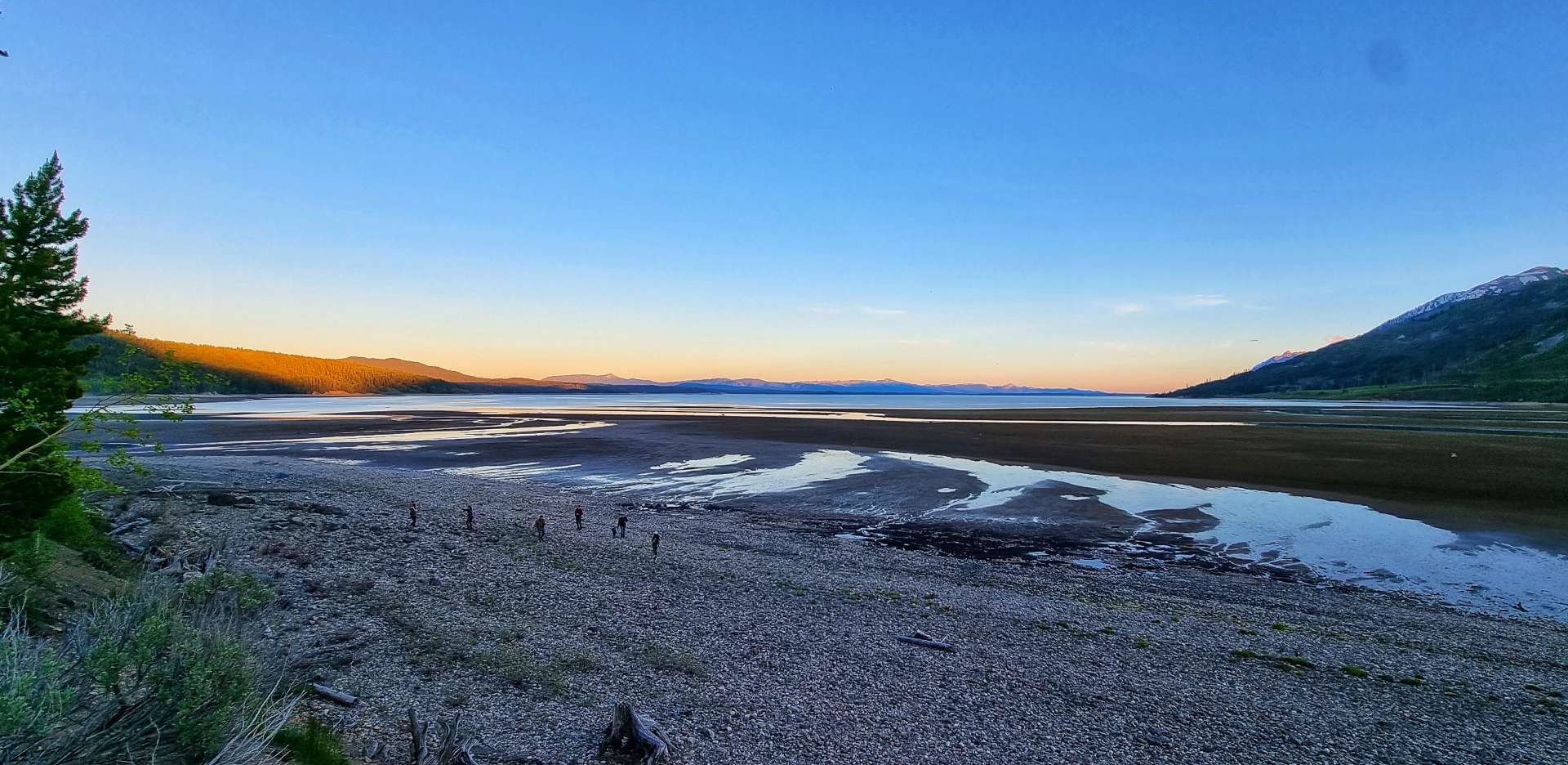
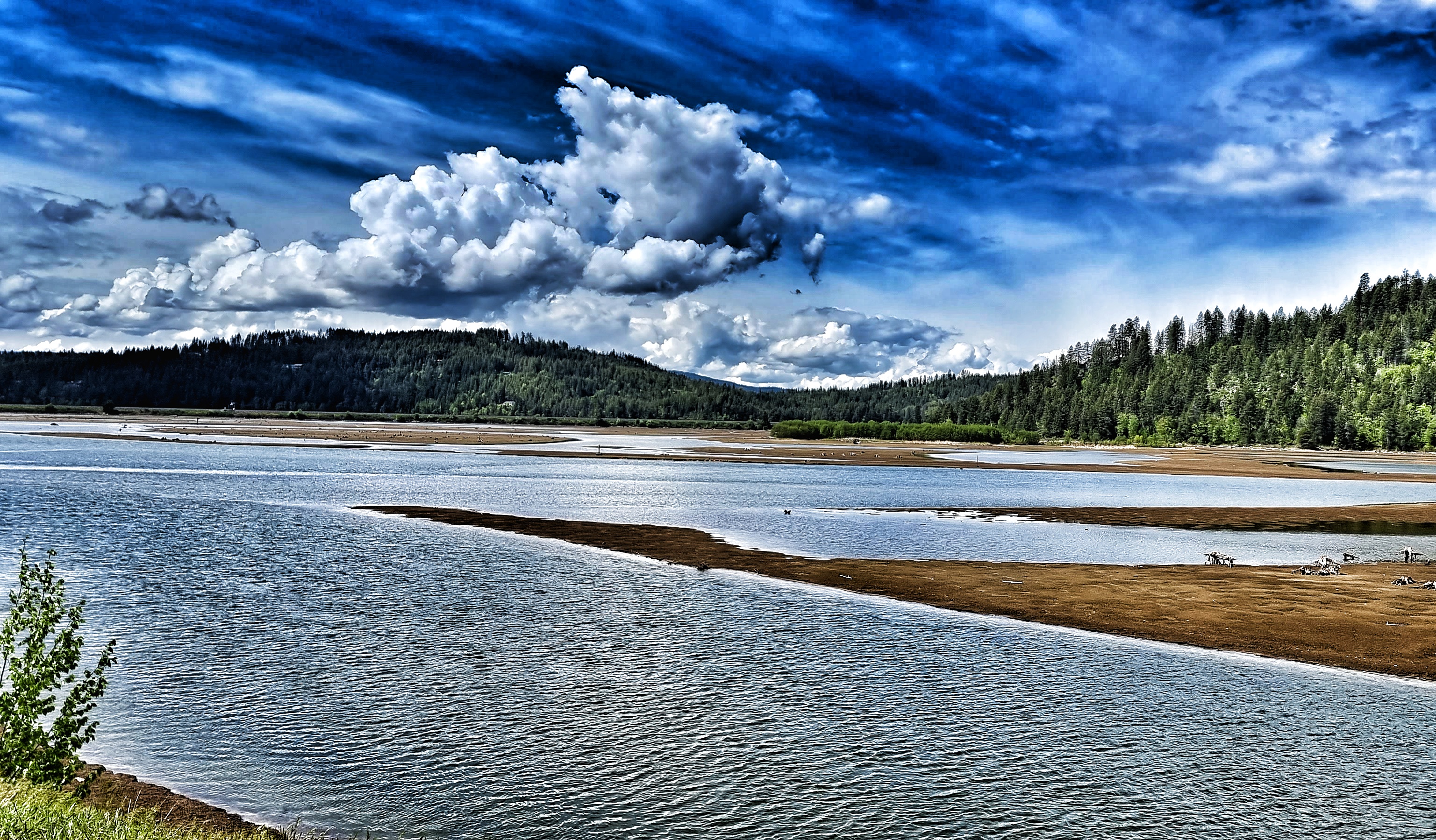
Continuing up the valley, it became more obvious that the water level in Jackson Lake is currently quite low, as more of the shoreline beach became visible. We stopped briefly at Colter Bay Village (a grand name for a gas station, if ever I heard one!) where we stocked up on sandwiches, crisps & fruit for our gourmet dinner later.
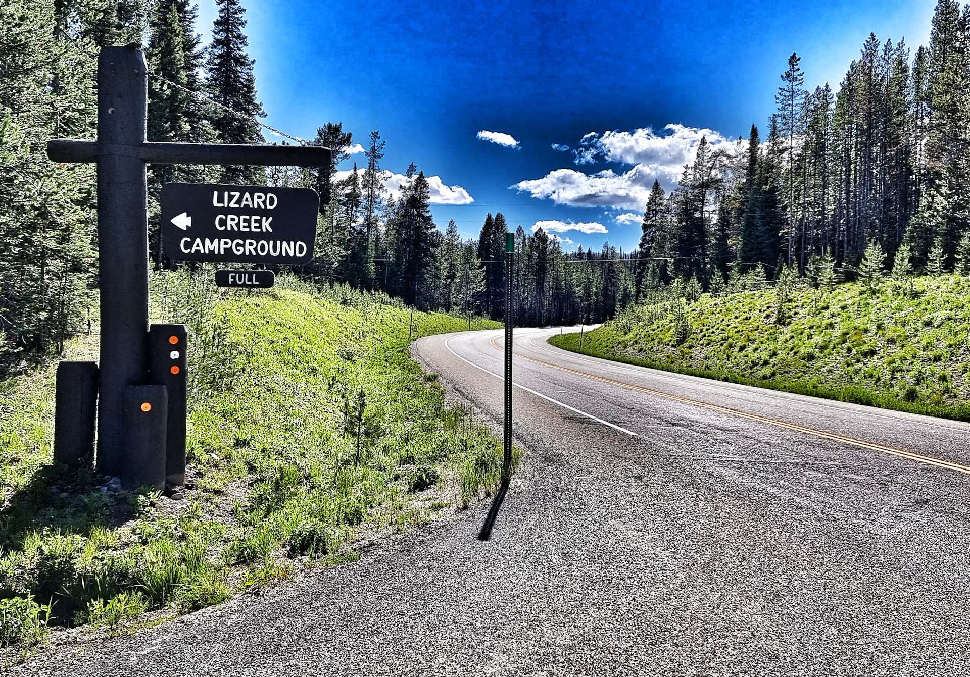
Lizard Creek Campground, where we’d be camping for the night was a mere 8 miles up the road. When we arrived, our friendly campground hostesses Marni & Mandy welcomed us & made sure we found our pitch for the evening.
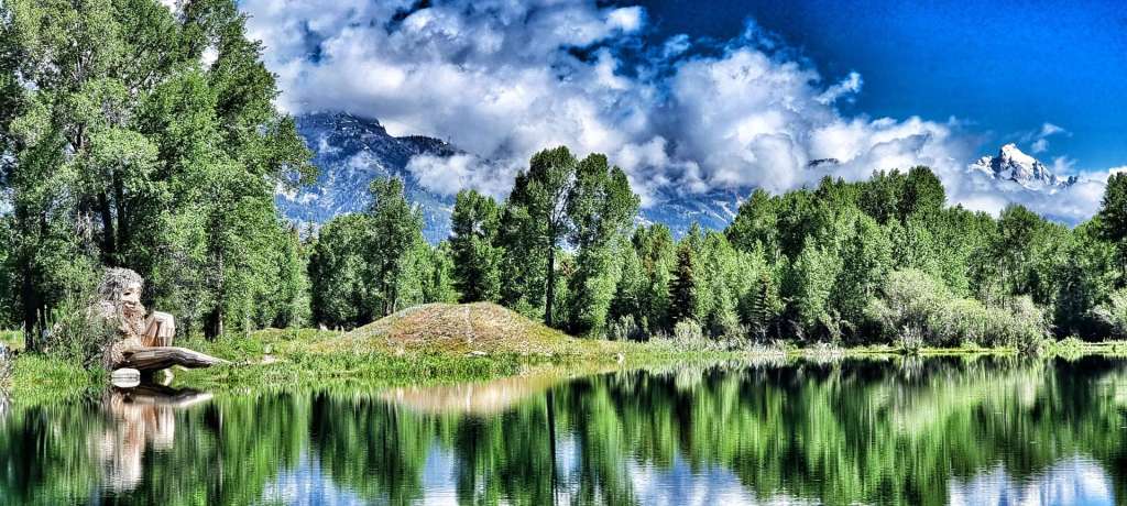
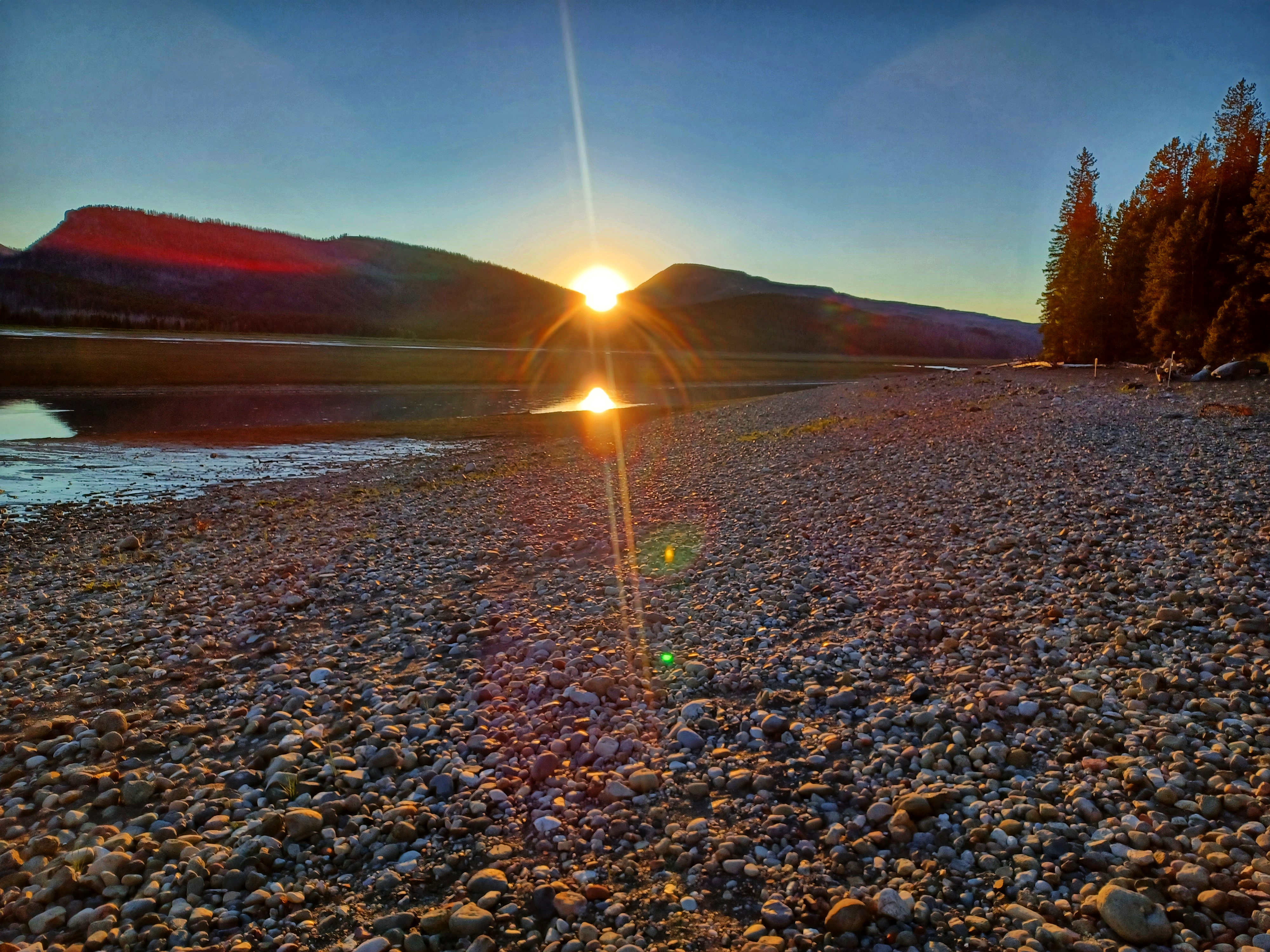
We set up camp, then ate our luxury dinner of ham & cheese sandwiches with either salt & vinegar or plain crisps. A little after 9pm we took a 2 minute stroll to the shoreline of Jackson Lake, where we watched the sun go down – huge thanks to Sean for sharing his sunset photo with me. The perfect end to the perfect day. Grand Teton National Park is a breathtakingly beautiful place & I’d encourage you to make time to visit if ever you’re in the region to see Yellowstone – you won’t be disappointed.
Stage Stats – 64 miles, 2,005 feet of climbing. Sunshine & blue skies all day as we explored a lesser known gem of a National Park.
Wednesday 22nd June – Lizard Creek Campground, Teton National Park to Grant Village, Yellowstone National Park (Stage 42).
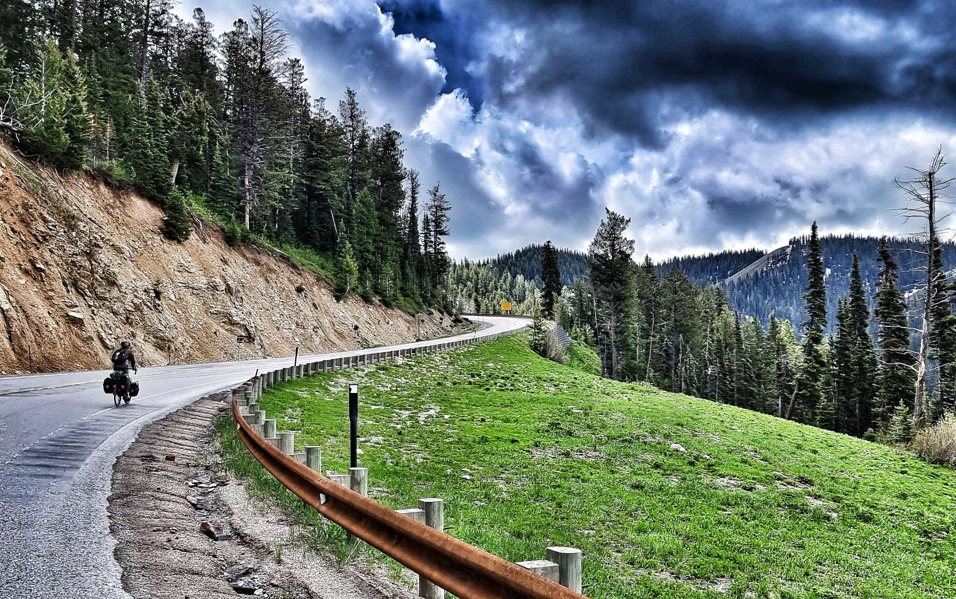
It was bitterly cold overnight (below freezing) – I bought a beanie on 19th May in Sandpoint for just such an occasion & slept in it last night, along with long legged thermal bibs & a long sleeved jersey. We were on the road by about 10am & continued on a constantly rising road for 6 miles through a section of burned forest, before exiting Grand Teton National Park on the John D Rockefeller Jr Memorial Parkway as we headed towards Yellowstone.
John D Rockefeller was the only son of the founder of Standard Oil (now Exxon or Esso depending on which side of the Pond you’re from). He was a philanthropist & financier who donated $500 million to a wide range of causes, including Grand Teton, Acadia & the Great Smokie Mountain National Parks. Congress dedicated a parcel of 24,000 acres of land to recognise his contributions.
He was also involved in the Rockefeller Center (US Spelling), making him one of the largest real estate holders in New York City at one point. I’d encourage you to do your own research to better understand how he amassed his wealth so he could become a philanthropist. It’s not a simple or straightforward story so I’ll leave you to draw your own conclusion.
I’ll remember the stretch of road between Grand Teton & Yellowstone National Parks for two unrelated reasons.
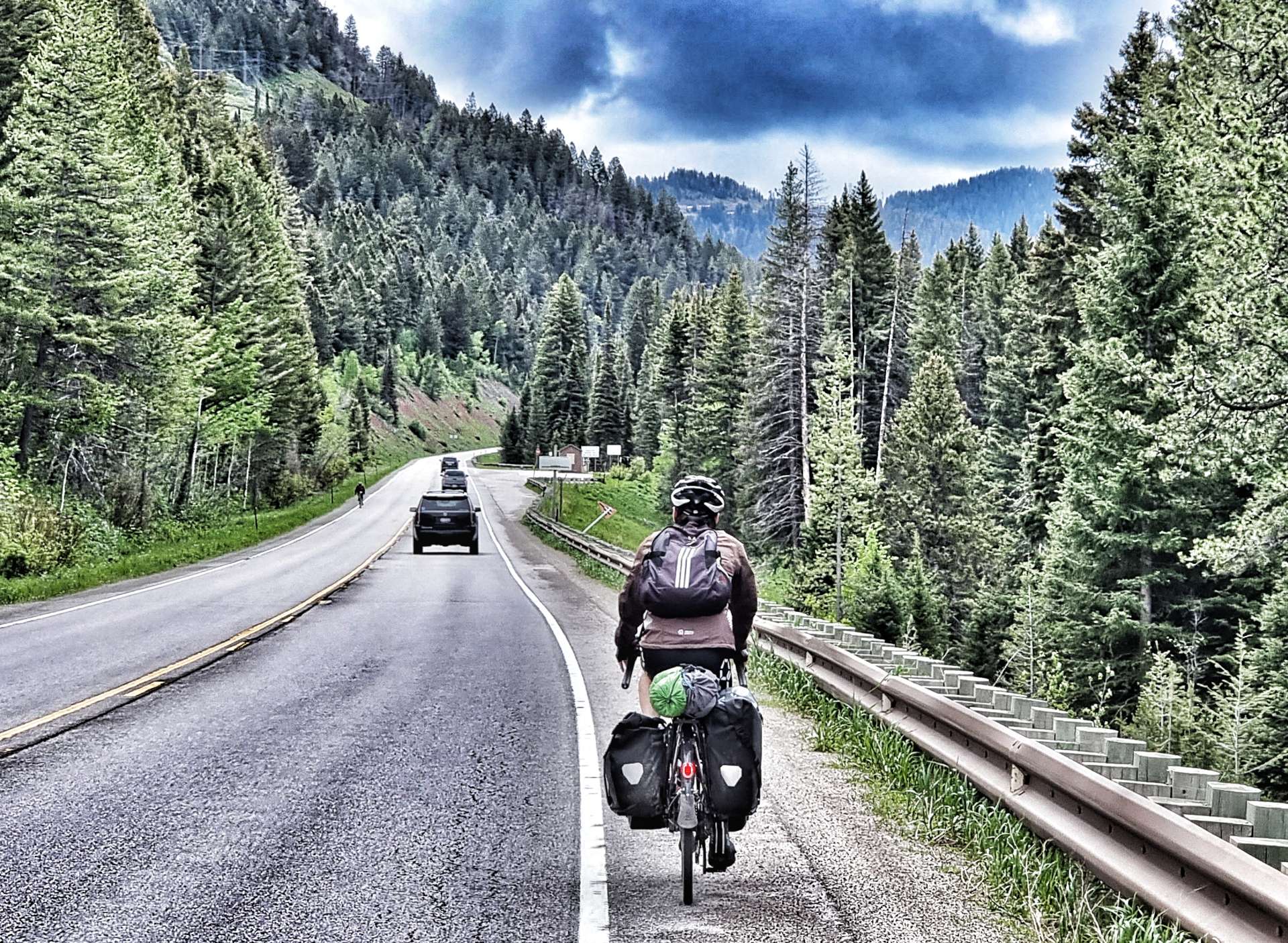
Firstly, it’s where I experienced my first p*nct*re of the adventure – it took between 15 & 20 minutes to unload the bike, check the tyre, fit a new innertube & be on our way again. I’ll try & remember to take a photo next time!
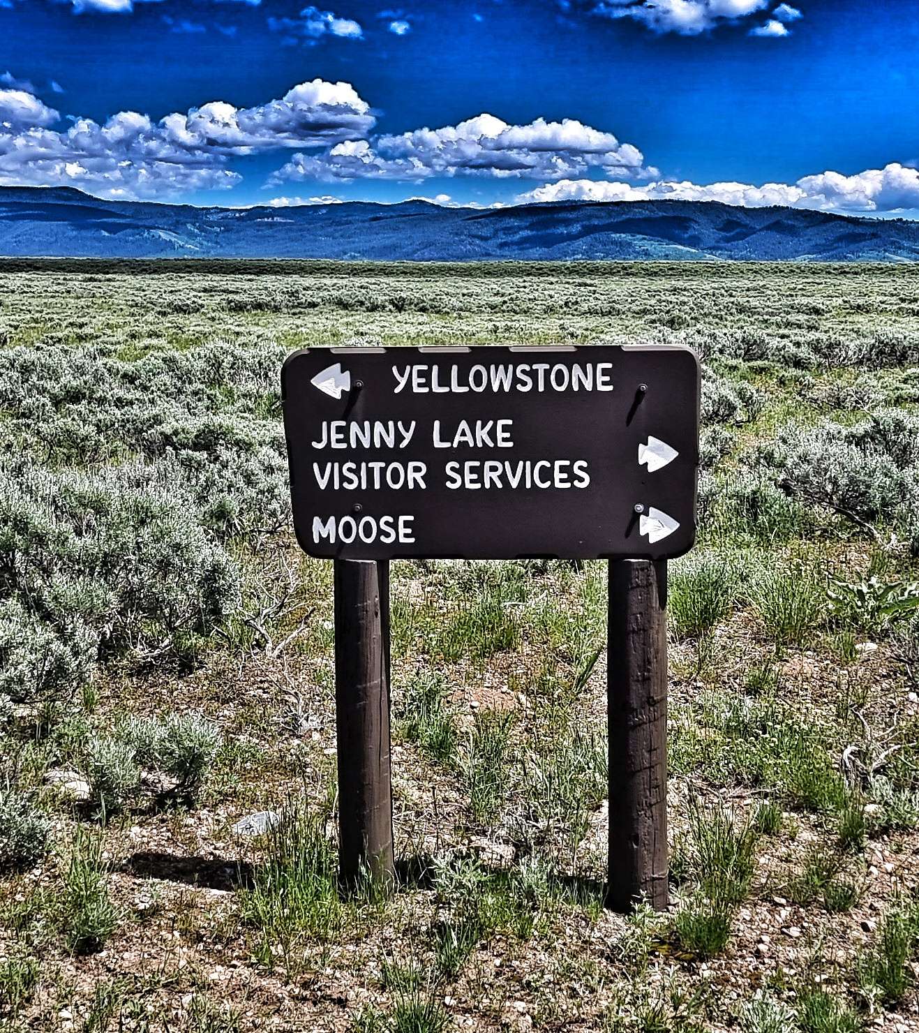
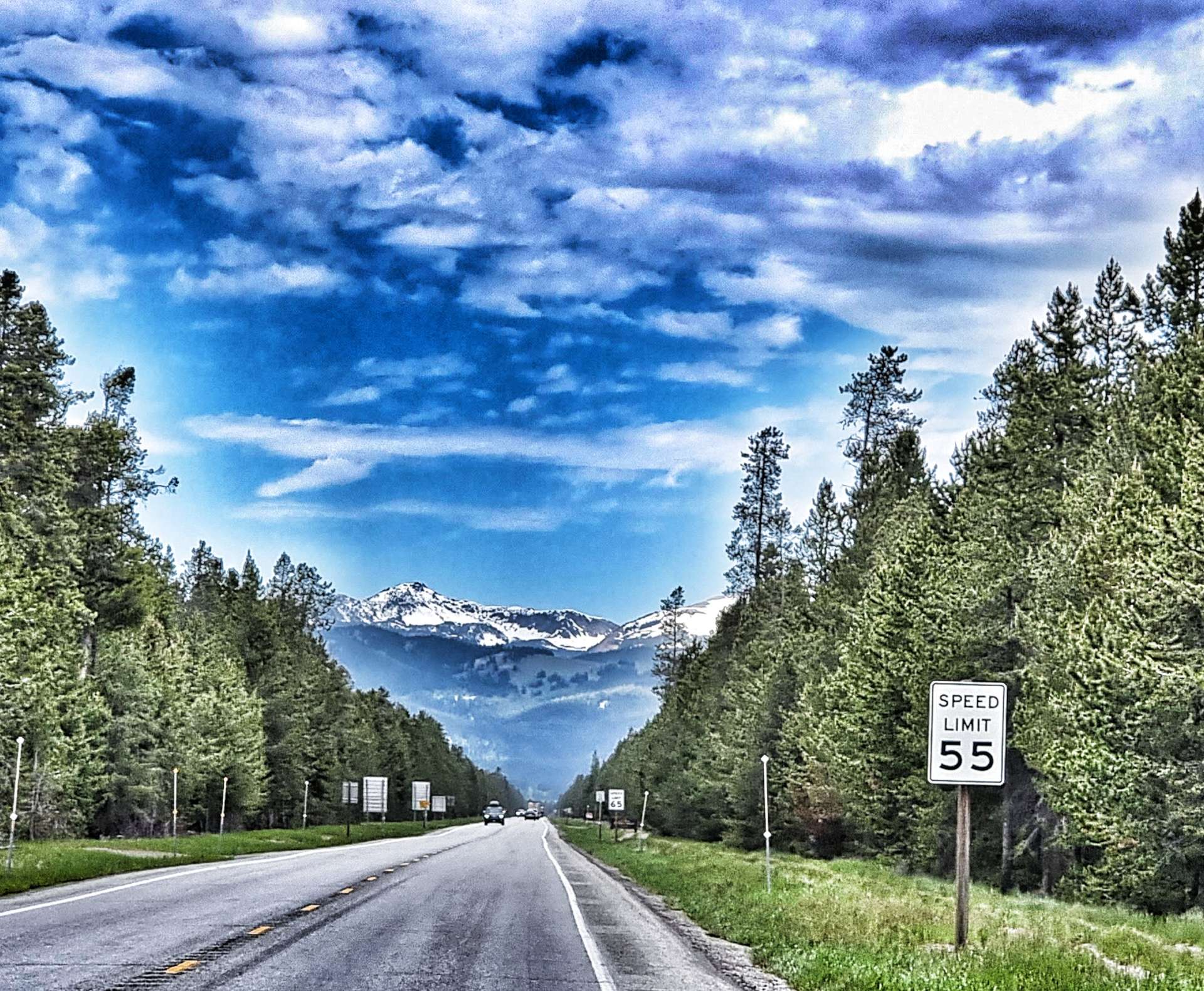
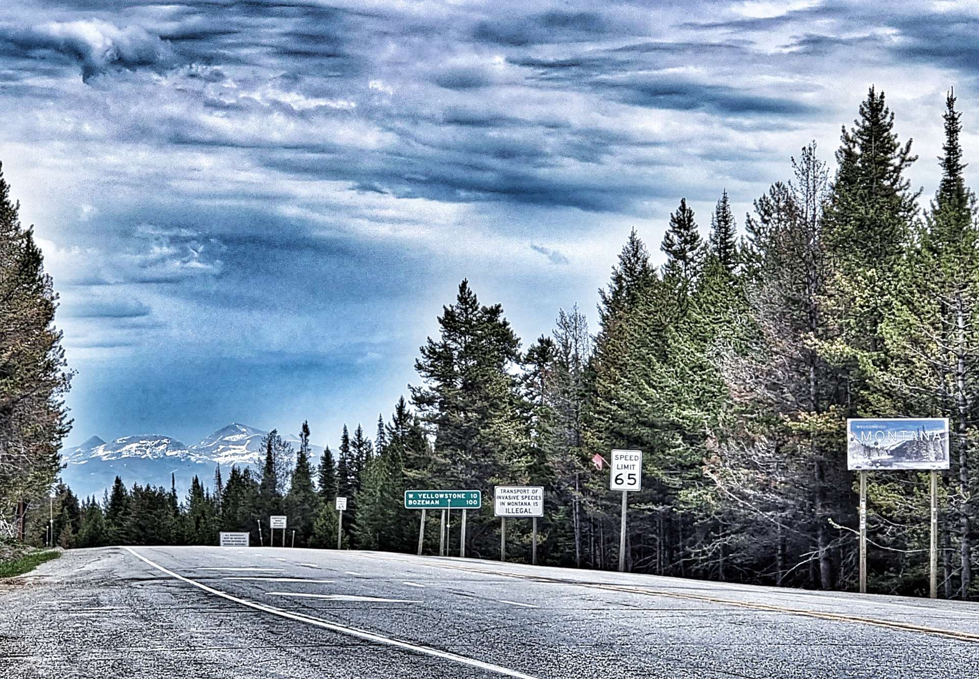
Secondly, we cycled down the hard shoulder, passing a 4 mile tailback of cars queueing to get in Yellowstone’s South Entrance. As an aside, when we stayed at West Yellowstone, we were less than 1/2 mile from the West Entrance Gate – we took a 227 mile detour to get into Yellowstone via the South Gate. But look at the unexpected adventures the last week has brought us!
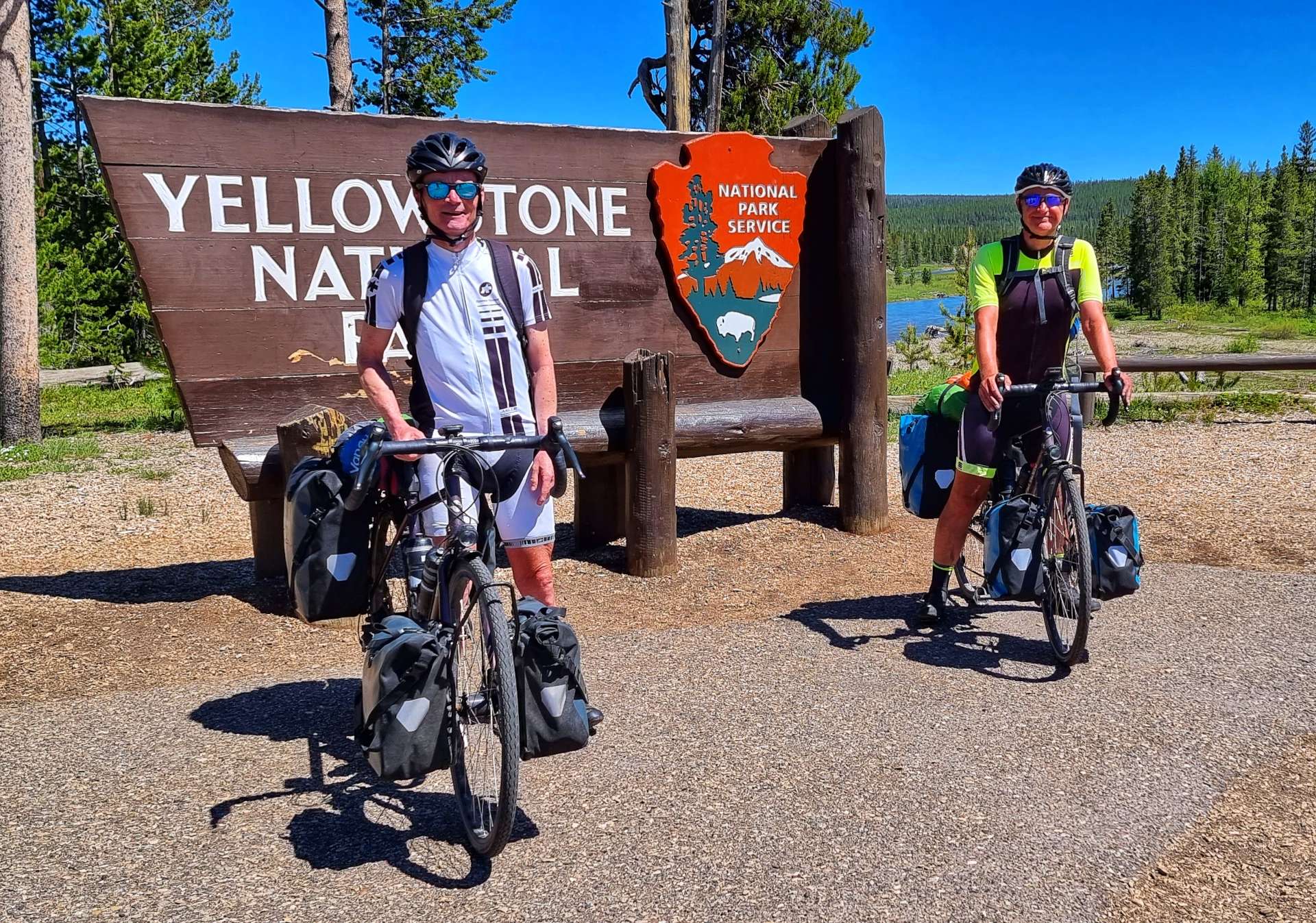
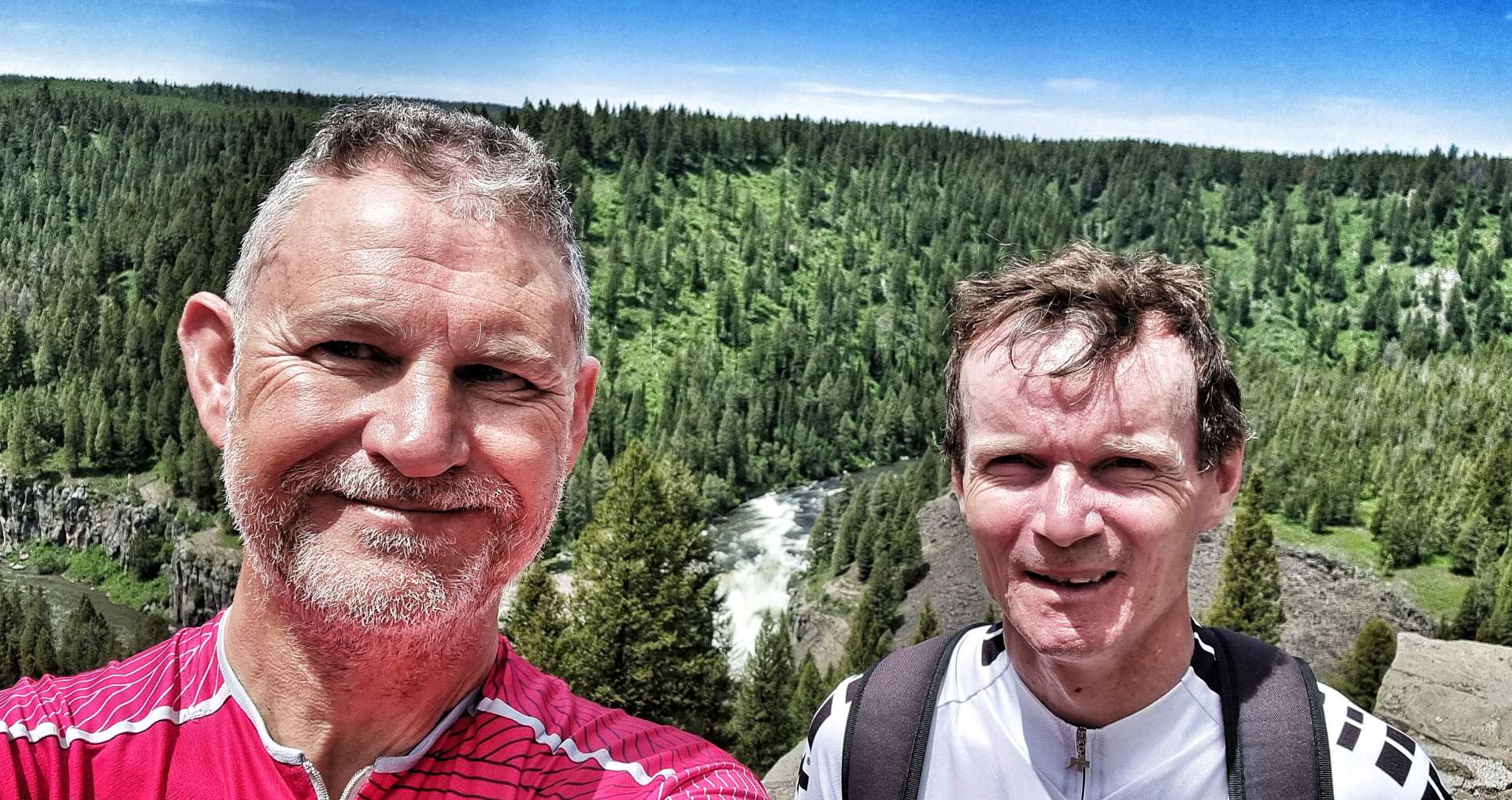
A friendly Ranger took a photo of us both by the Yellowstone sign, before we set off up the Snake River valley.
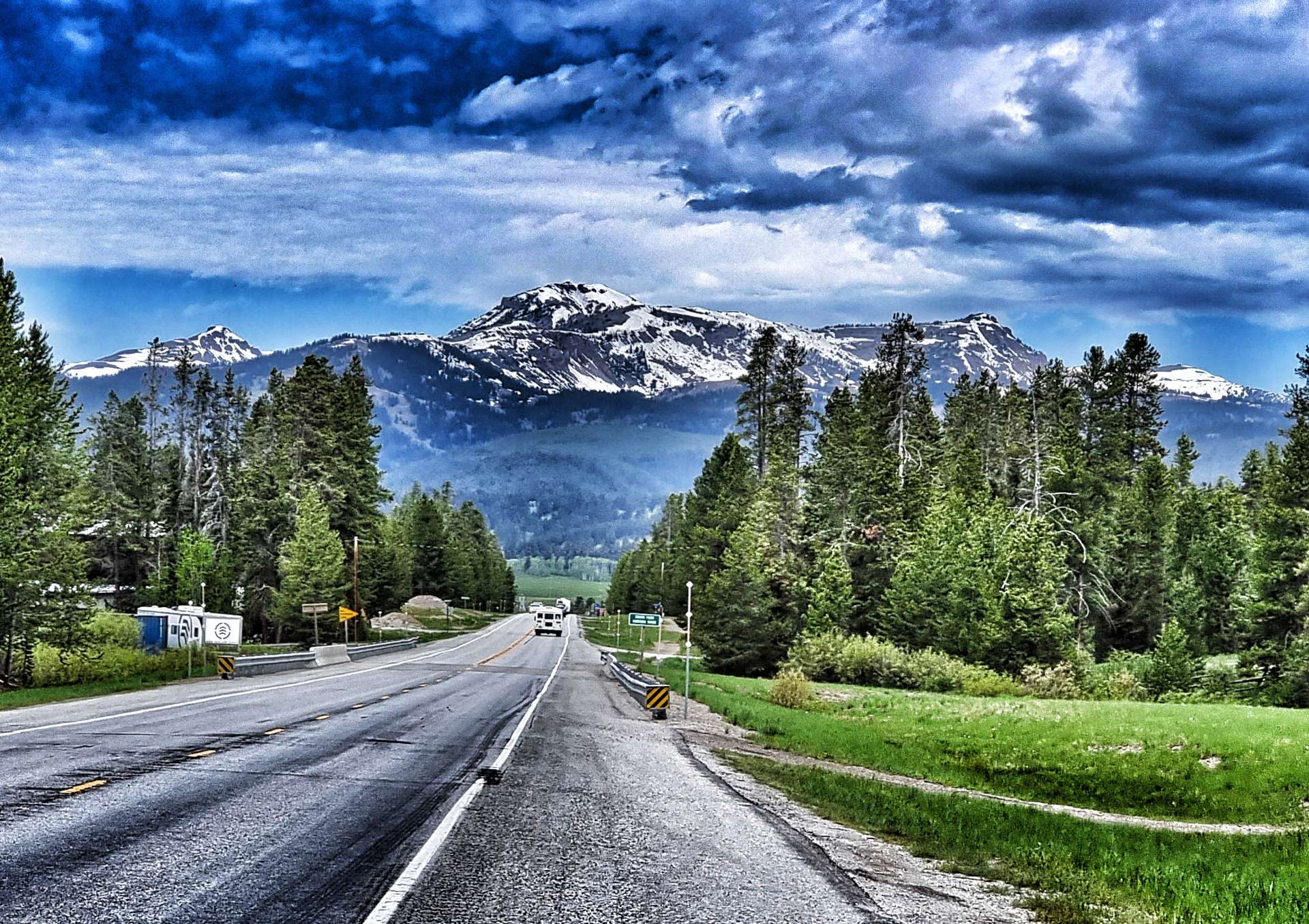
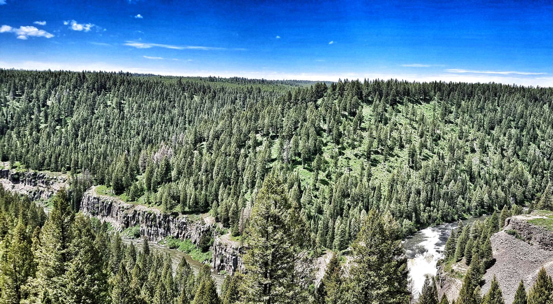
Yellowstone opened today for the first time in over a week – while this increased queues for cars trying to get into the park, the upside was no traffic was leaving the National Park, so traffic could overtake us safely whenever they wanted to. The climb up the Snake River valley was relentless – never steep, but also never ending as we threaded our way through the forest!
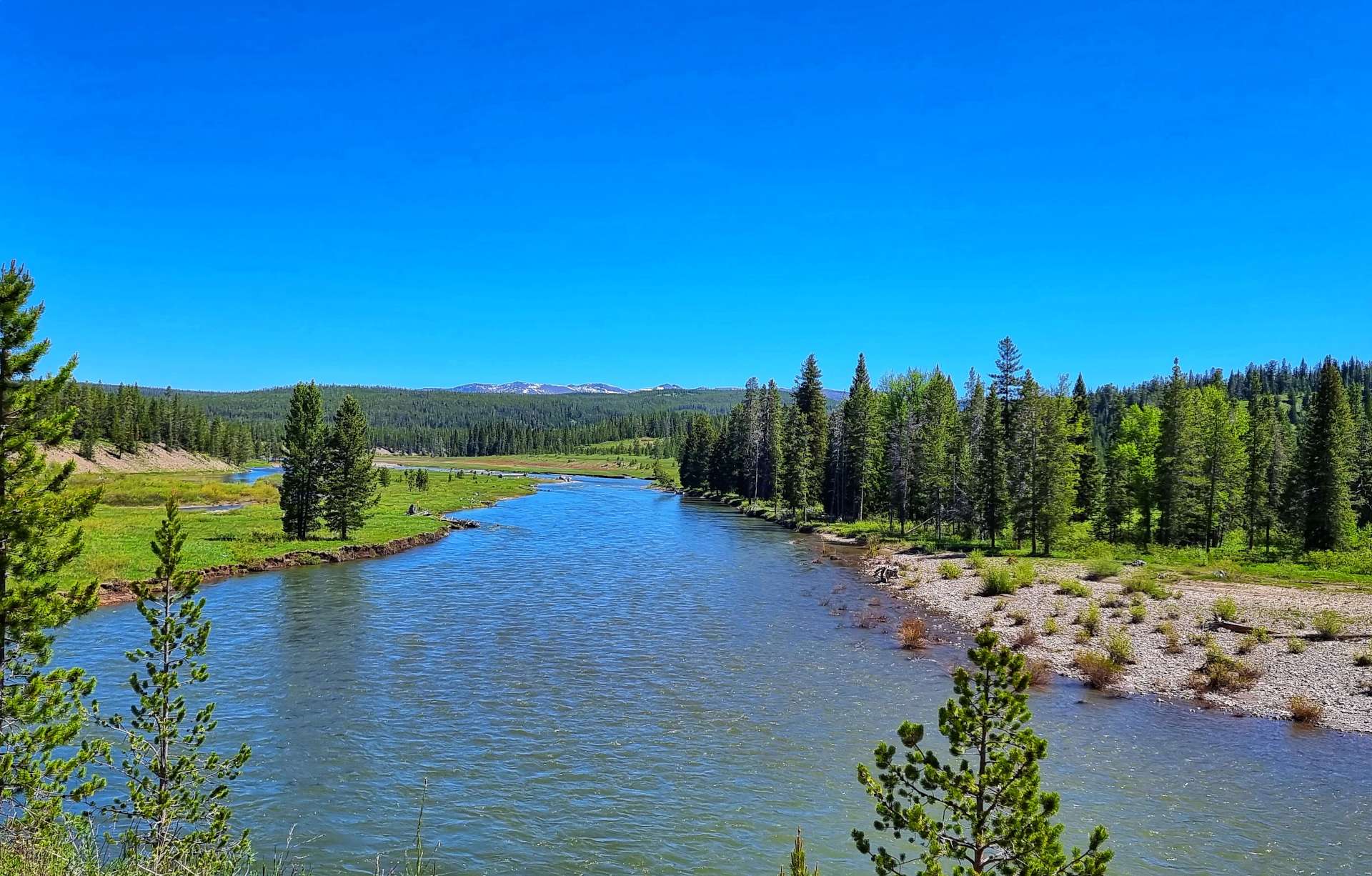
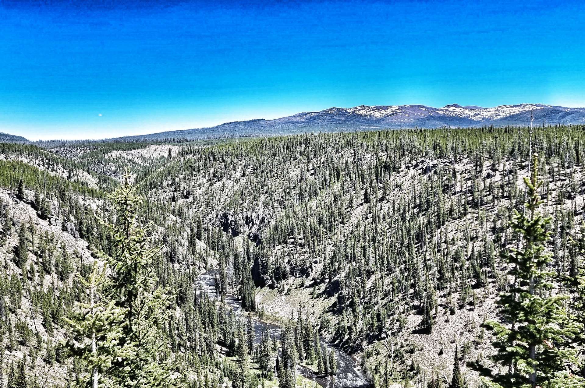
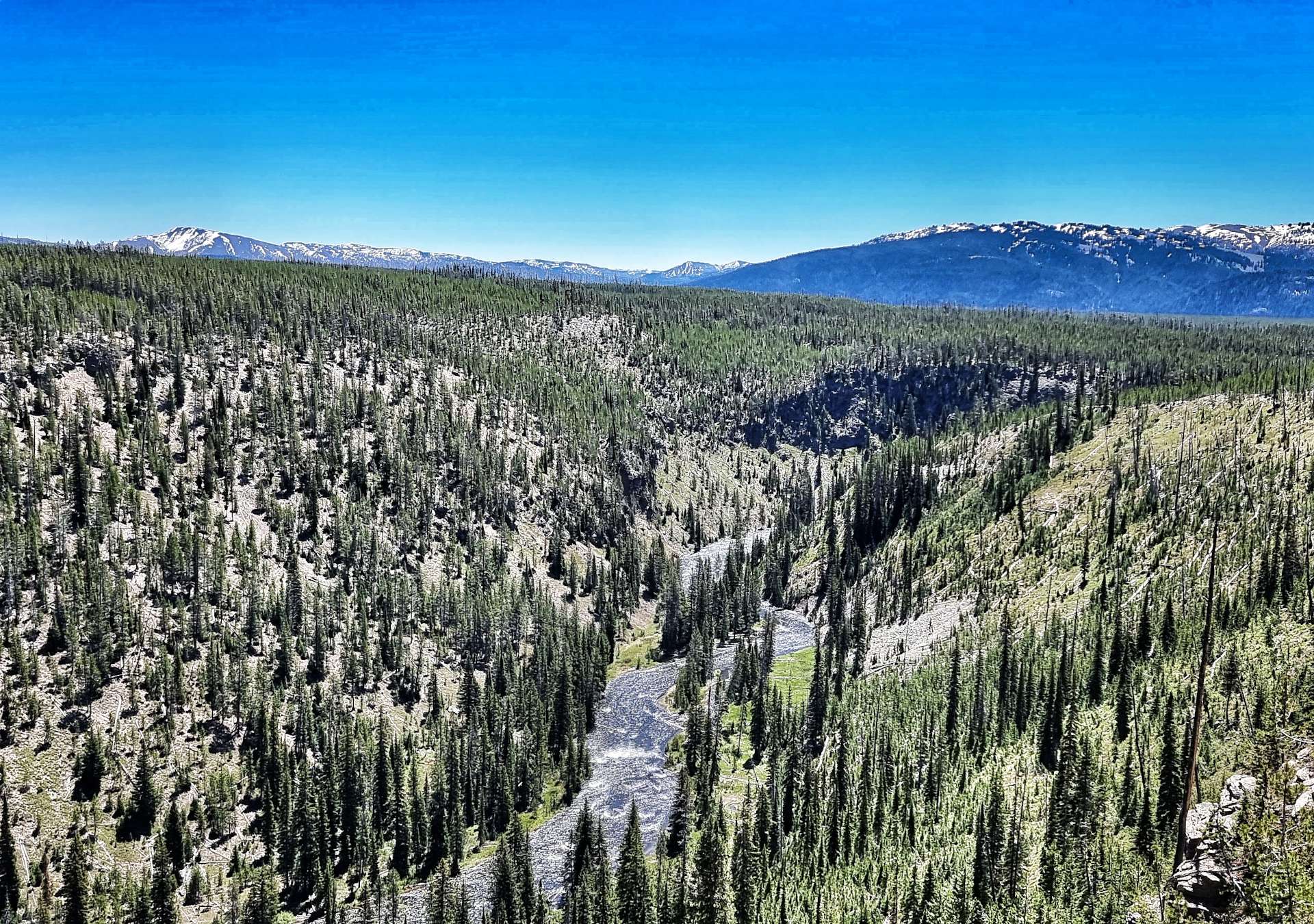
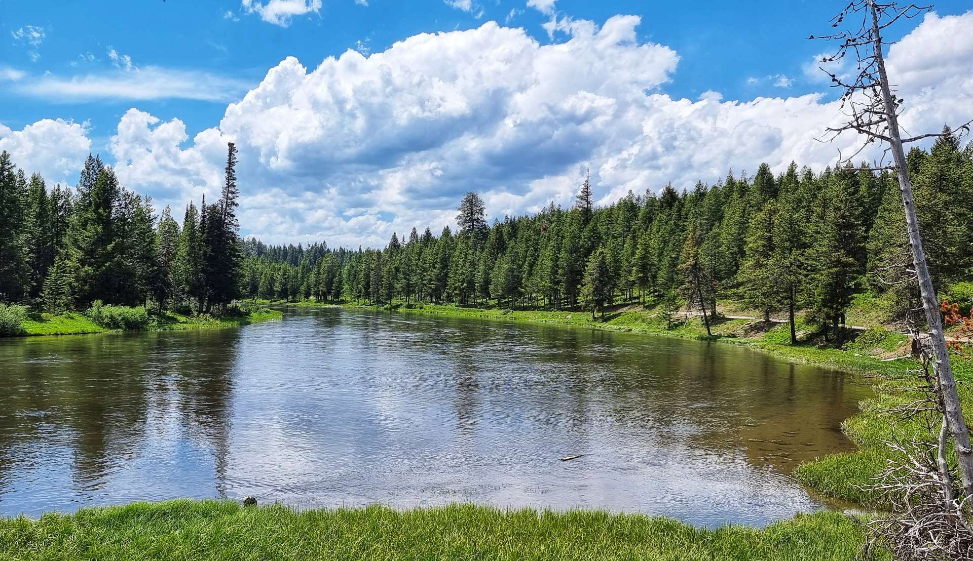
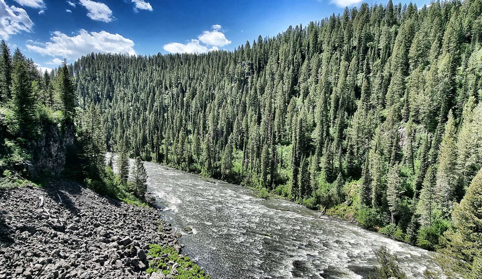
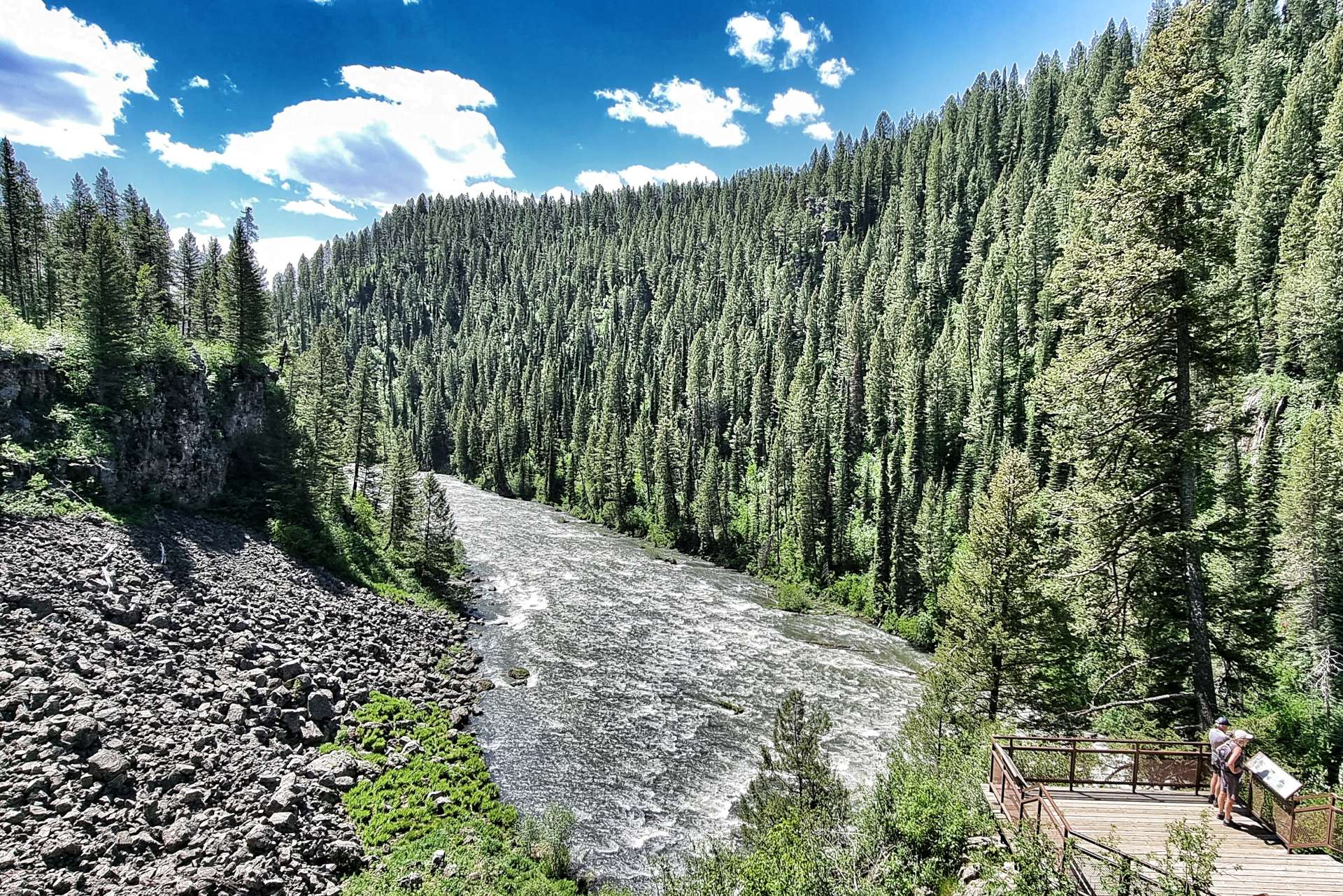
As we headed towards the rim of the canyon, views to the other side of the valley opened up, with occasional sightings of the river below.
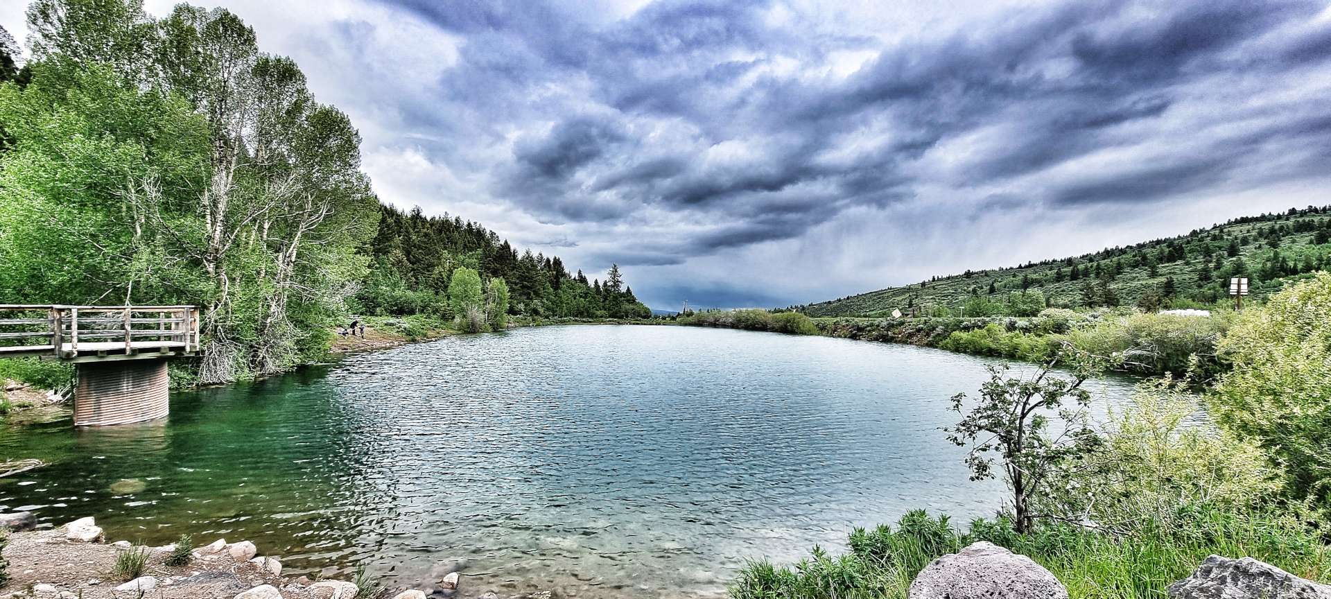
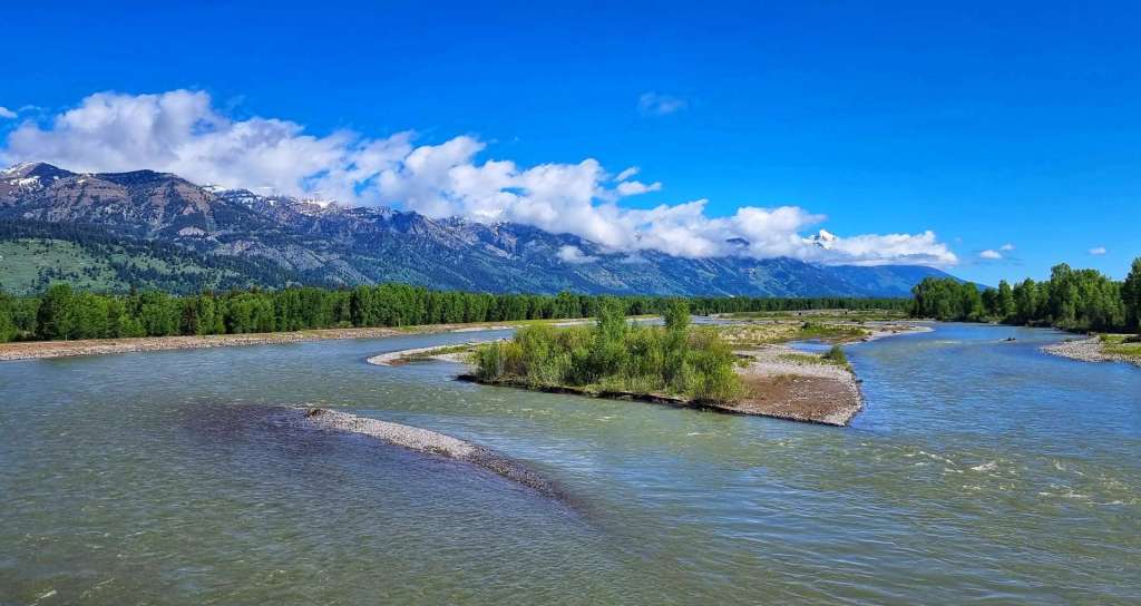
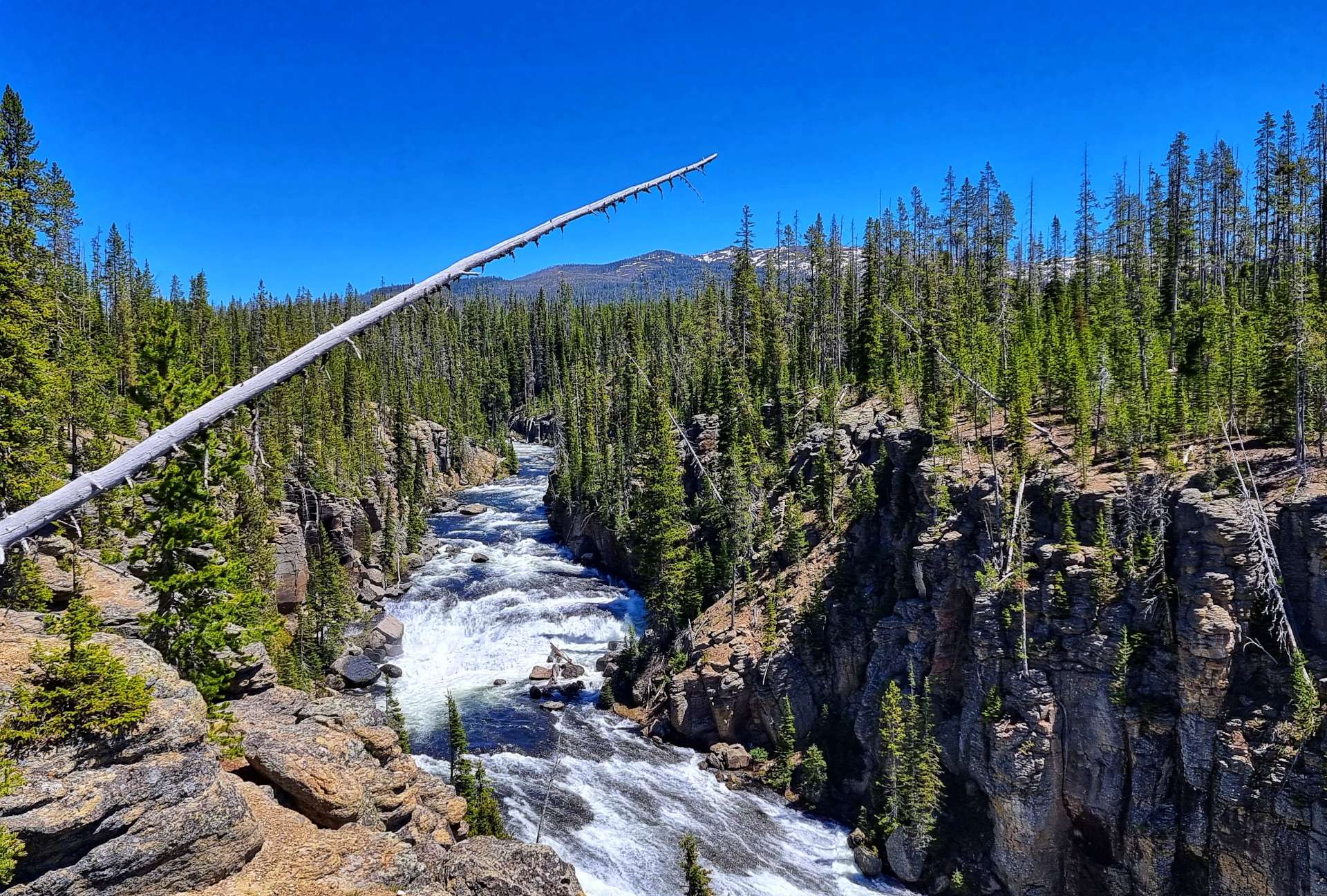
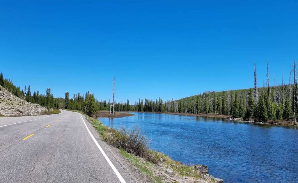
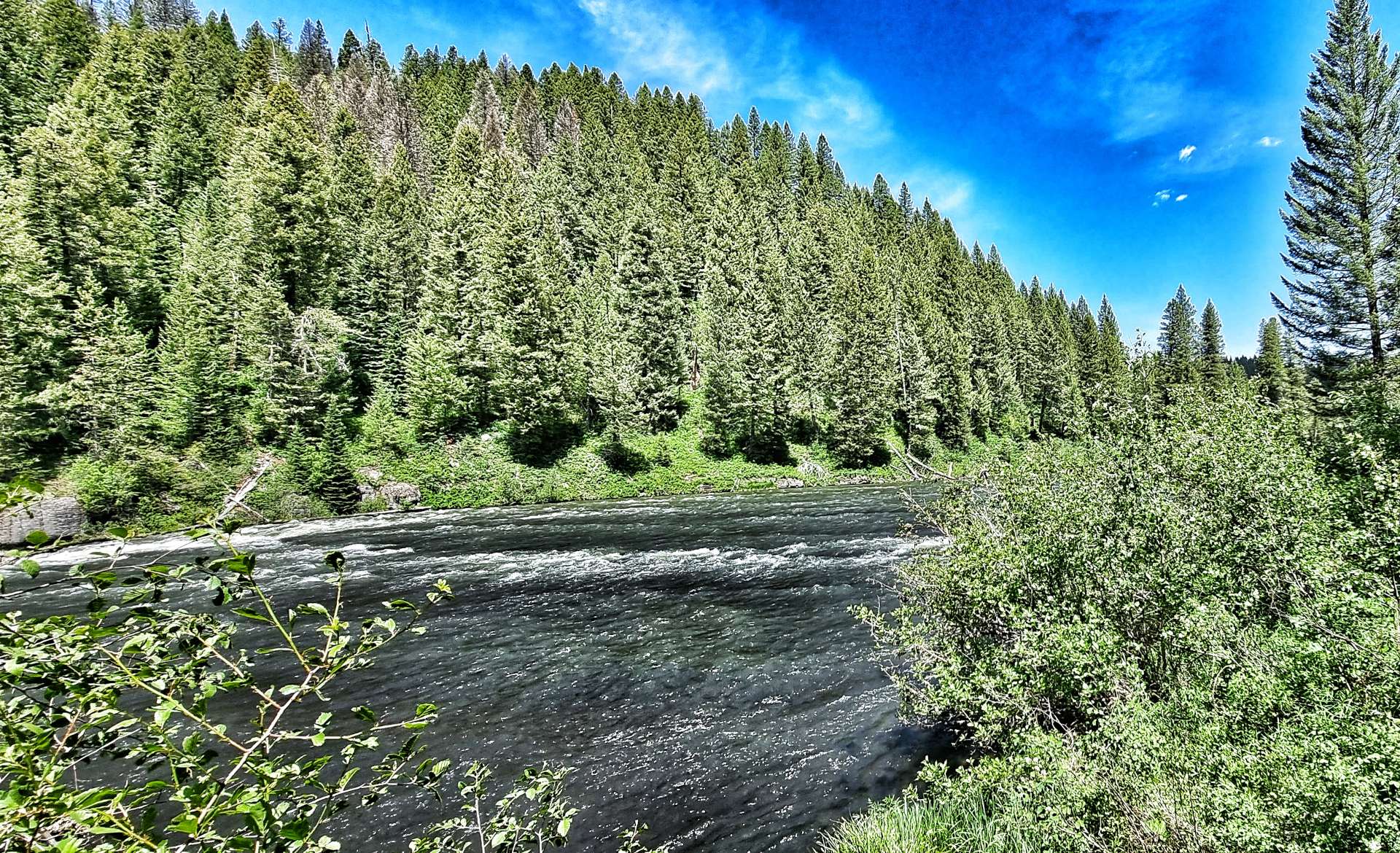
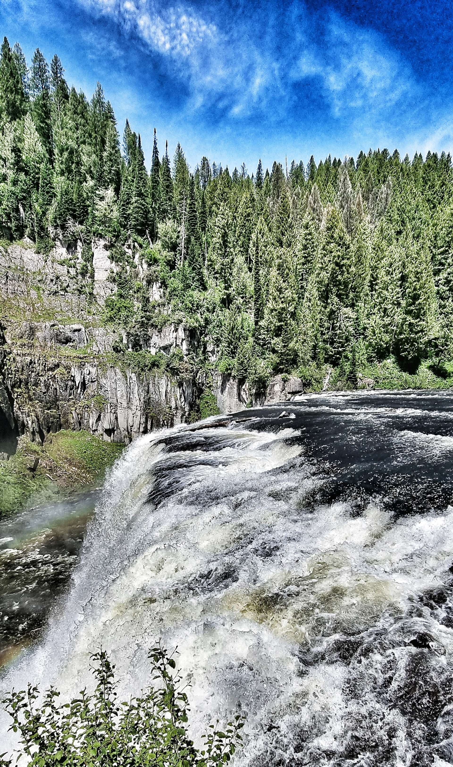
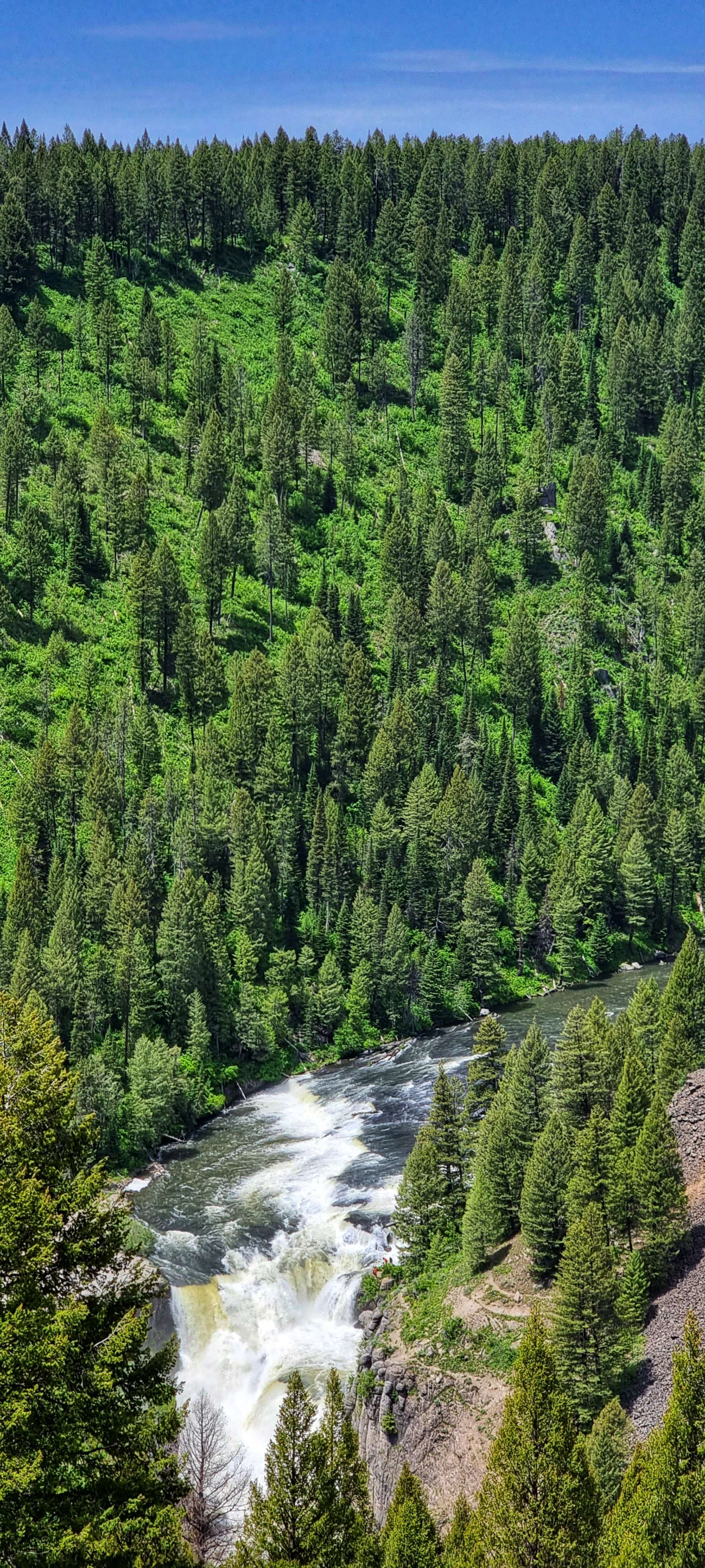
Then all of a sudden the Snake River revealed itself as it cascaded down the valley at Moose Falls & Lewis Canyon Falls – there was white water all the way, suggesting that the water was fast running & the river lost height quickly.
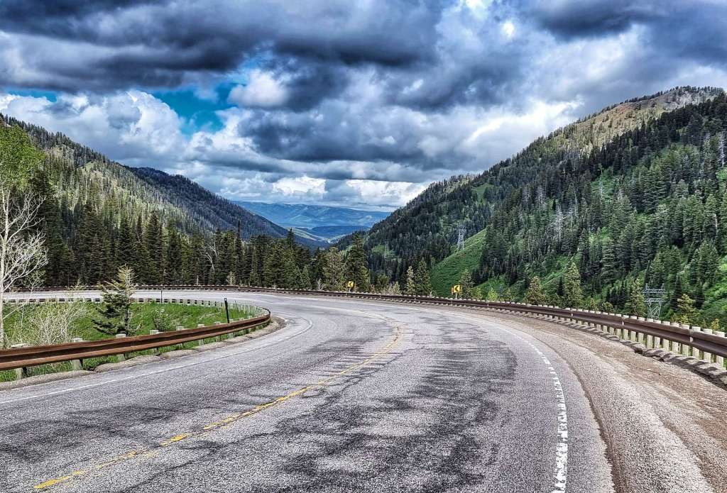
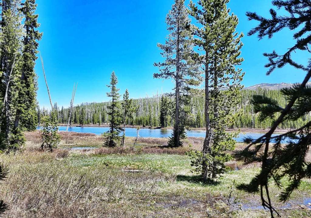
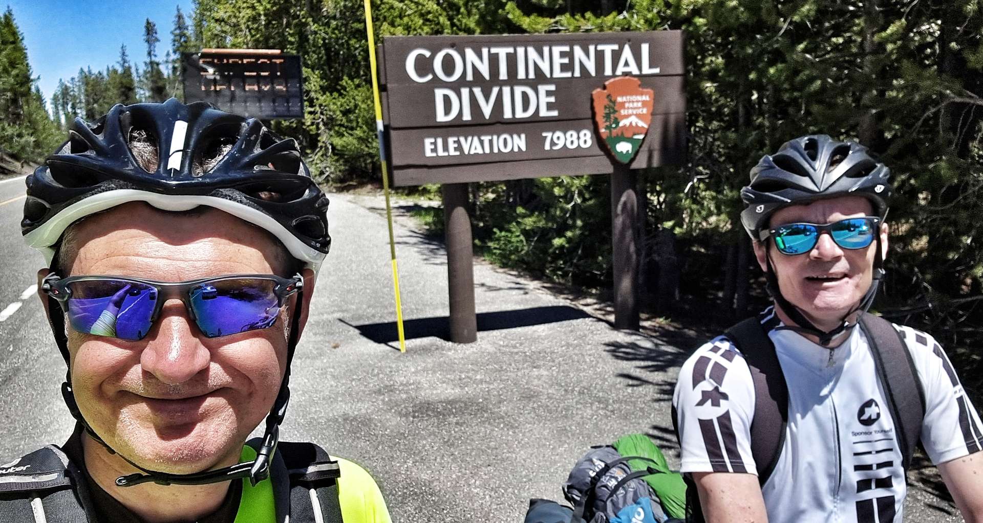
Although the climbing hadn’t quite finished for the day. we were now on much kinder gradients – instead of fast running rivers, we were surrounded by lakes that fed into the Lewis River. As we passed Lewis Lake itself, we knew the climbing was at end end & we had a reward waiting for us……
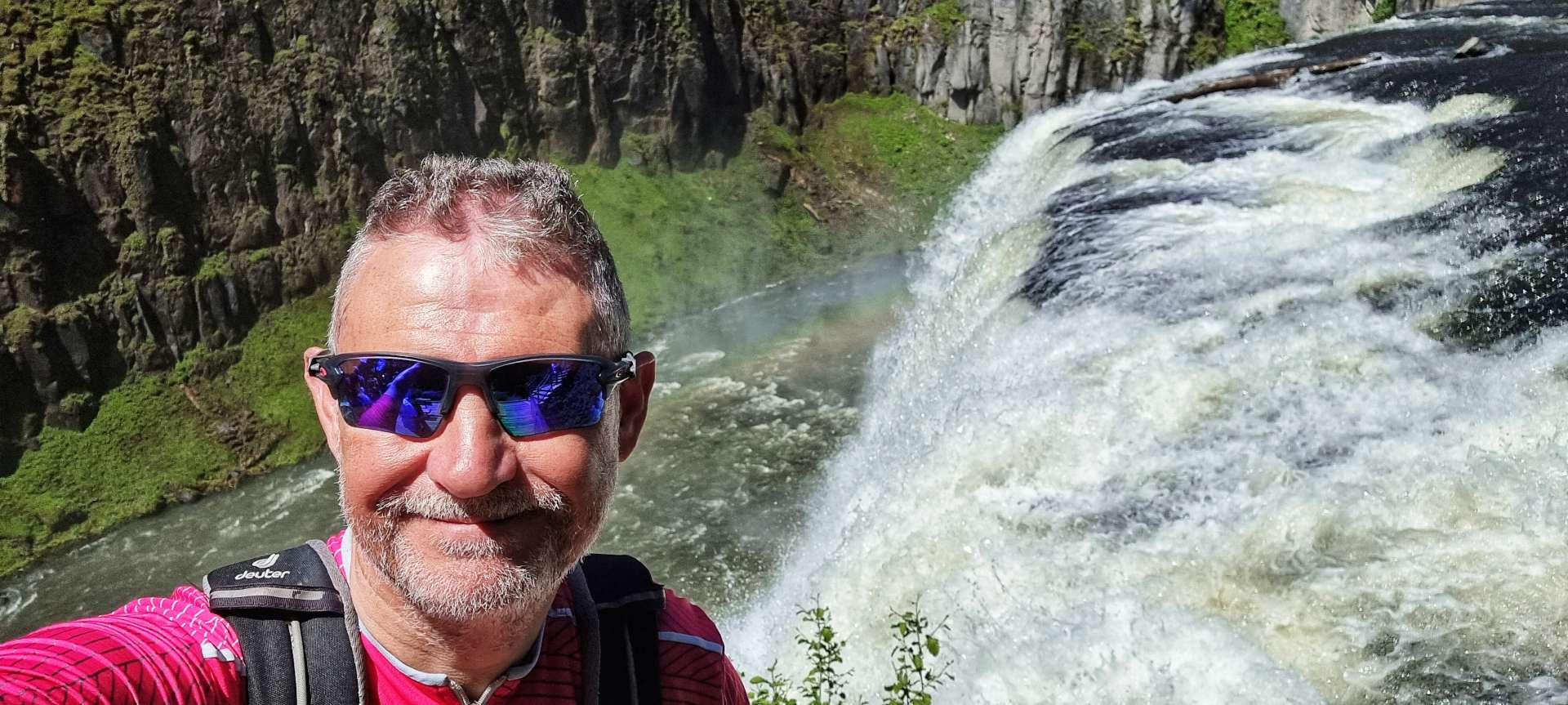
We were on the Continental Divide once more! After a quick selfie, we were on our way again for the gentle descent into Grant Village, where we’d managed to secure a non-air conditioned, no tv, flaky wifi room for the bargain price of $366 (including tax) between us. Luckily sandwiches were slightly cheaper than that at $8 each, but dinner in our room still cost $35 each, including a tinny to celebrate making it to Yellowstone in the first place!
Tomorrow our Yellowstone adventure continues!
Stage Stats – 31 miles, 2,251 feet of climbing. Sunshine & blue skies all day again as we said goodbye to Grand Teton National Park & hello to Yellowstone National Park.
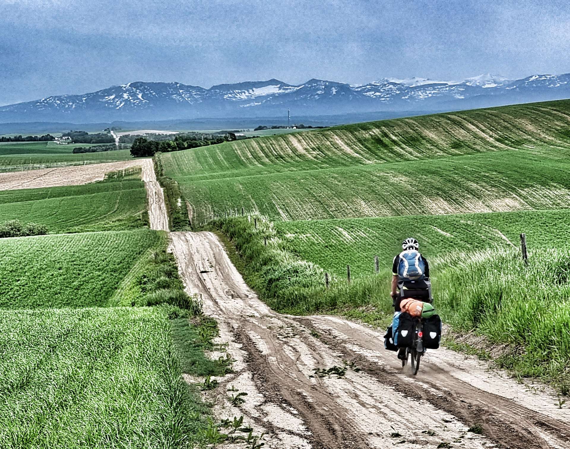
The Long Way Round (Part One) – Friday 17th to Sunday 19th June
Friday 17th June – West Yellowstone to Island Park, Buffalo Campground
With Yellowstone National Park being closed, we decided to carry on with our adventure & take a different route to that previously planned (again!!) – West Yellowstone to Grant Village can be done in 51 miles, but we’re going the long way round, so join us as we explore some more of Idaho & Wyoming! This route also gave us the opportunity to have a few shorter days in the saddle & today that also included a lie-in!
As we left town at 10.30am, we passed one final reminder of bison, before picking up the main Highway 20. We initially headed west towards Bald Peak which dominated the vista for the next 20 minutes or so, as we gradually descended until we crossed Buttermilk Creek.
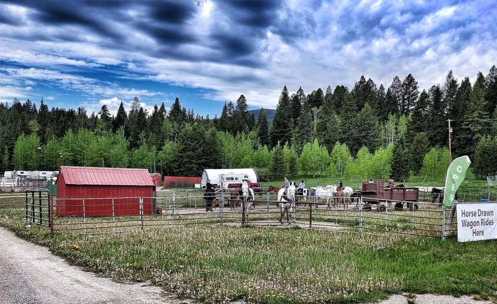
As we passed a ranch offering Rodeo training a very kind motorist pulled in ahead of us, ran to the back of his car & offered us a couple of ice cold cokes – as we’d only be going for about 1/2 hour, we decided to carry on. In the event this happens again, I think we’ll stop, as we missed a good chance to chat to very kind-hearted person & fellow cyclist (he had a bike on his roof).
Leaving civilisation behind us, we started climbing the Targhee Pass (not a long or difficult climb) which marks the border between Montana & Idaho at its summit. I was initially confused, as I knew Idaho was in a different time zone – my confusion was caused by Northern Idaho being on Pacific Time, while Southern Idaho (where we were) is on Mountain Time, the same as Montana!!!
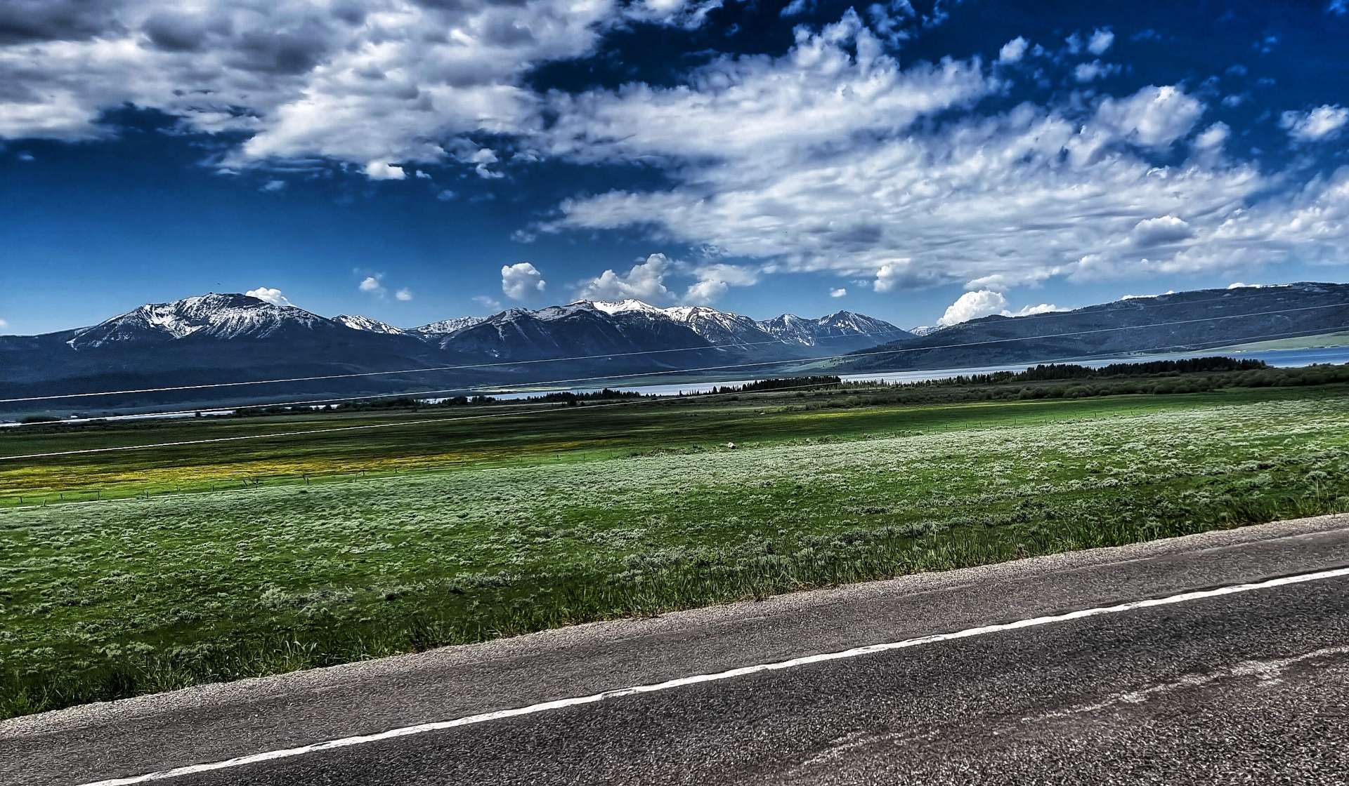
Looking in all directions, we were surrounded by panoramic peaks. Descending into Idaho, we transitioned through a wetland marsh, where the “ribbit ribbit” of frogs could be heard above the noise of the wind in our ears. On the spur of the moment, we took a right turn towards Henry Lake – this wasn’t on our planned route, but that’s the point of having an adventure, to explore the unknown & see what’s around the corner!!
We were at the opposite end of Highway 87 to when we visited Earthquake Lake on Tuesday & we had the road almost to ourselves. We took a couple of action photos as we rode along the shoreline, then turned round as the lake ended at Jared’s Wild Rose Ranch Resort & Marina. Deer Mountain, Sawtell Peak, Mount Jefferson & Nemesis Mountain provided the backdrop to the lake.
As we re-joined Highway 20, we entered Island Park. We decided to stop for a coffee & packaged muffin from the Exxon Gas Station (not every day involves luxury cake!) before setting off to explore part of the longest main street in America…..
I was faintly amused by the longest Main Street claim as we started cycling across the prairie into a nagging headwind. However, for the next 17 miles we remained within the City Limits of Island Park!
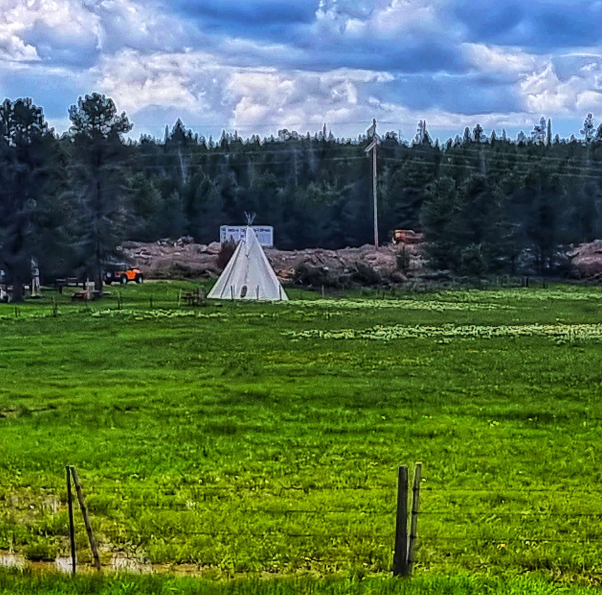
In that time, we passed a number of ranches & resorts offering wild west experiences, including overnight Teepee camping. We stopped at one of the river crossings to watch sea gulls diving into the water, trying to catch fish. I’d always been under the impression that gulls were scavengers (perhaps influenced by watching them bully tourists, then stealing their fish & chips in places like St Ives). This was a completely new behaviour to me.
My only disappointment with Highway 20 was the narrow shoulder in places – there were a few close passes which also included those same drivers Rolling Coal over us (a term used to describe when a driver blows a pile of thick smoke from their exhaust over cyclists). We generally cursed under our (polluted) breathes & simply carried on!
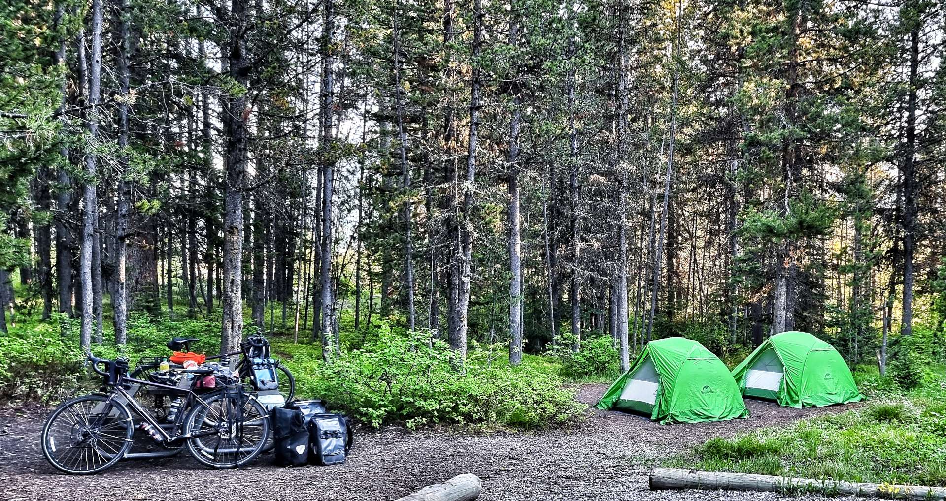
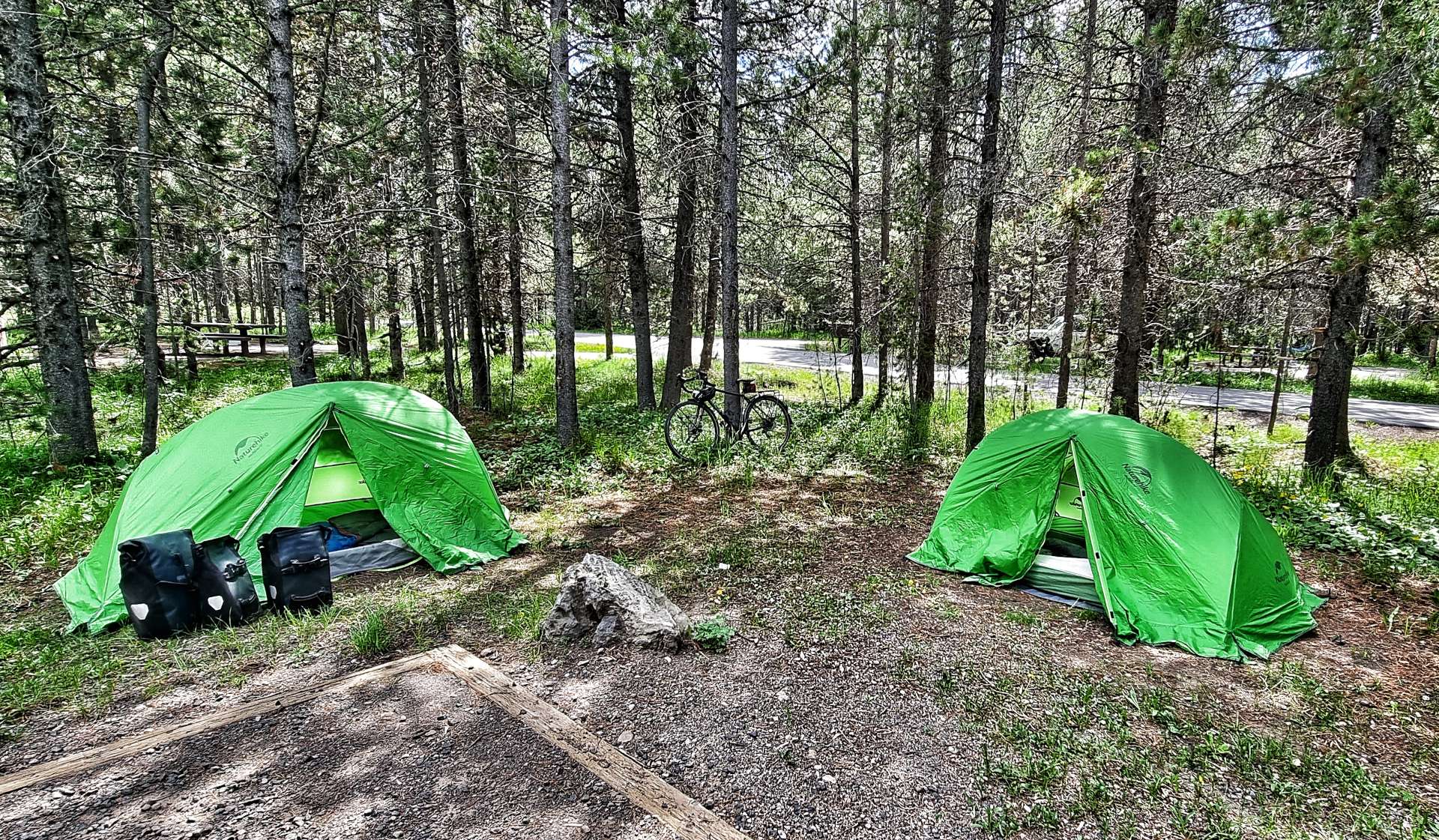
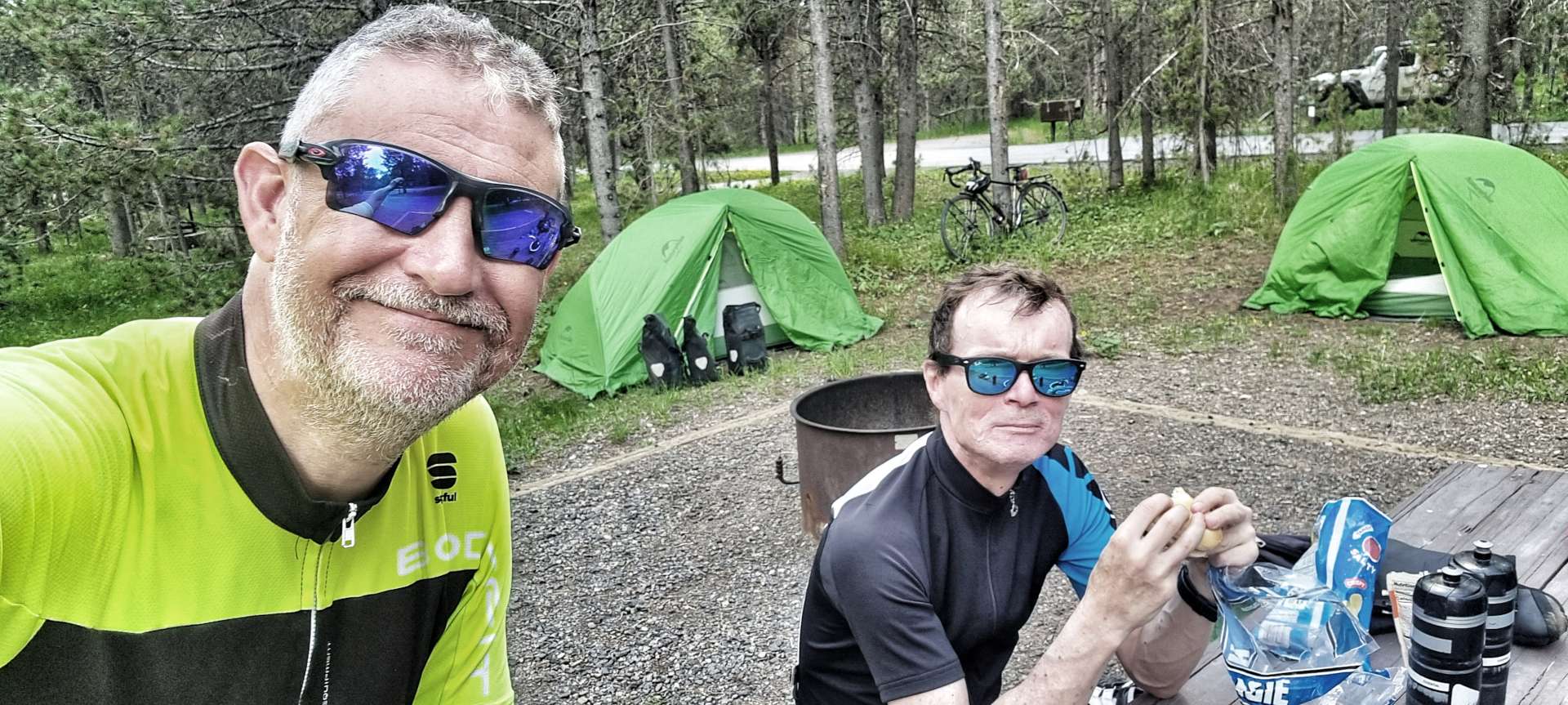
Arriving at Buffalo National Forest, we were welcomed by Helen the campground hostess, who gave us the happy news that our National Park Passes entitled us to a 50% discount on the cost of our campsite. We had our tents pitched in less that 20 minutes, had a snack & generally relaxed in our peaceful surroundings (although we both commented that we could hear the traffic). The campground shower block wasn’t yet open for the season, but even so, we were happy with our site, considering it was $10 between us!
We took a stroll around the campground & down to the nearby river, before walking over to Ponds Lodge for a lovely dinner of chicken pasta & a pint.
Upon our return to the campground, we had to put all our food & wash kit into the bearproof lockers for the night. As we sat chatting at our picnic table, I realised that the local mosquitoes had taken a liking to British meat & were feasting on me! It was time to turn in for the night & we learned that the traffic was indeed very close, as it kept us awake for large parts of the night.
Stage Stats – 40 miles, 2,024 feet of climbing. Cycling into a nagging headwind for the final 17 miles.
Saturday 18th June – Island Park, Buffalo Campground to Ashton
We were both up by 7.30am, so had all our kit packed away & were on the road by about 8.30am. The Gas Station & restaurant weren’t open when we cycled past, so we chose to carry on riding & make do with trail mix if we got hungry. The early start meant that the narrow shoulder wasn’t an issue today, so we could simply enjoy the huge views as we continued on through Island Park for another 8 miles (making 25 in total)!! A long Main Street after all.
We stopped at Henry’s Fork river to learn about the steps that are being taken to restock the native cutthroat trout. It gives me hope that the stunning scenery & wonderful wildlife will remain for future generations. In the background of the 2nd photo below you can make out the rim of the Henry’s Fork Caldera, formed over 1.3 millions years ago. This is one of 3 calderas in the Greater Yellowstone Basin region & this eruption spewed 280 cubic kilometres of molten lava across Wyoming, Colorado, Kansas & Nebraska! Henry’s Fork Caldera measures 18 miles long by 23 miles wide – the power of nature is mind-blowing.
It was time to head into the wilderness, so we took the Mesa Falls Scenic Byway, one of Idaho’s hidden gems. If cycling in the USA over the years has taught me anything, it’s that you simply MUST take any road with Scenic Byway in the title! I know my fellow Cycling Escapes friends will agree.
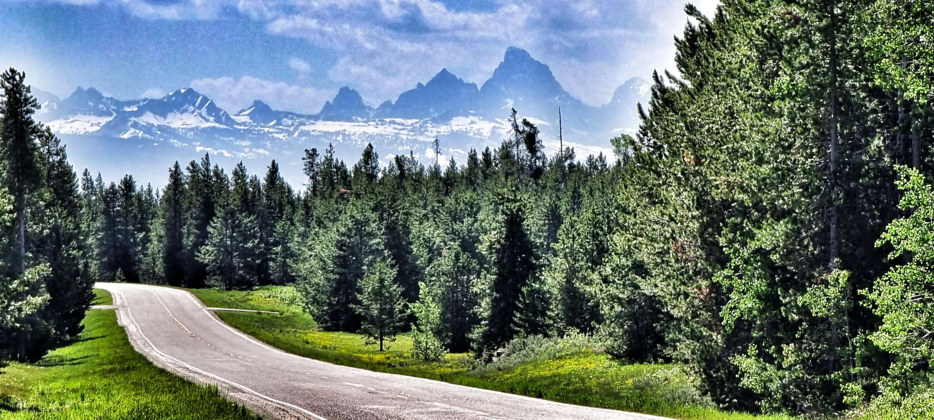
The temperature had warmed nicely & we were cycling under big blue skies – perfect riding weather. The Caribou-Targhee National Forest provided the backdrop of trees, while every now & then the immense Teton Mountain Range showed themselves, even though they were more than 40 miles in the distance. An amusing story is that French trappers in the 1800’s named the mountains “Les Trois Tetons” (the three teats, or breasts) & the name stuck.
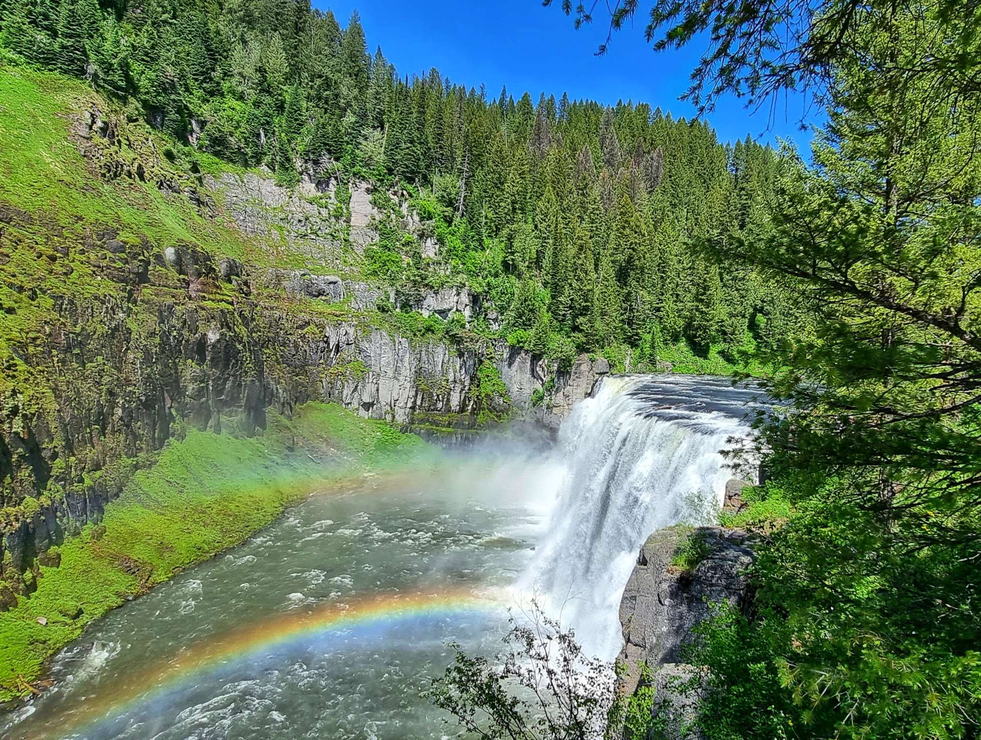
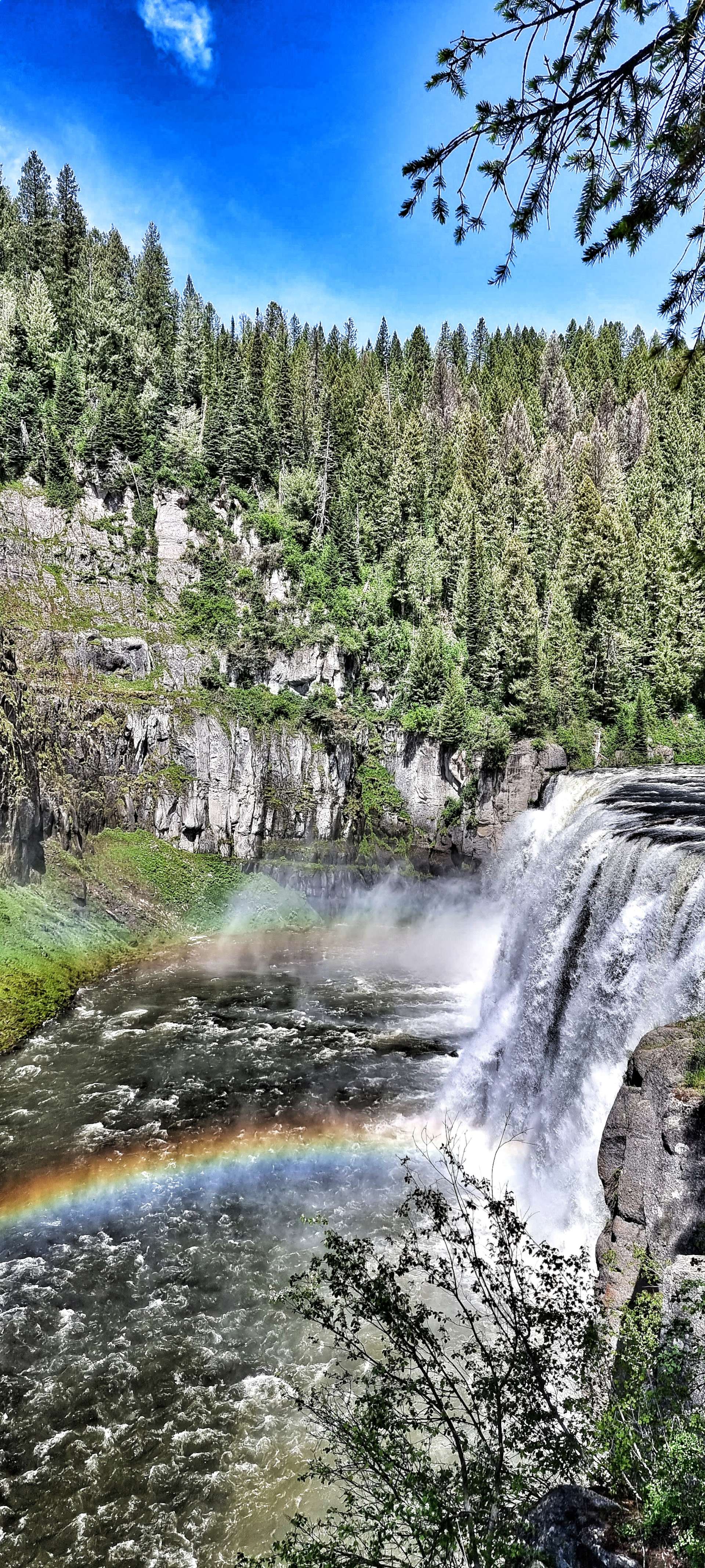
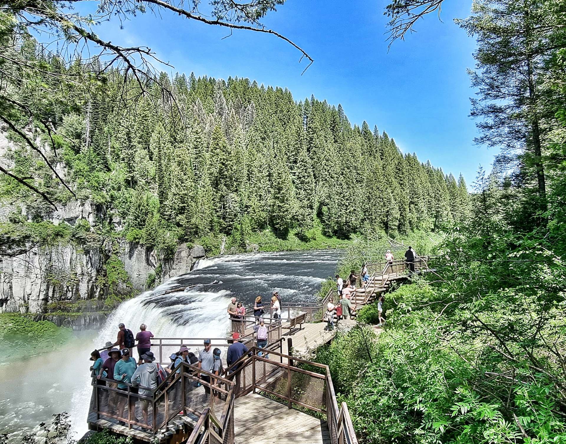
Enough schoolboy humour – the main reason for our detour was to see the Upper & Lower Mesa Falls. A few people I’d chatted to in West Yellowstone said it was a must see sight if we were anywhere near. The Mesa Falls were owned by Montana Light & Power until December 1986, when Targhee National Forest completed a Land Exchange agreement. The National Forest then worked hard to open up this natural gem to the public.
We took the 1 mile descent to the car park & changed into walking shoes – a walkway took us down further into the valley & the thunder of the water indicated there was some big white water ahead long before the Mesa Falls introduced themselves. Overhead there were eagles gliding on the thermals, while bears, deer & elk wandered the forest, always too shy to show themselves.
We reluctantly left Upper Mesa Falls behind (in part because of the steep climb ahead of us to get back to the Scenic Byway!) & made our way along to Grand Overlook where we took in the vast views of the Lower Mesa Falls – from here you could really see that although they were born of fire, they’ve been shaped by water.
We continued along the almost deserted road, giving us time to set up the odd action shot, as well as stop & poke around the small ponds seeking the eternally ribbiting frogs – we never did find one! All the while, the Tetons edged ever nearer.
In 1938, Bear Gulch was the second ski resort to be established in Idaho (after Sun Valley). Alf Engen, a world-class skier who had emigrated from Norway helped lay out the first runs of what later became Bear Cat, Dipper & Teddy Bear. It endured a troubled history as ownership regularly changed hands & ongoing development & running costs soared.
While we were reading about the history of Bear Gulch, an eagle glided overhead, keeping its beady eye on us! It’s a shame the resort didn’t flourish, as it’s in a glorious location with big views of the surrounding mountains.
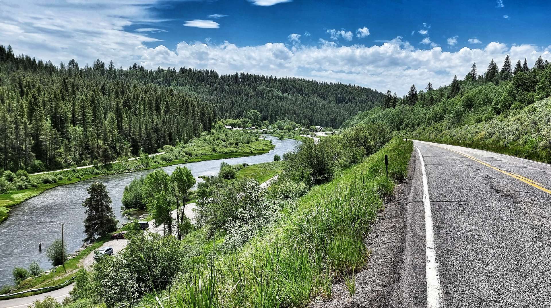
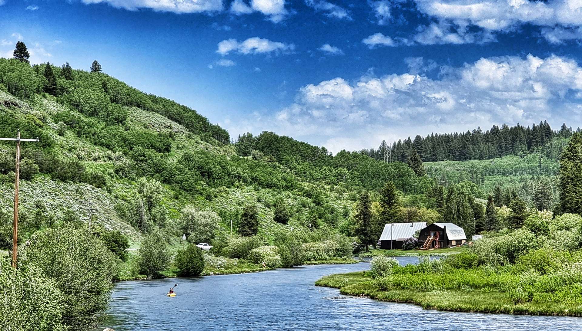
In order to reach Ashton, we needed to cross the Warm River in the valley below. That involved a descent to the valley floor where we saw people fishing & canoeing on one side of the bridge, while on the other, children were throwing bread into the river & watching the feeding fish.
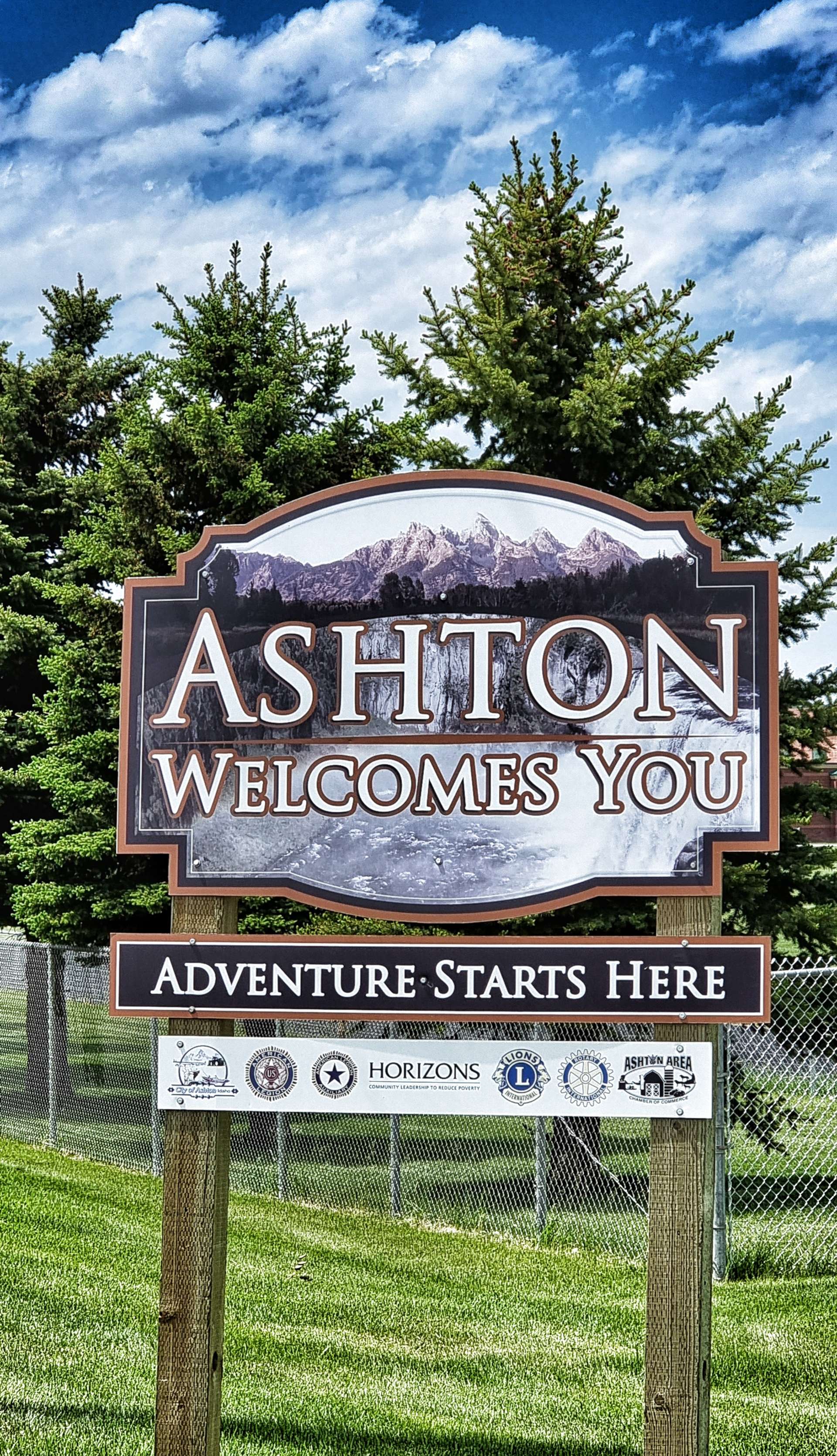
A two mile climb took us back up to a plateau on the opposite side of the valley & we were now in farming territory, as was obvious from the ploughed fields & irrigation systems. It was a short ride into Ashton, where we would be staying for the night.
Stage Stats – 40 miles, 1,345 feet of climbing. Stunning scenery on the Mesa Falls Scenic Highway.
Sunday 19th June – Ashton to Driggs
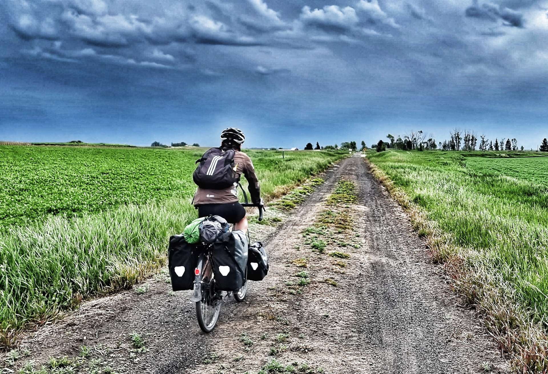
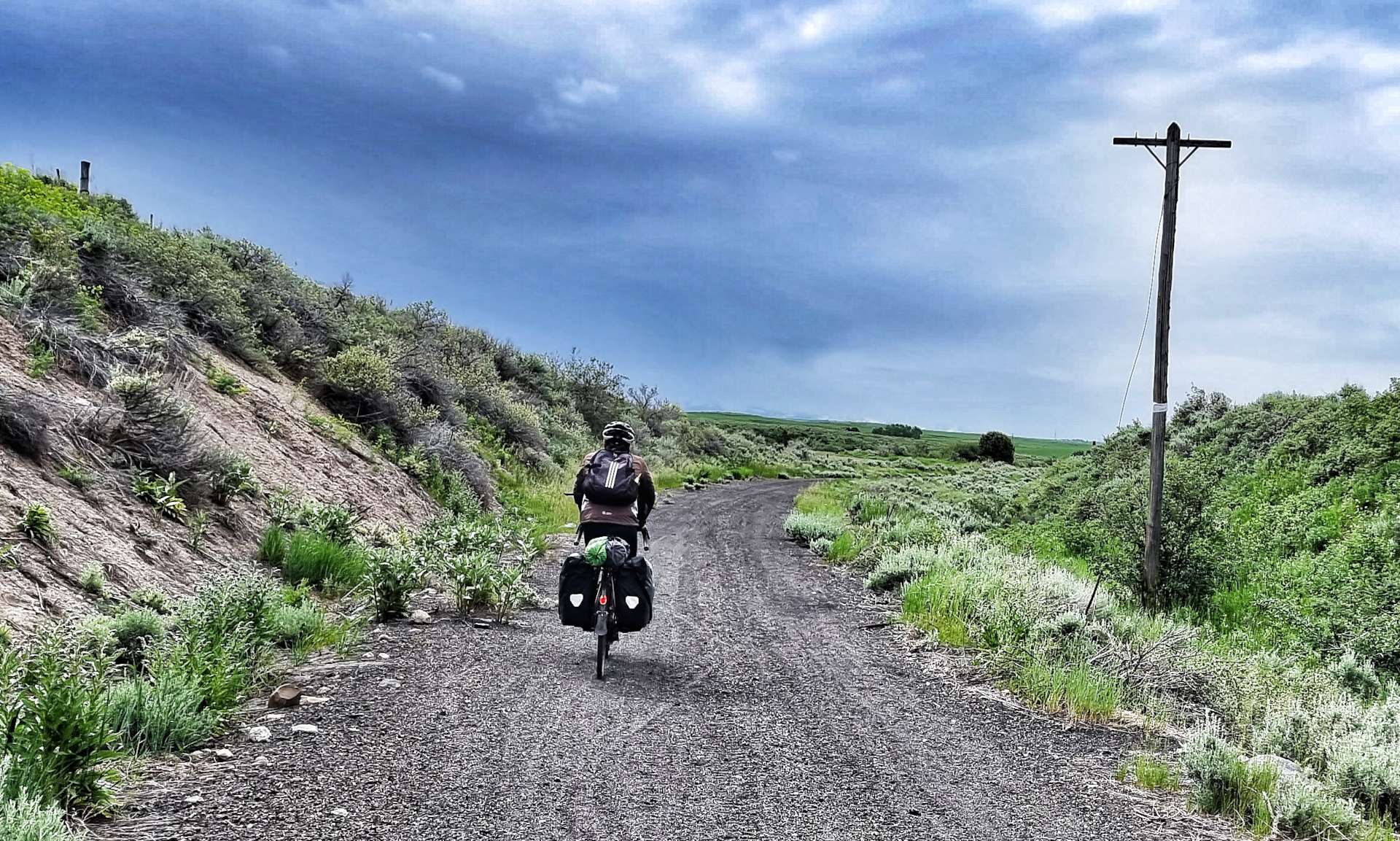
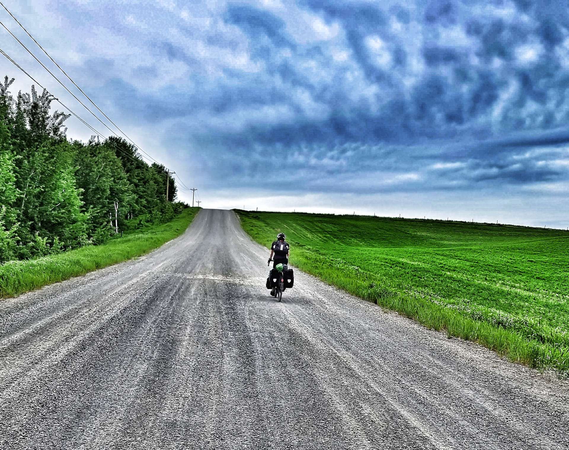
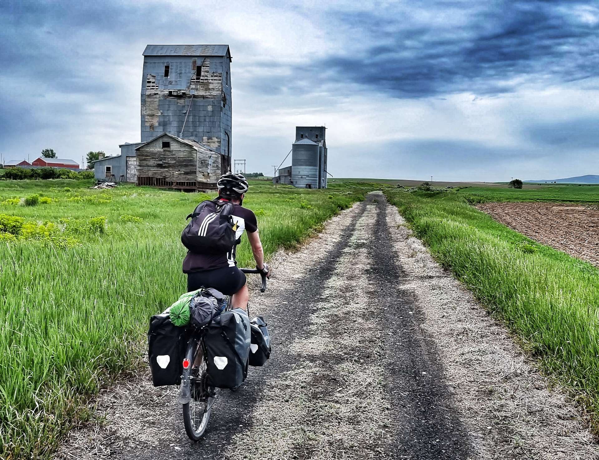
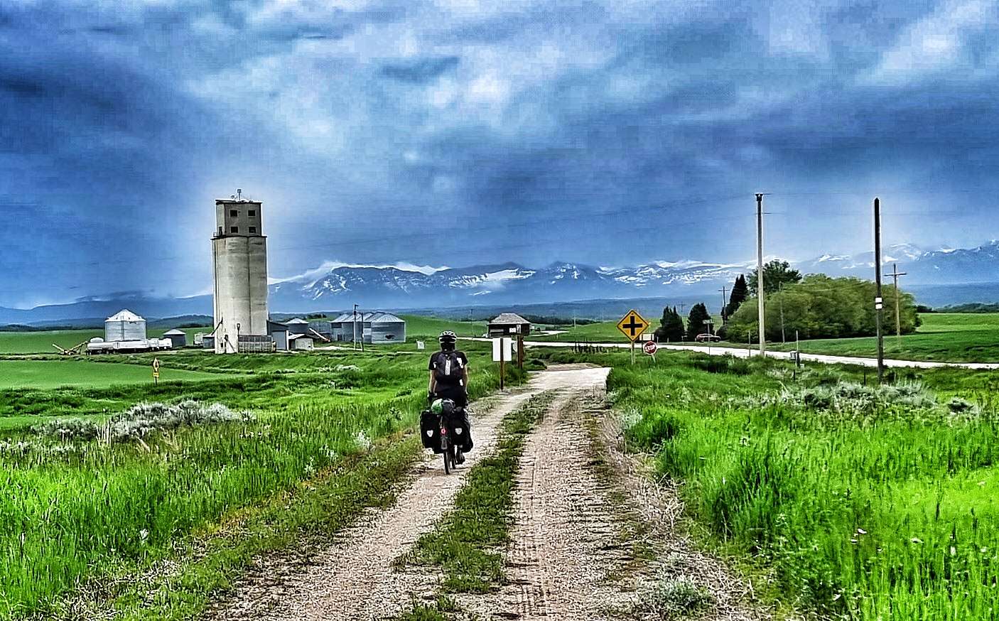
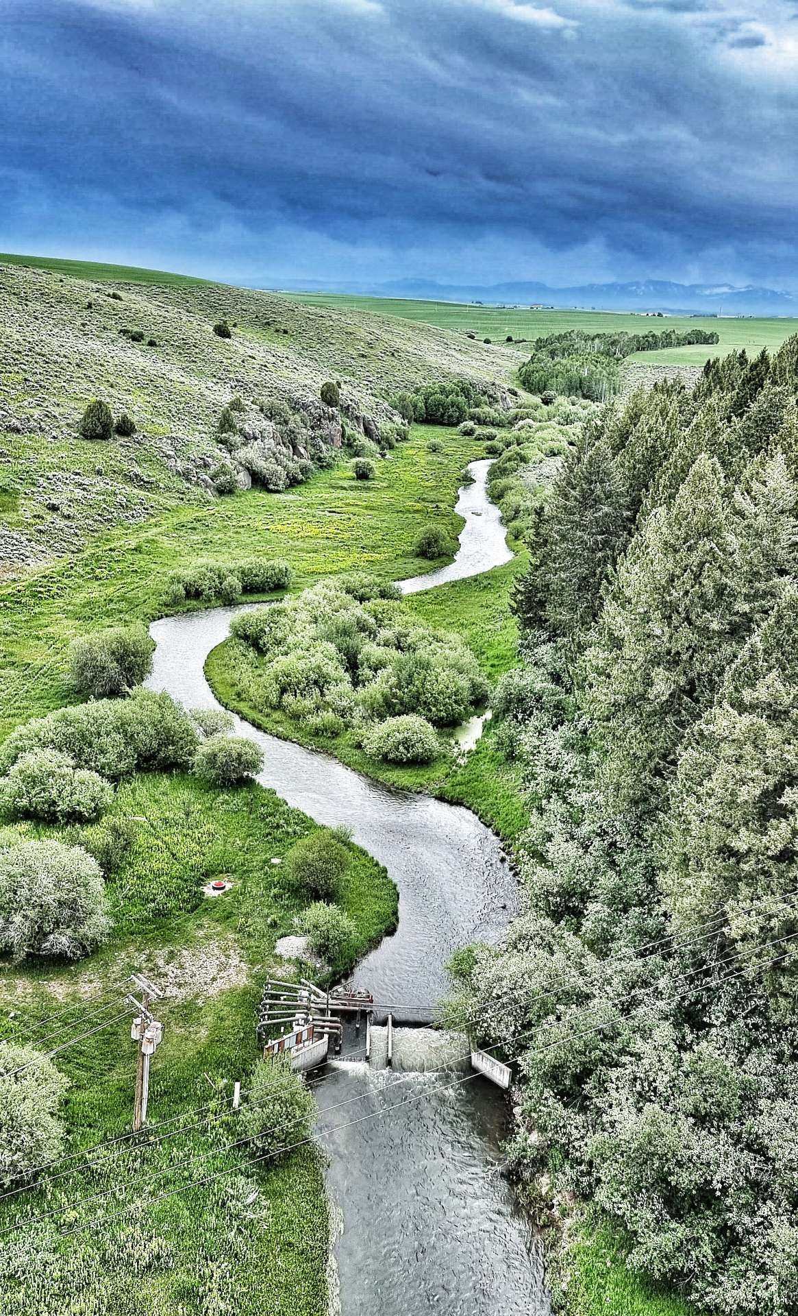
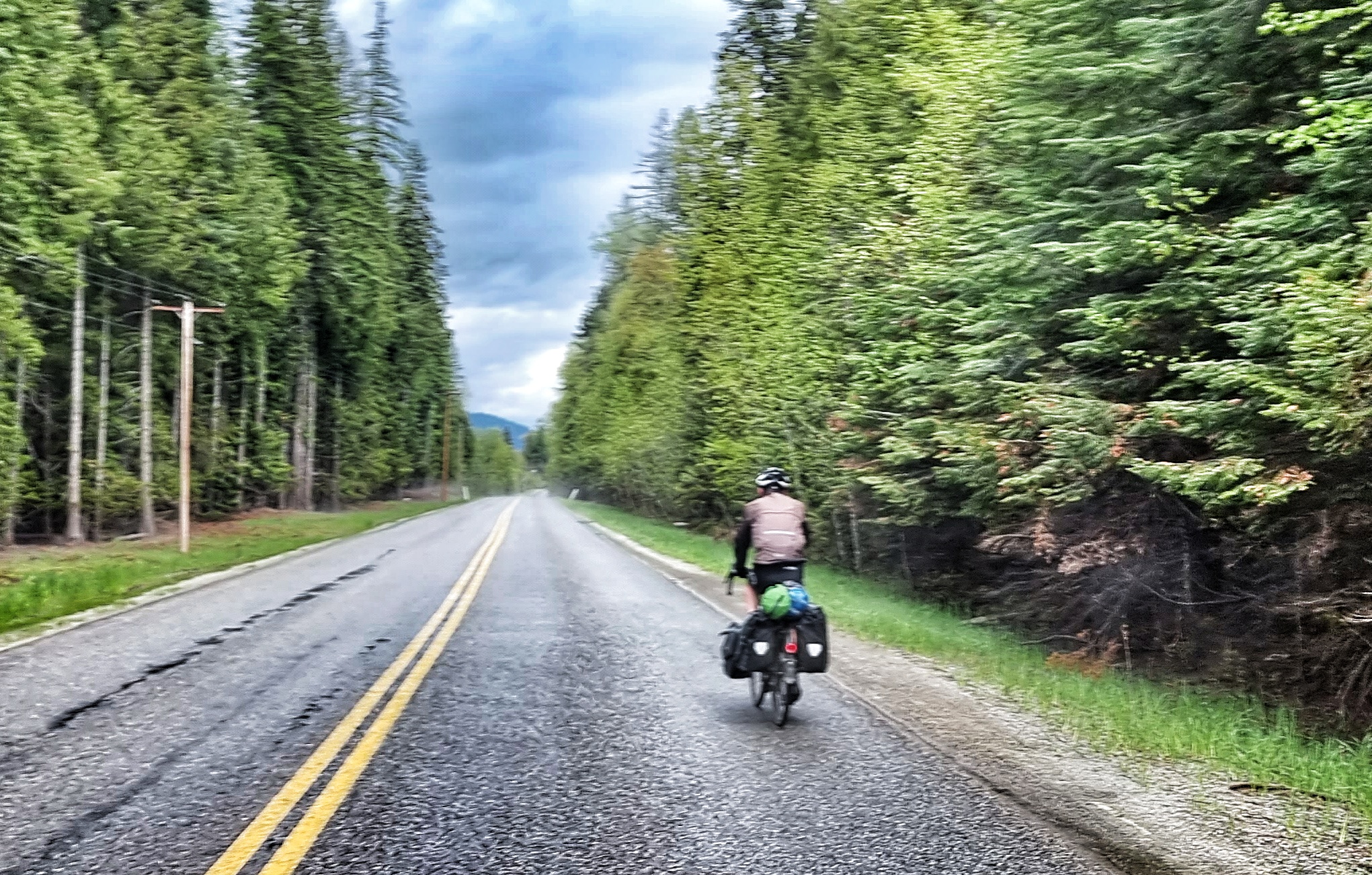
We woke to overcast skies, but decided to continue with our plans for the day. The Ashton to Tetonia Rail To Trail is a 29 mile of off-road track which was opened to the public in 2010 & follows the Teton Valley Branch of the old Union Pacific Railroad. It was originally used to move livestock, seed potatoes, peas & grain.
The surface was constantly changing as the trail crossed different terrain – in the early miles we encountered rough farm tracks, flint, grit & fine soil (on a brutally steep descent) that required me to ride with one foot out the cleats in case the bike slipped from under me – it didn’t, but it was tricky!!
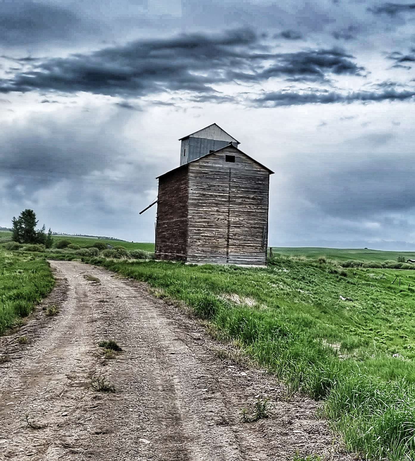
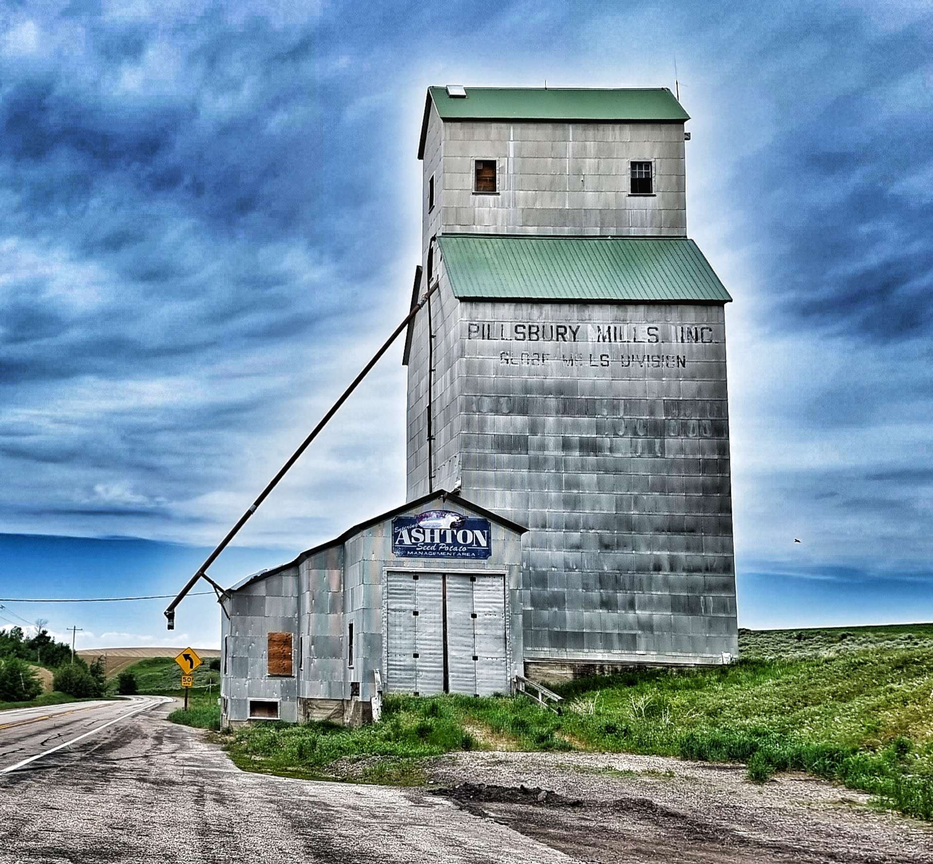
Along the way we passed a few historic Elevator buildings used to store & transfer wheat &/or grain. The most iconic is the Pillsbury Mills Elevator – does anyone else remember the Pillsbury Doughboy giggling when his stomach was poked? Google it if you’re wondering what I’m on about, it was an advertising gimmick from the 1960’s to earlier 2000’s!
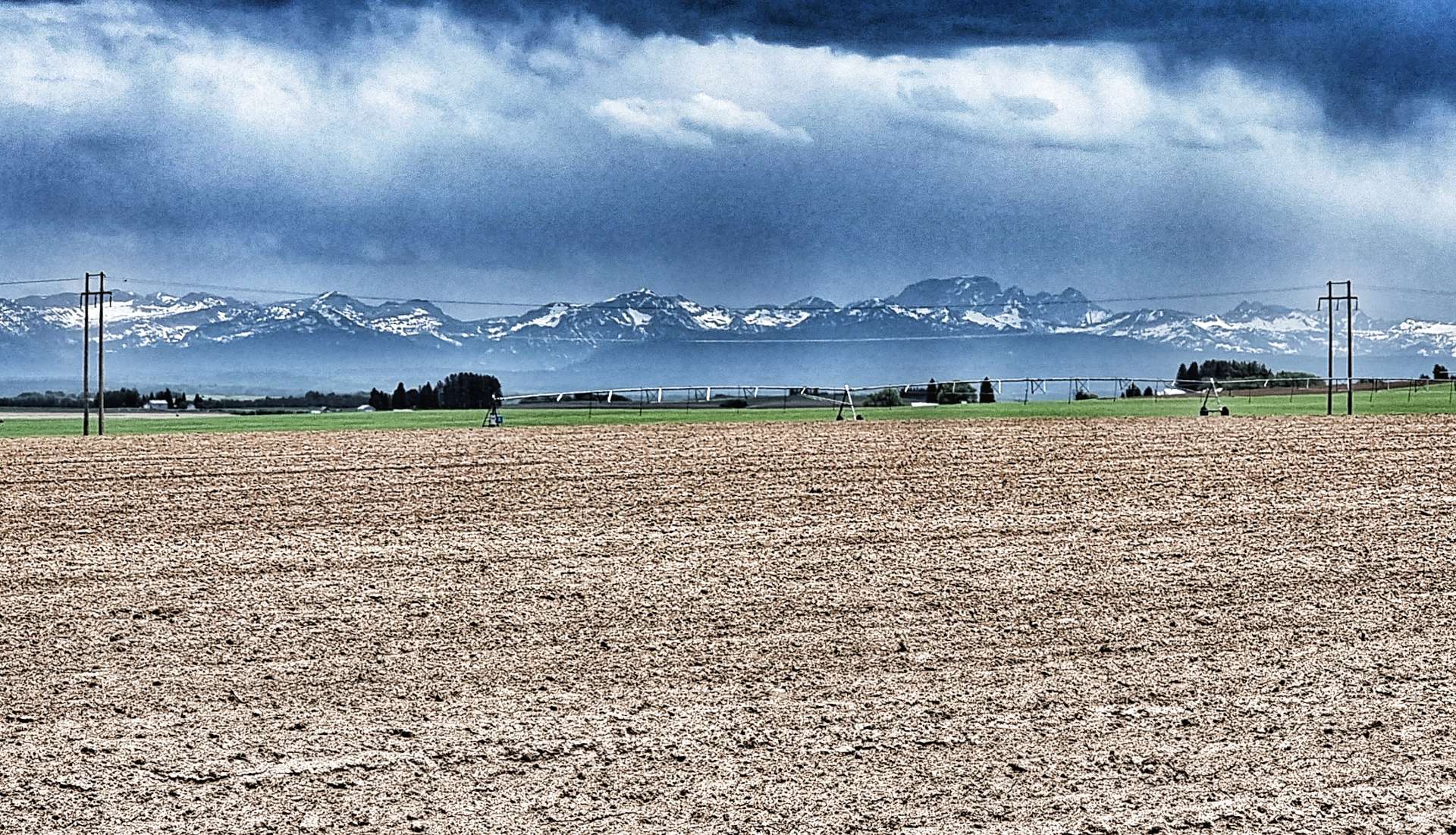
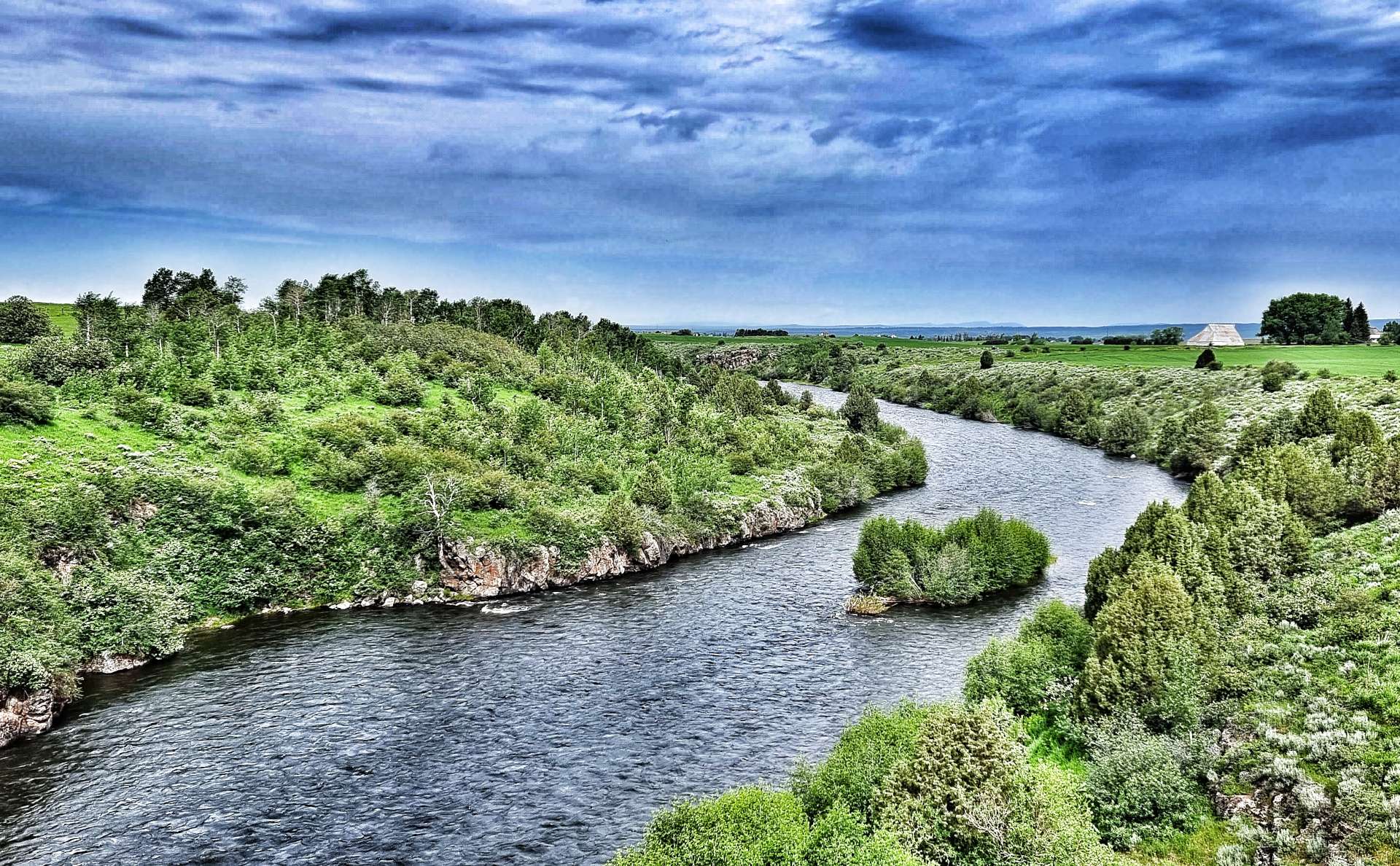
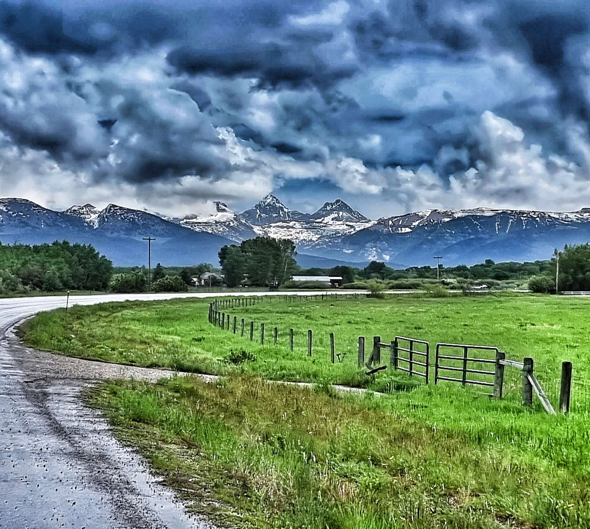
Every now & again the Grand Tetons reminded us of their presence. They now only appeared to be on the opposite side of the valley, but were still in the region of 20 to 25 miles away. The moody skies also indicated that rain would probably be on its way to meet us at some point, but in the meantime we had 3 final treats to look forward to…..
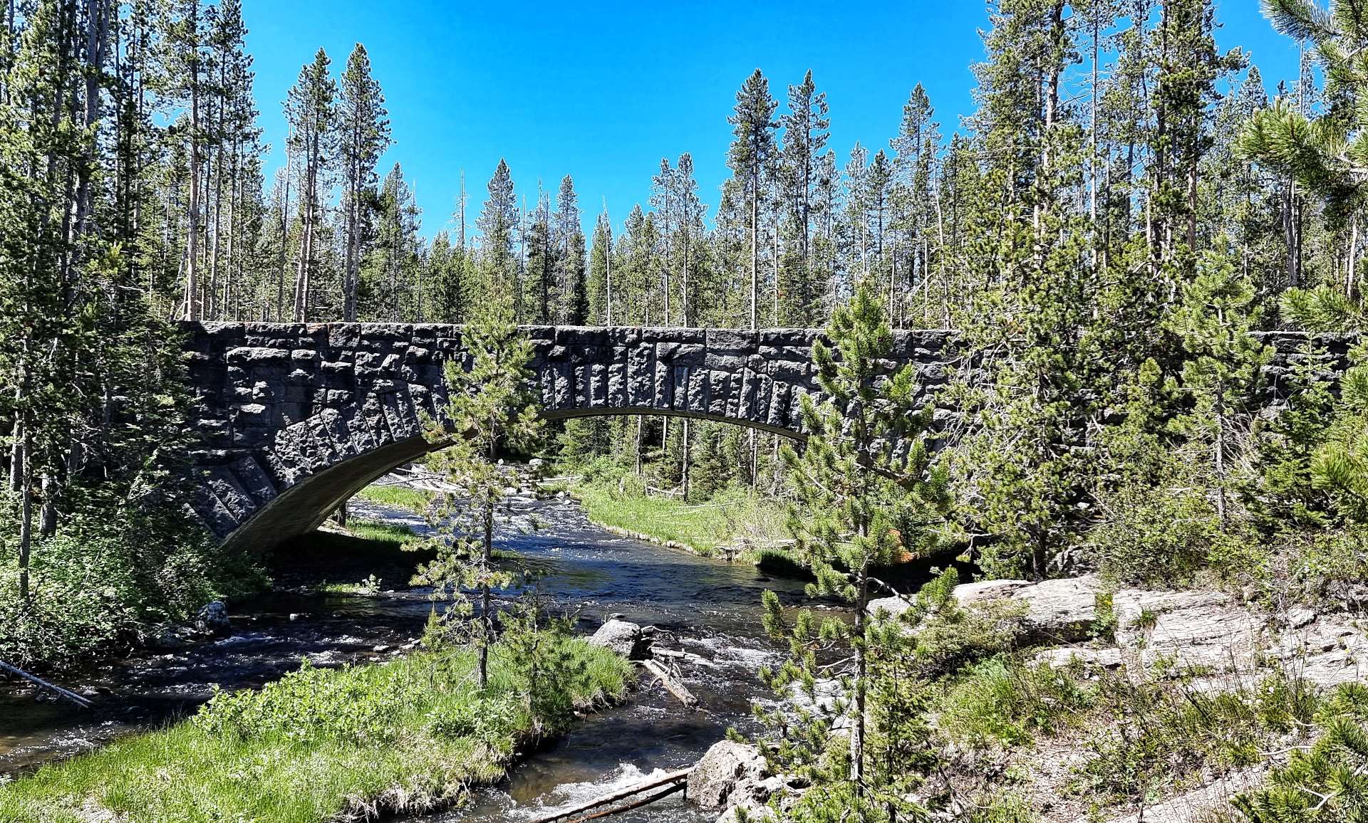
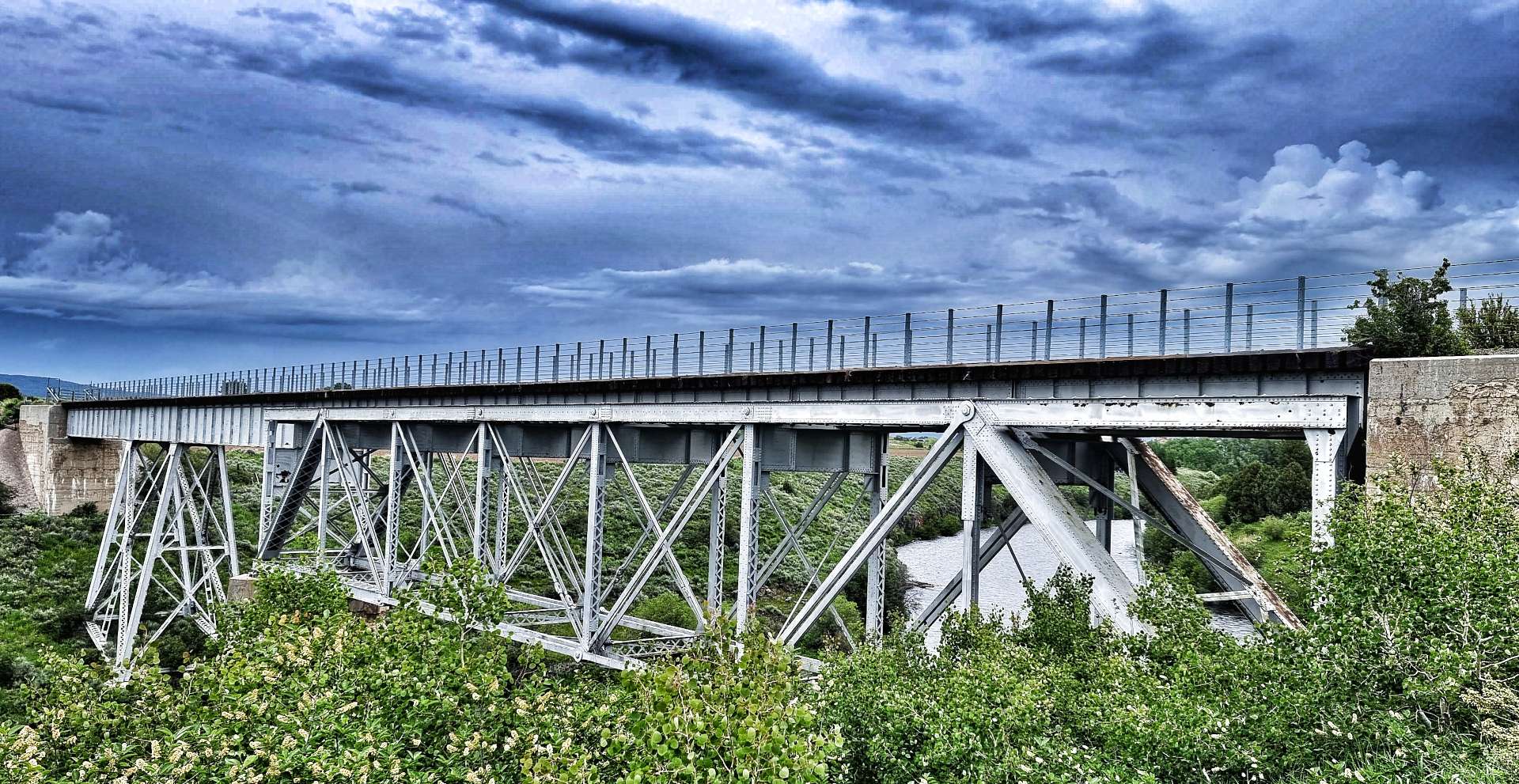
The trail includes three trestle bridges which cross Fall River, Conant Creek & Bitch Creek – they each span 600 feet in length & 130 feet in height. It was an instant step back in time to when I used to watch Casey Jones on tv at the throttle of the Cannonball Express. The Conant Creek Bridge (in the photo with the Tetons in the background) was constructed in 1911. It used a Truss section previously designed & built in 1894 to cross the Snake River at American Falls.
As we neared the end of the 29 mile trail we could see the rain directly in front of us – by some wonder of science, it had almost completely dispersed by the time we reached the road, where it had been raining but 5 minutes before! The skies were already starting to clear & they gave us one last peep at the perky Teton peaks – a size D up close!
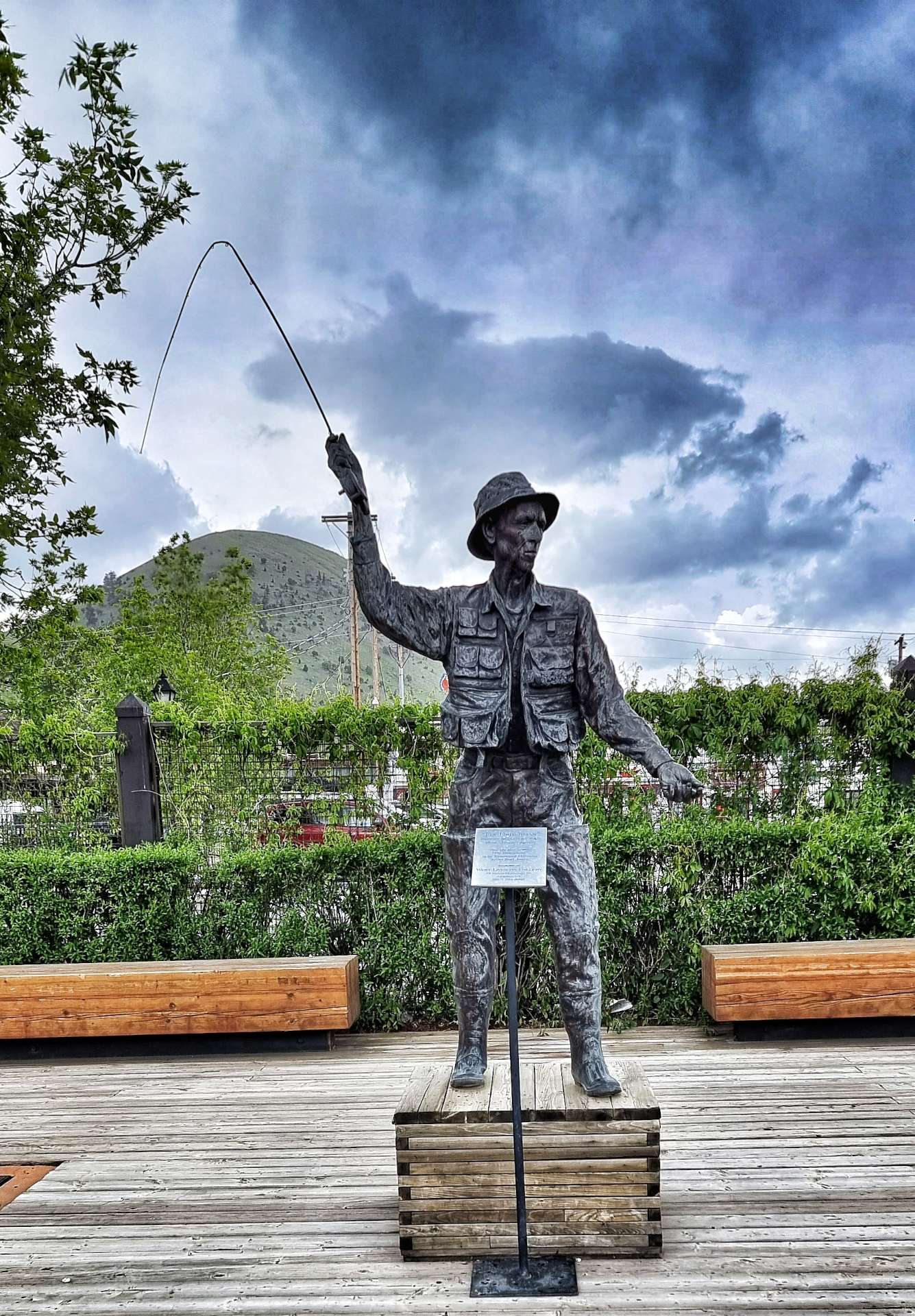
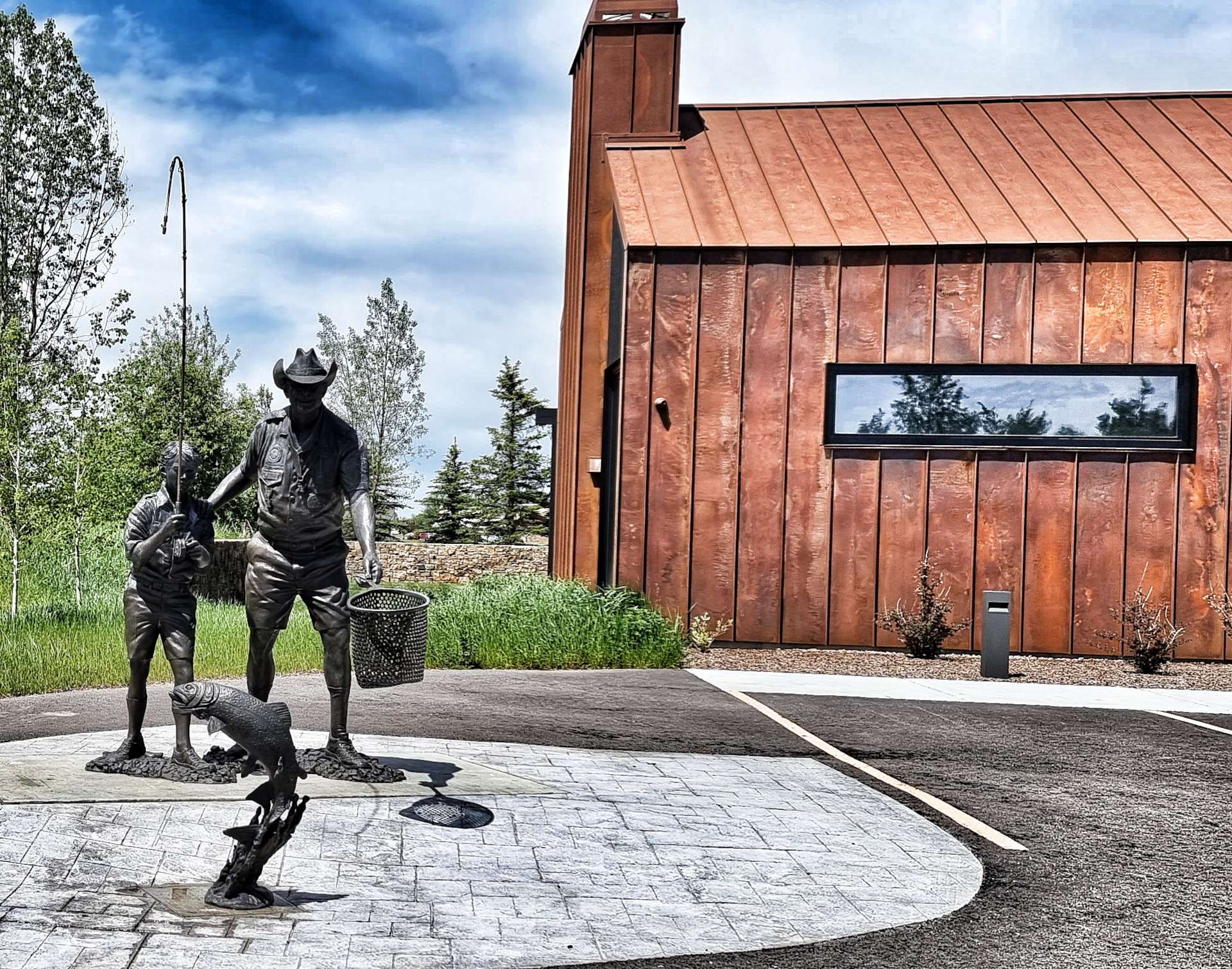
We had an 8 mile ride into a stiff headwind before we reached Driggs – another town that offered up a selection of unusual statues, the most striking of which was an adult teaching a young boy how to fish. As we rode up Main Street, a private jet was in the final stages of landing at the local airport.
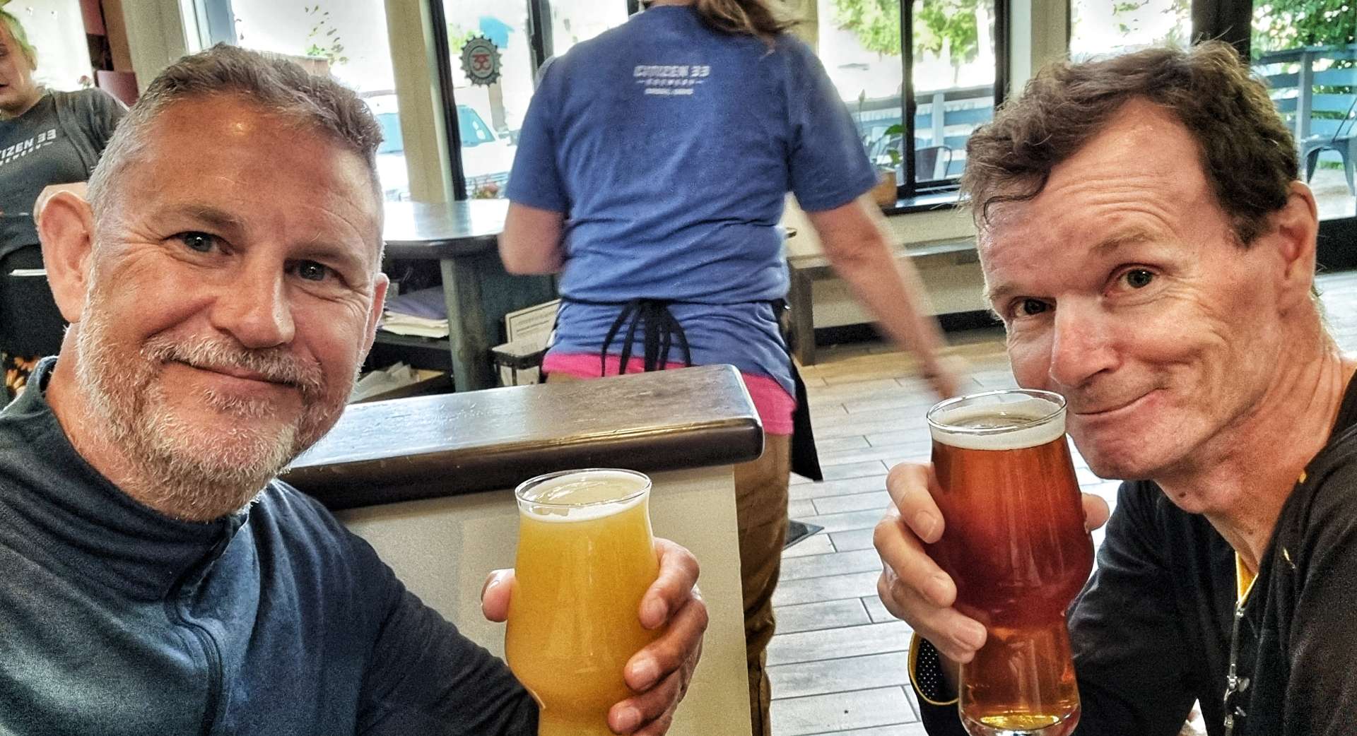
All that remained was to do get the laundry out the way, then head next door to Citizen 33, where we toasted yet another wild day of adventures. We have an unexpected task tomorrow, as Sean’s pannier didn’t survive the off-road adventure as well as us – we need to find an Ortlieb dealer or someone who can cobble together a repair for us!
Stage Stats – 40 miles, 1,365 feet of climbing. Exploring the Ashton-Tetonia Rail to Trail.
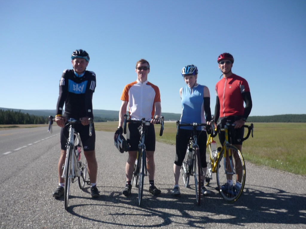
From The Evergreen State to The Big Sky State – Wednesday 18th to Friday 20th May
Wednesday 18th May – Ione to Sandpoint (Stage 16)
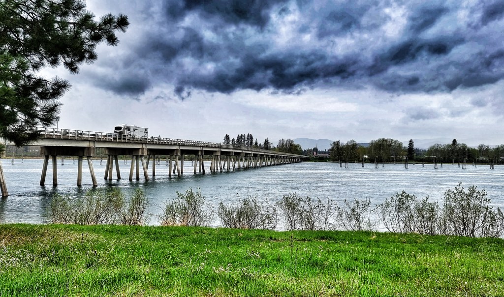
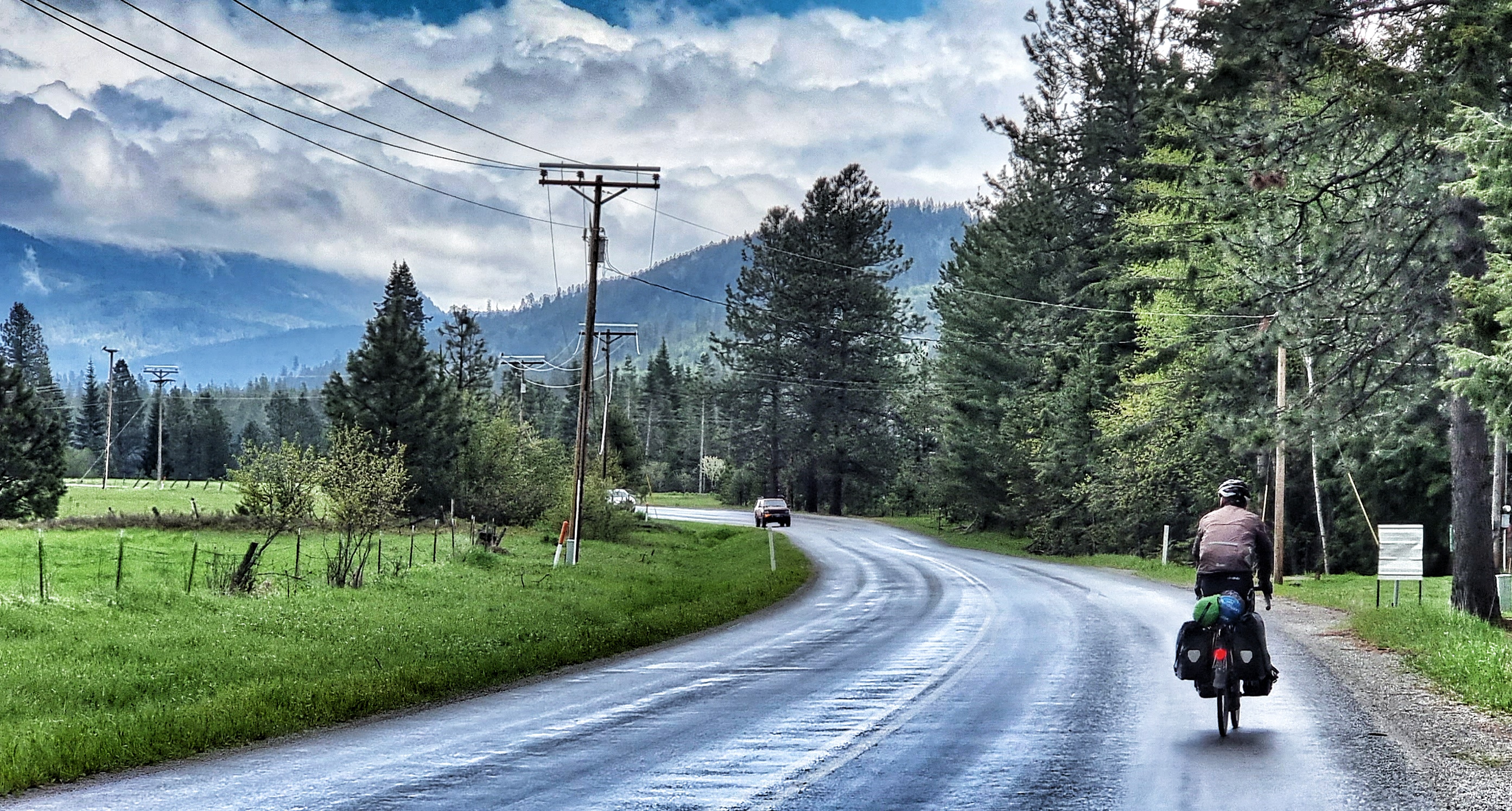
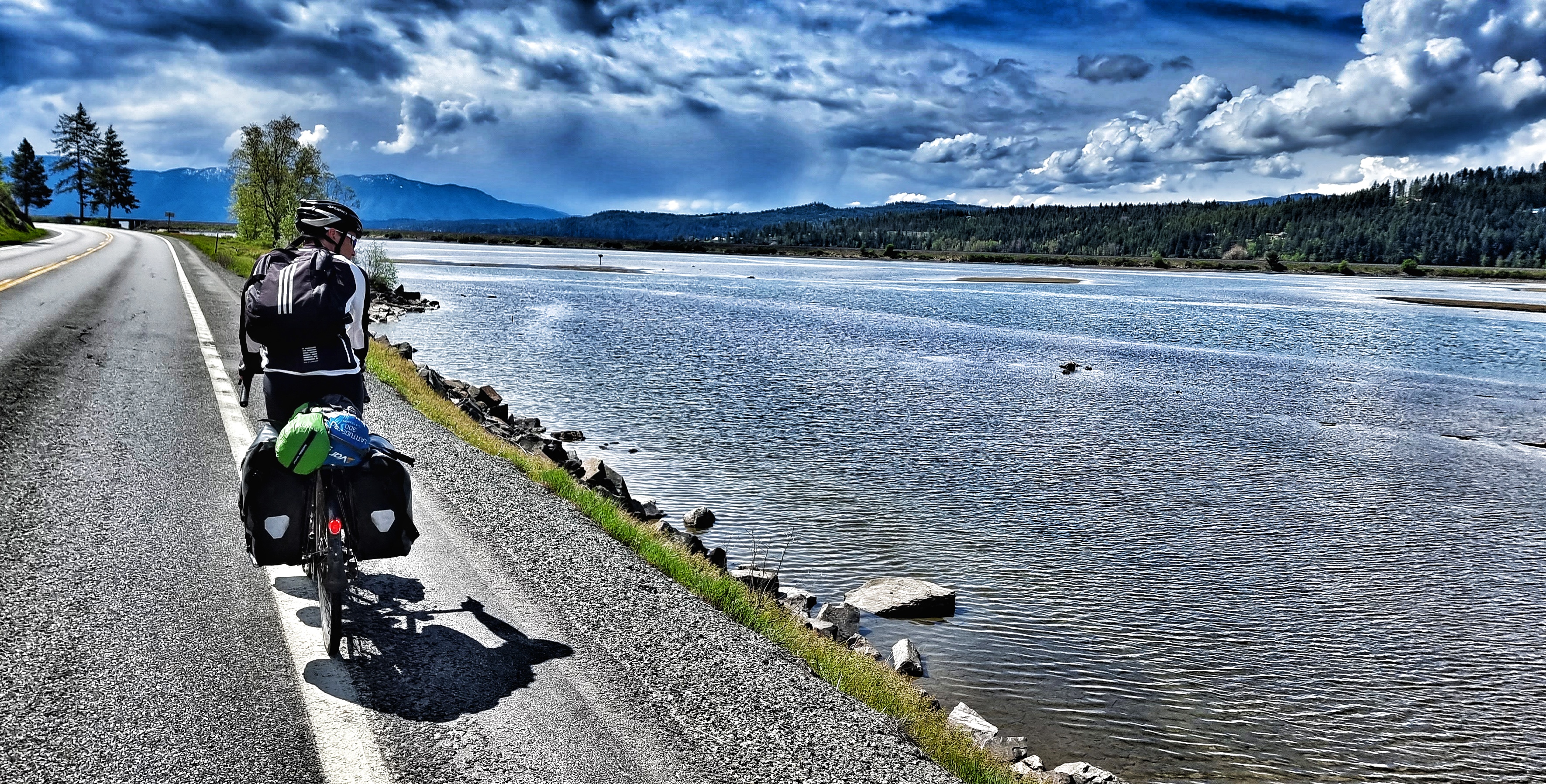
The alarms were set for 7am, so we could have breakfast in our room & be on our way by 8am. Today was the longest stage of our adventure so far – Sandpoint was 86 miles away! As we set off under overcast skies, we crossed the Pend-Oreille river with beautiful views back towards town. We joined the LeClerc Road, which we would be following for the next 50 miles!
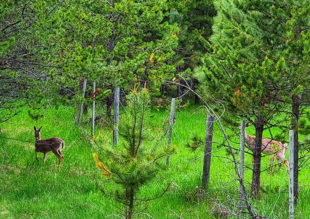
As we continued along the banks of the river, we saw two Canada Geese fly from the opposite verge as they were frightened by a passing car, one of the few we saw in the first hour. The 2nd bird glanced off the windshield as he set off & miraculously carried on flying, having suffered no obvious injuries. Not long after, a couple of deer crossed the road – one in front of us & the other sneaking behind us!! They were kind enough to wait for me to get a photo of them!
The profile of today’s stage was rolling, so no long climbs to speak of. As a result we made good time along the deserted road – we were in wet weather gear, as the forecast was for rain to roll in from about 10am. I just managed to get a selfie of us with the river in the background before the promised rains arrived.
As we reached the 25 mile point of our ride, we reached the small town of Usk (some of my friends will recognise this is one of my regular coffee haunts when I visit South Wales. Like its South Wales counterpart, Usk in Washington also had a gorgeous bridge across its river.
For the first hour we’d had a tailwind, but this became a headwind as the rain arrived. This was going to make the day a bit more of a challenge, but at least we had learned from our last soaking in Gold Bar. My friend Jimbo had been in touch to remind me of the waterproof qualities of latex gloves – we’d packed a couple of pairs of these for bike repairs. They kept my hands dry, even if the rest of my body was drenched to the bone!
As we left Usk behind, we entered the Kalispel Indian Reservation, passing their Headquarters as we headed beyond their fish hatchery complex. Before long, we were back in farming country – some houses were palatial, while others looked like a bit of TLC was required.
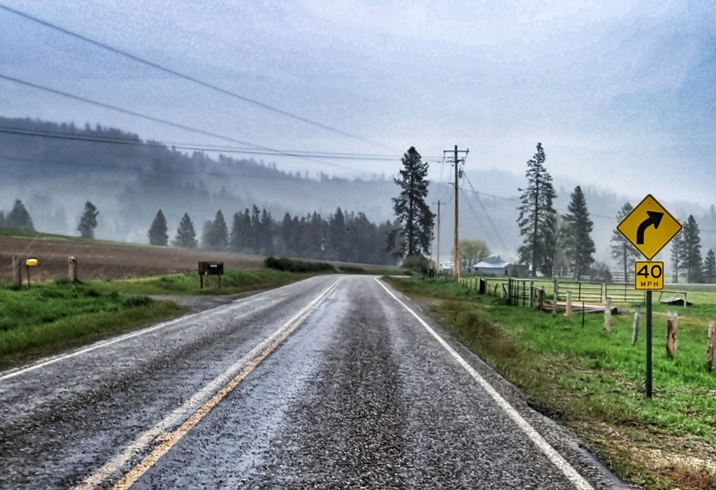
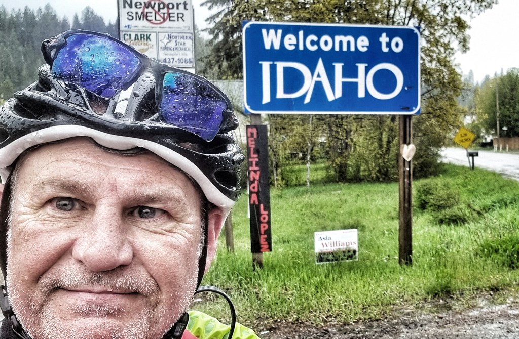
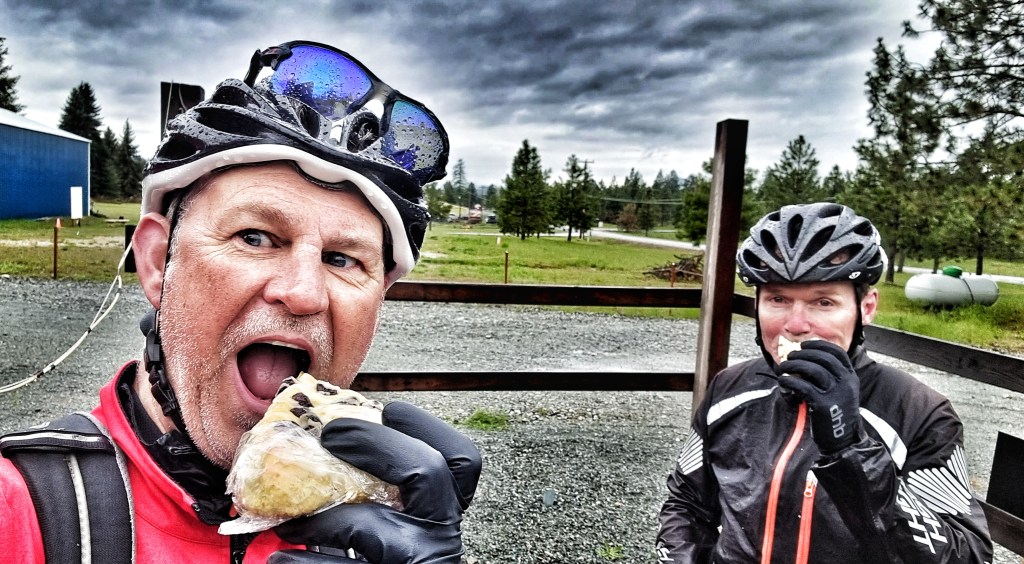
After 25 miles of riding into a cold headwind with rain being blown into our faces, we reached our 2nd Welsh connection, the town of Newport. This was a momentous occasion, although you may not know it from my photo! This was where we crossed from the Evergreen State of Washington into The Potato State of Idaho – our first state boundary crossed after 16 days of riding. Leaving Newport behind, the rain stopped just as we reached the top of a climb – right on cue we saw Station 41 Espresso, a small ‘drive-through’ espresso hut, so we stopped & tried to warm ourselves up with an americano & choc chip scone!
We took what we expected to be a quiet backroad, but were regularly overtaken by logging trucks – today we guessed that we’d be passing a timber processing complex of some sort & sure enough we soon reached a plywood making facility. A short, sharp descent took us down to the Pend-Oreille river, but this time we were on the opposite bank. A pretty bridge linked the pine forest with the plywood plant. As we continued along the shoreline, we were treated to a stunning view across the water.
Things continued to improve, as our kit dried out & we found ourselves back in Eagle Country, with wooden pallets placed on telegraph poles for the eagles to use as nesting sites. All the owners were out collecting supplies as we saw lots of eagles soaring about us, but none came close enough to be photographed…….until one of a pair perched itself in a nearby tree!!
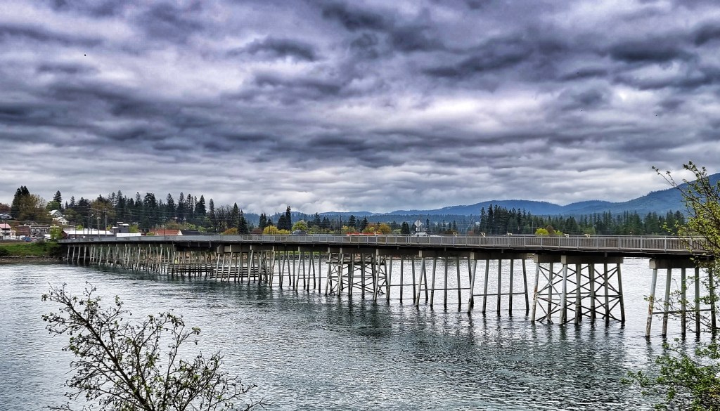
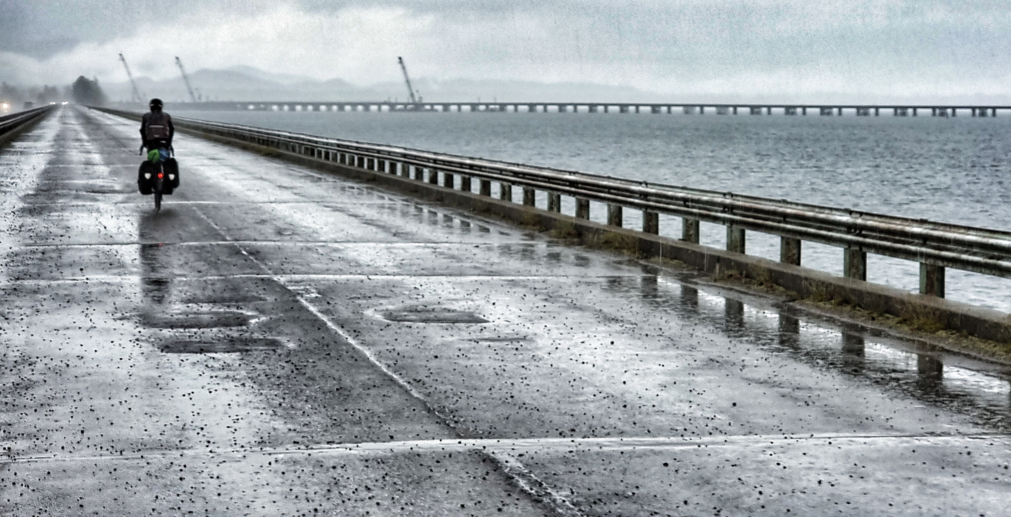
We even picked up a slight tailwind. All was good with the world again until the skies opened again 45 minutes from Sandpoint! That was long enough for us to get chilled to the bone as we crossed what was now the Pend-Oreille Lake on a cyclist only bridge. I managed to capture a shot of it, but I would certainly have appreciated it more on a dry day!
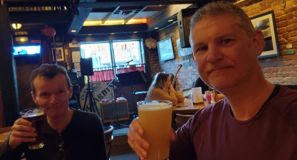
We made our way across town on quiet, cycling friendly roads & checked into separate rooms at the Cedar Street Motel & Suites – I had to say sorry for the puddle of rainwater I left as I checked in! Tomorrow’s a rest day, so we nipped into a couple of different bars to relax & celebrate crossing our first state line! We even got to listen to a local musician doing his stuff.
Stage Stats – 86 miles, 2,552 feet of climbing. A rolling day into a headwind & driving rain for most of the day. First state line crossed.
Thursday 19th May – Rest Day
Rest days now have a familiar feel to them – a bit of a lie-in, sorting out laundry, finalising routes & booking accommodation. As we’ve headed east, we’re reaching more remote regions & we’re beginning to adapt our routes to fit where we can get places to stay. At the moment we’re continuing to use motels, as the weather remains on the cold side of chilly & is very changeable.
It looks like we may be camping for the first time soon, as our next block of riding from Sandpoint to Whitefish has a big gap where we couldn’t find any accommodation. We also did a bit of shopping – Sean’s rain jacket has a temperamental zipper, so he’s bought a replacement just in case & he’s also got himself some new shades. Bearing in mind our upcoming camping debut, I’ve invested in a beanie & also splashed out on new shades too. I even left the label on for their first photo!
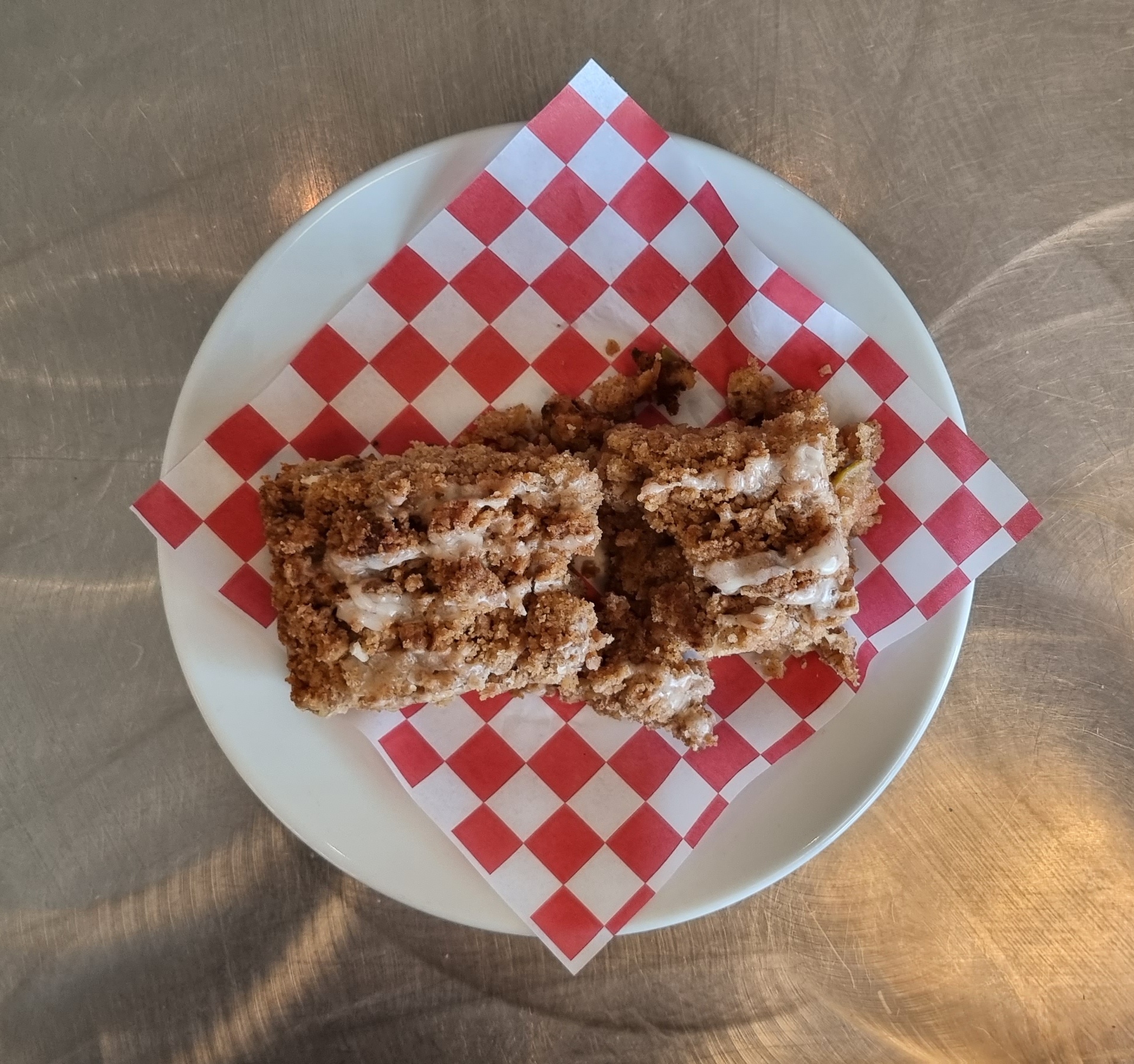
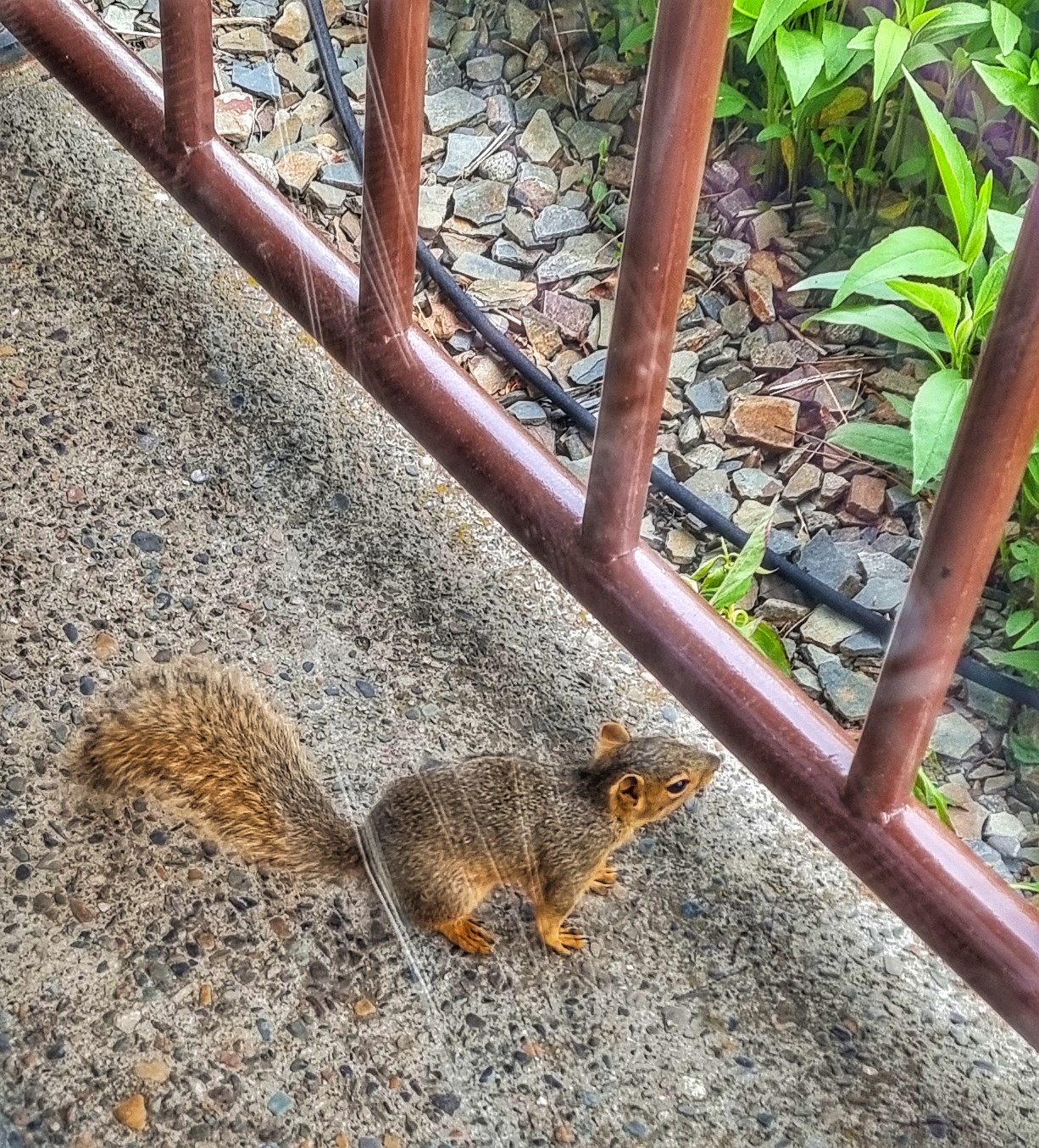
We celebrated our purchases with coffee & an apple fritter slice – tasty! Although we’re in the middle of a town, there’s a greenspace just across the way & when I returned from our shopping expedition, one of the residents came over to say hello.
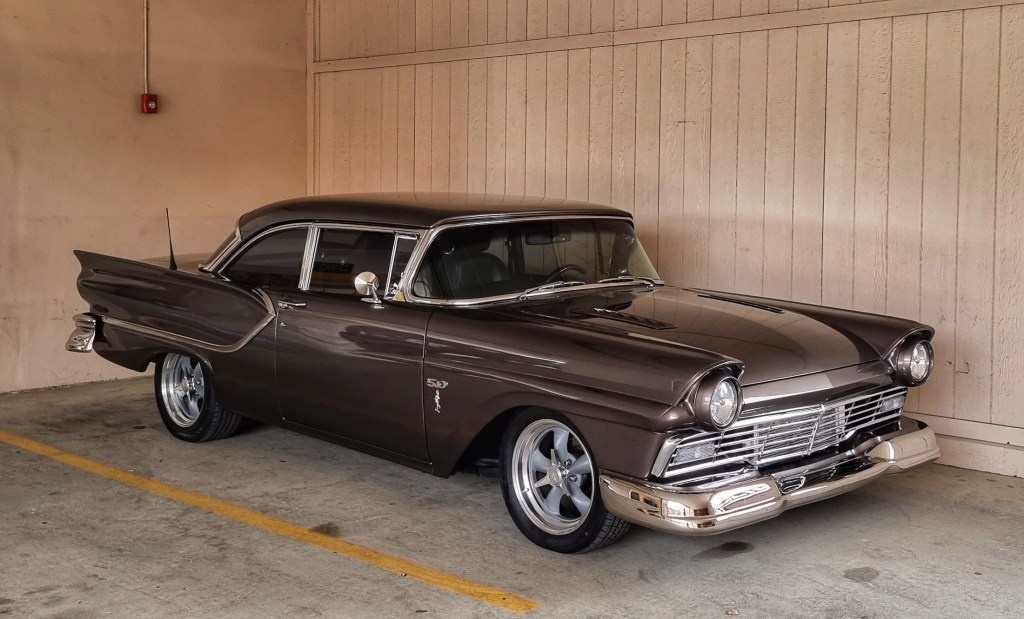
Sandpoint holds an annual ‘Lost In The 50’s’ event & this year marks the 35th anniversary. Covid caused the cancellation of events planned for 2020 & 2021, so everyone is gearing up for tomorrow’s big show. There are a wide selection of classic 50’s cars in town, which add to the atmosphere. That’s enough excitement for today – the next stage of our adventure gets underway tomorrow.
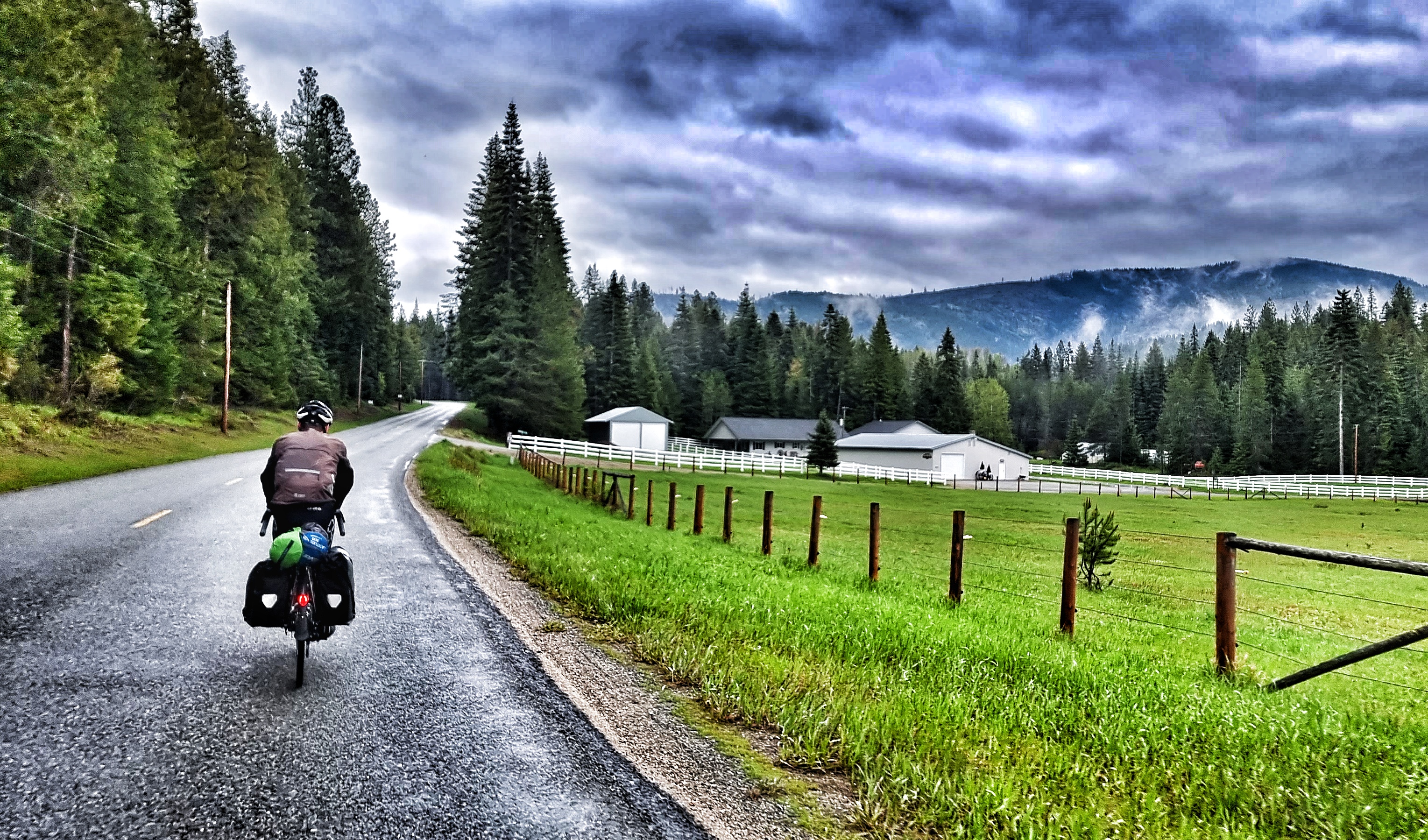
Friday 20th May – Sandpoint to Heron (Stage 17)
We woke up to blue skies overhead & after a quick breakfast of cereal & coffee we were packed up & on our way by 10am. There was no need for an early start today, as The Amber Bear Inn in Heron was only 43 miles away on rolling terrain.
Leaving town, we immediately picked up a cycle track which took us along the edge of the Pend-Oreille lake. As we joined the ID200 we passed through Ponderay (the little city with the big future), which was busy with local traffic going about their daily chores. Within 5 miles the road was significantly quieter, as we continued on through Kootenai & past a couple of golf courses with glorious views of the mountains ahead.
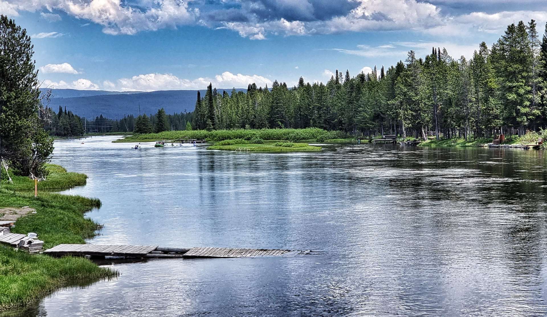
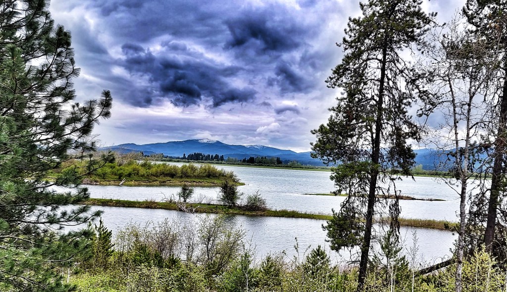
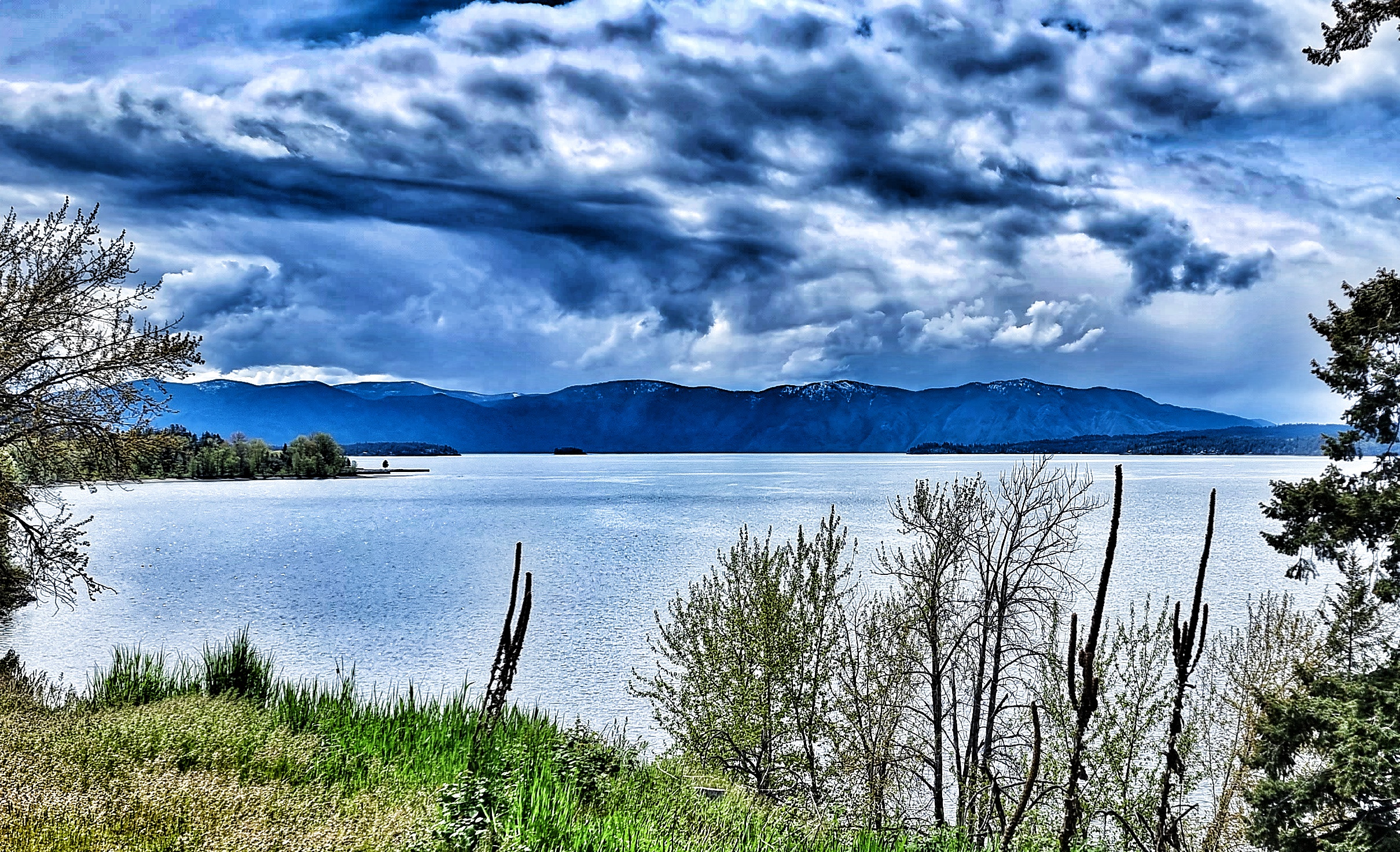
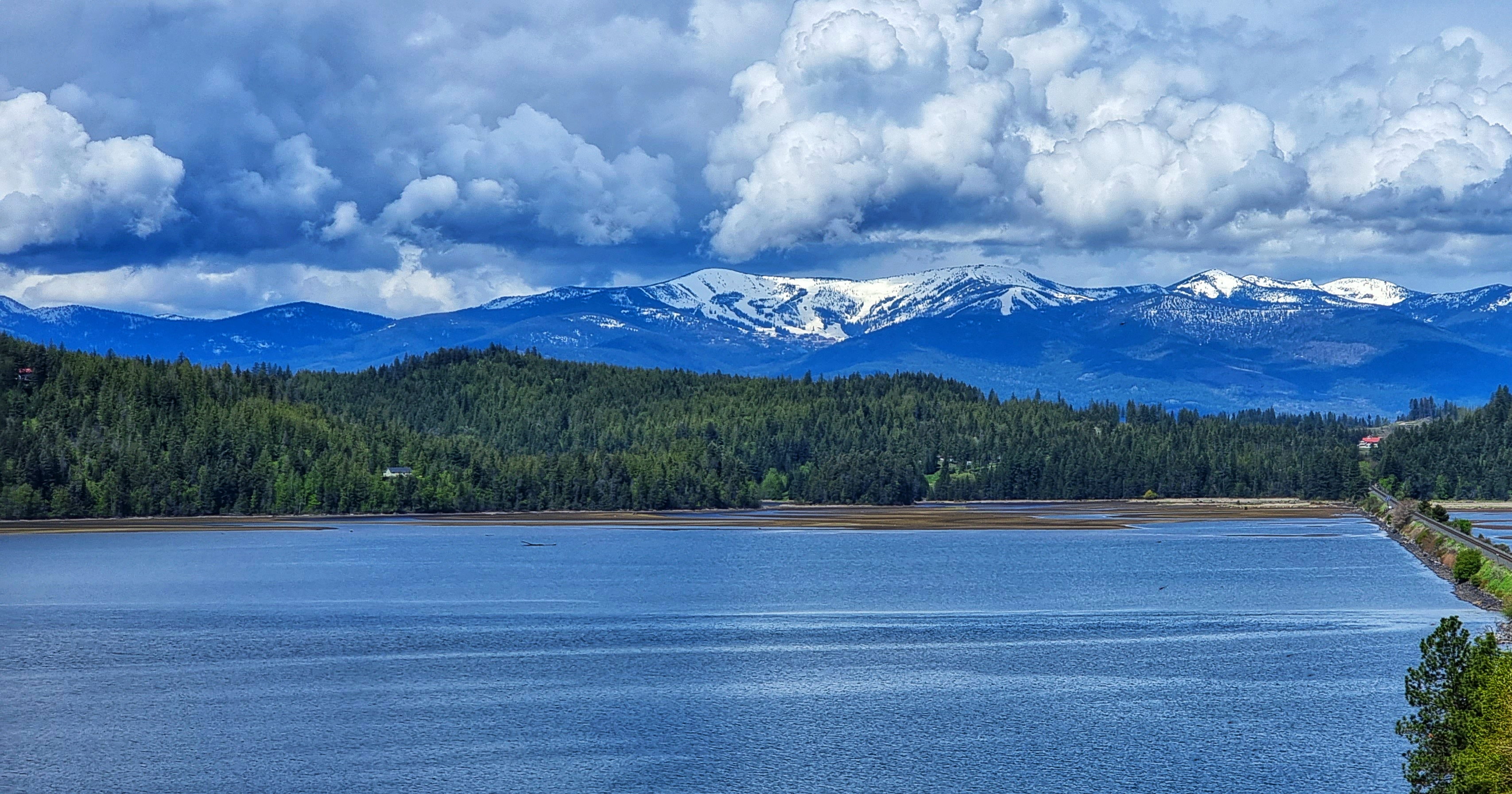
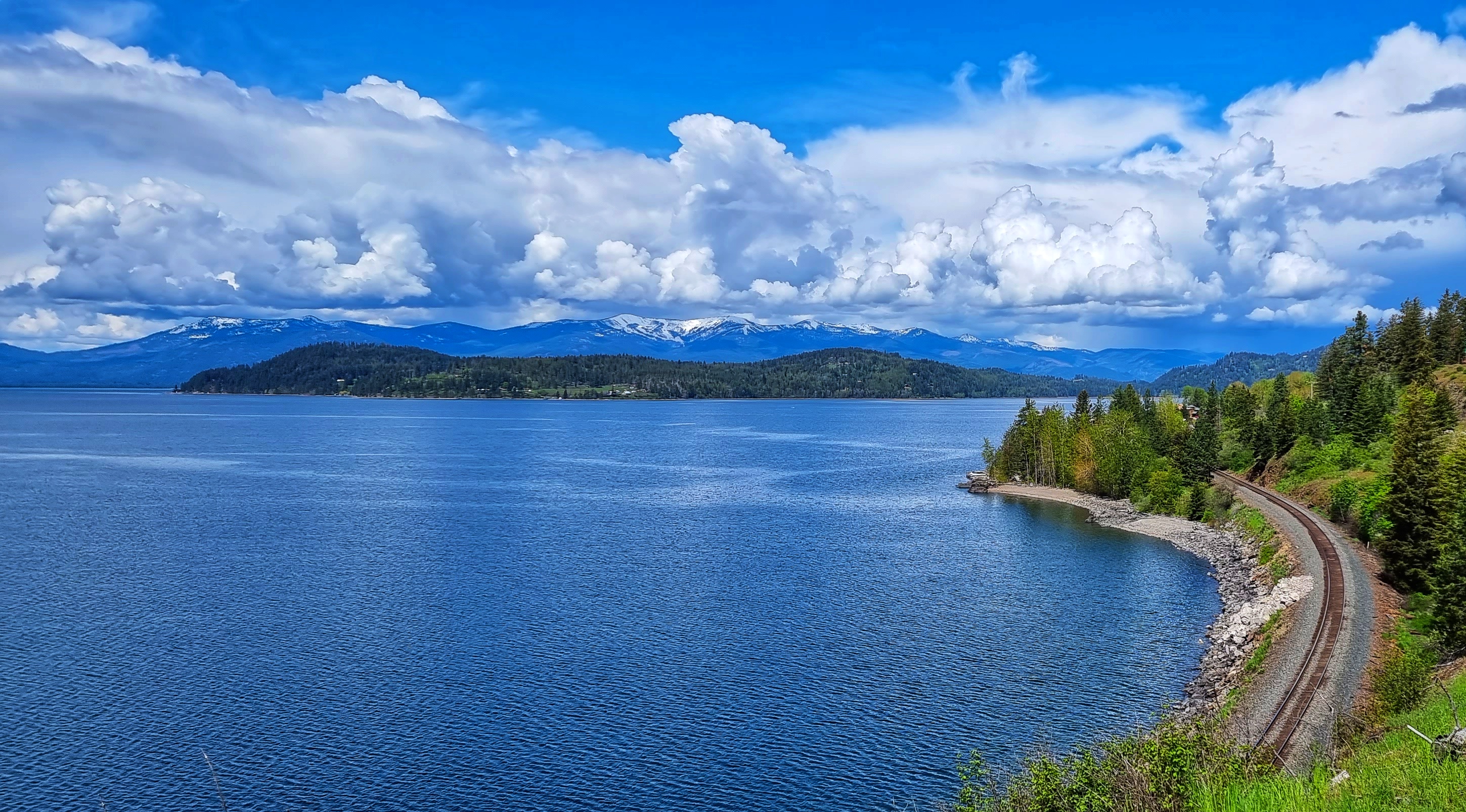
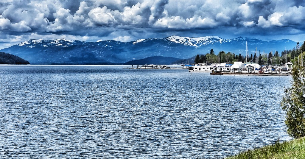
As we continued along ID200, we skirted the edge of the Pend Oreille Wetland Wildlife Management Area, where we passed over Trout Creek – it looked like a saline estuary seen in Cornwall, but we were 2,000 feet above sea level! Within a couple of miles it had become part of Pend Oreille Lake again – this is an enormous expanse of water, with a surface area of 148 square miles which makes it the 38th largest in continental USA. The lake is 1,148 feet at its deepest point & we have been following its coastline for 2 complete days!!!
We continued to be surrounded by mountains on all sides as once again our route started following the railroad track. Good news, as it guarantees the road will be fairly flat!! I was once given sage advice to stop & take a look behind you every so often & see where you’ve come from – this applies equally to life & cycling & I made sure I took in the huge views behind us.
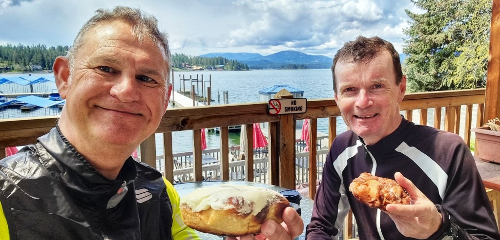
Taking in the big views & cycling is hungry work – we’re always on the lookout for coffee &/or cake stops, although now we’re in more remote locations they’re becoming as rare as hen’s teeth. I’m delighted to report I managed to sniff one out at Hope Marina, where we picked up some mementos for our bike boxes as well as coffee & cream cheese topped cinnamon rolls. I see this as essential refuelling, although some of my friends might just say I’m a cake fiend!! If we hadn’t found food here, I would quite literally have been beyond Hope – you’re welcome!!!
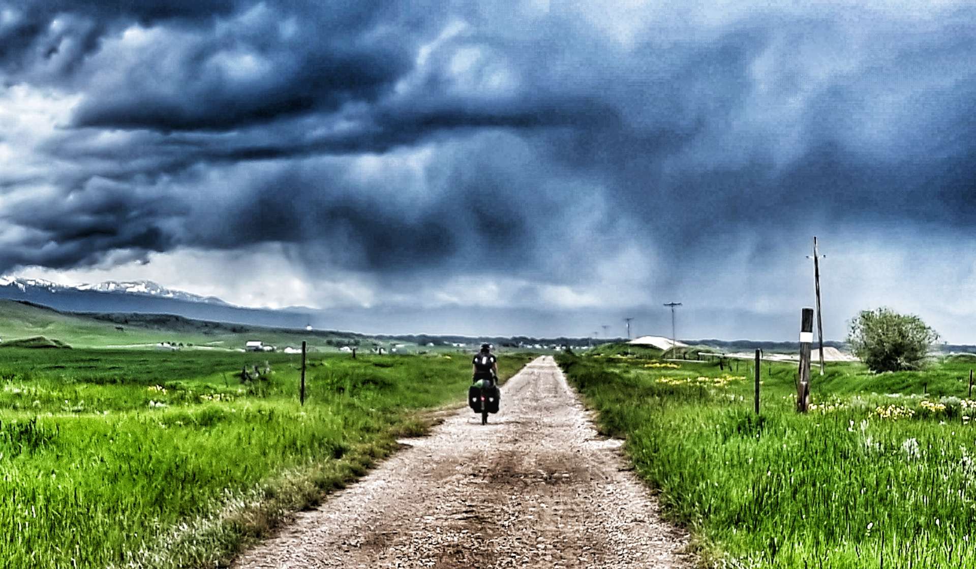
As we set off again, there were dark & angry clouds ahead of us. It very much looked like we might be racing the rain to reach our accommodation for the evening.
Turning inland, we left the lake behind for the last time & headed up the valley of one its tributaries, the Clark Fork Creek. Passing another wildlife wetland protection area, we saw a bale of turtles (a dole or nest is also ok!) sunning themselves on a log. As we passed there were 10 of them, by the time I’d clip-clopped back in my cleats there were only 5. We were also back in eagle territory as they soared on the thermals way above us.
The town of Clark Fork marked the start of another long section of tarmac that rose at a very friendly gradient, as it followed the course of the river. Although we didn’t realise at the time, this was one of only 2 places to cross the Clark Fork.
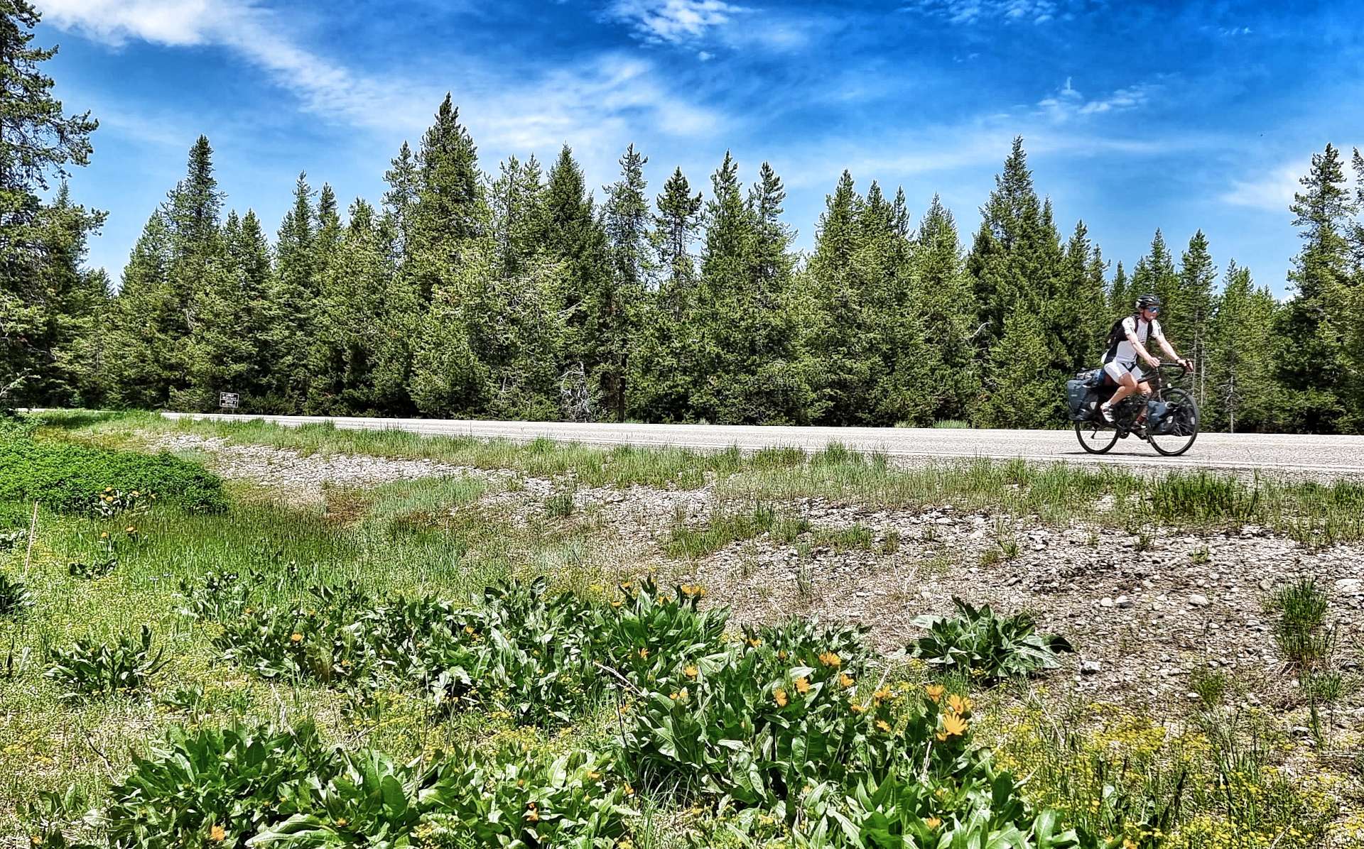
Continuing up the valley we encountered a few slate quarries & they all shared a common theme other than slate – they had collections of upwards of 100 ancient cars/trucks. As the road was climbing, it was compulsory that Sean sit on the front & set the pace as the road disappeared into the distance.
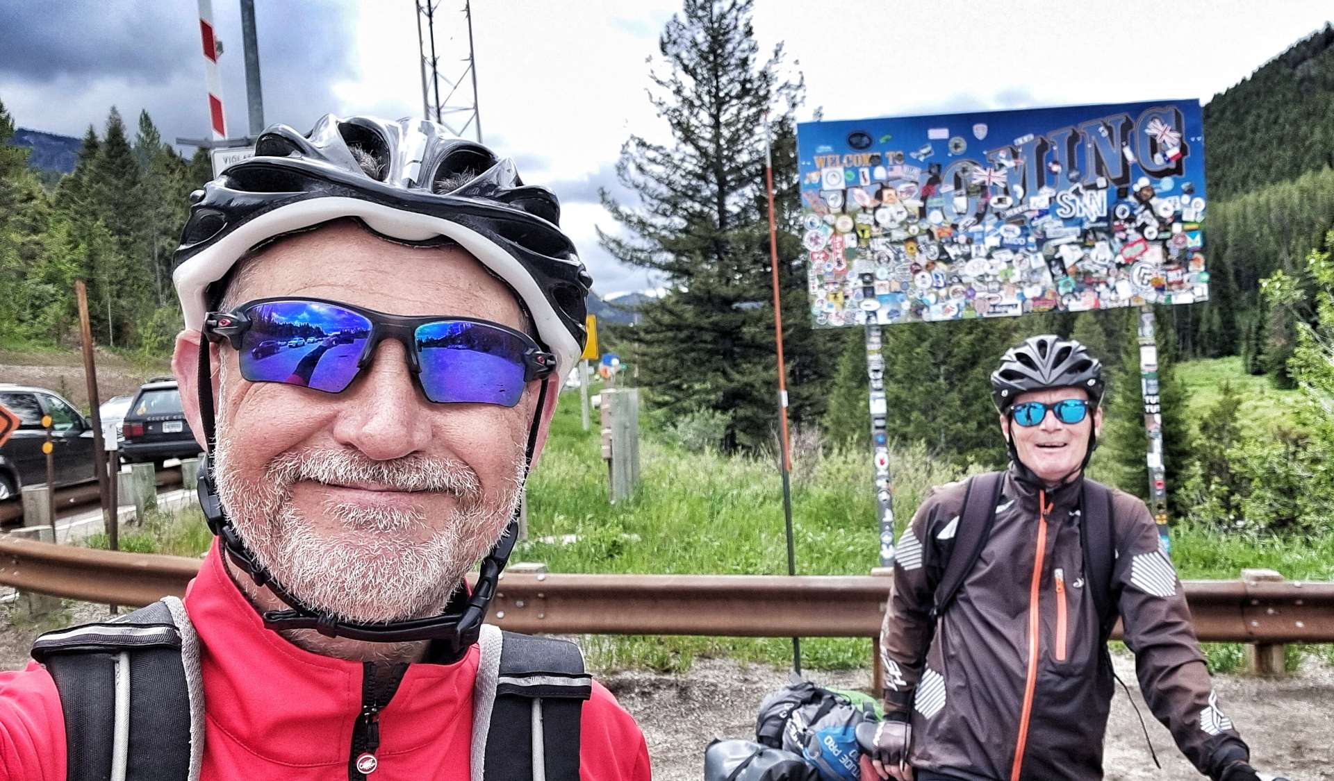
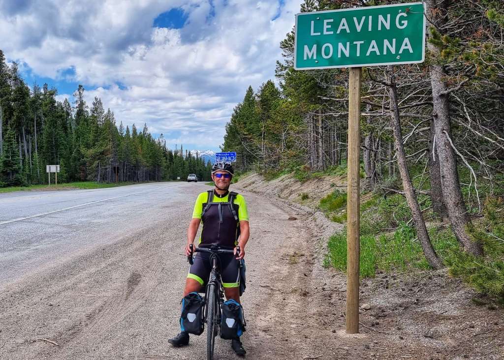
Today was a landmark as not only were we crossing our second State Line from The Potato State of Idaho into The Big Sky State of Montana, we were also crossing our first Time Zone as we passed from Pacific Time to Mountain Time & pedalled forward an hour in time.
At last we reached the turn-off to Heron – all that remained was to cross the Clark Fork, climb the early slopes of the valley on paved roads & then take a left turn up a gravel road to Amber Bear Inn, our home for the evening. The rain was chasing us & no sooner did we pull up than the skies opened & didn’t stop for the remainder of the day!
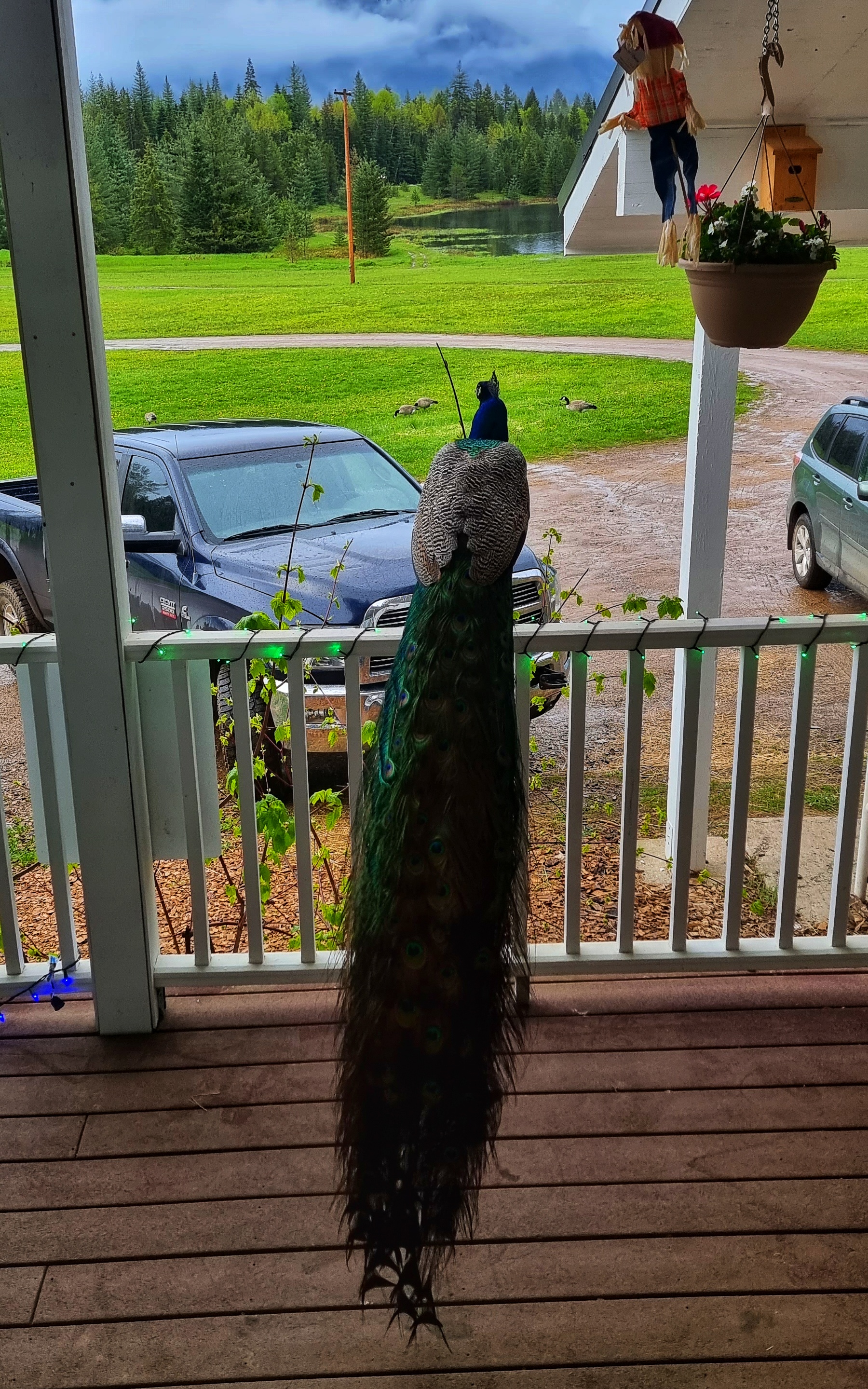
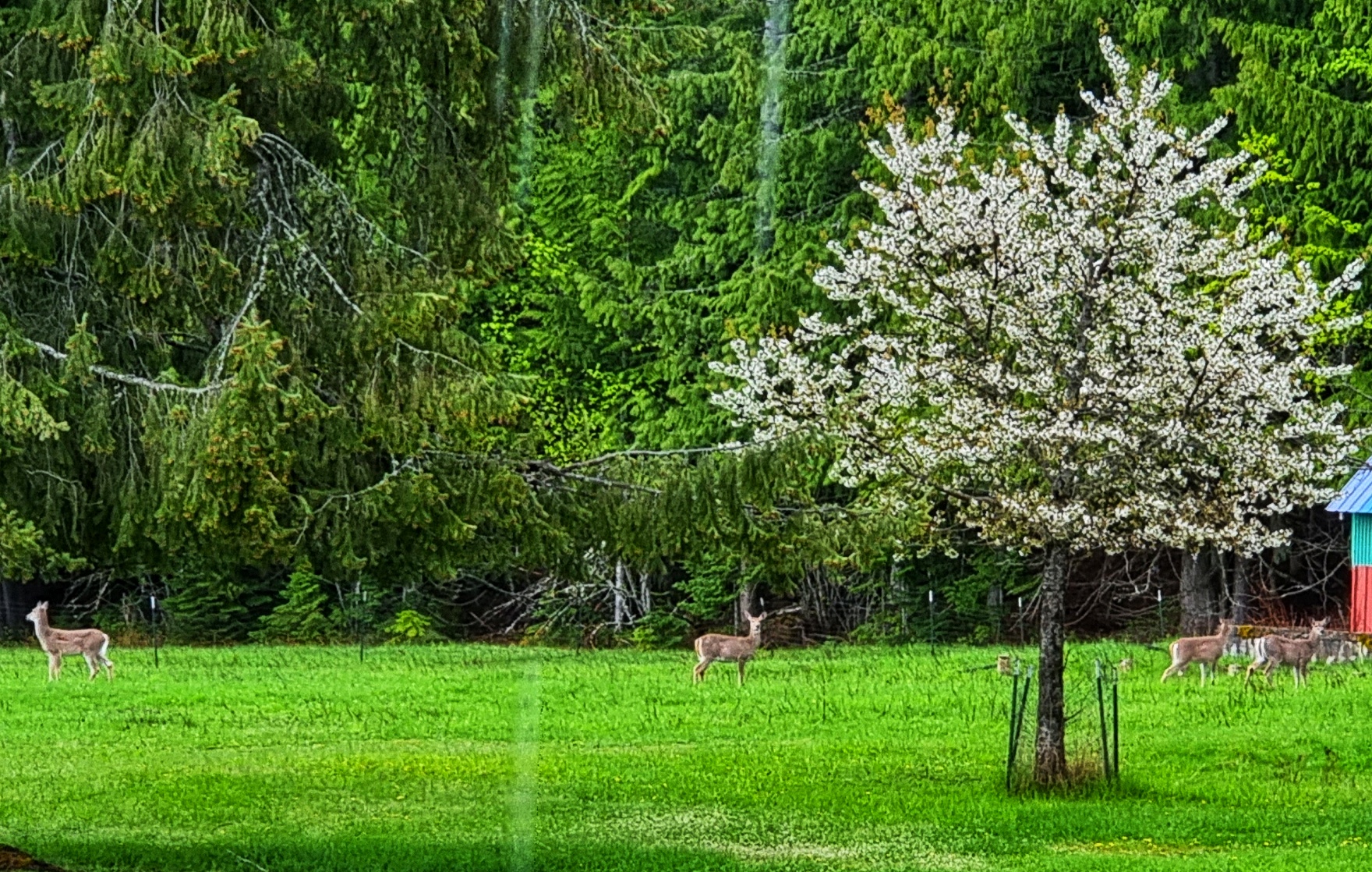
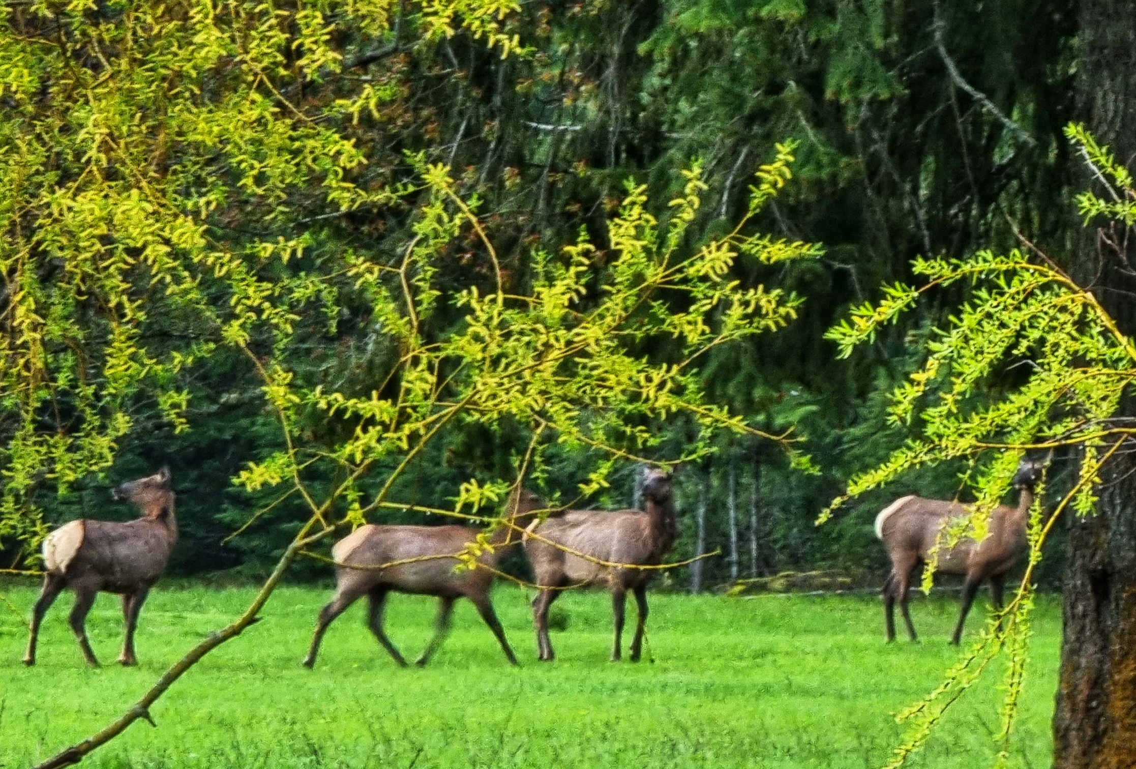
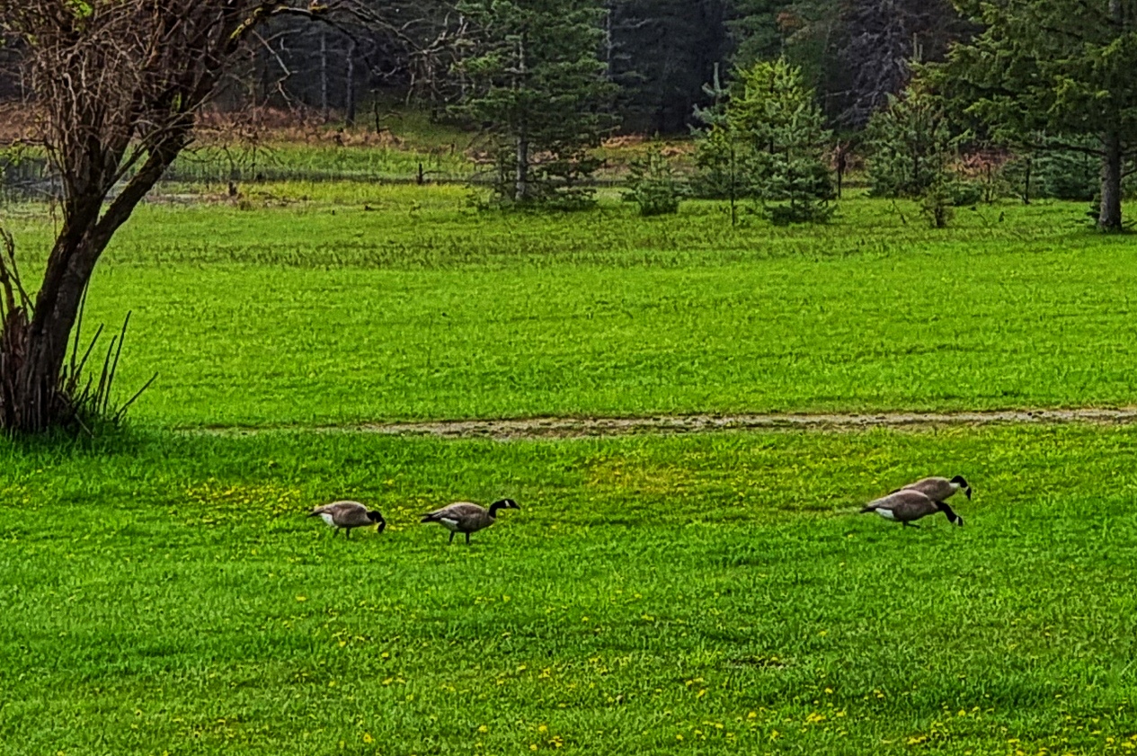
The Amber Bear Inn was an out of this world experience – when we arrived there was a pride (or ostentation) of 9 peacocks & peahens on the terrace. In the far distance we could just make out 5 deer grazing on the grass & a heron flying overhead. As if that wasn’t enough, later in the afternoon a gang of elk joined the party! Canada Geese also patrolled the lawn out front.
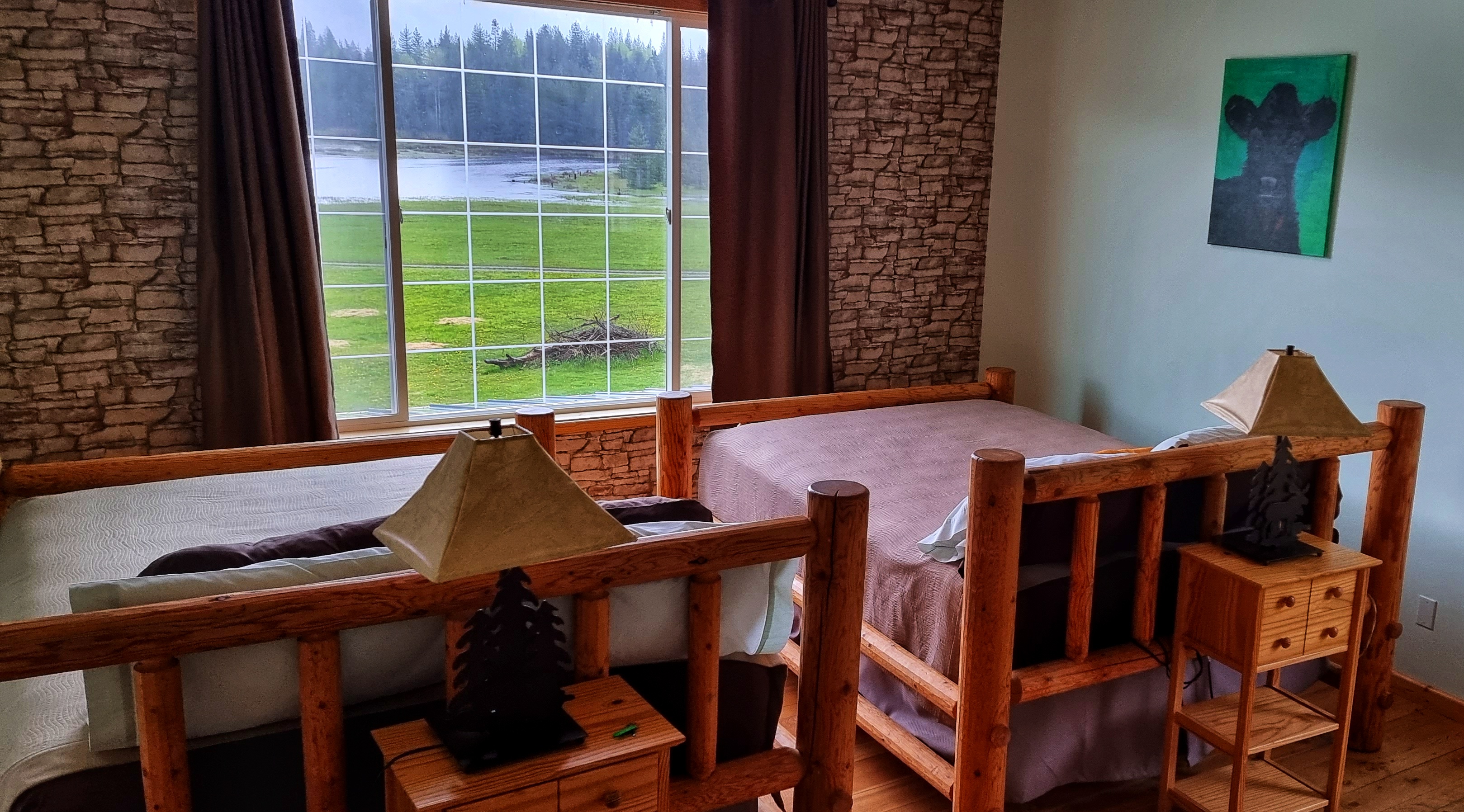
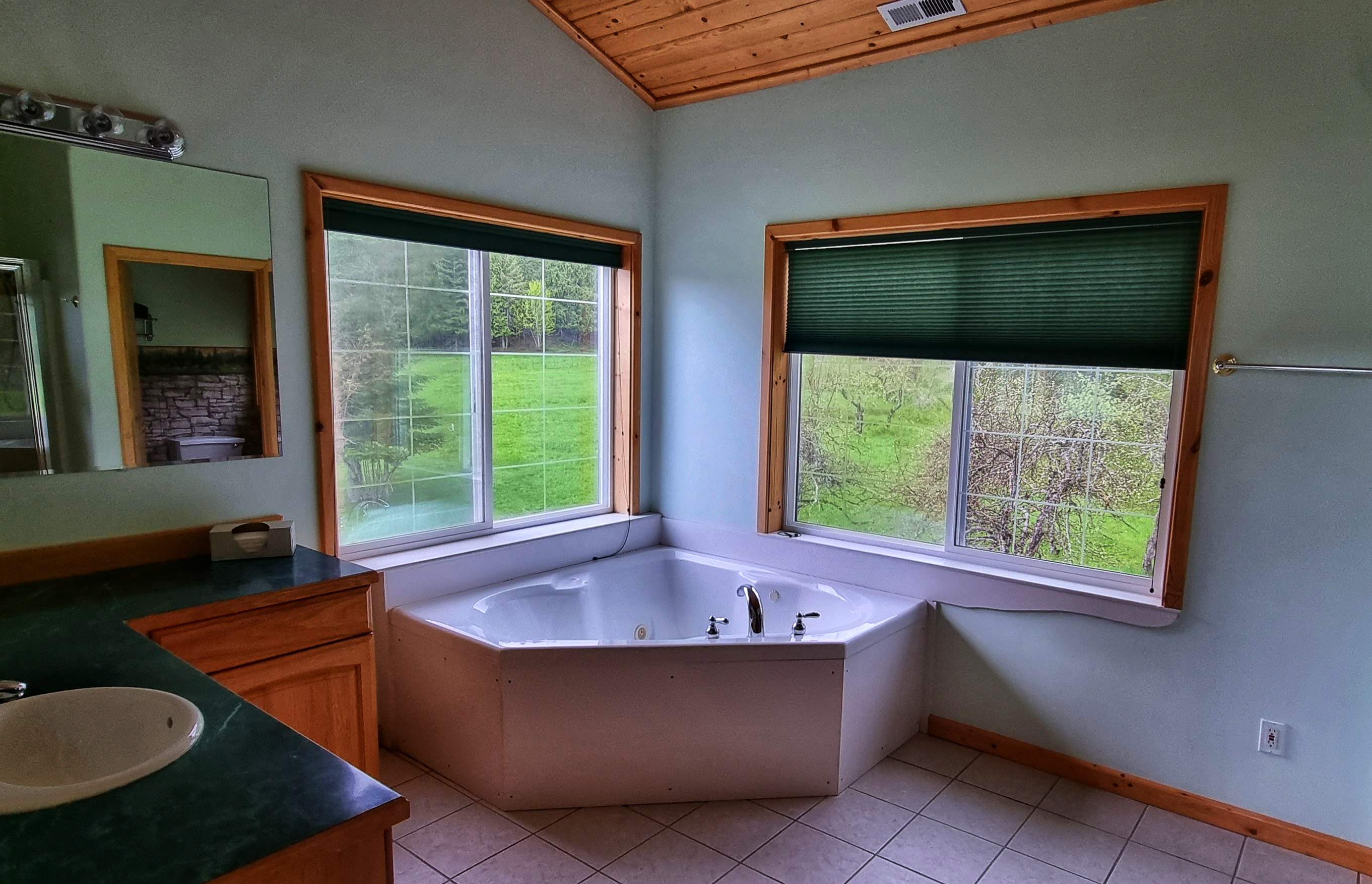
Mike & Cookie were superb hosts from the moment we walked in – our upstairs room matched the image of what a lodge in the African Serengeti would look like, it included enormous picture windows on two of the elevations, 2 huge king-size beds, a separate jacuzzi room & plenty of living space.
At dinner Jennifer ensured we enjoyed our evening meal of salad, ravioli & tomato sauce & my first ever portion of huckleberry ice cream – it won’t be the last!! We then sat with Mike for upwards of an hour as we learned about his life, including when the US Military took over the whole of the Amber Bear Inn to tackle an out of control forest fire – at one point there were 300 military field tents of various sizes on his grounds & they served in excess of 16,000 meals in a 2 week period!!
We also learned survival techniques in case we meet an elk, moose, mountain lion or bear – we’re now a bit less keen to have an up close & personal experience with any of them!! Mike, Cookie & Jennifer – thank you for making this an experience I’ll treasure for many years to come!
Stage Stats – 44 miles, 1,634 feet of climbing. A rolling day that began under blue skies that became overcast as the day progressed. Second state line & first time-zone crossed.
Once In A Lifetime – To steal a line from the Talking Heads’ song, “Well, how did I get here?”
My USA cycling adventure has been almost 16 years in the making – Part One of my journey covers my introduction to cycling & a few of my first adventures.
Back in June 2006 I went on a group holiday to Sardinia with some great friends & on a whim hired a bike for a ½ day, 30 mile pootle out to Capo Caccia & back with Sean.
Never in my wildest dreams did I imagine that I’d catch the cycling bug & that I’d now be preparing to embark on a 6,000 mile, 6 month, once in a lifetime adventure. So, how did I get here?
After returning from Sardinia, Sean & I came up with the stupid idea of going on a one week cycling trip around Hamburg in October 2006 – in those days I didn’t even take photos of my cycling adventures, as my mobile phone didn’t even have a camera. We arrived on the Friday night & spent the evening checking out the local brew – my hazy memory says it was “one (or perhaps two) too many” pints of Einstein, in the bar of the same name. It’s worth pointing out that at this point we didn’t have any bikes to complete our tour, so we had a panicked morning desperately searching for a hire shop – in the end we had to buy a bike each so we could complete our trip!!! We learned a huge amount on that trip, the main lesson being that we needed to each buy a bike!
By 2007 I’d bought a blue, aluminium framed Giant Defy & we headed to the USA, doing a self-supported trip to New York State (including a visit to Niagara Falls). By now I’d realised that I needed to be able to take photos, so we bought a couple of Kodak Single Use cameras – we then had to get the film developed in a camera shop to see what the photos actually looked like! Having found the photos this evening, they were truly rubbish!!!
In 2008 we visited Washington & Oregon cycling the Pacific Coast Highway, hiring bikes once again. We still had much to learn about how to plan a trip abroad! At least by now we’d realised the importance of training, although I weighed more in 2008 than I do in 2022.
*
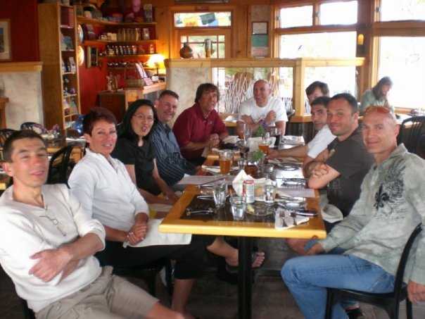
We became more adventurous in 2009, joining a guided tour in early May, organised by Cycling Escapes, that included Zion & Bryce Canyon – this was our first experience of cycling with proper cyclists.
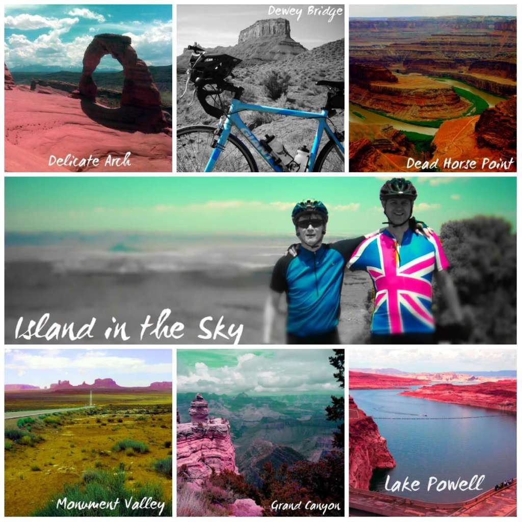
I was totally unprepared (I’d broken my collar bone on Valentine’s Day & couldn’t get back on the bike until the end of March) & I met the most kind & generous group of people. They were so supportive of two total novices & shared many great pieces of advice, including to always look behind you & see where you’ve come from, as well as where you’re headed. For our 2nd week we did a self-supported trip to Moab & tried to practice what we’d been taught!
**
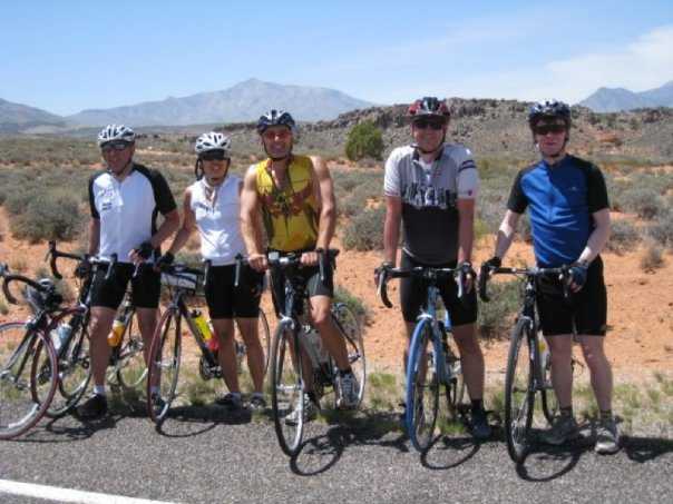
2010 was a breakout year, as in addition to buying my first carbon bike (still the fastest bike I’ve ever owned), we started training & returned to the USA for a 5 days of cycling huge Colorado mountains – again with Cycling Escapes. Rich & Benny ran the trip even though there were only Sean, myself & Rich on the tour.
This was followed by 5 days of cycling in Montana & Idaho (including a couple of days in Yellowstone) – we were still with Cycling Escapes. What made it even more special was meeting up with some of our friends we’d made the previous year, as well as making new friends.
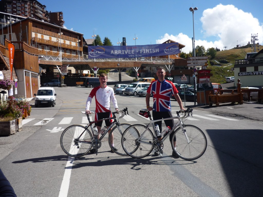
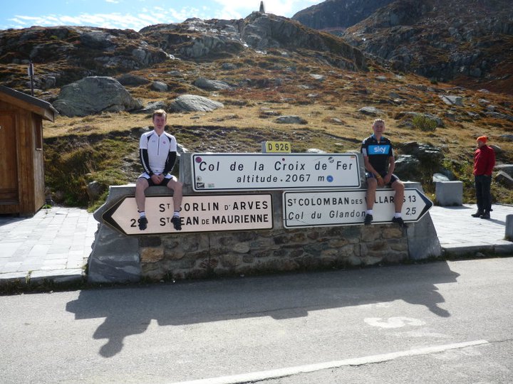
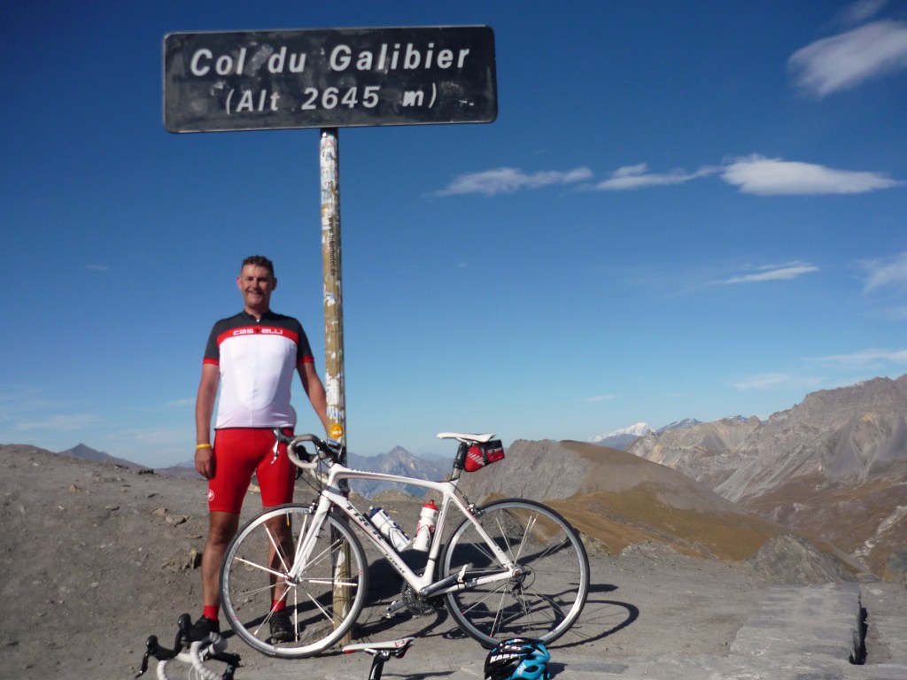
We also paid our first visit to the big mountains of Europe – driving from Bristol to Bourg d’Oisans for a 3 day adventure taking in Alp d’Huez, Col de la Croix de Fer & Col du Galibier on consecutive days. I can still remember the feeling of complete awe I felt when we drove up Alp d’Huez in the car & both of us realising that we were in completely uncharted territory!
This feels like a good place to draw Part One to a conclusion as it marks the transition from our long haul travels to short haul destinations. Part Two will focus on our early experiences of exploring the mountains of Europe!