Dillon to Helena

Riding to Rest & Relaxation – Wednesday 8th to Thursday 9th June

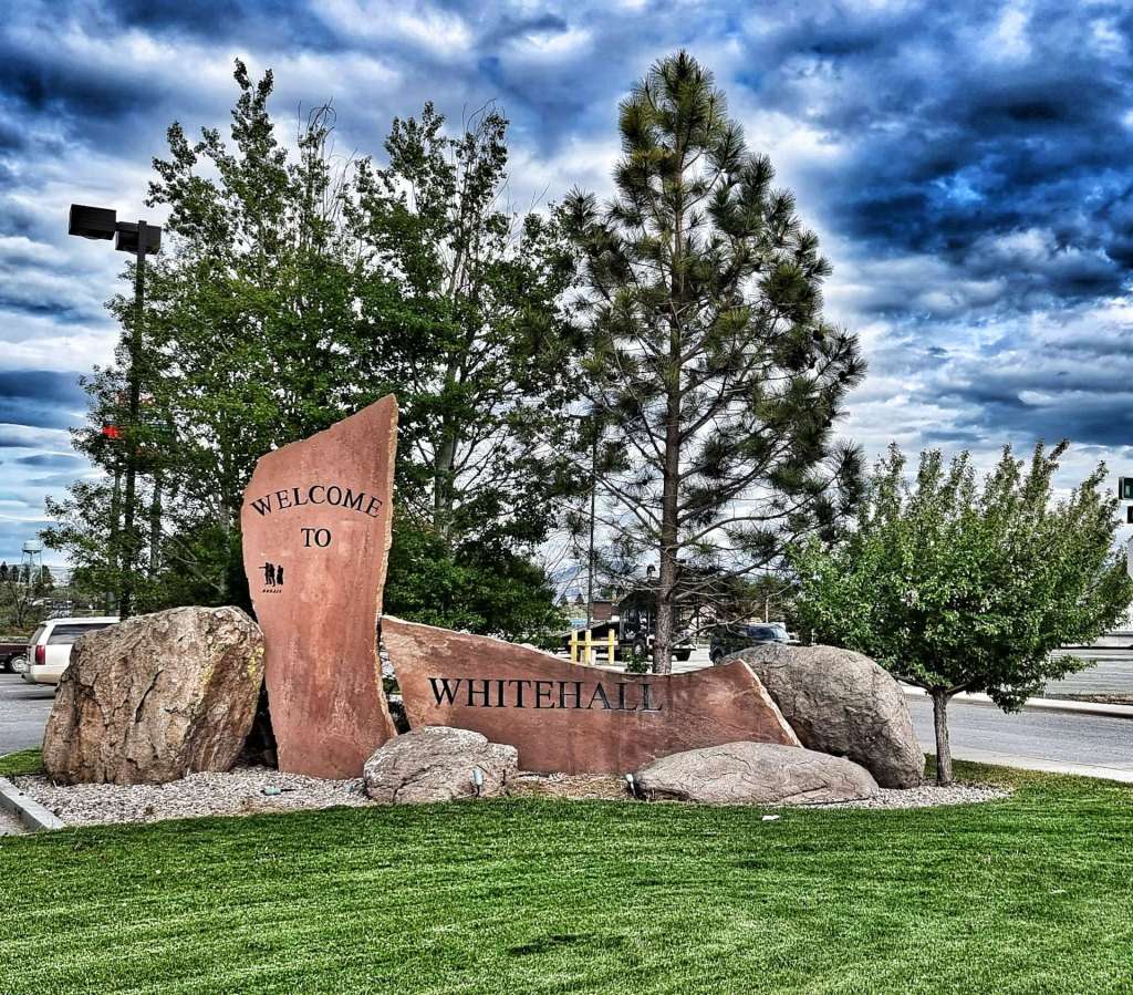
Wednesday 8th June – Dillon to Whitehall (Stage 32)

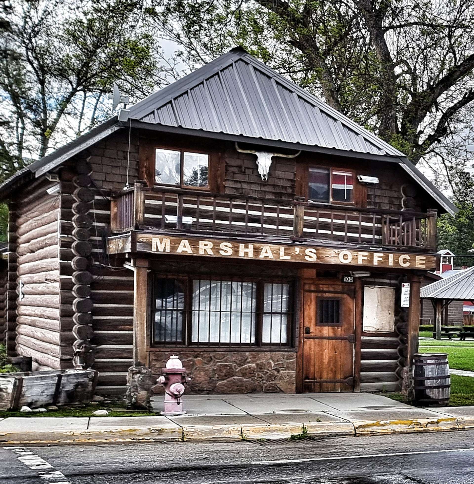
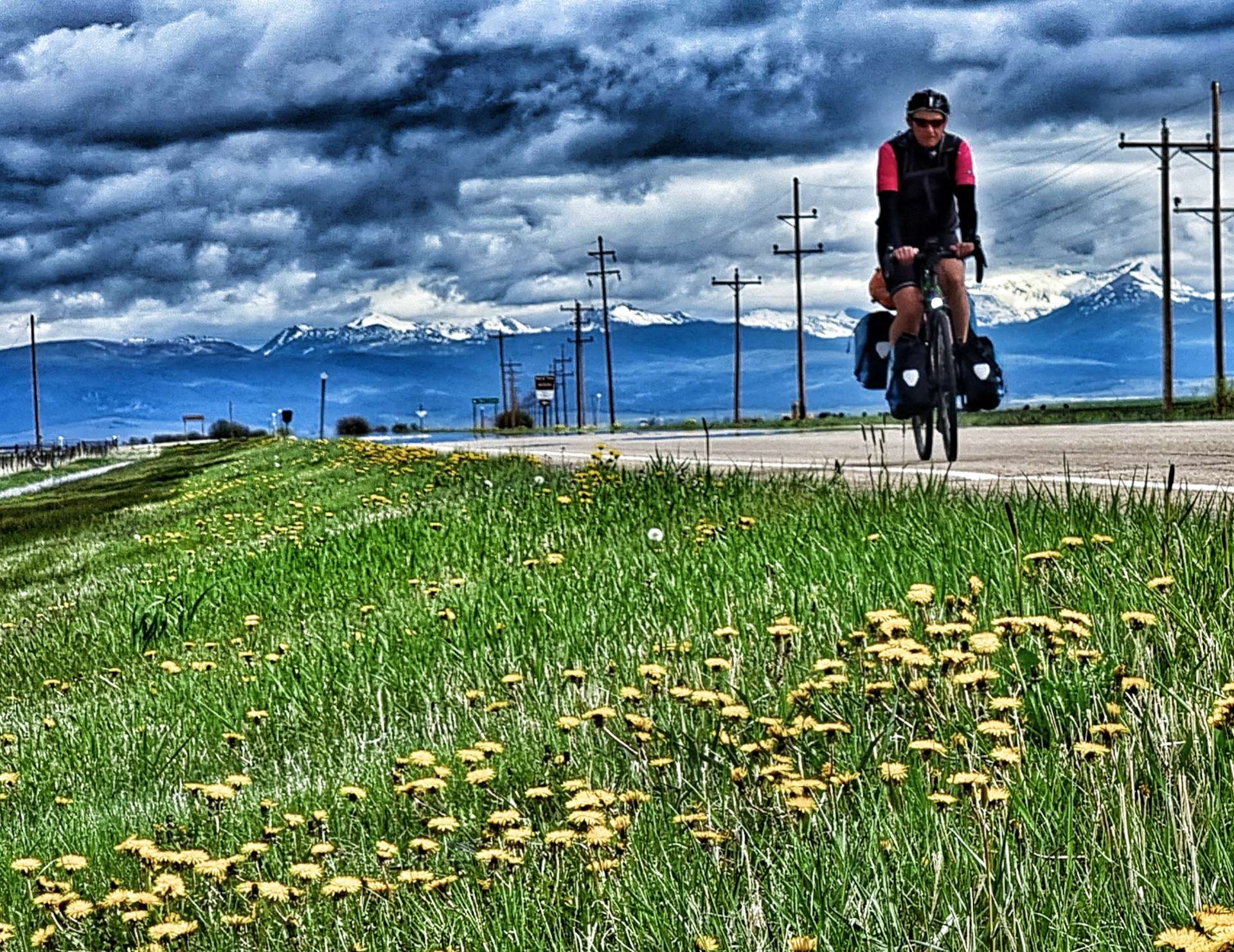
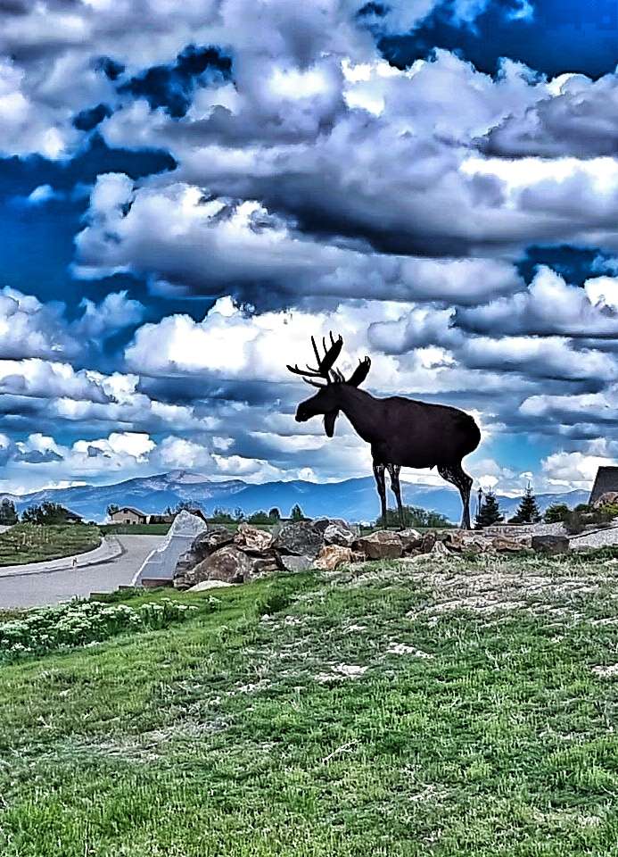
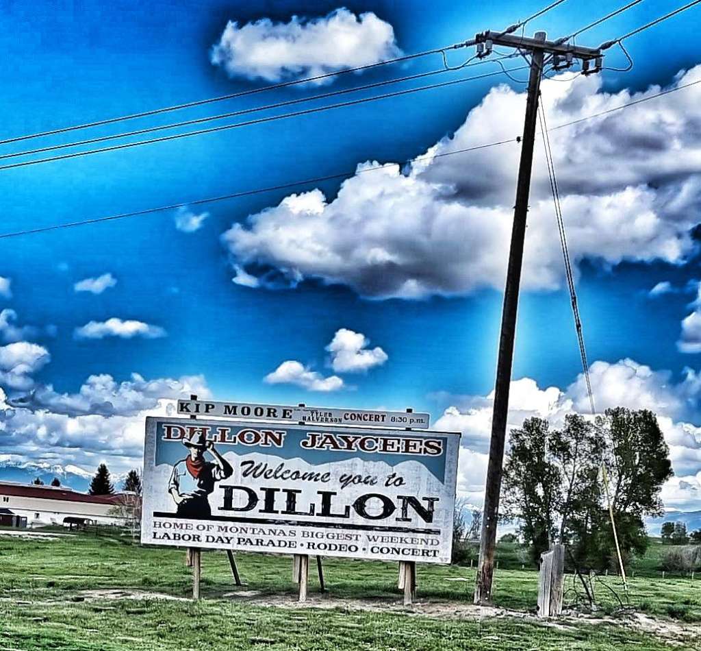
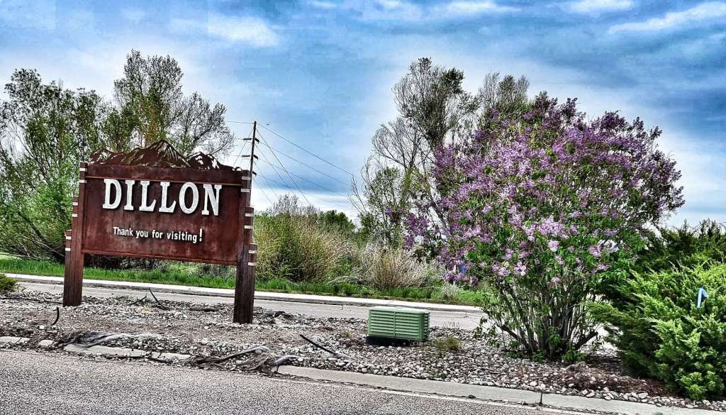
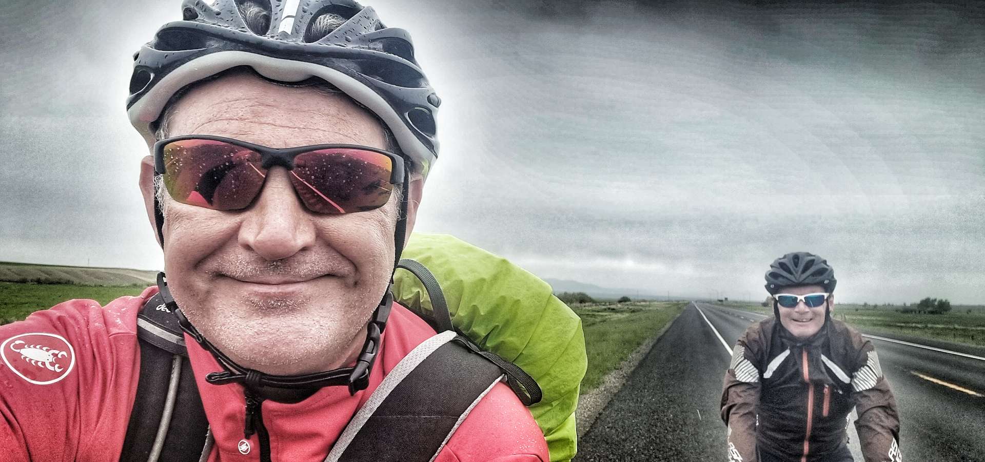
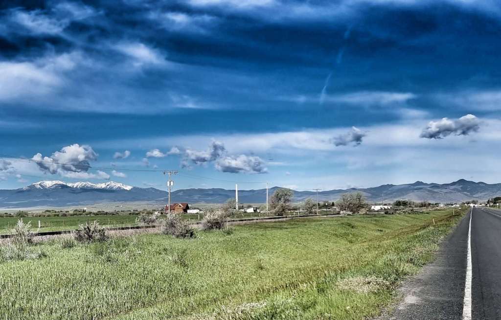
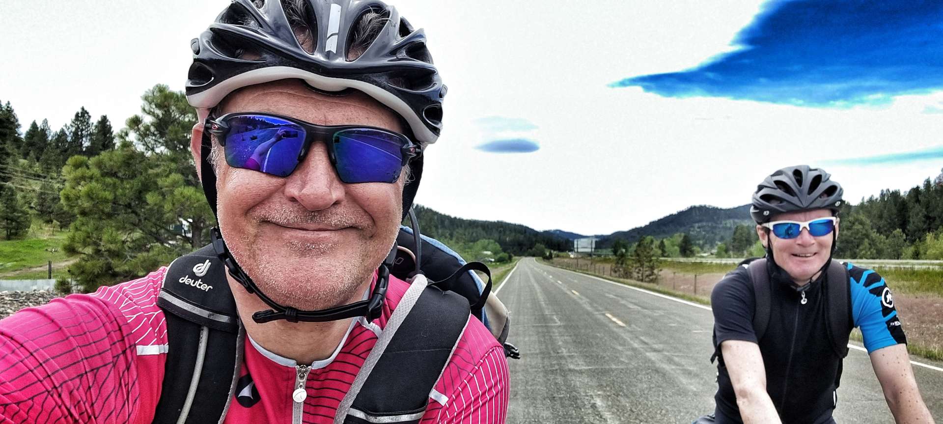
We woke to overcast skies which threatened rain at some point in the morning. After a continental breakfast from the hotel, we took our time packing & set off just before 10am. We left town with a thank you for visiting message & a reminder that Dillon has an Army National Guard Recruitment office!

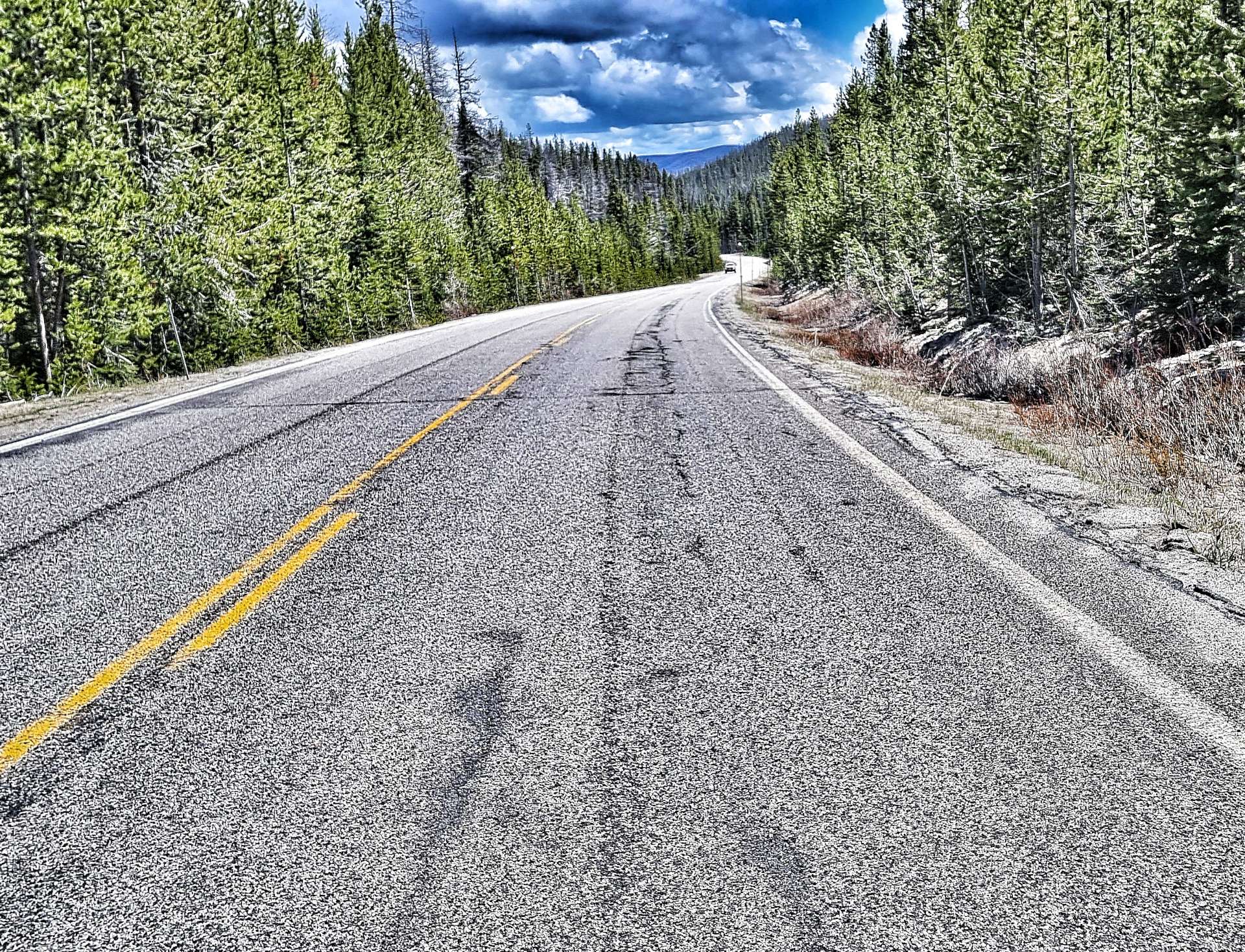
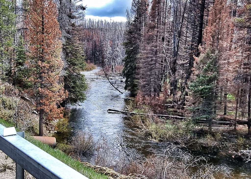
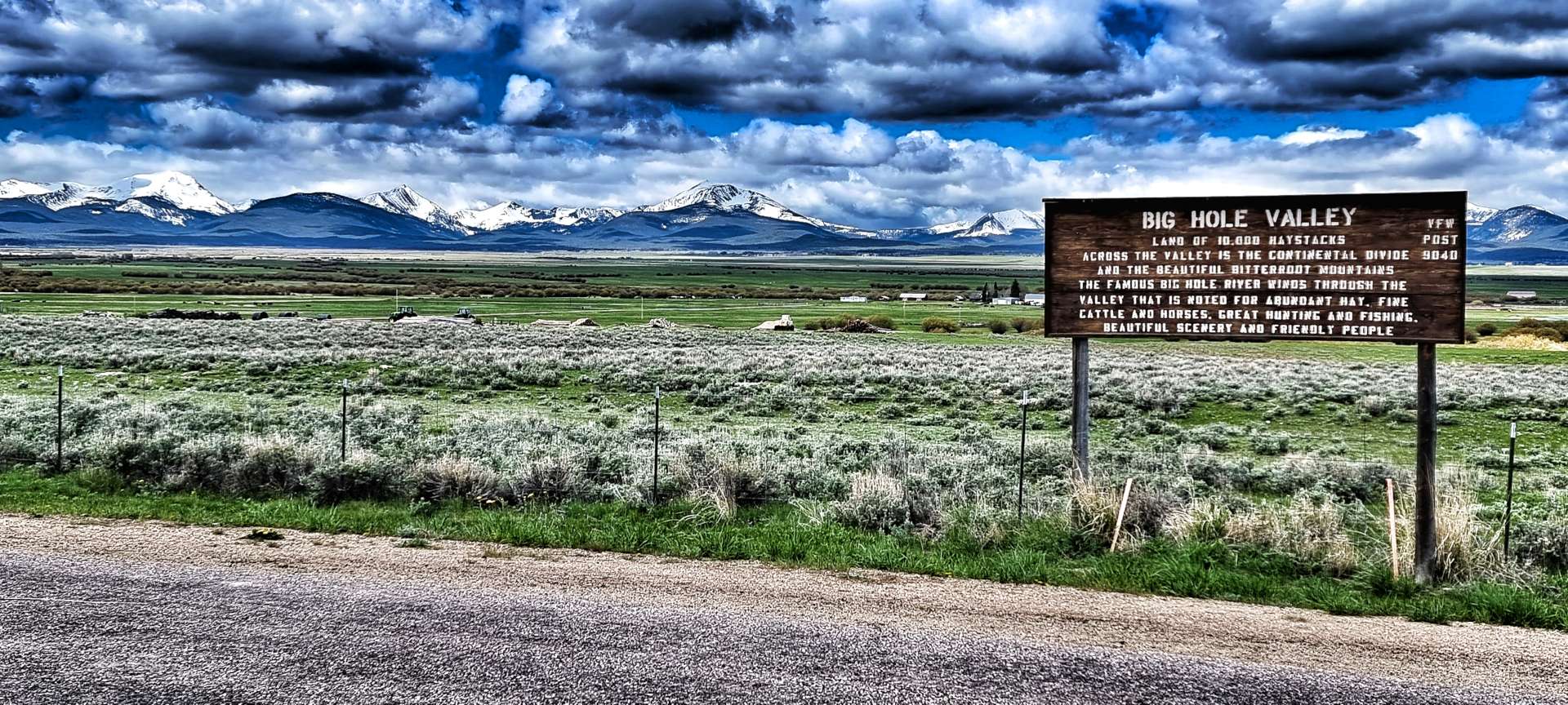
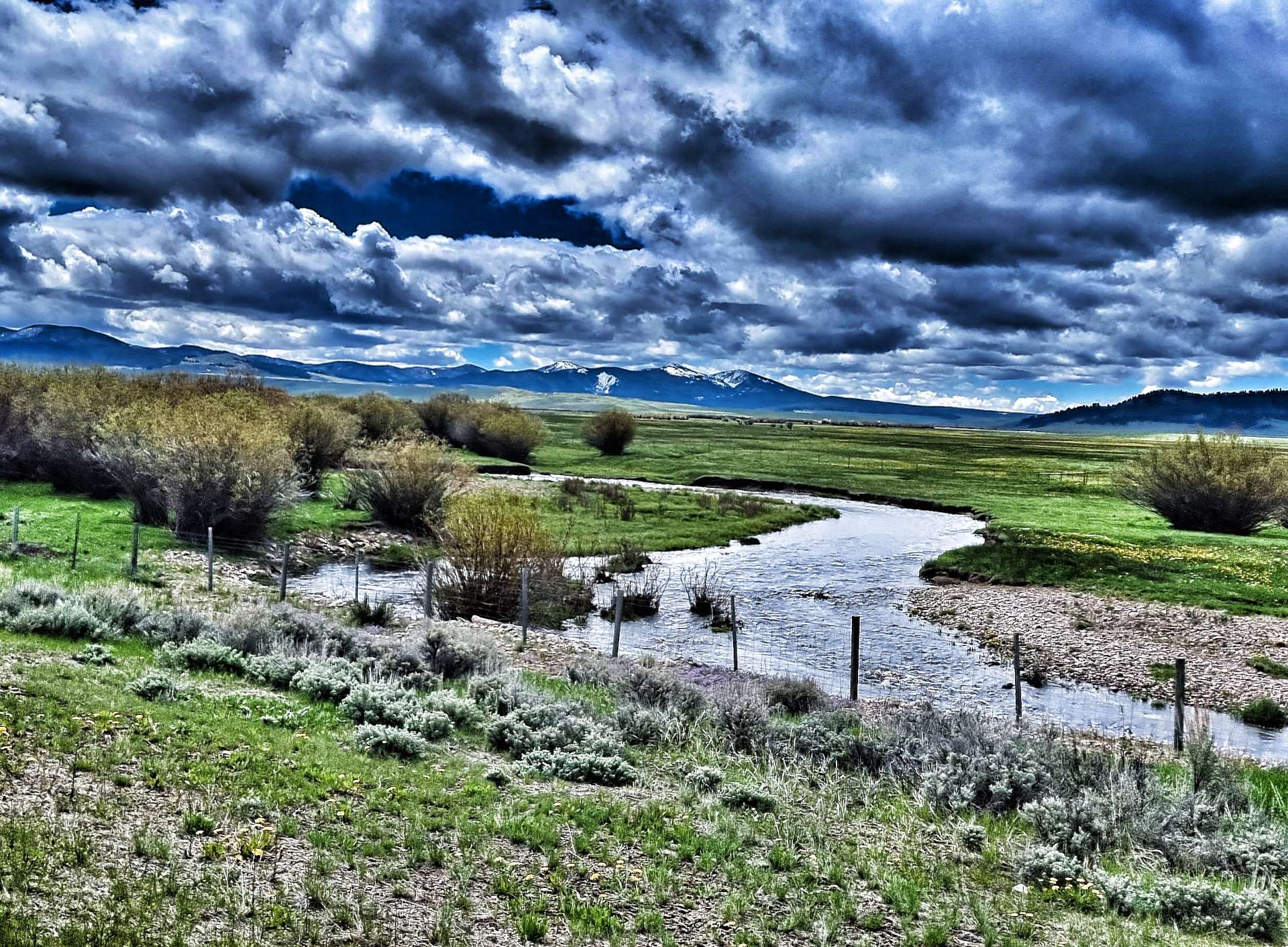
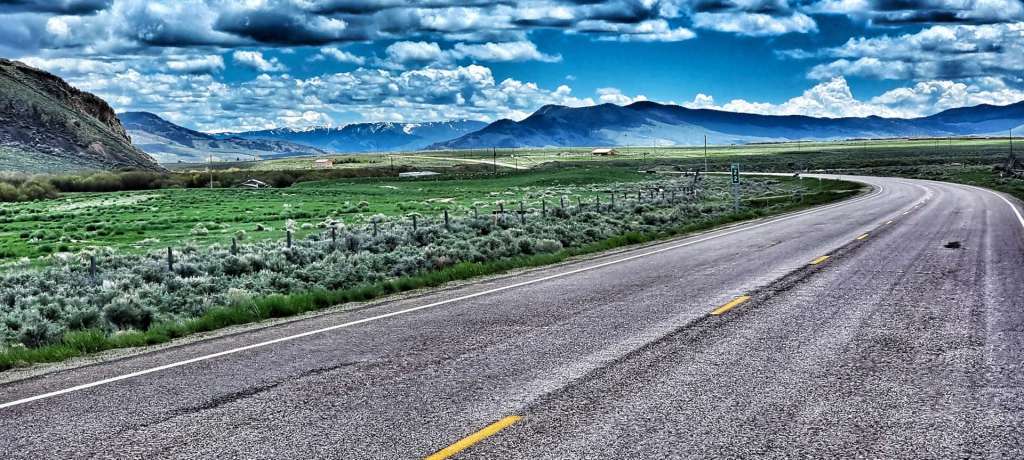
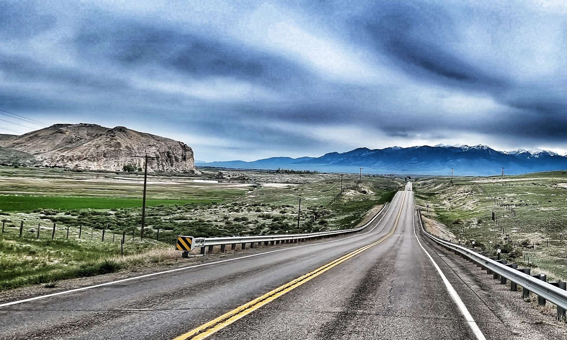
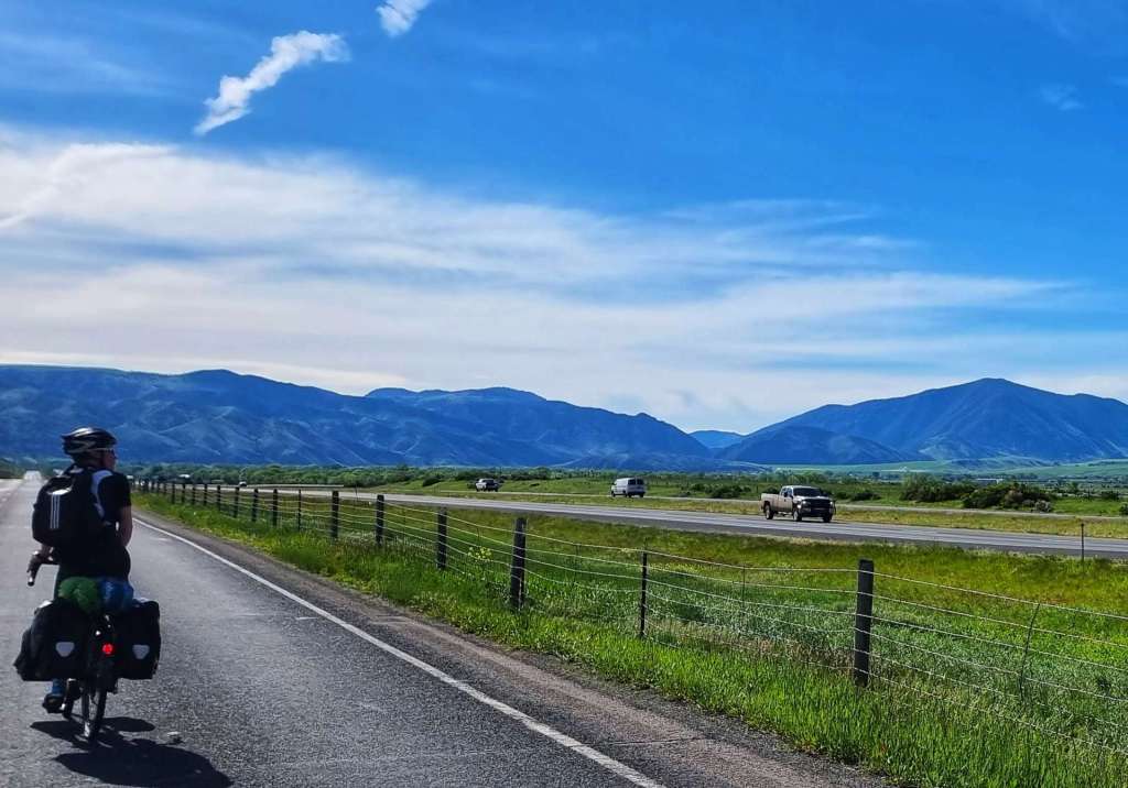
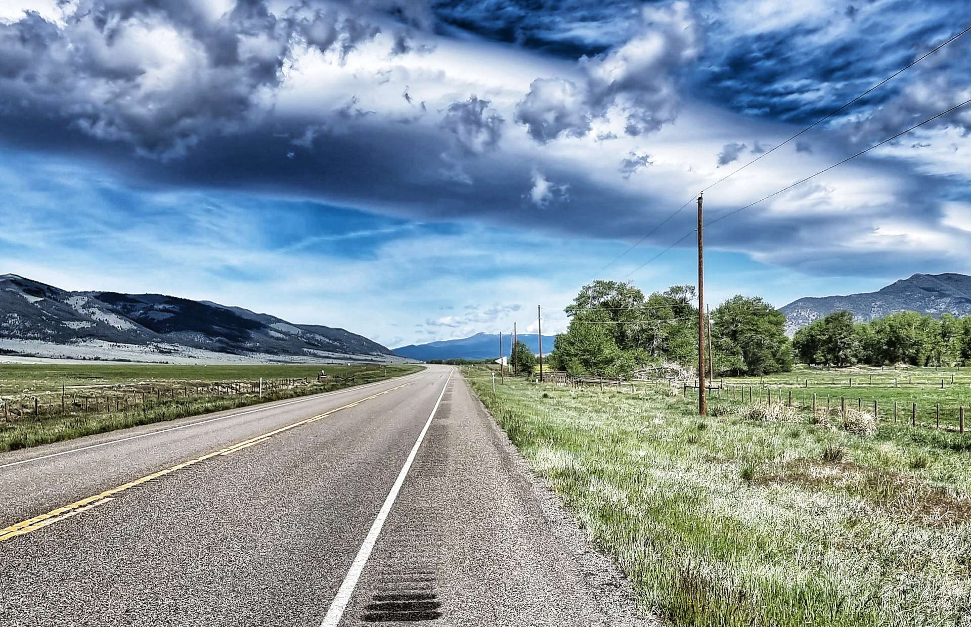
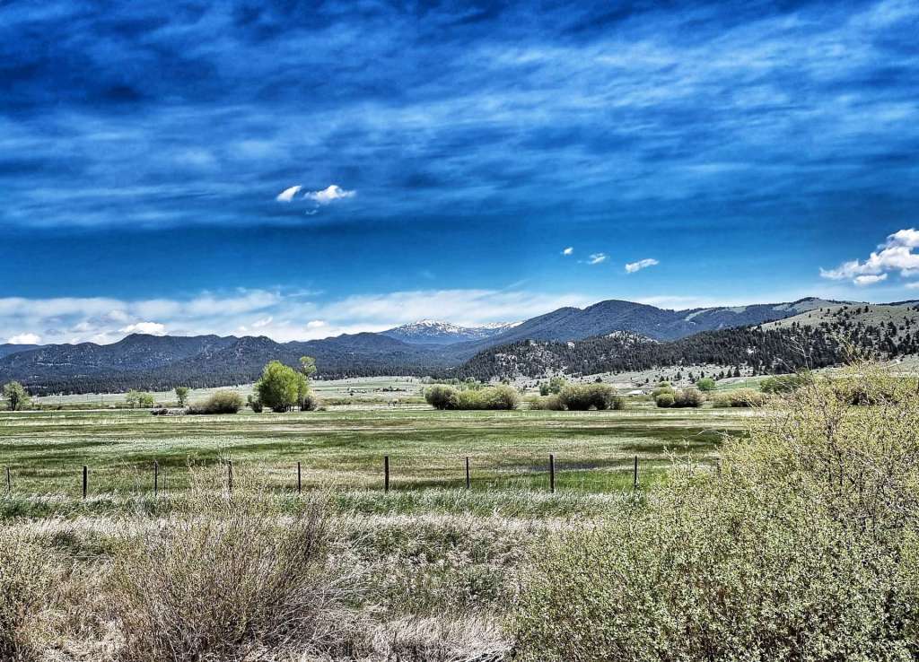
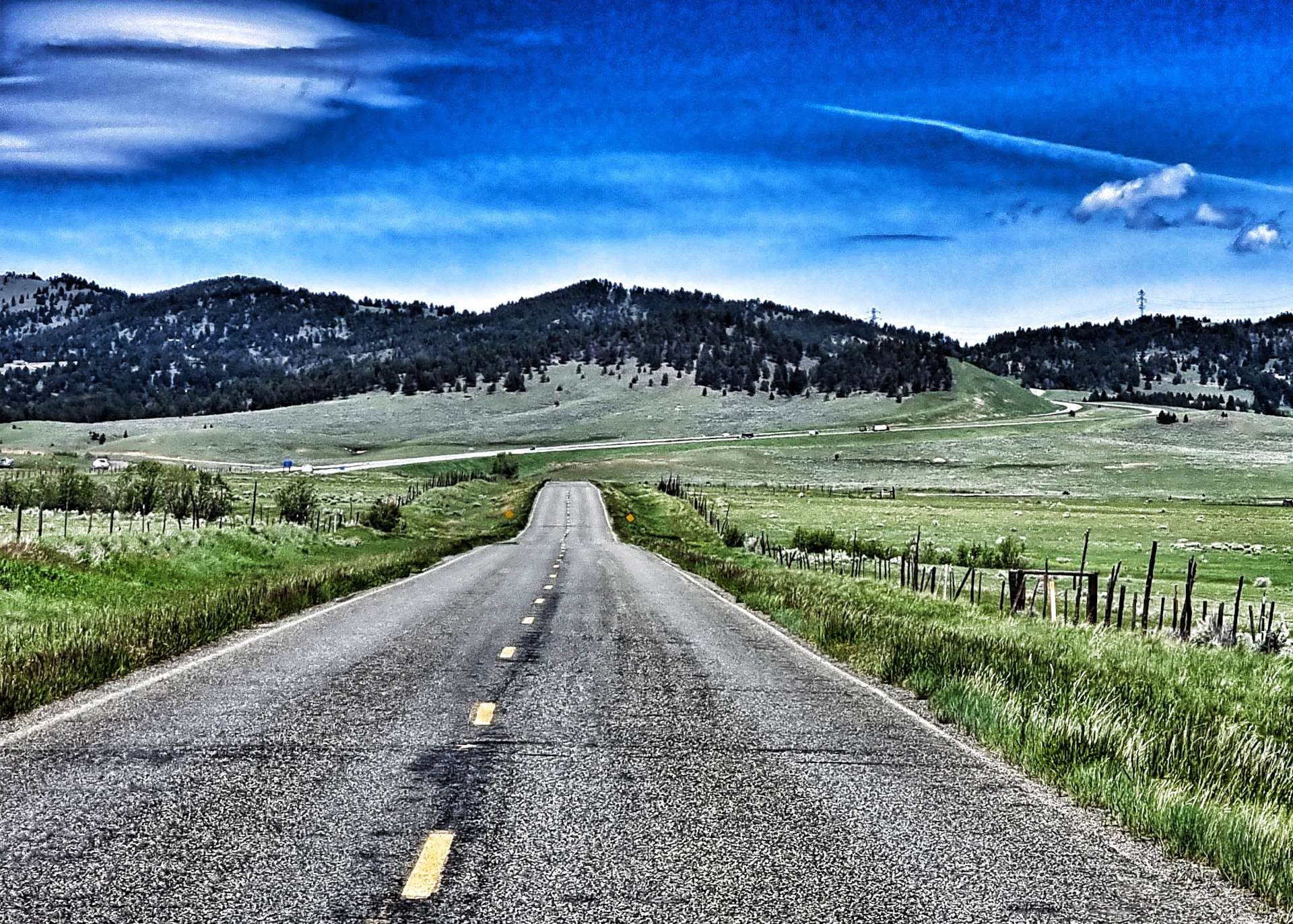
Route 41 is advertised at regular intervals along the road as the Auto Tourist Route & it was clearly designed by a non-cyclist! While it took us through stunning scenery, there was nowhere for cyclists to ride. Unlike every other road so far, there was no hard shoulder for large parts of the route & a couple of locals enjoyed driving closer than was necessary.

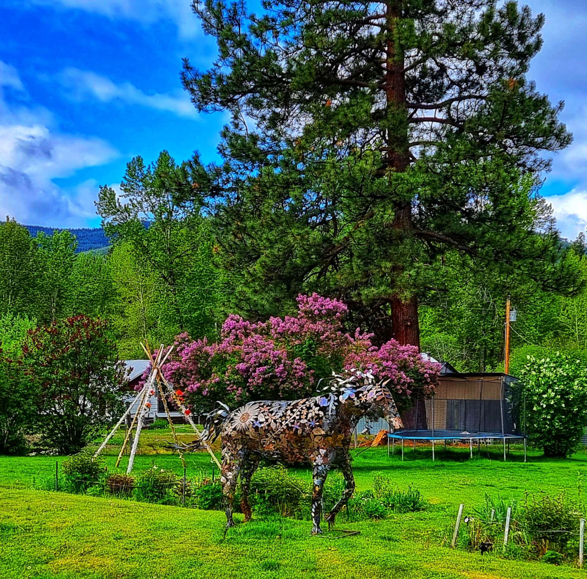
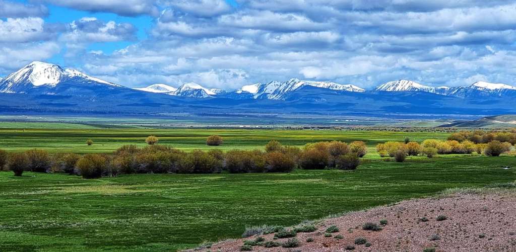
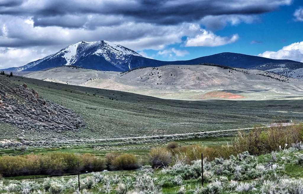
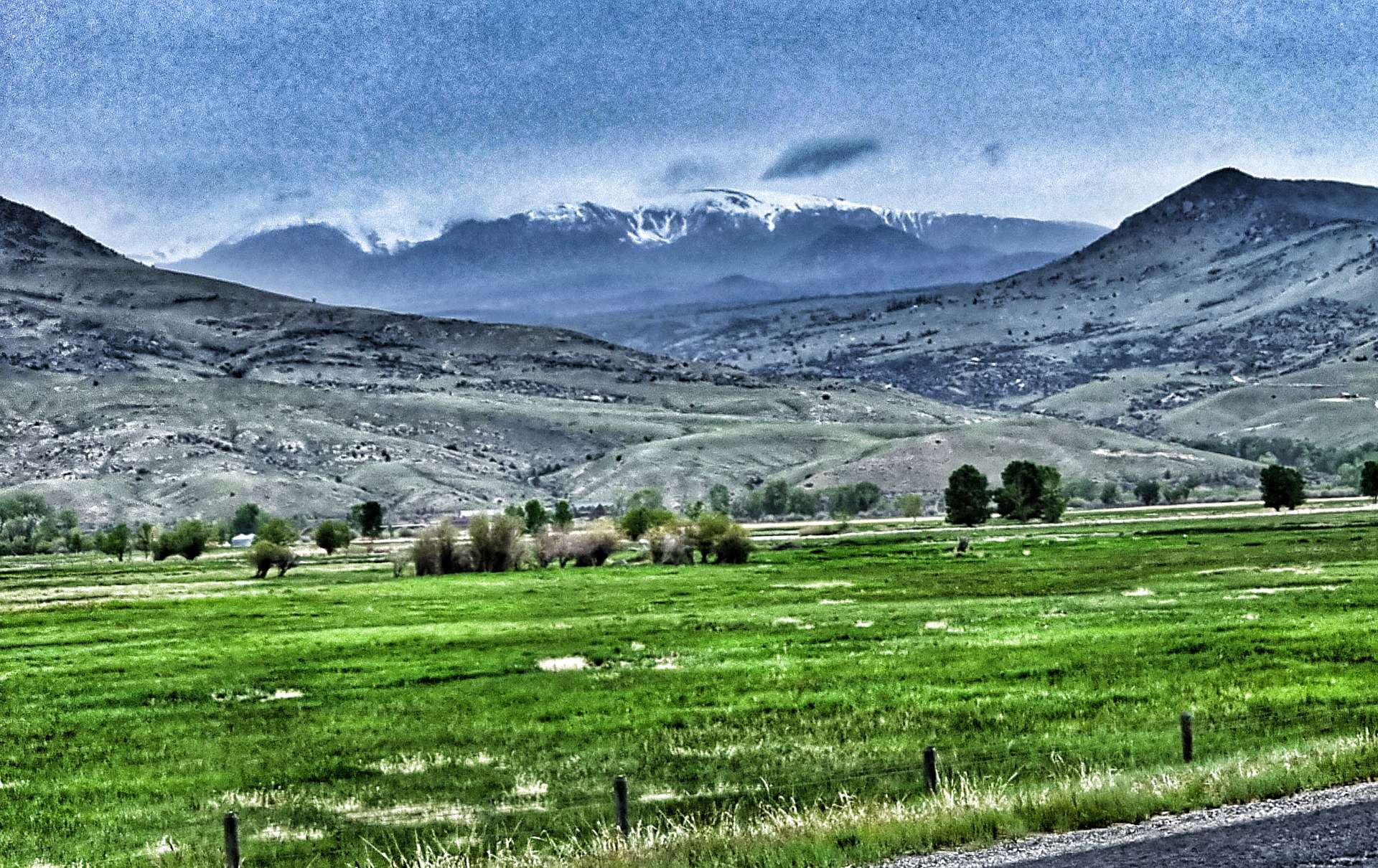
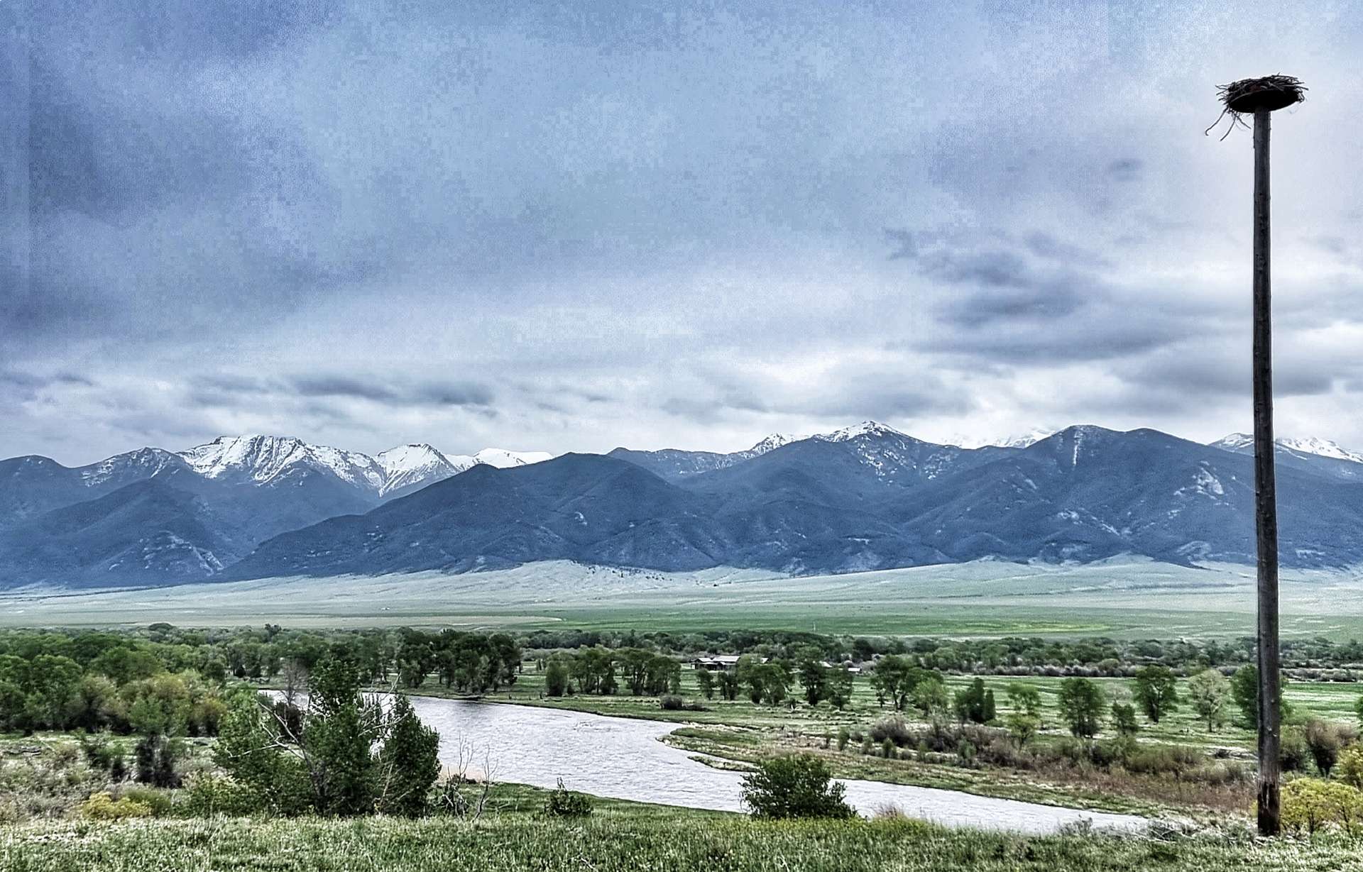
We had glorious views of the towering mountains on either side of us as we cycled towards our first Historical Point of the day – Beaverhead Rock State Park. If you look at the 3rd photo, you may be able to picture a beaver’s head as if gliding across water. Lewis & Clark passed through here on their adventures & learned that the local Indian name for the rock translated as Beaverhead.

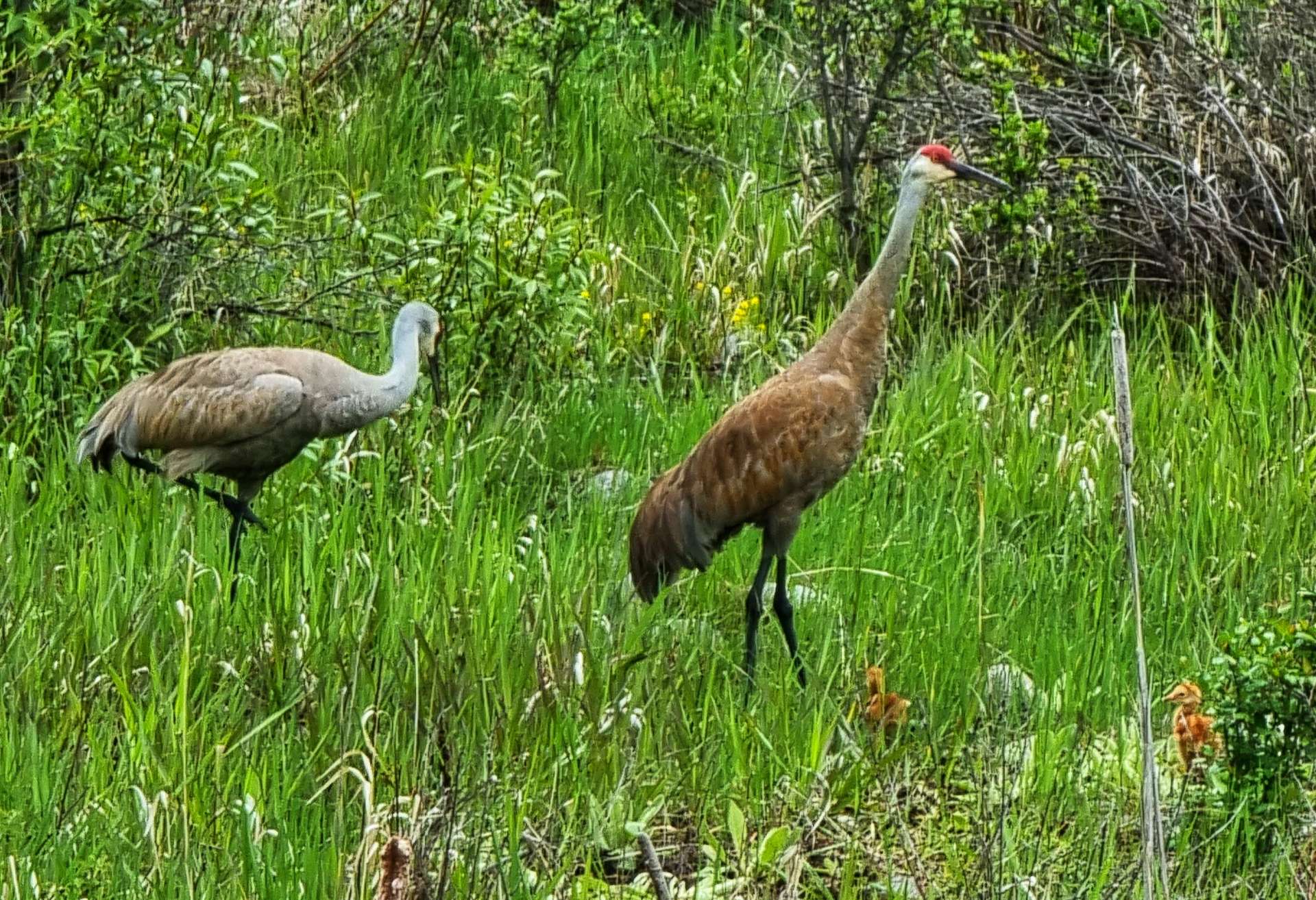
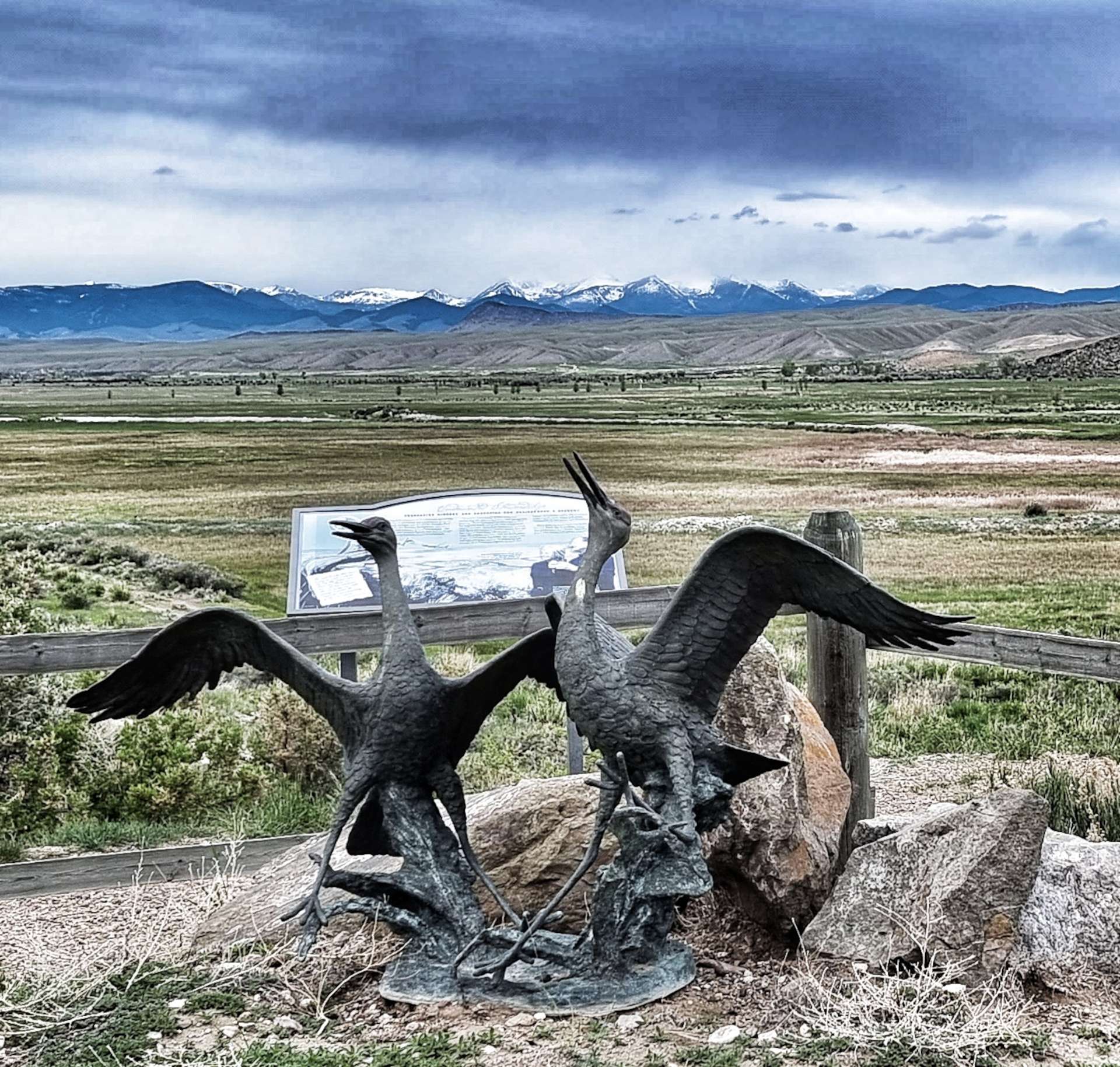
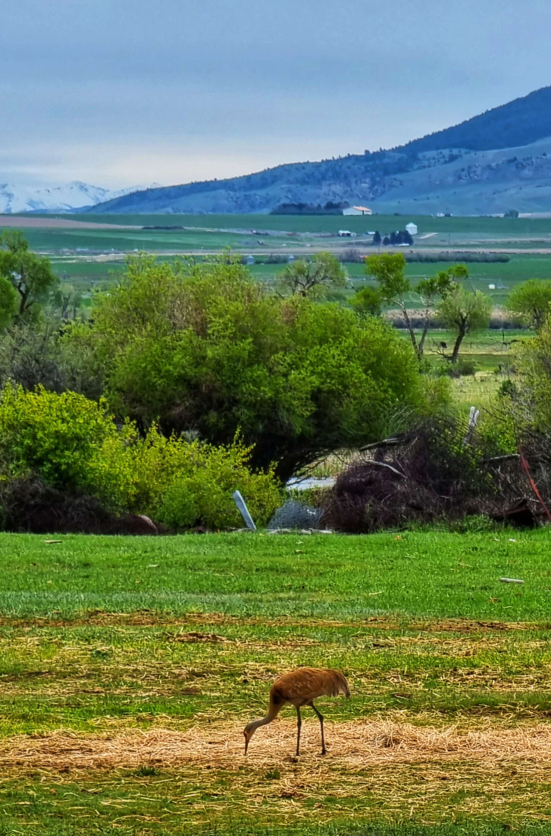
Leaving Beaverhead Rock behind us, we found our next Historic Marker around the corner – the National Sandhill Crane Nesting Site, which had a lifelike sculpture of two cranes. We could just make out a flock of birds in the distance, although we couldn’t tell what they were. This wetland site has been rescued by Montana Department of Transportation & now boasts a diverse range of wildlife.

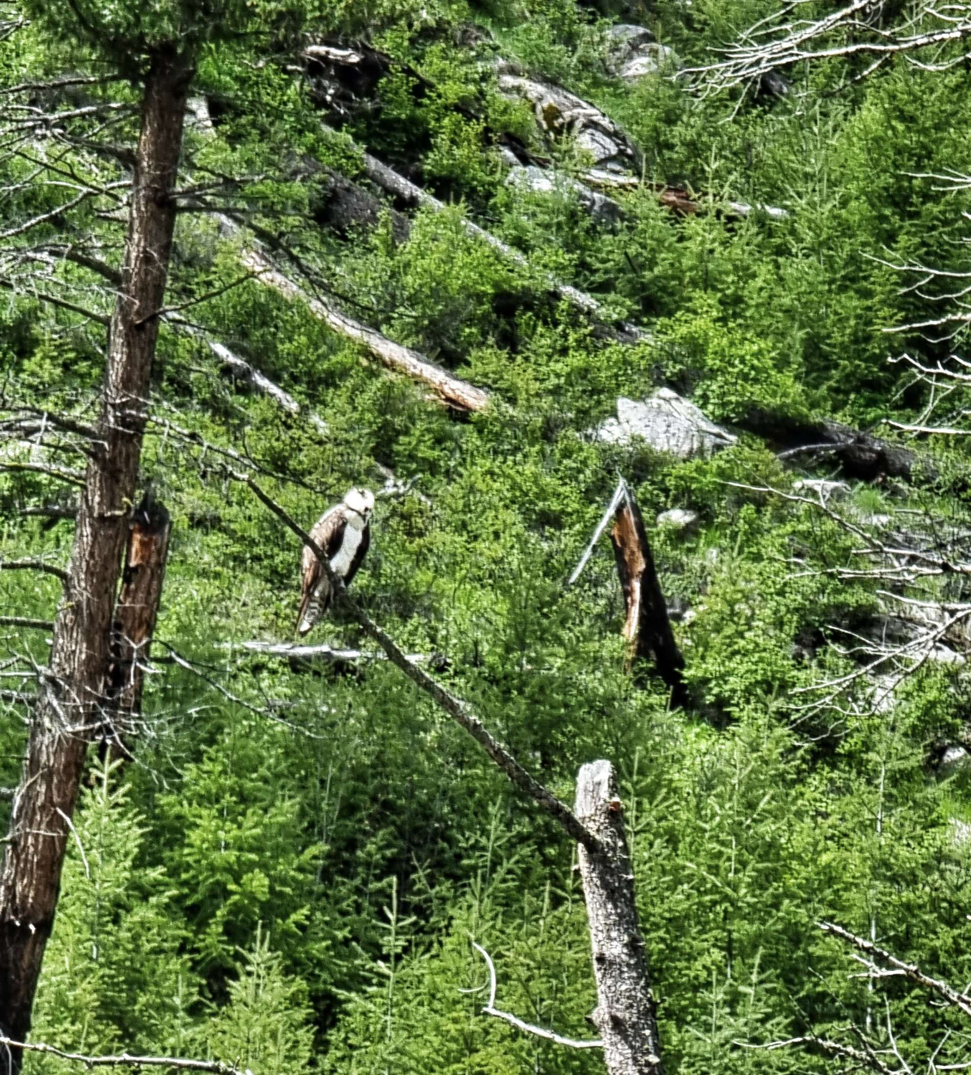
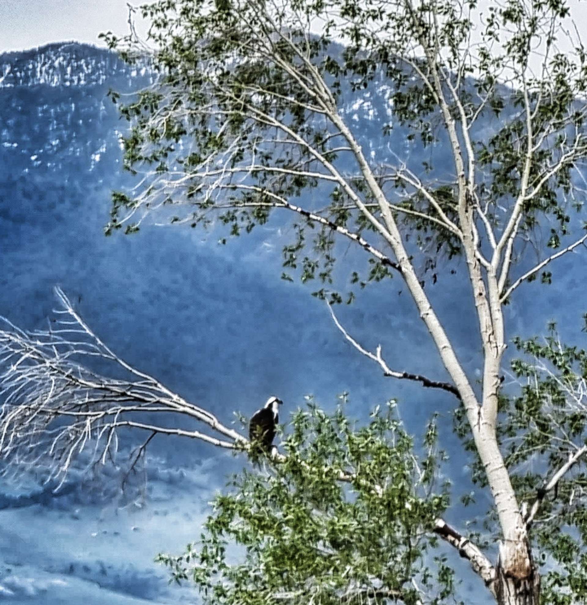
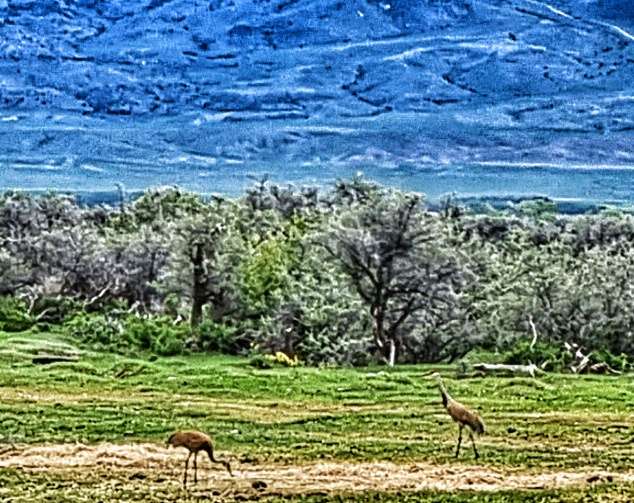
As we continued towards Twin Bridges, we were also fortunate enough to spot an eagle perched in a tree, as well as a couple of herons / cranes that were feeding in a nearby field. The photos aren’t great, but they’re a great reminder of seeing them.

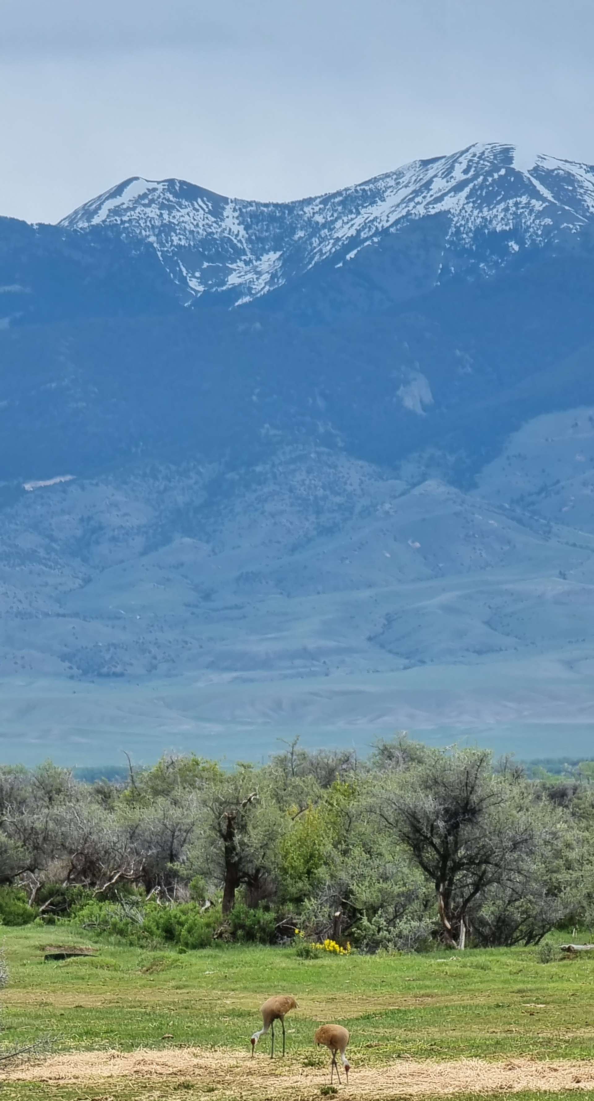
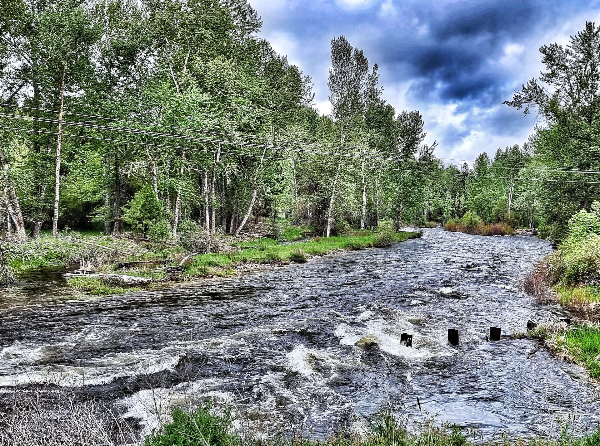
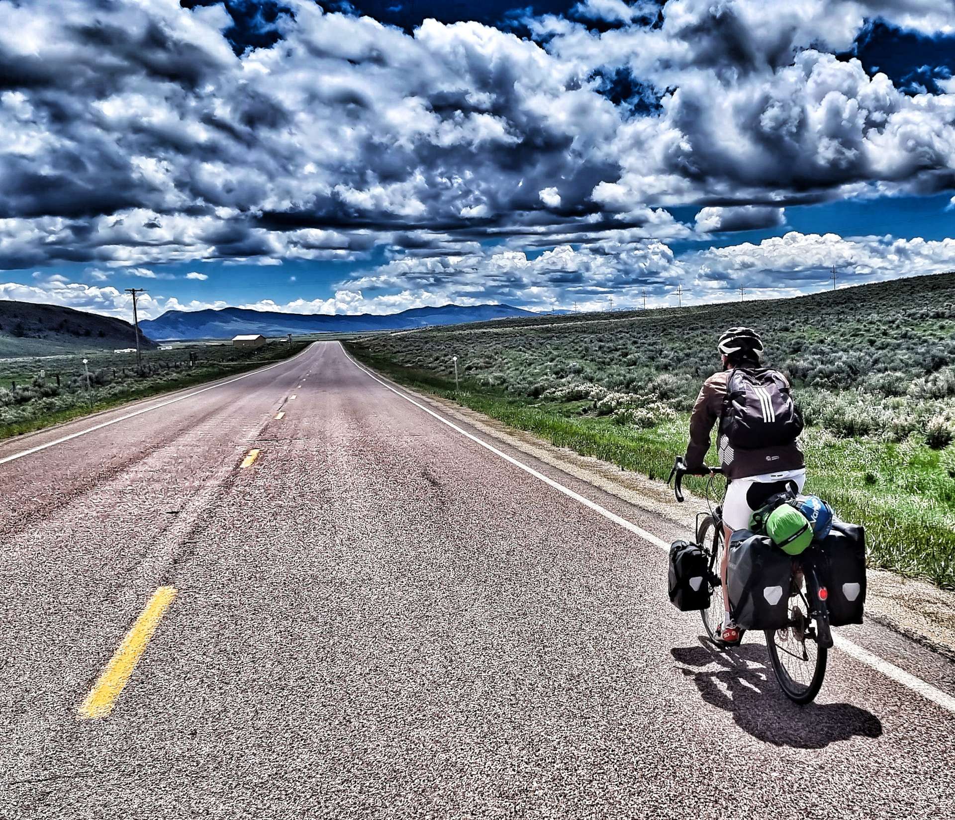
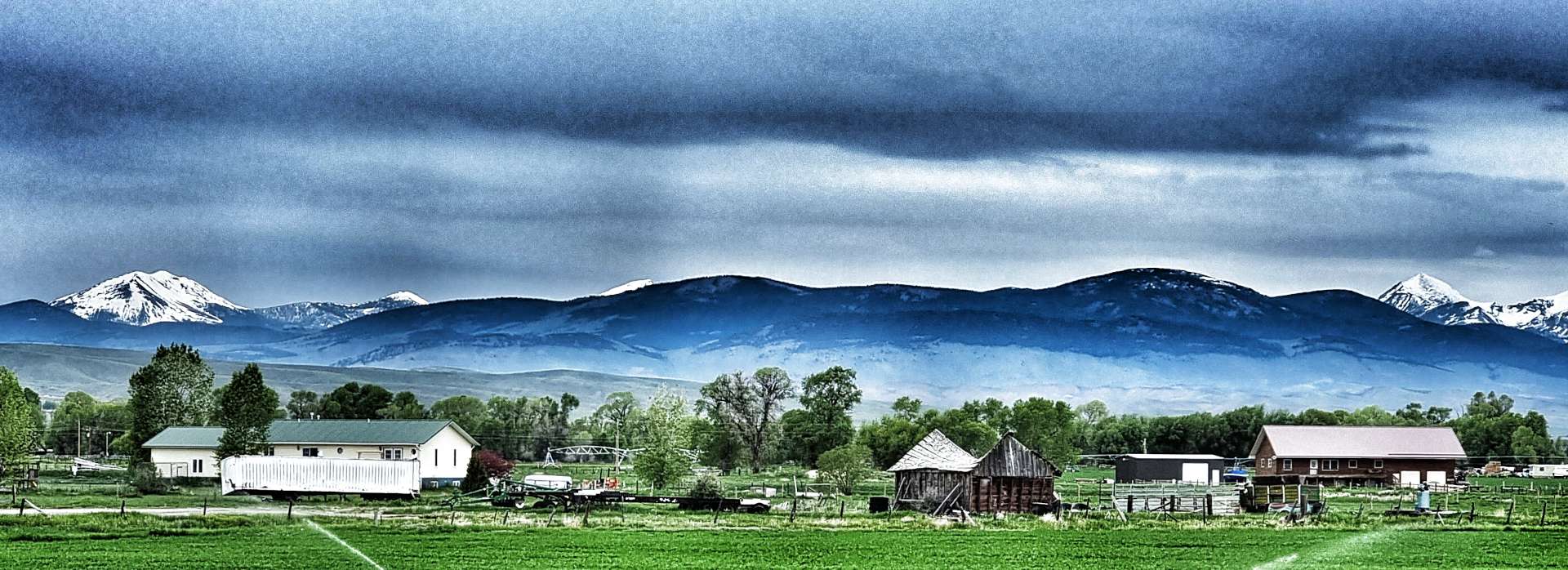
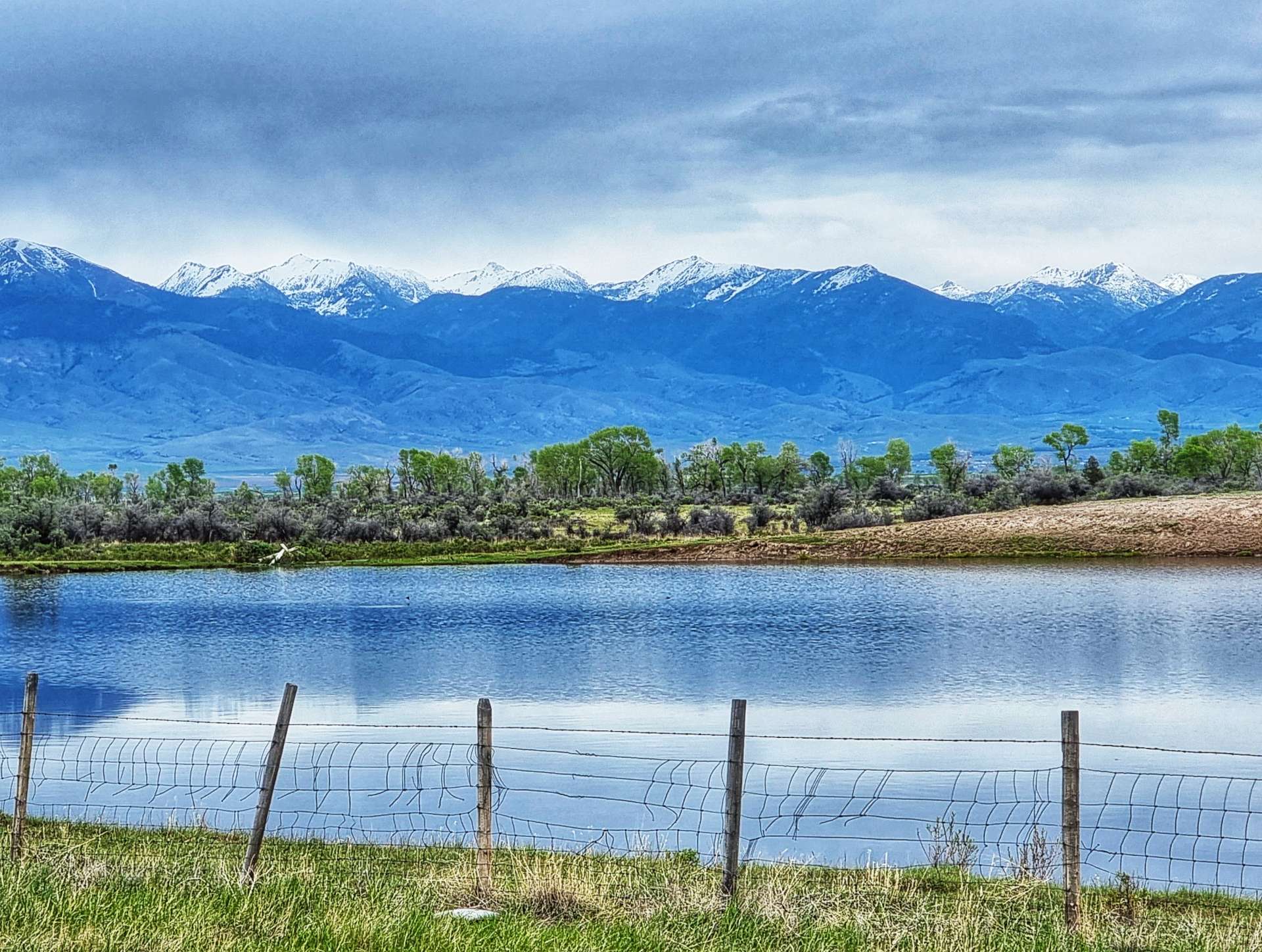
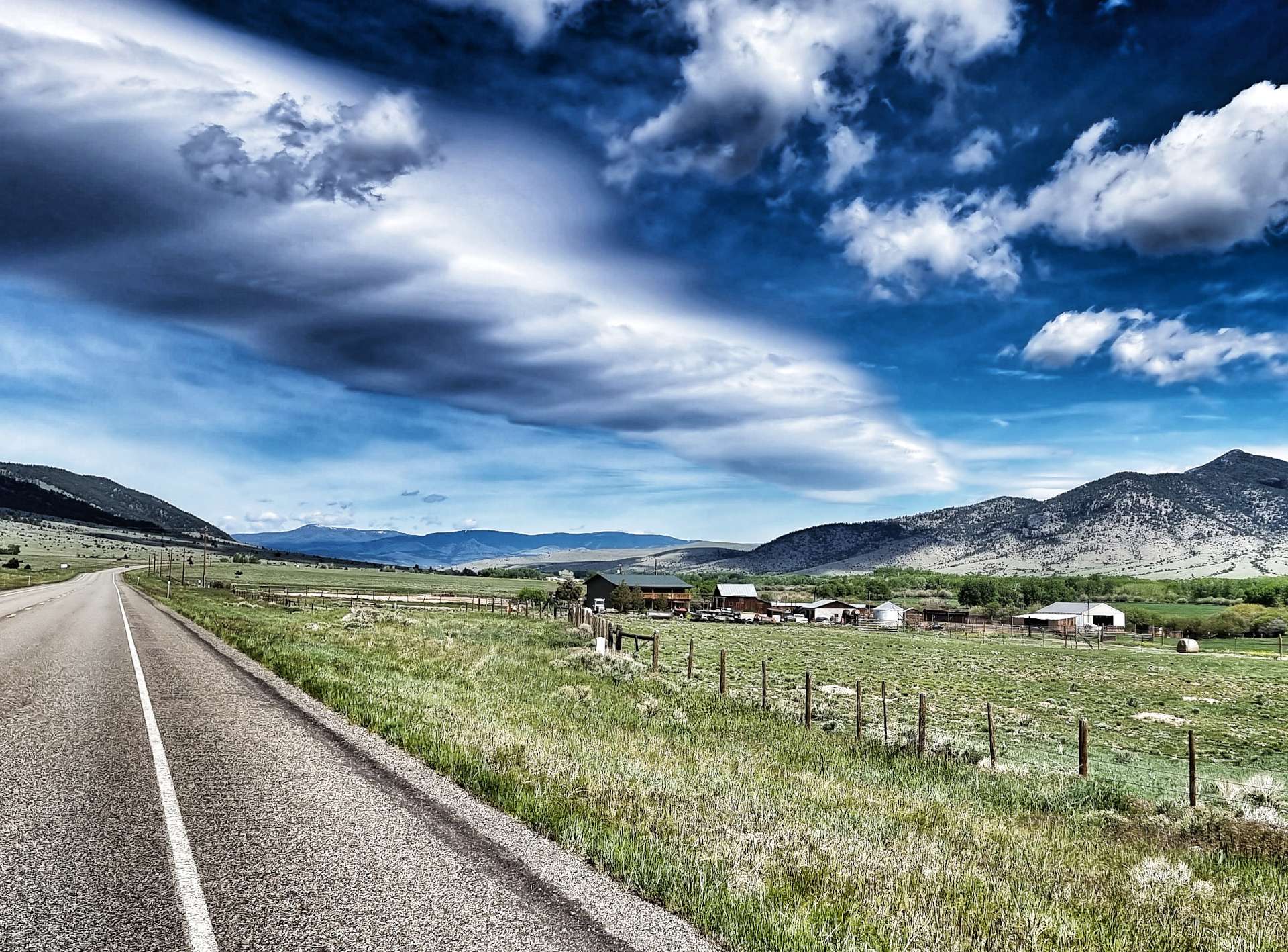
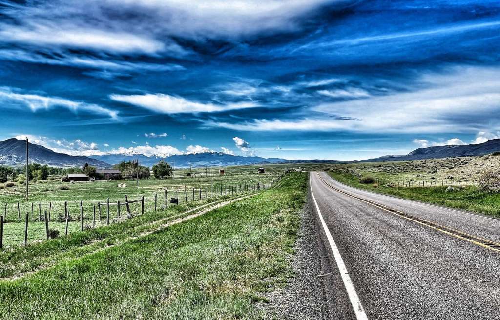
We also passed a couple of fishing lakes along the way, with majestic mountains behind them providing a glorious backdrop. In addition to today’s ride gradually descending the Beaverhead valley, we also picked up a slight tailwind just before we entered Twin Bridges – this boded well as the remainder of our ride was due to follow the same direction. But before that, we had important business in town…..

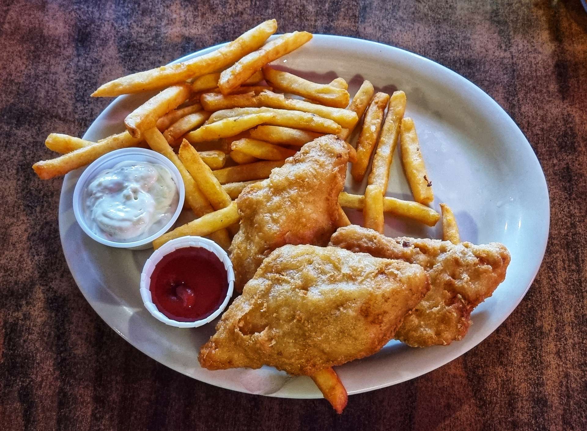
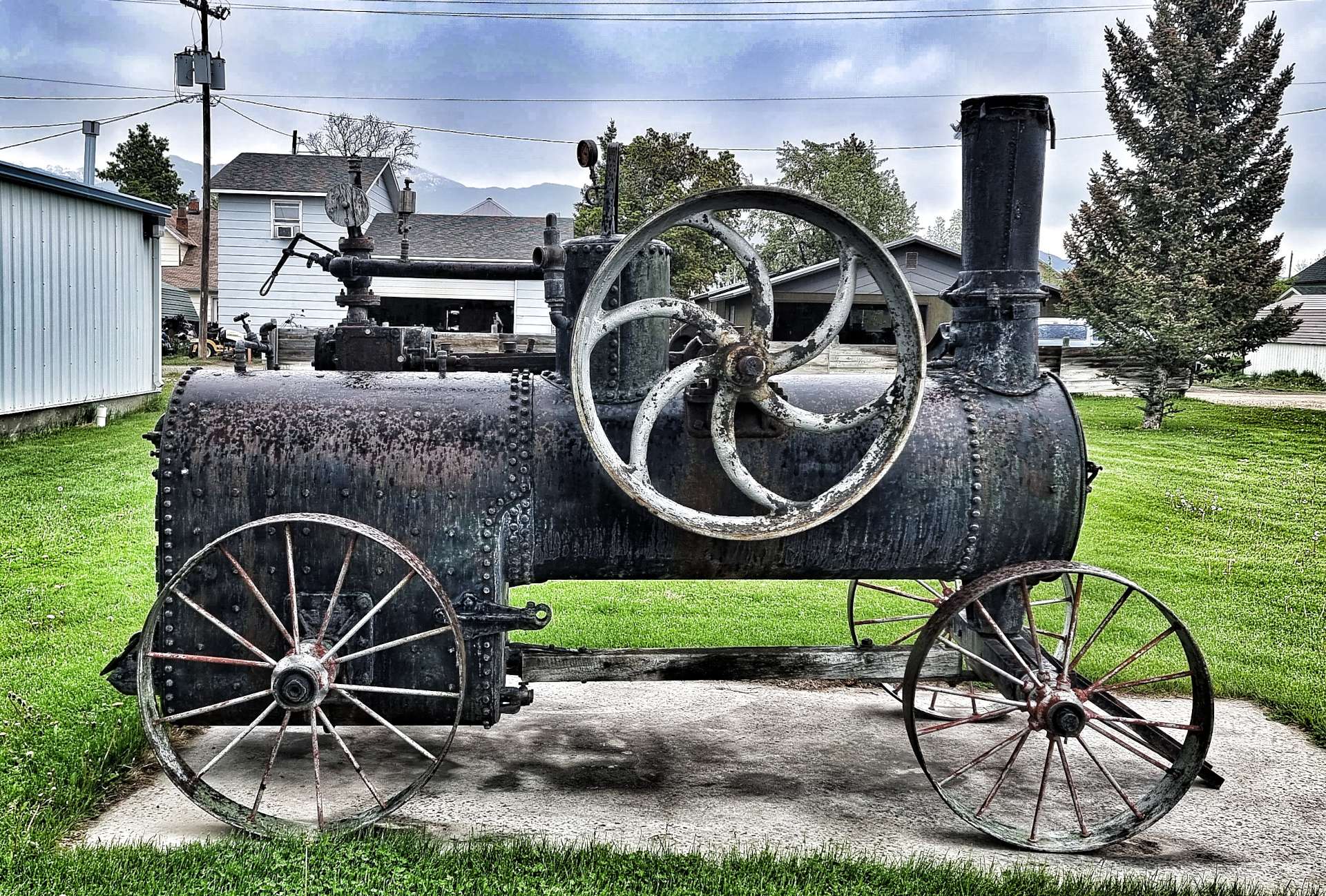
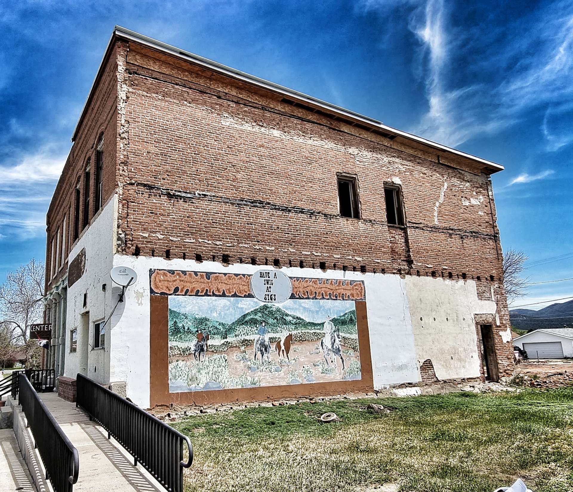
For the first time in 4 days, we found a coffee & cake stop. The Blue Anchor Cafe delivered with a delicious piece of lemon meringue pie! As we left town, we passed the volunteer fire department & they had a tender on display & a bit further on in Silver Star there was a huge display of Rope Drive Compressor Wheels. Lloyd Harkins has been collecting all types of pre-1900 mining gear over the years & these take pride of place.

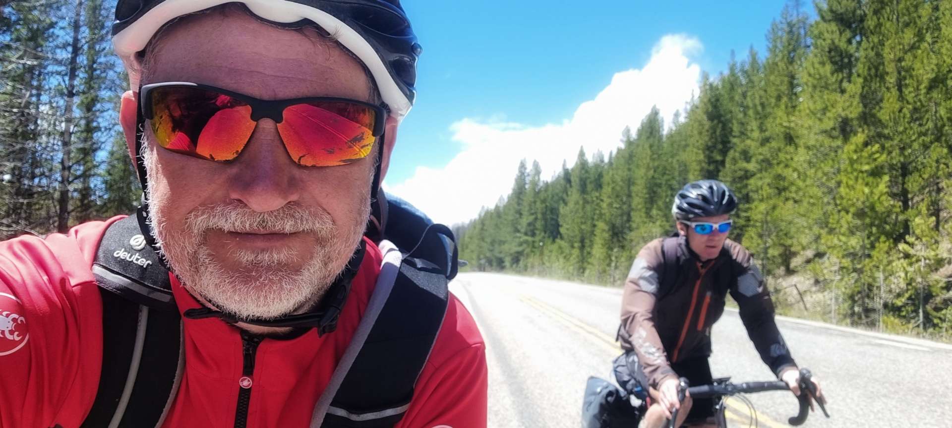
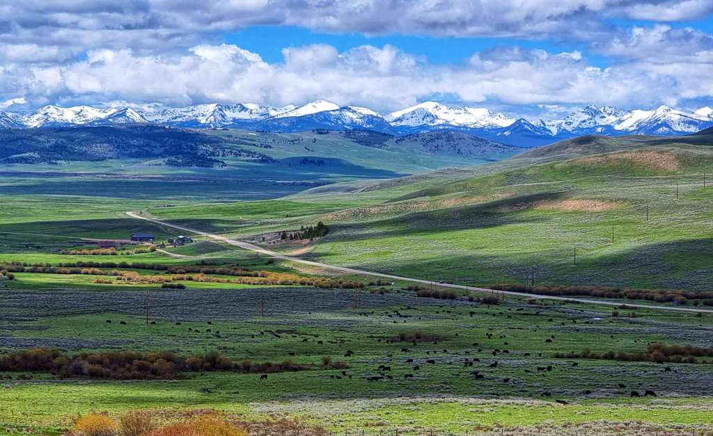
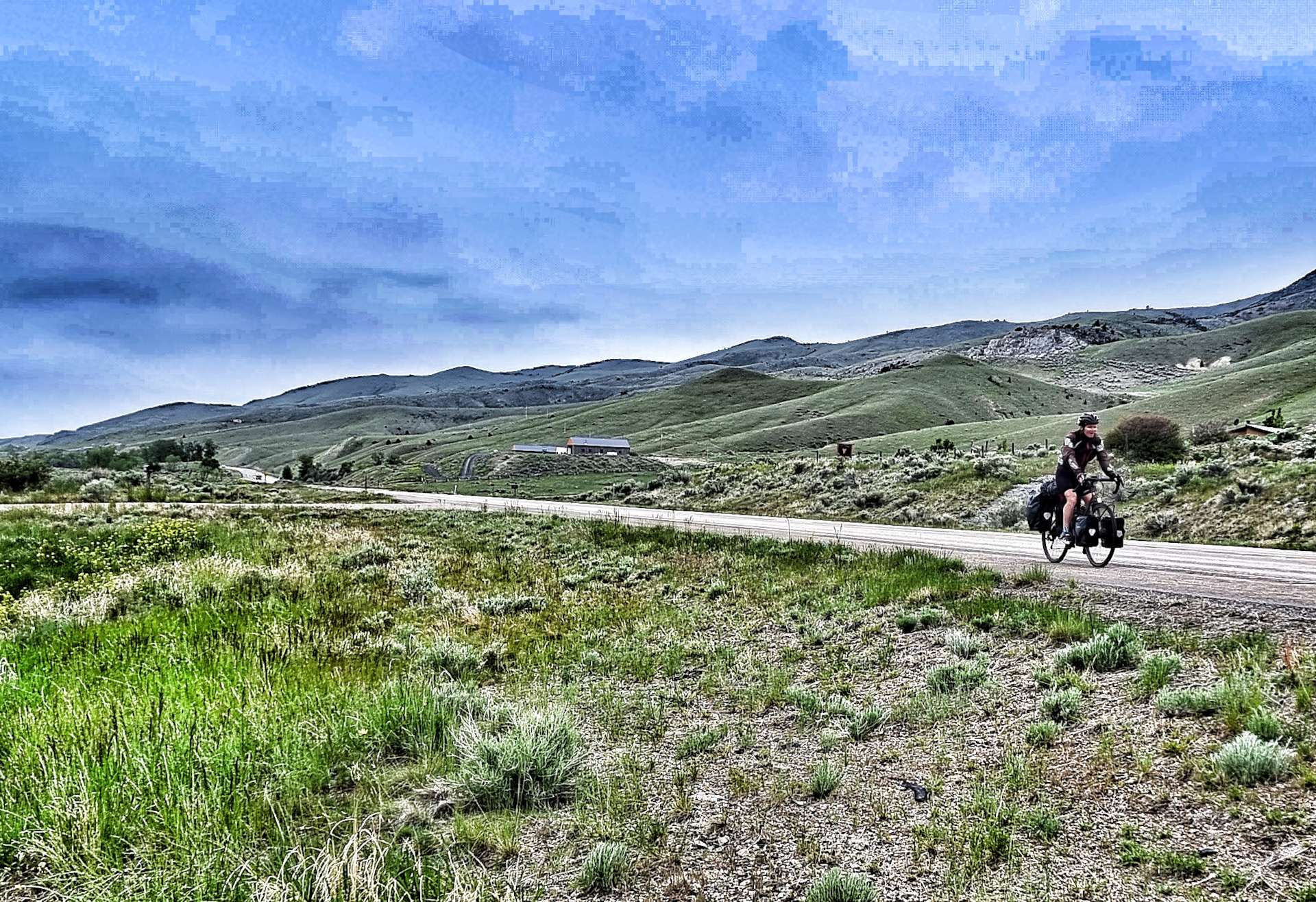
The tailwind out of town had raised our spirits & we fairly flew along the valley floor, stopping every now & then to take in the towering views all around us.

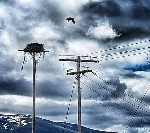
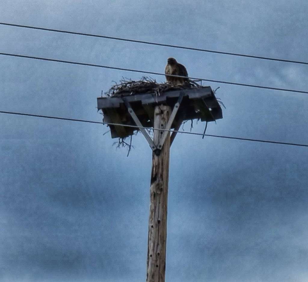
We were still in eagle country & we spotted a couple of telegraph poles where wooden pallets had been placed on the stanchion so that the eagles could build their own nests. There were plenty of creeks & rivers available so the eagles could go fishing.

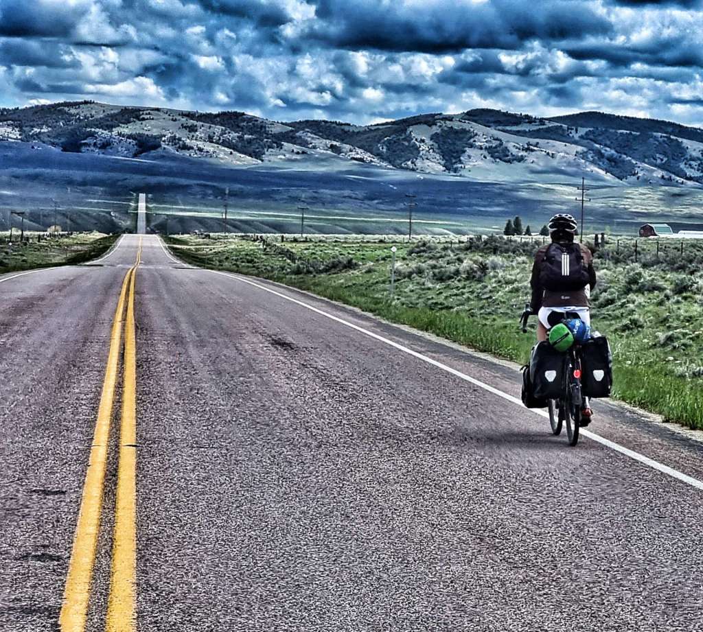
The gentle descent & tailwind resulted in our ride fairly flying by – we were on the road for a little under 3 & a half hours. We made sure that we took in the huge views wherever possible as we closed in on Whitehall.

We arrived in town early, so found an espresso hut where we enjoyed a fresh coffee & cookie, before passing a Welcome sign on the way to our hotel. It was a short day in the saddle, but it still delivered on scenery, wildlife, history & lemon meringue pie!!!

Stage Stats – 56 miles, 643 feet of climbing. Gradually descending all day with a friendly tailwind!

Thursday 9th June – Whitehall to Helena (Stage 33)

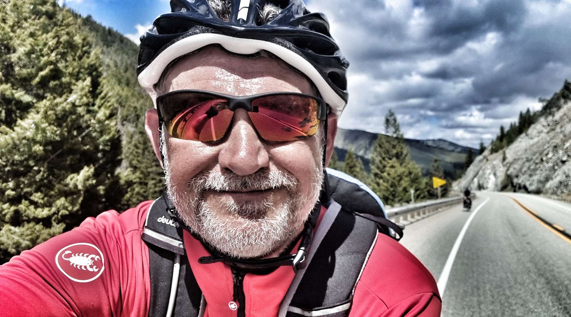
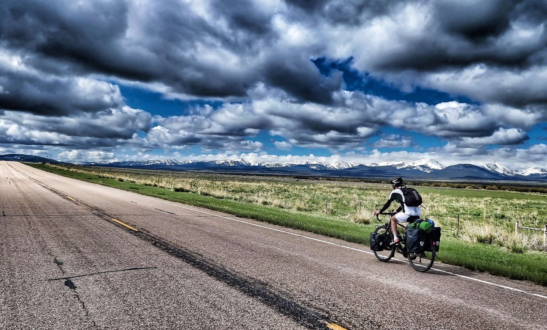
The is the final day in a block of 6, as we ride from Lincoln to Helena – we then have 2 days of rest & relaxation planned! We woke up to blue skies & for the first time on our adventure we didn’t need our gilets or wind jackets as we left the hotel – woohoo.

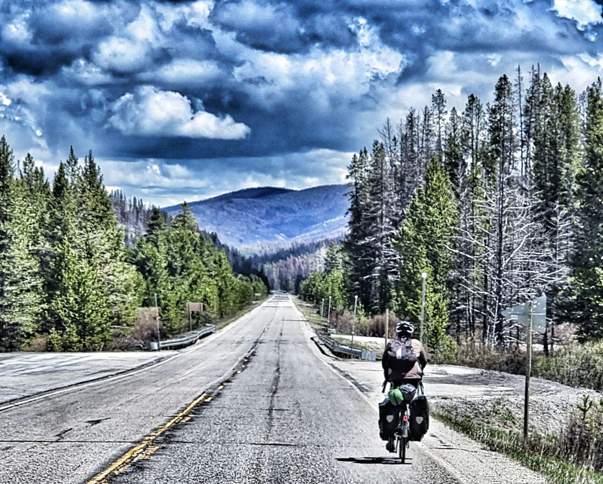
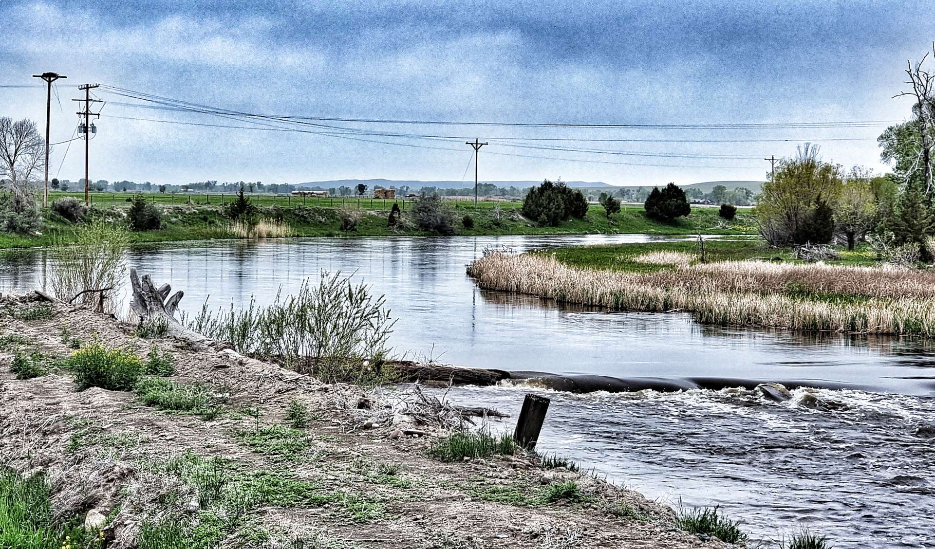
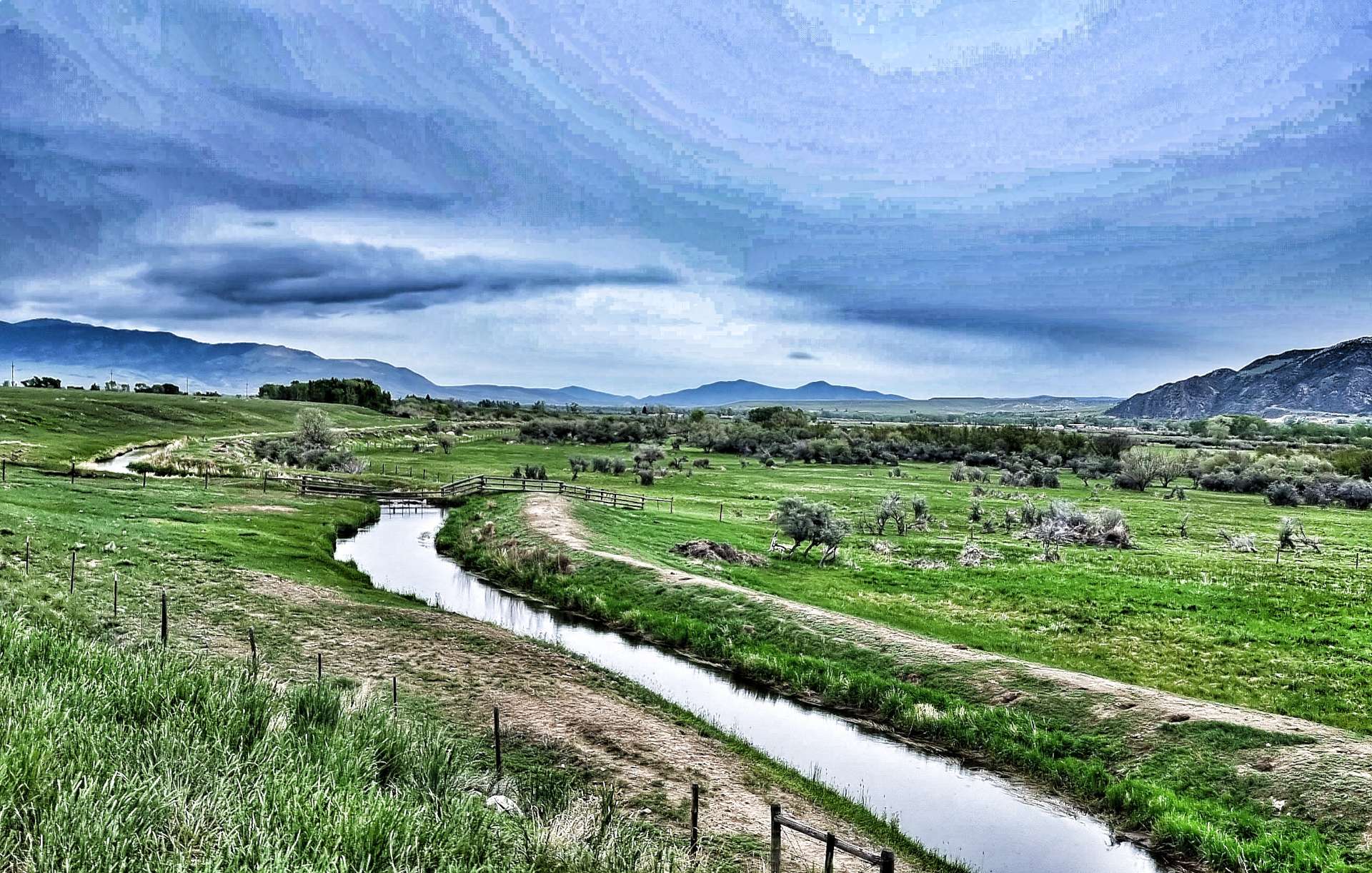
We left Whitehall by tracking the railroad, with big views of the mountains ahead of us & beyond the Jefferson Slough to our right. We then followed the I-15 for a short time on a frontage road before our first climb of the day.

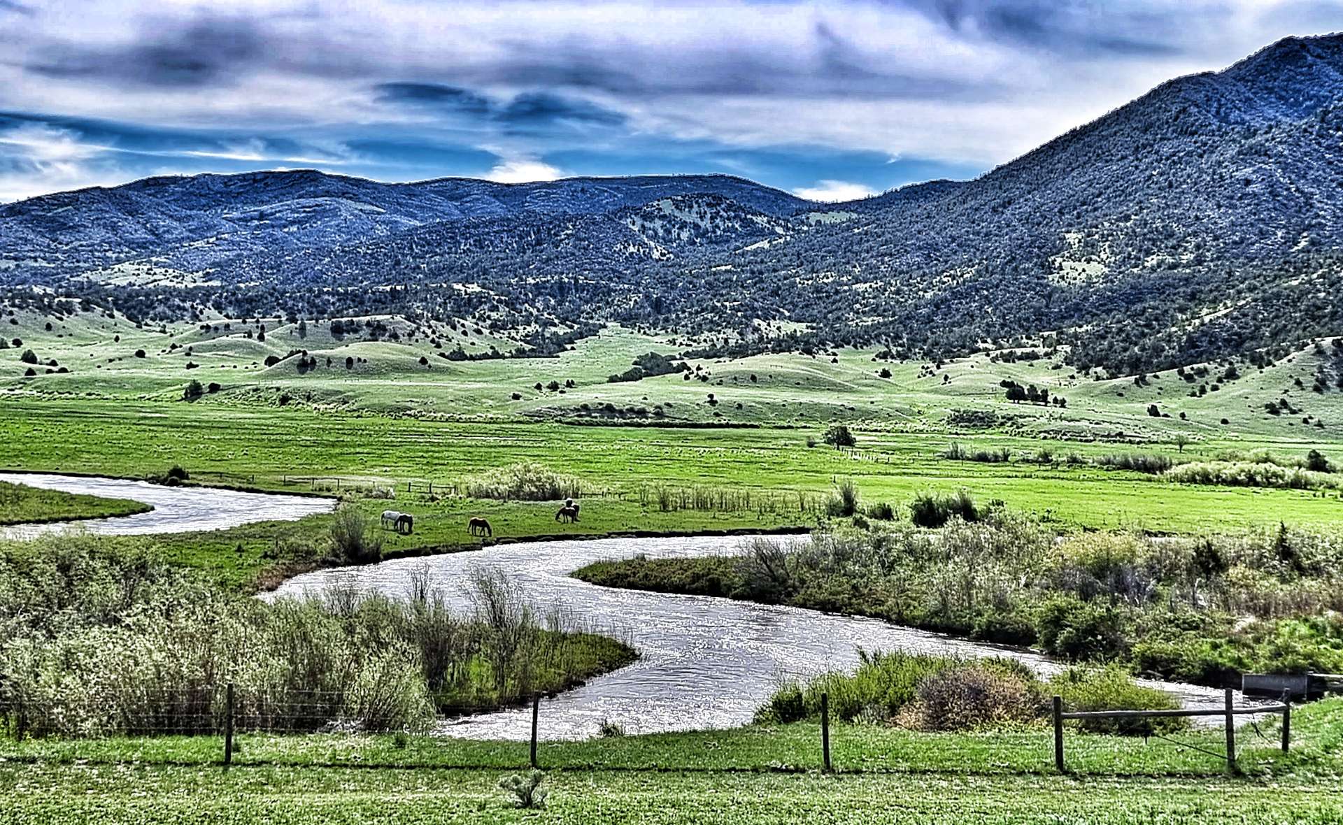
As we summited, a secret valley was laid out before us, with huge views spread out before us. As we descended, the Conrow Creek meandered backwards & forwards on the valley floor below. We both remarked that it reminded us of physical geography classes 40 plus years ago when we were taught how rivers like this formed oxbow lakes as the river finds a shorter route through soft landscape. Oh to be 16 again!!!

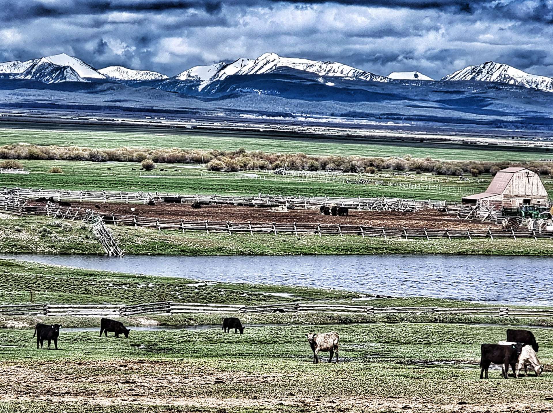
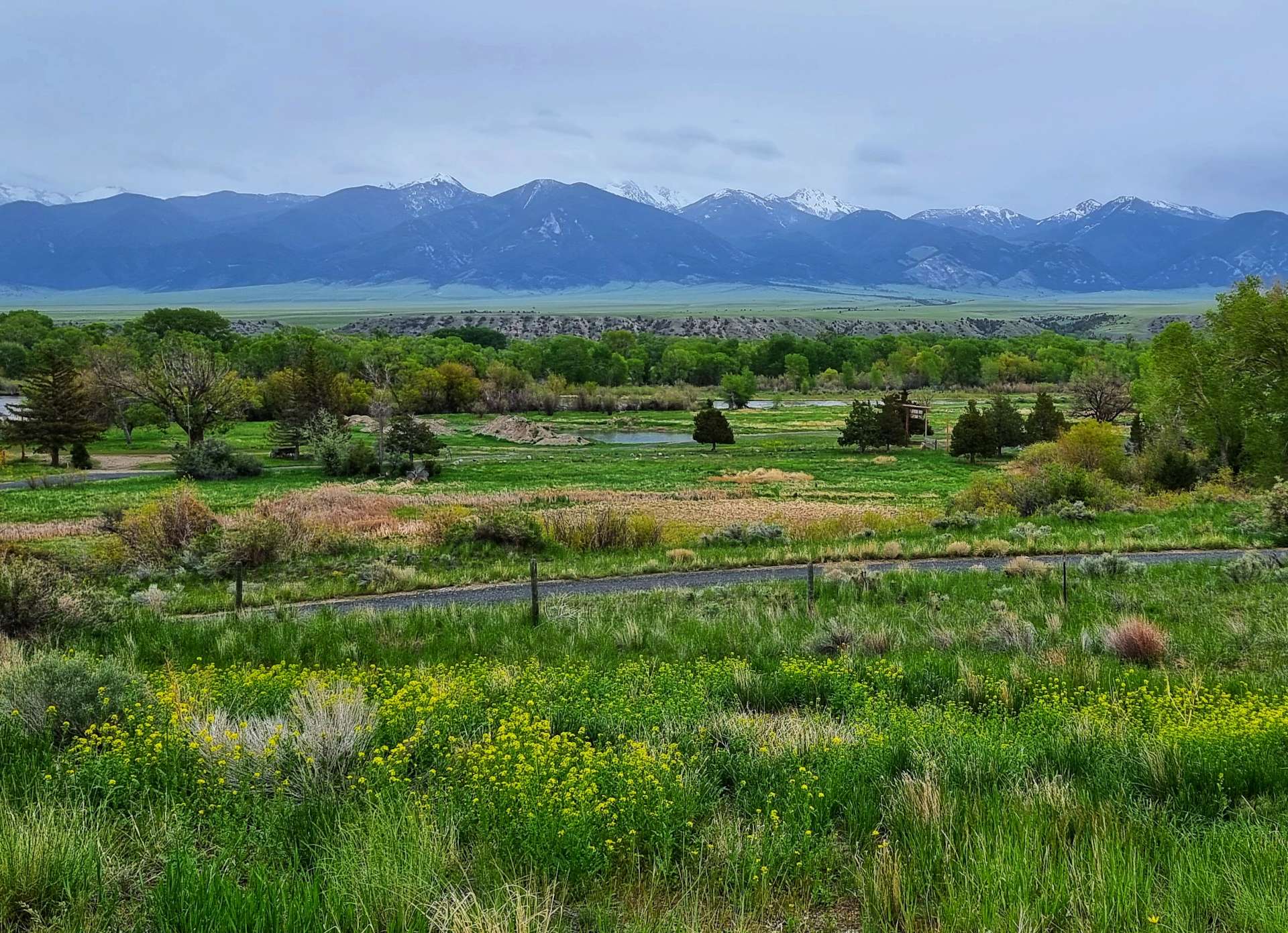
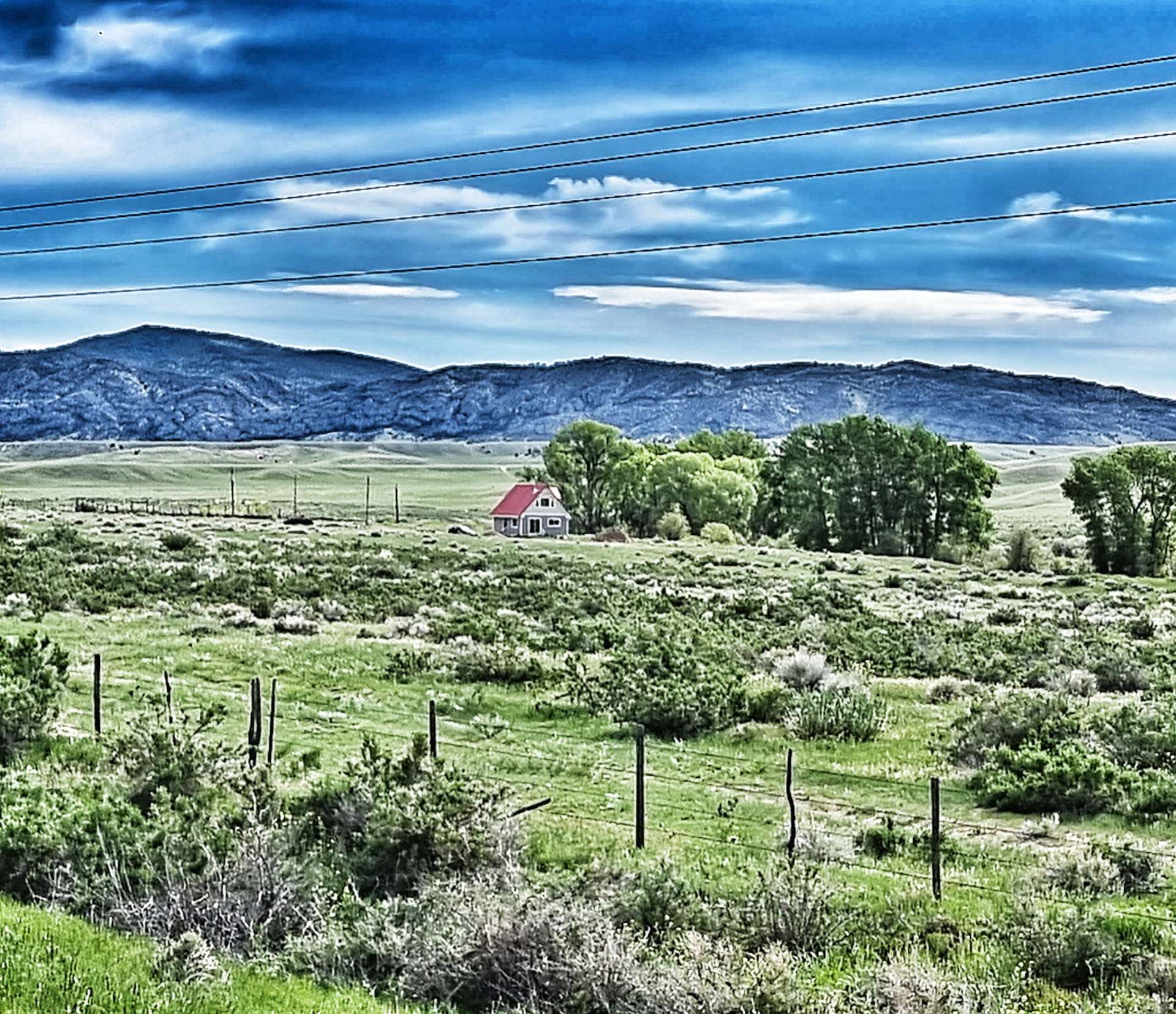
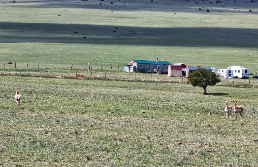
After about 5 miles we finally saw a little house on the prairie – although there would be more habitation further up the valley, this was the first sign of civilisation that we’d seen!

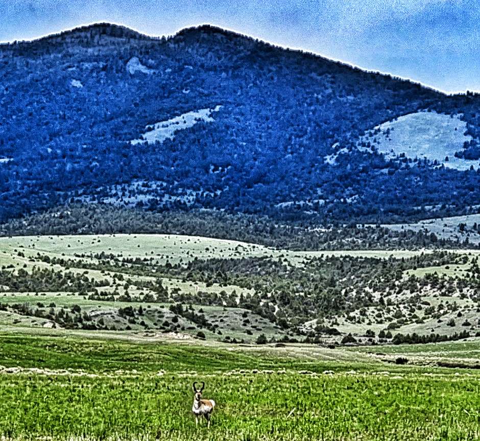
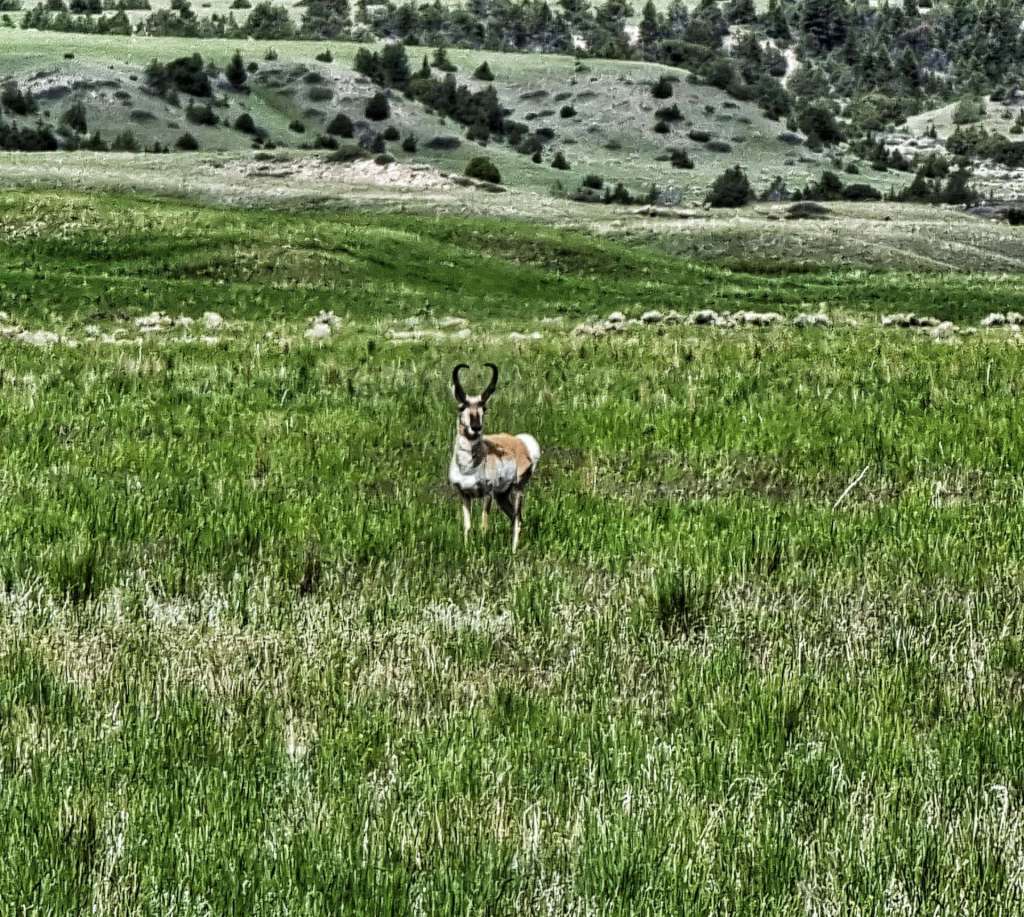
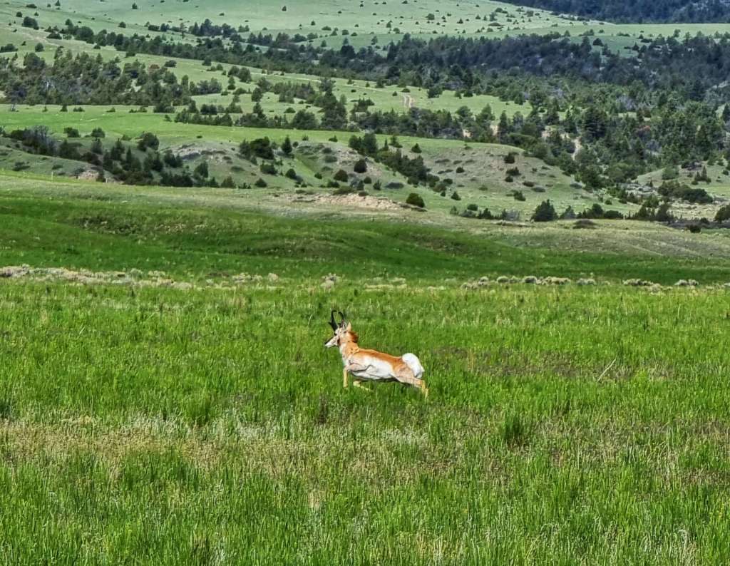
In a place so devoid of human habitation, we expected to see some wildlife & we weren’t disappointed. In addition to the eagles soaring overhead (always too far away to photograph), we also spotted two different types of deer. First up, we saw a herd of prong-horned deer & one of them took an interest in us when we stopped, as he checked us out. He soon got bored & bounded off to join his friends / family. Second up we saw a herd of white-tailed deer without prongs. Two of the 3 made eye contact, but the 3rd one quickly grew bored & walked away. A familiar experience for me!!!

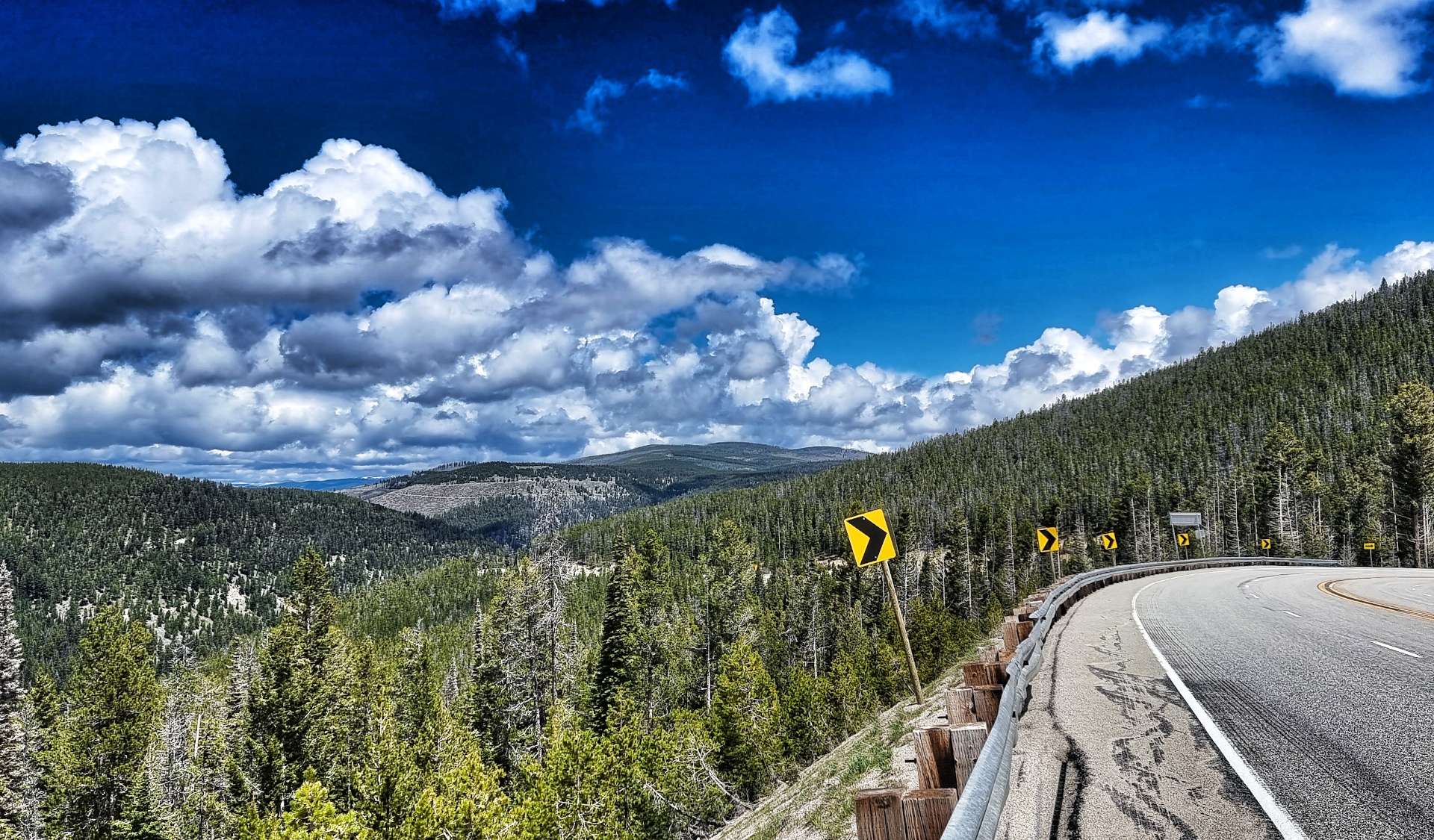
In addition to the wildlife, I’m always on the lookout for interesting scenery & today it came in an unexpected form – the clouds. At times they took the form of a burrito, a caterpillar & a pair of sunglasses lenses. I probably have too much time on my hands & you probably don’t see anything but clouds……!

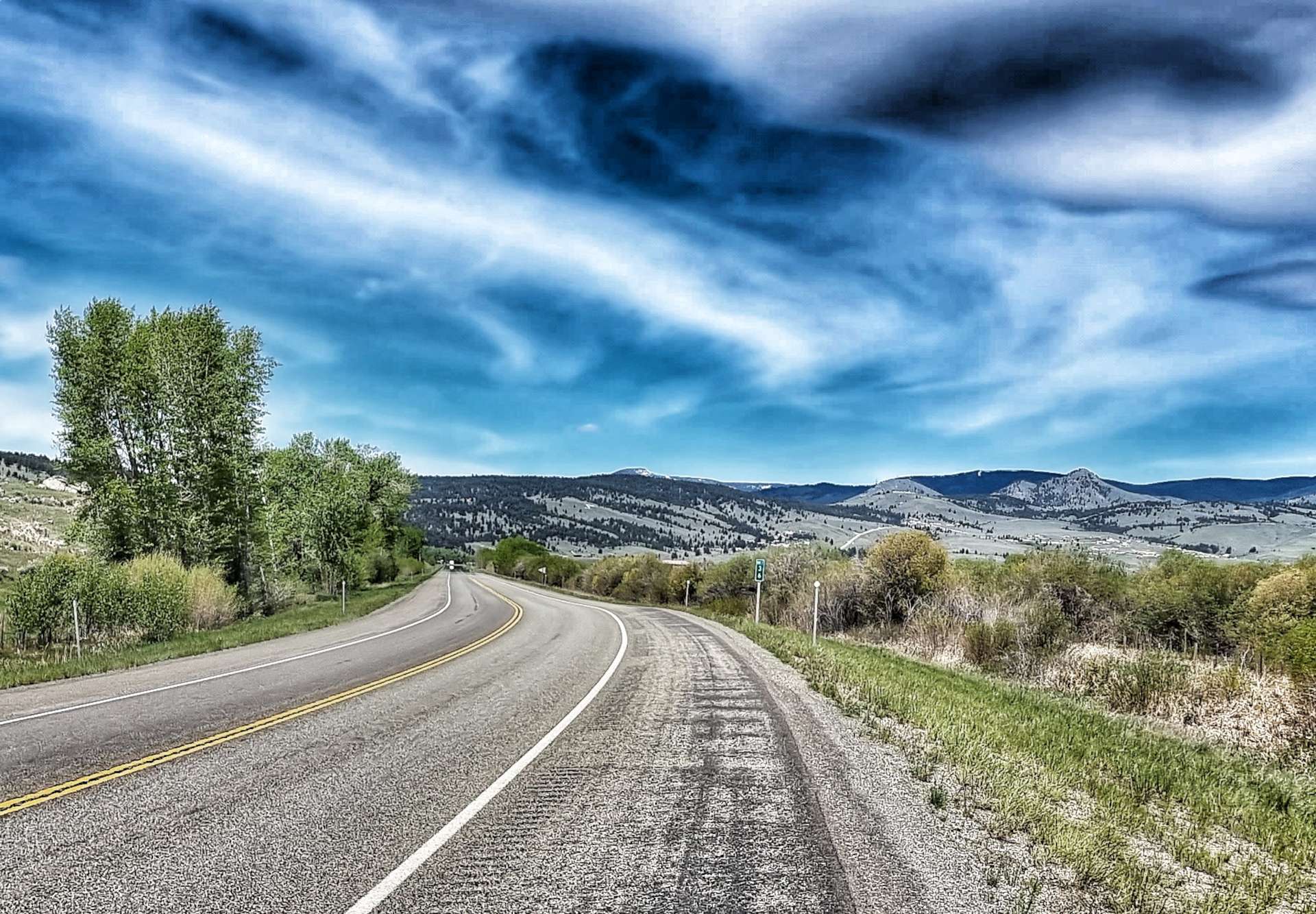
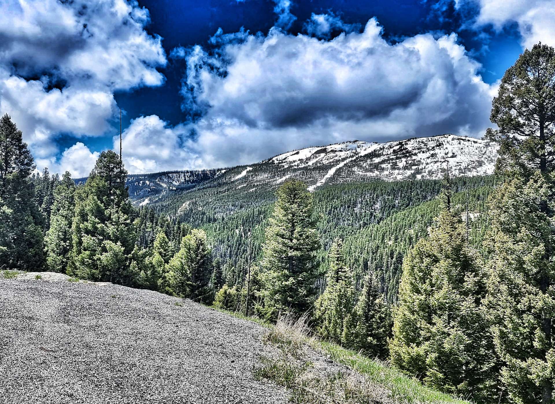
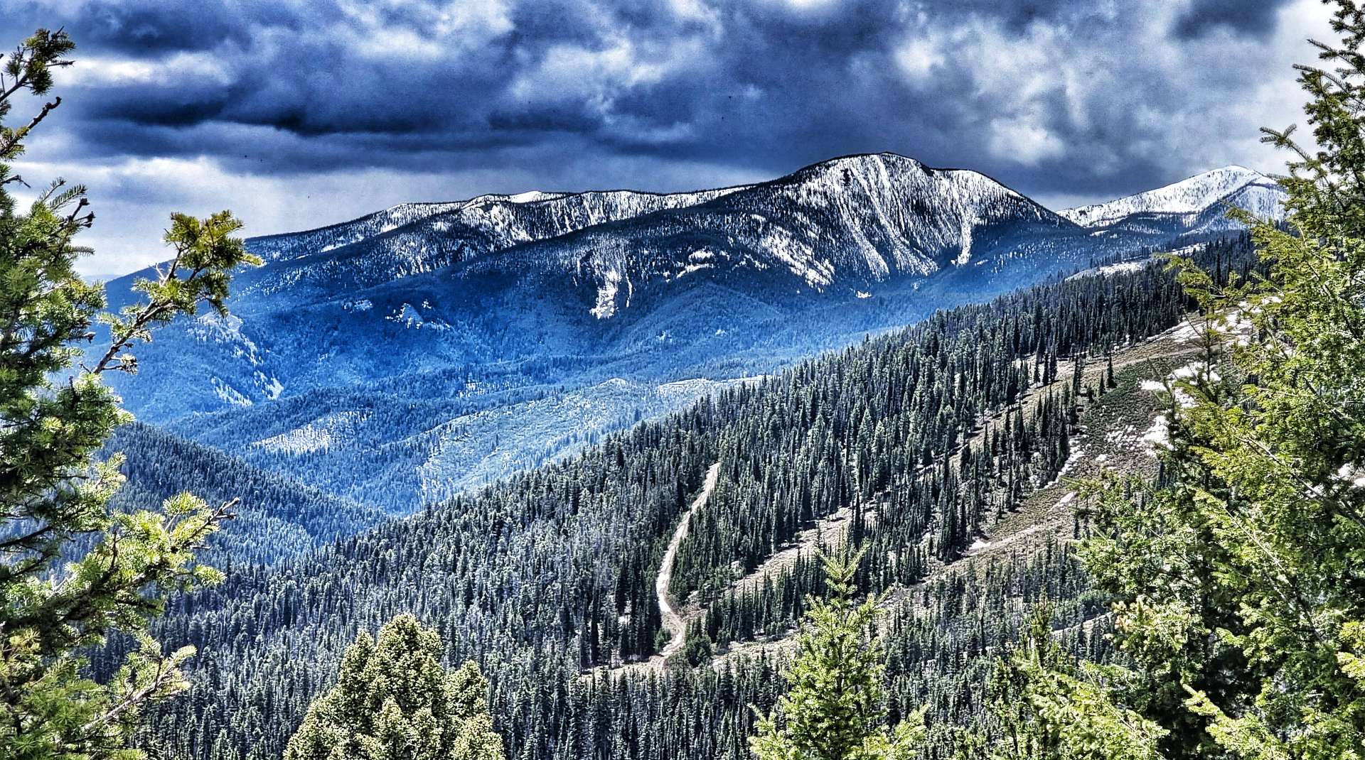
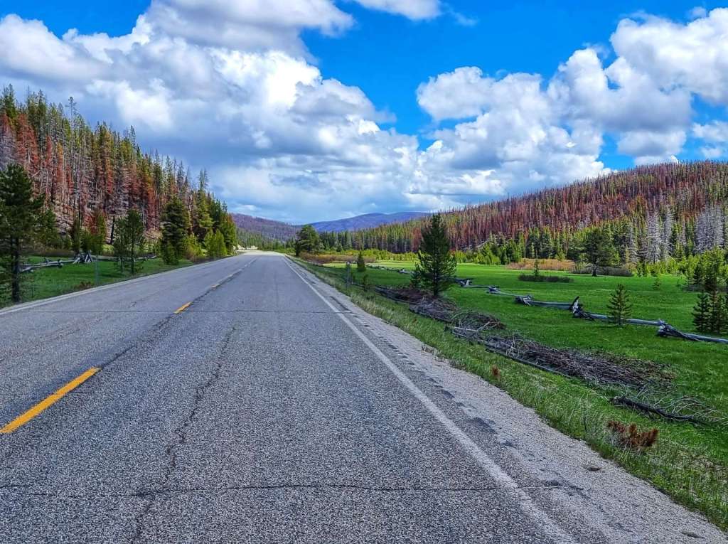
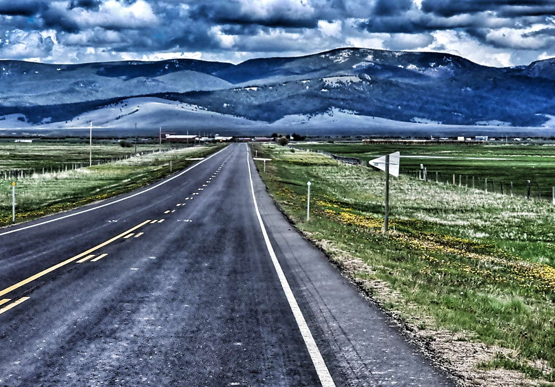
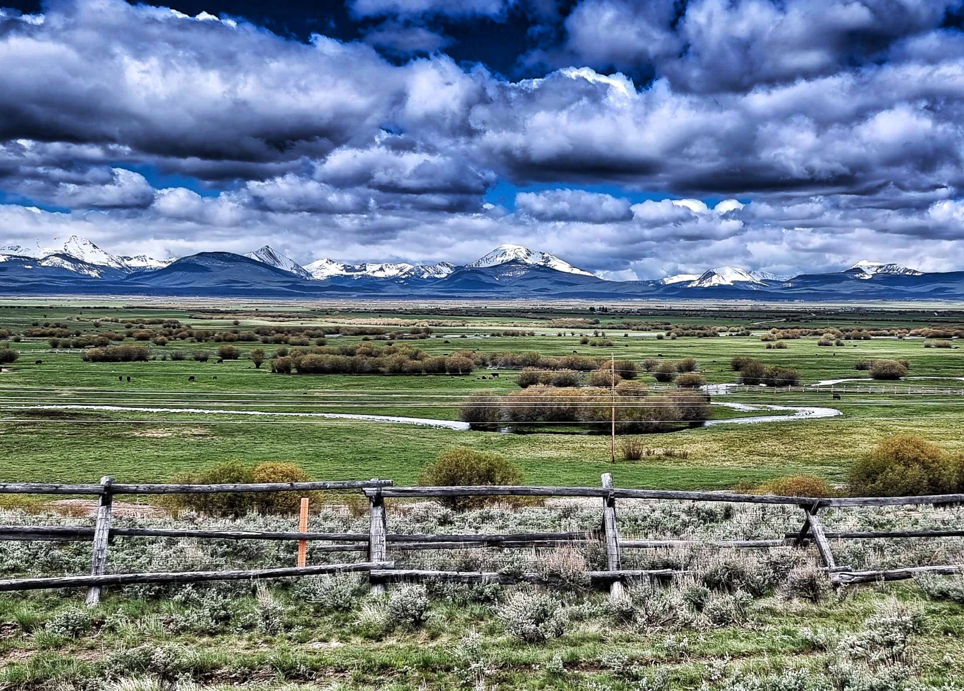
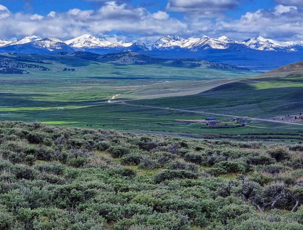
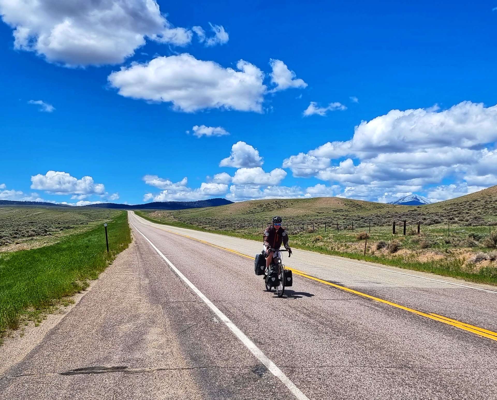
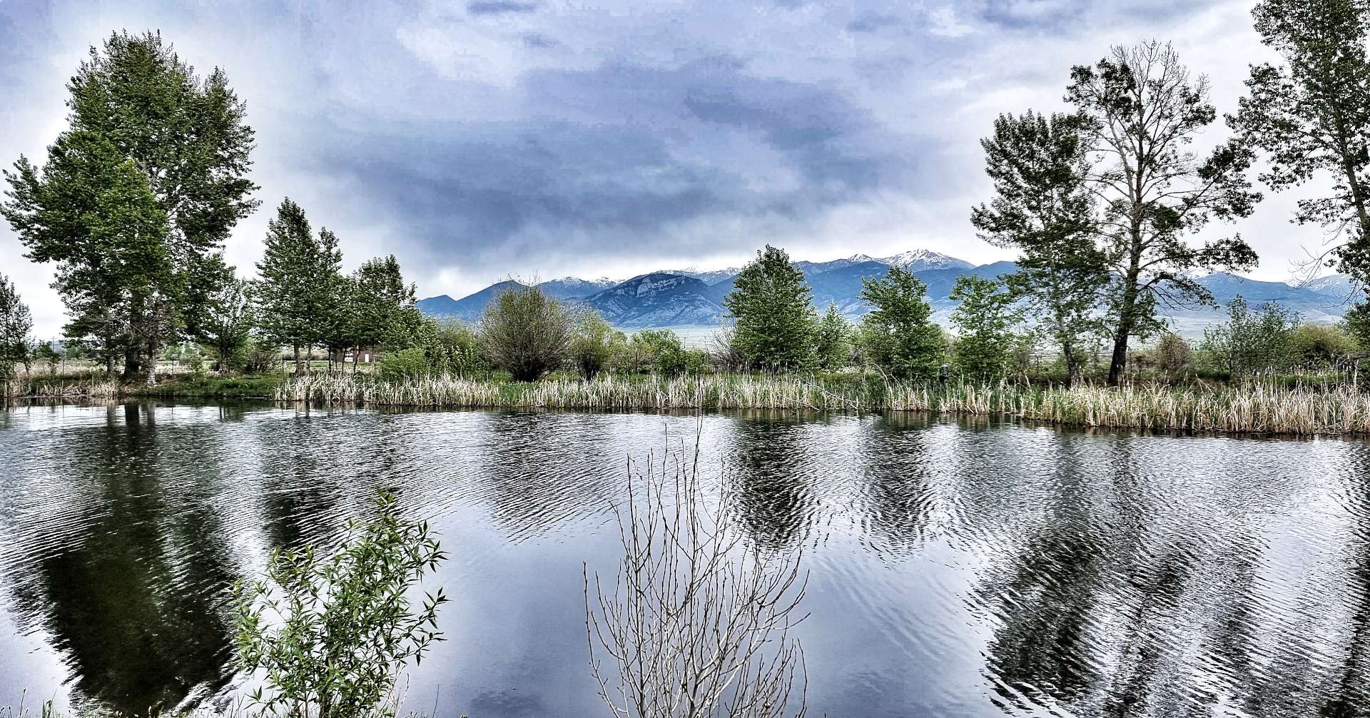
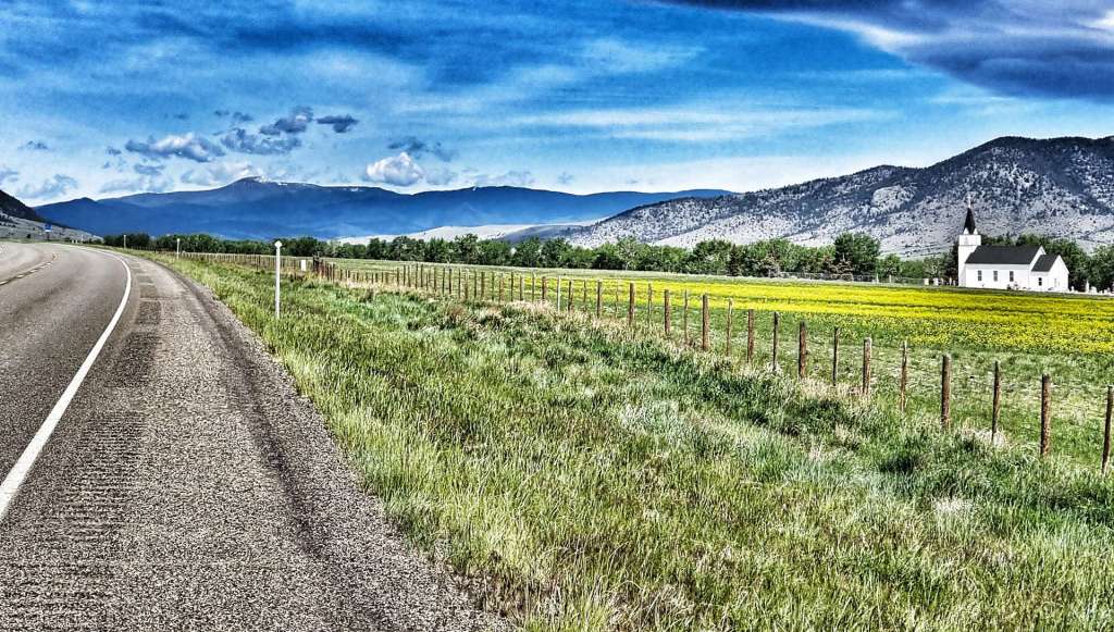
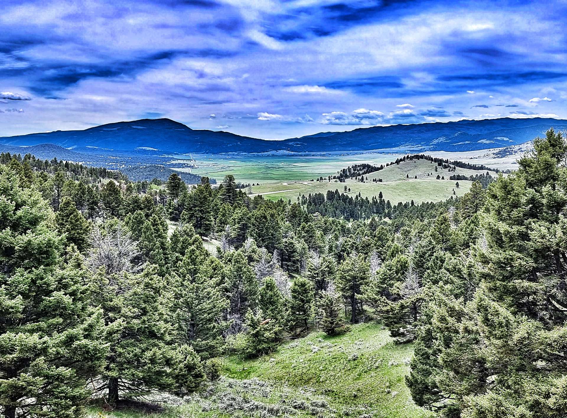
Being surrounded by big mountains, we also had stunning views to enjoy too. Sometimes it was the views along the arrow straight roads to the mountains in the far distance & other times it was simply enjoying the different colours on view & the way they complemented each other.

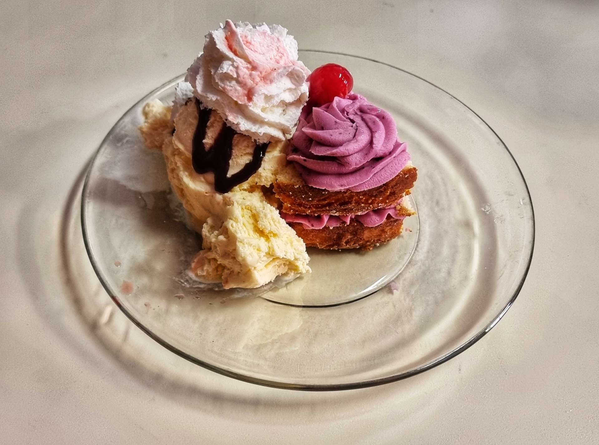
After 37 miles of gradual climbing, we reached Boulder, where we hoped to find somewhere that would serve coffee. We hit the jackpot in a huge way when we found the Elkhorn Bistro, run by Jennifer. We were welcomed with a huge smile as soon as we walked in the door & Jennifer took the time to talk to us about our adventure. She also shared a story about a few Italian long distance cyclists who were raising money for Diabetes, in recognition of a friend of theirs who had passed away – they had left her a poster of their cause, which she planned to frame & put on display in her bistro.

Jennifer recommended the homemade lemon cake with huckleberry frosted icing, then melted my heart by also offering to add some ice cream & whipped cream!!! Cake shop nirvana – Jennifer loves doing what she does as much as my friends Phily & Yas at The Old Stables in Castle Combe & the passion shines through.

Jennifer also shared a story about the tavern next door – Patrick Duffy’s (he of The Man From Atlantis & Dallas fame) parents owned The Lodge & were both murdered on 18th November 1986, when two teenagers committed an armed robbery. Kenneth Miller & Sean Wentz were both convicted of the murders & sentenced to 75 years in jail.

Leaving our new friend behind, we again tracked the I-15 for a couple of miles – as we were riding along we saw a small hawk like bird attack a far larger eagle. The hawk had 4 or 5 attempts the harry & harass the eagle, who didn’t seem to know what to do. I wish I could have got some video or stills, but it all happened too quick.

As we turned away from the I-15, we realised that the steep gravel road we’d been admiring from afar was our way out of the valley!

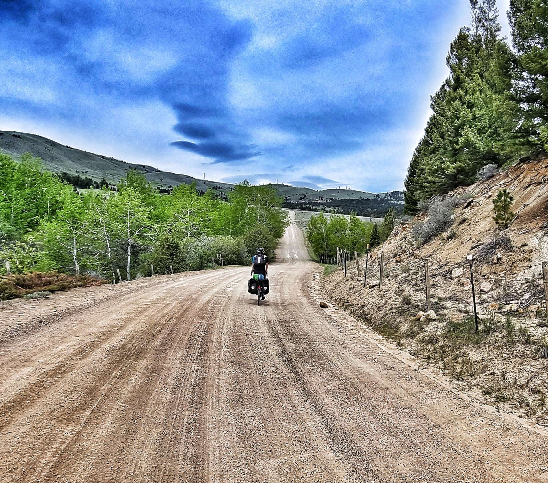
The video below probably articulates how difficult I was finding the climb (this was my 4th attempt, as the other 3 resulted in me having to abort the video so I could concentrate on staying upright!!! The climb maxed out at 13% & the gravel alternated between hard-packed (easy to get purchase & stay upright) & sandy (almost impossible to get grip & stay upright). It was a great little adventure, but not one I’m in a hurry to repeat.

At the summit of the climb we stopped, admired the view & talked about the importance of giving each other plenty of room for the gravel descent – there was a casualty, but not the one either of us was expecting! As I descended, my trail mix pack bounced out of my rucksack pocket, hit the gravel & split open. Luckily most of it remained in the pack, but some was left behind as a treat for the wildlife – it had M&M’s in it too 😦

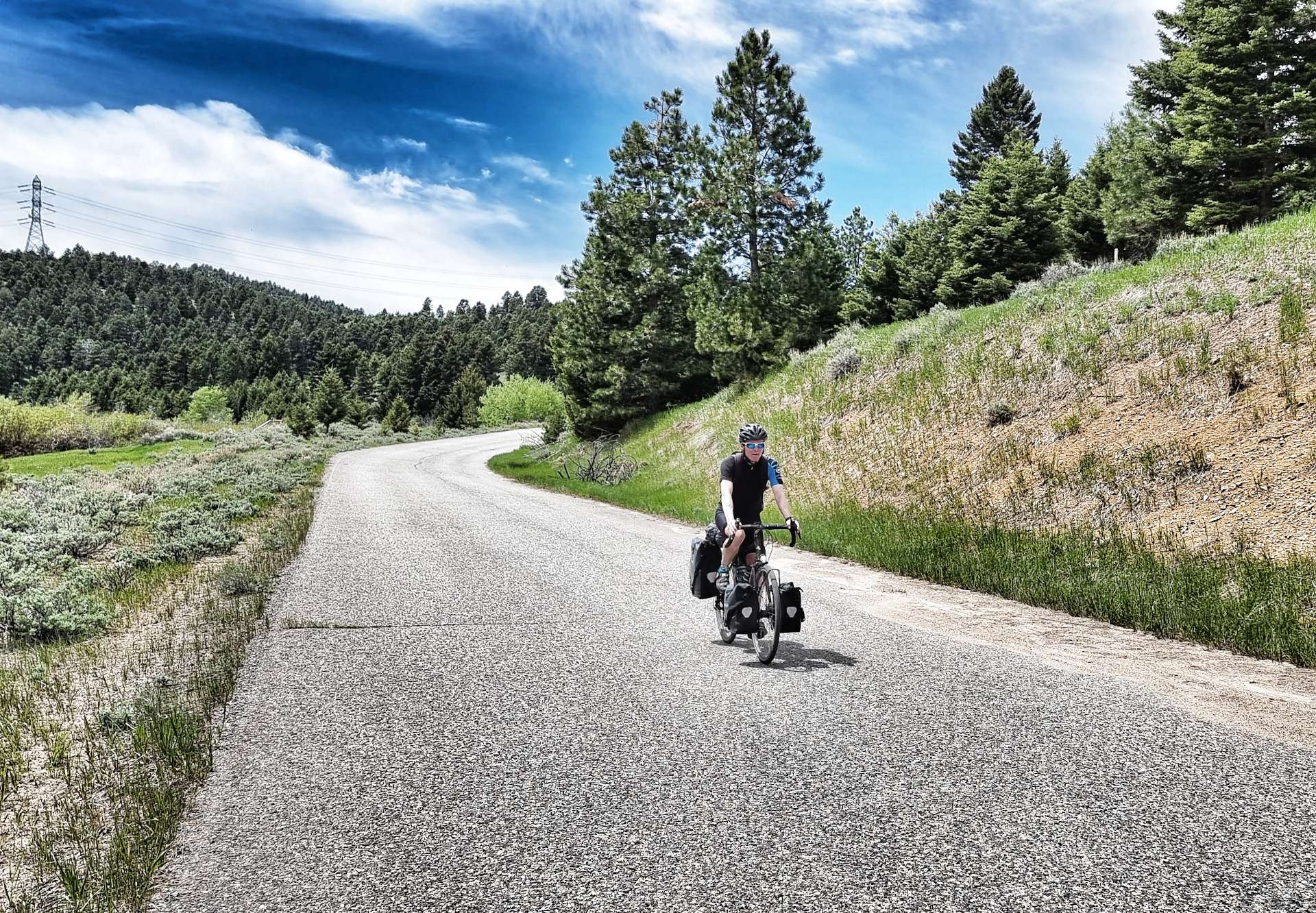
Sean overtook me while I sorted out my trail mix fiasco, but once we reached the tarmac I was able to catch up again & enjoy the remainder of the descent into Clancy.

Clancy was a mere 10 miles from Helena, but it was by far the toughest section, as we hit a stiff headwind that required us to pedal on the downhill sections! We stopped very briefly to talk to a couple of cyclists who were following the Great Divide mountain bike route. They had a schedule to reach somewhere 40 miles past Helena, so we wished each other safe travels & went our separate ways.

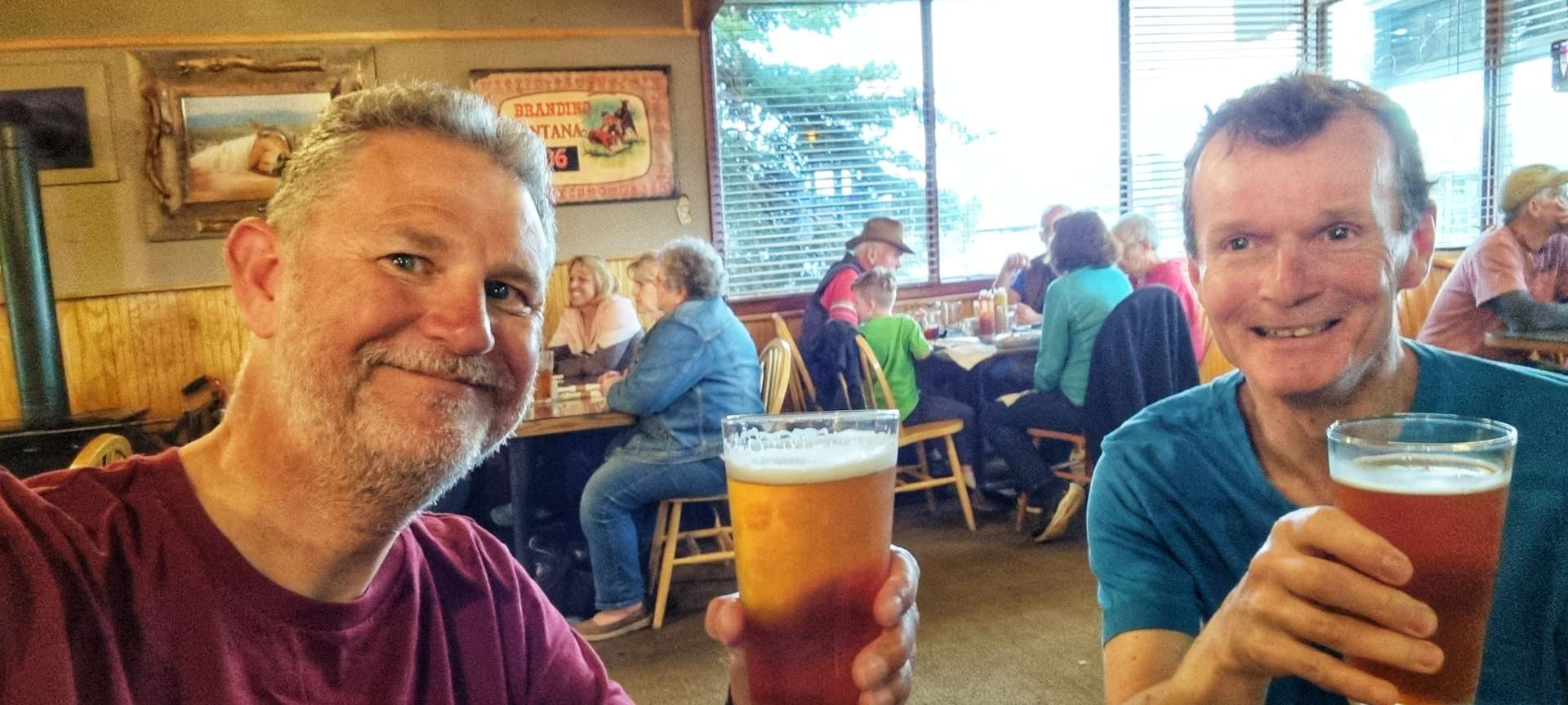
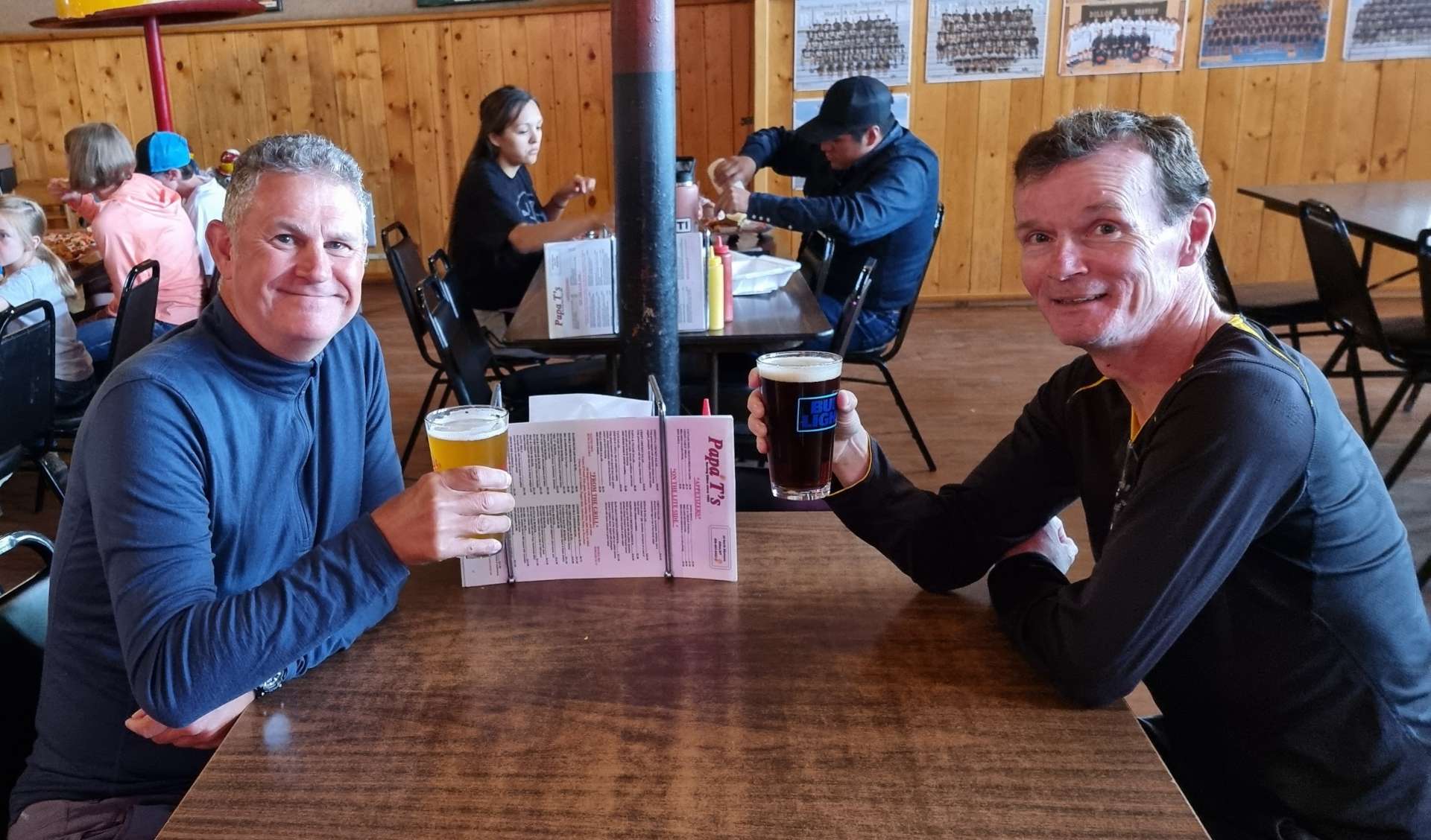
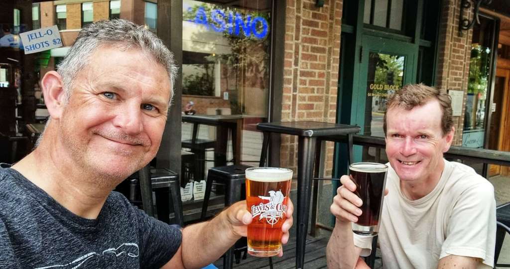
We arrived at the Budget Inn Express (our home for the next 3 nights) at about 3.30. We headed off to get our laundry done & also buy breakfast for the next 3 mornings – by this point we were both almost falling asleep on our feet, so did what any self respecting person would do, we found The Rialto Bar where we had a couple of liveners as we chatted about the last 6 days of riding. Thirsty Thursday beer club lives on!

Stage Stats – 69 miles, 2,562 feet of climbing. Gradually climbing for the first 45 miles, then a slow descent into Helena. Glorious sunshine all day!

Darby to Dillon

The Wild, Wild West – Monday 6th to Tuesday 7th June

Monday 6th June – Darby to Wisdom (Stage 30)

When I left you, we were about to embark on a night under the stars – unfortunately we didn’t see any, as the heavens opened & it rained almost constantly through the night. We both had limited sleep as a result & were feeling very tired when our alarms went off at 7am. The positive news was that the rain had stopped & the tents had kept us dry all night!

We had broken camp & were sat in the sun enjoying a pre-ride coffee by 8.45am, ready for a big day of climbing, as we would be crossing the Continental Divide again later. As we rode through town we passed the historic Marshal’s Office – I’ve cut the brand new patrol car that was next to the office from the photo. As we headed into more remote countryside, we passed a welder’s home with a metal horse in the garden – it was a majestic piece & the best form of advertising possible. In no time we’d left civilisation behind & were looking across fields of real horses towards towering peaks. The third photo below is of Trapper’s Peak, the tallest mountain in the Bitterroot Range that extends along the Idaho-Montana border & it tops out at 10,157 feet above sea level (ASL).

While I stopped to take a photo of the the Bitterroot river close to bursting its banks, Sean spotted a couple of herons or cranes (if you know what they are, please let me know & I’ll update my post). Anyway, as we stood watching them, we realised they had a couple of really small chicks with them – you may just be able to make out the two yellow shapes in the bottom right of the picture. A mere 10 minutes further down the road we also spotted an eagle perched in a tree, surveying the world around him/her. Although we’re now seeing deer & eagles on a daily basis, there’s no danger of me getting bored of them – I realise only too well how privileged I am to be experiencing wildlife in their natural environment & when I return home at some point, I may never see another one.

The Bitterroot river was a torrent as it splish-splashed downstream. We were travelling up the valley in the opposite direction, so were gradually climbing as we made our way to Sula. This was our great hope for a coffee stop, but sadly they didn’t open on Mondays, so we had to tackle the climb in a caffeine depleted state!

At the moment, we’re following the Lewis & Clark Trail – Meriwether Lewis was tasked by President Jefferson with exploring lands west of the Mississippi river that comprised the Louisiana Purchase. William Clark was his co-leader & between 1804 & 1806 they covered 8,000 miles as they sought a route across The Rockies to the Pacific Ocean. Sula was an historic spot where Lewis & Clark were welcomed by the local Indian tribes.

As we left Sula behind, the start of the Lost Trail Pass climb began in earnest. On the early slopes we were surrounded by high mountains in all directions, but over the next 14 miles we climbed from about 4,500 feet to 7,200 feet ASL. We were now looking across to the mountain peaks, rather than looking up. We were also almost up to the snowline once again.

As we reached Gibbons Pass (the highest point of Route 93, we briefly passed from Montana into Idaho (we decided not to change back to Pacific Time!!). We took a left turn onto Route 43 & immediately returned back into Montana, as we climbed another few hundred feet to the summit of Loss Trail Pass. Down below we could make out the road we’d been climbing.

We met Jordan at the summit, another long distance cyclist who was travelling in the opposite direction. We chatted for about 20 minutes or so as he waited for his buddy to join him at the summit of the climb – we shared our experiences, as well as suggestions for places to visit & avoid. We’d been planning to stay at the American Legion Campground in Wisdom, but Jordan advised that the Big Hole River RV Park had better facilities & 2 showers thrown into the price! We made an instant decision to change our plans for our overnight stop.

We descended into the Big Hole Valley on wide two-lane road that was deserted. As we plummeted towards the valley floor the gentle curves in the road were visible way into the distance. I only used the brakes once on the descent & that was to let Sean get in front so I could take a photo of him!

To add to our sense of happiness, we picked up a tail wind as we rolled along the valley floor, along the way passing through a part of the forest that had burned in a huge fire last year. It took in the region of 200 fire fighters to eventually bring it under control. We also passed Big Hole National Battlefield – in 1877, the Nez Perce Indians were forced on a 126 day journey that spanned 1,170 miles & 4 separate states. On 9th August, US Troops surprised the Nez Perce killing between 60 & 90 men, women & children. 31 Troops were also killed during the raid. Big Hole National Battlefield was created to honour all those who died. It didn’t feel right to take any photos while I was there.

As we left Big Hole, the road changed direction & our tremendous tailwind became a sinister sidewind. The final 5 miles were tough work, but we’d had help for most of the previous 10 miles, so we’d still had the better of the conditions. Pulling in to Wisdom we saw that we’d just beaten some rain laden clouds into town & we headed straight for Big Hole River RV Park, realising that we’d likely be having another damp night in the tent.

However, someone was looking after us, as right next door was Nez Perce Motel & they had two rooms available for $79 each. Fate had handed us a way out of sleeping in a wet tent, so we took full advantage of the opportunity to sleep indoors! We turned on the heaters, re-arranged our rooms so we could dry out our camping kit & went for a pint to celebrate 🙂

The rains didn’t come during daylight, which meant I could get a couple of photos of the sun setting behind the herd of alpacas that were in the enclosure outside our rooms. As I turned out my light, I could hear the rain starting to patter against the window – what an awesome day we’d had once again!

Stage Stats – 59 miles, 3,422 feet of climbing. Gradually ascending until the climb of the Lost Trail Pass. Dry all day, sunshine during the climb & descent of Lost Trail Pass, then racing the rain into Wisdom.

Tuesday 7th June – Wisdom to Dillon (Stage 31)

In spite of heavy rain again overnight, we woke to blue skies with cotton wool clouds. All our camping gear was now dry again after our bonus motel stop & we were under way by 9.30am. We immediately picked up Route 278 as we left Wisdom & we passed the “airport” as it’s known in town – in reality it’s a landing strip & was where the fire fighters camped to bring last year’s forest fire under control.

The road was ruler straight for the first 5 or so miles & into a head wind, as we had views of the mountains to our right. The majority of the day we would be in ranching territory, as the soil isn’t fertile enough to grow crops, but is ideal for cattle & horse grazing.

Once more we were fortunate enough to see two separate eagle eyries. The first 2 photos showing the eagle guarding its territory, so we think there may have been a chick in the eyrie. While I was taking photos of our 2nd eagle encounter, there were a scurry of chipmonks playing with each other – they didn’t seem at all bothered by a bird of prey sat watching them.

As we reached Jackson, this was our one & only possibility of finding somewhere open for coffee – the town’s only shop was closed for the day, so we would be riding in a decaffeinated state again. Big Hole valley is known as the land of 10,000 haystacks, because of the superior quality of its grassland & it’s also where the “beaver slide” was first developed as a method of stacking hay. Heaps of it look like giant loaves of bread!

The first big climb of the day was ahead of us. Although it wasn’t a long climb, it was relatively steep at 7%. As we turned through 90 degrees, we could make out the road way below us. The good news was that although I was only doing 4 mph, the climb was over in little more than 30 minutes. The final photo below was taken at a Historic Marker where the history of the valley & the nearby ranch is described in detail.

We stopped at the summit of Big Hole Pass for our customary photo, then enjoyed the fastest descent of the adventure so far – I clocked 47 mph on a straight & empty road, with a slight tailwind. I’d slowed considerably when I took the photos below.

We were now in the Lemhi Valley & we got blown forward by the tailwind when we reached the valley floor, reminding us both of the day we were turbo boosted into Cut Bank, happy days indeed!

All good things come to an end however & it wasn’t long before we could see our next challenge on the horizon. Beaverhead Pass was another relatively short, but testing climb. It averaged between 5% & 6%, but occasionally hit 8%, which certainly stung the legs. I was a little disappointed to find there wasn’t a summit sign when we crested the climb.

As we started descending, we were still over 6,500 feet ASL, but the mountains in every direction towered above us. The photos don’t do the view justice, but this was the most spectacular scenery! We separated on the descent, so I took the opportunity to stop & take a photo of Sean descending as he passed me. It took us about 15 minutes to reach the valley floor some 7 miles from the summit.

The final few miles were into a cross headwind, but it was a small price to pay for yet another epic day of cycling the remote roads of Montana. Heading into town there was a metal moose by the side of the road & a neat welcome sign.

We went to Papa T’s for dinner, it’s a really friendly, family run restaurant that sponsors the local school’s many sports teams & there were photos of winning teams all the way back to the 1970’s. I went for some traditional English food with an USA twist, my pieces of cod & chips came with toast. I obviously removed the offending article before taking a photo!! We did some toasting of our own as we celebrated another glorious day in the saddle.

Stage Stats – 66 miles, 2,434 feet of climbing. Two big climbs of Big Hole Pass & Beaverhead Pass. Big blue skies with a shiny yellow thing in it all day.