Darby to Dillon

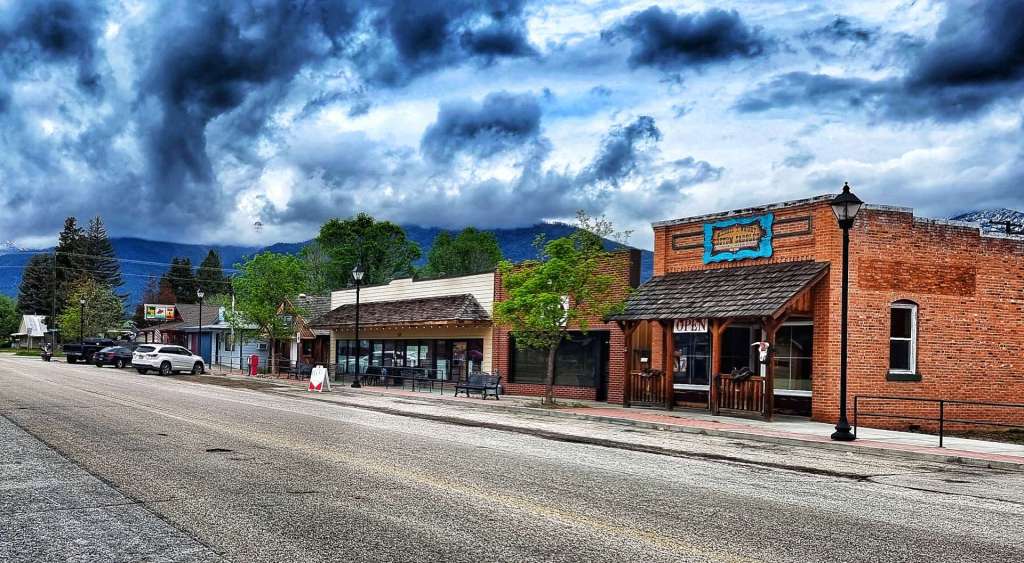
The Wild, Wild West – Monday 6th to Tuesday 7th June

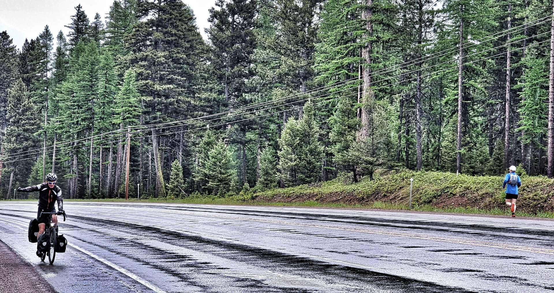
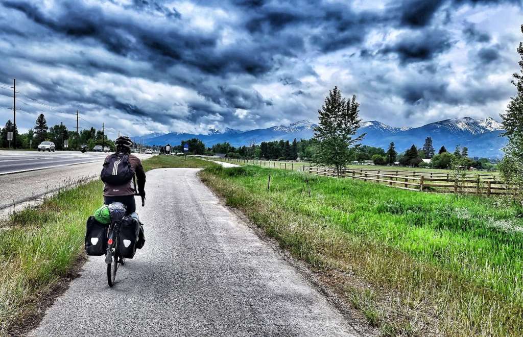
Monday 6th June – Darby to Wisdom (Stage 30)

When I left you, we were about to embark on a night under the stars – unfortunately we didn’t see any, as the heavens opened & it rained almost constantly through the night. We both had limited sleep as a result & were feeling very tired when our alarms went off at 7am. The positive news was that the rain had stopped & the tents had kept us dry all night!

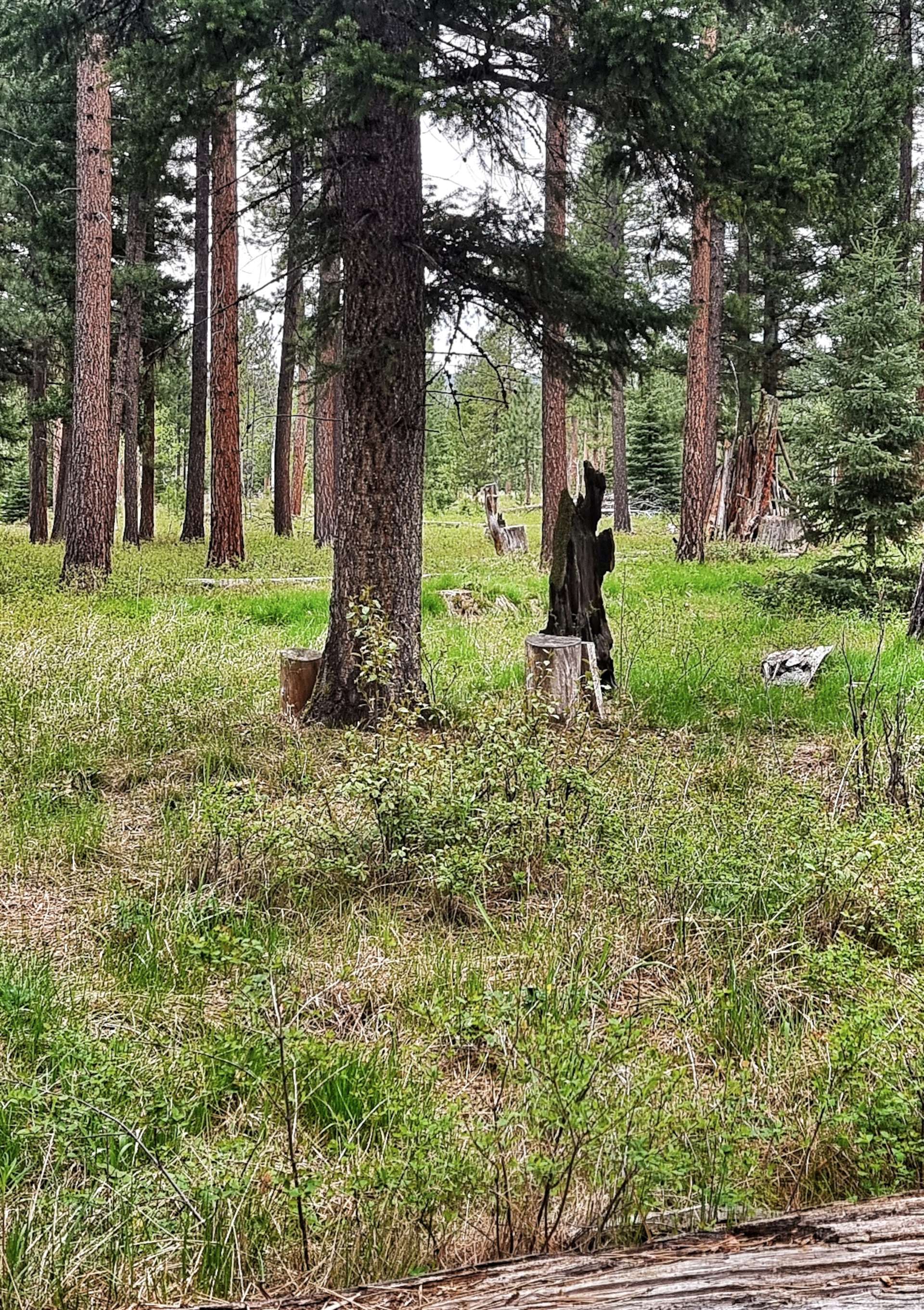
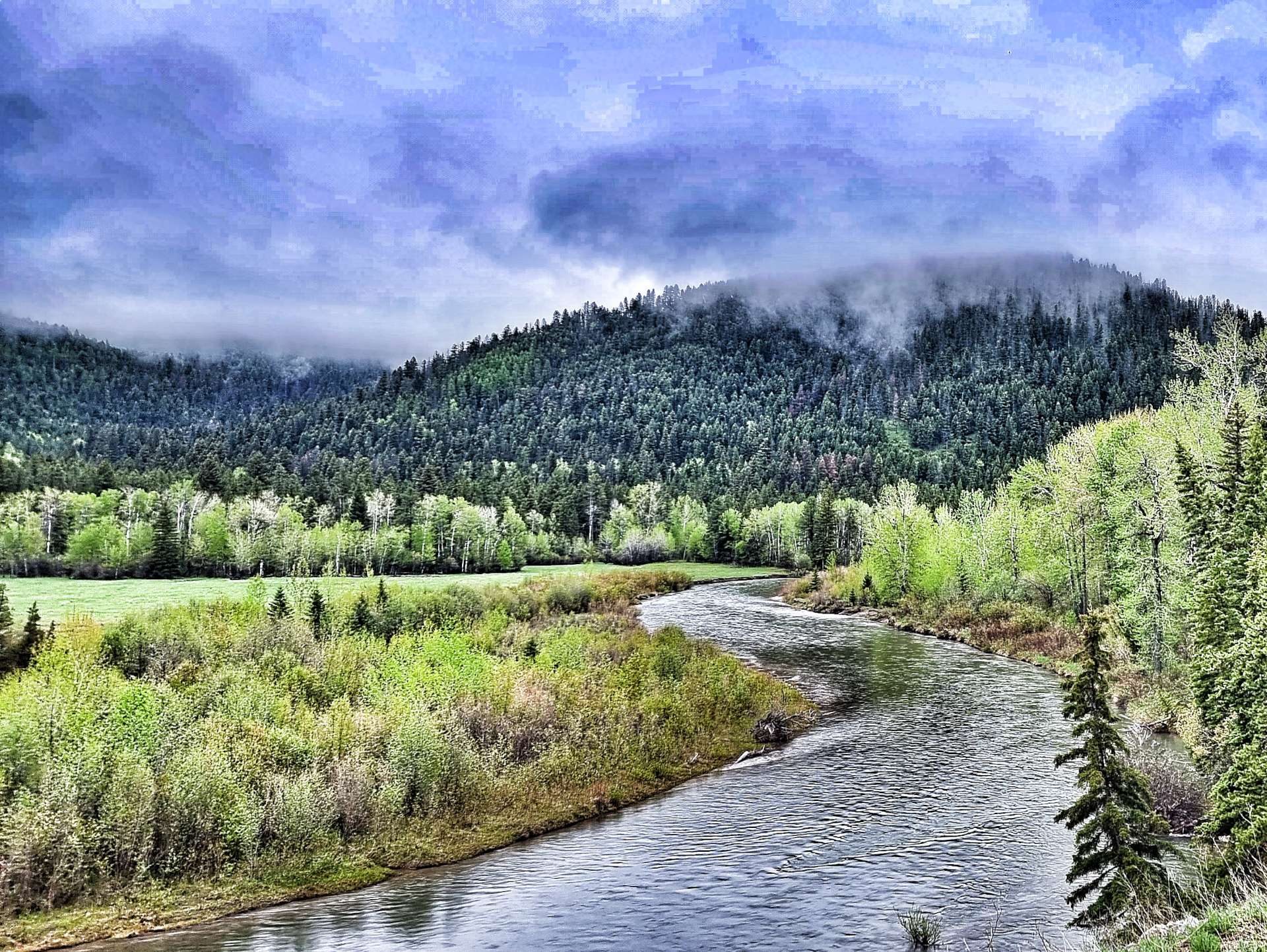
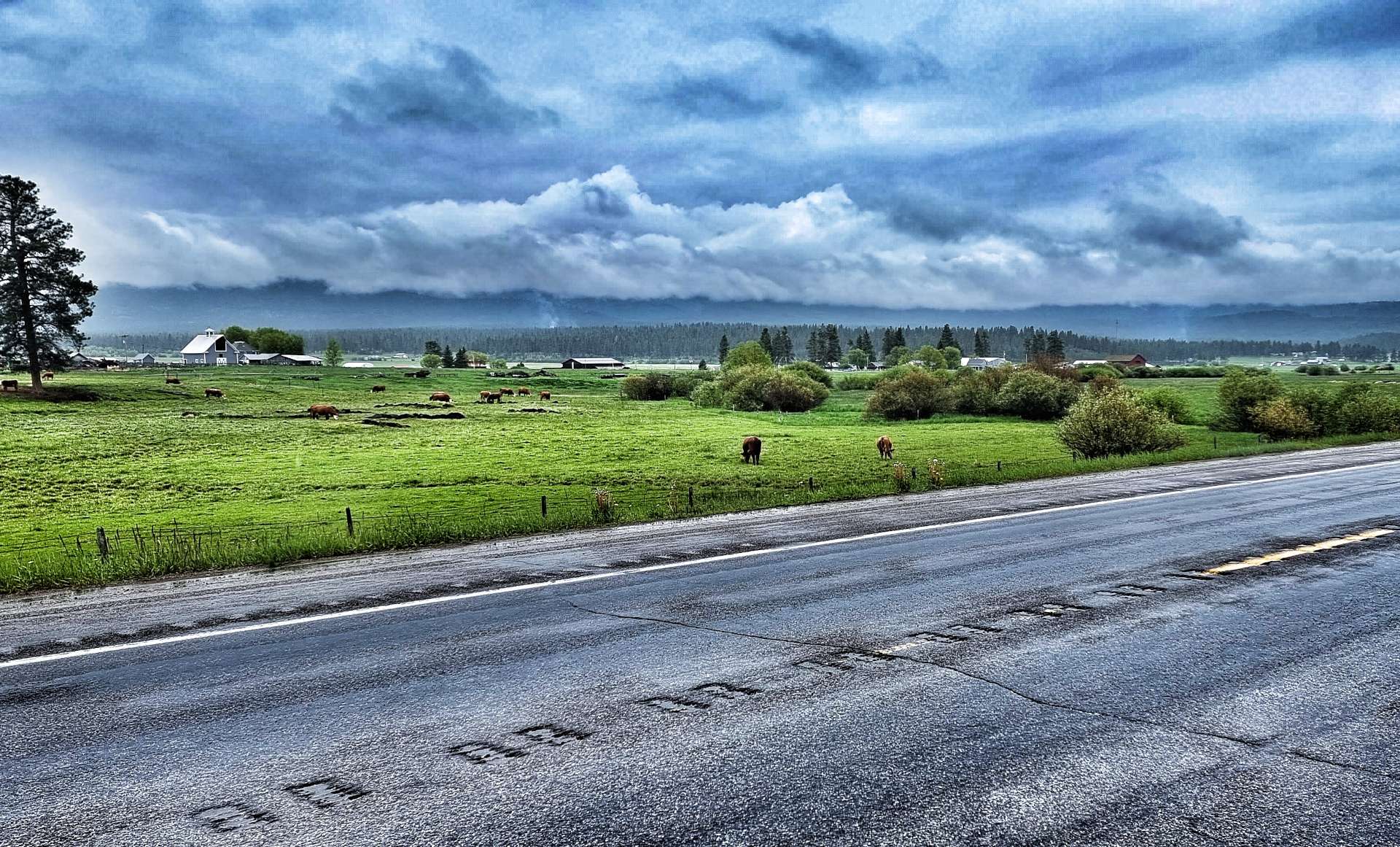
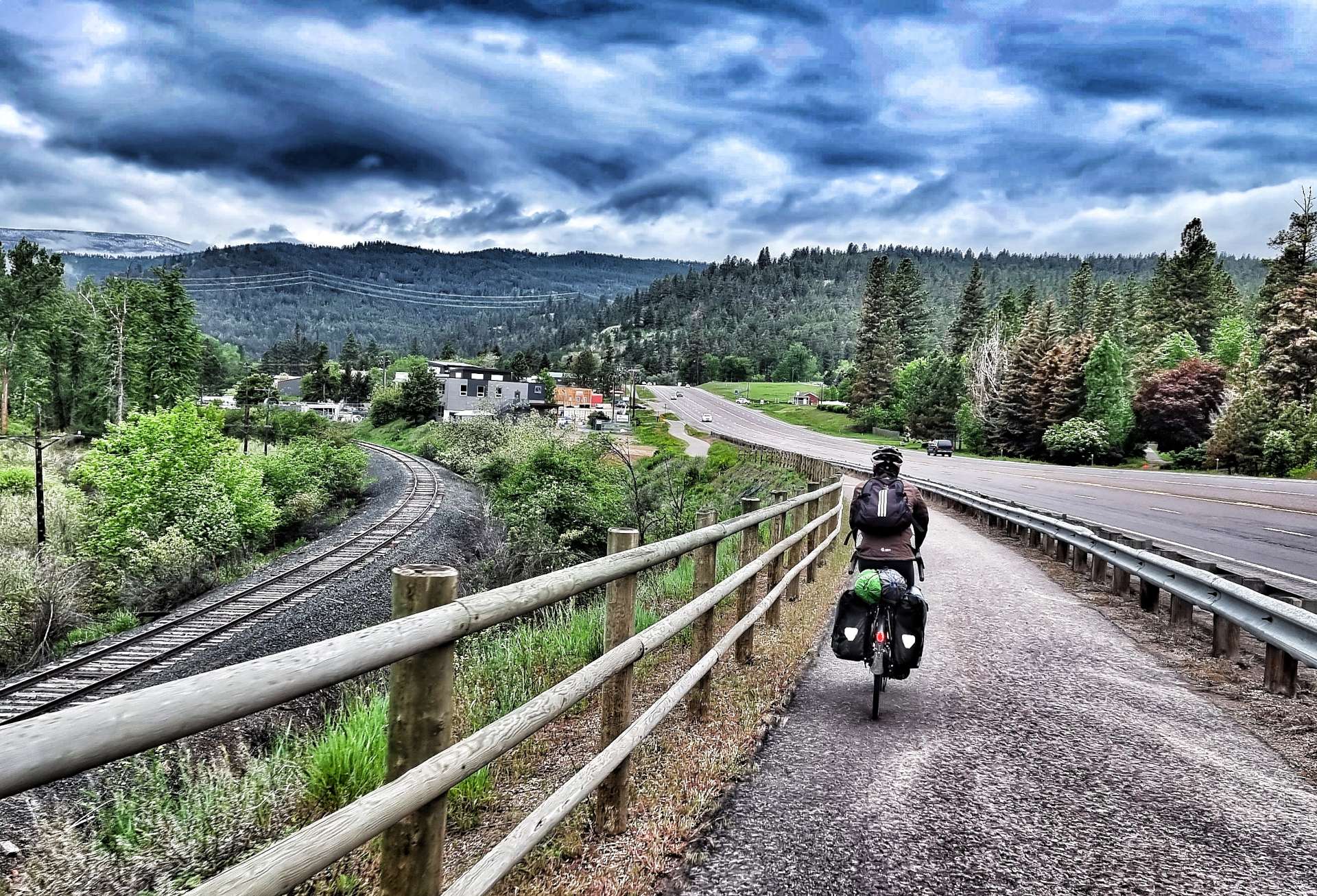
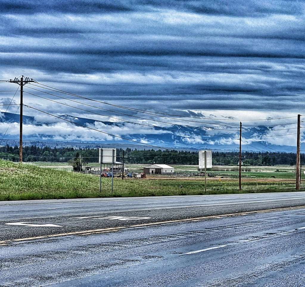
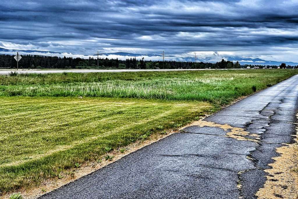
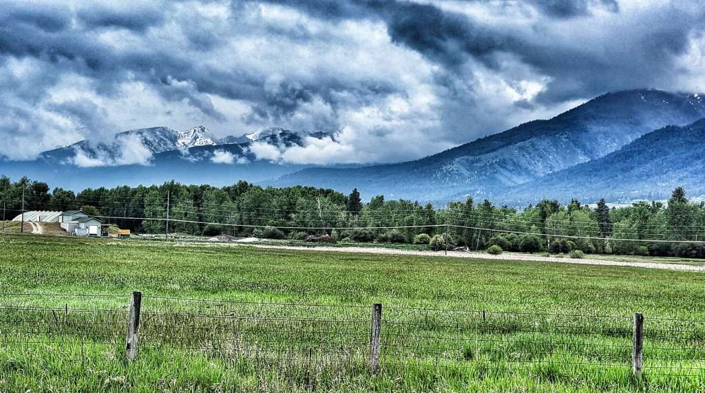
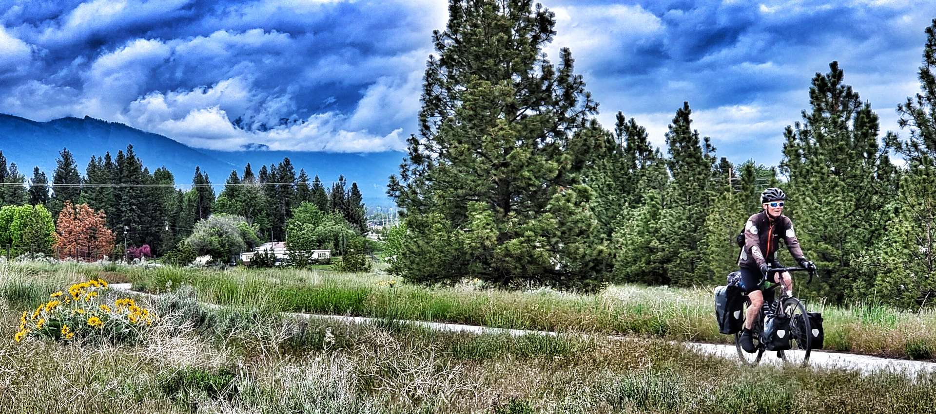
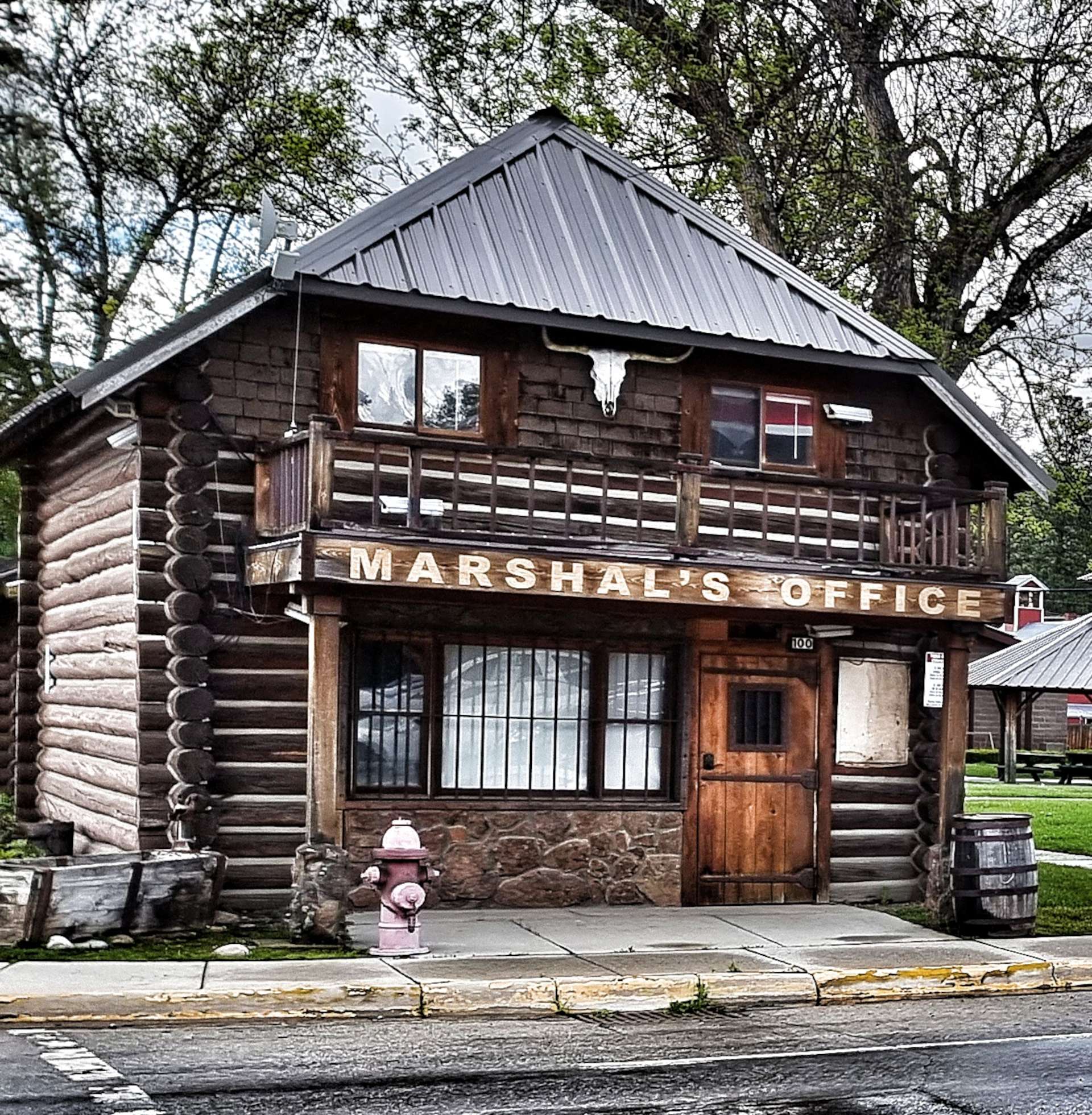
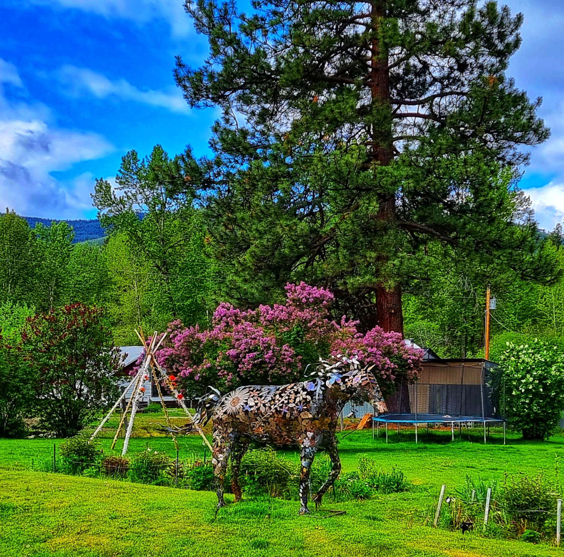
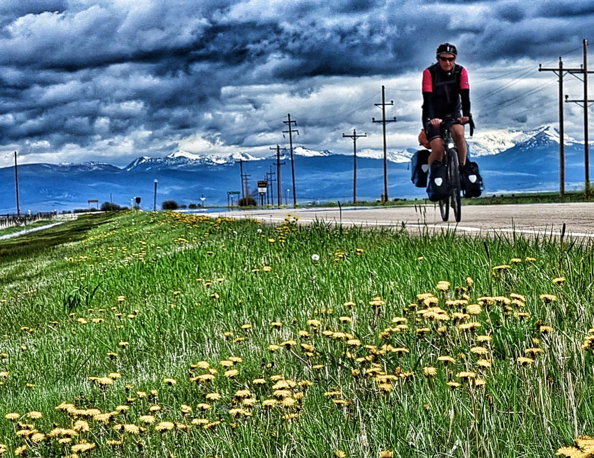
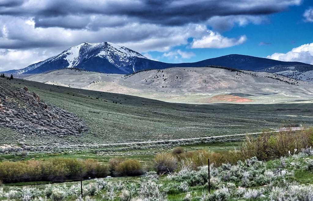
We had broken camp & were sat in the sun enjoying a pre-ride coffee by 8.45am, ready for a big day of climbing, as we would be crossing the Continental Divide again later. As we rode through town we passed the historic Marshal’s Office – I’ve cut the brand new patrol car that was next to the office from the photo. As we headed into more remote countryside, we passed a welder’s home with a metal horse in the garden – it was a majestic piece & the best form of advertising possible. In no time we’d left civilisation behind & were looking across fields of real horses towards towering peaks. The third photo below is of Trapper’s Peak, the tallest mountain in the Bitterroot Range that extends along the Idaho-Montana border & it tops out at 10,157 feet above sea level (ASL).

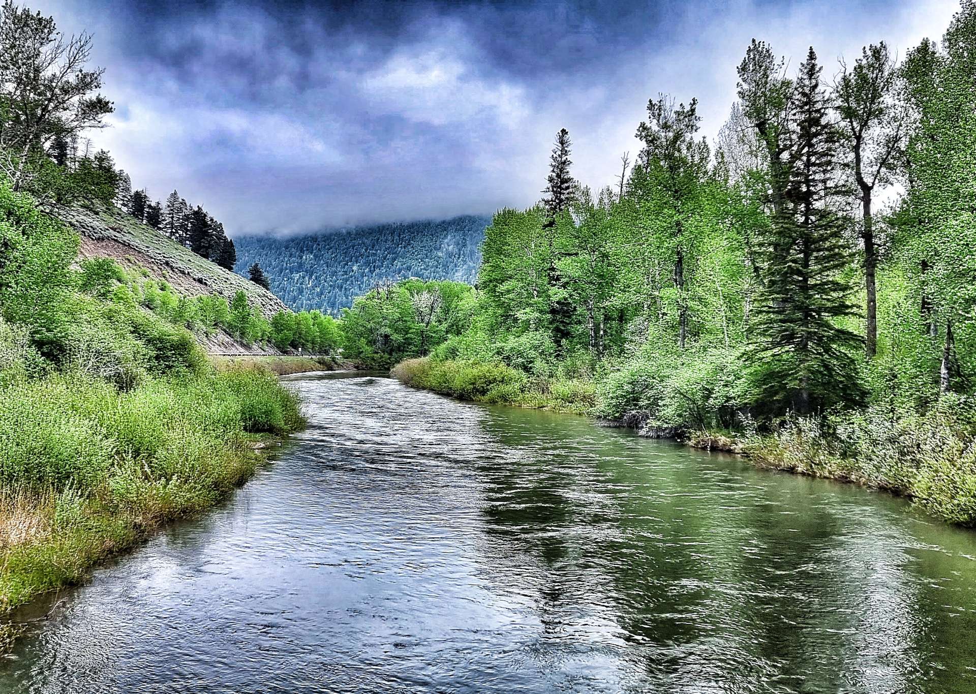
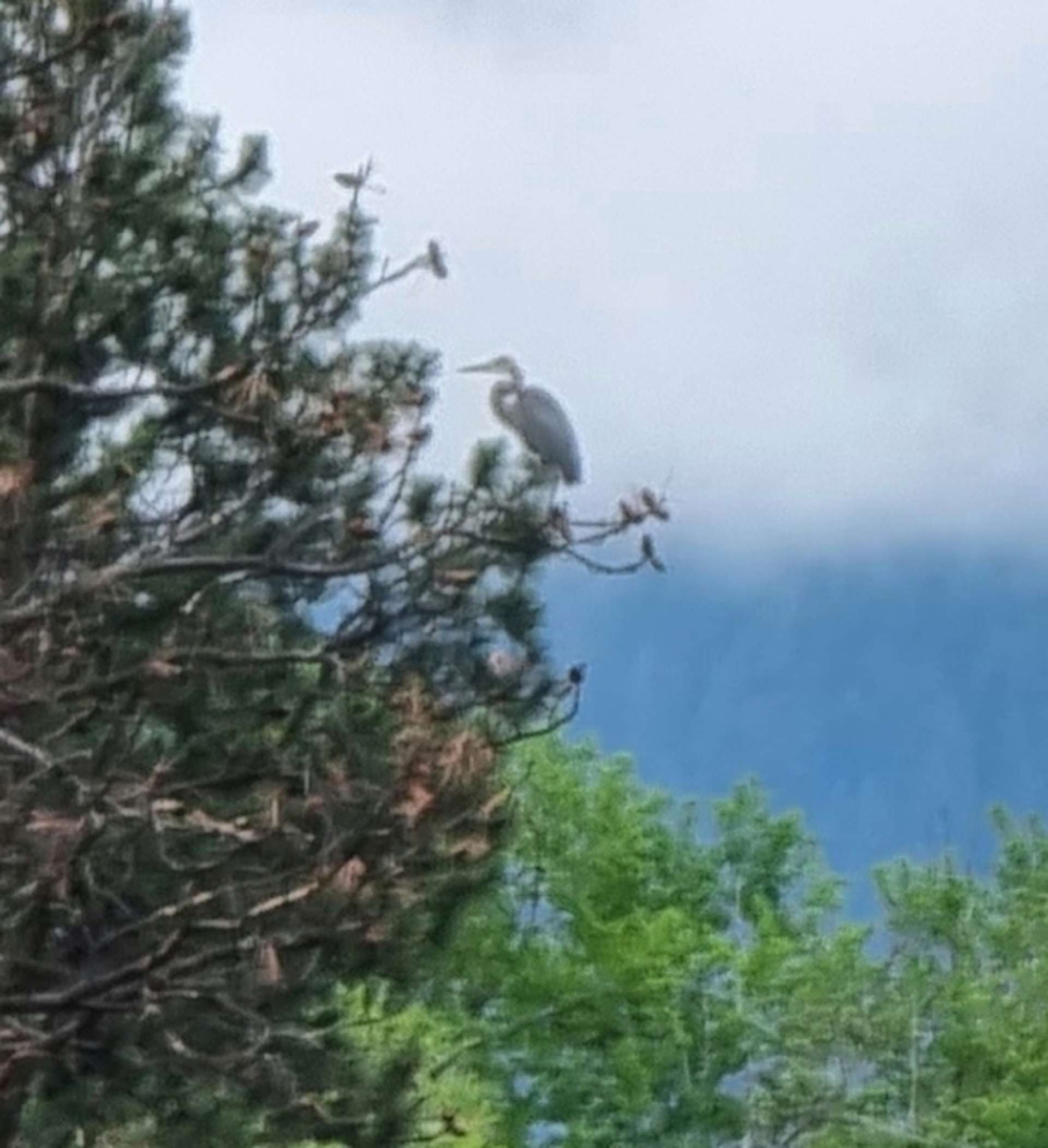
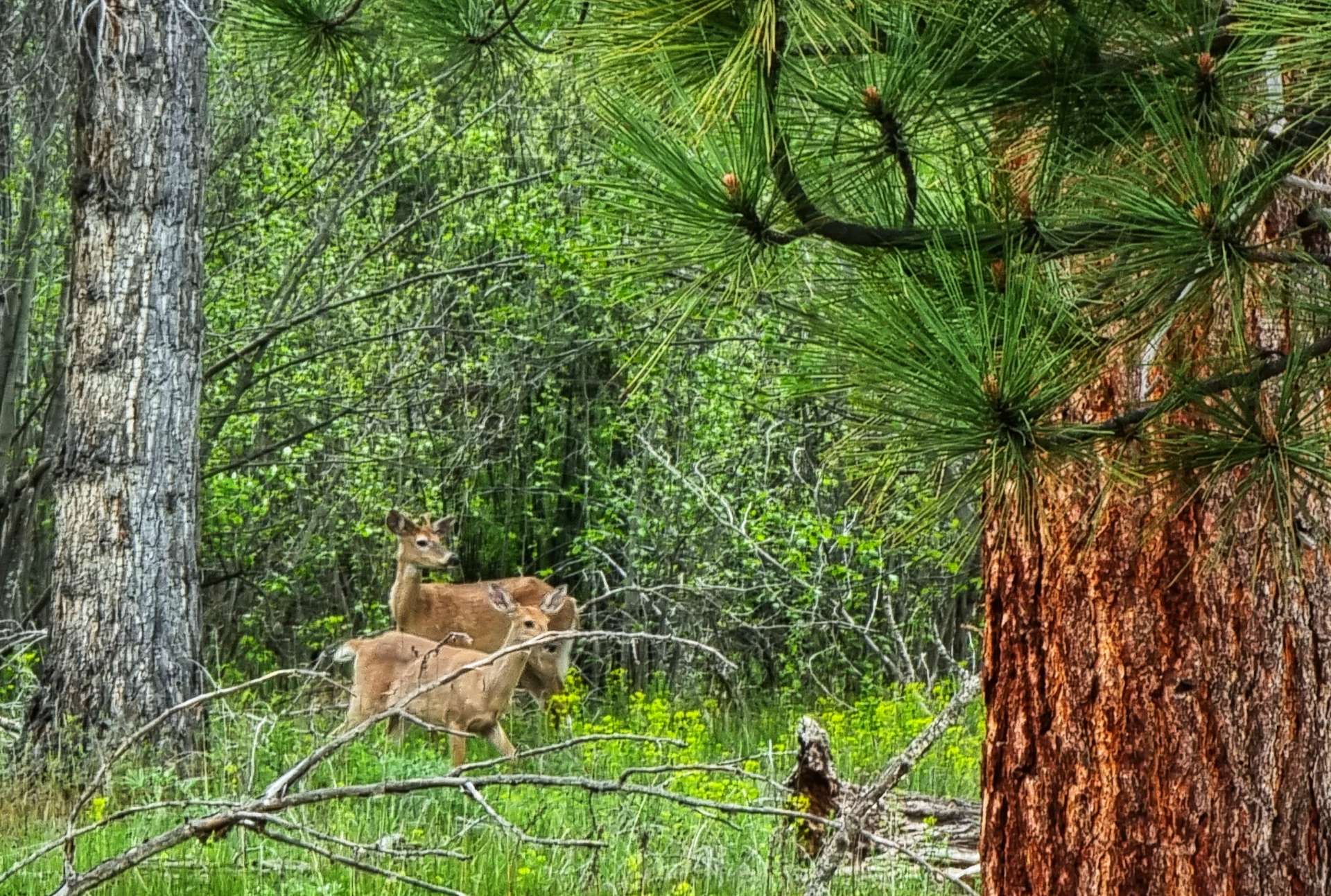
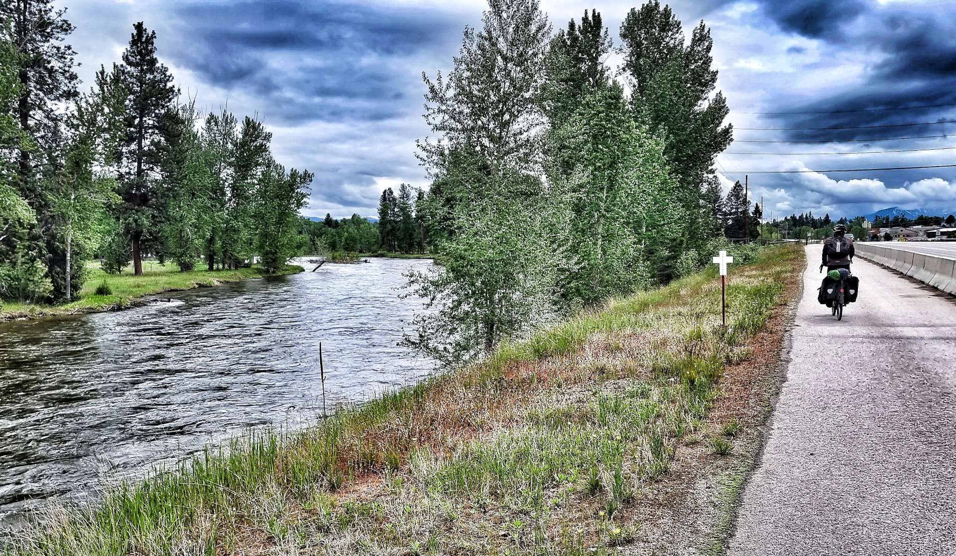
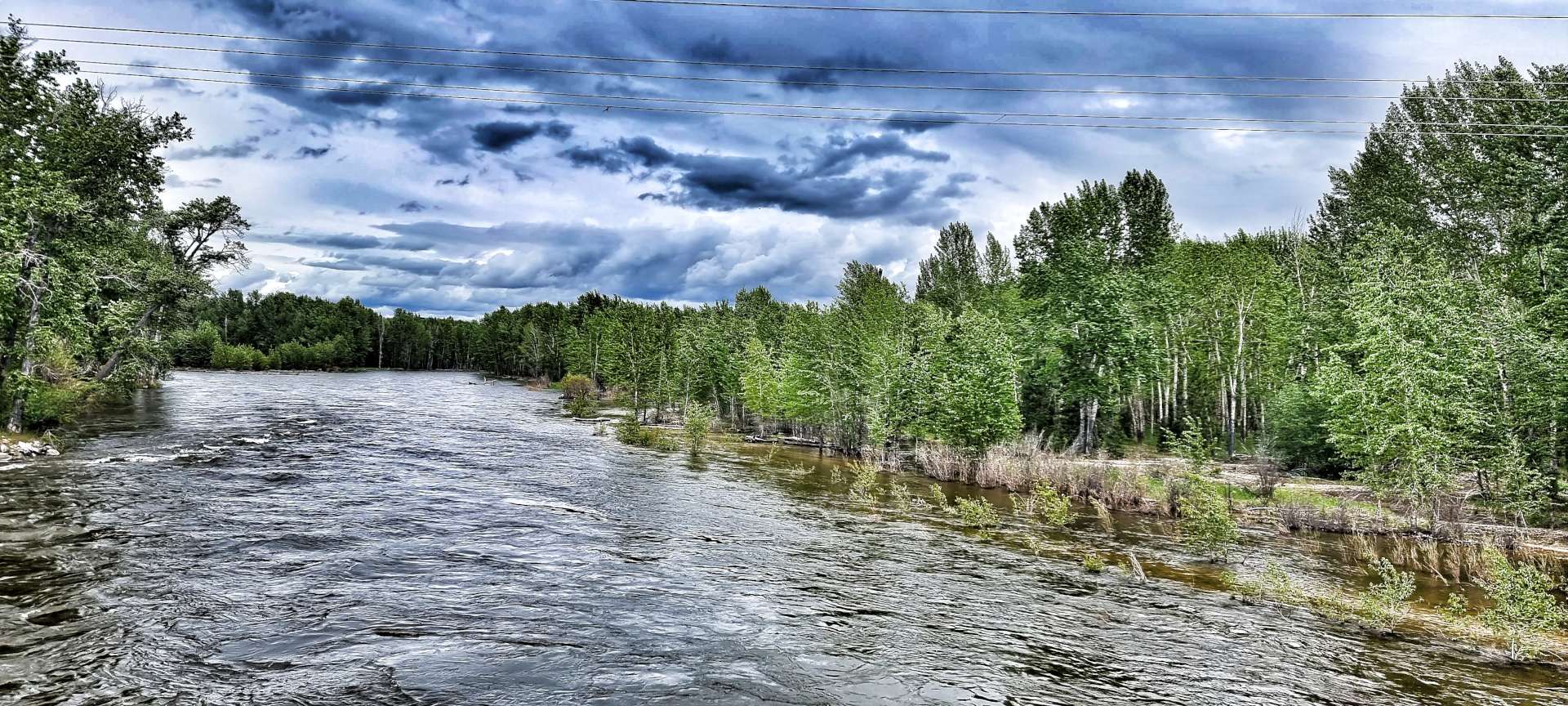
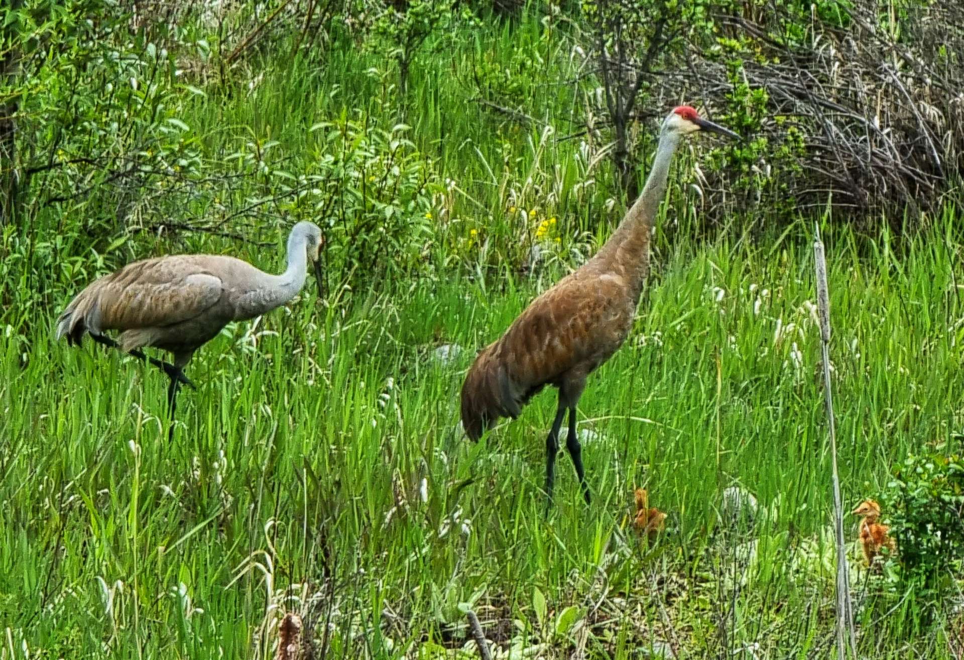
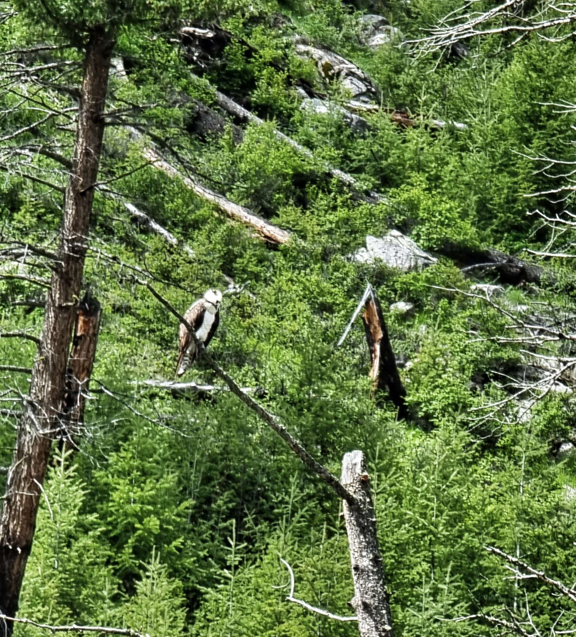
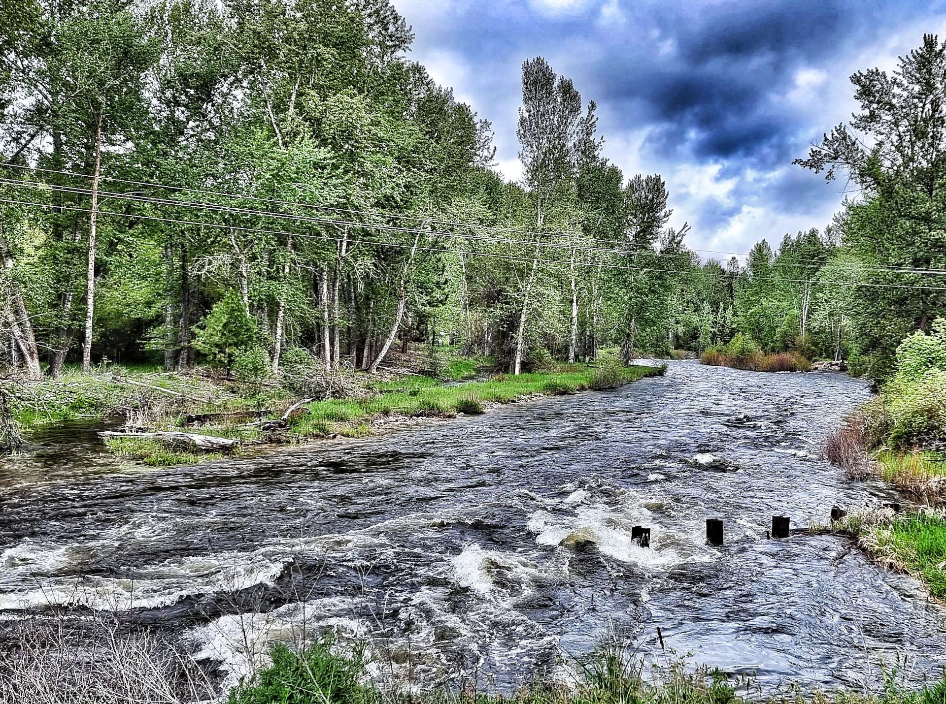
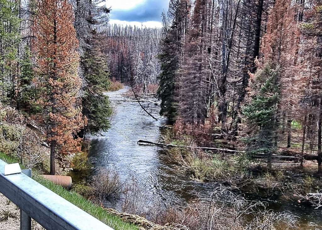
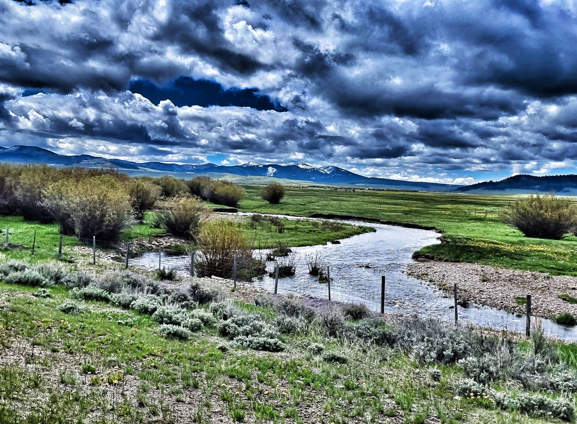
While I stopped to take a photo of the the Bitterroot river close to bursting its banks, Sean spotted a couple of herons or cranes (if you know what they are, please let me know & I’ll update my post). Anyway, as we stood watching them, we realised they had a couple of really small chicks with them – you may just be able to make out the two yellow shapes in the bottom right of the picture. A mere 10 minutes further down the road we also spotted an eagle perched in a tree, surveying the world around him/her. Although we’re now seeing deer & eagles on a daily basis, there’s no danger of me getting bored of them – I realise only too well how privileged I am to be experiencing wildlife in their natural environment & when I return home at some point, I may never see another one.

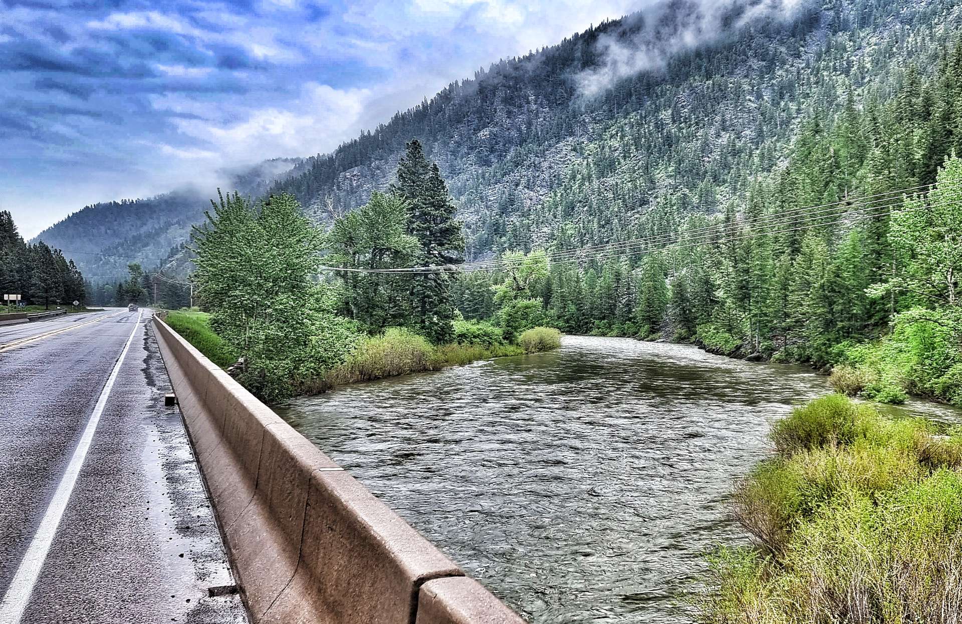
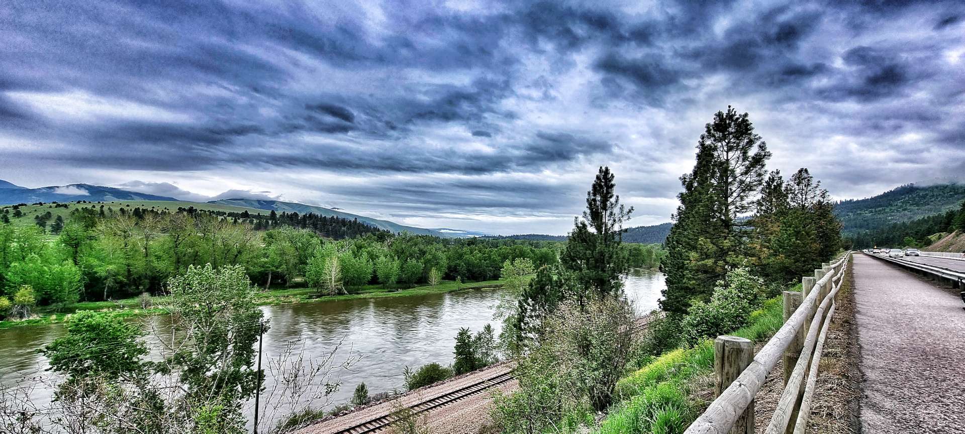
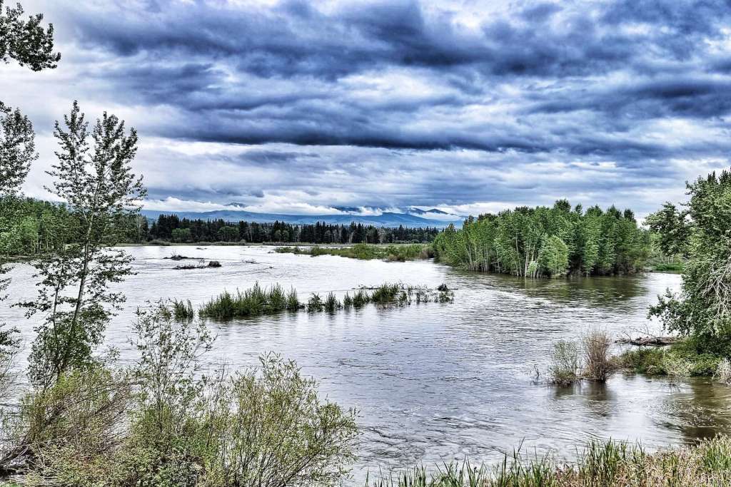
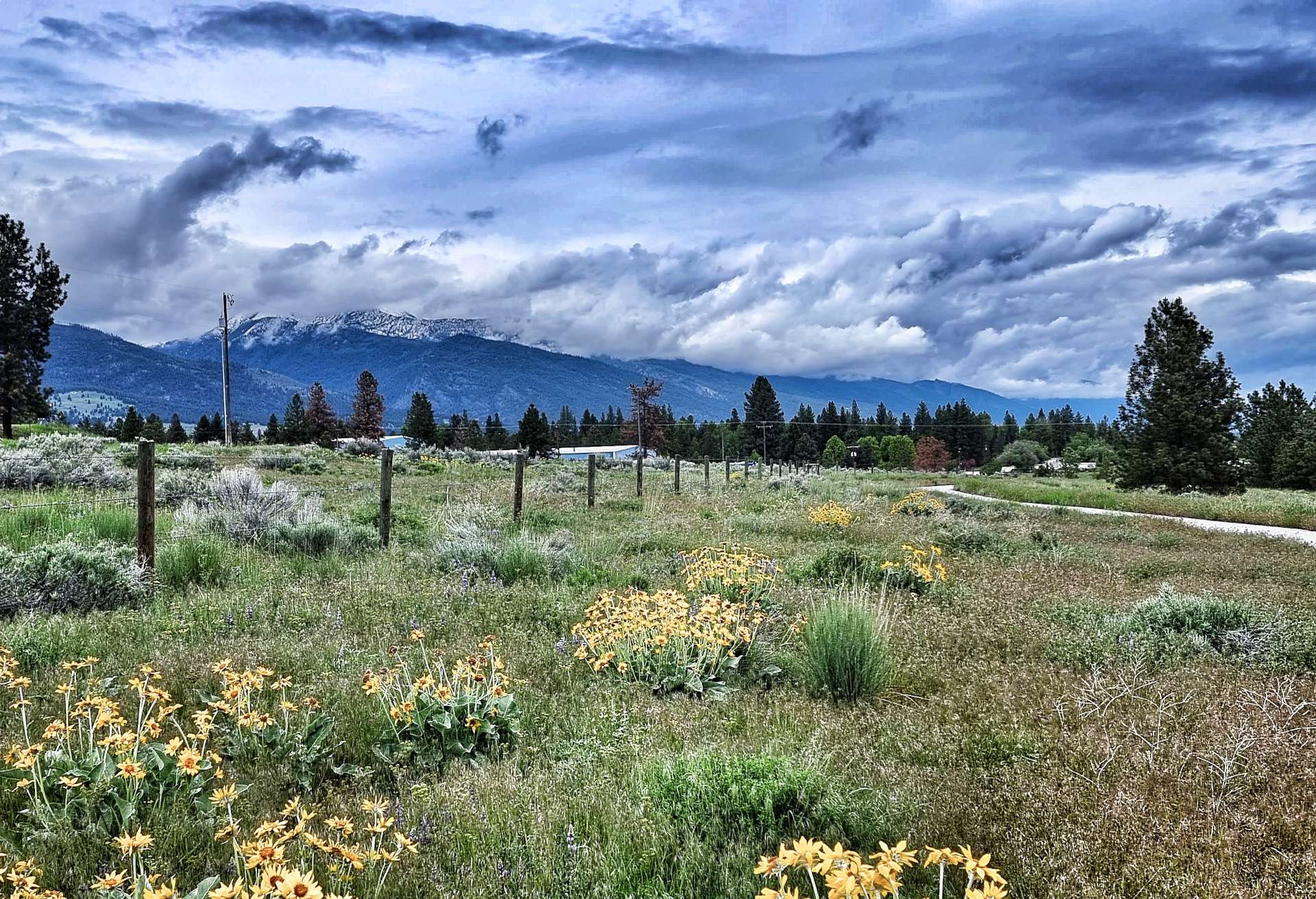
The Bitterroot river was a torrent as it splish-splashed downstream. We were travelling up the valley in the opposite direction, so were gradually climbing as we made our way to Sula. This was our great hope for a coffee stop, but sadly they didn’t open on Mondays, so we had to tackle the climb in a caffeine depleted state!

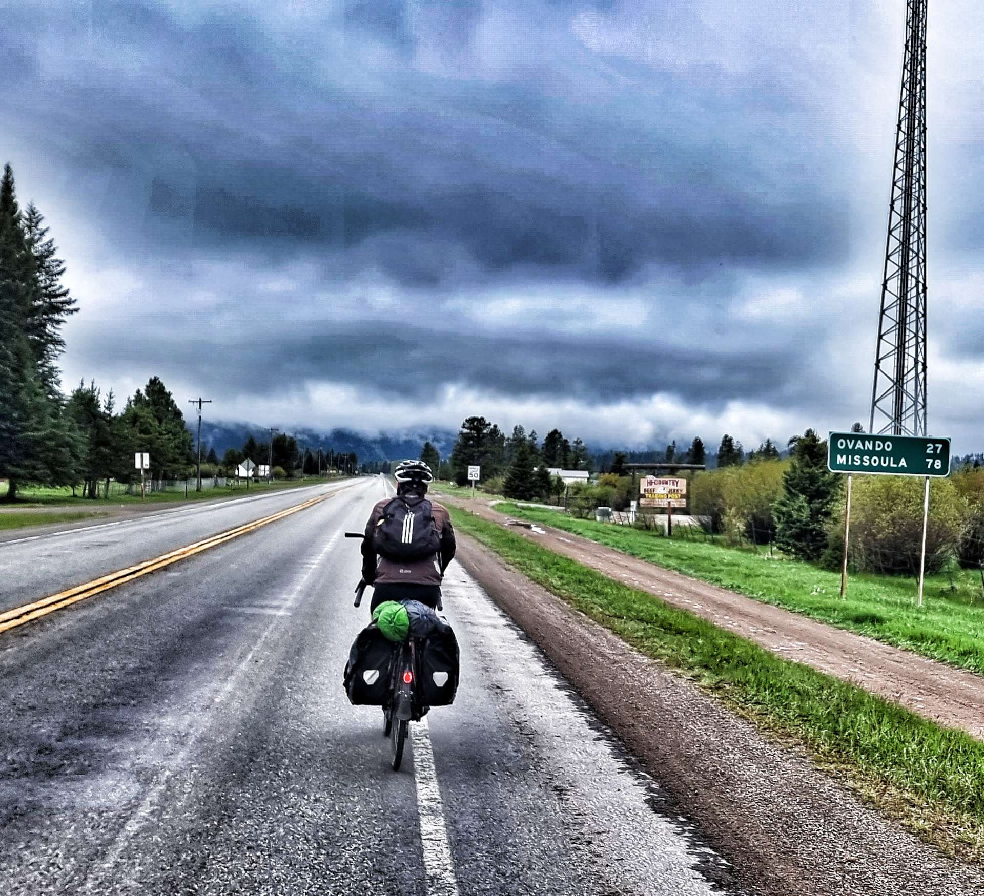
At the moment, we’re following the Lewis & Clark Trail – Meriwether Lewis was tasked by President Jefferson with exploring lands west of the Mississippi river that comprised the Louisiana Purchase. William Clark was his co-leader & between 1804 & 1806 they covered 8,000 miles as they sought a route across The Rockies to the Pacific Ocean. Sula was an historic spot where Lewis & Clark were welcomed by the local Indian tribes.

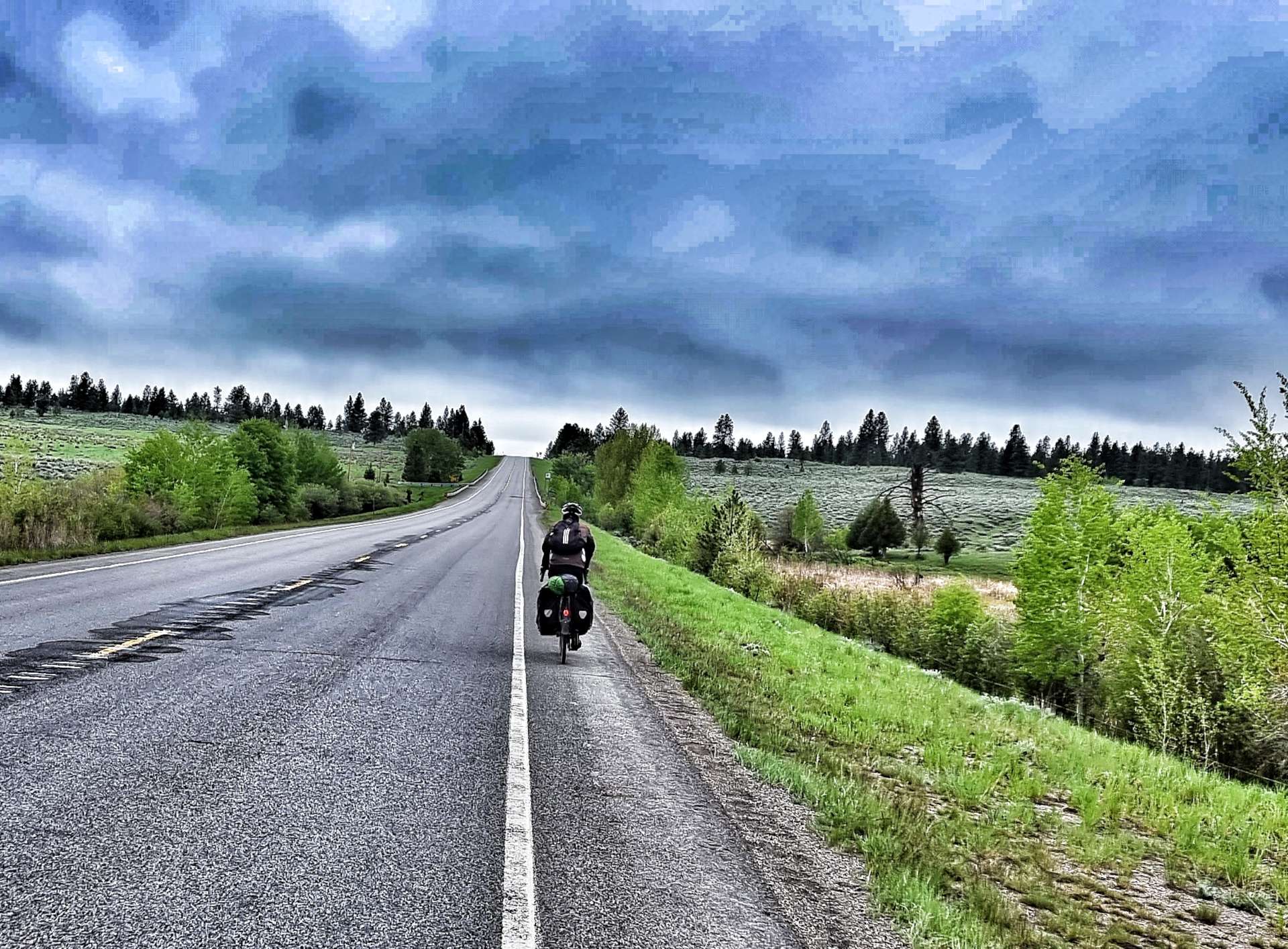
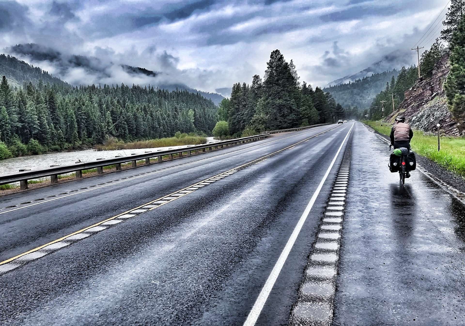
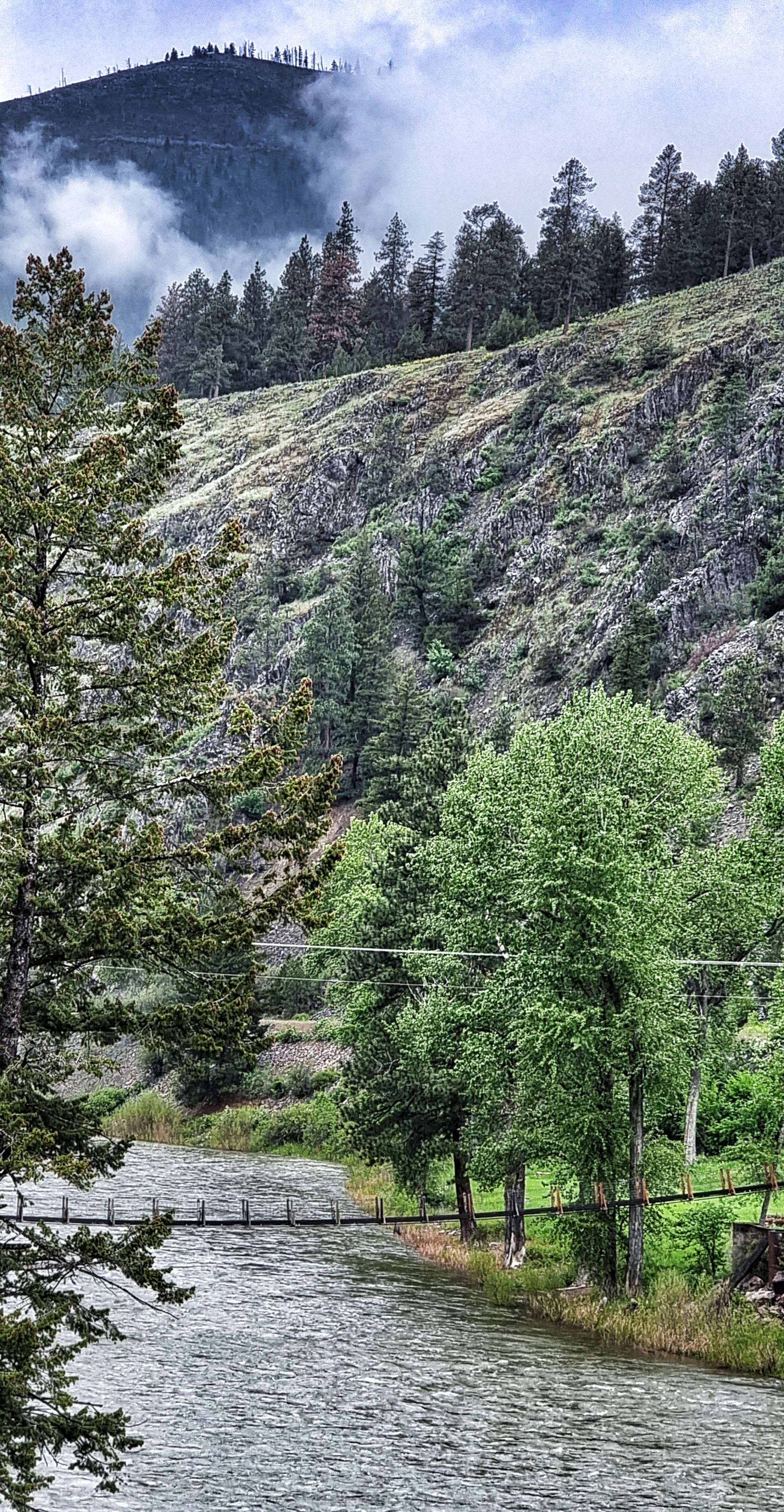
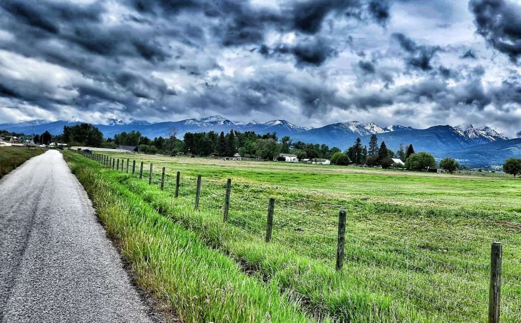
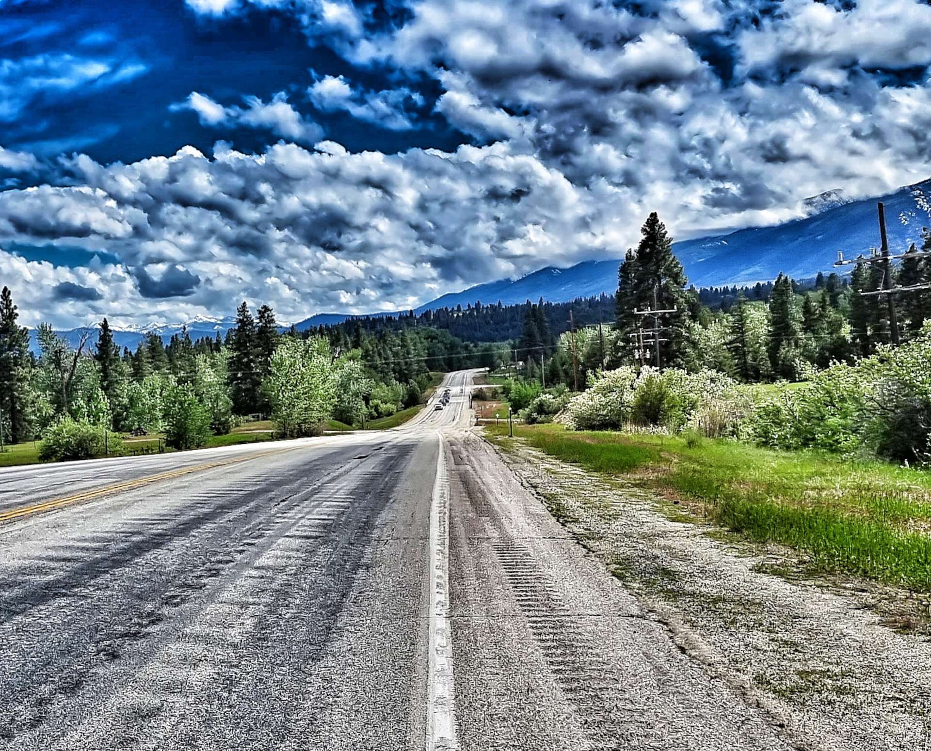
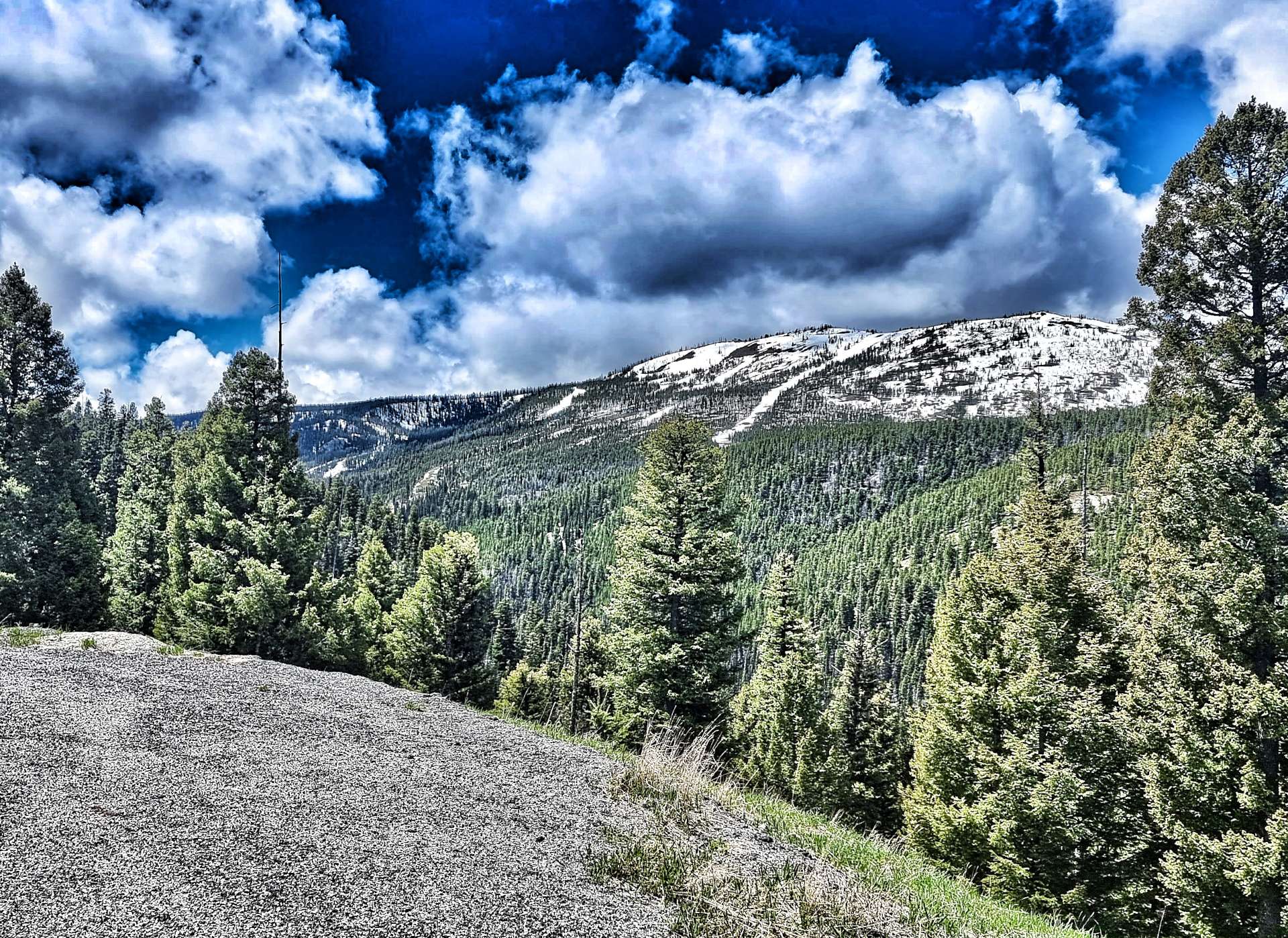
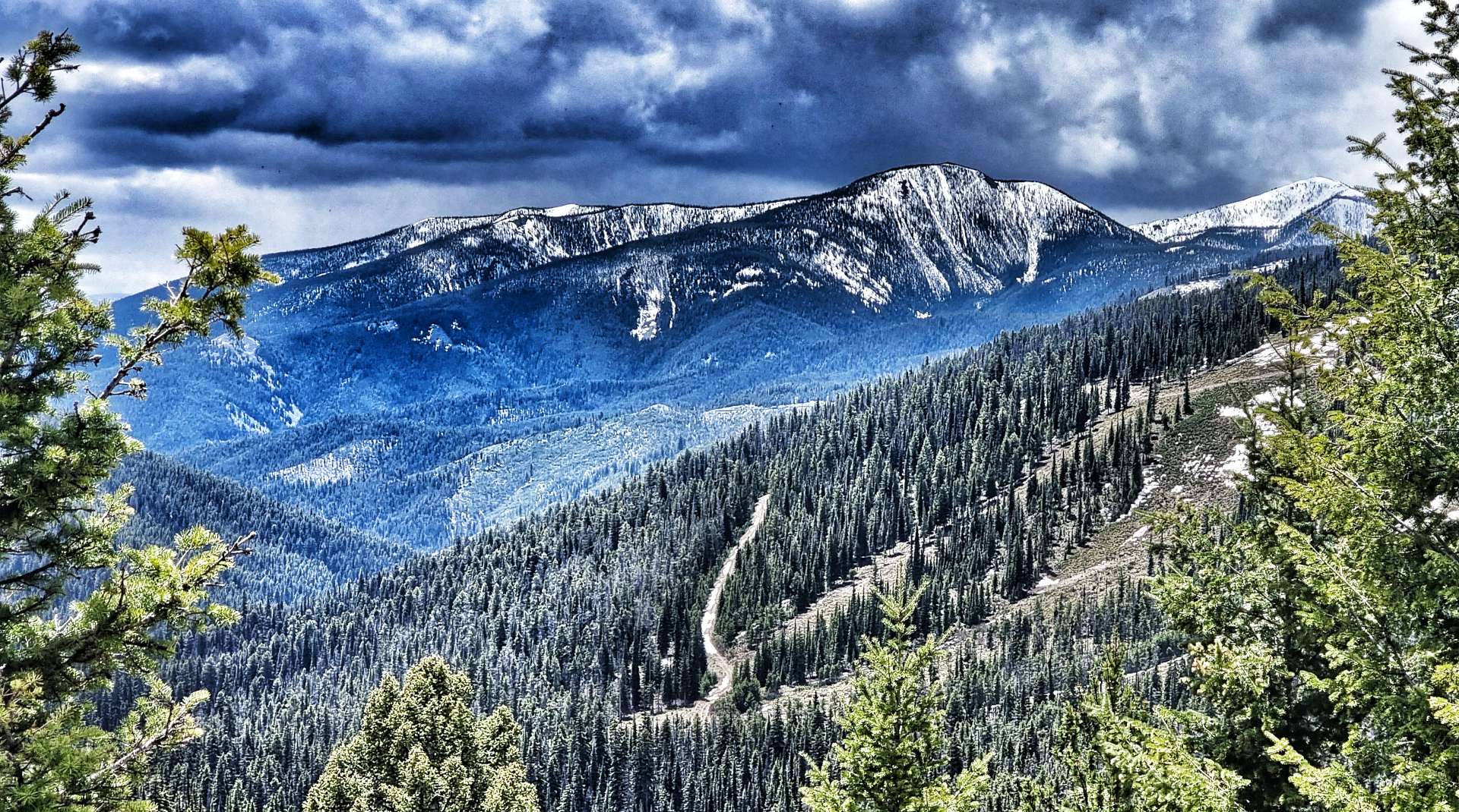
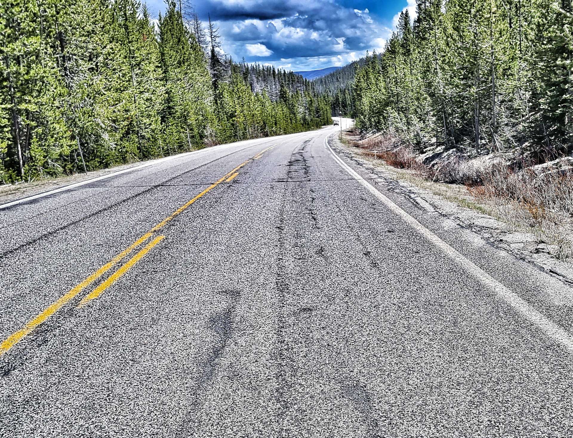
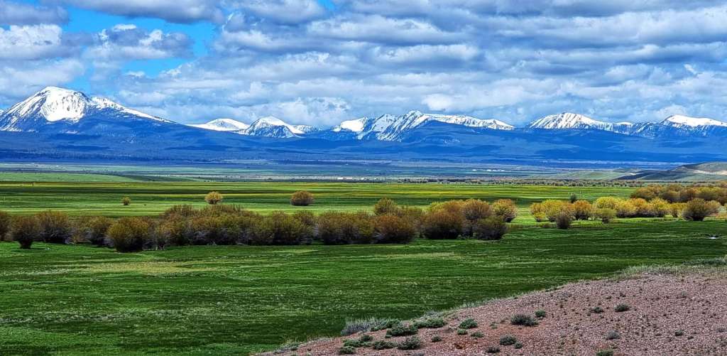
As we left Sula behind, the start of the Lost Trail Pass climb began in earnest. On the early slopes we were surrounded by high mountains in all directions, but over the next 14 miles we climbed from about 4,500 feet to 7,200 feet ASL. We were now looking across to the mountain peaks, rather than looking up. We were also almost up to the snowline once again.

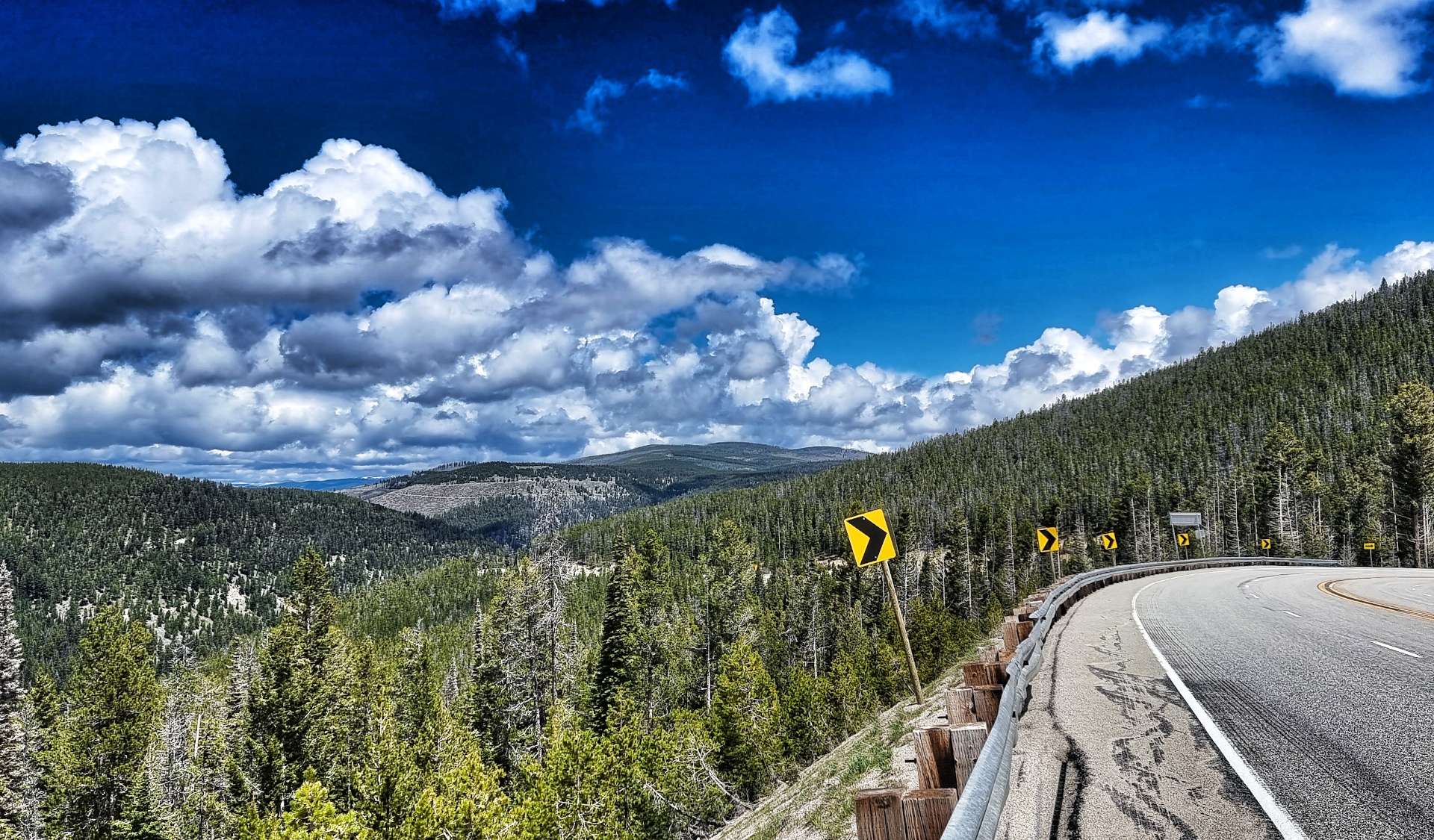
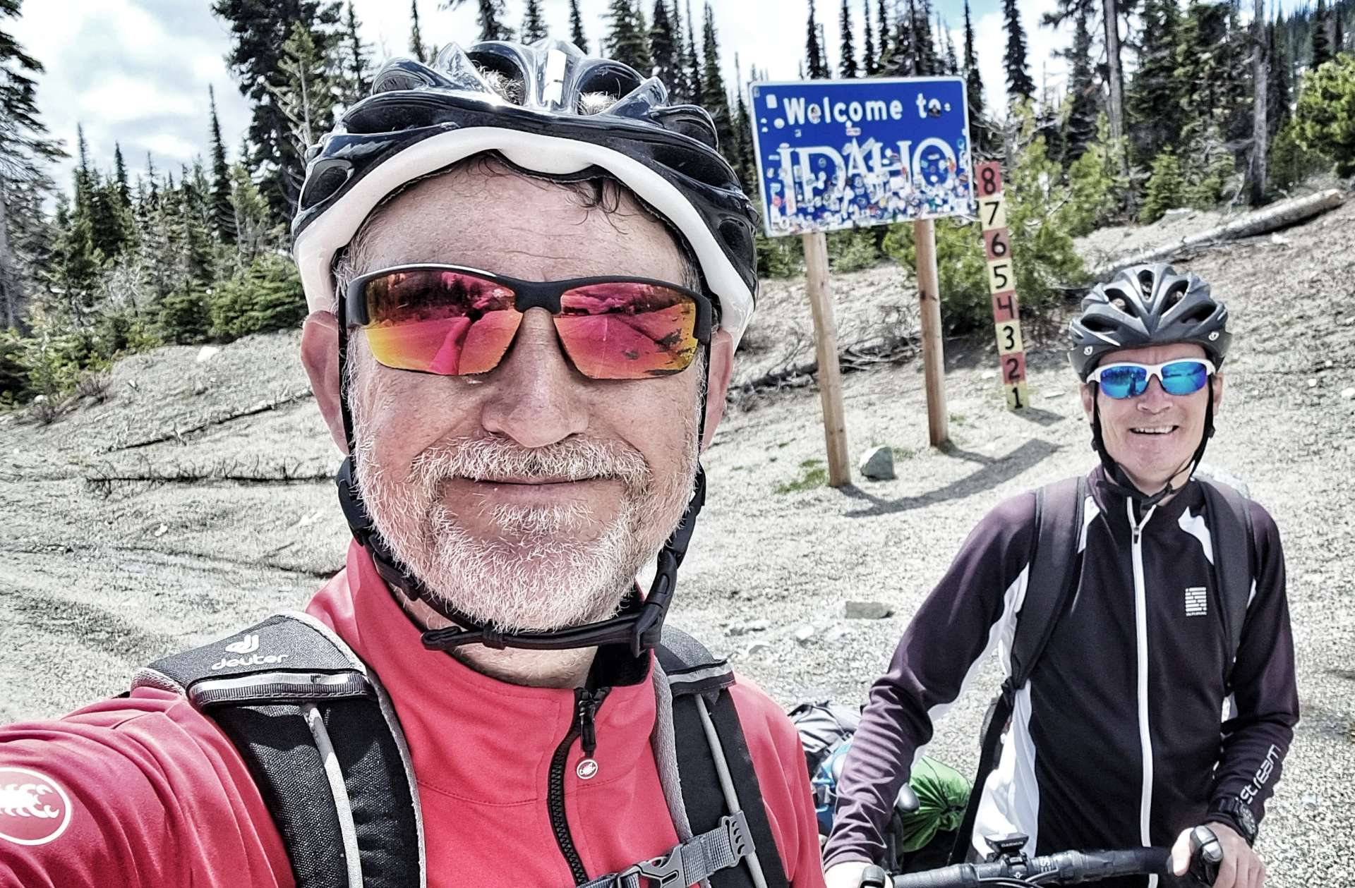
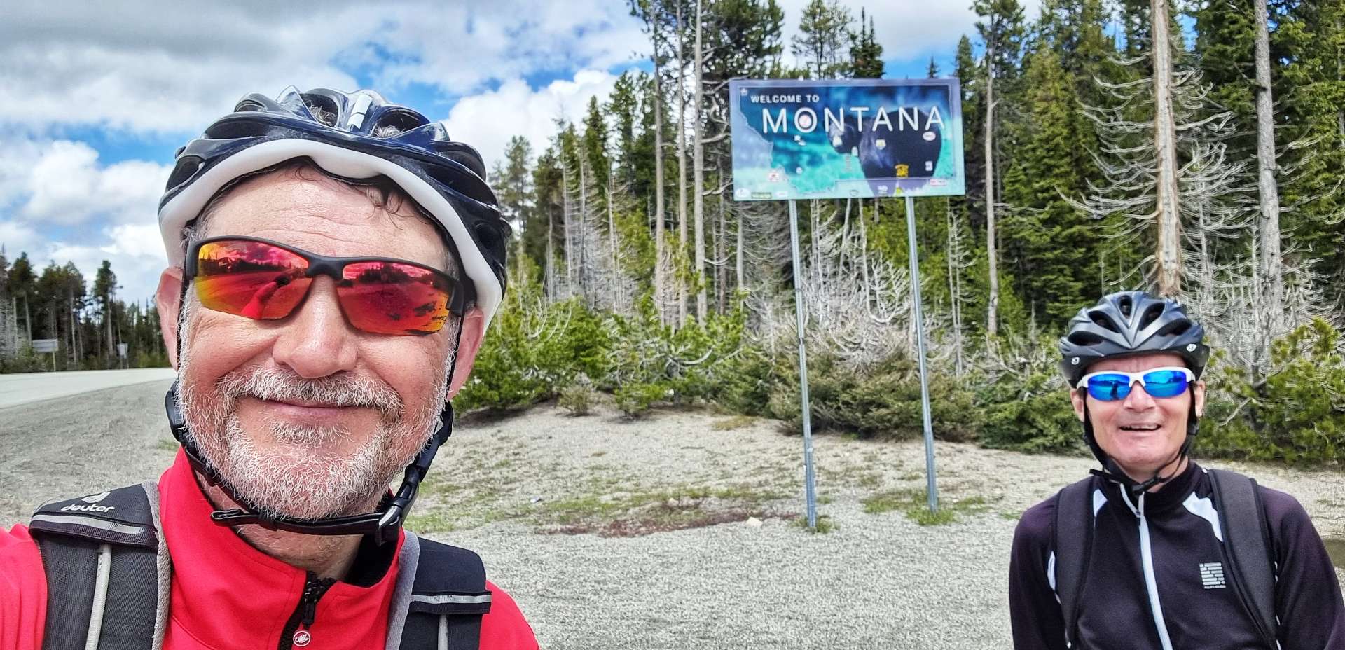
As we reached Gibbons Pass (the highest point of Route 93, we briefly passed from Montana into Idaho (we decided not to change back to Pacific Time!!). We took a left turn onto Route 43 & immediately returned back into Montana, as we climbed another few hundred feet to the summit of Loss Trail Pass. Down below we could make out the road we’d been climbing.

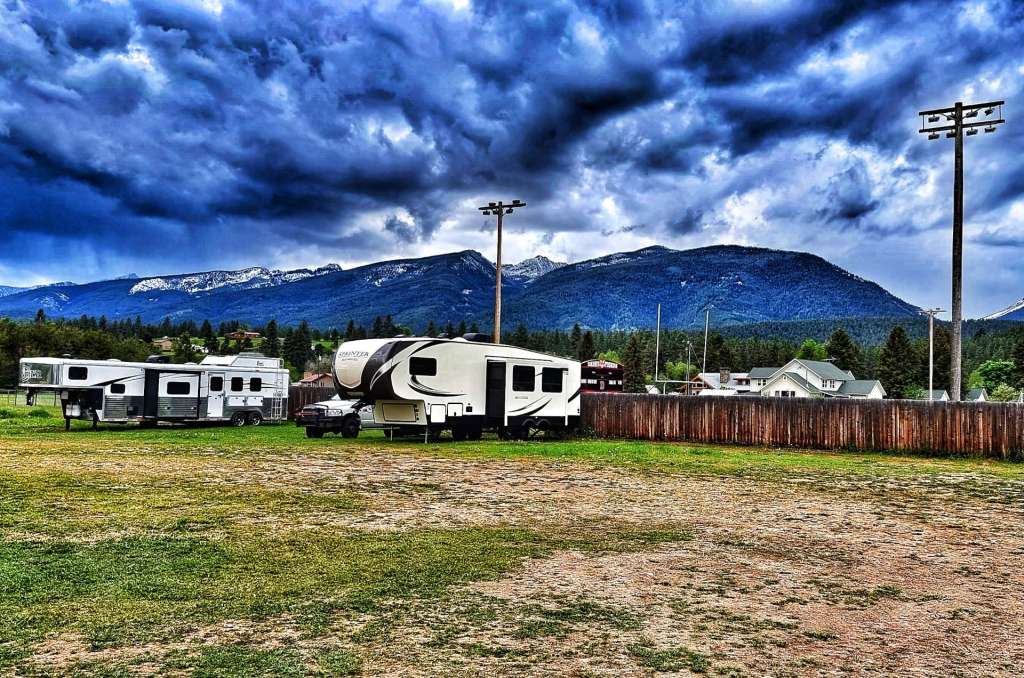
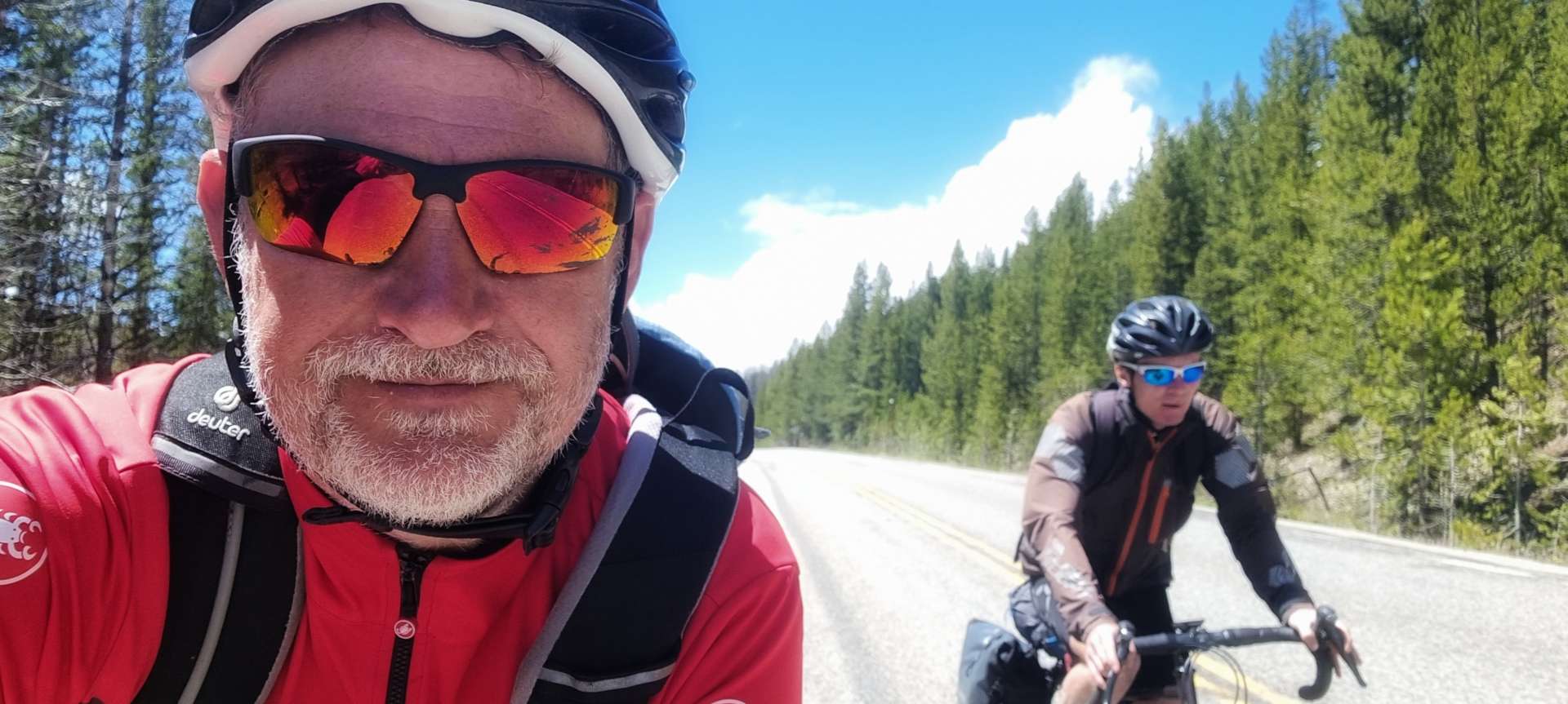
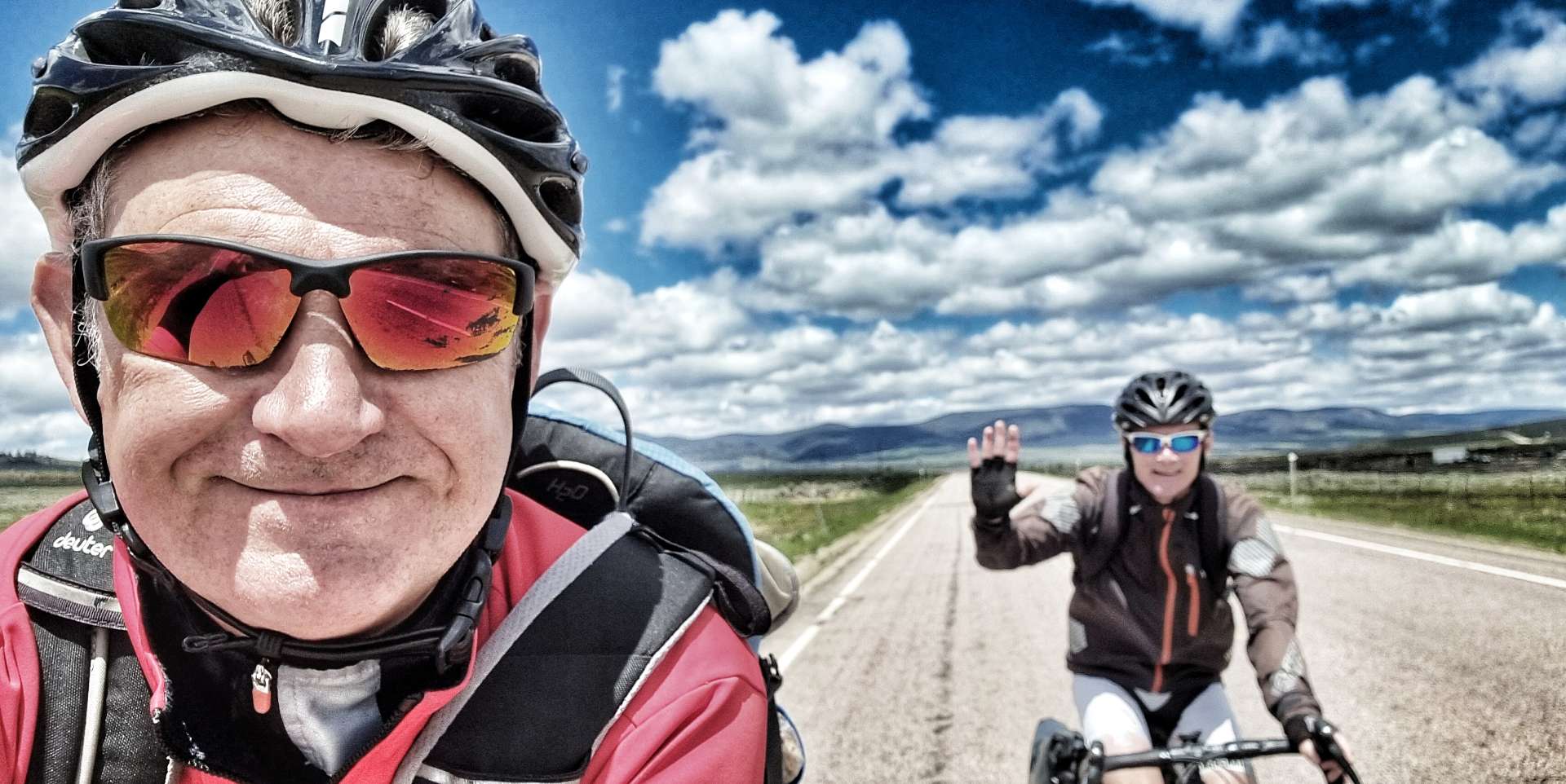
We met Jordan at the summit, another long distance cyclist who was travelling in the opposite direction. We chatted for about 20 minutes or so as he waited for his buddy to join him at the summit of the climb – we shared our experiences, as well as suggestions for places to visit & avoid. We’d been planning to stay at the American Legion Campground in Wisdom, but Jordan advised that the Big Hole River RV Park had better facilities & 2 showers thrown into the price! We made an instant decision to change our plans for our overnight stop.

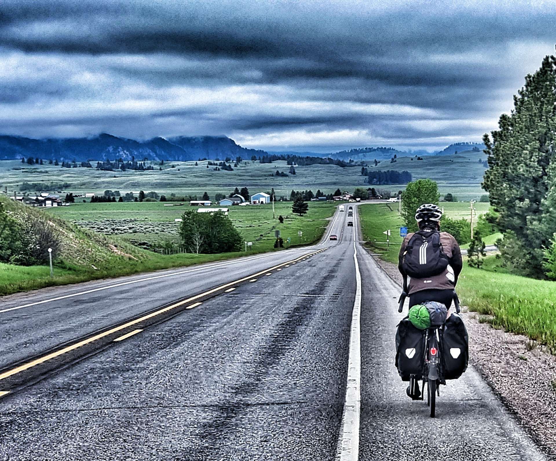
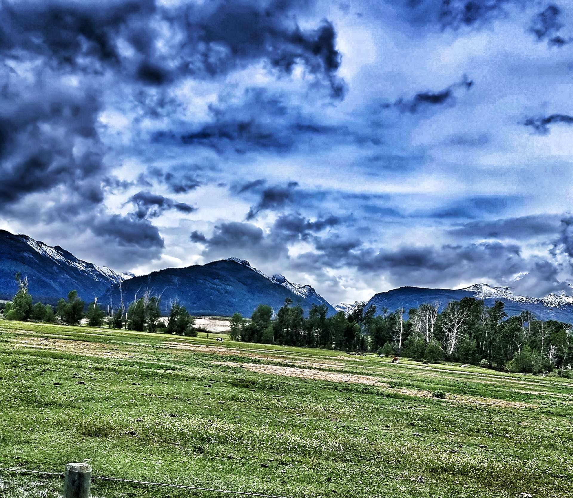
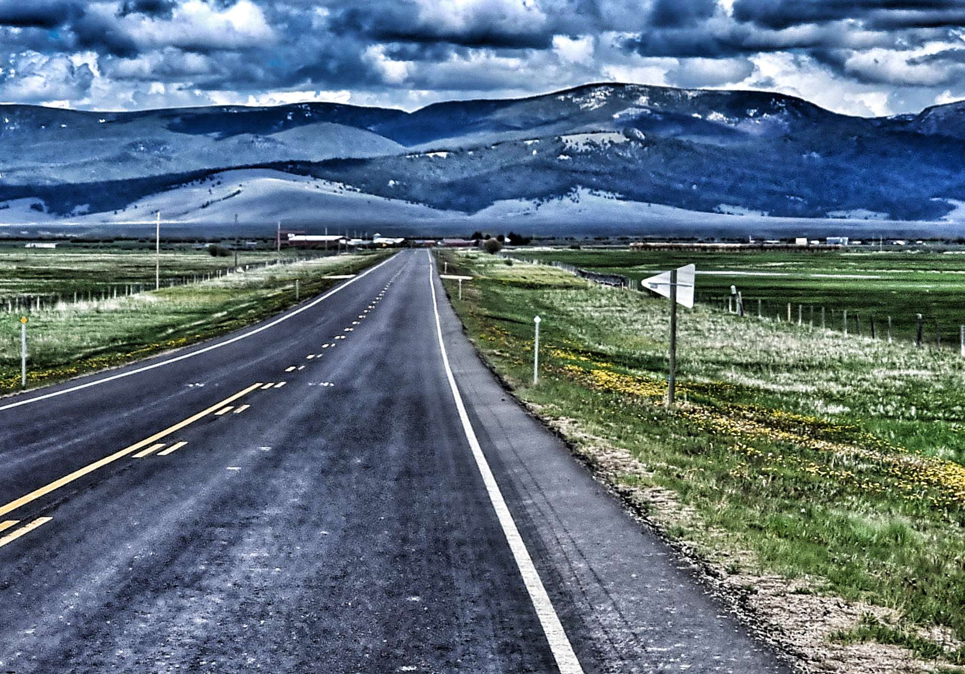
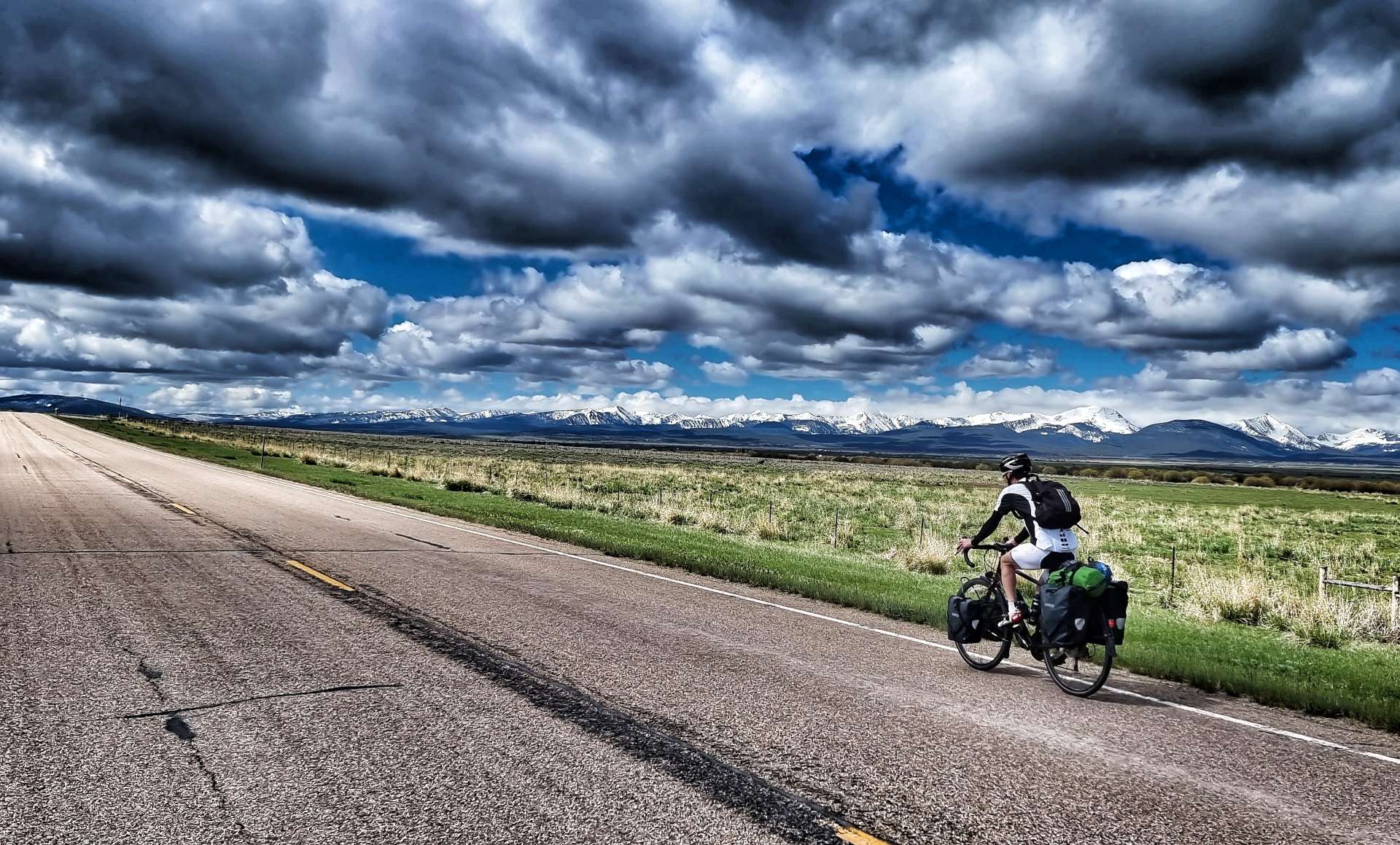
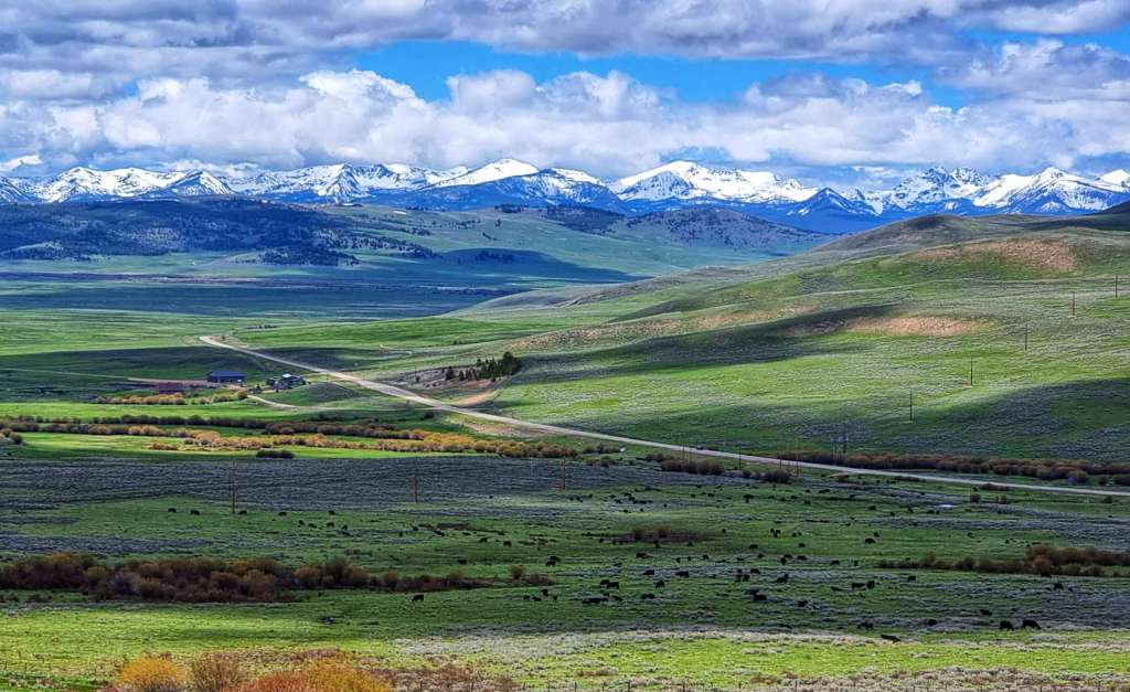
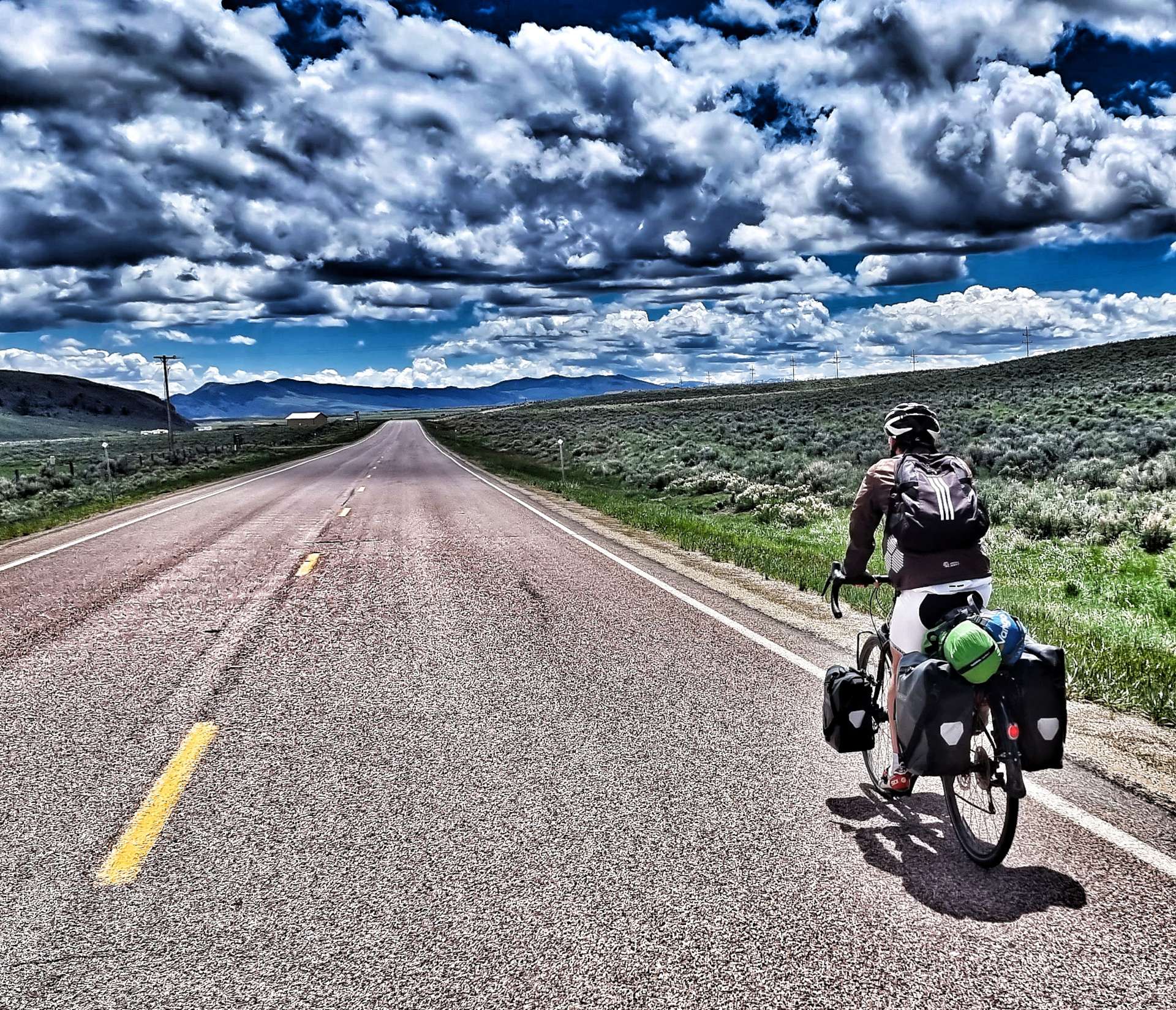
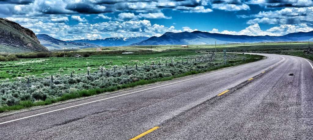
We descended into the Big Hole Valley on wide two-lane road that was deserted. As we plummeted towards the valley floor the gentle curves in the road were visible way into the distance. I only used the brakes once on the descent & that was to let Sean get in front so I could take a photo of him!

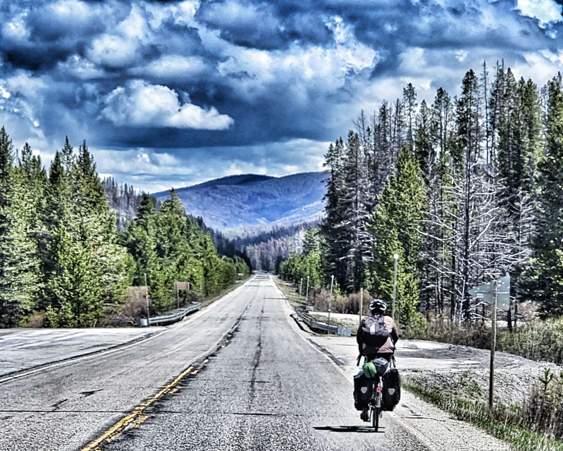
To add to our sense of happiness, we picked up a tail wind as we rolled along the valley floor, along the way passing through a part of the forest that had burned in a huge fire last year. It took in the region of 200 fire fighters to eventually bring it under control. We also passed Big Hole National Battlefield – in 1877, the Nez Perce Indians were forced on a 126 day journey that spanned 1,170 miles & 4 separate states. On 9th August, US Troops surprised the Nez Perce killing between 60 & 90 men, women & children. 31 Troops were also killed during the raid. Big Hole National Battlefield was created to honour all those who died. It didn’t feel right to take any photos while I was there.

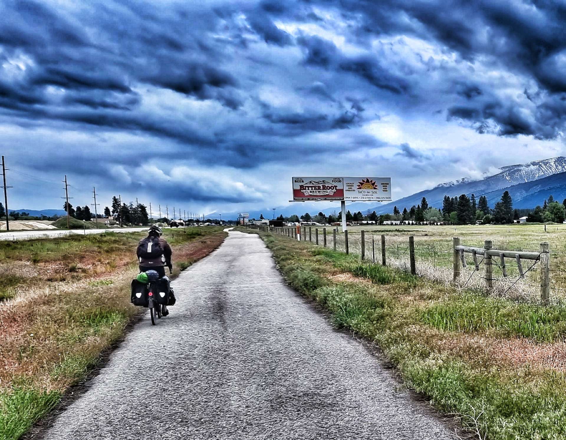
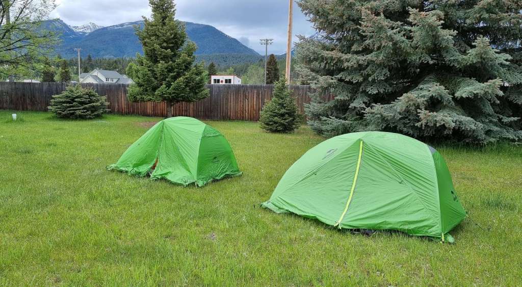
As we left Big Hole, the road changed direction & our tremendous tailwind became a sinister sidewind. The final 5 miles were tough work, but we’d had help for most of the previous 10 miles, so we’d still had the better of the conditions. Pulling in to Wisdom we saw that we’d just beaten some rain laden clouds into town & we headed straight for Big Hole River RV Park, realising that we’d likely be having another damp night in the tent.

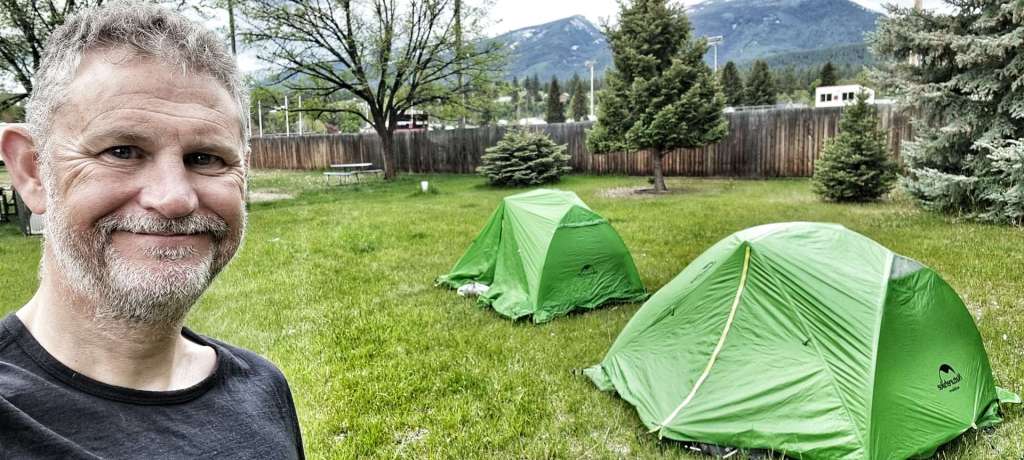
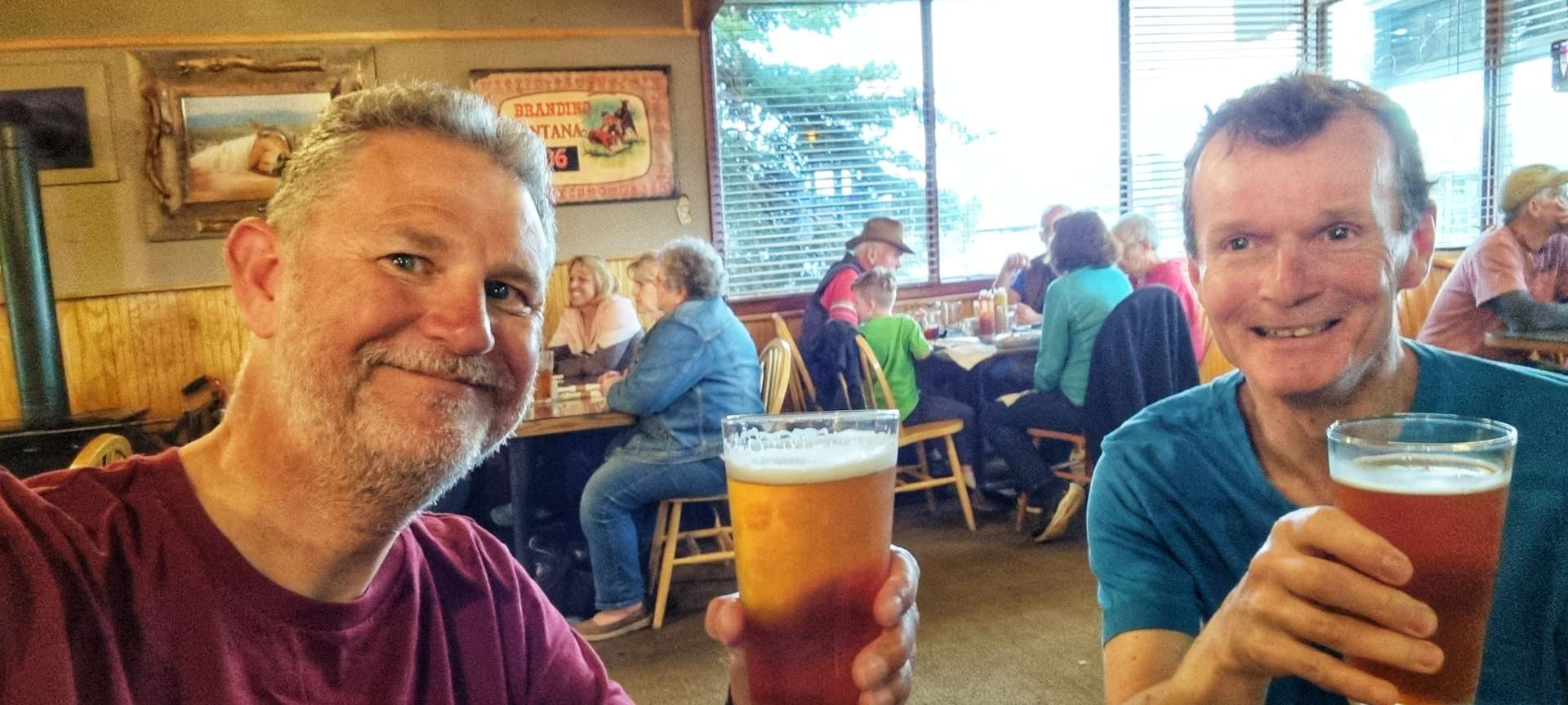
However, someone was looking after us, as right next door was Nez Perce Motel & they had two rooms available for $79 each. Fate had handed us a way out of sleeping in a wet tent, so we took full advantage of the opportunity to sleep indoors! We turned on the heaters, re-arranged our rooms so we could dry out our camping kit & went for a pint to celebrate 🙂

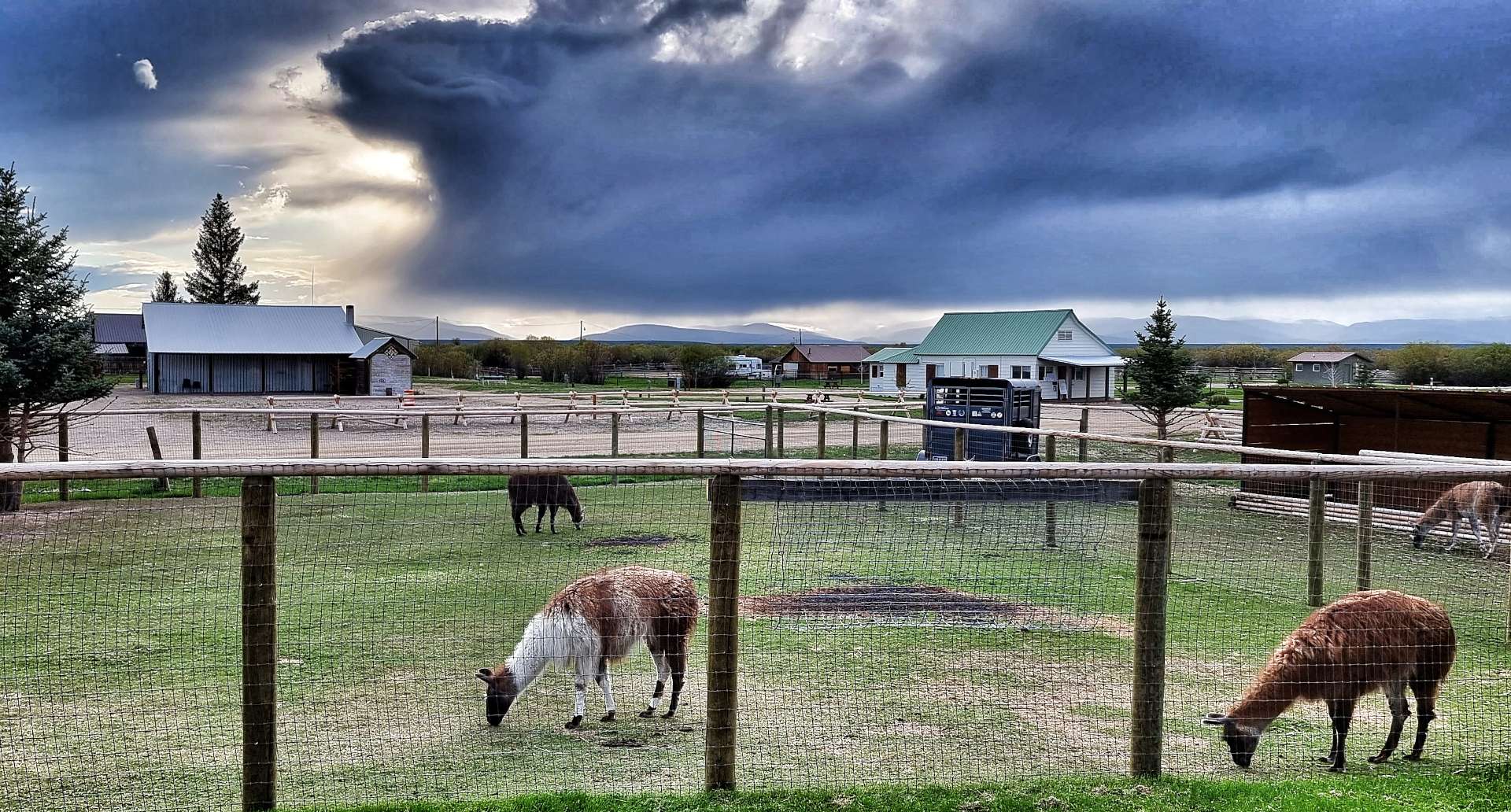
The rains didn’t come during daylight, which meant I could get a couple of photos of the sun setting behind the herd of alpacas that were in the enclosure outside our rooms. As I turned out my light, I could hear the rain starting to patter against the window – what an awesome day we’d had once again!

Stage Stats – 59 miles, 3,422 feet of climbing. Gradually ascending until the climb of the Lost Trail Pass. Dry all day, sunshine during the climb & descent of Lost Trail Pass, then racing the rain into Wisdom.

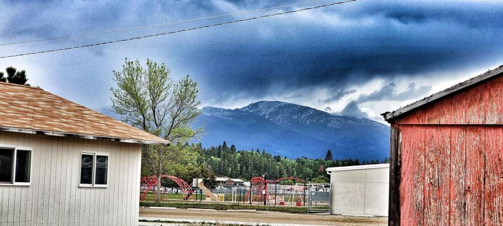
Tuesday 7th June – Wisdom to Dillon (Stage 31)

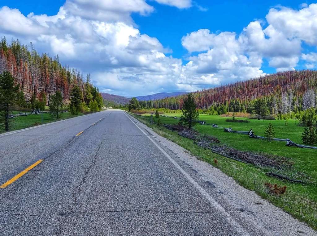
In spite of heavy rain again overnight, we woke to blue skies with cotton wool clouds. All our camping gear was now dry again after our bonus motel stop & we were under way by 9.30am. We immediately picked up Route 278 as we left Wisdom & we passed the “airport” as it’s known in town – in reality it’s a landing strip & was where the fire fighters camped to bring last year’s forest fire under control.

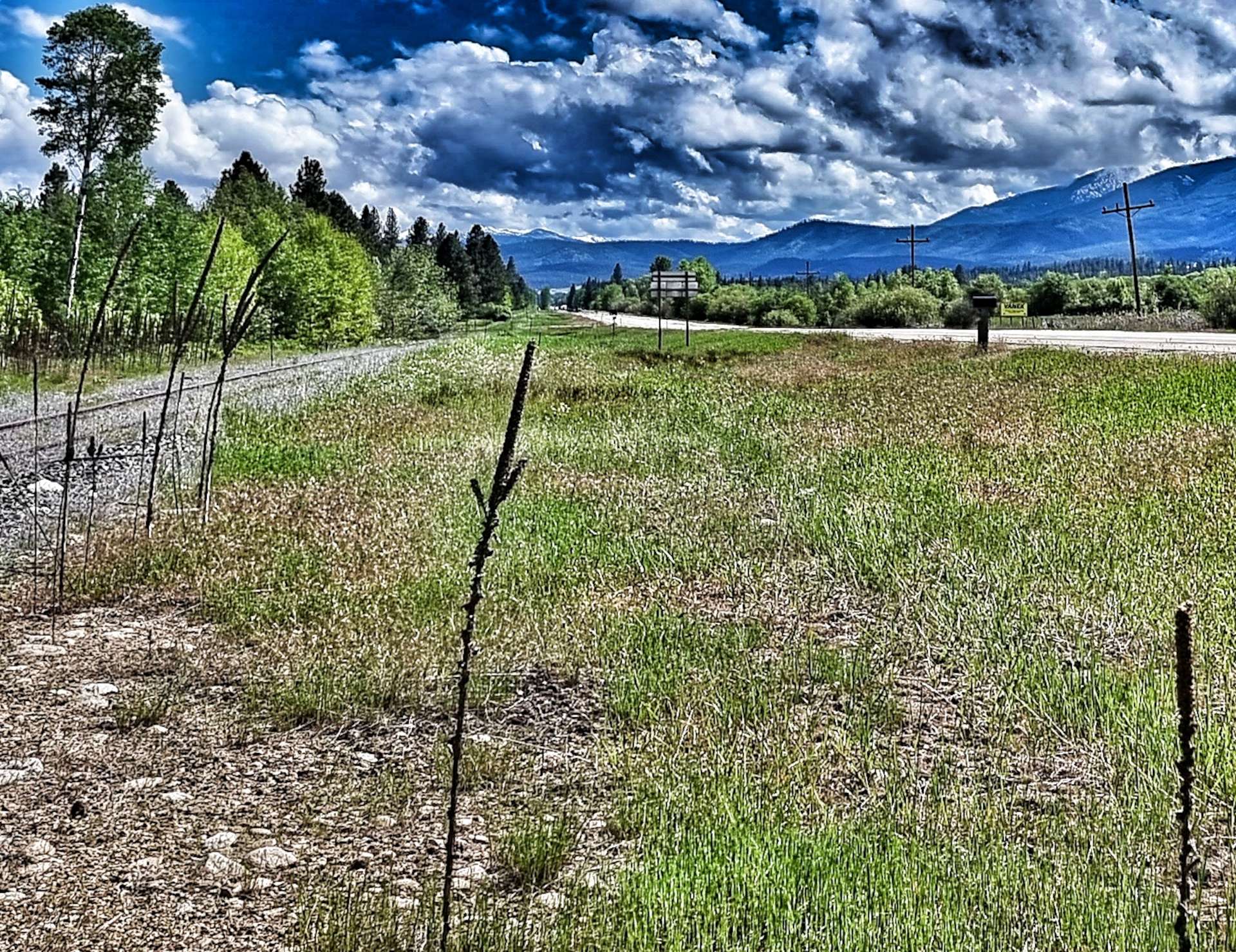
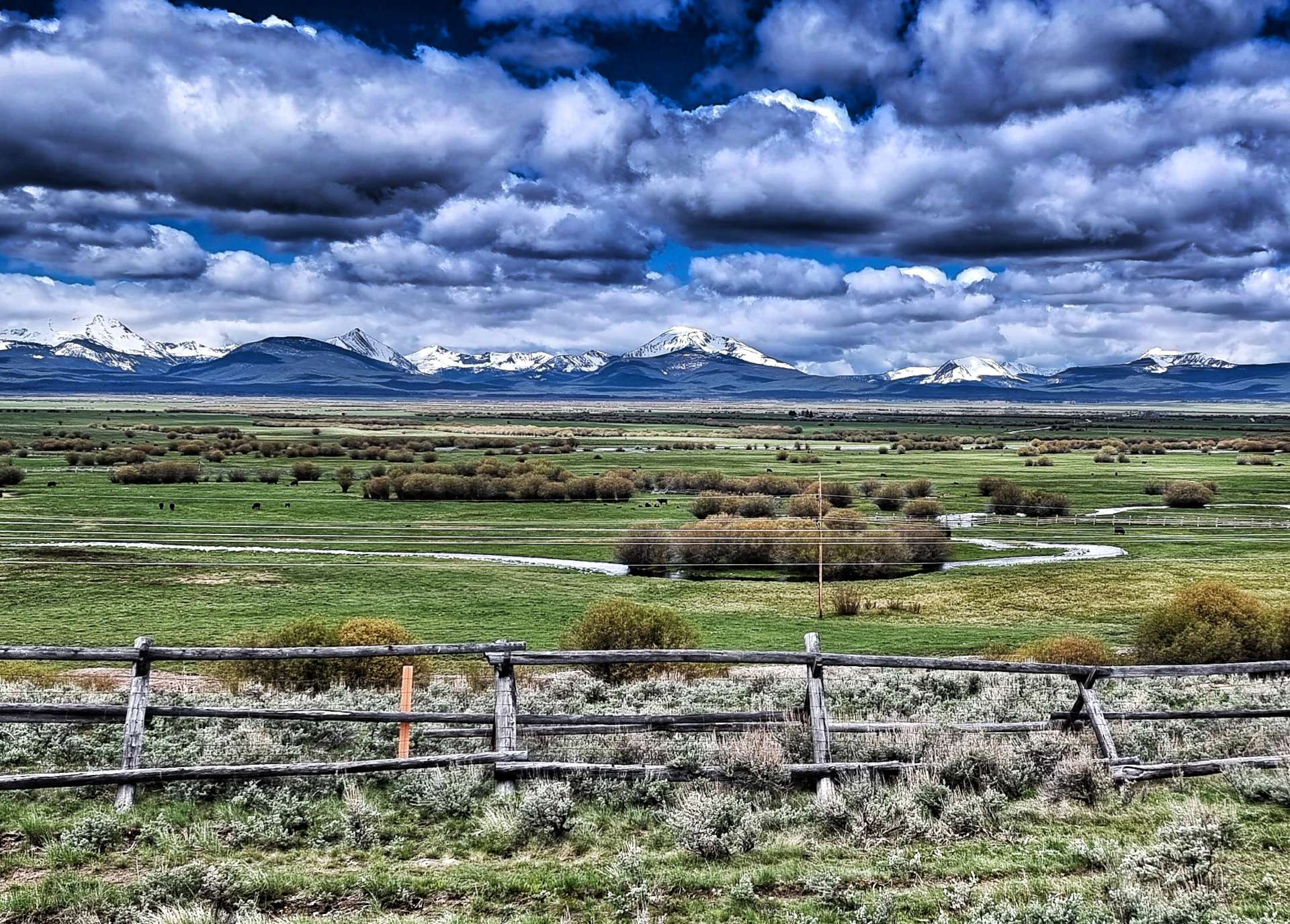
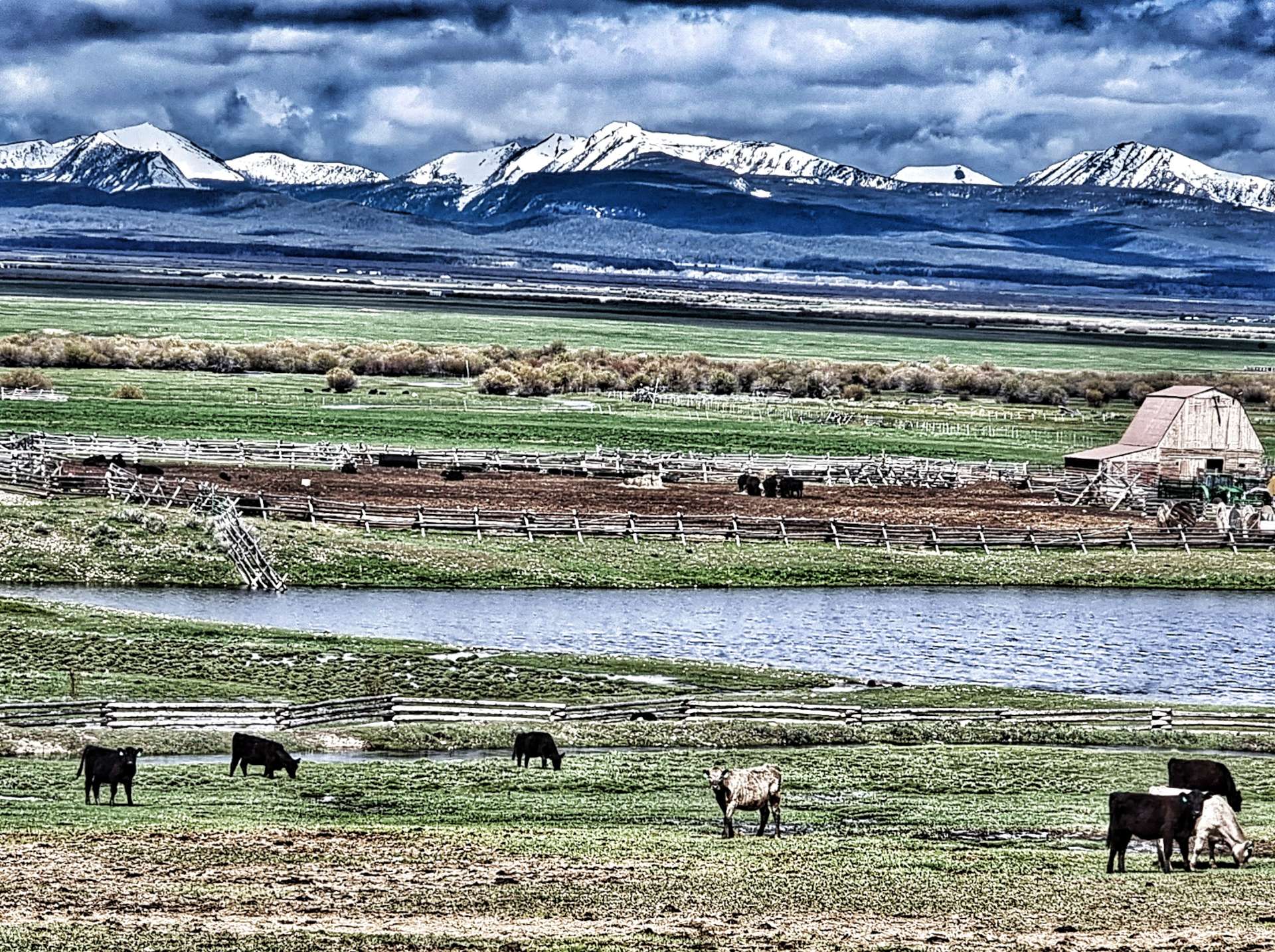
The road was ruler straight for the first 5 or so miles & into a head wind, as we had views of the mountains to our right. The majority of the day we would be in ranching territory, as the soil isn’t fertile enough to grow crops, but is ideal for cattle & horse grazing.

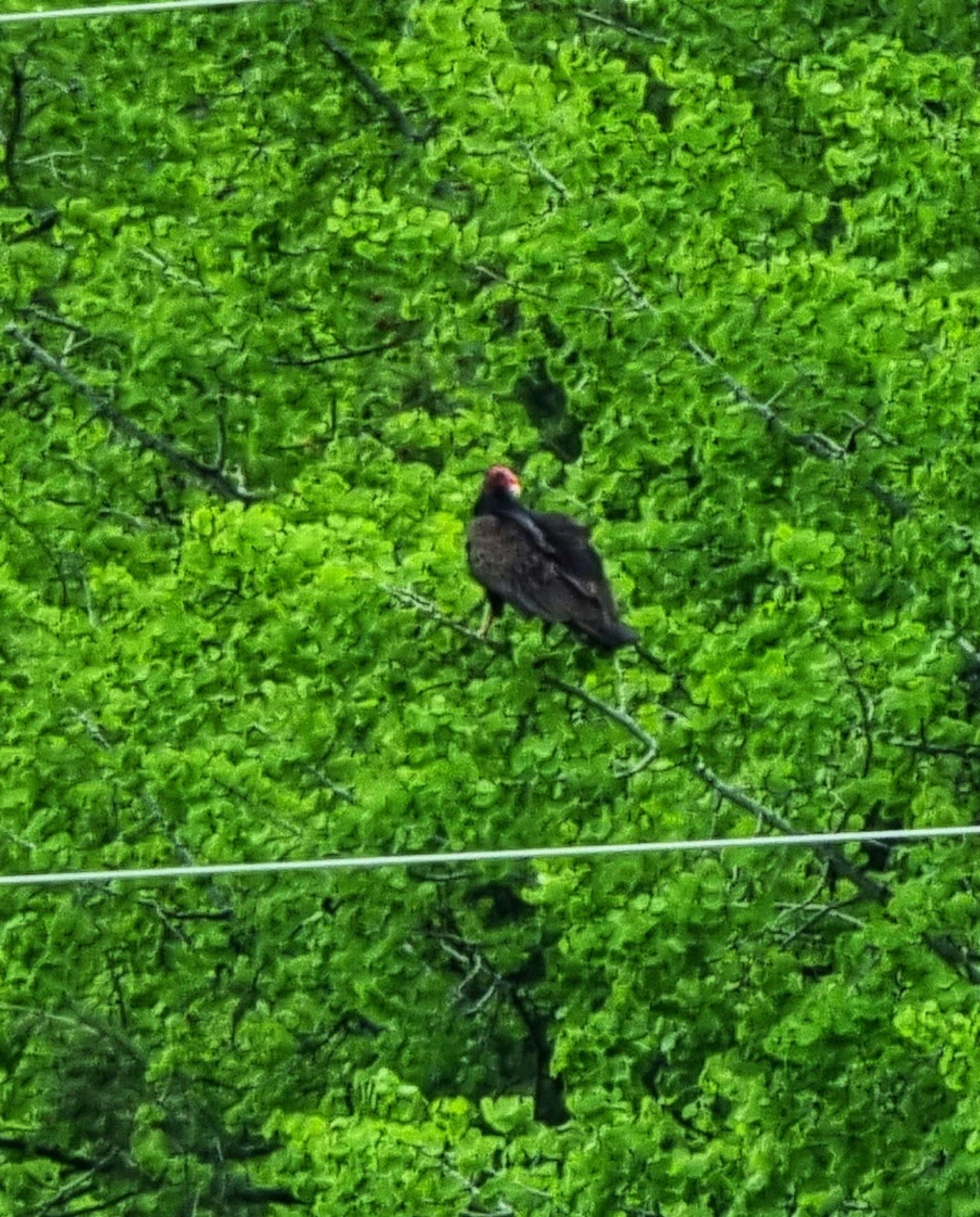
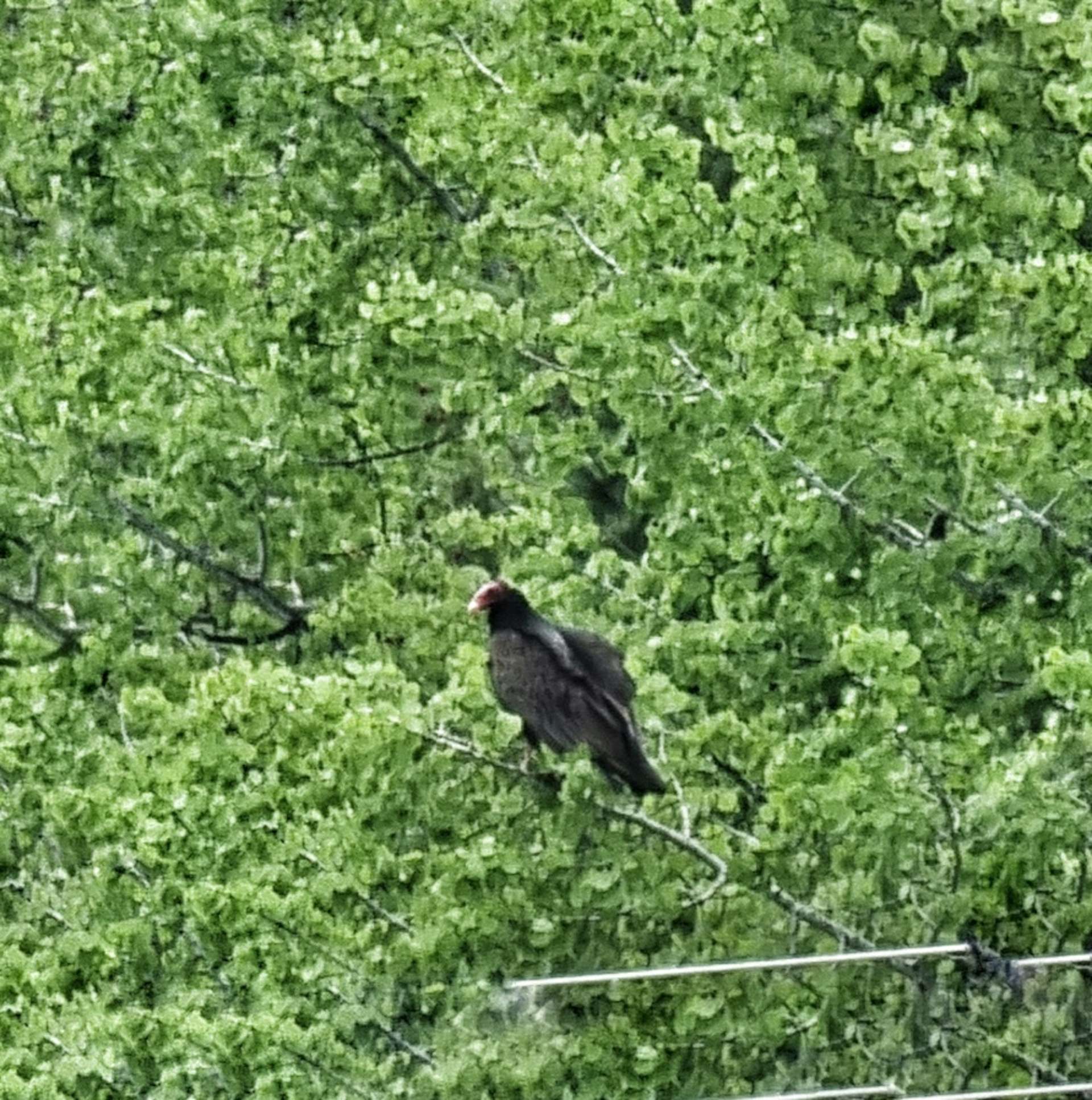
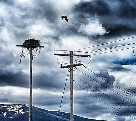
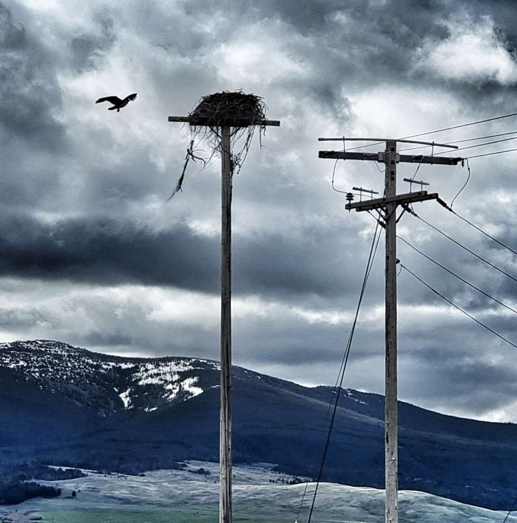
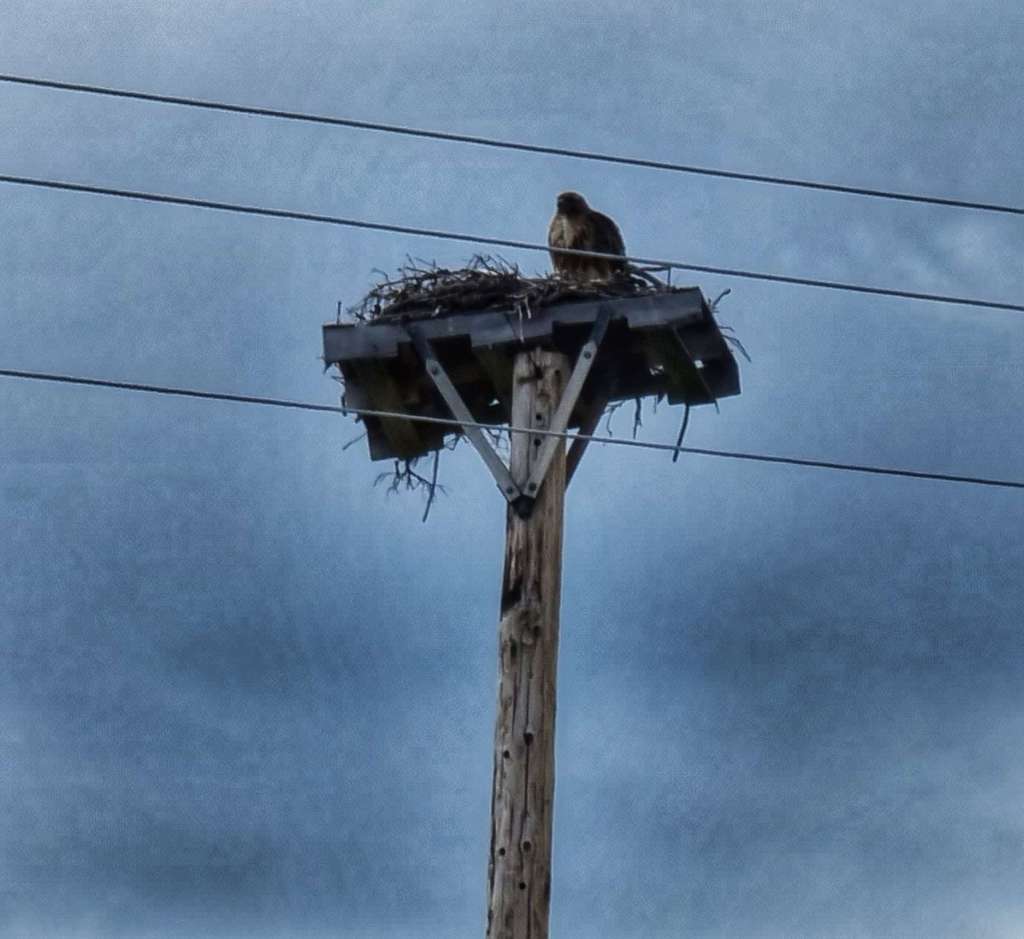
Once more we were fortunate enough to see two separate eagle eyries. The first 2 photos showing the eagle guarding its territory, so we think there may have been a chick in the eyrie. While I was taking photos of our 2nd eagle encounter, there were a scurry of chipmonks playing with each other – they didn’t seem at all bothered by a bird of prey sat watching them.

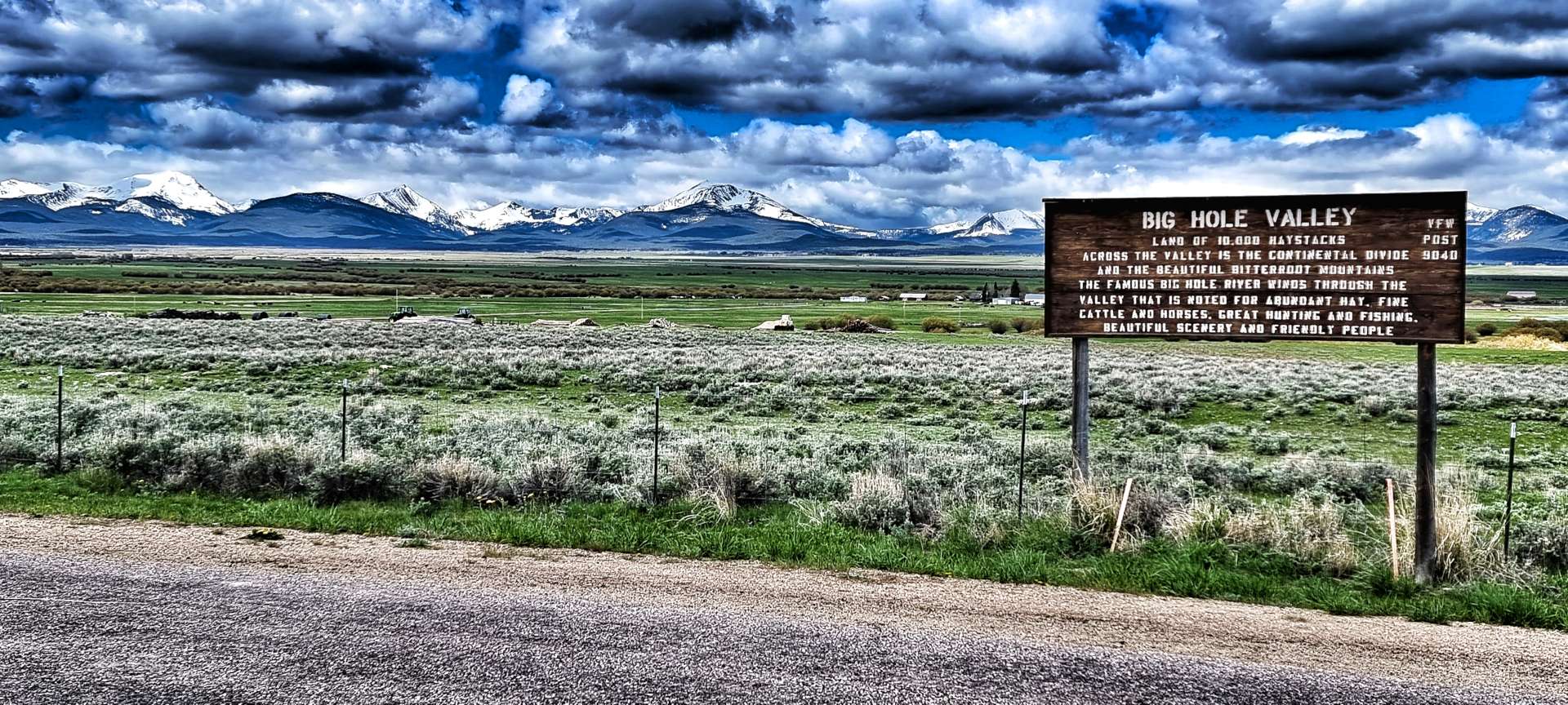
As we reached Jackson, this was our one & only possibility of finding somewhere open for coffee – the town’s only shop was closed for the day, so we would be riding in a decaffeinated state again. Big Hole valley is known as the land of 10,000 haystacks, because of the superior quality of its grassland & it’s also where the “beaver slide” was first developed as a method of stacking hay. Heaps of it look like giant loaves of bread!

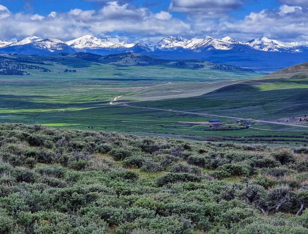
The first big climb of the day was ahead of us. Although it wasn’t a long climb, it was relatively steep at 7%. As we turned through 90 degrees, we could make out the road way below us. The good news was that although I was only doing 4 mph, the climb was over in little more than 30 minutes. The final photo below was taken at a Historic Marker where the history of the valley & the nearby ranch is described in detail.

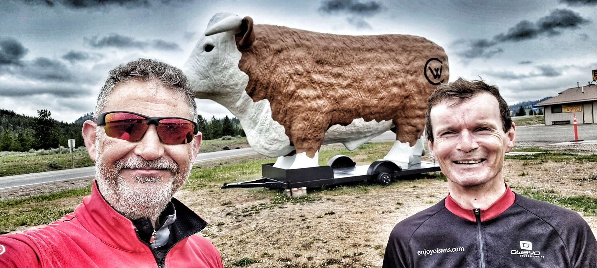
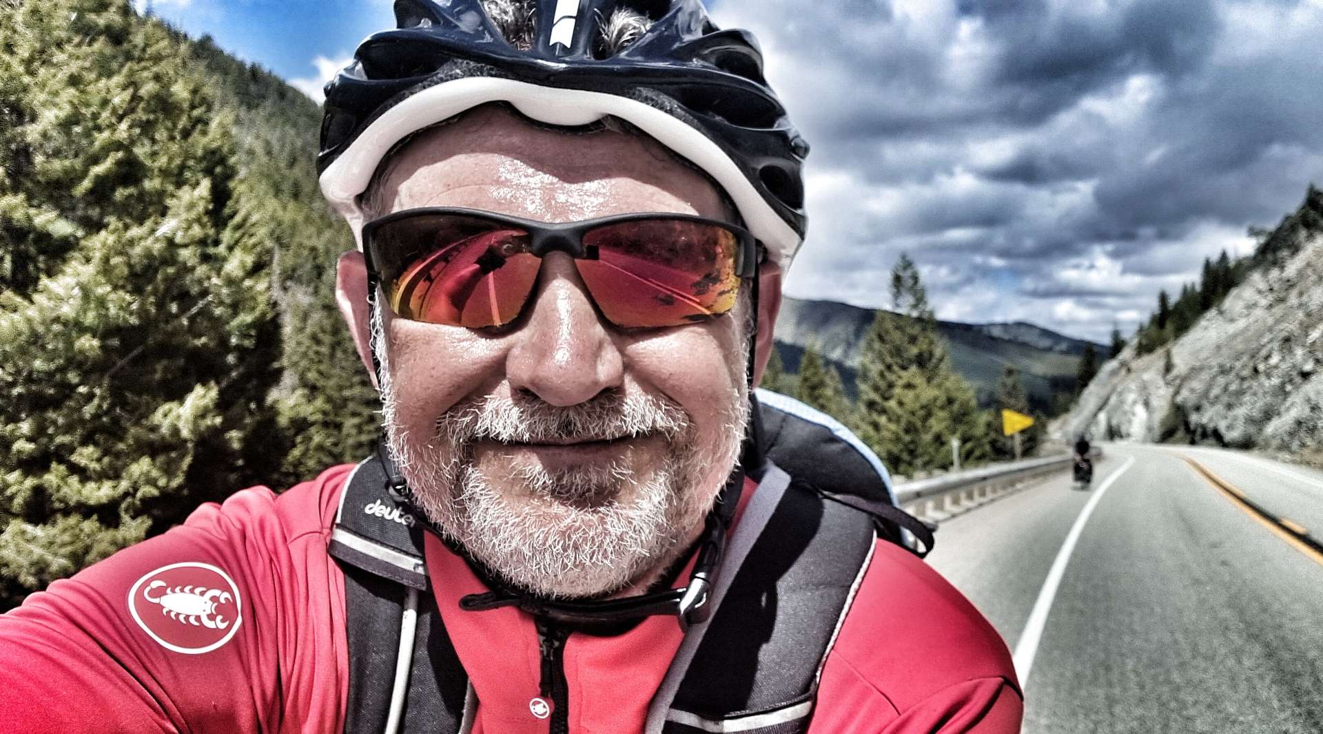
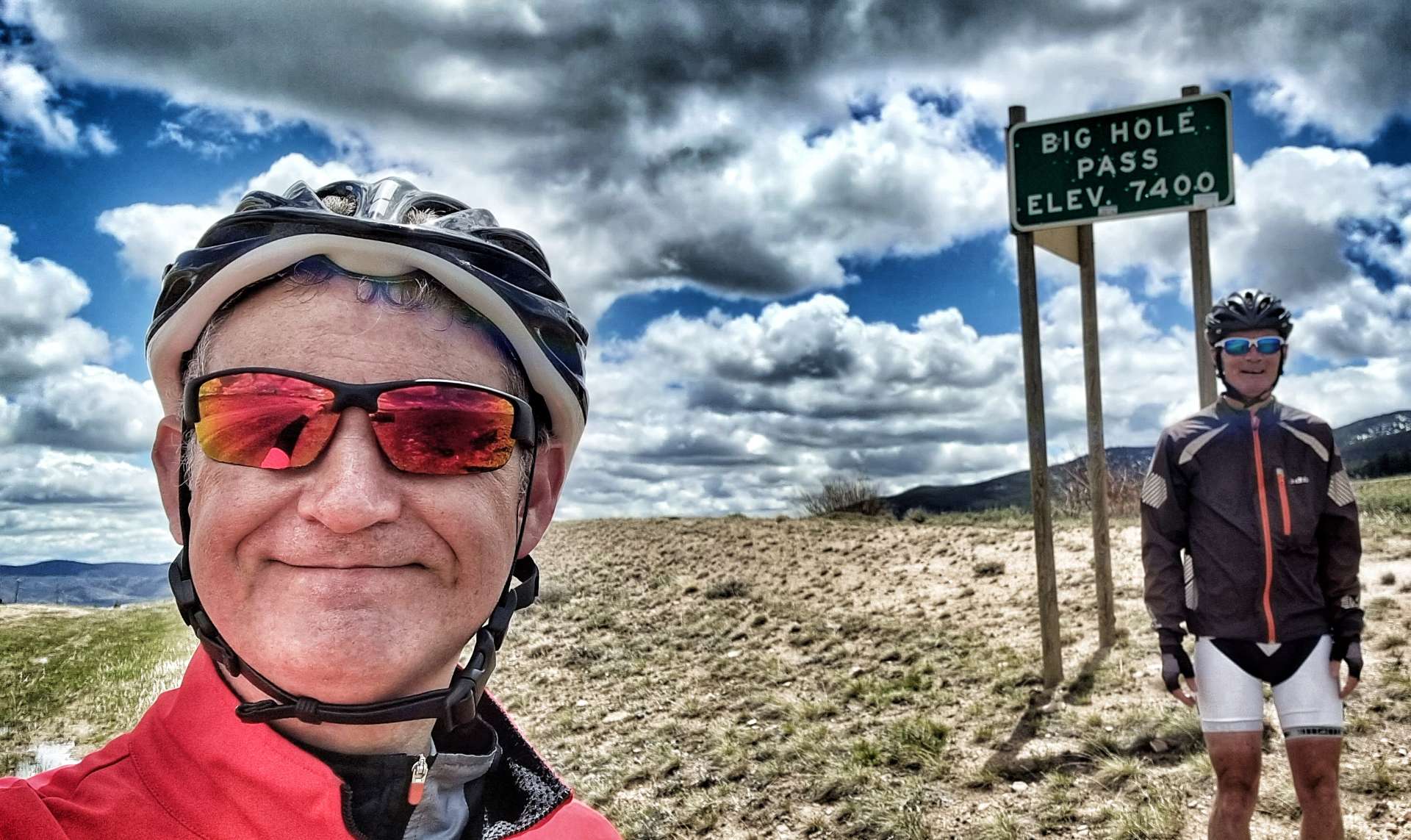
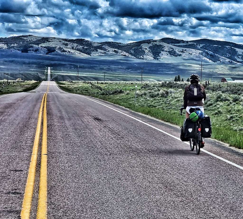
We stopped at the summit of Big Hole Pass for our customary photo, then enjoyed the fastest descent of the adventure so far – I clocked 47 mph on a straight & empty road, with a slight tailwind. I’d slowed considerably when I took the photos below.

We were now in the Lemhi Valley & we got blown forward by the tailwind when we reached the valley floor, reminding us both of the day we were turbo boosted into Cut Bank, happy days indeed!

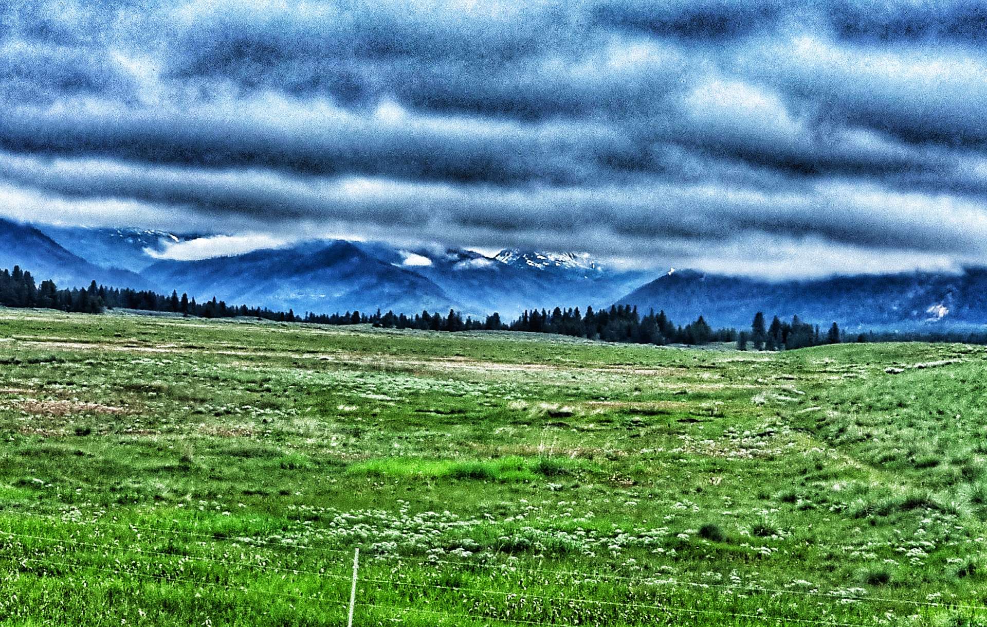
All good things come to an end however & it wasn’t long before we could see our next challenge on the horizon. Beaverhead Pass was another relatively short, but testing climb. It averaged between 5% & 6%, but occasionally hit 8%, which certainly stung the legs. I was a little disappointed to find there wasn’t a summit sign when we crested the climb.

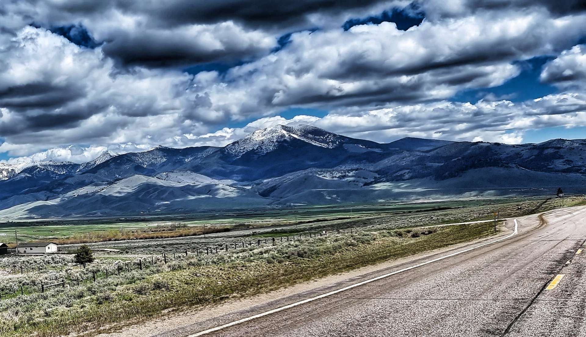
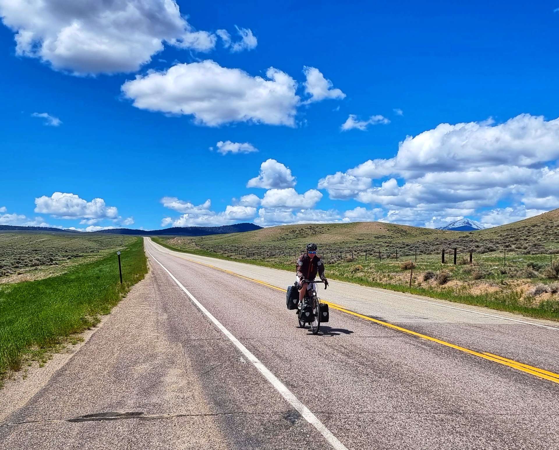
As we started descending, we were still over 6,500 feet ASL, but the mountains in every direction towered above us. The photos don’t do the view justice, but this was the most spectacular scenery! We separated on the descent, so I took the opportunity to stop & take a photo of Sean descending as he passed me. It took us about 15 minutes to reach the valley floor some 7 miles from the summit.

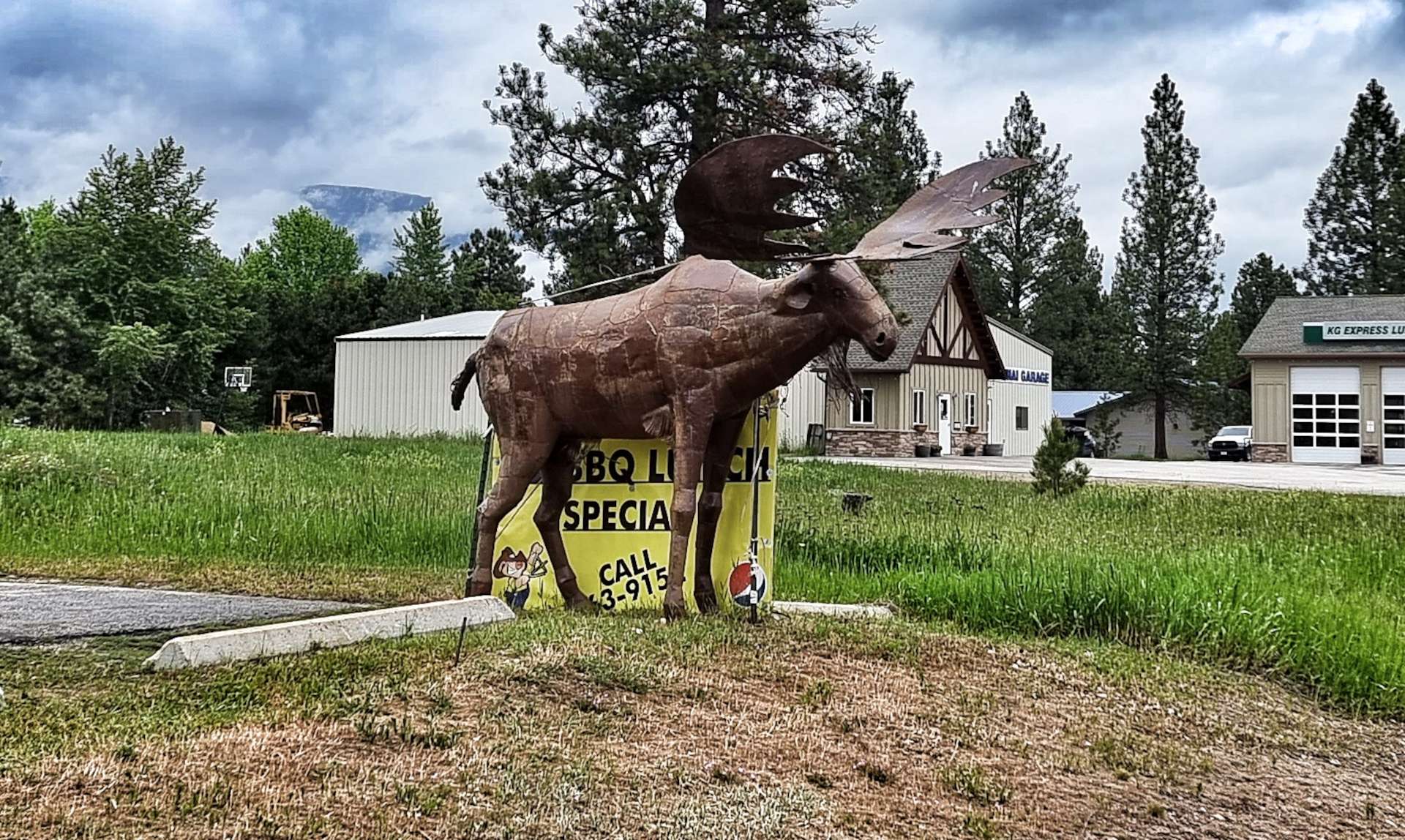
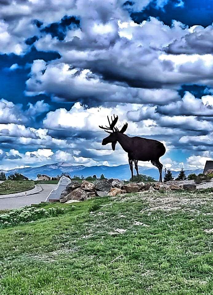
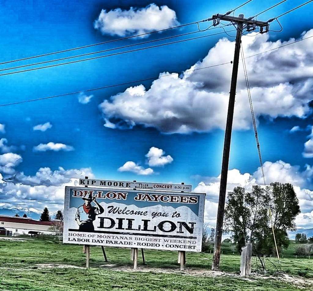
The final few miles were into a cross headwind, but it was a small price to pay for yet another epic day of cycling the remote roads of Montana. Heading into town there was a metal moose by the side of the road & a neat welcome sign.

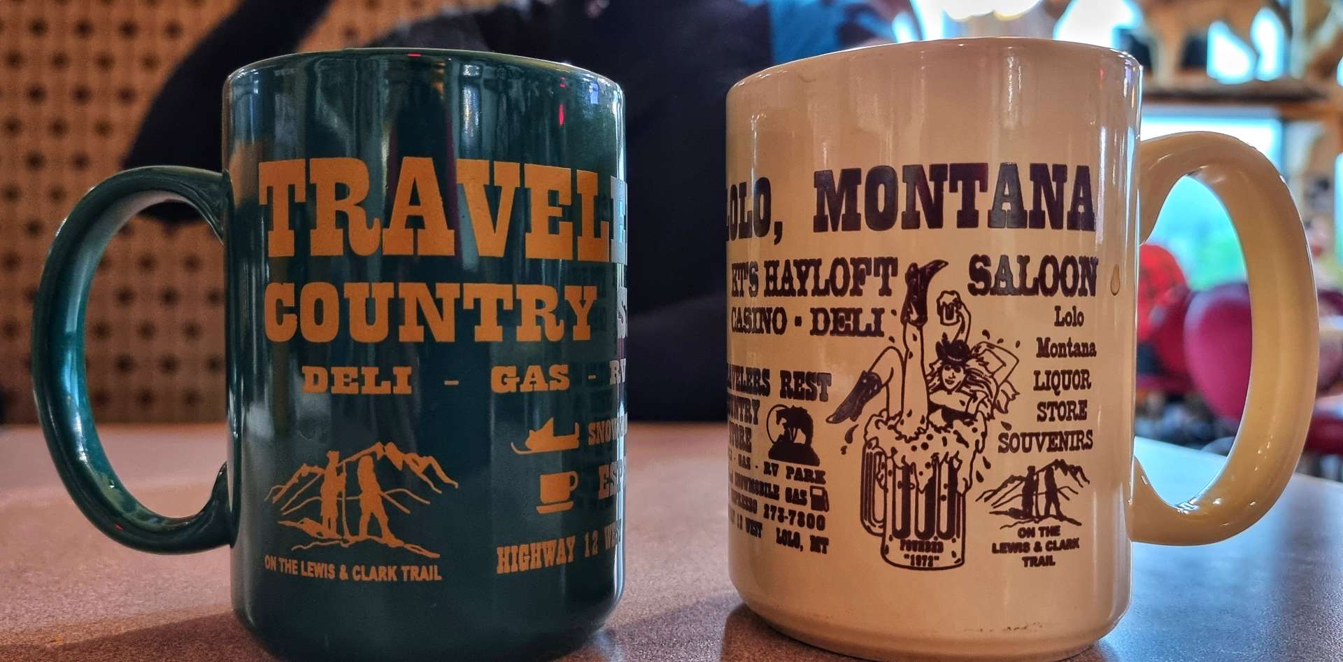
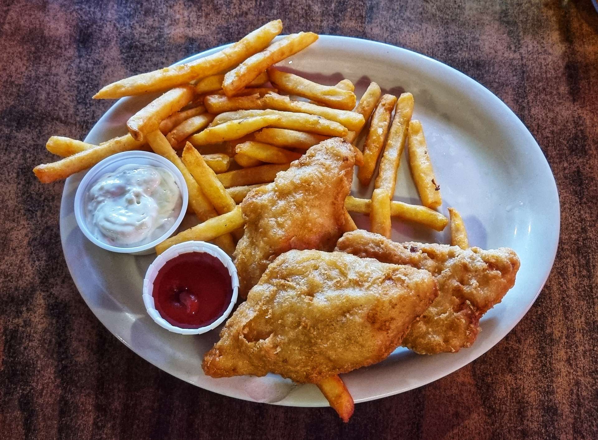
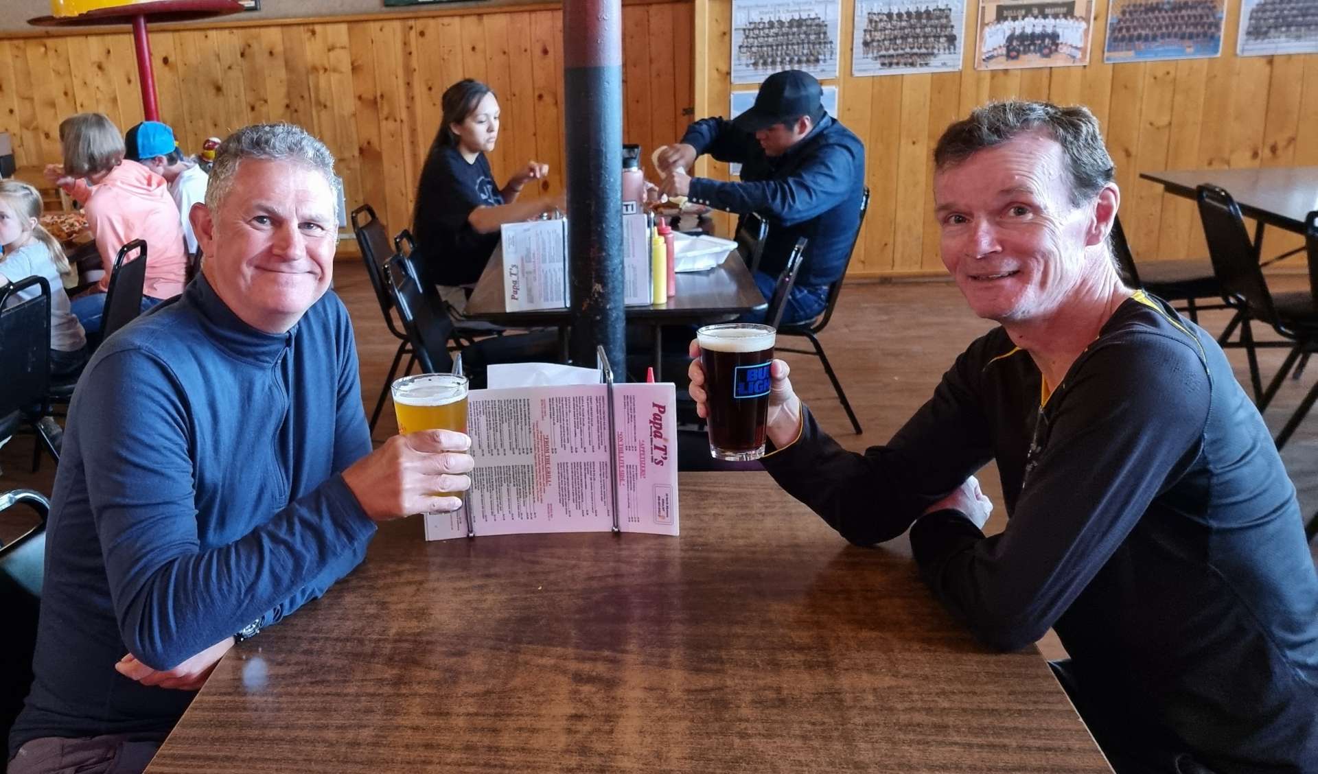
We went to Papa T’s for dinner, it’s a really friendly, family run restaurant that sponsors the local school’s many sports teams & there were photos of winning teams all the way back to the 1970’s. I went for some traditional English food with an USA twist, my pieces of cod & chips came with toast. I obviously removed the offending article before taking a photo!! We did some toasting of our own as we celebrated another glorious day in the saddle.

Stage Stats – 66 miles, 2,434 feet of climbing. Two big climbs of Big Hole Pass & Beaverhead Pass. Big blue skies with a shiny yellow thing in it all day.

Lincoln to Darby

No Cathedral in Lincoln, Nor donkeys in Darby – Friday 3rd to Sunday 5th June

Friday 3rd June – Lincoln, Rest Day

We managed to get all the laundry done last night at a small laundromat on Huckleberry Trailer Court – a very kind chap helped me out with change when I foolishly put our kit (& money) in a dryer that was broken! That meant today was a chance to relax & explore the small town of Lincoln.

Sean had seen an article about Blackfoot Pathways: Sculpture In The Wild that looked worth exploring & was within walking distance of our motel. As we made our way across town, several of the shops had displays of wooden animals outside – I was particularly taken with the idea of joining a bear named Daryl for a beer. Leaving town we passed a very creative “Welcome to Lincoln” sign – this is a theme in Montana, as a few other towns have made an effort to welcome visitors.

From the road, the Gateway to the Sculpture In The Wild is easy to miss – it’s just two pine logs wrapped in wicker. I later found out the design is based on the DNA double helix.

The Sculpture in the Wild project began in 2014 as an International Sculpture event when 5 artists worked with the community of Lincoln to create 6 site-specific sculptures that form the nucleus of the park. The purpose was to blend sculpture, landscape, nature & human experience using natural & industrial materials. It’s been hugely successful as there are now 18 permanent sculptures from internationally acclaimed artists, as well as a number of sculptures that are displayed for 12 months. I don’t intend to explain the message behind any of the pieces, simply enjoy them as pieces of art – you can find out more here (www.sculptureinthewild.com).

First up was the Montana Drawing Line, followed by a tree stump that had been carved into an almost angelic form & a classic “barber’s chair” – this happens when a tree is being cut down & the trunk splits along the vertical, rather than the horizontal.

As we continued we passed the Gateway of Change (made from two trunks that share the same roots), Tree Circus (inside there were 10 chambers, 5 open to the elements & 5 closed), Clearing (the outside walls are made from trees that were burned in a natural forest fire, while the inside features newly harvested cedars) & Picture Frame (the branches within the sculpture were all from the Sculpture in the Wild site).

Next up was Stringer (the interlacing of the trunks reminded me of a wigwam as the human model magically grew before my eyes!) & Ponderosa Whirlpool (again the darker wood in the middle of the whirlpool was recycled from a natural forest fire).

A Place Is A Place Is A Place was a clever 3 dimensional house that took on different shapes as we walked around it.

We’re now into my favourite three permanent sculptures – first up, The Bridge. It was just missing Indiana Jones running away with his love interest as he was chased by the baddies!

House of Sky eluded us for quite a while until we saw it from the right angle with the sun shining on it – we then wondered how we missed it!

Finally, my favourite permanent exhibit by a long way – Montana Memory. Teepee Burners were used in the timber industry & were once a common sight. This re-imagining of the Delany Sawmill TeePee Burner ensures that the history & heritage continues to be shared with future generations.

It took us a couple of hours to walk around the site & we thoroughly enjoyed ourselves – it was tiring work & luckily one of the temporary sculptures encouraged visitors to interact with it. As we were leaving, we saw what looked like large gourds, but on closer inspection were actually birdhouses!

We spent the remainder of our rest day doing exactly that – resting! I caught up on my journal, wrote a blog & then spent some time reading. We’re learning that rest days are essential in making sure we stay fit & healthy, as is beer!! A final treat for you – our motel has just started renting out teepees for guests. Glamping, but better!!

Saturday 4th June – Lincoln to Missoula (Stage 28)

Lincoln is one of a number of places where our motel stay doesn’t include breakfast. As on those previous occasions we bought some Frosties, yoghurt & milk from a grocery store the night before & made our own breakfast. We both agreed, “They’re Grrrrrrrrreat!!” Today’s stage is 82 miles, so we were on the road by 8am with low-lying cloud ahead of us. We soon picked up the path of the Blackfoot river as it meandered across the valley floor. For the first 5 miles or so we didn’t see or hear any wildlife which is unusual – we were beginning to wonder if maybe the road was too busy for our furry & feathered friends.

All of a sudden our barren spell disappeared as first a herd of 5 deer burst from the undergrowth & bounded into the forest – all too quick to photograph. Within a couple of hundred yards we spotted an eagle feeding on a dead deer that was lying at the roadside. It took off & perched in a tree waiting for us to move on. It appeared quite comfortable on its branch, so I took a couple of photos before leaving the eagle to enjoy breakfast in peace. A little while later we also spotted an eagle eyrie in a tree overlooking the river (top left of the 3rd photo below).

We continued to follow the Blackfoot for a while longer although the cloud continued to cling to the lower mountain slopes. The road separated from the course of the river for a while as we climbed up & over a spur, then enjoyed a descent down the other side. We also left the National Forest behind for the time being. The big mountains continued to show their lower slopes, although the upper slopes remained shrouded in mist.

Continuing across the plain, we soon reached the town of Clearwater, where we posed beside an enormous fibreglass cow!! The gas station was the other attraction for us, as it gave us a rare opportunity to enjoy a coffee stop (plus a tasty slice of banana cake).

Soon after leaving Clearwater it started raining, but never too hard. Continuing along the 200, the plain soon ended & we entered the Helena National Forest for the first time on our adventure – this also coincided with a new competition between the locals – show off the largest gateposts. Here are a couple of contenders for the award.

Helena Forest also marked the start of our only proper climb of the day, as we passed through an Experimental Forest which is being managed by the Bureau of Land Management, Montana State Government & Montana University. Just as Sean summited the climb, a jogger passed in the opposite direction. For me, the joy of any climb is the descent that usually follows, you may be able to tell from my smug grin!

As we continued downhill, we crossed a small clearing, before picking up the Blackfoot river again. This far downstream it had grown significantly in size & was looking swollen from the large amounts of meltwater from the snowy mountain peaks above. The cloud didn’t lift all day, so even this far down the valley the lower slopes were hidden from view at times – as a result, we almost missed the rickety rope-bridge that crossed the river.

The town of Bonner marked our return to civilisation. Our American Cycling Association map once again guided us along relatively traffic free roads as we reached the outskirts of Missoula – the largest town we’d seen since our adventure began. The final couple of miles were through the Montana Rail Link Park & on the Bitterroot Trail (more on this tomorrow!).

As it’s a Saturday night, we decided to celebrate another glorious day of cycling with a beer – it’s great to chat through our individual highlights of the day, as we both normally remember different elements. Today was an exception, seeing an eagle eating breakfast at the roadside was the highlight for both of us.

Stage Stats – 82 miles, 1,512 feet of climbing. A day descending the Blackfoot valley. Low-lying cloud all day with rain showers.

Sunday 5th June – Missoula to Darby (Stage 29)

Missoula to Darby looked like one of our easier days in the saddle as we sat in the hotel getting ready for breakfast. 60 miles & 1,200 feet of gradual climbing – this would be a nice gentle recovery ride we thought, how wrong we were! The writing was on the wall when we walked into the breakfast area & there was no toast or cereal. In fact there was just yoghurt & a waffle making kit. We made the immediate decision to eat a couple of yoghurts & then look for somewhere to eat breakfast in Lolo, a short distance into today’s ride.

We set off at about 9.30 & immediately joined the Bitterroot Trail, a cycling specific path that we would be riding for the first 50 miles – while we were always close to the main road, it always felt that we were riding in remote countryside. The early part of the route followed the railroad, while we followed the Bitterroot river all day – this far downstream it was at maximum capacity!

After about 10 miles we reached Lolo, an eclectic little town that retained much of its heritage, while also finding ways to stand-out from the regular, like a painted bison! We stopped at KT’s Hayloft for a breakfast of eggs, hash browns & toast, along with huge cups of freshly brewed coffee. The Hayloft was like taking a step back in time – old rifle & fishing rod collections, as well as wall mounted animal heads. As we sat inside eating, the heavens opened outside, we’d just managed to beat a passing storm.

The worst of the rain had passed by the time we hit the cycle path again, although the big mountains remained veiled in mist, just showing themselves fleetingly. We meandered in & out of wetland areas, rich in bull-rushes, where warblers could be heard singing their happy tunes along with frogs sending us on our way with their croaks & ribbits! As we returned to the river, it had burst its banks where a smaller creek joined it.

I’m always on the lookout for something that will either act as a point of interest or distraction for my regular posts & today we had a feast to choose from. In addition to the painted bison above, there was also a cock (insert own joke here!) & a moose. We’re also being stalked around the state of Montana by Lucky Lil (congratulations on making the blog!) – she has a whole empire of casinos & we seem to see a sign for them every day!! Jimbo you have more money than you thought, so go ahead & buy that new dream bike!!!

The wildlife was more tricky to photograph than normal, as the eagles were generally riding the thermals & were out of range. However, we saw a crane swoop in front of us & land in a tree some 100 yards away. We saw more deer, they always look so cute & inquisitive. I’m sure they’re as interested in the two humans on strange wheels as we are in them! Throughout the day we passed field after field of horses grazing & generally looking as if they didn’t have a care in the world.

As we reached Stevensville we saw a small brown sign to Fort Owen State Park – it was a 1 mile detour, so we decided to go & have a look. Experience has taught us that brown signs mean interesting history is nearby. This was no exception, as the State Park is listed on the National Register of Historic Places. It was home to Montana’s first catholic church founded in 1841 & also the state’s first permanent white settlement.

In addition, it also housed the first sawmill, first grist mill, first agricultural development & the first school for settlers. In short, it was of huge significance & importance in the mid-1800’s. Major John Owen arrived in the Bitterroot valley in 1850 & established the fort, as well as trading with the Indians. Another great little side adventure for us too.

A couple of points to mention about today’s “recovery” ride – firstly, we rode into a significant headwind all day & secondly, we rode up a constant gradient, which when combined on a 5 hour plus ride becomes hard work! The cycle path continued to offer stunning scenery as we continued towards the small town of Victor, where we saw another example of the old buildings being protected.

Slowly, but surely, the mountains started to reveal themselves as we continued along the cycle path. We also saw small patches of flowers & vegetation which made for pretty foregrounds & backdrops in a couple of photos. The weather was still a bit on the chilly side at this point, to the point that Sean was using his rain jacket to keep warm.

Late season snowmelt from the mountains had resulted in the many creeks filling the main Bitterroot river to capacity & it appeared a matter of time before it burst its banks. In the second photo you may make out a small white cross just behind & to the left of Sean (the road is just to Sean’s right). In Montana these signify that there has been a fatal road traffic accident & the number of crosses at the site indicate the number of people who died. We have seen several hundred crosses during our time in Montana to date & the worst accident killed 5 people. These markers ensure we remain vigilant when cycling on the roads.

We arrived at Hamilton after about 50 miles & we took to the road for the first time – we were now so far up the valley that the traffic was relatively quiet. The weather had also improved & blue sky was now dominating the clouds (well, almost!!). However, the wind was still blowing on our noses!! We only rode the roads for the final 10 miles of today’s adventure, all the rest of it was on the excellent Bitterroot Trail.

As we cycled into Darby, we could see the parking lot of the local rodeo was full of SUVs & RVs – it was a rodeo weekend & most of the town folk were taking it in. We had other plans, namely putting up our tents in case the weather changed again, as rain was scheduled for the evening. I’ll give an update on how our camping experience goes tonight when I do my next update! It’s our first camping since Rexford.

Stage Stats – 63 miles, 1,207 feet of climbing Gradual climb all day into the teeth of a headwind. Not the recovery day we were expecting!!!