Heron to Rexford Campground

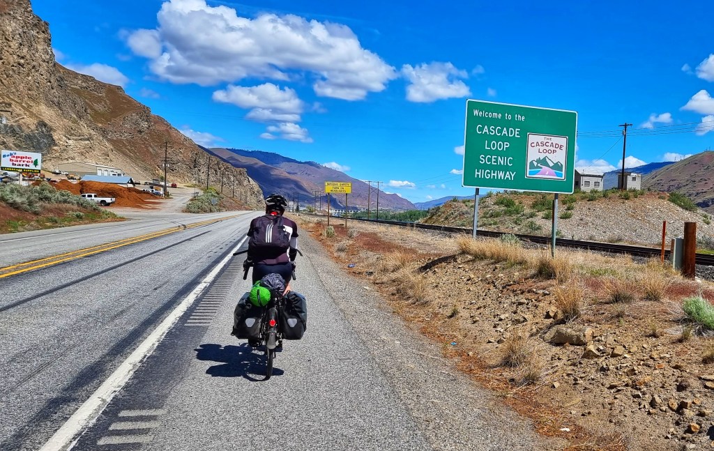
Paradise Lost to Paradise Found (again) – Saturday 21st to Monday 23rd May

Saturday 21st May – Heron to Libby (Stage 18)

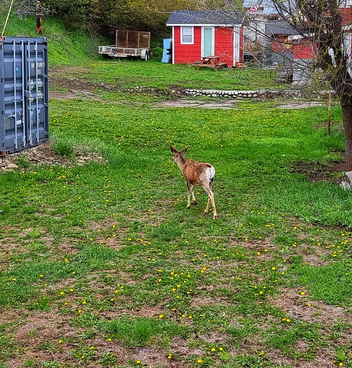
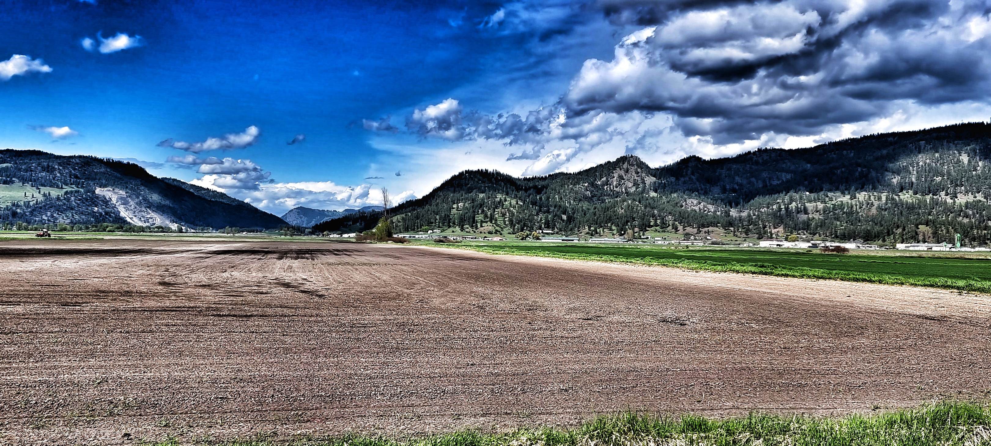
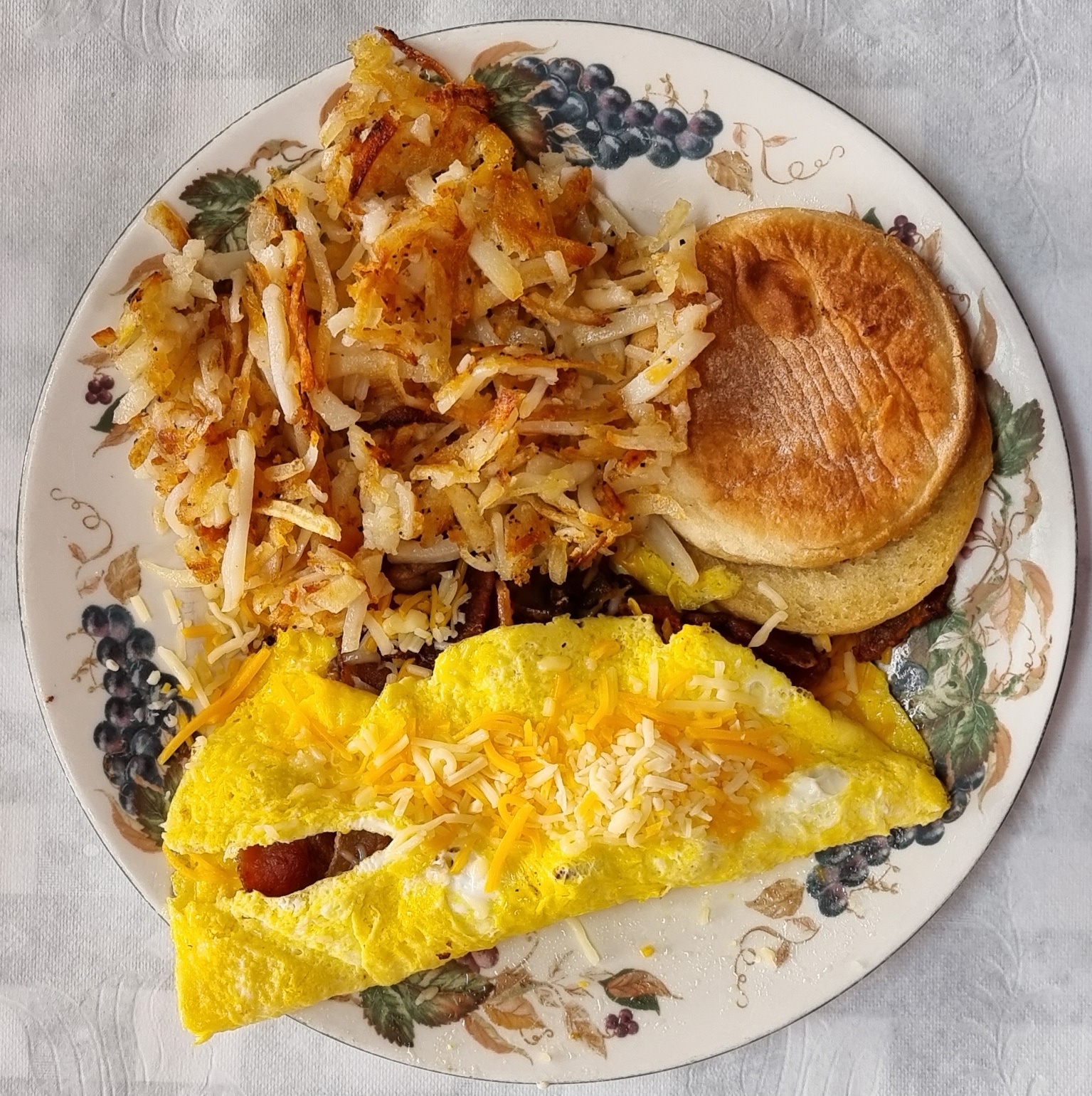
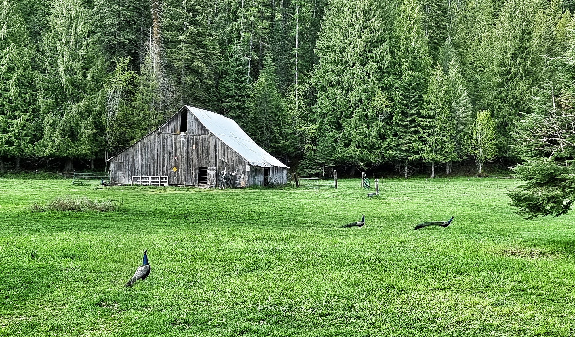
Once more we were blessed to wake under azure blue skies with cotton wool clouds high above us – the perfect way for a day in paradise to begin as we looked out on deer, canada geese & peacocks all grazing on the expanse of lawn in front of us. We chose a 3 egg scramble for our breakfast with mushrooms, onions & bacon, ideal cycling fare! A huge thank you to Mike, Cookie & Jennifer for making our stay so memorable, this is somewhere worth travelling hundreds of miles out your way to visit.

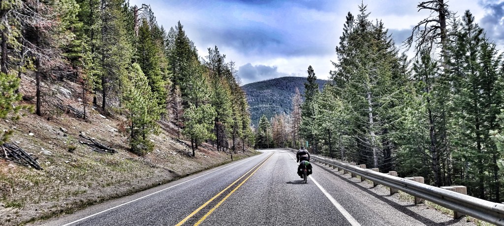
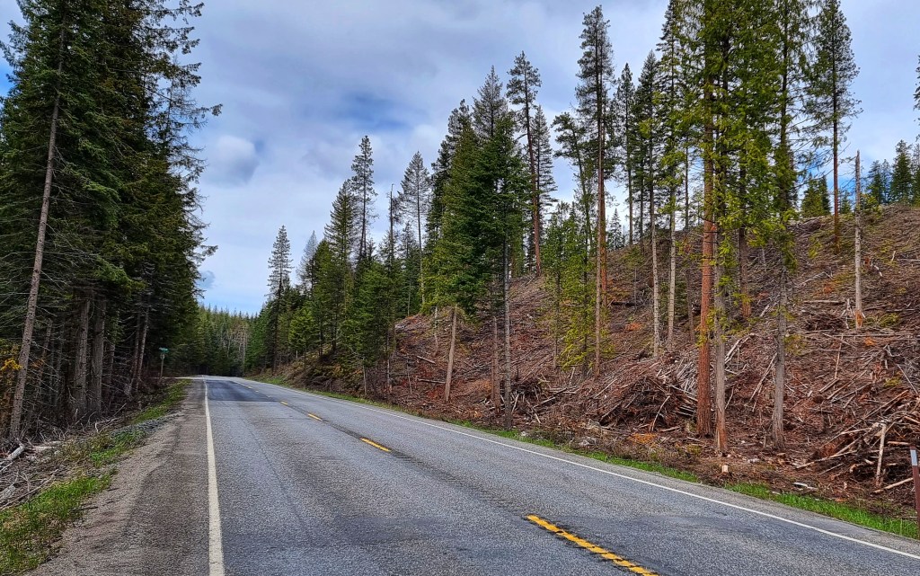
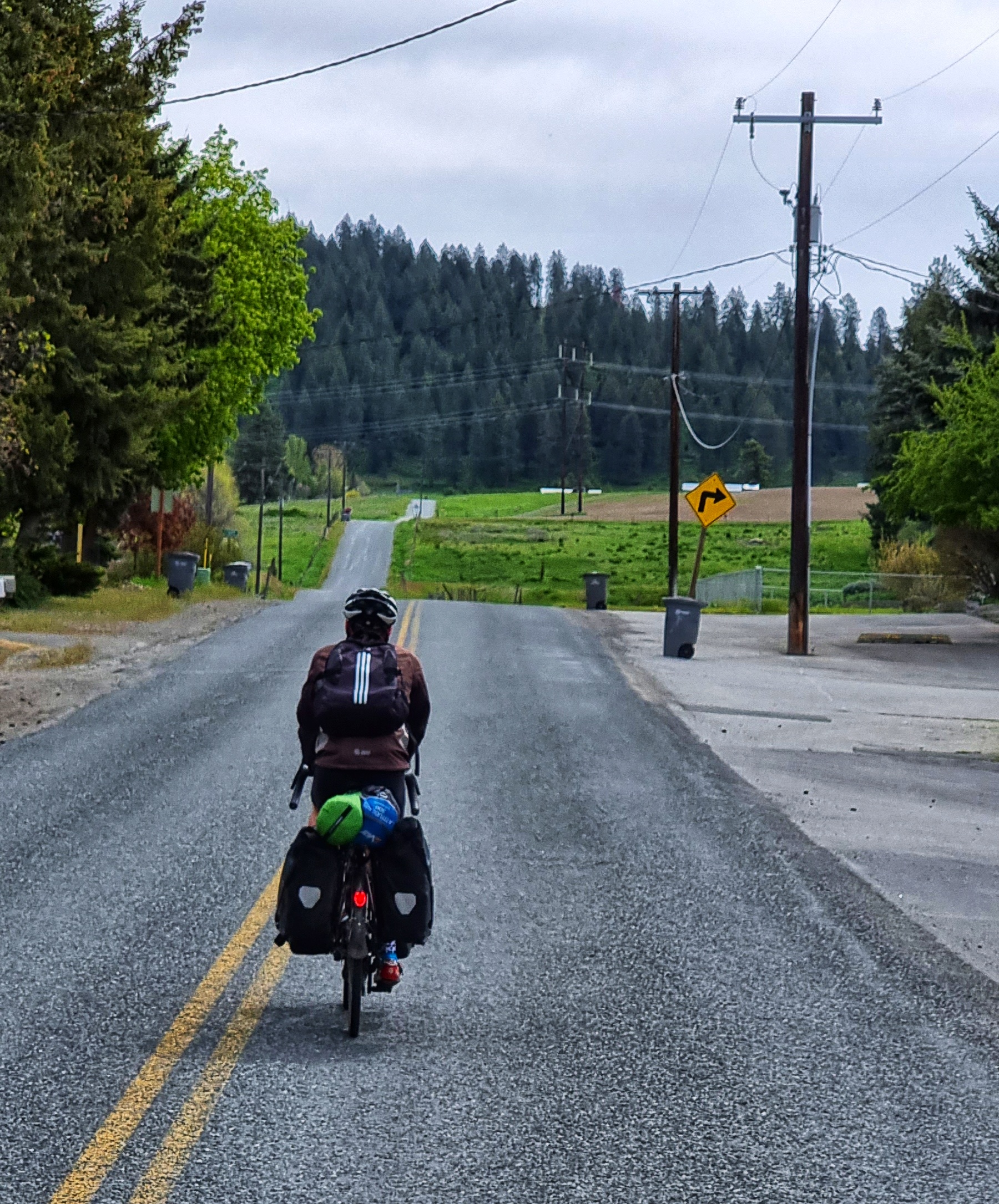
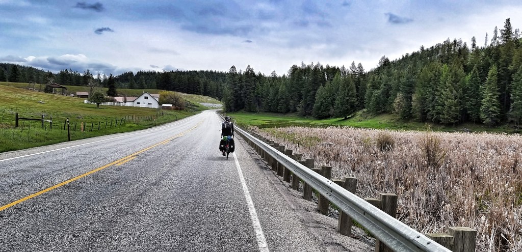
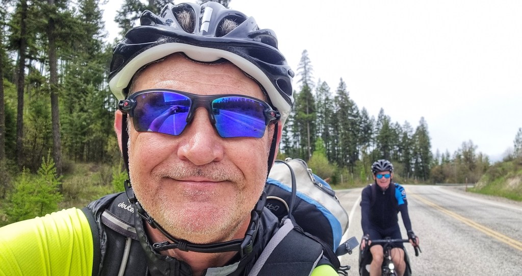
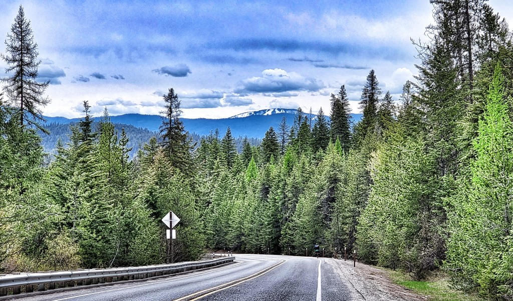
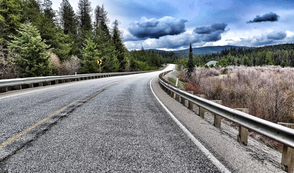
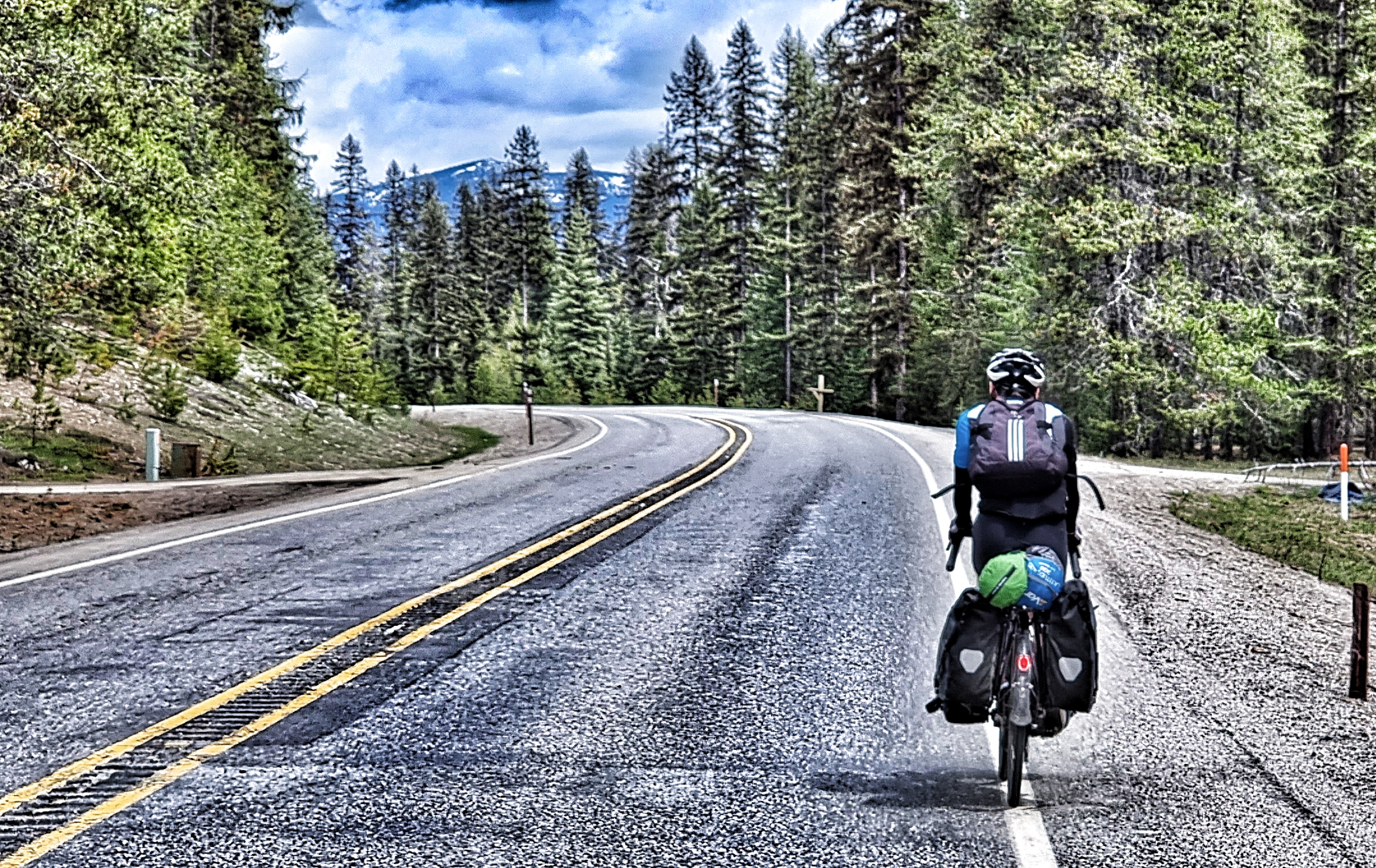
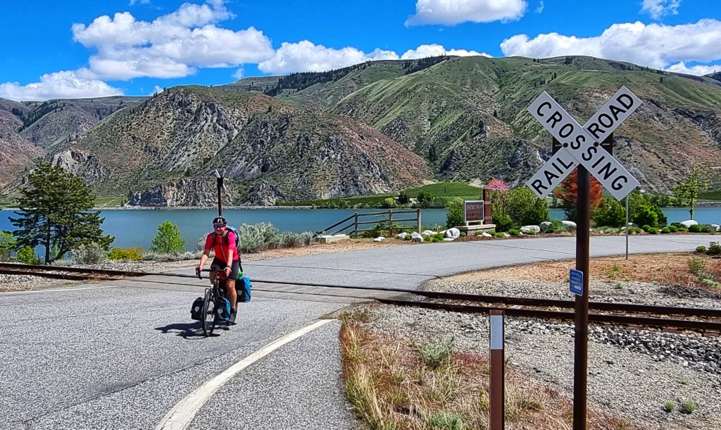
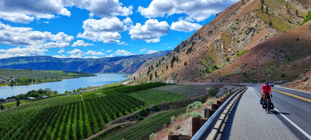
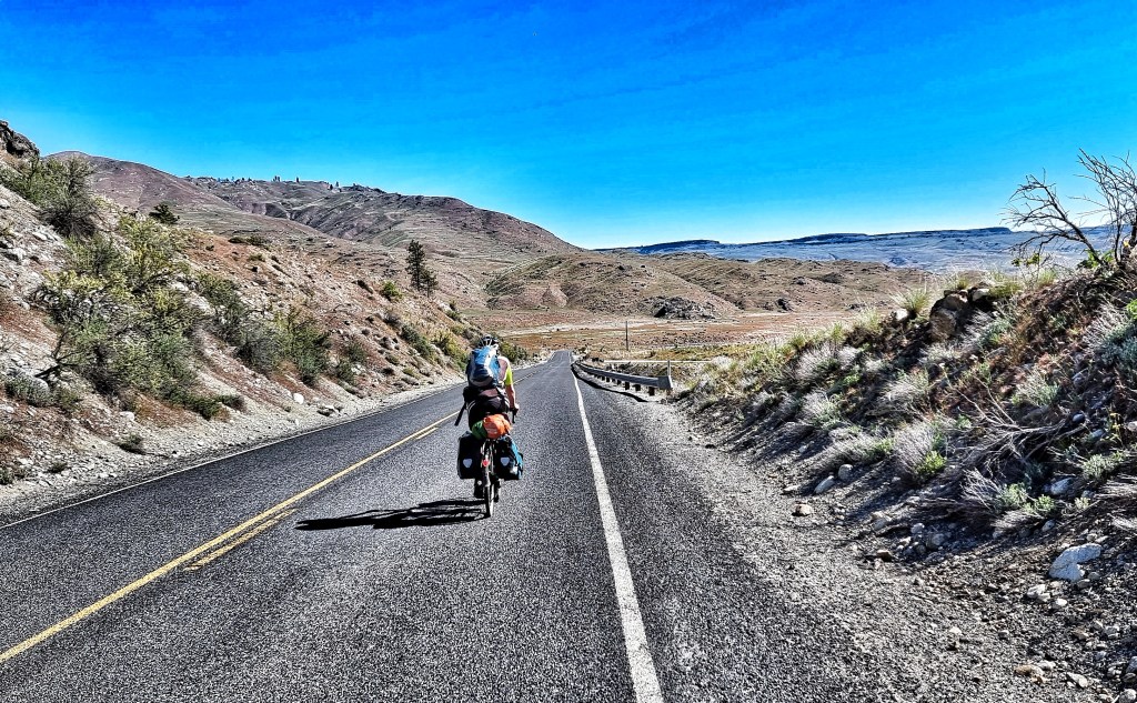
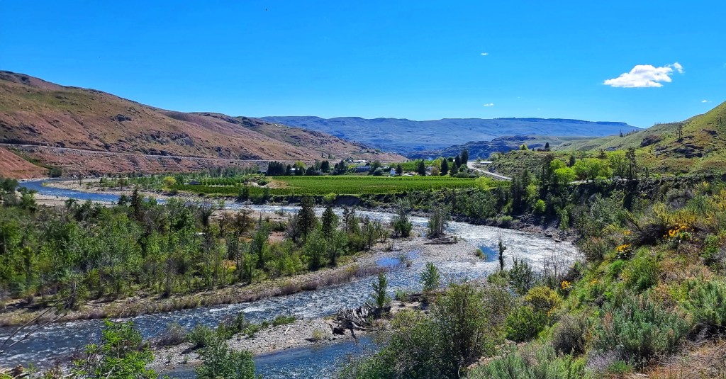
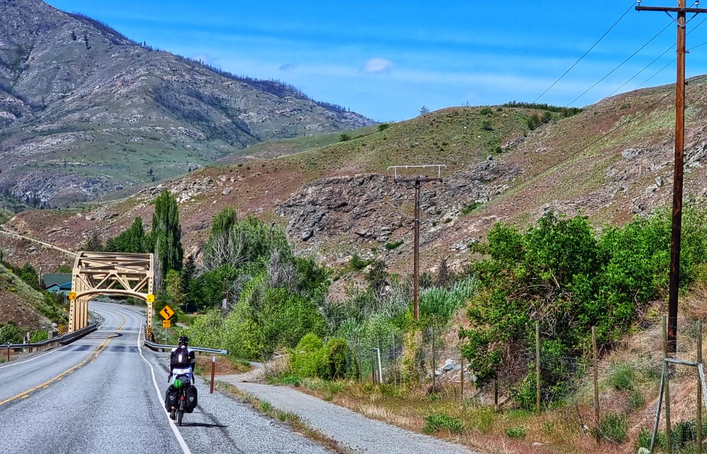
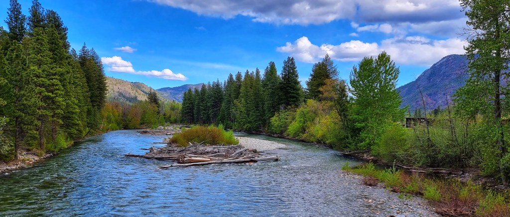
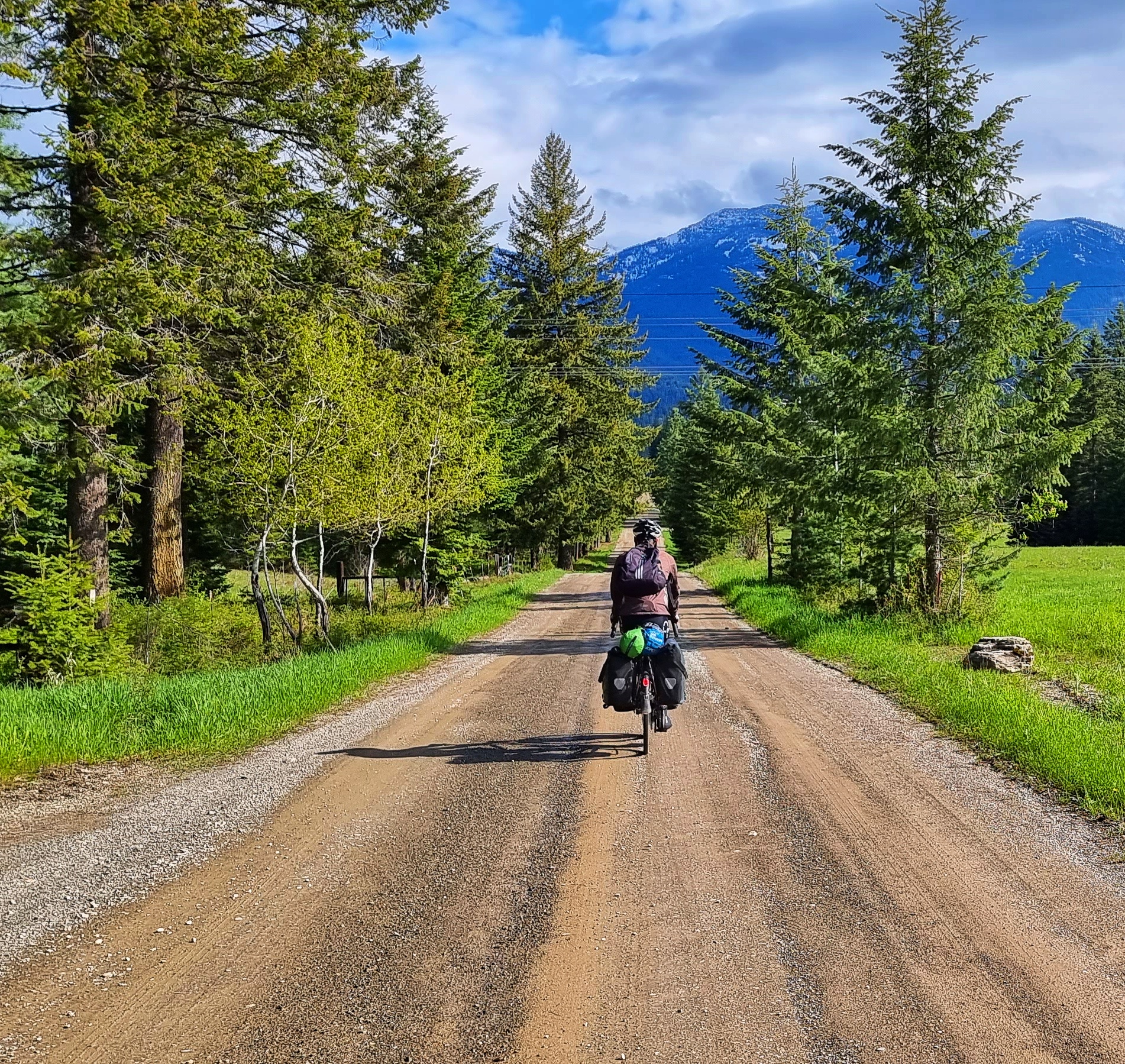
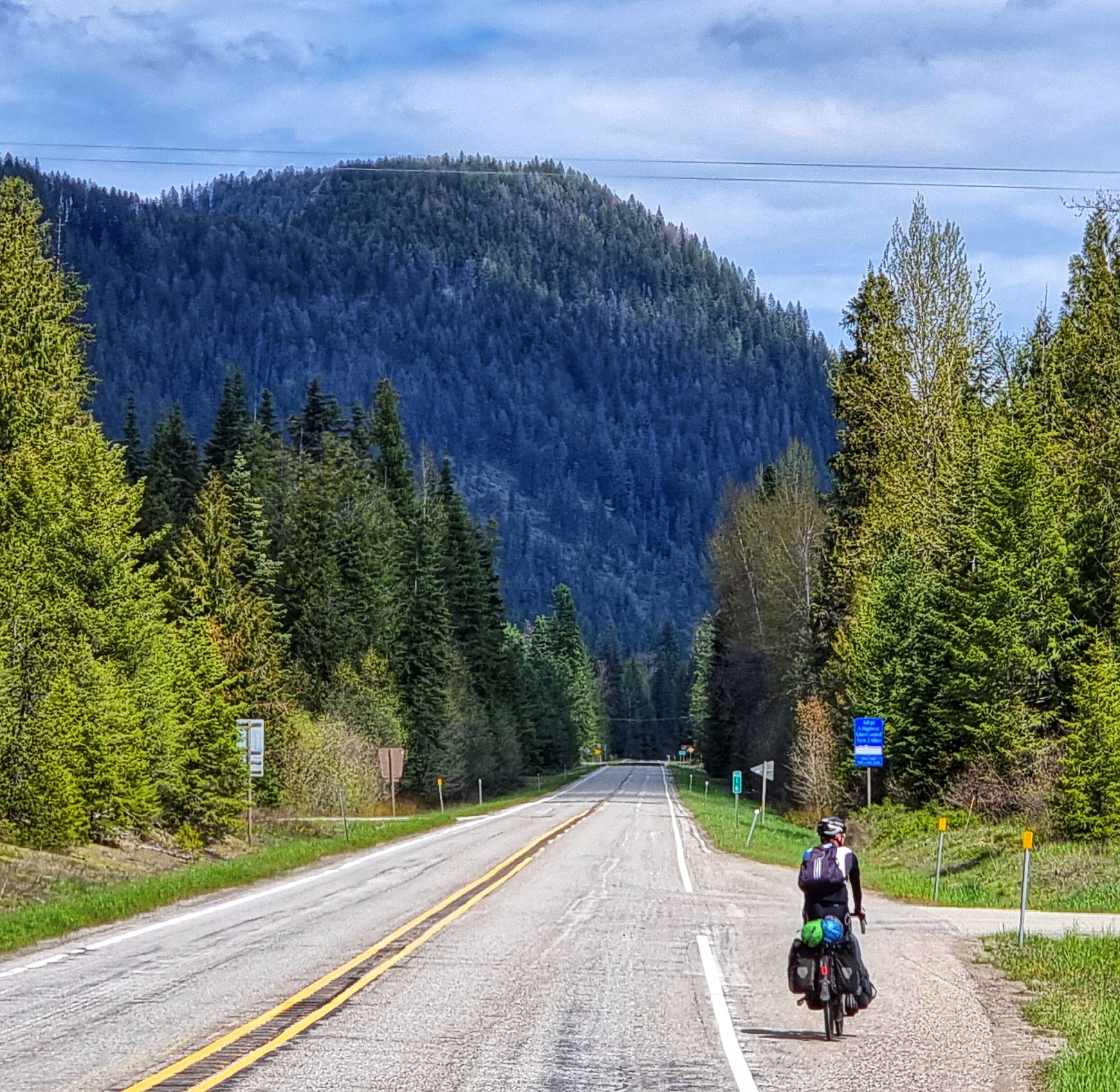
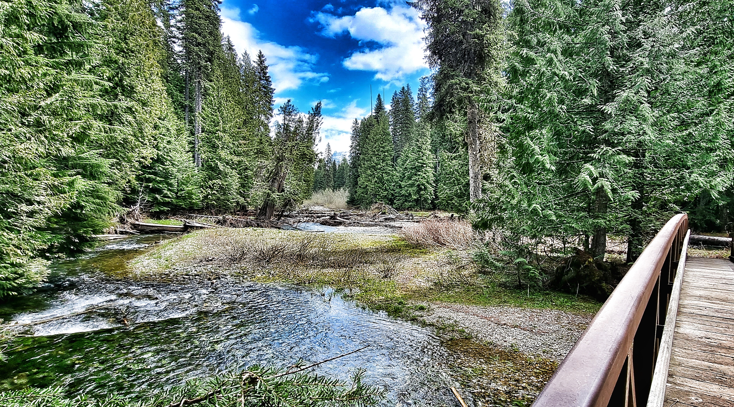
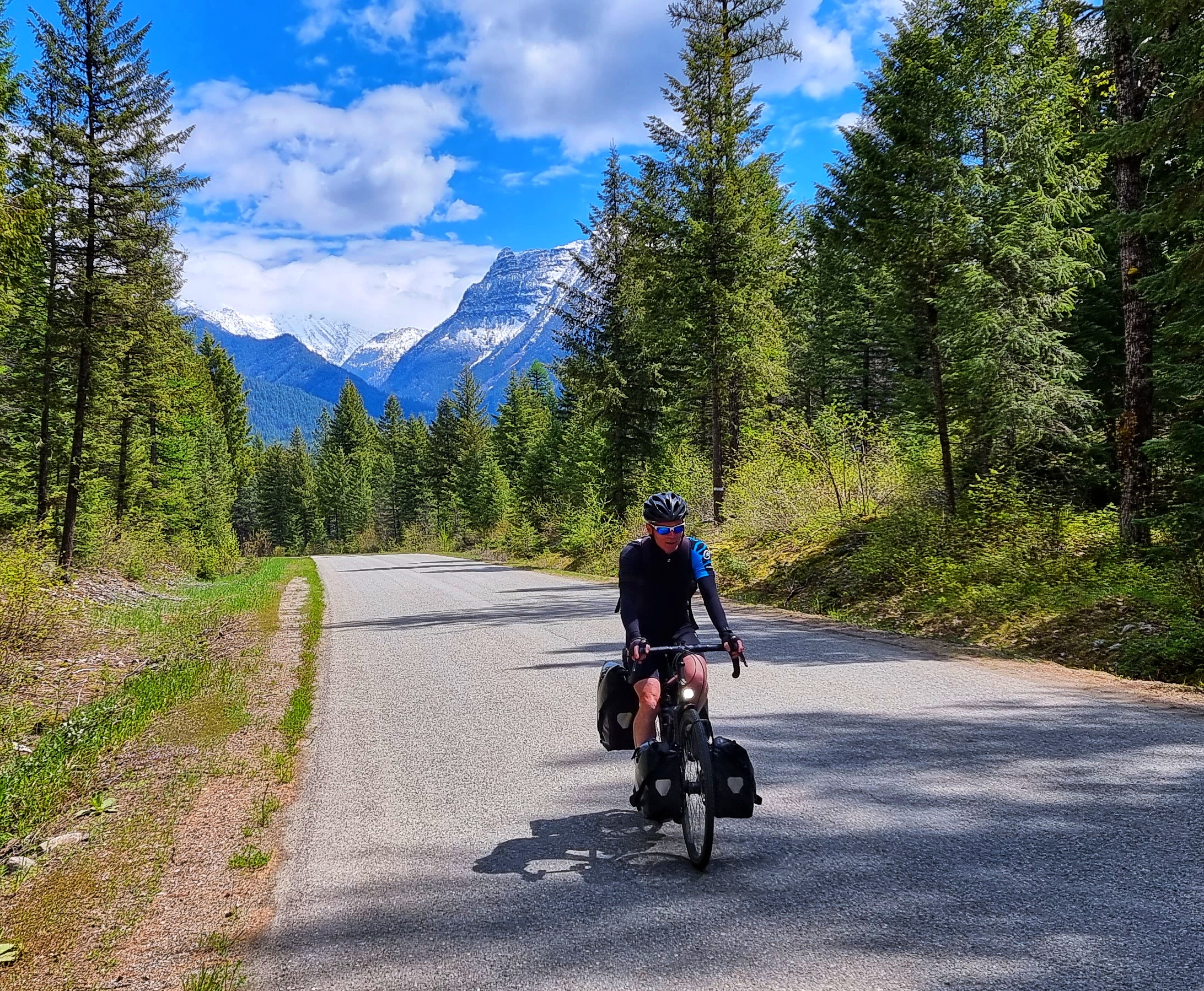
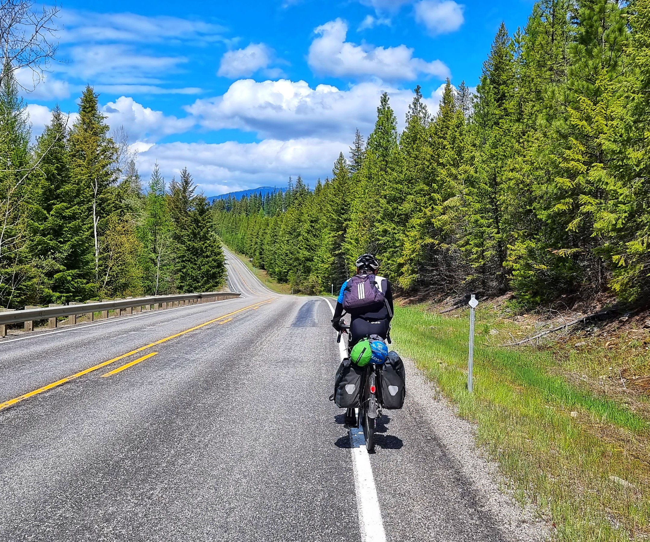
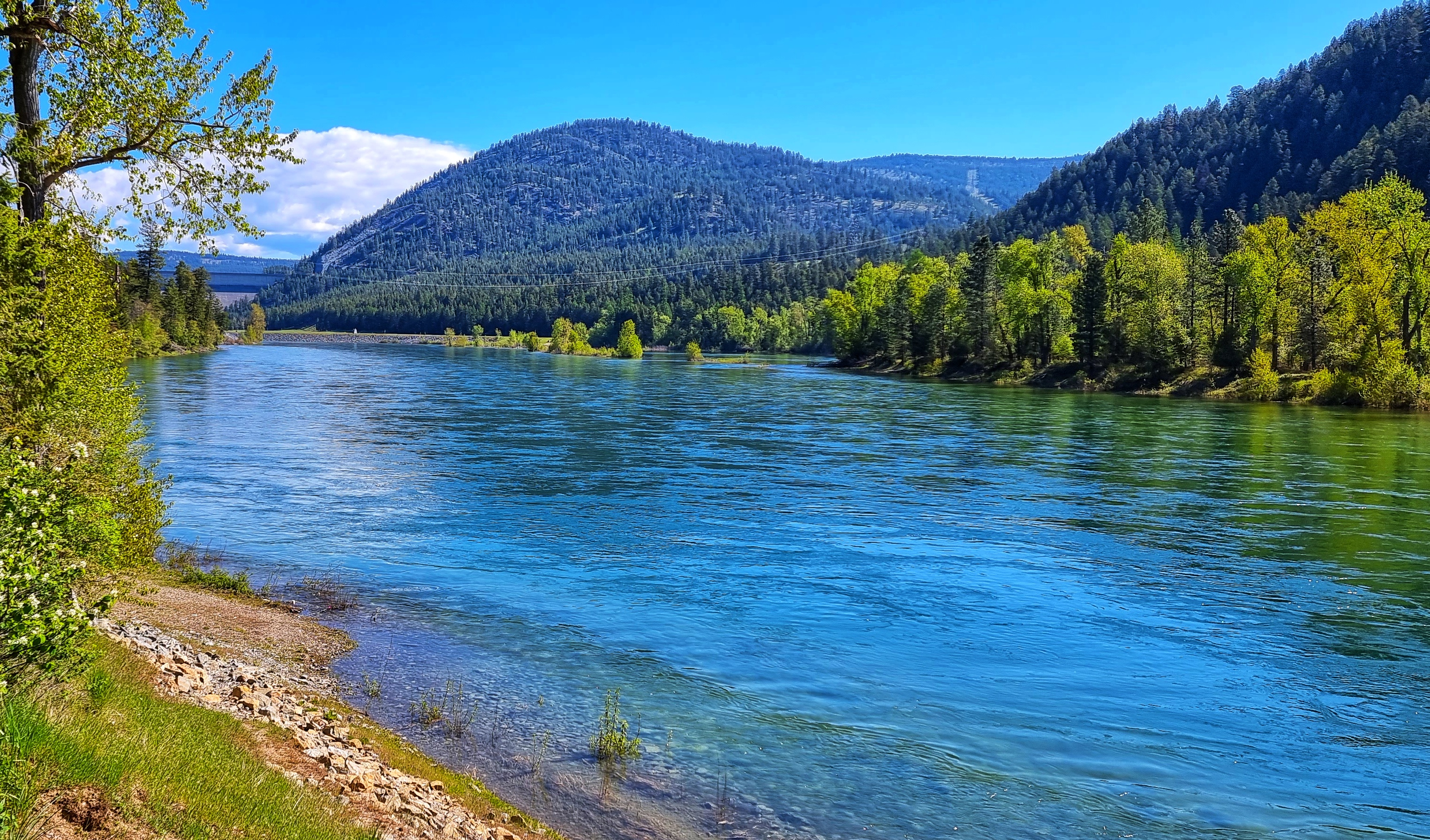
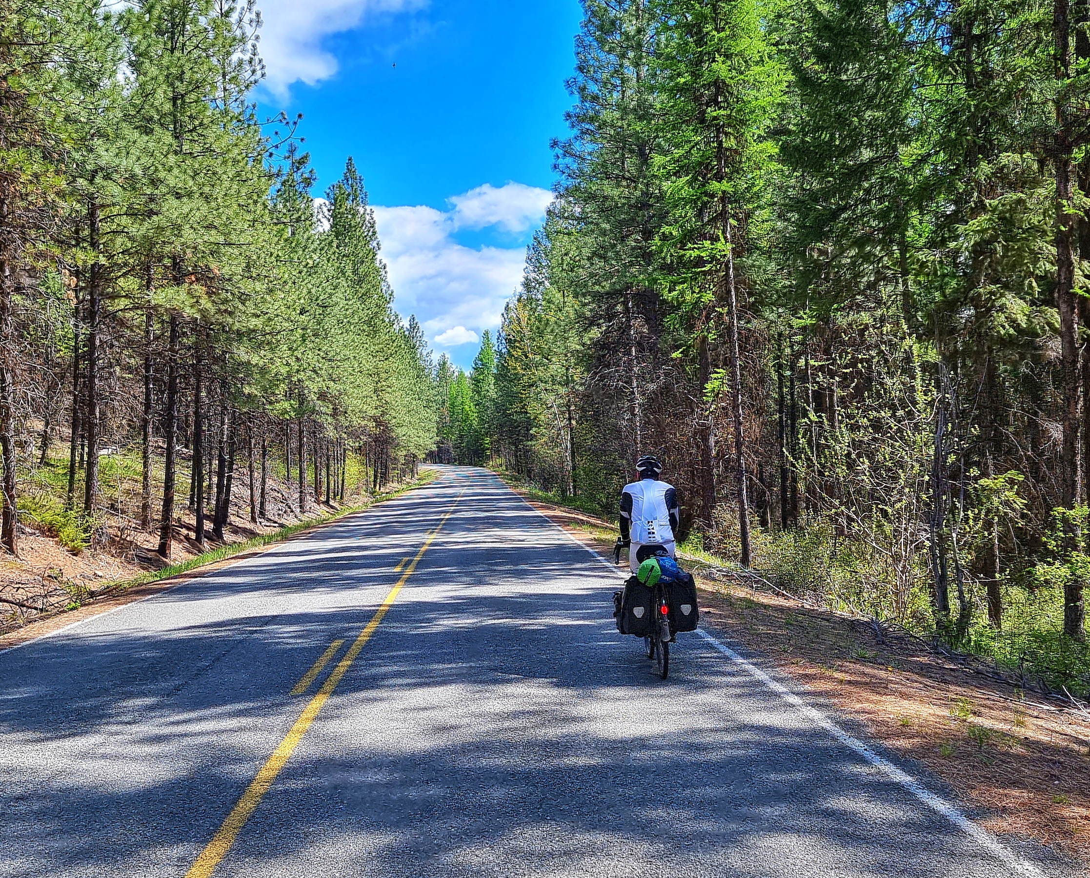
Gene Genie (everyone names their bikes right?!!) was loaded & we were on our way by 9.30 for today’s epic adventure. We reversed yesterday’s route for the first 5 miles as we negotiated a small section of gravel, crossed Heron’s new bridge & took a right back onto SR200 for 10 miles. We continued to follow the Clark Fork river, but it remained hidden from view for most of the time as we were surrounded on all sides by pine forest – the smell was wonderful!

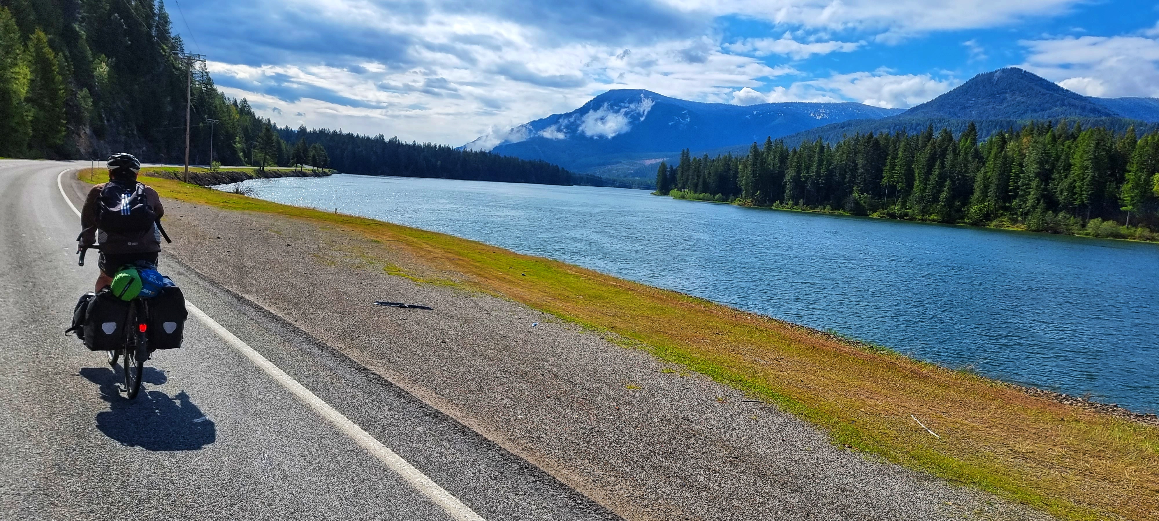
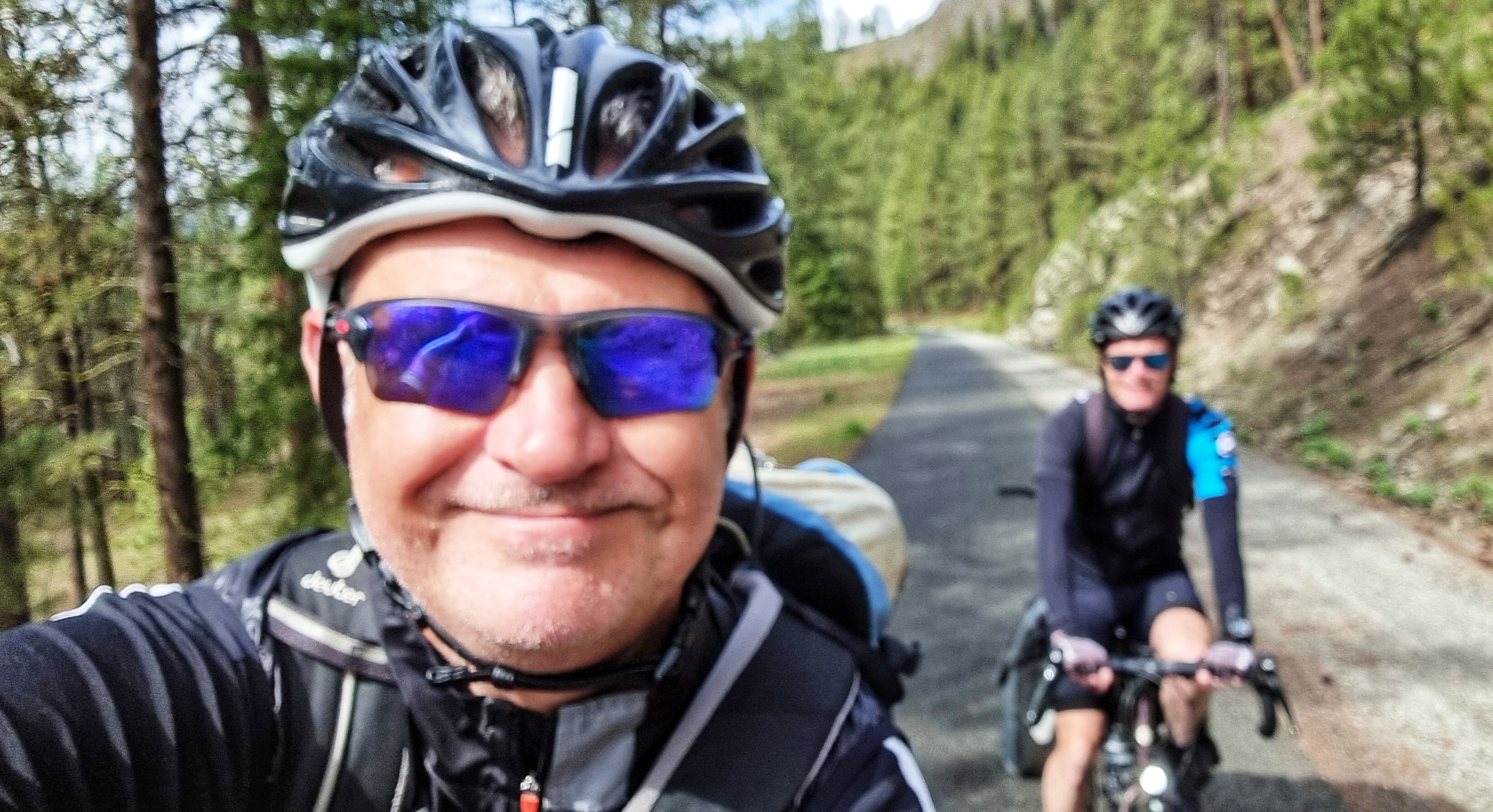
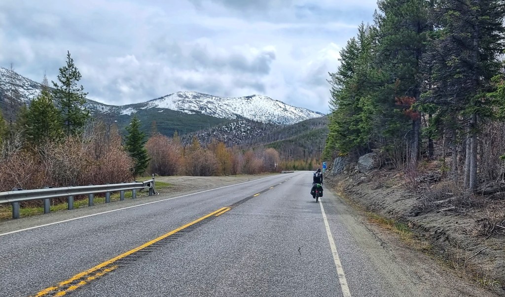
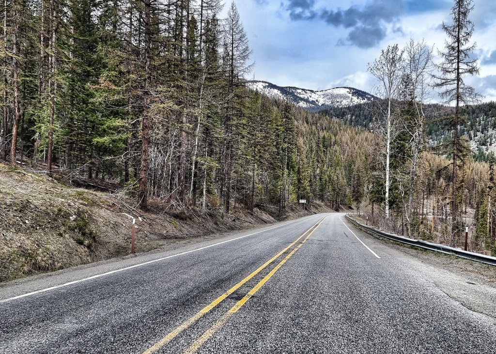
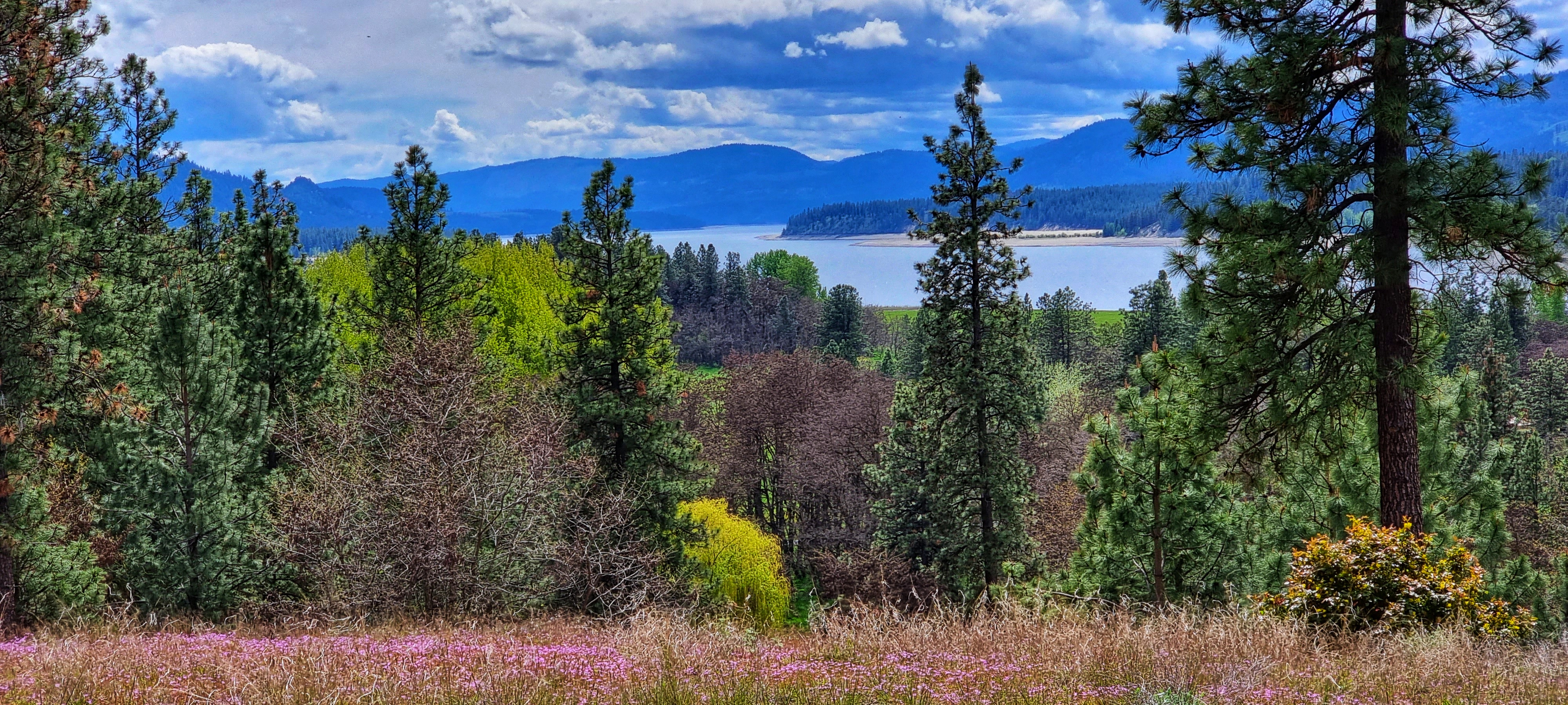
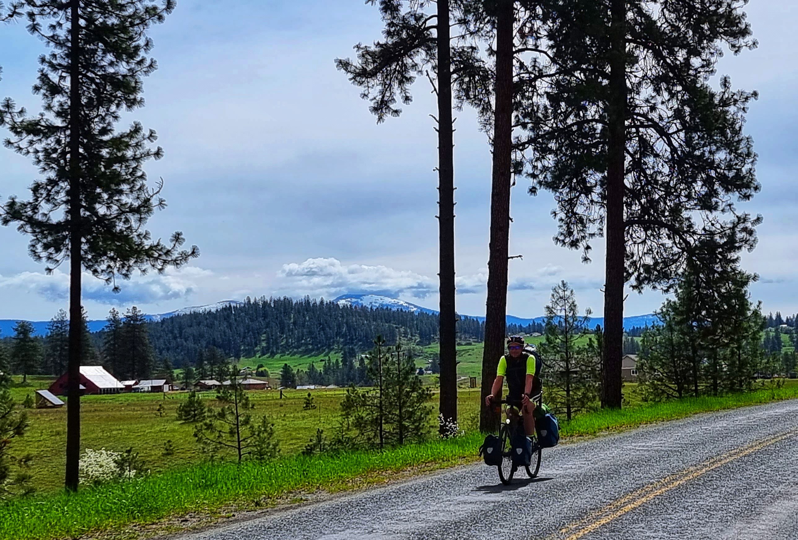
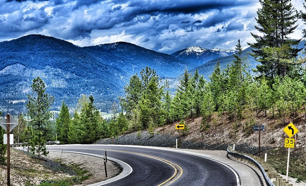
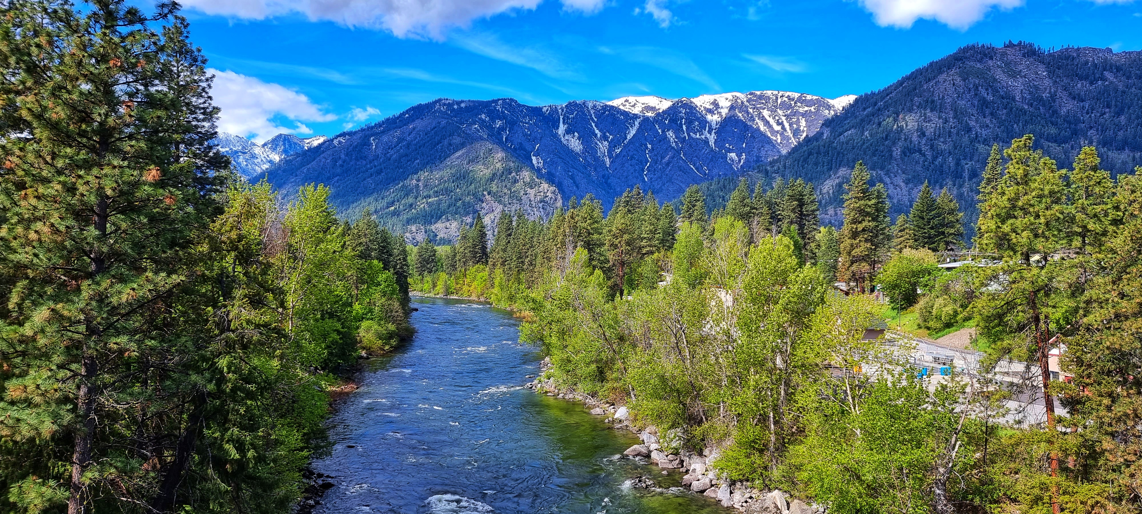
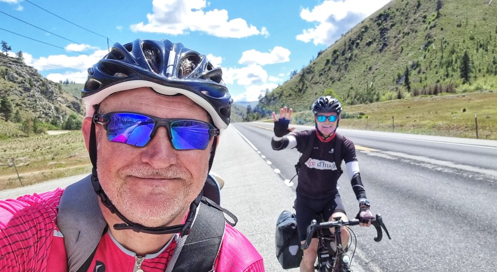
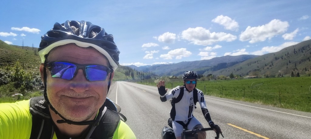
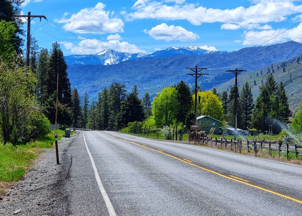
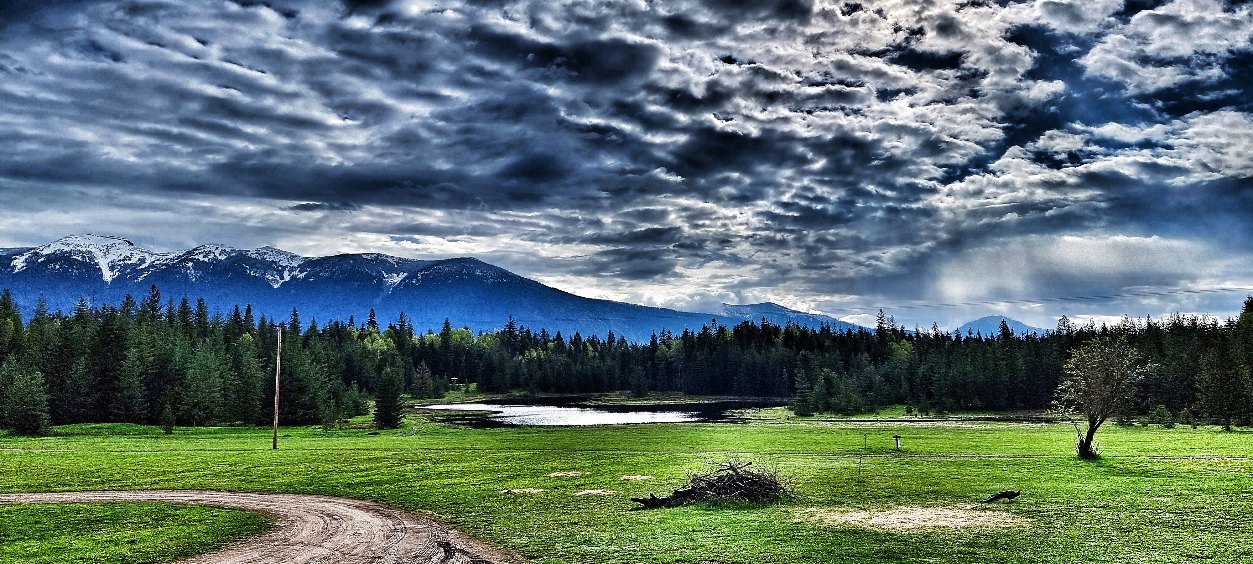
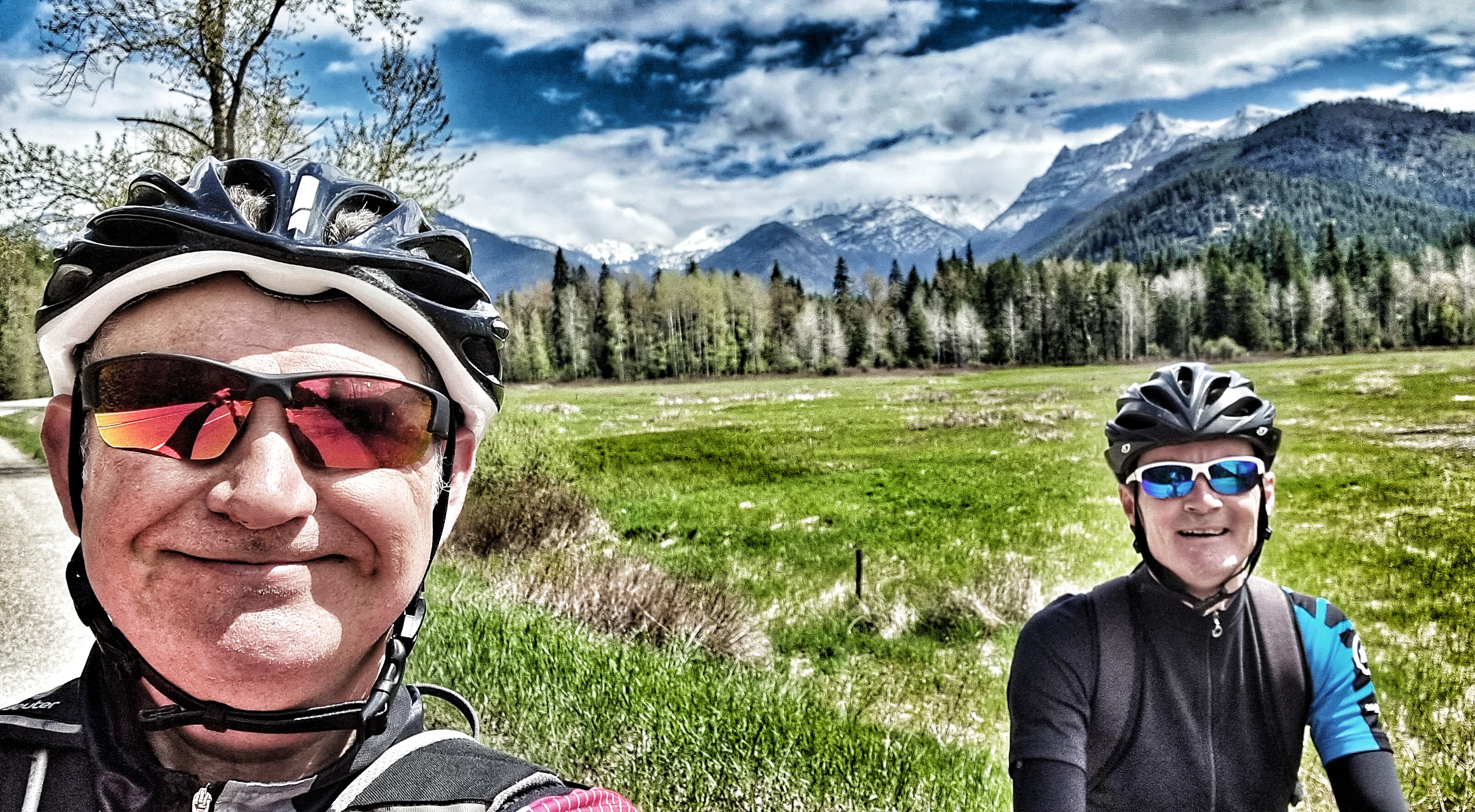
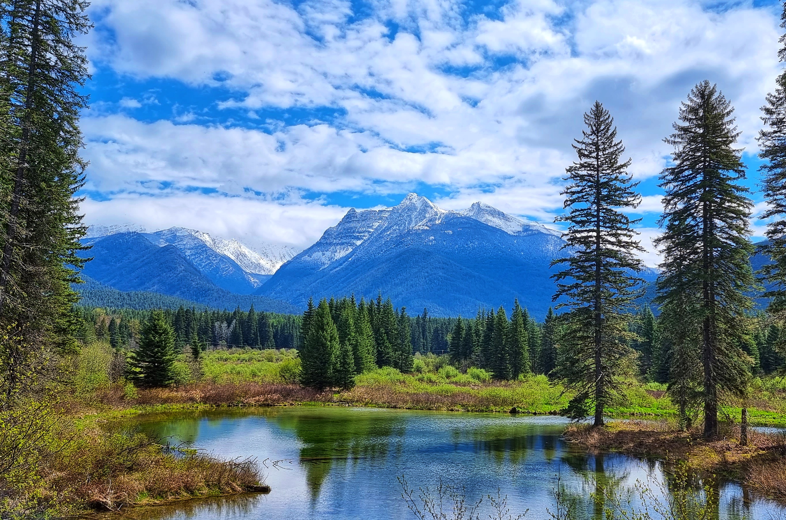
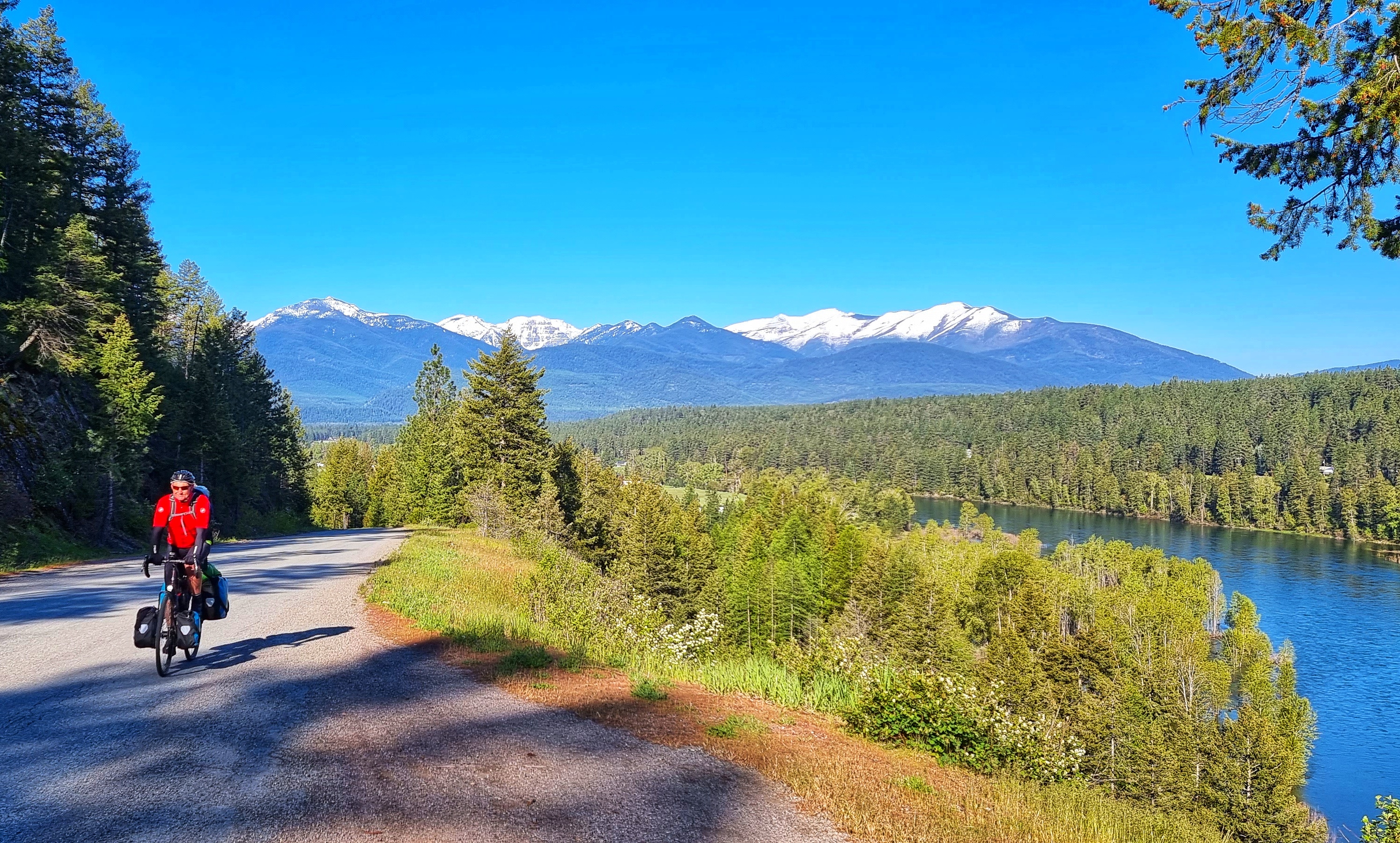
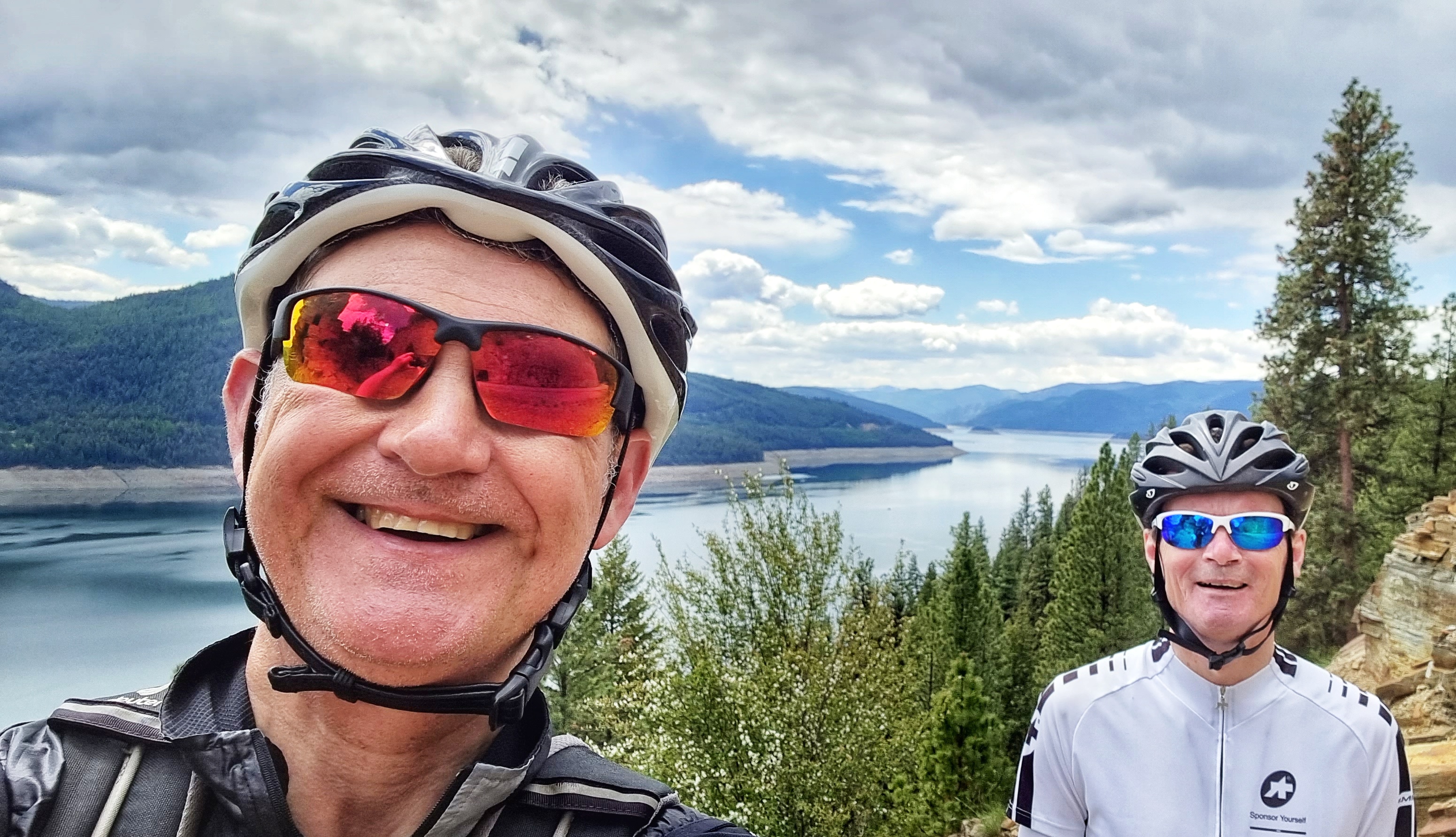
We took a left turn & picked up SR56 as we took a two-lane byway towards another set of snowy capped mountain peaks. We had the road pretty much to ourselves as we climbed at a gentle 2% to 3% for the next hour or so -the only sounds were occasional bird calls & the peaceful babble of the creek that flowed down the gradient we were ascending. We reached a scenic viewpoint where we grabbed a quick selfie to help me remember our route through the valley.

Almost without warning we stopped climbing as we hit a plateau where we met a lone fisherman just setting up on a small lake for the first day of the new season – Zak was from Missoula, but had spent a couple of years doing his post graduate qualification in Cork, Ireland. He was a keen outdoorsman & he shared a couple of stories about his off-road adventures, before we left him alone to fish in peace. We were on the lookout for a small turn-off which would take us up the side of the valley – everything looked big & steep from the valley floor.

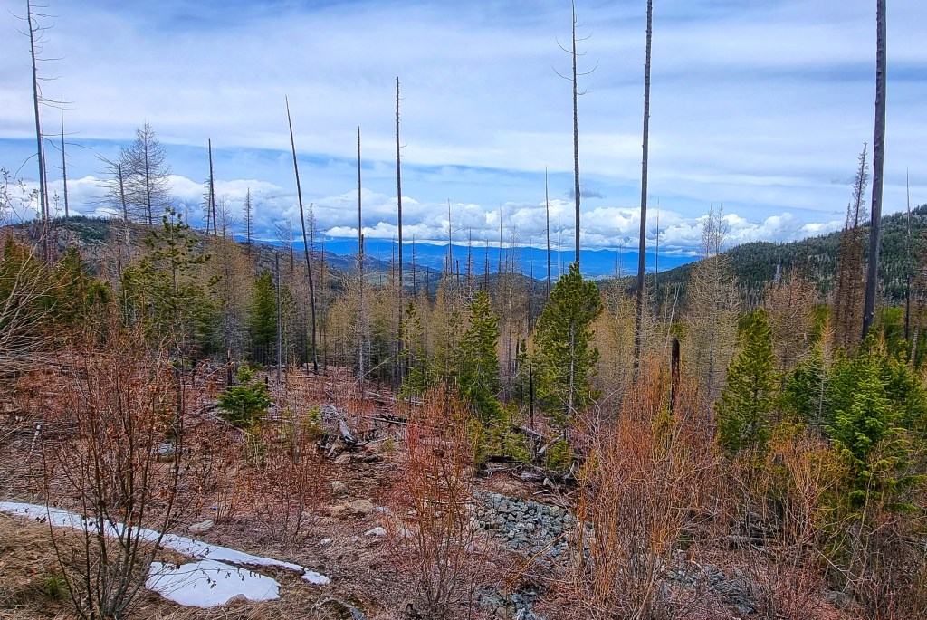
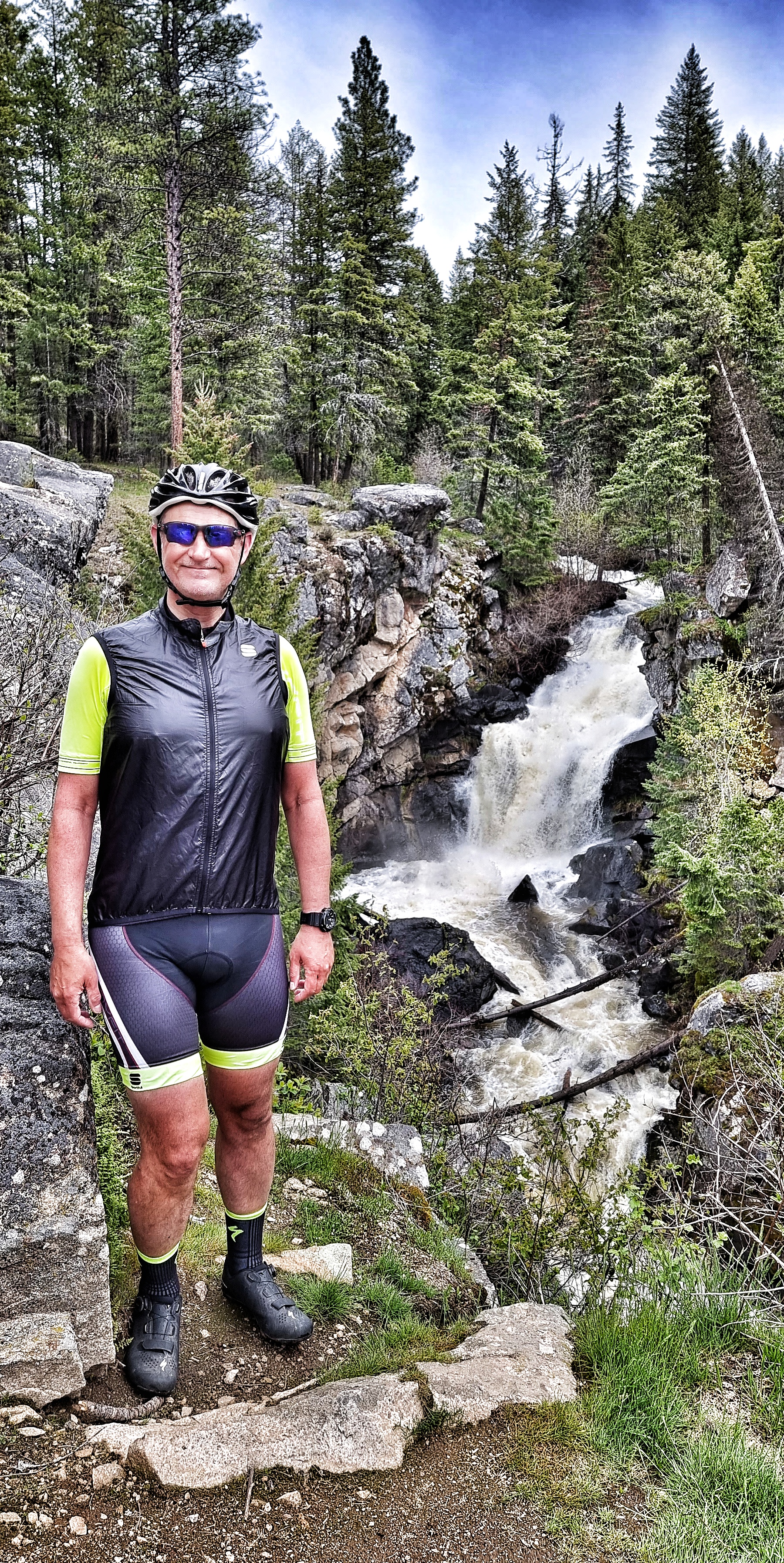
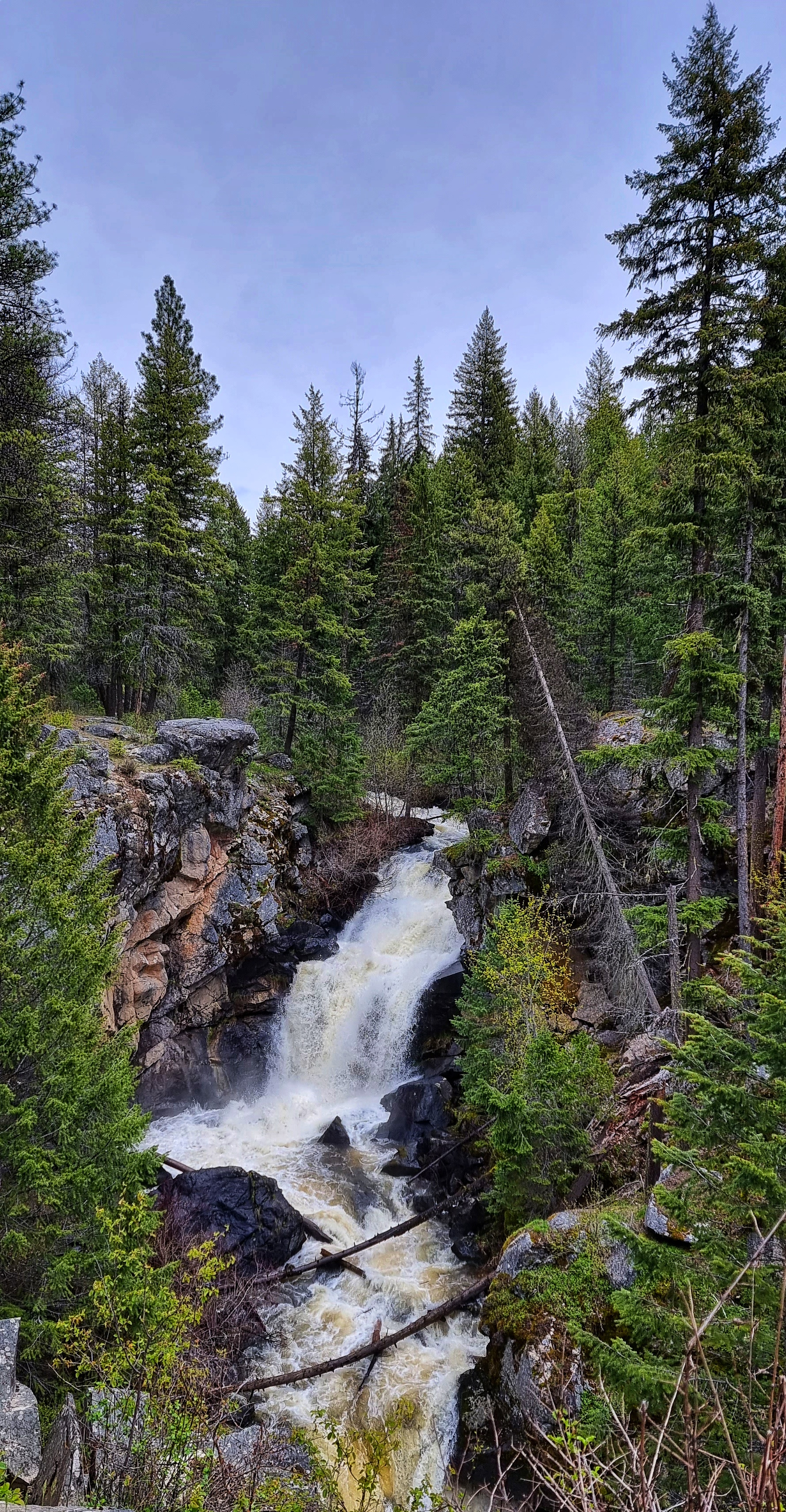
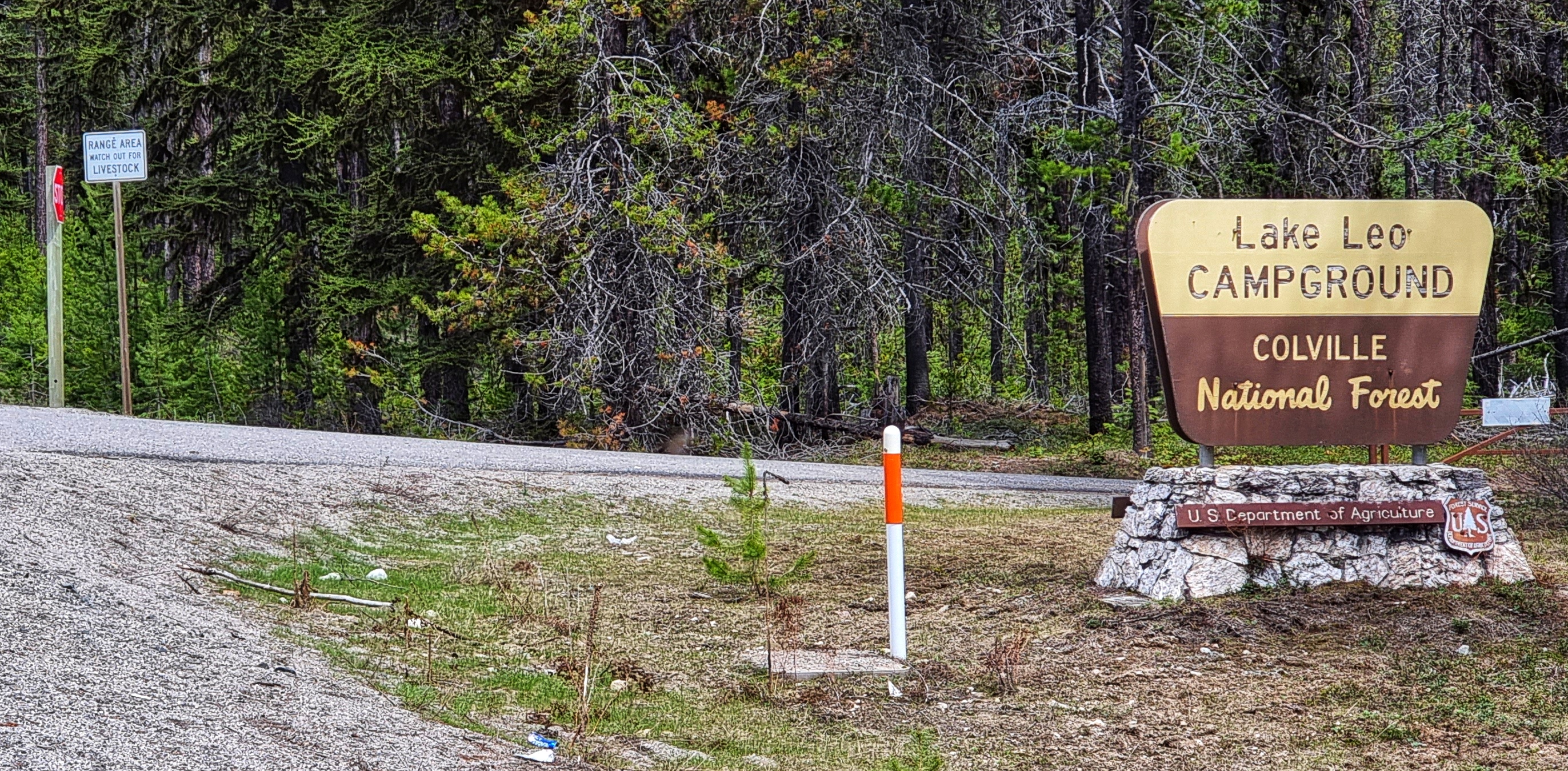
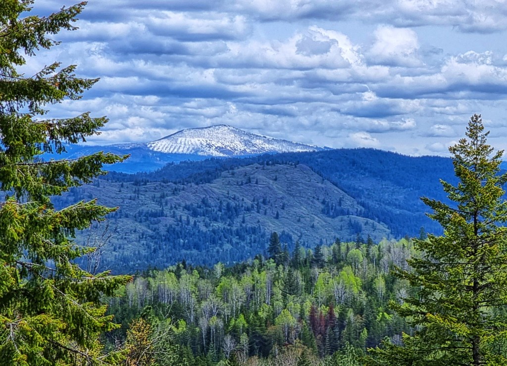
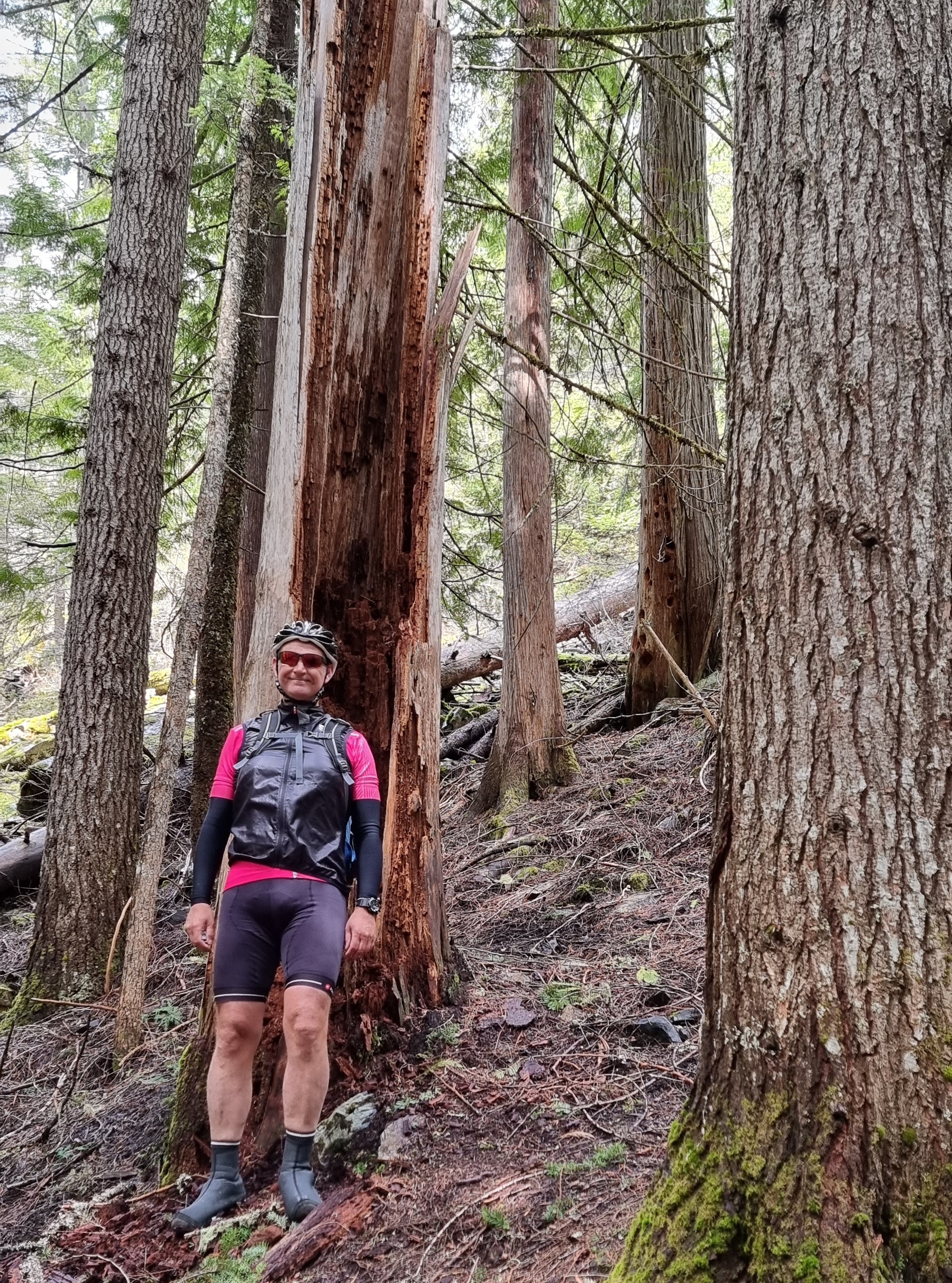
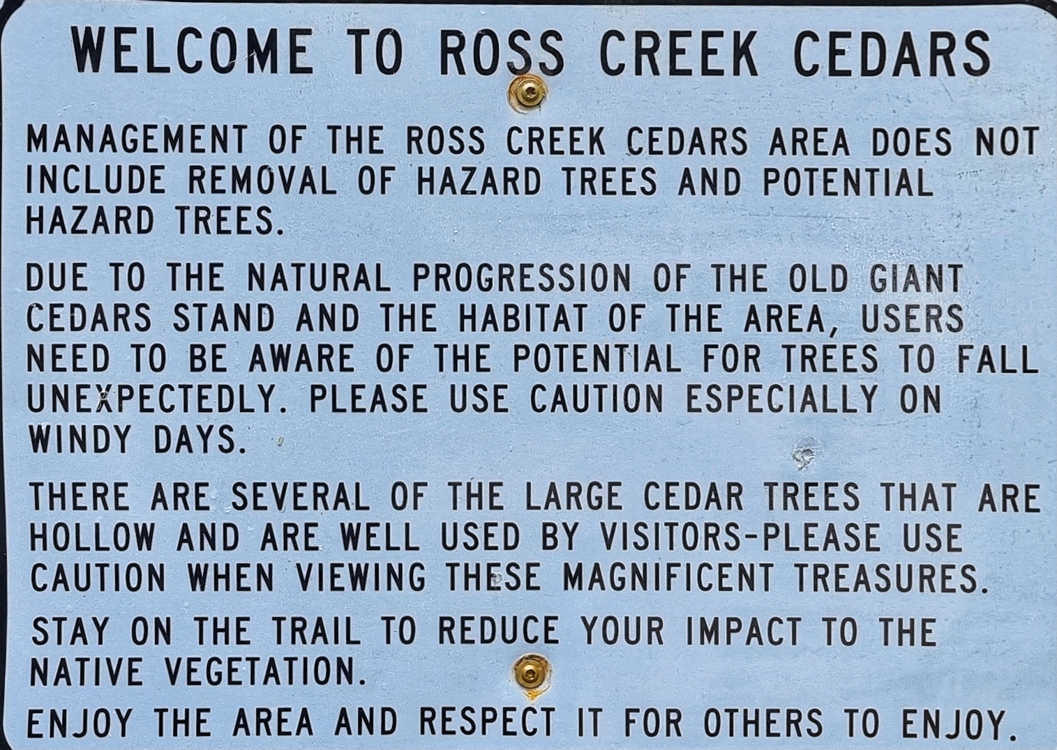
Ross Creek Cedars had been recommended to us by Mike at The Amber Bear Inn. This involved taking a 4 mile detour up a small single track road which regularly hit double digit gradients & this took a bit out of us on fully loaded touring bikes! I’ve lost about 5 pounds of weight already on the adventure so far, but I was still hauling 40 lbs of kit, 35 lbs of bike & 175 lbs of me up a brutal climb. We were enclosed for most of the climb, but there was one viewpoint I’d earmarked for a photo on the way back down, however, first we needed to explore the Cedars of Ross Creek. They are a stand of ancient cedars that sit in a couple of acres of forest. If you’ve been to Sequoia National Park, think of a slimmed down (or decaffeinated) version – I thoroughly enjoyed it & it was worth the effort to get here.

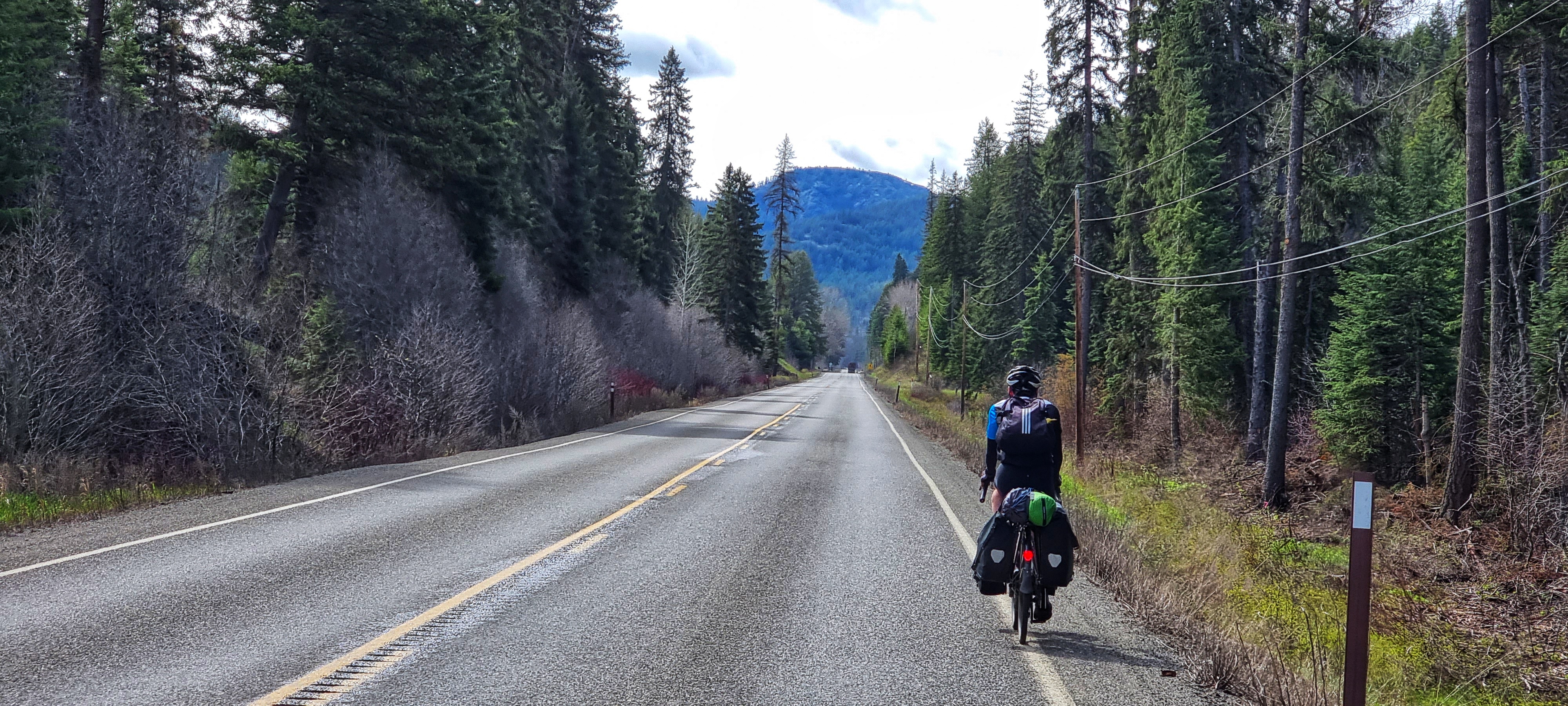
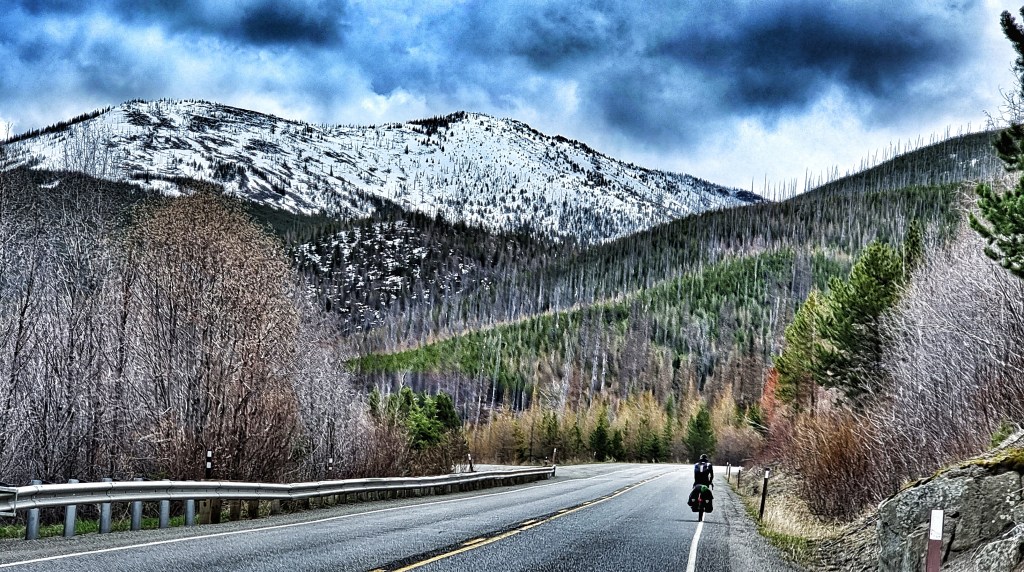
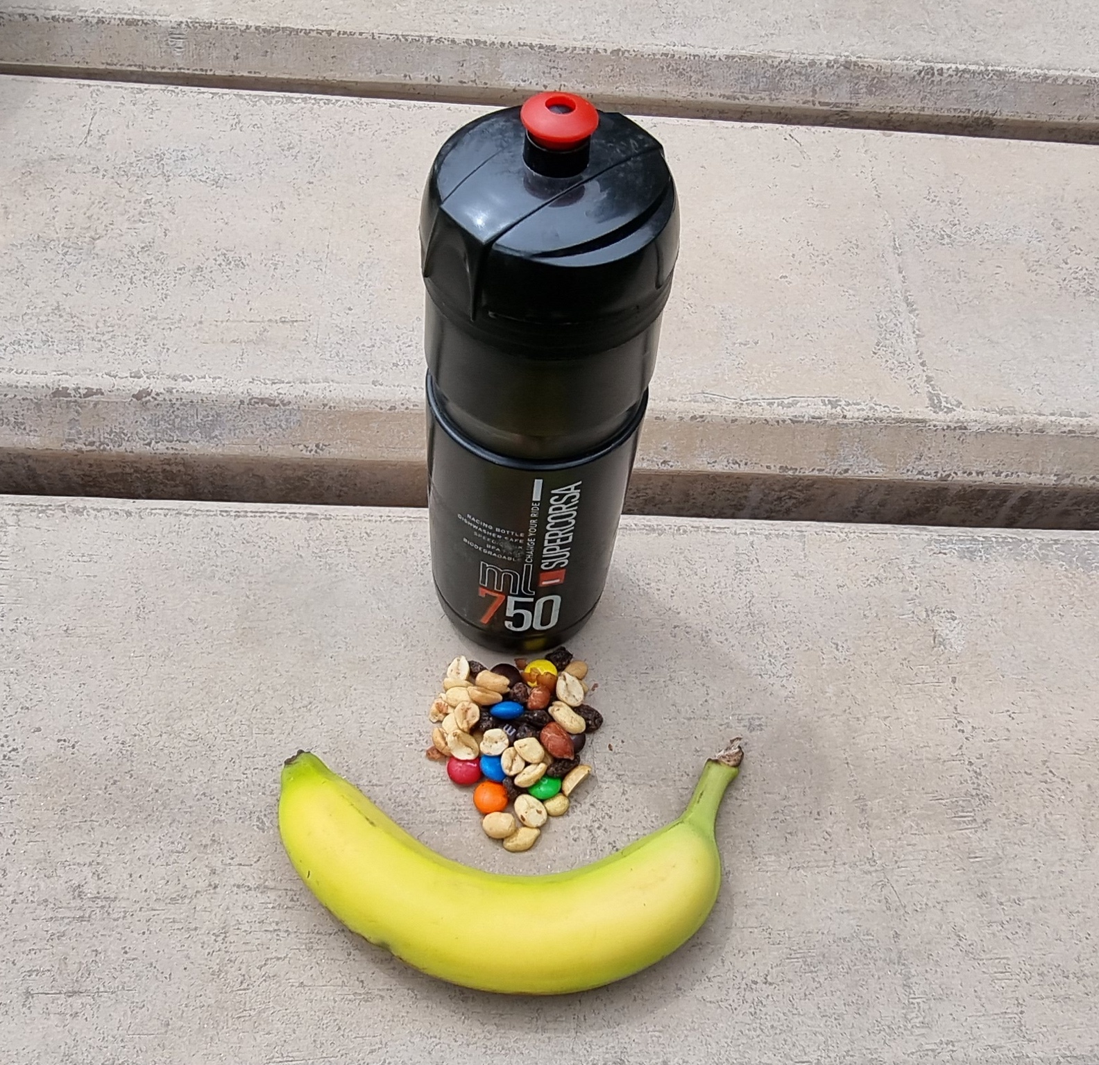
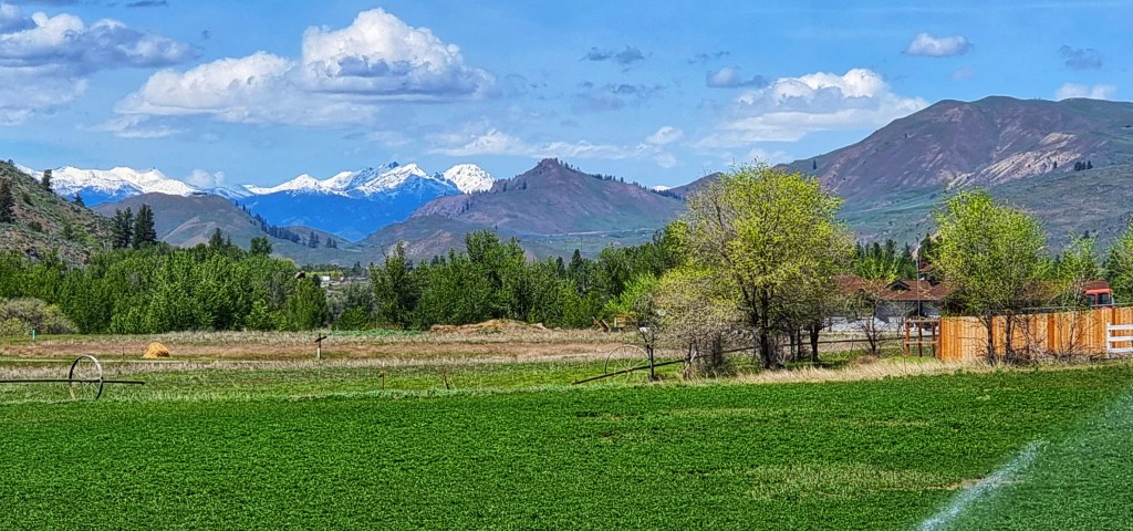
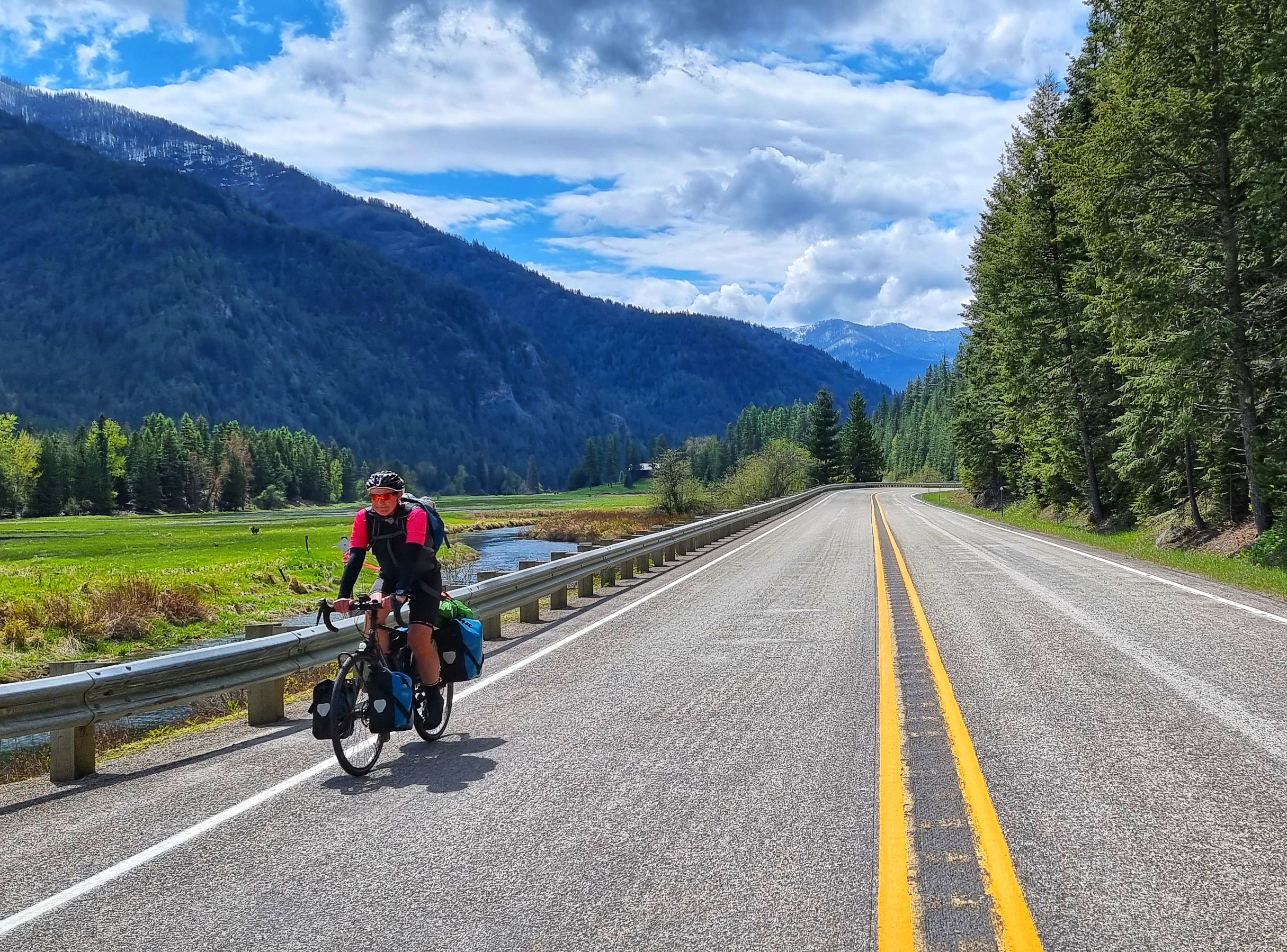
We descended cautiously, constantly on the lookout for cars coming up the climb – I remembered to stop at the overview to capture some more snowy mountains! Re-joining SR56, we continued up to Bull Lake, where we took a quick break to eat some trail mix – remote days mean no coffee or cake – first world problems we have to endure!! As we altered course slightly we turned into a nagging headwind, which slowed our progress & dampened our spirits slightly. The road appeared to stretch just that little bit further into the distance. During a long ride your mind can play all kinds of funny tricks on you, as small things like a gradient (up or down) or wind (into you & behind you) affect how you feel. Headwind & uphill – answers on a postcard or email!!!

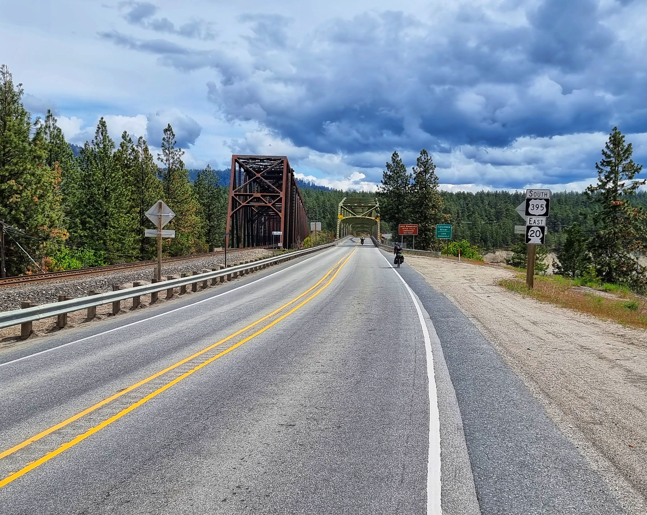
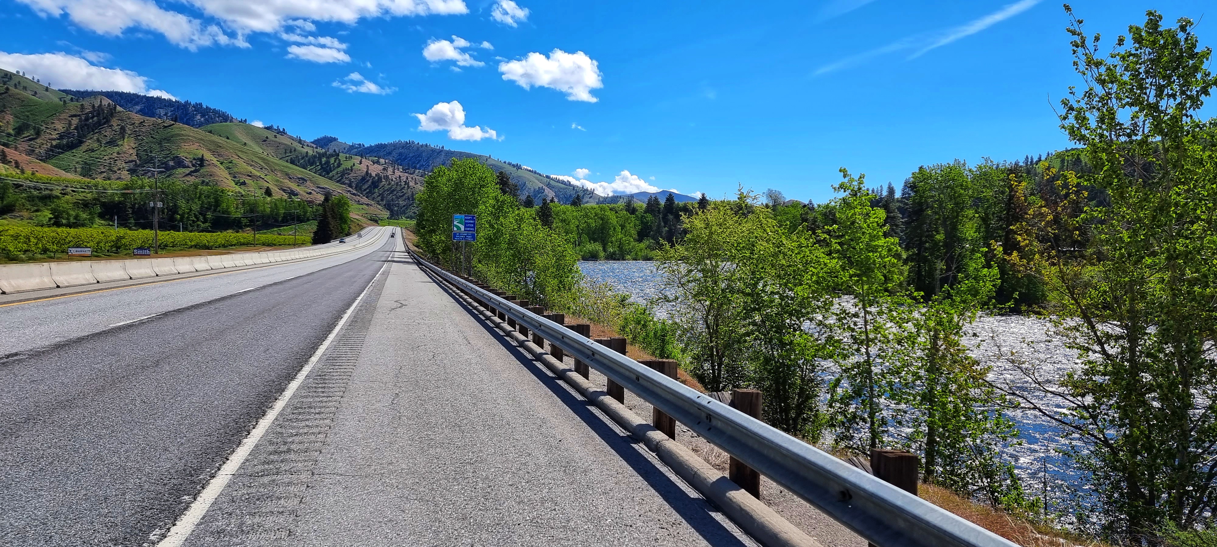
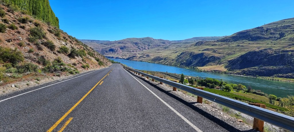
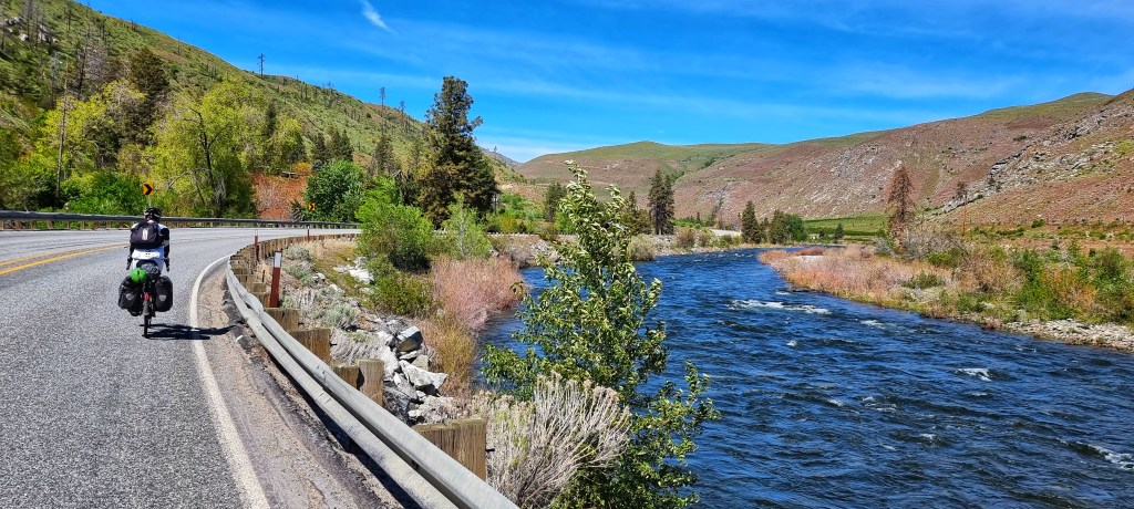
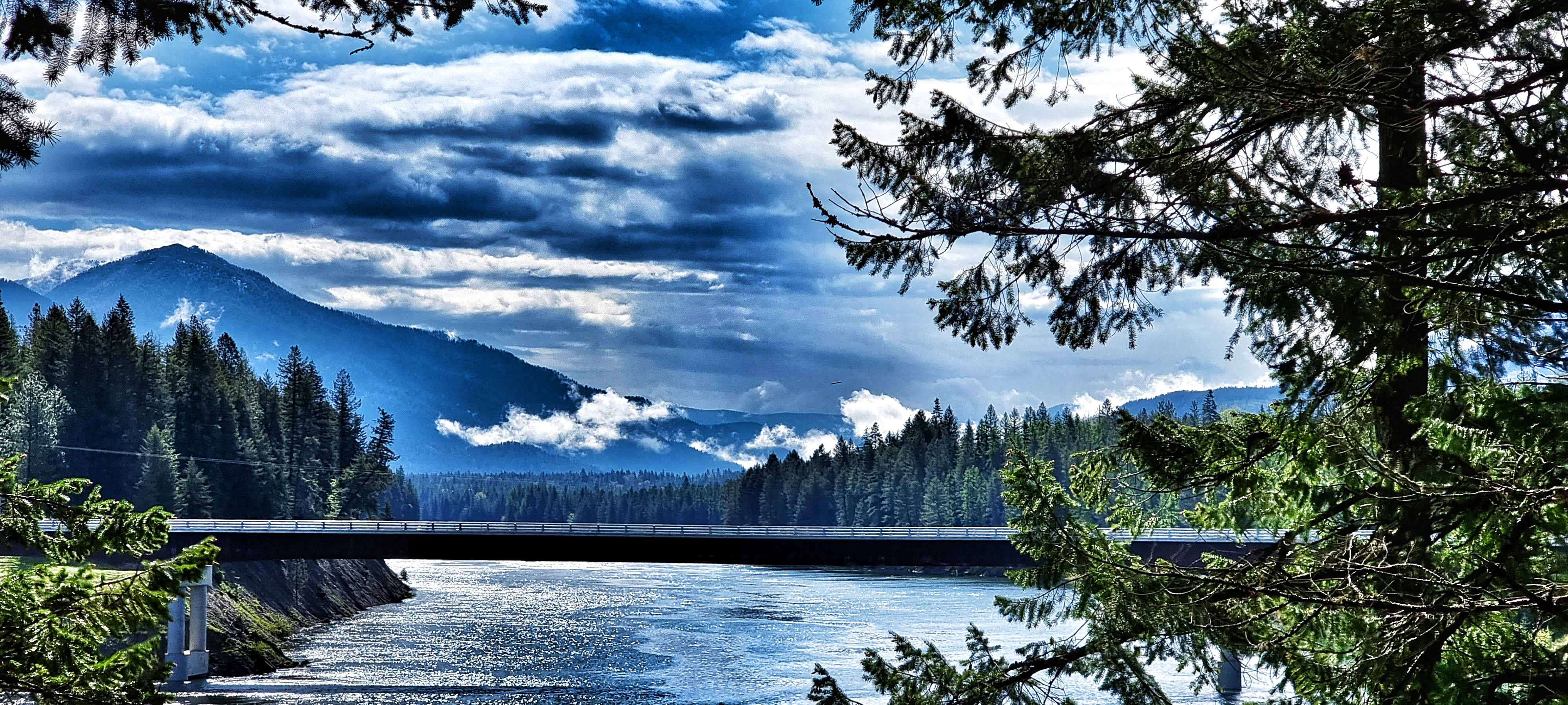
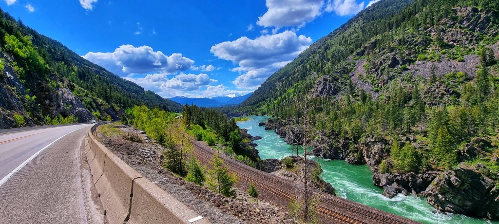
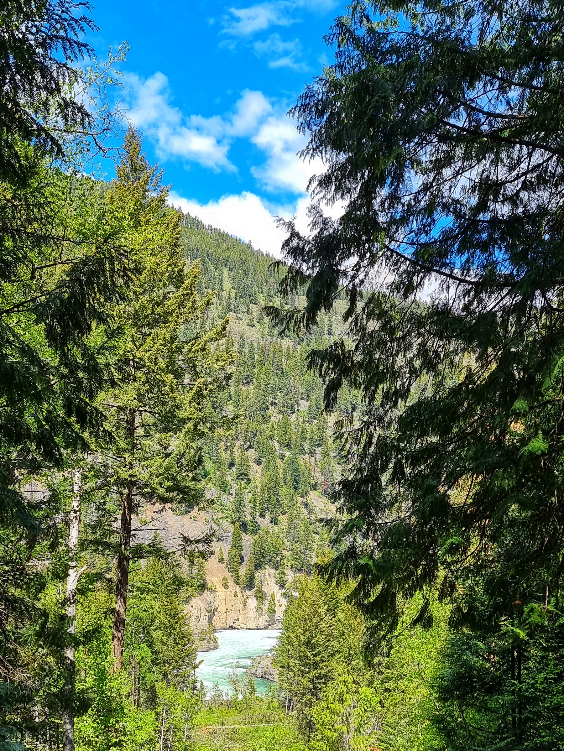
We eventually reached the junction with US2 at the 55 mile point – we’d crossed Stevens Pass using US2 on our way to Leavenworth 2 weeks ago, so it was like joining an old acquaintance (I would say friend but uphill into a headwind prevents me saying it!). Tracing the course of the Kootenay river upstream, this is where parts of The Revenant (starring Leo DiCaprio) were filmed – the river is powerful & beautiful in equal measure. I managed to capture a short piece of video in addition to a couple of photos.

For the final 15 miles, we cycled side by side making small talk, just to take our minds off the battle up the valley – in truth the ride was a bit further than we would have chosen, however, the location of towns dictates ride lengths to a degree. The vistas were a huge help too!

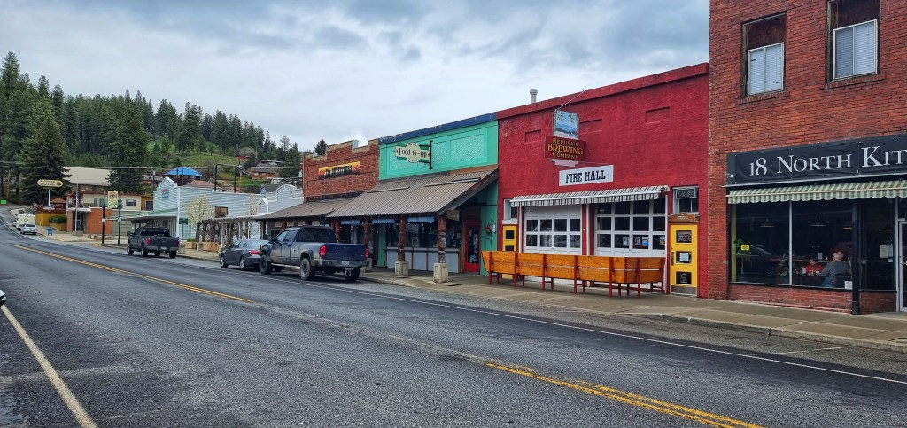
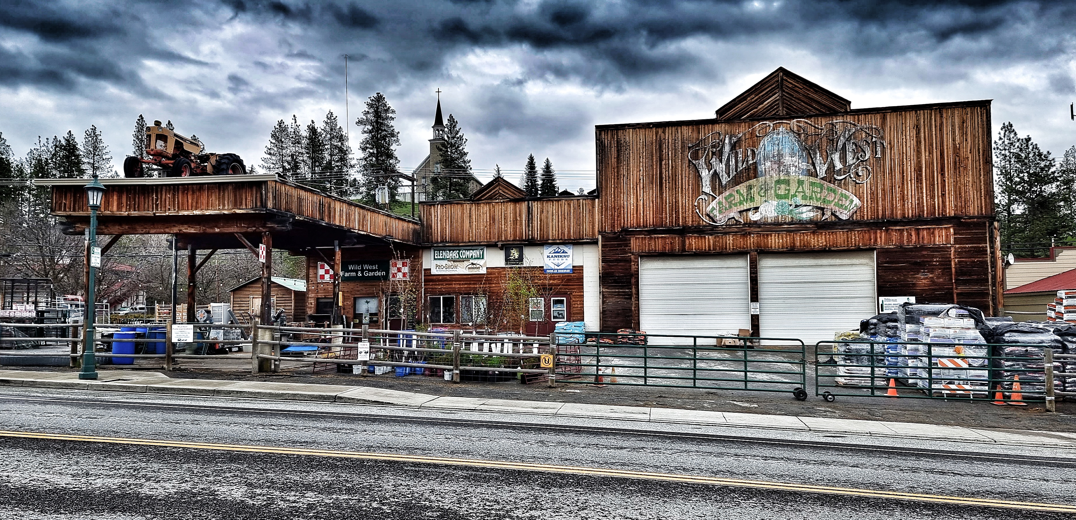
We finally made it into Libby, a town made famous in the USA for the Superfund that continues to clear up one of the USA’s worst man-made environmental disasters caused by toxic asbestos dust. Our host Mike recommended that we spend as little time in the town as possible, as hundreds of residents have died & thousands more are sick due to the pollution.

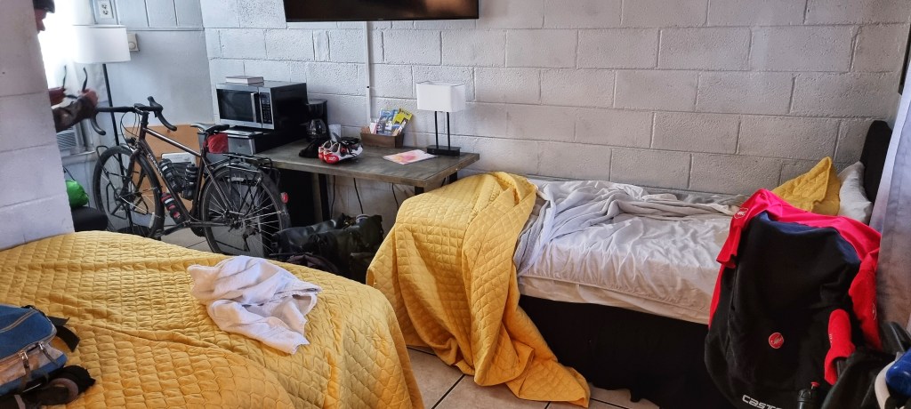
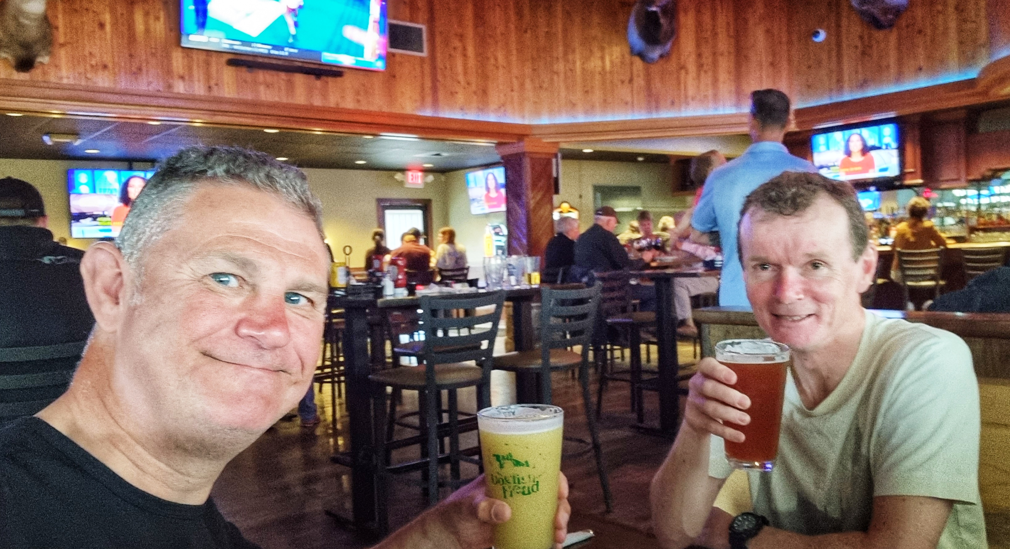
I’ve probably created the impression we were tired by the end of the ride – we were! This is where access to tv &/or the internet helps us to relax, process the day & generally recharge our batteries. I won’t mention the name of the motel we stayed in, but there was no internet & the tv ran off wi-fi that wasn’t working!!! Needless to say Libby doesn’t make my top 10 places visited so far. Having said that, we still made sure we celebrated another epic day of riding as we tipped over 1,000 miles for the adventure so far after 22 days of the trip.

Stage Stats – 69 miles, 3,205 feet of climbing. Mainly uphill & into a headwind on rolling terrain with one climb of note. 1,026 miles ridden since 30th April.

Sunday 22nd May – Libby to Rexford Campground (Stage 19)

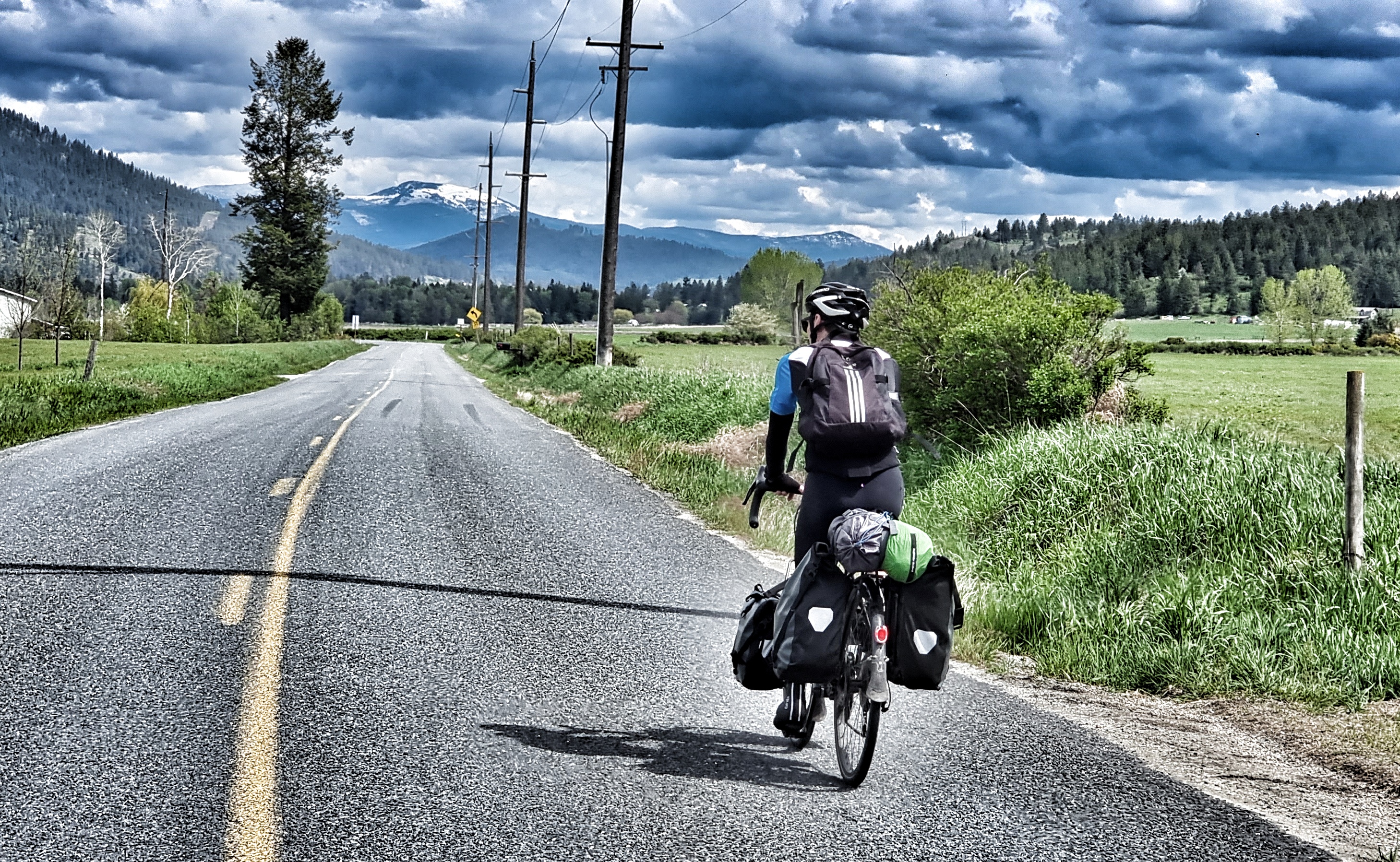
We were up at 7.15am, aiming for an 8am leave as today was another big ride with a fair chunk of elevation. The best laid plans however, don’t always pan out & we had to wait for breakfast as the motel didn’t have any milk for our cereal & there was no fresh coffee. Regardless of these small delays, the steeds were packed & we left by 8.20am.

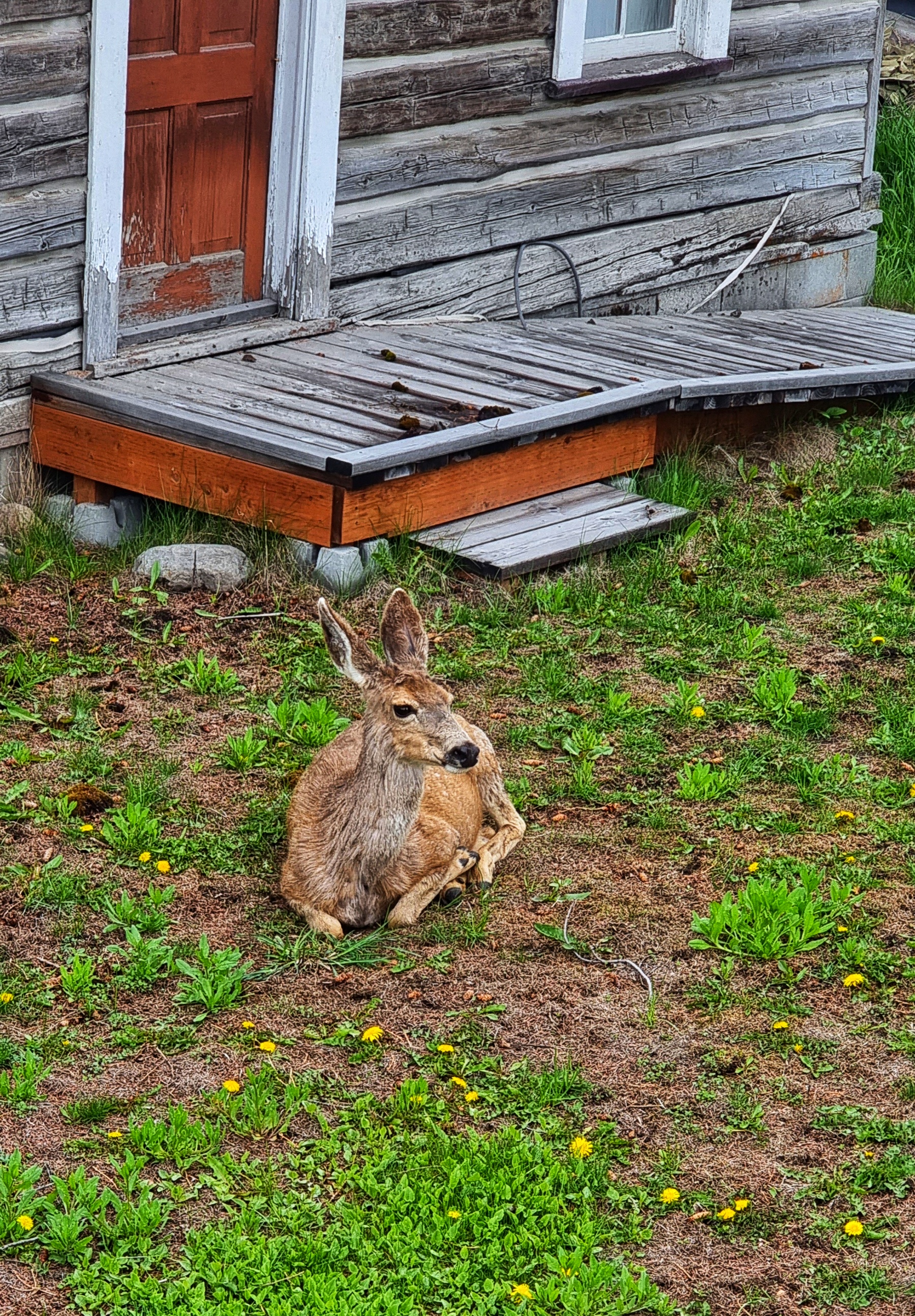
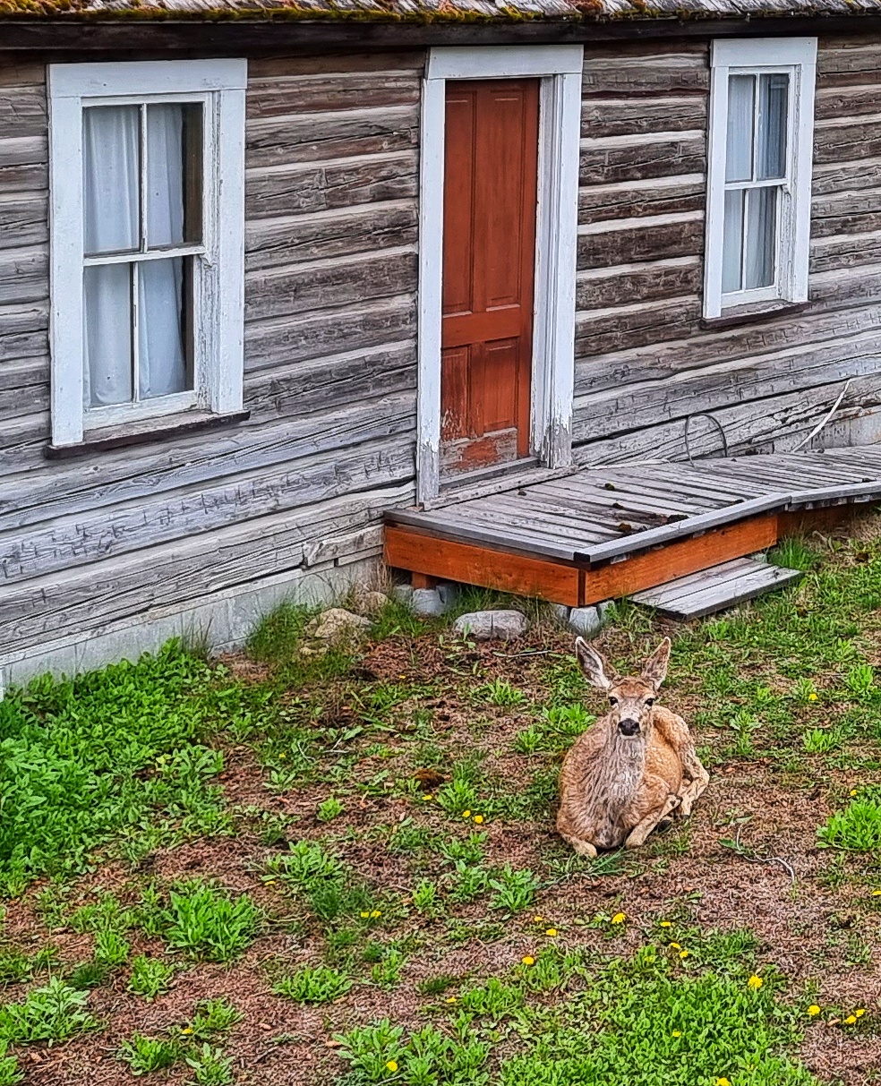
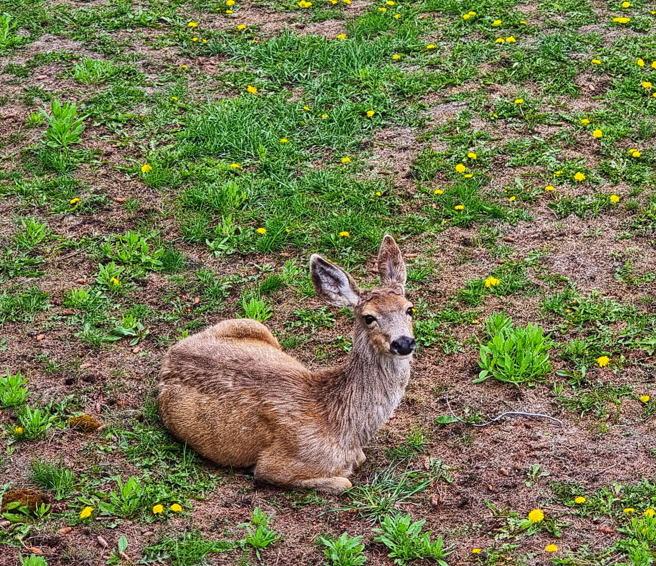
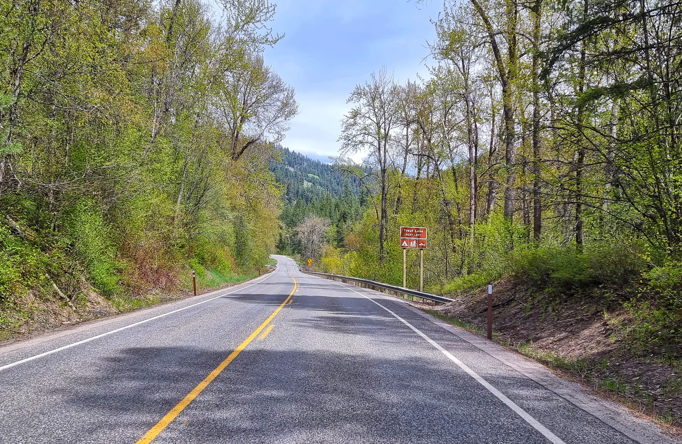
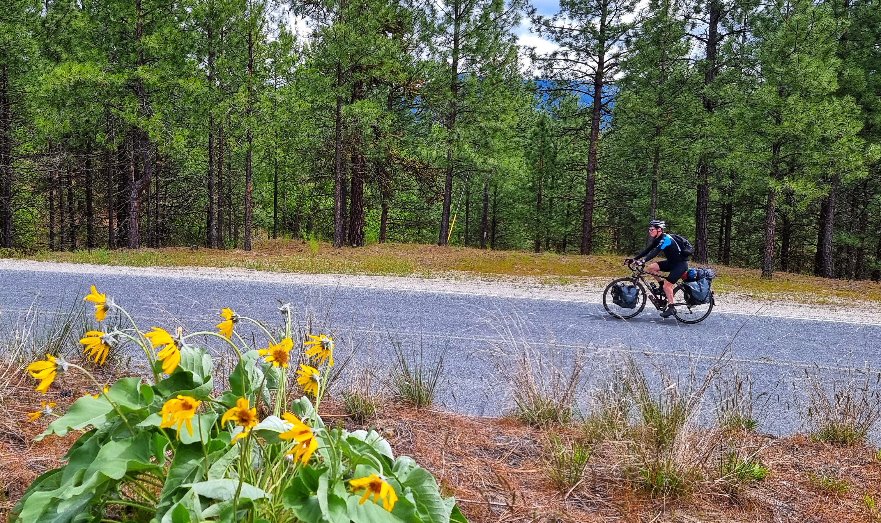
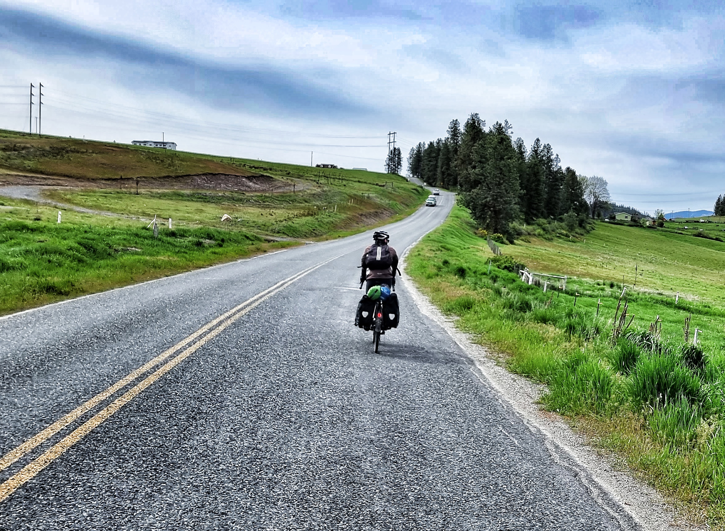
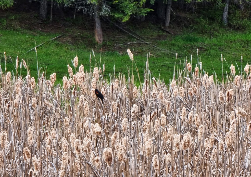
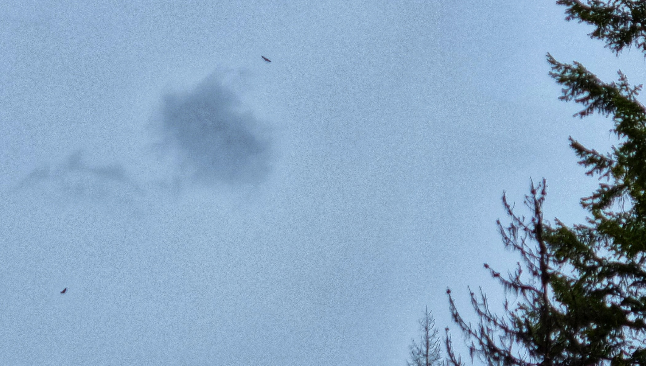
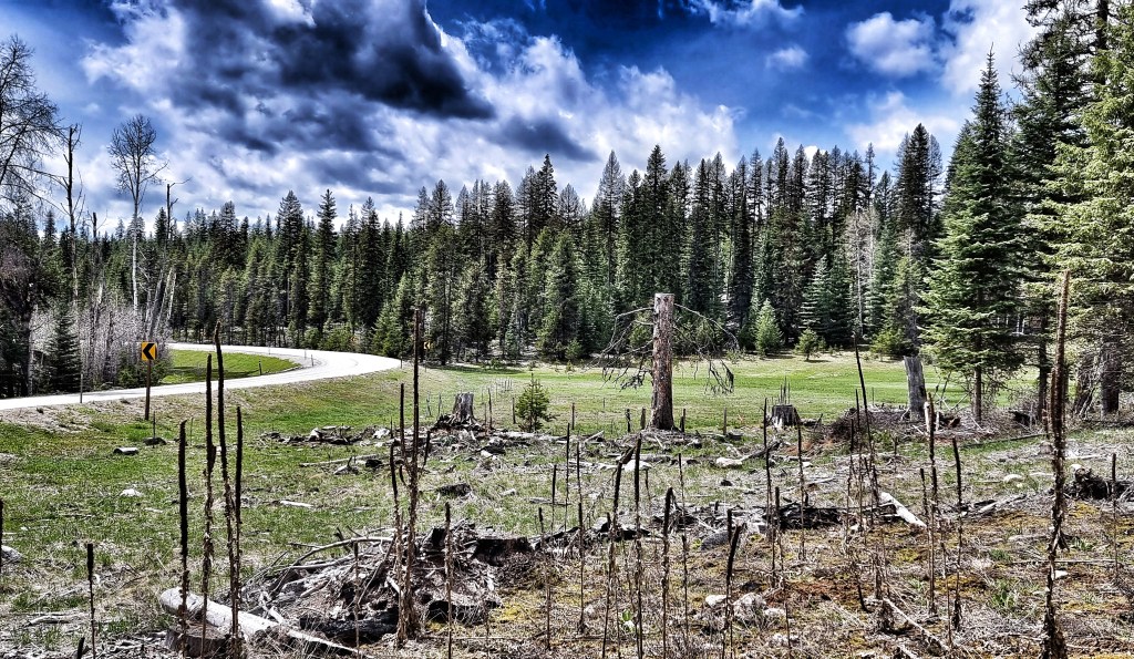
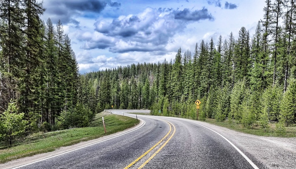
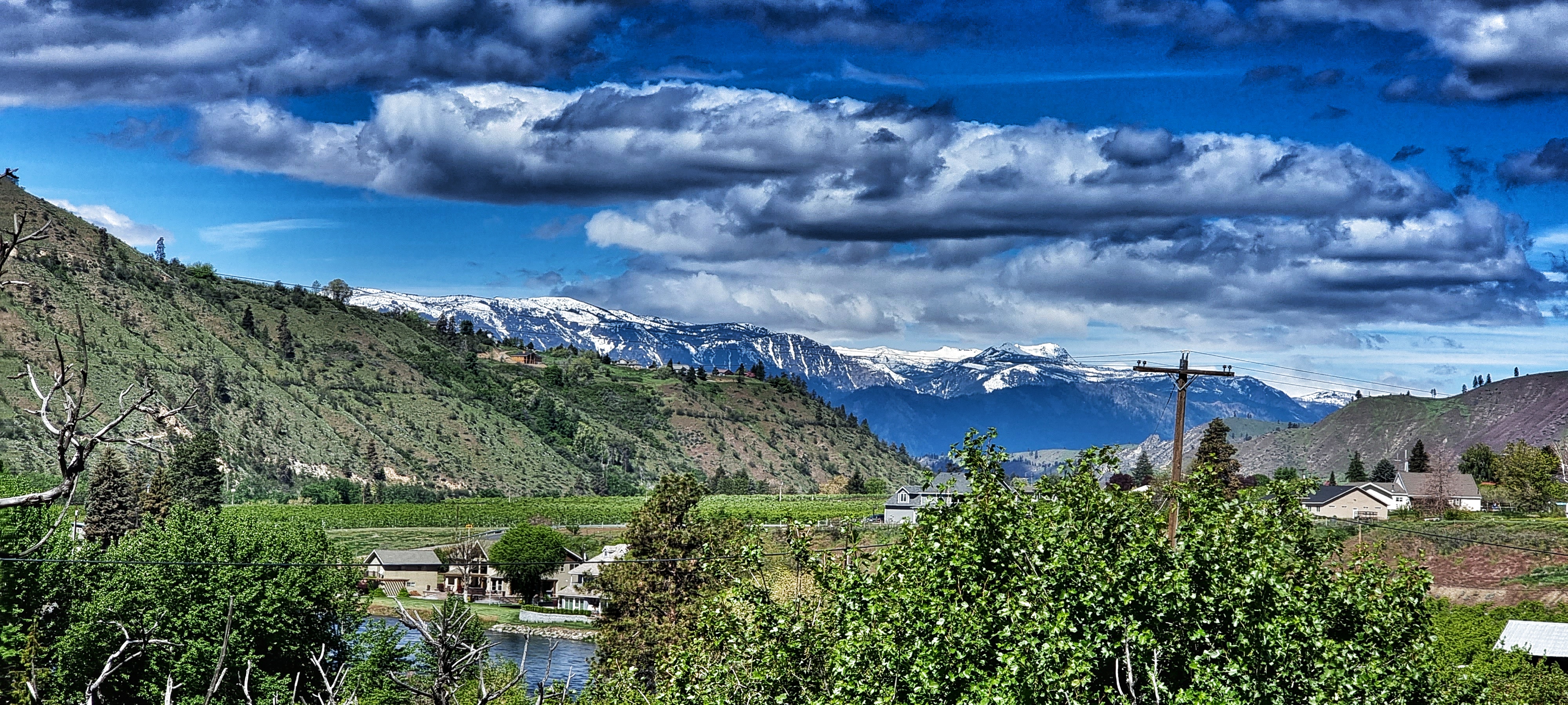
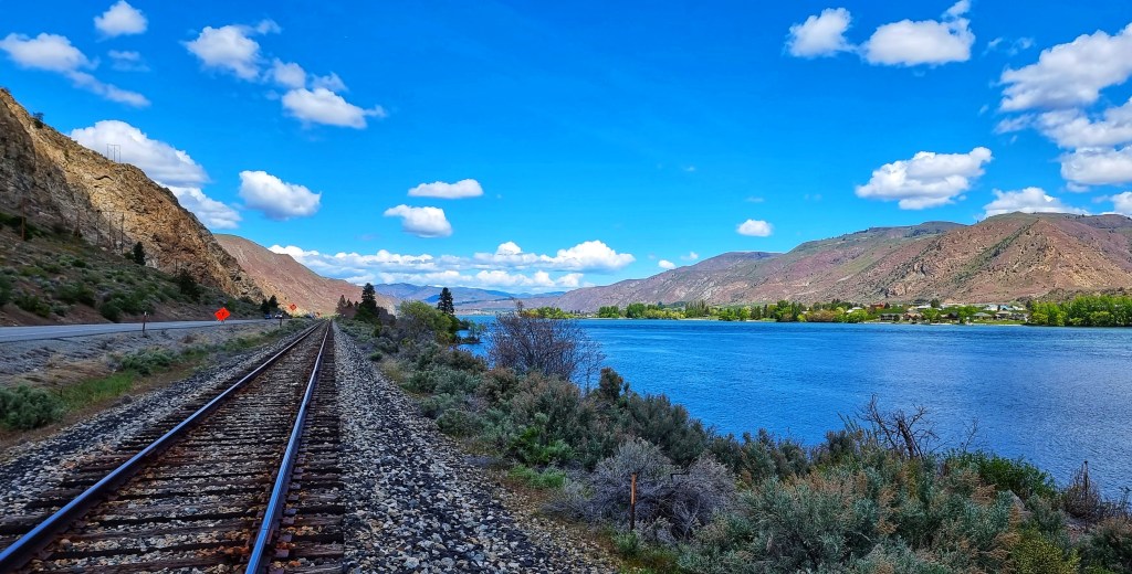
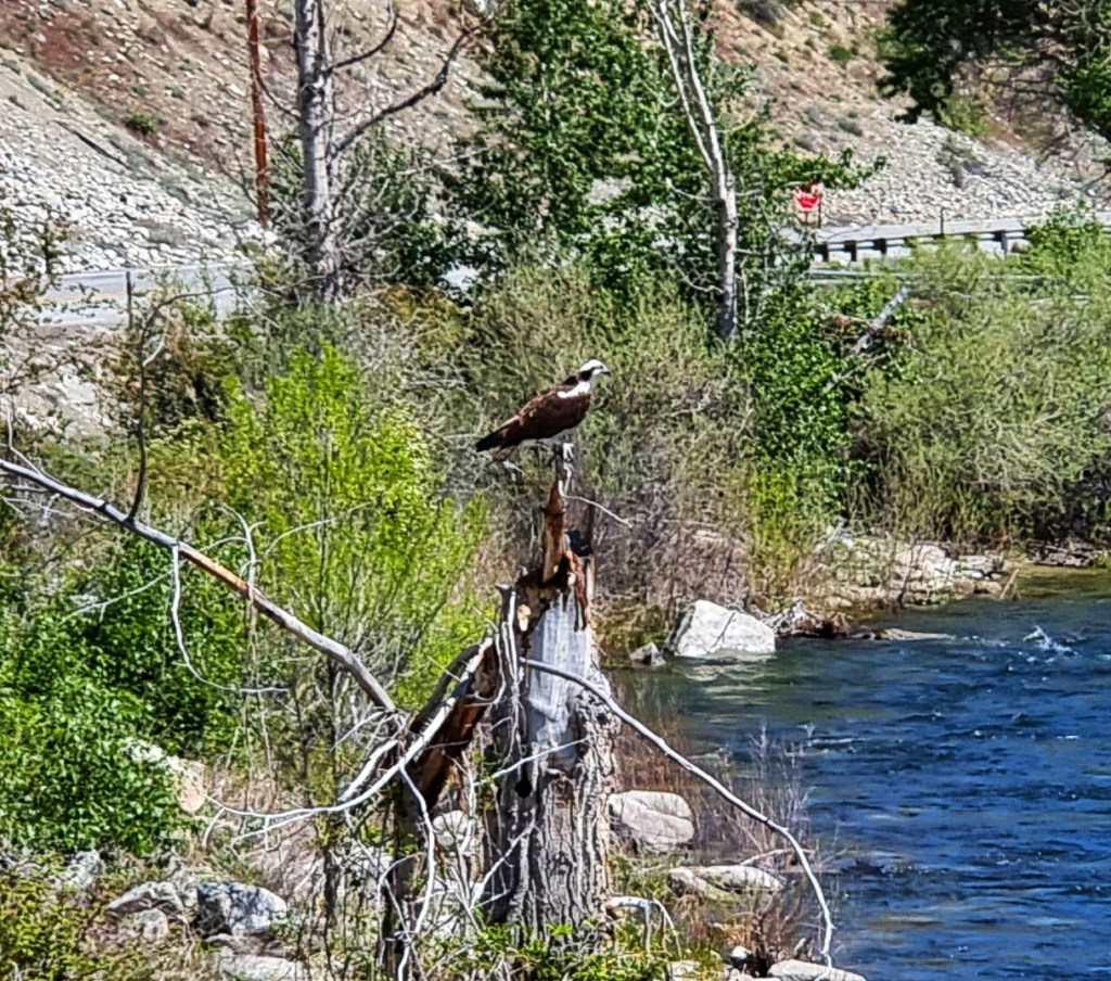
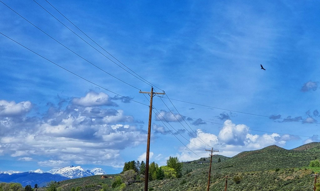
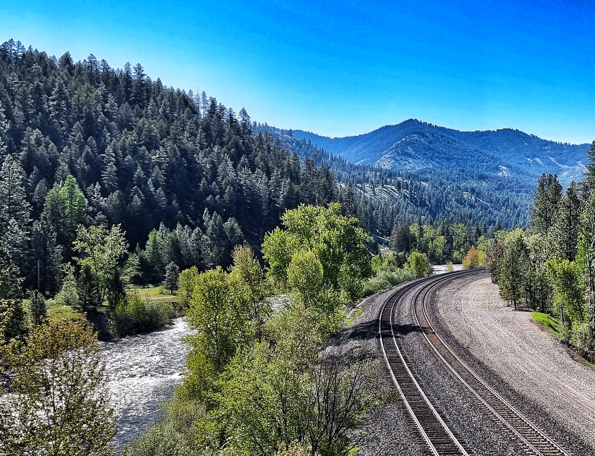
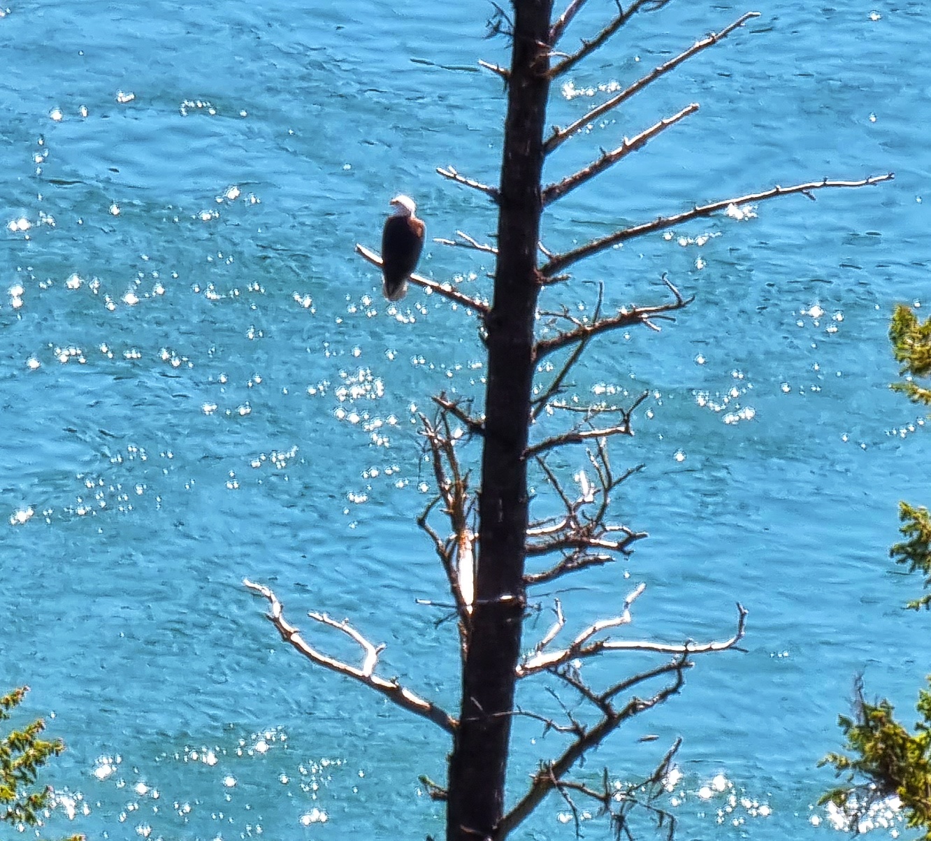
Today would be another classic Adventure Cycling Association route along deserted backroads – in the first hour of riding we saw 7 deer (4 are in the train photo below), 4 cyclists, 3 eagles, 2 trains & a solitary car (which was acting as support for the cyclists). The road presented huge vistas of the snowy peaks we’d ridden around yesterday.

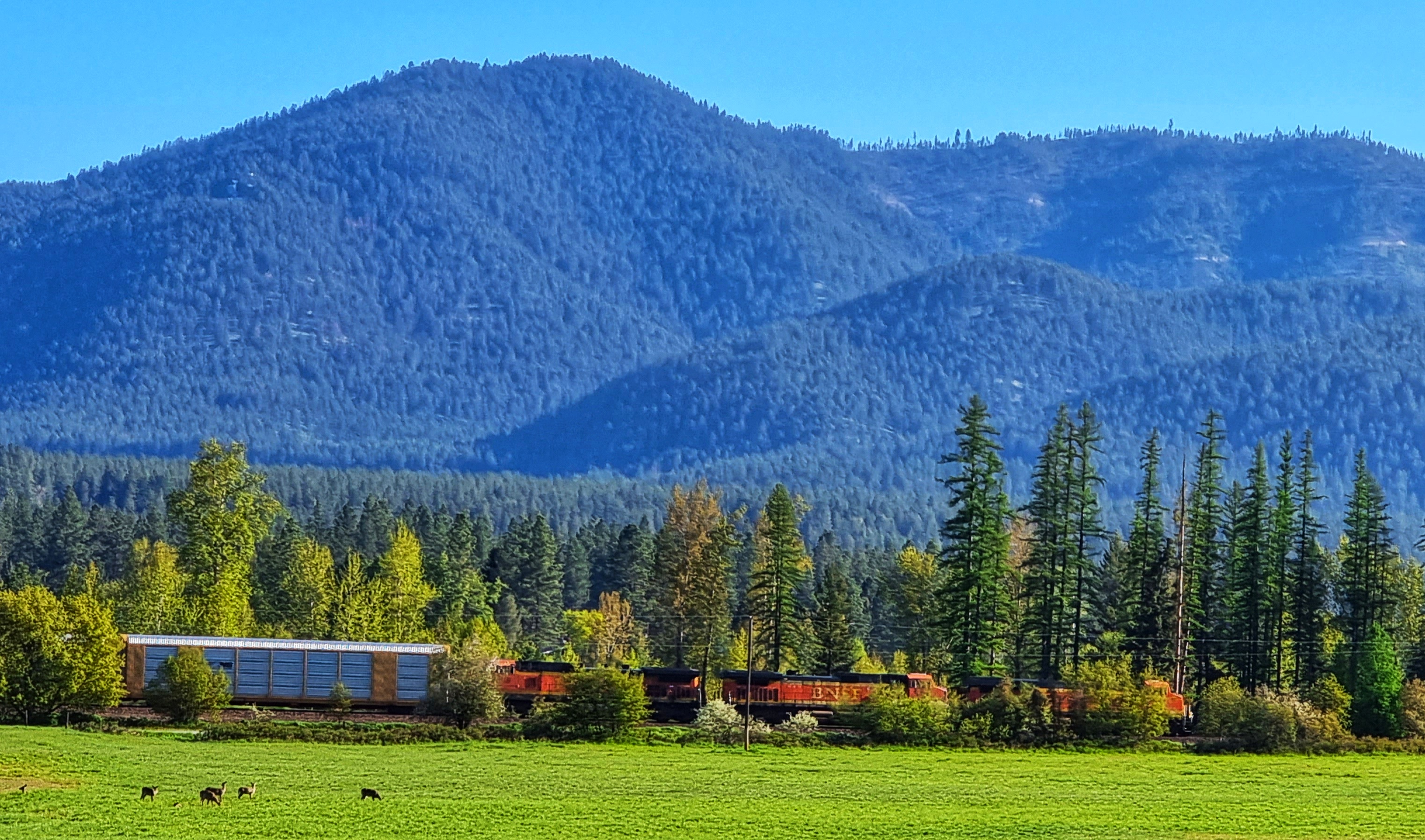
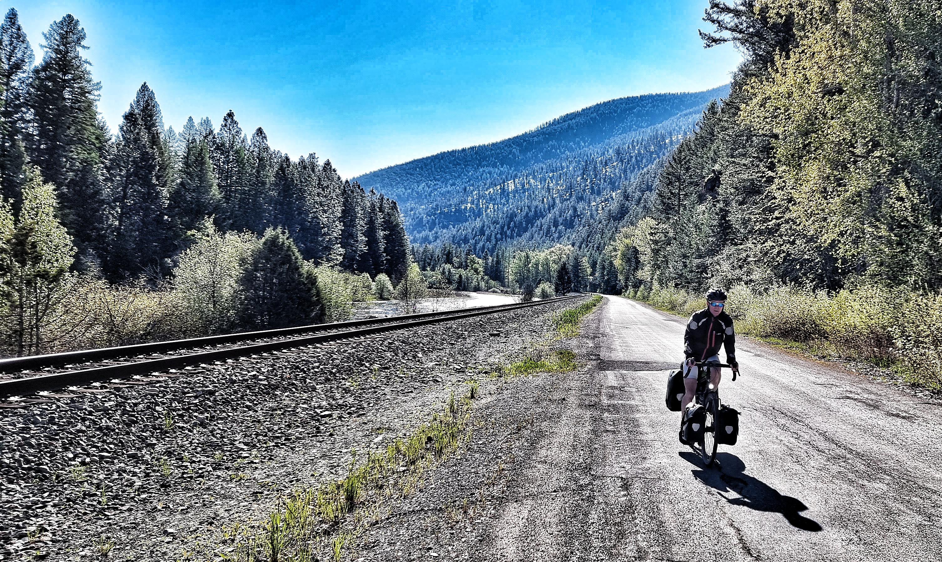
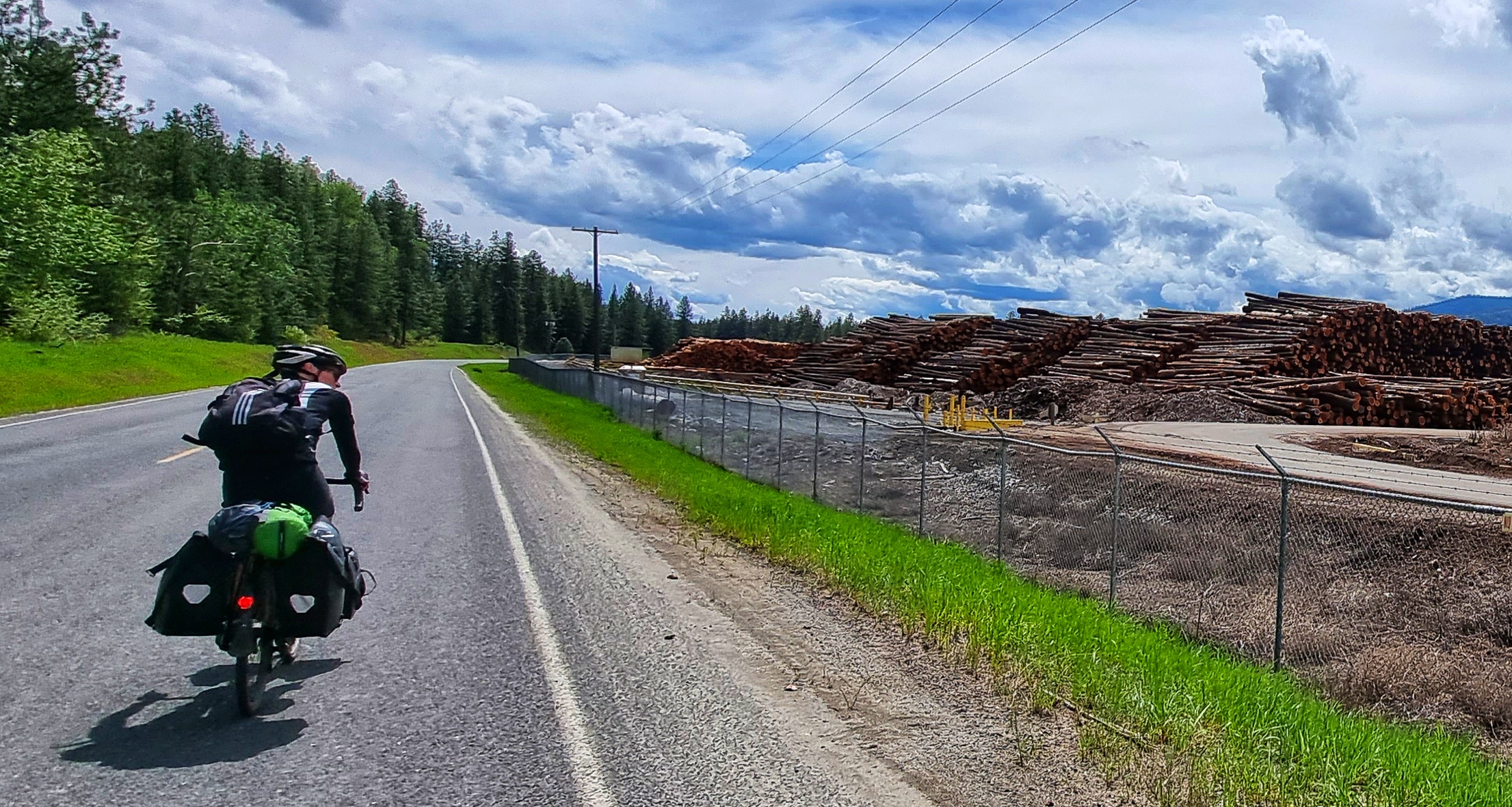
Champion Haul Road & the railroad fought for space by the side of the Kootenay river as we weaved our way through the Kootenai National Forest – at times it was deciduous & at others it was dominated by pines. I’ve been trying to capture a shot of the enormous freight trains since Seattle, more than 3 weeks ago. I was happy as Larry when I finally saw one first thing this morning.

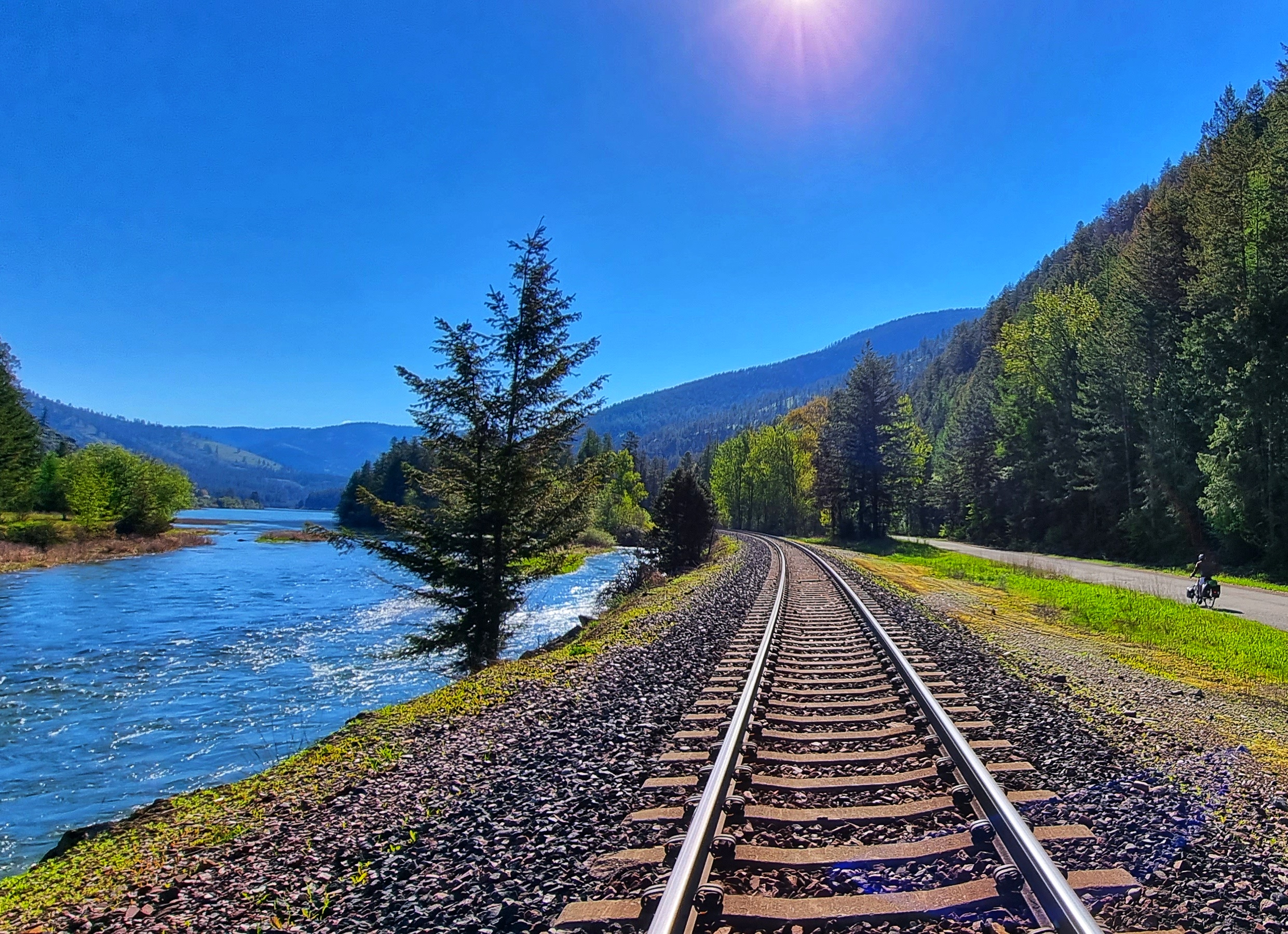
I was even more delighted when I stopped next to the railroad tracks for a nibble on some trail mix & in the distance I could hear an engine chugging & chuffing its way up the slight incline. I just had time to get out my phone & capture a small bit of footage – apologies if you don’t like trains!!!

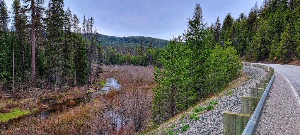
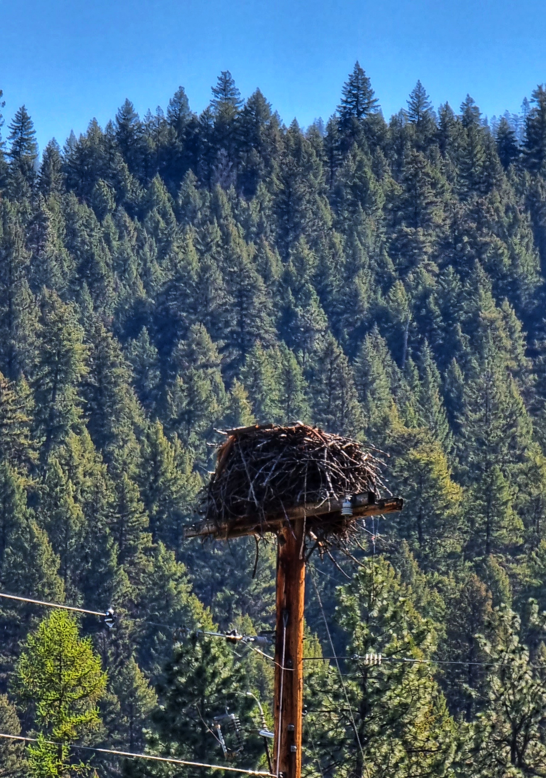
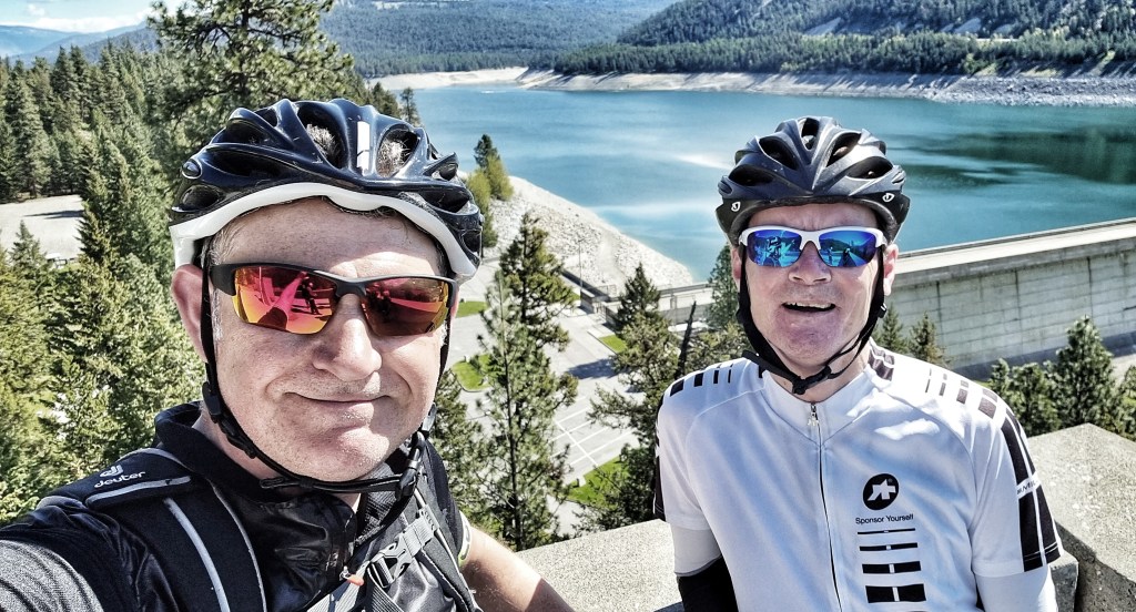
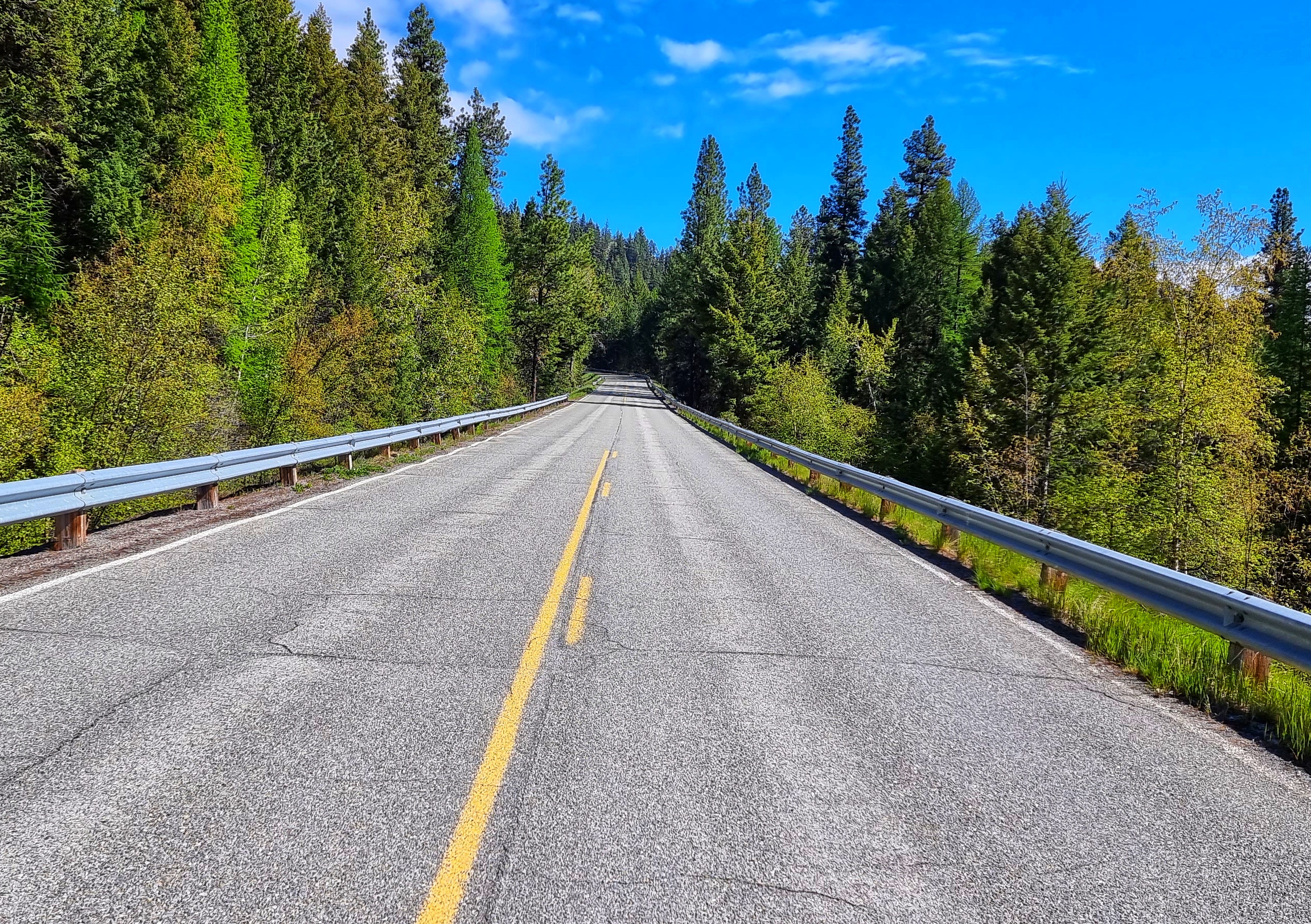
As we left the Champion Haul behind, we crossed the river to join the even more remote Forestry Development Road that would take us into prime eagle territory again for a couple of miles as we made our way towards Libby Dam. The river was in full flow as it rushed downstream – we on the other hand trundled uphill!

Just beyond the turn-off for the dam was a big lookout area – we heard a group of motor-cyclists saying disbelievingly that it looked like two cyclists have made it up the hill without e-bikes!!!! We’ve become so used to riding uphill that what seemed like a normal day exploring our office of stunning vistas & lesser-spotted wildlife was not so normal to other people after all.

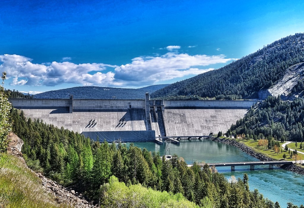
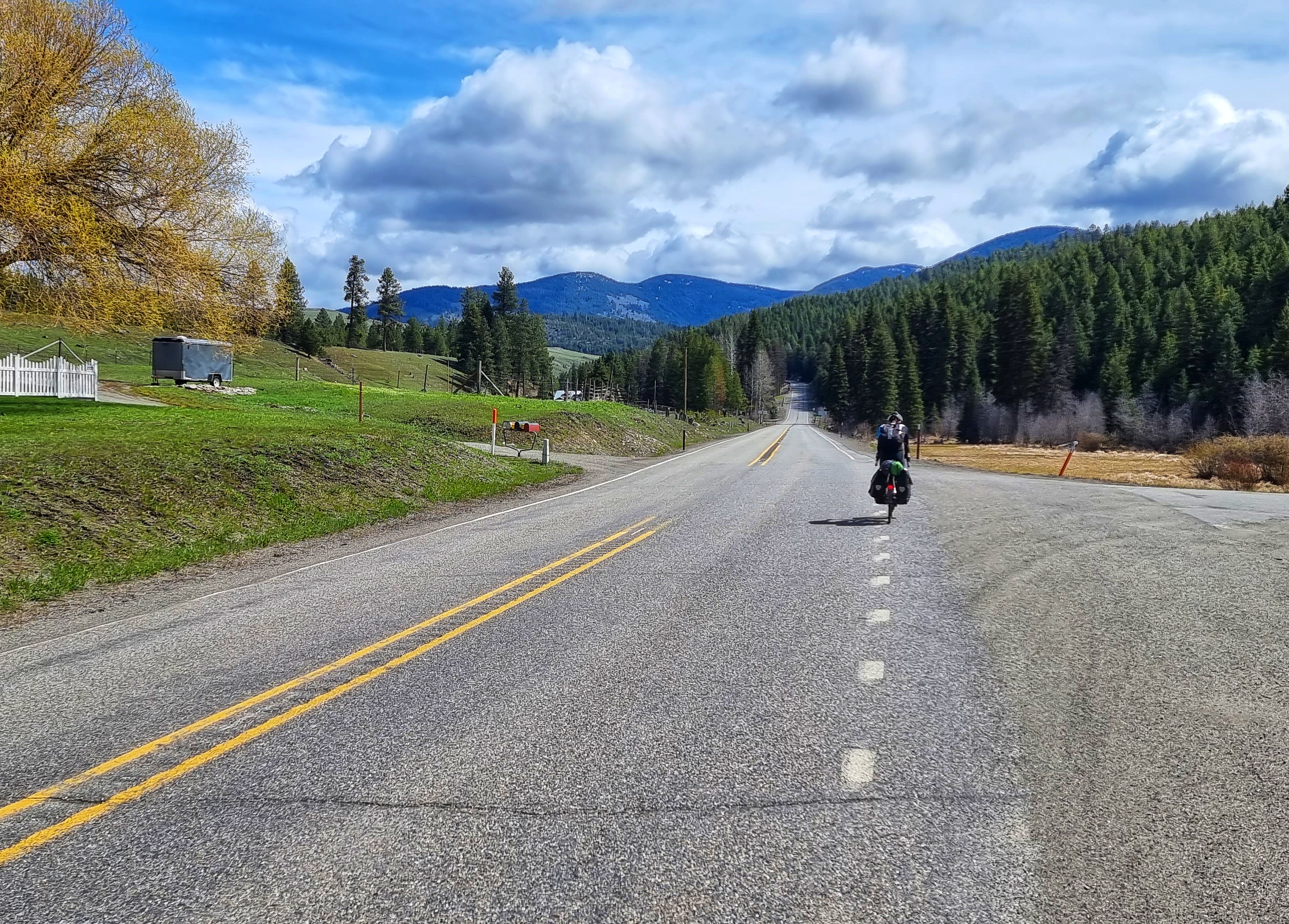
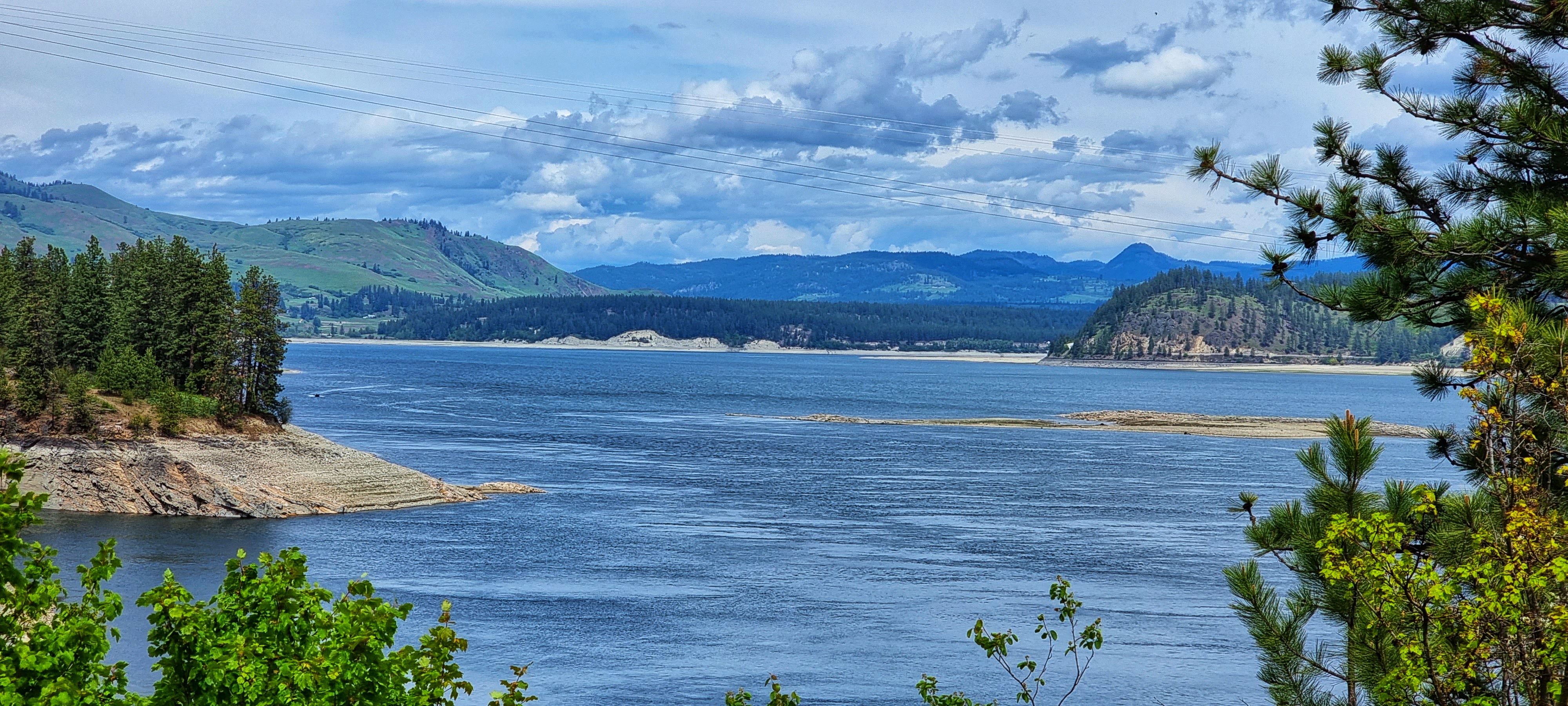
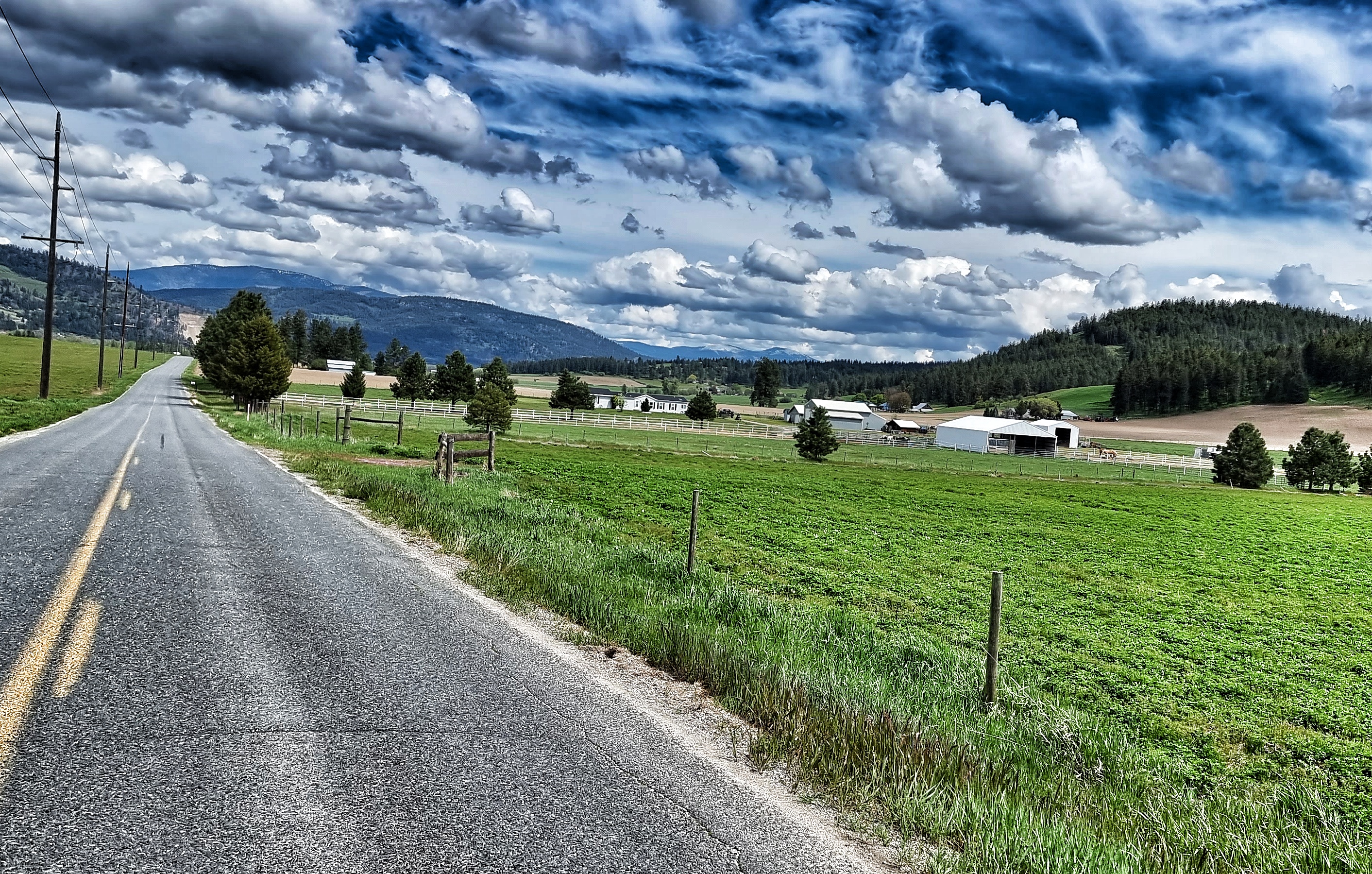
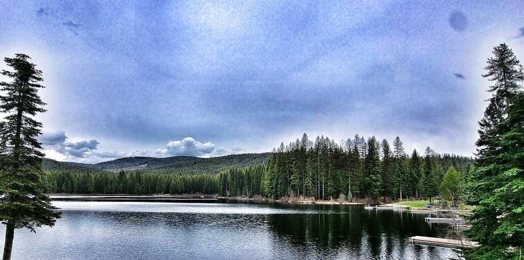
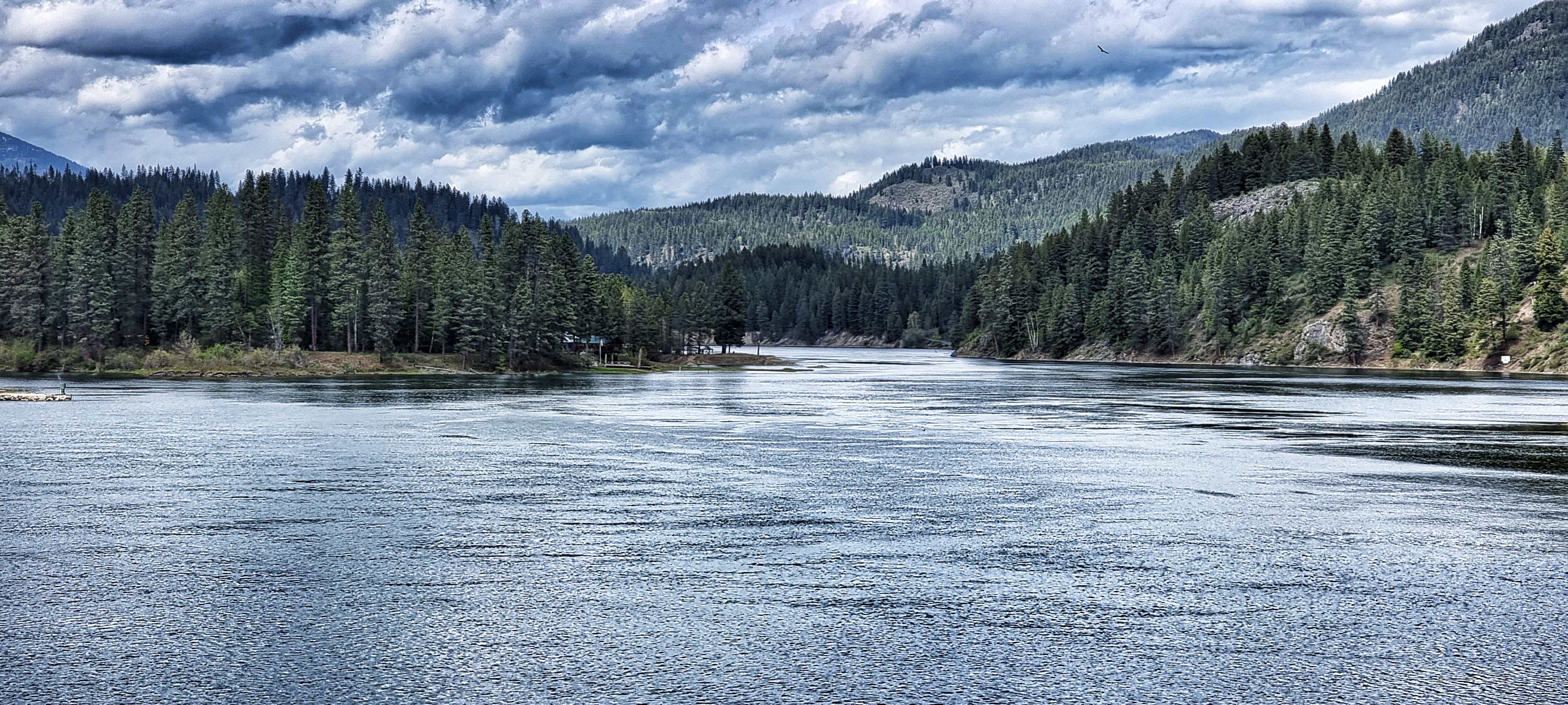
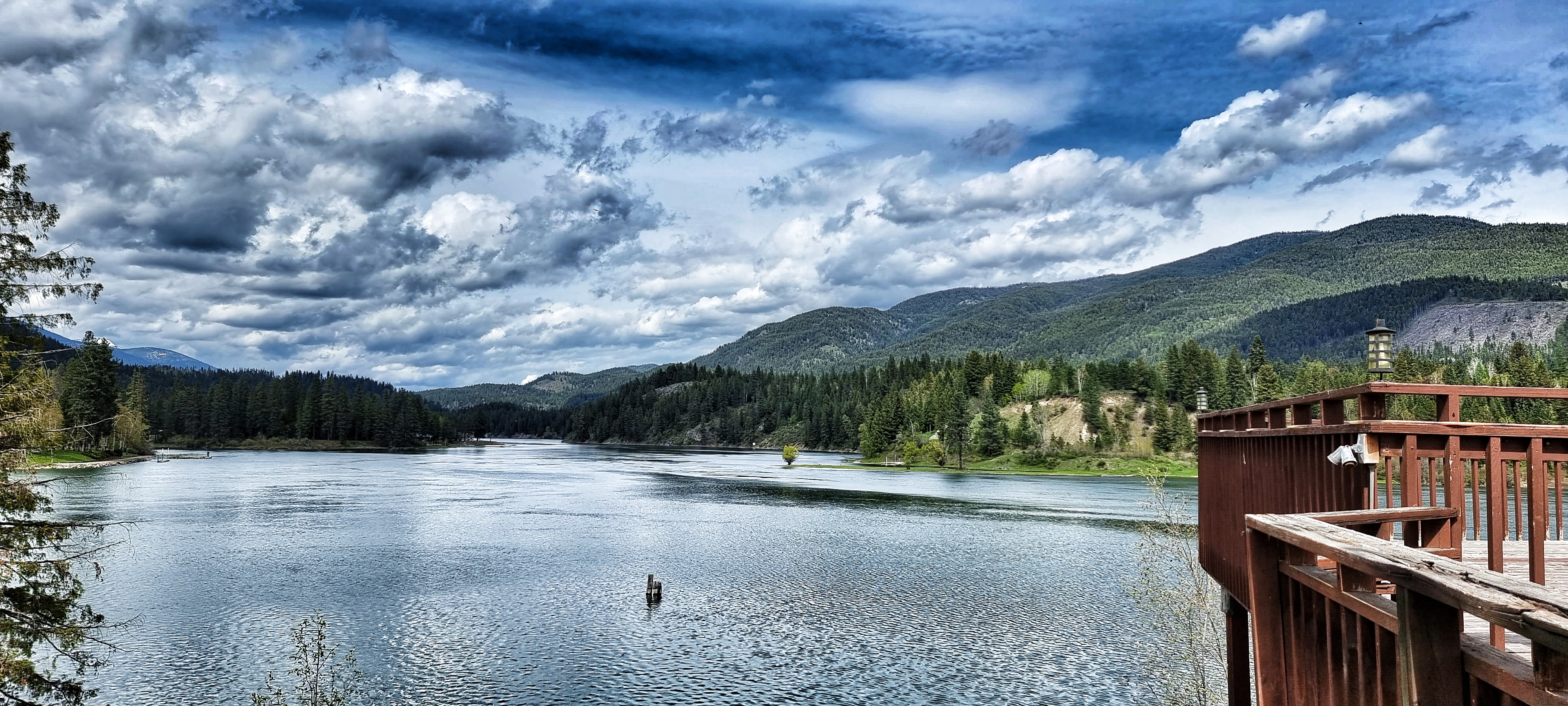
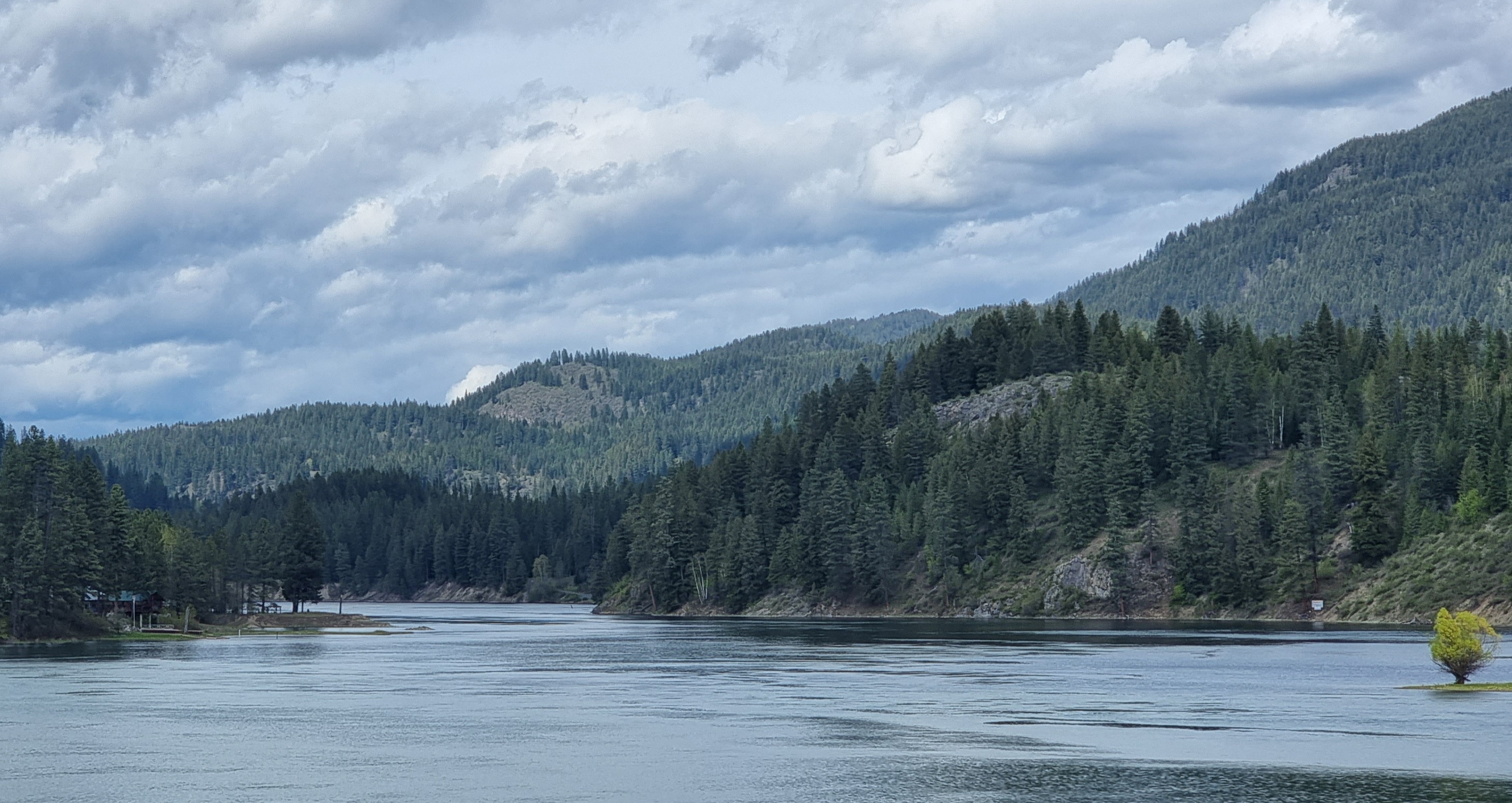
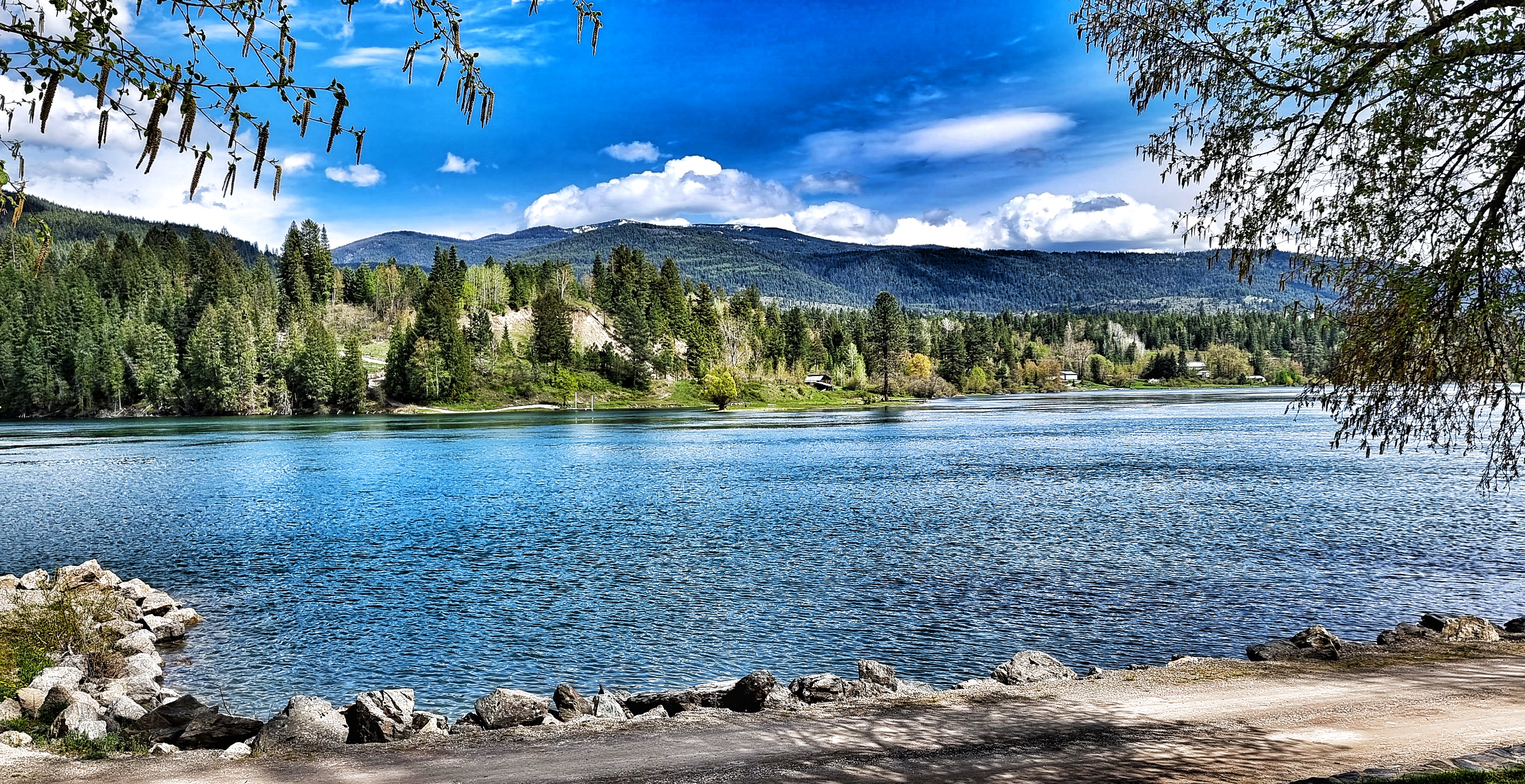
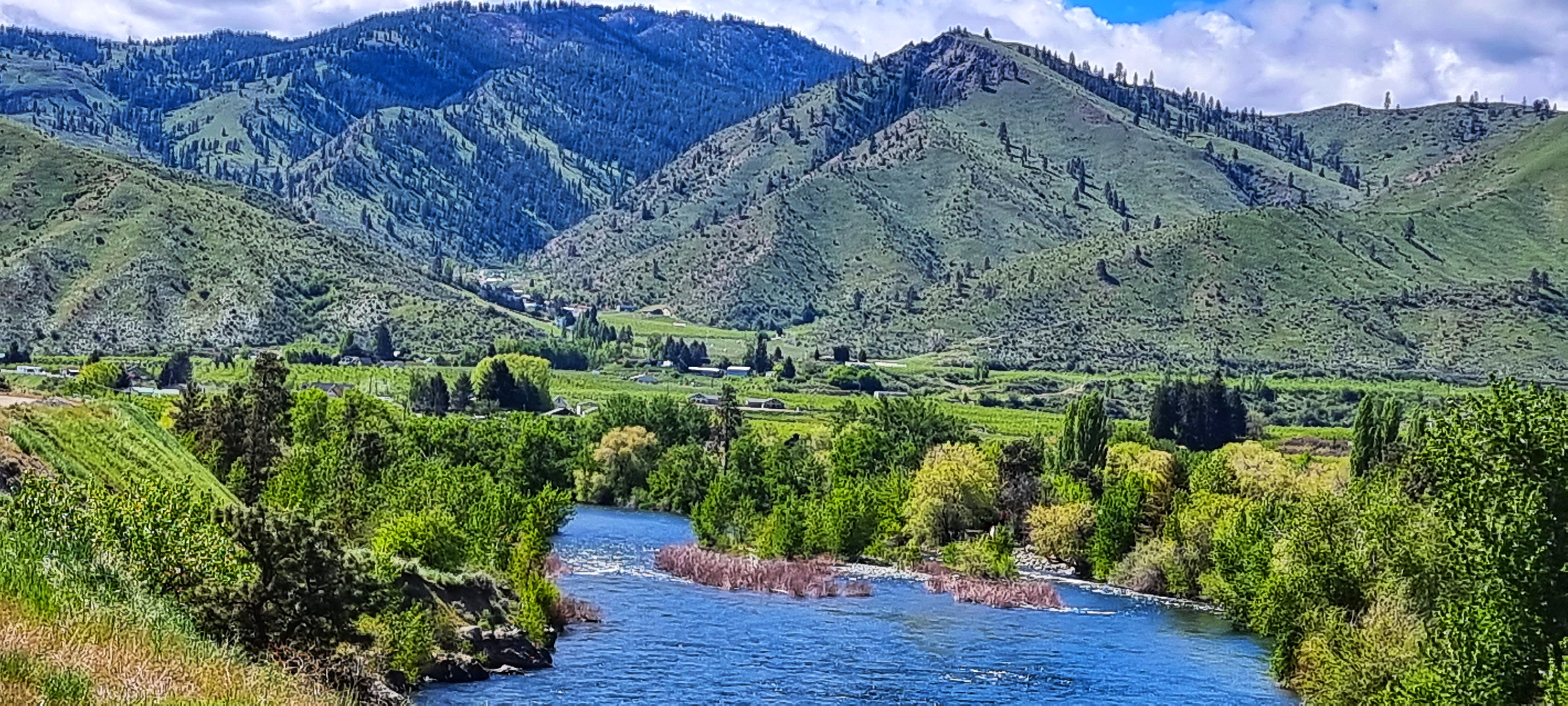
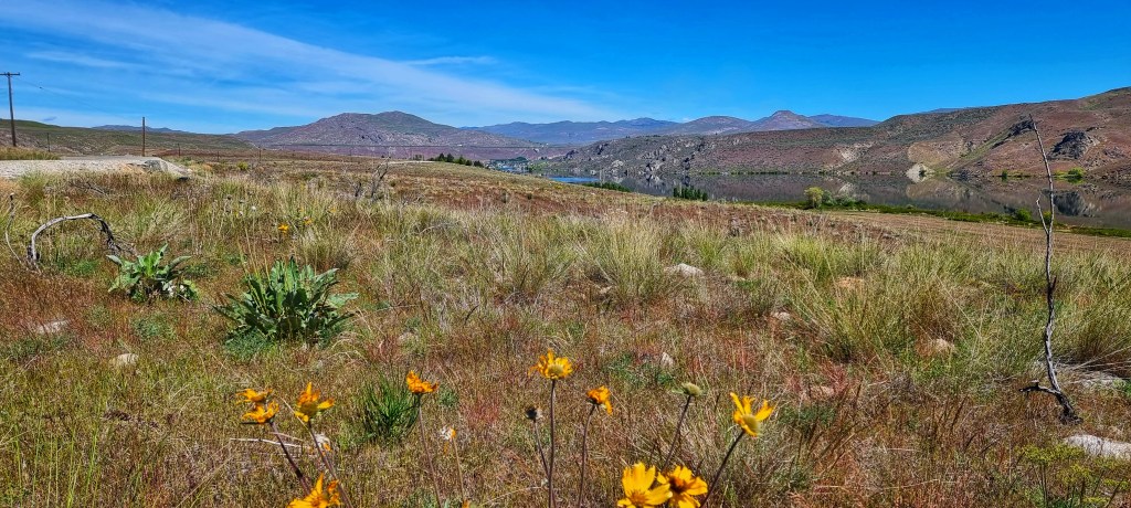
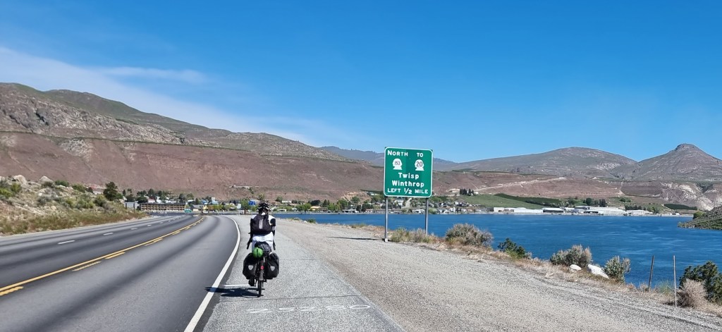
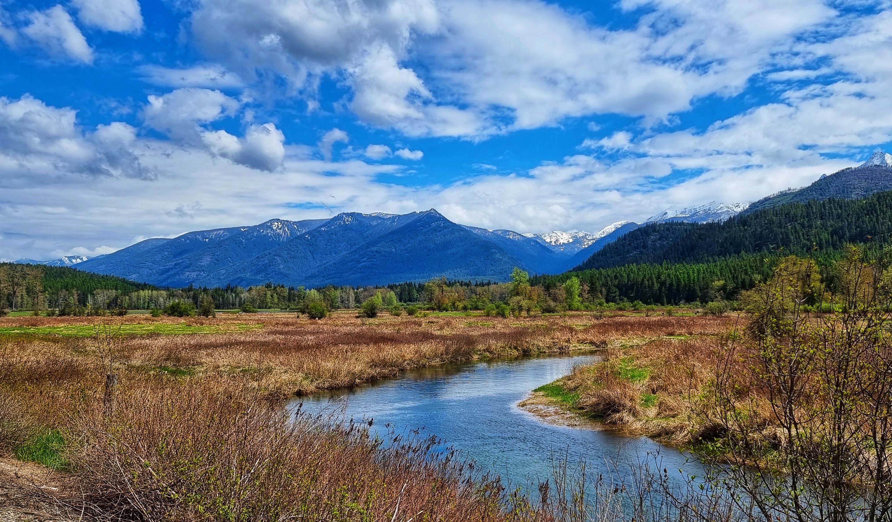
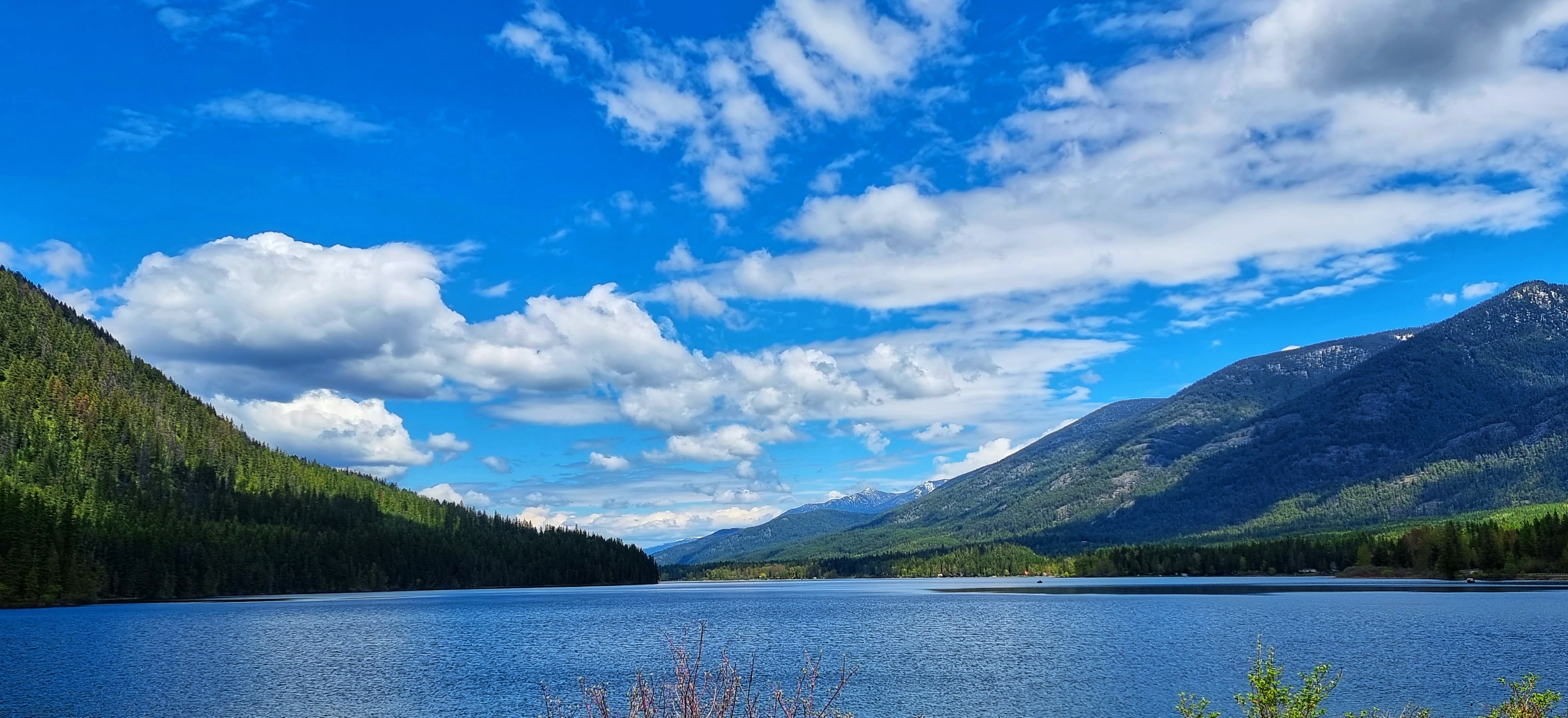
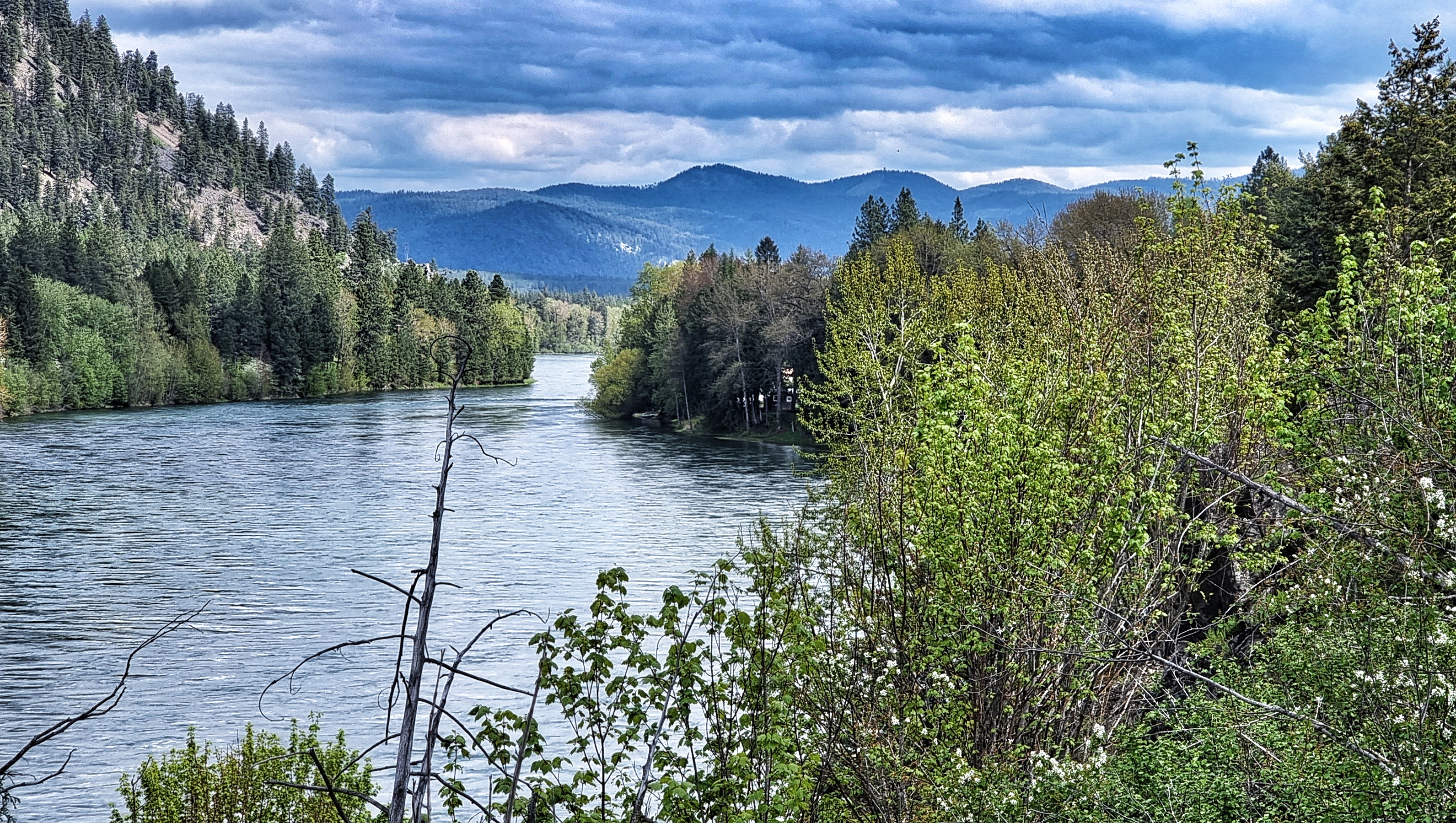
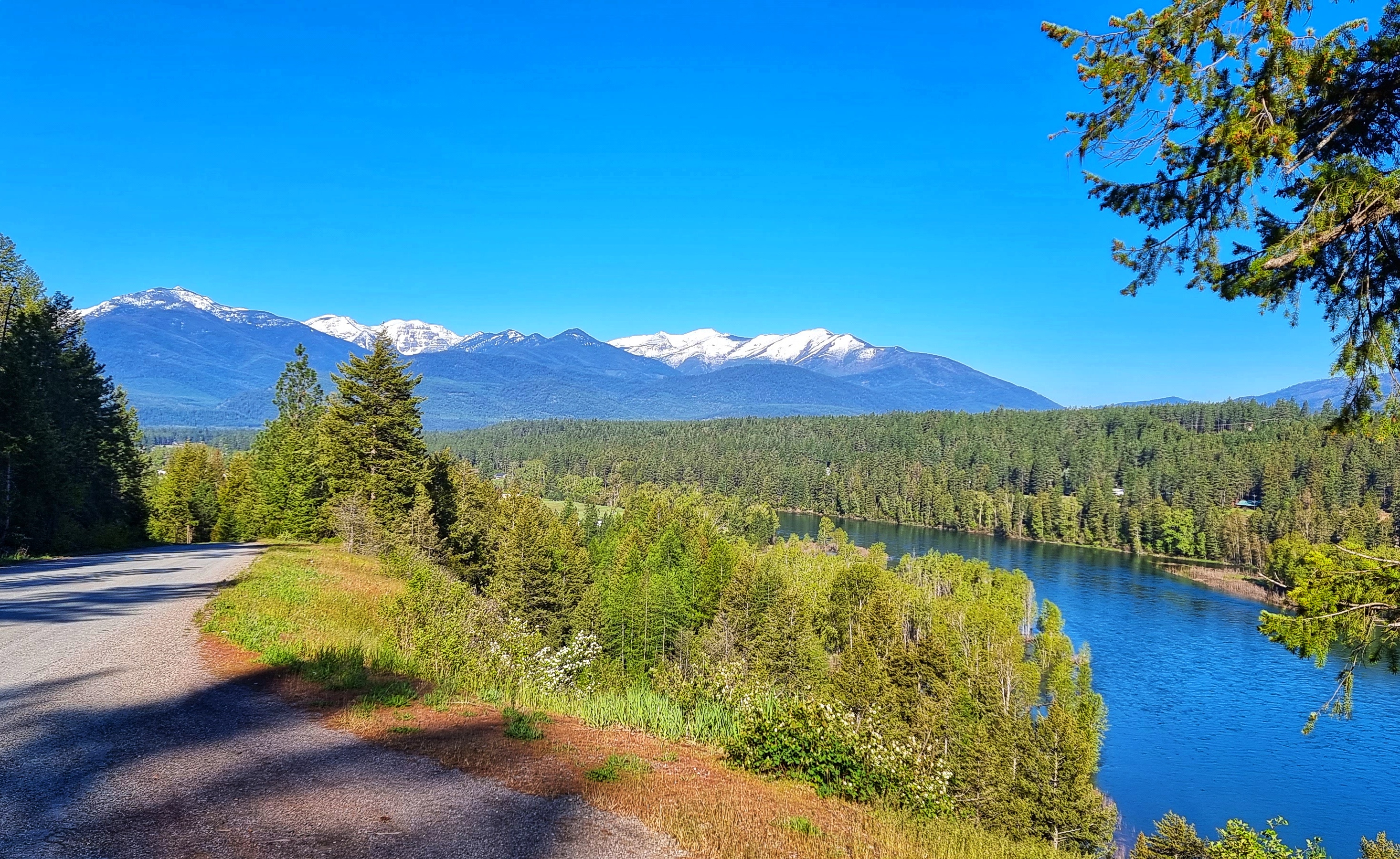
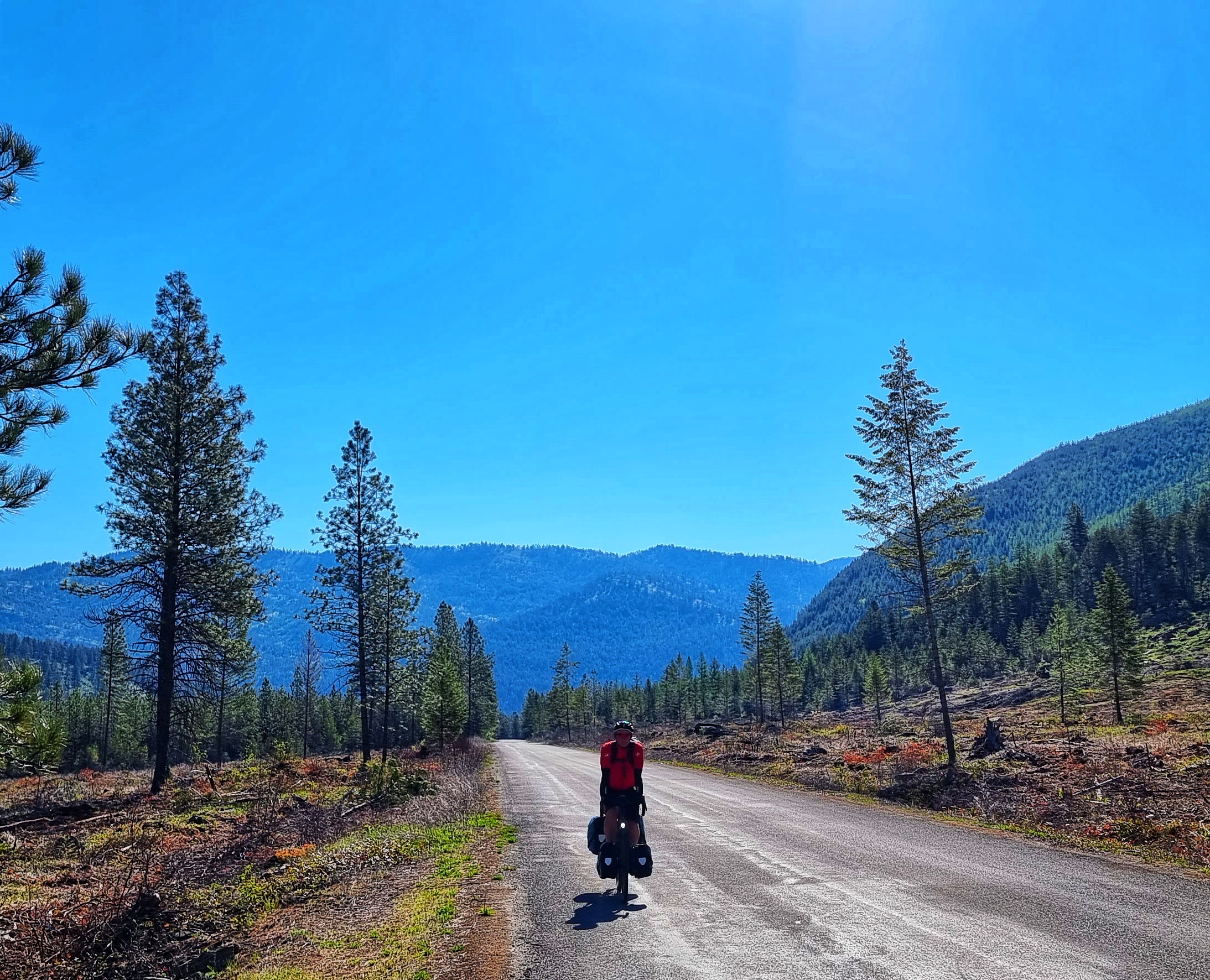
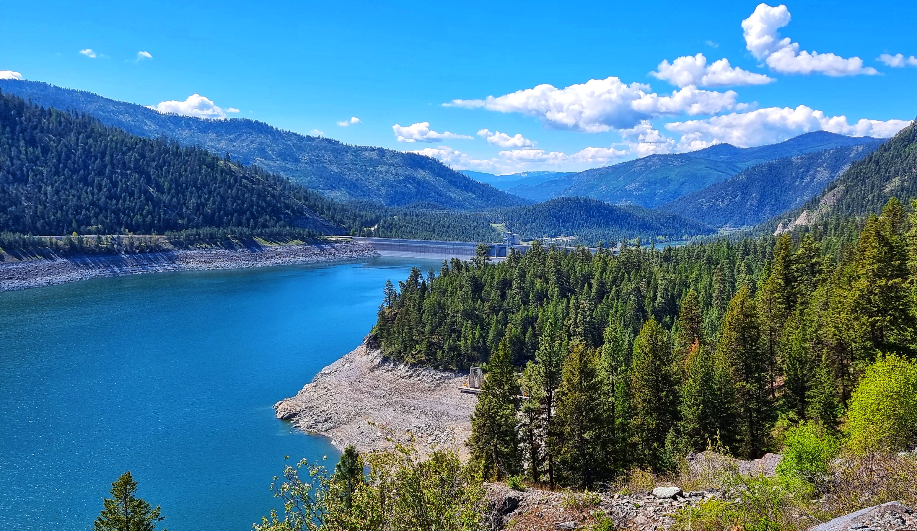
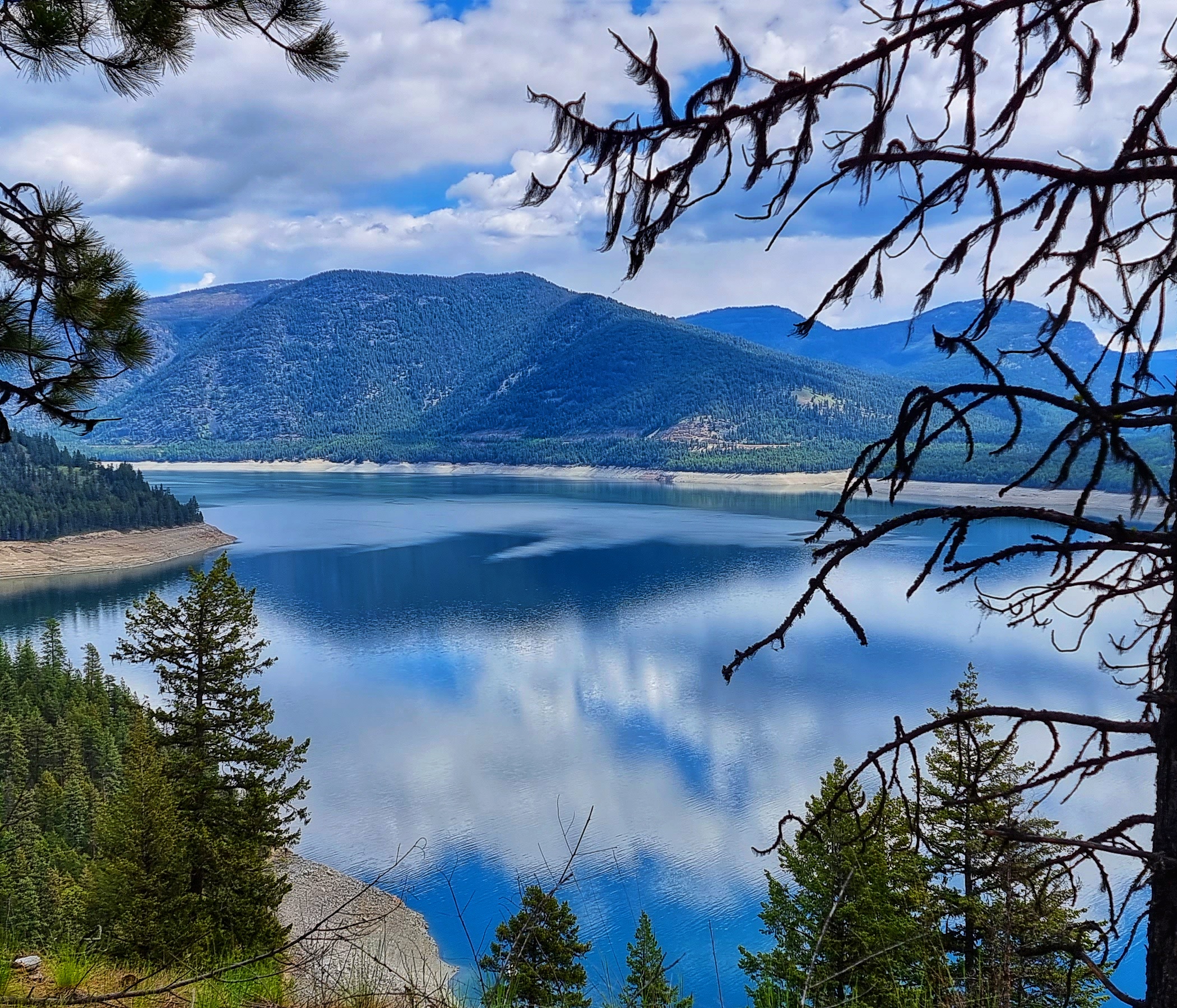
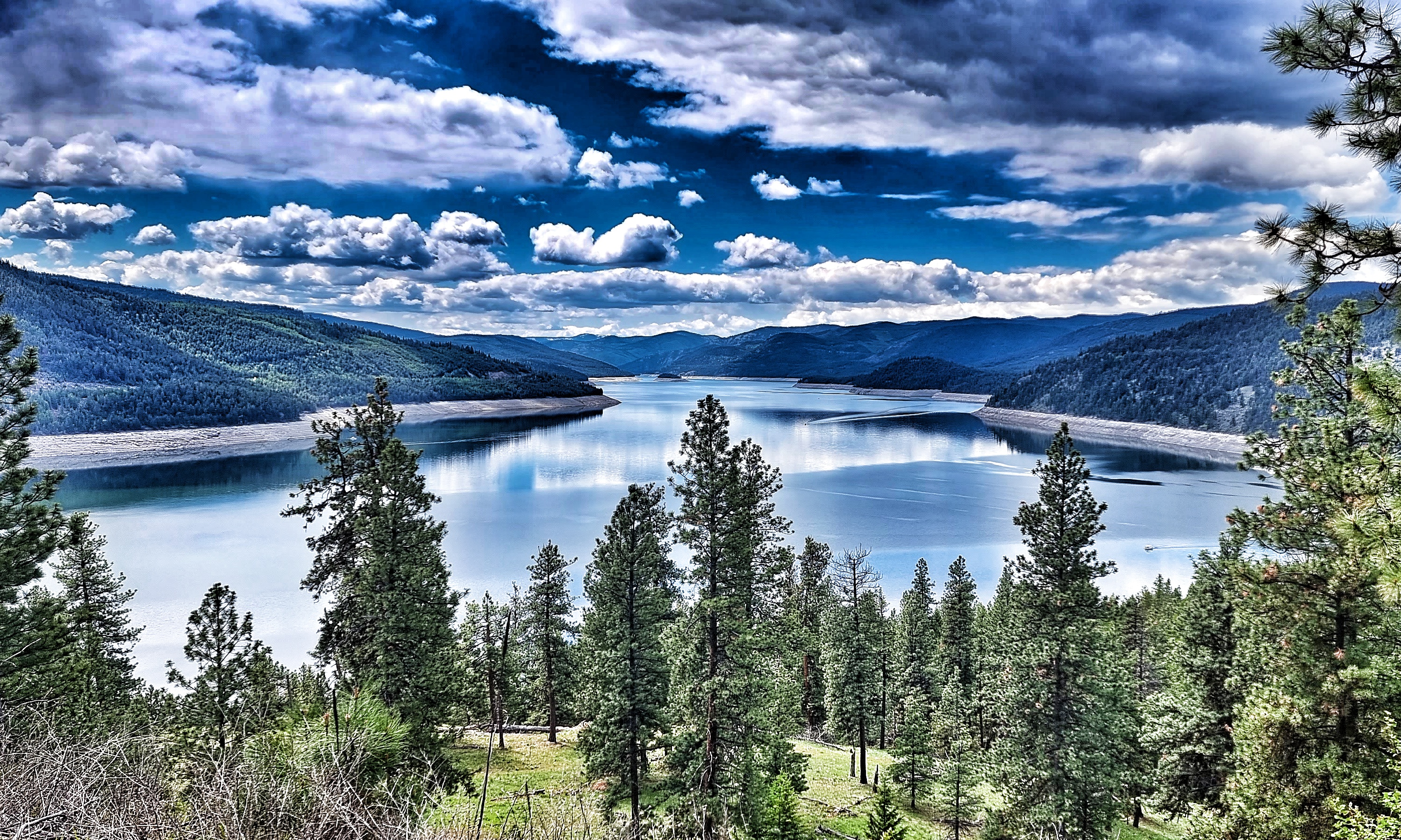
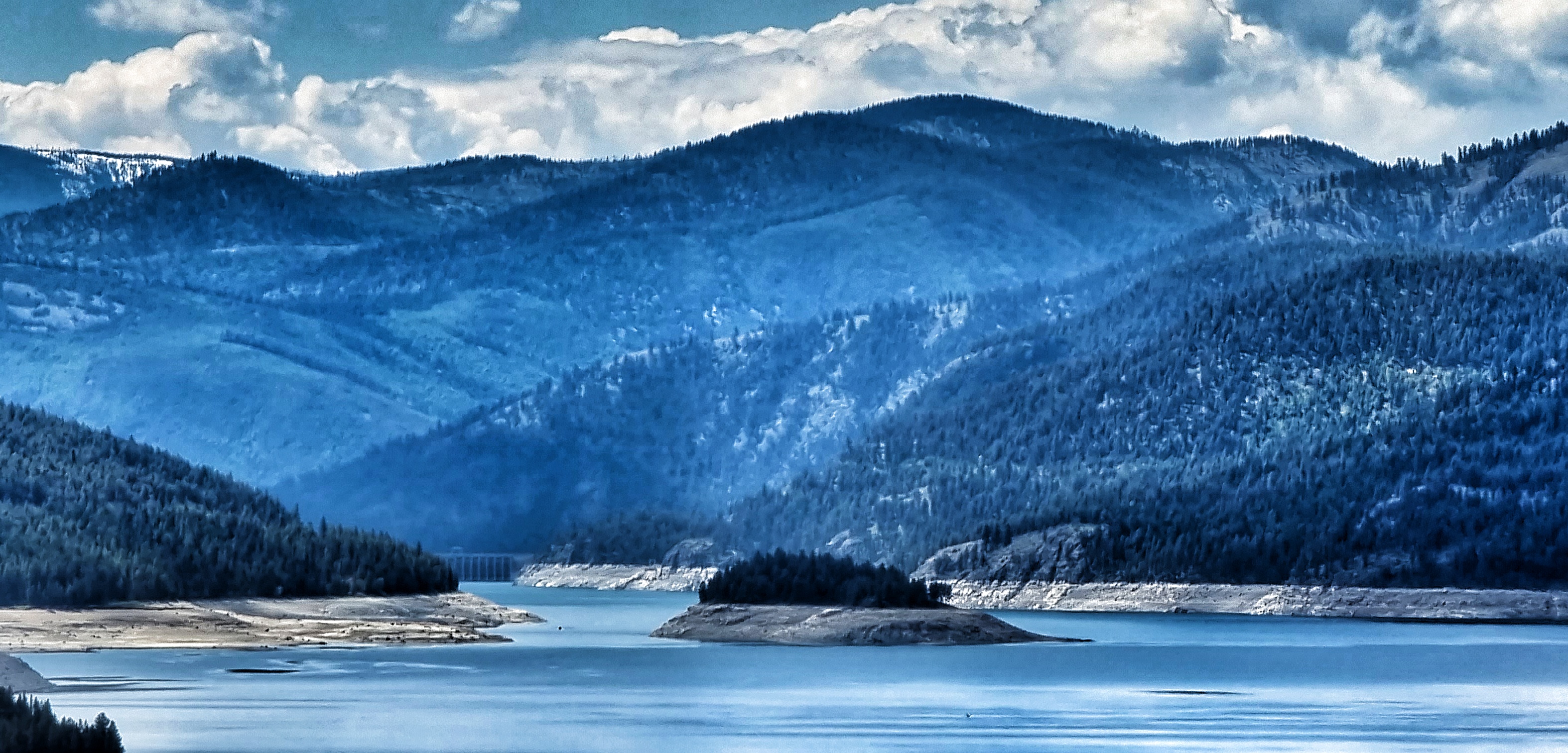
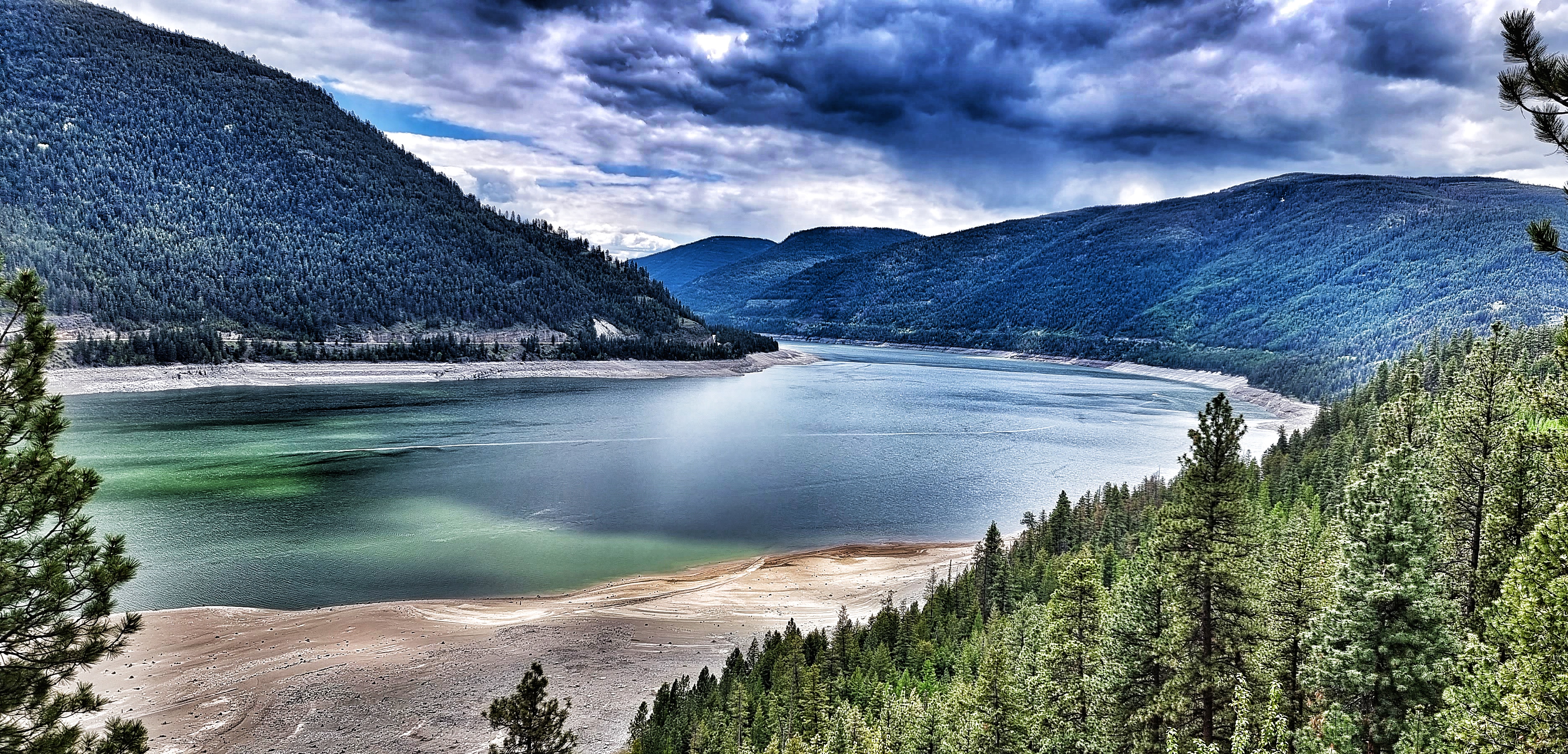
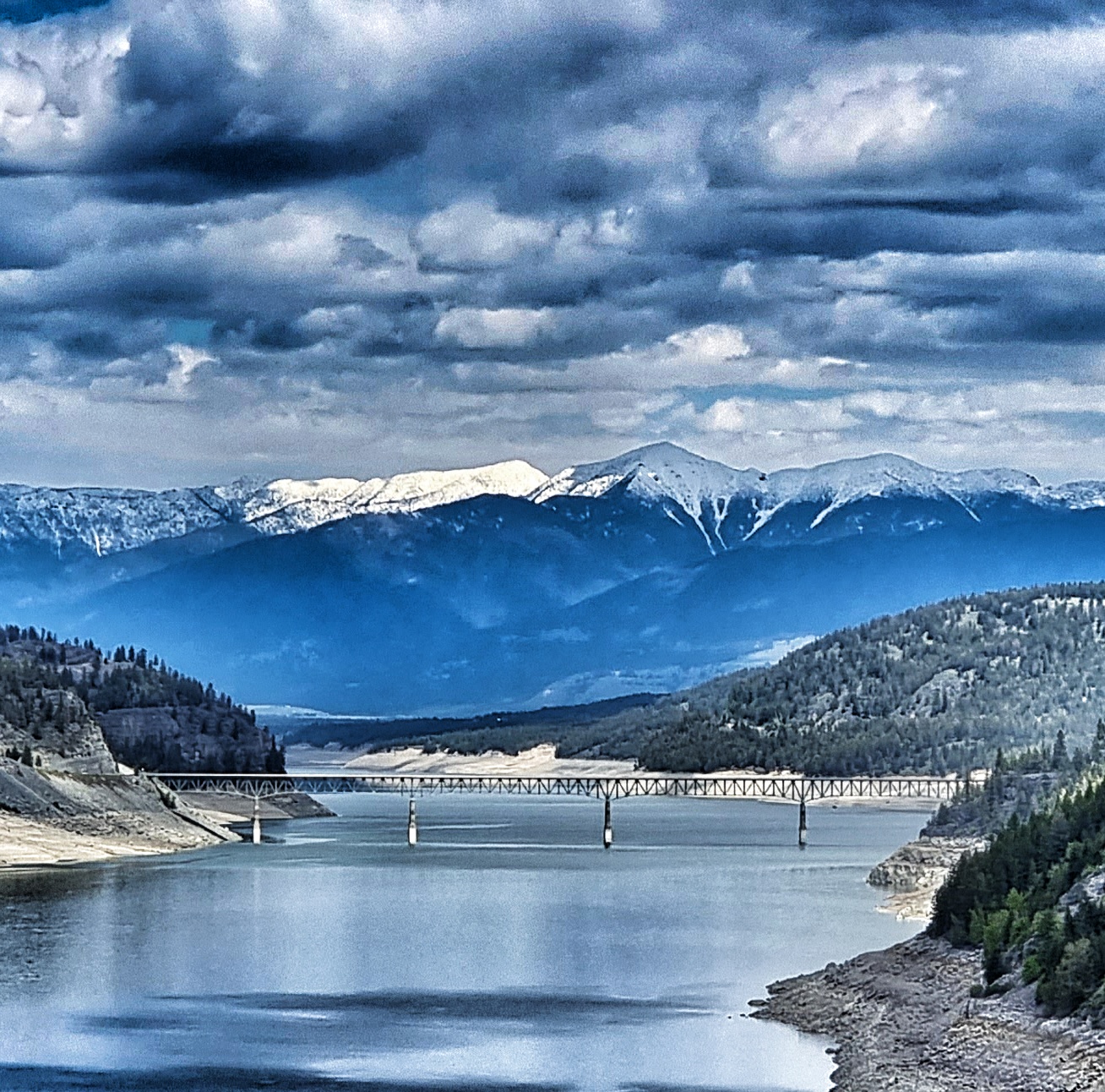
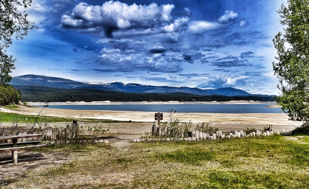
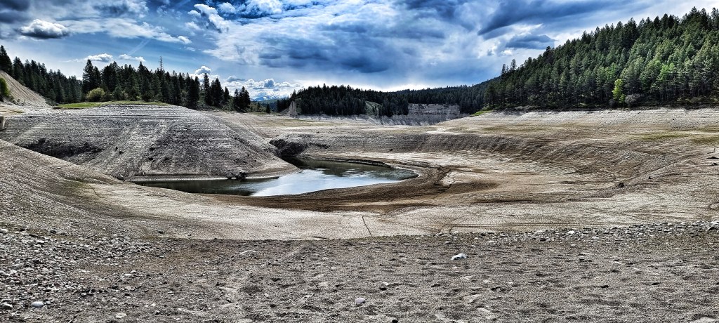
The Forestry Development Road is 45 miles in length, following the western shoreline of the Koocanusa lake (so called because it’s formed by the KOOtenay river as it flows through CANada & the USA). Today’s scenery & vistas stood out as being exceptional – given where we’ve been & what we’ve seen, this is the highest of praise. The lake itself extends 90 miles in total (42 miles in Canada & 48 miles in the USA) & holds 13% of the total water in the Columbia river system – the town of Rexford, where we’re staying this evening was moved in its entirety when the lake was formed.

We were riding through the Kootenai National Forest for the 3rd consecutive day – this gives a scale of how gigantic the parks & forests are. We won’t reach the end of the forest today either!

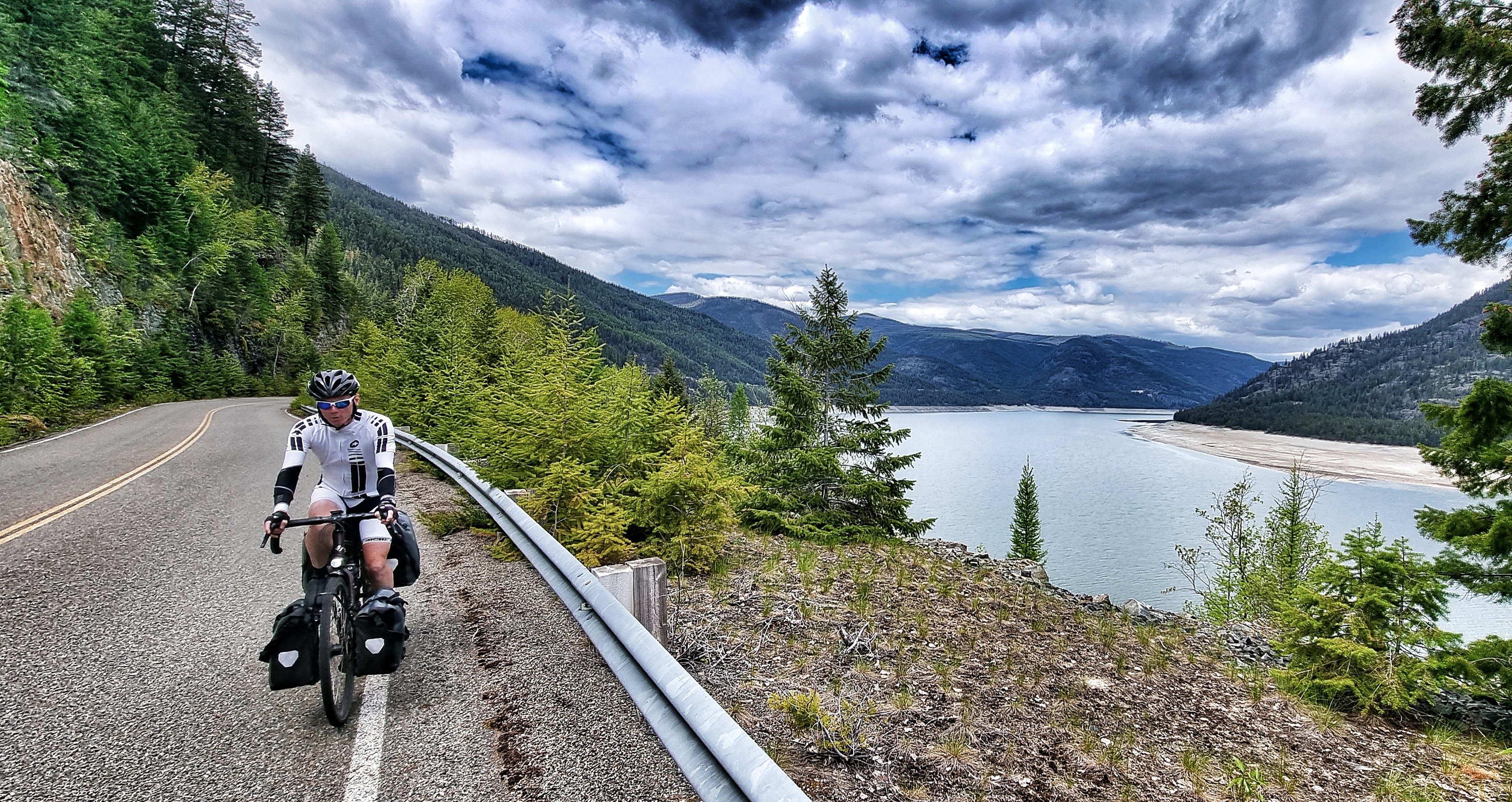
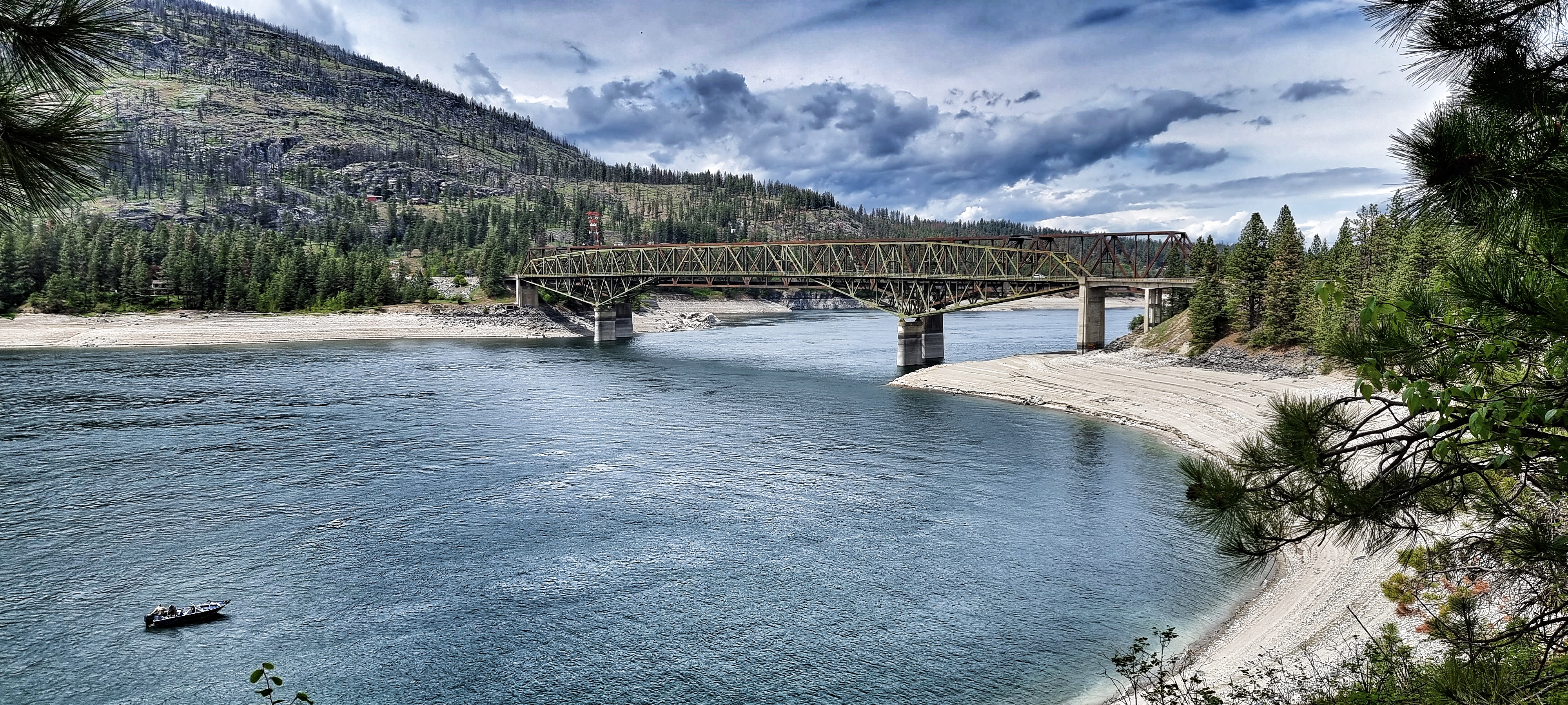
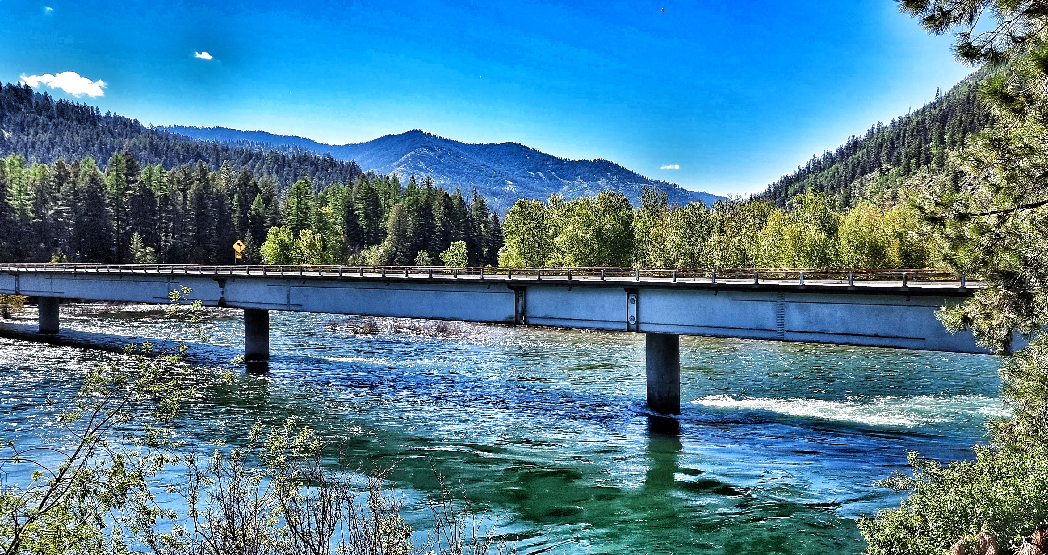
As we neared Big Creek (about 40 miles along the Forestry Development Road), we stopped to view the rapids below & a Golden Eagle swooped overhead – although I wasn’t quick enough to capture a photo, the experience of seeing the majesty of a golden eagle will stay with me for a long time to come. We were now nearing the only place where we could cross back to the (slightly) more inhabited side of the lake at Koocanusa Bridge – it was framed by the Canadian Rockies beyond.

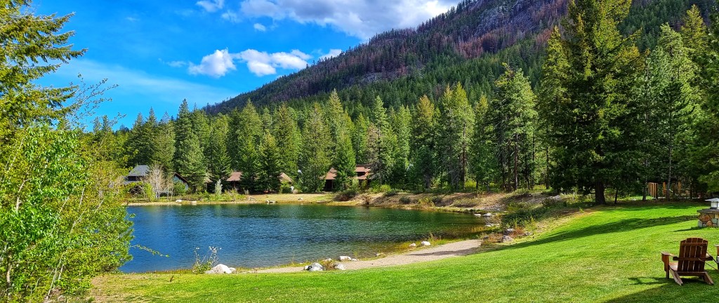
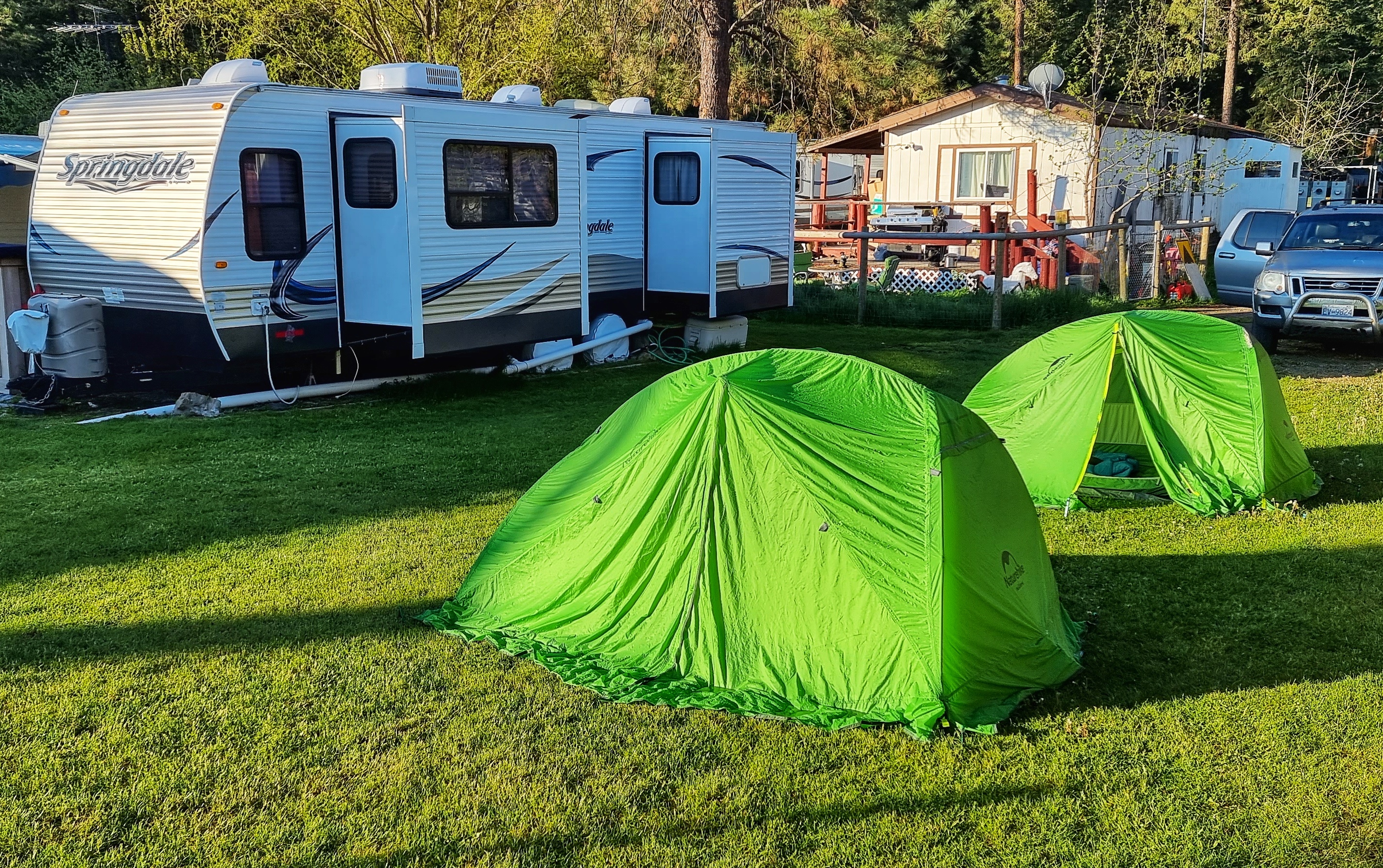
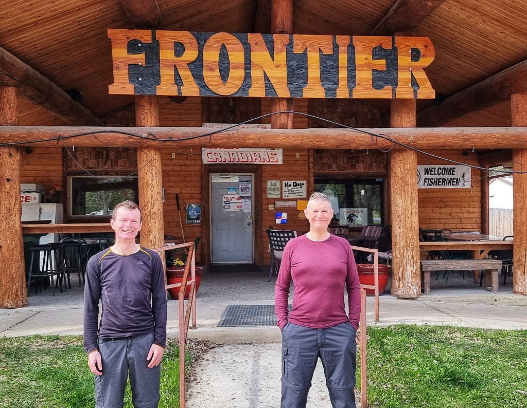
Our cycling adventure for today was drawing to a close, however, Rexford Campground marked another important landmark. Up until today we’d been staying exclusively in hotels, motels & inns – today will be our first night camping under the stars! I walked into The Frontier Bar full of apprehension, however, I had the huge good fortune to meet Misty, who managed the place. She could clearly spot a waif & stray at 100 paces & soon found us a place to pitch our tents behind the Bar & near the shower & laundry block. Within 20 minutes we’d pitched our tents & were toasting one of the best days we’ve ever had cycling!

As we sat down at our table to toast a truly epic day, little did we know that;

a) we had the prime table to watch the huge ice hockey playoff game between Edmonton Oilers & Calgary Flames & the Campground was full of Canadian visitors,

b) we’d still be sat at the same table 5 hours later, still in our cycling kit, having re-hydrated to the tune of 6+ pints of Strange Haze IPA,

c) we’d have become friends with Misty – the kindest, most generous person I’ve met on the trip so far.

Surprisingly we managed to find our way back to our tents (all of 5 paces from the rear of the bar) & spent our first night camping on this adventure. I spent 1/2 hour chatting to Kimberly, one of our Canadian RV neighbours – these random meetings are generally unexpected & without exception hugely enjoyable. We shared a potted history of our life histories as the sun set on a great day – thanks Kimberly, it was a joy to spend time with you. Here’s looking forward to our 2nd night under the stars tomorrow as we’ve decided to have a bonus rest day here. Paradise Found!

Stage Stats – 69 miles, 3,507 feet of climbing. Rolling day along the Forestry Development Road with one climb up to Libby Dam. 6+ pints of IPA dispatched!

Monday 23rd May – Rest Day

Initial thoughts after my first night under the stars were that it gets properly cold between 3am & 4am!!! Other than that I had a good night’s sleep & woke up about 8.15am. We were both dressed by about 9.15am so popped our heads inside The Frontier Bar to get some breakfast – this is where Misty came to our rescue again, as the bar didn’t open until 11am. However, we were invited in with open arms, offered a pot of coffee with the bar crew & then offered some of Misty’s home made frittatas. You’ll already have worked out we weren’t allowed to pay for the food or coffee.

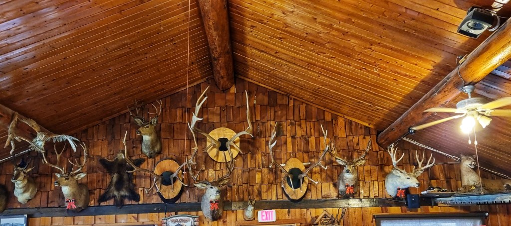
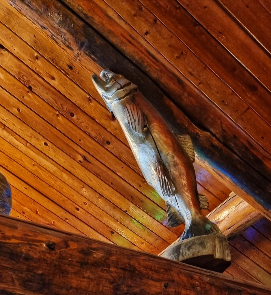
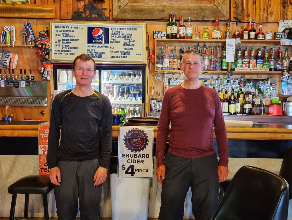
The Frontier Bar was one of the original Rexford buildings that was moved from its original location when the lake was created back in the 1970’s – it’s got a real character that exudes from its timbers. Misty took a couple of photos of us both by the bar & outside, to make sure we remember our stay here. We spent about an hour chatting with Misty – she shared her life story which has had a few very difficult moments but her resilience & generosity of spirit shines through. She’s always looking to help others & I won’t forget her or her generosity in a hurry. You’re a legend Misty!!

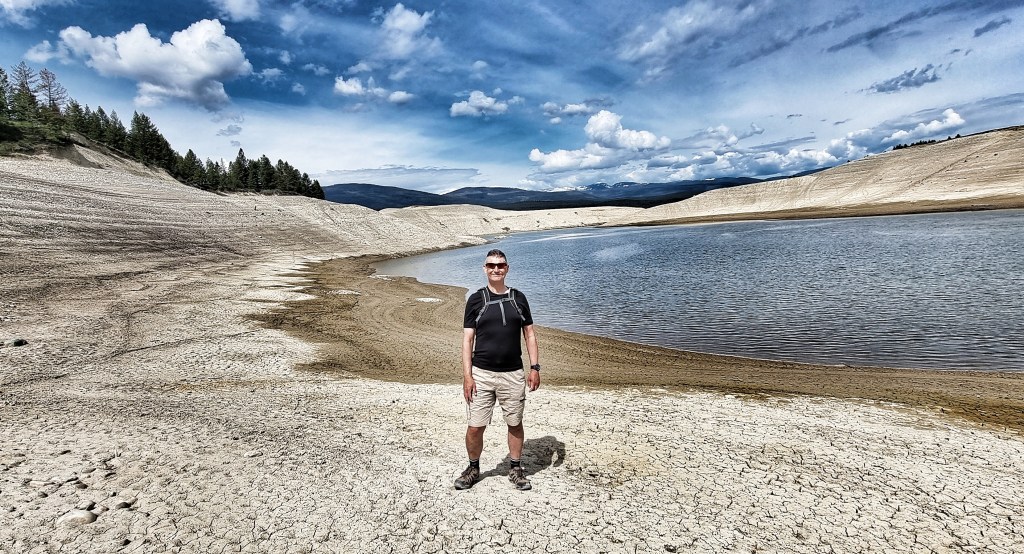
We spent a couple of hours hiking around Lake Koocanusa – as the photos show, the lake has plenty of capacity to receive more water from the mountains, should the snow continue to melt into summer.

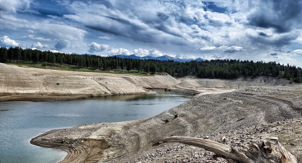
We eventually found a way to reach the waterline – we didn’t see anyone else while we were exploring the lake & I certainly felt insignificant in such a remote environment.

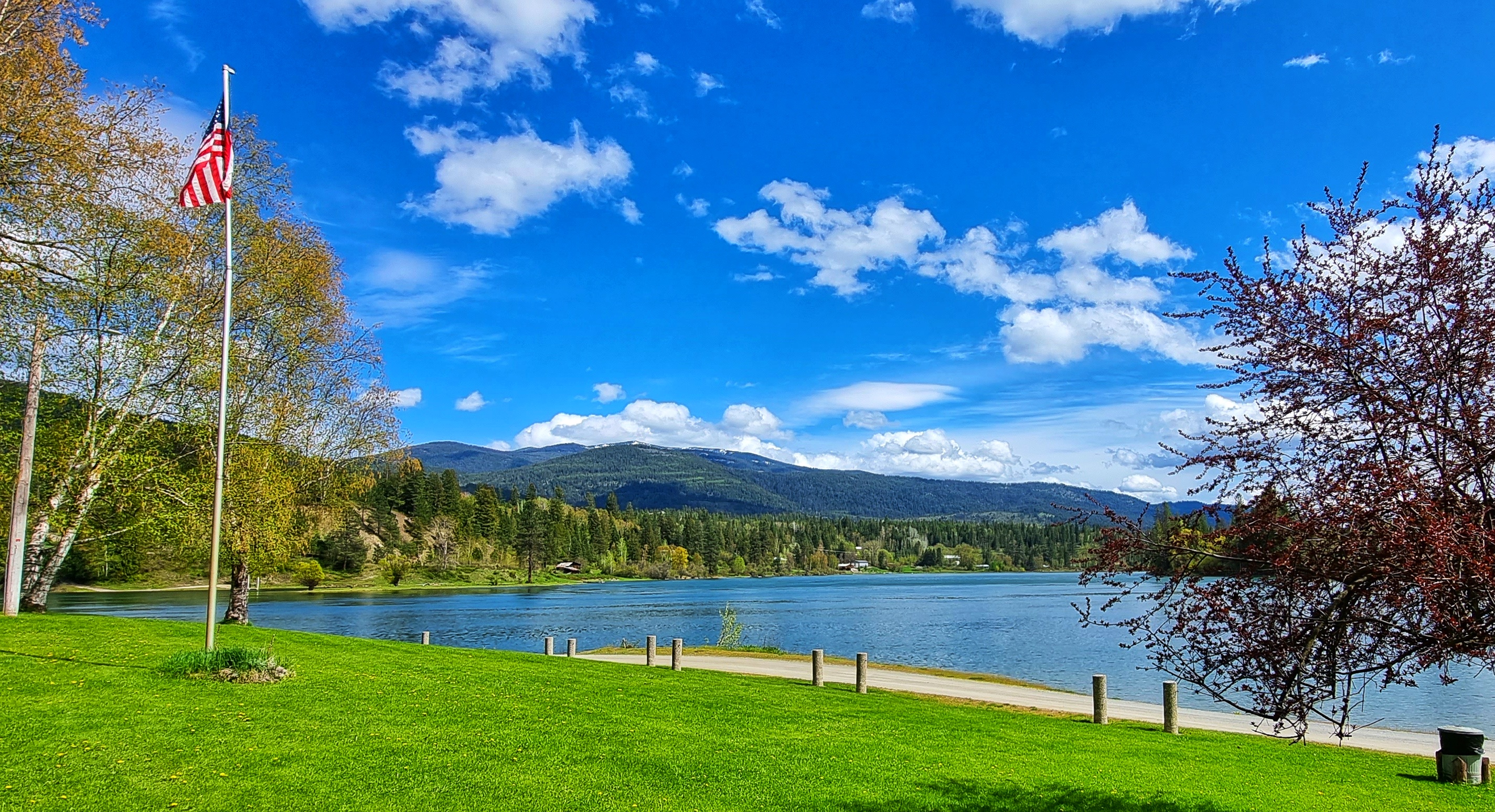
We also took the time to have a nose around town – it’s a combination of buildings that were moved when the lake was formed, properties that have been recently erected & RV’s owned by visitors which remain onsite between April & October.

After lunch in The Frontier we spent a few hours sorting out a few admin bits & pieces, doing the laundry & packing as much of our kit as possible, ahead of an early morning start. I also managed to write up my blog covering Ione to Heron. During the afternoon I got chatting to another couple of our Canadian RV neighbours (now friends) – Karen & Lori were great fun to talk with & they offered us blankets if we needed then overnight. We swapped details & have already been in touch with each other.

We’d originally planned on having an early night, but we got talking to Misty’s partner Tina who regaled us with stories of her Trail Angel antics (2 state limit applies!!) when hikers had required assistance getting to or from trailheads in the past. We also picked up a couple of great tips for food & drink which we plan to check out over the next couple of days. We managed to buy Misty & Tina a drink as a very small (& inadequate) token of our gratitude. After our disappointments in Libby, our Rexford Campground stay has been an absolute tonic. My only regret is that I didn’t get any photos with our new friends.

Thank you to everyone in Rexford who took us under your wing – we really appreciated your kindness & generosity. Our adventure has been hugely enhanced & enriched by our 2 nights here. We have to break camp for the first time tomorrow, hopefully we won’t take too long to get on the road!

Republic to Ione

One More Mountain To Climb – Sunday 15th to Tuesday 17th May

Sunday 15th May – Rest Day

After a night on the tiles (we got back to our hotel about 1am), we were both grateful for a rest & recovery day. As I poked my head outside to test the temperature, the Fire Service were testing their equipment & hosing down the streets.

We met at about 9.45am & headed for brunch at 18 North Kitchen, enjoying a variation on scrambled eggs that looked & tasted delicious. On the way into town yesterday, we’d spotted a fossil museum, so we decided to pop in for a nose around. Gabby (who by her own admission was aptly named) talked to us for about 10 minutes about her role in both the museum & the historical society of Republic – it’s always a pleasure to meet someone who’s passionate about their hobbies.

Our next task was laundry – not one of my favourite jobs, but one that is essential when you only have 3 sets of cycling equipment & infection is your enemy. I updated my daily journal while waiting for our kit to run through the wash & dry cycles. The excitement of a long distance adventurer!

I went for a look around town in the afternoon to learn a bit about how Republic came into existence – it’s a late 1890’s gold prospecting town (our Motel is called the Prospectors Inn & has a replica wagon outside) that became a hub for all the services needed to run the gold mines.

With the exception of cars replacing horses & wagons, the town has retained its original look & feel. The Northern Inn is one such example. Built in 1903 to house the workers of The Northern Railway & Stagecoach company & to all intents & purposes looks the same as it did over 100 years ago, although the materials have been updated. The Wild West Farm & Garden Centre has taken a similar approach – it was easy to imagine the town as it must have been in those early years.

At the edge of town I was wandering along minding my own business when I spotted a deer sat in a garden, not 15 feet away. It sat there looking at me as if it didn’t have a care in the world, before calmly standing up & walking away – not the first time that’s happened to me!!!

Sean & I met up later to do some essential admin & planning – the end result was a plan for the next 3 days of riding which will take us from Republic to Sandpoint. We also researched accommodation options & phoned up a couple to book rooms – hopefully we’ve made some good choices!

We bought dinner in the local supermarket & sat in my room eating it, while watching more deer wander around the lawns at the end of the hotel property. After 5 back to back days of challenging riding, this R&R day was very much needed to recharge the batteries. It also gave us a chance to meet a few people & learn a bit about the town.

Monday 16th May – Republic to Colville (Stage 14)

We were up bright & early, knowing our office today was going to be the mighty Sherman Pass, the highest Pass in Washington to remain open all year. Setting off beneath overcast skies, we’d again beaten the weather forecast which had predicted rain until lunch time. Leaving town at the 303 Mile Marker, we took a left onto a cycle path (also used by roller skaters, skiers, walkers & All Terrain Vehicles) which kept us high above the road below, giving beautiful views across the valley to the mountains beyond.

We re-joined the SR20 after about 5 miles & the climbing started immediately at a fairly consistent 5%. Very early on I established that I had heavy legs, in spite of the rest day – this is a bit of an occupational hazard, sometimes a day off fixes sore legs, sometimes it doesn’t! We were still in the Colville National Forest, as the tarmac weaved through the giant pine trees. Every now & again we’d emerge from the forest & see the big mountains were getting ever closer.

As we reached White Mountain Fire overlook the road opened up, offering views straight up to the snow peaked mountains – these look so much more impressive than their snowless cousins. We also saw the first signs that we were approaching the snowline. At times I was in awe of the natural majesty of the surrounding scenery.

It took 2 hours 50 minutes to cover the 20 miles from our hotel to the summit of Sherman Pass, where we stopped for a customary photo of the sign. This is the highest Pass we’ve conquered so far at over a mile above sea level, but there will be bigger beasts to wrestle later in the adventure!

While Sean was getting himself ready for the descent, I took a few moments to capture my thoughts on the climb & the downhill yet to come.

Sean set off first which gave me the opportunity to follow & get an action shot as he approached one of the many gentle curves – this was a cracking descent, as the road regularly opened up to show the surrounding views. A combination of the shallow gradient & gradual bends ensured that there wasn’t any need to brake on the entire descent.

As we plummeted downhill, we started to follow the course of a creek & as it tumbled down the mountain it created small waterfalls along the way. At times it felt as if the road was never going to end & after one of my many photo stops I found that Sean was completely out of view as he’d carried on riding!

Sean doesn’t know this (until he reads it here), but I ended up chasing him down the mountain for almost 15 minutes as I gave it a ‘full gas’ effort to catch him up!!! I’d originally stopped to take a photo of the forest after it had been harvested by the loggers & in the 3 minutes or so I was stopped, Sean was well over a mile down the road.

As we reached the lower slopes, we started seeing signs to various trailheads & campgrounds – this would be a superb place to spend the night once the temperatures pick up a bit. By now the creek had grown in size & we soon went in different directions, as it headed through a steep gorge on it’s way to the larger rivers below.

As the road flattened out, we turned a corner & Lake Roosevelt was laid out in front of us. It was created when the Grand Coulee Dam was built across the Columbia River in 1941 & was named after Franklin D Roosevelt who was President at the time. The lake extends 150 miles up the valley from Grand Coulee Dam & has created over 600 miles of coastline. We crossed at one of the few bridging points across the lake at Kettle Falls, took an immediate right turn & then had a fabulous view back to the road & railroad bridge behind us.

We were on a quiet backroad, so were surprised to see a few logging trucks pass us until we saw the humongous timber & wood processing site in front of us – it’s stretched for over 1/2 mile & was stacked with what must have been millions of tree trunks. As the road bore left, we had our last fleeting views of Roosevelt Lake & headed inland though a pine forest with lots of colourful vegetation – perfect for staging an action photo!

We’ve really enjoyed the backroad options (more about how we found them tomorrow), as we’ve had the roads to ourselves & have got to see more nature, scenery & how small-town USA lives & is set out than if we’d stayed on the more busy State & US numbered roads. Heading through the quiet streets of Kettle Falls, we passed a small hydro-electric facility that looked like it was specifically for the local community.

By now we were only about 10 miles or so from our stop for the evening, at which point our nemesis “The Headwind of Hurt” blew into town & tested our physical & mental fitness! What should have been enjoyable & relaxing roll into town became just that bit more difficult as we were on roads that were exposed to the elements. The views to the mountains in the background gave us something to focus on, rather than our sore legs!

It was another wonderful day in the saddle & as we reached our motel we were ready to chill out & relax. Where we were staying in Colville was a big disappointment (our only one to date), the room was tiny, the floor was concrete, the walls were cinderblock – Sean summed it up best when he said “Gav, we’re staying in a bloody prison cell for the night!”.

I don’t think it’s fair to name where we stayed, as the people themselves were really friendly, nice & tried their best to help us – we’d simply chosen somewhere that didn’t fit our requirements.

Stage Stats – 57 miles, 4,354 feet of climbing. A Hors Category climb (the highest point so far). A rapid descent followed by a rolling finish to the stage.

Tuesday 17th May – Colville to Ione (Stage 15)

We were up early to the dulcet tones of Mr MacKay shouting “Fletcher, Godber, up & out your cell NOW!!!” – I jest! We headed up the road for a coffee at 9am – today is the first anniversary of Dad passing away, so I phoned Mum for the first time since I’ve been in the USA. It was lovely to catch up & find out Mum had a phone call from Ally (my brother in Cambridge) earlier in the day & had also gone out to the Forest of Dean with Greg & Nikki (my brother & sister-in-law in Bristol) for the day. We used to go there as kids & we all have great memories of the times we spent there.

We were riding by about 9.30am & headed through small residential streets as we climbed uphill right from the off. The road went up in steps – a steep ramp followed by a flat section – for a mile or two, before we left town behind & set off through farmland. At one point we passed an old barn that looked like it had a smiley face on it!

I mentioned yesterday that we’d been taking quiet backroads wherever possible & this feels like a good chance to explain how we found them. I joined the Adventure Cycling Association back in January, while I was planning our route. I bought about 15 cycling specific maps from them – at the moment we’re on Map 1 of the Northern Tier & without exception, their directions & deviations to get us off busy roads have been first rate.

We were gradually making our way across country to join the SR20 – along the way we passed a few lakes & as we passed one we could hear some birds warbling so stopped to see if we could see what was making the noise. As our eyes adjusted we could make out a number of predominantly black birds with flashes of orange on their fronts perched on the bulrushes. Research suggests they may be American Redstart Warblers, but if you know different, please let me know!

The road continued to gradually rise as we re-joined our old friend the SR20 (we’ve been following it on & off since Port Townsend on Stage 1). Over the past couple of weeks it’s delivered a number of scenic treats & today was no different.

We had the road to ourselves as we passed Starvation Lake (no coffee & cake stop here!) & climbed the ridge with great views of the mountains as they extended into Canada.

We knew it was unlikely to find anywhere for coffee today, but we were on the lookout for somewhere to stop & take a brief break. We saw a sign for a scenic viewpoint up ahead, so decided to give it a try. Crystal Falls was an absolute gem of a find & we enjoyed a few minutes absorbing the view & sound of rushing water, as well as enjoying a trail mix boost!

We continued on our way through the Colville National Forest, with large pine trees on either side of us. On rare occasions we’d get more views of the mountains ahead of us. There were trails, creeks,lakes & campsites in all directions & then out of the blue we saw a coffee stop!!!

Beaver Falls Lodge is set around Gillette Lake & the staff were stocktaking & getting ready to open for the upcoming Memorial Day bank holiday. They very kindly put on a pot of coffee for us & opened up the terrace so we could see the views for ourselves – yet more very generous locals. On the off-chance that they see this, A BIG THANK YOU from the two Brits who passed through!

In what we decided to dub ‘The Golden 15 Minutes’, we saw a convocation of eagles (there were 7 in today’s show), as well as 3 separate sightings of deer. This is nature heaven & we were in our element as the mountains continued to get closer. As if that wasn’t enough, I found a way of including my Worky Wife in today’s blog – Kate I hope Leo likes his sign when you read him tonight’s story. I’m still on the lookout for something Jacob related!

We finally reached the summit of the ridge & I saw a sign to make my heart soar – a 6 mile descent at 6%!!! Perhaps the mountains might finally show themselves…..I’ve fallen in love with snowy peaked mountains & they delivered again today!

We reached the small town of Tiger & turning North, saw a sign saying we were only 25 miles from the Canadian border. Our destination for tonight was now only 5 miles away – the small town of Ione (pronounced I-Own) is set on the Pend-Oreille river. You might just spot the osprey in the first photo below if you look carefully.

A military veteran owns a block in town & we visited the gas station to check-in & pick up our key. Once again, the people we met were incredibly friendly & genuinely interested in our adventure. We were just getting ourselves organised to head to our room for the night, when someone ran out of the gas station. Emmet came & introduced himself & asked our names, then said that we were the first people from the UK he’d ever met. It was a truly heart-warming moment.

Emmet suggested we take a few minutes to visit the local park which was only a short way from our hotel room – I’m so glad we took his advice, it was such a peaceful spot that provided the perfect end to the day’s ride.

Our room in Porter’s Plaza Motel was exactly what we needed after last night’s Cell Block H shenanigans! There was lots of room for us, our kit & our bikes, while the supermarket was right across the road for dinner & breakfast supplies. We sat on the balcony watching the sun go down as we enjoyed homemade cheese & turkey sandwiches!

Stage Stats – 43 miles, 2.618 feet of climbing. A rolling stage with a big descent to end the day.

Leavenworth to Mazama

Here Comes The Sun – 9th, 10th & 11th May

Monday 9th May – Rest & Recovery Day

After 6 days of back to back cycling, it was time to enjoy a well earned day off & what better place to do that than in Leavenworth. It grew on the back of settlers who were hungry for gold, furs & timber. However by the 1960’s it was shuffling along towards extinction – until the town leaders had the bright idea of changing Leavenworth’s appearance to take advantage of the amazing alpine hills & turn it into a German themed town.

More than one million people now visit Leavenworth each year – they’ve done more than just give the town a facelift, they’ve adopted many of the German festivals, including Octoberfest!! The town is also home to The Nutcracker Museum, where over 7,000 nutcrackers are on display – I didn’t go in, but it brought back many happy memories of my childhood, as we had a homemade nutcracker that used to come out every Christmas.

Every building & business in a 3 block by 3 block square is now Bavarian themed – I thoroughly enjoyed the day mooching around, relaxing in the town square with a cherry strudel & coffee, just watching the world go past. We got chatting to a couple from New Jersey who were halfway through a 6 week trip in the Recreational Vehicle (RV) which had taken them through Virginia, Kentucky, Missouri, Oklahoma, Kansas, Colorado, Utah, Idaho & Oregon. They were planning to head home along a similar route to us, but it will take them 3 weeks rather than 6 months!

We also had to catch up on essential admin like working out our routes for the next 3 days & booking accommodation in suitable motels – we’ve accepted we’re still a couple of weeks away from camping. A day off the bike was just what was needed, as by the end of the day we were both looking forward to our next block of exploring on our big adventure!

Tuesday 10th May – Leavenworth to Chelan (Stage 9)

We awoke to azure blue skies for the ride to Chelan, so for the first time on the trip we needed suntan lotion – happy days! The route would take us downhill most of the day, with just one climb towards the end of the day, so we were already expecting to make decent time & have a fairly relaxing day. A tailwind was the icing on the cake.

Leaving town we took one last look at the snowy-peaked mountains of the Stevens Pass, before leaving town on SR2 & heading into prime farming land. There were orchards of apples, pears, cherries & olives in every direction. We stopped briefly at Smallwood’s Harvest just so I could insert a puerile photo where you, the reader, can choose your own title! The SR2 became a 4 lane highway after about 8 miles, but although we were effectively on a dual carriageway, we had wide hard shoulders all to ourselves as we rode next to the Wenatchee river.

We took a small back road from Monitor to Sunnyslope , where after covering 24 miles in the first 90 minutes, we stopped briefly for coffee & a cookie. We were reminded that the UK & the USA are nations divided by a common language! When asked where we were headed I explained that we were on our way to Chell-an – the server’s face was a picture, so I tried again Cheeeelan…..I now know the correct pronunciation is Shey-laaaan! There were big views of mountains & rivers in all directions, all on deserted roads. This felt like cycling paradise.

We joined the Cascades Scenic Loop on the Alt 97. For the next 25 miles we followed the course of the Columbia river – originally I was expecting us to be gently climbing, as we were heading upstream, however, the river has been dammed at various points & so the road is able to follow the railroad track a few feet above what are effectively a series of lakes.

Passing through Entiat we stopped at Silicosaska Park – there was a stunning metal sculpture of Chilcosahaskt a member of the Entiat tribe in 1872. His Great-grandson, Wendell George has worked with the city to create this haven of peace & tranquillity on the waterfront. I was so glad I’d stopped to learn a bit more about the original custodians of the land who now live on the Colville Indian Reservation.

At one of the small turnoffs from the Alt 97 I stopped to get a photo of me next to an iconic railroad crossing sign (sadly we didn’t see a train all day). We continued to follow the course of the river, with the river cliffs getting ever nearer. At the 45 mile point we encountered our only climb of the day, a 750 ascent which took us out of the Columbia river valley via a short tunnel (we pressed a button & it set off flashing lights to let motorists know there were 2 stupid cyclists in the tunnel!).

Exiting the tunnel, we were on a plateau that continued to rise for another couple of miles, but our friendly tailwind continued to blow us up the small incline! As we crested the climb, we could see rain falling at one end of Chelan lake, while glorious sunshine was very much evident over the town of Chelan – someone was looking after us today!

We fairly flew down the descent into town & quickly found the Deepwater Inn, our motel for the evening. Once we’d checked in, we popped over the road to the laudromat to clean our kit – we now know how everything works & are considering applying for jobs on EastEnders when we return to the UK! We’ve been in the USA for a couple of weeks & this evening we’ve started trying to live as locals, rather than eating out every night – we visited the local Safeway & bought food for this evening’s meal & tomorrow morning’s breakfast.

Stage Stats – 56 miles, 2,828 feet of climbing. Slightly downhill most of the day, with one small climb. Weather was warm & sunny all day.

Wednesday 11th May – Chelan to Mazama (Stage 10)

For the 3rd day running we awoke to blue skies overhead. After enjoying a breakfast of cereal, yoghurt, fruit & croissants we headed out of town by 9am on the Alt 97 for what would be our longest day to date. After a very small drag out of town, we’d be climbing all day, although there wouldn’t be a hill to speak of. For the first 10 miles we had the road pretty much to ourselves as we cut through a small canyon, then dropped back down into the Columbia river valley, where we’d spent much of yesterday.

We briefly cut inland, giving a slightly different view of the surrounding scenery, including some dandelion like flowers. We were on the lookout for fish eagles (or ospreys), as we’d been told this was a common breeding area – the key was to look out for pallets on top of telegraph poles. We passed one pole with a pallet on it, but no ospreys were home. As we reached Pateros we joined SR153 towards Twisp – for the next 33 miles we’d be following the course of the Methow river, untamed by man.

This was where the uphill would start & continue for the rest of the day, as we were now cycling against the flow of the river. The road regularly criss-crossed the river as we continued on deserted tarmac & then out of the blue an osprey flew into view & landed on an old tree stump not 300 yards ahead of us. I had my phone out in a flash & zoomed in, all the while hoping he/she would wait for me to line up the shot – I’m quite pleased with the end result.

We occasionally passed through small hamlets, as we continued along the river & although we were making decent time, this stretch felt like it passed in slow motion. As we passed through Carlton we saw a gas station & decided to top up our caffeine levels -it was a bargain at 99 cents for 12 fluid ounces! Along with a couple of scoops of trail mix (mixed nuts, raisins plus M&Ms) we were re-invigorated.

We also got our first brief glimpses of snowy mountain peaks in the far-off distance. This gave us fresh impetus, as we’d detoured all the way round SR2, over Stevens Pass & on to Chelan so we could cycle one of the these peaks – find out which one tomorrow!

Arriving at Twisp we briefly re-joined the SR20 (we’d spent Stages 2, 4 & 6 riding sections of it in week one of our adventure), before taking a quieter back road to Winthrop – by now the snowy peaks were looking much closer! We also spotted another Osprey flying overhead – seeing one in a day felt special, so to see two was very exciting!

From Winthrop we had a long drag of 15 miles into a nagging headwind – at the end of a 76 mile ride it felt hard work, plus we both experienced numb feet. After such a stunning day it was a small price to pay & it all melted away when we finally reached our accommodation for the evening – the Freestone Inn is an oasis, with a beautiful lake that backs onto our room.

As if that wasn’t enough, we’d been left a chocolate bar treat!! We’re both a bit nervous about tomorrow, as rain is currently forecast & we’ve done the best part of a one week detour to get here. We’ll be cycling up a big mountain pass tomorrow regardless of the actual weather, but it would be preferable to do it in the dry.

Stage Stats – 76 miles, 4,558 feet of climbing. Dragging uphill all day. Weather was warm & sunny all day again.