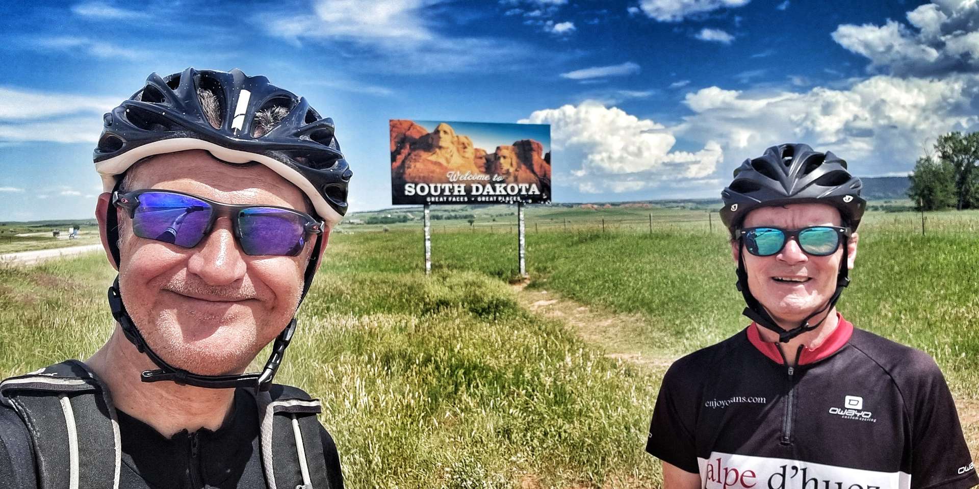
Sunday 3rd July to Wednesday 6th July – Stages 50 to 52.
Sunday 3rd July – Spearfish to Hill City (Stage 50)
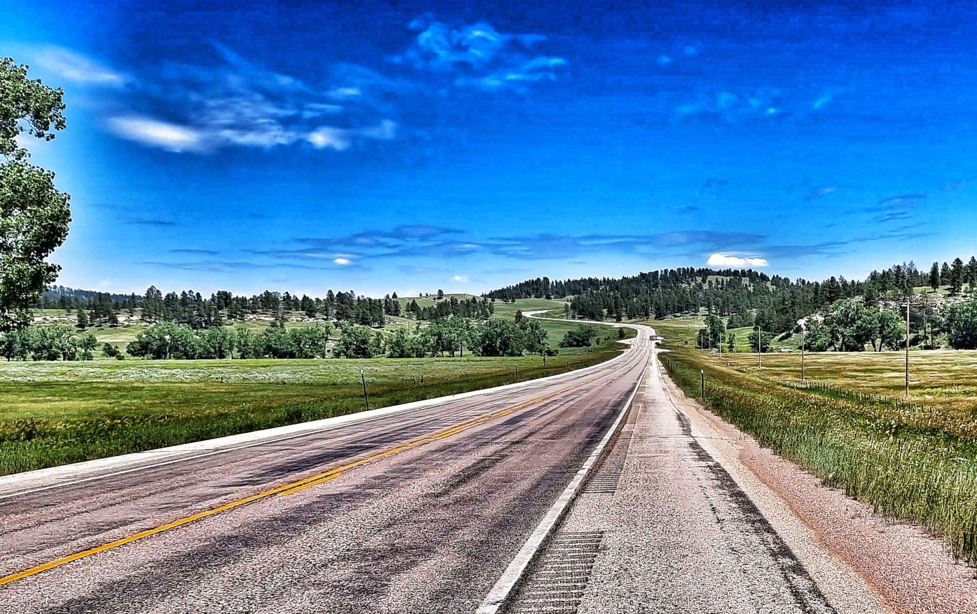
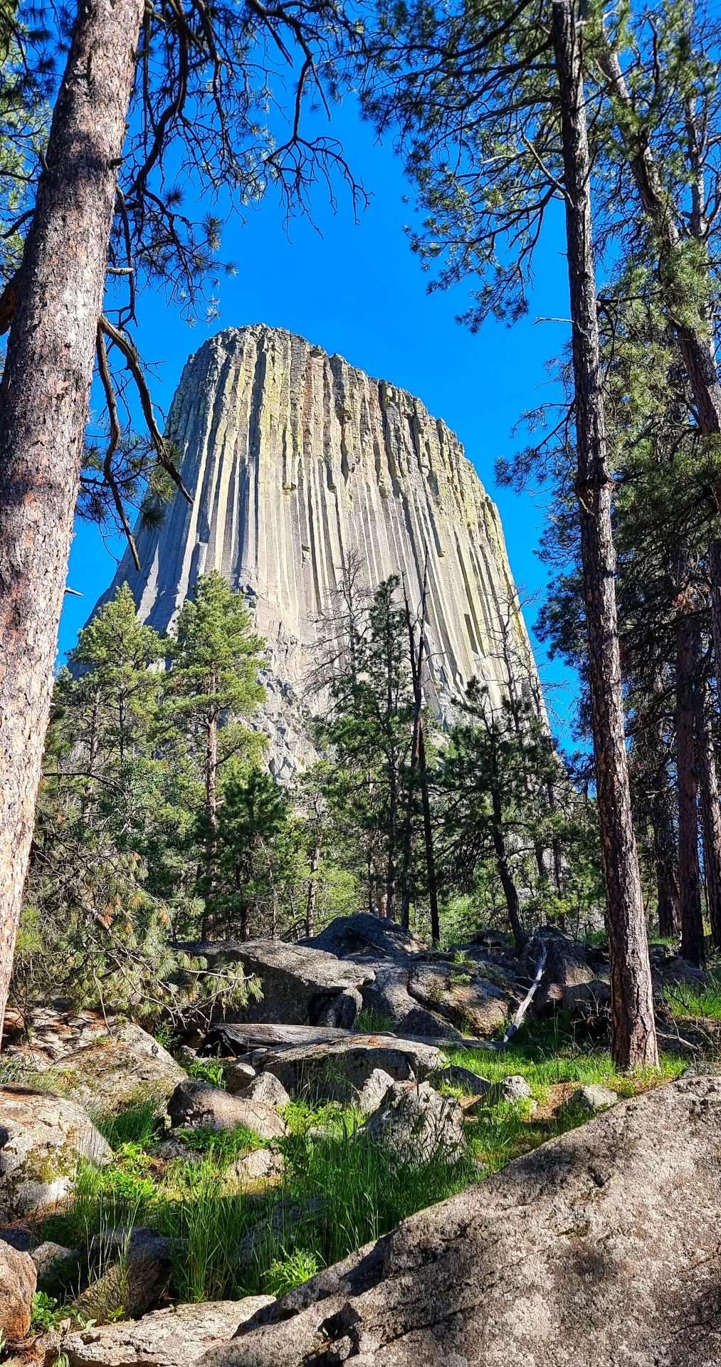
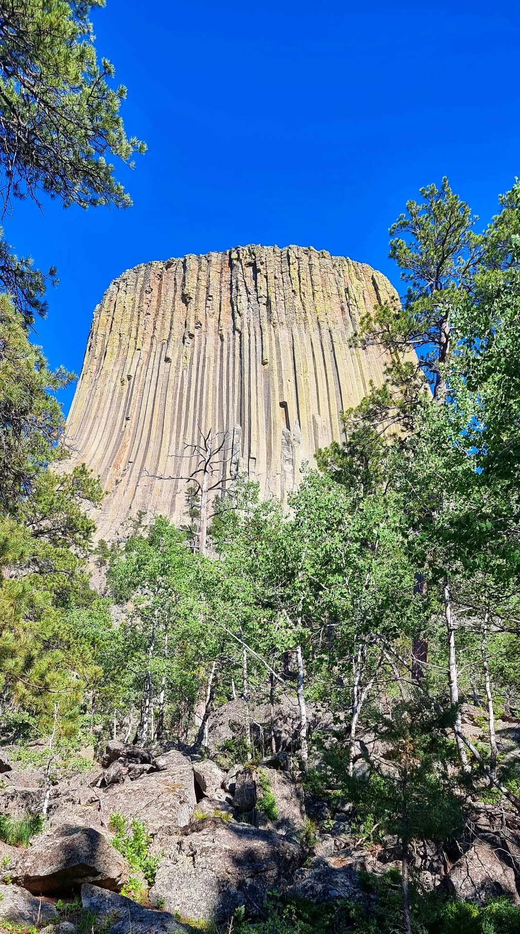
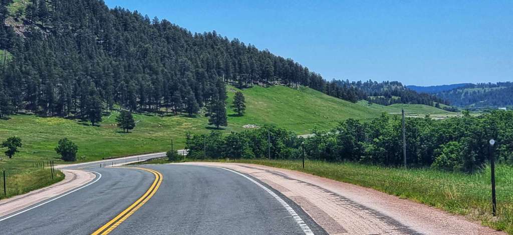
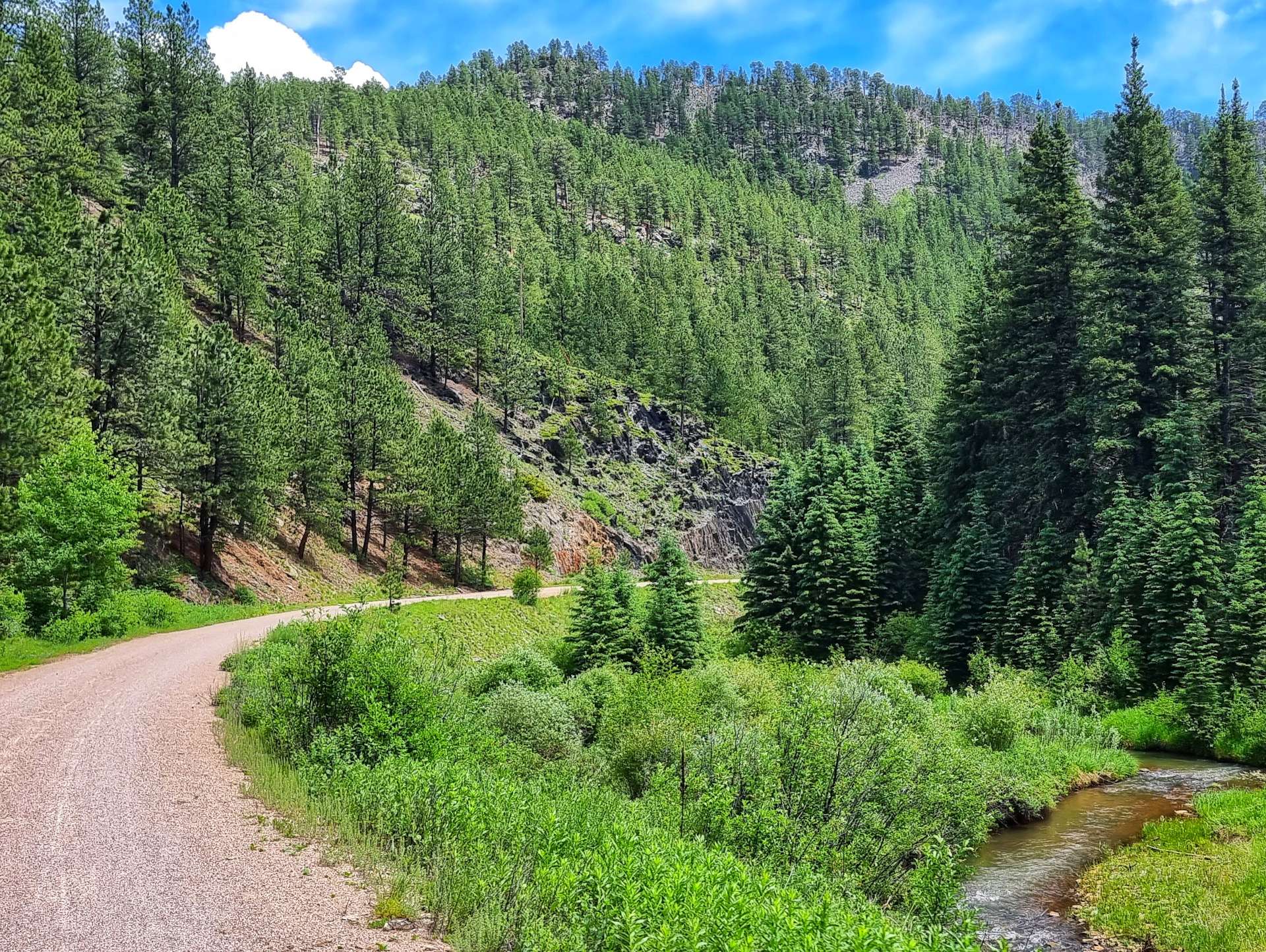
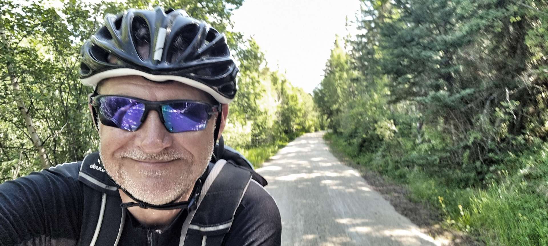
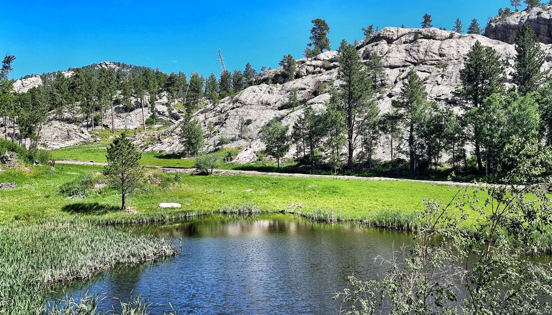
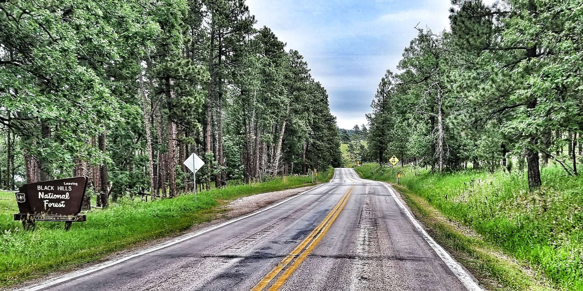
We packed our camping equipment & were on the road by 8.45am for the first of 3 days of adventures in the Black Hills. Spearfish Canyon Scenic Byway is an area of outstanding natural beauty, but isn’t that well known – luckily we were aware of it from our Adventure Cycling Association maps. The road follows an old railroad route, so although it climbs for the best part of 22 miles, the gradient rarely exceeds 4% & is one of the top 50 scenic cycle paths in the USA.
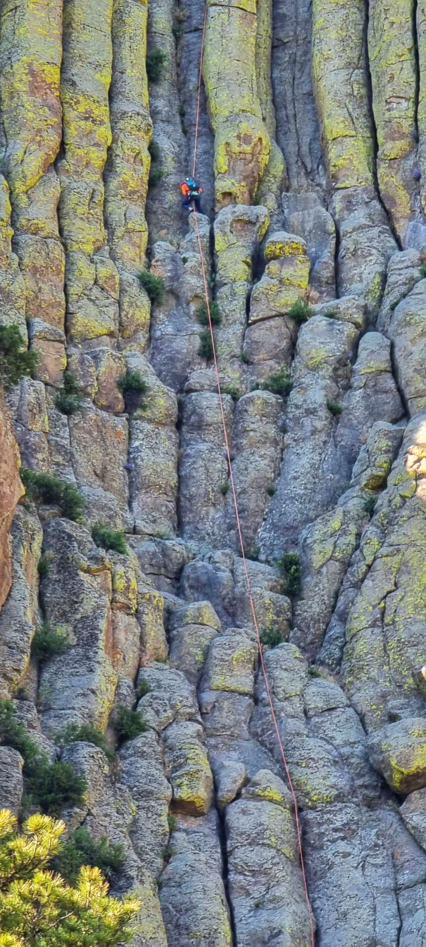
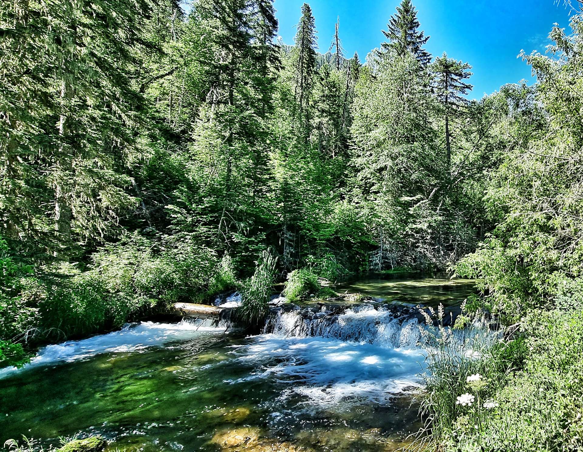
The cliffs rise over 1,000 feet on either side of the canyon & are covered by trees as the scenic 14a road follows the path of Spearfish Creek. Along the way are Bridal Falls (photo 3 below) & the Devils Bathtub (photo 4).


As we continued up the canyon, we were passed by a few small groups of cyclists – we were no match for their carbon bikes! The red, yellow & white cliffs occasionally peaked out from the forest as we reached the Latchstring restaurant where we pulled in for a coffee & to top up our water bottles.
We stopped briefly in one of the picnic spots, so we could cool down when enjoying a handful of trail mix – while I sat there, a chipmonk came over to investigate if there were any scraps for him! Spearfish Canyon was used as a location for some of the scenes from Dances with Wolves & there was a signpost to direct film buffs up Forest Road 222.


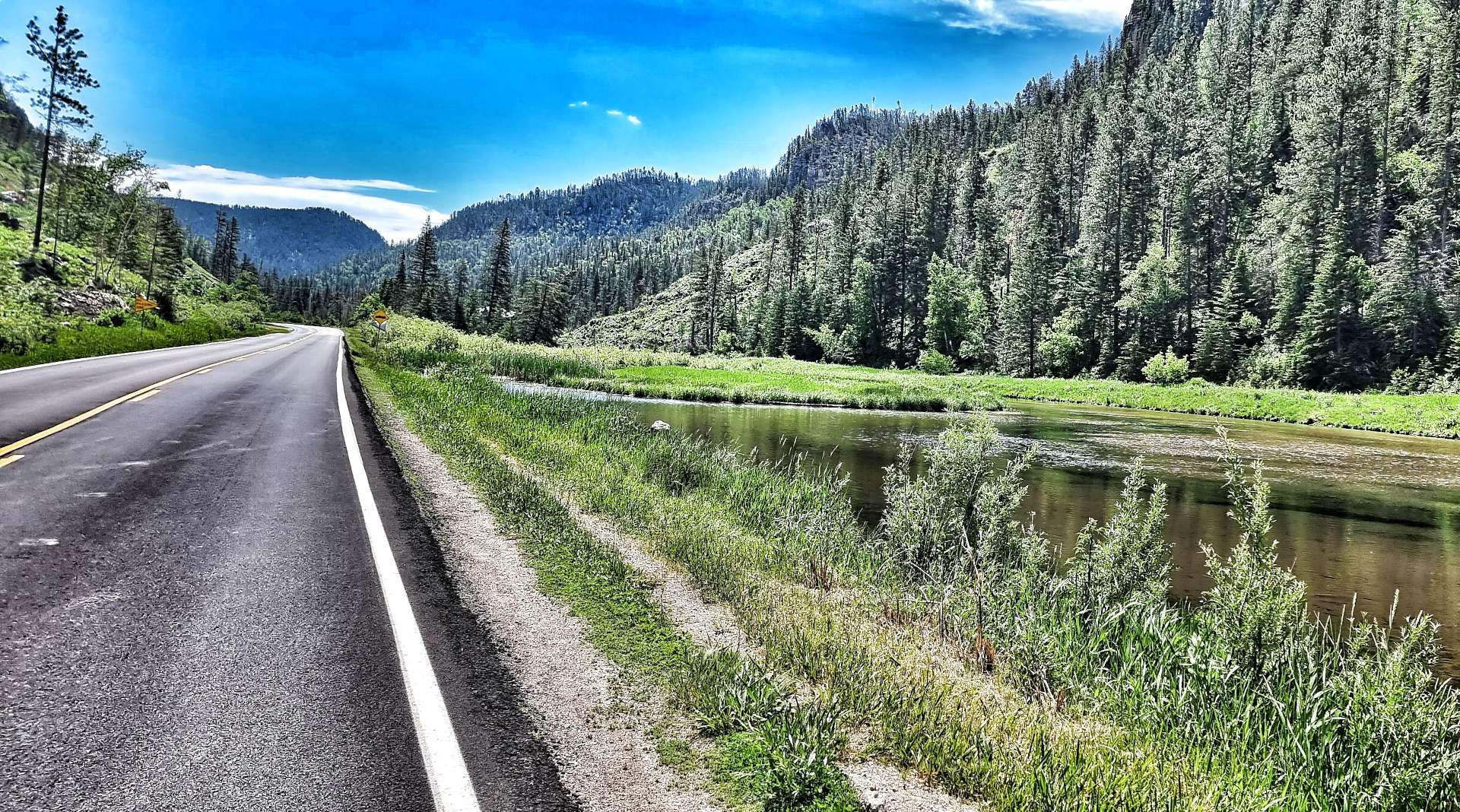
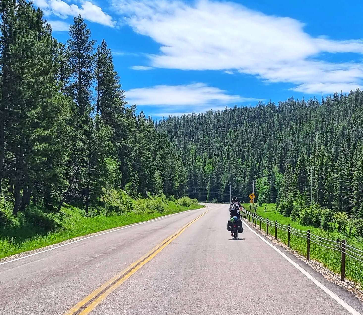
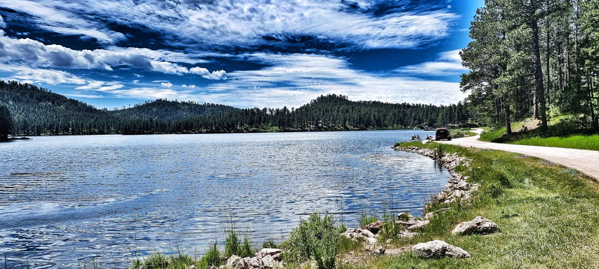
The canyon widened out as we neared Cheyenne Crossing, with small lakes appearing where manmade weirs had been installed. At Cheyenne Crossing we followed the 14a as the gradient suddenly increased in severity – this part of the climb was about 3 miles in length & took us past where Don had planned to stay last night. We then enjoyed a couple of miles of downhill before taking a right turn onto a smaller backroad.
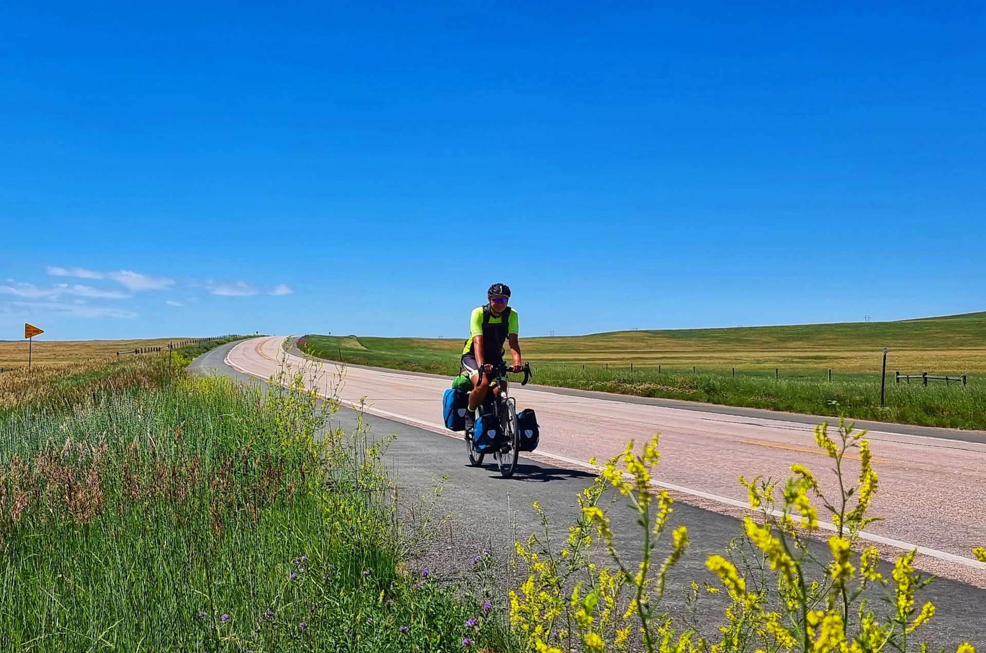
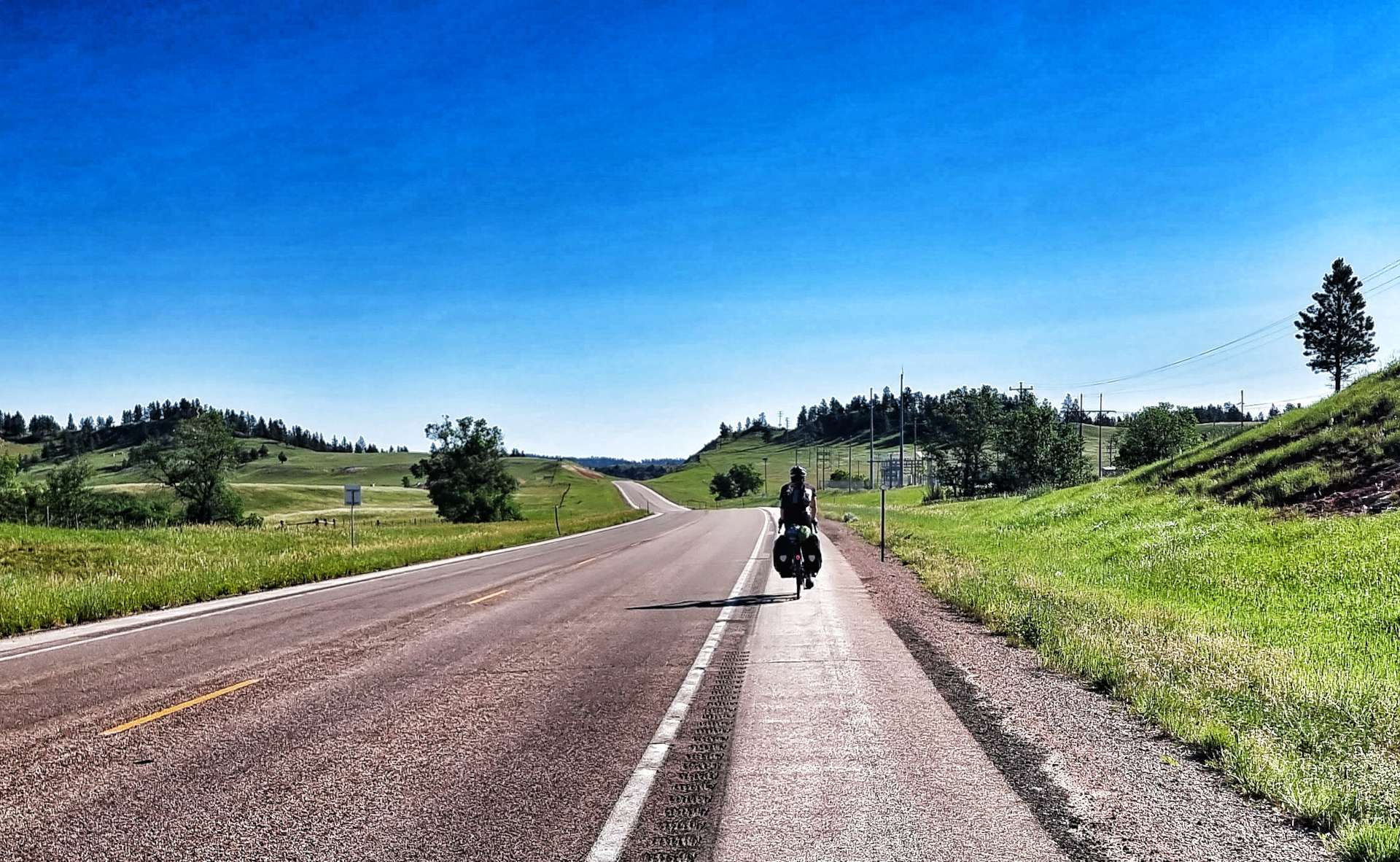
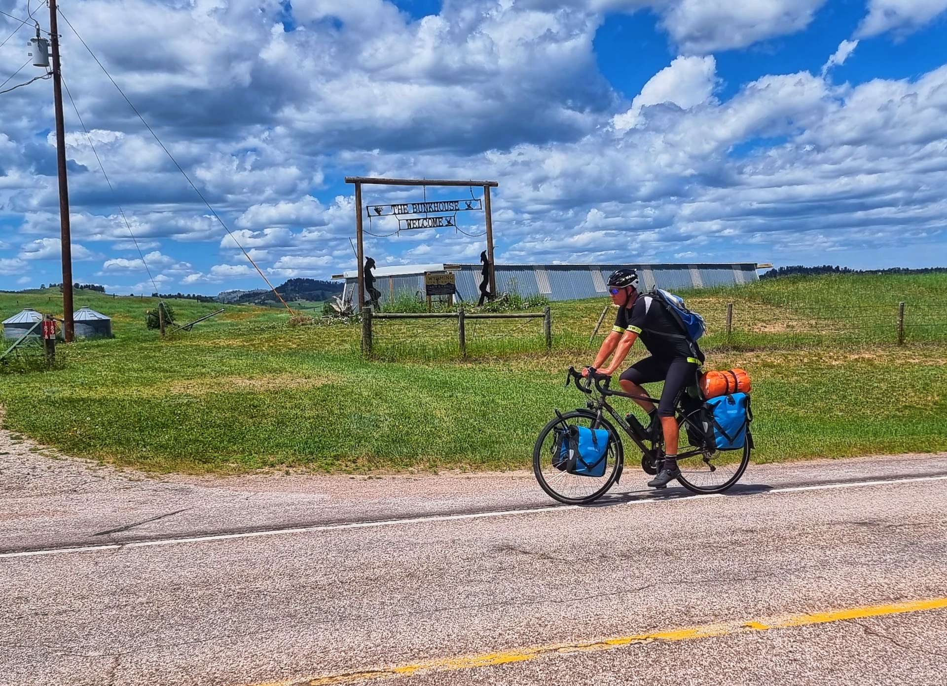
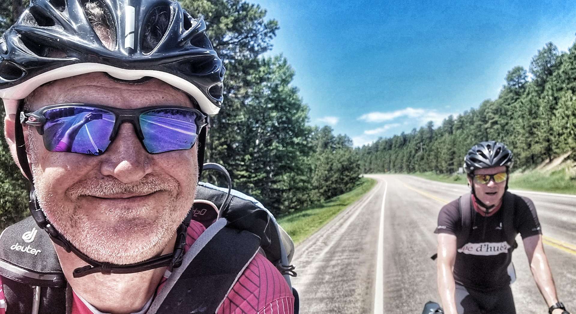
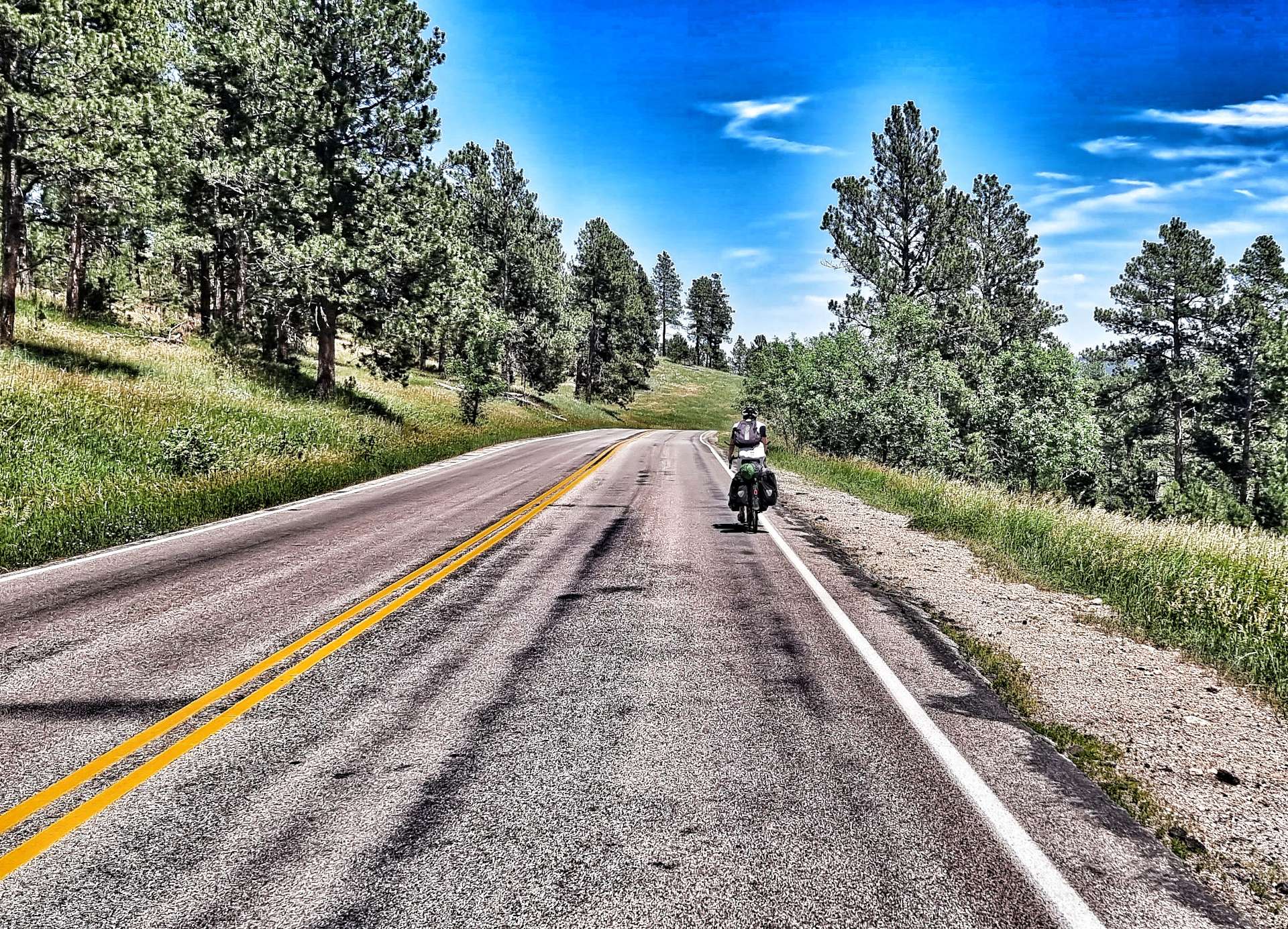
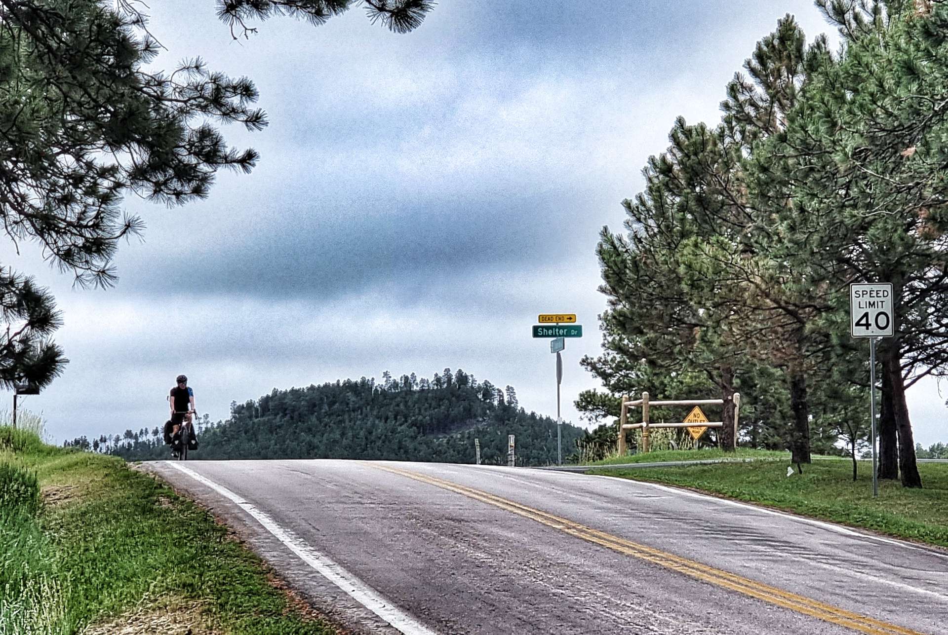
We saw a long distance cyclist heading in the opposite direction & I actually had time to take a photo as we passed each other, shouting “Safe Travels” to each other. We had one final road climb before today’s adventure began in earnest.
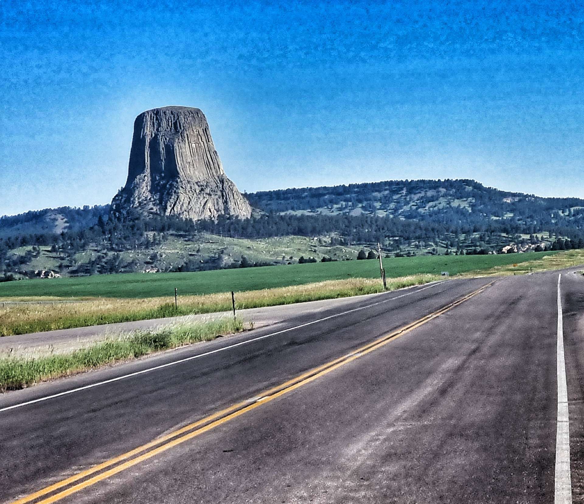
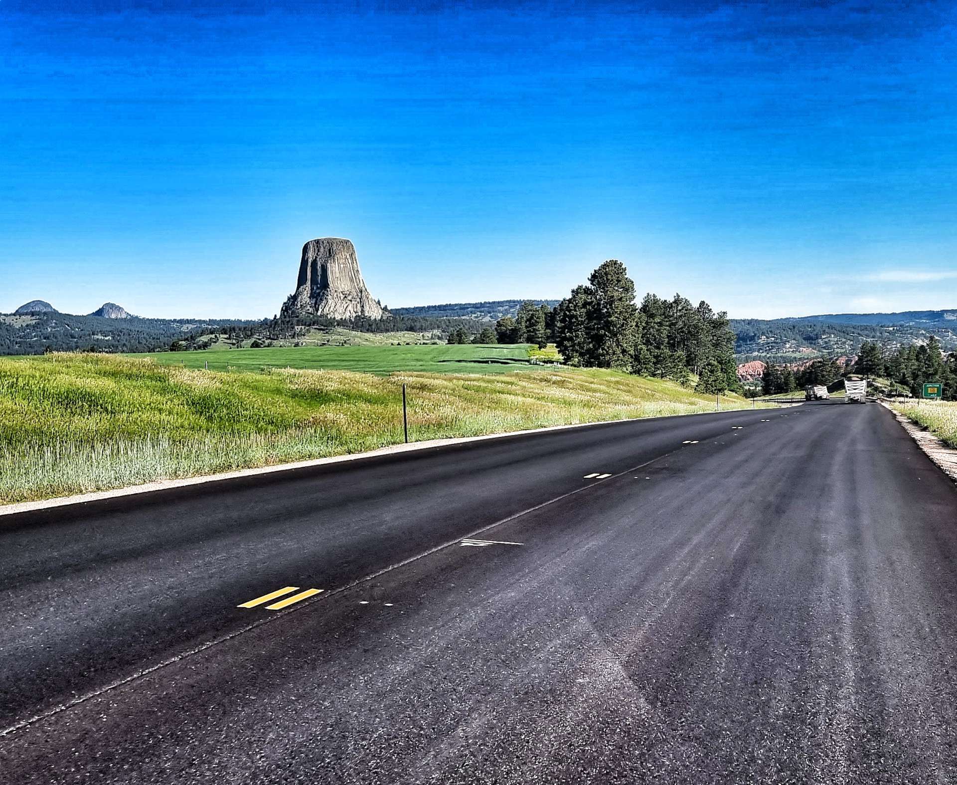
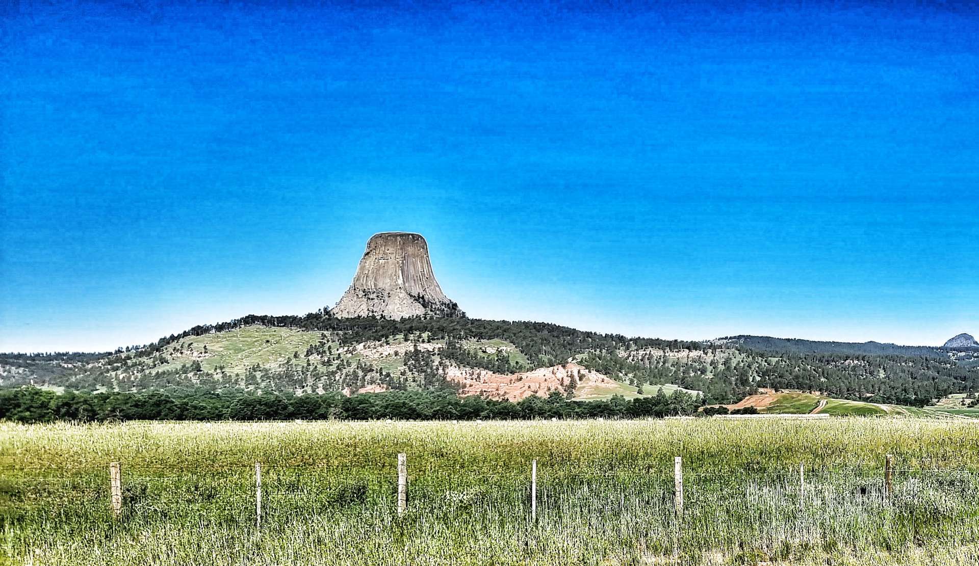
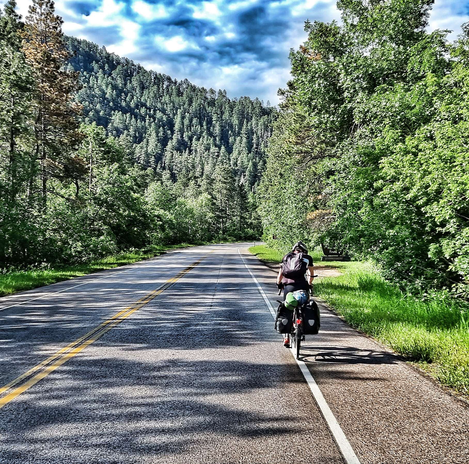
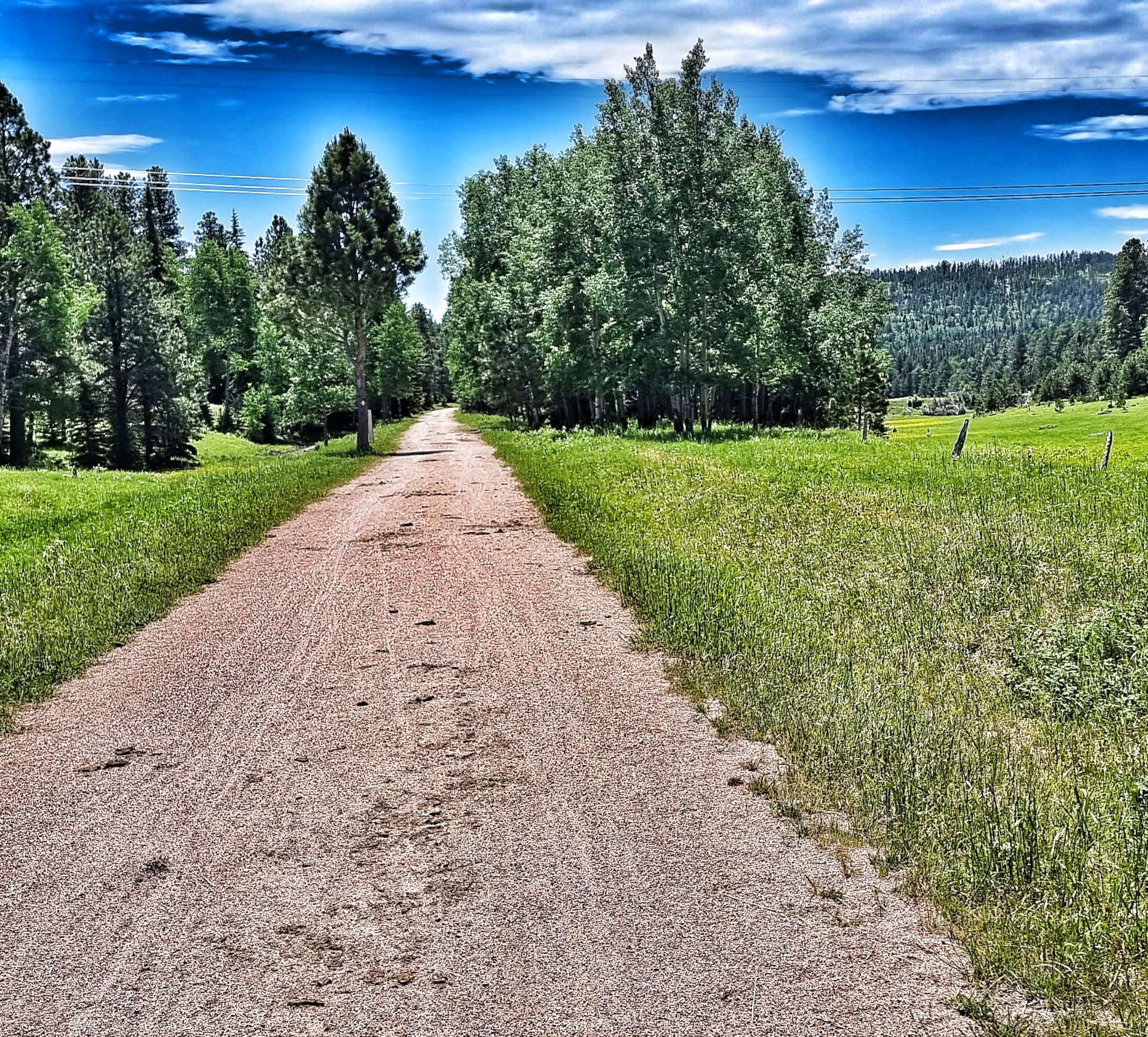
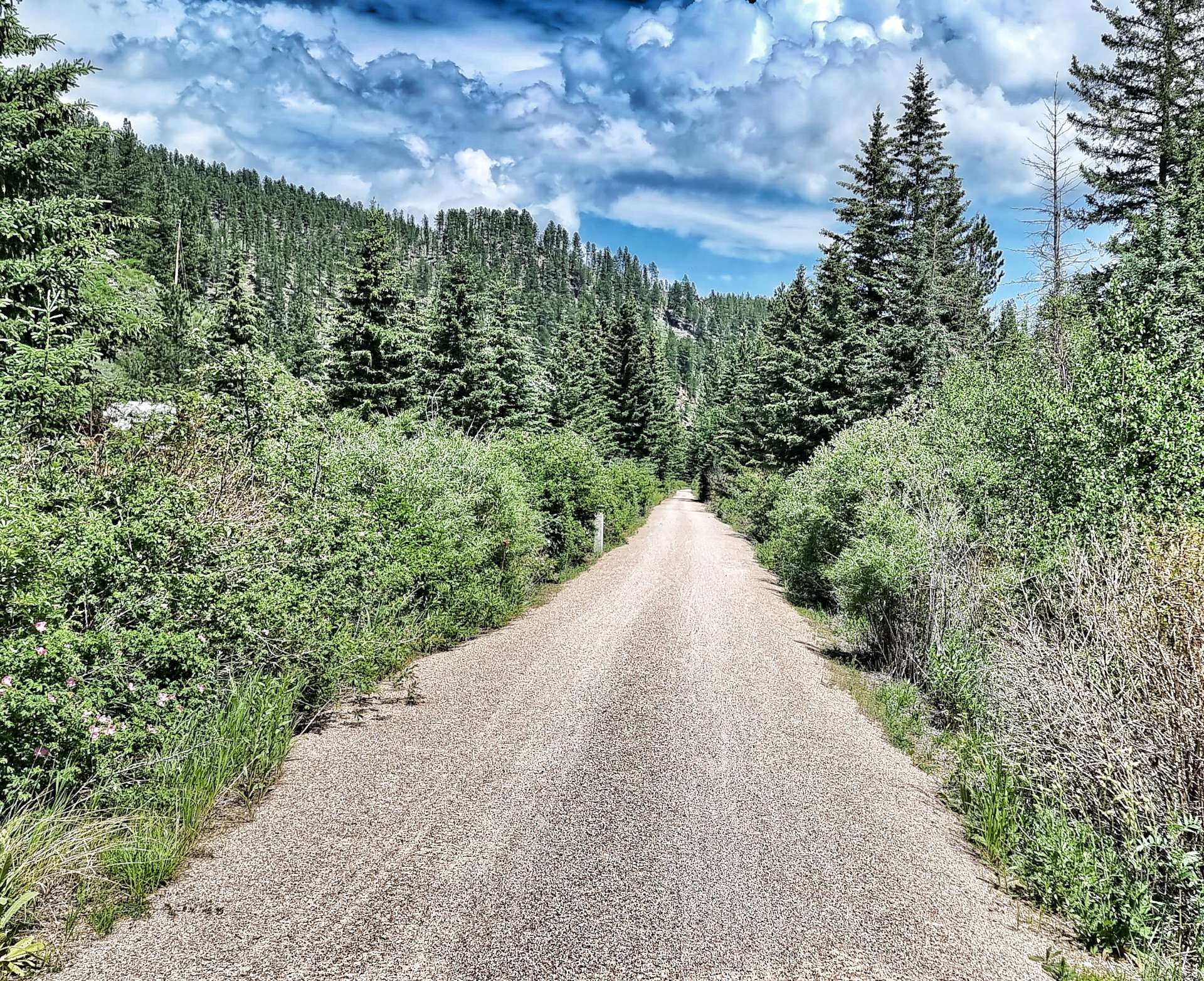
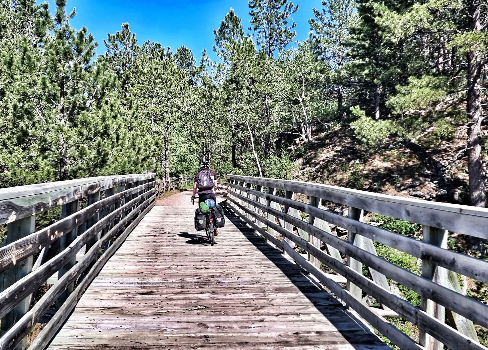
The George S. Mickelson Trail is 109 miles in length, is shared by cyclists, hikers & horse riders & was completed in September 1998. Much of the trail passes through National Forest Land as the 100 converted bridges & 4 rock tunnels enable users to travel from Deadwood to Edgemont – its surface is primarily crushed limestone, with stretches of gravel. The trail follows the old Chicago, Burlington & Quincy railroad branch line.
We joined at the Englewood Trailhead on a gentle downhill section (milepost 98.5), perfect for getting used to the different surface! We were both a bit wary to begin with, as we haven’t done too much off-road riding with the panniers, however, we soon felt more confident. At times the trail followed the road, but there were also sections that took us into the wilderness, so it really felt like an adventure!

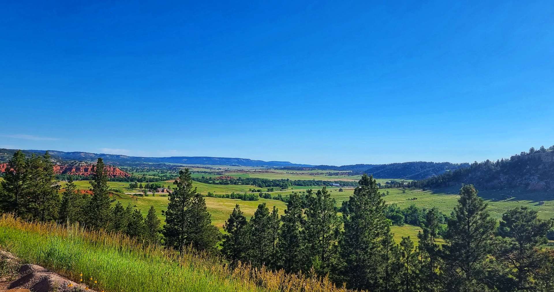
The trail continued to descend for the next 23 miles. Along the way we passed through 2 of the rock tunnels, followed the course of Rapid Creek, cut through forest & stopped in the town of Rochford for an ice cream & to top up our water bottles again. The local tap water was high in iron content, so the owner of the Rochford Mall kindly shared her daily water supply with us. Another of many generous acts we’ve experienced on our adventure to date.
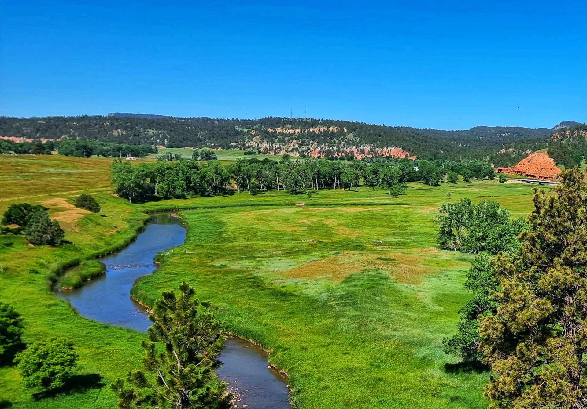
Passing through Mystic, we encountered Pony & then Bobcat Gulch – there was a beautiful river beneath us & this marked the point where our descending ended.


We now had to climb the Mickelson Trail!!! Up to this point we thought we had a bailout option of riding the road – we could now see that was gravel too, so time to accept our lot in life & get on with it. The views were breath-taking as we steadily gained altitude, the trail was a constant gradient & although it was hard work, I enjoyed myself – being that bit heavier than Sean meant the bike handled better & I was able to get more traction.
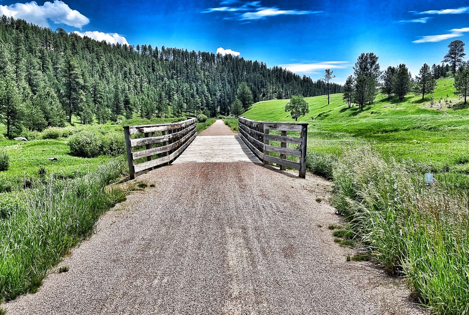
On the early part of the climb 2 horse riders were heading down the trail & we exchanges pleasantries, but other than that, we had the trail to ourselves for the next 8 miles as we continued climbing. We would occasionally cross a creek on one of the wooden trestle bridges. As the trail topped out at Red Fern we stopped again to fill our water bottles, this time at a handily placed picnic site with a hand pump to draw water.


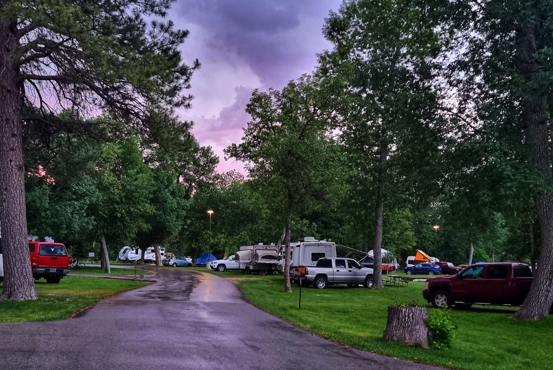
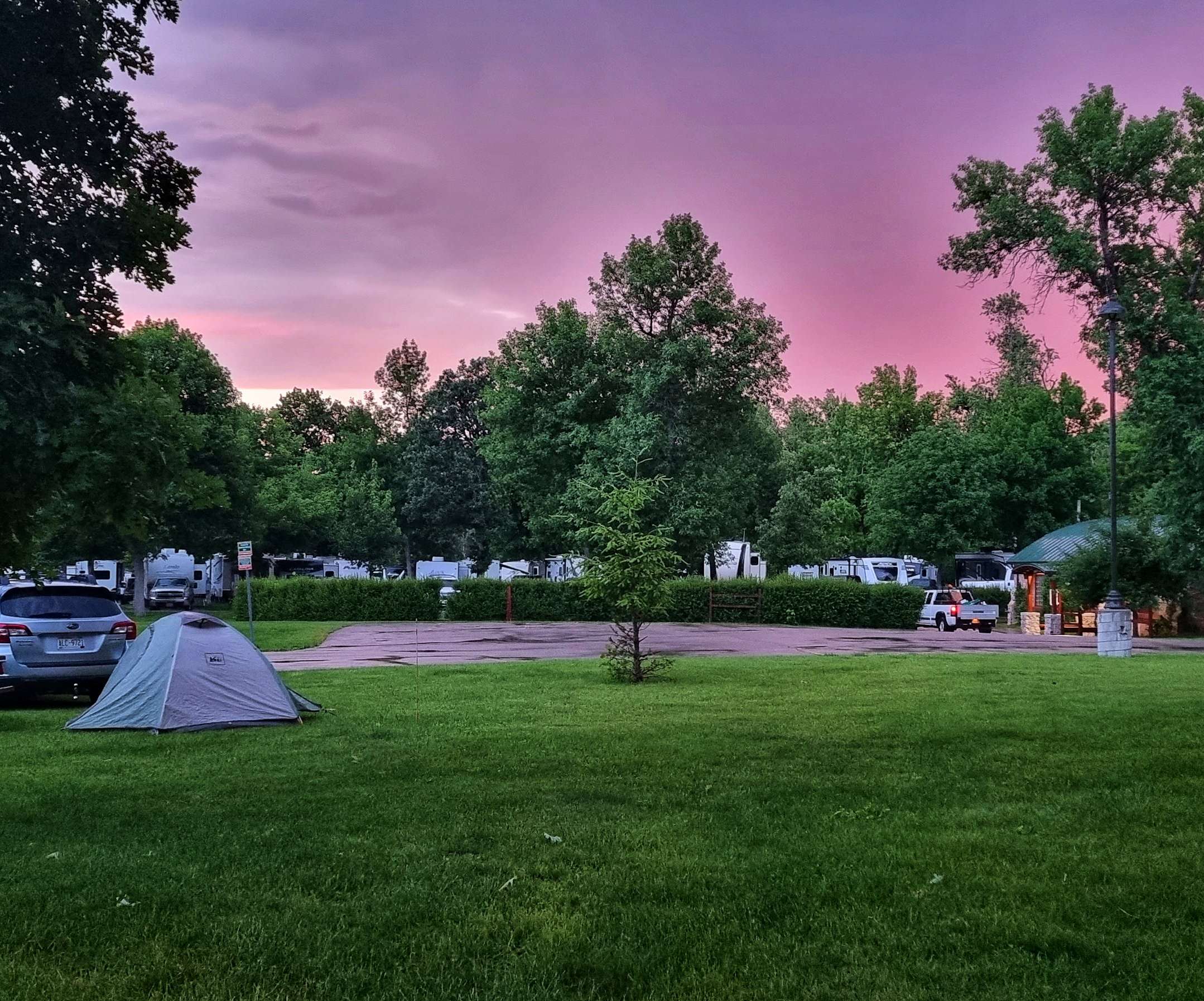
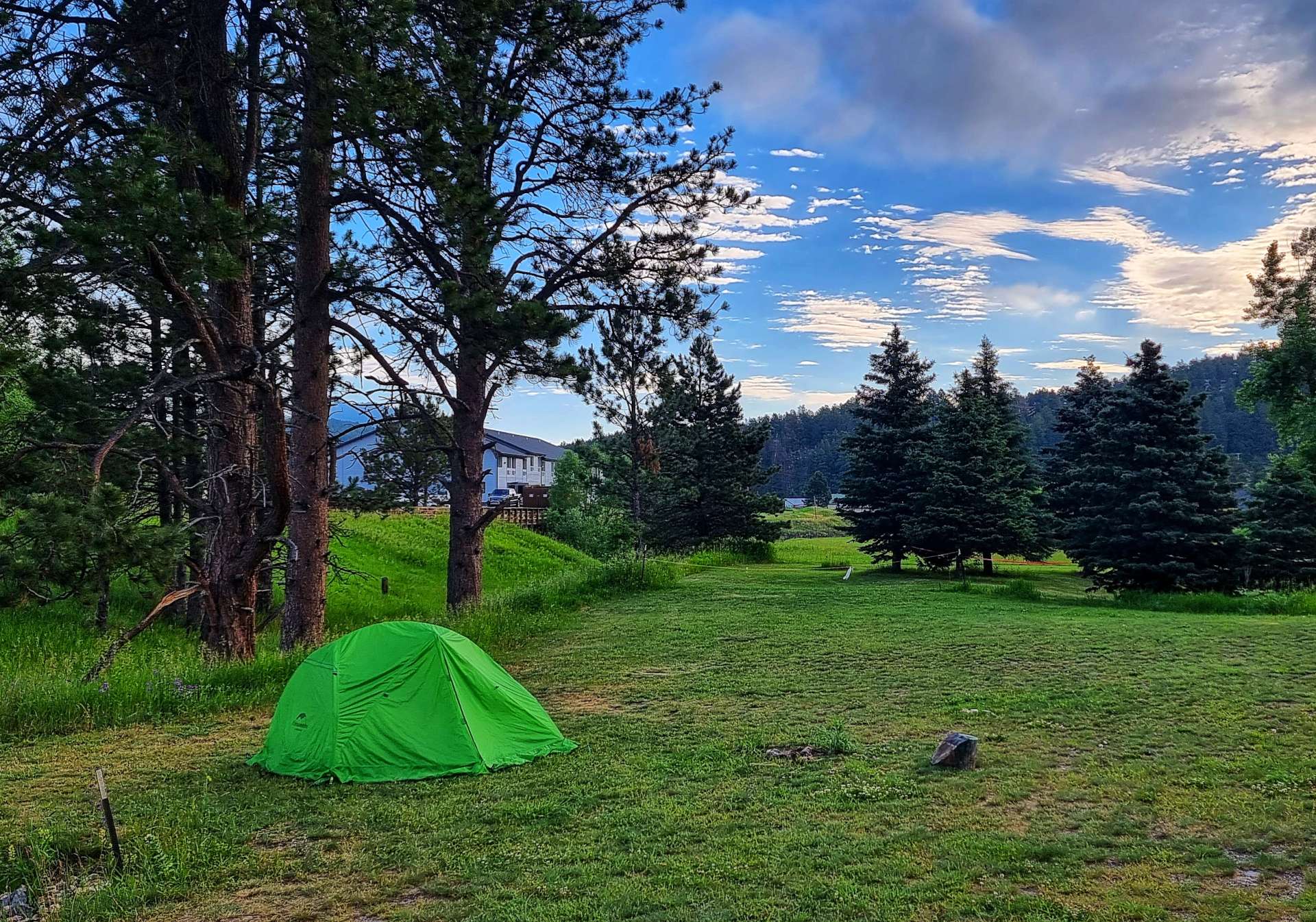
From Red Fern we had a gradual 8 mile descent into Hill City (mile point 60.1), where we were staying at the Trailside Campground – yes, the campground straddles the Mickelson Trail. We’d travelled 38.5 miles on the trail & it lived up to its billing as an adventurous day out. We also understood why Don had decided to take a couple of days to make the journey!
We set up our tents & then set about trying to recover in the shade – we’d drunk 9 bottles of water (just over 5.5 litres / 10 pints) on our day out, yet still we were thirsty! The temperature had been 85 degrees, so had taken its toll over our 6 hour ride.
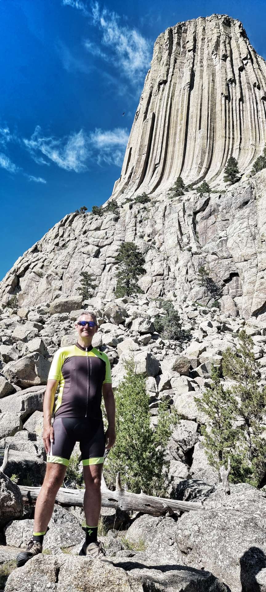
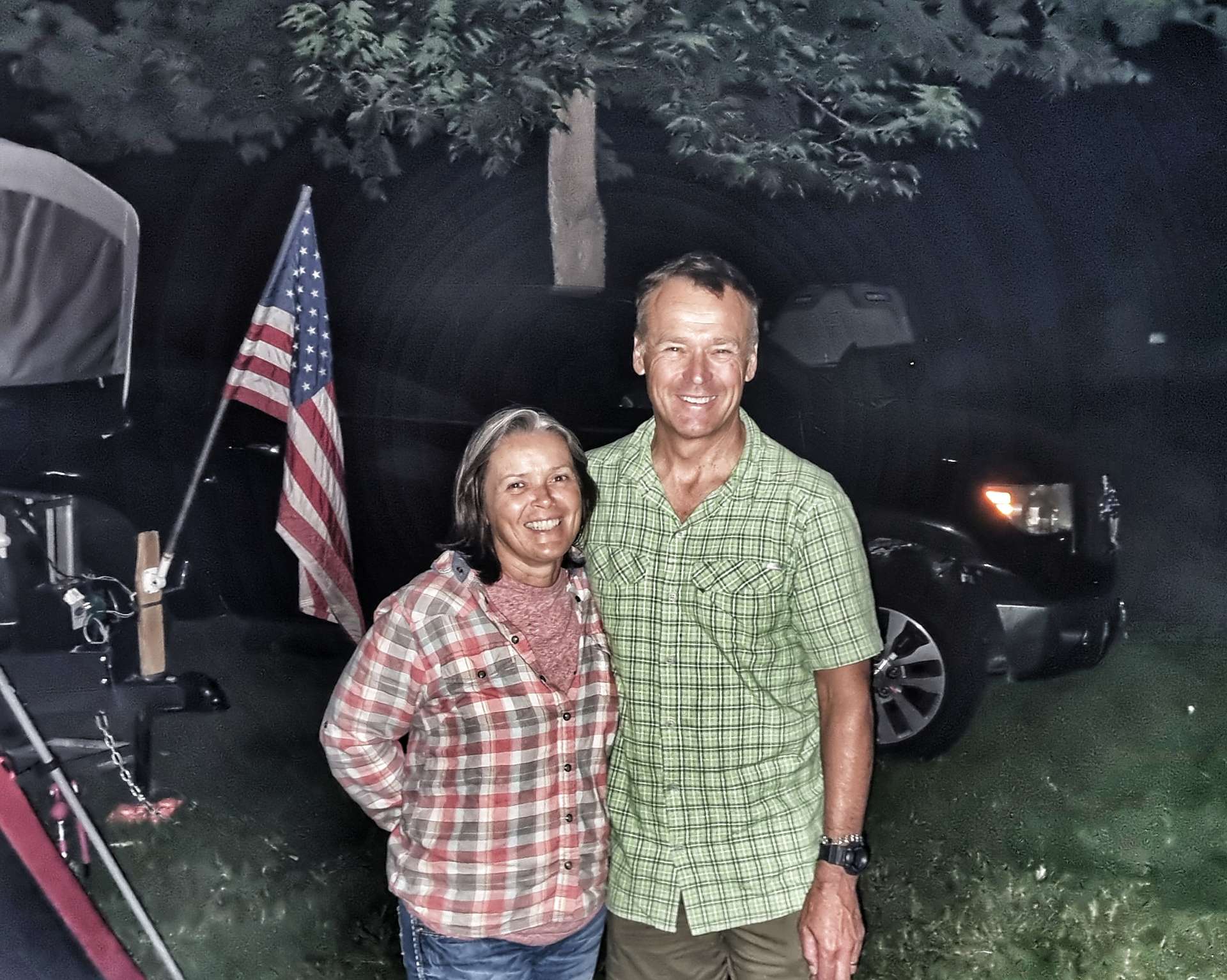
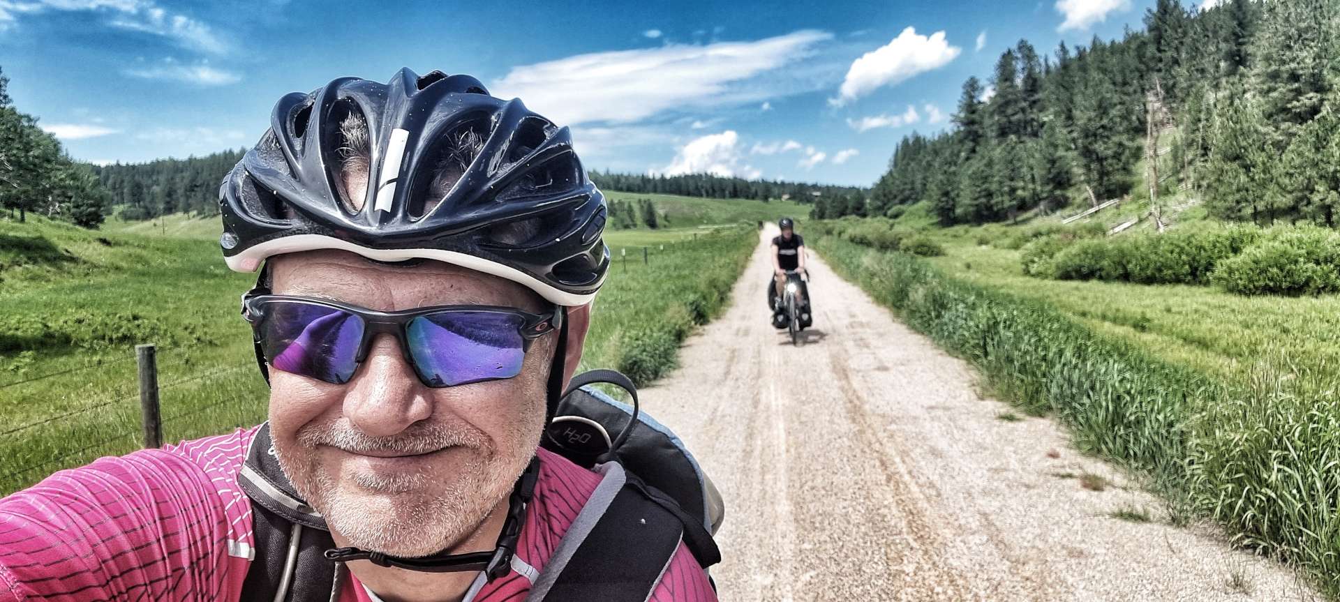
In the last update, I promised you a photo of Don (aka Gus to us for a couple of days!!) – here he is at Trailside Campground! We chatted while Don prepared his dinner & shared plans for the coming days, Don & ourselves planned to stop at Keystone tomorrow, but were taking different routes. I hope we bump into Don again, as we really enjoyed his company & it’s great to meet up with someone who ‘gets’ what you’re doing & can provide experience & insights to make the adventure even better. Along with a few other people we met in Spearfish, Don recommended cycling in Wisconsin if we get the chance.


Stage Stats – 63 miles, 4,091 feet of climbing. 38.5 miles of off road riding on crushed limestone, with a long climb thrown in for good measure.
Monday 4th July – Hill City to Keystone (Stage 51)
Happy Fourth of July!!!
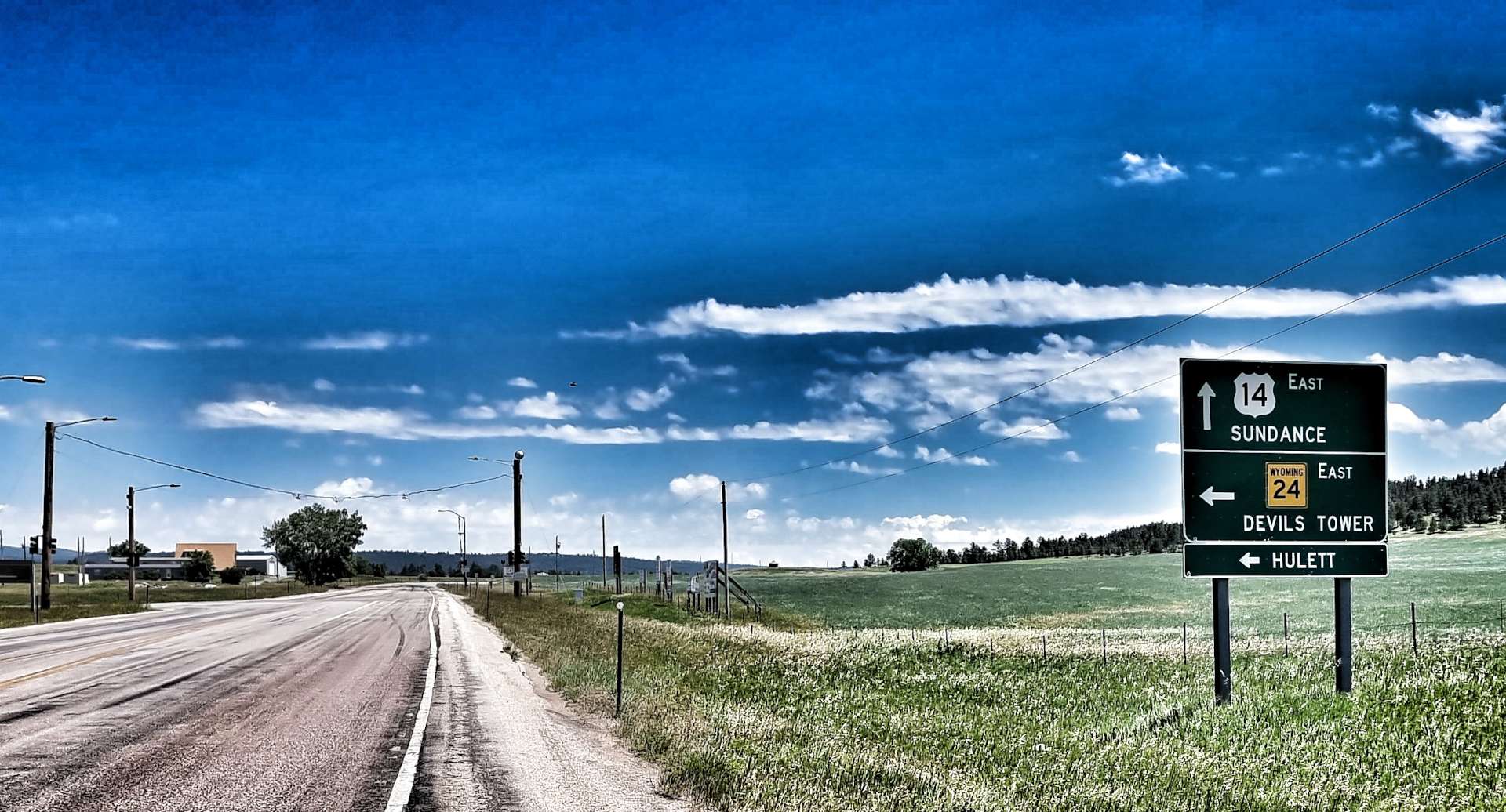
Hill City to Keystone is 10.9 miles point to point on Highway 323 – obviously that wasn’t the way we would do it!! We were on our way by 8.45am once more, picking up the Mickelson Trail again. Almost immediately we spotted a sign for Quails Crossing – initially I thought it meant the birds, I later worked out it was an instruction, telling everyone to keep out, except customers of Quails Crossing. I prefer to think of it as a crossing specifically for quails!
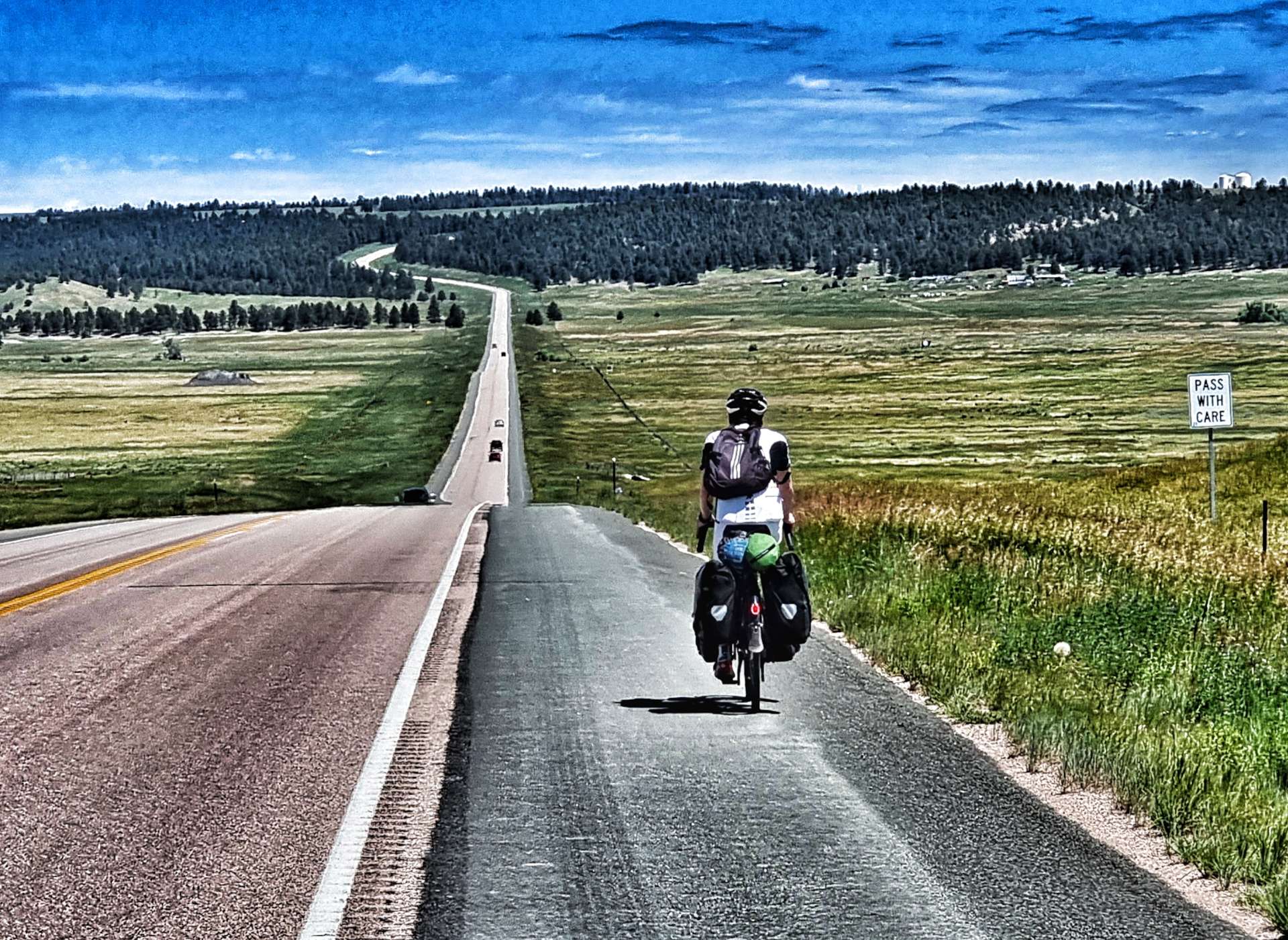
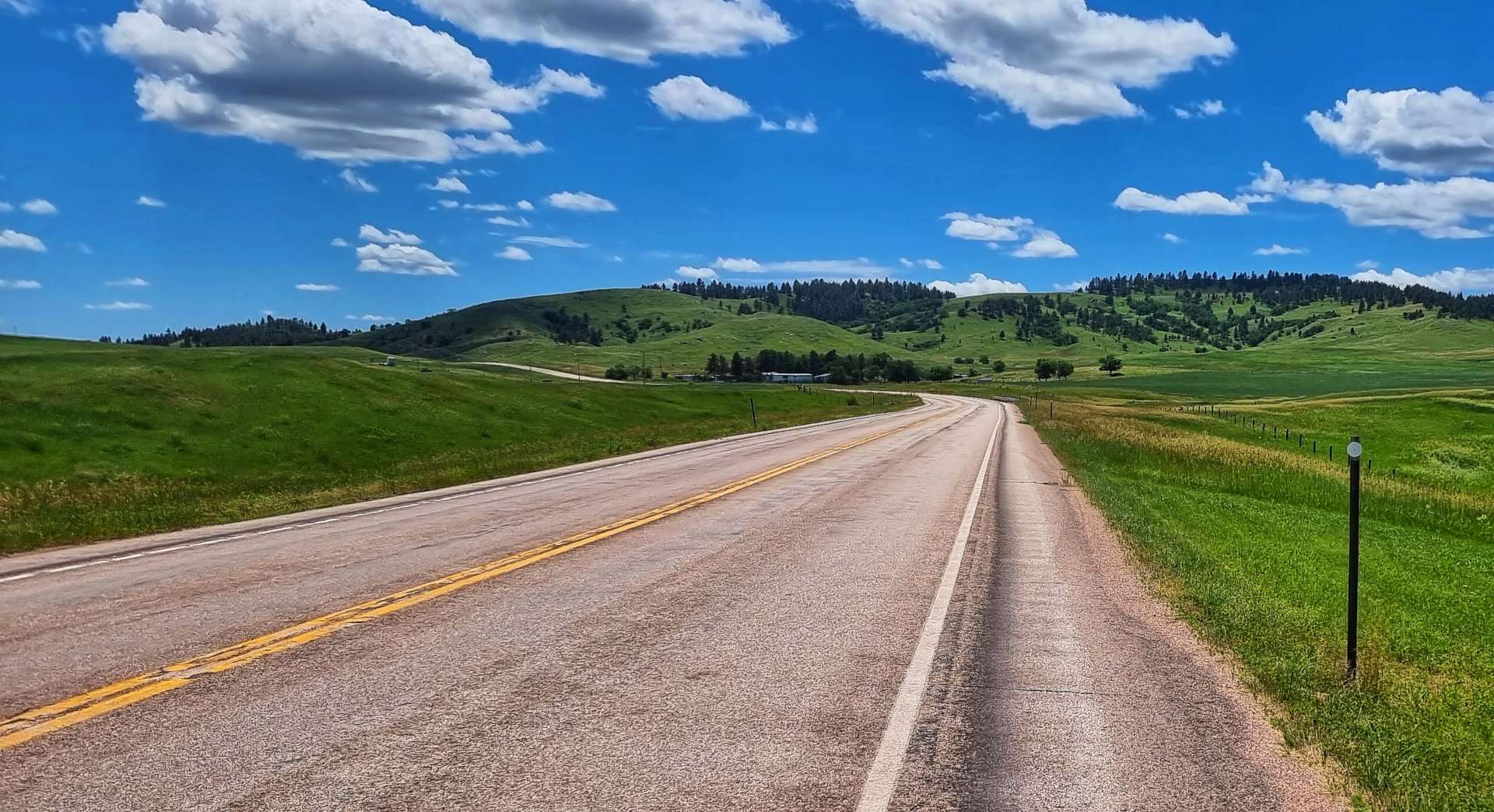
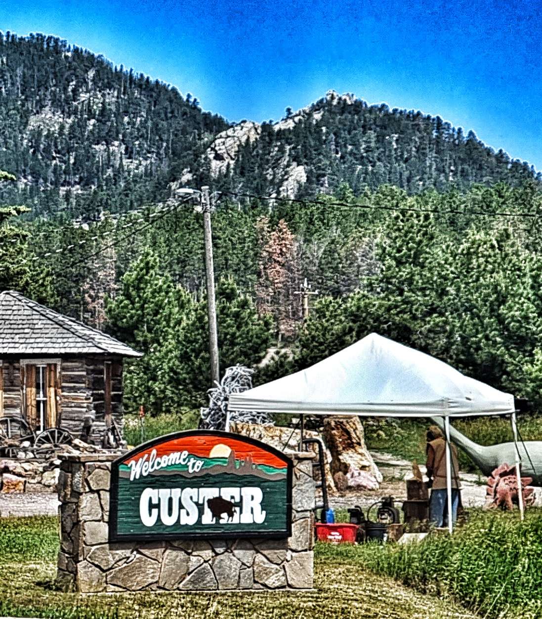
The trail was gradually climbing for the first 5 miles, at which point we had a decision to make – continue on the trail for another 10 miles (5 up & 5 down), or take the road into Custer. I chose the trail & Sean chose the road – this was the first time that we’d be riding on our own, but it was important that we were able to make our own decisions. We agreed to meet up for coffee in Custer & then continue the rest of our ride together.


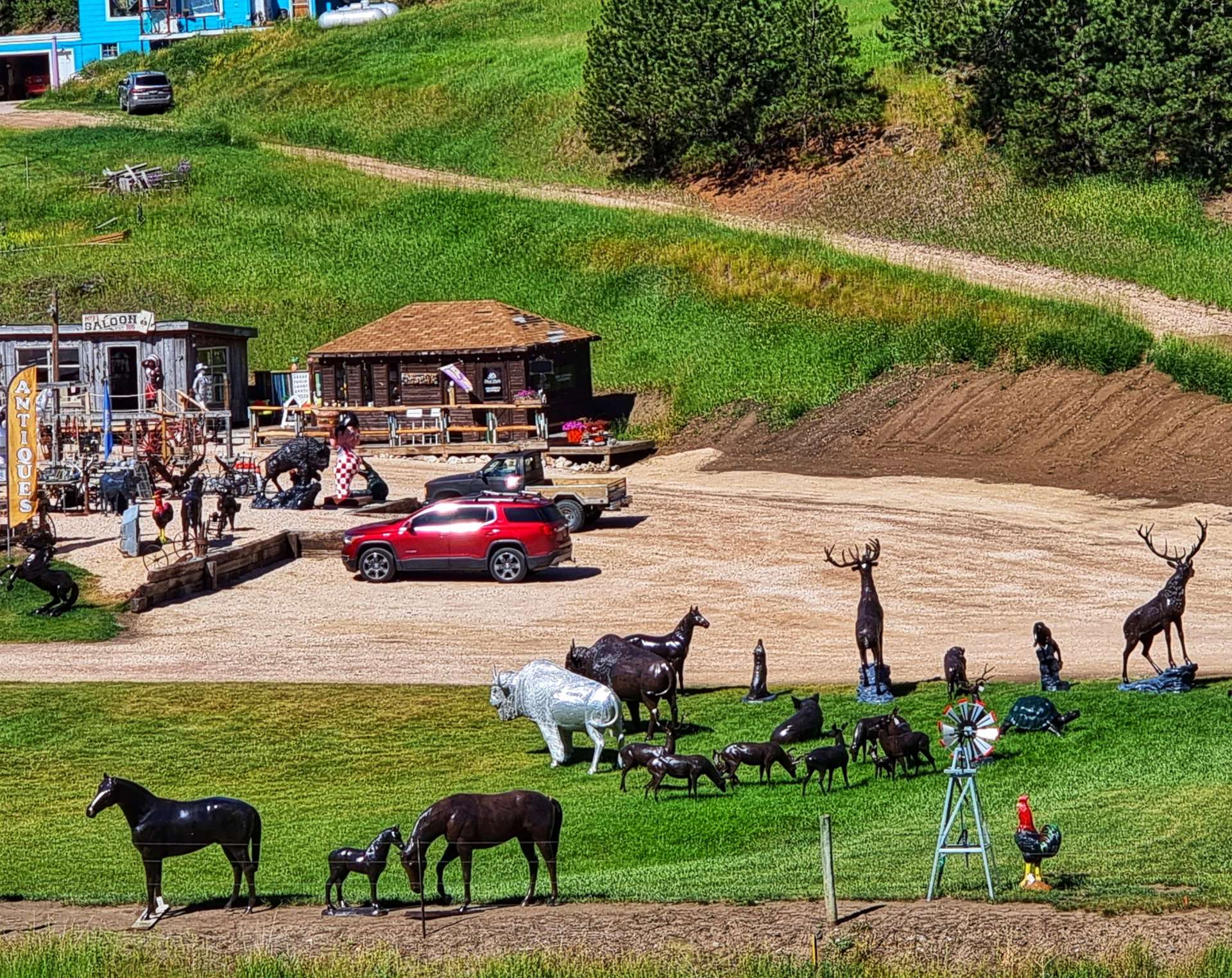
The trail continued climbing past the eclectic Boyds Antiques, they looked to have everything no-one ever needed! Every now & then the trail & road would converge, but not surprisingly I didn’t see Sean, he’s strong going uphill on the road, whereas the trail is slower going.

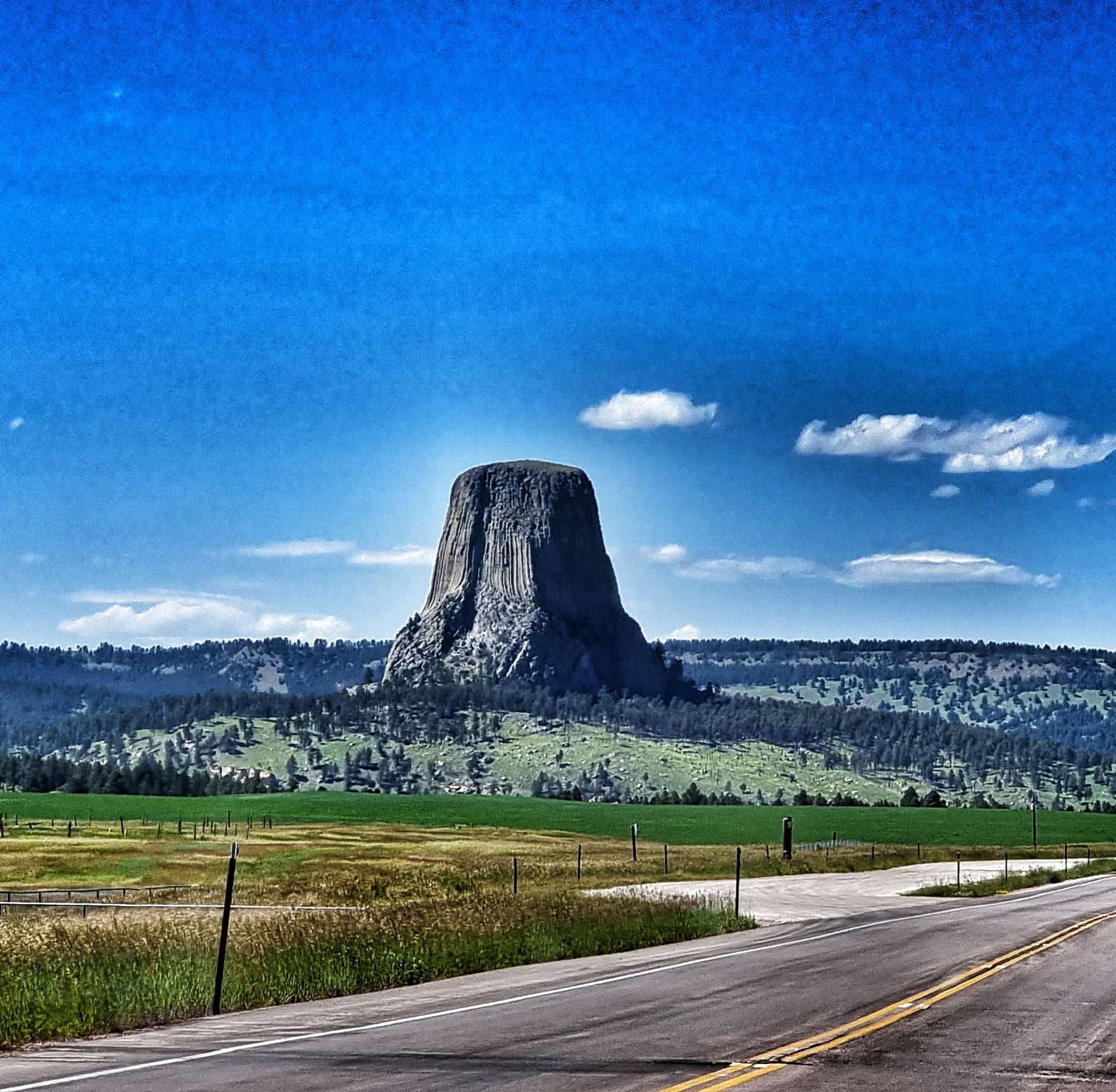
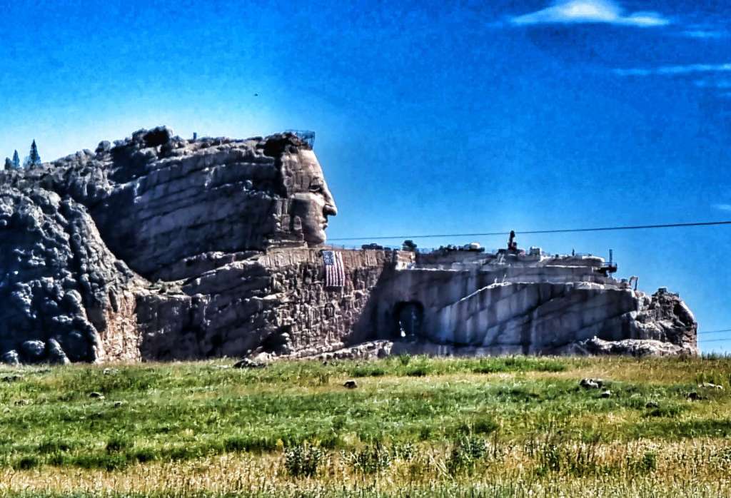
At the summit of the trail climb I could see across to Crazy Horse Mountain – home of the world’s largest mountain carving in progress. The memorial was started in June 1948 & when finished will depict Crazy Horse riding a horse & pointing to his tribal land. Korczak Ziolkowski was commissioned to sculpt the memorial. If completed as designed, it will become the 2nd tallest sculpture in the world at 563 feet high & 641 feet long. The Statue of Unity in India is the tallest.
Chief Henry Standing Bear, when talking about his maternal cousin Crazy Horse said “My fellow chiefs & I would like the white man to know that the red man has great heroes also”. When reading about the memorial, it became clear that not all Lakota Tribespeople agree with the Crazy Horse memorial. Some members of the Tribe believe that carving his image in the mountain pollutes the Lakota lands. There are two sides to every story.
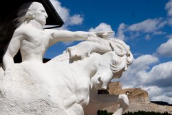
The photo on the left was taken by me, but the second photo is lifted off the internet to show what the memorial will look like when finished.
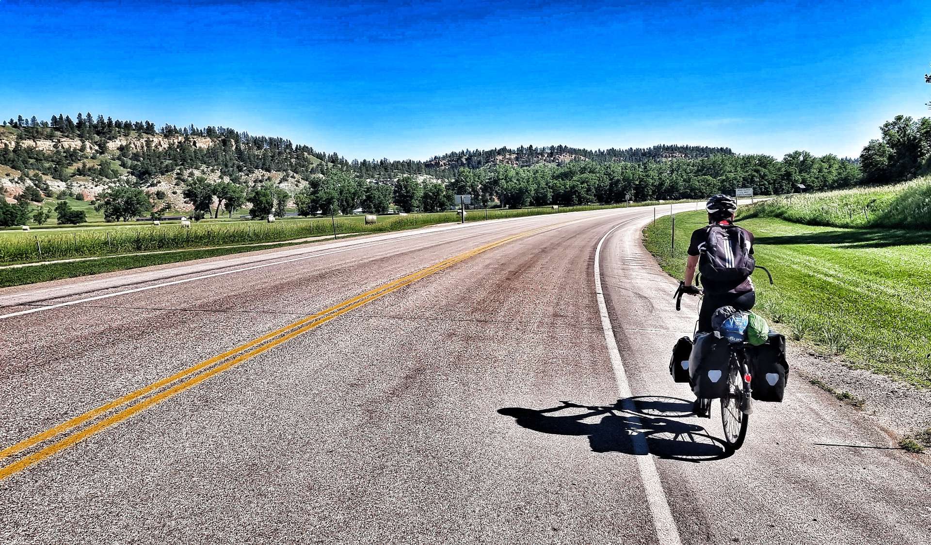
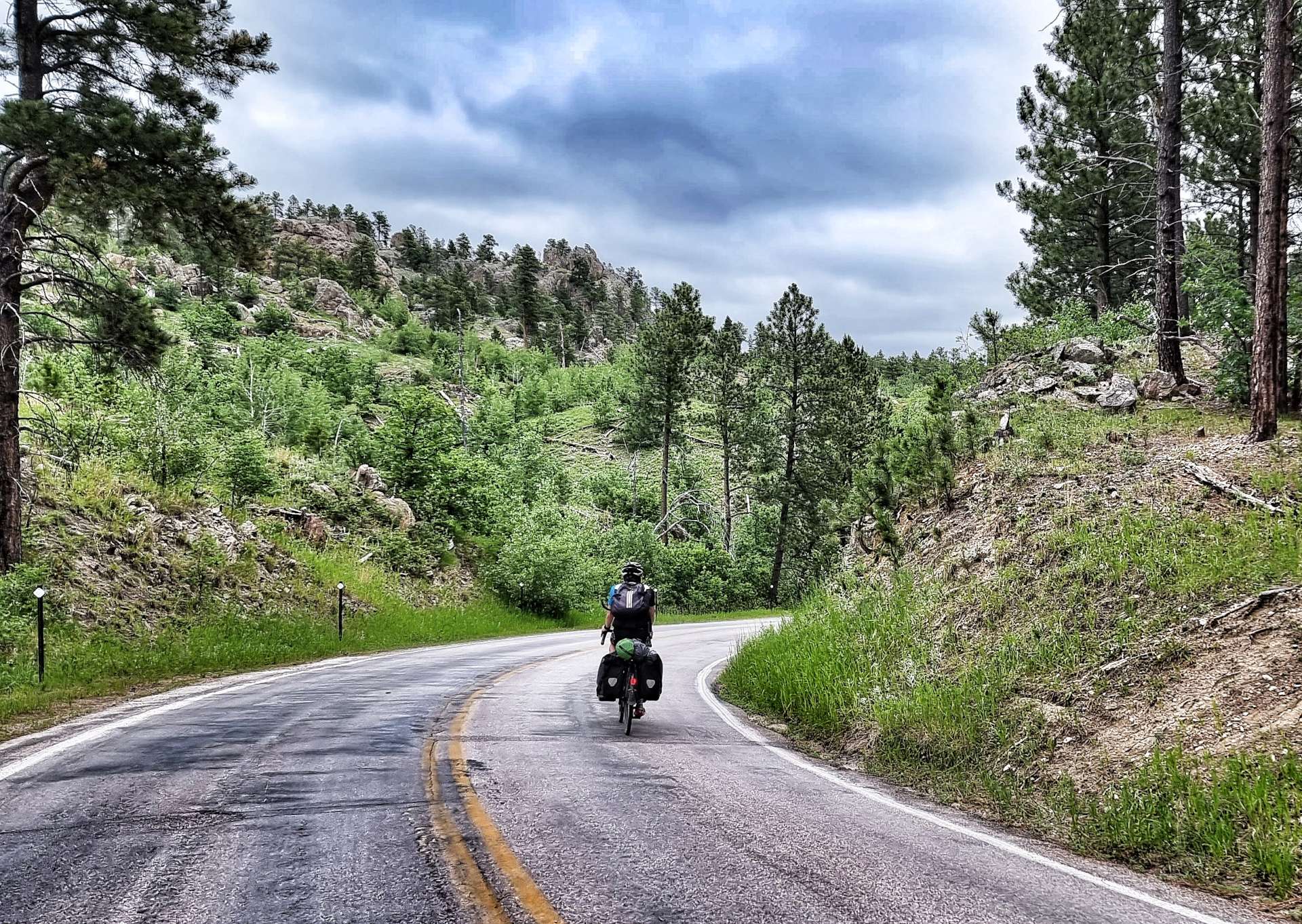
The trail then started a 5 mile descent, twisting & turning through the rocks & forest at a constant 4% gradient. With all the kit on board, Gene Genie actually feels well balanced, even on gravel. As I reached Custer, I exited the Mickelson Trail at the 44.5 mile post – in total I’d ridden 54 miles on the gravel & thoroughly enjoyed every minute of it!!!
Sean was waiting for me by the side of the trail & had been there a bit over 5 minutes, which wasn’t too bad for either of us. We found a small coffee hut, with seating in the shade & enjoyed a coffee & muffin each. We also met Seanna, her daughter Hayley & young son, Max. She had previously served in the military & is now an air traffic controller with the FAA in Denver. Her husband is a personal trainer & at one time was looking after a baseball player on the New York Yankees roster! It was a really enjoyable 20 minutes chatting with Seanna & Hayley – I hope they enjoyed it as much as we did.


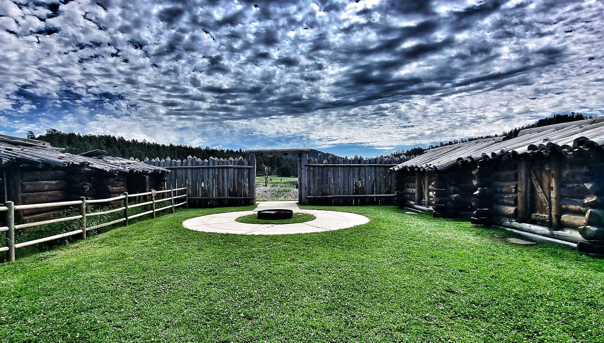
From Custer, we set off towards Custer State Park & along the way we learned a bit more about General Custer’s Expedition (in addition to the sign needing some repairs!!), as well as stopping at Gordon Stockade Historic Landmark. This is an exact replica of the Stockade that was built in December 1874, to keep the first “gold seekers” relatively safe from the Indians.
At the time, there was a standing order forbidding any white gold seekers from entering the Black Hills, however, 26 men, 1 woman & 1 boy carried on & built a stockade anyway. The fort was abandoned when the army forced the gold seekers to return to Fort Laramie in Wyoming, but that wasn’t the end of the story, as the military moved into the Gordon Stockade & used it as a temporary home.


Custer State Park is less than 1/2 mile from Gordon Stockade, so in no time at all we were exploring Gordon Lake & then descending through the forest. We were both pleasantly surprised that the State Park was so quiet on a public holiday.
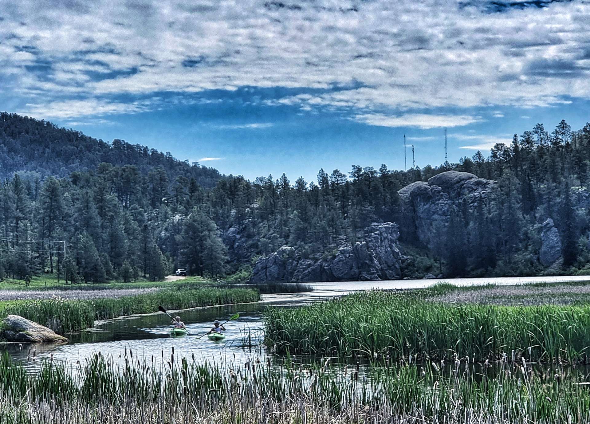


We stopped for a coke & cake at Legion Lake, while we watched canoes, kayaks & rowing boats making their way around & across the lake – a very relaxing 30 minutes! The road continued descending, until 13 miles after entering the State Park we reached the Visitor Centre, where we spent 20 minutes wandering around the exhibits & learning how nature, wildlife & man survive in the same space.


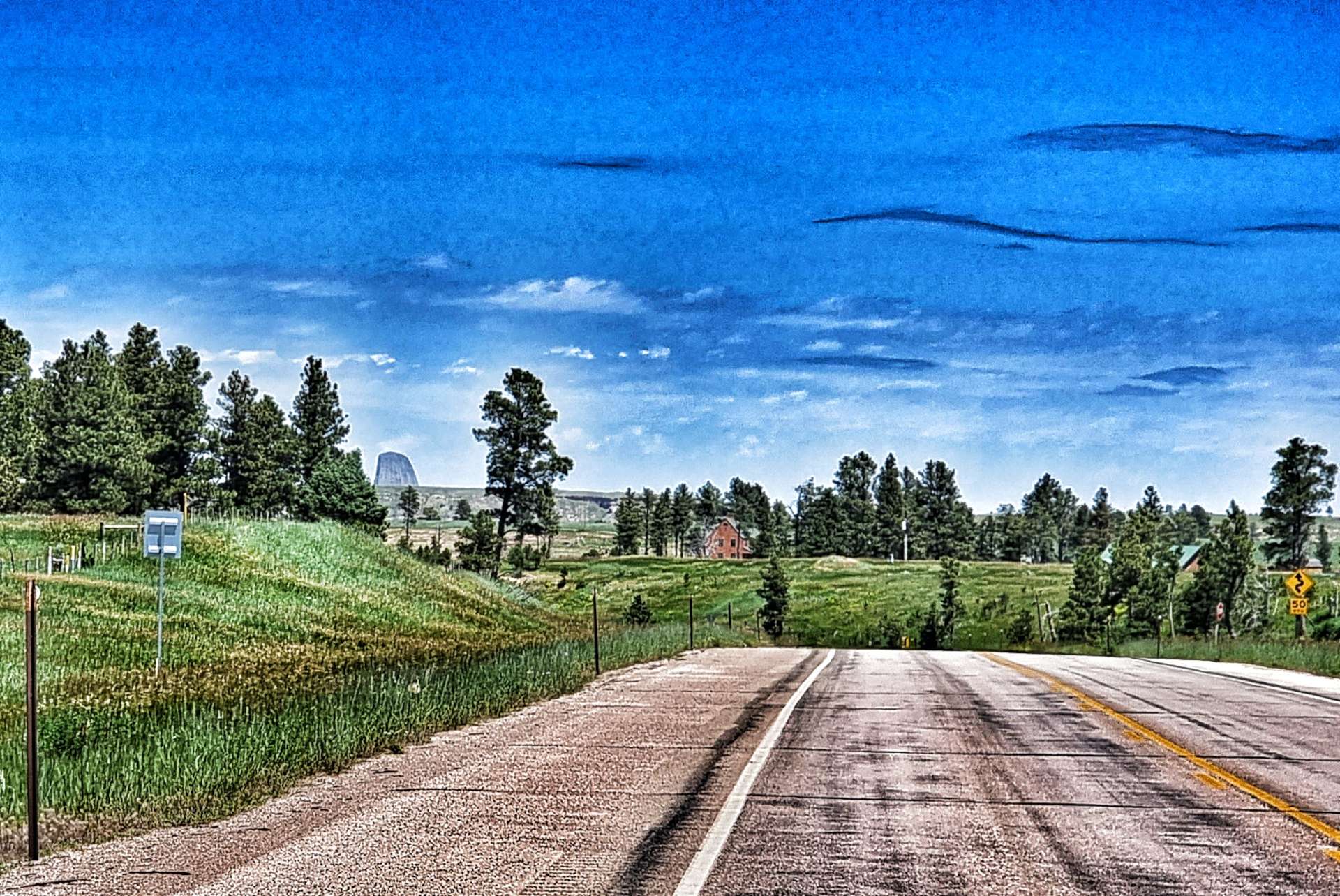
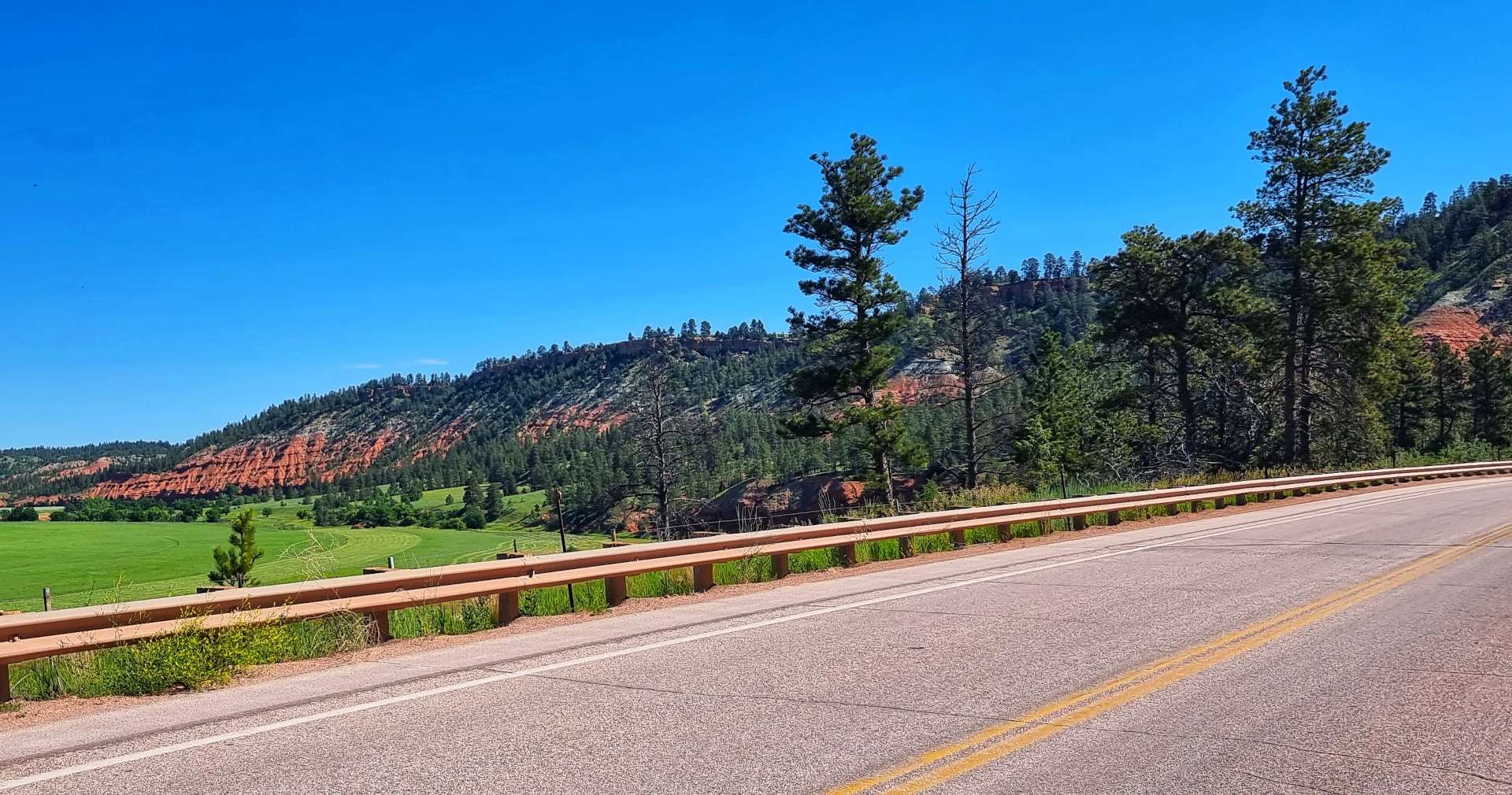
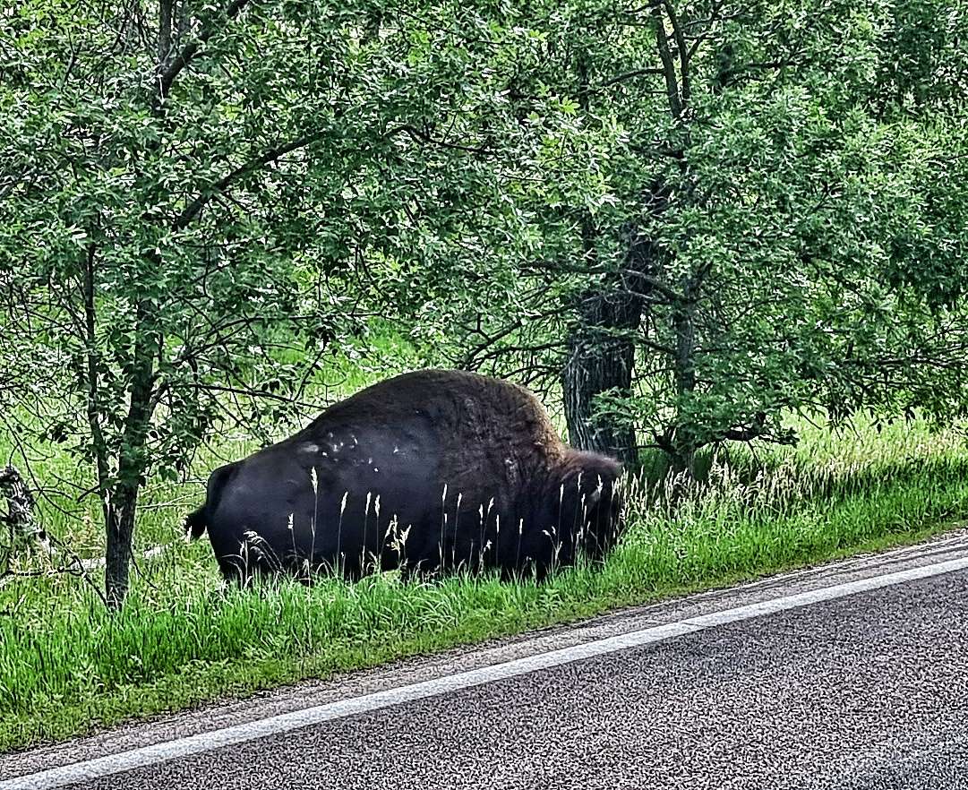
The road continued descending for another 2 miles until we left Custer State Park & took a left turn for the 12 mile climb up Iron Mountain Road. We were on the lookout for wildlife & couldn’t believe our luck, when there on the verge was a bison grazing on the grass. I made sure I was a safe distance away, then took a quick snap, before leaving the bison in peace.
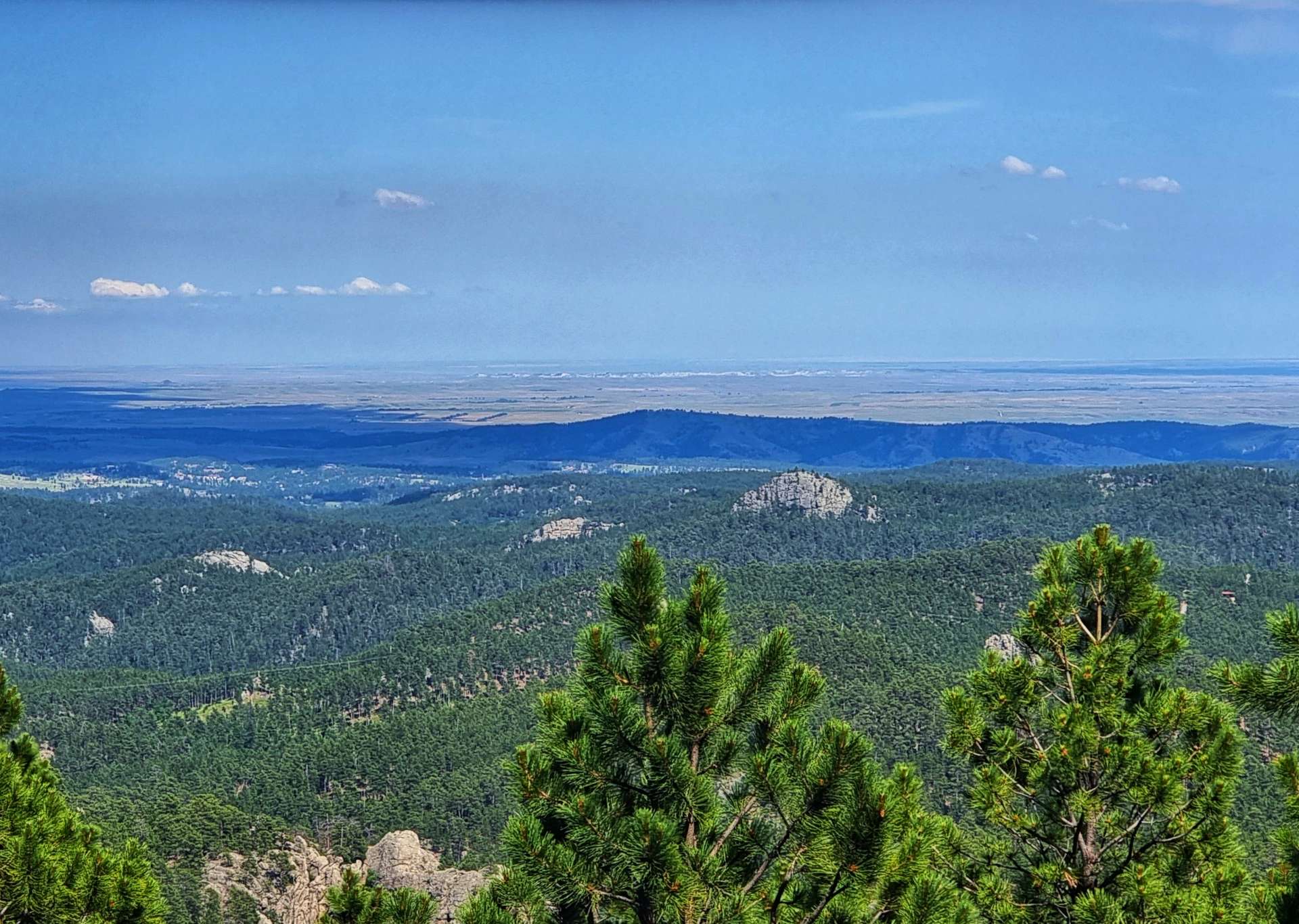
The climb twisted & turned through grassland & then forest, giving us a first fleeting view of Mount Rushmore, some 15 miles away. The climb took us about 1 hour 45 minutes to complete, with plenty of 7% – 8% sections & we both said it was a tough climb, with similarities to the alpine landscapes of Europe.


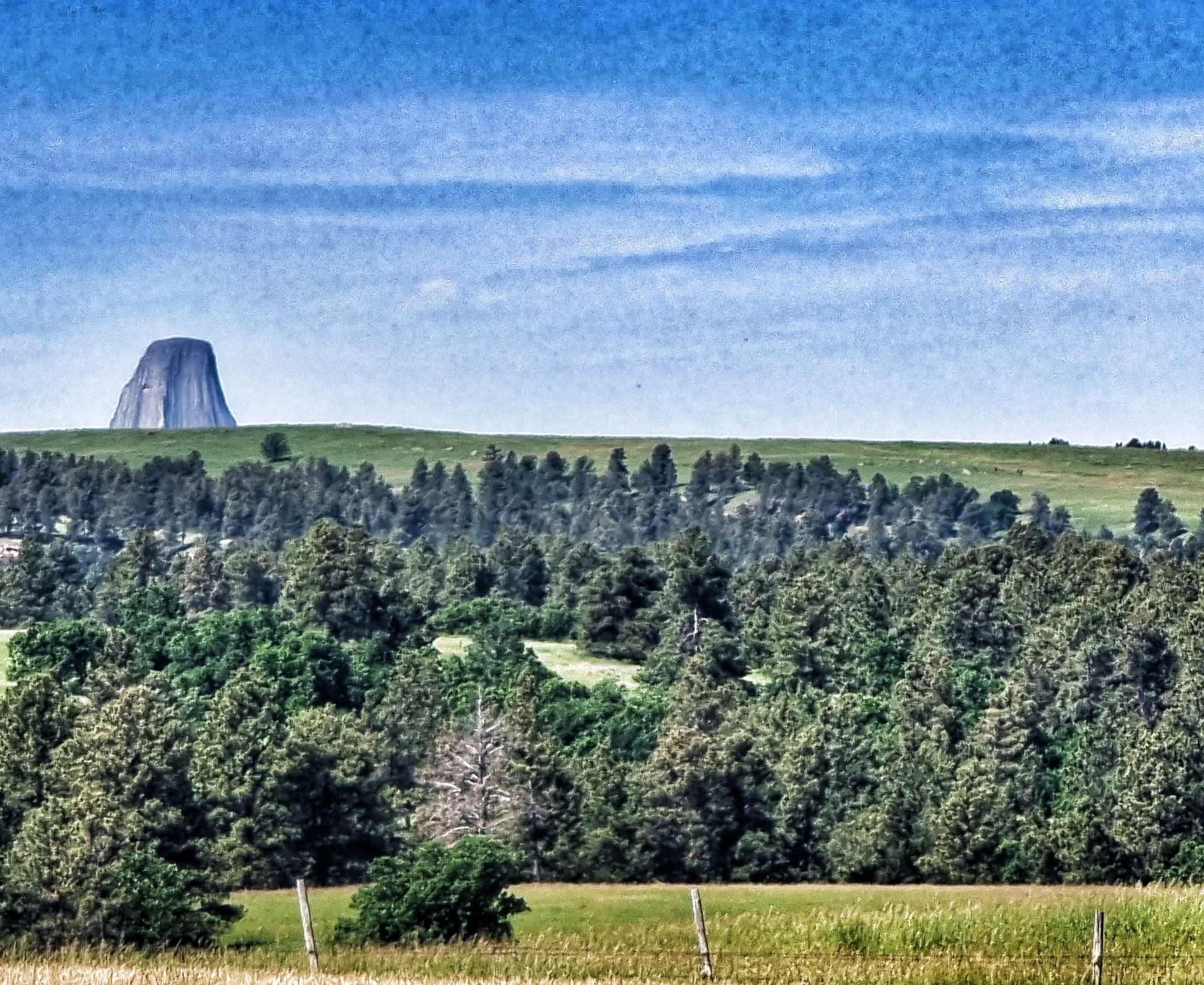
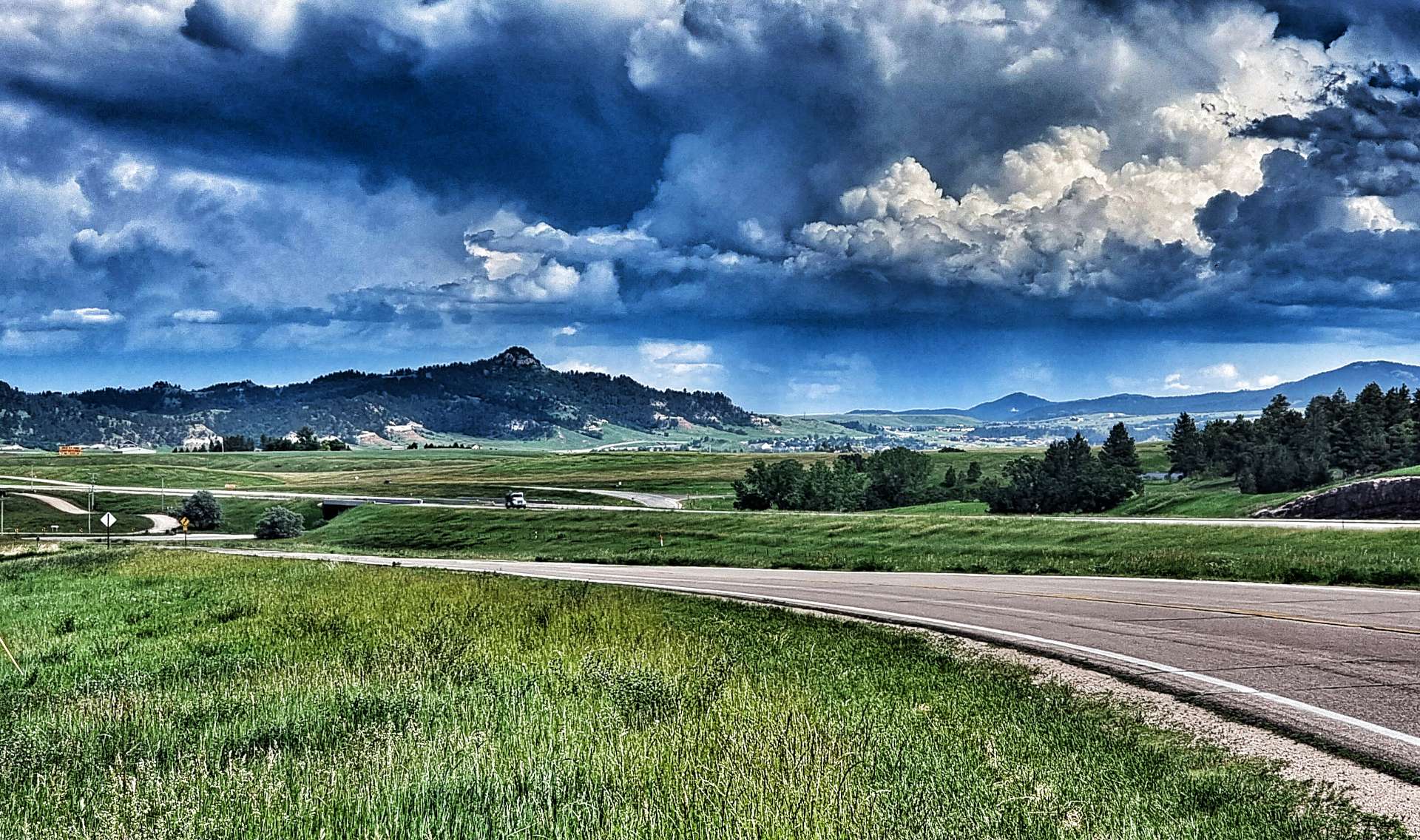
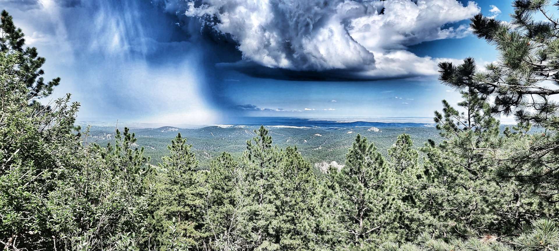
As we neared the summit of the climb, we had huge views across the plains below – we could see a localised rain storm in full flow, while we basked in the sun!
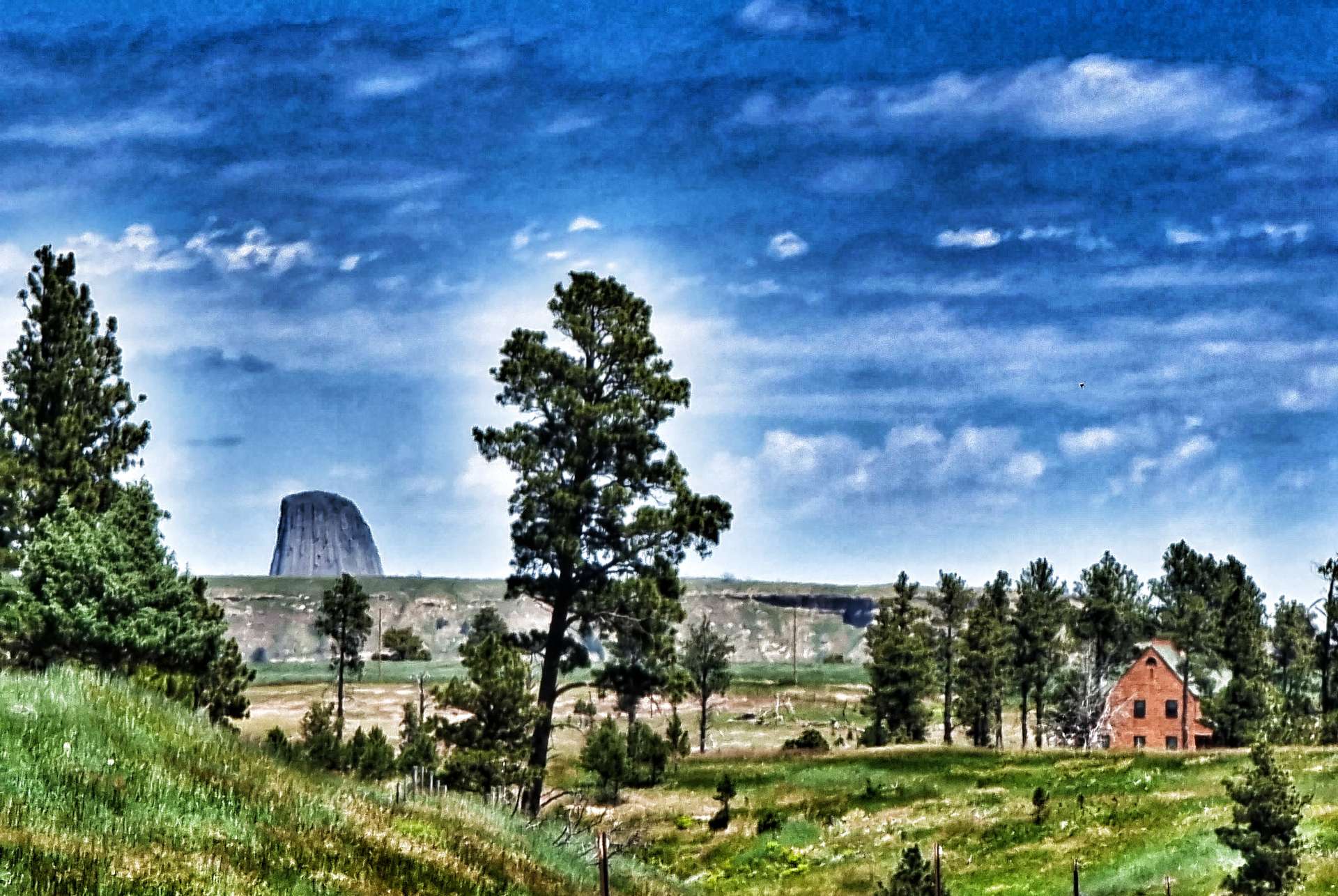
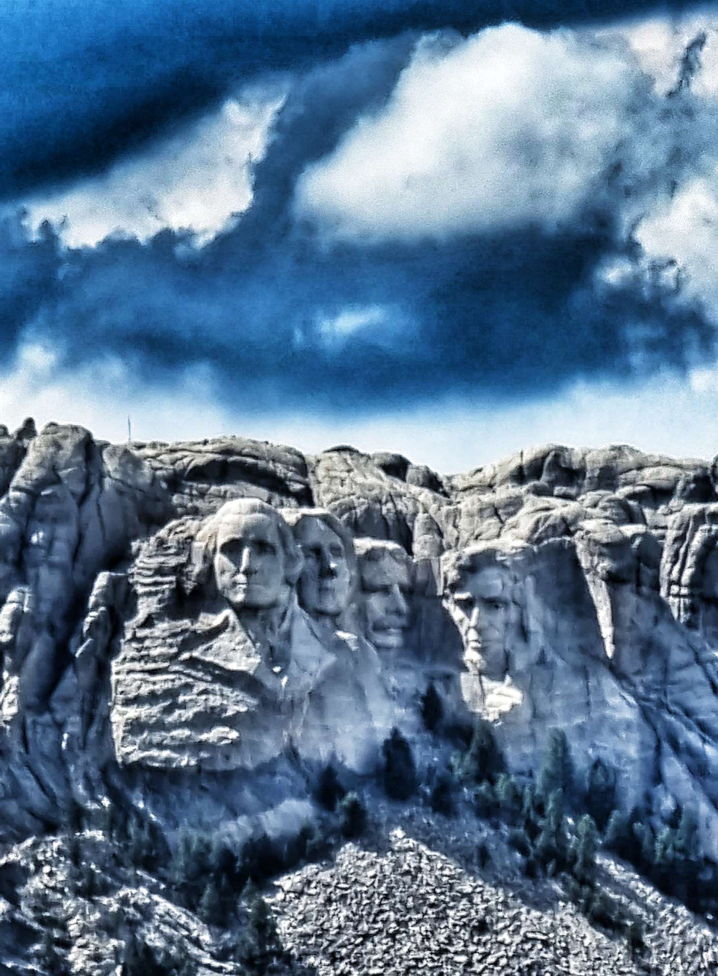
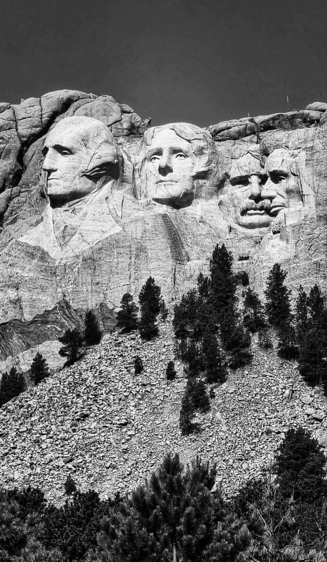
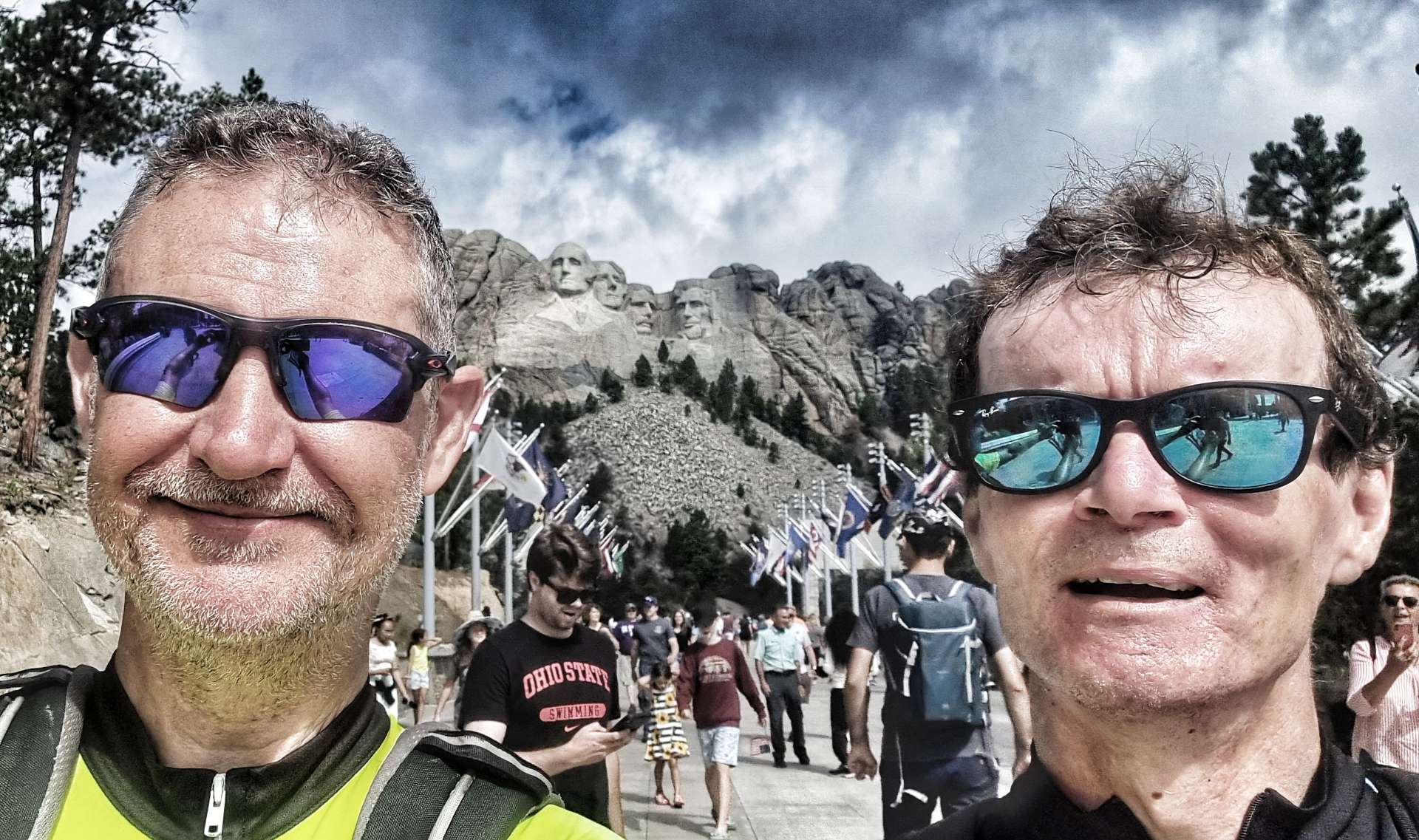
As we reached the overlook, we finally got our reward for our 1 hour 45 minutes of full-on effort – the Four Presidents of Mount Rushmore were in front of us! I had to use a x10 zoom to get the first two close-up photos – you get a better idea of perspective in the 3rd photo, the Four Presidents are on the rockface behind us. We were still 7 or 8 miles away at this point. As we’re planning to visit Mount Rushmore tomorrow, I’ll save all the facts & figures for then!


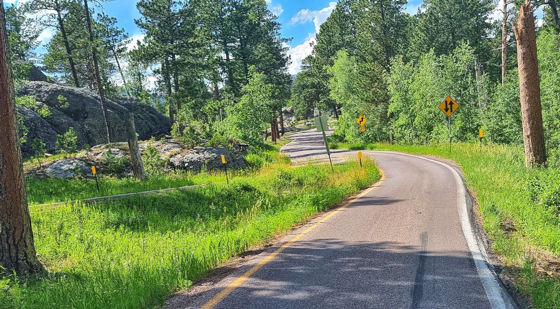
The descent from Iron Mountain is full of sharp corners, single track, 3 tunnels & a couple of 720 degree “pig tails” where the road twists round underneath itself much as a pig tail loops around itself. While we needed to concentrate, it was also a fun descent!


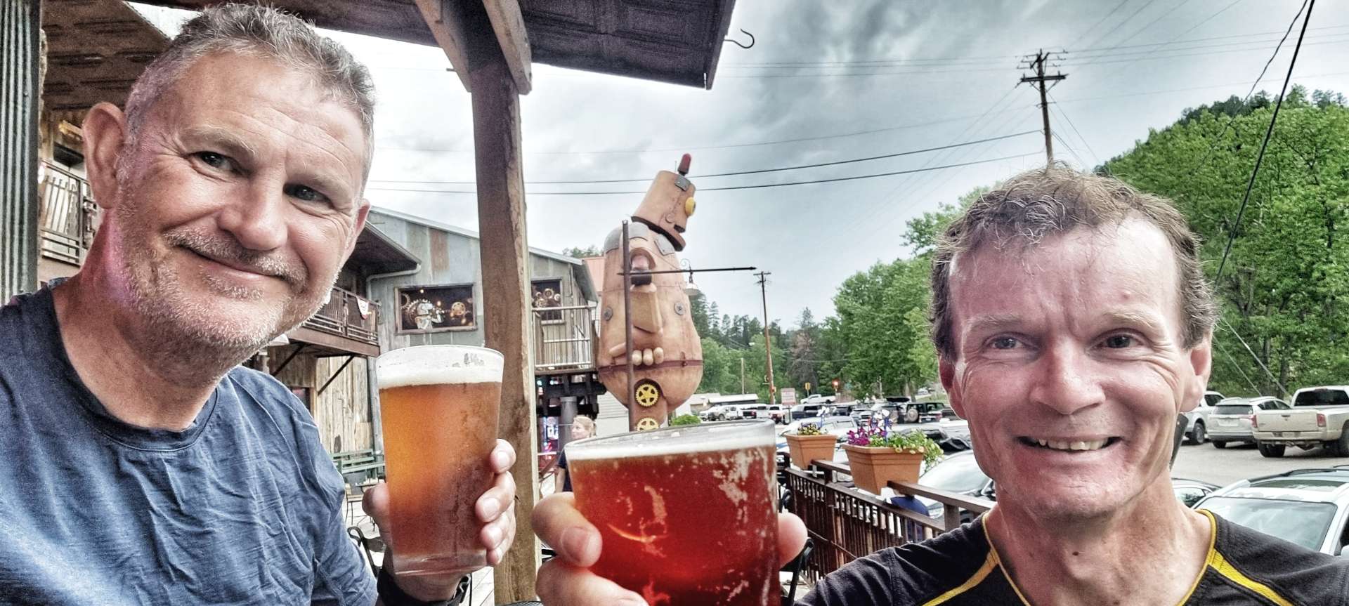
Within 15 minutes we were at the junction with the road to Mount Rushmore & today’s epic adventure was drawing to a close. All the remained was to check in to our hotel, then head out for dinner & a couple of pints to celebrate another amazing day in the saddle.
Stage Stats – 51 miles, 3,832 feet of climbing. An additional 15.5 miles of off road riding on crushed limestone, exploring Custer State Park, a long climb of Iron Mountain Road & our first views of Mount Rushmore.
Tuesday 5th July – Keystone to Rapid City via Mount Rushmore (Stage 52)
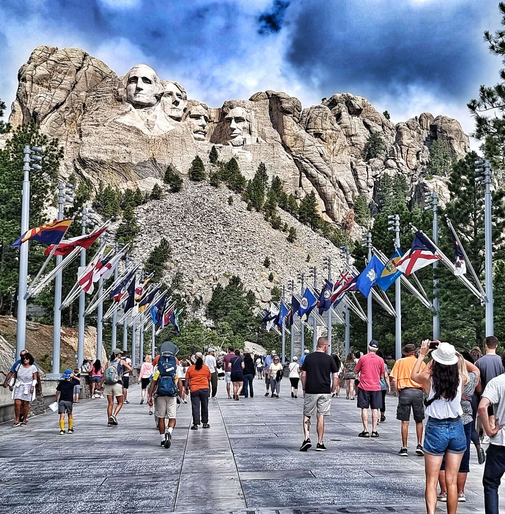
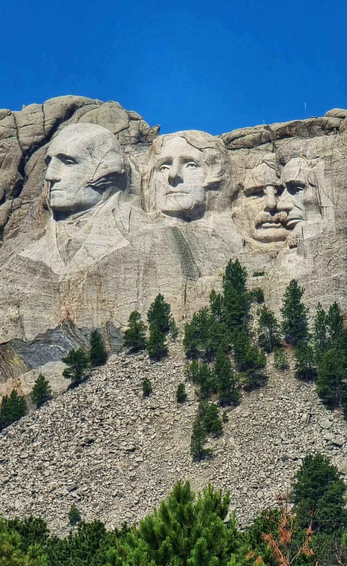
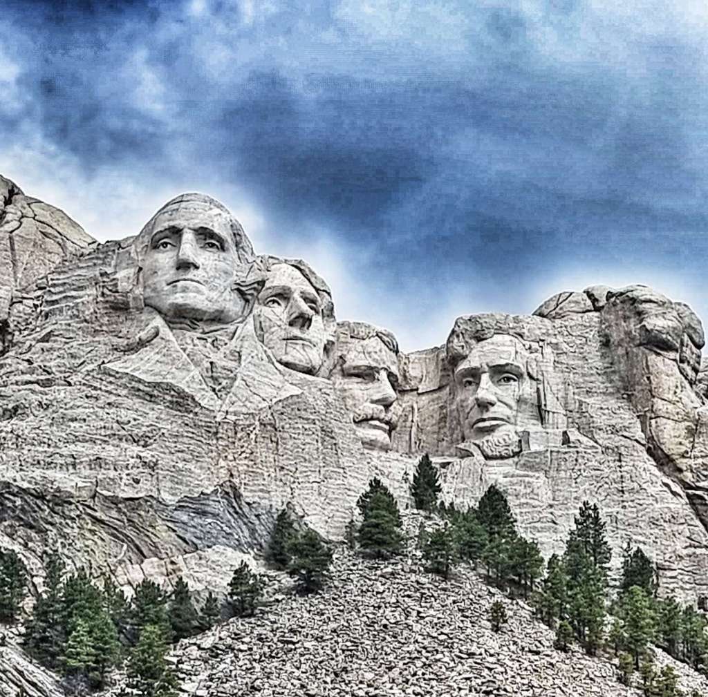
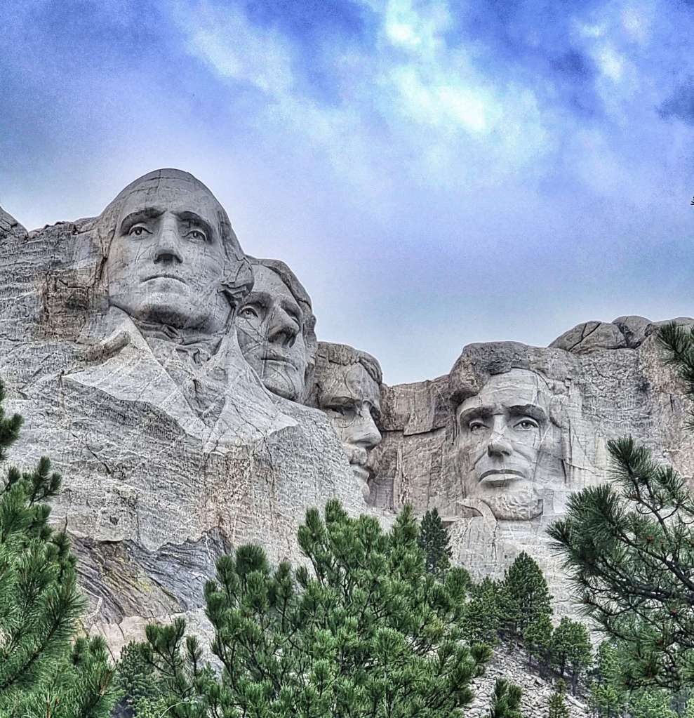
We were up bright & early for breakfast, so we could spend a couple of hours exploring Mount Rushmore. Our motel owners very kindly agreed to look after our panniers, sleeping bags & tents, so we could ride up to Mount Rushmore without any unnecessary weight – although the climb is only a couple of miles in length, most of it is 10% plus in gradient! You may be able to make out Sean at the bottom of the 4th photo.


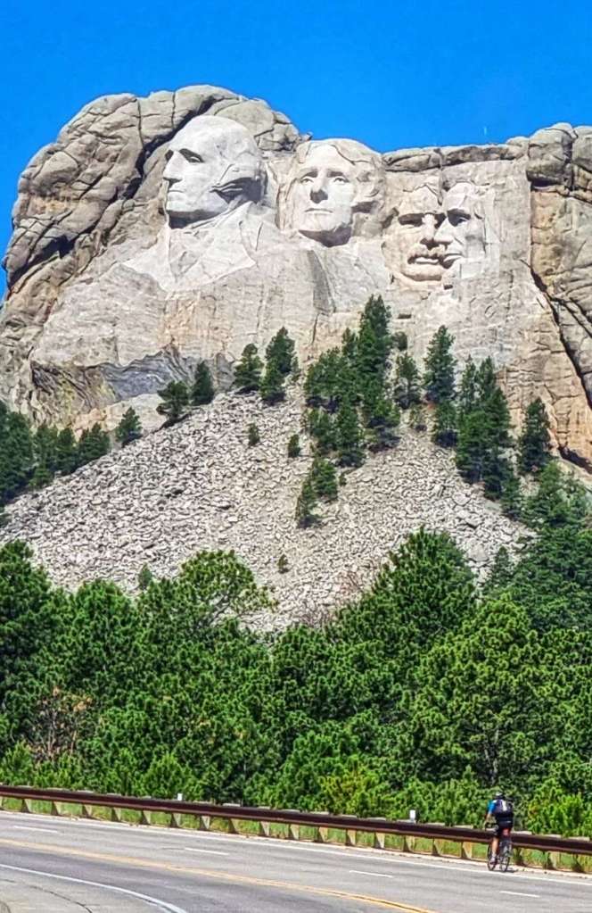
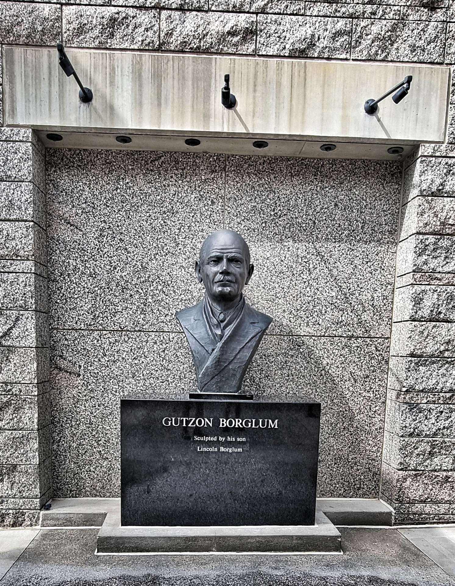
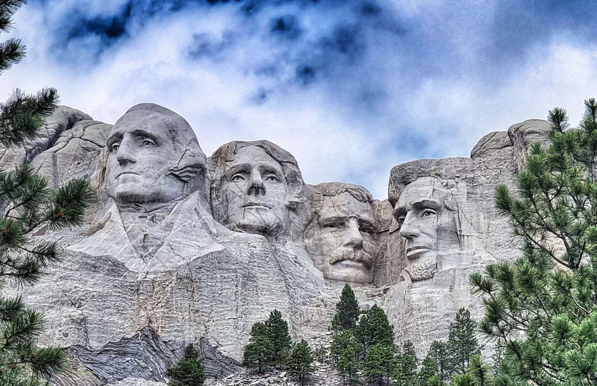
Mount Rushmore National Memorial is a massive sculpture carved into Mount Rushmore in the Black Hills of South Dakota. Construction started in October 1927 & it was opened in October 1941 under the direction of Gutzon Borglum & his son Lincoln. The four Presidents depicted in the sculpture are George Washington, Thomas Jefferson, Theodore Roosevelt & Abraham Lincoln – their faces are approximately 60 feet tall.

But why choose these four Presidents above others? It’s a question that is asked a lot & the answer is possibly more simple than you might expect – Borglum selected them because they represented the most important events in the history of the United States.
George Washington, first President of the United States – born in 1732, died in 1799. Washington led the colonists in the American Revolutionary War to win independence from Great Britain. He was the father of the new nation & laid the foundation of American democracy. He is the most prominent of the four Presidents & represents the birth of the United States.


Thomas Jefferson, third President of the United States – born in 1743, died in 1826. Jefferson was the primary author of the Declaration of Independence, a document which inspires democracies around the world. He purchased the Louisiana territories from France in 1803, which doubled the size of the country, adding all or part of 15 present day states (it also resulted in the Lewis & Clark Expedition – much of their route we’ve followed). Borglum chose Jefferson to represent the growth of the United States.
Theodore Roosevelt, twenty-sixth President of the United States – born in 1858, died in 1919. Roosevelt provided leadership when America experienced rapid growth as it entered the 20th century. He was instrumental in constructing the Panama Canal, linking the east & the west. He was known as the “trust buster” for his work to end large corporate monopolies & ensure the rights of the common working man. Borglum chose Roosevelt to represent the development of the United States.


Abraham Lincoln, sixteenth President of the United States – born in 1809, died in 1865. Lincoln held the nation together during its greatest trial, the civil war. Lincoln believed his most sacred duty was the preservation of the union. It was his firm conviction that slavery must be abolished. Borglum chose Lincoln to represent the preservation of the United States.

It was a real education to learn about the four Presidents, why they were chosen & how the monument was constructed. It should also be noted that it isn’t without its critics. The Lakota Sioux were the original custodians of Cougar Mountain (as it was originally known) & the United States asserted control of the Black Hills (including Cougar Mountain) when gold was discovered in the 1870’s, forcing the Sioux from their reservation. The legality of this act continues to be disputed to this day in the courts.


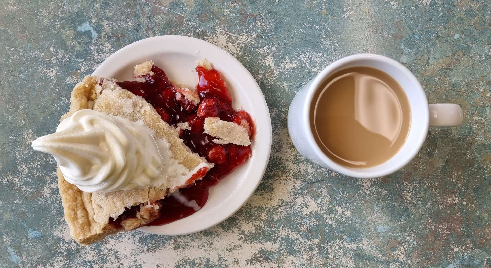
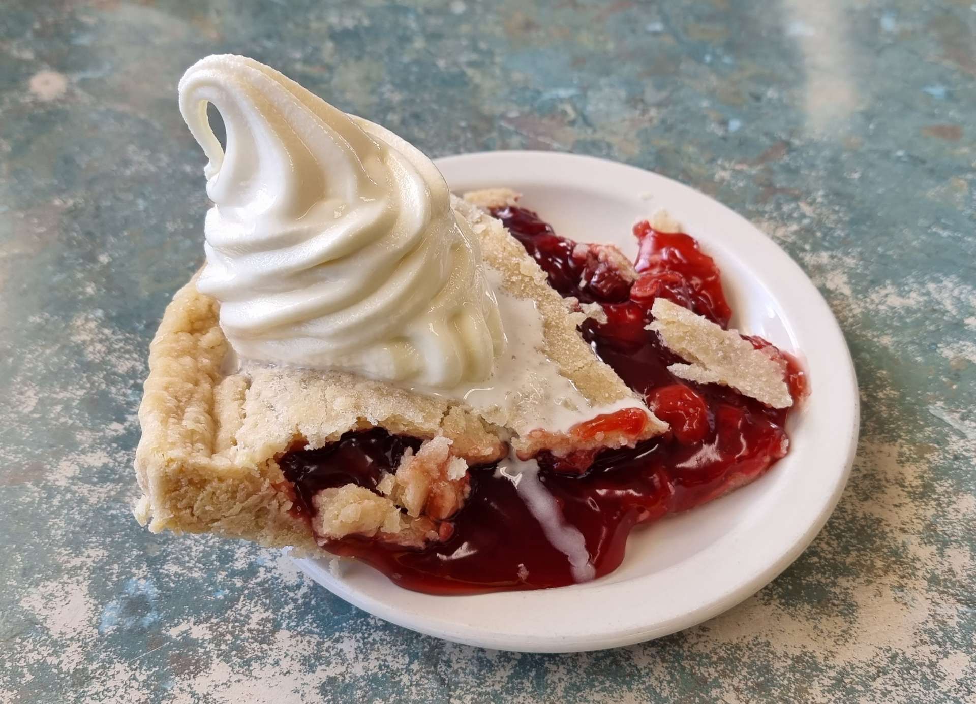
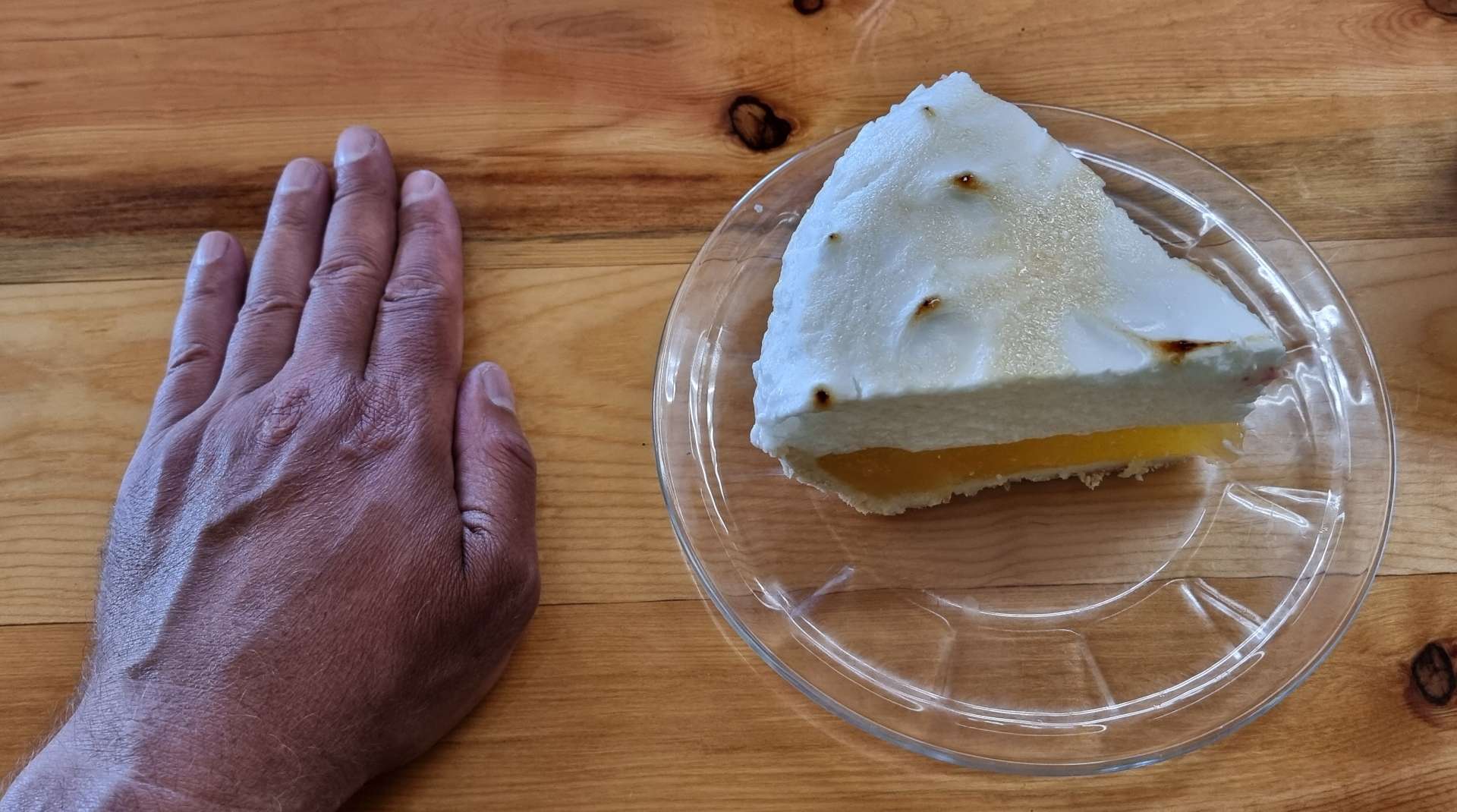
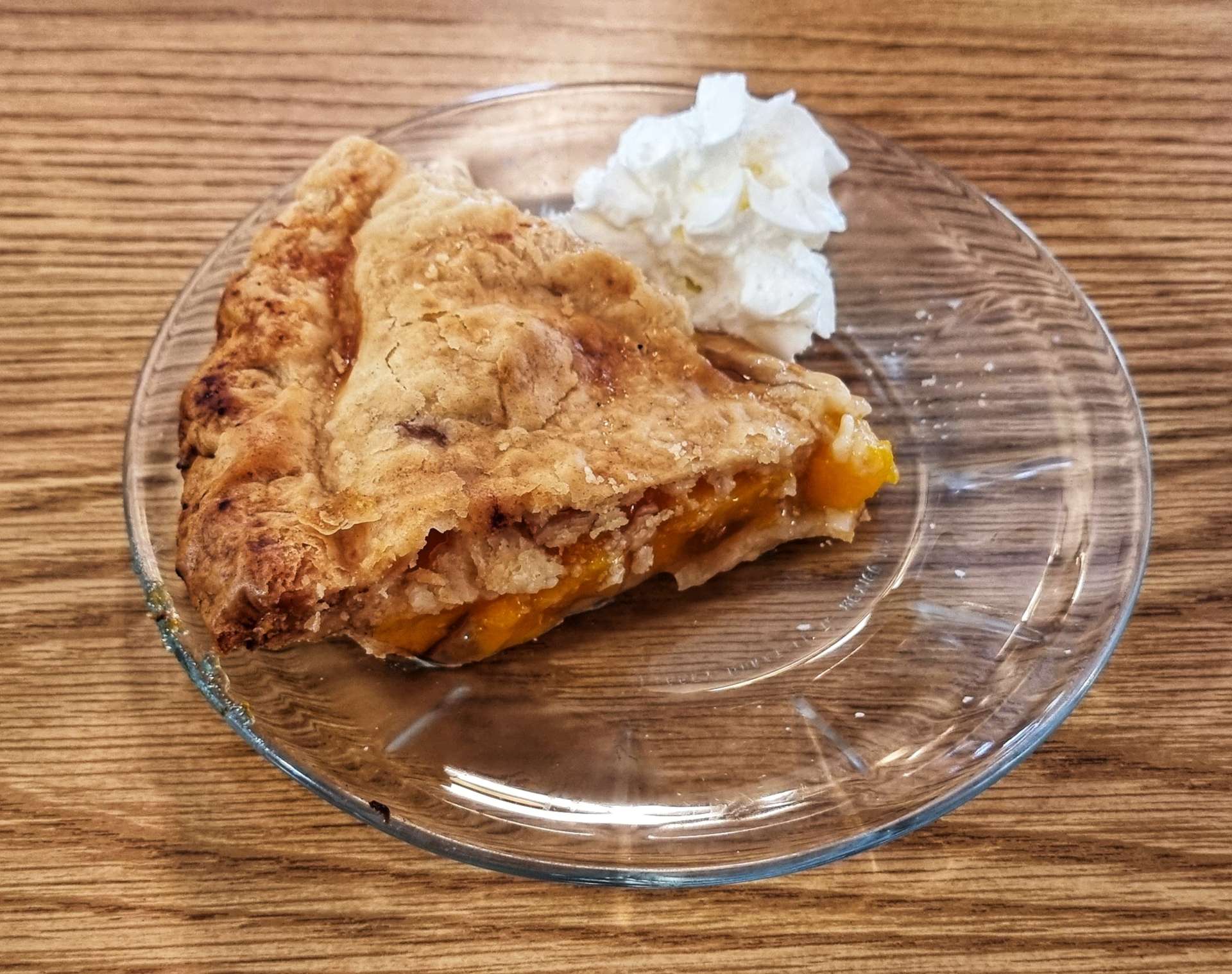
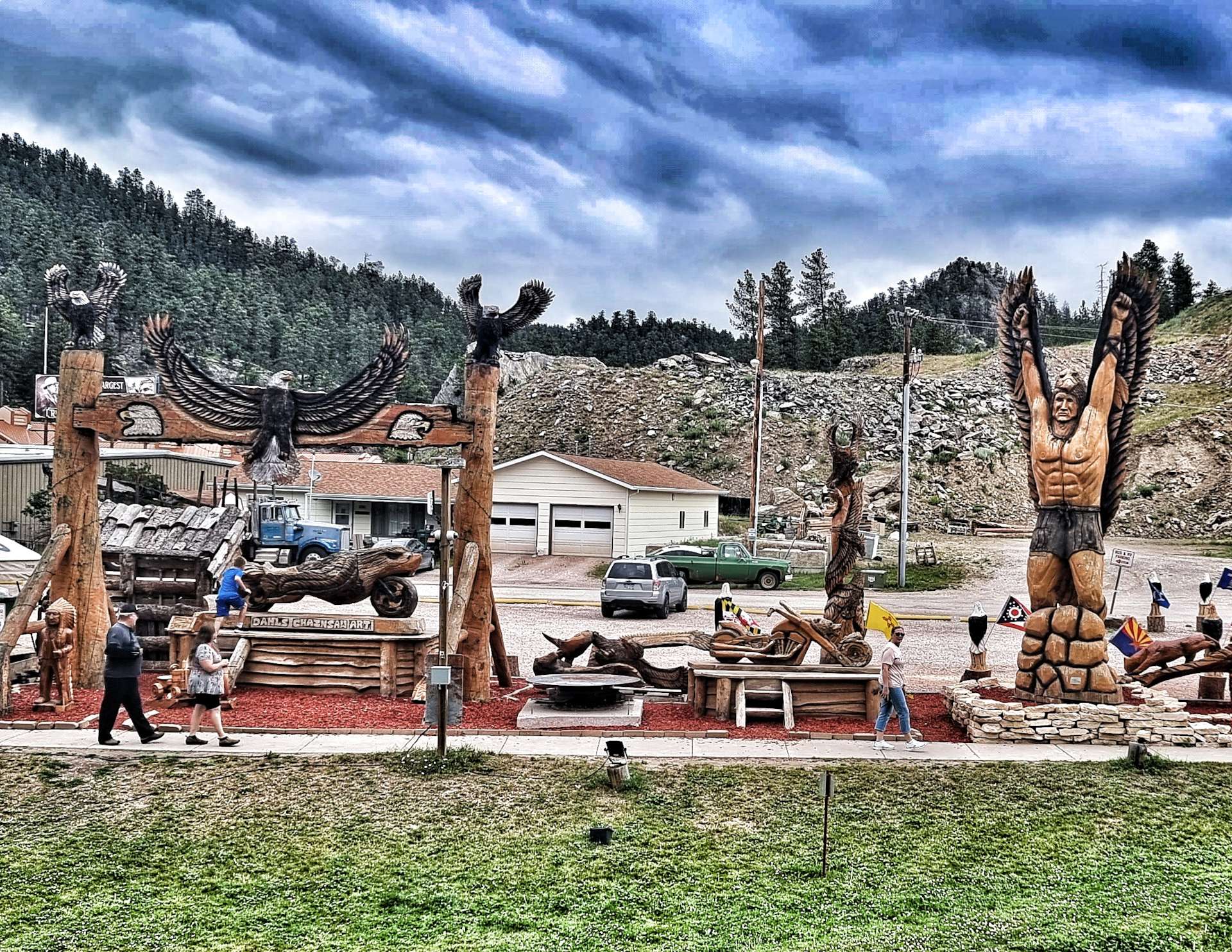
On the way back to the motel to pick up our kit, we made time to stop at Peggy’s Place for a tasty slice of peach pie & a coffee, as well as admire the sculptures at Dahl’s Chainsaw Art.

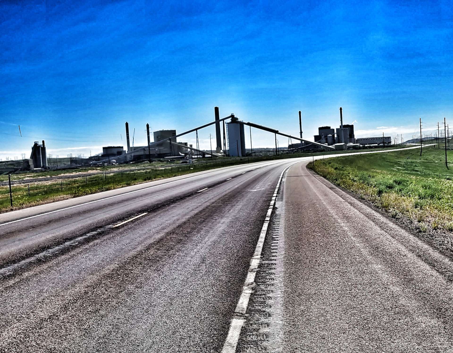
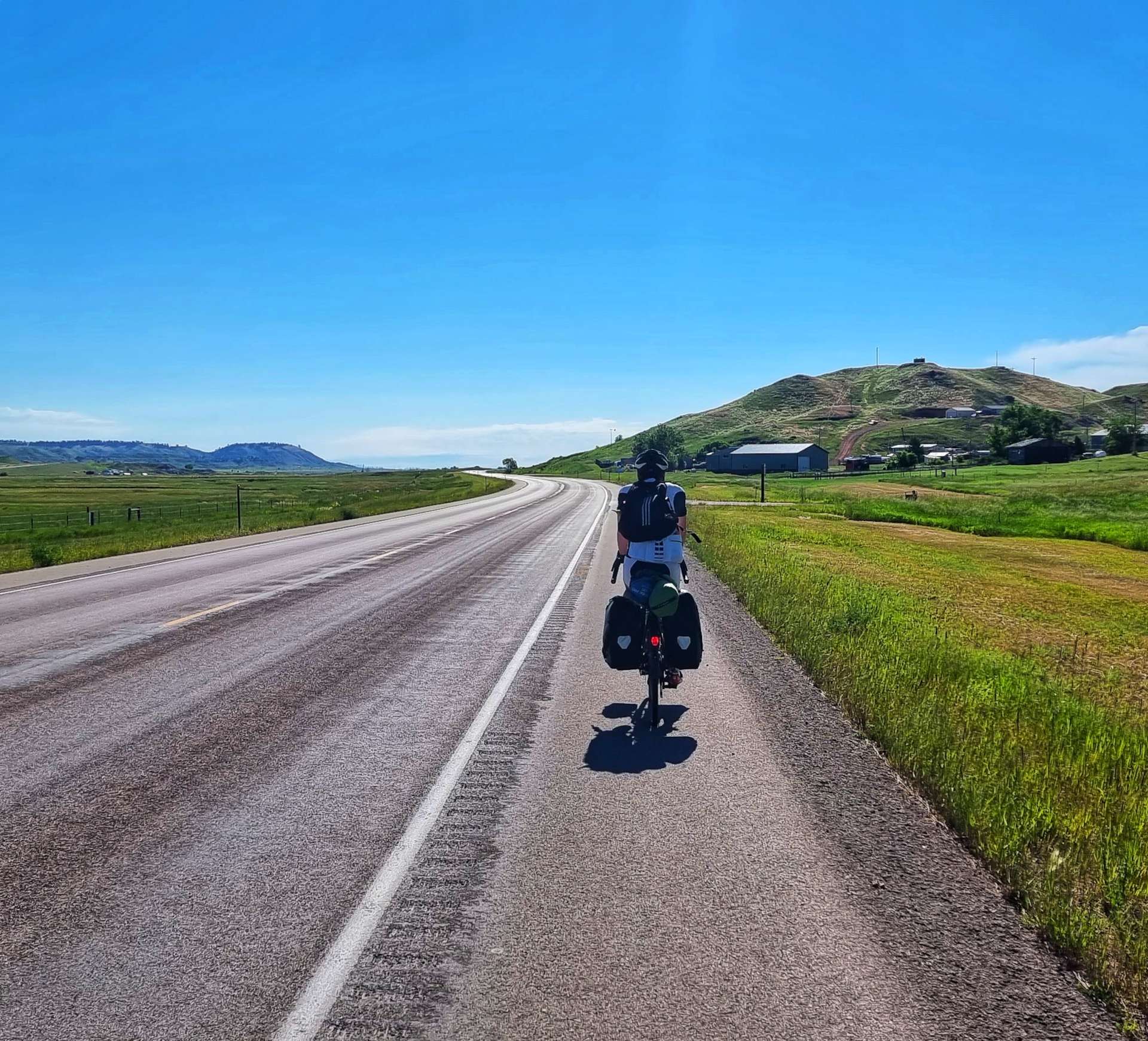
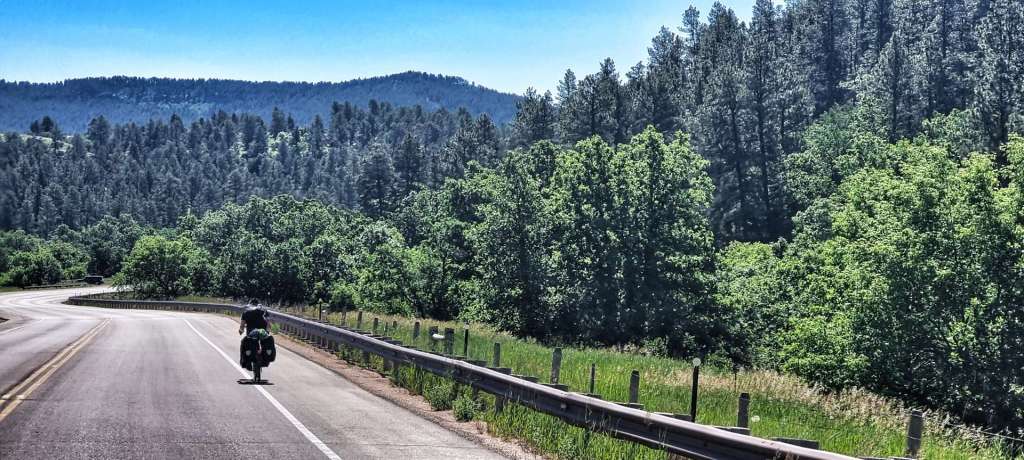
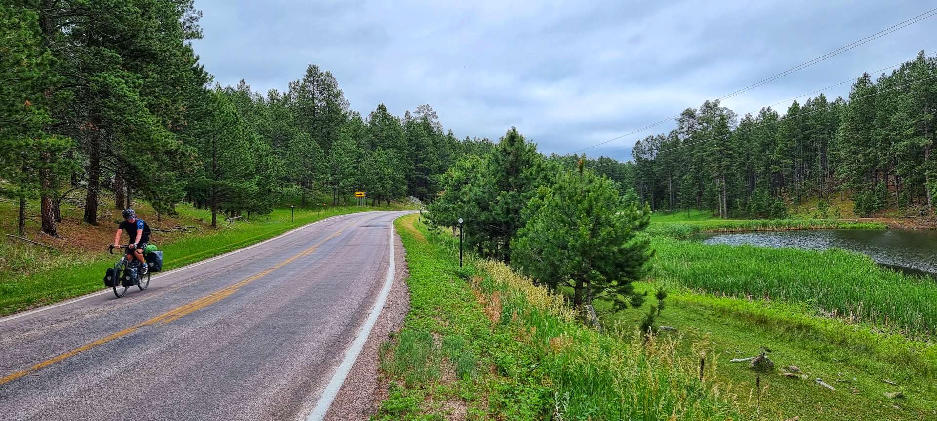
We loaded up the bikes, thanks our kind hosts for looking after our kit & set off on the short ride to Rapid City. We took the scenic Adventure Cycling Association route, which took us along quiet backroads that twisted & turned their way through the tight forest, as the topography required the road to rise & fall sharply – our legs were soon stinging!

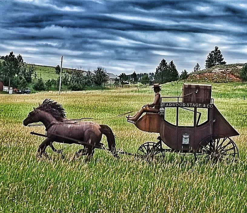
As we left the Black Hills National Forest Behind us, we encountered one last steep hill, then had big views across the valley below. As we descended to the main road, we had one final treat in the form of a life-size model of an old stagecoach & horses.


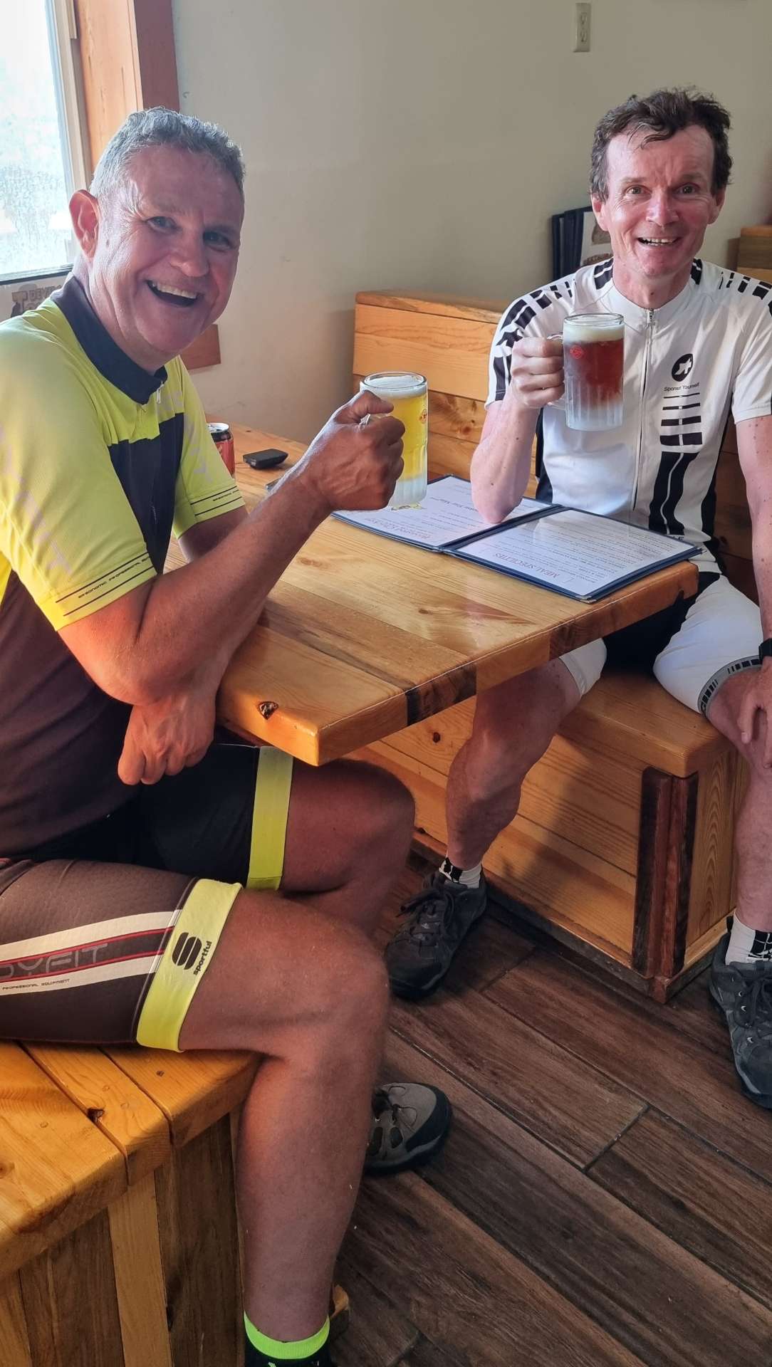
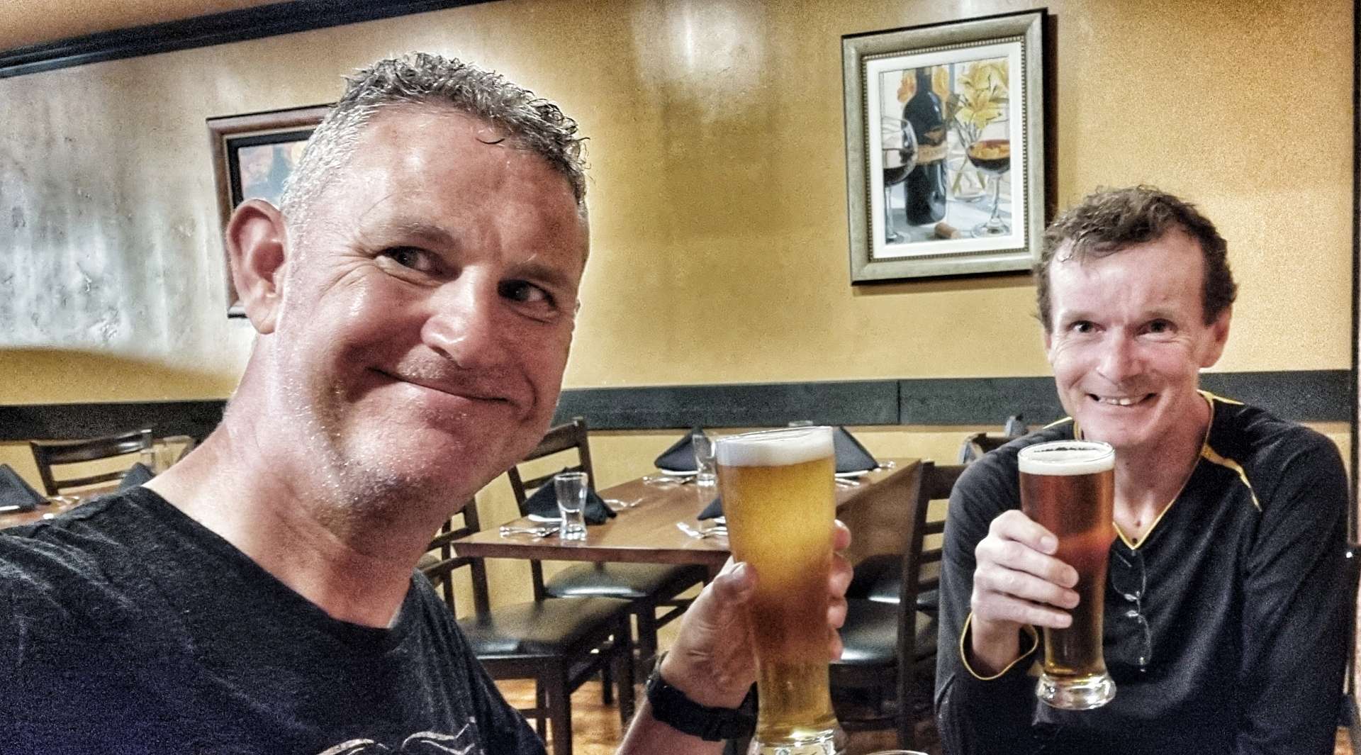
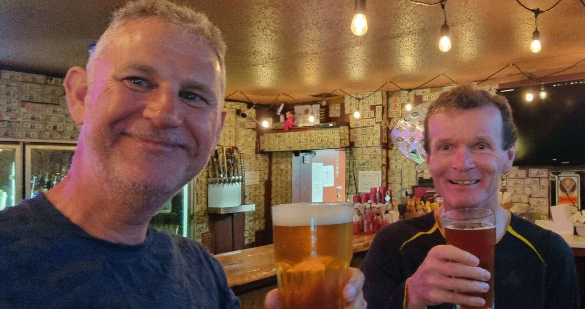
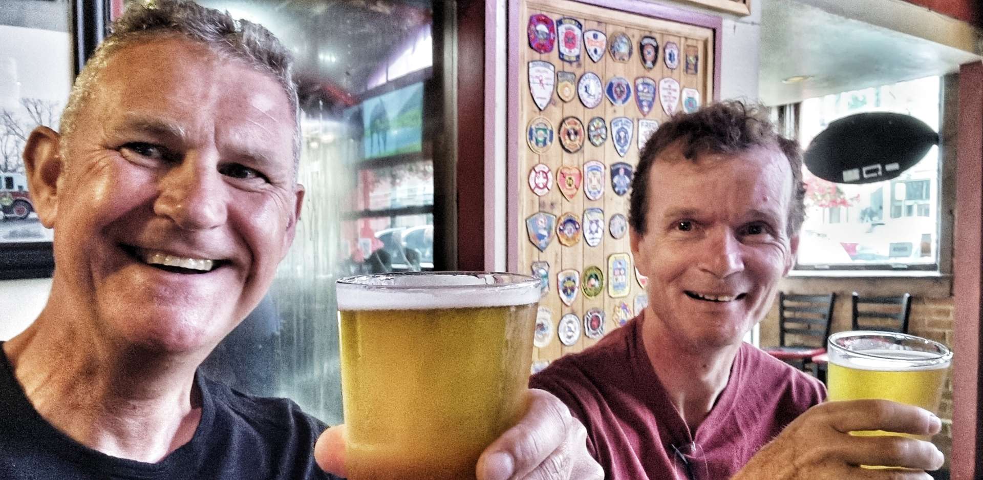
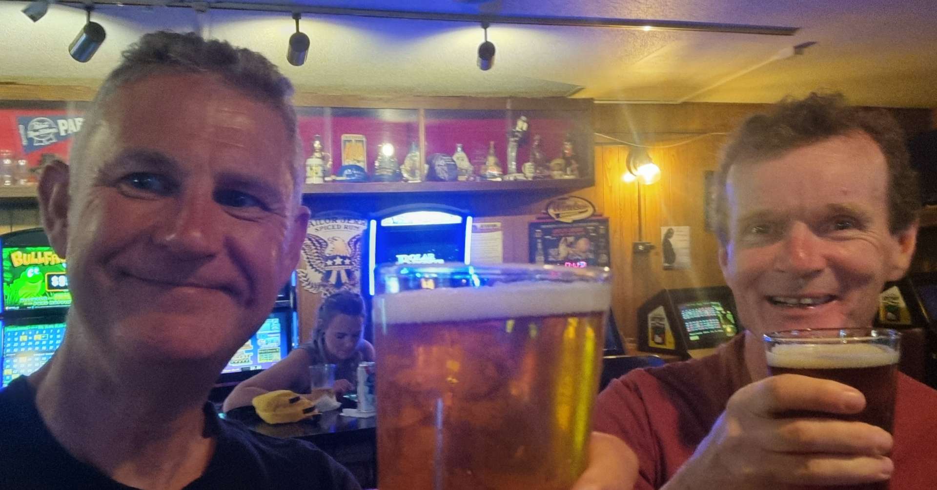
The final 5 miles of today’s ride took us across Rapid City to our motel for the next 2 nights – we have separate rooms, which is always a bit of a treat for us both, as it gives us a chance to unpack all our kit, spread out & relax! As tomorrow is a rest day, we had a couple of beers at 2 different bars & reflected on all we’ve seen & experienced recently.
One final statistic – today’s ride took us over 3,000 miles for the adventure so far!!!
Stage Stats – 29 miles, 2,543 feet of climbing. A climb up to Mount Rushmore, followed by a short ride to Rapid City for a well earned rest day tomorrow.
Wednesday 6th July – Rest Day
A lazy rest day which involved a relaxed breakfast, doing the laundry, sorting through our kit & identifying things to send home (we packed & shipped 9 pounds in weight between us) & planning routes & stops for the next 3 days. But as always, the plan is fluid.