Planes & Lorcha Loop
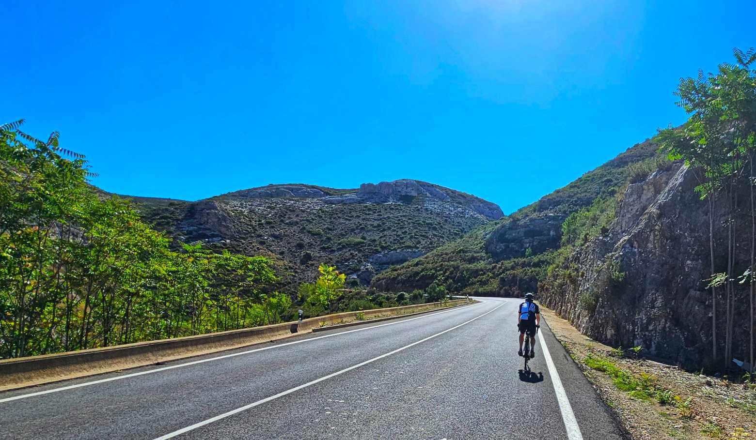
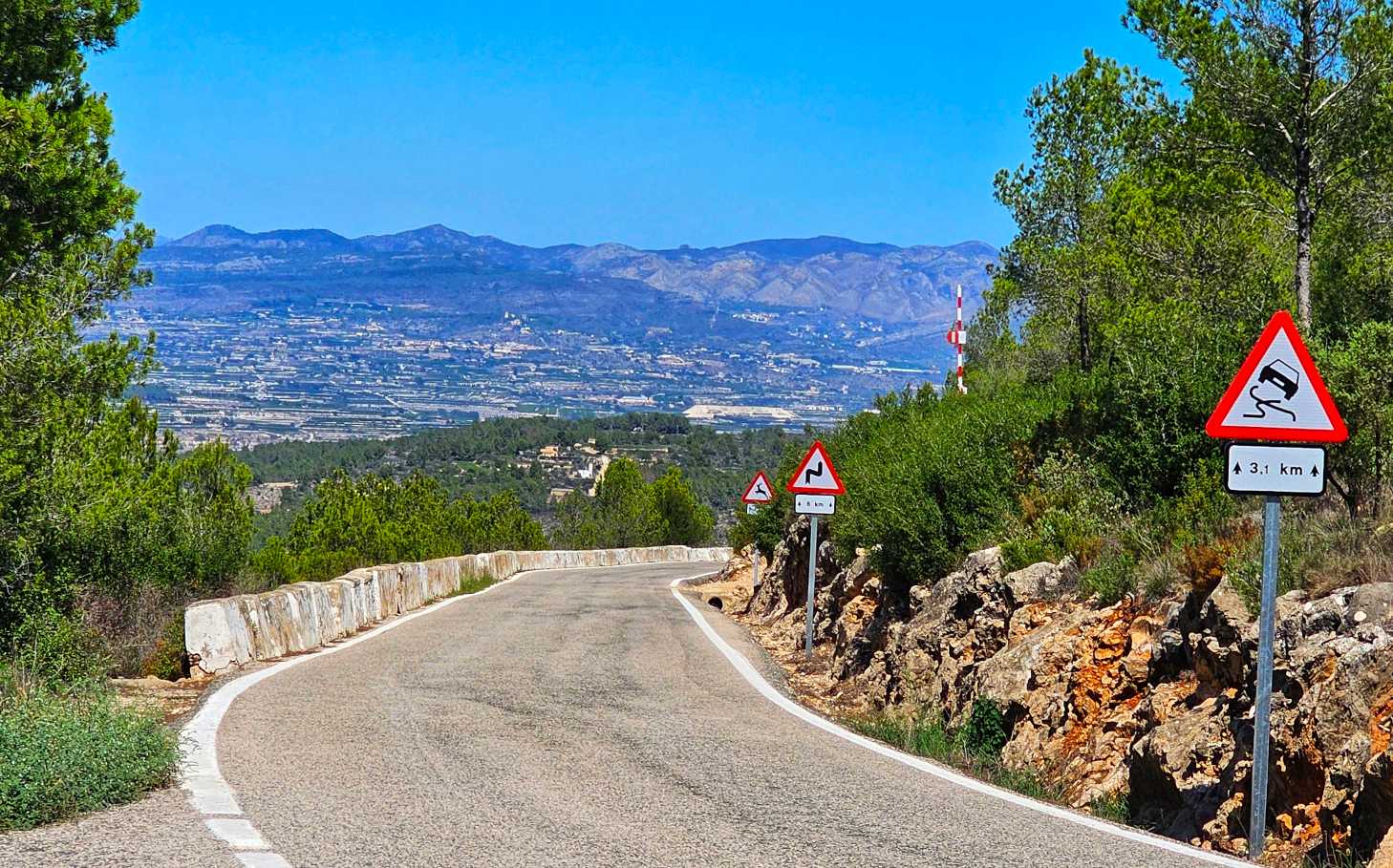
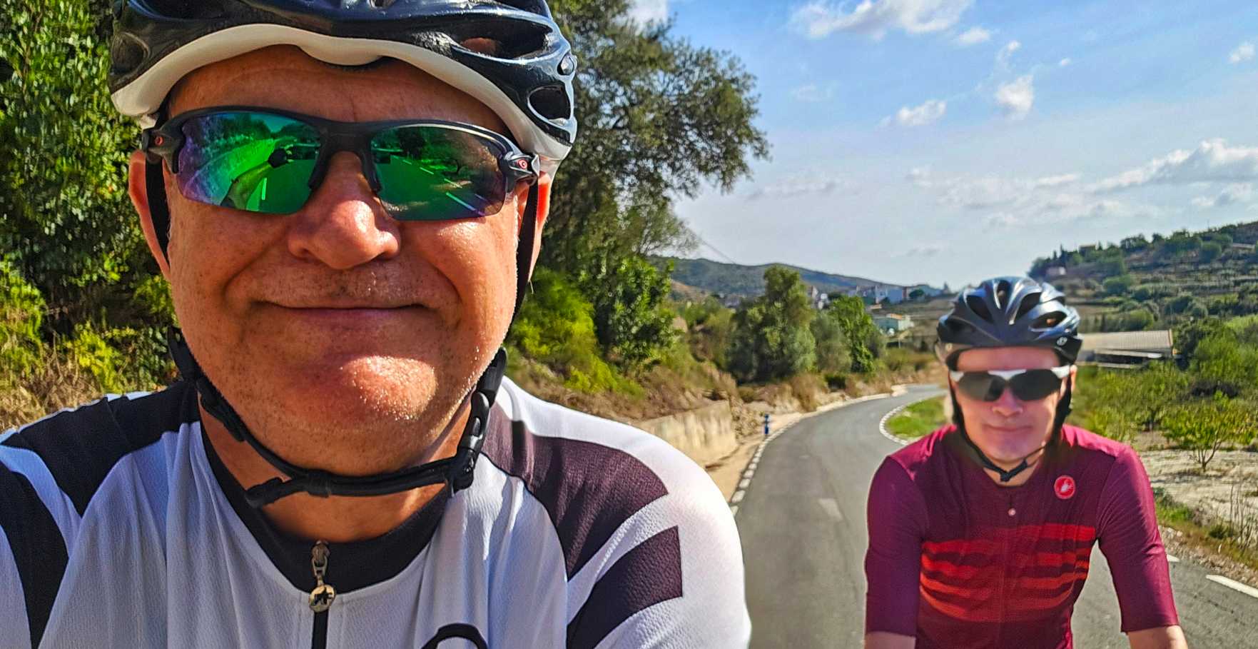
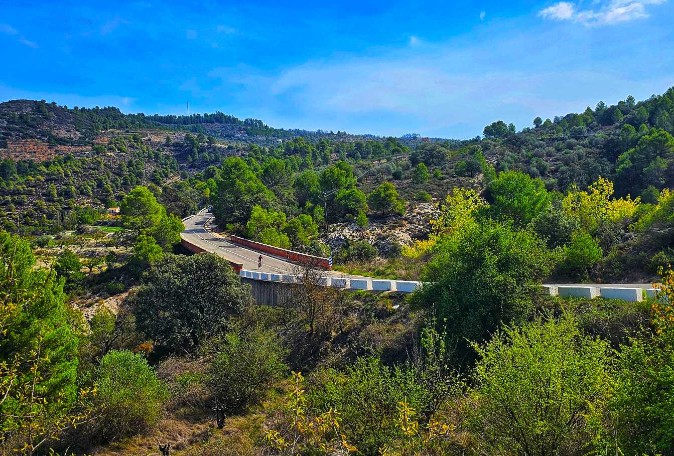
Today’s adventure began with a 30-minute commute in the car to the small town of Pego. We were riding by just after 9.30am & headed up a wide valley road CV-700) that gradually narrowed for the first 3 or 4 miles. As we passed through Benirrama the valley widened, with bare rock faces visible high above us.

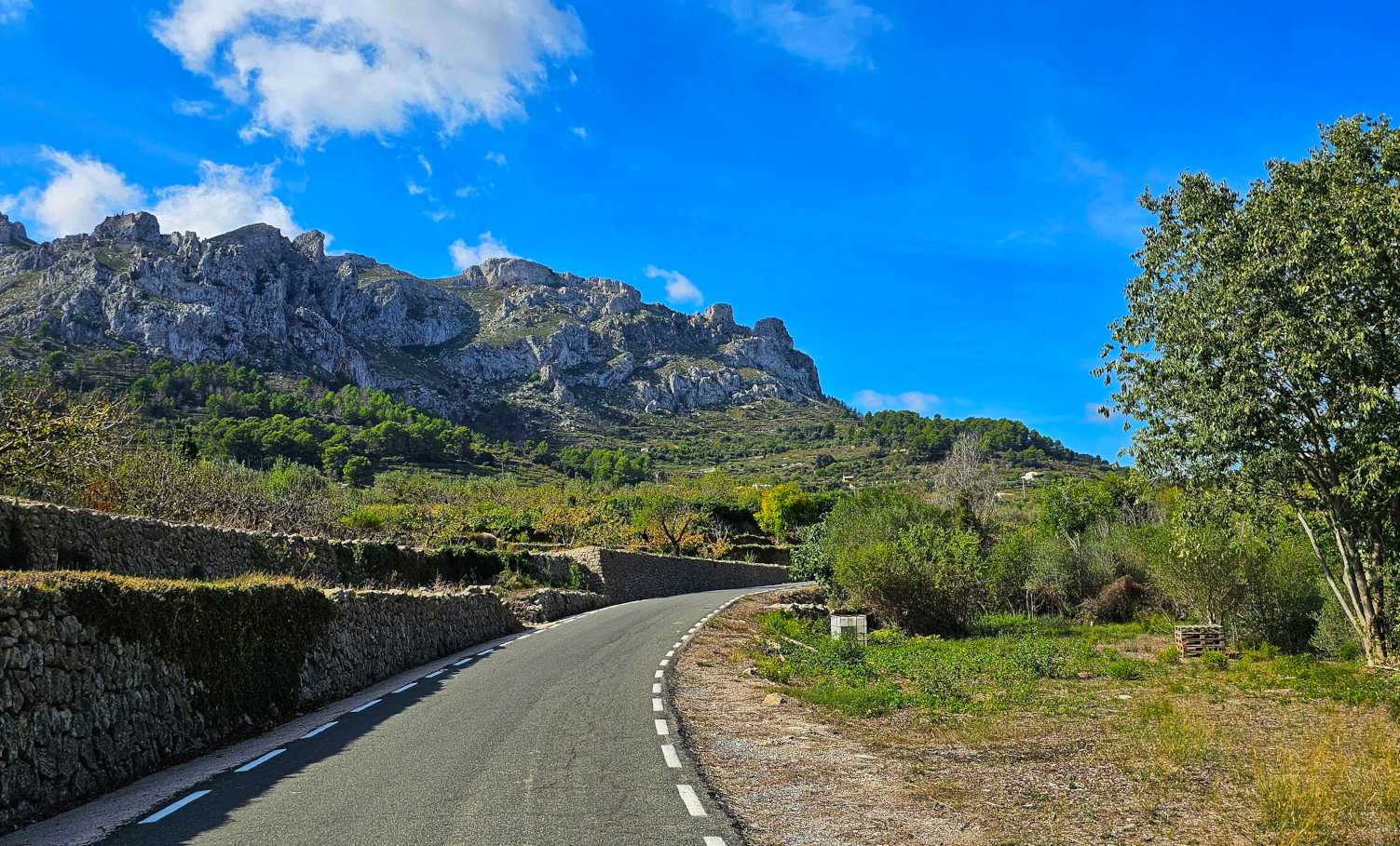
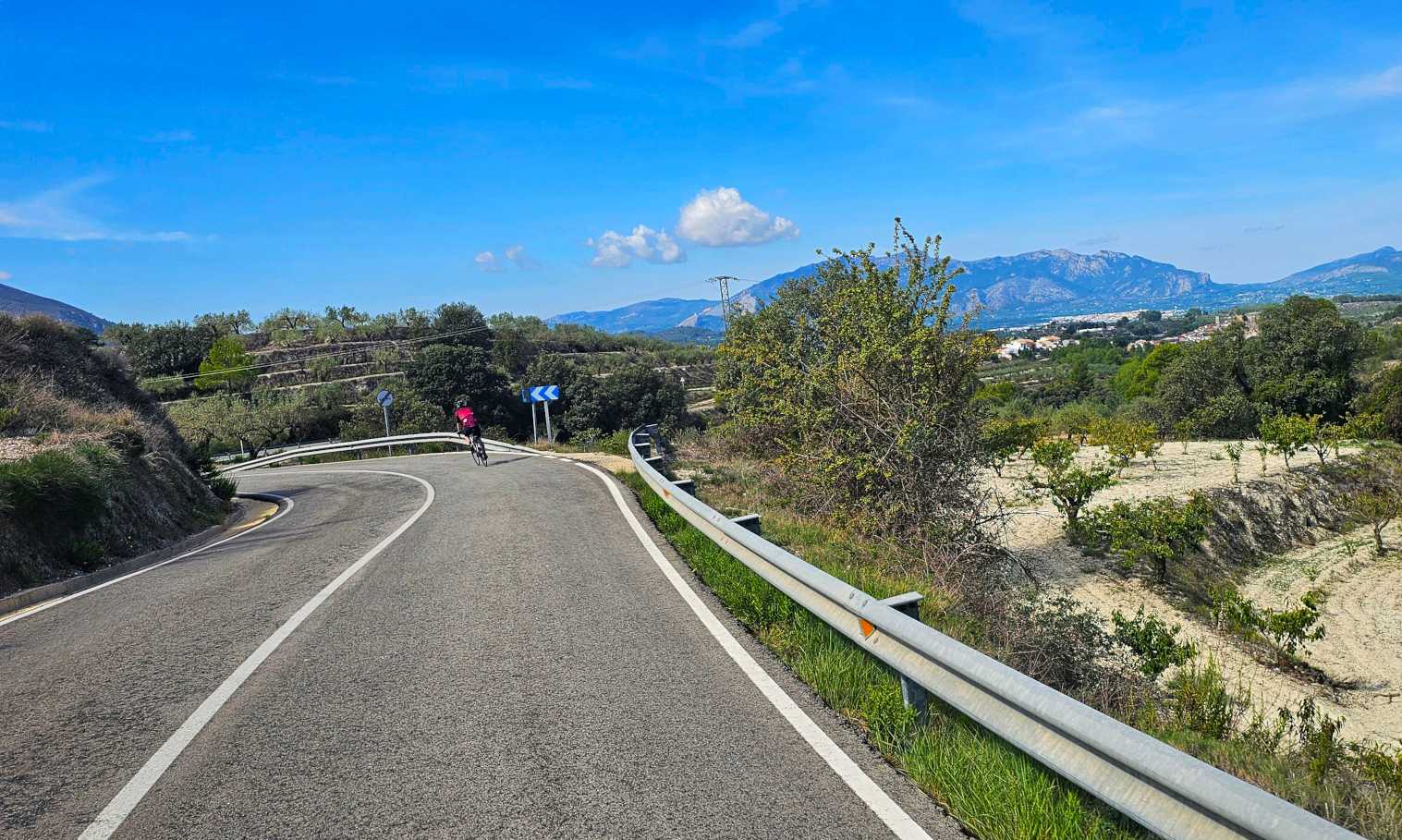
We briefly left the main road & joined a narrow track that took us ever higher into the mountains & offered up brief view of Benissile. This was perhaps the most remote landscape of our adventures to date.
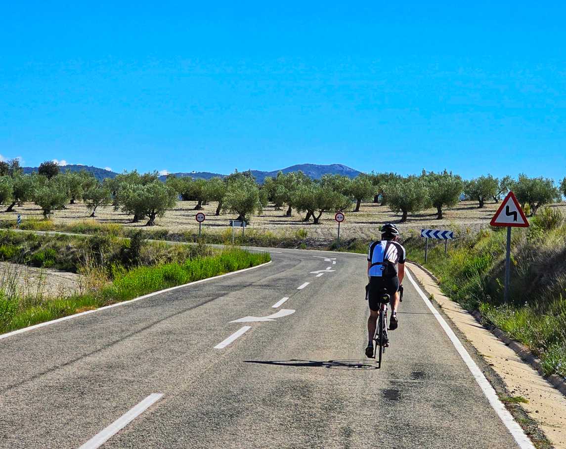
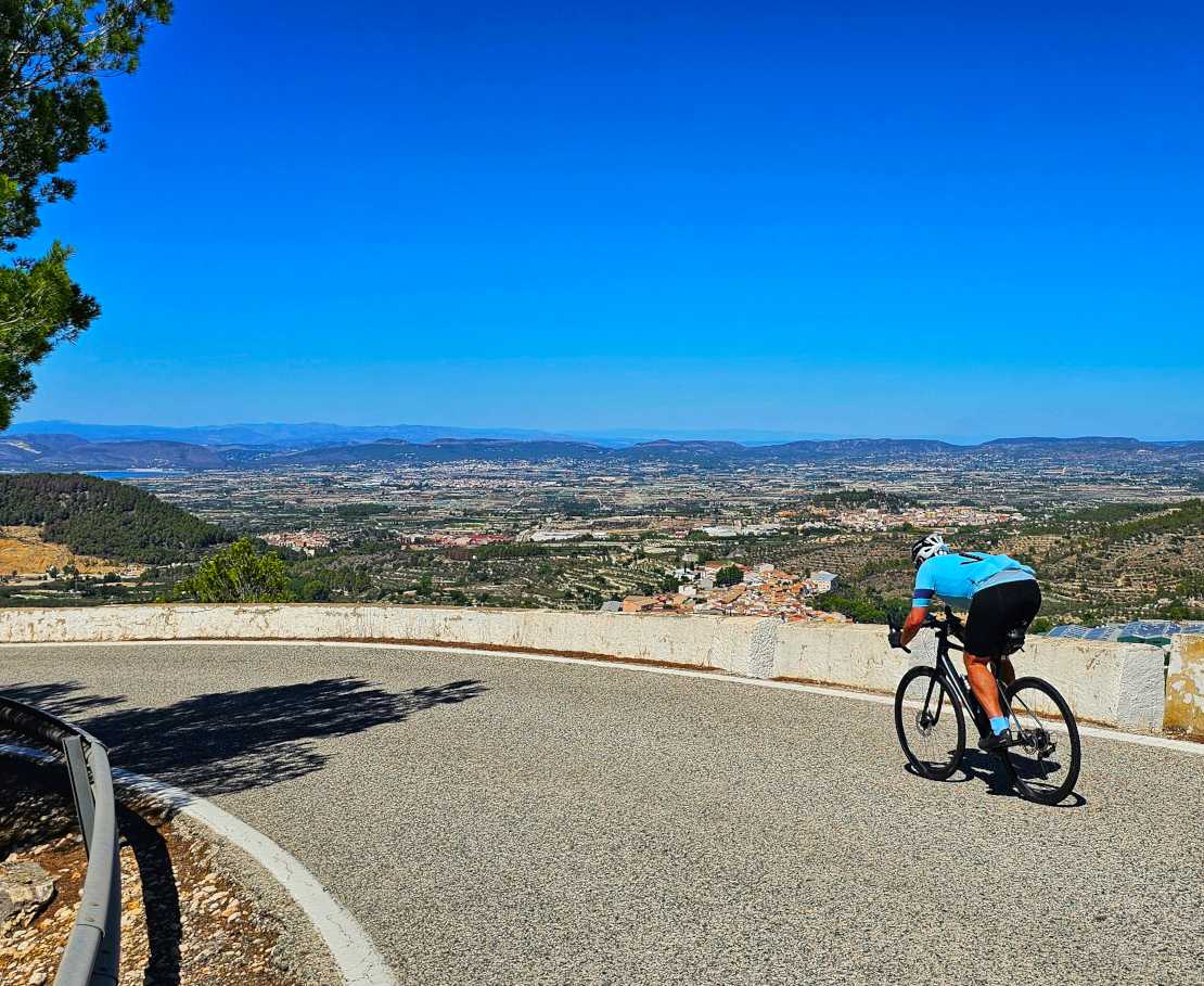
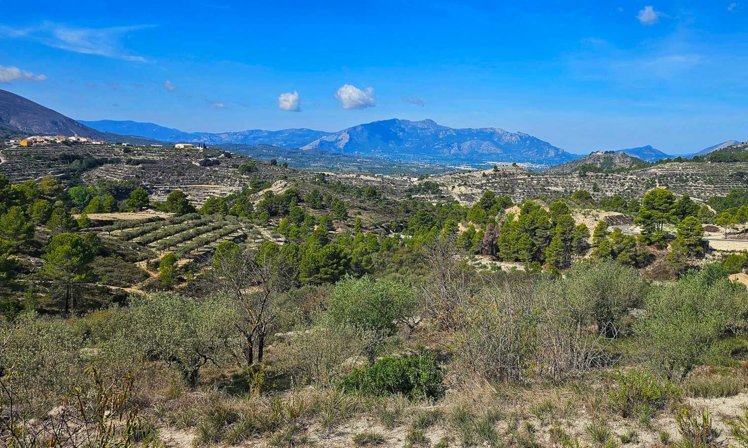
After 1 hour 45 minutes of climbing, we finally reached our first summit of the day – we had climbed 2,000 feet in 16 miles. Now it was time to enjoy the descent as we looked across to Planes, where would retrace our tyre tracks from Monday’s ride.
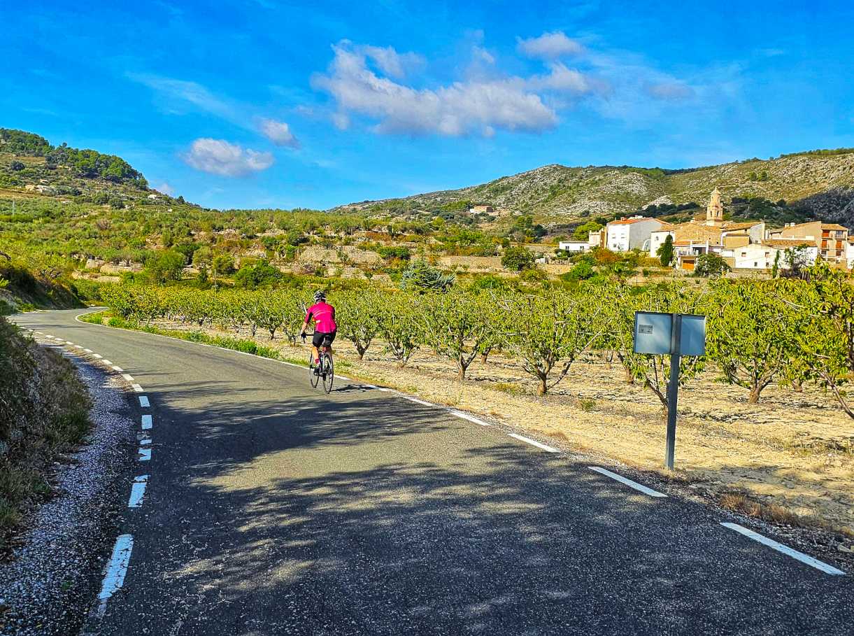
There was a short descent where in the space of ½ mile I went from a standing start (I wanted to get a photo of Sean with the mountains in the background) to 46 mph. The road was almost ruler straight except for an ‘S’ bend at the bottom which could be straightened out of there was no traffic coming the other way.
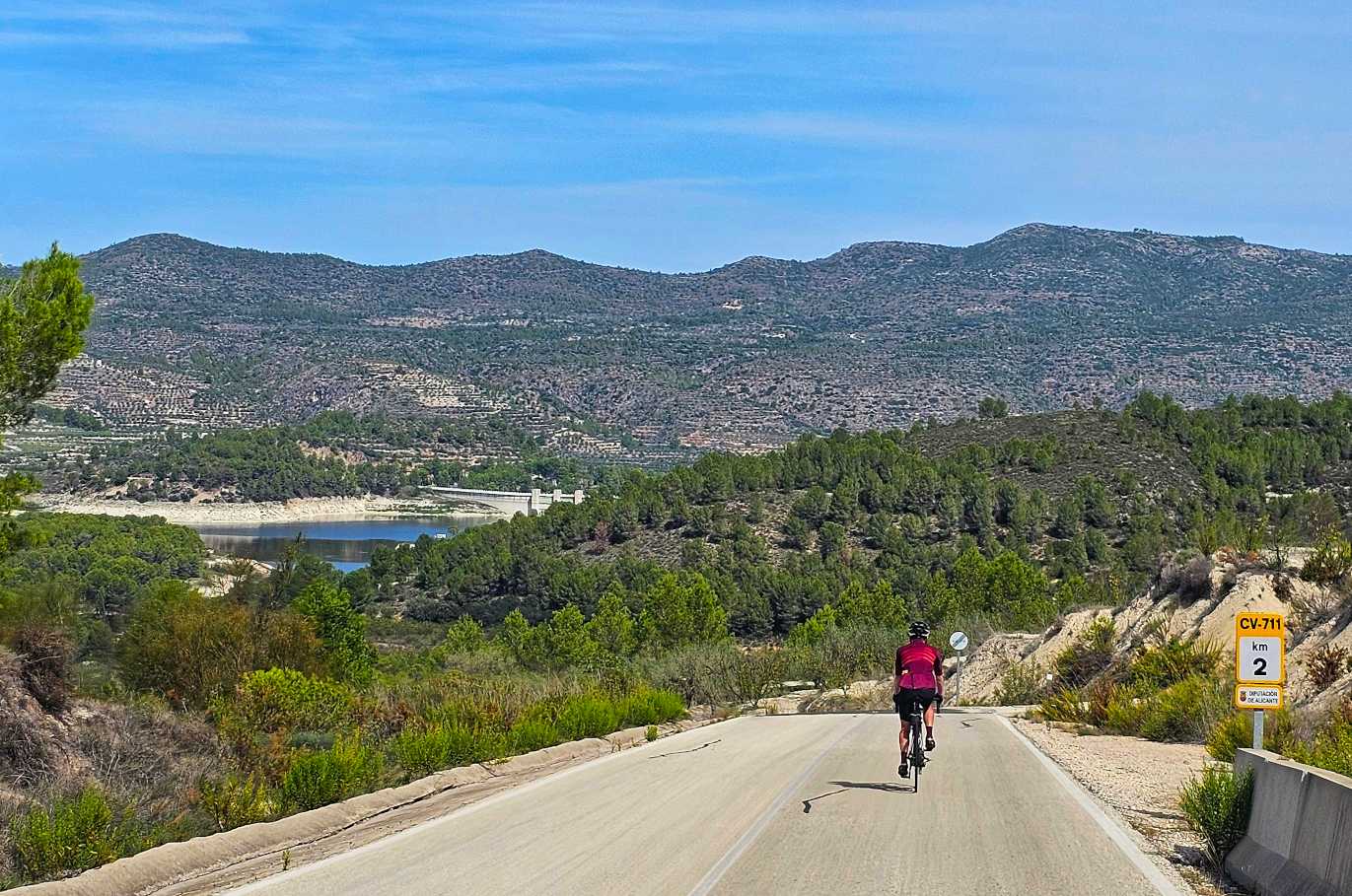
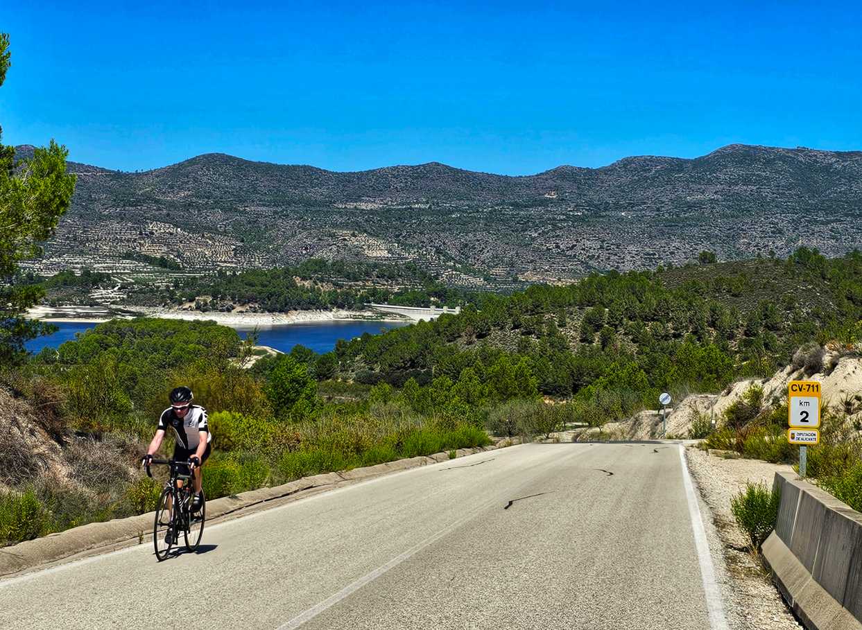
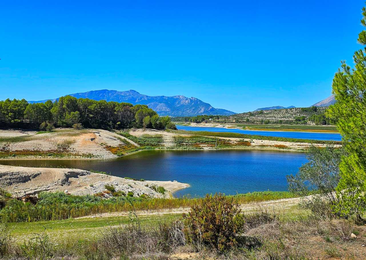
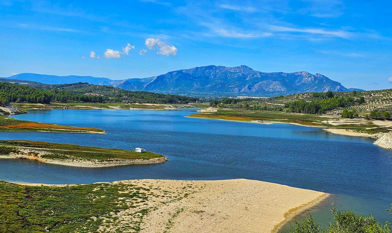
There were a couple of places where cars & camper vans could access the reservoir (the white blob in the middle photo below is a camper van parked on the beach) with huge views to the mountains in the far distance.


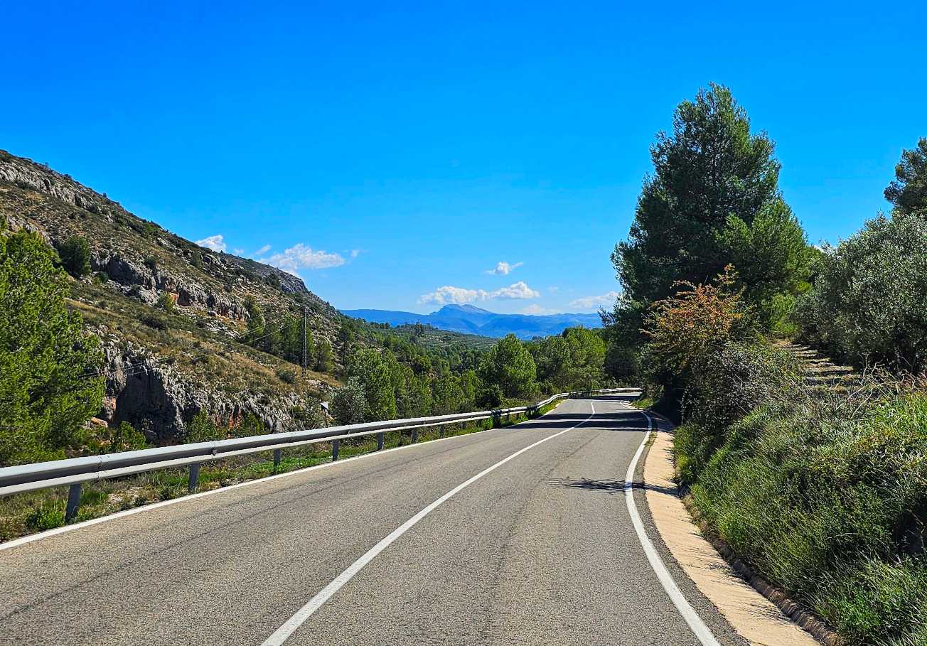
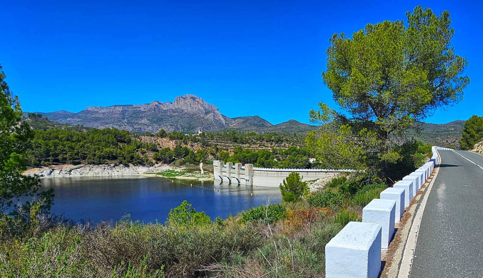
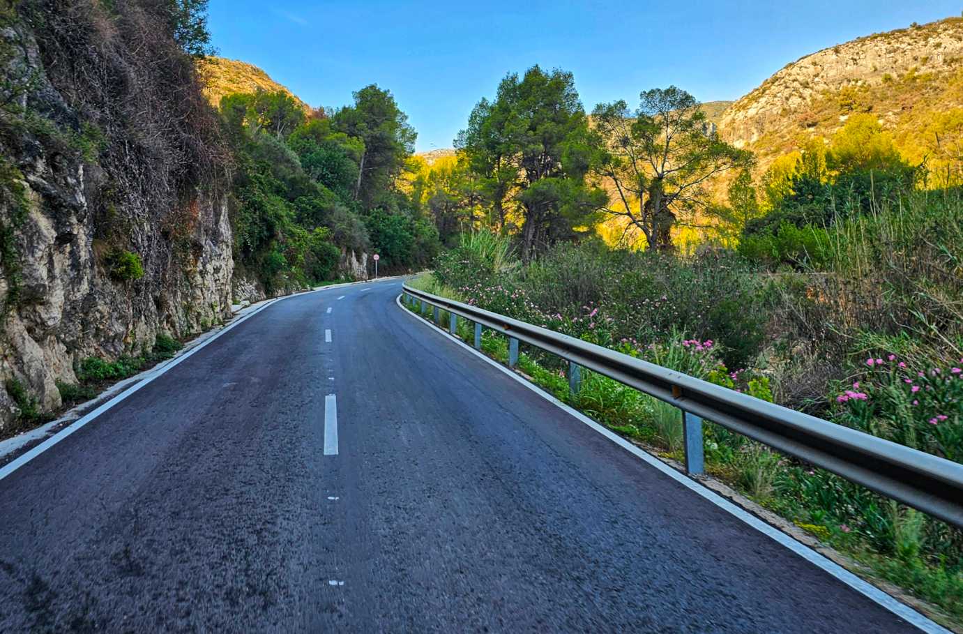
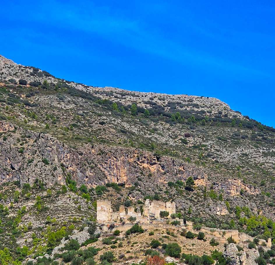
After skirting the reservoir & crossing the barrage, we picked up the main road into Beniarres where we topped up our water bottles & enjoyed our 2nd descent of the day into Lorcha, which had an ancient castle perched on a rocky outcrop high above us. As we hit the valley floor we knew we were in for a long climb up the valley wall.

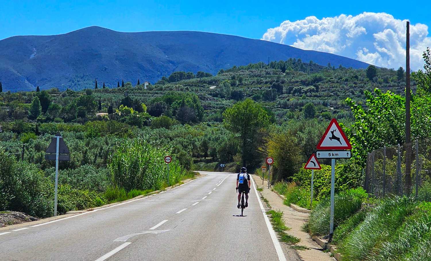
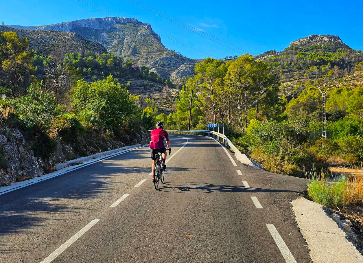
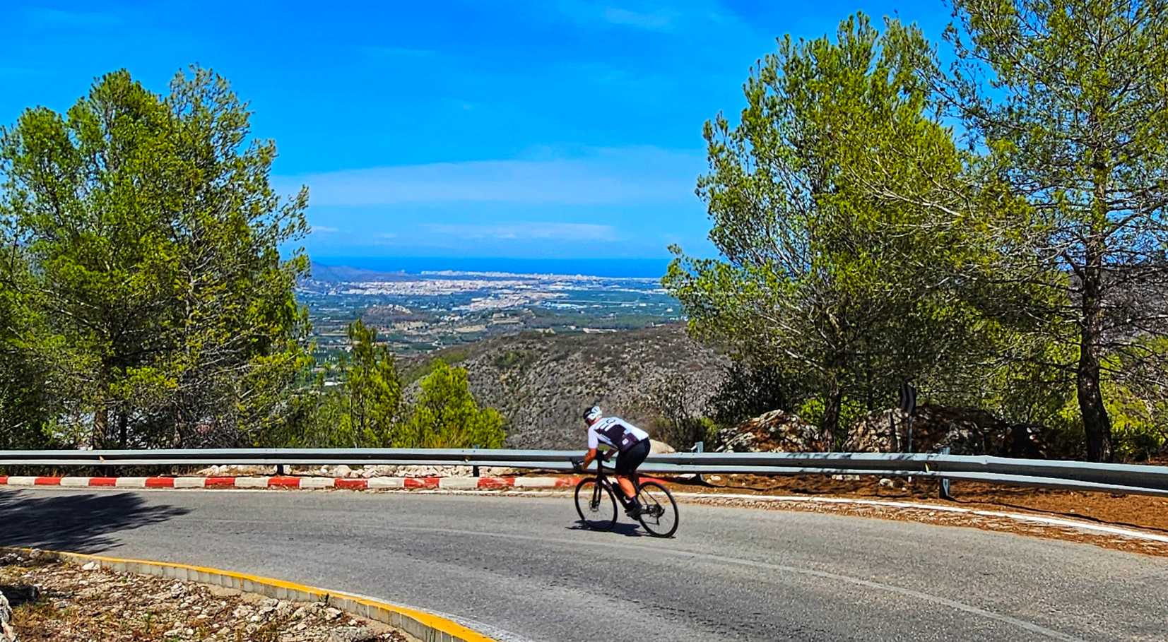
The climb was just over 6 miles in length & the gradient hit 17% at its steepest. There was a ½ mile section where the gradient didn’t drop below 14% (I was doing less than 4mph) – that’s hard going on day 5 of a cycling trip! The views in all directions were stunning, but I only managed to get 1 photo, which was of Sean as he battled his way up a steep ramp.

We ascended 1,500 feet in a little under an hour, but that doesn’t really tell the whole story, or give the context. The climb split into a spiteful opening 2 miles, followed by a gentle 3.5-mile stretch, then a brutal final last ½ mile. This was the 1st climb that had an Alpine & Pyrenean feel to it.
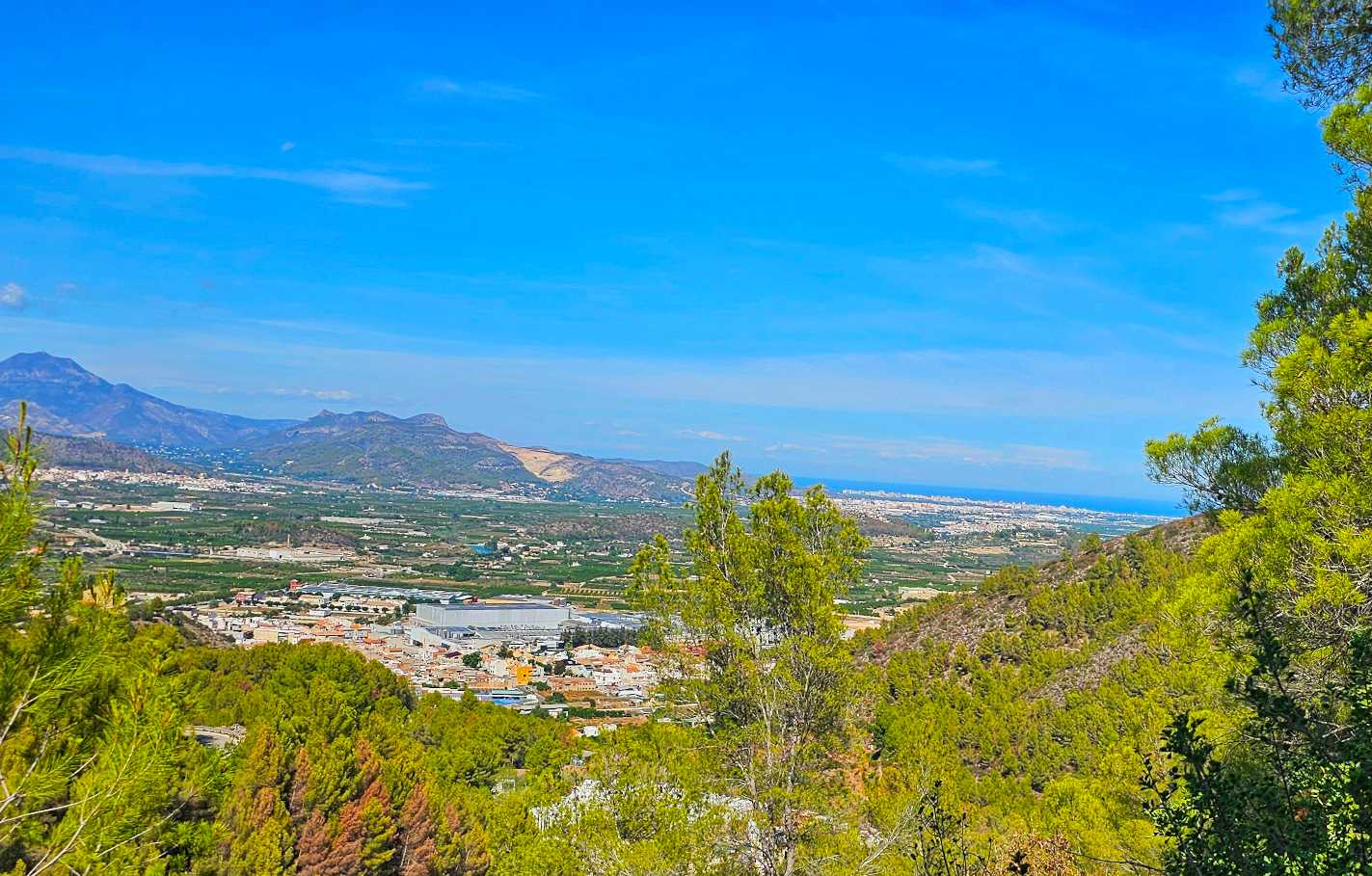
The view from the summit made the climb worth every pedal revolution. We could see the Mediterranean in the far distance & we also quickly realised how much descending we would be enjoying.

The descent was switchback heaven with views across the coastal plains all the way across to Oliva, some 10 miles in the distance.
We were at sea-level in next to no time & all that remained was to battle a cross-headwind back into Pego.
On the drive back to the hotel I picked up my bike which had been repaired & also dropped off my rental bike. It was my 1st time riding a Scott Addict & it did me proud. A big thank you to Cycles Desnivell for sorting out my rental bike at no notice.