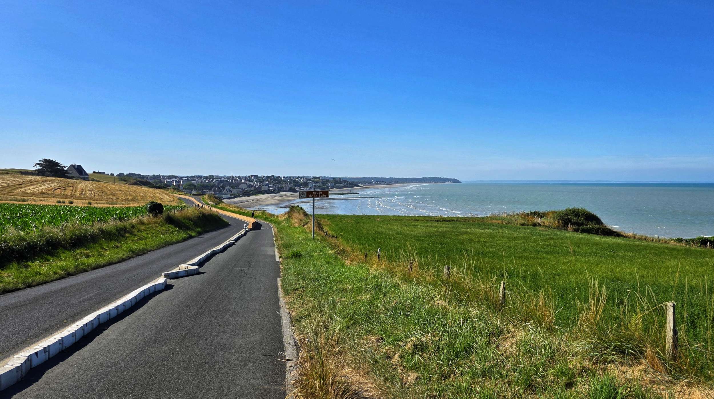
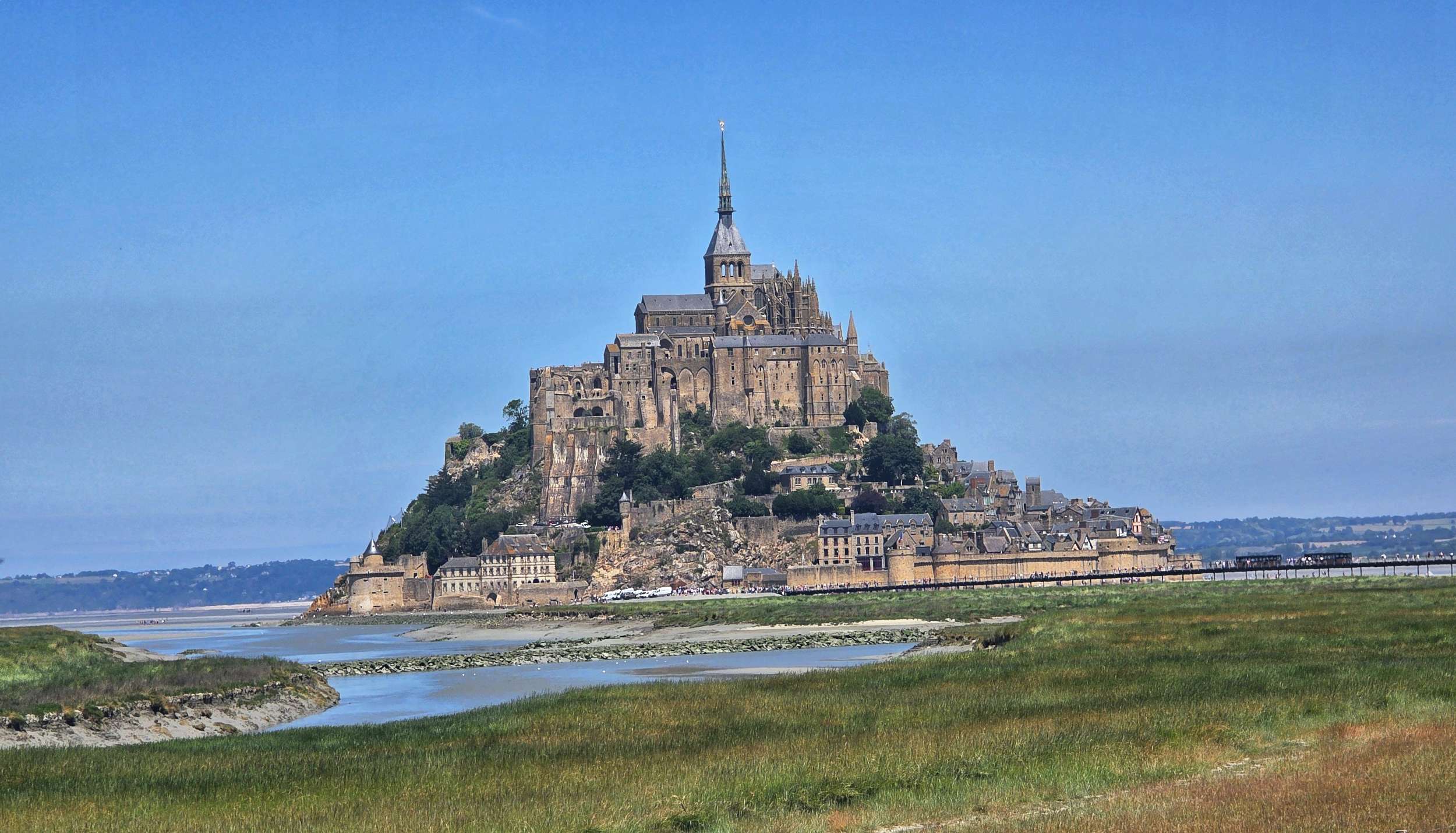
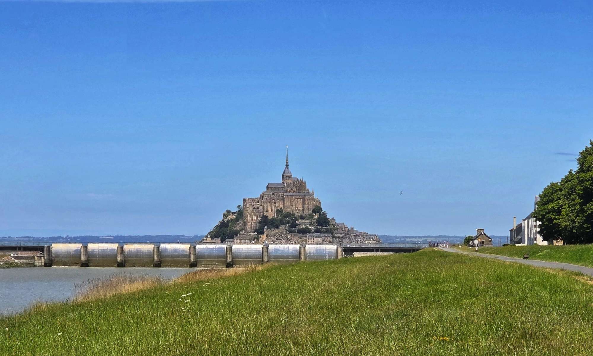
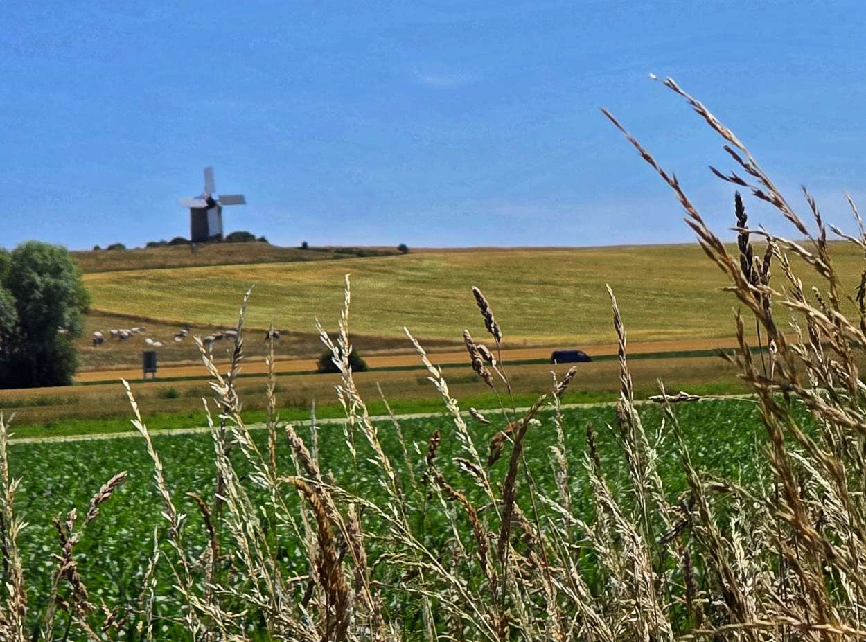
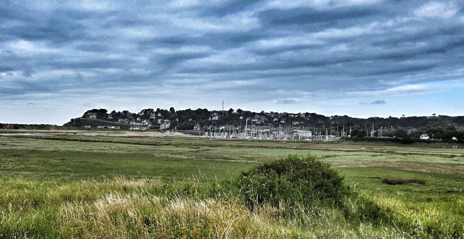
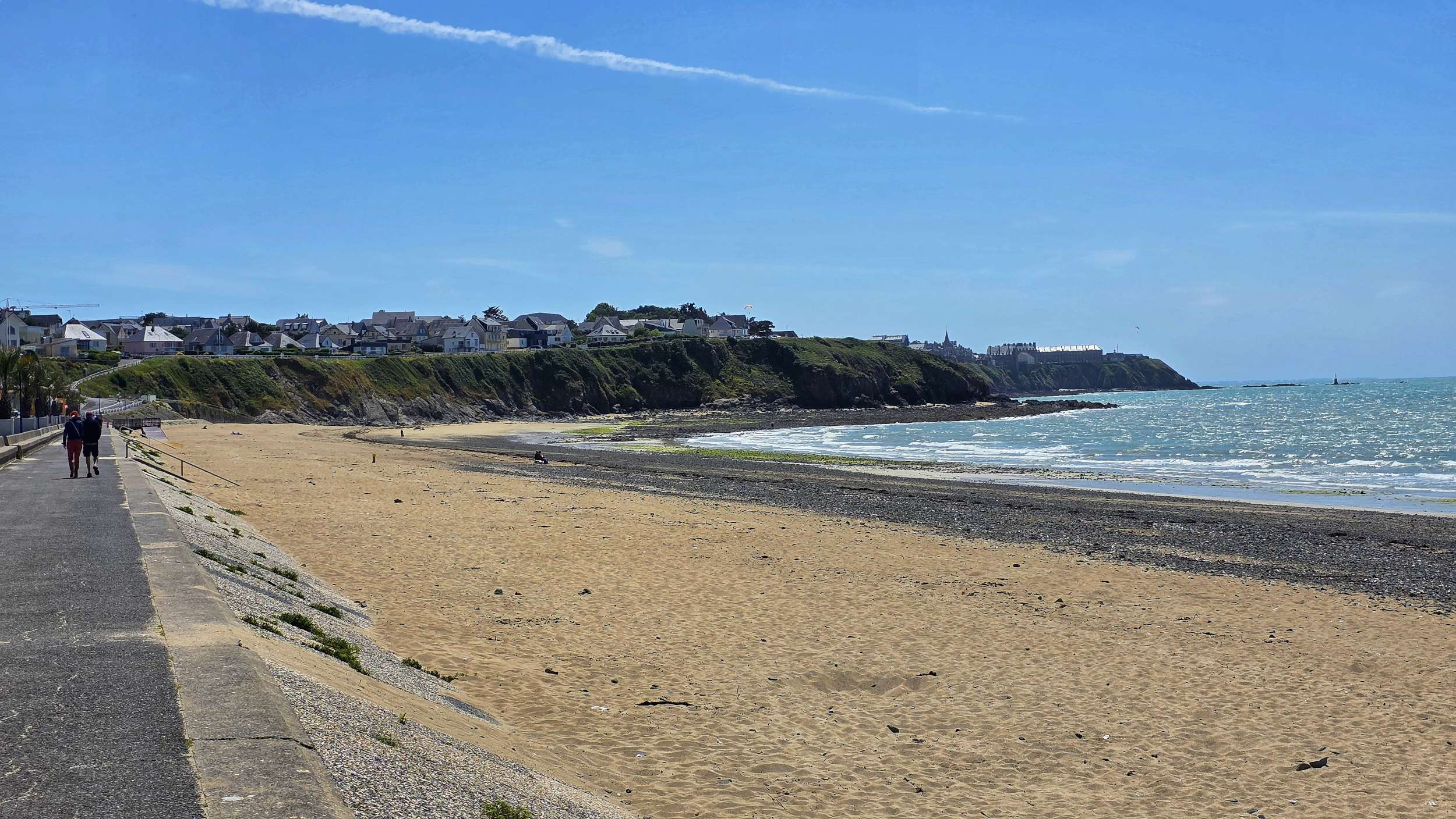
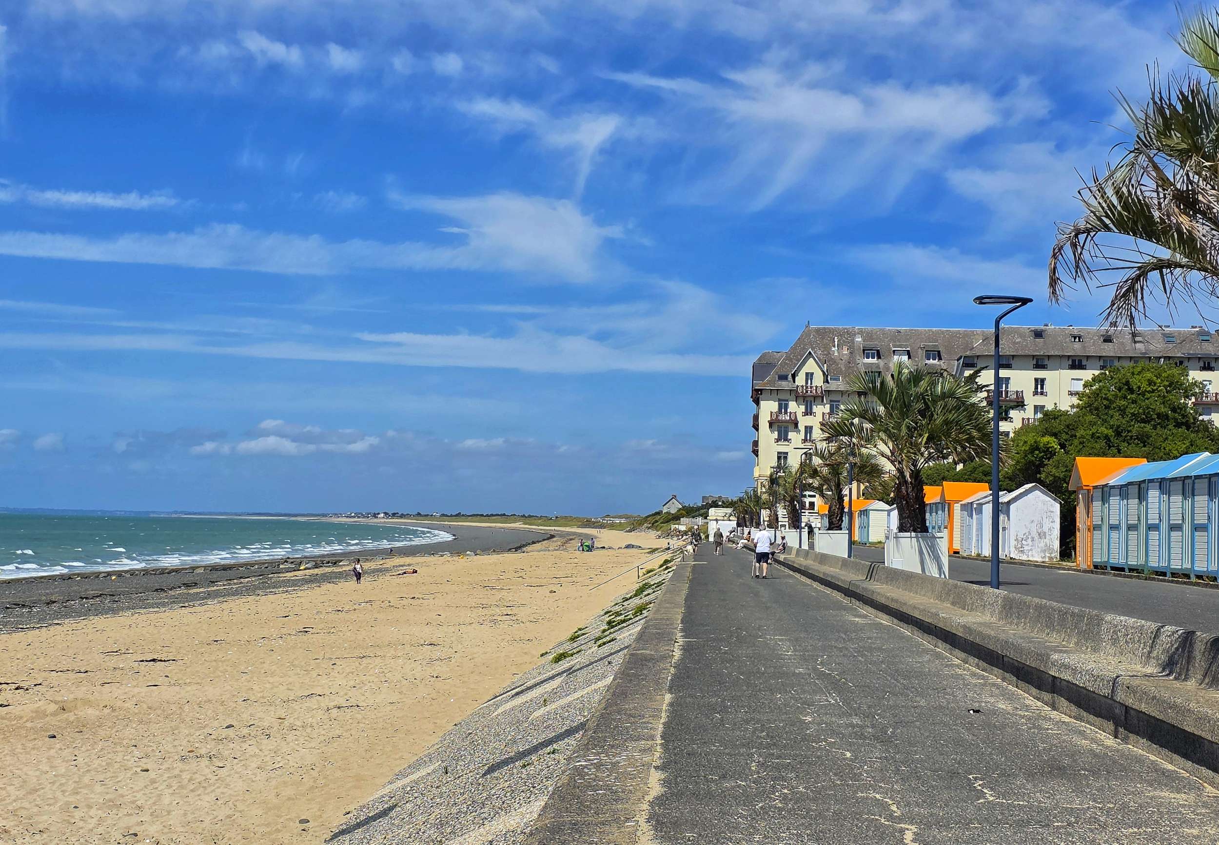
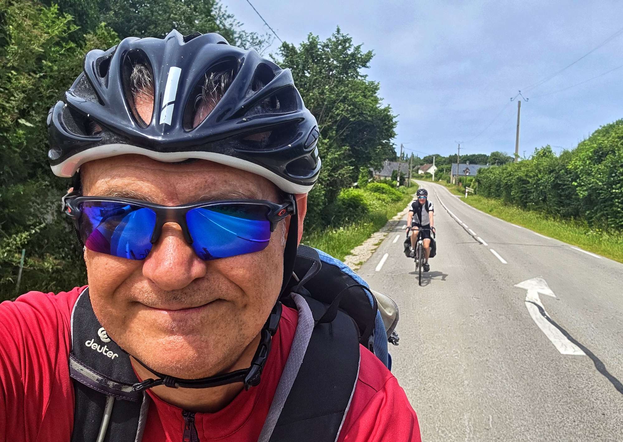
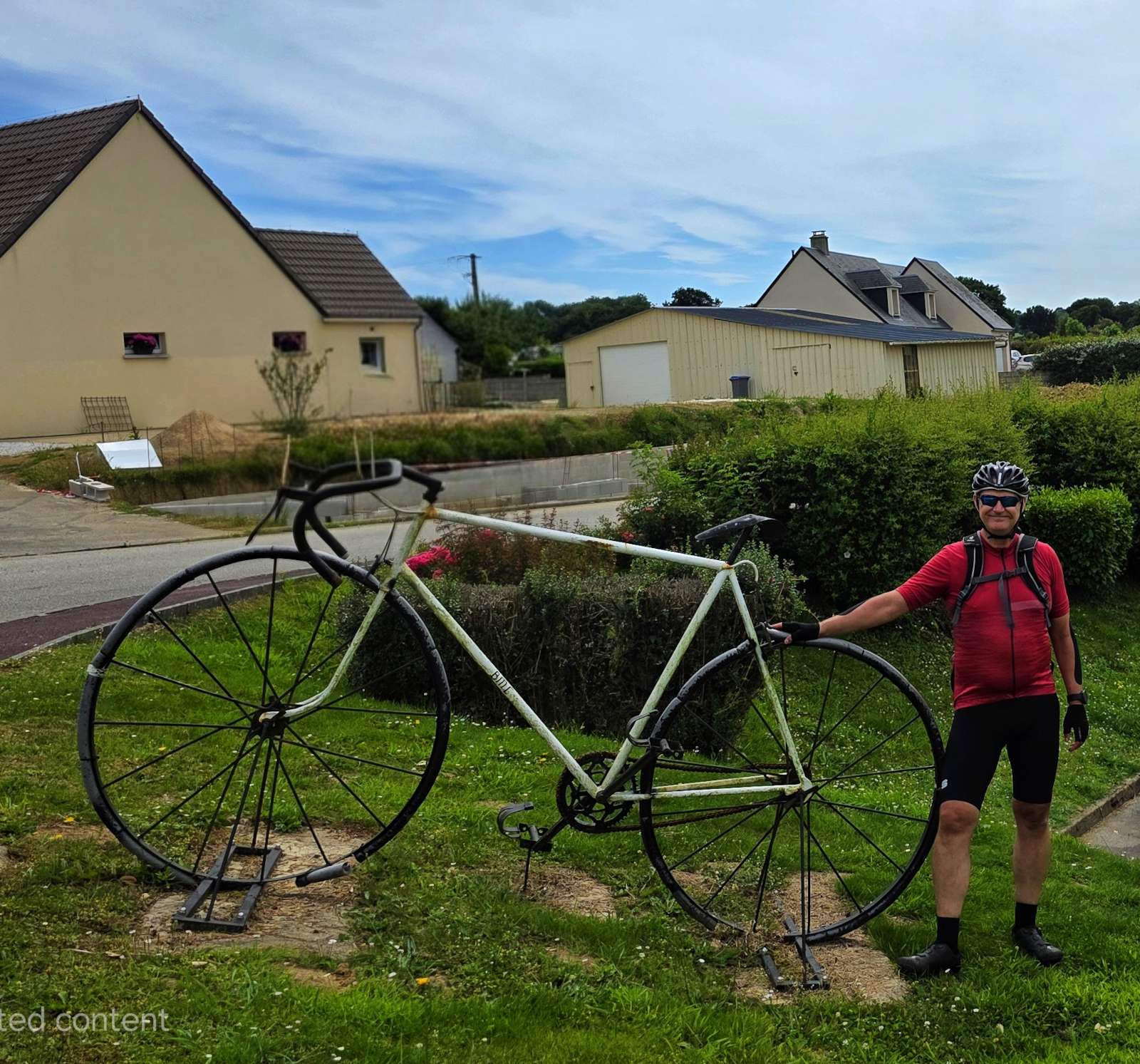
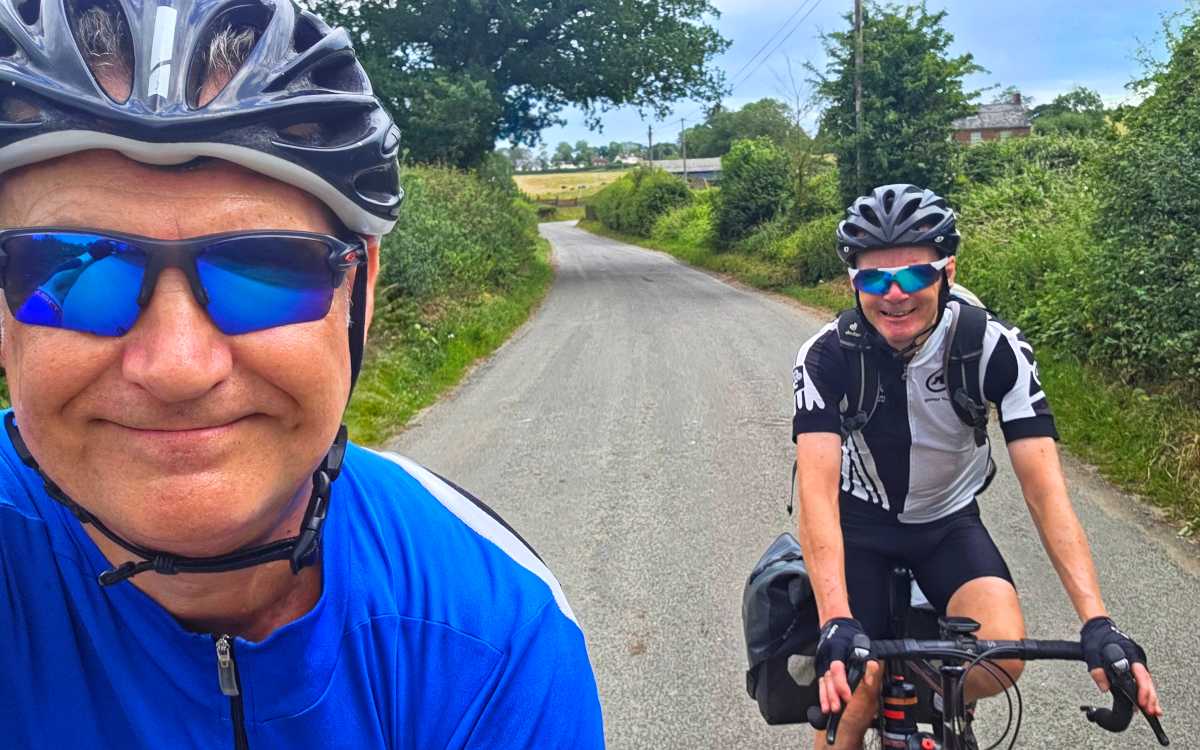
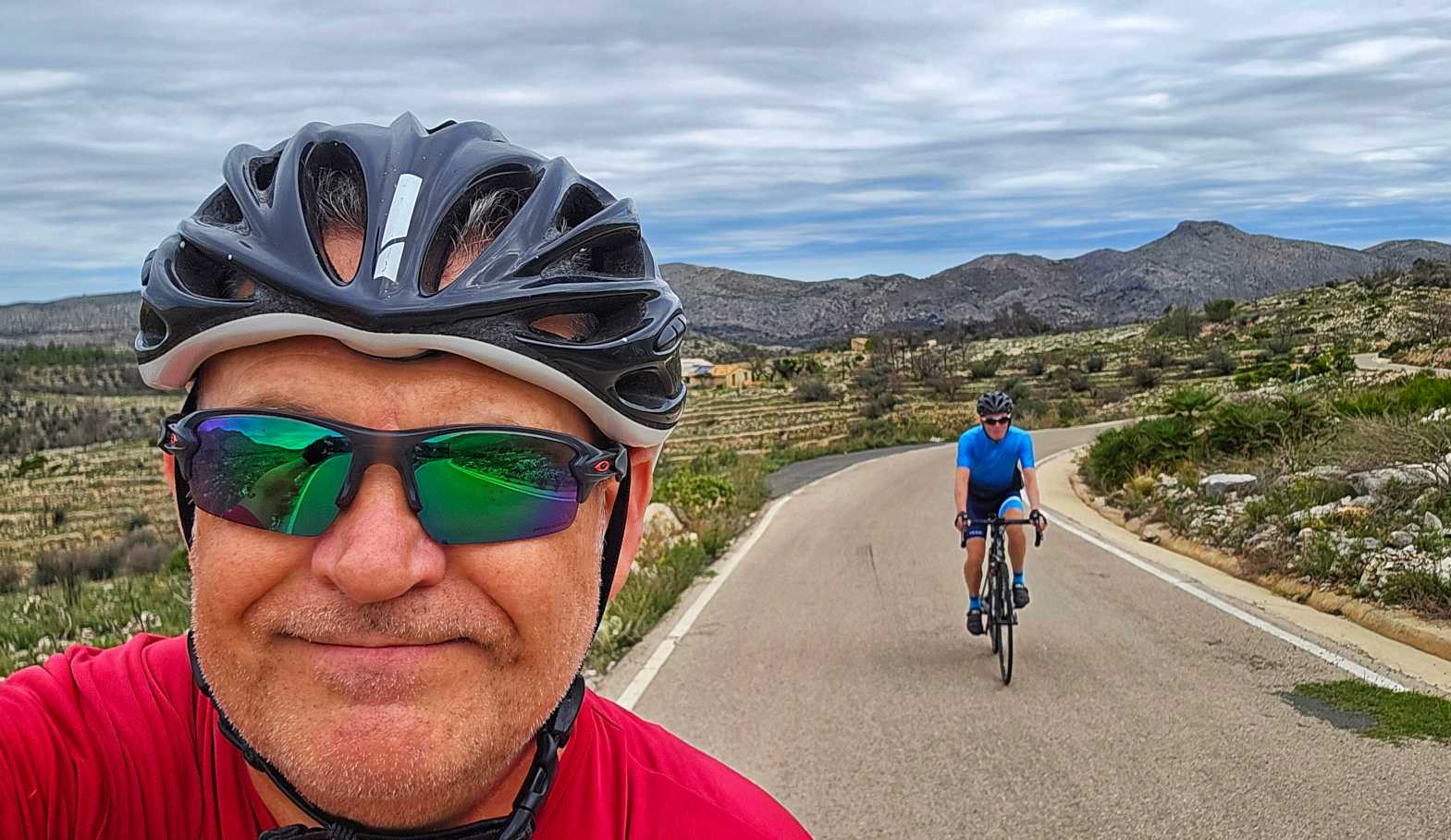
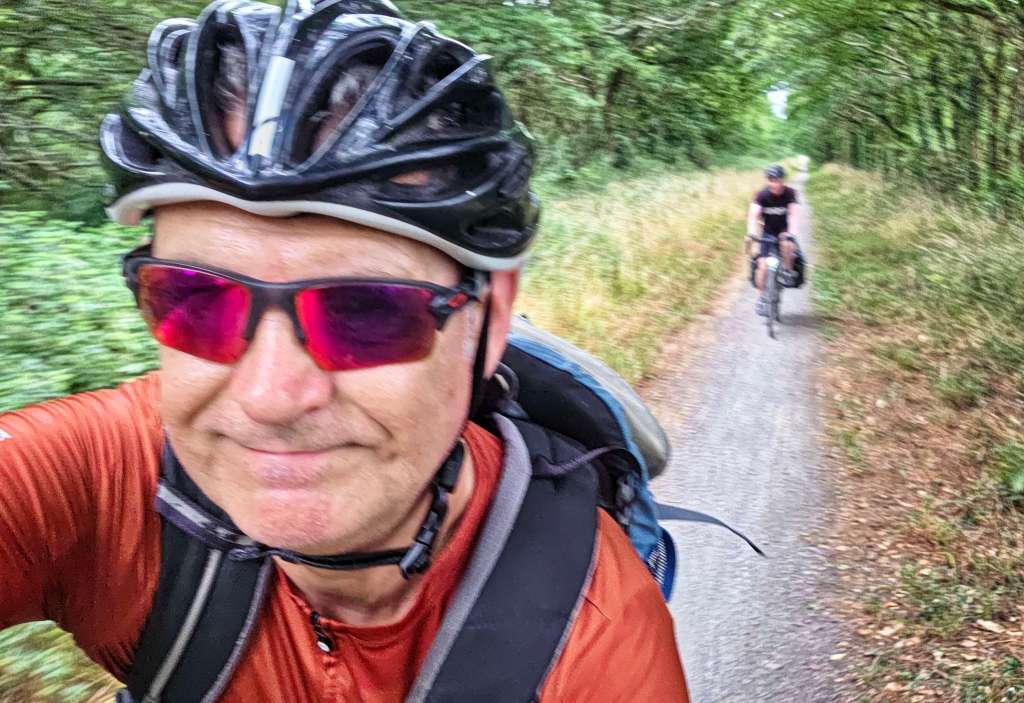
Etape 8 –Saint-Nazaire to Soudon (Saturday 28th June)
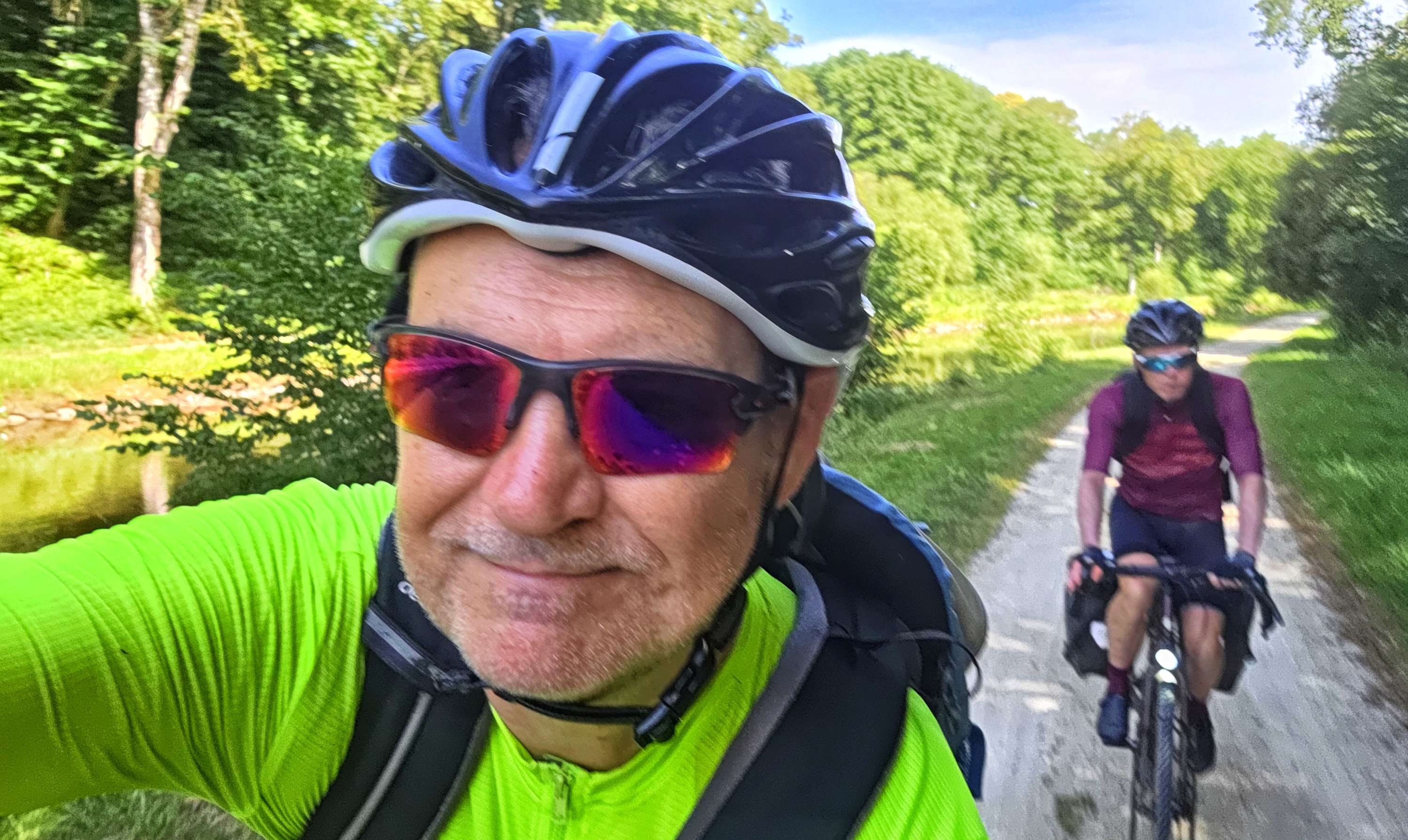
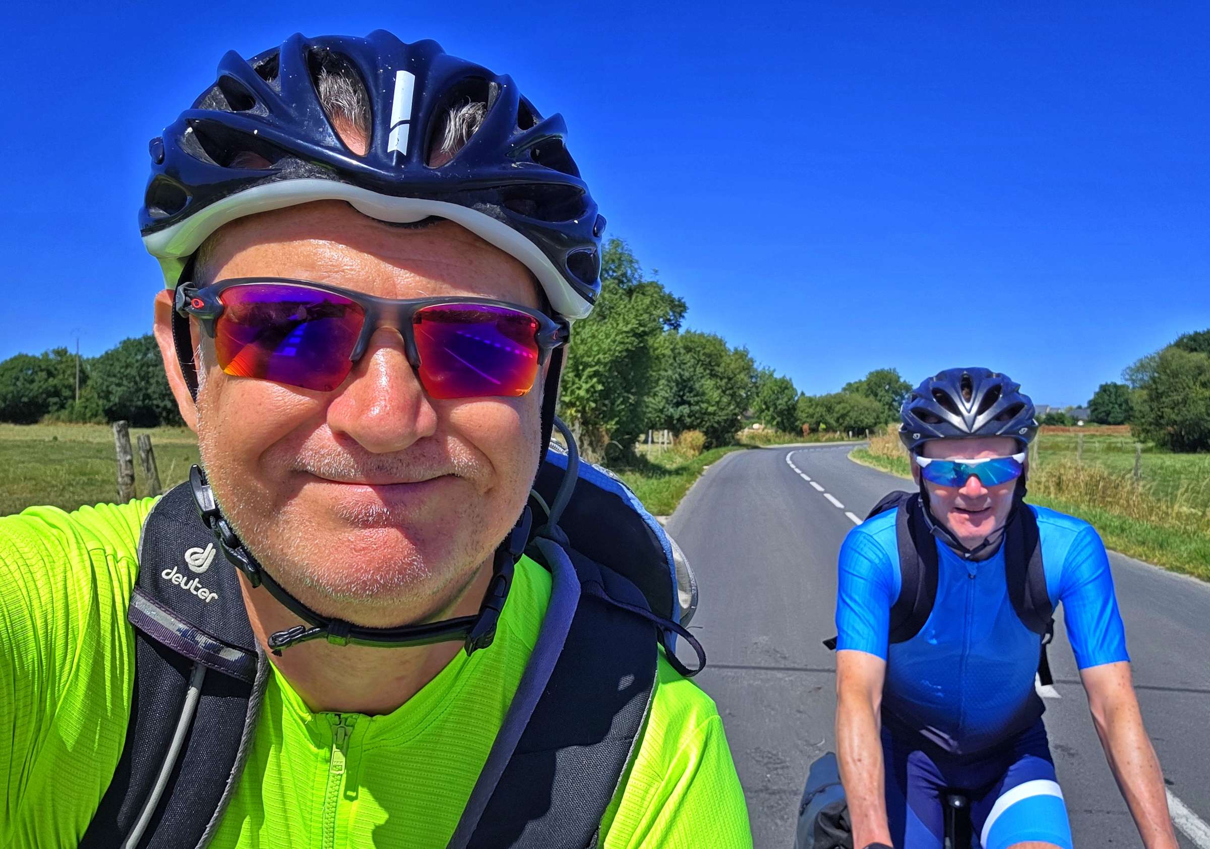
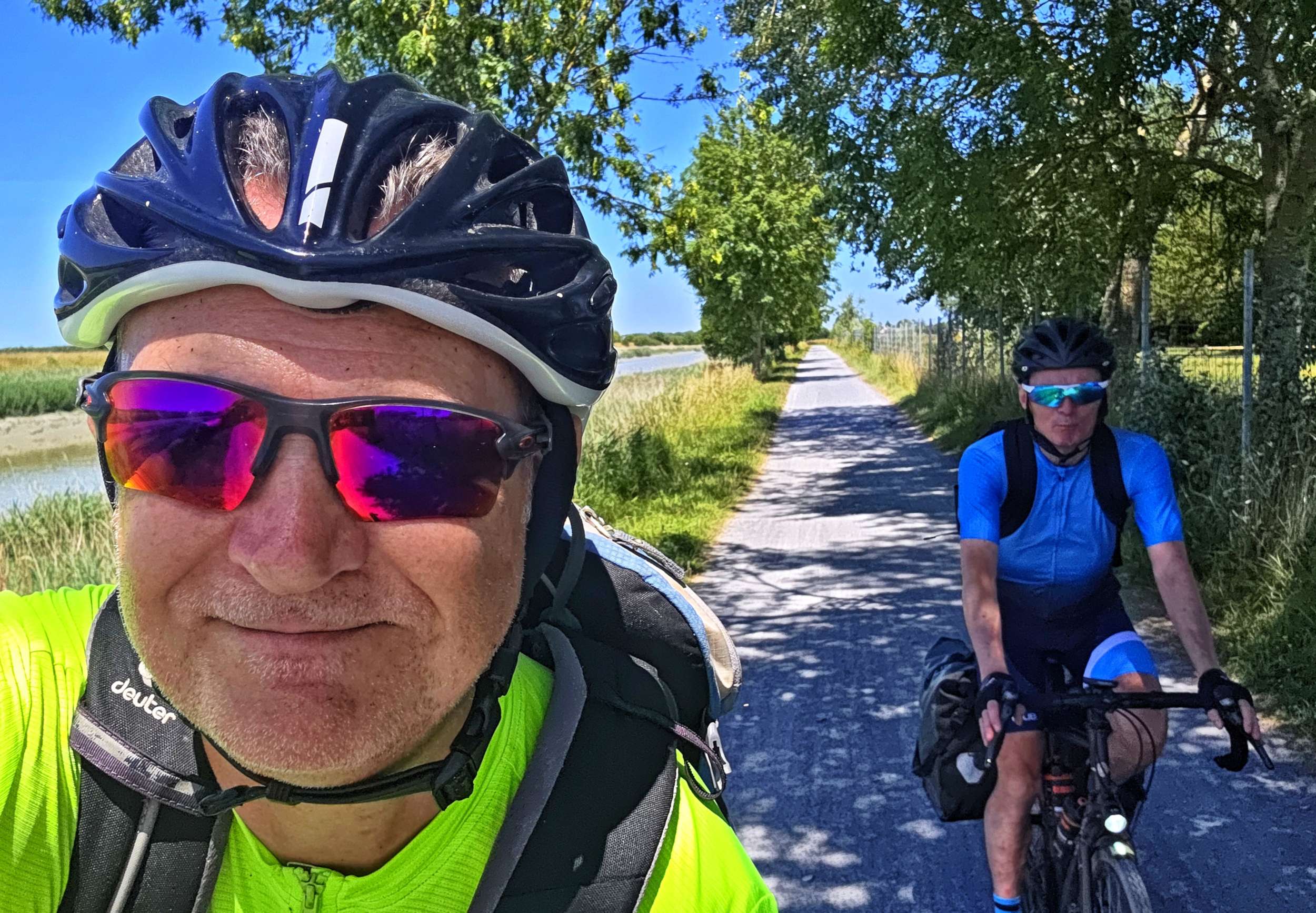
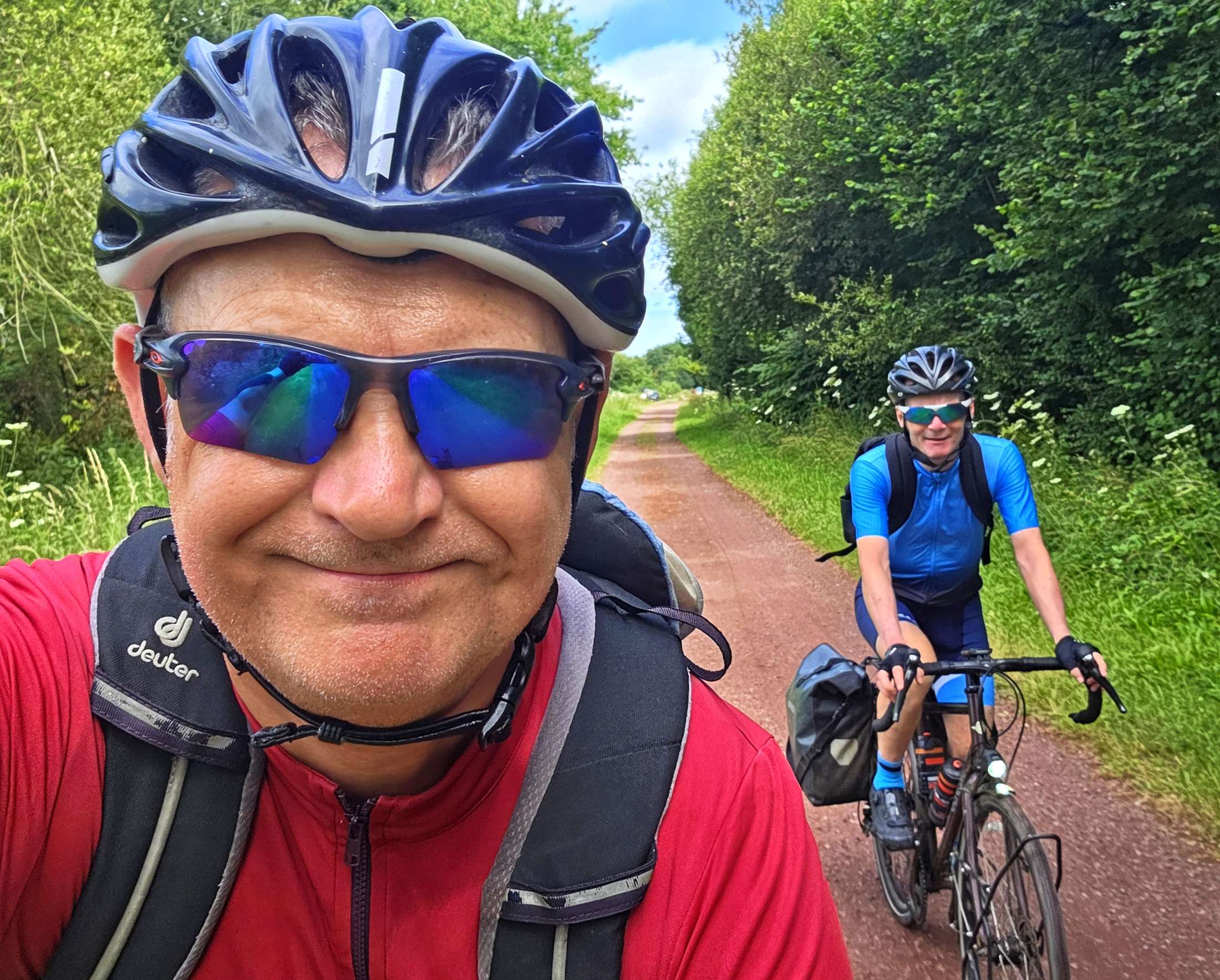
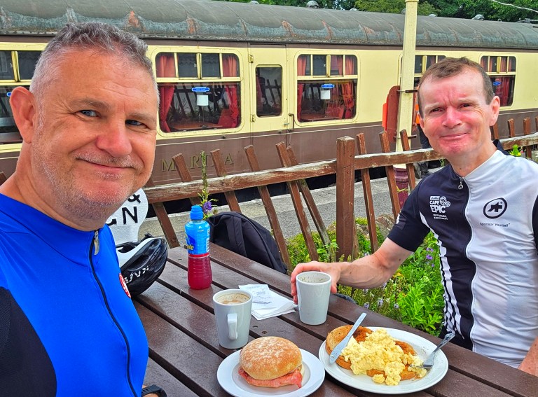
We had an 8am rendezvous for breakfast & were on our way under grey skies & a slight headwind, but with the promise of temperatures in the low 30 degrees centigrade this afternoon. The early part of the route took us through the suburbs of Saint-Nazaire on quiet back roads.
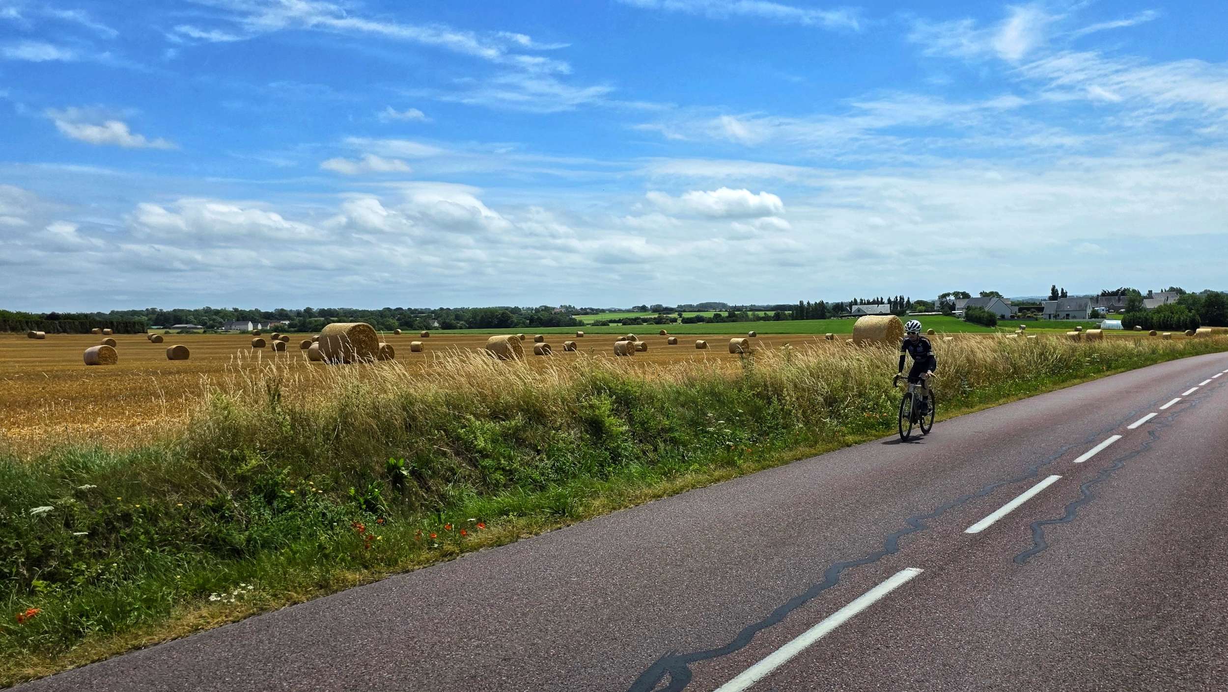
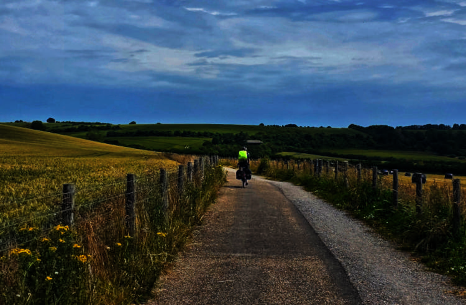
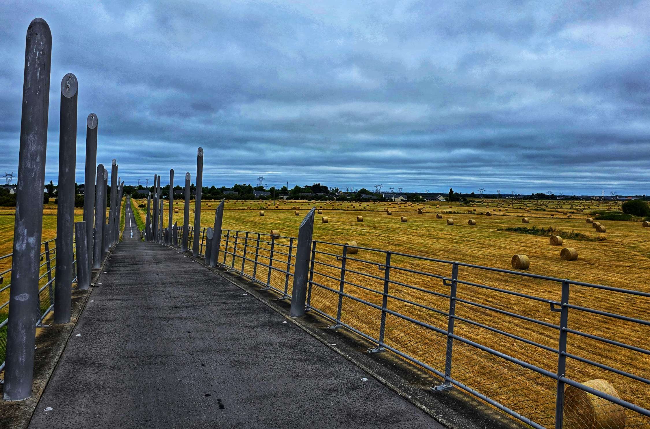
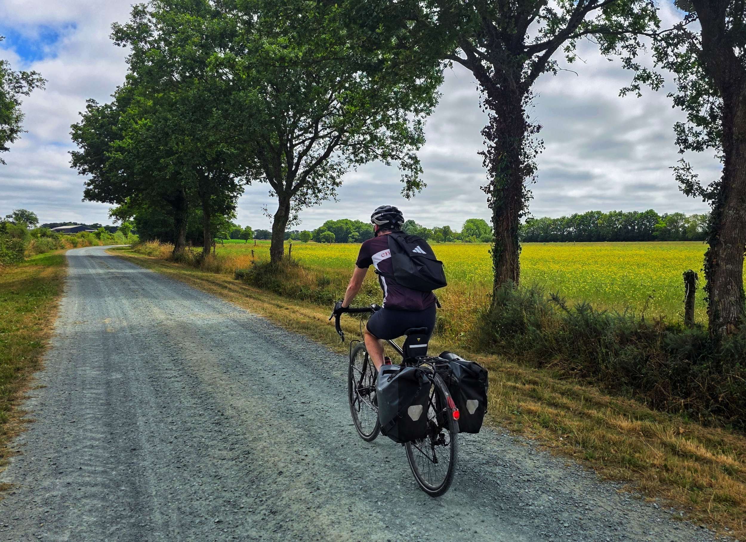
Leaving Trignac, we picked up a local cycle track that cut through fields of wheat that have been harvested & hay baled. Behind 1 of the bales, I spotted a single person tent & bike trailer – it looked like a wild-camping cyclist had found their perfect spot to stop last night.
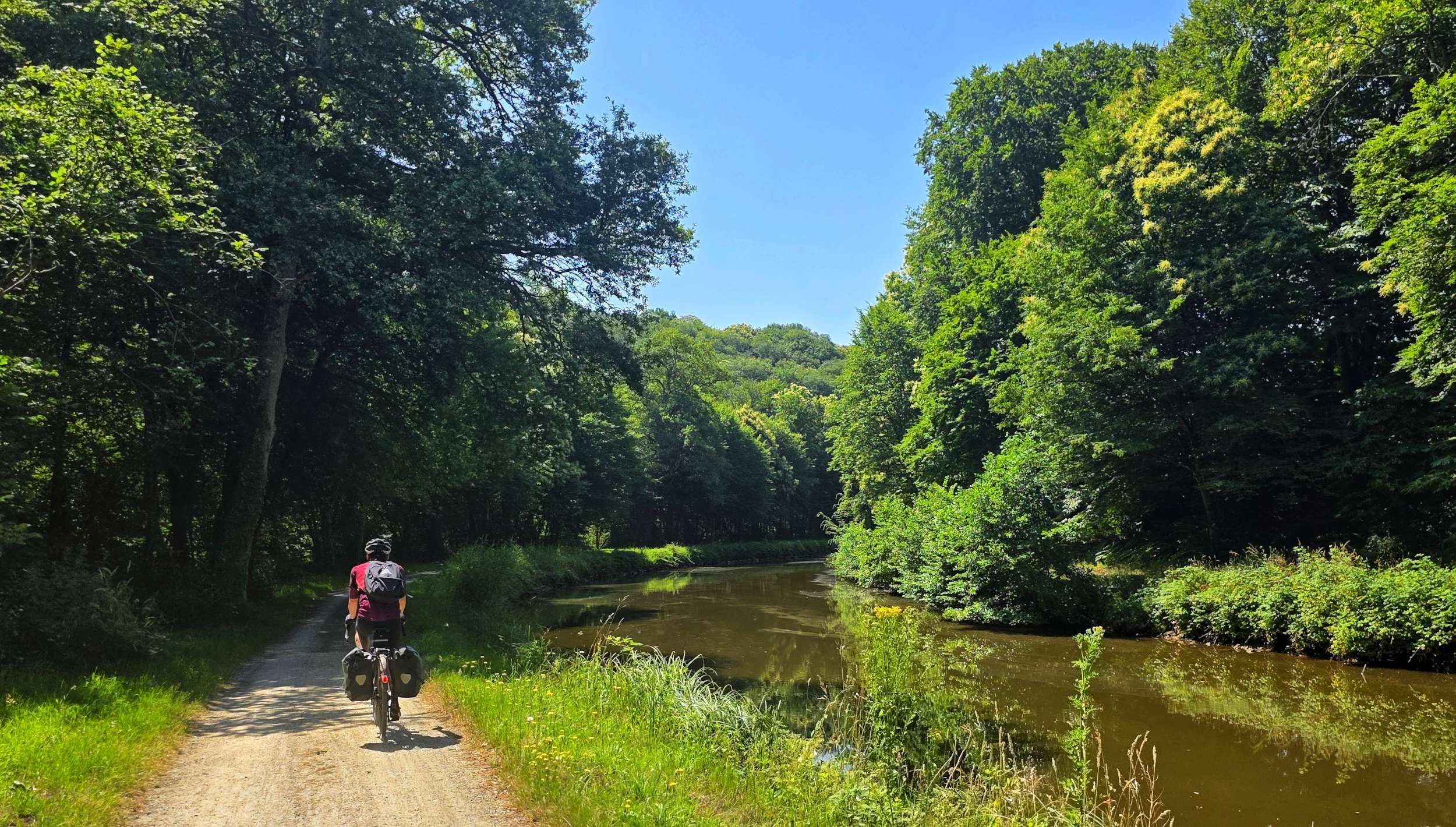
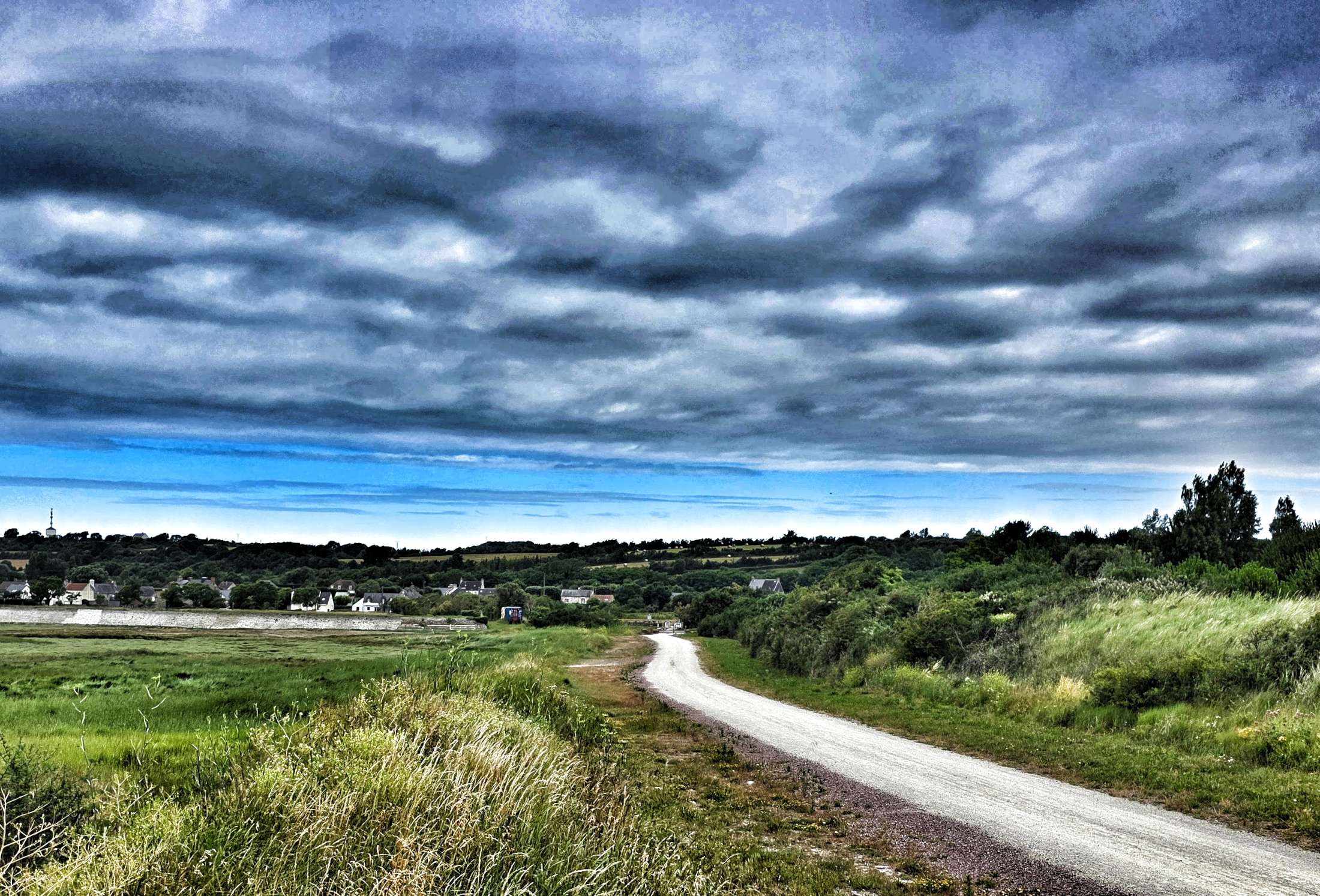
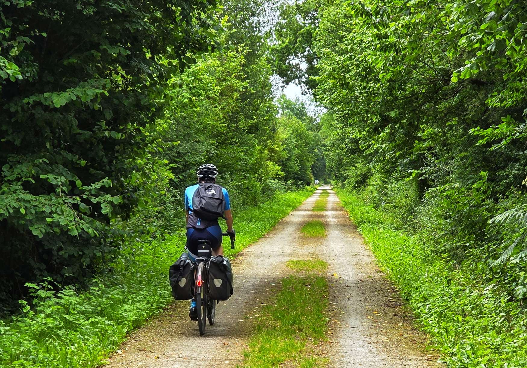
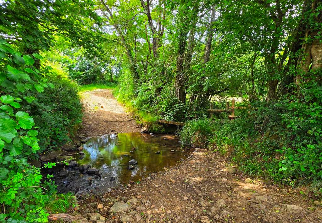
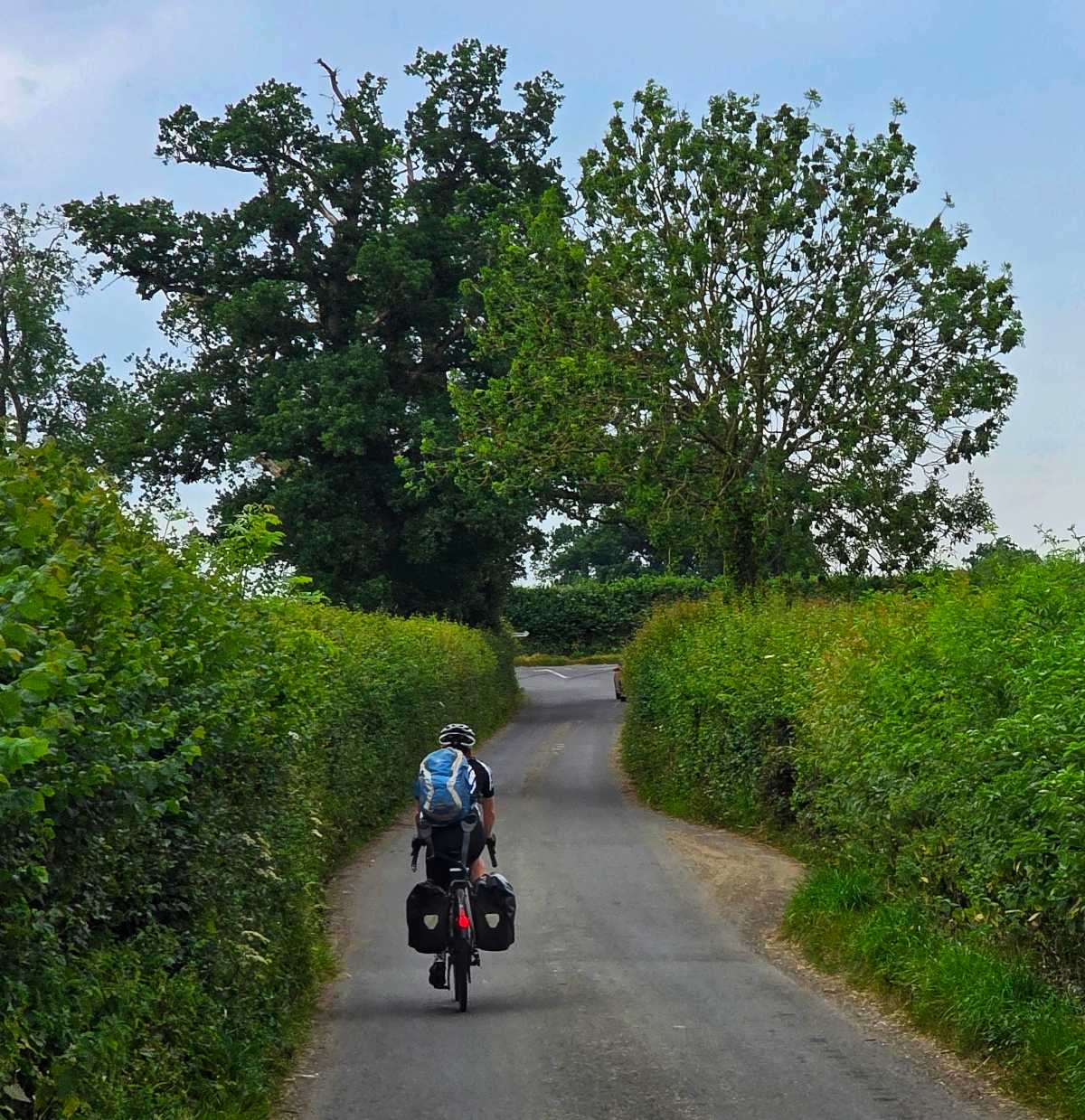
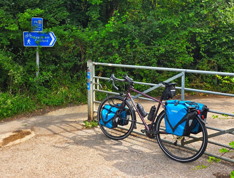
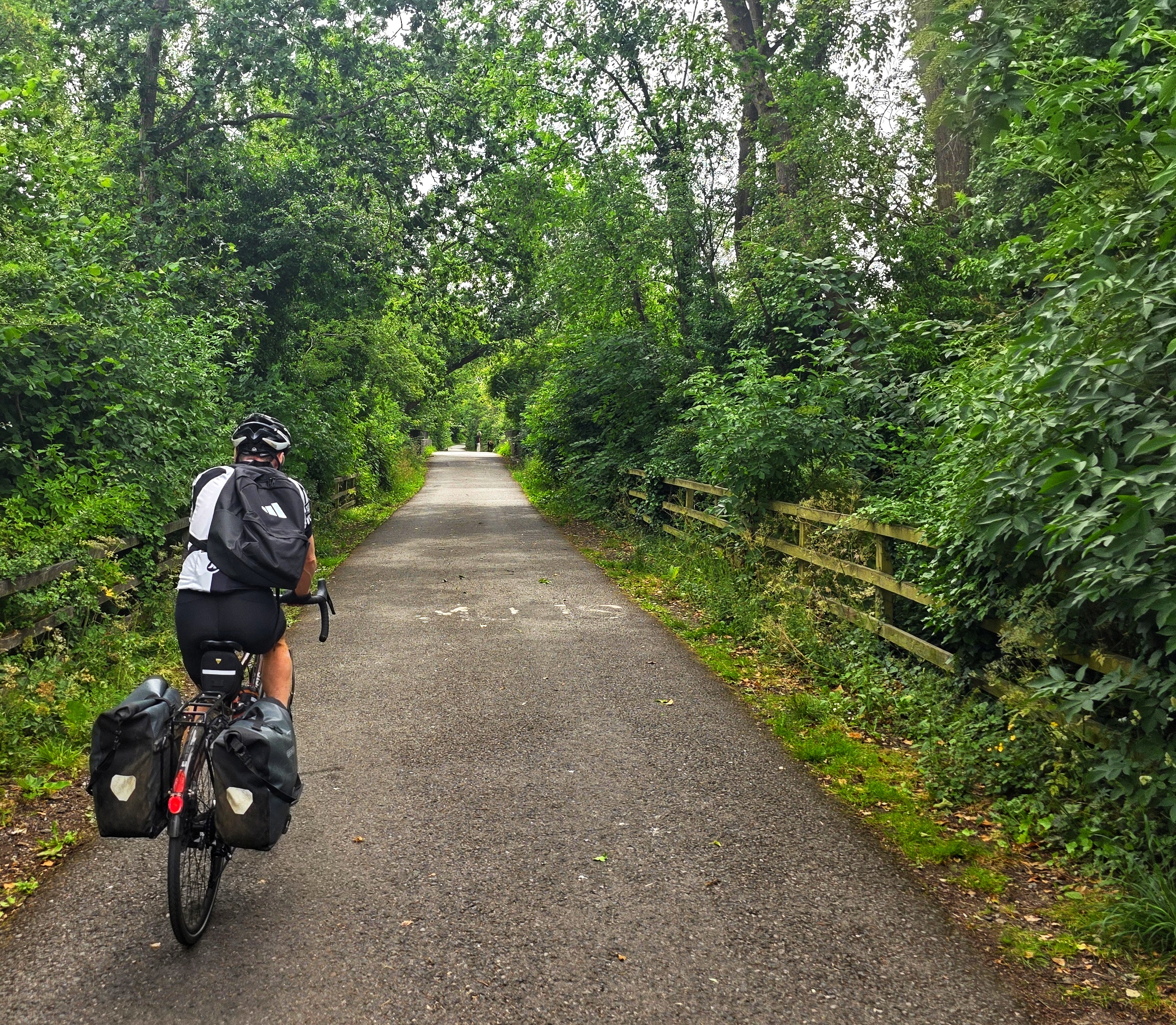
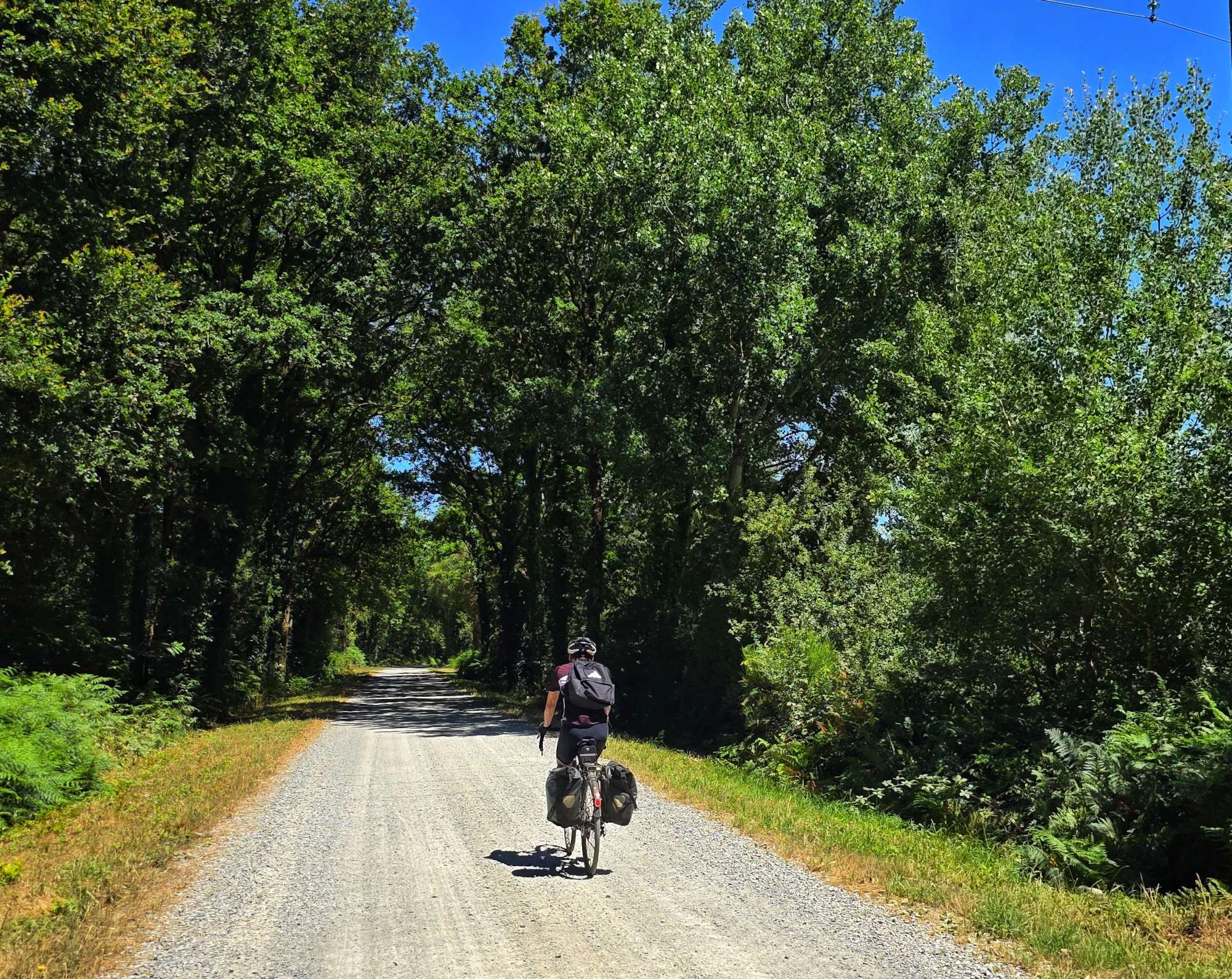
The small village of Montoir-de-Bretagne delivered us onto our first section of hard-packed gravel, as we followed a disused railway track a couple of feet to our right. We saw a couple of walkers, but other than that, we had the route to ourselves.
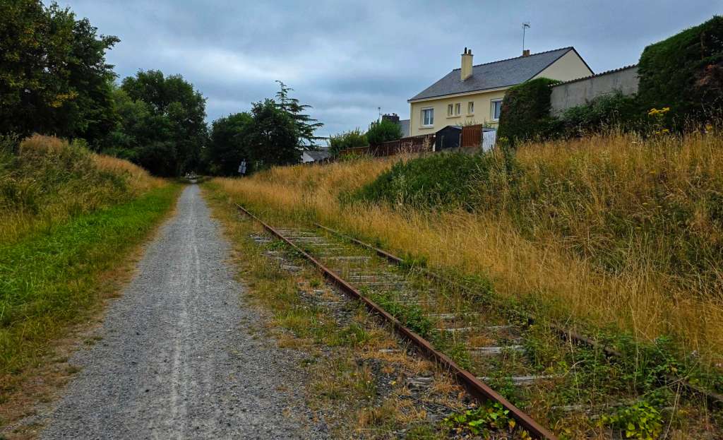
The gravel track continued to narrow & deteriorate the further along it we travelled, until at Lieu-de-Er the gravel turned to cricket ball-sized stones – Sean & I don’t have the skills to ride this, so we joined the main road towards Pontchateau (we both recognised the name as being 1 of the stations we stopped at on Thursday’s train ride to Saint-Nazaire. The road was busier than we would have liked, but much better than the rough off-road trail we’d left behind!
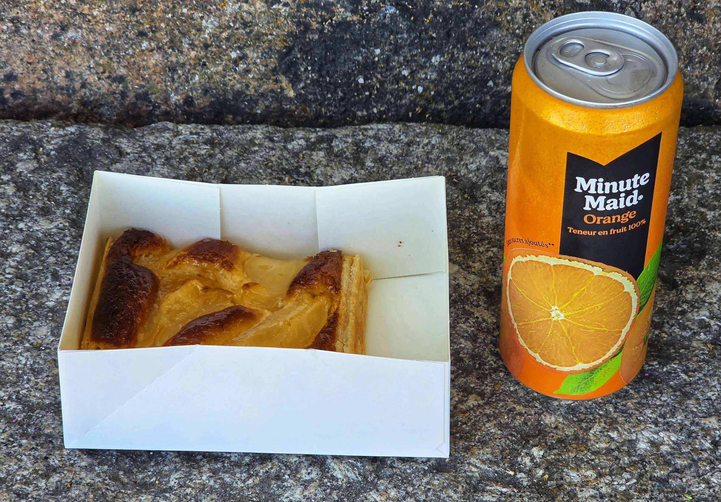
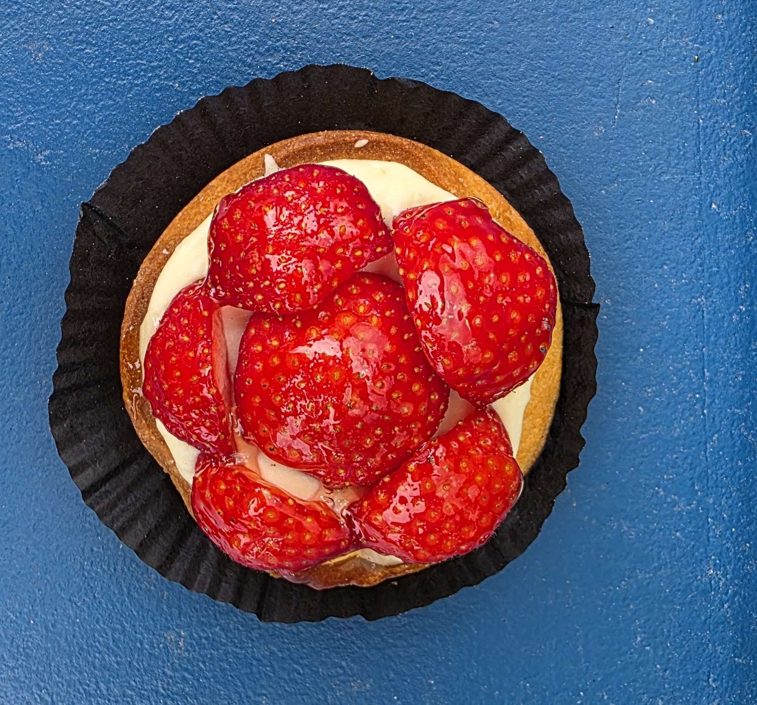
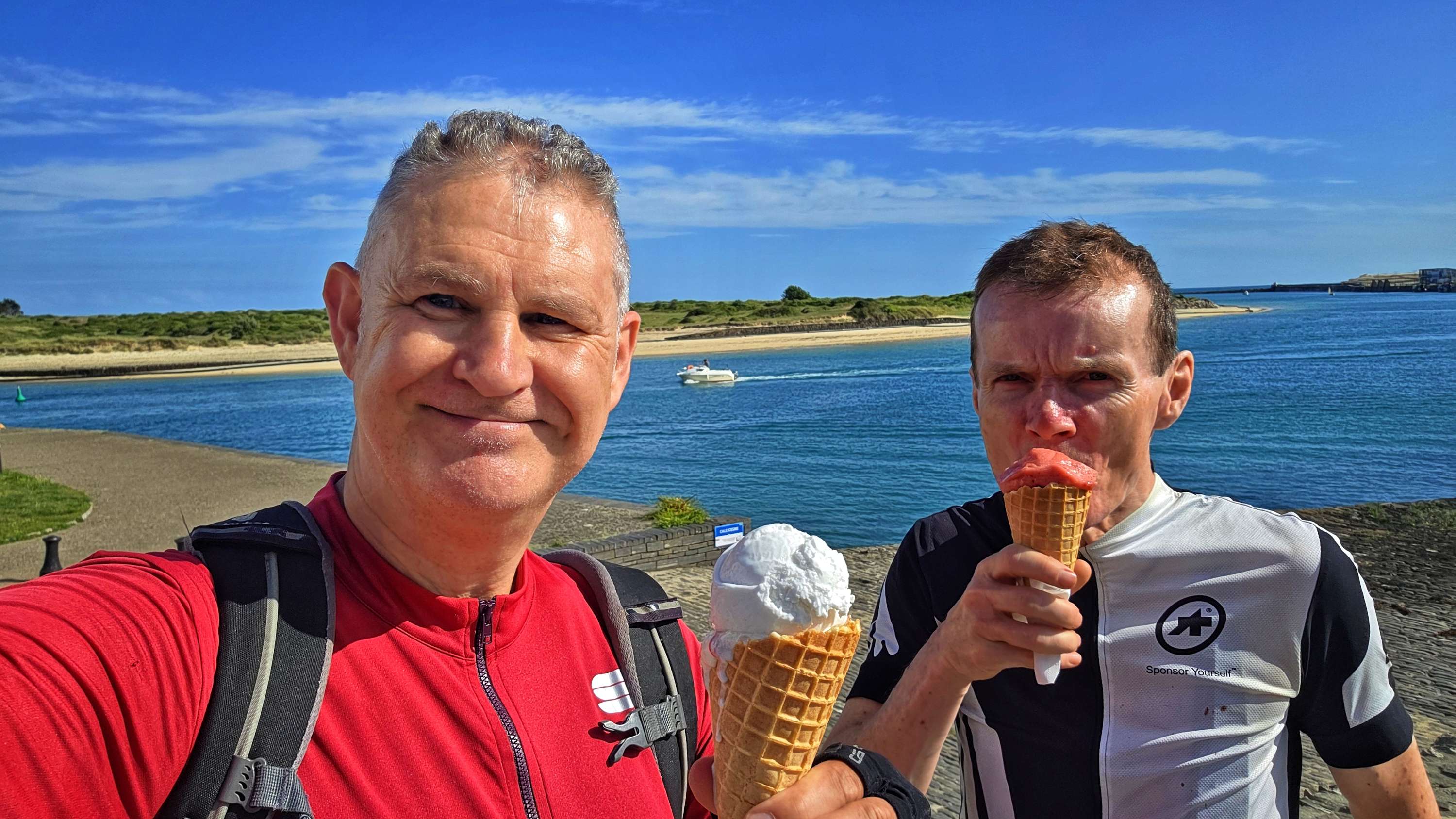
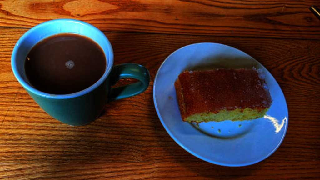
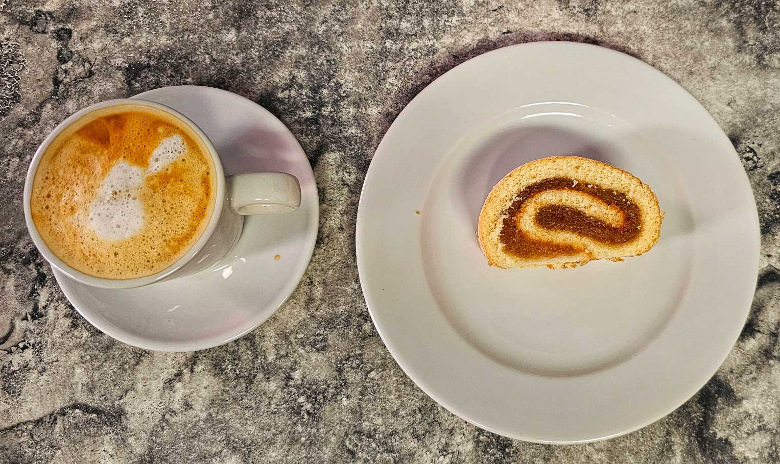
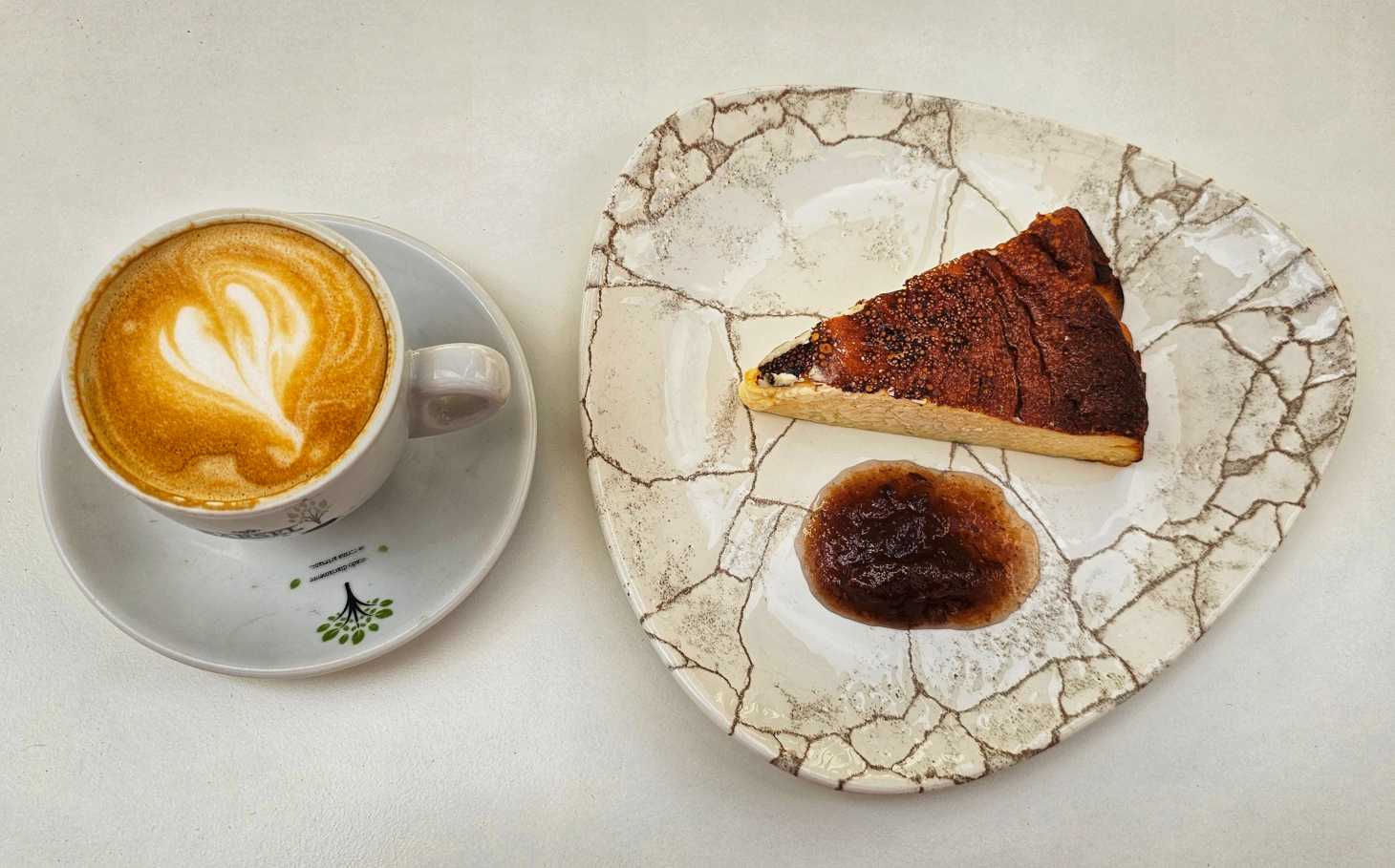
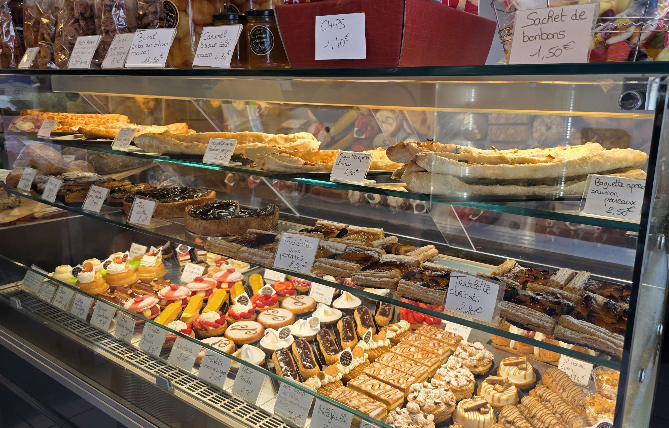
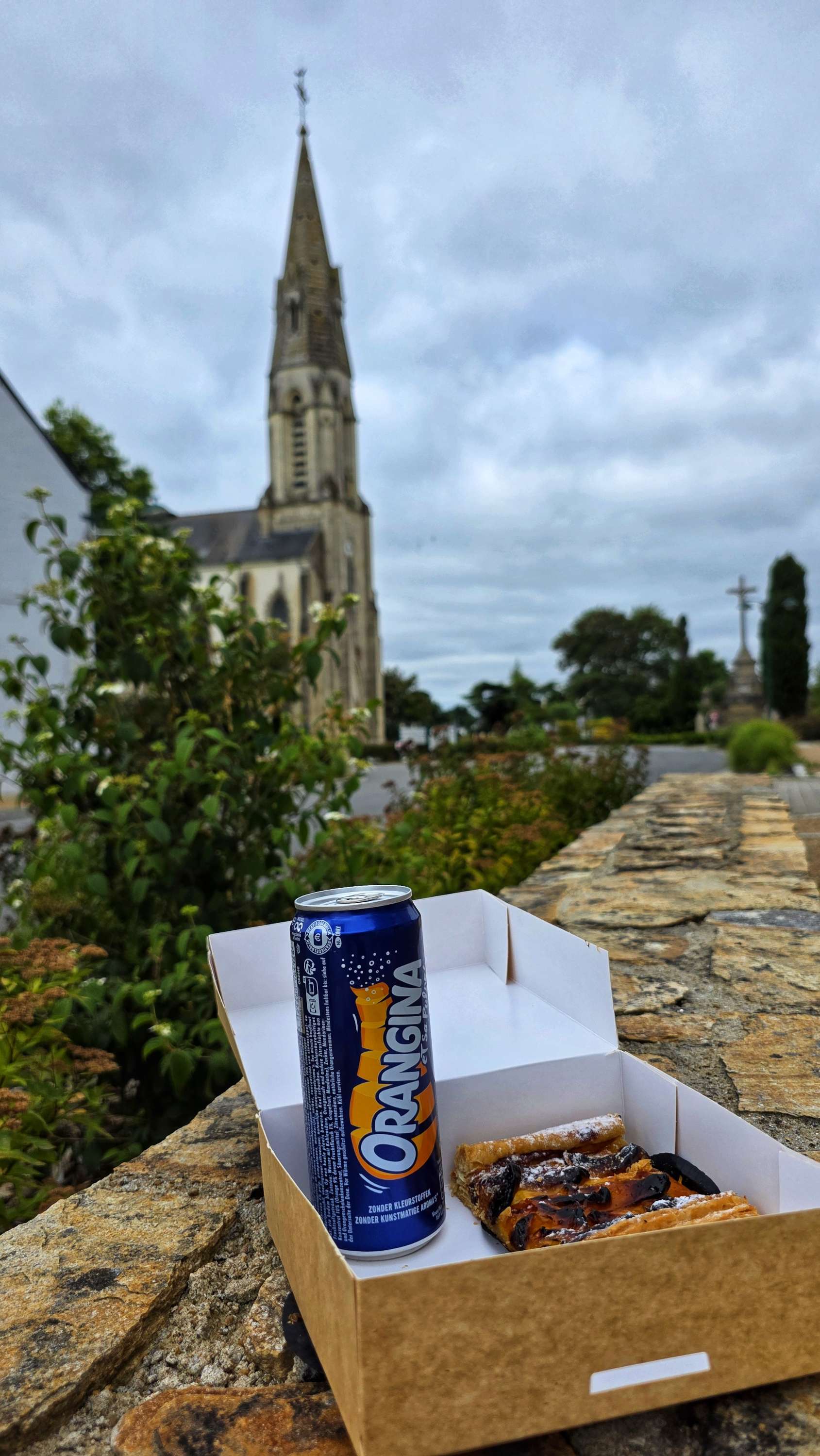
At the 22-mile point, we reached the small commune of St Anne-sur-Brivet & I spotted a patisserie, so of course we stopped to sample their wares! I chose an apricot tart which was delicious washed down with an orangina.
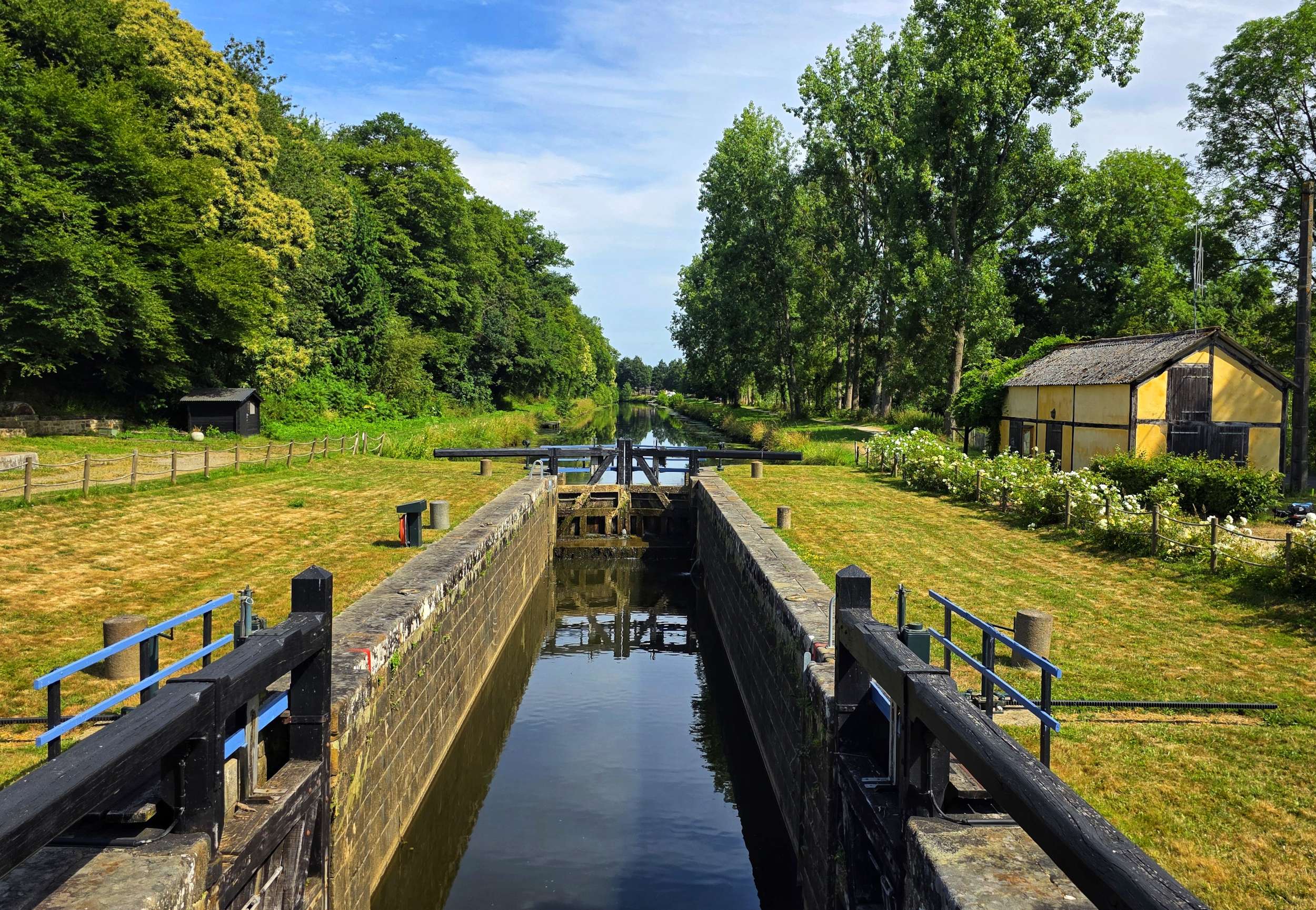
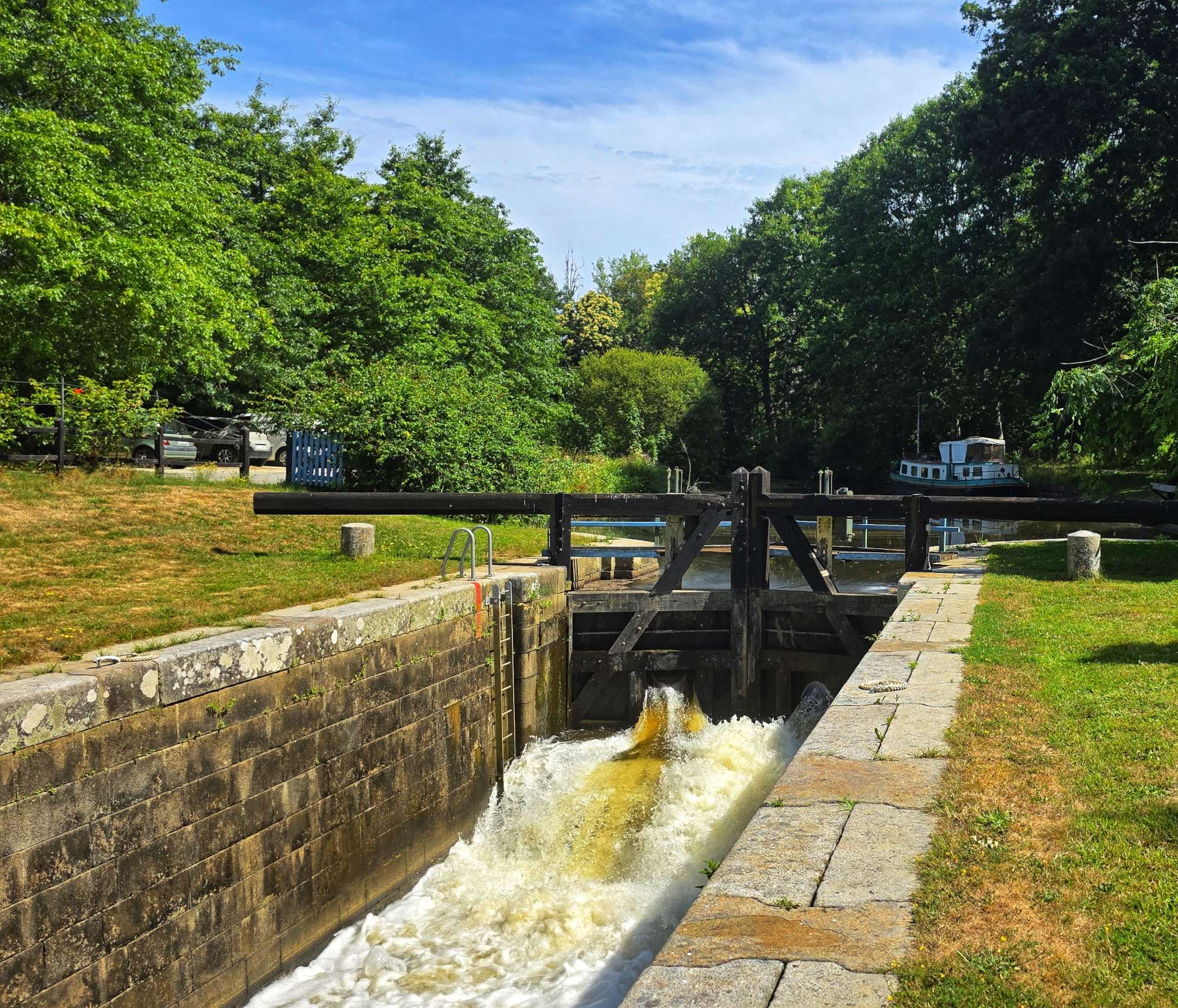
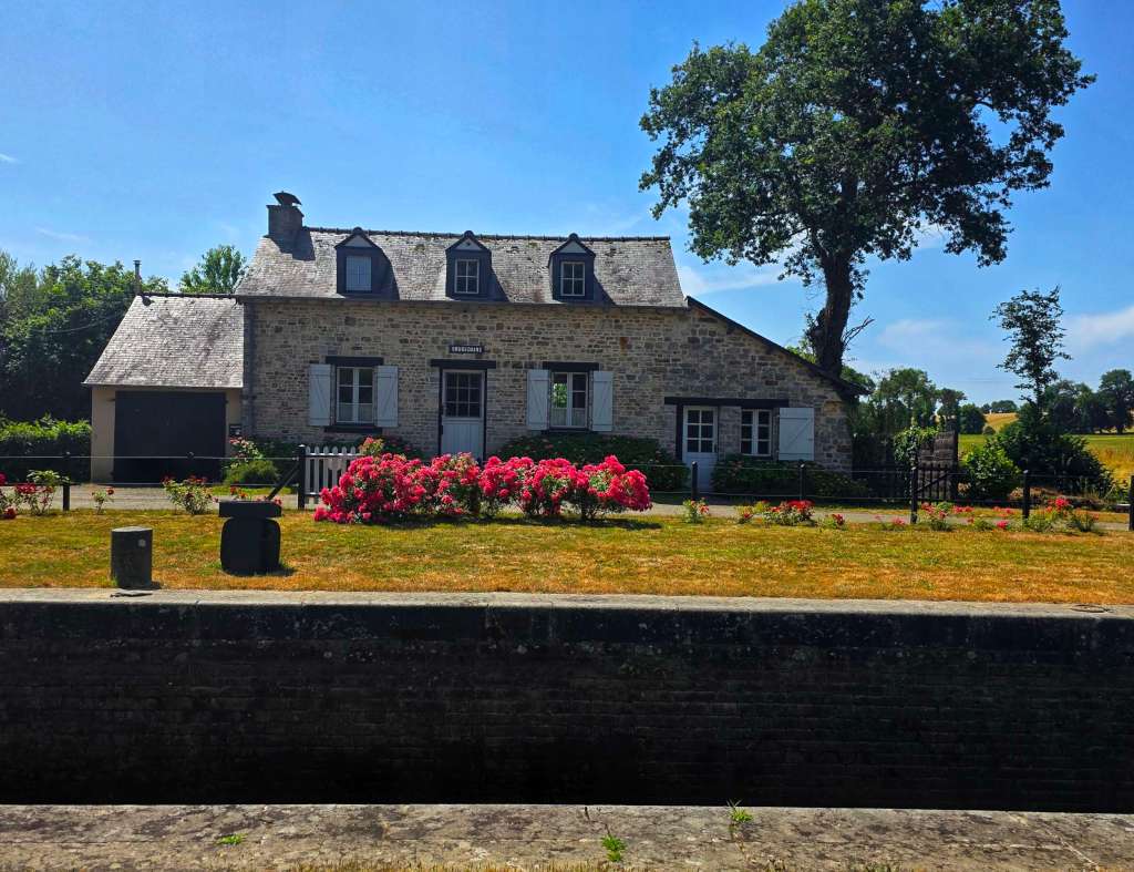
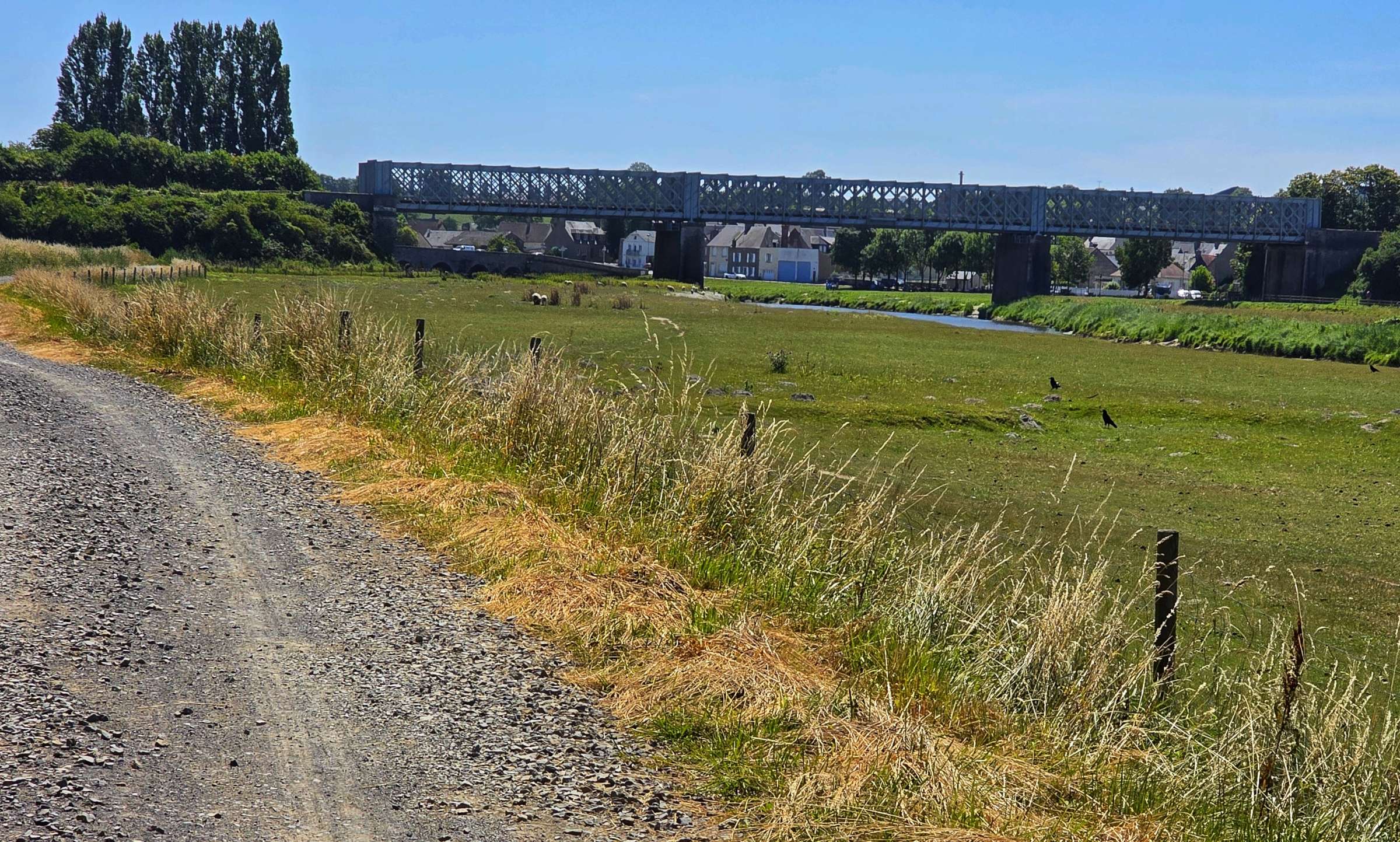
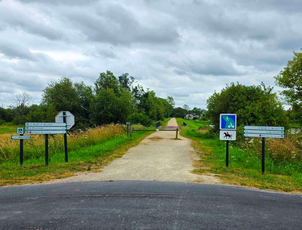
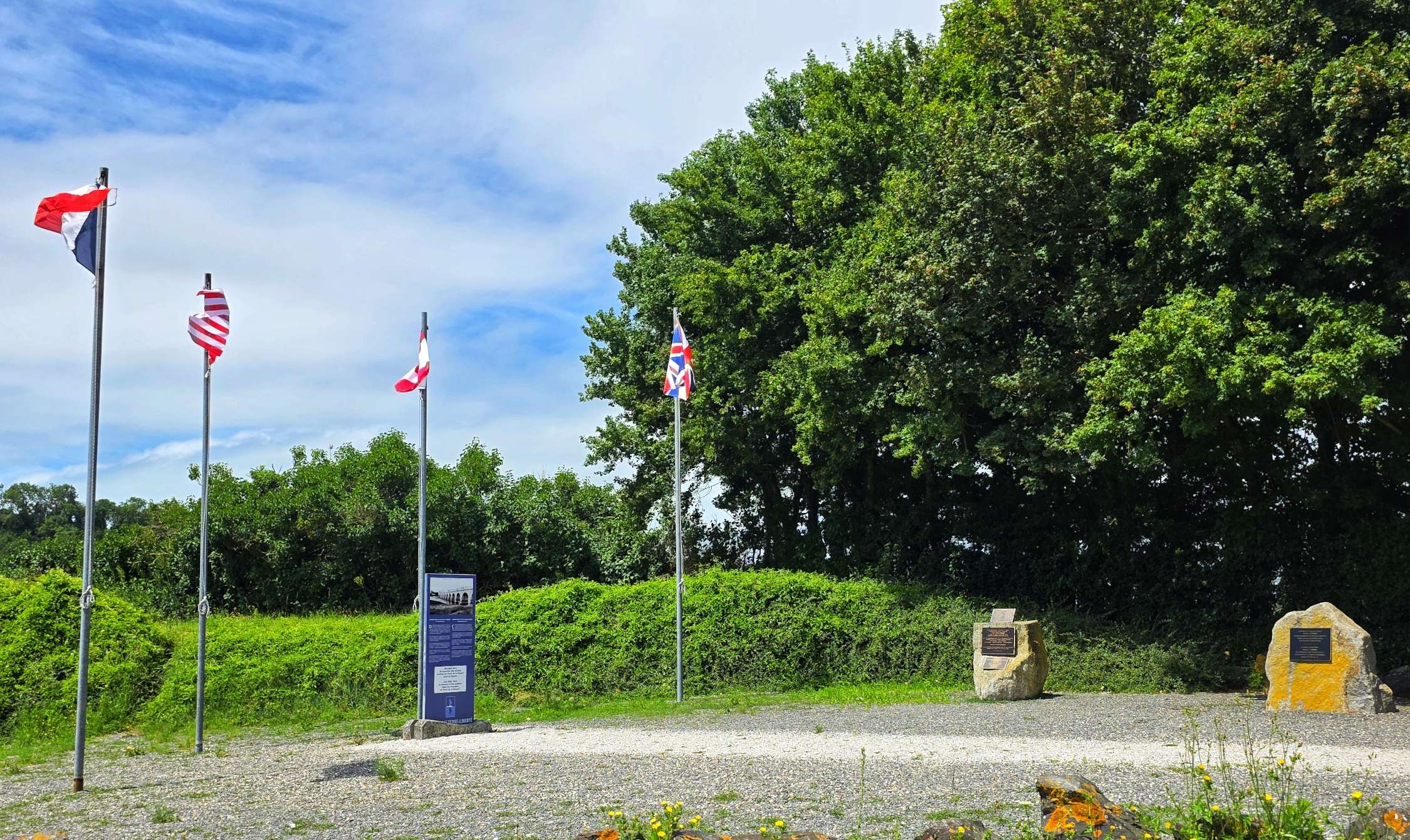
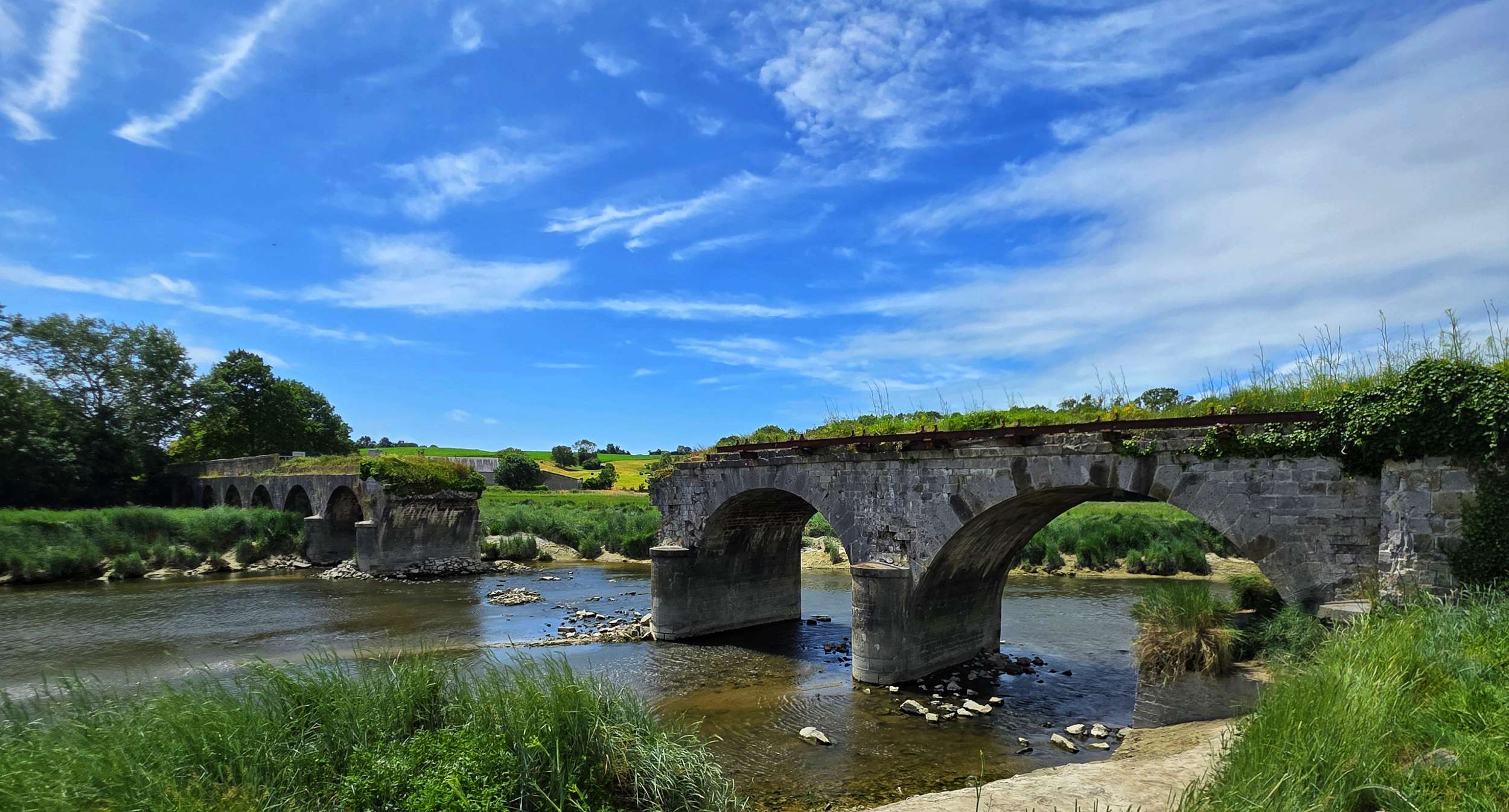
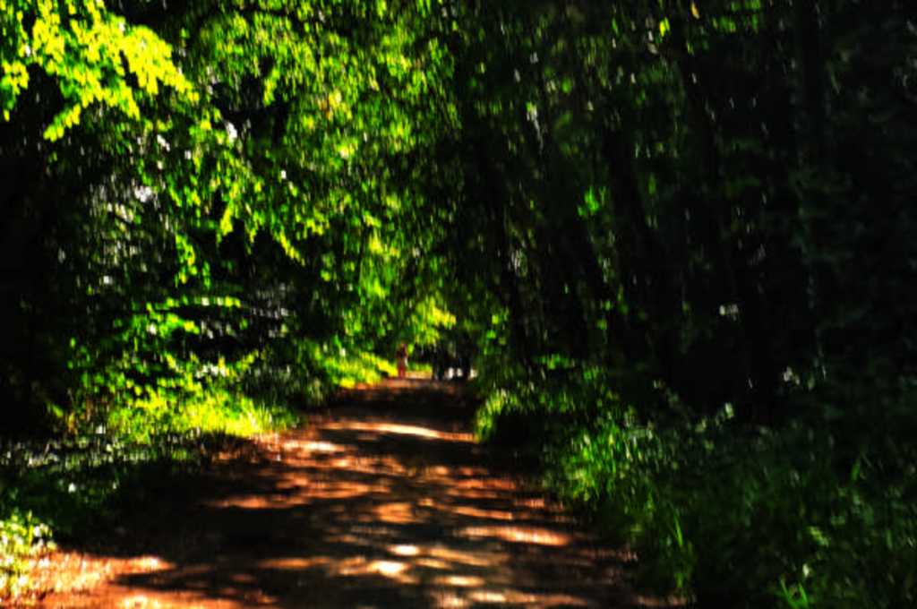
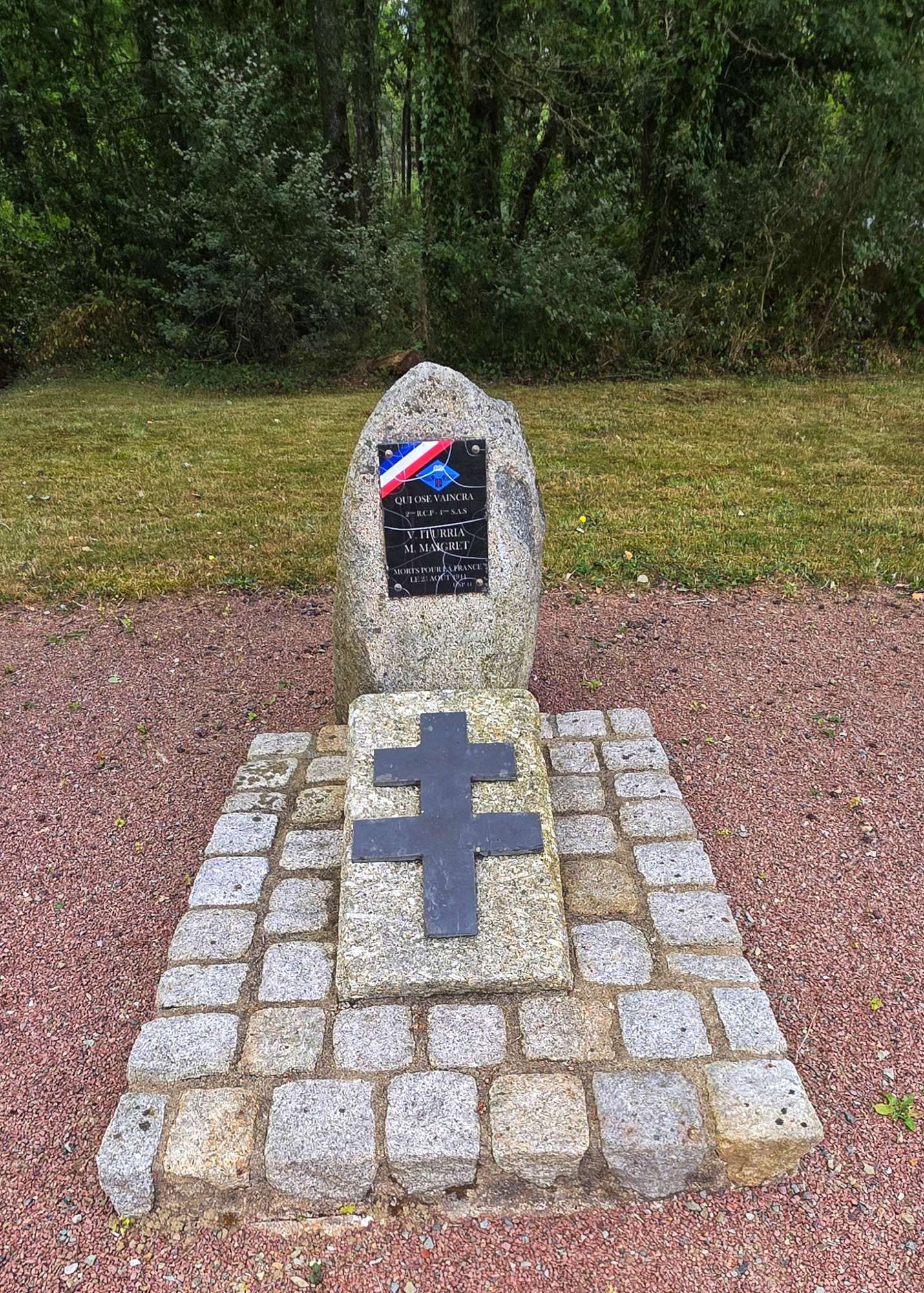
We remained on tarmac until we passed through Quilly, where we picked up some more hard-packed gravel for a couple of miles. When we re-joined tarmac, we crossed the Canal de Nantes a Brest, before finding the start of the Route Forestiere de Carheil, which was marked by a Memorial to 2 soldiers who were killed in action on 21st August 1941.
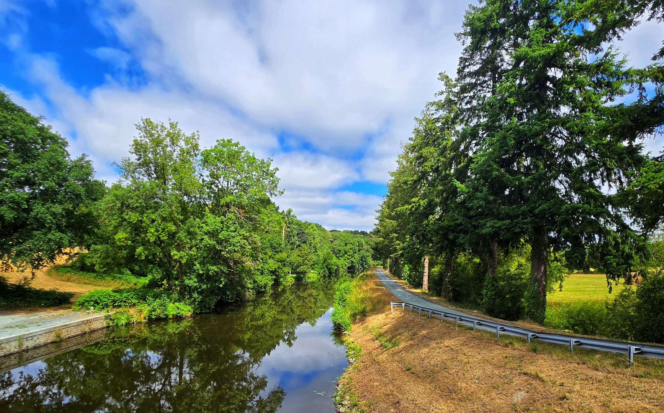
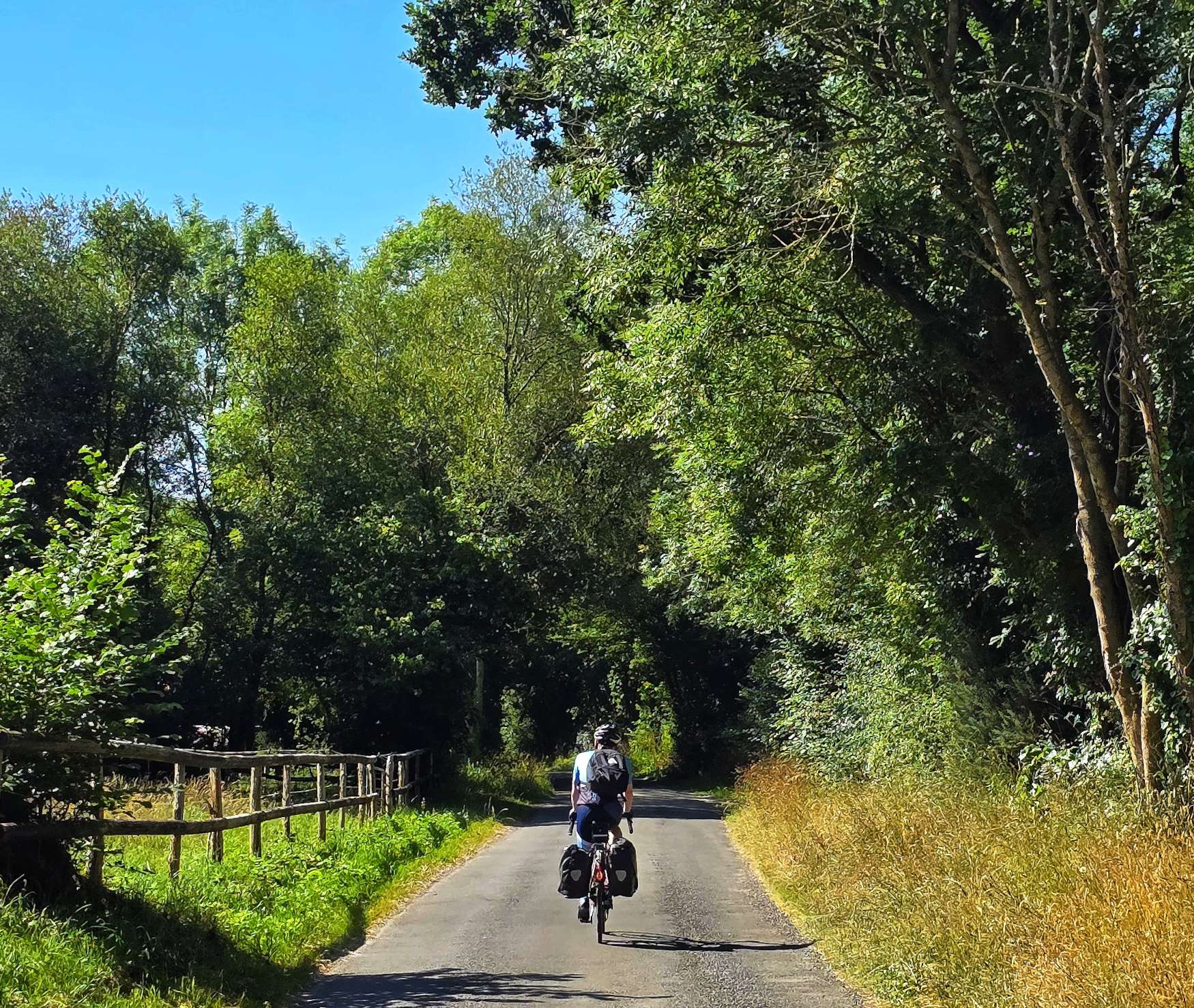
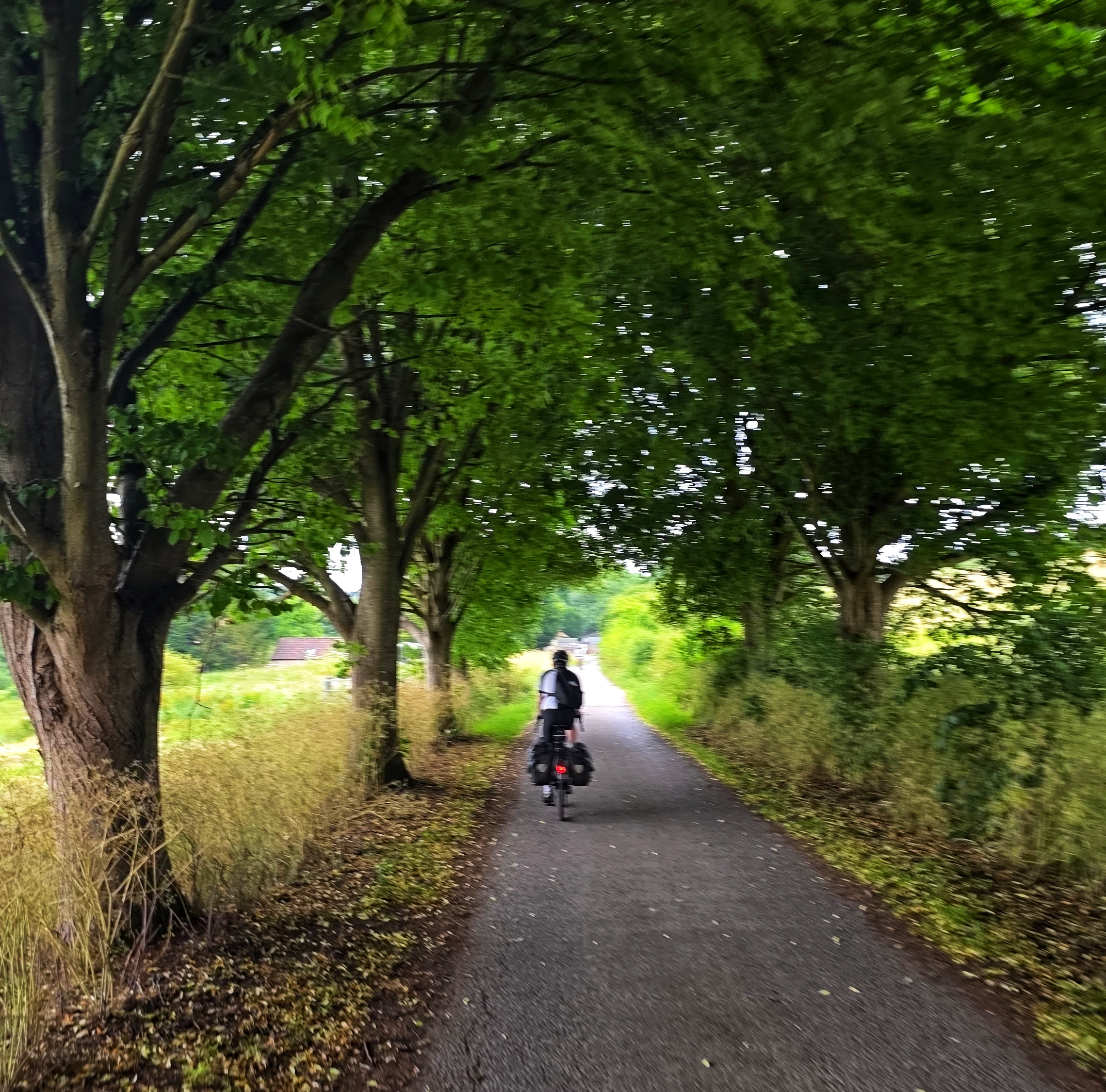
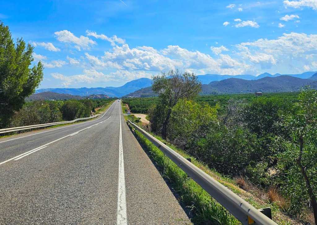
This was a beautiful stretch of tarmac which cut straight through the surrounding forest. We had some much-appreciated protection from the sun, which was now beating down on us whenever there were gaps in the trees.
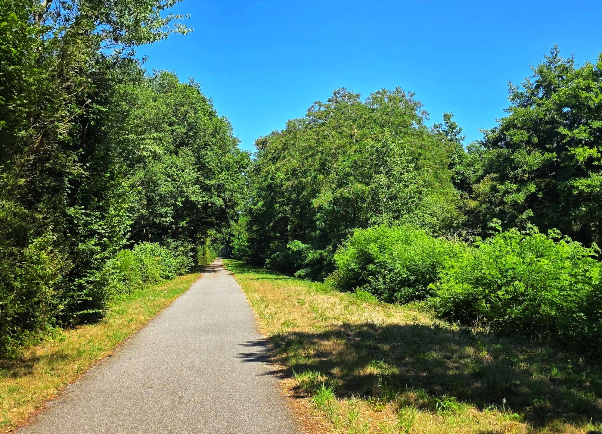
Leaving the forest behind, we joined the Ligne de Sable a Montoir de Bretagne voie verte which took as past a holiday park where children were taking advantage of the various activities on offer, while the parents watched a band.
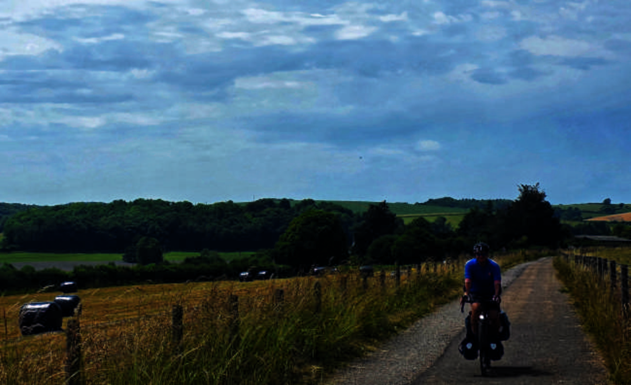
We stopped for more fluids in a supermarket at Nozay – I found the outdoor furniture section & sat down on a €65 bench for 5 minutes in the air-conditioned cool!! Sadly, I didn’t have room in my panniers to buy the bench! By now, my elbow was making me very aware that it wanted me to stop riding for the day, but we were still 20 miles from our hotel for the evening & in the middle of nowhere, so it was a case of simply keeping the pedals turning.
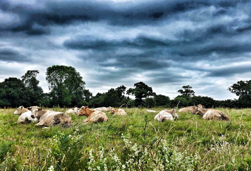
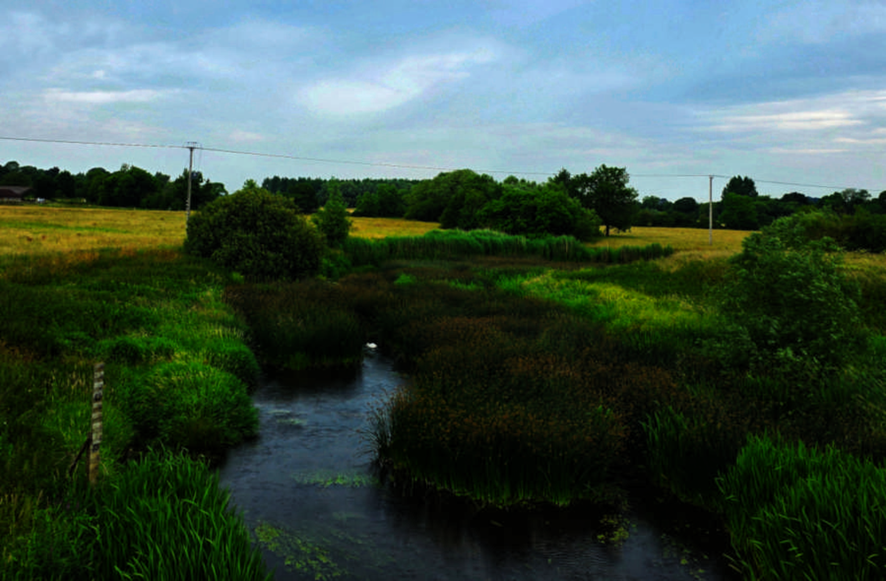
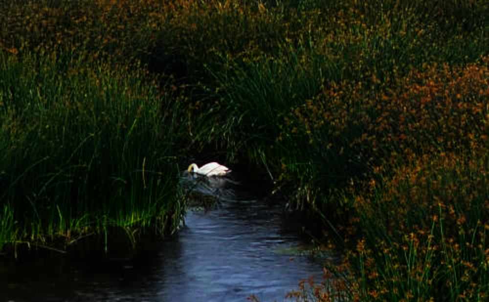
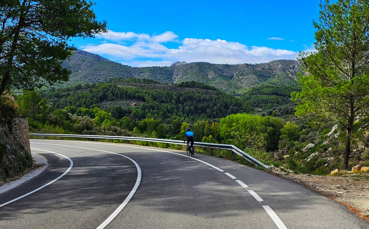
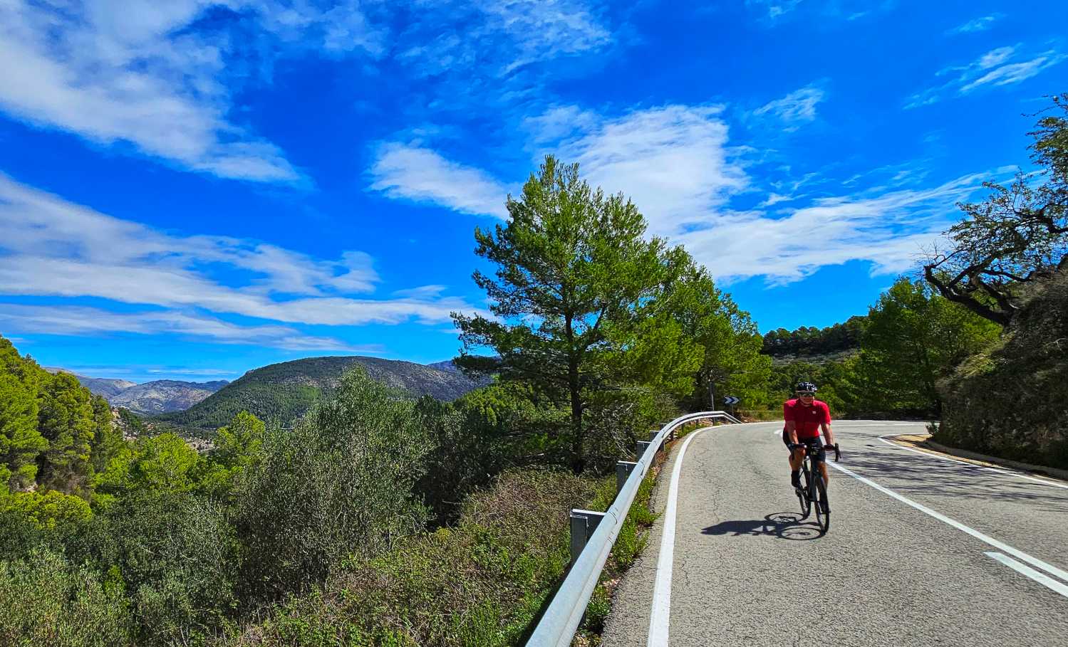
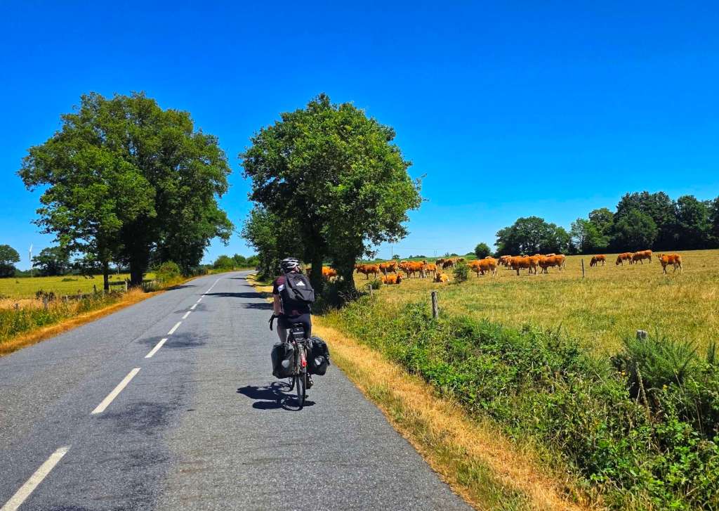
We stuck mainly to tarmac for the remainder of the route but had the roads & lanes to ourselves. We passed a field of cows who all congregated at the fence by the road to offer us encouragement to keep moo-ving (sorry!)
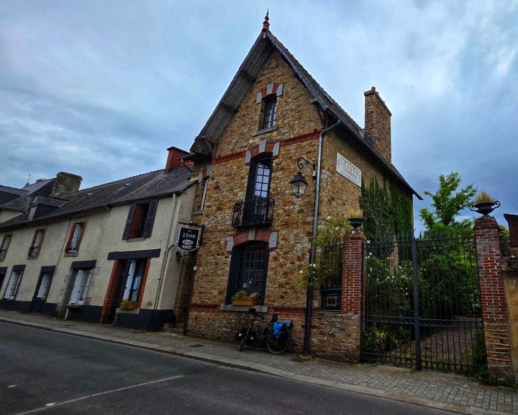
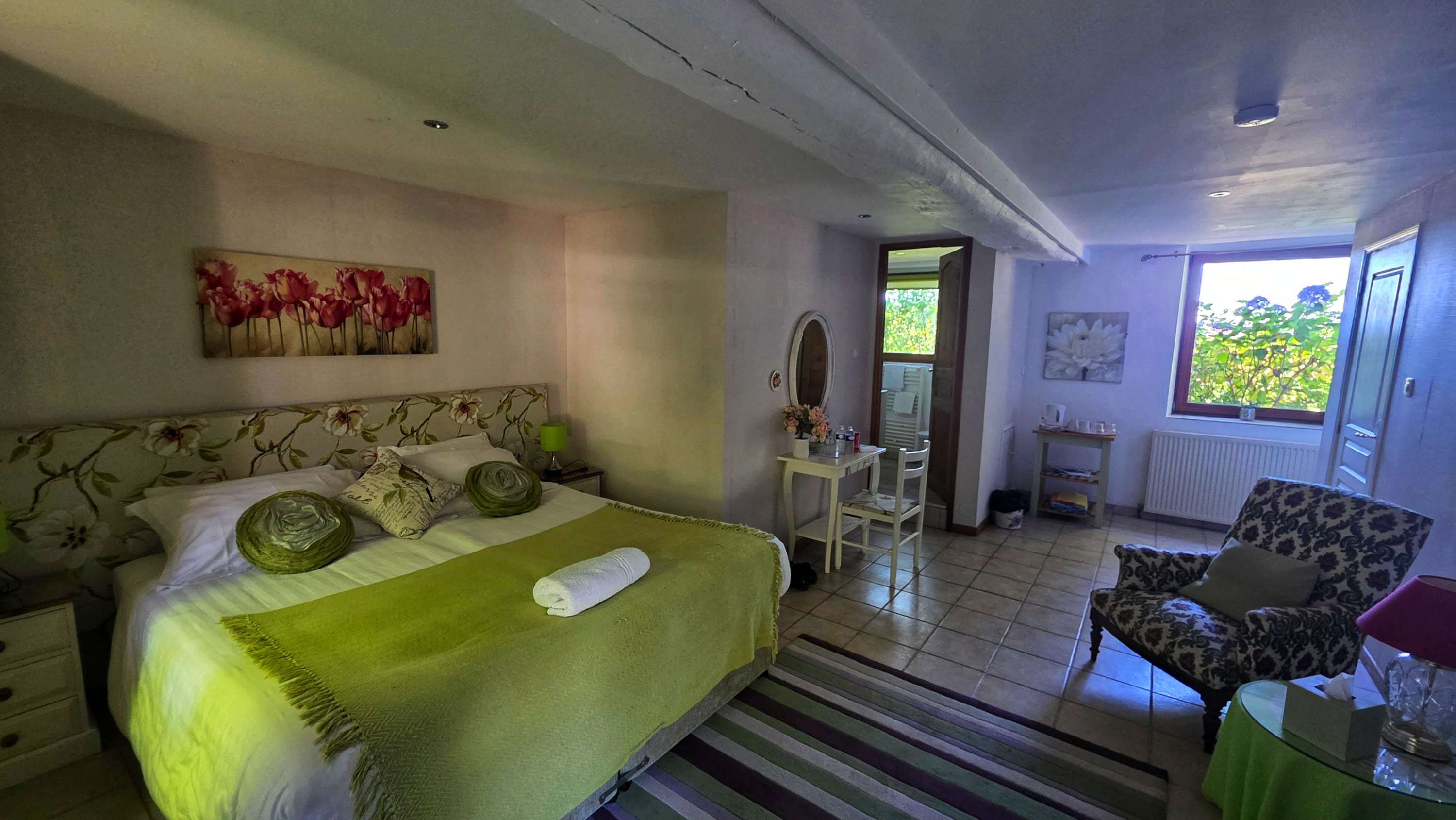
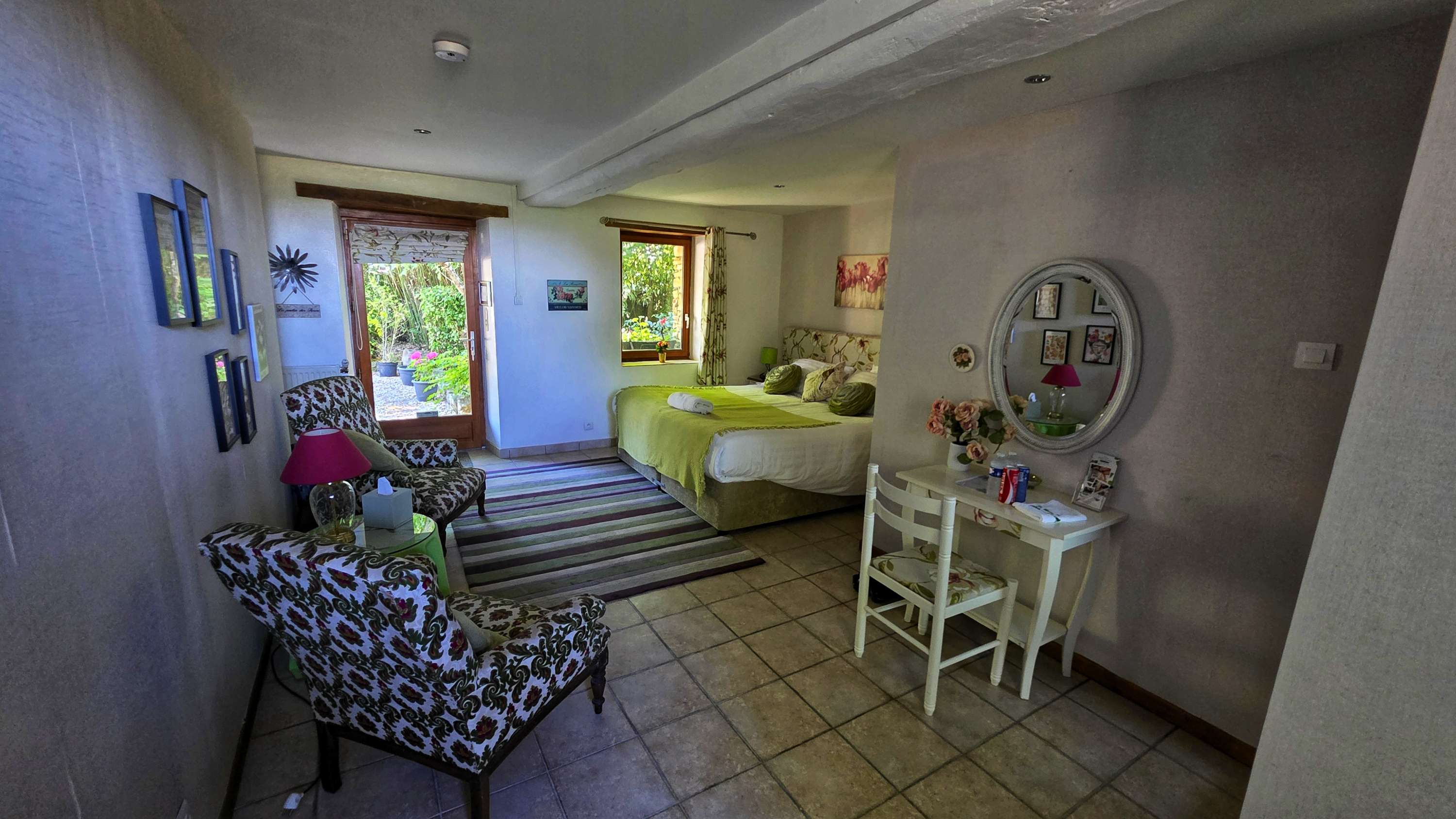
Passing through Chateaubriant, we were on the home stretch, 1 final section of cycle track before arriving at our Chambres d’Hote for the evening called La Marmoire, just outside Soudon.
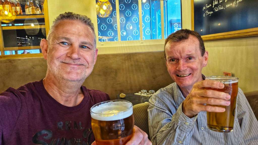
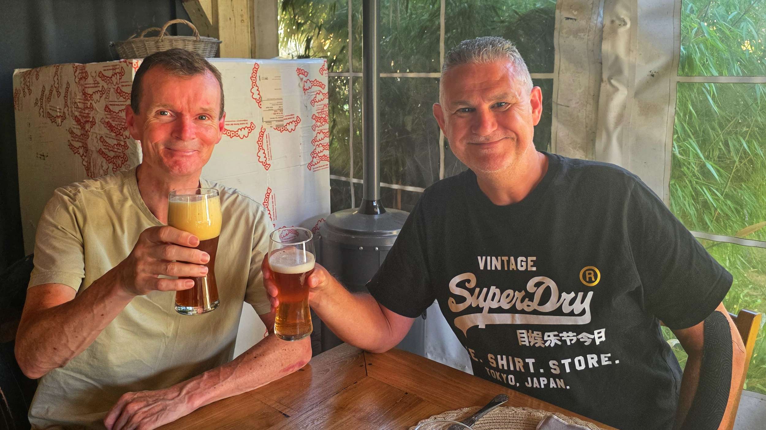
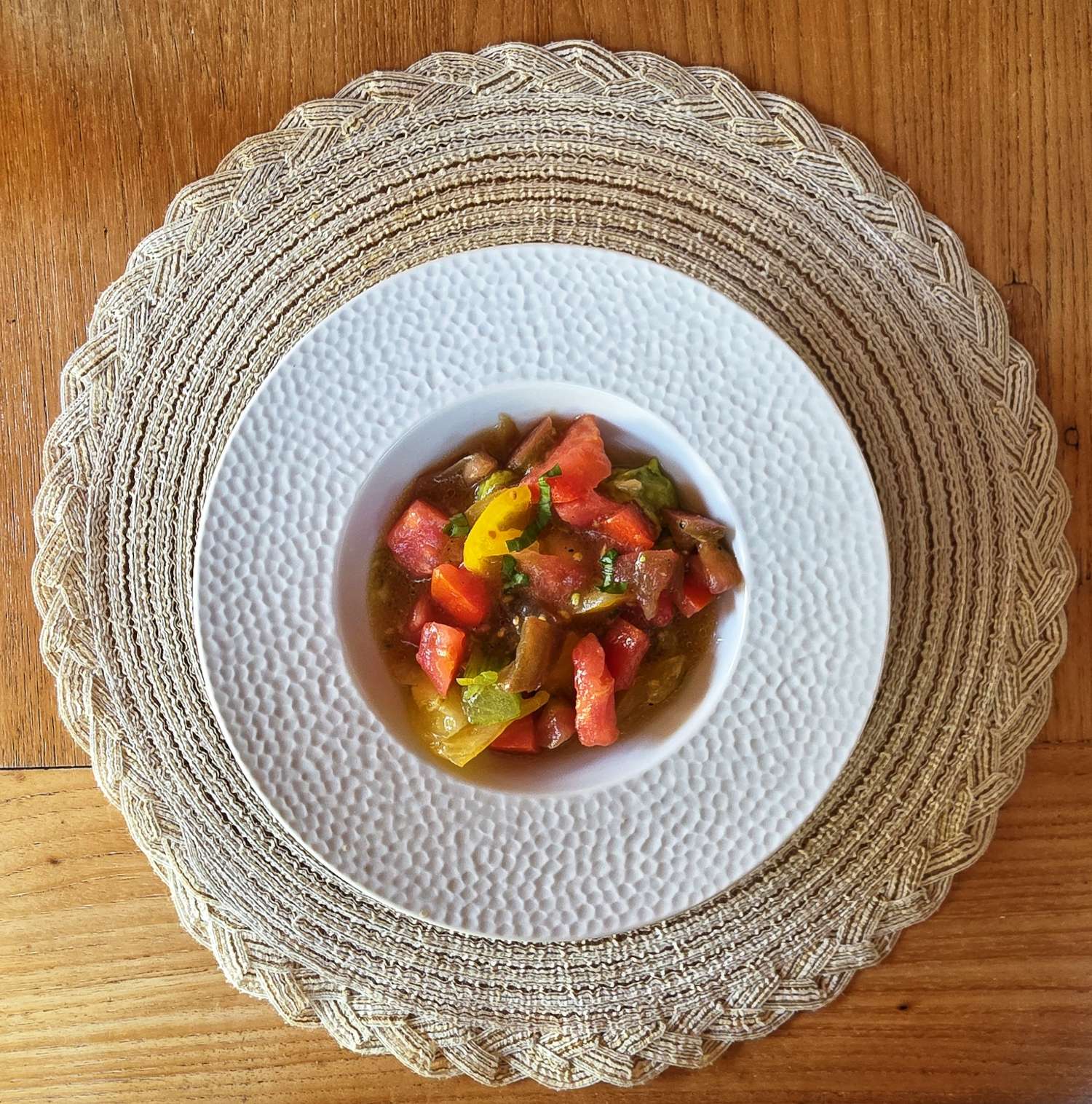
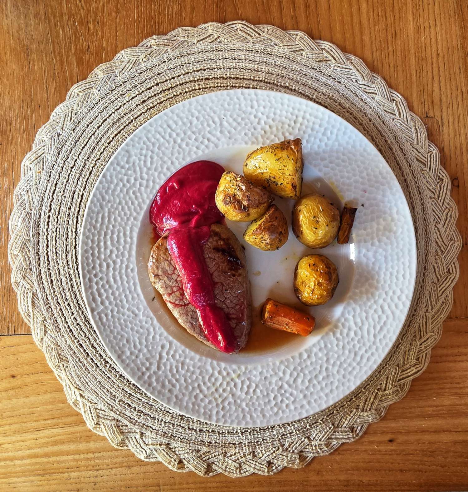
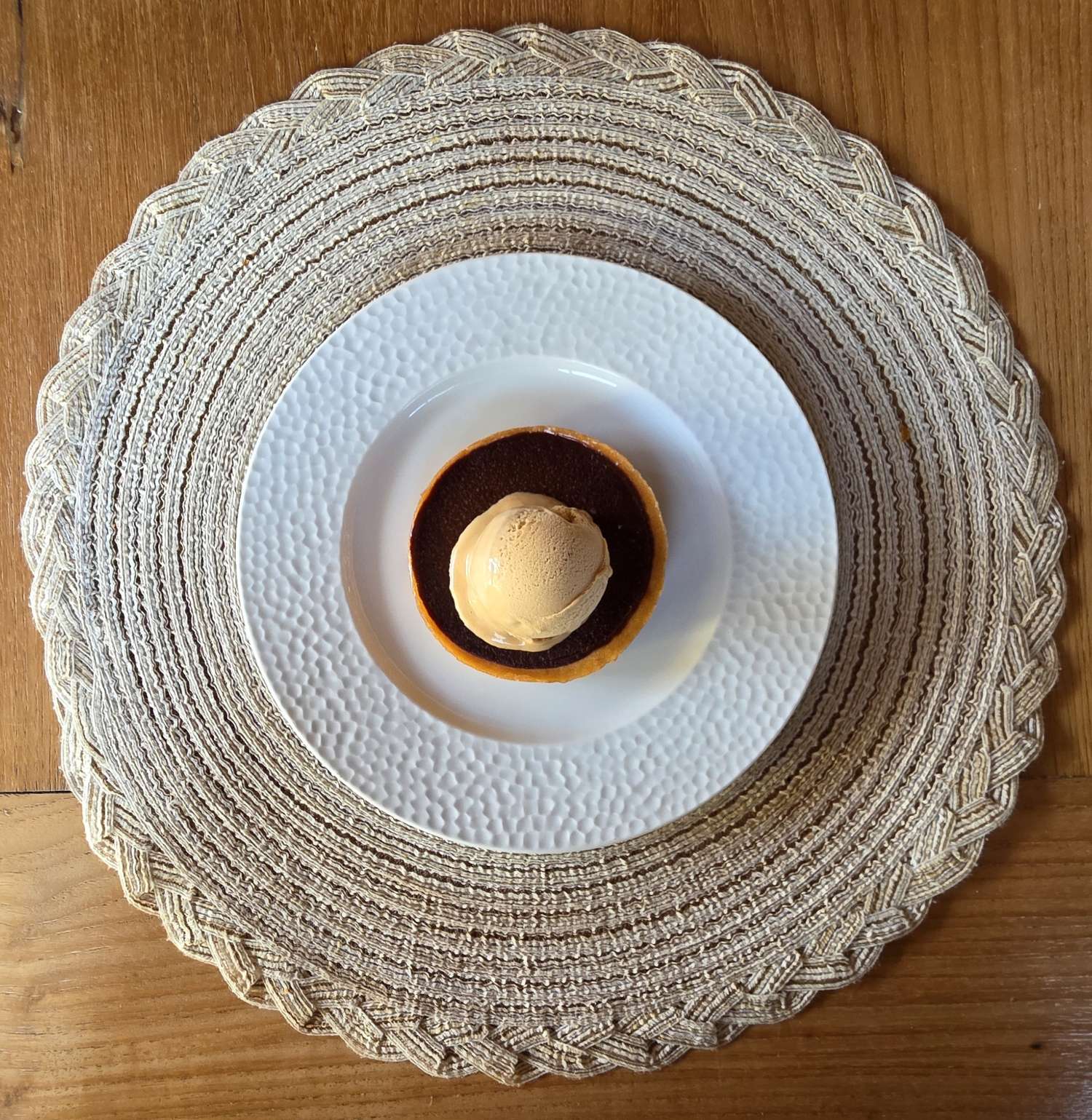
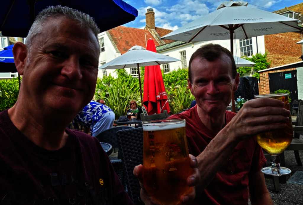
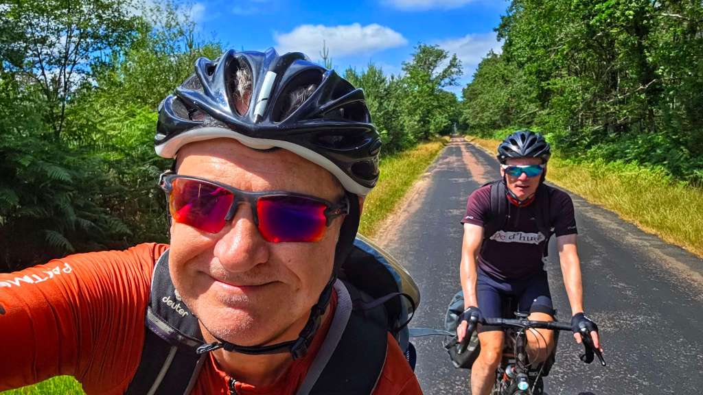
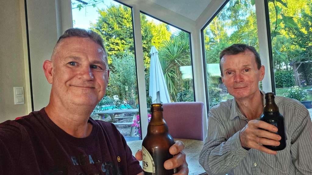
We’ve just finished a 3-course plat du jour of prawn & avocado salad, poulet with vegetables & rice, followed by tartlette d’abricot – it was delicious! We also made some new French friends – Eric was on a short cycling trip with his daughter Alice & luckily their English was significantly better than our French & we had a thoroughly enjoyable evening.
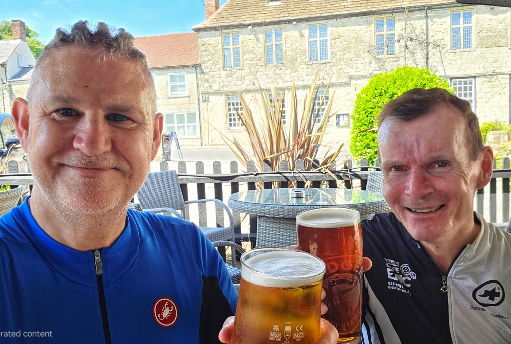
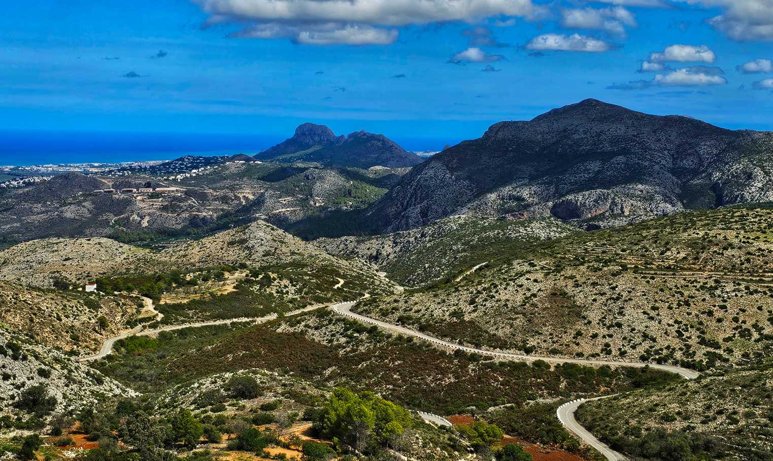
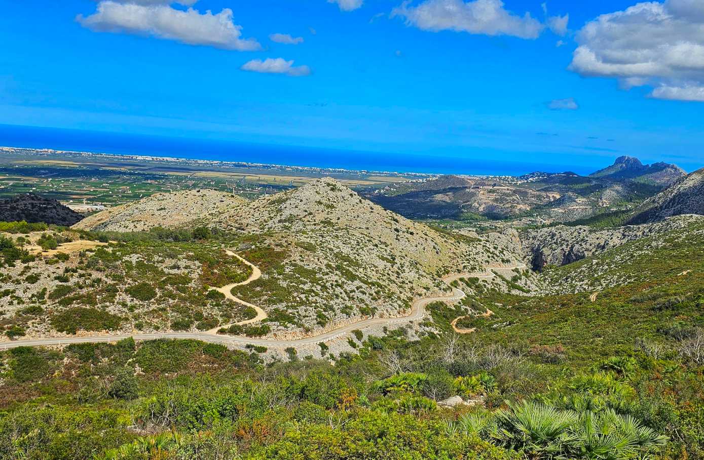
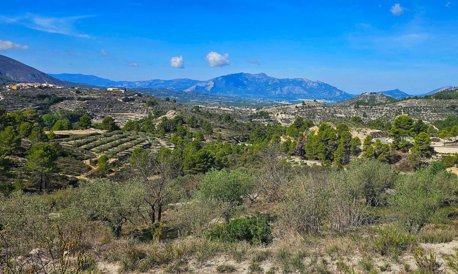
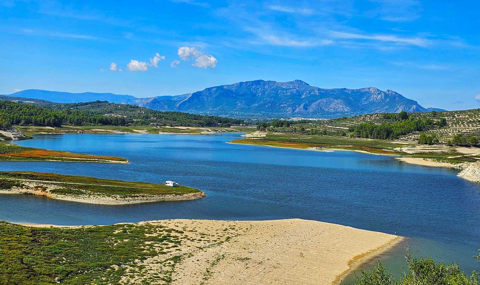
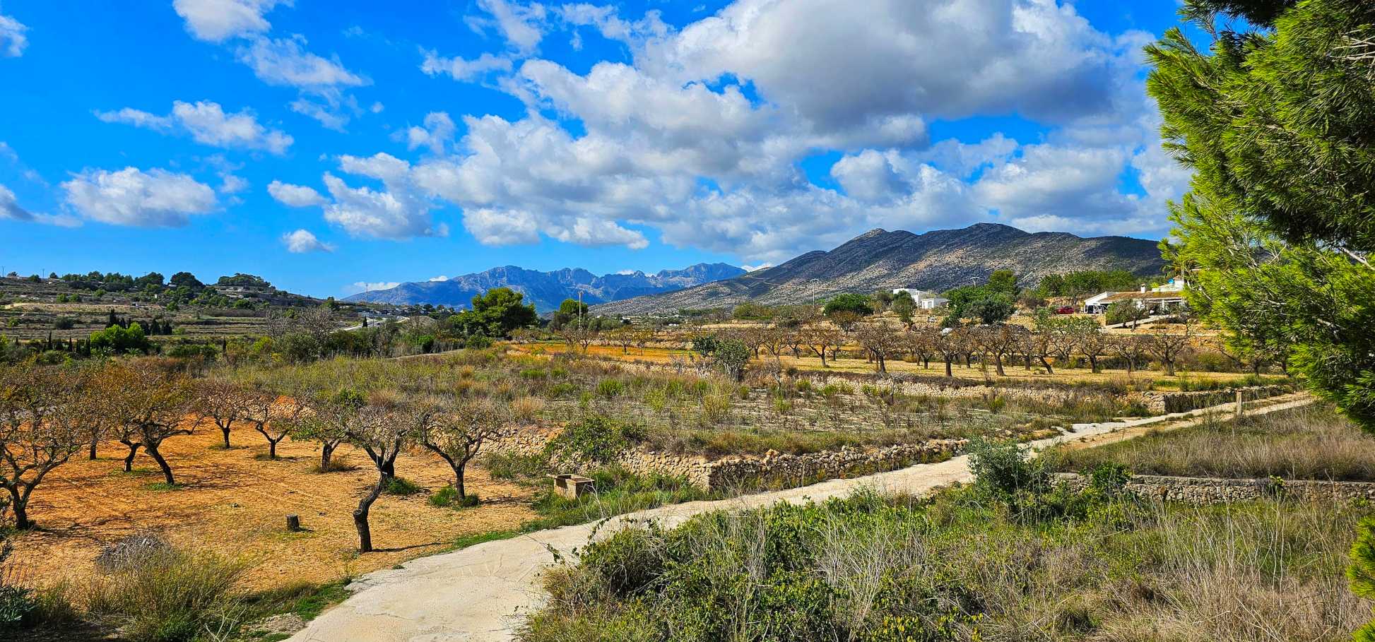
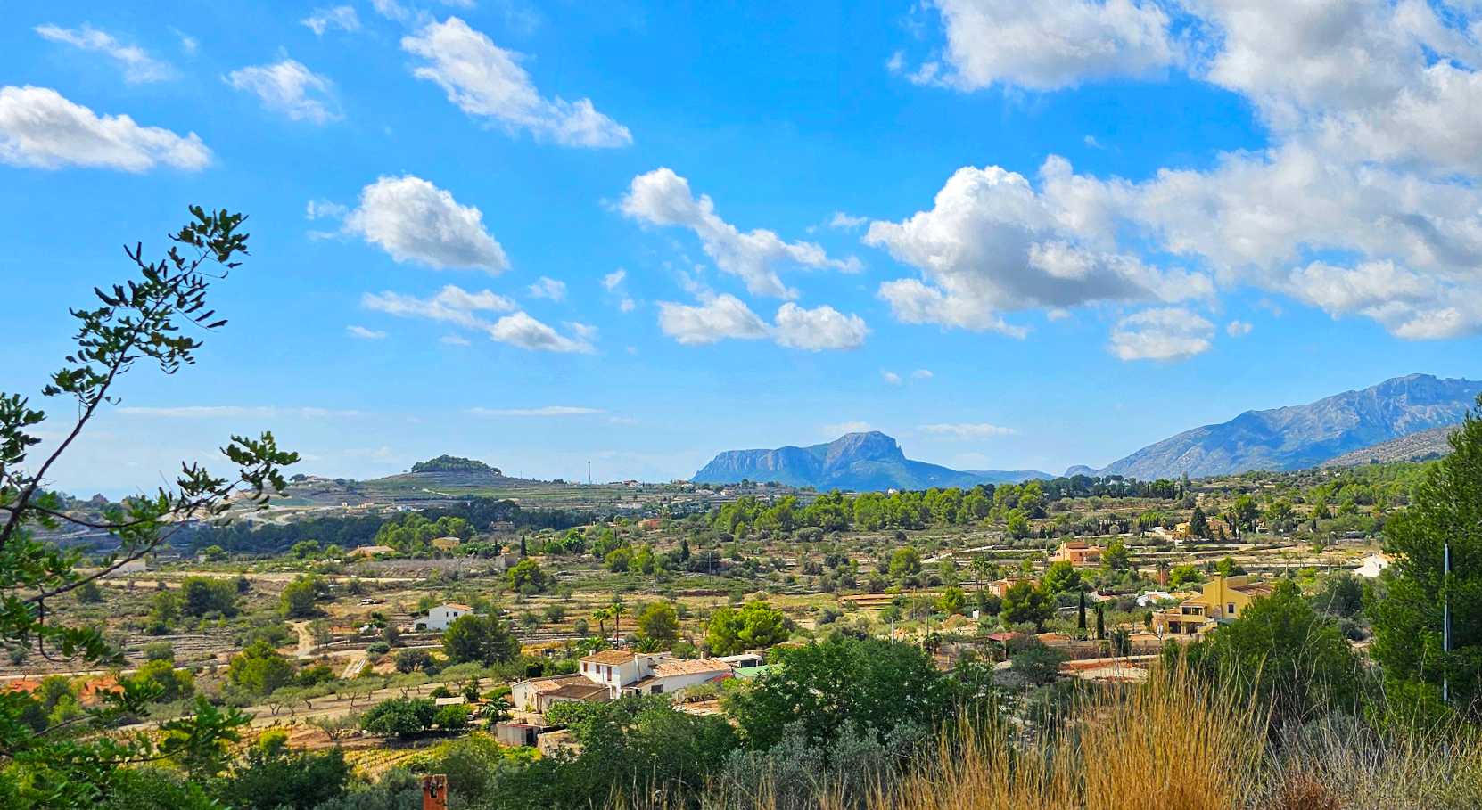
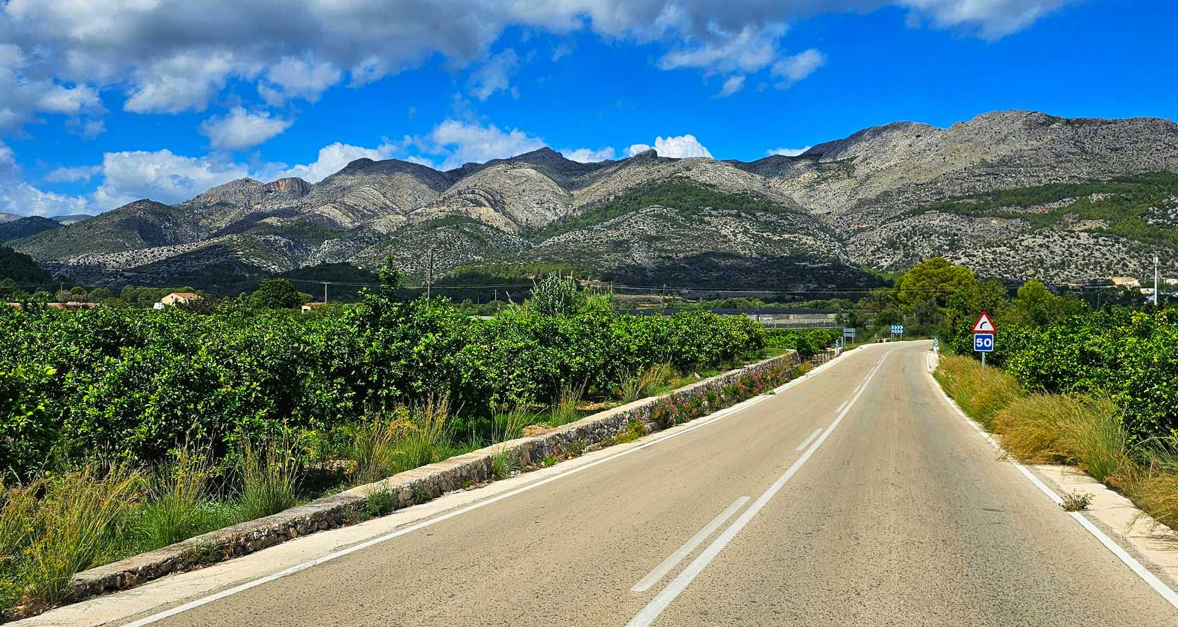
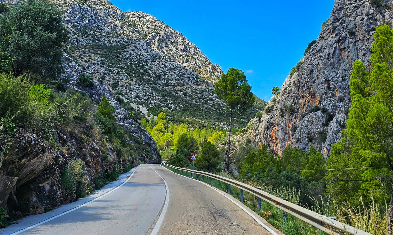
Saint-Nazaire to Soudon was 68 miles in length with 1,900 feet of climbing. We had another great day exploring a beautiful part of France. The landscape & scenery continue to impress, so here’s to more of the same tomorrow.