Lincoln to Darby

No Cathedral in Lincoln, Nor donkeys in Darby – Friday 3rd to Sunday 5th June

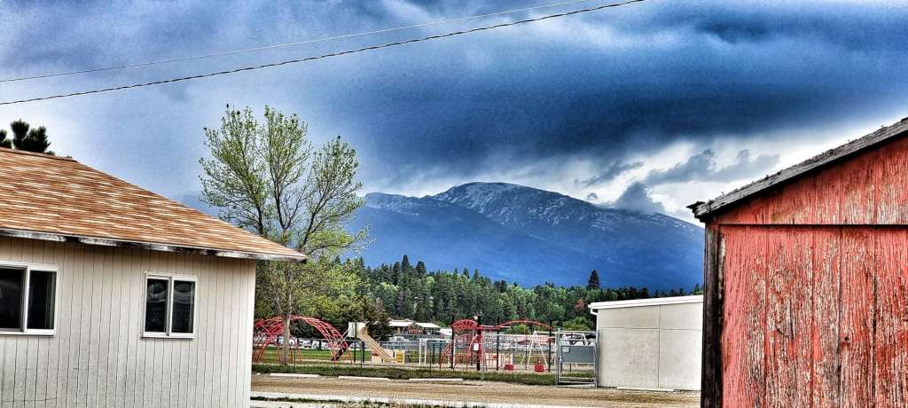
Friday 3rd June – Lincoln, Rest Day

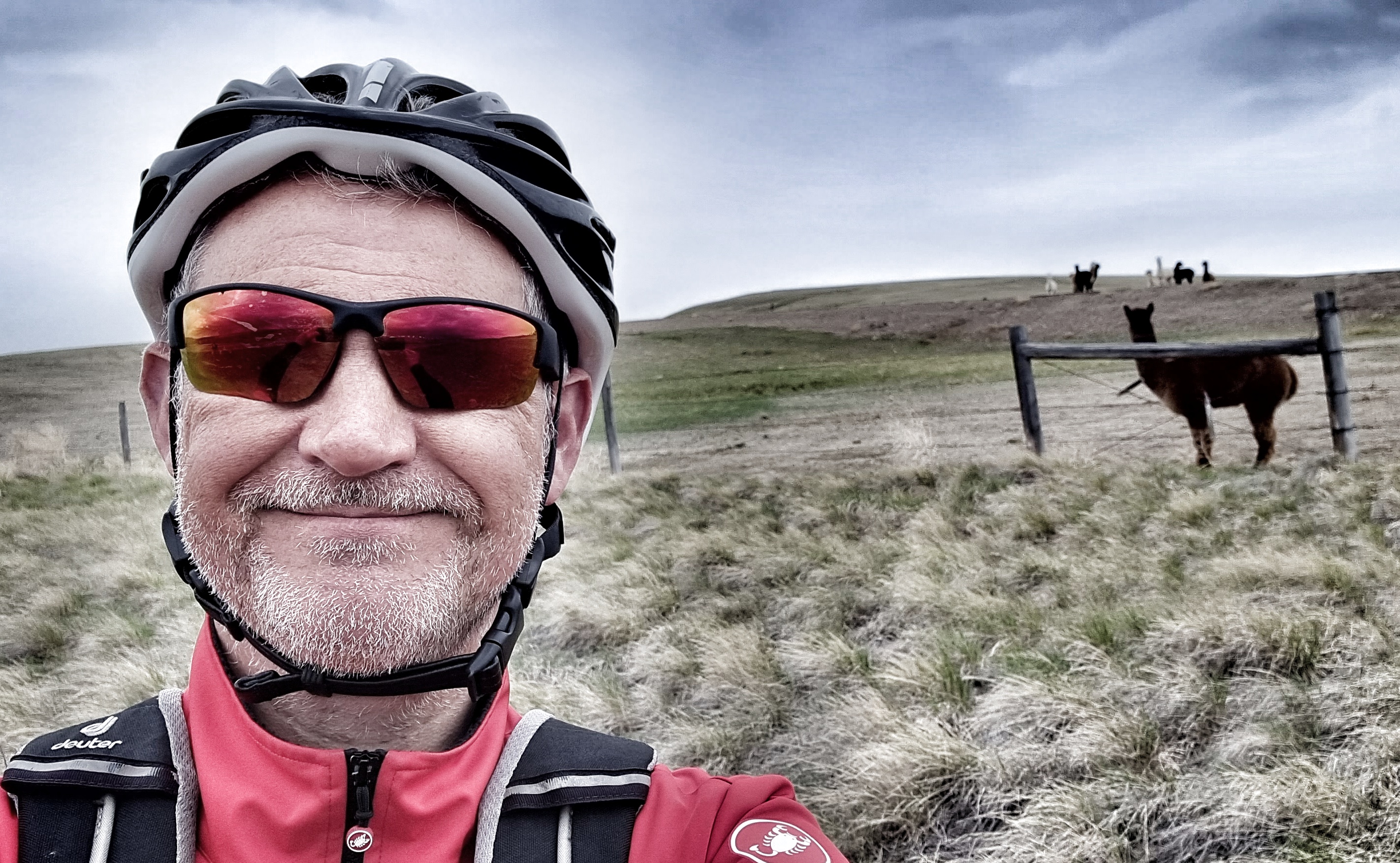
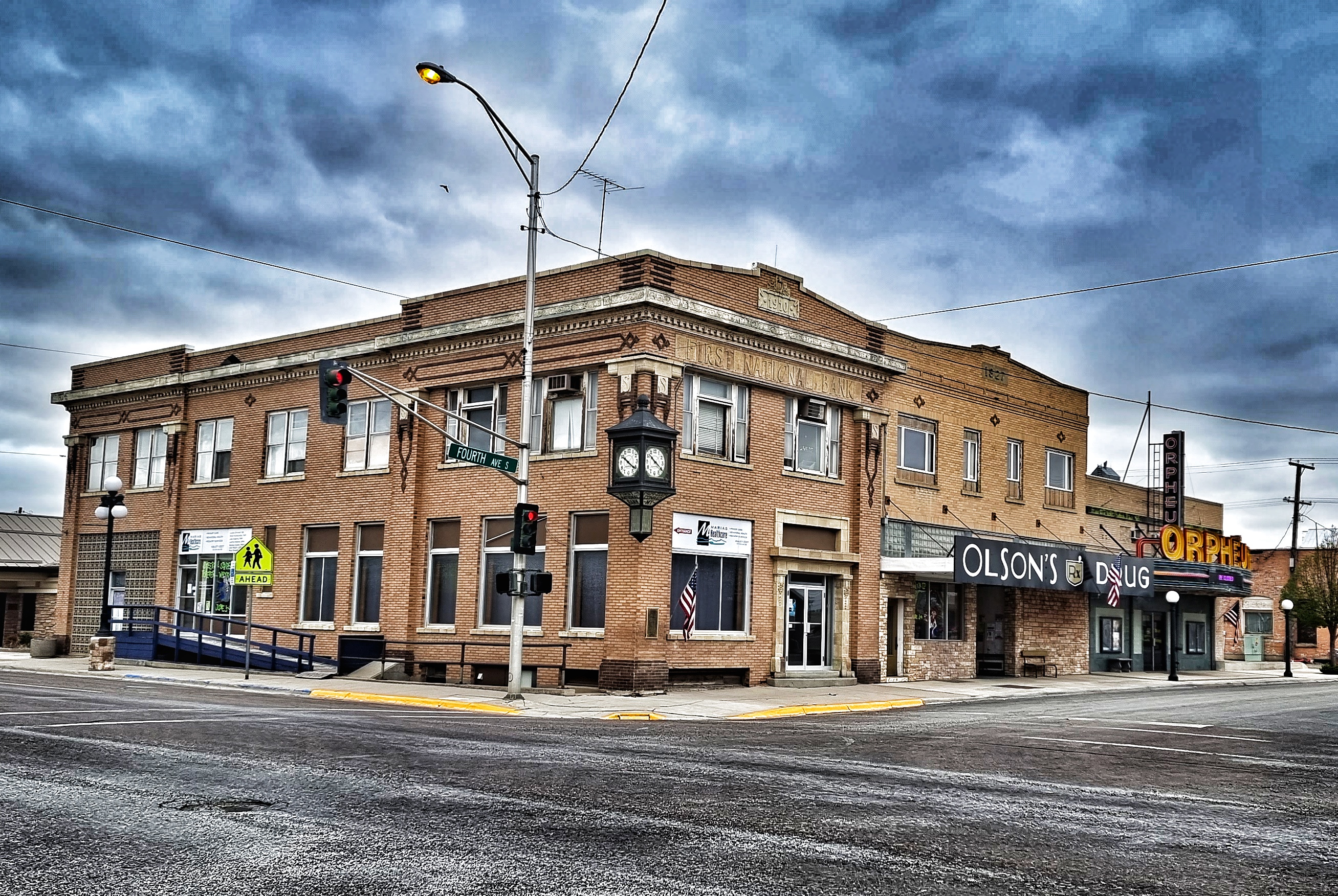
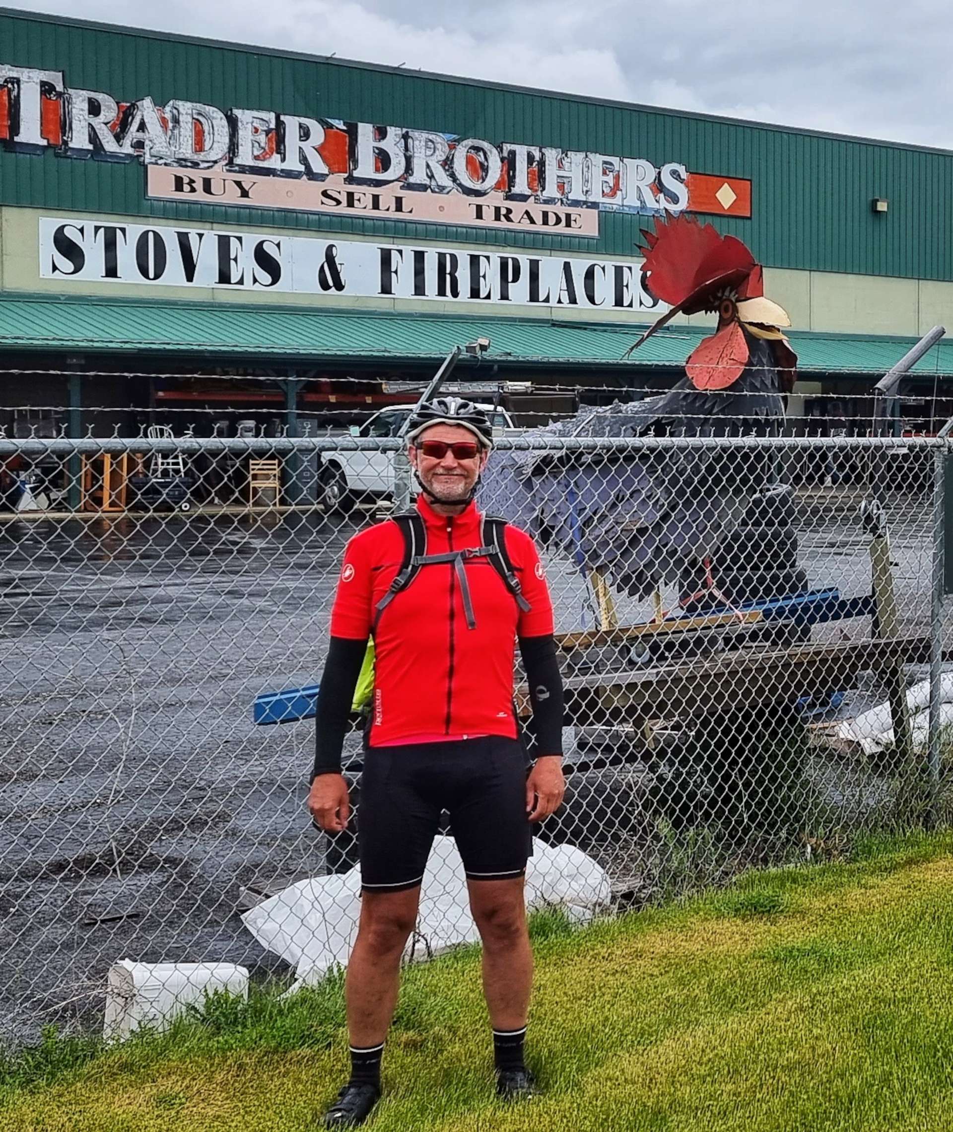
We managed to get all the laundry done last night at a small laundromat on Huckleberry Trailer Court – a very kind chap helped me out with change when I foolishly put our kit (& money) in a dryer that was broken! That meant today was a chance to relax & explore the small town of Lincoln.

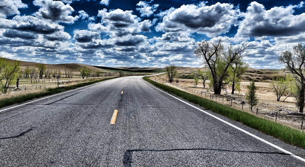
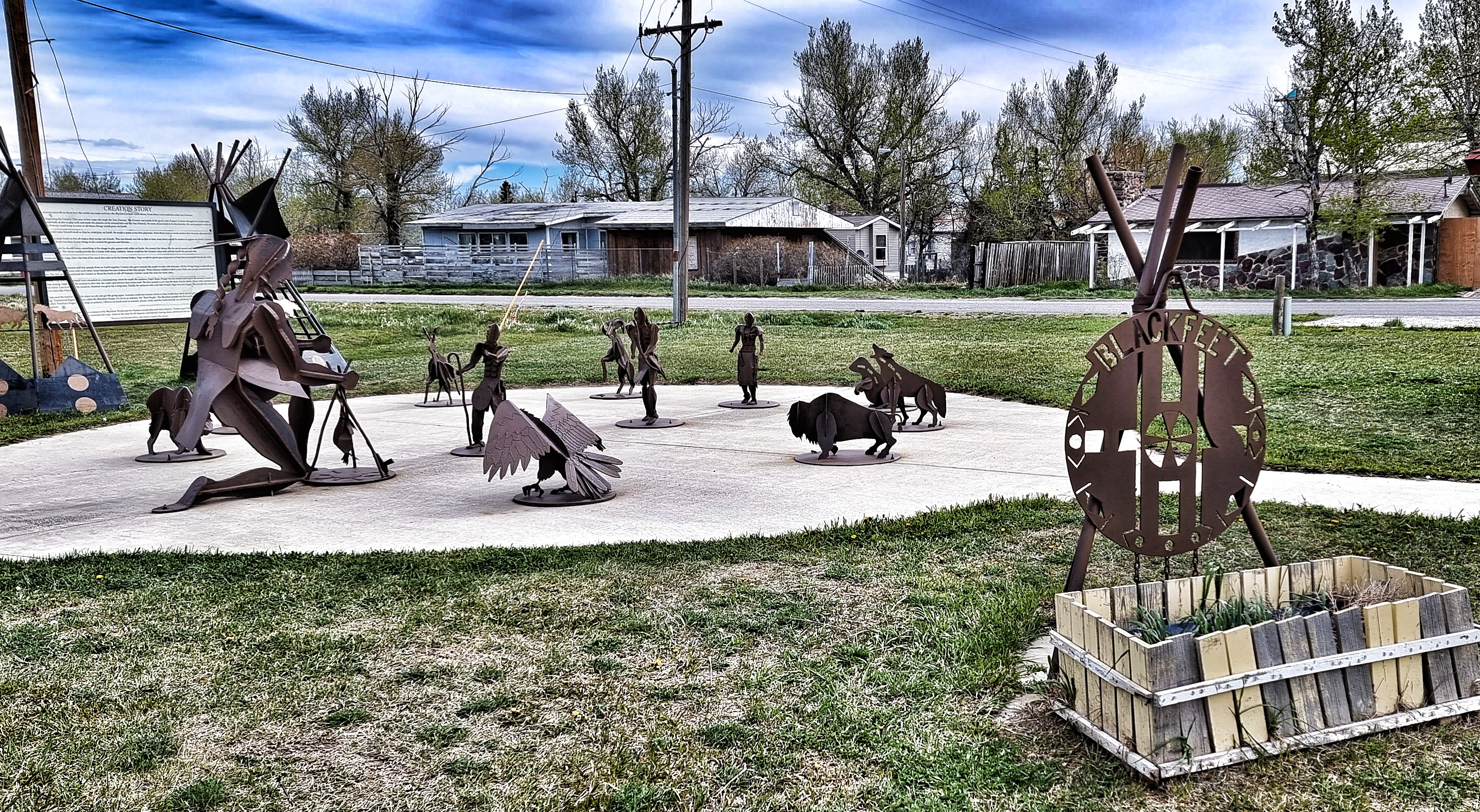
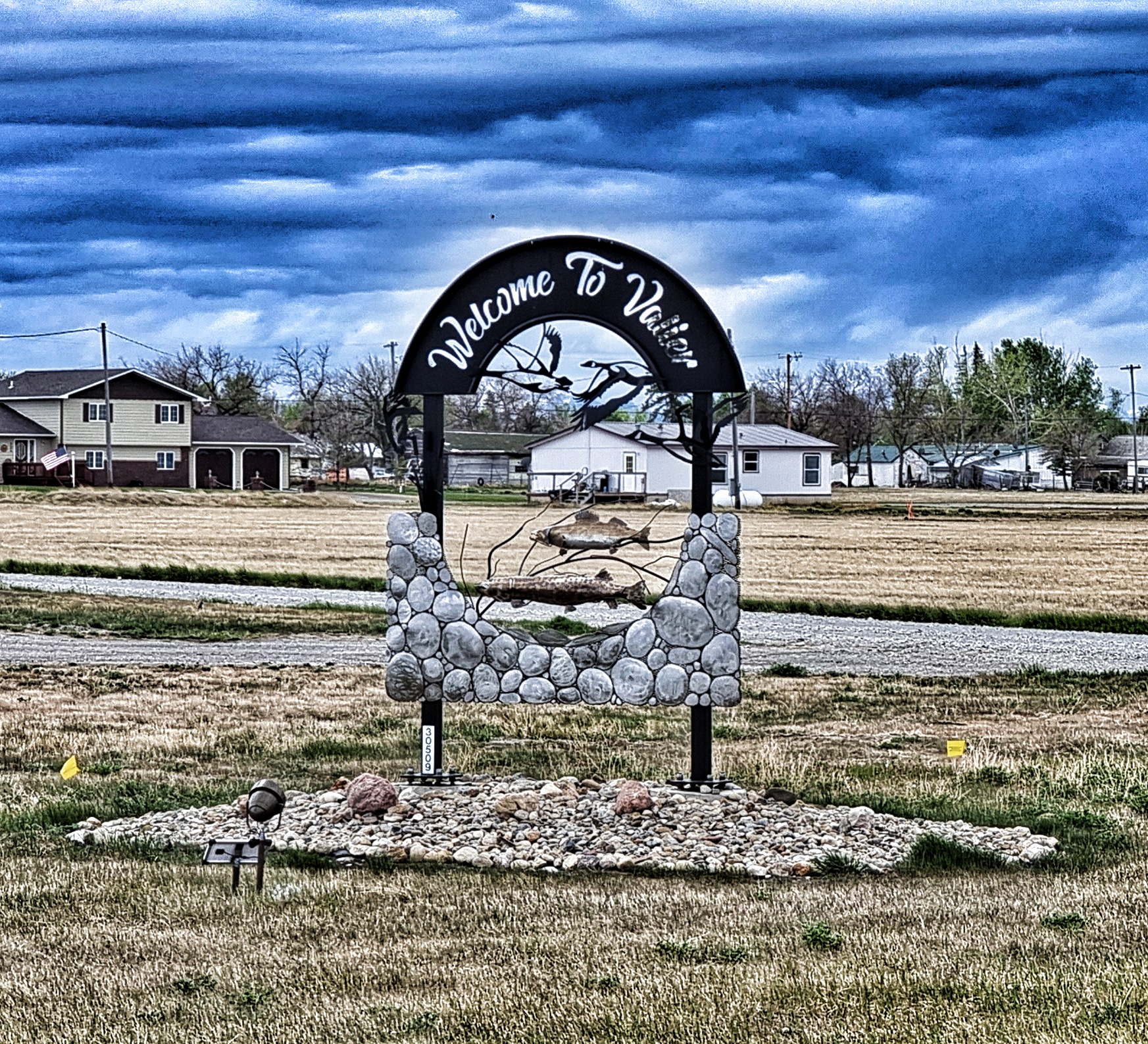
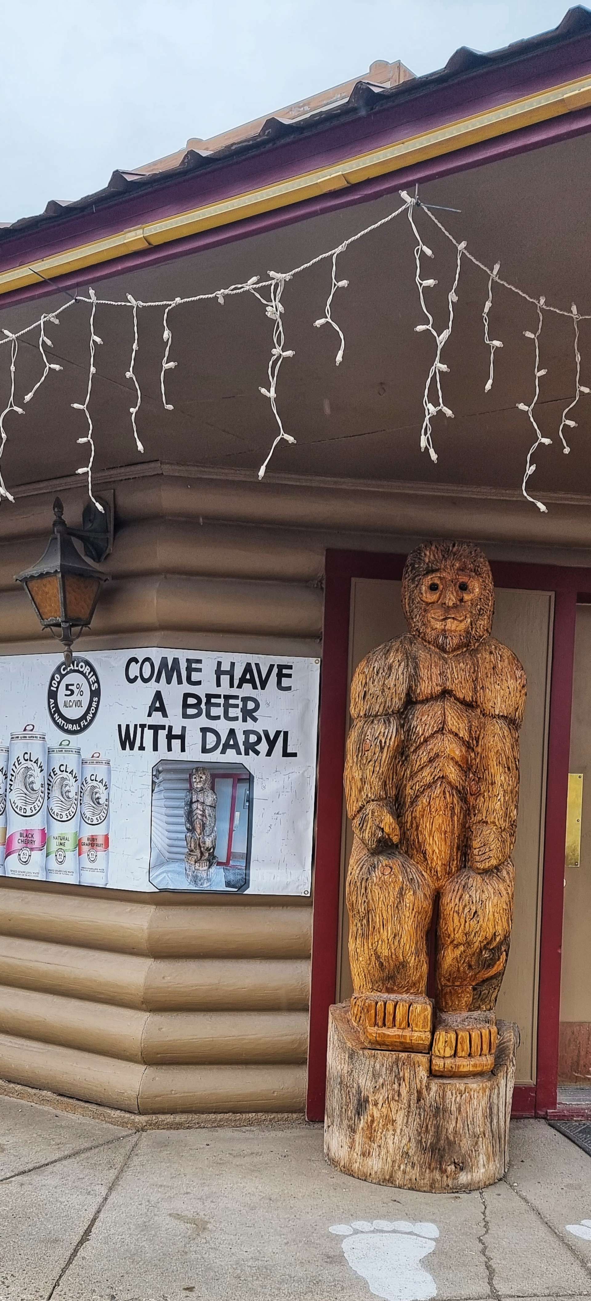
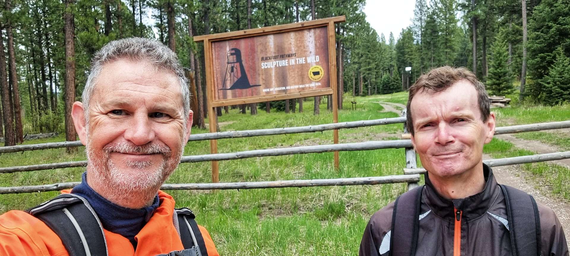
Sean had seen an article about Blackfoot Pathways: Sculpture In The Wild that looked worth exploring & was within walking distance of our motel. As we made our way across town, several of the shops had displays of wooden animals outside – I was particularly taken with the idea of joining a bear named Daryl for a beer. Leaving town we passed a very creative “Welcome to Lincoln” sign – this is a theme in Montana, as a few other towns have made an effort to welcome visitors.

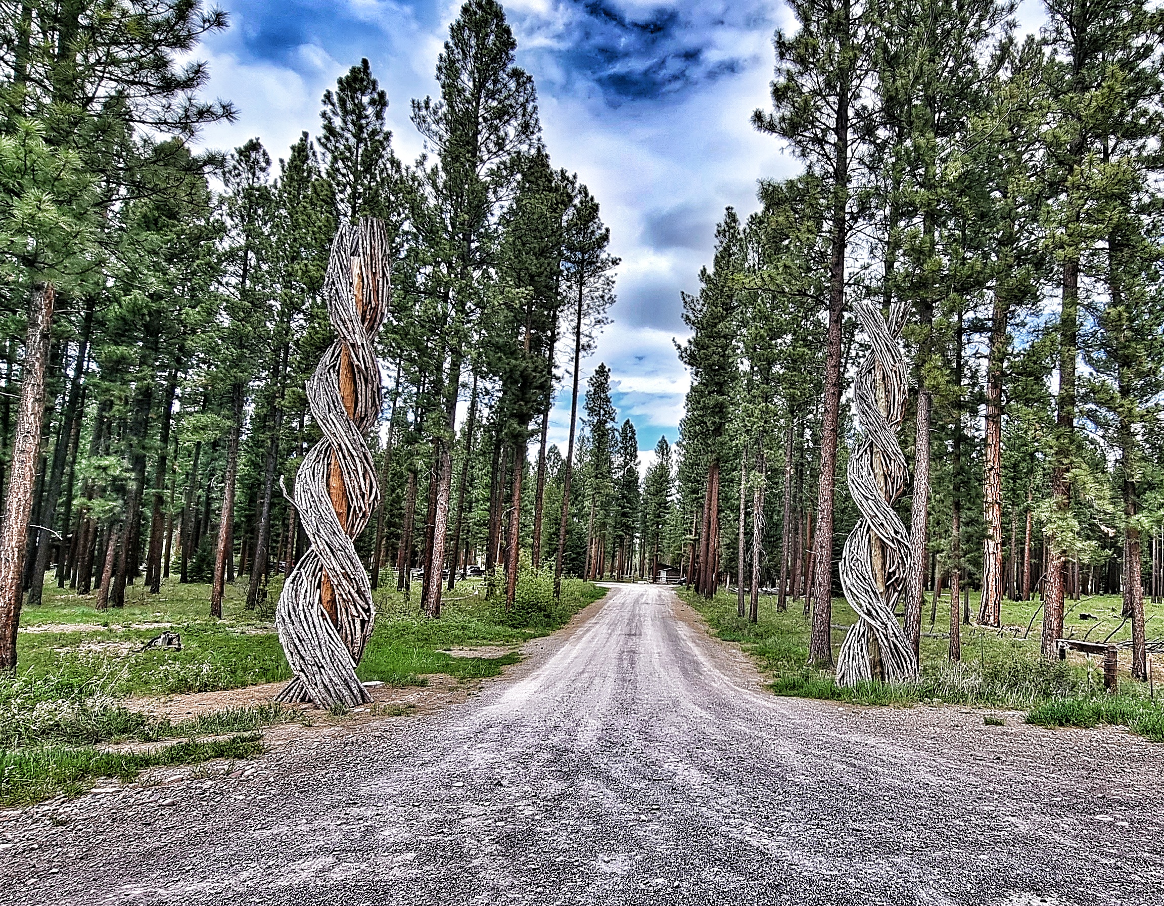
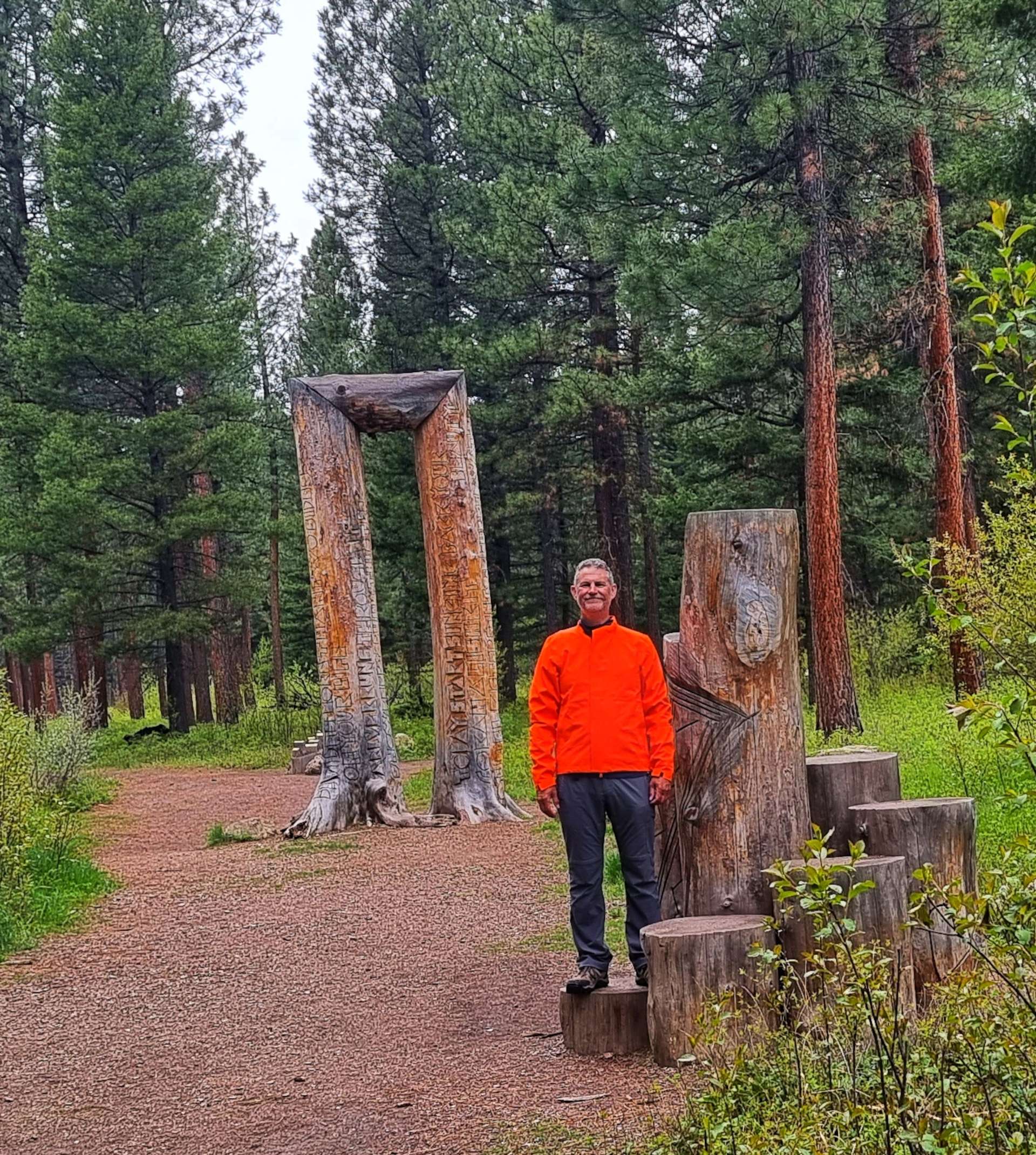
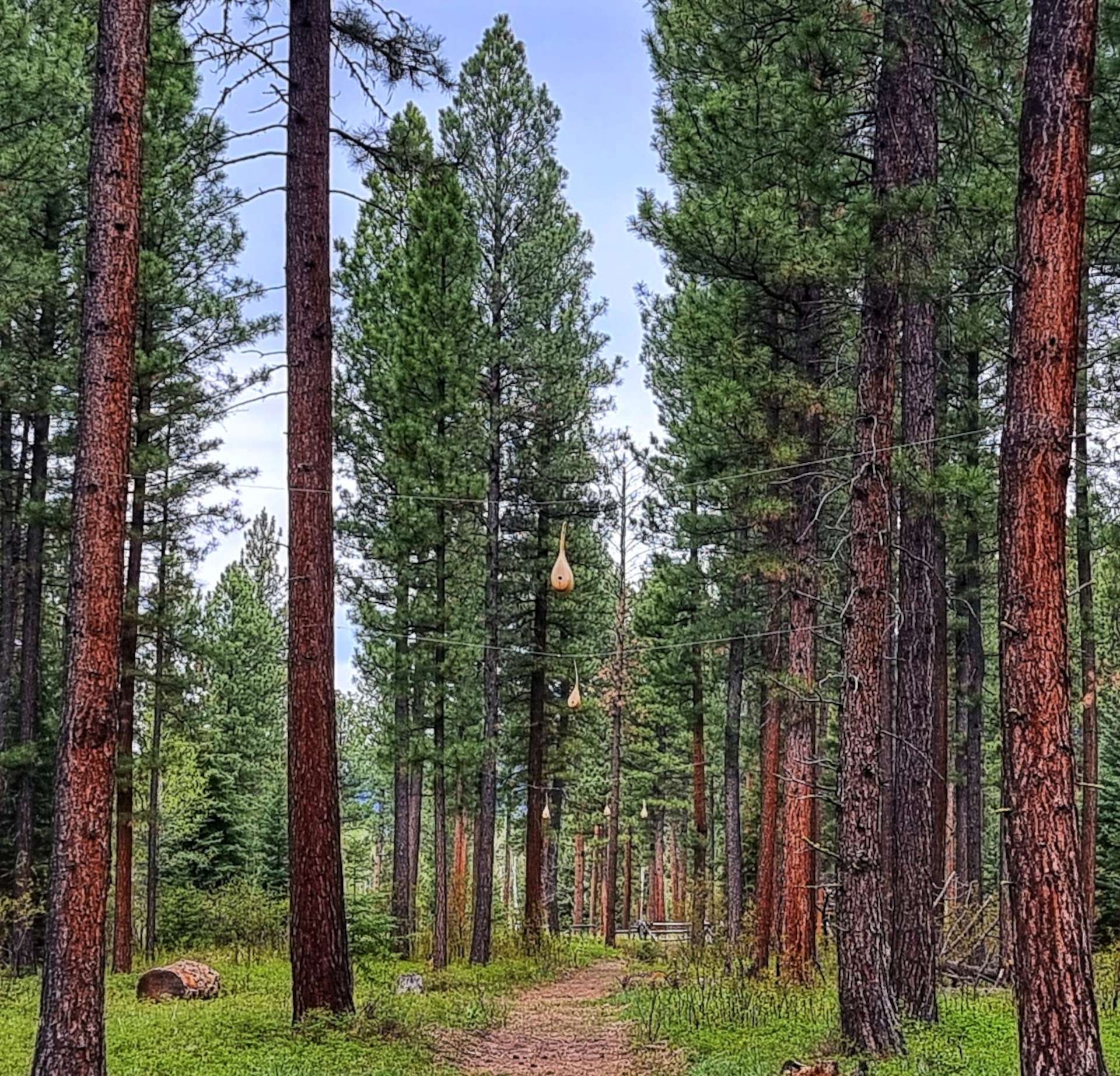
From the road, the Gateway to the Sculpture In The Wild is easy to miss – it’s just two pine logs wrapped in wicker. I later found out the design is based on the DNA double helix.

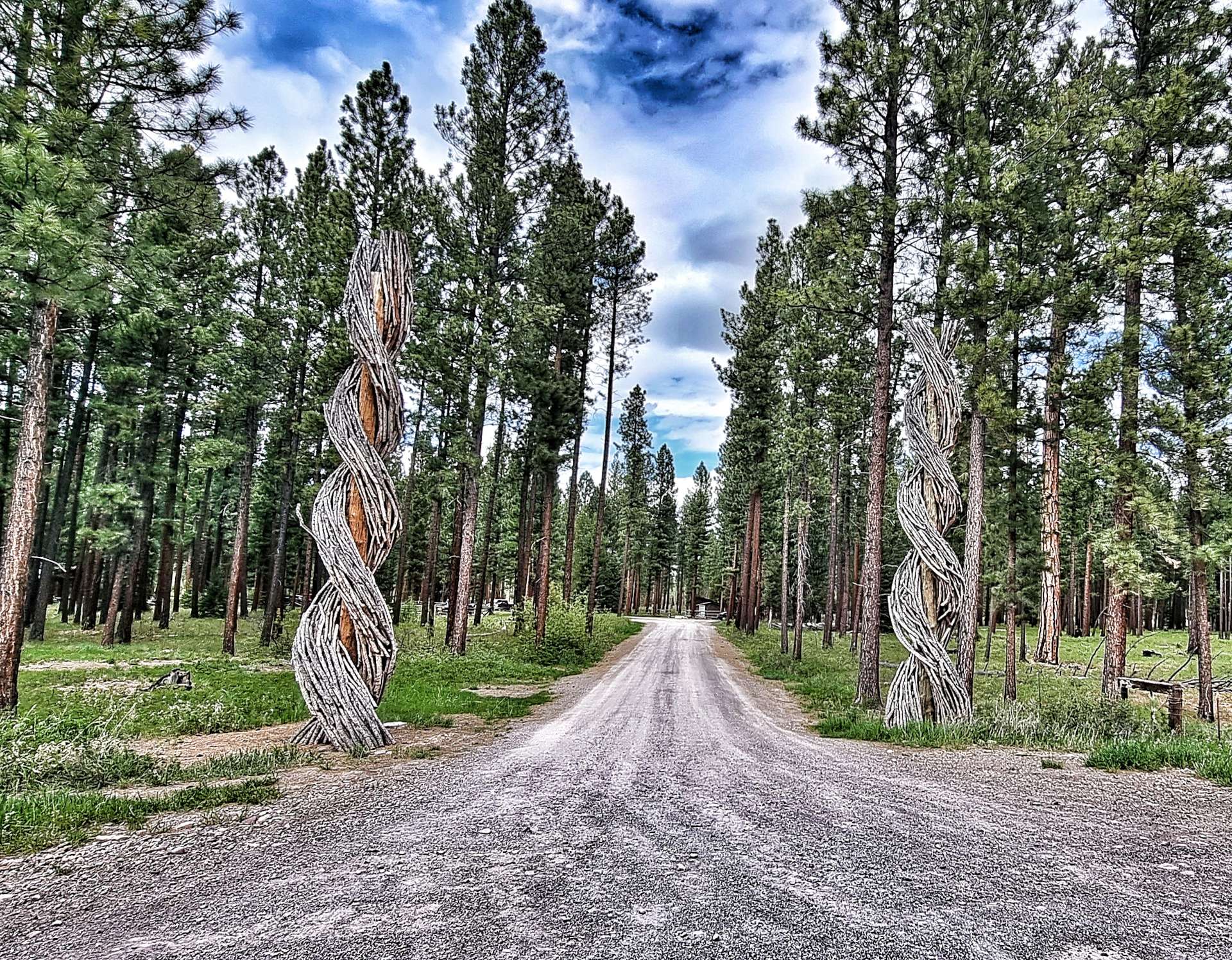
The Sculpture in the Wild project began in 2014 as an International Sculpture event when 5 artists worked with the community of Lincoln to create 6 site-specific sculptures that form the nucleus of the park. The purpose was to blend sculpture, landscape, nature & human experience using natural & industrial materials. It’s been hugely successful as there are now 18 permanent sculptures from internationally acclaimed artists, as well as a number of sculptures that are displayed for 12 months. I don’t intend to explain the message behind any of the pieces, simply enjoy them as pieces of art – you can find out more here (www.sculptureinthewild.com).

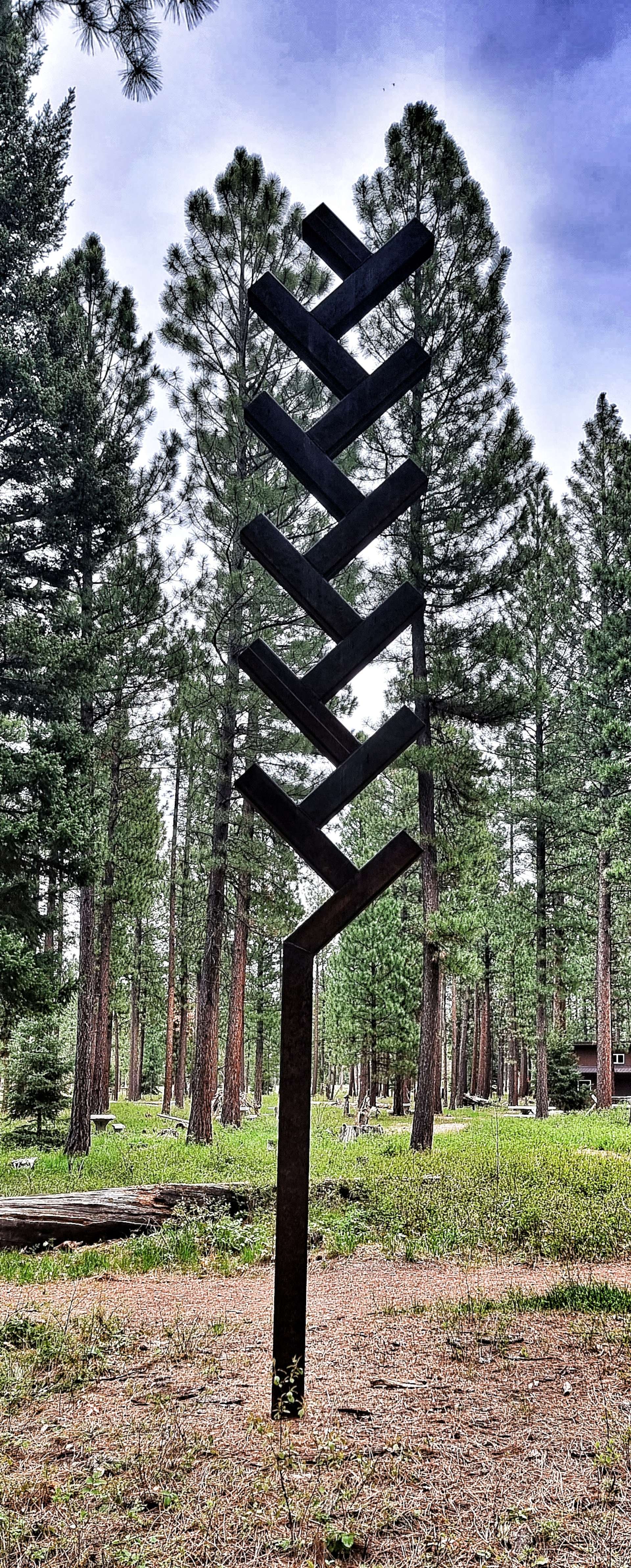
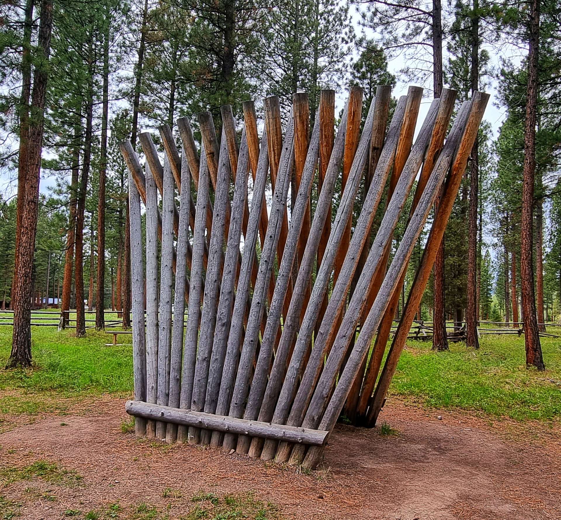
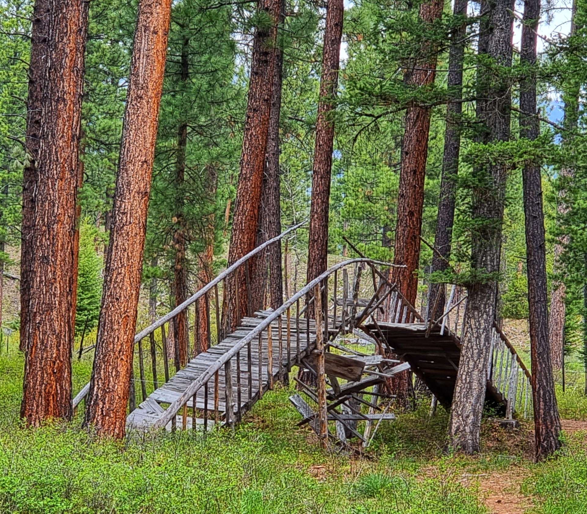
First up was the Montana Drawing Line, followed by a tree stump that had been carved into an almost angelic form & a classic “barber’s chair” – this happens when a tree is being cut down & the trunk splits along the vertical, rather than the horizontal.

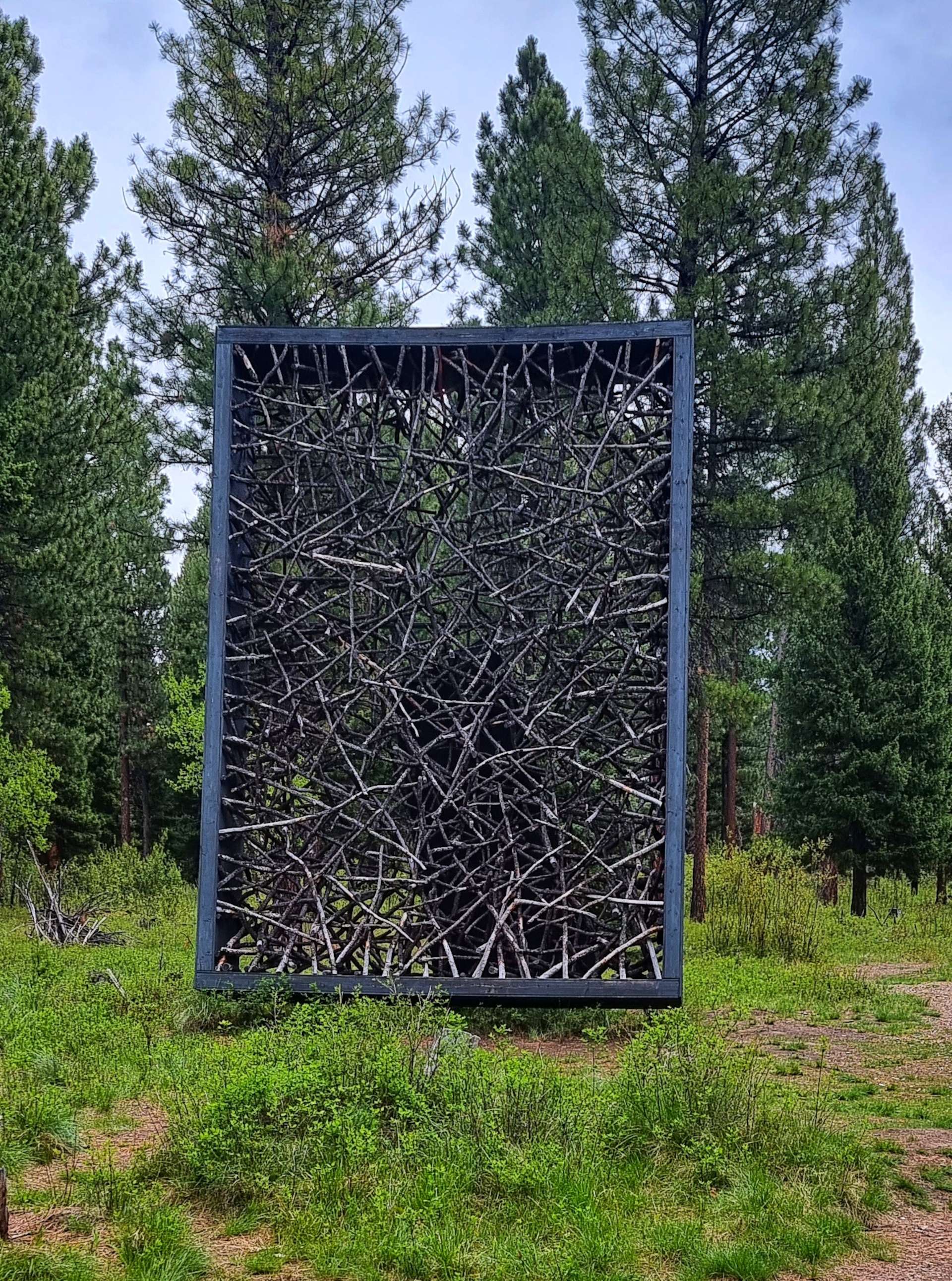
As we continued we passed the Gateway of Change (made from two trunks that share the same roots), Tree Circus (inside there were 10 chambers, 5 open to the elements & 5 closed), Clearing (the outside walls are made from trees that were burned in a natural forest fire, while the inside features newly harvested cedars) & Picture Frame (the branches within the sculpture were all from the Sculpture in the Wild site).

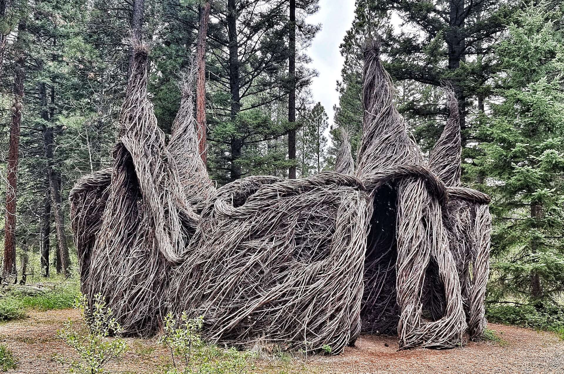
Next up was Stringer (the interlacing of the trunks reminded me of a wigwam as the human model magically grew before my eyes!) & Ponderosa Whirlpool (again the darker wood in the middle of the whirlpool was recycled from a natural forest fire).

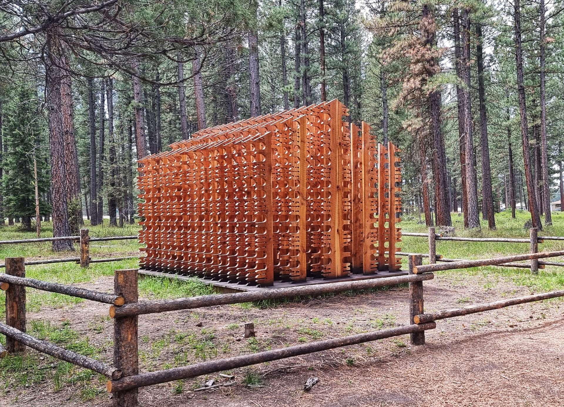
A Place Is A Place Is A Place was a clever 3 dimensional house that took on different shapes as we walked around it.

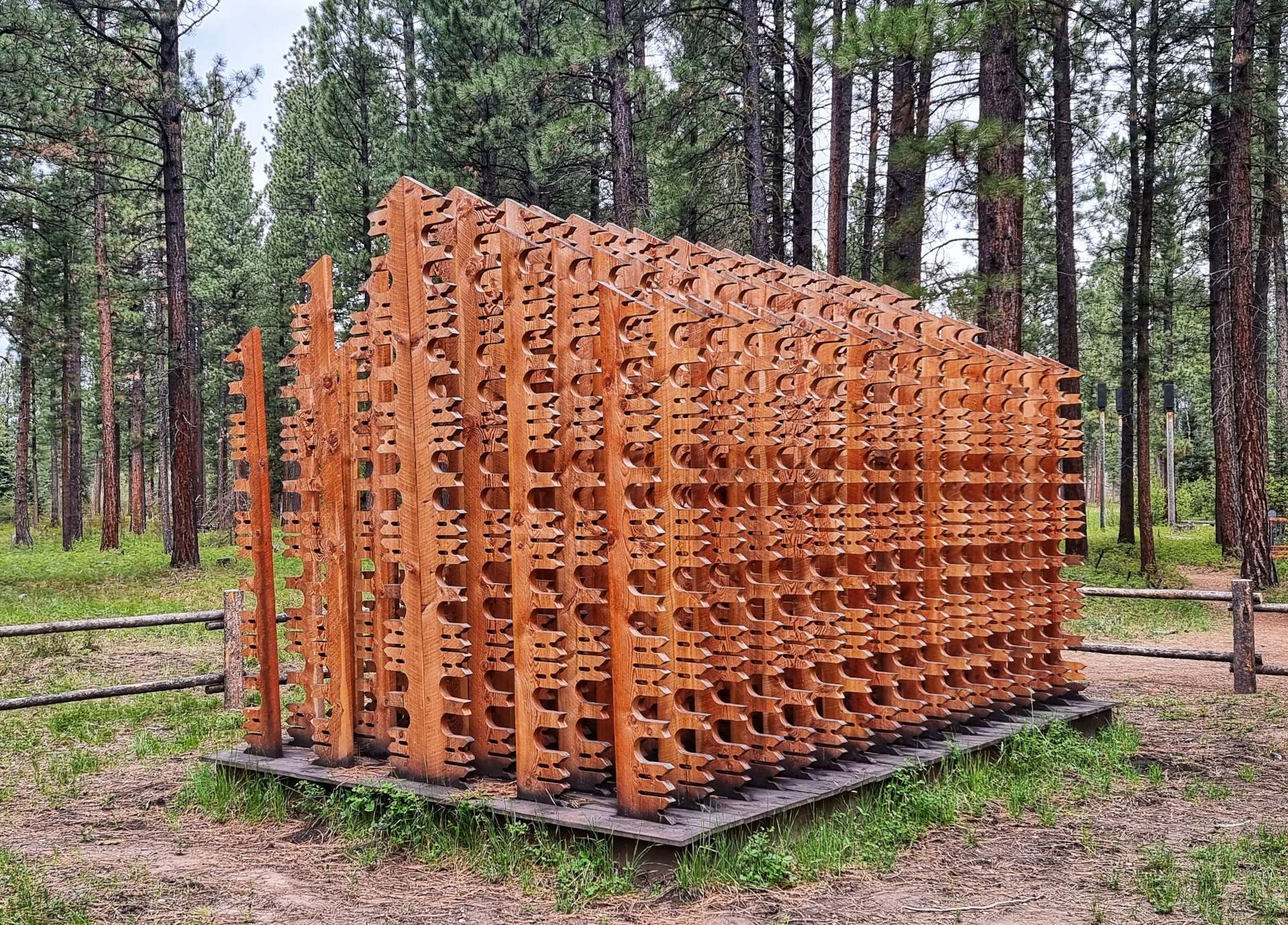
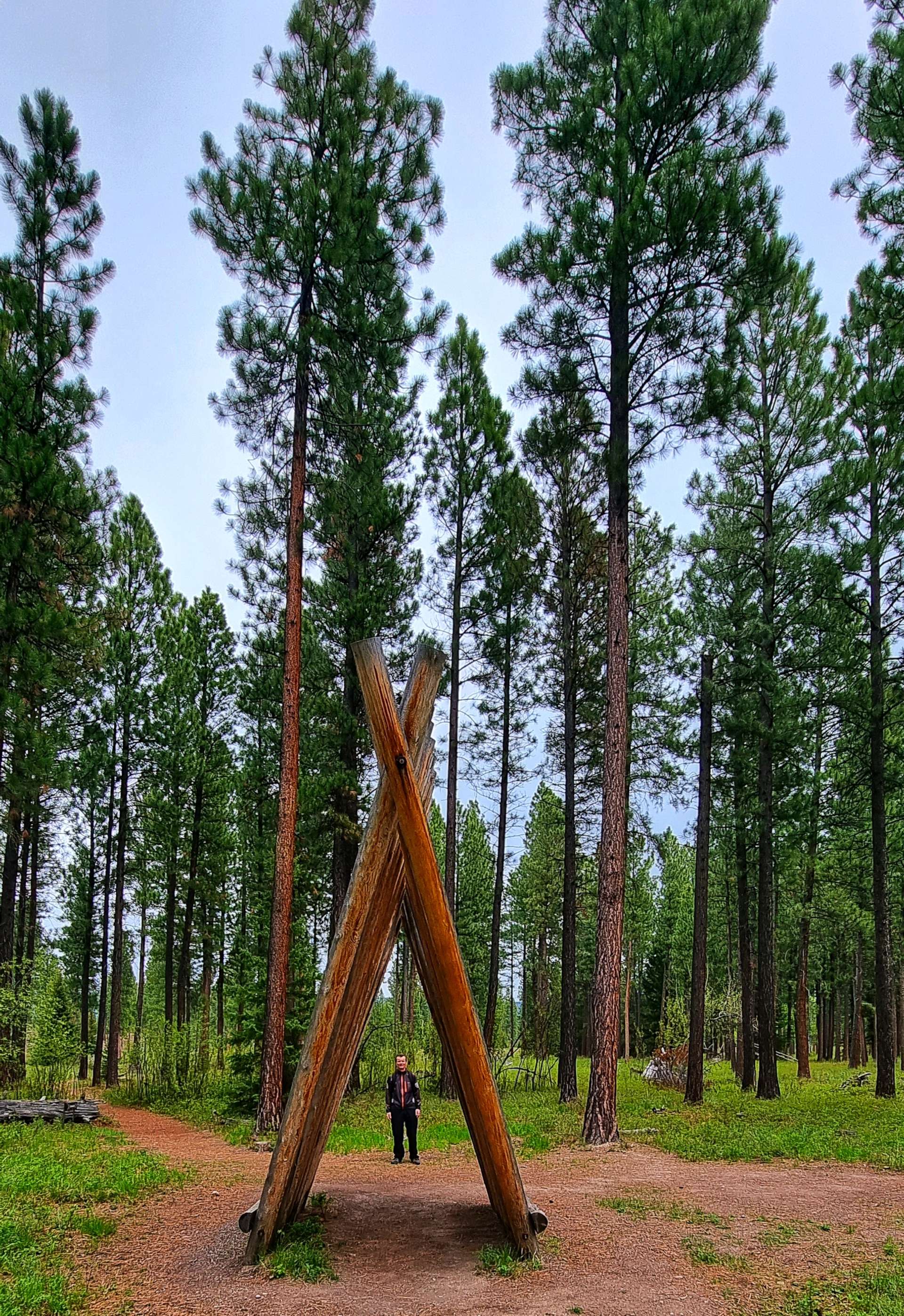
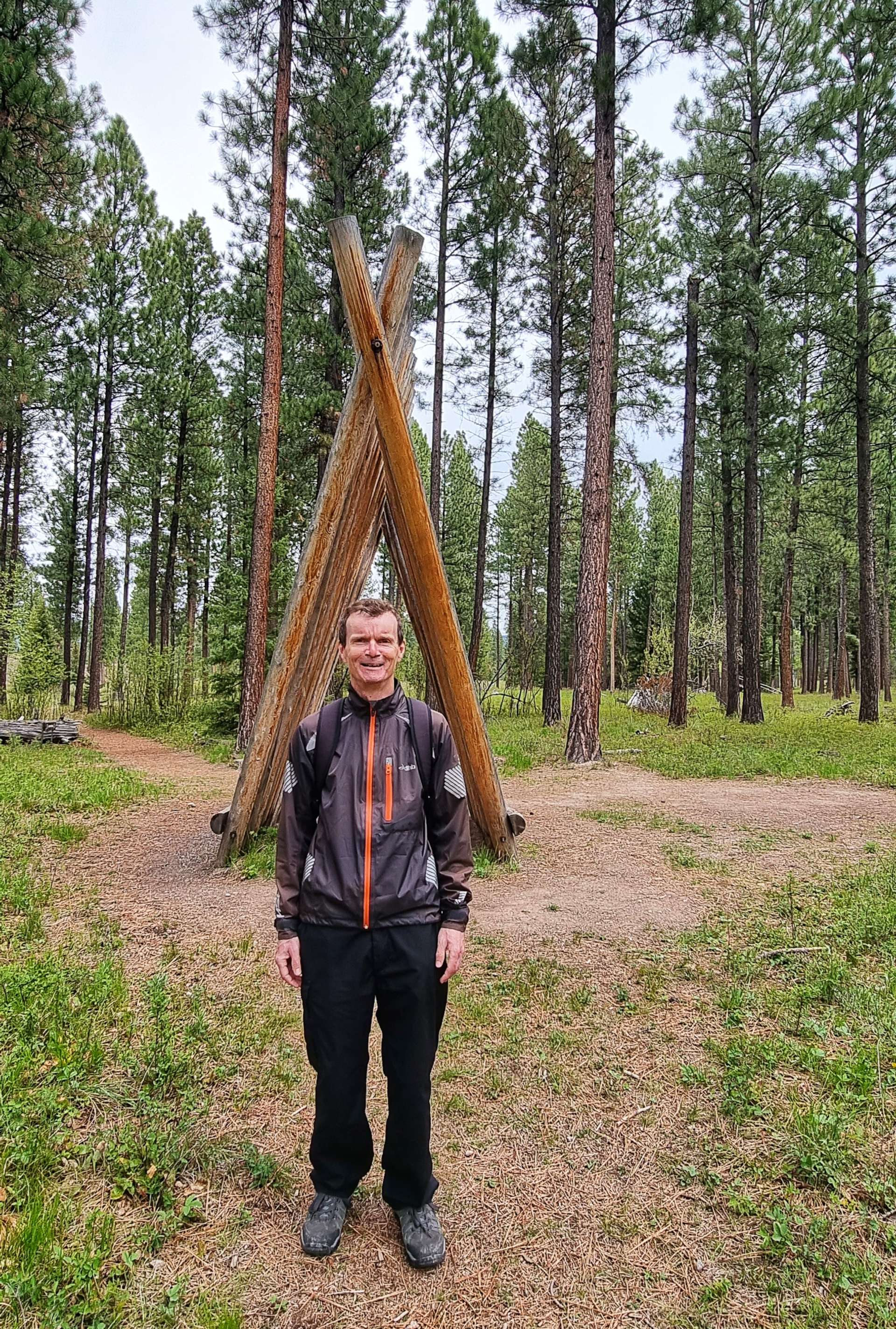
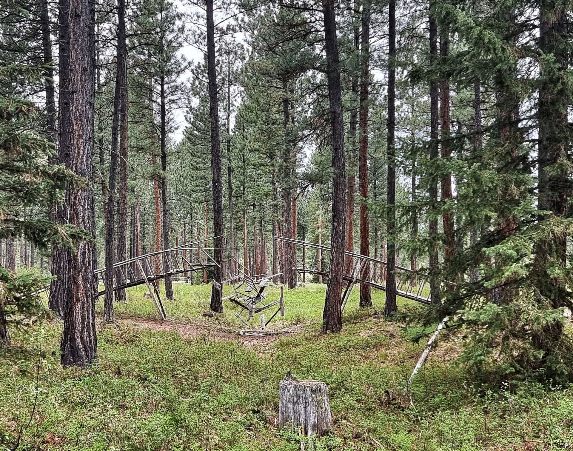
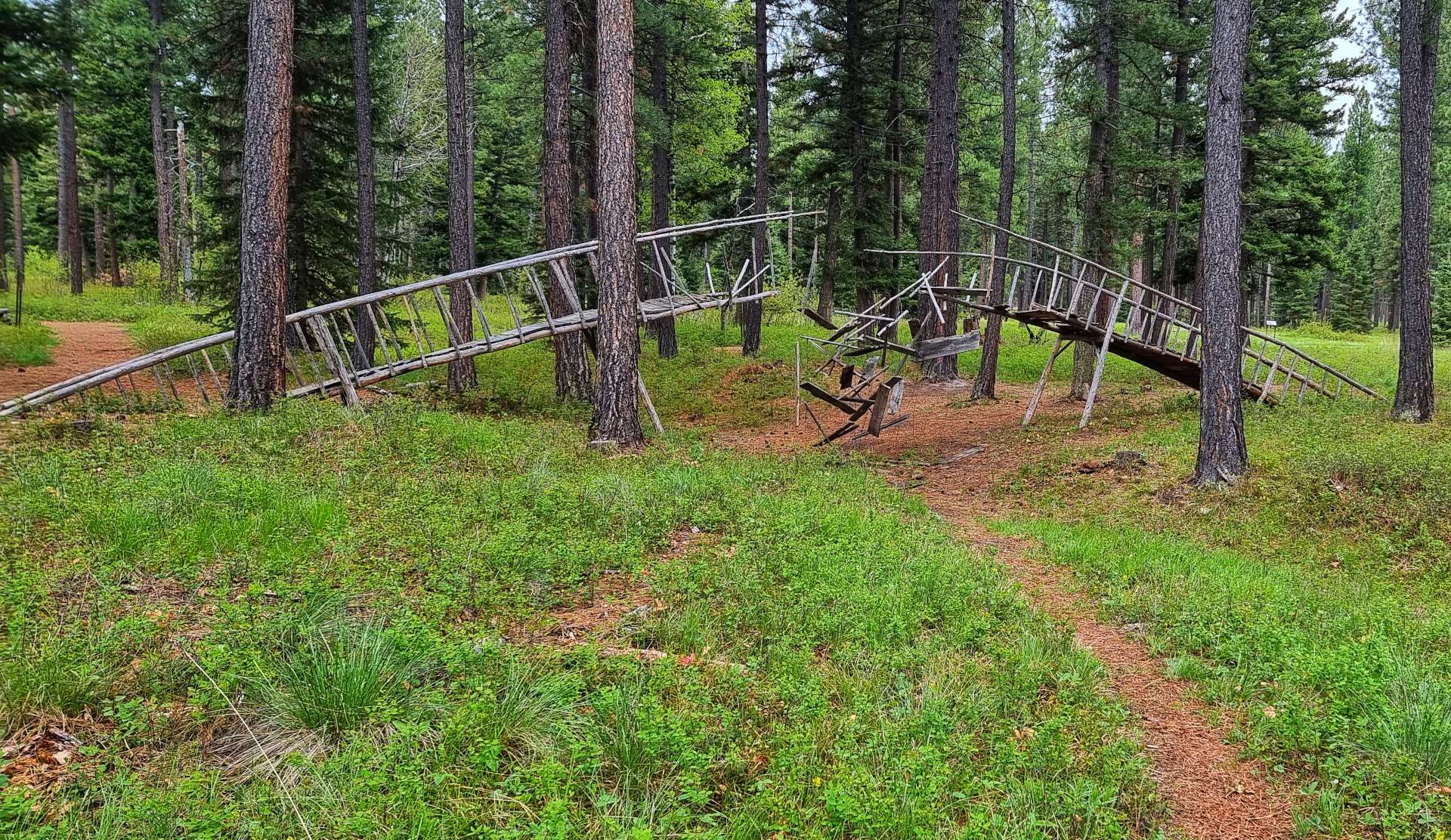
We’re now into my favourite three permanent sculptures – first up, The Bridge. It was just missing Indiana Jones running away with his love interest as he was chased by the baddies!

House of Sky eluded us for quite a while until we saw it from the right angle with the sun shining on it – we then wondered how we missed it!

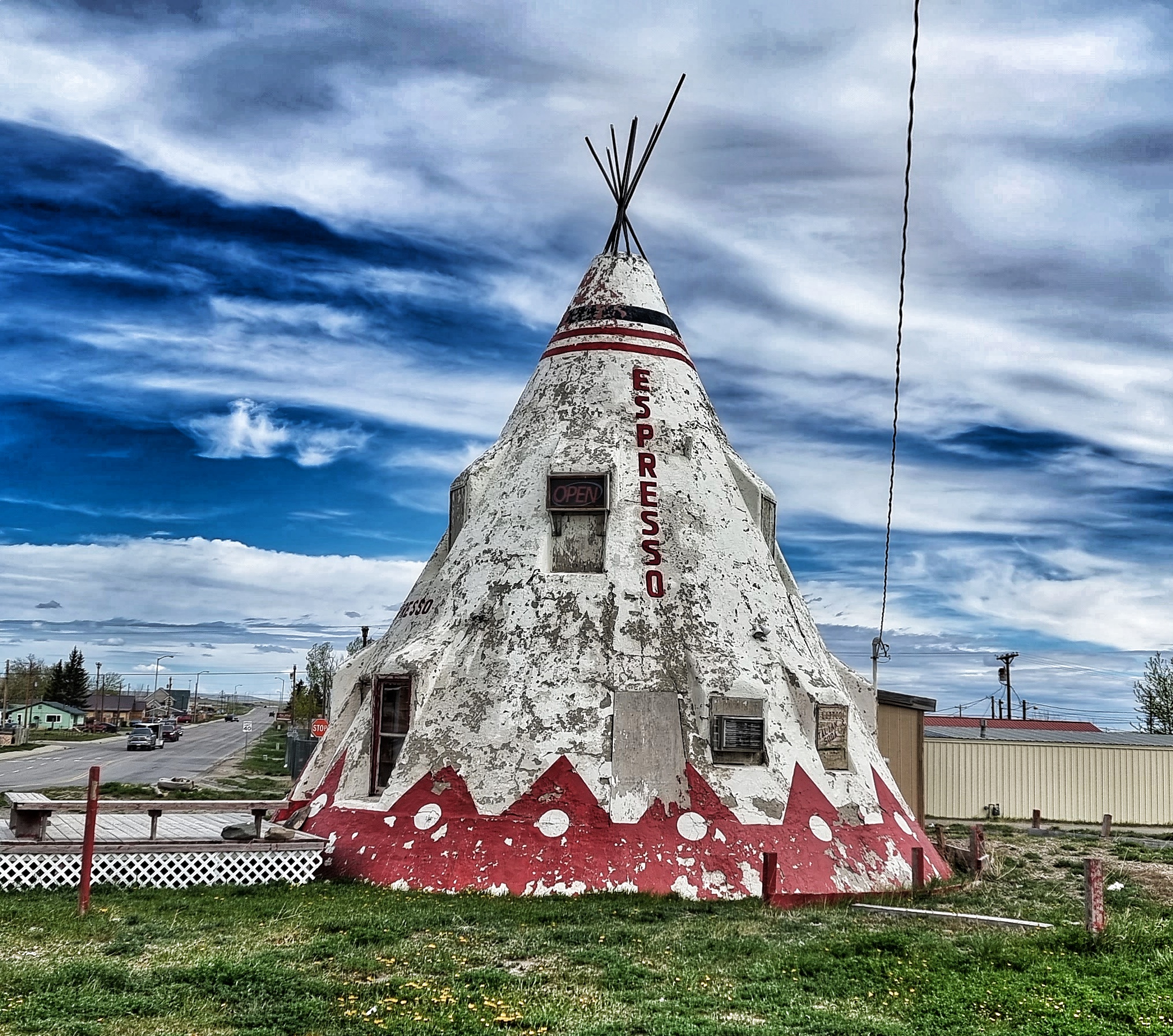
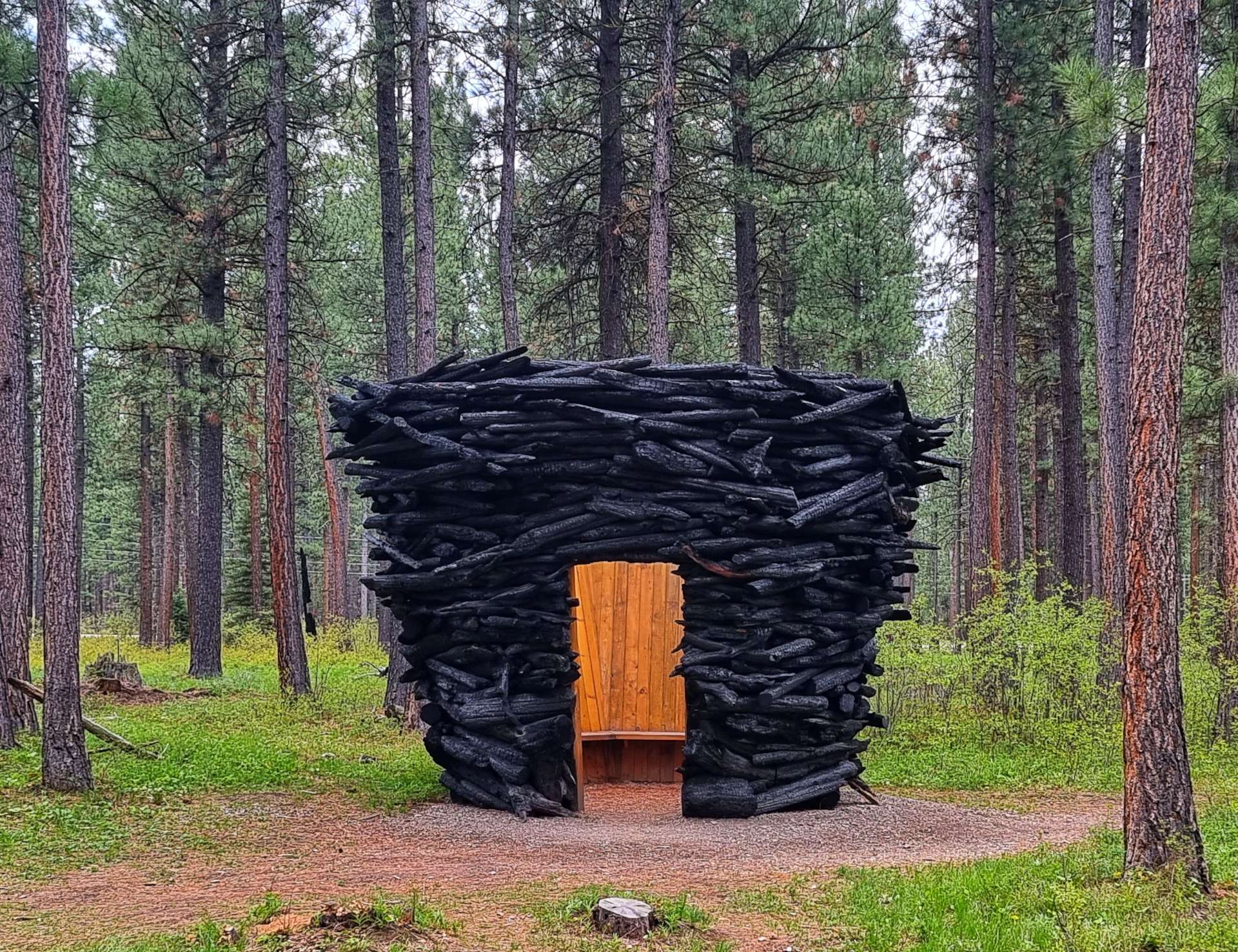
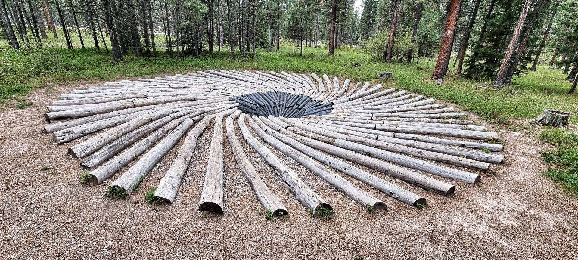
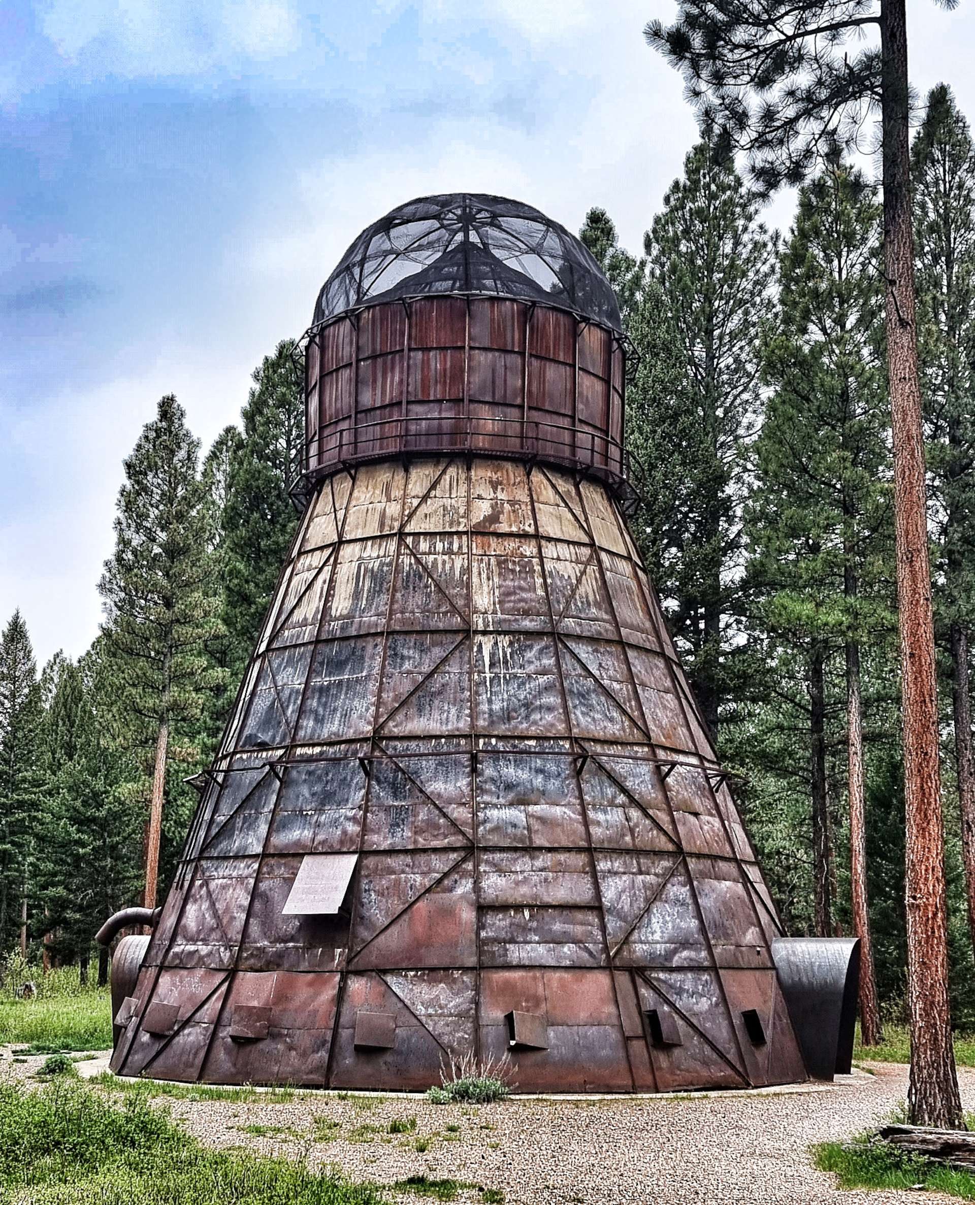
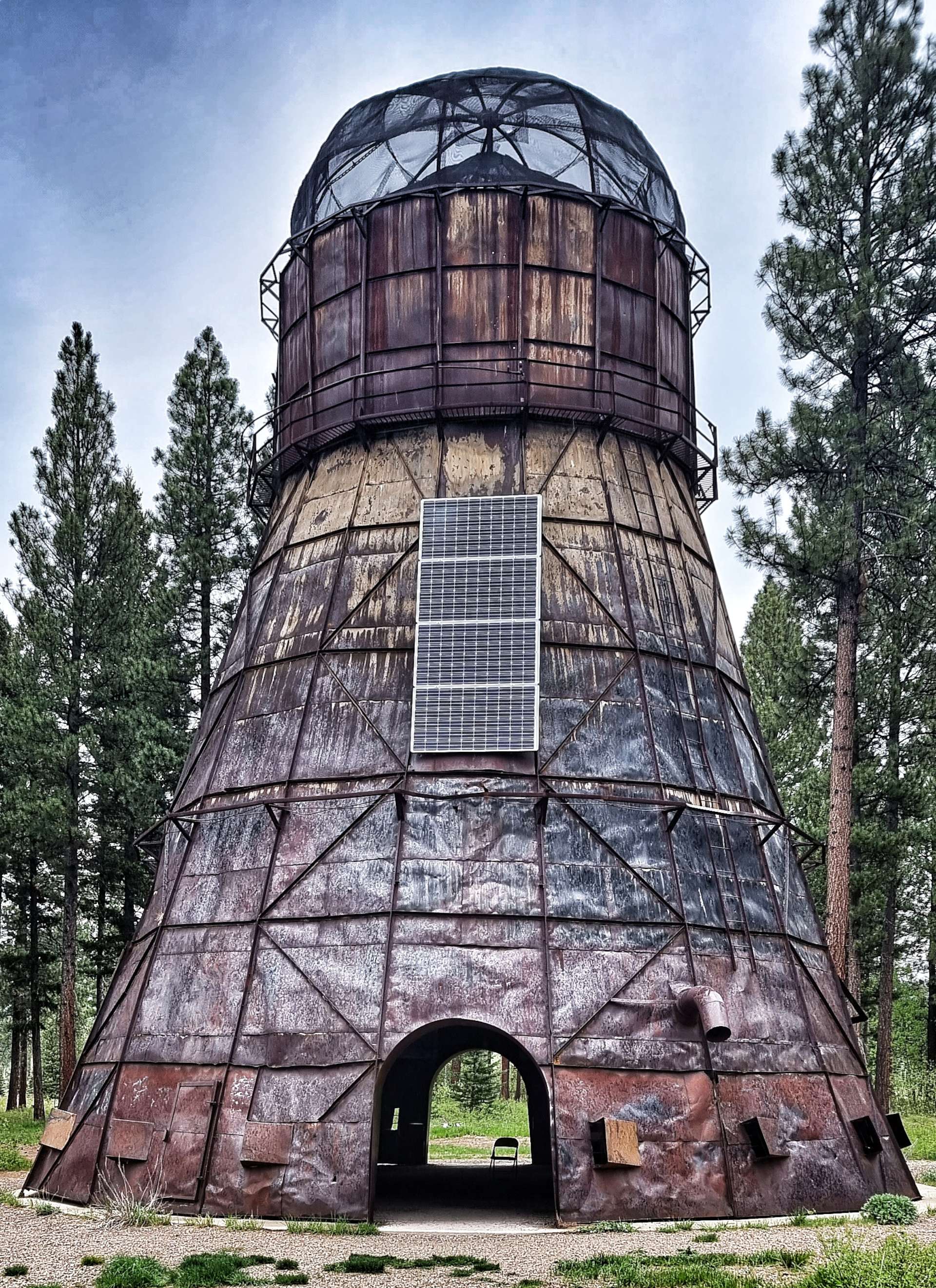
Finally, my favourite permanent exhibit by a long way – Montana Memory. Teepee Burners were used in the timber industry & were once a common sight. This re-imagining of the Delany Sawmill TeePee Burner ensures that the history & heritage continues to be shared with future generations.

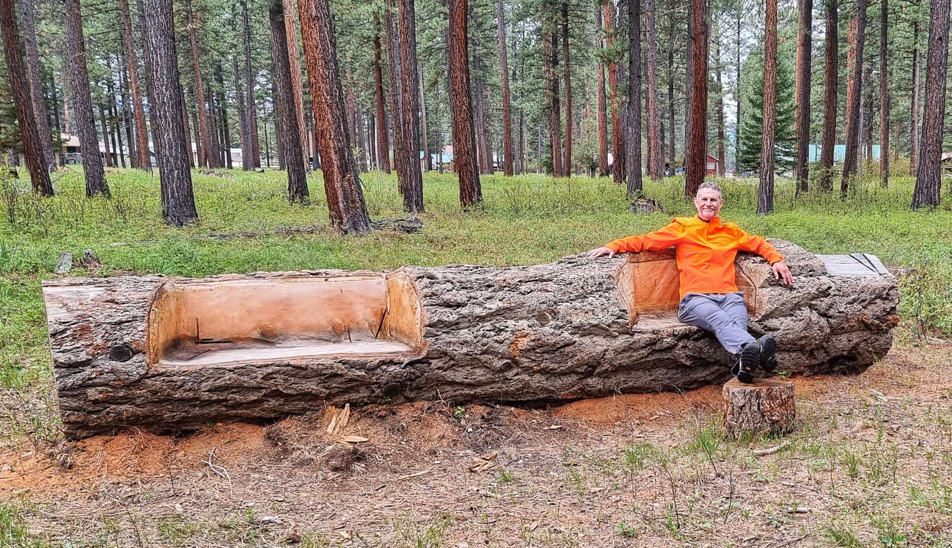
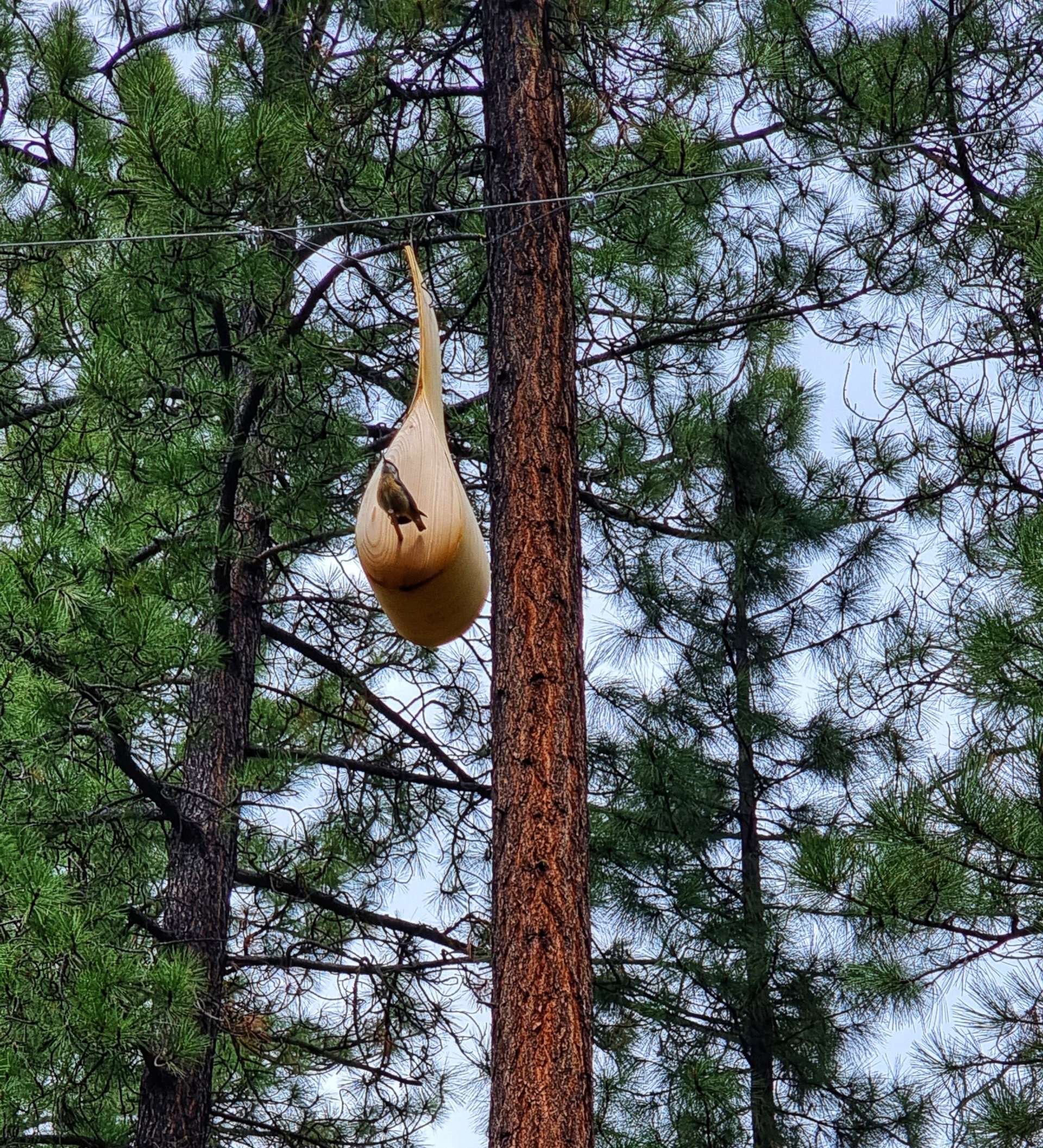
It took us a couple of hours to walk around the site & we thoroughly enjoyed ourselves – it was tiring work & luckily one of the temporary sculptures encouraged visitors to interact with it. As we were leaving, we saw what looked like large gourds, but on closer inspection were actually birdhouses!

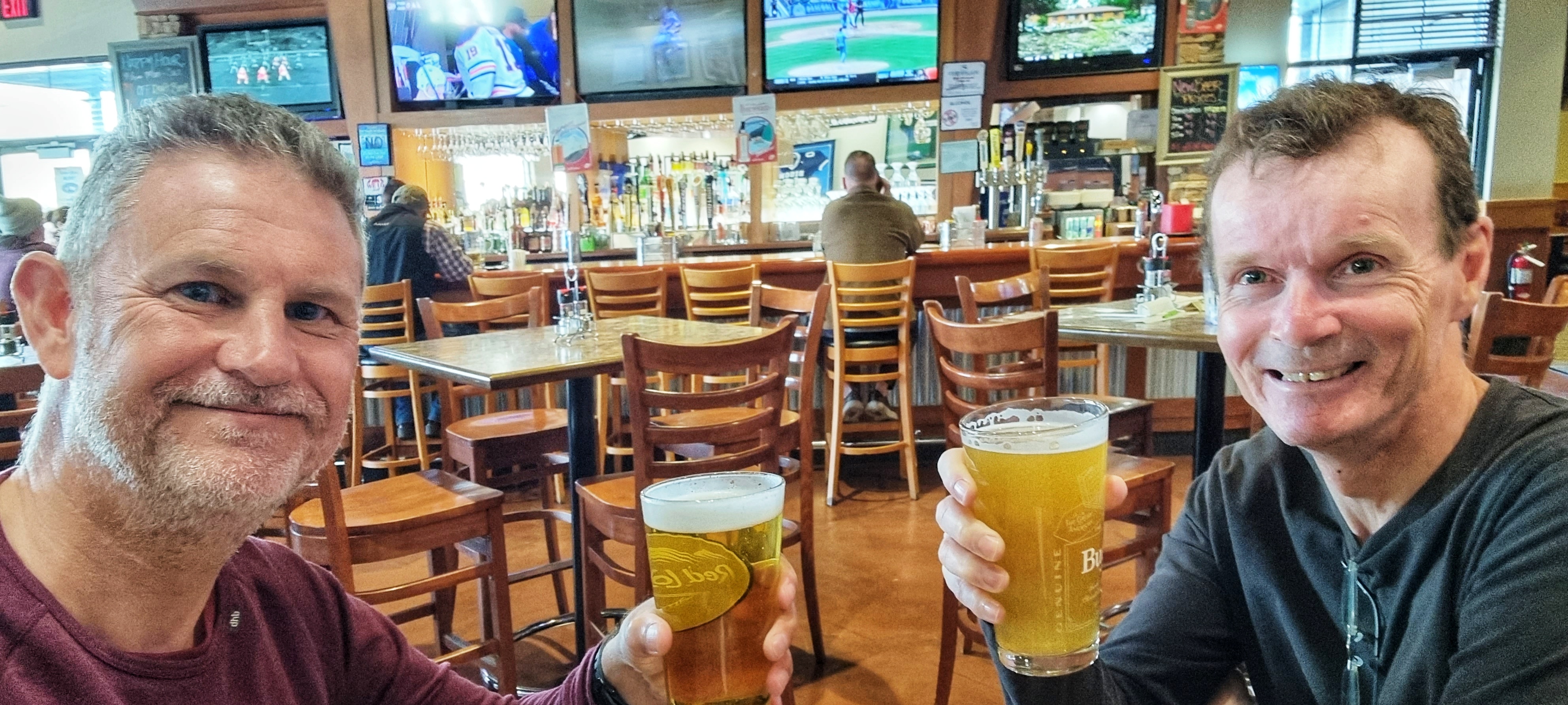
We spent the remainder of our rest day doing exactly that – resting! I caught up on my journal, wrote a blog & then spent some time reading. We’re learning that rest days are essential in making sure we stay fit & healthy, as is beer!! A final treat for you – our motel has just started renting out teepees for guests. Glamping, but better!!

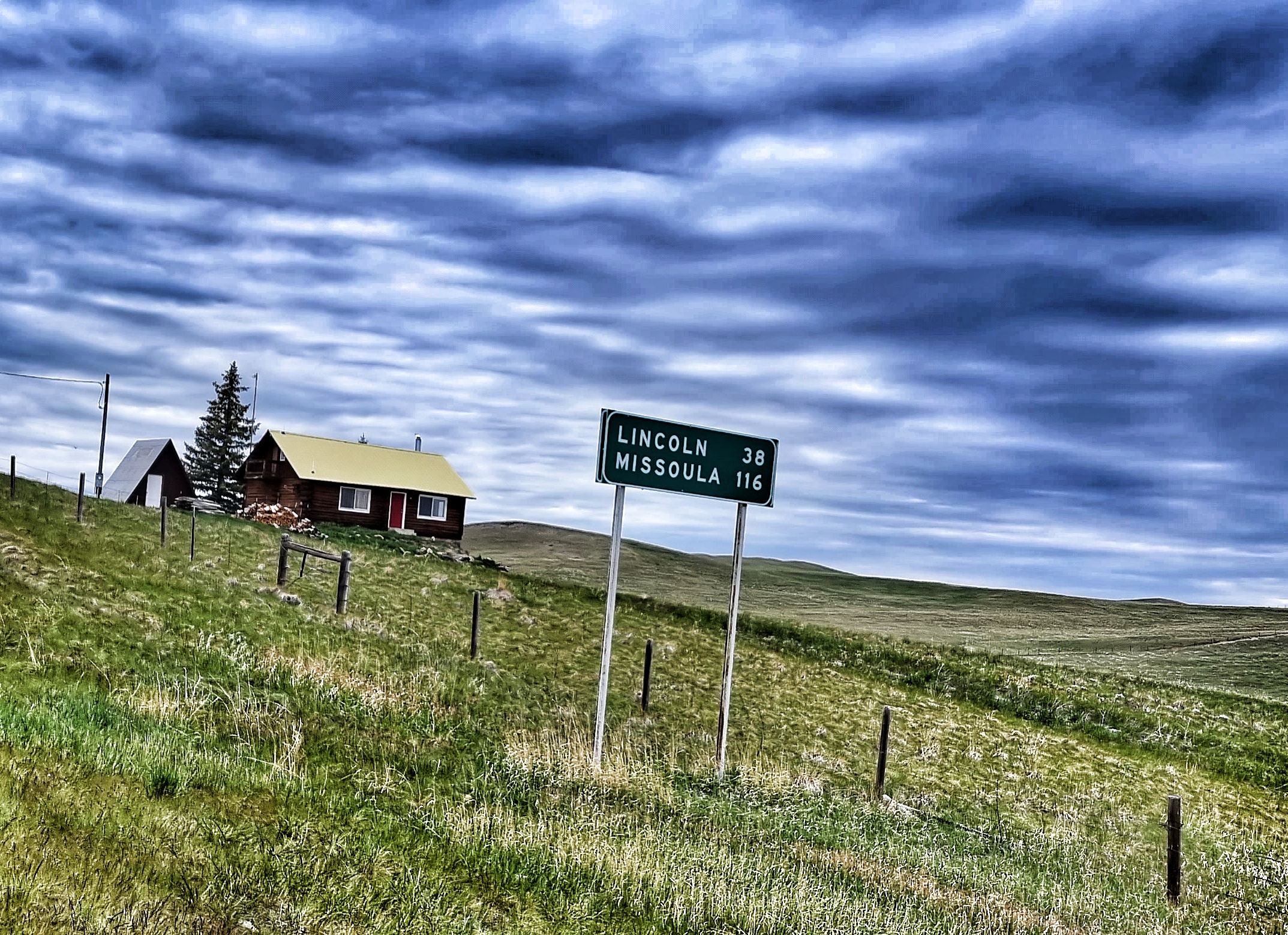
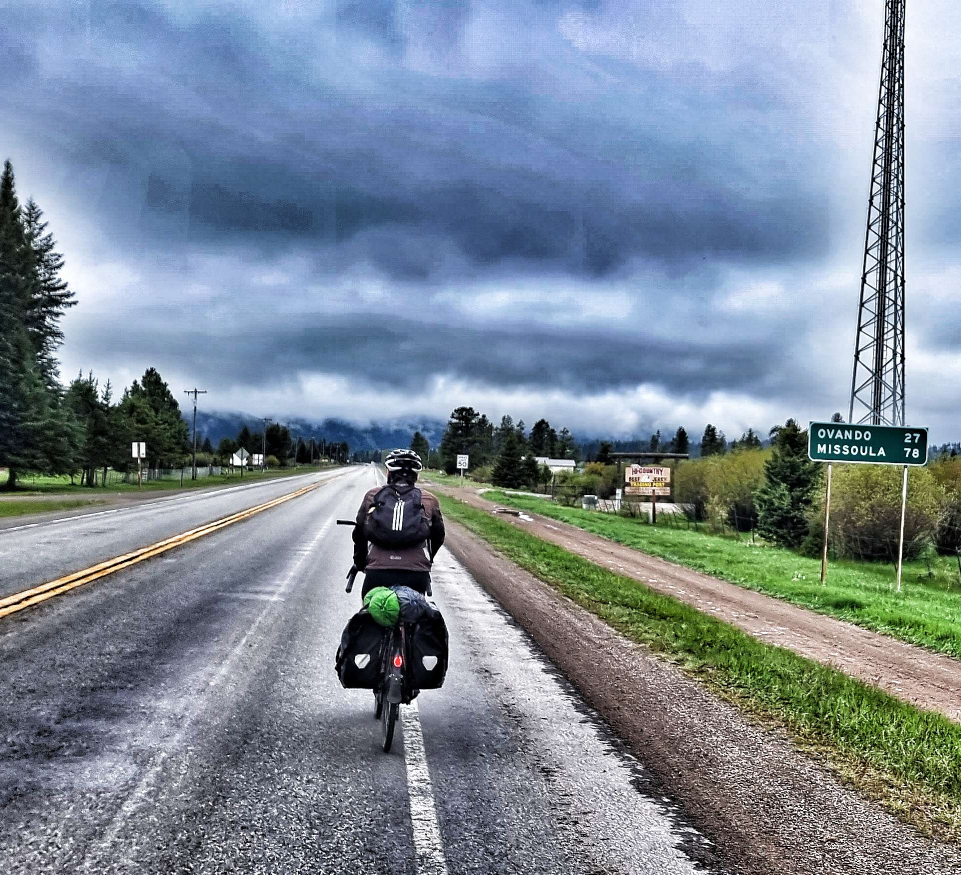
Saturday 4th June – Lincoln to Missoula (Stage 28)

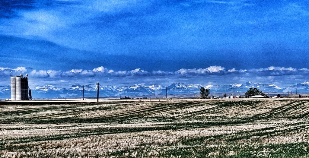
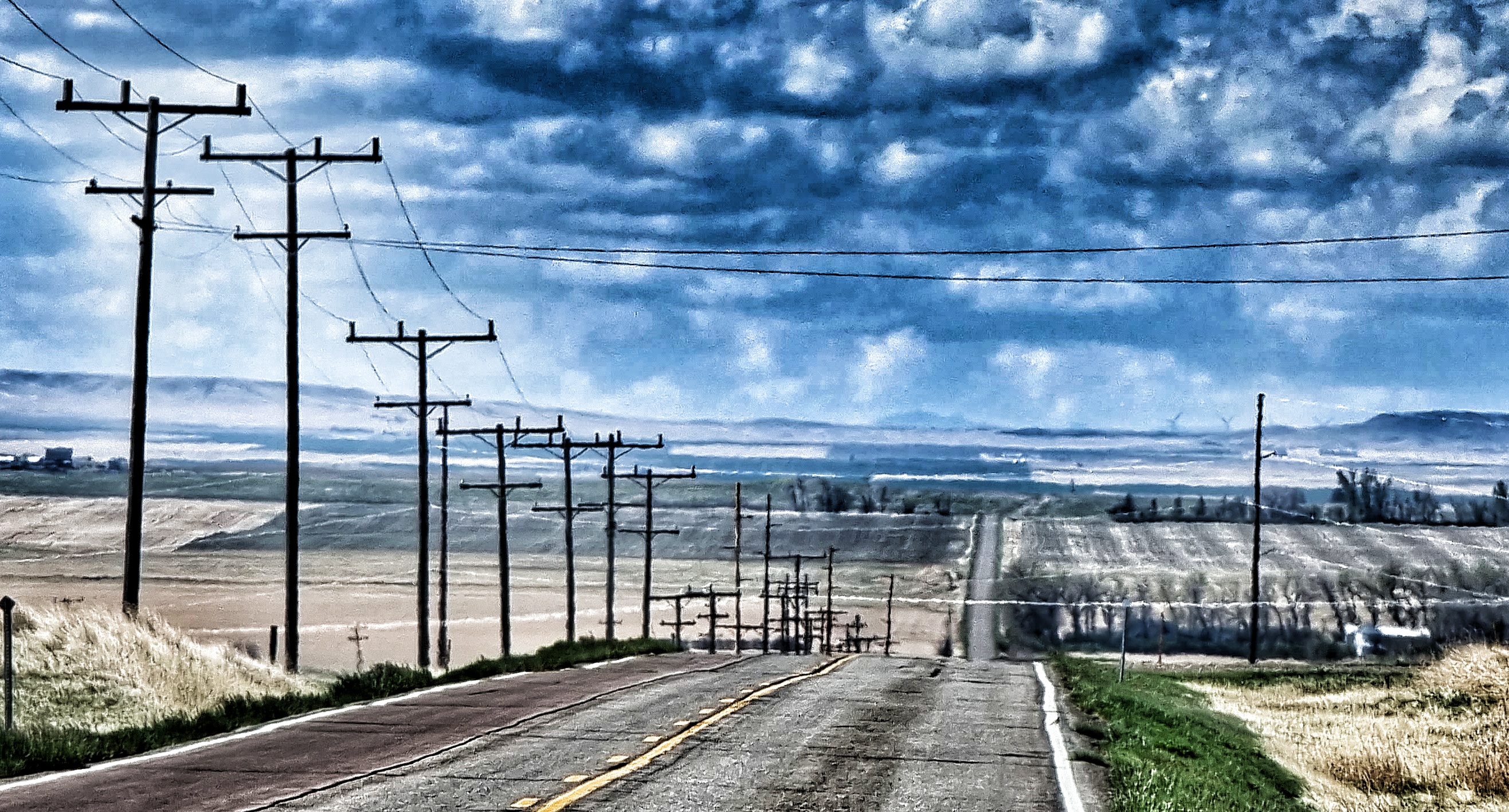
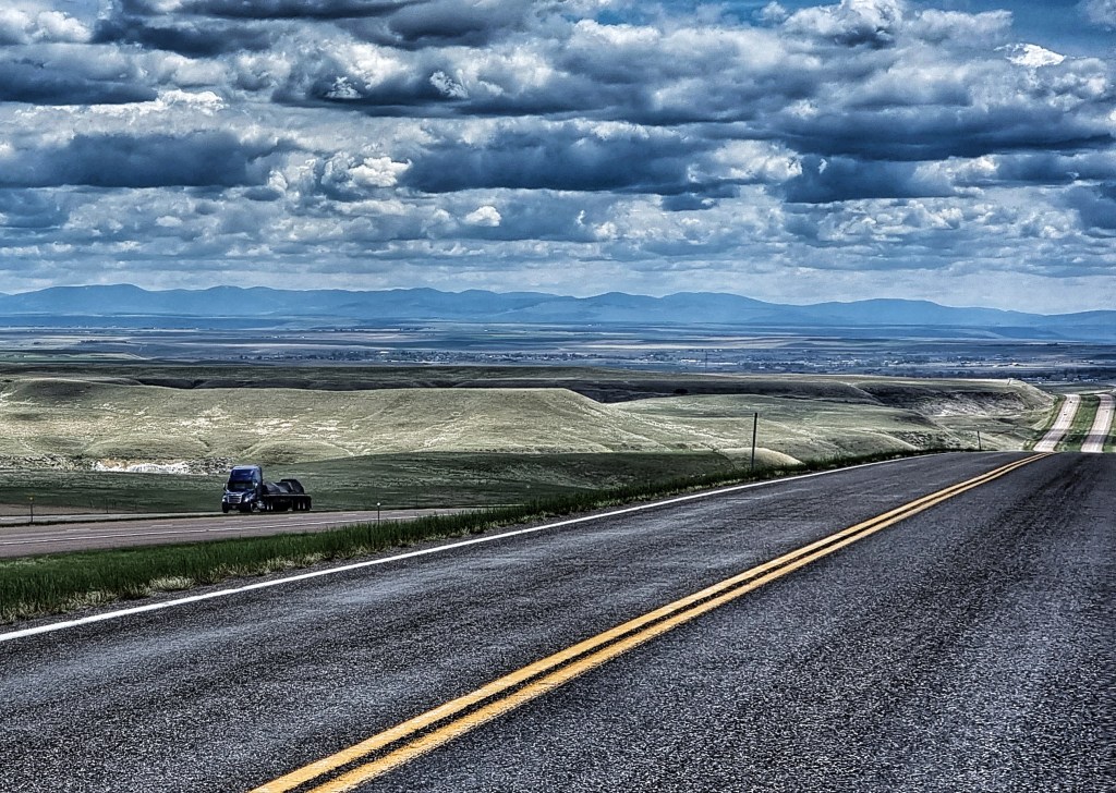
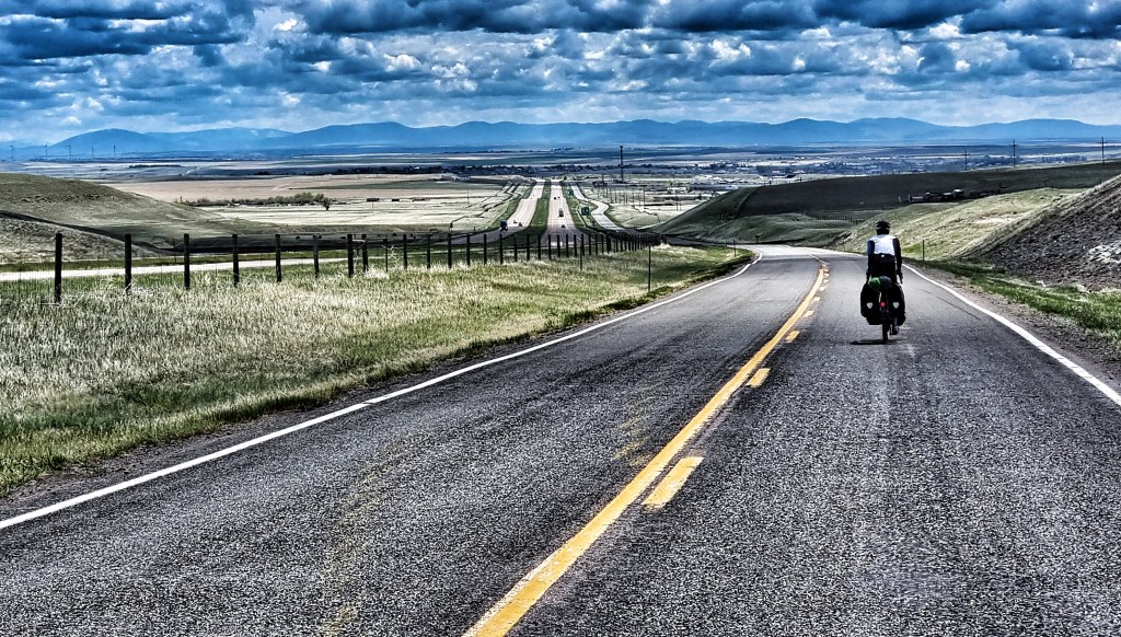
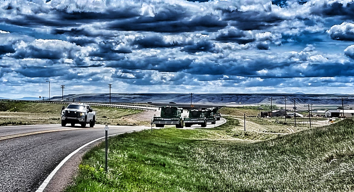
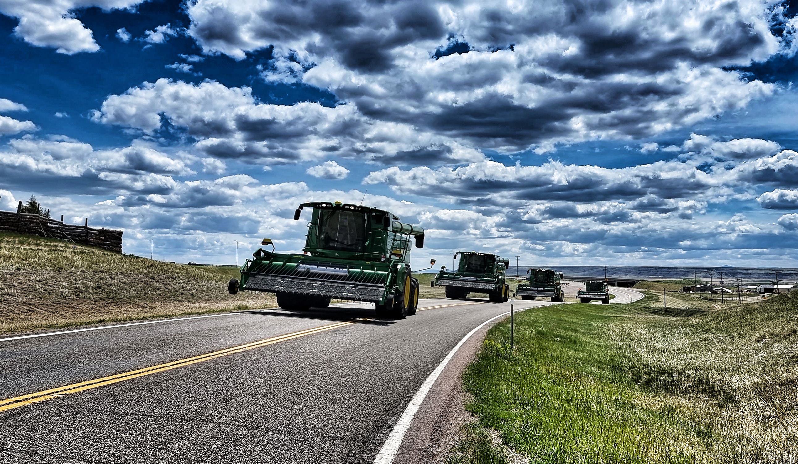
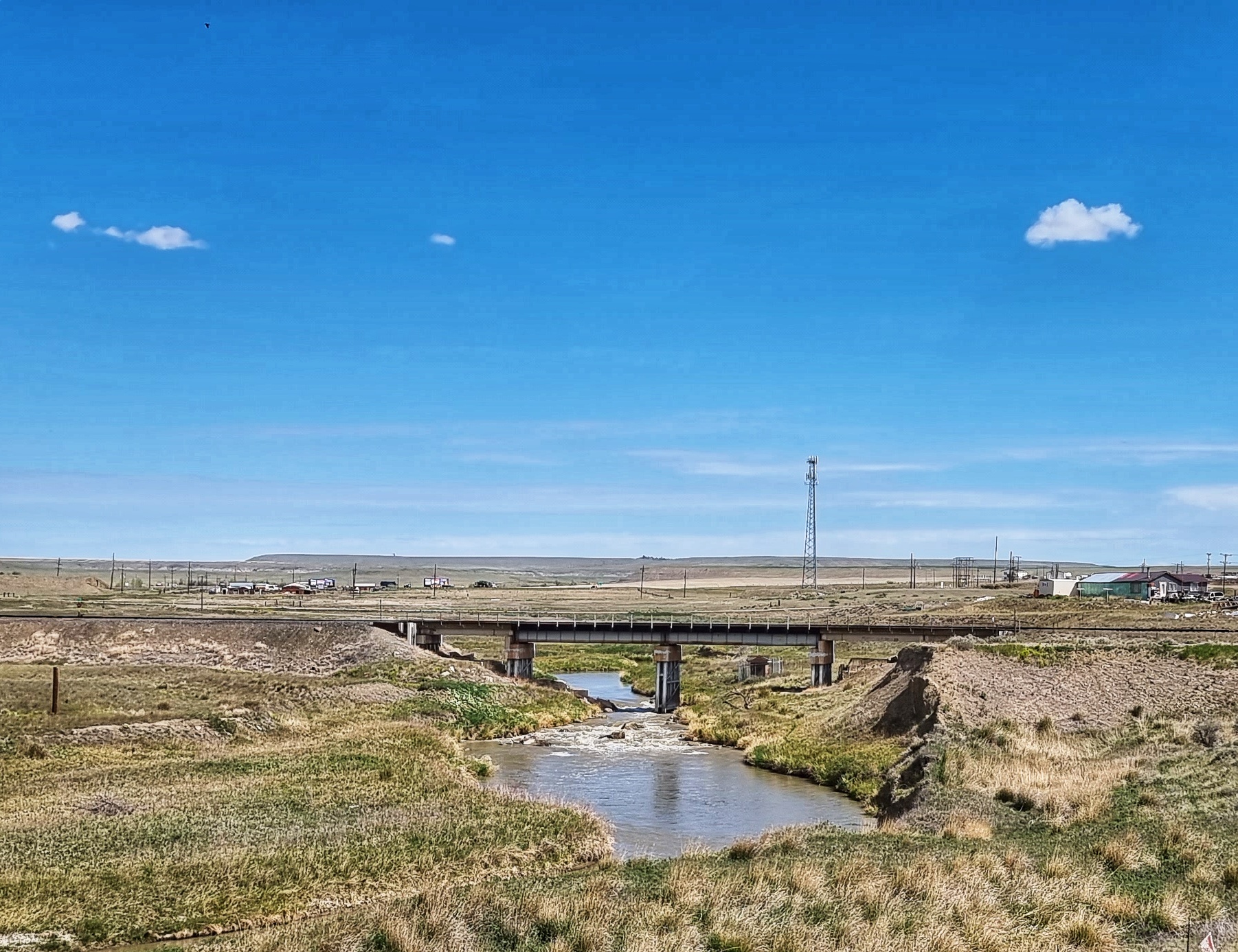
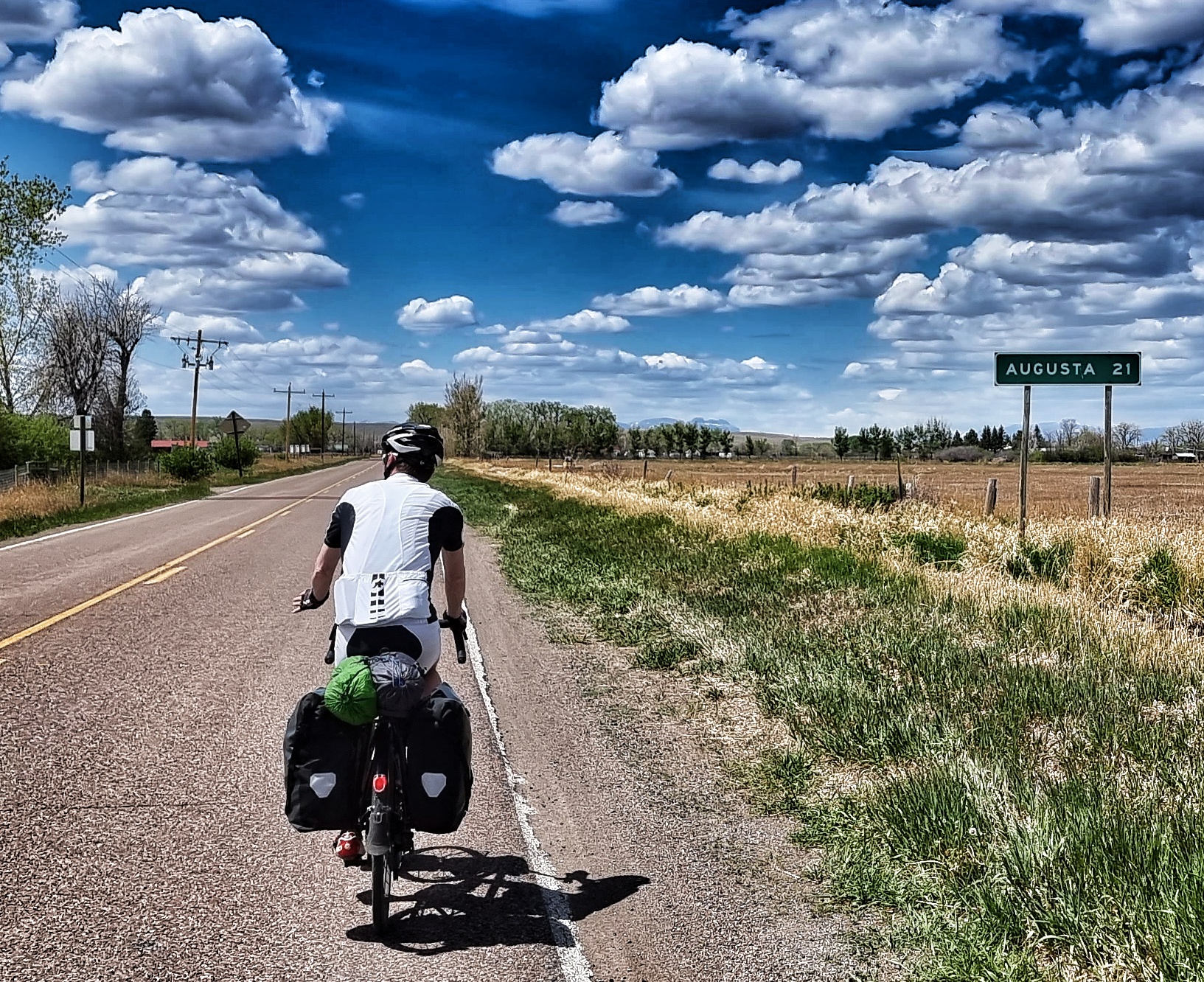
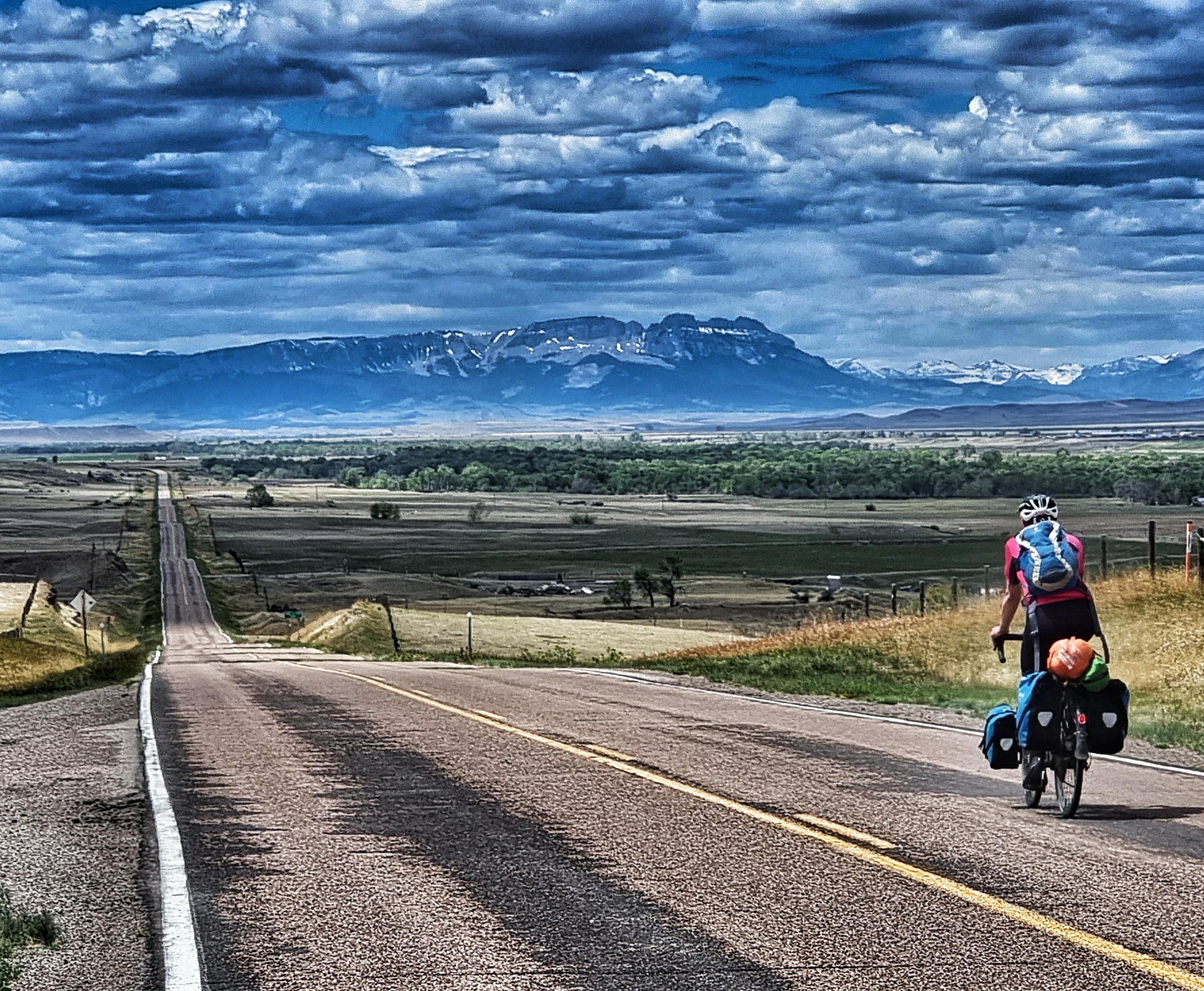
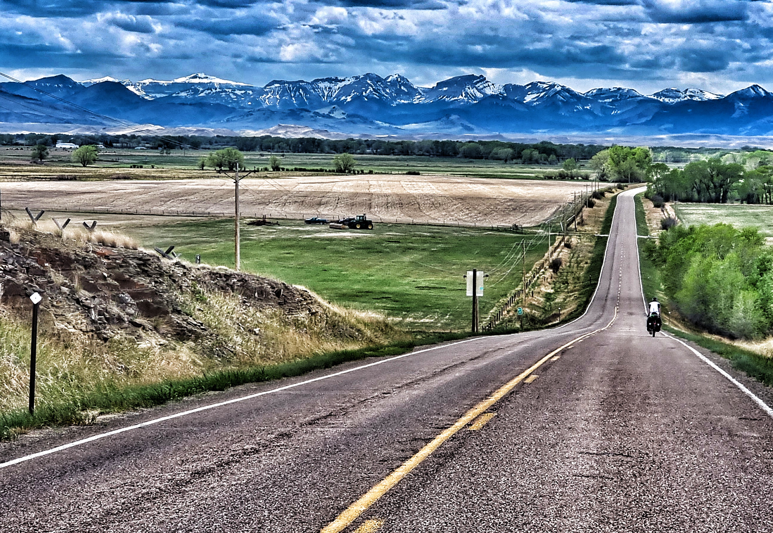
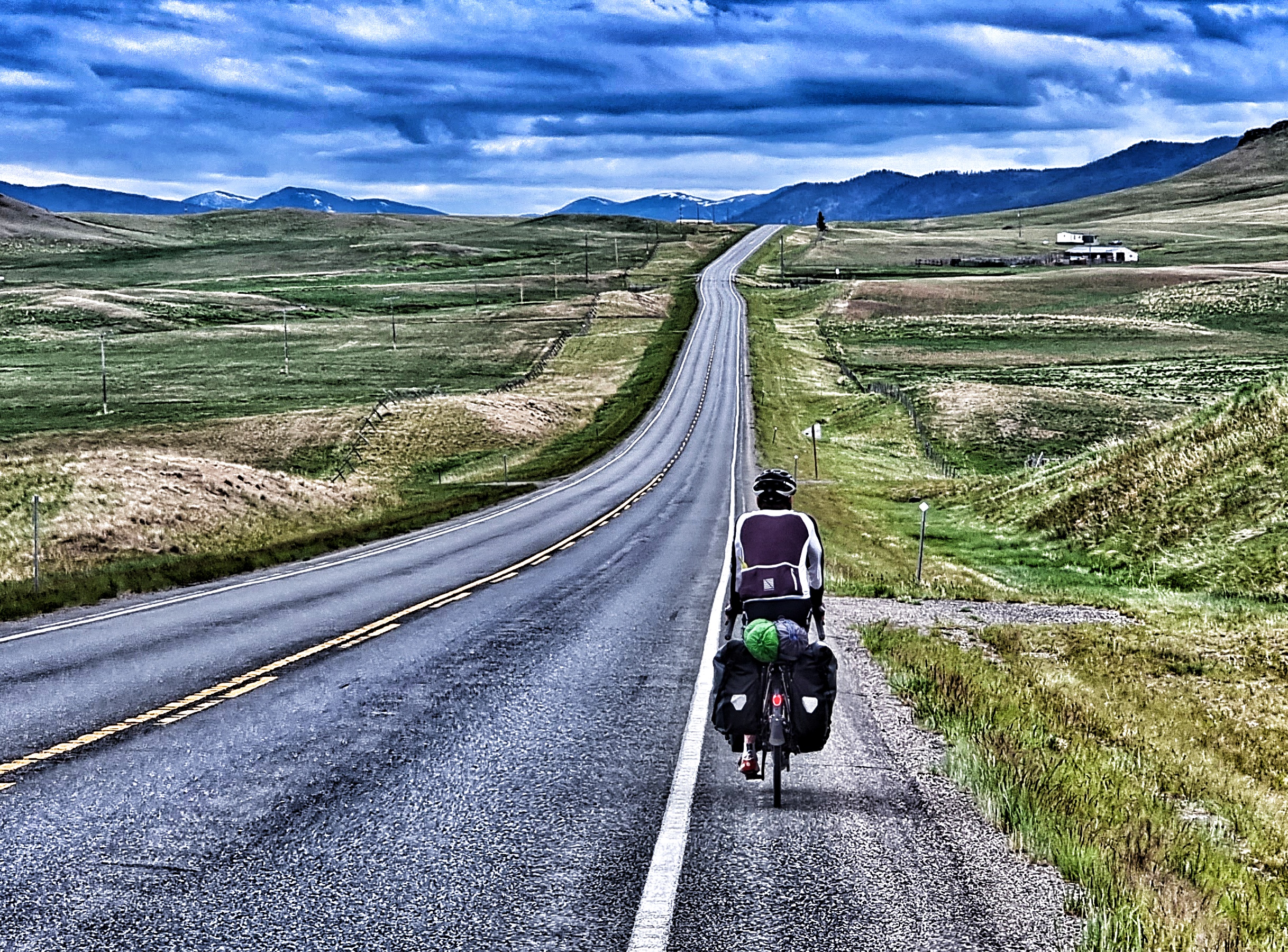
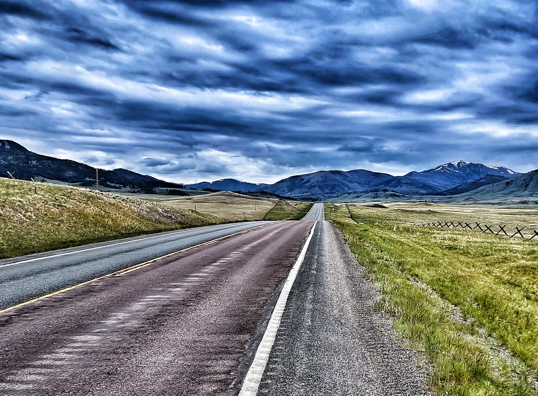
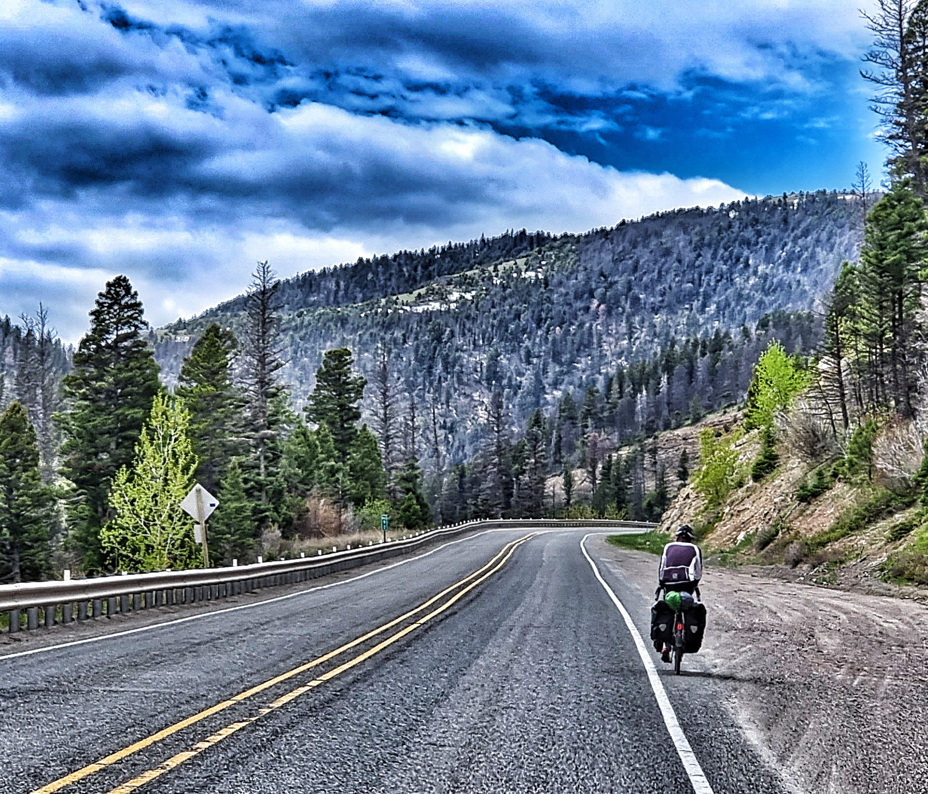
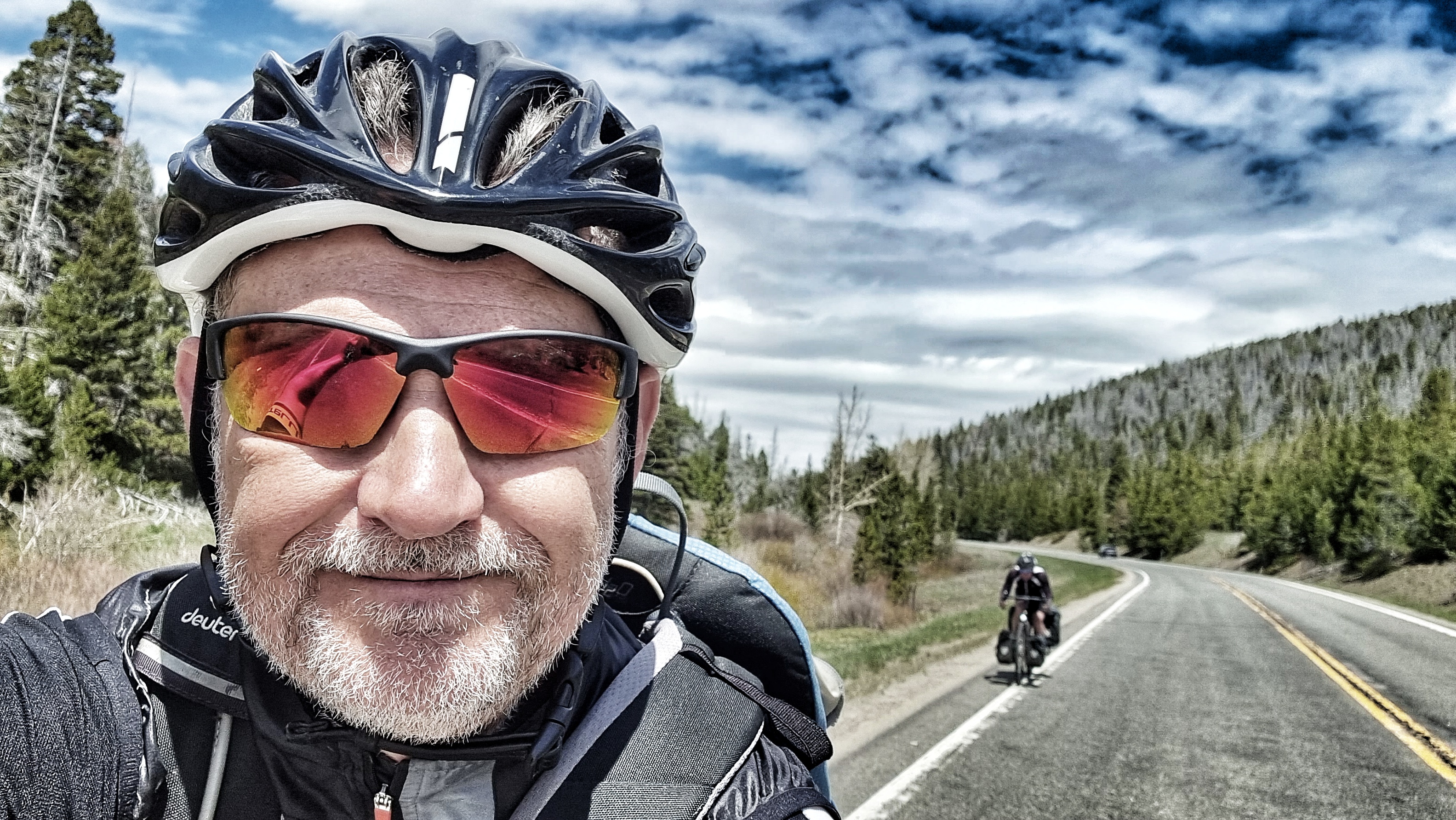
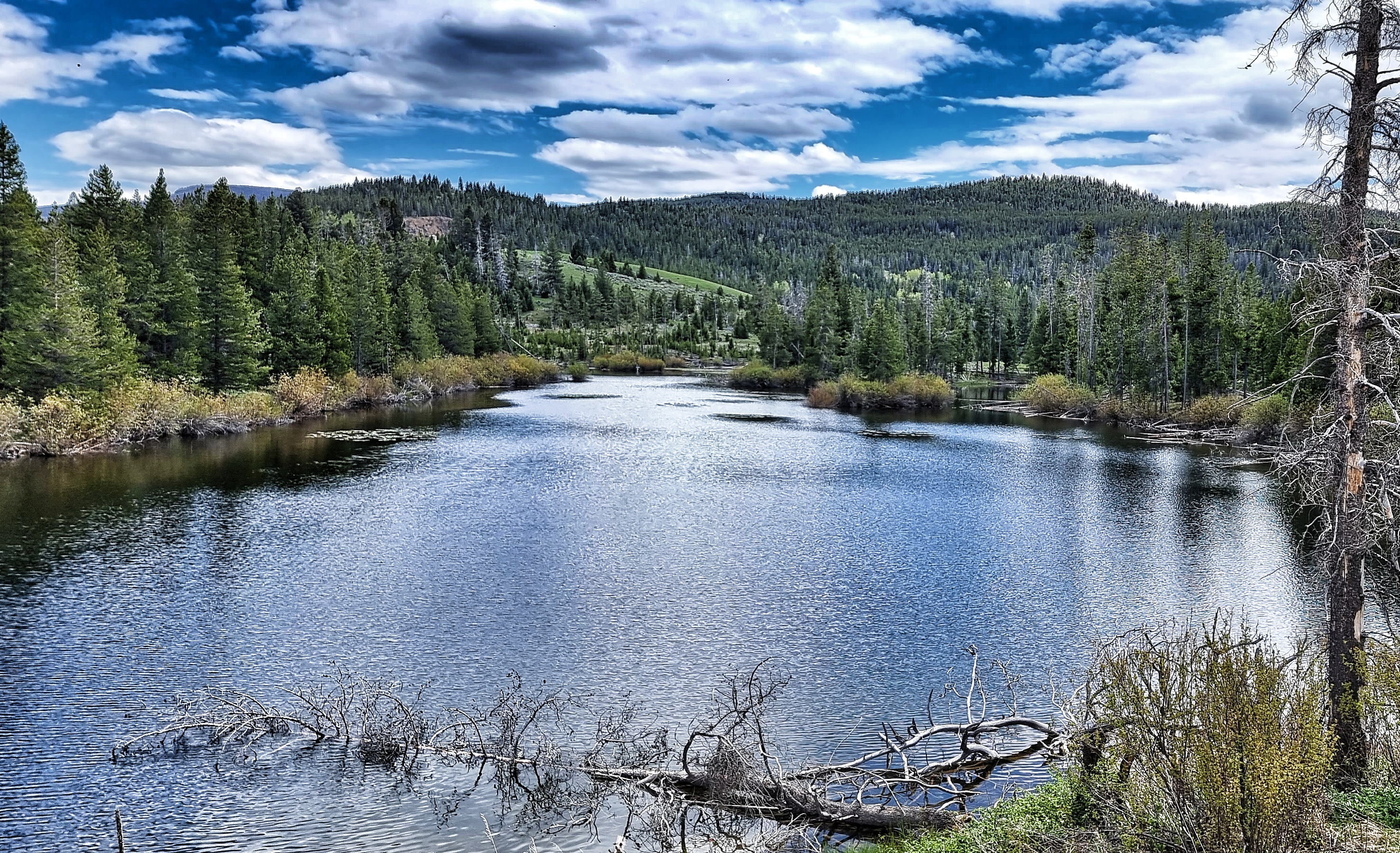
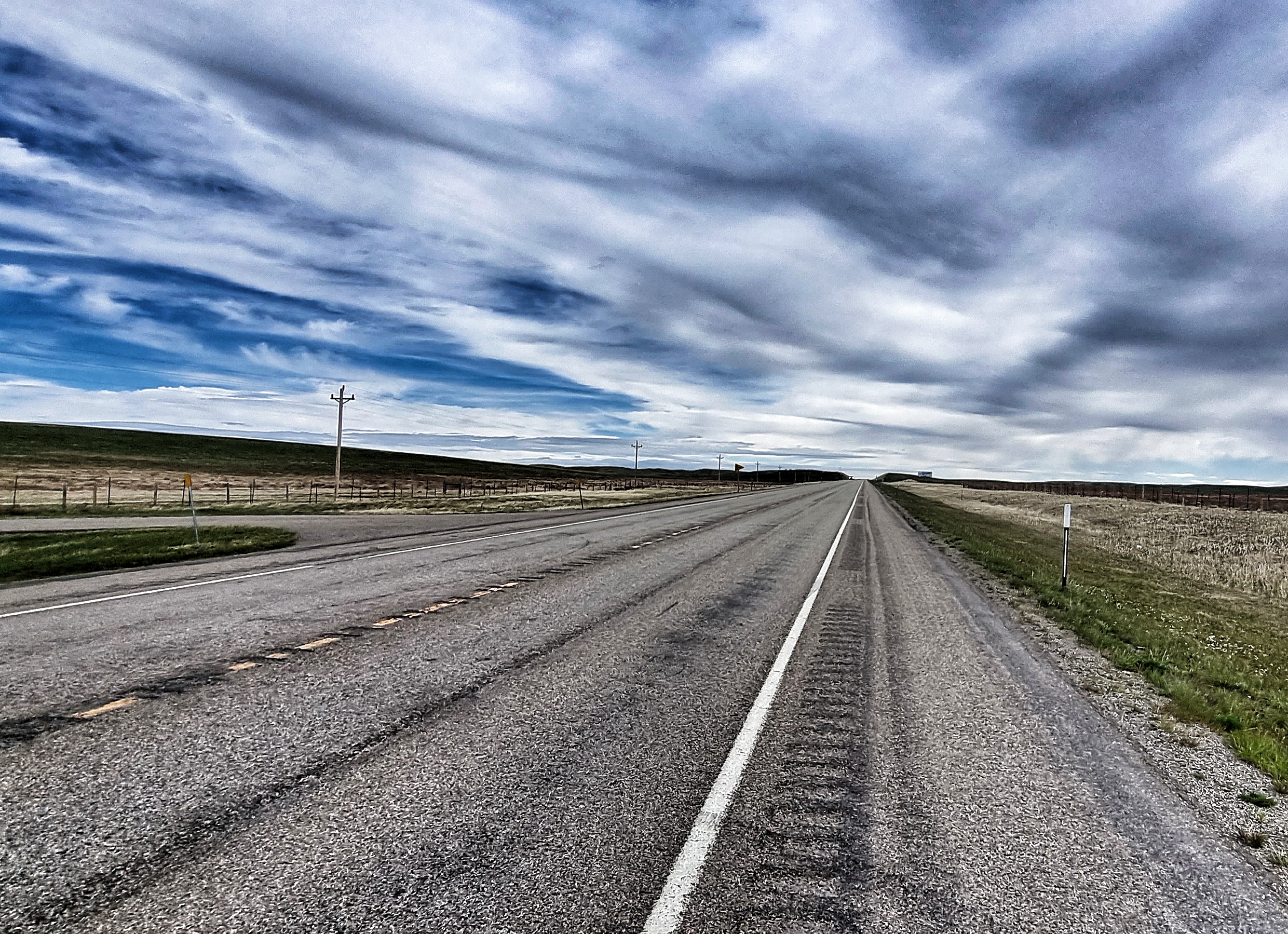
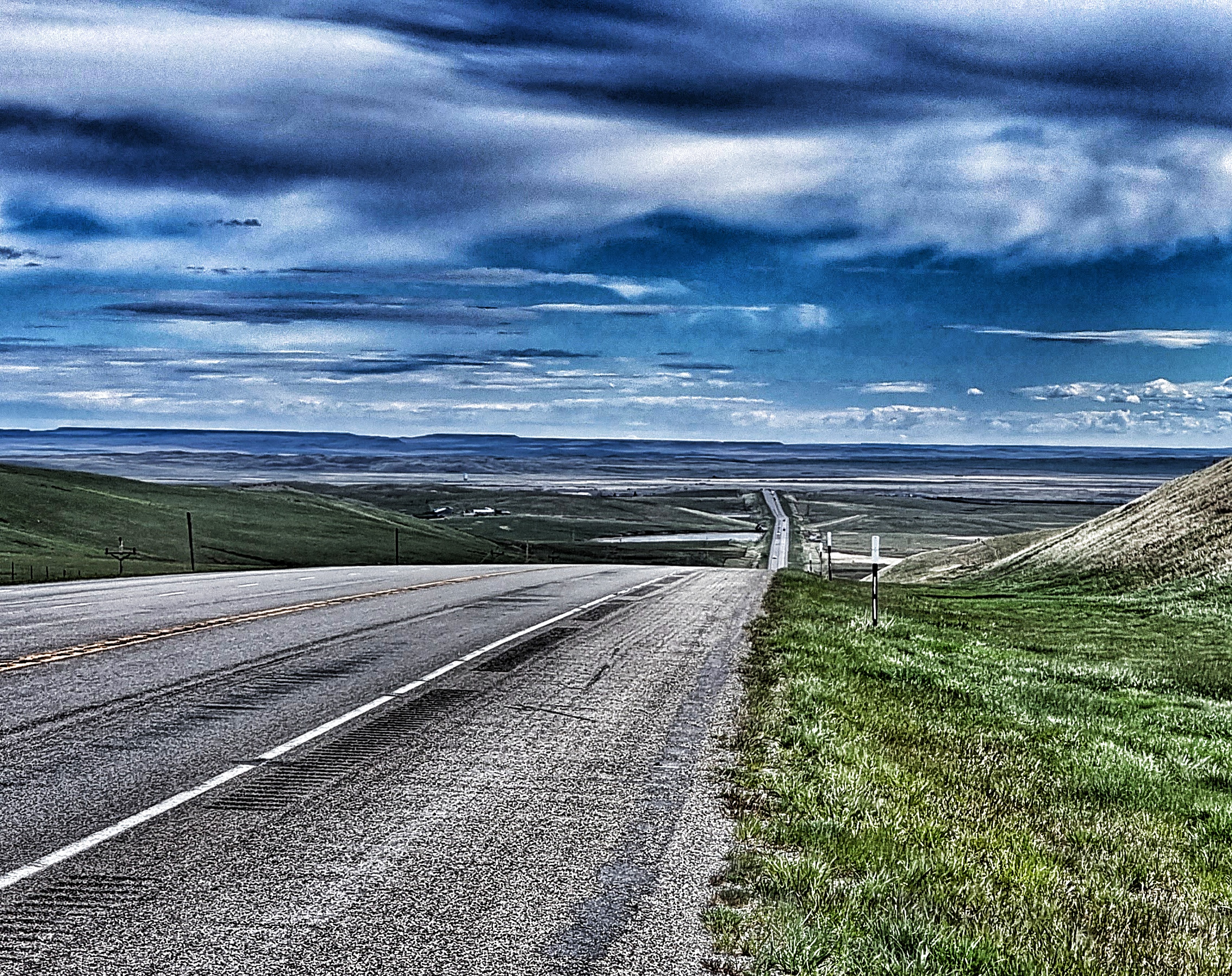
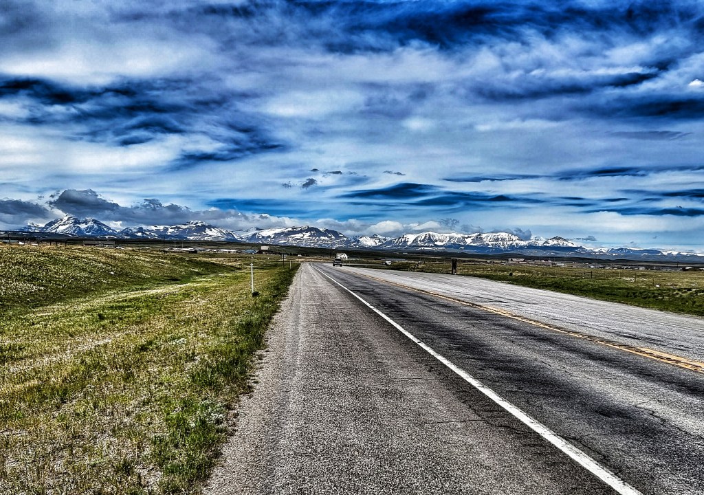
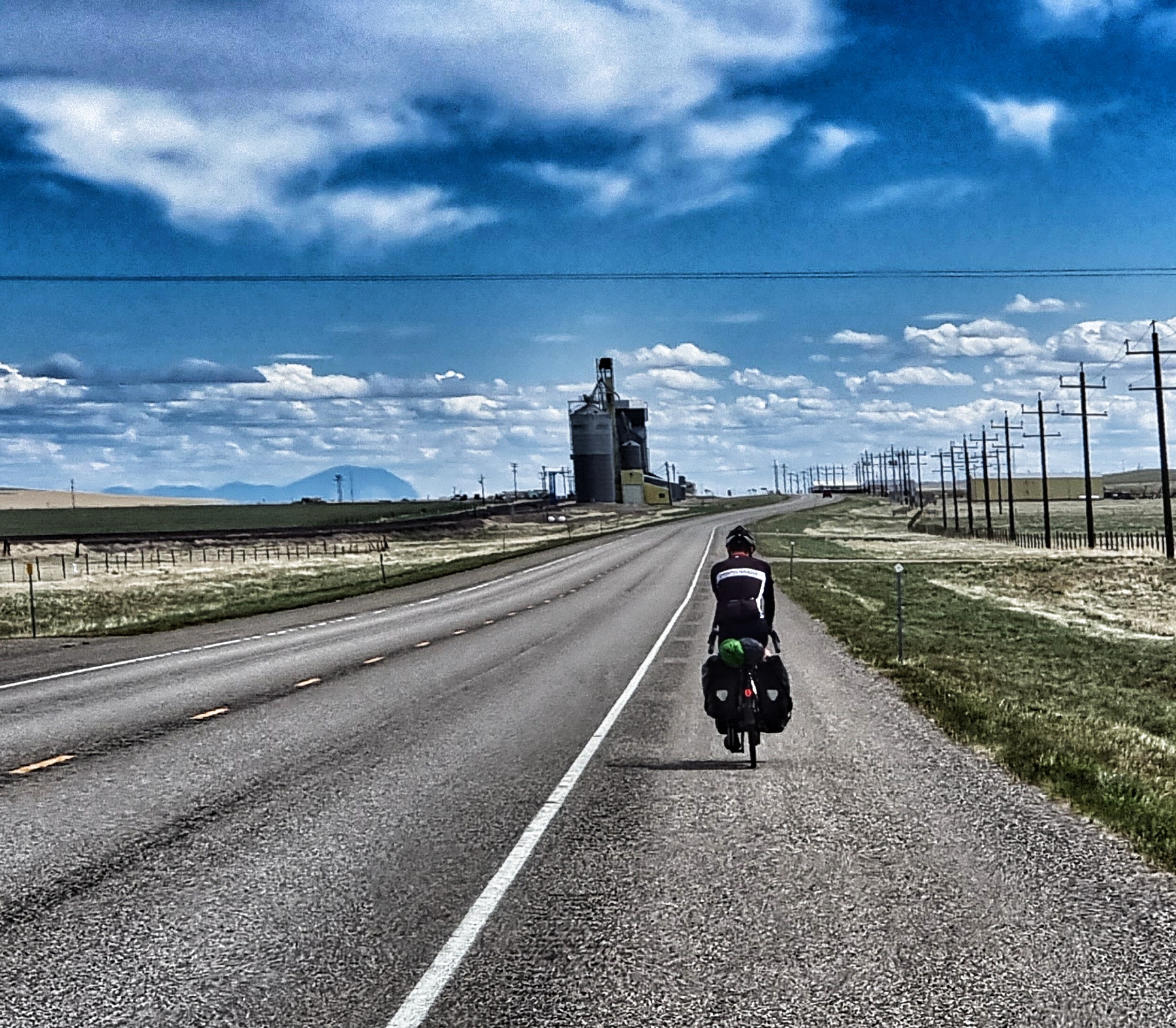
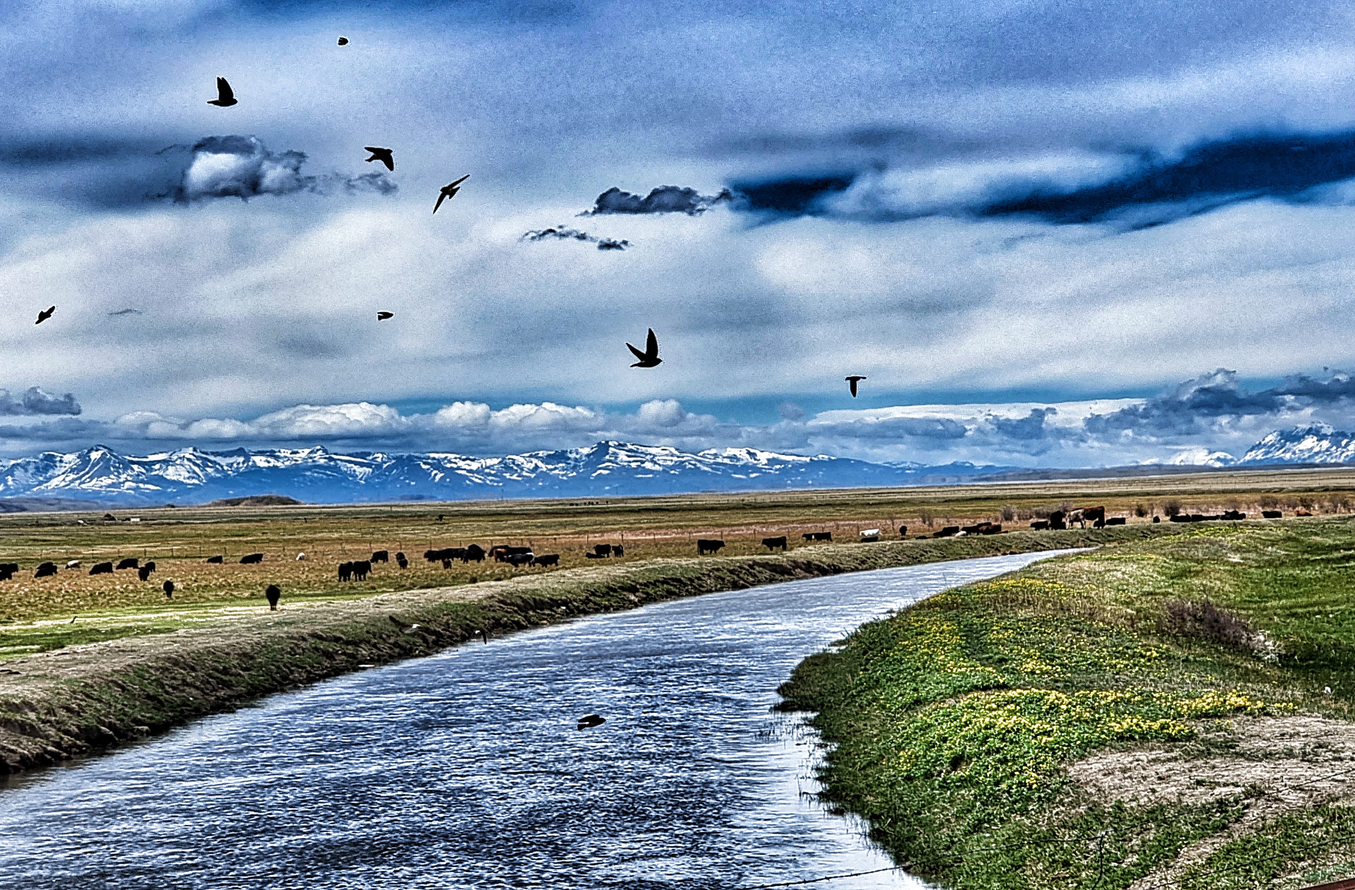
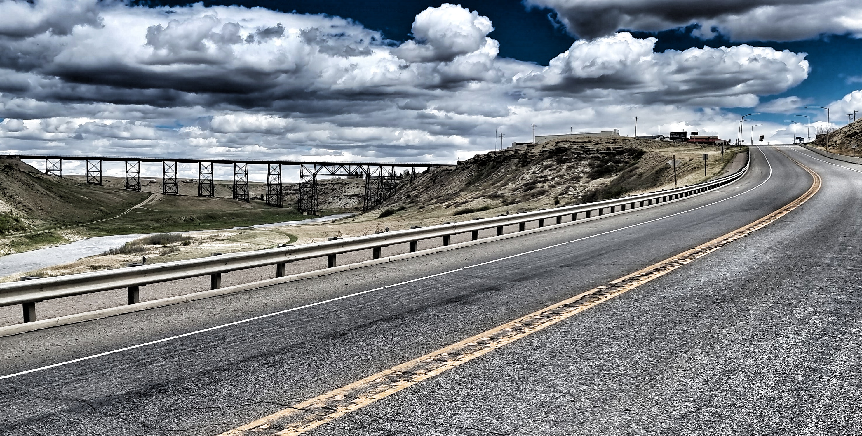
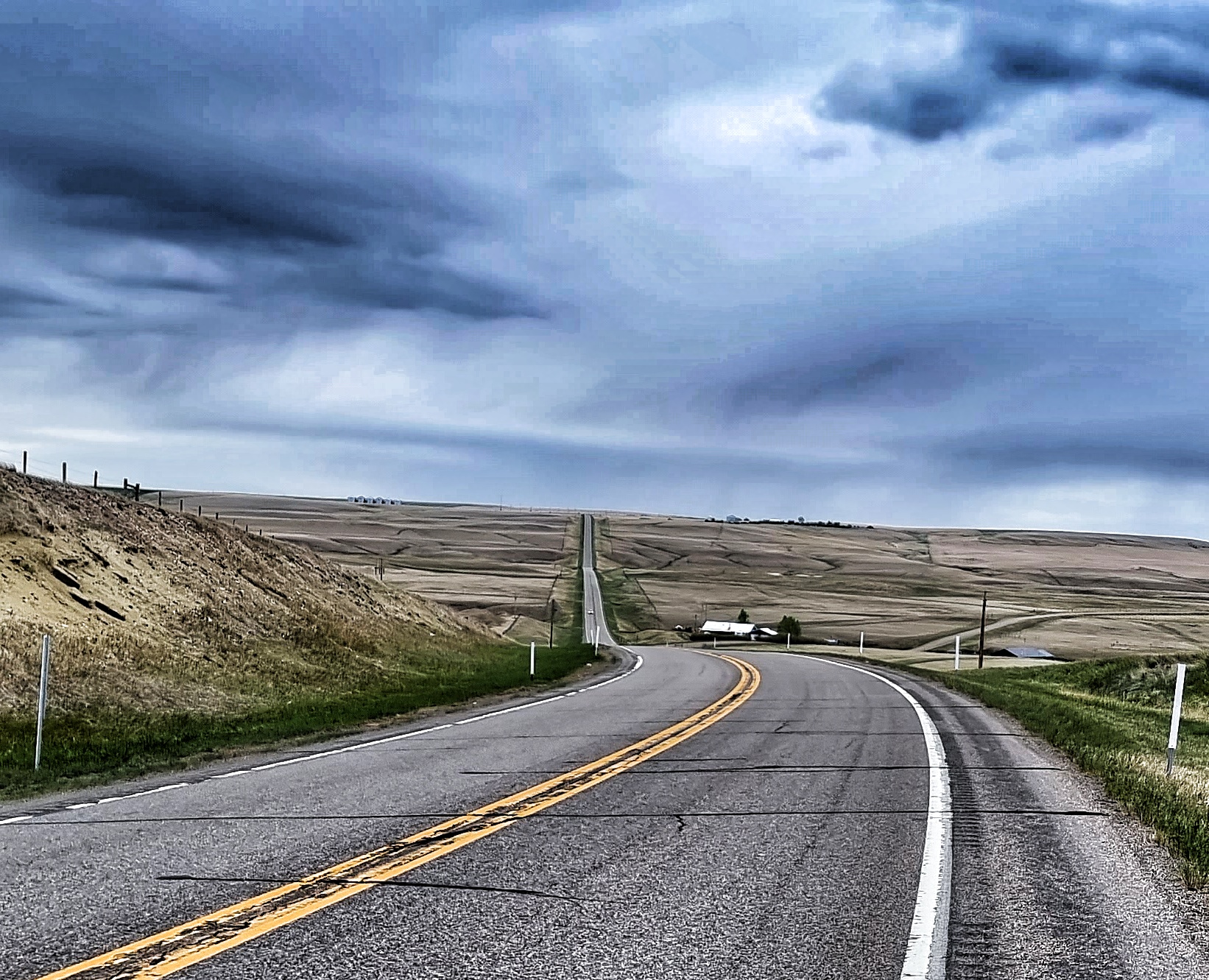
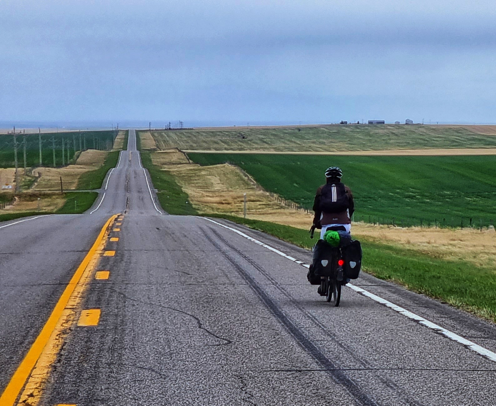
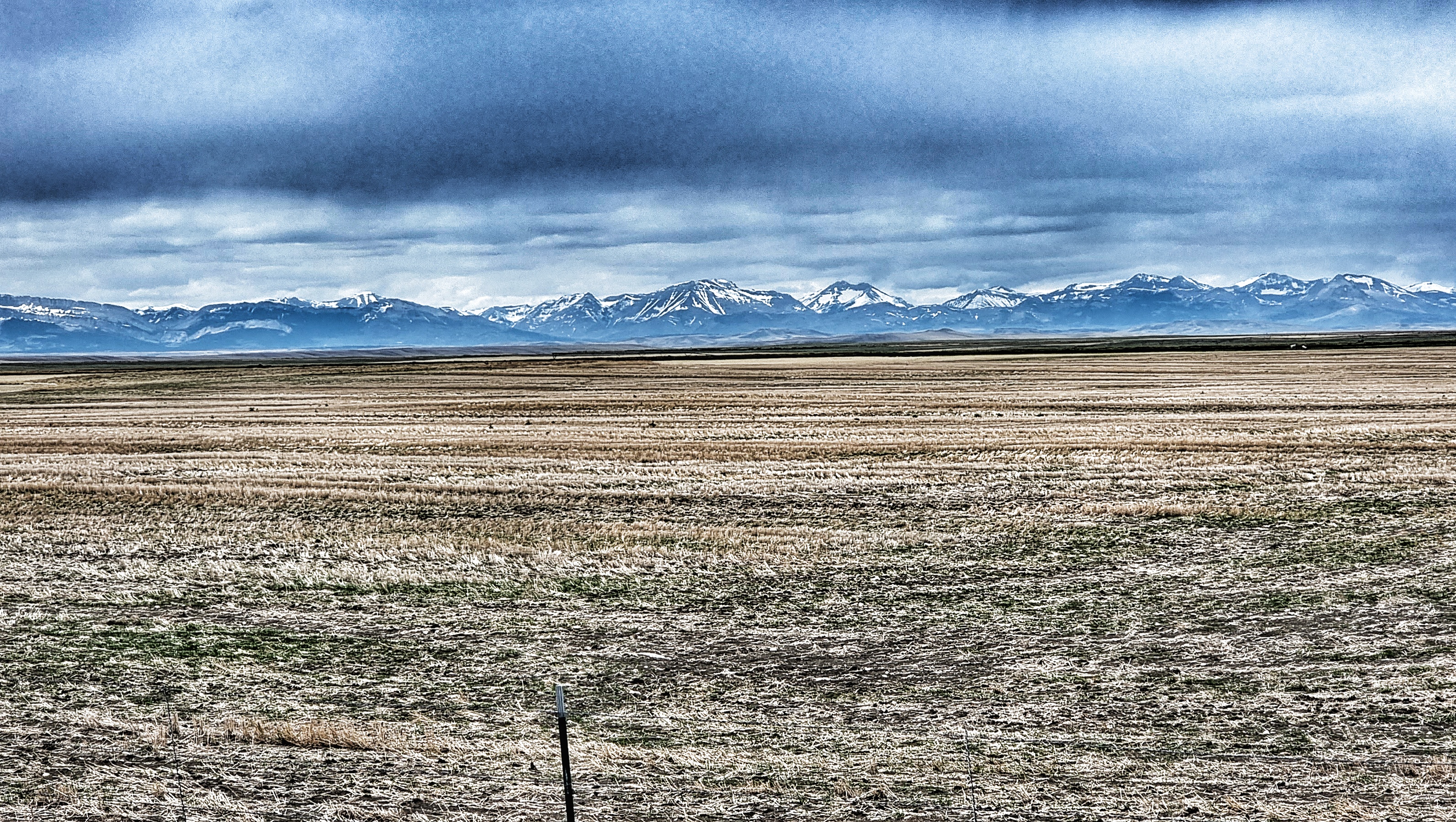
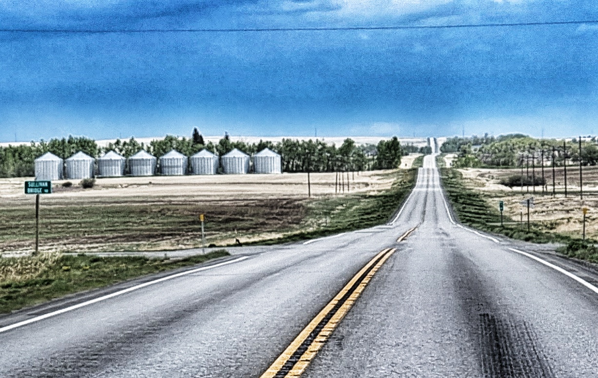
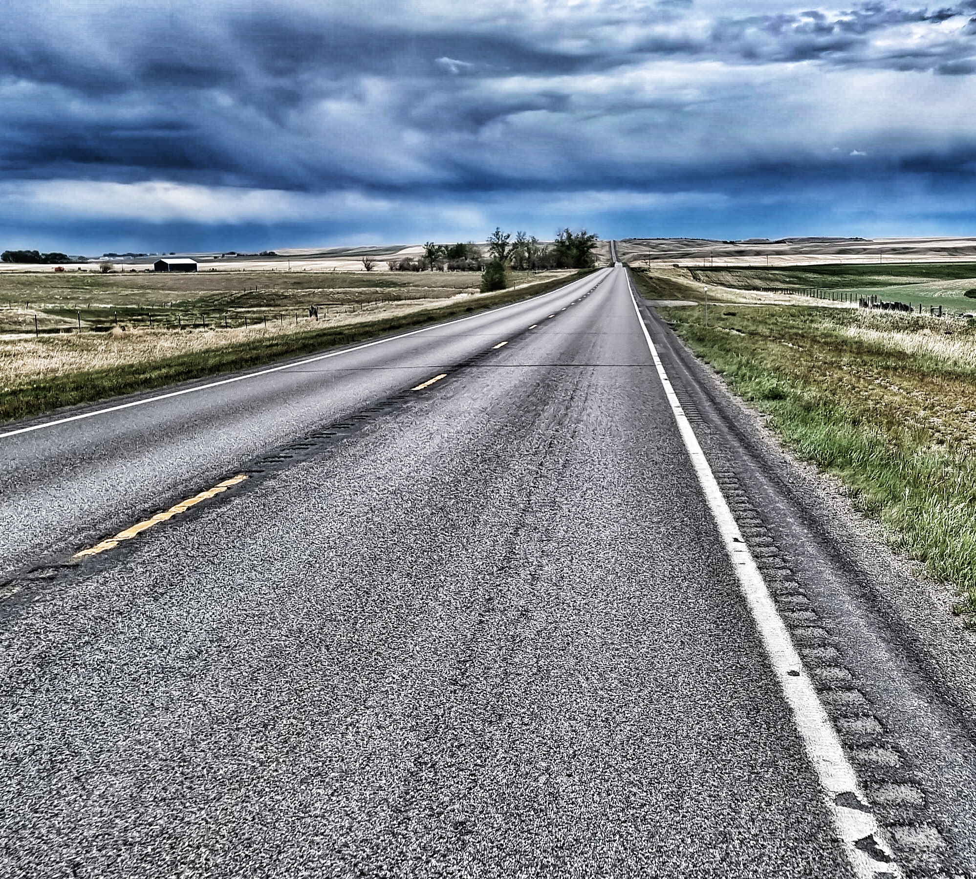
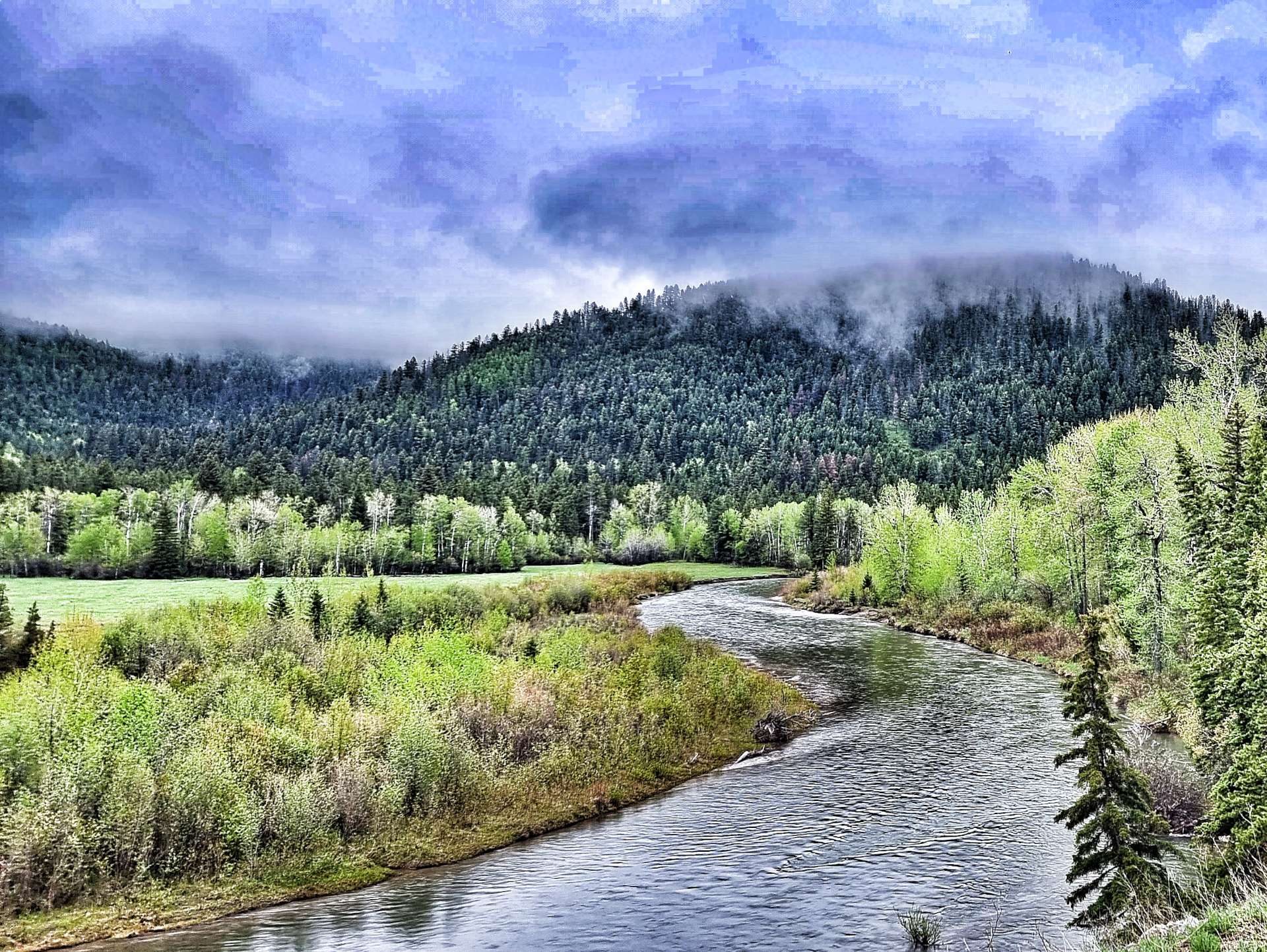
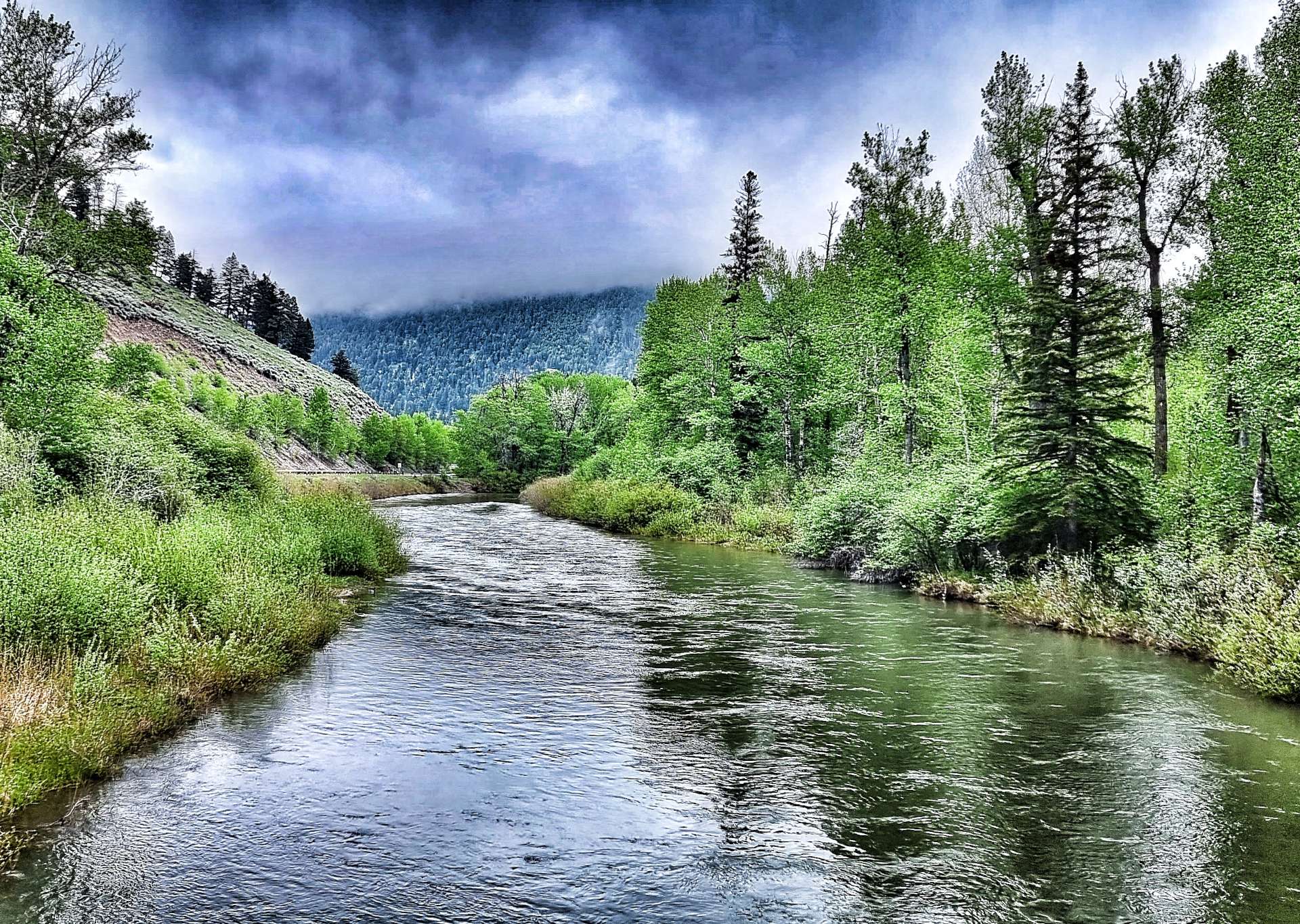
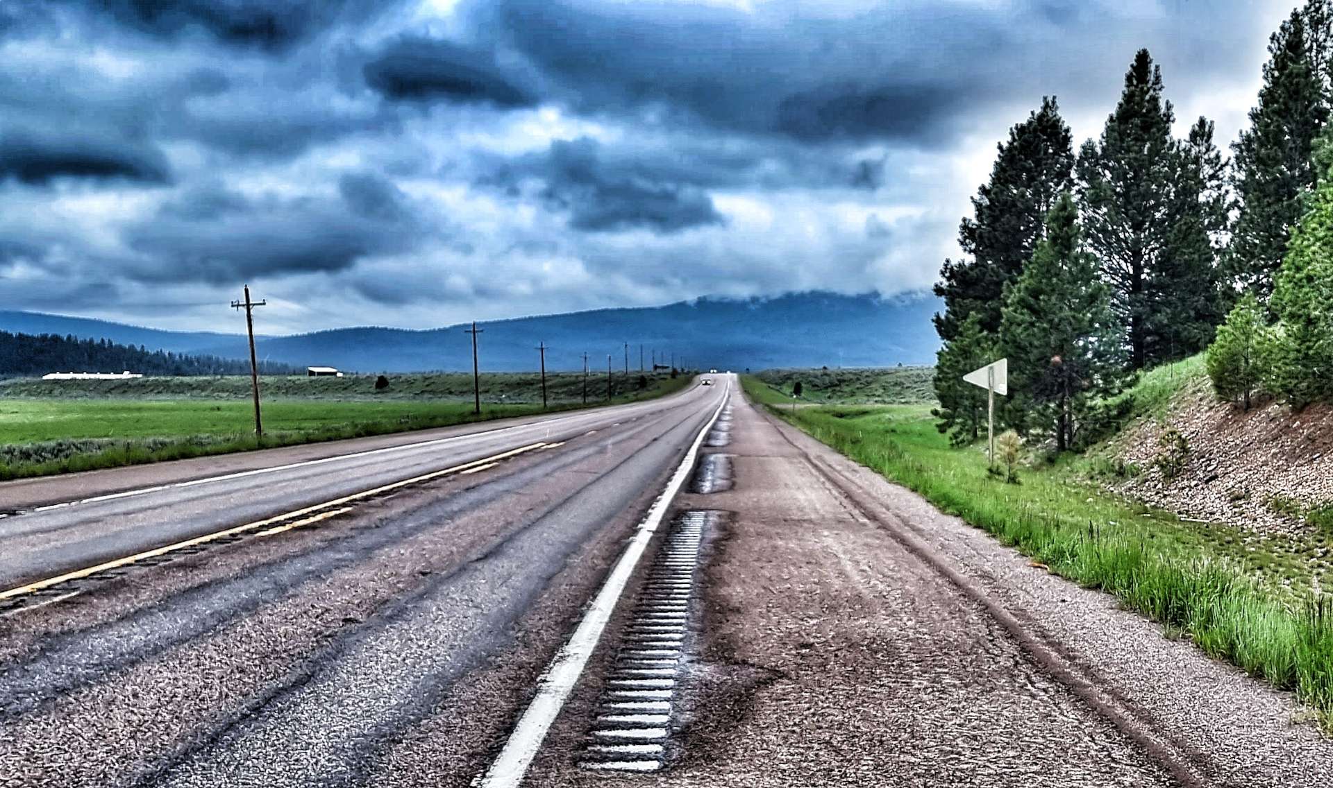
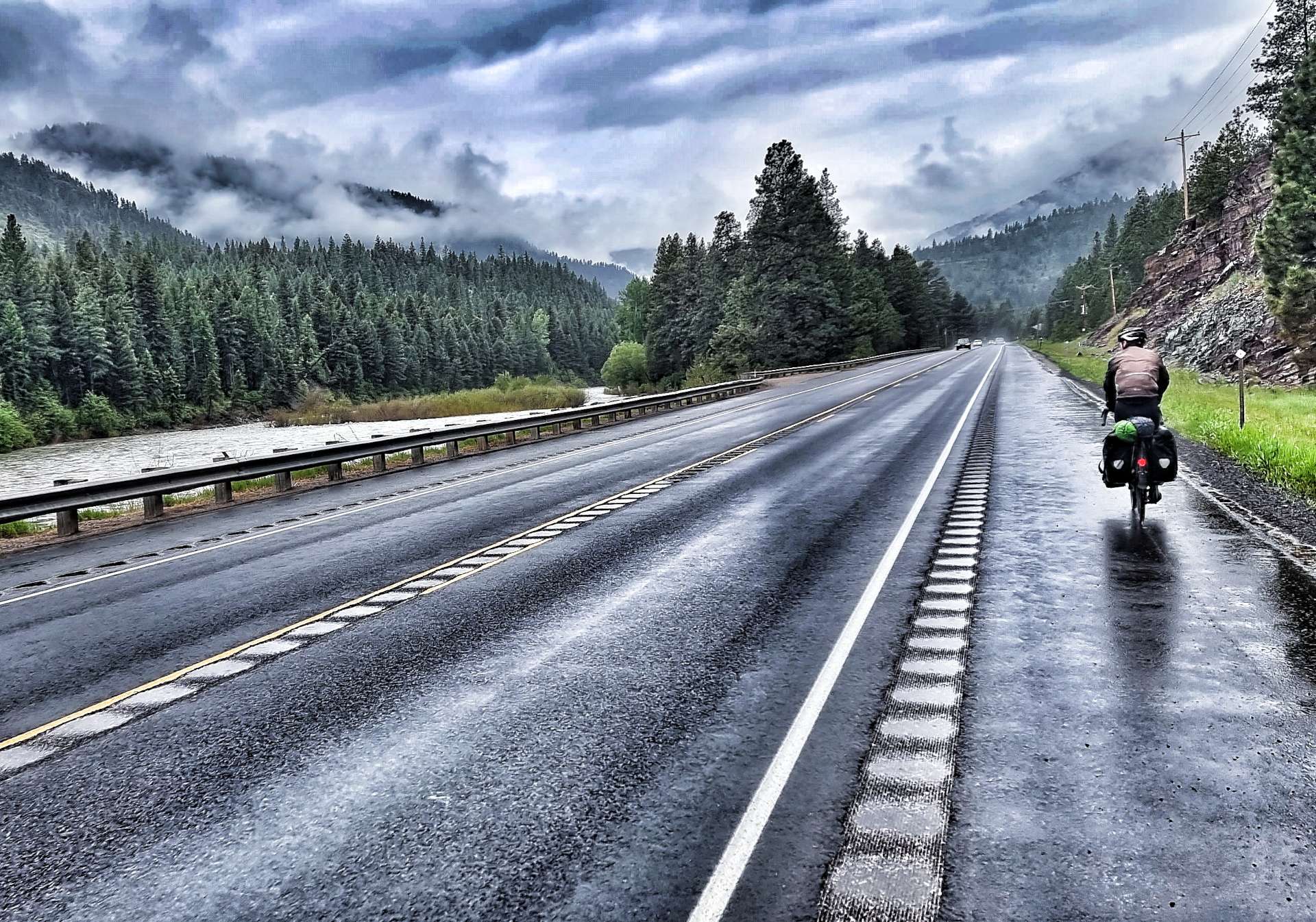
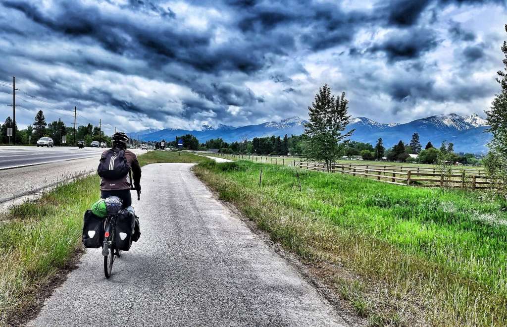
Lincoln is one of a number of places where our motel stay doesn’t include breakfast. As on those previous occasions we bought some Frosties, yoghurt & milk from a grocery store the night before & made our own breakfast. We both agreed, “They’re Grrrrrrrrreat!!” Today’s stage is 82 miles, so we were on the road by 8am with low-lying cloud ahead of us. We soon picked up the path of the Blackfoot river as it meandered across the valley floor. For the first 5 miles or so we didn’t see or hear any wildlife which is unusual – we were beginning to wonder if maybe the road was too busy for our furry & feathered friends.

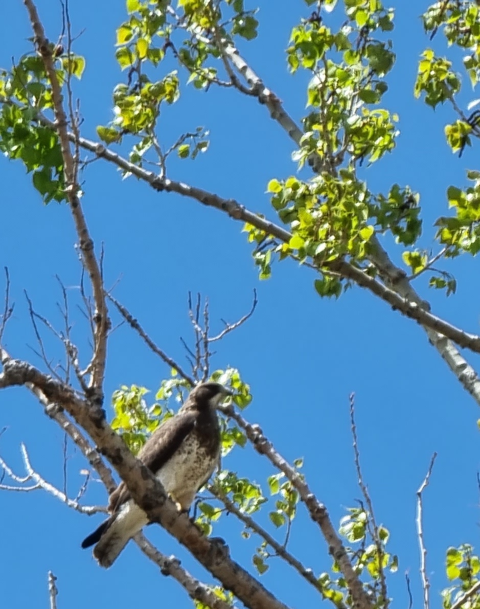
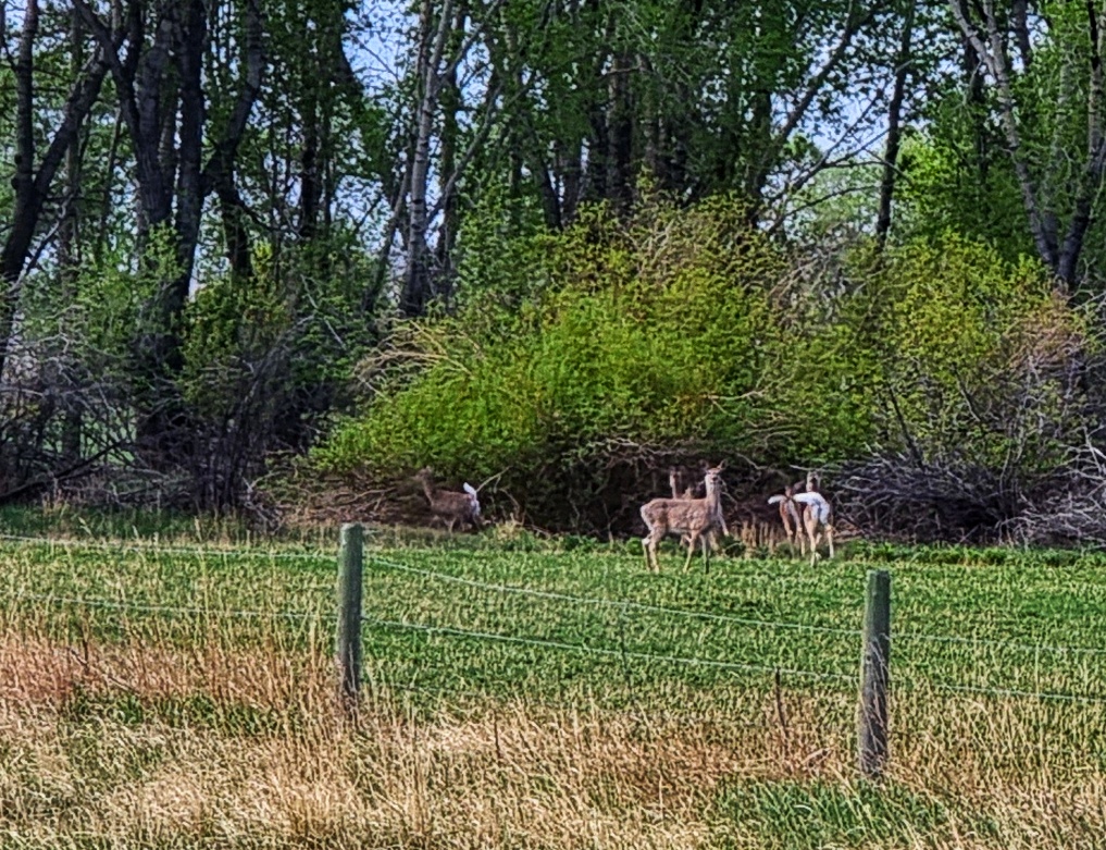
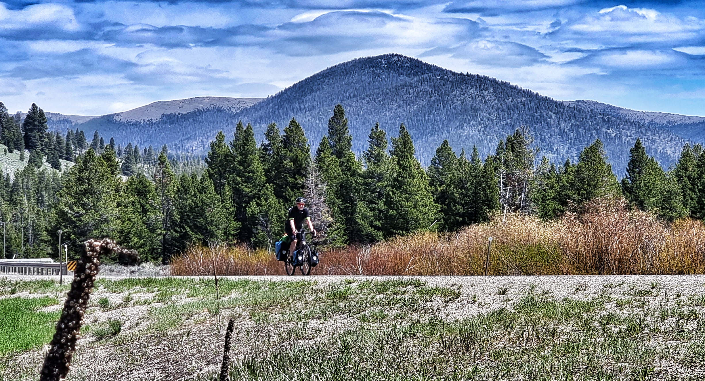
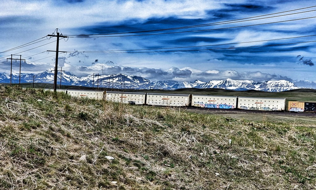
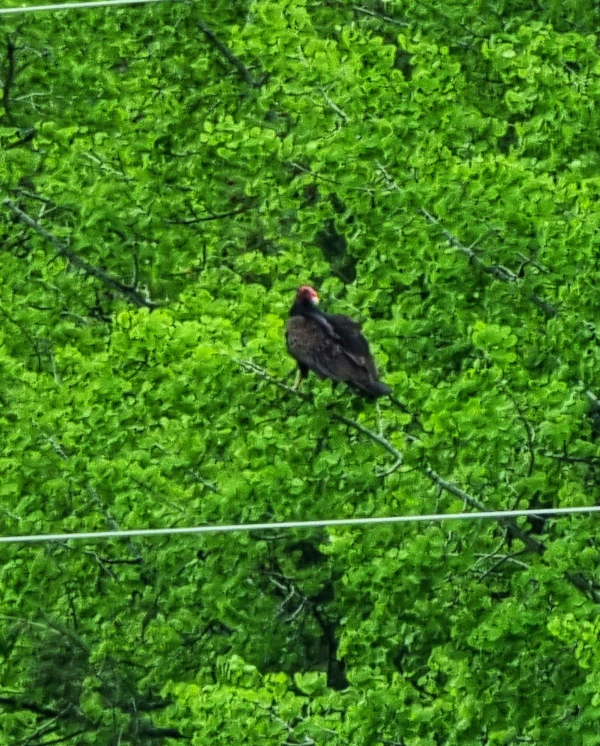
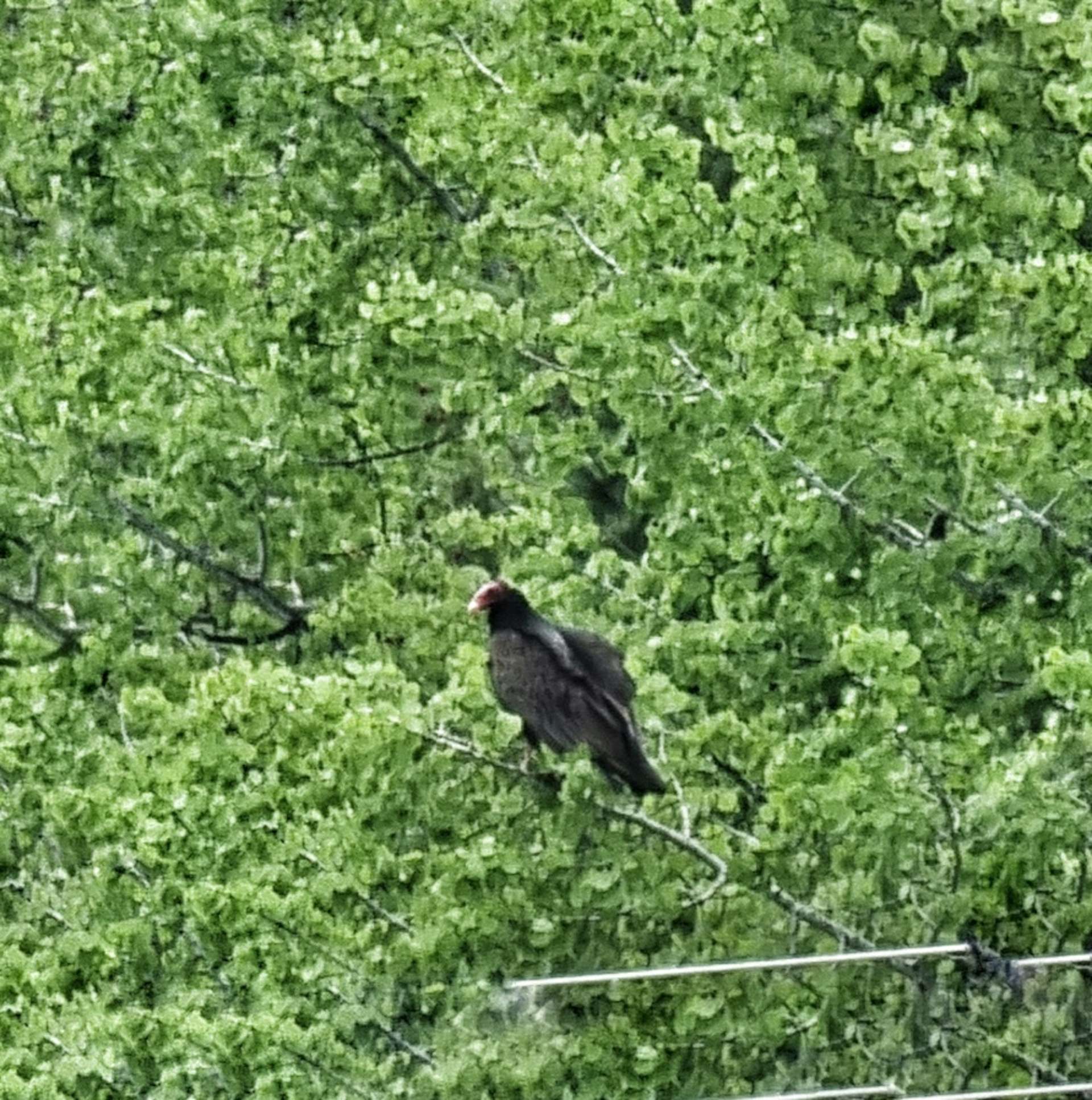
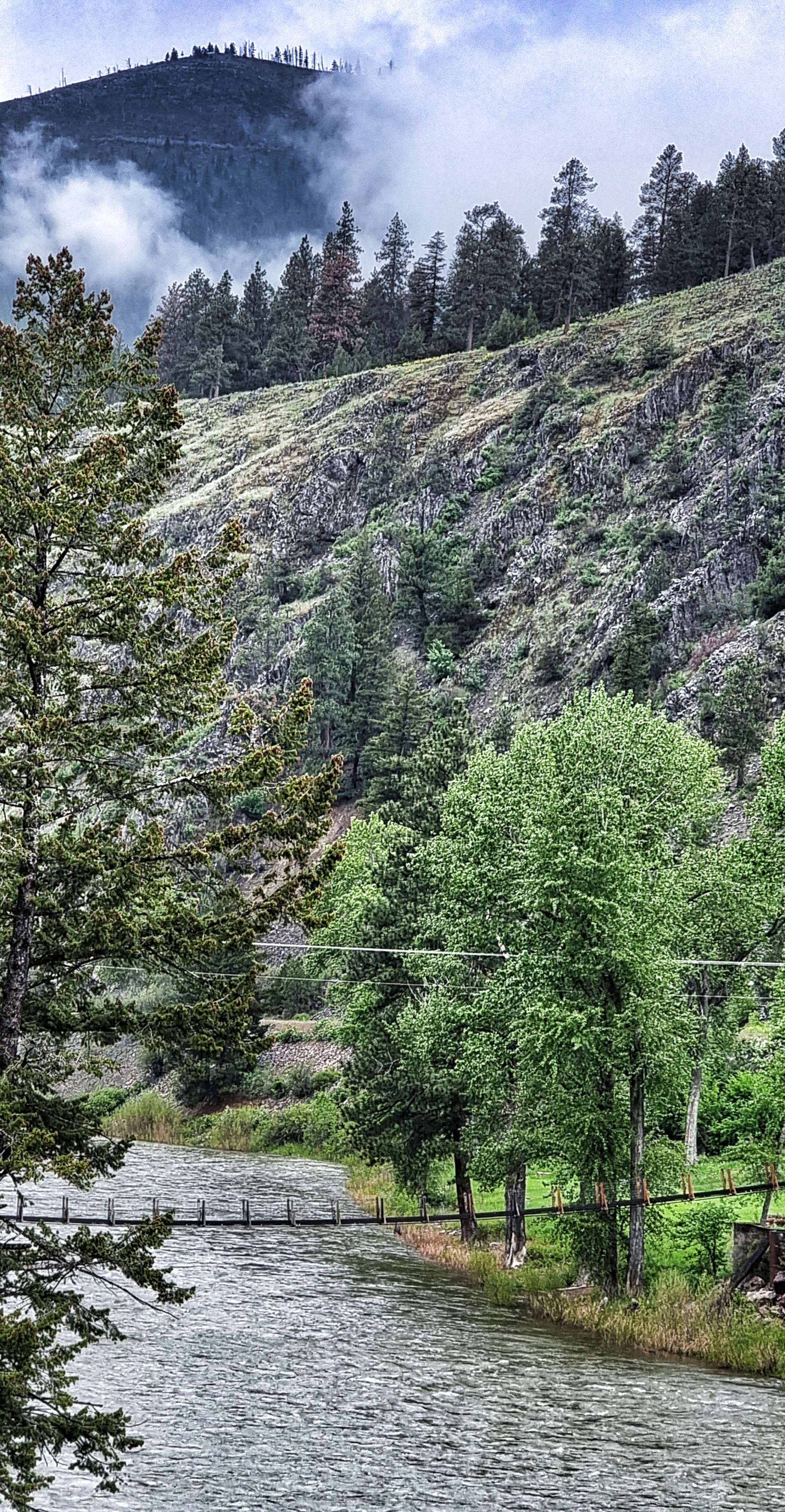
All of a sudden our barren spell disappeared as first a herd of 5 deer burst from the undergrowth & bounded into the forest – all too quick to photograph. Within a couple of hundred yards we spotted an eagle feeding on a dead deer that was lying at the roadside. It took off & perched in a tree waiting for us to move on. It appeared quite comfortable on its branch, so I took a couple of photos before leaving the eagle to enjoy breakfast in peace. A little while later we also spotted an eagle eyrie in a tree overlooking the river (top left of the 3rd photo below).

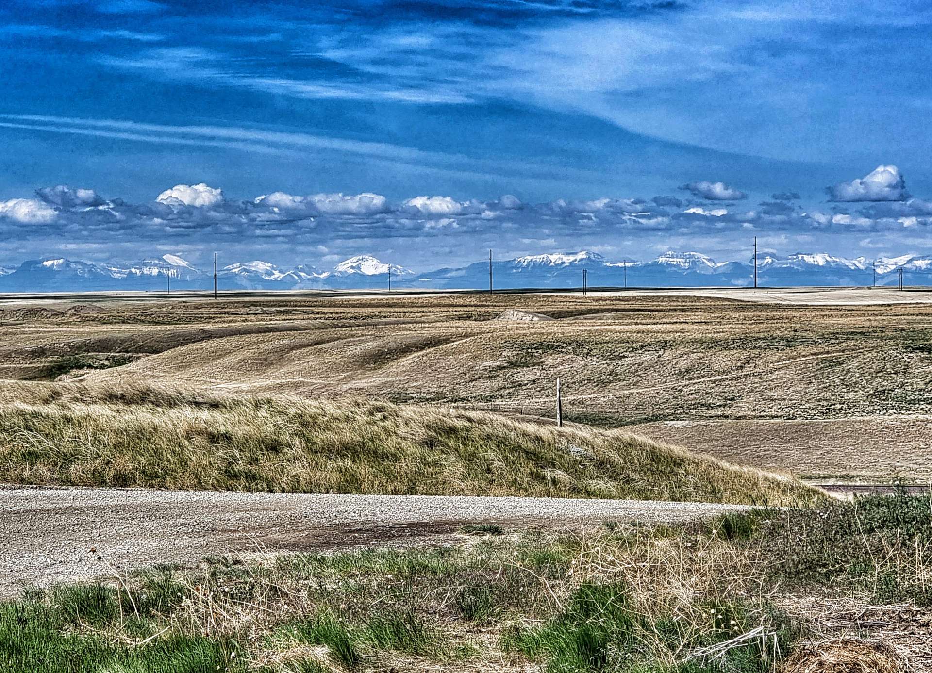
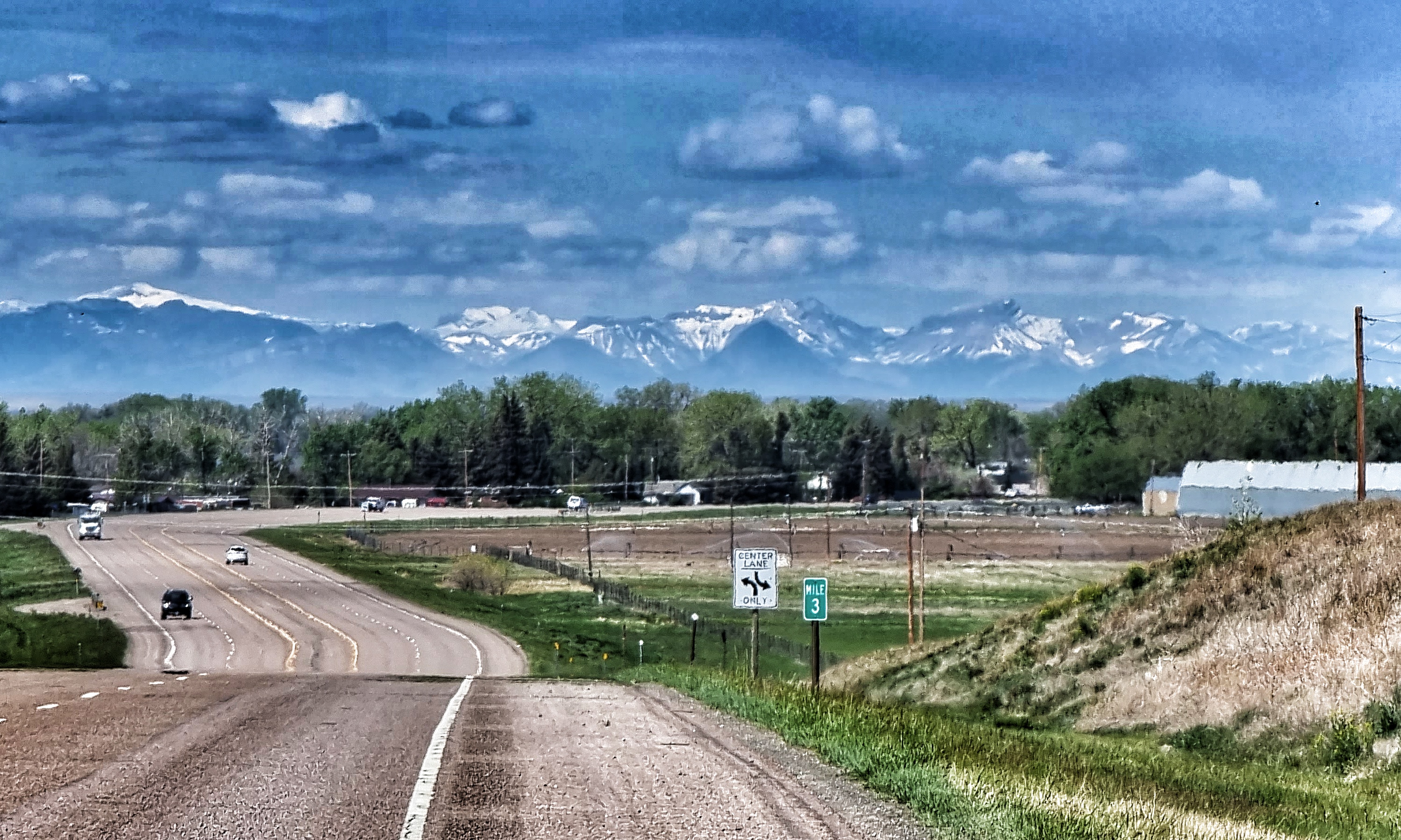
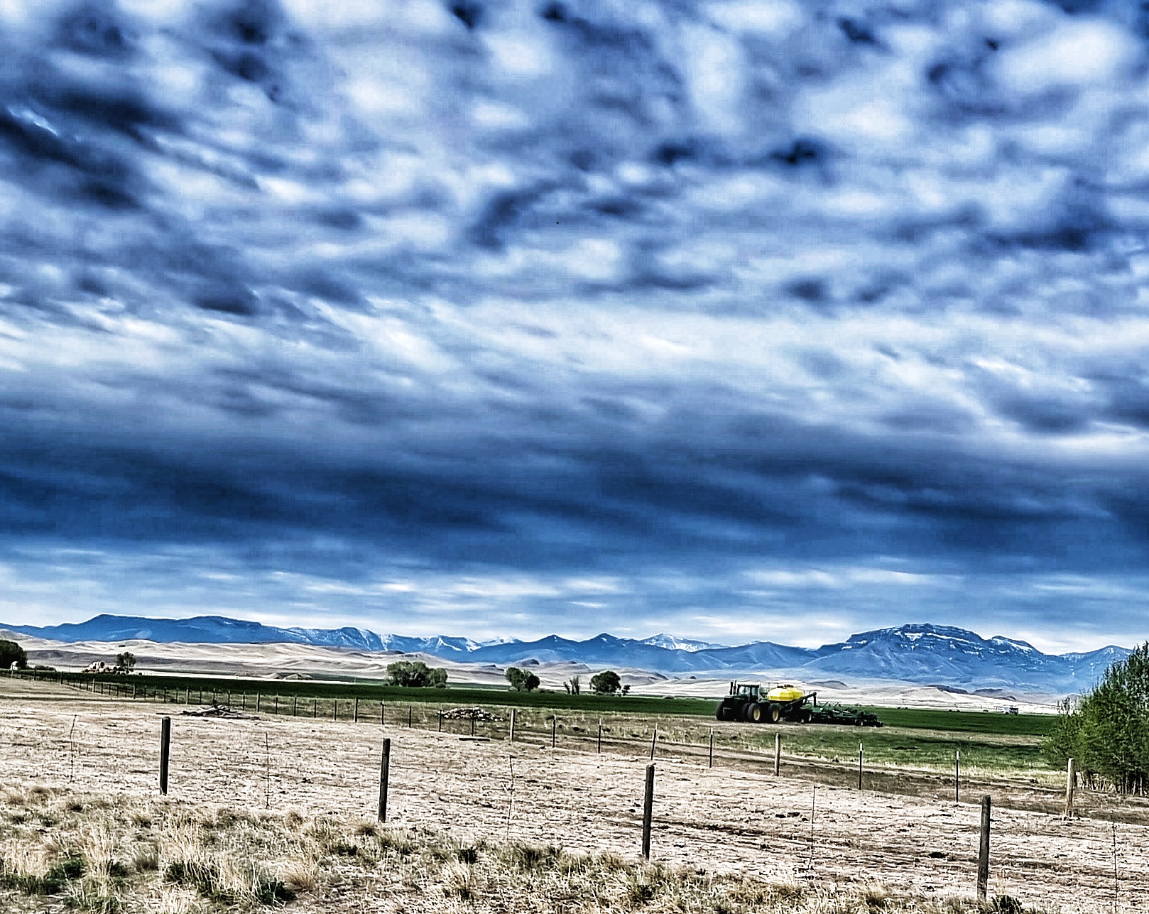
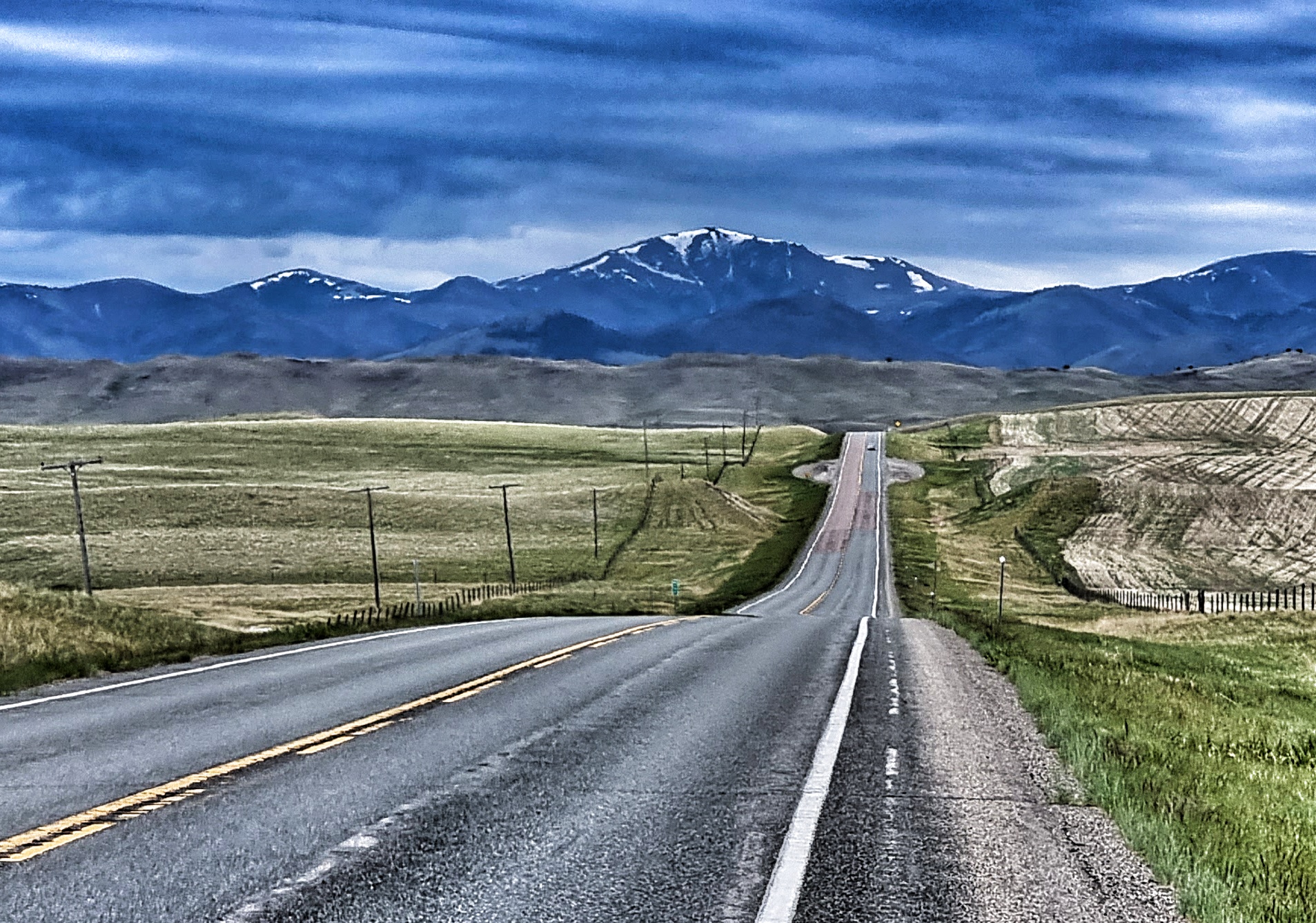
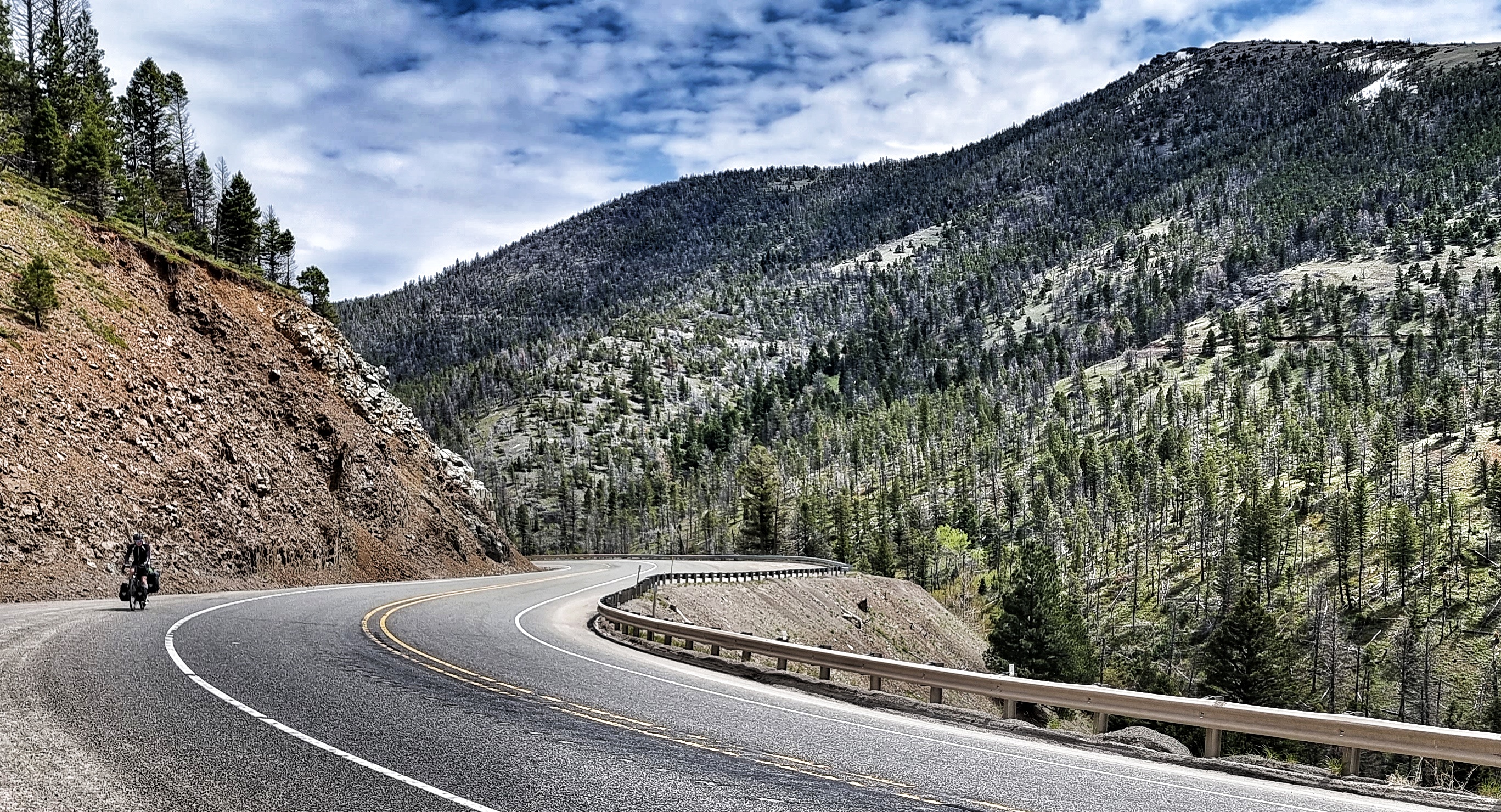
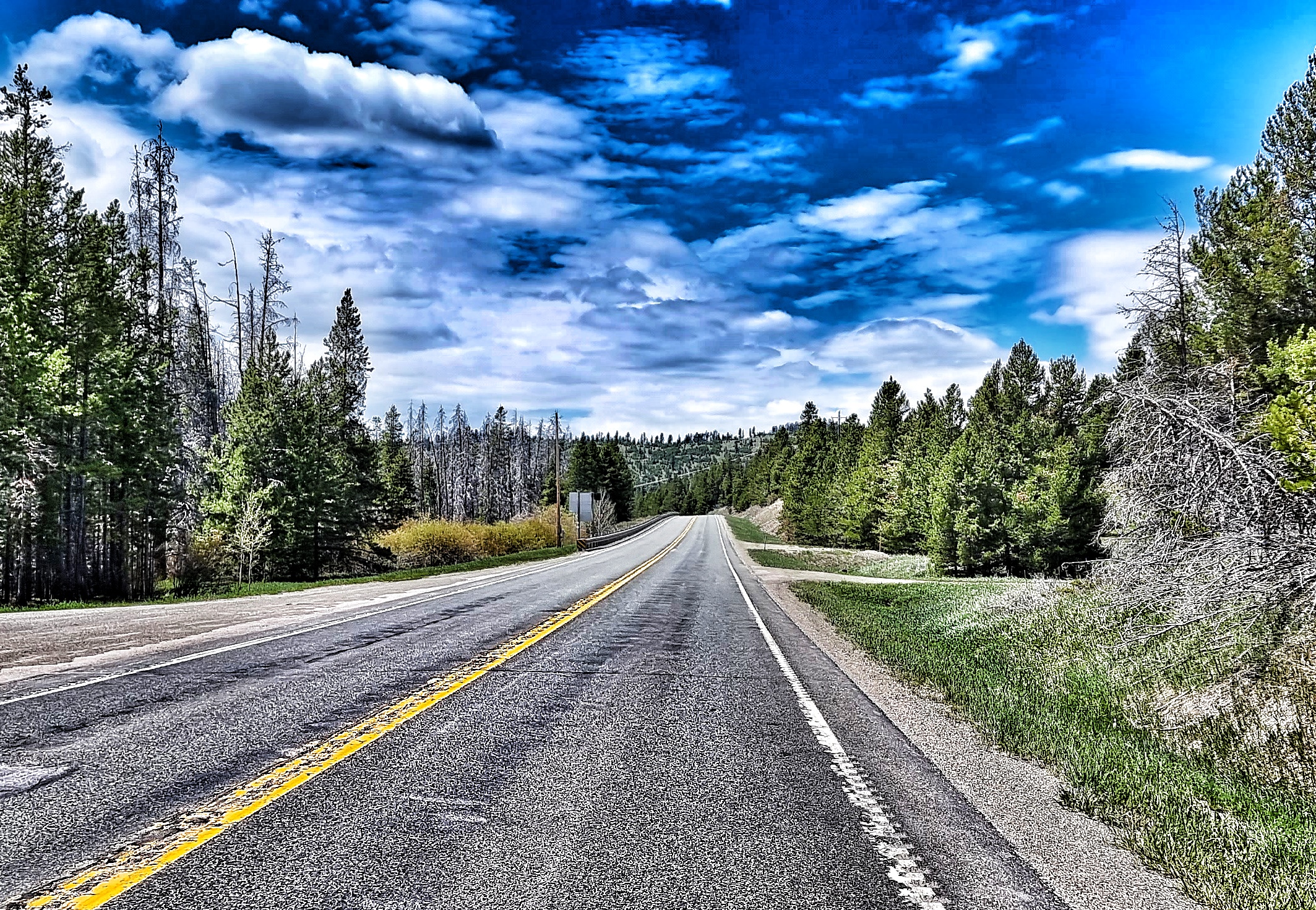
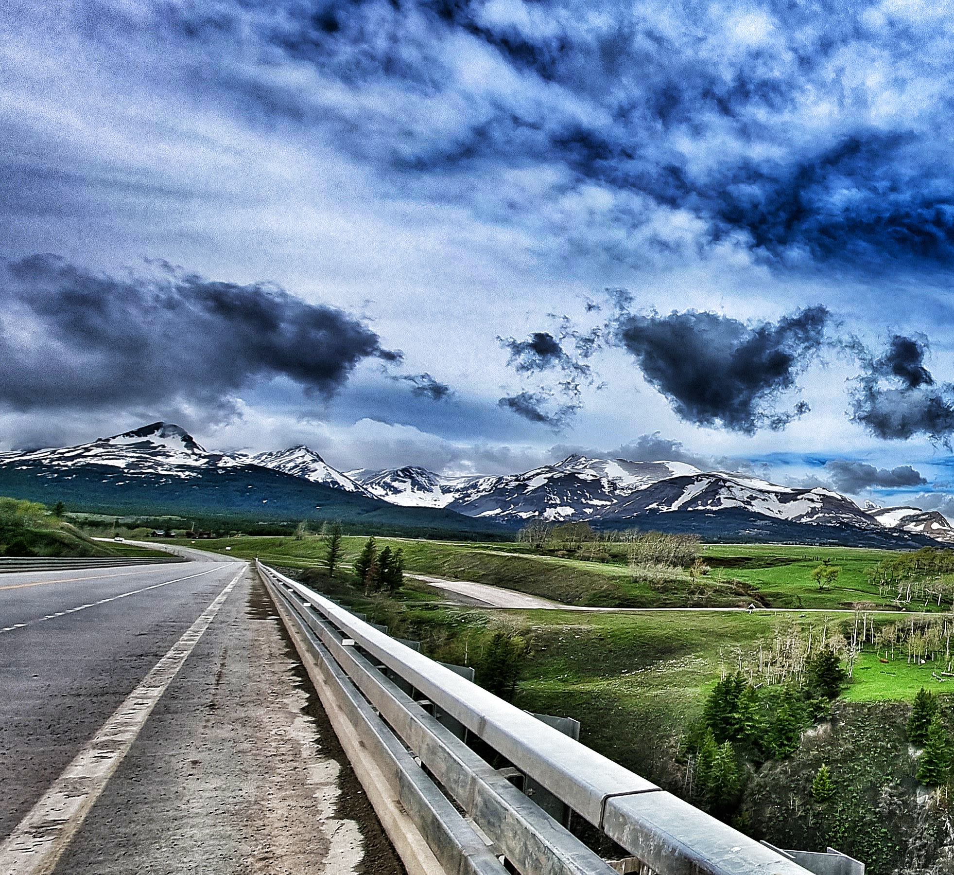
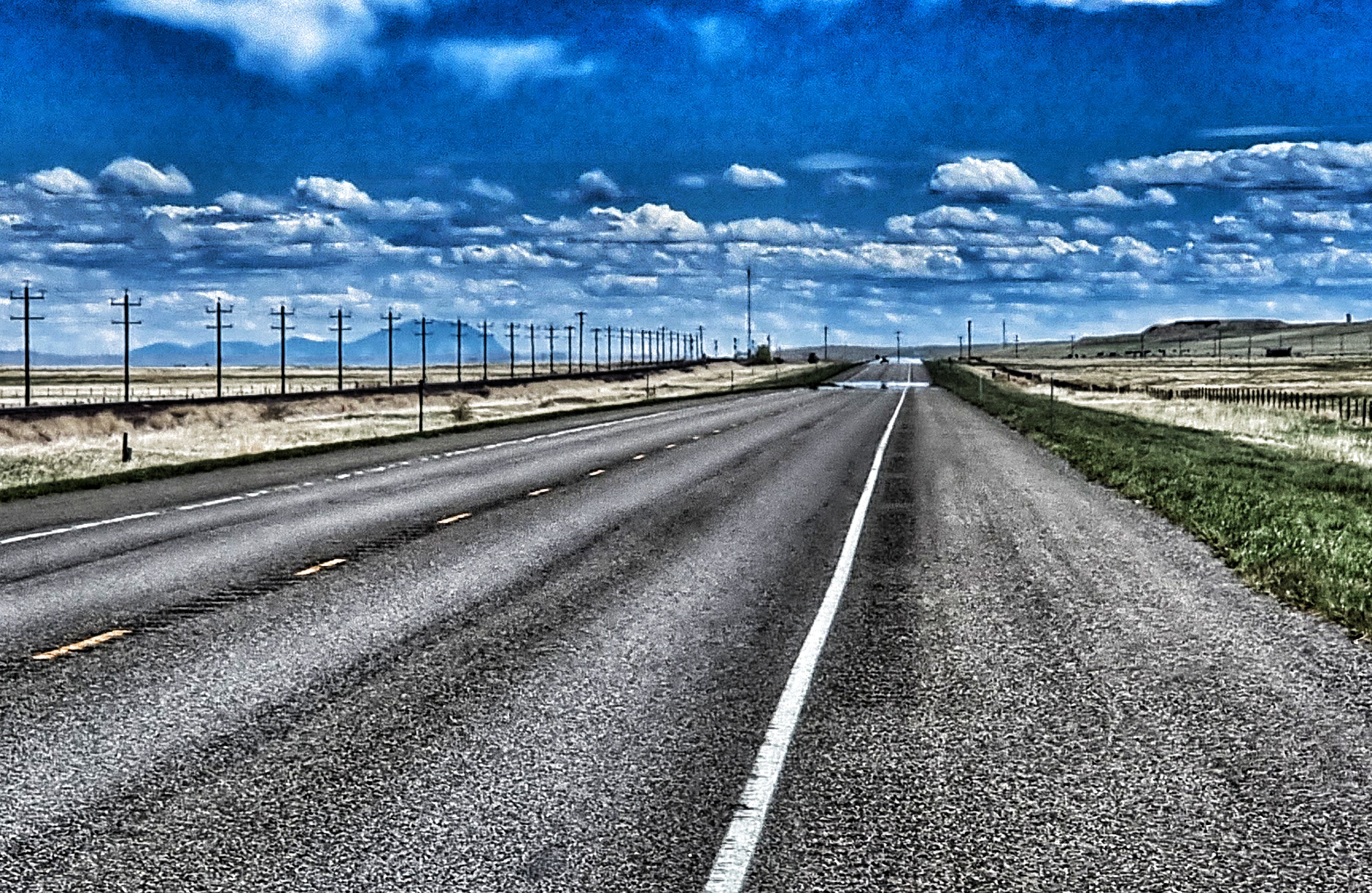
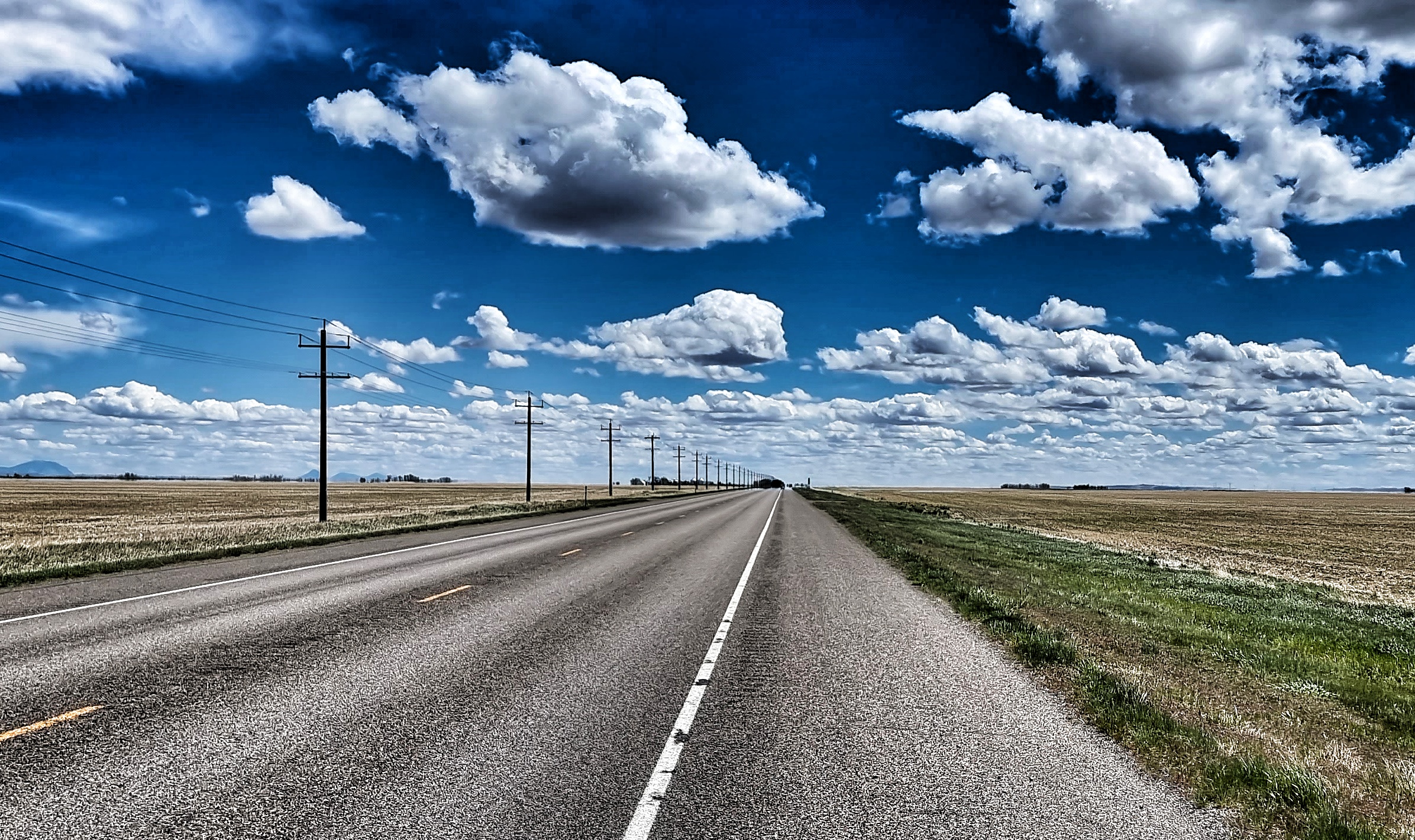
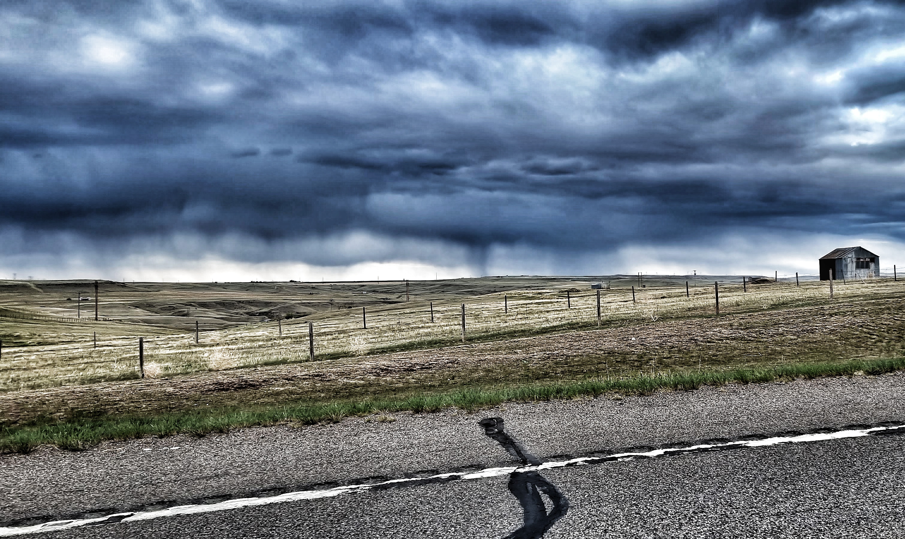
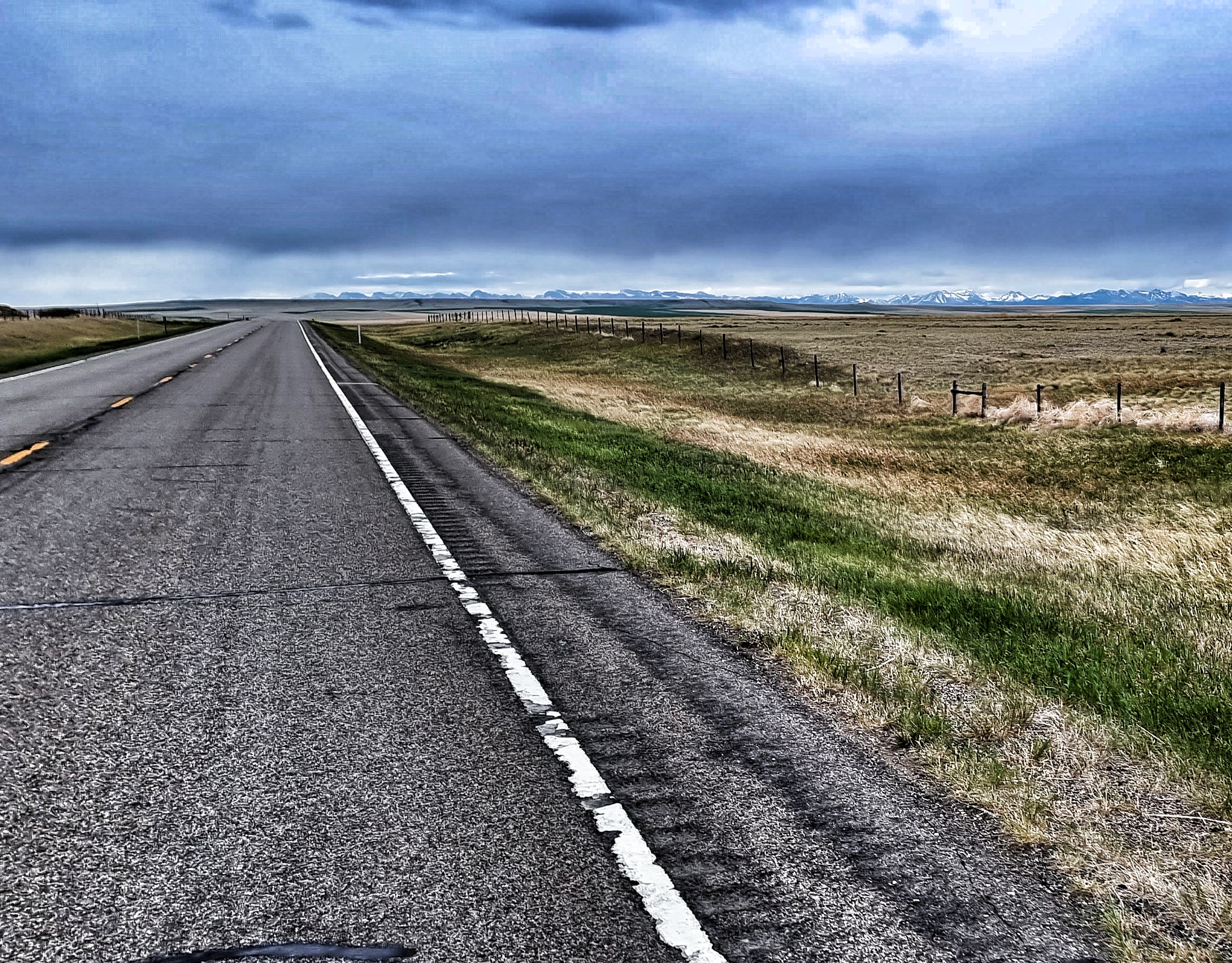
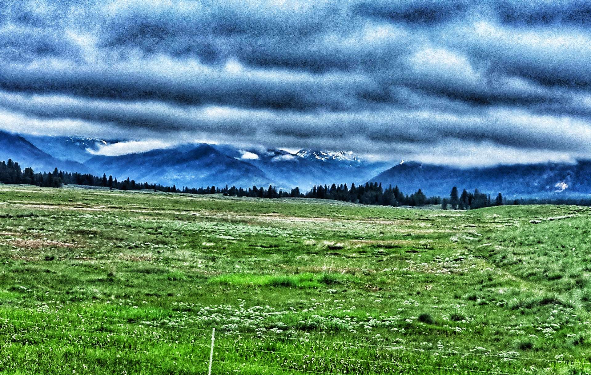
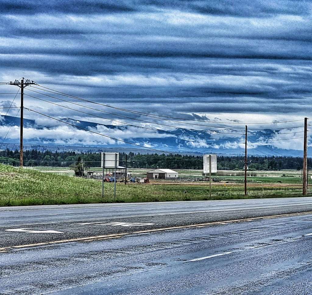
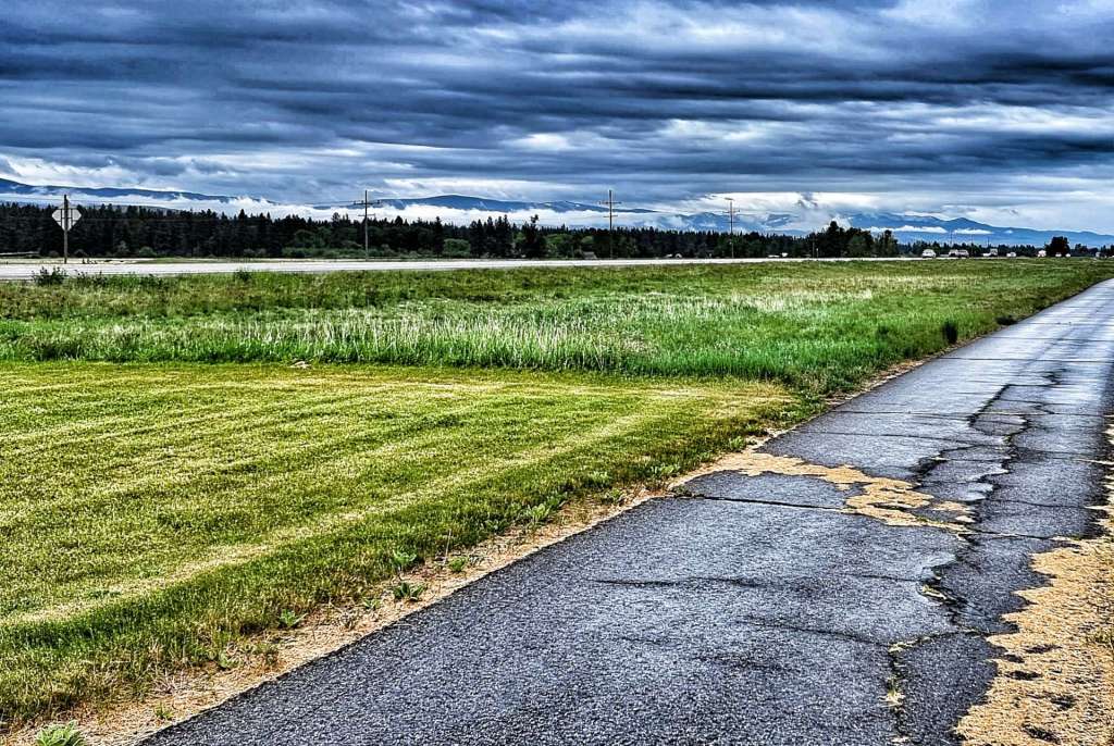
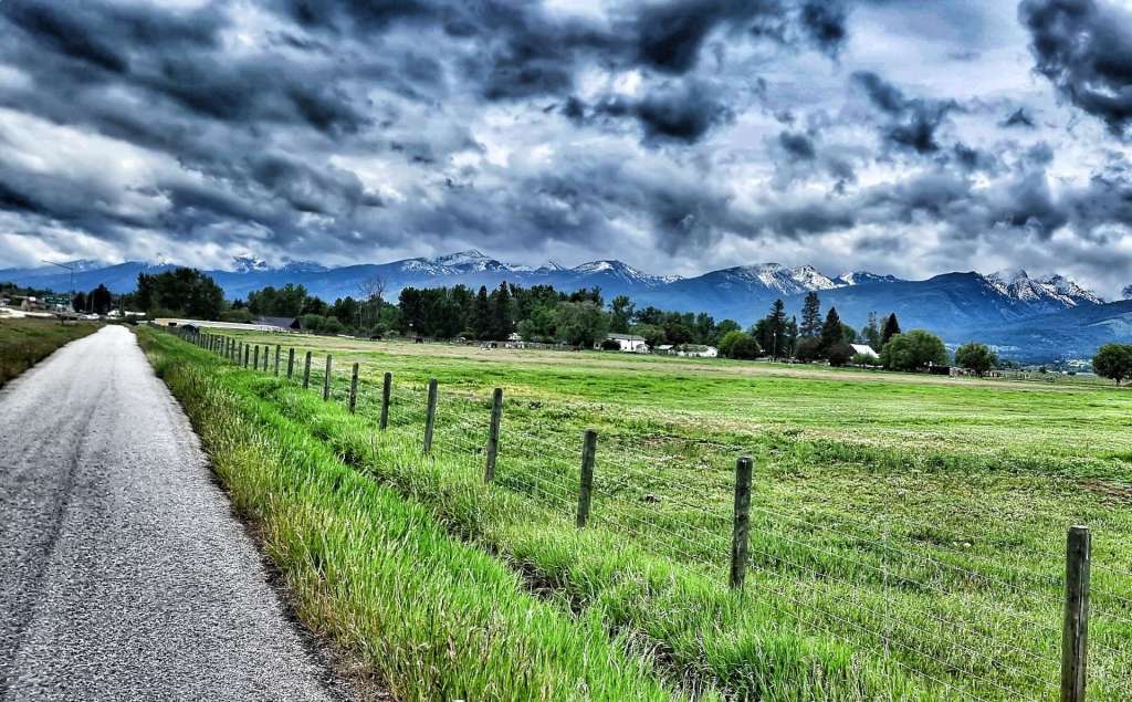
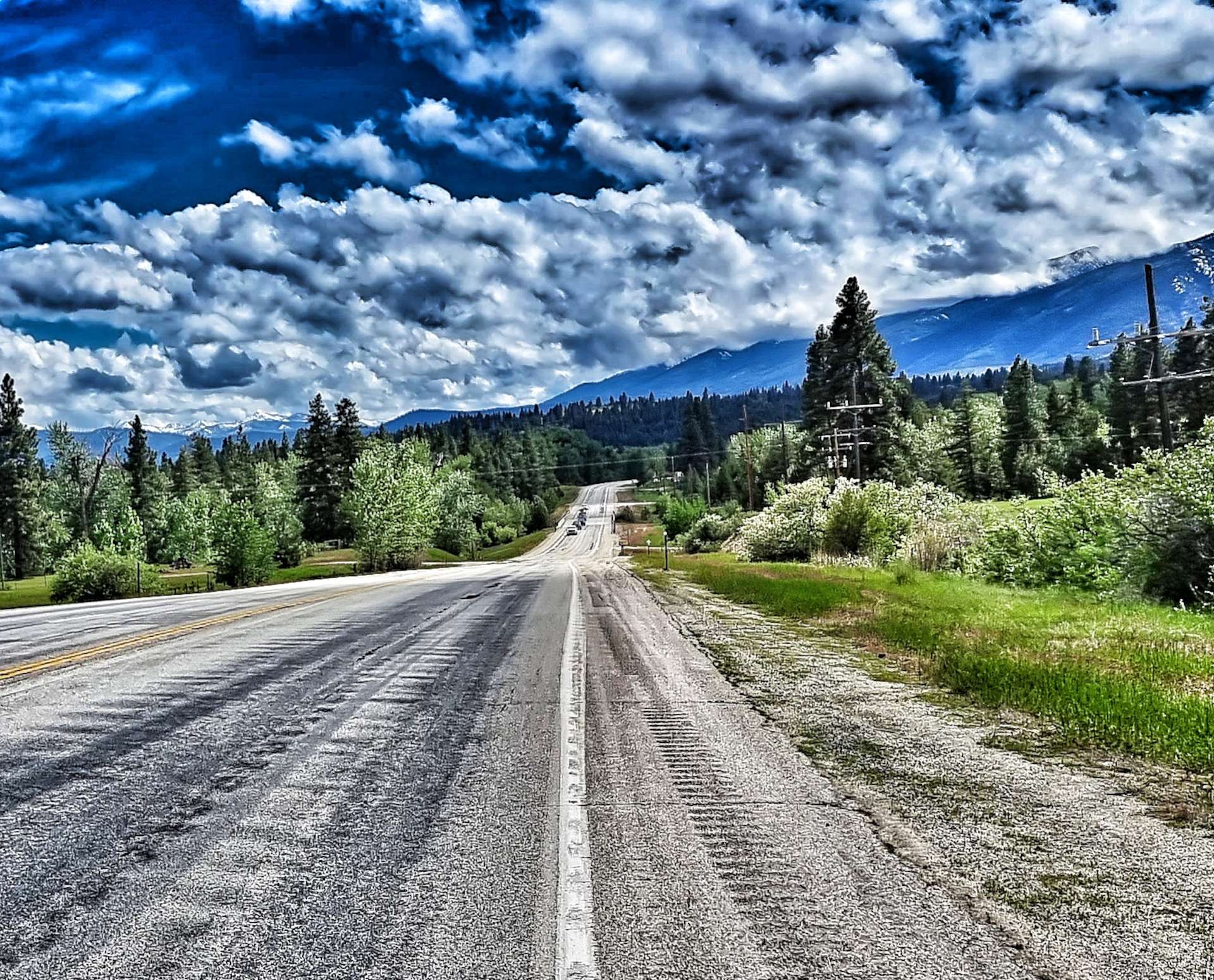
We continued to follow the Blackfoot for a while longer although the cloud continued to cling to the lower mountain slopes. The road separated from the course of the river for a while as we climbed up & over a spur, then enjoyed a descent down the other side. We also left the National Forest behind for the time being. The big mountains continued to show their lower slopes, although the upper slopes remained shrouded in mist.

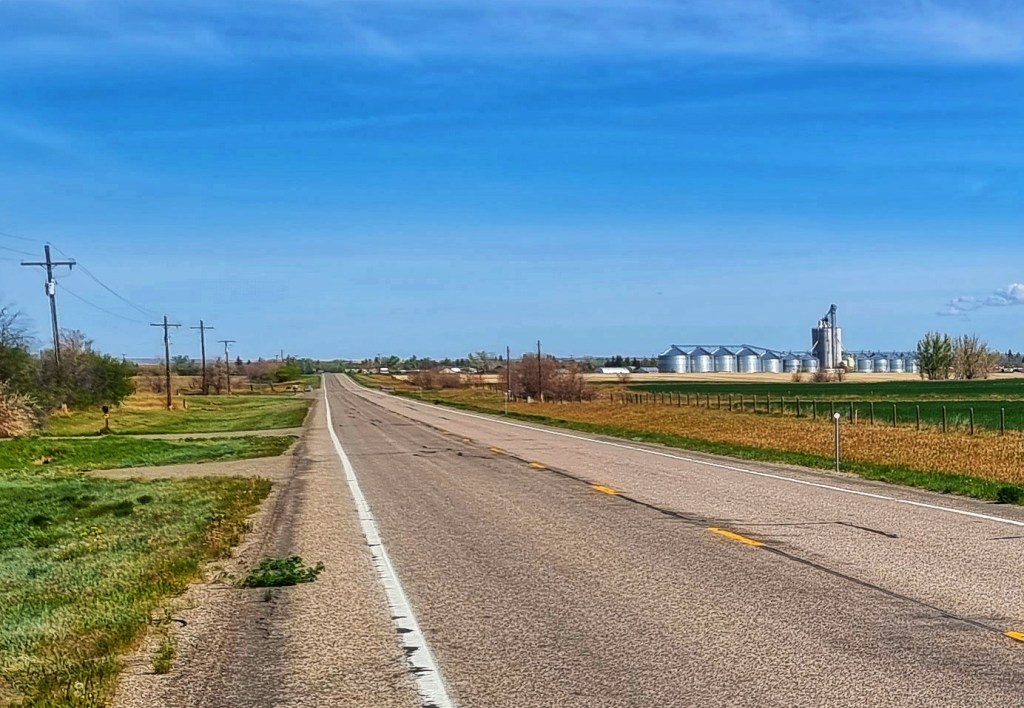
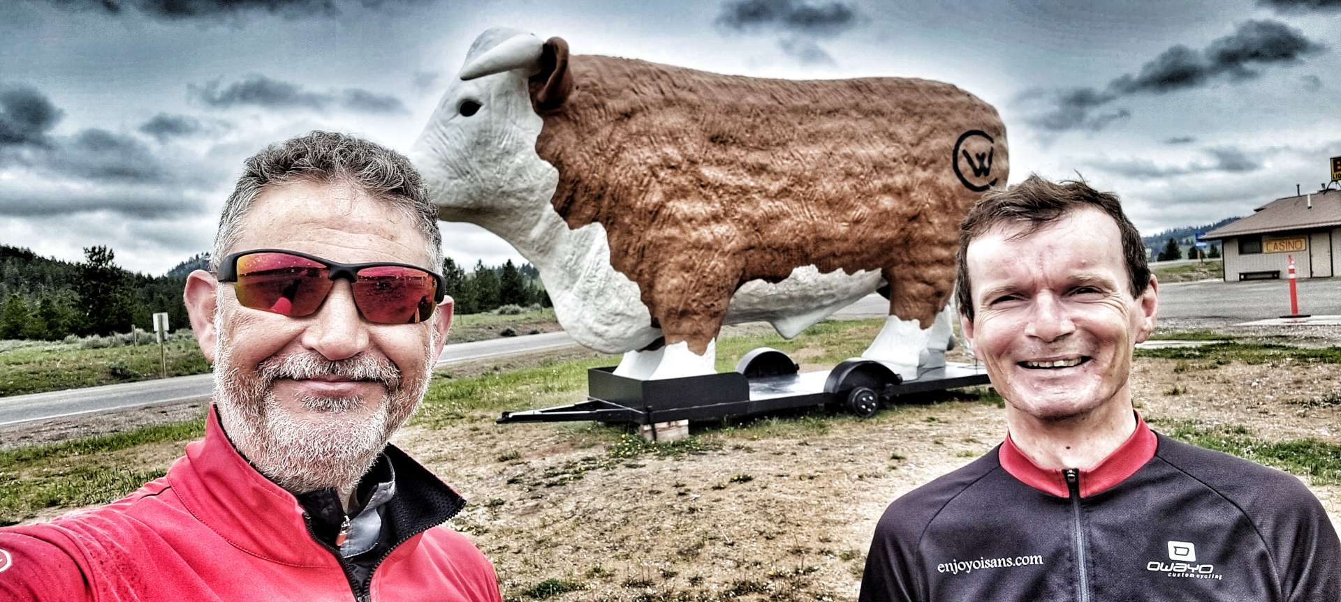
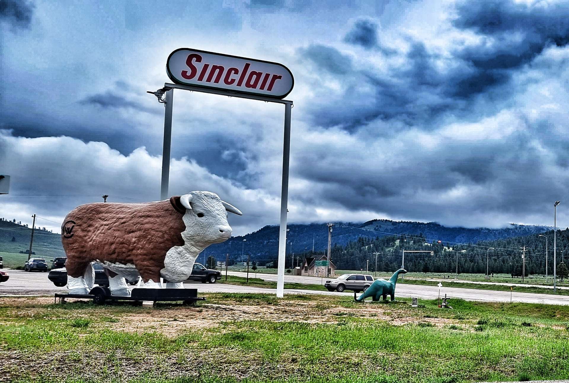
Continuing across the plain, we soon reached the town of Clearwater, where we posed beside an enormous fibreglass cow!! The gas station was the other attraction for us, as it gave us a rare opportunity to enjoy a coffee stop (plus a tasty slice of banana cake).

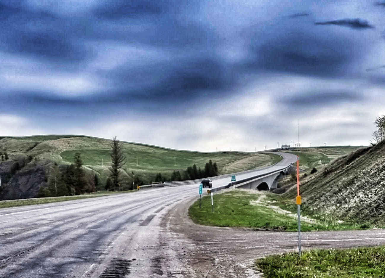
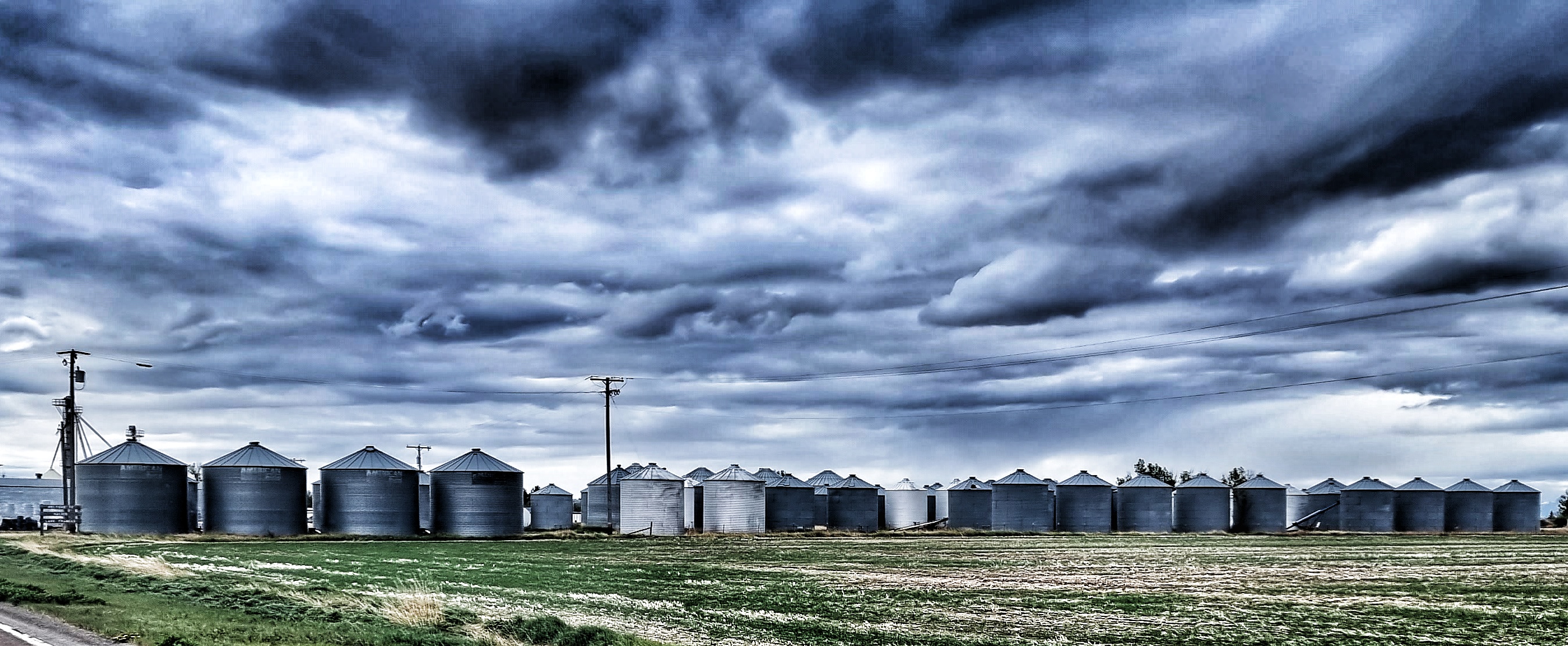
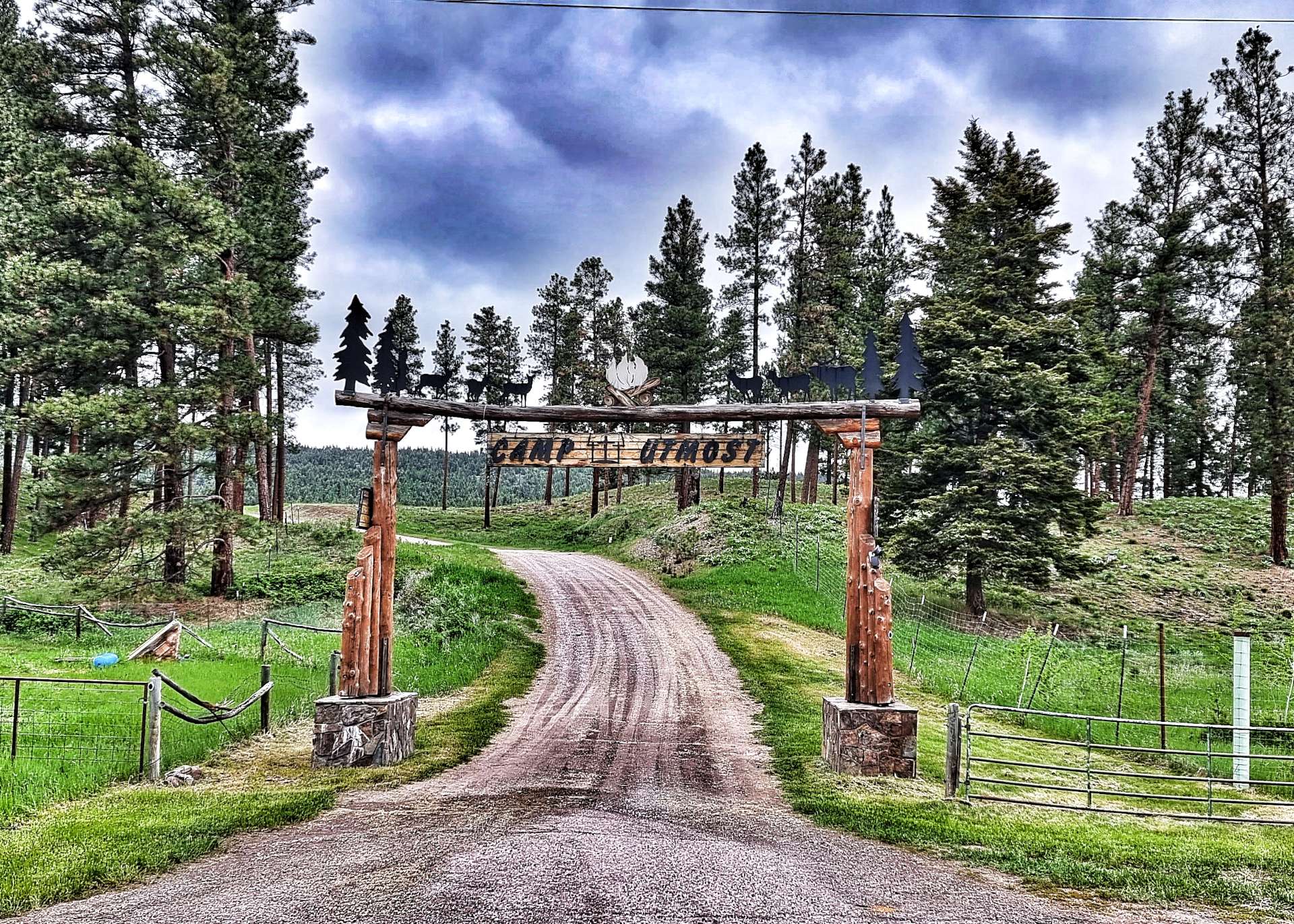
Soon after leaving Clearwater it started raining, but never too hard. Continuing along the 200, the plain soon ended & we entered the Helena National Forest for the first time on our adventure – this also coincided with a new competition between the locals – show off the largest gateposts. Here are a couple of contenders for the award.

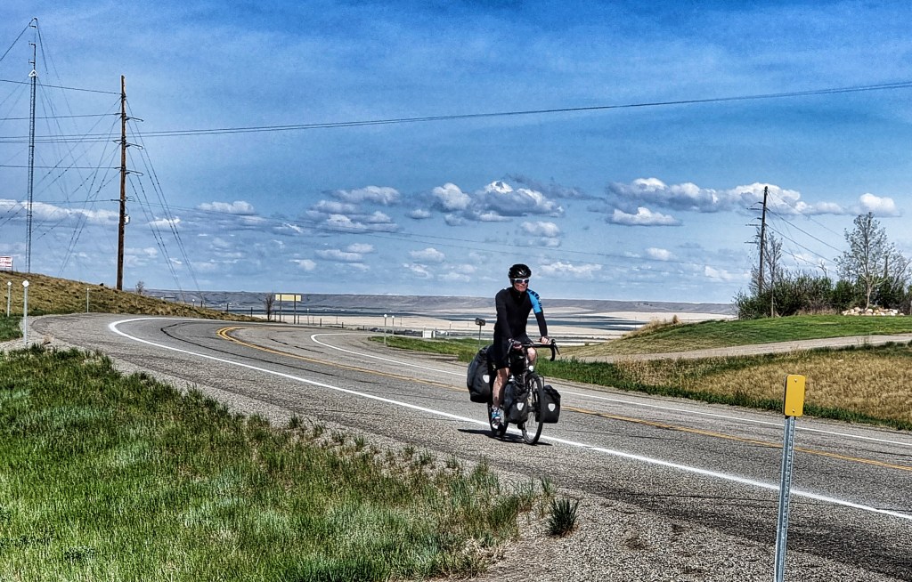
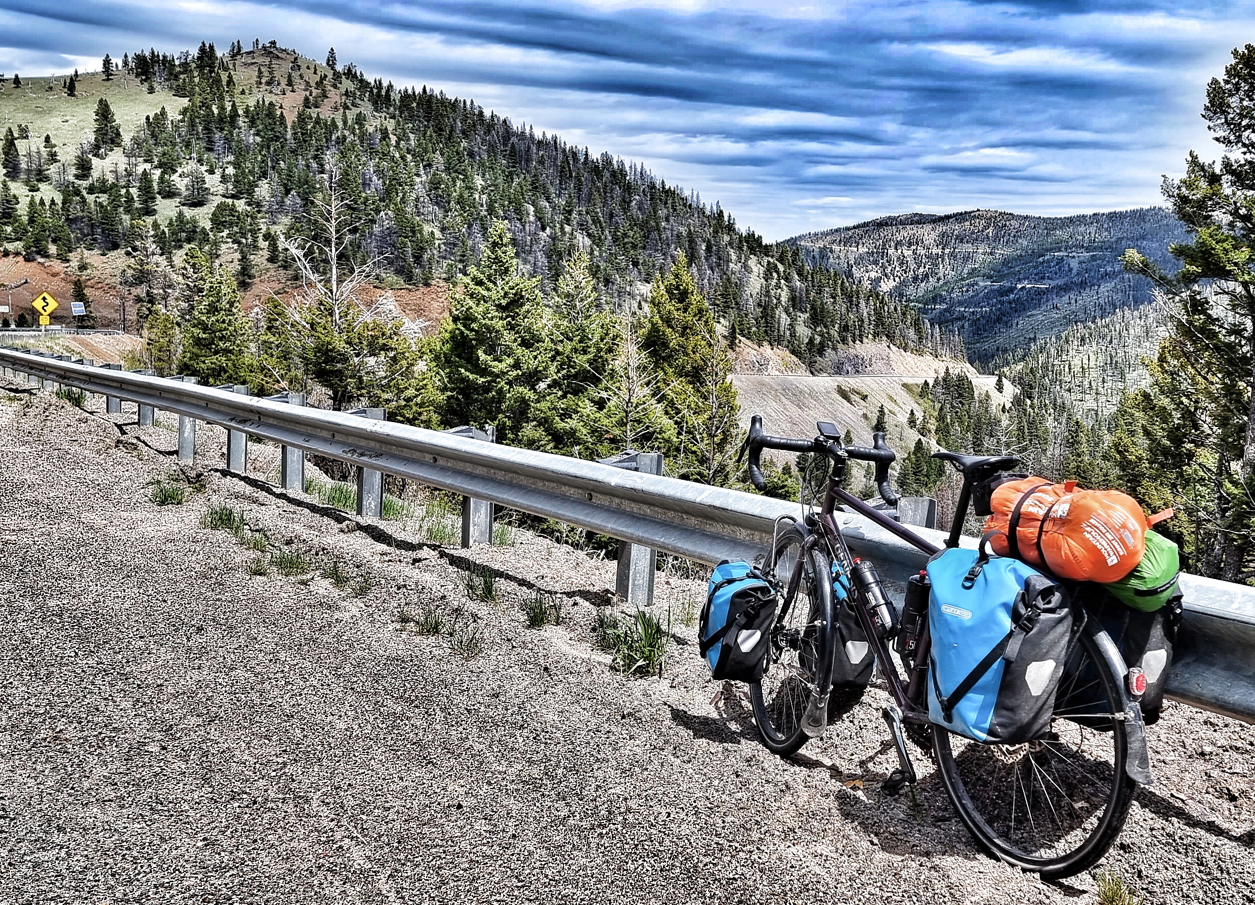
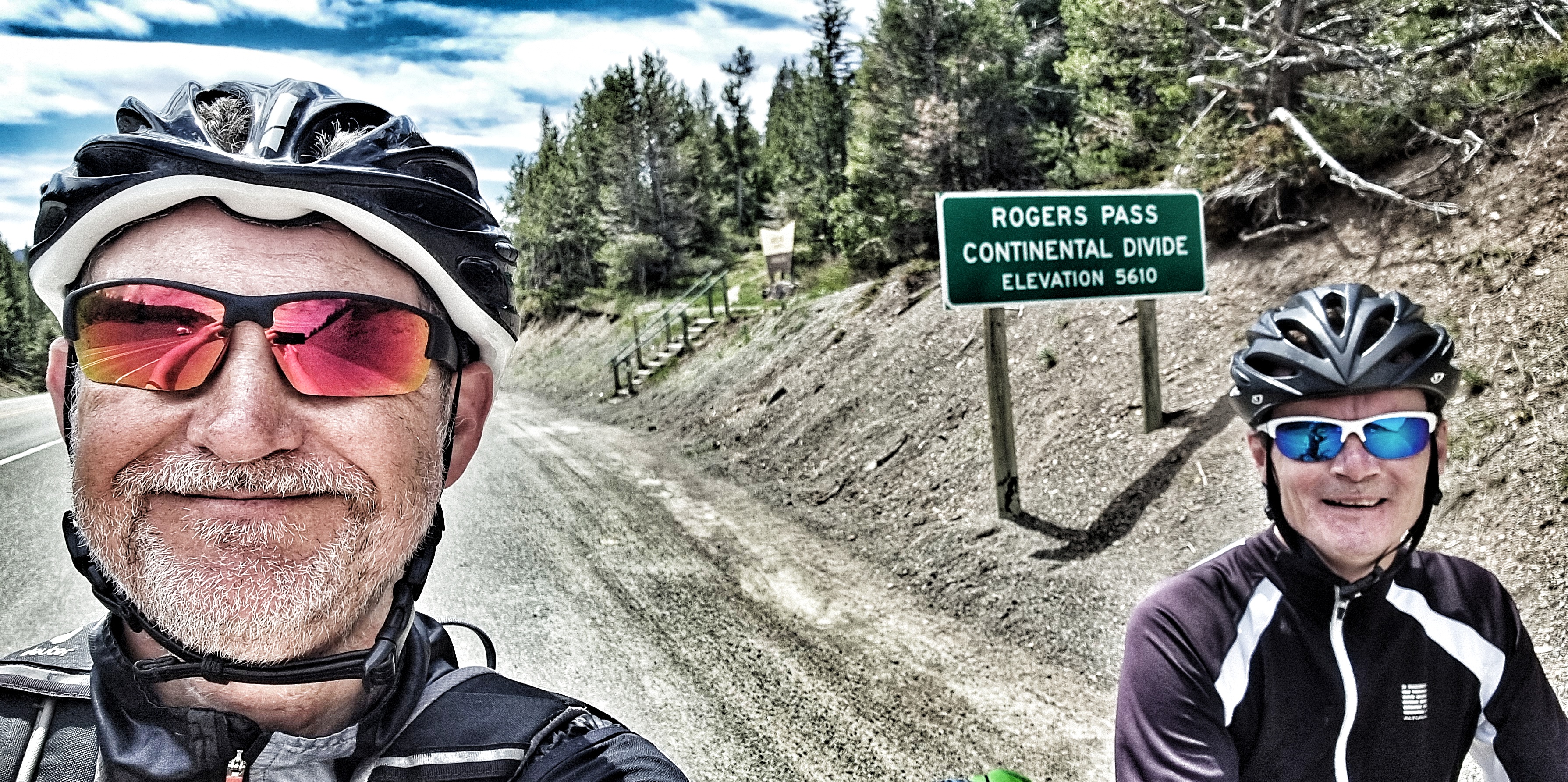
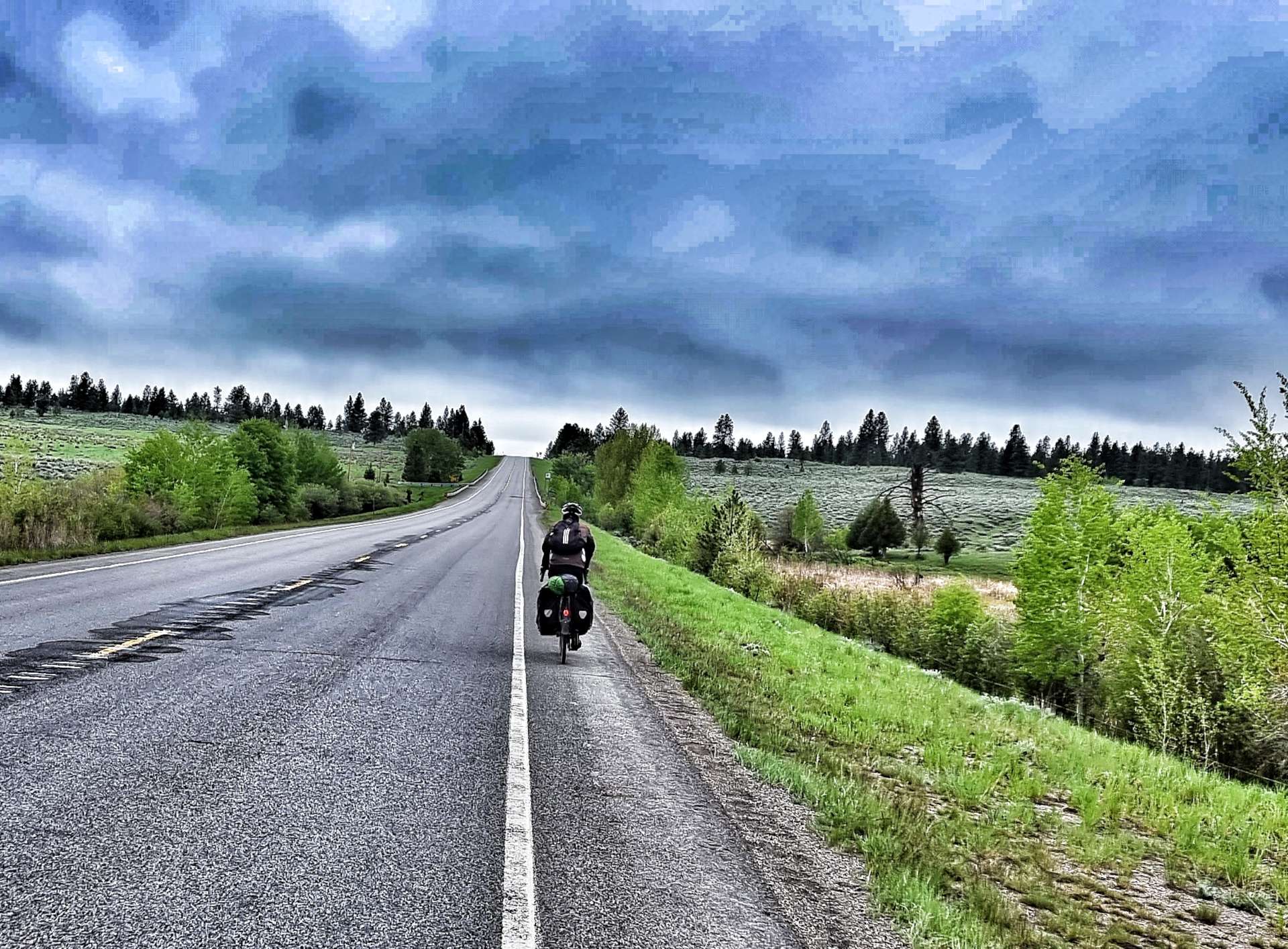
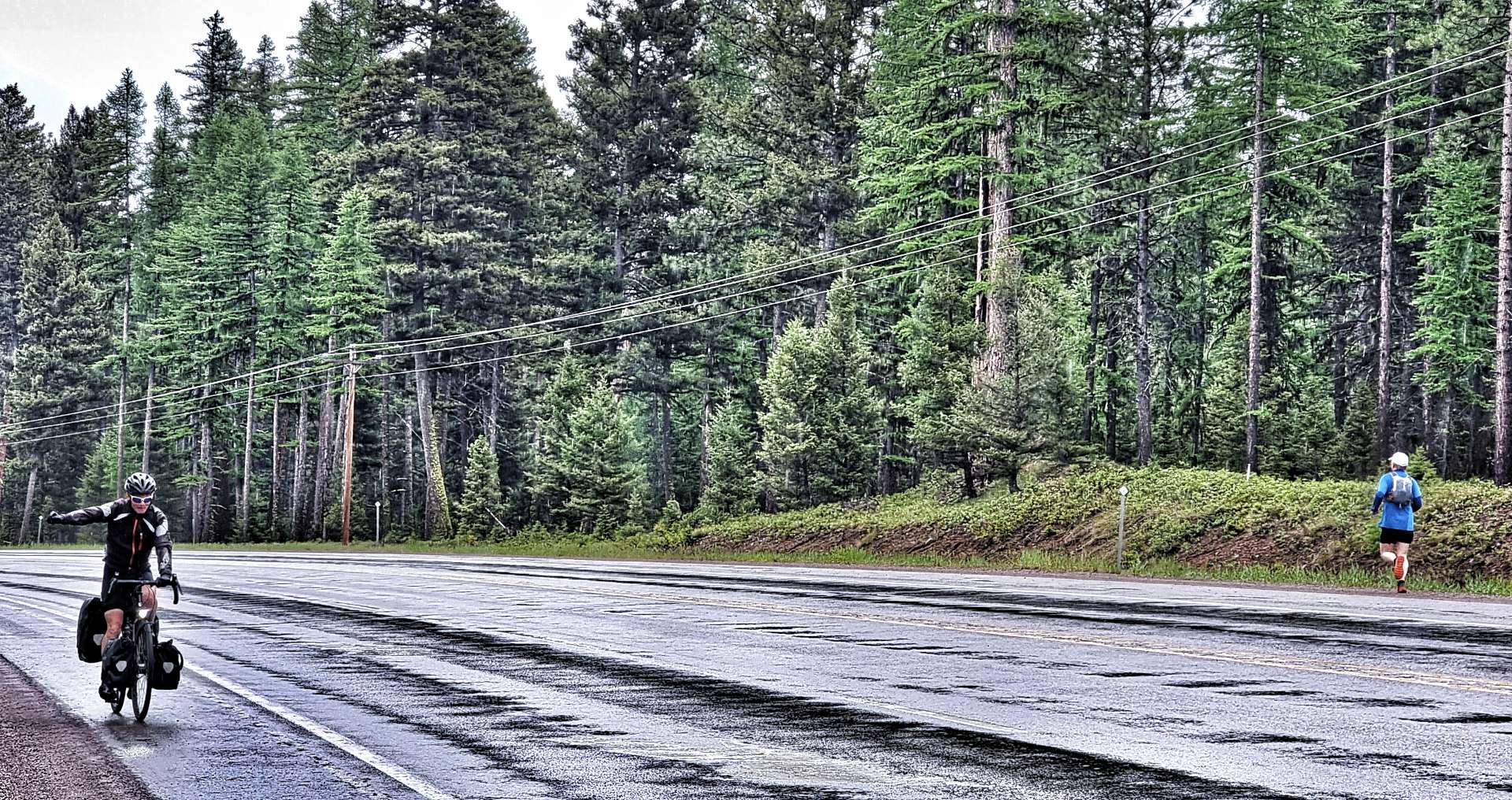
Helena Forest also marked the start of our only proper climb of the day, as we passed through an Experimental Forest which is being managed by the Bureau of Land Management, Montana State Government & Montana University. Just as Sean summited the climb, a jogger passed in the opposite direction. For me, the joy of any climb is the descent that usually follows, you may be able to tell from my smug grin!

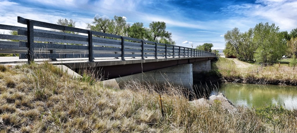
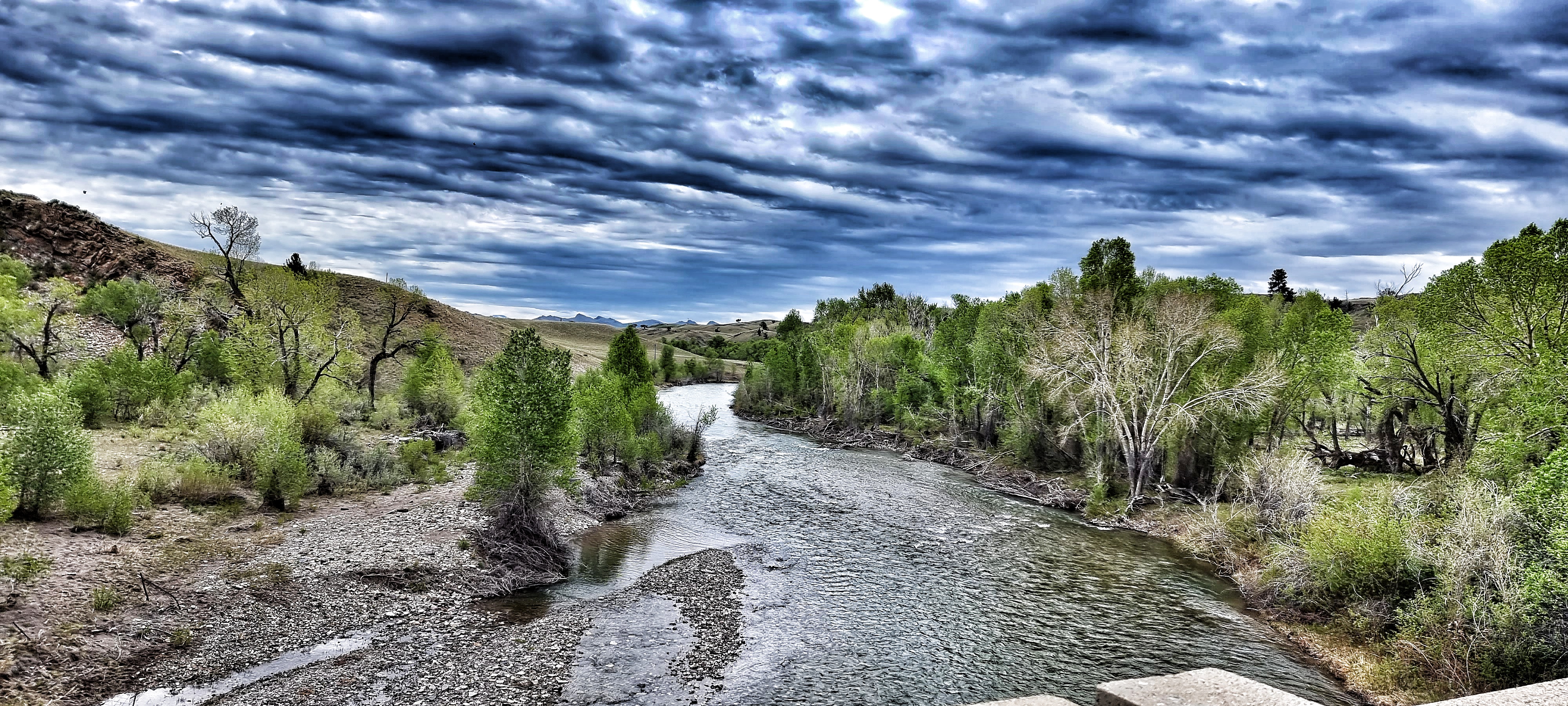
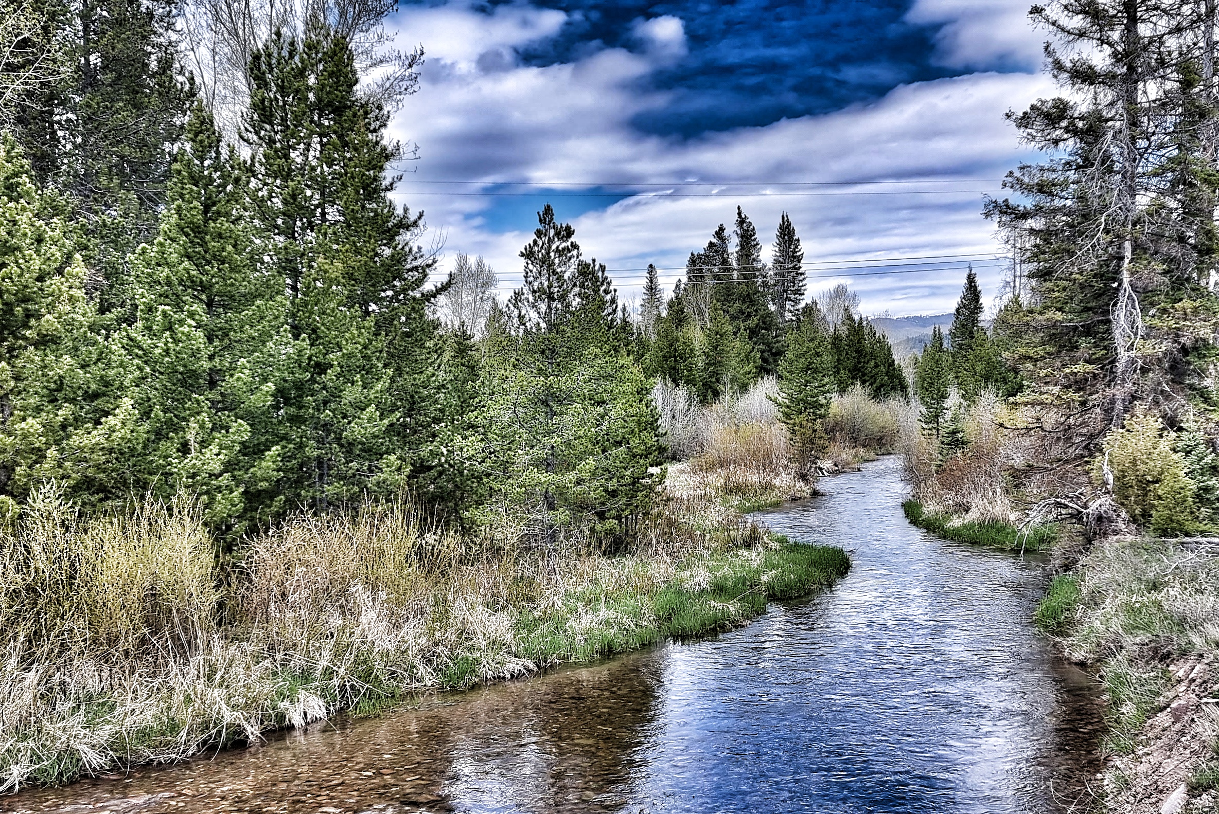
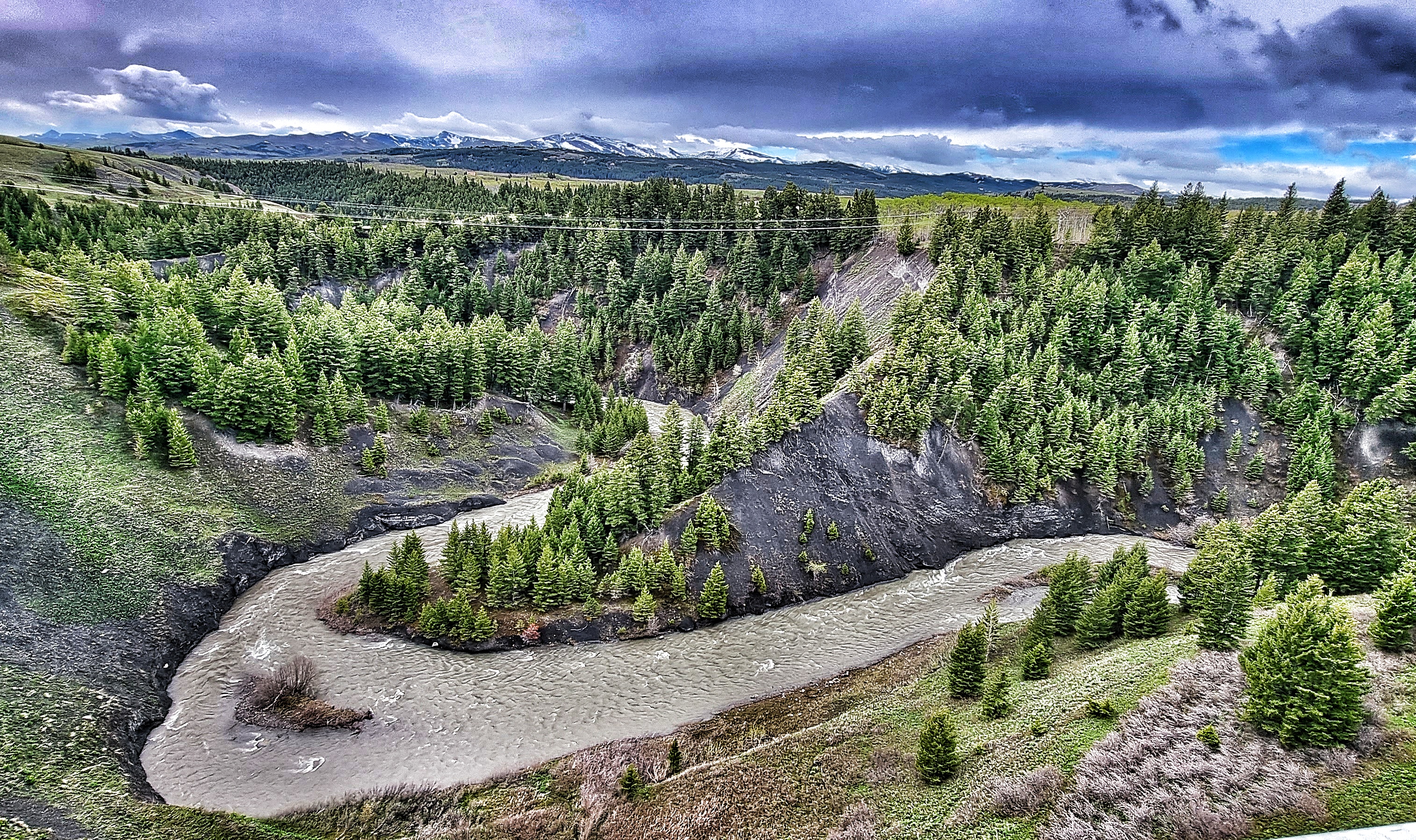
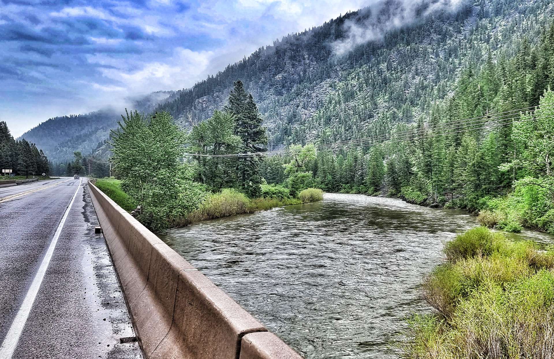
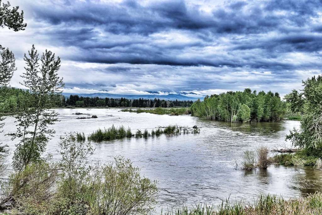
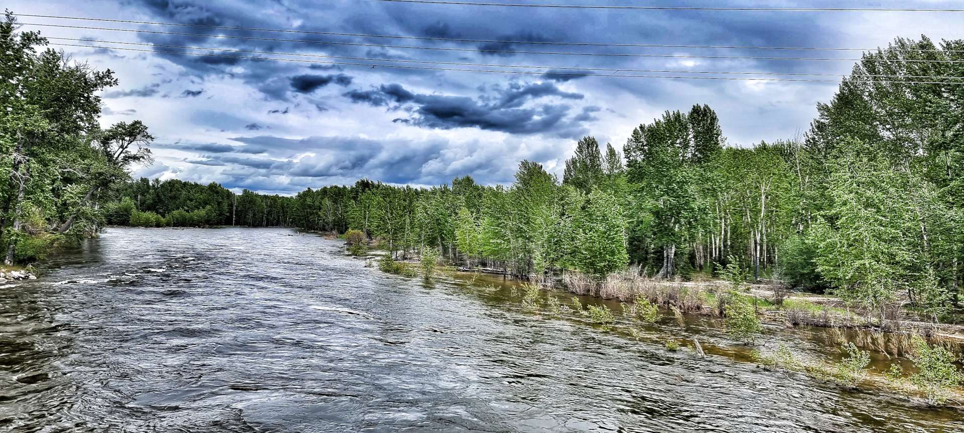
As we continued downhill, we crossed a small clearing, before picking up the Blackfoot river again. This far downstream it had grown significantly in size & was looking swollen from the large amounts of meltwater from the snowy mountain peaks above. The cloud didn’t lift all day, so even this far down the valley the lower slopes were hidden from view at times – as a result, we almost missed the rickety rope-bridge that crossed the river.

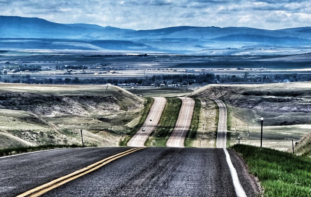
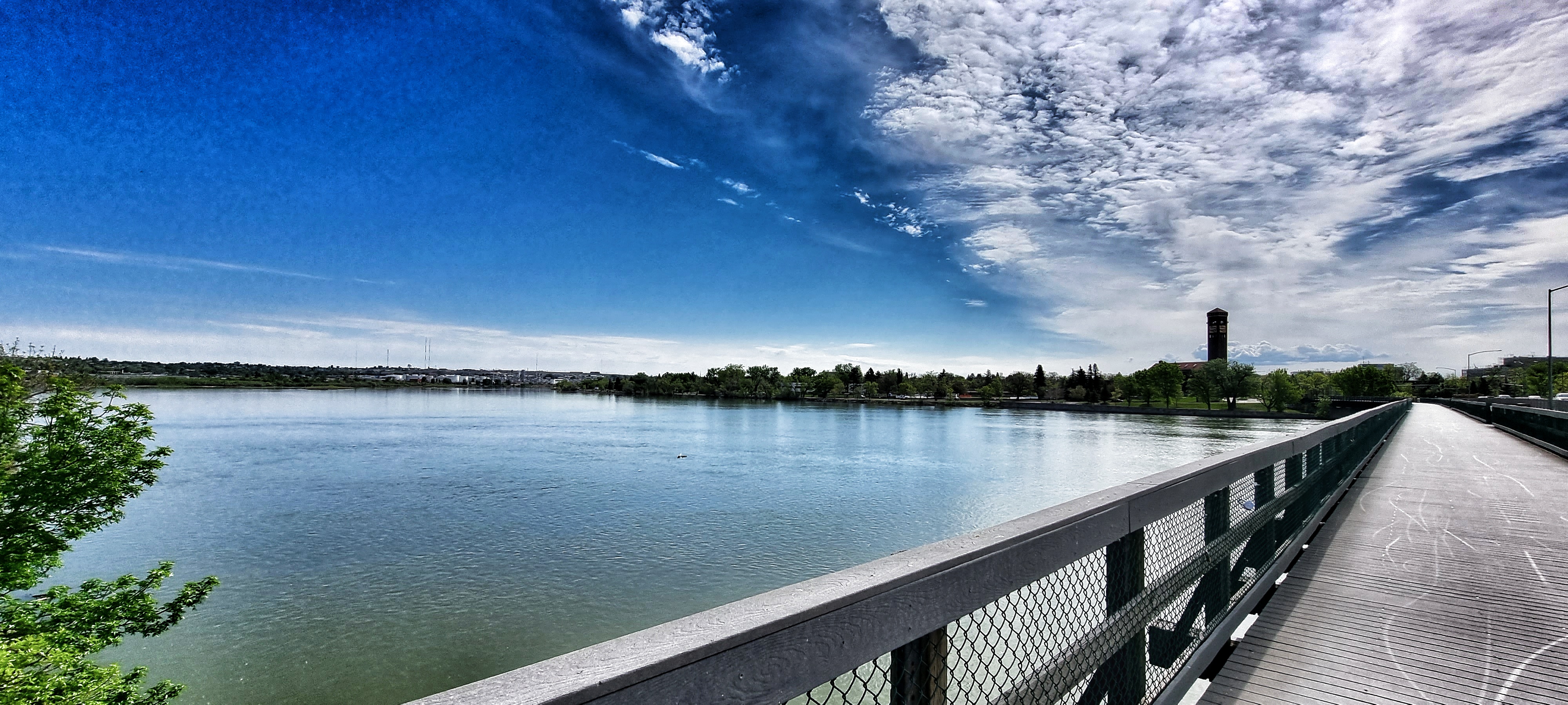
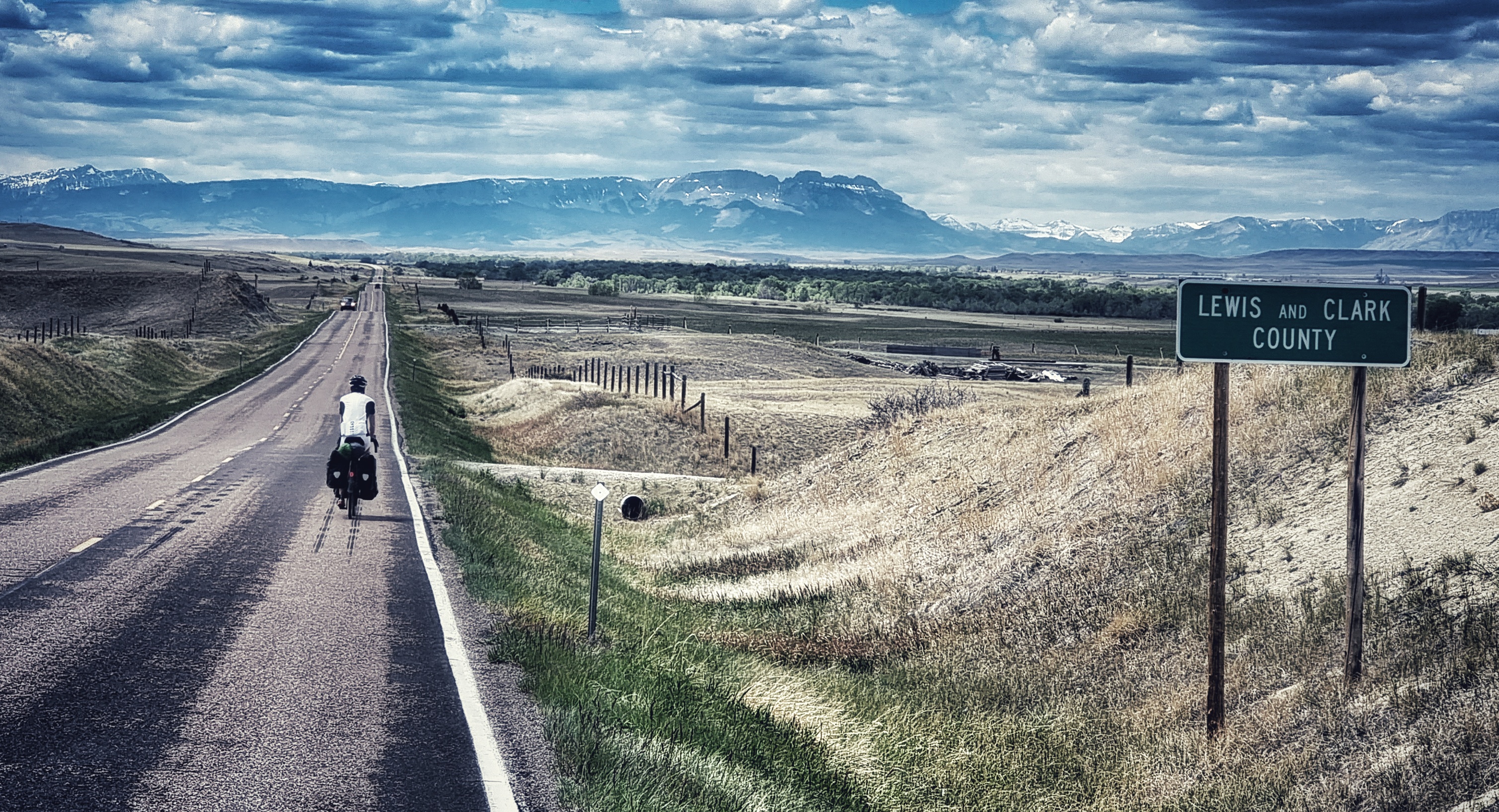
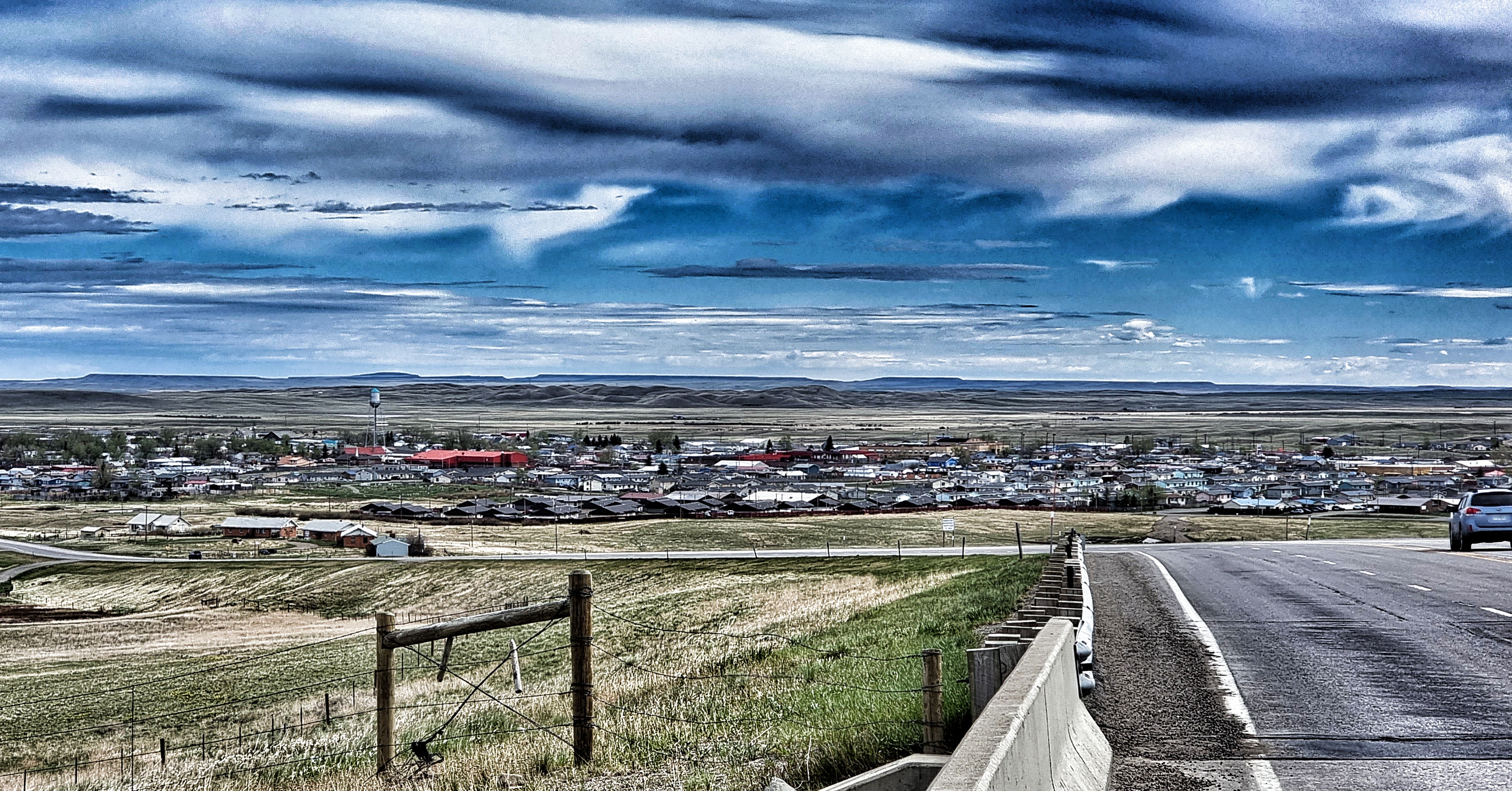
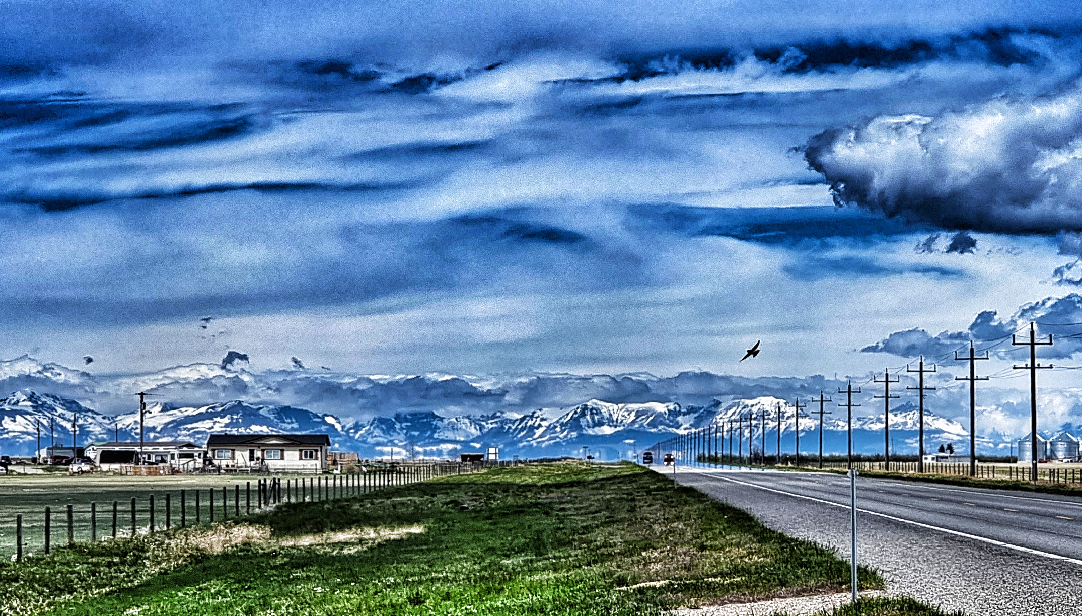
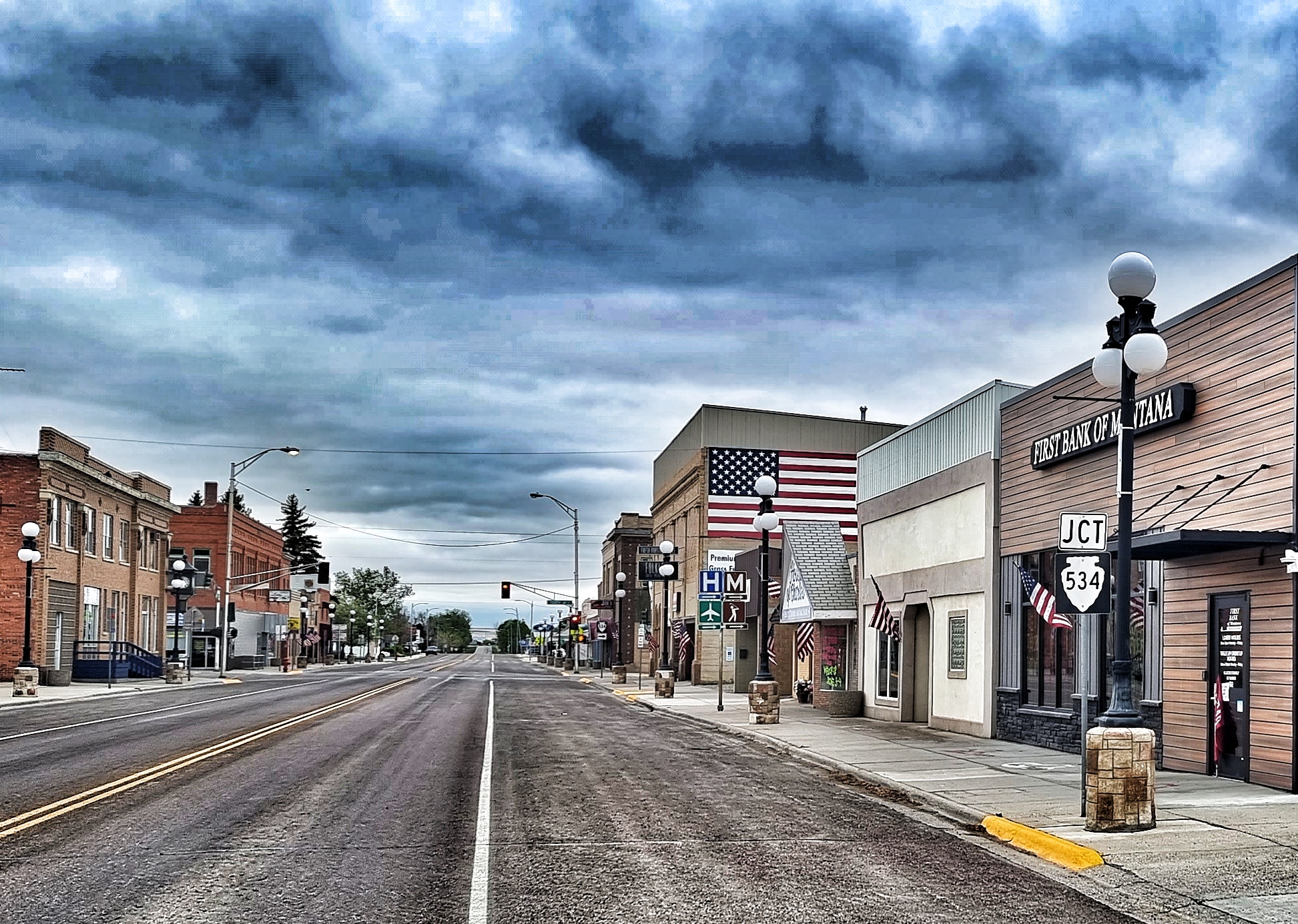
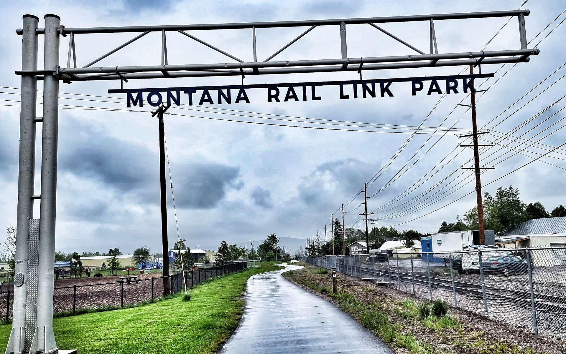
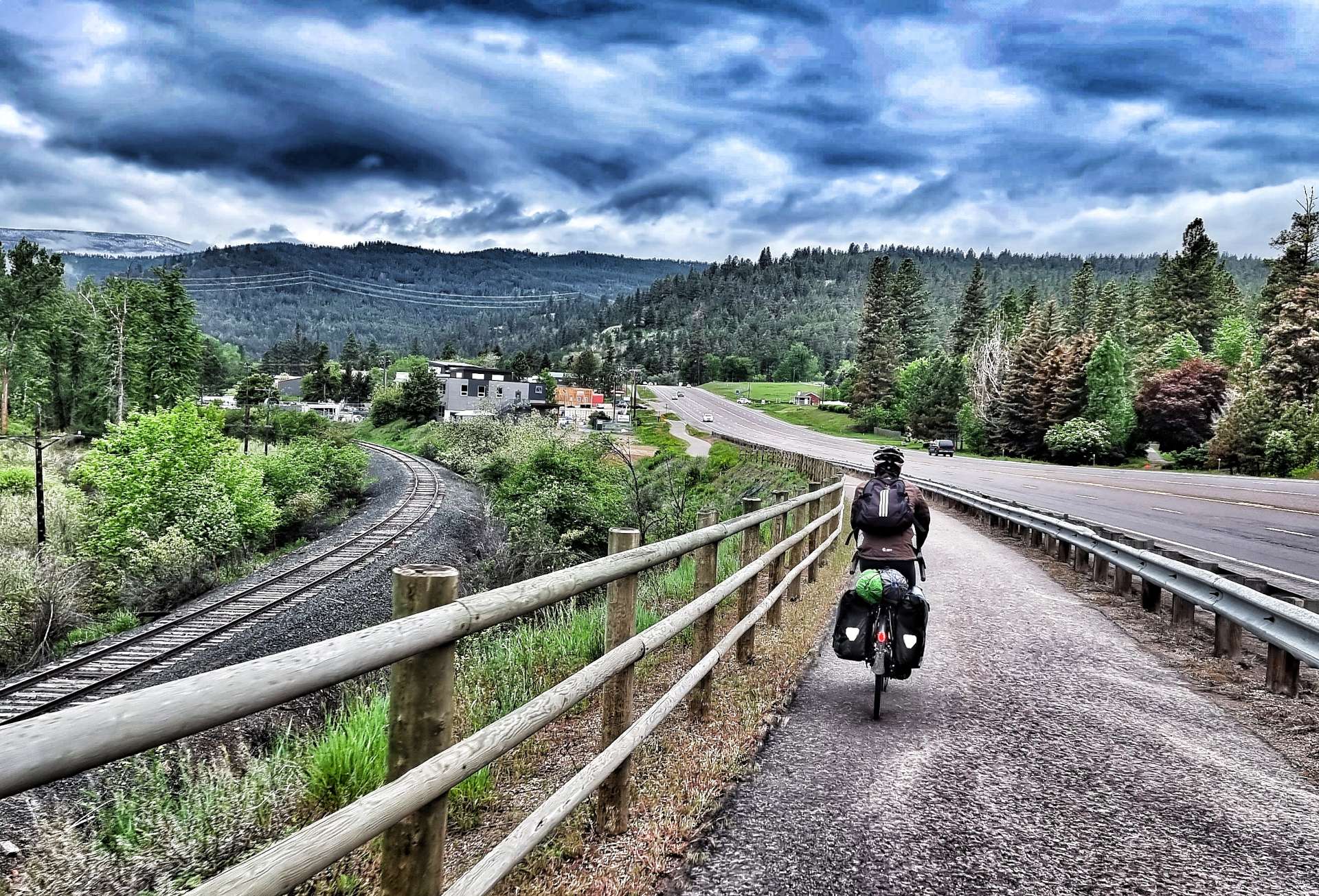
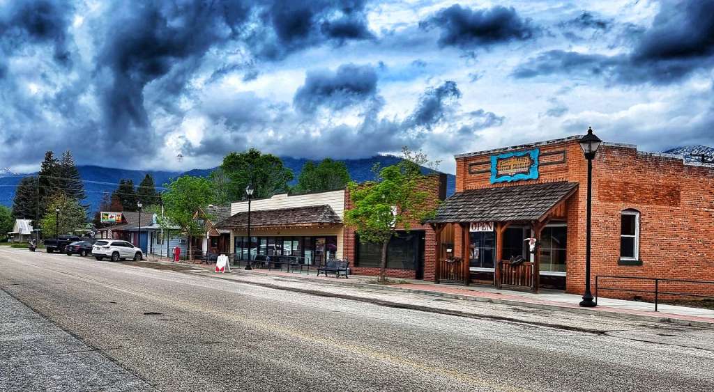
The town of Bonner marked our return to civilisation. Our American Cycling Association map once again guided us along relatively traffic free roads as we reached the outskirts of Missoula – the largest town we’d seen since our adventure began. The final couple of miles were through the Montana Rail Link Park & on the Bitterroot Trail (more on this tomorrow!).

As it’s a Saturday night, we decided to celebrate another glorious day of cycling with a beer – it’s great to chat through our individual highlights of the day, as we both normally remember different elements. Today was an exception, seeing an eagle eating breakfast at the roadside was the highlight for both of us.

Stage Stats – 82 miles, 1,512 feet of climbing. A day descending the Blackfoot valley. Low-lying cloud all day with rain showers.

Sunday 5th June – Missoula to Darby (Stage 29)

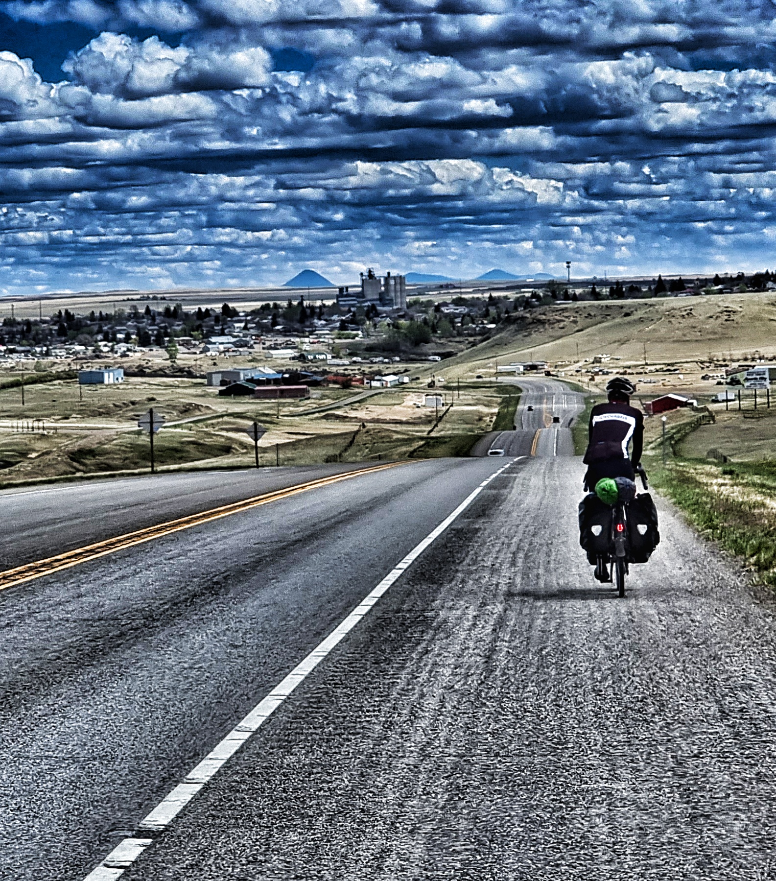
Missoula to Darby looked like one of our easier days in the saddle as we sat in the hotel getting ready for breakfast. 60 miles & 1,200 feet of gradual climbing – this would be a nice gentle recovery ride we thought, how wrong we were! The writing was on the wall when we walked into the breakfast area & there was no toast or cereal. In fact there was just yoghurt & a waffle making kit. We made the immediate decision to eat a couple of yoghurts & then look for somewhere to eat breakfast in Lolo, a short distance into today’s ride.

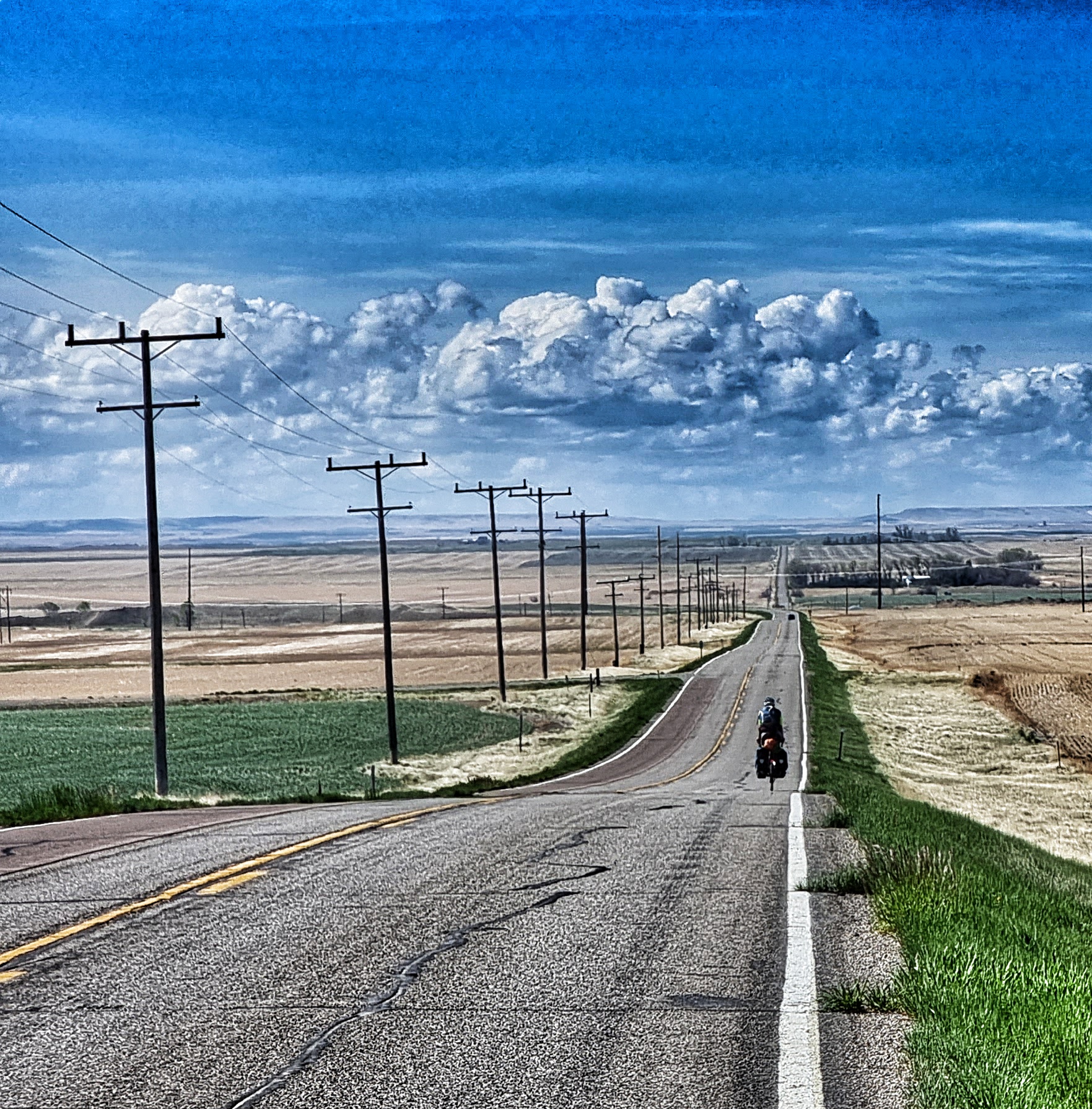
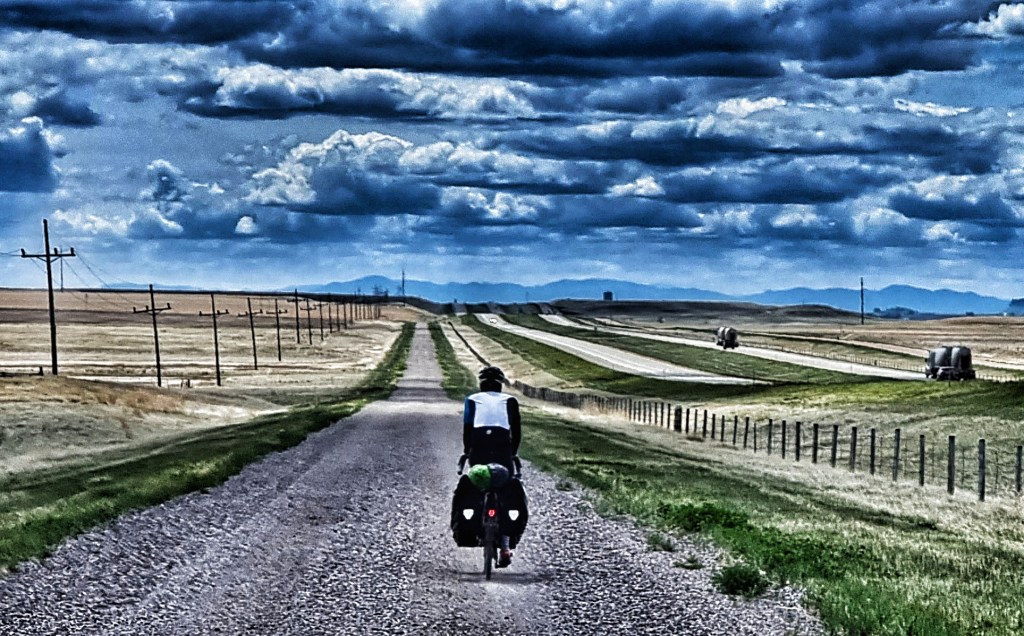
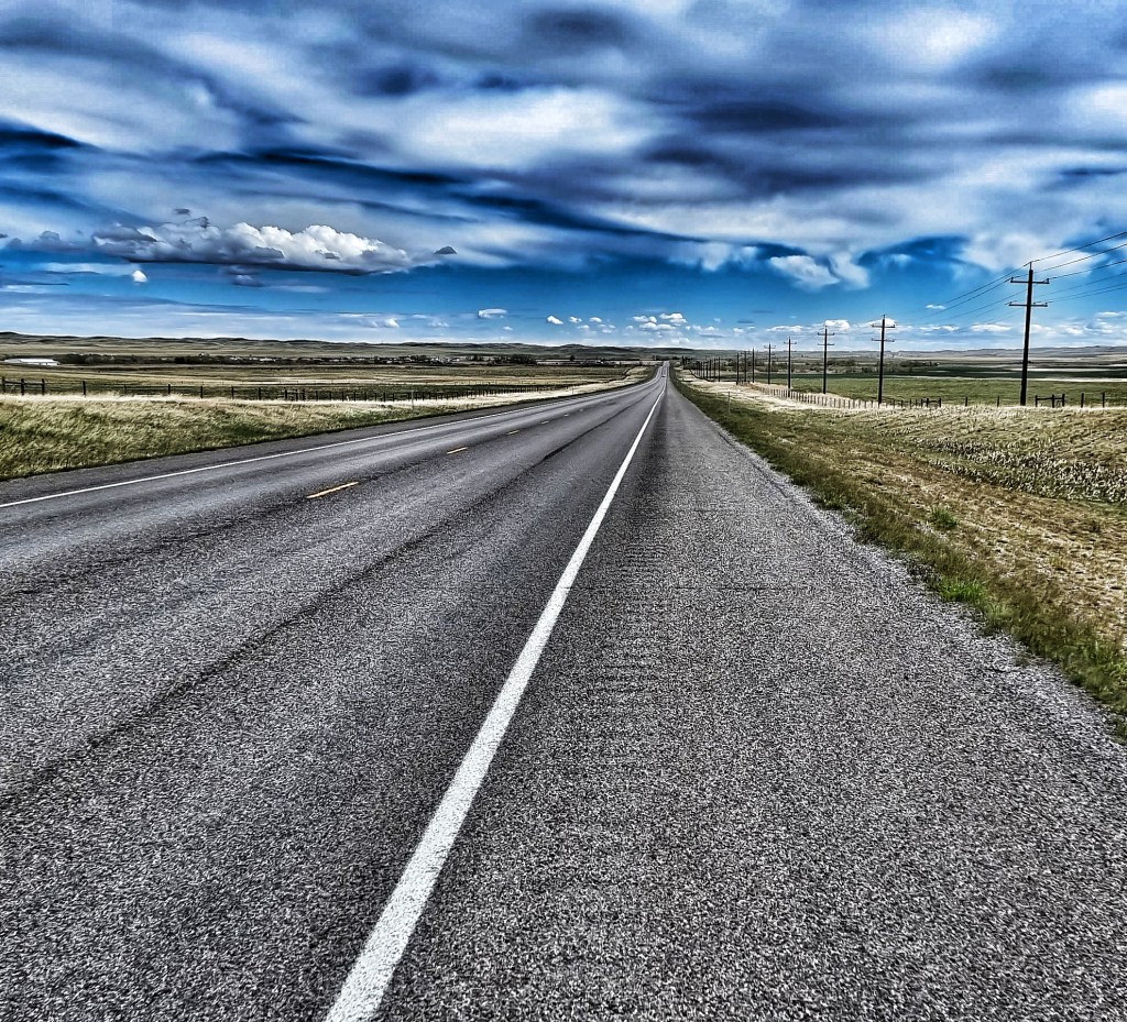
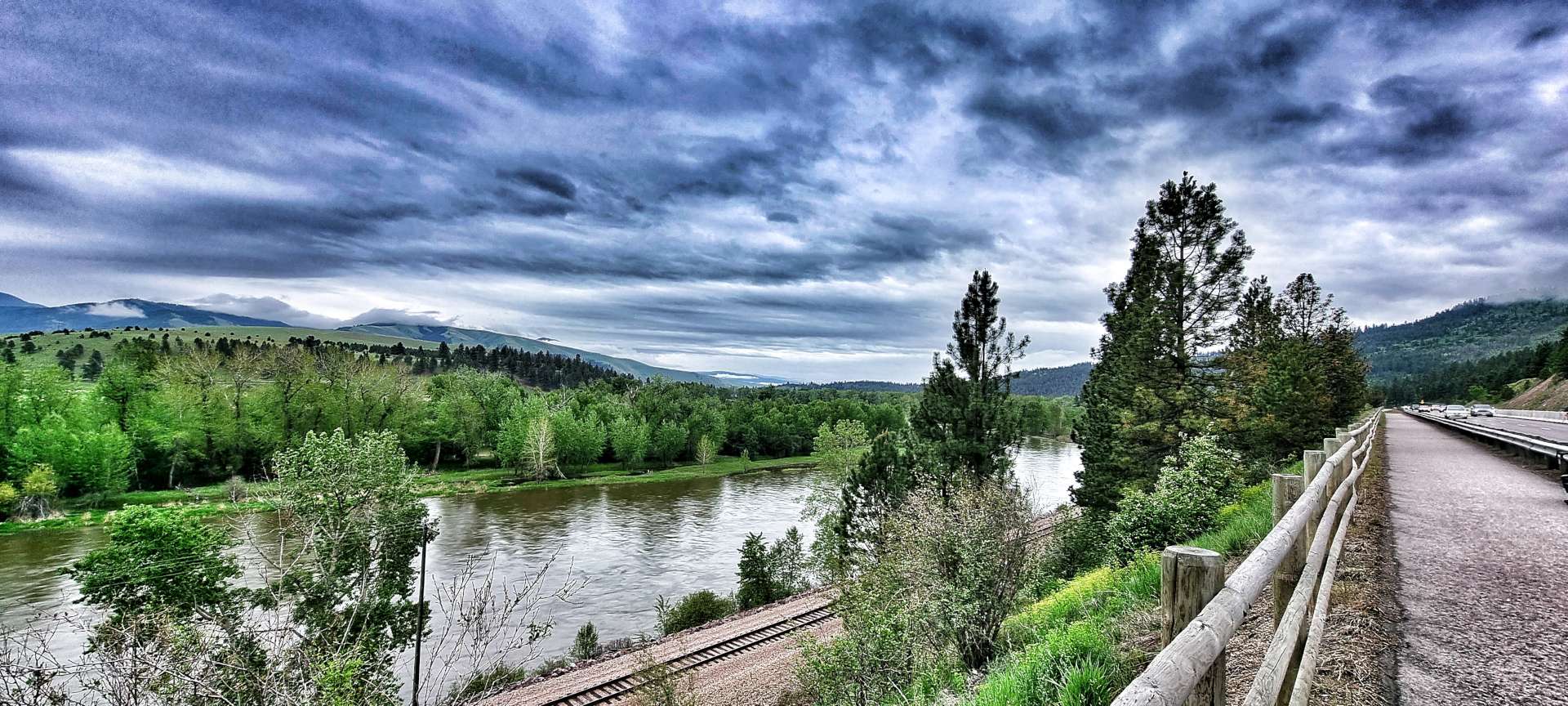
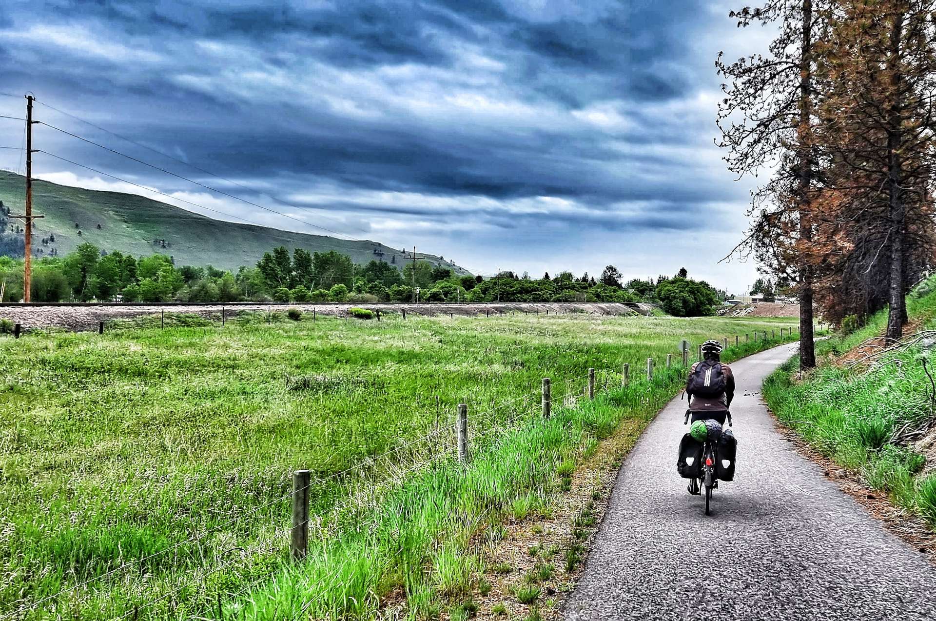
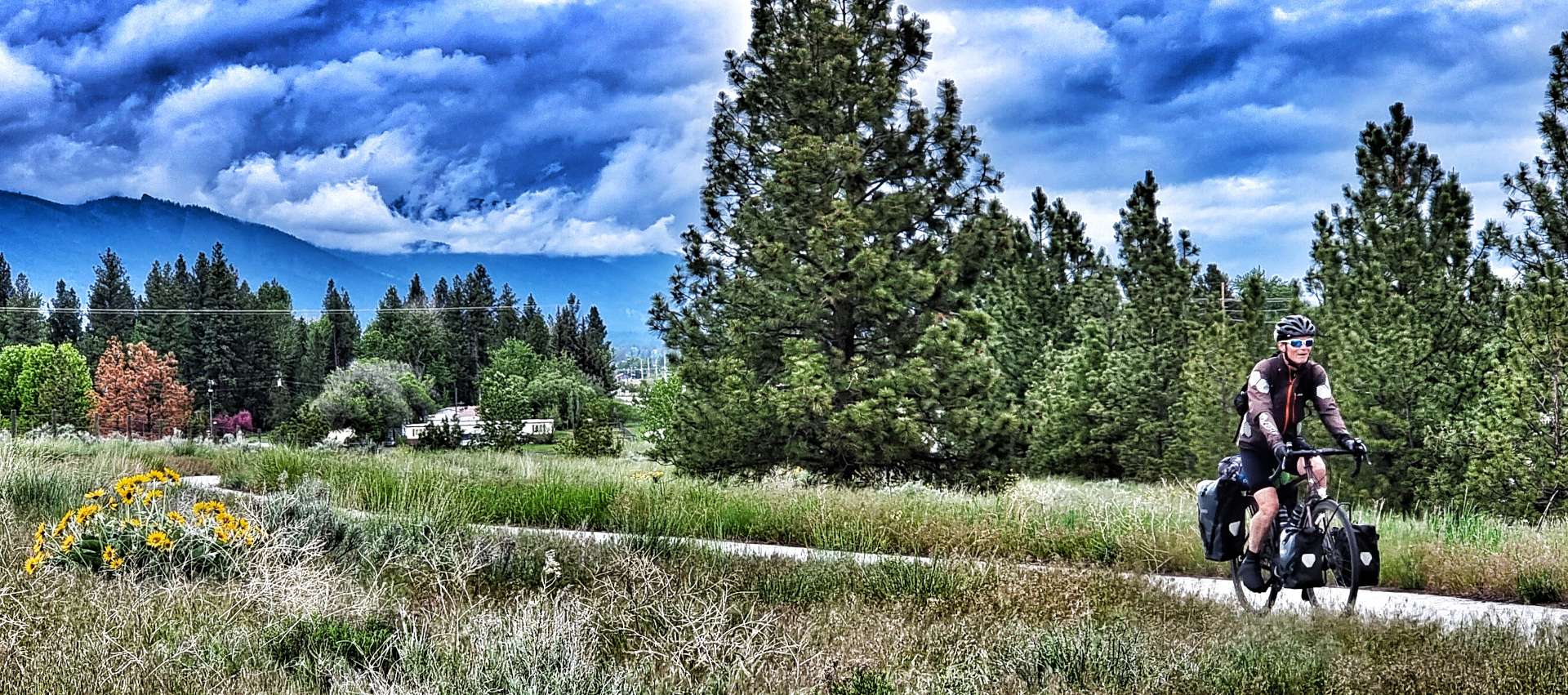
We set off at about 9.30 & immediately joined the Bitterroot Trail, a cycling specific path that we would be riding for the first 50 miles – while we were always close to the main road, it always felt that we were riding in remote countryside. The early part of the route followed the railroad, while we followed the Bitterroot river all day – this far downstream it was at maximum capacity!

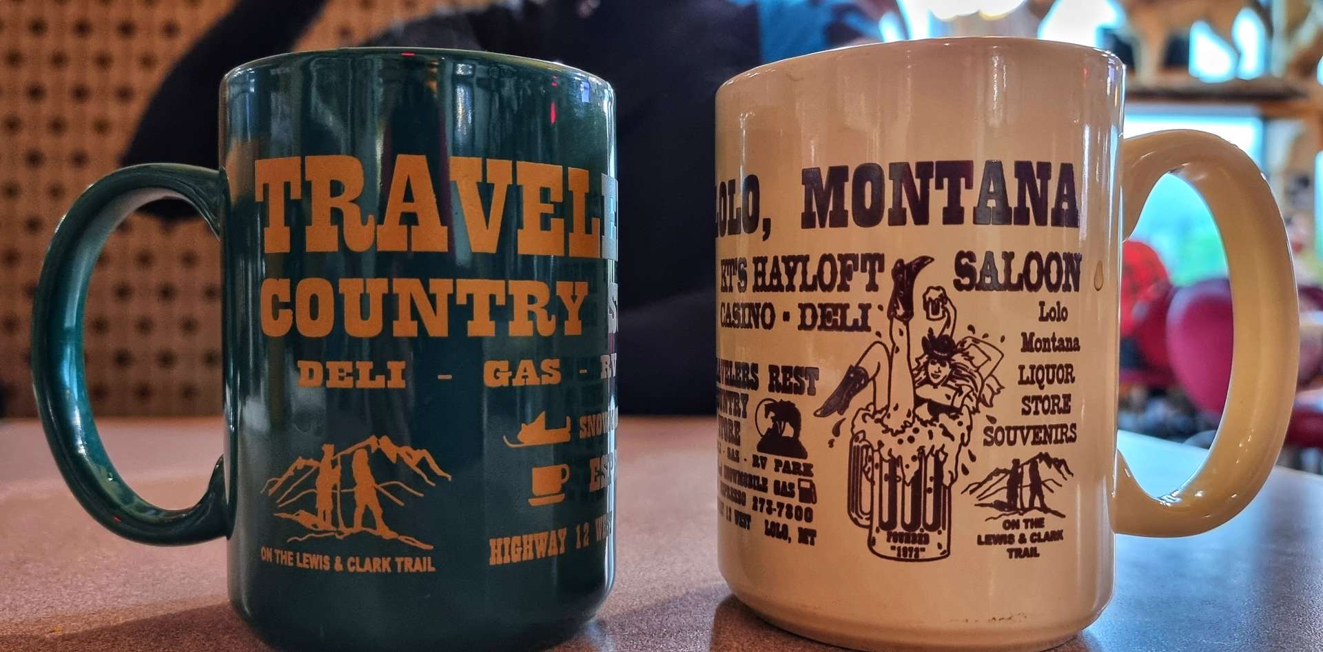
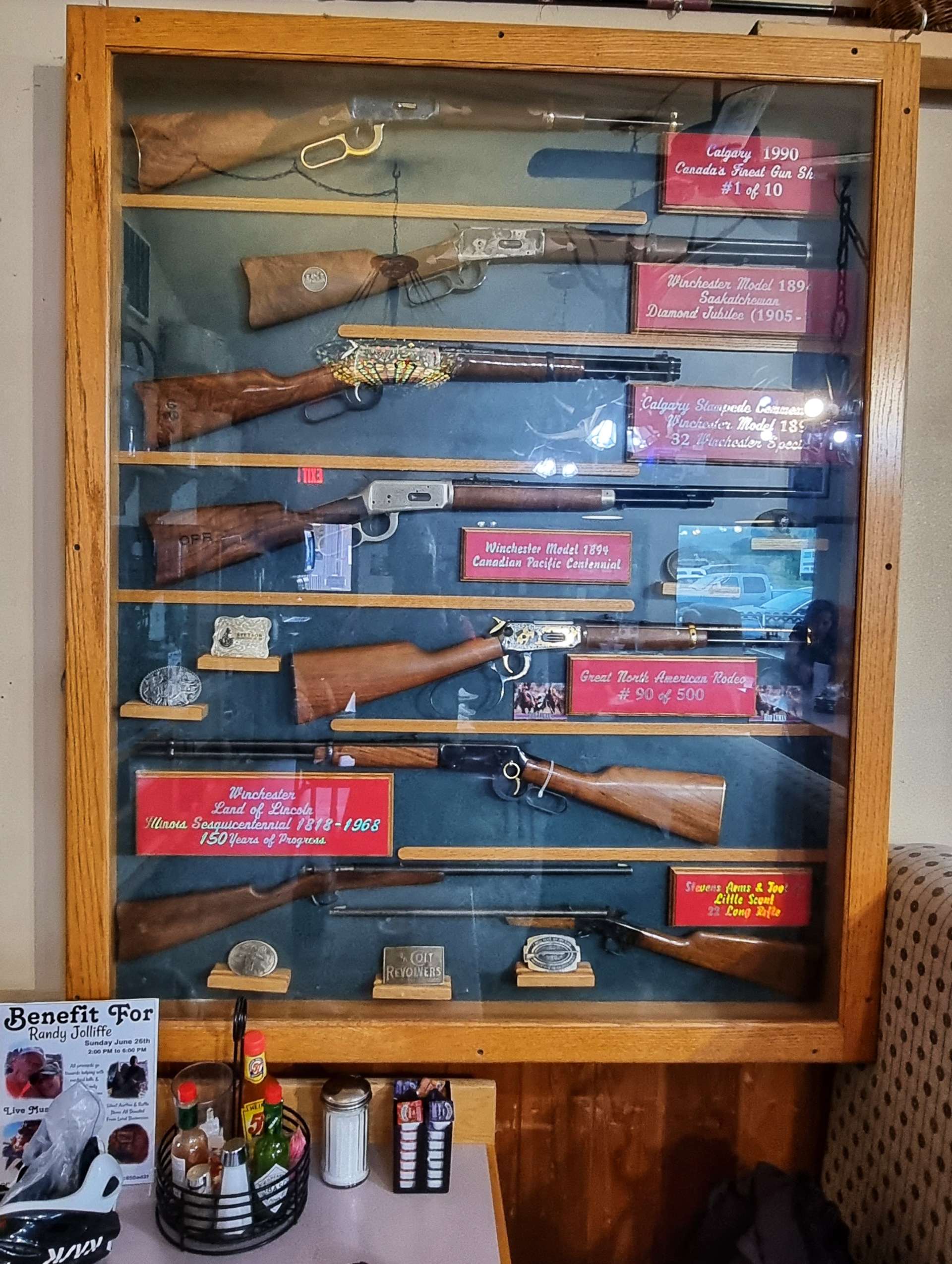
After about 10 miles we reached Lolo, an eclectic little town that retained much of its heritage, while also finding ways to stand-out from the regular, like a painted bison! We stopped at KT’s Hayloft for a breakfast of eggs, hash browns & toast, along with huge cups of freshly brewed coffee. The Hayloft was like taking a step back in time – old rifle & fishing rod collections, as well as wall mounted animal heads. As we sat inside eating, the heavens opened outside, we’d just managed to beat a passing storm.

The worst of the rain had passed by the time we hit the cycle path again, although the big mountains remained veiled in mist, just showing themselves fleetingly. We meandered in & out of wetland areas, rich in bull-rushes, where warblers could be heard singing their happy tunes along with frogs sending us on our way with their croaks & ribbits! As we returned to the river, it had burst its banks where a smaller creek joined it.

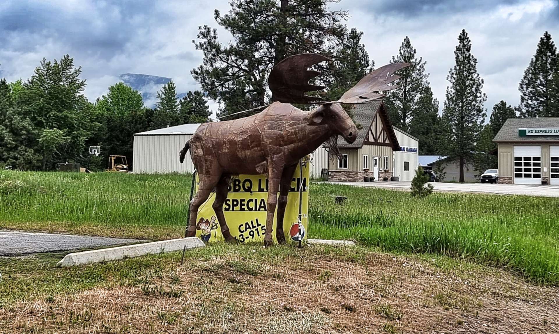
I’m always on the lookout for something that will either act as a point of interest or distraction for my regular posts & today we had a feast to choose from. In addition to the painted bison above, there was also a cock (insert own joke here!) & a moose. We’re also being stalked around the state of Montana by Lucky Lil (congratulations on making the blog!) – she has a whole empire of casinos & we seem to see a sign for them every day!! Jimbo you have more money than you thought, so go ahead & buy that new dream bike!!!

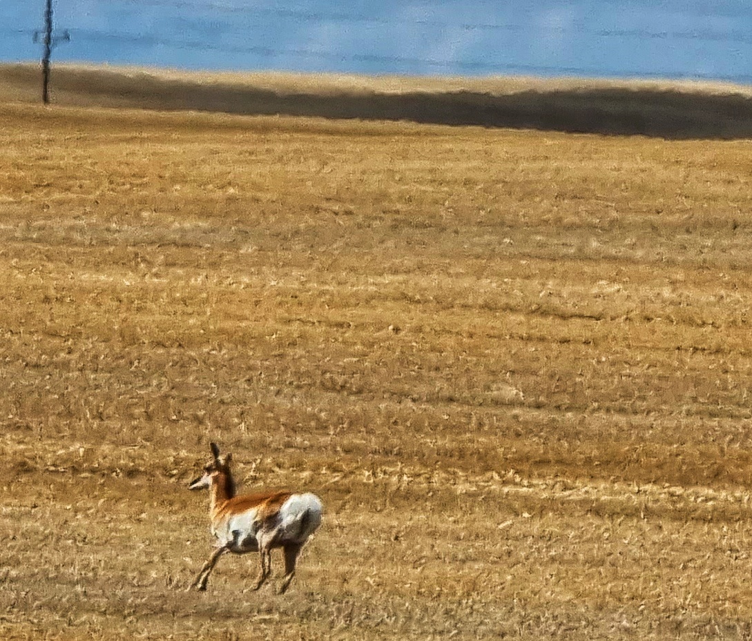
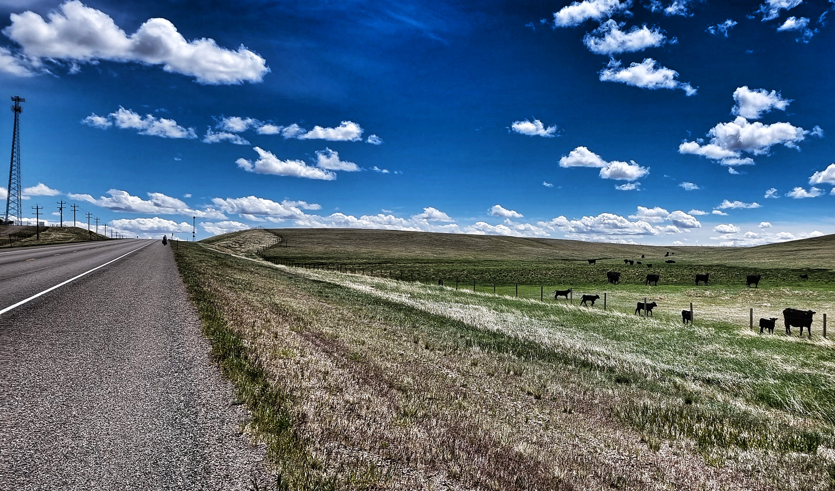
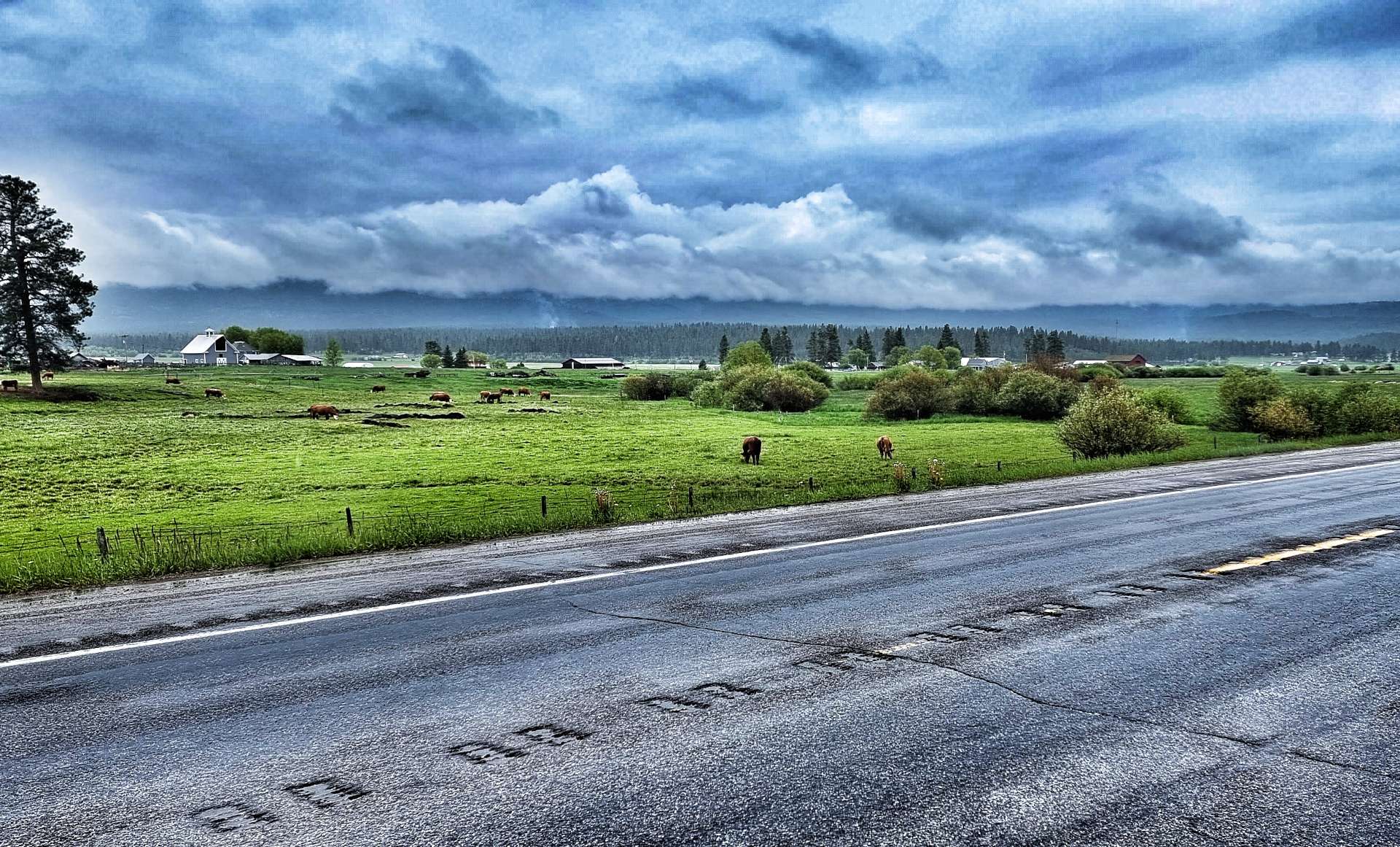
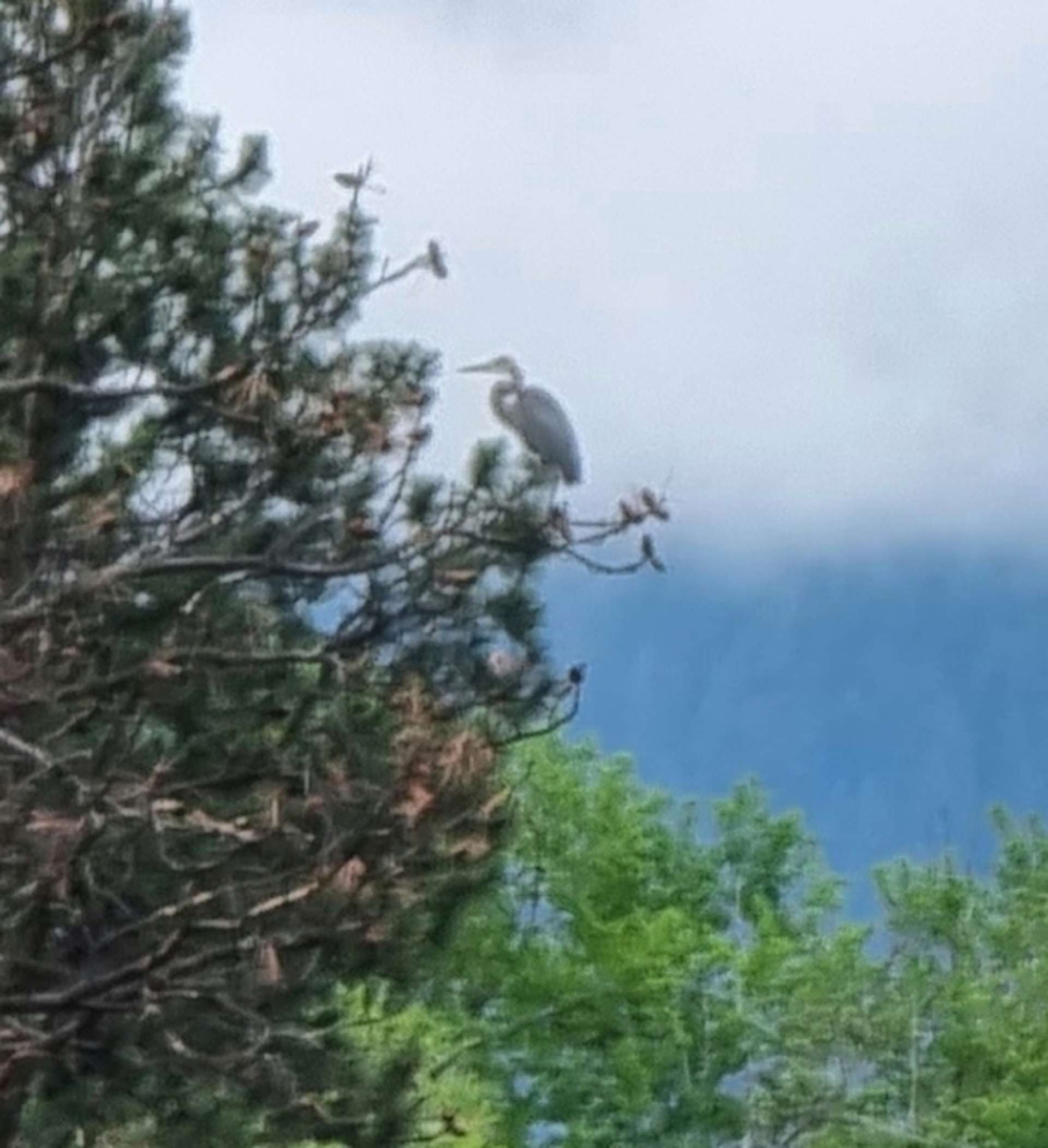
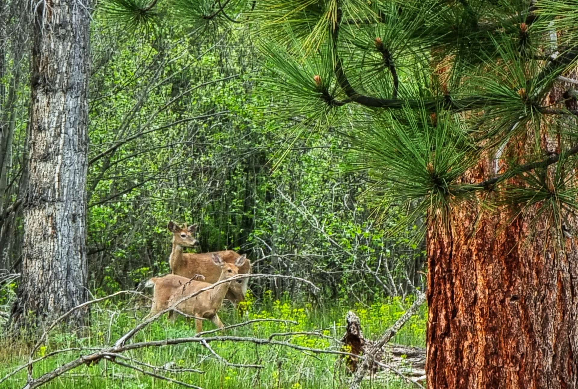
The wildlife was more tricky to photograph than normal, as the eagles were generally riding the thermals & were out of range. However, we saw a crane swoop in front of us & land in a tree some 100 yards away. We saw more deer, they always look so cute & inquisitive. I’m sure they’re as interested in the two humans on strange wheels as we are in them! Throughout the day we passed field after field of horses grazing & generally looking as if they didn’t have a care in the world.

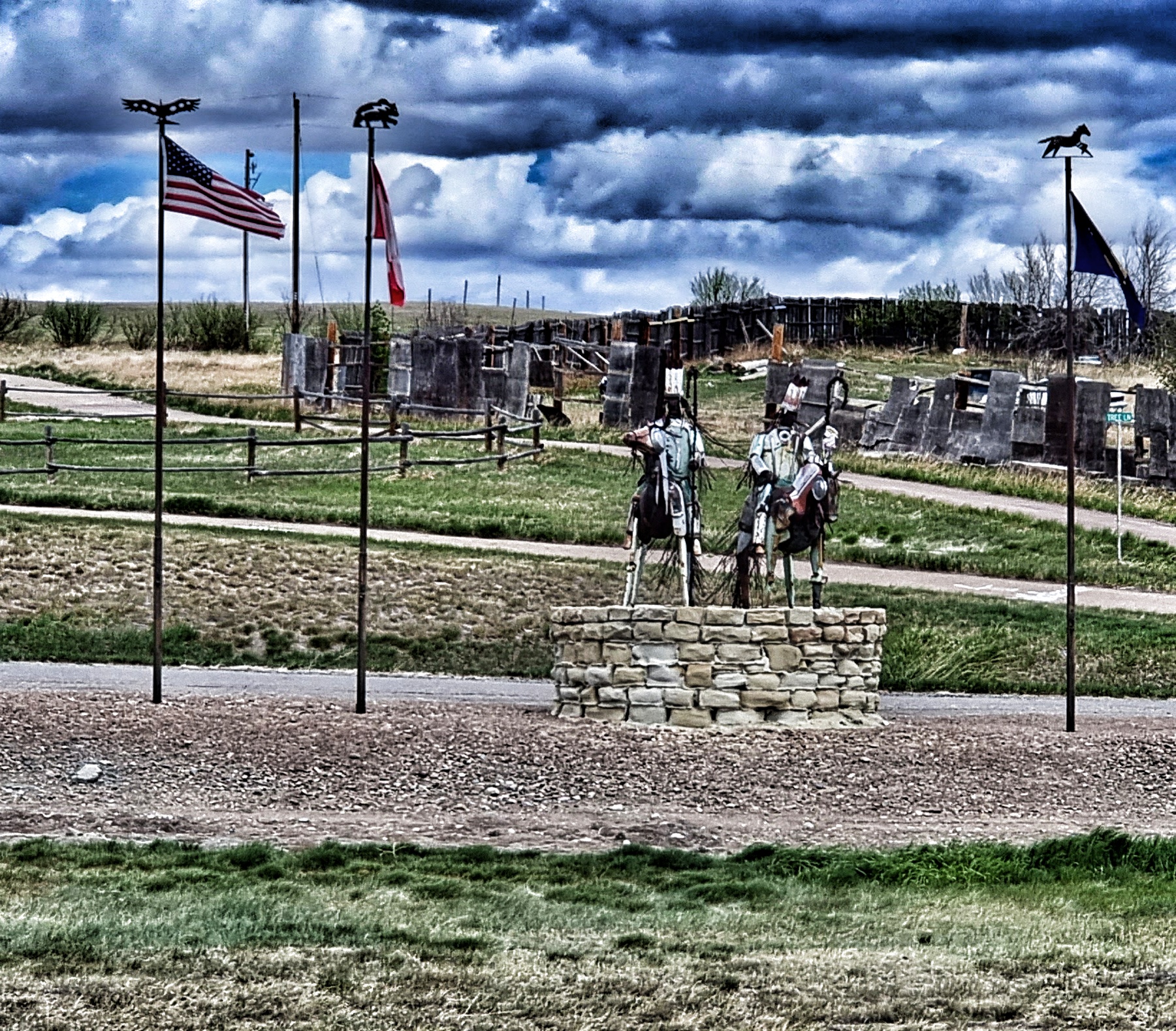
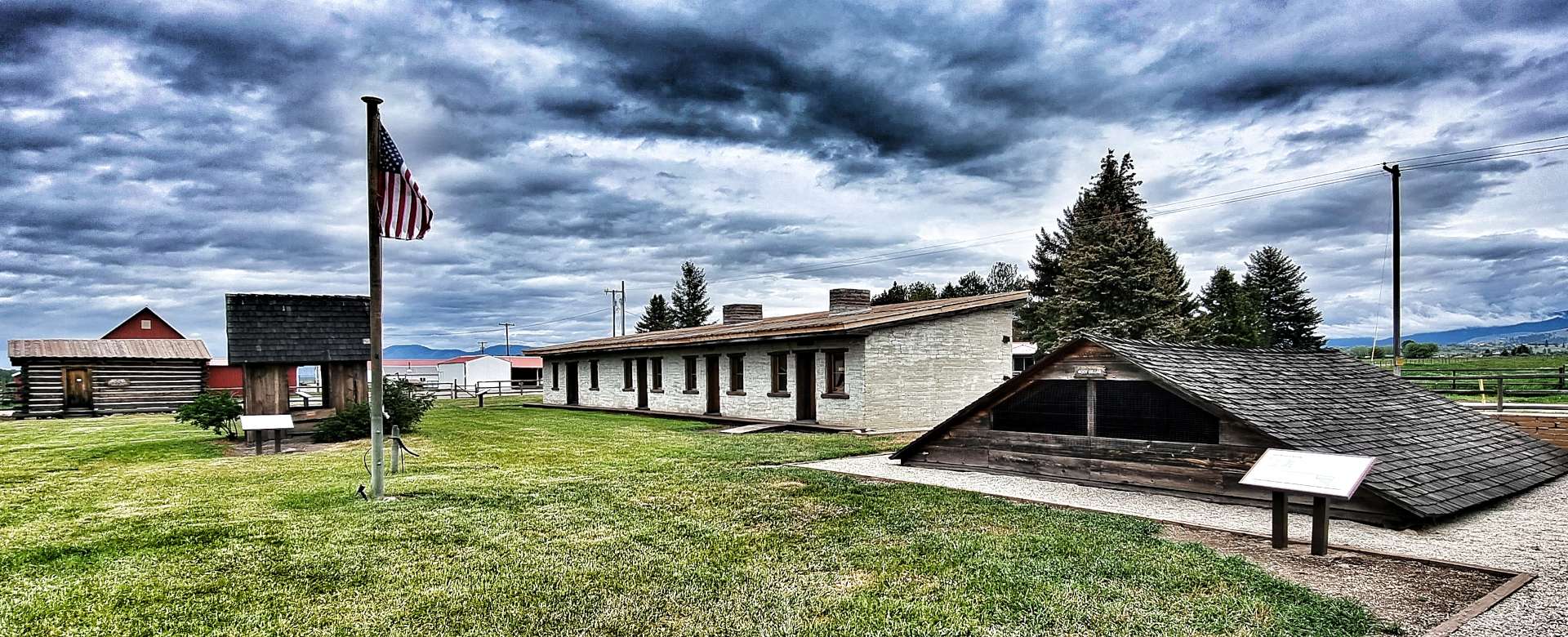
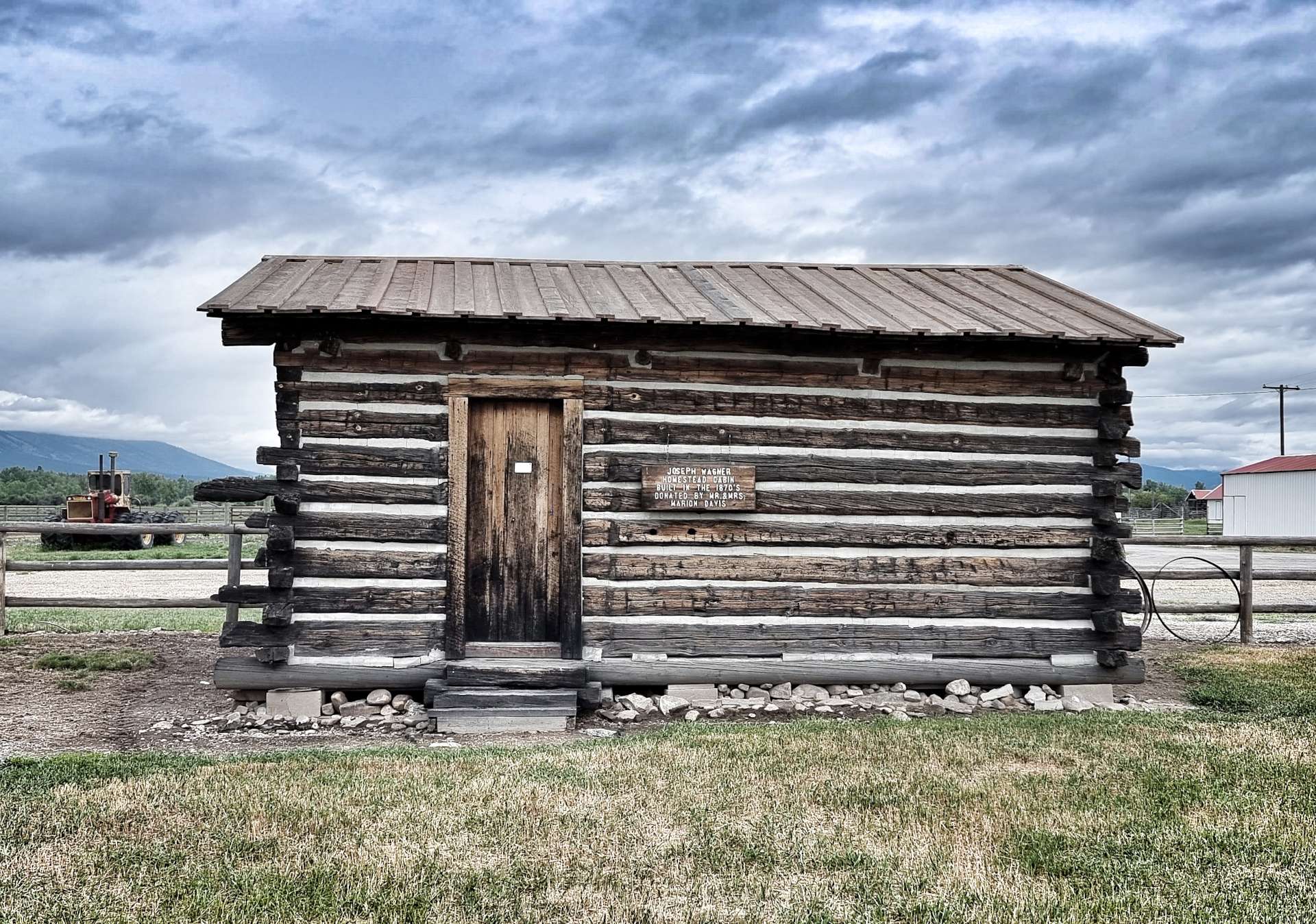
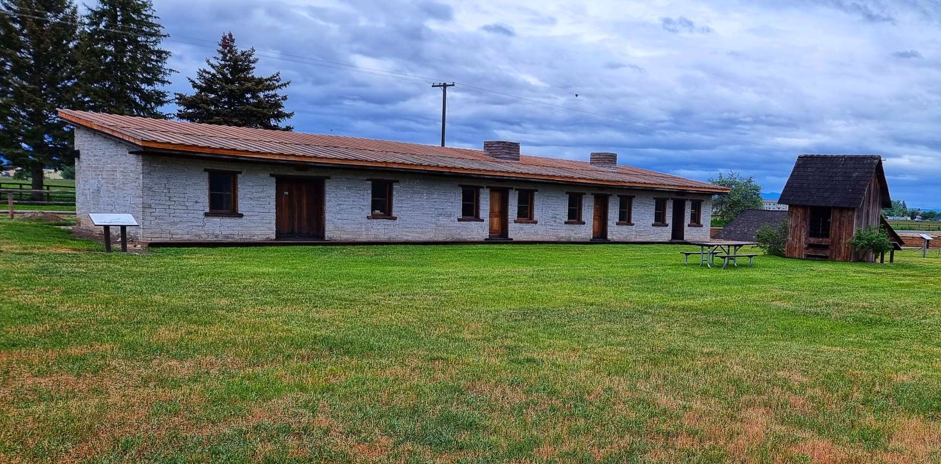
As we reached Stevensville we saw a small brown sign to Fort Owen State Park – it was a 1 mile detour, so we decided to go & have a look. Experience has taught us that brown signs mean interesting history is nearby. This was no exception, as the State Park is listed on the National Register of Historic Places. It was home to Montana’s first catholic church founded in 1841 & also the state’s first permanent white settlement.

In addition, it also housed the first sawmill, first grist mill, first agricultural development & the first school for settlers. In short, it was of huge significance & importance in the mid-1800’s. Major John Owen arrived in the Bitterroot valley in 1850 & established the fort, as well as trading with the Indians. Another great little side adventure for us too.

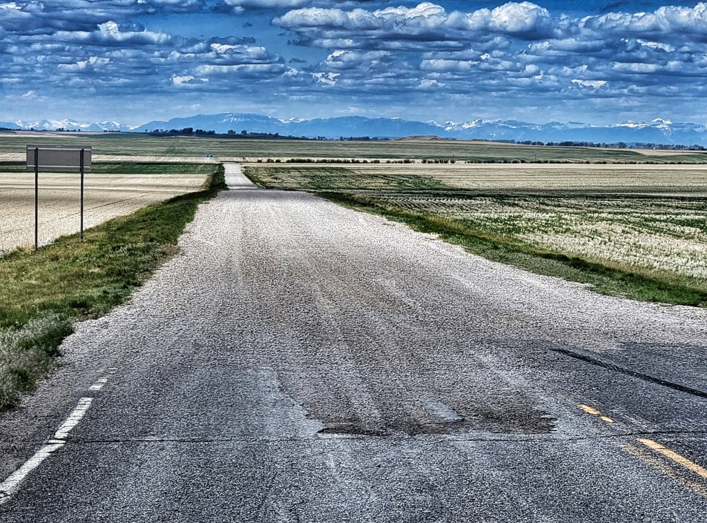
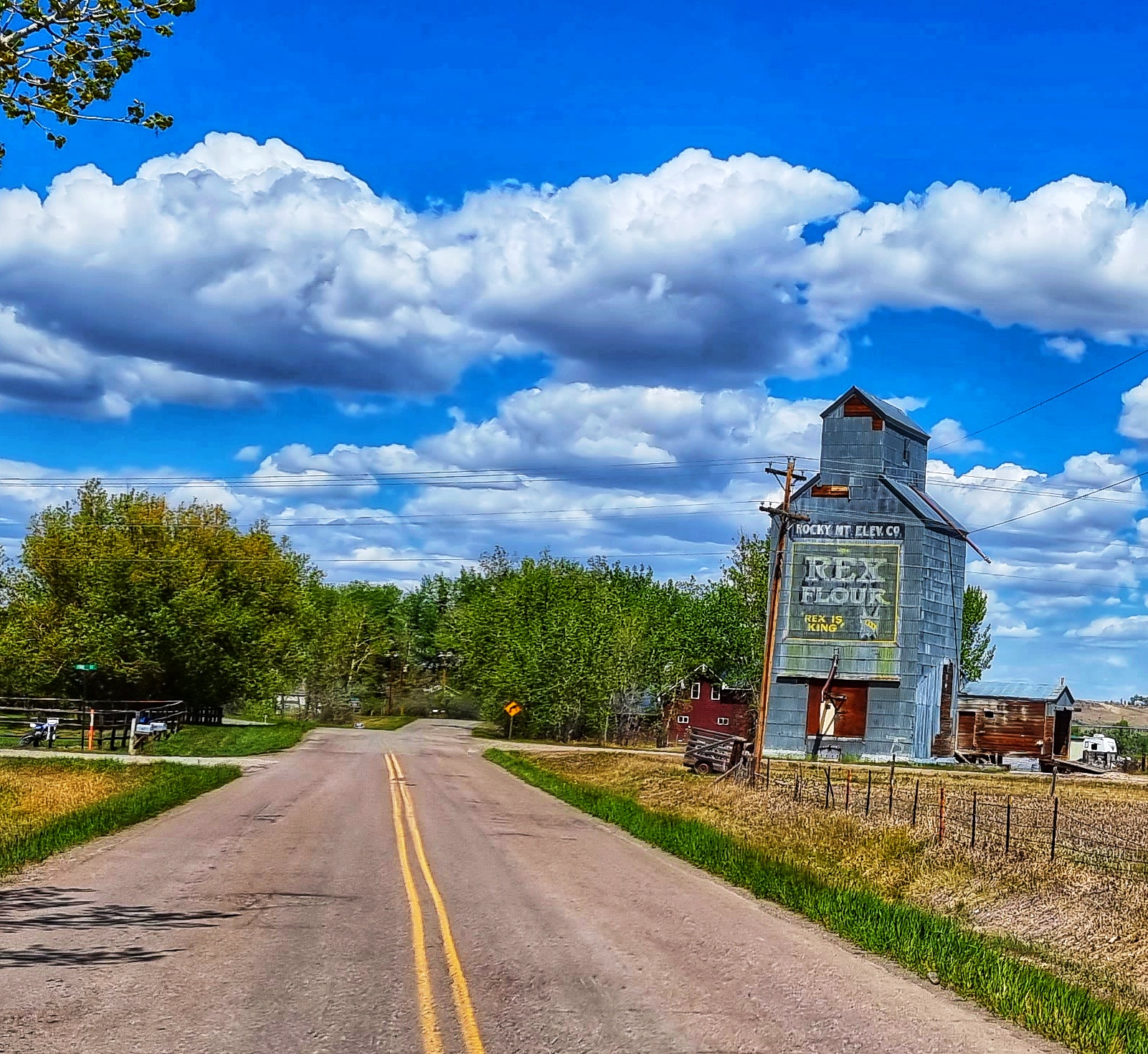
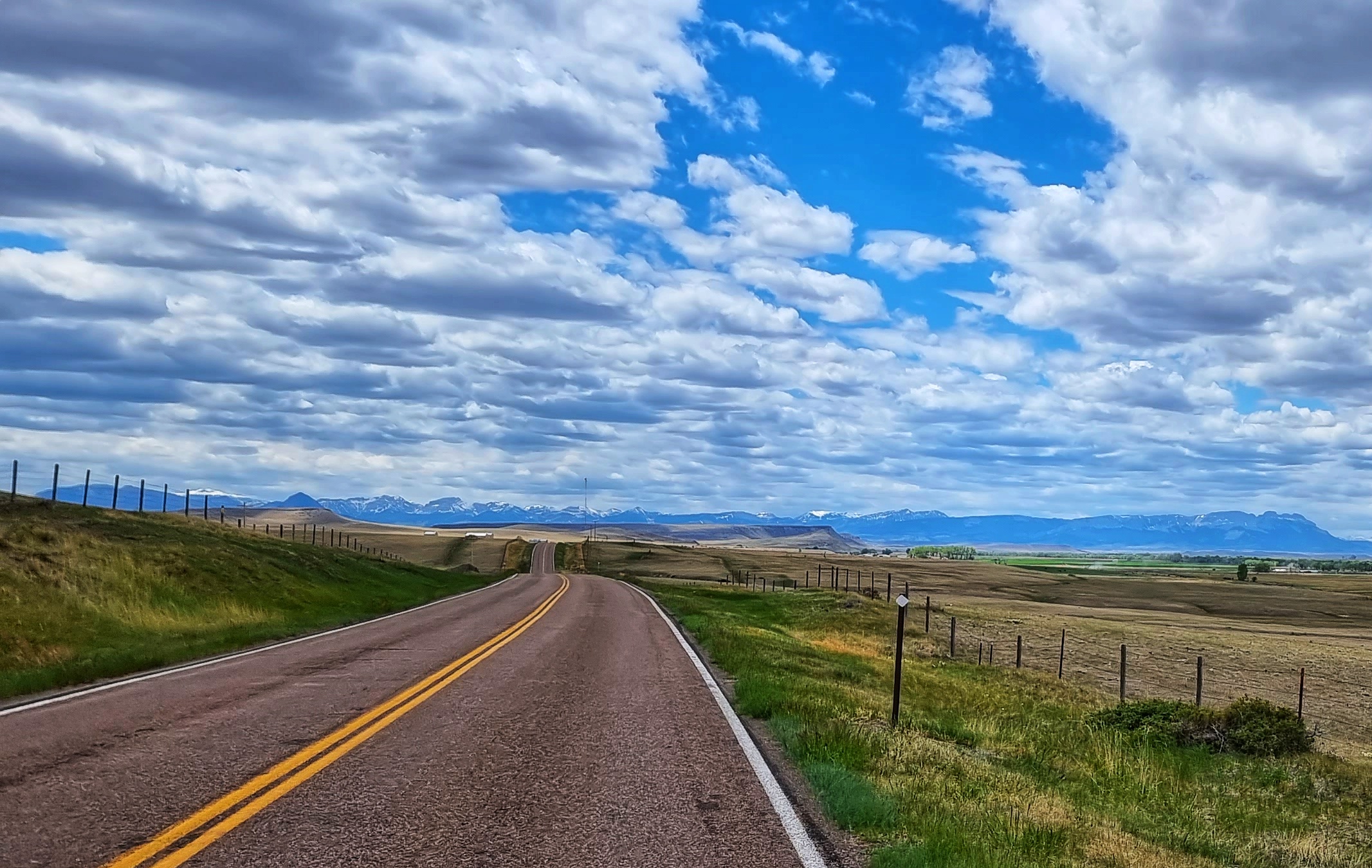
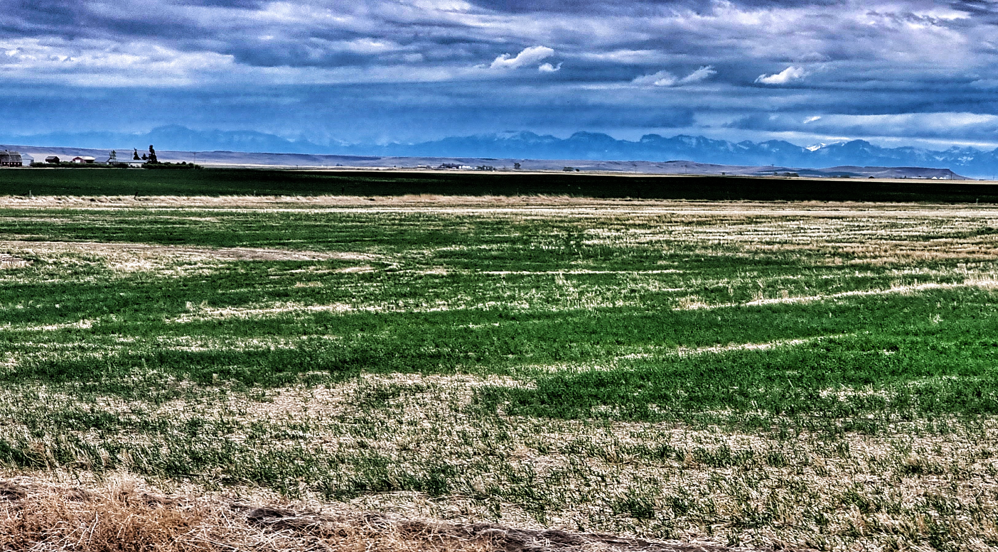
A couple of points to mention about today’s “recovery” ride – firstly, we rode into a significant headwind all day & secondly, we rode up a constant gradient, which when combined on a 5 hour plus ride becomes hard work! The cycle path continued to offer stunning scenery as we continued towards the small town of Victor, where we saw another example of the old buildings being protected.

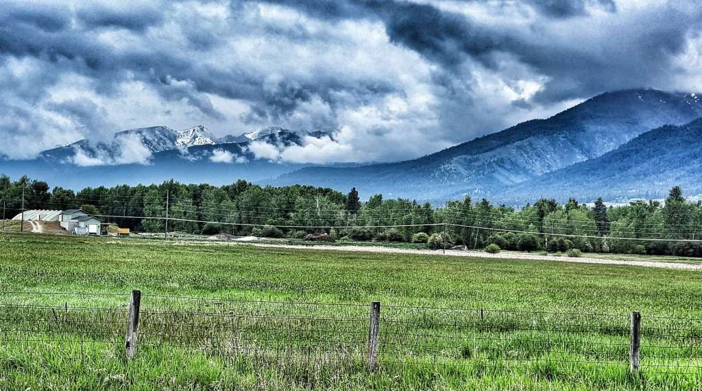
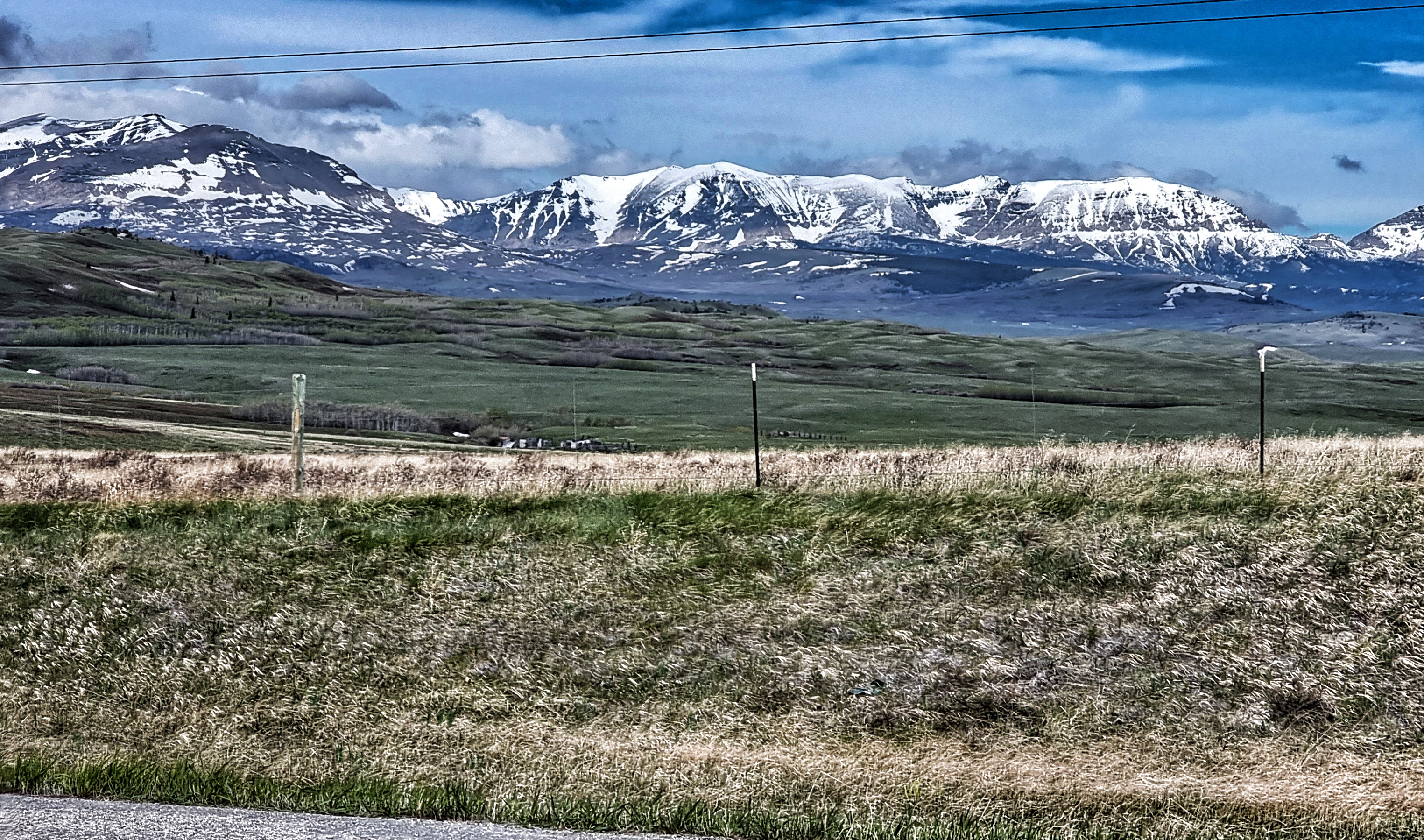
Slowly, but surely, the mountains started to reveal themselves as we continued along the cycle path. We also saw small patches of flowers & vegetation which made for pretty foregrounds & backdrops in a couple of photos. The weather was still a bit on the chilly side at this point, to the point that Sean was using his rain jacket to keep warm.

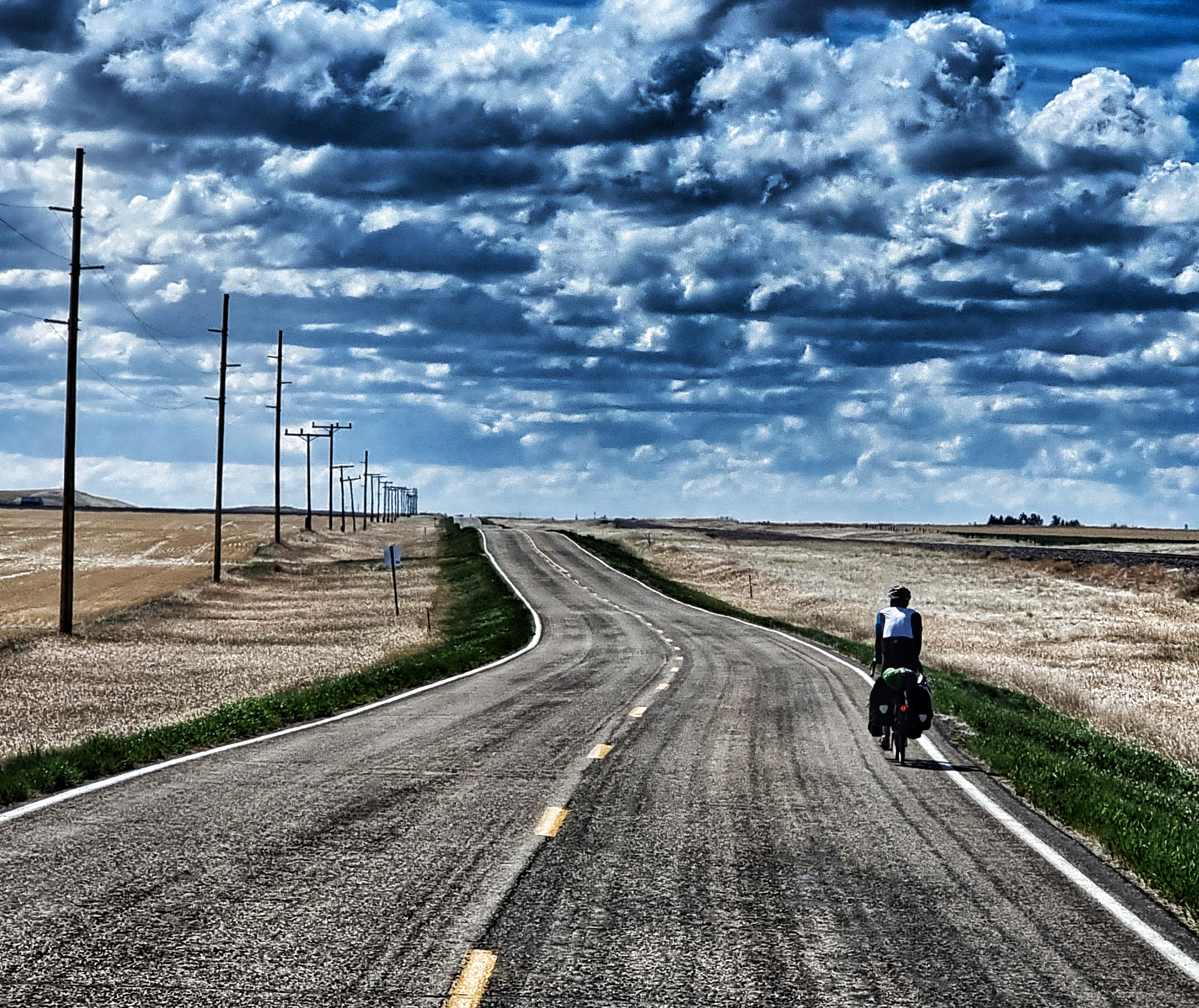
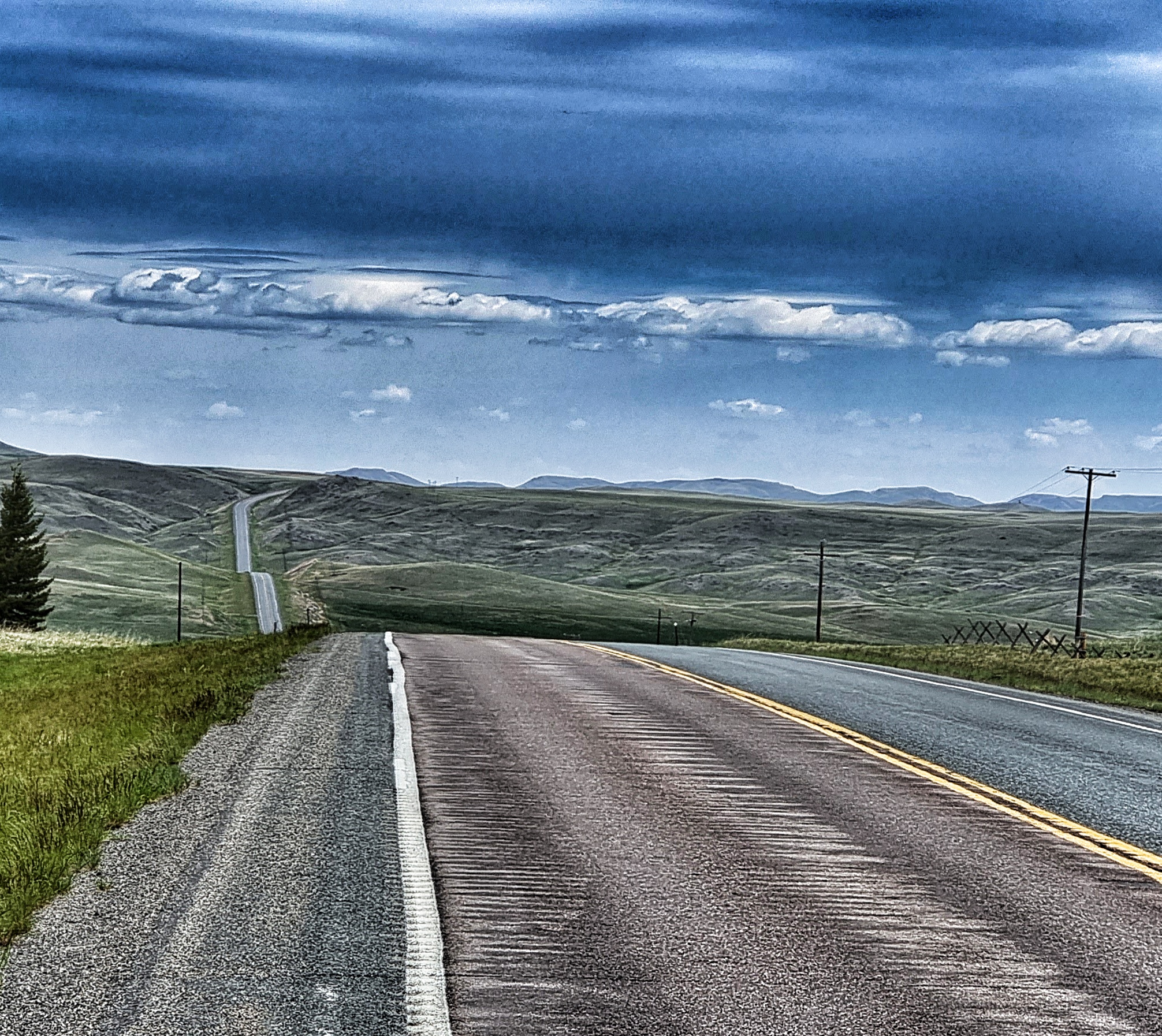
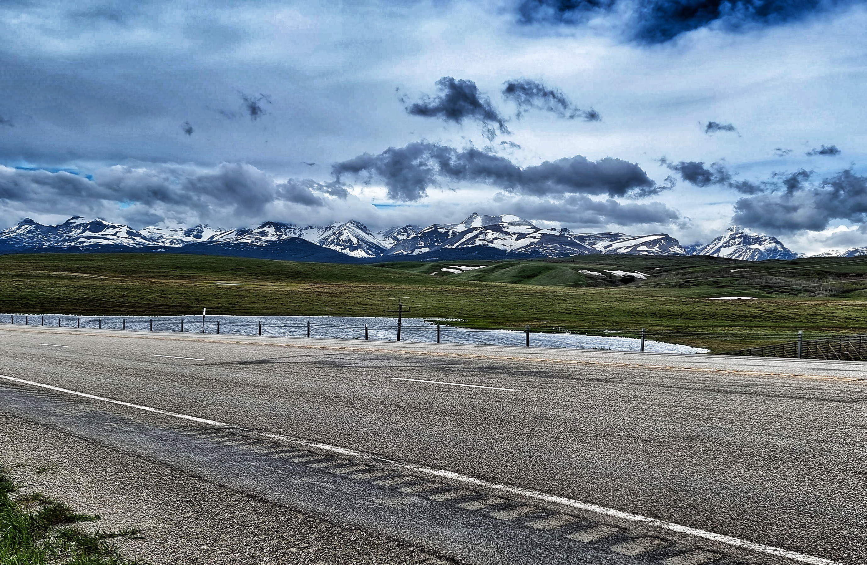
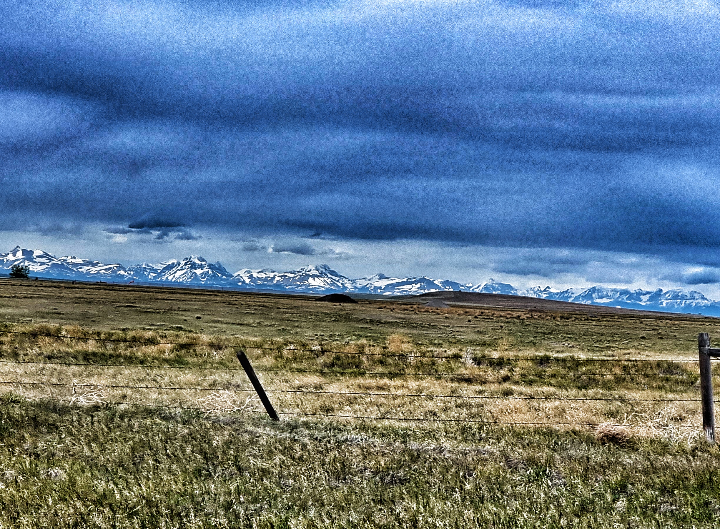
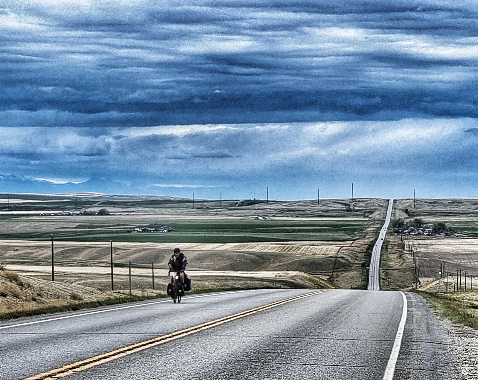
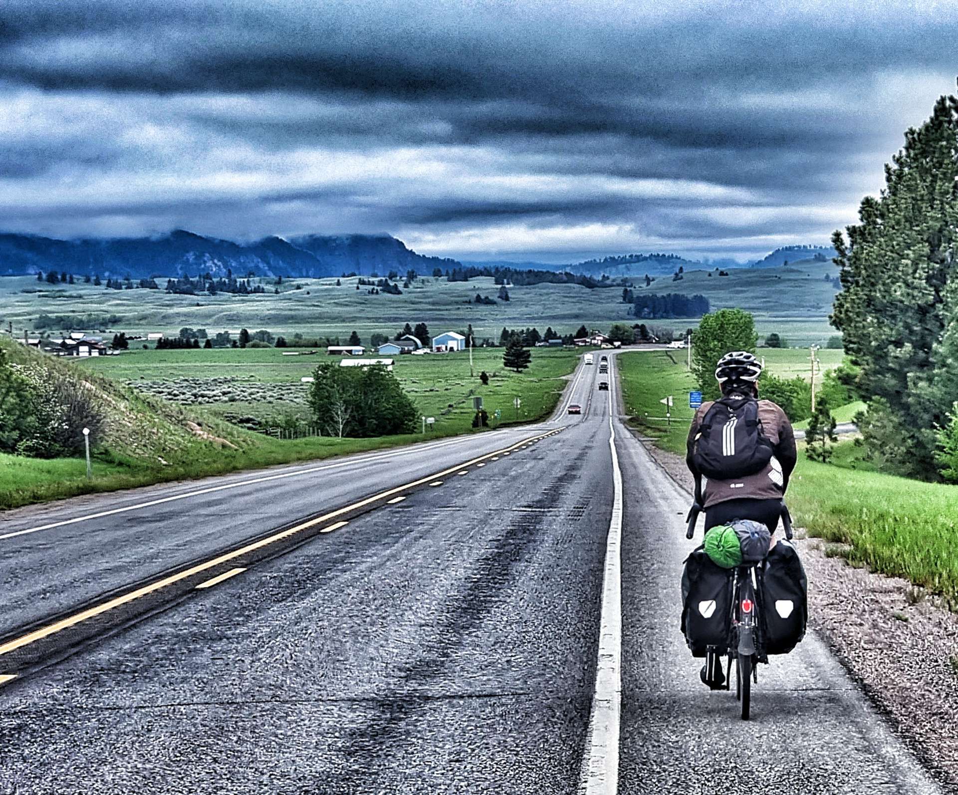
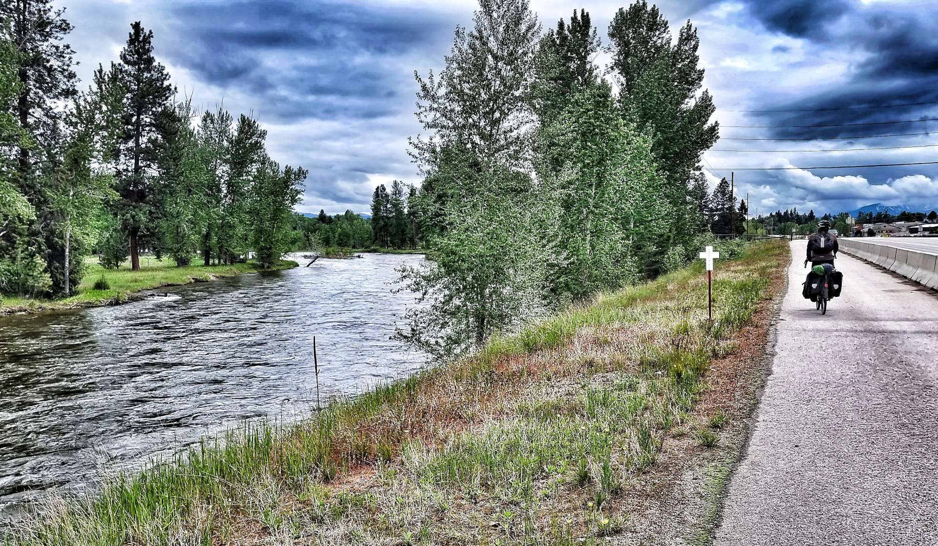
Late season snowmelt from the mountains had resulted in the many creeks filling the main Bitterroot river to capacity & it appeared a matter of time before it burst its banks. In the second photo you may make out a small white cross just behind & to the left of Sean (the road is just to Sean’s right). In Montana these signify that there has been a fatal road traffic accident & the number of crosses at the site indicate the number of people who died. We have seen several hundred crosses during our time in Montana to date & the worst accident killed 5 people. These markers ensure we remain vigilant when cycling on the roads.

We arrived at Hamilton after about 50 miles & we took to the road for the first time – we were now so far up the valley that the traffic was relatively quiet. The weather had also improved & blue sky was now dominating the clouds (well, almost!!). However, the wind was still blowing on our noses!! We only rode the roads for the final 10 miles of today’s adventure, all the rest of it was on the excellent Bitterroot Trail.

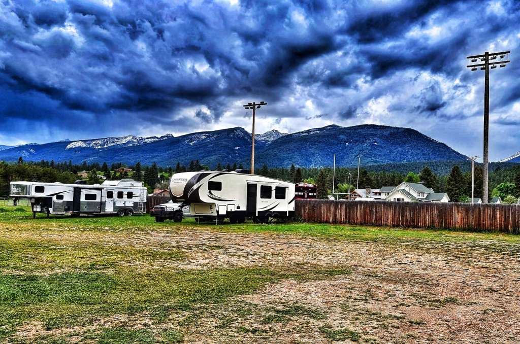
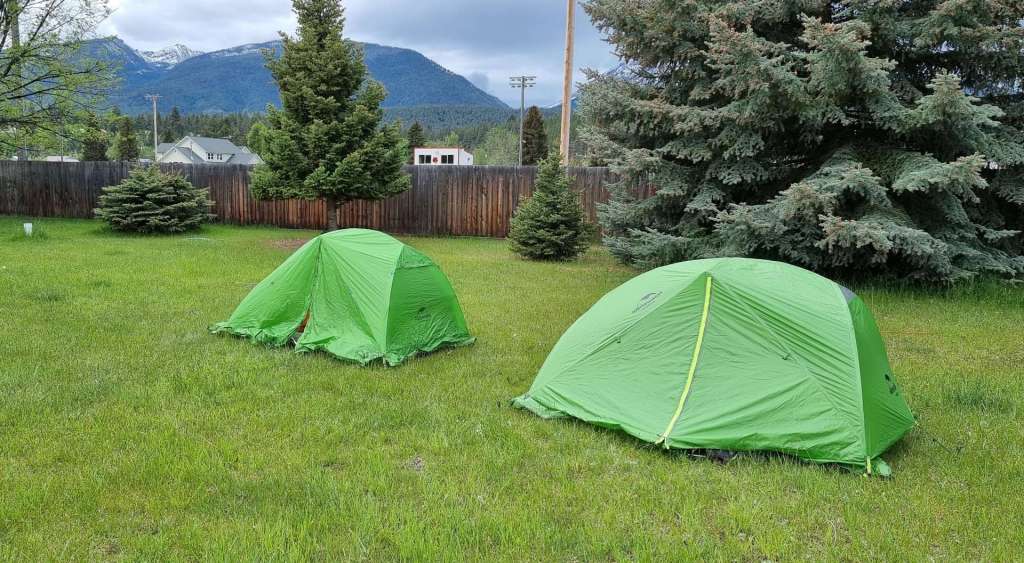
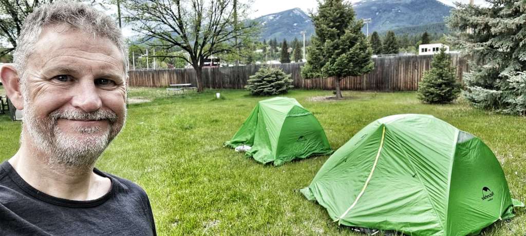
As we cycled into Darby, we could see the parking lot of the local rodeo was full of SUVs & RVs – it was a rodeo weekend & most of the town folk were taking it in. We had other plans, namely putting up our tents in case the weather changed again, as rain was scheduled for the evening. I’ll give an update on how our camping experience goes tonight when I do my next update! It’s our first camping since Rexford.

Stage Stats – 63 miles, 1,207 feet of climbing Gradual climb all day into the teeth of a headwind. Not the recovery day we were expecting!!!

Conrad to Lincoln

The Road To Nowhere – Tuesday 31st May to Thursday 2nd June

Tuesday 31st May – Conrad to Great Falls (Stage 25)

We woke to blue skies once again & I set off in shorts, short sleeved jersey & sun tan lotion! As we left town, we could see “pepperpots” in all directions, a sure sign we were heading into remote farming country. As we approached the I-15, we took a right turn & joined a small frontage road – once upon a time in pre-freeway days this would have been the main road, but today we would have it almost to ourselves.

The two lane road offered views of the mountains to the right & views to infinity straight ahead! With a light tailwind behind us, we had perfect cycling conditions in a stunningly beautiful location.

After about 10 miles we reached the small agricultural town of Brady – in the last census it had a population of 140. It’s a hub for the collection of grain from the surrounding farms, so in spite of its lack of size, it’s still an important town.

Leaving town, the road picked its way between wheat fields as it continued to track the freeway, with the railroad tracking us on the other side. Round about here we saw our first car for 15 miles, which matched the number of deer I’d managed to photograph!

The next major event was crossing the freeway & passing through a small section of shrubs & small trees. As we reached Dutton we found a small diner where we stopped briefly for coffee & a cinnamon roll. Pepperpots continued to dominate the human landscape as we continued on our way – just after a small airfield the road turned to gravel for about 5 miles, which made an enjoyable change. All the while we continued to mirror the route of the freeway – at times we can’t have been 15 yards away from it!

Montana continues to offer stunning views of The Big Sky – mountains were always visible in one direction or another. We also got early warning of our only descent of the day – as you’ll have seen from the photos already, today had little in the way of elevation changes.

The road remained our own personal playground as we enjoyed the descent – as we reached the turnoff for Vaughn we’d travelled about 50 miles on backroads & we’d seen 6 cars in that time!!

The final 13 miles took us along more populated roads – our first surprise was an oversized load of 4 John Deere combine harvesters heading towards us! We also spotted our first & only wind farm of the day.

As we headed into Great Falls, we spotted a few aircraft overhead – I then remembered that the Malstrom Air Force Base is located just to the east of town & they appeared to be carrying out exercises above us. Thanks to David Higgs for confirming the photo shows a Hercules C130.

I’d forgotten to update my route when we booked the Super 8 Motel, so we had to manually navigate across town, but I’m pleased to say it all went smoothly & Sean was still talking to me when we toasted another glorious day in the saddle!

Stage Stats – 65 miles, 1,240 feet of climbing. Virtually pan-flat with a gentle tailwind for most of the ride.

Wednesday 1st June – Great Falls to Lincoln (Stage 26)

The first 13 miles of today’s ride were a reverse of yesterday’s final 13 miles, so I kept a few details back to use here! As we left town under blue skies, we crossed the Missouri river on our own bike bridge, before passing a car on a pole which was advertising a local auto repair shop. Finally, a livestock auction was in full slow with animals being delivered at one gate & being transported away by their new owners at the other.

At Vaughn we crossed the Sun river (more on this later) which was a small torrent at this point. Joining the relatively busy Highway 89, we were provided our first view of the mountains we’re due to visit tomorrow. We were also back into “Eagle” country – I use the term loosely, as the majority of the birds we see are one of the many varieties of hawk.

Leaving Vaughn behind us, we spotted the first of a number of buttes in the distance – my favourite shot shows a small dust trail being kicked up by an SUV as it speeds across the gravel road. Not long after, I spotted a small bridge that I planned to pose on for a photo, but when I got to it I realised I’d be going for a swim if a tried to balance on a couple of thin planks while wearing cycling cleats!!!

As we reached the small settlement of Sun River we stopped at a Historic Point to learn about its strategic importance. Back in the early 1860’s, a bridge was built over the Sun river & a toll had to be paid to cross it. The bridge was built on an old Blackfeet Indian ford & a thriving town built up as a result of the gold rush in southwestern Montana. In spite of the arrival of the railroad in 1887, the town continued to be hugely important until after 1900. The current bridge is the 4th incarnation.

The most important white settlements in Montana were the mining camps in the western mountains. A series of military posts was established in the 1860’s & Fort Shaw was one of these. It also protected the stage & freight trail from Fort Benton. In 1876 General Gibbon led his troops here to join General Terry & General Custer on the Yellowstone, just prior to his disastrous fight with Sioux & Cheyenne Indians at the Battle of the Little Big Horn.

Fort Shaw Indian School became World Champions at Girl’s Basketball when they beat all-comers (from the USA & around the world) at the 1904 St Louis World Fair. I learned all this from following a Historic Point sign that had directed us both down a narrow gravel road.

Leaving Fort Shaw behind, we continued to head towards the big mountains until we reached Simms. We stopped briefly for a coffee & cookie at a gas station (the first place that had been open since we left Vaughn about 90 minutes before. As we set off again, we took an immediate right turn onto another deserted road & within minutes we’d spotted another eagle, this one perched in a tree waiting for us to move on. I also met a herd of cows, who made it clear I should moooooo-ve on!!!!

After gradually climbing for about 45 minutes, we finally got our well deserved payback – a long, straight descent! We stopped for a selfie at the top before enjoying a rapid descent with a stunning view of the mountains ahead of us.

As we were freewheeling along the flat at the bottom, we spotted what on first inspection looked to be a ghost town – it was only when we checked out a “Private Property” sign that we realised it was actually a local gun club. Just a couple of fields later we spotted a couple of white tailed deer, although they kept their distance from us. Continuing on, a new section of The Rockies revealed itself – somewhere over there must be the Pass we’re crossing tomorrow.

We got to enjoy one final descent before we joined the 287 for the final couple of miles into Augusta. Our motel is called the Wagons Rest & along with the rest of the town has retained its wild west heritage & some of its physical history too. We arrived slightly early & the owners weren’t in, so Matt (the previous owner) kindly checked us in, sorted us out with room keys & ensured we were comfortable.

After a relaxing dinner from the local grocery store (salad, crisps, chocolate & Dr Peppers in case you’re interested) I stood & watched a stunning sunset as the sun dipped its head behind The Rocky Mountains.

Stage Stats – 57 miles, 869 feet of climbing. Virtually pan-flat with no wind to speak of. Glorious sunshine all day.

Thursday 2nd June – Lincoln to August (Stage 27)

Today we’re back in the mountains again, but first we have to get there. We set off about 9.30am under blue, but cloudy skies & almost immediately we spotted a couple of herds of deer in the same field – there must have been 10 of them in total. The mountains were on our right hand side as we started a gradual climb of the non-categorised variety. As we reached a short downhill section we were overtaken by a huge truck carrying an oversized load – we’ve encountered a few of these on our adventure to date & like all the others, the driver made sure to give us plenty of room.

At the 19 mile point we took a right & re-joined the 200, which we’d been riding yesterday (until we turned off at Simms). Immediately we hit a short, sharp climb, which isn’t really what the legs need before a hors category ascent! What also became clear very quickly was there would be a number of false climbs where we’d keep giving back the ground we’d climbed……

We’d been crossing small creek valleys, which was why the road kept rising & falling – eventually we crossed the last of the rivers & the climb of Rogers Pass started for real. We also returned to National Forest land, this time it was Helena.

While the early slopes of the climb were quite friendly, it did get steeper the further up we went – sections were 8%, which on a fully loaded steel touring bike is slow going as I only do about 4mph in these bits. I recorded my thoughts at about the halfway point of the climb;

We stopped near the top to take a couple of photos to remind ourselves of the climb & the scenery we’d ridden through. I know from experience the mind soon forgets the detail of each of the days, especially when so many new experiences are happening day after day!

Rogers Pass forms part of The Continental Divide, so this became our 2nd crossing in a week (after Marias Pass last Friday).

This was another simple & straightforward descent – a very gentle slope, with no bends or turns to talk of. Sean simply had to tuck in behind me & enjoy the free ride! As we were climbing, it was overcast above us, but almost as soon as we summited we had sun & blue sky again.

As we descended further we started to cross creeks again & pass small lakes. We also stopped briefly at the Ranger Station to learn a little more about bears – we don’t plan to meet any at close range, but do want to know what to do in the unlikely event it happens! We also saw gates to a Sculpture In The Wild exhibition, which Sean investigated further when we reached our hotel. It looks an interesting candidate for a visit on our rest day tomorrow!

Stage Stats – 57 miles, 3.176 feet of climbing. A long drag up a non categorised climb before the Hors Categorie ascent of Rogers Pass.

East Glacier Village to Conrad

Where The Rockies Meet The Plains – Saturday 28th to Monday 30th May

Saturday 28th May – East Glacier Village to Cut Bank

With the benefit of hindsight, East Glacier Village isn’t somewhere I’d choose to visit again & I should probably explain why I feel that way. I’ll begin with the hotel we stayed in – when we checked-in it took 10 minutes for someone to come to Reception in spite of my vigorous (but polite) ringing of the bell. When someone did turn up, they had clearly just woken up & were in their boxer shorts & vest. I’m pleased to say he went & tidied himself up before checking us in. In the corridor to our room something (or possibly someone) small had left a recent “number 2” on the carpet – luckily we both saw it & avoided it! To give the Inn Keeper credit, he quickly cleared it up & apologised.

There was only one restaurant in town, a Mexican, so that made our choice for us. Unfortunately, Sean doesn’t like Mexican food, so he chose the burger – when it arrived it looked a bit cremated to me, but I kept quiet at the time. Later Sean confirmed it was fairly grim! Although salad was on the menu, they weren’t serving them that evening, although Sean’s burger & my fajitas came with tomatoes, lettuce & onions!

Anyway, enough of East Glacier Village – you live & learn, plus we only stayed one night. We had a few bowls of cereal, a yoghurt & some tinned fruit for breakfast before hitting the road by 9.40am. The first couple of miles climbed gradually as we continued easterly on US 2, with the Rockies laid out to our left & behind us. We also noticed that we had a keen tailwind for the first time on our adventure – this could be fun if it lasted!

The first obvious difference cycling on the eastern side of The Rockies is that the roads are very long & very straight!! The second obvious difference is the lack of protection from the howling wind – while we have a tailwind that isn’t a problem!

Having gradually climbed for the first 30 minutes or so, we found ourselves at the top of a very long, straight descent – after taking the photo, I let the bike start rolling down the hill & by the time we got to the bottom, the howling tailwind had got us up to 46mph as we heading into Browning. This is comfortably the fastest I’ve been on my touring bike, yet it felt really well balanced & safe.

Browning is the headquarters for the Blackfeet Indian Reservation & is the only incorporated town on the Reservation. As we passed the Heritage Centre, I stopped to spend some time reading about the history of the Blackfeet & also to take in the wonderful exhibit which set out The Myth Of Creation. It’s a small town with about 880 inhabitants & it was clear that a number of businesses have struggled over the last couple of years – sadly this cool espresso teepee was one of those that had closed.

Crossing town our tailwind turned to a brutal, gusting sidewind that slowed us down temporarily, until 2 feral dogs started chasing us! We’d been warned about dog behaviour in Browning by several different people at varying points over the last few weeks, so we realised we had to pedal & get away from them as quickly as possible.

Leaving Browning behind, the road turned slightly to the left & our friendly tailwind returned as we flew along the pan-flat, almost deserted road at upwards of 20mph – it wasn’t quite a full-blown tailwind but was very enjoyable!! I stopped occasionally to take a look behind at the snowy peaks as they slowly receded, although I feel I may continue to see them for a little while yet.

We stopped briefly at a Historical Point of Interest – these are indicated by brown signs & we’ve learned to look out for them, as they add a flavour of what life was like 125 to 200 years ago. Today we found out about Captain Meriwether Lewis & his experiences that led to the naming of Camp Disappointment. This was also the moment when the road altered direction enough to give us a full-on tailwind! We also had our first experience of the huge grain elevation silos that border the railroad tracks in this part of Montana.

For the first time on our adventure the temperatures were high enough to see heat haze in the distance. Passing a field of cows on the right, the road rose gently for the first time in about 15 miles – the legs were slightly surprised when they were asked to put in some proper effort, so I stopped at the summit for one final look behind me. The cotton wool clouds overhead reminded me why Montana is known as The Big Sky State, as even the most normal view seemed so much bigger.

Once the road flattened out again, we were cruising along at almost 25 mph – the photo shows how happy we were & how easy the riding was! As we passed an irrigation channel by the side of the road, there were hundreds of birds swooping & diving on the insects in a feeding frenzy.

In just 2 hours 30 minutes we were on the outskirts of town, having covered 46 miles, at an average of over 18 mph – I’ve never achieved this on my carbon bike, so just shows the power of the tailwind! There was a stunning Blackfeet Nation Sculpture which welcomed us to Cut Bank, before we climbed a final, small incline to join up with the railroad once again.

We had a relaxing afternoon, before heading out for a beer to celebrate another cracking day in the saddle. On the way back to the hotel I got to see both the sublime & the ridiculous within the space of 5 minutes – a glorious sunset & a 27 foot penguin which is a permanent reminder of when the temperature plummeted to 64 degrees F below freezing on 1st February 1989. The coldest spot in the nation is actually Prospect Creek Camp in Alaska, where temperatures plummeted to 79.8 degrees F below freezing.

Stage Stats – 48 miles, 958 feet of climbing. Virtually pan-flat with a roaring tailwind for most of the ride.

Sunday 29th May – Cut Bank to Conrad

After a breakfast of cereal & toast, we were on the road for 9.30am. After yesterday’s turbo assisted ride we were expecting to have to work a bit harder today. We set off under overcast skies, with squalls of rain already falling around us (but not on us). The day started with a short climb up to the turning for the Valier Highway, where we turned left. Reaching the plateau we were surprised to meet a herd of alpacas. The alpha macho came over to check us out while the remainder of the herd looked on from a distance.

We were on straight, undulating roads again today & the breeze was behind us for the first section of today’s ride. We could still make out the snow-caps on The Rockies away to our right as they stretched north into Canada & south towards Wyoming.

Off to our left a wind turbine farm was in the middle of a localised downpour, while we continued riding in the dry. The landscape was also gradually changing as the light browns were showing the first signs of green shoots. suggesting there must be a source of water nearby.

Turning to our right there were showers falling on the present & the future of America’s energy needs – a nodding donkey drawing up oil from below, while another wind farm harvested nature’s raw power. It was clear the showers were very localised, as the mountains remained in view throughout the ride.

We stopped at a monument to the Two Medicine Fight Site, where the only violent encounter of the Lewis, Clark & Discovery Corps expedition took place in July 1806. There were differing accounts of what took place & why, however, what isn’t in doubt is that this was the first military conflict between US forces & a plains tribe. The site itself is on Blackfeet Nation land & requires permission to visit it. Crossing the Two Medicine river very little has changed in the intervening 200 years.

Just after crossing the river, we took a left hand turn & experienced the strength of the wind at first hand – unfortunately on our faces, not our tails! We also got our first look at the local “pepperpots” which store grain on individual farms before it gets collected & transferred to the larger co-operative facilities in local towns. After 13 miles of character building riding into a headwind we finally reached our coffee stop in Valier. Being a Sunday, we had to settle for a gas station coffee & Snickers, while we were finishing up, a professional rodeo team passed through.

For the next 8 miles we again fought our way through a headwind – the toughest part is having your entire challenge laid out in front of you! At points we could see 3 or 4 miles into the distance & what the terrain was like. On the descents Sean would tuck in behind me & could just about match me for speed as the laws of gravity took hold. Finally after one last, long climb the ordeal was over & we took a right turn to pick up a tailwind again!

We recognised our good fortune, as we’d avoided the rain all day. All that remained was to enjoy the tailwind for the last 5 miles as it blew us into Conrad, our base for the next 2 nights.

Stage Stats – 53 miles, 1,909 feet of climbing. Undulating terrain with the pain of a headwind & the joy of a tailwind at various points.

Monday 30th May – Rest Day

Monday 30th May is Memorial Day in the USA & most of Conrad was closed to enjoy the Bank Holiday. We took the opportunity to take a stroll along Main Street & then return via Front Street which bordered the railroad. Walking along Main Street, the first thing we noticed was that almost every building had a Stars & Stripes flag flying. As we reached 4th Street I spotted an old map of Conrad that had been drawn on chipboard in 1986 & mounted on the wall. The town has spent a significant amount of effort retaining the 1950’s vibe & it was a look that worked.

We turned onto Front Street just as a freight town was passing through town – I just had time to get myself in position & then take a few photos as it continued on its way – it took about 5 minutes until the rear engine (4106) passed . I also managed to shoot a small piece of video & was very surprised by how much the carriages actually sway as they are pulled / pushed by the engines at the front & rear of the train.

On the opposite side of the tracks was Columbia Grain Central & Mountain View Co-Op, where grain from all the surrounding farms is delivered & from there it’s transported out by railroad. These are huge warehouses & it certainly got me wondering what it must be like around town when harvest season is in full swing.

As we neared our motel there was an old John Deere tractor on display behind the dealership -it was too good an opportunity for me to miss, so I jumped onboard in a flash! There were also a few harvesting machines there too & the front wheels were as tall as me. These really are monster bits of kit!

The dealership itself had a vast array of different farm machinery, I dread to think how much all the items on the forecourt would cost! Hopefully we’ll all be able to spot a John Deere machine from 100 yards from its distinctive colour scheme!

We always try to find something a little different to do on our rest days. There’s quite a bit of admin to do as well, but reading about how I plan a route, book a hotel & write my journal / blog isn’t going to be very interesting!!!